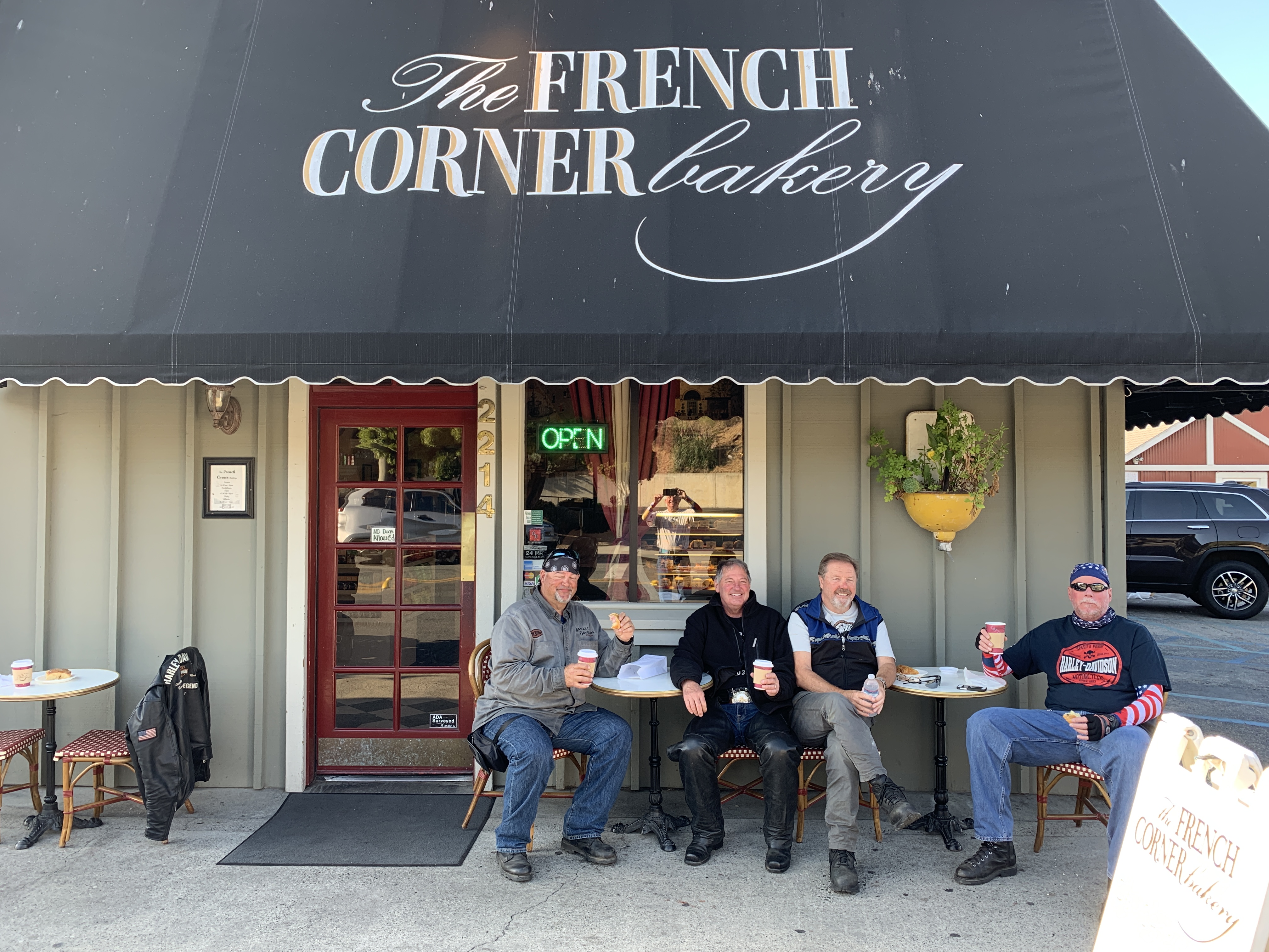
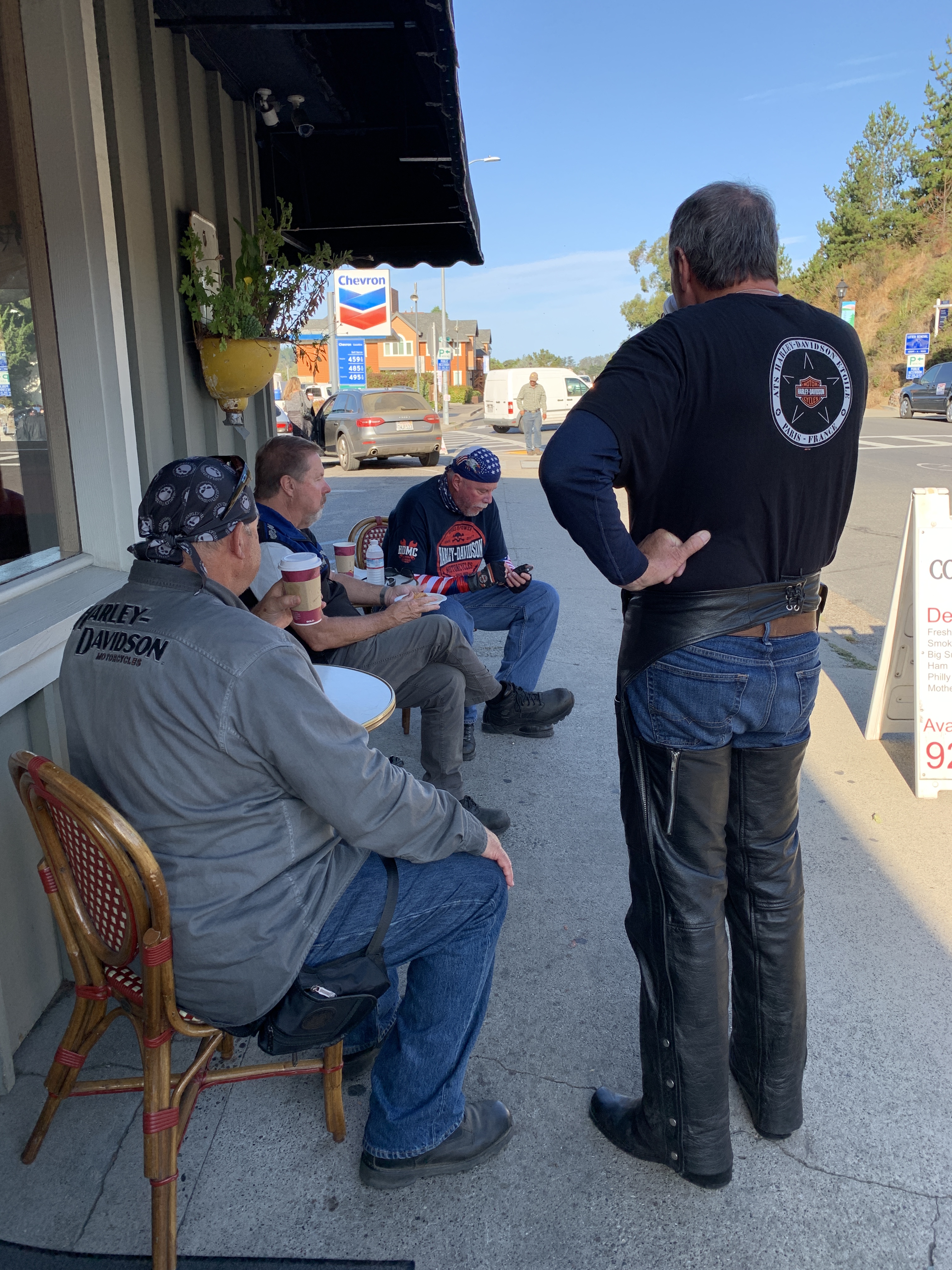
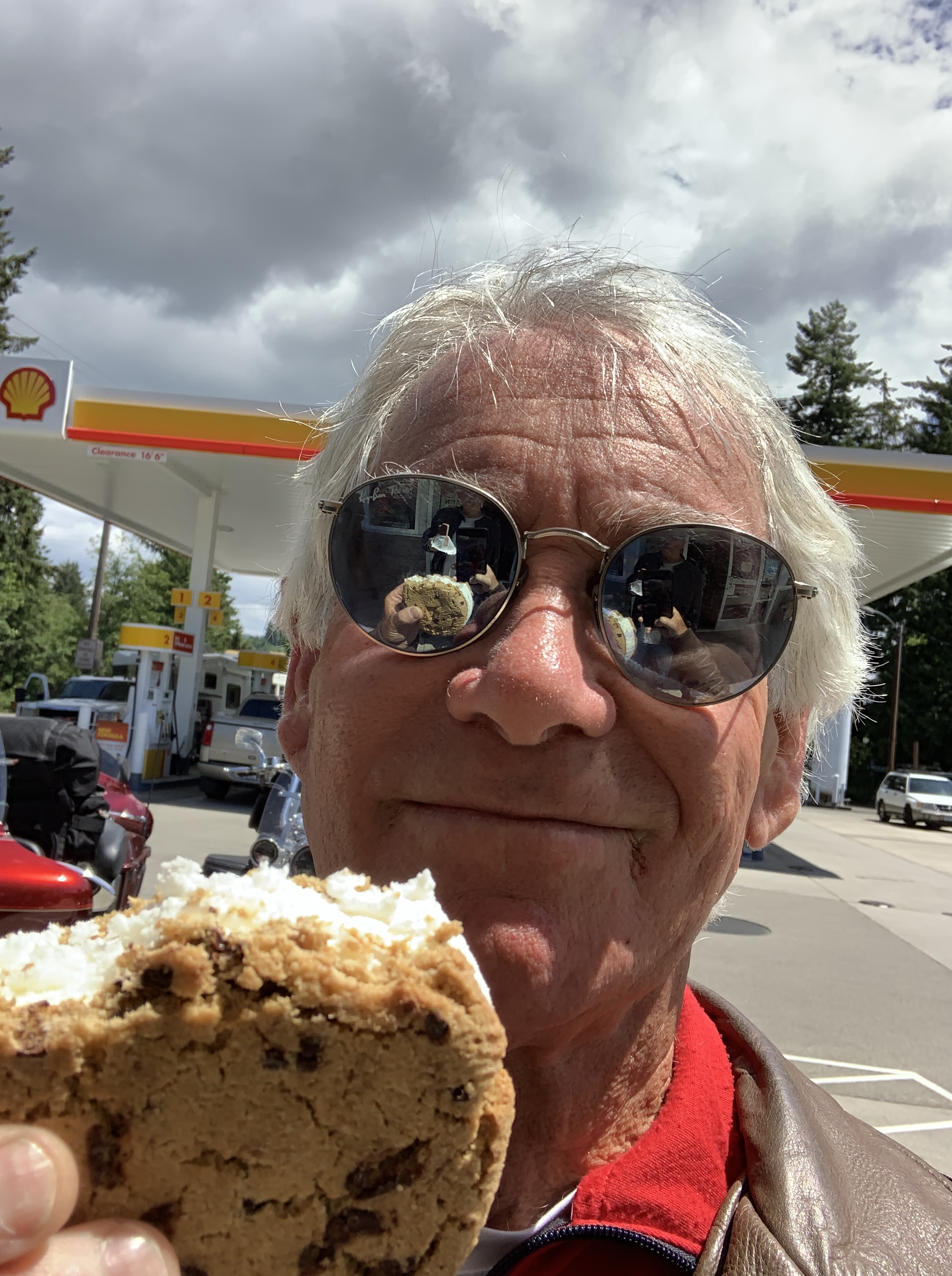
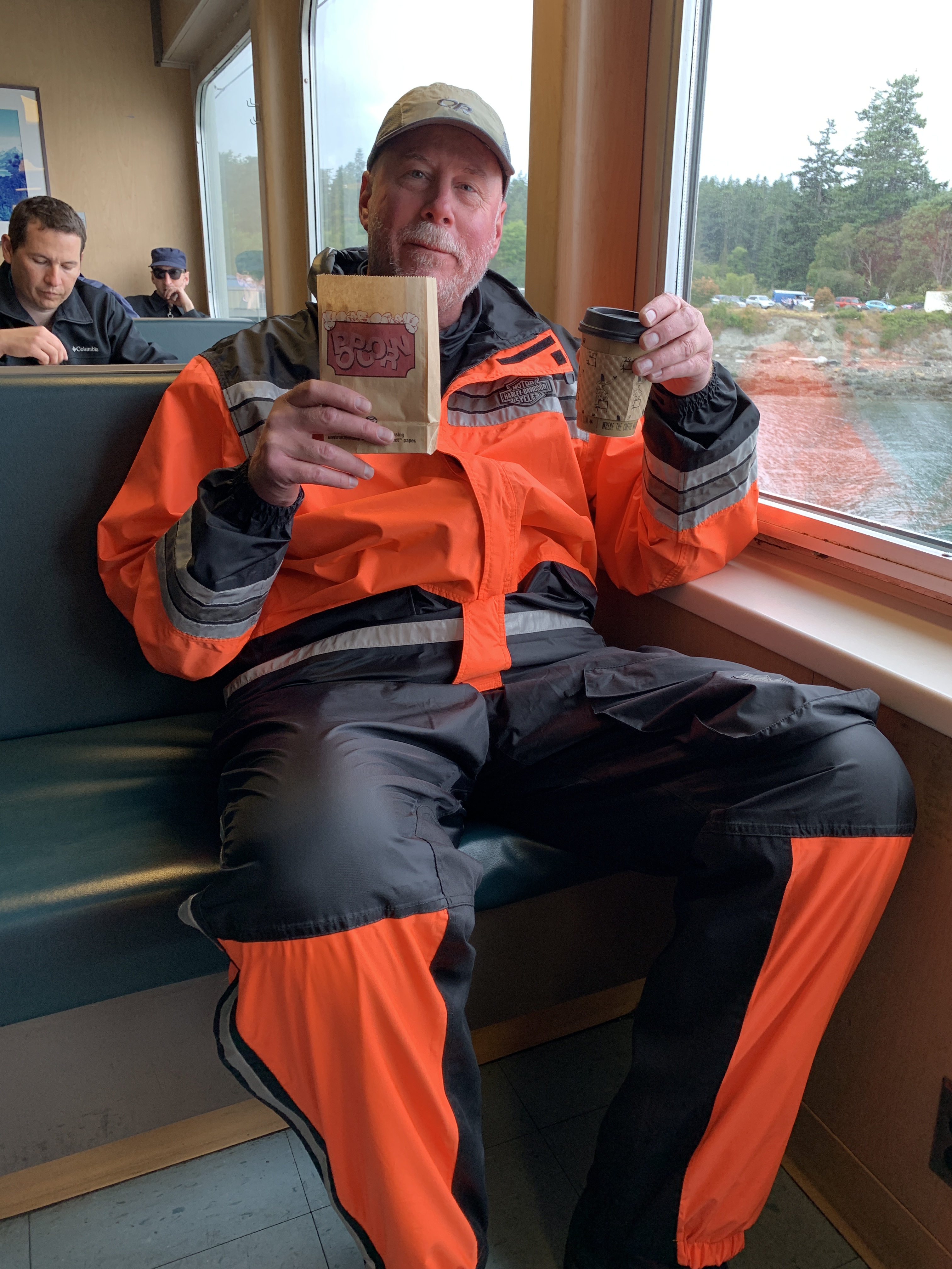
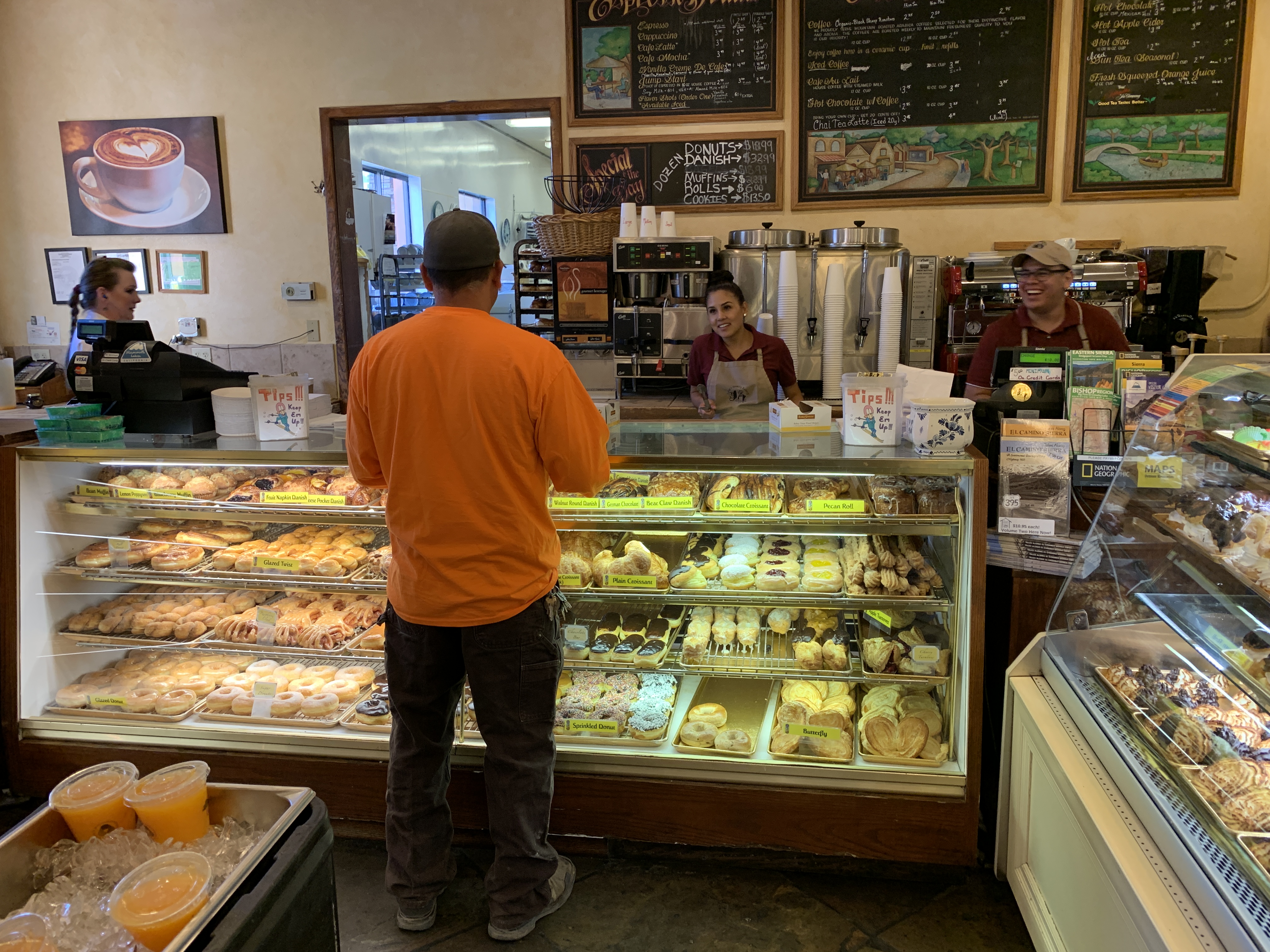
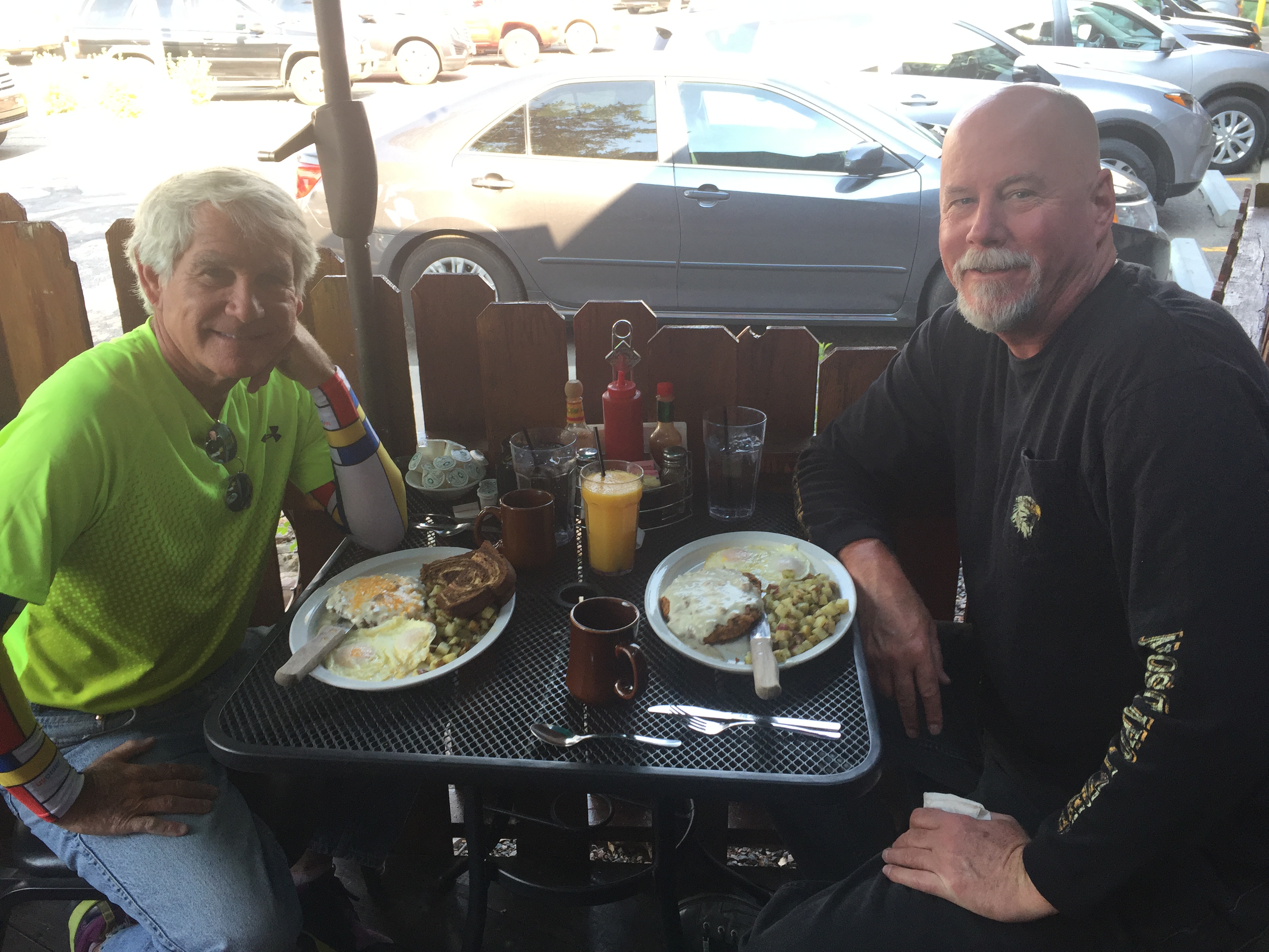
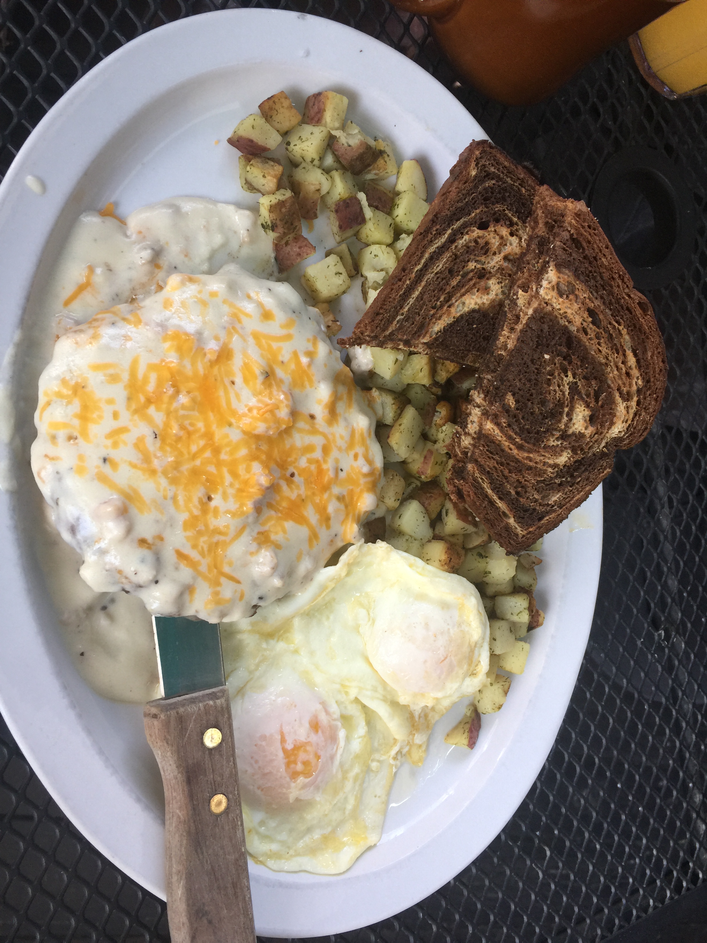
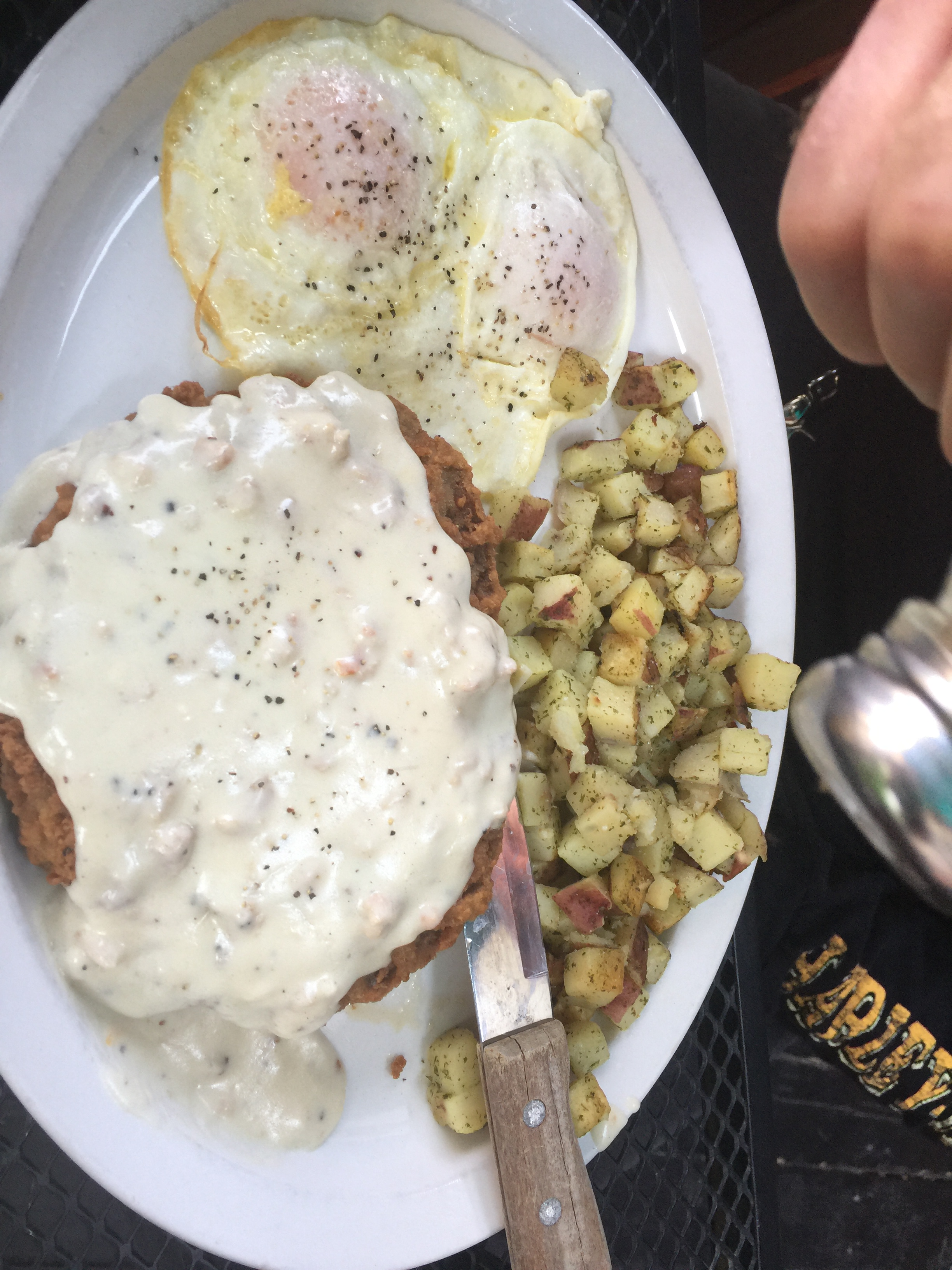
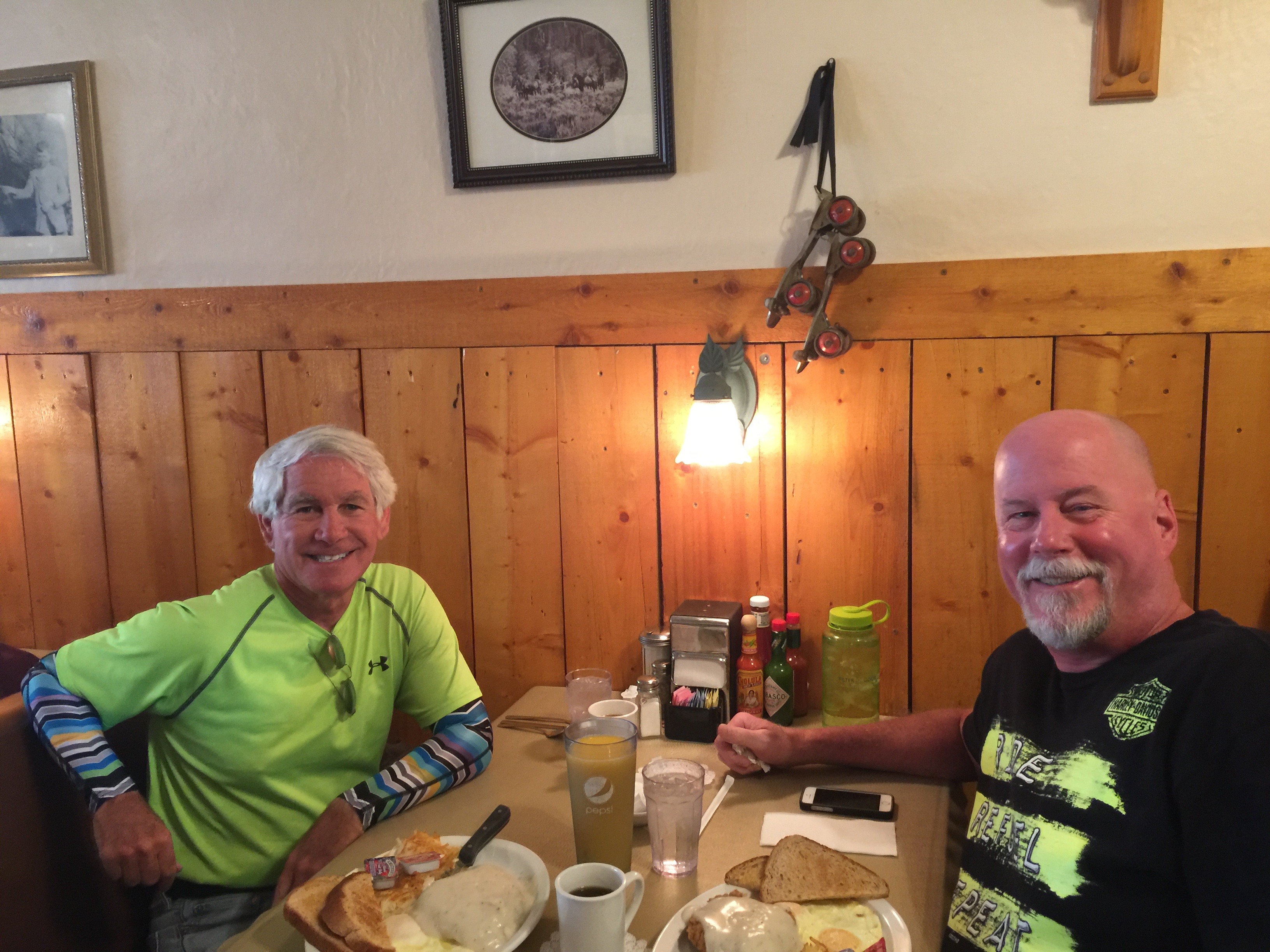
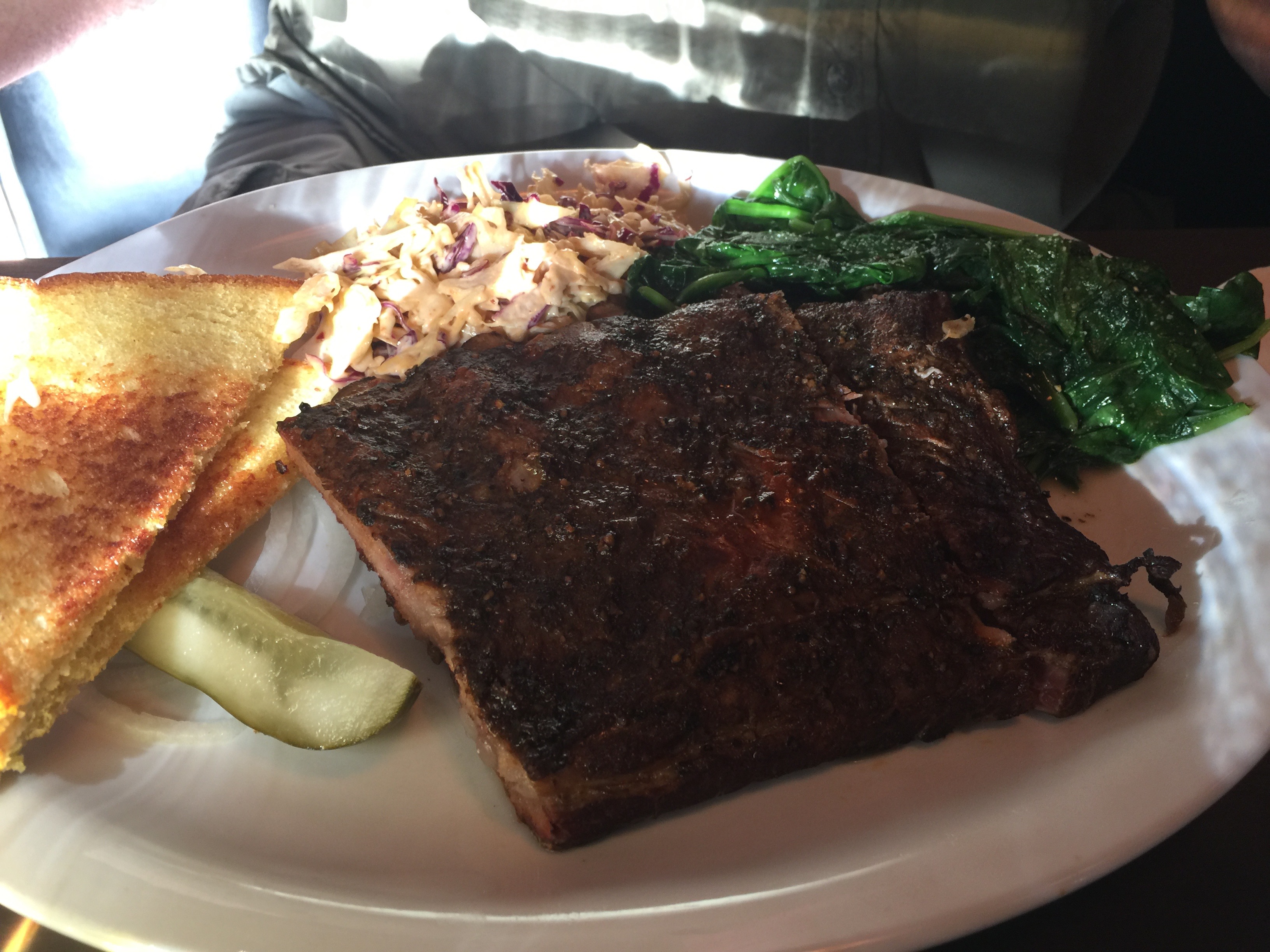
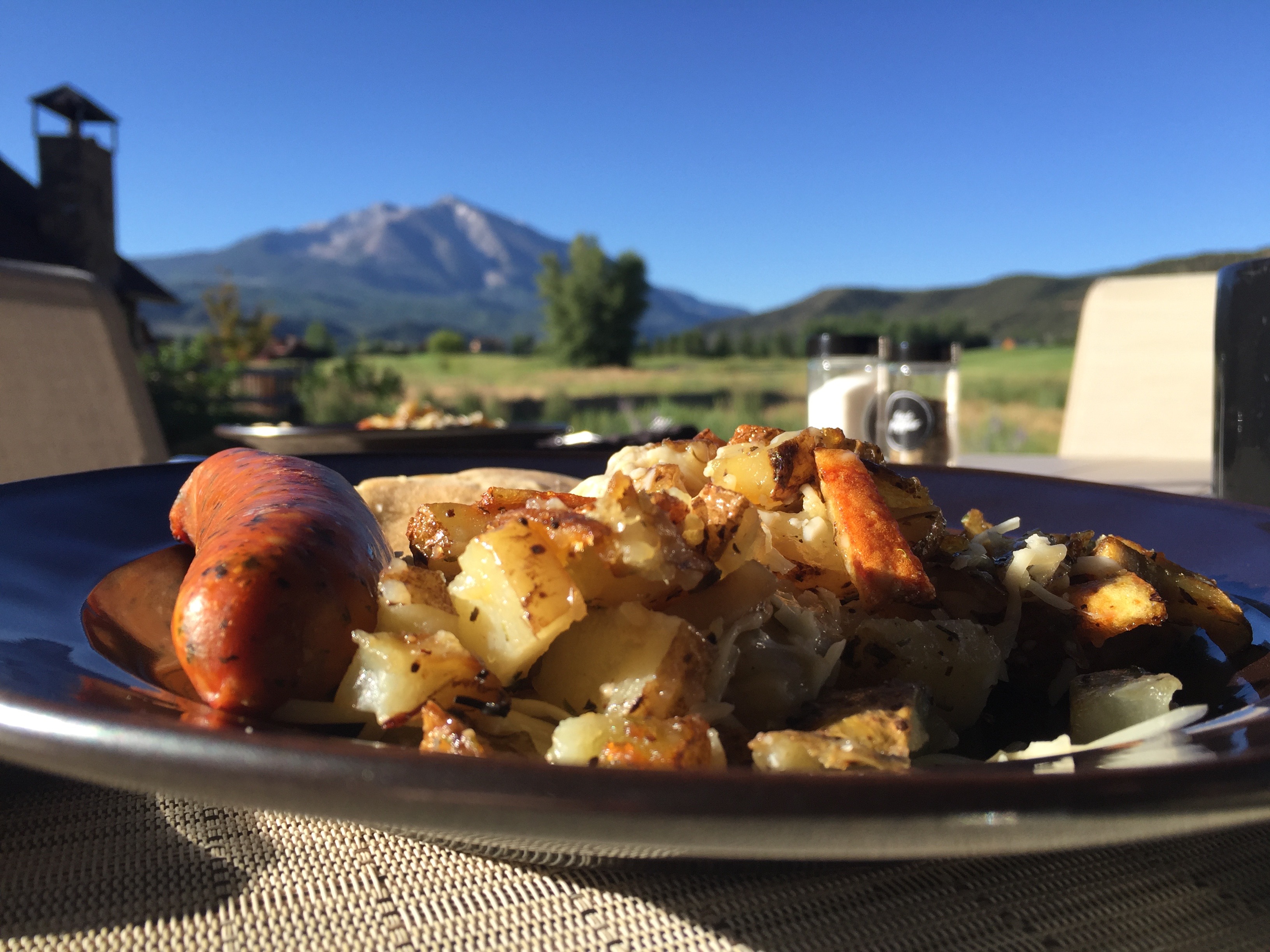
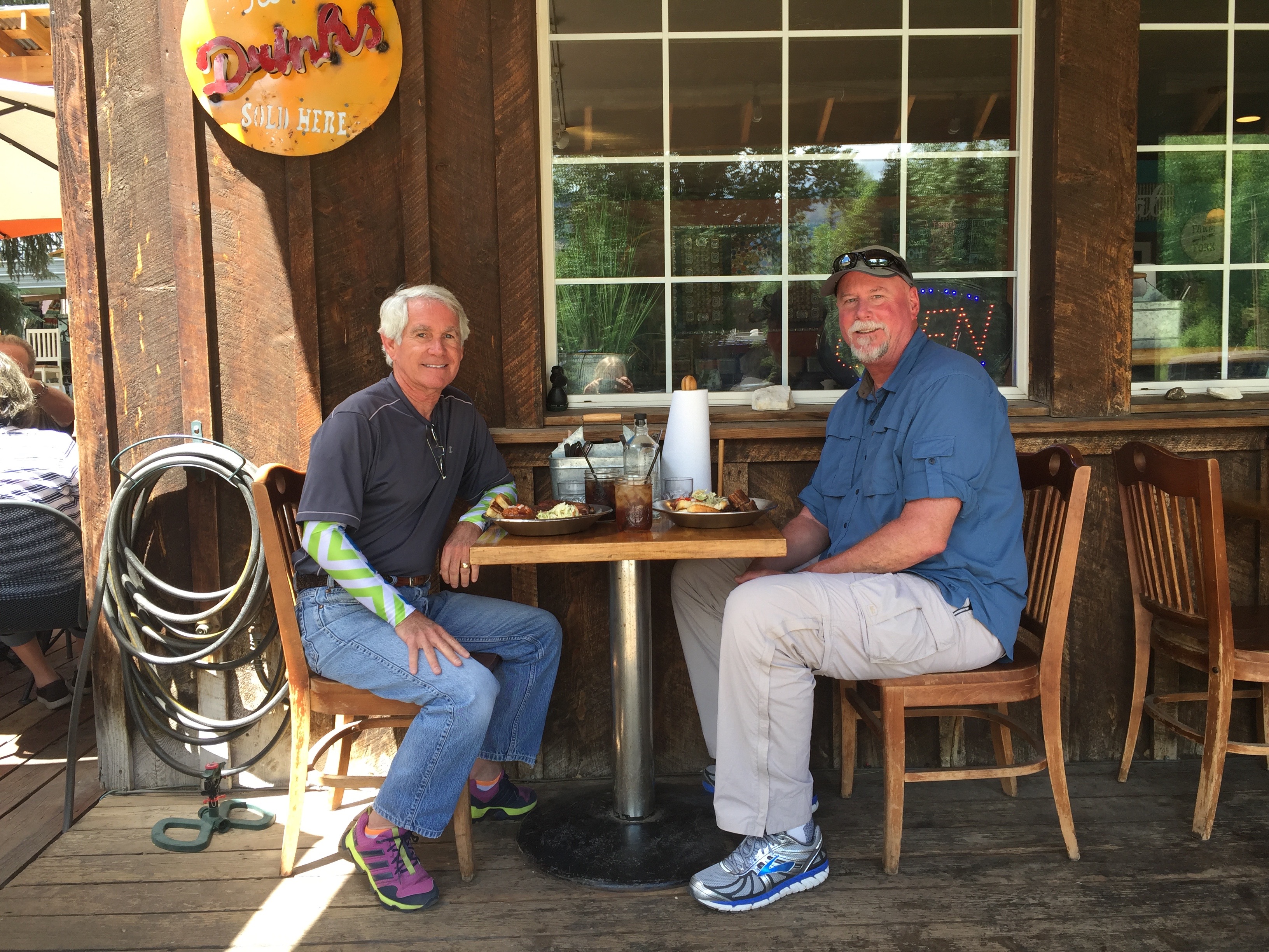
A Cambria tradition: breakfast at the French Corner Bakery.
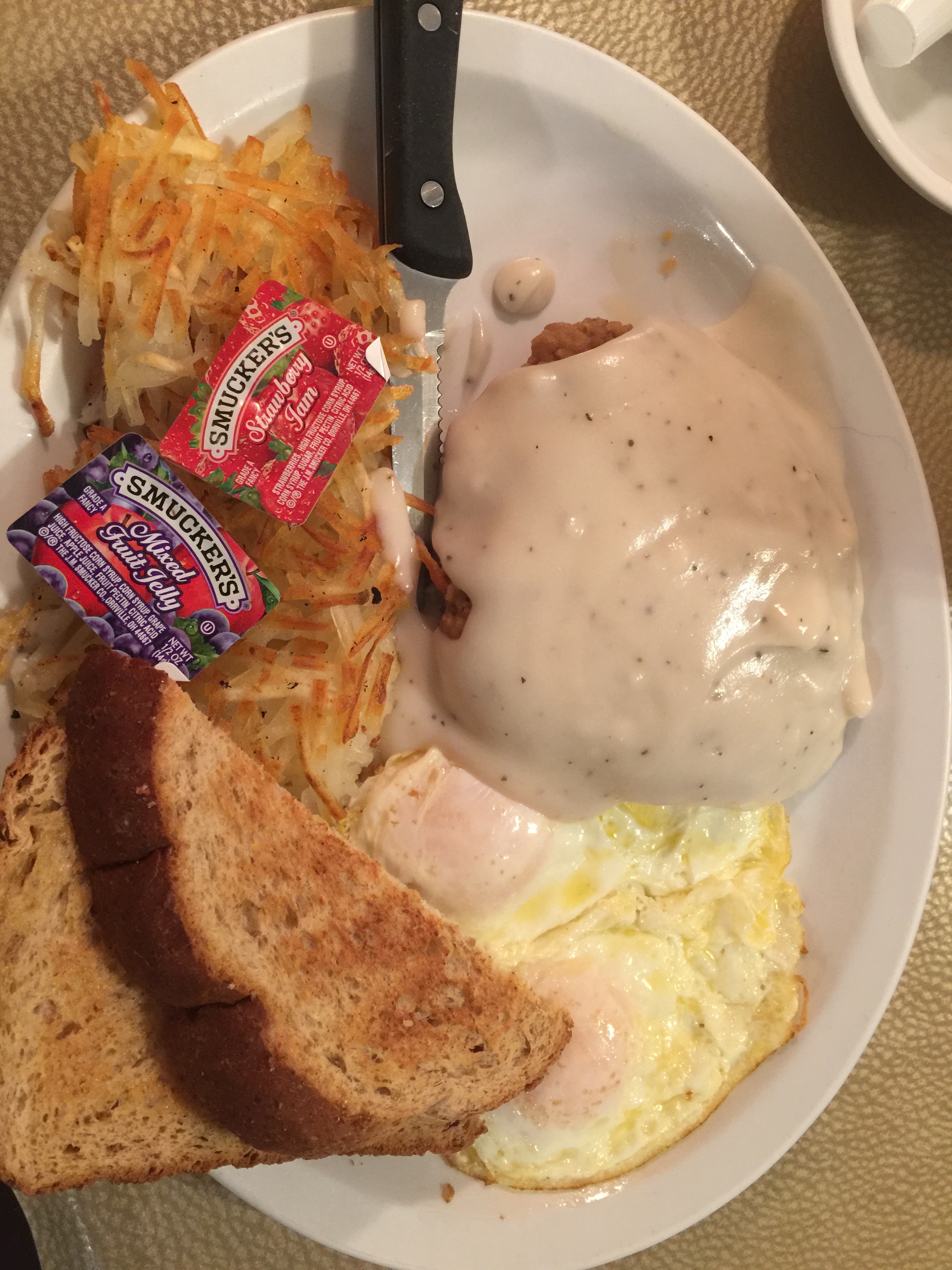
Breakfast al fresco.
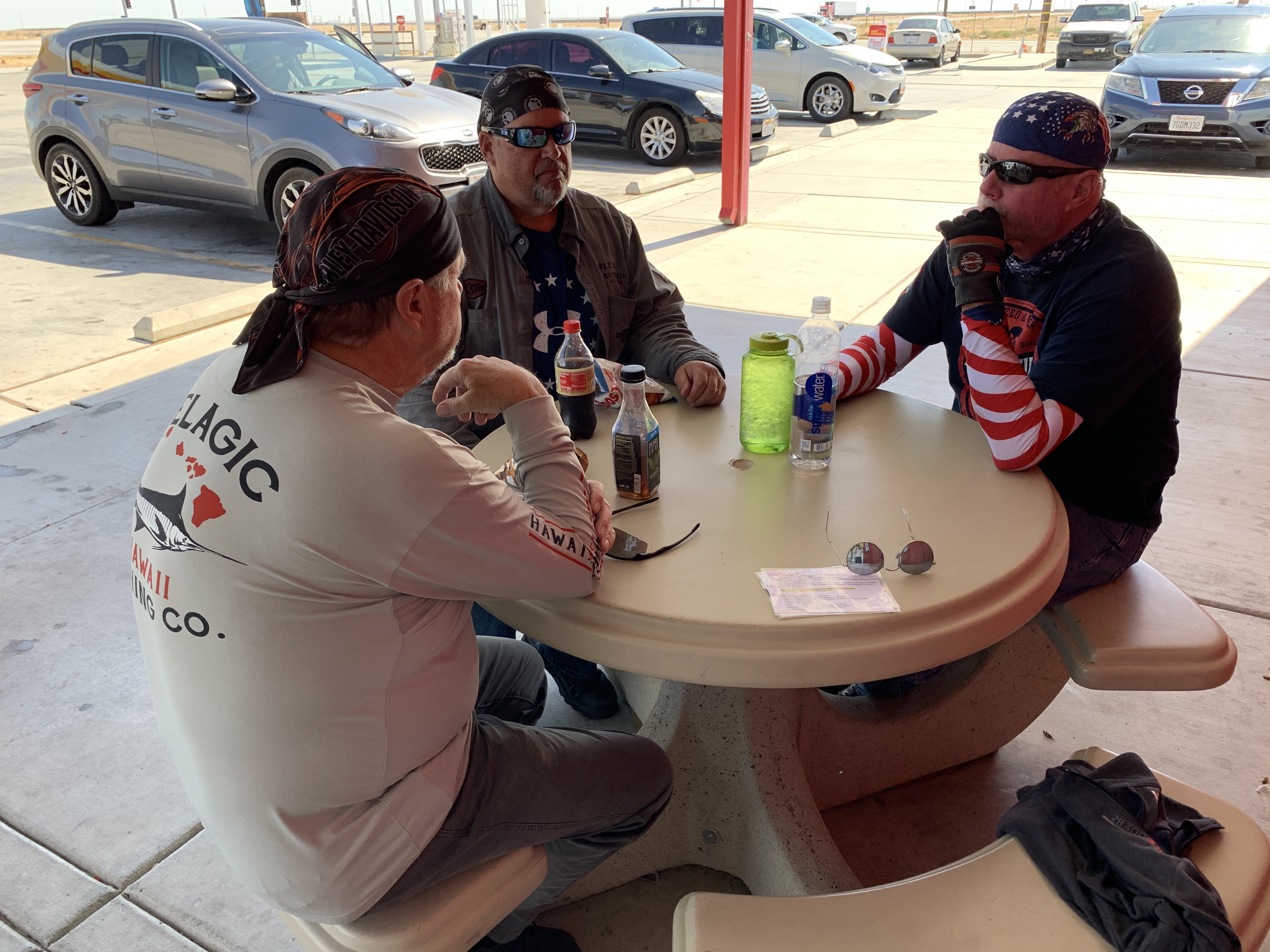
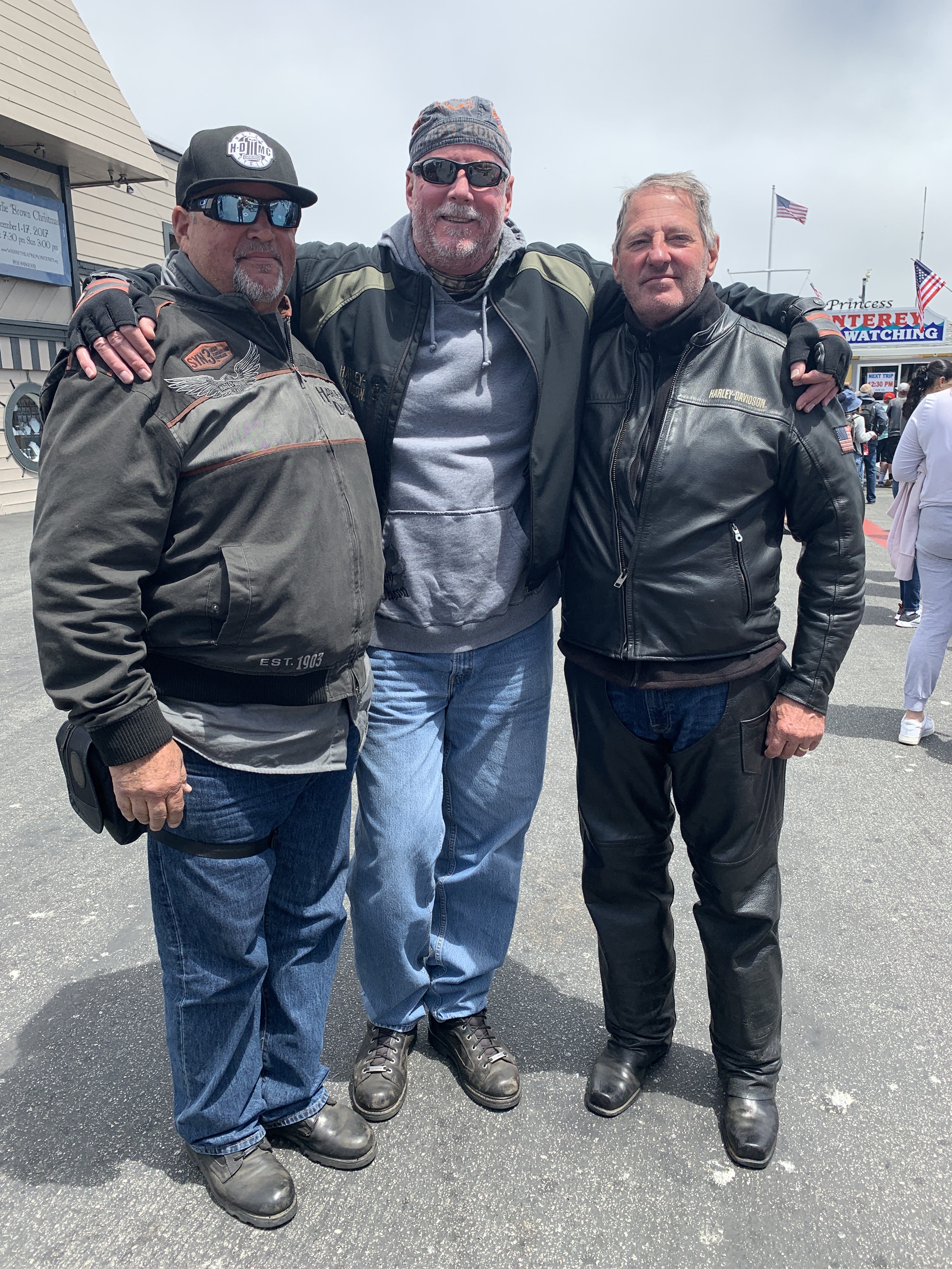
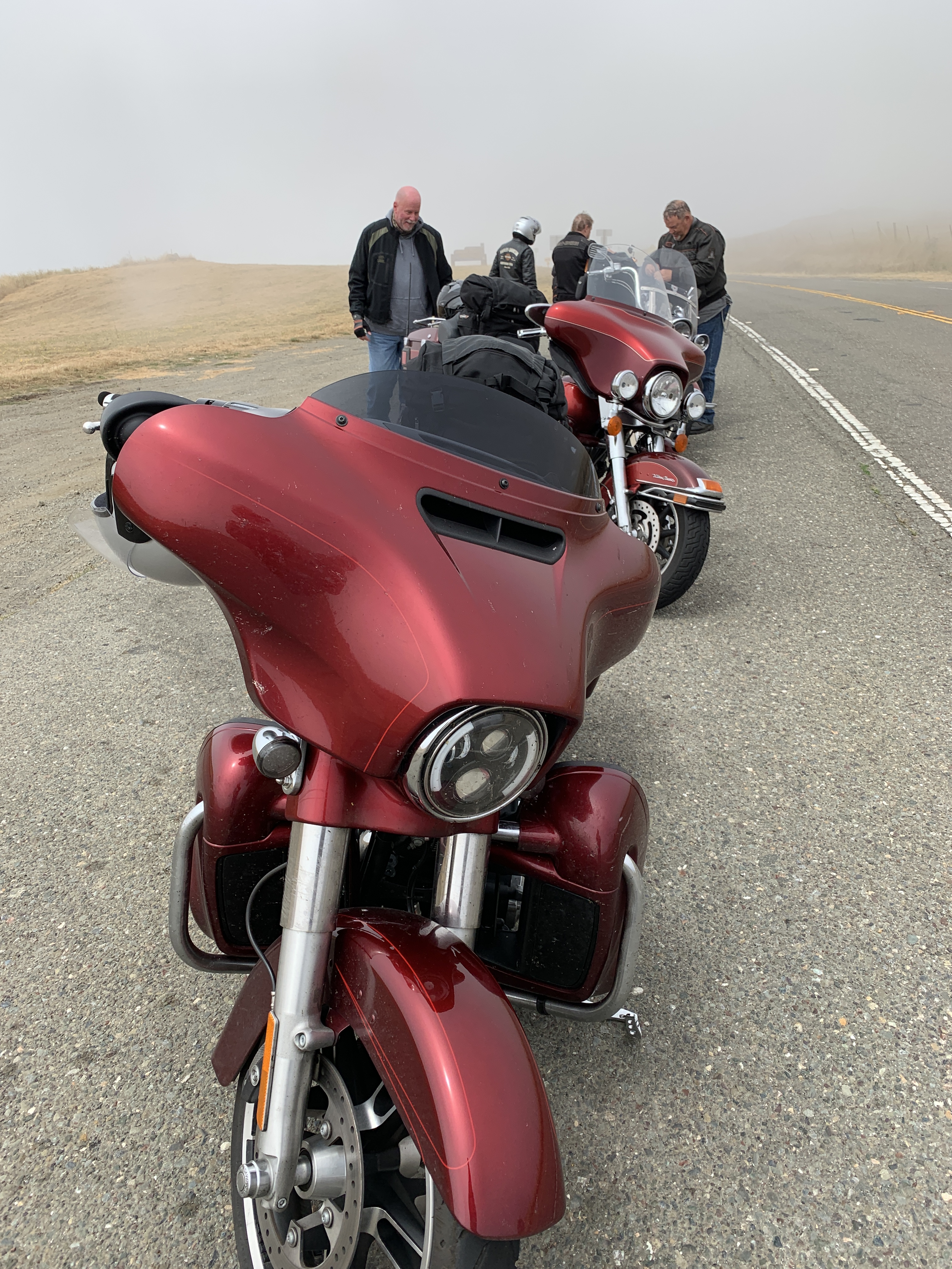
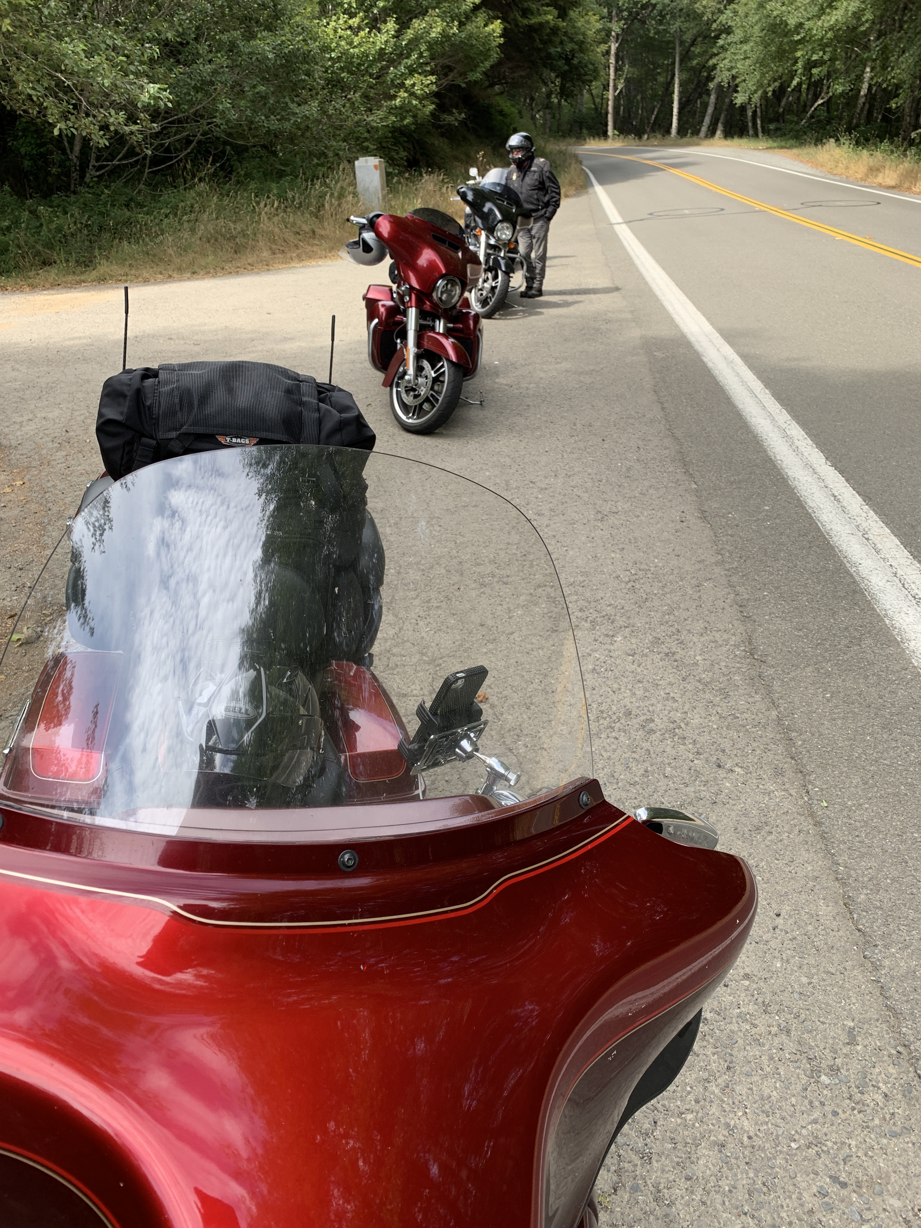
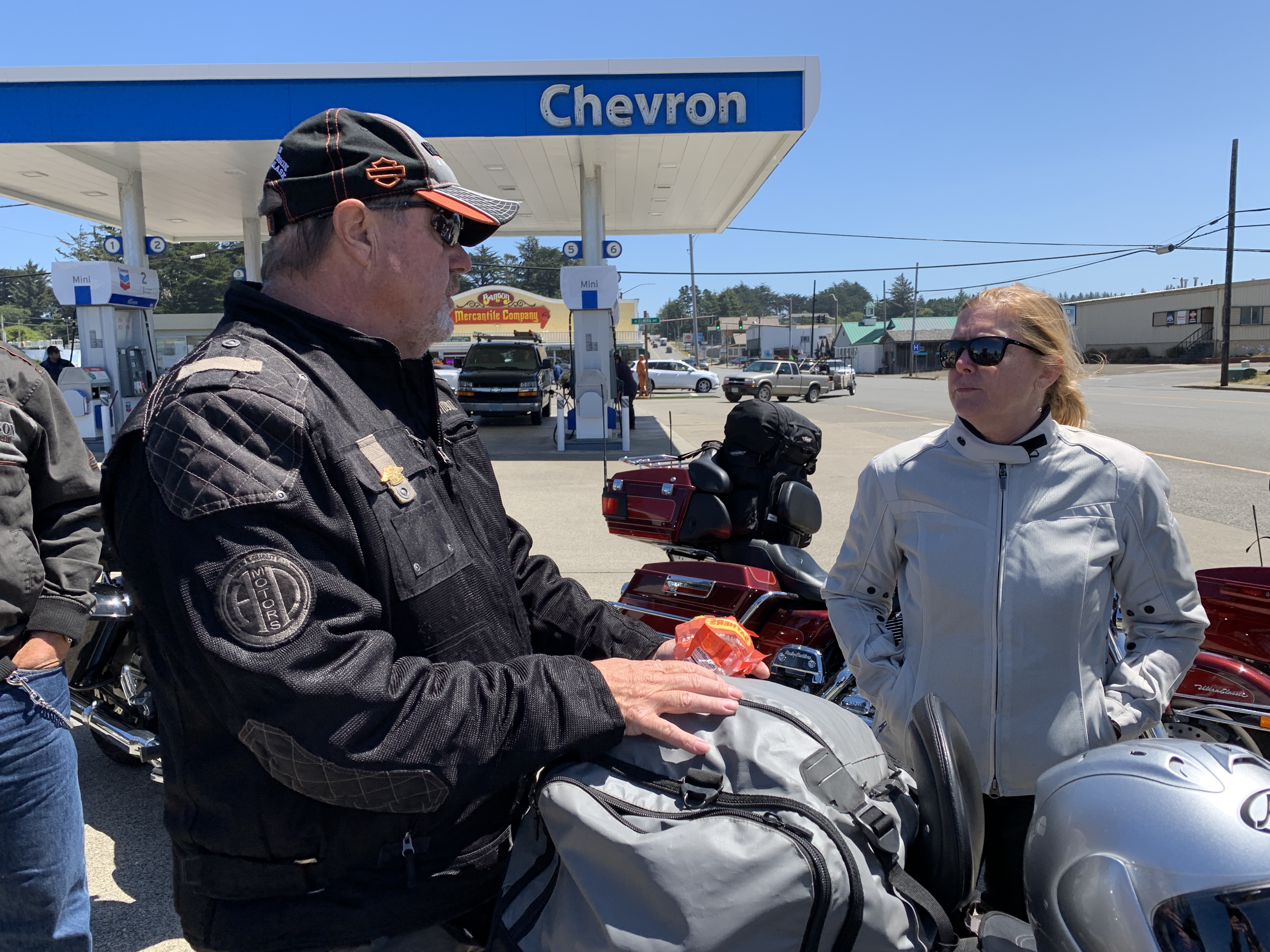
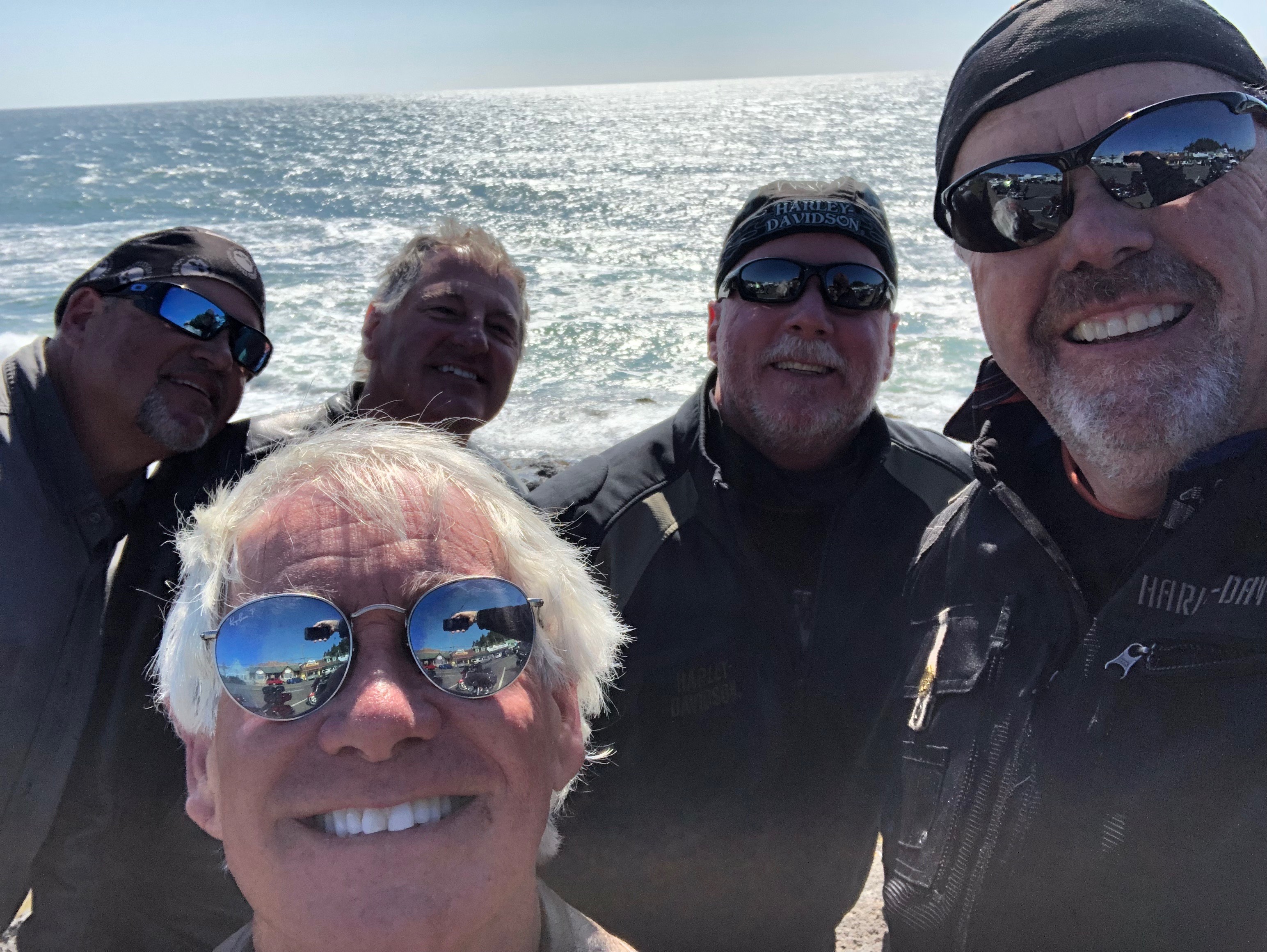
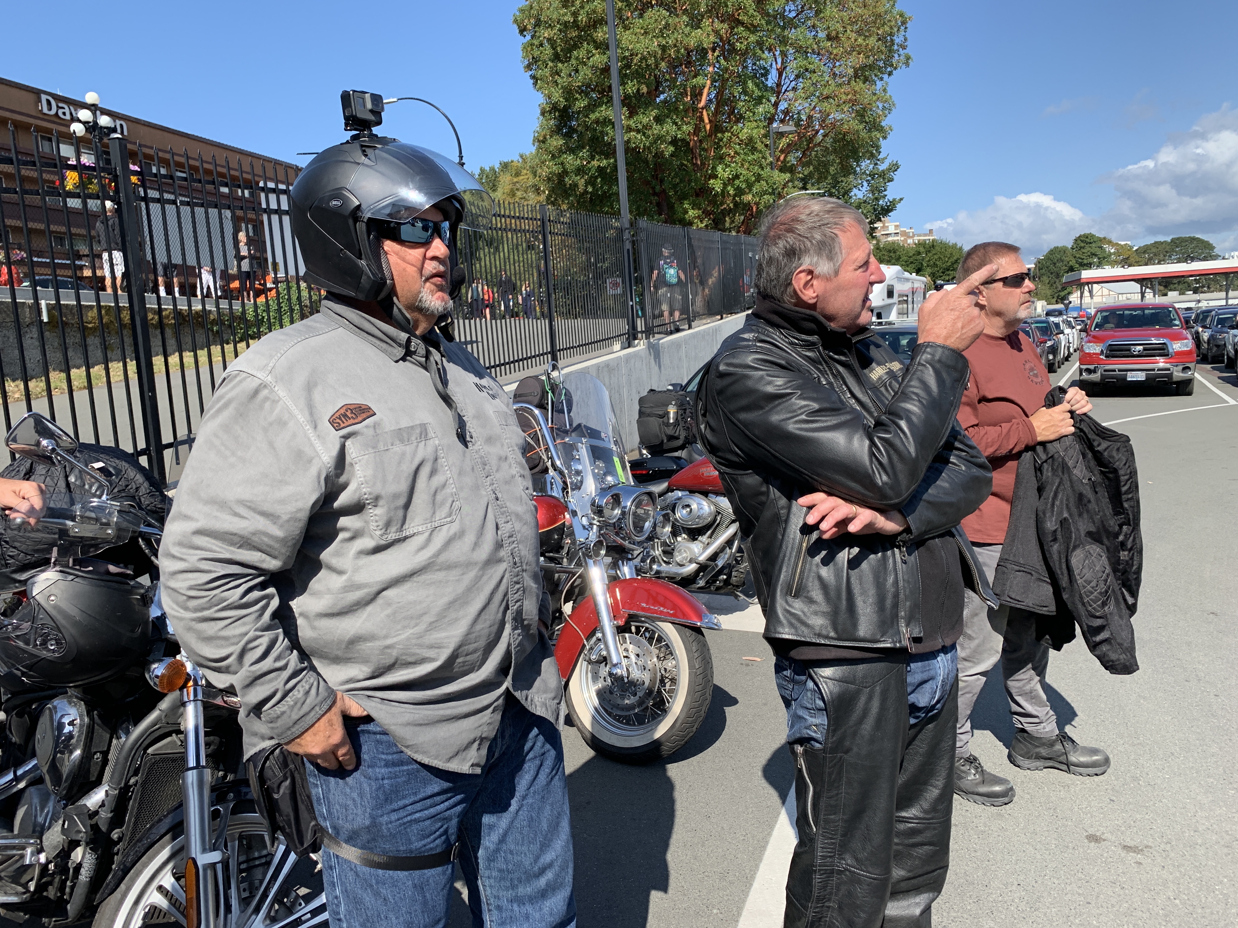
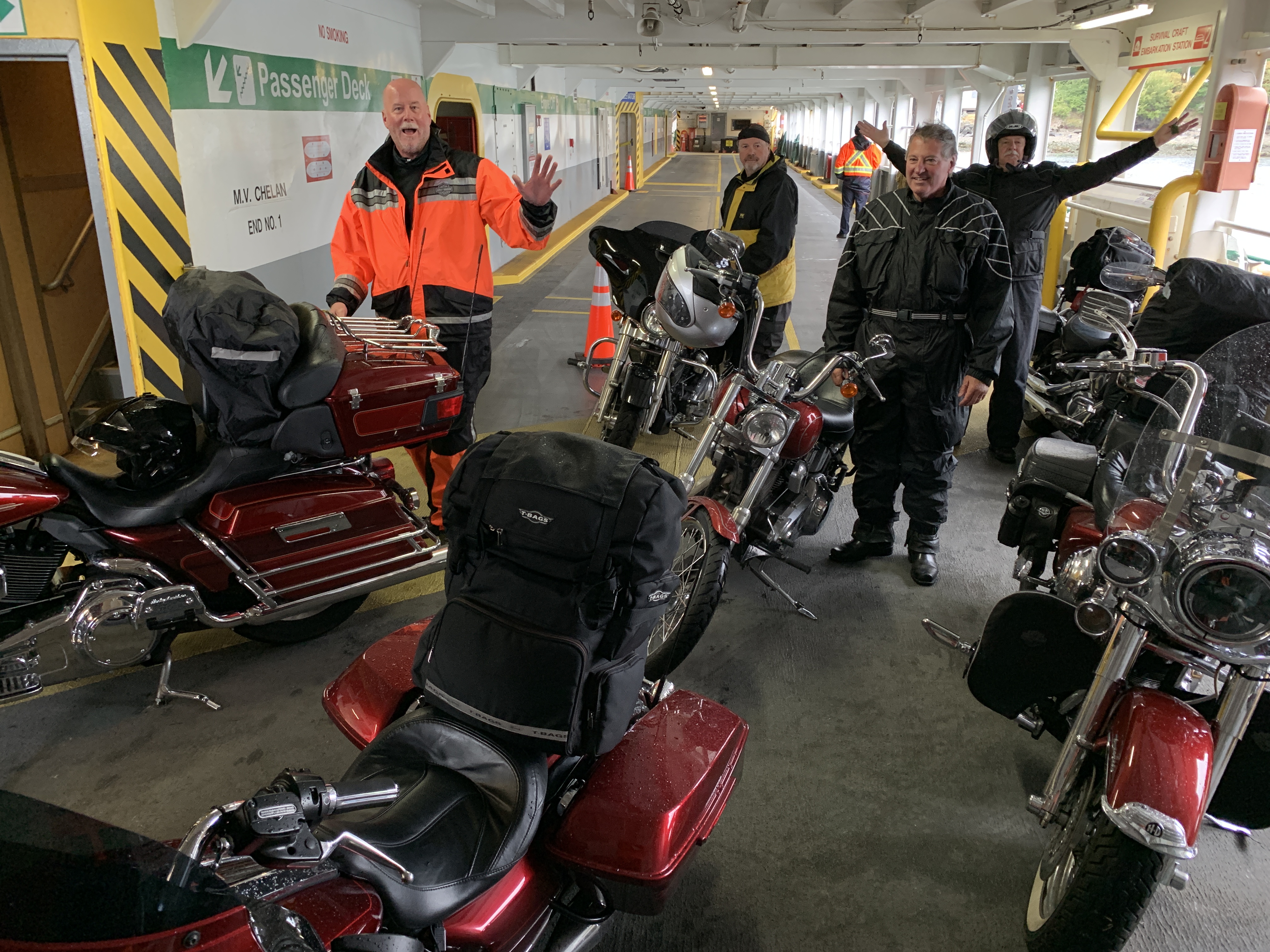
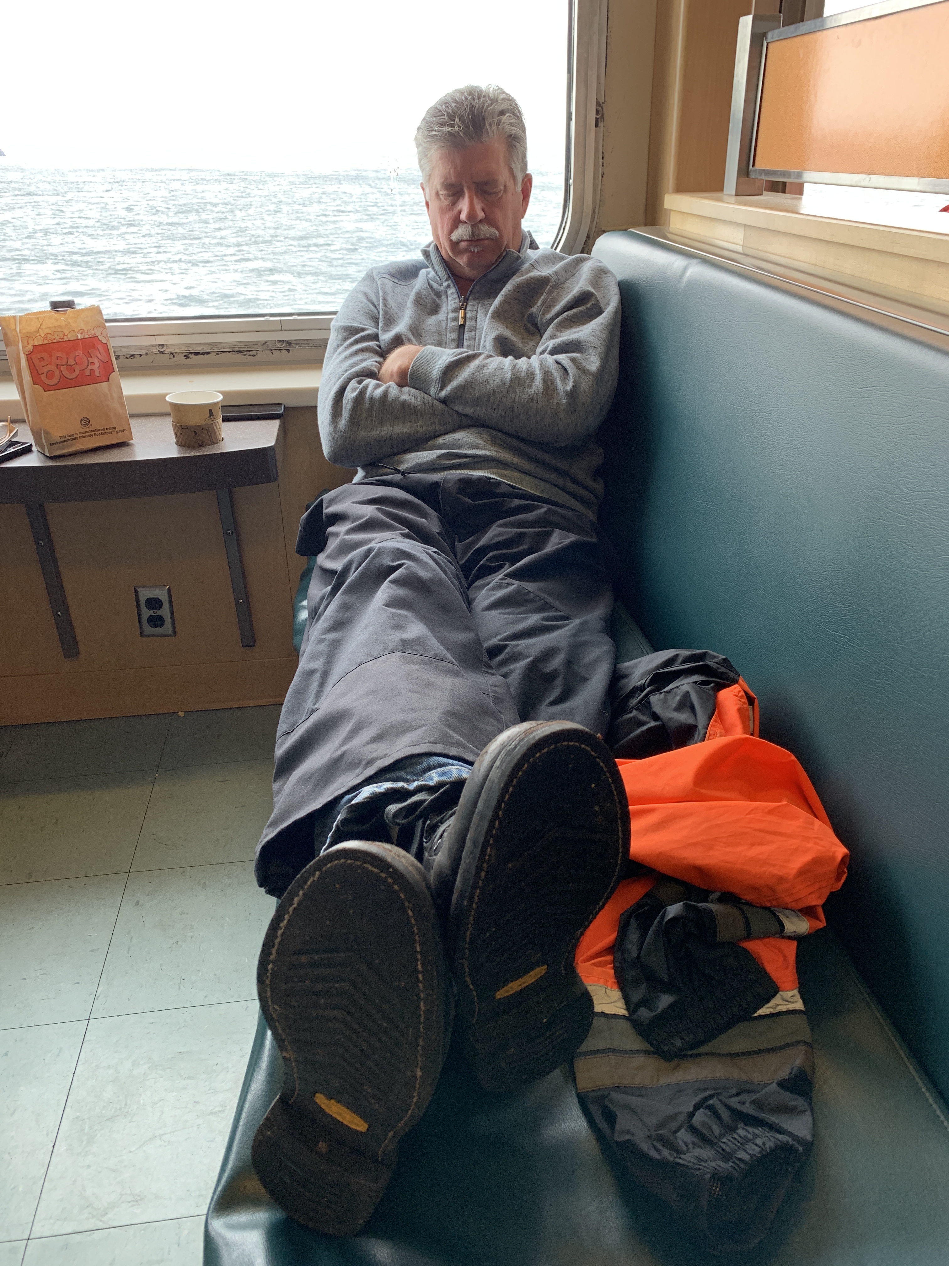
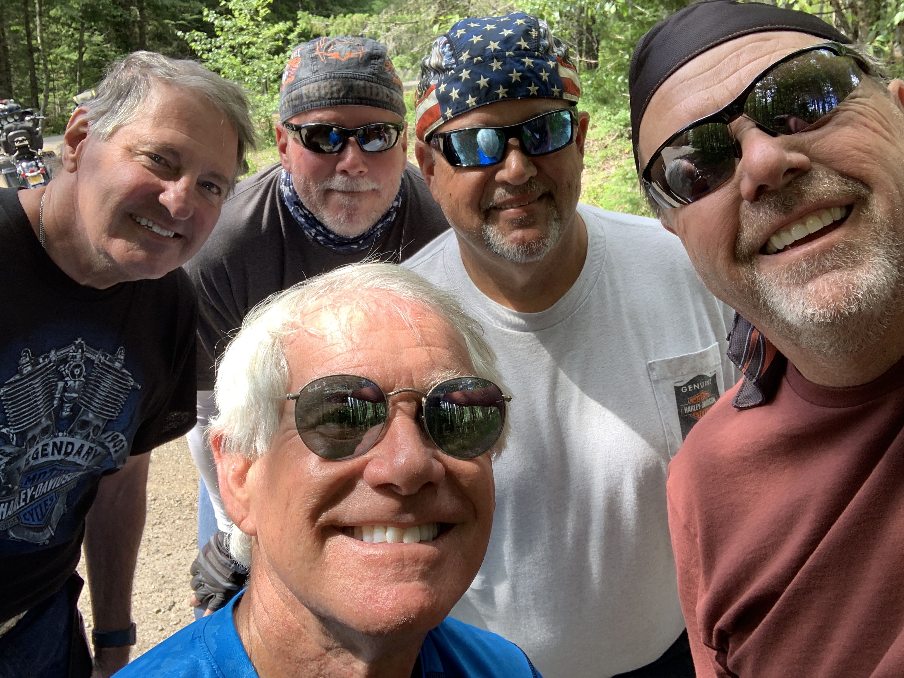
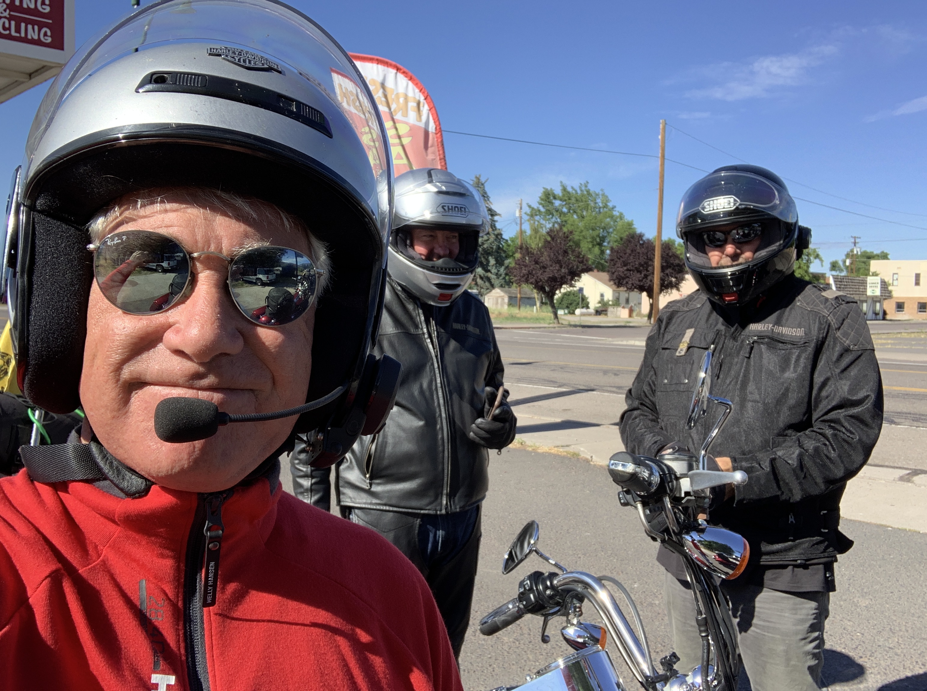
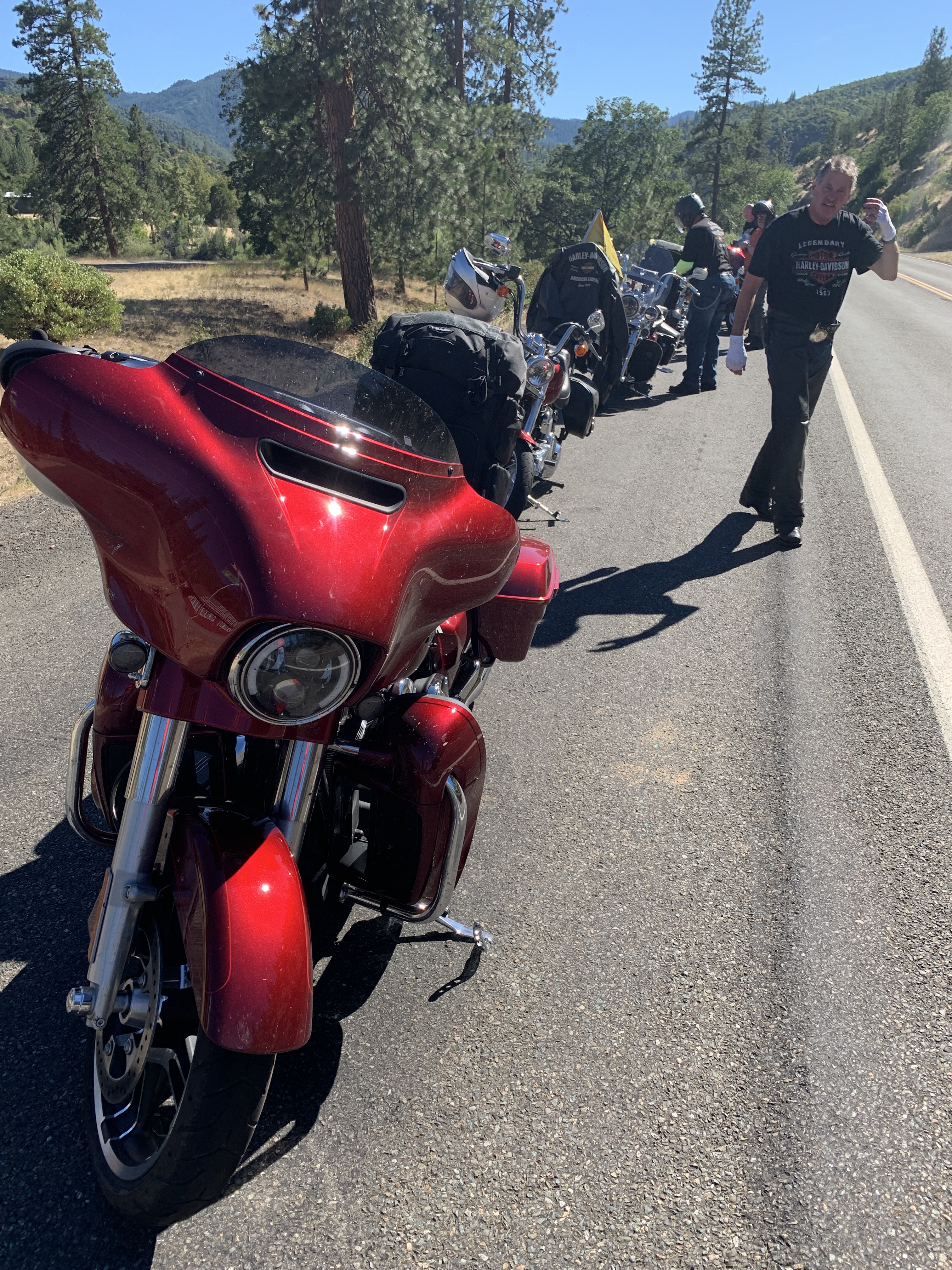
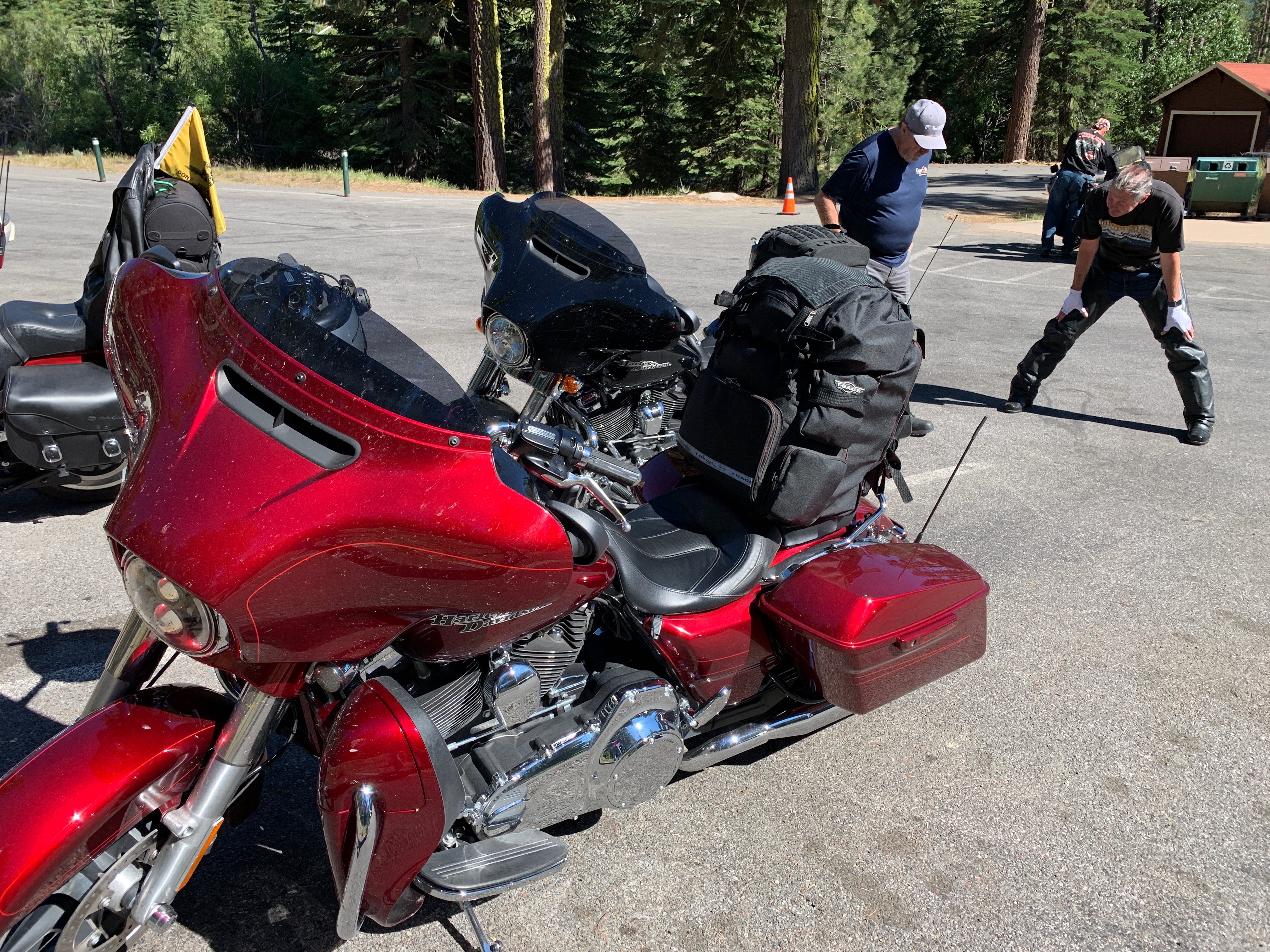
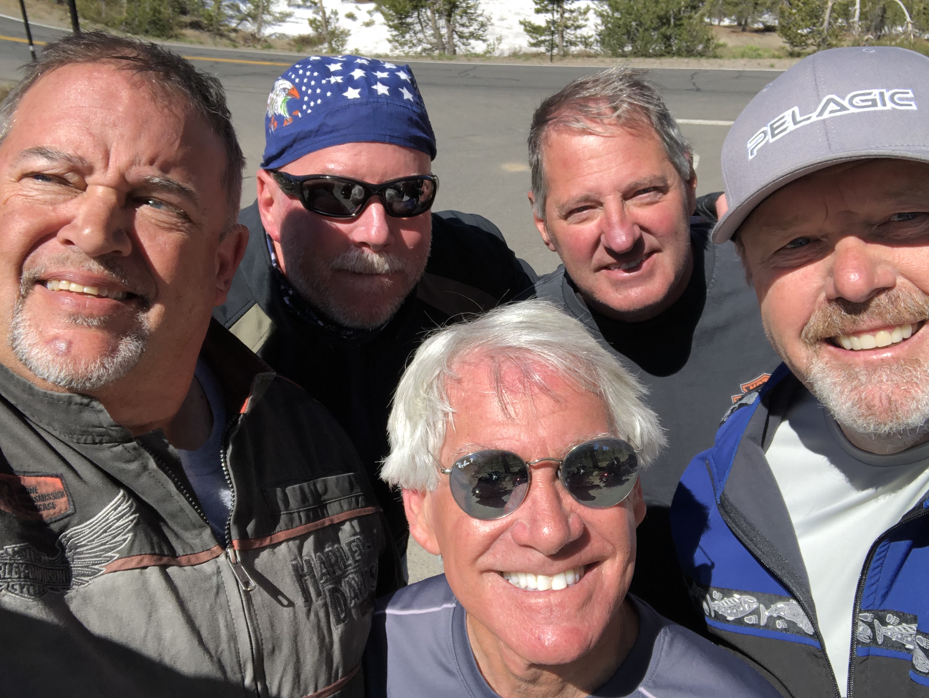
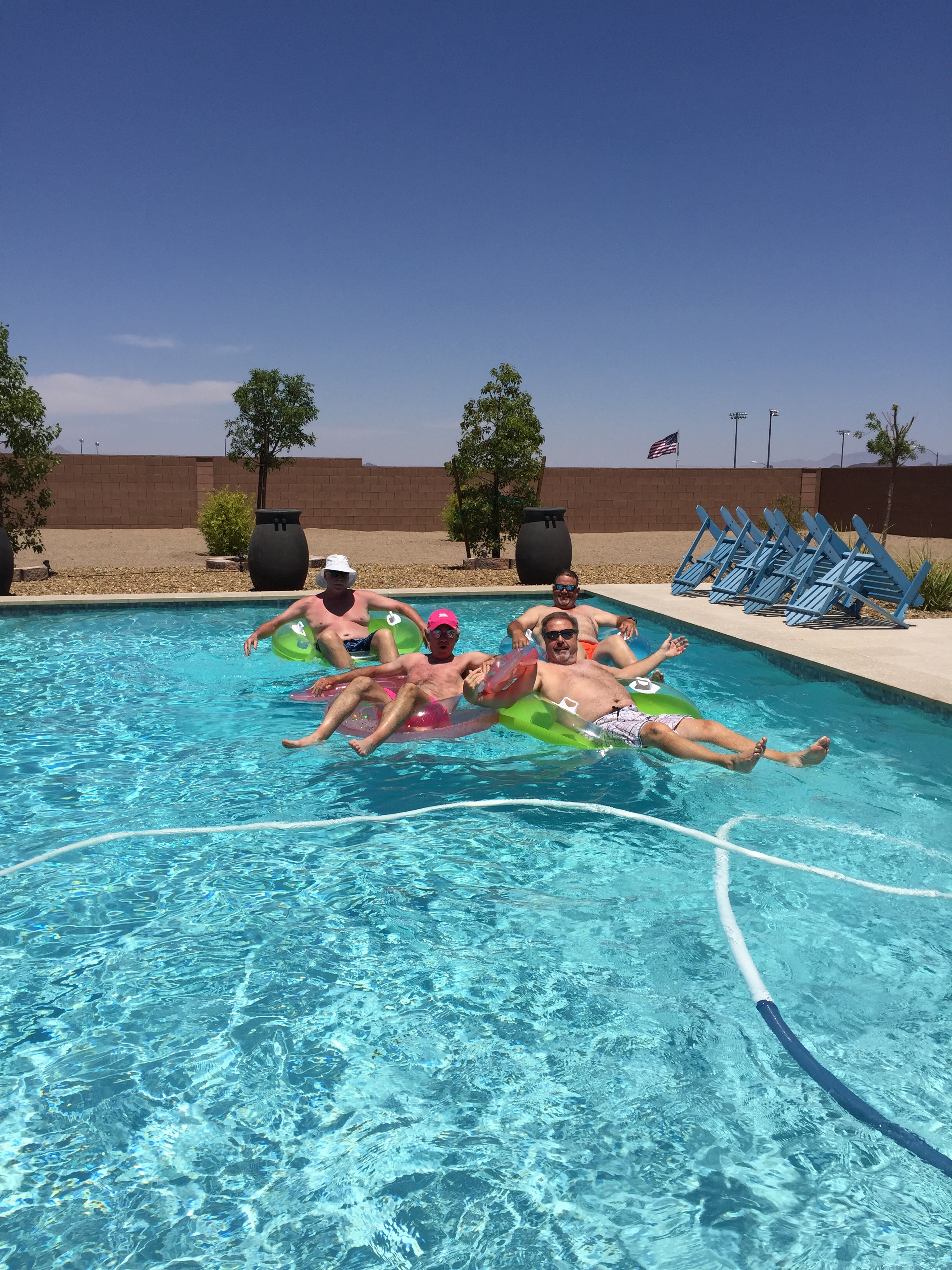
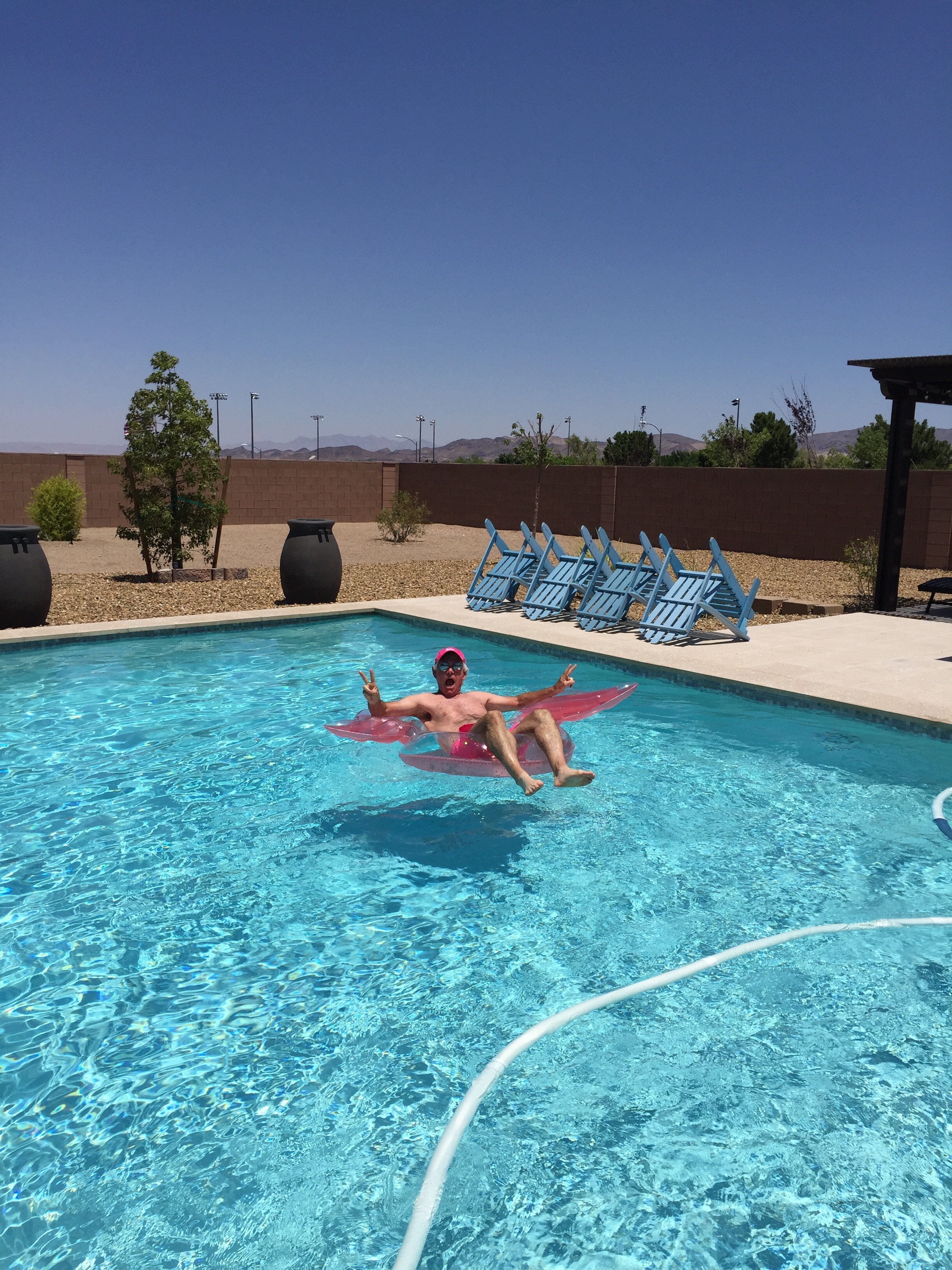
Jim has a final cup of coffee before heading home to Sherman Oaks, California. That leaves four of us in the posse, as the rest of us head east into the hot zone.
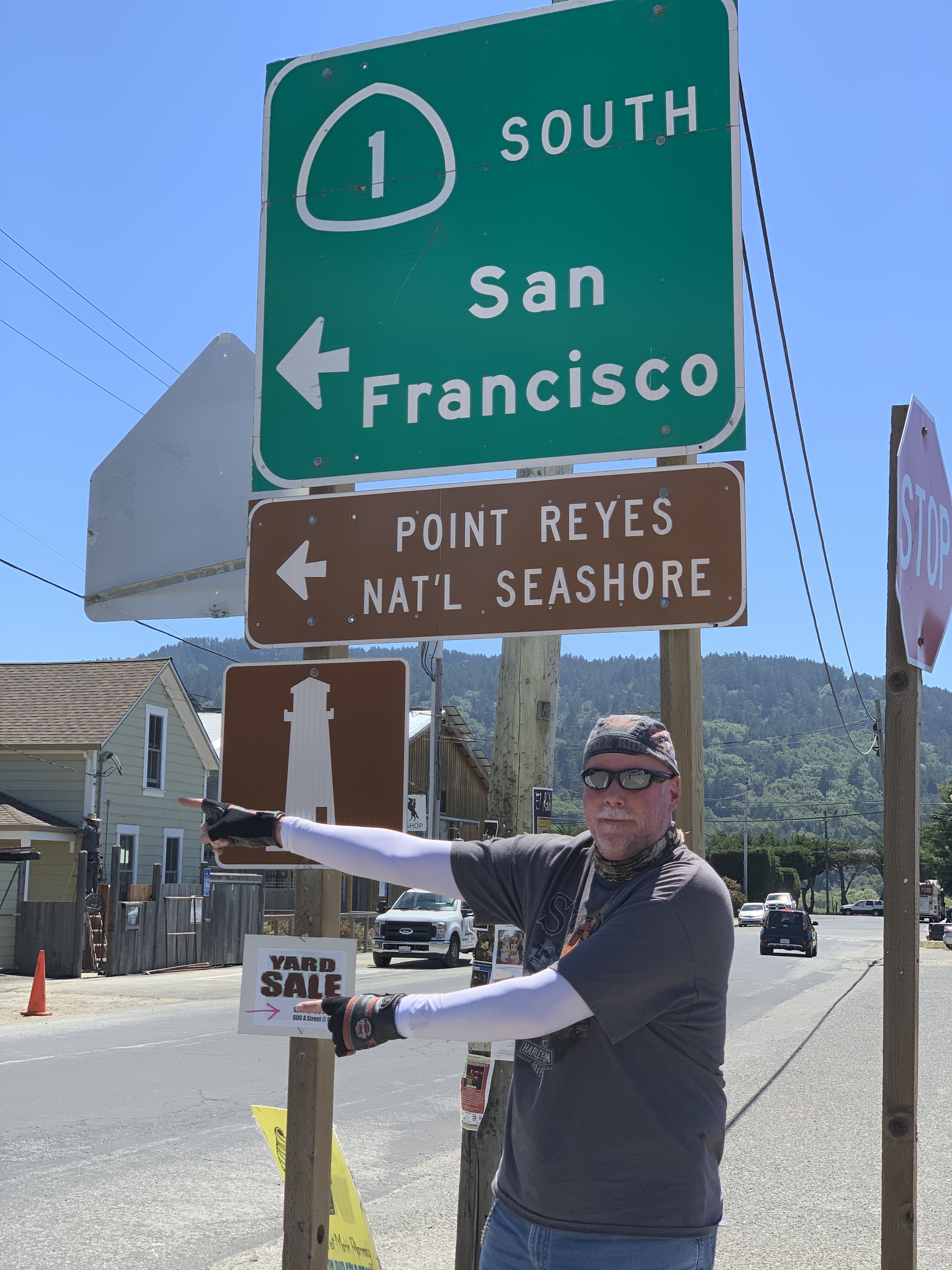
Our Highway 1 fun fest is almost over.
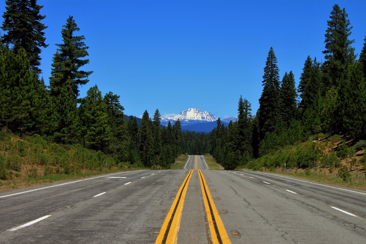
Leaving Cambria, we head south on Highway 1, the Cabrillo Highway. We’re on the highway for 2.3 miles, then our coastal celebration suddenly comes to an end.
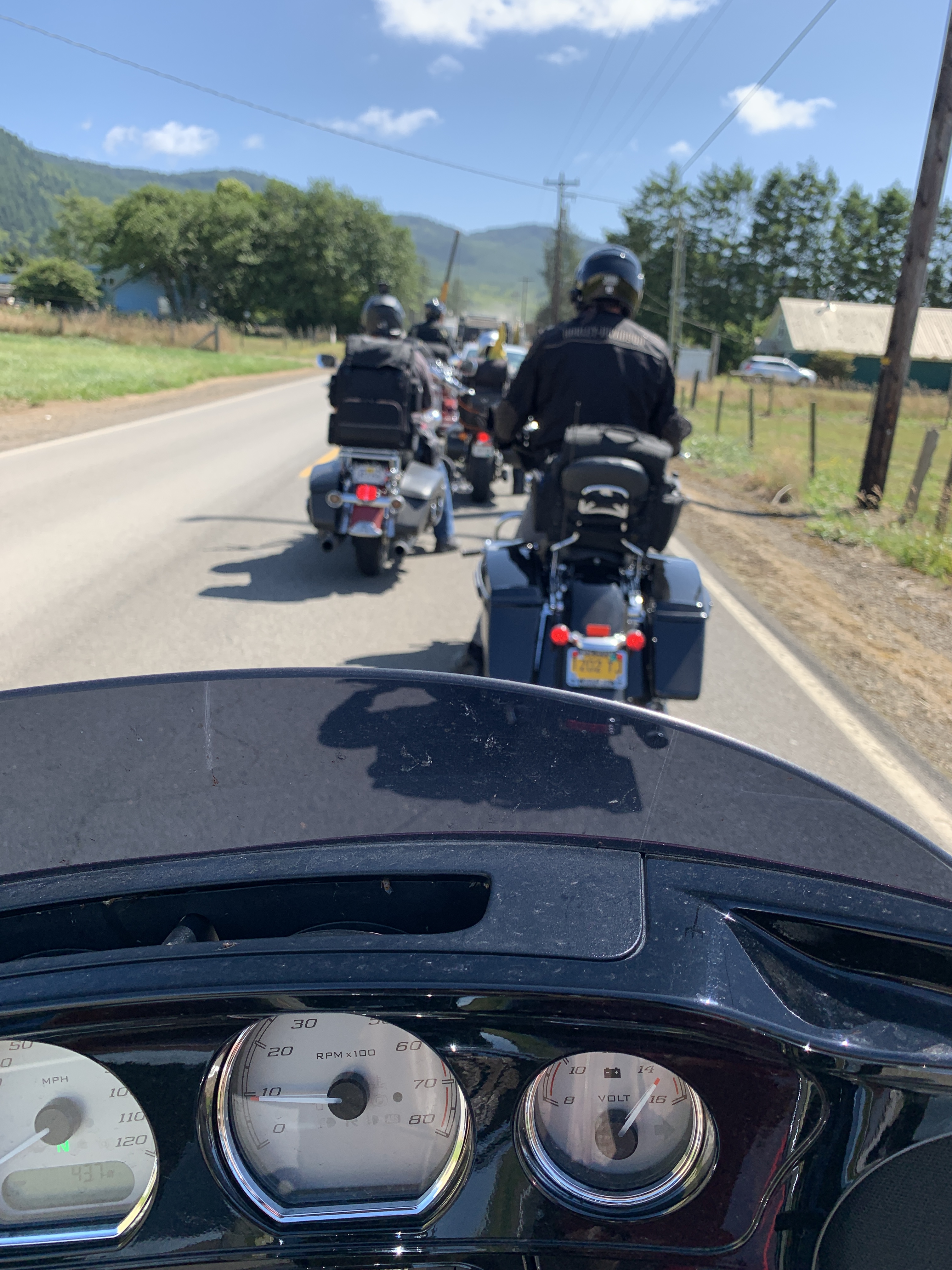
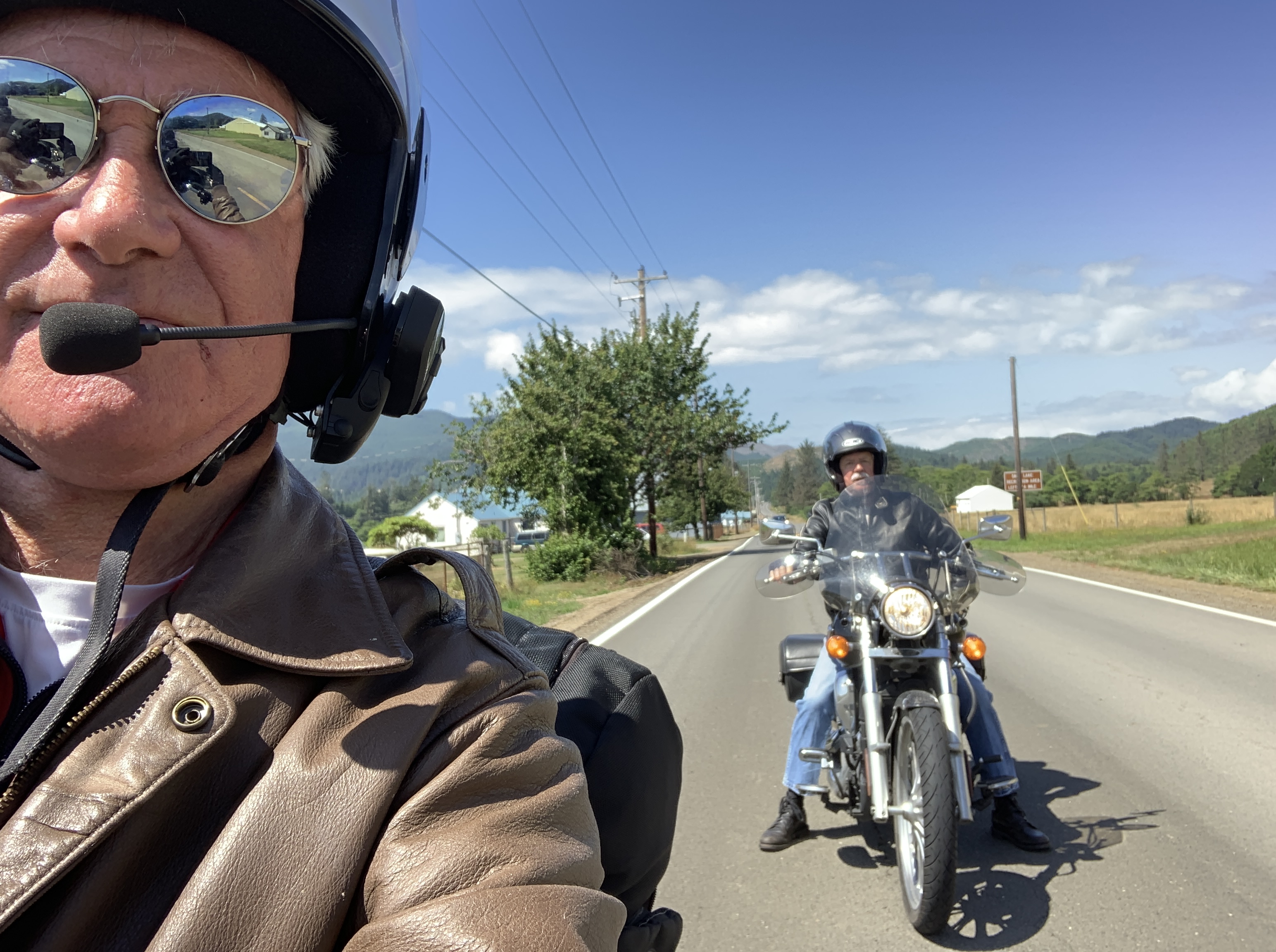
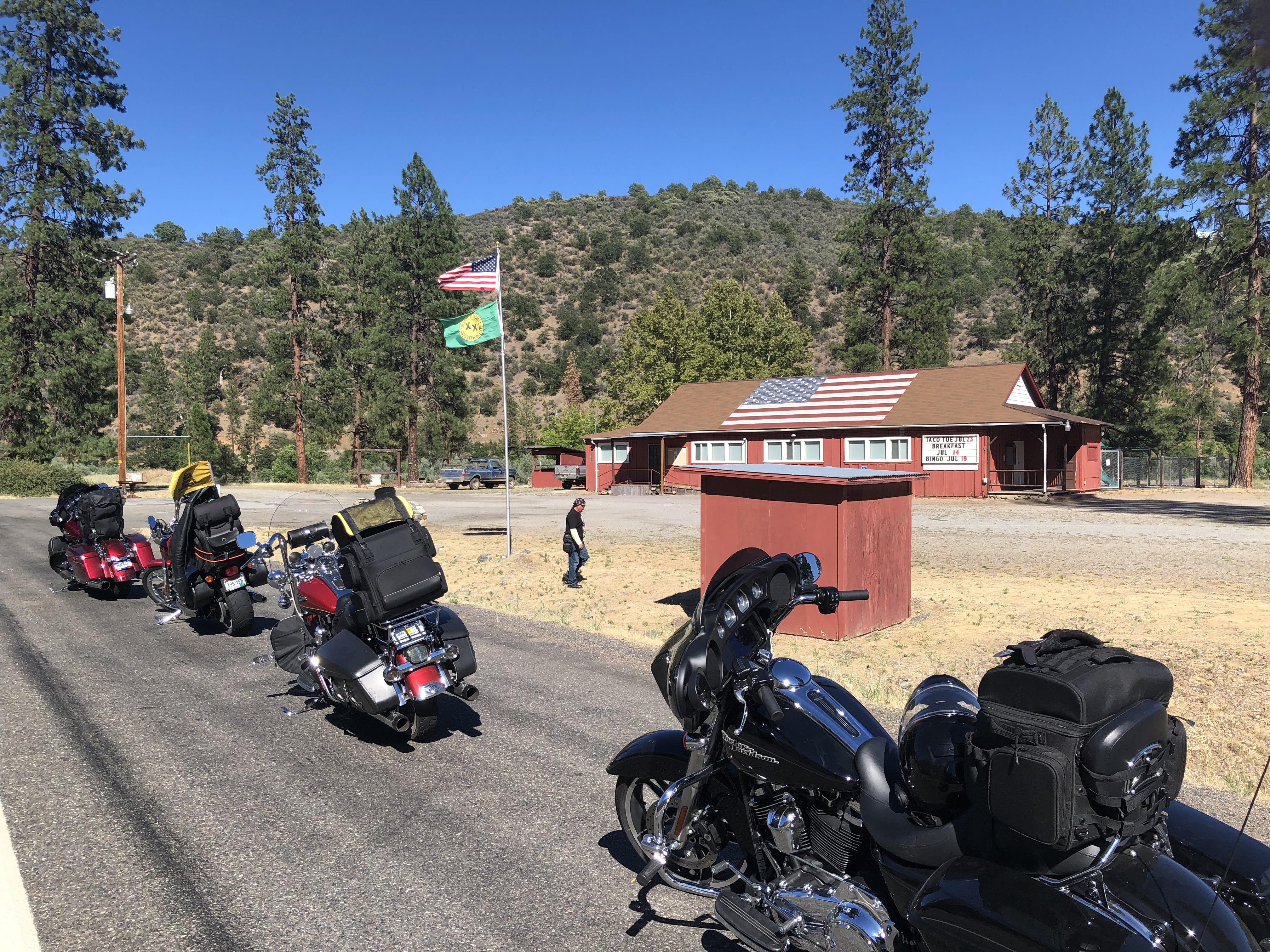
We begin our long slog inland, through the intense summer heat, toward some places you’ll probably laugh at.
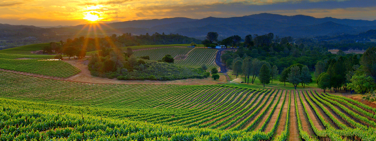
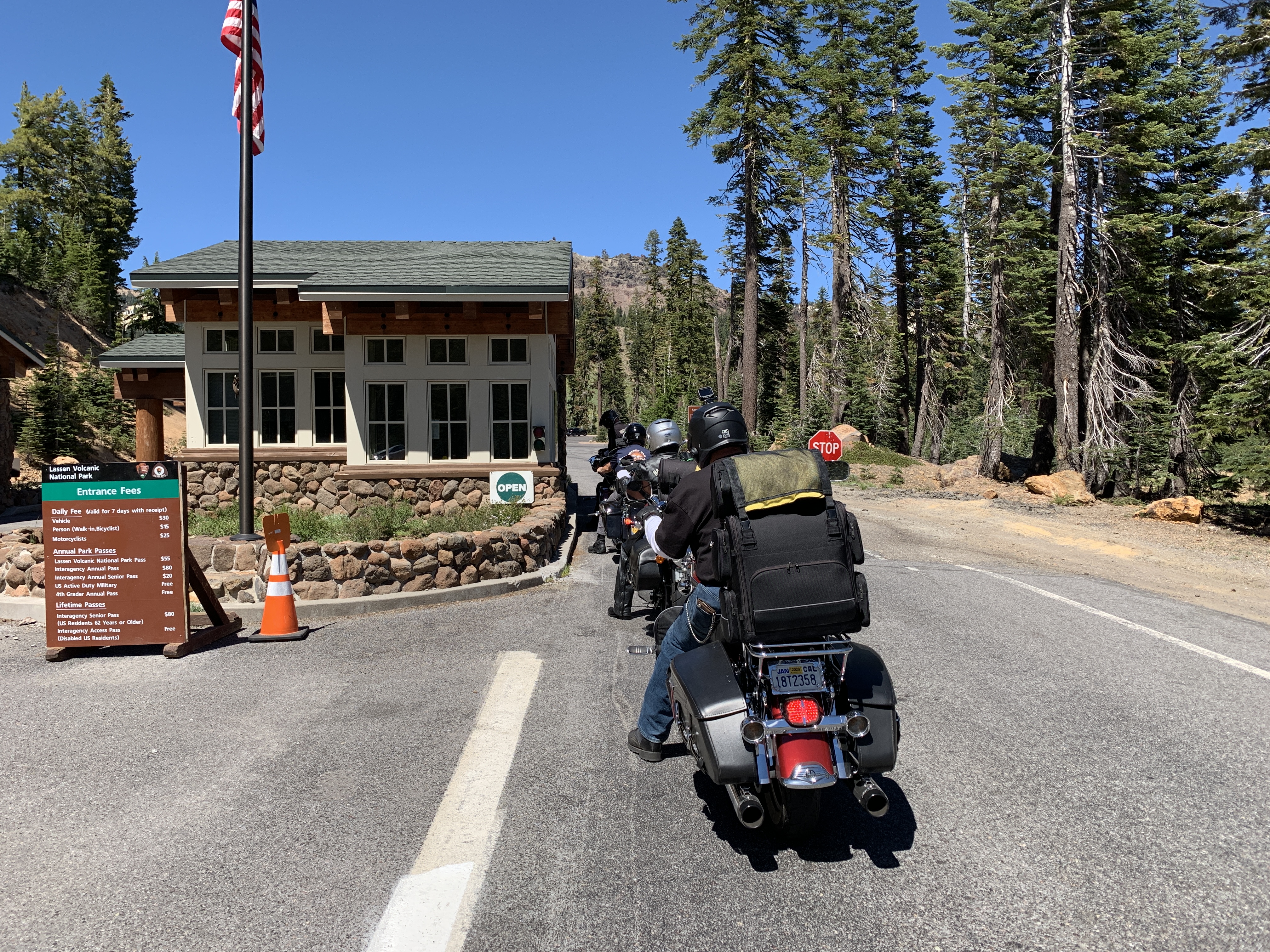
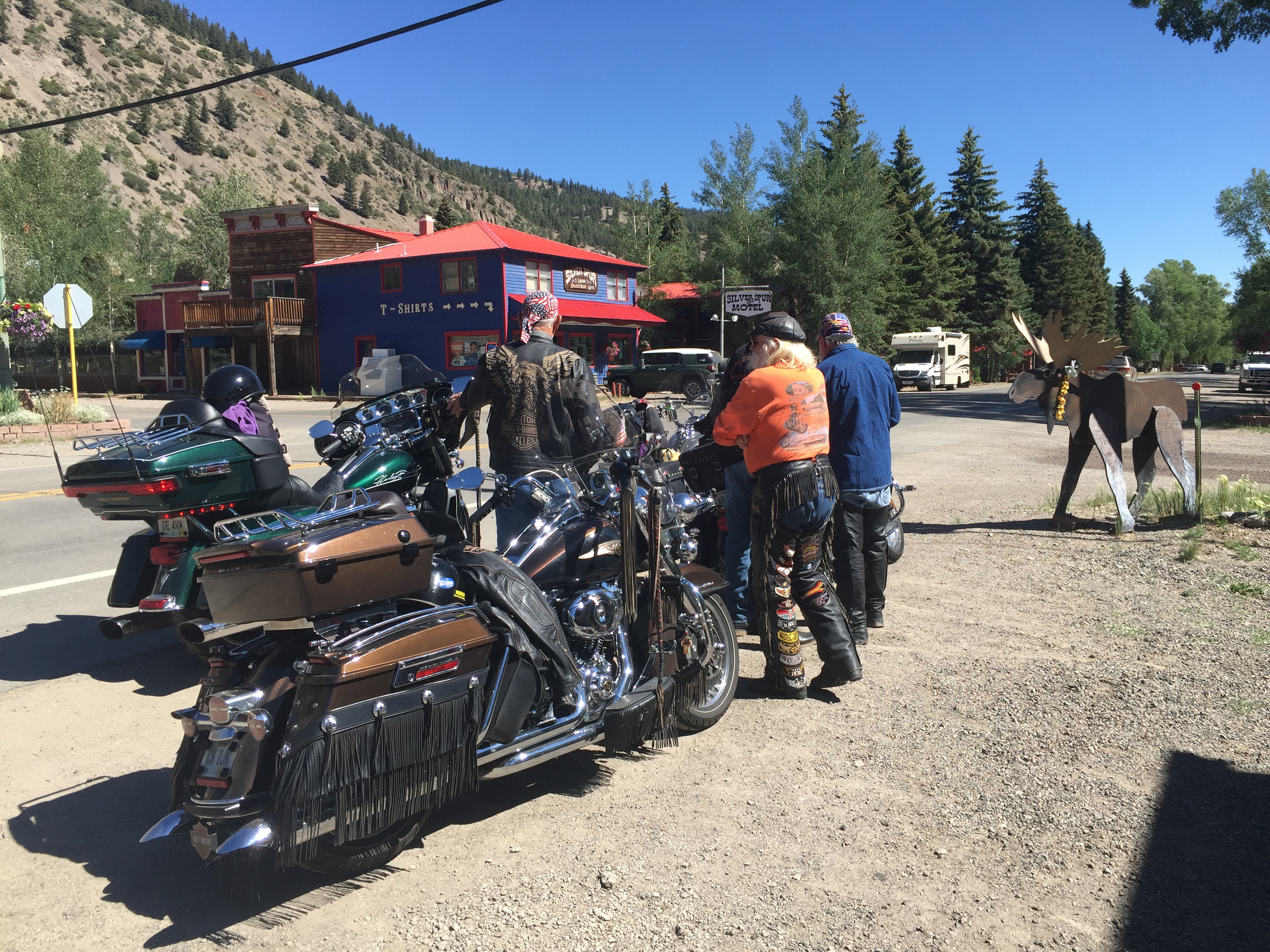
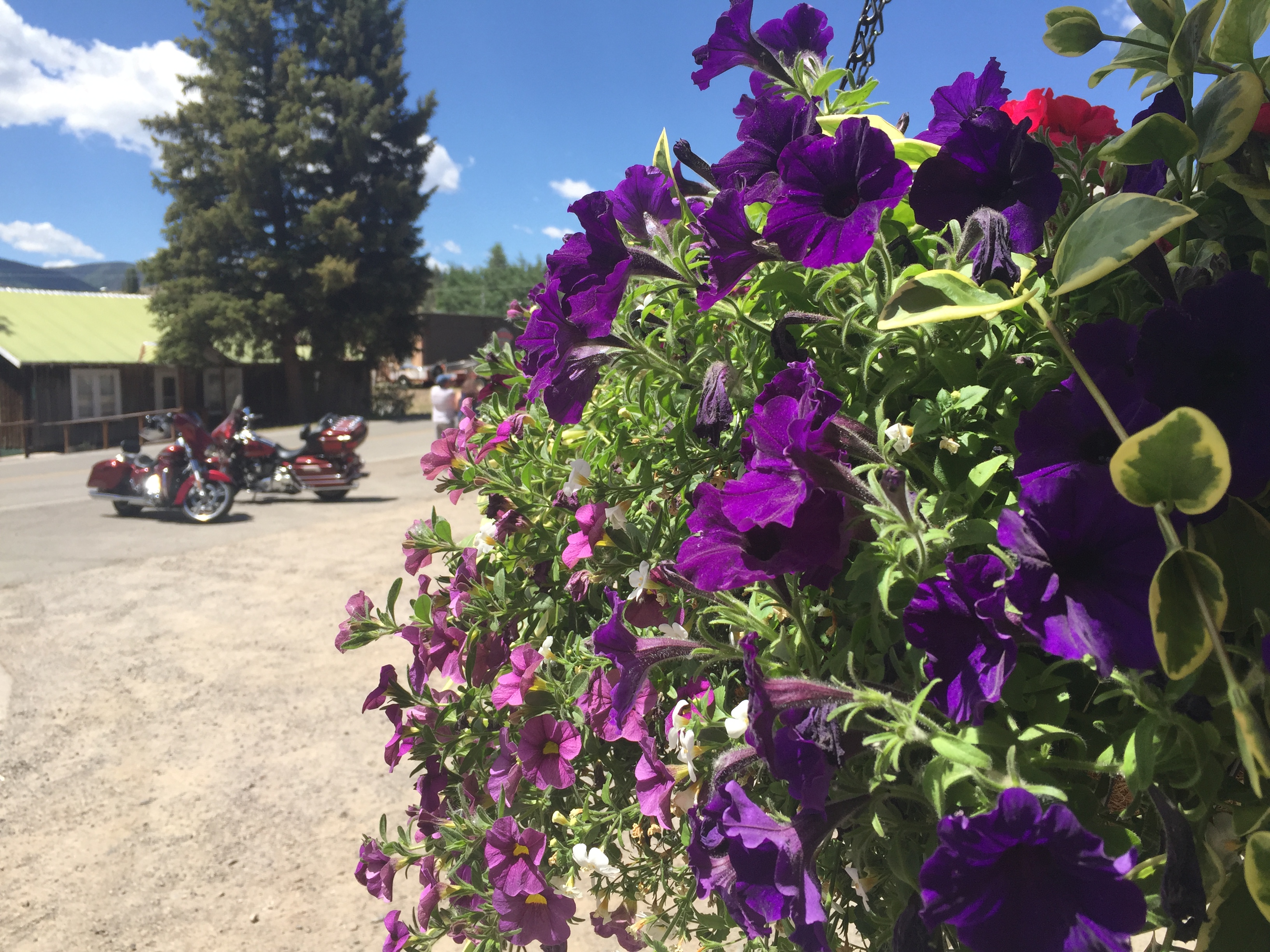
Our first destination is quite popular, and very expensive.
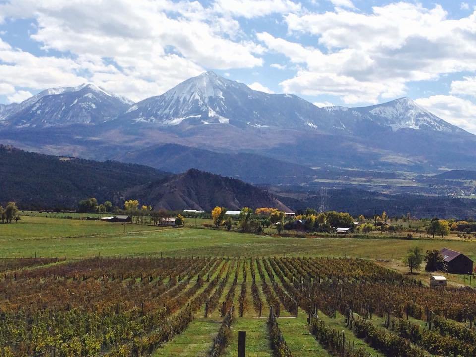
We turn east on California Highway 46, five miles post-Cambria. We’re on our way to Paso Robles, the hub of a world-class wine region. Wine grapes were introduced to the Paso Robles soil in 1797 by the Spanish conquistadors and Franciscan missionaries. Spanish explorer Francisco Cortez envisioned an abundant wine-producing operation and encouraged settlers from Mexico and other parts of California to cultivate the land.
Paso Robles is a wine lover’s paradise.
Since then, the wine business here has done quite well. More than 25 different varieties of grapes are grown in Paso Robles wine country. There are more than 250 wineries to process all those grapes.
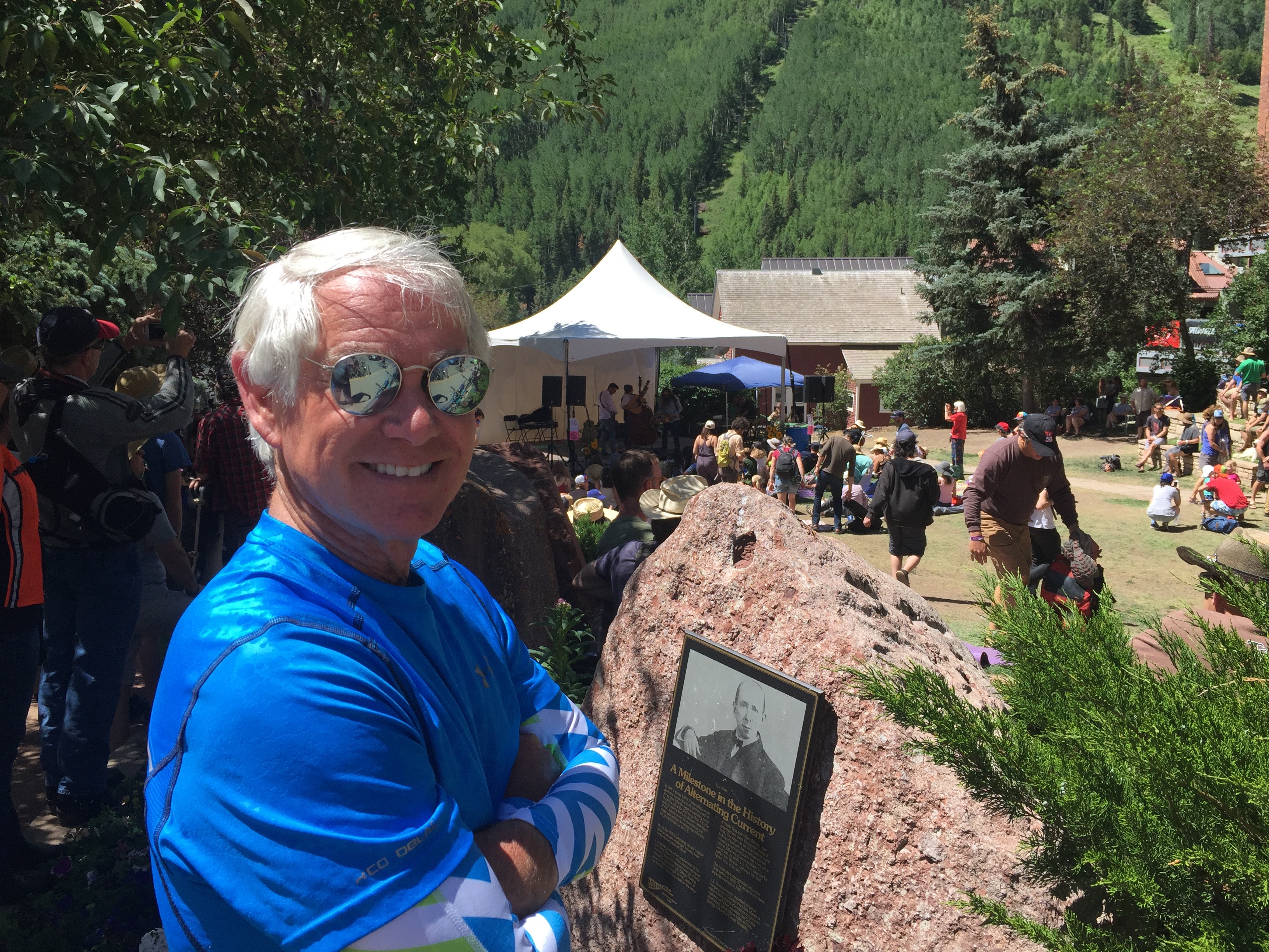
Tonight, at the Vina Robles Amphitheater in Paso Robles, with a little planning ahead, we could have enjoyed wine under the stars and seen Chicago in concert. 2019 Marks the band’s 52nd consecutive year of touring. Saturday in the Park, on a Wednesday evening. The Chicago concert begins at 8 pm.
Sadly, by then, we’ll be at tonight’s destination, Barstow. Barstow is one of those places you’ll probably laugh at. More on that later.
***
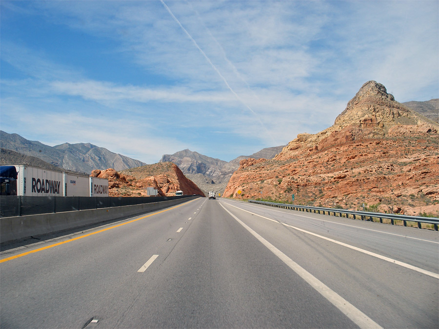
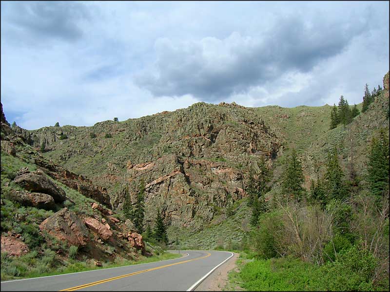
From Cambria, the ride gets hot, sorta ugly and somewhat boring. Those are relative terms. Compared to what we’ve experienced the past two weeks, it’s hotter, uglier, and boringer.
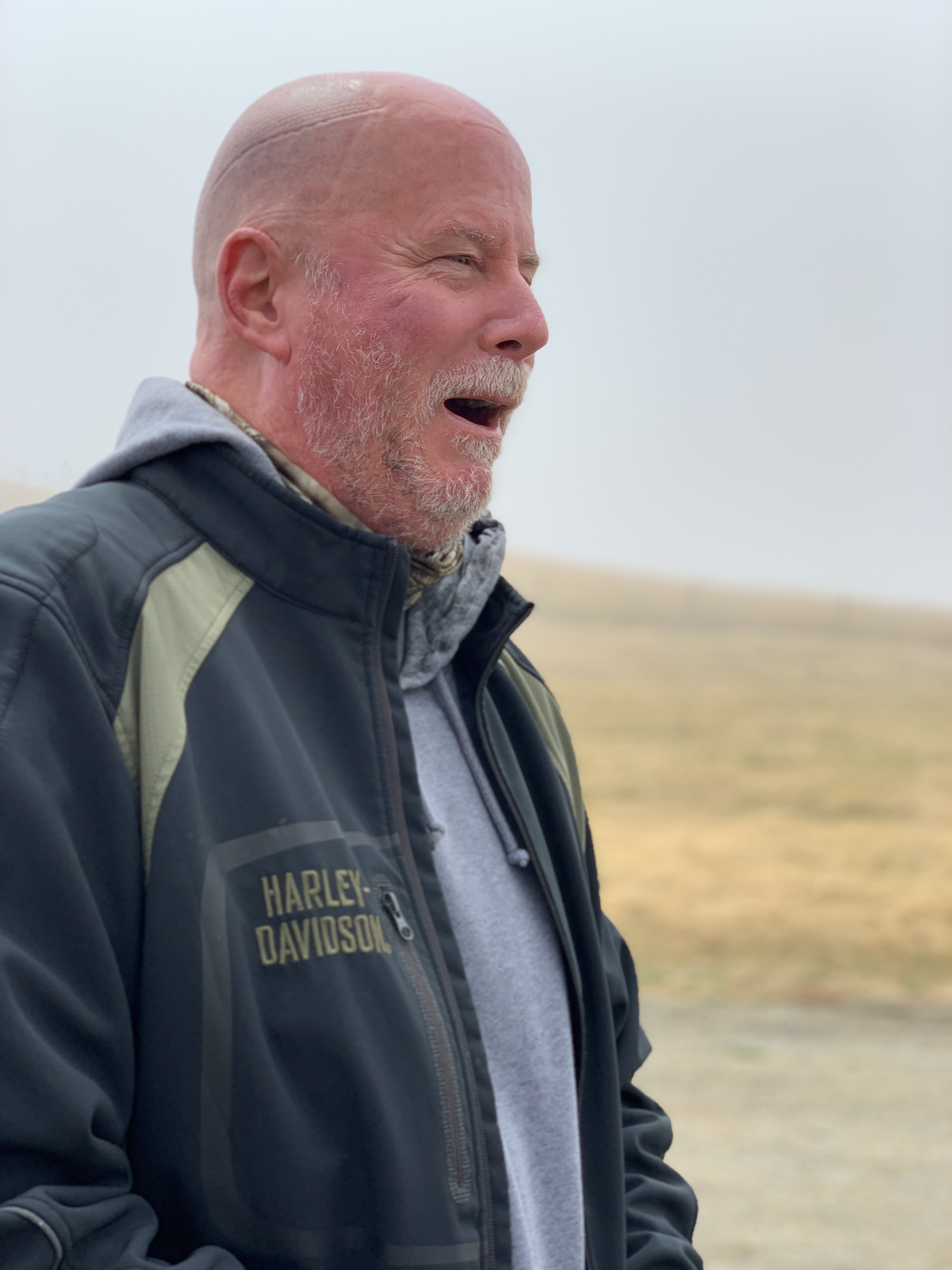
Cooling off at Blackwell’s Corner.
The shade was welcome on a 100-degree morning.
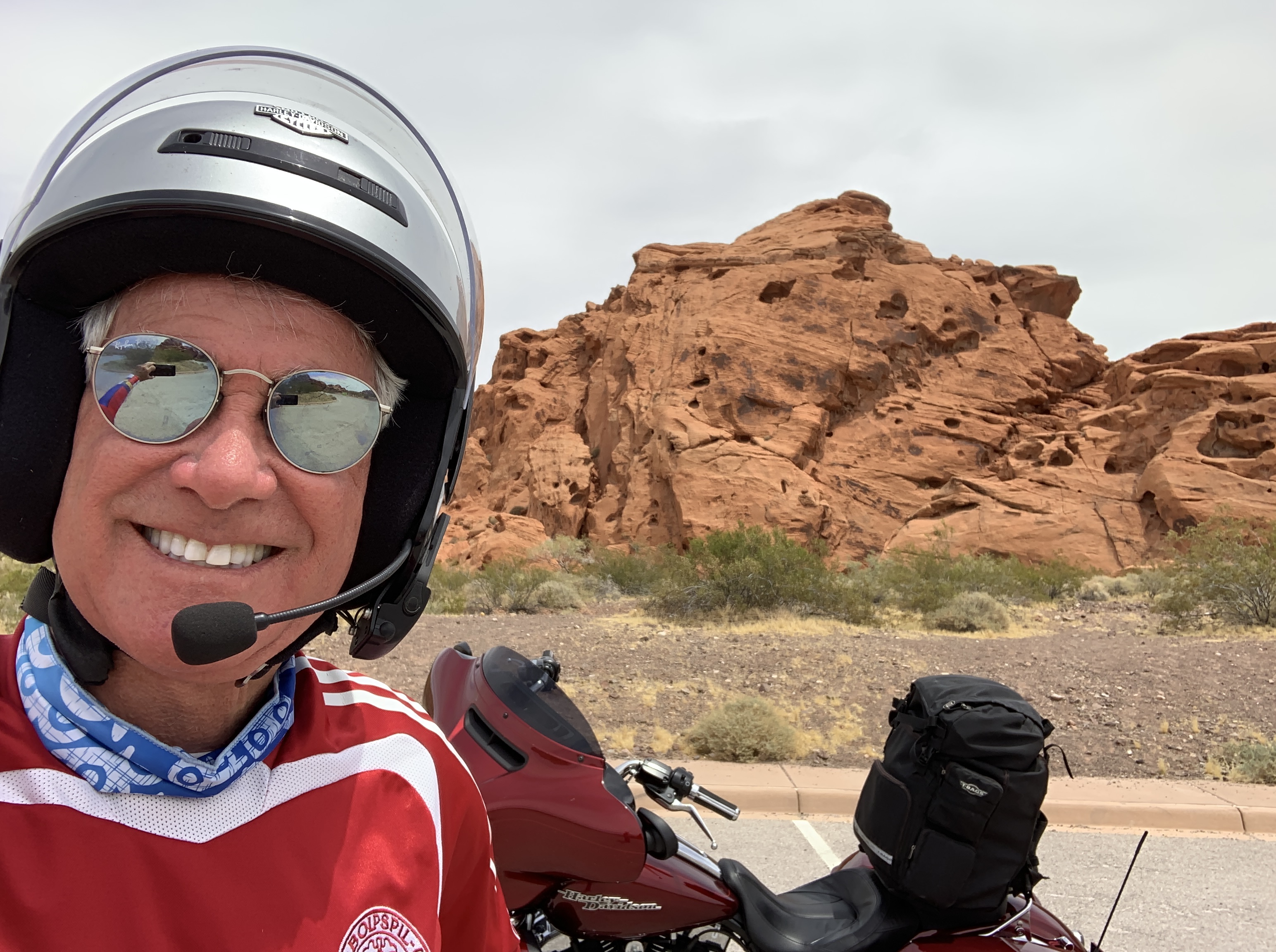
The epitome of motorcycle cool at Blackwell’s Corner.
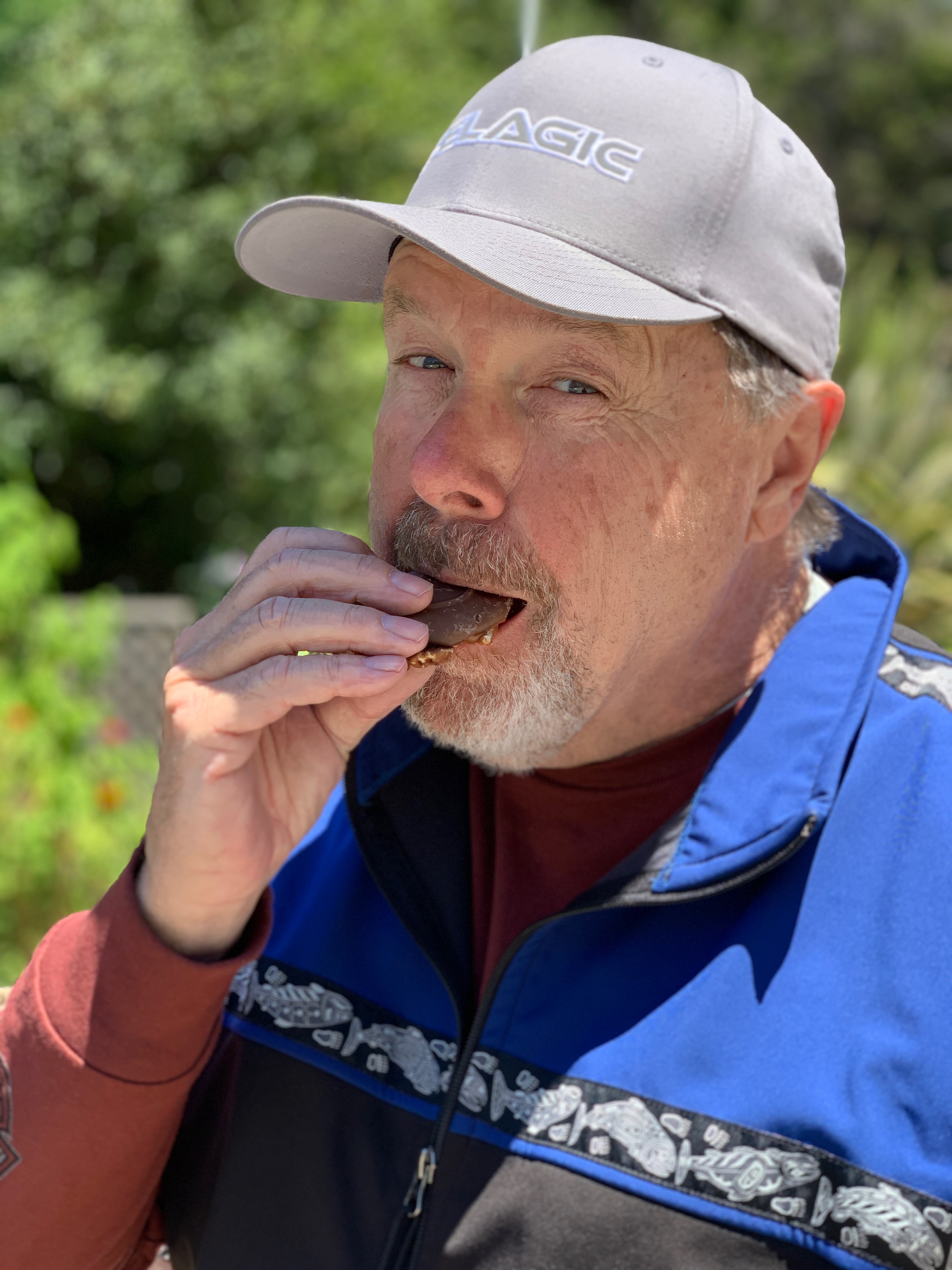
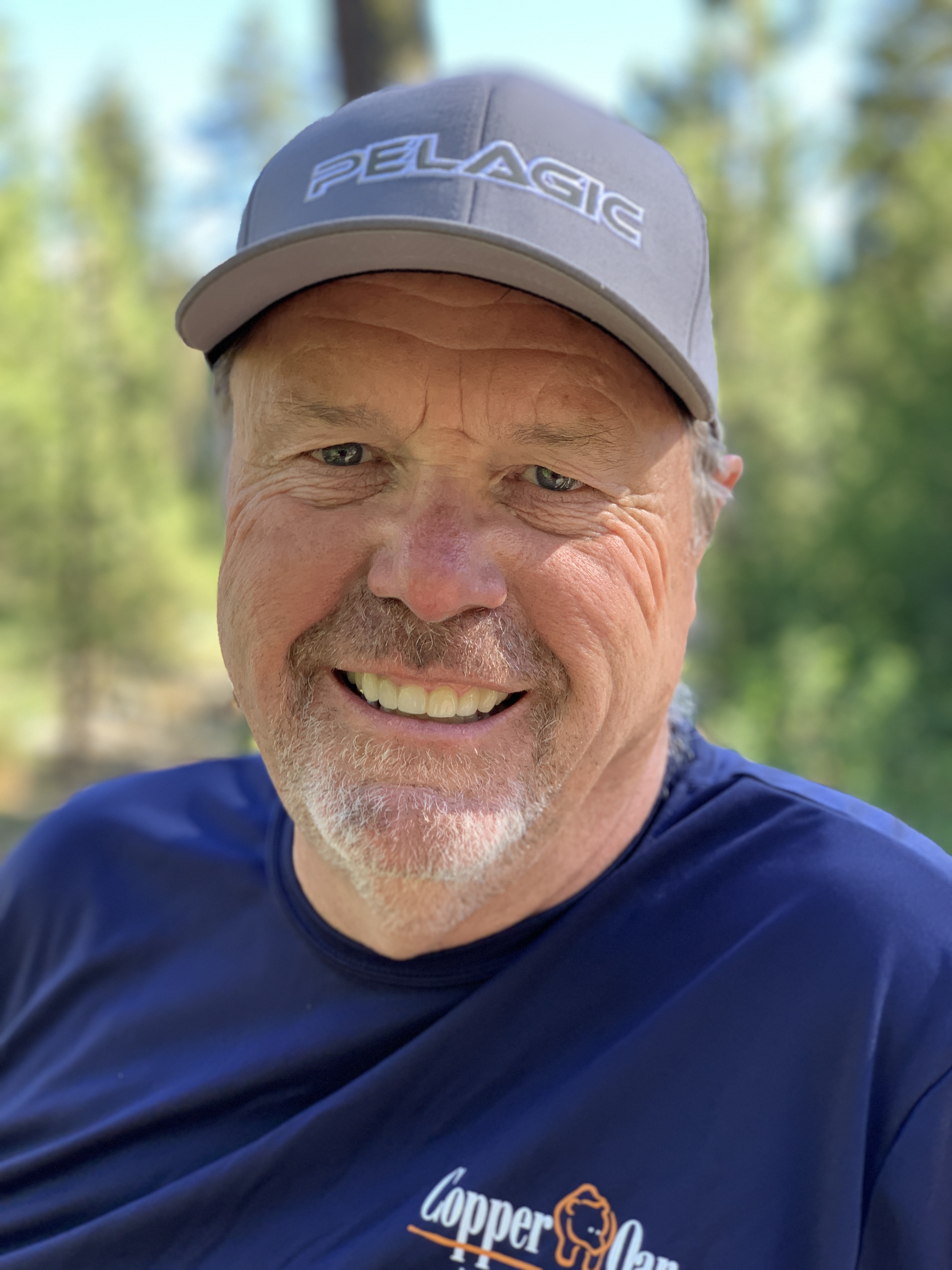
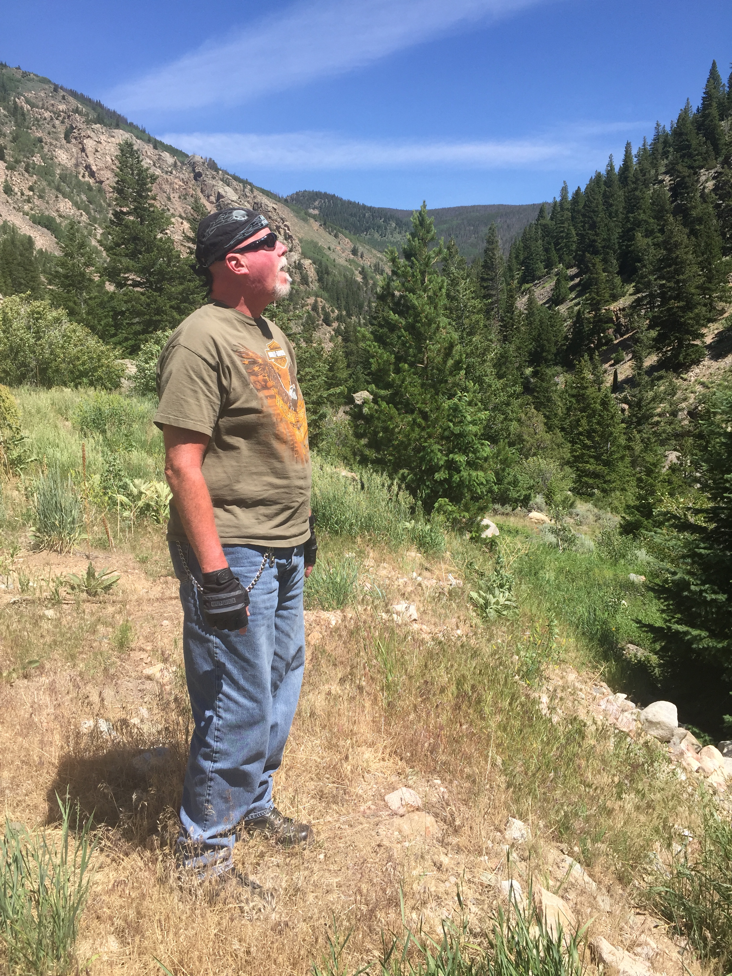
100 in the shade. Nothing bothers Scott.
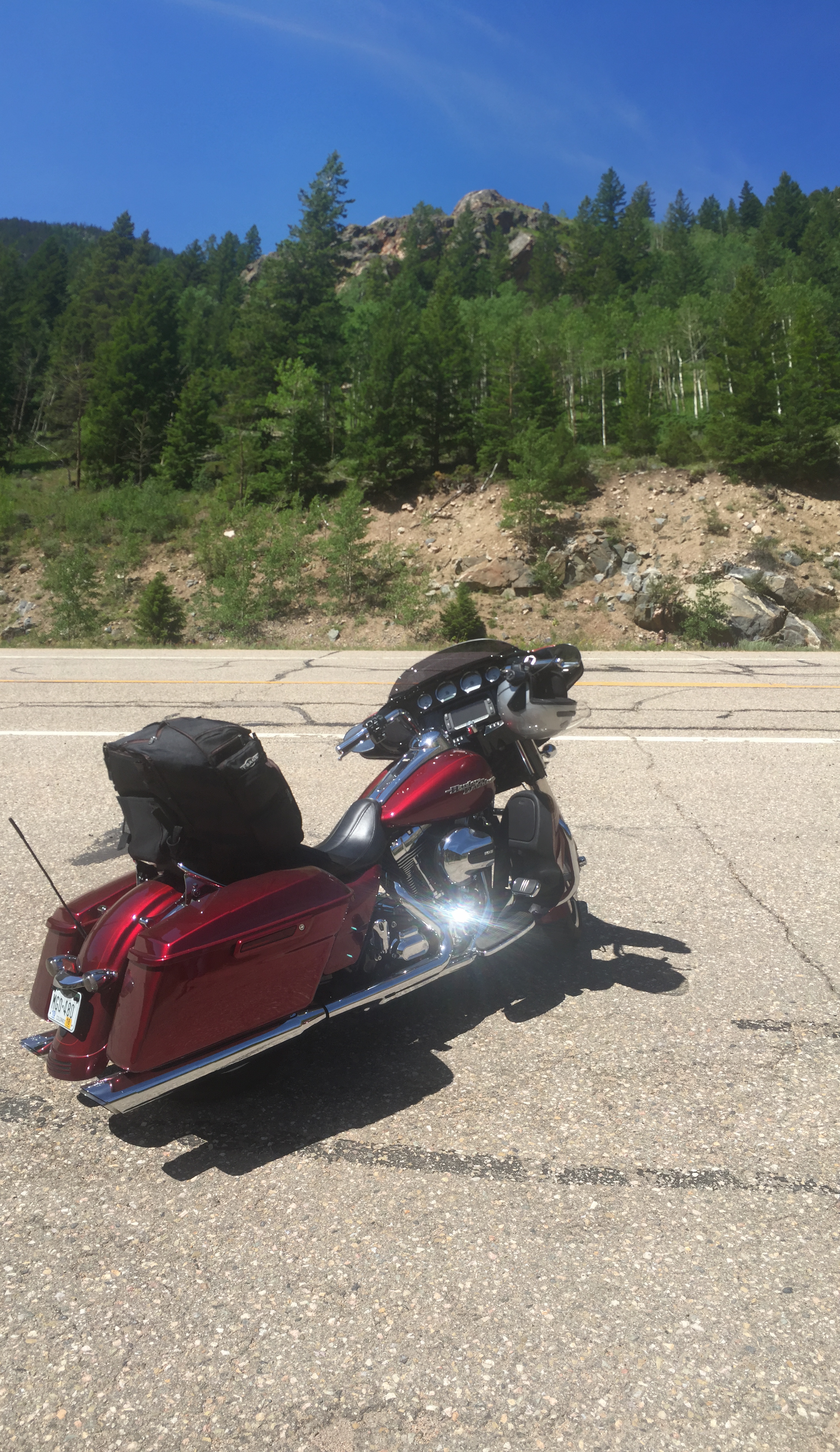
Time to ride again. Let’s roll!
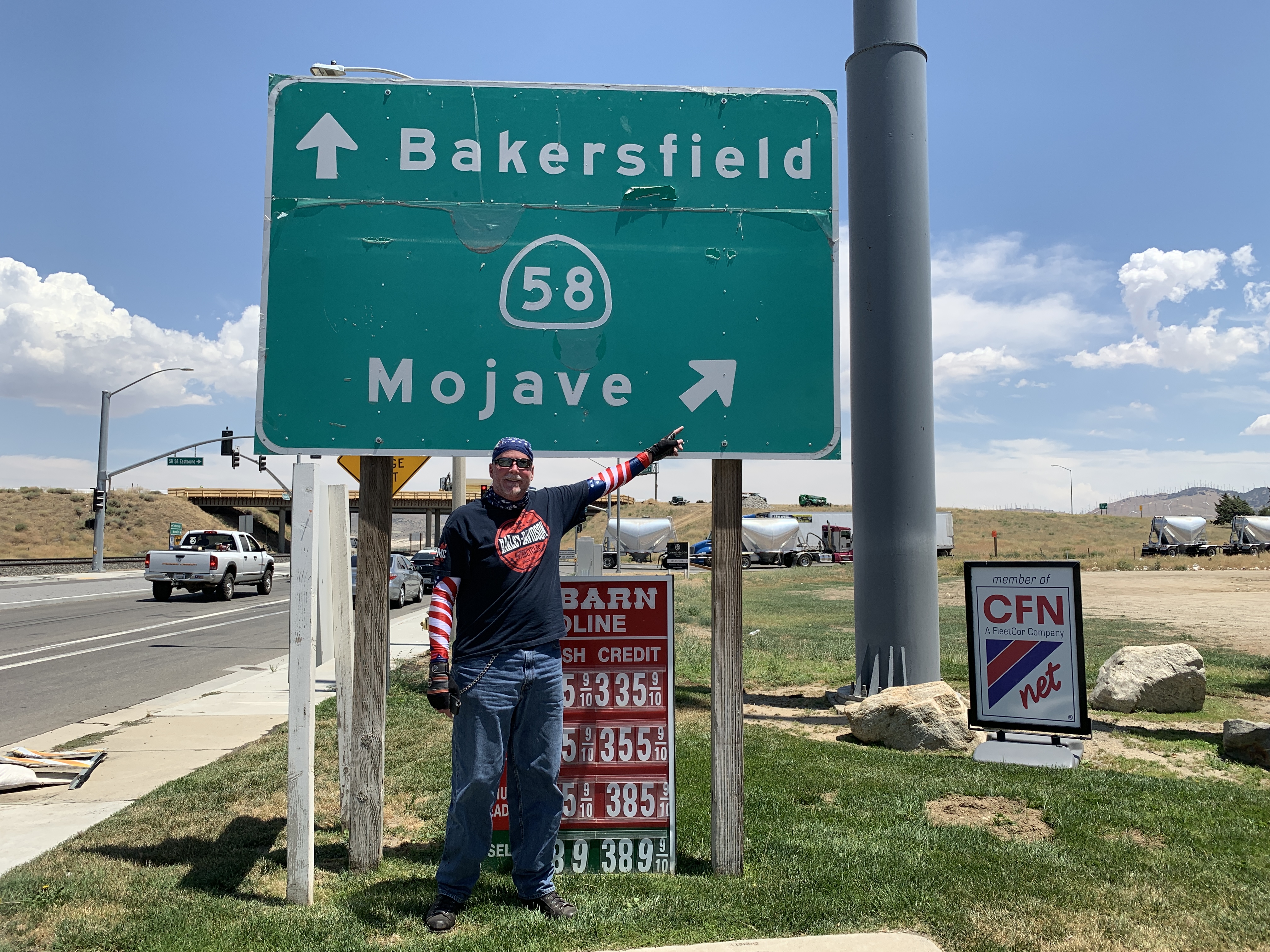
An hour east of Paso Robles, just before reaching I-5, we arrive in Lost Hills, named for the nearby low mountain range. Low means the hills reach 200 feet. The Lost Hills Oil Field has more than 110 million barrels of producible reserves still in the ground, making it one of the largest in California.
In Lost Hills, we head for the day’s next laugh line: Bakersfield. With a population of nearly 400,000, Bakersfield is California’s ninth-largest city. It’s part of Kern County’s thriving oil economy, the most productive oil-producing county in the US. It’s also the fourth-most productive agricultural county, by value, in the US.
Bakersfield oil fields. That’s not at all funny.
There’s a lot of production going on here. Bakersfield is also the birthplace of the country music genre known as the Bakersfield Sound, whose origins are in honky tonk. The two most successful artists of the original Bakersfield Sound were Buck Owens and the Buckaroos, and Merle Haggard and the Strangers.
Bakersfield is the butt of a lot of jokes. Many of them are about meth and trailer parks.
And don’t forget Bakersfield’s miserable air quality. Here’s one: Bakersfield … why trust air you can’t see?
Emissions from oil refineries and agriculture make Bakersfield the most air-polluted city in the US. The American Lung Association says the city’s air is the worst in the US for short-term and year-round particle pollution, and the second worst for ozone pollution.
Meth and crappy air. Actually, not funny at all.
***
We miss little of Bakersfield, rolling through town on Highway 58 in 105-degree heat, in slow stop-and-go traffic. It’s scorching hot!
We stay on Highway 58, and in less than an hour, arrive in Tehachapi, a city in the Tehachapi Mountains between the San Joaquin Valley and the Mojave Desert.
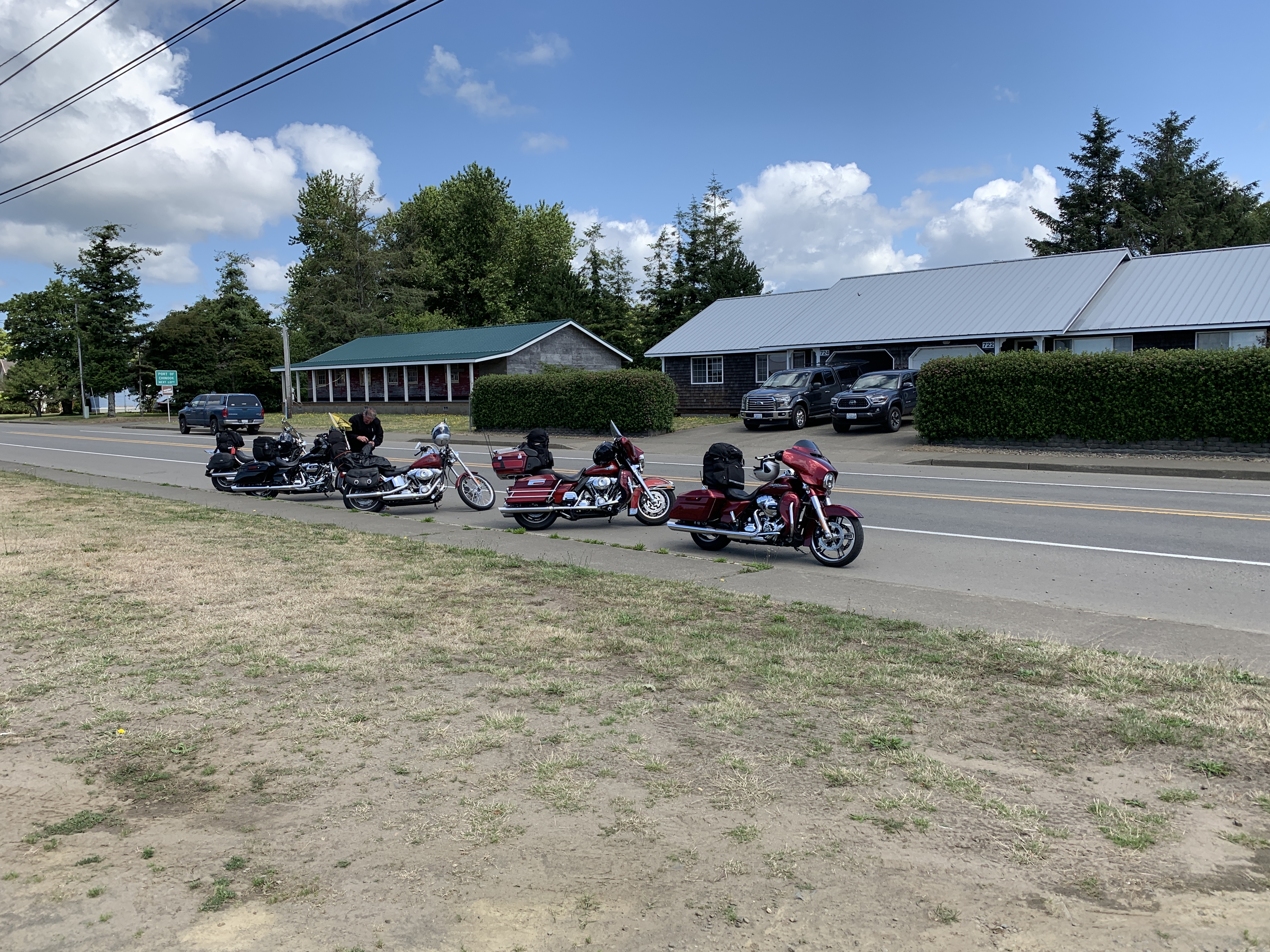
In Tehachapi, Dave helps guide us to our next waypoint.
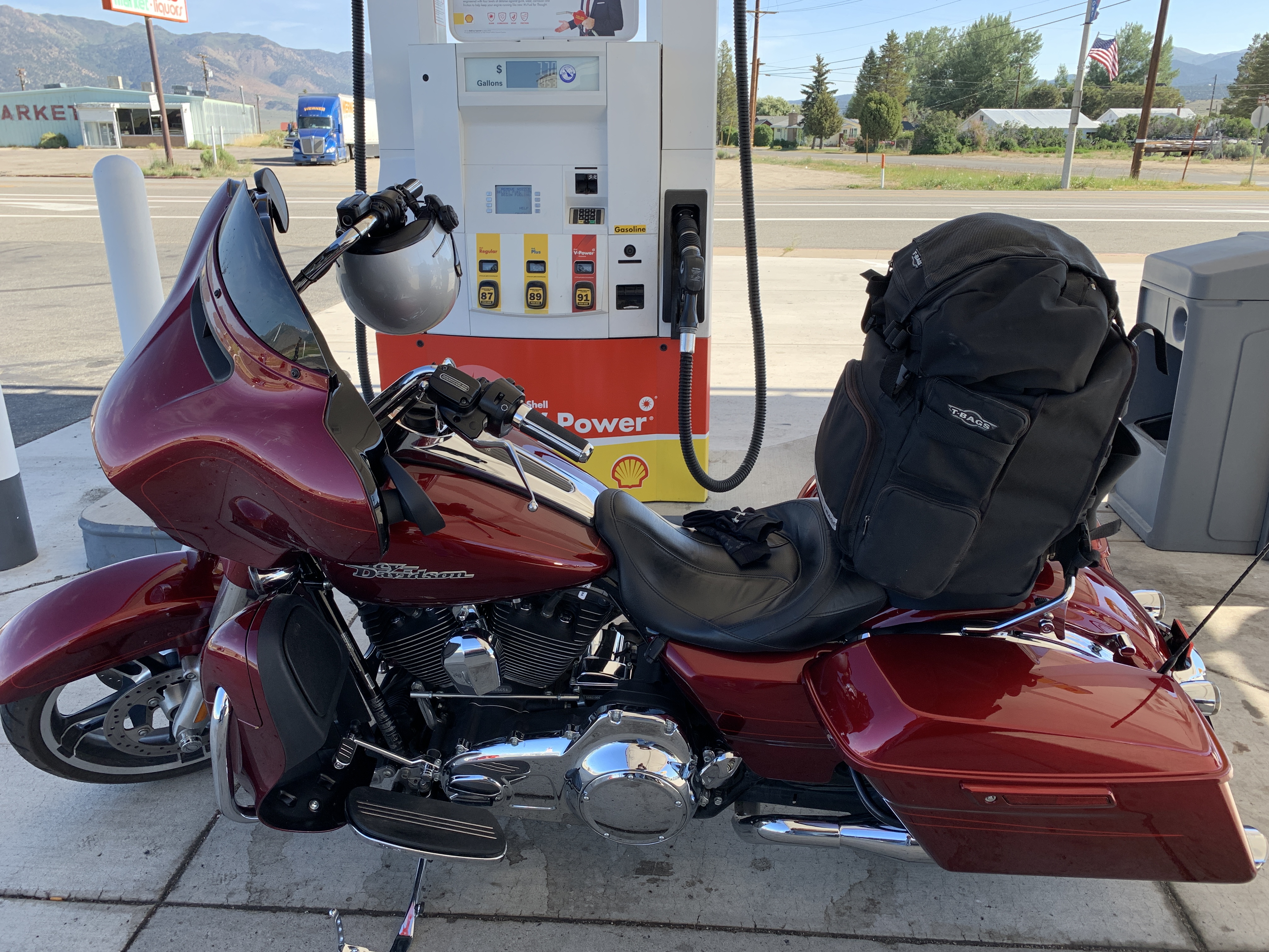
After 177 miles on the road, Tehachapi is a good place to gas up and grab something cold before pushing on to Barstow, another very funny place.
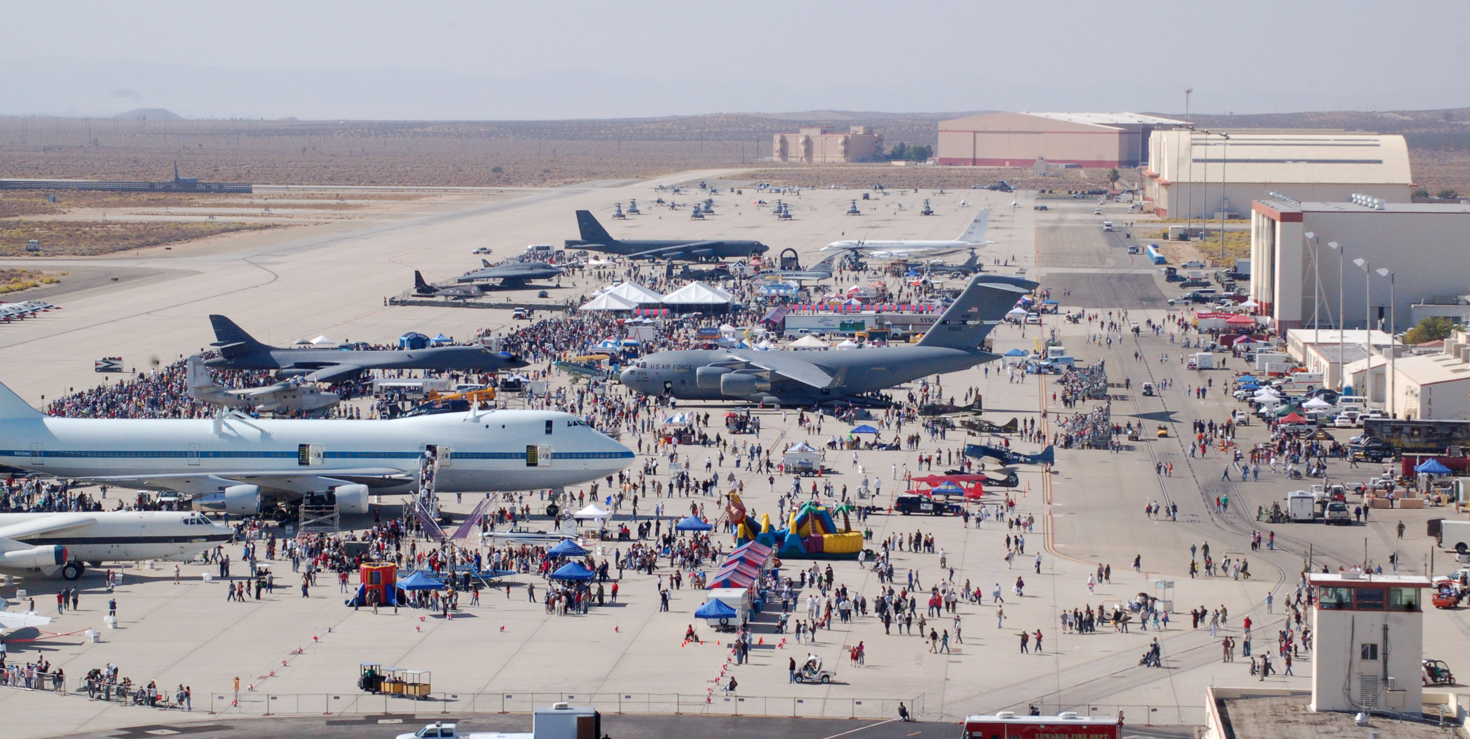
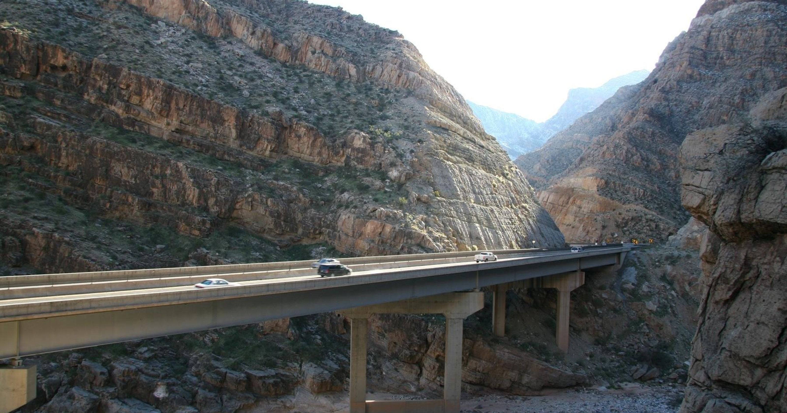
First, we continue east on Highway 58, rolling past Edwards Air Force Base, home to the Air Force Test Center, Air Force Test Pilot School, and many test activities conducted by the commercial aerospace industry. Dave spent a lot of time here early in his career when he was involved in flight testing aircraft for McDonnell Douglas.
Edwards is the second-largest base in the US Air Force, covering 481 square miles. It has three lighted, paved runways, the longest of which is 15,024 feet long, with an extra 9,558 feet of lakebed runway available at its northerly end. That should be plenty for your Cessna 172, which would be somewhat out of place here, as the airspace is highly restricted.
Thousands of aviation enthusiasts who otherwise wouldn’t have access to the base show up in droves for what’s known as the Los Angeles County Air Show. Yes, Edwards is located in Kern County, but the air show now alternates each year between Lancaster, California — which is in Los Angeles County, and Edwards. The next airshow at Edwards will be in October 2020. The last one was in 2009.
Edwards is a popular venue for its open house and air show. Note three Boeing aircraft in the middle of the frame: the 747 that carried the NASA space shuttle, the B-1 bomber, and the C-17 Globemaster III.
Not far from Edwards is Kramer Junction, where Highway 58 and US Highway 395 meet. The most popular thing to do in Kramer Junction is leave Kramer Junction. Other than gas and food, there isn’t much happening here.
Only 34 more miles east and we come to Barstow, the last source of laugh lines for the day. Johnny Carson made jokes about Barstow, Bakersfield and Burbank. The three Bs.
If you’re a Millennial and have never heard of Johnny Carson, let’s just say he was his generation’s Jay Leno, David Letterman, Stephen Colbert, Conan O’Brien, Jimmy Kimmel, Jimmy Fallon, Trevor Noah and Jay Leno – all wrapped in one.
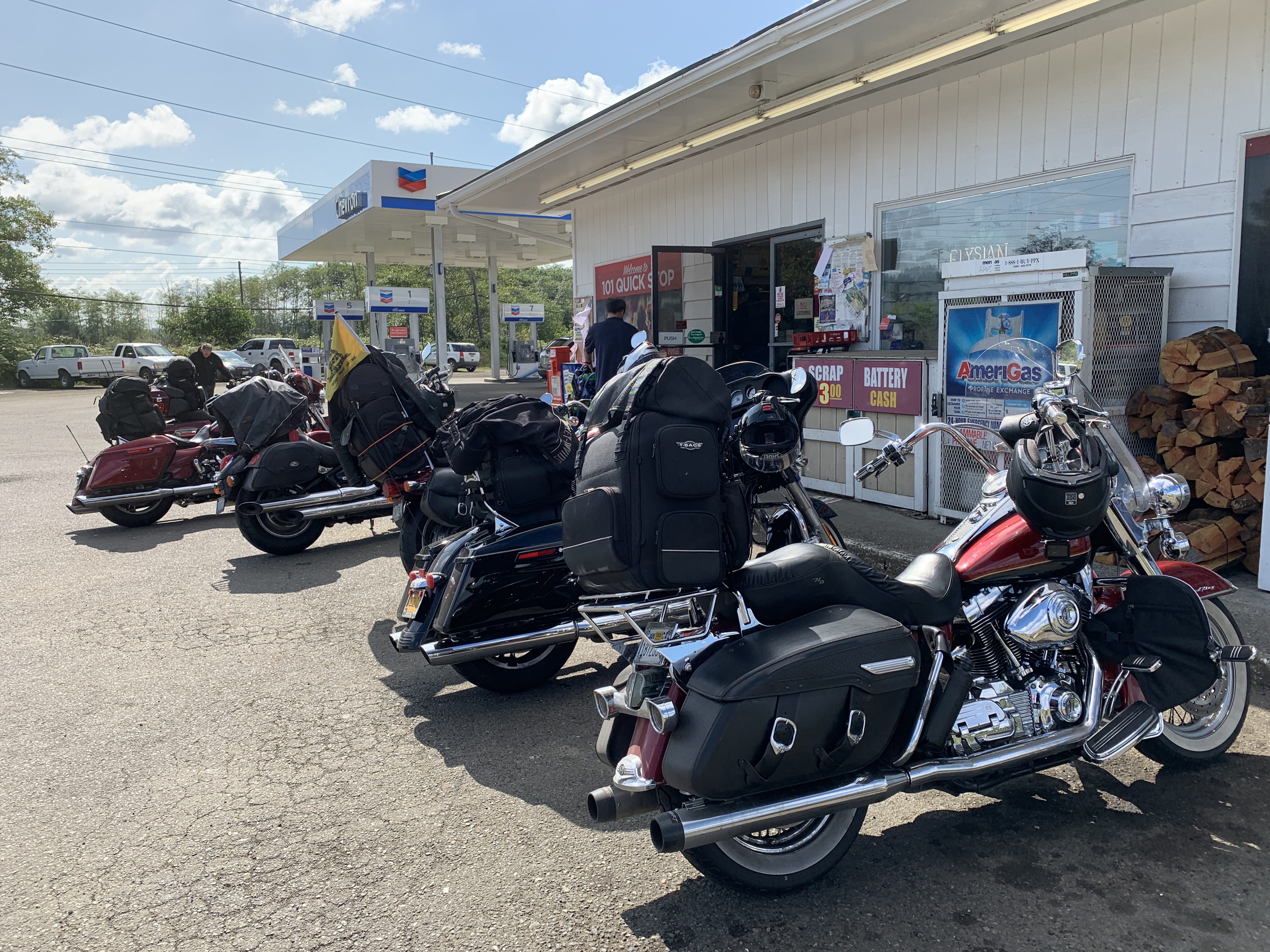
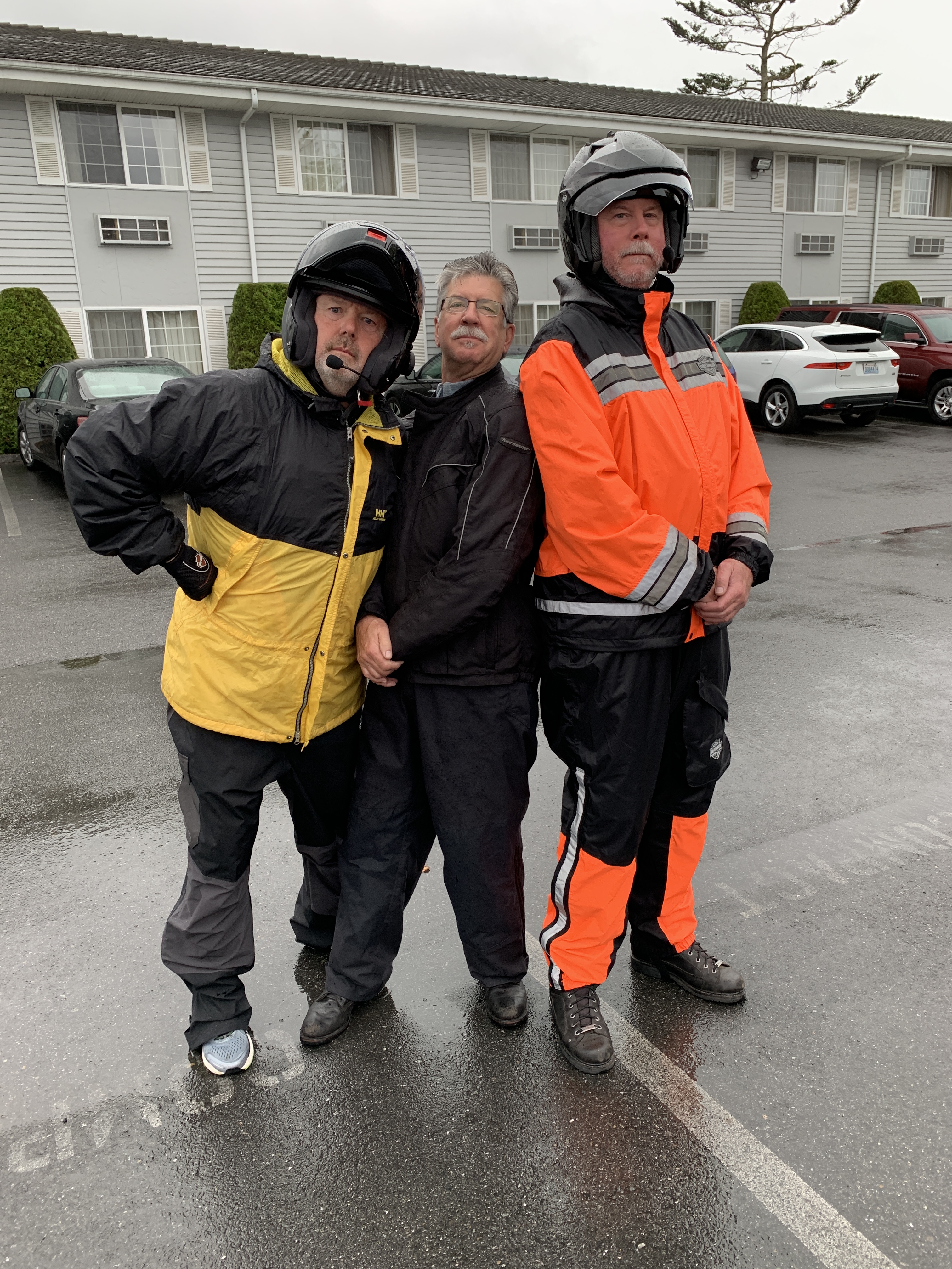
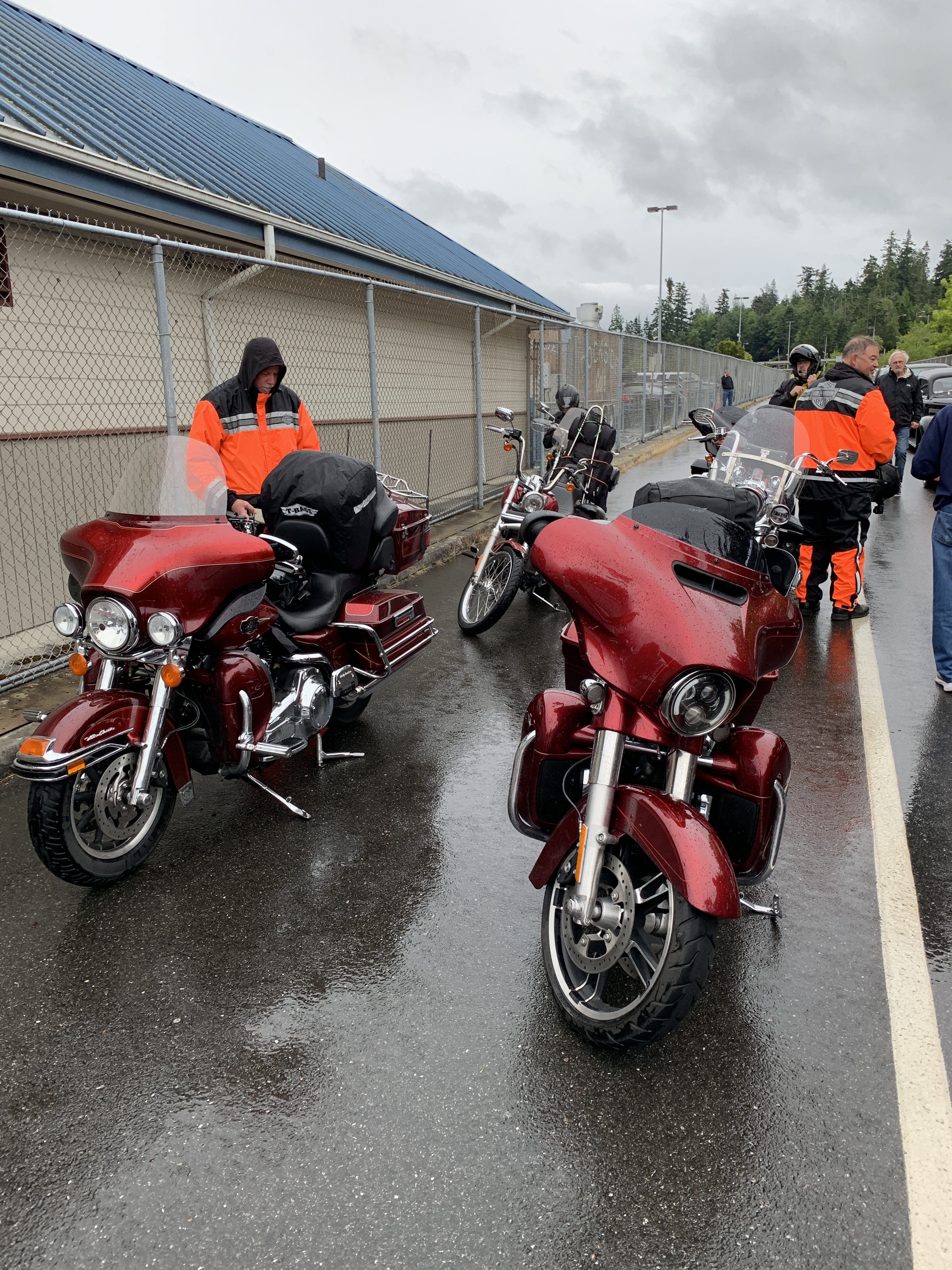
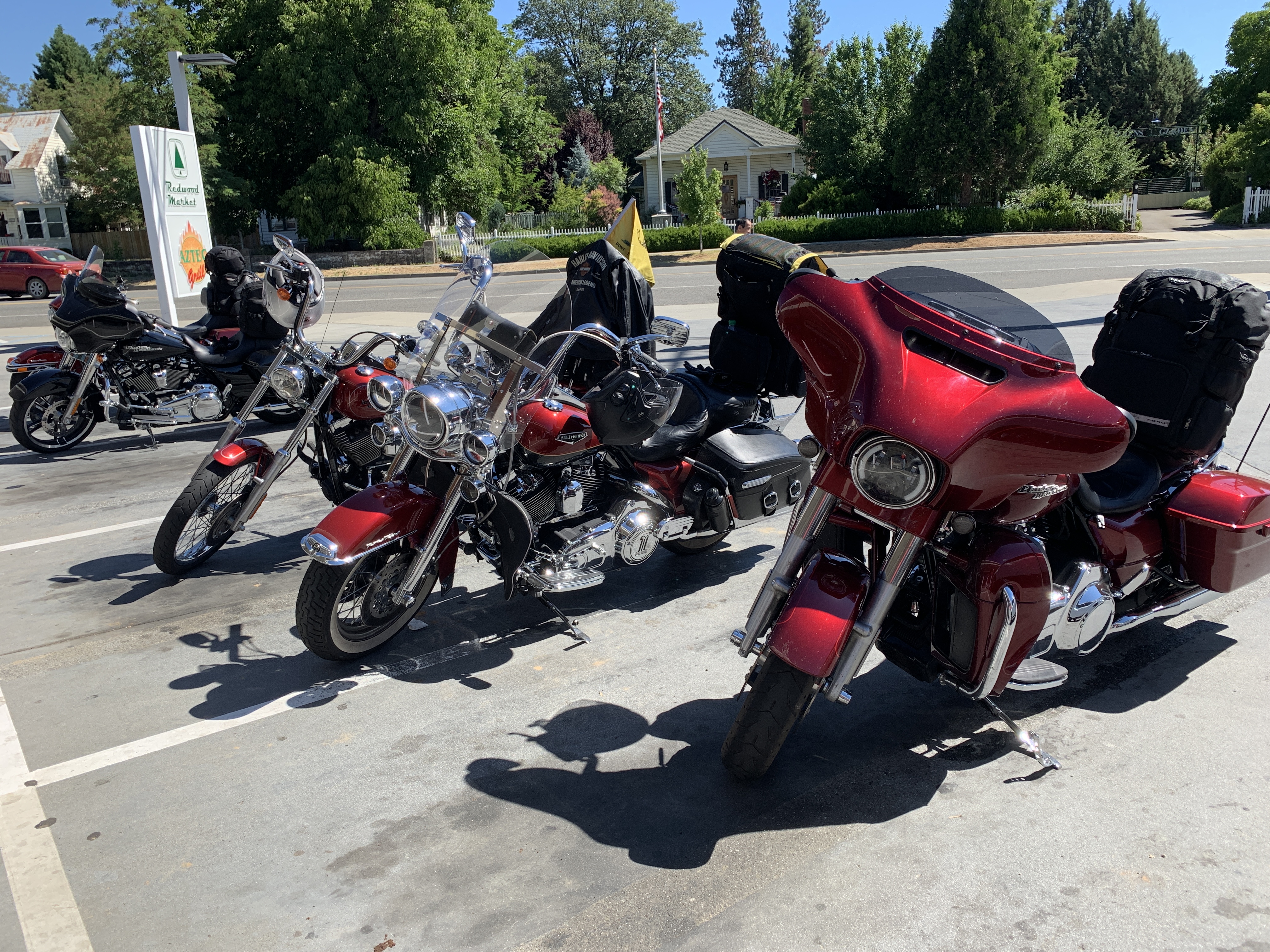
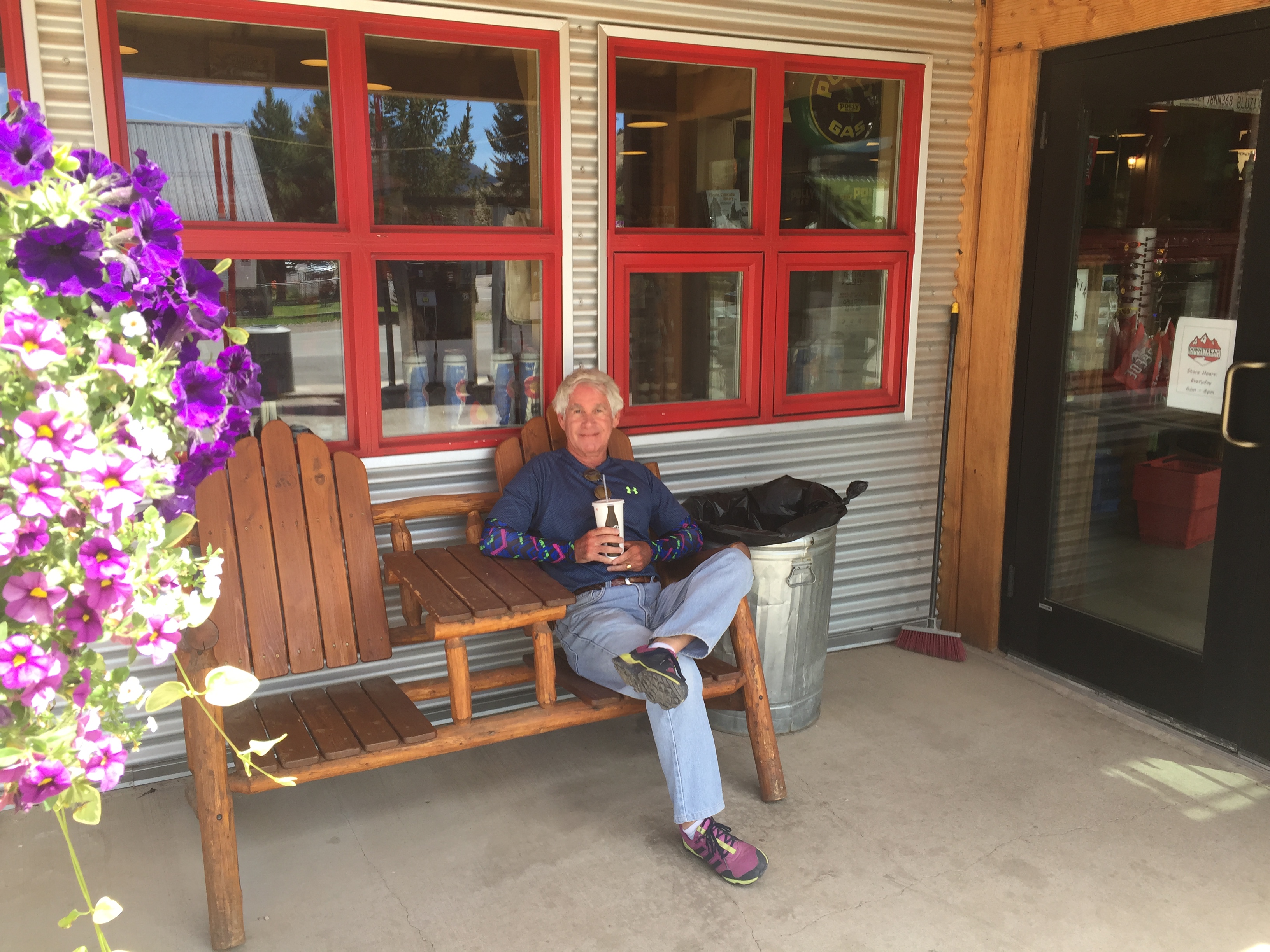
Following five hours of intense desert heat, we park the Harleys in Barstow, hold back our laughter, and call it a day.
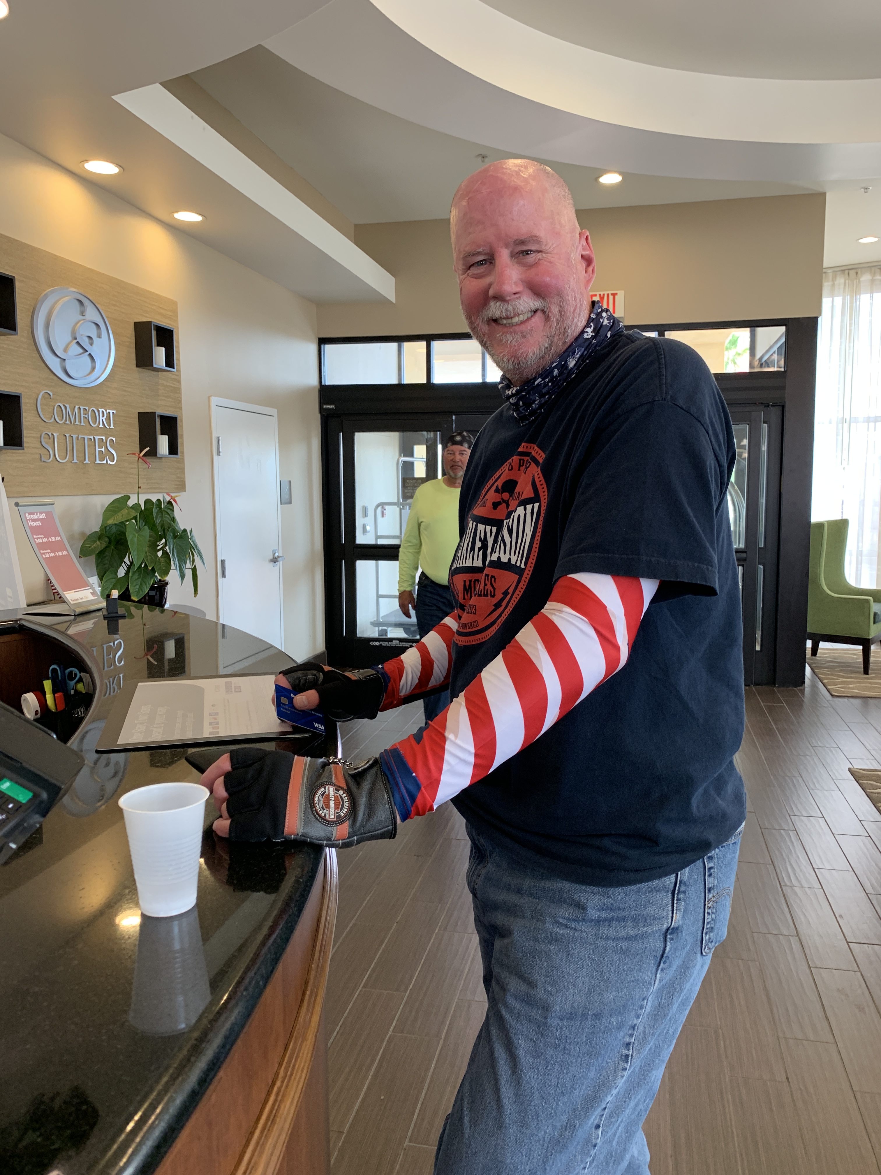
Checking into the hotel in Barstow. For a guy who spent the last two hours in 108-degree heat, Dave looks remarkably refreshed.
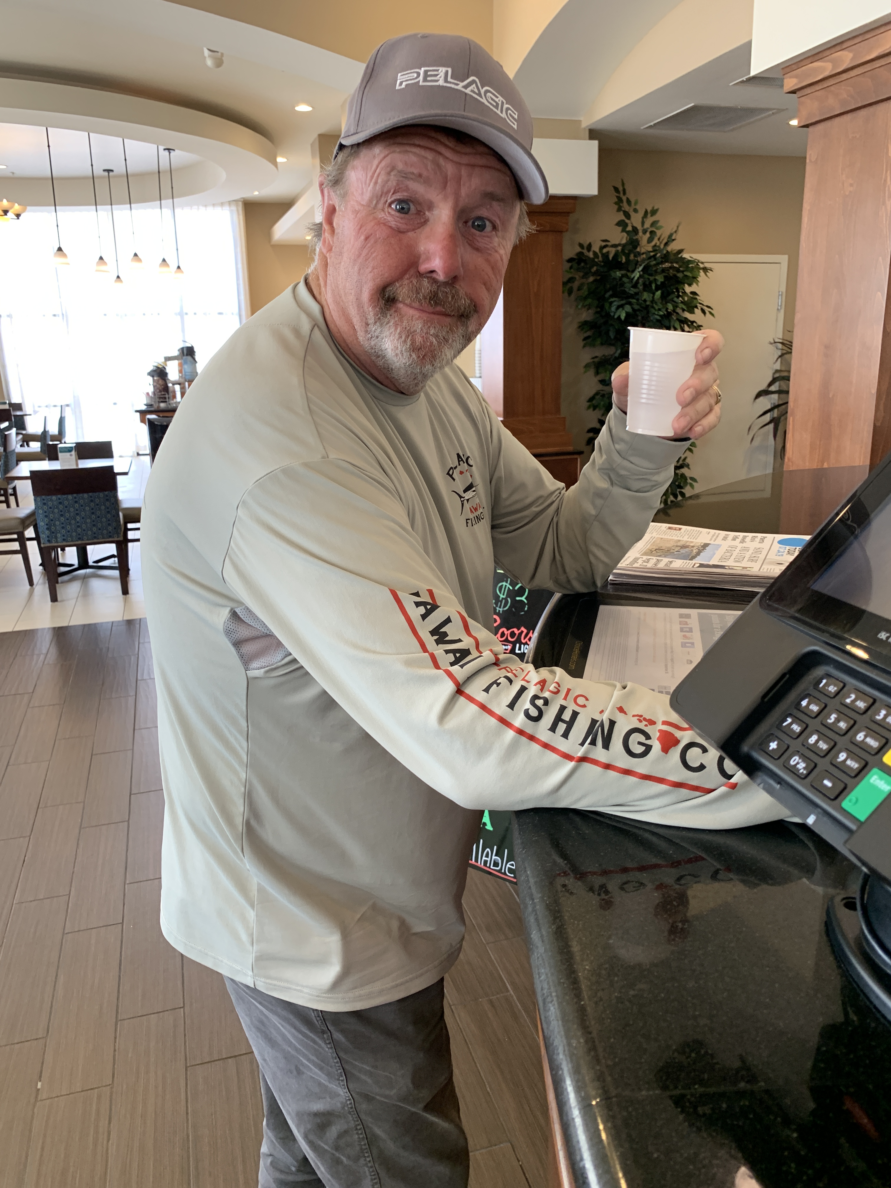
John hydrates in the lobby, looking fresh as a daisy after his two hours of furnace-like riding.
Tomorrow, we head for Henderson.
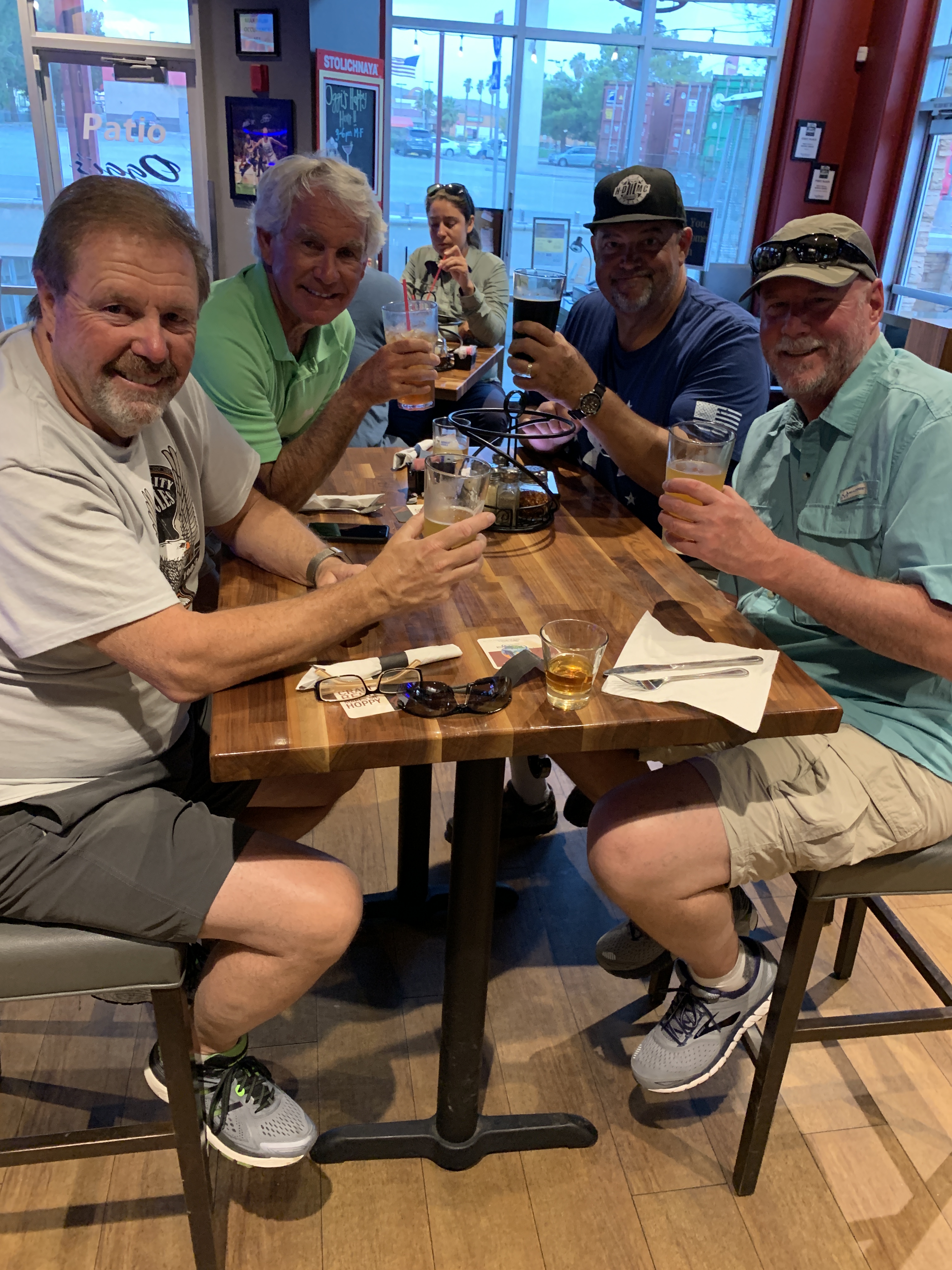
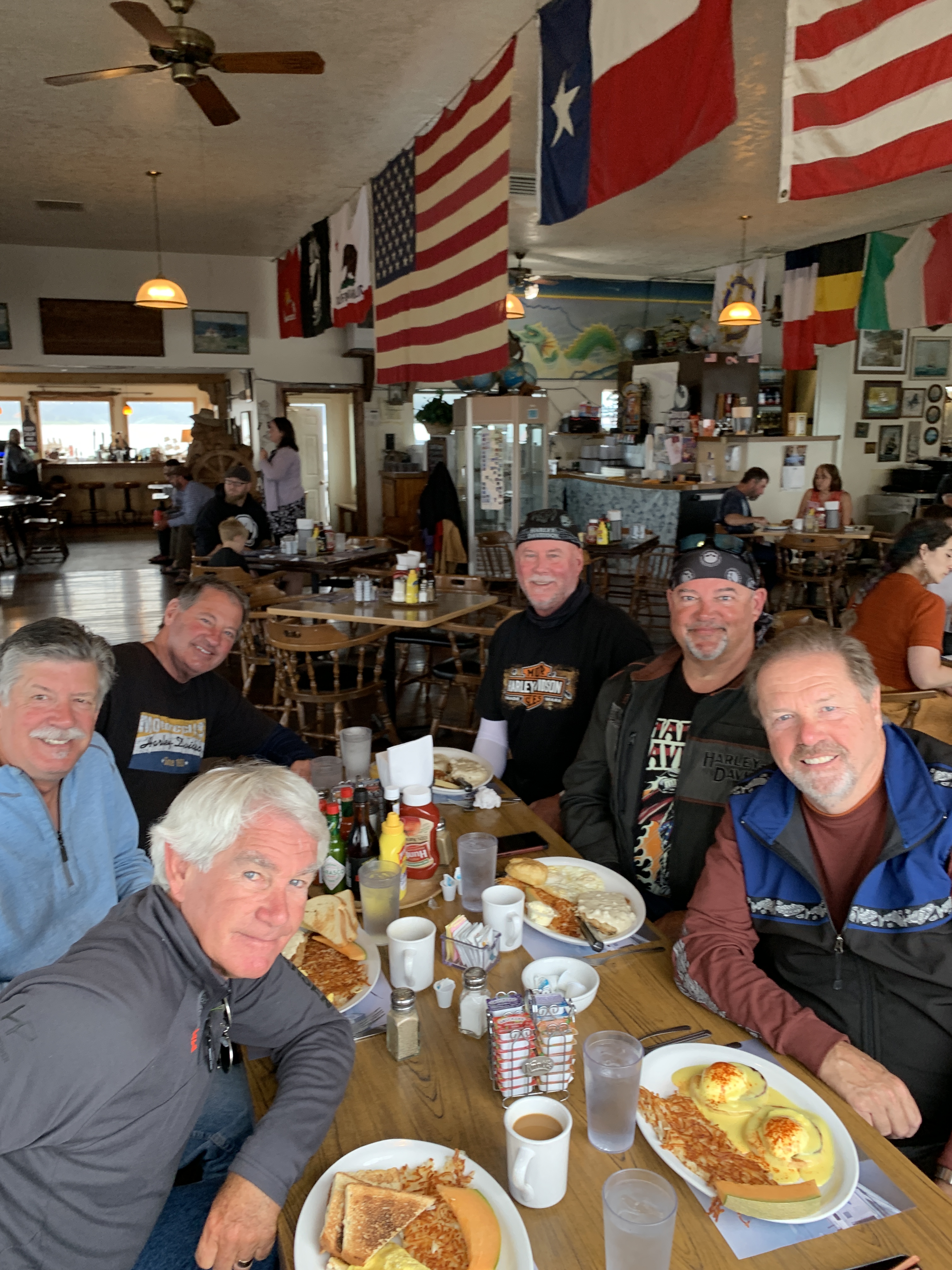
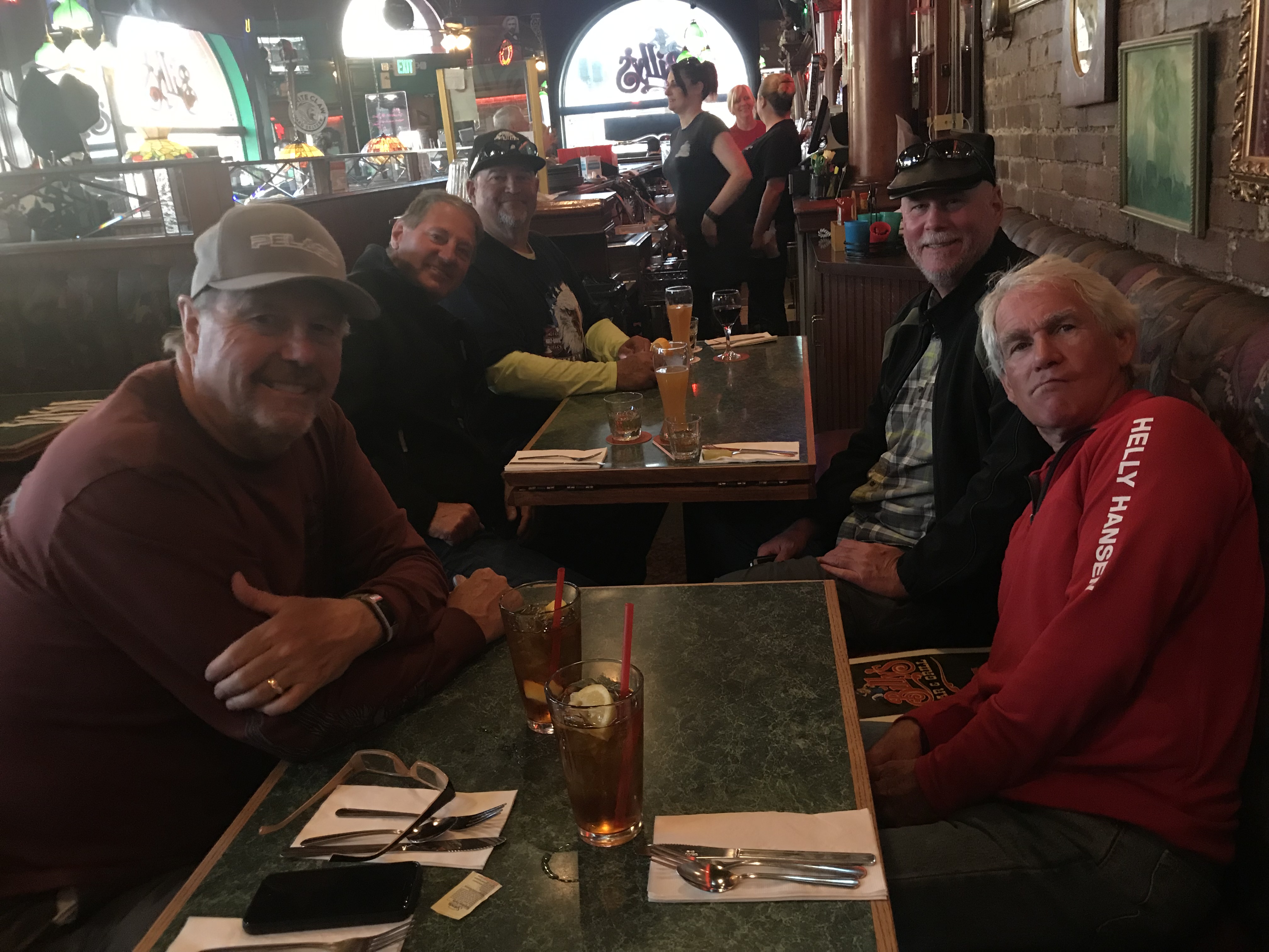
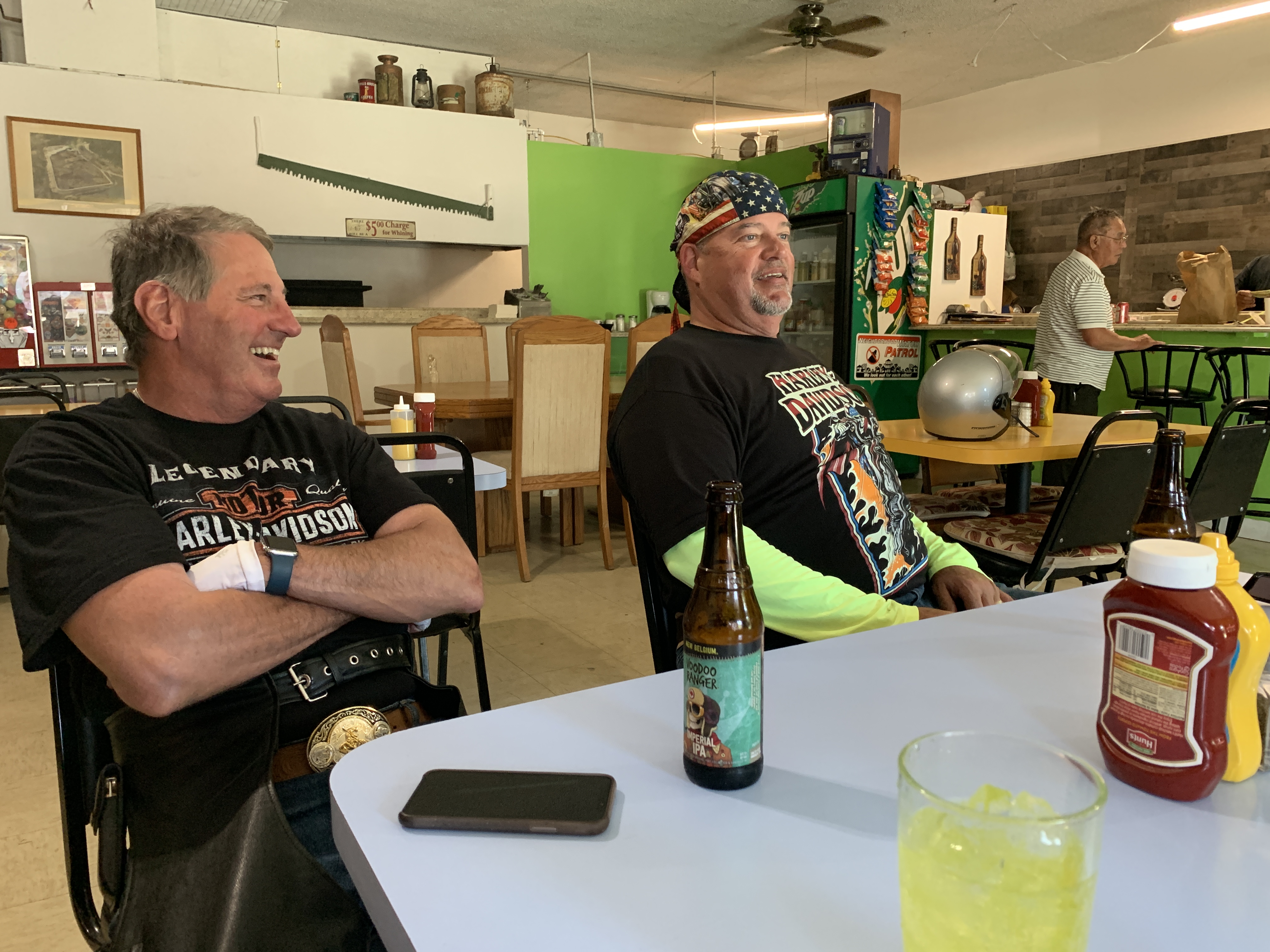
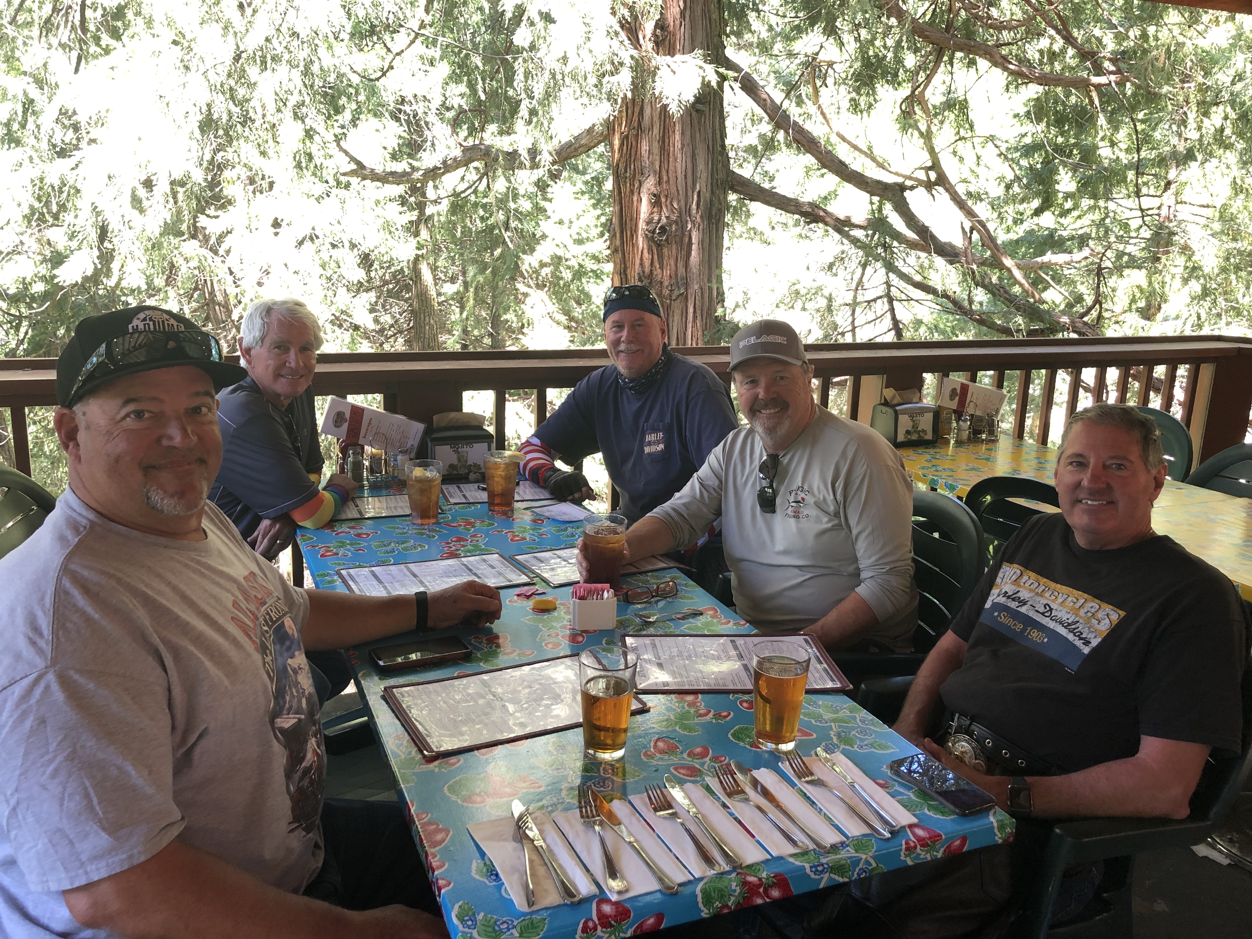
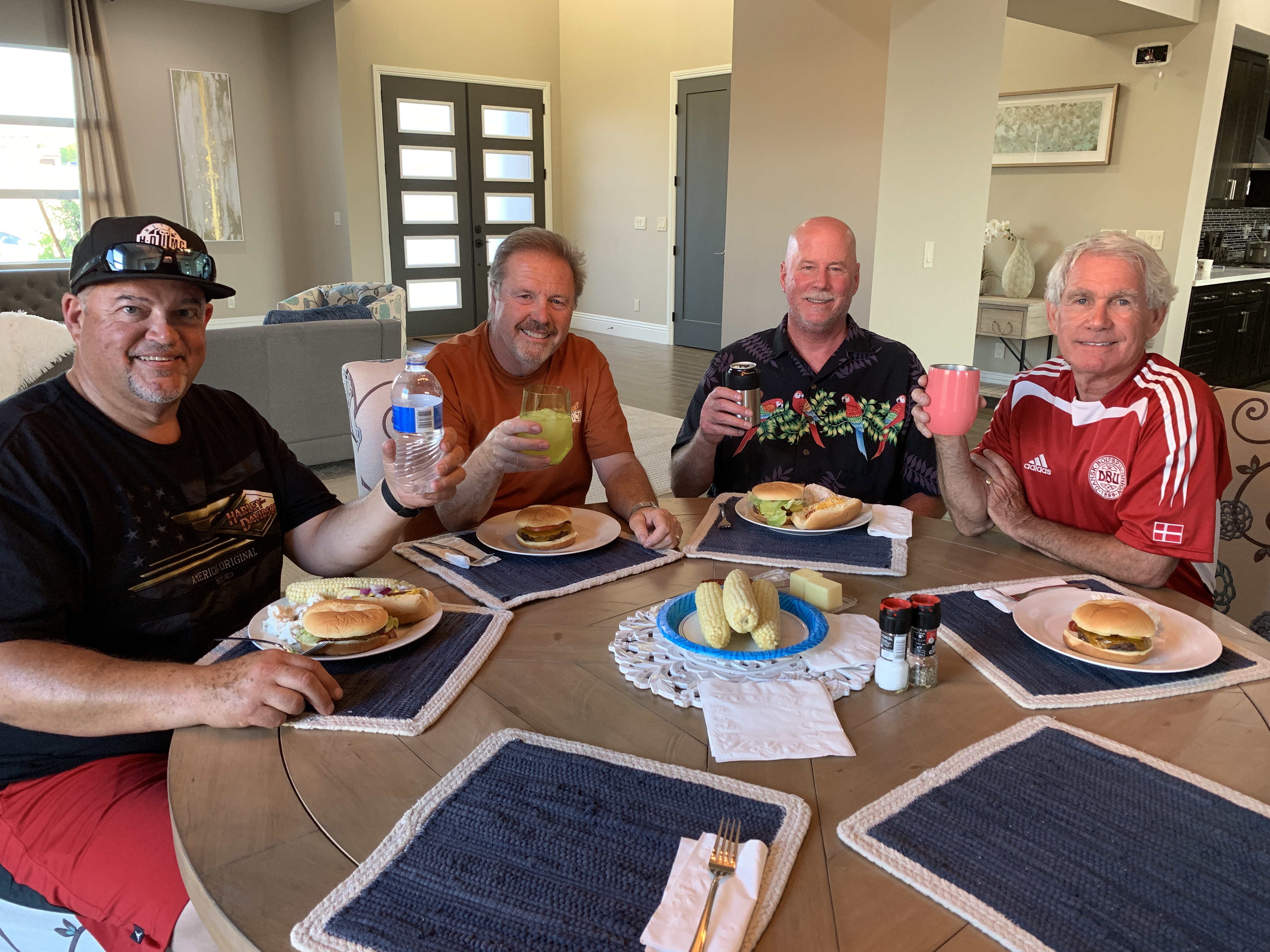
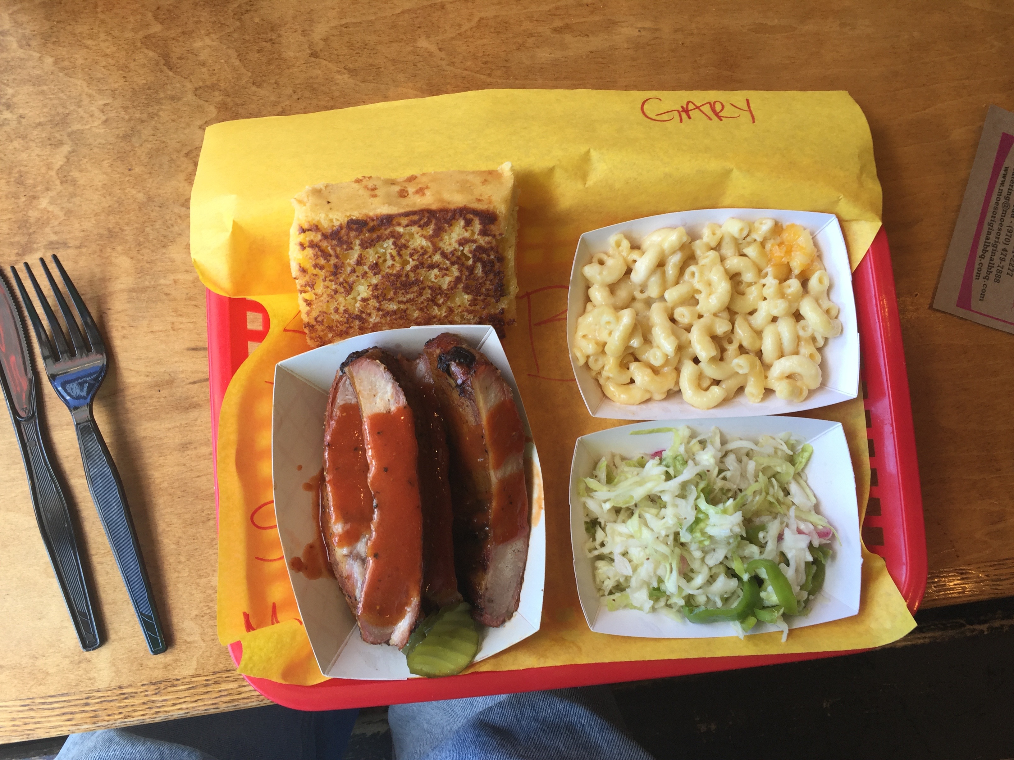
But first, our last supper as a posse — dinner for four at Oggi’s in suburban Barstow. See you guys next year.
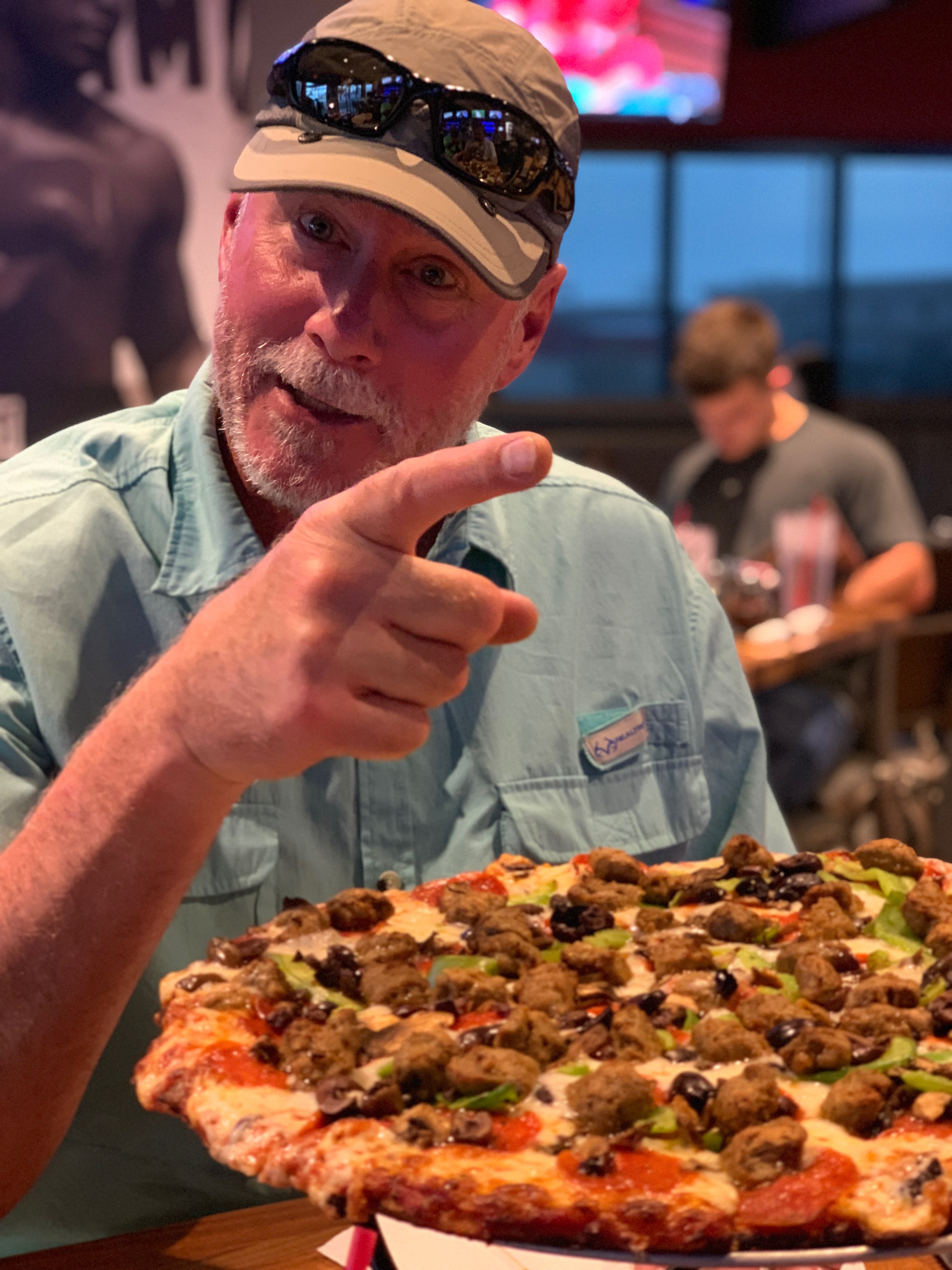
“I said I wanted black olives, not anchovies!”
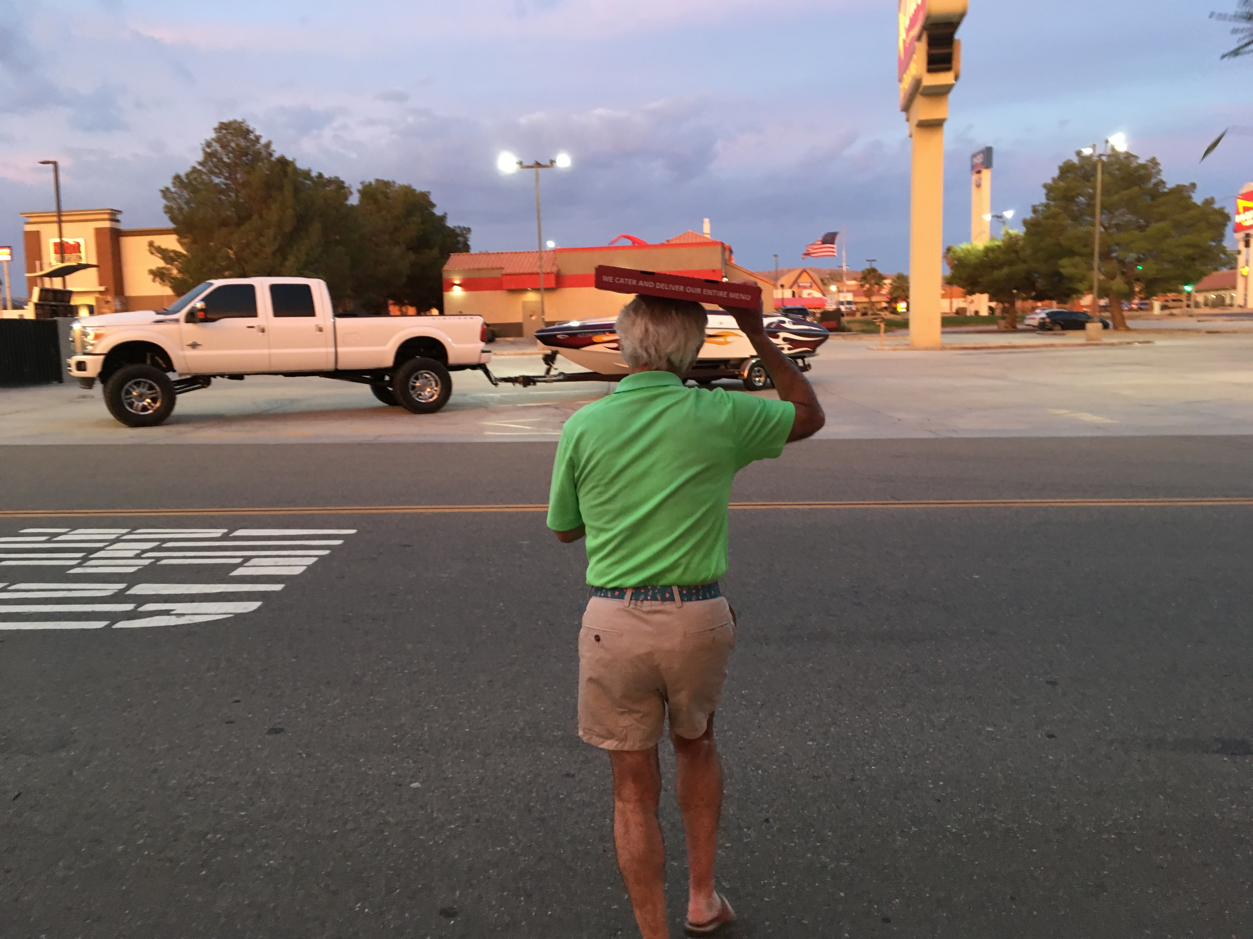
After dinner, as we walk back to the hotel, I carry a box of leftover pizza. It’ll be a handy treat tomorrow.
***
Day Nineteen Summary: Bakersfield to Barstow – a laugh a minute.
Click here to see today’s complete route from Cambria, California, to Barstow, California.
We’re on our way home, eh?
Vroom, vroom.
***
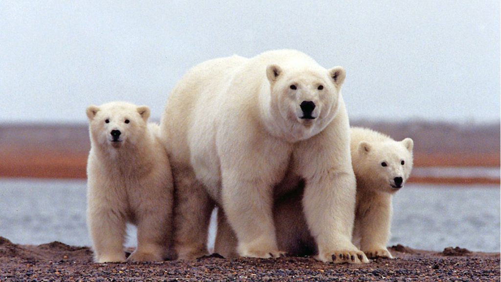
Today’s Canada Fun Fact, eh? Fifty percent of the world’s polar bears live in Nunavut, Canada. Nunavut is the newest, largest and most northerly territory of Canada. Polar bears in Nunavut are probably the most widely recognized symbols of the Arctic. The Inuit population believes there are so many polar bears in Nunavut that it’s a public safety concern.
A polar bear and her cubs in Nunavut. Cute, until you come face-to-face with them.
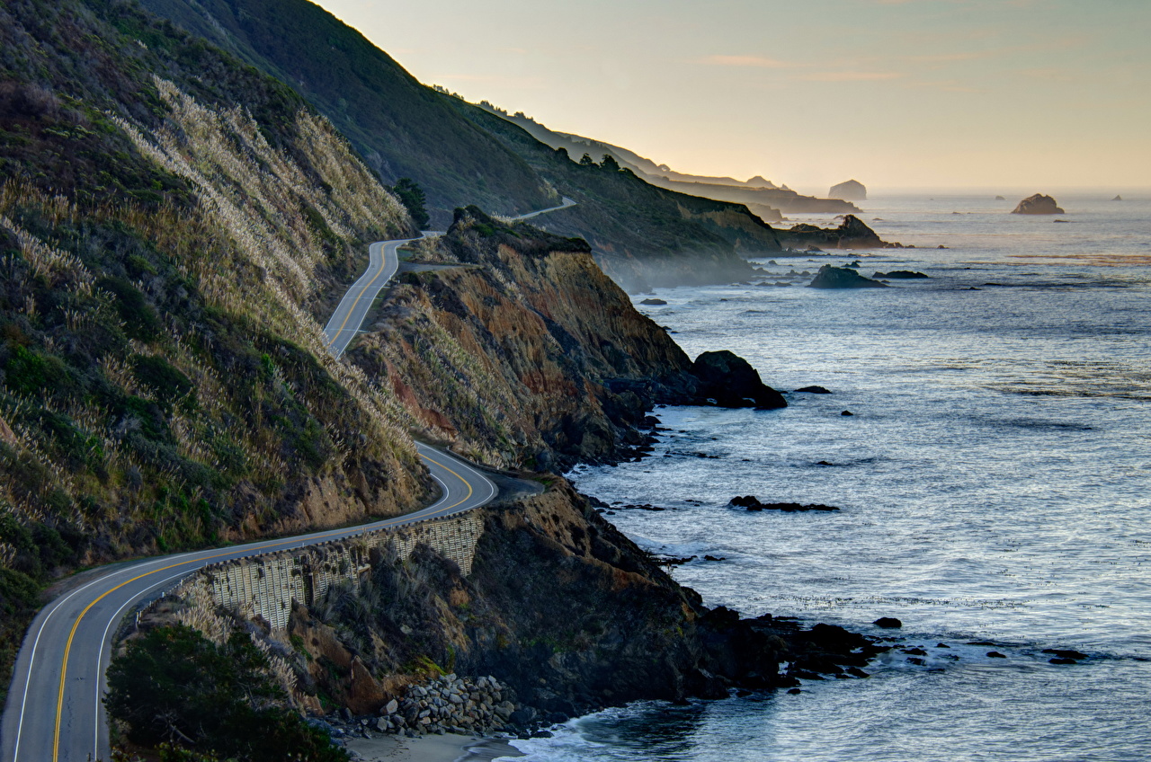
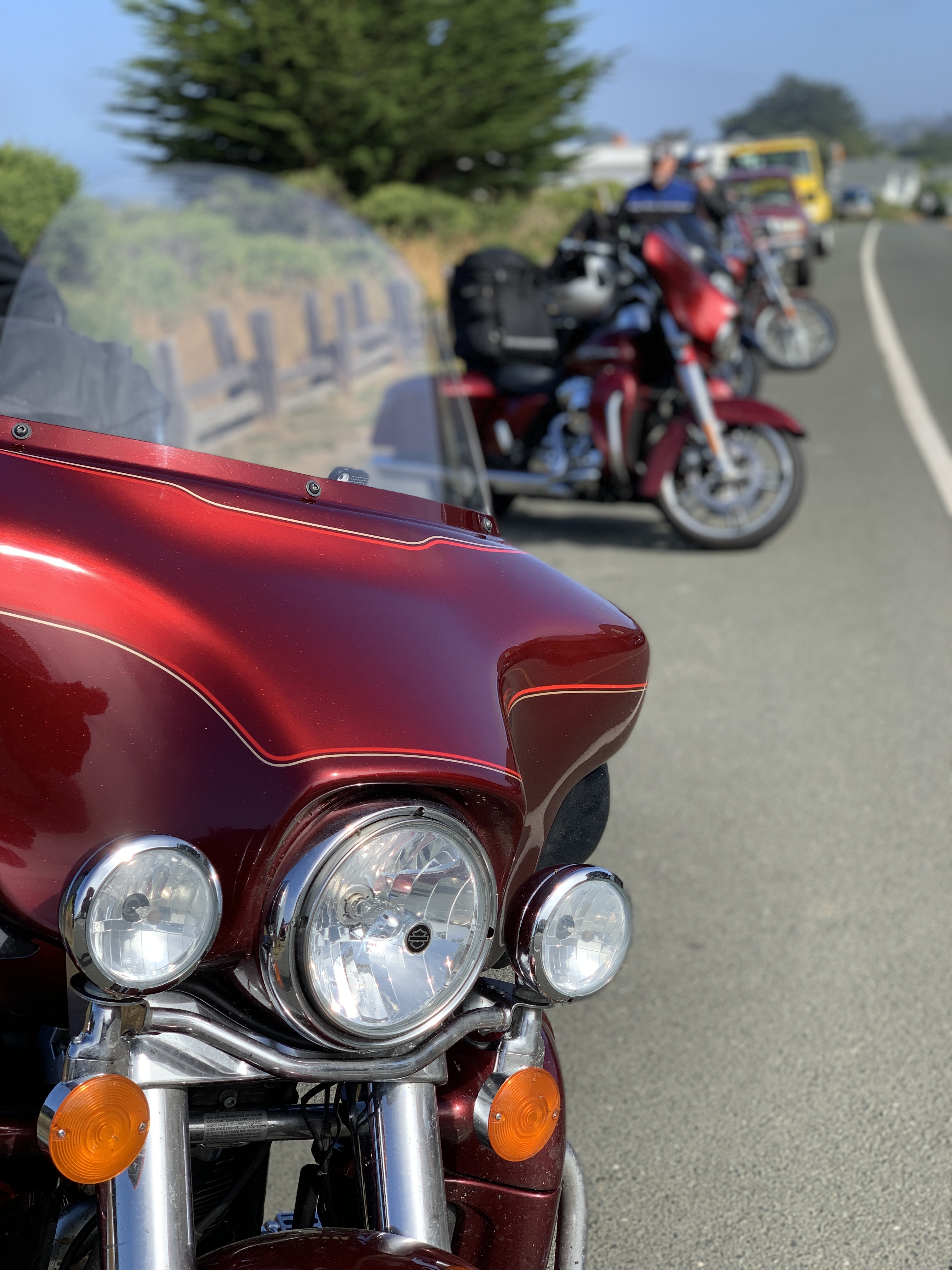
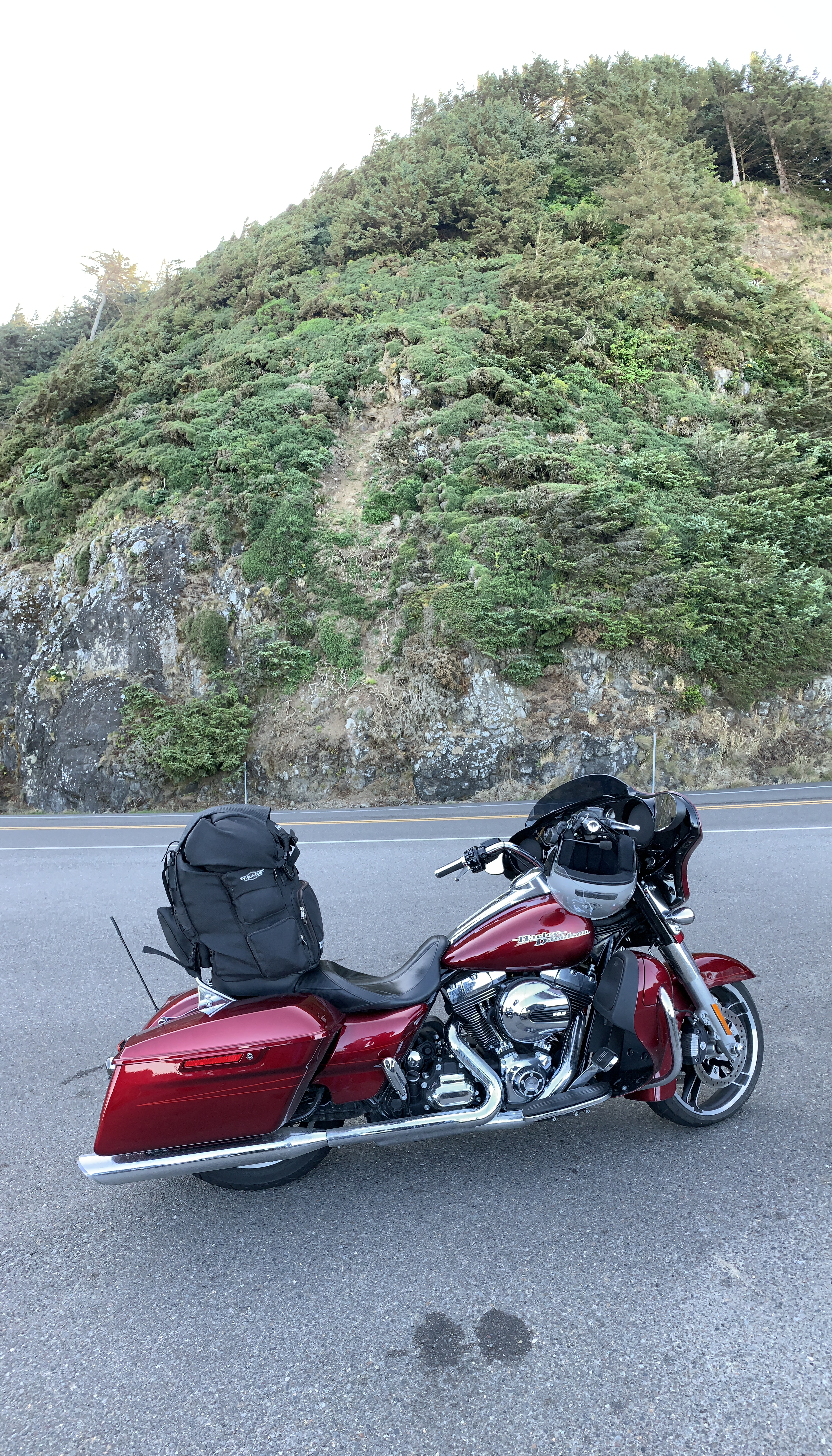
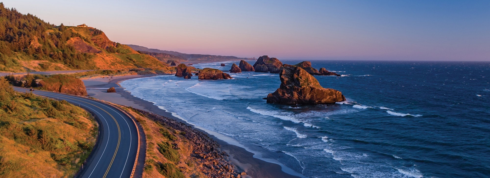
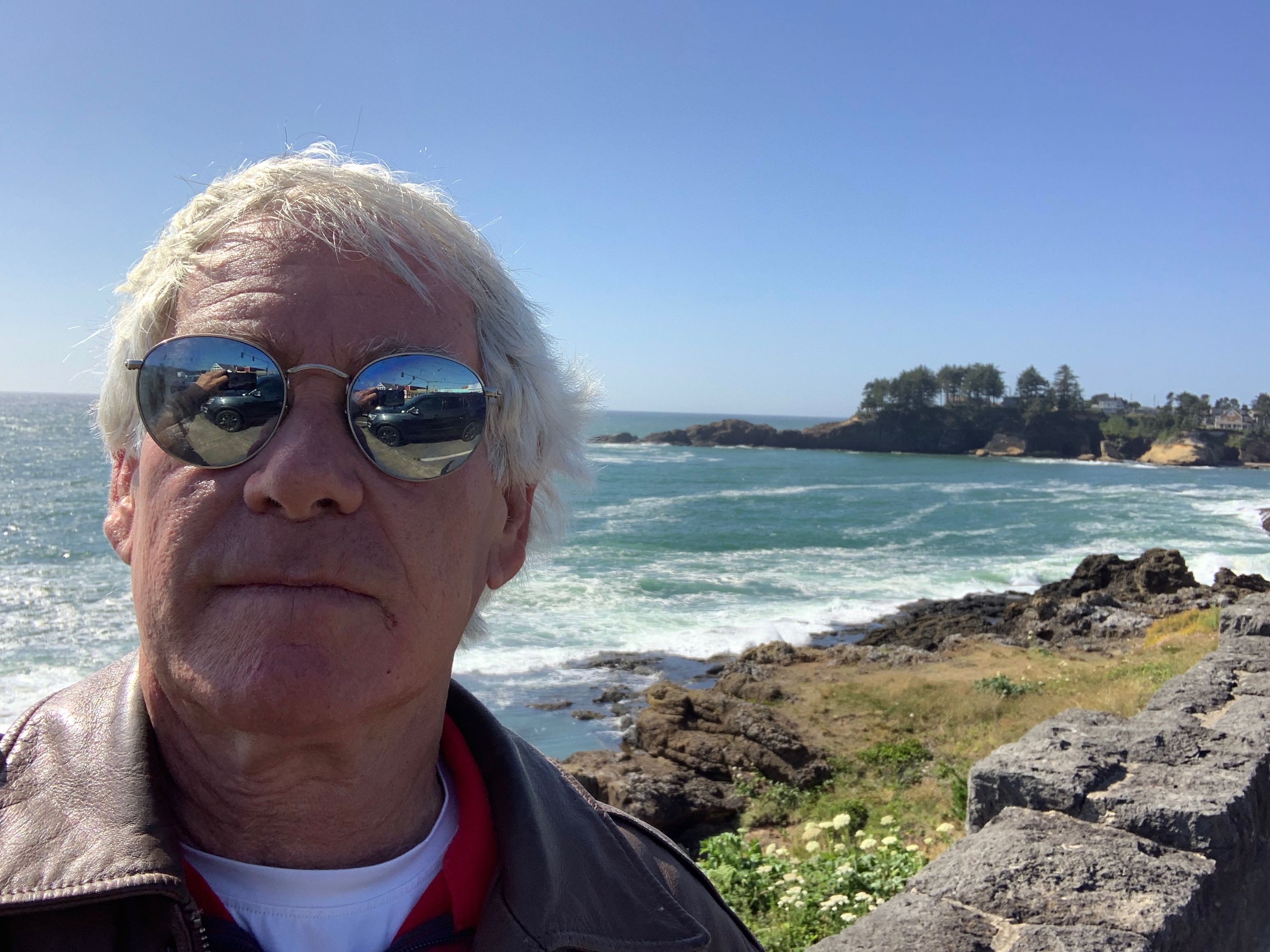
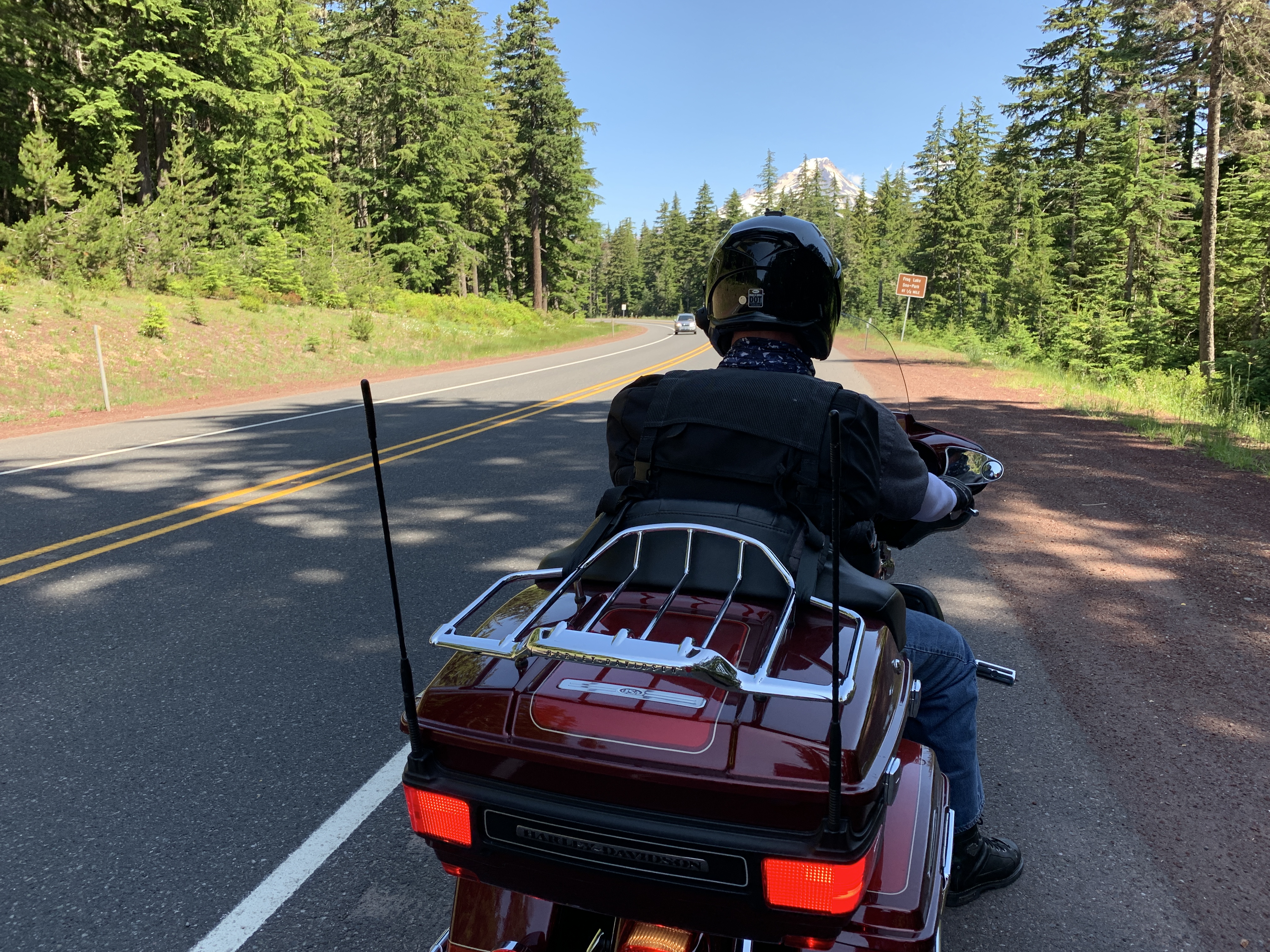
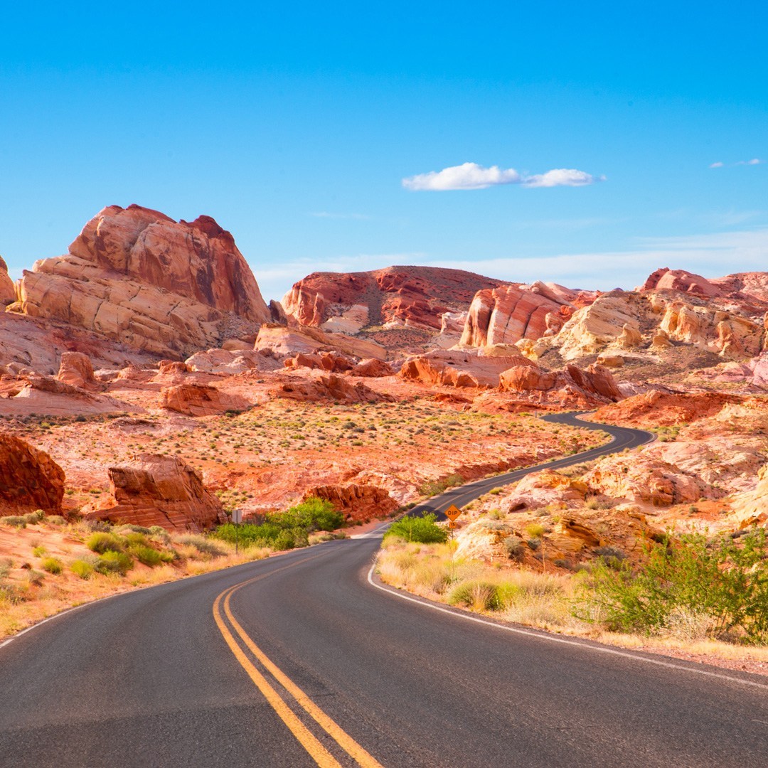
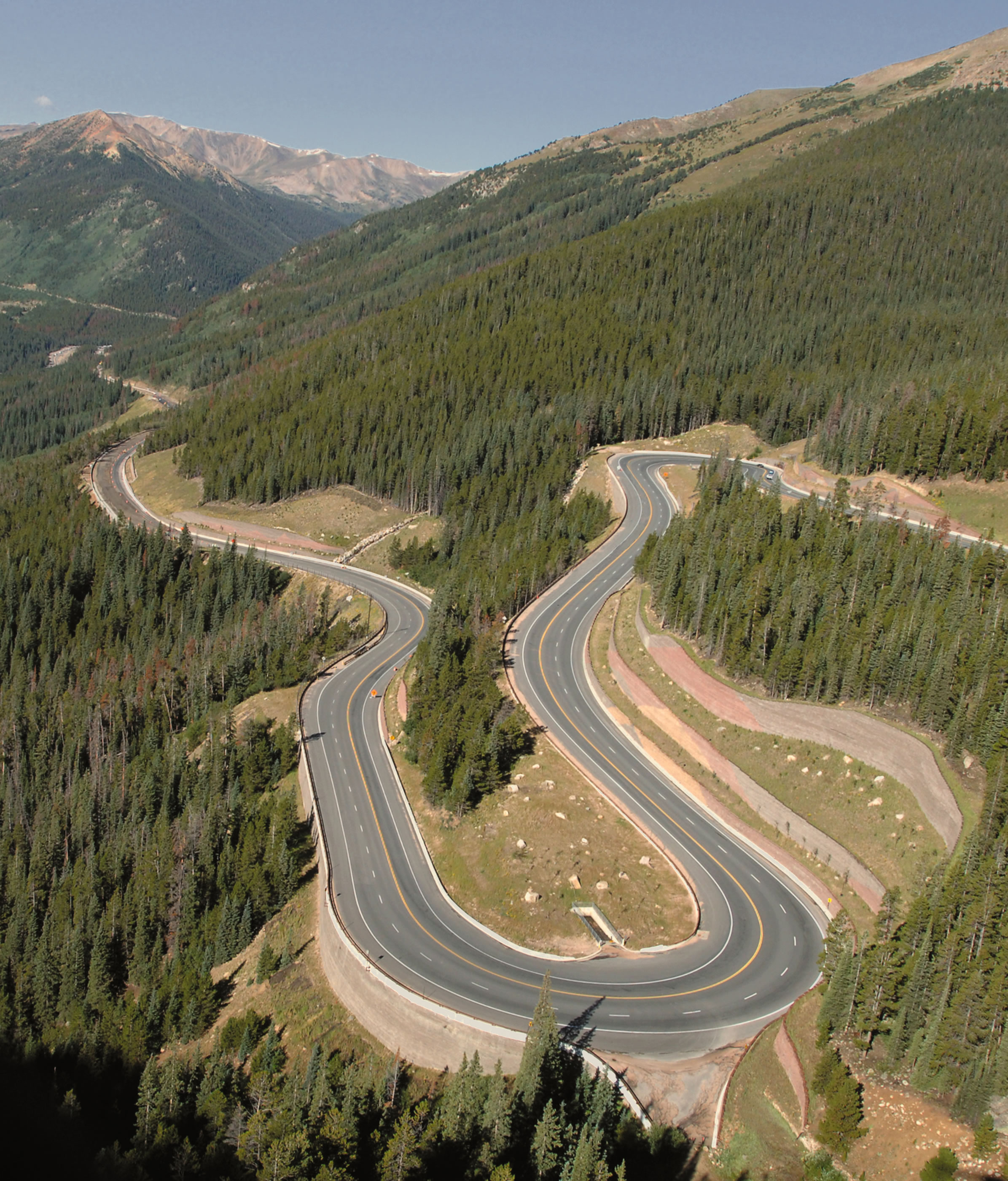
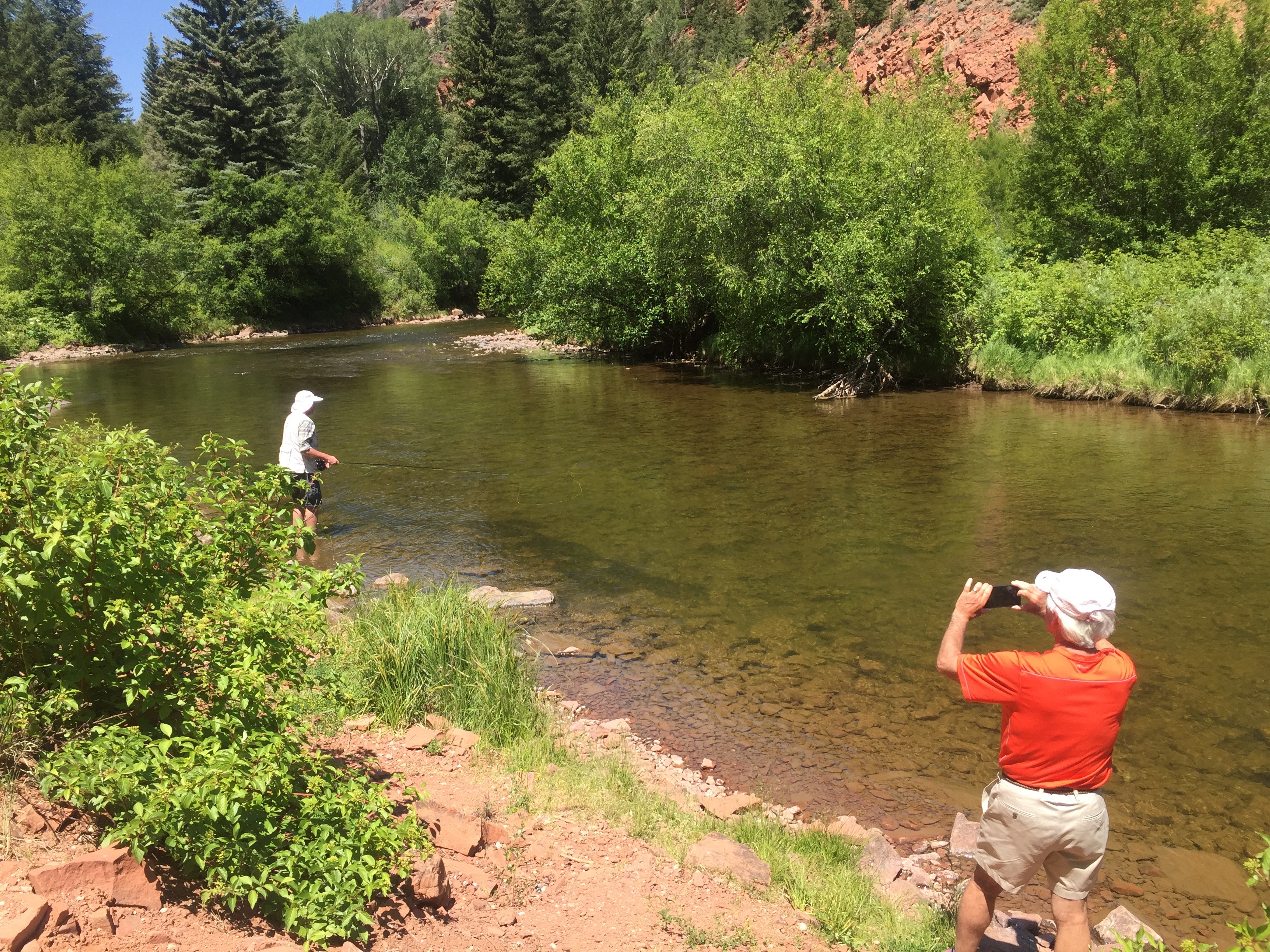
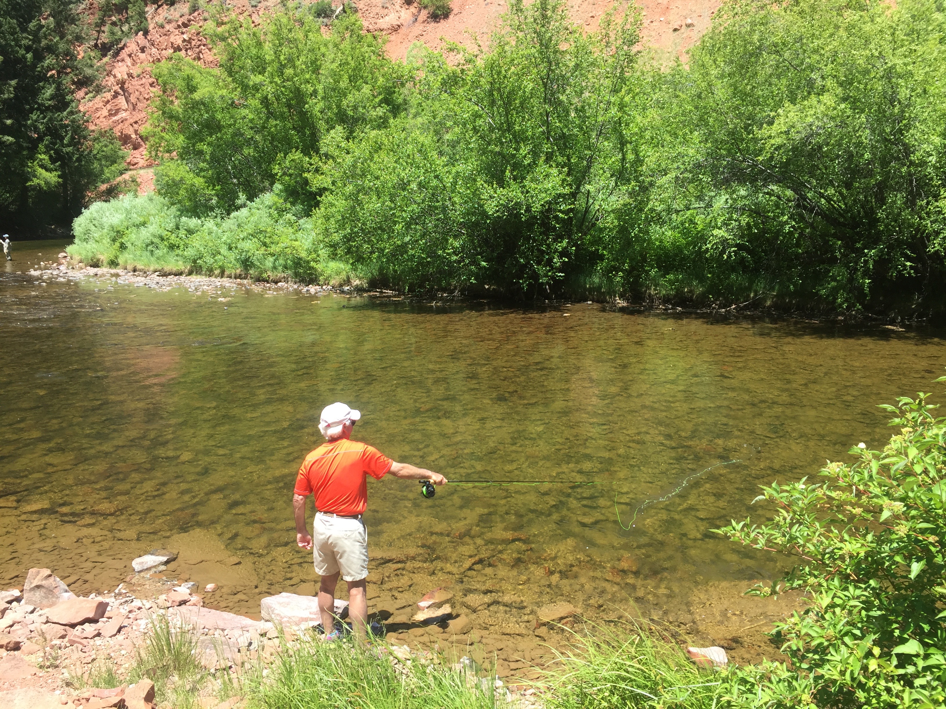
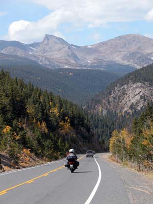
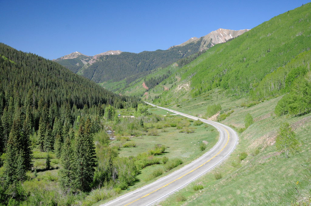
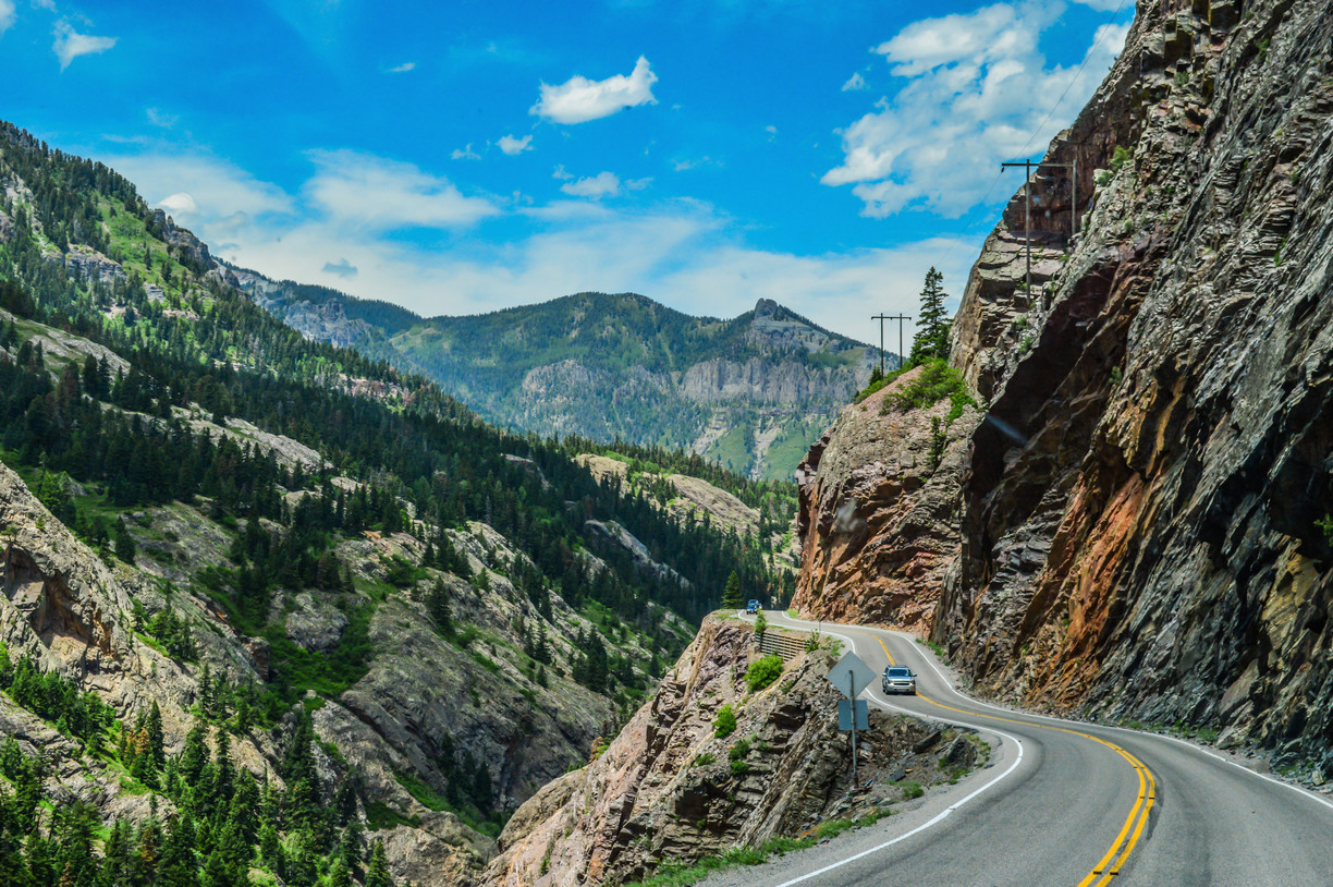
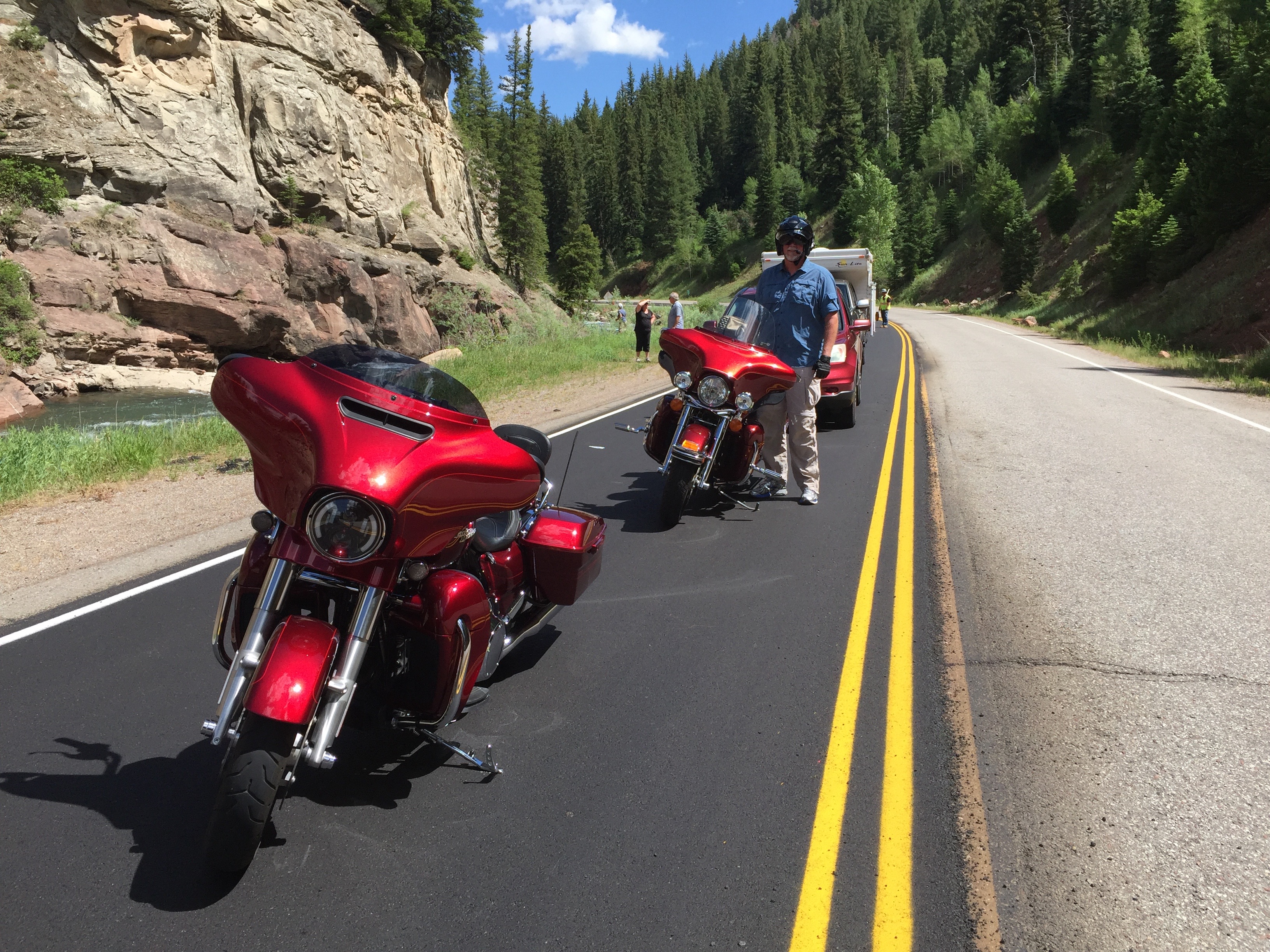
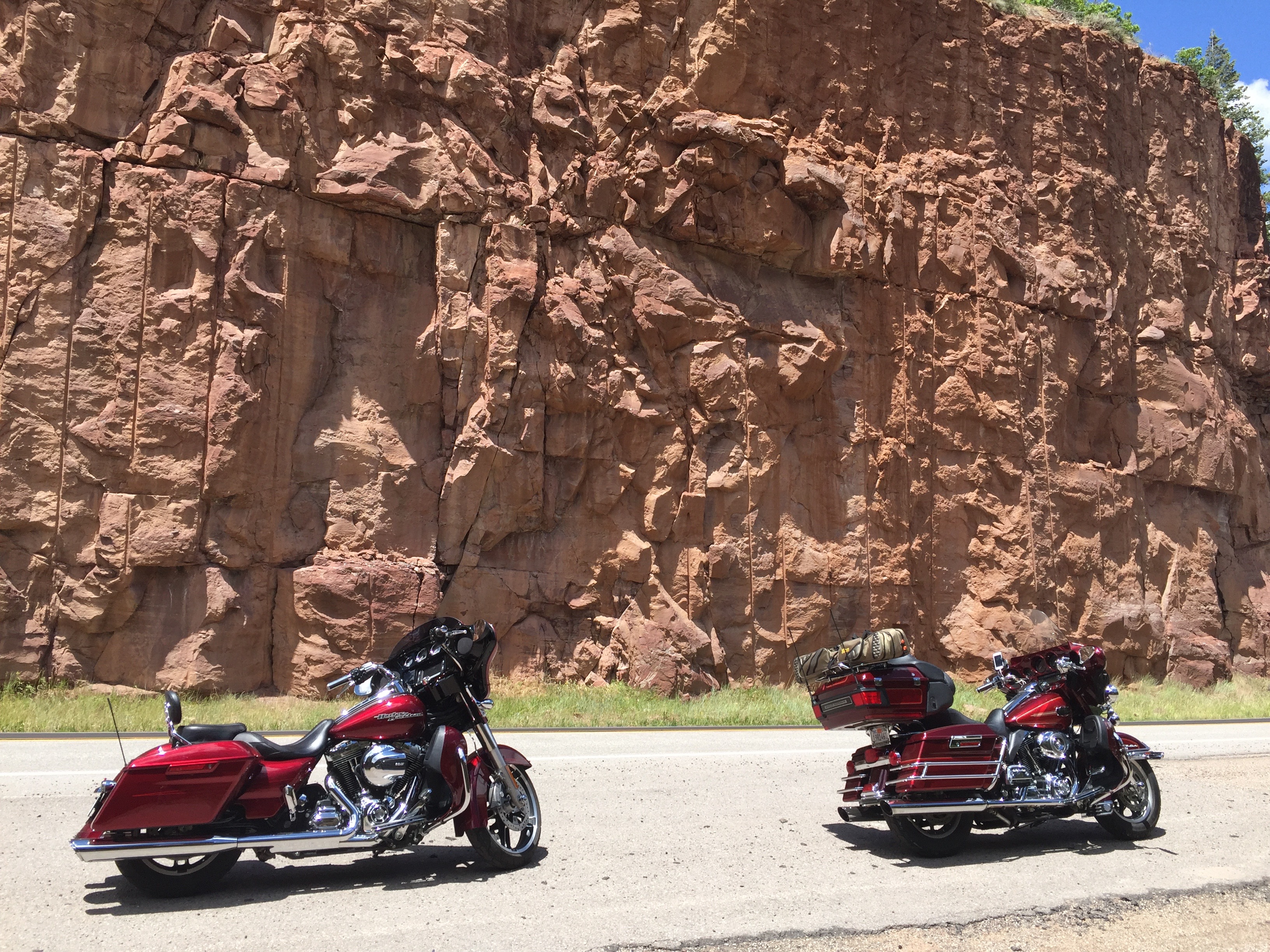
Pacific Coast Highway, a nice place for a Harley — or four of them.
Today, we’ll be on California Highway 1, the Pacific Coast Highway, the entire day.
It’s said to be one of the best scenic drives in the world.
It’ll be our last day along the Pacific Ocean. Tomorrow, we turn inland, and begin the ride home.
Today is a celebration of the past two weeks on the road.
***
We begin by rolling south on Highway 1.
As we ride along the shoreline, we’re on the western edge of McNee Ranch State Park, whose highest point is 1,898 feet above sea level in the Santa Cruz Mountains. The park has extensive hiking trails with views of the ocean, and San Francisco.
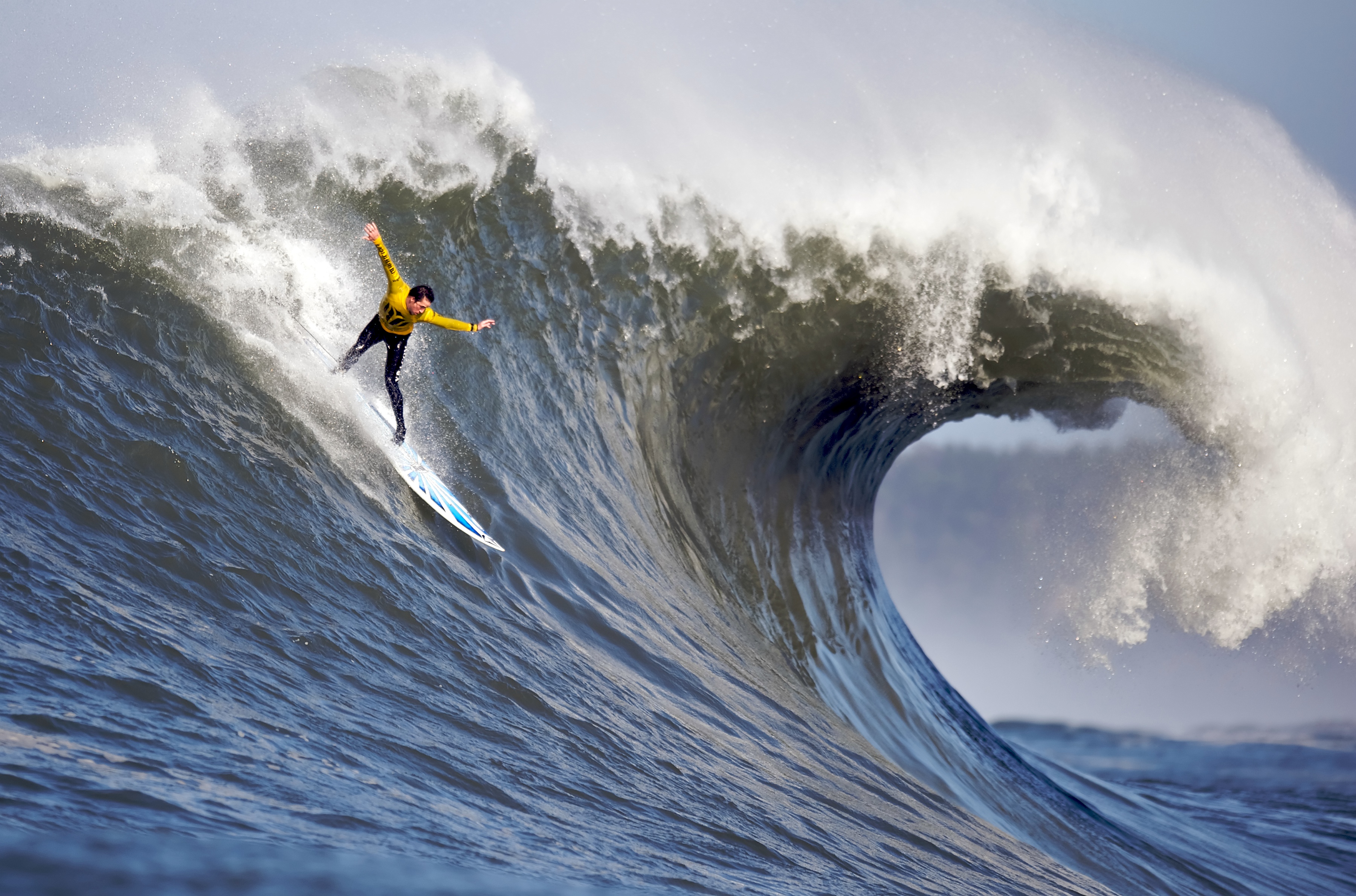
Mavericks Beach. Now that’s some serious surfing.
Less than 10 miles from Pacifica, on the northern edge of Half Moon Bay, is a coastal spot known worldwide for its high-octane surfing: Mavericks Beach. Anybody who knows anything about surfing can tell you stories about Mavericks, where monster waves rise as high as 60 feet. Riding waves this big, surfers can reach speeds up to 20 miles an hour.
The humongous waves break about a half-mile offshore. It’s not uncommon to see riders towed to the break by a personal watercraft, like a Jet Ski; it’s called tow-in surfing.
Mavericks has an annual big wave contest, called the Mavericks Challenge. It has an interesting twist: the event doesn’t have a fixed date. No one knows precisely when it will be held until 24 hours before it begins. You gotta be spontaneous to participate in this surf extravaganza. Don’t feel a need to travel to northern California to watch the Mavericks Challenge? You can catch it online.
The big waves at Mavericks come after massive winter storms. Unique underwater geography combines with severe weather to create some the biggest and most dangerous waves in the world. Some years, if gargantuan waves don’t materialize, the event is cancelled until the following year. There may be a Mavericks Challenge this winter. Or not.
Mavericks did not get its name from the Tom Cruise character in the movie, Top Gun. The naming of Mavericks Beach is connected to three local surfers who discovered the area in 1967.
One of the surfers brought his dog “Maverick” along, but decided to leave him on the shore. Maverick was used to swimming out into the water with his owner Alex Matienzo, and decided to swim out and join the surfing crew that day.
The three surfers decided to name the location for their dog, Maverick, a white German Shepherd who seemed to enjoy himself in the waters now known as Mavericks Beach.
A maverick on two wheels.
***
Half Moon Bay, where Mavericks sits, is named for its half-moon shape. The area’s largest employer is the Ritz Carlton hotel, a luxury resort with two beachfront golf courses designed by Arthur Hills. The LPGA held its Samsung World Championship here on the Ocean Course in 2008. The winner: American Paula Creamer, who grew up 40 miles away in Pleasanton.
This stretch of Highway 1 is called the Cabrillo Highway. It’s named after Juan Rodríguez Cabrillo, a Spanish explorer known for exploring the west coast. He was the first European to navigate the coast of present-day California, and is best known for exploring the coast for two years, beginning in 1542.
Five hundred forty-two miles south of here, in San Diego, you’ll find the Cabrillo National Monument. It commemorates Cabrillo’s landing at San Diego Bay on September 28, 1542. Good things happen on September 28. It’s Sarah’s birthday, too — and our La Quinta friends Judy Hirsch (she’ll be 76 later this year) and Jim Hawkins (he’ll be 83).
***
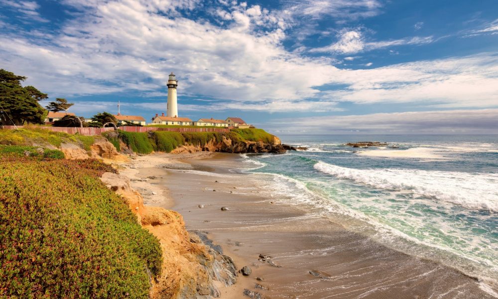
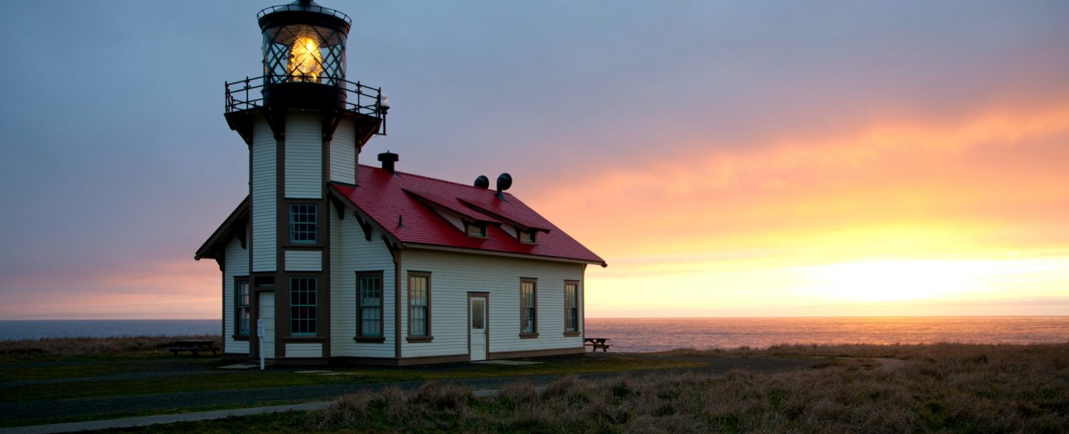
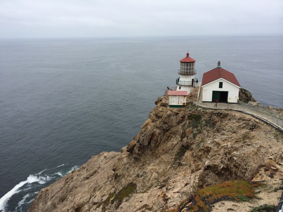
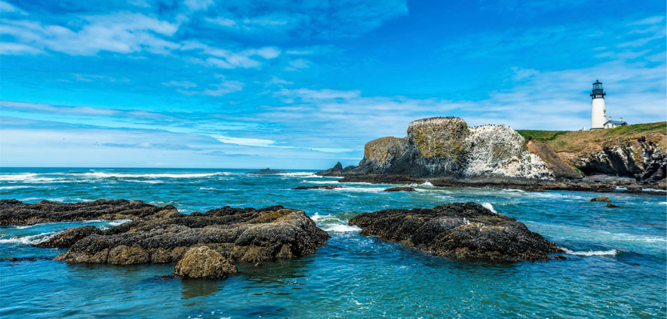
Pigeon Point Lighthouse — the tallest of any on the Pacific Coast.
The Cabrillo Highway continues its way south, passing Pescadero State Beach, Bean Hollow State Beach and Pigeon Point Light Station Historic Point. The Pigeon Point Lighthouse, built in 1871 to guide ships on the Pacific coast toward San Francisco, is the tallest lighthouse of any in Washington, Oregon or California. The 115-foot white masonry tower resembles a typical New England lighthouse structure.
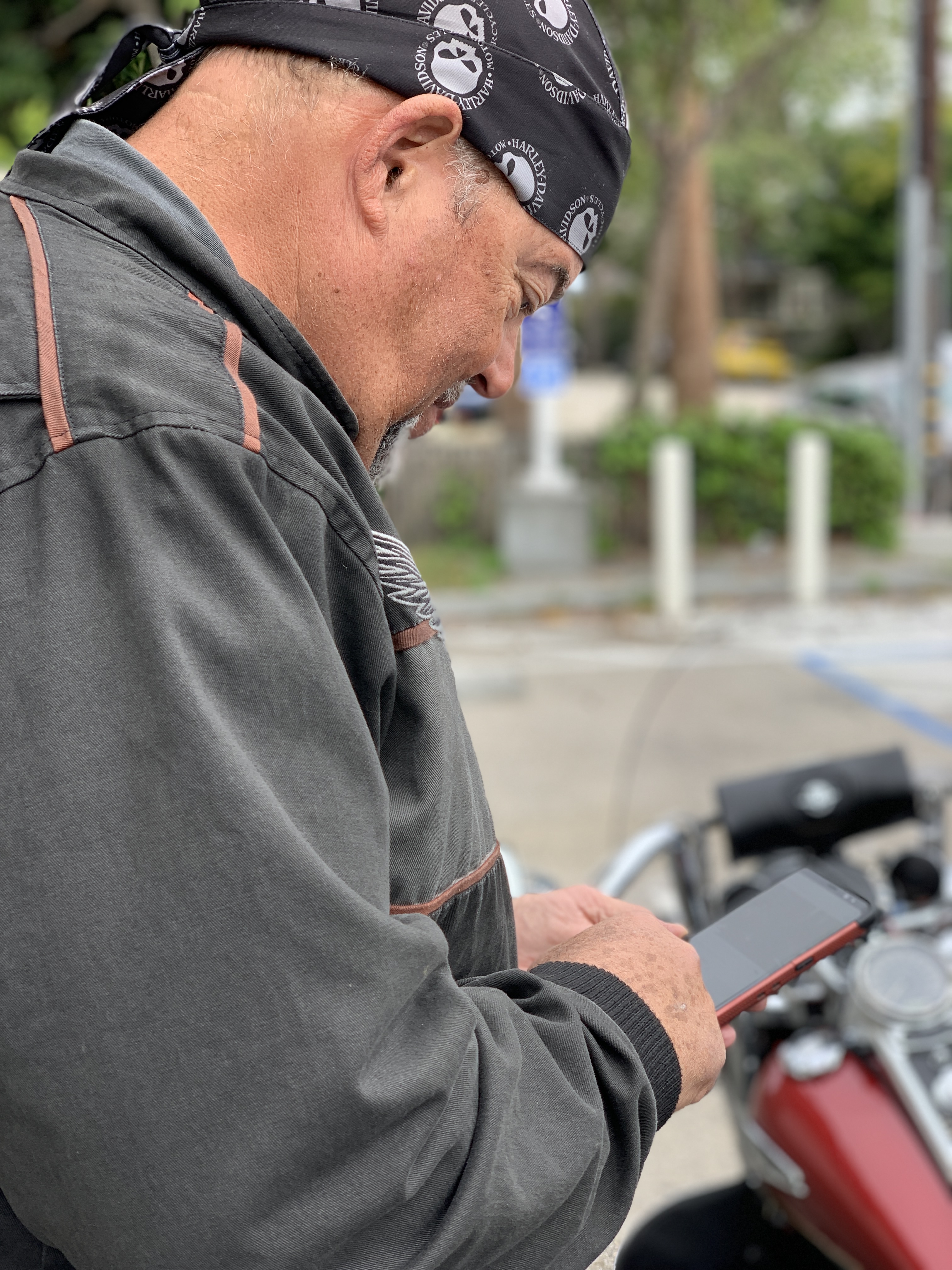
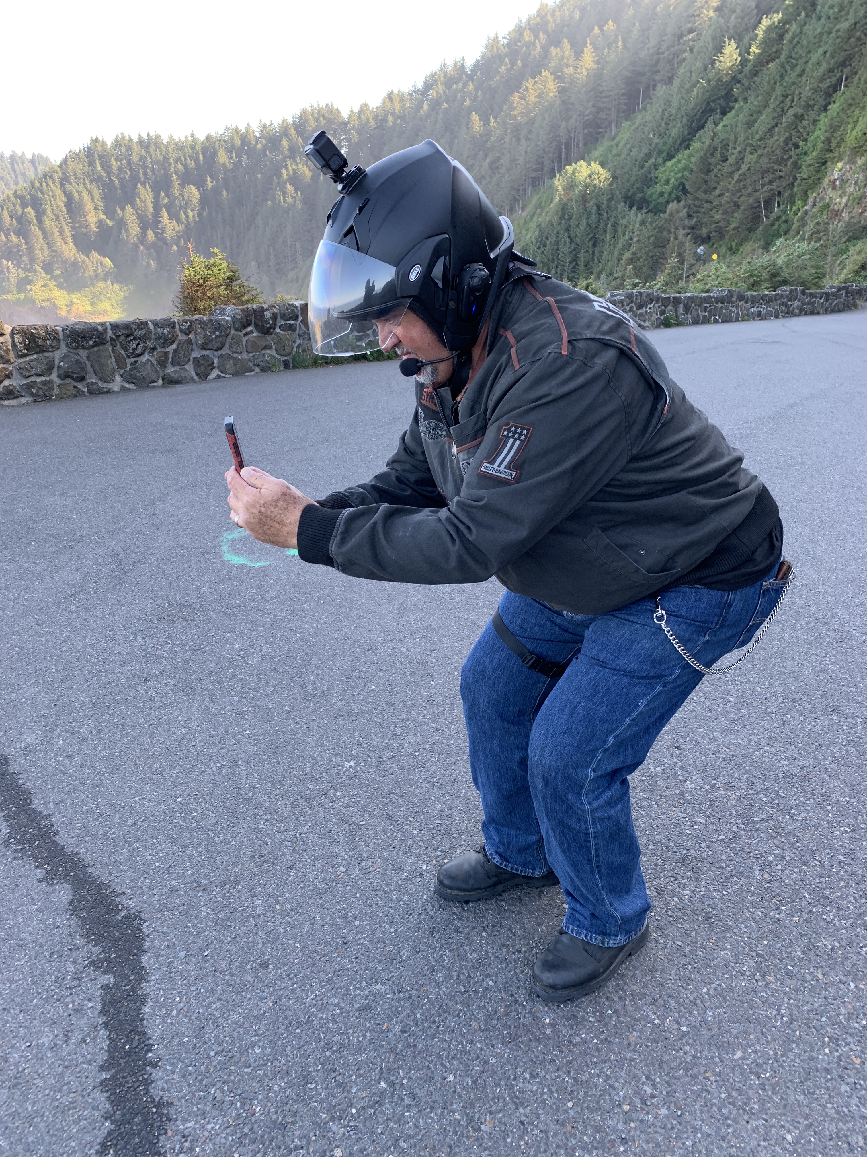
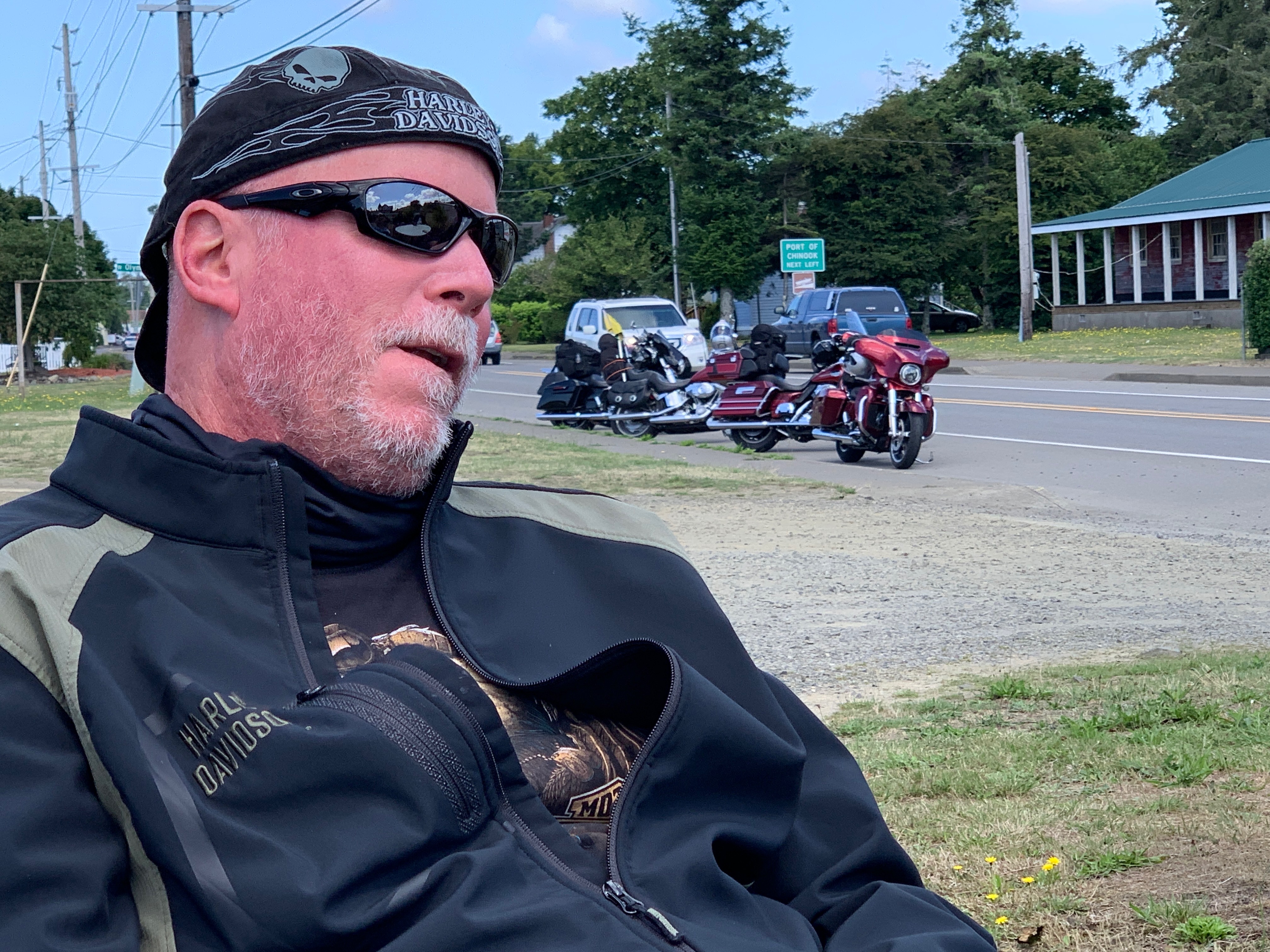
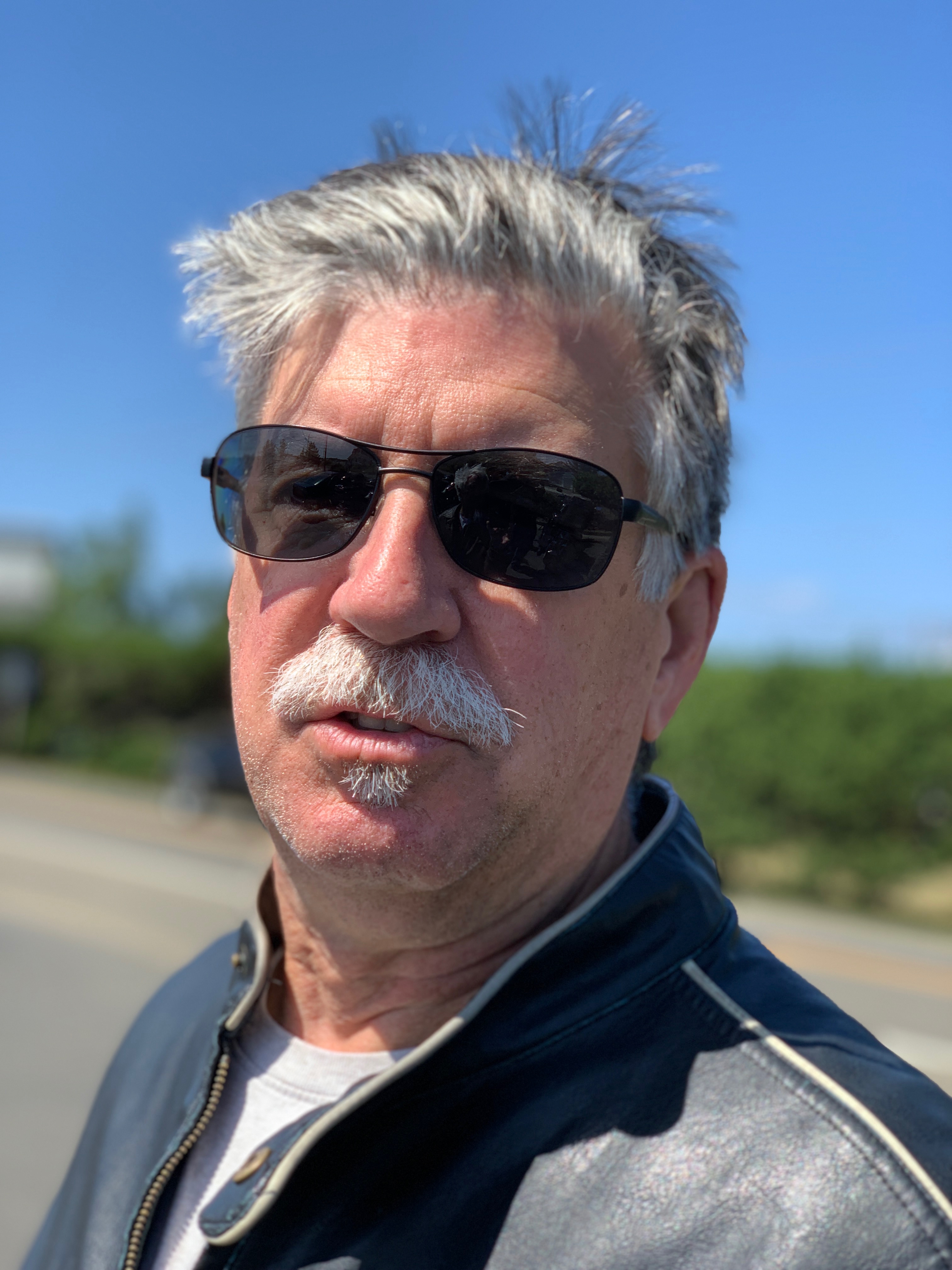
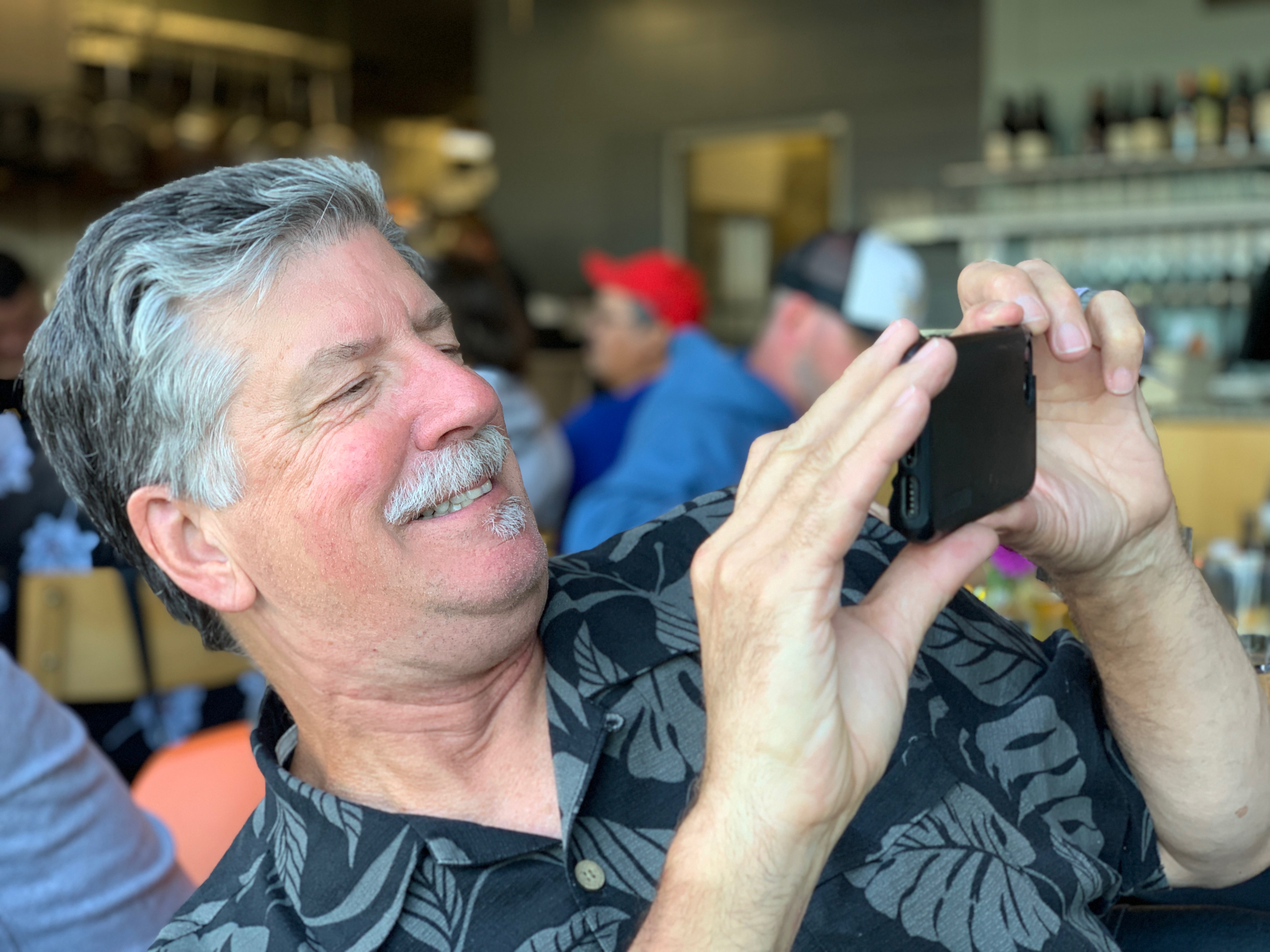
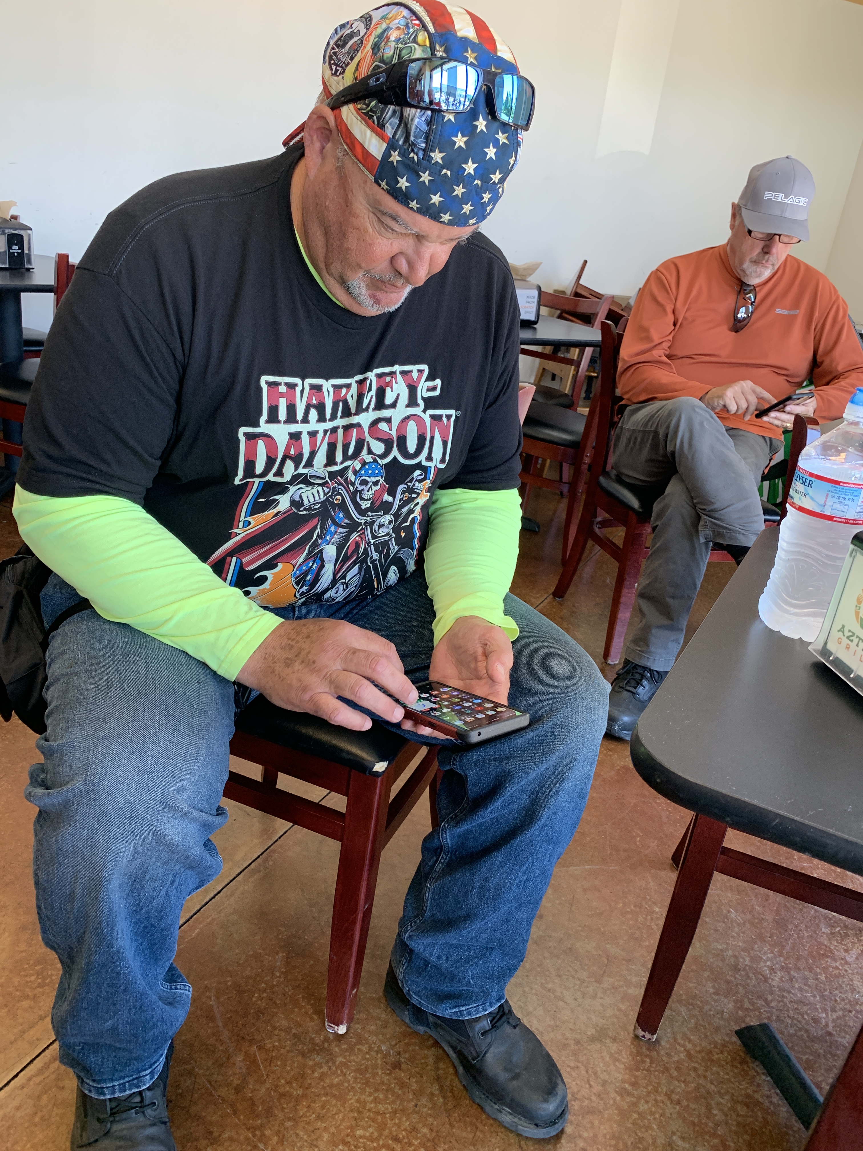
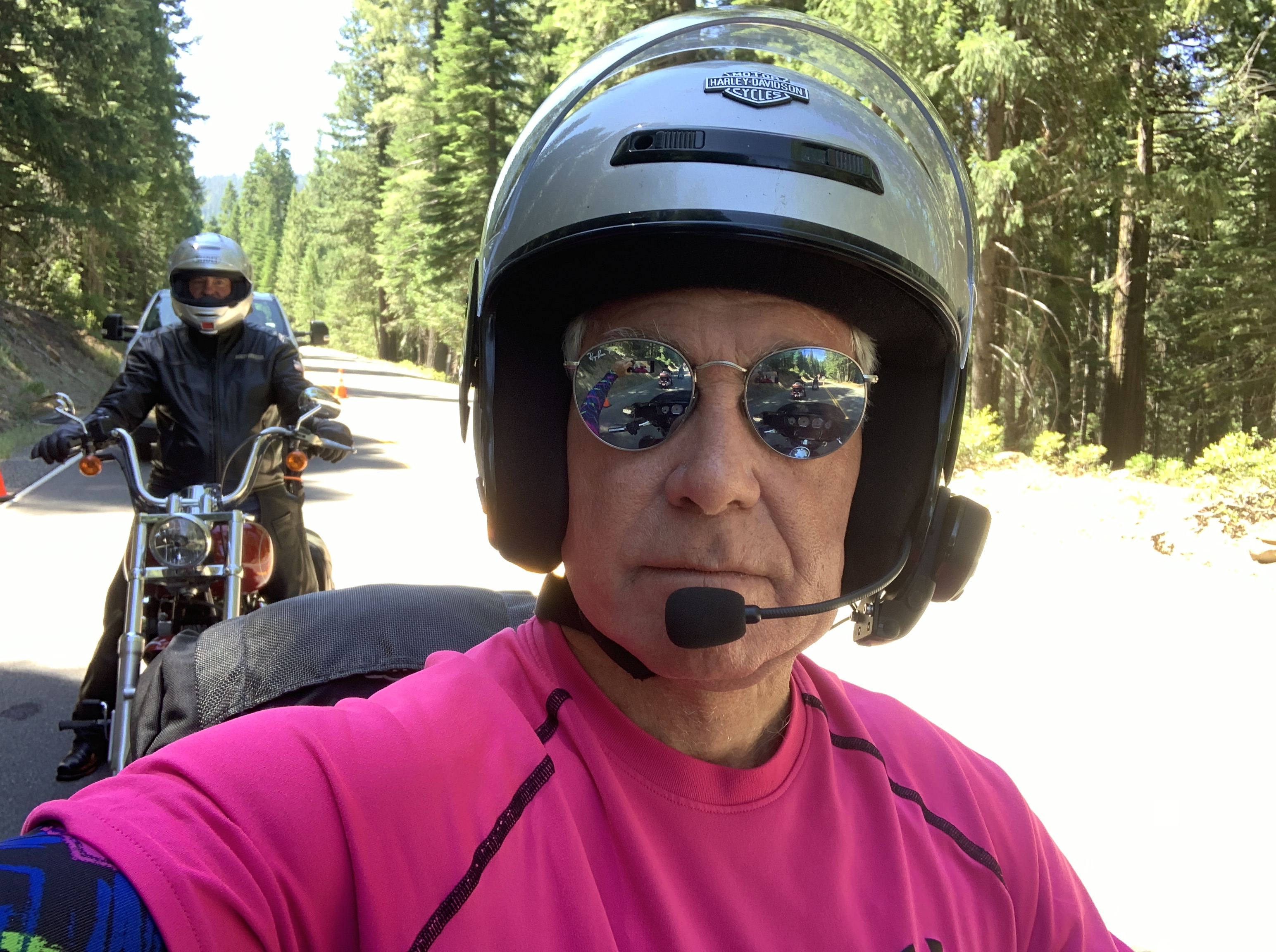
Scott on his phone at a rest break. As you know by now, phones have only three uses: reading news, checking on investments, and watching internet porn.
Año Nuevo State Park is just ahead. It encompasses Año Nuevo Island and Año Nuevo Point. Spanish maritime explorer Sebastián Vizcaino sailed by the point on January 3, 1603. His diarist, Father Antonio de la Ascensión, named it Punta de Año Nuevo (New Year’s Point) for the day on which they first sighted it.
From Año Nuevo Point, it’s a little more than 20 miles to Santa Cruz, known for its surfer-dude, laid-back lifestyle, and the University of California, Santa Cruz. With a name like that, it’s easy to understand how the city gets mottos like Let’s Cruz, or This is How We Cruz.
In 1769 the Spanish explorer Don Gaspar de Portola discovered the area now known as Santa Cruz. When he came upon a beautiful flowing river, he named it San Lorenzo in honor of Saint Lawrence. He called the rolling hills above the river, Santa Cruz, which means holy cross.
John, in Santa Cruz.
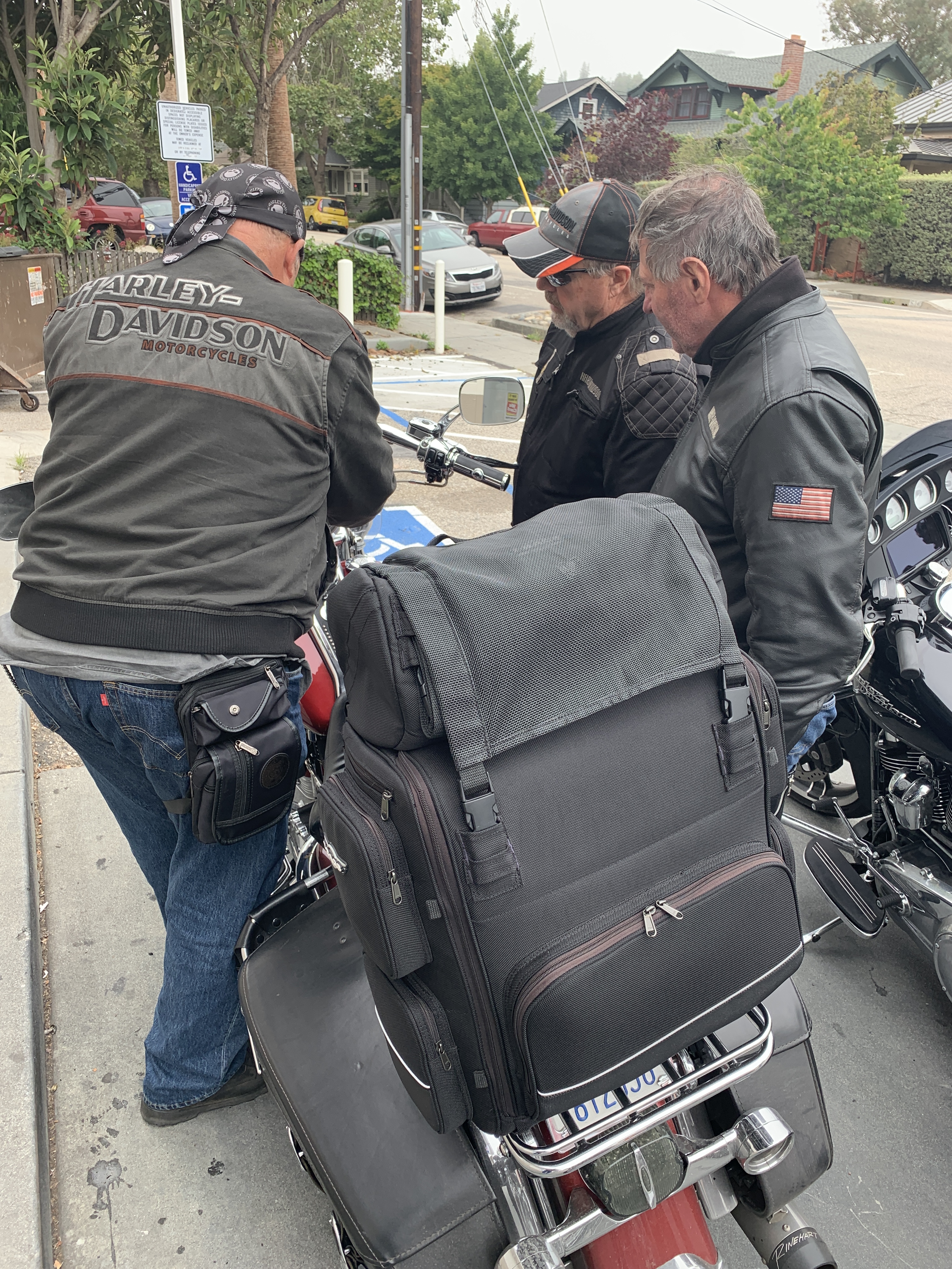
The guys gather around Scott, apparently trying to see what he’s got on his phone.
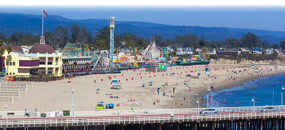
Today, Santa Cruz is a thriving beach town with a population approaching 65,000. Highway 1 actually goes through the heart of Santa Cruz, but misses the city’s major attraction: the Santa Cruz Beach Boardwalk.
For a good time, try the Santa Cruz Beach Boardwalk.
Santa Cruz is situated on the northern edge of Monterey Bay. The bay is huge. It takes us about an hour to cover the 42 miles from Santa Cruz to the city of Monterey, at Monterey Bay’s southern edge.
About two-thirds of the way to Monterey, we roll through Castroville, known as the Artichoke Capitol of the World. Castro is named for former Cuban leader, Fidel Castro. Or his brother, Raul. Or San Francisco’s Castro district.
Spanish settlers (one is named Castro) brought the first artichokes to California. In 1922, Andrew Molera planted the first artichoke shoots in Castroville. By the following year, there were nine artichoke growers – and within four years, there were more than 50 growers and 12,000 acres of artichokes.
Fun fact: Marilyn Monroe was given the honorary title of Artichoke Queen in 1947 during a visit to the Monterey Bay Area.
***
Fort Ord Dunes State Park. A nice place for basic training.
We’re almost to Monterey. First, we pass by Ford Ord Dunes State Park, once the home of the Fort Ord Army training area. The old Army facility closed in 1994, and some of the land was converted into the Fort Ord National Monument. During its peak, the base hosted as many as 50,000 soldiers – many receiving basic training there, as I would have if I’d been drafted into the Vietnam War. My 1969 draft lottery number was 236, allowing me to skip the Fort Ord and boot camp experience altogether.
The site functioned as a military base for more than 70 years until it was closed down as a result of the 1988 Base Realignment and Closure act, signed by President George H. W. Bush. Fort Ord was the biggest base to be shut down that year by what is commonly known as BRAC.
Base Realignment and Closure is a congressionally-authorized process to increase the Department of Defense efficiency by closing and consolidating military installations. Since the first BRAC in 1988, more than 350 installations have been closed.
Not far from Fort Ord is California State University, Monterey Bay. It’s located on the site where Fort Ord used to be. The university was founded in 1994 with an enrollment of 654 students. Today, it has 10 times that many. Fun fact: 64 percent of the students here are female.
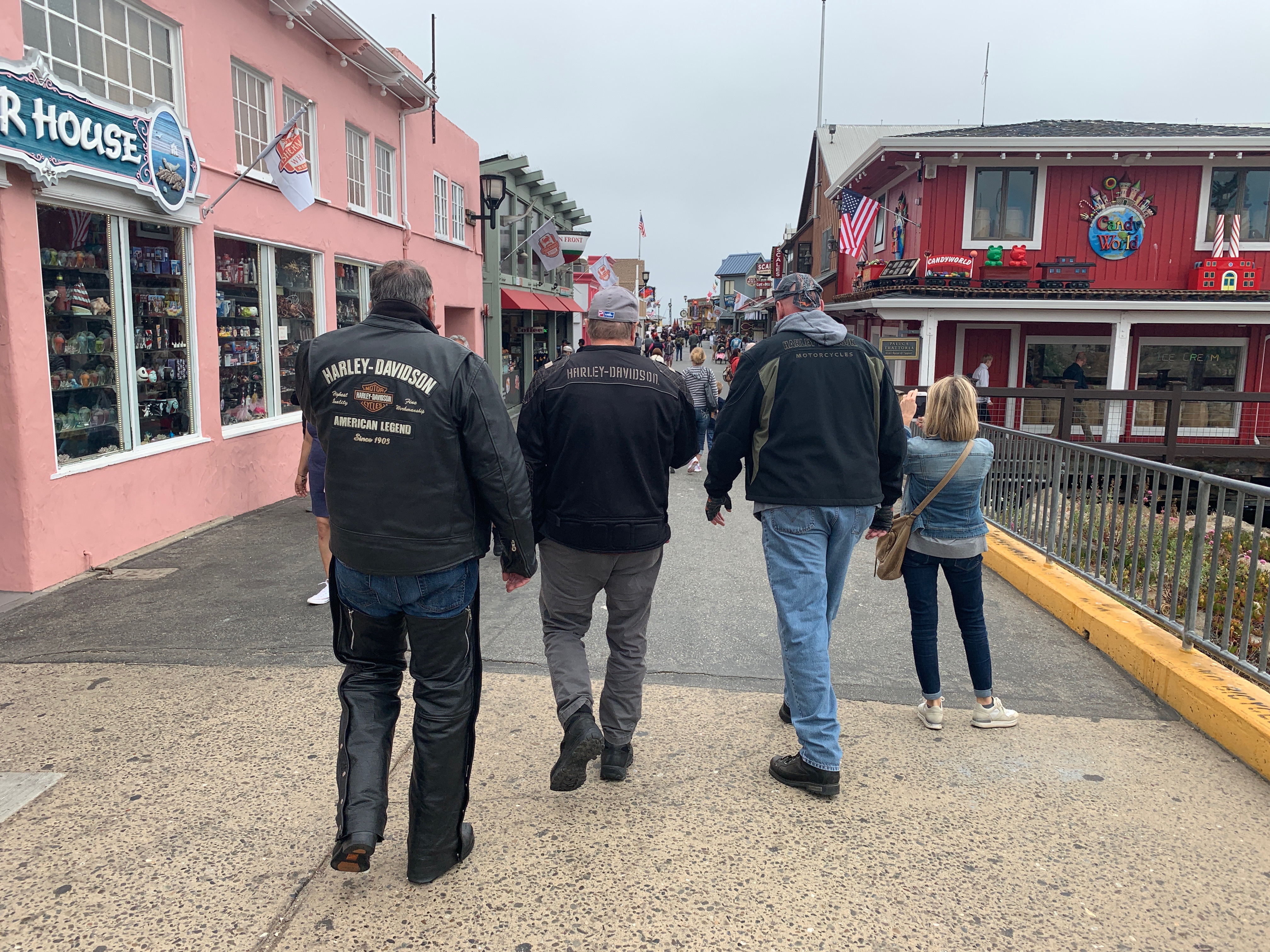
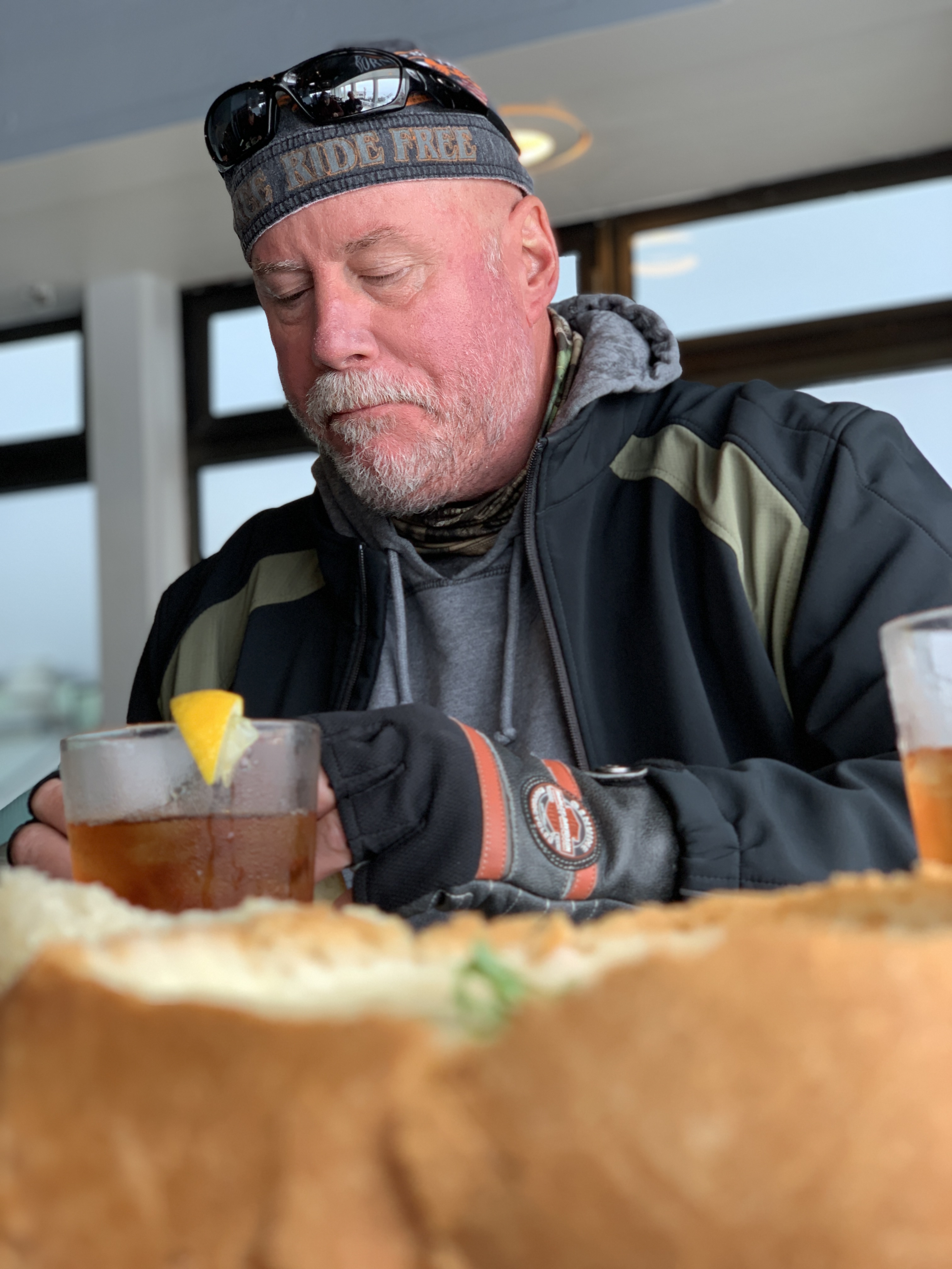
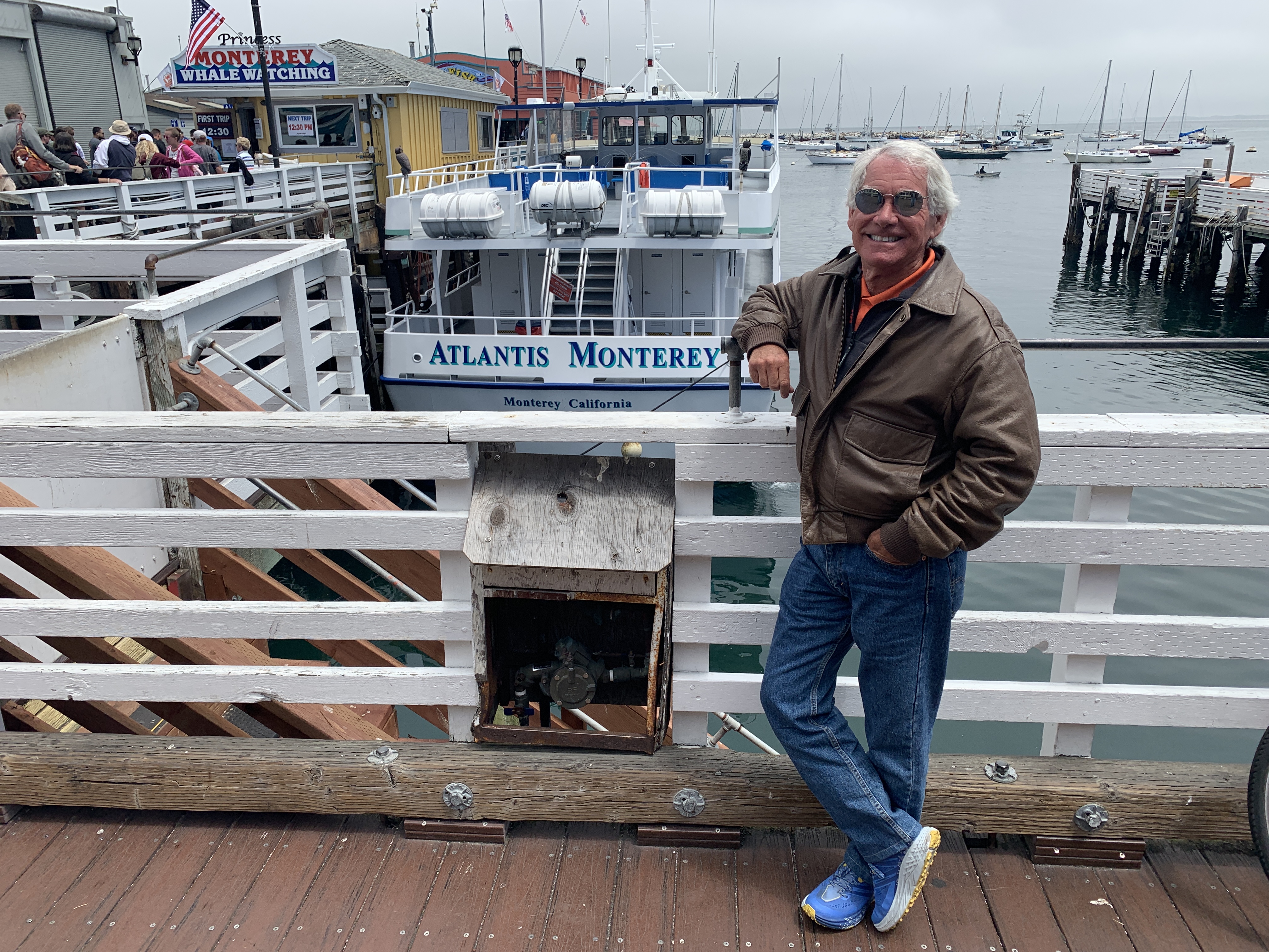
We hop off the bikes in Monterey, and do the tourist thing at Fisherman’s Wharf.
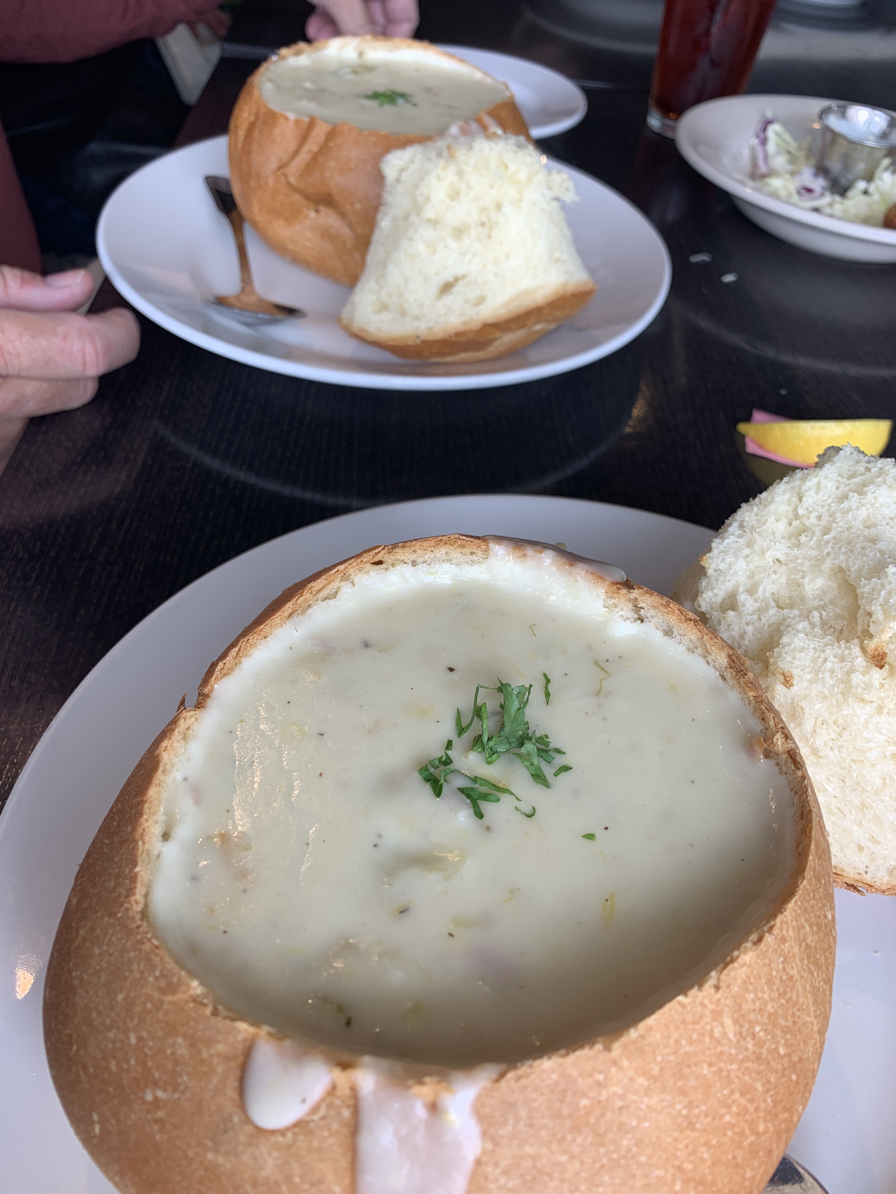
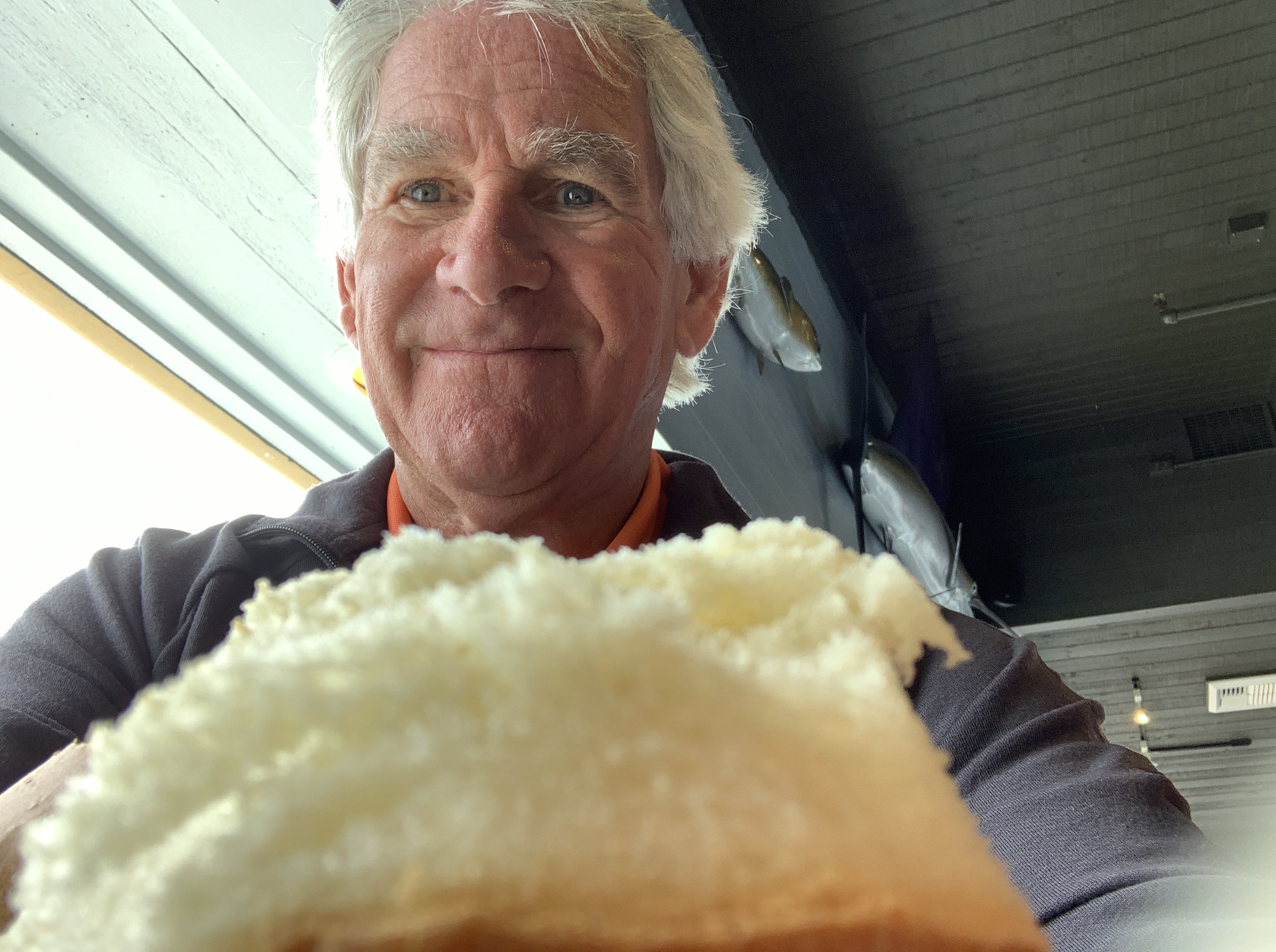
Stopping in Monterey for clam chowder in a sourdough bread bowl.
Yum.
Yum yum.
John digs in.
A tradition on these trips – OK, we’ve done it once, in 2015 as Dave, Scott and I rode together for the first time – is to stop in Monterey for clam chowder along their fishermen’s wharf.
Today marks our second time stopping in Monterey for clam chowder served out of a hollowed-out piece of French bread. Doing something twice means it can officially be called a tradition. Just like breakfast at The Stove in Mammoth Lakes.
At Fisherman’s Wharf, after chowder.
On the wharf, before heading south.
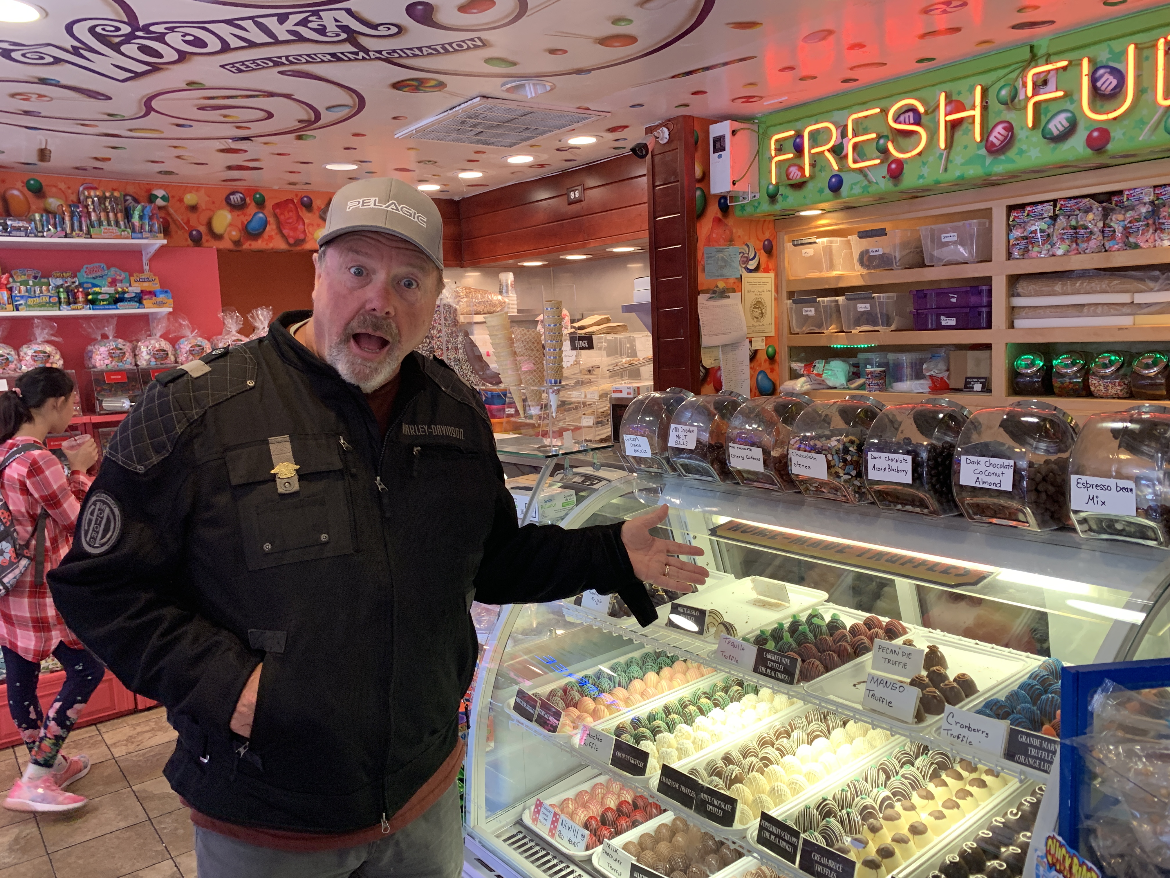
John stops for chocolate before leaving Monterey.
***
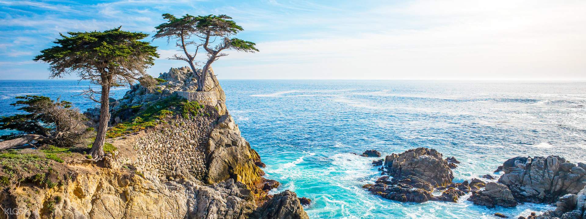
If there was any justice in this world, even a shred of basic fairness, we’d be on our way to the famed 17-Mile Drive, a leisurely stroll through picturesque Pebble Beach. It’s one of the most scenic drives anywhere.
The 17-Mile Drive is the main road through the gated community of Pebble Beach. For $10.50 per vehicle (it’s reimbursed if you spend $35 or more at any Pebble Beach restaurant!), you get the opportunity to visit world-famous golf courses, see the Lone Cypress Tree, and ride past Lovers Point Park.
We’ll do none of that. The uber-wealthy snobs who own property here in the Del Monte Forest for some reason are not fans of motorcycles, and don’t allow them. No Harleys in the ‘hood.
Damn rich people.
Here’s a sight we won’t see: the 17-Mile Drive.
Just past the southern gate to the 17-Mile Drive, we pass Carmel, formally known as Carmel-by-the-Sea. Carmel is a small beach town famed for its natural scenery and rich artistic history. Carmel has several unusual laws, including a prohibition on wearing high-heel shoes without a permit. Actor-director Clint Eastwood was elected Mayor of Carmel in 1986, and served a two-year term.
Point Lobos is just south of Carmel. The Point Lobos State Natural Reserve is called the crown jewel of California’s 280 state parks. Point Lobos, with its headlands, coves and rolling meadows, is full of hiking trails. Wildlife here includes seals, sea lions, sea otters and – from December to May – migrating gray whales. The area used to be the home of a thriving whaling and abalone industry.
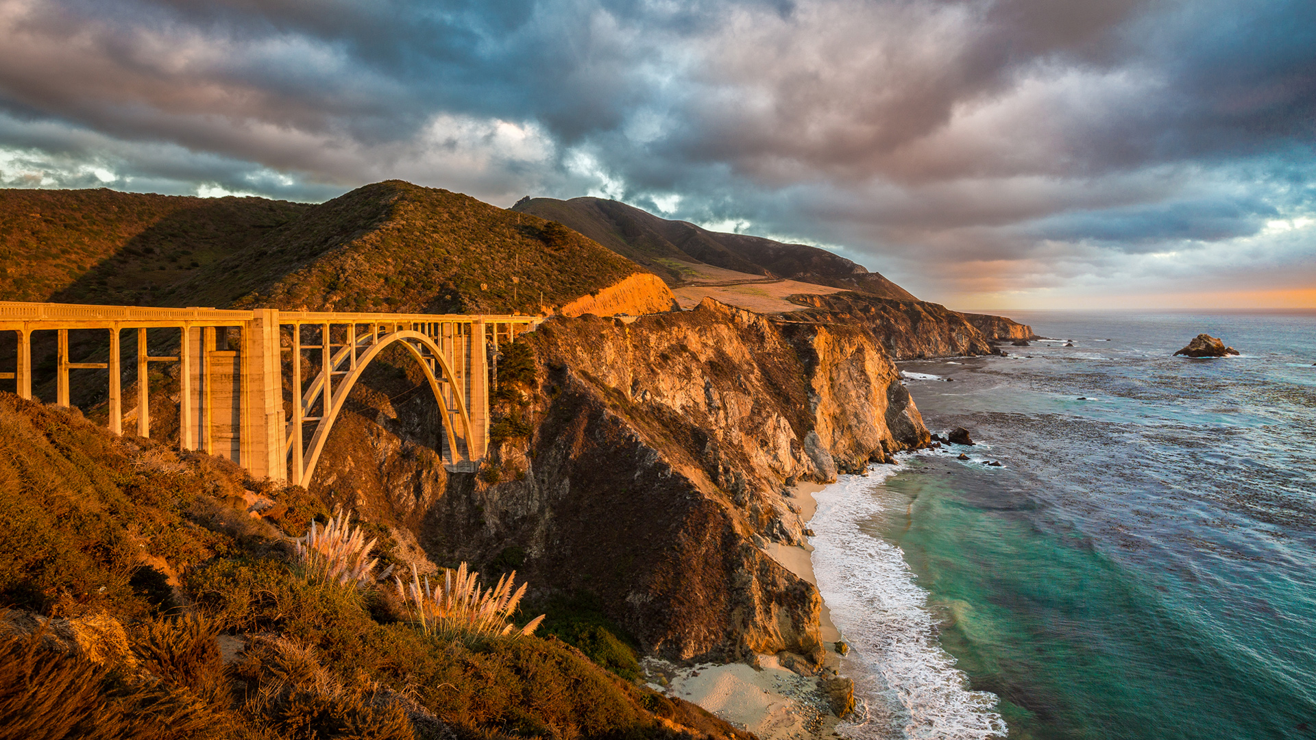
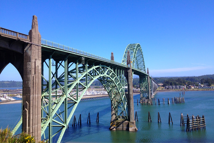
After Point Lobos, we roll through Carmel Highlands, then Garrapata State Park – with its two miles of beachfront and coastal hiking. From here, it’s only a few miles to the picturesque Bixby Creek Bridge, perhaps the most photographed in California — after the Golden Gate. They’re both on a pretty short list of very famous bridges.
The Bixby Creek Bridge is featured prominently in the HBO dramatic series, Big Little Lies. Turns out that using the bridge in Big Little Lies is a bit of a lie, itself. The show is set in Monterey, and one might wonder: why would Reese Witherspoon, Shailene Woodley, Laura Dern, Nicole Kidman and other moms take their children to and from school in Monterey by driving over the Bixby Creek Bridge? The bridge, after all, is almost 20 miles south of Monterey. Artistic lie-scence?
Before the Bixby Creek Bridge opened in 1932, residents of the Big Sur area were virtually cut off during winter due to blockages on the often-impassable Old Coast Road, which led 11 miles inland.
The Bixby Creek Bridge, one of the most photographed bridges in California — after the Golden Gate.
Once we’ve crossed the 714-foot long bridge, it’s only 10 miles to Big Sur, named after riding pal Randy Suhr, who left the posse a few days ago in Northern California.
Big Sur has been called the longest and most scenic stretch of undeveloped coastline in the lower 48. It’s a popular destination for about seven million people who live within a day’s drive, and visitors from across the world. The region receives about the same number of annual visitors as Yosemite National Park, but offers extremely limited bus service, few restrooms, and a narrow two-lane highway with few places to park alongside the road.
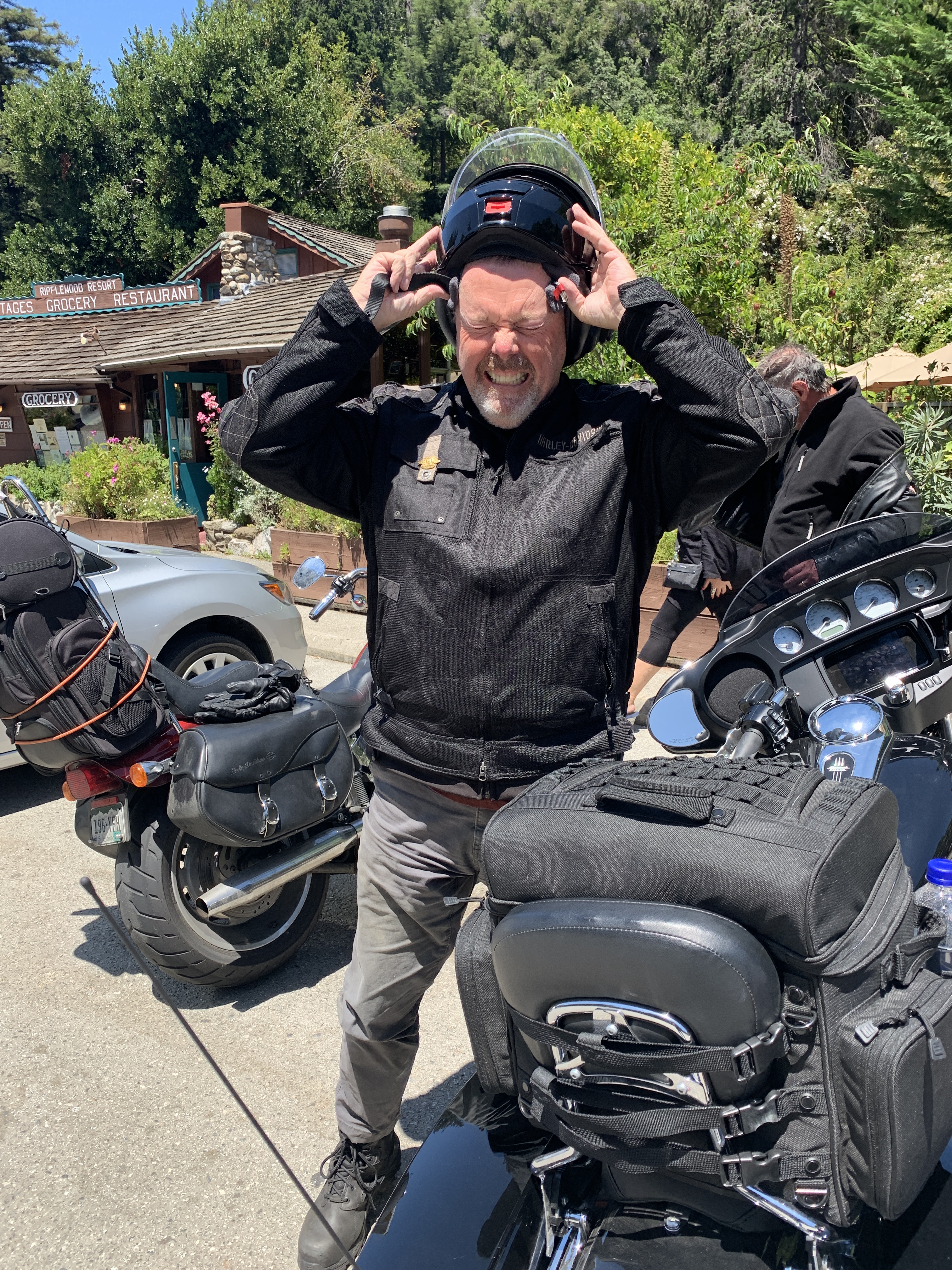
We take a rest break in Big Sur, and suddenly John’s helmet doesn’t fit anymore.
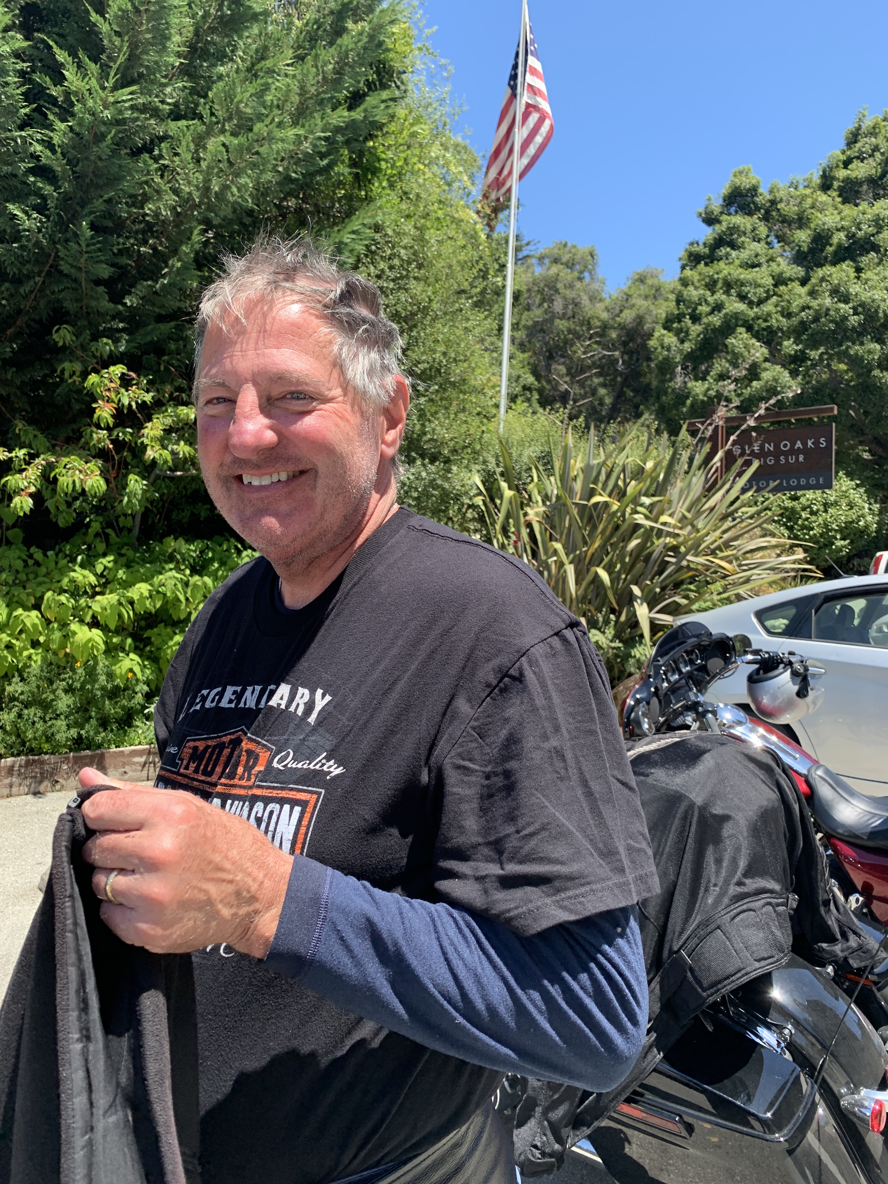
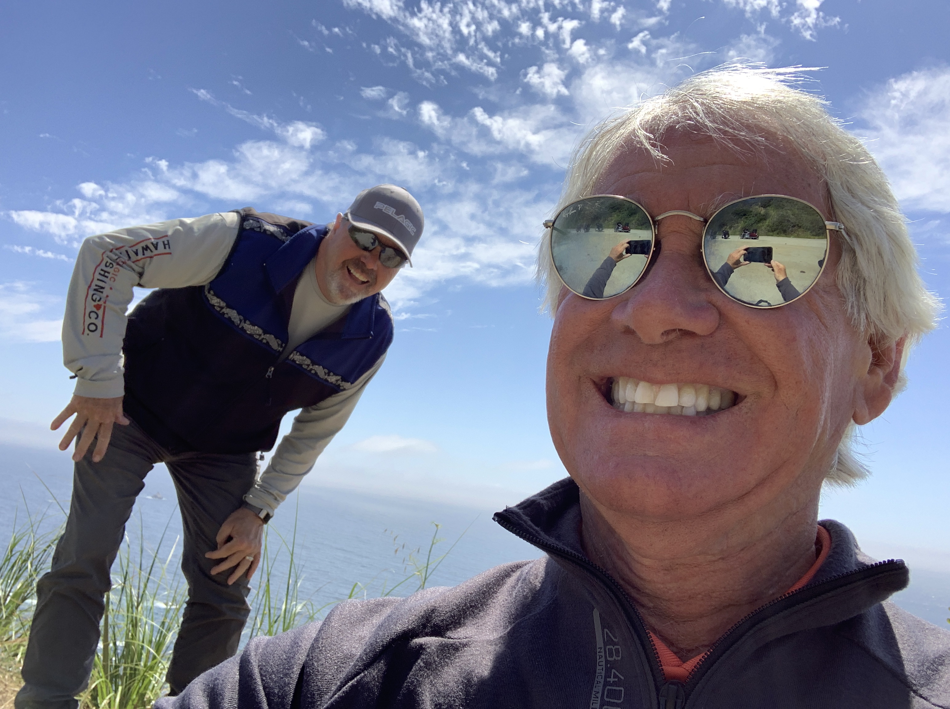
Jim cools off in Big Sur.
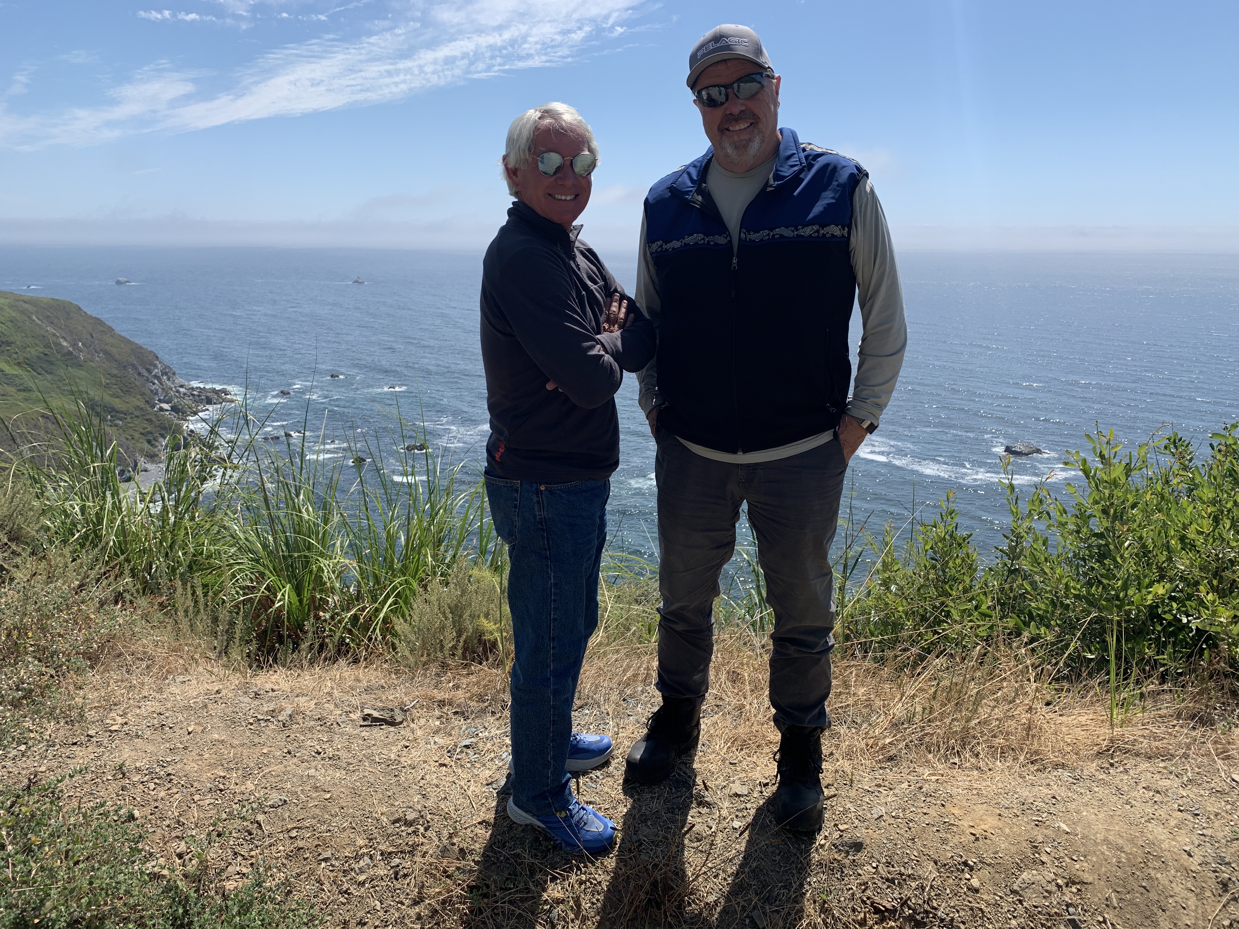
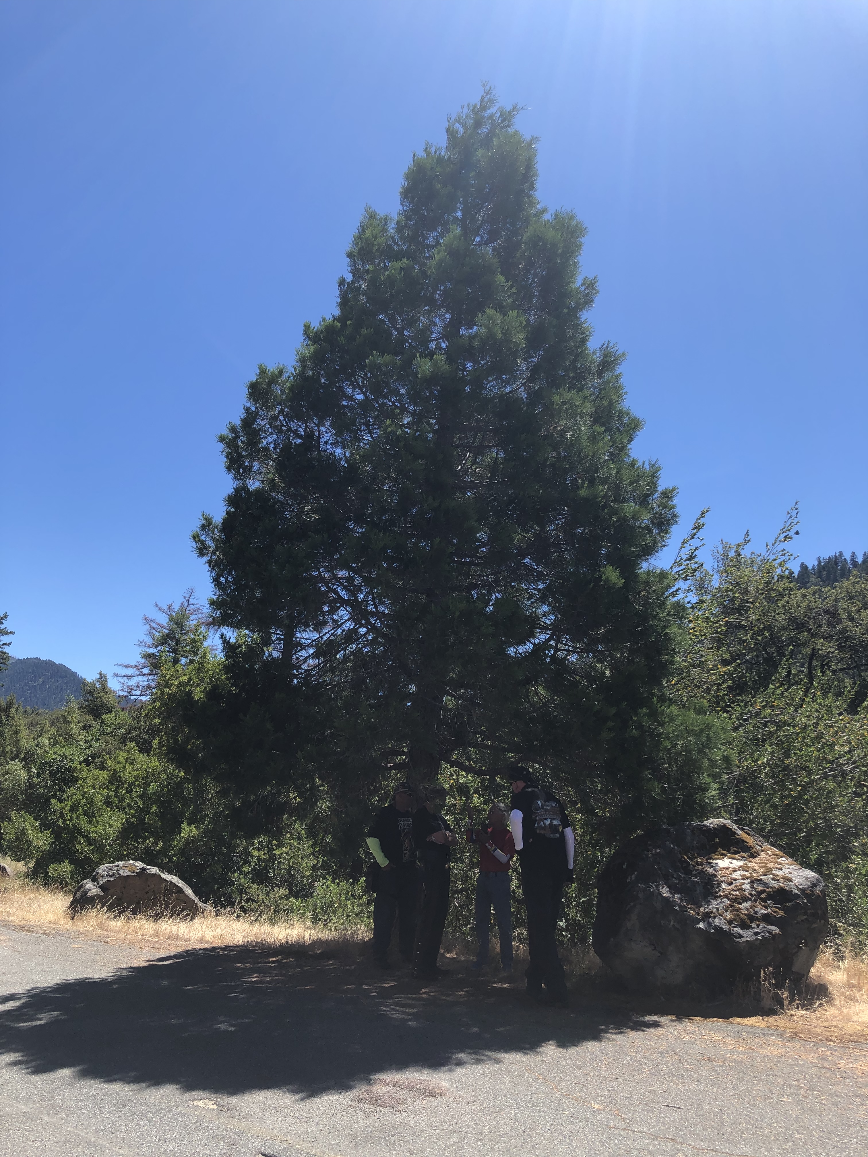
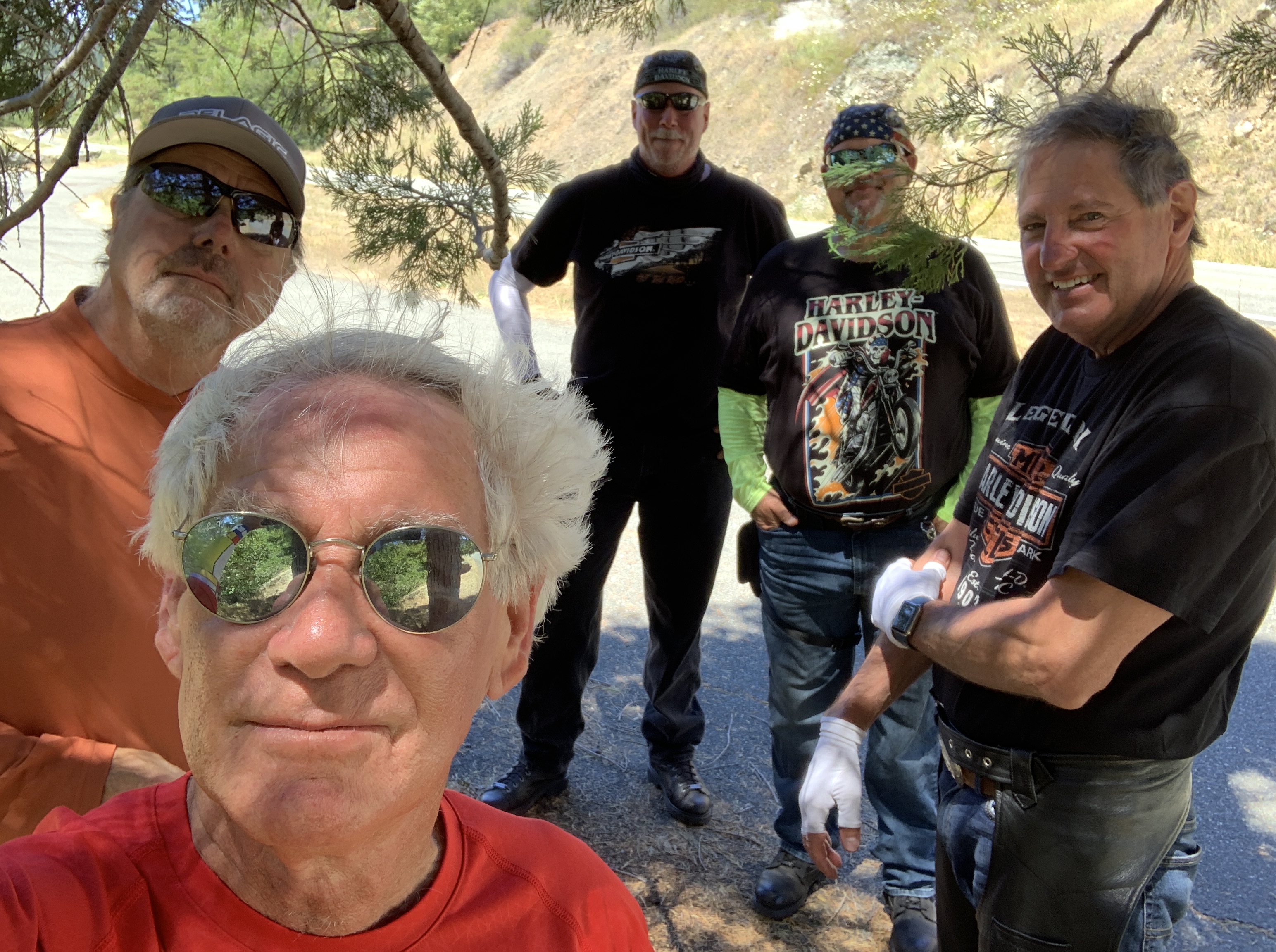
Big Sur is a nice setting for posse portraits.
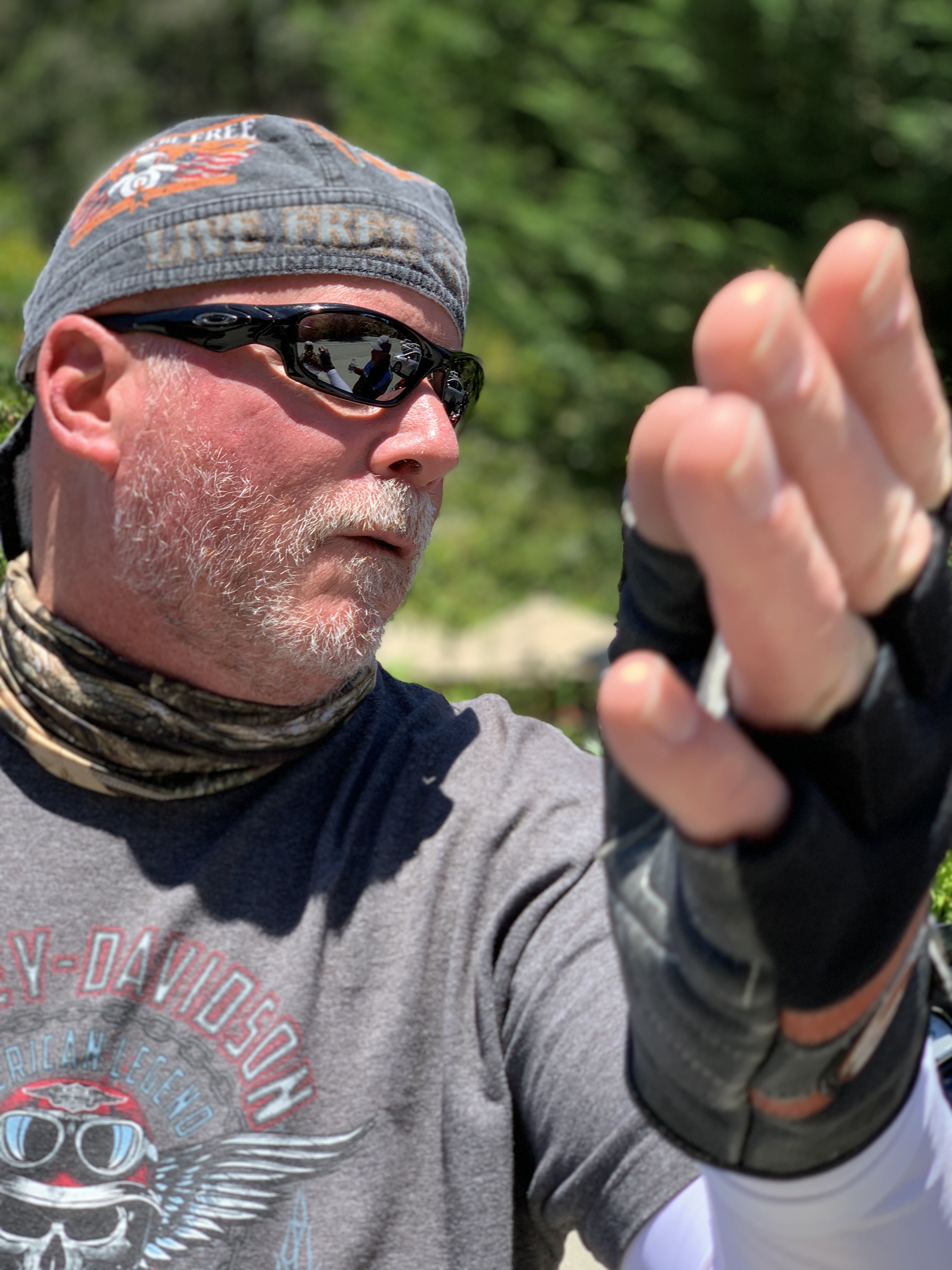
Nice fingers!
Pretty sure John’s enjoying the sweets he bought before leaving Fisherman’s Wharf.
One last pic, then let’s continue south.
In Big Sur, we’re about a mile inland, nestled among redwood forests. Leaving Big Sur, we make a beeline to the coast. For the next 80 miles, there’s minimal development and maximal beauty. It’s a narrow, twisty roadway with steep drop-offs over cliffs that drop precipitously to the Pacific Ocean.
Now the fun really begins.
***
Twelve miles south of Big Sur, we roll through Julia Pfeiffer Burns State Park. The 3,762-acre park is named for Julia Pfeiffer Burns, a respected pioneer and rancher in the Big Sur region in the early 20th century, who lived in the area for much of her life until her death in 1928. The park has fabulous hiking, and even scuba diving in the Julia Pfeiffer Burns Underwater Area.
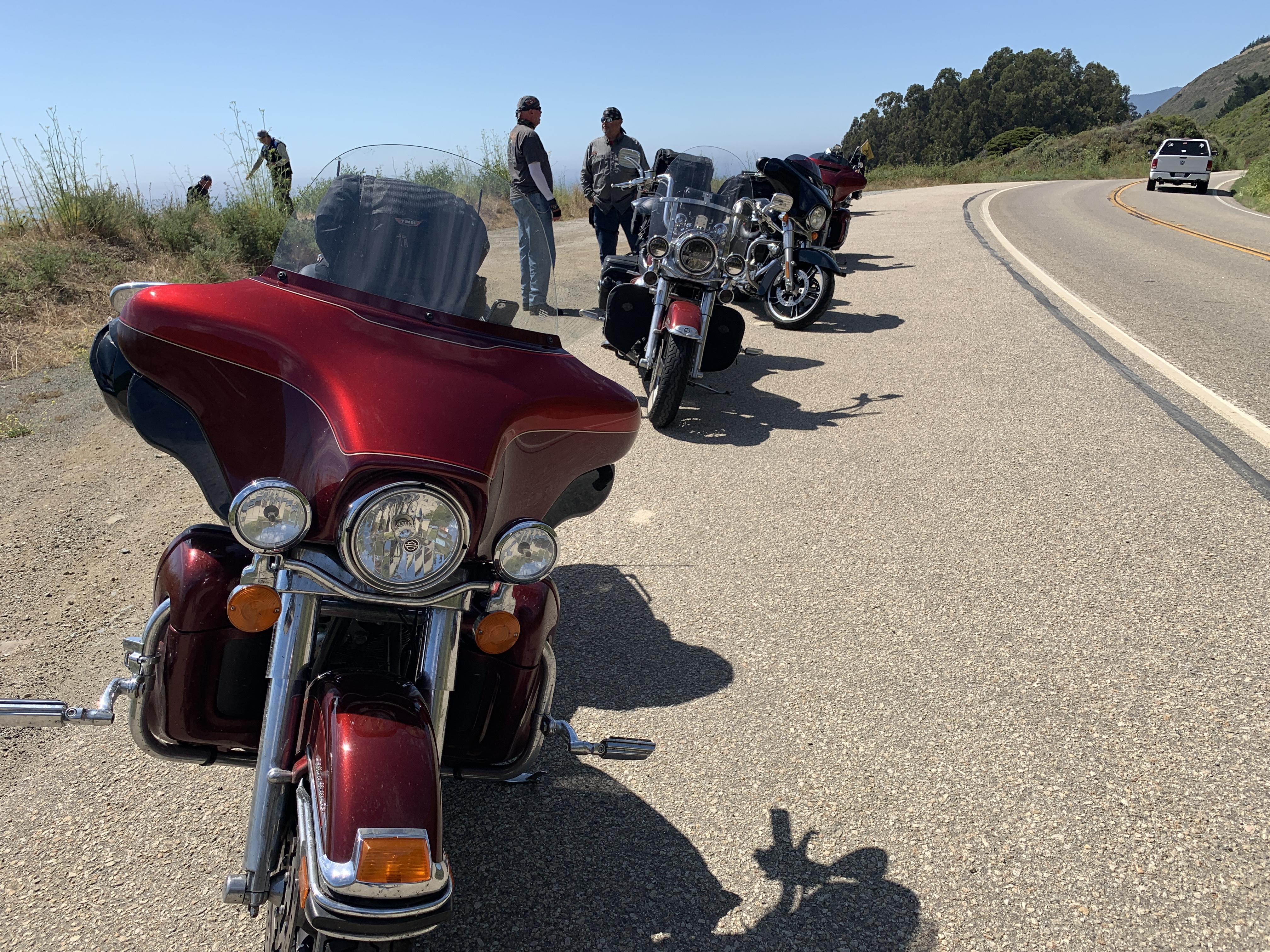
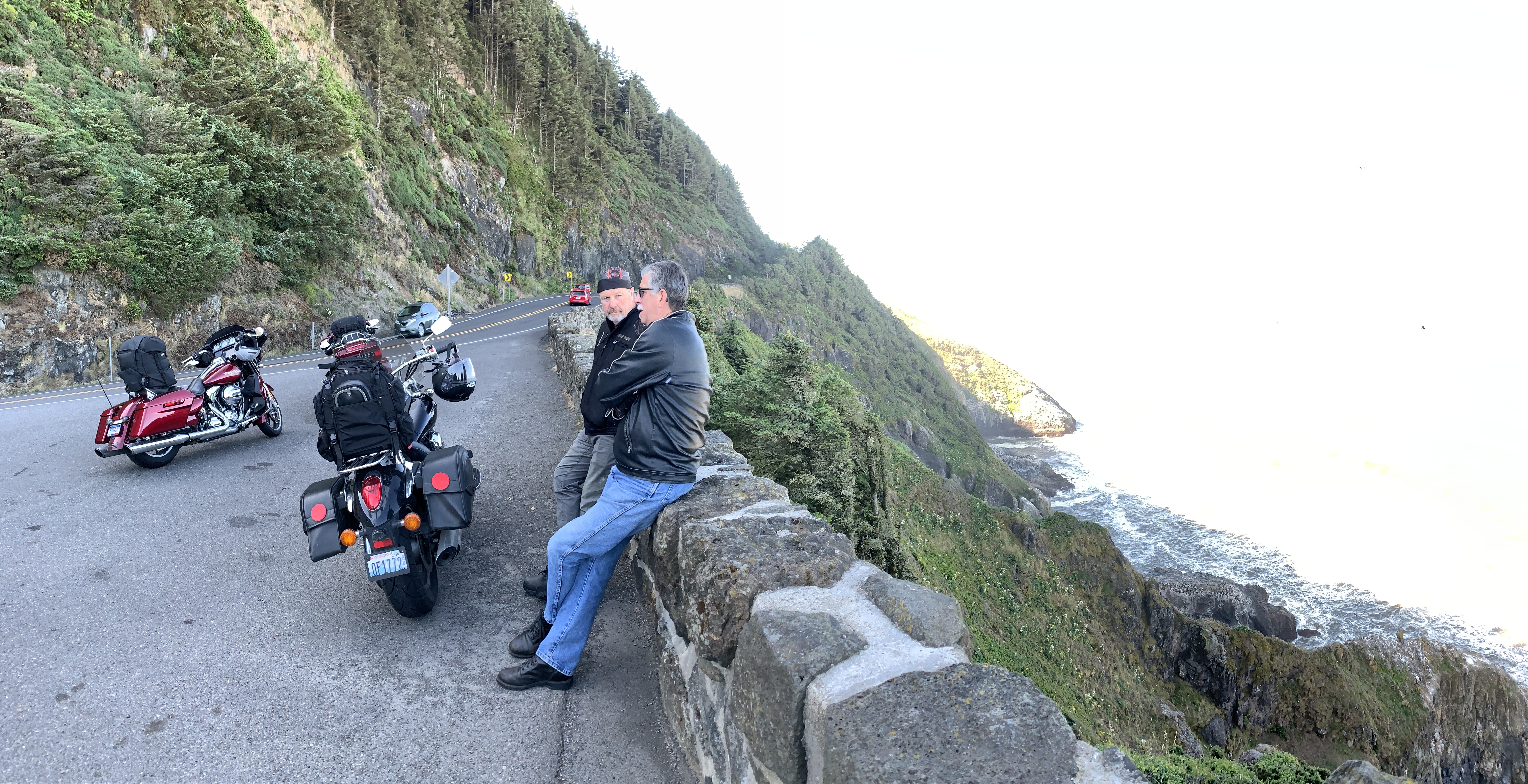
For the next several hours, until we reach San Simeon, it’s nothing but miles and miles of unparalleled visual charm. There are occasional places, like Lucia, Gorda, and Ragged Point, to pull over and grab a beverage. But the unending rugged beauty and lack of development is what sets this road apart.
Last stop of the day.
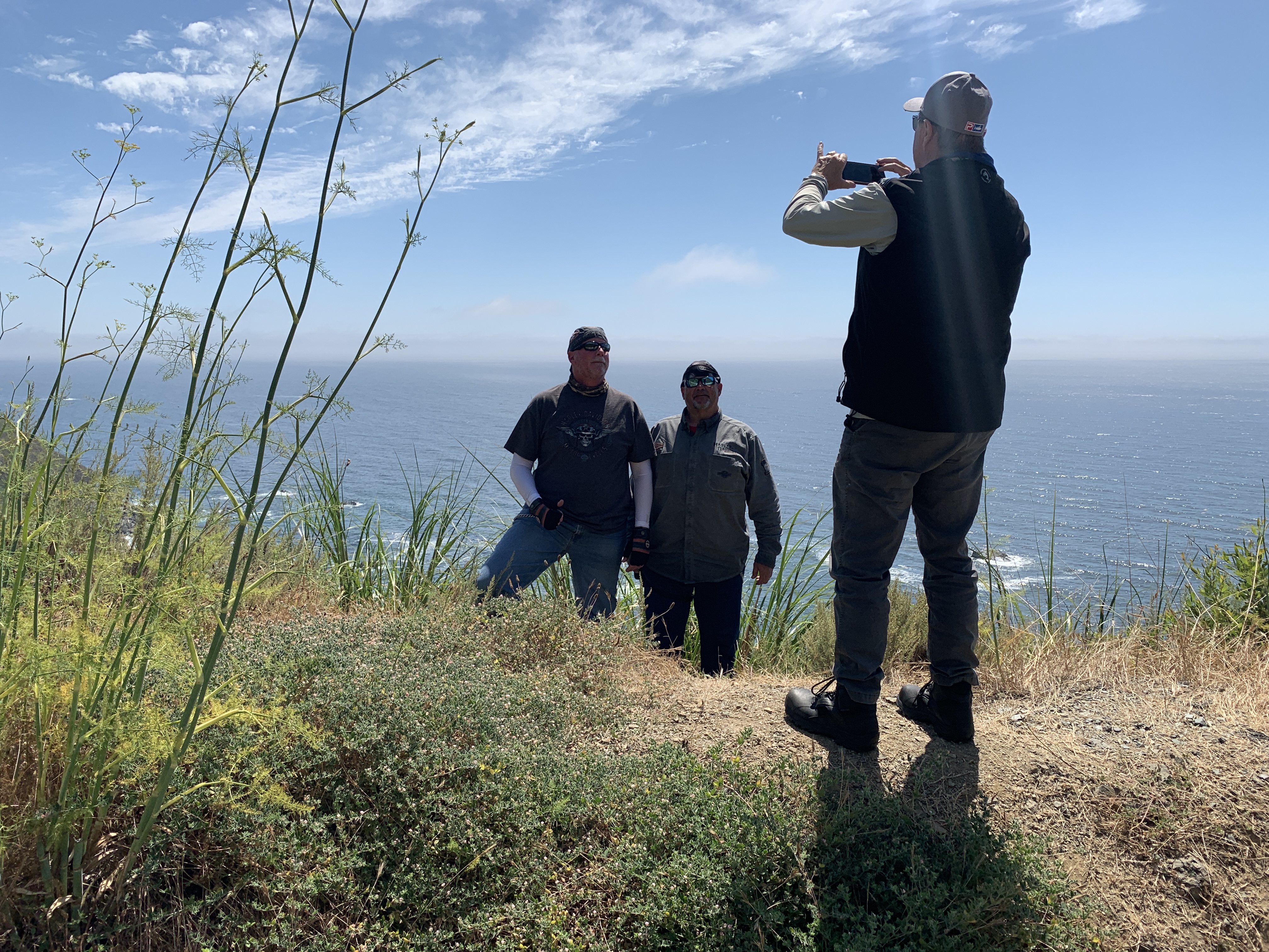
John frames Dave and Scott in front of the Pacific.
I’ve been photobombed!
Last roadside butt break of the day.
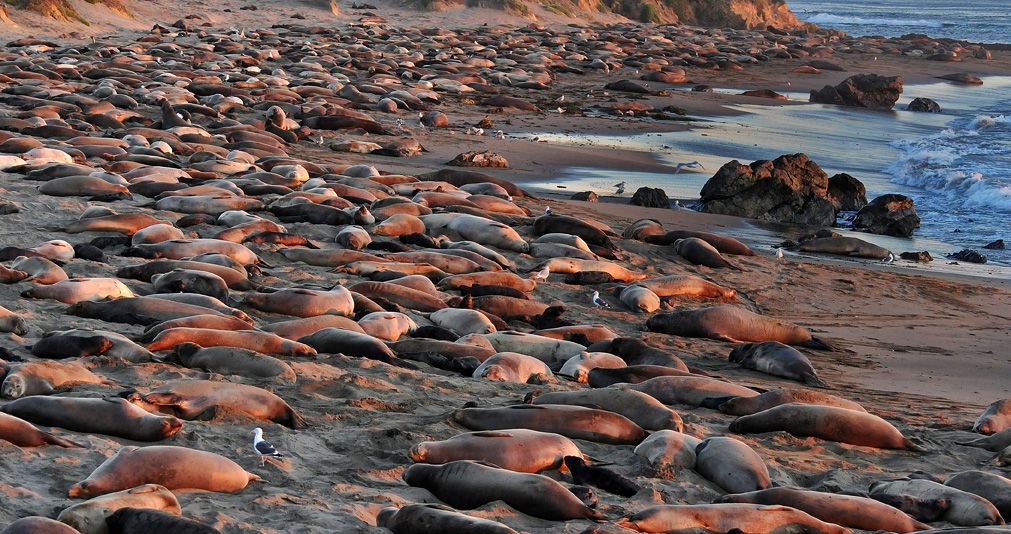
A few miles before San Simeon is the Piedras Blancas State Marine Reserve, a 20-square mile area that protects all marine life within its boundaries, including sea lions, elephant seals, harbor seals, northern fur seals and sea otters. These marine protected areas are designed to conserve and restore ocean biodiversity.
If you like elephant seals – and who doesn’t? – you’ll enjoy Elephant Seal Vista Point, the last place to gawk at nature before San Simeon. Elephant seals are huge, loud, and so ugly they’re cute. On San Simeon State Beach, about 18,000 elephant seals crowd this four-mile stretch of beach.
The peak months for viewing elephant seals here: October through March. Timing is everything.
Elephant Seals. Everywhere.
***
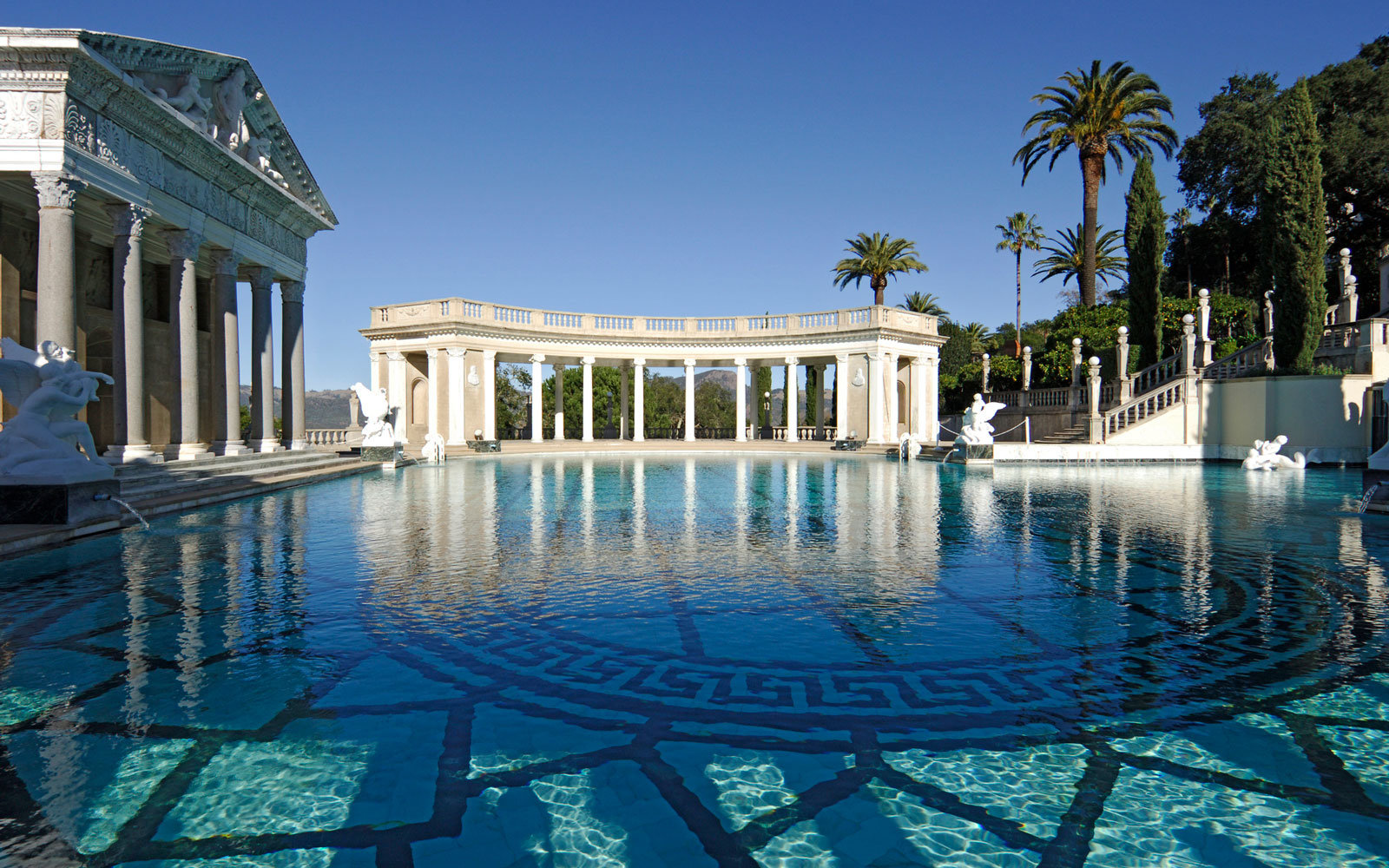
William Randolph Hearst’s timing was impeccable. He got disgustingly wealthy in the early 1900s, making a fortune in the newspaper business, developing what was at the time the largest newspaper chain in the US. Hearst dreamed big, and lived large. Between 1919 and 1947, he built La Cuesta Encantada (The Enchanted Hill), known today as the Hearst Castle.
At the height of Hearst’s wealth, the estate around the castle totaled more than 250,000 acres. Hearst, his castle and his lifestyle were satirized by Orson Welles in his 1941 film, Citizen Kane.
The Hearst Castle: decadence at its best.
Pool party, anyone?
The Hearst Castle is a 90,000-square foot mansion that overlooks the Pacific Ocean. Today, the Hearst Castle is a state park, and a National Historic Landmark.
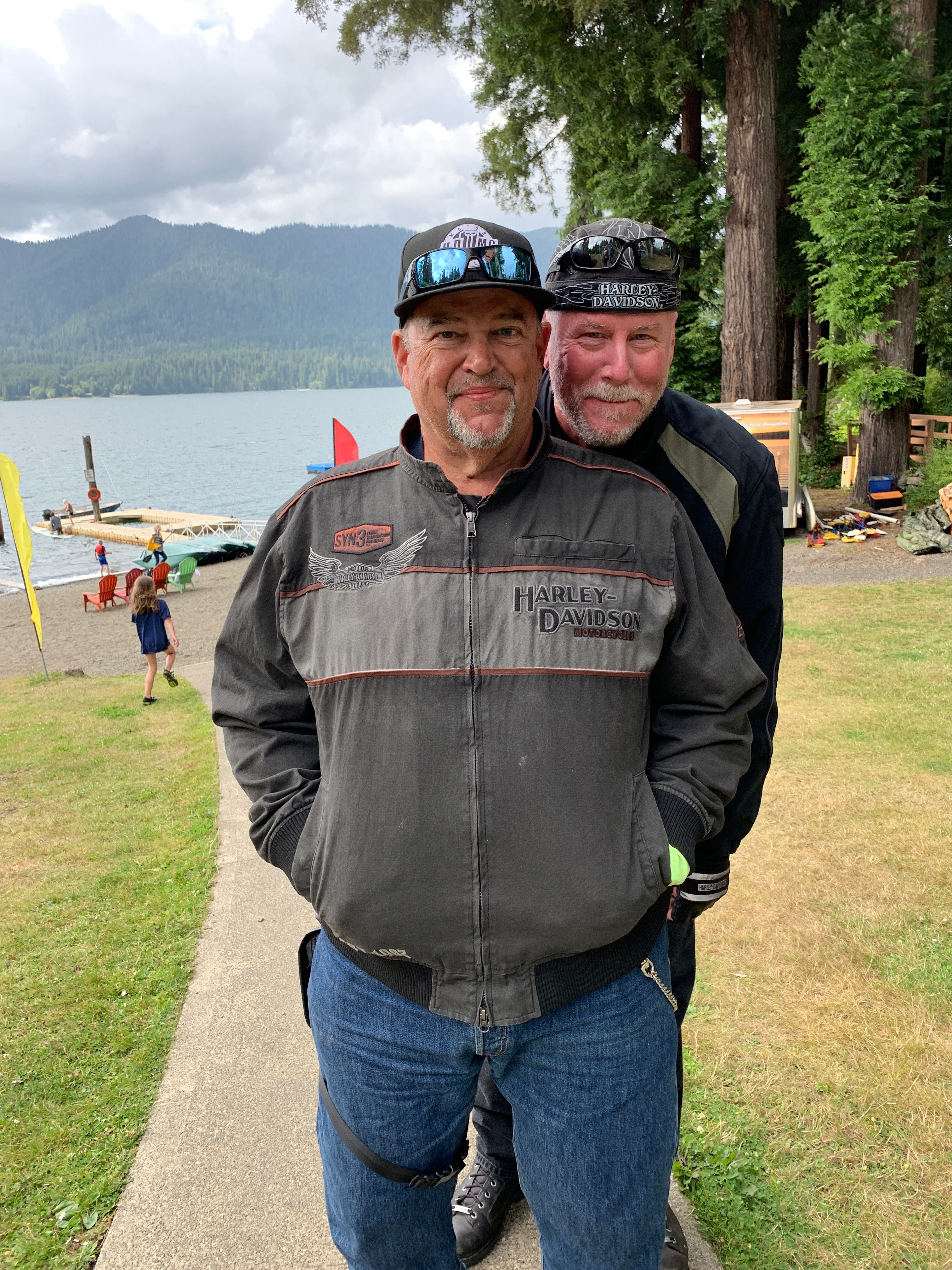
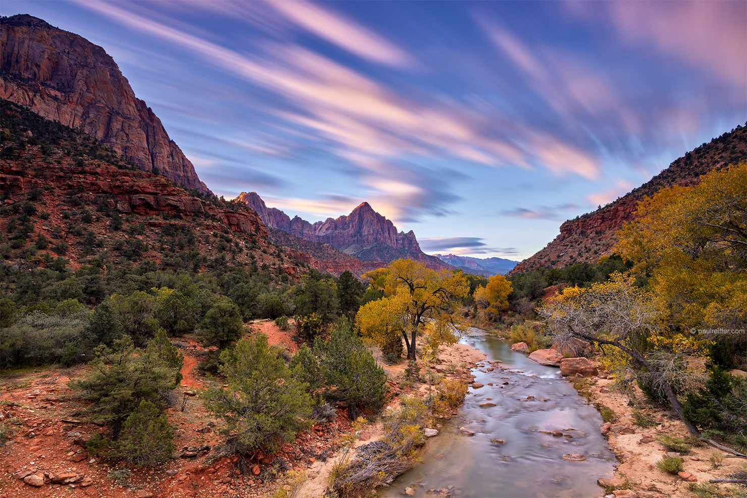
From San Simeon, it’s only 10 miles to Cambria, tonight’s destination. Cambria is a charming seaside village that marks the end of our journey down the coast.
Tomorrow, we head inland. It’s time for some heat.
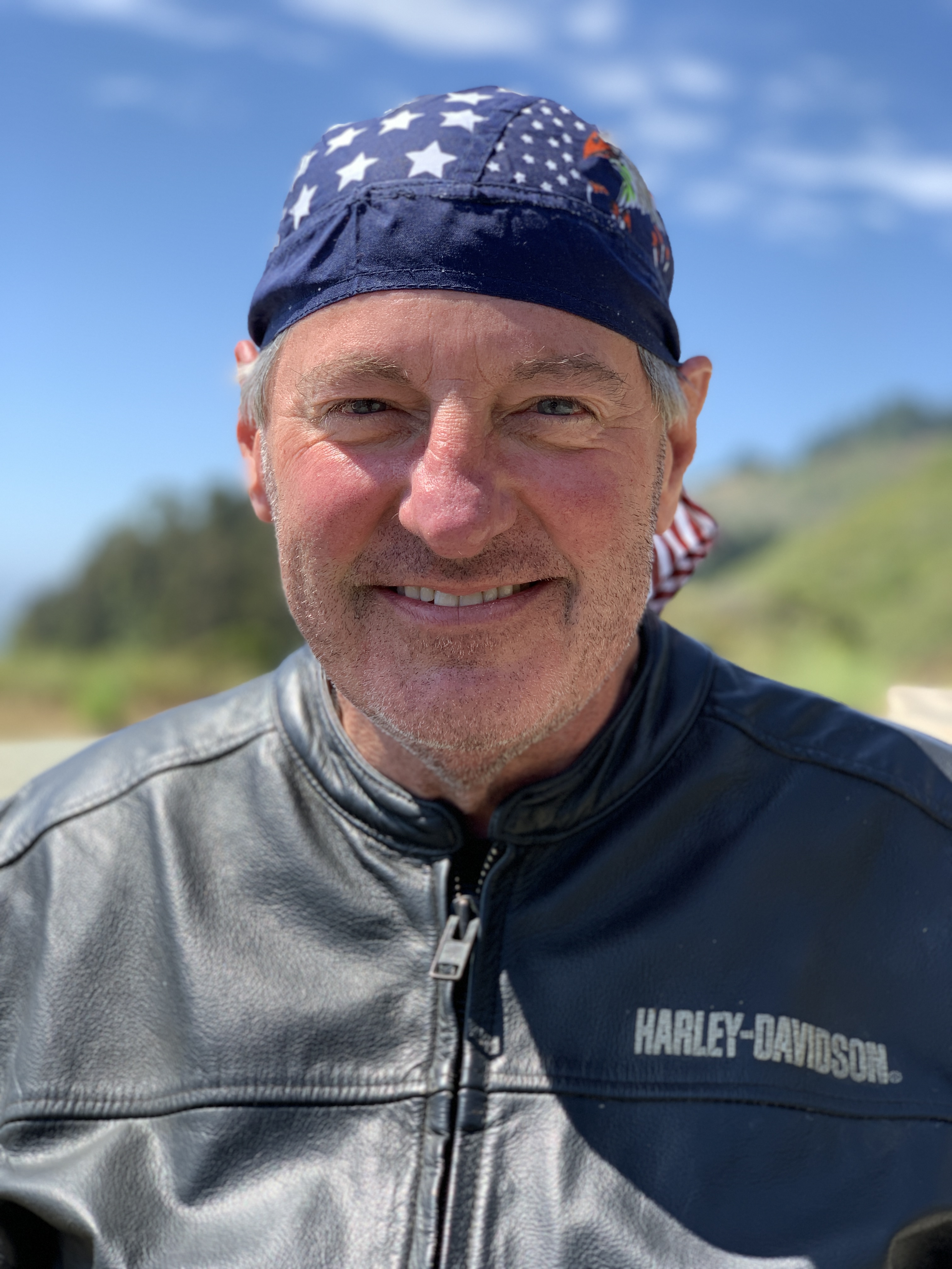
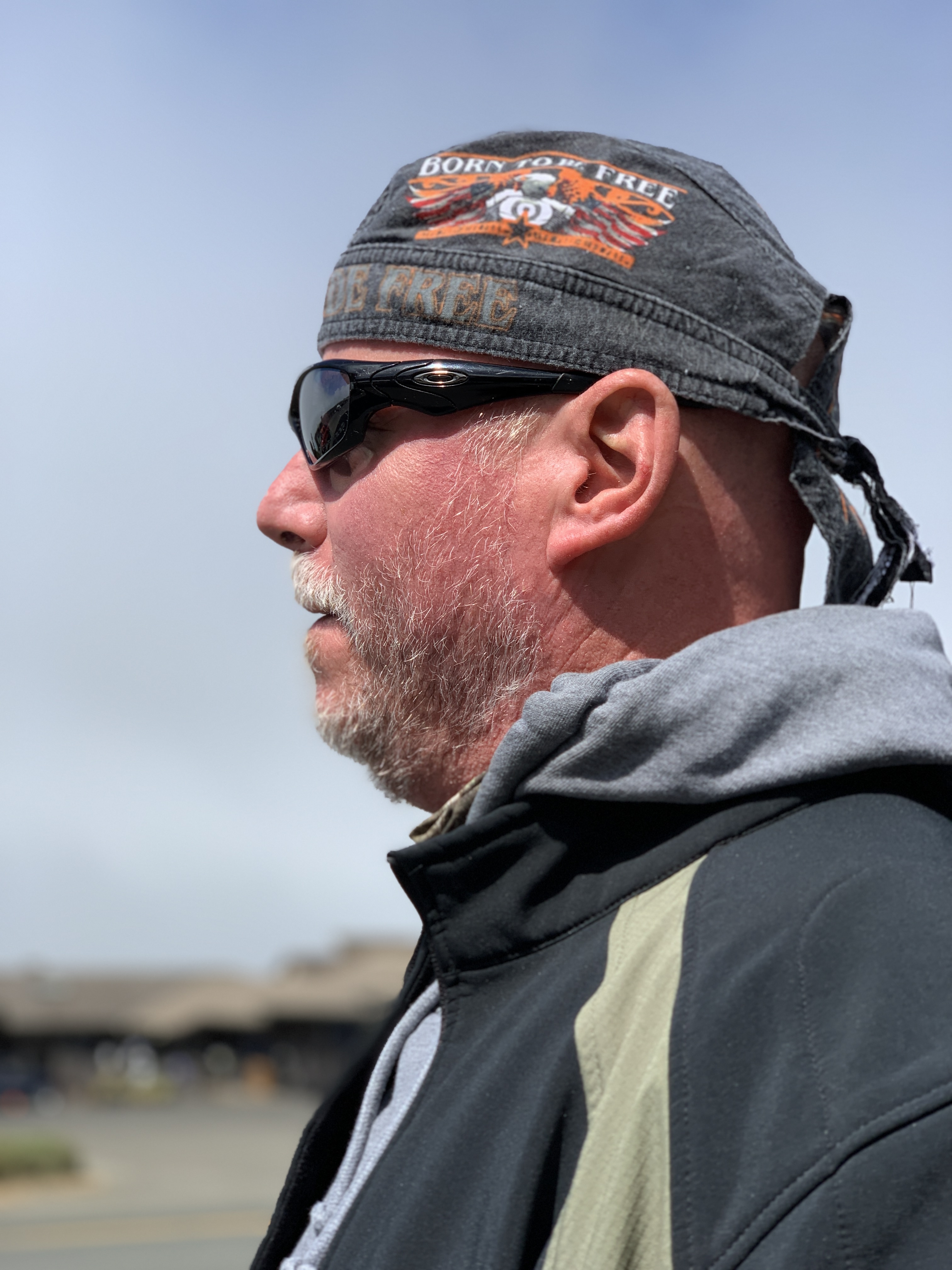
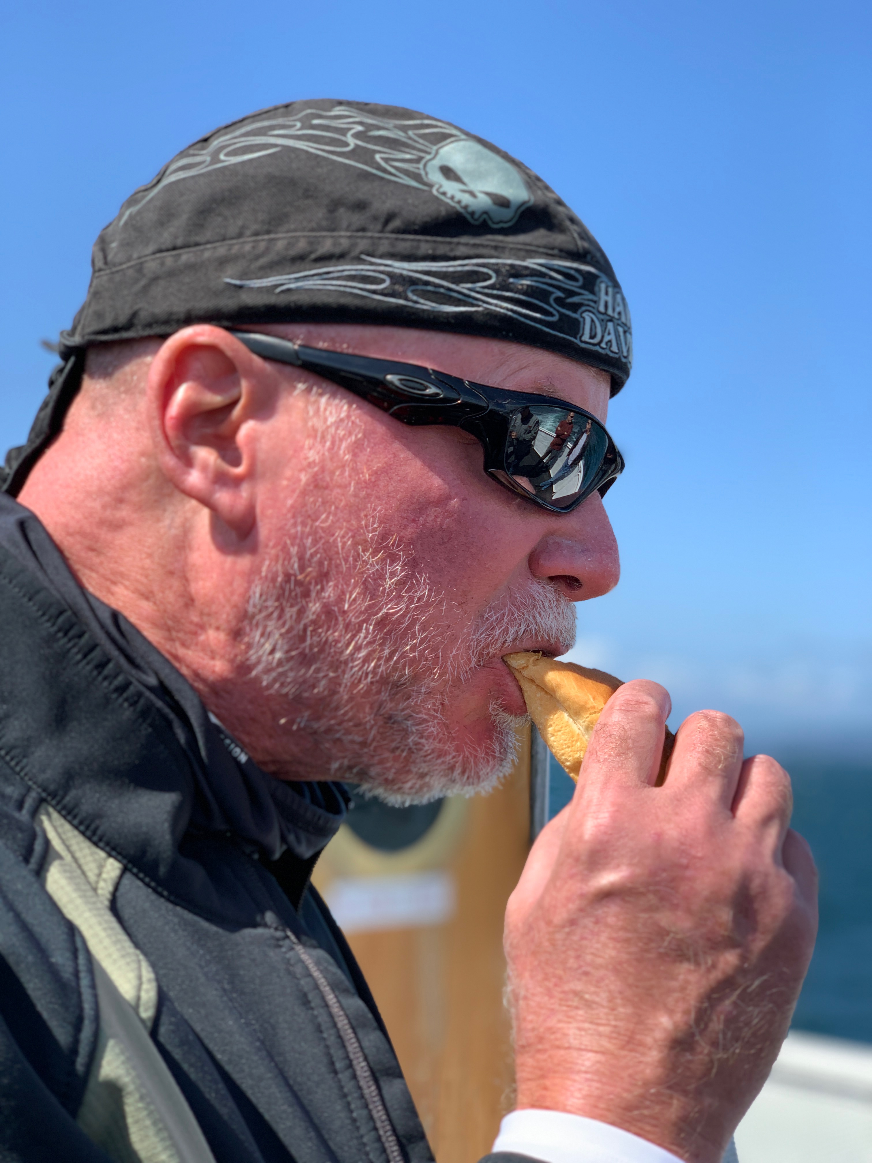
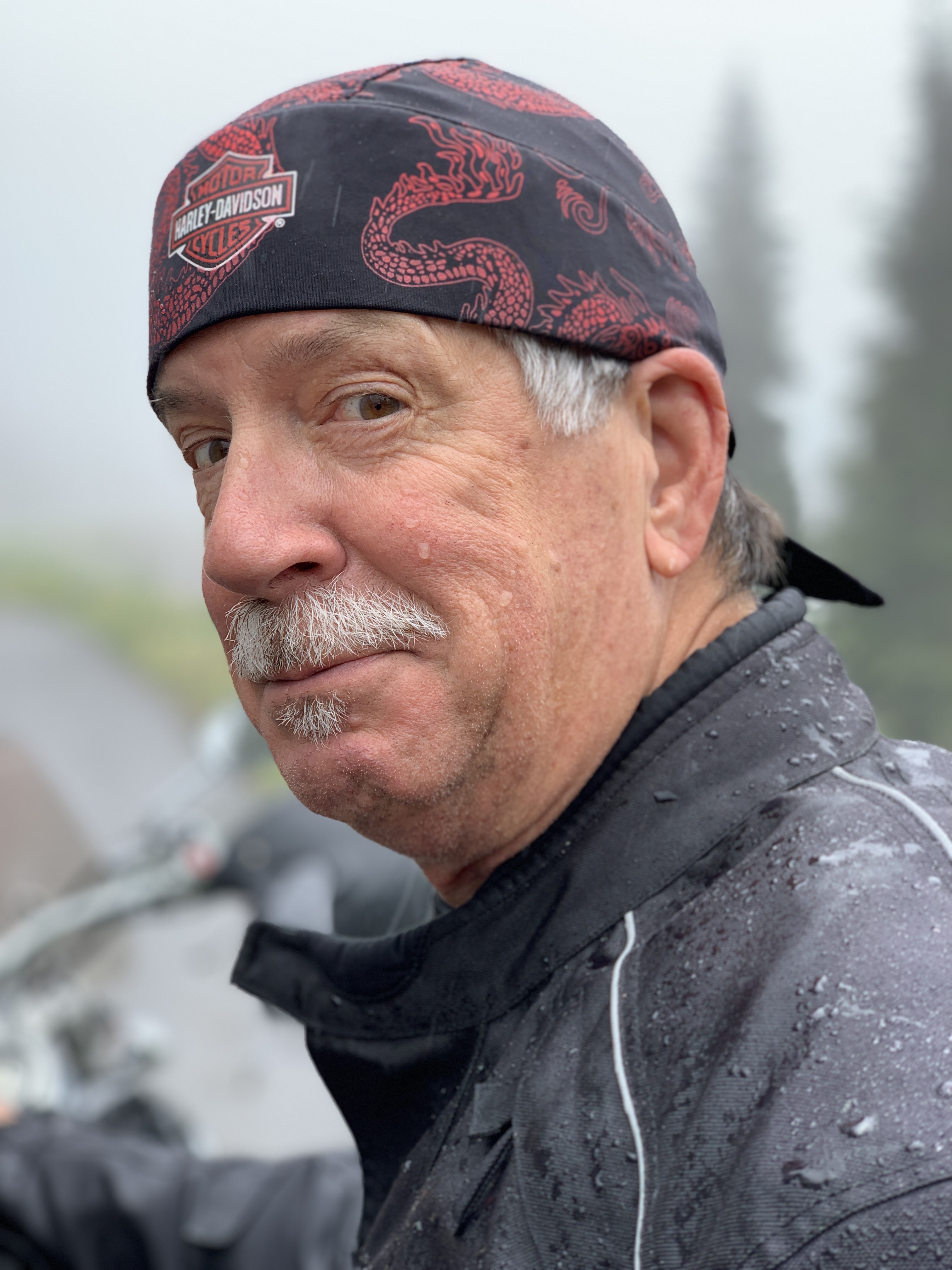
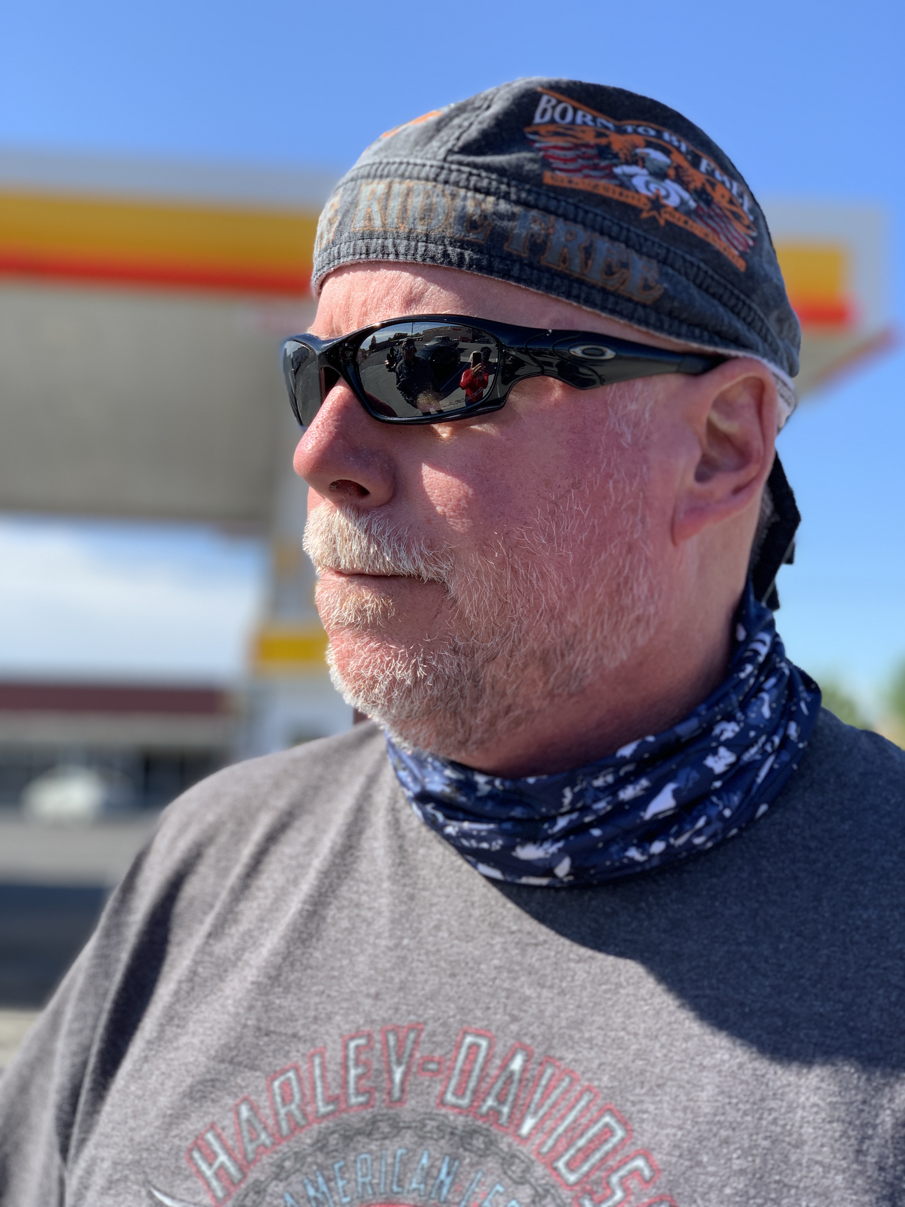
Jim breaks out his new do-rag for the last hour of the ride. Dude is bad-ass!
***
Day Eighteen Summary: No surf at Mavericks, a chowder tradition continues, 80 miles of Highway One beauty.
Click here to see today’s complete route from Pacifica, California, to Cambria, California.
We’re on our way home, eh?
Vroom, vroom.
***
Today’s Canada Fun Fact, eh? There are more donut shops in Canada per capita than any other country. Canada has roughly one donut shop for every 13,000 people. Among the most common donut shops in Canada: Tim Hortons, Dunkin Donuts, and Krispy Kreme.
Today’s will come in about six hours, when we arrive at one of the most photographed structures in the world.
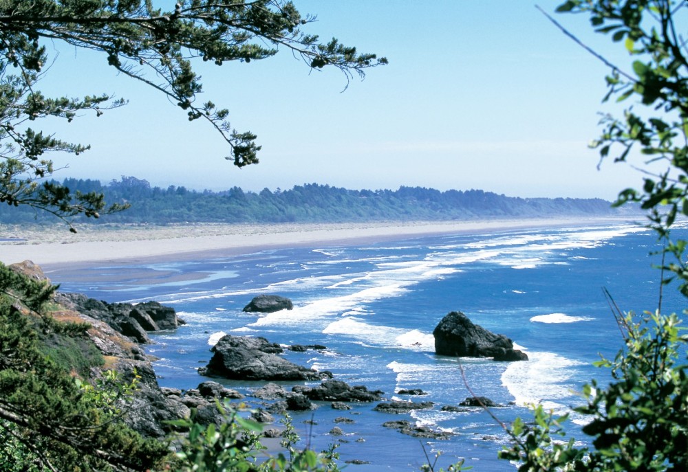
First, we begin the day by rolling down the Mendocino Coast.
Mendocino Coast Botanical Gardens. Beauty by the sea.
Less than a mile south of Fort Bragg, we come to the Mendocino Coast Botanical Gardens, a 47-acre gem with plant collections suited perfectly to the mild coastal climate. Here you’ll find heaths and heathers, rhododendrons, camellias, fuchsias, dahlias, magnolias, maples, succulents, begonias and conifers.
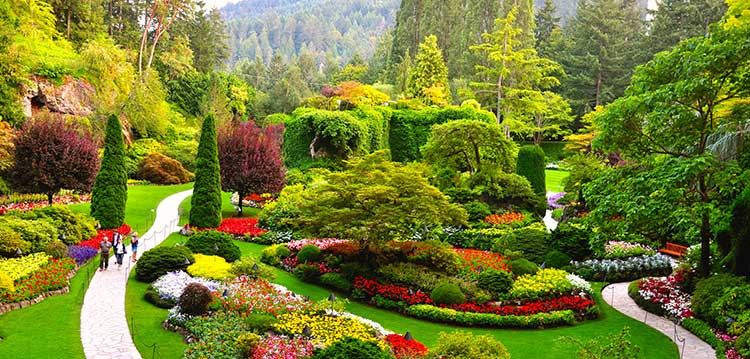
Admission is $15. To see a bunch of plants? Turns out that’s a pretty good value if you compare it to the $33.80 admission fee to visit Butchart Gardens near Victoria, British Columbia.
We keep our botanical garden visit scorecard for this trip clean, and skip them both.
Two miles down the road, we pass Jug Handle State Natural Reserve, a 776-acre park. The reserve encompasses five marine terraces along the Pacific coast, cut by wave action over millennia as the sea level fluctuated and the land underwent tectonic uplift. Each terrace has been above water about 100,000 years longer than the level below it.
The park is named after Jug Handle Creek, which runs through it. The name Jug Handle comes from the shape of a bend in the old road across the creek. Jug Handle is roughly half way between Fort Bragg and Mendocino.
The points of interest come quickly on Highway 1, Shoreline Highway.
I am not a point of interest. This is shortly after breakfast, with a tummy full of corned beef hash.
***
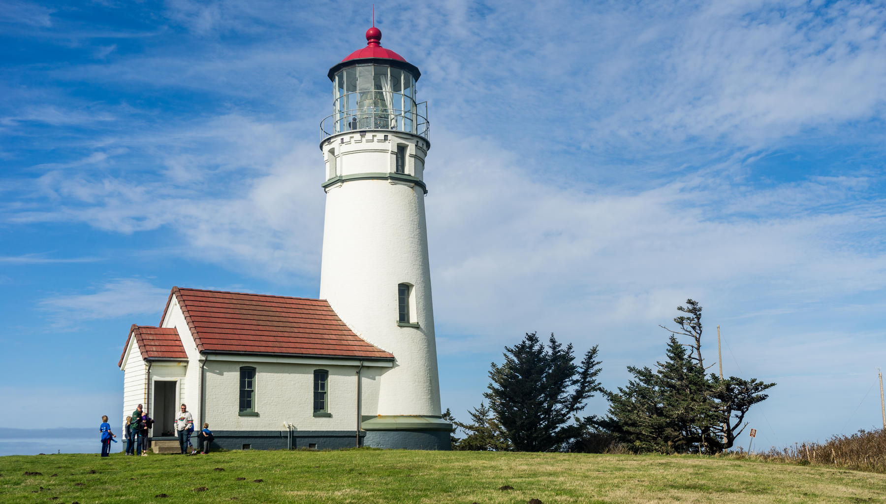
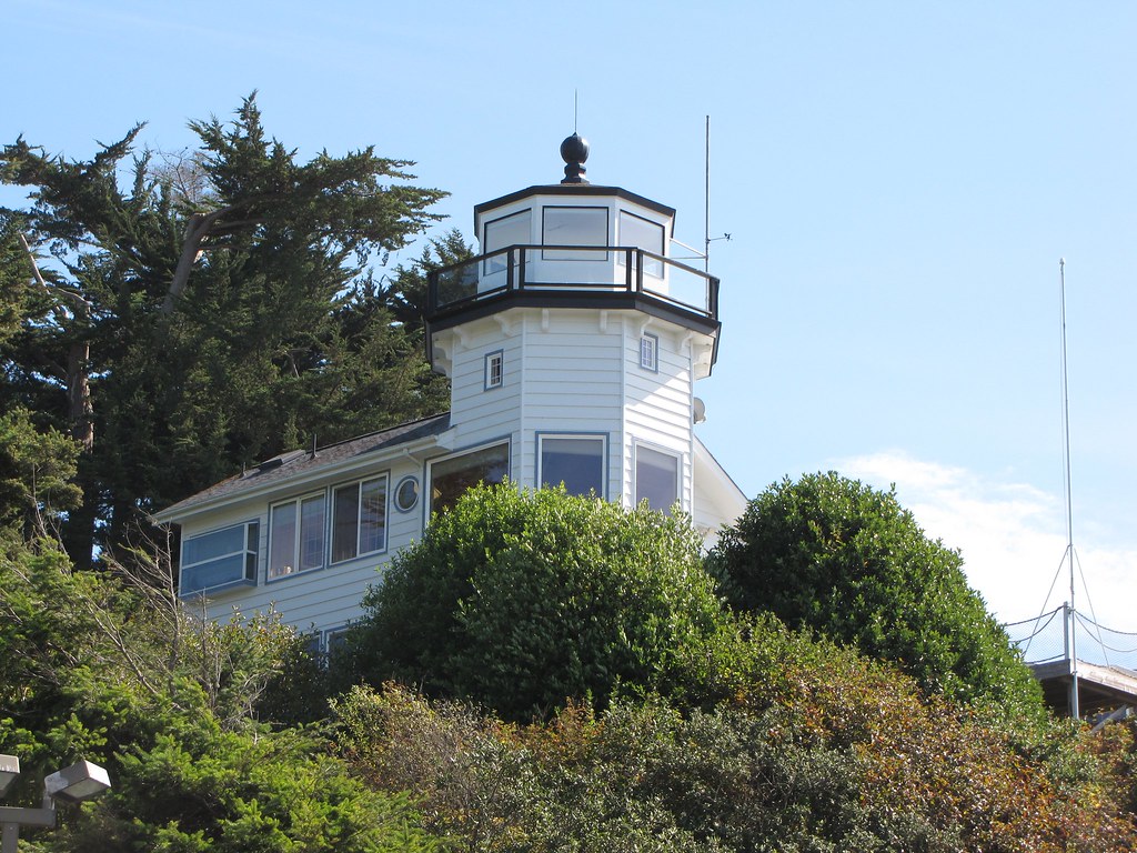
The Point Cabrillo Light Station.
One mile farther down the road is Point Cabrillo, and the Point Cabrillo Light Station Historic Park. The lighthouse has been a federal aid to navigation since 1909. The light is only 32 feet above the ground, but because of the height of the headlands, it stands 81 feet above sea level.
Point Cabrillo, the sandstone headland on which the Point Cabrillo Light lies, was named after the Portuguese explorer João Rodrigues Cabrillo. Interestingly, Cabrillo’s voyage of exploration on behalf of Spain along the California coast did not reach as far north as the point that now bears his name.
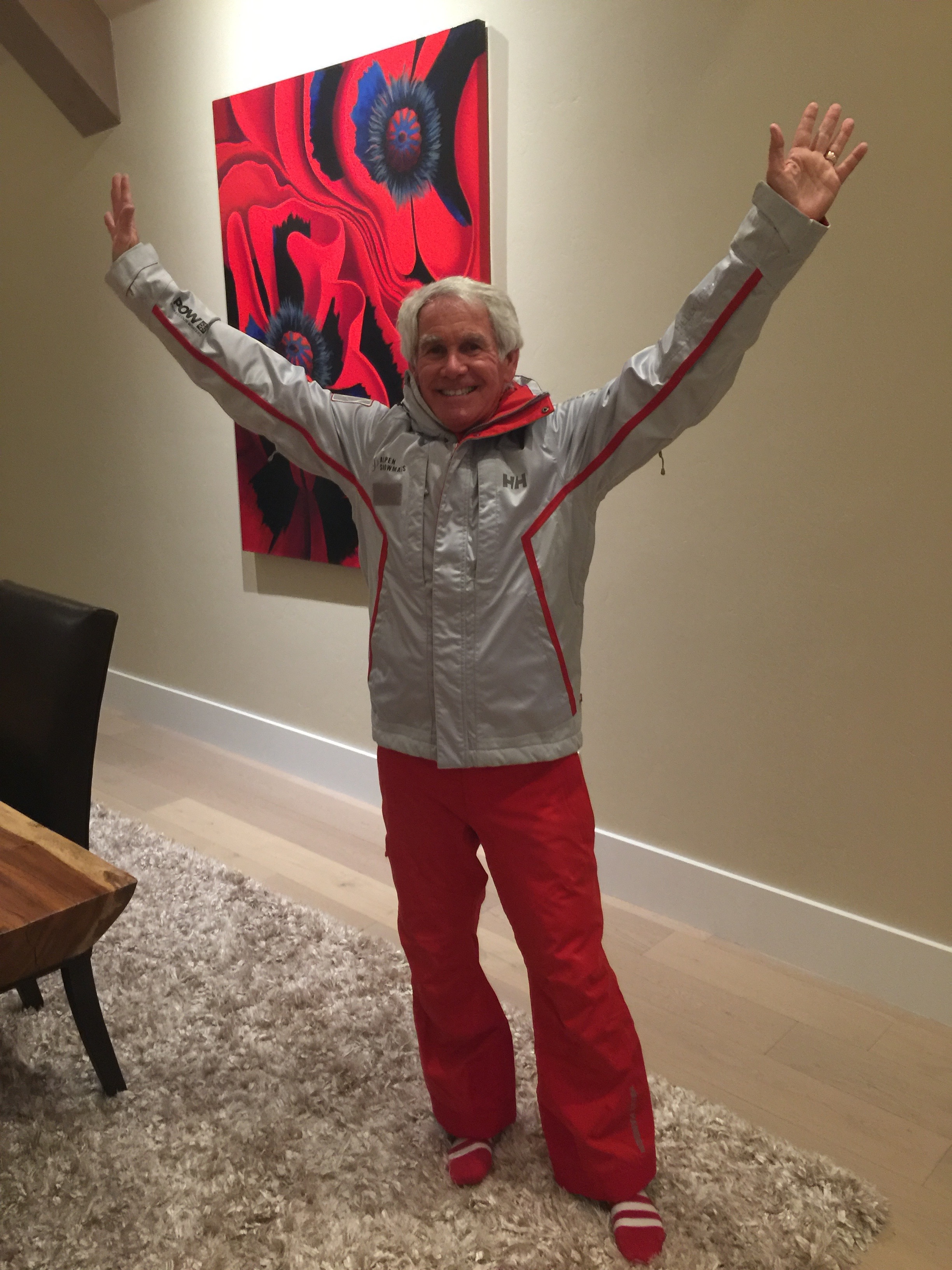
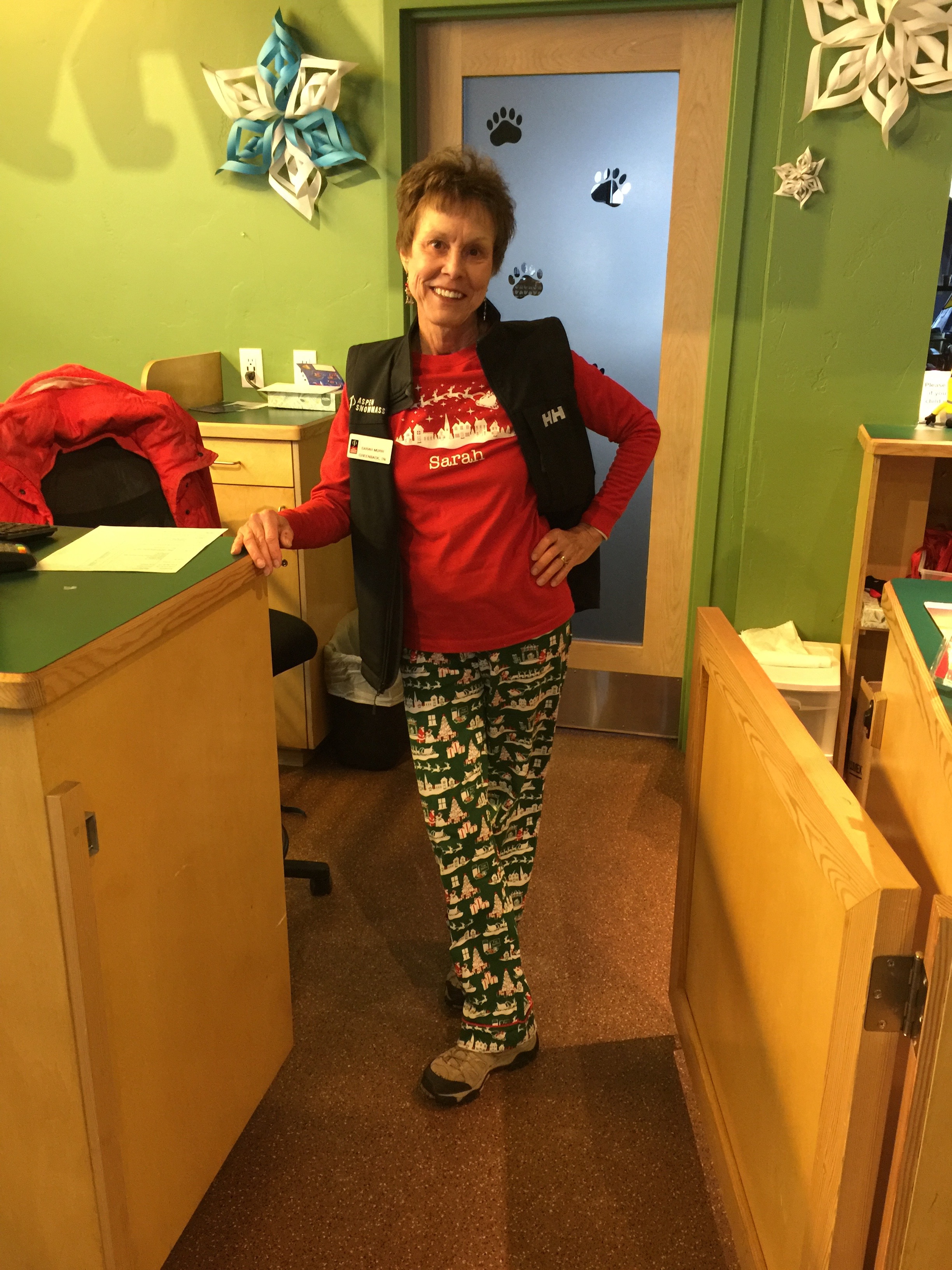
From Point Cabrillo, it’s only five miles down the Shoreline Highway to Mendocino Headlands State Park, and the town of Mendocino, an artist colony. Ten years ago in Mendocino, Sarah and I purchased Poppies, a 4-by-5 foot acrylic beauty that hangs by the dining table in our Carbondale home.
The artwork behind the blog’s author is Poppies, which we found in Mendocino. Why the ski instructor uniform? On the day I picked it up from SkiCo’s wardrobe department in Aspen, I just wanted to see what it looked like. Sarah posed me in front of Poppies.
Most of the town is on the National Register of Historic Places listing, and is part of the Mendocino and Headlands Historic District. The town’s name comes from Cape Mendocino, named by early Spanish navigators in honor of Antonio de Mendoza, Viceroy of New Spain. Mendoza means cold mountain.
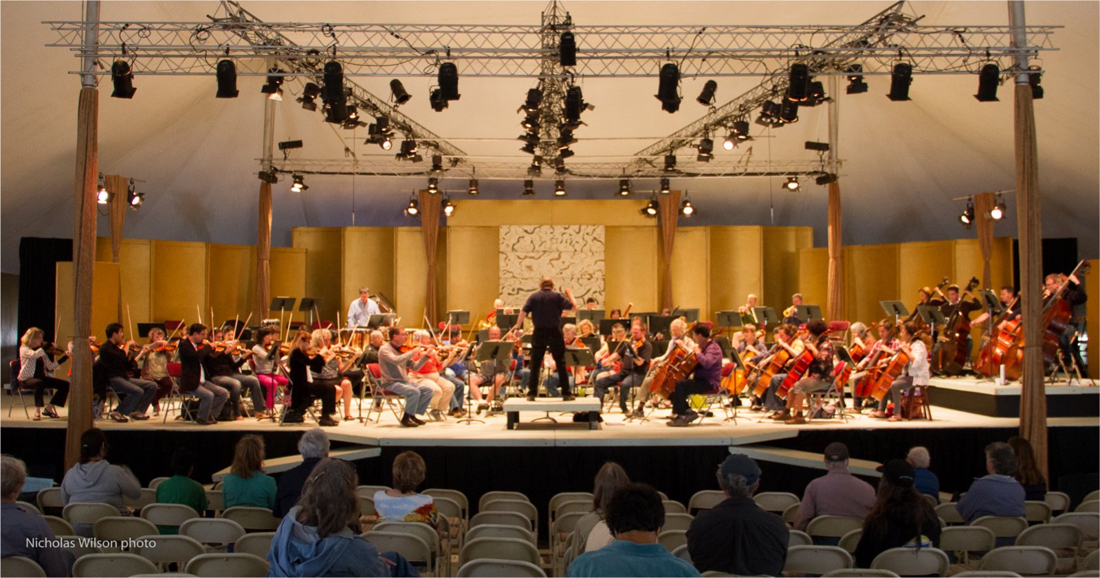
For two weeks every summer since 1986, the Mendocino Music Festival is held here. Evening concerts feature the Festival orchestra, composed of professional musicians from the San Francisco Symphony, the San Francisco Opera orchestra, the San Francisco Ballet orchestra, the Symphony of the Redwoods and other Bay Area orchestras.
We’re in Mendocino, right in the middle of this year’s event, which began on July 13 and runs until this Saturday, July 27. It’s a huge festival, held in a 16,000-square-foot tent overlooking the Pacific Ocean. You can attend more than two dozen concerts during the festival, from blues to bluegrass, symphonies to opera, and jazz to Celtic.
The music all happens at night. So we press on, in search of culture that occurs on our schedule.
The Mendocino Music festival goes on without us.
***
Leaving Mendocino, we cross the Big River, then the Little River and the Navarro River. Fifteen miles south of Mendocino, after a beautiful ride down the Pacific coast, we arrive in the town of Elk, population 208.
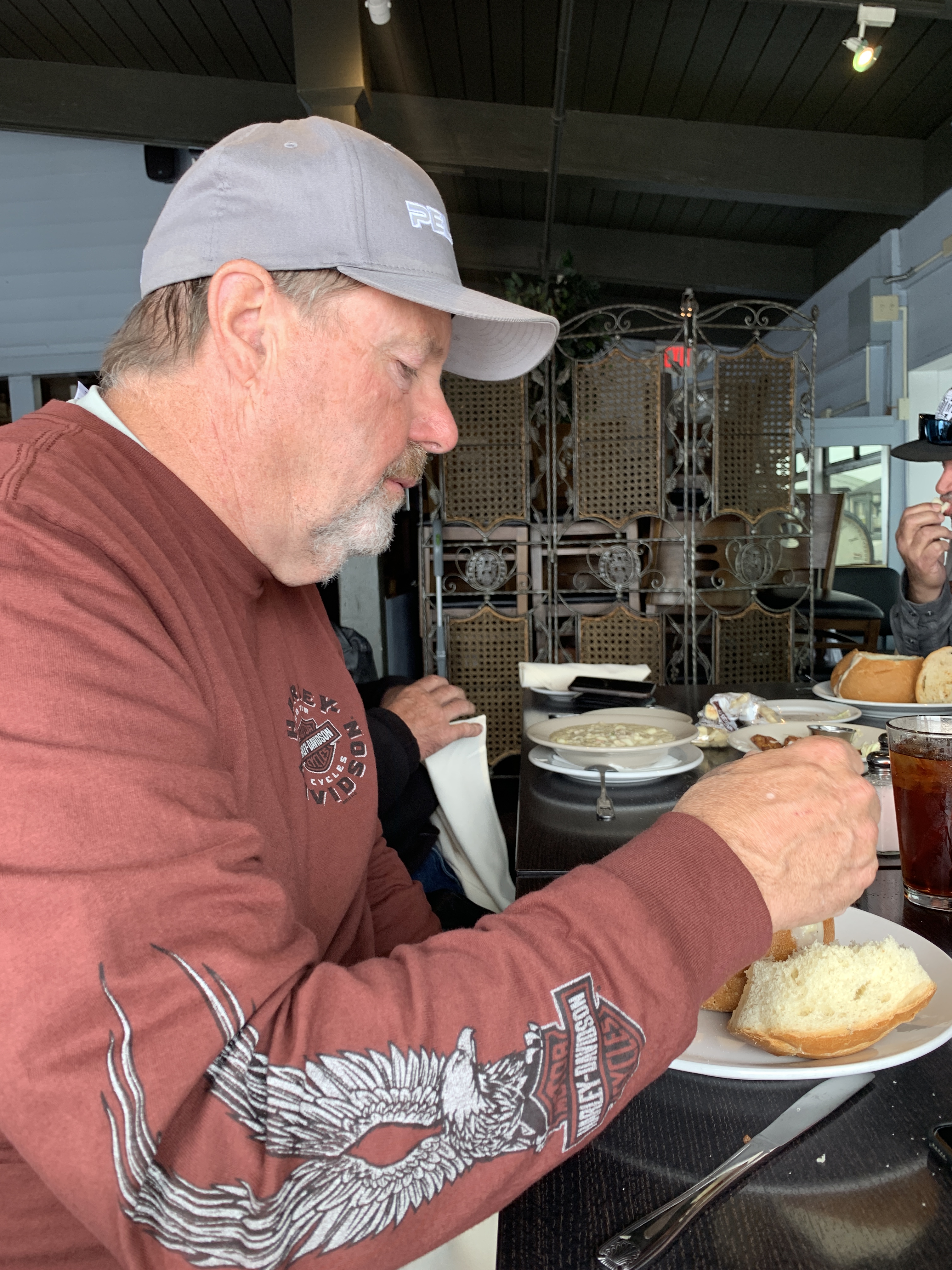
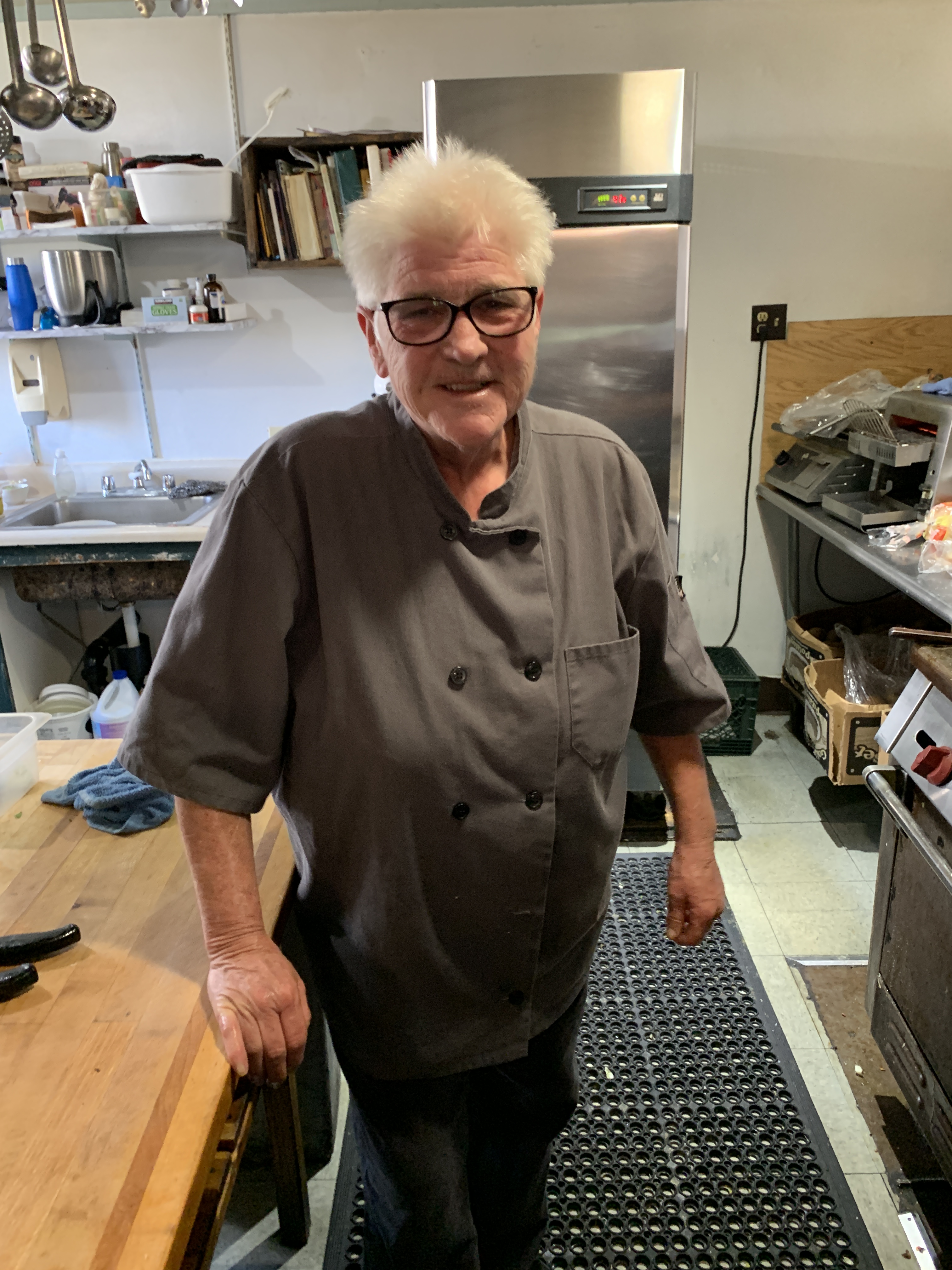
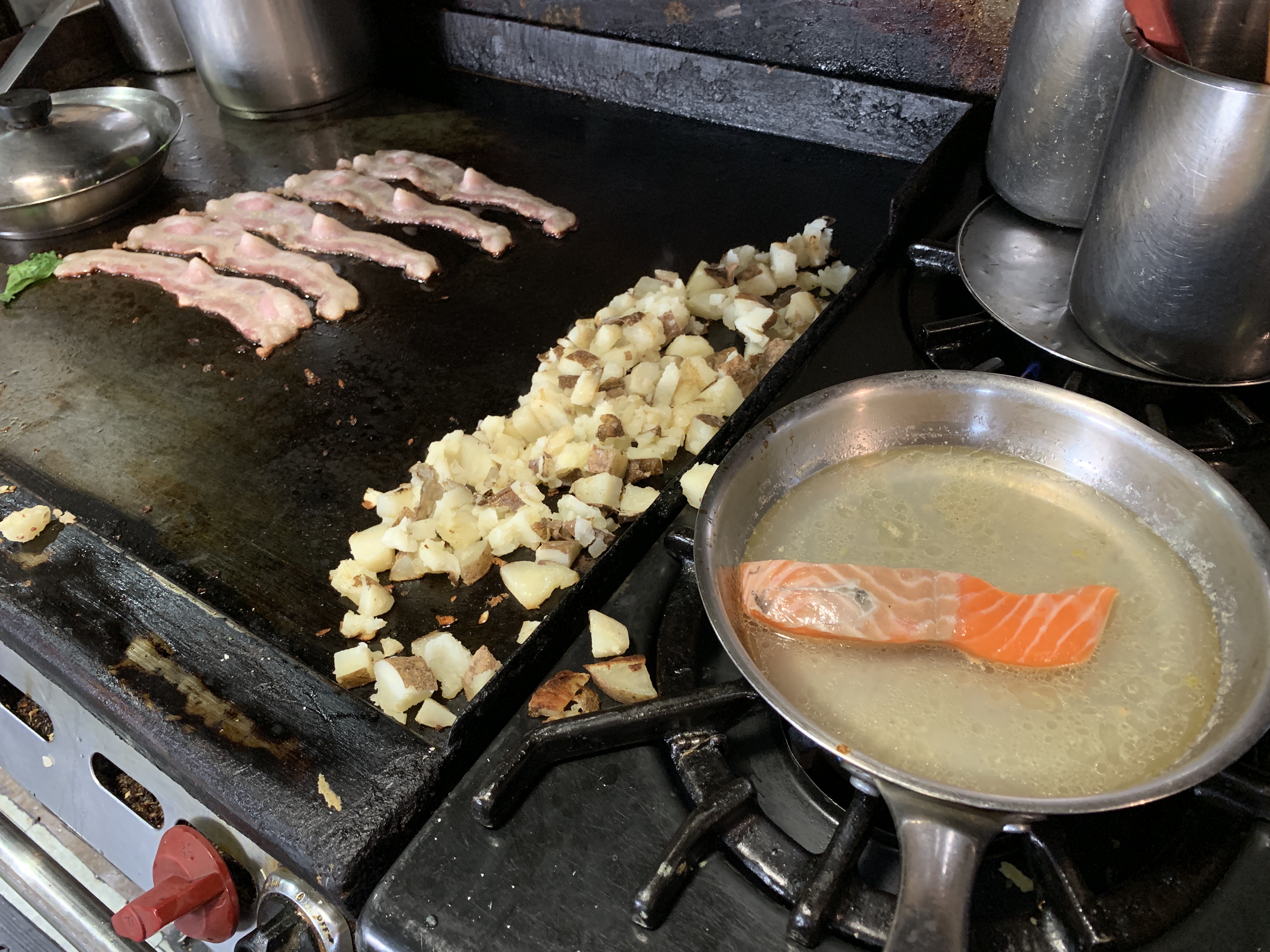
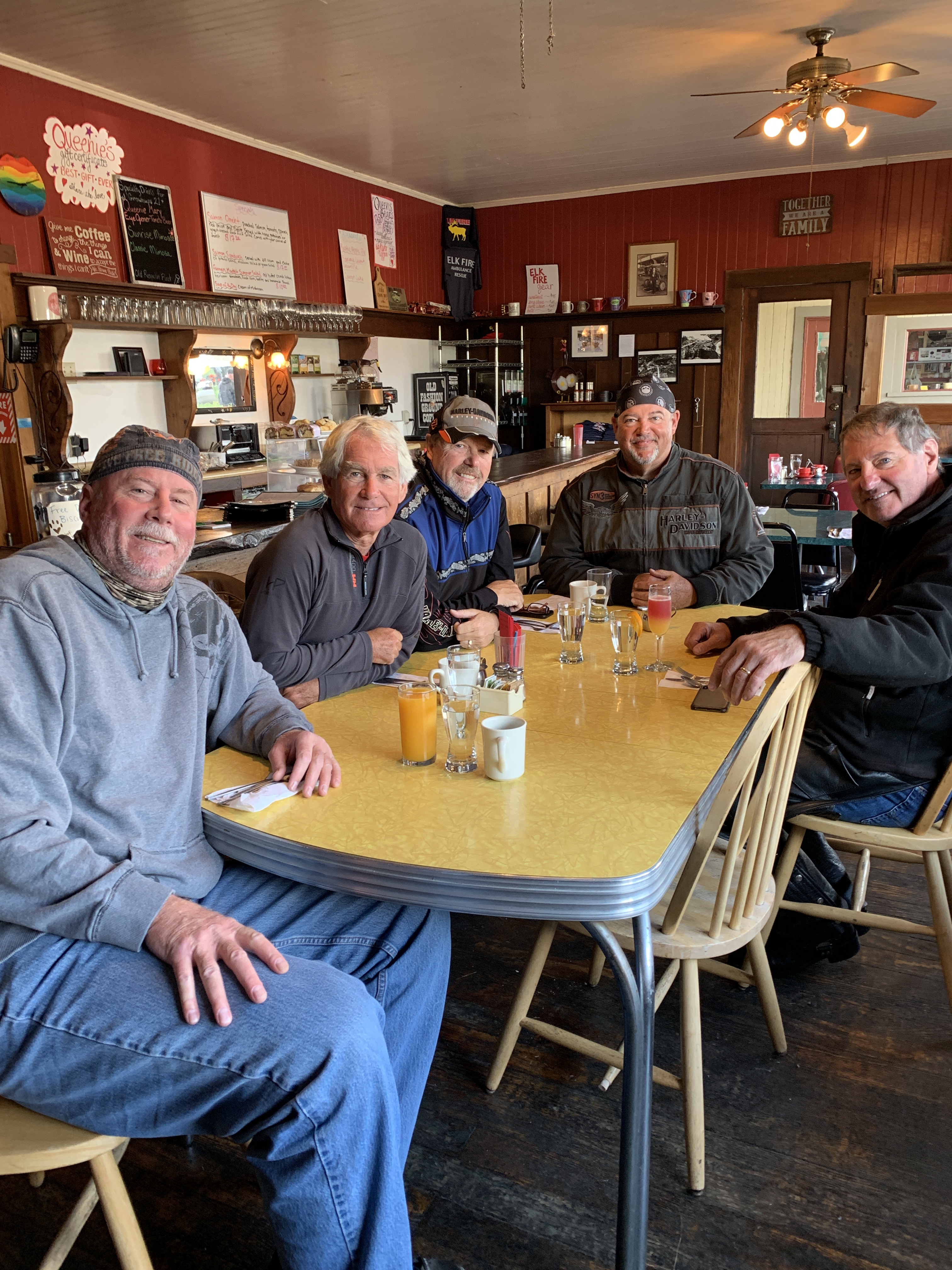
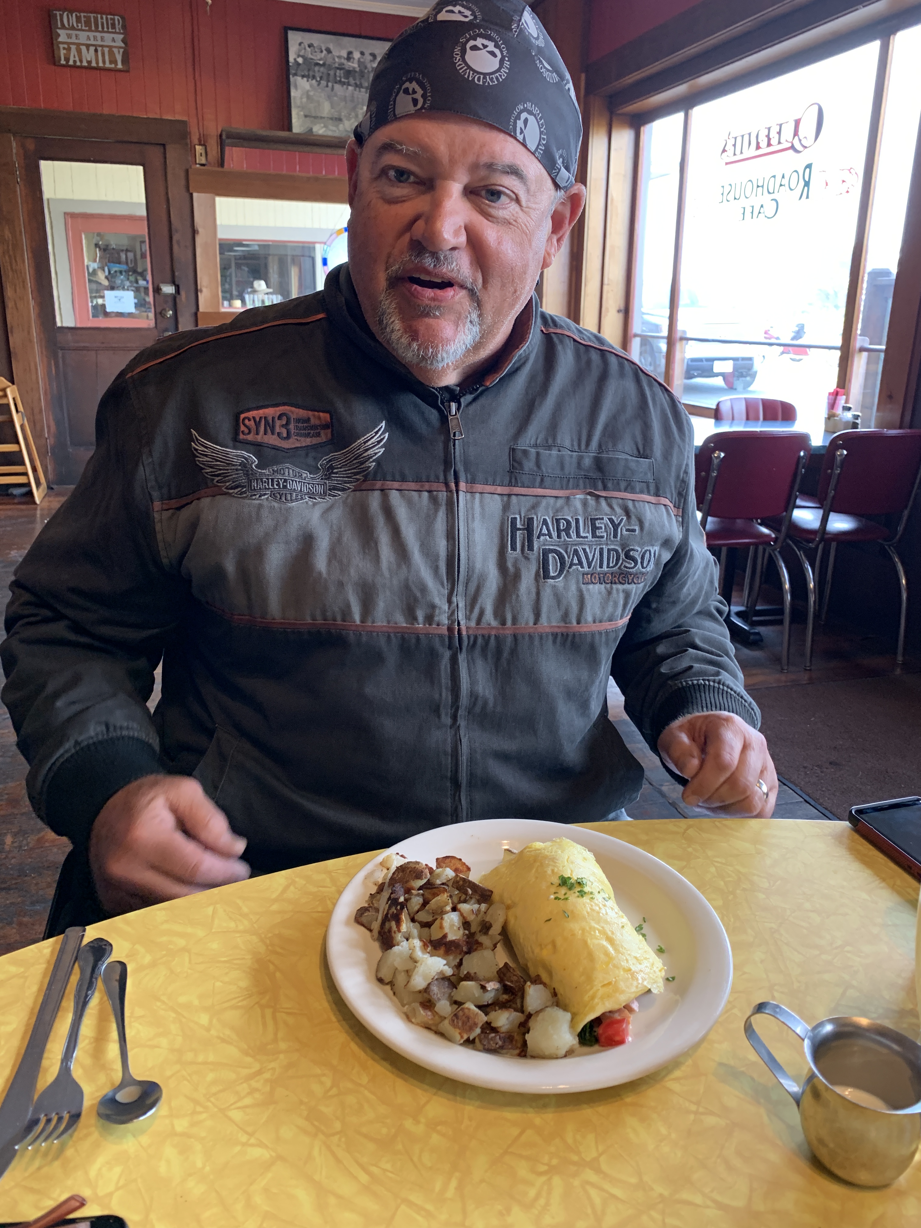
Elk is home to Greenwood State Beach, Elk Rock, and the Elk Cove Inn and Spa. But Elk is best known, by bikers at least, for Queenie’s Roadhouse Café, a great breakfast stop for five hungry Harley guys. We park the bikes, walk in, sit down, and chow down.
Queenie’s does not disappoint.
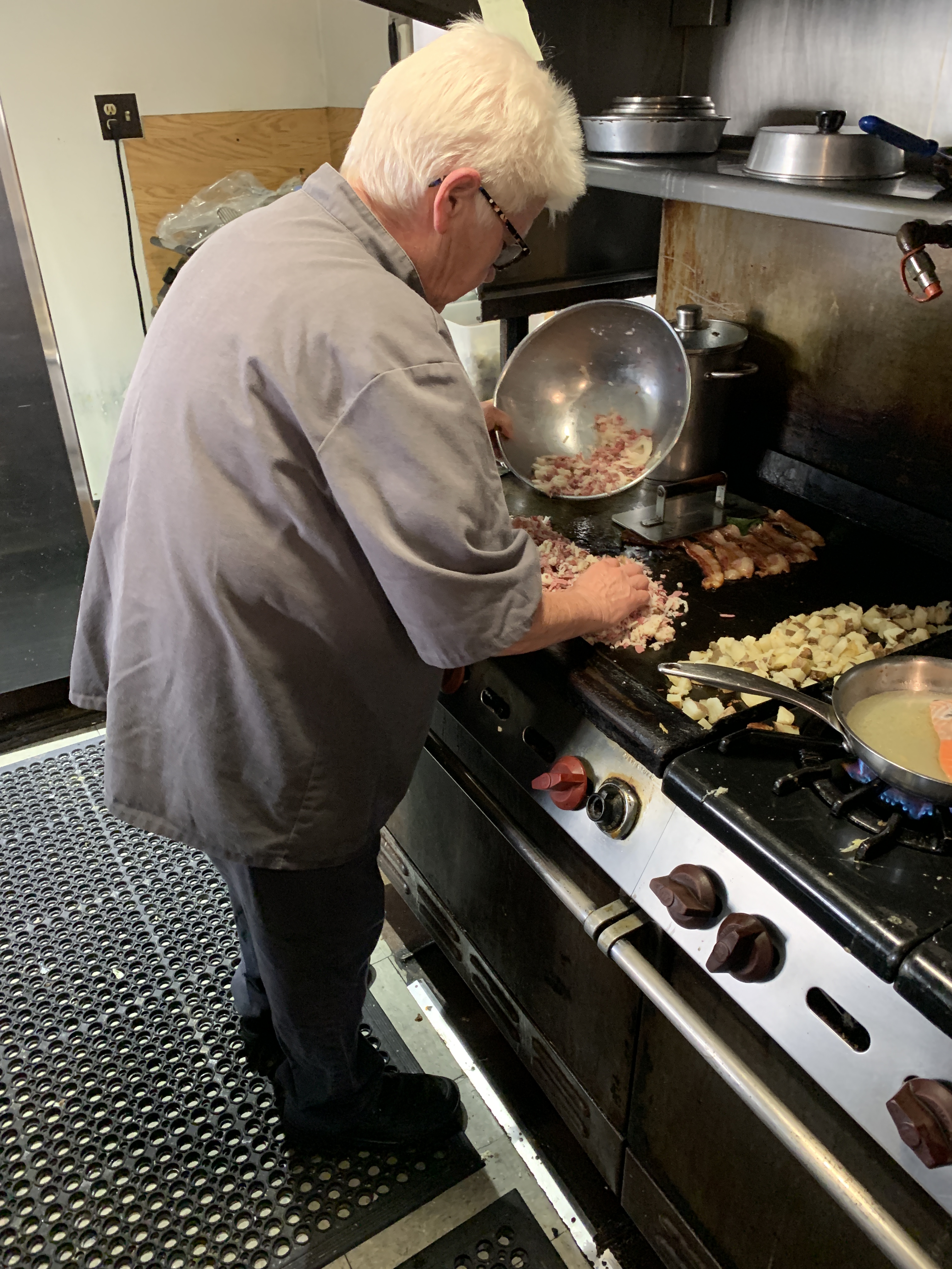
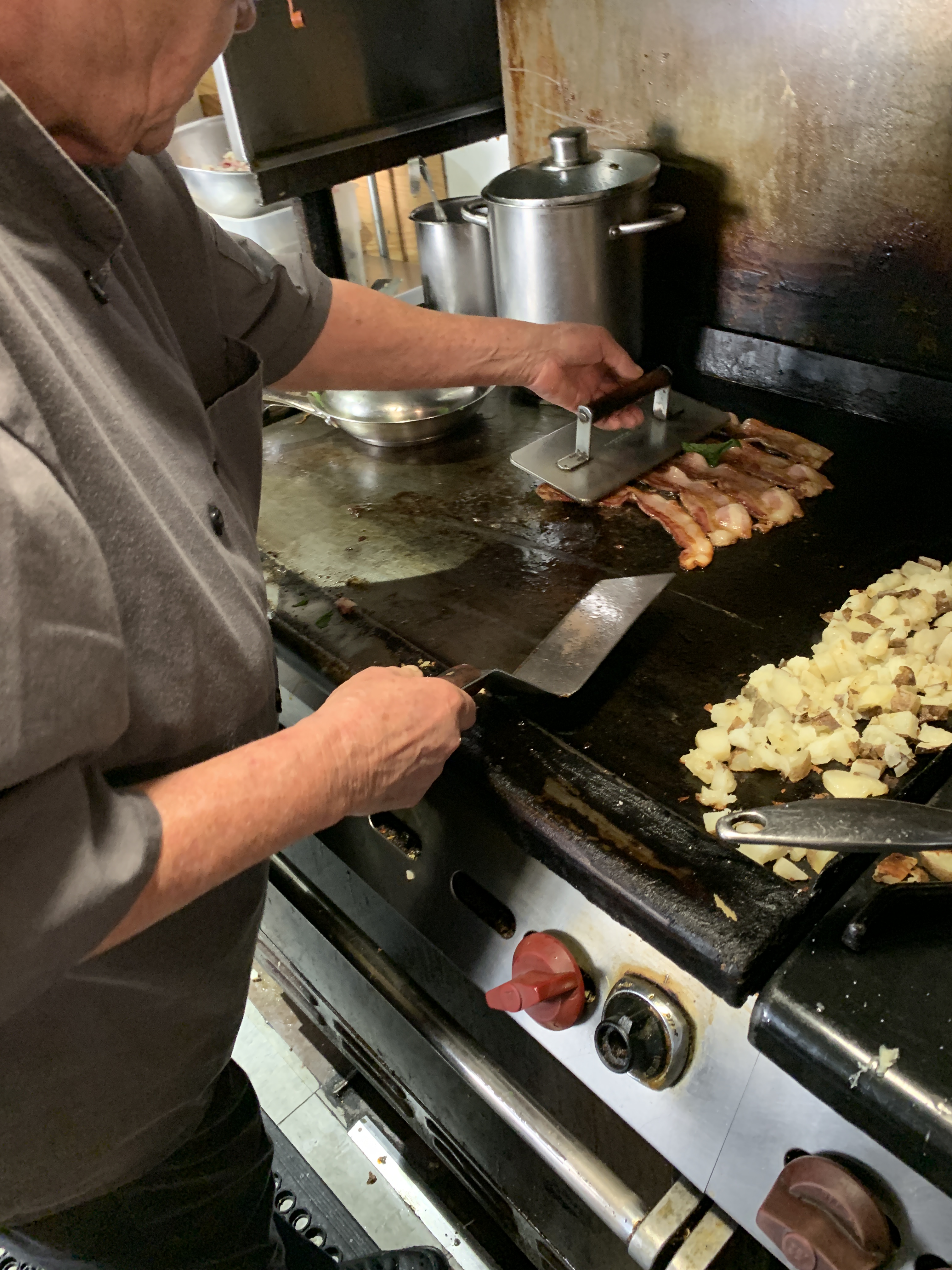
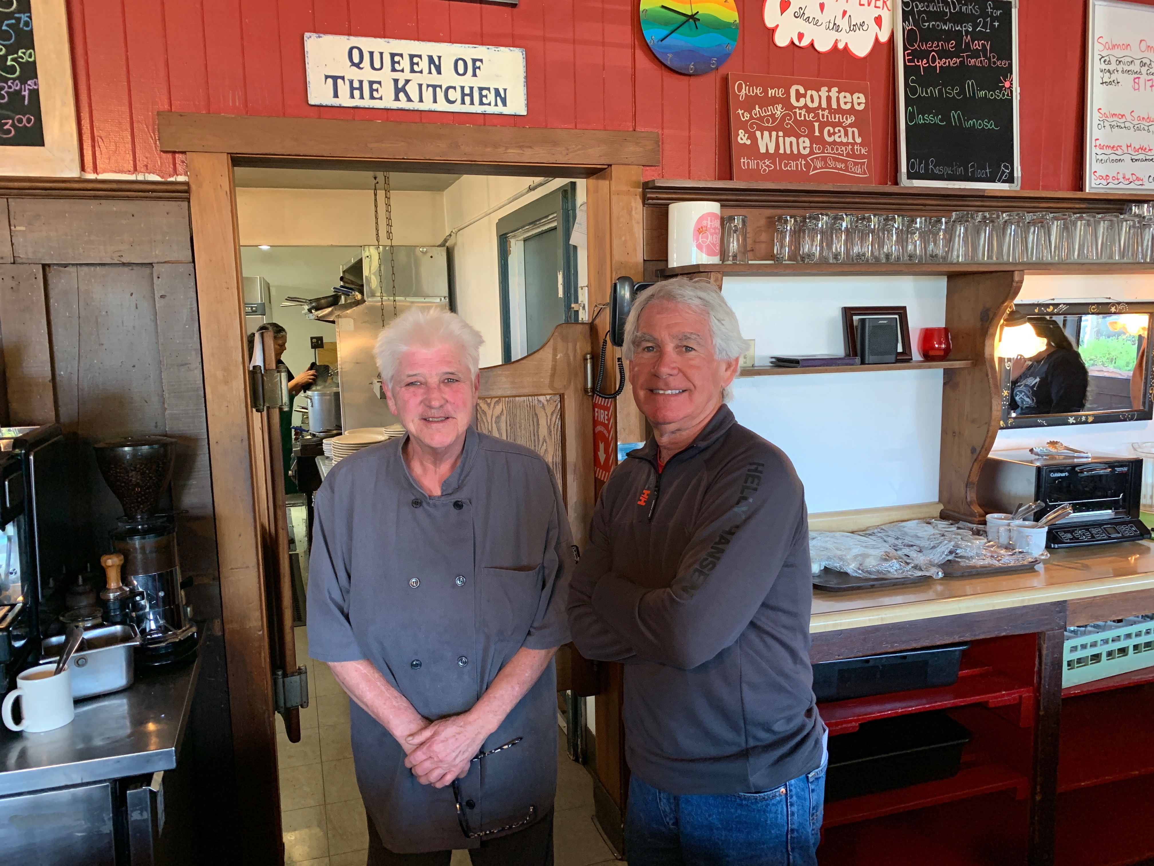
Meet Queenie. She’s getting ready to cook our breakfast.
The salmon is being poached for Scott’s omelet. The bacon is for Dave, the potatoes are for all of us.
Queening is working hard to make this a meal to remember.
She cooked Dave’s bacon just the way he likes it: crisp.
While Queenie cooks, the guys wait patiently for their food.
Scott’s pretty excited about his salmon omelet.
The Queen of the Kitchen, with the King of the Road.
***
After breakfast, we saddle up, and continue heading south on the Shoreline Highway. Manchester and Manchester State Park are 10 miles down the road. Both are named after Manchester, England, an early settler’s former home.
Manchester is just a mile from Point Arena Lighthouse, built on rocky Point Arena. The lighthouse is 115 feet high. It’s been in use since 1908. The final scenes for the 1992 movie, Forever Young, were shot near the lighthouse. The number one thing to do in Point Arena, according to Trip Advisor: visit the lighthouse.
Near Point Arena, as the sun peeks through the clouds for a minute.
Past Point Arena are a series of small towns, miles apart from one another: Gallaway, Gualala, Sea Ranch, Stewart’s Point, Timber Cove and Jenner, which sits at the mouth of the Russian River. Jenner is not named for the Jenner family of Kardashian-ish fame.
As we cross the Russian River, we roll through Sonoma Coast State Park.
We’re nearing Bodega Bay, a marine habitat used for navigation, recreation, and commercial and sport fishing including shellfish harvesting. In the US, a bodega is a small convenience store. In a Spanish-speaking country, a bodega is a wine shop or wine cellar.
Bodega Bay is not known for its convenience stores, though it has a few: Pelican Plaza Grocery & Deli, and Diekmann’s Bay Store.
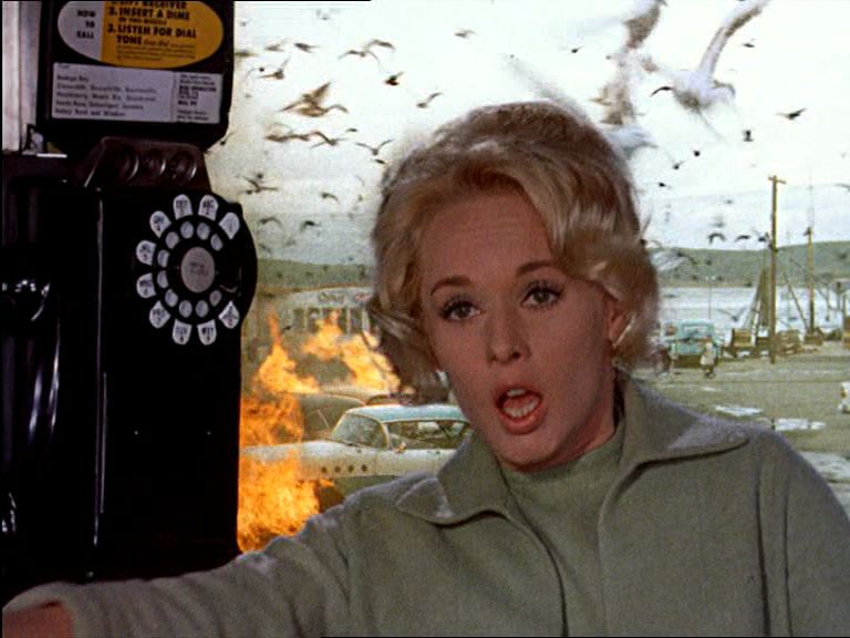
Bodega Bay was a frightening place, as depicted in Hitchcock’s film, The Birds. Yes, that’s Tippi Hedren.
Bodega Bay is most famous for its role in the 1963 Alfred Hitchcock film, The Birds, Hitchcock’s first horror/fantasy film. The movie centers on a small California coastal town (Bodega Bay) that is inexplicably attacked and rendered helpless by massive flocks of aggressive birds.
The majority of the birds seen in the film are real, although an estimated $200,000 was spent on the creation of mechanical birds for the film. The crow attacks were enhanced by what was then called the special effects department. The special effects shots of the attacking birds were completed at Walt Disney Studios by animator/technician, Ub Iwerks. Iwerks was better known for being the co-creator of Mickey Mouse, along with Walt Disney, in 1928.
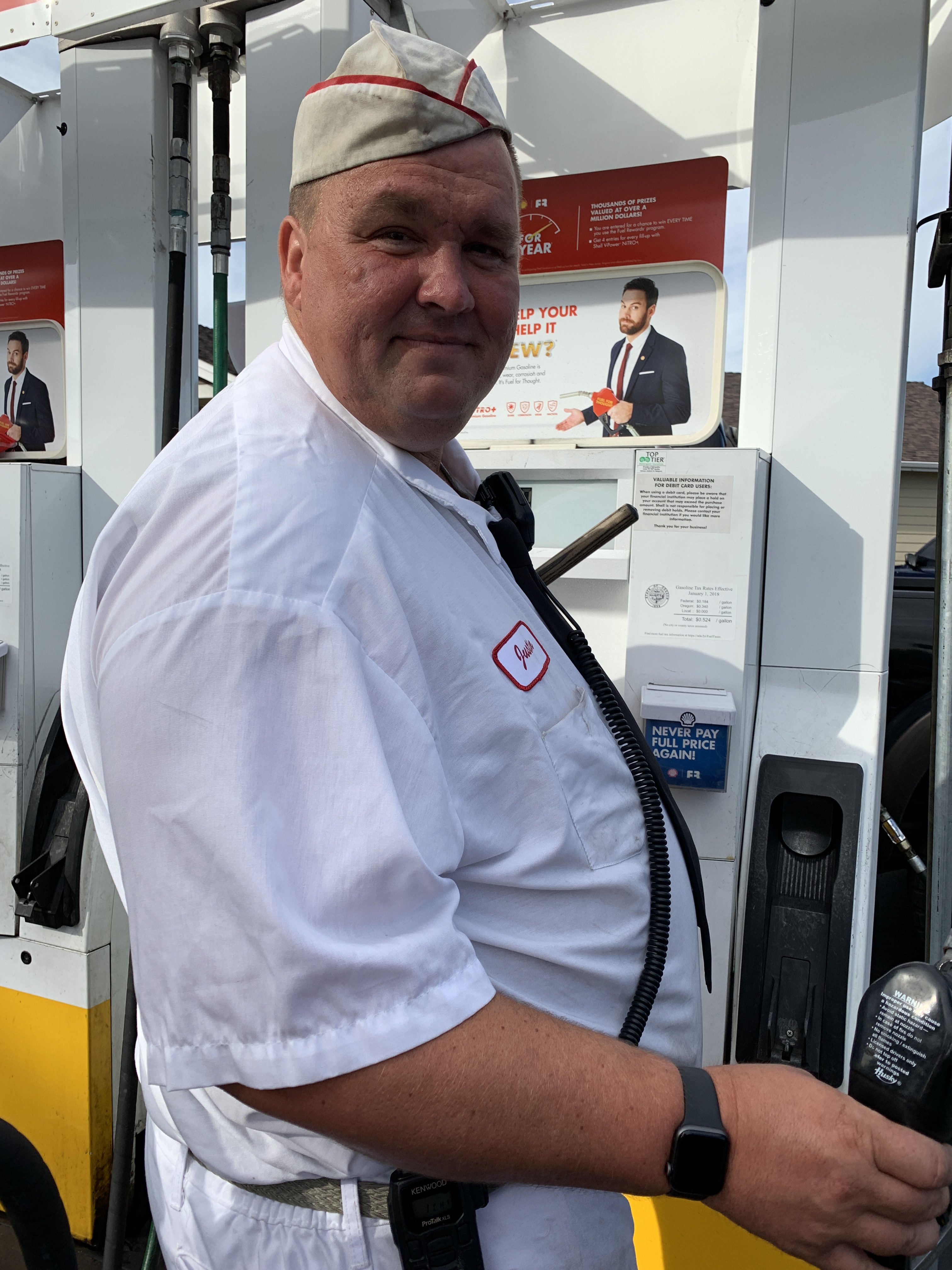
Bodega Bay is a good place to stop, gas up (I’ll pump, thank you), and look for birds. There’s even a restaurant in town named The Birds Café. No special effects needed.
***
No special effects needed for these pics, either.
John’s happy to finally see the sun.
After Bodega Bay, Highway 1 turns inland for a few miles, then continues south through Tomales and on to Tomales Bay. We’re on the east side of Tomales Bay. On the west side is Point Reyes National Seashore, a 71,000-acre park preserve located on the Point Reyes Peninsula in Marin County. There’s world-class hiking, including hundreds of miles of trails and beachwalking.
The sun disappeared again.
We follow Highway 1 along Tomales Bay for 11 miles to the town of Bivalve. Bivalve was founded by the Pacific Oyster Company, after it established 450 acres of oyster beds there in 1907. Bivalves, of course, are aquatic mollusks that have a compressed body enclosed within a hinged shell, such as oysters, clams, mussels, and scallops.
Point Reyes Station. Nice setting for a lighthouse.
Bivalve leads us to Point Reyes Station, Olema, past Bolinas and to Stinson Beach – a popular day trip for people in the San Francisco Bay Area. We’re now only about 20 miles from The City.
In Poinr Reyes Station, Dave helps us navigate to our next waypoint.
Stinson Beach is a great place for beachcombing especially in the winter, when the crowds are smaller, and during morning low tides. The waters off Stinson Beach are part of the Red Triangle, an area extending from Bodega Bay to Big Sur and including the Farallon Islands. Shark attacks, especially from Great Whites, are occasional within the triangle; but still, quite rare. A surfer at Stinson Beach was attacked by a Great White in 1998; another surfer was attacked in 2002.
Stinson Beach has been the setting for a number of Hollywood movies, including Play It Again, Sam; Basic Instinct; and Shoot the Moon.
It’s been a long day.. Yawn.
Scott’s wide awake.
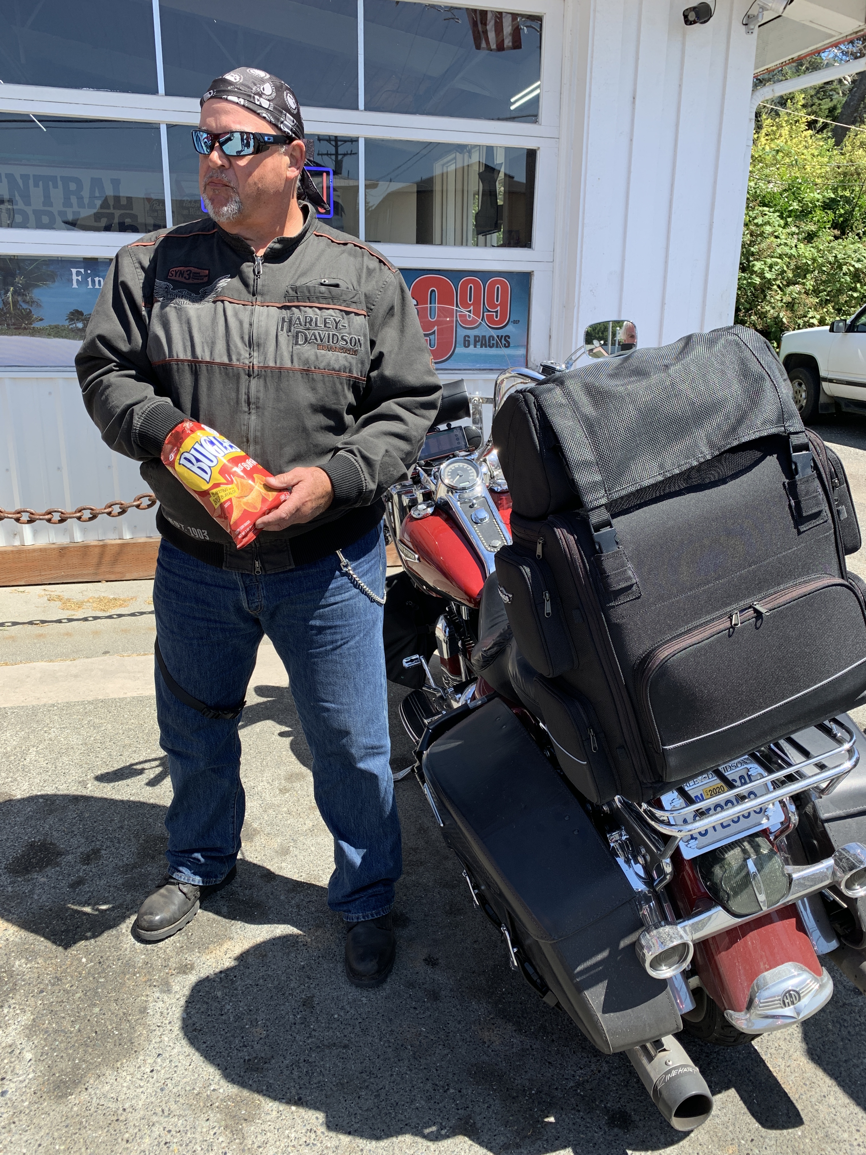
Jim takes a snack break.
I’m just trying to stay warm.
***
Marin County’s Mount Tamalpais has some great hikes, and spectacular views.
As we continue south on the Shoreline Highway, we are riding along the southern end of Mount Tamalpais State Park, whose primary feature is 2,571-foot Mount Tamalpais. The park is full of redwood and oak forests. It’s a popular hiking, picnicking and camping destination for residents of the Bay Area. The western slopes of Mount Tamalpais descend to the Pacific Ocean at Stinson Beach.
Six miles south of Stinson Beach is Muir Beach. Muir Beach is not named after Sarah Murr. It could be, but they’re spelled slightly differently. Muir Beach, like so many things Muir-related in this area, is named after John Muir, an influential Scottish-American naturalist who was an early advocate for the preservation of America’s wilderness.
He co-founded the Sierra Club, and devoted most of his later life to the preservation of western forests. Muir briefly studied natural sciences at the University of Wisconsin but, ultimately, chose to spend his lifetime enrolled in what he called the University of Wilderness.
The overlook at Muir (Murr?) Beach.
In Muir (Murr?) Beach, the Shoreline Highway turns inland to go around the Golden Gate National Recreation Area, an 82,000-acre preserve protecting environmentally sensitive areas on both ends of the Golden Gate Bridge. More than 15 million visitors a year come to the Golden Gate National Recreation Area, considered to be one of the largest urban parks in the world.
It’s only about six miles from Muir Beach to Mill Valley, on the shores of Richardson Bay, an inlet in the San Francisco Bay. Here, the Shoreline Highway joins the heavily traveled US Highway 101, rolls past Sausalito, and turns toward San Francisco.
***
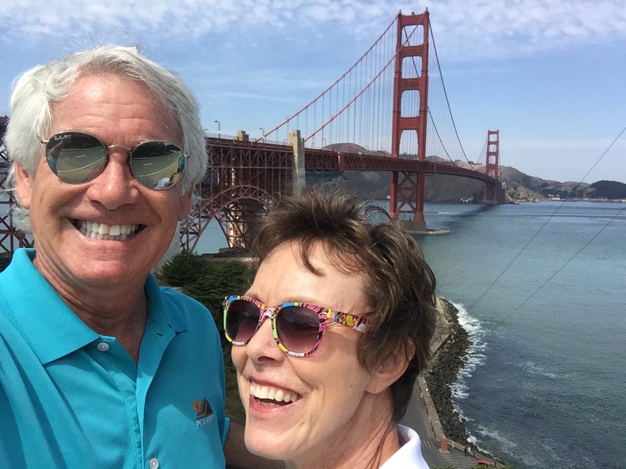
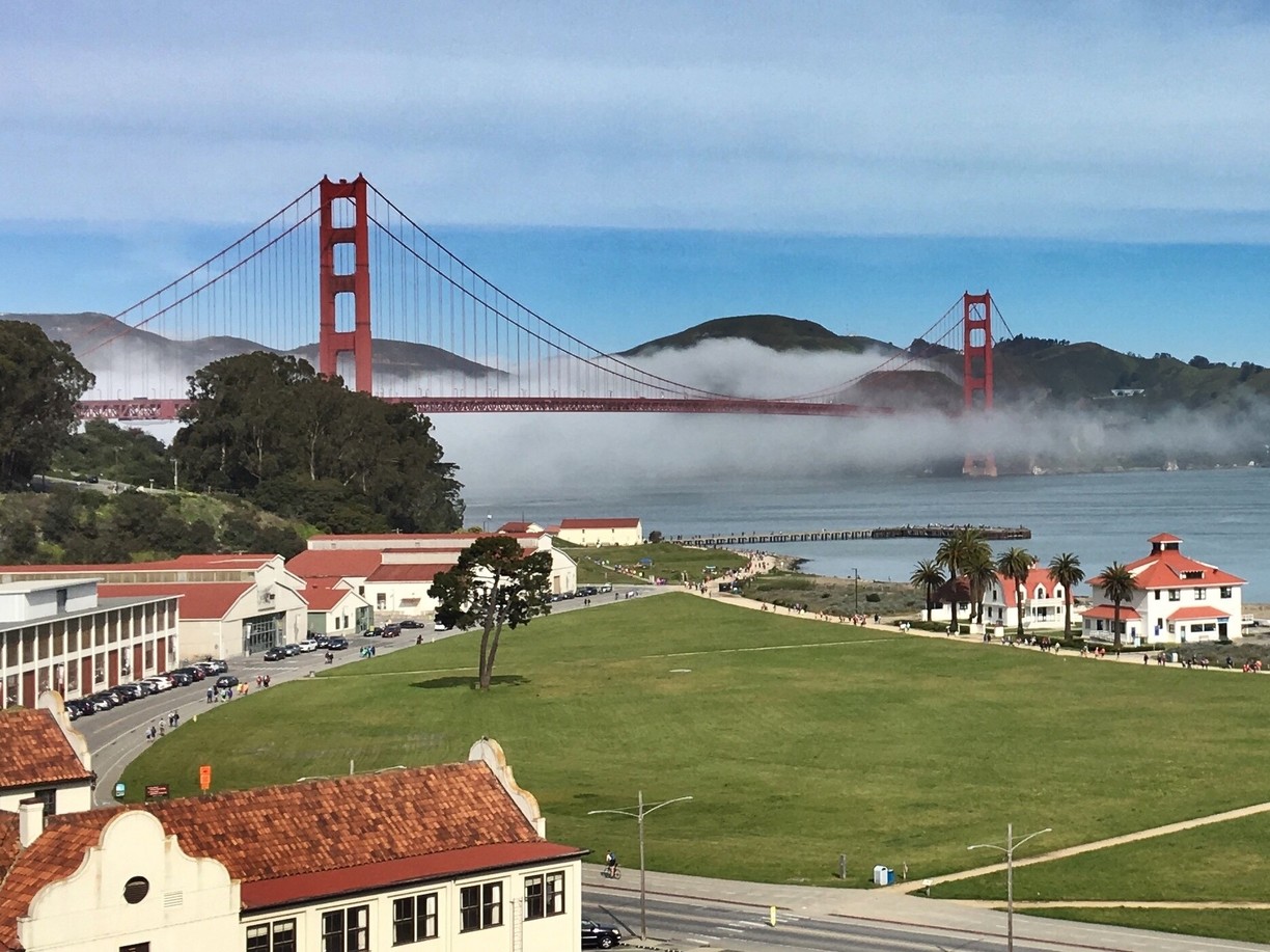
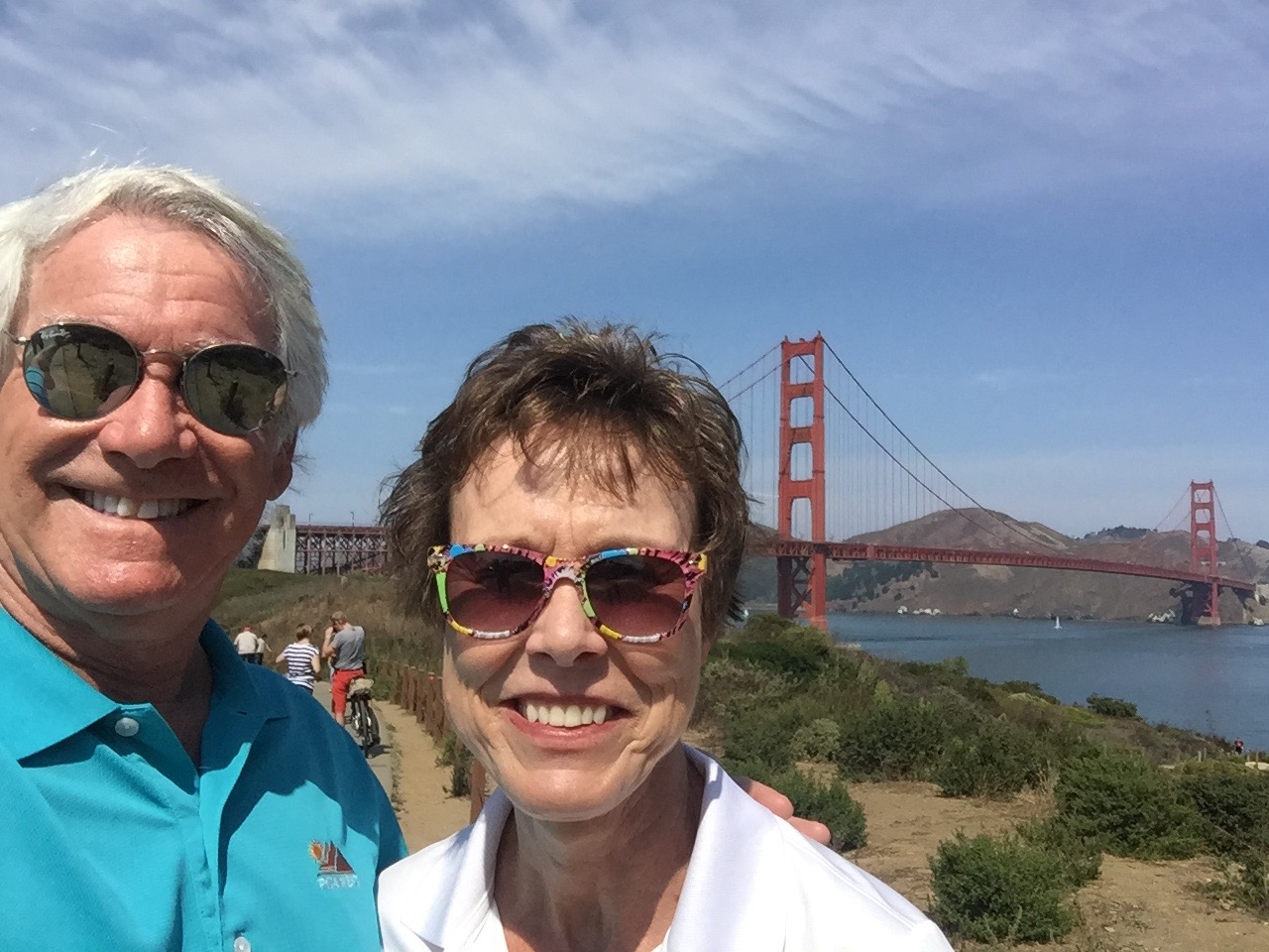
Hey, there’s a cute couple in front of the Golden Gate Bridge! Photo shot in 2017 from the San Francisco side.
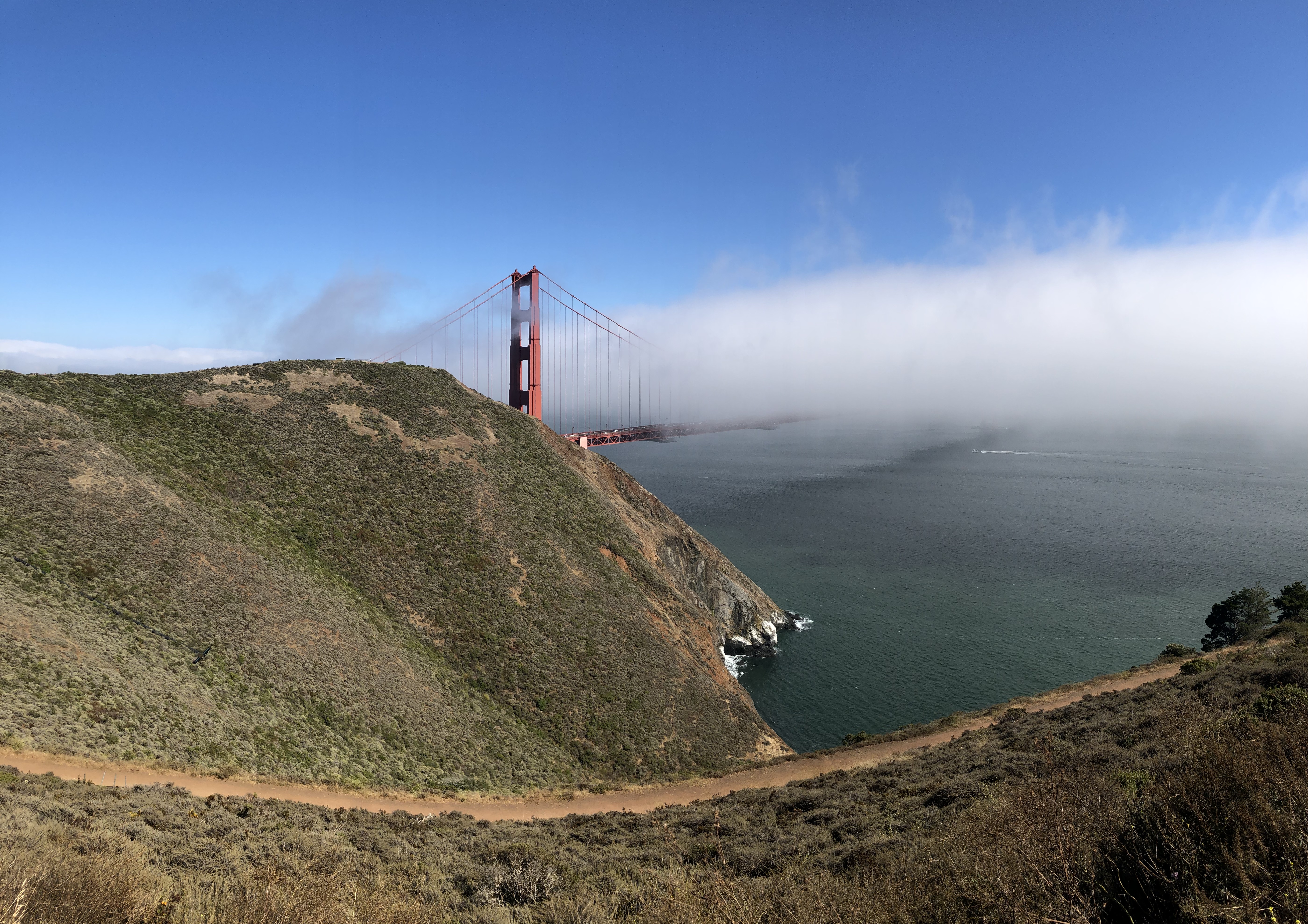
We’re now in Marin County. To get to San Francisco from here, you ride about three miles south, through the Marin Headlands, and out of nowhere appears the Golden Gate Bridge, one of the most famous and photographed sights in the world. The bridge spans the Golden Gate, a one-mile wide strait connecting the Pacific Ocean and San Francisco Bay.
The Golden Gate Bridge has been declared one of the Seven Wonders of the Modern World by the American Society of Civil Engineers. It’s a pretty elite list, including the tunnel under the English Channel, the Empire State Building, and the Panama Canal.
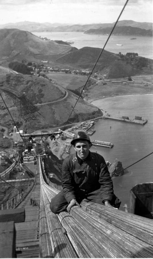
When the Golden Gate Bridge opened in 1937, after four years of construction, it had cost more than $35 million to build. That’s chump change by today’s standards. It was completed ahead of schedule and under budget. At the time of its opening, the bridge was both the longest and tallest suspension bridge in the world.
Building the Golden Gate Bridge seemed impossible at the time. That’s why its construction is such an engineering marvel.
With its 746-foot tall towers, Art Deco styling and distinctive international orange color, the bridge draws 10 million visitors annually, not counting the estimated 112,000 vehicles that cross the bridge daily, commuting to and from work in San Francisco.
Before the bridge was built, a ferry company took passengers and cars between San Francisco and Marin County, across the Golden Gate. It’s hard to imagine a time when the bridge wasn’t there.
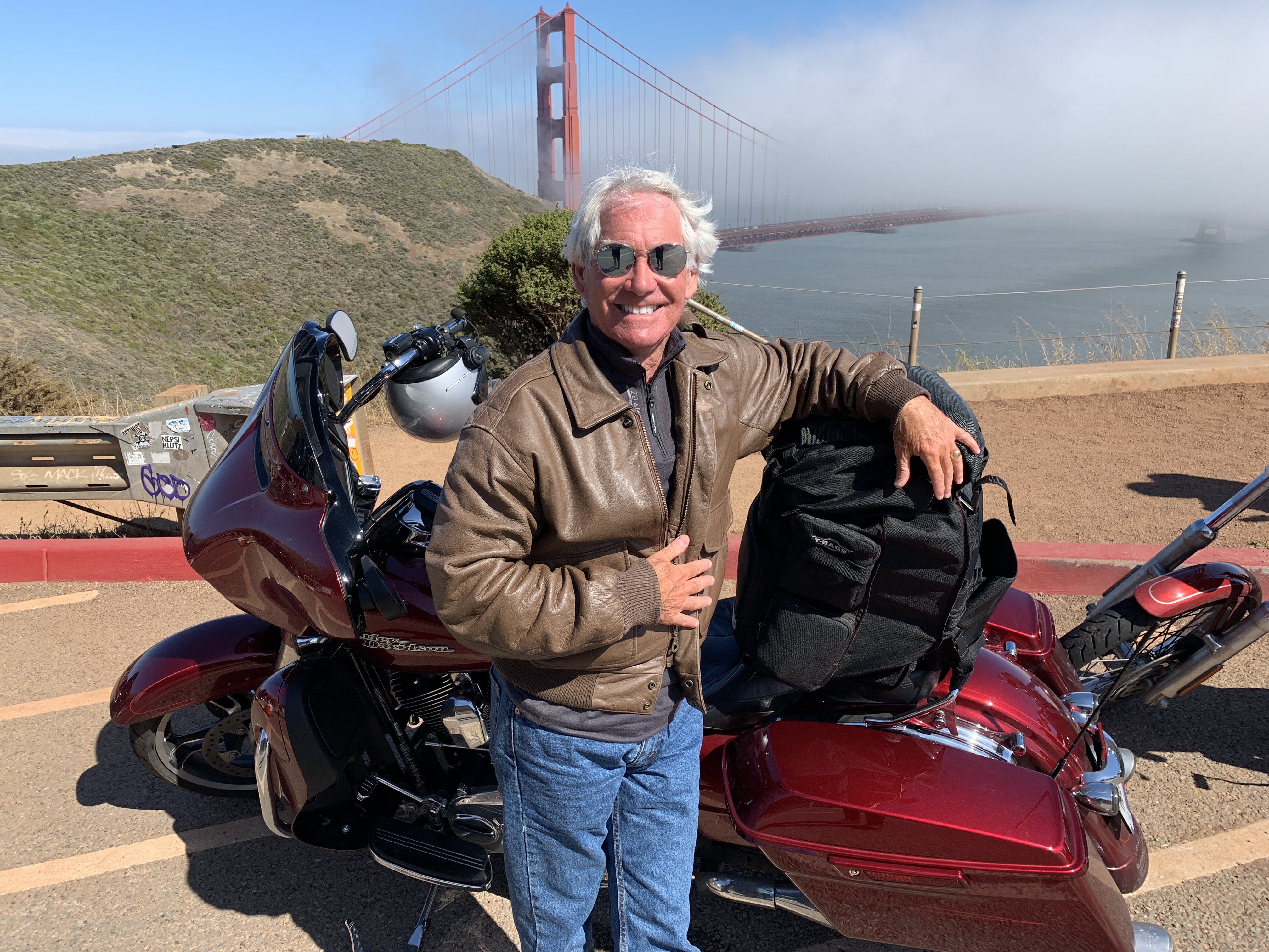
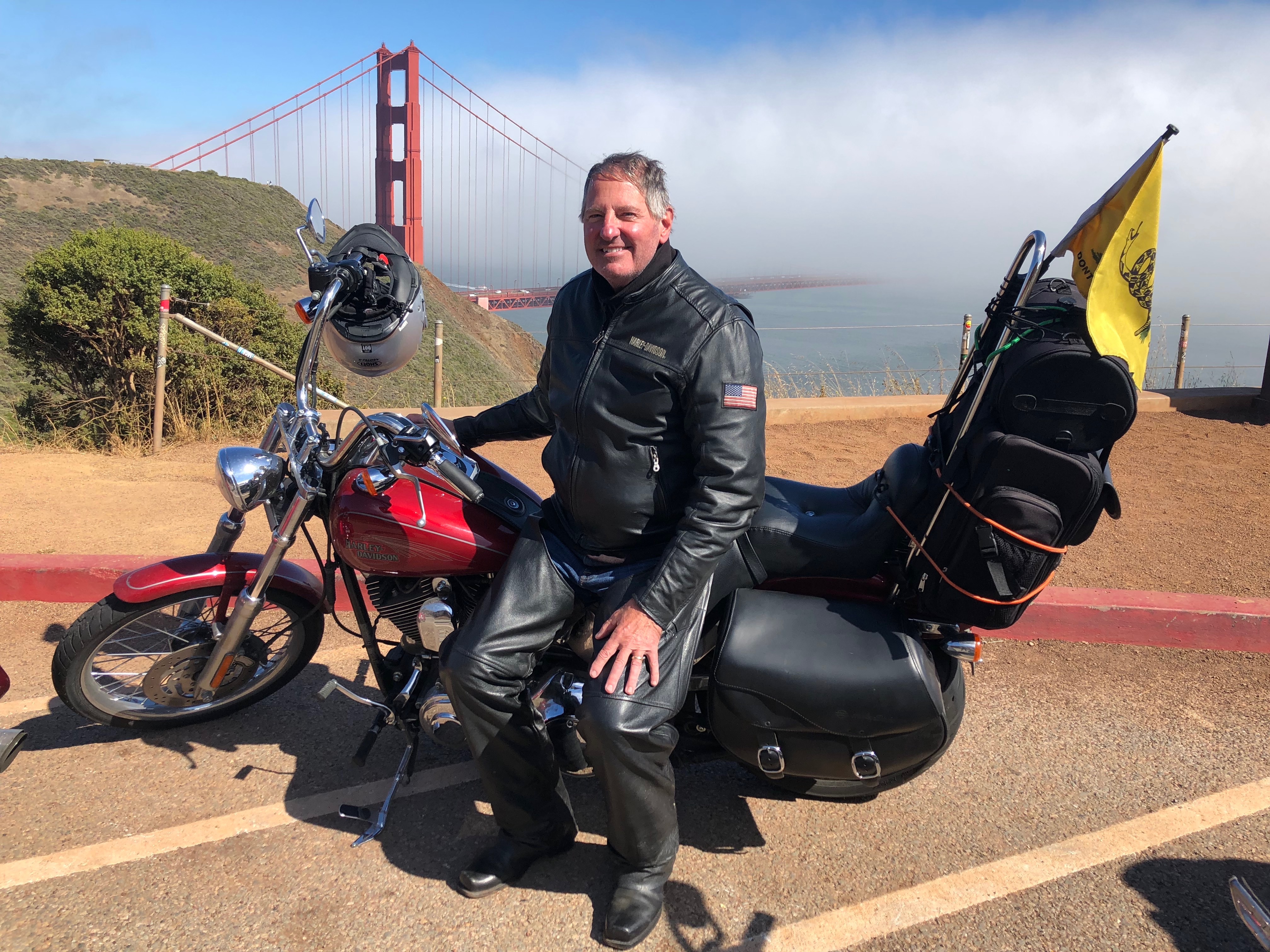
We made it!
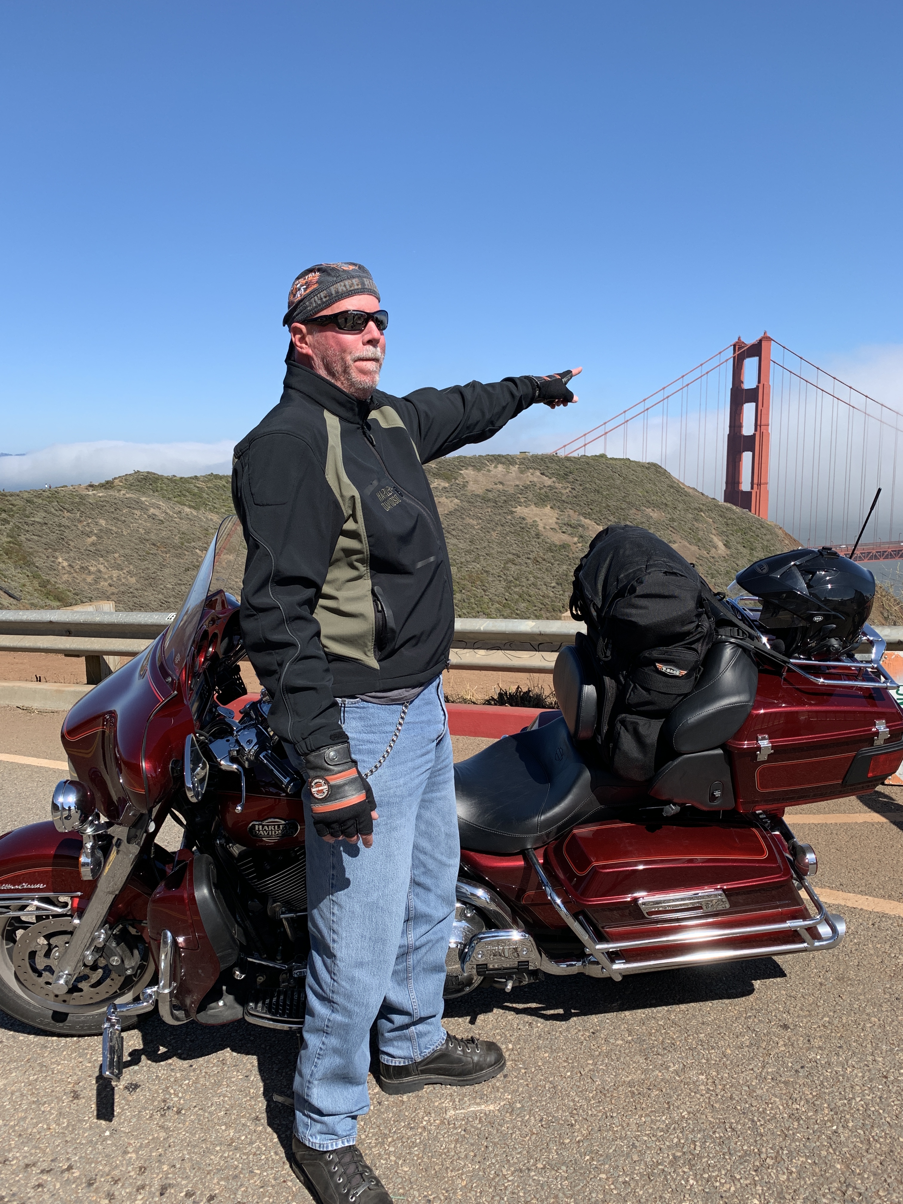
We weren’t sure where the bridge was, so Dave helpfully pointed it out.
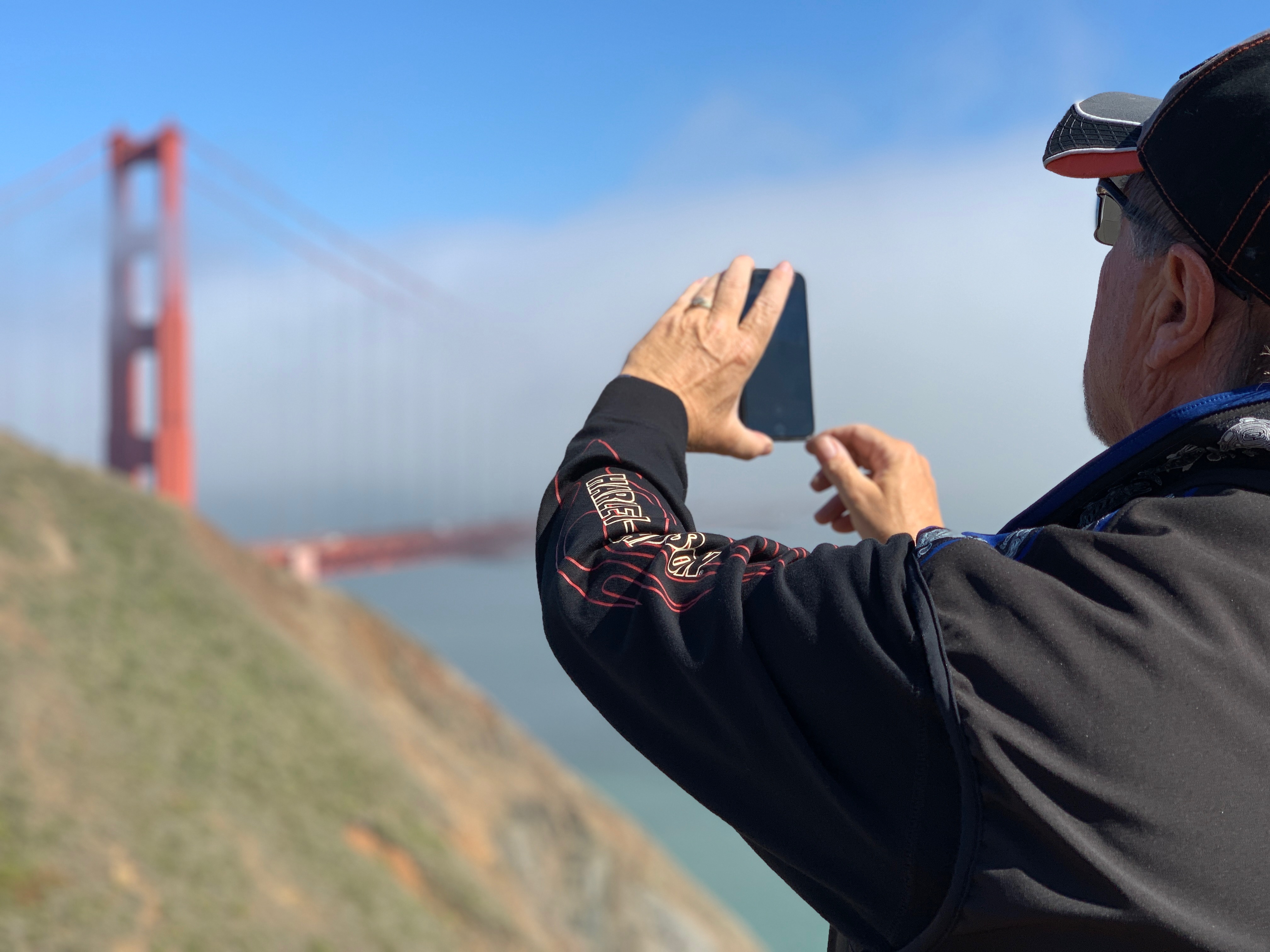
So John took a picture of it.
Here’s his photo.
This one’s for you, Donna.
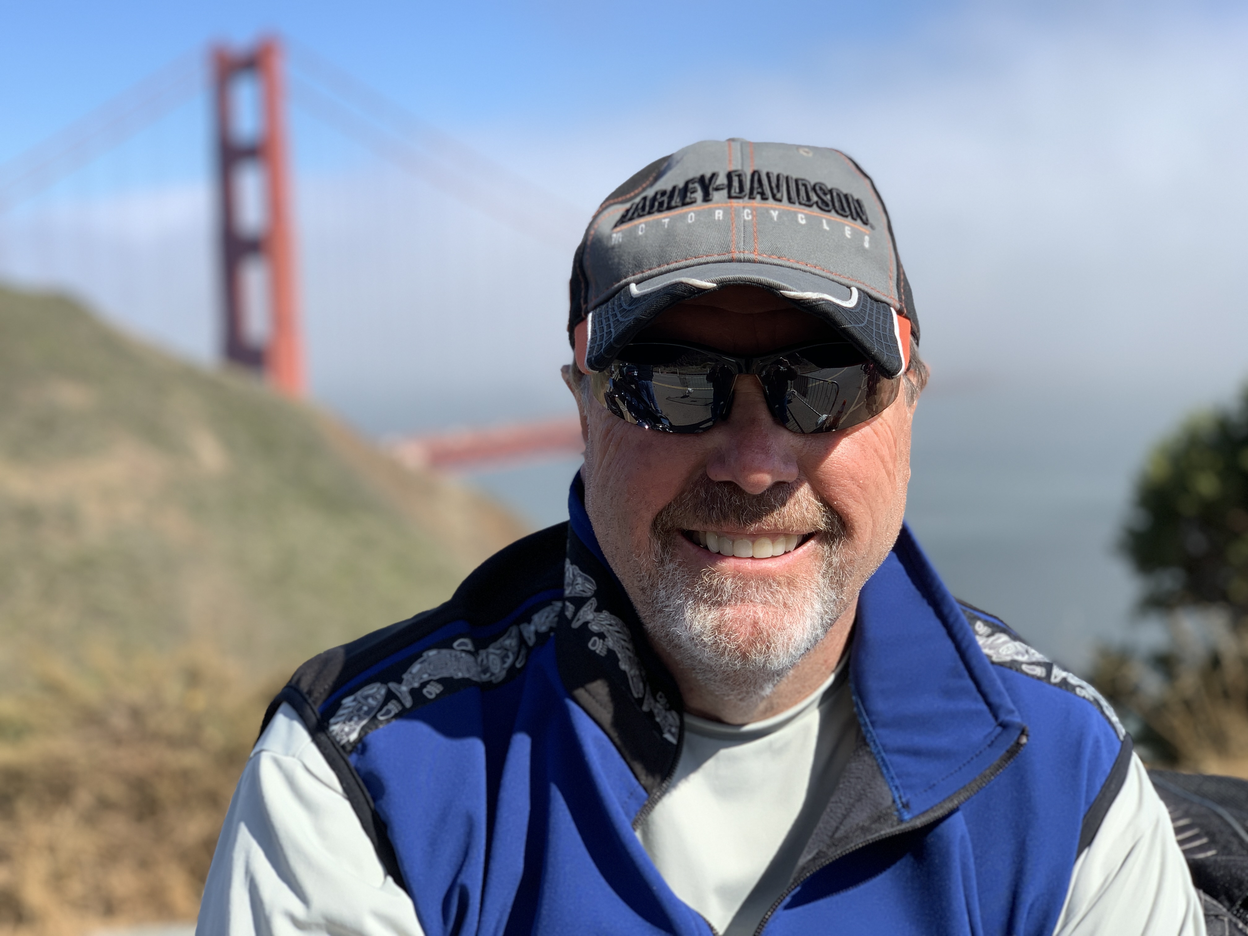
Southern California boy living large by the Golden Gate.
Final bridge pic. Time to ride across it, into San Francisco.
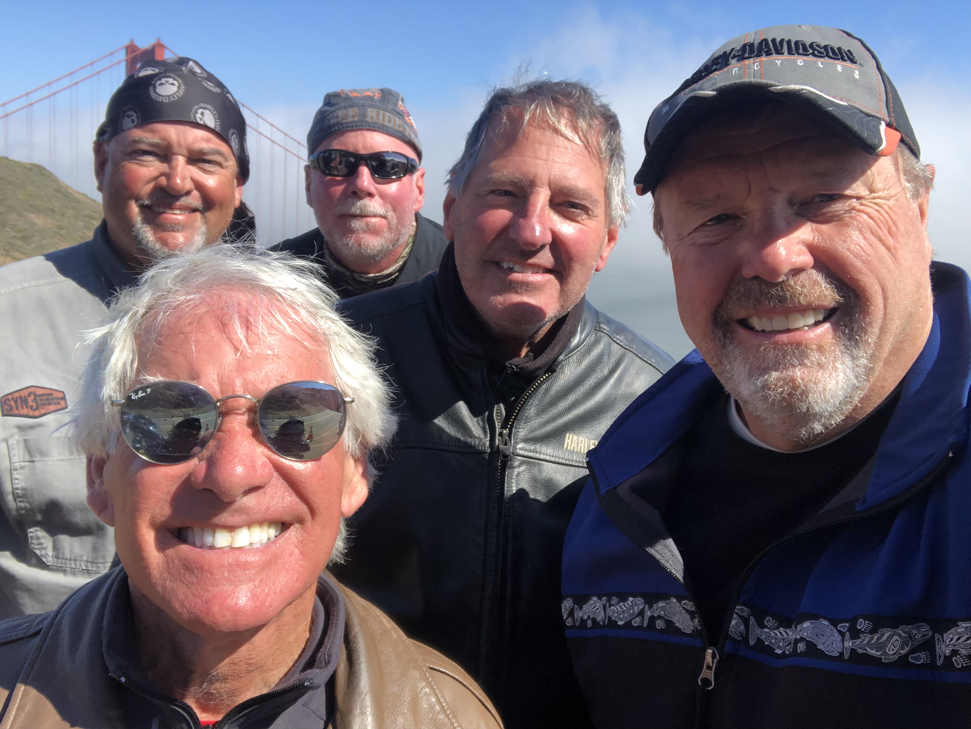
Hey John, could you get the camera any closer?
***
We cross the Golden Gate Bridge, and enter San Francisco’s Presidio district. The Presidio, originally El Presidio Real de San Francisco, is a park and former US military fort. It’s part of the Golden Gate National Recreation Area.
The Presidio had been a fortified location since 1776, when New Spain established the Presidio to gain a foothold in the San Francisco Bay. Today, the park has wooded areas, hills and scenic vistas overlooking the Golden Gate Bridge, San Francisco Bay and the Pacific Ocean.
The Presidio sits on a nice piece of real estate.
Leaving the Presidio, we seem to be in the middle of an old, large, over-populated, over-priced, over-caffeinated, hyper-techy American city. San Francisco is the second-most expensive American city to live in (New York City, of course, is the priciest). Here, the median home price per square foot is more than $1,150. You can get a tiny apartment for $1 million, if you’re willing to engage in a bidding war.
***
We’re now on Park Presidio Boulevard, which takes us through seven blocks of San Francisco’s Richmond District, before entering Golden Gate Park, a 1,017-acre urban park that’s San Francisco’s version of Central Park in New York.
With 13 million visitors a year, Golden Gate Park is the fifth-most visited city park in the US, after Central Park, Chicago’s Lincoln Park, and two parks in San Diego. We’re in Golden Gate Park for less than a quarter mile before returning to block after block of old, overpriced houses and apartments in the Sunset and Golden Gate Heights districts.
It feels very urban, very congested, and very much near the end of our day.
***
In 10 miles, we should arrive at tonight’s destination, Pacifica. After a short 1.6-mile hop on I-280 south, we ride the rest of the way on Highway 1, which brings us to Pacifica, a city of about 40,000 on the Pacific Ocean, just south of San Francisco. Pacifica is about five miles due west from the San Francisco International Airport.
We’re almost at the SFO airport, but it’s time for dinner.
With no flights to catch, we go VFR direct to the hotel, contemplate dinner, and wonder how tomorrow could possibly top today.
It will.
***
Day Seventeen Summary: Music in Mendocino, a town named Bivalve, a civil engineering marvel.
Click here to see today’s complete route from Fort Bragg, California, to Pacifica, California.
We’re on our way home, eh?
Vroom, vroom.
***
Today’s Canada Fun Fact, eh? The Moosehead Brewery in Saint John, New Brunswick, turns out 1,642 bottles of beer per minute. Moosehead, founded in 1867, is Canada’s oldest independent brewery. It has an estimated 3.8 percent share of the Canadian domestic beer market.
The Moosehead brewery in Saint John, New Brunswick, churns out a lot of beer, eh.
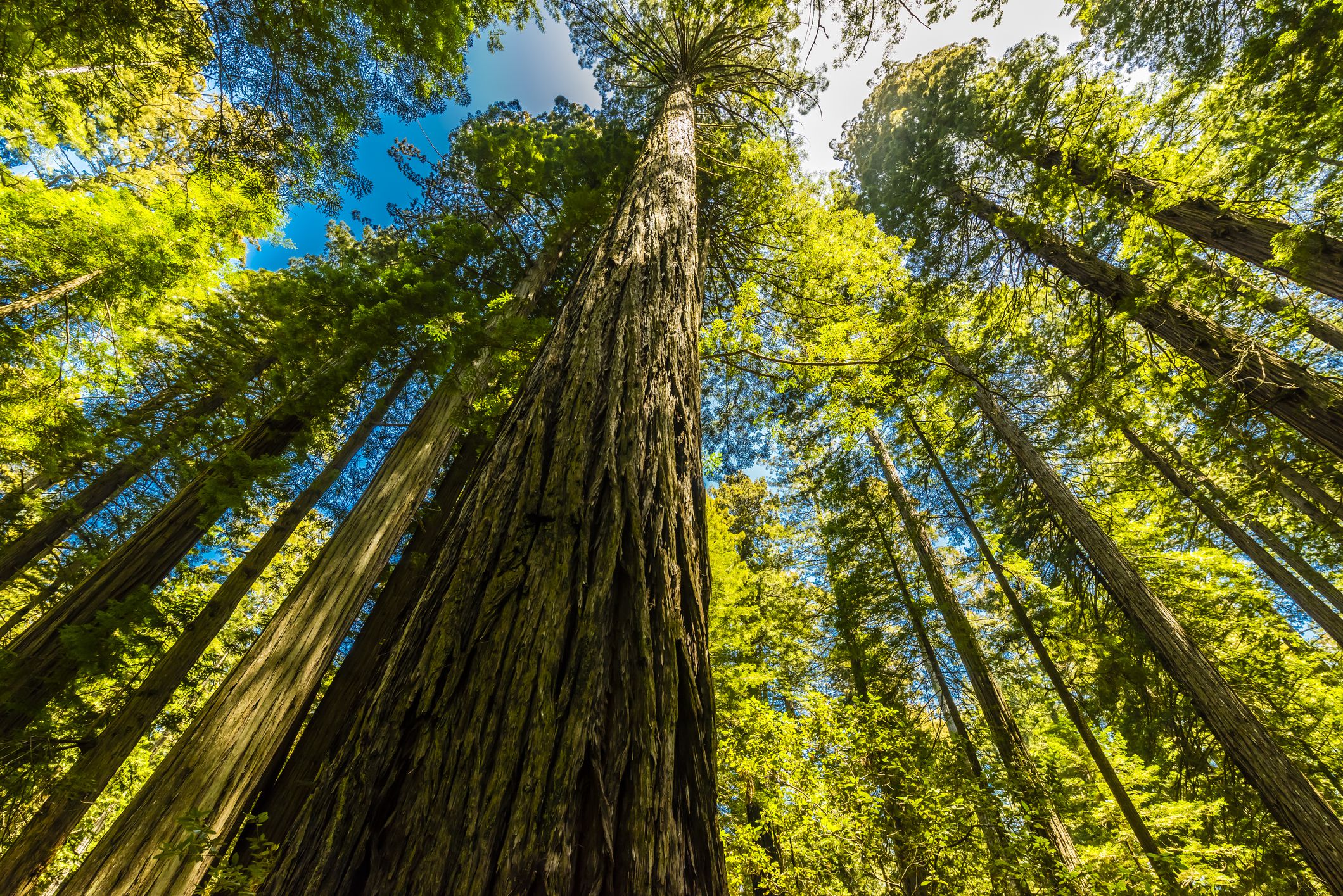
Thousands upon thousands of huge redwoods, Sitka spruce, Sequoias and more.
***
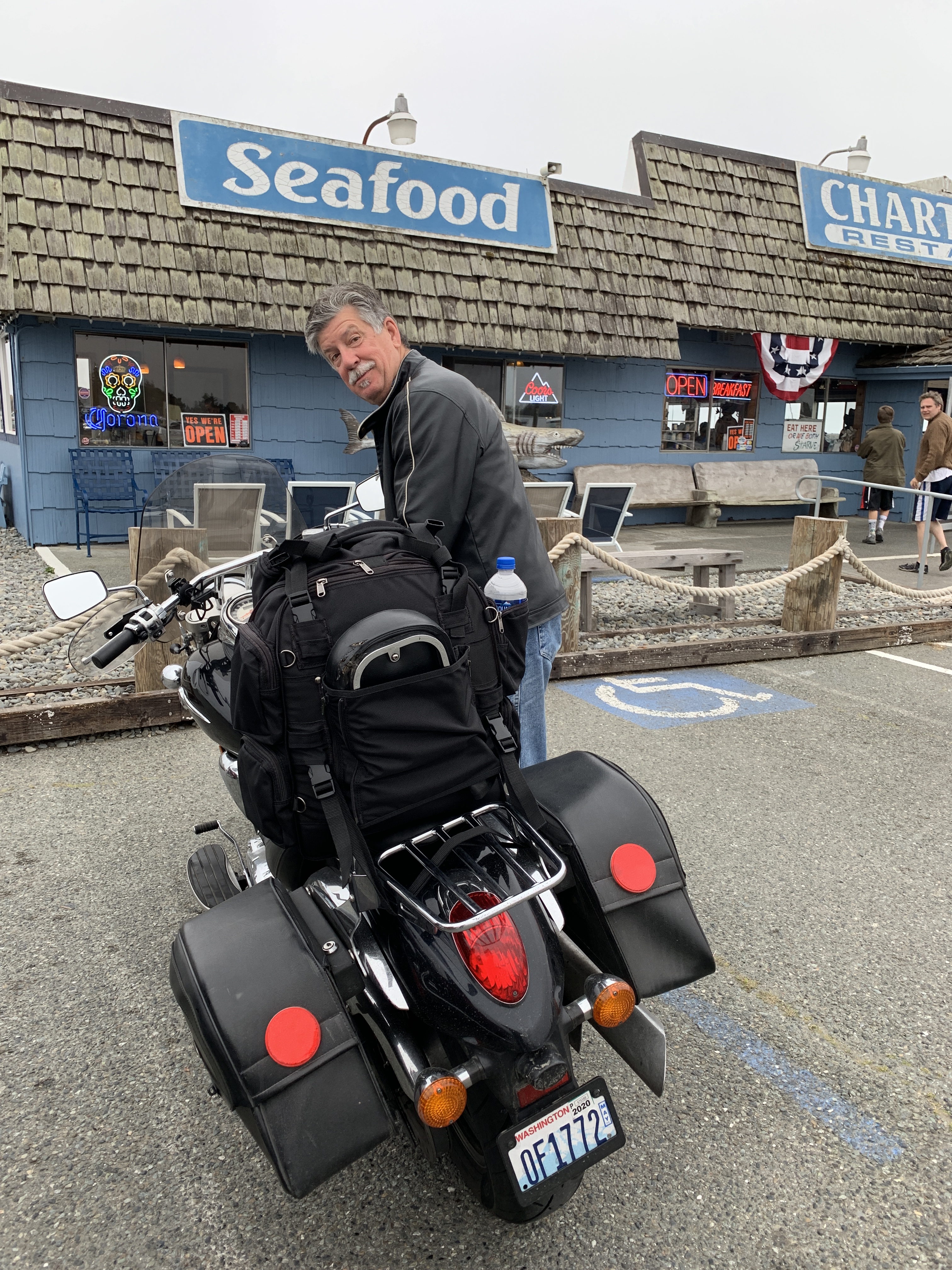
But before we see any trees, we have a goodbye breakfast at the Chart Room restaurant. We’re wishing Randy safe travels as he heads home to Seattle.
Randy prepares for the ride northward.
Table for six.
What is that healthy concoction you’ve got there, Randy? Looks a lot like country fried steak. And ketchup on your canteloupe.
After breakfast, Randy makes final preparations for his voyage north. He’ll be staying in McMinville, Oregon.
The five of us leave Crescent City on US Highway 101, now called the Redwood Highway. That should be a clue of what’s ahead.
In a few miles, we begin riding through the Del Norte Coast Redwoods State Park. About half the 31,000-acre park is old growth forest of Coast Redwoods. It includes eight miles of wild Pacific Coast shoreline.
Here, tall trees meet the sea.
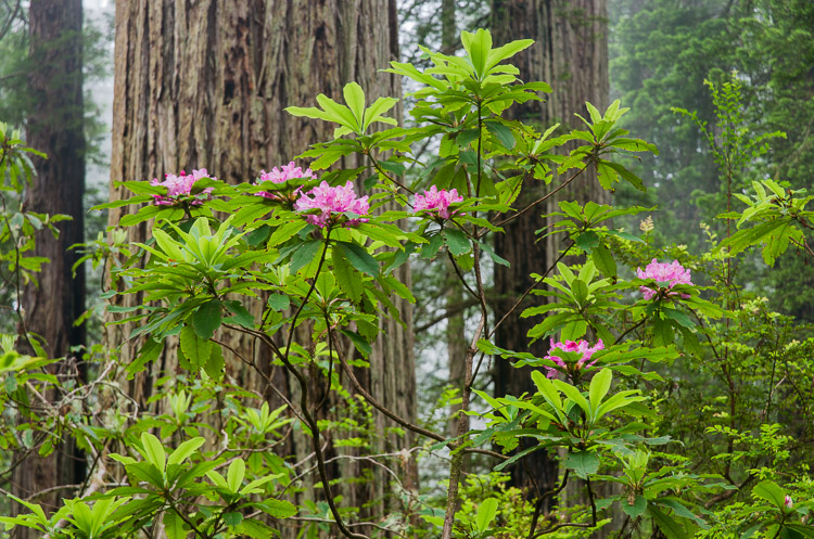
With its often-foggy weather and abundance of rhododendrons, the park is especially photogenic. If you’ve ever seen a picture of huge redwoods in the fog with masses of pink flowers at their bases, it was probably taken here.
Redwoods and rhododendrons, co-existing in Del Norte Coast Redwoods State Park.
The highway takes us to the town of Requa, which lies on the north bank of the Klamath River. Requa is a Yurok word that translates to mouth of the creek.
We cross the Klamath River, and ride south along the eastern edge of the Prairie Creek Redwoods State Park. This 14,000-acre park is a coastal sanctuary for old growth Coast Redwood trees. The park is jointly managed by the California Department of Parks and Recreation, and the National Park Service. Many redwoods in this park reach more than 300 feet in height.
The Prairie Creek Redwoods State Park is part of a complex of several state and national parks along the northern California coast. These combined parks, known as Redwood National Park, contain 139,000 acres of old growth temperate rain forests. Taken together, the parks protect 45 percent of all remaining Coast Redwood old-growth forest.
They are the tallest tree species on Earth.
***
I love trees! Note the photographer’s feet 👍
Trees, written by Joyce Kilmer in 1913, is probably the most quoted poem in American history.
It begins:
I think that I shall never see A poem lovely as a tree.
And it ends:
Poems are made by fools like me, But only God can make a tree.
That’s something to think about, on this day spent mostly among trees.
***
Clam Beach. It looks somewhat different from the road.
Just west of Orick, the highway again runs along the coast for miles, until reaching Clam Beach, named for the plentiful razor clams you can dig for there. The beach at Clam Beach County Park was named California’s most polluted beach in a 2017 study by an environmental nonprofit. Those clams aren’t sounding so good anymore.
We’re routed slightly inland, around Arcata Bay, as we continue south. Arcata, population 18,000, is the home of Humboldt State University, the northernmost site of the 23-campus California State University system. With a student body equaling nearly half the city’s total population, Arcata is a classic example of a traditional college town.
At the southern end of Arcata Bay is the port city of Eureka, the largest coastal city between San Francisco and Portland. Eureka is California’s state motto. It means: I have found it. Those words were probably intended to refer to the discovery of gold in California.
Humboldt Bay is just south of Eureka. Along with Arcata Bay, Humboldt Bay empties into the Pacific Ocean. In Humboldt Bay, you’ll find a state marine recreational management area, and the Humboldt Bay National Wildlife Refuge.
In 1850, Douglas Ottinger and Hans Buhne entered the bay, naming it Humboldt in honor of the great naturalist and world explorer, Alexander von Humboldt. Von Humboldt was a Prussian polymath — a person of wide-ranging knowledge or learning. He was also a geographer, naturalist, explorer and influential proponent of Romantic philosophy and science.
If you have a resume like that, you get to have stuff named after you.
***
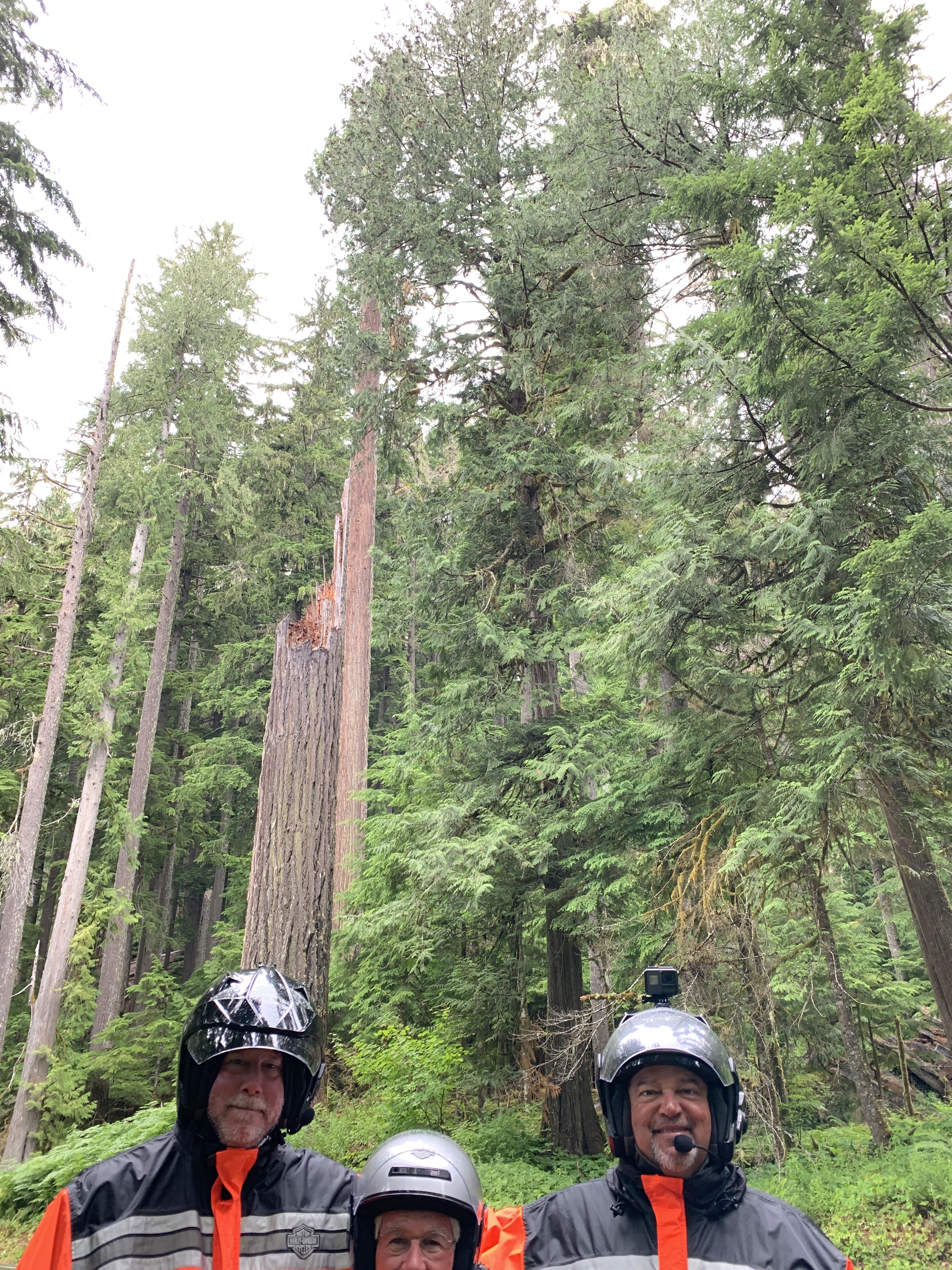
These trees are huge!
We turn inland for several hours. That’s where the really, really big trees are.
We follow the Eel River, first rolling past Fortuna, known as The Friendly City. A few miles down river is Scotia, a once-booming company town founded by the Pacific Lumber Company. Scotia, originally known as Forestville, became Scotia when it was populated by residents originating from New Brunswick and Nova Scotia, Canada. The name Scotia was chosen by a coin toss; the alternative, on the losing side of the coin toss, was Brunswick.
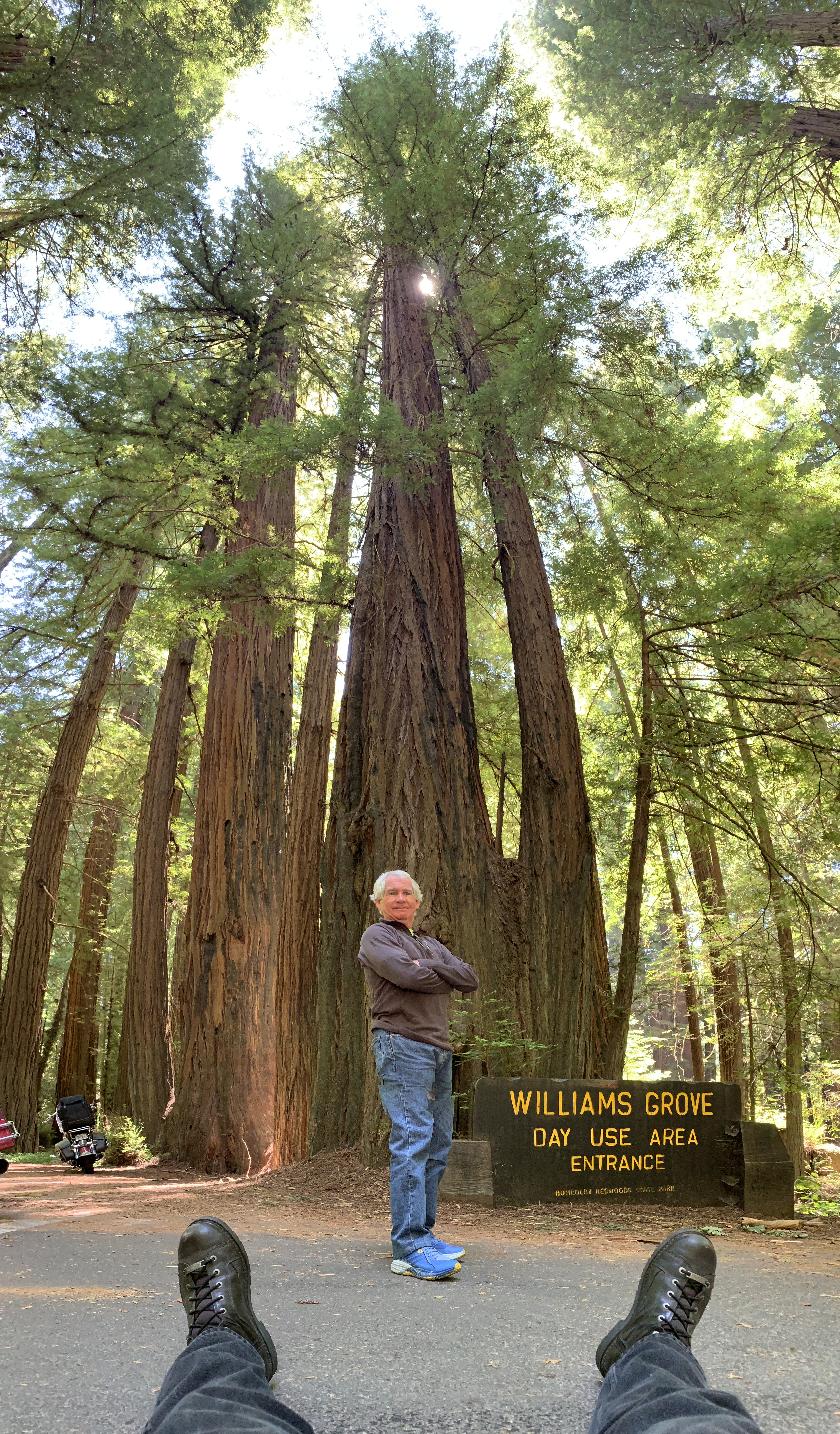
Scotia is only five miles from the north entrance to the Avenue of the Giants, a 31-mile road that’s easily the most scenic drive in the redwoods. The Avenue of the Giants is 51,222 acres of redwood groves.
At the Avenue of the Giants visitor center.
The trees dwarf everything, including our Harleys.
We turn off of Highway 101, and on to California Highway 254, which parallels Highway 101. Highway 254 is called the Avenue of the Giants.
The towering Coast Redwoods on both sides of the road are what give the Avenue of the Giants its name. The redwoods found along the Avenue of the Giants are Coast Redwoods, also called California Redwoods. Sequoia Sempervirens is the official scientific name for the Coast Redwood. The trees grow in a narrow band near the coast of Northern California and Southern Oregon.
Hyperion, the world’s tallest Redwood. It’s believed to be about 800 years old.
As the tallest trees in the world, Coast Redwoods can grow to be more than 360 feet tall. The big ones have names, like Hyperion — at 379 feet, the tallest known Coast Redwood. That’s higher than the Statue of Liberty, including the pedestal.
The root structure for Coast Redwoods is unusually shallow; their roots grow only 6 to 12 feet deep. But the roots spread out as much as 50 feet around the tree, forming a broad base to hold it steady in high winds, and to gather lots of moisture.
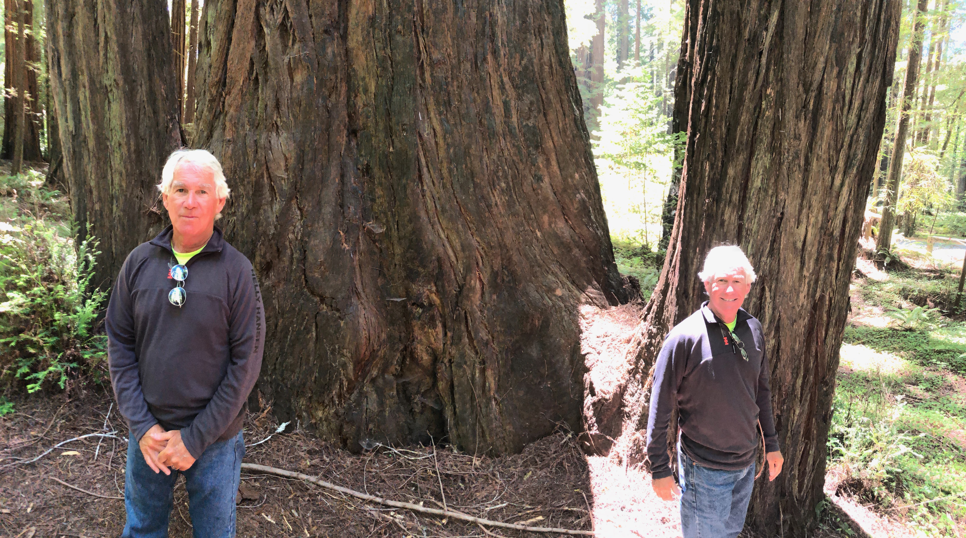
The redwoods make even Dave look tiny.
We’re getting pretty good at this.
And now, a few tree portraits.
Have another.
And another.
And one more.
And finally, a trick shot. John made the magic happen.
We experience the beauty of the redwoods for miles, before exiting the Avenue of the Giants at its southern entrance and returning to Highway 101. From here, it’s just six miles to Garberville, a once-thriving timber town that now has marijuana cultivation as its economic driver.
Garberville is also where we stop to rest, and fill up with gas. We get to fill our tanks all by ourselves!
***
After our rest break, we continue south on Highway 101 to Leggett, 23 miles away. Leggett is home to the Chandelier Drive Thru Tree, part of a privately-owned grove that’s been in the hands of the Underwood family since 1922. The attraction of the Chandelier tree is that you can drive through it, unless you have a motor home, or are pulling a large trailer. The name Chandelier Tree comes from its unique limbs that resemble a chandelier.
The Chandelier tree is 275 feet tall, 58 feet in circumference, 21 feet in diameter. The tree’s opening, which is 6 feet wide by 6 feet 9 inches tall, was cut in the mid-1930s. Cars have been driving through it ever since, and paying for the privilege. Ten dollars a car. Unclear whether there are Harley discounts.
A number of tall trees in California were similarly opened up for cars to drive through, mostly in the late 1880s and early 1900s. The tree tunnels were cut to stimulate car tourism, a new concept at the time. The men who were paid $75 to cut tunnels in the trees did not know or care about the damage they were inflicting. Because of the damaging effects of carving through trees, the practice of creating tunnel trees has long passed.
***
On Highway 1, the temps drop, and John adjusts accordingly.
In Leggett, we turn southwest onto California Highway 1, which we’ll be on for the duration of our visit to California. The road, known here as the Shoreline Highway, becomes super twisty as it winds its way to Rockport, about 20 miles away.
Rockport, which began as a small company town serving the timber industry, is regarded as the southern end of the Lost Coast Region. The Lost Coast is a mostly natural and undeveloped area of California’s North Coast. It was named the Lost Coast after the area lost its population base in the 1930s. In addition, the steepness of the coastal mountains made this stretch of coastline too costly for highway and road builders to establish routes through the area, leaving it the most undeveloped and remote portion of the California coast.
Final roadside stop on Highway 1 before heading to Fort Bragg.
There are five miles of twists and turns between Rockport and Hardy, named for R.A. Hardy, who owned a wharf nearby. The town at one time had a mill and a large hotel. There’s nothing here today other than memories.
Hardy is where we resume our ride along the Pacific Ocean. The Shoreline Highway hugs the coastline until we get to Inglenook, where the roadway is a mile from the beach because it has to go around the MacKerricher State Marine Conservation Area, a state park with nine miles of coastline. The park is named after Duncan and Jessie MacKerricher, who moved to the area from Canada in 1864. They hired a staff of native people to work on their ranch, which produced butter, potatoes, and draft horses. In 1949, their descendants sold the MacKerricher property to the state of California, which made it a state park.
MacKerricher Park is only three miles from tonight’s destination, Fort Bragg. The city was founded, before the Civil War, as a military garrison. It was named for Braxton Bragg, who later became a general in the Confederate Army.
There’s no military presence today in Fort Bragg, California. The much better known Fort Bragg, is in North Carolina. It’s all about the military. Also named for Braxton Bragg, North Carolina’s Fort Bragg is the largest military installation in the world, with more than 50,000 active duty personnel.
Fort Bragg, North Carolina, trivia: Actress Martha Raye is buried in Fort Bragg, in commemoration of her work with the USO during World War II and Vietnam.
Fort Bragg, California trivia: Five old guys on motorcycles are hungry and could use a seafood dinner.
So we stop at a Mexican restaurant and John has something sweet for dessert.
***
Day Sixteen Summary: It’s hug-a-tree day.
Click here to see today’s complete route from Crescent City, California, to Fort Bragg, California.
We’re on our way home, eh?
Vroom, vroom.
***
Today’s Canada Fun Fact, eh? John Cabot was the first explorer to reach Canada. In 1497, after sailing by sea from Bristol, England, he arrived in what is believed to be modern-day Newfoundland. He made a claim to the North American land for King Henry VII of England. Cabot sailed on the ship Matthew with a crew of 18 men. Cabot, originally from Venice, Italy, was born Giovanni Caboto.
John Cabot was the first explorer to reach Canada, arriving in what’s believed to be modern-day Newfoundland.
Today’s blog post could easily be written in 17 words: Riding south on Highway 101 for 215 miles along the Oregon coast. Arriving in Crescent City, California.
Done.
Except I’m incapable of being that terse. There’so much to see. And so much to say.
So, let the riding, and the writing, begin.
***
At Yaquina Bay. So many lighthouses in Oregon!
Just north of Yaquina Bay, we pass the historic Yaquina Bay Lighthouse. It’s believed to be the oldest structure in Newport, and the only existing Oregon lighthouse with the living quarters attached.
The Yaquina Bay Lighthouse was built in 1871, decommissioned three years later, then officially restored in 1996 as a privately maintained aid to navigation. Its light, which shines with a steady white light from dusk to dawn, is 161 feet above sea level.
Lighthouses are beautiful and fascinating historical buildings. With the advent of GPS and modern navigational technology used on ships, you’d think the people who maintain the buildings would let the beacons go dim, rather than continue pursuing an obsolete technology.
But to many mariners and even to the US Coast Guard, lighthouses are still a useful guide. An estimated 60 to 70 percent of the country’s 800 or so lighthouses are still active today. It’s hard to get a precise number, because lighthouses are divided among private owners, non-profits and the government.
Most ships and boats have GPS of some sort. But technology fails from time to time. That’s why mariners and fishermen still use lighthouses as a backup to their electronic equipment, sort of like double-checking the street signs while driving with GPS.
Except for low-tech Randy, our bikes are equipped with modern nav systems; in some case, the guidance comes from a phone lashed to the handlebars. If there’s a failure, we won’t rely on a nearby lighthouse; we’ll just radio a fellow posse member and ask for directions.
***
The Yaquina Bay Bridge is one of 14 bridges on Highway 101 designed by the same engineer.
The bridge could be copied. John can’t.
We pass the Yaquina Bay Lighthouse, and cross over the Yaquina Bay Bridge. The bridge, designed by engineer Conde McCullough, was inspired by the Art Deco era. The Yaquina Bay Bridge, built with concrete and steel arches, is one of the most recognizable of the 14 bridges on US Highway 101 that McCullough designed.
Past the bridge, we ride past the Yaquina Bay Shellfish Preserve, and then roll by South Beach State Park, believed to be birthplace of the South Beach diet. There are no fat people here.
The community of Seal Rock, just ahead of us, is named for Seal Rocks, a ledge of partially submerged rocks that parallel the shore for about two miles. At one time, hundreds of seals and sea lions rested on these rocks.
A few miles south of Seal Rock is Bayshore, which sits across Alsea Bay from Waldport. Waldport has an Ace Hardware, a Chevron station, a Mormon church and a liquor store – but is most well known for an incident that happened in September 1975.
That’s when self-proclaimed prophet Marshall Applewhite gave a lecture in Waldport on UFOs, attended by about 150 people. In the following days, an estimated 20 residents, nearly one out of 30 people who lived in Waldport, abandoned their homes and possessions and joined Applewhite’s cult, Heaven’s Gate.
In March 1997, the bodies of 39 members of the Heaven’s Gate cult – including Applewhite – were found dead in a house in Rancho Santa Fe, California. They apparently had participated in a mass suicide, in order to reach what they believed was an extraterrestrial spacecraft following the Hale-Bopp Comet.
In Reedsport, we stop at Dairy Queen, and John has a cone.
***
Ten miles south of Waldport is Yachats, whose name comes from the Siletz language and means “dark water at the foot of the mountain.”
In 2011, Arthur Frommer, founder of Frommer’s Travel Guides, listed Yachats as one of his top 10 favorite vacation destinations in the world. And, in 2007, Budget Travel magazine named Yachats one of the Ten Coolest Small Towns of the U.S.A. As guys who are into budget travel, we should appreciate all that Yachats has to offer. For an updated list of Budget Travel’s 10 Coolest Small Towns in America, here you go.
Yachats, with a population of around 700, has a number of annual cultural events worth noting. The Yachats la de da Parade is held each July 4 at noon. Some of the regular entries include the Yachats Umbrella Drill Team, a belly dancing troupe, and a Yachats Fire Department truck accompanied by Dalmatian miniature goats.
The Yachats Umbrella Drill Team, showing off in a recent Yachats la de da Parade.
If you come back in November, you can attend the Yachats Celtic Music Festival, a four-day event that this year will include Cassie and Maggie MacDonald, Nuala Kennedy and Eamon O’Leary, and Gillian Boucher and Bob McNeill.
Only a few miles south of Yachats along Highway 101 is Cape Perpetua, a large forested headland that’s part of the Siuslaw National Forest. At its highest point, Cape Perpetua rises to over 800 feet above sea level. The cape was named by Captain James Cook in March 1778, as he searched for the Pacific entrance to a Northwest Passage. Cook named the cape Perpetua because he discovered it on St. Perpetua’s Day.
For his efforts, a small point a few miles south of Cape Perpetua was named after him: Captain Cook Point.
***
The Heceta Head Lighthouse, one of Oregon’s most photographed.
Highway 101 closely follows the coastline for another 10 miles until we come to the Heceta Head, site of one of Oregon’s most photographed lighthouses. The structure is 56 feet tall, but because it’s placed on a bluff, the lighthouse stands 205 feet above sea level.
That’s the Heceta Head Lighthouse, off in the distance. What’s up with the green rock?
John and Bert have their moment in the sun, at a vista point overlooking the Heceta Head Lighthouse.
Hey Scott … what exactly are you doing?
Heceta Head Lighthouse was named after Spanish explorer Bruno de Heceta, who discovered the area. Heceta Island in Alaska is also named after him. Visiting Heceta Head Lighthouse is named by Trip Advisor as the number one thing to do in the area.
Less than a mile south of Heceta Head is Sea Lion Caves, a connected system of sea caves and caverns that’s believed to be America’s largest. Sea Lion Caves is where Steller sea lions and their cubs take shelter each year. It’s said to be one of the great sea grottos of the world, comparable in size and coloration to the famed Blue Grotto in the Mediterranean.
Sea Lion Caves is a privately owned wildlife preserve and bird sanctuary. Crassly, to get to Sea Lion Caves, you enter through a gift shop, pay a $14 entry fee, and walk down to the ocean. Parking is free!
Ten more miles down Highway 101, we roll through Florence, which sits at the mouth of the Siuslaw River. Florence is at the northern end of the Oregon Dunes National Recreation Area. The dunes are the largest expanse of coastal and sand dunes in North America, some reaching as much as 500 feet above sea level. They’re the product of millions of years of erosion by wind and rain on the Oregon Coast. Frank Herbert’s science-fiction novel Dune was inspired, in part, by the author’s research and fascination with the area.
The Oregon Dunes National Recreation Area has some serious sand.
***
Near the southern end of the Oregon Dunes Recreational Area, we cross the Umpqua River and roll into the city of Reedsport. It was named for a local settler, Albert Reed, who founded the city in 1912.
At the mouth of the Umpqua River, just off the Pacific Ocean, is the 65-foot high Umpqua River Lighthouse, the first on the Oregon Coast. In 1851, Congress appropriated $15,000 for the Umpqua River Lighthouse. It was opened for navigational use in 1857.
We cross over Coos Bay, and in North Bend, turn west to follow the Cape Arago Highway. This takes us through Barview, which is what one apparently sees late at night after too many beers.
In Barview, we don’t even see the Cape Arago Lighthouse. It can only be viewed from afar, and that’s exactly how we’ll see it (or not). The lighthouse sits 100 feet above sea level, on an islet off Gregory Point. Cape Arago is Oregon’s newest lighthouse, built in 1934. It was officially deactivated in 2006.
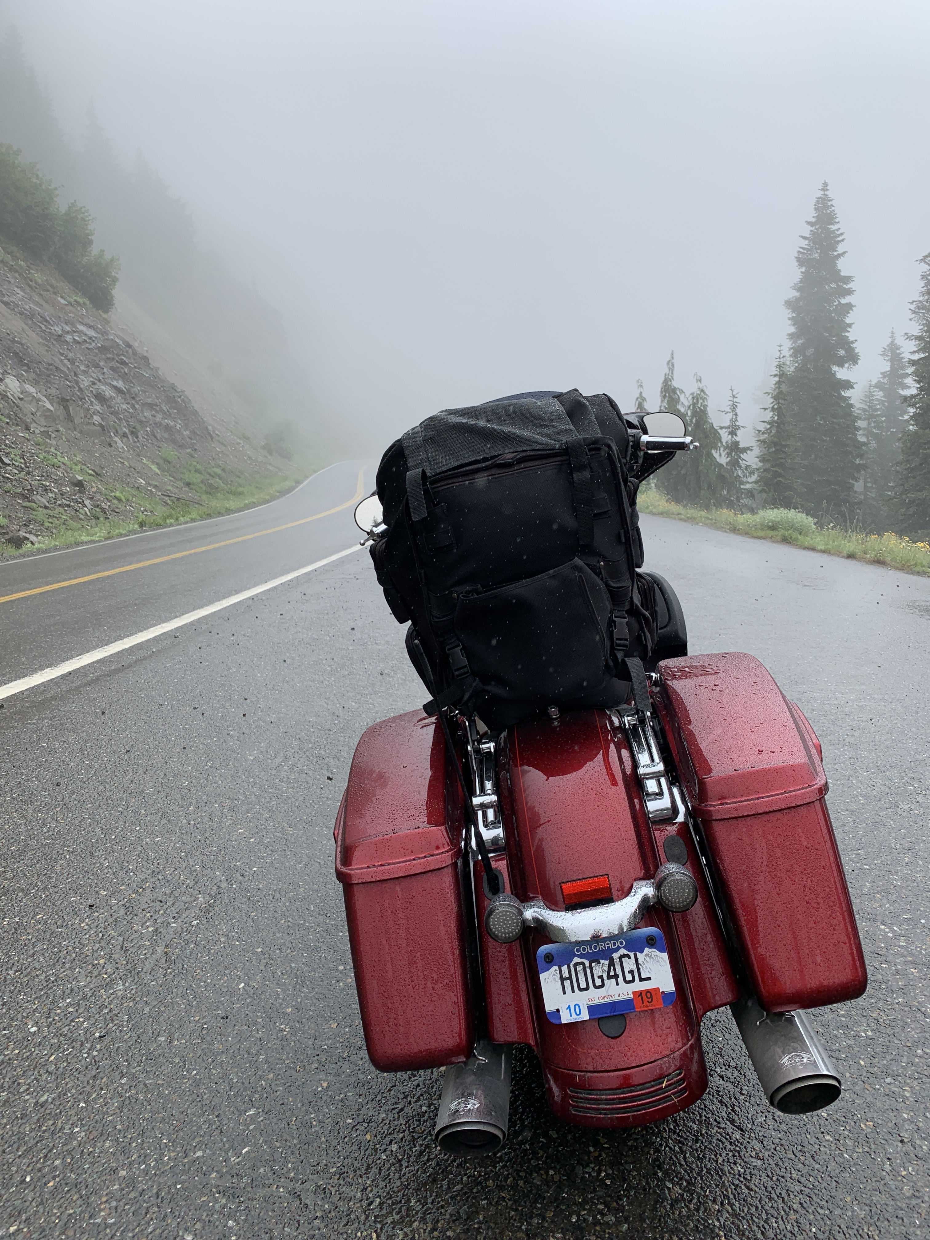
My Harley, with a nice morning view.
The South Slough National Estuarine Research Reserve is ahead. It’s a 4,770-acre reserve located on Coos Bay Estuary. The National Estuarine Research Reserve System is a network of 29 protected areas established by partnerships between the National Oceanic and Atmospheric Administration and coastal states. The National Estuarine Research Reserve System protects more than 1.3 million acres of coastal and estuarine habitats for long-term research, water-quality monitoring, education, and coastal stewardship.
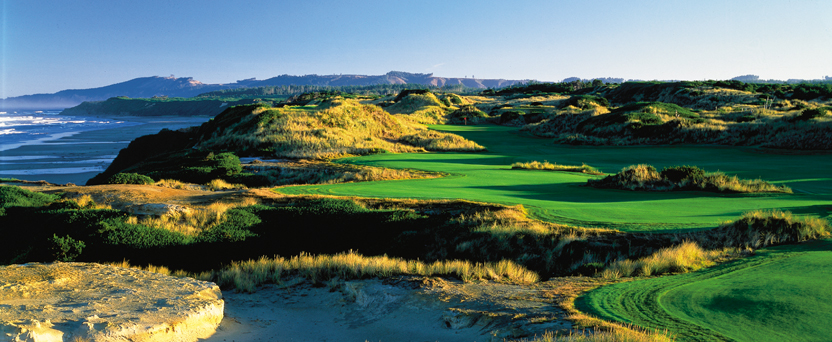
Bandon Dunes is a spectacular setting for seaside golf, with world-class design.
We return to Highway 101. About a mile west is the most sought-after golf complex in the US, maybe even in the world: Bandon Dunes Golf Resort. Self-branded as Golf As It Was Meant to Be, Bandon Dunes includes five seaside courses: Bandon Dunes, Pacific Dunes, Bandon Trails, Old MacDonald, and a 13-hole par-three course: Bandon Preserve.
A sixth course, called Bally Bandon Sheep Ranch, is under construction, and expected to open for play in 2020. The Sheep Ranch, designed by Bill Coore and Ben Crenshaw, should be quite spectacular. With a mile of coastline to work with, nine of the 18 greens will be directly on 100-foot cliffs overlooking the Pacific Ocean.
Just south of Bandon Dunes, we cross over the Coquille River and almost see, off in the distance, the Coquille River Lighthouse. The lighthouse was built in 1895 to mark the entrance to the Coquille River and help mariners get past the ever-shifting sand bars. The light would also serve as a coast light for vessels heading up and down the Pacific Ocean. It’s been deactivated since 1939.
With nothing to guide us other than our own instincts and GPS, we roll into the town of Bandon and stop for gas. Here in Coos County, the population is around 64,000. Highly unlikely we’ll be pumping our own gas today.
In Bandon, after gassing up, John chats with Nindy, a rider friend from Portland.
Randy has a full tank and is ready to ride.
We’re all ready to ride.
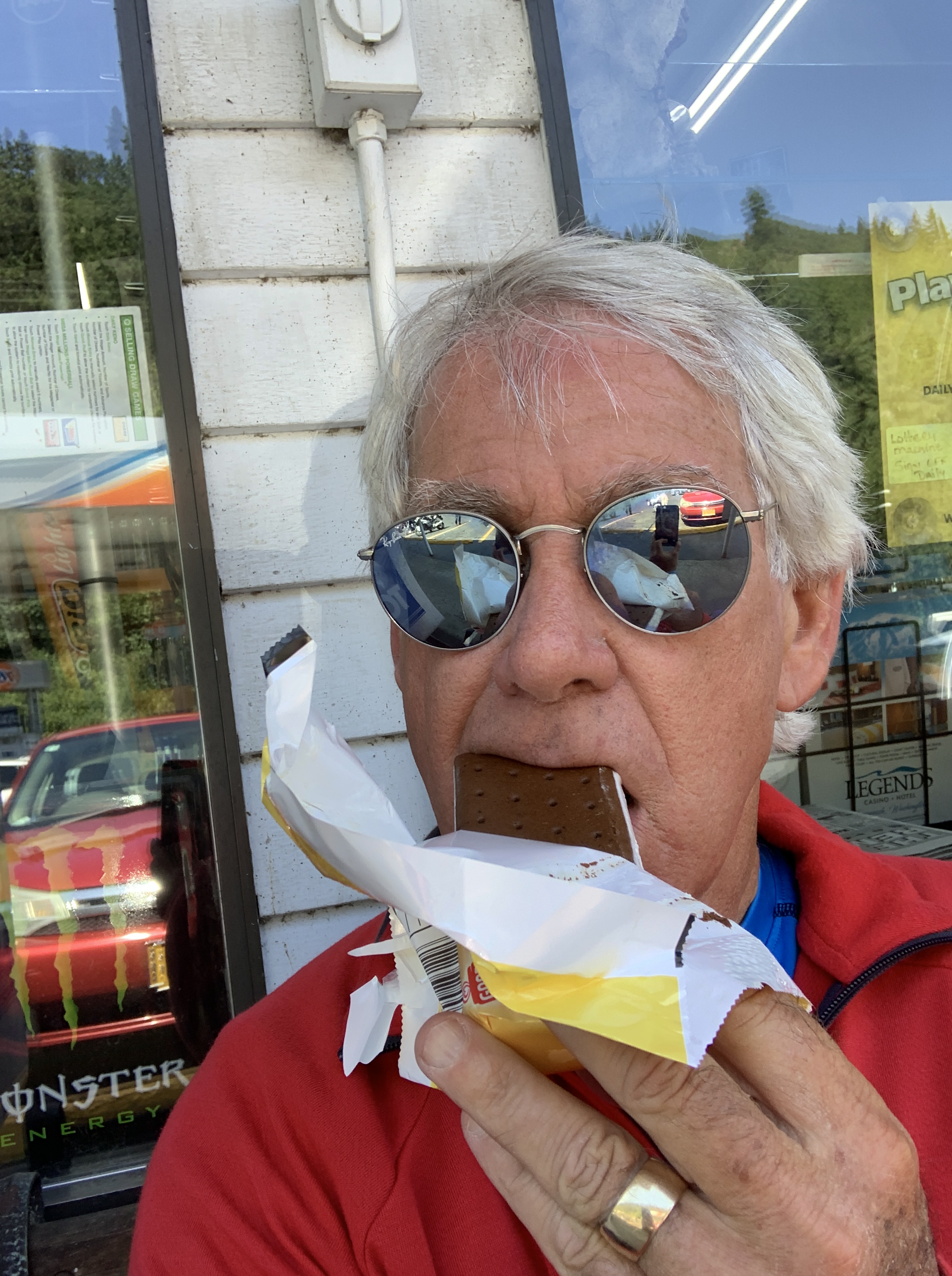
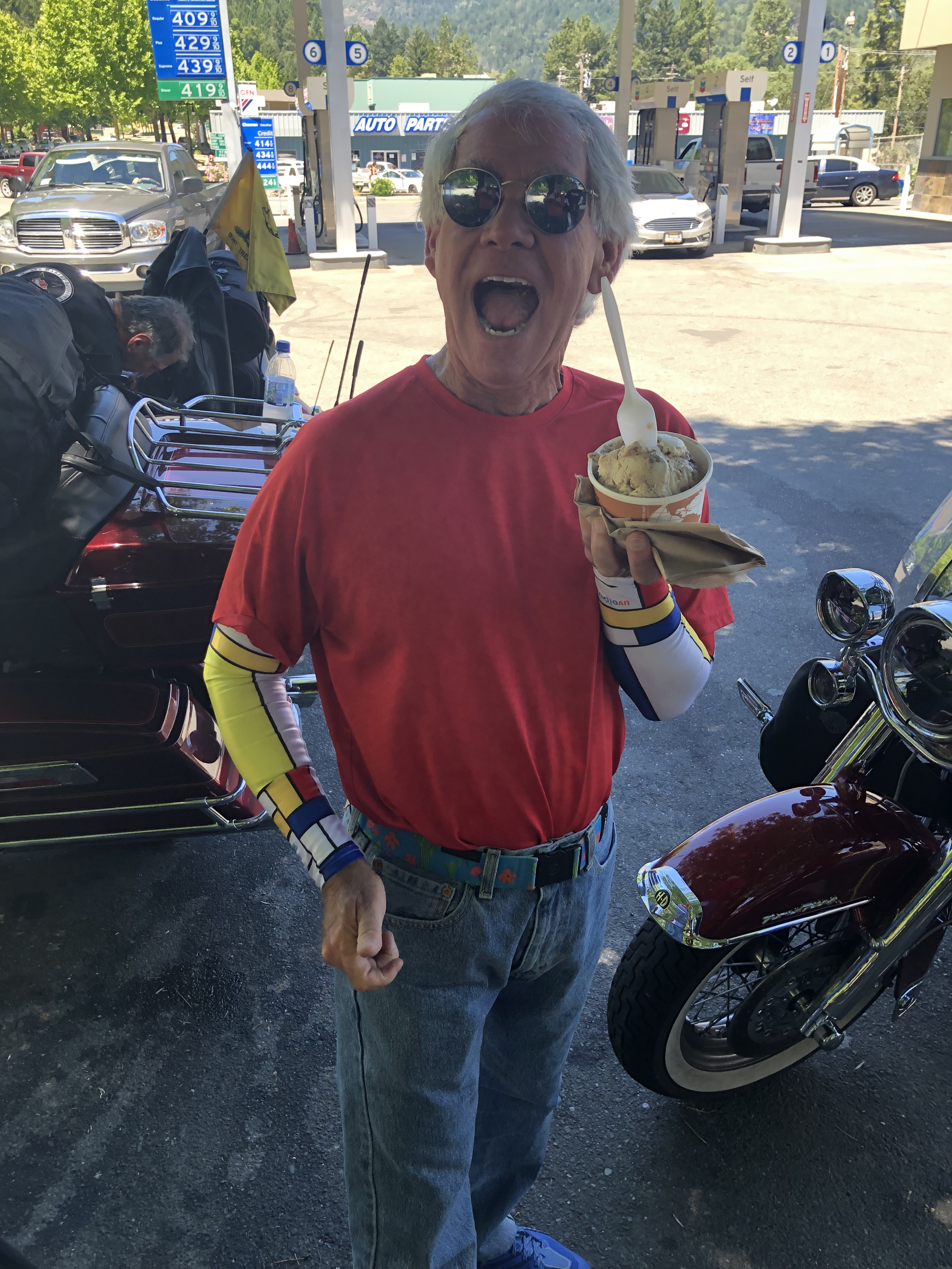
Like me, John enjoys his ice cream.
***
From Bandon, Highway 101 continues south, though for the next 27 miles, the road strays from the coastline.
A few miles inland, we pass through Denmark.
One of my favorite cities: Copenhagen, Denmark
Denmark, Oregon, actually. That’s notable to me because Sarah and I were married in Dragør, Denmark – just outside Copenhagen – and I speak a little Danish.
Jeg taler om lidt dansk.
Denmark, Oregon, was founded by first-generation Danes who developed a profitable dairy industry in the area. In 1915, the community had a sawmill, a cheese factory, a creamery and a public school.
Today, it has nothing.
I dag, det har ikke noget.
***
The Cape Blanco lighthouse, Oregon’s oldest.
We’re far enough from the coast that we miss Floras Lake State Natural Area and Cape Blanco State Park, each by a few miles. At the western end of Cape Blanco State Park is the Cape Blanco lighthouse. It sits 256 feet above sea level. The lighthouse was built in 1870, making it the oldest standing lighthouse in Oregon.
We stop in Gold Beach for snacks.
Snacking in Gold Beach.
Let’s finish up those snacks and hit the road.
As the highway continues south, we finally link up with the Pacific again in Port Orford. Port Orford takes its name from George, Earl of Orford, a friend of explorer George Vancouver. As the oldest town on the Oregon coast, Port Orford is the westernmost settlement in Oregon, and the westernmost incorporated place in the lower 48. That’s a lot of superlatives.
We roll through Humbug Mountain State Park, dominated by 1,756-foot Humbug Mountain. Hiking to the top of the mountain is a favorite activity in the park.
Highway 101 stays quite close to the ocean as we head south from Humbug Mountain. In Wedderburn, we cross the Rogue River and head toward Kissing Rock, a rock formation that looks more like a shark fin than a kiss. Lore has it that the name comes from the area’s reputation as a place where teenagers gathered to lock lips.
Pistol River State Scenic Viewpoint. Scenic, just as advertised.
Pistol River State Scenic Viewpoint is next in our sights. It’s a park set in the dunes. The Pistol River supposedly got its name when a militia soldier lost his pistol in the river during the infamous Rogue River Indian War.
We soon enter the Samuel H. Boardman State Scenic Corridor, a 12-mile long, ocean-hugging stretch of highway that features scenic viewpoints, picnic areas and trailheads. It’s named in honor of Samuel H. Boardman, Oregon ‘s first Parks superintendent.
Brookings, a city of about 6,500, is just ahead, on the Chetco River. The city was named after John E. Brookings, president of the Brookings Lumber and Box Company, which founded the city in 1908. In Brookings, we cross the Chetco River.
On September 9, 1942, Mount Emily (near Brookings) became the first site in the mainland United States to be bombed during World War II. A Japanese floatplane piloted by Nobuo Fujita was launched from a submarine. The plane was armed with incendiary bombs on a mission to start massive fires in the dense forests of the Pacific Northwest. The attack caused only minor damage.
Fujita was invited back to Brookings in 1962, long after the war’s end. He presented the town his family’s 400-year-old samurai sword in friendship, after the Japanese government was given assurances that he would not be tried as a war criminal.
Brookings made Fujita an honorary citizen, several days before his death in 1997.
***
The Pelican Bay lighthouse, one of the newest in the US.
Just south of Brookings, we pass Oregon’s southernmost lighthouse. It’s known as the Port of Brookings lighthouse, sometimes called the Pelican Bay lighthouse. Whatever you call it, the lighthouse stands 141 feet above sea level. It’s one of the newest lighthouses in the US. The Coast Guard commissioned it as a private aid to navigation in 1999.
Five miles from the lighthouse, we cross into California, between Crissey Field State Recreation Site (Oregon) and Pelican State Beach (California).
We’ll be filling our own gas tanks from now on, without any help!
It’s 30 more miles to tonight’s destination, Crescent City. I can make it that far on a half-gallon of gas.
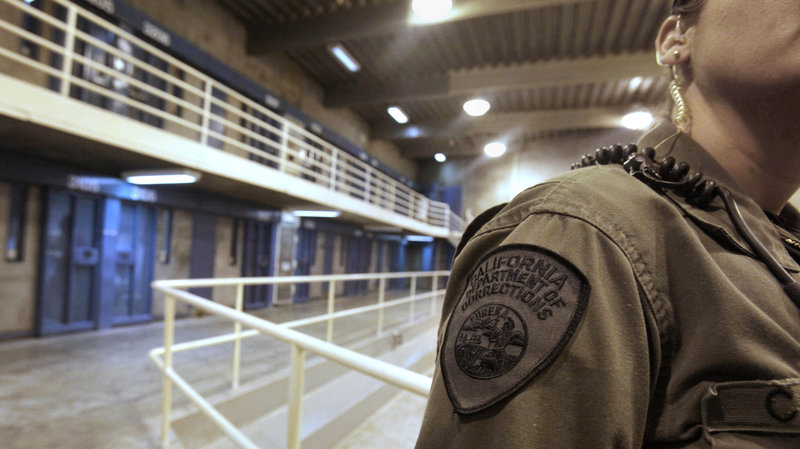
We cross the Smith River, and roll past Pelican Bay State Prison, California’s only supermax site. The prison’s primary purpose is to house the “worst of the worst” violent male prisoners from the California state prison system; 40 percent of the prison’s 2,700 inmates are serving life sentences and nearly all have histories of violence at other California prisons that resulted in their transfer to Pelican Bay. There’s a Greyhound Bus station just outside the prison’s entrance.
Inside Pelican Bay.
Pelican Bay is a badass place that you don’t want to get anywhere near. A half-mile off Highway 101 is as close as we get.
After about five hours of riding, nearly all of it on Highway 101, we pull into Crescent City and call it a day.
***
Day Fifteen Summary: Lighthouses galore, an American Denmark, weirdness in Waldport.
Click here to see today’s complete route from Newport, Oregon, to Crescent City, California.
We’re on our way home, eh?
Vroom, vroom.
***
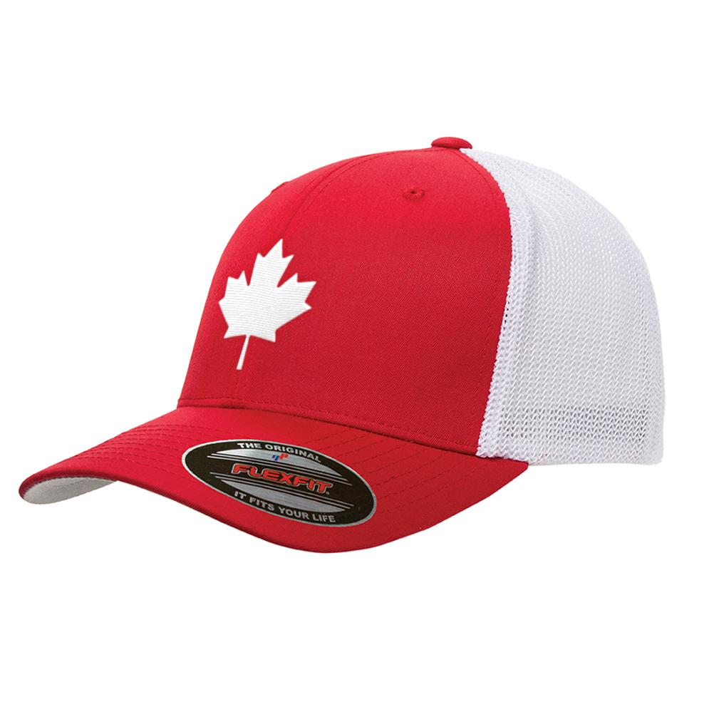
Today’s Canada Fun Fact, eh? The National Flag of Canada came into being in 1965 to replace the Union Jack. It is an 11-pointed red maple leaf on a white square. The flag made its first official appearance on February 15, 1965; the date is now celebrated annually as National Flag of Canada Day. The maple leaf symbolizes unity, tolerance and peace.
The maple leaf can be found all sorts of places, from the Canadian flag, to trucker hats.
For the next five days, we’ll be making our way down the Pacific coast in Washington, Oregon, and California. We’ll be mostly on US Highway 101 and California Highway 1 – the Pacific Coast Highway.
Because of our proximity to the ocean, there should be a lot of seafood involved – at least in the evenings. For breakfast, we can still expect to see an occasional chicken fried steak, or country fried steak, as the foodies call it.
Today’s ride is 243 miles, from Aberdeen to Newport, Oregon. Should take us about five and a-half hours, according to Google Maps, which is seldom wrong.
We begin by riding south on Washington Highway 105, along Grays Harbor, a 17-mile long bay that flows into the Pacific Ocean. Grays Harbor is named after Captain Robert Gray, who discovered and entered it in May 1792, while making fur trading voyages along the north Pacific coast.
What was the composition of his body? Gray’s Anatomy.
Fishing is top dog in this region. Marinas are full of large commercial fishing fleets. The biggest one is at Westport, which is at the end of Highway 105, on a peninsula at the entrance to Grays Harbor.
If you like to go out on recreational charter fishing boats in the topsy-turvy Pacific Ocean and puke your guts out, this is the place for you. The water here is not for sissies.
Worshipping the porcelain gods, at sea. It happens.
Still, if you’re game, there’s a lot of tuna to be caught on boats leaving from Westport. You’ll be fishing 25 to 60 miles offshore. Westport charters land nearly 90 percent of Washington’s sport albacore catch. Costs are a bit more than tuna in a can: $400 per person, plus tips and extra for fish cleaning if that’s how you roll.
Remember to stop at Walgreens and pick up some Dramamine, or a similar motion sickness product.
Tuna excursions depart around sunrise, and are gone around 10 hours – dock to dock. That’s almost twice as long as we’ll be in the saddle today.
***
Just below Westport, we turn south on Highway 105.
We pass through Grayland, North Cove, and ride slightly past Tokeland. There must have been a few joints smoked there over the years. One of the best references to toking comes from the Steve Miller Band: “I’m a joker, I’m a smoker, I’m a midnight toker.”
Steve Miller. He’s a joker, a smoker, and a midnight toker.
Turns out Tokeland is named after Chief Toke, who came from Chinook and Chehalis stock, and spent summers in the area that now bears his name.
Highway 105 hugs the shore of Willapa Bay. With more than 260 square miles of water surface, Willapa Bay is the second-largest estuary on the Pacific Coast.
By the time we get to Raymond, a once-booming fishing and logging town, Willapa Bay becomes Willapa River. In very recent years, Raymond has seen an influx of marijuana manufacturing, in part because of Initiative 502, passed by Washington voters in 2012. The initiative legalized the recreational use of marijuana. Maybe Tokeland isn’t so wrongly named.
Everybody loves Raymond. Especially Randy. Here he is, in Raymond.
As Randy well knows, Everybody Loves Raymond. That was a play on words. If you missed it on Randy’s bio, posted on this blog, he was a long-time first assistant director on the hit TV sitcom, Everybody Loves Raymond.
We stopped in Raymond for a rest, and, well, because it’s Raymond.
In Raymond, we cross the Willapa River on the Park Avenue Bridge (twice!), then rejoin US Highway 101 South. We’re riding right along Willapa Bay, through the Bone River Natural Area Preserve, and the Niawiakum River Natural Area Preserve. These two preserves are part of an intact tidal river system that contains some of the best remaining salt marsh systems in Willapa Bay.
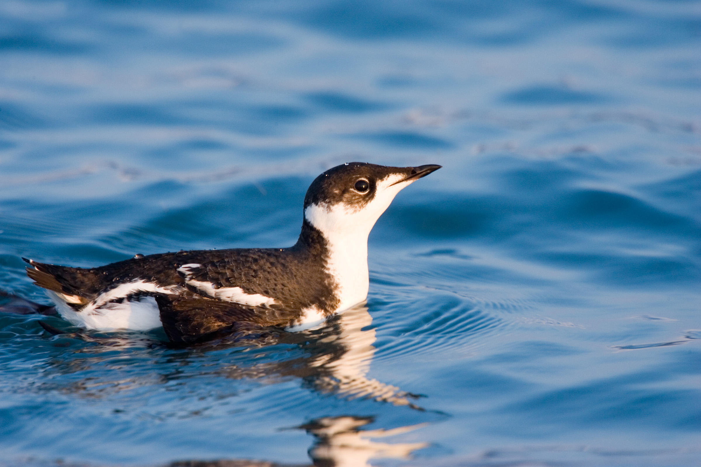
Highway 101 follows Willapa Bay, through the town of Nemah, then along the Willapa National Wildlife Refuge – 11,000 acres of sand dunes, beaches, mudflats, grasslands, saltwater and freshwater marshes, and coniferous forest. The refuge is home to a wide variety of wildlife, including Roosevelt elk, black bear, and shorebirds. You’ll also find several endangered and threatened species including the snowy plover, brown pelican, and marbled murrelets.
Until doing research for today’s blog post, I’d never heard of a murrelet. I would have guessed it’s a small Murr, like Sarah. Turns out I’m wrong. A murrelet is a dove-sized seabird that nests in old-growth forests.
The marbled murrelet, a member of the auk family, is considered globally endangered.
A marbled murrelet. Endangered, and worth saving.
***
At the southern end of Willapa Bay, we approach Cape Disappointment State Park. Cape Disappointment is a headland located at the extreme southwest corner of Washington, on the north side of the Columbia River Bar. The cape got its name in 1788 by British fur trader John Meares. After a storm, Meares turned his ship around just north of the cape and therefore just missed discovering the Columbia River.
How disappointing.
Cape Disappointment receives about 2,500 hours of fog a year, the equivalent of 106 days – making it one of the foggiest places in the US. It has twice as many foggy days as San Francisco’s notoriously foggy Golden Gate.
The US Coast Guard Station at Cape Disappointment is renowned for operating in some of the roughest sea conditions in the world. It’s home to the National Motor Lifeboat School, the only school for rough weather and surf rescue operation in the US.
We’re now riding along the mouth of the Columbia River, toward the bridge that will take us south into Oregon. This area is known as the Columbia Bar. The bar is where the river’s current dissipates into the Pacific Ocean, often as large standing waves.
The Columbia River Bar is a major marine coastal hazard. Since 1792, about 2,000 large ships have sunk, in and around the Columbia Bar. It’s no wonder that the mouth of the Columbia River is known as the Graveyard of the Pacific.
The Columbia River Bar is so challenging to navigate that ship pilots earn an average annual salary of $214,000. That may sound good, but their peers in San Francisco and the Puget Sound earn between $387,000 and $450,000 a year. Nice pay for driving a boat around.
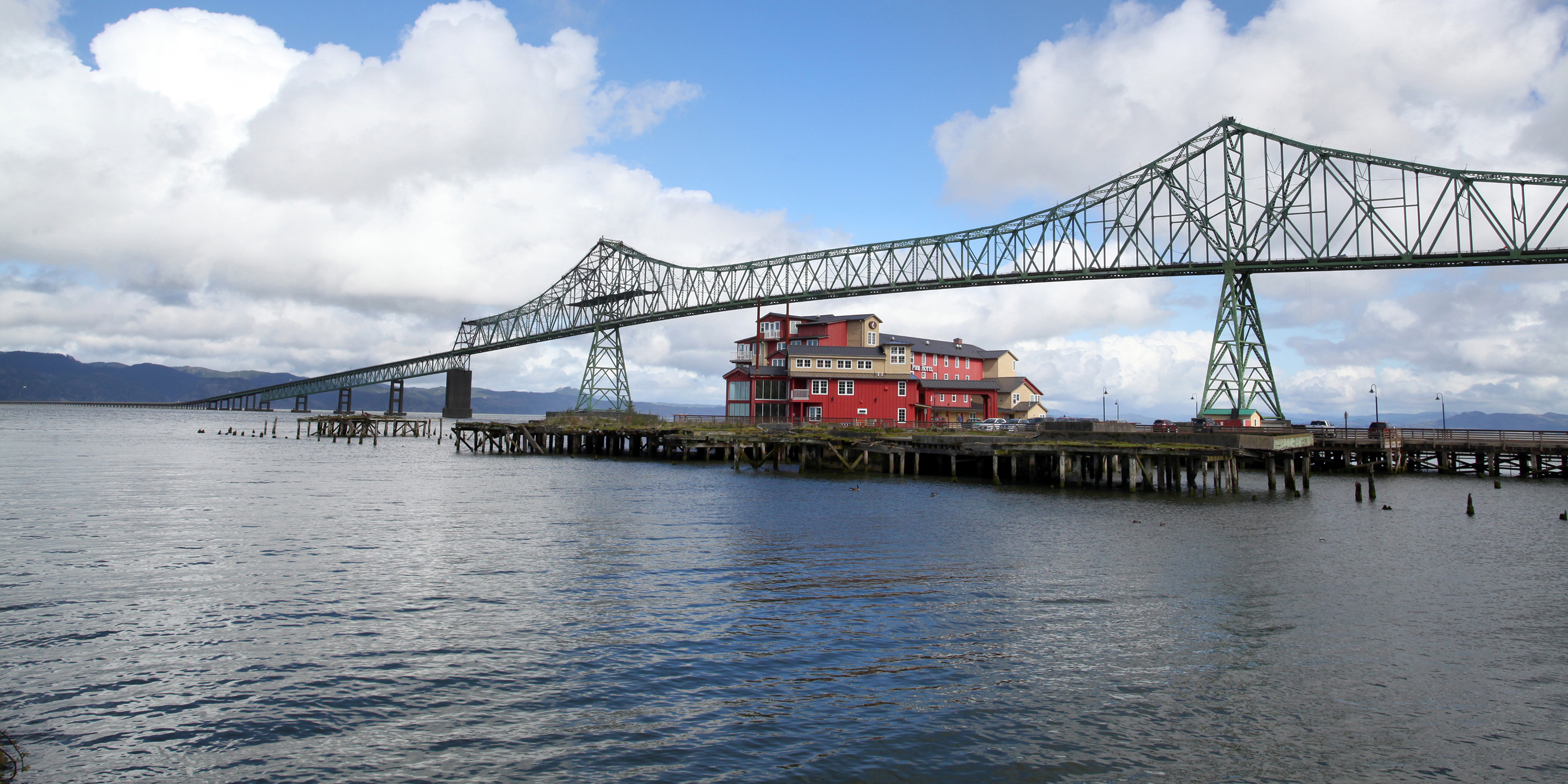
The Astoria-Megler Bridge spans the lower Columbia River. That’s Astoria’s Cannery Pier Hotel, with a pretty nice view of the bridge.
The Columbia River forms the border between Washington and Oregon. The Astoria-Megler Bridge, slightly over four miles long, crosses the river and takes us into Oregon. To allow ship traffic up the Columbia, the bridge has a clearance of 196 feet at high tide.
The bridge was built in the mid-1960s to replace ferry service that was inefficient and subject to disruptions during bad weather. When the bridge was completed, it provided the final link in the US highway system between Mexico and Canada.
We cross the river and arrive in Astoria, Oregon, continuing our journey down the West Coast. Astoria is the oldest American settlement west of the Rocky Mountains, and the oldest city in the state of Oregon. The city is named for John Jacob Astor, an investor from New York City, whose American Fur Company founded Fort Astoria where the city is today.
Astoria’s economy once centered on fishing, fish processing, and lumber. In 1945, about 30 canneries could be found along the Columbia. Bumble Bee Seafoods closed its last Astoria Cannery almost 40 years ago, and today, the city’s economy is built around tourism, a growing art scene, and light manufacturing.
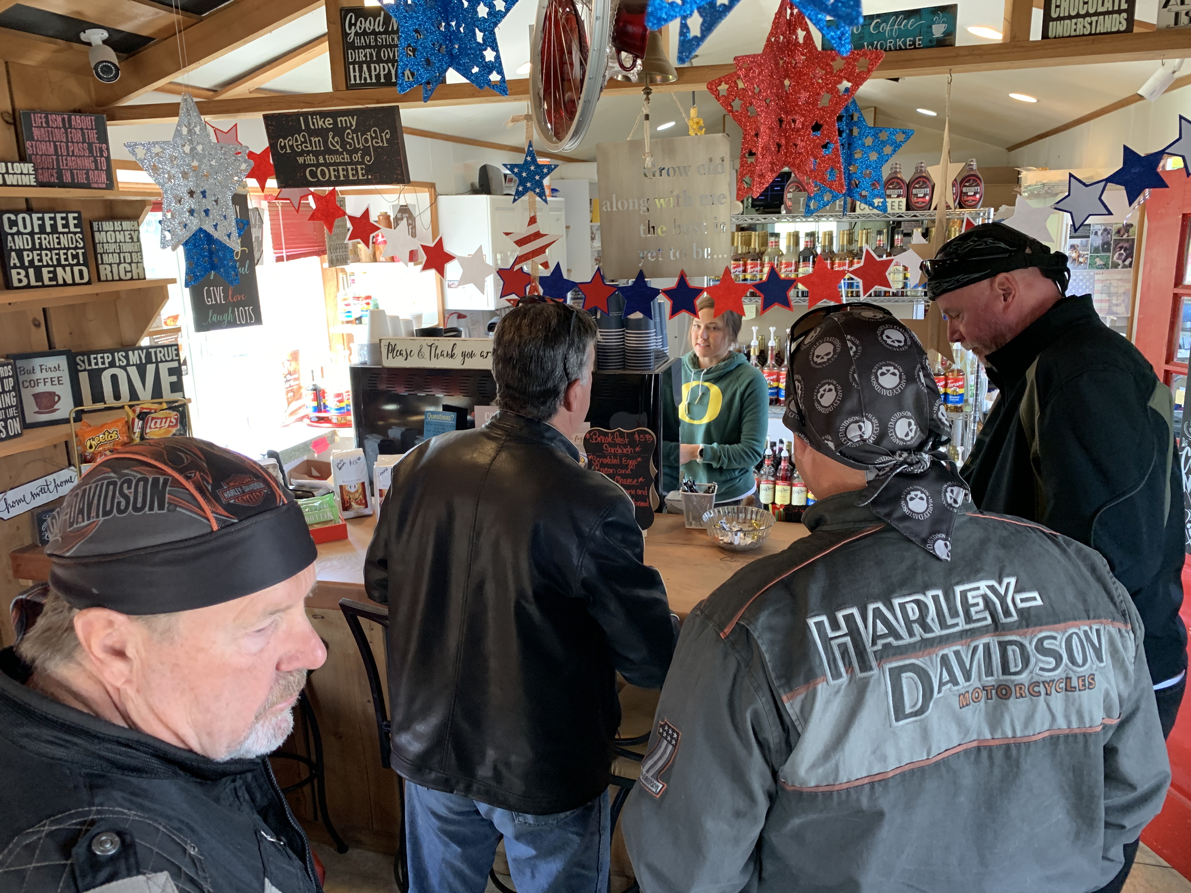
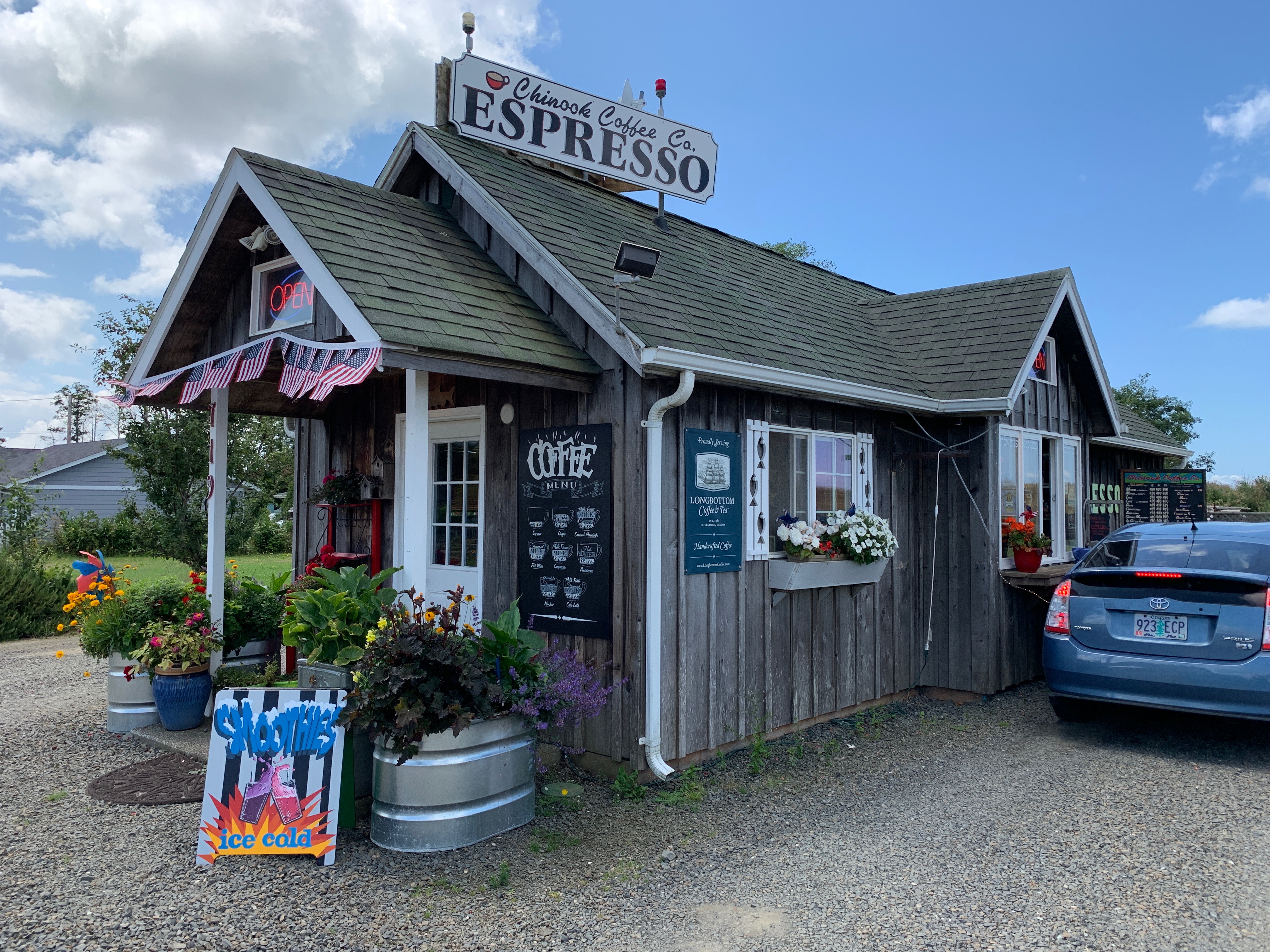
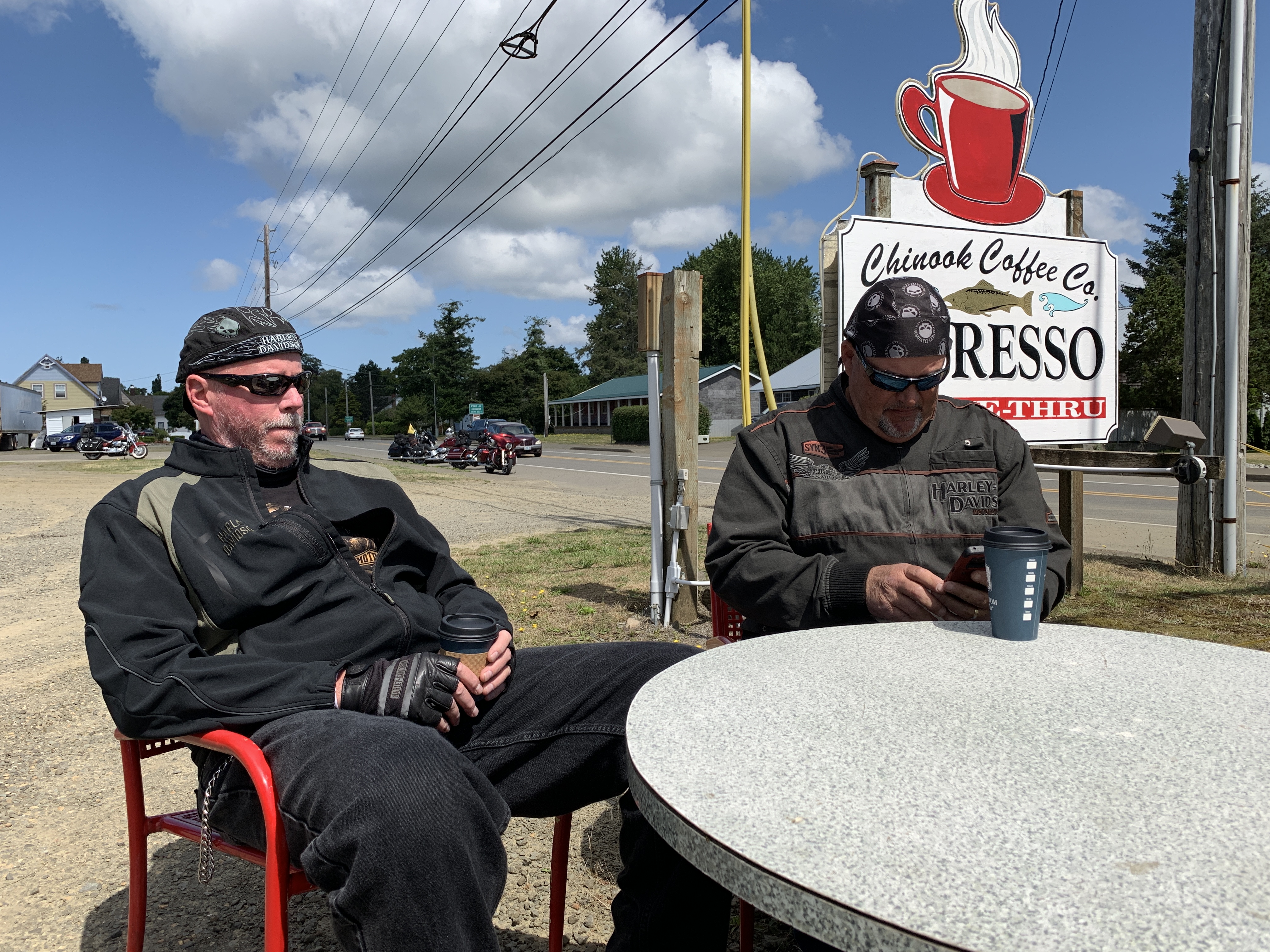
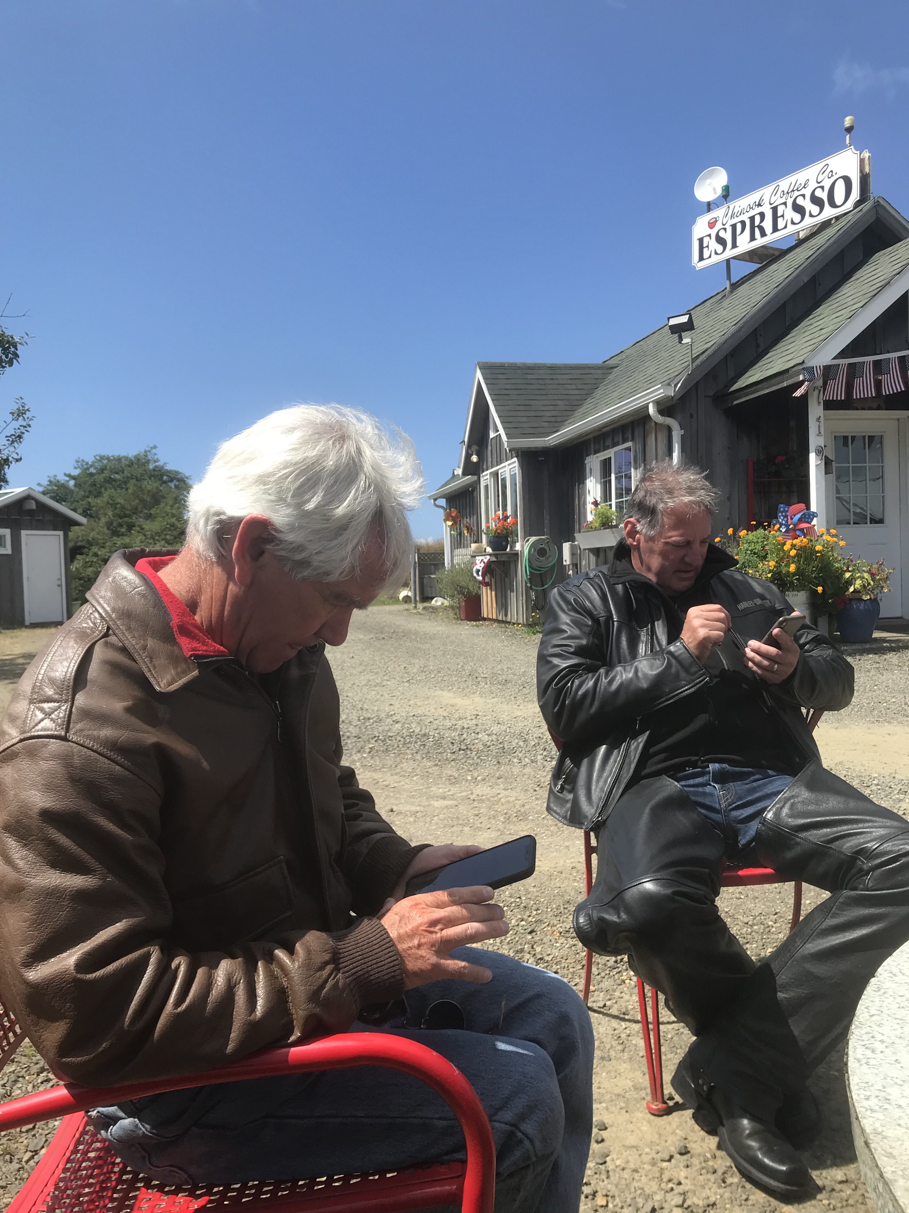
We stopped in Chinook at the Chinook Coffee Company, and caffeinated up.
I’ll have what he’s having.
There’s a drive-through window, but we chose to sit down and enjoy our coffee.
A perfect place to stop.
Randy’s coffee removed the need for his midday nap.
Meanwhile, Jim and Gary are on their phones, which have only three uses on this kind of trip.
The bikes keep a watchful eye on Dave as he enjoys his coffee.
***
Highway 101 takes us across Youngs Bay and then continues south through Sunset Beach, Surf Pines and Seaside – all within a half-mile or so of the Pacific. The highway, for some reason, turns a few miles inland, bypassing Ecola State Park, Crescent Beach, and a view of the Tillamook Rock Lighthouse.
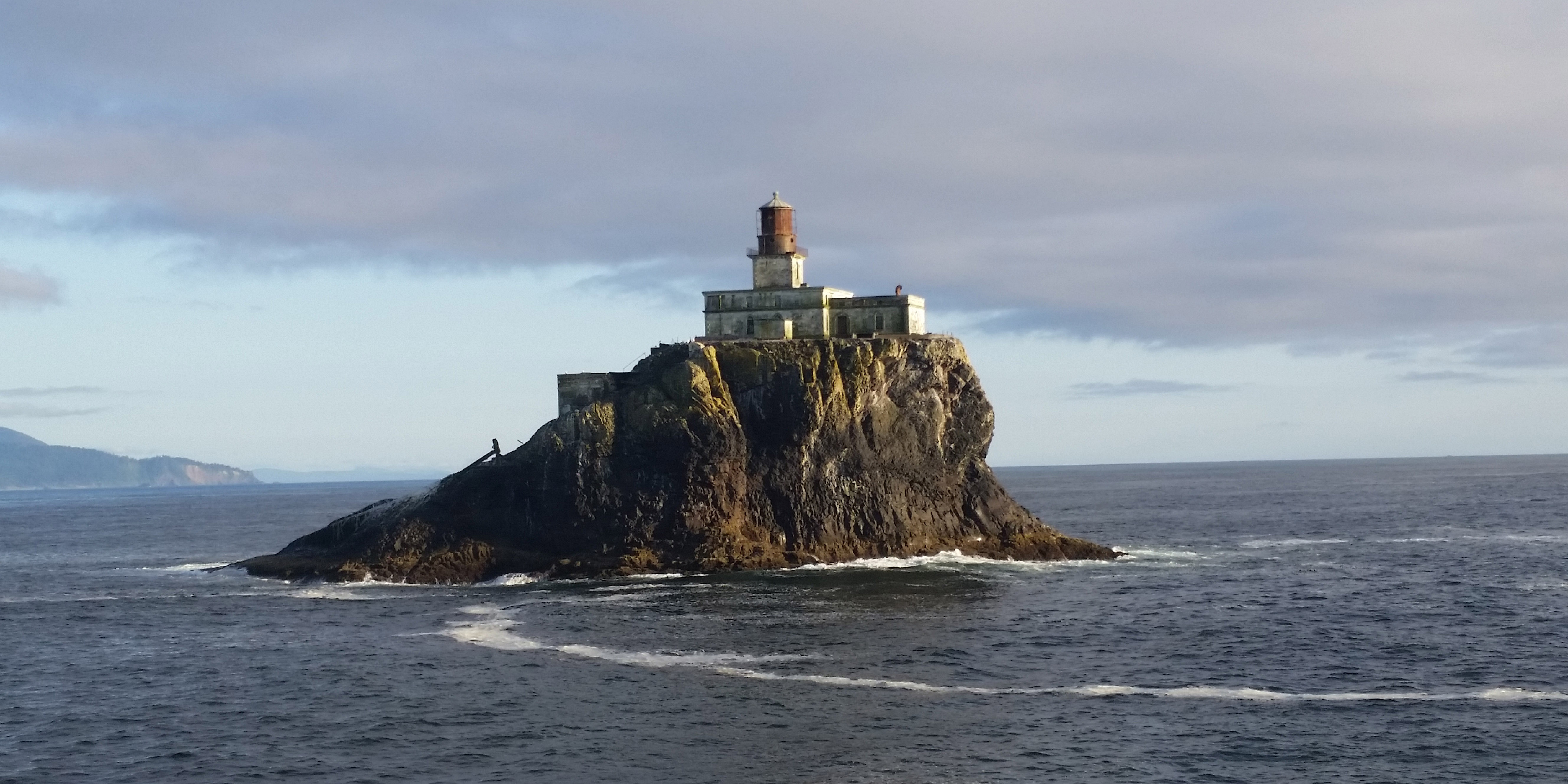
Terrible Tilly, abandoned but still worth a look.
The Tillamook Rock Lighthouse sits abandoned on a rock about a mile off the coast at Ecola State Park, just south of Seaside. It earned the name Terrible Tilly because of the challenges in building and operating it. Tilly was originally commissioned to guide ships entering the Columbia River. Since being decommissioned in 1957, the lighthouse has changed hands several times. It was most notably used as a columbarium – a storage place for the ashes of the dead.
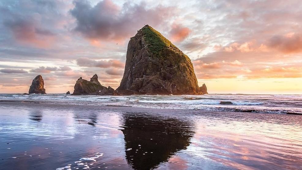
Soon, we roll through Cannon Beach, recognized by its well-known landmark, Haystack Rock, one of the most famous coastline scenes in Oregon.
The iconic Haystack Rock.
The road from Cannon Beach is called the Oregon Coast Highway. It generally hugs the coastline until turning inland between Manzanita and Nehalem, where we stop for gas.
***
We may have won the gas lottery.
As you’ll recall from a blog post last week, Oregon doesn’t allow self-serve gas pumping, unless it’s at a stand-alone station, and in a county of less than 40,000 population. Nehalem is in Tillamook County, population 27,000. Because that’s less than the 40,000 threshold for self-service, we might actually get to handle our own pumps. It’s our version of adulting.
Anyway, we’re on motorcycles and we’re exempt from the law, so we’ll fill up our own machines, thank you.
Snacking at the gas station in Nehalem. That’s an ice cream sandwich. Surprise.
Nehalem, where we stop for gas, sits on the Nehalem River, which feeds into Nehalem Bay, which empties into the Pacific Ocean. We cross the river at a fairly narrow point and continue south on Highway 101, through Brighton, Nedonna Beach, Rockaway Beach, Bayview and Garibaldi.
We’re winding our way around Tillamook Bay. Tillamook is a Coast Salish word meaning Land of Many Waters, probably referring to the rivers that enter the bay. The rivers emptying into Tillamook Bay include the Kilchis River, the Wilson River, and a bunch of unnamed creeks.
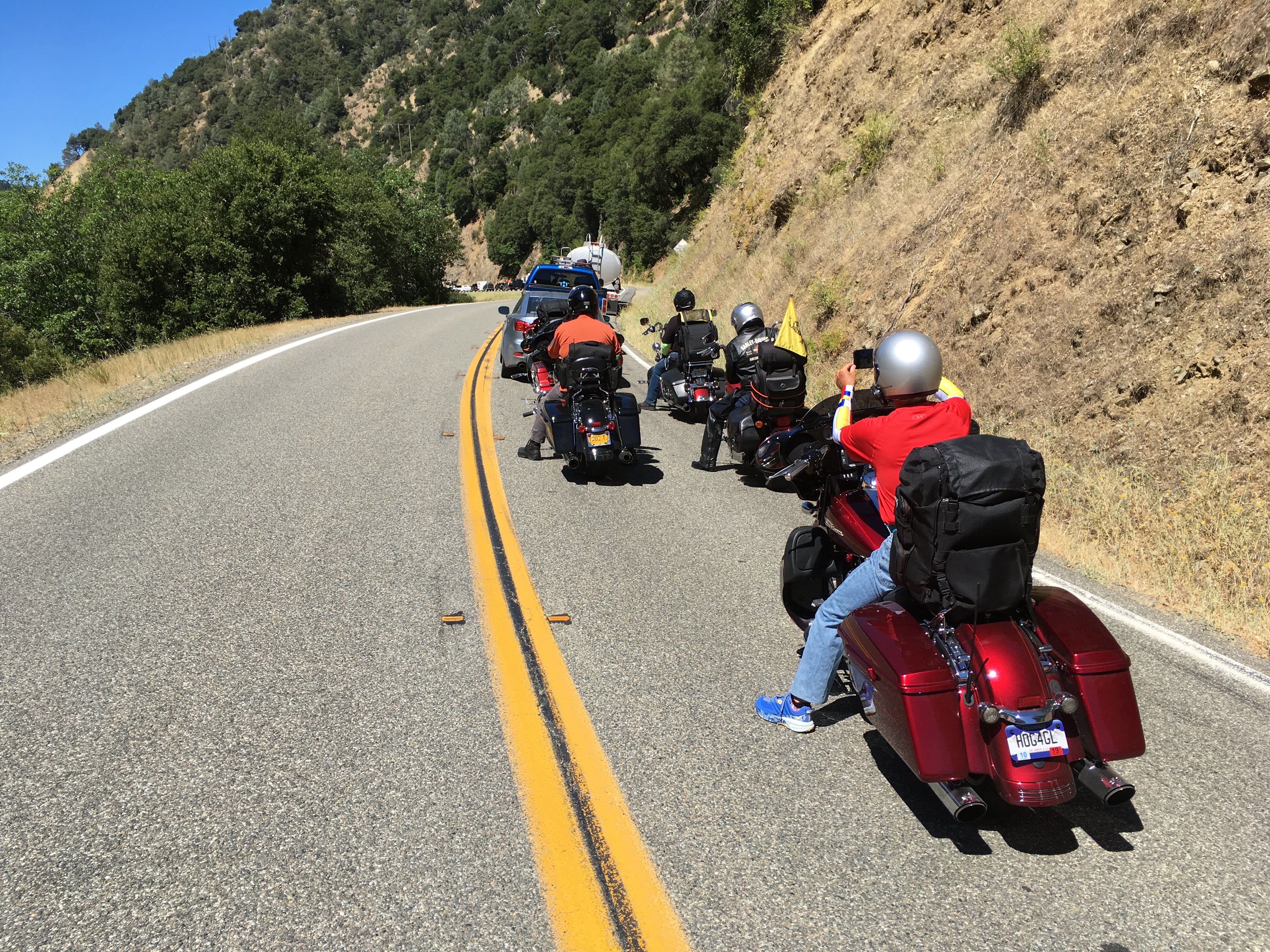
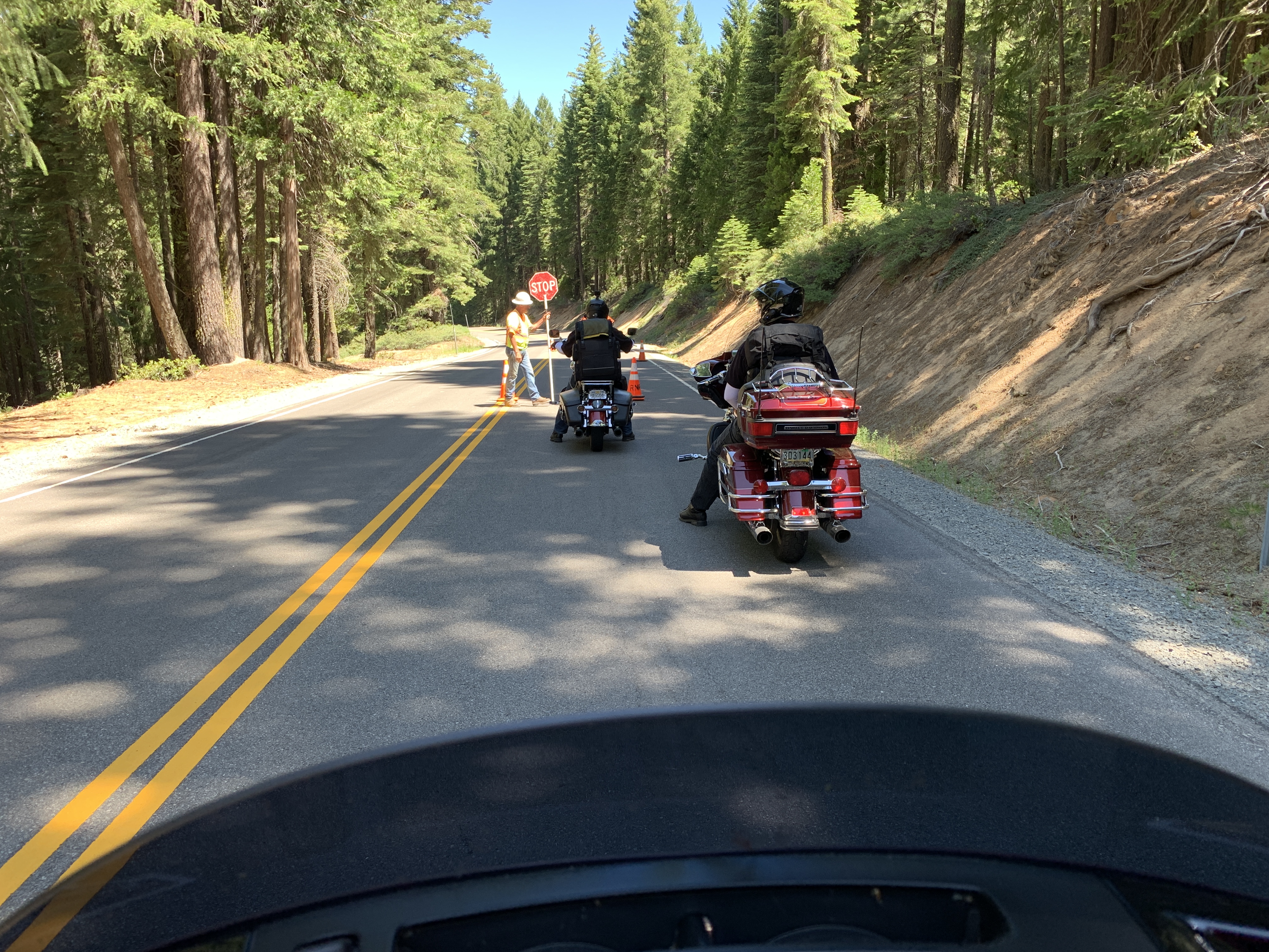
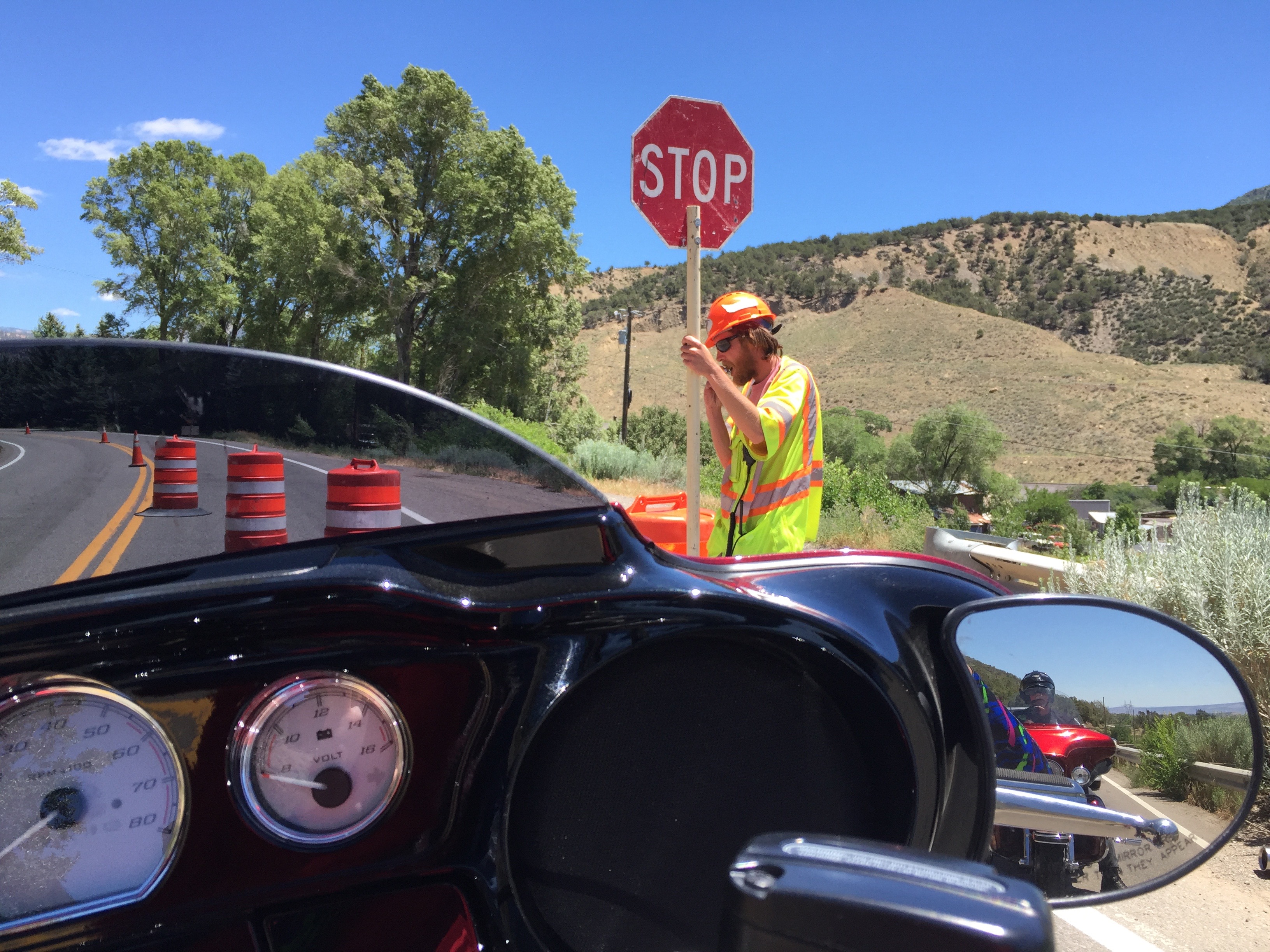
As has been the case almost every day in every state, there was a road construction delay.
Randy seems to enjoy the road construction.
In Tillamook, we turn west on Oregon Highway 131, flit by Netarts Bay and the Netarts Bay Shellfish Preserve. Here, clams have been harvested for hundreds of years.
Cape Lookout State Park is just south of Netarts Bay. Cape Lookout is a sharp rocky promontory sticking a mile and a half into the Pacific. South of Pacific City, we return to US Highway 101, and turn inland for a few miles, riding through the Cascade Head Scenic Research Area.
An unidentified member of the posse makes an unannounced pit stop on the side of the highway.
Judging by the jacket, it couldn’t have been Randy.
The road naturally turns back toward the coast, rolling through Wecoma Beach, Ocean Lake, Lincoln City and Cutler City, located on the Siletz Bay National Wildlife Refuge. It’s one of six National Wildlife Refuges comprising the Oregon Coast National Wildlife Refuge Complex. The Siletz Bay refuge was established in 1991 primarily to return the salt marsh to its natural state. Formerly, it had been diked and ditched to create pasture for dairy cows.
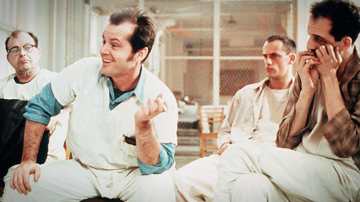
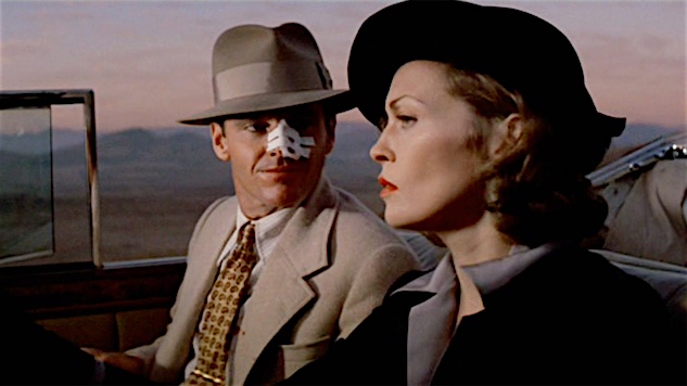
From Siletz Bay, we’re only about 20 miles from tonight’s destination, Newport. We power through Depoe Bay, without realizing its cinematic significance. In one of the more memorable scenes from 1975 Academy Award winner, One Flew Over the Cuckoo’s Nest, the inmates from the insane asylum escape to go fishing in Depoe Bay.
During the movie’s fishing interlude, Randall Patrick McMurphy, played by Jack Nicholson, offers the timeless line: “You’re not nuts; you’re fishermen!”
Jack Nicholson in One Flew Over the Cuckoo’s Nest. He wasn’t nuts; he was a fisherman.
***
In Depoe Bay, we finally get a good look at the ocean we’ve been chasing most of the day.
Late afternoon in Depoe Bay.
Enjoying Depoe Bay.
Where’s Randy? Must be on his phone …
From Depoe Bay we roll by Beverly Beach and past the Yaquina Head Lighthouse, near the mouth of the Yaquina River. The lighthouse tower stands at 93 feet (162 feet above sea level), and is the tallest lighthouse in Oregon. It’s one of 11 lighthouses on the Oregon coast.
Most of Oregon’s lighthouses were designed and built by the US Army Corps of Engineers between 1870 and 1896. They were erected on prominent headlands or near major estuaries to support commercial fishing and shipping along the Oregon coast. All nine of Oregon’s surviving – and operational – lighthouses are on the National Register of Historic Places, visited by more than 2.5 million people each year.
Once you pass the Yaquina Head Lighthouse, it’s only four miles to Newport, home of the Oregon Coast Aquarium. Newport’s motto: The Coast You Remember.
We park the bikes at our hotel in Newport, and contemplate having a dinner we’ll remember.
At dinner, the posse grows to seven, with the addition of Bert Rudman, on the left. I worked with Bert at KOMO-TV in the mid-1980s, and hadn’t seen him since then. Bert is a news director in Eugene, Oregon. He’s gonna ride with us tomorrow … sort of an Oregon host.
A 1980s KOMO reunion.
Randy worked at KOMO, too, and shot the above photo.
***
Day Fourteen Summary: Adulting at the pump, Everybody Loves Raymond, the Coast You Remember.
Click here to see today’s complete route from Aberdeen, Washington, to Newport, Oregon.
We’re on our way home, eh?
Vroom, vroom.
***
Today’s Canada Fun Fact, eh? The English version of Canada’s national anthem, O Canada, was written by Robert Stanley Weir for the Diamond Jubilee of Canada’s confederation in 1927. O Canada was originally commissioned by Quebec Lieutenant Governor Theodore Robitaille for the 1880 Saint-Jean-Baptiste Day ceremony. Because Canada is officially bilingual, O Canada has lyrics in both English and French.
It’s been a great 23 hours, but now it’s time to head back to the USA.
Waiting in line for the ferry to Port Angeles. We’re in lane #1, which you’ll want to remember.
The sticker on our headlights indicates our lane assignment. Randy took a special liking to the concept of being number one.
While waiting in line, John does some housekeeping on his Harley.
Meanwhile, Randy’s still thinking about the number one.
There are four ferries a day in the summer season from Victoria south to Port Angeles, on Washington state’s Olympic Peninsula. After a leisurely breakfast, we board the second ferry of the day – the 10:30 am sailing.
That’s the MV Coho behind me, arriving in Victoria harbor from Port Angeles. The ferry goes back and forth between the two cities all day long.
The ferry docks in Victoria, and we’re all treated to a special show …
We watch dozens of “Deuces” roll off the ferry, part of a huge car show in Victoria this weekend. The deuces are 1932 Fords. They’re among more than a thousand classic cars in town for the event.
The “Deuces” come in all sorts of body styles and colors. Gotta love pink!
The MV Coho is our ride across the Strait of Juan de Fuca. The Coho is a passenger and vehicle ferry owned and operated by Black Ball Line, a private company. She’s Black Ball’s only ferry. The ship is named after the coho salmon commonly found in the Pacific Northwest.
We load our bikes on the ferry, lash them to the wall, put wheel chicks in place, and hope for the best. It’s a little unnerving.
Crossing my fingers it doesn’t tip over during the crossing. The seas can be quite rough.
The 23-nautical-mile crossing takes about 90 minutes. We sail directly south across the Strait of Juan de Fuca. The Strait connects Puget Sound waters, in the Seattle area, to the Pacific Ocean.
The Strait of Juan de Fuca is about 96 miles long, from west to east. If you were to bisect it with a line running west to east, you would roughly be drawing the US/Canadian international border in these waters. This part of the border is completely unrelated to the 49th parallel that forms most of the US/Canadian border.
The Strait was named in 1787 after Ioannis Phokas, a Greek maritime pilot, best known for his claim to have explored the Strait of Anián in the service of the King of Spain, Philip II. Phokas was better known by the Spanish translation of his name, Juan de Fuca. And that’s why this huge body of water, once called the Strait of Anián, is known today as the Strait of Juan de Fuca.
John is excited as we prepare to leave the harbor.
We’re finally underway, heading south to Port Angeles.
John and Randy enjoy the view from the aft deck.
Dave couldn’t pass up the chance for an onboard hot dog.
***
We roll off the MV Coho in Port Angeles, and it occurs to me I’ve never been here before. I lived in Washington state for 23 years, and have not seen this part of the state – the Olympic Peninsula. The 3,600-square-mile peninsula is bounded on the west by the Pacific Ocean, the north by the Strait of Juan de Fuca, and the east by Hood Canal.
With Randy’s help, I’m now apparently in line 111.
And so is Randy, or maybe in line 1111.
The peninsula is home to rain forests, the Olympic Mountain range, the Olympic National Forest and the Olympic National Park. It also has a dozen state parks, including the fun-to-say Dosewallips State Park – the eastern gateway to the Olympic Peninsula.
In sport Angeles, we discover some tires are low on air, and fill them to the correct pressure.
John’s not above getting himself dirty to have a properly inflated tire.
Leaving the ferry terminal in Port Angeles, we head west on Washington Highway 112 toward Pysht, a ghost town 33 miles away. We’re riding along the southern shore of the Strait of Juan de Fuca. Pysht is a Native American word meaning “where the wind blows from all directions.”
From Pysht, or what’s left of it, the road turns away from the sea.
In five miles, at the junction of Highways 112 and 113, we have a choice: continue west to Neah Bay, about as far northwest as you can get in the lower 48. Neah Bah is 70 miles away, and on the Makah Indian Reservation. Or, we turn south toward Forks, possibly named for the silverware that’s on your dinner table.
We choose the southern route, and head for Forks.
We’re heading for Forks, the city of Forks.
***
Highway 113, known as Burnt Mountain Road, takes us to Sappho, a former logging town named after the Greek poet, Sappho – not to be confused with the giant footwear e-tailer, Zappos.
In Forks, Randy checks the news, his investments, or internet porn. As you know by now, those are the only uses for a phone for a trip like this.
Meanwhile in Forks, the other guys engage with each other, not their phones.
In Sappho, we turn south on US Highway 101, and continue past Beaver to Forks. At one time, like so many Pacific Northwest towns, Forks had an economy fueled by the local timber industry. As timber fell into a years-long slump, Forks re-thought its economic plan and turned to prisons. Today, Forks relies on the nearby Clallam Bay Corrections Center and Olympic Corrections Center for more than 400 jobs.
Highway 101 heads inland after Forks, meets up with the Hoh River, then follows the river back toward the coast. We reach the Pacific Ocean at Ruby Beach, and ride south, passing the popular Kalaloch Lodge, a romantic getaway right on the coast.
A few miles past Kalaloch, we cross the Queets River and roll through Queets, population 174. The primary residents here are Native Americans of the Quinault Indian Nation. The name Queets comes from the Quinault word meaningdirt.
Side note regarding dirt: as a ski instructor last season, I learned that DIRT is an acronym for Duration, Intensity, Rate and Timing. Those terms describe ways you can change or adjust movements to get a different result, for example the differences between a short radius turn and a larger radius turn.
And that’s today’s dirt from a ski instructor on a Harley.
***
John arrives at the Lake Quinault Lodge.
Admiring the big trees outside the Lake Quinault Lodge.
The lodge, of course, sits right on the lake.
We encounter a Sasquatch by the lake.
From Queets, we turn inland again, and in less than 30 miles, arrive at the historic Lake Quinault Lodge in Olympic National Park. The lodge, built in 1926, has a rustic style reminiscent of the Old Faithful Inn at Yellowstone National Park. They’re similar because the two lodges share the same architect: Robert Reamer.
Beachfront posing.
The lodge has a beautiful lake view …
… and is a nice place to have a beer.
The Lake Quinault Lodge is on the National Register of Historic Places. It might as well also be on the national cash register of historic places; a fireplace room with a king bed and lake view goes for $459.92 a night, including taxes and fees.
After exploring the lodge and its manicured grounds, we continue on toward Humptulips, which, along with Dosewallips, has to have one of the best place names. Ever.
But shortly before we get to Humptulips, we turn off of US Highway 101, and head southwest on the Moclips Highway. In 20 miles, we arrive in Moclips, a community of 200 residents. The town is near the mouth of the Moclips River, which empties nearby into the Pacific Ocean.
Moclips sits right on the Pacific. The origins of the word Moclips are unclear. It may come from the Quinault word meaning, “large stream.” An alternate version, from Edmond Meany, a University of Washington professor in the early 1900s, is that moclips comes from a Quinault word meaning “a place where girls were sent as they were approaching puberty.”
***
Heading south on Washington Highway 109, we cruise through a bunch of beach towns with tiny populations – Pacific Beach, Ocean Grove, Iron Springs, Copalis Beach and Ocean City. Most have a general store, and little more.
A mile past Ocean City, the highway turns east and follows the shoreline of Grays Harbor, a large bay that includes the Grays Harbor National Wildlife Refuge. Here, up to one million shorebirds gather in spring and fall to feed and rest. As many as 24 species of shorebirds use the refuge, with the most abundant being the western sandpiper and dunlin.
We follow Highway 109, crossing the Hoquiam River toward the tri-city area of Hoquiam/Aberdeen/Cosmopolis – once booming logging towns. The name Hoquiam comes from a Native American word meaning hungry for wood, from the great amount of driftwood at the mouth of the Hoquiam River.
Just a few miles past Hoquiam is tonight’s destination, Aberdeen, which sits on the Chehalis River and is home to 17,000 residents. Aberdeen is known as the southern gateway to the Olympic Peninsula.
The city is also noted for being the one-time home of Kurt Cobain — guitarist, singer and frontman for the rock band Nirvana. Cobain, who died of a drug overdose in 1994 at the age of 27, was honored in Aberdeen 10 years after his death by a sign that says,Welcome to Aberdeen. Come as You Are.
Kurt Cobain: Come as You Are
Come as You Are is a Nirvana song, released as the second single from the band’s second studio album, Nevermind. Rolling Stone ranked Come as You Are as number 445 on its list of the 500 Greatest Songs of All Time.
Randy is a huge Nirvana fan. Come as you are, Randy. It’s time for dinner.
Dinner at Bily’s, a short walk from the hotel.
Really, Randy. Two country fried steak dinners?
At dinner, Randy had me rolling on the floor with laughter.
***
Day Thirteen Summary: Ocean views, knives and Forks, Come as You Are.
Click here to see today’s complete route from Victoria, British Columbia, to Aberdeen, Washington.
We’re on our way home, eh?
Vroom, vroom.
***
Today’s Canada Fun Fact, eh? The Canadian motto is A Mari Usque Ad Mare. It means From Sea to Sea. The phrase comes from a Latin translation of Psalm 72:8 in the King James Bible: “He shall have dominion also from sea to sea, and from the river unto the ends of the earth.”
Rain, again. At 7 am, this is what we experienced on the way to the ferry.
Anacortes is known as Your Island Getaway.
Today, we’re getting away from Fidalgo Island, where Anacortes is located. We’re heading to Vancouver Island, in Canada. On our way, we’ll pass through the San Juan Island archipelago.
Islands everywhere. Hundreds and hundreds of them. Many with names. Some are just big rocks, exposed at low tide.
Dressed for success, if you consider riding in the rain successful.
Exquisite framing and composition. Time to leave the hotel and head for the ferry.
We begin by riding the five miles from downtown Anacortes to the Washington State Ferry terminal.
I’ve been coming here since moving to western Washington in 1979. My first trip on the ferry was in August 1979, when I rode my 1976 Honda CB550 F onto the ferry, which took me to Orcas Island. It was an overnight trip to Rosario Resort, the former Eastsound estate of Seattle mayor and shipbuilder Robert Moran.
The Washington State Ferry system is the largest ferry operator in the US. By comparison, the world’s largest ferry system is in Istanbul, Turkey. It has 87 vessels, crossing the Bosphorus Strait. Some 300,000 people in Turkey’s biggest city take the ferry to work every day.
In line, ready to board the ferry.
Closer to home, with 23 vessels and 20 terminals, the Washington State Ferry system carries about 25 million passengers every year, including the six of us today. The largest ferry holds up to 2,500 passengers and 200 vehicles
The ferry system is operated by the Washington State Department of Transportation, and is considered part of the state’s highway system. Originally, Washington state only intended to run ferry service until cross-sound bridges could be built as a replacement. But those bridges were thankfully never approved, leaving Washington residents and tourists with a wonderful way to be one with nature.
On board the MV Chelan. We’re on our way to Canada, eh!
Thousands of commuters a day ride the ferry to work in downtown Seattle, coming from Bainbridge Island, Vashon Island, and Bremerton — riding across the Puget Sound and Elliott Bay.
Our ferry ride won’t take us anywhere near Seattle. The 44-mile route is from Anacortes, through the San Juan Islands, and on to Sidney, British Columbia.
Relaxing on the ferry. It’s 8:30 am, and Dave’s starting the day with a traditional coffee-and-popcorn.
***
We’re on the Ferry Chelan, 328 feet long with a draft of 15 feet, 6 inches. The Chelan’s two diesel engines produce 5,000-horsepower, giving the vessel a top speed of 16 knots. The MV Chelan was built in 1981 and refitted in 2004 to include a second vehicle deck. The vessel carries nearly 1,100 passengers, 124 autos — and today, at least 6 motorcycles.
Nice window seat for Randy and John. I believe they were in the ferry’s first-class section.
Randy, flying first class.
The “MV” in MV Chelan stands for Motor Vessel. Today, almost every ship is a Motor Vessel, because the alternative, SS (Steam Ship) is rarely used anymore.
From Anacortes, the Chelan sails west across Rosario Strait, a major shipping channel. More than 500 oil tankers pass through the strait each year, to and from refineries in Anacortes and Cherry Point, north of Bellingham.
The ferry continues through Thatcher Pass, a half-mile wide opening between Decatur Island, to the south, and Blakely Island, to the north.
I love the fresh sea air.
From there, we pass by the northern tip of Lopez Island, the third-largest of the San Juan Islands and because of its flatness, a haven for bicycling. Lopez Island is named for Gonzalo López de Haro, a Spanish naval officer and the first European to discover the San Juan Islands archipelago.
Lopez is one of four San Juan Islands served by the Washington State Ferry system. The others are Shaw, Orcas and San Juan Islands. Today, our ferry to Sidney, British Columbia stops only at Friday Harbor on San Juan Island on its way to Canada, eh.
The big guy looks at home in the San Juan Islands.
The San Juan Island archipelago includes 172 islands, 128 of which are named. At low tide, the number of islands rises to around 400. Some of the islands are no bigger than a rowboat and many disappear if the tide gets too high. Many of the small and medium-sized islands are privately owned.
When I lived in Bellingham, Washington in the early 1980s, I had a sailboat, Puffin, that I sailed often in the San Juans. It’s hard to overstate how cool it is to sail among these islands.
The first trip Sarah and I took together was in the summer of 1998, when we chartered a sailboat in Bellingham, and sailed through the San Juans to Victoria, British Columbia. This is my first trip back to these waters since then.
The ferry is a nice place to nap. If you’re on your morning commute.
All that fresh air wore Dave out.
Randy could barely keep his eyes open, too.
***
Near the Lopez Island ferry terminal, we turn southwest, and sail the Upright Channel, between Lopez and Shaw Islands. The ferry follows the southern shoreline of Shaw Island, turns north of Brown Island, and lands in Friday Harbor on San Juan Island at precisely 9:55 am, an hour and 25 minutes after leaving Anacortes. The ferry system runs like a Swiss railway, without the rails.
Jim, on the other hand, is wide awake.
Friday Harbor is the largest town in the San Juans, with about 2,500 year-round residents, and thousands more during the summer tourist season. Friday Harbor was not named after the day of the week. The name originates from Joseph Poalie Friday, a native Hawaiian. He moved to San Juan Island in the 1860s, raising and herding sheep around the area that is today known as Friday Harbor.
Almost arrived in Friday Harbor.
Most everything worth seeing in Friday Harbor is within walking distance of the ferry landing. You’ll find a whale museum, art museum, community theater, bed and breakfasts, hotels and inns, restaurants, shops, and a refreshing absence of fast-food chains.
We get to experience none of that. If you’re headed to Canada, you don’t get to disembark in Friday Harbor, even for a few minutes. Don’t even bother to tell the ferry captain you need a bathroom break in town; the MV Chelan has you covered.
My first visit to Friday Harbor since I was here with Sarah 20 years ago.
Our ferry makes a quick stop in Friday Harbor, dropping off cars and walk-on passengers, and taking on a few that are headed for Canada. We leave Friday Harbor, heading northwest through San Juan Channel, following the northern shoreline of San Juan Island.
We cross into Canadian waters in Haro Strait, another major shipping channel. It’s the main waterway for ships coming to and from the Port of Vancouver on the Canadian mainland. Haro Strait is part of the international boundary between Canada and the US. Haro Strait was named in 1970 by the commander of the Princesa Real, in honor of his pilot, Gonzalo López de Haro.
At 11:15 am, our ferry’s journey ends in Sidney, British Columbia, on the northern end of the Saanich Peninsula on Vancouver Island.
We’re in Canada, eh!
***
The world-famous Butchart Gardens is only a few minutes from the Sidney ferry terminal.
Butchart Gardens. The posse voted to skip it, instead opting for a visit to the Victoria Harley store.
Sidney is located less than a mile from the Victoria International Airport. Victoria is the provincial capital of British Columbia, and tonight’s destination. The southernmost major city in Canada, with a population of nearly 400,000 — Victoria is a 17-mile ride south from Sidney.
A few miles of that ride are on the Trans-Canada Highway, which begins at the intersection of Douglas Street and Dallas Road, where the “Mile 0 Monument” stands. Tonight’s lodging is less than a mile from that monument.
At the Victoria Harley dealer, Matt installed a new battery on my bike, cuz after 3 1/2 years, mine was behaving as though it might not get me home.
Randy waited patiently in the Harley store while Matt was installing my new battery. Randy looks right at home in the Harley milieu, despite riding a Kawasaki.
As you might guess, Victoria is named after Queen Victoria. She was Queen of the United Kingdom from 1837 until her death in 1901. Victoria was preceded by William IV, and succeeded by Edward VII, for you royal fans. Her reign of nearly 64 years was longer than that of any of her predecessors, but not as long as Queen Elizabeth II, who has reigned since ascending to the throne in 1952.
***
At Victoria’s inner harbor.
Victoria does have some notable historical buildings. There are the neo-baroque BC Parliament buildings, which can be seen from the Victoria Inner Harbour. There’s the Inner Harbour itself, with its cruise ship port, ferry terminal, pleasure boat docks and seaplanes coming and going.
We arrive at the Embassy Inn, it’s 3 pm, and Randy’s already sleeping. Dude can sleep darn near anywhere. He looks so peaceful.
And there’s the 412-room Empress Hotel. About all you can say is wow. They just don’t make hotels like that anymore. At least not any we’re likely to stay in on this trip. Randy is still chafing that he was booted out of the Empress back in the 1980s for wearing jeans. The place is quite proper.
Randy finally gets into the Empress, in blue jeans!
The Empress was built in 1904 by Canadian Pacific Hotels, a division of the Canadian Pacific Railway Company. Designed by Francis Rattenbury as a Chateauesque-styled building, it’s considered one of Canada’s “grand railway” hotels.
At the Empress.
We thought this was the main entrance. It was, last time I was here. The lady security guard (hostess?) pointed us in a different direction.
Other grand railway hotels include the Banff Springs Hotel and Chateau Lake Louise – both in Alberta; the Chateau Frontenac in Quebec City; the Chateau Laurier in Ottawa; the Place Viger in Montreal; and the Algonquin Resort in New Brunswick. The largest of the grand railway hotels is the Royal York in downtown Toronto.
You could easily do a grand railway hotel tour, perhaps on a Harley. It would last all summer, and leave you virtually penniless.
We’ll be sure to discuss that tonight, over dinner. Seafood, and future grand railway hotel tours.
Ah, the good life.
Empress selfie.
Dinner st the Steamship Grill, overlooking Victoria’s inner harbor.
***
Day Twelve Summary: Shortest motorcycle ride of the trip, about 22 miles. Most beautiful ride of the trip, 44 miles through the San Juan Islands on a ferry. Planning the first-ever Harley tour of Canadian grand railway hotels.
Click here to see today’s complete route from Anacortes, Washington, to Victoria, British Columbia (Canada).
We’re finally in Canada, eh?
Vroom, vroom.
***
Today’s Canada Fun Fact, eh? The world’s largest totem pole was carved in Victoria, British Columbia, tonight’s destination. The totem pole, which now resides in British Columbia’s Alert Bay, is 180 feet high.
Today’s blog post begins with a photo I inadvertently omitted yesterday. It’s three Harley studs in Mount Rainier National Park, exquisitely framed by Randy.
This morning, as we roll out of Wenatchee, we follow the Columbia River for 55 miles. We’re riding on US Highway 2, along the east shore of the Columbia.
Like the Columbia, we’ll roll on.
The 1,243-mile long Columbia is the largest river flowing into the Pacific Ocean. And, it’s one of the world’s greatest sources of hydroelectric power. The 14 hydroelectric dams on the Columbia and many more on its tributaries produce more than 44 percent of total US hydroelectric power generation.
The Grand Coulee Dam is a huge power generator.
The Grand Coulee Dam, about 70 miles east of Wenatchee is the largest in the US, supplying more than 6,800 megawatts of power to eleven western states: Washington, Oregon, Idaho, Montana, Wyoming, Colorado, California, Nevada, New Mexico, Utah and Arizona. That’s three times more power than is generated by the Hoover Dam, which generally gets the lion’s share of attention when it comes to dams.
Hydroelectricity is such a big deal in this part of the Northwest that, in 1941, the Bonneville Power Administration commissioned folk singer Woody Guthrie to write a song about it:
“Roll on Columbia, roll on, roll on Roll on Columbia, roll on, roll on Your power is turning our darkness to dawn So roll on Columbia, roll on”
“Roll On, Columbia, Roll On” was part of the Columbia River Ballads, a set of 26 songs written by Guthrie for the Bonneville Power Administration, the federal agency created to sell and distribute power from the river’s federal hydroelectric facilities.
The song glamorized the harnessing of the Columbia River. Because of its message and popularity, “Roll On, Columbia, Roll On,” was established as Washington’s official state folk song in 1987.
Here in the upper left corner of the US, the Columbia is central to the Northwest’s identity – culturally, geographically, politically.
***
The town of Chelan is on the east shore of beautiful Lake Chelan.
As we ride along the Columbia, we pass by the town of Chelan, on the east shore of Lake Chelan.
Lake Chelan is a narrow, 50-mile long lake, roughly midway between Seattle and Spokane. It’s a common weekend summer getaway for Seattleites.
Chelan, with a population of about 4,000, anchors the eastern end of the lake. It’s a scenic resort community known for warm sun and clear blue lake waters. Chelan has golf, mountain biking trails, all sorts of water sports, wine shops and boutique shopping.
Scott takes a break roadside.
Today, Chelan is a recreational mecca. But it was the quest for riches, not tourism, that first brought waves of newcomers to the lake’s shore in the late 1800s. Gold, silver, copper and other minerals were found in abundance. Ponderosa pine and Douglas fir blanketed the surrounding mountainsides, and a limitless supply of pure alpine water was on tap for consumption, irrigation and later, power generation.
On the far northwestern end of the lake is the tiny community of Stehekin, surrounded by mountains up to 9,000 feet. Stehekin is accessible only by passenger ferry, private boat, float plane, horseback or hiking trail. The name Stehekin comes from a Native American word meaning “the way through.” Stehekin is in the Lake Chelan National Recreation Area.
You have to love the isolation of Stehekin.
Chelan is a Salish indigenous word meaning deep water. Lake Chelan has a maximum depth of 1,486 feet, making it the third deepest lake in the US — after Crater Lake and Lake Tahoe, both of which we visited earlier in the week.
Lake Chelan is the largest natural lake in the state of Washington. Ironically, it empties into the state’s shortest river – the Chelan – which flows barely four miles before joining the mighty Columbia for its run to the Pacific Ocean.
The lake was formed gradually over millions of years with the rise of the Cascade Mountains. Today, about 100 glaciers are liberally sprinkled on the nearby Cascade peaks. The glaciers store water through the summer, which helps irrigate the productive fruit orchards in the area.
***
We arrive in Pateros, and Randy checks the news, or his portfolio, or internet porn. Those are pretty much the only choices.
Twenty miles north of Chelan, we come to Pateros, where we turn northwest, away from the Columbia. In 1900, Charles Nosler acquired most of the townsite for what would become Pateros. He named it Pateros, after a village in the Philippines he previously visited. Unsurprisingly, Pateros’ international sister city is Pateros – near Manila in the Philippines.
In Pateros, we turn on to Washington Highway 153, and follow the Methow River. The Methow is named after the Methow Native Americans, which today are part of the Confederated Tribes of the Colville Indian Reservation.
Bikes in Pateros. Note that Gary is not on his phone.
Talking politics in Pateros.
John keeps a close eye on fueling activity at the Pateros Chevron.
We roll through the towns of Methow and Twisp, before arriving in Winthrop, about 100 miles from where our day began, in Wenatchee.
Winthrop is known for the Old West design of its buildings, complete with false-fronts and boardwalk sidewalks. It’s home to the oldest legal saloon in Washington state, Three Fingered Jack’s, where you can get a Jack’s Country Breakfast, or a Jack Attack Burger for lunch or dinner.
At Pardner’s mini-mart in Winthrop, Randy gassed up.
Winthrop is where we’ll park our bikes, gas up, and cool off before heading on to another national park.
Still talking politics, now in Winthrop.
Ice cream sandwich break in Winthrop, before heading west on the North Cascades Highway.
Nice flowers. And John’s Harley.
Nice flowers. And, whatever.
***
Leaving Winthrop, we’re now on Washington Highway 20, known as the North Cascades Highway. At 436 miles, it’s the state’s longest highway – and is one of the best motorcycle roads in the Northwest.
The highway’s path across the Cascade mountains follows one of the oldest roads in Washington, established in 1896 as a wagon route. Even before that, it was originally the corridor used by local Native American tribes as a trading route for more than 8,000 years.
On the North Cascades Highway, approaching Washington Pass.
A beautiful day for a mountain ride.
Like other roads we’ve ridden on this trip, including Cayuse Pass and Chinook Pass a few days ago, the North Cascades Highway closes every winter due to heavy snowfall. It generally re-opens by late April, and this year opened on April 18.
Soon, we enter North Cascades National Park, which last year celebrated its 50th anniversary. Entering the park is a different drill than in most national parks. Because Highway 20 is a major east-west route, there’s no fee for entering, and no ranger gate.
That’s Randy in the foreground. We think he’s riding a Kawasaki.
Just roll on in, on that beautiful V-twin. Or whatever it is Randy’s riding.
North Cascades National Park is a vast wilderness of conifer-clad mountains, glaciers and lakes. The North Cascades Highway was the first National Scenic Highway in the US.
You can never have too many selfies.
Washington Pass is the highest part of the drive: 5,477 feet. The Diablo Lake overlook offers incomparable views of the surrounding Cascades. The lake’s emerald green color is caused by the sun’s reflection on glacier-ground rock dust suspended in the water.
Randy’s buddy is driving the logging truck. The truck kept Randy, Scott and John miles behind the other guys. The trucker actually honked as he passed us.
As we round a gradual curve on Highway 20 at the Happy Creek Trailhead, near the southern end of Ross Lake, we hit the northernmost point on our three-week trip. How far north? It’s at 48.7274 degrees latitude. We’re about 10 miles south of the Canadian border, which is at 49 degrees latitude – the 49th Parallel North.
Diablo Lake, a beautiful reservoir formed by Diablo Dam.
Diablo Lake is a reservoir that’s part of the Skagit River Hydroelectric Project, managed by Seattle City Light. At one time, the Diablo Dam was the world’s tallest, standing 389 feet high.
About five miles west of Diablo is the town of Newhalem, site of the North Cascades Visitor Center at the west end of the national park. Newhalem is a company town owned by Seattle City Light and populated entirely by employees of the Skagit River Hydroelectric Project.
Don’t read too much into Dave’s body language. He was not the least bit bored.
Caption, anyone?
The big event every summer in Newhalem is its summer mushball tournament, a form of softball played using a large, elastic-shelled ball. The event is scheduled for next weekend. Bummer that we’ll miss it.
In Newhalem, we grab a pic in front of an old train.
We felt right at home in Newhalem, a company town. Some of us used to work for companies.
***
Three former KOMO-TV guys (1980s) in Newhalem.
As we continue west on the North Cascades Highway, we are clearly descending toward sea level. Newhalem is at 515 feet. The next town, 15 miles away, is Marblemount, 315 feet above sea level. Another 15 miles and we arrive in Concrete.
You could guess how Concrete got its name, and you’re probably right. Concrete was home to the Washington Portland Cement Company and was originally named Cement City.
All these towns are on the Skagit River, which we’ll follow to tonight’s destination, Anacortes.
Highway 20 takes us through Sedro-Woolley and Burlington, where we cross I-5, then roll across the Swinomish Channel and onto Fidalgo Island, home to Anacortes. Anacortes is commonly known for its Washington State Ferry terminal that takes vehicles and passengers into the world-famous San Juan Island archipelago.
You can board this ferry in Anacortes, and cruise through the San Juan Islands. That’s Mount Baker in the background.
The name Anacortes is an adaptation of the name of Anne Curtis Bowman, who was the wife of early Fidalgo Island settler Amos Bowman. Anacortes has two major oil refineries: Shell and Marathon. The two refineries are, by far, the largest employers in Anacortes. I’m halfway surprised not to bump into my friend, Curtis Smith, Shell Oil PR guy.
At the end of a 250-mile day, we park our bikes at the tiny Marina Inn, fittingly located in Anacortes on Highway 20, where we’ve spent much of our day.
Tonight, we transition from meat-and-potatoes dinners, what you’d expect in the Paul Bunyan-like mountains of the past week – to seafood. We’re no longer lumberjacks, but men of the sea.
Our next week on the road will be along the water’s edge. Should be a lot of fish and chips, salmon, oysters, and whatever else from the sea floats our culinary boats between here and Southern California.
***
Day Eleven Summary: Roll on Columbia, North Cascades Highway, getting healthy on seafood.
Click here to see today’s complete route from Wenatchee, Washington, to Anacortes, Washington.
We’re on our way to Canada, eh?
Vroom, vroom.
***
Today’s Canada Fun Fact, eh? Canada consumes more macaroni and cheese than any other nation in the world. Canadians eat 55 percent more Kraft Dinner or KD, than Americans do. Mac and cheese is so popular that it’s been called the national dish of Canada, and is the most popular item sold in Canadian grocery stores.
Uh-oh. Morning raindrops on the Harley. That can’t be good 😂
So we all break out our rain gear, saddle up, and hope for the best.
Right in front of our hotel, and next to the gas station, elk were grazing.
Today, we hope to catch more than a glimpse of Washington state’s highest point, cross two recently opened highway passes, roll through our third National Park this week, and end up in the heart of the state’s agriculture belt.
We begin by turning west out of Packwood on Skate Creek Road, alternately known by the far less interesting name of National Forest Road 52. Because of its remote location and brutal weather in the shadow of Mount Rainier, Skate Creek Road is closed during winter months.
But we’re halfway through July, so we roll comfortably northwest for 10 miles or so, until reaching the Nisqually River. The Nisqually River starts on the southern slope of Mount Rainier, and empties into the southern end of the Puget Sound.
We follow the contours of the river until we find a place to cross it, about a mile east of Ashford. Ashford is the last town before we arrive at the entrance to Mount Rainier National Park, just a few miles up the road.
Everywhere you look, trees and raindrops. And Harleys. And a black Kawasaki.
At the park entrance, we show our park passes and enter through the Nisqually Entrance Historic District. It has the log entrance arch typical of all Mount Rainier entrances, a log frame ranger station, and various other structures – all built around 1926. The park’s entrance area has been on the National Register of Historic Places for almost three decades.
This entrance to the park is open year-round, though the roads through the park are not.
It snows here in the winter. A lot.
Rain or shine, feelin’ fine.
***
Mount Rainier National Park was established in 1899 as America’s fourth national park; only Yellowstone, Sequoia and Yosemite gained national park status sooner. All of Mount Rainier National Park is designated a National Historic Landmark District. This designation honors the consistently high standard of design and preservation of the park’s rustic-style architecture.
Much of that architecture is found in Longmire, a visitor center six miles from the park’s entrance. The area is named after James Longmire, an early settler in Puget Sound. In Longmire, you’ll find the National Park Inn, the Longmire Museum, and the 1928 National Park Service Administration building, which is now a Wilderness Information Center.
Wave at the camera, guys.
Longmire, which sits at 2,761 feet, is the second-most popular destination for park visitors. The most popular is Paradise, 11 miles away on a snaking, steep highway known as Paradise Road.
In those 11 miles, we climb about 2,700 feet to Paradise. Roughly two million people a year visit Rainier National Park. Sixty percent of them go to Paradise. The road from the Nisqually park entrance to Paradise, 17 miles in all, is one of the few in the park open to car traffic in the winter.
Dave, having a paradise moment.
Surrounded by trees.
Not everyone wears the Harley orange-and-black rain suits.
Here in Paradise is the Henry M. Jackson Visitor Center, named for the former US Senator from Washington state. During his childhood, Jackson’s sister nicknamed him “Scoop,” after a comic strip character she thought he resembled. The nickname stuck, and he was called Scoop the rest of his life.
Even on a day like this, hikers take off from the Henry Jackson Visitor Center and head up the mountain.
How are things so green in this part of the world? Rain’s a lot.
It’s interesting how people and places are named. Paradise, site of the Jackson Visitor Center, got its name from James Longmire’s daughter-in-law, Martha.
When she first saw the site where Paradise is today, Martha exclaimed, “Oh, what a paradise!” She must have seen it in the summer. In the winter, Paradise receives an average of 643 inches of snow each year!
***
After clearing mountains of snow, the road east from Paradise generally opens each year by late May. We now head east on Paradise Road, which soon becomes Stevens Canyon Road.
Stevens Canyon is named for General Hazard Stevens, who made the first documented ascent of 14,411-foot Mount Rainier in August 1870. The mountain was originally named Tahoma, or “Great Snowy Peak” by the Yakima Indians. British explorer George Vancouver, who charted northwestern Pacific Coast regions in the 1790s, renamed it after Admiral Peter Rainier of the British Navy. The name was hotly contested for more than 100 years, because Americans felt the mountain shouldn’t be named after a British officer who’d never even been to the US.
Mount Rainier is the most heavily glaciated peak in the contiguous US, with more than two dozen named glaciers. More than 10,000 people a year try to scale the mountain, and many expeditions for bigger mountains come to Rainier for their training runs. Some mountaineers, including Sarah Murr, climb to 10,188-foot Camp Muir, which they use as a base camp on their way to summiting Mount Rainier. Sarah’s ben there about a dozen times; it ought to be named Camp Murr.
Mount Rainier can be alluring in the summer, foreboding in the winter. Too bad we were unable to see the mountain today.
If you’re thinking about climbing Rainier, you’d better take it seriously. It’s a much bigger deal than a day hike to the top of a Colorado fourteener. From the highest trailhead, climbers gain 9,000 feet of elevation to reach the summit. That’s as much as from Mount Everest’s advanced base camp to its summit.
Rainier is less deadly than Everest. Still, the mountain in our midst kills climbers almost every year. If you’re not discouraged and still want to give it a go, here’s a great primer on climbing Mount Rainier. There are more than 50 routes to the summit. The vast majority of climbers take the Disappointment Cleaver Route.
Scott looked ready to climb the mountain, but we had riding to do.
We’d be inclined to give the mountain our best shot, but we have places to go and things to do. On our motorcycles. Maybe another day.
Climbing Mount Rainier is a serious adventure.
***
Matching rainsuits. Different body types.
Somewhat less of a coordinated fashion statement for Jim, John and Randy.
So we continue on Stevens Canyon Road, named for the first man to summit Rainier.
We pass Reflection Lake, Louise Lake, and Upper Sunbeam Falls. The road makes a hairpin turn at Bench Lake, then winds its way to the trailhead for the Grove of the Patriarchs Trail, considered one of the easier hikes in the park. The hike is only about a mile and a-half round trip, with no elevation gain. Its attraction is the surrounding Douglas firs, western hemlocks, and western red cedars.
Randy does his best pirate imitation on the way to Cayuse Pass.
Just past the Grove of the Patriarchs Trail, we turn north on Washington Highway 123, which in a few miles takes us to 4,675-foot Cayuse Pass. Because of heavy snow and avalanche danger, the pass is closed every winter, and generally opens around Memorial Day weekend. This year, Cayuse Pass re-opened on May 24.
Cayuse Pass sits at the intersection of Washington Highways 123 and 410.
It was so foggy we never saw Cayuse Pass or Chinook Pass.
We turn east on Highway 410, which will take us over 5,430-foot Chinook Pass. It’s also closed in winters, for the same obvious reasons. Chinook Pass re-opened for the summer season on May 24.
From 1940 through 1959, Chinook Pass was one of the top ski areas in the state, with a season that ran from December to June. There were numerous non-permanent rope tows that extended from Cayuse Pass to the Tipsoo Lake area. The requirement that they were temporary tows was made by Mount Rainier National Park so the lifts could be removed when the snow melted in the summer months.
When nearby White Pass ski area opened, there was no longer a need for rope tow skiing on Chinook Pass. This area is the heart of ski country in Washington state, and it gets a ton of snow. Crystal Mountain ski area, only a few miles north of Chinook Pass, received 407 inches this season, and was open for skiing on weekends this year until June 21.
Late spring skiing at Crystal Mountain, with spectacular views of Mount Rainier.
Highway 410 is also known as the Mather Memorial Parkway, named for Stephen Mather, first director of the National Park Service. Mather served in that capacity from 1917 through 1929.
Sitting on his bike, Randy can be quite entertaining.
For the next 32 miles, until we arrive in the town of Cliffdell, we are on Highway 410. By the time we get here, we’ve descended 3,000 feet from Chinook Pass. Cliffdell, originally called Spring Flats, was renamed Cliffdell in 1920 in honor of Cliff and Della Scott of Seattle. Cliff and Della were friends of the town’s developer.
Here, we stop for gas, midway through the day’s ride. Midway? Seems like we’ve been on the road forever. We’ve gone 115 miles since Packwood, and have 135 to go before arriving in tonight’s destination, Wenatchee.
***
In Natches, we finally get to take off our rain gear.
After our break in Cliffdell, we continue east on Highway 410 for about 20 miles, following the Naches River through the towns of Pinecliff, Nile and Naches. We arrive on the outskirts of Yakima, a city of around 100,000 named for the Yakama tribe, early inhabitants of the Yakima Valley. Yakima sits at the confluence of the Naches and Yakima Rivers.
The Yakima Valley is agriculturally productive, known for its apple, grape, pear, cherry, melon and hop production. The valley produces nearly 80 percent of all hops grown in the US. Its vineyards make for an active wine region.
We’re on the northern fringes of Yakima, and never quite make it to the city. We cross over the Yakima River, and continue north on Washington Highway 823, through Selah, host to two Tree Top apple processing plants. Because of the nearby orchards and juice processing plants, Selah is often referred to as the Apple Juice Capital of the World.
Highway 823 crosses, then follows the contours of the Yakima River. Transitioning to Washington Highway 821, the road continues north to Wymer, Umtanum, and Holmes. We’re now just south of Ellensburg, home to Central Washington University.
Again, we turn onto the now-familiar US Highway 97 and roll north to the town of Peshastin, known for the Peshastin Ditch, dug by pioneers in 1889. The ditch was an important part of the overall irrigation system in the area, delivering water to the orchards on the slopes above Cashmere.
In Peshastin, we head east on US Highway 2, following the Wenatchee River toward Cashmere, notably not named for the luxurious sweater fabric. Cashmere fibers come from fine-haired Cashmere goats in the Gobi Desert, which stretches from Northern China into Mongolia. Because there’s not a lot of hair on Cashmere goats, it’s an expensive commodity. You know, supply and demand.
If you want a cashmere sweater, it’ll somehow involve a Cashmere goat.
For some reason – seriously – the Cashmere valley was named for Kashmir, India – as a local leader said it resembled the foothills of the Kashmir region. The spelling was subsequently changed to a more Americanized Cashmere.
The Cashmere area has a rich history of fruit tree production. Apples are abundant. Pears are everywhere, particularly Bartlett and D’Anjou varieties.
Of course, if the climate is good for growing fruit, it must be hot in the summer. Yes, it is.
So it’s a welcome sight, eight miles ahead, when we roll into Wenatchee, tonight’s destination, at the end of a 250-mile day. Wenatchee, located at the confluence of the Wenatchee and Columbia Rivers, is often called the Apple Capital of the World because of the valley’s plentiful orchards.
How big is the apple influence here? The West Coast League baseball team based here is called the Wenatchee AppleSox. There’s an Applebee’s restaurant, a few miles from our hotel. We must be famished even uttering the word Applebee’s.
Time to park the bikes and ponder actual, edible non-apple focused meals.
Dinner at the Rail Station and Ale House.
***
Day Ten Summary: Tiny church, big mountain, apples everywhere.
Click here to see today’s complete route from Packwood, Washington, to Wenatchee, Washington.
We’re on our way to Canada, eh?
Vroom, vroom.
***
Today’s Canada Fun Fact, eh? Canada is the world’s most educated country. More than half its residents have college degrees. Canada’s literacy rate is said to be 99 percent. The literacy rate in the US is 86 percent.
The campus at McGill University in Montreal. McGill offers degrees and diplomas in more than 300 fields of study.
Somehow that seems incongruous, as we’re several hundred miles inland. But there’s a method to my madness.
The Beach Boys are generally considered the best surf band ever. Their tune, God Only Knows, is regarded as one of the best songs of all time. Rolling Stone magazine has the Beach Boys’ tunes Good Vibrations, All Summer Long and California Girls on their list of 10 Greatest Summer Songs of all time.
That was some awesome music, part of the Southern California surf sound from the mid-1960s. It was a key part of the soundtrack of my life as I grew up in California.
Today, surfing will be front and center on our ride. It’ll become obvious in a few hours.
***
This is Jack, our gas pump attendant at the Shell station in Bend.
Jack helped Scott fill up. Even offered to wash his windshield.
From Bend, we head north on US Highway 97. By the end of the day, we’ll cross the Columbia River and be in Washington state.
Soon we pass Redmond, and the Redmond Municipal Airport. Known in airport lingo as RDM, the facility has direct service to Seattle, Portland, San Francisco, Los Angeles, Phoenix, Salt Lake City, Denver, and starting this summer – Chicago.
The Redmond airport serves Bend and central Oregon with flights on Alaska, American, United and Delta airlines. Twenty-five flights a day. A lot of people want to visit Bend.
Our goal is to leave Bend in the rear-view mirror.
In Madras, far equipment is big.
Sarah would be like a kid in a candy store.
Dave, at a Shell station in Madras.
Forty miles north of Bend is the town of Madras. Madras is reportedly named for the cloth fabric of the same name, which is itself named for the city of Madras (now Chennai) in India.
Madras is a lightweight cotton fabric with patterned texture and plaid design. It’s used primarily for summer clothing. With authentic Madras, both sides of the cloth must bear the same pattern, and it must be hand woven. In the US, the plaid cotton madras shirt became popular in the 1960s among the post World War II generation of preppy baby boomers. That’s me!
A madras shirt, from the Woolrich catalog. Preppy enough?
I was almost ready to order me some colorful Madras online. On my way to pressing the “Buy Now” button, I read that the fabric is generally regarded as belonging to the peasant class in its native India.
We’re bikers. We’ll stick with denim.
***
A few miles northwest of Madras, on US Highway 26, is the Madras Municipal Airport, once known as the Madras Army Air Field. In World War II, it was a training base for Boeing B-17 Flying Fortress bombers and Bell P-63 Kingcobra fighters.
What really draws aviation enthusiasts to this area is the Erickson Aircraft Collection, rated by Trip Advisor as the number one thing to do in the Madras area. A huge aircraft hangar left dormant by the end of World War II now houses a collection of war-era aircraft.
The facility even offers rides in the airplanes, including the PT-17 Stearman, the AT-6 Texan, and a DC-3. The military model of the Douglas DC-3 was named by General Dwight D. Eisenhower as one of the four weapons that contributed significantly to the allied victory in World War II. The other three: the jeep, the bazooka and the atom bomb.
The DC-3. At one time, they were everywhere!
More than 16,000 DC-3s were produced; 10,048 of them were military derivatives built in Santa Monica, Long Beach, and Oklahoma City. That’s a lot of airplanes. By comparison, about 10,500 Boeing 737s have been assembled (more than 15,000 have been ordered).
Many DC-3s and their derivatives are still in use today, performing functions such as aerial spraying, freight transport, passenger service, military transport, missionary flying, skydiver shuttling and sightseeing.
***
Near Maupin, with Mount Hood in the distance.
Just a few miles from the aircraft collection is the town of Maupin, known as the Gateway to the Deschutes River.
It would make a good story to say that Maupin is named for Armistead Maupin, author of Tales of the City – a series of novels set in San Francisco. Like me, Maupin is a former newspaper and TV reporter. Unlike me, he’s made a fortune as a writer. You’re getting exactly what you pay for with this free blog!
Maupin is actually named for Howard Maupin, a pioneer who had a farm and ferry at the town’s location in the late 19th century.
Sasquatch stuff is big in Oregon.
We continue northwest on US Highway 26, past the old warbirds, crossing the Deschutes River. We roll through the Warm Springs Indian Reservation, home of Painted Pony Expresso and the Indian Head Casino.
Here, Highway 26 is also called the Warm Springs Highway. We leave the Warm Springs reservation after a half hour or so, and enter Mount Hood National Forest. The forest covers more than one million acres, and has more than four million visitors annually.
We’re getting close to Mount Hood.
Ten miles into the forest, we turn northeast on Oregon Highway 35, which takes us immediately past the Mount Hood Meadows ski area. The ski area sits on the southern shoulder of Mount Hood, a 11,249-foot volcano that can be seen as far away as Portland, about 50 miles northwest.
Mount Hood is the highest point in Oregon. Its last eruptive period took place about 200 years ago. Today, Mount Hood is considered the Oregon volcano most likely to erupt. The US Geological Survey says the odds of an eruption in the next 30 years are somewhere between three and seven percent.
Those are odds we can live with.
Near Mount Hood.
Mount Hood is very photogenic.
***
A skier near Illumination Rock on the shoulder of Mount Hood. Climbing Illumination Rock is said to be the most technically demanding ascent in the Pacific Northwest. This part of the mountain is not serviced by ski lifts, but there are six ski areas on other parts of Mount Hood.
Mount Hood has six ski areas: Timberline, Mount Hood Meadows, Ski Bowl, Cooper Spur, Snow Bunny, and Summit. Mount Hood Meadows, which we roll by on our way north, is the largest of the six, with 11 chairlifts and 2,150 acres of skiable terrain.
We continue north on Highway 35, and in 30 miles, arrive in the town of Hood River, a port on the Oregon side of the Columbia River. With more than 440 local apple orchardists, Hood River is famous for its hard cider scene.
But what Hood River is really known for is its wind — and windsurfing. Hood River is ground zero for the windsurfing and kiteboarding world.
Locals just call it The Gorge. Best windsurfing spots: The Hook, The Hatchery, Rooster Rock, The Wall, and Blackberry Beach. Adrenaline junkies love this place. Strong western winds and big swells draw riders from all over the world.
Grab your board and go!
Woo-hoo!
***
Hood River, 62 miles east of Portland, is our last stop before crossing into Washington state. Riding across the mile-long Hood River Bridge comes with a $1 toll for motorcycles.
It’s been a while since our last gas stop. Because of Oregon’s silly ban on self-serve pumping, we haven’t filled our own tanks for a few days.
So we roll through Hood River, cross the Columbia River and enter Washington State. Now free to pump as we please, we stop in the town of White Salmon, and fill up, like giddy 10-year-olds. White Salmon, which sits on the Washington side of the Columbia River, is named for a now-extinct species of salmon that once thrived here.
Snacking in White Salmon.
In White Salmon, we turn west on Washington Highway 14, the Lewis and Clark Highway, and ride along the northern shores of the Columbia River. The highway is named for the explorers who led an expedition commissioned by President Thomas Jefferson shortly after the Louisiana Purchase in 1803.
They were tasked with exploring and mapping the newly acquired territory, and finding a practical route across the western half of the continent. They also were asked to establish an American presence in the territory before Britain and other European powers tried to claim it. Seemed to work pretty well.
***
Scott stops for hydration on a country road.
We continue along the north shore of the Columbia for 16 more miles, passing through Cook and Home Valley, before arriving at the town of Carson. Here, we say goodbye to the Columbia, and turn north on the Wind River Highway. It’s the last time we’ll see the Columbia until next week, when we’re heading home from Canada.
We follow the Wind River Highway and Meadow Creek Road for the next 20 miles or so, riding through Gifford Pinchot National Forest. The road becomes narrow and winding, and takes us to Northwoods, on the eastern edge of the Swift Reservoir.
In Northwoods, we turn north on National Forest Road 25, which will be our playground for the next 42 miles. We’re following the eastern side of Mount Saint Helens National Volcanic Monument and Spirit Lake. The road is very twisty and said to be one of the best motorcycle roads in Washington. We concur with that assessment.
Mount Saint Helens can be quite peaceful, when paired with wildflowers.
There’s a turnoff to National Forest Road 99, which would take us up Windy Ridge, very near the crater of Mount Saint Helens. Instead, we continue northward to the town of Randle, on the well-traveled east/west route, US Highway 12.
After 16 miles of riding along the Cowlitz River, Highway 12 leads us to tonight’s destination: Packwood.
Final rest stop before arriving in Packwood.
The trees were plentiful and the road was rough. We all might have to check our dental work when we get home.
Everyone ready to push on to Packwood?
There’s always one pirate in the crowd.
Packwood is a good jumping off spot to Mount Saint Helens National Volcanic Monument, to the south – and Mount Rainier National Park, to the north. As the crow flies, Packwood is only about 10 miles from 14,410-foot Mount Rainier. On clear days, there are spectacular views of the mountain from here.
With sore butts after six hours in the saddle and 266 miles on the road, we check in to the Cowlitz River Lodge and contemplate our next move: dinner.
Hey everyone … it’s Randy Suhr!
At the dinner table, we find Randy Suhr, an old (he’s on Medicare!) friend from my days at KOMO-TV in Seattle. I’ve known Randy since 1983. He’s ridden to Packwood from his Seattle home, and is joining us for the ride to Canada. To learn more about Randy, click here and scroll down to his bio.
Welcome to the posse, Randy.
***
Day Nine Summary: Fun with fabric, windsurfing The Gorge, among Cascade volcanoes.
Click here to see today’s complete route from Bend, Oregon, to Packwood, Washington.
We’re on our way to Canada, eh?
Vroom, vroom.
***
Today’s Canada Fun Fact, eh? In Canada, the one dollar coin is called a loonie. The loonie is a gold-colored coin that was introduced in 1987 and is produced by the Royal Canadian Mint at its facility in Winnipeg.
Cat at hotel in Yreka, just begging to show up in the blog it worked.
Today, we’ll cross into Oregon, my fifth state on this trip. Colorado, Utah, Nevada and California are the others. Still to come: Washington and, while technically not a state, British Columbia. OK, it’s a Canadian province, but it feels like a 51st state. More on that later.
Ten miles from Mount Shasta. Beautiful!
As we head east toward US Highway 97, we come within about 10 miles of Mount Shasta, which towers over the valley. Shasta is a 14,179-foot dormant volcano. It’s the second highest peak in the Cascades, after Mount Rainier.
Lovin’ Mount Shasta!
The last eruption of Mount Shasta is believed to have happened in 1786. During the last 10,000 years, Mount Shasta has erupted, on average, every 800 years. That’s a long time to you and me, but not a sizable span geologically. The US Geological Survey monitors Mount Shasta, and rates it as a very high-threat volcano.
This is for you, Terri.
The USGS threat ranking is not an indication of which volcano will erupt next. Rather, it indicates how severe the impacts might be from future eruptions at any given volcano. At the top of the very high threat list is Hawaii’s Kilauea. The next two are Mount Saint Helens and Mount Rainier, both in Washington State.
***
Dorris?
We roll northward on Highway 97 toward the Oregon state line. Just north of Dorris, we cross into Oregon and continue toward Klamath Falls. To our left is Bear Valley National Wildlife Refuge. To our right is Lower Klamath National Wildlife Refuge. Lots of refuge to be found around here.
About 87 miles after leaving Yreka, we arrive in Klamath Falls, which sits at about 4,100 feet. The city was built on the logging industry. Klamath falls is located on the Klamath River and Upper Klamath Lake. For some reason, it’s nicknamed Oregon’s City of Sunshine. Klamath Falls averages 218 sunny days a year; the national average is 205.
We leave Klamath Falls, continuing our ride on Highway 97. We’re riding along the east shore of Upper Klamath Lake. Just before the Kla-Mo Ya Casino, we turn north on Oregon Highway 62, the Crater Lake Highway.
Let’s gas up!
Here at the junction of Highways 97 and 62 is the Crater Lake Junction Travel Center in Chiloquin. We’ll stop and fill our tanks with gas, we hope.
For anyone who hasn’t visited Oregon, there’s a bit of a culture shock when it’s time to fill up. Oregon is one of only two states that ban self-service gas stations. The other is New Jersey.
But thanks to a recent law that went into effect on January 1, 2018, customers can now pump their own gas in Oregon, though only at stand-alone gas stations, and only in counties with fewer than 40,000 residents. Chiloquin, where we’re now trying to fill our tanks, is in Klamath County, population 67,000.
The Oregon law that’s causing others to do the filling has been around for nearly seven decades. The original ban on self-service gasoline was passed in 1951. The law includes justification language explaining that pumping gas can expose customers, including pregnant women and children to unsafe fumes.
The law’s rationale also says customers pumping gas can be dangerous for novices, can cause spills and can cause discomfort to the elderly. I assume that’s people older than we are.
It turns out this is not gonna be an issue for us today. The Chiloquin location is on an Indian Reservation, and they’re exempt from the gas law. On top of that, after asking questions of the gas pump attendants, we find out that motorcycles are exempt, too.
So, we get to pump our own gas, just like everywhere in the known world. Except New Jersey.
Who knew pumping gas could be so complicated?
***
At the Crater Lake Visitor Center.
After our gas stop, we continue north on Highway 62, which takes us through Fort Klamath and nine miles later, to the entrance of Crater Lake National Park — our second national park of the trip.
Met some nice people at the Visitor Center, a J Dub family. I did not convert.
Hi there.
We enter the park, immediately turning onto the Volcanic Legacy Scenic Byway, which takes us along the western side of Crater Lake. The lake, which is about six miles by five miles, is famous for its deep blue hue and water clarity. With a depth of 1,949 feet, Crater Lake is the deepest in the United States, and the ninth-deepest in the world. By comparison, the world’s deepest lake is Lake Baikal in Russia: 5,387 feet deep.
The lake is very photo-worthy.
There are no rivers flowing into or out of the lake. Rain and snowfall compensate for the water evaporation. The new water comes into the lake at a rate that hypothetically replaces the Crater Lake’s water every 250 years.
Dave and Scott in some kind of mating ritual. Don’t ask.
Wizard Island will be in the background of John’s selfie.
Crater Lake has two small islands. One of them is Wizard Island, a 315-acre gem on the west side of the lake that we ride past a few miles after the park’s visitor center. Wizard Island is a volcanic cinder cone that rises about 755 feet above the surface of the lake. The island was created after the violent eruption of Mount Mazama about 7,700 years ago, forming the caldera that now contains Crater Lake. It may have been North America’s largest eruption in 640,000 years.
Still some snow on Rim Drive.
Rim Drive is a 33-mile loop that winds around the lake, climbing from 6,500 feet at its lowest point, to 7,900 feet above sea level. Speed limit is 35 miles an hour, so you do the math. It’s about a one-hour journey, not including stops at the four observation points and 15 turnout vista points.
***
Nice view.
Loving the park!
Wow.
After loading our phones with photos of the lake, we head to the northern park entrance station to exit the park. A mile later, we turn east on Oregon Highway 138. Fifteen miles after that, we’re back on Highway 97 north, riding through the Deschutes National Forest.
On our way to Bend, we pass by the towns of Chemult, Crescent, La Pine and Three Rivers. If you took our Six Rivers quiz yesterday, you might try today’s Three Rivers quiz; it should only be half as difficult. The Three Rivers are the Deschutes, the Little Deschutes and the Spring.
Ten minutes up the road from Three Rivers is Sunriver, a planned residential and resort community along the eastern side of the Deschutes River. Sunriver Resort is home to 63 holes of golf, including the famed (and expensive) Crosswater Club. Sunriver claims 300 days of sunshine a year, and has spectacular views of 9,068-foot Mount Bachelor, about 15 miles to the northwest.
In Bend, Jim stops at Wildhorse Harley for a new rear tire. #SafeRiding!
Scott got one, too.
Dave wanted more than a new tire, so he checks out the trikes. Note his erect posture!
Finally, a bike my size.
Fifteen miles northeast is the city of Bend, a rapidly growing community of nearly 100,000 year-round residents. Bend began as a logging town, but today is known as a gateway for outdoor sports including mountain biking, fishing, hiking, camping, rock climbing, white water rafting, skiing, paragliding and golf.
In 2015, Men’s Journal magazine ranked Bend as one of the 10 Best Places to Live. Carbondale, my newly adopted home town, is also on that list.
Since we can’t be in Carbondale tonight, we’ll park our bikes and spend the next 16 hours in a suitable alternative. Bend.
Dinner at Worthy Brewing Company in Bend.
***
Day Eight Summary: Cratering in Oregon, eruptions on demand, and making a best-places to live list.
Click here to see today’s complete route from Yreka, California, to Bend.
We’re on our way to Canada, eh?
Vroom, vroom.
***
Today’s Canada Fun Fact, eh? Looking for a tax break in Canada? Dog food is tax deductible. Well sort of. It’s tax deductible if it’s for a service dog.
That’s an ad campaign slogan for Shasta Beverages, which is not receiving any sort of product placement fee for this mention of their company.
Shasta Beverages makes a wide variety of soda flavors under the brand name Shasta Soda. The company first sold mineral water in 1889, distributed in siphon bottles.
Here’s a Shasta fun fact: in 1953, it became the very first company to package soft drinks in cans. Coca Cola was still consumed in bottles.
Why the riff on Shasta?
We’re leaving Redding, which almost has a view of Mount Shasta, and heading west through the town of Shasta. If you know a better way to start today’s blog post, call me.
Eight miles west of Redding, we roll through Shasta on California Highway 299, on our way to Whiskeytown. The town’s name etymology is unclear, but is generally attributed to one of two sources: during the gold rush era, a barrel of whiskey fell from a pack mule and into a nearby creek; also, there’s a legend that miners at Whiskeytown could drink a barrel of the hard liquor a day.
Either way, the name Whiskeytown stuck, but the town didn’t. The entire town of Whiskeytown was flooded in 1962 to make way for Whiskeytown Lake, part of the Central Valley Water Project. Today, Whiskeytown Lake attracts swimmers, water skiers, kayakers, sailors, and fishermen.
***
Bikes resting comfortably in Weaverville, while inside…
… Scott and John check on their investments, or the news, or internet porn, or whatever.
We continue on Highway 299, crossing the Trinity River, and in Douglas City, turn north on California Highway 3 toward Weaverville. Douglas City was settled around 1850 as a mining and supply town. It was named after Stephen Douglas of Illinois, who became well known after the Lincoln-Douglas debates of 1858.
Six miles up the road is Weaverville, a historic California Golf Rush town located at the foot of the Trinity Alps Wilderness Area. During the gold rush, Weaverville was home to 2,000 Chinese gold miners, and even had its own Chinatown.
In Weaverville, we hop back onto Highway 299, rolling through Junction City, Helena, Big Bar, Del Loma, and Trinity Village, on our way to Willow Creek. These places were all settled during the gold rush.
Located in Humboldt County, Willow Creek has about 1,700 year-round residents. It’s only about 30 miles as the crow flies from the county seat and harbor city of Eureka, which we’ll visit next week on our way home from Canada.
In Willow Creek, we stop for gas, and I get a cup of ice cream. It’s my signature form of hydration.
Willow Creek is nestled in the heart of the Six Rivers National Forest. If you can guess the six rivers after which this national forest is named, you’re eligible for a prize.
Wait no more. The six rivers are the Eel, Van Duzen, Klamath, Trinity, Mad and Smith. All pass through or near the forest’s boundaries.
Willow Creek is also home to a Chevron station. So, we stop for gas and beverages, before pushing northward.
In Willow Creek, known as the Gateway to Bigfoot Country, we turn north on California Highway 96, sometimes called the Trinity River Highway. It’s also called the Bigfoot Scenic Highway. This region boasts more Bigfoot sightings than anywhere in the country. In Willow Creek, you can even play golf at the Bigfoot Country Club, a nine-hole course measuring 2,530 yards.
Saw the sign, but little else.
***
We were delayed four times today for road construction, a total of about 35 minutes!
Road construction… aargh!!!
For the next two hours or so, we follow Highway 96 along the Trinity and Klamath Rivers. We roll through Hoopa, and the Hoopa Valley Indian Reservation, home to the Lucky Bear Casino.
At a place called Happy Camp, having refreshments. We are considered happy campers.
Another happy camper in Happy Camp.
Next civilization ahead of us is Somes Bar, named after miner George Somes. He found gold here in 1850. Somes Bar is at the confluence of the Salmon and Klamath Rivers.
We are in the heart of Redwood country, home to some of the tallest and oldest trees in the world.
It was 95 degrees, and all the shade to be found was under a single roadside tree 😂
Made in the shade!
From Somes Bar, we continue north on Highway 96 for another 53 miles until reaching Fort Goff, which is little more than a campground on the Klamath River. For the detail-oriented, the Fort Goff Campground has five walk-in campsites, a pay phone, and a historic cemetery across the road.
Fort Goff is about 60 miles from tonight’s destination, Yreka.
Last stop before Yreka.
Hunting for shade.
We follow the Klamath River on Highway 96 for 47 more miles until turning south onto California Highway 263, which parallels I-5 and takes us to our lodging.
Today’s portrait session: Scott
Jim’s turn in the portrait studio.
Roadside Dave.
***
Yreka (WHY-reeka) is not to be confused with Eureka (YOO-reeka). Legend has it that Yreka got its name by accident. Here’s how Mark Twain tells the story of the town’s naming:
At the mining camp, there was a bakeshop with a canvas sign that had not yet been put up, but had been painted and stretched to dry in such a way that the word BAKERY, all but the B, showed through and was reversed. A stranger read it, wrong-end-first, YREKA, and believed that was the name of the camp. The campers were satisfied and the name stuck.
Our Harley riding group is equally satisfied with the name, and as a result, we’ve chosen to stay in Yreka tonight.
Bakery. A good alternative to Yreka.
Somebody’s having country fried steak for dinner at the Black Bear Diner. Ssshhhhh.
***
Day Seven Summary: Six Rivers, naming Whiskeytown, and knowing how to spell Bakery in both directions.
Click here to see today’s complete route from Redding, California, to Yreka, California.
We’re on our way to Canada, eh?
Vroom, vroom.
***
Today’s Canada Fun Fact, eh? Calgary is the sunniest major city in Canada. It has 2,396 hours of bright sunshine per year, and experiences about 333 sunny days annually.
The Heavenly Valley gondola at 7 am, already spinning! It’s a block from the hotel.
We begin our 267-mile day by riding northwest out of South Lake Tahoe on California Highway 89. This road, like so many on this trip, is seemingly made for motorcycles. It takes us along the western shore of Lake Tahoe.
Lake Tahoe, which sits at 6,225 feet, straddles the state line between California and Nevada. With a depth of 1,645 feet, it’s the second deepest in the US, behind Oregon’s Crater Lake – which we’ll visit on Saturday.
Jim takes in the early morning views of Lake Tahoe.
Tahoe is a big lake, covering 191 square miles. Multiplying its surface area times its depth, the lake has a huge volume – trailing only the five Great Lakes as the largest by volume in the US.
The lake is much more than huge. It’s gorgeous.
One of Tahoe’s nicknames is Big Blue, for the unmistakable hue of the lake. Turns out the color comes not from the sky; the vivid Tahoe blue arises from its depths.
Overlooking Emerald Bay.
Highway 89 climbs steeply with tight switchbacks as it rises over Emerald Bay, so named for its emerald green color. Emerald Bay is one of Lake Tahoe’s most photographed locations. Emerald Bay State Park contains the only island in Lake Tahoe, Fanette Island. Fanette is accessible by boat, canoe, or kayak. Swimming to the island is not allowed, because of hazards that include extremely cold waters and boat traffic in the area.
As someone who grew up vacationing at Lake Tahoe, I can attest to its chilliness. Even on a warm summer day, the surface water is only in the mid-60s. Brrr.
The Emerald Bay vista point is a great selfie opportunity!
Yours truly.
We continue north on Highway 89, rolling past Rubicon Bay, Meeks Bay and McKinney Bay – site of the Homewood Mountain Resort ski area. Homewood is small, with only eight lifts – and offers the Tahoe region’s lowest daily lift price – $49 online. That’s inexpensive for skiing these days, but begs the question: how do you ski online?
It’s about 30 miles from South Lake Tahoe, where our day began, to Tahoe City. That distance took about an hour. Nice leisurely way to kick off today’s travels.
I learned to ski at Squaw Valley in March 1960, the week after the Winter Olympics there ended. In 1956, when the International Olympic Committee awarded Squaw Valley the 1960 Olympics, the area had one chair lift, and two rope tows. Today, it has 30 chairlifts.
The IOC gambled on Squaw Valley, and won.
The 1960 Winter Olympics put Squaw Valley on the map.
***
Downtown Truckee. Sarah: note the SPF 50 sleeves. Yes, they color coordinate with my shirt.
In Tahoe City, we continue north on Highway 89. Fifteen minutes later, we arrive in Truckee, a railroad town on the Truckee River named after a Piute chief. Truckee may be best known for the Donner Party’s disastrous end in 1846, when a severe blizzard brought the settlers to a halt, resulting in dozens of fatalities and yes, cannibalism.
In Truckee, Scott recalls his Boy Scout training, and helps a 90-year-old woman gas up her huge SUV. You go, Scott!
A half-hour up the road, we arrive at Sierraville, site of the only traffic signal in Sierra County. It’s a flashing red light. Woo-hoo.
At the light, you are faced with several choices. Sit and watch the beautiful scenery. Turn left. Turn right.
We go left, on California Highway 49, toward Sattley and Calpine, founded around 1919 to support a nearby lumber mill. There are a lot of trees here. We’re in the Tahoe National Forest.
If you continue on Highway 89 – and we will – you come to two golf courses worth a look: Whitehawk Ranch and Graeagle, each carved out of forests of pine, cedar, fir and aspen.
It’s road construction season. We get a little of this every day.
Taking a break for road work on Highway 89 north.
Soon, we transition to the Plumas National Forest. The only way to notice the difference between the Plumas and Tahoe forests is the signs along the road. Same trees. Different forest.
Not long after Graeagle, we turn left onto California Highway 70, passing through Two Rivers, Cromberg, Spring Garden and Massack – before arriving in Quincy, named after John Quincy Adams, the sixth president of the US.
In Quincy, Jim stops for a strawberry shake.
A peach shake tasted mighty refreshing on a 100-degree day.
Near Paxton, we return to Highway 89, turn north, roll through Moccasin and Greenville – the last stop before Lake Almanor. With its 52 miles of shoreline, Lake Almanor is a large reservoir formed by Canyon Dam on the north fork of the Feather River. Much of the southern shore of Lake Almanor is in Lassen National Forest. We’ll visit Mount Lassen in a few hours.
First, it’s time for a gas stop. We pull into Chester, named after Marshall Dillon’s sidekick on the ‘60s TV show, Gunsmoke.
Um, actually, Chester was founded by two settlers, one from Chester, Vermont, the other from Chester, Missouri. If you were those two settlers, what else could you possibly call the town?
***
From Highway 89 near Lake Almonor, there are great views of Mount Lassen, off in the distance.
Chester and the Lake Almanor Basin are known as gateway communities to Lassen Volcanic National Park. That’s where we’re now headed.
In 30 miles, we arrive at the park’s southwest entrance station. Lassen is the 16th National Park I’ve visited with Dave since we began riding together in 2015. Here are the first 15:
Yosemite
Kings Canyon
Sequoia
Joshua Tree
Zion
Bryce Canyon
Capitol Reef
Canyonlands
Arches
Grand Canyon
Black Canyon of the Gunnison
Badlands
Rocky Mountain
Yellowstone
Grand Teton
On this trip, we’ll add to that list by visiting six more National Parks:
Lassen Volcanic
Redwood
Crater Lake
Mount Rainier
North Cascades
Olympic
Only 40 more and we’ll have visited all 61 of America’s national parks.
***
Entering Lassen National Park.
We enter Lassen Volcanic National Park and begin driving toward its dominant feature, 10,457-foot Lassen Peak. We’re on Volcanic Legacy Scenic Byway, a continuation of Highway 89.
There’s a good reason the park is called Lassen Volcanic National Park. Lassen Peak is the largest plug dome volcano in the world, and the southernmost volcano in the very active Cascade Range. Think Mount Saint Helens. If you lived in the northwest in 1980 — and I did — who could forget its May 18, 1980 eruption?
Lassen Volcanic National Park is one of the few areas in the world where all four types of volcano can be found: plug dome, shield, cinder cone, and stratovolcano. That’s a lot of geology for a Harley travel blog.
Dave enjoys himself at a gurgling sulphur pool called “Sulphuric Works.”
John takes a liking to the bubbling sulphur pool.
About six miles after entering the park, we come to the trailhead for Bumpass Hell, the park’s largest concentration of hydrothermal features. The pronunciation of Bumpass (Bump-ASS, like twerking?) is somewhat unclear, but we do know where the name comes from. Early pioneer Kendall Vanhook Bumpass was an unfortunate explorer who stumbled upon these scalding hot waters in the 1860s, stepping into a boiling pool and burning his leg.
The Hell in Bumpass Hell is aptly named. Here you see geology in action – 16 acres of boiling springs and mud pots, hissing steam vents, and roaring fumaroles. It’s kinda like a mini-Yellowstone, with names like East Sulphur Creek, and Bumpass Hot Springs.
Jim, what are you doing?
We choose not to hike to hell and instead power on past Lake Helen and the Lassen Peak Trailhead. The hike to Lassen Peak is five miles round trip, with a 2,000-foot elevation gain. Expect to be on your feet from three to five hours making your way to the summit.
Along the hike are views of the devastation from Lassen’s 1915 eruption. The eruption wasn’t a single event; it was a series of eruptions that lasted from 1914 through 1917. The most powerful, in 1915, created a huge column of volcanic ash and gas that rose more than 30,000 feet into the air. The plume was visible from as far away as Eureka, 150 miles to the west. Volcanic ash from the explosion was found in Elko Nevada, 280 miles to the east.
The eruptions of this era signaled Lassen’s awakening after a 27,000-year-long slumber. Lassen Peak is the largest of a group of more than 30 volcanic domes that erupted over the past 300,000 years in what is now Lassen Volcanic National Park (the national park system didn’t exist 300,000 years ago!).
John sits for a portrait as we leave the park.
Must be happy about something?
Just before leaving the park, we roll past Manzanita Lake, which has excellent trout fishing. We turn west on California Highway 44 for the 47-mile ride to Redding, tonight’s destination. It’s 100 degrees when we arrive at the hotel.
Time to cool off, have dinner, and plan tomorrow’s ride
At Manzanita Lake, you can fish for trout, and have a pretty nice view of Mount Lassen at the same time.
Dinner at Kahuna’s Mongolian BBQ. Smoking hot!
Nice to know you don’t have to go all the way to Mongolia for food like this.
***
Day Six Summary: First national park of the trip, Big Blue is not IBM, and Bumping Ass.
Click here to see today’s complete route from South Lake Tahoe, California, to Redding, California.
We’re on our way to Canada, eh?
Vroom, vroom.
***
Today’s Canada Fun Fact, eh? The highest mountain in Canada is Mount Logan in the Yukon Territory. It’s 19,551 feet.
Heading toward the summit of Canada’s highest peak, Mount Logan.
Eating breakfast at The Stove, a tradition since 2015. That’s Dave and his son, Nathan in 2015, when the tradition began.
Eating breakfast at The Stove is a Mammoth Lakes tradition.
Last time Dave, Scott and I were here – in 2015 – we broke bread with Dave’s son, Nathan. Nathan was living that summer in Mammoth, and working at nearby Lake Mary.
Today is Nathan’s 27th birthday. Happy b-day, Nathan. In honor of your birthday, we’ll preserve the memory and eat instead at Schat’s Bakery.
At Schat’s bakery. Sweet!
How sweet it is!
***
We roll out of Mammoth Lakes and head north on US Highway 395. Today’s plan is to cross the Sierra mountain range over two scenic passes: Sonora and Ebbetts. Both have been closed all winter, as they always are, due to predictably heavy snowfall. The two passes reopened in the past few weeks, just in time for our trip. Thanks, California Department of Transportation!
Riding through the Inyo National Forest, we pass June Lake Junction, the turnoff toward June Lake. June Lake holds special memories for Dave and Scott, as they camped there with their families when the kids were young. Seems like a lifetime ago.
About 30 miles after leaving Mammoth Lakes, we roll past Lee Vining, a tiny community on the southwest shore of Mono Lake. The town was named after Leroy Vining, who founded it in 1852 as a mining camp.
The economy of Lee Vining relies largely on tourism, since it’s the closest town to the east entrance of Yosemite National Park. Tourism here is mostly confined to the summer months, because California Highway 120 through Yosemite is closed the rest of the year because of an abundance of snow. Highway 120 is known as Tioga Pass. At 9,943 feet, it’s the highest mountain pass in California.
Mono Lake: highly alkaline, and beautiful in its own way.
A mile past Lee Vining, we are within a few feet of Mono Lake, believed to be one of the oldest lakes in the Western Hemisphere. Scientists say it was formed about 750,000 years ago.
Mono Lake, with about 70 square miles of surface area, has life that’s composed of algae, brine shrimp, and alkali flies. It’s one of the most productive ecosystems in the world. The lake is alkaline, with a salt content nearly three times as high as the ocean.
The Los Angeles Aqueduct provides about 75 percent of Los Angeles’ water supply. The aqueduct gets its water from the Owens Valley, which includes Mono Lake. The aqueduct is a 233-mile long system that moves water from the Owens Valley to the San Fernando Valley. The aqueduct was built under the supervision of civil engineer William Mulholland, who designed the Los Angeles city water infrastructure in the early 1900s.
It turns out his achievement had unintended consequences that have greatly affected Mono Lake. Mulholland’s project diverted Mono Lake’s tributary streams 350 miles south, to meet the growing water demands of Los Angeles. As a result, the volume of Mono Lake has dropped by half, and its salinity has doubled. That’s an unsustainable combination.
For you movie fans, Roman Polanski’s 1974 film noir classic, Chinatown, describes, in Hollywood fashion, how the Los Angeles Aqueduct came to be.
In the movie Chinatown, Jack Nicholson and Faye Dunaway helped tell the story of how the Los Angeles Aqueduct came to be.
***
Leaving Mono Lake, we cruise past Dog Town, a ghost town from California’s gold rush era. Dog Town was the site of the first gold rush on the eastern slope of the Sierra Nevada mountains. Prospectors rushed there after hearing rumors of gold being found near Mono Lake.
The name Dog Town? It was often applied by miners to camps where living conditions were miserable. You know, living like dogs.
Ten minutes north of Dog Town, we come to Bridgeport. Its population of 575 swells many times over in the summer because of tourism. It’s a trout fishing haven.
Bridgeport Reservoir – along with Twin Lakes, Virginia Lakes, Green Creek, the East Walker River, the West Walker and numerous small tributaries and backcountry lakes – offer some of the premier Rainbow, Brown and Cutthroat trout fishing to be found anywhere in the world. The Bridgeport Fish Enhancement Program sponsors fishing tournaments twice per season. Bridgeport’s Trout Tournament is held annually in late June.
We gassed up at the Shell station in Bridgeport. $5.39 per gallon for premium! Thanks a bunch, Curtis Smith 😂
Bridgeport is also notable for its proximity to the well-preserved ghost town of Bodie, about 24 miles east. A gold-mining ghost town that once had a population of nearly 10,000, Bodie is now a State Historic Park. Today, it looks pretty much the same as it did more than 50 years ago when the last residents left. It’s been preserved in what’s called a state of arrested decay.
After an hour on the road, Bridgeport is a nice place to rest before we push on to conquer today’s two mountain passes.
In Bridgeport, laughing about the price of gas.
***
Our first planned conquest of the day is Sonora Pass. At 9,623 feet, it’s the second-highest highway pass across the Sierra Nevadas. Sonora Pass is closed throughout the winter and generally re-opens in May or June. This year, the pass opened May 31. The highway over the pass is extremely steep, exceeding eight percent most of the way, with up to 26 percent grades in some locations.
Just past Fales Hot Springs is Sonora Junction, is the turnoff to California Highway 108, otherwise known as Sonora Pass.
The climbing begins immediately.
As we rise toward the summit of Sonora Pass, we pass Pickel Meadow, at 6,762 feet. It’s home to the US Marine Corps Mountain Warfare Training Center.
The MWTC is considered to be the Marine Corps’ premier training site for preparing Marines to serve in mountainous regions, with an emphasis on cold and high altitude confrontations. This training post was first established in 1951 to provide cold weather training for replacement personnel bound for the Korean War.
Near the summit of Sonora Pass.
For the next 70 miles or so, as we ride through the Stanislaus National Forest, there’s little to see and experience other than rugged mountains, great roads, and trees everywhere you look.
That’s not Dave’s bike. He’s just providing valet parking service for a shorter rider.
Scott having an aha moment somewhere on Sonora Pass.
***
Lunch in Strawberry, at the Strawberry Inn.
As we begin to descend toward the city of Sonora, we pass Dardanelle, Bumblebee, Strawberry, and Long Barn – a wagon train stop along Sonora Pass during the 1800s gold rush era. Pioneers traveling west would stop at The Long Barn, where they could refresh supplies, food and rest a spell.
Come to think of it, given the ruggedness of the last 50 miles or so of road, it’s hard to imagine wagon trains even making this journey. Talk about living on the edge!
The mid-day temperatures are approaching triple digits as we near the town of Sonora. Thirteen miles east of Sonora, we roll through Twain-Harte. Its motto: More Trees Than People. Twain-Harte’s population is 2,200. Number of trees: more than that.
The unique hyphenated town name is derived from the last names of two famous authors who lived in California in the 1800s, Mark Twain and Bret Harte.
Twain (1835-1910), born Samuel Langhorne Clemens, is the more famous of the two. The Adventures of Tom Sawyer and its sequel, Adventures of Huckleberry Finn, have been staples in American classrooms for years.
Harte (1836-1902) is best remembered for his short fiction featuring miners, gamblers and other romantic figures of the California Gold Rush. Among his works: The Tales of the Argonauts, The Stolen Cigar Case, and Plain Language from Truthful James.
Smile, Scott 😎😎😎
***
We arrive in Sonora early afternoon. It’s hot, dry, time for gas and something cold to drink. Sonora, smack in the middle of gold rush country, is known as the Queen of the Southern Mines. The city is named after miners from Sonora, Mexico, who settled the city in 1848.
The California gold rush may have been one of the most significant events to shape American history during the first half of the 19thcentury. A total of $2 billion worth of precious metal was extracted from the area during the gold rush, which peaked in 1852. By the time the gold rush ended, miners had found more than 750,000 pounds of gold.
You can never have too much gold.
It was called the gold rush because people from all over the country rushed to California in pursuit of the kind of wealth they’d never dreamed possible. In March 1848, before the gold rush began, the non-native population in California was around 800. By the end of that year, the non-native population had ballooned to about 100,000.
During the gold rush, about 150,000 people traveled to California by boat, and 150,000 more came by land – all seeking new found wealth. Despite heading west in search of riches, not that many miners got rich during the gold rush. The best way to make a fortune during that time was by providing miners with over-priced food, supplies and services. An axiom was coined to demonstrate this concept: If you want to get rich, sell shovels.
With the gold rush’s huge increase in population came a pressing need for civil government. In 1849, Californians sought statehood, and after heated debate, Congress admitted California to the Union in 1850, making it the 31ststate.
***
Leaving Sonora, we hop on California Highway 49, known as the Golden Chain Highway. The roadway links many historic communities of the 1849 California gold rush. Highway 49 is numbered after the 49ers, the waves of immigrants who swept into the area looking for gold. The 1849 gold rush was such a big deal in California, it inspired the name for the San Francisco 49ers of the National Football league.
Fifteen miles from Sonora, we pass Tuttletown, originally known as Mormon Gulch, after a company of Mormons who began mining gold there in 1848. Toward the end of the summer, however, Judge A. A. H. Tuttle settled in the area and built a log cabin. His tavern became the focal point of the village that now bears his name.
After crossing New Melones Lake, we pass Carson Hill and arrive in Angels Camp. Mark Twain based his short story The Celebrated Jumping Frog of Calaveras County, on a tale he claimed he heard at the Angels Hotel there in 1865. The event is commemorated with a Jumping Frog Jubilee each May at the Calaveras County Fairgrounds, just east of the city. Because of this, Angels Camp is sometimes referred to as Frogtown.
In Angels Camp, we turn east on California Highway 4. It’s the beginning of our second Sierra mountain pass crossing of the day. This time, we’ll do Ebbetts Pass.
***
The road over Ebbetts Pass is, in places, barely more than one lane wide.
Highway 4, the road over Ebbetts Pass, is also known as the Alpine State Highway. John Ebbetts, a California pioneer and Captain of the Knickerbocker Exploring Party of New York, first traversed the pass in April 1851 with a large mule train. Ebbetts hoped it would make a suitable route for the transcontinental railroad to cross the Sierra Nevada range, as he observed little snow there at the time.
He might have thought differently if he’d been around in the winter, when snow is generally abundant. The transcontinental railroad was eventually built in the 1860s to cross the Sierras over Donner Pass, near Truckee, California — where Interstate 80 is today.
Ebbetts Pass summits at 8,730 feet. It’s a 61-mile National Scenic Byway that generally closes for the winter in Mid-November, and stays shut down until May or June. Today, there’s plenty of snow, but the road has been open since May 31. And, there’s and still no railroad over Ebbetts Pass.
The road over Ebbetts Pass is every bit as spectacular as Sonora Pass. Unlike Sonora Pass, which is two-lane the entire way with a double yellow center line and shoulders and passing lanes, Ebbetts Pass is more spartan.
Ebbetts Pass narrows, often has barely room for two vehicles to pass, no shoulders, and precipitous drop-offs. An extensive section of the pass has no dividing line, and in some places is basically a one-lane road.
What are we thinking?
***
Somehow, we survive.
Cooling our heels at the Markleeville General Store.
After descending from 8,730 feet and turning north on US Highway 89, we eventually find ourselves at Markleeville. Jacob J. Marklee founded a toll bridge crossing the Carson River in 1861. He hoped to tap into the traffic from the silver mining boom in the region. After his death in a gunfight in 1863, a post office was opened and named after Marklee. Thus, Markleeville.
Loving Markleeville.
Markleeville is on the map for annually hosting a bicycle race called the Death Ride. The Death Ride attracts extreme athletes from all over the US, who pedal over five Sierra passes for a total distance of 129 miles and more than 15,000 feet of elevation gain. The winner generally finishes in around eight hours of riding time. Survival is considered a pretty reasonable goal.
In 2018, nearly 1,700 riders participated; 1,045 of them finished the race. This year’s Death Ride, called the Tour of the California Alps, will be held July 13 – this Saturday.
Cyclists in a recent Death Ride. It’s much easier on a Harley.
***
From Markleeville, we continue west on California Highway 89.
In Alpine Village, with Lake Tahoe almost in sight, we head west onto California Highway 88, roll past Sorensens and Picketts Junction, jump back on California Highway 89, and arrive at Meyers – a former stagecoach stop. The town of Meyers is registered as California Historical Landmark #708.
Myers is the last town of any consequence before South Lake Tahoe, tonight’s destination.
After 271 miles, 6 hours in the saddle, and two major crossings of the Sierra Nevadas, we roll into South Lake Tahoe, exhausted and exhilarated.
We check in to our night’s lodging, relax a few minutes, then head out for dinner somewhere around the base of the Heavenly Valley Ski Area.
The mountain has been closed to skiers since early May. The restaurants and bars are always open. Especially for old guys on Harleys.
Burger and chips at South Lake Tahoe.
***
Day Five Summary: Sonora Pass, Ebbetts Pass, no Death Ride for the posse.
Click here to see today’s complete route from Mammoth Lakes, California, to South Lake Tahoe, California.
We’re on our way to Canada, eh?
Vroom, vroom.
***
Today’s Canada Fun Fact, eh? Alert, in Nunavut Territory, is the northernmost permanent settlement in the world. Alert, with a population of about 62, is about 500 miles from the North Pole.
The airport in Alert is the northernmost in the world.
We make an effort this morning to leave somewhat earlier than usual. It’s already baking hot, and gonna be in the high 90s all day long.
Four Harleys from four different states. Can you guess which plate goes with which rider?
Geez, who rode all the way from Alaska?
California dude?
Colorado rocks!
Four Harleys – three red and one black – fire up and head northwest from Henderson on I-515, the beltway that goes around Las Vegas. We see all the familiar sights of the Vegas Strip off in the distance – huge casino hotels, full of gamblers, 24/7/365.
We passed by the strip, but avoided the temptation.
We pass by Sin City, without the slightest though of sinning. We’re only thinking about the six hours of ride time ahead, in mostly searing heat.
We’ll be on US Highway 95 for the next 180 miles or so. As we leave Las Vegas, we ride along the northern edge of Red Rock Canyon National Conservation Area. More than two million people visit the area each year. We won’t be among them.
The road turns slightly west at Indian Springs, near Creech Air Force Base, home to a command and control facility that manages military drones all over the world. These are the unmanned aerial vehicles made famous in the Afghanistan and Iraq wars, and in movies like Eye In The Sky, starring Helen Mirren.
Discussing drones on the side of the road, next to Creech Air Force Base.
About 100 miles after leaving Henderson, we roll into the town of Amargosa Valley. The community is named for the Amargosa River, which flows to nearby Death Valley. In Amargosa Valley, we could turn south on Nevada Highway 373 and be at Death Valley Junction in 20 minutes. Death Valley Junction is a desert ghost town, which on a 110-degree July day has little appeal for us.
So, we use those same 20 minutes and continue northwest on US Highway 95 to Beatty, a town of about 1,000 residents on the Amargosa River, where we’ll fill our gas tanks and rest a spell. Beatty, known as the Gateway to Death Valley, is only about eight miles from the entrance to Death Valley National Park.
Badwater Basin, 282 feet below sea level, with an otherworldly aura.
Death Valley has the second-lowest point in the Western Hemisphere: Badwater Basin, 282 feet below sea level. (Lowest land on earth: The Dead Sea Depression in Israel, Jordan and Syria – 1,355 feet below sea level.)
Death Valley National Park is home to many species of plants and animals that have adapted to the harsh desert environment. It’s the hottest and driest place in North America. It’s so hot (drum roll, please), that many records of the highest daily temperatures in the US leave off Death Valley as a matter of course.
On the afternoon of July 10, 1913, the US Weather Bureau recorded a high temperature of 134 degrees Fahrenheit at Greenland Ranch, now known as Furnace Creek. This stands as the highest ambient air temperature ever recorded on the surface of the earth. Yow! That was exactly 106 years ago tomorrow.
No thank you. It’s plenty hot enough here in Beatty.
When it’s hot, you gotta hydrate. In my case, with a coffee milkshake.
***
From Beatty, we continue on US-95 for another 52 miles of nondescript terrain. We hang a sharp left onto Nevada Highway 266, at Lida Junction. Here, there’s a tiny airstrip owned by Esmeralda County and in use since 1955. The airport has one runway with a dirt surface measuring 6,100 by 80 feet. It was built to provide access to the Cottontail Ranch, a nearby brothel that closed in 2004 when the madam retired. Seriously.
Four guys on Harleys passing by a brothel in the middle of nowhere. What could possibly go wrong?
We’re on Highway 266 for the next 40 miles, passing by 9,035-foot Magruder Mountain, not even close to the highest in Nevada. It’s named after John B. Magruder, a Confederate Army general. Highest point in Nevada: Boundary Peak, 13,147 feet. Boundary Peak is less than a half-mile from the California state line. That’s where the name came from.
Finally we cross into California, where we’ll be for the next few days.
The road transitions to California Highway 68, becomes quite twisty, and takes us past Deep Springs and Deep Springs College. With only about two dozen students, Deep Springs is an unusual college setting. And, an unusual college.
Deep Springs College is said to be the smallest institution of higher learning in the US. In addition to their studies, students work a minimum of 20 hours a week either on the ranch and farm attached to the college, or in positions related to the college and community.
The college is all that remains in Deep Springs Valley, a geological depression between the White and Inyo mountain ranges. Because of its small enrollment, the number of alumni is low, and most continue their studies at other universities. Two-thirds go on to earn a graduate degree. More than half eventually get a doctorate. Deep Springs alumni include journalists Walter Isaacson, Steve Jobs’ biographer – and Charles Collingwood, noted CBS correspondent who famously taped a tour of the White House with Jacqueline Kennedy in 1962.
***
Relaxing in Big Pine before the last 57 miles to Mammoth Lakes.
Twenty-eight miles past Deep Springs, we arrive in Big Pine.
Big Pine sits at 3,989 feet, the intersection of California Highway 168 and US Highway 395. At one time, there actually was a single huge pine tree that gave the town its name. Today, it’s gone. In its place is a lone sequoia just north of Big Pine’s business district.
The single most important feature of modern Big Pine is Copper Top BBQ, named by Yelp in 2015 as the best restaurant in the US. Not the best barbecue. The best restaurant! You’ve apparently got to try it for yourself, and we do.
Here, we stop for ribs and gas up for the ride to Mammoth Lakes, tonight’s destination. It’s about an hour away. Well, we woulda had ribs but they were closed for “restocking.” Lame!
First, we come to Bishop, the only incorporated city in Inyo County. It still has considerable Western Americana elements. A dozen western films have been shot here. And three weeks ago, Bishop hosted the California High School State Rodeo Championship.
Twenty miles up the road, we come to Tom’s Place. It began as Hans Lof’s, a resort started in 1919 by, yes, Hans Lof. Then, Tom Yernby bought the rustic retreat in 1922, renamed it after himself, and it’s been Tom’s Place ever since.
A few miles beyond Tom’s Place is Crowley Lake, a reservoir on the upper Owens River. The lake was created in 1941 when the Los Angeles Department of Water and Power built the Long Valley Dam for water storage, flood control, and power generation. Today, Crowley Lake is known for its trout fishing. Up to 10,000 fishermen (and women) hit the lake on opening day.
Not far past Crowley Lake, on our right, is the Mammoth Yosemite Airport. Caution to arriving aircraft: night flying is not recommended without knowledge of local terrain. And, there’s no snow removal during night time hours. Good stuff to know, if you’re planning on flying yourself in to the airport.
The Mammoth Yosemite Airport is mostly used for general aviation, but has scheduled passenger service in ski season to support nearby Mammoth Mountain. The most common destination from here is LAX; there’s a huge population base in the Los Angeles area eager to ski at Mammoth.
If you can’t ride a Harley to Mammoth, here’s the next-best way to get there.
***
We are eager to arrive at Mammoth, too. So we continue the final three miles on US Highway 395, before turning off on California Highway 203 toward Mammoth Lakes, tonight’s destination. You pass through Mammoth Lakes to get to the Mammoth Mountain Ski Area, one of the largest in California.
Mammoth was founded in the 1940s by Dave McCoy, a hydrographer for the Los Angeles Department of Water and Power. As a member of the Eastern Sierra Ski Club, McCoy noticed that Mammoth Mountain consistently received more snow than other mountains in the Sierras. He bought a portable rope tow from the club in 1941 and usually kept it at Mammoth. In 1953, the US Forest Service awarded a permit to McCoy to operate the ski area, and he built it into what it is today.
With 28 lifts and a ton of annual snowfall, Mammoth is a skier’s paradise. It has about 3,500 acres of skiable terrain, just a few more than Snowmass, where I hang out in the winter. Mammoth has one of the longest ski seasons in North America – generally from the start of November to Memorial Day. In the 1994-95 season, it stayed open until August 13! This season was another one for the ages; lifts are still spinning on weekends for die-hard skiers and shredders.
Things get a little crazy with late-season skiing at Mammoth Mountain. #NeverSummer!
We stop spinning as we roll into Mammoth Lakes and park our bikes for the night. Today’s ride was 325 miles of mostly furnace-like heat. It’s the last marathon ride of this trip.
Dave, Scott, John and I were not the only ones to have a marathon ride today.
Jim Ingraham arrived in Mammoth Lakes about 30 mi utes before Team Henderson.
Jim Ingraham, a friend from Glenwood Springs, Colorado, rode his Harley 300 miles today from Sherman Oaks, California, to meet us in Mammoth Lakes! Jim’s joining the posse for the rest of our voyage to Canada. To learn more about Jim, click here and scroll down until you see his bio.
Tonight, our dinner table expands to five.
Dinner at the Mammoth Tavern.
Tomorrow morning, the fun begins. That’s when we cross the Sierra Nevada mountains over two spectacular passes, one going west with the morning sun at our backs, and the other heading east in the late afternoon.
Until then, good day, eh?
***
Day Four Summary: Hot, hot, hot. Lunch at America’s best restaurant. The Posse’s first day on the road.
Click here to see today’s complete route from Henderson, Nevada, to Mammoth Lakes, California.
We’re on our way to Canada, eh?
Vroom, vroom.
***
Today’s Canada Fun Fact, eh? The coldest temperature ever recorded in Canada was -81.4 F. That happened on Feb. 3, 1957 in Snag, Yukon. For comparison purposes, the coldest temperature ever recorded at ground level on Earth is -128.6 F, at the Soviet Vostok Station in Antarctica, in July 1983. Brrr!
Tomorrow, these guys will be on Harleys, heading for Canada, eh!
The blog’s author, on a cool pink floatie!
Today is for rest and relaxation at Casa Bowman, and our last home-cooked meal for three weeks.
You get a rest, too.
You won’t have to expend many calories reading today’s blog post. It’ll be easy on the eyes. Promise.
Tomorrow, we ride.
But first, an indoor test of our helmet-mounted communication system.
***
Day Three Summary: What happens in Henderson, stays in Henderson.
We’re on our way to Canada, eh?
Vroom, vroom.
***
Today’s Canada Fun Fact, eh? The world’s most northerly sand dunes are in Athabasca Provincial Park in northwest Saskatchewan. The dunes are about 100 feet high. The park, which was created to protect the sand dunes, is accessible by float plane only.
Sand dunes in Athabasca Provincial Park — the most northerly in the world.
Today’s ride is pretty much about getting from point A (Richfield, Utah) to point B (Henderson, Nevada).
Yesterday’s ride was 326 miles. Today’s is 335, much of it in the blazing heat of desert summer. Those are both longer-than-normal rides for me. Yesterday and today are not about the journey; they’re about the destination.
So, on a hot July day, I leave Richfield earlier than my usual departure time, hoping to miss some of the unavoidable and unbearable afternoon sun. We’ll see how that goes.
From Richfield, I’m only on I-70 for 13 miles. That’s way better than yesterday’s 300 miles of Interstate riding.
I’ve never been a big fan of Interstate Highway motorcycle riding. What’s the point? For me, riding on I-whatever is only the means to an end – getting efficiently from point A to point B, so I can begin riding the road less traveled.
My preference: the road less traveled.
But there are a bunch of motorcycle maniacs – present company excluded – who delight in racking up mile after mile of Interstate time. They’re members of the Iron Butt Association. This is not a joke. The Iron Butts are a loose-knit group that touts themselves as the World’s Toughest Riders.
There’s apparently a fine line between tough and crazy. The Iron Butts appear to have crossed that line, and kept on riding for hours on end.
To achieve Iron Butt membership, you’ll need – at a minimum – to ride the Saddle Sore 1000. That’s a 1,000 mile ride in 24 hours or less. You can also achieve Iron Butt status by visiting 48 states in 10 days, or seeing at least 50 National Parks in 25 states – in less than a year. Oh, they take this stuff seriously. If you’re an Iron Butt wannabe, you’ll need documented proof of your achievement.
These guys are hard core, and saddle sore!
***
Fishlke National Forest, home to Pando.
I soon turn south on US Highway 89, and am hugging the eastern edge of Fishlake National Forest. The forest covers 1.5 million acres, and includes Pando, a clonal quaking aspen stand that is said to be the oldest (80,000 years) and largest (106 acres) organism on earth. Pando has one gigantic underground root system, and it’s not healthy. A study published in 2018 concludes that due to human interference, Pando hasn’t been growing for the past 30 to 40 years.
The area along Highway 89 is sparsely populated. There are towns with a few hundred residents, like Marysvale – likely named for, and commemorating, the Virgin Mary.
Then there’s the ghost town of Alunite, a mining area abandoned since 1930. Alunite is an ore rich in both aluminum and potash. When the US entered World War I, the Alunite mines gained strategic importance as the only domestic source of potash, needed for manufacturing explosives.
To my left is the Piute Reservoir, a 2,510-acre trout fishing haven. The reservoir sits at 5,900 feet on the cliffs of the Sevier Plateau. Both the reservoir and Piute County are named for the Native Americans who dominated this area at one time. For you spelling fanatics – the Utah State legislature changed the spelling from Paiute (the Native American people) to Piute.
***
Not much happening at the Chevron station in Panguitch at 8 in the morning.
About 75 miles after leaving Richfield, I roll into the town of Panguitch. In 2007, the entire town was designed as a Historic District. Its history mostly centers around Mormon settlers, as is the case for most of rural Utah. A Danish Mormon convert named Jens Nielsen led the settlement of Panguitch in 1864. Nielsen is known as the founder of several communities, including Cedar City. He was part of the Hole-in-the-Rock Expedition, a group of Mormon settlers intent on establishing a colony in what’s now southeastern Utah.
A few miles south of Panguitch is the turnoff to Utah Highway 12, the road to Bryce Canyon National Park. Highway 12 is one of the best motorcycle roads in the US. I’ll visit it on the way home in a few weeks. It’s way too early to be thinking about that. So, let’s keep rolling south on US Highway 89.
Fifty miles from Panguitch, is Mount Carmel Junction. Here, I turn west on Utah Highway 9. In 12 miles, I’ll be in Zion National Park, the first of a half-dozen national parks I’ll visit on this trip – and the only one I’ll see by myself.
At Checkerboard Mesa, in Zion National Park.
Congress established Zion National Park in 1919. It was the first of Utah’s five national parks, each with stunning natural beauty. The others are Arches, Bryce Canyon, Capitol Reef and Canyonlands.
Delicate Arch, in Arches National Park, is an iconic Utah symbol, and is depicted on Utah license plates.
The town of Springdale sits at the west entrance to Zion National Park. In 2008, Forbes Traveler magazine named Springdale one of the 20 prettiest towns in the US. With a population of 547, there are far more visitors to Springdale than residents. Its only industry is tourism, which makes sense because of Springdale’s proximity to one of the most visited national parks in the US. Springdale welcomes several million visitors from all over the world every year.
It’s special to have the luxury of time, cruising through Zion National Park on my way south.
***
In Zion Canyon. This one’s for you, Brittany 😎
Continuing west on Utah Highway 9, I roll through the town of Virgin, best known for its gun ownership law enacted in 2000, requiring every homeowner to keep and maintain a firearm. For this dubious distinction, Virgin was highlighted in Michael Moore’s 2002 film, Bowling for Columbine. Exceptions to the gun ownership law are “the mentally ill, convicted felons, conscientious objectors and people who cannot afford to own a gun.”
Virgin sits along the Virgin River, for which it’s named. The Virgin River, a tributary of the Colorado, was designated Utah’s first wild and scenic river in 2009, during the centennial celebration of Zion National Park.
The Virgin River flows through Zion National Park.
The river – and town – are not named for the Virgin Mary. They are named for Thomas Virgin, a member of the first American party to see it, in 1826. Virgin is pronounced VER-guhn.
Ten miles post-Virgin, I roll through the town of Hurricane, pronounced HER-ah-kuhn. I had to live in Utah for seven years to get that right.
First settled in 1896, Hurricane got its name after a whirlwind blew the top off a buggy that Erastus Snow was riding in. “Well, that was a hurricane,” Snow exclaimed.
Hurricane is windless today, and a good place to stop for gas. It’s about halfway to tonight’s destination – Henderson, Nevada.
***
The Virgin River Gorge south of Saint George is like riding through the Grand Canyon.
With a full tank of gas, I ride west about 10 miles, past Zion Harley Davidson, and jump onto I-15 South, which I’ll follow for 74 miles. But first there’s St. George, the second-fastest growing city in the US.
Mormons do like to multiply.
They are taught from a very early age that children are vital to God’s plan, and that the highest and most sacred gift that God has given his children is the ability to have children of their own. Not exactly a model for zero population growth.
Mormons do like to multiply. This is the South Jordan, Utah, family of Doug and Deanne Walker: nine biological and nine adopted children.
The population of St. George is 70 percent Mormon, and growing.
St. George is named after George A. Smith, an apostle of the Mormon Church in the 1860s. Other notables from St. George include Gaskell Romney, Mormon leader and grandfather of US Senator Mitt Romney; country music singer Tanya Tucker; and LaVell Edwards, former BYU football coach.
***
South of St. George, after crossing into Arizona, is the spectacular Virgin River Gorge. Rolling through the 24-mile gorge feels like riding an Interstate Highway through the Grand Canyon.
I-15 through the Virgin River Gorge — I never get tired of that road.
Before long, I enter Nevada, and pull over in Mesquite for a rest break. Mesquite was settled by Mormon pioneers, who named it after the mesquite timber found near the original town site. Today, Mesquite is home to a growing retirement community, several golf courses, casinos, gas stations, and the Mesquite Desert Dogs of the TBL (The Basketball League).
By exit 93, I’ve had enough of Interstate riding for the day.
I turn off I-15, and head toward Moapa Valley, known as the Gateway to the Valley of Fire. Moapa Valley is about 65 miles northeast of Las Vegas.
The Valley of Fire. Red. Hot.
A few miles south of Moapa Valley I enter the Valley of Fire State Park. Yes, it’s hot. The area is known for its 40,000 acres of bright red Aztec sandstone. On a sunny day, like today, the rock formations look like they are on fire, giving the park its name.
Most of the Valley of Fire is within a mile or two of Lake Mead, which straddles the Nevada/Arizona Border. Lake Mead is a man-made lake that lies on the Colorado River. The lake was formed in 1935 by the creation of the Hoover Dam. Its reservoir serves water to the states of Arizona, California and Nevada.
Final stop in the Valley of Fire before arriving in Henderson.. it was hot. 105 degree hot.
Nearly eight million people visit Lake Mead every year, many of them coming from nearby Las Vegas. Lake Mead is only about 25 miles from the Las Vegas strip, the birthplace of neon and faux reality (“Hey Mildred, is that really the Eiffel Tower?”).
Lake Mead’s Las Vegas Bay is at the far west end of the lake. From here, it’s only a few minutes ride to Henderson, Nevada’s second-largest city, with a population of about 302,000. Henderson is a haven for Californians fleeing the Golden State’s high cost of living, oppressive tax structure, and liberal politics.
***
Tonight, Henderson’s population will swell somewhat.
In mid-afternoon, I pull into the driveway at Dave and Gail Bowman’s new home. Yes, that Dave Bowman, the Harley guy I’ve ridden with the past four summers. After the better part of a lifetime in southern California, the Bowmans had finally had it with SoCal politics and what they called California’s exorbitant cost of living.
So they picked up stakes, sold their home in Fullerton, California, and moved to Henderson.
Lucky for me, because after 335 miles in the saddle, I’m ready for a rest. I am so not Iron Butt ready.
Hey everybody, it’s John Tracy and his new Harley. Yes, he and the bike are inside a trailer, waiting to be offloaded at Dave Bowman’s house in Henderson.
John Tracy isn’t Iron-Butt-ready, either. But he might be by the end of the trip. John and his new Harley arrived in Henderson in style — in the back of Ken Spadafora’s huge trailer. That’s a story for another day. Ask John when you see him.
It’s no coincidence that I stumble across two good friends at Dave’s house: Scott Donaldson and John Tracy. Along with Dave, they’ll form part of the posse that is riding to Canada with me.
To learn a little more about these wild guys, click here and scroll down to Dave, Scott and John’s part of the page. You’ll recognize them, cuz they look like old guys on Harleys. Kinda like the 2007 movie, Wild Hogs.
The Bowman family is kind enough to host the posse at their home tonight. It’s been a long, hot ride for all of us to get here. But the Bowmans – masterful grillers and bartenders – promise to make it worth our while.
We’ll all leave from Casa Bowman and head for Canada. Just not quite yet.
Thanks for dinner, and the hospitality, Dave and Gail. If you don’t know who these people are, left to right: Scott, John, Dave and Gary.
***
Day Two Summary: The Valley of Fire, avoiding an iron butt, assembling the posse.
Click here to see today’s complete route from Richfield, Utah, to Henderson, Nevada.
We’re on our way to Canada, eh?
Vroom, vroom.
***
Today’s Canada Fun Fact, eh? Canada has the longest coastline of any country in the world: 151,600 miles. (Note: by comparison, Lake Mead’s shoreline is 550 miles). That number, 151,600 – which is not a typo – includes Canada’s mainland coast, the islands of Newfoundland, Cape Breton and Prince Edward Island, and all measurable islands.
Cape Breton, part of Canada’s 151,600-mile coastline.
I left this morning, but won’t get there ‘til the middle of July. With any luck, I’ll be there in 10 days.
It’s a long ride.
Over the next three weeks, I’ll rack up about 5,500 miles going to Canada and back.
Might as well get started.
***
All set to go. Kickstand up at 7 am!
So, I roll out of our Carbondale driveway, and head west.
I’ve never been a big fan of Interstate highways. But for the next couple of days, there are few good alternatives.
I-70 West is the preferred route to tonight’s destination – Richfield, Utah. I’ll be on I-70 today for more than 300 miles.
At one time in my riding career, that would have terrified me. But technology, being the great equalizer, makes my journey bearable. Cruise control gives my right wrist a break. The stereo gives my Harley a rolling rock concert feel. It helps to have playlists put together just for this trip.
And the navigation system tells me everything I need to know – time and distance to destination, rest stops along the way, gas stops, elevation, even Harley dealers en route. And it shows outside air temperature, as if I can’t feel it for myself.
I can pretty much just hold on to the handlebars and do my best to stay awake. It’s not quite a driverless car, but riding a modern Harley is miles beyond anything I ever thought possible when I first saddled up on a Honda S90 in 1965.
She’s a beauty, a 1965 Honda S90. Just like my first-ever motorcycle. Spartan, but functional.
Riding a motorcycle these days is so easy, even a 10-year-old could do it.
***
In 20 minutes, I arrive in Glenwood Springs, the jumping-off spot onto I-70. Glenwood Springs, with a population of around 10,000, is the largest town in the Roaring Fork Valley. We go there for doctor appointments – an occasional dermatology check or colonoscopy – but little else.
Yes, Sarah makes her presence known at the Glenwood Springs Wal-Mart. And, we pass through Glenwood Springs on our way to the Costco in Gypsum, Colorado. But other than retail and medical visits, we’d much rather hang out in our hometown of Carbondale.
The first place of any consequence on the road west from Glenwood Springs is New Castle, whose motto is: Authentically Colorado. About 12 miles west of Glenwood Springs, New Castle is a bedroom community for towns up valley.
Because of the ridiculously high cost of housing in the Roaring Fork Valley, it’s not uncommon for workers in Aspen to live in New Castle, 55 miles away. Their morning commute is known as the up-valley rally.
Other than driving by it on the interstate, I’ve been to New Castle only twice.
The first time was about four years ago, when I played golf at the Lakota Canyon course – now in bankruptcy, but operating – at least for this season. As in many communities across the country, golf courses have been overbuilt in the Roaring Fork Valley, and are hanging on for survival. Too many courses, not enough golfers. It’s a demographic issue. Golf is “aging out.”
The second time in New Castle was six weeks ago, when Sarah and I went plant shopping at Dwyer’s, a family-owned nursery with prices considerably more reasonable than what you’d find in the Basalt, Aspen or Carbondale areas.
At Dwyer’s in New Castle, May 2019. There’s even an on-site Calico cat to help with plant selection.
One other thing about New Castle: it’s home to Murr Ranch.
Every time we drive west on I-70, Sarah perks up when she see highway signs pointing to Murr Ranch. She even checked to see if the New Castle Murrs are any relation to the Tennessee Murrs. No connection, other than the spelling.
You might be saddened to know that the Colorado Murr patriarch, Richard Murr, died last year following 52 years of marriage to his wife, Linda. After earning a Bachelor’s degree in Horticulture from Colorado A&M (now Colorado State) in Fort Collins in the late 1950s, he used that degree working the family’s ranch, growing and harvesting various kinds of fruit and alfalfa hay.
***
As I roll along I-70 through western Colorado, there are occasional small towns dotting the interstate’s edge, many with fun names. Here are a few:
Silt, named for the silt deposits at the original town site.
Rifle, named not for a firearm, but for Rifle Creek.
Rulison, which shares its name with Project Rulison, an underground 40-kiloton nuclear test project in 1969 where Rulison now stands.
Parachute, which gets its name from the watershed patterns of the nearby Roan Plateau. A surveyor thought those patterns looked like the shroud lines of a parachute, and the arc of the ridge line above the streams resembled the canopy of a parachute.
DeBeque, named after Dr. W.A. E. deBeque, who explored the area in 1884 while looking for a suitable location for a ranch.
The last town before Grand Junction is Palisade, named for its nearby cliffs. Merriam-Webster defines a palisade as a line of bold cliffs. Palisade, of course, is known for its wineries and peach orchards.
Palisade, home to wineries and peach orchards, is named for its cliffs.
Grand Junction, with a population of more than 60,000, is the largest city between Denver and Salt Lake City. It’s named for the confluence of the Grand River (now called the Upper Colorado River) and the Gunnison River.
My cousin graduated from Grand Junction High School, class of 1959. The city was no great shakes in his day, and still isn’t today. The years have not been kind to Grand Junction.
Best thing about Grand Junction? Grand Junction Harley-Davidson. It’s the closest Harley dealer to Carbondale (“only” 100 miles away), and their service department keeps my bike running smoothly.
On my way west, I stopped for a new rear tire at Grand Junction Harley. In by 9, out by 10!
Today, with about 13,000 miles on the odometer, it’s time for a new rear tire. So I pull into Grand Junction Harley for a replacement tire that should enhance my traction and safety over the next few weeks, and decrease our net worth by $300. A shout-out to the GJ Harley service department for being prompt, getting me the first appointment of the day (9:00 am), and sending me out the door on my way to Canada by 10:00 am.
Vroom!
***
A few miles west of Grand Junction is Fruita, which began as a fruit-producing region. Today, Fruita is better known for mountain biking, hiking, rafting, and its proximity to the Colorado National Monument. The monument’s feature attraction is Monument Canyon, which includes rock formations such as Independence Monument, the Kissing Couple and Coke Ovens. I’ve explored Colorado National Monument on previous trips. If you’re in this part of western Colorado, it’s a must see.
Colorado National Monument. Definitely worth a look.
I-70 runs through McInnis Canyons National Conservation Area, a 124,430-acre parcel of land that includes the second-largest concentration of natural arches in North America. The Colorado River flows through this conservation area, which is managed by the Bureau of Land Management.
At McInnis’ western edge is the Utah state line. State line fun fact: Utah and Colorado are two of the only three states whose borders are entirely made up of straight lines; the other is Wyoming. America loves its straight-line borders. Forty-nine states have at least part of their border in a straight line. The only state without a partial straight-line border is Hawaii. Go figure.
Seventy boring miles later, I roll past Crescent Junction, the turnoff onto US Highway191 that takes you to Moab, Arches National Park, and Canyonlands National Park. These areas are examples of nature at its best.
From Crescent Junction, it’s about 30 miles west to Green River, named for the waterway on which it sits. John Wesley Powell, who made the first passage through the Grand Canyon on the Colorado River, made two voyages down the Green River in 1869, floating the river all the way to its confluence with the Colorado.
Green River has a few gas stations and little else. Fill up. Snack. Hydrate. Move on.
Time to continue toward tonight’s destination: Richfield, Utah.
There’s pretty much nothing between Green River and Richfield. Well, lots of natural beauty, but no development. Maybe that’s a good thing.
A quick break between Green River and Richfield note the color-coordinated sun sleeves. They’re SPF 50, cuz I’m a melanoma survivor!
***
It’s 125 miles of nothingness from Green River to Richfield. Seriously, nothing. No civilization, but a lot of beauty.
Then why overnight in Richfield? What’s up with that?
Located in south central Utah, Richfield is about halfway between Carbondale and tomorrow’s destination, Henderson, Nevada. Richfield has become a regional tourist center, in part because it’s about halfway between Los Angeles and Denver.
Like so much of Utah, Richfield was founded by Mormon settlers who found fertile soil, good water, and wood in the nearby hills. You’re gonna see a pattern on this year’s blog: it’s challenging to find a small western town that was not settled by Mormons.
Why so many Mormons? For one thing, they have more than 70,000 missionaries worldwide, whose job it is to spread the gospel — to help you realize you should be Mormon, too.
Beginning last year, Mormons officially hated being called Mormons. They now wanna be known as the Church of Jesus Christ of Latter Day Saints. Not Mormons. Not even the LDS Church. The church’s August 2018 rebranding supposedly stemmed from a divine communication between God and the church’s president, Russell Nelson.
Whatever you call them — Mormons, LDS, Church of Jesus Christ of Latter Saints — they’re a big presence in this part of the world. There are about two million Mormons in Utah, more than 6.5 million in the US, and north of 16 million worldwide As someone who lived in Utah for seven years (1968-1975), I just think of them as friendly people who are the world’s largest cult.
That last paragraph may have lost me any remote chance I had at getting into the Mormon celestial kingdom — the highest of their three degrees of glory in heaven. How to get there? Be properly righteous.
I’m out.
***
Good things can happen to those who come from Richfield. US Senator Jake Garn, the first member of Congress to fly in space, was born here. Walter Frederick Morrison, inventor of the Frisbee, was also born here.
I arrive in Richfield in the late afternoon, ready to relax, chow down, and write tonight’s blog post.
Burger and fries for dinner at Wingers, and a Diet Coke for hydration.
Tomorrow, I meet up with most of the posse that will be joining me on the journey to Canada.
‘Til then, good day, eh?
***
Day One Summary: Goodbye, Carbondale. Hello Richfield.
Click here to see today’s complete route from Carbondale, Colorado, to Richfield, Utah.
I’m on my way to Canada, eh?
Vroom, vroom.
***
Today’s Canada Fun Fact, eh? The highest tides in the world occur in the Bay of Fundy, between the Canadian provinces of New Brunswick and Nova Scotia. There’s a 56-foot tidal range in one part of the Bay of Fundy. Twice each day, the bay fills and empties a billion tons of water during each tide cycle; that’s more than the flow of all the world’s freshwater rivers combined! Check it out.
Yesterday, on July 4, Americans celebrated Independence Day with an orgy of picnics, parades, and red-white-and-blue fireworks displays.
Happy Birthday, USA!
Sarah and I spent the better part of the day in Redstone, a charming mountain town of 135 residents. Redstone sits on the Crystal River about 25 minutes south of Carbondale. Redstone’s Fourth of July includes a pie sale, ducky derby, F-16 fly-by, and a parade on Redstone Boulevard featuring fire trucks, horses, Airstream trailers, Jeeps, kids on bicycles, and a lady ukulele band on a float.
The July 4, 2019 parade in Redstone. It’s a quintessential small-town (population 135) celebration, and is now an annual tradition for Sarah and me.
In a few hours, I begin my own celebration of summer.
Tomorrow morning, I climb aboard my Harley and begin a three-week, 5,500-mile odyssey through Colorado, Utah, Arizona, Nevada, California, Oregon, Washington – and ultimately, to our northern neighbor, Canada.
Canada’s “living flag,” on the lawn of British Columbia’s Parliament, where we’ll be in 12 days. More than 3,600 humans dressed in red and white created the maple leaf flag to celebrate Canada Day on July 1.
Happy Birthday to Canada, too!
On July 1, Canadians had their own national celebration: Canada Day.
Monday marked the 152nd anniversary of the 1867 Constitution Act, originally called the British North America Act. On July 1, 1867 Canada became a self-governing dominion of Great Breat Britain, and a federation of three provinces: Nova Scotia, New Brunswick, and the Province of Canada (now Ontario and Quebec).
Four years later, British Columbia joined the federation as Canada’s sixth province, extending the dominion of Canada to the Pacific Ocean. It’s a darn good thing that happened, otherwise we’d be visiting a UK outpost when we arrive in Victoria, British Columbia, on July 17.
Canada Day celebrations are typically understated outdoor public events such as parades, carnivals, barbecues, air and maritime shows, fireworks, concerts and citizenship ceremonies. They are tasteful displays of red-and-white national unity.
No tanks.
***
Now, a story about me and Canada.
Fifty years ago, there was about a one-in-three chance I’d end up living there. The Vietnam war was raging, and the US government decided to use a lottery system to remove perceived inequities in the Draft — the war was being fought disproportionately by those on the lower rungs of America’s socio-economic ladder. The lottery would eliminate “1-S” student deferments, meaning being a university student no longer provided shelter from the war.
The December 1969 Draft lottery affected about 850,000 men.
At the time, I was a sophomore at the University of Utah, bumbling my way through school by skiing, partying and maintaining an embarrassingly low GPA. Then came December 1, 1969 — a day many of us will never forget. It was the first Vietnam-era Draft lottery, and the first time a lottery system had been used to select men for military service since 1942.
The bounce of a ball could decide the course of one’s life.
One of those blue capsules played a large role in determining my draft status. December 1, 1969, was an evening to remember.
There were 366 blue capsules in a large tumbler, each representing one day of the calendar year. Your birthday matched up with a number, 1-366, and that number determined the order in which men would be called to duty. It was pretty much a given that the lower third (1-120) would receive a Draft notice and be sent to Vietnam. The middle third (121-240) were less likely to be drafted, and the highest third (141-366) could rest easy. No one knew this at the time, but the highest draft number called for induction from the 1969 lottery was 195.
Vietnam was an unpopular and highly divisive war. Like a lot of Americans, I thought it was a war not worth fighting, and I had decided that if drafted, I’d head for Canada, as an estimated 125,000 draft-eligible men did. About half returned to the US when President Jimmy Carter granted them amnesty in 1977.
Nearly 49,000 Americans had already died in the Vietnam War, when, on the evening of December 1, 1969, millions of young men like me gathered in college dorms and friends’ homes to learn their fate. The lottery, with an air of high drama, was broadcast live from the Selective Service headquarters in Washington DC, hosted on CBS by Roger Mudd.
The first number picked was September 14. Most Draft-eligible men with that birthday would be fighting in Vietnam within a year. Much later that night, a blue capsule with the number 236 landed on my birthday — February 24.
Two-thirty-six. I never received a draft notice, never put on a uniform, and never went to Canada — except as a tourist many years later.
That Draft lottery affected every American male between 19 and 26. An unknown 23-year-old New Yorker who already had a medical deferment for bone spurs in his heels, received the number 356 in the December 1969 lottery, further guaranteeing he’d never serve in the military. That New Yorker, of course, was Donald Trump.
***
As followers of this blog know, I have a habit of blogging nightly while on the road. It gives me something to do after parking the bike at the end of a long ride, and lets Sarah know where I am – and how my day went.
Glad you’ll be along for the ride, too.
Every ride has its own rhythms. Sometimes, there’s a culinary imperative. Last year, it was all about ribs.
Ribs and beer in Estes Park, Colorado. Last year’s ride was a rib fest.
This year, we’ll be doing meat and potatoes on our way north as we head through the Sierra, Siskiyou and Cascade mountain ranges. We’ll enjoy Canadian food – whatever that is – during our stay in the Great White North. And then, as we head down the west coast of Washington, Oregon and California – we’ll have seafood, likely sourced from the nearby Pacific Ocean.
Halibut and chips, anyone?
***
As someone who once lived a stone’s throw from Canada, and often sailed in Canadian waters, I have a fondness for Canada. I love the people. I admire their politics and politeness. I appreciate their obsession with hockey. It’s cute that they enjoy curling – even if it began in Scotland.
And, I love their linguistics. I’m fascinated with the “eh” up-inflection at the end of a sentence, as in: How’s it goin’, eh?
It’s like a Canadian version of, you know?
Eh is a filler word, often obscuring the meaning of what you actually meant to say. Think about the last time you listened to someone with the filler habit. Chances are good you spent the time he or she spoke either being annoyed, or counting the number of times you heard the filler phrase.
How’s it goin’, eh?
In my corporate life, I was fascinated with exec-speak that gorged on the throwaway end-of-sentence filler phrase, “going forward” – as in, “This program is gonna achieve 10 percent profit margins, going forward.” As if you can do anything going backwards.
I often sat in meetings and presentations, making tick marks on a notepad, counting the excessive use of going forward. Not exactly a period of language enlightenment. Going forward was similar to eh, eh?
Eh is also known as an invariant tag – something added on to the end of a sentence that’s the same every time’s its used. For more on why Canadians say “eh,” check this out.
It’s good reading, eh!
To help you discover the joys of Canada, I’m including a Canadian Fun Fact at the end of each day’s blog post. These fun facts come at no extra charge to you.
Over the next few weeks, if you learn anything about Canada – or any of the other amusing destinations on this year’s route – you’re welcome.
Vroom, vroom!
***
Today’s Canada Fun Fact, eh? The longest highway in the world is the Trans-Canada Highway. It’s more than 4,860 miles long, and crosses six time zones. We’ll ride a few miles of the Trans-Canada Highway on this trip.
Today, I received a pretty awesome Christmas present, even better than riding my motorcycle over Independence Pass. Christmas is generally not a big deal to me. Today it was.
Today, I taught my first ski lesson in 46 years.
Last time around, it was at the Alf Engen Ski School in Alta, while I was a student at the University of Utah in the early 1970s. Today, I’m part of the 7-17 Kids Division at the Ski and Snowboard Schools of Aspen/Snowmass.
On Christmas Eve, I had my final “training” day. On the right is one of my favorite students, Mimi Dora. That’s me on the left.
After several weeks of training, and a few audits, I was paired today with two 10-year-old girls, one from Chicago and one from Birmingham, Alabama. They started the day as “Level 1” students — beginning skiers. They ended the day as “strong Level 2” skiers. They were good kids, and gave me exactly what I wanted out of a ski lesson: the satisfaction of knowing I’d helped them, at least a little bit.
I hope I was able to make a difference in their lives. At this point in my life, that’s what this late-in-life career change is all about: helping others develop a passion for skiing as I once did. That’s how it all began for me, when I was 10, as I took lessons at Squaw Valley, California, the week after the 1960 Olympics.
It’s a pretty special opportunity I’ve been given by the Aspen Skiing Company, and I’m immensely grateful for it.
Today’s lesson was a joyful Christmas gift. Thank you, Santa.
***
Oh, and here’s what Sarah’s day looked like.
Sarah, at her office at the Treehouse in Snowmass. Note the fashion statement: blending the official AspenSnowmass uniform, with Christmas PJs.
She’s working at Snowmass, too, in the “Treehouse,” the hub of children’s ski school operations.
It’s pretty darn cool that Sarah and I have a new “family business.”
Our driveway is snow covered, and there’s probably not a Harley ride in my future for a few months … and yet … life’s pretty darn good.
The 2018 Rocky Mountain Rib Rally is officially over. At least it is for me.
Today I turn my attention to golf, tennis, hiking, bicycling – awesome, adventurous and active stuff Coloradans do all summer.
Dave laces up his boots, as he prepares to head home.
While I kick back, Dave begins the three-day journey to Southern California, where he’ll join his family to celebrate the Fourth of July. Today’s destination: Richfield, Utah.
Thank you, Gail, Nathan and Tess – for sharing Dave with us the past few weeks.
Safe travels, Dave.
At 7:36 a.m. Mountain Time, Dave leaves Carbondale and begins the journey home.
***
To wrap up this year’s ride, here’s a summary of the 2018 Rocky Mountain Rib Rally, by the numbers.
Most of these numbers are from blog posts over the past 14 days. If you want to consider this a reading comprehension quiz for material consumed over the past two weeks, be my guest.
And now the numbers.
240,000,000: number, in troy ounces, of silver produced in Leadville mines
Olathe sweet corn. Yum!
30,000,000: ears of Olathe corn bought annually by the Kroger grocery chain
22,000,000: annual capacity, in barrels of beer, of the Coors brewery in Golden
7,093,114: in dollars, average home sale price in Aspen in first quarter, 2018
This Aspen home sold for around $41 million.
104,185: square miles in Colorado
26,000: number of vehicles traveling daily through the Eisenhower Tunnel
18,000: height, in feet, of a rumored peak in Rockies; the rumor was debunked in 1869 by a group of Harvard mining students
The view of 12,953-foot Mount Sopris from the living room of our Carbondale home. That’s our cat, Lucy, enjoying the sunshine — and ignoring the view.
12,953: elevation, in feet, of Mount Sopris, a view to die for
9,017: elevation, in feet, of Dillon Yacht Club – believed to be the world’s highest yacht club
6,388: elevation, in feet, of the front door to our house in Carbondale
Fishing on the Fryingpan River.
6,000: miles of fishable rivers and streams in Colorado
3,317: in feet, lowest elevation in Colorado
2,472: total miles ridden miles during Rocky Mountain Rib Rally
1,899: cost, in dollars, of a Doctor of Ministry degree at Patriot Bible University in Del Norte
950: cost, in dollars, to attend a week-long Marble symposium in Marble
400: number of rail cars filled with McClure potatoes exported every year from the Roaring Fork Valley in the 1930s
Lunch at Slow Groovin in Marble. Best ribs on the trip.
144: (estimated) number of ribs consumed during 2018 Rocky Mountain Rib Rally
92.09: in dollars and cents, most expensive dinner for two during Rocky Mountain Rib Rally, at Low Country Kitchen in Steamboat Springs. Including tip.
80: members of the Aspen Yacht Club
60: pounds of trout, per acre, to be considered Gold Medal fishing waters
Fly fishing in the Rockies. What could be better?
58: generally agreed-upon number of fourteeners in Colorado
57: total hours in the saddle during Rocky Mountain Rib Rally
48: number of years Billy Kidd has been Director of Skiing at Steamboat Springs
35: maximum length, in feet, of vehicles allowed over Independence Pass
Independence Pass: difficult enough in a nimble vehicle, impossible in a semi-truck. Photo above shot in September.
23: atomic number of Vanadium
20: cost, in dollars, of a 2018-2019 season pass at Monarch Mountain – if you’re under 6 or over 69
18: top speed, in miles per hour, of the Durango-to-Silverton narrow gauge train
17: cost, in dollars, of Truffle Fries at Ajax Tavern in Aspen
15: hours of daylight on June 21, the first day of summer in Carbondale
Rib dinner at Smokin Dave’s in Estes Park — one of 13 consecutive rib meals on this trip.
13: number of consecutive rib dinners (and lunches) during 2018 Rocky Mountain Rib Rally
9.4: percent of grade over Slumgullion Pass, steepest in Colorado
8: number of crossings of the Continental Divide (Hoosier, Cochetopa, Independence, Tennessee, Loveland, Monarch, Berthoud and Fremont Passes)
4: Number of fishing days over the past two weeks
1: number of restaurants in Naturita
0: Tie: number of times we rode on unpaved roads. And, number of fish we caught.
Here’s a sight you’ll never see on one of my rides. We rode on unpaved roads zero times.
Had a great time fishing Colorado waters. Photo above is on Roaring Fork River. Zero is the number of fish caught on our trip.
So we take a short drive from our Carbondale home to the Fryingpan River, not far from Basalt. The Fryingpan has some of the best fly fishing waters anywhere.
Ever the optimist, Dave has his net at the ready — for the big moment.
It’s a beautiful spot on the river.
That’s Dave, way off in the distance. He has the river almost to himself. Four trout found his flies.
Cast away!
Sarah had her first fly fishing experience today. She’s a natural.
Nice form!
She even had herself a top-notch assistant.
We had three rods and three reels. We used five flies. We had a surefire recipe for success.
And yet … the closest we came to trout all day was at City Market’s fish department.
The ones that didn’t get away. These were the trout that Dave was photographing in the pic above.
We still manage a seafood dinner on Dave’s last evening in Colorado.
It’s not anything that would ever be caught in a Colorado Gold Medal river. But nobody’s shoving away from the table hungry tonight.
Today’s Colorado Fishing Fun Fact: Colorado’s Parks and Wildlife service does a wonderful job promoting sustainable fishing, and gives guys like me who’ve never fished before a reason to try it: my 2018-2019 fishing license cost $1.00. Cost breakdown: 25 cents for Search and Rescue; 75 cents for Wildlife Education Fund Surcharge. That’s all. Eat your hearts out.
Today’s Rocky Mountain Rib Rally Fishing Fun Fact: Basalt, which we’ve ridden through and dined in several times, is the only town in America with two Gold Medal rivers flowing through it: the Fryingpan and the Roaring Fork. The Crystal River, which we cross every time we ride out of our River Valley Ranch subdivision, offers 30 miles of fishing waters from Carbondale to Marble. In these local waters you’ll find rainbow trout, cutthroat trout and brown trout.
Today’s Colorado Food Fun Fish Fact: A shore dinner of trout caught just minutes before eating them is often said to be the best fish meal you’ll ever have. Native fish with an orange or pink color to their flesh are the best tasting, whether brown trout, brook trout or rainbow trout. The cutthroat trout, the state’s only indigenous variety of trout, is the official state fish of Colorado.
Today marks our last riding of any consequence on this year’s Harley adventure. Day 13 of the 2018 Rocky Mountain Rib Rally takes us from Silverthorne in Summit County to our home base in Carbondale.
It’ll be a short ride, but one with plenty of excitement.
Copper Mountain, in the summer.
We begin by riding south on I-70 for 10 miles to the Copper Mountain ski area, where we turn onto CO-91, and head toward Leadville.
As if we haven’t crossed the Continental Divide enough times, we do it again at Fremont Pass, an 11,318 foot crossing named for John Fremont, an explorer who discovered the pass while traversing present-day Colorado during the 1840s.
Adjacent to the pass is the titillatingly named Climax Mine and Mill, a major molybdenum mine that’s been in operation since 1915. At one time, it was the highest-producing molybdenum mine in the world, producing three-fourths of the world’s supply of molybdenum.
Mining at Climax. Great name, ugly result.
Over the years, it has evolved from an underground mine to a pit mine. The village of Climax is now considered to be a ghost town, even though the mine remains active.
Molybdenum, commonly called “moly,” is used to make some missile and aircraft parts, and is used in the nuclear power industry. It’s also used as a catalyst in the refining of petroleum.
For you geology nuts, to produce molybdenum, the ore is crushed on-site, and the molybdenite is separated from the waste material by froth flotation. Simple enough.
***
Just past Climax – I can’t believe I’m writing that – the road makes a hairpin turn and crosses the East Fork of the Arkansas River. On the remaining 12 miles to Leadville, we roll past a number of fourteeners on our left, among them: Mount Democrat (14,154); Mount Lincoln (14,293), named after the Lincoln Continental; Mount Sherman (14,035), named after General William Tecumseh Sherman.
The hike up Mount Sherman, a “beginner fourteener.”
Mount Sherman is one of the most nondescript of the fourteeners, and one of the easiest (least difficult) to climb; it is recommended as a “beginner fourteener.” Mount Sherman is also the only fourteener that has had a successful aircraft landing on its summit. OK, it was a successful crash landing of a Cessna 310, but still. It happened in January 1967, when five people on the plane survived temperatures that reached 20 below zero. The rescue mission was featured in the February 1993 issue of Readers Digest. Don’t try this at home.
We roll through Leadville on our way to Twin Lakes, where we turn west on CO-82 and begin the 17-mile climb to Independence Pass, an ascent of about 2,900 feet. Much of the way, it’s a narrow and winding road, giving the Colorado Department of Transportation reason to ban oversized and overweight vehicles from the pass.
Yikes! There’s a reason semis aren’t allowed on CO-82 over Independence Pass.
No vehicles over 35 feet in length (including a vehicle and trailer) are allowed on the roadway between milepost 84 on the eastern side, and milepost 42 on the western (Aspen) side. In an effort to deter semi-trucks from illegally using Highway 82 over Independence Pass, the Colorado Legislature raised the fine for to $1,000. Fines can be increased to $1,500 if a truck using the pass causes road closures or traffic delays.
There are turn-around spots for large trucks around mileposts 42 and 84, intended to give truckers a way to avoid the mess they otherwise could create.
A semi-truck gets stuck as it tries to turn around near the closure gate on Independence Pass.
Today, we have no such issues on our Harleys. It’s smooth sailing all the way to the summit. There are several 10-mile-an-hour, first-gear, hairpin turns in the last few miles on the climb to the pass. That’s all part of the fun.
You do have to bring your A game to ride Independence Pass. We’ve got game!
***
One final photo op at the pass.
Photo taken to show my Harley at the pass, and to prove I was not helicoptered in.
After more photos at the Continental Divide sign marking the pass, we press on for the 20-mile descent into Aspen.
Because today’s ride is a short one, we arrive in Aspen in the early afternoon, park the bikes, and look around. We also take the opportunity for one last rib meal on the road before heading back to Carbondale.
Lunch is at Hickory House in Aspen, on CO-82, on the way out of town.
Hickory House. Meh?
The ribs are OK, but certainly not the best in Colorado, as the Hickory House says on its promotional materials — including its cups and menus. The Hickory House, with its small rack of baby backs, didn’t move any of the other Colorado rib restaurants off the podium.
Note the”Best Ribs in Colorado” claim. Not. Their promotional material should be revised to say “Best Ribs at The Hickory House.”
So, after 13 consecutive rib meals, here are the final standings: Gold Medal, Slow Groovin’ (Marble); Silver Medal, three-way tie among Serious Texas BBQ (Durango), Smokin’ Dave’s (Estes Park), and Arapahoe Cafe (Dillon).
There is no Bronze Medal, since the next award beyond the four listed above would be a fifth-place, and medals aren’t awarded for being number five — at least not on the Rocky Mountain Rib Rally.
Tomorrow we begin our rib detox, with a return to our normal healthy diet.
***
Day Thirteen Summary: Our thirteenth straight day of ribs. Top that, you slackers and vegans!
Click here to see today’s complete route from Silverthorne to Carbondale.
Glad you’re along for the ride.
Vroom, vroom.
***
Today’s Colorado Fun Fact: It’s against the law to pick Colorado’s state flower, the Colorado Blue Columbine, on public land or without prior consent of a private landowner.
Today’s Rocky Mountain Rib Rally Fun Fact: In the first quarter of 2018, Aspen had a luxury median home sale price of $18.34 million. To give you an idea of how crazy the Aspen real estate market is, we’ve met several long-time Aspenites who sold their unpretentious, blue-collar homes for $6 million; the homes were then torn down to build much more extravagant residences. The per-square-foot price in Aspen is closing in on $2,000!
Today’s Colorado Food Fun Fact: The term “cheeseburger” was originally trademarked, in 1935, by Louis Ballast of Denver’s Humpty Dumpty Drive-In. On the northwest side of downtown Denver – at the corner of Speer Boulevard and Alcott Street – is a small, engraved stone marker on the site where Humpty Dumpty’s once was. The location today is a Key Bank.
We leave our motel, the Blue Door Inn, heading west from Estes Park, and in a matter of minutes, we enter Rocky Mountain National Park.
But first, we stop for breakfast at the Notchtop Bakery and Cafe. It’s gonna be a leisurely day on the road as we head up the mountain. So we’ll carbo load before leaving Estes Park.
Good eats at the Notchtop.
Cowboy Special. Guess who?
Health food. Guess who?
***
With more than four million visitors annually, Rocky Mountain National Park is one of the most visited national parks, right up there with Grand Canyon, Yosemite and Yellowstone.
We are riding on Trail Ridge Road, US-34, which runs for 48 miles through the park from Estes Park to Grand Lake. Trail Ridge Road is yet another of Colorado’s Scenic Byways. Today marks my third ride on this spectacular motorcycle road, and my first time going east to west.
Trail Ridge Road, a thrill above the timberline.
The first time I rode Trail Ridge Road was in 2014, with Ray Sanders (click here, scroll down to Ray), who introduced me to the joys of motorcycle touring. Ray, who’s married to Sarah’s cousin Tina, lives near Knoxville, Tennessee.
He was 83 at the time, and knew he had one more big ride in him. As part of his last motorcycle tour, he rode all the way from Tennessee to Colorado, specifically to do Trail Ridge Road one last time. It is, after all his all-time favorite ride. And that’s saying something; Ray has ridden more than a half-million miles, all over the world.
But Ray hasn’t ridden Trail Ridge Road in these conditions, and certainly not on a bicycle.
***
Building Trail Ridge Road was a landmark achievement for its day. From 1929 to 1932, the Civilian Conservation Corps could only work on the road three months at a time, due to the heavy snows.
Trail Ridge Road is closed during the winter, usually opening in late May, and closing around Columbus Day in October, when the National Park Service gives up fighting the snow and turns the road back to Mother Nature for the winter.
From the park’s eastern entrance, Trail Ridge Road begins to climb steeply. In about 20 miles, we’re above the tree line, heading for the road’s highest elevation: 12,183 feet. This spot makes Trail Ridge Road the highest continuously paved road in North America. There are higher paved roads, like Colorado’s Mount Evans, which takes you to the top of a fourteener – but it is not continuous; it goes to the top, you turn around, and go back down.
A few miles past the 12,183-foot marker, we arrive at the Alpine Visitor Center. At 11,796 feet, it’s the highest Visitor Center in the National Parks system.
Outside the Alpine Visitor Center. Temp was 56 degrees.
Last year, when Dave and I (and Randy and Scott) rode through the park, west to east, the Alpine Visitor Center was disappointingly closed for repairs. This year, it’ll be a good place to rest, grab something to drink and enjoy the sights from the rear deck, before continuing west for the 20-mile ride to the park’s Kawuneeche Visitor Center, its western entrance.
***
At the Visitor Center, leaving RMNP.
We exit Rocky Mountain National Park in Grand Lake, Colorado’s largest and deepest natural lake. Grand Lake sits at 8,280 feet, and is part of the headwaters of the Colorado River. That might explain why we’re now riding on the Colorado River Headwaters Scenic Byway.
We’re on this scenic byway for only about 10 miles, riding from Grand Lake to Granby. We ride along the west shore of Lake Granby, the third-largest body of water in Colorado and home to the Lake Granby Yacht Club, established in 1902. At 8,280 feet, it’s one the world’s highest-elevation yacht clubs. The Dillon Yacht Club, near tonight’s destination, is believed to be the highest: 9,017 feet.
In Granby, we continue south on US-40, closing in on the Winter Park ski area. Only 65 miles from Denver, Winter Park attracts hordes of skiers from Colorado’s mile-high city, many of whom take the Winter Park Express train to and from the area.
The Winter Park Express. A stress-free ride from Denver to Winter Park.
The train goes through the Moffat Tunnel, built in the late 1920s to provide Denver with a railroad connection to western Colorado via the Continental Divide. The Winter Park Express drops skiers off at Winter Park’s base ski area.
A skier heads for his seat on the Winter Park ski train.
Like many Colorado ski resorts, Winter Park is open in the summer, operating its lifts for mountain biking, hiking, and other activities.
***
The ride from Winter Park to Berthoud Falls, all 17 miles of it, is spectacular. The road is twisty, steep, and extraordinarily scenic, with 10-mile-an-hour hairpin turns.
US-40 over Berthoud Pass is quite twisty.
Two-thirds of the way to Berthoud Falls, we cross Berthoud Pass, which sits on the Continental Divide. It’s 11,307 feet, and is on the route for skiers as they drive from Denver to Winter Park – a 90-minute journey. The pass is named for Edward Berthoud, the chief surveyor of the Colorado Central Railroad during the 1870s.
Berthoud Pass is home to the now-defunct Berthoud Pass Ski Area, which still attracts backcountry skiers, snowboarders and snowshoers. It has an abundance of steep and challenging terrain, and averages 500 inches of snow a year. The ski resort closed in 2003 due to financial problems caused by lack of water and sewage at the top of the pass.
More Berthoud Pass hairpins. Many are 15 or 20 mph turns.
From Berthoud Pass, we descend steeply to Berthoud Falls, which sits at 9,800 feet. Around Berthoud Falls, there are some great hikes. Maybe another day.
It’s less than nine miles to I-70, which we’ll take to our next two ski areas, Loveland and Arapahoe Basin. But first, we pass through the Town of Empire, population 282.
At the original Hard Rock Cafe in Empire.
Empire is a former mining town that actually has a Hard Rock Café. The café, which is currently shut down, has been there since 1934; it is not affiliated with the chain of restaurants that also call themselves the Hard Rock Café. Empire’s Hard Rock Café was named for the hungry hard rock miners that came to eat, many years ago.
The previous operator of the café called it quits in 2017. The town is looking for someone who’s interested in bringing the place back to life. Anyone?
A good business opportunity. If you want to be an Empire builder.
***
Riding west on I-70, we continue climbing steeply for nearly 15 miles, until we reach almost 11,000 feet.
We take the exit for US-6 to Loveland Pass. As we leave the Interstate, we’re within spitting distance of the Loveland Ski Area. The exit takes us right past it. The Loveland Ski Area is a combination of two separate areas: Loveland Basin and Loveland Valley. They were once connected by a chairlift, and now are served by bus.
Because of its high base elevation – 10,400 for the Valley; 10,800 for the Basin – Loveland is typically one of the first ski areas in Colorado to open each season. The earliest opening on record was October 7, 2009. Skiing halfway between Labor Day and Halloween … really?
Both ski areas are at the eastern portal of the Eisenhower Tunnel, a civil engineering marvel that carries I-70 traffic under the Continental Divide. With a maximum elevation of 11,158 feet, it’s one of the highest vehicular tunnels in the world. The four-lane Eisenhower Tunnel, opened in 1973, is the longest mountain tunnel and highest point on the US Interstate Highway System.
Tunnel vision.
This should be obvious to anyone who’s taken a 4th-grade history class, but the tunnel is named after Dwight Eisenhower, the US President for whom the Interstate system is also named.
The idea for a tunnel under Loveland Pass had been kicking around since the 1940s, and serious discussion began when the state of Colorado lobbied to route a transcontinental highway across the state. Engineers recommended to tunnel under the pass, rather than try to build a route across it that conformed to Interstate Highway Standards.
Tunnel doesn’t look like much on the outside, but building it was quite the achievement.
There are actually two tunnels, each with two lanes. The westbound tunnel is 1.693 miles long, while the eastbound tunnel is 1.697 miles long. Only an engineer would be able to explain or understand the difference in length.
About 12 million vehicles pass through the tunnel every year. We will not add to that total, as we exited I-70 moments before we would have entered the tunnel.
***
Loveland Pass. A spot for lovers ❤️
Instead of continuing west on I-70, we’re now heading south on US-6 toward Loveland Pass, only about six miles away. Loveland Pass is yet another major crossing that sits on the Continental Divide. The pass is 11,990 feet. To reach it, you ride a steep, steady 6.7 percent grade, and navigate numerous hairpin turns along the way.
Loveland is the highest mountain pass in Colorado that regularly stays open during the snowy winter season. The pass is named for William Loveland, the president of the Colorado Central Railroad in the late 19thcentury. Because of snow, cold weather, steepness and curves, Loveland Pass can be extremely treacherous in the winter. Today, it’s a piece of cake.
Shooting engagement and wedding photos at Loveland Pass has become good business for savvy photographers.
Seven miles after crossing Loveland Pass, we roll past the Arapahoe Basin Ski Area, called “A Basin” by locals. With a base elevation of 10,780 feet, A Basin is known for its extended season, usually staying open until early June, and sometimes into early July. This year, even with a disappointing snow season throughout the Rockies, A Basin was open until June 3.
Tim Johnson launches off a small hill at Arapahoe Basin on closing weekend in early June.
From A Basin, it’s only 13 miles to Silverthorne, our destination for the evening. We continue west on US-6, and roll past yet another ski area: Keystone <link>. For the past 20 years, Keystone has been owned and operated by Vail Resorts. In summer – now – Keystone provides lift access for mountain biking, biking parks, and hundreds of miles of single-track mountain biking.
It’s almost ridiculous how many world-class ski areas there are within a few miles of each other. In the last half-hour, we’ve blown by three of them on our way to Silverthorne.
We arrive in Silverthorne after a relatively short but spectacular day – 145 miles and less than four hours in the saddle.
Did someone say Ribs?
Tonight we’re heading to the Arapahoe Cafe in nearby Dillon.
Arapahoe Cafe. Good eats.
Standard half rack: six ribs. Smoked, and yummy.
Tonight’s dinner made the podium a bit more crowded. Arapahoe Cafe joins Serious Texas BBQ (Durango) and Smokin’ Dave’s (Estes Park) in a three-way tie for second place. Slow Groovin’ (Marble) remains in first place as the 2018 Rocky Mountain Rib Rally nears the finish line.
***
We stumbled onto the first-ever concert at the new Dillon amphitheater.
After dinner, we walked a block to the brand new amphitheater in Dillon. A band called “Nacho Men” was playing at the first-ever concert there. Free!
It’s a gorgeous setting for sunset entertainment. The stage sits directly in front of the Dillon Reservoir. In the background, sailboats flit by. Quite the scene.
Groovin to the sounds of Nacho Men.
***
Day Twelve Summary: The highest continuously paved road in North America. Thank God for continuous paving.
Click here to see today’s complete route from Estes Park to Silverthorne.
Glad you’re along for the ride.
Vroom, vroom.
***
Today’s Colorado Fun Fact: The Colorado Rockies are part of the North American Cordillera, which stretches 3,000 miles from Alaska, through western Canada and the United States, into northern Mexico. The centerpieces of this dramatic uplift are the peaks over 14,000 feet, or “fourteeners”, as they are affectionately referred to by climbers. There are 58 fourteeners in Colorado, according to the Colorado Geological Survey.
Today’s Rocky Mountain Rib Rally Fun Fact: We rode over Loveland Pass earlier today. Loveland is known as “The Sweetheart City.” Every year thousands of Valentine’s Day cards are mailed from or mailed to Loveland, where a staff of volunteers stamps them with a personal Loveland stamp and re-sends them out to their recipients. Here’s how to find the Love.
Dennis Hopper (left), riding his Harley wearing a cowboy hat, in a scene from the 1969 film, Easy Rider.
Inspired by Steamboat Springs style, we head east considering wearing Stetsons instead of helmets. Cowboy hats on Harleys has been a thing ever since Dennis Hopper made it cool in Easy Rider, back in 1969. It’s truly a fashion statement.
I wrote that just to see if Sarah and Gail were paying attention. Of course we’ve got our helmets on. Safety first.
We’re now heading east on US-40, toward the tiny Town of Walden, about 60 miles away. To get there, we ride over Rabbit Ears Pass, yet another crossing of the Continental Divide.
Rabbit Ears Pass. Note the ears at top of photo.
Walden, population 600, is in the center of a large open valley called North Park. Walden is located just north of the Arapaho National Wildlife Refuge, and calls itself the Moose Viewing Capital of Colorado.
A moose near Walden, Moose Viewing Capital of Colorado. These guys are huge.
Walden was named for Mark Walden, an early postmaster there. The town has a reservoir, but not a pond. Yes, that was an obtuse reference to Walden Pond, inspiration for Henry David Thoreau.
Thoreau’s Walden Pond, in Concord, Massachusetts, actually got its name from early colonists who named it after Saffron Walden in Essex, England. Glad you asked?
***
In Walden, Colorado, we begin riding the Cache la Poudre Scenic Byway, which runs 101 miles along the Cache la Poudre River, from Walden to Fort Collins. We’ll be doing most of that ride today, stopping short of Fort Collins, home to Colorado State University, the state’s fifth-largest city.
The Cache la Poudre Scenic Byway crosses between the Never Summer and Medicine Bow Mountains. The Never Summer Mountains have 17 named peaks, many of them named after cloud types, such as Mount Cirrus, Mount Nimbus, Mount Stratus and Mount Cumulus.
The Cache la Poudre Scenic Skyway winds along the river of th same name.
The Cache la Poudre winds through the piney hills and willow-covered riparian habitat of Colorado State Forest State Park, the mot reliable place in Colorado to see a moose. No wonder Walden is the Moose Viewing Capital of Colorado.
Rest stop along the Cache la Poudre.
Harley, with a nice view of the scenic byway.
Cache la Poudre is French for “Hide the Powder.” It refers to an incident in the 1820s when French trappers, caught by a snowstorm, were forced to bury part of their gunpowder along the banks of the river. And now you know.
The Cache la Poudre is popular in the summer for fly fishing, whitewater rafting, tubing, and kayaking. The National Park Service has designated the river as a National Heritage Area, recognizing its contributions to the development of water law in the Western US.
Poudre Canyon Road is an invigorating way to begin the day. The canyon is breathtaking, with hundreds of gentle curves, just enough to keep our focus. Poudre Canyon is considered one of the top motorcycle rides in Northern Colorado.
After riding 72 of the Cache la Poudre’s 101 miles, we turn south on Stove Prairie Road, and begin heading toward Estes Park, tonight’s destination. This road, too, is one of the top motorcycle roads in Northern Colorado. Stove Prairie Road becomes Buckhorn Road, for no apparent reason, but continues its twisty path to Masonville, which has a general store, a post office, and little more.
A few miles south of Masonville, we turn west on US-34, which deposits us, 27 miles later, in Estes Park.
The city is named after Missouri native Joel Estes, who founded the community in 1859, then moved his family there four years later.
Big Thompson Canyon, along the Big Thompson River — on the way to Estes Park.
Estes Park sits along the Big Thompson River, and adjoins Lake Estes. Its most famous landmark is the historic Stanley Hotel, which opened in 1909. The hotel was built by Freelan Oscar Stanley of Stanley Steamer fame.
The Big Thompson River, on which the hotel sits, is named for English fur trapper David Thompson. He was employed in 1810 by the Northwest Fur Company to explore the Rockies.
We arrive in Estes Park after a ride of 180 mostly spectacular miles, ready for ribs at Smokin’ Dave’s.
It would be hard to imagine a more appropriately named place to eat: Smokin’ Dave’s.
Smokin’ Dave at Smokin’ Dave’s.
Tasty!
Turns out, not surprisingly, Smokin’ Dave’s delivers on the promise: their ribs make our podium (top three), and are likely to stay there when our Rib Rally ends in a few days.
Now, after 11 consecutive rib meals, here are the updated standings: #1, Slow Groovin (Marble); #2, tie: Serious Texas BBQ (Durango), and Smokin’ Dave’s (Estes Park).
Just for fun, Dave tried a Buffalo rib. Just one. Looks like an animal devouring an animal.
***
Day Eleven Summary: On the lookout for moose, finding the hidden gunpowder in Cache la Poudre Canyon.
Click here to see today’s complete route from Steamboat Springs to Estes Park.
Glad you’re along for the ride.
Vroom, vroom.
***
Today’s Colorado Fun Fact: The first Teddy Bear was invented in Colorado, when the maids at the Hotel Colorado in Glenwood Springs crafted the Teddy Bear to give it to a famous visitor – Theodore Roosevelt.
Today’s Rocky Mountain Rib Rally Fun Fact: Tonight, we’re staying in Estes Park. That, by itself, isn’t too interesting. But you may be interested to know the Stanley Hotel in Estes Park was the inspiration behind Stephen King’s infamous horror novel, The Shining.
Today’s Colorado Food Fun Fact: Tomorrow, we’ll be riding through Rocky Mountain National Park, with a peak elevation of 12,183 feet. What to eat and drink at that altitude? According to one website, carbohydrates are the preferred energy source at altitude. Carbs replace depleted muscle glycogen, preventing muscle from being used as energy, and requires less oxygen for metabolism. A high-carb diet can reduce the onset and severity of Acute Mountain Sickness. And, stay hydrated; dehydration at altitude increases the risk of frostbite and worsens the fatigue, impaired judgment and apathy of hypoxia brought on by high altitude.
As we did yesterday, we begin our day by riding east on CO-82, toward Basalt. But today’s ride won’t include fishing, and will be anything but pedestrian.
Today, we’ll cross two high mountain passes, each sitting on the Continental Divide. There’s a reason they call it the Top of the Rockies Scenic Byway.
Stopped for morning eats at Breakfast In America, in El Jebel, near Basalt. Great greasy spoon cuisine. The place bills itself as “Best Hangover Food” in the valley.
Chorizo and beans. Guess who?
Chicken Fried Steak. Guess who?
We roll past El Jebel, then Basalt, and continue east on CO-82, with Aspen in our sights.
Aspen is only 31 miles from our front door. It’s 29 miles to Snowmass, a much larger but (outside of Colorado) less-well-known ski area.
***
We live in the Rockies now. Maybe it’s time to give skiing another try?
Living so close to these ski areas has been life-changing for me. I’ll be self-indulgent for a moment, and share a story about me. And about skiing. Stay with me.
Growing up in the San Francisco Bay Area, I learned to ski at Squaw Valley, the week after the 1960 Winter Olympics were held there. Skiing held a special place for me; as a kid, it was my escape from real life during the turbulent 1960s.
I loved skiing so much that when it came time to go off to college, my only criteria for a university was proximity to skiing. I chose the University of Utah because, well, they accepted me. And the campus was only 25 miles from Alta.
Classes in the morning, skiing in the afternoon. Nice life, at age 18.
I was a good enough skier that Alta hired me as a ski instructor for its Alf Engen Ski School in the early 1970s. They paid me, but that was beside the point; the point was that I got to share my passion for skiing with others, and I was able to use my gifts as a communicator and teacher to help my students become better skiers.
Then, life and my career intervened.
I skied less and less, and eventually gave up on skiing altogether, donating my ski gear to charities when we lived in Southern California. We thought we’d never ski again, and stopped skiing for good in 2001, after returning from a ski trip to France. That was that. Or so we thought.
This is what winter looks like in La Quinta, our home for 17 years. Skiing is the farthest thing from your mind in that environment. Pic above is first tee at PGA West Nicklaus Private Course. Guy in the pink shirt is the blog’s author.
Living in the desert was not at all conducive to a snow-oriented life. It was hard to get excited about skiing when it was 80 degrees and sunny every winter day.
Winter in La Quinta. Who needs snow? (photo shot on December 13, 2015)
Then, in the fall of 2017, we arrived in Carbondale, Colorado, to watch our new home being built. Colorado is one of the most beautiful places on earth, with endless four season possibilities, including snow sports in the winter. But when we decided to move to the Rockies, skiing was never part of the conversation. I thought my skiing days were behind me.
Just to hedge my bets, I bought a seven-day pass at Aspen Snowmass for the 2017-2018 season, curious to see if I’d find a spark.
My first day of skiing in 17 years. February 2018. “I can still do this.”
On January 22, 2018, I had my first ski day in 17 years. I found a spark, and it turned to fire. The passion reignited. I got home that evening, and said to Sarah, “Hey, I can still do this!”
I began to see myself as a recreational skier, perhaps slightly above average, like all the children in Lake Wobegon.
And then, I had a life-altering afternoon on the hill one day in February. I had a “client relations day” on the hill at Snowmass with George, our construction superintendent. George was on his snowboard, me on my rented skis. Days later, George said to Sarah, very loosely paraphrasing – and this is how he talks – “Dude can ski.”
This is what a “Client Relations Day” looks like in Colorado. That’s George, on the left.
So, with a renewed self-confidence in my skiing after a 17-year hiatus, I decided to participate in an “on-snow” tryout to become a ski instructor at Aspen Snowmass for the 2018-2019 season. On April 4, I joined 11 other hopefuls, most young enough to be my grandchildren, as we all pursued a common dream.
Now the payoff: after a 47-year break from ski instructing, I’ll be teaching again next season. Aspen Snowmass calls it being a “ski pro.” Whatever it’s called, I’m tremendously thankful for the opportunity to follow my passion. Again.
Funny how life comes full circle when you least expect it.
***
We continue our ride on CO-82, rolling past the turnoff to Snowmass, where I’ll be working next year – if you call it work.
We pass Buttermilk, home of the Winter X Games, held every January.
At the Winter X Games, everything is extreme.
Extreme enough?
And soon, we roll through Aspen, where the average home sales price is now close to $8 million. Per-square-foot prices are in the thousands of dollars. It’s an unreal, obscene real estate market given to vulgar displays of wealth.
Home prices in these parts are stupidly high. The mountains are high, too.
The highest lift at Snowmass goes to 12,510 feet. It’s above the tree line. The highest lift in Colorado is at Breckenridge, topping out at 12,840 feet. Highest in the world: Dagu Glacier in China, where its lift tops rises to 15,890 feet. Dagu is said to be the largest and youngest glacier in the world.
***
We roll out of Aspen, and immediately begin our journey on the Top of the Rockies Scenic Byway. This spectacular roadway takes us across the Continental Divide and within view of Colorado’s two highest peaks, Mount Elbert (14,440 feet) and Mount Massive (14,421 feet).
On CO-82, heading east out of Aspen, toward Independence Pass. Lots of bikers on the road. As there should be.
From Aspen, it’s less than 20 miles to Independence Pass. The pass, at 12,095 feet, is the highest paved crossing of the Continental Divide. Indy Pass, as it’s known, is generally open from Memorial Day to November 1, depending on what kind of a snow year we have. It’s been a very mild snow season, and the pass opened this year on May 23.
Independence Pass is a popular photo op spot.
Independence Pass gets its name from the village named Independence, which was established on July 4, 1879 – and is now a ghost town four miles west of the pass – on the Aspen side.
Independence grew quickly as miners found gold in the mountains.
Clark Wheeler, an early investor in those mines, funded the construction of a stage road from Independence to Leadville, the first road to cross the pass. It opened in November 1881, with winter already in full swing at the pass.
No toll at the pass today.
The toll road charged 25 cents. The tolls, collected at three separate gates, primarily reflected the cost of retaining a large crew of men with snow shovels to keep the road open in wintertime; they were able to keep the road open through its first five winters. When the snow was too deep, sleighs were used instead. During the summer the stages were able to take the switchbacks at full speed, with dogs running in advance to warn other traffic. A typical voyage over the pass required 10–25 hours and five changes of horses.
Today, our passage from Independence to Leadville will take less than an hour, and will involve no changes of Harleys.
The Colorado gold boom turned to silver in the late 1800s, causing Aspen — where we were just an hour ago — to grow like crazy. But by the late 1920s, Aspen’s mining fortunes had reversed, and its population dropped below a thousand. Mines gradually closed down, but the route over the pass remained open. In 1927, the year of the great stock market crash, the state of Colorado replaced the stage road with what eventually became Highway 82 – which we’re riding today over Independence Pass. Most of the old stage route over the pass is still used today.
One more pass pic. Cuz, you know, hate to waste a good selfie.
***
In addition to marking the Continental Divide, Independence Pass is also the crest of the Sawatch Range, the Pitkin-Lake county line, and the boundary between the White River and San Isabel National Forests. And, a darn good place to pull over for photos from a spectacular vista point.
We’ve crossed the Continental Divide several times on this trip, and will do it again later today. Probably not a bad idea to clarify what the Continental Divide is.
It’s a natural boundary line separating the watersheds of the Pacific Ocean from those of the Atlantic Ocean. Technically, a continental divide is a drainage divide on a continent where the drainage basin on one side of the divide feeds into one ocean or sea, and the basin on the other side feeds into a different ocean or sea.
The Continental Divide runs north-south from Alaska to Northwestern South America. In the continental U.S., it follows the crest of the Rocky Mountains. There are thirteen paved mountain crossings of the Continental Divide. During the 2018 Rocky Mountain Rib Rally, we’ll cross seven of them.
***
In Twin Lakes, we take a break. That’s Twin Peaks in the background.
After our latest Continental Divide photo op, we begin the journey down the mountain toward Twin Lakes, 17 miles east of the pass. Twin Lakes is 9,200 feet high in the San Isabel National Forest, a drop of nearly 3,000 feet from Independence Pass.
In Twin Lakes, across Highway 82 from the General Store, there’s a Lake County Sheriff’s car, permanently parked. It has a dummy in the driver’s seat. Actually tempts you to slow down.
Just past Twin Lakes, we turn north on US Highway 24. Thirty minutes later, we arrive in the historic city of Leadville. At 10,152 feet, Leadville is America’s highest incorporated city. It’s a former silver mining town, whose population was nearly 30,000 at the height of the mining boom. Today, the population is closer to 2,700.
Leadville is credited with producing 240 million troy ounces of silver and nearly three million troy ounces of gold. And today, it’s home to the National Mining Museum and Hall of Fame.
We leave Leadville, and set out to bag our second Continental Divide crossing of the day. We’re heading north on US-24, toward Tennessee Pass, elevation 10,424 feet. The pass is named after Tennessee, native state of a group of early mining prospectors in the area near Leadville – and birthplace of Sarah Murr.
Tennessee! This one’s for you, Sarah 😎
Tennessee Pass, is also the location for Ski Cooper, one of the oldest ski areas in Colorado. It opened as Cooper Hill Ski Area in 1941. During World War II, Ski Cooper served as the training site for the 10th Mountain Division. To this day, it continues to host a Memorial Day celebration for the World War II veterans of this division. Ski Cooper is a laid-back ski area, with two chairlifts and a family atmosphere. Season passes for the 2018-2019 season go on sale July 1.
Ski Cooper. Season passes go on sale Sunday.
***
From Tennessee Pass / Ski Cooper, it’s about 20 miles on US-24 to the charming mountain Town of Minturn, population 1,000. The town is named for Robert Minturn, who was vice president of the Denver and Rio Grande Western Railroad that founded the town.
Minturn was originally developed as a railroad town in the late 1800s, attracting railroad workers from around the country who settled in Minturn and helped shape the town’s character.
Despite its small size, Minturn claims to have more year-round residents than its resort neighbors, Vail and Beaver Creek, which are both just off of I-70. As we roll through Minturn, we are only about two miles south of I-70.
Today’s destination is Steamboat Springs, 87 miles northeast of Minturn.
***
So, we quickly jump on I-70, heading west for 14 miles, passing Beaver Creek, Avon, and Edwards before exiting I-70 at Wolcott and turning north on CO-131. We’ll be on CO-131 for the next 68 miles, riding through Toponas, Yampa, Phippsburg and Oak Creek on our way to Steamboat Springs.
We stop at the General Store in Toponas to hydrate, stretch, and cool off. The store is a hoarder‘s haven, with a bizarre selection of nothing you’d ever want to have in your home, or be associated with.
You could get pretty much anything at the store — used tires, old briquettes, firewood. One man’s junk is another man’s treasure. Or something like that.
Tourism Colorado’s official website calls this roadway one of the state’s “Must-ride” routes, noting its nickname: The Steamboat Scream. It’s a must-ride for us, for sure. Couldn’t figure out any other way to get to Steamboat Springs.
Steamboat Springs has its own hot springs, which gave the town its name.
Upon first hearing a chugging sound, early trappers believed that a steamboat was coming down the river. When the trappers saw that there was no steamboat, and that the sound was coming from a hot spring, they decided to name the spring Steamboat Springs.
Billy Kidd, at Steamboat Springs, on his 75th birthday. Always wearing his signature Stetson.
The image that most often comes to mind of Steamboat Springs is skiers in cowboy hats – a visual made famous by Billy Kidd, Steamboat’s most famous skier, and Olympic silver medalist in 1964. Kidd, who never seems to age, turned 75 this year. He grew up in Vermont, but settled in Steamboat Springs after retiring from ski racing, making skiing in a Stetson stylish. He’s been the Director of Skiing at Steamboat for, well, forever – 48 years. During ski season, skiers and snowboarders can join Kidd for a free, on-mountain clinic (when he’s in town) at 1 PM at the top of the Steamboat gondola. Dude can ski!
Steamboat is legendary in the winter. Summers are awesome, too — offering rodeo, hot-air balloon riding, Gold Medal fly fishing, river rafting, the Strings Music Festival, opera, arts shows, and all sorts of activities to rejuvenate the soul.
Steamboat is where we’ll spend night ten of our Rocky Mountain Rib Rally.
Dinner is at Low Country Kitchen, a southern-themed restaurant. Dinner was great, and the ribs were really good. Dave loved the hush puppies (he’s a bit of a hush puppy connoisseur).
At Low Country Kitchen. Great food, terrific ambience. Even had linen napkins!
The ribs at Low Country Kitchen. Very tasty. Tangy sauces. Wonderful presentation. Just no smoke 😦
But we discovered something interesting tonight. There are a lot of ways to cook ribs, but the only way to do it right is to smoke them. That’s why our three top rib choices, so far on this trip remain: #1, Slow Groovin (Marble); #2, Serious Texas BBQ (Durango); and #3, Moe’s Original BBQ (Eagle).
It’s not the fault of Low Country Kitchen that they didn’t make our top three list; their ribs were as good as they could possibly be — considering they weren’t cooked in a smoker. And we’d highly recommend eating there when in Steamboat Springs. Try their fried chicken; it looked scrumptious!
***
Day Ten Summary: Life comes full circle.
Click here to see today’s complete route from Carbondale to Steamboat Springs.
Glad you’re along for the ride.
Vroom, vroom.
***
Today’s Colorado Fun Fact: In Aspen, which we rode through today, you’re encouraged to ski your butt off all winter long. But here’s one thing you can’t do in the winter: be caught throwing snowballs at people or buildings. It’s illegal. Also illegal in Colorado: riding a horse while under the influence of drugs or alcohol. While dandelions are considered the official flower of Carbondale, it’s illegal to let a dandelion grow within the town limits of Pueblo, Colorado.
Today’s Rocky Mountain Rib Rally Fun Fact: Leadville, which we rode through today, is the highest incorporated city in the United States at 10,430 feet elevation. Because there were lots of silver-named towns at the time (ie, Silverton), the founding fathers suggested Leadville instead.
Today’s Colorado Food Fun Fact: We rode through Aspen today, where one of life’s great culinary indulgences can be found – at the Ajax Tavern, part of the Little Nell Hotel. The tavern and hotel are both owned by the Aspen Ski Company (SkiCo), my soon-to-be employer. At the Ajax Tavern, treat yourself to a tasty, and expensive-but-worth-it snack: Ajax Truffle Fries (gluten free, $17). Pairs well with almost anything: Snowden Cabernet, $32 a glass; a Belvedere Mule, $16; or a Breckenridge Brewery Avalanche Amber, $8. For a real celebration, try their Louis Roederer Cristal champagne (2006), $1,485 a bottle. Hey, welcome to Aspen!
Today, we combine gold medal riding with Gold Medal trout fishing.
The gold medal riding begins in the Town of Basalt, about halfway from Carbondale to Aspen on CO-82.
That’s Dave fishing the Fryingpan River. No waders needed. Flip-flops work just fine.
Here’s how the photo above was shot.
In Basalt, we turn off CO-82, and onto Fryingpan Road, named for the river that has Gold Medal trout fishing. In fact, Gold Medal trout fishing can be found in both of Basalt’s rivers: the Fryingpan and the Roaring Fork. Basalt is the only town in America with two certified Gold Medal fishing waters.
The Fryingpan, particularly the section below the Ruedi Reservoir, produces trout as heavy as 10 pounds. Serious fishermen (like Dave) can fish the Fryingpan, and the Roaring Fork, all year round.
Yes, it can be cold in December, but suck it up, people. This is world-class fly fishing, and the majority of big fish are caught during winter months.
Master fisherman at work. Wanna know how we did? Call me.
***
Colorado has 6,000 miles of fishable rivers and streams, as well as 2,000 lakes and reservoirs that offer fishing experiences for every angler and every season. The Roaring Fork Valley, where we live, has more than 40 miles of catch-and-release Gold Medal waters on the Fryingpan and Roaring Fork Rivers.
Earning Gold Medal status is no simple accomplishment. The Gold Medal designation is the highest ranking for top quality fishing for wild trout that a fishery can achieve in Colorado. The Colorado Division of Parks and Wildlife identifies Gold Medal waters, based on rivers, streams and lakes providing the necessary water quality and habitat to support healthy populations of large trout.
Gold Medal couple on Gold Medal Waters.
Numerically speaking, Gold Medal waters must be able to produce 60 pounds of trout per acre, and at least 12 trout more than 14 inches long, per acre. That’s a lot of math, and a ton of awesome fishing.
The Gold Medal waters on the Fryingpan River are from the Ruedi Dam, downstream to the confluence with the Roaring Fork River, about 14 miles in all.
The Roaring Fork River has about 22 miles of Gold Medal waters, from Basalt to Glenwood Springs, offering a great mix of wading and floating water.
Still learning, but looking good doing it. Wanna know how we did? Call me.
Pretty sure I’ve got one!
***
We follow Fryingpan Road, along the Fryingpan River, all the way to the Ruedi Reservoir, where the Gold Medal waters begin.
At the Ruedi Reservoir, we continue riding along the Fryingpan Road until it turns to dirt. Followers of this blog know what that means: time to turn around and head back to Carbondale.
Today’s ride is only about 100 miles, but it includes world-class fishing and world-class riding.
What could be better?
Never know when the net can be helpful for things other than bringing in the fish.
On our way back into Carbondale from fishing, we stop at Marble Distilling. It’s a good transition from the life of an outdoorsman to the life of a gourmand.
Sarah (hand in foreground) has a Gingercello, her favorite. Dave tries the whiskey flight.
Tonight, we’re having ribs in Carbondale. On Main Street. In a very unlikely spot. Curious?
Tonight’s ribs. Somewhat unorthodox, but still tasty. They’re short ribs, Asian style, at Phat Thai restaurant on Main Street in Carbondale. We ran out of traditional rib places, and this seemed like a reasonable substitute.
At Phat Thai. Not exactly a BBQ place, but ribs is ribs.
***
Day Nine Summary: Gold Medal waters. Gold Medal roads. Life’s good!
Click here to see today’s complete route from Carbondale to Ruedi Reservoir and back to Carbondale.
Glad you’re along for the ride.
Vroom, vroom.
***
Today’s Colorado Fun Fact: There are at least seven major rivers whose headwaters begin in Colorado, with the Continental Divide directing each river’s course. On the east side of the Continental Divide, the Rio Grande, the North Platte, the South Platte, the Arkansas, the Cache la Poudre and the Republican rivers all flow toward the Atlantic Ocean. On the west side of the Continental Divide, the Colorado River flows toward the Pacific Ocean.
Today’s Rocky Mountain Rib Rally Fun Fact: The Ruedi Reservoir, which we rode by today, is the home of the Aspen Yacht Club. The Yacht Club has no electricity, no running water, and no cell phone service – so members can fully enjoy sailing during summer months. There are about 80 members of the Aspen Yacht Club.
Today is a health food day. That means everything we consume does something for our health.
The day begins at the W Cafe in Gunnison, one of the highest-rated restaurants in town.
Health food at the W Cafe.
Yum. Guess whose plate this is?
We end our two-night stay in Gunnison by heading east on US-50, riding into the Gunnison National Forest.
For miles, we see little except mountains and trees. This is, after all, Colorado.
Forty-four miles from Gunnison, we arrive at the Monarch Mountain ski area, which is located at Monarch Pass, elevation 10,790 feet – on the Continental Divide. The ski area originally opened in 1939 with one rope tow, powered by a Chevy engine.
Unlike many ski resorts that boom in the summer, Monarch Mountain is shut down this time of year. But you can buy your 2018-2019 season pass now for $20, if you’re under 6 or over 69. For the rest of you, come to Carbondale and ski Aspen Snowmass; it’s easier to get to, and you’re more likely to stay with us.
US Highway 50, approaching Monarch Pass. You can see the ski area in the background.
Continuing east on US-50, we arrive at Poncha Springs, 20 minutes from Monarch Mountain. Poncha Springs, population 737, sits at the intersection of US-50 and US-285.
The small Town of Poncha Springs once held huge significance for an early Colorado explorer: Lt. Zebulon Pike (for whom Pikes Peak is named). In the winter of 1806, Pike and his party hunkered down here until the snows passed. The town commemorates Pike’s respite from exploration with a historical marker.
Poncha Springs is named for its hot springs. But discovery of the hot springs is not universally agreed upon. Some historians believe Lt. Pike discovered the hot springs in 1806. Others credit frontiersman Kit Carson with discovering it in 1832.
For years, the springs were a tourist attraction. But they closed in 1935 when the nearby city of Salida had the water piped to a pool in Salida. Eventually, the Poncha hot springs were capped with cement, and Salida now owns the hot waters from Poncha Springs.
Colorado’s hot springs will take care of whatever ails you.
***
In Poncha Springs, we turn north on US-285 toward Nathrop and Johnson Village, riding along the southernmost of the Collegiate Peaks.
The Town of Nathrop was once a popular railroad stop in the 1800s, where visitors seeking to soak their bones in the natural hot springs found respite. Today, you can still dip into geothermal waters at the Mount Princeton Hot Springs Resort and soothe away what ails you.
Mount Princeton is, of course, one of the Collegiate Peaks, a small group of fourteeners (14,000-foot mountains) that tower above the Upper Arkansas River Valley in the Rockies.
Most lists of fourteeners show 58 of them. Some lists have as few as 52, or as many as 74. The 74 figure includes 15 unnamed peaks. If you’re confused, read this for some clarity.
***
At the summit of Mount Harvard: 14,421 feet.
The five Collegiate Peaks are so named because several of the mountains are named for prominent universities. Four are Ivy League schools, and one isn’t in the US at all, but is generally ranked as the best university in the world: Oxford.
Here are the Collegiate Peaks:
Mount Harvard, 14,421 (third-highest of the 14ers)
Mount Princeton 14,204
Mount Yale 14,202
Mount Oxford 14,160
Mount Columbia 14,079
As you might expect, there are stories associated with naming each of the Collegiate Peaks.
The naming tradition began in 1869 when members of the first Harvard Mining School class named 14,420-foot Mount Harvard after their institution while on expedition with Josiah Dwight Whitney, professor of geology at Harvard.
The same group named the adjacent peak, Mount Yale after Whitney’s alma mater. The class was in Colorado that year to identify the highest point in the contiguous United States and to debunk rumors of an 18,000-foot peak in the Rocky Mountains.
The first recorded ascent of Mount Princeton was in 1877 by William Libbey, professor of physical geography at Princeton University. There was once a tradition between the alumni of Yale and Princeton to pile rocks on the top of their namesake mountains to ensure each’s mountain was taller; there is only a two-foot difference in height between the two mountains.
The view from the top of Mount Princeton. Nice time for a tree pose.
14,073-foot Mount Columbia was given its name by climber Roger Wolcott Toll in 1916. Toll had attended Denver University and Columbia University and went on to have a noteworthy career with the National Park Service.
The last of the Collegiate Peaks to receive a scholarly name was 14,153-foot Mount Oxford, which, in 1931, was named by Rhodes scholar John L. Jerome Hart, a Denver lawyer and climber who had spent a year at Oxford University.
Interested in naming a mountain? There are a lot of unnamed mountains just jonesing for a name. The Domestic Names Committee of the US Board on Geographic Names is in charge of mountain naming. Here’s how you have your voice heard, and mountain named.
Having a hard time finding just the right name? Try this.
***
We are now riding north on US-285, the aptly named Collegiate Peaks Scenic Byway.
Buena Vista, which is just off the Scenic Byway, is a good place to stop for gas, and clean the windshields.
It’s nice to have a good windshield cleaner along for the ride. Thanks, Dave. Nice job!
In Johnson Village, US-285 veers right, taking us northward toward the Town of Fairplay, which sits at 9,953 feet – making it the fifth-highest incorporated place in Colorado.
Fairplay, a town of about 700, began as a gold mining settlement in 1859, during the early days of the Pike’s Peak Gold Rush. The town was named by settlers who were upset by the generous mining claims given to the earliest prospectors, and promised a more equitable system for its residents. Thus, Fairplay.
The big deal every year in Fairplay is the Burro Days festival, held on the last weekend of July. Burro Days celebrates the town’s mining heritage. The main feature of the festival is a 29-mile burro race from downtown Fairplay to the 13,000-foot summit of Mosquito Pass. First prize at one time was an ounce of gold; today, it’s $1,000.
On the way up Mosquito Pass, celebrating Burro Days.
***
Our next point of interest is 11,542-foot Hoosier Pass, so we turn north on CO-9 for the 11-mile ride to the pass. Hoosier Pass rises gradually on the southern side and drops steeply on the northern side. Its maximum grade is eight percent, just like McClure Pass, which we’ve ridden several times over the past week.
Hoosier Pass sits on the Continental Divide at the northern end of the Mosquito Range. It’s is the highest point on the TransAmerica Trail, a transcontinental bicycle route that stretches from Yorktown, Virginia to Astoria, Oregon.
The Hoosier name comes from the state of Indiana, which is nicknamed the “Hoosier State.” Many Colorado pioneers apparently came from Indiana. What would a father from Indiana be called? Wait for it … Hoosier Daddy!
Hoosier Daddy?
***
As we follow CO-9 northward, we continue toward the ski resort of Breckenridge, just 12 miles away. We roll past the turnoff to a trailhead for Quandary Peak, considered the “easiest” of Colorado’s 14ers to summit. “Easiest” is in quotes because it’s hard to imagine getting to the top of any fourteener being an easy task.
Interestingly, while Quandary Peak has the “easiest” descriptor attached to it, it’s also one of the most dangerous of the fourteeners, with a relatively high accident rate. The dangerous nature of Quandary Peak is likely the result of its popularity, easy year-round access, and its variety of routes to the summit. Apparently, many of those who get in trouble on Quandary Peak are likely underestimating the risks associated with climbing it.
The six-mile hike to Quandary Peak has a 3,320 foot elevation gain, ending at the 14,265-foot summit. The final section of the trail climbs 1,100 feet over eight-tenths of a mile. Uff-da!
At 14,265 feet Quandary ranks as the 13th-highest peak in Colorado. According to 14ers.com, the peak’s name comes from a group of miners who were unable to identify a mineral sample found on its slopes in the 1860s. The group was in a “quandary” over the exact nature of the mineral, and ended up naming the mountain from where the mineral originated.
At the top of Quandary Peak. Nice view.
***
We press on for the few remaining miles to Breckenridge, a town and ski resort located at the base of the Tenmile Range, part of the Rockies. Breckenridge sits at 9,600 feet, along the Blue River – a beautiful setting for the town of about 5,000 residents.
Breckenridge was created in 1859, named after John C. Breckinridge of Kentucky, the 14th Vice President of the United States. Town fathers hoped to flatter the government and get a post office. Their plan worked. It became the first post office between the Continental Divide and Salt Lake City.
One of the must-sees in Breckenridge is the Breckenridge Brewery & Pub. So, we grabbed a prime parking spot, went in, and cooled off.
Best parking spot at Breckenridge Brewery & Pub. Don’t clean your computer screen. That’s dirt all over my bike.
We had a table overlooking the mountain. Great view. The 5 oz beer is an “Ice Cream Man,” a pineapple Milkshake IPA. For you beer lovers, it’s fermented on 250 lbs of pineapple puree, dry hopped with Calypso, Amarillo, and Ekuanot, then aged on Madagascar vanilla beans and lactose sugar.
Inside the brewery, you can see how, or where, the beer is made.
In the winter, the ski resort is the hub of the community. It’s owned and operated by Vail Resorts. Skiing goes all the way up to the top of Breckenridge, at 12,840 feet, the highest lift in North America. Known to Coloradans as “Breck,” it claims to be the first ski area to allow snowboarding.
In the summer, Breckenridge hosts the National Repertory Orchestra and the Breckenridge Music Institute. There’s much to do here in the summer: mountain biking, geocaching, ziplining, hiking, tubing, fly fishing, golfing, even skiing (on July 4th). The possibilities are endless.
Summertime in Breckenridge.
Breckenridge was the filming location of the 1989 comedy National Lampoon’s Christmas Vacation; the town stood in for Aspen in Dumb and Dumber. Breckenridge is just a few miles south of the southern end of Dillon Reservoir, which provides 40 percent of Denver’s fresh water supply.
One final Breck note: you may wonder why the town is spelled “BreckENridge,” and the person it’s named after was spelled BreckINridge. Glad you noticed. Here’s an explanation.
***
Colorado Highway 9 takes us to the Town of Frisco, our last stop before jumping on I-70 and beginning the 110-mile ride home to Carbondale.
We pass the Copper Mountain ski area, which sits along I-70, and boasts free snowcat skiing on Tucker Mountain.
The next six miles climb steeply (seven and eight percent grades) to Vail Pass, a 10,662-foot high mountain pass that can get more than a little challenging in the winter. It was named for Charles Vail, a highway engineer and director of the Colorado State Highway Department from 1930 to 1945.
We didn’t need the runaway ramp coming down Vail Pass.
From Vail Pass, it’s a 15-mile descent to the town of Vail, and the Vail Ski Resort. The town was established and built as the base village for the ski resort when it opened in 1962.
Olympic skiers Lindsey Vonn and Mikaela Shiffrin are among the many elite athletes calling Vail home.
Another famous Vail resident: Ryan Sutter, a firefighter on the Vail Fire Department. Name sound familiar? He was the first winner of the “Bachelorette” TV reality show, chosen by Trista Rehn. The two were married in 2003.
Sutter once in a while has reason professionally to be at the town’s hospital, the renowned Vail Valley Medical Center. The Steadman Clinic is part of that community hospital. World-class athletes (and common folk) throng to the Steadman Clinic to receive orthopaedic care on their over-taxed joints. In November 2017, Sarah had her torn rotator cuff repaired there. Today, she’s as good as new; at least her shoulder is.
Sarah, the morning after her torn rotator cuff surgery at the Steadman Clinic.
***
From Vail, I-70 follows the Eagle River and takes us the 31 miles to the Town of Eagle. Here, you’ll find an extensive trail system for mountain biking, hiking and trail running. Eagle is only three miles away from the closest Costco to our home, in Gypsum. You Google Map fans will note that the Costco is 43 miles from our Carbondale home.
Eagle is also where we’re stopping for ribs, at Moe’s Original BBQ. Moe’s was founded by three college kids from Alabama in the 1980s, and it’s been growing ever since – with locations throughout the south and the mountain west.
Dig in, big fella. Rib dinner at Moe’s. Note the personal touch: they even write your name on the yellow paper that sits between the basket and your food.
Moe’s has moved up into third place in the rib derby. Still in first place: Slow Groovin (Marble), and in second place, Serious Texas BBQ (Durango).
Leaving Moe’s, we ride, in reverse, the same route as Sarah and I do when we make a Costco visit: west on I-70, through spectacular Glenwood Canyon to Glenwood Springs. Glenwood Canyon is about 12 miles long, with walls climbing as high as 1,300 feet from the Colorado River.
Glenwood Canyon is often considered one of the most scenic natural features on the US Interstate Highway System. Building the highway through Glenwood Canyon was no easy feat; to build a four-lane roadway, the Colorado Department of Transportation essentially had to construct two roadways, one nearly on top of the other. Construction began in 1980 and was completed in 1992.
The roadway, built at a cost of $490 million, includes 40 bridges and viaducts, two 4,000-foot tunnels, and four full-service rest areas that provide access to trails and the Colorado River.
The highway through Glenwood Canyon is an engineering marvel. The scenery is outstanding.
The final link of I-70 through Glenwood Canyon has been hailed as an engineering marvel because of the care taken to incorporate the interstate improvements into the fragile canyon environment, while leaving as much of the flora and fauna intact as possible.
Glenwood Canyon ends in Glenwood Springs, where we exit I-70 for the remaining 15-mile ride to Carbondale.
We’re home, and we’ve already got ribs in our belly.
***
Day Eight Summary: Collegiate Peaks, the “easiest” fourteener (if there is such a thing as easy), and a return to the site of Sarah’s shoulder surgery.
Click here to see today’s complete route from Gunnison to Carbondale.
Glad you’re along for the ride.
Vroom, vroom.
***
Today’s Colorado Fun Fact: The world’s largest natural hot springs pool is located in Glenwood Springs, just 10 miles northwest of Carbondale The two-block long pool is across the street from the historic Hotel Colorado, a favorite stop of former president Teddy Roosevelt.
Today’s Rocky Mountain Rib Rally Fun Fact: A few hours ago, we rode through the Town of Breckenridge, and similarly named ski resort. The Imperial Express Superchair at Breckenridge Ski Resort is the highest chairlift in North America. It’s top is nearly 13,000 feet, and is above the tree line.
Today’s Colorado Food Fun Fact: The Town of Carbondale, population less than 7,000, has more than 40 restaurants, according to TripAdvisor. Despite that, and somewhat unbelievably, you can’t find an overweight person anywhere in the Roaring Fork Valley. Number-one rated restaurant in Carbondale (per TripAdvisor): Village Smithy, a great local hangout for breakfast.
We’ll begin and end our day in Gunnison. It’ll be a 249-mile loop that takes us over the steepest paved pass in Colorado.
The loop begins by riding west on US-50 out of Gunnison for 10 miles, then turning south at the Blue Mesa Reservoir on CO-149, a twisty route through the San Juan Mountains.
The Silver Thread Scenic Byway.
We’re riding on the Silver Thread Scenic Byway, a 117-mile gem that winds through the San Juan Mountains and ends in South Fork.
The San Juan Mountains are Colorado’s largest mountain range. Major towns in the San Juans, every one an old mining camp, include Creede and Lake City – which we’ll visit today – and Silverton, Ouray and Telluride, which we visited earlier in the week. The highest point in the San Juan Mountains is Uncompahgre Peak, at 14,309 feet.
Uncompahgre Peak: 6th-highest of Colorado‘s 14ers.
The San Juan Mountains have the distinction of having the highest US airport with scheduled airline service – Telluride Airport, at an elevation of 9,070 feet.
***
Visiting old ghost towns in the San Juan Mountains is a popular tourist activity. Colorado has about 500 ghost towns, and 650 actual (statutory) towns. Mining booms and busts left the mountains littered with ghost towns that fascinate locals and tourists alike. Today, we’re two of them.
In search of ghost towns, we follow CO-149 for 86 miles, passing by Lake City, the county seat of Hinsdale County. Lake City is named after nearby Lake San Cristobal.
Lake San Cristobal is the second largest natural lake in Colorado. San Cristobal means “Saint Christopher,” in Spanish. Saint Christopher is a patron saint of travelers. Like Dave and me.
In Lake City, we find some other travelers—Harley riders.
The area around Lake City and Lake San Cristobal is at the southern end of Colorado’s mineral belt. Lake City historically relied on mining, and its economy today is dependent on tourism. The Town of Lake City is designated a National Historic District, with more than 200 historic structures.
Leaving Lake City, we continue on CO-149, and after 10 miles, reach the summit of Slumgullion Pass. On our way up, we experience Slumgullion’s 9.4 percent grade, the steepest in Colorado. (A side note on steepness: three summers ago, Dave and I rode over Sonora Pass, through California’s Sierra Mountains. Sonora Pass has a section with a 26 percent grade.)
Slumgullion Pass, steepest in Colorado.
Slumgullion is more than a pass; it’s a stew, too.
Slumgullion: a little elbow macaroni, ground beef, onion, tomatoes, garlic, and you’re all set.
***
Near the Rio Grande River, we turn north, staying on CO-149. The Rio Grande flows from southwestern Colorado to the Gulf of Mexico, along the way forming part of the Mexico-US border.
We follow the Rio Grande on CO-149, passing through Creede, a historic old mining town in appropriately named Mineral County.
Our two red Harley’s sit peacefully in Creede.
Creede, elevation 8,800 feet, has been featured in a number of Hollywood films, including:
The Shootist in 1976, with John Wayne and Ron Howard, about a dying gunfighter who spends his last days looking for a way to die with the least pain and the most dignity.
The final scene in the 2007 drama, The Assassination of Jesse James by the Coward Robert Ford, takes place in a saloon in Creede, where outlaw Robert Ford (played by Casey Affleck) is gunned down by Edward O’Kelley. The scene was shot on a set in Edmonton, Alberta, that recreated much of 19th century Creede. Earlier in the film, Ford had killed Jesse James, played by Brad Pitt.
Scenes from the 2013 western, Lone Ranger, starring Armie Hammer and Johnny Depp, were filmed in and around Creede.
Hydrating in Creede.
Creede, we continue our ride along the Rio Grande. In the Town of South Fork, we turn east on US-160. Here in South Fork, the Griswold family spends the night at a campground as part of the 1983 Harold Ramis movie, National Lampoon’s Vacation.
After 15 miles on US-160, we roll into Del Norte, named after the river “Rio Grande del Norte” – Grand River of the North. Del Norte, elevation 7,884 feet, is a good place to stop for gas, and a snack at the Three Barrel Brewing Company. If only we needed gas and a beer.
In Del Norte, we hop on CO-112 for about 15 minutes, then turn north on US-285. Unusual for a Rocky Mountain ride, the road is a straight line for 25 miles. No turns, not even a bend in the road.
In Saguache (suh-WATCH), at the junction of CO-114, we veer west for 62 miles, and enjoy some mountain curves for a pleasant change. In the distance, we see Razor Creek Dome (11,530 feet) and Sawtooth Mountain (12,304 feet).
We cross Cochetopa Pass, 10,067 feet, on the way in to Gunnison. It sits on the Continental Divide. Cochetopa is a Ute Indian word for “pass of the buffalo.” Go Utes!
Cochetopa Pass, on the way to Gunnison.
At US-50, we turn west and ride the remaining eight miles to Gunnison, which completes our loop for the day.
***
Another night in Gunnison. More ribs.
Well, on second thought, no ribs tonight. We’re declaring it “Rib Detox Night.”
We’ve done six rib meals in six days, and we’ll think of tonight’s sacrifice as a rib sabbath.
We’ll resume our rib-fest tomorrow on our way home to Carbondale.
Calzone for Dave at Mario’s Pizza in Gunnison … part of our “Rib Detox Night.”
For my Rib Sabbatical, I had pizza. Quite tasty. Mario’s is Gunnison’s #1-rated restaurant, and for good reason.
***
Day Seven Summary: Colorado’s mineral belt, a town called Lake City, movie time in Creede, Rib Detox Night.
Click here to see today’s complete route from Gunnison to Gunnison – the Gunny Sack Loop.
Glad you’re along for the ride.
Vroom, vroom.
***
Today’s Colorado Fun Fact: Wondering how Pikes Peak got its name? Brigadier General Zebulon Pike was a captain in the US Army when he was sent by President Thomas Jefferson to explore the southern regions of the newly acquired Louisiana territory. The Pike Expedition in 1806 and 1807 discovered and documented what later became known as Pikes Peak. The mountain rises to 14,110 feet – and more than 400,000 people make it to the summit each year, by car, train or foot.
Today’s Rocky Mountain Rib Rally Fun Fact: The Town of Del Norte, which we passed through today, is home to Patriot Bible University, an independent Baptist correspondence school. The unaccredited school issues religious degrees only, and has been criticized as a “degree mill,” with low graduation requirements and high graduation rates. You can prepay for a degree ($1,899) and walk away with a Doctor of Ministry in a matter of months.
Today’s Colorado Food Fun Fact: Great name for a restaurant: the Gunnisack, in Gunnison – where we’re staying tonight. Sadly, the Gunnisack is a rib-free, so we’ll keep looking for a suitable rib stop.
We’ve almost committed to memory our route out of town, and probably you have, too. For the last time, we head south on CO-133, past Redstone, and over McClure Pass.
Seventeen miles south of the pass, there’s a turnoff onto Gunnison County Road 12. Sounds innocuous enough. We could turn east on County Road 12, and end up at our destination, Crested Butte, in about 31 miles.
The road would take us over Kebler Pass, a 10,007-foot summit that brings into focus one of the world’s most spectacular aspen groves. Kebler Pass is a segment of the West Elk Loop, which we’re riding today.
Kebler Pass. A must-do. With the right vehicle.
Since Sarah and I have been in Colorado, everyone tells us Kebler Pass is a must-see in the summer, and especially in the fall. Autumn foliage is world-class, among the best in the Rockies.
Unfortunately, Kebler Pass is mostly gravel and packed dirt. I don’t do unpaved roads on the Harley. It’s just not gonna happen. Call me a pansy. It’s still not gonna happen.
So, we’ll take the long way to Crested Butte.
Instead of going Carbondale-to-Crested Butte in 73 miles (2 hours and 40 minutes), we’re riding the long paved way. We’ll arrive there in 3 hours and 40 minutes, after a 170-mile ride.
Kebler Pass, in the fall. Awesome colors.
Sarah and I will eventually do Kebler Pass. In her Lexus. In the fall, as the aspen leaves are changing colors. I’ll blog about it, and share photos with you.
The road over Kebler Pass, in the fall.
***
We continue south on CO-133, rolling past the turnoff to Kebler Pass, riding down the mountain toward Paonia and on to Hotchkiss.
In Hotchkiss, we turn south on CO-92, part of the West Elk Loop. It soon becomes a twisty mountain road that follows the contours of the Gunnison River gorge for nearly 50 miles. It’s paved, it’s spectacular, and it’s one of the top motorcycle roads in Colorado. That’s saying a lot.
At a scenic overlook on Colorado Highway 92.
The views are awesome. The road is amazing.
After about 40 miles of riding that requires one’s A game, we arrive at the west end of the Blue Mesa Reservoir, the largest body of water entirely in Colorado. The Blue Mesa is America’s largest lake trout and kokanee salmon fishery.
On the Blue Mesa Reservoir, we pulled off to check out fishing conditions. Sadly, it was too windy, so maybe we’ll try tomorrow on the Gunnison River.
Here, we turn east on US-50. In 26 miles, the same distance as running a marathon, we arrive in Gunnison, a small college town and ranching community. Gunnison was named in honor of Captain John Gunnison, a US Army officer who surveyed for the transcontinental railroad in 1853. The city is home to Western State Colorado University, originally founded as the Colorado State Normal School for Children in 1901.
Gunnison is tonight’s lodging, and tomorrow’s, too. But we’ve had Crested Butte on the brain all day and need to check it out first, before settling down in Gunnison.
Crested Butte is only 27 miles north of Gunnison. To get there, just roll through Gunnison, get on CO-135, and follow it to Crested Butte, a charming ski resort town designated as the Wildflower Capital of Colorado.
(Note regarding town nicknames: Carbondale is considered the Dandelion Capital of Colorado, and holds Dandelion Day every May, a celebration that spring is in full bloom.)
In Crested Butte, we stopped at Avalanche Bar and Grill for an afternoon pick-me-up.
A former coal mining town, Crested Butte is a year-round resort, like so many in Colorado. There’s just so much to do, and to see at the Butte.
It’s taken us nearly four hours to get here, and we’re gonna soak it in before heading back to Gunnison for dinner and bedtime.
Cooling off in Crested Butte.
We grab a beer, the official beverage of bikers everywhere, relax, and ponder what might have been if we’d done Kebler Pass. Colorado has more microbreweries per capita than any other state, and one of them is right here in Crested Butte – the Irwin Brewing Company.
Dave gazes lovingly at the Crested Butte mountain, wishing he could be here in the winter, too.
I, too, enjoy the ambiance of a quality ski area. It’s my first visit to Crested Butte.
Disappointingly, there’s not a rib restaurant in town. So, after one beer, we’re still riding legally, and we return to Gunnison for dinner and a good night’s sleep.
Dinner in Gunnison at 5 Bs BBQ.
Ribs at 5 Bs BBQ. We’re finding that Slow Groovin in Marble set the Rib bar extremely high and we haven’t yet found anything to give Slow Groovin a run for their money. Tonight was our sixth rib meal in six days. Tomorrow, I’ll update the rankings after day seven.
***
Day Six Summary: The long and winding road to Crested Butte.
Click here to see today’s complete route from Carbondale to Gunnison.
Glad you’re along for the ride.
Vroom, vroom.
***
Today’s Colorado Fun Fact: Nederland, Colorado is home to a body that has been frozen cryogenically for decades. It’s the namesake behind Nederland’s annual “Frozen Dead Guy Days” festival.
Today’s Rocky Mountain Rib Rally Fun Fact: Today, we rode Colorado’s West Elk Loop, named for the animals common to the Rockies. Colorado has the world’s biggest elk population, with an estimated herd of 280,000. Elk, one of the largest species in the deer family, are social creatures usually traveling in herds, especially during fall breeding season.
Today’s Colorado Food Fun Fact: Colorado now has more than 90 craft distilleries; there’s even a Colorado Spirits Trail for tourists so inclined. Carbondale, where our day began, is home to the Marble Distilling Company. Awesome Gingercelo! And Montanya Distillers in Crested Butte offers mountain rum from family-grown Louisiana sugar cane and pure Rocky Mountain spring water.
Today will be the second-longest ride of our 2018 Rocky Mountain Rib Rally: 283 miles, and nearly six hours in the saddle.
We begin by riding west out of Durango on US-160, through Hesperus and then Mancos, a Montezuma County town known as the “Gateway to Mesa Verde.” Mesa Verde, of course, is the National Park that protects the largest cliff dwellings in North America, more than 600 of them. It’s the largest archaeological preserve in the US.
In Mancos, we turn west on CO-184 for 17 miles, then veer east in the town of Dolores on CO-145. Dolores is Spanish for “sorrows,” and is named for the river on which it sits. It’s original name: “Rio de Nuestra Senora de las Dolores” (The River of Our Lady of Sorrows).
Colorado Highway 145 is a spectacular route through the San Juan Mountains, from Dolores to Telluride.
We are riding the San Juan Skyway Scenic Byway, which will take us to the ski resort town of Telluride, and on to Ouray County’s only stoplight in Ridgway (yet again), before turning home toward Carbondale.
From Dolores, we’ll continue on CO-145 for 68 miles until we arrive in Telluride, a former silver mining camp, founded in 1879 as “Columbia.” But due to confusion with a California town of the same name, it was renamed Telluride in 1887, for the gold telluride minerals found in other parts of Colorado. A telluride mineral has the telluride anion as a main component.
Mining was Telluride’s only industry until 1972, when the first ski lift was installed. Telluride has been rated the #1 ski resort in North America by Conde Nast readers several times in recent years. It’s considered a playground for the rich and famous. Just like Aspen. Only slightly less rich and a hair less famous.
Taking in some bluegrass music in Telluride.
In Telluride, it’s time for the annual Bluegrass Festival, which has taken over the town for the weekend. Despite the huge crowds, we’re able to find parking spots for the Harleys. We even managed to take in some bluegrass music on a small stage in town.
Parking on Telluride’s main street.
Telluride’s main street has some world-class shopping and eating, and flower boxes in the middle of the street.
Telluride: a photogenic mountain town.
Two Harley riders in Telluride, somewhat less photogenic than the flowers.
***
We leave Telluride and head west on CO-145 toward Placerville. Placerville is named after the placer gold mines found along the San Miguel River and Leopard Creek. By 1919, there were at least five mines in Placerville that produced 30 percent of the world’s vanadium. Placerville mines produced more than three million pounds of vanadium through 1940.
Vanadium’s symbol is V and Atomic Number is 23. Because of its beautiful colors, vanadium was named for the Norse goddess of beauty, Vanadis. According to WebMD, vanadium has medical uses that include treatment for pre-diabetes and diabetes, low blood sugar, high cholesterol, and even syphilis.
As this is not a medical blog, we’ll move on and continue our journey home. In Placerville, we turn east on CO-62, eventually coming to a stop at Ouray County’s only stoplight, in Ridgway. Again.
In Ridgway, we turn north, and ride some familiar territory – through Olathe, Delta, Hotchkiss and up the mountain to McClure Pass.
A final rest stop, just a mile south of McClure Pass, before the 25-mile ride home to Carbondale.
By now, you know the rest. Down the steep grade toward Redstone, along the Crystal River, and home to Carbondale, where we’ll have some locally smoked ribs tonight.
We’re eating at The Pig, an apt name for a BBQ restaurant. Hoping it’s good, cuz the place is just 2.1 miles from our front door, and we could walk there, or ride our bikes.
We’re eating locally, so Sarah joins us tonight at The Pig.
Someone’s eating healthy. It’s not the biker boys.
Ribs at The Pig. Best part about the meal: the sides. In this case, the slaw and spinach.
The Pig is our fifth rib restaurant in five days. Very disappointingly, ribs at The Pig were not very good. Nothing at all special. It’s disappointing because great ribs are always the goal, but especially so when the restaurant is a hop, skip and a jump from our home. Despite the mediocre ribs, the sides were very good. Maybe next time we’ll just go and have sides, and skip the main meal?
So, after our fifth rib meal in five days, here are the updated standings: #1, Slow Groovin (Marble); #2, Serious Texas BBQ (Durango); #3, Smoke Modern BBQ (Basalt); #4, Rib City Grill (Grand Junction); #5, The Pig (Carbondale).
***
Day Five Summary: Hanging with the rich and famous in Telluride, fun with vanadium.
Click here to see today’s complete route from Durango to Carbondale.
Glad you’re along for the ride.
Vroom, vroom.
***
Today’s Colorado Fun Fact: The 13th step of the State Capitol Building in Denver is exactly 5,280 feet above sea level, lending the city its nickname of “the Mile High City.” The building’s interiors used up the planet’s entire known reserves of rose marble (different from the Yule Marble that’s quarried near Marble).
Today’s Rocky Mountain Rib Rally Fun Fact: The Dolores River, which we rode along today, is a 241-mile-long tributary of the Colorado River. Dolores is also the name of the 1982 VW Westfalia Vanagon that our construction superintendent, George Nettles, drove from Colorado to Ushuaia, in Tierra del Fuego, Argentina — at the southern tip of South America. It’s the southernmost city in the world. The journey took George and his wife Rachel two years to complete. Turns out that Dolores, the van, was not named for the Dolores River; the van was named instead for the mystery woman Jerry Seinfeld was dating in his comedy show in the 1990s. Seinfeld couldn’t remember her name; he just knew it rhymed with a part of the female anatomy. For Seinfeld fanatics: it was the 20thepisode of season four, airing on March 18, 1993.
Today’s Colorado Food Fun Fact:Colorado breweries produce more barrels of beer annually than any other state. Much of that could be due to the Coors brewery in Golden, said to be the world’s largest brewery. The Coors brewery in Golden has a capacity of 22 million barrels of beer. That’s roughly the equivalent of seven billion beers a year. You do the math.
Two days of Colorado fishing, and not a single nibble. For those of you who think we may not know what we’re doing, here are a few photos to ponder.
Dave, a fishing magician on Lake Arrowhead, in Southern California.
Yours truly, with a king salmon, in Alaska’s Resurrection Bay. Photo by John Tracy, my fishing assistant.
There you have it. We can fish. Just not in Colorado. Not yet. We’ll keep trying.
***
At 4:07 am Mountain Daylight Time (here in Colorado) today, we observed the summer solstice.
That means it’s the first day of summer. In the northern hemisphere, anyway. It’s the first day of winter in the southern hemisphere. But since I’m not aware of any Riding With Gary blog followers in Argentina or New Zealand, today’s post will be about events happening in the northern hemisphere, where this is the longest day of the year.
In this part of Colorado, we’ll have nearly 15 hours of daylight today. Sunrise was at 5:51 this morning; sunset will be 8:35 tonight.
To celebrate the first day of summer, we had breakfast al fresco, on our patio, with a nice morning view of Mount Sopris.
Starting the summer on a positive nutritional note.
Still no taters with ribs for dinner, but there were hash browns on the plate for breakfast.
***
We hope to enjoy the late sunset in Durango, today’s overnight destination. If we can get there.
The “416 fire” north of Durango. The wildfire, which began June 1, continues to burn in rough and inaccessible terrain on the west side of US-550. Public access to the entire San Juan National Forest is currently prohibited. More than 1,100 personnel have been fighting the fire for the past three weeks, and now have it about 37 percent contained.
Durango has been in the national news in the past few weeks. A wildfire 10 miles north of Durango has been raging since June 1, closing portions of US-550, one of the top motorcycle roads in America. The closure is on today’s route. We’ll encounter either choking smoke, or a blocked route — or both. Or neither. Always nice to have options.
Let’s see how it goes.
The fire has consumed more than 34,000 acres and is nowhere near contained. It’s burning in rough and inaccessible terrain, making it exceedingly difficult to control. The US Forest Service estimates the fire won’t be fully contained until July 31; that’s a two-month fire! For more on this stubborn blaze, click here.
A postscript on the 416 fire: what kind of name is “416,” anyway? The number 416 comes from the number of incidents that the Columbine Ranger District has responded to in the San Juan National Forest. The fire currently burning in Durango is the 416th incident that the Columbine Ranger District in the San Juan National Forest has responded to this year. An “incident” can range from a red flag warning to a forest fire, and even includes false alarms. So, there haven’t been 416 fires this year, just 416 incidents.
Glad you asked?
***
To move in the direction of Durango, we leave Carbondale and head toward McClure Pass. We’re riding south on CO-133, part of the West Elk Loop Scenic Byway.
By now you’re as familiar with this route as we are: past Redstone, past the turnoff to Marble. Then, up the steep grade to McClure Pass, down the other side toward Hotchkiss. We turn on to CO-92, then US-550, continuing south as we roll past Olathe, through Montrose, and to Ridgway, home of the only stoplight in Ouray County.
This time in Ridgway, we’ll ride south toward Ouray, which sits at 7,792 feet, and is one of the most breathtakingly beautiful mountain towns imaginable.
Pronounced YOU-ray, the town is named after Chief Ouray of the Ute Indian Tribe. Go Utes! At the height of its mining boom, Ouray had more than 30 active gold and silver mines. Today, it has none. Ouray is considered the ice-climbing capital of the U.S, with the world’s first ice-climbing park.
Ice climbing in Ouray. Brrrr!
***
Ouray is on our route south to Durango. Our plan is to roll through Ouray, and begin our 70-mile journey to Durango on the Million Dollar Highway, US-550. It’s part of the San Juan Scenic Skyway.
The Million Dollar Highway. Don’t try this at home!
The first two miles out of Ouray heading south toward Silverton … Freak. Me. Out.
It’s the scariest road I’ve ever ridden. The road follows the Uncompahgre River gorge, with no guard rails and a thousand foot dropoff. I’ve done this road five times, and it doesn’t get any easier or less scary. It’s a truly sphincter-tightening adventure.
Beautiful, but frightening.
Until a few days ago, I was looking forward to US-550 being closed. Anything to avoid my least favorite two-mile stretch of highway.
Then, earlier this week, US-550 reopened north Durango. There will be no detours.
We’re now heading south to Durango, the old-fashioned way: past the ghost town of Ironton, past Silverton, home of the world’s highest Harley Davidson store: 9,308 feet high in the San Juan Mountains.
Biggest Harley rider in Silverton. Highest Harley store in the world.
Silverton is a good place to stop, grab a drink, and walk the town’s main Street, Greene Street – before riding the remaining 48 miles to Durango.
On Greene Street in Silverton. Shortest Harley rider in town.
In Silverton, it was hot, and we had time, so we stopped for a cold one at Avalanche Brewing Company, one of the world’s highest microbreweries.
Relaxing, before heading down the mountain to Durango.
Cooling off at Avalanche Brewing Company in Silverton.
***
On the ride to Durango, we cruise along the Animas River on US-550, through the San Juan National Forest. The Animas is a tributary of the San Juan River, named by Spanish explorer Juan Maria de Rivera in 1765, “Rio de las Animas.” Translated, it’s the River of Souls.
Durango was founded in 1879 by the Denver & Rio Grande Railway. Two years later, the railroad arrived, constructing a narrow gauge line to haul passengers and freight to Silverton, and to transport silver and gold ore from the San Juan Mountains.
The historic train has been in continuous operation since 1882. For $85, you can board in Durango for the 3 ½-hour ride to Silverton; top speed is 18 miles an hour. The train, one of the area’s top tourist attractions, has been closed since early June because of the wildfire, and will remain closed through at least the end of the month.
Yes, the train is closed, but the highway is open. Be careful what you wish for.
On the way to Durango, we stop at Coal Bank Pass: 10,640 feet. Coal Bank is the third-highest of the three major passes on the Million Dollar Highway; Red Mountain Pass, at 11,018 feet, is the highest. The third pass on the $$$$$$ Highway is Molas Pass, 10,910 feet.
At Coal Bank Pass.
Posing for a portrait at Coal Bank Pass.
We arrive in Durango in the late afternoon, with at least four hours of daylight left. It’s the longest day of the year, after all. Plenty of time to hunt for ribs.
The hunt is a short one. About a half-mile from our motel, we stumble onto Serious Texas BBQ. It’s good, it’s walking distance, and we’re ready for our fourth day in a row of ribs.
The ribs at Serious Texas BBQ are seriously good.
Well smoked, not too salty. And the sides, especially the slaw, were quite tasty.
Turns out the ribs at Serious Texas BBQ are seriously good. After four consecutive nights of ribs, the standings (rankings) look like this: #1, Slow Groovin (Marble); #2, SeriousTexas BBQ (Durango); #3, Smoke Modern BBQ (Basalt); #4, Rib City Grill (Grand Junction).
No self-respecting BBQ place will want to finish 13th among the 13 rib meals, but someplace will. Stay tuned.
***
Day Four Summary: A truly sphincter-tightening excitement on the Million Dollar Highway.
Click here to see today’s complete route from Carbondale to Durango.
Glad you’re along for the ride.
Vroom, vroom.
***
Today’s Colorado Fun Fact: The Durango and Silverton Narrow Gauge Railroad has appeared in more than a dozen movies including How the West Was Wonand Butch Cassidy and the Sundance Kid. The line from Durango to Silverton runs 45 miles, and is a federally designated National Historic Landmark, and is also a Historic Civil Engineering Landmark.
Today’s Rocky Mountain Rib Rally Fun Fact: Ouray is considered the winter ice-climbing capital of the US. It has the world’s first ice climbing park – with dozens of frozen waterfalls from 80 to 200 feet high, along more than a mile of the Uncompahgre River Gorge.
Today’s Colorado Food Fun Fact: There are more than 300 craft breweries (beer!) in Colorado, including Carbondale Beer Works on Main Street in downtown Carbondale. These small breweries account for a $1.15 billion industry in Colorado.
Last night’s blog post left many savvy readers wondering, did Dave and Gary abandon their rib quest? Did they have any dinner at all? Where were the restaurant photos? What did you mean, “<insert food pic here>”?
Oops. I screwed up.
Yes we had dinner: Ribs at the Rib City Grill in Grand Junction. Baby backs for Dave, St. Louis ribs for me.
It was a late dinner (we closed the place) after a long day in the saddle. We were tired.
When we got back to the motel shortly before 10 pm, I had a senior moment and inadvertently “published” yesterday’s blog post without including any reference to our dinner, and without posting any photos. Once I hit the “publish” button, Word Press automatically generated an e-mail to those of you subscribing to the blog.
My bad.
If you want to see what yesterday’s actual blog post looks like with the ribs included, click here, and scroll to the bottom.
Or, here’s a photo to show you our dinner. And, as you’ll notice, not a single potato had to be sacrificed for our culinary enjoyment. No fries. Again. I’m doing it for you, Sarah. Well, for me, too.
Rib City Grill. Day two of 13 consecutive rib days.
***
As we gas up in Grand Junction this morning at the Shell station on Horizon Drive, there’s a fruit stand selling Palisade peaches. So of course, I’m curious. Isn’t this a little early for peaches?
Turns our our timing is exquisite. This year’s peach crop is ready for harvest a bit early, in part due to the mild winter, and also the warm spring.
Today, the last day of spring (tomorrow is the first day of summer!), is the first day Palisade peaches are on sale to the public.
We’re traveling on motorcycles, so didn’t have space for a carton of them. Maybe next time.
Palisade peaches. Day One!
***
The Palisade peaches, of course are from the town of Palisade, a charming little burg of 2,700 residents, about 15 miles east of Grand Junction. We leave “Junction,” as it’s called, and roll east toward Palisade this morning, on our way to the Grand Mesa — today’s highlight.
Palisade peaches: Try em, you’ll like em.
Peaches account for about 75 percent of all fruit production in Colorado, and the majority of those peaches are grown in and around Palisade. Colorado’s peach crops are a $25 million-a-year business, with more than 17,000 tons of peaches produced every year, placing Colorado sixth in the US in peach exports. The 2018 Palisade Peach Festival will be held August 16 to 19.
Palisade is also on the map for its burgeoning wine industry. There are more than two dozen wineries here – one for every 100 residents. Pretty interesting ratio.
Palisade is named for its nearby cliffs, and known for its yumminess. The town’s catchphrase: “Life Tastes Good Here all Year Long!”
A few miles past Palisade, we exit the Interstate, turning off on CO-65. We point in the direction of the Grand Mesa, the world’s largest, with an area of about 500 square miles. The Grand Mesa stretches for about 40 miles, between the Colorado River and the Gunnison River, its tributary to the south.
***
On the Grand Mesa Scenic Byway. Spectacular views, awesome road.
We’re riding the Grand Mesa Scenic Byway, which rises from 4,780 feet to 10,500 feet.
Much of the mesa is within Grand Mesa National Forest. The Grand Mesa Scenic Byway winds through 63 miles of the national forest. With more than 300 mountain lakes, streams, rivers and creeks, the Grand Mesa offers great choices for trout fishing. The waters are stocked with rainbow, brooks and cutthroat, mostly ranging from eight to 12 inches long.
We stopped at the Mesa Lakes Lodge on our way up the Grand Mesa. It has cabins, lakes for fishing, and a selection of flies for fishermen. Dave bought three ($9.20 total, including tax). We plan to put them to use tonight.
At the Mesa Lakes Lodge, 9,870 feet up on the Grand Mesa. It’s a great place to fish, and I’d bet the farm Dave will be back to fish here. Sadly, we didn’t bring any fishing gear, otherwise we would have cast a line for some brown trout.
There are several hundred high alpine lakes on the Grand Mesa, all public and most are fishable. This one was a few hundred feet from the Mesa Lakes Resort. Yes, Dave was salivating; I’m pretty sure that’s what he was doing.
The Grand Mesa is home to the Powderhorn Mountain Resort, which had a very limited 2017-2018 season due to lack of snow. For much of the season, Powderhorn operated only Thursday through Sunday to preserve its mountain snowpack. Now that summer season is here, Powderhorn opened last week for mountain biking and other non-snow dependent activities.
A couple of final photos on the Grand Mesa. In this one, Dave’s taking a photo of me taking a pic of him.
And in this one, I’m taking a picture of him taking a pic of me. Make sense?
***
As we head down the Grand Mesa toward the towns of Cedaredge and Orchard City, the scenery gradually turns agricultural. Cedaredge has fruit orchards and alfalfa fields, but the most successful business here is cattle ranching. Best party in town: the Cedaredge Applefest, which this year will be held from October 4 to 7.
Elevation in Orchard City is 5,446 feet, a considerable drop from the top of Grand Mesa. As we turn east on CO-92 and head toward Hotchkiss, our elevation actually drops a bit; Hotchkiss is a little more than 5,330 feet above sea level.
In Colorado, as in Alaska, it’s road construction season. Here we are on CO-133, heading north toward McClure Pass. Well, we will be heading that way after the guy with the stop sign lets us through. Note the rider in my rear view mirror.
The guy in my rear view mirror is still there. Now he’s waving at me. Hi, Dave!
But we soon begin climbing as we leave Hotchkiss, turn north on CO-133, and head for McClure Pass. Again. We retrace our path from yesterday, though in the opposite direction. Heading northward, we roll through Paonia, then coal country, up to McClure Pass, and down the steep descent into Redstone.
We pulled over on the side of the road, about a hundred feet south of McClure Pass. My Harley’s on the shoulder, its shadow is partially in the roadway. Safe, sort of.
We follow the contours of the Crystal River, and are back home in Carbondale in no time, and in time for an early dinner.
Tonight, we’ll do ribs locally.
There’s a lot to choose from. The Roaring Fork Valley is full of foodies. There are a half-dozen rib restaurants within a bicycle ride of our house.
We drove, in Sarah’s car, to Basalt. For ribs. The three of us.
Photo contest. Guess which plate is Sarah’s, and which is Gary and Dave’s (Gary and Dave had the same thing).
Whose dinner is this?
OK then. Whose dinner is this?
If you guessed Sarah had chicken and sweet potato fries, you win. The two guys had St. Louis ribs, baked beans and cole slaw. The ribs were good, but not great.
So, after three days of ribs, the standings look like this: Slow Groovin (Marble), 1st place. Smoke Modern Barbecue (Basalt), 2nd place. Rib City Grill (Grand Junction), 3rd place.
***
After dinner at Smoke Modern Barbecue in Basalt, it’s time for some sunset fishing. Local fishing experts tell us the last hour or so before sunset is the most productive time to catch fish on the Roaring Fork River. That’s what we’re trying to do.
Beautiful evening, fishing on the Roaring Fork River.
Dave, Sarah and I head to the Roaring Fork, near Catherine’s Store (locals will know where that is; the rest of you can look it up).
Check out the photo below to see how we did.
We had the net ready to go, in case Dave landed a big one (or any size fish, for that matter). But all we got in the net was Dave, as you can see in the photo. Another fishing goose-egg, and a great time. Whether you catch a fish or not is irrelevant; it’s the experience that counts. (It’s about the journey, not the destination!)
***
Day Three Summary: The world’s biggest mesa, and another futile (though fun) effort to land a fish.
Click here to see today’s complete route from Grand Junction to Carbondale.
Glad you’re along for the ride.
Vroom, vroom.
***
Today’s Colorado Fun Fact: The Dwight Eisenhower Memorial Tunnel between Clear Creek and Summit counties is the highest vehicular tunnel in the world. Bored at an elevation of 11,000 feet under the Continental Divide, it is 8,960 feet long and the average daily traffic exceeds 26,000 vehicles.
Today’s Rocky Mountain Rib Rally Fun Fact: The Grand Mesa, which we rode today, is the world’s largest flat-top mountain. These mesas are sometimes called “table top” mountains. The world has some pretty cool table top mountains, from Australia to Antarctica to the Baffin Islands in the Canadian territory of Nunavut.
Today’s Colorado Food Fun Fact: On our way to the Grand Mesa, we rode by Palisade, home to the world-famous Palisade Peaches. The first peach tree in Palisade was planted in 1882. Today, the area produces hundreds of thousands of pounds of peaches that are exported to every corner of America.
We begin Day Two of our 2018 Rocky Mountain Rib Rally by riding south on Colorado Highway 133, just as we did yesterday.
You know the routine by now. Past Avalanche Ranch, past Redstone, past the turnoff to Marble.
But we continue south on CO-133, riding up the steep grade toward McClure Pass.
McClure potatoes. Look good, but spuds are not part of my diet on this trip
A local farmer and Irish mining immigrant, Thomas McClure, is credited with cutting the first road leading from the Crystal River Valley over “McClure’s Pass” to the North Fork of the Gunnison River. He’s also known for developing the “Red McClure” potato in the early 1900s. By the 1930s, the valley exported more than 400 rail cars filled with potatoes every year, more than the entire state of Idaho. Thomas McClure, potato inventor and road cutter – a handy guy to have around.
McClure Pass, at 8,763 feet, sits on the boundary between Pitkin and Gunnison Counties. The approaches on either side of the pass have an eight percent grade, making McClure Pass among the steepest in Colorado. The only Colorado pass that’s steeper is Slumgullion Pass in Hinsdale County, east of Lake City; its north side is a 9.4 percent grade.
We’ll ride Slumgullion Pass later this week. It’s worth visiting for the name alone; slumgullion is American goulash, a meat stew of sorts. For you word nuts, slumgullion was Merriam-Webster’s word of the day on May 10, 2018. The word slumgullion even has its own podcast.
***
The ride over McClure Pass is easy on a Harley, and somewhat more difficult on a bicycle.
Once over McClure Pass, we begin the descent toward Paonia. Along the way, we pass Paonia State Park and Paonia Reservoir. Of course we do. All Paonia, all the time.
Still on CO-133, we’re now following the North Fork of the Gunnison River. We’re in coal country, or at least what used to be coal country. The mines in Somerset and Bowie aren’t what they used to be. Employment and production have both plummeted precipitously. The future of coal in the west is grim.
Paonia is is not known for coal; it has none. Paonia is known for its agriculture.
The Town of Paonia today is known for its fruit orchards, which produce peaches, apples, cherries, pears, and plums. There are also several wineries, including Black Bridge Winery and Stone Cottage Cellars. The Paonia area is one of the few regions of Colorado that has successfully cultivated and bottled a pinot noir.
Carbondale-to-Paonia is a popular motorcycle ride. Saddle up. Grab breakfast or lunch in Paonia, perhaps at the Living Farm Café, turn around, and head home. Today, we leave Carbondale with food in the belly, so we continue on, and hold the promise of a Paonia meal for another day.
In Paonia, you could try true farm-to-table at the Living Farm Cafe.
Nine miles past Paonia, we arrive in Hotchkiss, a town of less than 1,000 residents, named after Enos T. Hotchkiss, a local pioneer. Hotchkiss calls itself the “Friendliest Town Around.”
In Hotchkiss, we turn onto CO-92 toward Delta – about 20 miles to the west. The city of Delta isn’t much to get excited about. Delta got its name because of its location on the delta where the Uncompahgre River flows into the Gunnison River.
Once in Delta, we turn south on US-50 and ride toward Olathe, famous for Olathe (pronounced “oh-LATHE-uh”) corn. The annual Olathe Sweet Corn Festival over the years has featured big-name musical groups, including Three Dog Night, Kansas, Styx, LeAnn Rimes, Travis Tritt and Clint Black.
Olathe sweet corn. Yum!
Looking for Olathe corn? Much of it is yellow and white, and can be found across the country at Kroger grocery stores (Ralph’s in Southern California; City Market in Colorado; QFC in Washington state). Kroger, America’s largest supermarket chain by revenue, frequently purchases most or all of the Olathe sweet corn stock, which can amount to about 30 million ears of corn.
The Olathe corn season kicks off at the end of July to early August and runs through September. It’s as short and sweet as the corn itself.
***
From Olathe, it’s 11 miles to Montrose, then 27 more miles to Ridgway, home of Ouray (pronounced “YOU-ray”) County’s only stoplight.
Stoplight selfie at Ouray County’s only stoplight-/- in Ridgway. Good stoplight day, bad hair day.
Because it’s the polite thing to do, we stop at the light, then turn west on CO-62, which takes us to Placerville, originally established as a small mining camp. Placerville was named after the placer gold mines located on the San Miguel River and Leopard Creek. For you non-miners out there, placer mining is the mining of alluvial (loose) deposits for minerals.
We are now on the Unaweep Tabeguache Scenic Byway, tracing the Dolores River Canyon, which reaches depths of 2,000 feet.
The Dolores River, near Naturita.
In Placerville, we veer right onto CO-145, and follow the Dolores River through Norwood to Naturita. Naturita is a name derived from Spanish, meaning “little nature.”
In Naturita, you can eat at Blondies, the number one rated restaurant in town. That ranking is not a huge accomplishment; there’s only one restaurant in Naturita. Free ice cream at Blondies for moms on Mother’s Day! There’s always next year.
***
The Bedrock Store, a Colorado institution since 1882.
Close to Naturita is the historic Bedrock Store, where scenes from movies such as Thelma and Louisewere filmed. The store, built in 1882, is still open today. It’s a living time capsule.
Just west of Naturita, we turn onto CO-141, which winds along the beautiful Dolores River Gorge. On the way from Naturita to Gateway, there are surprises around every turn, usually including occasional cattle in the road. We saw none today, but did see a bunch of amateurish “Cows on Hiway” signs.
Fifteen miles past Naturita on our journey is Uravan, an abandoned uranium mining town that’s now an EPA Superfund site, not exactly an honor of distinction. The uranium used in the once top-secret Manhattan Project was mined in Uravan, leading to the world’s first atomic bomb.
Between the mid-1940s and early 1970s, Uravan was a boom town, thanks largely to the federal government’s desire to ensure an adequate supply of fissionable material for its defense programs. But in 1971 the government ceased its uranium acquisition program, effectively signing Uravan’s death warrant.
Uravan is hard to find, and easy to miss. The town is buried under carefully arranged rocks, with little hint of what Uravan once was. All that remains is a yellowing marker sign at a rest stop along Colorado Highway 141.
Uravan: fun with uranium, and vanadium! This is what Uravan looks like today. At least you were warned.
Uravan fun fact: its name is derived from combining the words uranium and vanadium, both found locally in carnonite ore mineral deposits.
***
CO-141 leads us from Uravan to Gateway, located in Unaweep Canyon. It’s the home of the Gateway Canyons Resort and Spa, ranked in 2014 by Conde Nast Traveler magazine as the #12 resort in the world, #3 resort in the US and the #1 resort in Colorado. The resort sits at the confluence of five canyons, believed to the only resort in the world to do so.
Gateway also has an auto museum, and a general store.
Best. Photobomb. Ever. At Gateway General Store.
The area has a rich history steeped in the ancient peoples of the Pueblo, Fremont and Ute Native American tribes.
Stopping for refreshments on a 90-degree day at the Gateway General Store. Note Dave’s reflection in the window. Dude is a master photo bomber, especially at this location.
After a rest stop in Gateway, we continue northeast on CO-141, riding along the Dominguez-Escalante National Conservation Area. It’s about 55 miles to Grand Junction, tonight’s destination.
Yesterday’s 56-mile day was a warm-up. Today, we rode more than five times that far: 303 miles; six hours, five minutes in the saddle.
We must have worked up some kind of appetite. Time to rib up!
Dinner at Rib City Grill. Very good, and in 2nd place so far on this trip (Slow Groovin still #1).
Dave had the special: baby backs and catfish.
St. Louis ribs for me. Still no fries.
***
Day Two Summary: Paonia pinot, Olathe sweet corn, and cattle on the roadway.
Click here to see today’s complete route from Carbondale to Grand Junction.
Glad you’re along for the ride.
Vroom, vroom.
***
Today’s Colorado Fun Fact: Colorado contains more than 75 percent of the land area in the US that’s over 10,000 feet elevation. Lowest point in Colorado: 3,317 feet – higher than the highest elevation in 18 states.
Today’s Rocky Mountain Rib Rally Fun Fact: Our ride today through what was once a thriving coal mining area, near Paonia, was a good reminder of how severely coal has fallen off a cliff. Only two active coal mines remain in the area. Coal, an outdated form of energy, is rapidly dying.
Today’s Colorado Food Fun Fact: On the Made in Colorado website, featured foods include Colorado Mud, chokecherry jelly, rock candy, Elk Duds, Colorado Salsa, buffalo sausage and beer bread. Colorado Mud: Just add milk, oil, water and vanilla – and stir with a fork; looks like mud on the bottom and a brownie crust on the top.
Leaving Carbondale. Clean machines. Bikes, too. That’s me on the right.
On Day One of our 2018 Rocky Mountain Rib Rally, we break into the routine gradually.
Today’s ride will be beautiful, but short: fifty-six miles, about an hour and a half in the saddle.
No giggling or scoffing, please. Dave’s been riding hard the past few days, and we need to ease him into Colorado slowly.
On the way to Marble. Road construction season. After a 10-minute delay, we’re on our way to Marble.
Our destination is Marble, home to Slow Groovin’, where we’ll be having ribs for lunch. Slow Groovin’ may be the best ribs in Colorado. It’s a nice place to kick off our rib-fest.
As you may have learned on this blog last year, the Town of Marble got its name from the stone that is quarried there: Yule Marble. It’s the only place on earth where Yule Marble is found. This beautiful white marble from Marble provided the stone for the exterior of the Lincoln Memorial, and the Tomb of the Unknown Soldier at Arlington National Cemetery.
Marble is located in a valley of the upper Crystal River, surrounded by the tall peaks of the Maroon Bells-Snowmass and Raggeds Wilderness Areas.
There are about 100 full-time residents of Marble. Fifteen to 20 of them work at the quarry. It’s believed that the remaining operational quarry has enough marble to last for several hundred years.
Slow Groovin’ probably has enough ribs to last through at least the end of June.
This is the smoker that cooked the ribs we’ll be eating shortly.
***
One Fifty Sopris Mesa Drive, our Carbondale home, sits at 6,388 feet above sea level. Before the day’s out, we’ll end up nearly 2,000 feet higher.
We leave our Cozy Carbondale Cottage, in the River Valley Ranch development and head south on Colorado Highway 133. Slow Groovin’ is exactly 27.6 miles from our front door to their smoker.
Soon we follow the Crystal River, and pass Avalanche Ranch, a secluded hot springs with 18 cabins and views of the valley. While at Avalanche Ranch, you can fish, hike, bike, and canoe on the Crystal River. In the winter months, snowshoeing, sledding, skiing, and tubing are popular. Year-round, it’s a popular wedding destination.
Mount Sopris: 12,953 feet of spectacular!
On our left is Mount Sopris, larger than life. It’s the dominant feature in almost any photo of the Roaring Fork Valley. At 12,953 feet, it’s the view everyone in the valley wants to have. Sarah and I are fortunate enough to see Mount Sopris from most rooms in our Carbondale home.
From Carbondale, it’s about 16 miles south to the nearest town, Redstone. By the time we roll past Redstone, we’ve already climbed about 1,000 feet. Redstone sits at about 7,200 feet.
Redstone is a cute little village, home to about 130 residents. Here you’ll find the Redstone Castle, an opulent 42-room Tudor-style mansion that’s listed on the National Register of Historic Places.
On the West Elk Loop Scenic Byway. Red bikes, red rocks.
We’re on the West Elk Loop Scenic Byway, which begins in Carbondale, and runs for more than 200 miles through the West Elk Mountains, along the Gunnison River, to Crested Butte, over world-famous Kebler Pass, and back to Carbondale. We’ll save most of the West Elk loop for another day.
Today is a leisurely ride primarily designed to get in a few miles, eat a few ribs, and catch a few fish.
About five miles past Redstone, we turn left onto Pitkin County Road 3, which takes us the remaining six miles to Marble. The elevation in Marble is 7,992 feet; the Yule Marble Quarry is another 1,500 feet up.
***
Dining, al fresco, at Slow Groovin.
For some, Marble is all about the marble.
For others, like me (and Dave), Slow Groovin’ is the main attraction.
Serious ribs. Serious guy. Serious eating.
This photo’s for Sarah. See — no fries this year. It’s a new me.
After lunch, we wander around Marble before heading back to Carbondale. Everywhere you go, there are hunks of marble, some carved professionally, some by hobbyists.
Every year since 1989, the town has hosted three week-long Marble Symposiums, providing opportunities for ordinary people to learn about, and expertly carve, marble. The event is run by the Marble Institute of Colorado, a non-profit whose goal is to educate, train and develop stone carvers.
For $950, you can work with up to 500 pounds (about three cubic feet) of Colorado Yule Marble, enjoy unlimited use of power tools, air hammers and chisels, and have what many consider a life-changing experience. 2018 Symposiums are scheduled for July 2-9, July 15-22, and July 29 to August 5.
Yes, I know – technically, the plural of symposium is symposia. But that sounds so stuffy. So we’ll go with symposiums, and beg for grammatical forgiveness.
Carve away! A participant in a week-long Marble Symposium learns a new craft.
***
We leave Marble, and head down valley, in search of more food. This time, we’re looking for a fishing spot.
The Crystal River is running quite fast, at least for fishing. And it’s hard to find a place to park two Harleys on the side of the highway anywhere near a fishing spot.
But eventually, about a mile north of Redstone, we find a place to pull over, get out the fishing gear, and give it a shot. I appreciate Dave’s bringing all the gear from Southern California — enough for him, and for me.
That’s Dave, hiding in the right side of the photo, fishing on the Crystal River.
So, I get to try out my new Colorado fishing license ($1.00 annually!).
I’ve never fly fished before; my entire fishing history is limited to a day of salmon fishing in Resurrection Bay, near Seward, Alaska — and a day of halibut fishing, near Homer, Alaska. Along the way today, Dave teaches me to roll cast, and to mend. Maybe next time, he’ll show me how to darn?
Clearly, not yet ready for prime time. But I’ve got a good teacher, and lots of time.
Note Dave’s Harley-branded fishing gloves. The guy has style!
Day One Summary: Easing into the Rocky Mountain Rib Rally with a short ride and lunch at Slow Groovin’. Marble carving, anyone?
Click here to see today’s complete route from Carbondale to Marble and back to Carbondale.
Glad you’re along for the ride.
Vroom, vroom.
***
Today’s Colorado Fun Fact: Colorado is the only state in history to turn down the Olympic Games. In May 1970, the International Olympic Committee awarded the 1976 Winter Olympics to Denver. But two years later, 62 percent of all Colorado voters chosenotto host the Olympics, because of the cost, pollution and population boom it would have had on the State of Colorado, and the City of Denver.
Today’s Rocky Mountain Rib Rally Fun Fact: On our way to Marble today, we rode along the Crystal River, full of Rainbow and Brown trout, and world-famous for its fly fishing. The Crystal is a tributary of the Roaring Fork River, and is often overlooked because of its proximity to the Roaring Fork, the Fryingpan, and Colorado Rivers.
Today’s Colorado Food Fun Fact: Colorado hasn’t declared any official state foods. Yet. OK, fine. In honor of the 2018 Rocky Mountain Rib Rally, I’m declaring Ribs the official Colorado state meal.
To all you Dads out there, consider this blog post my Father’s Day card to you.
But first, a traditional card.
***
Last August, I checked an item off an imaginary bucket list by riding to Sturgis, South Dakota, for the annual crazy-fest in the Black Hills.
Official attendance at the 78thAnnual Sturgis Motorcycle Rally was listed as 480,000. Almost a half-million. Including me.
The author at the 78th Annual Sturgis Motorcycle Rally: August 7, 2017
Lots of alcohol, lots of skin, bikes galore, tons of fun.
It was part of my yearly riding adventure, and, some might say, the pinnacle of my Harley riding career. Hard to top that experience.
***
But in the spirit of continuous improvement, I’ll try.
Beginning tomorrow, I’ll set out on my eleventh major ride in the past ten years.
Every previous trip covered multiple states, or provinces (Oh, Canada!). Last year, for example, we visited nine states, and 18 National Parks, Monuments and Memorials.
This time, we’re trying something different.
One state, two goals:
Riding Colorado’s most spectacular Rocky Mountain roads
And, sampling the state’s tastiest ribs along the way each evening
For reasons that should be somewhat apparent, I’ve branded this year’s ride as the 2018 Rocky Mountain Rib Rally.
But why only Colorado? And what up with this rib thing?
***
First, the geographical part.
When last year’s Sturgis Bucket List Ride began in July, I was living in La Quinta, California, where I’d been since 2000. The ride ended three weeks later in Carbondale, Colorado, where we’d just begun construction of what would become our new home.
Breaking ground on our Carbondale home: July 24, 2017
In May, following nine months of construction, Sarah and I moved into our now completed “Cozy Carbondale Cottage.” For reasons both practical, and emotional – I’m just not ready, yet, to stray very far from home.
What a difference a year makes. We’re now living where, a year ago, there was nothing but dirt.
So I invited my riding pals (my posse) to join me on a Colorado-only journey this year. Yes, kind of selfish on my part, and I can probably only get away with this once.
Despite being a one-state solution, the riding over the next two weeks will be absolutely world-class. The Rockies offer some of the most breathtaking, thrilling and beautiful rides imaginable. Of all the journeys I’ve been on over the years, riding the Rockies is as good as it gets.
Don’t feel even the slightest bit of sadness for me staying close to home and being confined to Colorado’s 104,185 square miles. I’ll be OK.
That hopefully, answers the “Why Colorado?” question.
***
Rocky Mountain Rib Rally. Bring it On!
But the ribs?
I love ribs. They’re my favorite food. Simple as that.
I’ve long said that my last meal, if I know in advance that’s what it is, will be ribs.
I’m on record as being an unapologetic rib lover, regardless of the health consequences.
As anyone familiar with this blog knows, the two highlights of each day on the road are the ride, and the dinner that follows it.
There’s usually significant pre-trip Yelp and TripAdvisor research on my part, looking for tasty dining opportunities at the end of each day’s ride. I usually target a mix of burgers, pizza, Asian, brewpubs, Mexican, Italian, and yes – ribs.
This year, my research focused on BBQ or rib joints everywhere we’re headed. If a day’s ride ended somewhere with a nice place to sleep but no ribs to eat, well, that destination was quickly deleted from the itinerary.
Turns out BBQ and ribs are plentiful in the Rockies. If this blog inspires you to have a rib or two yourself over the next few weeks, thanks for joining the posse, at least in spirit.
***
Dave, explaining the finer points of fly fishing, and the gear he brought from California. Our Rocky Mountain Rib Rally will include riding, eating ribs — AND fishing! Welcome to Colorado, Dave.
On this Father’s Day, Sarah and I are joined for dinner by our good friend, Dave Bowman, a father of two – Nathan and Tess. Thank you, Gail, for sharing Dave with us for Father’s Day, and for the next few weeks.
Dave arrived in Carbondale today, at the end of a four-day journey from his home in Fullerton, California. He pulled into our driveway this afternoon on his Harley, a 2008 Ultra Glide Classic. Dave rolled in after a 266-mile ride from Monticello, in southeastern Utah.
Dave’s here because he’ll be joining me on the 2018 Rocky Mountain Rib Rally. Home base for the trip will be our Cozy Carbondale Cottage. We’ll take several day trips, and a number of multi-day journeys – but always return to Carbondale. Because it’s home.
To learn a little more about Dave, go to the “My Posse” page on my blog, and scroll down until you see a tall guy standing behind a shiny red bike.
Tonight, Dave and I experience our last non-rib dinner until July. Sarah joins us on our patio for grilled salmon. Pretty tasty. Perhaps even healthy. But it’s no substitute for ribs.
Salmon on the grill. Yum. Last healthy meal until July.
Cheers! Salmon dinner in Carbondale. Rocky Mountain health food.
***
For the next two weeks, Dave and I will be riding by day, and eating by night. And, I’ll be posting to this blog each evening after dinner, often typing with fingers still sticky from rib consumption. #StickyFingers
To help you acquire the kind of useless information this blog traffics in, each day’s post will conclude with three factoids:
“Today’s Colorado Fun Fact” – something interesting about Colorado.
“Today’s Rocky Mountain Rib Rally Fun Fact” – a tidbit about something worth noting along that day’s route.
“Today’s Colorado Food Fun Fact” – a tasty morsel about Colorado’s food and restaurant culture.
And now, the first of the factoid trifectas.
***
Today’s Colorado Fun Fact: Wondering how Colorado got its name? The word colorado means “colored red’ in Spanish. The state of Colorado was named after the Colorado River, which Spanish explorers named “Río Colorado” (meaning colored river) for the red silt the river carries in rivers and streams from the mountains.
Today’s Rocky Mountain Rib Rally Fun Fact: Our ride will cover about 2,400 miles, taking us above the tree line, across the Continental Divide, over the world’s largest mesa, to ski areas now basking in summer sunshine – and to Roaring Fork Valley rivers, where Dave says he’ll teach me to fly fish.
Today’s Colorado Food Fun Fact: With two weeks of ribs ahead on the menu, you may wonder about their nutritional value. While ribs may have some health drawbacks, like high fat and considerable calories, they aren’t totally devoid of good stuff. Ribs provide significant amounts of protein, along with vitamins (B-12 and D) and minerals (Iron and Zinc). In summary, pork ribs aren’t bad for you, as long as you practice portion control. Portion control … seriously?
***
I look forward to having you join me on this ride and rib fest over the next few weeks.
Finally, as I like to say each year when I blog about my travels – if you happen to learn anything along the way, you’re welcome.
Here’s what my December 24 looked like: Sarah and I got in 18 holes of golf. Then, I went for a pre-Santa ride in the Rockies.
We didn’t play 18 holes, that’s for you sun worshippers in La Quinta. The courses here in Colorado are closed this time of year, but they’re very walkable. So today, we walked the entire Aspen Glen golf course, where we’re living while our house is under construction nearby. It took us two hours and eight minutes to walk 18 holes; we covered 6.24 miles. Fitbit-worthy.
On the back nine at Aspen Glen, on Christmas Eve. That’s Mount Sopris in the background: 12,966 feet. It should be in pretty much every photo, and the view from your back yard, if you can swing it.
Next, I fired up the Harley and rode into Carbondale. Why? Pretty much so I could say I rode the Rockies on a chilly winter day. My ride covered 12 miles, round trip, in 34-degree weather. Riding the Rockies on Christmas Eve. Yeah, baby!
Great day for a ride. Or for finishing your Christmas shopping. Already figured out what I want for Christmas next year: heated grips for the bike. Seriously. #coldhands,warmheart
On Christmas Eve, I rode six miles, to River Valley Ranch — in Carbondale. This view is right next to the lot where we’re building our home. Yes, that’s Mount Sopris in the background.
***
So, that’s what happened today, on Christmas Eve.
This blog is normally a description of beautiful roads I’ve ridden and unhealthy food I’ve consumed along the way. Today’s blog post is a bit different.
As you may have noticed, I’ve been on blogging hiatus since ending my last Harley trip in Carbondale on August 15.
Quite a lot has happened since then. We became permanent Colorado residents, making Carbondale our home. We now have Colorado drivers licenses, and Colorado plates on our vehicles. We’ve watched our new home being built, and are looking forward to moving in some time in the spring (no pressure, Kent and George). We’re gradually adjusting to life in the Rockies. We miss our old friends in the desert, but are pretty sure they’ll find Carbondale a fine place to visit.
Today, on Christmas Eve, I thought I’d take you on a trip, metaphorically anyway. It’s just a simple way of bringing you up to date on what’s been happening in our lives since mid-August, the date of my last blog post.
***
In August, on the San Francisco side of the Golden Gate Bridge. We hiked across the bridge, both directions.
We spent the summer in San Rafael, California, living with my cousin Rich, who was kind enough to open his home to me, Sarah, Lucy and Betsy — until our rental in Carbondale was available. Eleven weeks of unconditional hospitality. We took advantage of the proximity to the Pacific Ocean, knowing it may be some time before we have a chance to get salt in our hair and sand in our toes again.
Got sand in our toes at Stinson Beach.
***
While we were in Northern California, work on our new home in Carbondale continued. Almost every day, our builder (Key Elements Construction) posted photos on a website so we could track the progress. As you may know, we’re calling the house our “Cozy Carbondale Cottage.”
It’s been fun watching the house become a home.
Yes, that’s a ridge beam, and those are rafters. The bluest skies you’ve ever seen are not in Seattle, they’re in Colorado.
Our great room will be a nice space, with a fantastic view of the mountain.
***
On September 14, we said goodbye to San Rafael, and headed for Colorado. After an overnight in Elko, Nevada, we arrived in Carbondale on a beautiful almost-autumn afternoon.
We immediately checked out the homesite. It looked a lot like our builder’s photos, but we finally got to be in the frame.
Here’s Sarah, showing off the view from the Guest Bedroom. Best view in the house. Nice mountain in the background. Lucky guests!
We’ve had a good time exploring the local area — the Roaring Fork Valley. There are breathtaking views around every corner. It’s almost like being on a Harley ride.
Here’s Sarah, on the famed Satank Bridge, just outside of Carbondale. Love the red mountain in the background.
More of the Satank Bridge, which spans the Roaring Fork River.
We hiked up Red Hill, where Colorado Highways 82 and 133 meet, just at the North end of Carbondale.
The view from Red Hill, looking south toward Mount Sopris. Quite spectacular.
***
Our cats, Betsy and Lucy, seem to be enjoying life in Colorado. They are fascinated with the view, with the deer in our back yard, and the change of scenery — it’s their first time out of California.
The girls admire the view of Mount Sopris. Who wouldn’t?
Betsy has decided she likes sitting by the fire, basking in the Colorado sunshine.
Lucy found her favorite spot, on a faux animal fur throw, from Pier One (it was at the rental house when we moved in). That’s my cousin, Rich, in the background. First cousin, once removed. Anyone know what that is?
***
We’ve had a number of visitors here in Carbondale. They can confirm we are actually here. Our hospitality “brand” is the same as it was in La Quinta: Five-star Quality, Zero-star prices.
My cousin Rich visited in December. He flew to Aspen, and rode the bus in to Carbondale (and back). Thought it was the best deal on the planet: free plane ride, free bus!
John Tracy visited from Alaska, along with his wife Donna and son, Cole. We think he’ll be back.
The McBrides visited from Palisade, Colorado’s peach and wine capital.
We had a lovely dinner at our house with Sarah Murray (what a name coincidence!), her husband Clay, and their cute twins, Si and Jesse.
***
We’ve been trying to walk most every day. The exercise routine is a bit reduced, compared to what it was in California, but there’s good reason. On November 2, Sarah had rotator cuff surgery at the world-famous Steadman Clinic in Vail.
At the Steadman Clinic, pre-surgery. Sarah and Gronk now have something in common. Sarah may sign her golf shirt, and send it to the clinic for framing, to be hung in a conspicuous place.
The morning after surgery. Looking good!
Only days before, Sarah and I played our last round of golf for the year. On October 27, we checked out the course at River Valley Ranch, where our new home is being built.
Here’s Sarah, crushing it on the 14th hole. We thought we’d never play golf in anything but shorts and a short-sleeved shirt … but hey, we’re in Colorado now. That’s our house, in white, at the end of the fairway. It’s a good target off the tee, but un-reachable — unless you’re Justin Thomas.
***
We’ve managed to ride the Harley a few times, and always, stop somewhere with a Mount Sopris view. The mountain is just a few feet shy of 13,000 feet — and very photogenic.
Back in September, before there was snow on the mountain.
In October, the mountain looks better with snow on it — and with Sarah in front of it.
A cool November afternoon.
The view from Aspen Glen.
Also from Aspen Glen. Love Sarah’s sunglasses. Walmart!
***
Finally, a few wintry shots, then it’s time to get ready for Santa’s arrival in Carbondale.
Here’s one that has December written all over it:
Um, yes … looks like December, but it was actually early October in Aspen. That’s pretty much all the snow we’ve had; it’s probably the worst season for skiing in 40 years!
Christmas tree lighting in downtown Carbondale.
Merry Christmas, from the White House Pizza in Carbondale.
***
Well that’s it. A rather unusual blog post, considering I’m a Harley travel blogger. Never thought I’d do a holiday letter online. Thank you, Al Gore, for making it possible.
Whatever.
Happy Holidays to all and to all a good night. Hope Santa is exceedingly good to you, unless of course, you’re one of my Jewish friends or family — in which case I hope Harry Hanukkah took good care of you earlier this month.
Look forward to seeing you in 2018, here in Carbondale, or wherever you may be.
Let’s ride. Vroom, vroom!
Gary
P.S. We woke up to a White Christmas! Every little child’s dream. Here’s the view from our patio at 7:45 on Christmas morning.
A White Christmas at 59 Primrose Road in Carbondale!
So, I say goodbye to the McBrides, and roll out of Palisade on the last leg of my journey home.
The route is quite simple. I can probably do it without the nav system engaged, just listening to spirited ’70s rock and enjoying the scenery and fresh Colorado mountain air.
East on I-70 for 72 miles, take a right, blow through Glenwood Springs, and 10 minutes later, when you see Mount Sopris towering in the distance, you’ve arrived at the Lesser/Murr homestead.
There are several interesting sights to see along the way. A few miles after leaving Palisade, I ride past past De Beque, population 500, perhaps best known for becoming the first incorporated town in Mesa County to approve the retail sale of recreational marijuana. In De Beque, you can stop at Kush Gardens and be helped by some of the best budtenders (yes, that’s what they’re called) in Colorado.
Budtender Delplena Silas helps a customer smell the aroma of cannabis buds at De Beque’s Kush Gardens. Business is booming.
Truth be told, Sarah is a fan. We’ve done some retail at Kush Gardens. She has a lot of back and neck pain; it’s what kept her from joining me in South Dakota’s Black Hills on this trip. It turns out that a drop of sublingual marijuana under the tongue occasionally helps her sleep at night.
Those of you reading this blog with your chardonnay or vodka tonic in hand should immediately re-consider your judging of her choice. Medical marijuana is now legal in at least 29 states and the District of Columbia; recreational use is legal in eight states, including Colorado.
While the national discourse clearly favors legalizing marijuana, federal law still considers cannabis a dangerous illegal drug with no acceptable medicinal value. Federal law still treats marijuana like every other controlled substance, including cocaine and heroin. There is a clear conflict between federal and state laws when it comes to marijuana use.
Someday, we’ll look back on this time in America and wonder what took us so damn long to legalize what has been criminalized for eons. Remember how well Prohibition worked?
Pot in Colorado is such a thing that the state’s leading newspaper, the Denver Post, has its own marijuana critic, Jake Browne. He works alongside the newspaper’s wine critic, theater critic and movie critic. Jake’s paid to smoke marijuana – and then write about the high.
OK folks, put down your glass of chardonnay and let’s talk about it.
***
From DeBeque, I roll northeast past the town of Parachute, which is about halfway between Palisade and Glenwood Springs. Next up: the towns of Rifle, Silt, and New Castle. I love Colorado place names.
If I continued another 150 miles east on the interstate, I’d be in Denver, Colorado’s biggest city.
But really, what would be the point of that? I’m heading home, and my exit from I-70 is in Glenwood Springs, directly ahead of me.
Glenwood Springs is the county seat of Garfield County, where we’ll soon go for fun DMV activities like registering our cars and acquiring Colorado driver’s licenses. Glenwood Springs is also home to Doc Holliday Harley Davidson, named after the Wild West gunfighter, pal of Wyatt Earp, and participant in the Gunfight at the O.K.Corral.
In the 1957 movie about the famous 30-second shootout, Holliday, who was grazed by a bullet, is played by Kirk Douglas.
That’s Kirk Douglas on the far left, as Doc Holliday, on his way to the shootout at the O.K. Corral. Holliday is buried at a cemetery in Glenwood Springs, about 10 miles from Carbondale.
Best line from Doc Holliday, referring to his ability with guns: “I do handle them pretty well. The only trouble is, those best able to testify to my aim aren’t around for comment.”
Doc Holliday was also a gambler and dentist, receiving his DDS from the Pennsylvania College of Dental Surgery – now part of the University of Pennsylvania School of Dental Surgery. He died here in Glenwood Springs in 1887 at the age of 36, not in a gunfight, but of tuberculosis. You can visit his resting place at the Pioneer Cemetery in Glenwood Springs.
Doc Holliday’s final resting place, in Glenwood Springs.
***
Minutes later, under beautiful blue Rocky Mountain skies, my 19-day, 4,100-mile adventure comes to an end, as I arrive in Carbondale.
Carbondale. Home at last
Harley, too. That’s Mt. Sopris in the background.
I enjoyed having you along for the ride.
It took nearly 35,000 words to describe the journey in this blog.
But I can sum it up in two words: I’m home.
Our new address is 150 Sopris Mesa Drive. Hope you’ll come visit.
The view from your guest room at 150 Sopris Mesa Drive in Carbondale. It should be ready for you in May 2018. Just bring your toothbrush and pajamas. And fly fishing gear. Or skis. Or golf clubs. There’s a lot to do here.
The house, which we’re calling our Cozy Carbondale Cottage, should be complete in May 2018.
Home at last!
Vroom, vroom.
To be continued … next year.
They’re pouring the concrete foundation walls today. The new Murr/Lesser home is really happening.
Woo-hoo! Only nine months (ish) and we’ll be moving in.
***
Day Nineteen Summary: Retail cannabis at Kush Gardens, the sure aim of Doc Holliday, home at last!
Click here to see today’s complete route from Palisade to Carbondale.
***
Today in Bucket List History:
Bucket List Goal: “Throw a Big Party That No One Will Ever Forget.”
Goal Achieved: On August 15, 1969, the Woodstock Music & Art Fair opens in New York State on Max Yasgur’s 600-acre dairy farm in the Catskills. The festival, billed as “Three Days of Peace and Music,” attracts an audience of more than 400,000. Opening act on August 15, at 5:07 pm: Richie Havens, singing Freedom. Closing act, on Monday, August 18 at 9 am: Jimi Hendrix, the Purple Haze guy. Far out, man!
Richie Havens opens the Woodstock Music Festival on August 15, 1969.
Washed my Harley before leaving Torrey this morning. Here, it sits cleanly and proudly near the entrance to Capitol Reef National Park, on Utah Highway 24.
The day begins by riding east, into the rising sun, on Utah Highway 24.
From Torrey, it’s just a few miles to the west entrance to Capitol Reef National Park. Entrance may not be the right word.
Because State Highway 24 is the main east-west road through the park, there’s no toll to ride through much of Capitol Reef – unless you’re traveling on Scenic Drive south of the Fruita Campground. I’m just passing through.
Immediately after leaving Torrey, the red rocks of Capitol Reef National Park dominate the view.
Capitol Reef National Park was established in 1971. It has 241,904 acres of colorful canyons, ridges, cliffs, towers, arches, buttes and monoliths. The area is named for a line of white domes and cliffs of Navajo Sandstone, each of which looks a bit like the U.S. Capitol building. The local word “reef” refers to any rocky barrier to travel.
Soon, I roll through Fruita, the best-known settlement in Capitol Reef. Fruita was named for its productive fruit orchards.
The town had been long abandoned in 1955, when the National Park Service purchased Fruita to be included in Capitol Reef National Park. Today, few buildings remain, except for a restored one-room schoolhouse.
The orchards are still here, now under the ownership of the National Park Service, and have about 3,100 trees – including cherry, apricot, peach, pear, apple, plum, mulberry, almond and walnut. The trees were originally planted in the 1880s when Mormons settled the area. Visitors to the park are welcome to stroll in any unlocked orchard and consume ripe fruit. The orchards have an honor system; you pick fruit in season, then settle up at self-pay stations.
The Fruita orchard and barn in Capitol Reef National Park.
***
Past Fruita, I continue on UT-24 for another 38 miles, following the Fremont River as it winds from Torrey toward Hanksville, which calls itself “An Oasis in the Desert.”
In 1985, the town was named after Ebenezer Hanks, leader of a group of Mormon pioneers who established a small settlement here. It may be best known as a supply post for Butch Cassidy and the Wild Bunch, who would hide out at Robbers Roost in the desert southeast of town.
***
There are few choices to be made in Hanksville: What to have for breakfast. Which bib overalls to wear for the day. And whether to turn south on Highway 95 toward Hite, a ghost town at the north end of Lake Powell along the Colorado River – or turn left and continue north on Highway 24.
In Hanksville, you can turn south toward beautiful Lake Powell. Or, you can turn left and head toward Colorado. My choice: left.
I turn left and continue on Highway 24, with barely a curve in the road, until after 45 minutes, it meets up with I-70. Then, I jump on the Interstate for what seems like an eternity — 123 miles.
Soon, I roll past the Green River, as well as its namesake city, Green River. The Green River is a tributary of the Colorado River.
At a convenience store in Green River, having a mid-day snack. In Utah, this is considered health food.
The next turnoff of any consequence is Crescent Junction, where most people turn right on US Highway 191 for the short drive to Moab, Arches National Park, and Canyonlands National Park.
Today, my destination is Colorado, not Utah. So I continue east, eventually seeing the “Welcome to Colorful Colorado” signs.
Crossing into Colorful Colorado. Almost home!
It’s feeling like home.
Colorado has a reputation for being a state of active and athletic people, reportedly with the lowest obesity rate in the nation. People here are both healthy and happy: Colorado was one of the first states to legalize both the medicinal (2000) and recreational (2014) use of marijuana.
I roll past by Fruita, home of the Western Colorado Dinosaur Museum, then past Grand Junction. Ten miles east of Grand Junction, I take the turnoff for Palisade – which grows the best peaches humanly possible.
Palisade is also Colorado’s wine nivrana, with both vineyards and wineries. The small town has more than two dozen wineries.
The Grand Valley’s microclimate of sunny days, dry air and cool nights work together to produce plump grapes for the area wineries.
Palisade, today’s destination, was named for its nearby cliffs. Yes, but why stop in Palisade?
First, did I mention peaches and wineries? Second, my friends Kathryn and Eldon McBride live here, in the middle of a peach orchard, in an 1800s-era farmhouse a short walk away from the Colorado River.
Palisade peaches. Yum!
It’s a great place to call it a day before the final push tomorrow, when I’ll roll on to our new home in Carbondale.
***
Day Eighteen Summary: Fruit orchards in Utah and Colorado, a hideout for Butch Cassidy, and a warm welcome home to Colorado.
Click here to see today’s complete route from Torrey to Palisade.
Home at last. Almost.
Vroom, vroom.
With the McBrides in Palisade, Colorado.
***
Today in Bucket List History:
Bucket List Goal: “Take a Deeply Principled Stand, No Matter the Consequences.”
Goal Achieved: On August 14, 1846, philosopher Henry David Thoreau is jailed for tax resistance, the result of an act of civil disobedience. Thoreau spends one night in jail for not paying his poll tax. For Thoreau, it is an act of protest against slavery. His philosophy of civil disobedience later influences the political thoughts and actions of notable figures including Leo Tolstoy, Mahatma Gandhi, and Martin Luther King, Jr. Thoreau is best known for his book Walden, a reflection on simple living in natural surroundings.
A man ahead of his time.
What’s on your bucket list?
***
And, as a postscript, here’s an update on Scott and Dave’s ride home to Southern California: both arrived home in Orange County this afternoon. Of the six of us who were riding the Black Hills in South Dakota together recently (Dave, Gail, Scott, Jackie and Randy), that makes me the only one still on the road.
On their way home, Dave (hot dog) and Scott (cookie) stop for nourishment near Barstow, California. That’s considered health food in Barstow. Have you been to Barstow?
Scott arrives home safely in La Habra.
Dave at home in Fullerton. Didn’t take him long to begin catching up on the news. He drinks a much better brand of beer when on the road! (photo by Dave)