
Yesterday’s ride was 326 miles. Today’s is 335, much of it in the blazing heat of desert summer. Those are both longer-than-normal rides for me. Yesterday and today are not about the journey; they’re about the destination.
So, on a hot July day, I leave Richfield earlier than my usual departure time, hoping to miss some of the unavoidable and unbearable afternoon sun. We’ll see how that goes.
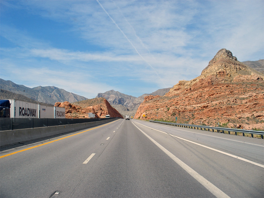
From Richfield, I’m only on I-70 for 13 miles. That’s way better than yesterday’s 300 miles of Interstate riding.
I’ve never been a big fan of Interstate Highway motorcycle riding. What’s the point? For me, riding on I-whatever is only the means to an end – getting efficiently from point A to point B, so I can begin riding the road less traveled.
But there are a bunch of motorcycle maniacs – present company excluded – who delight in racking up mile after mile of Interstate time. They’re members of the Iron Butt Association. This is not a joke. The Iron Butts are a loose-knit group that touts themselves as the World’s Toughest Riders.
There’s apparently a fine line between tough and crazy. The Iron Butts appear to have crossed that line, and kept on riding for hours on end.
To achieve Iron Butt membership, you’ll need – at a minimum – to ride the Saddle Sore 1000. That’s a 1,000 mile ride in 24 hours or less. You can also achieve Iron Butt status by visiting 48 states in 10 days, or seeing at least 50 National Parks in 25 states – in less than a year. Oh, they take this stuff seriously. If you’re an Iron Butt wannabe, you’ll need documented proof of your achievement.
These guys are hard core, and saddle sore!
***
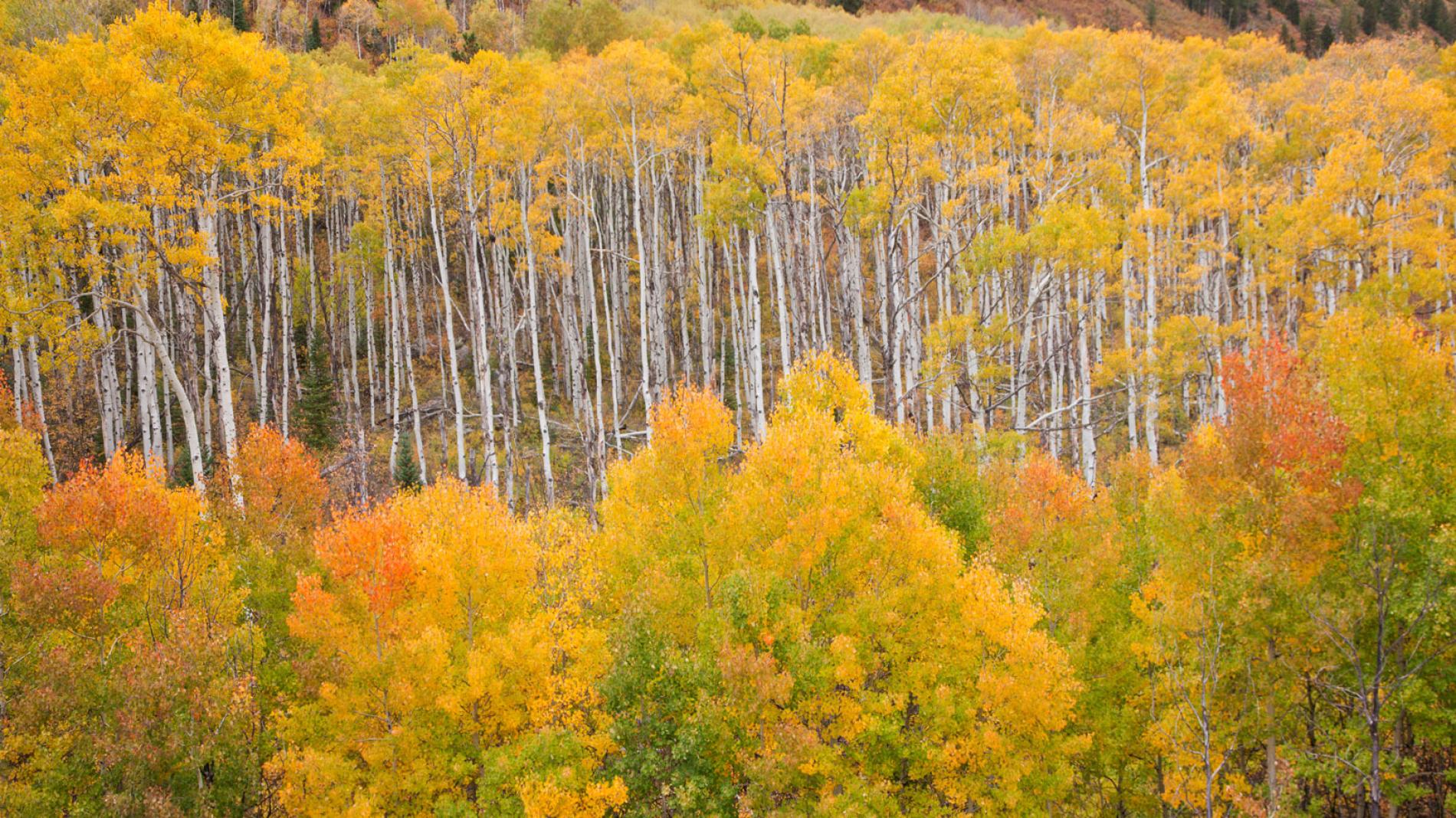
I soon turn south on US Highway 89, and am hugging the eastern edge of Fishlake National Forest. The forest covers 1.5 million acres, and includes Pando, a clonal quaking aspen stand that is said to be the oldest (80,000 years) and largest (106 acres) organism on earth. Pando has one gigantic underground root system, and it’s not healthy. A study published in 2018 concludes that due to human interference, Pando hasn’t been growing for the past 30 to 40 years.
The area along Highway 89 is sparsely populated. There are towns with a few hundred residents, like Marysvale – likely named for, and commemorating, the Virgin Mary.
Then there’s the ghost town of Alunite, a mining area abandoned since 1930. Alunite is an ore rich in both aluminum and potash. When the US entered World War I, the Alunite mines gained strategic importance as the only domestic source of potash, needed for manufacturing explosives.
To my left is the Piute Reservoir, a 2,510-acre trout fishing haven. The reservoir sits at 5,900 feet on the cliffs of the Sevier Plateau. Both the reservoir and Piute County are named for the Native Americans who dominated this area at one time. For you spelling fanatics – the Utah State legislature changed the spelling from Paiute (the Native American people) to Piute.
***
About 75 miles after leaving Richfield, I roll into the town of Panguitch. In 2007, the entire town was designed as a Historic District. Its history mostly centers around Mormon settlers, as is the case for most of rural Utah. A Danish Mormon convert named Jens Nielsen led the settlement of Panguitch in 1864. Nielsen is known as the founder of several communities, including Cedar City. He was part of the Hole-in-the-Rock Expedition, a group of Mormon settlers intent on establishing a colony in what’s now southeastern Utah.
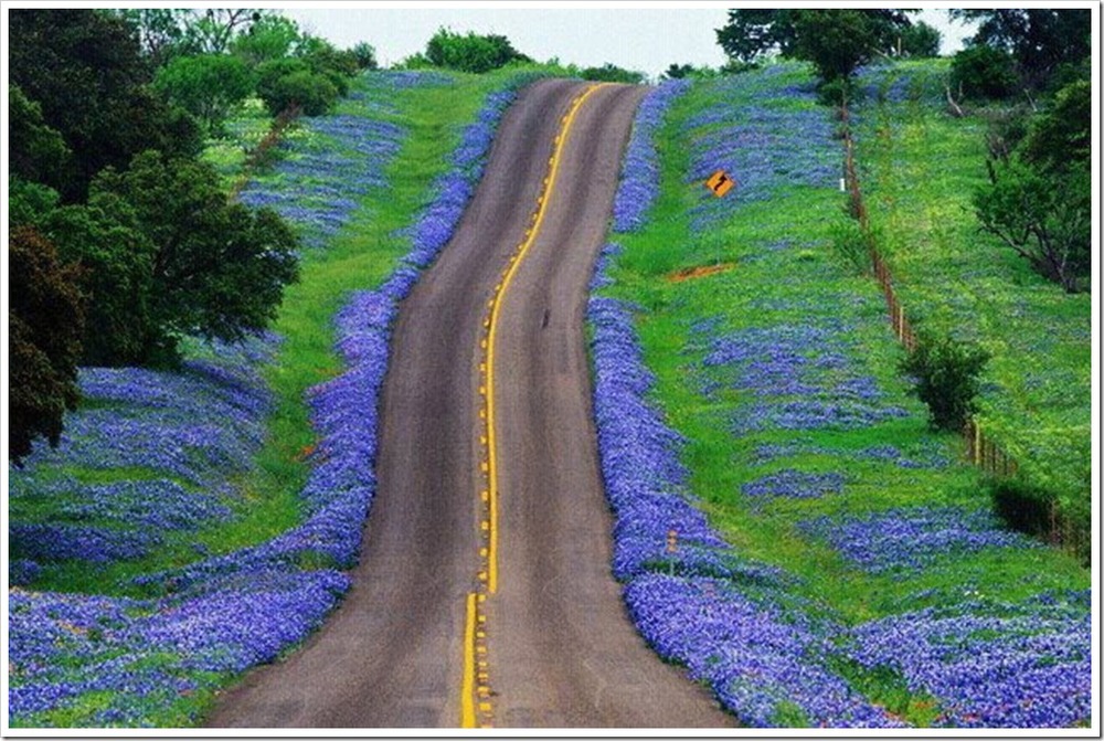
A few miles south of Panguitch is the turnoff to Utah Highway 12, the road to Bryce Canyon National Park. Highway 12 is one of the best motorcycle roads in the US. I’ll visit it on the way home in a few weeks. It’s way too early to be thinking about that. So, let’s keep rolling south on US Highway 89.
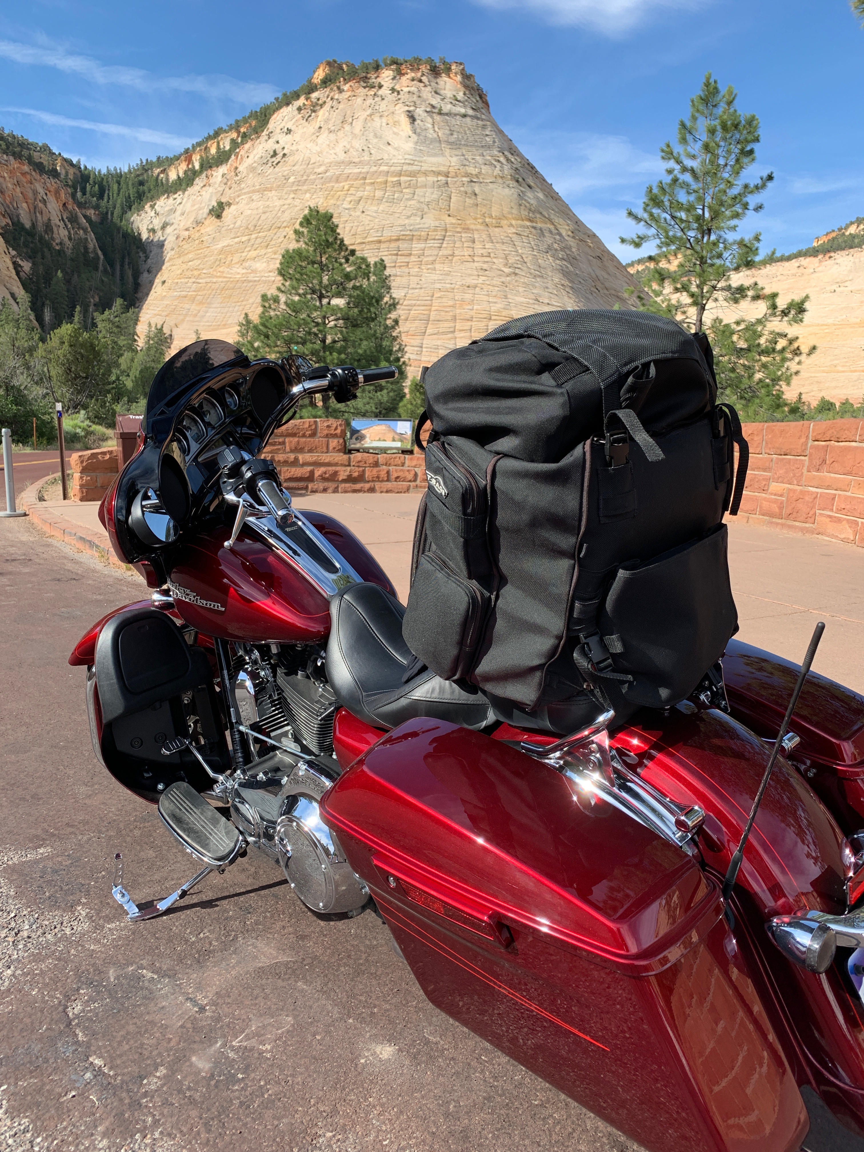
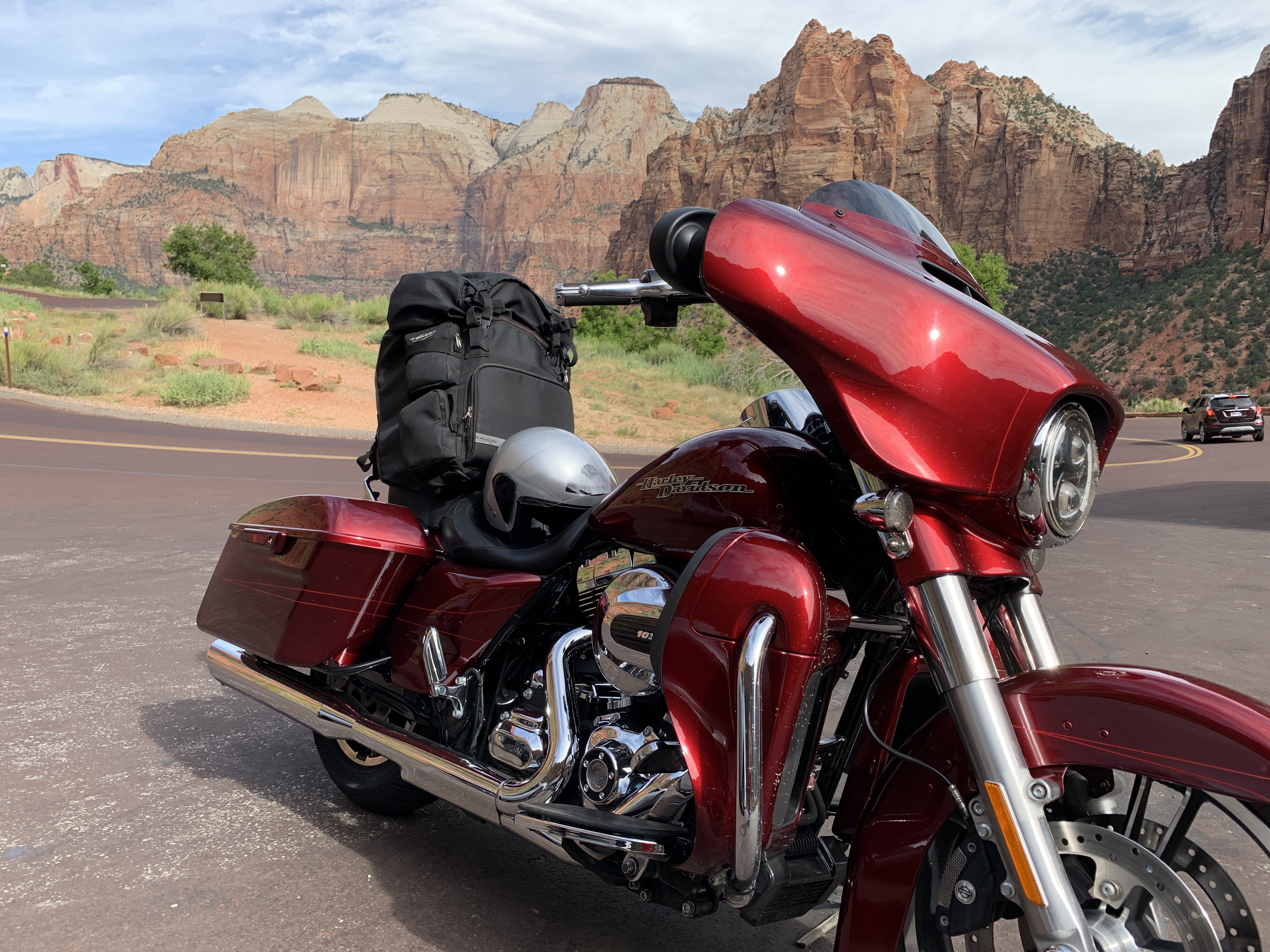
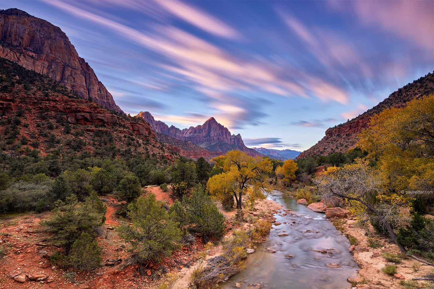
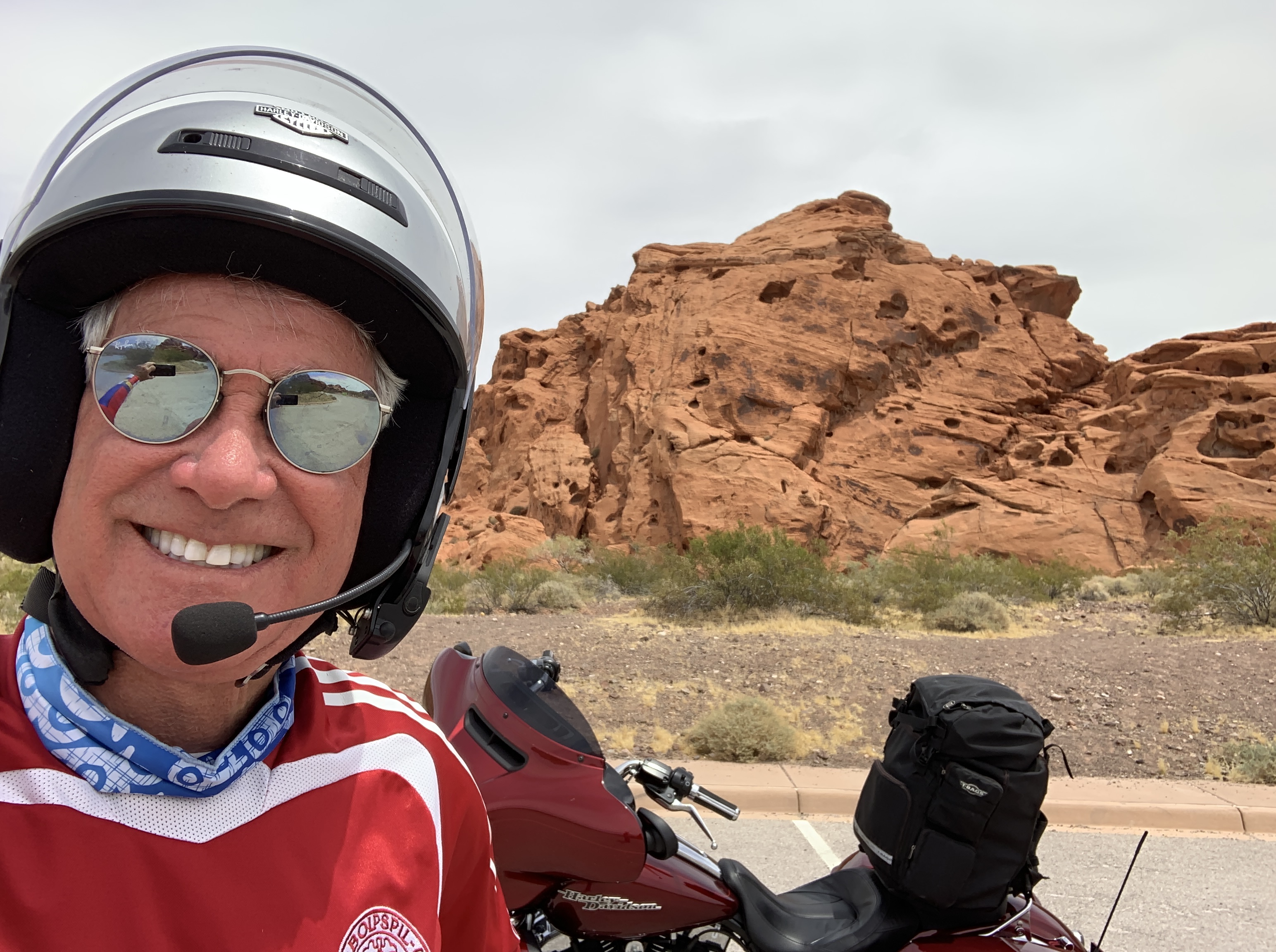
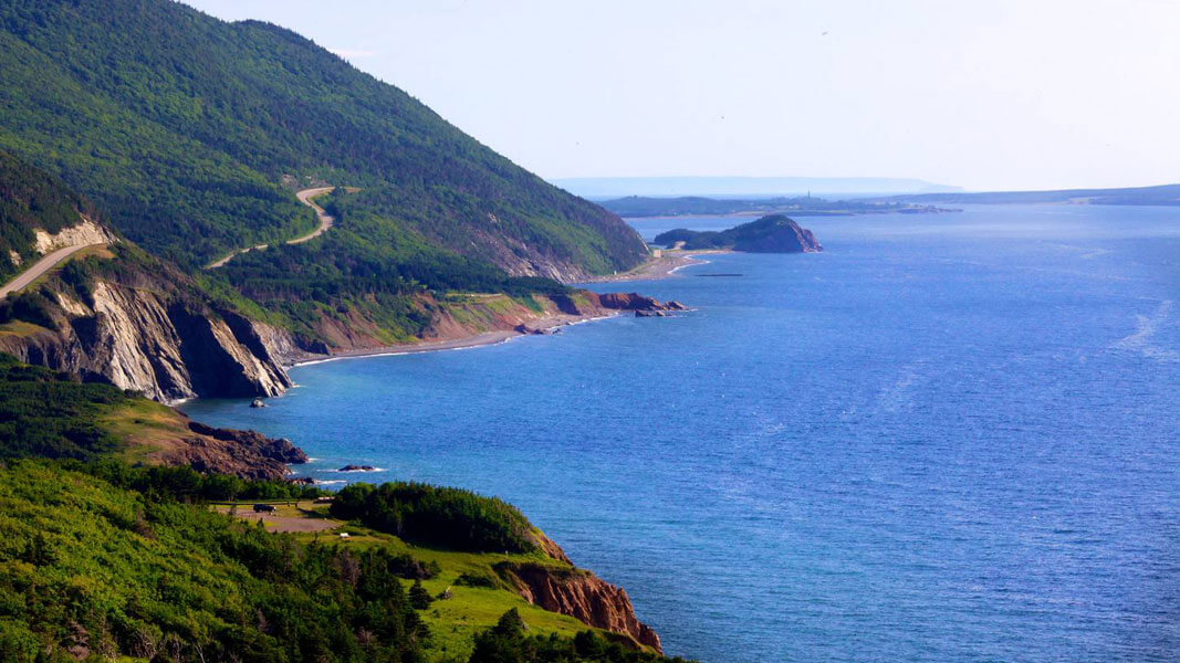
Fifty miles from Panguitch, is Mount Carmel Junction. Here, I turn west on Utah Highway 9. In 12 miles, I’ll be in Zion National Park, the first of a half-dozen national parks I’ll visit on this trip – and the only one I’ll see by myself.
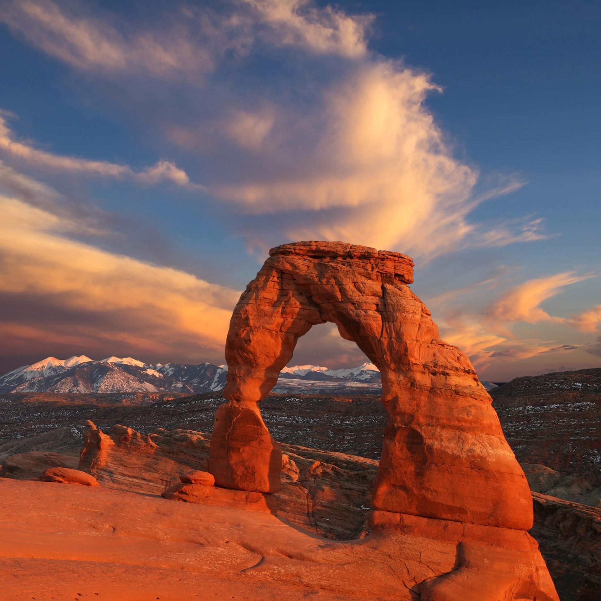
Congress established Zion National Park in 1919. It was the first of Utah’s five national parks, each with stunning natural beauty. The others are Arches, Bryce Canyon, Capitol Reef and Canyonlands.
The town of Springdale sits at the west entrance to Zion National Park. In 2008, Forbes Traveler magazine named Springdale one of the 20 prettiest towns in the US. With a population of 547, there are far more visitors to Springdale than residents. Its only industry is tourism, which makes sense because of Springdale’s proximity to one of the most visited national parks in the US. Springdale welcomes several million visitors from all over the world every year.
Last year, 4.3 million people visited Zion National Park. Only Great Smoky Mountains National Park, with 11.3 million visitors, and Grand Canyon National Park, with 6.3 million, drew more.
***
Continuing west on Utah Highway 9, I roll through the town of Virgin, best known for its gun ownership law enacted in 2000, requiring every homeowner to keep and maintain a firearm. For this dubious distinction, Virgin was highlighted in Michael Moore’s 2002 film, Bowling for Columbine. Exceptions to the gun ownership law are “the mentally ill, convicted felons, conscientious objectors and people who cannot afford to own a gun.”
Virgin sits along the Virgin River, for which it’s named. The Virgin River, a tributary of the Colorado, was designated Utah’s first wild and scenic river in 2009, during the centennial celebration of Zion National Park.
The river – and town – are not named for the Virgin Mary. They are named for Thomas Virgin, a member of the first American party to see it, in 1826. Virgin is pronounced VER-guhn.
Ten miles post-Virgin, I roll through the town of Hurricane, pronounced HER-ah-kuhn. I had to live in Utah for seven years to get that right.
First settled in 1896, Hurricane got its name after a whirlwind blew the top off a buggy that Erastus Snow was riding in. “Well, that was a hurricane,” Snow exclaimed.
Hurricane is windless today, and a good place to stop for gas. It’s about halfway to tonight’s destination – Henderson, Nevada.
***
With a full tank of gas, I ride west about 10 miles, past Zion Harley Davidson, and jump onto I-15 South, which I’ll follow for 74 miles. But first there’s St. George, the second-fastest growing city in the US.
Mormons do like to multiply.
They are taught from a very early age that children are vital to God’s plan, and that the highest and most sacred gift that God has given his children is the ability to have children of their own. Not exactly a model for zero population growth.
The population of St. George is 70 percent Mormon, and growing.
St. George is named after George A. Smith, an apostle of the Mormon Church in the 1860s. Other notables from St. George include Gaskell Romney, Mormon leader and grandfather of US Senator Mitt Romney; country music singer Tanya Tucker; and LaVell Edwards, former BYU football coach.
***
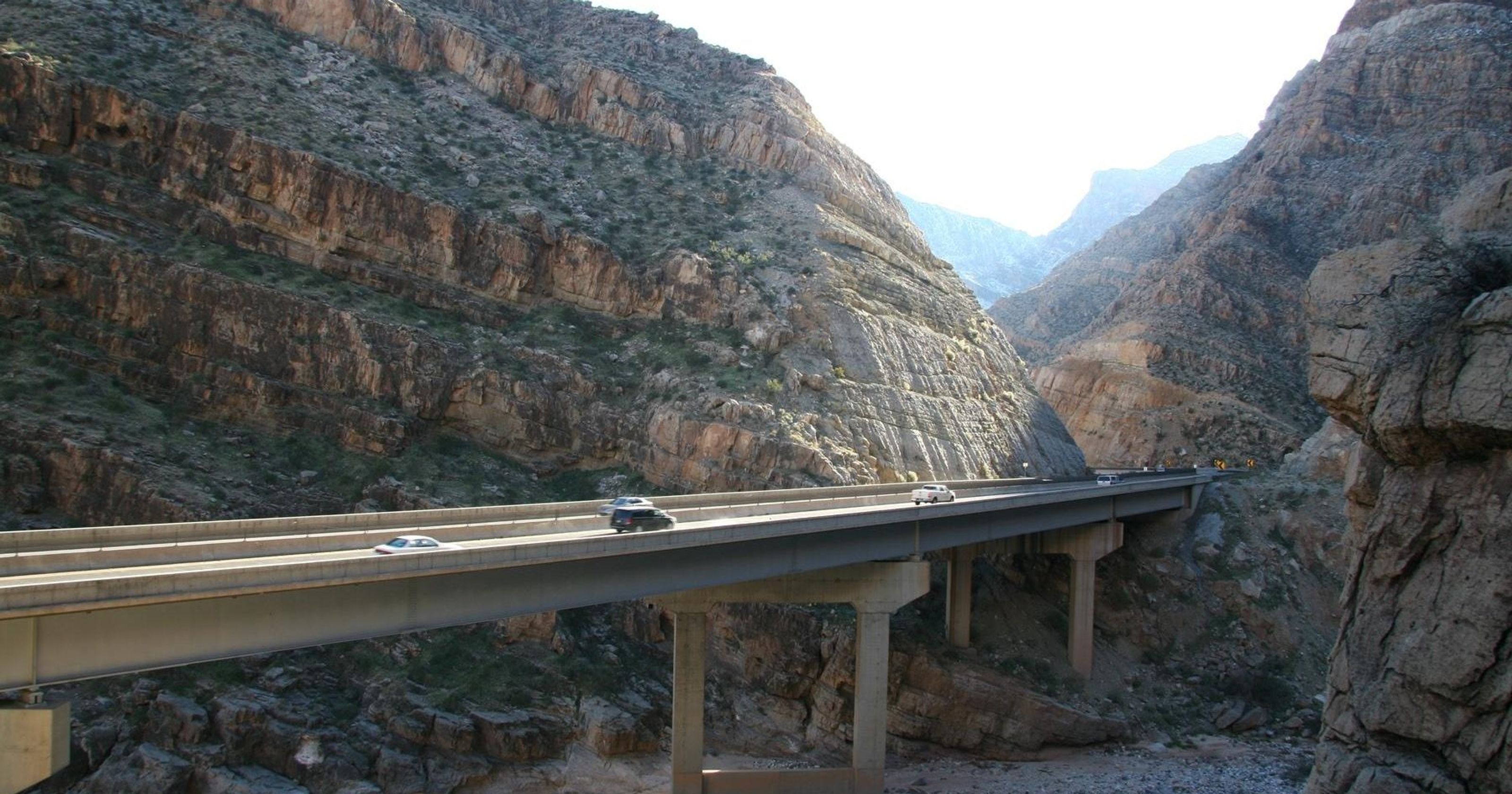
South of St. George, after crossing into Arizona, is the spectacular Virgin River Gorge. Rolling through the 24-mile gorge feels like riding an Interstate Highway through the Grand Canyon.
Before long, I enter Nevada, and pull over in Mesquite for a rest break. Mesquite was settled by Mormon pioneers, who named it after the mesquite timber found near the original town site. Today, Mesquite is home to a growing retirement community, several golf courses, casinos, gas stations, and the Mesquite Desert Dogs of the TBL (The Basketball League).
By exit 93, I’ve had enough of Interstate riding for the day.
I turn off I-15, and head toward Moapa Valley, known as the Gateway to the Valley of Fire. Moapa Valley is about 65 miles northeast of Las Vegas.
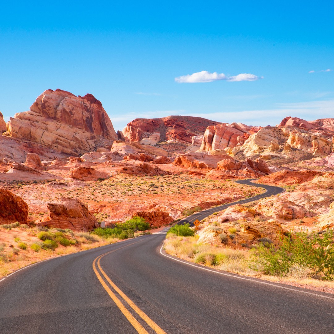
A few miles south of Moapa Valley I enter the Valley of Fire State Park. Yes, it’s hot. The area is known for its 40,000 acres of bright red Aztec sandstone. On a sunny day, like today, the rock formations look like they are on fire, giving the park its name.
Most of the Valley of Fire is within a mile or two of Lake Mead, which straddles the Nevada/Arizona Border. Lake Mead is a man-made lake that lies on the Colorado River. The lake was formed in 1935 by the creation of the Hoover Dam. Its reservoir serves water to the states of Arizona, California and Nevada.
Nearly eight million people visit Lake Mead every year, many of them coming from nearby Las Vegas. Lake Mead is only about 25 miles from the Las Vegas strip, the birthplace of neon and faux reality (“Hey Mildred, is that really the Eiffel Tower?”).
Lake Mead’s Las Vegas Bay is at the far west end of the lake. From here, it’s only a few minutes ride to Henderson, Nevada’s second-largest city, with a population of about 302,000. Henderson is a haven for Californians fleeing the Golden State’s high cost of living, oppressive tax structure, and liberal politics.
***
Tonight, Henderson’s population will swell somewhat.
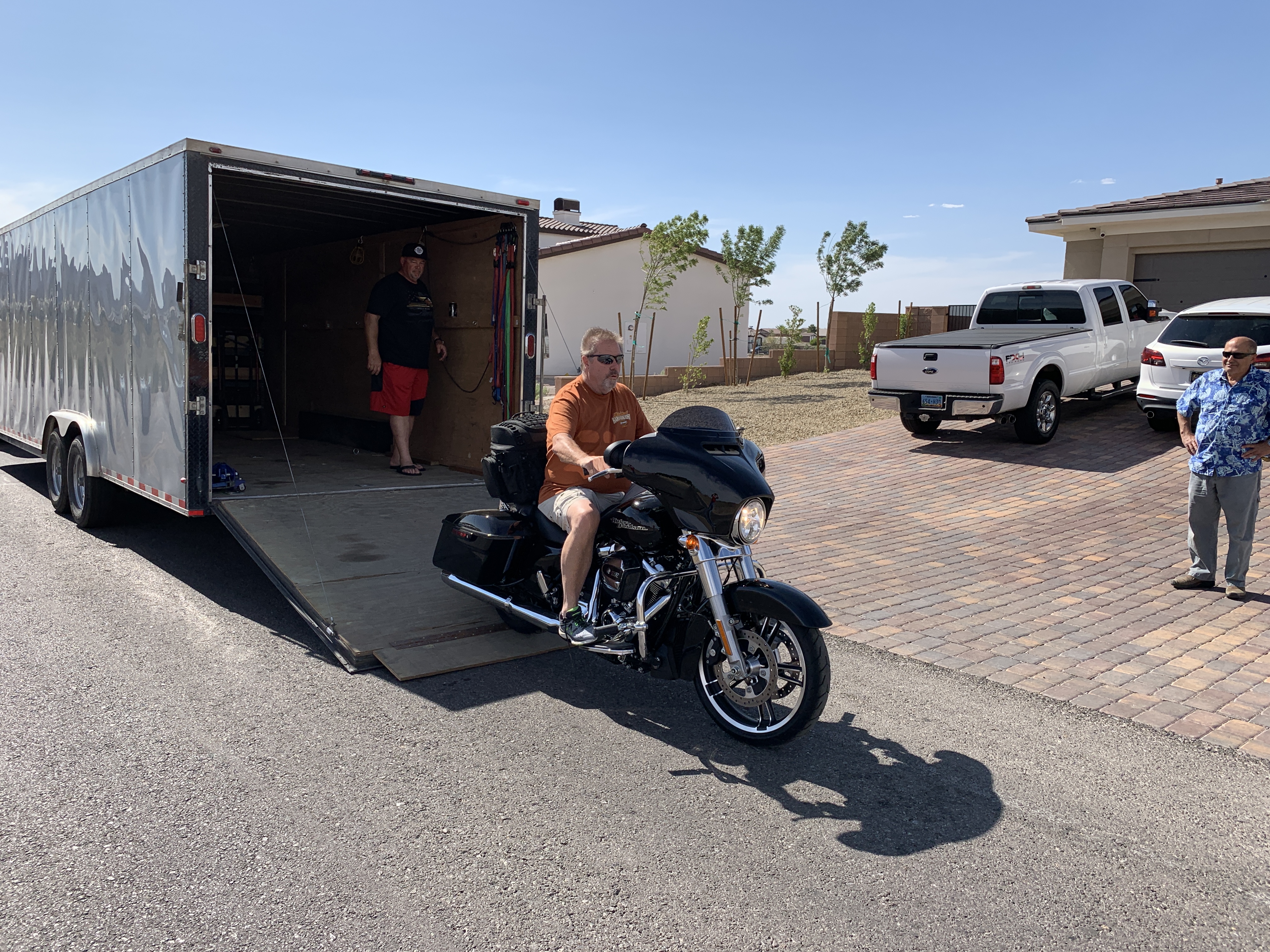
In mid-afternoon, I pull into the driveway at Dave and Gail Bowman’s new home. Yes, that Dave Bowman, the Harley guy I’ve ridden with the past four summers. After the better part of a lifetime in southern California, the Bowmans had finally had it with SoCal politics and what they called California’s exorbitant cost of living.
So they picked up stakes, sold their home in Fullerton, California, and moved to Henderson.
Lucky for me, because after 335 miles in the saddle, I’m ready for a rest. I am so not Iron Butt ready.
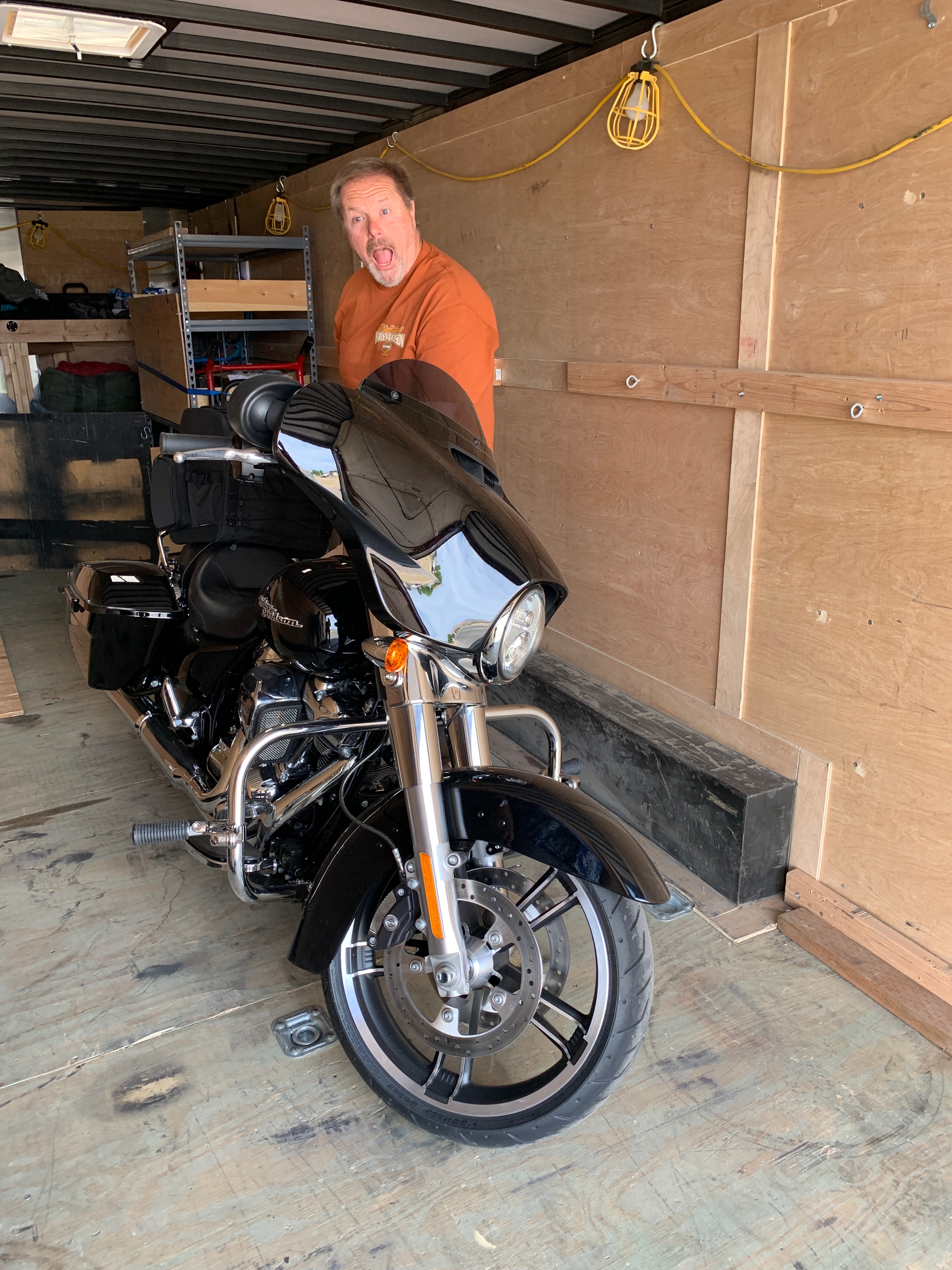
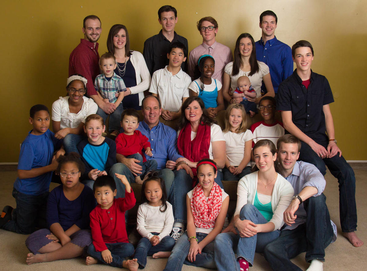
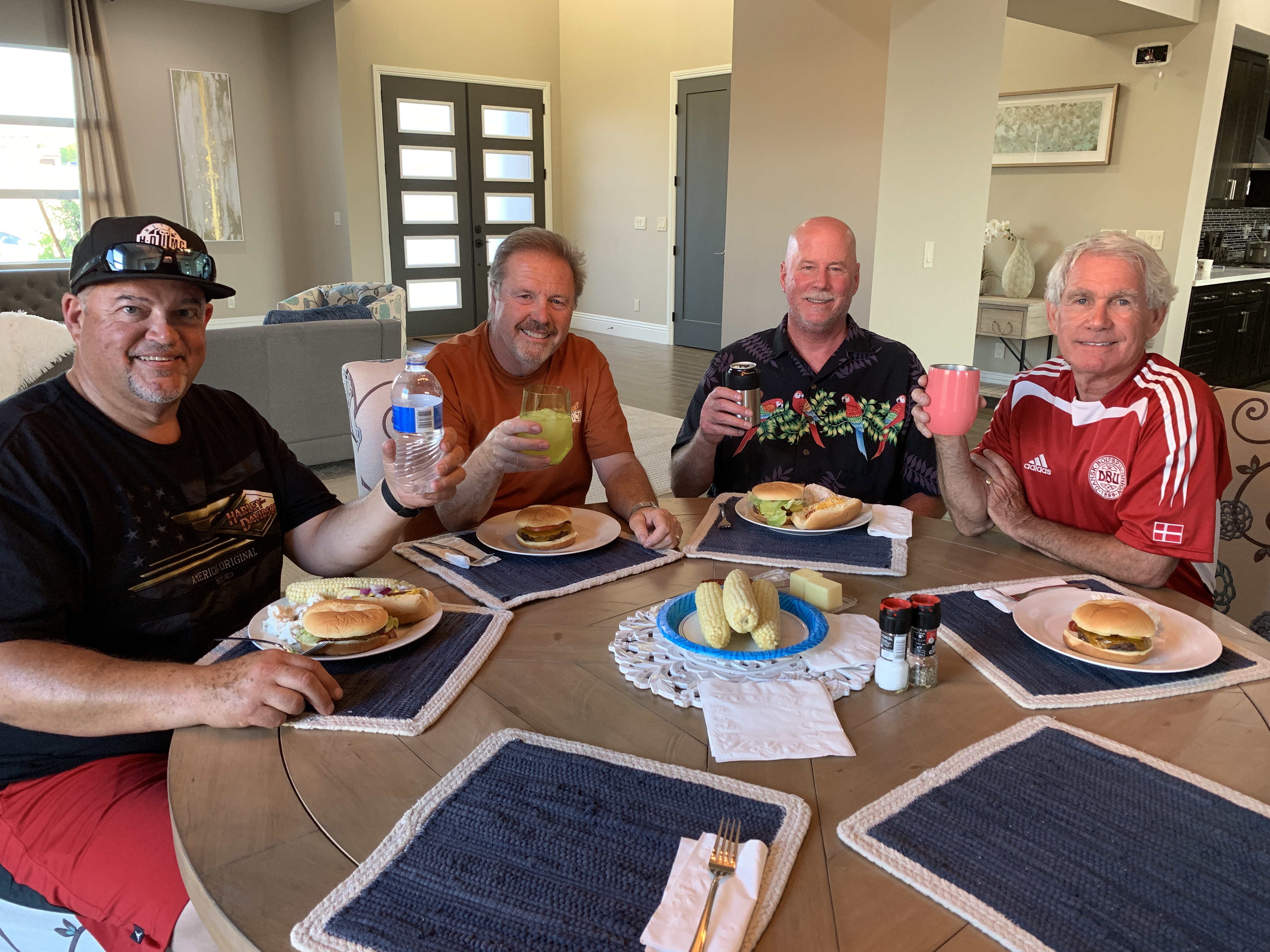
It’s no coincidence that I stumble across two good friends at Dave’s house: Scott Donaldson and John Tracy. Along with Dave, they’ll form part of the posse that is riding to Canada with me.
To learn a little more about these wild guys, click here and scroll down to Dave, Scott and John’s part of the page. You’ll recognize them, cuz they look like old guys on Harleys. Kinda like the 2007 movie, Wild Hogs.
The Bowman family is kind enough to host the posse at their home tonight. It’s been a long, hot ride for all of us to get here. But the Bowmans – masterful grillers and bartenders – promise to make it worth our while.
We’ll all leave from Casa Bowman and head for Canada. Just not quite yet.
***
Day Two Summary: The Valley of Fire, avoiding an iron butt, assembling the posse.
Click here to see today’s complete route from Richfield, Utah, to Henderson, Nevada.
We’re on our way to Canada, eh?
Vroom, vroom.
***
Today’s Canada Fun Fact, eh? Canada has the longest coastline of any country in the world: 151,600 miles. (Note: by comparison, Lake Mead’s shoreline is 550 miles). That number, 151,600 – which is not a typo – includes Canada’s mainland coast, the islands of Newfoundland, Cape Breton and Prince Edward Island, and all measurable islands.

Gary, you’re once again making life On the Roadlook pretty good (better than Jack K.). And now it’s JT arriving with a police (Spadafora) escort? My vir-guhn eyes can’t take much more.
Be the ball,
Noonan
LikeLike
Pretty bizarre seeing Spadafora roll up with his 100-foot trailer!
LikeLike
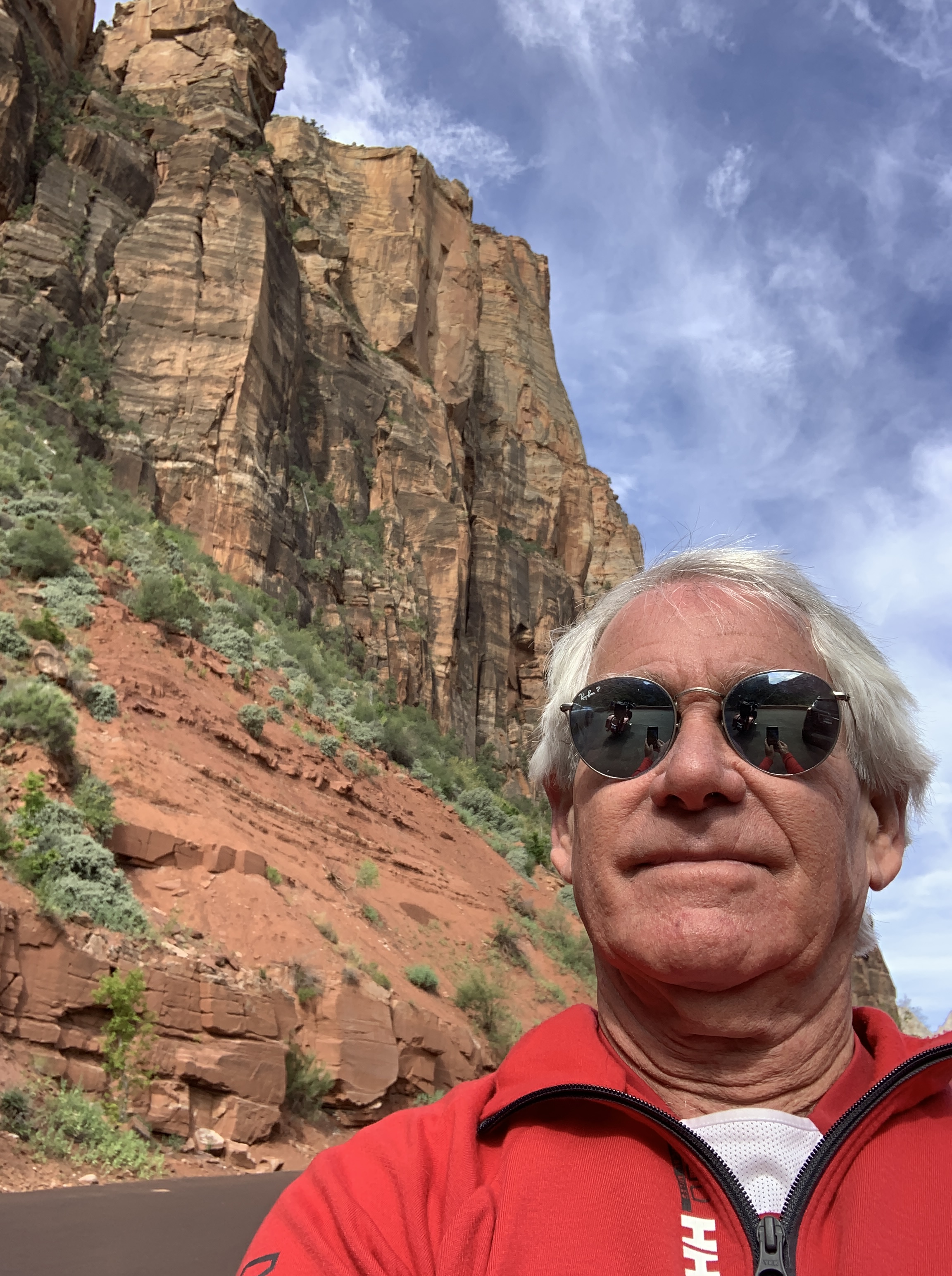
Love the Zion selfie!!!
LikeLike
That was for you. Woulda tried using the rear-view mirror, as you did, but couldn’t figure out how 😂😂😂
LikeLiked by 1 person
Takes practice! 😁😂 Vroom vroom!
LikeLike
Gary,
Nice photos
Hope all is well !!!
Cheers,
Steve
(707) 246-4355 sweiss@mc-sw.com
>
LikeLike
Life’s good, Steve!
LikeLike
Lovin’ the pics. Ride safe.
LikeLike
LOVE all the photos, and of course the wonderful education re so many “roads less traveled”…Canada “fun fact” an extra bonus this year! Just got back from Zion so those roads were fresh in my mind…if only I could enjoy gem on a bike!! Have a blast…
LikeLike
Hey Marde, great to hear from you! Zion is pretty awesome, eh! There will be an end-of-blog quiz. Study up 😂😂😂
LikeLike
Last year’s theme was ribs. It looks like this year’s may be burgers. Do their buns have anything to do with the Iron Butts?????
Am very much enjoying following you and your trip. The aspen grove is large and if your northern route takes you through Oregon, perhaps this may be of interest (https://www.businessinsider.com/largest-living-organism-the-armillaria-ostoyae-fungus-2017-5).
LikeLike
Your comprehension is A+, Dr. Thick!
LikeLike