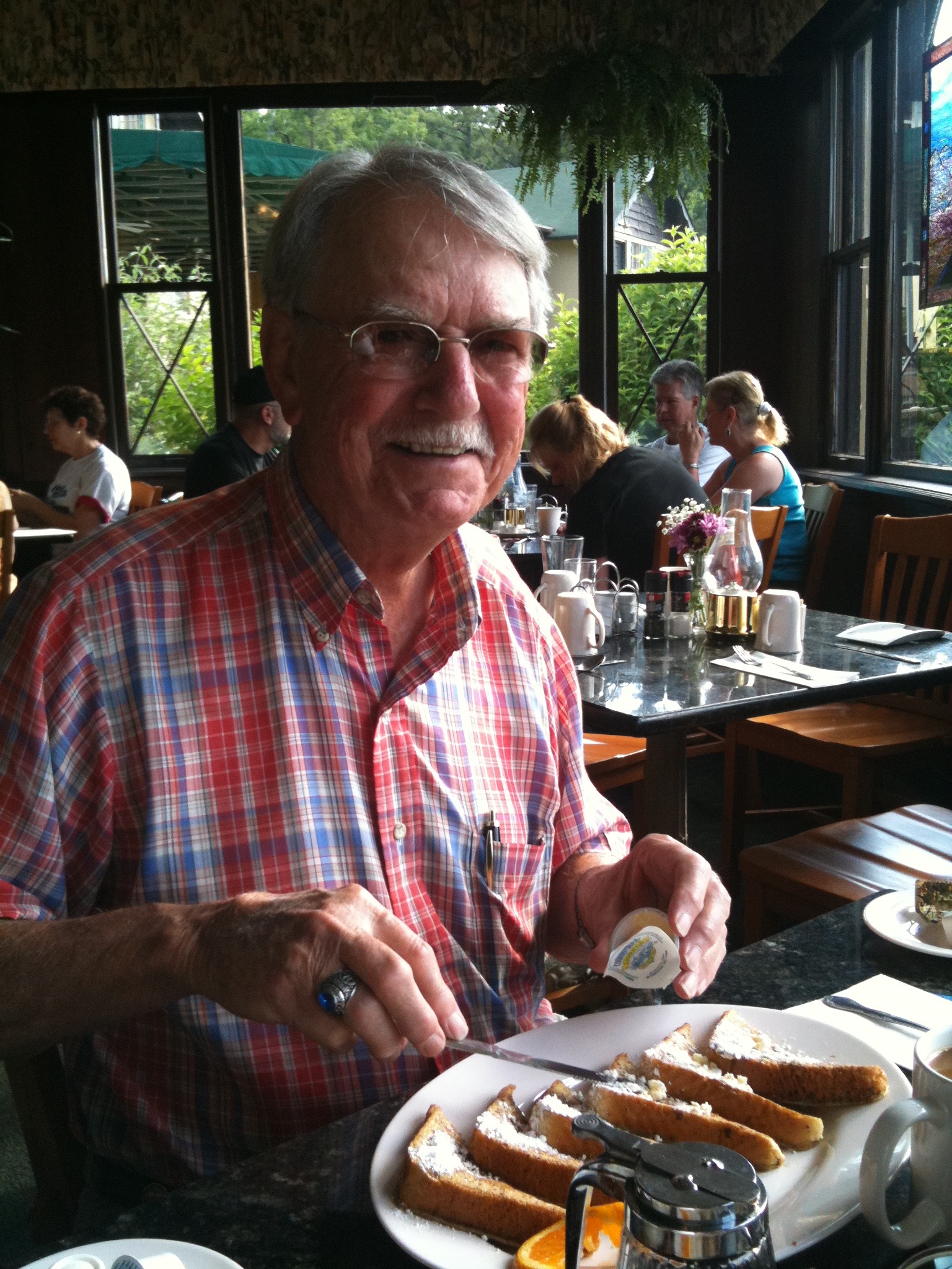
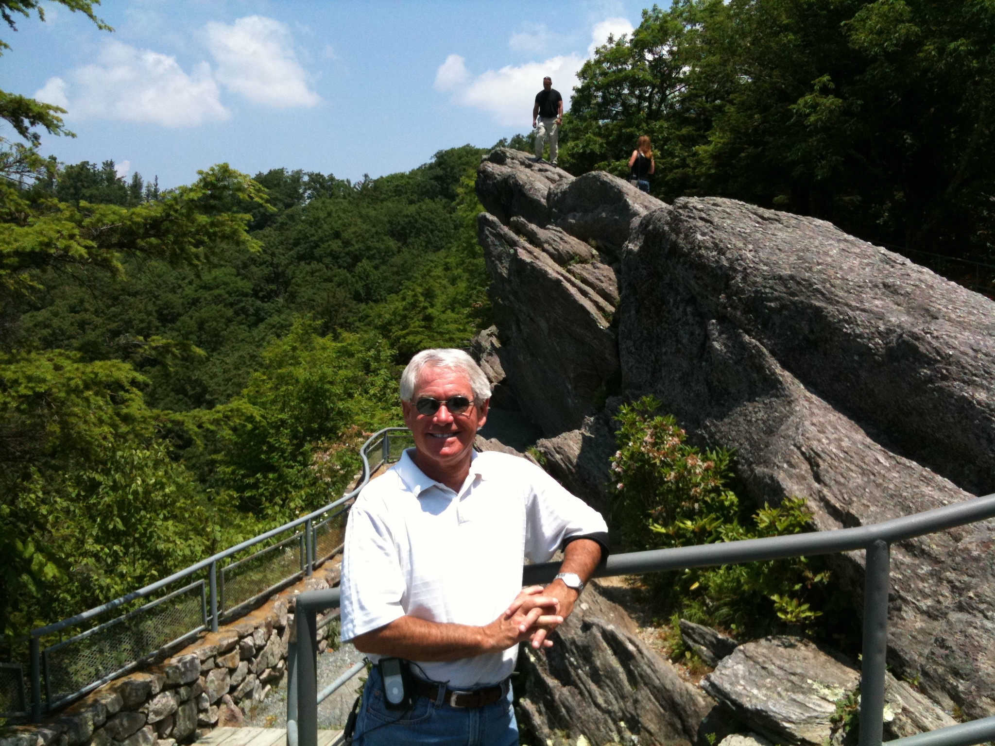
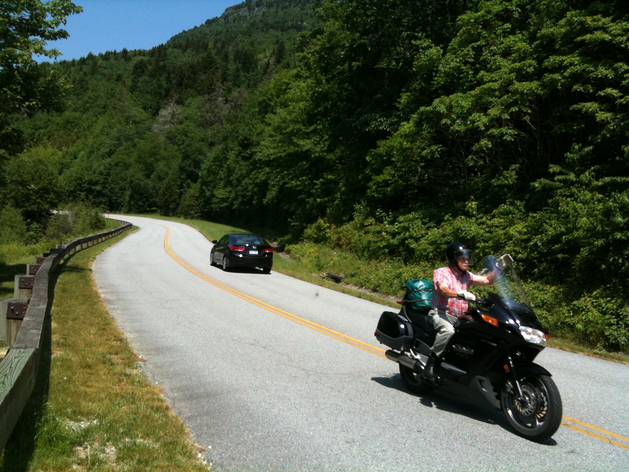
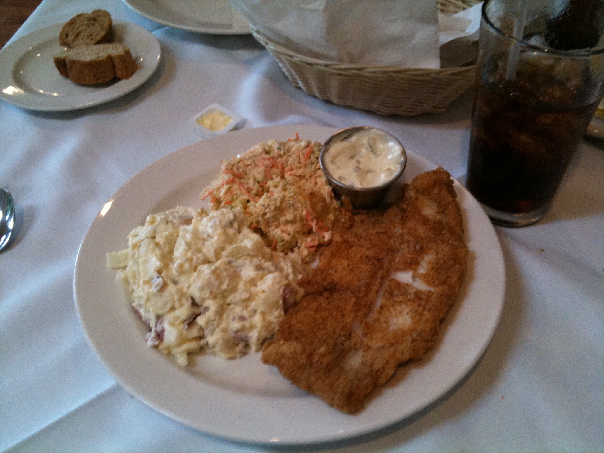
Heading for Home: All Good Things Must End :-(

Today, we begin heading home.

Makes me sad, too. But we have miles of beautiful topography and gut-busting culinary experiences still ahead of us. This ride is anything but over.

Most of the ride for the next five days, from here to Tennessee, will have a southern component to it. With any luck, we will arrive in Farragut, Tennessee, eventually. Or not.

If we are really living right, we might avoid a seventh straight day of rain. When I talked to Sarah last night, she said it was 110 in La Quinta. That hardly seems fair.

But when we wake up this morning in Ashland, New Hampshire, we are pleasantly surprised to glimpse glorious, sunny skies — a positive sign bordering on an omen.

The day begins as we ride south along NH-104, through Danbury and along Mount Kearsarge State Park in New Hampshire. Mount Kearsarge is 2,937 feet high. Its name evolved from a 1652 rendering of the indigenous name for the mountain, Carsarga, which is believed to mean “notch-pointed-mountain of pines.”

We ride through Green Mountain National Forest, via Keene, New Hampshire, and Brattleboro, Vermont. Big news source in Brattleboro: the Brattleboro Reformer. Sounds more like a Pilates training device. Click here to check out today’s Brattleboro headlines.
IMG_1441
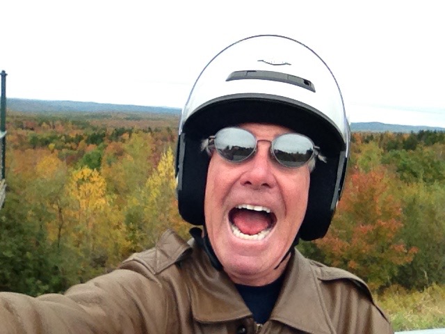
Selfie on the Molly Stark Trail.

From Brattleboro, we ride west through the Green Mountains on VT-9, the Molly Stark Trail. Stark was the wife of Revolutionary War general John Stark. This trail is thought to be the route used by General Stark on his victory march home from the Battle of Bennington in 1777.

VT-9 is a great road for motorcycles, at least it is this morning. We find spectacular views, nice curves, dry pavement. The absence of rain is a huge bonus.

In Bennington, the Blue Benn is the place to go for lunch. Once there, we chow down (gyro for me and a burrito for Ray) and catch up on the local news. If you want to know what’s happening in Bennington, read the Bennington Banner. Click here to check out today’s Bennington headlines. Bennington is at the west end of the Green Mountain National Forest, about two miles from the Vermont / New York border.
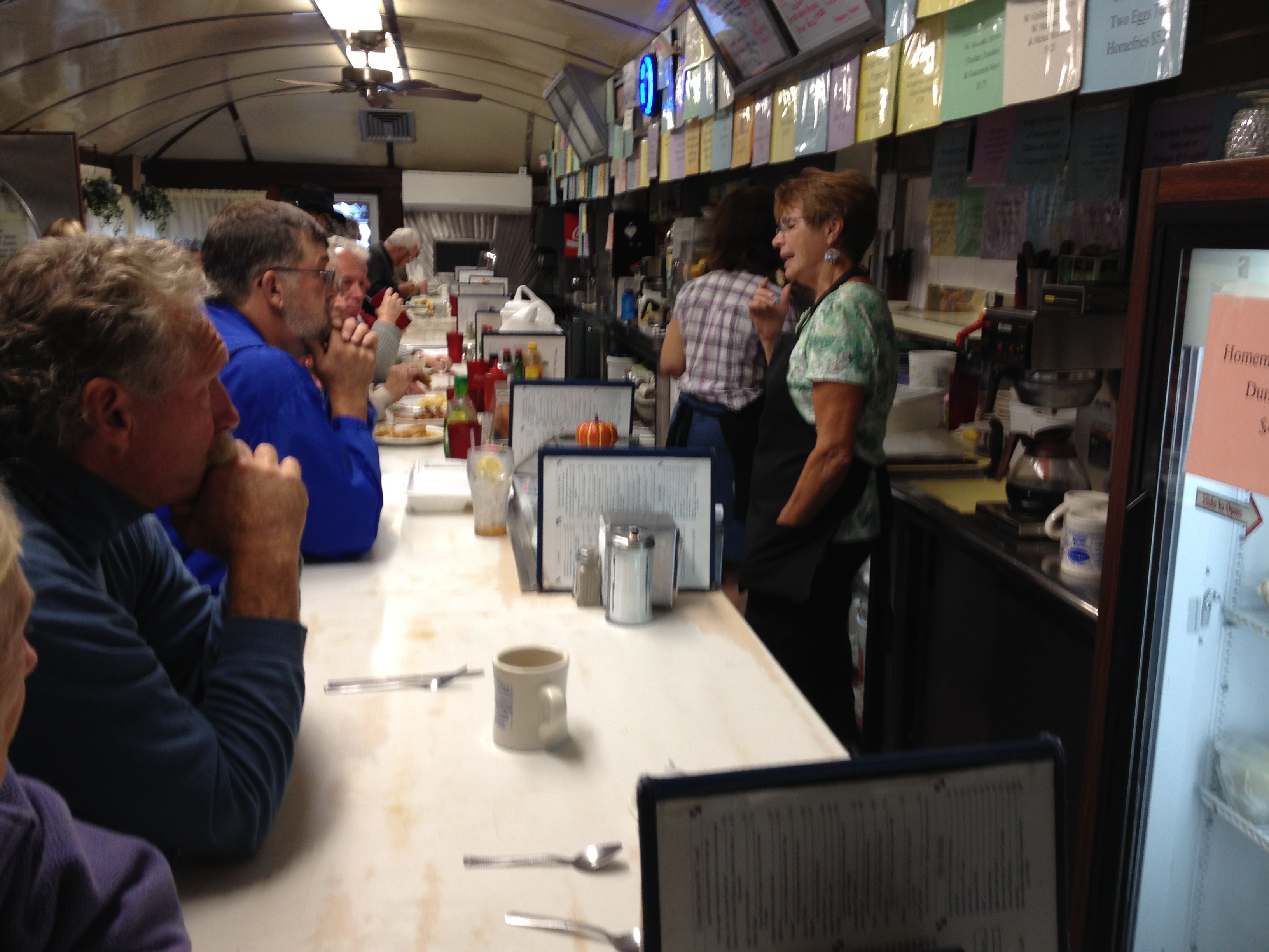
IMG_1452
Lunch at the Blue Benn in Bennington, Vermont.

After a morning of mostly decent weather, it gets ugly after lunch. We encounter steady rain all afternoon. It begins as we ride out if Bennington, and doesn’t let up for the next four miserable hours. It is dark, wet, cold and slippery. Do I sound like a broken record? This is the same weather pattern we’ve had for most of the past week. The weather makes riding less-than-comfortable, less-than-optimally-safe, and it’s quite stressful — never knowing when a moose will saunter into the roadway ahead of me. I’m sure ill feel even better about the New England weather when I talk to Sarah tonight and she gleefully tells me it’s been 110 in La Quinta (and 88 in our pool!).
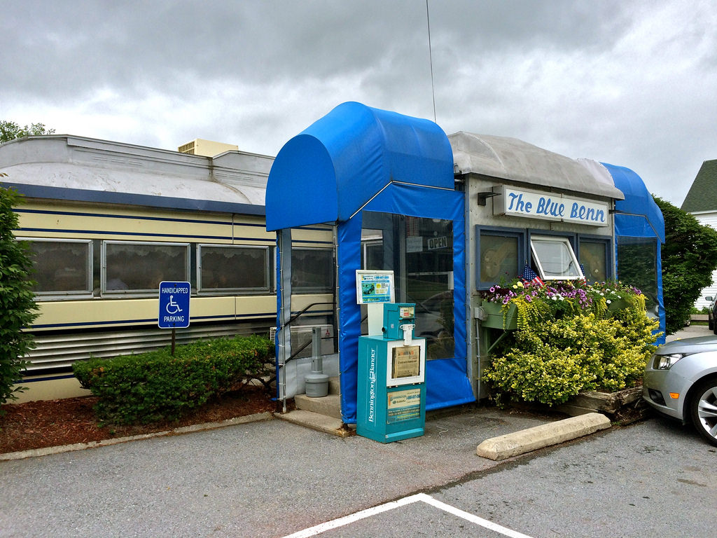
24229247074_a0135624fa_b
The Blue Benn. A cozy New England diner.

***

Leaving Bennington, we ride south on US-7, crossing into Massachusetts at Williamstown, home of Williams College. The town was named after Ephraim Williams, who was killed in the French and Indian War. In 1756, that war escalated from a regional affair into a world-wide conflict.

Other notable natives and residents of Williamstown include:

  • Actor Matthew Perry, best known for his Emmy-nominated role as Chandler Bing on NBC’s “Friends”
  • Songwriter Cole Porter (“I Get a Kick Out of You”), who — unlike most successful Broadway composers, wrote both the lyrics and the music for his songs
  • Former Major League Baseball commissioner Fay Vincent, who presided over his first World Series in 1989 when the Loma Prieta earthquake (7.1 on the Richter scale) caused game three at San Francisco’s Candlestick Park to be postponed

We follow MA-43 from Williamstown. It takes us into New York state.
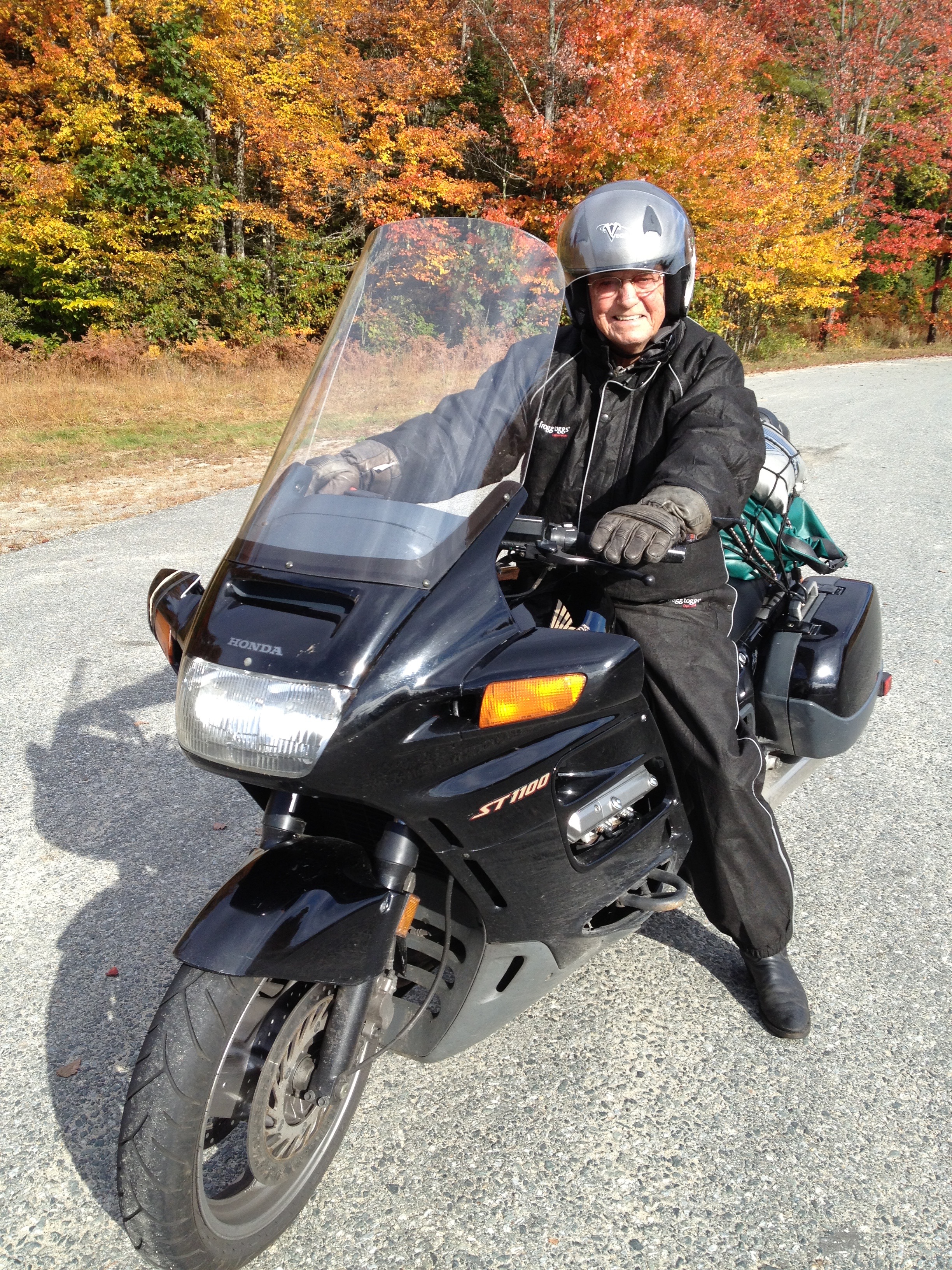
IMG_1435
Finally, the sun comes out!

***

Heading southwest on NY-68W, we arrive in Hudson, aptly named for the river it sits on, for the explorer Henry Hudson, and for the car of the same name — produced in Detroit from 1909 to 1954. As you may recall from fifth-grade history, in the early 17th century, Hudson explored the area around what is now New York, while looking for a western route to Asia. He sailed under the auspices of the Dutch East India Company, and explored the river that eventually was named for him, laying the foundation for Dutch colonization of the region.

We follow the Hudson River, north to south, much of the afternoon. We briefly pass through Catskill, which — for someone (me) who has two cats — is an unsettling name for a town. Is it “Cat-skill” … which indicates feline cleverness? Or is it “Cats-kill,” which is more ominous and foreboding? Truth be told, the Catskill Mountains got their name from early Dutch colonial settlers. Kats Kill, in Dutch, means Cat Creek. Yes, the mountains were named after a creek.

Continuing south, we pass through Tivoli Bars and shortly after that, Red Hook. Red Hook was not named for the popular beer brewed in Washington State; it apparently gets its name from the red foliage on trees on a small strip of land on the Hudson River. Notable residents of Red Hook include TV chef Mario Batali, the peripatetic ponytailed media personality, seen on the Food Network, ABC, the Comedy Channel, PBS and elsewhere. Click here if you’re a Mario Batali fan.
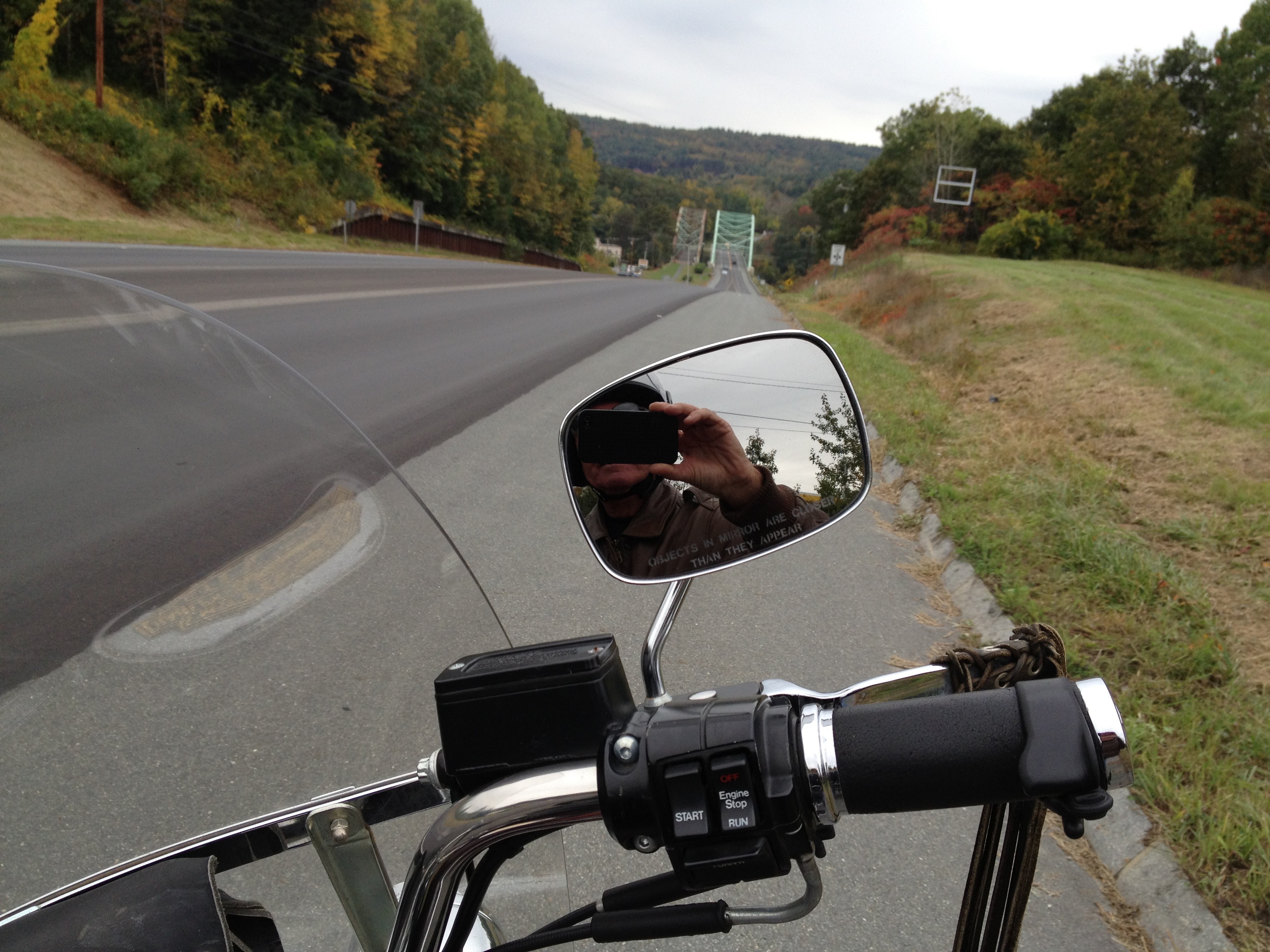
IMG_1438
Note the windshield. Clean and dry!

We cross the Hudson, going over the Kingston-Rhinecliff Bridge on NY-199. If we continue down the Hudson another 30 miles or so, we’ll stop by the US Military Academy, better known as West Point. Click here if you want to learn more about West Point. Don’t expect to find an application for admission; for that, you need a congressional appointment, and — for most of you — the ability to turn back the clock 50 years.

We continue down US-9, on the west side of the Hudson. We look across the river, and see the Vanderbilt Mansion National Historic Site in Hyde Park, New York. It’s a 211-acre tribute to industrial wealth in the early 20th century. Frederick William Vanderbilt purchased the property in 1895 for use as a seasonal country residence. The 54-room mansion was built between 1896 and 1899, a good example of Beaux-Arts architecture, which we seldom see in La Quinta. Click here for a free tour of the Vanderbilt Mansion.

It’s a short ride (and symbolically a million miles) from the Vanderbilt Mansion to tonight’s resting place, the Super 8 ($79 tax) in New Paltz, New York. Notable New Paltz residents include boxing champion Floyd Patterson, and Jason West, who married 26 gay couples while in office as Mayor.

***

Day Twelve Summary: the Molly Stark Trail, I Get a Kick Out of You, channeling Henry Hudson, a taste of Vanderbilt. Today’s miles ridden: 285, half of them in miserable conditions.

For today’s complete route from Ashland, New Hampshire, to New Paltz, New York, click here.

What will tomorrow bring?
Harley Hillbilly Holiday, Day 8

We leave Norton, Virginia, at 8:15 this morning and hop back on US 23, the Country Music Highway. In a lapse of journalistic thoroughness, yesterday’s post neglected to mention a few country music stars who got their start here.

In the hopes that they’ll send Sarah some free CDs for the shout-out, here are some additional Highway 23 performers worthy of note:  Dwight Yoakam, Crystal Gale, Tom T Hall.

Throughout this region, country music is like a religion. You know what else is like a religion?

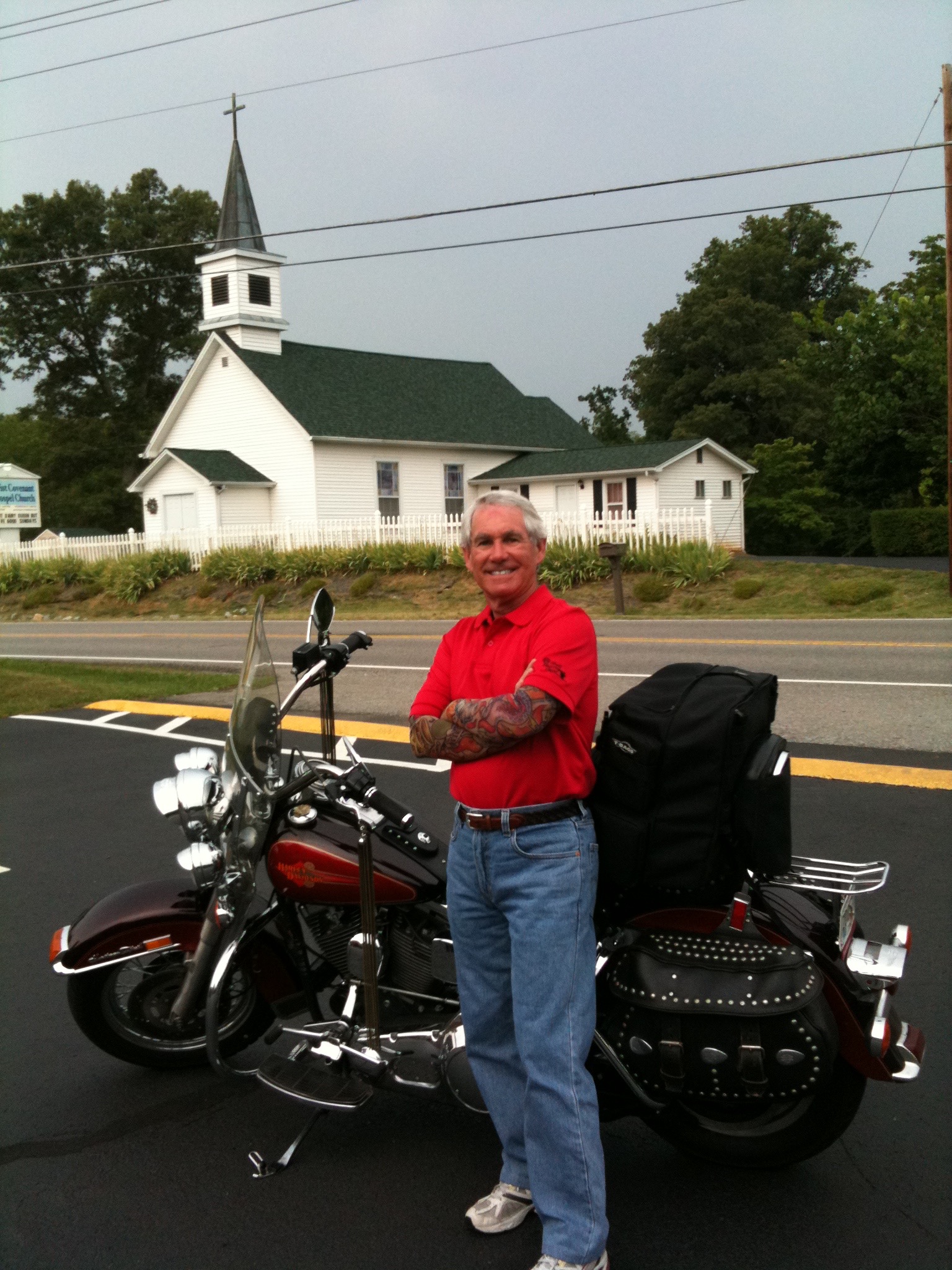
Yes, the real religion here in the Bible Belt is religion itself. Baptist churches proliferate like Starbucks … one on every corner.

IMG_0852
Seems like there’s a Baptist church on every corner.

OK, we’re back on the Country Music Highway for 40 miles.  It’s the coldest morning yet.

We are leaving Virginia and entering Tennessee for the first time in a week. My Hillbilly Holiday must be nearing an end 😦

We see road signs referring to the Daniel Boone Heritage Trail, but we resist the temptation to retrace his steps.

Next stop: Jonesborough, billed as Tennessee’s oldest town.  Jonesborough this week is hosting the 2011 Tennessee Women’s Amateur Golf Championship. The event is being held at Blackthorn at the Ridges, an exclusive club sparsely dotted with huge, high-priced homes.

This is a bike journey, so why the side trip to a golf tournament?

IMG_0834
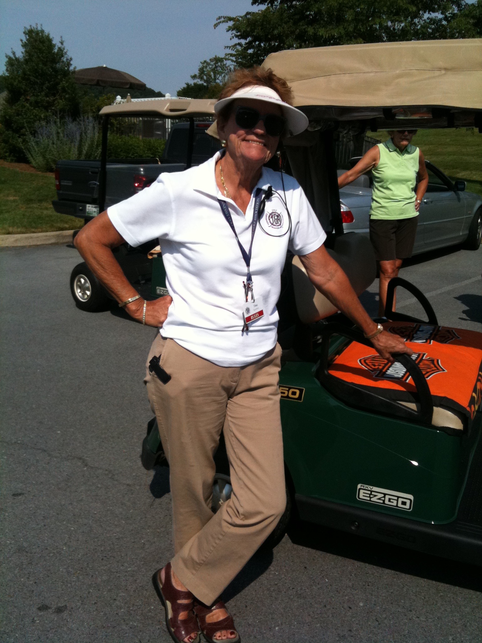
Sarah’s cousin, Tina, is in charge of Rules at the 2011 Tennessee Women’s Amateur Golf Championship, held in Jonesborough.

We drop by to visit Tina Jo Sanders, who is a USGA rules official, and in charge of the tournament, which is put on by the Tennessee Women’s Golf Association. Tina, of course, is Ray’s wife, and Sarah’s first cousin.

Today is the round of 16; you win today and the quarterfinals await. The finals are set for Friday, weather willing.

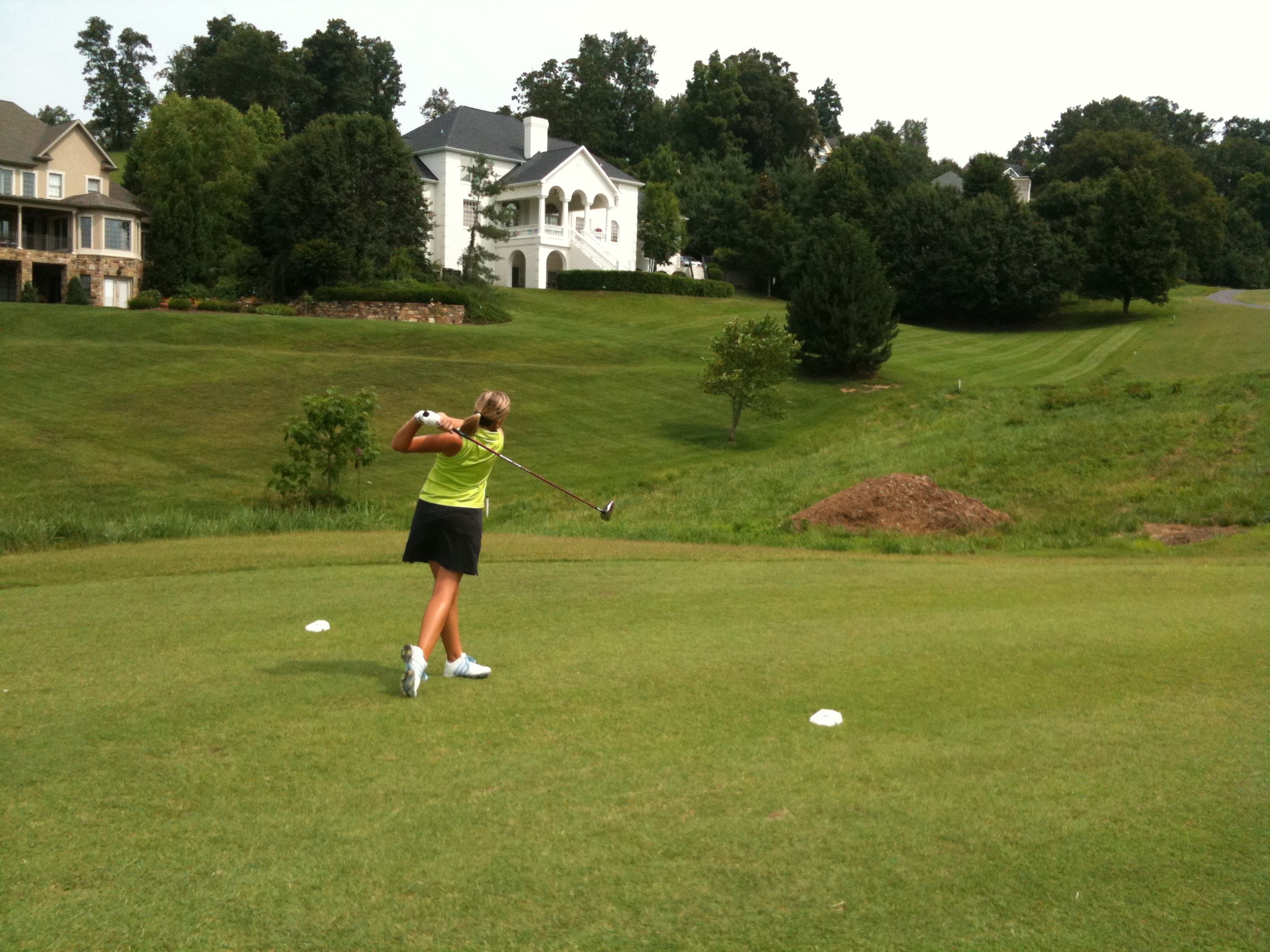
The 18-year-old on the 11th tee is favored to reach the finals. She’s Kendall Martindale, soon to be a freshman on golf scholarship at Vanderbilt University in Nashville.  Before match play began, Kendall was the medalist, shooting 70.

IMG_0841
That’s Kendall Martindale teeing off on the 11th hole.

We saddle up and hit the road, roaring down US 321 through Newport.

I see a sign for a Tennessee State Park, celebrating Davy Crockett’s birthplace.  As you remember, he was “born on a mountaintop in Tennessee, greenest state in the land of the free …”

So we make a side trip to see where he was born.

IMG_0845
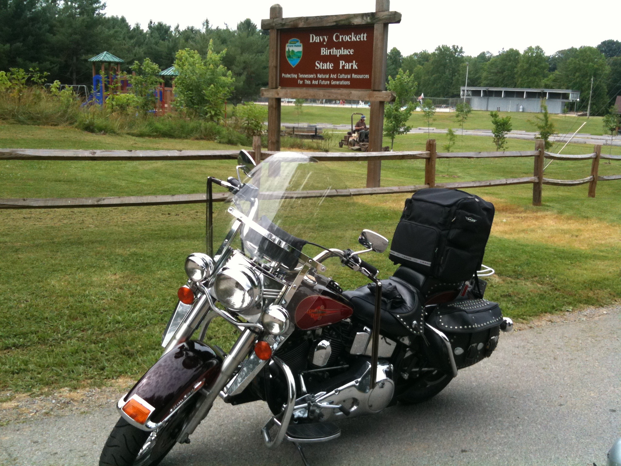
The State Park celebrating the birthplace of Davy Crockett.

Nice sign. That’s all we saw.  A sign  So we continue toward the Knoxville area.

We turn onto US 411, which takes us into Sevierville. Dolly Parton was born here in 1946.  We ride through town on the Dolly Parton Parkway.

From here, US 411 goes many places, including Greenback, Tennessee, home to the Murr family farm.

We go through Maryville, hop on I-140 (the Pellissippi Parkway) and arrive at Ray and Tina’s home in Farragut about 5:30 pm.

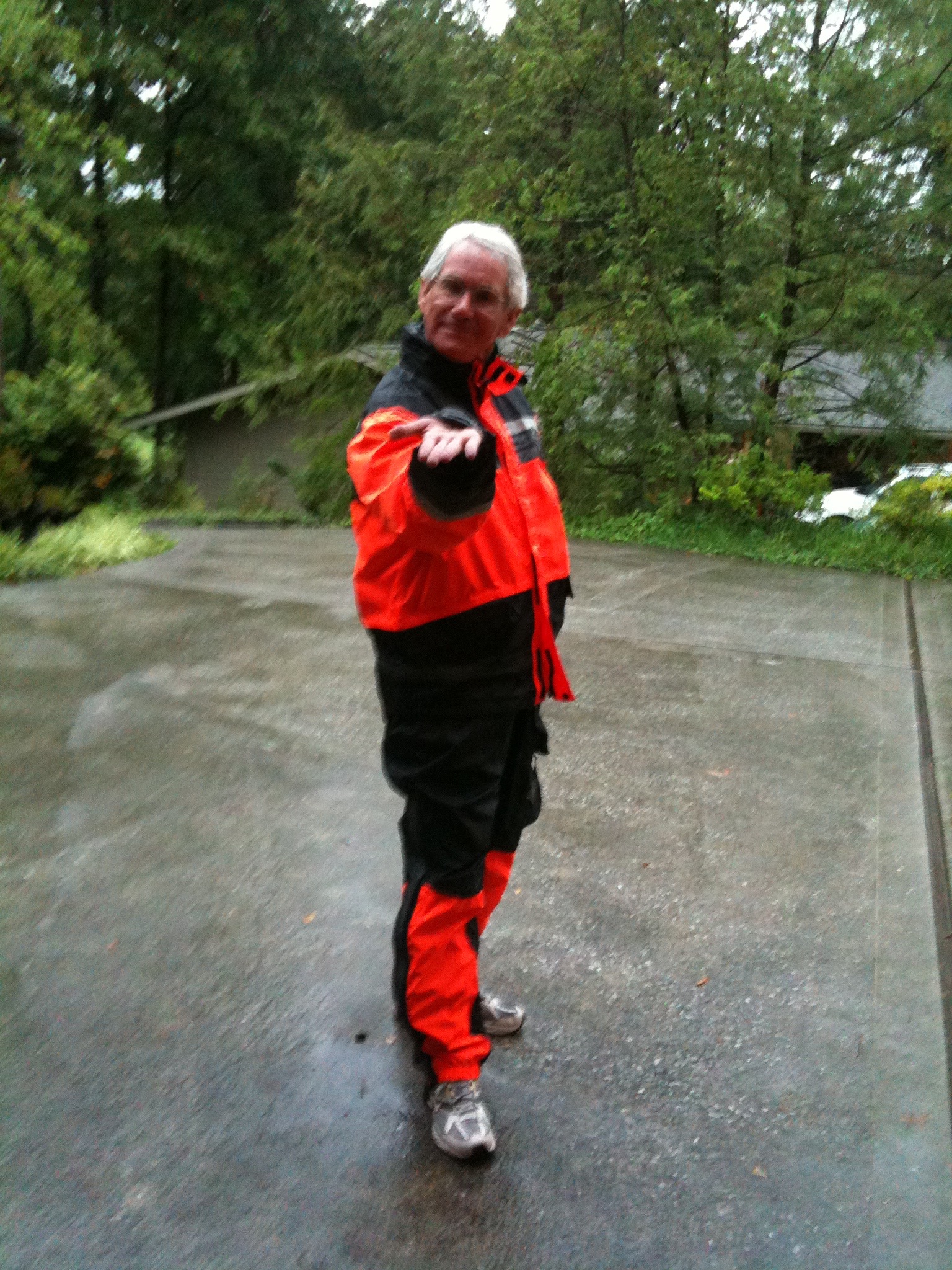
We’ve been riding in a summer rainstorm for the past hour, and I’m dry. Except for my feet, which are soaking wet. My orange and black Harley Davidson rainsuit worked perfectly. My gym shoes were not up to the task.

IMG_0855
At the Sanders residence in Farragut, Tennessee. Waterlogged, but safely home at the end of another ride.

The ride is over. Eight days. 1,511 miles.  Three rib dinners, one PoBoy, lotsa biscuits and gravy, two fancy-pants resorts, breathtaking sights beyond description.

Buckets of rain on the first and last days. Sunshine the rest of the way. No incidents, accidents, scratches or dents.

Thanks for the fellowship, Ray. Thanks for the bike, Tina. Let’s do it again some time.

What will tomorrow bring?  I can help with that: La Quinta.

Harley Hillbilly Holiday, Day 7

Today’s blog post has two interwoven themes: coal mining and Ray Sanders.

First, I want to correct an oversight in yesterday’s message: I forgot to mention we overnighted Monday in Bluefield, Virginia. Bluefield is on Highway 460 in Tazewell County.

Our 225-mile Tuesday begins in another Bluefield — nearby Bluefield, West Virginia, nicknamed “Coal City.” And for good reason. This area has the world’s largest and richest deposits of bituminous coal.

IMG_0803
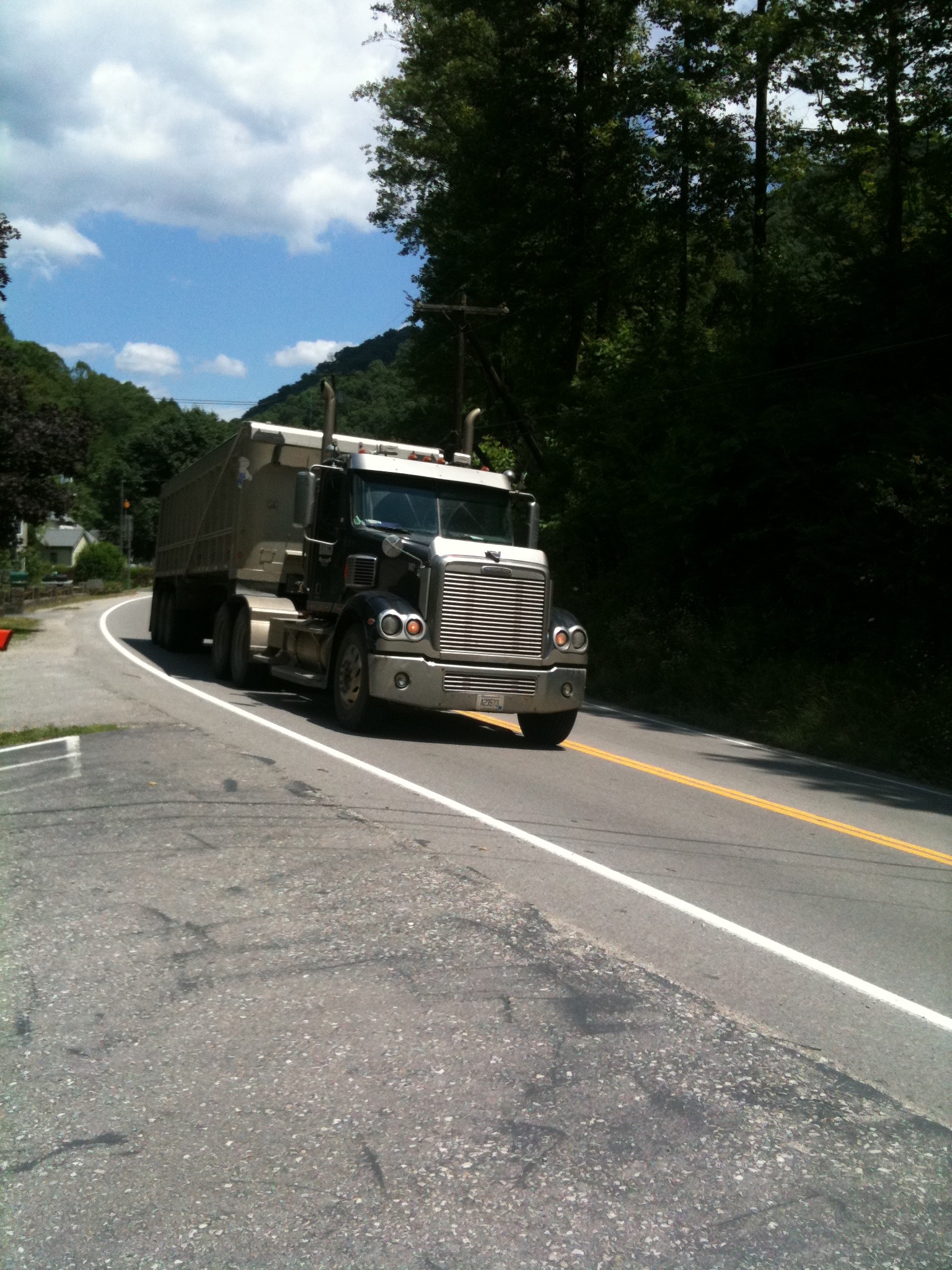
Coal trucks are everywhere. Here we are in Williamson, the largest city in the area.

Coal trucks whiz by us as we head South on Highway 52. They’re bringing coal from the mines to rail yards.

In the Appalachian regions of West Virginia and Kentucky, coal is the economic lifeblood of this area. Yet we ride through some incredibly impoverished areas en route to visit Ray’s roots.

IMG_0807
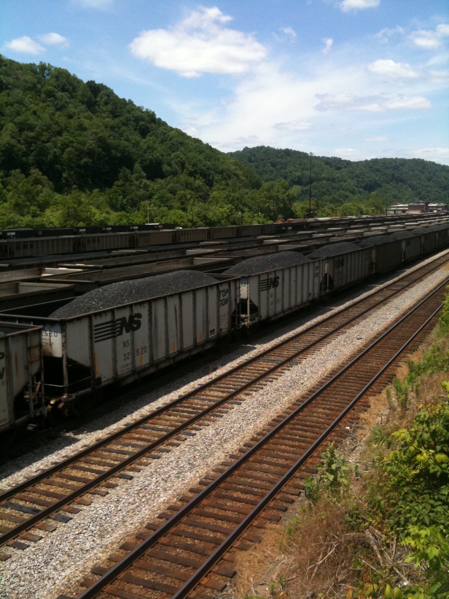
Trainloads of coal, seemingly as far as you can see.

The roads in West Virginia — at least the ones we rode — are well engineered and in good condition. Many are part of the Robert C. Byrd Appalachian Highway System. Ya gotta love pork.

Appalachia must be seen to be believed. Broken-down old trucks, houses, storefronts — within feet of the roadside.

IMG_0808 (1).jpg
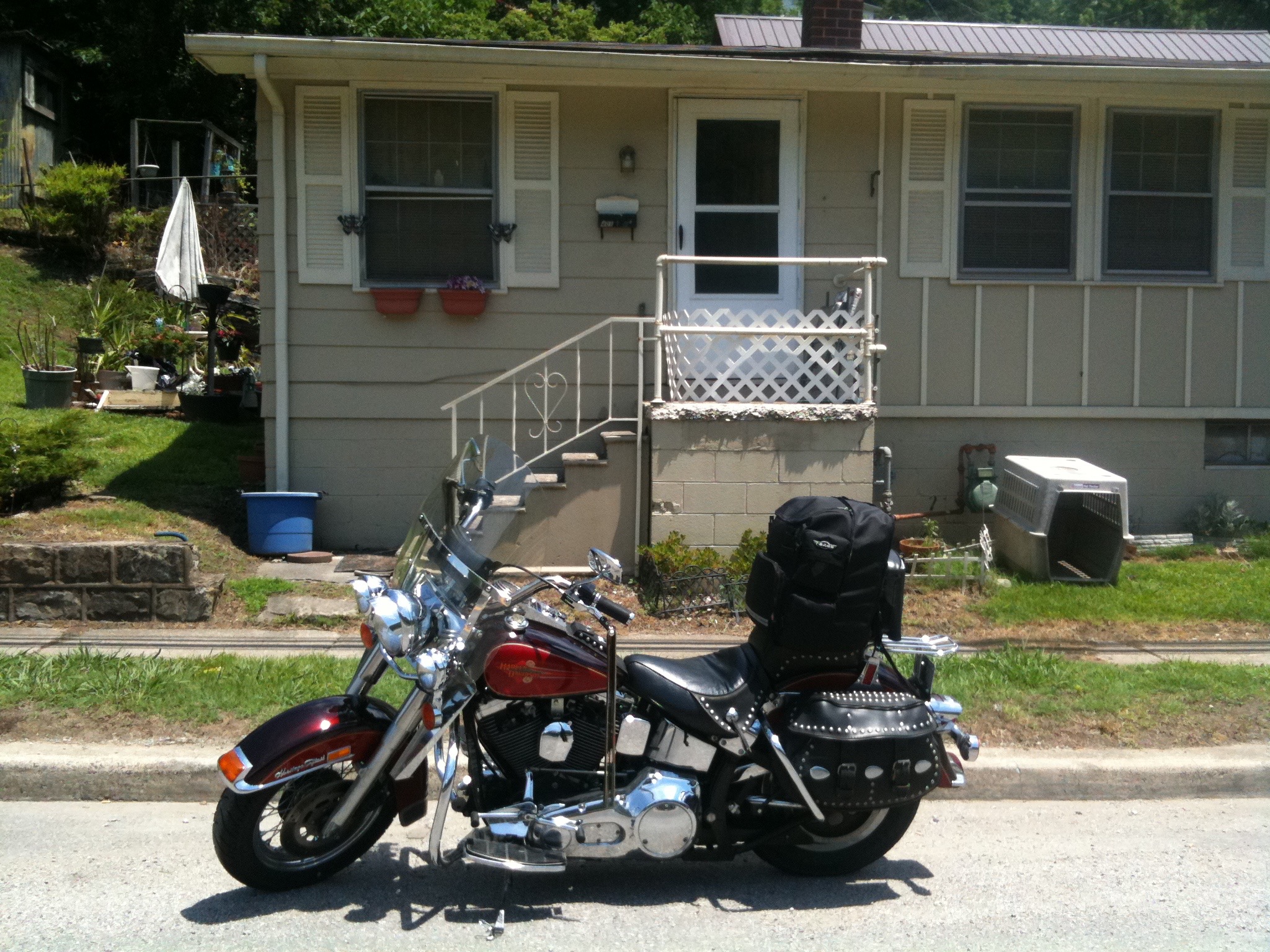
Tina’s Harley in coal country.

There seems to be so little hope here. Which makes Ray’s story all the more inspiring.

Orby Ray Sanders was born in 1930 in  Dunham, Kentucky — deep in coal country. Ray’s Dad was a coal miner, and the family lived in a coal camp. At an early age, Ray moved to nearby McRoberts, Kentucky.

Ray’s Mom operated a beauty salon.  During the war years, Ray attended schools in Pikeville, Kentucky.

IMG_0810
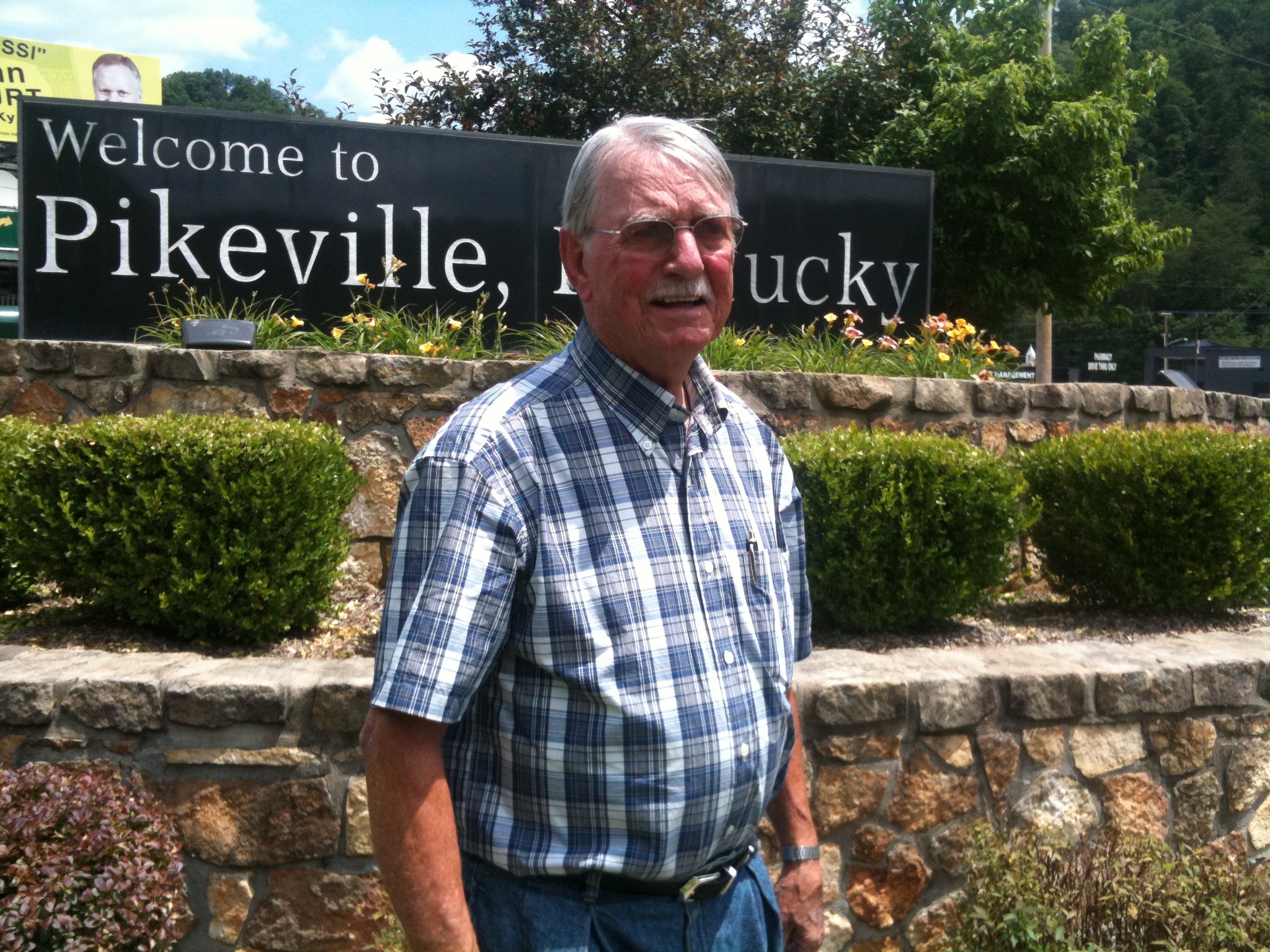
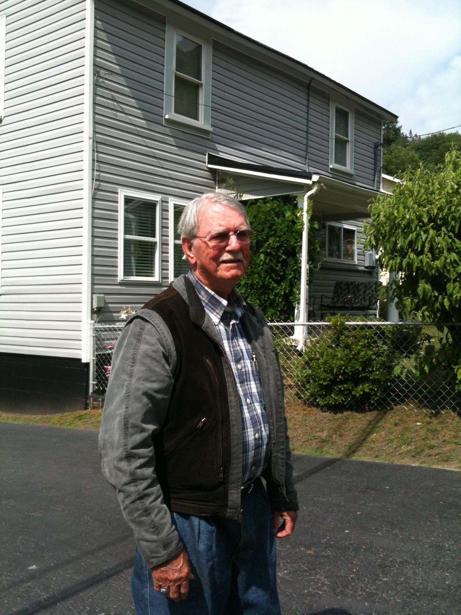
Ray in Pikeville.

Pikeville College is the pride of this city, having won the 2011 NAIA Division 1 basketball title last March — the first men’s national championship for the Pikeville Bears.  If you’re keeping score, Pikeville defeated Mountain State, 83-76, in overtime.

When Ray left Pikeville, he enrolled at the University of Kentucky in Lexington, from which he received a bachelor’s degree in mining engineering and a master’s in metallurgical engineering. Smart guy.

IMG_0819
Ray, outside a house he lived in about 70 years ago, in McRoberts, Kentucky.

Ray left Kentucky for his first job, in Oak Ridge, Tennessee, and never returned to Kentucky — except to visit.

In Oak Ridge, Ray met Sarah’s cousin, Tina Pugh. Ray and Tina married in 1960.  They share a passion for motorcycling, and that’s why I’m lucky enough to join Ray, riding Tina’s bike, on my 2011 Harley Hillbilly Holiday.

We leave the Pikeville area and head for Norton, Virginia — tonight’s destination. Along the way, we ride US Highway 23, designated as the Country Music Highway.  The designation honors the large number of country music performers born in an eight-county stretch along Highway 23, among them: Billy Ray Cyrus, Loretta Lynn, Ricky Skaggs, Naomi and Wynona Judd, and many more.

What will tomorrow bring?
Harley Hillbilly Holiday, Day 6

Today, we traveled some spectacular country roads, visited two famous resorts, did a little souvenir hunting, and kinda-sorta played golf.  Another 200 miles in the saddle, another memorable day.

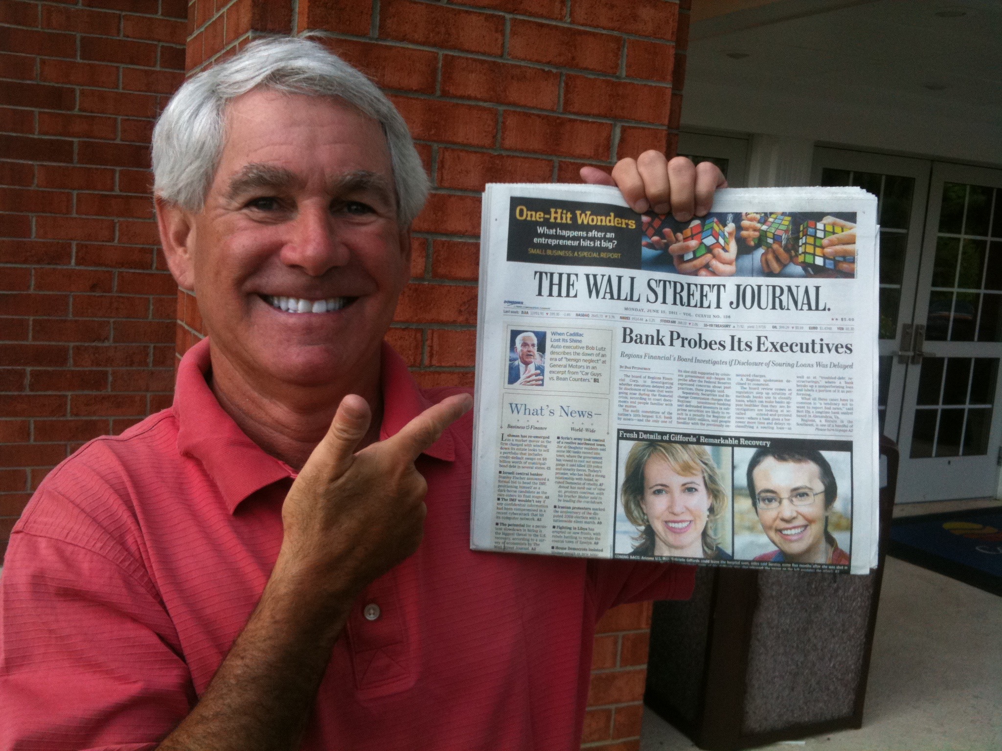
Sadly, I wasn’t able to keep my news streak alive. After getting front-page coverage in Sunday’s News Virginian, I’d hoped to make it two in a row in the Monday paper.  No such luck.  Just your basic Wall Street Journal, free at the Staunton Comfort Inn.

IMG_0762.jpg
The streak is over!

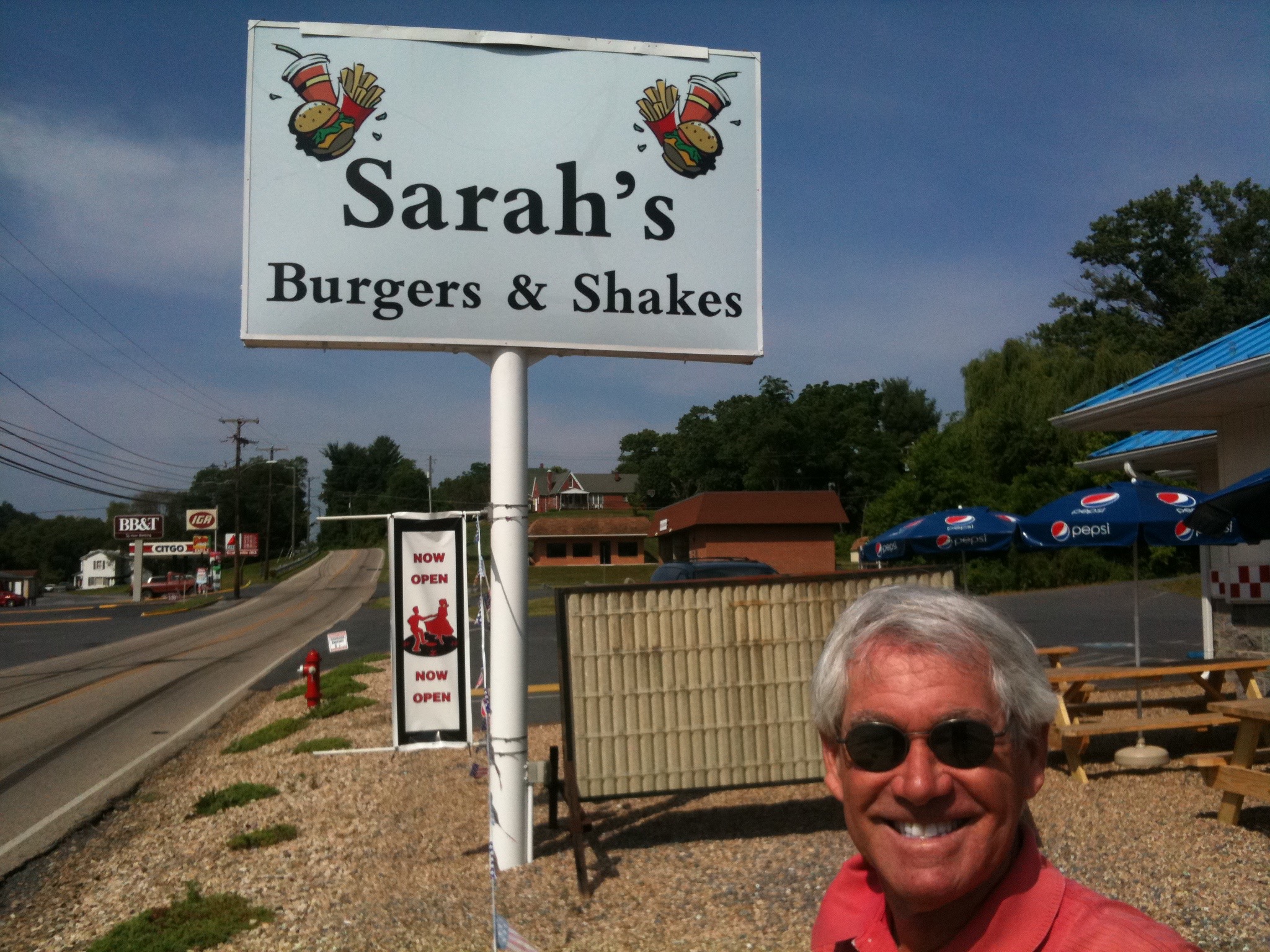
Bummer. But it is a beautiful day to ride, much cooler than it has been. I don’t even take my jacket off all day. We head South on Highway 42, through some rustic areas.  First stop, Craigsville, Virginia. The reason should be obvious in the photo below.

IMG_0764
I love Sarah’s burgers. Her shakes are quite good, too.

We continue South on Highway 42, then on Highway 220, where we stop at our first resort of the day.

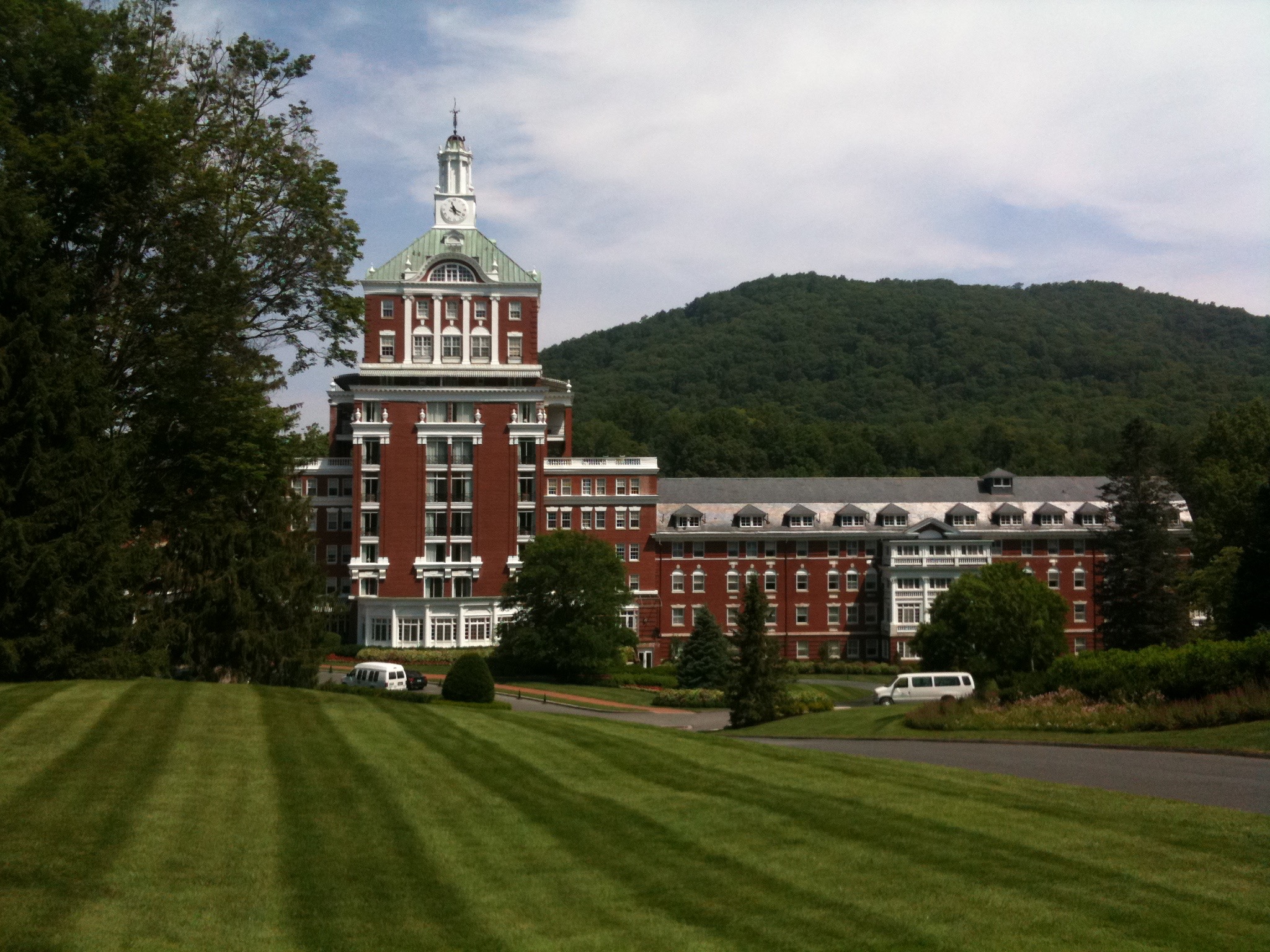
Yes, The Homestead, in Hot Springs, Virginia, high in the Allegheny Mountains.  The Homestead bills itself as “America’s most historic resort.”

IMG_0767
The Homestead in Hot Springs, Virginia.

Apparently, Sarah and I aren’t the first to brand a resort  Those of you who have stayed with us know we’ve staked out our turf — The Murr/Lesser Resort @ PGA West: “Five-Star Quality, Zero-Star Prices.”

Well, the Homestead is a true five-star resort, with golf, skiing, fishing, croquet, and other activities to attract the East coast glitterati.  The grounds are immaculate, and everything is pricey, so I hold my spending in check and buy a gift for someone at home.  We’ll keep the recipient a mystery for now.

The Homestead has a fascinating history, and is run by — PGA West folks take note — KSL Resorts.

The Homestead is just off of Virginia Highway 220, also known as Sam Snead Memorial Highway.  Turns out Sam Snead was born in Ashwood, Virginia, near Hot Springs. He worked as a caddy and later ad an assistant pro at The Homestead.

****

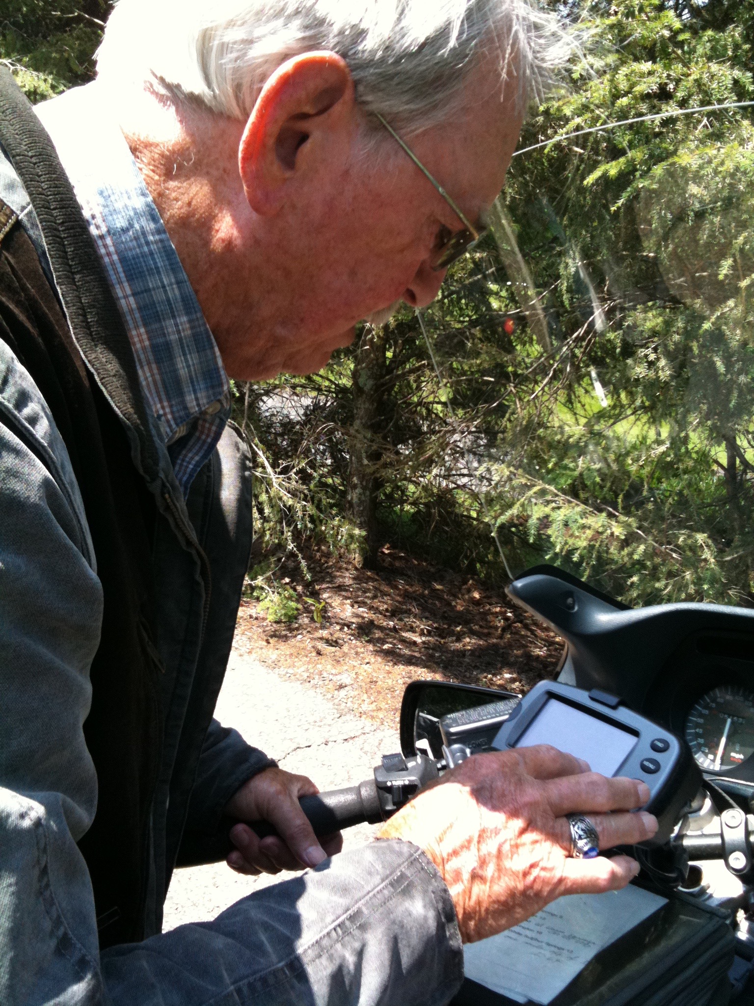
IMG_0776
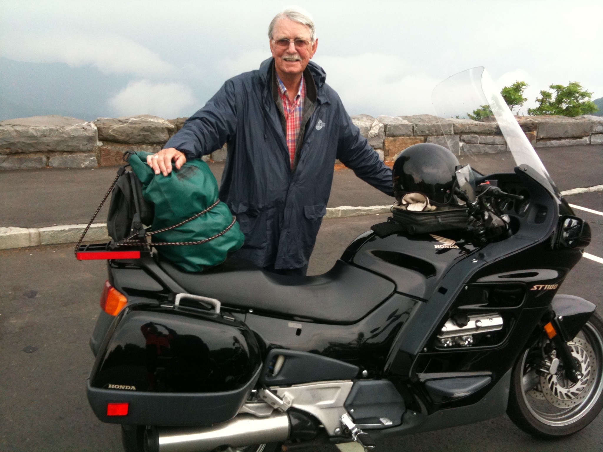
Ray enters the next destination into his Garmin navigation unit, which is mounted on his Honda ST1100.

Before continuing our journey South, Ray confirms our route, as he always does. Ray is an engineer who does everything with an engineering-like penchant for accuracy and precision.

Reminds me of my favorite movie line, from City Slickers: “We’re lost, but we’re making really good time.”

Turns out we aren’t lost at all. We head South on Highway 42, one of Virginia’s so-called “Scenic Byways.”  It is another great day for two wheels.

IMG_0780
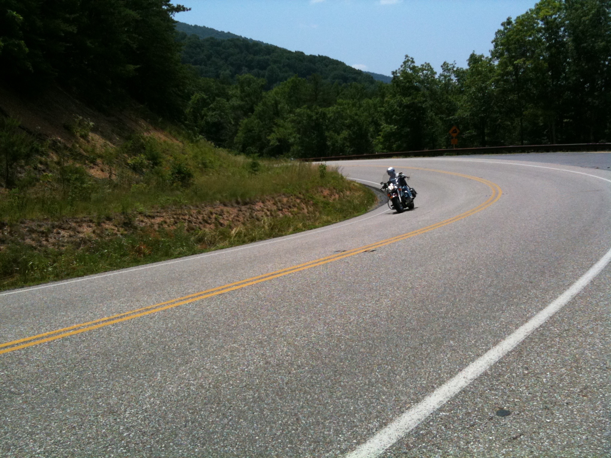
On the road from The Homestead.

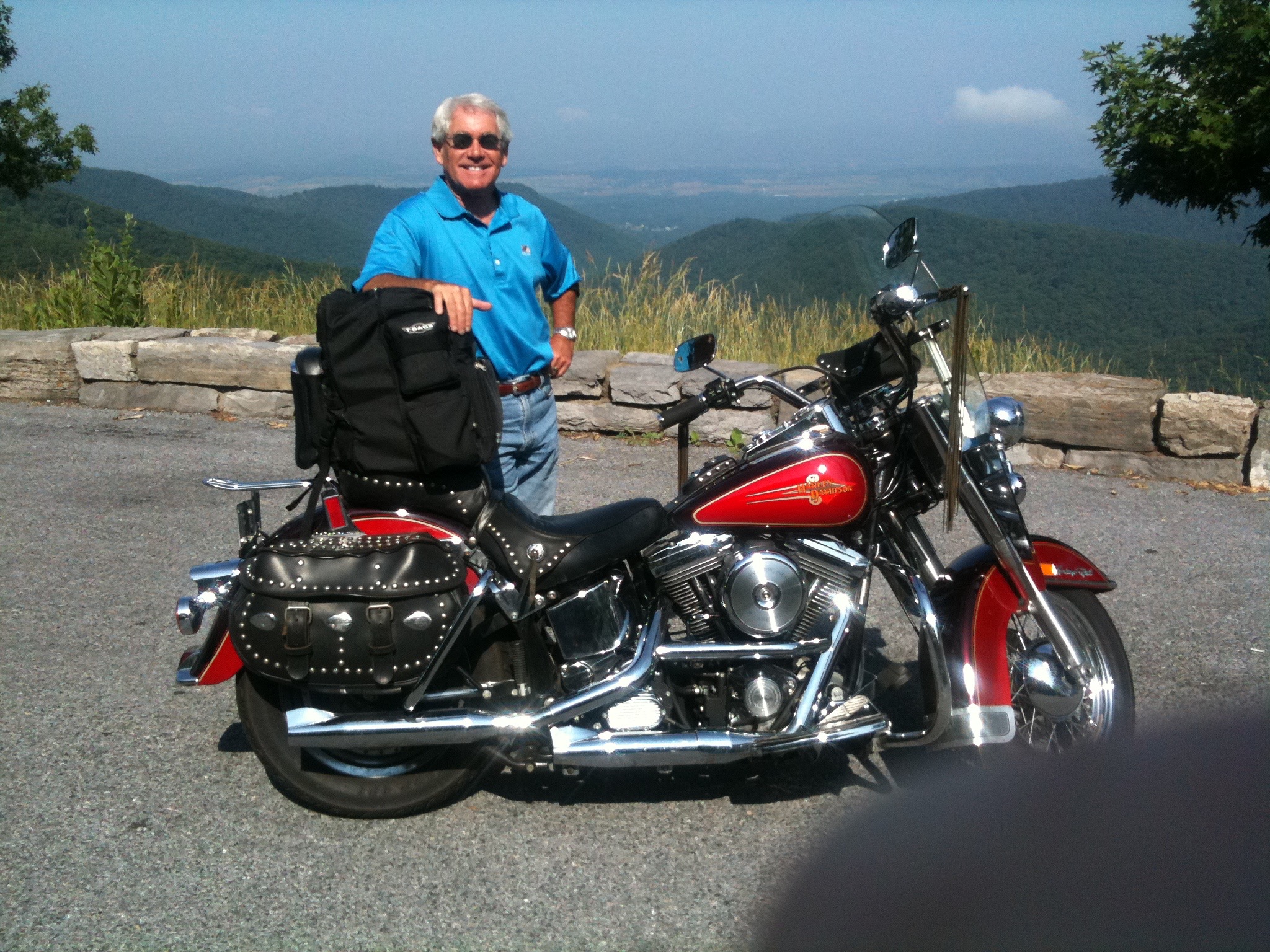
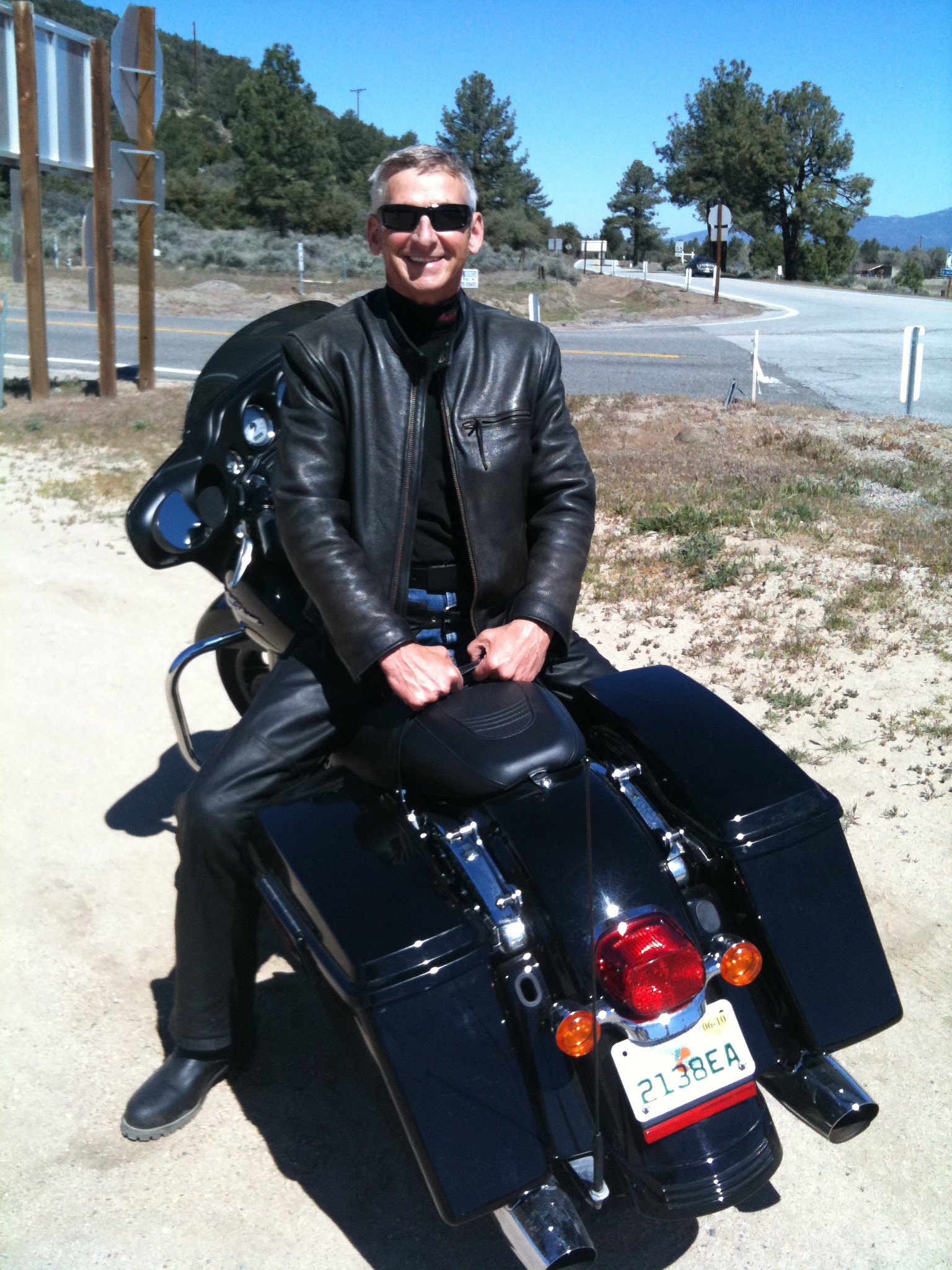
That’s me in the photo above.  Almost looks like I know what I’m doing.  What I’m doing is pointing my bike in the direction of our next resort stop.

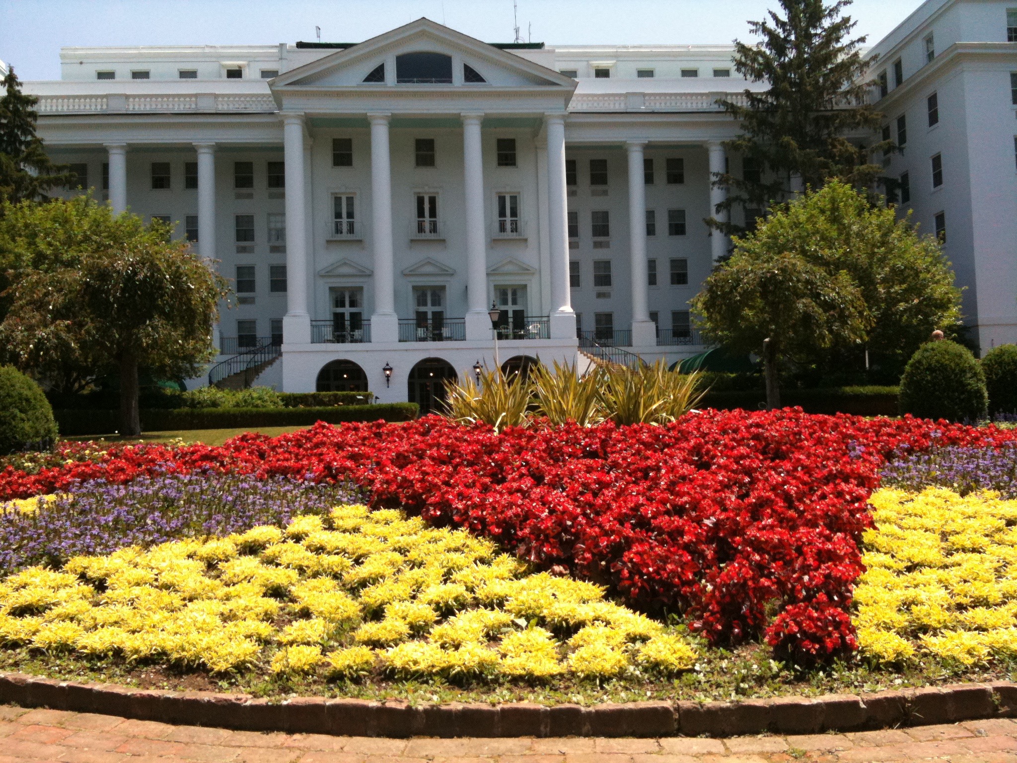
It’s The Greenbrier in White Sulphur Springs, another five-star resort.  The grounds here are beautiful, too.  The Greenbrier is located on Sam Snead Blvd. In White Sulphur Springs, Virginia.

IMG_0781
The Greenbrier’s grounds are beautifully manicured. Gotta be rich to stay here.

The Greenbrier has a storied history as well, and it has an even stronger Sam Snead connection.

Snead was named head pro at The Greenbrier in 1944. He went on to win 7 majors and 82 PGA tournaments, a record that may survive the Tiger Woods era.

There is Sam Snead memorabilia everywhere. Even the restaurant overlooking one of the resort’s three courses is called Slammin’ Sammy’s. So we grab a bite to eat.

IMG_0792
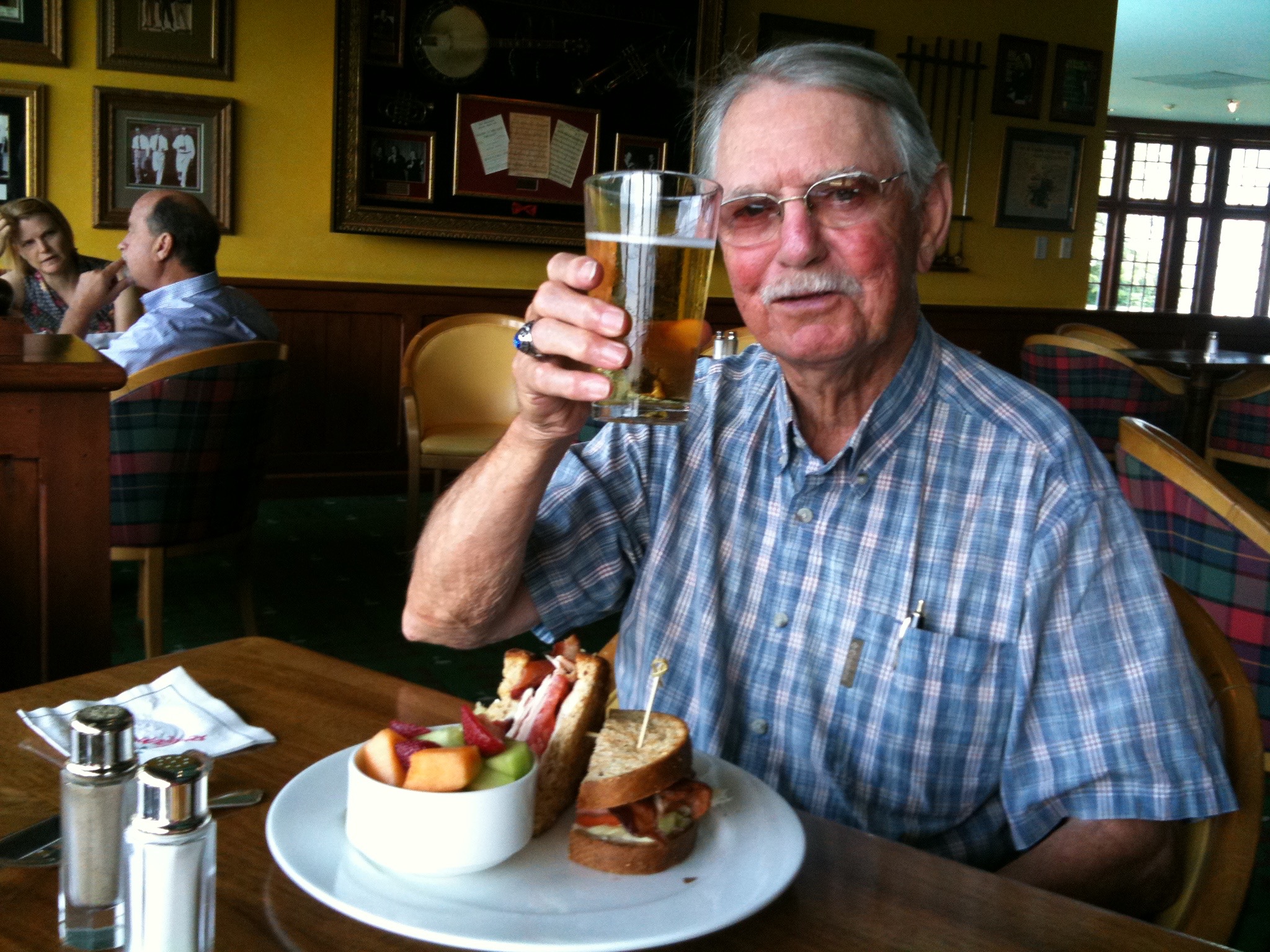
Ray at Slammin’ Sammy’s.

Ray’s having a Sam Snead Club Sandwich. At least one of us is eating healthy.

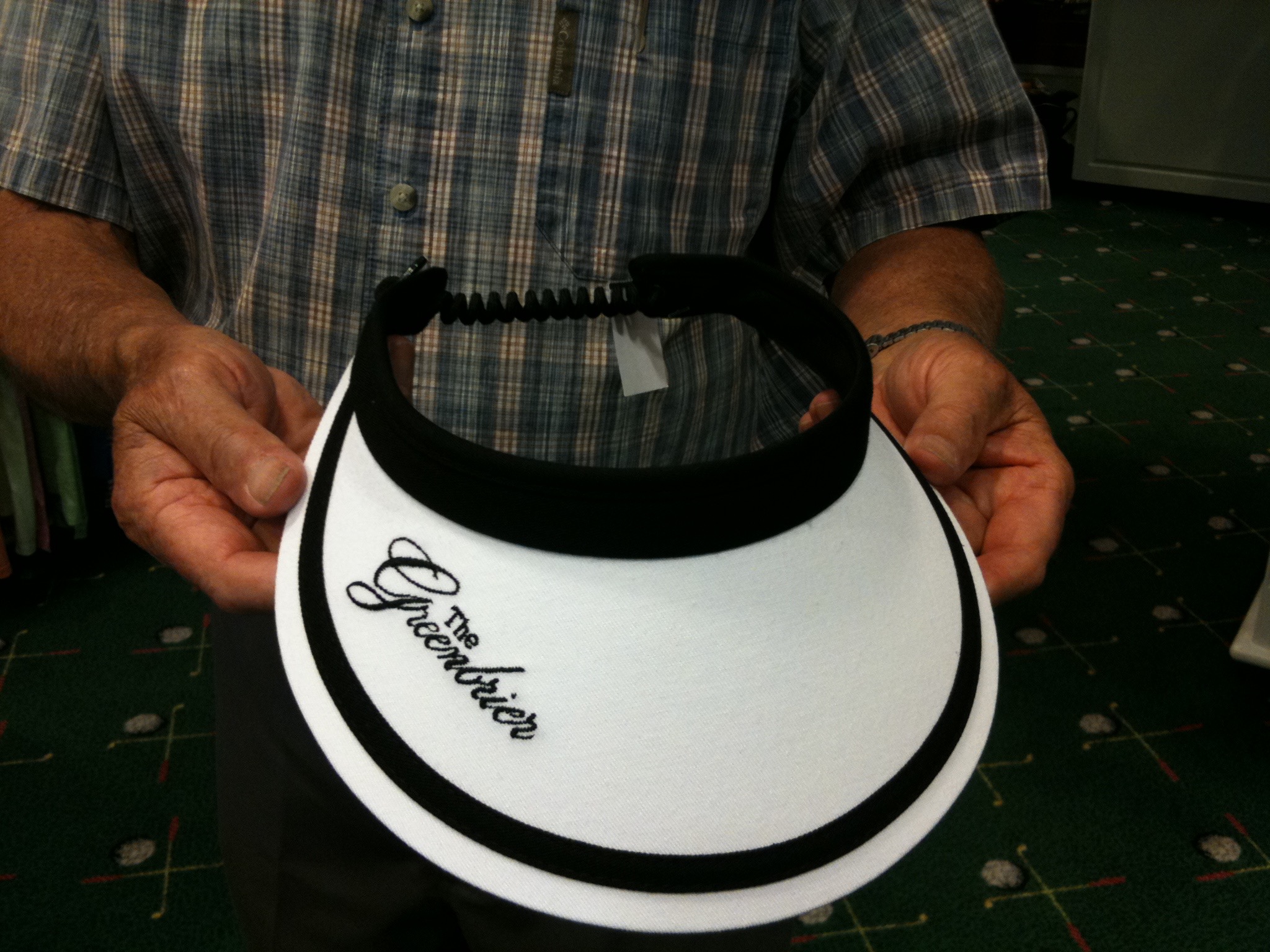
Only a few things left to do before we saddle up. One involves supporting the local economy.  I’m shopping for Sarah.  I actually emailed her this photo while I was in the pro shop, waiting for approval from the home office. She likes it!

IMG_0788
Sarah will look smashing in this.

Finally, you may be familiar with The Greenbrier from the PGA Tour event that’s played there every summer. It’s played on the Old White course, where Stuart Appleby shot a final-round 59 last year to win the tournament by one stroke.

I consider, for a moment, playing the Old White. We’re right here, having lunch, overlooking the 18th green. Workers are busily erecting the corporate skyboxes for the event, which will be held in late July.

But two things conspire to keep me off the course:

1).  Price. Green fees are $385 for non-guests (we’re staying in the Comfort Inn!), plus $80 for a caddy and $36 for a cart. That $500 is roughly what my entire Harley Hillbilly Holiday will cost.

And 2).  The course is closed in preparation for the 2011 Greenbrier Classic.

IMG_0789
Fantasy golf at the Greenbrier.

So instead, I do the next-best thing: take a photo on the first tee, a 454-yard par 4. A person’s gotta dream, you know.

Yeah, yeah … for you purists, I did not have a club in my hands. But give me a break; I’m riding a Harley Davidson!

What will tomorrow bring?

Harley Hillbilly Holiday, Day 5

The day begins with with a reminder that my Journalism degree still has currency.  Sort of.  After quite a few years as an “ink-stained wretch,” one develops a nose for news.

IMG_0730
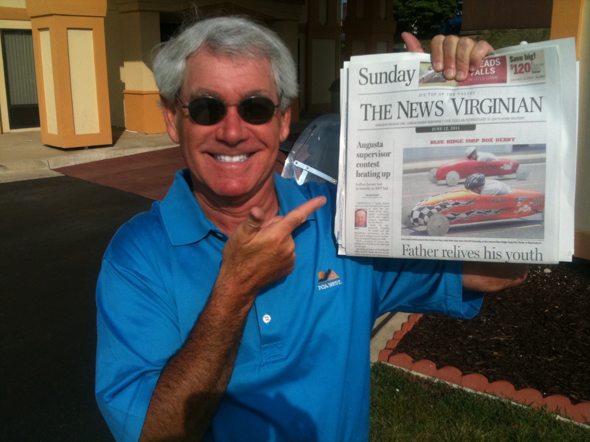
Here it is, bigger than life, on the front page of this morning’s News Virginian. Above the fold. On Sunday!

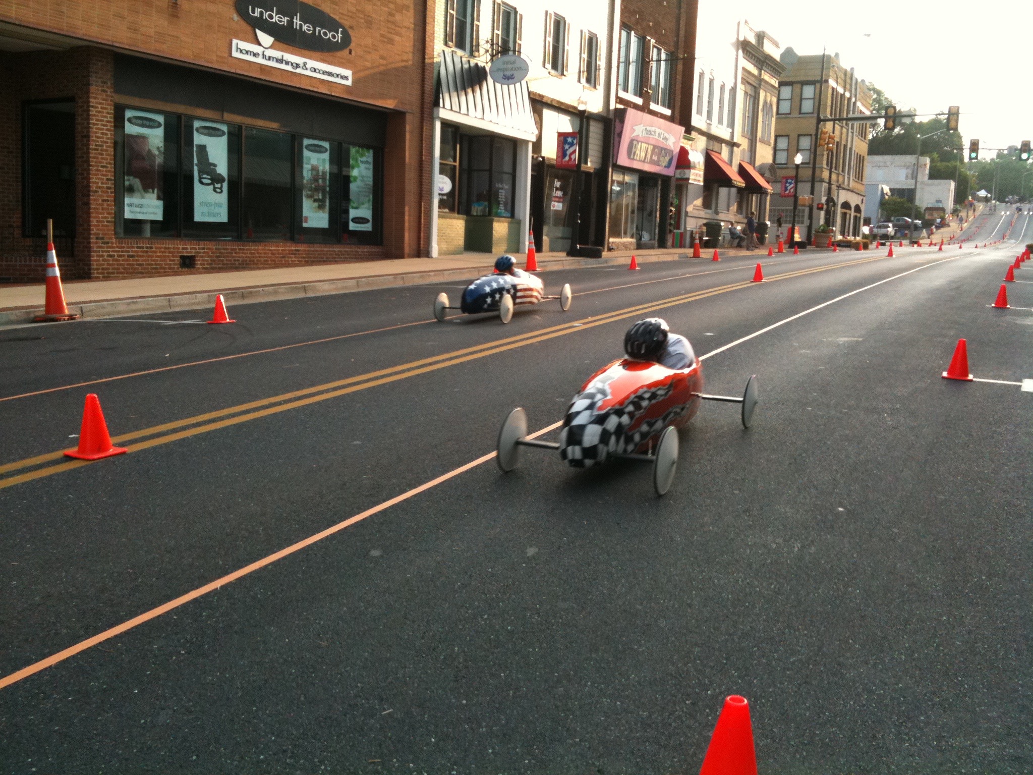
Why is this important?  You may recall that Saturday evening on Waynesboro’s Main Street, I snapped a photo of the Blue Ridge Soap Box Derby.  This wasn’t just any small town event. It was huge news.

*****

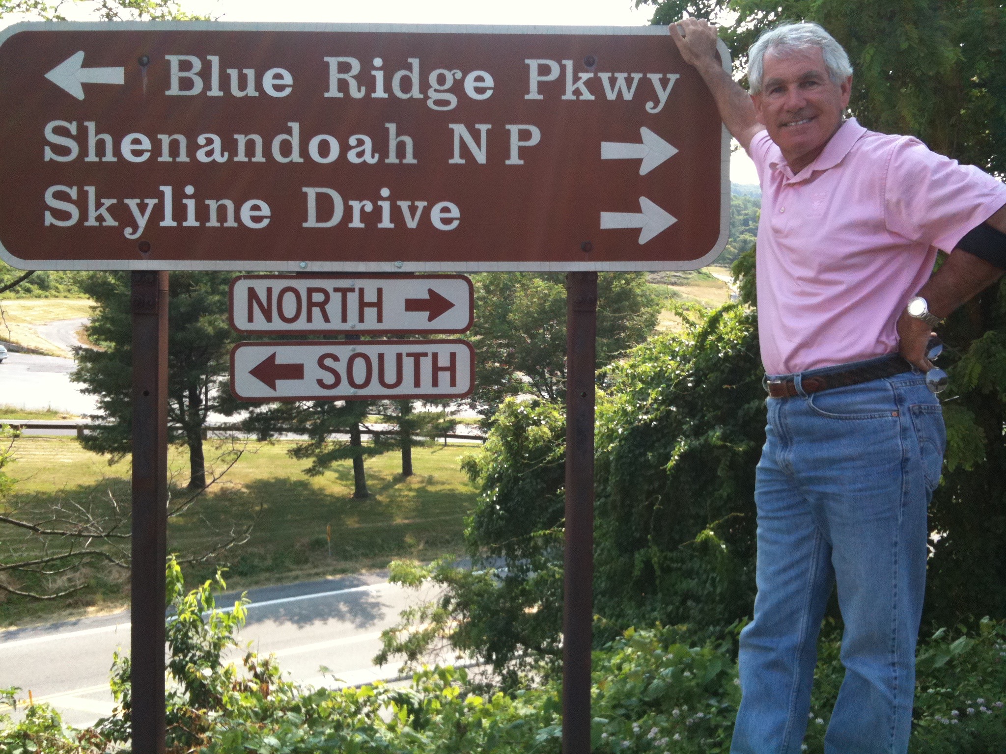
Yesterday, we completed the Blue Ridge Parkway. Today, we ride the 105-mile Skyline Drive, which winds its way through Shenendoah National Park.

The speed limit on Skyline Drive is 35 mph, which reminds me of a story. As you know, I’m riding this week with Ray Sanders. Ray’s wife, Tina, is Sarah’s cousin.  The Harley I’m riding is actually Tina’s; Ray and Tina were gracious enough to grant me “saddle rights” for my Harley Hillbilly Holiday.

IMG_0735
On Skyline Drive. Tina’s bike, Ray’s thumb.

Well, it turns out this isn’t the first time Tina’s Harley has been to Skyline Drive. Did I mention that the speed limit in the Park is 35 mph?  If you saw all the tight curves on Skyline Drive, you’d understand why.

Well, some years ago, on a ride with Ray, Tina managed to crank her Harley up to 70 mph.  In the Park.  I never felt safe above 45 mph, but Tina is obviously built for speed. You go, Tina!!!   Ray says it was an expensive ticket 🙂

No tickets today, but we did have a fun ride, stopping along the way to appreciate many vistas and overlooks. At milepost 77 (we started at milepost 105 and worked backwards toward 0), we pull over for a shot of Rocky Top Overlook.

IMG_0740
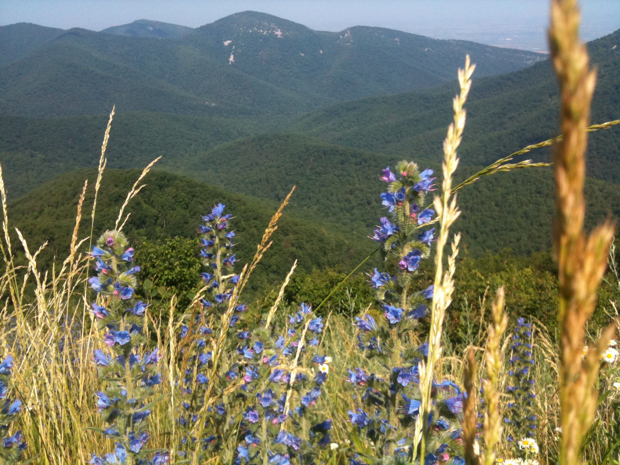
The view from Skyline Drive.

A few fun facts about Skyline Drive:  It has 70 overlooks in 105 miles. Highest point is 3,680 feet. Construction began in 1931, ended in 1939, and cost $50,000 per mile.

The Northern entrance to the Park is in Front Royal, Virginia — only 70 miles from Washington, DC.

For more on Skyline Drive, click here. And for more on Shenandoah National Park, try this.

****

We leave the Park, and work our way South to Staunton, Virginia, just a few miles from Waynesboro, where we stayed last night.  Tonight we are in Staunton, second night in a row at a Comfort Inn. We are truly living large.

For a guy who grew up in Kentucky and lives in Tennessee, Ray loves riding in Virginia.

IMG_0746
Ray, on the road in Virginia.

What will tomorrow bring?
Harley Hillbilly Holiday, Day 4

After a restful night in the Rocky Knob Cabins at Mabry Mill, I wake up to this.

IMG_0695

Yes, rain. All night long. A deluge.

But the sun breaks through the clouds, we saddle up, and head North on the Blue Ridge Parkway for a 198-mile day.

Somewhere on the outskirts of Roanoke (a real city!), we find a 3G cell signal and yesterday’s e-mail makes its way into your cyber-mailbox.

78 miles up the Parkway from Rocky Knob Cabins, we stop in Vinton, Virginia — for gas and lunch. Different places. Lunch was at “Smoqin Odie’s” … yes, a BBQ place. A docent at the Blue Ridge Parkway Visitors Center near Roanoke suggested Smoqin Odie’s. We’re glad she did.

IMG_0705
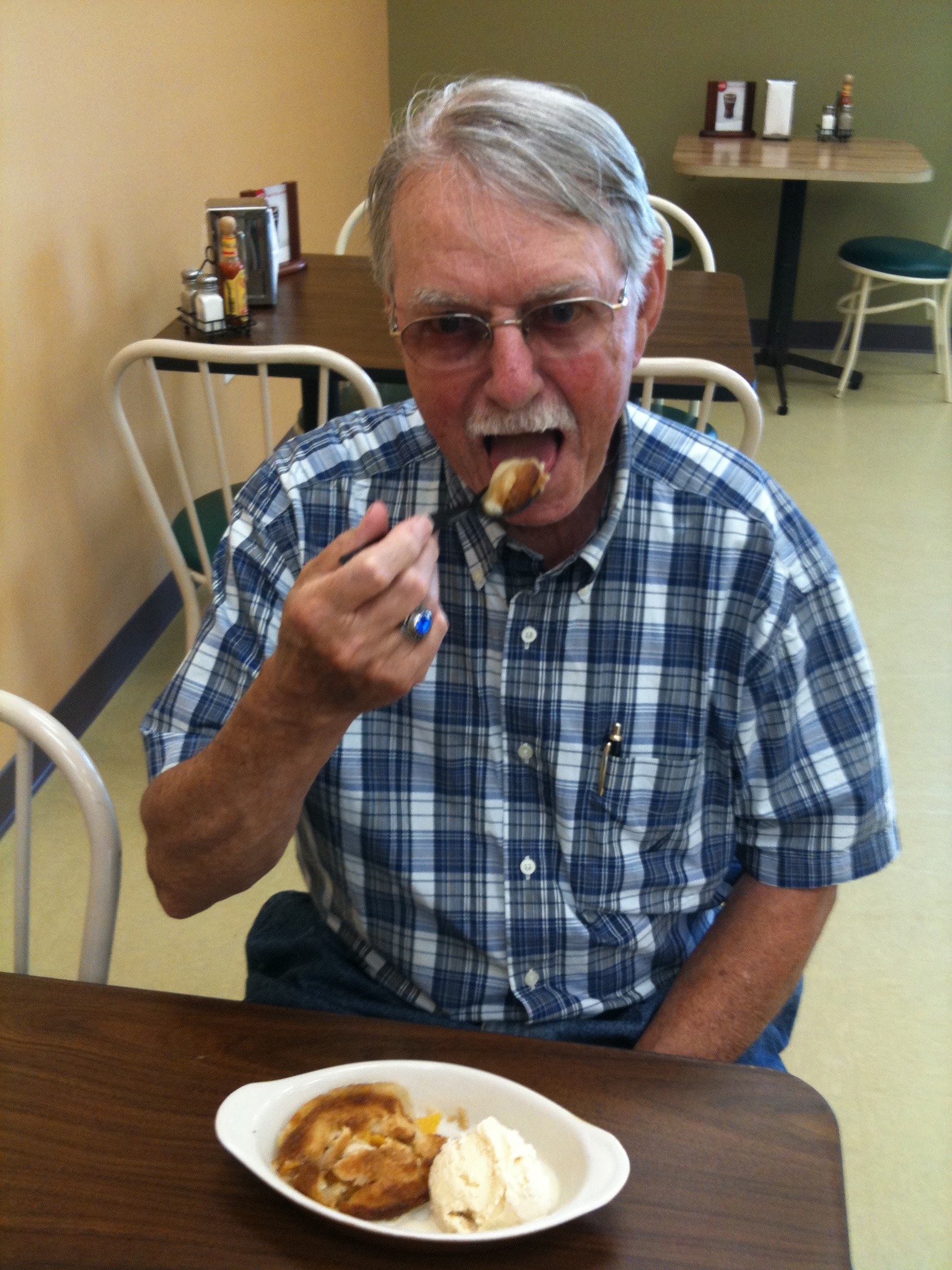
Peach pie. For desert. Who cares what was for lunch?

Ray indulges his sweet tooth, as the photo shows. I have a pulled pork sandwich, consistent with my desire to eat Southern on this trip.

After lunch, we continue through the Jefferson National Forest — home of both the highest (3,950 ft) and lowest (649 ft) points in Virginia on the Parkway. No need to look this up on The Google; the high point is Terrapin Mountain (which probably should be in Maryland) and the low point is where the Parkway crosses James River.

IMG_0710
At milepost 0, where the Blue Ridge Parkway ends and Skyline Drive begins.

Eventually, we reach milepost 0, the Northern end of the Parkway. With the exception of a minor detour (I’m over it) yesterday, we traveled the Parkway’s 469 miles from Cherokee, North Carolina to milepost 0 with no problems, other than a little rain (I’m over that, too) and a temporary technology blackout.

Now what?

Well, no need to decide yet. So, we head to Waynesboro, a few miles West of milepost 0, to park the Harley for the night.

We get another dining recommendation, this time from the front desk clerk at the Comfort Inn. What could this kid know?

IMG_0721
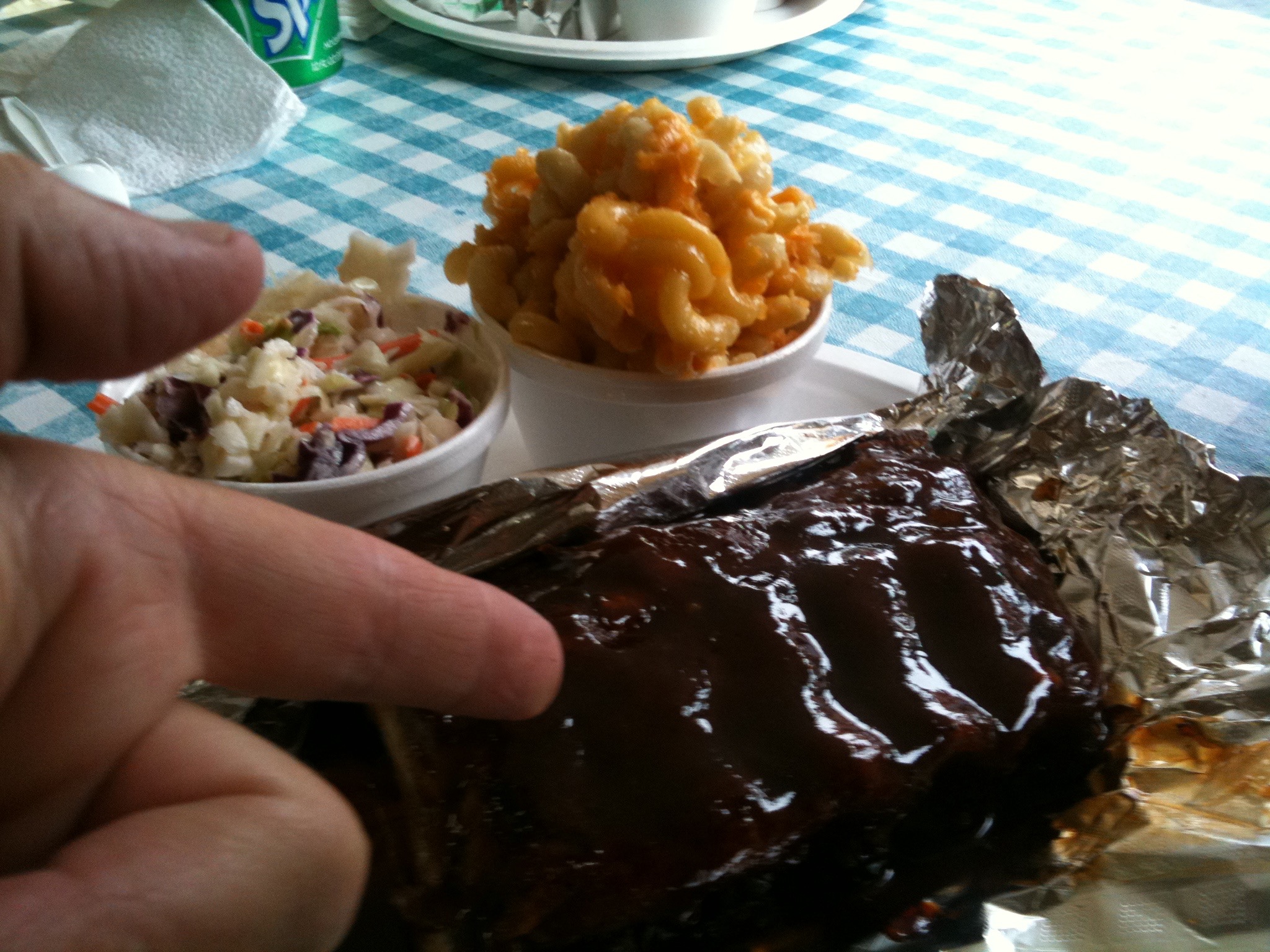
Ribs at Shukris. Yum.

He sends us to Shukri’s, a hole-in-the-wall rib place on Main Street. On the way to Shukri’s, we encounter our second detour of the week: Main Street is closed. F#%#ck!

So, we park the bikes on a parallel street and take a closer look at Main Street.  What we see is an awesome slice of Americana: the regional Soap Box Derby finals, right there on Main Street. From our table at Shukri’s, we watch the kids whizzing side-by-side at 32 mph.

IMG_0720
Our view of the Soap Box Derby from Shukris.

After the race ends, we find out that Front-Desk-Boy knows what he’s doing. For me, it was a home run.

What will tomorrow bring?
Harley Hillbilly Holiday, Day 3

Technology. So helpful most of the time. And right now, technology is why you aren’t receiving this note on Friday evening, when I’m writing it.

The Blue Ridge Parkway is stunningly beautiful. Even for a Journalism major (me), words can’t describe the majesty of this ride. So I won’t even try.

The Parkway goes through some very remote areas, which means little (if any) cellular coverage, and sparse wi-fi opportunities. So, technology has conspired to get you news of the Harley Hillbilly Holiday, Day 3 — delayed until Day 4.

IMG_0684
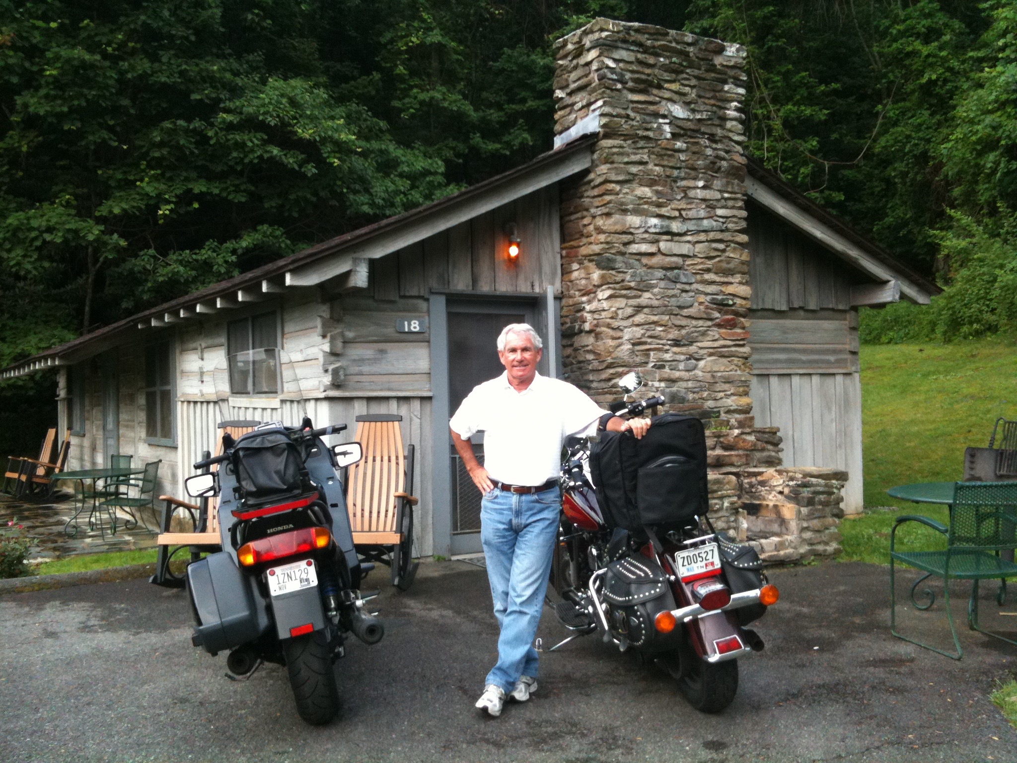
Here is where we are staying tonight, which helps explain the  lack of a signal. This is Cabin 18.

We are in Cabin 18 at the Rocky Knob Cabins in Rocky Knob, Virginia. It’s near milepost 175 on the Blue Ridge Parkway.

These cabins were built for the Civilian Conservation Corps in the 1930s. The CCC built the Blue Ridge Parkway about 75 years ago, pretty much a jobs program with a spectacular result.

But I digress.

IMG_0645
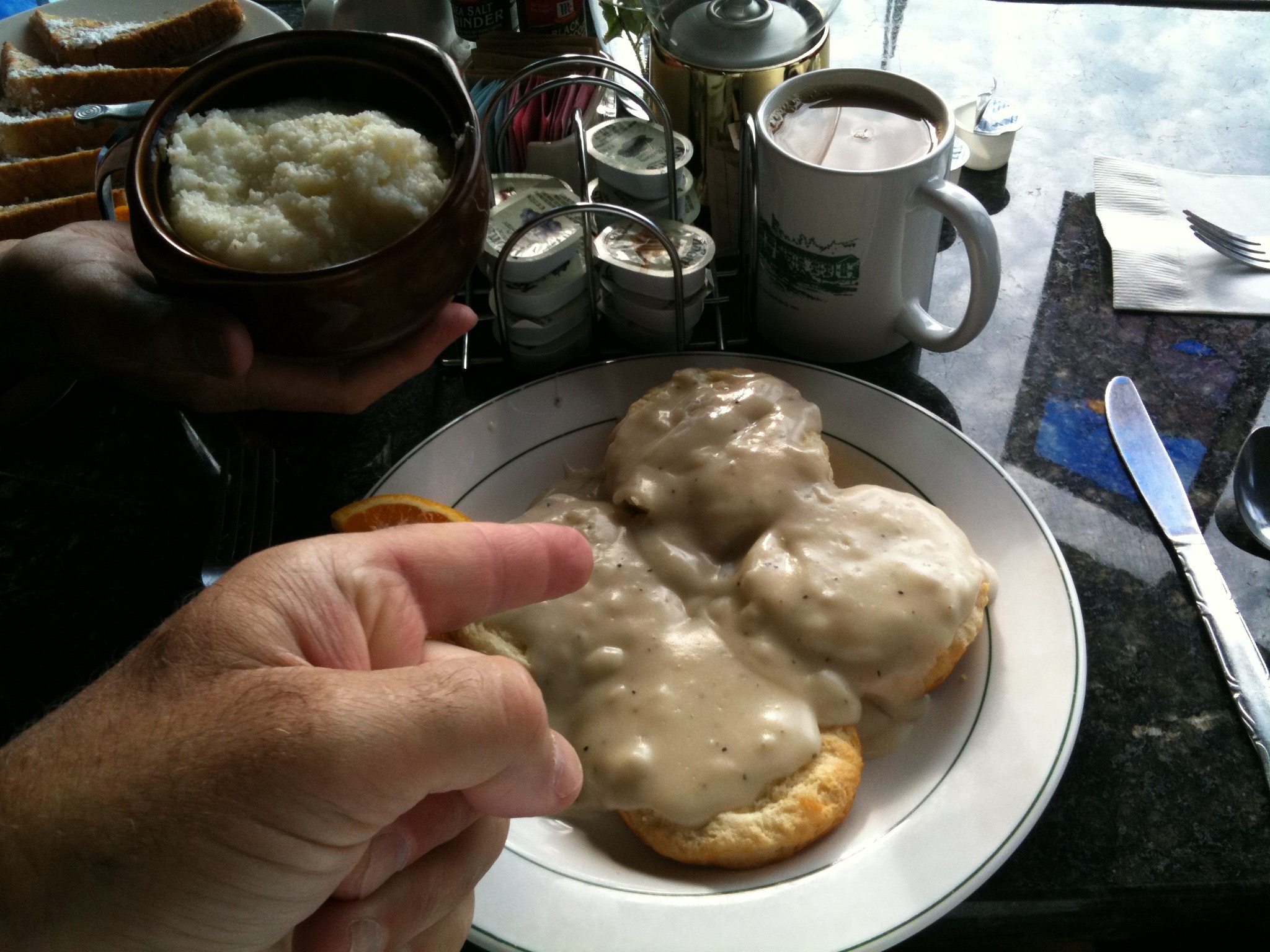
Biscuits and gravy at the Little Switzerland Inn.

This morning, our day starts with a hearty, thought not exactly healthy, breakfast at the Little Switzerland Inn.  I have taken a culinary vow of Southern-ness for the remainder of the trip, and today’s breakfast provides an excellent start. Would someone please call my cardiologist?

IMG_0646
Ray’s breakfast was slightly healthier than mine.

With full tummies, we head North on the Parkway. Unlike yesterday, we are traveling under sunny skies — in short-sleeve shirts — all day.

Next stop: Blowing Rock, North Carolina, an artsy town of 2,000, named for the Blowing Rock (yes, THE Blowing Rock).  This rock is a 250 million-year-old rock formation with Chickasaw Indian legend. For more, click here.

IMG_0674
Blowing Rock, North Carolina.

The big news of the day was my shattered dream, left in a thousand pieces at a lonely exit from the Parkway. My ambition on this trip had been to ride the Blue Ridge Parkway end-to-end, all 469 miles of it — maximum speed 45 mph.

So here we are, enjoying a lovely day full of Parkway pleasures, when we see a sign announcing, “Parkway closed. Detour ahead.”

F#%*ck!  We lost 25 miles of the Parkway, detouring through Sparta, North Carolina. We did see dozens of Christmas tree farms on the unplanned route, and the detour has its own road rhythms, but it isnt the Blue Ridge Parkway. I now have one more reason to come back and do this ride again — so I can complete the Parkway. Anyone want to come along?  Schedule TBD.

IMG_0654
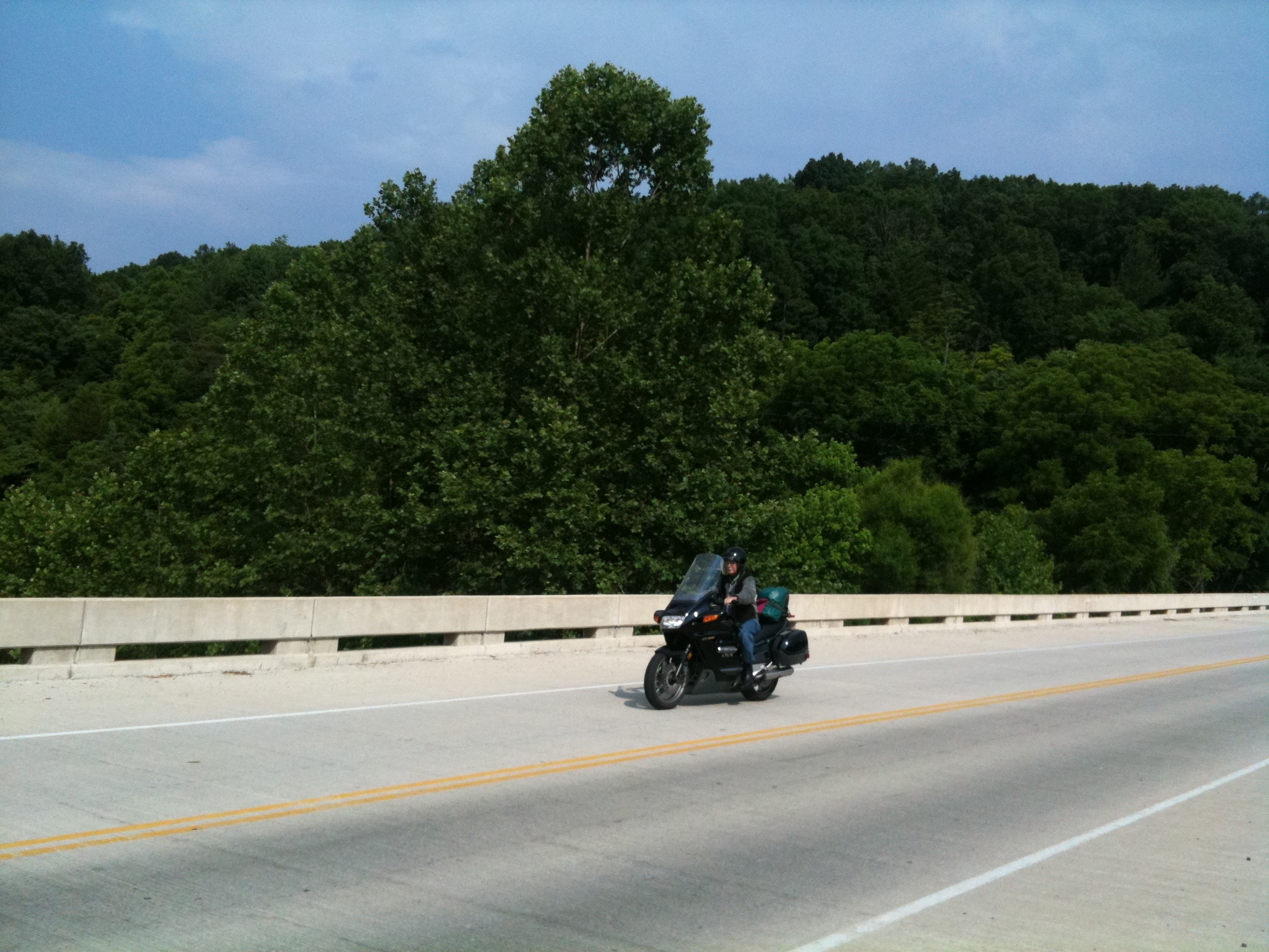
A beautiful day on the Blue Ridge Parkway. That’s Ray on the bike.

After the detour returns us to the Parkway, the roads are much more gentle. We are now in Virginia.  There are tons of Scenic Overlooks along the Parkway. Brilliant design. The overlook below is High Piney Spur, elevation 2,805 ft.

At the end of a 181-mile ride, we arrive at our destination, the Rocky Knob Cabins, just North of Mabry Mill, famous for milling grist in the 19th century. Mr. Mabry is a well-known guy around here.

A mile from the cabin, we dine at the Woodward Inn.

IMG_0685
Catfish at the Woodward Inn. I love Southern food!

What will tomorrow bring?
Harley Hillbilly Holiday, Day 2

On Day 2 of Gary’s Harley Hillbilly Holiday, we experienced 262 miles of Southern hospitality — from Farragut, Tennessee, to Little Switzerland, North Carolina.

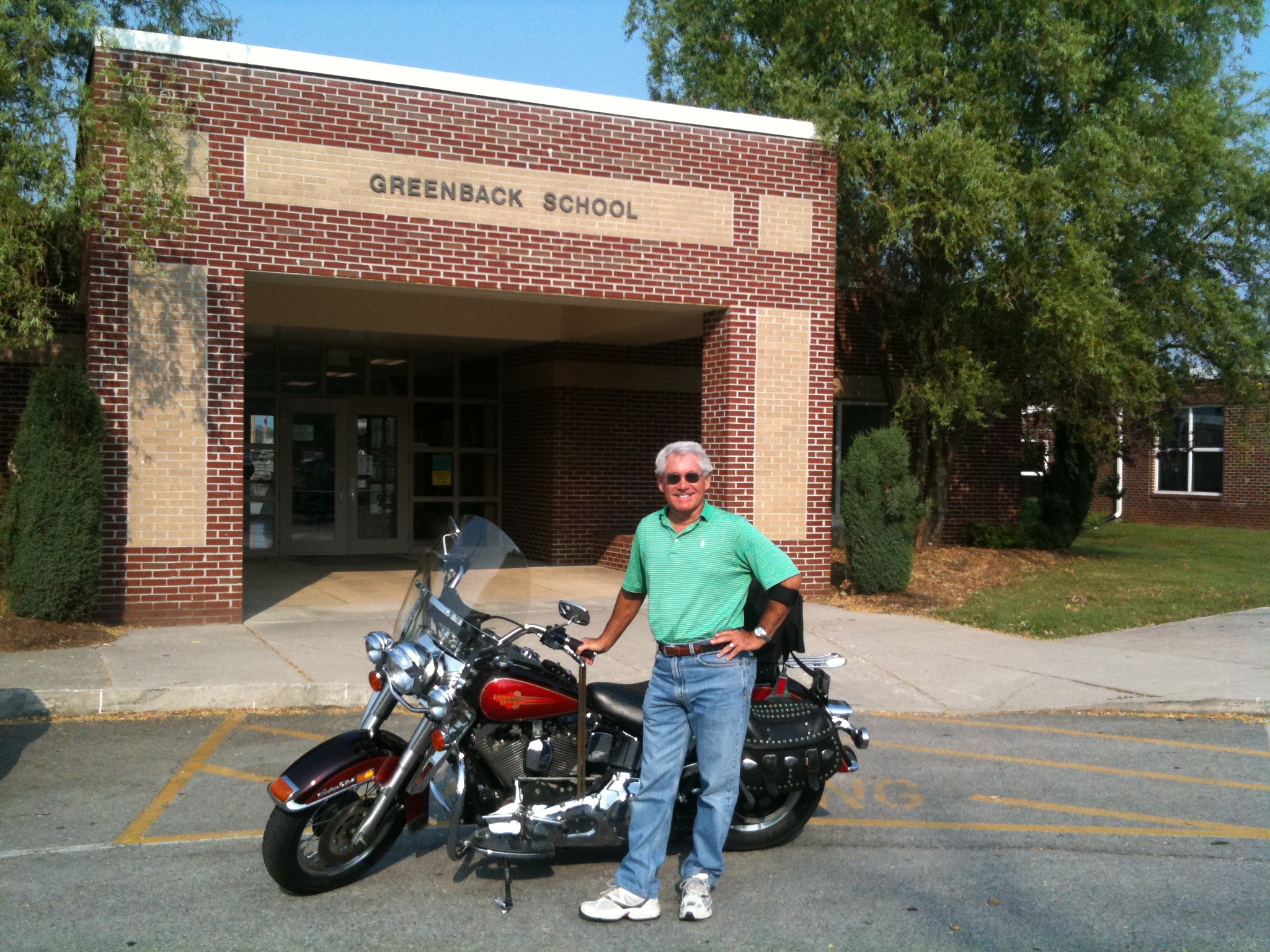
We began our day by riding through Greenback, Tennessee — which claims Sarah Murr as its most famous former resident.  Sarah graduated from Greenback High School, so this picture may mean more to her than the rest of you.  We met a few people at the school who actually knew of the Murr family. Small world.

IMG_0612
At the Greenback School, where it all began for Sarah.

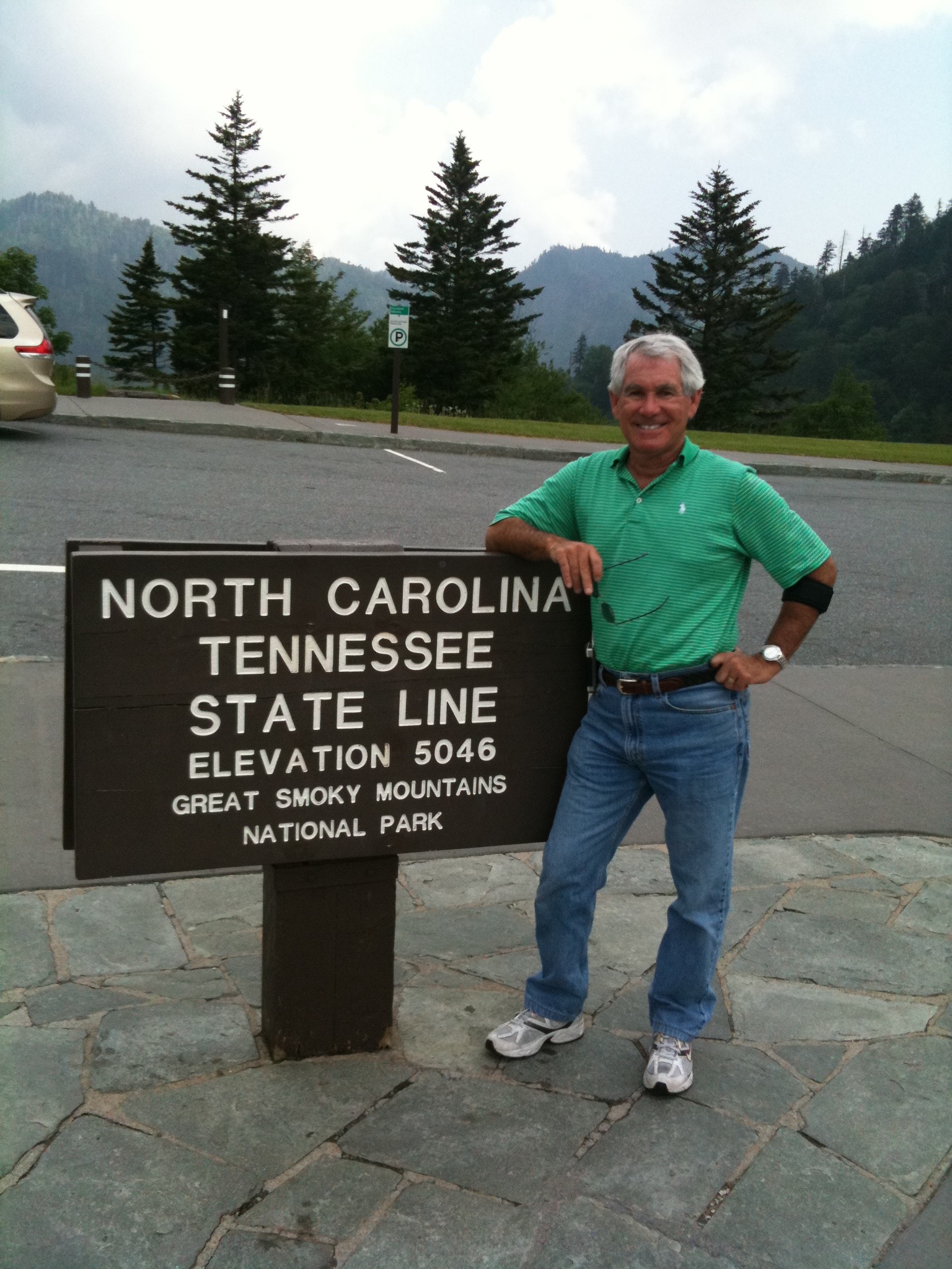
From Greenback, we headed into the Great Smoky Mountains National Park. There are spectacular vistas everywhere. Near the highest point in the Smokies, we visited Newfound Gap, which straddles the Tennessee/North Carolina border.

Most of the day, we rode twisty, two-lane roads at elevations between 3,000 and 5,000 feet.

After a gas stop in Cherokee, North Carolina, we entered the Blue Ridge Parkway, a 469-mile road apparently built for motorcycles. It follows the Appalachian Mountain chain, and has seemingly endless views.

IMG_0628
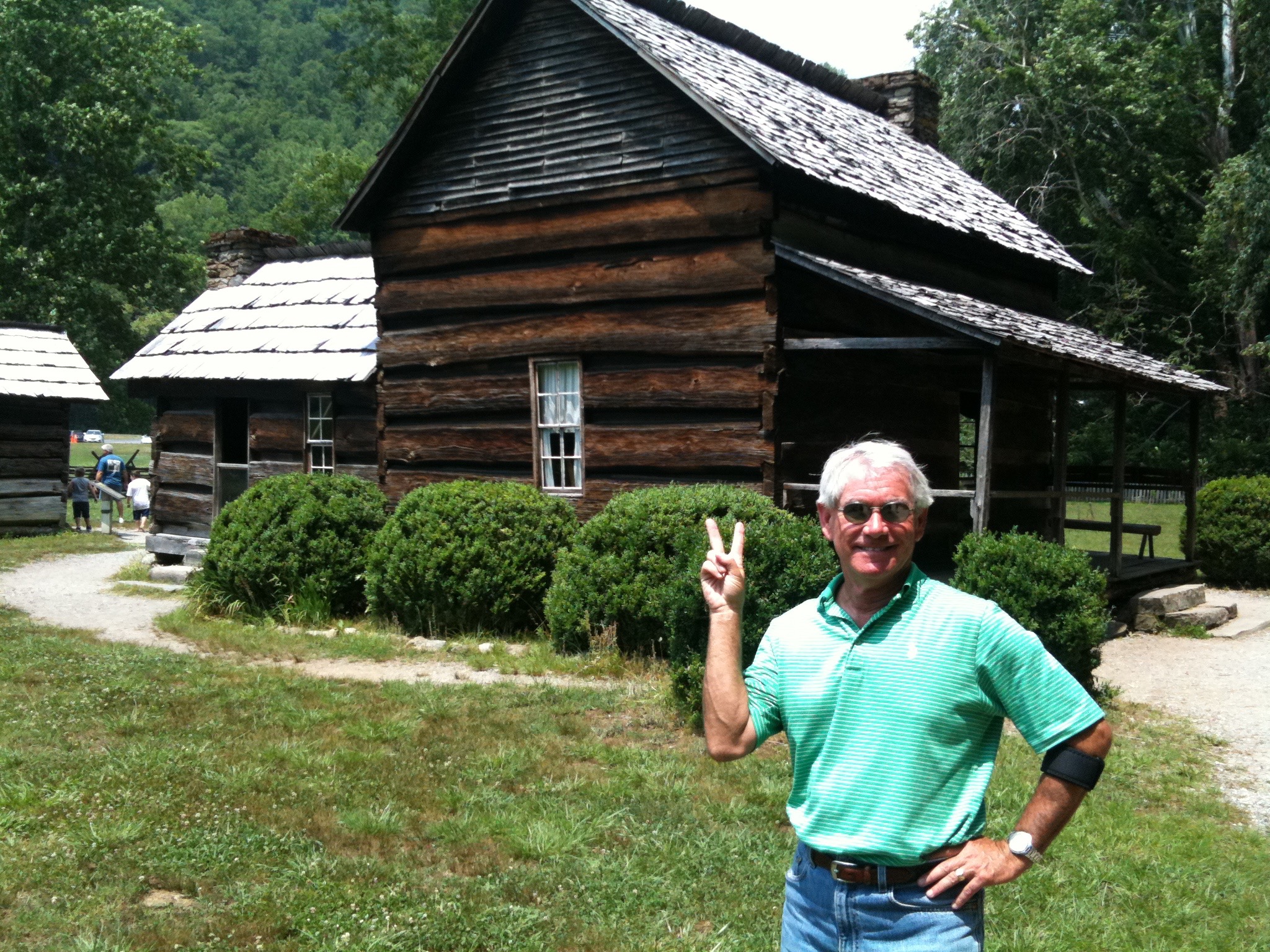
At the entrance to Great Smoky Mountains National Park. Greetings, y’all!

The Blue Ridge Parkway takes us from the Great Smokies to the Balsams, the Pisgahs, the Craggies, the Black Mountains and of course the Blue Ridge Mountains.

We will be riding the Parkway the next few days.

To learn more about the Blue Ridge Parkway, click here.

IMG_0617
At the North Carolina / Tennessee state line, while the weather is still nice.

It was a beautiful day … until … It started to rain. F#%#}*ck!!

IMG_0630
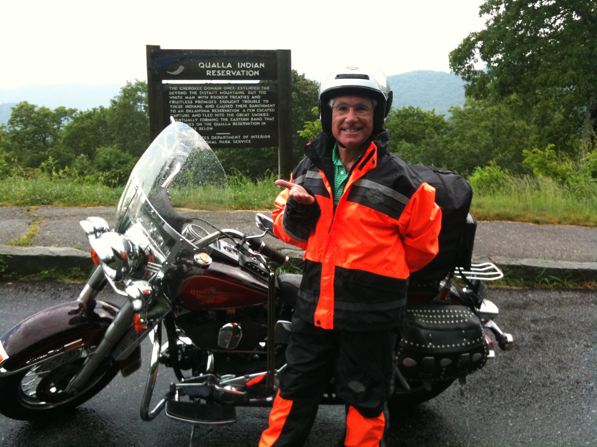
Ack! Rain. This would never happen in La Quinta.

So, we put on our foul weather gear at Lickstone Ridge Overlook, elevation 5,150 — and got wet for the next three hours.  I assured Ray this would never happen in La Quinta.

Eventually, it cleared up a bit, and we are still drying out as i write this.  We have our fingers crossed for desert-like weather tomorrow.

Oh, forgot to mention food. We ate at the only place you can get food on the Blue Ridge Parkway: the Pisgah Inn. Really, there are no other commercial establishments on the Parkway.  This is a triumph of beauty over capitalism.

IMG_0638
Plenty of scenic overlooks on the Blue Ridge Parkway.

I’m pushing for Southern food the rest of the way. Bad for you, but oh-so-good.

Tonight, we are in Little Switzerland, North Carolina, at milepost 335 — just off the Parkway.

What will tomorrow bring?
Harley Hillbilly Holiday, Day 1

Today begins Gary’s 2011 “Harley Hillbilly Holiday,” an eight-day ride through the hills and mountains of Tennessee, North Carolina, Virginia, Kentucky, and West Virginia.

As in years past, I’m riding with Ray, Sarah’s 80-year-old cousin.

To learn more about Ray, visit the My Posse page on this blog.

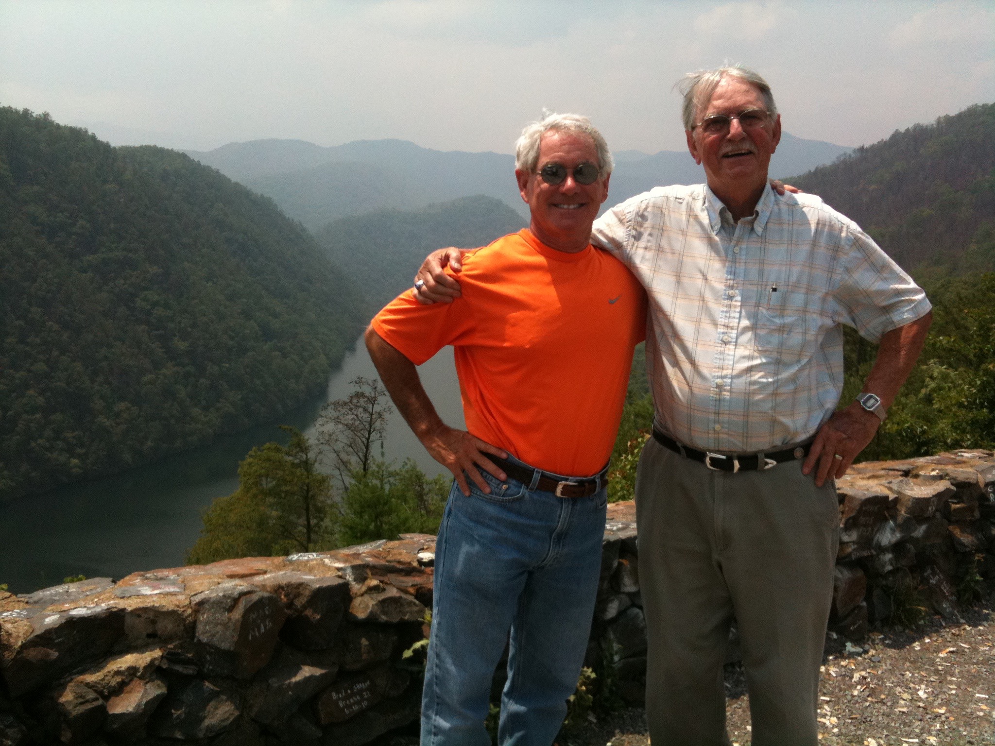
IMG_0589
That’s Ray and me at a vista overlooking the Chilhowee Dam on the Little Tennessee River.

Today was a warm-up ride, about 50 miles to Deals Gap, North Carolina. Deals Gap is a famous motorcycle resort at the end of “The Dragon,” a Harley fantasyland: 318 curves in 11 miles on US Highway 129.

The Dragon is known for slaying inattentive riders.

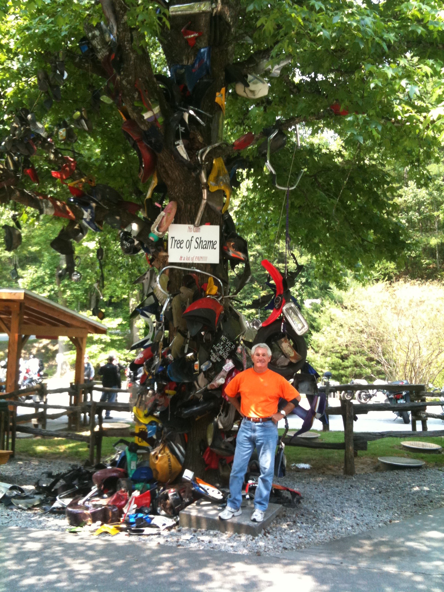
IMG_0585
The Three of Shame. I did not contribute any motorcycle parts to its collection.

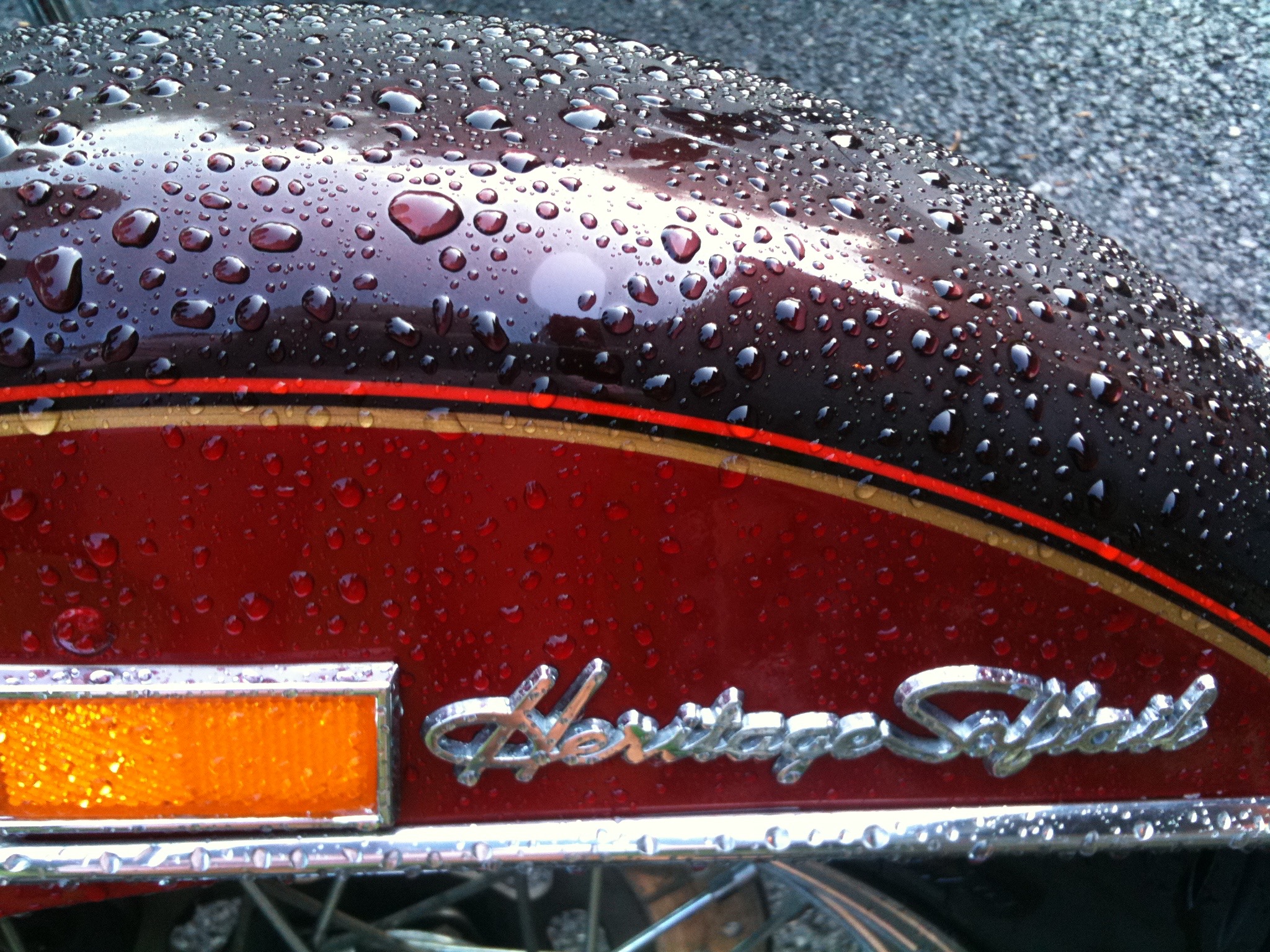
At the Tail of The Dragon, there’s a Tree of Shame, littered with motorcycle parts from crashed bikes.  On this trip, I’m riding Sarah’s cousin Tina’s Harley (just like mine, a Heritage Softail Classic) — so I was particularly careful not to add to the Tree of Shame.

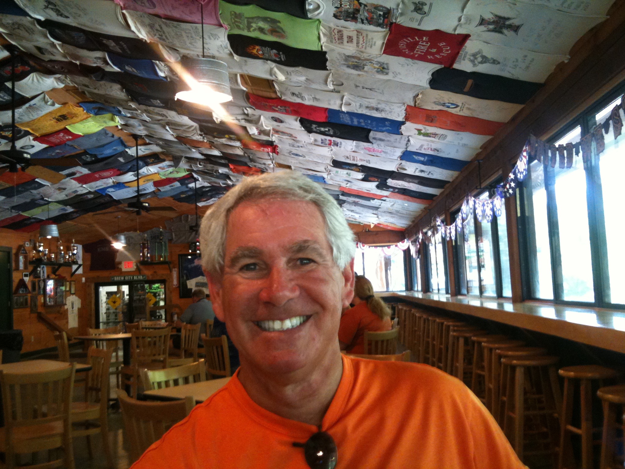
Deal’s Gap Motorcycle Resort is the place to go in these here parts if you’re a serious rider, or just a tourist from California.  It has a great cafe, with hundreds of t-shirts on the ceiling from visiting bikers.

IMG_0581
At Deal’s Gap.

To learn more about The Dragon, check out this website:

Tonight we are at Ray and Tina’s home in Farragut, Tennessee — for a relaxing meal and a comfortable bed.

Tomorrow, we hit the road!

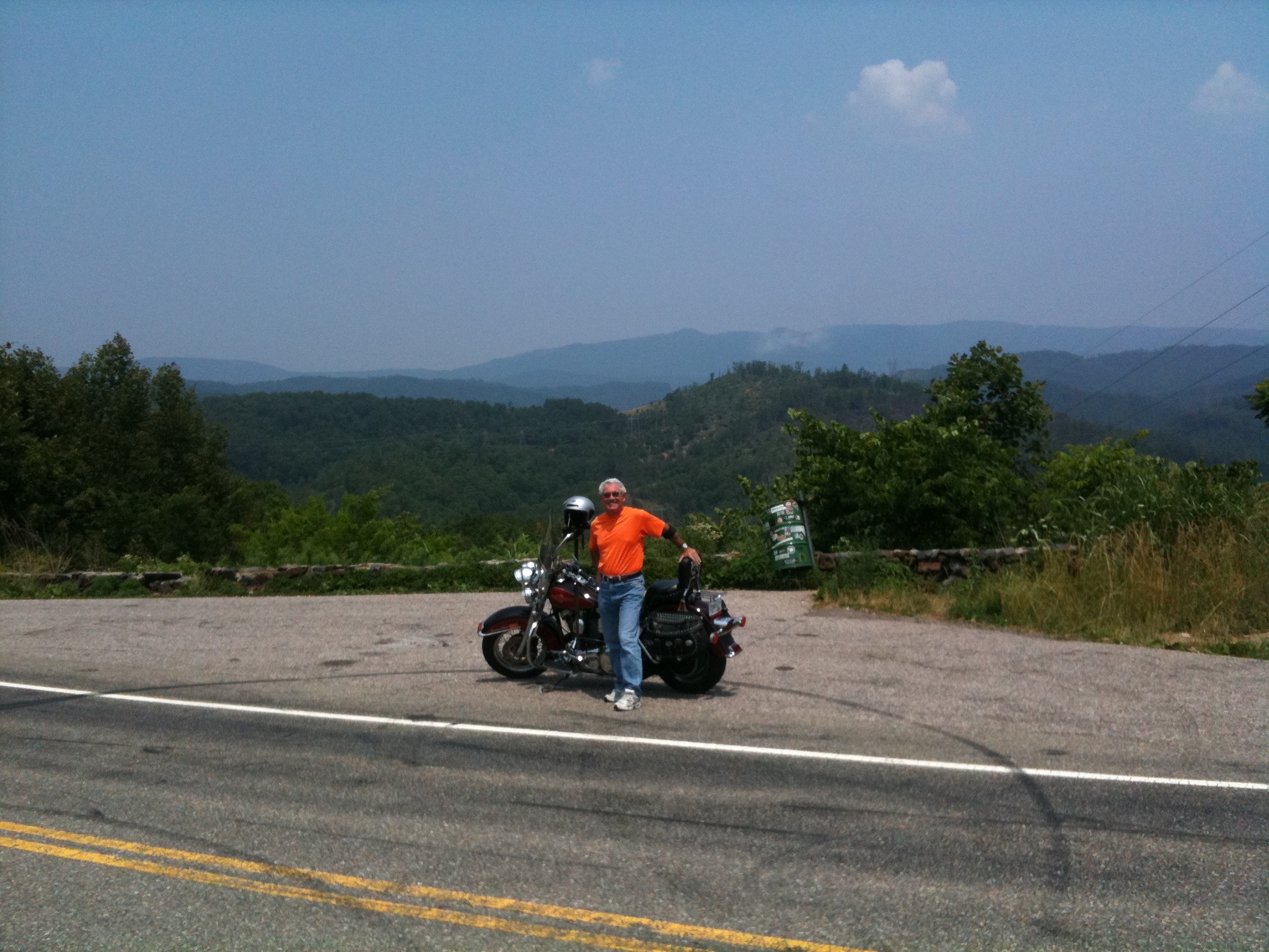
IMG_0591
Here are my wheels for the week. Pimp my ride!

Just the Three of Us

My second ride improved upon the first. There were three of us this time, and we took a slightly different route.

My friend from San Rafael, Dennis Johnson, joined Ray and me for the ride from La Quinta to Lake Tahoe.

To learn more about Ray and Dennis, visit the My Posse page on this blog.

IMG_1207.JPG
Dennis Johnson, resting en route to Idyllwild. He’s a natural!

Dennis rented a Harley Davidson Street Glide in Palm Desert at Eagle Rider.

IMG_1213.JPG
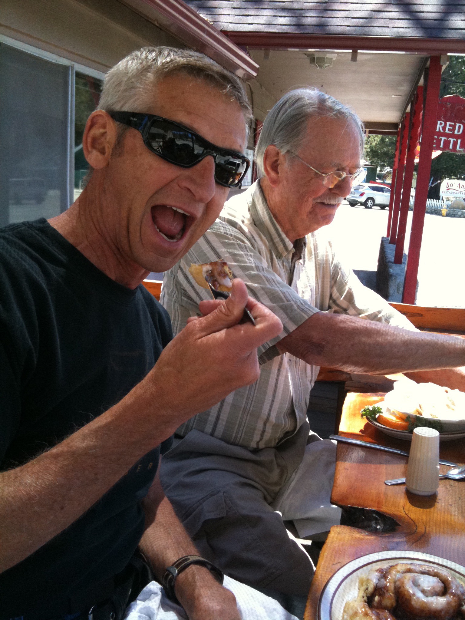
Mid-morning snack in Idyllwild. Dennis takes his cinnamon rolls seriously!

We began by riding through nearby mountains, up to Idyllwild, then on to Big Bear Lake, where we parked our bikes, and ourselves, overnight.

IMG_1233.JPG
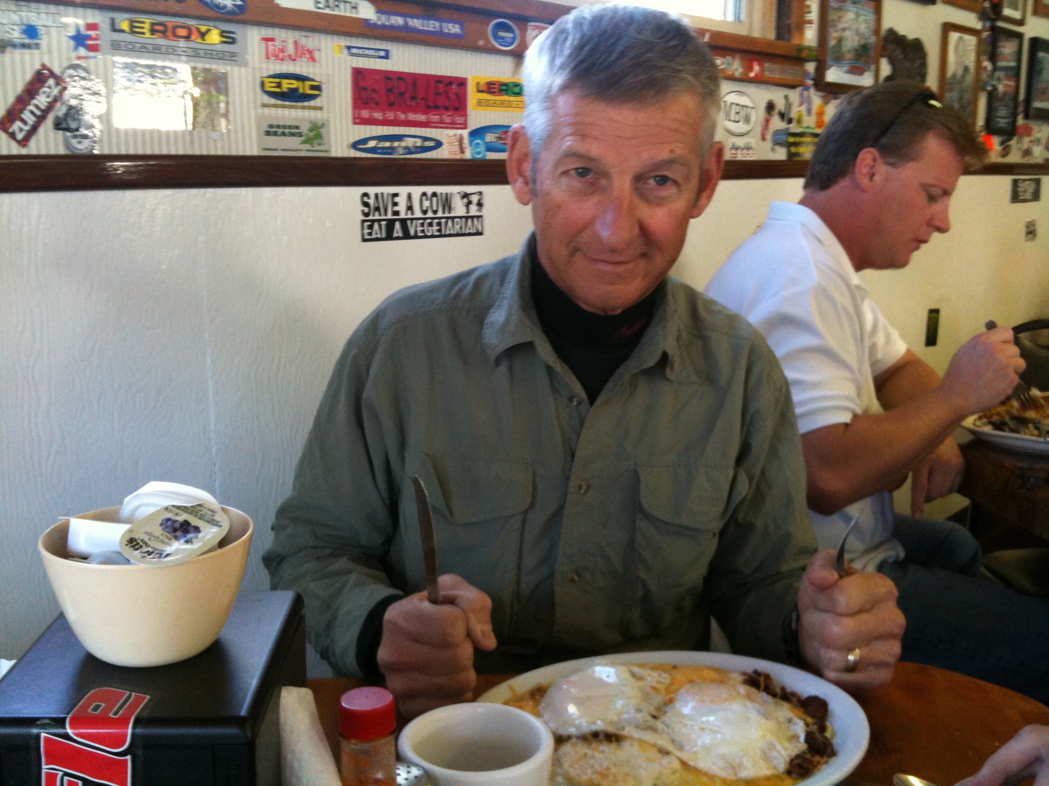
Breakfast at Big Bear Lake. Can’t believe he ate the whole thing.

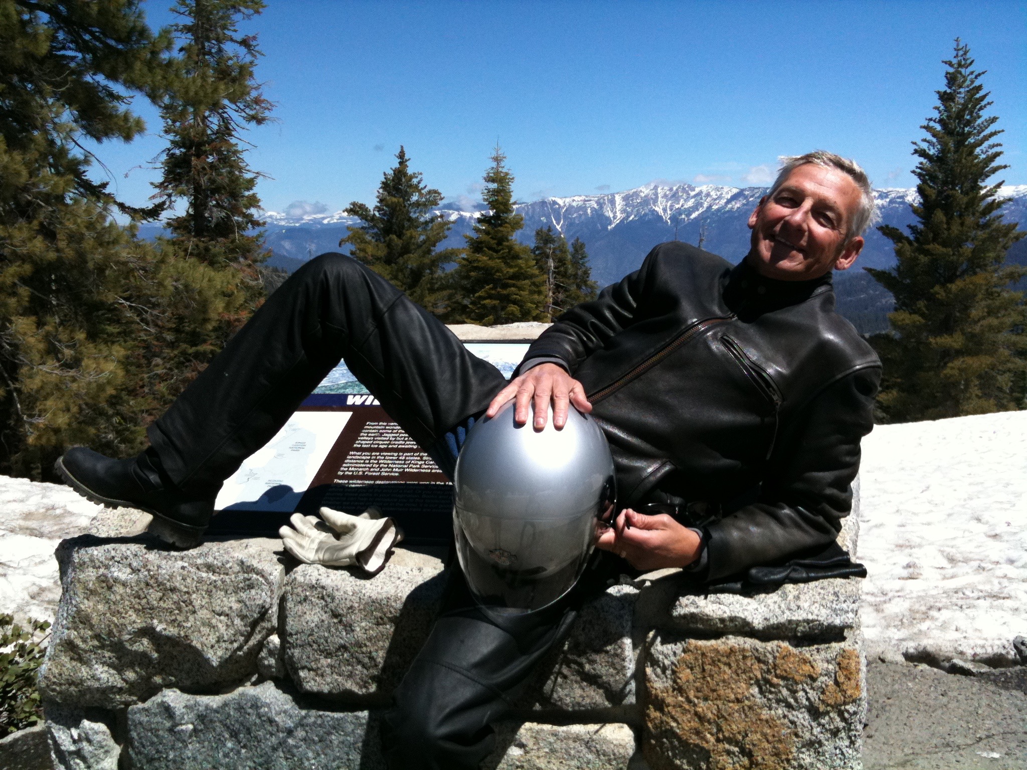
From there, it was on to Sequoia National Park, where early May piles of snow (Brrrrr!) still sat by the side of the road.

IMG_1266.JPG
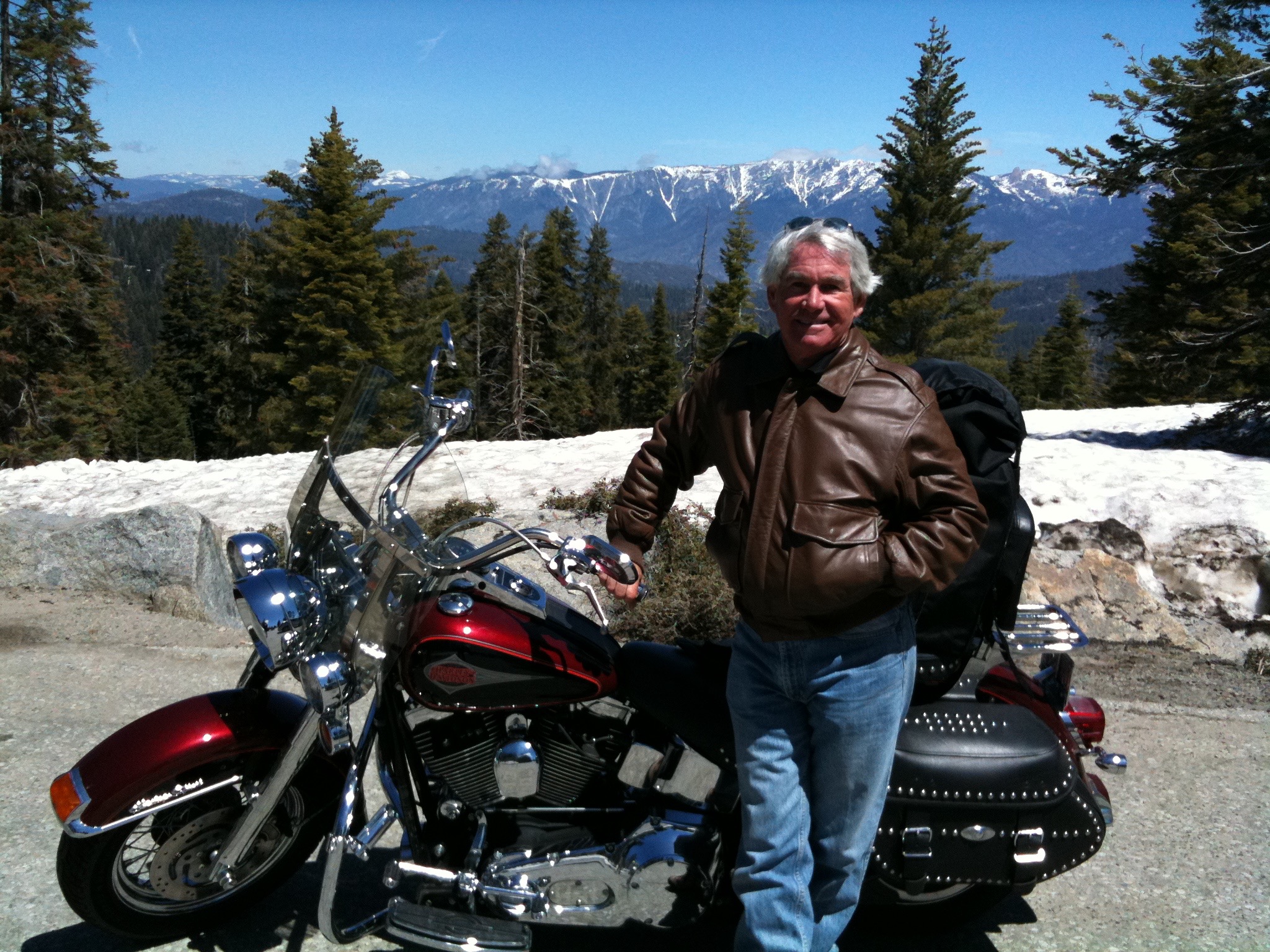
There was a chill in the air in Sequoia National Park.
IMG_1260.JPG
Dennis takes five at a scenic overlook in Sequoia National Park.

Then, we continued up the west side of the Sierra Nevada mountains with a stop in Yosemite National Park.

After roaring across Kit Carson Pass, the only Sierra Nevada pass (other than I-80) that was open, we arrived in South Lake Tahoe.

IMG_1290.JPG
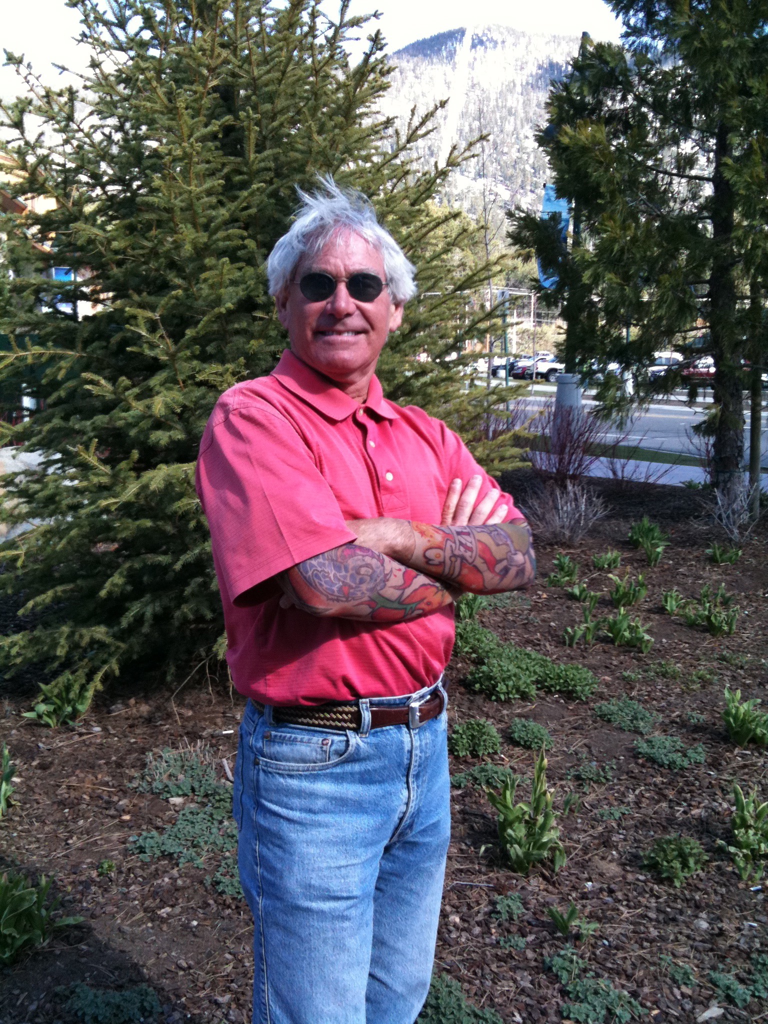
Showing off the tats at South Lake Tahoe. Studly, huh?
Here, Dennis dropped off his bike, and got a ride home from his next-door-neighbor (and my cousin), Rich Wank.

Ray and I continued on down the east side of the Sierras, riding past Mammoth Lakes and Bishop, eventually arriving home in La Quinta.

IMG_1301.JPG
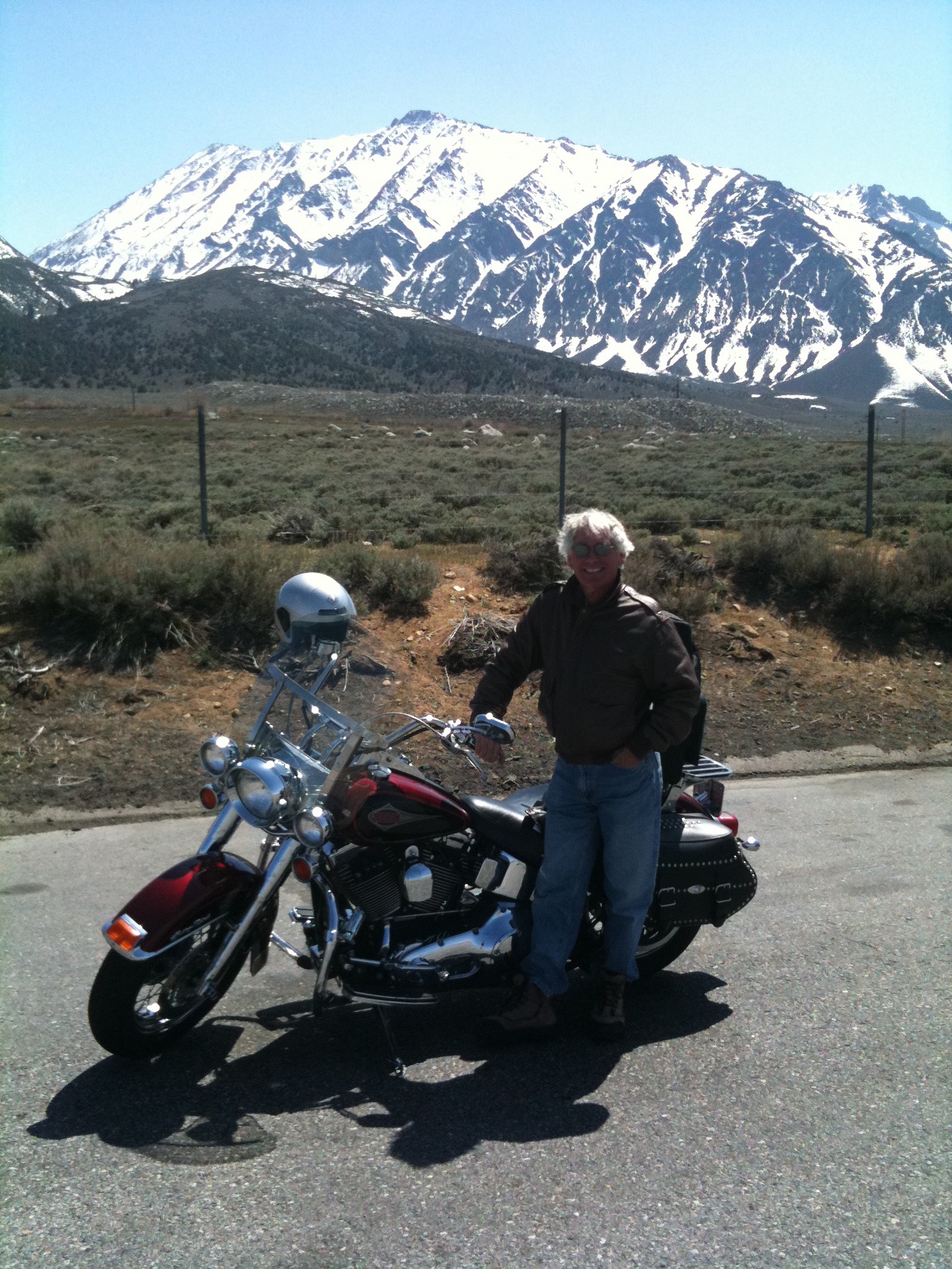
Still snow in the mountains, near Bishop, California.

Nice trip. This is quite habit forming.

IMG_1313.JPG
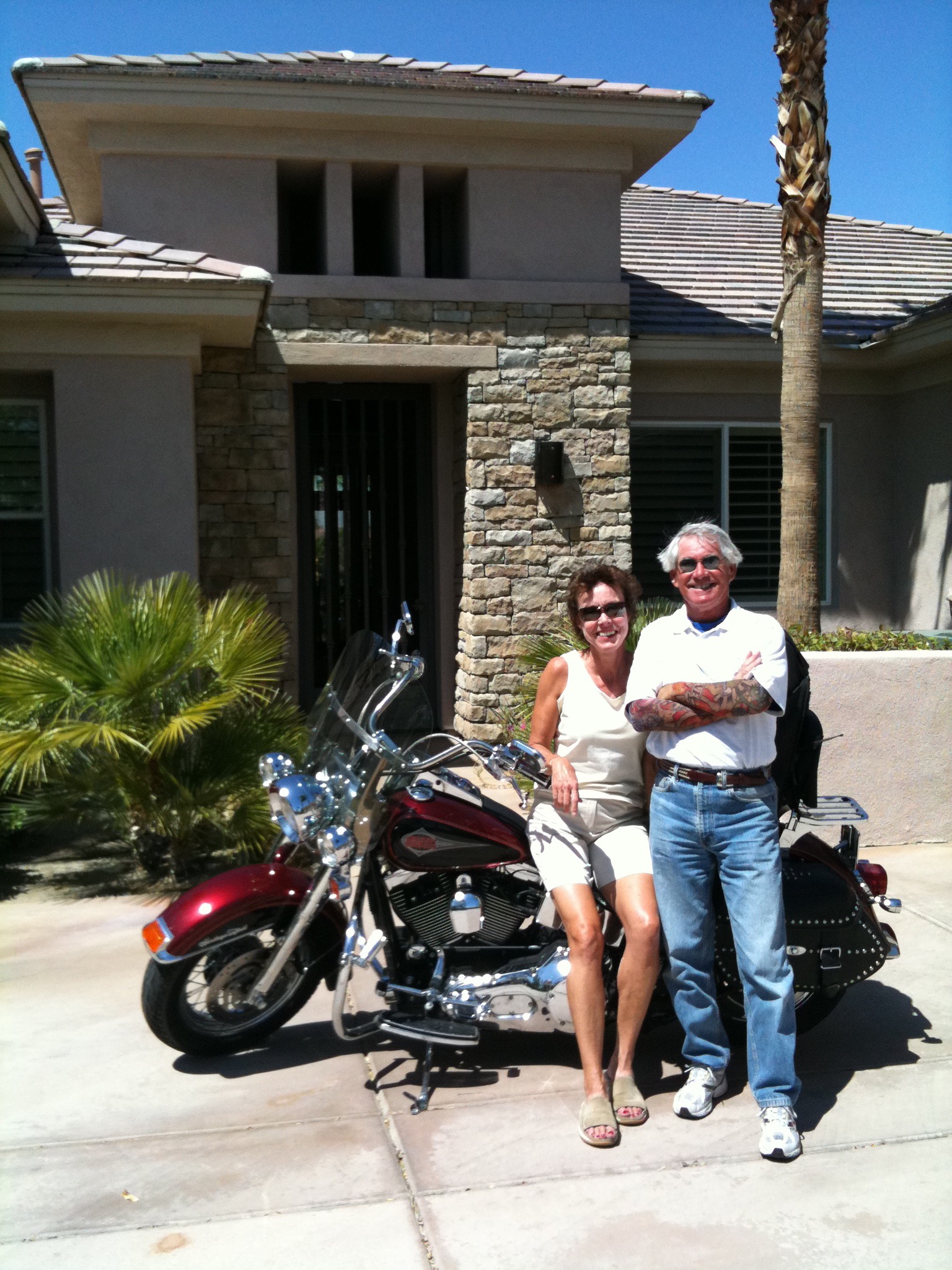
Sarah was waiting for us in the driveway when we got home.

My First Trip. Vroom, Vroom.

First overnight bike trip!

Ray Sanders, who’s married to Sarah’s first cousin, Tina, rode out to Southern California to join me for a week of riding in the Sierra Nevada Mountains.

To learn more about Ray, visit the My Posse page of this blog.

IMG_0525.JPG
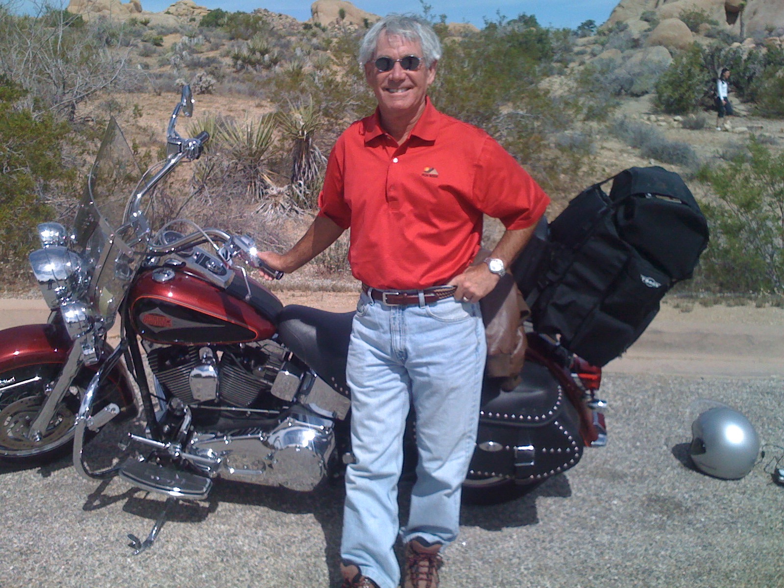
In Joshua Tree, on Day One of my first-ever overnight trip.

We left La Quinta, rolled through Joshua Tree National Park, and on to Victorville, California, where I spent my first night ever on the road with a Harley parked outside my motel room.

IMG_0536.JPG
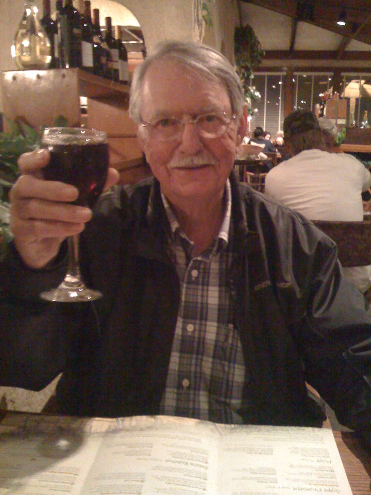
Ray celebrates a successful Day One at the Olive Garden in Victorville.

From Victorville, we rode up US Highway 395 to Mammoth Lakes, high in the Sierras.

IMG_0551.JPG
In Bridgeport, en route to Lake Tahoe. Ready for cold weather!

Then, it was on to South Lake Tahoe. We arrived via the Kingsbury Grade, which took us from Gardnerville, Nevada, to Stateline.

On our way home from Lake Tahoe, we stopped overnight in Sonora.

IMG_0578.JPG
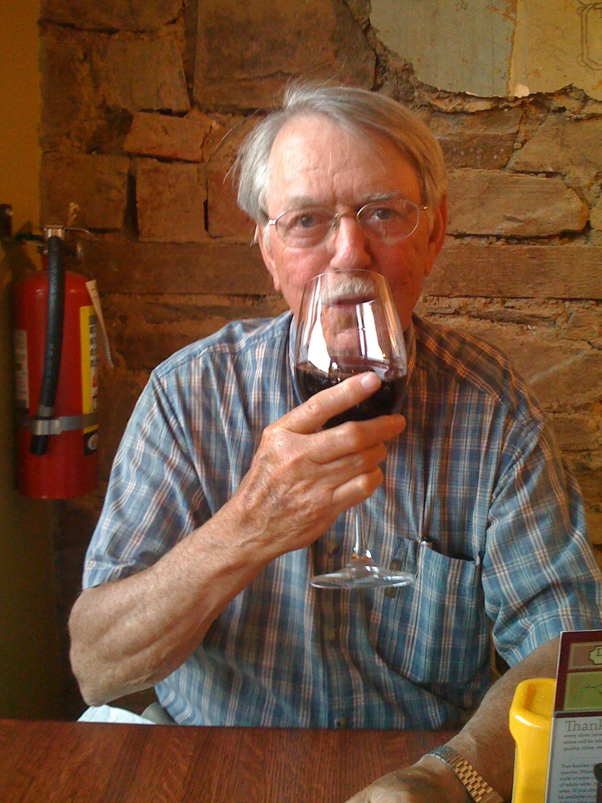
Dinner in Sonora, at the Rattlesnake Grill. Ray takes his red wine very seriously.

Continuing on toward La Quinta, we checked out Yosemite National Park.

IMG_0590.JPG
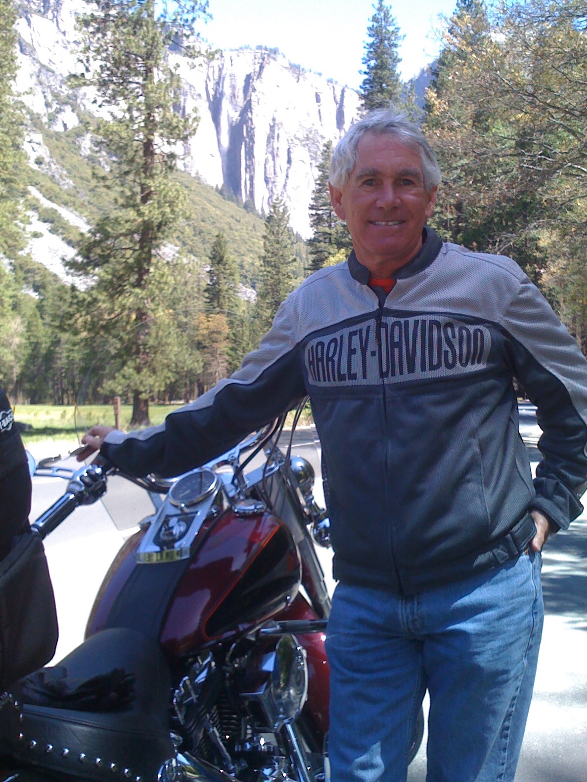
Yosemite. You have to see it to believe it.

Next day, it was on to Sequoia National Park.

IMG_0612.JPG
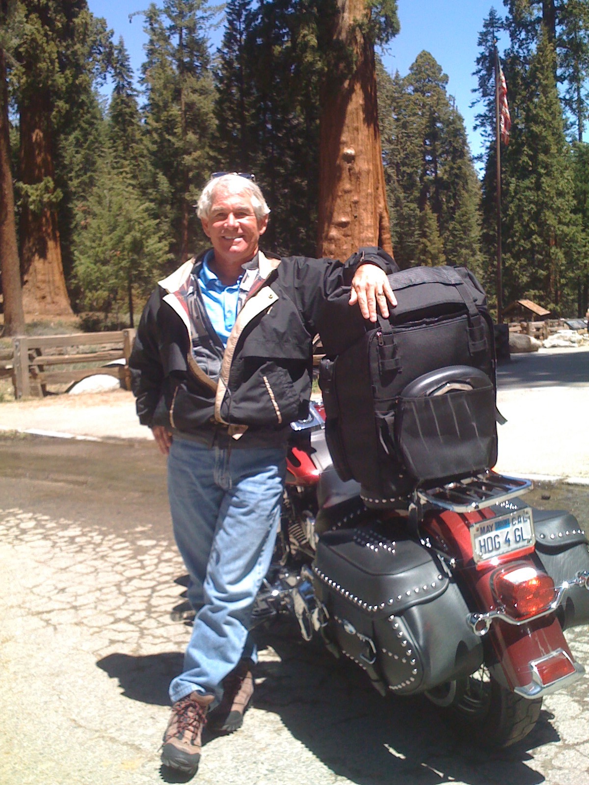
Hey, those are some big trees in Sequoia National Park!

A very good introduction to vroom, vrooming. Can’t wait to do it again.

IMG_0620.JPG
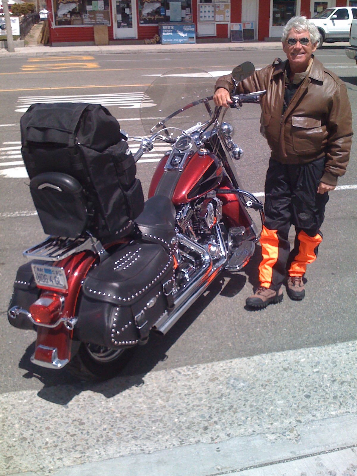
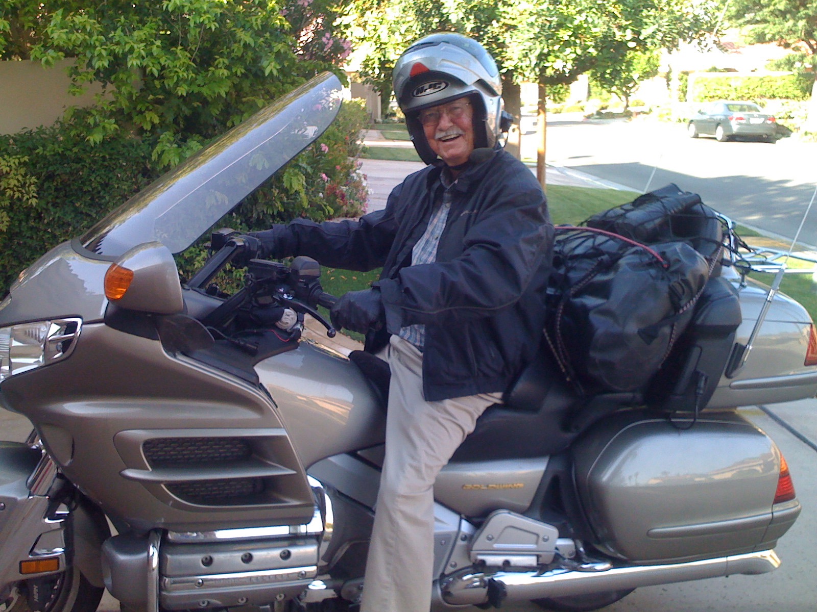
Ray, on his Honda Gold Wing, in our La Quinta driveway. A minute later, he heads east toward Knoxville, Tennessee — on his way home.