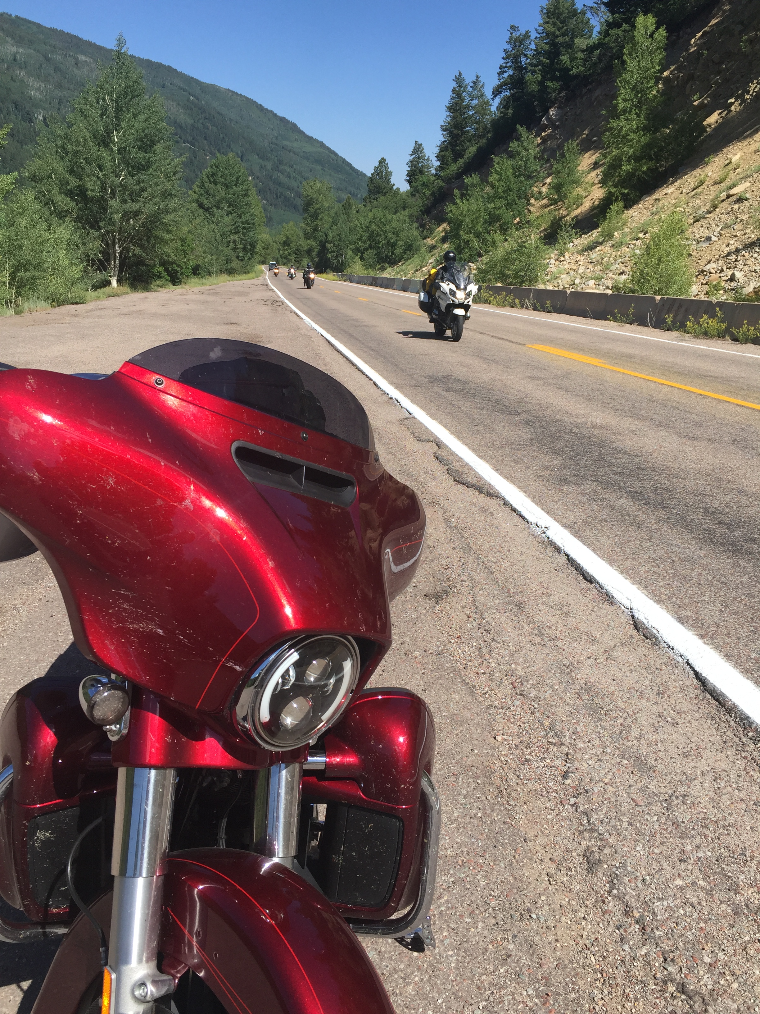
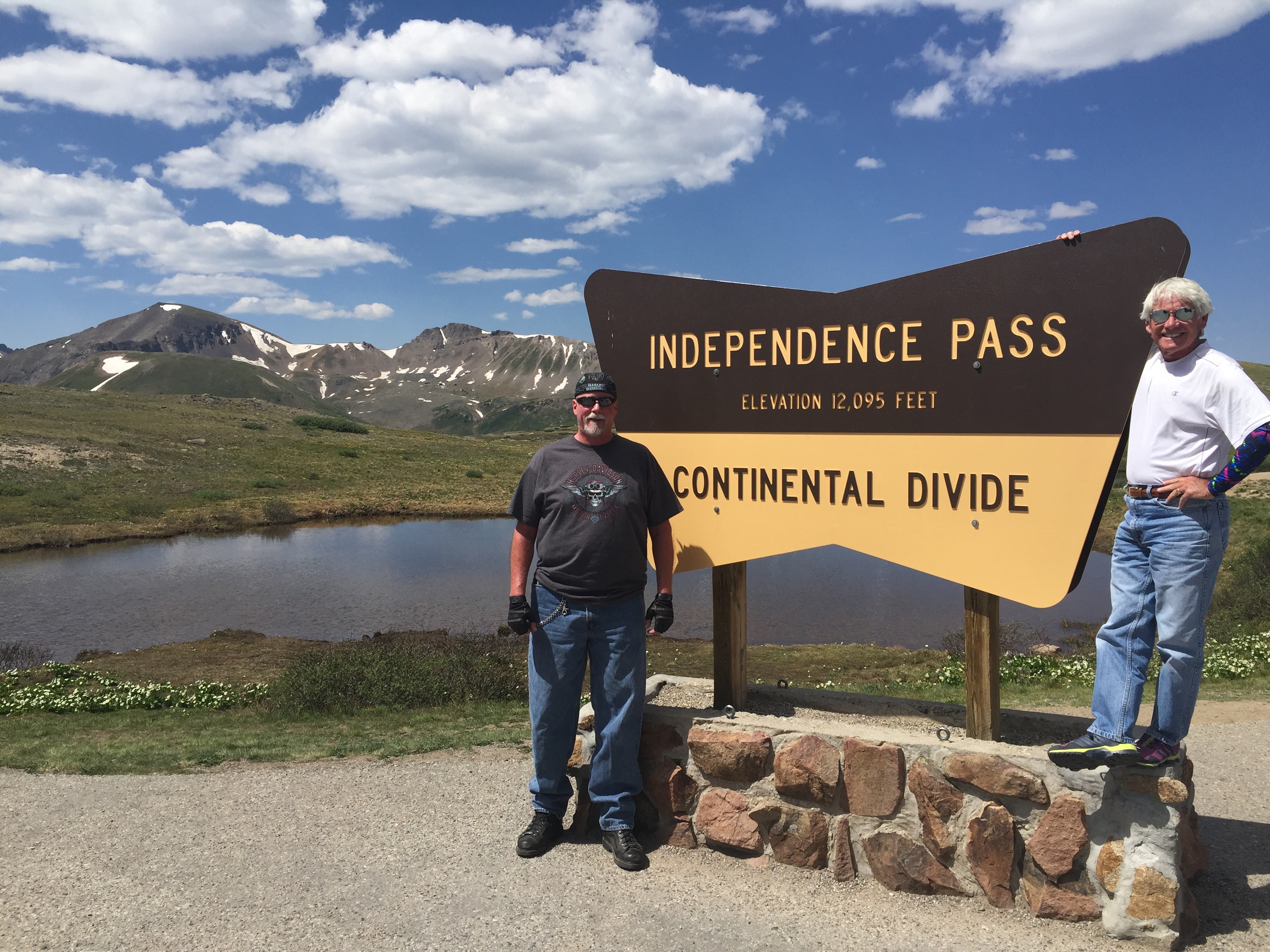
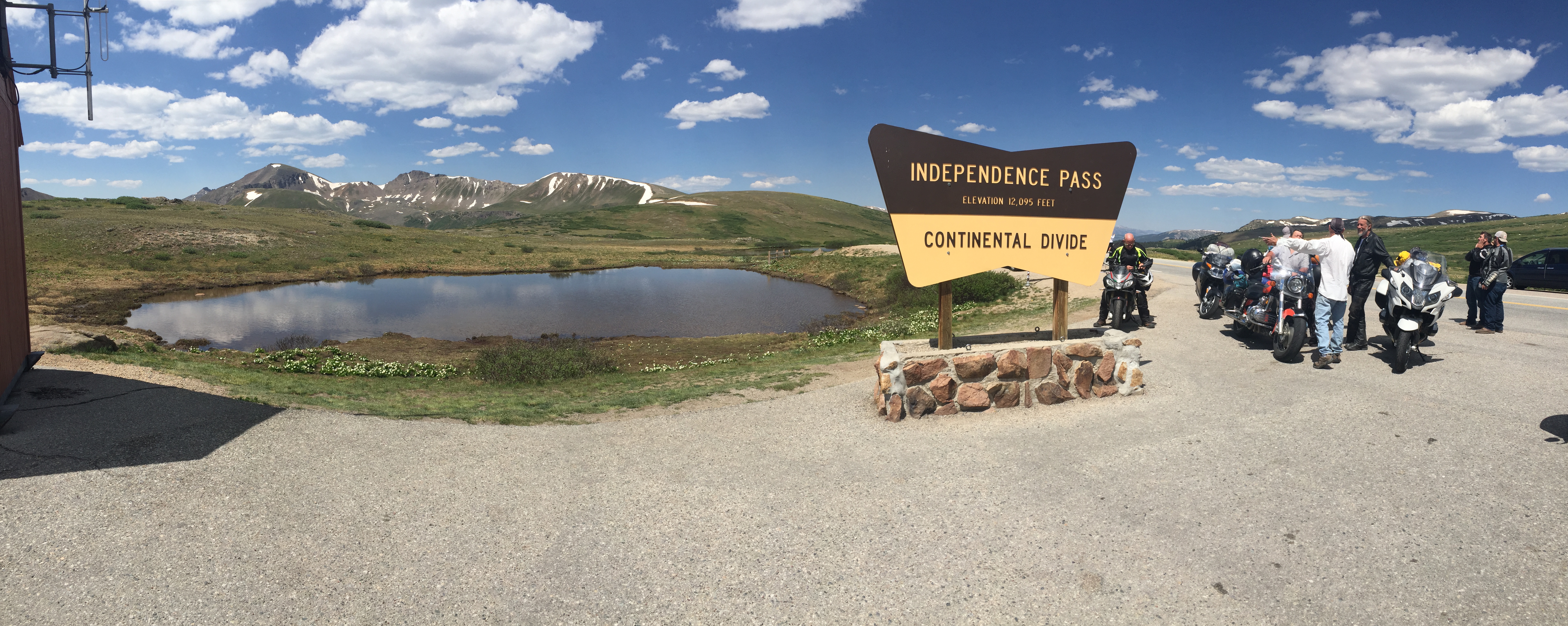
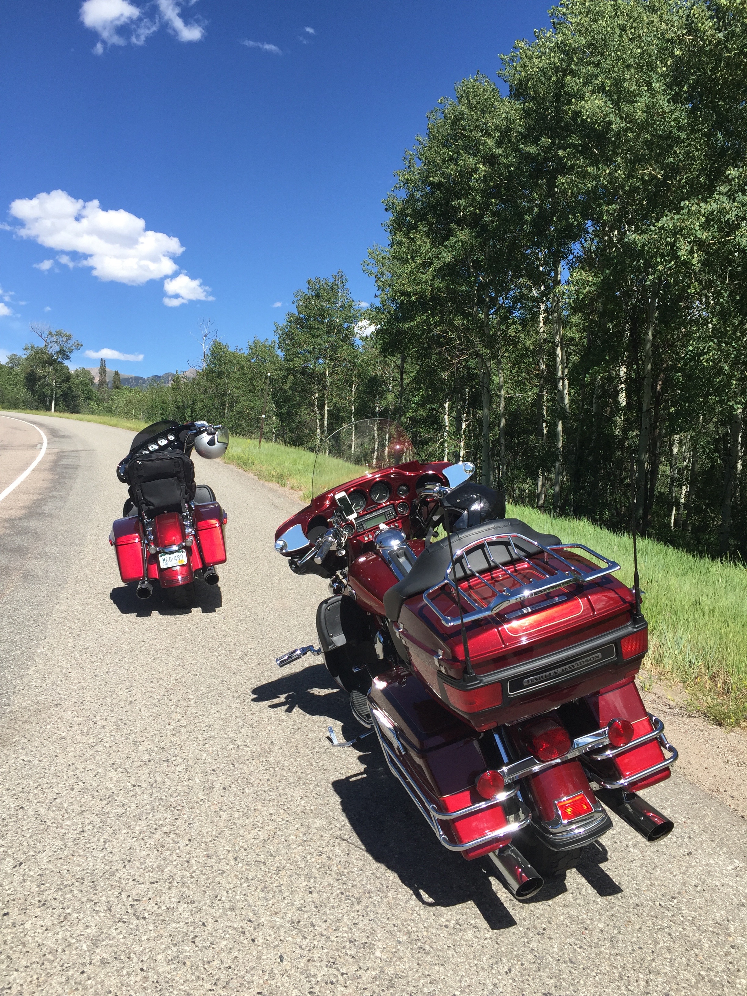
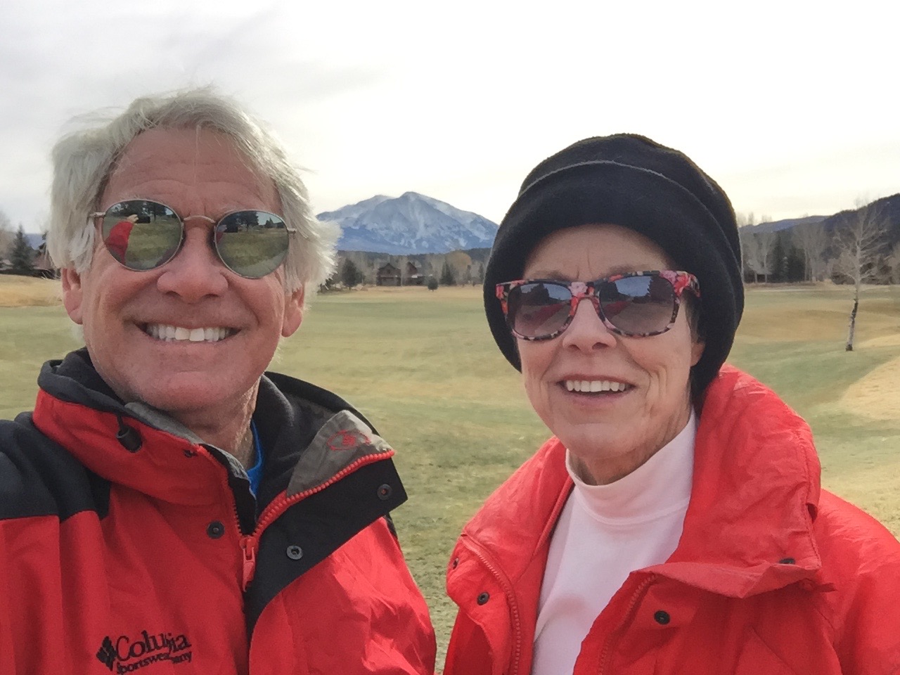
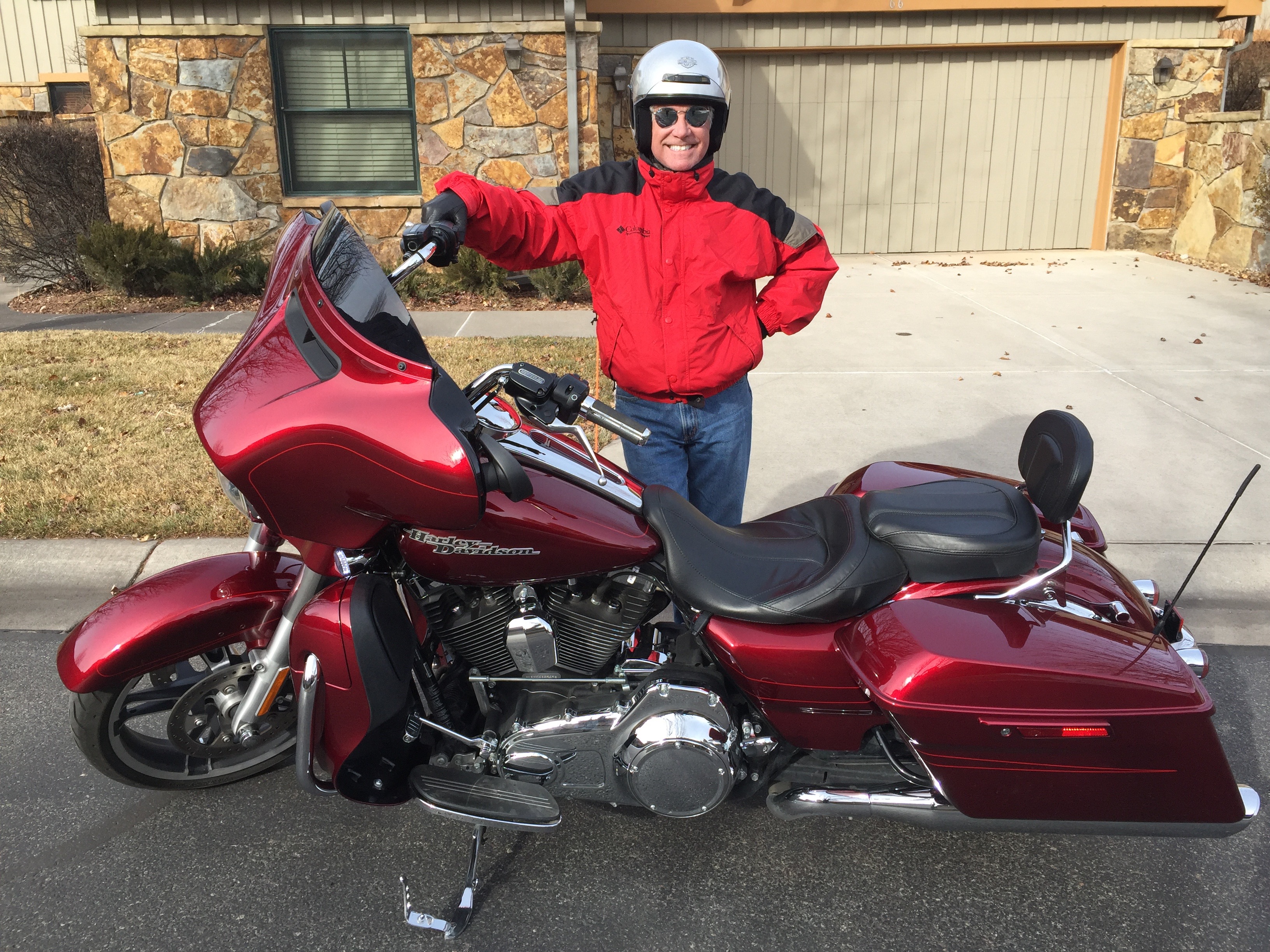
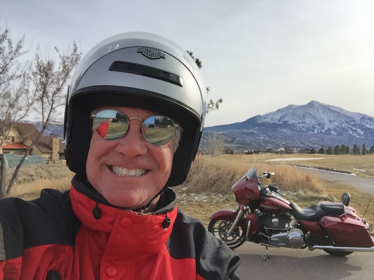
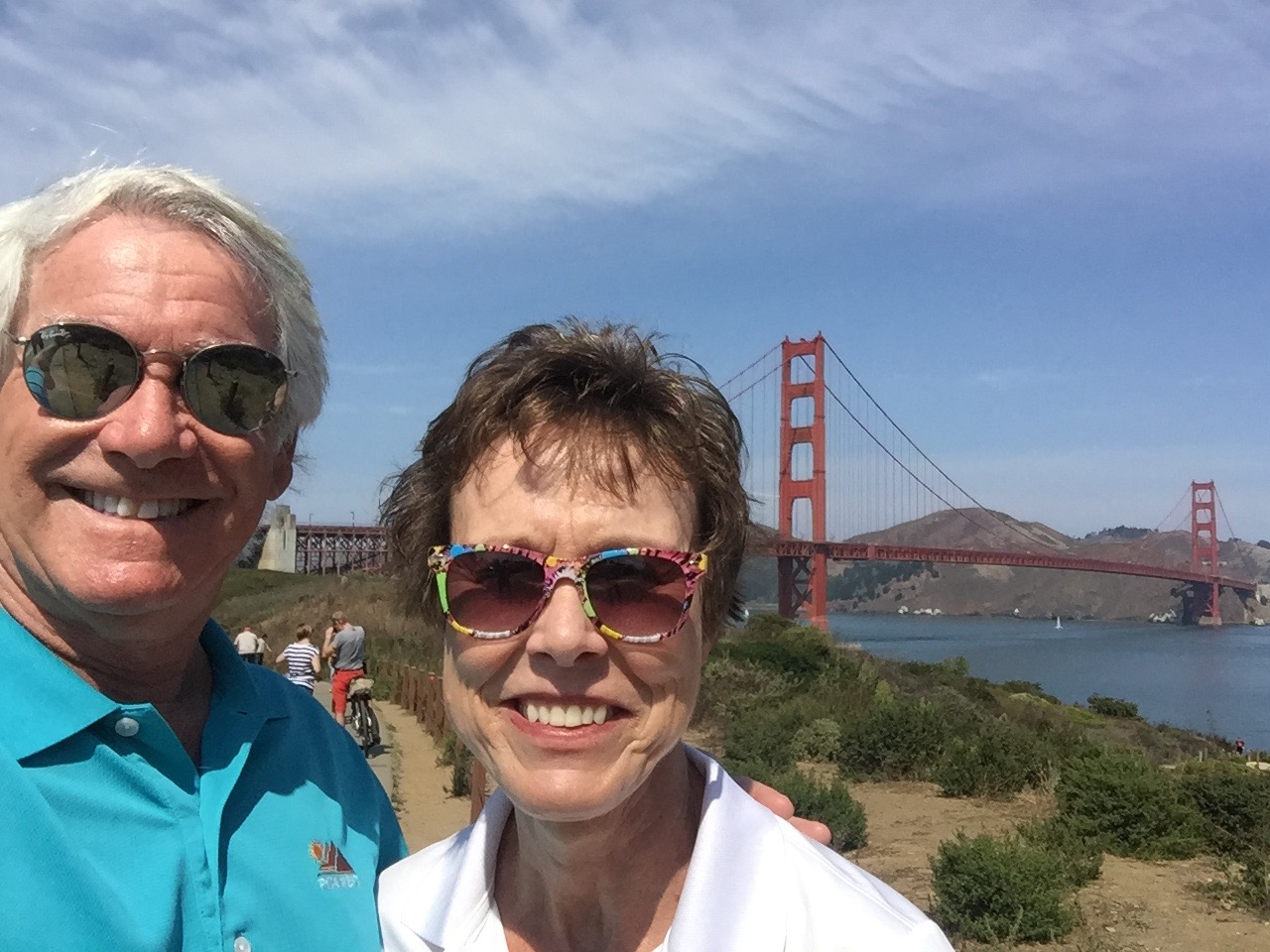
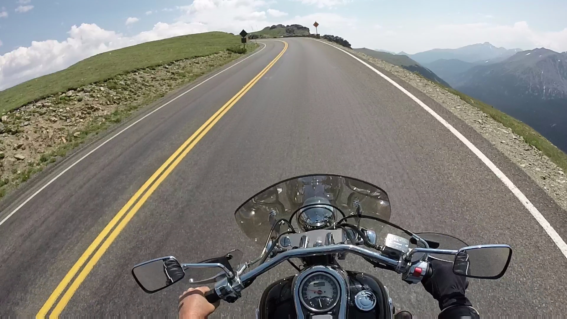
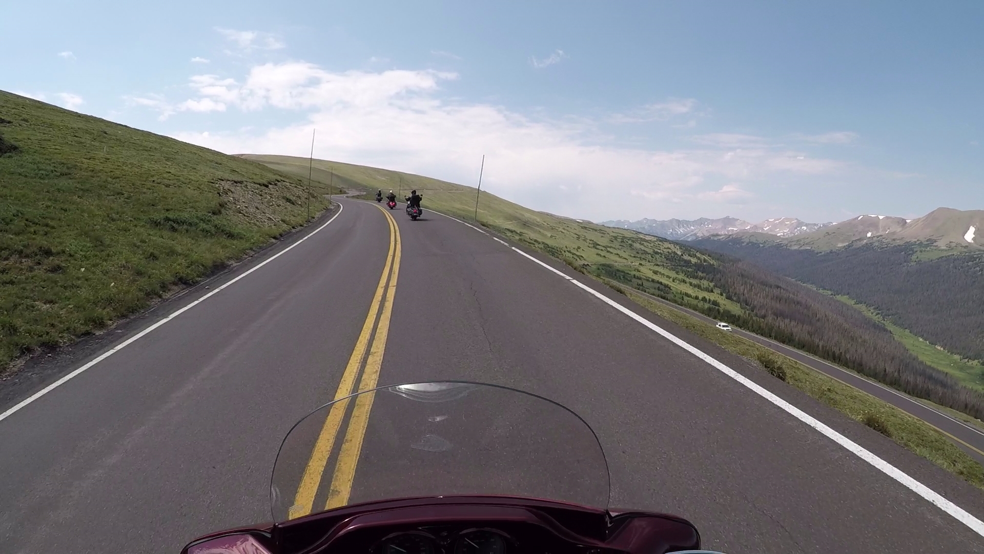
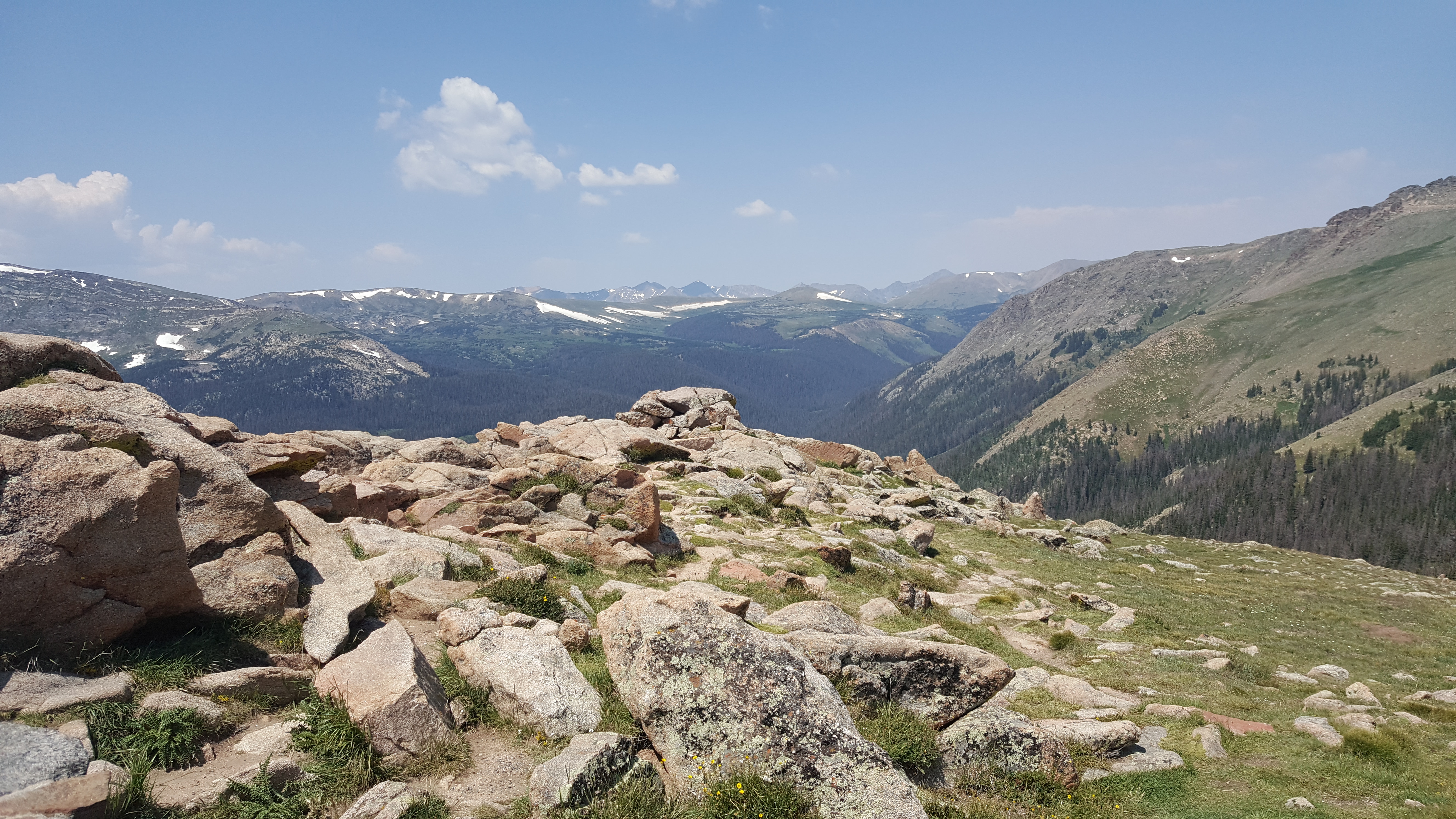
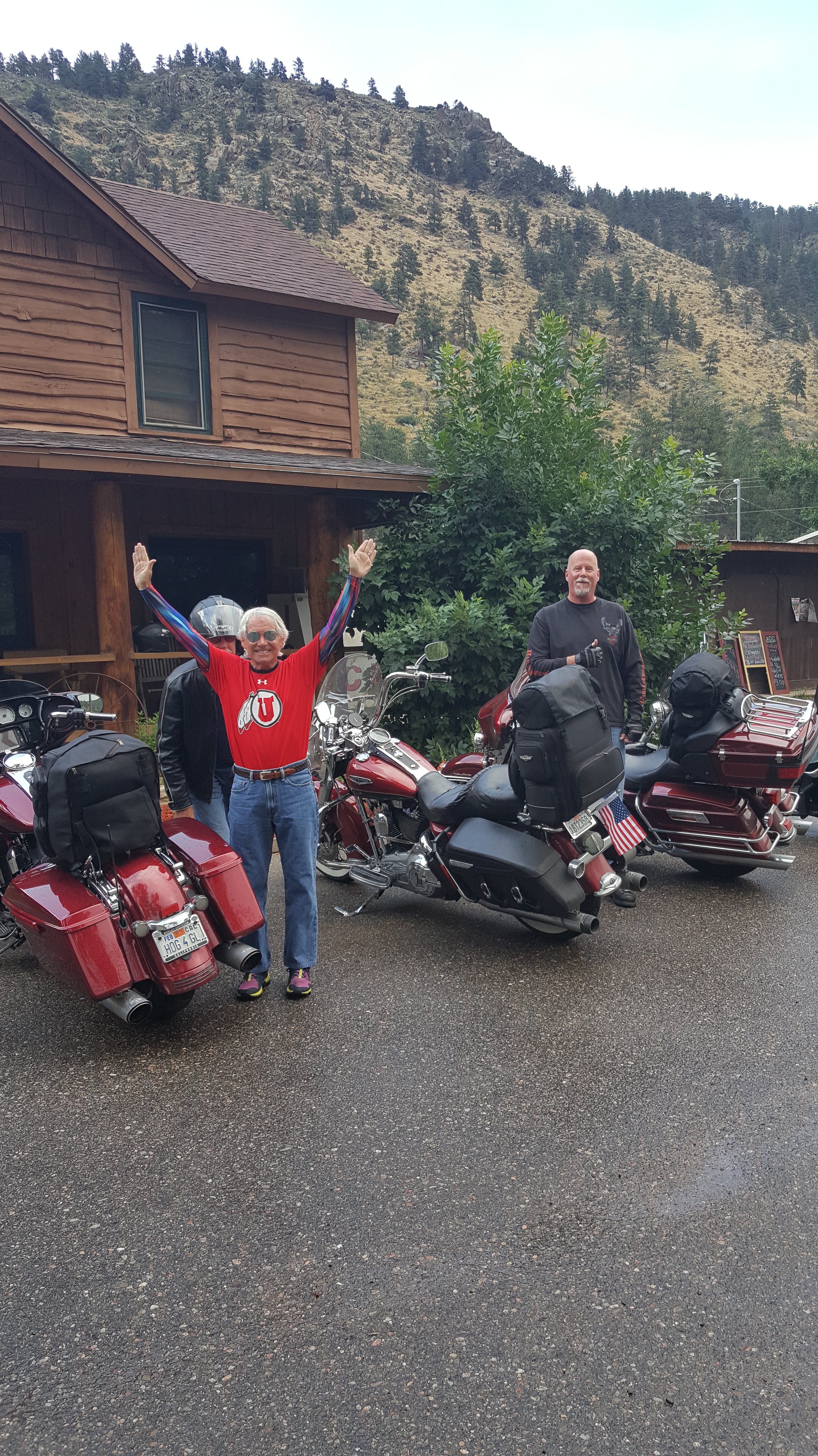
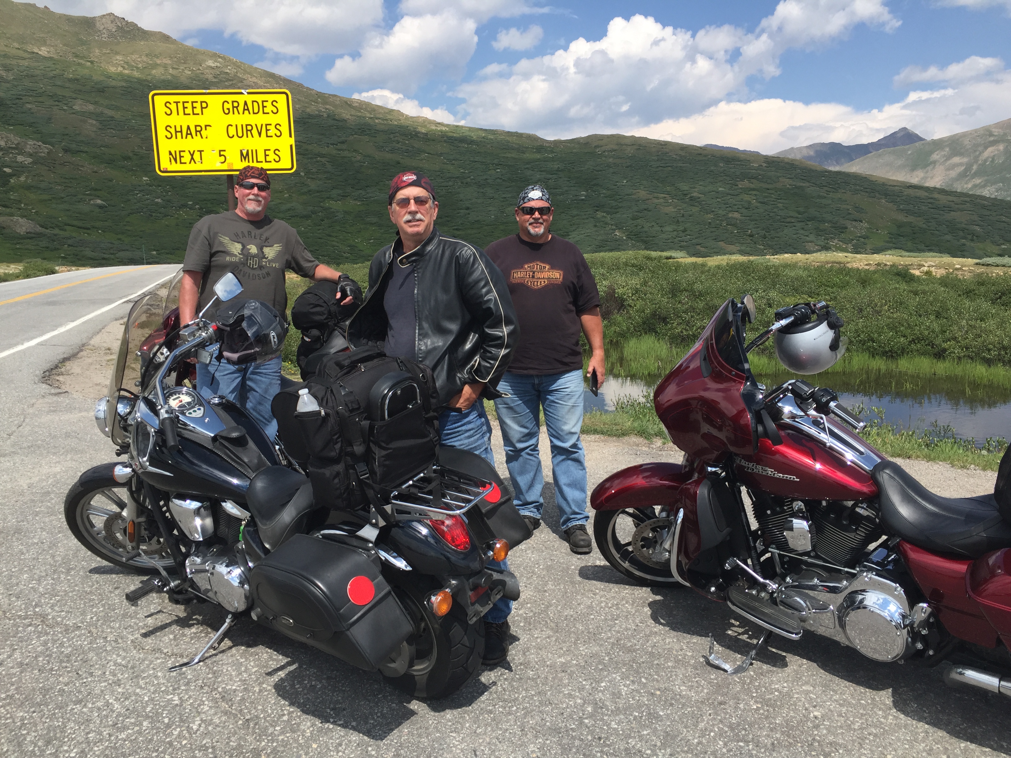
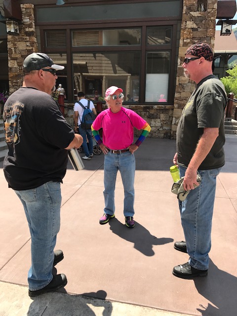
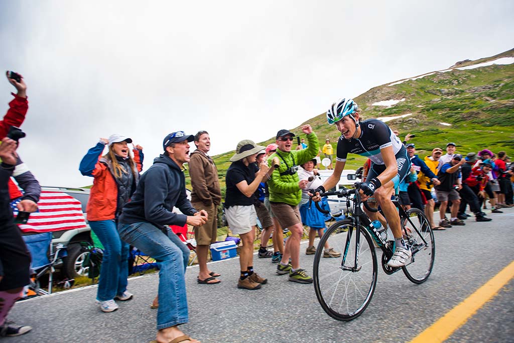
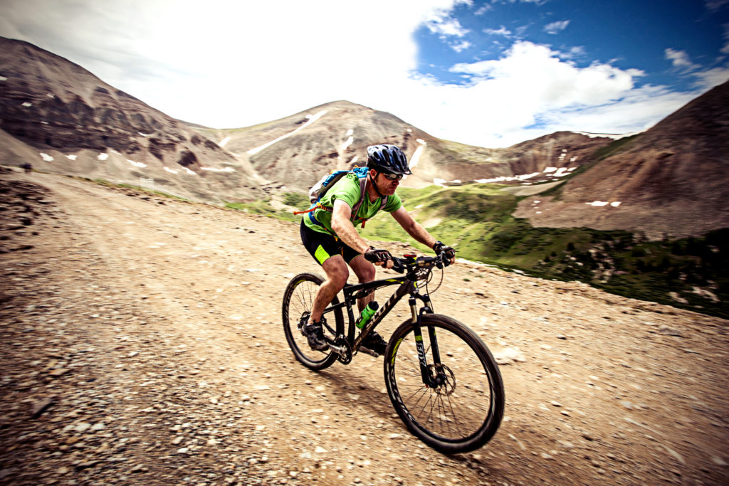
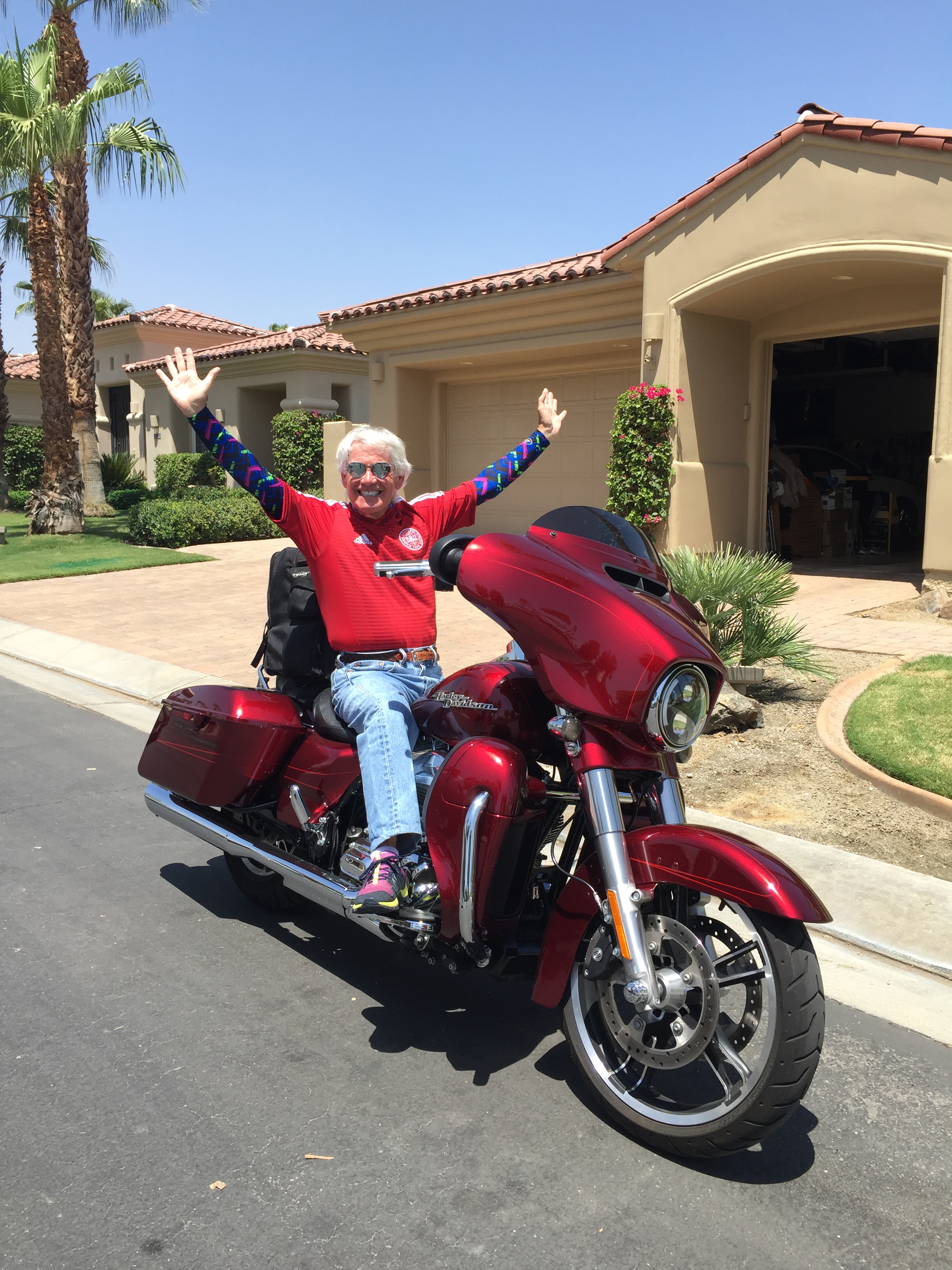
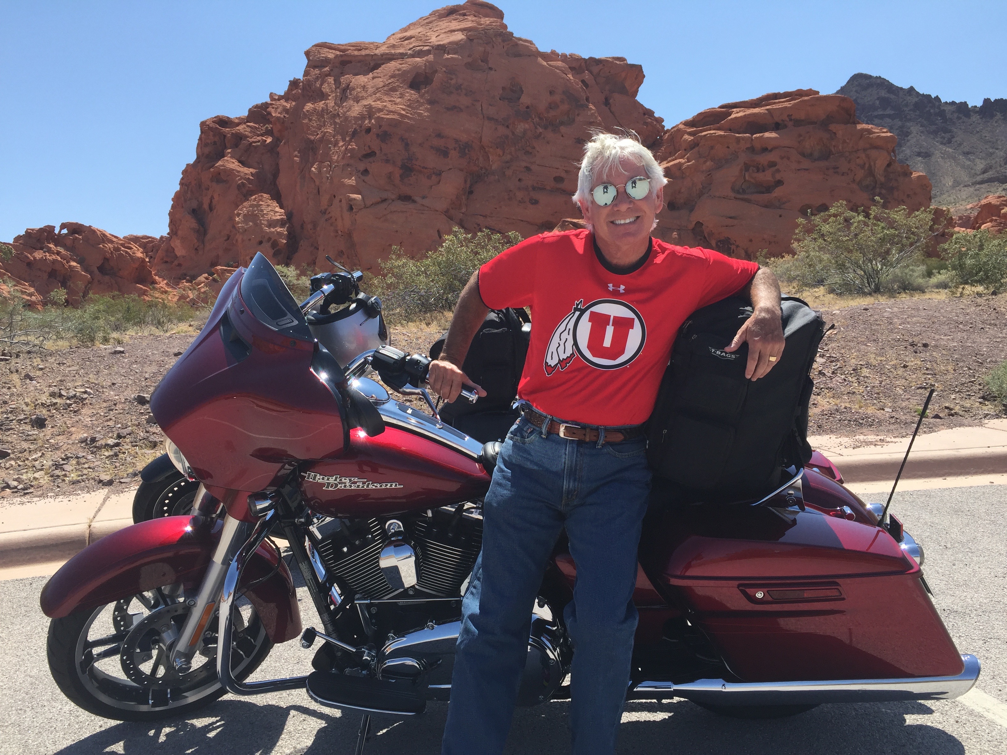
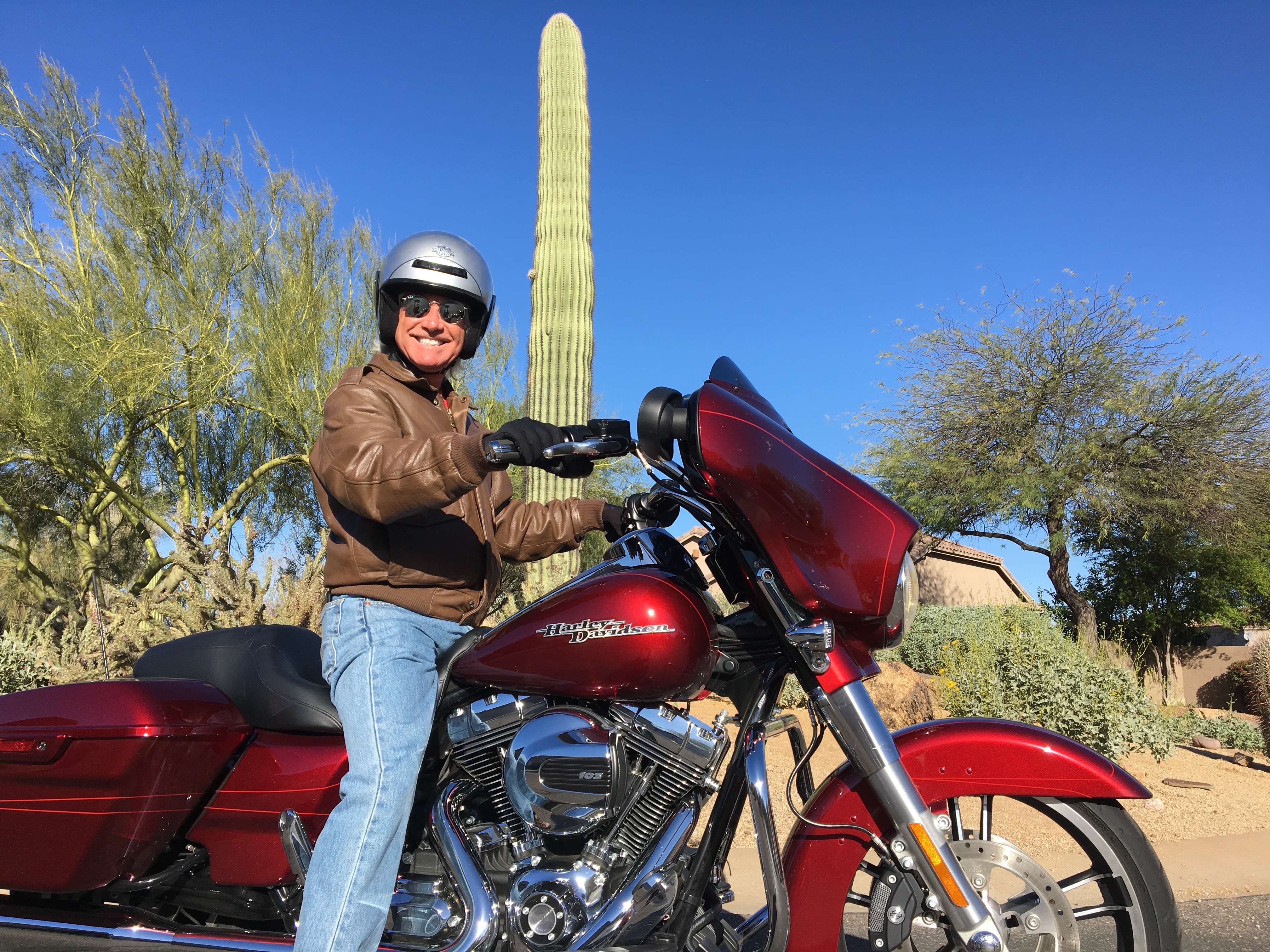
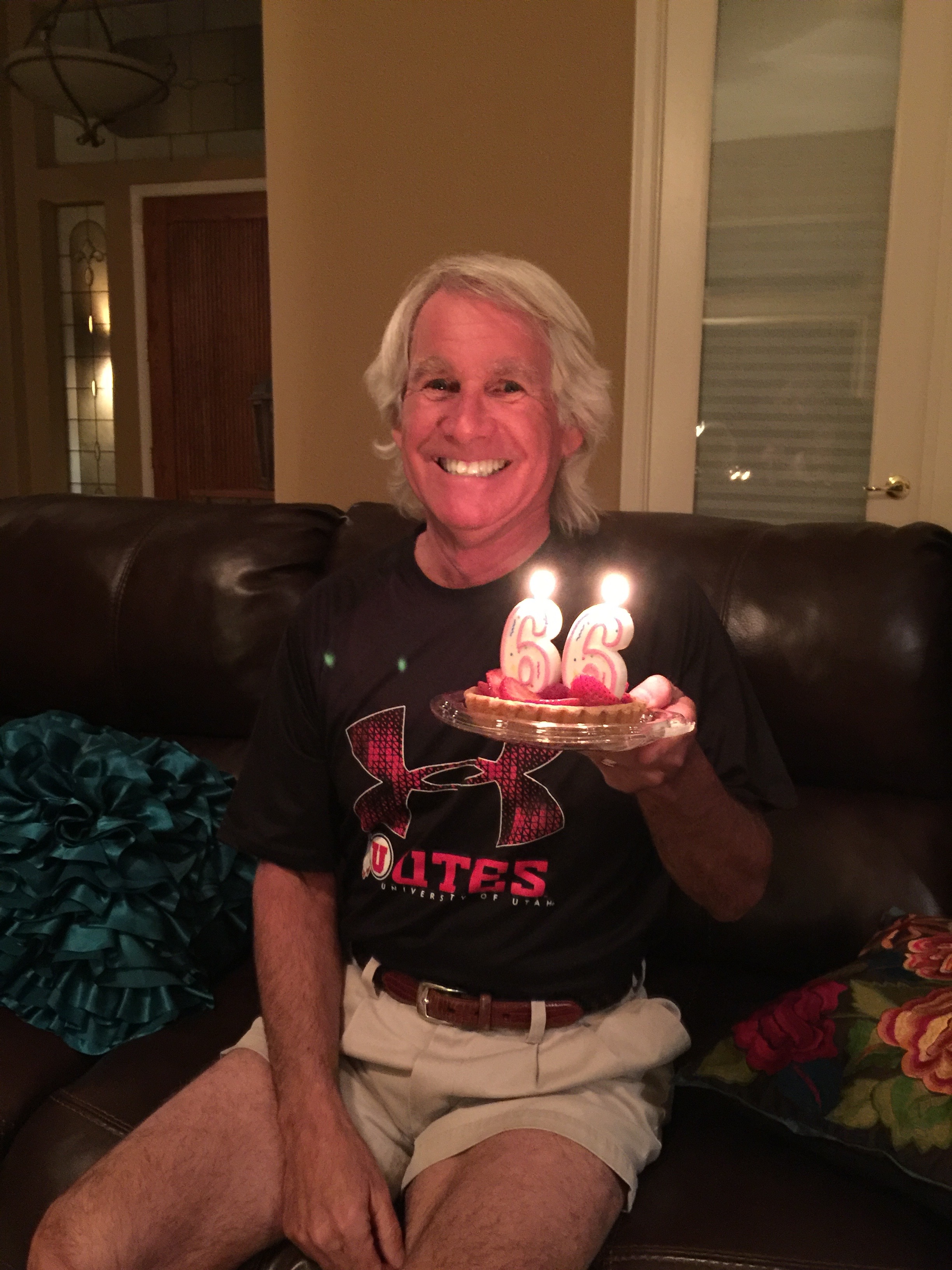
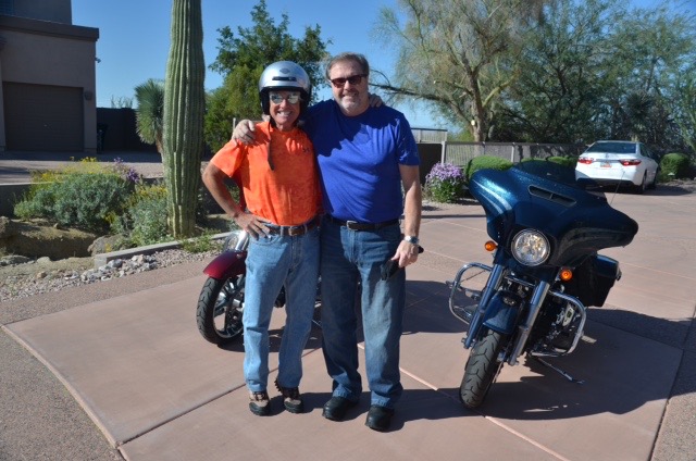
Today, I received a pretty awesome Christmas present, even better than riding my motorcycle over Independence Pass. Christmas is generally not a big deal to me. Today it was.
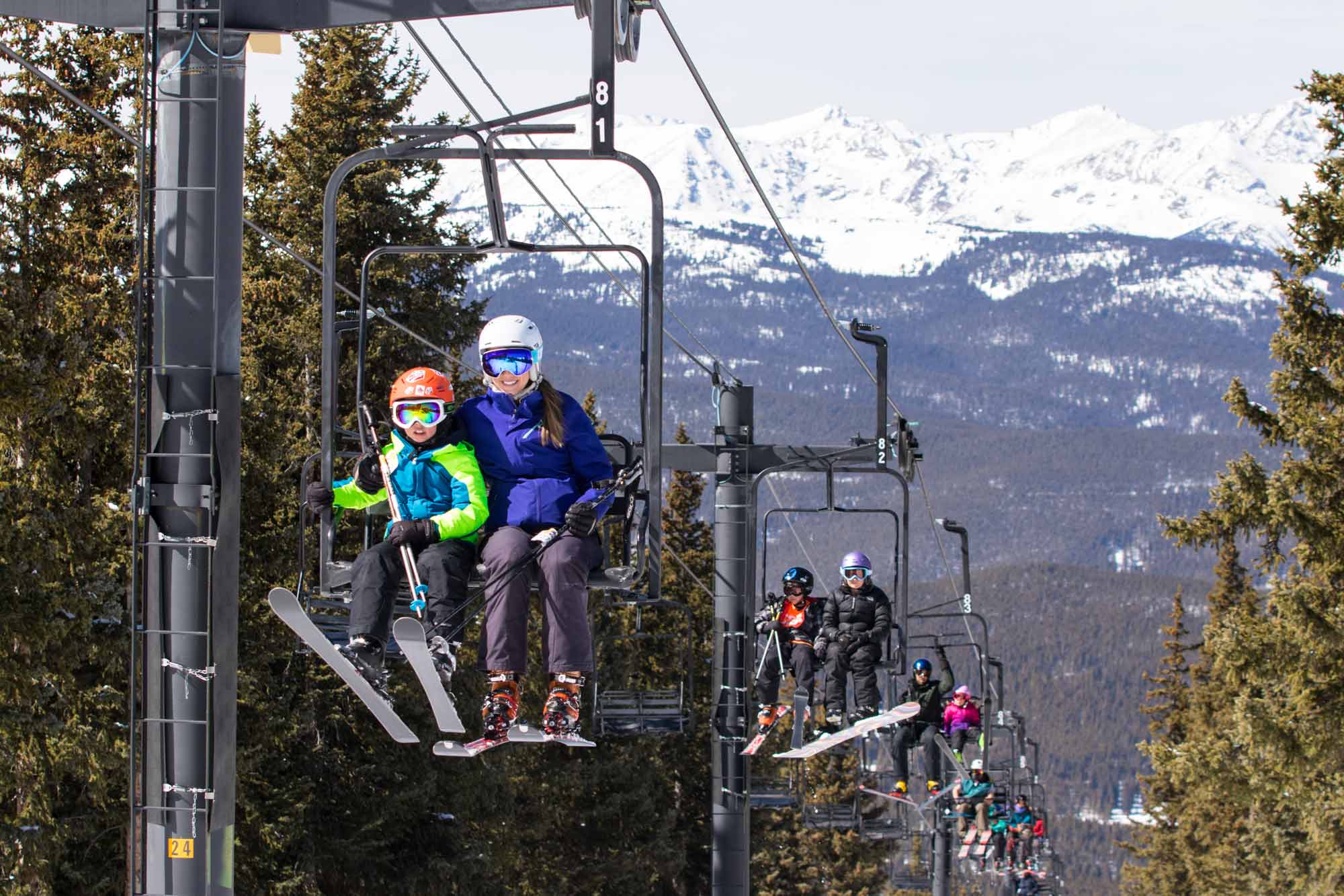
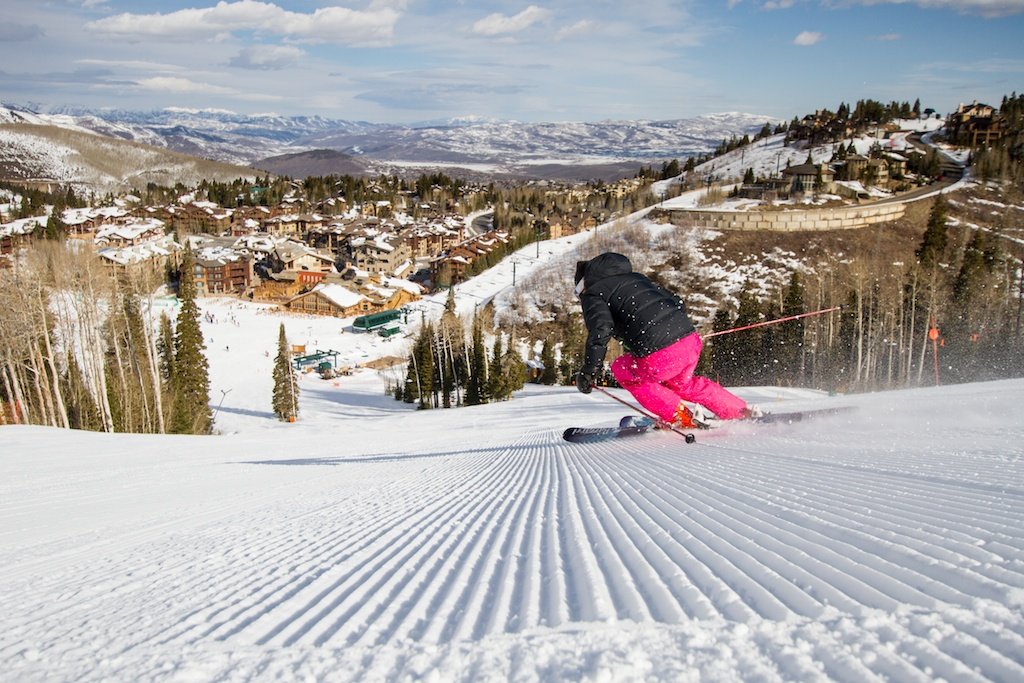
Today, I taught my first ski lesson in 46 years.
Last time around, it was at the Alf Engen Ski School in Alta, while I was a student at the University of Utah in the early 1970s. Today, I’m part of the 7-17 Kids Division at the Ski and Snowboard Schools of Aspen/Snowmass.
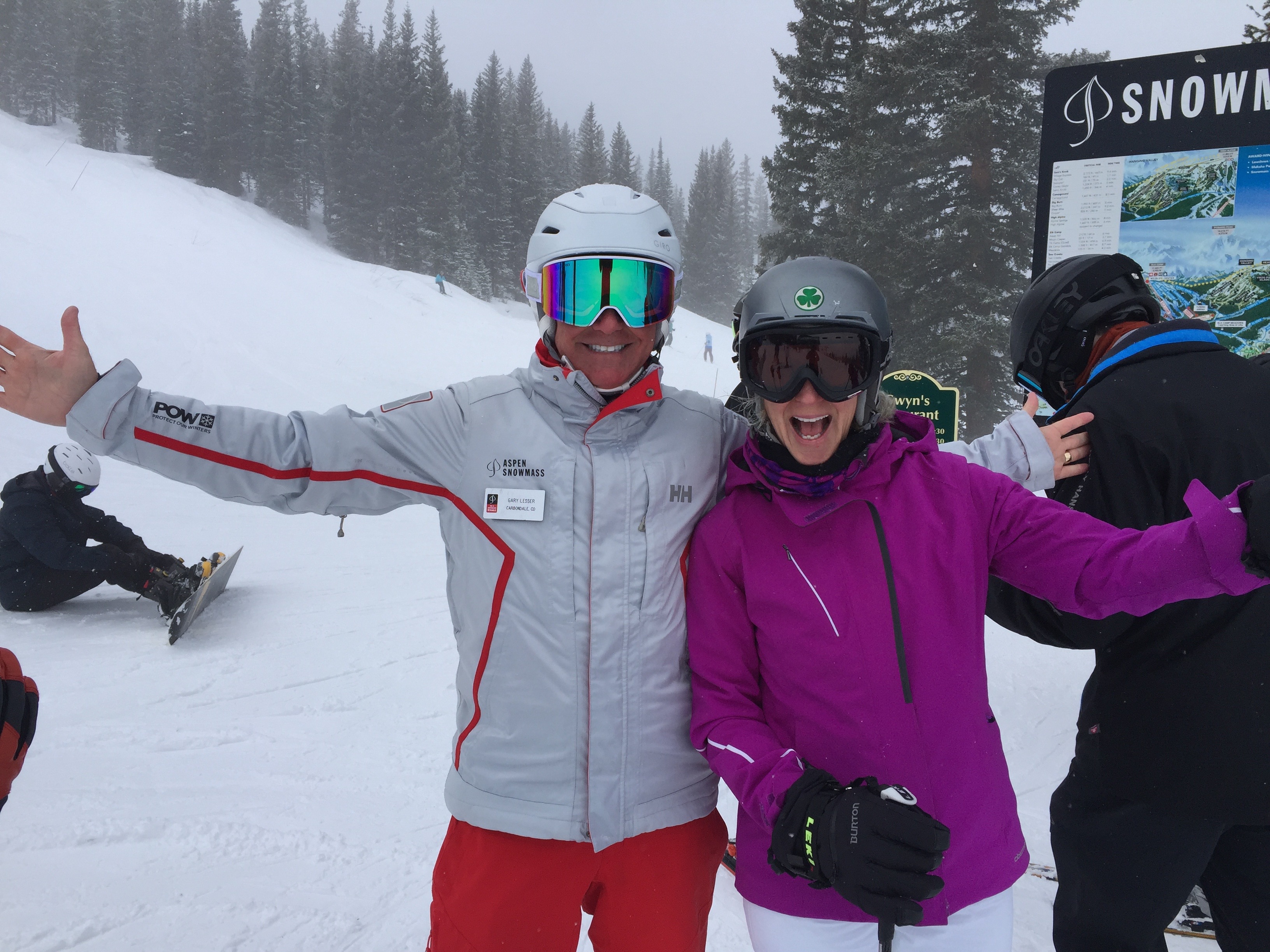
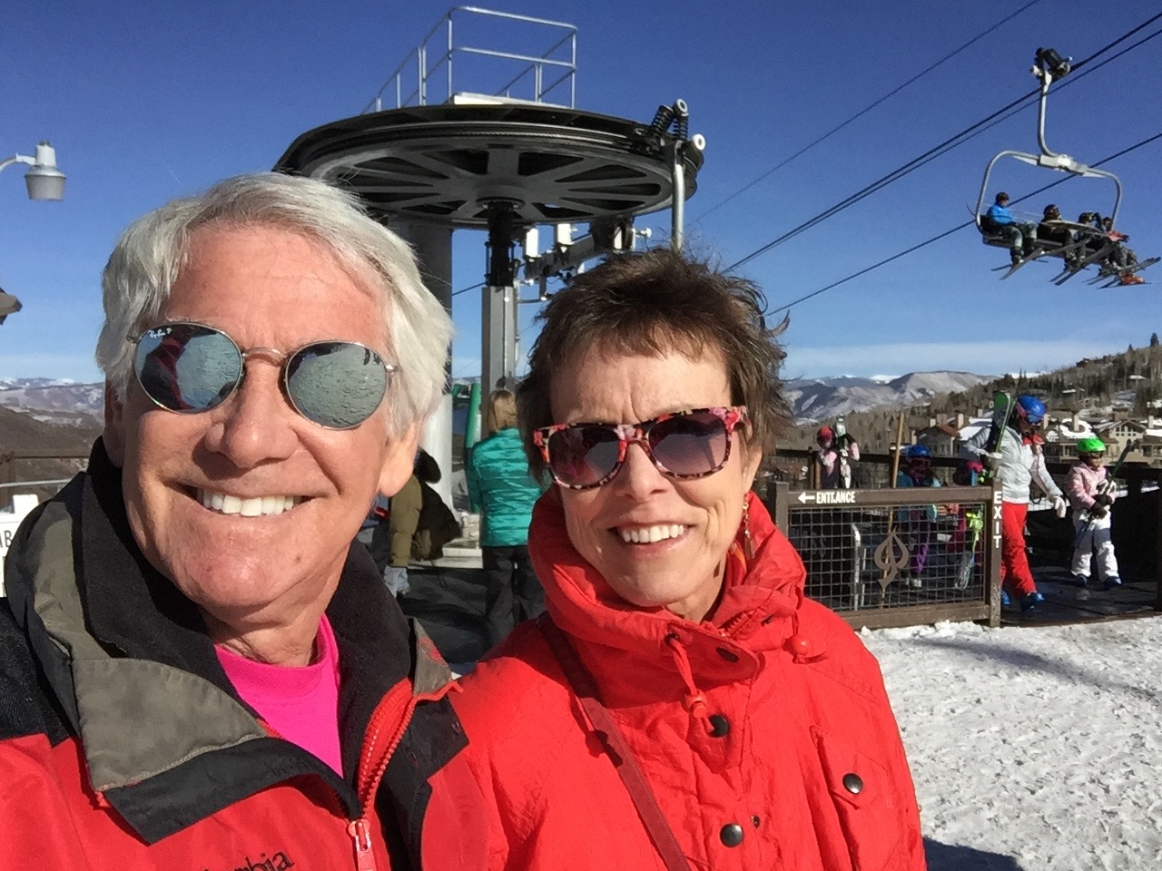
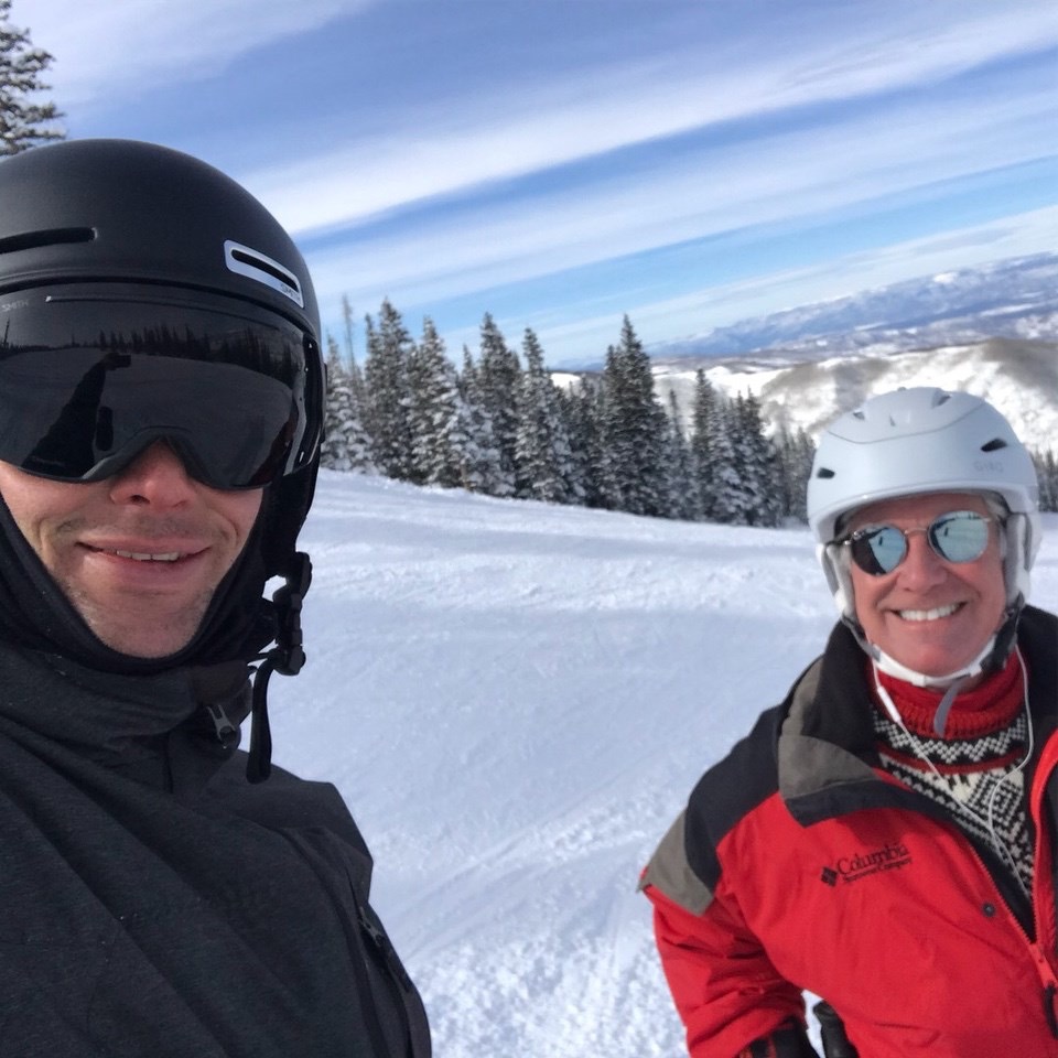
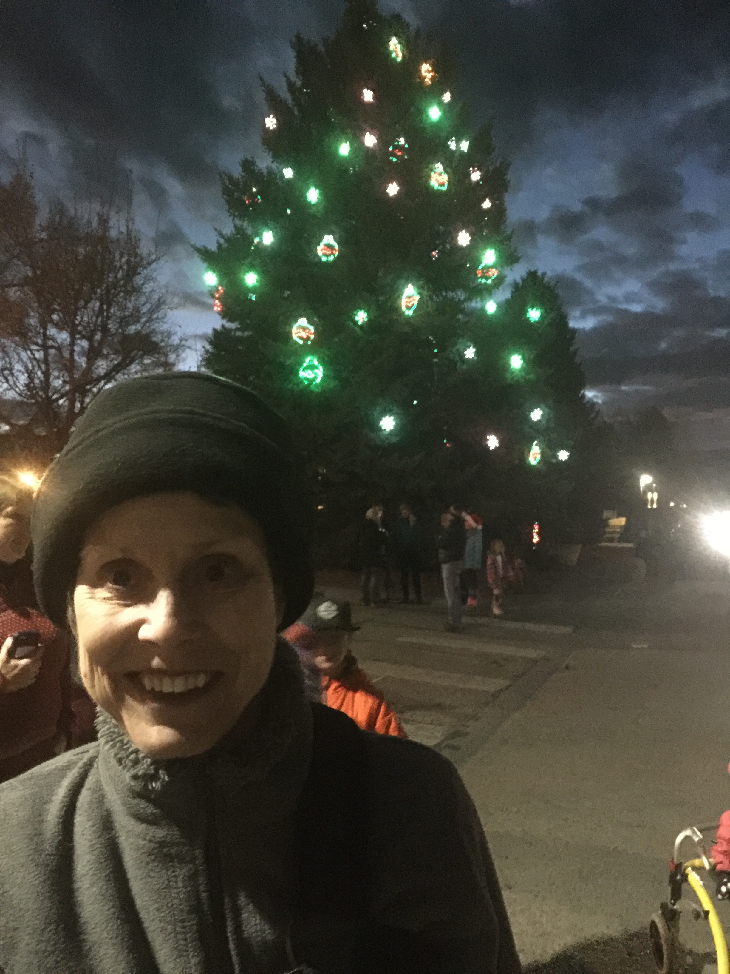
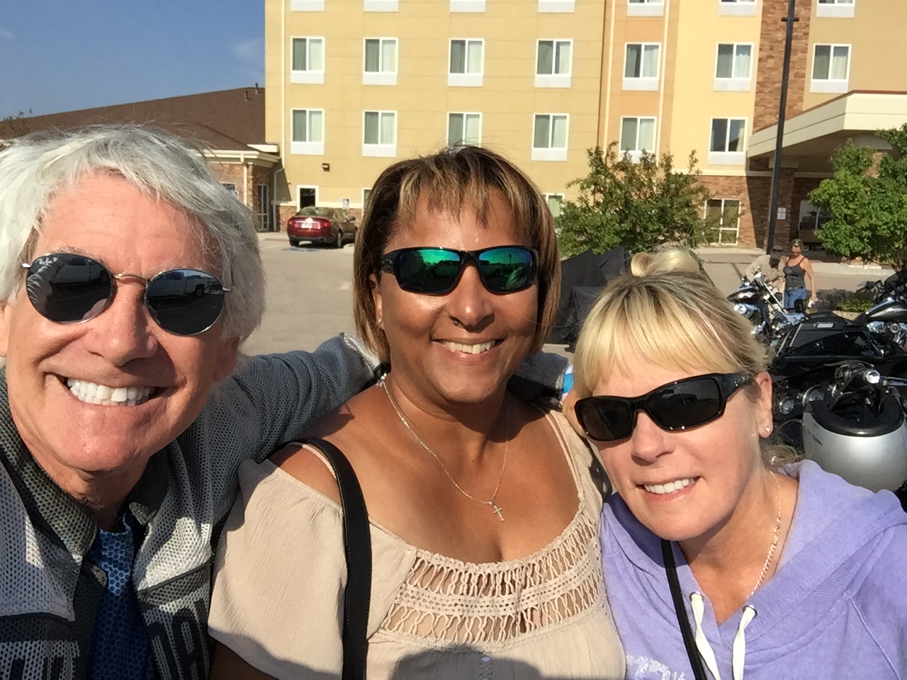
On Christmas Eve, I had my final “training” day. On the right is one of my favorite students, Mimi Dora. That’s me on the left.
After several weeks of training, and a few audits, I was paired today with two 10-year-old girls, one from Chicago and one from Birmingham, Alabama. They started the day as “Level 1” students — beginning skiers. They ended the day as “strong Level 2” skiers. They were good kids, and gave me exactly what I wanted out of a ski lesson: the satisfaction of knowing I’d helped them, at least a little bit.
I hope I was able to make a difference in their lives. At this point in my life, that’s what this late-in-life career change is all about: helping others develop a passion for skiing as I once did. That’s how it all began for me, when I was 10, as I took lessons at Squaw Valley, California, the week after the 1960 Olympics.
It’s a pretty special opportunity I’ve been given by the Aspen Skiing Company, and I’m immensely grateful for it.
Today’s lesson was a joyful Christmas gift. Thank you, Santa.
***
Oh, and here’s what Sarah’s day looked like.
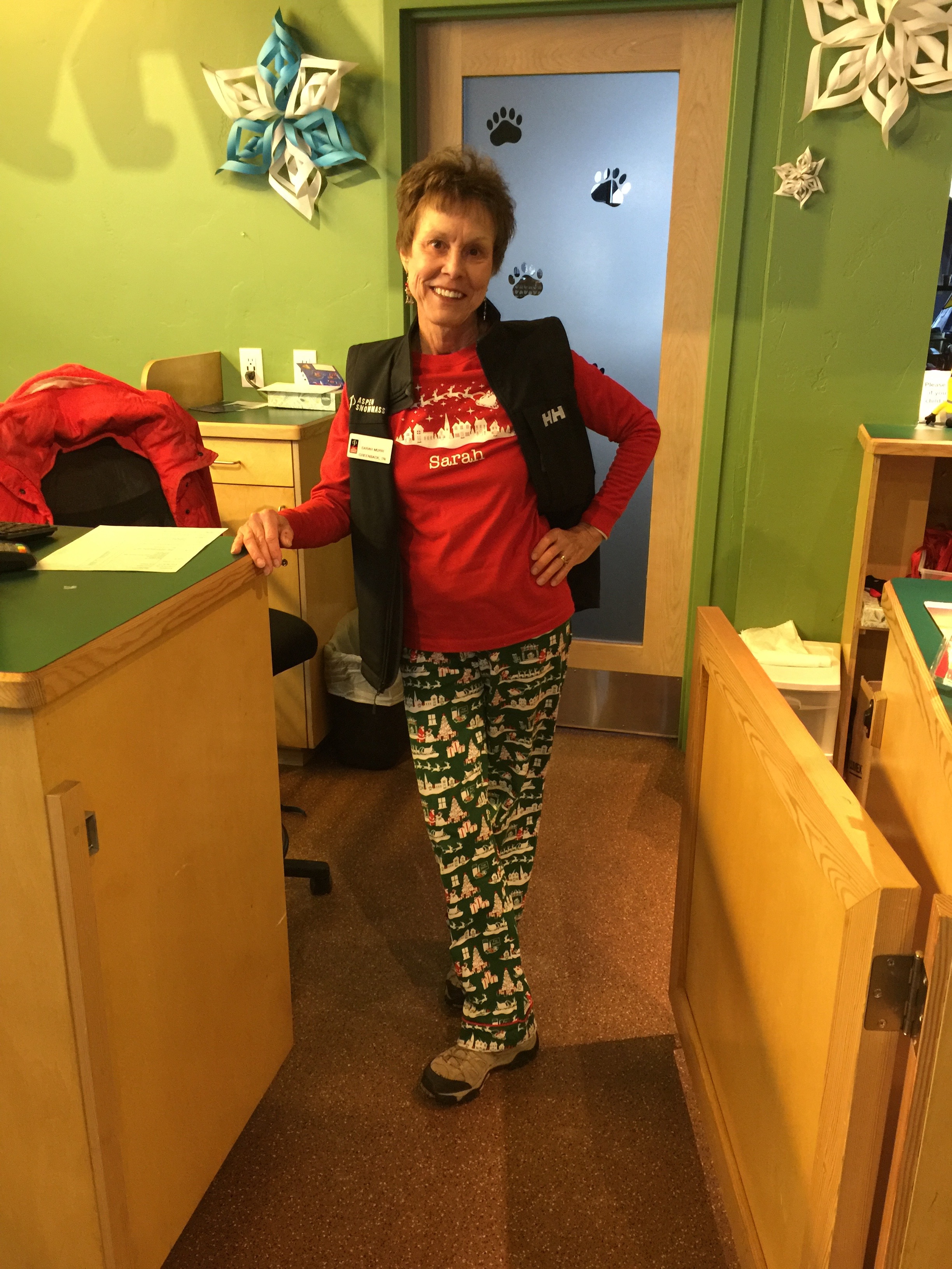
Sarah, at her office at the Treehouse in Snowmass. Note the fashion statement: blending the official AspenSnowmass uniform, with Christmas PJs.
She’s working at Snowmass, too, in the “Treehouse,” the hub of children’s ski school operations.
It’s pretty darn cool that Sarah and I have a new “family business.”
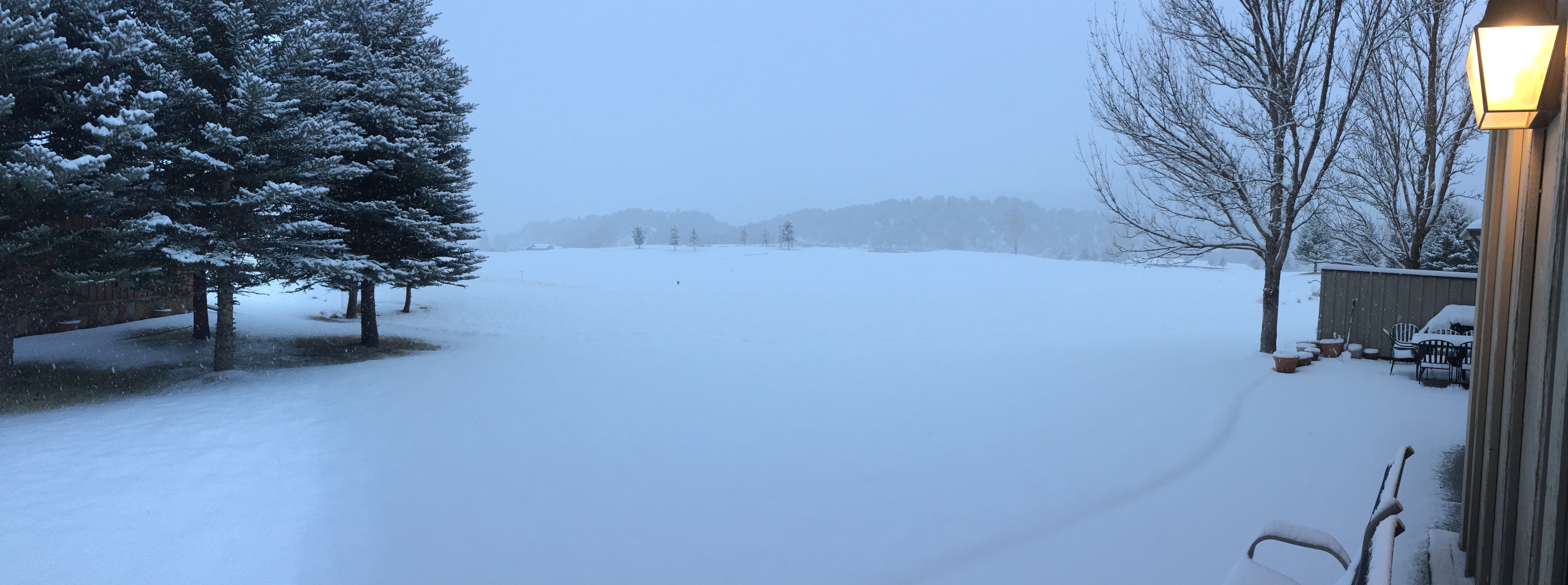
Our driveway is snow covered, and there’s probably not a Harley ride in my future for a few months … and yet … life’s pretty darn good.
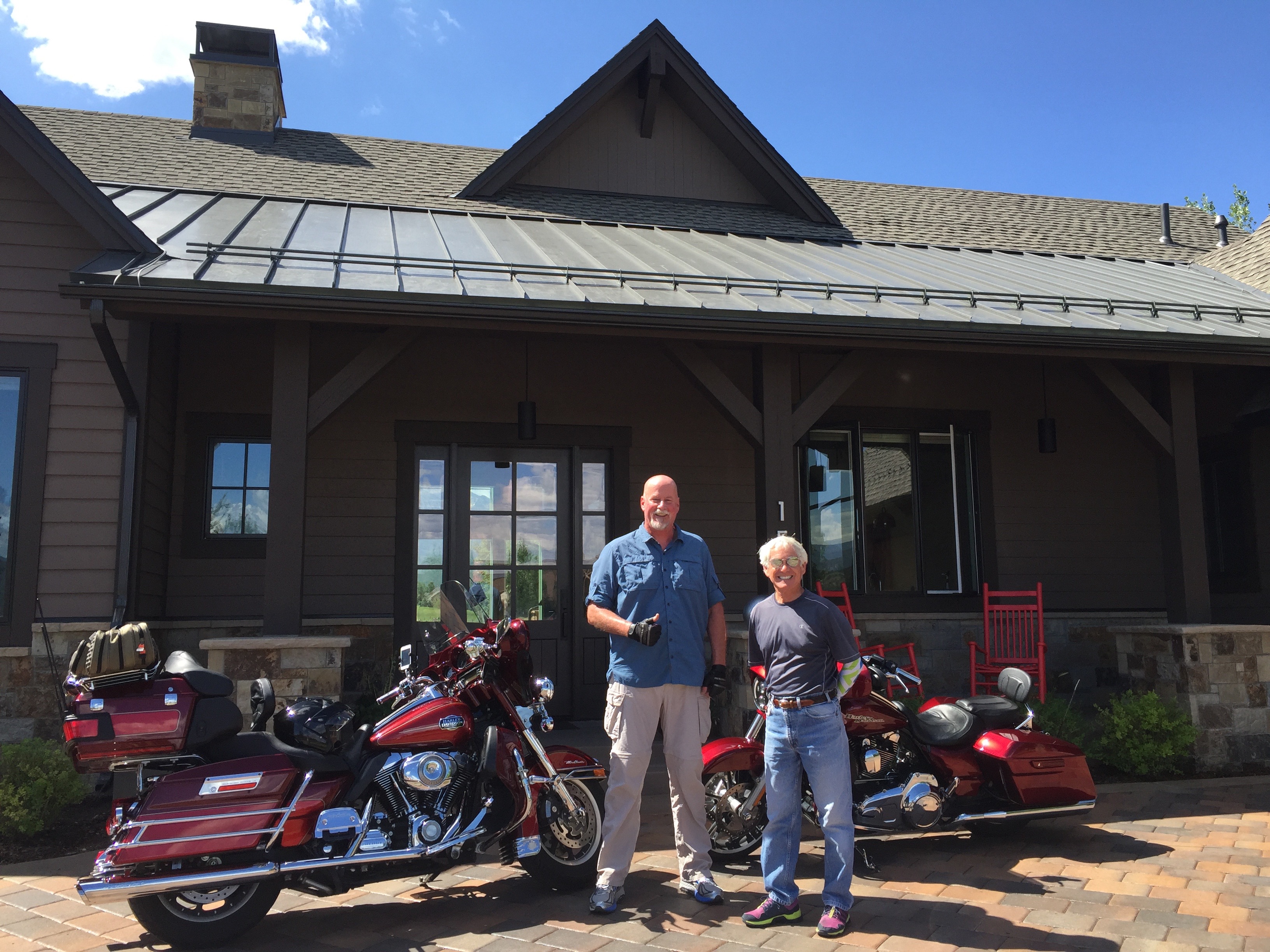
The 2018 Rocky Mountain Rib Rally is officially over. At least it is for me.
Today I turn my attention to golf, tennis, hiking, bicycling – awesome, adventurous and active stuff Coloradans do all summer.
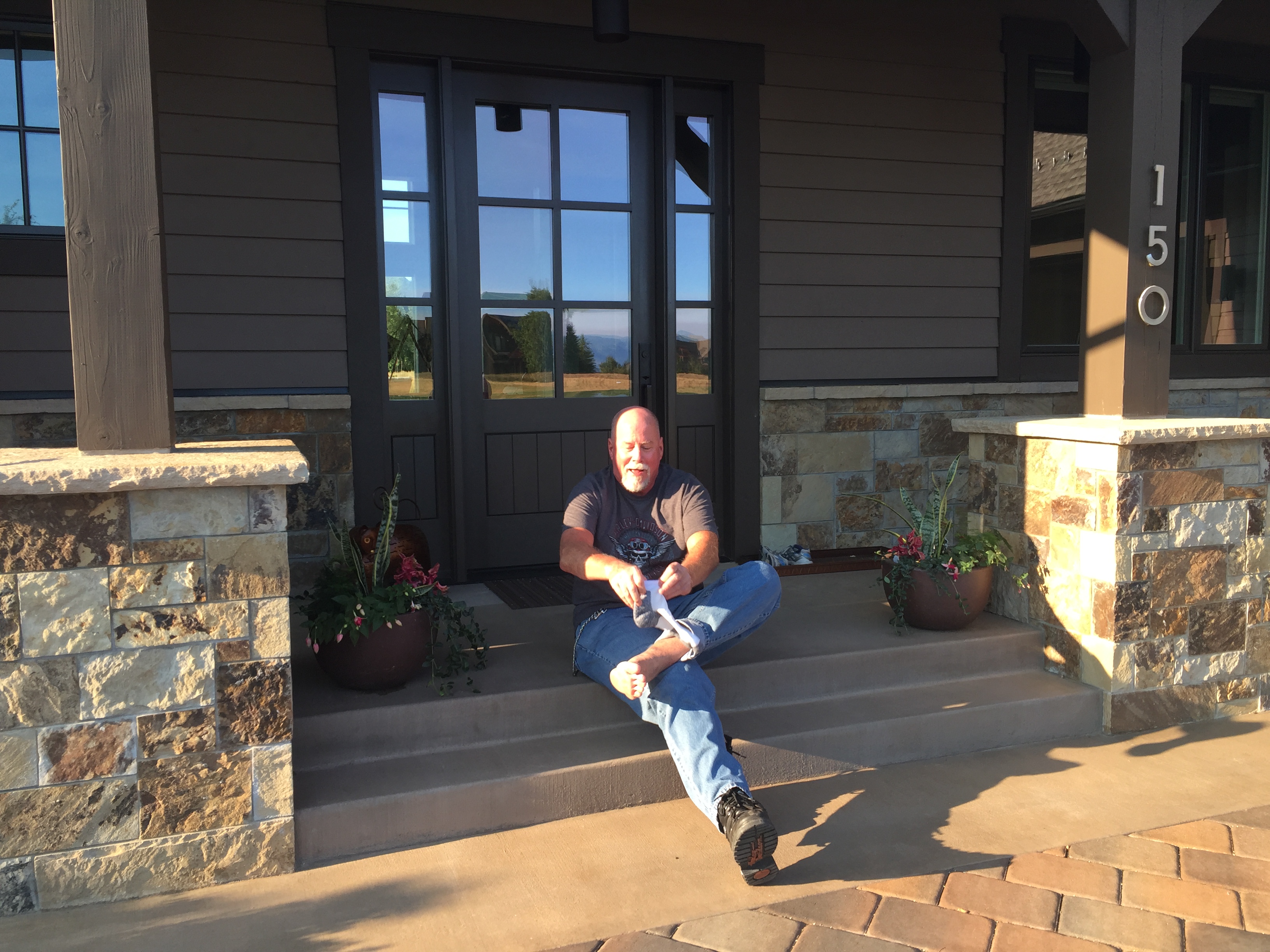
Dave laces up his boots, as he prepares to head home.
While I kick back, Dave begins the three-day journey to Southern California, where he’ll join his family to celebrate the Fourth of July. Today’s destination: Richfield, Utah.
Thank you, Gail, Nathan and Tess – for sharing Dave with us the past few weeks.
Safe travels, Dave.
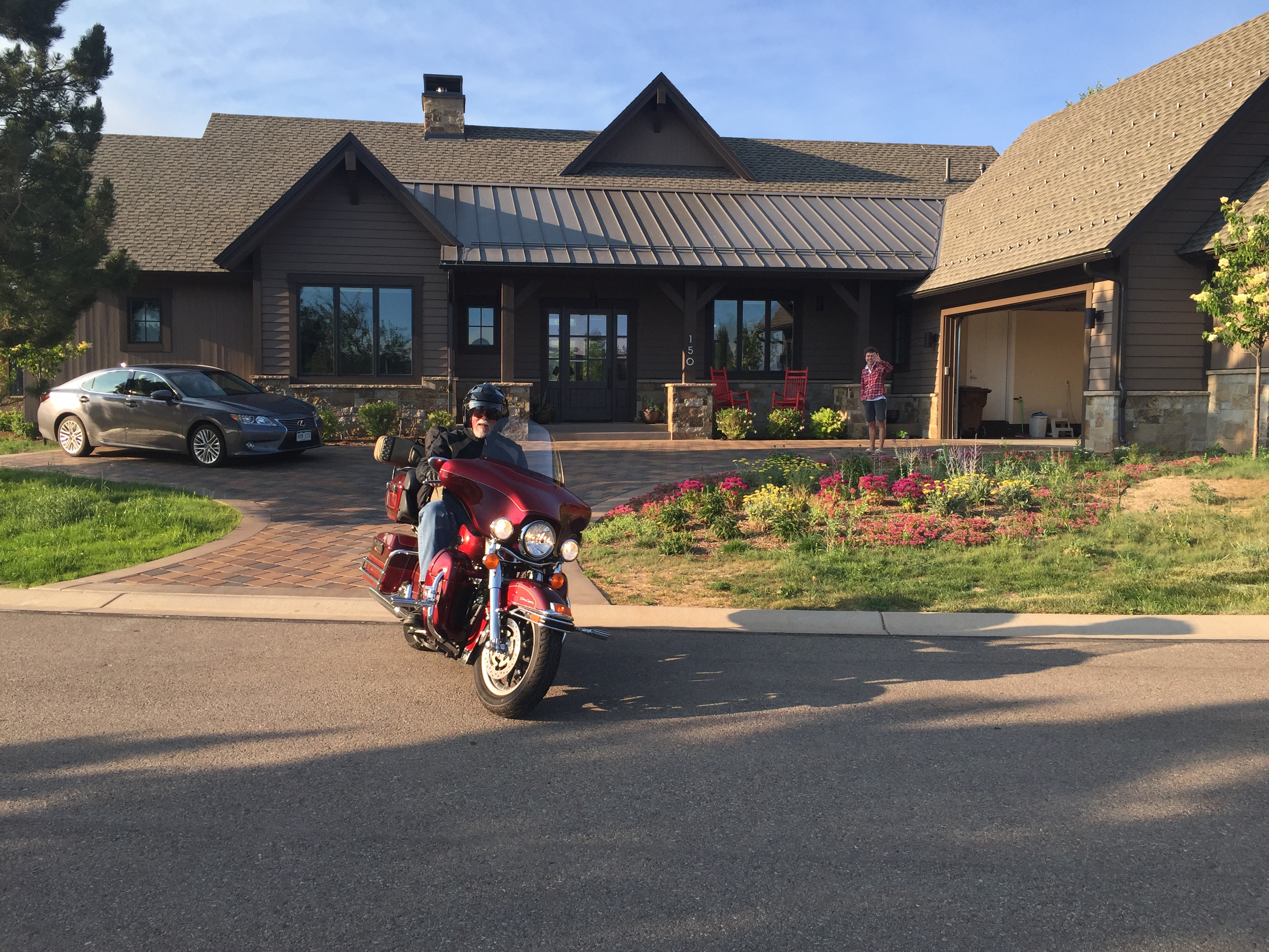
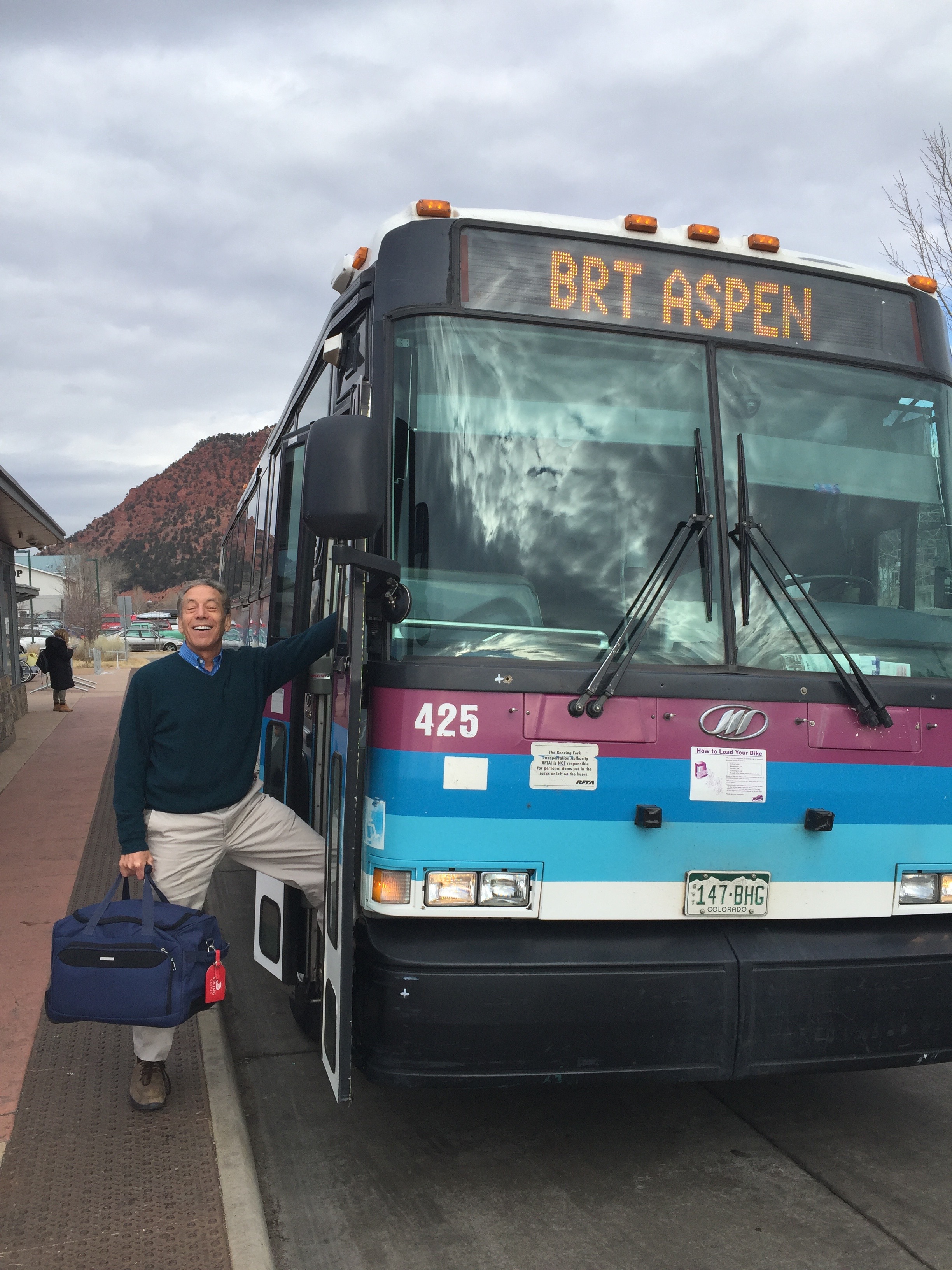
At 7:36 a.m. Mountain Time, Dave leaves Carbondale and begins the journey home.
***
To wrap up this year’s ride, here’s a summary of the 2018 Rocky Mountain Rib Rally, by the numbers.
Most of these numbers are from blog posts over the past 14 days. If you want to consider this a reading comprehension quiz for material consumed over the past two weeks, be my guest.
And now the numbers.
240,000,000: number, in troy ounces, of silver produced in Leadville mines
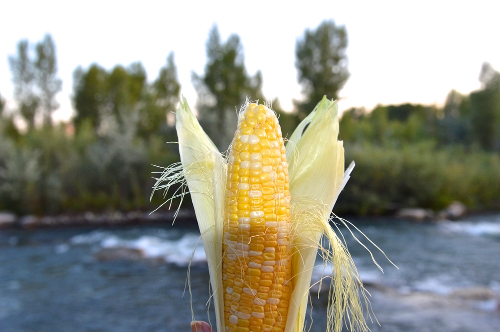
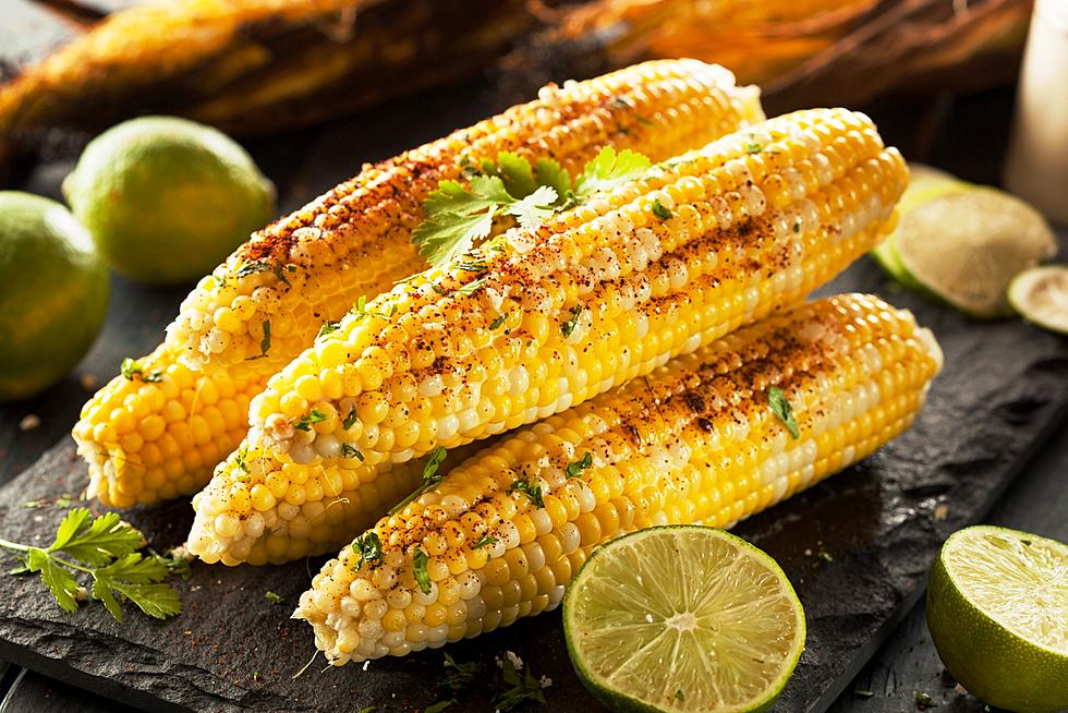
Olathe sweet corn. Yum!
30,000,000: ears of Olathe corn bought annually by the Kroger grocery chain
22,000,000: annual capacity, in barrels of beer, of the Coors brewery in Golden
7,093,114: in dollars, average home sale price in Aspen in first quarter, 2018
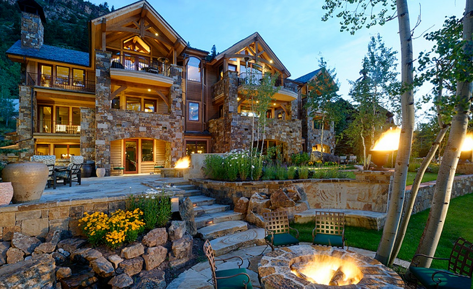
This Aspen home sold for around $41 million.
104,185: square miles in Colorado
26,000: number of vehicles traveling daily through the Eisenhower Tunnel
18,000: height, in feet, of a rumored peak in Rockies; the rumor was debunked in 1869 by a group of Harvard mining students
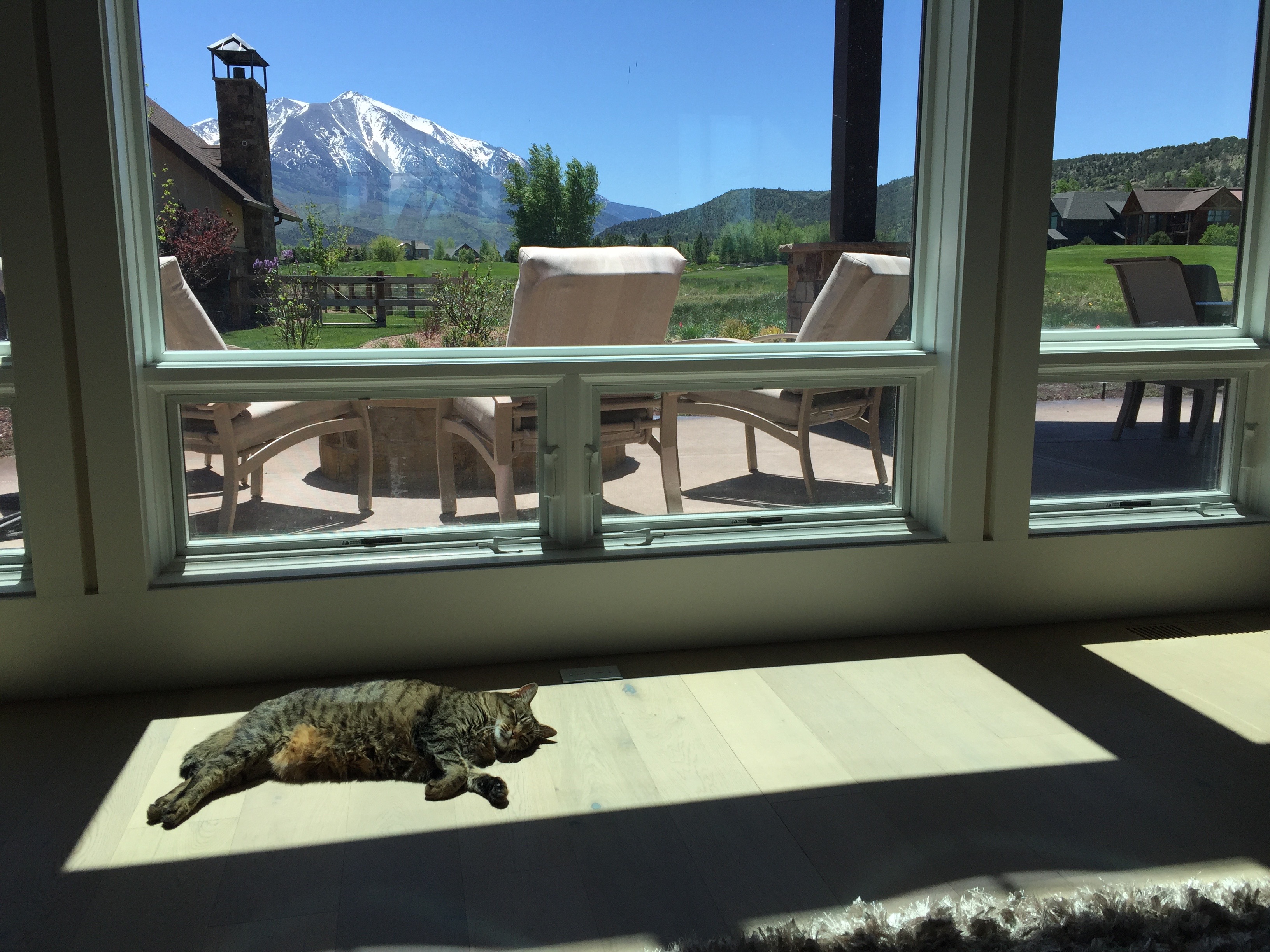
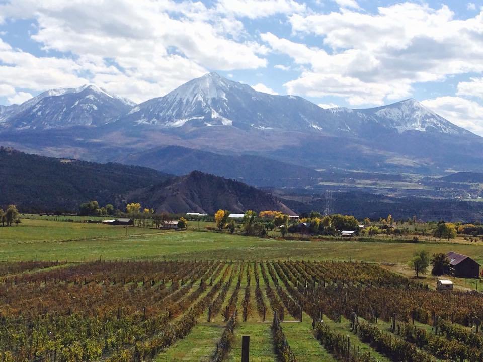
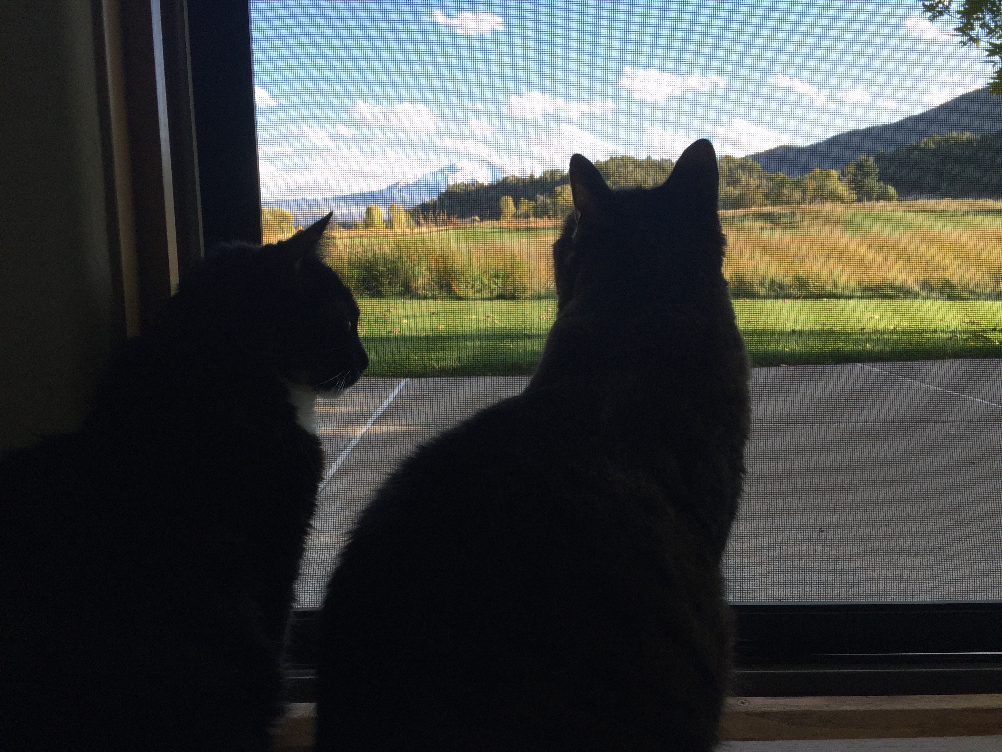
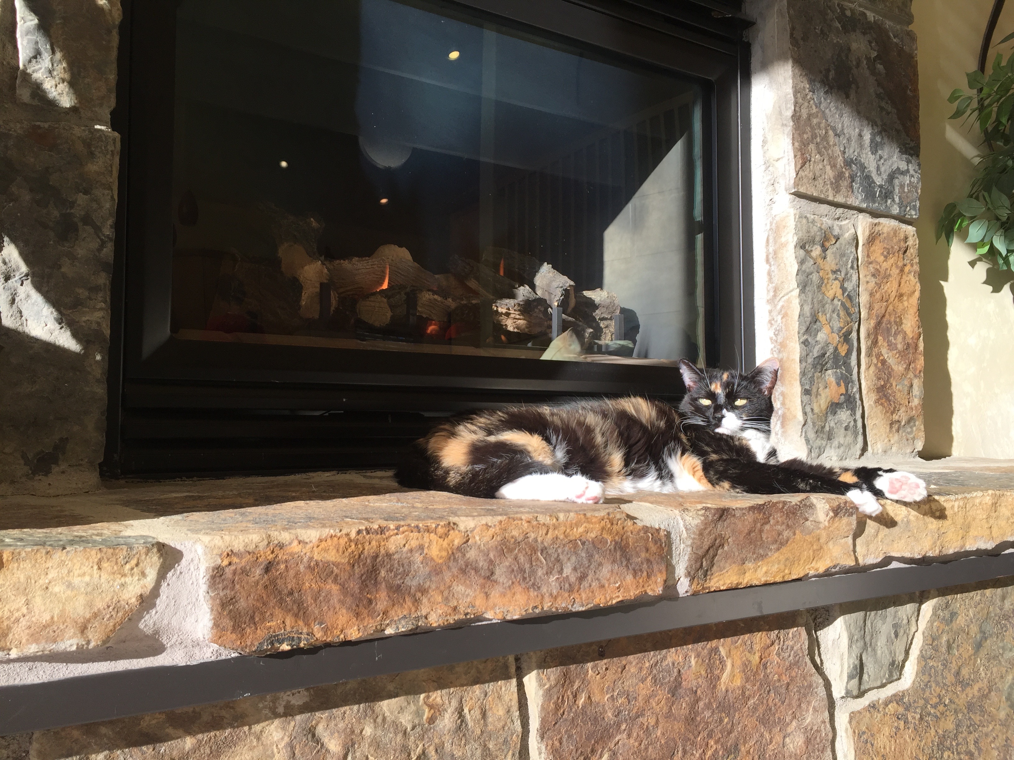
The view of 12,953-foot Mount Sopris from the living room of our Carbondale home. That’s our cat, Lucy, enjoying the sunshine — and ignoring the view.
12,953: elevation, in feet, of Mount Sopris, a view to die for
9,017: elevation, in feet, of Dillon Yacht Club – believed to be the world’s highest yacht club
6,388: elevation, in feet, of the front door to our house in Carbondale
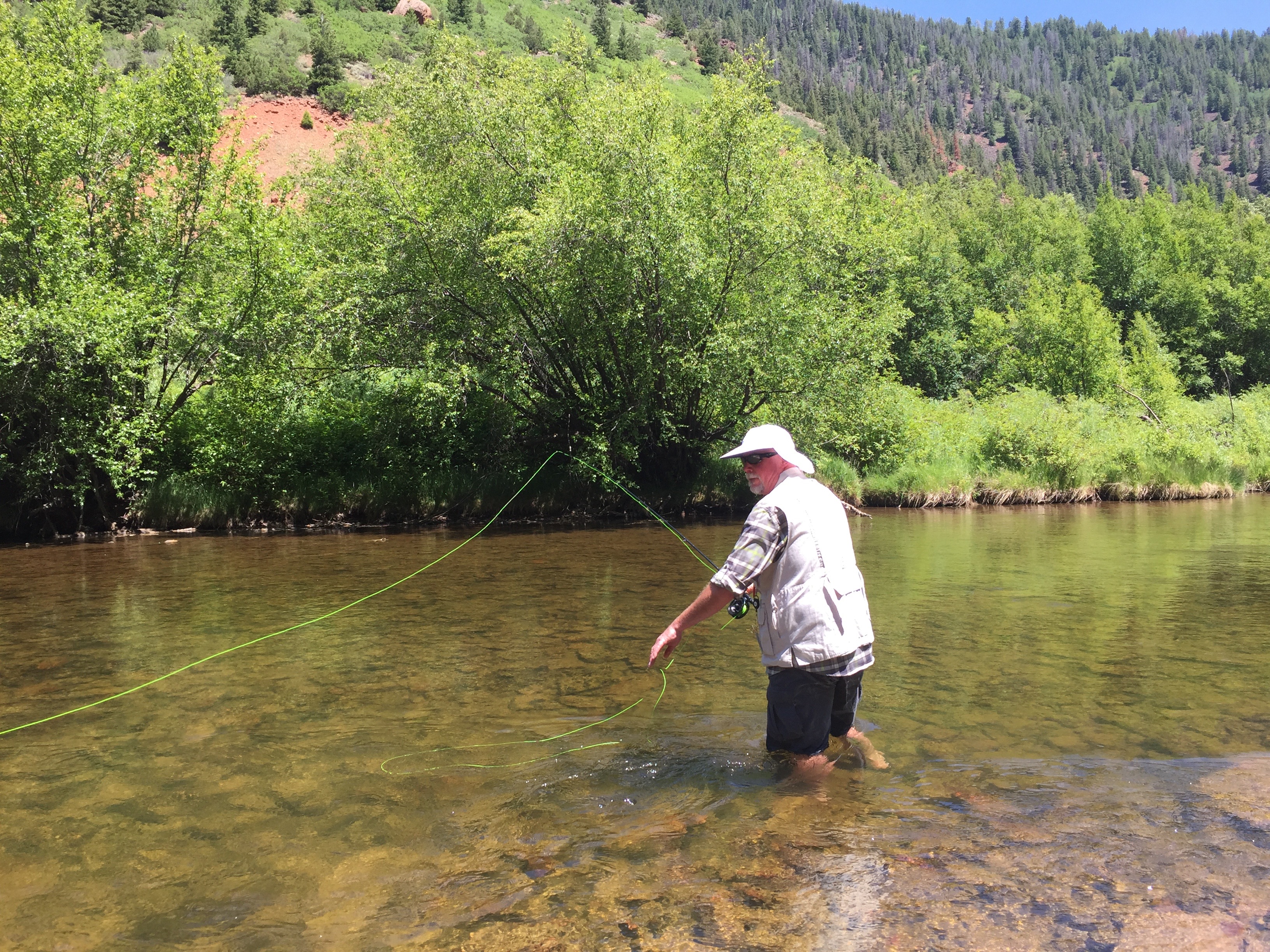
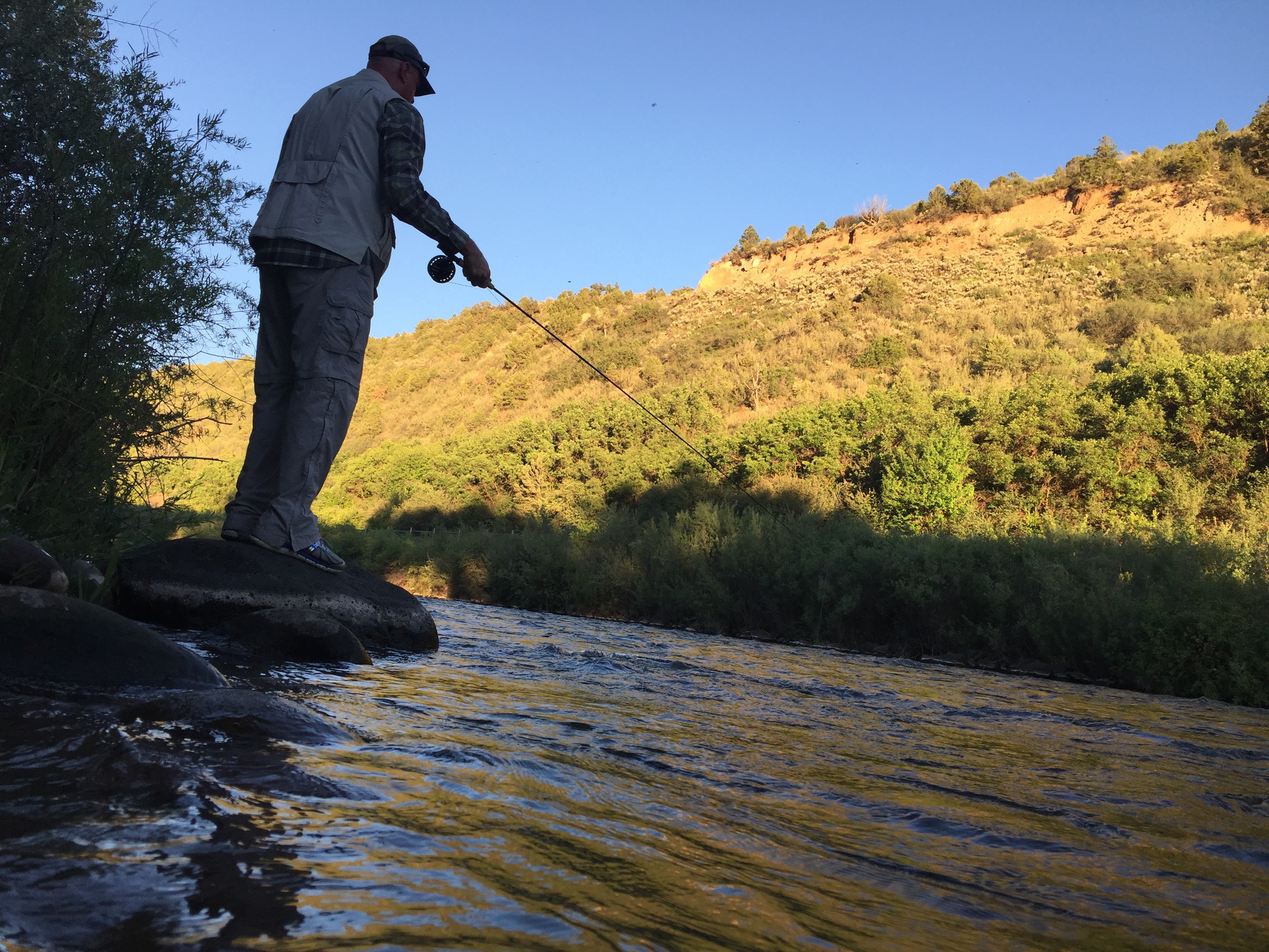
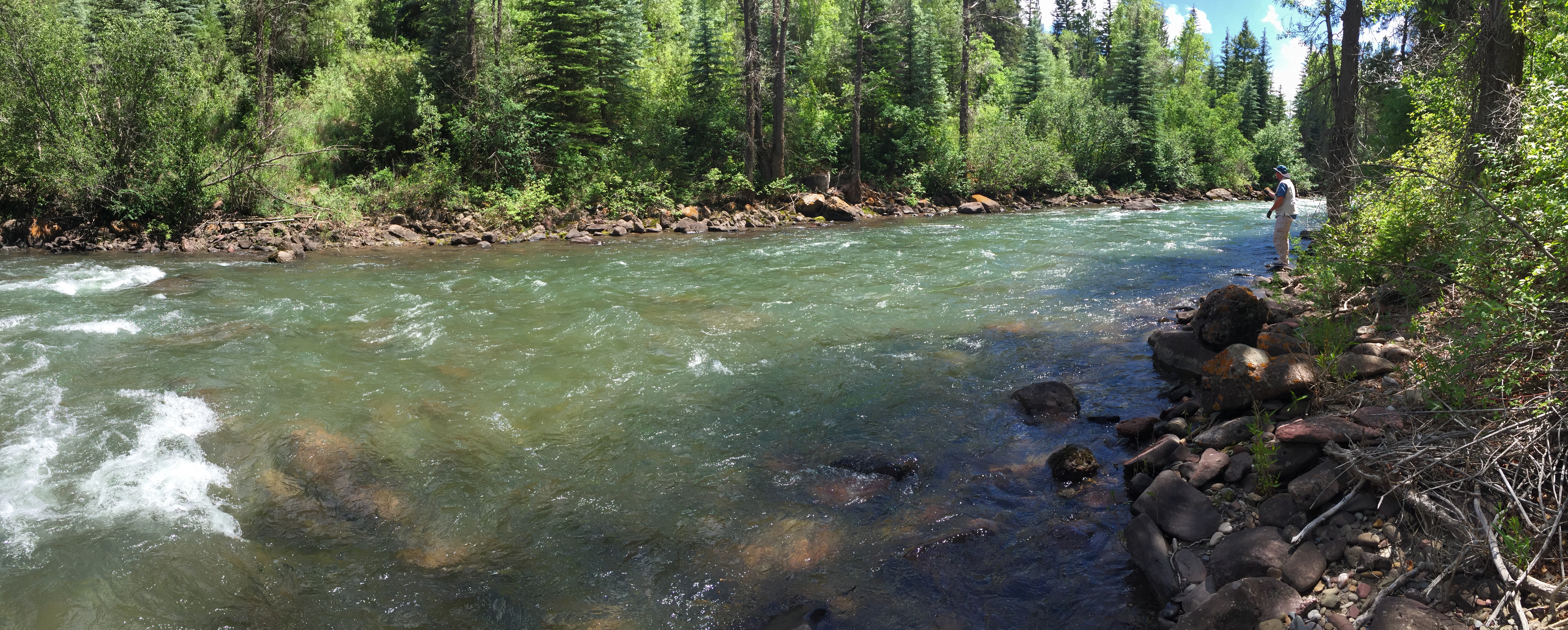
Fishing on the Fryingpan River.
6,000: miles of fishable rivers and streams in Colorado
3,317: in feet, lowest elevation in Colorado
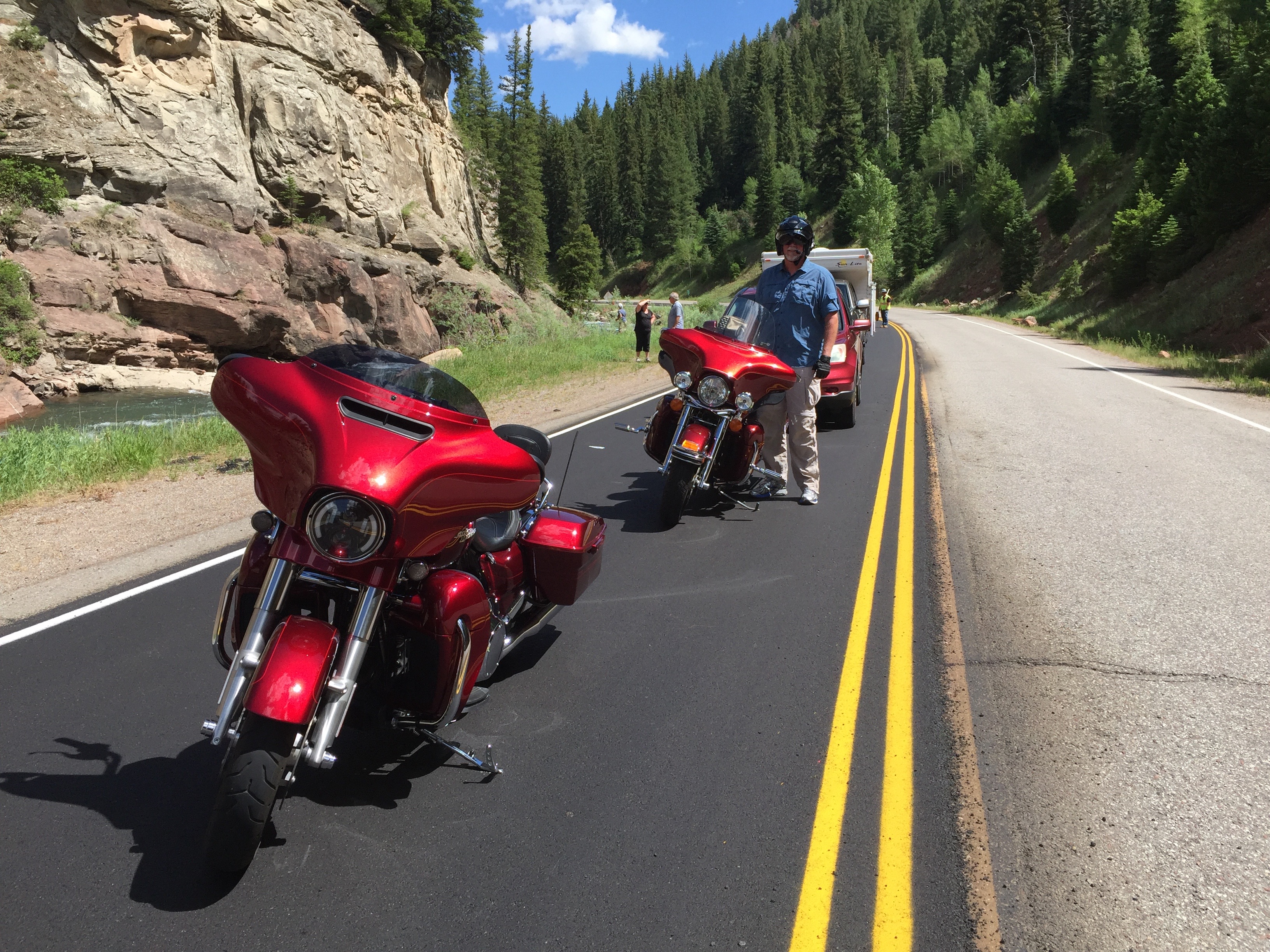
2,472: total miles ridden miles during Rocky Mountain Rib Rally
1,899: cost, in dollars, of a Doctor of Ministry degree at Patriot Bible University in Del Norte
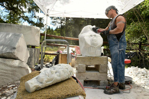
950: cost, in dollars, to attend a week-long Marble symposium in Marble
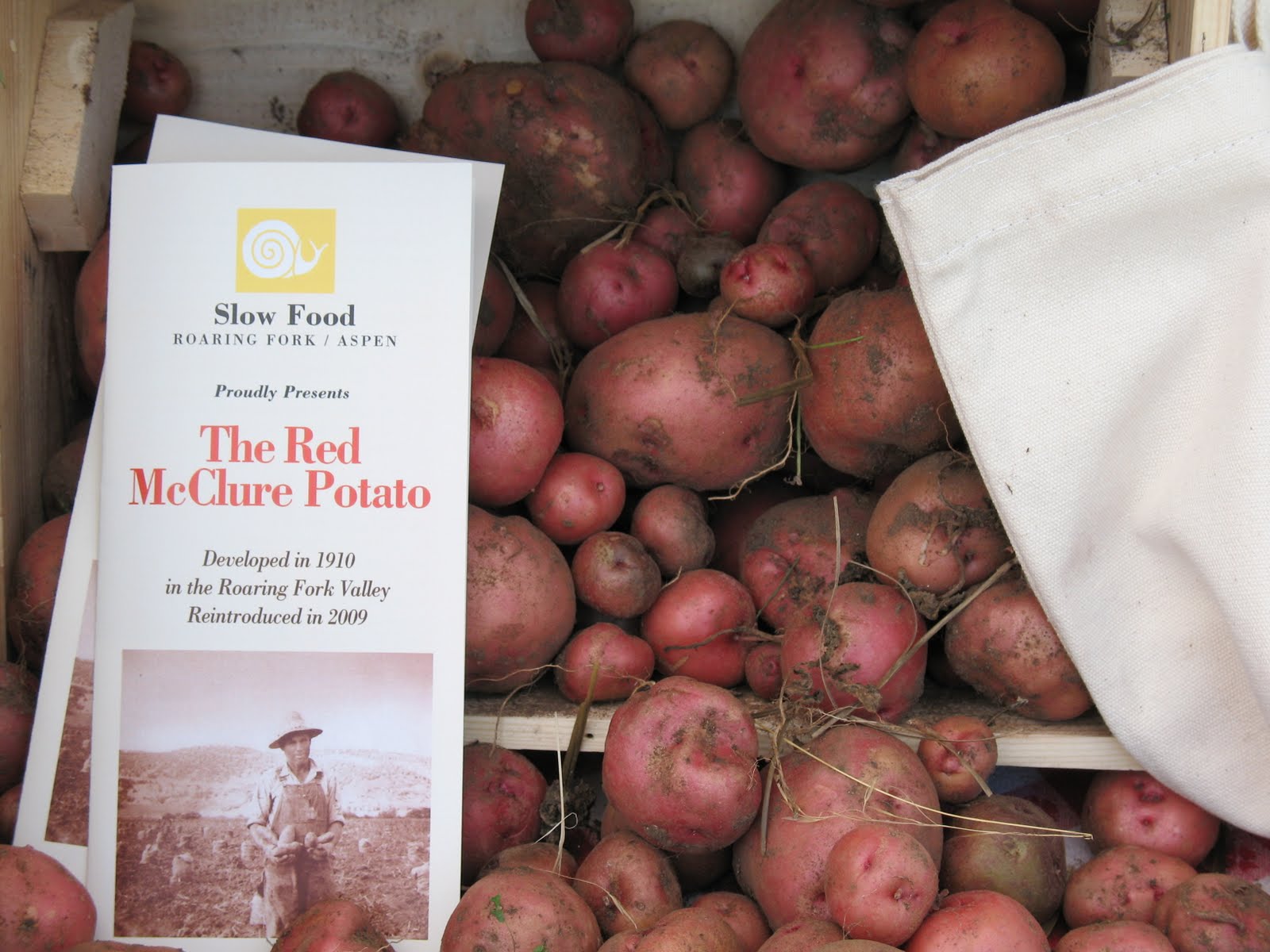
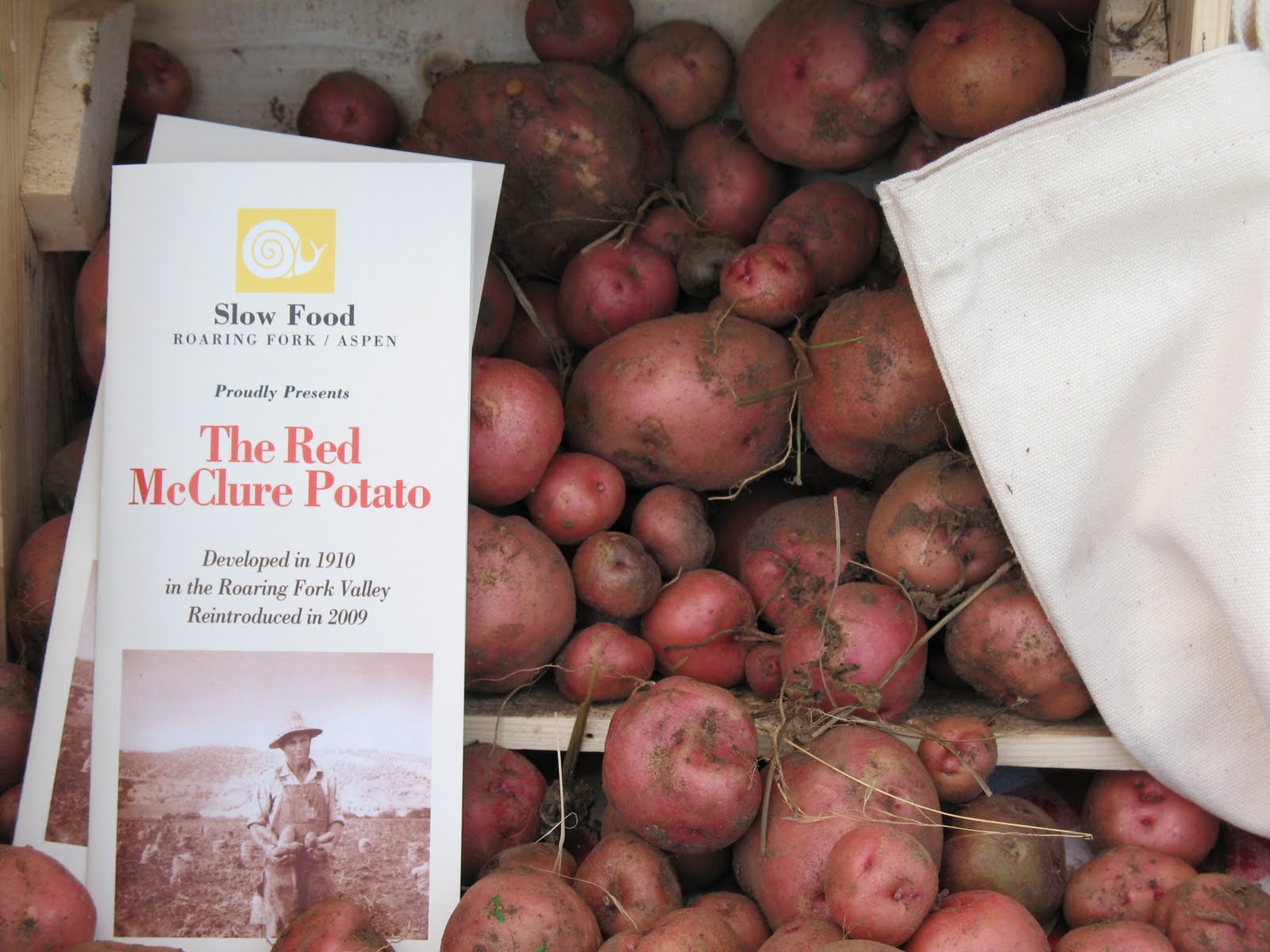
400: number of rail cars filled with McClure potatoes exported every year from the Roaring Fork Valley in the 1930s
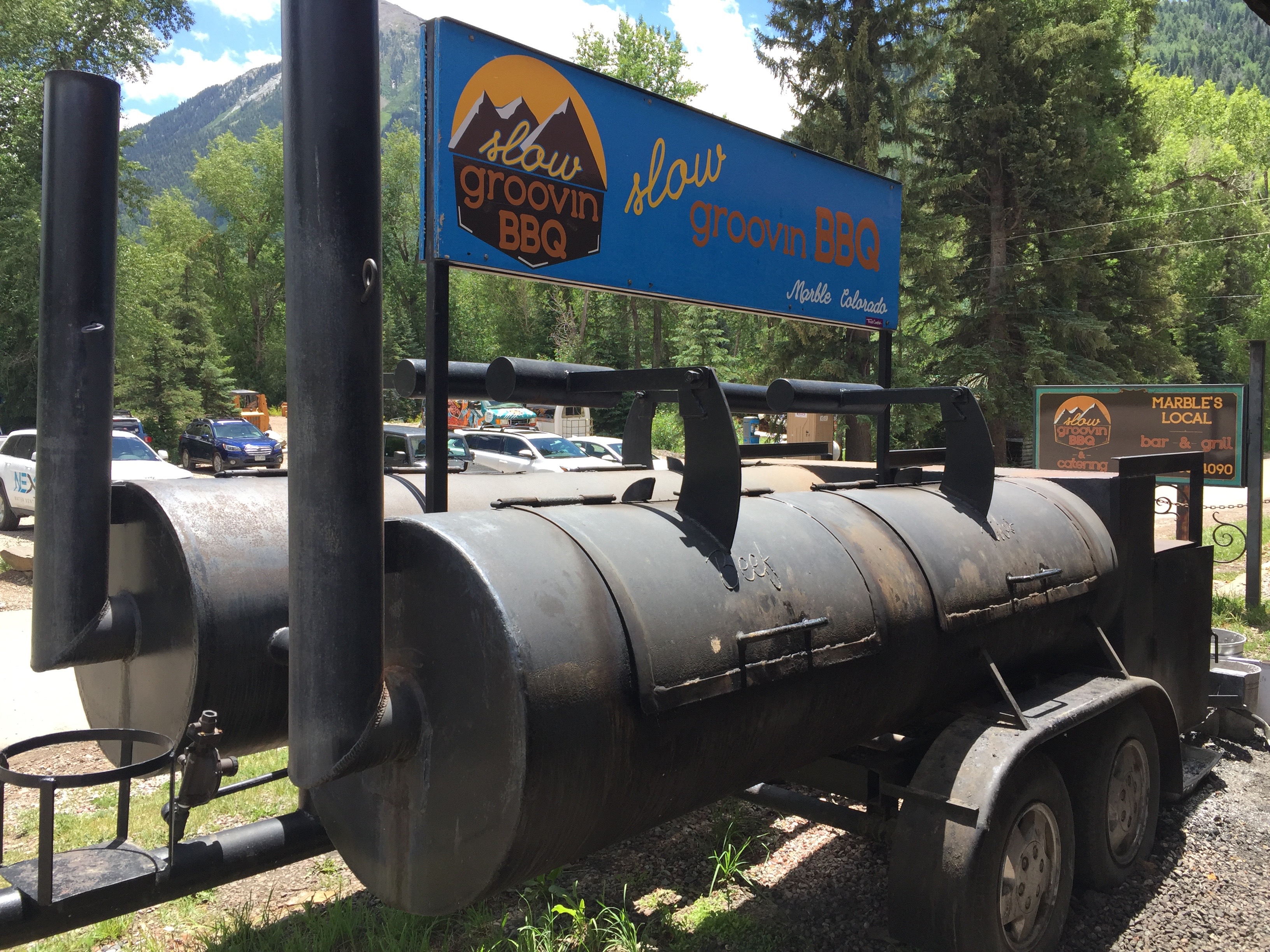
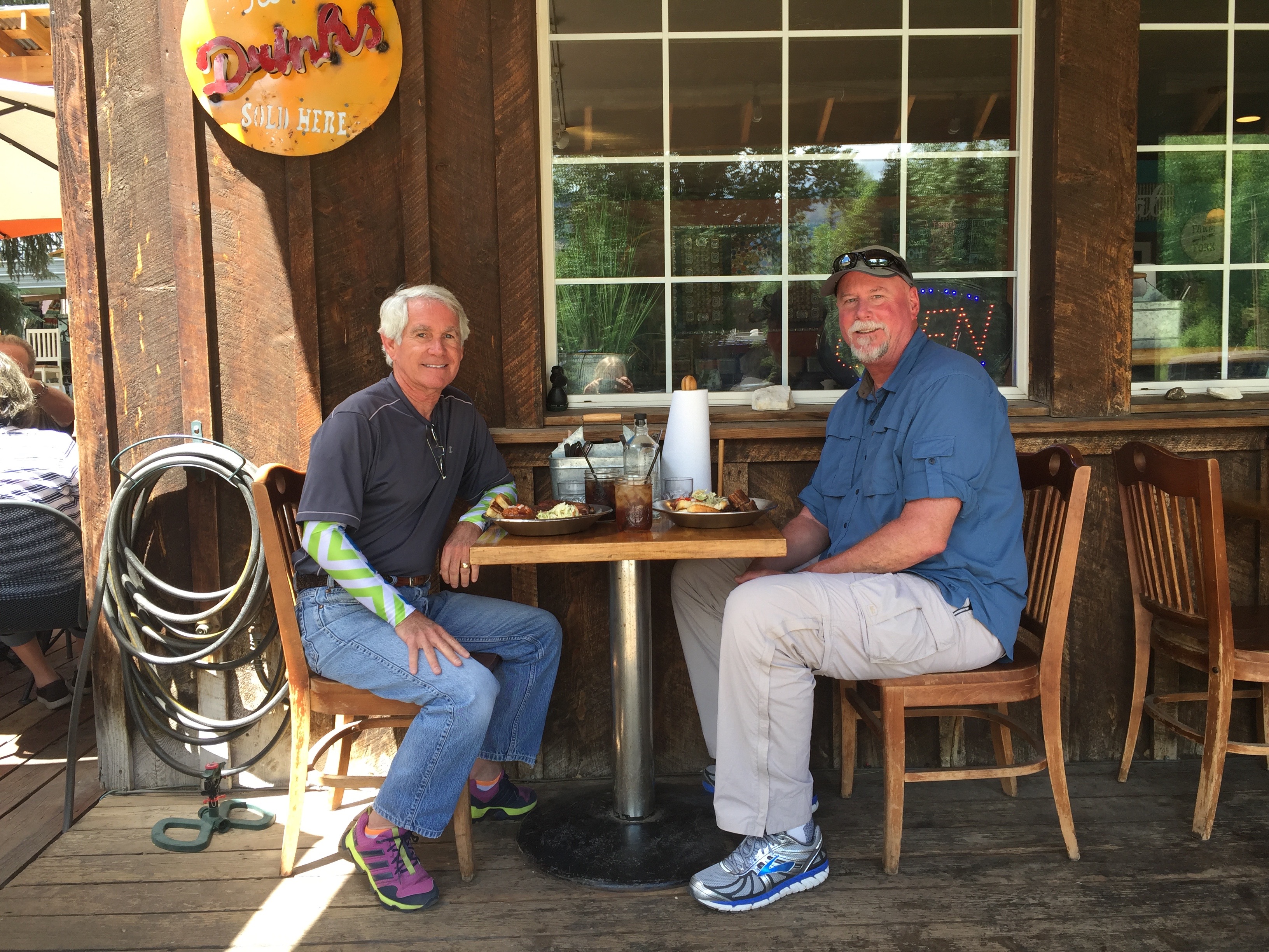
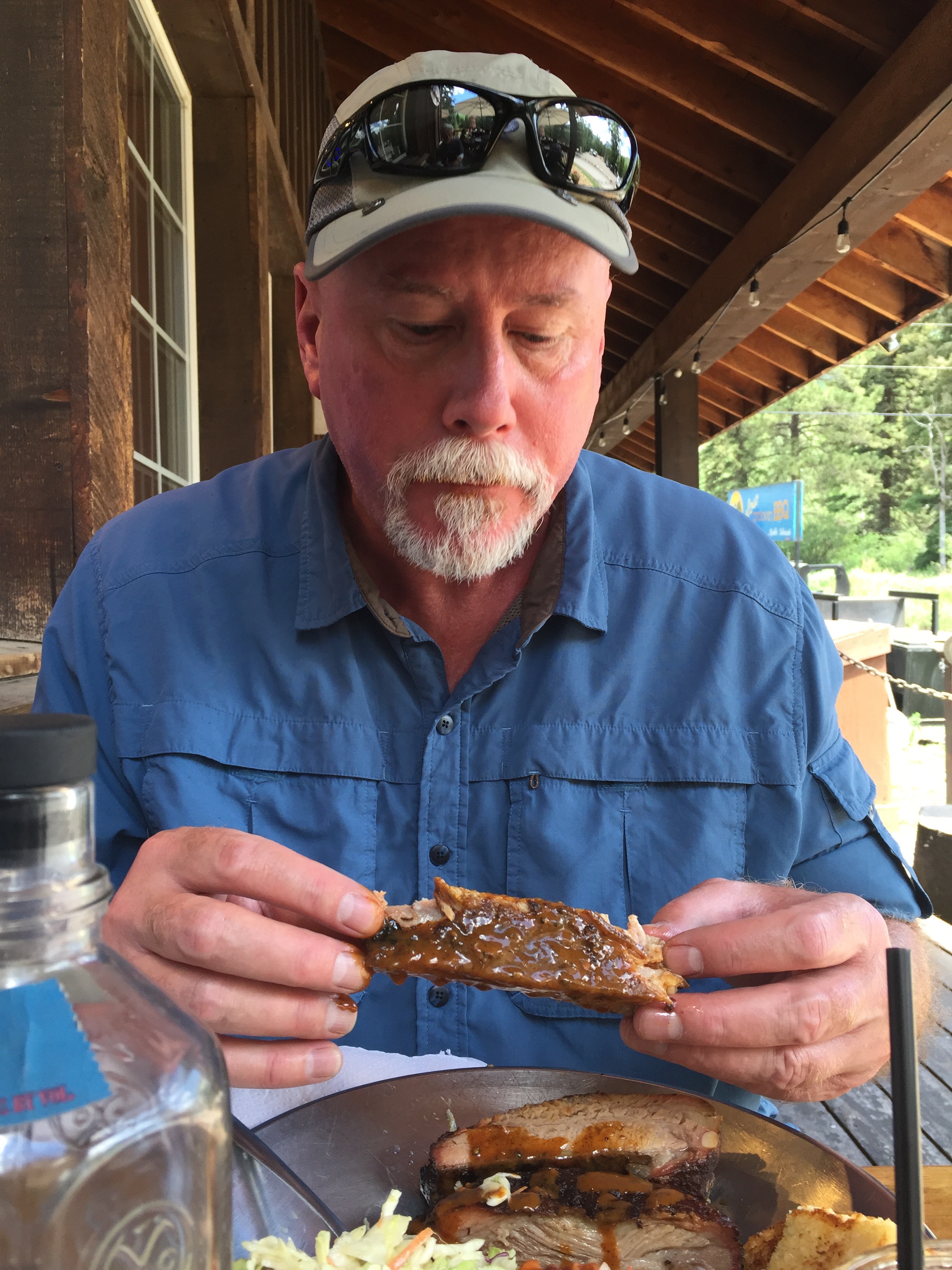
Lunch at Slow Groovin in Marble. Best ribs on the trip.
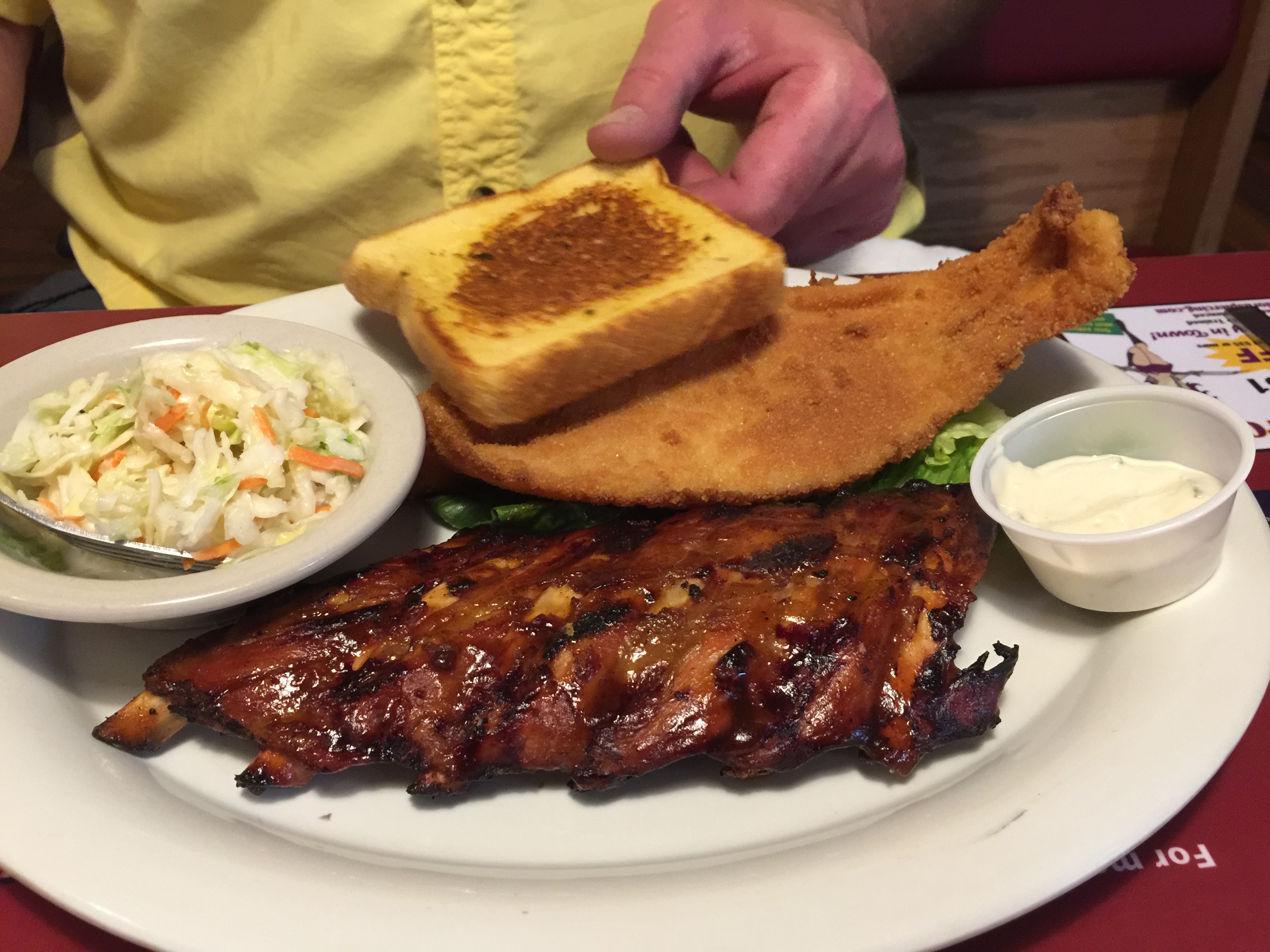
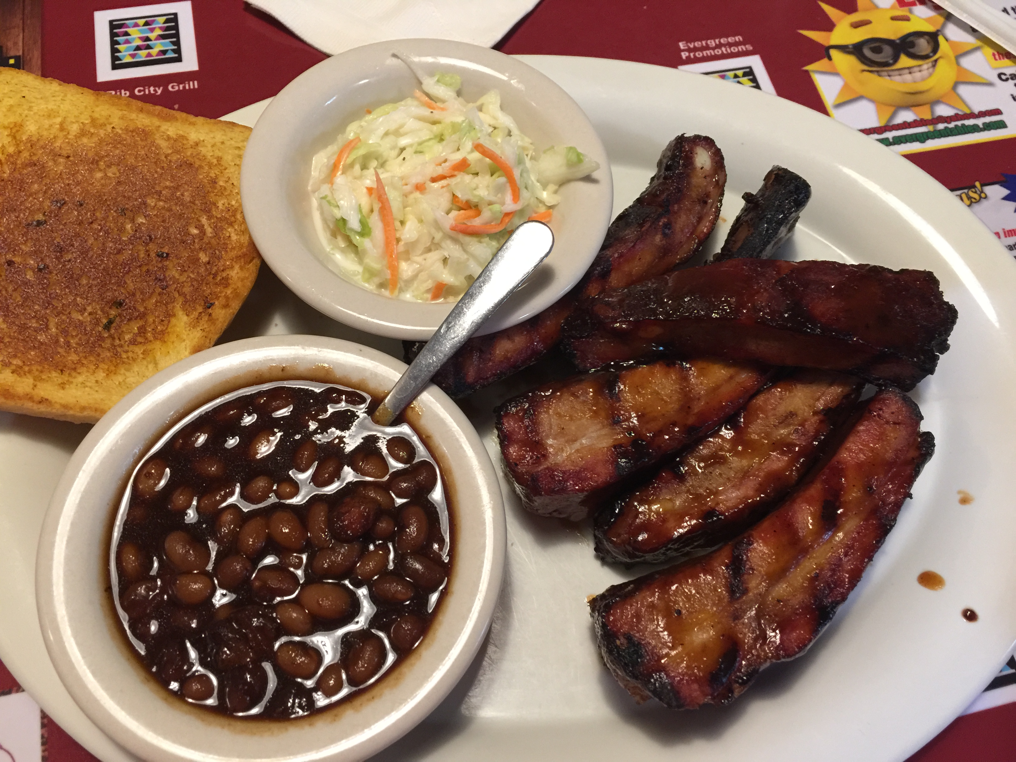
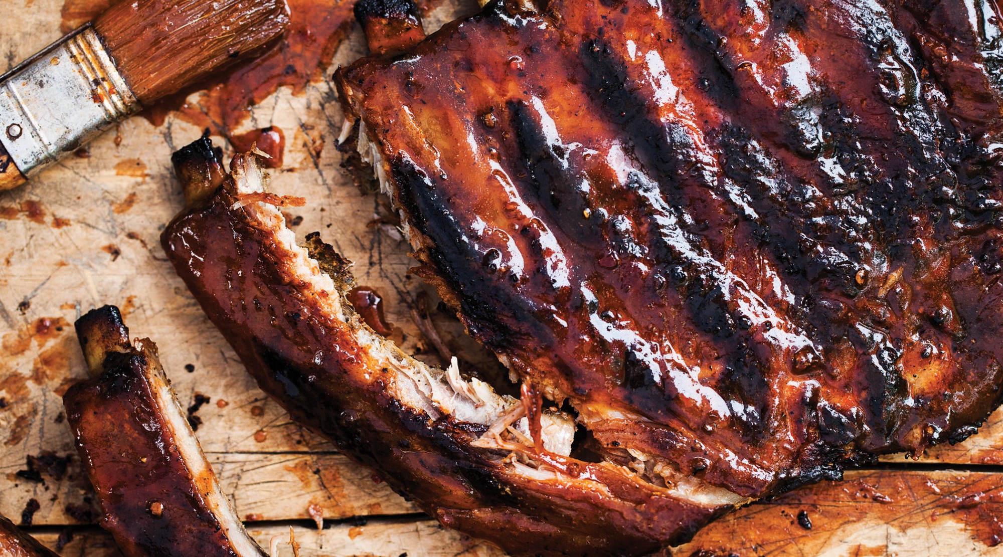
144: (estimated) number of ribs consumed during 2018 Rocky Mountain Rib Rally
92.09: in dollars and cents, most expensive dinner for two during Rocky Mountain Rib Rally, at Low Country Kitchen in Steamboat Springs. Including tip.
80: members of the Aspen Yacht Club
60: pounds of trout, per acre, to be considered Gold Medal fishing waters
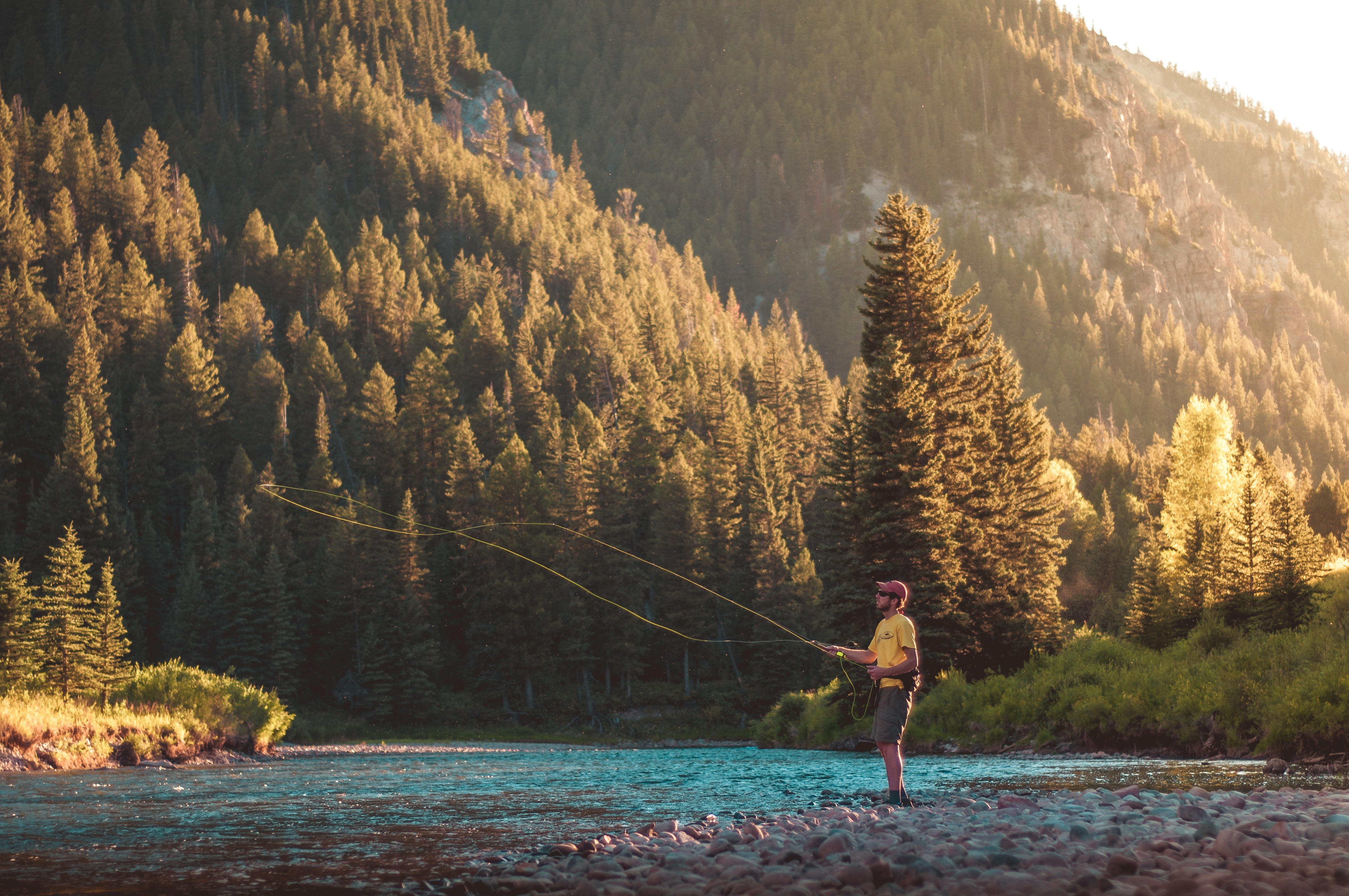
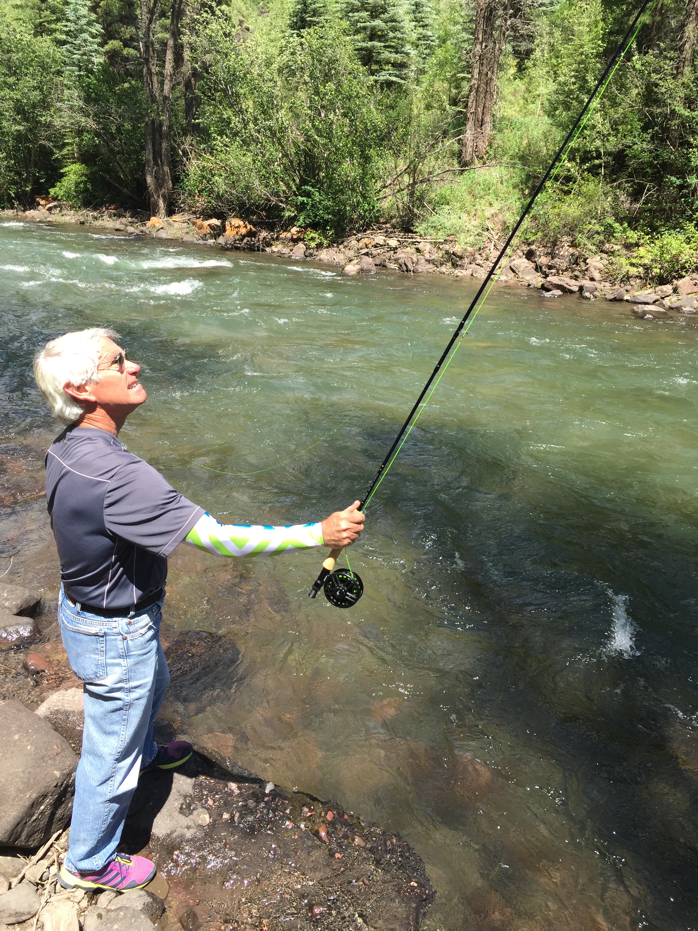
Fly fishing in the Rockies. What could be better?
58: generally agreed-upon number of fourteeners in Colorado
57: total hours in the saddle during Rocky Mountain Rib Rally
48: number of years Billy Kidd has been Director of Skiing at Steamboat Springs
35: maximum length, in feet, of vehicles allowed over Independence Pass
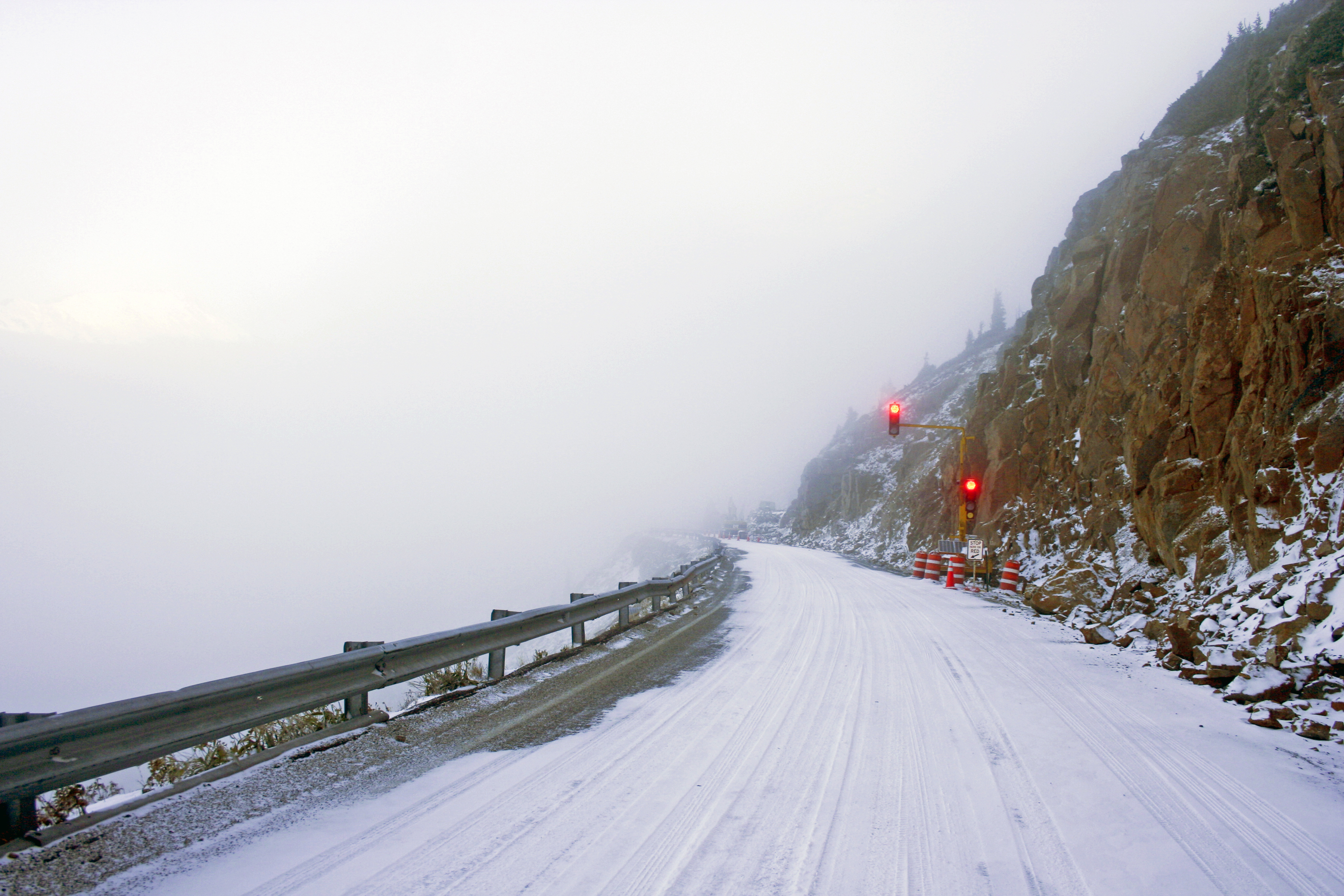
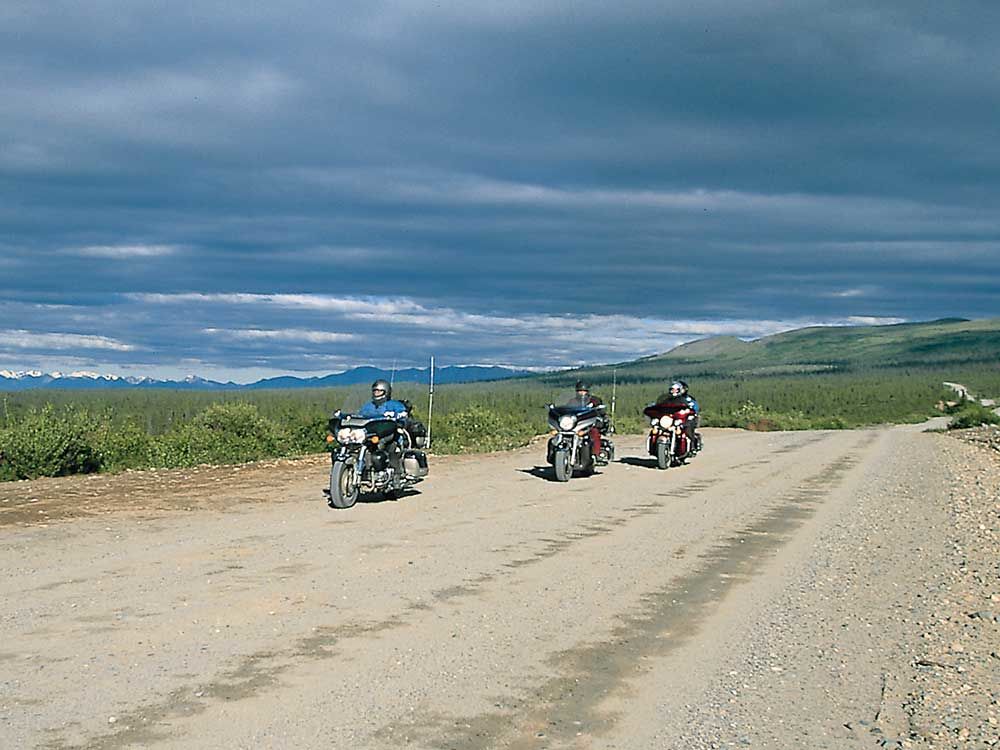
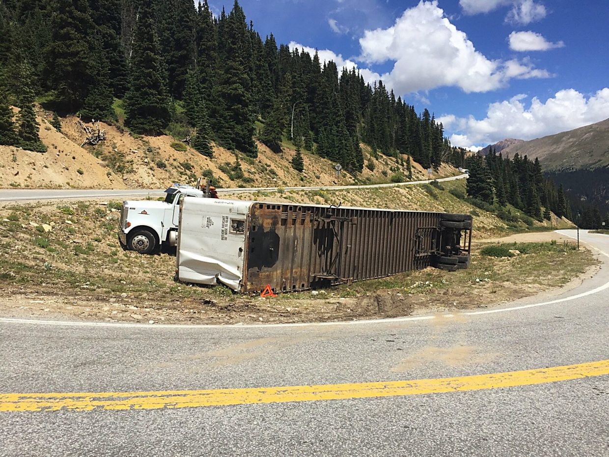
Independence Pass: difficult enough in a nimble vehicle, impossible in a semi-truck. Photo above shot in September.
23: atomic number of Vanadium
20: cost, in dollars, of a 2018-2019 season pass at Monarch Mountain – if you’re under 6 or over 69
18: top speed, in miles per hour, of the Durango-to-Silverton narrow gauge train
17: cost, in dollars, of Truffle Fries at Ajax Tavern in Aspen
15: hours of daylight on June 21, the first day of summer in Carbondale
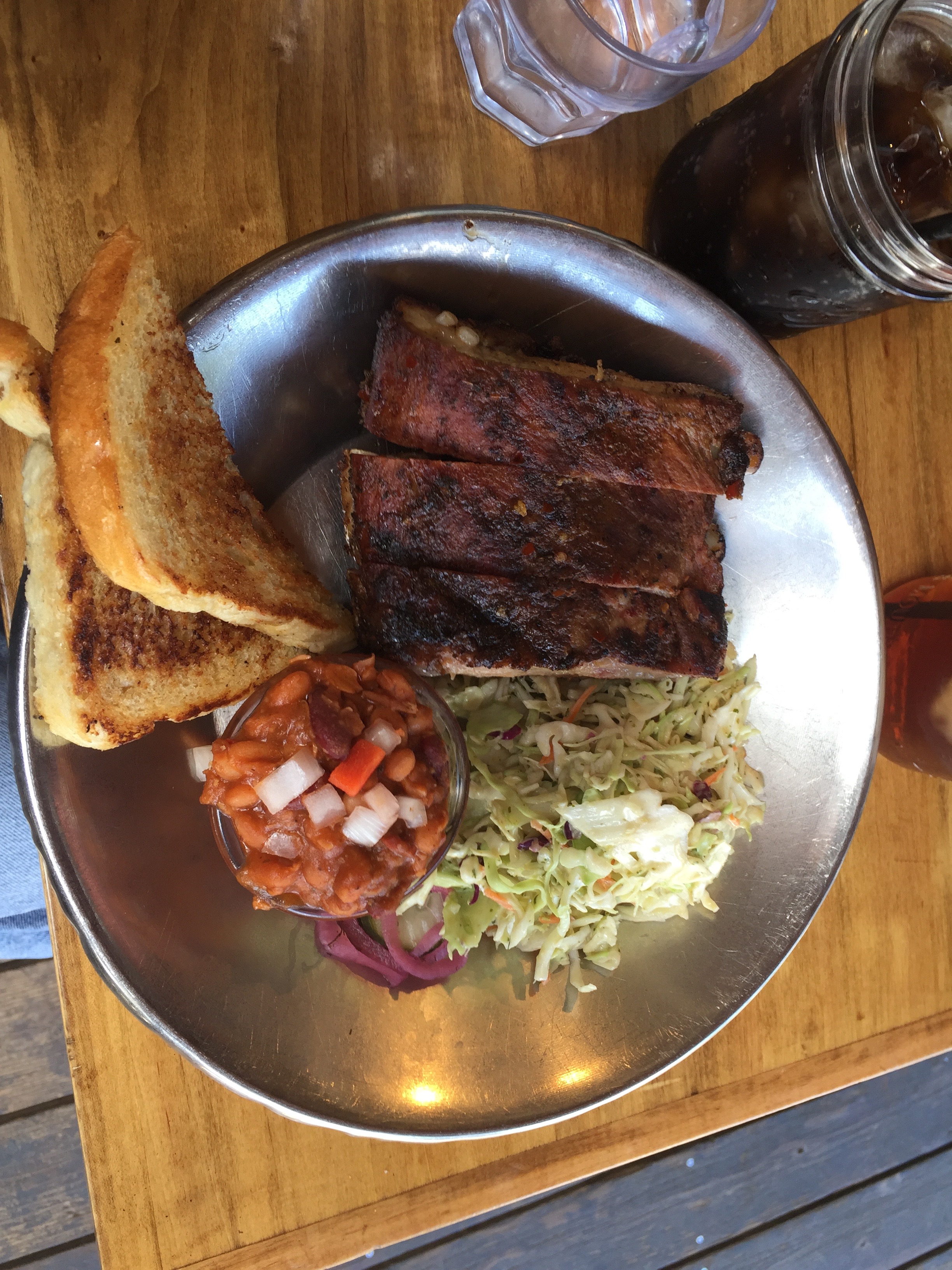
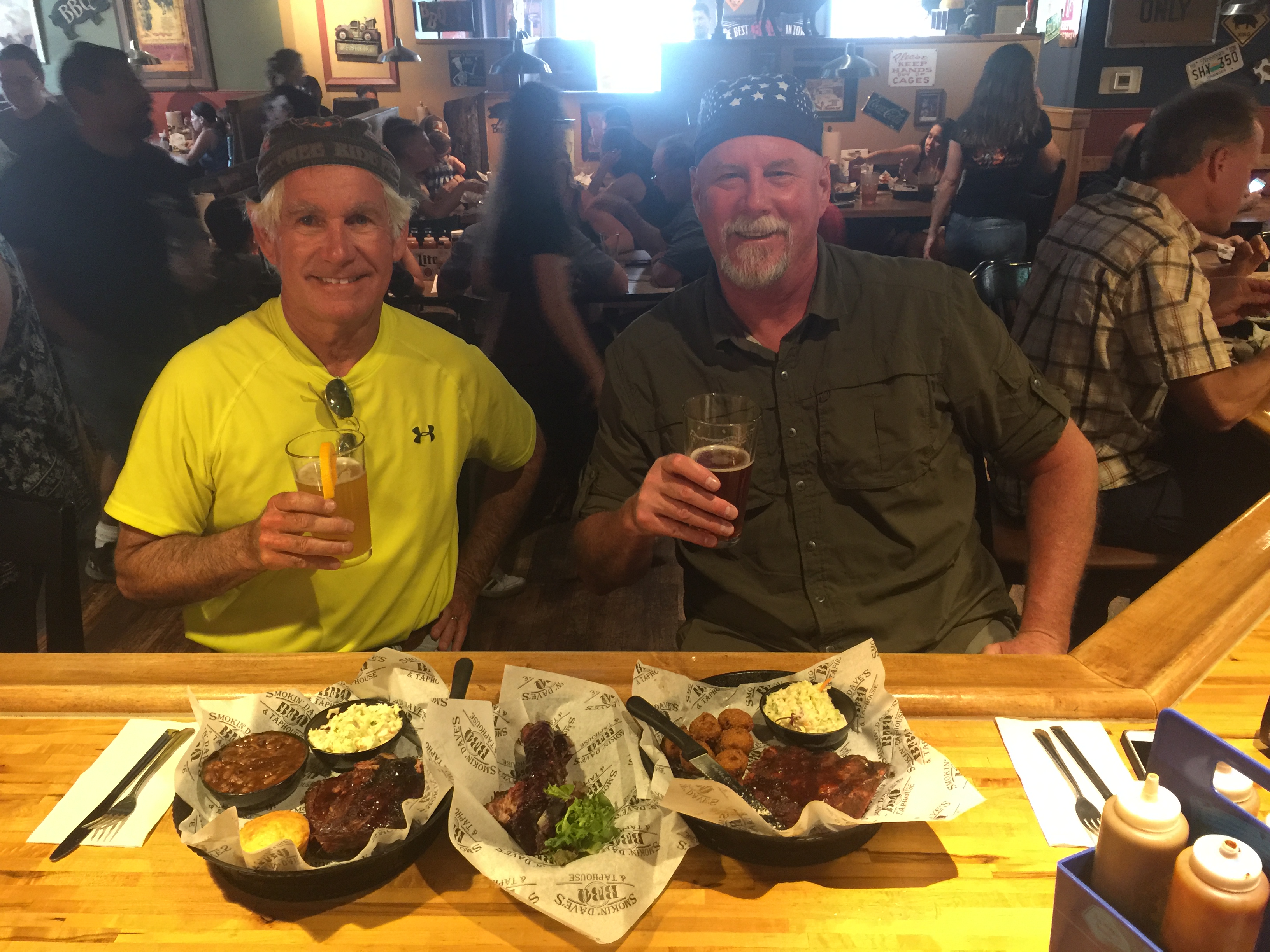
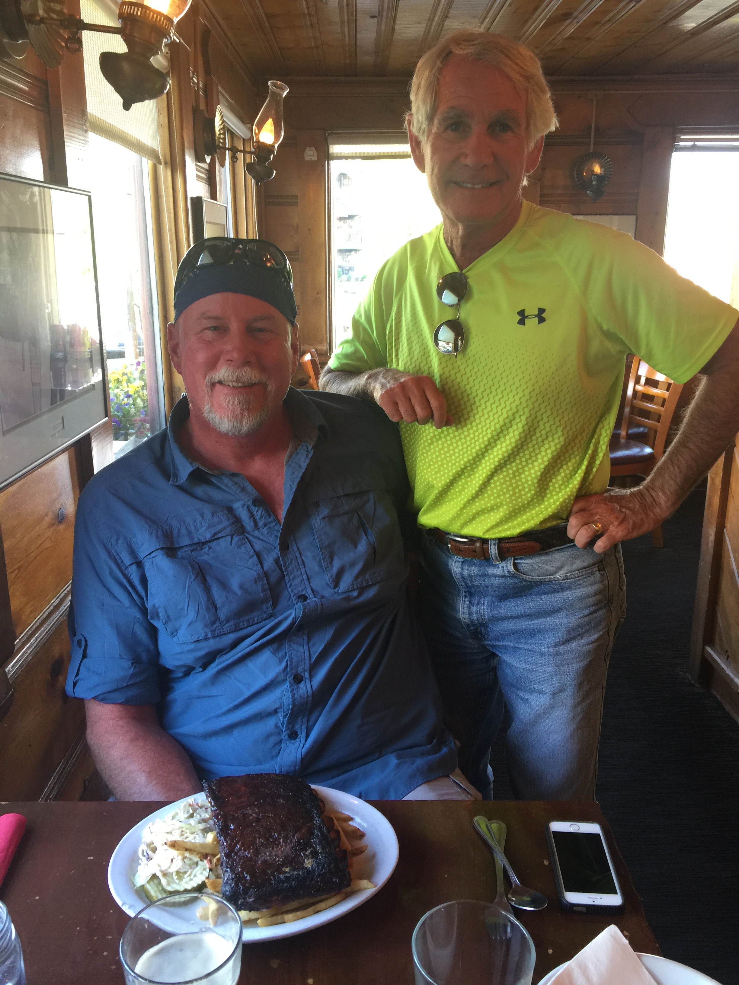
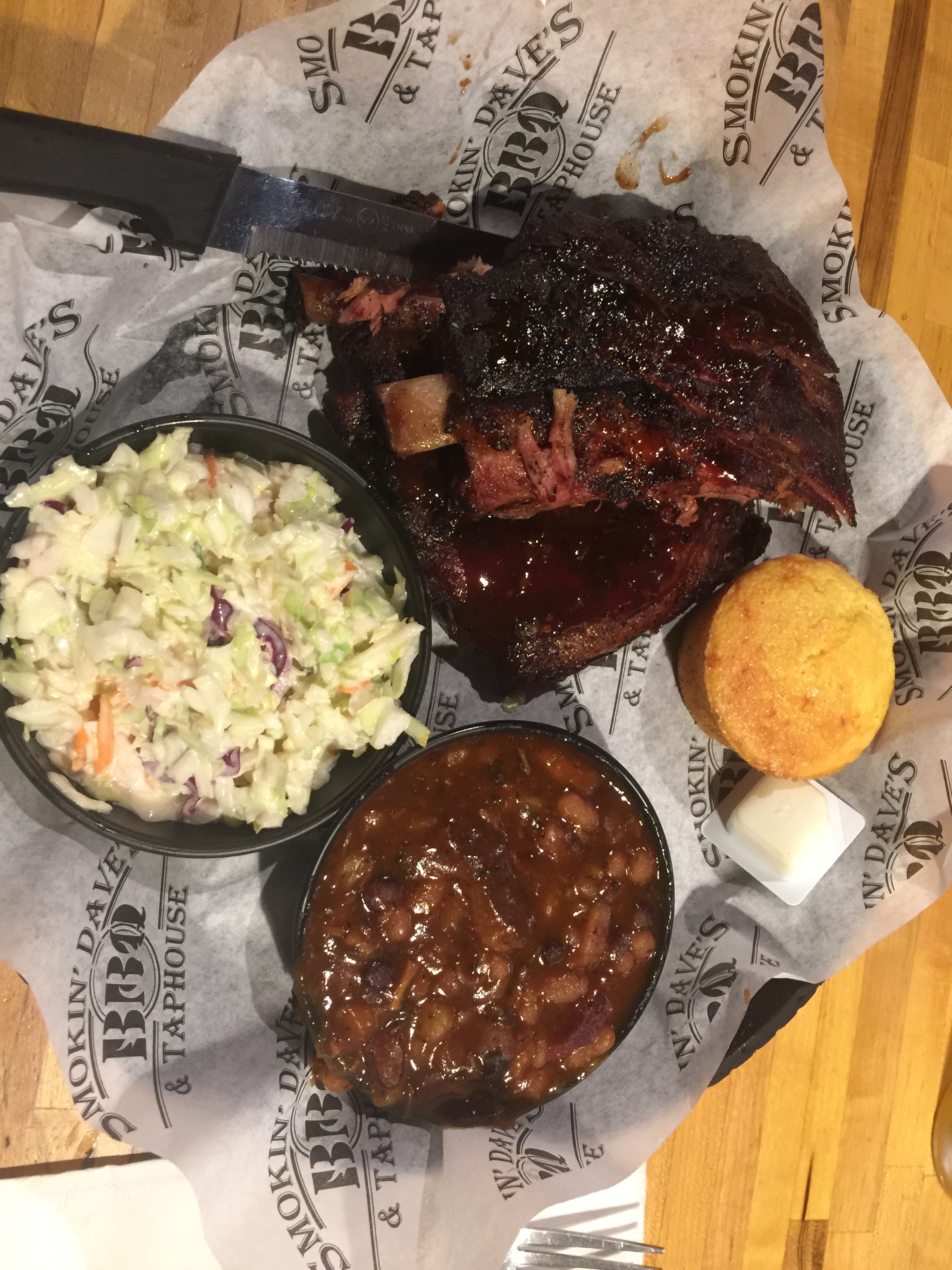
Rib dinner at Smokin Dave’s in Estes Park — one of 13 consecutive rib meals on this trip.
13: number of consecutive rib dinners (and lunches) during 2018 Rocky Mountain Rib Rally
9.4: percent of grade over Slumgullion Pass, steepest in Colorado
8: number of crossings of the Continental Divide (Hoosier, Cochetopa, Independence, Tennessee, Loveland, Monarch, Berthoud and Fremont Passes)
4: Number of fishing days over the past two weeks
1: number of restaurants in Naturita
0: Tie: number of times we rode on unpaved roads. And, number of fish we caught.
Here’s a sight you’ll never see on one of my rides. We rode on unpaved roads zero times.
Had a great time fishing Colorado waters. Photo above is on Roaring Fork River. Zero is the number of fish caught on our trip.
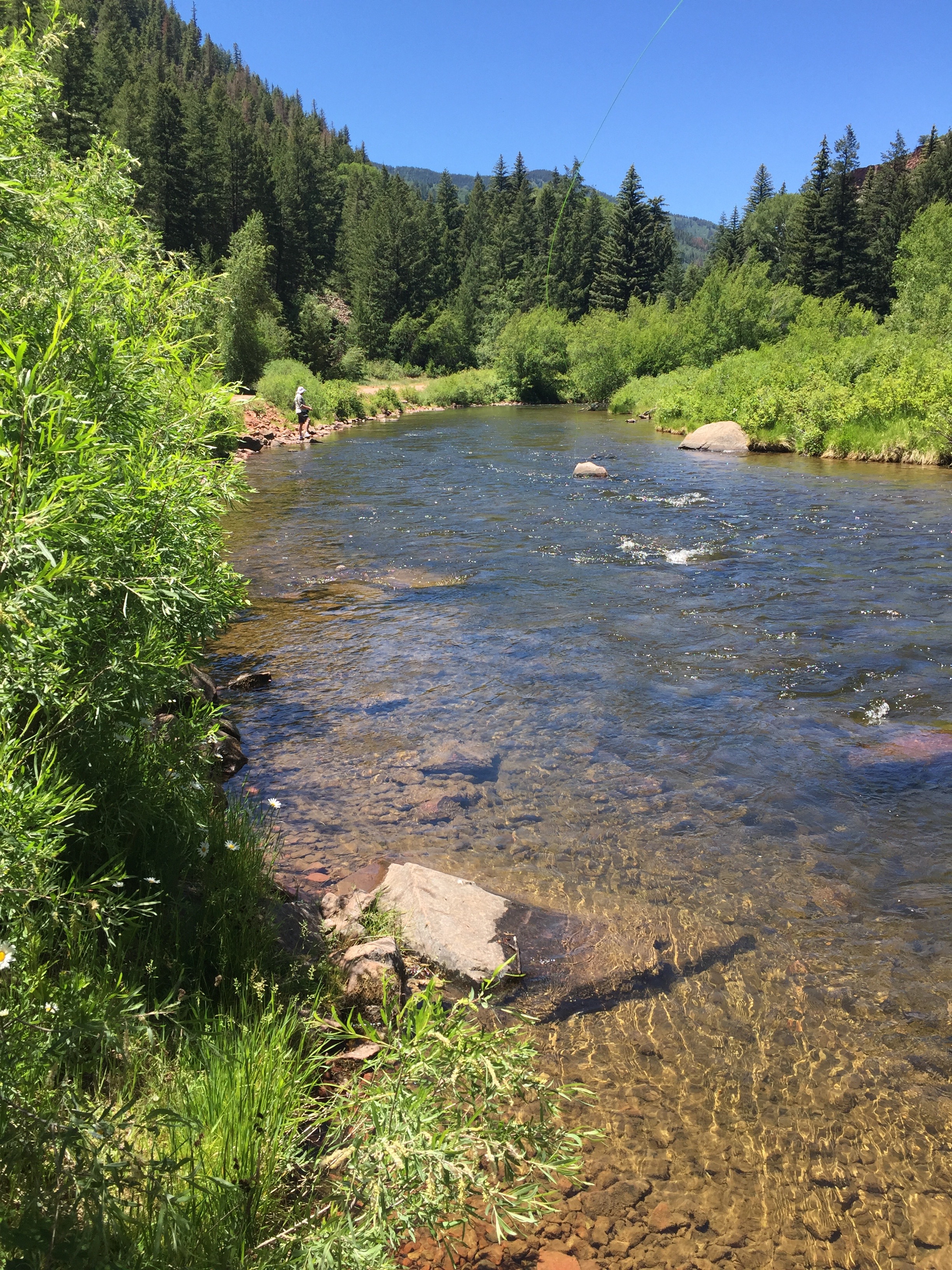
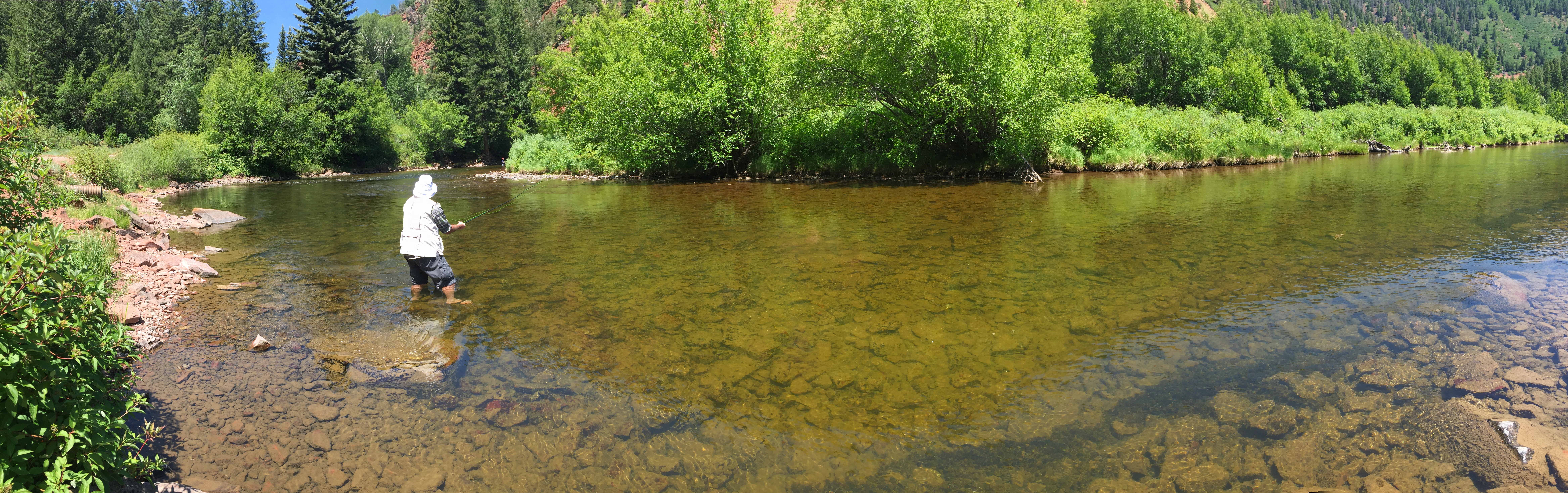
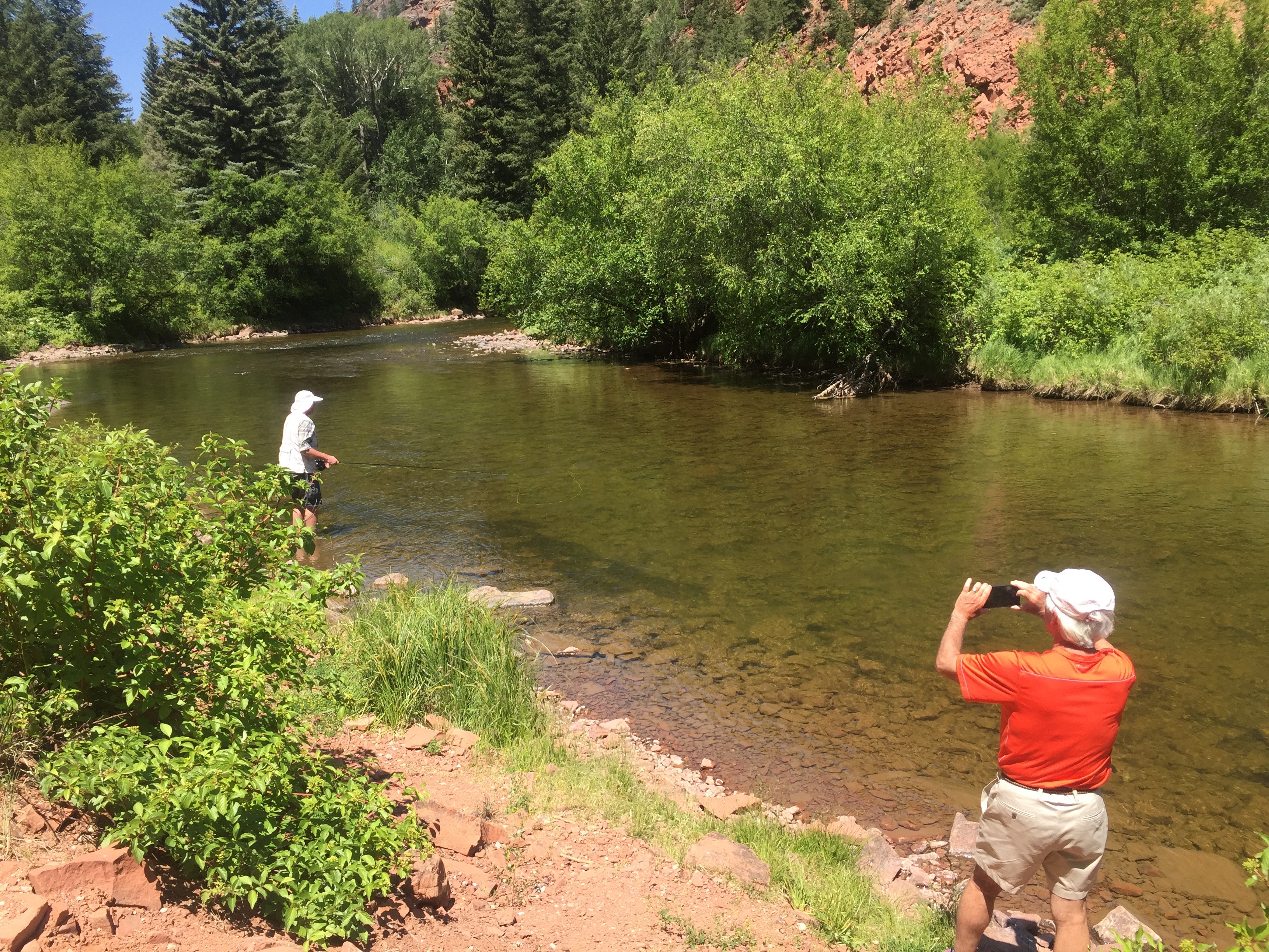
So we take a short drive from our Carbondale home to the Fryingpan River, not far from Basalt. The Fryingpan has some of the best fly fishing waters anywhere.
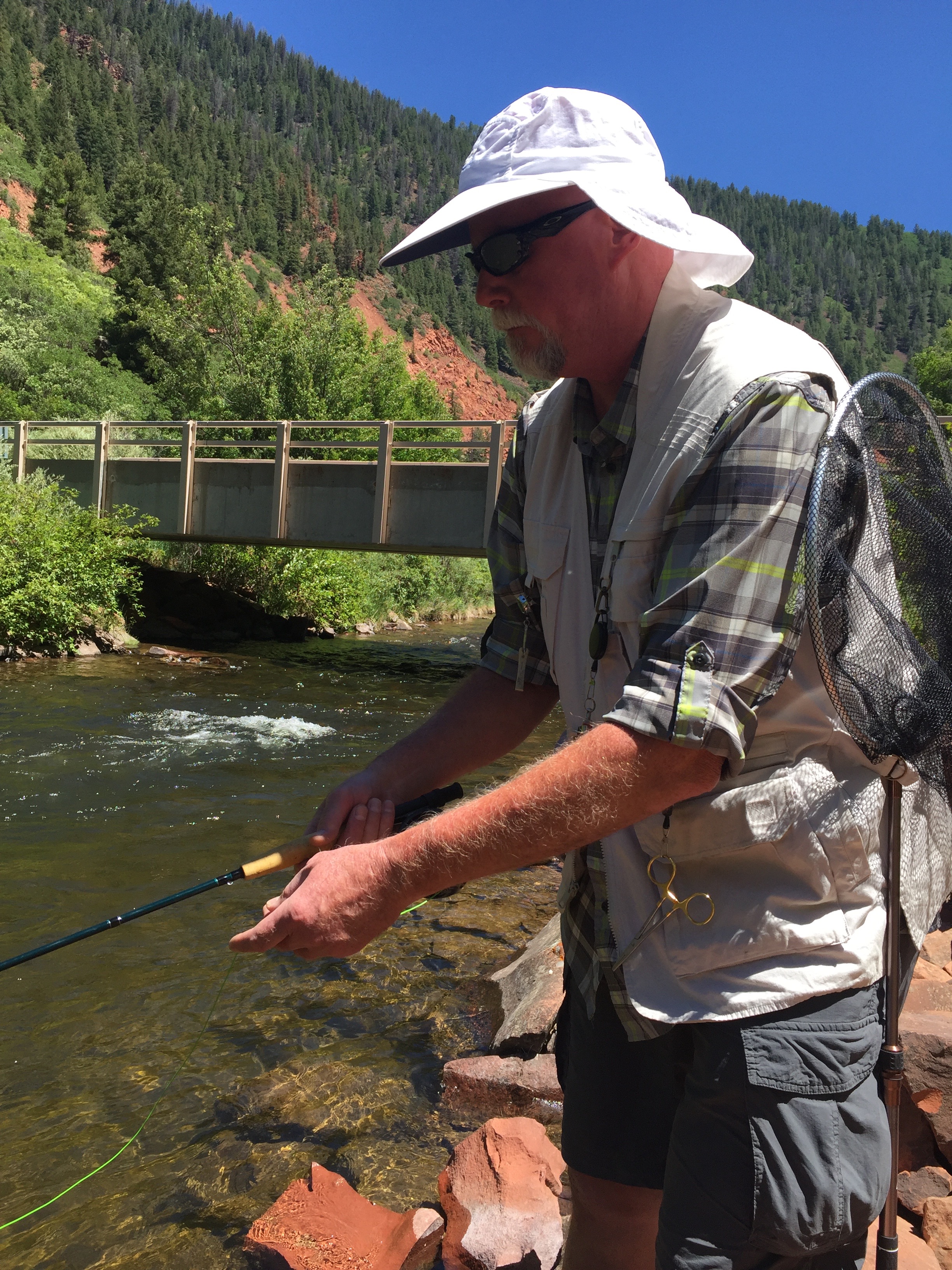
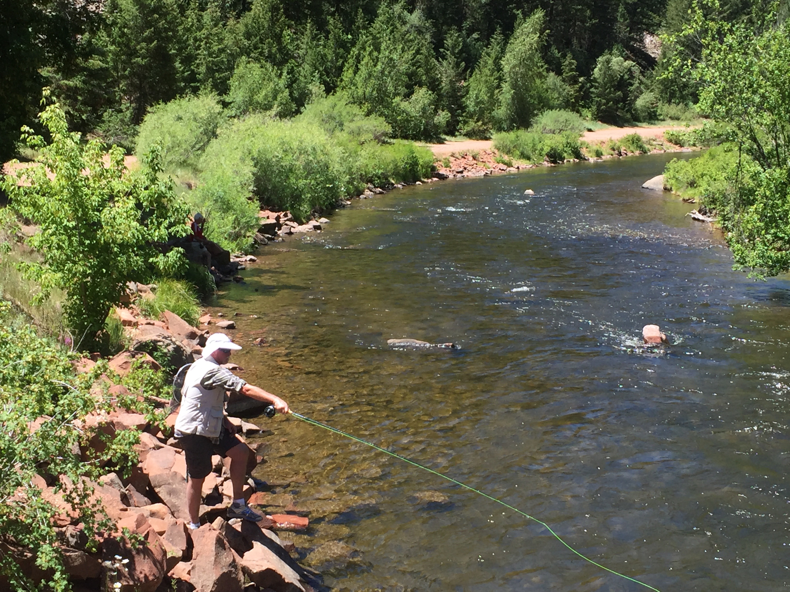
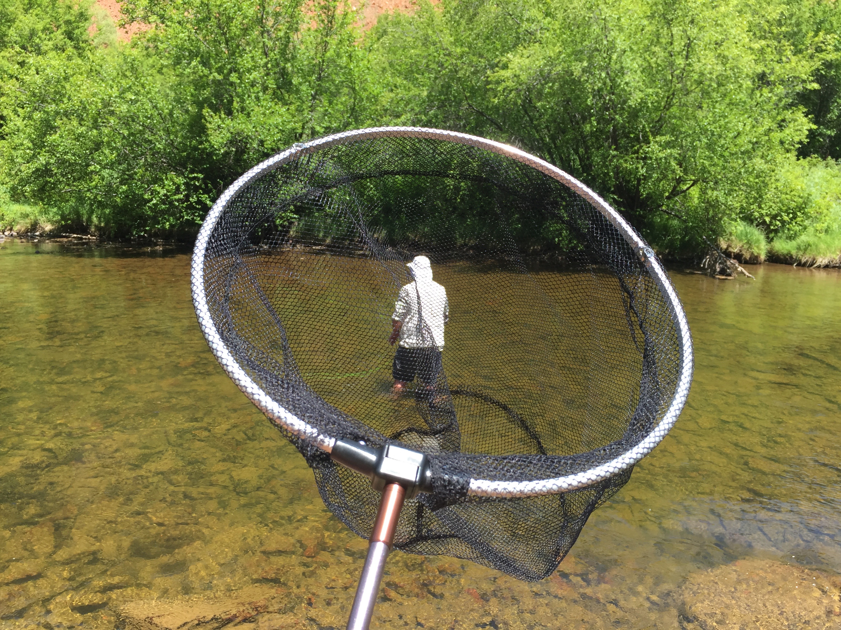
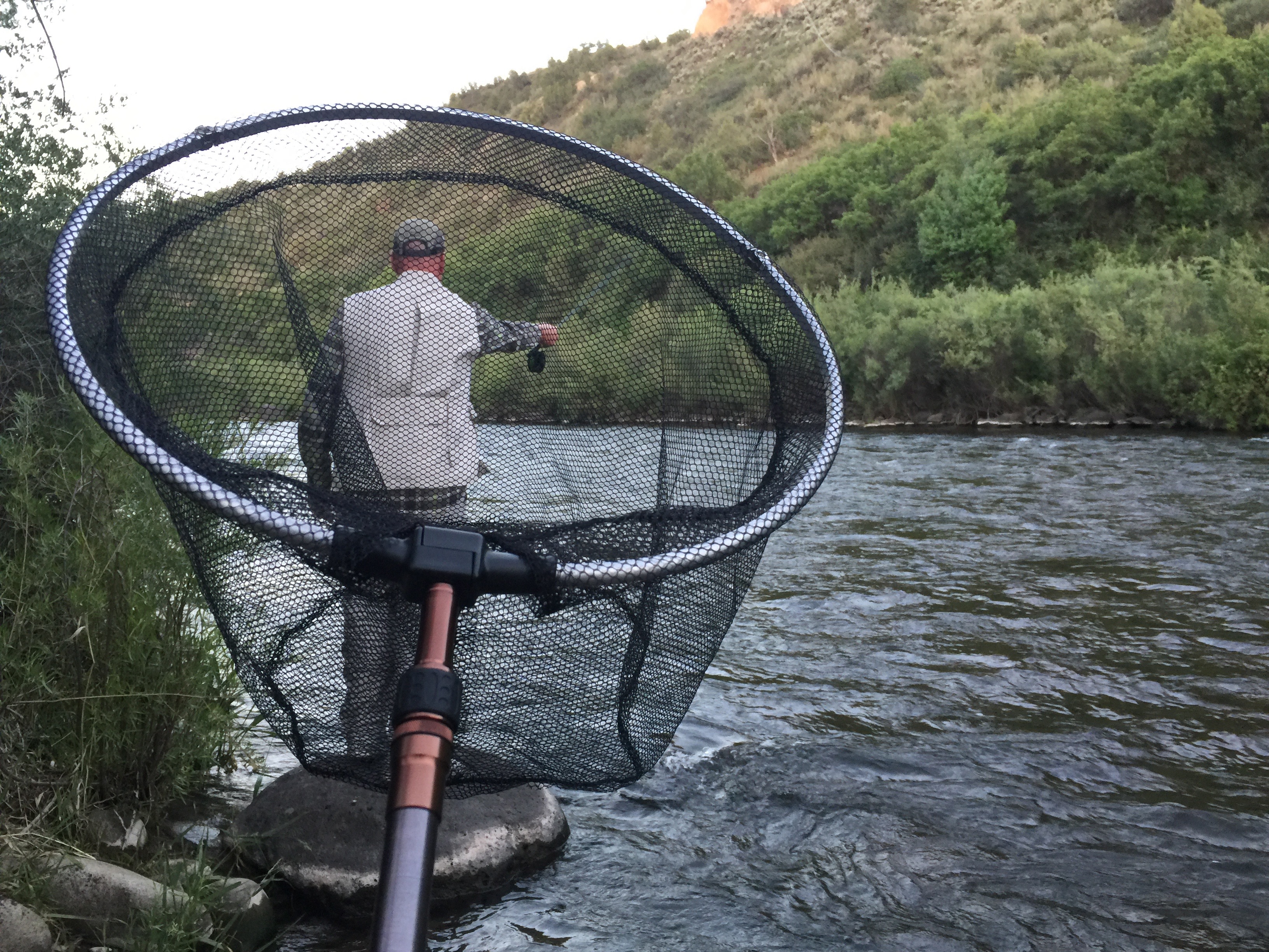
Ever the optimist, Dave has his net at the ready — for the big moment.
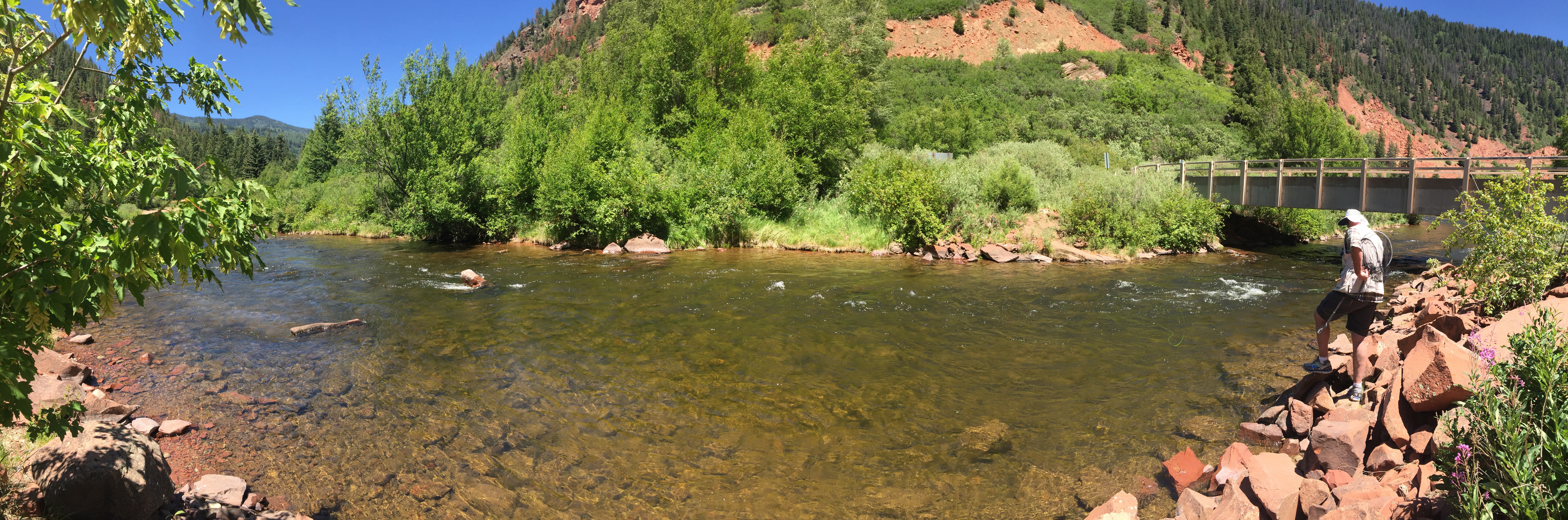
It’s a beautiful spot on the river.
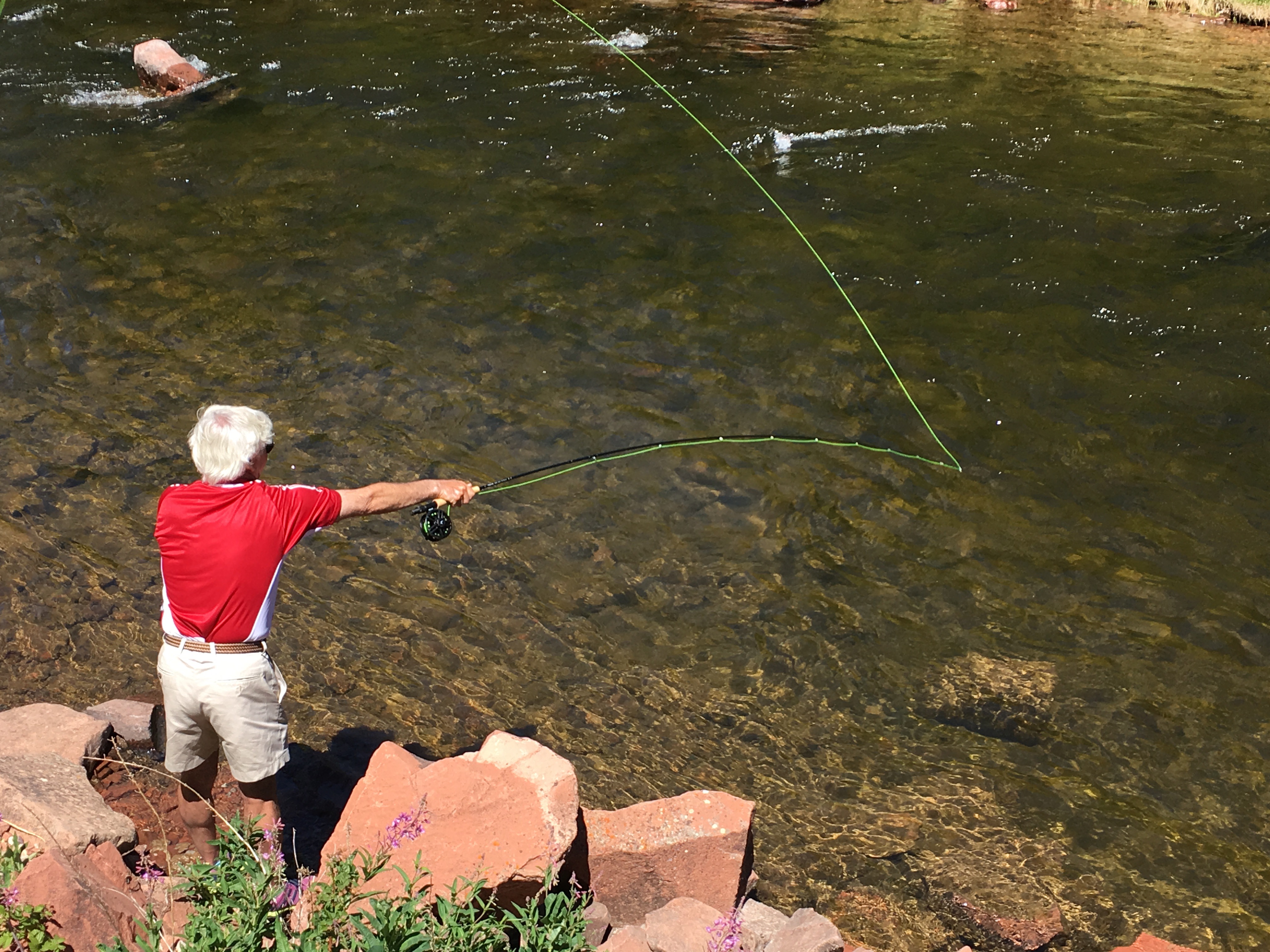
That’s Dave, way off in the distance. He has the river almost to himself. Four trout found his flies.
Cast away!
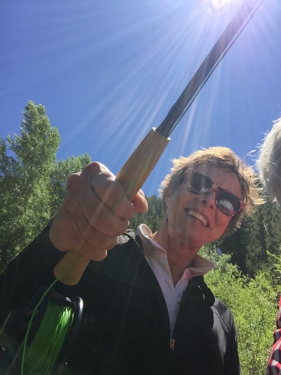
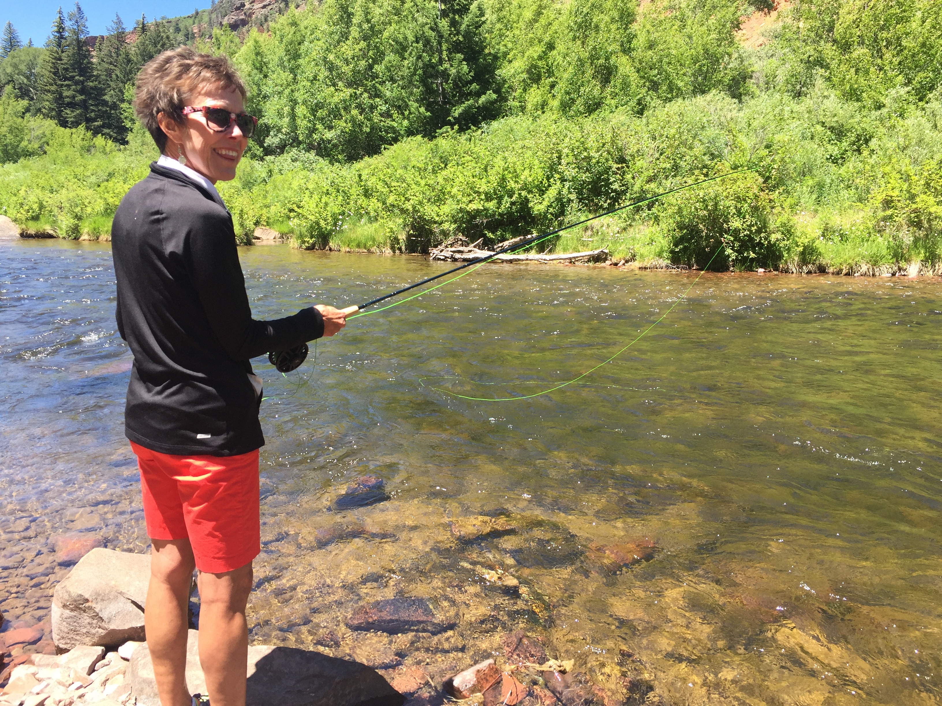
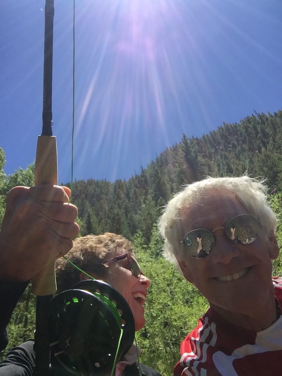
Sarah had her first fly fishing experience today. She’s a natural.
Nice form!
She even had herself a top-notch assistant.
We had three rods and three reels. We used five flies. We had a surefire recipe for success.
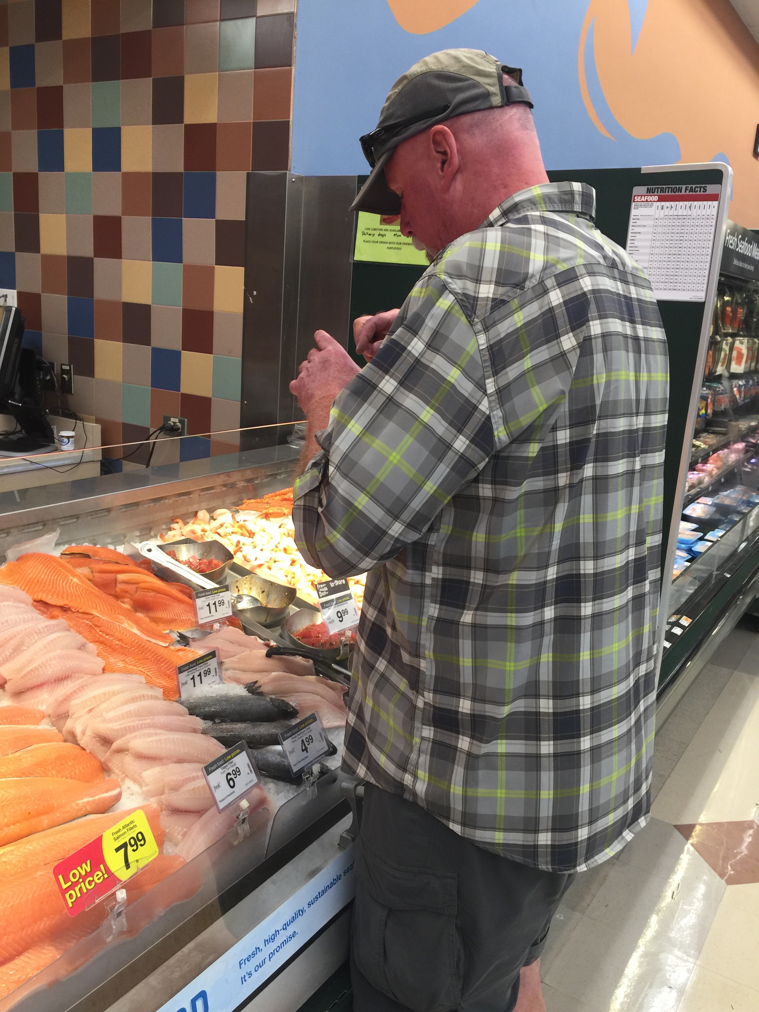
And yet … the closest we came to trout all day was at City Market’s fish department.
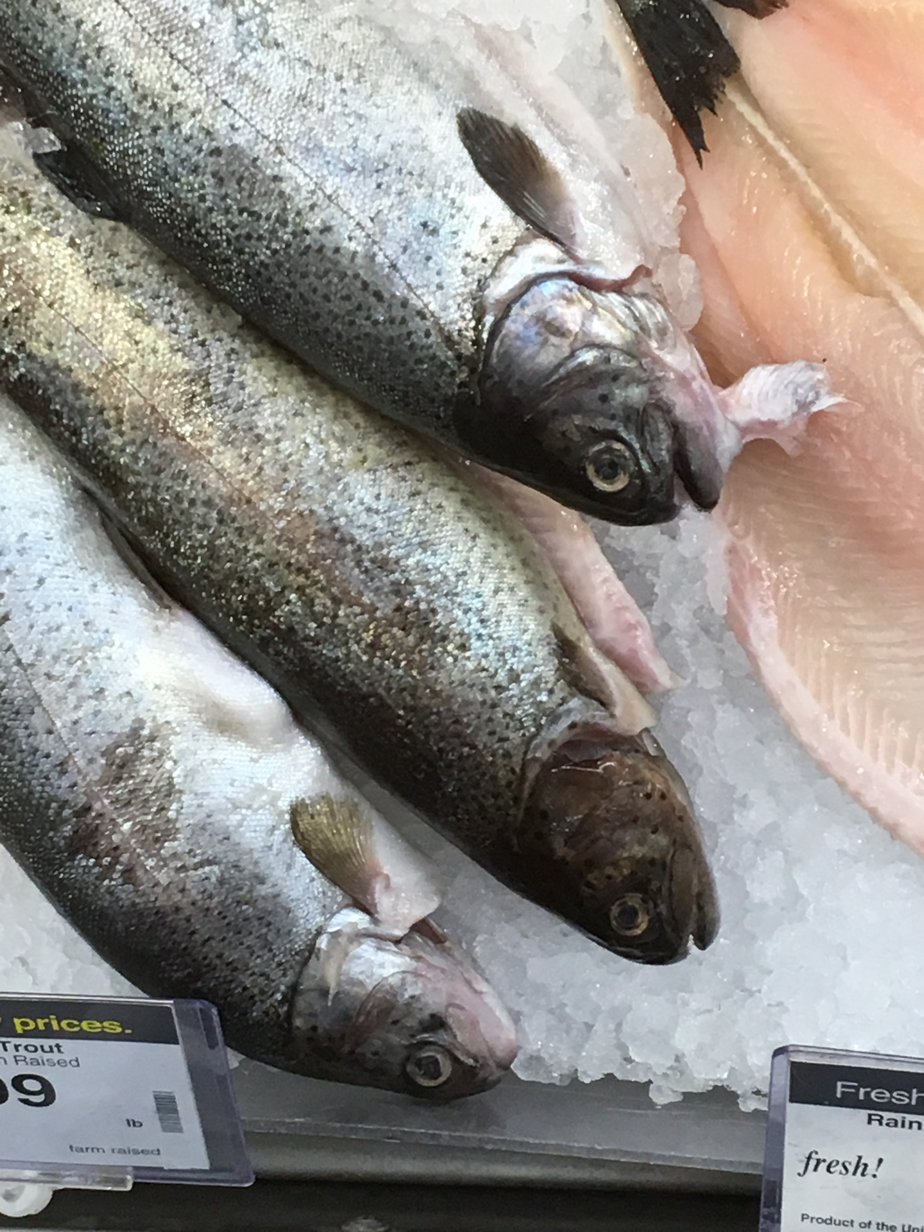
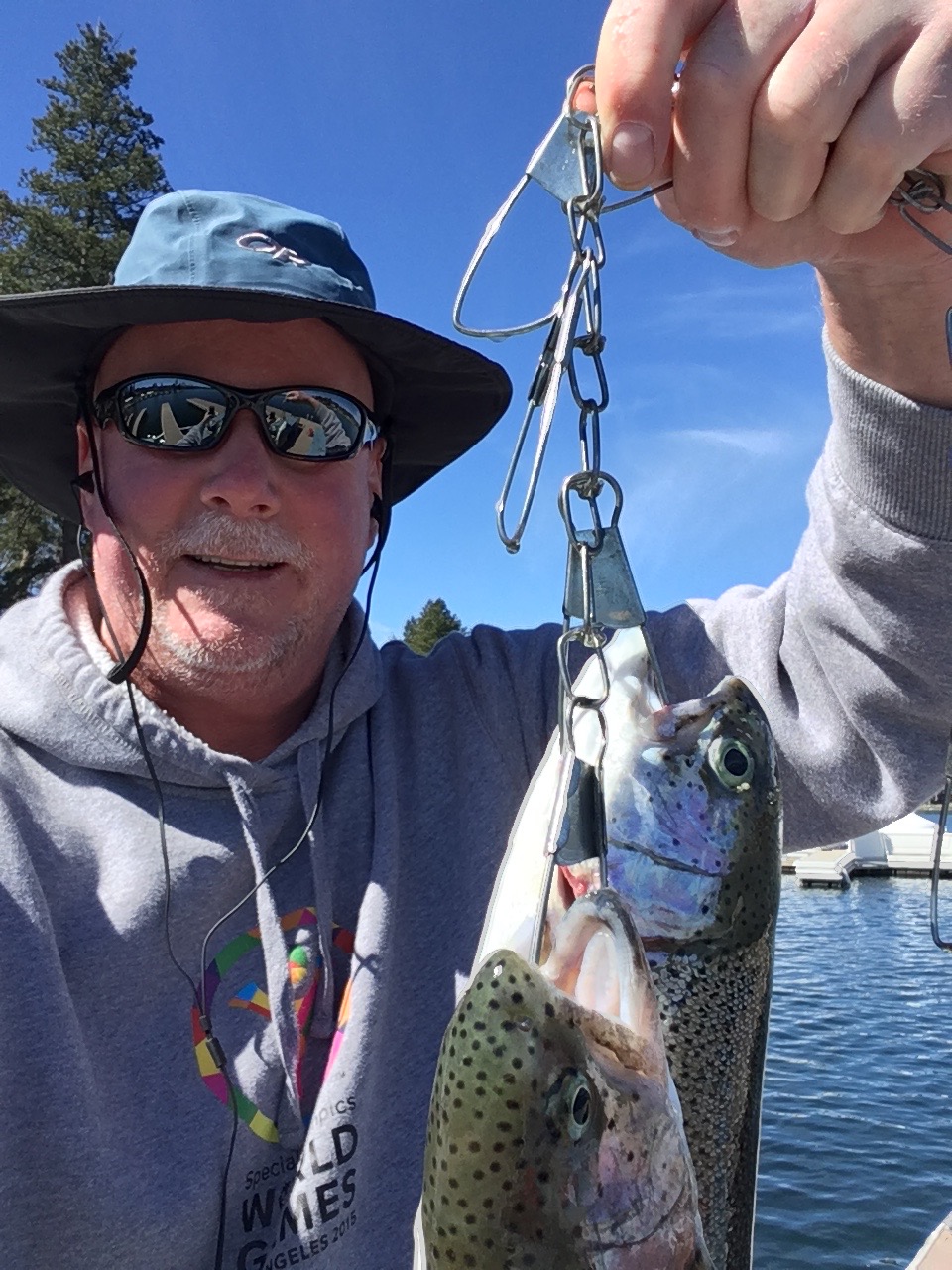
The ones that didn’t get away. These were the trout that Dave was photographing in the pic above.
We still manage a seafood dinner on Dave’s last evening in Colorado.
It’s not anything that would ever be caught in a Colorado Gold Medal river. But nobody’s shoving away from the table hungry tonight.
Today’s Colorado Fishing Fun Fact: Colorado’s Parks and Wildlife service does a wonderful job promoting sustainable fishing, and gives guys like me who’ve never fished before a reason to try it: my 2018-2019 fishing license cost $1.00. Cost breakdown: 25 cents for Search and Rescue; 75 cents for Wildlife Education Fund Surcharge. That’s all. Eat your hearts out.
Today’s Rocky Mountain Rib Rally Fishing Fun Fact: Basalt, which we’ve ridden through and dined in several times, is the only town in America with two Gold Medal rivers flowing through it: the Fryingpan and the Roaring Fork. The Crystal River, which we cross every time we ride out of our River Valley Ranch subdivision, offers 30 miles of fishing waters from Carbondale to Marble. In these local waters you’ll find rainbow trout, cutthroat trout and brown trout.
Today’s Colorado Food Fun Fish Fact: A shore dinner of trout caught just minutes before eating them is often said to be the best fish meal you’ll ever have. Native fish with an orange or pink color to their flesh are the best tasting, whether brown trout, brook trout or rainbow trout. The cutthroat trout, the state’s only indigenous variety of trout, is the official state fish of Colorado.
Today marks our last riding of any consequence on this year’s Harley adventure. Day 13 of the 2018 Rocky Mountain Rib Rally takes us from Silverthorne in Summit County to our home base in Carbondale.
It’ll be a short ride, but one with plenty of excitement.
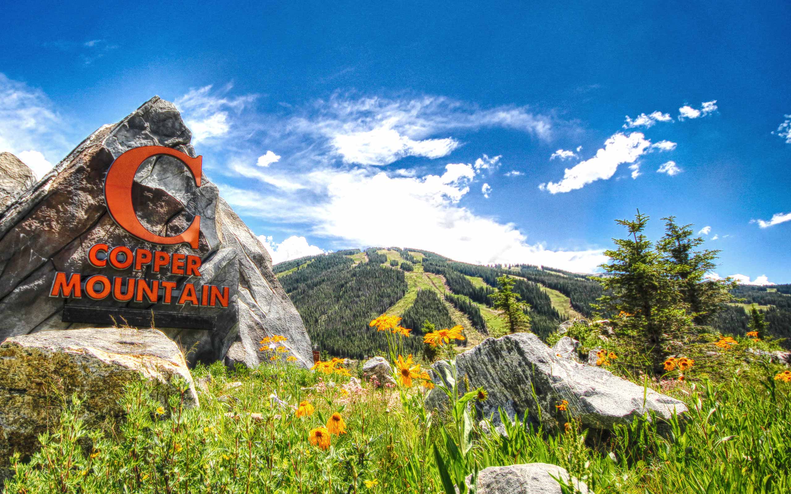
Copper Mountain, in the summer.
We begin by riding south on I-70 for 10 miles to the Copper Mountain ski area, where we turn onto CO-91, and head toward Leadville.
As if we haven’t crossed the Continental Divide enough times, we do it again at Fremont Pass, an 11,318 foot crossing named for John Fremont, an explorer who discovered the pass while traversing present-day Colorado during the 1840s.
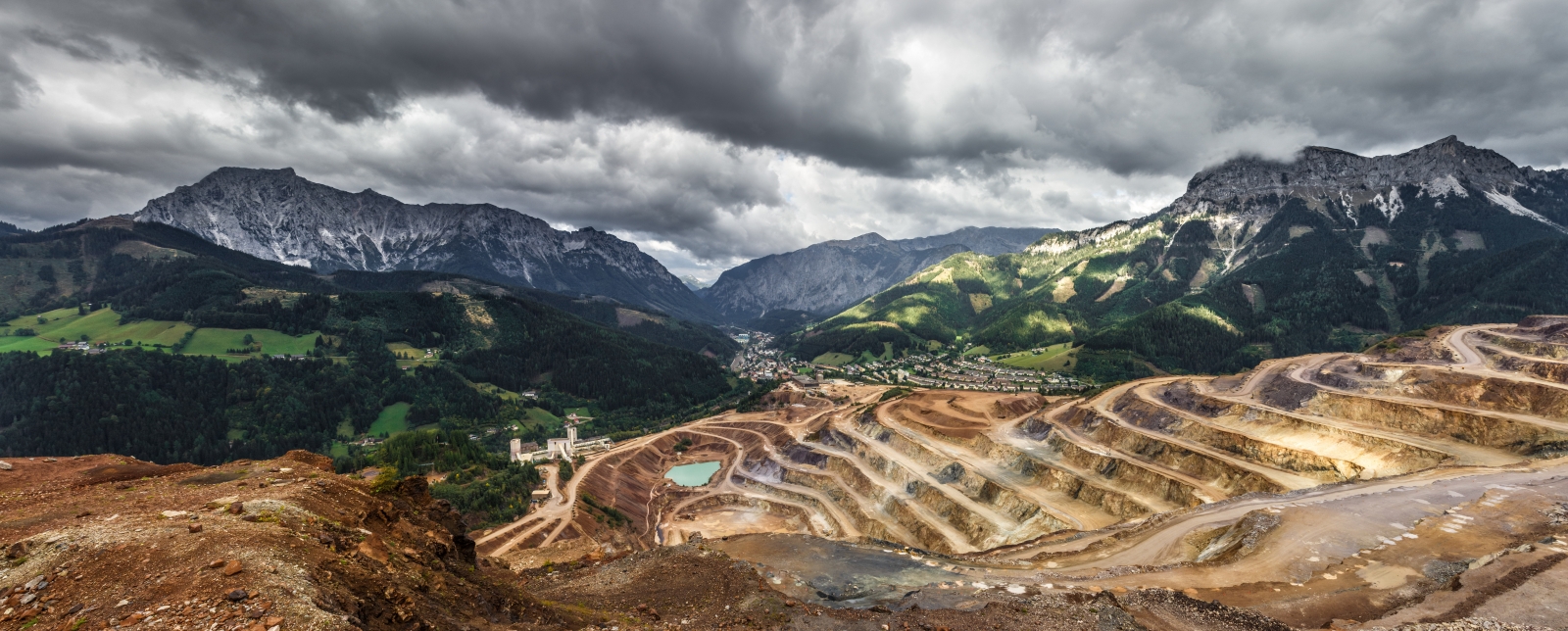
Adjacent to the pass is the titillatingly named Climax Mine and Mill, a major molybdenum mine that’s been in operation since 1915. At one time, it was the highest-producing molybdenum mine in the world, producing three-fourths of the world’s supply of molybdenum.
Mining at Climax. Great name, ugly result.
Over the years, it has evolved from an underground mine to a pit mine. The village of Climax is now considered to be a ghost town, even though the mine remains active.
Molybdenum, commonly called “moly,” is used to make some missile and aircraft parts, and is used in the nuclear power industry. It’s also used as a catalyst in the refining of petroleum.
For you geology nuts, to produce molybdenum, the ore is crushed on-site, and the molybdenite is separated from the waste material by froth flotation. Simple enough.
***
Just past Climax – I can’t believe I’m writing that – the road makes a hairpin turn and crosses the East Fork of the Arkansas River. On the remaining 12 miles to Leadville, we roll past a number of fourteeners on our left, among them: Mount Democrat (14,154); Mount Lincoln (14,293), named after the Lincoln Continental; Mount Sherman (14,035), named after General William Tecumseh Sherman.
The hike up Mount Sherman, a “beginner fourteener.”
Mount Sherman is one of the most nondescript of the fourteeners, and one of the easiest (least difficult) to climb; it is recommended as a “beginner fourteener.” Mount Sherman is also the only fourteener that has had a successful aircraft landing on its summit. OK, it was a successful crash landing of a Cessna 310, but still. It happened in January 1967, when five people on the plane survived temperatures that reached 20 below zero. The rescue mission was featured in the February 1993 issue of Readers Digest. Don’t try this at home.
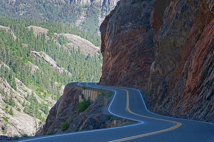
We roll through Leadville on our way to Twin Lakes, where we turn west on CO-82 and begin the 17-mile climb to Independence Pass, an ascent of about 2,900 feet. Much of the way, it’s a narrow and winding road, giving the Colorado Department of Transportation reason to ban oversized and overweight vehicles from the pass.
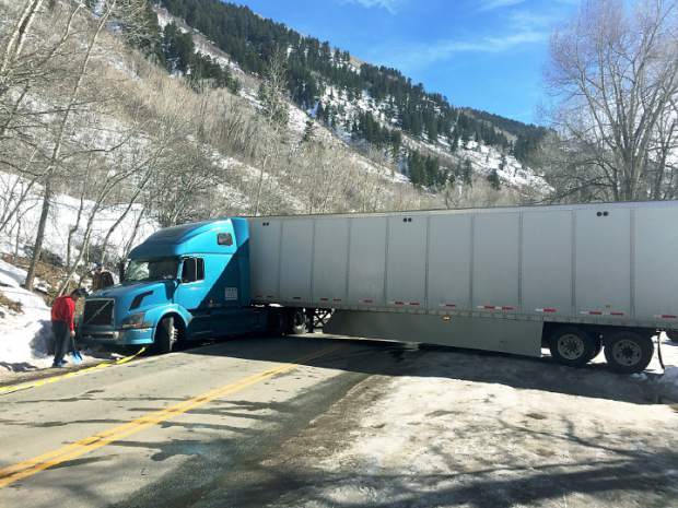
Yikes! There’s a reason semis aren’t allowed on CO-82 over Independence Pass.
No vehicles over 35 feet in length (including a vehicle and trailer) are allowed on the roadway between milepost 84 on the eastern side, and milepost 42 on the western (Aspen) side. In an effort to deter semi-trucks from illegally using Highway 82 over Independence Pass, the Colorado Legislature raised the fine for to $1,000. Fines can be increased to $1,500 if a truck using the pass causes road closures or traffic delays.
There are turn-around spots for large trucks around mileposts 42 and 84, intended to give truckers a way to avoid the mess they otherwise could create.
A semi-truck gets stuck as it tries to turn around near the closure gate on Independence Pass.
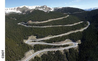
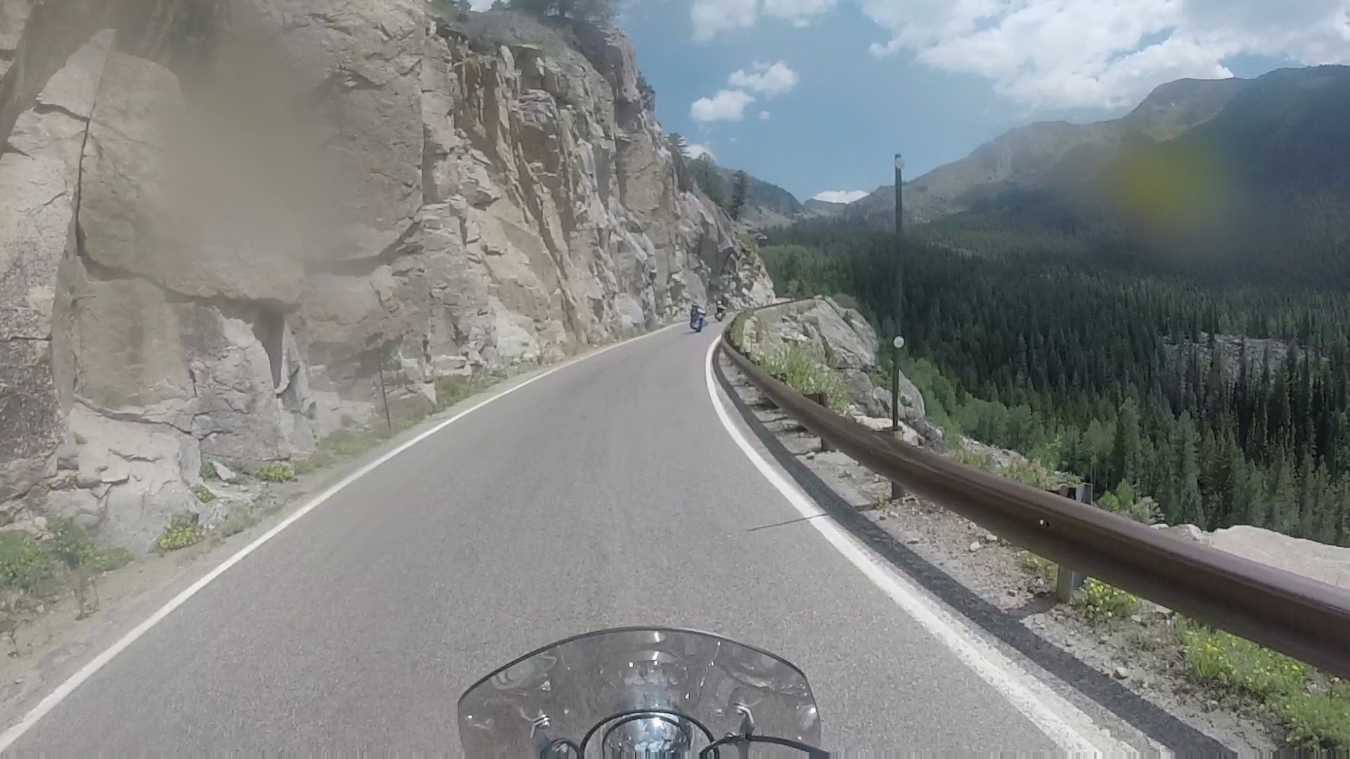
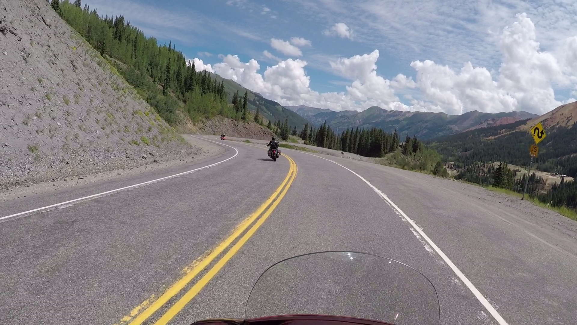
Today, we have no such issues on our Harleys. It’s smooth sailing all the way to the summit. There are several 10-mile-an-hour, first-gear, hairpin turns in the last few miles on the climb to the pass. That’s all part of the fun.
You do have to bring your A game to ride Independence Pass. We’ve got game!
***
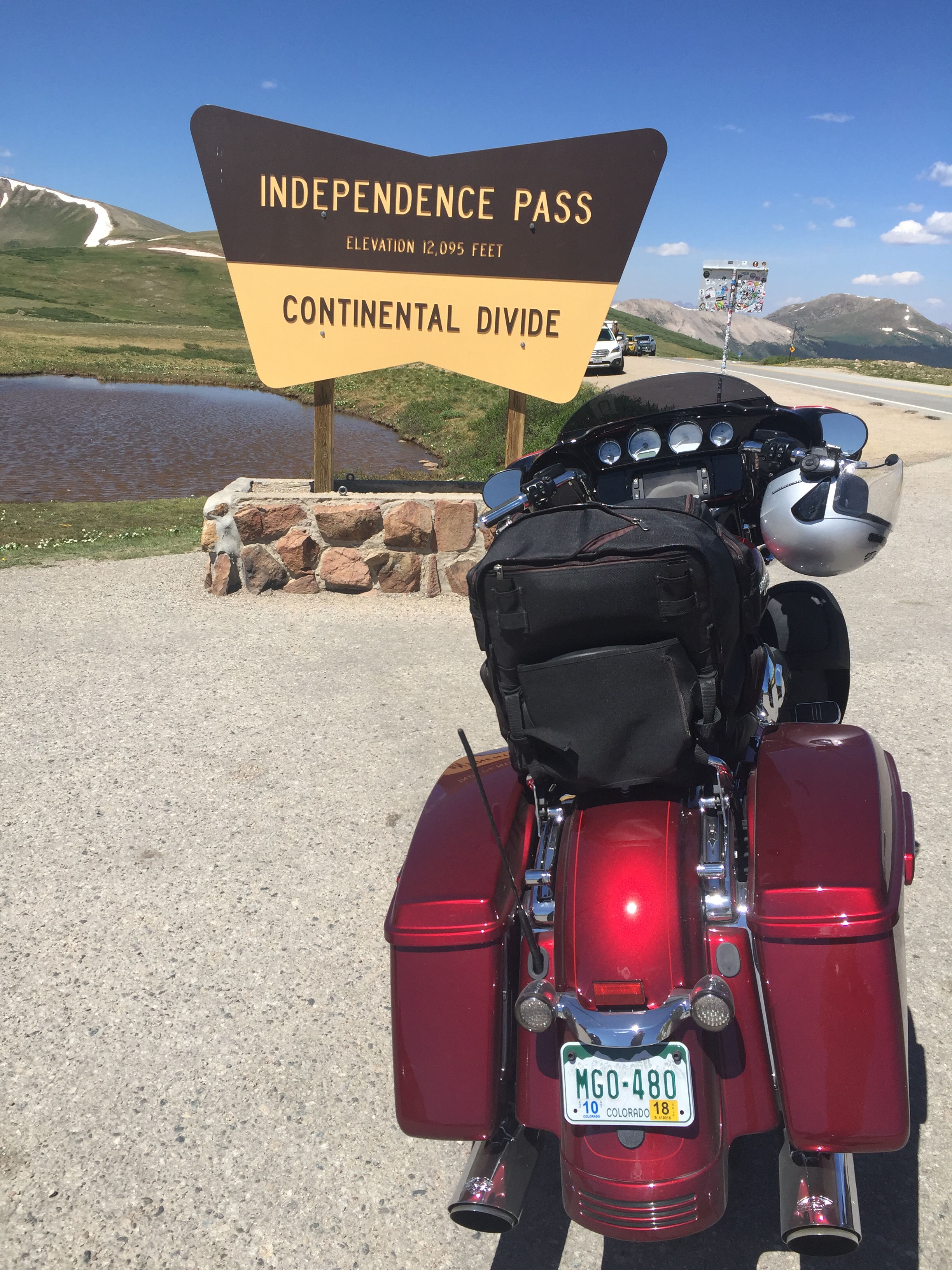
One final photo op at the pass.
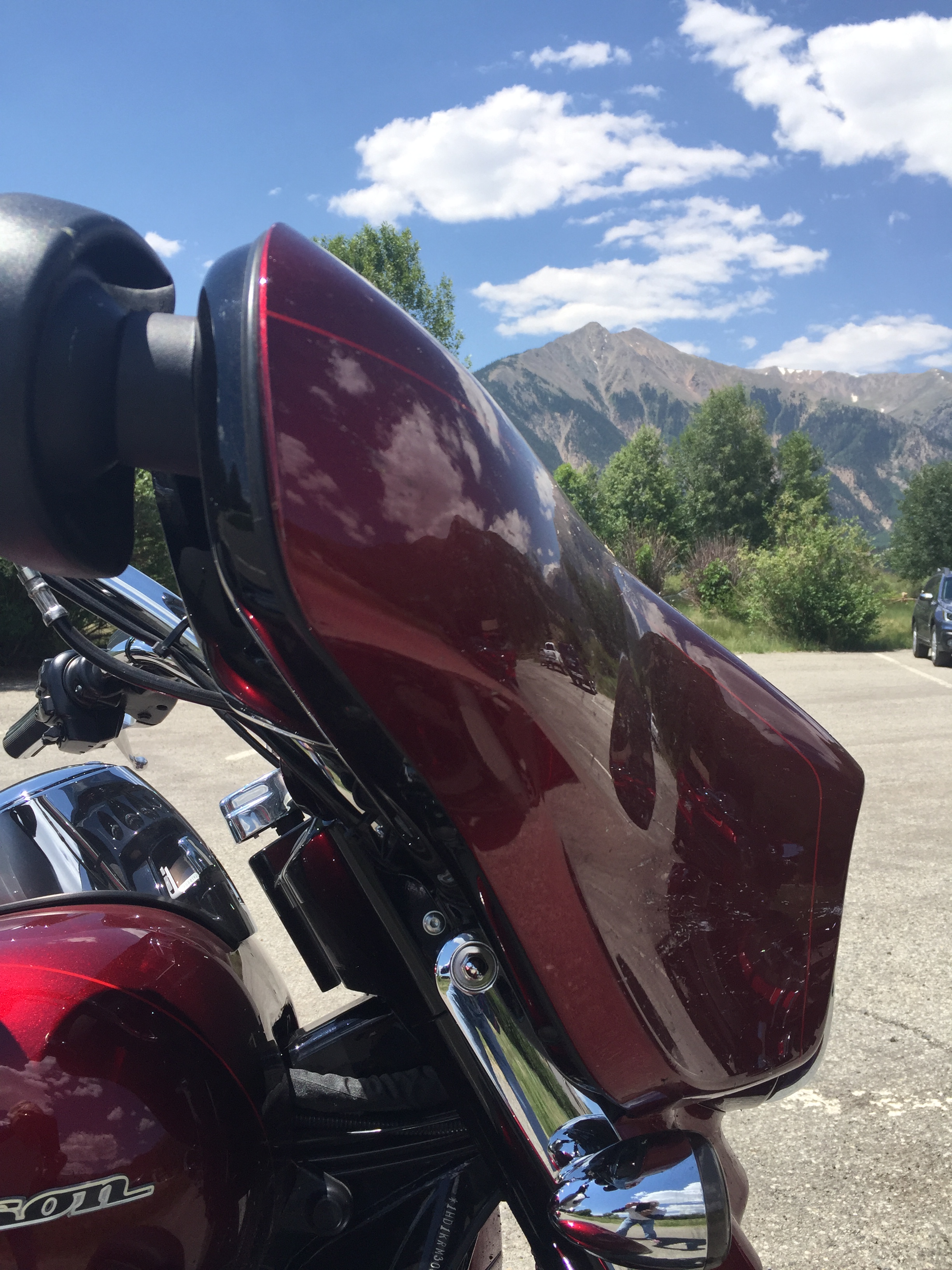
Photo taken to show my Harley at the pass, and to prove I was not helicoptered in.
After more photos at the Continental Divide sign marking the pass, we press on for the 20-mile descent into Aspen.
Because today’s ride is a short one, we arrive in Aspen in the early afternoon, park the bikes, and look around. We also take the opportunity for one last rib meal on the road before heading back to Carbondale.
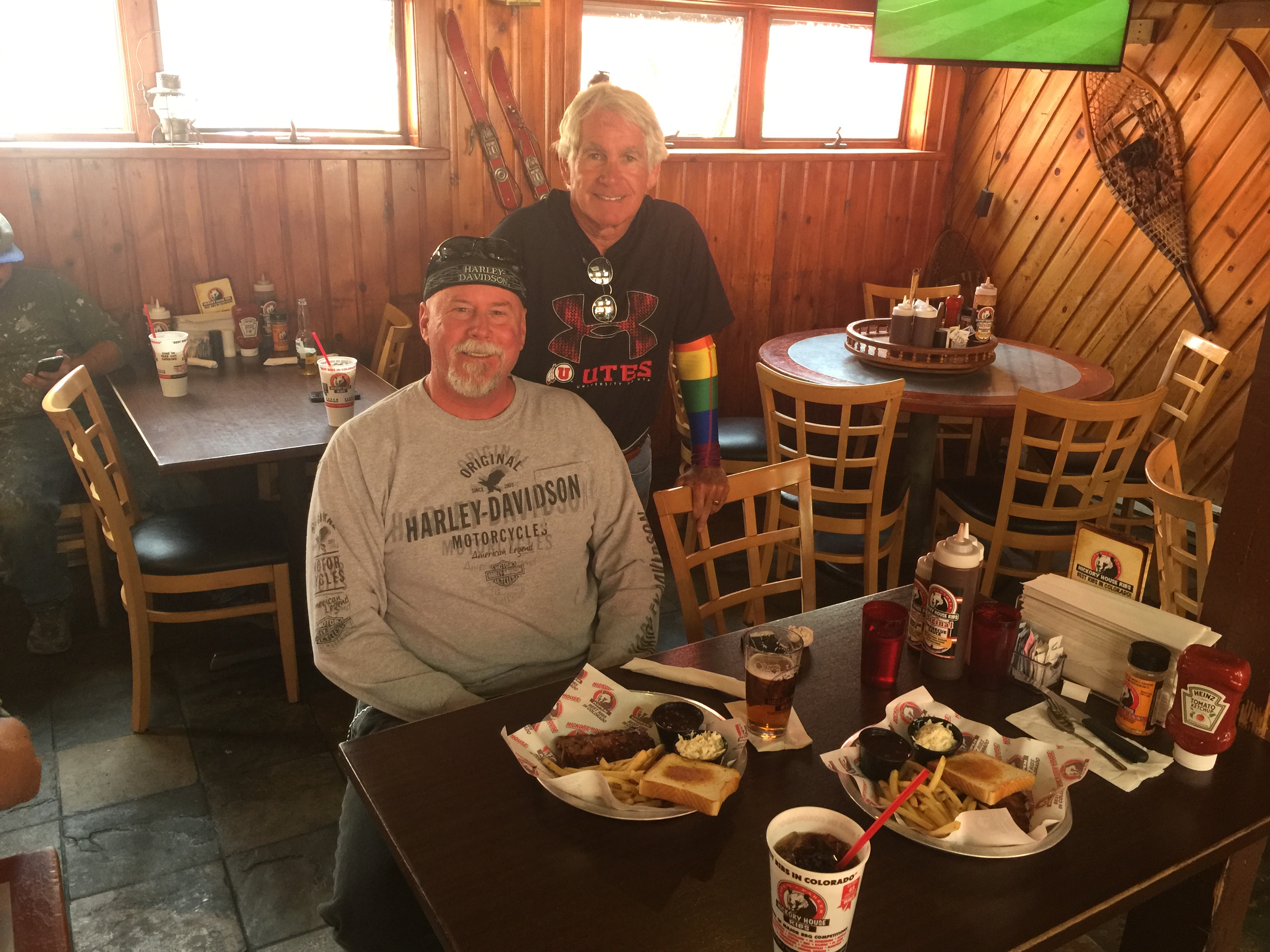
Lunch is at Hickory House in Aspen, on CO-82, on the way out of town.
Hickory House. Meh?
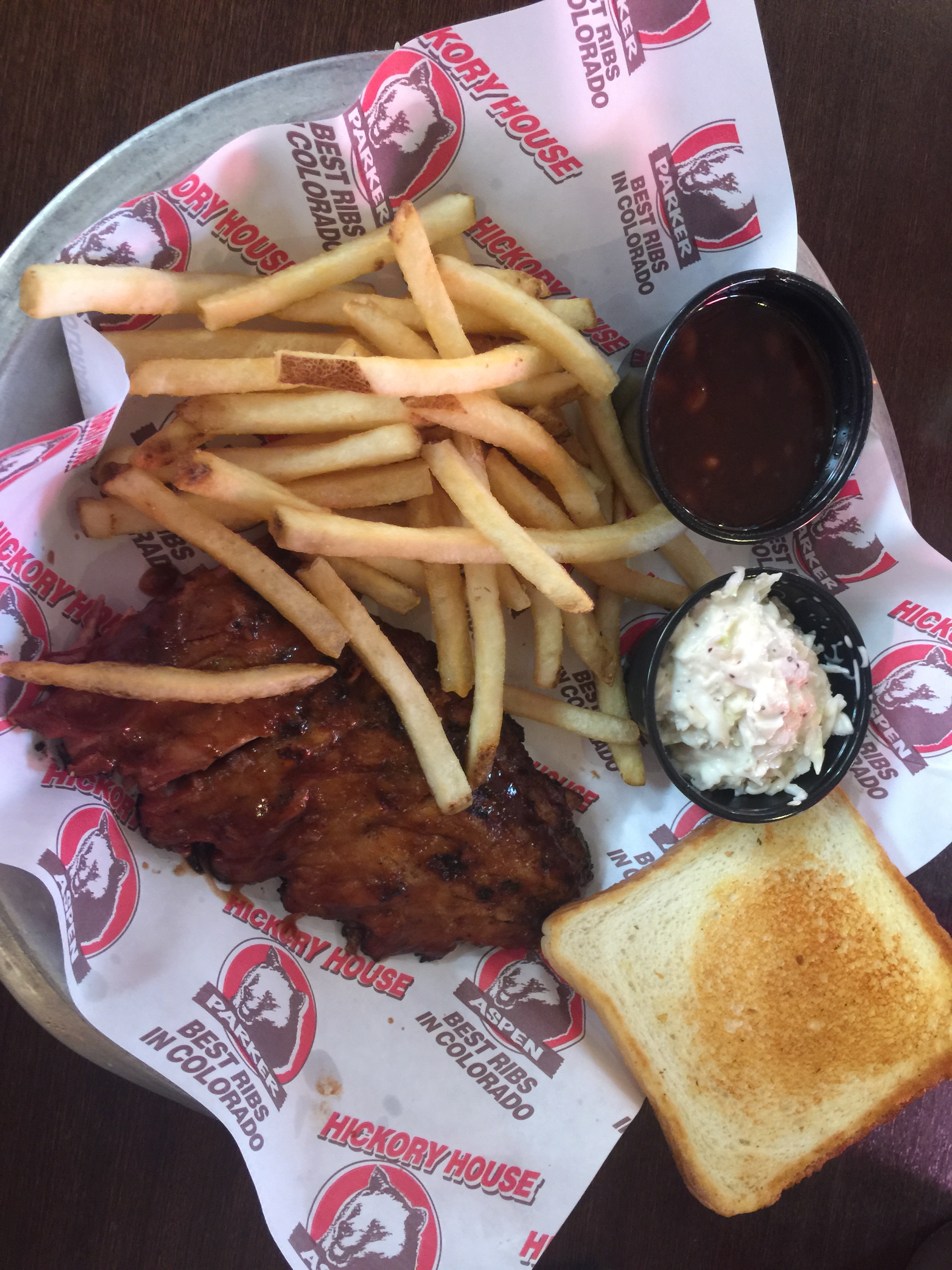
The ribs are OK, but certainly not the best in Colorado, as the Hickory House says on its promotional materials — including its cups and menus. The Hickory House, with its small rack of baby backs, didn’t move any of the other Colorado rib restaurants off the podium.
Note the”Best Ribs in Colorado” claim. Not. Their promotional material should be revised to say “Best Ribs at The Hickory House.”
So, after 13 consecutive rib meals, here are the final standings: Gold Medal, Slow Groovin’ (Marble); Silver Medal, three-way tie among Serious Texas BBQ (Durango), Smokin’ Dave’s (Estes Park), and Arapahoe Cafe (Dillon).
There is no Bronze Medal, since the next award beyond the four listed above would be a fifth-place, and medals aren’t awarded for being number five — at least not on the Rocky Mountain Rib Rally.
Tomorrow we begin our rib detox, with a return to our normal healthy diet.
***
Day Thirteen Summary: Our thirteenth straight day of ribs. Top that, you slackers and vegans!
Click here to see today’s complete route from Silverthorne to Carbondale.
Glad you’re along for the ride.
Vroom, vroom.
***
Today’s Colorado Fun Fact: It’s against the law to pick Colorado’s state flower, the Colorado Blue Columbine, on public land or without prior consent of a private landowner.
Today’s Rocky Mountain Rib Rally Fun Fact: In the first quarter of 2018, Aspen had a luxury median home sale price of $18.34 million. To give you an idea of how crazy the Aspen real estate market is, we’ve met several long-time Aspenites who sold their unpretentious, blue-collar homes for $6 million; the homes were then torn down to build much more extravagant residences. The per-square-foot price in Aspen is closing in on $2,000!
Today’s Colorado Food Fun Fact: The term “cheeseburger” was originally trademarked, in 1935, by Louis Ballast of Denver’s Humpty Dumpty Drive-In. On the northwest side of downtown Denver – at the corner of Speer Boulevard and Alcott Street – is a small, engraved stone marker on the site where Humpty Dumpty’s once was. The location today is a Key Bank.
We leave our motel, the Blue Door Inn, heading west from Estes Park, and in a matter of minutes, we enter Rocky Mountain National Park.
But first, we stop for breakfast at the Notchtop Bakery and Cafe. It’s gonna be a leisurely day on the road as we head up the mountain. So we’ll carbo load before leaving Estes Park.
Good eats at the Notchtop.
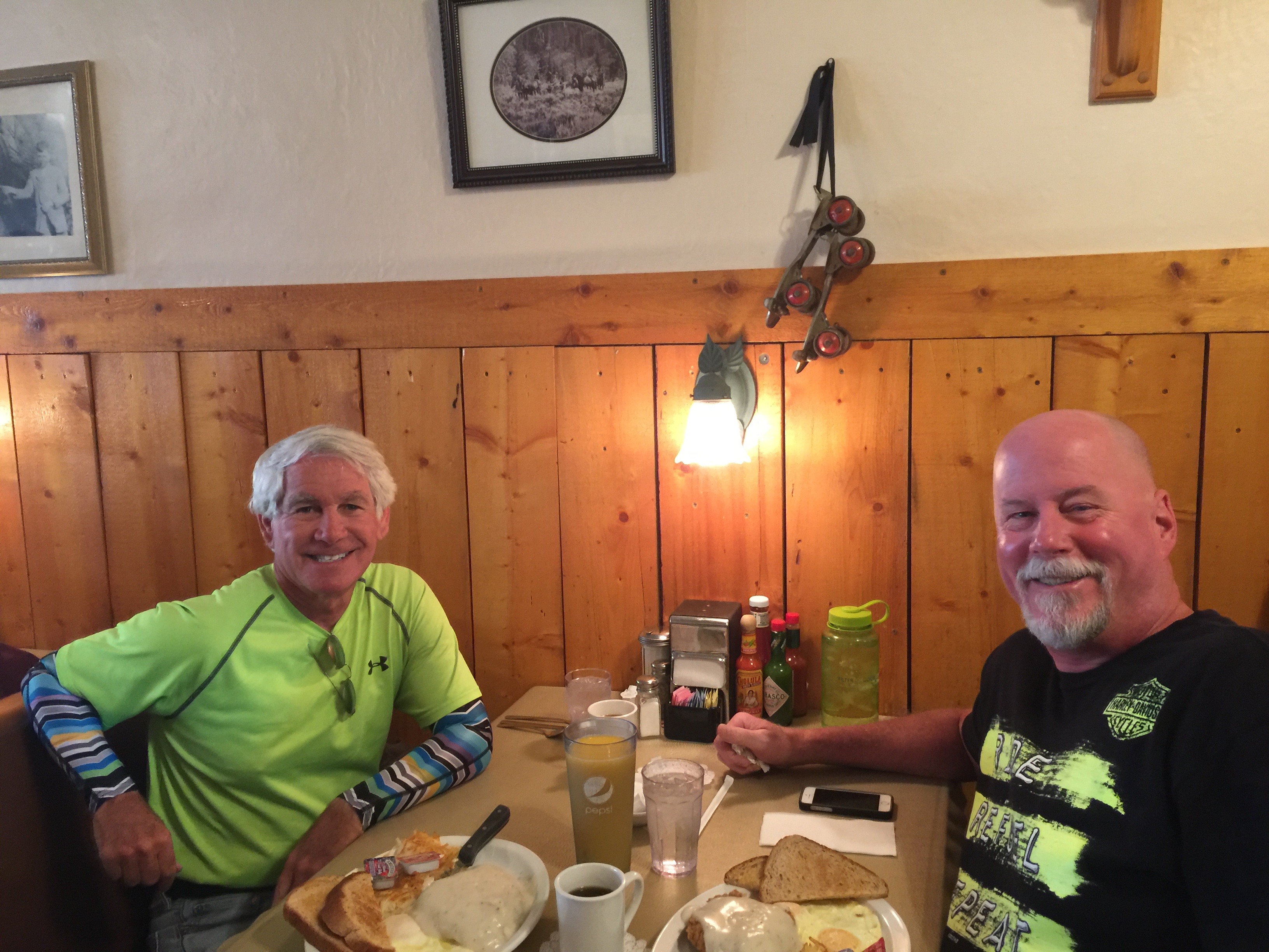
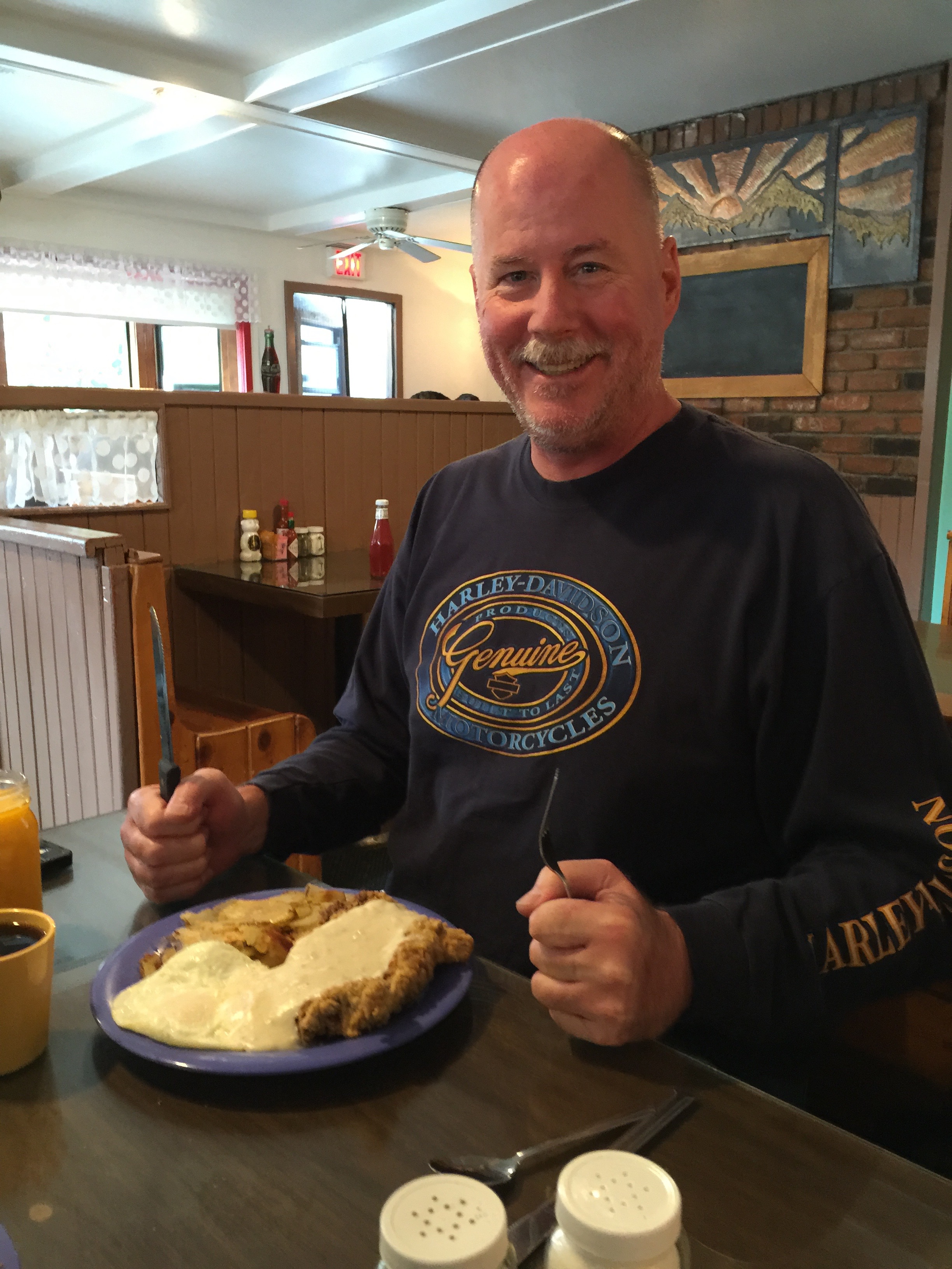
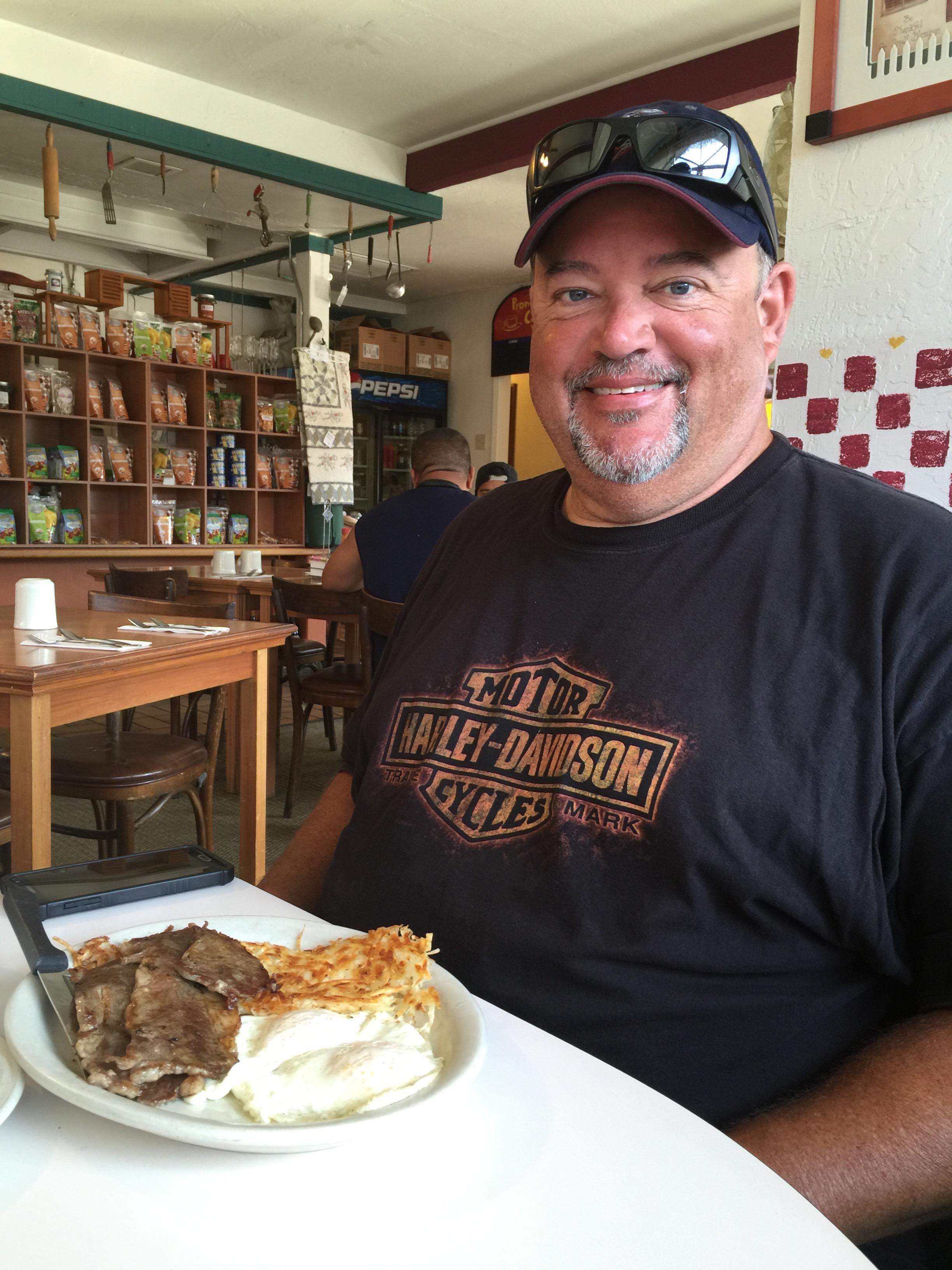
Cowboy Special. Guess who?
Health food. Guess who?
***
With more than four million visitors annually, Rocky Mountain National Park is one of the most visited national parks, right up there with Grand Canyon, Yosemite and Yellowstone.
We are riding on Trail Ridge Road, US-34, which runs for 48 miles through the park from Estes Park to Grand Lake. Trail Ridge Road is yet another of Colorado’s Scenic Byways. Today marks my third ride on this spectacular motorcycle road, and my first time going east to west.
Trail Ridge Road, a thrill above the timberline.
The first time I rode Trail Ridge Road was in 2014, with Ray Sanders (click here, scroll down to Ray), who introduced me to the joys of motorcycle touring. Ray, who’s married to Sarah’s cousin Tina, lives near Knoxville, Tennessee.
He was 83 at the time, and knew he had one more big ride in him. As part of his last motorcycle tour, he rode all the way from Tennessee to Colorado, specifically to do Trail Ridge Road one last time. It is, after all his all-time favorite ride. And that’s saying something; Ray has ridden more than a half-million miles, all over the world.
But Ray hasn’t ridden Trail Ridge Road in these conditions, and certainly not on a bicycle.
***
Building Trail Ridge Road was a landmark achievement for its day. From 1929 to 1932, the Civilian Conservation Corps could only work on the road three months at a time, due to the heavy snows.
Trail Ridge Road is closed during the winter, usually opening in late May, and closing around Columbus Day in October, when the National Park Service gives up fighting the snow and turns the road back to Mother Nature for the winter.
From the park’s eastern entrance, Trail Ridge Road begins to climb steeply. In about 20 miles, we’re above the tree line, heading for the road’s highest elevation: 12,183 feet. This spot makes Trail Ridge Road the highest continuously paved road in North America. There are higher paved roads, like Colorado’s Mount Evans, which takes you to the top of a fourteener – but it is not continuous; it goes to the top, you turn around, and go back down.
A few miles past the 12,183-foot marker, we arrive at the Alpine Visitor Center. At 11,796 feet, it’s the highest Visitor Center in the National Parks system.
Outside the Alpine Visitor Center. Temp was 56 degrees.
Last year, when Dave and I (and Randy and Scott) rode through the park, west to east, the Alpine Visitor Center was disappointingly closed for repairs. This year, it’ll be a good place to rest, grab something to drink and enjoy the sights from the rear deck, before continuing west for the 20-mile ride to the park’s Kawuneeche Visitor Center, its western entrance.
***
At the Visitor Center, leaving RMNP.
We exit Rocky Mountain National Park in Grand Lake, Colorado’s largest and deepest natural lake. Grand Lake sits at 8,280 feet, and is part of the headwaters of the Colorado River. That might explain why we’re now riding on the Colorado River Headwaters Scenic Byway.
We’re on this scenic byway for only about 10 miles, riding from Grand Lake to Granby. We ride along the west shore of Lake Granby, the third-largest body of water in Colorado and home to the Lake Granby Yacht Club, established in 1902. At 8,280 feet, it’s one the world’s highest-elevation yacht clubs. The Dillon Yacht Club, near tonight’s destination, is believed to be the highest: 9,017 feet.
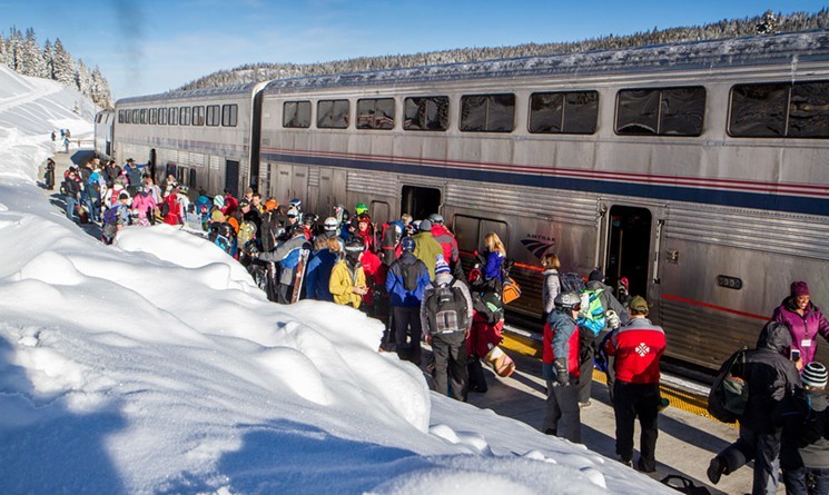
In Granby, we continue south on US-40, closing in on the Winter Park ski area. Only 65 miles from Denver, Winter Park attracts hordes of skiers from Colorado’s mile-high city, many of whom take the Winter Park Express train to and from the area.
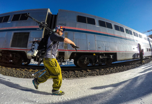
The Winter Park Express. A stress-free ride from Denver to Winter Park.
The train goes through the Moffat Tunnel, built in the late 1920s to provide Denver with a railroad connection to western Colorado via the Continental Divide. The Winter Park Express drops skiers off at Winter Park’s base ski area.
A skier heads for his seat on the Winter Park ski train.
Like many Colorado ski resorts, Winter Park is open in the summer, operating its lifts for mountain biking, hiking, and other activities.
***
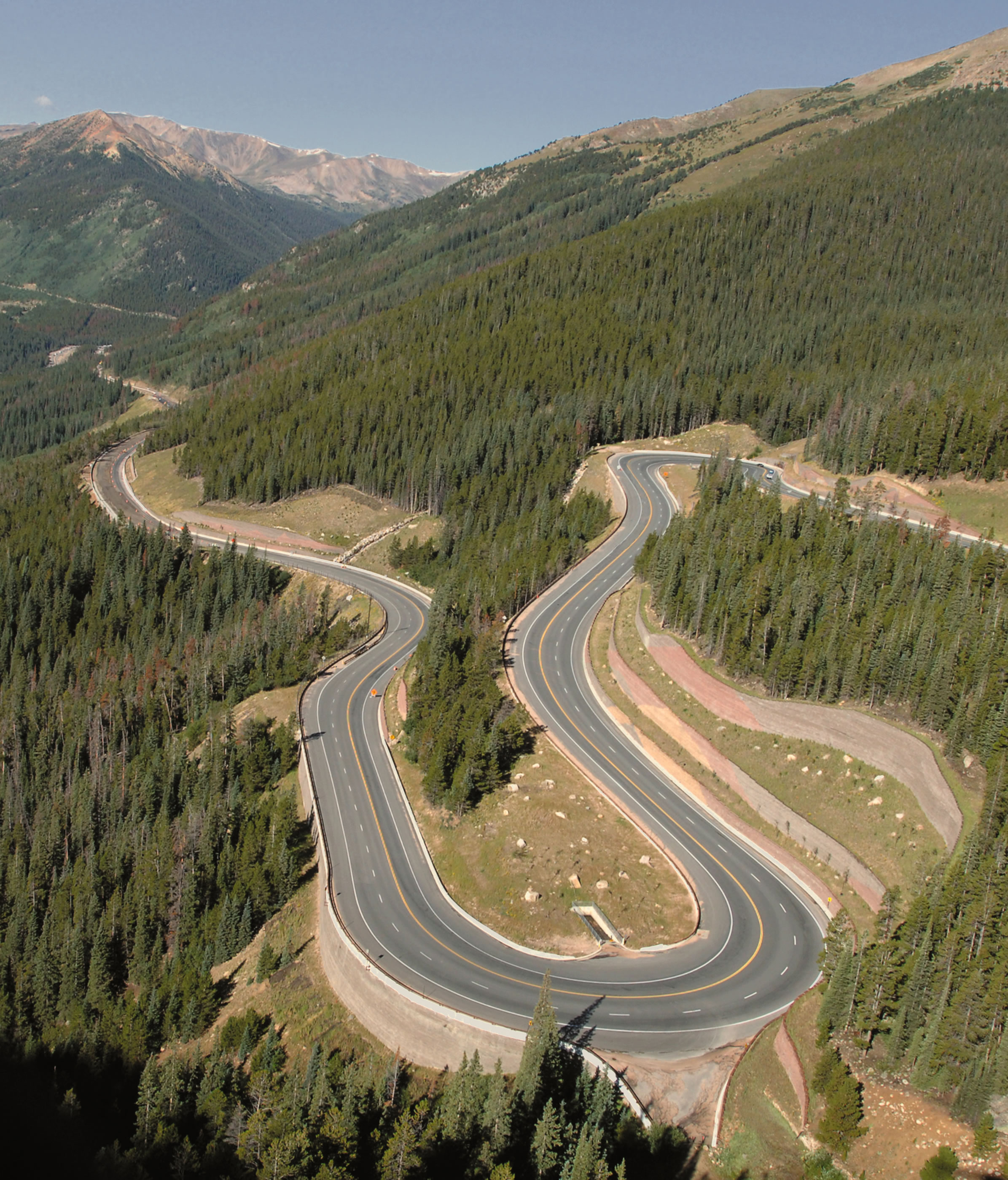
The ride from Winter Park to Berthoud Falls, all 17 miles of it, is spectacular. The road is twisty, steep, and extraordinarily scenic, with 10-mile-an-hour hairpin turns.
US-40 over Berthoud Pass is quite twisty.
Two-thirds of the way to Berthoud Falls, we cross Berthoud Pass, which sits on the Continental Divide. It’s 11,307 feet, and is on the route for skiers as they drive from Denver to Winter Park – a 90-minute journey. The pass is named for Edward Berthoud, the chief surveyor of the Colorado Central Railroad during the 1870s.
Berthoud Pass is home to the now-defunct Berthoud Pass Ski Area, which still attracts backcountry skiers, snowboarders and snowshoers. It has an abundance of steep and challenging terrain, and averages 500 inches of snow a year. The ski resort closed in 2003 due to financial problems caused by lack of water and sewage at the top of the pass.
More Berthoud Pass hairpins. Many are 15 or 20 mph turns.
From Berthoud Pass, we descend steeply to Berthoud Falls, which sits at 9,800 feet. Around Berthoud Falls, there are some great hikes. Maybe another day.
It’s less than nine miles to I-70, which we’ll take to our next two ski areas, Loveland and Arapahoe Basin. But first, we pass through the Town of Empire, population 282.
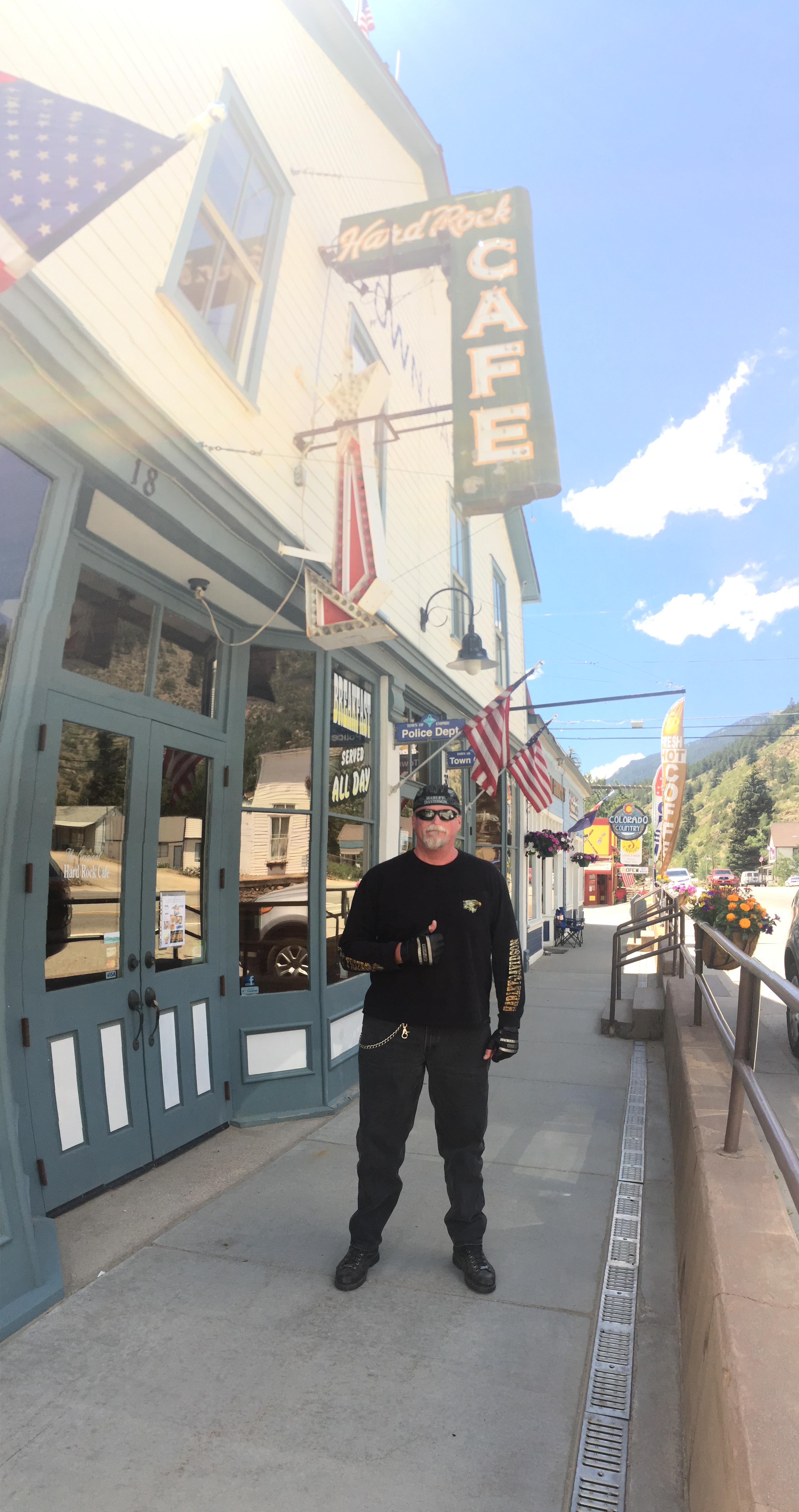
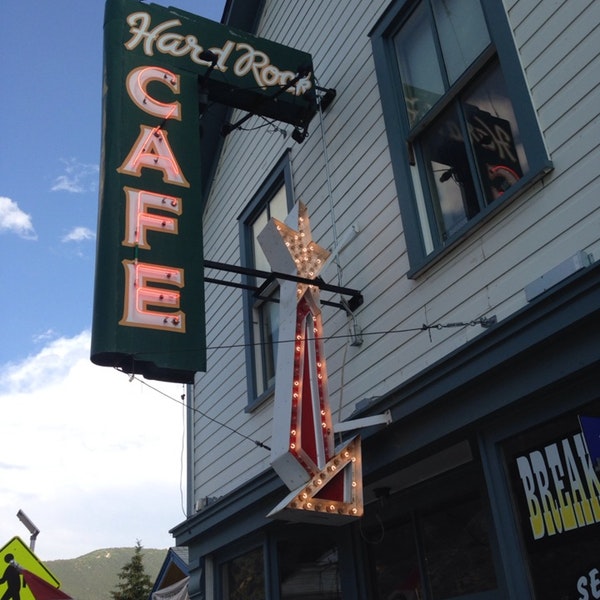
At the original Hard Rock Cafe in Empire.
Empire is a former mining town that actually has a Hard Rock Café. The café, which is currently shut down, has been there since 1934; it is not affiliated with the chain of restaurants that also call themselves the Hard Rock Café. Empire’s Hard Rock Café was named for the hungry hard rock miners that came to eat, many years ago.
The previous operator of the café called it quits in 2017. The town is looking for someone who’s interested in bringing the place back to life. Anyone?
A good business opportunity. If you want to be an Empire builder.
***
Riding west on I-70, we continue climbing steeply for nearly 15 miles, until we reach almost 11,000 feet.
We take the exit for US-6 to Loveland Pass. As we leave the Interstate, we’re within spitting distance of the Loveland Ski Area. The exit takes us right past it. The Loveland Ski Area is a combination of two separate areas: Loveland Basin and Loveland Valley. They were once connected by a chairlift, and now are served by bus.
Because of its high base elevation – 10,400 for the Valley; 10,800 for the Basin – Loveland is typically one of the first ski areas in Colorado to open each season. The earliest opening on record was October 7, 2009. Skiing halfway between Labor Day and Halloween … really?
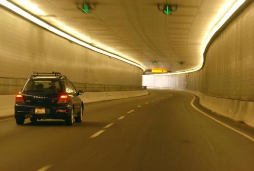
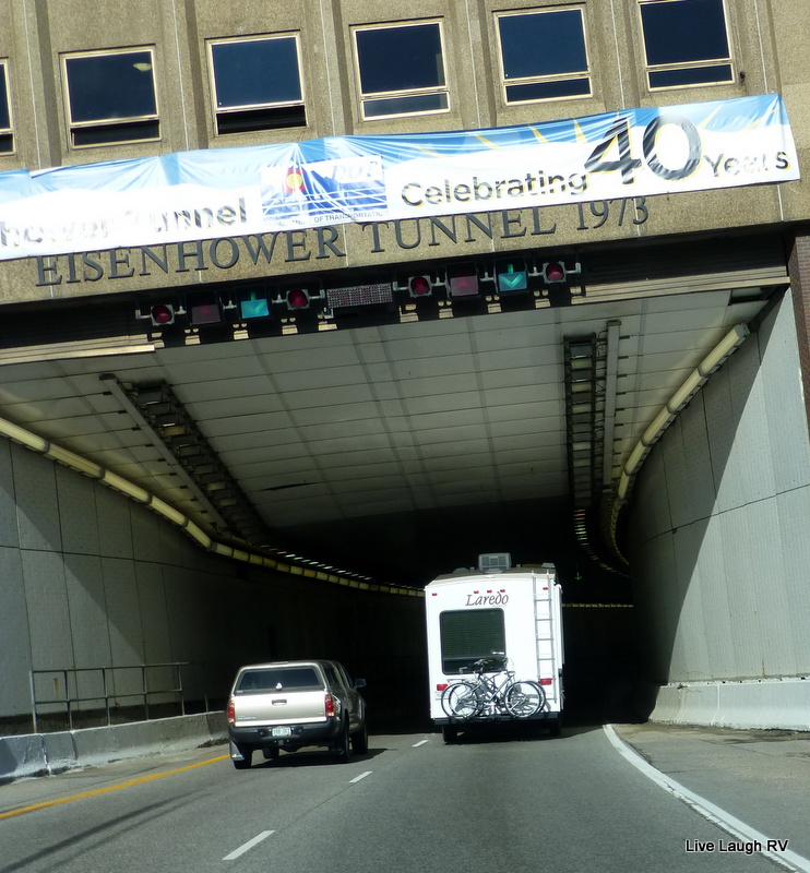
Both ski areas are at the eastern portal of the Eisenhower Tunnel, a civil engineering marvel that carries I-70 traffic under the Continental Divide. With a maximum elevation of 11,158 feet, it’s one of the highest vehicular tunnels in the world. The four-lane Eisenhower Tunnel, opened in 1973, is the longest mountain tunnel and highest point on the US Interstate Highway System.
Tunnel vision.
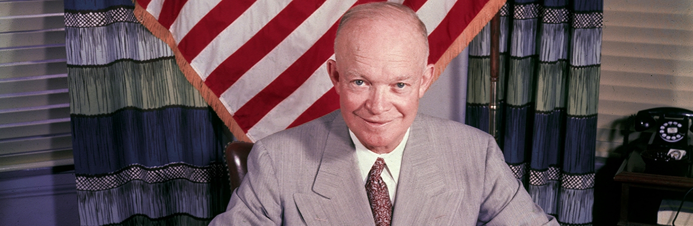
This should be obvious to anyone who’s taken a 4th-grade history class, but the tunnel is named after Dwight Eisenhower, the US President for whom the Interstate system is also named.
The idea for a tunnel under Loveland Pass had been kicking around since the 1940s, and serious discussion began when the state of Colorado lobbied to route a transcontinental highway across the state. Engineers recommended to tunnel under the pass, rather than try to build a route across it that conformed to Interstate Highway Standards.
Tunnel doesn’t look like much on the outside, but building it was quite the achievement.
There are actually two tunnels, each with two lanes. The westbound tunnel is 1.693 miles long, while the eastbound tunnel is 1.697 miles long. Only an engineer would be able to explain or understand the difference in length.
About 12 million vehicles pass through the tunnel every year. We will not add to that total, as we exited I-70 moments before we would have entered the tunnel.
***
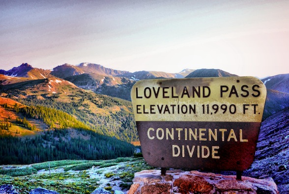
Loveland Pass. A spot for lovers ❤️
Instead of continuing west on I-70, we’re now heading south on US-6 toward Loveland Pass, only about six miles away. Loveland Pass is yet another major crossing that sits on the Continental Divide. The pass is 11,990 feet. To reach it, you ride a steep, steady 6.7 percent grade, and navigate numerous hairpin turns along the way.
Loveland is the highest mountain pass in Colorado that regularly stays open during the snowy winter season. The pass is named for William Loveland, the president of the Colorado Central Railroad in the late 19thcentury. Because of snow, cold weather, steepness and curves, Loveland Pass can be extremely treacherous in the winter. Today, it’s a piece of cake.
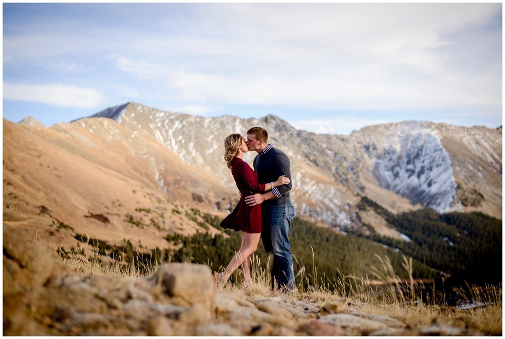
Shooting engagement and wedding photos at Loveland Pass has become good business for savvy photographers.
Seven miles after crossing Loveland Pass, we roll past the Arapahoe Basin Ski Area, called “A Basin” by locals. With a base elevation of 10,780 feet, A Basin is known for its extended season, usually staying open until early June, and sometimes into early July. This year, even with a disappointing snow season throughout the Rockies, A Basin was open until June 3.
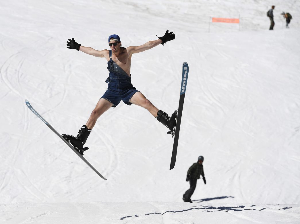
Tim Johnson launches off a small hill at Arapahoe Basin on closing weekend in early June.
From A Basin, it’s only 13 miles to Silverthorne, our destination for the evening. We continue west on US-6, and roll past yet another ski area: Keystone <link>. For the past 20 years, Keystone has been owned and operated by Vail Resorts. In summer – now – Keystone provides lift access for mountain biking, biking parks, and hundreds of miles of single-track mountain biking.
It’s almost ridiculous how many world-class ski areas there are within a few miles of each other. In the last half-hour, we’ve blown by three of them on our way to Silverthorne.
We arrive in Silverthorne after a relatively short but spectacular day – 145 miles and less than four hours in the saddle.
Did someone say Ribs?
Tonight we’re heading to the Arapahoe Cafe in nearby Dillon.
Arapahoe Cafe. Good eats.
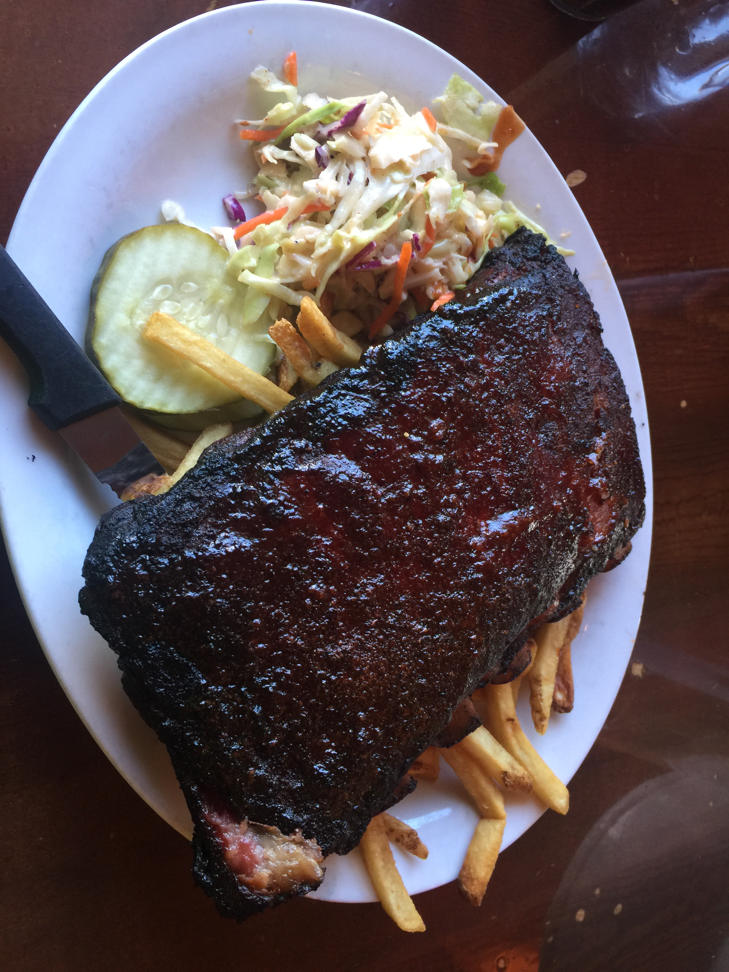
Standard half rack: six ribs. Smoked, and yummy.
Tonight’s dinner made the podium a bit more crowded. Arapahoe Cafe joins Serious Texas BBQ (Durango) and Smokin’ Dave’s (Estes Park) in a three-way tie for second place. Slow Groovin’ (Marble) remains in first place as the 2018 Rocky Mountain Rib Rally nears the finish line.
***
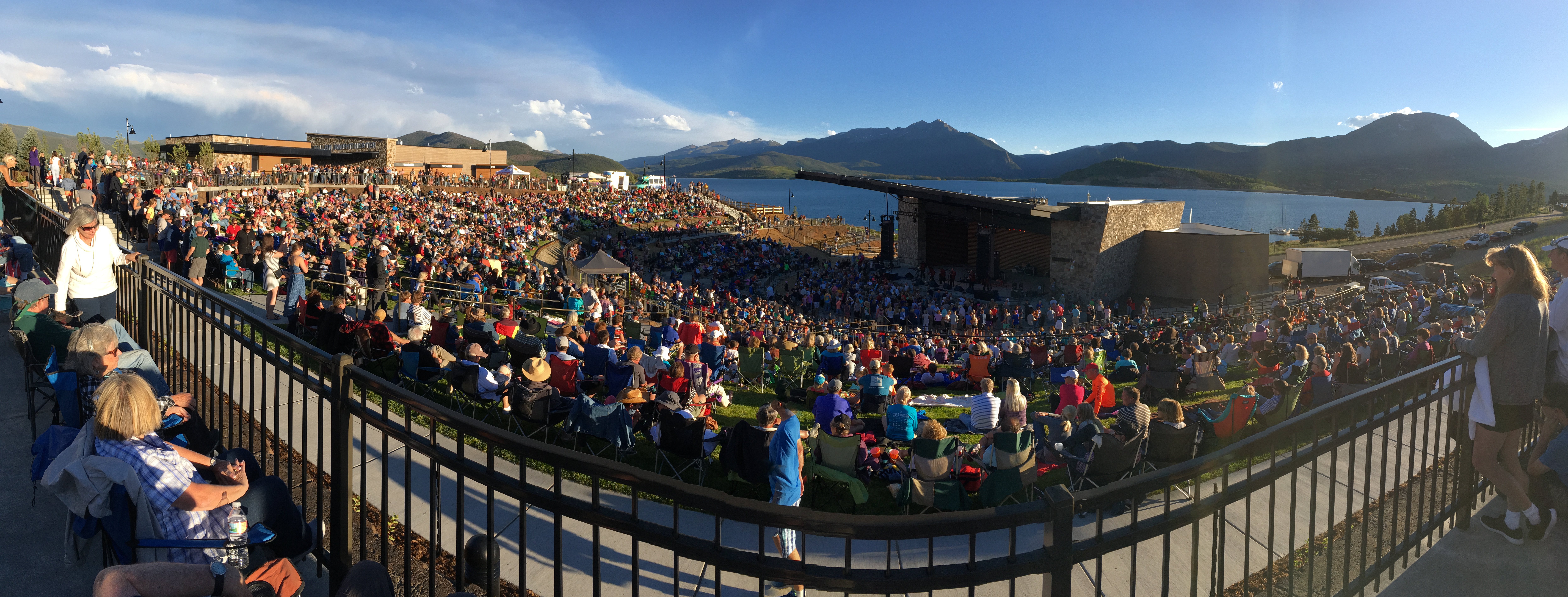
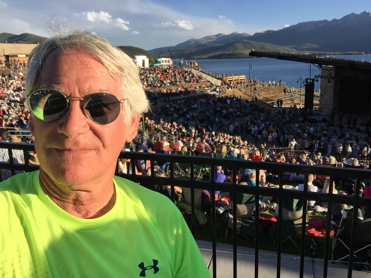
We stumbled onto the first-ever concert at the new Dillon amphitheater.
After dinner, we walked a block to the brand new amphitheater in Dillon. A band called “Nacho Men” was playing at the first-ever concert there. Free!
It’s a gorgeous setting for sunset entertainment. The stage sits directly in front of the Dillon Reservoir. In the background, sailboats flit by. Quite the scene.
Groovin to the sounds of Nacho Men.
***
Day Twelve Summary: The highest continuously paved road in North America. Thank God for continuous paving.
Click here to see today’s complete route from Estes Park to Silverthorne.
Glad you’re along for the ride.
Vroom, vroom.
***
Today’s Colorado Fun Fact: The Colorado Rockies are part of the North American Cordillera, which stretches 3,000 miles from Alaska, through western Canada and the United States, into northern Mexico. The centerpieces of this dramatic uplift are the peaks over 14,000 feet, or “fourteeners”, as they are affectionately referred to by climbers. There are 58 fourteeners in Colorado, according to the Colorado Geological Survey.
Today’s Rocky Mountain Rib Rally Fun Fact: We rode over Loveland Pass earlier today. Loveland is known as “The Sweetheart City.” Every year thousands of Valentine’s Day cards are mailed from or mailed to Loveland, where a staff of volunteers stamps them with a personal Loveland stamp and re-sends them out to their recipients. Here’s how to find the Love.
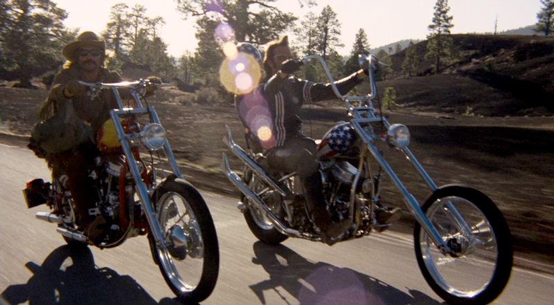
Dennis Hopper (left), riding his Harley wearing a cowboy hat, in a scene from the 1969 film, Easy Rider.
Inspired by Steamboat Springs style, we head east considering wearing Stetsons instead of helmets. Cowboy hats on Harleys has been a thing ever since Dennis Hopper made it cool in Easy Rider, back in 1969. It’s truly a fashion statement.
I wrote that just to see if Sarah and Gail were paying attention. Of course we’ve got our helmets on. Safety first.
We’re now heading east on US-40, toward the tiny Town of Walden, about 60 miles away. To get there, we ride over Rabbit Ears Pass, yet another crossing of the Continental Divide.
Rabbit Ears Pass. Note the ears at top of photo.
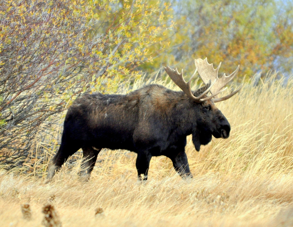
Walden, population 600, is in the center of a large open valley called North Park. Walden is located just north of the Arapaho National Wildlife Refuge, and calls itself the Moose Viewing Capital of Colorado.
A moose near Walden, Moose Viewing Capital of Colorado. These guys are huge.
Walden was named for Mark Walden, an early postmaster there. The town has a reservoir, but not a pond. Yes, that was an obtuse reference to Walden Pond, inspiration for Henry David Thoreau.
Thoreau’s Walden Pond, in Concord, Massachusetts, actually got its name from early colonists who named it after Saffron Walden in Essex, England. Glad you asked?
***
In Walden, Colorado, we begin riding the Cache la Poudre Scenic Byway, which runs 101 miles along the Cache la Poudre River, from Walden to Fort Collins. We’ll be doing most of that ride today, stopping short of Fort Collins, home to Colorado State University, the state’s fifth-largest city.
The Cache la Poudre Scenic Byway crosses between the Never Summer and Medicine Bow Mountains. The Never Summer Mountains have 17 named peaks, many of them named after cloud types, such as Mount Cirrus, Mount Nimbus, Mount Stratus and Mount Cumulus.
The Cache la Poudre Scenic Skyway winds along the river of th same name.
The Cache la Poudre winds through the piney hills and willow-covered riparian habitat of Colorado State Forest State Park, the mot reliable place in Colorado to see a moose. No wonder Walden is the Moose Viewing Capital of Colorado.
Rest stop along the Cache la Poudre.
Harley, with a nice view of the scenic byway.
Cache la Poudre is French for “Hide the Powder.” It refers to an incident in the 1820s when French trappers, caught by a snowstorm, were forced to bury part of their gunpowder along the banks of the river. And now you know.
The Cache la Poudre is popular in the summer for fly fishing, whitewater rafting, tubing, and kayaking. The National Park Service has designated the river as a National Heritage Area, recognizing its contributions to the development of water law in the Western US.
Poudre Canyon Road is an invigorating way to begin the day. The canyon is breathtaking, with hundreds of gentle curves, just enough to keep our focus. Poudre Canyon is considered one of the top motorcycle rides in Northern Colorado.
After riding 72 of the Cache la Poudre’s 101 miles, we turn south on Stove Prairie Road, and begin heading toward Estes Park, tonight’s destination. This road, too, is one of the top motorcycle roads in Northern Colorado. Stove Prairie Road becomes Buckhorn Road, for no apparent reason, but continues its twisty path to Masonville, which has a general store, a post office, and little more.
A few miles south of Masonville, we turn west on US-34, which deposits us, 27 miles later, in Estes Park.
The city is named after Missouri native Joel Estes, who founded the community in 1859, then moved his family there four years later.
Big Thompson Canyon, along the Big Thompson River — on the way to Estes Park.
Estes Park sits along the Big Thompson River, and adjoins Lake Estes. Its most famous landmark is the historic Stanley Hotel, which opened in 1909. The hotel was built by Freelan Oscar Stanley of Stanley Steamer fame.
The Big Thompson River, on which the hotel sits, is named for English fur trapper David Thompson. He was employed in 1810 by the Northwest Fur Company to explore the Rockies.
We arrive in Estes Park after a ride of 180 mostly spectacular miles, ready for ribs at Smokin’ Dave’s.
It would be hard to imagine a more appropriately named place to eat: Smokin’ Dave’s.
Smokin’ Dave at Smokin’ Dave’s.
Tasty!
Turns out, not surprisingly, Smokin’ Dave’s delivers on the promise: their ribs make our podium (top three), and are likely to stay there when our Rib Rally ends in a few days.
Now, after 11 consecutive rib meals, here are the updated standings: #1, Slow Groovin (Marble); #2, tie: Serious Texas BBQ (Durango), and Smokin’ Dave’s (Estes Park).
Just for fun, Dave tried a Buffalo rib. Just one. Looks like an animal devouring an animal.
***
Day Eleven Summary: On the lookout for moose, finding the hidden gunpowder in Cache la Poudre Canyon.
Click here to see today’s complete route from Steamboat Springs to Estes Park.
Glad you’re along for the ride.
Vroom, vroom.
***
Today’s Colorado Fun Fact: The first Teddy Bear was invented in Colorado, when the maids at the Hotel Colorado in Glenwood Springs crafted the Teddy Bear to give it to a famous visitor – Theodore Roosevelt.
Today’s Rocky Mountain Rib Rally Fun Fact: Tonight, we’re staying in Estes Park. That, by itself, isn’t too interesting. But you may be interested to know the Stanley Hotel in Estes Park was the inspiration behind Stephen King’s infamous horror novel, The Shining.
Today’s Colorado Food Fun Fact: Tomorrow, we’ll be riding through Rocky Mountain National Park, with a peak elevation of 12,183 feet. What to eat and drink at that altitude? According to one website, carbohydrates are the preferred energy source at altitude. Carbs replace depleted muscle glycogen, preventing muscle from being used as energy, and requires less oxygen for metabolism. A high-carb diet can reduce the onset and severity of Acute Mountain Sickness. And, stay hydrated; dehydration at altitude increases the risk of frostbite and worsens the fatigue, impaired judgment and apathy of hypoxia brought on by high altitude.
As we did yesterday, we begin our day by riding east on CO-82, toward Basalt. But today’s ride won’t include fishing, and will be anything but pedestrian.
Today, we’ll cross two high mountain passes, each sitting on the Continental Divide. There’s a reason they call it the Top of the Rockies Scenic Byway.
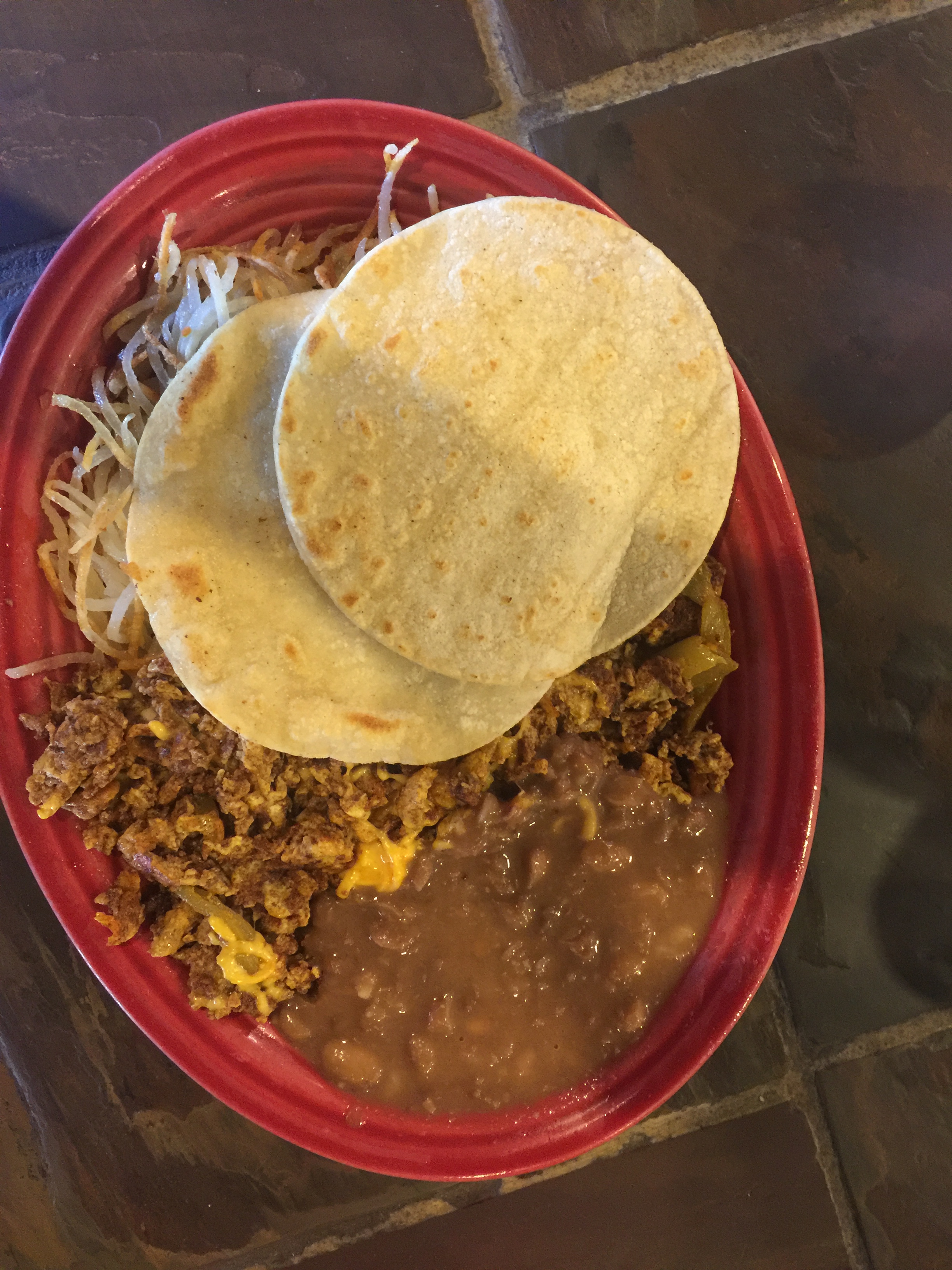
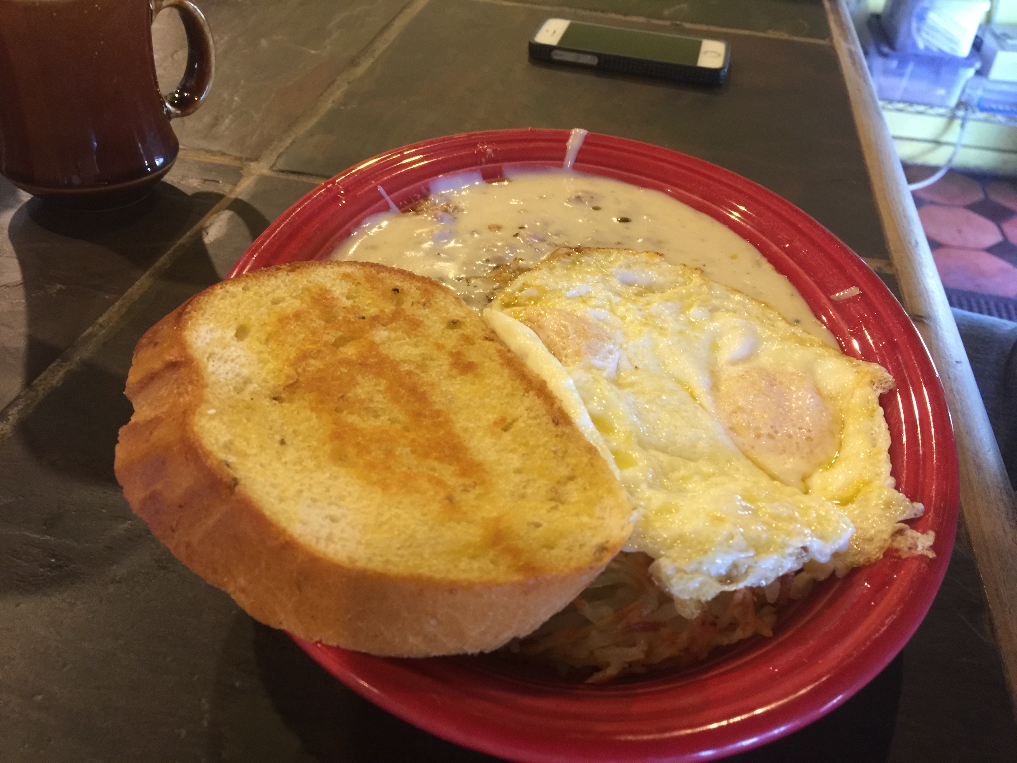
Stopped for morning eats at Breakfast In America, in El Jebel, near Basalt. Great greasy spoon cuisine. The place bills itself as “Best Hangover Food” in the valley.
Chorizo and beans. Guess who?
Chicken Fried Steak. Guess who?
We roll past El Jebel, then Basalt, and continue east on CO-82, with Aspen in our sights.
Aspen is only 31 miles from our front door. It’s 29 miles to Snowmass, a much larger but (outside of Colorado) less-well-known ski area.
***
We live in the Rockies now. Maybe it’s time to give skiing another try?
Living so close to these ski areas has been life-changing for me. I’ll be self-indulgent for a moment, and share a story about me. And about skiing. Stay with me.
Growing up in the San Francisco Bay Area, I learned to ski at Squaw Valley, the week after the 1960 Winter Olympics were held there. Skiing held a special place for me; as a kid, it was my escape from real life during the turbulent 1960s.
I loved skiing so much that when it came time to go off to college, my only criteria for a university was proximity to skiing. I chose the University of Utah because, well, they accepted me. And the campus was only 25 miles from Alta.
Classes in the morning, skiing in the afternoon. Nice life, at age 18.
I was a good enough skier that Alta hired me as a ski instructor for its Alf Engen Ski School in the early 1970s. They paid me, but that was beside the point; the point was that I got to share my passion for skiing with others, and I was able to use my gifts as a communicator and teacher to help my students become better skiers.
Then, life and my career intervened.
I skied less and less, and eventually gave up on skiing altogether, donating my ski gear to charities when we lived in Southern California. We thought we’d never ski again, and stopped skiing for good in 2001, after returning from a ski trip to France. That was that. Or so we thought.
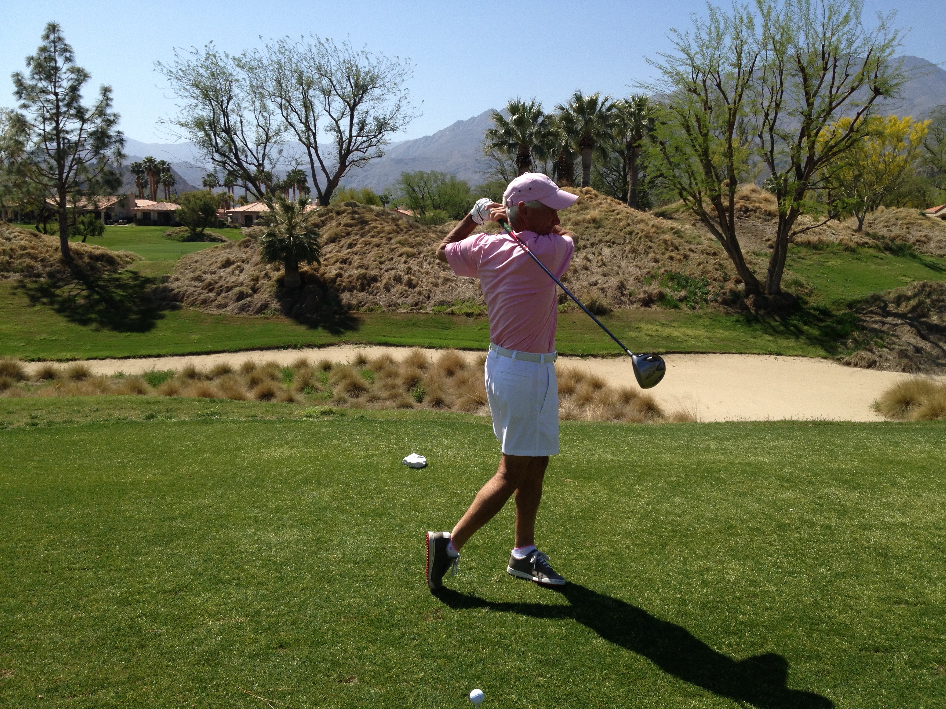
This is what winter looks like in La Quinta, our home for 17 years. Skiing is the farthest thing from your mind in that environment. Pic above is first tee at PGA West Nicklaus Private Course. Guy in the pink shirt is the blog’s author.
Living in the desert was not at all conducive to a snow-oriented life. It was hard to get excited about skiing when it was 80 degrees and sunny every winter day.
Winter in La Quinta. Who needs snow? (photo shot on December 13, 2015)
Then, in the fall of 2017, we arrived in Carbondale, Colorado, to watch our new home being built. Colorado is one of the most beautiful places on earth, with endless four season possibilities, including snow sports in the winter. But when we decided to move to the Rockies, skiing was never part of the conversation. I thought my skiing days were behind me.
Just to hedge my bets, I bought a seven-day pass at Aspen Snowmass for the 2017-2018 season, curious to see if I’d find a spark.
My first day of skiing in 17 years. February 2018. “I can still do this.”
On January 22, 2018, I had my first ski day in 17 years. I found a spark, and it turned to fire. The passion reignited. I got home that evening, and said to Sarah, “Hey, I can still do this!”
I began to see myself as a recreational skier, perhaps slightly above average, like all the children in Lake Wobegon.
And then, I had a life-altering afternoon on the hill one day in February. I had a “client relations day” on the hill at Snowmass with George, our construction superintendent. George was on his snowboard, me on my rented skis. Days later, George said to Sarah, very loosely paraphrasing – and this is how he talks – “Dude can ski.”
This is what a “Client Relations Day” looks like in Colorado. That’s George, on the left.
So, with a renewed self-confidence in my skiing after a 17-year hiatus, I decided to participate in an “on-snow” tryout to become a ski instructor at Aspen Snowmass for the 2018-2019 season. On April 4, I joined 11 other hopefuls, most young enough to be my grandchildren, as we all pursued a common dream.
Now the payoff: after a 47-year break from ski instructing, I’ll be teaching again next season. Aspen Snowmass calls it being a “ski pro.” Whatever it’s called, I’m tremendously thankful for the opportunity to follow my passion. Again.
Funny how life comes full circle when you least expect it.
***
We continue our ride on CO-82, rolling past the turnoff to Snowmass, where I’ll be working next year – if you call it work.
We pass Buttermilk, home of the Winter X Games, held every January.
At the Winter X Games, everything is extreme.
Extreme enough?
And soon, we roll through Aspen, where the average home sales price is now close to $8 million. Per-square-foot prices are in the thousands of dollars. It’s an unreal, obscene real estate market given to vulgar displays of wealth.
Home prices in these parts are stupidly high. The mountains are high, too.
The highest lift at Snowmass goes to 12,510 feet. It’s above the tree line. The highest lift in Colorado is at Breckenridge, topping out at 12,840 feet. Highest in the world: Dagu Glacier in China, where its lift tops rises to 15,890 feet. Dagu is said to be the largest and youngest glacier in the world.
***
We roll out of Aspen, and immediately begin our journey on the Top of the Rockies Scenic Byway. This spectacular roadway takes us across the Continental Divide and within view of Colorado’s two highest peaks, Mount Elbert (14,440 feet) and Mount Massive (14,421 feet).
On CO-82, heading east out of Aspen, toward Independence Pass. Lots of bikers on the road. As there should be.
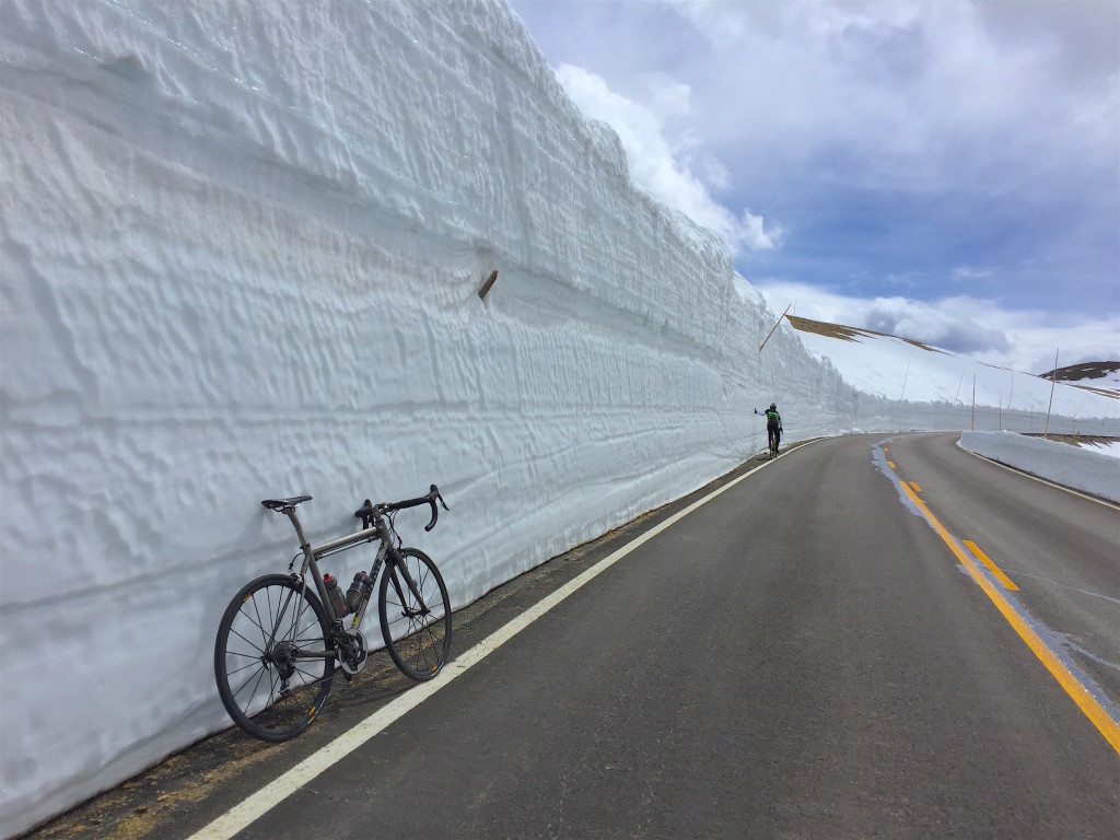
From Aspen, it’s less than 20 miles to Independence Pass. The pass, at 12,095 feet, is the highest paved crossing of the Continental Divide. Indy Pass, as it’s known, is generally open from Memorial Day to November 1, depending on what kind of a snow year we have. It’s been a very mild snow season, and the pass opened this year on May 23.
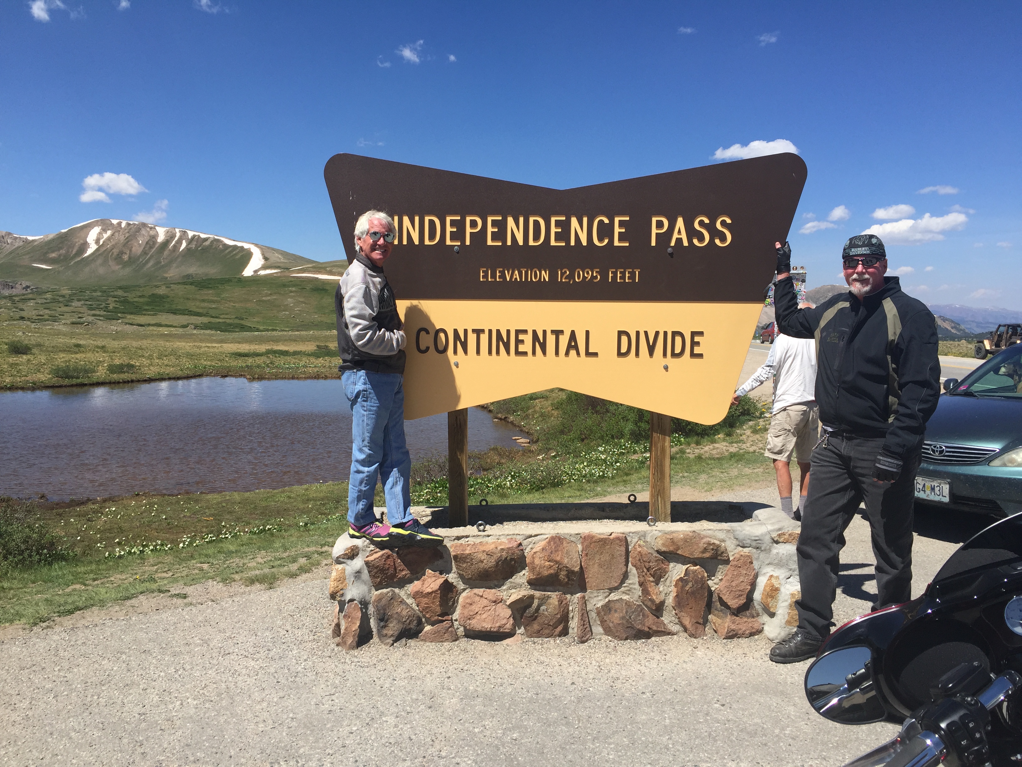
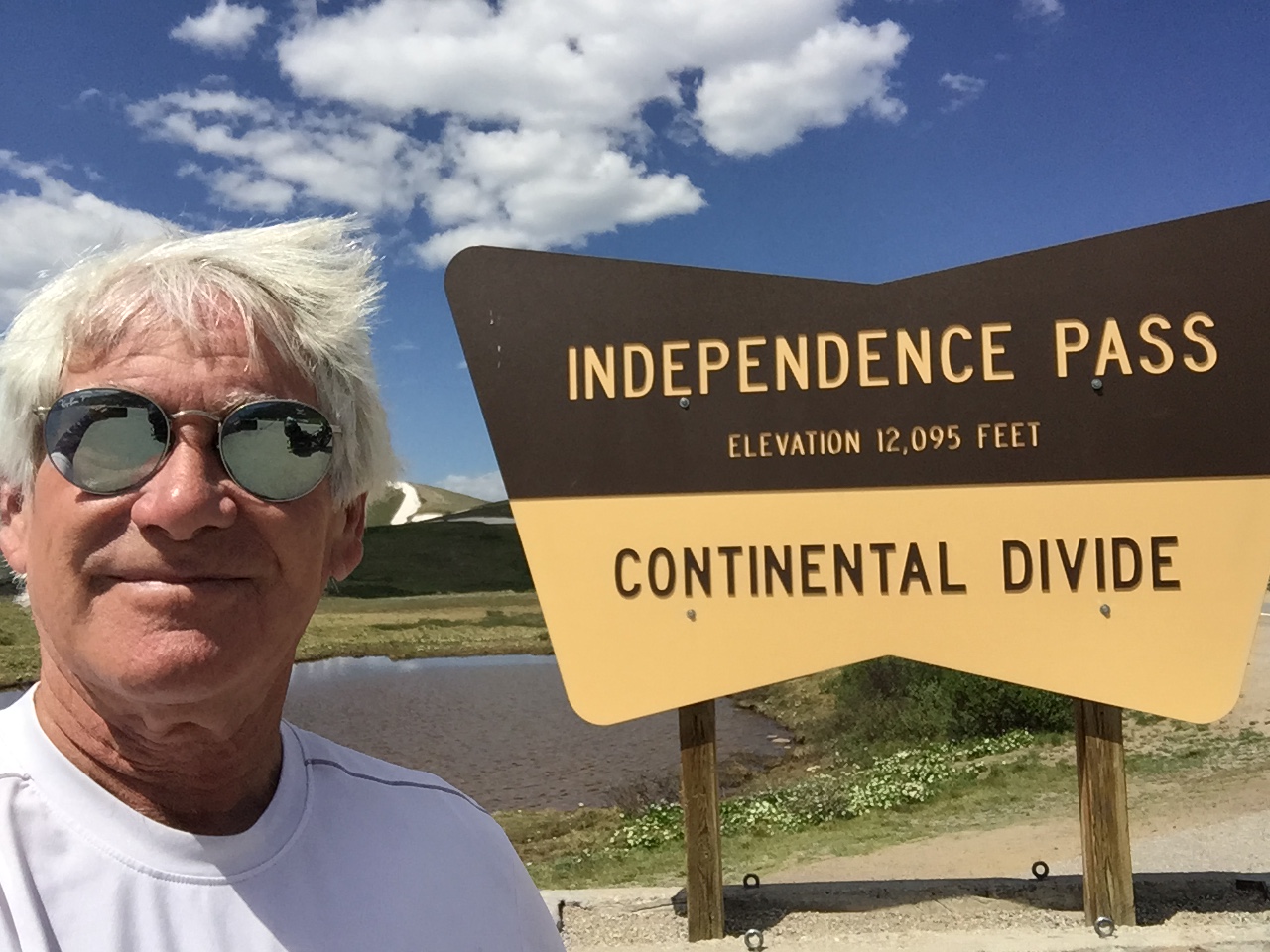
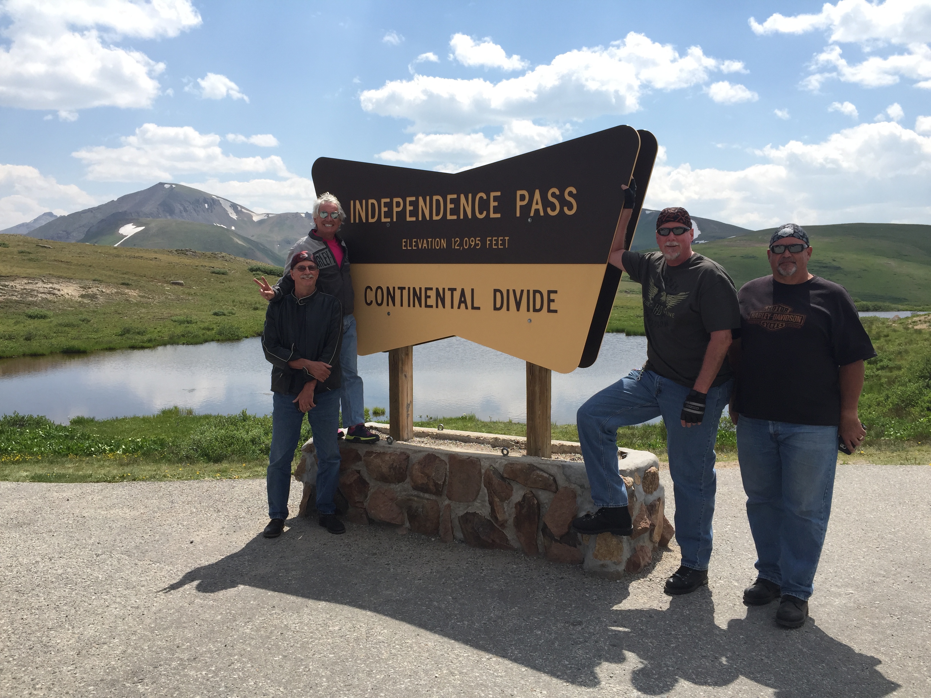
Independence Pass is a popular photo op spot.
Independence Pass gets its name from the village named Independence, which was established on July 4, 1879 – and is now a ghost town four miles west of the pass – on the Aspen side.
Independence grew quickly as miners found gold in the mountains.
Clark Wheeler, an early investor in those mines, funded the construction of a stage road from Independence to Leadville, the first road to cross the pass. It opened in November 1881, with winter already in full swing at the pass.
No toll at the pass today.
The toll road charged 25 cents. The tolls, collected at three separate gates, primarily reflected the cost of retaining a large crew of men with snow shovels to keep the road open in wintertime; they were able to keep the road open through its first five winters. When the snow was too deep, sleighs were used instead. During the summer the stages were able to take the switchbacks at full speed, with dogs running in advance to warn other traffic. A typical voyage over the pass required 10–25 hours and five changes of horses.
Today, our passage from Independence to Leadville will take less than an hour, and will involve no changes of Harleys.
The Colorado gold boom turned to silver in the late 1800s, causing Aspen — where we were just an hour ago — to grow like crazy. But by the late 1920s, Aspen’s mining fortunes had reversed, and its population dropped below a thousand. Mines gradually closed down, but the route over the pass remained open. In 1927, the year of the great stock market crash, the state of Colorado replaced the stage road with what eventually became Highway 82 – which we’re riding today over Independence Pass. Most of the old stage route over the pass is still used today.
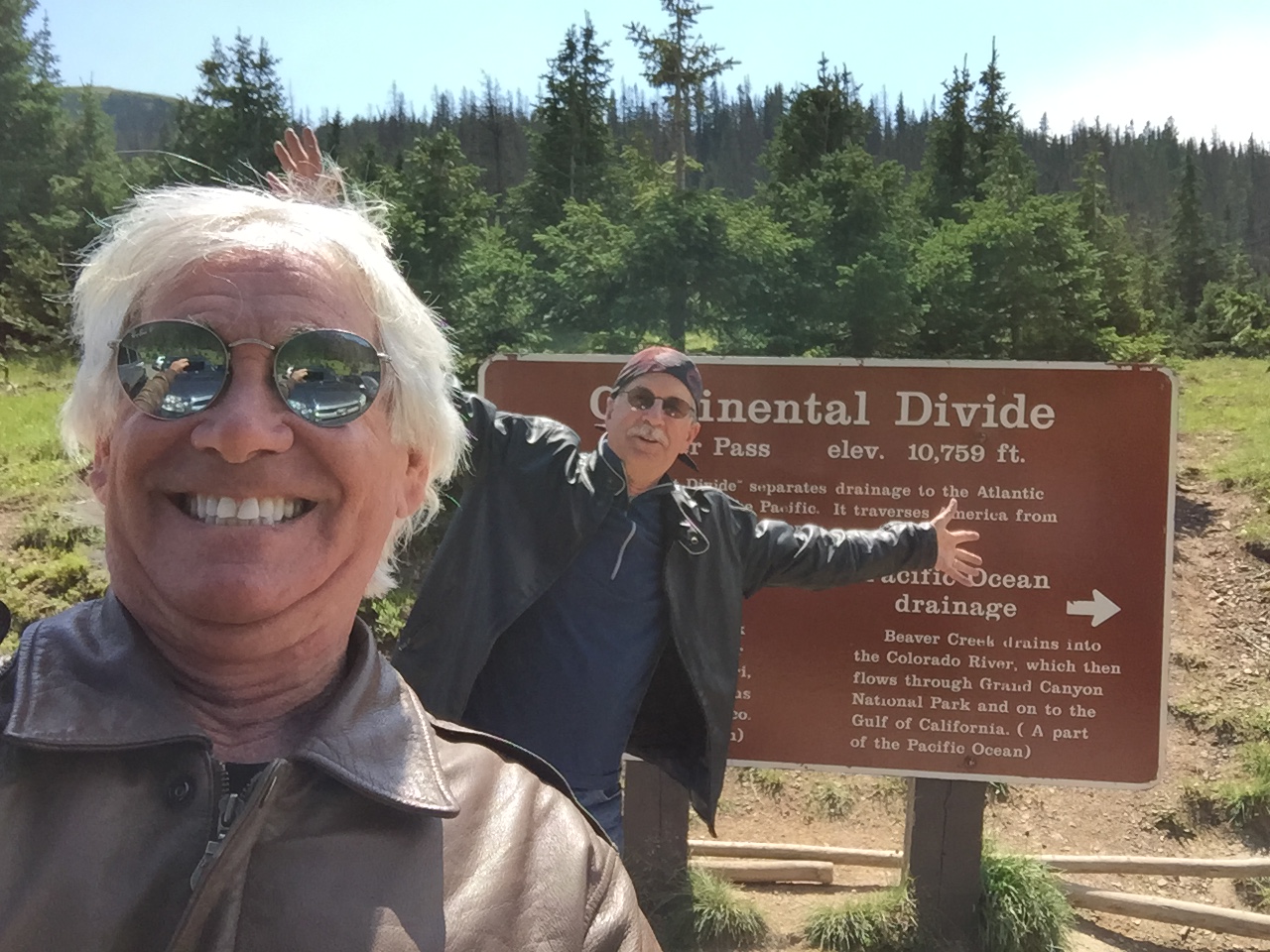
One more pass pic. Cuz, you know, hate to waste a good selfie.
***
In addition to marking the Continental Divide, Independence Pass is also the crest of the Sawatch Range, the Pitkin-Lake county line, and the boundary between the White River and San Isabel National Forests. And, a darn good place to pull over for photos from a spectacular vista point.
We’ve crossed the Continental Divide several times on this trip, and will do it again later today. Probably not a bad idea to clarify what the Continental Divide is.
It’s a natural boundary line separating the watersheds of the Pacific Ocean from those of the Atlantic Ocean. Technically, a continental divide is a drainage divide on a continent where the drainage basin on one side of the divide feeds into one ocean or sea, and the basin on the other side feeds into a different ocean or sea.
The Continental Divide runs north-south from Alaska to Northwestern South America. In the continental U.S., it follows the crest of the Rocky Mountains. There are thirteen paved mountain crossings of the Continental Divide. During the 2018 Rocky Mountain Rib Rally, we’ll cross seven of them.
***
In Twin Lakes, we take a break. That’s Twin Peaks in the background.
After our latest Continental Divide photo op, we begin the journey down the mountain toward Twin Lakes, 17 miles east of the pass. Twin Lakes is 9,200 feet high in the San Isabel National Forest, a drop of nearly 3,000 feet from Independence Pass.
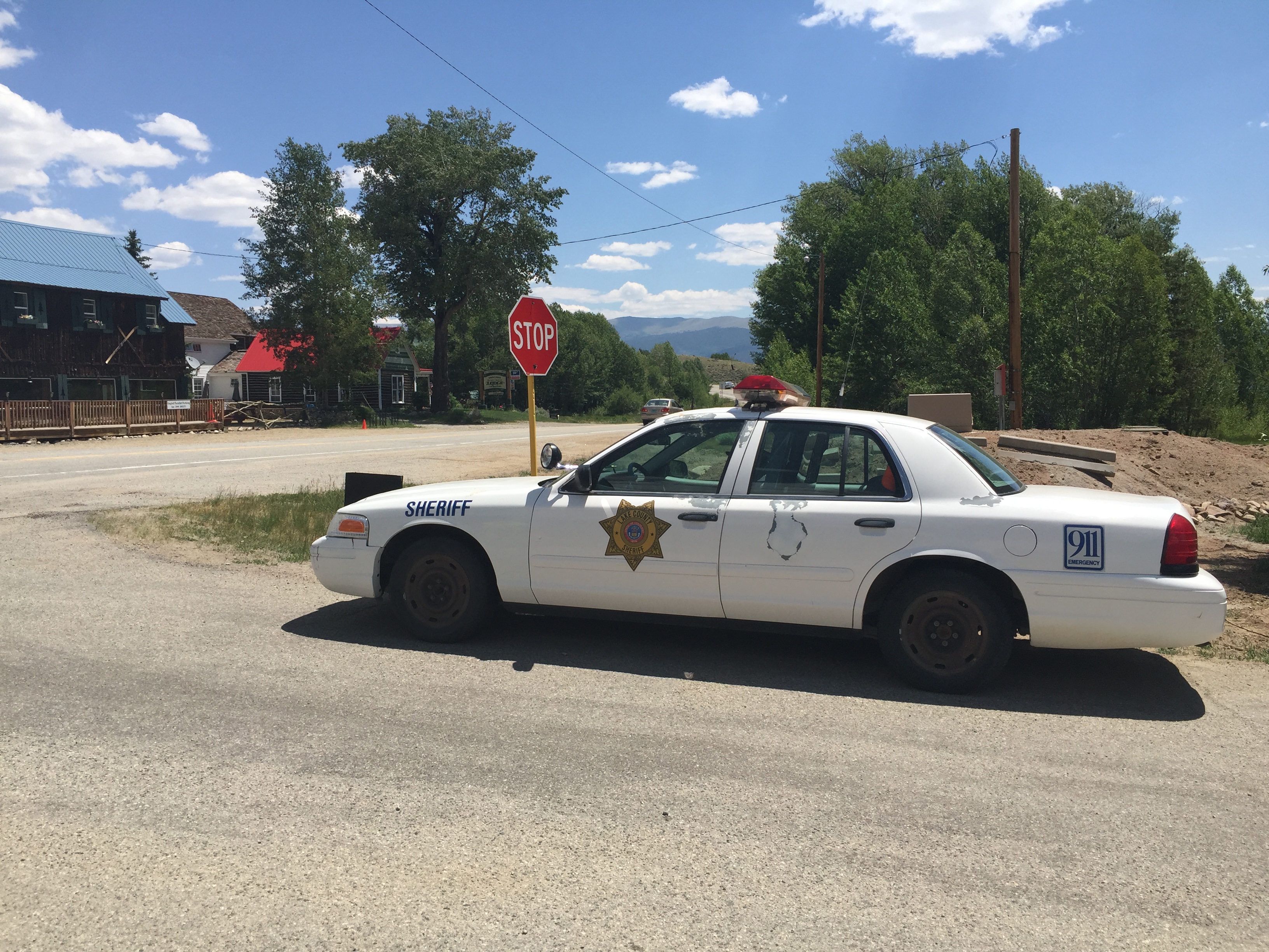
In Twin Lakes, across Highway 82 from the General Store, there’s a Lake County Sheriff’s car, permanently parked. It has a dummy in the driver’s seat. Actually tempts you to slow down.
Just past Twin Lakes, we turn north on US Highway 24. Thirty minutes later, we arrive in the historic city of Leadville. At 10,152 feet, Leadville is America’s highest incorporated city. It’s a former silver mining town, whose population was nearly 30,000 at the height of the mining boom. Today, the population is closer to 2,700.
Leadville is credited with producing 240 million troy ounces of silver and nearly three million troy ounces of gold. And today, it’s home to the National Mining Museum and Hall of Fame.
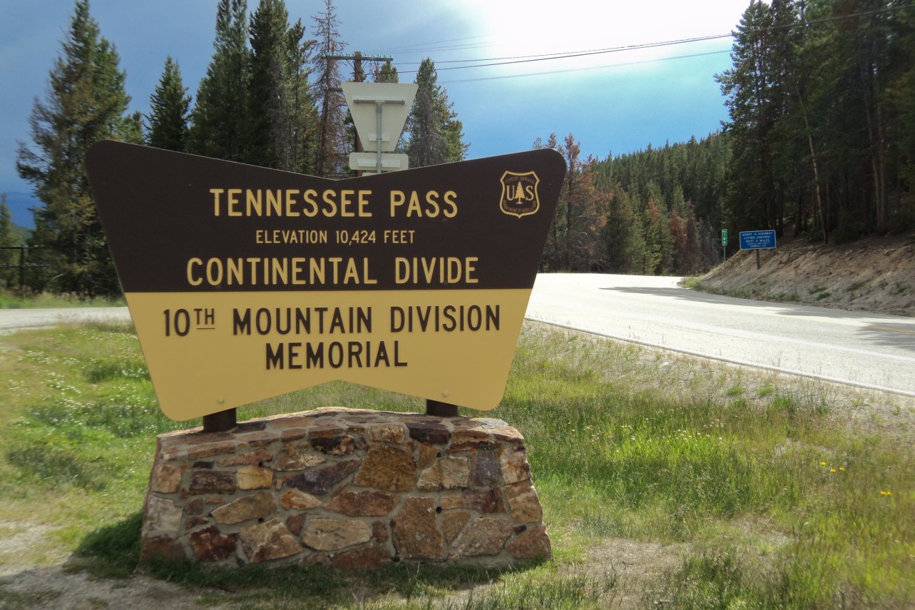
We leave Leadville, and set out to bag our second Continental Divide crossing of the day. We’re heading north on US-24, toward Tennessee Pass, elevation 10,424 feet. The pass is named after Tennessee, native state of a group of early mining prospectors in the area near Leadville – and birthplace of Sarah Murr.
Tennessee! This one’s for you, Sarah 😎
Tennessee Pass, is also the location for Ski Cooper, one of the oldest ski areas in Colorado. It opened as Cooper Hill Ski Area in 1941. During World War II, Ski Cooper served as the training site for the 10th Mountain Division. To this day, it continues to host a Memorial Day celebration for the World War II veterans of this division. Ski Cooper is a laid-back ski area, with two chairlifts and a family atmosphere. Season passes for the 2018-2019 season go on sale July 1.
Ski Cooper. Season passes go on sale Sunday.
***
From Tennessee Pass / Ski Cooper, it’s about 20 miles on US-24 to the charming mountain Town of Minturn, population 1,000. The town is named for Robert Minturn, who was vice president of the Denver and Rio Grande Western Railroad that founded the town.
Minturn was originally developed as a railroad town in the late 1800s, attracting railroad workers from around the country who settled in Minturn and helped shape the town’s character.
Despite its small size, Minturn claims to have more year-round residents than its resort neighbors, Vail and Beaver Creek, which are both just off of I-70. As we roll through Minturn, we are only about two miles south of I-70.
Today’s destination is Steamboat Springs, 87 miles northeast of Minturn.
***
So, we quickly jump on I-70, heading west for 14 miles, passing Beaver Creek, Avon, and Edwards before exiting I-70 at Wolcott and turning north on CO-131. We’ll be on CO-131 for the next 68 miles, riding through Toponas, Yampa, Phippsburg and Oak Creek on our way to Steamboat Springs.
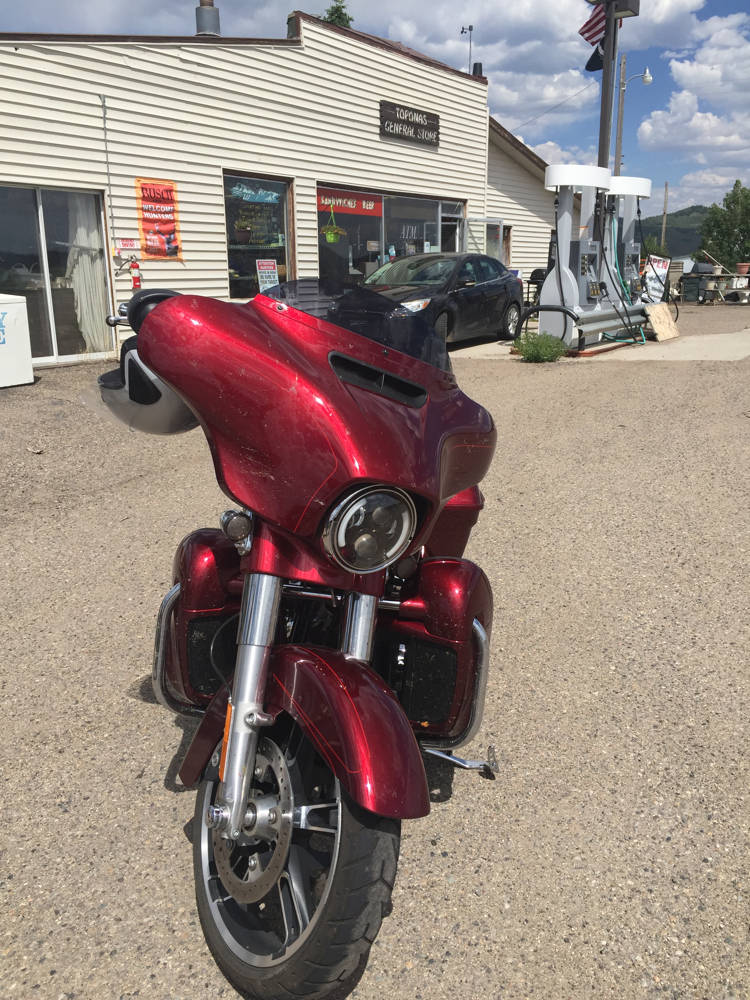
We stop at the General Store in Toponas to hydrate, stretch, and cool off. The store is a hoarder‘s haven, with a bizarre selection of nothing you’d ever want to have in your home, or be associated with.
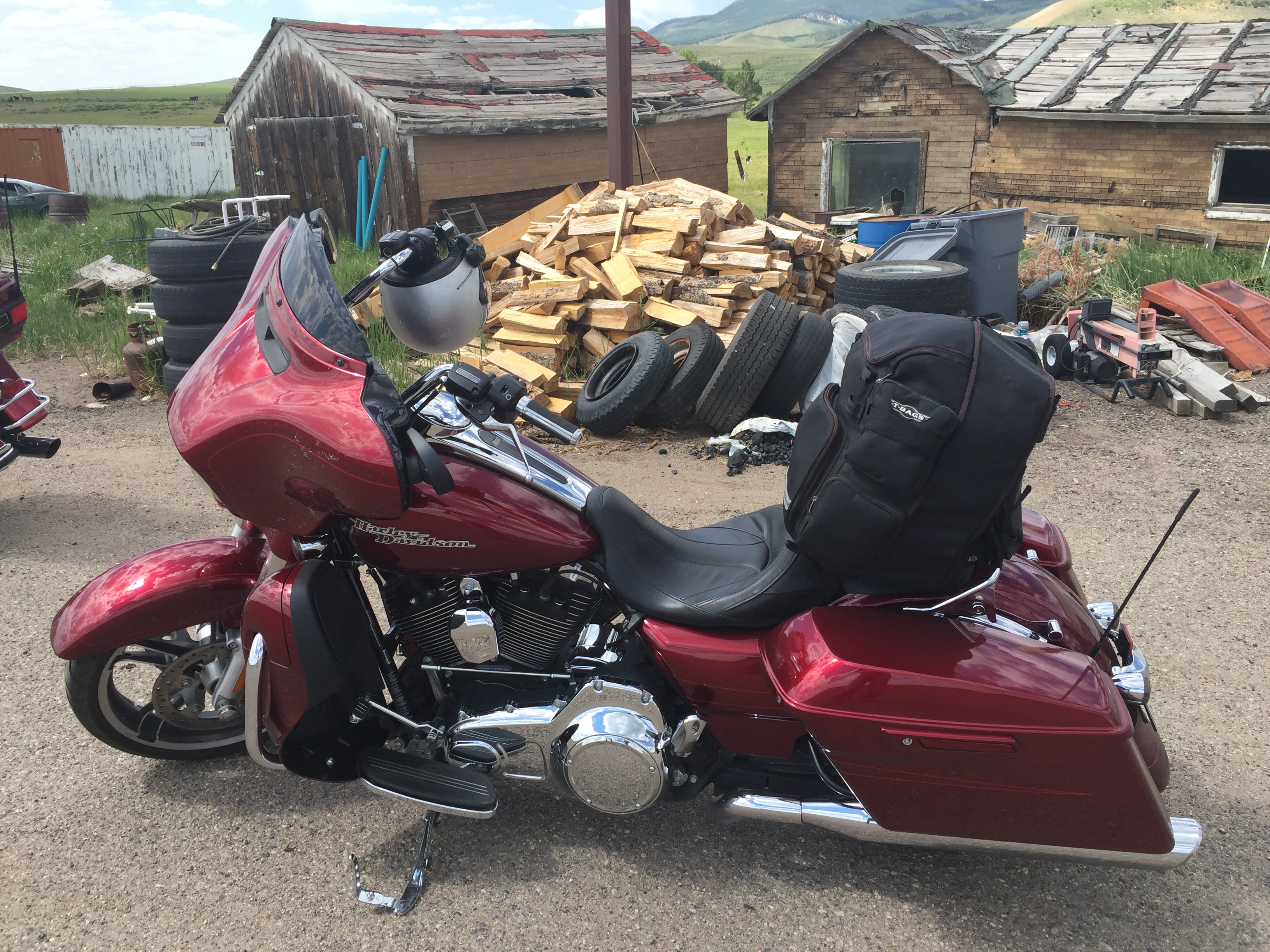
You could get pretty much anything at the store — used tires, old briquettes, firewood. One man’s junk is another man’s treasure. Or something like that.
Tourism Colorado’s official website calls this roadway one of the state’s “Must-ride” routes, noting its nickname: The Steamboat Scream. It’s a must-ride for us, for sure. Couldn’t figure out any other way to get to Steamboat Springs.
Steamboat Springs has its own hot springs, which gave the town its name.
Upon first hearing a chugging sound, early trappers believed that a steamboat was coming down the river. When the trappers saw that there was no steamboat, and that the sound was coming from a hot spring, they decided to name the spring Steamboat Springs.
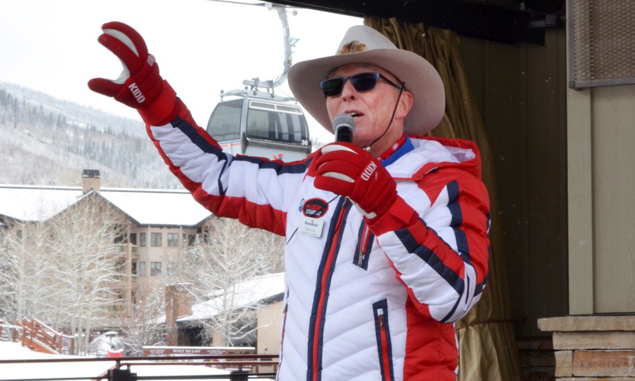
Billy Kidd, at Steamboat Springs, on his 75th birthday. Always wearing his signature Stetson.
The image that most often comes to mind of Steamboat Springs is skiers in cowboy hats – a visual made famous by Billy Kidd, Steamboat’s most famous skier, and Olympic silver medalist in 1964. Kidd, who never seems to age, turned 75 this year. He grew up in Vermont, but settled in Steamboat Springs after retiring from ski racing, making skiing in a Stetson stylish. He’s been the Director of Skiing at Steamboat for, well, forever – 48 years. During ski season, skiers and snowboarders can join Kidd for a free, on-mountain clinic (when he’s in town) at 1 PM at the top of the Steamboat gondola. Dude can ski!
Steamboat is legendary in the winter. Summers are awesome, too — offering rodeo, hot-air balloon riding, Gold Medal fly fishing, river rafting, the Strings Music Festival, opera, arts shows, and all sorts of activities to rejuvenate the soul.
Steamboat is where we’ll spend night ten of our Rocky Mountain Rib Rally.
Dinner is at Low Country Kitchen, a southern-themed restaurant. Dinner was great, and the ribs were really good. Dave loved the hush puppies (he’s a bit of a hush puppy connoisseur).
At Low Country Kitchen. Great food, terrific ambience. Even had linen napkins!
The ribs at Low Country Kitchen. Very tasty. Tangy sauces. Wonderful presentation. Just no smoke 😦
But we discovered something interesting tonight. There are a lot of ways to cook ribs, but the only way to do it right is to smoke them. That’s why our three top rib choices, so far on this trip remain: #1, Slow Groovin (Marble); #2, Serious Texas BBQ (Durango); and #3, Moe’s Original BBQ (Eagle).
It’s not the fault of Low Country Kitchen that they didn’t make our top three list; their ribs were as good as they could possibly be — considering they weren’t cooked in a smoker. And we’d highly recommend eating there when in Steamboat Springs. Try their fried chicken; it looked scrumptious!
***
Day Ten Summary: Life comes full circle.
Click here to see today’s complete route from Carbondale to Steamboat Springs.
Glad you’re along for the ride.
Vroom, vroom.
***
Today’s Colorado Fun Fact: In Aspen, which we rode through today, you’re encouraged to ski your butt off all winter long. But here’s one thing you can’t do in the winter: be caught throwing snowballs at people or buildings. It’s illegal. Also illegal in Colorado: riding a horse while under the influence of drugs or alcohol. While dandelions are considered the official flower of Carbondale, it’s illegal to let a dandelion grow within the town limits of Pueblo, Colorado.
Today’s Rocky Mountain Rib Rally Fun Fact: Leadville, which we rode through today, is the highest incorporated city in the United States at 10,430 feet elevation. Because there were lots of silver-named towns at the time (ie, Silverton), the founding fathers suggested Leadville instead.
Today’s Colorado Food Fun Fact: We rode through Aspen today, where one of life’s great culinary indulgences can be found – at the Ajax Tavern, part of the Little Nell Hotel. The tavern and hotel are both owned by the Aspen Ski Company (SkiCo), my soon-to-be employer. At the Ajax Tavern, treat yourself to a tasty, and expensive-but-worth-it snack: Ajax Truffle Fries (gluten free, $17). Pairs well with almost anything: Snowden Cabernet, $32 a glass; a Belvedere Mule, $16; or a Breckenridge Brewery Avalanche Amber, $8. For a real celebration, try their Louis Roederer Cristal champagne (2006), $1,485 a bottle. Hey, welcome to Aspen!
Today, we combine gold medal riding with Gold Medal trout fishing.
The gold medal riding begins in the Town of Basalt, about halfway from Carbondale to Aspen on CO-82.
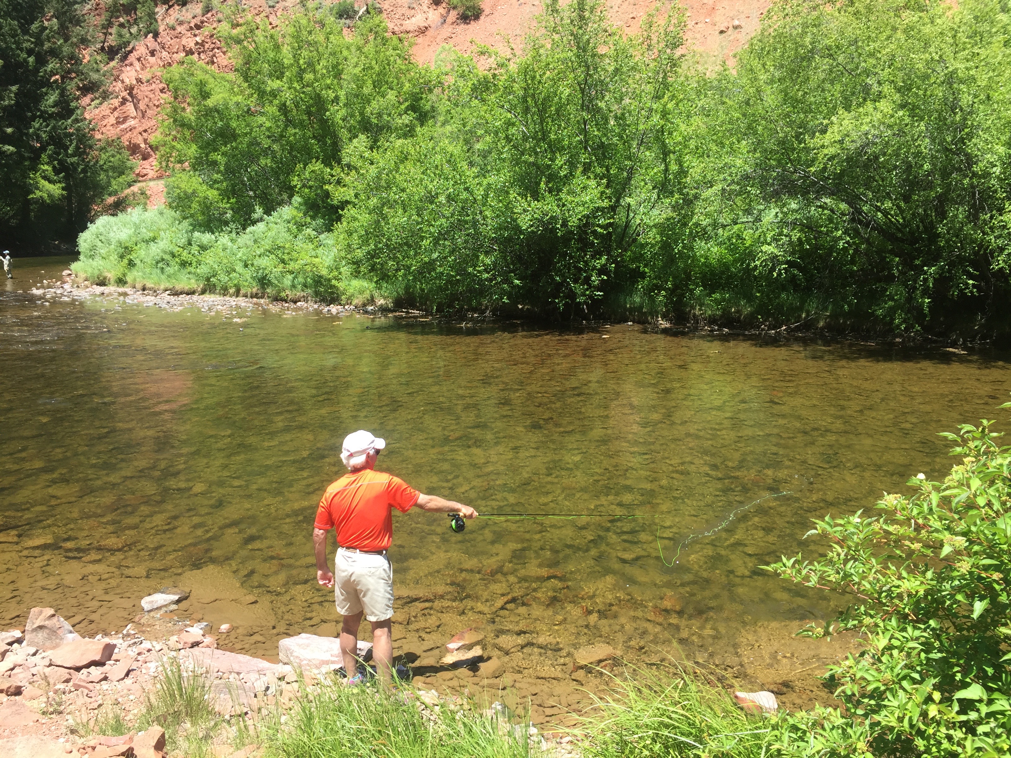
That’s Dave fishing the Fryingpan River. No waders needed. Flip-flops work just fine.
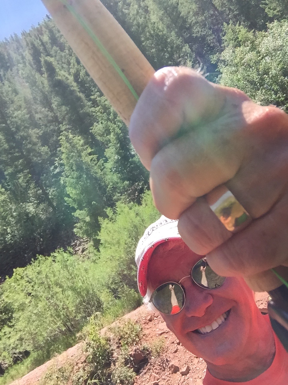
Here’s how the photo above was shot.
In Basalt, we turn off CO-82, and onto Fryingpan Road, named for the river that has Gold Medal trout fishing. In fact, Gold Medal trout fishing can be found in both of Basalt’s rivers: the Fryingpan and the Roaring Fork. Basalt is the only town in America with two certified Gold Medal fishing waters.
The Fryingpan, particularly the section below the Ruedi Reservoir, produces trout as heavy as 10 pounds. Serious fishermen (like Dave) can fish the Fryingpan, and the Roaring Fork, all year round.
Yes, it can be cold in December, but suck it up, people. This is world-class fly fishing, and the majority of big fish are caught during winter months.
Master fisherman at work. Wanna know how we did? Call me.
***
Colorado has 6,000 miles of fishable rivers and streams, as well as 2,000 lakes and reservoirs that offer fishing experiences for every angler and every season. The Roaring Fork Valley, where we live, has more than 40 miles of catch-and-release Gold Medal waters on the Fryingpan and Roaring Fork Rivers.
Earning Gold Medal status is no simple accomplishment. The Gold Medal designation is the highest ranking for top quality fishing for wild trout that a fishery can achieve in Colorado. The Colorado Division of Parks and Wildlife identifies Gold Medal waters, based on rivers, streams and lakes providing the necessary water quality and habitat to support healthy populations of large trout.
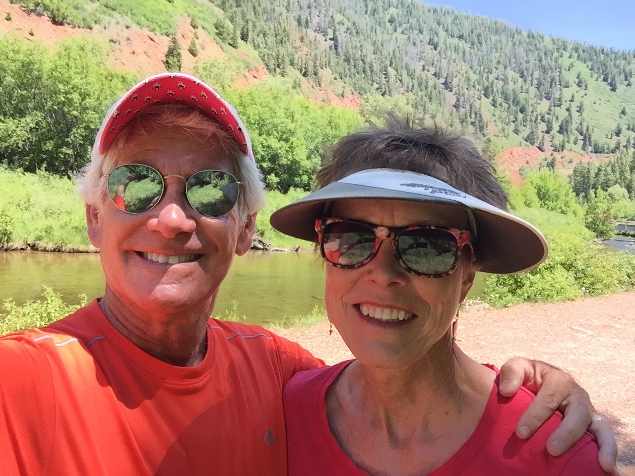
Gold Medal couple on Gold Medal Waters.
Numerically speaking, Gold Medal waters must be able to produce 60 pounds of trout per acre, and at least 12 trout more than 14 inches long, per acre. That’s a lot of math, and a ton of awesome fishing.
The Gold Medal waters on the Fryingpan River are from the Ruedi Dam, downstream to the confluence with the Roaring Fork River, about 14 miles in all.
The Roaring Fork River has about 22 miles of Gold Medal waters, from Basalt to Glenwood Springs, offering a great mix of wading and floating water.
Still learning, but looking good doing it. Wanna know how we did? Call me.
Pretty sure I’ve got one!
***
We follow Fryingpan Road, along the Fryingpan River, all the way to the Ruedi Reservoir, where the Gold Medal waters begin.
At the Ruedi Reservoir, we continue riding along the Fryingpan Road until it turns to dirt. Followers of this blog know what that means: time to turn around and head back to Carbondale.
Today’s ride is only about 100 miles, but it includes world-class fishing and world-class riding.
What could be better?
Never know when the net can be helpful for things other than bringing in the fish.
On our way back into Carbondale from fishing, we stop at Marble Distilling. It’s a good transition from the life of an outdoorsman to the life of a gourmand.
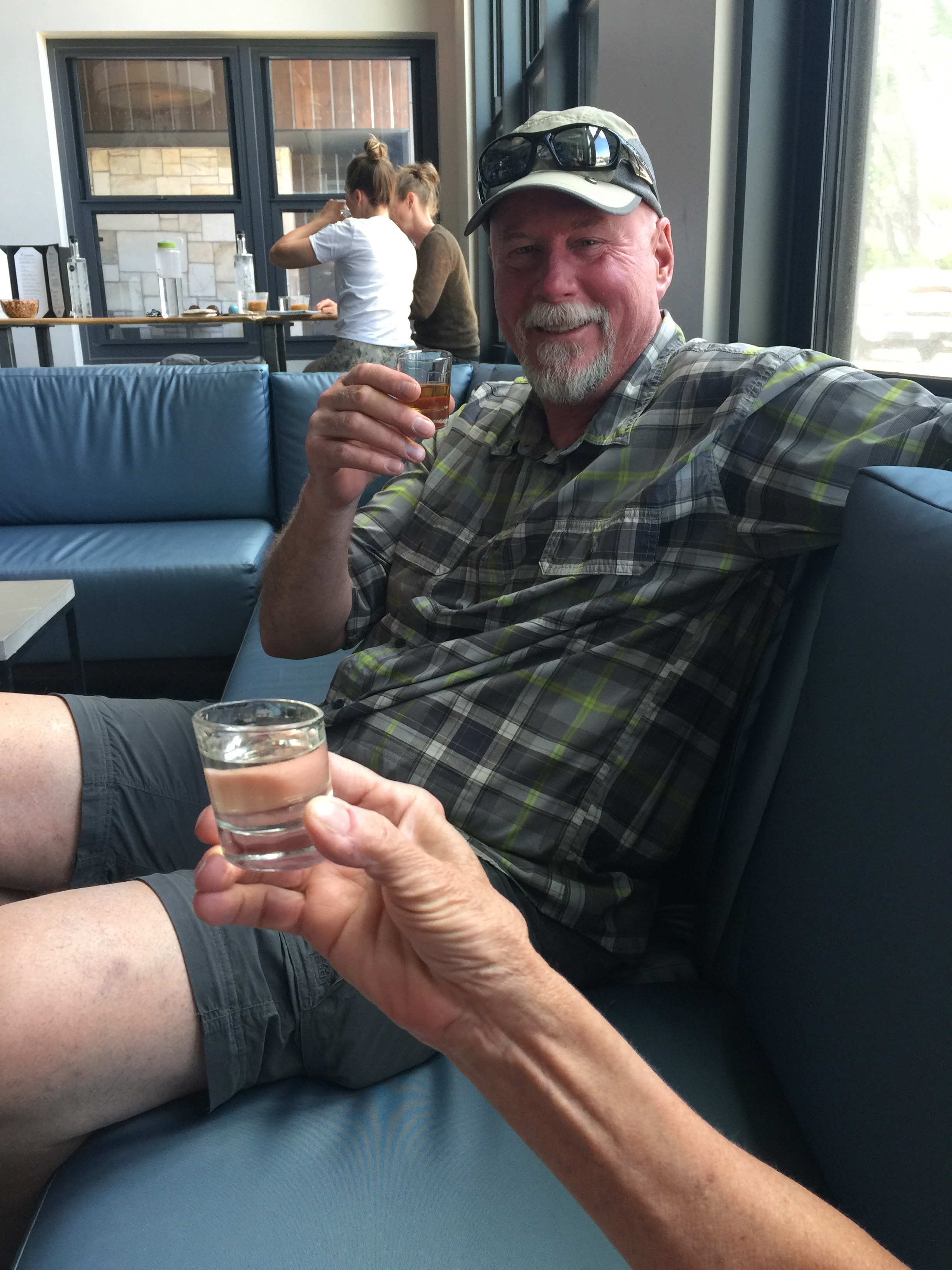
Sarah (hand in foreground) has a Gingercello, her favorite. Dave tries the whiskey flight.
Tonight, we’re having ribs in Carbondale. On Main Street. In a very unlikely spot. Curious?
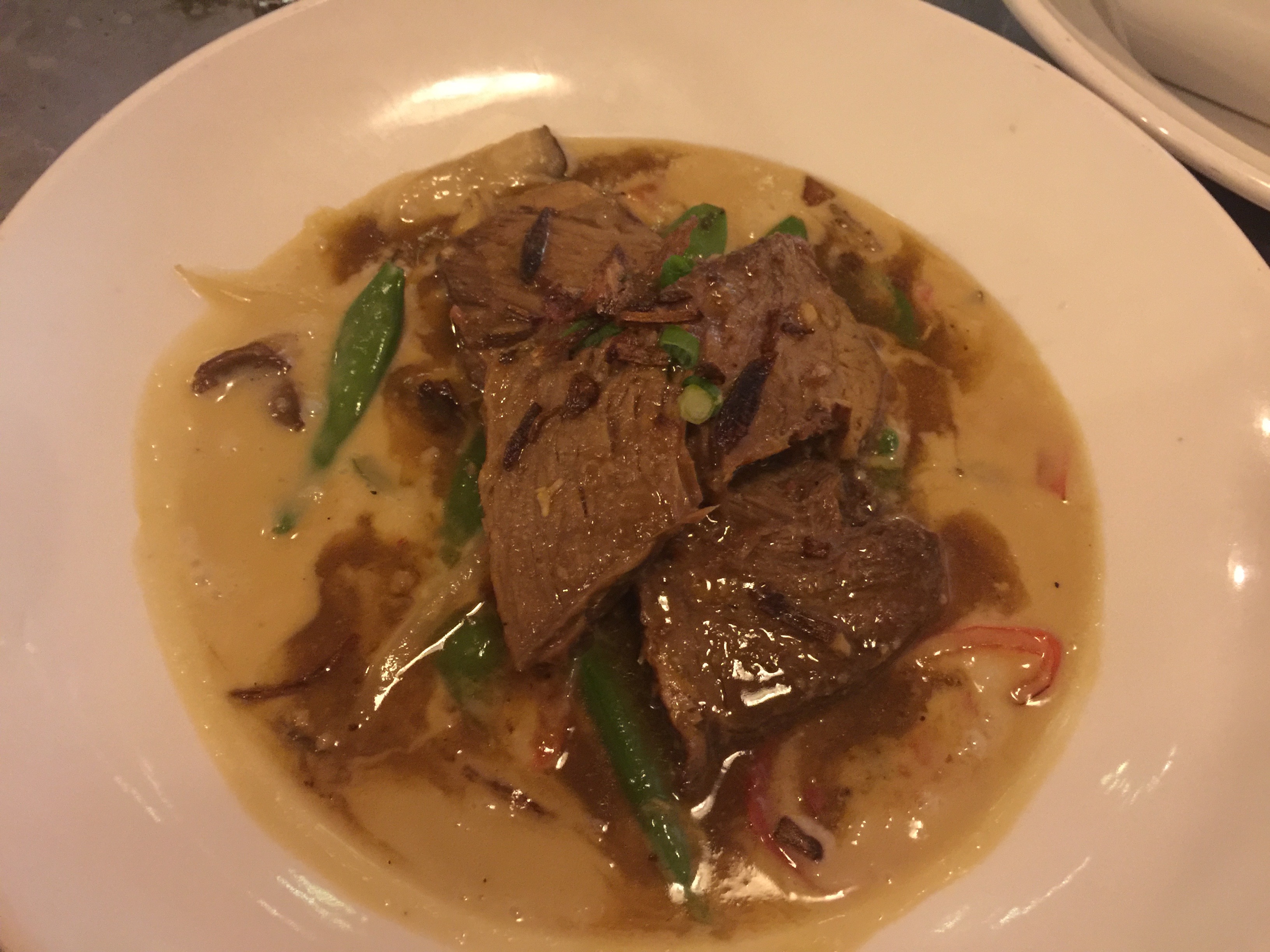
Tonight’s ribs. Somewhat unorthodox, but still tasty. They’re short ribs, Asian style, at Phat Thai restaurant on Main Street in Carbondale. We ran out of traditional rib places, and this seemed like a reasonable substitute.
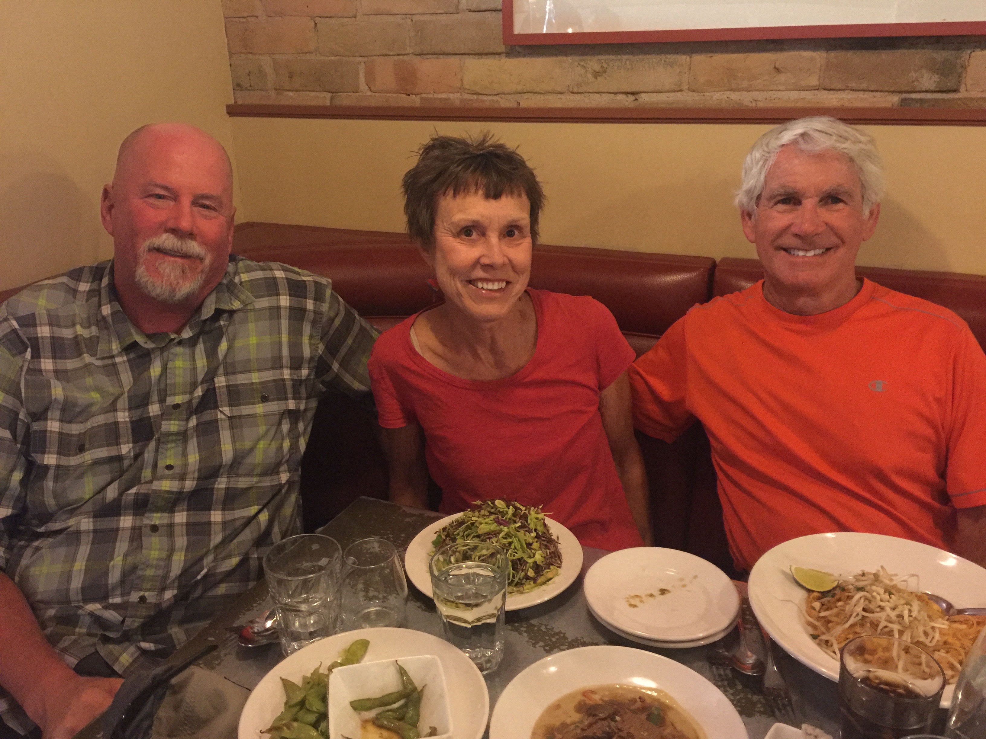
At Phat Thai. Not exactly a BBQ place, but ribs is ribs.
***
Day Nine Summary: Gold Medal waters. Gold Medal roads. Life’s good!
Click here to see today’s complete route from Carbondale to Ruedi Reservoir and back to Carbondale.
Glad you’re along for the ride.
Vroom, vroom.
***
Today’s Colorado Fun Fact: There are at least seven major rivers whose headwaters begin in Colorado, with the Continental Divide directing each river’s course. On the east side of the Continental Divide, the Rio Grande, the North Platte, the South Platte, the Arkansas, the Cache la Poudre and the Republican rivers all flow toward the Atlantic Ocean. On the west side of the Continental Divide, the Colorado River flows toward the Pacific Ocean.
Today’s Rocky Mountain Rib Rally Fun Fact: The Ruedi Reservoir, which we rode by today, is the home of the Aspen Yacht Club. The Yacht Club has no electricity, no running water, and no cell phone service – so members can fully enjoy sailing during summer months. There are about 80 members of the Aspen Yacht Club.
Today is a health food day. That means everything we consume does something for our health.
The day begins at the W Cafe in Gunnison, one of the highest-rated restaurants in town.
Health food at the W Cafe.
Yum. Guess whose plate this is?
We end our two-night stay in Gunnison by heading east on US-50, riding into the Gunnison National Forest.
For miles, we see little except mountains and trees. This is, after all, Colorado.
Forty-four miles from Gunnison, we arrive at the Monarch Mountain ski area, which is located at Monarch Pass, elevation 10,790 feet – on the Continental Divide. The ski area originally opened in 1939 with one rope tow, powered by a Chevy engine.
Unlike many ski resorts that boom in the summer, Monarch Mountain is shut down this time of year. But you can buy your 2018-2019 season pass now for $20, if you’re under 6 or over 69. For the rest of you, come to Carbondale and ski Aspen Snowmass; it’s easier to get to, and you’re more likely to stay with us.
US Highway 50, approaching Monarch Pass. You can see the ski area in the background.
Continuing east on US-50, we arrive at Poncha Springs, 20 minutes from Monarch Mountain. Poncha Springs, population 737, sits at the intersection of US-50 and US-285.
The small Town of Poncha Springs once held huge significance for an early Colorado explorer: Lt. Zebulon Pike (for whom Pikes Peak is named). In the winter of 1806, Pike and his party hunkered down here until the snows passed. The town commemorates Pike’s respite from exploration with a historical marker.
Poncha Springs is named for its hot springs. But discovery of the hot springs is not universally agreed upon. Some historians believe Lt. Pike discovered the hot springs in 1806. Others credit frontiersman Kit Carson with discovering it in 1832.
For years, the springs were a tourist attraction. But they closed in 1935 when the nearby city of Salida had the water piped to a pool in Salida. Eventually, the Poncha hot springs were capped with cement, and Salida now owns the hot waters from Poncha Springs.
Colorado’s hot springs will take care of whatever ails you.
***
In Poncha Springs, we turn north on US-285 toward Nathrop and Johnson Village, riding along the southernmost of the Collegiate Peaks.
The Town of Nathrop was once a popular railroad stop in the 1800s, where visitors seeking to soak their bones in the natural hot springs found respite. Today, you can still dip into geothermal waters at the Mount Princeton Hot Springs Resort and soothe away what ails you.
Mount Princeton is, of course, one of the Collegiate Peaks, a small group of fourteeners (14,000-foot mountains) that tower above the Upper Arkansas River Valley in the Rockies.
Most lists of fourteeners show 58 of them. Some lists have as few as 52, or as many as 74. The 74 figure includes 15 unnamed peaks. If you’re confused, read this for some clarity.
***
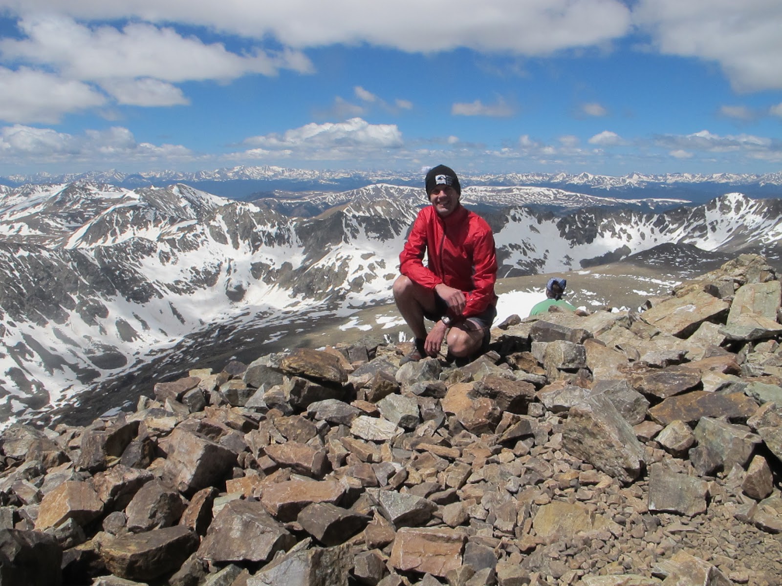
At the summit of Mount Harvard: 14,421 feet.
The five Collegiate Peaks are so named because several of the mountains are named for prominent universities. Four are Ivy League schools, and one isn’t in the US at all, but is generally ranked as the best university in the world: Oxford.
Here are the Collegiate Peaks:
Mount Harvard, 14,421 (third-highest of the 14ers)
Mount Princeton 14,204
Mount Yale 14,202
Mount Oxford 14,160
Mount Columbia 14,079
As you might expect, there are stories associated with naming each of the Collegiate Peaks.
The naming tradition began in 1869 when members of the first Harvard Mining School class named 14,420-foot Mount Harvard after their institution while on expedition with Josiah Dwight Whitney, professor of geology at Harvard.
The same group named the adjacent peak, Mount Yale after Whitney’s alma mater. The class was in Colorado that year to identify the highest point in the contiguous United States and to debunk rumors of an 18,000-foot peak in the Rocky Mountains.
The first recorded ascent of Mount Princeton was in 1877 by William Libbey, professor of physical geography at Princeton University. There was once a tradition between the alumni of Yale and Princeton to pile rocks on the top of their namesake mountains to ensure each’s mountain was taller; there is only a two-foot difference in height between the two mountains.
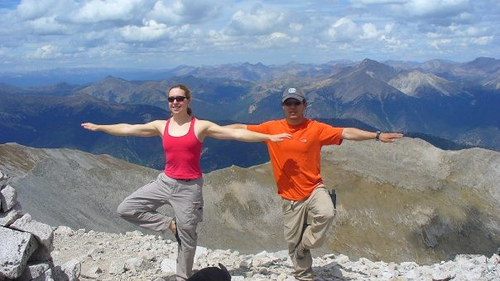
The view from the top of Mount Princeton. Nice time for a tree pose.
14,073-foot Mount Columbia was given its name by climber Roger Wolcott Toll in 1916. Toll had attended Denver University and Columbia University and went on to have a noteworthy career with the National Park Service.
The last of the Collegiate Peaks to receive a scholarly name was 14,153-foot Mount Oxford, which, in 1931, was named by Rhodes scholar John L. Jerome Hart, a Denver lawyer and climber who had spent a year at Oxford University.
Interested in naming a mountain? There are a lot of unnamed mountains just jonesing for a name. The Domestic Names Committee of the US Board on Geographic Names is in charge of mountain naming. Here’s how you have your voice heard, and mountain named.
Having a hard time finding just the right name? Try this.
***
We are now riding north on US-285, the aptly named Collegiate Peaks Scenic Byway.
Buena Vista, which is just off the Scenic Byway, is a good place to stop for gas, and clean the windshields.
It’s nice to have a good windshield cleaner along for the ride. Thanks, Dave. Nice job!
In Johnson Village, US-285 veers right, taking us northward toward the Town of Fairplay, which sits at 9,953 feet – making it the fifth-highest incorporated place in Colorado.
Fairplay, a town of about 700, began as a gold mining settlement in 1859, during the early days of the Pike’s Peak Gold Rush. The town was named by settlers who were upset by the generous mining claims given to the earliest prospectors, and promised a more equitable system for its residents. Thus, Fairplay.
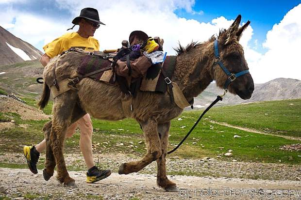
The big deal every year in Fairplay is the Burro Days festival, held on the last weekend of July. Burro Days celebrates the town’s mining heritage. The main feature of the festival is a 29-mile burro race from downtown Fairplay to the 13,000-foot summit of Mosquito Pass. First prize at one time was an ounce of gold; today, it’s $1,000.
On the way up Mosquito Pass, celebrating Burro Days.
***
Our next point of interest is 11,542-foot Hoosier Pass, so we turn north on CO-9 for the 11-mile ride to the pass. Hoosier Pass rises gradually on the southern side and drops steeply on the northern side. Its maximum grade is eight percent, just like McClure Pass, which we’ve ridden several times over the past week.
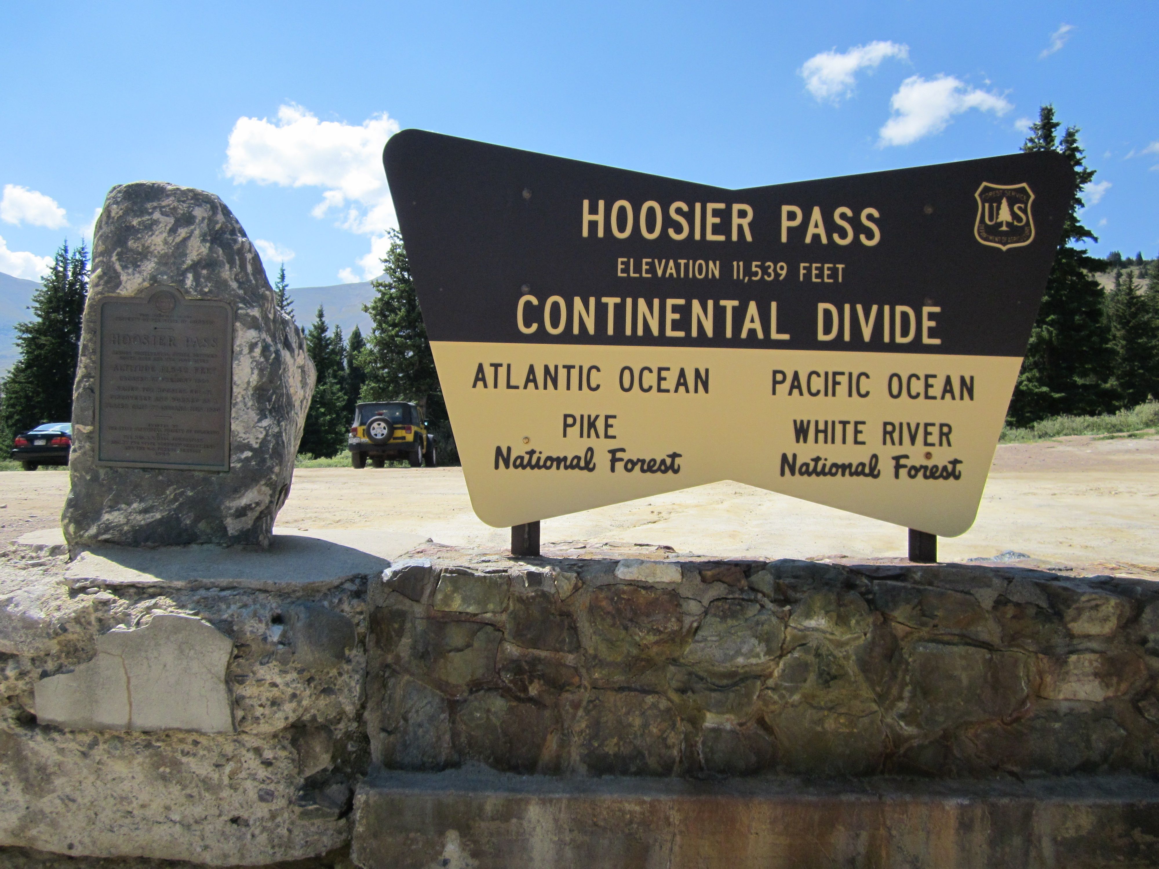
Hoosier Pass sits on the Continental Divide at the northern end of the Mosquito Range. It’s is the highest point on the TransAmerica Trail, a transcontinental bicycle route that stretches from Yorktown, Virginia to Astoria, Oregon.
The Hoosier name comes from the state of Indiana, which is nicknamed the “Hoosier State.” Many Colorado pioneers apparently came from Indiana. What would a father from Indiana be called? Wait for it … Hoosier Daddy!
Hoosier Daddy?
***
As we follow CO-9 northward, we continue toward the ski resort of Breckenridge, just 12 miles away. We roll past the turnoff to a trailhead for Quandary Peak, considered the “easiest” of Colorado’s 14ers to summit. “Easiest” is in quotes because it’s hard to imagine getting to the top of any fourteener being an easy task.
Interestingly, while Quandary Peak has the “easiest” descriptor attached to it, it’s also one of the most dangerous of the fourteeners, with a relatively high accident rate. The dangerous nature of Quandary Peak is likely the result of its popularity, easy year-round access, and its variety of routes to the summit. Apparently, many of those who get in trouble on Quandary Peak are likely underestimating the risks associated with climbing it.
The six-mile hike to Quandary Peak has a 3,320 foot elevation gain, ending at the 14,265-foot summit. The final section of the trail climbs 1,100 feet over eight-tenths of a mile. Uff-da!
At 14,265 feet Quandary ranks as the 13th-highest peak in Colorado. According to 14ers.com, the peak’s name comes from a group of miners who were unable to identify a mineral sample found on its slopes in the 1860s. The group was in a “quandary” over the exact nature of the mineral, and ended up naming the mountain from where the mineral originated.
At the top of Quandary Peak. Nice view.
***
We press on for the few remaining miles to Breckenridge, a town and ski resort located at the base of the Tenmile Range, part of the Rockies. Breckenridge sits at 9,600 feet, along the Blue River – a beautiful setting for the town of about 5,000 residents.
Breckenridge was created in 1859, named after John C. Breckinridge of Kentucky, the 14th Vice President of the United States. Town fathers hoped to flatter the government and get a post office. Their plan worked. It became the first post office between the Continental Divide and Salt Lake City.
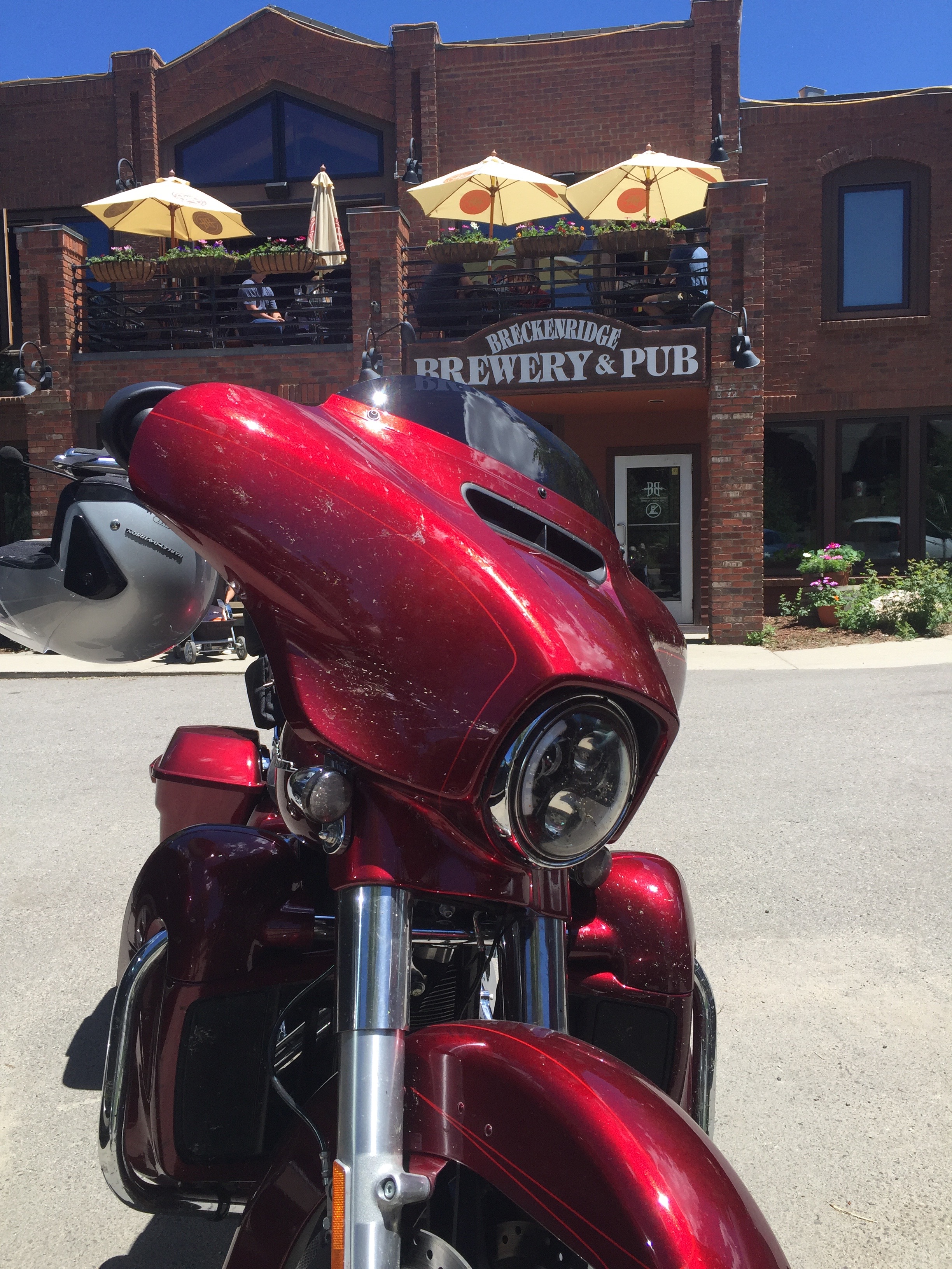
One of the must-sees in Breckenridge is the Breckenridge Brewery & Pub. So, we grabbed a prime parking spot, went in, and cooled off.
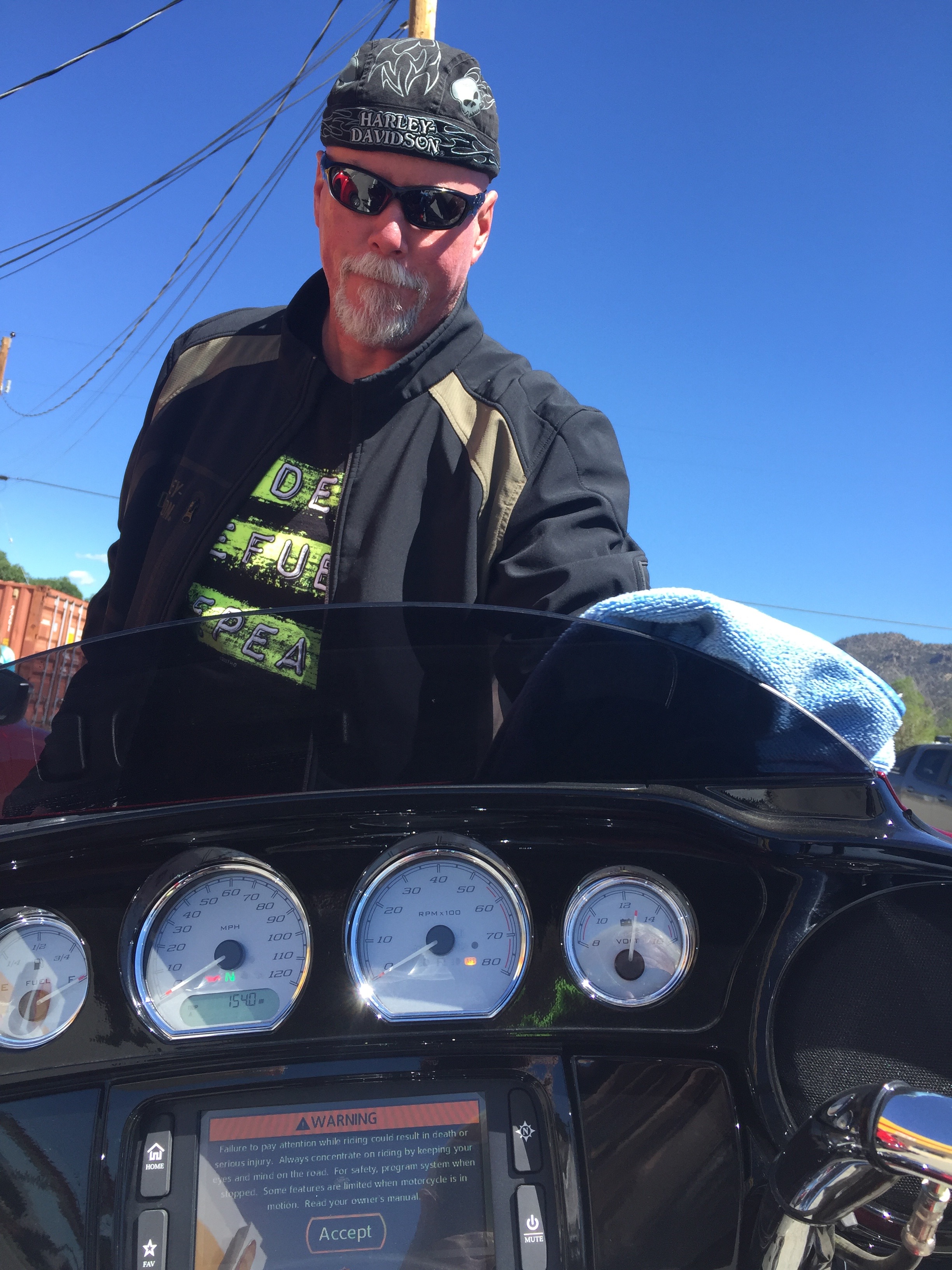
Best parking spot at Breckenridge Brewery & Pub. Don’t clean your computer screen. That’s dirt all over my bike.
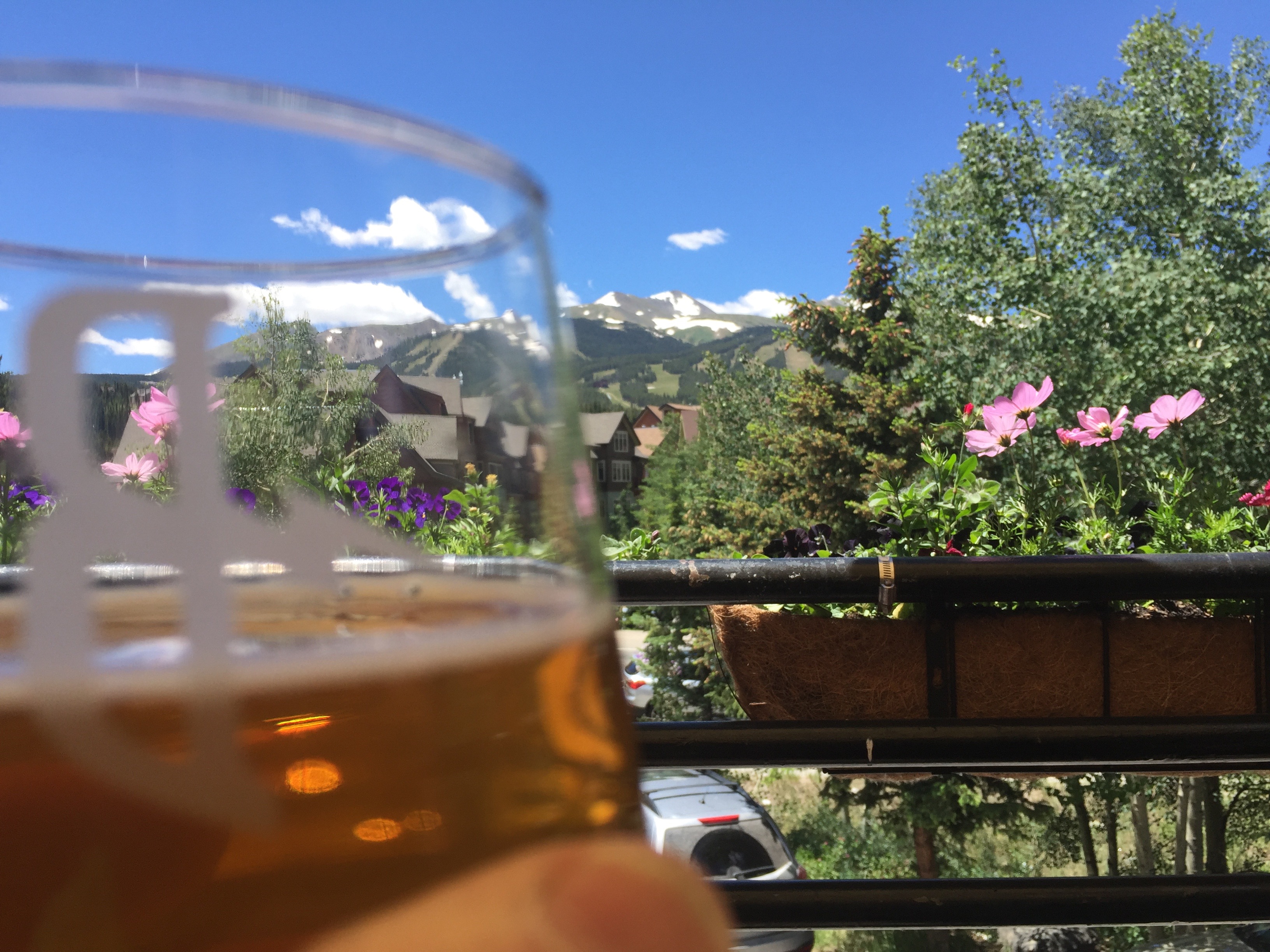
We had a table overlooking the mountain. Great view. The 5 oz beer is an “Ice Cream Man,” a pineapple Milkshake IPA. For you beer lovers, it’s fermented on 250 lbs of pineapple puree, dry hopped with Calypso, Amarillo, and Ekuanot, then aged on Madagascar vanilla beans and lactose sugar.
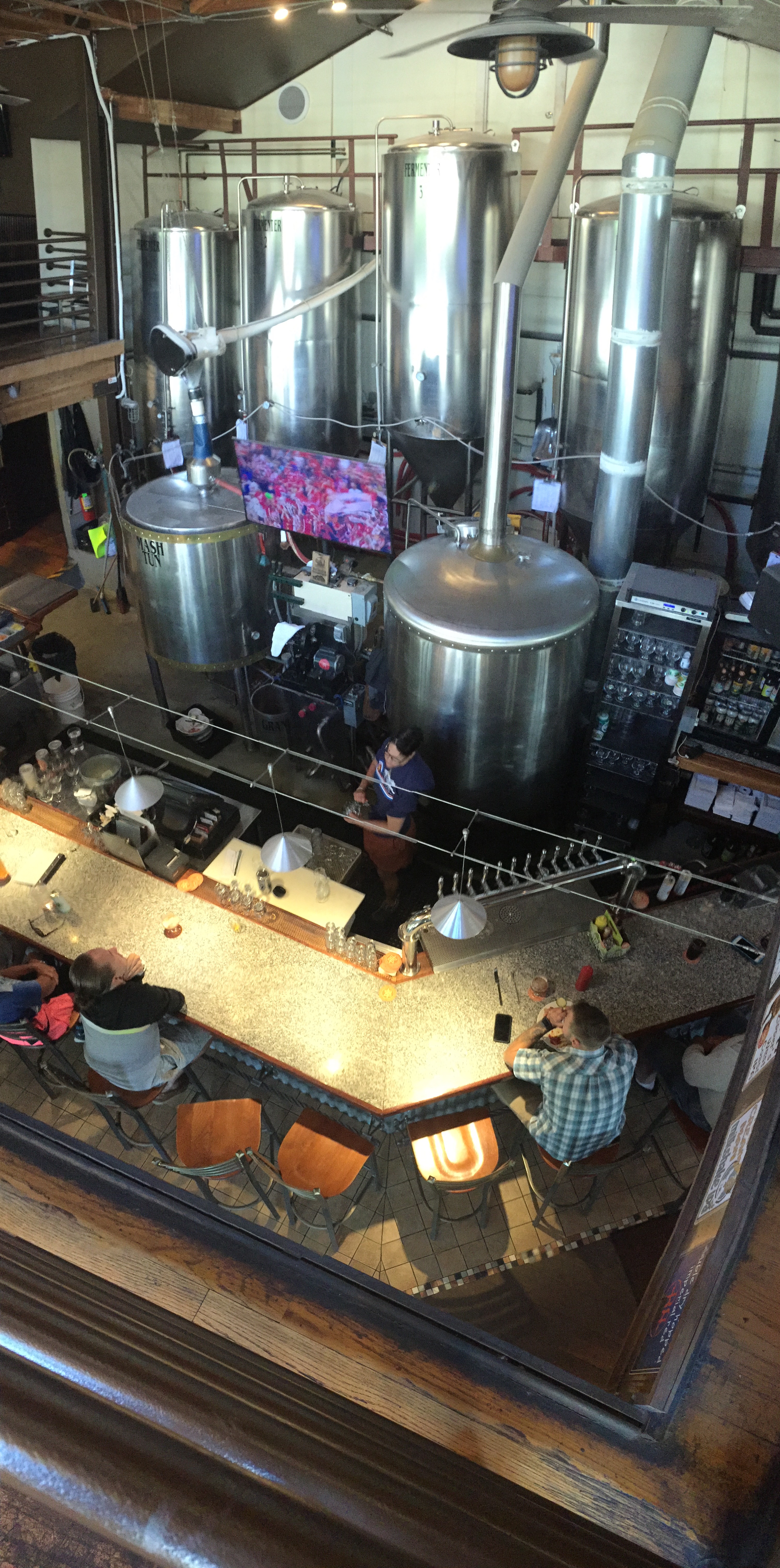
Inside the brewery, you can see how, or where, the beer is made.
In the winter, the ski resort is the hub of the community. It’s owned and operated by Vail Resorts. Skiing goes all the way up to the top of Breckenridge, at 12,840 feet, the highest lift in North America. Known to Coloradans as “Breck,” it claims to be the first ski area to allow snowboarding.
In the summer, Breckenridge hosts the National Repertory Orchestra and the Breckenridge Music Institute. There’s much to do here in the summer: mountain biking, geocaching, ziplining, hiking, tubing, fly fishing, golfing, even skiing (on July 4th). The possibilities are endless.
Summertime in Breckenridge.
Breckenridge was the filming location of the 1989 comedy National Lampoon’s Christmas Vacation; the town stood in for Aspen in Dumb and Dumber. Breckenridge is just a few miles south of the southern end of Dillon Reservoir, which provides 40 percent of Denver’s fresh water supply.
One final Breck note: you may wonder why the town is spelled “BreckENridge,” and the person it’s named after was spelled BreckINridge. Glad you noticed. Here’s an explanation.
***
Colorado Highway 9 takes us to the Town of Frisco, our last stop before jumping on I-70 and beginning the 110-mile ride home to Carbondale.
We pass the Copper Mountain ski area, which sits along I-70, and boasts free snowcat skiing on Tucker Mountain.
The next six miles climb steeply (seven and eight percent grades) to Vail Pass, a 10,662-foot high mountain pass that can get more than a little challenging in the winter. It was named for Charles Vail, a highway engineer and director of the Colorado State Highway Department from 1930 to 1945.
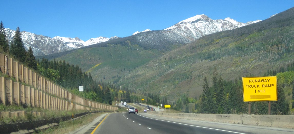
We didn’t need the runaway ramp coming down Vail Pass.
From Vail Pass, it’s a 15-mile descent to the town of Vail, and the Vail Ski Resort. The town was established and built as the base village for the ski resort when it opened in 1962.
Olympic skiers Lindsey Vonn and Mikaela Shiffrin are among the many elite athletes calling Vail home.
Another famous Vail resident: Ryan Sutter, a firefighter on the Vail Fire Department. Name sound familiar? He was the first winner of the “Bachelorette” TV reality show, chosen by Trista Rehn. The two were married in 2003.
Sutter once in a while has reason professionally to be at the town’s hospital, the renowned Vail Valley Medical Center. The Steadman Clinic is part of that community hospital. World-class athletes (and common folk) throng to the Steadman Clinic to receive orthopaedic care on their over-taxed joints. In November 2017, Sarah had her torn rotator cuff repaired there. Today, she’s as good as new; at least her shoulder is.
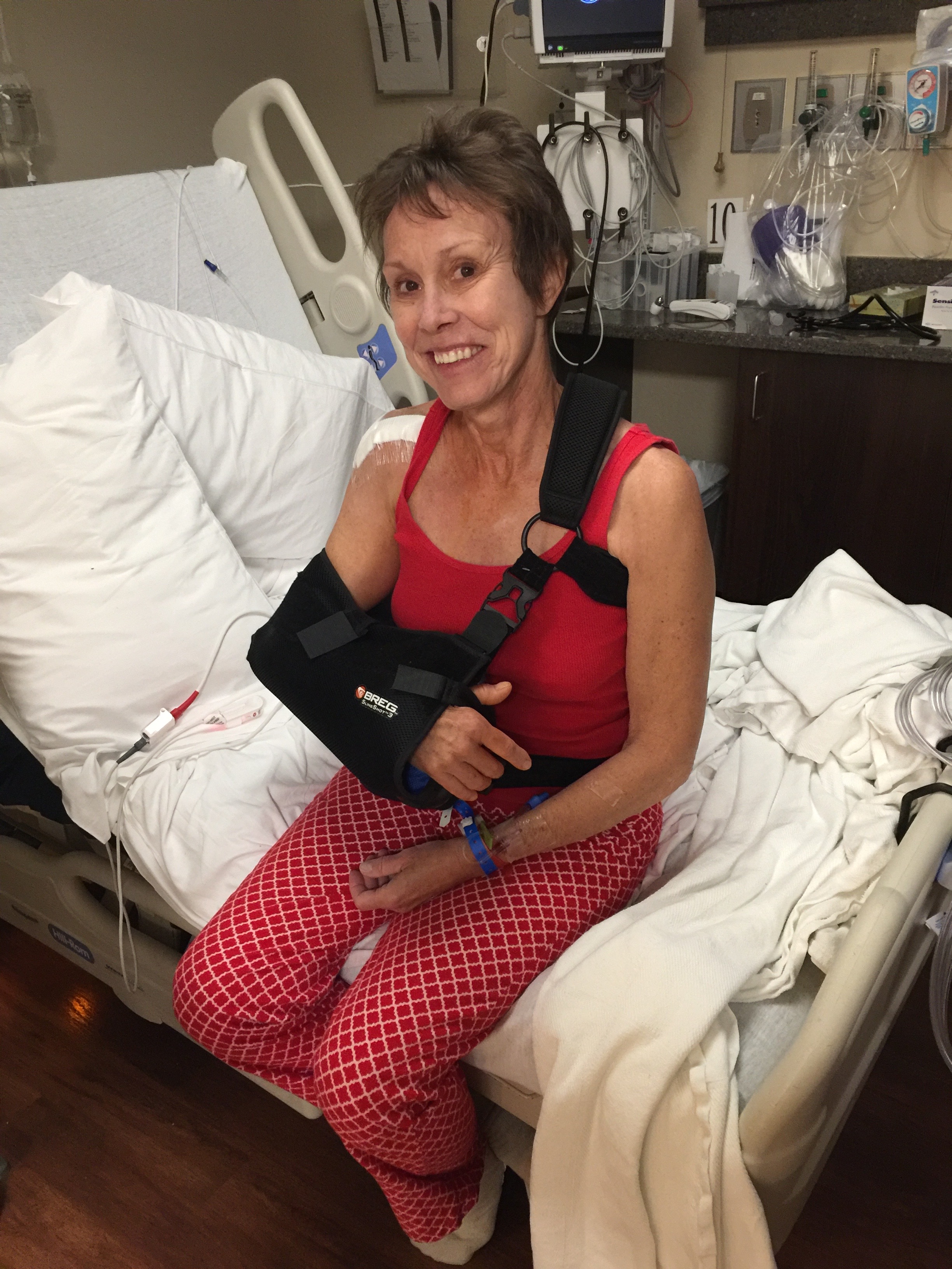
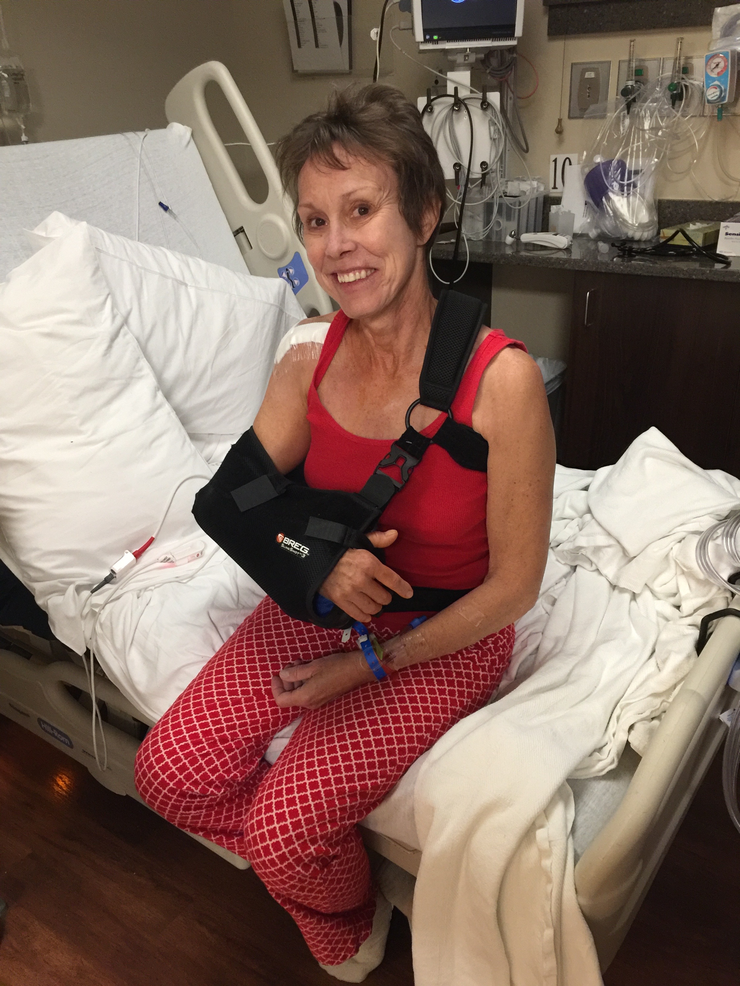
Sarah, the morning after her torn rotator cuff surgery at the Steadman Clinic.
***
From Vail, I-70 follows the Eagle River and takes us the 31 miles to the Town of Eagle. Here, you’ll find an extensive trail system for mountain biking, hiking and trail running. Eagle is only three miles away from the closest Costco to our home, in Gypsum. You Google Map fans will note that the Costco is 43 miles from our Carbondale home.
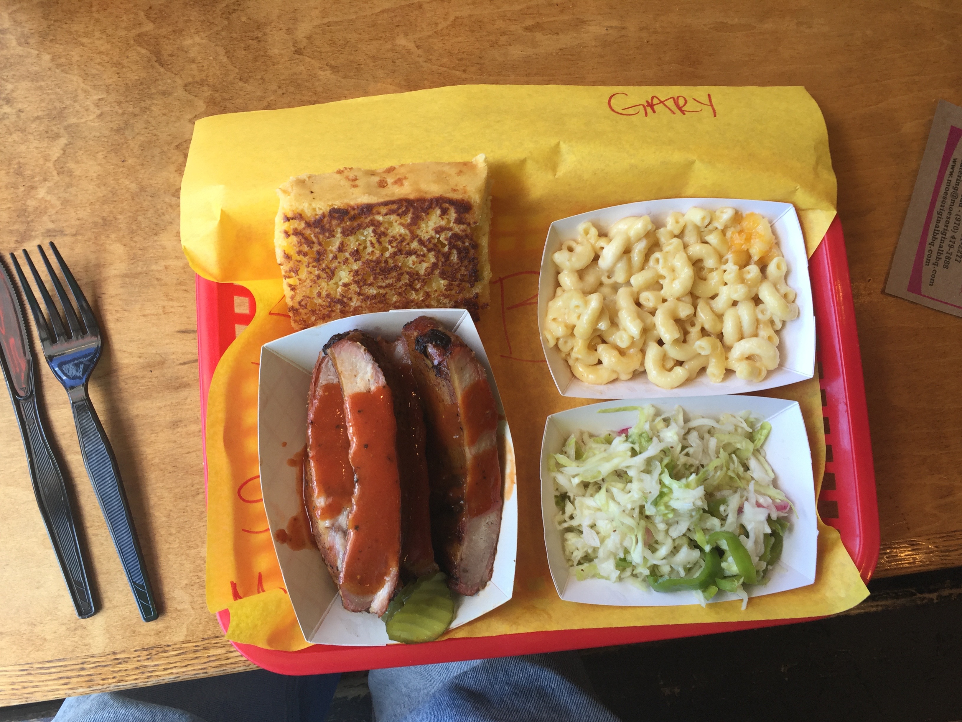
Eagle is also where we’re stopping for ribs, at Moe’s Original BBQ. Moe’s was founded by three college kids from Alabama in the 1980s, and it’s been growing ever since – with locations throughout the south and the mountain west.
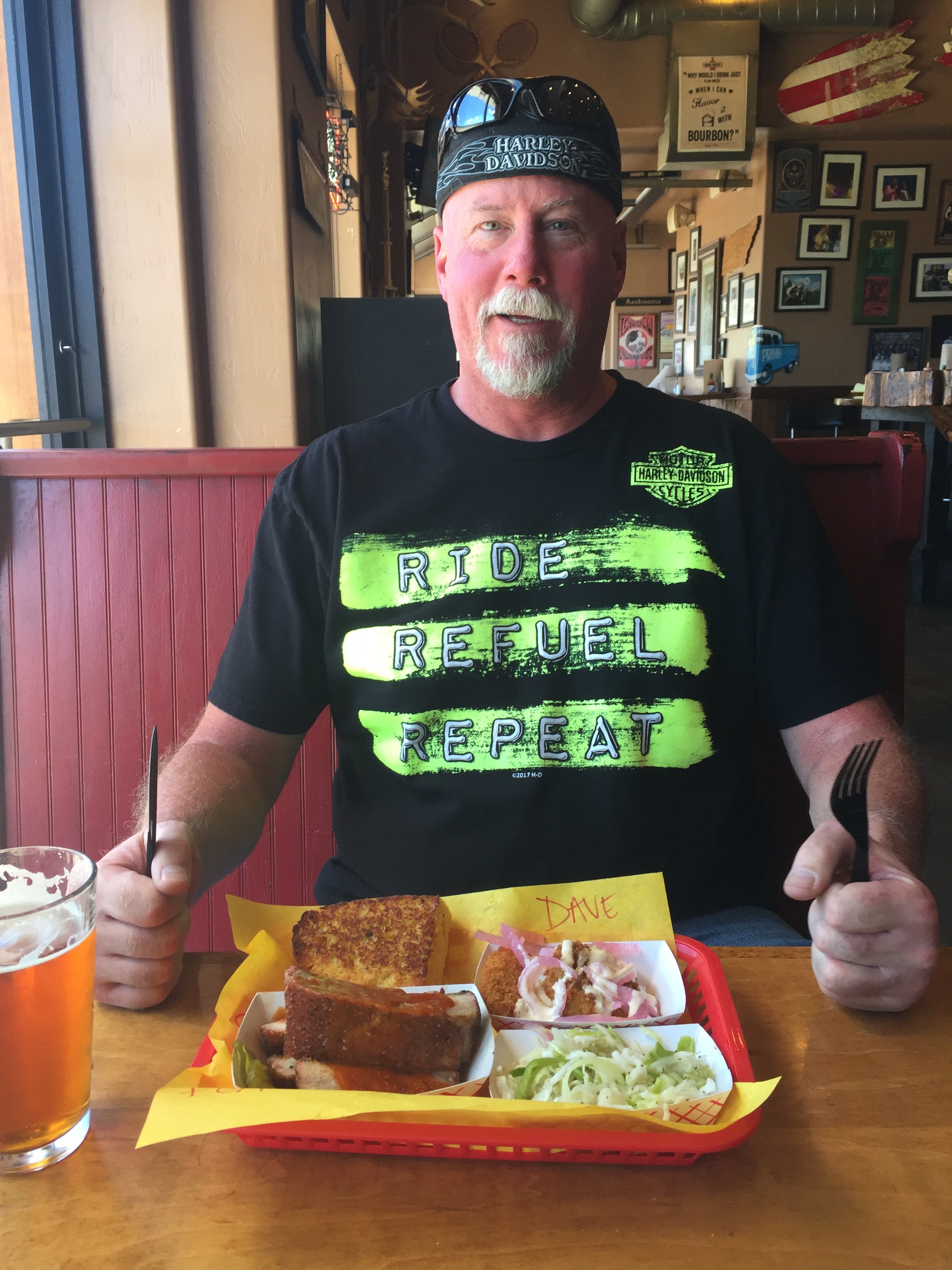
Dig in, big fella. Rib dinner at Moe’s. Note the personal touch: they even write your name on the yellow paper that sits between the basket and your food.
Moe’s has moved up into third place in the rib derby. Still in first place: Slow Groovin (Marble), and in second place, Serious Texas BBQ (Durango).
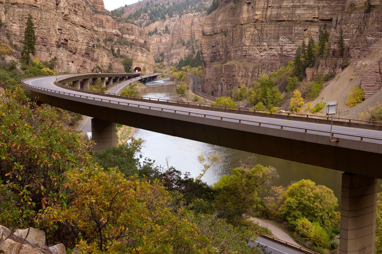
Leaving Moe’s, we ride, in reverse, the same route as Sarah and I do when we make a Costco visit: west on I-70, through spectacular Glenwood Canyon to Glenwood Springs. Glenwood Canyon is about 12 miles long, with walls climbing as high as 1,300 feet from the Colorado River.
Glenwood Canyon is often considered one of the most scenic natural features on the US Interstate Highway System. Building the highway through Glenwood Canyon was no easy feat; to build a four-lane roadway, the Colorado Department of Transportation essentially had to construct two roadways, one nearly on top of the other. Construction began in 1980 and was completed in 1992.
The roadway, built at a cost of $490 million, includes 40 bridges and viaducts, two 4,000-foot tunnels, and four full-service rest areas that provide access to trails and the Colorado River.
The highway through Glenwood Canyon is an engineering marvel. The scenery is outstanding.
The final link of I-70 through Glenwood Canyon has been hailed as an engineering marvel because of the care taken to incorporate the interstate improvements into the fragile canyon environment, while leaving as much of the flora and fauna intact as possible.
Glenwood Canyon ends in Glenwood Springs, where we exit I-70 for the remaining 15-mile ride to Carbondale.
We’re home, and we’ve already got ribs in our belly.
***
Day Eight Summary: Collegiate Peaks, the “easiest” fourteener (if there is such a thing as easy), and a return to the site of Sarah’s shoulder surgery.
Click here to see today’s complete route from Gunnison to Carbondale.
Glad you’re along for the ride.
Vroom, vroom.
***
Today’s Colorado Fun Fact: The world’s largest natural hot springs pool is located in Glenwood Springs, just 10 miles northwest of Carbondale The two-block long pool is across the street from the historic Hotel Colorado, a favorite stop of former president Teddy Roosevelt.
Today’s Rocky Mountain Rib Rally Fun Fact: A few hours ago, we rode through the Town of Breckenridge, and similarly named ski resort. The Imperial Express Superchair at Breckenridge Ski Resort is the highest chairlift in North America. It’s top is nearly 13,000 feet, and is above the tree line.
Today’s Colorado Food Fun Fact: The Town of Carbondale, population less than 7,000, has more than 40 restaurants, according to TripAdvisor. Despite that, and somewhat unbelievably, you can’t find an overweight person anywhere in the Roaring Fork Valley. Number-one rated restaurant in Carbondale (per TripAdvisor): Village Smithy, a great local hangout for breakfast.
We’ll begin and end our day in Gunnison. It’ll be a 249-mile loop that takes us over the steepest paved pass in Colorado.
The loop begins by riding west on US-50 out of Gunnison for 10 miles, then turning south at the Blue Mesa Reservoir on CO-149, a twisty route through the San Juan Mountains.
The Silver Thread Scenic Byway.
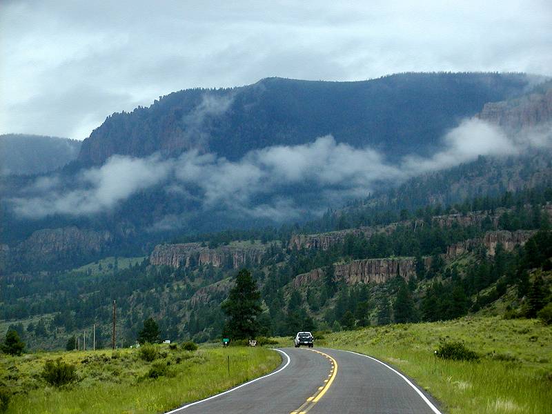
We’re riding on the Silver Thread Scenic Byway, a 117-mile gem that winds through the San Juan Mountains and ends in South Fork.
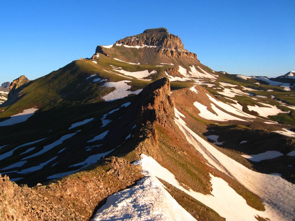
The San Juan Mountains are Colorado’s largest mountain range. Major towns in the San Juans, every one an old mining camp, include Creede and Lake City – which we’ll visit today – and Silverton, Ouray and Telluride, which we visited earlier in the week. The highest point in the San Juan Mountains is Uncompahgre Peak, at 14,309 feet.
Uncompahgre Peak: 6th-highest of Colorado‘s 14ers.
The San Juan Mountains have the distinction of having the highest US airport with scheduled airline service – Telluride Airport, at an elevation of 9,070 feet.
***
Visiting old ghost towns in the San Juan Mountains is a popular tourist activity. Colorado has about 500 ghost towns, and 650 actual (statutory) towns. Mining booms and busts left the mountains littered with ghost towns that fascinate locals and tourists alike. Today, we’re two of them.
In search of ghost towns, we follow CO-149 for 86 miles, passing by Lake City, the county seat of Hinsdale County. Lake City is named after nearby Lake San Cristobal.
Lake San Cristobal is the second largest natural lake in Colorado. San Cristobal means “Saint Christopher,” in Spanish. Saint Christopher is a patron saint of travelers. Like Dave and me.
In Lake City, we find some other travelers—Harley riders.
The area around Lake City and Lake San Cristobal is at the southern end of Colorado’s mineral belt. Lake City historically relied on mining, and its economy today is dependent on tourism. The Town of Lake City is designated a National Historic District, with more than 200 historic structures.
Leaving Lake City, we continue on CO-149, and after 10 miles, reach the summit of Slumgullion Pass. On our way up, we experience Slumgullion’s 9.4 percent grade, the steepest in Colorado. (A side note on steepness: three summers ago, Dave and I rode over Sonora Pass, through California’s Sierra Mountains. Sonora Pass has a section with a 26 percent grade.)
Slumgullion Pass, steepest in Colorado.
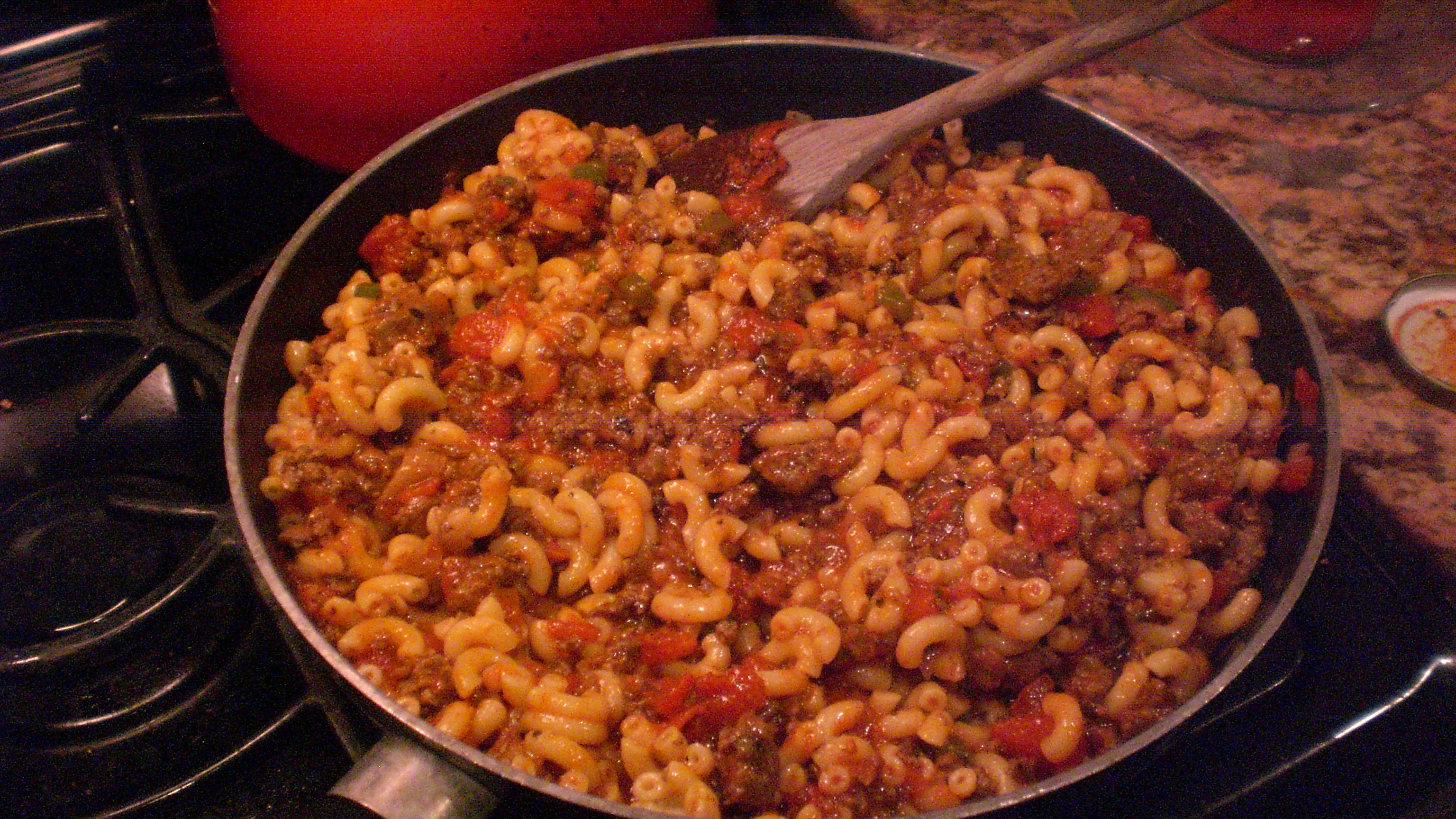
Slumgullion is more than a pass; it’s a stew, too.
Slumgullion: a little elbow macaroni, ground beef, onion, tomatoes, garlic, and you’re all set.
***
Near the Rio Grande River, we turn north, staying on CO-149. The Rio Grande flows from southwestern Colorado to the Gulf of Mexico, along the way forming part of the Mexico-US border.
We follow the Rio Grande on CO-149, passing through Creede, a historic old mining town in appropriately named Mineral County.
Our two red Harley’s sit peacefully in Creede.
Creede, elevation 8,800 feet, has been featured in a number of Hollywood films, including:
The Shootist in 1976, with John Wayne and Ron Howard, about a dying gunfighter who spends his last days looking for a way to die with the least pain and the most dignity.
The final scene in the 2007 drama, The Assassination of Jesse James by the Coward Robert Ford, takes place in a saloon in Creede, where outlaw Robert Ford (played by Casey Affleck) is gunned down by Edward O’Kelley. The scene was shot on a set in Edmonton, Alberta, that recreated much of 19th century Creede. Earlier in the film, Ford had killed Jesse James, played by Brad Pitt.
Scenes from the 2013 western, Lone Ranger, starring Armie Hammer and Johnny Depp, were filmed in and around Creede.
Hydrating in Creede.
Creede, we continue our ride along the Rio Grande. In the Town of South Fork, we turn east on US-160. Here in South Fork, the Griswold family spends the night at a campground as part of the 1983 Harold Ramis movie, National Lampoon’s Vacation.
After 15 miles on US-160, we roll into Del Norte, named after the river “Rio Grande del Norte” – Grand River of the North. Del Norte, elevation 7,884 feet, is a good place to stop for gas, and a snack at the Three Barrel Brewing Company. If only we needed gas and a beer.
In Del Norte, we hop on CO-112 for about 15 minutes, then turn north on US-285. Unusual for a Rocky Mountain ride, the road is a straight line for 25 miles. No turns, not even a bend in the road.
In Saguache (suh-WATCH), at the junction of CO-114, we veer west for 62 miles, and enjoy some mountain curves for a pleasant change. In the distance, we see Razor Creek Dome (11,530 feet) and Sawtooth Mountain (12,304 feet).
We cross Cochetopa Pass, 10,067 feet, on the way in to Gunnison. It sits on the Continental Divide. Cochetopa is a Ute Indian word for “pass of the buffalo.” Go Utes!
Cochetopa Pass, on the way to Gunnison.
At US-50, we turn west and ride the remaining eight miles to Gunnison, which completes our loop for the day.
***
Another night in Gunnison. More ribs.
Well, on second thought, no ribs tonight. We’re declaring it “Rib Detox Night.”
We’ve done six rib meals in six days, and we’ll think of tonight’s sacrifice as a rib sabbath.
We’ll resume our rib-fest tomorrow on our way home to Carbondale.
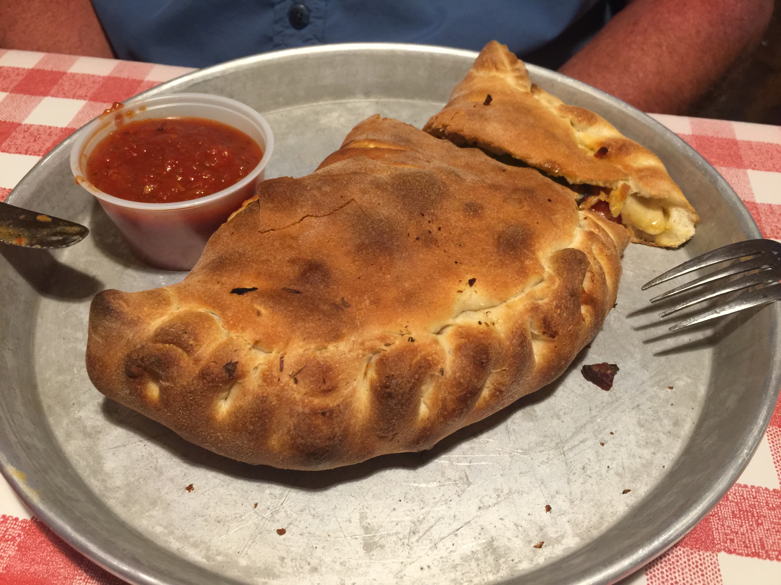
Calzone for Dave at Mario’s Pizza in Gunnison … part of our “Rib Detox Night.”
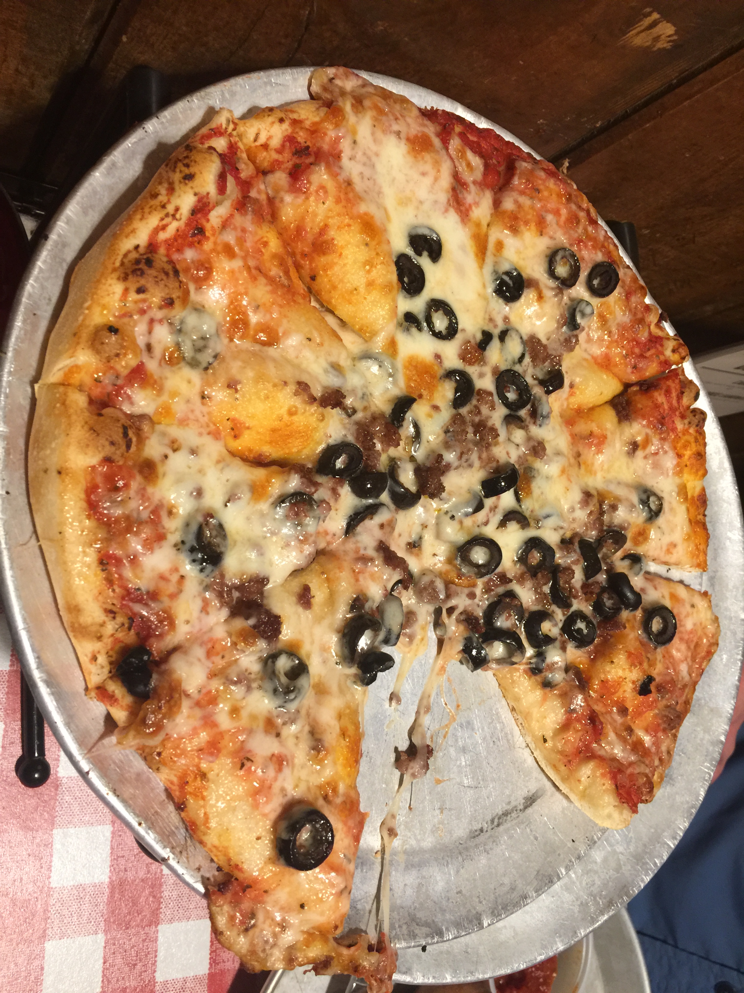
For my Rib Sabbatical, I had pizza. Quite tasty. Mario’s is Gunnison’s #1-rated restaurant, and for good reason.
***
Day Seven Summary: Colorado’s mineral belt, a town called Lake City, movie time in Creede, Rib Detox Night.
Click here to see today’s complete route from Gunnison to Gunnison – the Gunny Sack Loop.
Glad you’re along for the ride.
Vroom, vroom.
***
Today’s Colorado Fun Fact: Wondering how Pikes Peak got its name? Brigadier General Zebulon Pike was a captain in the US Army when he was sent by President Thomas Jefferson to explore the southern regions of the newly acquired Louisiana territory. The Pike Expedition in 1806 and 1807 discovered and documented what later became known as Pikes Peak. The mountain rises to 14,110 feet – and more than 400,000 people make it to the summit each year, by car, train or foot.
Today’s Rocky Mountain Rib Rally Fun Fact: The Town of Del Norte, which we passed through today, is home to Patriot Bible University, an independent Baptist correspondence school. The unaccredited school issues religious degrees only, and has been criticized as a “degree mill,” with low graduation requirements and high graduation rates. You can prepay for a degree ($1,899) and walk away with a Doctor of Ministry in a matter of months.
Today’s Colorado Food Fun Fact: Great name for a restaurant: the Gunnisack, in Gunnison – where we’re staying tonight. Sadly, the Gunnisack is a rib-free, so we’ll keep looking for a suitable rib stop.
We’ve almost committed to memory our route out of town, and probably you have, too. For the last time, we head south on CO-133, past Redstone, and over McClure Pass.
Seventeen miles south of the pass, there’s a turnoff onto Gunnison County Road 12. Sounds innocuous enough. We could turn east on County Road 12, and end up at our destination, Crested Butte, in about 31 miles.
The road would take us over Kebler Pass, a 10,007-foot summit that brings into focus one of the world’s most spectacular aspen groves. Kebler Pass is a segment of the West Elk Loop, which we’re riding today.
Kebler Pass. A must-do. With the right vehicle.
Since Sarah and I have been in Colorado, everyone tells us Kebler Pass is a must-see in the summer, and especially in the fall. Autumn foliage is world-class, among the best in the Rockies.
Unfortunately, Kebler Pass is mostly gravel and packed dirt. I don’t do unpaved roads on the Harley. It’s just not gonna happen. Call me a pansy. It’s still not gonna happen.
So, we’ll take the long way to Crested Butte.
Instead of going Carbondale-to-Crested Butte in 73 miles (2 hours and 40 minutes), we’re riding the long paved way. We’ll arrive there in 3 hours and 40 minutes, after a 170-mile ride.
Kebler Pass, in the fall. Awesome colors.
Sarah and I will eventually do Kebler Pass. In her Lexus. In the fall, as the aspen leaves are changing colors. I’ll blog about it, and share photos with you.
The road over Kebler Pass, in the fall.
***
We continue south on CO-133, rolling past the turnoff to Kebler Pass, riding down the mountain toward Paonia and on to Hotchkiss.
In Hotchkiss, we turn south on CO-92, part of the West Elk Loop. It soon becomes a twisty mountain road that follows the contours of the Gunnison River gorge for nearly 50 miles. It’s paved, it’s spectacular, and it’s one of the top motorcycle roads in Colorado. That’s saying a lot.
At a scenic overlook on Colorado Highway 92.
The views are awesome. The road is amazing.
After about 40 miles of riding that requires one’s A game, we arrive at the west end of the Blue Mesa Reservoir, the largest body of water entirely in Colorado. The Blue Mesa is America’s largest lake trout and kokanee salmon fishery.
On the Blue Mesa Reservoir, we pulled off to check out fishing conditions. Sadly, it was too windy, so maybe we’ll try tomorrow on the Gunnison River.
Here, we turn east on US-50. In 26 miles, the same distance as running a marathon, we arrive in Gunnison, a small college town and ranching community. Gunnison was named in honor of Captain John Gunnison, a US Army officer who surveyed for the transcontinental railroad in 1853. The city is home to Western State Colorado University, originally founded as the Colorado State Normal School for Children in 1901.
Gunnison is tonight’s lodging, and tomorrow’s, too. But we’ve had Crested Butte on the brain all day and need to check it out first, before settling down in Gunnison.
Crested Butte is only 27 miles north of Gunnison. To get there, just roll through Gunnison, get on CO-135, and follow it to Crested Butte, a charming ski resort town designated as the Wildflower Capital of Colorado.
(Note regarding town nicknames: Carbondale is considered the Dandelion Capital of Colorado, and holds Dandelion Day every May, a celebration that spring is in full bloom.)
In Crested Butte, we stopped at Avalanche Bar and Grill for an afternoon pick-me-up.
A former coal mining town, Crested Butte is a year-round resort, like so many in Colorado. There’s just so much to do, and to see at the Butte.
It’s taken us nearly four hours to get here, and we’re gonna soak it in before heading back to Gunnison for dinner and bedtime.
Cooling off in Crested Butte.
We grab a beer, the official beverage of bikers everywhere, relax, and ponder what might have been if we’d done Kebler Pass. Colorado has more microbreweries per capita than any other state, and one of them is right here in Crested Butte – the Irwin Brewing Company.
Dave gazes lovingly at the Crested Butte mountain, wishing he could be here in the winter, too.
I, too, enjoy the ambiance of a quality ski area. It’s my first visit to Crested Butte.
Disappointingly, there’s not a rib restaurant in town. So, after one beer, we’re still riding legally, and we return to Gunnison for dinner and a good night’s sleep.
Dinner in Gunnison at 5 Bs BBQ.
Ribs at 5 Bs BBQ. We’re finding that Slow Groovin in Marble set the Rib bar extremely high and we haven’t yet found anything to give Slow Groovin a run for their money. Tonight was our sixth rib meal in six days. Tomorrow, I’ll update the rankings after day seven.
***
Day Six Summary: The long and winding road to Crested Butte.
Click here to see today’s complete route from Carbondale to Gunnison.
Glad you’re along for the ride.
Vroom, vroom.
***
Today’s Colorado Fun Fact: Nederland, Colorado is home to a body that has been frozen cryogenically for decades. It’s the namesake behind Nederland’s annual “Frozen Dead Guy Days” festival.
Today’s Rocky Mountain Rib Rally Fun Fact: Today, we rode Colorado’s West Elk Loop, named for the animals common to the Rockies. Colorado has the world’s biggest elk population, with an estimated herd of 280,000. Elk, one of the largest species in the deer family, are social creatures usually traveling in herds, especially during fall breeding season.
Today’s Colorado Food Fun Fact: Colorado now has more than 90 craft distilleries; there’s even a Colorado Spirits Trail for tourists so inclined. Carbondale, where our day began, is home to the Marble Distilling Company. Awesome Gingercelo! And Montanya Distillers in Crested Butte offers mountain rum from family-grown Louisiana sugar cane and pure Rocky Mountain spring water.
Today will be the second-longest ride of our 2018 Rocky Mountain Rib Rally: 283 miles, and nearly six hours in the saddle.
We begin by riding west out of Durango on US-160, through Hesperus and then Mancos, a Montezuma County town known as the “Gateway to Mesa Verde.” Mesa Verde, of course, is the National Park that protects the largest cliff dwellings in North America, more than 600 of them. It’s the largest archaeological preserve in the US.
In Mancos, we turn west on CO-184 for 17 miles, then veer east in the town of Dolores on CO-145. Dolores is Spanish for “sorrows,” and is named for the river on which it sits. It’s original name: “Rio de Nuestra Senora de las Dolores” (The River of Our Lady of Sorrows).
Colorado Highway 145 is a spectacular route through the San Juan Mountains, from Dolores to Telluride.
We are riding the San Juan Skyway Scenic Byway, which will take us to the ski resort town of Telluride, and on to Ouray County’s only stoplight in Ridgway (yet again), before turning home toward Carbondale.
From Dolores, we’ll continue on CO-145 for 68 miles until we arrive in Telluride, a former silver mining camp, founded in 1879 as “Columbia.” But due to confusion with a California town of the same name, it was renamed Telluride in 1887, for the gold telluride minerals found in other parts of Colorado. A telluride mineral has the telluride anion as a main component.
Mining was Telluride’s only industry until 1972, when the first ski lift was installed. Telluride has been rated the #1 ski resort in North America by Conde Nast readers several times in recent years. It’s considered a playground for the rich and famous. Just like Aspen. Only slightly less rich and a hair less famous.
Taking in some bluegrass music in Telluride.
In Telluride, it’s time for the annual Bluegrass Festival, which has taken over the town for the weekend. Despite the huge crowds, we’re able to find parking spots for the Harleys. We even managed to take in some bluegrass music on a small stage in town.
Parking on Telluride’s main street.
Telluride’s main street has some world-class shopping and eating, and flower boxes in the middle of the street.
Telluride: a photogenic mountain town.
Two Harley riders in Telluride, somewhat less photogenic than the flowers.
***
We leave Telluride and head west on CO-145 toward Placerville. Placerville is named after the placer gold mines found along the San Miguel River and Leopard Creek. By 1919, there were at least five mines in Placerville that produced 30 percent of the world’s vanadium. Placerville mines produced more than three million pounds of vanadium through 1940.
Vanadium’s symbol is V and Atomic Number is 23. Because of its beautiful colors, vanadium was named for the Norse goddess of beauty, Vanadis. According to WebMD, vanadium has medical uses that include treatment for pre-diabetes and diabetes, low blood sugar, high cholesterol, and even syphilis.
As this is not a medical blog, we’ll move on and continue our journey home. In Placerville, we turn east on CO-62, eventually coming to a stop at Ouray County’s only stoplight, in Ridgway. Again.
In Ridgway, we turn north, and ride some familiar territory – through Olathe, Delta, Hotchkiss and up the mountain to McClure Pass.
A final rest stop, just a mile south of McClure Pass, before the 25-mile ride home to Carbondale.
By now, you know the rest. Down the steep grade toward Redstone, along the Crystal River, and home to Carbondale, where we’ll have some locally smoked ribs tonight.
We’re eating at The Pig, an apt name for a BBQ restaurant. Hoping it’s good, cuz the place is just 2.1 miles from our front door, and we could walk there, or ride our bikes.
We’re eating locally, so Sarah joins us tonight at The Pig.
Someone’s eating healthy. It’s not the biker boys.
Ribs at The Pig. Best part about the meal: the sides. In this case, the slaw and spinach.
The Pig is our fifth rib restaurant in five days. Very disappointingly, ribs at The Pig were not very good. Nothing at all special. It’s disappointing because great ribs are always the goal, but especially so when the restaurant is a hop, skip and a jump from our home. Despite the mediocre ribs, the sides were very good. Maybe next time we’ll just go and have sides, and skip the main meal?
So, after our fifth rib meal in five days, here are the updated standings: #1, Slow Groovin (Marble); #2, Serious Texas BBQ (Durango); #3, Smoke Modern BBQ (Basalt); #4, Rib City Grill (Grand Junction); #5, The Pig (Carbondale).
***
Day Five Summary: Hanging with the rich and famous in Telluride, fun with vanadium.
Click here to see today’s complete route from Durango to Carbondale.
Glad you’re along for the ride.
Vroom, vroom.
***
Today’s Colorado Fun Fact: The 13th step of the State Capitol Building in Denver is exactly 5,280 feet above sea level, lending the city its nickname of “the Mile High City.” The building’s interiors used up the planet’s entire known reserves of rose marble (different from the Yule Marble that’s quarried near Marble).
Today’s Rocky Mountain Rib Rally Fun Fact: The Dolores River, which we rode along today, is a 241-mile-long tributary of the Colorado River. Dolores is also the name of the 1982 VW Westfalia Vanagon that our construction superintendent, George Nettles, drove from Colorado to Ushuaia, in Tierra del Fuego, Argentina — at the southern tip of South America. It’s the southernmost city in the world. The journey took George and his wife Rachel two years to complete. Turns out that Dolores, the van, was not named for the Dolores River; the van was named instead for the mystery woman Jerry Seinfeld was dating in his comedy show in the 1990s. Seinfeld couldn’t remember her name; he just knew it rhymed with a part of the female anatomy. For Seinfeld fanatics: it was the 20thepisode of season four, airing on March 18, 1993.
Today’s Colorado Food Fun Fact:Colorado breweries produce more barrels of beer annually than any other state. Much of that could be due to the Coors brewery in Golden, said to be the world’s largest brewery. The Coors brewery in Golden has a capacity of 22 million barrels of beer. That’s roughly the equivalent of seven billion beers a year. You do the math.
Two days of Colorado fishing, and not a single nibble. For those of you who think we may not know what we’re doing, here are a few photos to ponder.
Dave, a fishing magician on Lake Arrowhead, in Southern California.
Yours truly, with a king salmon, in Alaska’s Resurrection Bay. Photo by John Tracy, my fishing assistant.
There you have it. We can fish. Just not in Colorado. Not yet. We’ll keep trying.
***
At 4:07 am Mountain Daylight Time (here in Colorado) today, we observed the summer solstice.
That means it’s the first day of summer. In the northern hemisphere, anyway. It’s the first day of winter in the southern hemisphere. But since I’m not aware of any Riding With Gary blog followers in Argentina or New Zealand, today’s post will be about events happening in the northern hemisphere, where this is the longest day of the year.
In this part of Colorado, we’ll have nearly 15 hours of daylight today. Sunrise was at 5:51 this morning; sunset will be 8:35 tonight.
To celebrate the first day of summer, we had breakfast al fresco, on our patio, with a nice morning view of Mount Sopris.
Starting the summer on a positive nutritional note.
Still no taters with ribs for dinner, but there were hash browns on the plate for breakfast.
***
We hope to enjoy the late sunset in Durango, today’s overnight destination. If we can get there.
The “416 fire” north of Durango. The wildfire, which began June 1, continues to burn in rough and inaccessible terrain on the west side of US-550. Public access to the entire San Juan National Forest is currently prohibited. More than 1,100 personnel have been fighting the fire for the past three weeks, and now have it about 37 percent contained.
Durango has been in the national news in the past few weeks. A wildfire 10 miles north of Durango has been raging since June 1, closing portions of US-550, one of the top motorcycle roads in America. The closure is on today’s route. We’ll encounter either choking smoke, or a blocked route — or both. Or neither. Always nice to have options.
Let’s see how it goes.
The fire has consumed more than 34,000 acres and is nowhere near contained. It’s burning in rough and inaccessible terrain, making it exceedingly difficult to control. The US Forest Service estimates the fire won’t be fully contained until July 31; that’s a two-month fire! For more on this stubborn blaze, click here.
A postscript on the 416 fire: what kind of name is “416,” anyway? The number 416 comes from the number of incidents that the Columbine Ranger District has responded to in the San Juan National Forest. The fire currently burning in Durango is the 416th incident that the Columbine Ranger District in the San Juan National Forest has responded to this year. An “incident” can range from a red flag warning to a forest fire, and even includes false alarms. So, there haven’t been 416 fires this year, just 416 incidents.
Glad you asked?
***
To move in the direction of Durango, we leave Carbondale and head toward McClure Pass. We’re riding south on CO-133, part of the West Elk Loop Scenic Byway.
By now you’re as familiar with this route as we are: past Redstone, past the turnoff to Marble. Then, up the steep grade to McClure Pass, down the other side toward Hotchkiss. We turn on to CO-92, then US-550, continuing south as we roll past Olathe, through Montrose, and to Ridgway, home of the only stoplight in Ouray County.
This time in Ridgway, we’ll ride south toward Ouray, which sits at 7,792 feet, and is one of the most breathtakingly beautiful mountain towns imaginable.
Pronounced YOU-ray, the town is named after Chief Ouray of the Ute Indian Tribe. Go Utes! At the height of its mining boom, Ouray had more than 30 active gold and silver mines. Today, it has none. Ouray is considered the ice-climbing capital of the U.S, with the world’s first ice-climbing park.
Ice climbing in Ouray. Brrrr!
***
Ouray is on our route south to Durango. Our plan is to roll through Ouray, and begin our 70-mile journey to Durango on the Million Dollar Highway, US-550. It’s part of the San Juan Scenic Skyway.
The Million Dollar Highway. Don’t try this at home!
The first two miles out of Ouray heading south toward Silverton … Freak. Me. Out.
It’s the scariest road I’ve ever ridden. The road follows the Uncompahgre River gorge, with no guard rails and a thousand foot dropoff. I’ve done this road five times, and it doesn’t get any easier or less scary. It’s a truly sphincter-tightening adventure.
Beautiful, but frightening.
Until a few days ago, I was looking forward to US-550 being closed. Anything to avoid my least favorite two-mile stretch of highway.
Then, earlier this week, US-550 reopened north Durango. There will be no detours.
We’re now heading south to Durango, the old-fashioned way: past the ghost town of Ironton, past Silverton, home of the world’s highest Harley Davidson store: 9,308 feet high in the San Juan Mountains.
Biggest Harley rider in Silverton. Highest Harley store in the world.
Silverton is a good place to stop, grab a drink, and walk the town’s main Street, Greene Street – before riding the remaining 48 miles to Durango.
On Greene Street in Silverton. Shortest Harley rider in town.
In Silverton, it was hot, and we had time, so we stopped for a cold one at Avalanche Brewing Company, one of the world’s highest microbreweries.
Relaxing, before heading down the mountain to Durango.
Cooling off at Avalanche Brewing Company in Silverton.
***
On the ride to Durango, we cruise along the Animas River on US-550, through the San Juan National Forest. The Animas is a tributary of the San Juan River, named by Spanish explorer Juan Maria de Rivera in 1765, “Rio de las Animas.” Translated, it’s the River of Souls.
Durango was founded in 1879 by the Denver & Rio Grande Railway. Two years later, the railroad arrived, constructing a narrow gauge line to haul passengers and freight to Silverton, and to transport silver and gold ore from the San Juan Mountains.
The historic train has been in continuous operation since 1882. For $85, you can board in Durango for the 3 ½-hour ride to Silverton; top speed is 18 miles an hour. The train, one of the area’s top tourist attractions, has been closed since early June because of the wildfire, and will remain closed through at least the end of the month.
Yes, the train is closed, but the highway is open. Be careful what you wish for.
On the way to Durango, we stop at Coal Bank Pass: 10,640 feet. Coal Bank is the third-highest of the three major passes on the Million Dollar Highway; Red Mountain Pass, at 11,018 feet, is the highest. The third pass on the $$$$$$ Highway is Molas Pass, 10,910 feet.
At Coal Bank Pass.
Posing for a portrait at Coal Bank Pass.
We arrive in Durango in the late afternoon, with at least four hours of daylight left. It’s the longest day of the year, after all. Plenty of time to hunt for ribs.
The hunt is a short one. About a half-mile from our motel, we stumble onto Serious Texas BBQ. It’s good, it’s walking distance, and we’re ready for our fourth day in a row of ribs.
The ribs at Serious Texas BBQ are seriously good.
Well smoked, not too salty. And the sides, especially the slaw, were quite tasty.
Turns out the ribs at Serious Texas BBQ are seriously good. After four consecutive nights of ribs, the standings (rankings) look like this: #1, Slow Groovin (Marble); #2, SeriousTexas BBQ (Durango); #3, Smoke Modern BBQ (Basalt); #4, Rib City Grill (Grand Junction).
No self-respecting BBQ place will want to finish 13th among the 13 rib meals, but someplace will. Stay tuned.
***
Day Four Summary: A truly sphincter-tightening excitement on the Million Dollar Highway.
Click here to see today’s complete route from Carbondale to Durango.
Glad you’re along for the ride.
Vroom, vroom.
***
Today’s Colorado Fun Fact: The Durango and Silverton Narrow Gauge Railroad has appeared in more than a dozen movies including How the West Was Wonand Butch Cassidy and the Sundance Kid. The line from Durango to Silverton runs 45 miles, and is a federally designated National Historic Landmark, and is also a Historic Civil Engineering Landmark.
Today’s Rocky Mountain Rib Rally Fun Fact: Ouray is considered the winter ice-climbing capital of the US. It has the world’s first ice climbing park – with dozens of frozen waterfalls from 80 to 200 feet high, along more than a mile of the Uncompahgre River Gorge.
Today’s Colorado Food Fun Fact: There are more than 300 craft breweries (beer!) in Colorado, including Carbondale Beer Works on Main Street in downtown Carbondale. These small breweries account for a $1.15 billion industry in Colorado.
Last night’s blog post left many savvy readers wondering, did Dave and Gary abandon their rib quest? Did they have any dinner at all? Where were the restaurant photos? What did you mean, “<insert food pic here>”?
Oops. I screwed up.
Yes we had dinner: Ribs at the Rib City Grill in Grand Junction. Baby backs for Dave, St. Louis ribs for me.
It was a late dinner (we closed the place) after a long day in the saddle. We were tired.
When we got back to the motel shortly before 10 pm, I had a senior moment and inadvertently “published” yesterday’s blog post without including any reference to our dinner, and without posting any photos. Once I hit the “publish” button, Word Press automatically generated an e-mail to those of you subscribing to the blog.
My bad.
If you want to see what yesterday’s actual blog post looks like with the ribs included, click here, and scroll to the bottom.
Or, here’s a photo to show you our dinner. And, as you’ll notice, not a single potato had to be sacrificed for our culinary enjoyment. No fries. Again. I’m doing it for you, Sarah. Well, for me, too.
Rib City Grill. Day two of 13 consecutive rib days.
***
As we gas up in Grand Junction this morning at the Shell station on Horizon Drive, there’s a fruit stand selling Palisade peaches. So of course, I’m curious. Isn’t this a little early for peaches?
Turns our our timing is exquisite. This year’s peach crop is ready for harvest a bit early, in part due to the mild winter, and also the warm spring.
Today, the last day of spring (tomorrow is the first day of summer!), is the first day Palisade peaches are on sale to the public.
We’re traveling on motorcycles, so didn’t have space for a carton of them. Maybe next time.
Palisade peaches. Day One!
***
The Palisade peaches, of course are from the town of Palisade, a charming little burg of 2,700 residents, about 15 miles east of Grand Junction. We leave “Junction,” as it’s called, and roll east toward Palisade this morning, on our way to the Grand Mesa — today’s highlight.
Palisade peaches: Try em, you’ll like em.
Peaches account for about 75 percent of all fruit production in Colorado, and the majority of those peaches are grown in and around Palisade. Colorado’s peach crops are a $25 million-a-year business, with more than 17,000 tons of peaches produced every year, placing Colorado sixth in the US in peach exports. The 2018 Palisade Peach Festival will be held August 16 to 19.
Palisade is also on the map for its burgeoning wine industry. There are more than two dozen wineries here – one for every 100 residents. Pretty interesting ratio.
Palisade is named for its nearby cliffs, and known for its yumminess. The town’s catchphrase: “Life Tastes Good Here all Year Long!”
A few miles past Palisade, we exit the Interstate, turning off on CO-65. We point in the direction of the Grand Mesa, the world’s largest, with an area of about 500 square miles. The Grand Mesa stretches for about 40 miles, between the Colorado River and the Gunnison River, its tributary to the south.
***
On the Grand Mesa Scenic Byway. Spectacular views, awesome road.
We’re riding the Grand Mesa Scenic Byway, which rises from 4,780 feet to 10,500 feet.
Much of the mesa is within Grand Mesa National Forest. The Grand Mesa Scenic Byway winds through 63 miles of the national forest. With more than 300 mountain lakes, streams, rivers and creeks, the Grand Mesa offers great choices for trout fishing. The waters are stocked with rainbow, brooks and cutthroat, mostly ranging from eight to 12 inches long.
We stopped at the Mesa Lakes Lodge on our way up the Grand Mesa. It has cabins, lakes for fishing, and a selection of flies for fishermen. Dave bought three ($9.20 total, including tax). We plan to put them to use tonight.
At the Mesa Lakes Lodge, 9,870 feet up on the Grand Mesa. It’s a great place to fish, and I’d bet the farm Dave will be back to fish here. Sadly, we didn’t bring any fishing gear, otherwise we would have cast a line for some brown trout.
There are several hundred high alpine lakes on the Grand Mesa, all public and most are fishable. This one was a few hundred feet from the Mesa Lakes Resort. Yes, Dave was salivating; I’m pretty sure that’s what he was doing.
The Grand Mesa is home to the Powderhorn Mountain Resort, which had a very limited 2017-2018 season due to lack of snow. For much of the season, Powderhorn operated only Thursday through Sunday to preserve its mountain snowpack. Now that summer season is here, Powderhorn opened last week for mountain biking and other non-snow dependent activities.
A couple of final photos on the Grand Mesa. In this one, Dave’s taking a photo of me taking a pic of him.
And in this one, I’m taking a picture of him taking a pic of me. Make sense?
***
As we head down the Grand Mesa toward the towns of Cedaredge and Orchard City, the scenery gradually turns agricultural. Cedaredge has fruit orchards and alfalfa fields, but the most successful business here is cattle ranching. Best party in town: the Cedaredge Applefest, which this year will be held from October 4 to 7.
Elevation in Orchard City is 5,446 feet, a considerable drop from the top of Grand Mesa. As we turn east on CO-92 and head toward Hotchkiss, our elevation actually drops a bit; Hotchkiss is a little more than 5,330 feet above sea level.
In Colorado, as in Alaska, it’s road construction season. Here we are on CO-133, heading north toward McClure Pass. Well, we will be heading that way after the guy with the stop sign lets us through. Note the rider in my rear view mirror.
The guy in my rear view mirror is still there. Now he’s waving at me. Hi, Dave!
But we soon begin climbing as we leave Hotchkiss, turn north on CO-133, and head for McClure Pass. Again. We retrace our path from yesterday, though in the opposite direction. Heading northward, we roll through Paonia, then coal country, up to McClure Pass, and down the steep descent into Redstone.
We pulled over on the side of the road, about a hundred feet south of McClure Pass. My Harley’s on the shoulder, its shadow is partially in the roadway. Safe, sort of.
We follow the contours of the Crystal River, and are back home in Carbondale in no time, and in time for an early dinner.
Tonight, we’ll do ribs locally.
There’s a lot to choose from. The Roaring Fork Valley is full of foodies. There are a half-dozen rib restaurants within a bicycle ride of our house.
We drove, in Sarah’s car, to Basalt. For ribs. The three of us.
Photo contest. Guess which plate is Sarah’s, and which is Gary and Dave’s (Gary and Dave had the same thing).
Whose dinner is this?
OK then. Whose dinner is this?
If you guessed Sarah had chicken and sweet potato fries, you win. The two guys had St. Louis ribs, baked beans and cole slaw. The ribs were good, but not great.
So, after three days of ribs, the standings look like this: Slow Groovin (Marble), 1st place. Smoke Modern Barbecue (Basalt), 2nd place. Rib City Grill (Grand Junction), 3rd place.
***
After dinner at Smoke Modern Barbecue in Basalt, it’s time for some sunset fishing. Local fishing experts tell us the last hour or so before sunset is the most productive time to catch fish on the Roaring Fork River. That’s what we’re trying to do.
Beautiful evening, fishing on the Roaring Fork River.
Dave, Sarah and I head to the Roaring Fork, near Catherine’s Store (locals will know where that is; the rest of you can look it up).
Check out the photo below to see how we did.
We had the net ready to go, in case Dave landed a big one (or any size fish, for that matter). But all we got in the net was Dave, as you can see in the photo. Another fishing goose-egg, and a great time. Whether you catch a fish or not is irrelevant; it’s the experience that counts. (It’s about the journey, not the destination!)
***
Day Three Summary: The world’s biggest mesa, and another futile (though fun) effort to land a fish.
Click here to see today’s complete route from Grand Junction to Carbondale.
Glad you’re along for the ride.
Vroom, vroom.
***
Today’s Colorado Fun Fact: The Dwight Eisenhower Memorial Tunnel between Clear Creek and Summit counties is the highest vehicular tunnel in the world. Bored at an elevation of 11,000 feet under the Continental Divide, it is 8,960 feet long and the average daily traffic exceeds 26,000 vehicles.
Today’s Rocky Mountain Rib Rally Fun Fact: The Grand Mesa, which we rode today, is the world’s largest flat-top mountain. These mesas are sometimes called “table top” mountains. The world has some pretty cool table top mountains, from Australia to Antarctica to the Baffin Islands in the Canadian territory of Nunavut.
Today’s Colorado Food Fun Fact: On our way to the Grand Mesa, we rode by Palisade, home to the world-famous Palisade Peaches. The first peach tree in Palisade was planted in 1882. Today, the area produces hundreds of thousands of pounds of peaches that are exported to every corner of America.
We begin Day Two of our 2018 Rocky Mountain Rib Rally by riding south on Colorado Highway 133, just as we did yesterday.
You know the routine by now. Past Avalanche Ranch, past Redstone, past the turnoff to Marble.
But we continue south on CO-133, riding up the steep grade toward McClure Pass.
McClure potatoes. Look good, but spuds are not part of my diet on this trip
A local farmer and Irish mining immigrant, Thomas McClure, is credited with cutting the first road leading from the Crystal River Valley over “McClure’s Pass” to the North Fork of the Gunnison River. He’s also known for developing the “Red McClure” potato in the early 1900s. By the 1930s, the valley exported more than 400 rail cars filled with potatoes every year, more than the entire state of Idaho. Thomas McClure, potato inventor and road cutter – a handy guy to have around.
McClure Pass, at 8,763 feet, sits on the boundary between Pitkin and Gunnison Counties. The approaches on either side of the pass have an eight percent grade, making McClure Pass among the steepest in Colorado. The only Colorado pass that’s steeper is Slumgullion Pass in Hinsdale County, east of Lake City; its north side is a 9.4 percent grade.
We’ll ride Slumgullion Pass later this week. It’s worth visiting for the name alone; slumgullion is American goulash, a meat stew of sorts. For you word nuts, slumgullion was Merriam-Webster’s word of the day on May 10, 2018. The word slumgullion even has its own podcast.
***
The ride over McClure Pass is easy on a Harley, and somewhat more difficult on a bicycle.
Once over McClure Pass, we begin the descent toward Paonia. Along the way, we pass Paonia State Park and Paonia Reservoir. Of course we do. All Paonia, all the time.
Still on CO-133, we’re now following the North Fork of the Gunnison River. We’re in coal country, or at least what used to be coal country. The mines in Somerset and Bowie aren’t what they used to be. Employment and production have both plummeted precipitously. The future of coal in the west is grim.
Paonia is is not known for coal; it has none. Paonia is known for its agriculture.
The Town of Paonia today is known for its fruit orchards, which produce peaches, apples, cherries, pears, and plums. There are also several wineries, including Black Bridge Winery and Stone Cottage Cellars. The Paonia area is one of the few regions of Colorado that has successfully cultivated and bottled a pinot noir.
Carbondale-to-Paonia is a popular motorcycle ride. Saddle up. Grab breakfast or lunch in Paonia, perhaps at the Living Farm Café, turn around, and head home. Today, we leave Carbondale with food in the belly, so we continue on, and hold the promise of a Paonia meal for another day.
In Paonia, you could try true farm-to-table at the Living Farm Cafe.
Nine miles past Paonia, we arrive in Hotchkiss, a town of less than 1,000 residents, named after Enos T. Hotchkiss, a local pioneer. Hotchkiss calls itself the “Friendliest Town Around.”
In Hotchkiss, we turn onto CO-92 toward Delta – about 20 miles to the west. The city of Delta isn’t much to get excited about. Delta got its name because of its location on the delta where the Uncompahgre River flows into the Gunnison River.
Once in Delta, we turn south on US-50 and ride toward Olathe, famous for Olathe (pronounced “oh-LATHE-uh”) corn. The annual Olathe Sweet Corn Festival over the years has featured big-name musical groups, including Three Dog Night, Kansas, Styx, LeAnn Rimes, Travis Tritt and Clint Black.
Olathe sweet corn. Yum!
Looking for Olathe corn? Much of it is yellow and white, and can be found across the country at Kroger grocery stores (Ralph’s in Southern California; City Market in Colorado; QFC in Washington state). Kroger, America’s largest supermarket chain by revenue, frequently purchases most or all of the Olathe sweet corn stock, which can amount to about 30 million ears of corn.
The Olathe corn season kicks off at the end of July to early August and runs through September. It’s as short and sweet as the corn itself.
***
From Olathe, it’s 11 miles to Montrose, then 27 more miles to Ridgway, home of Ouray (pronounced “YOU-ray”) County’s only stoplight.
Stoplight selfie at Ouray County’s only stoplight-/- in Ridgway. Good stoplight day, bad hair day.
Because it’s the polite thing to do, we stop at the light, then turn west on CO-62, which takes us to Placerville, originally established as a small mining camp. Placerville was named after the placer gold mines located on the San Miguel River and Leopard Creek. For you non-miners out there, placer mining is the mining of alluvial (loose) deposits for minerals.
We are now on the Unaweep Tabeguache Scenic Byway, tracing the Dolores River Canyon, which reaches depths of 2,000 feet.
The Dolores River, near Naturita.
In Placerville, we veer right onto CO-145, and follow the Dolores River through Norwood to Naturita. Naturita is a name derived from Spanish, meaning “little nature.”
In Naturita, you can eat at Blondies, the number one rated restaurant in town. That ranking is not a huge accomplishment; there’s only one restaurant in Naturita. Free ice cream at Blondies for moms on Mother’s Day! There’s always next year.
***
The Bedrock Store, a Colorado institution since 1882.
Close to Naturita is the historic Bedrock Store, where scenes from movies such as Thelma and Louisewere filmed. The store, built in 1882, is still open today. It’s a living time capsule.
Just west of Naturita, we turn onto CO-141, which winds along the beautiful Dolores River Gorge. On the way from Naturita to Gateway, there are surprises around every turn, usually including occasional cattle in the road. We saw none today, but did see a bunch of amateurish “Cows on Hiway” signs.
Fifteen miles past Naturita on our journey is Uravan, an abandoned uranium mining town that’s now an EPA Superfund site, not exactly an honor of distinction. The uranium used in the once top-secret Manhattan Project was mined in Uravan, leading to the world’s first atomic bomb.
Between the mid-1940s and early 1970s, Uravan was a boom town, thanks largely to the federal government’s desire to ensure an adequate supply of fissionable material for its defense programs. But in 1971 the government ceased its uranium acquisition program, effectively signing Uravan’s death warrant.
Uravan is hard to find, and easy to miss. The town is buried under carefully arranged rocks, with little hint of what Uravan once was. All that remains is a yellowing marker sign at a rest stop along Colorado Highway 141.
Uravan: fun with uranium, and vanadium! This is what Uravan looks like today. At least you were warned.
Uravan fun fact: its name is derived from combining the words uranium and vanadium, both found locally in carnonite ore mineral deposits.
***
CO-141 leads us from Uravan to Gateway, located in Unaweep Canyon. It’s the home of the Gateway Canyons Resort and Spa, ranked in 2014 by Conde Nast Traveler magazine as the #12 resort in the world, #3 resort in the US and the #1 resort in Colorado. The resort sits at the confluence of five canyons, believed to the only resort in the world to do so.
Gateway also has an auto museum, and a general store.
Best. Photobomb. Ever. At Gateway General Store.
The area has a rich history steeped in the ancient peoples of the Pueblo, Fremont and Ute Native American tribes.
Stopping for refreshments on a 90-degree day at the Gateway General Store. Note Dave’s reflection in the window. Dude is a master photo bomber, especially at this location.
After a rest stop in Gateway, we continue northeast on CO-141, riding along the Dominguez-Escalante National Conservation Area. It’s about 55 miles to Grand Junction, tonight’s destination.
Yesterday’s 56-mile day was a warm-up. Today, we rode more than five times that far: 303 miles; six hours, five minutes in the saddle.
We must have worked up some kind of appetite. Time to rib up!
Dinner at Rib City Grill. Very good, and in 2nd place so far on this trip (Slow Groovin still #1).
Dave had the special: baby backs and catfish.
St. Louis ribs for me. Still no fries.
***
Day Two Summary: Paonia pinot, Olathe sweet corn, and cattle on the roadway.
Click here to see today’s complete route from Carbondale to Grand Junction.
Glad you’re along for the ride.
Vroom, vroom.
***
Today’s Colorado Fun Fact: Colorado contains more than 75 percent of the land area in the US that’s over 10,000 feet elevation. Lowest point in Colorado: 3,317 feet – higher than the highest elevation in 18 states.
Today’s Rocky Mountain Rib Rally Fun Fact: Our ride today through what was once a thriving coal mining area, near Paonia, was a good reminder of how severely coal has fallen off a cliff. Only two active coal mines remain in the area. Coal, an outdated form of energy, is rapidly dying.
Today’s Colorado Food Fun Fact: On the Made in Colorado website, featured foods include Colorado Mud, chokecherry jelly, rock candy, Elk Duds, Colorado Salsa, buffalo sausage and beer bread. Colorado Mud: Just add milk, oil, water and vanilla – and stir with a fork; looks like mud on the bottom and a brownie crust on the top.
Leaving Carbondale. Clean machines. Bikes, too. That’s me on the right.
On Day One of our 2018 Rocky Mountain Rib Rally, we break into the routine gradually.
Today’s ride will be beautiful, but short: fifty-six miles, about an hour and a half in the saddle.
No giggling or scoffing, please. Dave’s been riding hard the past few days, and we need to ease him into Colorado slowly.
On the way to Marble. Road construction season. After a 10-minute delay, we’re on our way to Marble.
Our destination is Marble, home to Slow Groovin’, where we’ll be having ribs for lunch. Slow Groovin’ may be the best ribs in Colorado. It’s a nice place to kick off our rib-fest.
As you may have learned on this blog last year, the Town of Marble got its name from the stone that is quarried there: Yule Marble. It’s the only place on earth where Yule Marble is found. This beautiful white marble from Marble provided the stone for the exterior of the Lincoln Memorial, and the Tomb of the Unknown Soldier at Arlington National Cemetery.
Marble is located in a valley of the upper Crystal River, surrounded by the tall peaks of the Maroon Bells-Snowmass and Raggeds Wilderness Areas.
There are about 100 full-time residents of Marble. Fifteen to 20 of them work at the quarry. It’s believed that the remaining operational quarry has enough marble to last for several hundred years.
Slow Groovin’ probably has enough ribs to last through at least the end of June.
This is the smoker that cooked the ribs we’ll be eating shortly.
***
One Fifty Sopris Mesa Drive, our Carbondale home, sits at 6,388 feet above sea level. Before the day’s out, we’ll end up nearly 2,000 feet higher.
We leave our Cozy Carbondale Cottage, in the River Valley Ranch development and head south on Colorado Highway 133. Slow Groovin’ is exactly 27.6 miles from our front door to their smoker.
Soon we follow the Crystal River, and pass Avalanche Ranch, a secluded hot springs with 18 cabins and views of the valley. While at Avalanche Ranch, you can fish, hike, bike, and canoe on the Crystal River. In the winter months, snowshoeing, sledding, skiing, and tubing are popular. Year-round, it’s a popular wedding destination.
Mount Sopris: 12,953 feet of spectacular!
On our left is Mount Sopris, larger than life. It’s the dominant feature in almost any photo of the Roaring Fork Valley. At 12,953 feet, it’s the view everyone in the valley wants to have. Sarah and I are fortunate enough to see Mount Sopris from most rooms in our Carbondale home.
From Carbondale, it’s about 16 miles south to the nearest town, Redstone. By the time we roll past Redstone, we’ve already climbed about 1,000 feet. Redstone sits at about 7,200 feet.
Redstone is a cute little village, home to about 130 residents. Here you’ll find the Redstone Castle, an opulent 42-room Tudor-style mansion that’s listed on the National Register of Historic Places.
On the West Elk Loop Scenic Byway. Red bikes, red rocks.
We’re on the West Elk Loop Scenic Byway, which begins in Carbondale, and runs for more than 200 miles through the West Elk Mountains, along the Gunnison River, to Crested Butte, over world-famous Kebler Pass, and back to Carbondale. We’ll save most of the West Elk loop for another day.
Today is a leisurely ride primarily designed to get in a few miles, eat a few ribs, and catch a few fish.
About five miles past Redstone, we turn left onto Pitkin County Road 3, which takes us the remaining six miles to Marble. The elevation in Marble is 7,992 feet; the Yule Marble Quarry is another 1,500 feet up.
***
Dining, al fresco, at Slow Groovin.
For some, Marble is all about the marble.
For others, like me (and Dave), Slow Groovin’ is the main attraction.
Serious ribs. Serious guy. Serious eating.
This photo’s for Sarah. See — no fries this year. It’s a new me.
After lunch, we wander around Marble before heading back to Carbondale. Everywhere you go, there are hunks of marble, some carved professionally, some by hobbyists.
Every year since 1989, the town has hosted three week-long Marble Symposiums, providing opportunities for ordinary people to learn about, and expertly carve, marble. The event is run by the Marble Institute of Colorado, a non-profit whose goal is to educate, train and develop stone carvers.
For $950, you can work with up to 500 pounds (about three cubic feet) of Colorado Yule Marble, enjoy unlimited use of power tools, air hammers and chisels, and have what many consider a life-changing experience. 2018 Symposiums are scheduled for July 2-9, July 15-22, and July 29 to August 5.
Yes, I know – technically, the plural of symposium is symposia. But that sounds so stuffy. So we’ll go with symposiums, and beg for grammatical forgiveness.
Carve away! A participant in a week-long Marble Symposium learns a new craft.
***
We leave Marble, and head down valley, in search of more food. This time, we’re looking for a fishing spot.
The Crystal River is running quite fast, at least for fishing. And it’s hard to find a place to park two Harleys on the side of the highway anywhere near a fishing spot.
But eventually, about a mile north of Redstone, we find a place to pull over, get out the fishing gear, and give it a shot. I appreciate Dave’s bringing all the gear from Southern California — enough for him, and for me.
That’s Dave, hiding in the right side of the photo, fishing on the Crystal River.
So, I get to try out my new Colorado fishing license ($1.00 annually!).
I’ve never fly fished before; my entire fishing history is limited to a day of salmon fishing in Resurrection Bay, near Seward, Alaska — and a day of halibut fishing, near Homer, Alaska. Along the way today, Dave teaches me to roll cast, and to mend. Maybe next time, he’ll show me how to darn?
Clearly, not yet ready for prime time. But I’ve got a good teacher, and lots of time.
Note Dave’s Harley-branded fishing gloves. The guy has style!
Day One Summary: Easing into the Rocky Mountain Rib Rally with a short ride and lunch at Slow Groovin’. Marble carving, anyone?
Click here to see today’s complete route from Carbondale to Marble and back to Carbondale.
Glad you’re along for the ride.
Vroom, vroom.
***
Today’s Colorado Fun Fact: Colorado is the only state in history to turn down the Olympic Games. In May 1970, the International Olympic Committee awarded the 1976 Winter Olympics to Denver. But two years later, 62 percent of all Colorado voters chosenotto host the Olympics, because of the cost, pollution and population boom it would have had on the State of Colorado, and the City of Denver.
Today’s Rocky Mountain Rib Rally Fun Fact: On our way to Marble today, we rode along the Crystal River, full of Rainbow and Brown trout, and world-famous for its fly fishing. The Crystal is a tributary of the Roaring Fork River, and is often overlooked because of its proximity to the Roaring Fork, the Fryingpan, and Colorado Rivers.
Today’s Colorado Food Fun Fact: Colorado hasn’t declared any official state foods. Yet. OK, fine. In honor of the 2018 Rocky Mountain Rib Rally, I’m declaring Ribs the official Colorado state meal.
To all you Dads out there, consider this blog post my Father’s Day card to you.
But first, a traditional card.
***
Last August, I checked an item off an imaginary bucket list by riding to Sturgis, South Dakota, for the annual crazy-fest in the Black Hills.
Official attendance at the 78thAnnual Sturgis Motorcycle Rally was listed as 480,000. Almost a half-million. Including me.
The author at the 78th Annual Sturgis Motorcycle Rally: August 7, 2017
Lots of alcohol, lots of skin, bikes galore, tons of fun.
It was part of my yearly riding adventure, and, some might say, the pinnacle of my Harley riding career. Hard to top that experience.
***
But in the spirit of continuous improvement, I’ll try.
Beginning tomorrow, I’ll set out on my eleventh major ride in the past ten years.
Every previous trip covered multiple states, or provinces (Oh, Canada!). Last year, for example, we visited nine states, and 18 National Parks, Monuments and Memorials.
This time, we’re trying something different.
One state, two goals:
Riding Colorado’s most spectacular Rocky Mountain roads
And, sampling the state’s tastiest ribs along the way each evening
For reasons that should be somewhat apparent, I’ve branded this year’s ride as the 2018 Rocky Mountain Rib Rally.
But why only Colorado? And what up with this rib thing?
***
First, the geographical part.
When last year’s Sturgis Bucket List Ride began in July, I was living in La Quinta, California, where I’d been since 2000. The ride ended three weeks later in Carbondale, Colorado, where we’d just begun construction of what would become our new home.
Breaking ground on our Carbondale home: July 24, 2017
In May, following nine months of construction, Sarah and I moved into our now completed “Cozy Carbondale Cottage.” For reasons both practical, and emotional – I’m just not ready, yet, to stray very far from home.
What a difference a year makes. We’re now living where, a year ago, there was nothing but dirt.
So I invited my riding pals (my posse) to join me on a Colorado-only journey this year. Yes, kind of selfish on my part, and I can probably only get away with this once.
Despite being a one-state solution, the riding over the next two weeks will be absolutely world-class. The Rockies offer some of the most breathtaking, thrilling and beautiful rides imaginable. Of all the journeys I’ve been on over the years, riding the Rockies is as good as it gets.
Don’t feel even the slightest bit of sadness for me staying close to home and being confined to Colorado’s 104,185 square miles. I’ll be OK.
That hopefully, answers the “Why Colorado?” question.
***
Rocky Mountain Rib Rally. Bring it On!
But the ribs?
I love ribs. They’re my favorite food. Simple as that.
I’ve long said that my last meal, if I know in advance that’s what it is, will be ribs.
I’m on record as being an unapologetic rib lover, regardless of the health consequences.
As anyone familiar with this blog knows, the two highlights of each day on the road are the ride, and the dinner that follows it.
There’s usually significant pre-trip Yelp and TripAdvisor research on my part, looking for tasty dining opportunities at the end of each day’s ride. I usually target a mix of burgers, pizza, Asian, brewpubs, Mexican, Italian, and yes – ribs.
This year, my research focused on BBQ or rib joints everywhere we’re headed. If a day’s ride ended somewhere with a nice place to sleep but no ribs to eat, well, that destination was quickly deleted from the itinerary.
Turns out BBQ and ribs are plentiful in the Rockies. If this blog inspires you to have a rib or two yourself over the next few weeks, thanks for joining the posse, at least in spirit.
***
Dave, explaining the finer points of fly fishing, and the gear he brought from California. Our Rocky Mountain Rib Rally will include riding, eating ribs — AND fishing! Welcome to Colorado, Dave.
On this Father’s Day, Sarah and I are joined for dinner by our good friend, Dave Bowman, a father of two – Nathan and Tess. Thank you, Gail, for sharing Dave with us for Father’s Day, and for the next few weeks.
Dave arrived in Carbondale today, at the end of a four-day journey from his home in Fullerton, California. He pulled into our driveway this afternoon on his Harley, a 2008 Ultra Glide Classic. Dave rolled in after a 266-mile ride from Monticello, in southeastern Utah.
Dave’s here because he’ll be joining me on the 2018 Rocky Mountain Rib Rally. Home base for the trip will be our Cozy Carbondale Cottage. We’ll take several day trips, and a number of multi-day journeys – but always return to Carbondale. Because it’s home.
To learn a little more about Dave, go to the “My Posse” page on my blog, and scroll down until you see a tall guy standing behind a shiny red bike.
Tonight, Dave and I experience our last non-rib dinner until July. Sarah joins us on our patio for grilled salmon. Pretty tasty. Perhaps even healthy. But it’s no substitute for ribs.
Salmon on the grill. Yum. Last healthy meal until July.
Cheers! Salmon dinner in Carbondale. Rocky Mountain health food.
***
For the next two weeks, Dave and I will be riding by day, and eating by night. And, I’ll be posting to this blog each evening after dinner, often typing with fingers still sticky from rib consumption. #StickyFingers
To help you acquire the kind of useless information this blog traffics in, each day’s post will conclude with three factoids:
“Today’s Colorado Fun Fact” – something interesting about Colorado.
“Today’s Rocky Mountain Rib Rally Fun Fact” – a tidbit about something worth noting along that day’s route.
“Today’s Colorado Food Fun Fact” – a tasty morsel about Colorado’s food and restaurant culture.
And now, the first of the factoid trifectas.
***
Today’s Colorado Fun Fact: Wondering how Colorado got its name? The word colorado means “colored red’ in Spanish. The state of Colorado was named after the Colorado River, which Spanish explorers named “Río Colorado” (meaning colored river) for the red silt the river carries in rivers and streams from the mountains.
Today’s Rocky Mountain Rib Rally Fun Fact: Our ride will cover about 2,400 miles, taking us above the tree line, across the Continental Divide, over the world’s largest mesa, to ski areas now basking in summer sunshine – and to Roaring Fork Valley rivers, where Dave says he’ll teach me to fly fish.
Today’s Colorado Food Fun Fact: With two weeks of ribs ahead on the menu, you may wonder about their nutritional value. While ribs may have some health drawbacks, like high fat and considerable calories, they aren’t totally devoid of good stuff. Ribs provide significant amounts of protein, along with vitamins (B-12 and D) and minerals (Iron and Zinc). In summary, pork ribs aren’t bad for you, as long as you practice portion control. Portion control … seriously?
***
I look forward to having you join me on this ride and rib fest over the next few weeks.
Finally, as I like to say each year when I blog about my travels – if you happen to learn anything along the way, you’re welcome.
Here’s what my December 24 looked like: Sarah and I got in 18 holes of golf. Then, I went for a pre-Santa ride in the Rockies.
We didn’t play 18 holes, that’s for you sun worshippers in La Quinta. The courses here in Colorado are closed this time of year, but they’re very walkable. So today, we walked the entire Aspen Glen golf course, where we’re living while our house is under construction nearby. It took us two hours and eight minutes to walk 18 holes; we covered 6.24 miles. Fitbit-worthy.
On the back nine at Aspen Glen, on Christmas Eve. That’s Mount Sopris in the background: 12,966 feet. It should be in pretty much every photo, and the view from your back yard, if you can swing it.
Next, I fired up the Harley and rode into Carbondale. Why? Pretty much so I could say I rode the Rockies on a chilly winter day. My ride covered 12 miles, round trip, in 34-degree weather. Riding the Rockies on Christmas Eve. Yeah, baby!
Great day for a ride. Or for finishing your Christmas shopping. Already figured out what I want for Christmas next year: heated grips for the bike. Seriously. #coldhands,warmheart
On Christmas Eve, I rode six miles, to River Valley Ranch — in Carbondale. This view is right next to the lot where we’re building our home. Yes, that’s Mount Sopris in the background.
***
So, that’s what happened today, on Christmas Eve.
This blog is normally a description of beautiful roads I’ve ridden and unhealthy food I’ve consumed along the way. Today’s blog post is a bit different.
As you may have noticed, I’ve been on blogging hiatus since ending my last Harley trip in Carbondale on August 15.
Quite a lot has happened since then. We became permanent Colorado residents, making Carbondale our home. We now have Colorado drivers licenses, and Colorado plates on our vehicles. We’ve watched our new home being built, and are looking forward to moving in some time in the spring (no pressure, Kent and George). We’re gradually adjusting to life in the Rockies. We miss our old friends in the desert, but are pretty sure they’ll find Carbondale a fine place to visit.
Today, on Christmas Eve, I thought I’d take you on a trip, metaphorically anyway. It’s just a simple way of bringing you up to date on what’s been happening in our lives since mid-August, the date of my last blog post.
***
In August, on the San Francisco side of the Golden Gate Bridge. We hiked across the bridge, both directions.
We spent the summer in San Rafael, California, living with my cousin Rich, who was kind enough to open his home to me, Sarah, Lucy and Betsy — until our rental in Carbondale was available. Eleven weeks of unconditional hospitality. We took advantage of the proximity to the Pacific Ocean, knowing it may be some time before we have a chance to get salt in our hair and sand in our toes again.
Got sand in our toes at Stinson Beach.
***
While we were in Northern California, work on our new home in Carbondale continued. Almost every day, our builder (Key Elements Construction) posted photos on a website so we could track the progress. As you may know, we’re calling the house our “Cozy Carbondale Cottage.”
It’s been fun watching the house become a home.
Yes, that’s a ridge beam, and those are rafters. The bluest skies you’ve ever seen are not in Seattle, they’re in Colorado.
Our great room will be a nice space, with a fantastic view of the mountain.
***
On September 14, we said goodbye to San Rafael, and headed for Colorado. After an overnight in Elko, Nevada, we arrived in Carbondale on a beautiful almost-autumn afternoon.
We immediately checked out the homesite. It looked a lot like our builder’s photos, but we finally got to be in the frame.
Here’s Sarah, showing off the view from the Guest Bedroom. Best view in the house. Nice mountain in the background. Lucky guests!
We’ve had a good time exploring the local area — the Roaring Fork Valley. There are breathtaking views around every corner. It’s almost like being on a Harley ride.
Here’s Sarah, on the famed Satank Bridge, just outside of Carbondale. Love the red mountain in the background.
More of the Satank Bridge, which spans the Roaring Fork River.
We hiked up Red Hill, where Colorado Highways 82 and 133 meet, just at the North end of Carbondale.
The view from Red Hill, looking south toward Mount Sopris. Quite spectacular.
***
Our cats, Betsy and Lucy, seem to be enjoying life in Colorado. They are fascinated with the view, with the deer in our back yard, and the change of scenery — it’s their first time out of California.
The girls admire the view of Mount Sopris. Who wouldn’t?
Betsy has decided she likes sitting by the fire, basking in the Colorado sunshine.
Lucy found her favorite spot, on a faux animal fur throw, from Pier One (it was at the rental house when we moved in). That’s my cousin, Rich, in the background. First cousin, once removed. Anyone know what that is?
***
We’ve had a number of visitors here in Carbondale. They can confirm we are actually here. Our hospitality “brand” is the same as it was in La Quinta: Five-star Quality, Zero-star prices.
My cousin Rich visited in December. He flew to Aspen, and rode the bus in to Carbondale (and back). Thought it was the best deal on the planet: free plane ride, free bus!
John Tracy visited from Alaska, along with his wife Donna and son, Cole. We think he’ll be back.
The McBrides visited from Palisade, Colorado’s peach and wine capital.
We had a lovely dinner at our house with Sarah Murray (what a name coincidence!), her husband Clay, and their cute twins, Si and Jesse.
***
We’ve been trying to walk most every day. The exercise routine is a bit reduced, compared to what it was in California, but there’s good reason. On November 2, Sarah had rotator cuff surgery at the world-famous Steadman Clinic in Vail.
At the Steadman Clinic, pre-surgery. Sarah and Gronk now have something in common. Sarah may sign her golf shirt, and send it to the clinic for framing, to be hung in a conspicuous place.
The morning after surgery. Looking good!
Only days before, Sarah and I played our last round of golf for the year. On October 27, we checked out the course at River Valley Ranch, where our new home is being built.
Here’s Sarah, crushing it on the 14th hole. We thought we’d never play golf in anything but shorts and a short-sleeved shirt … but hey, we’re in Colorado now. That’s our house, in white, at the end of the fairway. It’s a good target off the tee, but un-reachable — unless you’re Justin Thomas.
***
We’ve managed to ride the Harley a few times, and always, stop somewhere with a Mount Sopris view. The mountain is just a few feet shy of 13,000 feet — and very photogenic.
Back in September, before there was snow on the mountain.
In October, the mountain looks better with snow on it — and with Sarah in front of it.
A cool November afternoon.
The view from Aspen Glen.
Also from Aspen Glen. Love Sarah’s sunglasses. Walmart!
***
Finally, a few wintry shots, then it’s time to get ready for Santa’s arrival in Carbondale.
Here’s one that has December written all over it:
Um, yes … looks like December, but it was actually early October in Aspen. That’s pretty much all the snow we’ve had; it’s probably the worst season for skiing in 40 years!
Christmas tree lighting in downtown Carbondale.
Merry Christmas, from the White House Pizza in Carbondale.
***
Well that’s it. A rather unusual blog post, considering I’m a Harley travel blogger. Never thought I’d do a holiday letter online. Thank you, Al Gore, for making it possible.
Whatever.
Happy Holidays to all and to all a good night. Hope Santa is exceedingly good to you, unless of course, you’re one of my Jewish friends or family — in which case I hope Harry Hanukkah took good care of you earlier this month.
Look forward to seeing you in 2018, here in Carbondale, or wherever you may be.
Let’s ride. Vroom, vroom!
Gary
P.S. We woke up to a White Christmas! Every little child’s dream. Here’s the view from our patio at 7:45 on Christmas morning.
A White Christmas at 59 Primrose Road in Carbondale!
So, I say goodbye to the McBrides, and roll out of Palisade on the last leg of my journey home.
The route is quite simple. I can probably do it without the nav system engaged, just listening to spirited ’70s rock and enjoying the scenery and fresh Colorado mountain air.
East on I-70 for 72 miles, take a right, blow through Glenwood Springs, and 10 minutes later, when you see Mount Sopris towering in the distance, you’ve arrived at the Lesser/Murr homestead.
There are several interesting sights to see along the way. A few miles after leaving Palisade, I ride past past De Beque, population 500, perhaps best known for becoming the first incorporated town in Mesa County to approve the retail sale of recreational marijuana. In De Beque, you can stop at Kush Gardens and be helped by some of the best budtenders (yes, that’s what they’re called) in Colorado.
Budtender Delplena Silas helps a customer smell the aroma of cannabis buds at De Beque’s Kush Gardens. Business is booming.
Truth be told, Sarah is a fan. We’ve done some retail at Kush Gardens. She has a lot of back and neck pain; it’s what kept her from joining me in South Dakota’s Black Hills on this trip. It turns out that a drop of sublingual marijuana under the tongue occasionally helps her sleep at night.
Those of you reading this blog with your chardonnay or vodka tonic in hand should immediately re-consider your judging of her choice. Medical marijuana is now legal in at least 29 states and the District of Columbia; recreational use is legal in eight states, including Colorado.
While the national discourse clearly favors legalizing marijuana, federal law still considers cannabis a dangerous illegal drug with no acceptable medicinal value. Federal law still treats marijuana like every other controlled substance, including cocaine and heroin. There is a clear conflict between federal and state laws when it comes to marijuana use.
Someday, we’ll look back on this time in America and wonder what took us so damn long to legalize what has been criminalized for eons. Remember how well Prohibition worked?
Pot in Colorado is such a thing that the state’s leading newspaper, the Denver Post, has its own marijuana critic, Jake Browne. He works alongside the newspaper’s wine critic, theater critic and movie critic. Jake’s paid to smoke marijuana – and then write about the high.
OK folks, put down your glass of chardonnay and let’s talk about it.
***
From DeBeque, I roll northeast past the town of Parachute, which is about halfway between Palisade and Glenwood Springs. Next up: the towns of Rifle, Silt, and New Castle. I love Colorado place names.
If I continued another 150 miles east on the interstate, I’d be in Denver, Colorado’s biggest city.
But really, what would be the point of that? I’m heading home, and my exit from I-70 is in Glenwood Springs, directly ahead of me.
Glenwood Springs is the county seat of Garfield County, where we’ll soon go for fun DMV activities like registering our cars and acquiring Colorado driver’s licenses. Glenwood Springs is also home to Doc Holliday Harley Davidson, named after the Wild West gunfighter, pal of Wyatt Earp, and participant in the Gunfight at the O.K.Corral.
In the 1957 movie about the famous 30-second shootout, Holliday, who was grazed by a bullet, is played by Kirk Douglas.
That’s Kirk Douglas on the far left, as Doc Holliday, on his way to the shootout at the O.K. Corral. Holliday is buried at a cemetery in Glenwood Springs, about 10 miles from Carbondale.
Best line from Doc Holliday, referring to his ability with guns: “I do handle them pretty well. The only trouble is, those best able to testify to my aim aren’t around for comment.”
Doc Holliday was also a gambler and dentist, receiving his DDS from the Pennsylvania College of Dental Surgery – now part of the University of Pennsylvania School of Dental Surgery. He died here in Glenwood Springs in 1887 at the age of 36, not in a gunfight, but of tuberculosis. You can visit his resting place at the Pioneer Cemetery in Glenwood Springs.
Doc Holliday’s final resting place, in Glenwood Springs.
***
Minutes later, under beautiful blue Rocky Mountain skies, my 19-day, 4,100-mile adventure comes to an end, as I arrive in Carbondale.
Carbondale. Home at last
Harley, too. That’s Mt. Sopris in the background.
I enjoyed having you along for the ride.
It took nearly 35,000 words to describe the journey in this blog.
But I can sum it up in two words: I’m home.
Our new address is 150 Sopris Mesa Drive. Hope you’ll come visit.
The view from your guest room at 150 Sopris Mesa Drive in Carbondale. It should be ready for you in May 2018. Just bring your toothbrush and pajamas. And fly fishing gear. Or skis. Or golf clubs. There’s a lot to do here.
The house, which we’re calling our Cozy Carbondale Cottage, should be complete in May 2018.
Home at last!
Vroom, vroom.
To be continued … next year.
They’re pouring the concrete foundation walls today. The new Murr/Lesser home is really happening.
Woo-hoo! Only nine months (ish) and we’ll be moving in.
***
Day Nineteen Summary: Retail cannabis at Kush Gardens, the sure aim of Doc Holliday, home at last!
Click here to see today’s complete route from Palisade to Carbondale.
***
Today in Bucket List History:
Bucket List Goal: “Throw a Big Party That No One Will Ever Forget.”
Goal Achieved: On August 15, 1969, the Woodstock Music & Art Fair opens in New York State on Max Yasgur’s 600-acre dairy farm in the Catskills. The festival, billed as “Three Days of Peace and Music,” attracts an audience of more than 400,000. Opening act on August 15, at 5:07 pm: Richie Havens, singing Freedom. Closing act, on Monday, August 18 at 9 am: Jimi Hendrix, the Purple Haze guy. Far out, man!
Richie Havens opens the Woodstock Music Festival on August 15, 1969.
Washed my Harley before leaving Torrey this morning. Here, it sits cleanly and proudly near the entrance to Capitol Reef National Park, on Utah Highway 24.
The day begins by riding east, into the rising sun, on Utah Highway 24.
From Torrey, it’s just a few miles to the west entrance to Capitol Reef National Park. Entrance may not be the right word.
Because State Highway 24 is the main east-west road through the park, there’s no toll to ride through much of Capitol Reef – unless you’re traveling on Scenic Drive south of the Fruita Campground. I’m just passing through.
Immediately after leaving Torrey, the red rocks of Capitol Reef National Park dominate the view.
Capitol Reef National Park was established in 1971. It has 241,904 acres of colorful canyons, ridges, cliffs, towers, arches, buttes and monoliths. The area is named for a line of white domes and cliffs of Navajo Sandstone, each of which looks a bit like the U.S. Capitol building. The local word “reef” refers to any rocky barrier to travel.
Soon, I roll through Fruita, the best-known settlement in Capitol Reef. Fruita was named for its productive fruit orchards.
The town had been long abandoned in 1955, when the National Park Service purchased Fruita to be included in Capitol Reef National Park. Today, few buildings remain, except for a restored one-room schoolhouse.
The orchards are still here, now under the ownership of the National Park Service, and have about 3,100 trees – including cherry, apricot, peach, pear, apple, plum, mulberry, almond and walnut. The trees were originally planted in the 1880s when Mormons settled the area. Visitors to the park are welcome to stroll in any unlocked orchard and consume ripe fruit. The orchards have an honor system; you pick fruit in season, then settle up at self-pay stations.
The Fruita orchard and barn in Capitol Reef National Park.
***
Past Fruita, I continue on UT-24 for another 38 miles, following the Fremont River as it winds from Torrey toward Hanksville, which calls itself “An Oasis in the Desert.”
In 1985, the town was named after Ebenezer Hanks, leader of a group of Mormon pioneers who established a small settlement here. It may be best known as a supply post for Butch Cassidy and the Wild Bunch, who would hide out at Robbers Roost in the desert southeast of town.
***
There are few choices to be made in Hanksville: What to have for breakfast. Which bib overalls to wear for the day. And whether to turn south on Highway 95 toward Hite, a ghost town at the north end of Lake Powell along the Colorado River – or turn left and continue north on Highway 24.
In Hanksville, you can turn south toward beautiful Lake Powell. Or, you can turn left and head toward Colorado. My choice: left.
I turn left and continue on Highway 24, with barely a curve in the road, until after 45 minutes, it meets up with I-70. Then, I jump on the Interstate for what seems like an eternity — 123 miles.
Soon, I roll past the Green River, as well as its namesake city, Green River. The Green River is a tributary of the Colorado River.
At a convenience store in Green River, having a mid-day snack. In Utah, this is considered health food.
The next turnoff of any consequence is Crescent Junction, where most people turn right on US Highway 191 for the short drive to Moab, Arches National Park, and Canyonlands National Park.
Today, my destination is Colorado, not Utah. So I continue east, eventually seeing the “Welcome to Colorful Colorado” signs.
Crossing into Colorful Colorado. Almost home!
It’s feeling like home.
Colorado has a reputation for being a state of active and athletic people, reportedly with the lowest obesity rate in the nation. People here are both healthy and happy: Colorado was one of the first states to legalize both the medicinal (2000) and recreational (2014) use of marijuana.
I roll past by Fruita, home of the Western Colorado Dinosaur Museum, then past Grand Junction. Ten miles east of Grand Junction, I take the turnoff for Palisade – which grows the best peaches humanly possible.
Palisade is also Colorado’s wine nivrana, with both vineyards and wineries. The small town has more than two dozen wineries.
The Grand Valley’s microclimate of sunny days, dry air and cool nights work together to produce plump grapes for the area wineries.
Palisade, today’s destination, was named for its nearby cliffs. Yes, but why stop in Palisade?
First, did I mention peaches and wineries? Second, my friends Kathryn and Eldon McBride live here, in the middle of a peach orchard, in an 1800s-era farmhouse a short walk away from the Colorado River.
Palisade peaches. Yum!
It’s a great place to call it a day before the final push tomorrow, when I’ll roll on to our new home in Carbondale.
***
Day Eighteen Summary: Fruit orchards in Utah and Colorado, a hideout for Butch Cassidy, and a warm welcome home to Colorado.
Click here to see today’s complete route from Torrey to Palisade.
Home at last. Almost.
Vroom, vroom.
With the McBrides in Palisade, Colorado.
***
Today in Bucket List History:
Bucket List Goal: “Take a Deeply Principled Stand, No Matter the Consequences.”
Goal Achieved: On August 14, 1846, philosopher Henry David Thoreau is jailed for tax resistance, the result of an act of civil disobedience. Thoreau spends one night in jail for not paying his poll tax. For Thoreau, it is an act of protest against slavery. His philosophy of civil disobedience later influences the political thoughts and actions of notable figures including Leo Tolstoy, Mahatma Gandhi, and Martin Luther King, Jr. Thoreau is best known for his book Walden, a reflection on simple living in natural surroundings.
A man ahead of his time.
What’s on your bucket list?
***
And, as a postscript, here’s an update on Scott and Dave’s ride home to Southern California: both arrived home in Orange County this afternoon. Of the six of us who were riding the Black Hills in South Dakota together recently (Dave, Gail, Scott, Jackie and Randy), that makes me the only one still on the road.
On their way home, Dave (hot dog) and Scott (cookie) stop for nourishment near Barstow, California. That’s considered health food in Barstow. Have you been to Barstow?
Scott arrives home safely in La Habra.
Dave at home in Fullerton. Didn’t take him long to begin catching up on the news. He drinks a much better brand of beer when on the road! (photo by Dave)
One last group photo before heading separate ways at the end of an epic journey.
After 16 days and 3,457 miles riding with Dave and Scott (and Randy, too), I’m on my own.
And, I’m on my way home.
The first sentence makes me sad. The second makes me happy.
***
Dave and Scott, tanks full of gas, moments before heading toward Kingman, Arizona, on their way home to Southern California.
As Dave and Scott head west toward Orange County, California, I leave Cedar City, too – beginning the 500-mile ride to the new Lesser/Murr homestead in Carbondale, Colorado.
My rear-view mirror is full of memories — and in front of me lies unbridled excitement about a new life in the Rockies.
Who leaves paradise (La Quinta) after 16 years of the good life at PGA West?
Sixteen years of the good life at PGA West. It’s been a wonderful experience, but now it’s time for something new. Hey … let’s try Carbondale, Colorado. Why not? For the curious among you, the hole pictured above is number 10 on the Arnold Palmer Private Course.
Who says goodbye to their friends and relocates to a place whose beauty is breathtaking, but so much about it is foreign?
Sarah and I do.
If you have to ask us why, well, you probably wouldn’t understand.
***
Utah Highway 14 leads me eastward from Cedar City into Cedar Canyon, a scenic drive that crests at nearly 10,000 feet.
For the next 35 miles, the road twists and turns, past Navajo Lake, through Duck Creek Village, and eventually to the intersection with US Highway 89. The road through Cedar Canyon offers epic views of the Dixie National Forest, before giving way to massive meadows on both sides of the highway.
Cedar Canyon.
At the gas station that marks the junction of Utah Highway 14 and US Highway 89, I turn north and begin making my way toward Bryce Canyon National Park.
I roll through the town of Hatch, population 133, home of the Bryce Zion Inn – where identity confusion apparently caused it to be named after both National Parks. An unconfirmed report suggests Hatch is named after 84-year-old US Senator Orrin Hatch, now serving his seventh term. The ultra-conservative Hatch hasn’t decided whether he’ll seek an eighth Senate term in 2018, but says he might be willing to step aside if Mitt Romney decides to give elective office another try. In a recent Salt Lake Tribune poll, 58 percent of Utahns said Hatch “definitely” should not seek re-election.
***
About 10 miles north of Hatch is the turnoff to Utah Highway 12, a Scenic Byway that’s Utah’s first All-American Road.
Utah Highway 12, one of the most spectacular roads imaginable.
Known as “A Journey Through Time Scenic Byway,” it’s considered one of the top five motorcycle roads in the US.
I’ve ridden Highway 12 three times in each direction (east to west, west to east), and it does not disappoint. It’s 123 miles of unparalleled beauty, alternatingly breathtaking and terrifying.
Parts of Highway 12 were built by in the 1930s by the Civilian Conservation Corps, a work relief program that operated from 1933 to 1942 as part of FDR’s New Deal. It provided unskilled manual labor jobs related to the conservation and development of natural resources in rural lands owned by federal, state and local governments.
When the Civilian Conservation Corps built Highway 12, the new road provided the first year-round access for cars to this once-isolated part of southwestern Utah.
Highway 12 has been voted the second-most beautiful highway in the world, and for good reason.
Red Canyon road trip. What could be better? Not much.
A few miles after turning onto Highway 12, I immediately enter Red Canyon, home of Red Canyon State Park and Red Canyon Scenic Drive. All red, all the time. There’s red rock everywhere you look. The colors come from the presence of iron oxide, or hematite. Exposure to the elements caused iron minerals to oxidize, or rust, resulting in red, orange and brown-colored rocks.
The author’s Harley, at the entrance to Red Canyon.
Loving the red rocks.
Highway 12 approaches Bryce Canyon National Park from the west via Red Canyon, a relatively shallow valley in the side of the Paunsaugunt Plateau surrounded by exposed orange red limestone.
The rocks are eroded into the familiar pinnacles, spires, columns and hoodoos also found in the national park about 10 miles to the east. The formations line Highway 12 for about 4 miles, starting quite abruptly at the edge of the plateau, then fading away as the road reaches the flat grasslands on top, and extend several miles north, including two other large valleys of Losee and Casto Canyons.
Red Canyon has several tunnels carved from the red rocks.
And before you know it, I arrive at the turnoff to Bryce Canyon National Park, home of hoodos.
Bryce Canyon’s hoodoos are geological marvels. But today, I’ll skip them and continue riding.
But today is not a park visitation day. I’ll smell enough roses, metaphorically speaking, just by enjoying this spectacular road.
***
Shortly after the Bryce Canyon turnoff, I roll through the towns of Tropic, Cannonville and Henrieville, all established in the late 1800s by Mormon settlers.
Thirty miles northeast of Henrieville is Escalante, a small ranching town with about 800 full-time residents. It’s named after Silvestre Velez de Escalante, a Franciscan missionary and a member of the first European expedition into southern Utah. In 1776, Escalante left Santa Fe, New Mexico, trying to find a route to the missions of California. His expedition took him through western Colorado and west across central Utah before eventually arriving in what is today called the Escalante Desert.
Once you pass through Escalante, the road becomes exhilarating, and in places, sphincter-tightening. It has scary switchbacks and steep drop-offs. That sound you just heard was me, praying for a safe passage.
A hogback warning of what’s ahead. Signs and words don’t come even close to the terror I feel.
There’s a “hogback” section that pretty much brings me to tears every time I’m on it – today included.
A hogback is a long narrow ridge or series of hills with a narrow crest and steep slopes with nearly equal inclines on both sides. As you might guess, the name refers to its resemblance to the back of a hog. Apologies to my Jewish friends and family for riding on a non-kosher geological formation. I’ll try to pick my routes more carefully next time.
***
From the hogback, you head toward Boulder, a town of just over 200 residents. Boulder has the best food along Highway, at either Hell’s Backbone Grill or the Burr Trail Grill.
From Boulder, the road begins climbing steeply. Coincidentally, so do I.
Near the top of Boulder Mountain, a thunderstorm comes out of nowhere and soaks me. Thunder, lightning, and hail. The works!
The 30-mile long portion of the highway that ascends and descends Boulder Mountain is known as the Boulder Mountain Highway. It climbs to an elevation of more than 9,600 feet, through a huge aspen grove, before descending into the town of Torrey – gateway to Capitol Reef National Park.
Boulder Mountain Highway’s aspen groves are spectacular, especially in the fall. This photo was not shot today.
Building Highway 12 took nearly four decades, as construction crews sporadically blasted, cut and paved their way through rugged hills cliffs from the 1940s to the 1980s. The road was initially built to move cattle, supplies and mail for the people in five small towns in southern Utah. But when the last stretch over heavily forested Boulder Mountain was finally paved in 1985, it didn’t take travelers long to discover that this road was the best tour of Utah’s red-rock desert that can be made in a single day.
The weather may have sucked, but my bike took it all in stride.
If you enjoyed the ride on Utah Highway 12 as much as I did, here’s a chance to revisit it, this time from East to West – the entire 125 miles in time-lapse video.
***
At the northeastern terminus of Highway 12 is Torrey, elevation 6,830 feet. Torrey was established in the 1880s by Mormon settlers, and was initially known as Youngtown, after John Willard Young. He’s one of the few individuals to have been an apostle of the LDS Church and a member of the First Presidency without ever having been a member of the Quorum of the Twelve Apostles. Gotta love Mormon trivia!
The town of Torrey was named after one of Theodore Roosevelt’s Rough Riders, Col. Jay Torrey.
Torrey is tonight’s destination. After a thrilling 123-mile ride on Highway 12, arriving here is almost anticlimactic.
The view descending Highway 12 toward Torrey. Photo also not taken today.
The biggest excitement here is conjuring up the past, thinking of Butch Cassidy, whose boyhood home was not far from here, and Zane Grey, author best known for adventure novels like Riders of the Purple Sage, who often visited Torrey.
Me, I’m parking the bike at the Red Sands Hotel, grabbing a quick bite, and preparing to press on tomorrow toward the Lesser/Murr homestead in Colorado.
***
Day Seventeen Summary: One of America’s top five motorcycle roads, the second-most beautiful highway in the world. Life’s good.
Click here to see today’s complete route from Cedar City to Torrey.
I’m on my way home.
Vroom, vroom.
***
Today in Bucket List History:
Bucket List Goal: “Build a Monument to Paranoia.”
Goal Achieved: On August 13, 1961, construction begins on the Berlin Wall in East Germany. The Wall falls 28 years later, on Nov. 9, 1989. East Germany officially referred to the Wall as the “Anti-Fascist Protective Wall,” implying that the NATO countries and West Germany in particular were considered fascists by German Democratic Republic propaganda.
Building the Berlin Wall in 1961.
What’s on your bucket list?
***
A postscript: Dave and Scott are in Kingman, Arizona, tonight, cooling off before riding through a blast furnace tomorrow on their way home to Orange County. Here are a few photos, showing their day on the road.
Dave found some red rocks, too. These were in Nevada. (photo by Scott)
Dave and Scott cool off at a convenience store en route to Kingman, Arizona. Dave’s method of cooling off: an ice cream sandwich.
The Red Brigade, three beautiful Harleys, resting comfortably overnight at the Holiday Inn Express in Springville, Utah, where we spent the night Friday. (photo by Scott)
Mormons who live by the “Word of Wisdom” don’t smoke, don’t drink coke, alcohol, or coffee – and eat meat in moderation. Apparently, this sort of lifestyle modification is good for you.
Some years ago, a study of 10,000 LDS Church members in California concluded that those who follow the Word of Wisdom have death rates from cancer and cardiovascular diseases about half that of the general population.
We should begin our last full day in Utah the way bikers usually do: a strong cup of coffee, chicken fried steak, eggs and hash browns piled high on our breakfast plates.
Breakfast, according to the Harley Word of Wisdom.
Let’s call it the Harley Word of Wisdom.
Leaving Springville, US Highway 89 takes us south through Thistle and Birdseye, skirting the west side of the Manti-La Sal National Forest. Soon we roll through Ephraim, home of Snow College, one of the oldest junior colleges west of the Mississippi.
Next stop on US-89: Gunnison, named in honor of John Gunnison, a US Army officer who surveyed the area for the transcontinental railroad in 1853. Gunnison is also where you’ll find the Central Utah Correctional Facility, a maximum-security prison that houses up to 1,125 felons.
In Salina, at Holly’s Pantry.
Gassing up in Salina. Another 50 mpg tankful on the author’s Harley.
Salina had a quaint War Memorial, honoring those men and women from the area who served in major wars.
The last city of note before joining Interstate 70 is Salina. Salina’s first permanent settlers moved into the area in 1864 at the direction of LDS church leadership. The settlers – about 30 families – found abundant salt deposits nearby, so they named the area Salina.
In Marysvale, along US-89, stopping for a break and refreshments.
Ice cream sandwich in Marysville.
Same ice cream sandwich. Still yummy. (photo by Scott)
Found a cool covered wagon in Marysvale.
One more at the covered wagon.
We pass by Richfield, birthplace of Jake Garn, former Salt Lake City Mayor who was later elected to three terms in the US Senate. Garn is a Mormon who graduated from the University of Utah (yay!) and became the first member of Congress to fly in space.
The space shuttle Discovery on one of its 39 missions. In 1985, Jake Garn flew on one of those missions, experiencing severe space sickness.
In 1985, he flew on a five-day mission on the space shuttle Discovery. Garn experienced severe space sickness, whose symptoms range from mild nausea and disorientation to vomiting and intense discomfort. He became so sick in space that NASA jokingly referred to the “Garn Scale” to measure reactions to space sickness; a “One Garn” is the highest possible level of sickness. Apparently, most astronauts get perhaps “one-tenth Garn,” if that. Garn turns 85 in October.
***
After 33 miles of interstate riding, we exit I-70 in Sevier and climb back onto US Highway 89 for another 60 miles, passing Piute State Park and Piute Reservoir. The park and reservoir are named for the Native Americans who once dominated this area. The Utah state legislature changed the original spelling from Paiute to Piute.
Ugh! Rain on the way, so we put on rain gear on US Hwy 89.
All set for riding in the rain!
Let’s ride!
Soon we arrive in the city of Panguitch, population 1,500. Panguitch is a Paiute Native American word meaning “Big Fish.” The city is named for the plentiful fish found in nearby lakes, filled with some of the larges rainbow trout in Utah. Major events in Panguitch include the Annual Quilt Walk Festival, held in the spring, and the Panguitch Valley Balloon Rally, held in June.
Not much happening in Panguitch at the moment, though its proximity to Utah’s red rock country and Bryce Canyon National Park brings tourists to Panguitch and gives the city life.
Panguitch selfie.
In Panguitch, we turn west on Utah Highway 143 and head toward Cedar Breaks National Monument. We’re riding through Dixie National Forest, past Panguitch Lake, a high alpine lake sitting at 8,400 feet.
We follow UT-143 until it runs into the tiny town of Brian Head, elevation 9,800 feet. Brian Head calls itself the “Highest Resort Town in America.”
Mountain biking is one of many summer activities at Brian Head Ski Resort.
Here, we find the Brian Head Ski Resort, the largest in Southern Utah. Day passes are only $45. In the summer, Brian Head offers mountain biking, zip lining, avalanche tubing, disc golf, and family-friendly hiking trails.
Its rock formations are similar to nearby Bryce Canyon National Park. Cedar Breaks includes a natural geologic amphitheater that’s a half-mile deep. Elevation along the rim of the amphitheater is above 10,000 feet. In fact, the road reaches 10,626 feet above sea level, and is Utah’s second-highest paved road. Cedar Breaks, which has been a national monument since 1933, receives nearly 800,000 visitors each year.
***
Leaving Cedar Breaks, we turn west and follow beautiful Cedar Canyon for 18 miles til reaching tonight’s destination: Cedar City, elevation 5,846 feet, located on the western edge of the Markagunt Plateau. Cedar City was settled in 1851 by Mormon pioneers, sent there to build an iron works, because of the vast iron and coal resources only ten miles from town.
Riding Cedar Canyon, as seen from Dave’s bike.
Cedar City is a tourism gateway to nearby Bryce Canyon National Park, Zion National Park, Grand Canyon National Park, and of course, Cedar Breaks National Monument – which we visited less than an hour ago.
It’s a charming city where you’ll find Southern Utah University, the Utah Shakespeare Festival, the Utah Midsummer Renaissance Faire, the Utah Summer Games, the Neil Simon Theatre Festival, the Frontier Folk Festival, and the Groovefest Music Festival. No wonder it’s called “Festival City.”
The Utah Shakespeare Festival is one of many reasons Cedar City is called “Festival City.”
The city of nearly 30,000 is named after the abundant local trees, which are actually junipers, not cedar. Easy mistake to make.
Scott Donaldson, a third of what remains of Team Sturgis, is quite familiar with Cedar City. His son, Kyle, played football here for Southern Utah University. Kyle was the starting strong side tackle for the Thunderbirds in 2013 when they won the Big Sky Conference title and advanced to the Football Championship Subdivision (FCS) playoffs. In his playing days, Kyle was a 6’4”, 323-pound monster, bench pressing 440 pounds and squatting 650 – and also scoring several scholar-athlete awards. “He’s not just a football bonehead,” says his proud Dad.
That’s Kyle, in the middle, red jersey,, blocking #94 .
Clearly a product of good genes, Kyle received his bachelor’s degree in Criminal Justice – and today is an operator at Kittyhawk Products, a Southern California company that specializes in heat treating parts for applications ranging from aerospace to racing engine blocks.
Term of the day, and fancy name for heat treating: Hot Isostatic Pressing.
You’re welcome.
Oh … some great new about Kyle: he’ll soon be putting his Criminal Justice degree to good use. He’s been hired by the Santa Ana Police Department, and will begin his training to become a police officer in September. A Milennial doing good for the ‘hood 👍👍👍
***
Day Sixteen Summary: Following the Word of Wisdom (sort of), barfing with Senator Garn, confusion with trees.
Click here to see today’s complete route from Springville to Cedar City.
We’re on our way home.
Vroom, vroom.
***
It was pouring rain when we were ready to ride to dinner, so we got smart (and safe) and took a cab. (photo by Scott)
Dinner at Charlie’s Southern BBQ in Cedar City. (photo by Scott)
Yum! (photo by Scott)
***
Today in Bucket List History:
Bucket List Goal: “Make a Lot of People Happy.”
Goal Achieved: On August 12, 1955, President Eisenhower raises the minimum wage from 75 cents to $1 an hour. When the US set its first minimum wage in 1938, it was 25 cents an hour. Today minimum wage proponents argue for $15 an hour.
President Eisenhower is the first president to raise the minimum wage to $1 an hour.
What’s on your bucket list?
***
A fun activity toward the end of each trip is the receipt party, where we figure out who owes who for the trip. It’s an exercise in elementary arithmetic, and three grown men with college degrees barely could figure it out.
Receipt party. Woo-hoo! A computer, Excel, a pile of receipts, and someone ends up with a pile of money.
With elk antlers dancing in our rear view mirrors, we head south toward Bear Lake. Soon we cross into Idaho, the ninth and final state on our trip. Would have made it an even ten, but didn’t have time for Oregon. Or Florida.
Montpelier, Idaho, is the Gem State’s first city we see. Montpelier was settled in 1863 by Mormon pioneers. Montpelier received its name from Brigham Young, who named it after the capital of his birth state of Vermont.
Before long, we’re clearly in bear country. We roll past Bear Lake Wildlife Refuge, Bear Lake and Bear Lake State Park. A natural freshwater lake, Bear Lake is split pretty much equally between Idaho and Utah.
Bear Lake: the Caribbean of the Rockies.
It’s been called the “Caribbean of the Rockies” for its unique turquoise-blue color, which is due to the reflection of calcium carbonate (limestone) deposits in the lake. The lake has two state parks, each named Bear Lake State Park – one in Idaho and one in Utah. Bear Lake sits at an elevation of 5,924 feet.
We cross into Utah with little fanfare, at the mid-point of the lake.
Breakfast in Garden City at the Bear Trapper restaurant. We wanted to go to the Crepes and Coffee restaurant, but the wait was 30 minutes — and no crepes is that good. (photo by our server)
In the town of Garden City, we turn west away from Bear Lake and begin riding the beautiful Logan Canyon Scenic Byway. This byway climbs through the diverse terrain of the Wasatch-Cache National Forest, whose mountains soar to 9,000 feet.
We pass several small lakes, popular with fishermen. These lakes are all that remain of the ancient Lake Bonneville. Some 30,000 years ago, Lake Bonneville covered more than 20,000 square miles, expanding into Idaho’s Red Rock Pass and the Snake River. As the lake eventually flooded, the water weakened the soil, causing the lake to almost completely drain. The lake’s many islands became the mountain peaks that now dot Utah’s landscape.
Soon we cross 7,800-foot Bear Pass, which offers a spectacular view of Bear Lake. To our left is Temple Peak. At 9,026 feet it’s the 534th highest mountain in Utah, and the 6,479th highest in the US. You know the name has to be connected to the LDS Church in some way, and you’re right.
Let’s go back in time, say 150 years ago. That’s when Maughns Fork, near Logan Canyon, was named for Peter Maughn, who ran a sawmill there. Well, the sawmill name was changed when the LDS (Mormon) Church decided to harvest the timber in Logan canyon for building the Logan LDS temple. Thus, Maughns Fork became Temple Fork, and the nearby mountain became Temple Peak. Temple Peak is at the head of Temple Fork up Logan Canyon. That’s information you just can’t get anywhere else. You’re welcome.
***
The Logan LDS Temple. Most readers of this blog do not qualify to go inside.
If we follow US Highway 89 another 10 miles or so into Logan, we’ll end up at the Logan LDS Temple, the fourth one built by the Mormon Church, and today, their sixth-largest. The place is so large it took 25,000 people to build it over a seven-year period, culminating in the Temple’s dedication in 1884.
Logan was founded in 1859 by settlers sent by Brigham Young to survey for the site of a fort near the banks of the Logan River. They named their new community for Ephraim Logan, an early fur trapper in the area.
At Saddleback HD in Logan, Dave adds to his T-shirt collection.
Outside Saddleback Harley Davidson in Logan.
Today, Logan is home to Utah State University, founded in 1888 as the Agriculture College of Utah. Could be why the athletic teams are called the Aggies. Those of us (me) who instead went to school at the University of Utah (BS, Journalism, 1973), generally view Utah State derogatorily, thinking of it as a cow college whose alumni include former US Senate Majority Leader Harry Reid, and Merlin Olsen of NFL and Little House on the Prairie Fame.
Merlin Olsen (Little House on the Prairie), one of Utah State University’s more famous alums.
Considered one of America’s safest cities, Logan is actually a nice place to visit, and to live. It’s been variously praised as one of the best places to retire young (CNN Money), one of the best small places for business and careers (Forbes), the most walkable community in Utah (The Monday Report), and the number one city in America to be a kid on Christmas (The Daily Beast).
As a student at the University of Utah in the late 1960s, I had a girlfriend (Toni Potter) in Logan, and visited regularly. We went our separate ways after nearly getting married in 1970, and like so many Mormon girls, she now probably has 12 children and 100 grandchildren.
Old joke … Q: you know the difference between a Mormon housewife and an orca? A: About 100 pounds, except the orca doesn’t have a bowling jacket.
Maybe you had to spend time in LDS culture to see the humor in that. I did, and I do.
***
With the Logan Temple in sight, we turn south on Main Street, which soon becomes Utah Highway 165. The area is mostly agricultural, including a dollop of dairy farms.
Highway 165 becomes Highway 162 with no notice. We continue south, and just north of the town of Liberty, we pass the Powder Mountain ski area, which sells day passes to the first 2,000 people who show up – then closes the mountain to everyone else (except season pass holders). Powder Mountain gets about 350 inches of snow each year, richly earning its name.
A few miles down the road, we roll past Nordic Valley Ski Resort, which bills itself as a boutique resort, where 100 percent of its runs are ski-able at night under the lights. Nordic Valley claims to be Northern Utah’s most affordable winter resort, with adult day passes mid-week selling for $45. For context, my freshman year at the University of Utah, a day pass at Alta was $5.50, seven days a week!
The road takes us along the eastern shores of Pineview Reservoir, developed to provide reliable irrigation to 25,000 acres of land between the Wasatch Mountains and the Great Salt Lake. We pass through the town of Huntsville, then turn south on Utah Highway 167, where we quickly roll past Snowbasin Resort, which hosted alpine skiing events for Salt Lake City’s 2002 Winter Olympic Games. Snowbasin was the site for downhilll, combined and super-G races.
Steep and deep, at Snowbasin Resort.
Clearly, we are in the heart of Utah’s ski country, and we’re heading for more. We jump on Interstate 84 for 6 miles, then turn south on Utah Highway 66 toward East Canyon State Park and East Canyon Reservoir, which sits at 5,700 feet in the Wasatch Mountains.
East Canyon has a rich history, including an 1846 visit by the Donner Party, later made famous by its misfortune in California. The Donner Party was a group of farmers from Iowa and Illinois rolling west in a wagon train to find fertile land for their crops.
As history buffs will recall, the Donner Party passed through Utah and Nevada, before becoming stranded in California’s Sierra Nevada mountains. Trapped by a heavy snowfall near Truckee, California, they ran out of food, froze to death, and in some cases, resorted to cannibalism to survive.
A year later, Mormon pioneers followed the same route through Utah, but had a considerably happier ending. Four days after rolling their wagons through East Canyon, Brigham Young and his group of pioneers continued on to the Salt Lake Valley, where he famously said, “This is the place.”
Mormons, then, and now, don’t eat one another.
***
On the side of the road, heading for Park City.
We arrive at Mountain Dell Golf Course, one of seven owned and operated by Salt Lake City. I often played this course when I lived in Utah from 1968 to 1975.
At Mountain Dell, we merge onto Interstate 80 and ride east 11 miles to Kimball Junction, the exit to Park City. Moments later, now on Utah Highway 224, we roll past Canyons Ski Resort, one of three alpine ski resorts located in Park City. During my time in Utah, the area was called Park City West, then ParkWest. Today, following years of dramatic expansion, the area has 182 runs, 21 lifts, and is owned by Vail Resorts.
Vail Resorts, which also owns neighboring Park City Mountain Resort, connected the two ski areas with a gondola, and they now operate as a single, huge entity that’s a ski lover’s paradise.
One mile up the road, we arrive in the chi-chi mountain town of Park City, once dominated by mining and now a haven for tourism. The city brings in more than $500 million every year to the Utah economy, $80 million of which comes from the Sundance Film Festival.
Both areas were major locations for ski and snowboarding events at the 2002 Salt Lake City Winter Olympics. Park City is also the site for Utah Olympic Park, a winter sports park built for the 2002 Winter Olympics. During the 2002 games, the park hosted the bobsled, skeleton, luge, ski jumping and Nordic combined events. It still serves as a training center for US Olympic athletes.
In the 1860s, a mining boom brought large crowds of prospectors to Park City. By 1892, the Silver King Mine had become the largest silver mine in the US, and one of the most famous silver mines in the world. The town flourished with crowds of miners, but Park City nearly became a ghost town by the end of the 1950s because of a precipitous drop in the price of silver.
***
At Park City Harley. First time I’ve been to Park City since the 1970s.
Park City selfie.
Park City Harley Davidson is on Main Street, so of course we stop, shop, and hydrate before moving on to Deer Valley Resort. Deer Valley didn’t exist during my years in Utah, but since opening in 1981, it has set the standard for customer service at North American ski resorts. When you ski at Deer Valley, you are totally pampered. Deer Valley is one of three remaining American ski resorts that still prohibit snowboarders.
Leaving Deer Valley, we begin the long, steep, winding descent out of the Wasatch Mountains on Pine Canyon Drive. The route, with a series of dramatic switchbacks, soon takes us through an Aspen forest to Deer Creek Reservoir and Deer Creek State Park, located in the beautiful Heber Valley.
We’re now only about 15 miles from Provo, next-door neighbor to today’s destination. We follow US Highway 189 into Provo, and prepare to call it a day. With a population of 116,000, Provo is Utah’s third-largest city.
The city, of course, is best known as the home of Brigham Young University, named for the founder of the Mormon Church. BYU is the largest religious university in the US. It has nearly 30,000 on-campus students.
Yet another win for the Utes over BYU, 2015 Las Vegas Bowl. #GoUtes
Historically, BYU has been the University of Utah’s biggest athletic rival; for us Ute alumni, the only game all year that matters is Utah v BYU, known as the “Holy War.” For those of you keeping score, Utah leads the series, winning 59 of 97 games – including the last six in a row. The next game in the rivalry is September 9, four weeks from tomorrow. It’ll be played at LaVell Edwards Stadium, on the BYU campus. Go Utes!
Across the US, slightly more than two percent of the population identifies as Mormon. About 61 percent of Utahns are Mormon, and in Provo, more than 93 percent of the population is LDS. The LDS population reaches 100 percent at the church’s Provo Missionary Training Center.
The MTC is a place where 19-year-old Mormons go to learn missionary skills. The training center was made famous by the Tony award-winning musical, “Book of Mormon.”
Forget Broadway … this is what real Mormon missionaries look like. White shirts, K-mart ties, magic underwear, and name badges that say, for example, “Elder Lesser” (as if).
The Broadway show begins at the Missionary Training Center, where Elder Price demonstrates how to convert people to Mormonism. Elder Price ends up on a mission to northern Uganda, where language skills in English and Swahili both come in handy. The Missionary Training Center teaches more than 62 languages – including Swahili – and has more than 1,000 instructors.
Across the street from the Missionary Training Center, you’ll find the LDS Provo Temple. It’s one of 15 in Utah, and 155 around the world, including Afton, Wyoming – where our day began – Aba, Nigeria and Nuku’alofa, Tonga. There’s an LDS Temple under construction in Cedar City, Utah – tomorrow’s destination. It’s slated for completion later this year.
But I digress. Let’s get back to Provo, a hop, skip and a jump from today’s destination, Springville. Provo’s largest employer is BYU, followed closely by Nu Skin Enterprises, a multi-level marketing company (pyramid selling) that develops and sells personal care products and dietary supplements. If you’ve mastered selling religion door-to-door, how difficult can selling Nu Skin be?
Donny and Marie: getting better with age.
One of Provo’s most famous families is the Osmonds, who raised all nine of their children here – including Donny and Marie. Who didn’t love Paper Roses?
Hard to believe – Donny Osmond turns 60 in December!
***
Day Fifteen Summary: In the heart of Mormon country, cannibalism takes a vacation, ski resorts by the boatload, searching for Donnie and Marie.
Click here to see today’s complete route from Afton to Springville.
We’re on our way home.
Vroom, vroom.
***
Today in Bucket List History:
Bucket List Goal: “Say Whatever You Want. Who Cares?”
Goal Achieved: On August 11, 1984 during a radio voice test, President Ronald Reagan jokes he “signed legislation that would outlaw Russia forever. We begin bombing in five minutes.” Regan makes the joke to radio technicians; his words are not broadcast over the air, but leak later to the public.
Breakfast in West Yellowstone. Guess who ordered (and ate) this?
The third person at the table had this sorry looking breakfast. Guess who?
Does this help answer your questions?
We leave West Yellowstone, just ahead of busloads of tourists doing the same thing we are today: visiting Old Faithful.
The west entrance to Yellowstone National Park is on the outskirts of town. Soon, Yellowstone Avenue transitions to US Highway 191, and we are in the park, riding east toward the Wyoming state line.
Within a mile, we cross into Wyoming. Ninety-six percent of Yellowstone National Park is in Wyoming. The rest is in Montana (three percent) and Idaho (one percent).
We cruse eastward along the banks of the Madison River. The river, which is a fly-fishing mecca, was named in 1805 by Meriwether Lewis of Lewis-and-Clark fame. He named the river after then-Secretary of State James Madison, who four years later succeeded Thomas Jefferson as President.
Fly fishing in the Madison River.
The Madison River has great fishing for rainbow and brown trout. Within Yellowstone National Park, the river is fly fishing only. All fishing in the park is catch-and-release. Fishing is a hugely popular activity within the park. More than 50,000 park fishing permits are issued annually. Yellowstone has hundreds of miles of fishable creeks, streams, rivers and lakes. The cutthroat trout is Wyoming’s state fish.
Soon we pass Mount Haynes, 8,218 feet up in the Gallatin Mountain Range. Mount Haynes is named in honor of Frank Haynes, the first official park photographer.
The next mountain of note is 7,549-foot National Park Mountain, at the confluence of the Madison River and the Firehole River. National Park Mountain is just west of Madison Junction, where we turn south and follow the Firehole River for the next 15 minutes. Temperatures in the river have been measured as high as 86 degrees F, with elevated levels of boron and arsenic. Despite the seemingly hostile environment, brown and rainbow trout live and spawn in the Firehole River.
Firehole River: it’s smokin’ hot!
Early trappers named it the Firehole for the steam that makes it appear to be smoking, as if on fire. The steam, of course, is a result of the river flowing through several significant geyser basins in the park.
Scott waits patiently for Old Faithful to erupt.
He’s not the only one waiting for the show to begin.
One of those geyser basins is the Upper Geyser Basin, which contains the world-famous Old Faithful – the first geyser in the park to receive a name. It’s faithful, for sure, erupting every 44 to 125 minutes, 365 days a year. The reliability of Old Faithful can be attributed to the fact that it’s not connected to any other thermal features of the Upper Geyser Basin.
Each eruption shoots up to 8,400 gallons of boiling water to a height of up to 185 feet. The eruptions generally last from a minute and a-half to five minutes.
Finally, the eruption begins. Those are the author’s shoes at bottom.
Yours truly, as the eruption is underway.
Ka-boom!
Before leaving West Yellowstone this morning, we checked a geyser timetable to reduce the chances of disappointment. We get to Old Faithful, and sure enough, it erupts, almost on cue.
Since you can’t be with us, the next best thing is to check the Old Faithful live webcam. You’re welcome.
People from all over the world come to Yellowstone to watch Old Faithful erupt. The park’s wildlife and scenery are well known today, but it was the unique thermal features that inspired Yellowstone to become the world’s first national park in 1872.
Old Faithful is one of nearly 500 geysers in Yellowstone – the greatest concentration of geysers in the world. Old Faithful is one of six geysers that park rangers can predict; its eruption pattern is so reliable that early developers built special viewing areas, lodging and concessions for visitors to watch eruptions.
Here, you can learn more about geysers at the Old Faithful Visitor Education Center, you can stay at the Old Faithful Inn, shop at the Old Faithful General Store, eat at the Old Faithful Lodge Cafeteria, or gas up at the Old Faithful Service Station.
***
We leave Old Faithful and continue east on Grand Loop Road, one of the park’s main thoroughfares. The road takes us over the Continental Divide, past Duck Lake, and to West Thumb, an arm of Yellowstone Lake. West Thumb is home to the West Thumb Geyser Basin, formed by a large volcanic explosion about 150,000 years ago.
The resulting collapsed volcano, called a caldera (“boiling pot” or cauldron), later filled with water, forming an extension of Yellowstone Lake. That extension is known as the West Thumb, which is about the same size as another famous volcanic caldera, Crater Lake in Oregon.
At West Thumb, the road turns south, and we soon pass Lewis Lake, named for Meriweather Lewis, commander of the Lewis and Clark Expedition. The Lewis River and the Snake River meet just north of the park’s South Entrance.
At Yellowstone National Park’s South Entrance.
Park entrance signs are popular photo spots.
Dave poses by the park entrance along the Snake River.
We leave Yellowstone National Park and follow the Snake River, soon crossing it as we head toward yet another National Park – Grand Teton.
The scenic road that connects Yellowstone to Grand Teton National Park is called John D. Rockefeller Memorial Parkway.
John D. Rockefeller and his wife, Abbey, on a boat in Jenny Lake in Grand Teton National Park — in 1931.
The 24,000-acre Rockefeller Memorial parkway was originally part of Teton National Forest, but was transferred to the National Park Service in the 1970s to create an unbroken connection between the two national parks.
Rockefeller was a conservationist and fabulously wealthy philanthropist who was instrumental in the creation and enlargement of a number of national parks, including Grand Teton. By the time Rockefeller died in 1937, his assets equaled 1.5 percent of America’s total economic output. To control an equivalent share today would require a net worth of more than $350 billion. He’s considered the wealthiest person in modern history. Rockefeller founded Standard Oil, which at its peak, had about 90 percent of the market for refined oil (kerosene) in the US. You gotta love a monopoly!
I’ll say this for Rockefeller: despite his great wealth, or perhaps because of it, he helped make the world a better place through his philanthropy – including purchasing and donating thousands of acres of land to the US National Parks system. Rockefeller serves as a shining example that becoming astonishingly rich doesn’t automatically make you a flaming a_ _ hole.
***
We take a break at the beautiful Jackson Lake Lodge, an awesome view of the Tetons in the distance.
My beverage had a nice view, too.
Even the beer had a nice view.
It’s not long before we find ourselves riding along the eastern shore of Jackson Lake, at 6,772 feet, one of the largest high-altitude lakes in the US. The lake is named after the Jackson Five, early mountain pioneers who later in life perfected their Motown sound. That’s a much better story than the truth, which is that it was named after David Edward “Davey” Jackson, a beaver trapper in the area in the late 1820s.
Seems everything around here is named after Davey – including the towns of Jackson and Jackson Hole, and Jackson Lake Lodge, which we pass, then turn east on Teton Park Road to take the extraordinarily scenic route to Jackson Hole.
Near the unincorporated town of Moose, we turn onto Moose Wilson Road, another breathtaking detour, and continue toward Jackson Hole. The road is lined with chokecherry and hawthorn bushes.
Jackson Hole, with a peak elevation of 10,450 feet, is known for its steep terrain and a vertical drop of 4,139 feet. With the Teton Range’s uniquely shaped peaks, it’s a spectacular setting for a ski area.
The Million Dollar Cowboy Bar in Jackson, Wyoming. Saddle up!
If you’ve ever been to Jackson Hole, you probably stopped at the Million Dollar Cowboy Bar, which has been around for more than 125 years. Over the years, its stage has hosted – among others – Waylon Jennings, Glen Campbell, Tanya Tucker and Willie Nelson. The Million Dollar Cowboy Bar’s saddle barstools have been a signature item since 1973, the year I first visited the place. It’s a good place to grab a cold one on a hot day.
From Jackson Hole, it’s 70 miles to today’s destination: Afton, Wyoming.
We follow the Snake River south to Alpine Junction, and continue until we see the world’s largest arch made of elk antlers. The arch is made up of 3,011 elk antlers, spanning 75 feet across Afton’s Main Street.
Fifteen tons of elk antlers. Woo-hoo!
Elk antlers everywhere.
Good place to call it a day. How can you possibly improve on 15 tons of antlers?
***
Day Fourteen Summary: Two National Parks in one day, the predictability of Old Faithful, using your wealth to do good for the neighborhood.
Click here to see today’s complete route from West Yellowstone to Afton.
We’re on our way home.
Vroom, vroom.
We stayed at the Kodak Mountain Resort, Cabins 22 and 23, in Afton. Awesome accommodations … best kept lodging secret ever.
Chinese food tonight in Afton. Here, Dave eats healthy with a bowl of edamame.
Scott had the dinner special. Also a healthy treat.
***
Today in Bucket List History:
Bucket List Goal: “Rename Your Company So Nobody Knows Who You Are or What You Do.”
Goal Achieved: On August 10, 2015, Google restructures itself, placing its search business and its research ventures into a holding company called “Alphabet.” Want to learn more about that? Just Google it.
With all due respect, what the Hell is Alphabet?
What’s on your bucket list?
***
As a postscript, Randy and his Kawasaki arrived at the bike’s parking spot in Poulsbo. Here in the photo below, he unloads it from his F-150. Don’t try this at home.
Still trying to figure out why Buffalo is called Buffalo.
So we leave, full of breakfast and confusion, and head west on US Highway 16, through Bighorn National Forest, riding the Cloud Peak Skyway.
We roll past beautiful Meadowlark Lake – population 8 and elevation 8,199. The lake is named for former Harlem Globetrotter Meadowlark Lemon, who’s in the Naismith Memorial Basketball Hall of Fame.
Half of that preceding sentence is true – the HOF part. Wyoming’s state bird is the Western Meadowlark. Seriously. Somewhere it is written that all states must have a city or town named after their state bird.
Scott and Dave relax in Ten Sleep, after a spectacular ride over the Cloud Peak Skyway between Buffalo and Ten Sleep.
As we descend out of the mountains, we arrive in the town of Ten Sleep, population 260. We’ve ridden about 60 miles since leaving Buffalo. Ten Sleep was an American Indian rest stop that got its name because it was ten days travel, or “Ten Sleeps,” from Fort Laramie, from Yellowstone National Park, and from the Stillwater River. Ten Sleep is home to Ten Sleep Brewing Company, a microbrewery whose tagline is “Good Beer for Good People.”
Ten Sleep Brewing Company: good beer for good people.
It’s a bit early in the day for beer, no matter how good it is for us, so we press on toward Worland, where we turn north on US Highway 20 toward Manderson. That’s where you’ll find the Hi Way Bar & Café.
Checking out tourist info in Greybull.
This one’s for you, Sarah! The author puts on SPF 50 sunscreen in Greybull. (photo by Scott)
In the town of Greybull, home to actor Wilford Brimley, we head west on US Highway 14.
Fifty miles later, we arrive in Cody, on the banks of the Shoshone River at the western edge of the Bighorn Basin. The city is named after William Frederick Cody – better known as Buffalo Bill – a scout, bison hunter and showman – and one of the most colorful figures of the American Old West.
At one time a rider for the Pony Express at age 14, he got the nickname “Buffalo Bill” when he had a contract to supply Kansas Pacific Railroad workers with buffalo meat. He’s purported to have killed 4,282 American bison (commonly known as buffalo) in an 18-month period in the late 1860s.
Buffalo Bill Cody. A legend in Cody, Wyoming.
The city of Cody’s primary industry is tourism, and the big deal in town is the Buffalo Bill Center of the West, a celebration of Buffalo Bill’s influence on western culture. The Buffalo Bill Center has five museums, including the Cody Firearms Museum, the Whitney Western Art Museum, the Draper Natural History Museum, the Plains Indian Museum, and the Buffalo Bill Museum, which chronicles the life of William F. Cody, for whom it’s named.
In Cody, the forecast is for rain for the next hour or two, so we put on our rain gear.
In Cody, ready for rain. We rode in the rain continuously from Cody to Yellowstone National Park. (photo by Dave)
***
Leaving Cody, we continue west on US Highway 14, passing Cedar Mountain, Buffalo Bill Reservoir and State Park, before rolling into Wapiti, 20 miles past Cody. Wapiti is named for the Cree Indian word for elk.
Yellowstone was the world’s first national park, established by Congress and signed into law by President Ulysses S Grant in 1872. The park is known for its wildlife and geothermal features, especially the Old Faithful Geyser, which we will visit tomorrow.
Grizzly bears, wolves and free-ranging herds of bison and elk live in the park. The Yellowstone Park bison herd is the oldest and largest public bison herd in the US. More than 6,000 bison roam inside the park’s boundaries.
Bison in Yellowstone National Park: largest public bison herd in the US.
The bison’s resurgence in the park is a success story for nature lovers. After a mass slaughter of tens of millions of bison on the Great Plains in the late 1800s, conservationists brought about the nation’s first efforts to successfully recover a species teetering on the brink of extinction. While only 23 bison were left in Yellowstone in 1916, the herd today is thriving. In May 2016, the bison became America’s official national mammal, so named because of its historic, ecological, economical and cultural value.
With 4.5 million visitors in 2016, Yellowstone is the fourth-most visited National Park. Only Great Smoky Mountains, Grand Canyon, and Yosemite have more visitors. Yellowstone is huge – more than 2.2 million acres. You could spend weeks here exploring its natural beauty.
We have today and tomorrow. We’ll do a drive-by and hope for the best.
It’s cold and raining, and we’re still having a great time.
The Red Brigade pauses in Yellowstone.
From the park’s entrance, we continue west for 25 miles, riding along the shoreline of Yellowstone Lake. We turn north, hugging the Yellowstone River, at 678 miles, the longest undammed river in the continental US. Fifteen miles later, we arrive in Canyon Village, the civilized hub of the Park.
Warming up with chicken noodle soup at the Fishing Bridge General Store. It was a relief getting out of the rain — and the cold.
No ribs, no fries, no ice cream. Just a nice cup of chili🌶 . (photo by Dave)
Canyon Village gets its name from the nearby Grand Canyon of the Yellowstone, which is about 20 miles long, 4,000 feet wide, and up to 1,200 feet deep. Artist Point, Lookout Point, Grand View, and Inspiration Point all provide breathtaking views of the canyon.
At the Grand Canyon of the Yellowstone. (photo by Dave)
Scott at the Grand Canyon of the Yellowstone.
After snapping photos and selfies galore, we turn west onto Norris Canyon Road, which takes us to the Norris Geyser Basin, the hottest and most changeable geyser basin in the park. The tallest active geyser in the world, reaching more than 300 feet, is Steamboat Geyser, located here in Norris Basin.
The Steamboat Geyser, in its “steam” phase.
Unlike the slightly smaller but much more famous Old Faithful Geyser, which we’ll visit tomorrow, Steamboat has an erratic and lengthy timetable between major eruptions. Sometimes, Steamboat Geyser goes more than a year between major eruptions. Since you couldn’t be here with us, the next best thing may be an online tour offered by the National Park Service.
The online tour is much quieter and less stinky than actually being here. The Norris Geyser Basin is one of the most thermally extreme environments on the planet, with temperatures measured as high as 459 F, 1,000 feet below the surface.
Throughout Yellowstone National Park, there are more than 10,000 hot springs and geysers. Tomorrow, we’ll visit the most famous – and predictable – of them all. Old Faithful.
But first, we’re tired and hungry, so we jump on US Highway 89 (sometimes called Grand Loop Road), then US Highway 191, and head for tonight’s destination, West Yellowstone, Montana – just outside the Park’s western entrance. Montana is the eighth of nine states we’ll visit on this trip.
West Yellowstone is home to the Grizzly & Wolf Discovery Center, a non-profit wildlife park that provides a safe way to observe these creatures up close and personal. Wanna see what the bears are up to? Check out a live view, known as the Bear Habitat Webcam.
There are no panda bears here, but that would be an interesting tourist draw. Turns out more than half the tourists coming through West Yellowstone are from China. The tourism surge is being fueled by looser visa rules, rising middle class salaries, and a growing desire among the younger generation to explore the world.
Chinese visitors to Yellowstone have increased so dramatically in recent years that the park has hired three Mandarin-speaking interpretive rangers to help with communication. This trio of rangers tries to help with language and cultural barriers. In the 2016 summer season, a tourist from China was fined $1,000 for walking off a boardwalk in the park and collecting thermal water, apparently for medicinal purposes.
Stay on the boardwalk, to avoid hefty fines!
For many Chinese, the attraction to Yellowstone has to do with it being a natural place, without the severe pollution and big crowds found in larger Chinese cities. And, they get to see old American guys on Harleys pursuing their bucket list dreams.
Like a bad penny, Randy’s back. Here, he arrives home in Seattle after a two-day drive from a Rapid City, South Dakota. Randy made it home about the same time as Dave, Scott and Gary arrived in West Yellowstone.
***
Day Thirteen Summary: Channeling Meadowlark Lemon, honoring Buffalo Bill, seeing Yellowstone’s Grand Canyon, smelling the Park’s odiferous geothermal features.
Click here to see today’s complete route from Buffalo to West Yellowstone.
We’re on our way home.
Vroom, vroom.
***
Today in Bucket List History:
Bucket List item: “Do Something To Restore Faith in the Country.”
Goal Achieved: On August 9, 1974, Richard Nixon resigns the presidency, and Vice President Gerald Ford becomes the 38th president. Nixon’s final words to the White House staff: “You are here to say goodbye to us, and we don’t have a good word for it in English – the best is au revoir. We’ll see you again.”
It wasn’t easy, but Gerald Ford restored faith in the presidency after Richard Nixon’s self-destruction.
The guys begin the long ride home, and the girls say goodbye to Rapid City, too.
So, our Table for Six is again a Table for Three.
One last pic with the girls before they catch a flight to John Wayne Airport in Southern California.
Gail, and Jackie make a run for the Rapid City Airport, where they’ll start their journey home to Southern California.
With Evel Knievel-like daring, Randy loads his bike into the bed of his F-150 for the long drive home to Seattle.
Randy loads his bike into the back of his F-150 and heads home to Seattle.
And the boys ride through the Black Hills one last time on their way south. Their trip is far from over.
And he’s off! Randy leaves Rapid City for the 18-hour drive home. Note his bike resting comfortably in the pickup.
The Harleys point southward on US Highway 16, leaving Rapid City for the last time. We roll through Rockerville, Hill City, and past Black Elk Peak, at 7,242 feet, the highest point in South Dakota and the Black Hills. We rode past Black Elk Peak last Friday, but forgot to tell you about a recent shit-storm surrounding its name.
The top of Black Elk Peak. Or Harney Peak. Whatever.
If you haven’t heard of Black Elk Peak, that’s because until August 2016, it had been known as Harney Peak, the highest US point east of the Rocky Mountains. Harney Peak was named after Army General William Harney, whose troops fought against Indians during American expansion in the west. Harney was also a US government negotiator with Native American tribes over treaties.
In 2015, the South Dakota Board of Geographic names took testimony from across the state on requests to change the name to either Black Elk – named after a Sioux holy man – or Hinhan Kaga (Making of Owls). But amid public backlash, the state board backed away from renaming the peak.
Then, in 2016, the Federal Board of Geographic Names moved ahead with the change, despite opposition from the South Dakota Department of Tourism and the Department of Game, Fish and Parks. The Federal Government won, as it usually does. So today, we ride past Black Elk Peak.
***
The Crazy Horse Memorial, not far from Custer.
We’re soon riding by a turnoff to the Crazy Horse Memorial – a monument that’s been under construction since 1948 and is still far from completion.
The Crazy Horse Memorial will depict Crazy Horse, an Oglala Lakota warrior, riding a horse and pointing into the distance. The sculpture’s final dimensions are planned to be 641 feet wide and 563 feet high. If it’s ever completed, the Crazy Horse Memorial could become the world’s largest sculpture, dwarfing nearby Mount Rushmore. For now, the Crazy Horse Memorial is just considered the world’s largest mountain carving in progress.
The Crazy Horse Memorial: a work in (very slow) progress.
The monument is proceeding on a glacial pace; all it needs is money, and lots of it. As a private endeavor, its future is dependent on funding from a Memorial Foundation that charges fees for its visitor centers and earns revenue from its gift shops. At $11 per visitor ($5 per person on a motorcycle), it’s gonna take a long, long time to fund the millions of dollars needed to complete the memorial.
A few miles south of the Crazy Horse Memorial, we arrive in Custer, generally considered to be the oldest town established by European Americans in the Black Hills. Custer claims to have the widest Main Street in the United States, but it should be noted that quite a few cities make a similar claim – including Plains, Kansas; Greenwood, South Carolina; Onawa, Iowa; and Keene, New Hampshire. We’ve all got to get on the map one way or another.
Whatever. Not to be outdone, Custer made the street wide enough in the 19th century for a team of oxen pulling a wagon to turn completely around.
Custer is named for Major General George Custer, a cavalry commander in the Civil War and American Indian Wars. Custer was admitted to the US Military Academy (West Point), where he graduated last in his class of 1861. He died at the Battle of Little Bighorn in Montana, at the age of 36, fighting a coalition of Lakota and Cheyenne Indians. The Battle of Little Bighorn has come to be popularly known as “Custer’s Last Stand.”
***
From Custer, it’s about a 15-minute ride on US Highway 16 to Jewel Cave National Monument, which contains the third-longest cave in the world.
Inside Jewel Cave, Dave checks the weather app on his phone, then realizes there’s no signal. Cuz he’s in a cave.
Jewel Cave has nearly 182 miles of mapped and surveyed passageways. As recently as 1959, less than two miles of passageway had been discovered.
The cave got its name in 1900. That’s when early miners dynamited an opening to make it larger, and an observer discovered crawlways and low-ceilinged rooms coated with beautiful calcite crystals that sparkled like “jewels” in their lantern light.
Inside Jewel Cave National Monument: dark, damp, chilly and a little claustrophobic.
A local movement to set Jewel Cave aside for preservation culminated in President Theodore Roosevelt proclaiming it a National Monument in 1908.
We continue west on Highway 16, crossing into Wyoming and continuing west on Wyoming Highway 450 in Newcastle. About 100 miles after leaving Jewel Cave, we arrive in the town of Wright, population 1,856. Settlement began here in the 1970s, with the creation of the Black Thunder Coal Mine, at the time the most productive mine in the US. The majority of people living in Wright are employed by the various mines surrounding it.
We’re still 110 miles from today’s destination, so Wright is a good place to stop, gas up, have a snack, and grab a cold one. Dave does all four, as the photo below shows.
Dave’s lunch in Wright, Wyoming. Something from every food group.
***
In Wright, we turn north on Wyoming Highway 59, and head for Gillette, about 40 miles away. Gillette is centrally located in an area involved with the development of vast quantities of coal, oil, and coalbed methane gas. With its location, Gillette calls itself the “Energy Capital of the Nation,” noting that the state of Wyoming provides nearly 35 percent of America’s coal.
Coal mining near Gillette, Wyoming. Would you want this in your backyard?
Over the past ten years, Gillette’s population has increased by nearly 50 percent, and the city now is home to more than 30,000 residents. Interestingly, the last huge Gillette population growth spurt – in the 1960s – resulted in what is now known as the “Gillette Syndrome.” The study that coined the term “Gillette Syndrome” found that social disruption can occur in a community due to rapid population growth. Gillette’s quick increase in population resulted in increased crime, high costs of living, and weakened social and community bonds.
We leave the city as we found it, and head west on Interstate 90 toward Buffalo, 67 miles away, where I-90 meets I-25, at the foot of the Bighorn Mountains. Buffalo is booming, too. Same reason: energy. Methane extraction and production are driving the boom.
Last rest stop before riding into Buffalo.
***
Today’s blog post ends with an interesting tidbit about Buffalo, and how it was named. Of course, it must be named after the big animal, sometimes called bison, that roams the Great Plains. Wrong, buffalo breath.
Here’s what really happened. When time came to name the town in the 1880s, several names were placed in a hat, and one was drawn. “Buffalo” was the name suggested by William Hart, in honor of his hometown, Buffalo, New York. OK, fine.
But where did Buffalo, New York, get its name? Buffalo, New York, formerly known as Buffalo Creek, received its name from the creek that flows through it. Yeah, but … where did Buffalo Creek get its name?
Well, There are two theories, and you can choose whichever you prefer. One theory is that Buffalo Creek is named for the American Bison that were found in Western New York state at one time. The other theory is that the name is an Anglicized form of the French name Beau Fleuve (“beautiful river”), which was supposedly an exclamation uttered by missionary Louis Hennepin when he first saw the Niagara River.
Spin the wheel. Flip a coin. Draw straws. Your choice.
All Buffalo, All the Time.
We arrive in Buffalo while the girls are still on their flight home. This is the view from Gail’s seat, mid-flight. They considered this pic a postcard “Thanks for the Ride.”
***
Day Twelve Summary: Girls fly home, boys ride and drive west, cavemen on the loose, Wyoming’s gigantic carbon footprint.
Click here to see today’s complete route from Rapid City to Buffalo.
We’re on our way home! And so are the girls!
Vroom, vroom.
Dinner at the Dash Inn, in Buffalo. As you can see, Dave was famished.
***
Today in Bucket List History:
Bucket List Goal: “Wear Something Completely Inappropriate to Work.”
Goal Achieved: On August 8, 1976, The Chicago White Sox baseball team suits up in shorts during the first game of a doubleheader against the Kansas City Royals. Despite winning the game, 5-2, the shorts are such a fashion disaster the White Sox dress in pants for the second game.
Bucky Dent bats in shorts for the White Sox on August 8, 1976. Who does that, anyway?
Today is what the bucket list is all about: The world-famous Sturgis motorcycle rally, attracting more than a half-million bikers for a week of craziness every year in early August.
The route to Sturgis is easy. Ride west on Interstate 90 for 30 miles, then look for a place to park. Or, take the more scenic route, through Nemo and Vanocker Canyon. We take the scenic route, which, sadly – for a lot of Harley riders – is the road less travelled.
Three lonely women in search of a Harley stud. They found one.
Sturgis has a population of 6,267 – until the first full week of August each year – when it swells to a half million or more. The city is named after Brigadier General Samuel Sturgis, who served as a Union general in the Civil War. A sculpture of him mounted on horseback sits at the town’s eastern entrance, on South Dakota Highways 34 and 79, not far from the Full Throttle Saloon.
Sturgis has quite a few colorfully named saloons: One-Eyed Jacks, Iron Horse, Knuckle Saloon, Loud American Roadhouse. They all spring to life during Sturgis Rally Week.
Here’s a cute couple having a good time in Sturgis.
The 77th Sturgis Motorcycle Rally is why we’re here.
It began in 1938, originally held for stunts and races – and has since evolved into a meeting for motorcycle enthusiasts from around the world. The city of Sturgis estimates the Rally brings more than $800 million to South Dakota every year. The Rally makes up 95 percent of Sturgis’ annual revenue.
While we explore Sturgis, you can keep an eye out for us. Here’s a live web-cam from Sturgis. Here’s another.
We’re spending the entire day in Sturgis, so today’s blog post is spare on words and heavy on photos.
Gail finds a great perch for taking photos on Main Street.
Because we practice safe photography, Dave hangs on to Gail. Or, maybe he just likes holding on to her.
Overlooking Main Street.
Dave captures the action from a tower overlooking Main Street.
Randy on Main.
There were some interesting “bikes” in Sturgis. Like this … (photo by Scott)
… and this. (photo by Scott)
There was plenty of live music, indoors and in the sunshine.
All kinds of manufacturers had their stuff on display. It was a marketer’s dream. Here, Randy checks out a Slingshot, made by CanAm.
Meantime at the huge Harley display, Scott lusts after a 2017 CVO Street Glide.
Scott also has his eye on this V8 Chopper. Somewhat impractical, but he’s only window shopping.
Gail went shopping, and found some cool stuff.
Dave seemed to enjoy her purchase.
Jackie takes a pic of Dave and Gail.
Gary, Scott and Jackie on Main Street. (photo by Gail)
Scott and Jackie, ready to party in Sturgis. (photo by Gail)
From what we could tell, Sturgis wouldn’t be Sturgis without a little skin.
There were even bikini bike washes, which we didn’t need, cuz our bikes were already spotless.
You gotta love a well-branded event.
Clean machine.
***
Day Eleven Summary: Sturgis. That’s our story, and we’re stickin’ to it.
Click here to see today’s complete route from Rapid City to Sturgis and back to Rapid City.
We finally made it to Sturgis!
Vroom, vroom.
***
Today in Bucket List History (Special Edition):
Bucket List Goal: “Do Something Impetuous, Improbable and Daring.”
Goal Achieved: On August 7, 1974, actress Faye Dunaway marries Peter Wolf of the J Geils Band. It is one of the first celebrity rock star marriages, predating Billy Joel and Christie Brinkley, Eddie Van Halen and Valerie Bertinelli, and Kid Rock and Pamela Anderson. Dunaway’s marriage to Wolf lasts five years. Dunaway has been nominated for three Academy Awards, and won the Best Actress Oscar in 1976 (while married to Wolf) for her performance in the movie Network.
Faye Dunaway and Peter Wolf. A very early celebrity rock star marriage.
Goal Achieved #2: Also on August 7, 1974, Frenchman Philippe Petit walks a tightrope strung between New York’s World Trade Center towers for 45 minutes – 1,350 feet above the ground. Several movies have been made about his feat, including the 2008 Academy Award-winning documentary Man on Wire, and The Walk, starring Joseph Gordon-Levitt. Petit celebrates his 67th birthday next week.
Philippe Petit walks a tightrope between New York’s World Trade Center towers.
Goal Achieved #3: On August 7, 1940, a stamp collector pays $45,000 for a one-cent 1856 British Guyana stamp – at the time the most ever paid for a stamp. Impetuous and daring? The same stamp sells in 2014 for $9.5 million at a Sotheby’s auction. For reasons apparent only to philatelists, it’s the world’s most-famous stamp with its own mystique.
$9.5 million for this. Seriously?
Goal Achieved #4: On August 7, 1947, the Kon-Tiki expedition comes to an end when the balsa wood raft strikes a reef on an uninhabited islet off the Raroia atoll in French Polynesia. The six-man exploration team, led by Norwegian explorer Thor Heyerdahl, had travelled more than 4,300 miles in 101 days. The journey from South America to the South Pacific’s Polynesian islands uses only materials and technologies available to people in pre-Columbian times. Films about the voyage have won two Academy Awards, one in 1951, the other in 2012.
The Kon-Tiki. A nice way to see the world, and travel back in time.
Today’s blog post celebrates Dave and Gail Bowman’s 34th wedding anniversary. August 6, 1983 … truly a day to remember. The photo location is a preview of today’s ride.
We begin the day, as so many children do, by finding Nemo.
Children the world over have been finding Nemo since 2003, when the Pixar film won the Academy Award for Best Animated Feature. Finding Nemo is the most popular DVD of all time, with more than 41 million copies sold. In theaters worldwide, Finding Nemo grossed more than $940 million. That’s a lot of clownfish.
Finding Nemo: everyone’s favorite clownfish!
Today, we find Nemo by heading west out of Rapid City and turning onto Nemo Road. Nemo Road leads us, of course, to Nemo, South Dakota, a tiny town about midway between Rapid City and Deadwood. Nemo is home to the Nemo Guest Ranch, as well as large stands of birch and aspen trees.
Every February, Nemo hosts the Nemo 500 Outhouse Race and Chili Cook Off. In March, you can compete in Frozen Turkey Bowling at the Nemo Winter Games. Woo-hoo!
About as quickly as we find Nemo, we un-find it and continue west through the town of Roubaix, a community so small the US Census Bureau doesn’t monitor it. From Roubaix, it’s about eight miles on US Highway 385 to the charming town of Deadwood.
***
Main Street in Deadwood.
Once a boomtown during the Black Hills gold rush in the 1870s, Deadwood is named after the dead trees found in its gulch. Its population is only 1,270, but the place is hopping during Sturgis Rally Week.
Dave enjoys a hot dog for a mid-day snack in Deadwood.
This photo, also on Main Street in Deadwood, would be marked NSFW (not safe for work), except we don’t know anybody who’s still working.
The entire city of Deadwood is a National Historic Landmark. What you see in Deadwood today is a careful, accurate restoration of a town that once was a playpen for Wild Bill Hickok and Calamity Jane. The 1953 Warner Bros. movie musical Calamity Jane, starring Doris Day, was set in Deadwood.
Doris Day, as Calamity Jane.
Deadwood now has more than 80 places to gamble, a major driver for tourism. It’s said to be the largest historic restoration project in the US.
At Deadwood Harley Davidson, there were plenty of opportunities for retail therapy. Here are a few pics of our posse shopping there.
Jackie finds the perfect gift for herself. Purple, probably.
Dave, ever the fashion horse, had his eye on just the right tee-shirt to complete his outfit.
Gail shops for new Harley sunglasses. She shops, she scores!
In Deadwood, we turn west and south on US Highway14A, passing through Blacktail and Central City before riding along the Terry Peak Ski Area. Terry Peak is the place to ski and snowboard in the Black Hills. With a vertical rise of 1,053 feet, the area features 30 runs and three high-speed quad chairlifts. Terry Peak’s peak: 7,064 feet.
The road turns north at Cheyenne Crossing. Soon, we pass through Elmore and Savoy, then find ourselves in beautiful Spearfish Canyon. We ride the Spearfish Canyon Scenic Byway, a 22-mile journey that leads us to Spearfish.
On this Scenic Byway, Bridal Veil Falls and Roughlock Falls are oft-photographed scenes along the way. Spearfish Canyon was the location for several scenes in the Oscar-winning movie, Dances With Wolves.
We stop at O’Neal Pass, and take the opportunity to snap a few pics.
The author and Mrs. Bowman at O’Neal Pass. Note her stylish new sunglasses.
Gail shows off her new iPhone case, purchased yesterday at Wal-Mart in Rapid City.
Bowman’s and Donaldsons along the roadside.
In need of a bathroom break, Gail and Jackie scamper up a hill in search of the perfect place to be one with nature.
Spearfish Canyon Scenic Byway leads us, of course, to the city of Spearfish.
Spearfish got its name from Native Americans, who would spear fish in the creek at the mouth of what is now Spearfish Canyon. The city grew during the Black Hills Gold Rush, and became a supplier of food to the mining camps in the hills. In the 20th century, the history of Spearfish was closely tied to mining and tourism.
The city’s biggest claim to fame is a weather phenomenon that occurred on January 22, 1943. On that day, at about 7:30 am, the temperature in Spearfish was -4 F. A Chinook wind picked up speed rapidly, and two minutes later the temperature was +45 F. The 49-degree rise in two minutes set a world record that still stands. The sudden change in temperatures caused windows to crack and windshields to instantly frost over.
Today, the second-largest employer in town is Black Hills State University, home to more than 4,500 students – primarily pursuing degrees in education. The BHSU Yellow Jackets play in the Rocky Mountain Athletic Conference, and its rodeo teams are members of the National Intercollegiate Rodeo Association.
Black Hills State University student athlete Lane Rossow from Herreid, South Dakota, competes in a roping event for the Yellow Jackets during a 2016 intercollegiate rodeo.
An economic development postscript: Spearfish’s largest employer is Spearfish Regional Health, and its third-largest employer is, of course, Wal-Mart.
***
Leaving Spearfish, we hop on Interstate 90 West. Ten miles later, we cross into Wyoming, quickly passing by Beulah, population 33. Next town of note: Sundance, 20 miles down the road.
The author and Dave, in the road in front of Sundance Harley Davidson. (photo by Randy)
Sundance, population 1,182, is named for the Sun Dance ceremony practiced by several Native American tribes. The town is the primary setting for Lorelei James’ novels in her “Rough Riders” series of 16 books involving the fictional McKay family.
Sundance may be best known for providing a nickname for Harry Longabaugh. After his release from the town jail in 1888, Longabaugh acquired the moniker, “The Sundance Kid.”
You may know the rest of the story. Longabaugh was an outlaw and member of Butch Cassidy’s Wild Bunch, which performed the longest string of successful train and bank robberies in American history. Along with his girlfriend, Etta Place, and Cassidy, he fled to Argentina, then Bolivia – where they were apparently killed in a shootout made famous by the Hollywood film, Butch Cassidy and the Sundance Kid.
Twenty-first century outlaws, like most of us who ride Harleys, still hang out in Sundance. They wear black and can be found at Deluxe Harley Davidson on Sundance’s Main Street.
***
Just past Sundance, we exit I-90 and turn west on US Highway 14. We are headed to the day’s primary destination: Devils Tower National Monument.
Devils Tower: close encounter with the real kind.
Devils Tower is a laccolithic butte rising dramatically 1,267 feet above the tree-lined Belle Fourche River. The tower itself stands 867 feet, from base to summit. Every year, about 400,000 tourists like us visit Devils Tower. About one percent of them, not like us, climb it.
Randy photobombing at Devils Tower.
The name Devil’s Tower originated in 1875 during an expedition led by Col. Richard Dodge, when his interpreter speaking to Native Americans mis-interpreted the name to mean “Bad God’s Tower,” which then became Devil’s Tower. Following standard geographic naming conventions, the apostrophe was dropped and, voila, you have Devils Tower.
Devils Tower was called many other things in the years before non-Native Americans reached Wyoming. Tribes including the Arapaho, Crow, Cheyenne, Kiowa, Lakota, and Shoshone all had cultural and geographical ties to it. And they all had their own names for the block of rock, too: Aloft on a Rock (Kiowa), Bear’s House (Cheyenne, Crow), Bear’s Lair (Cheyenne, Crow), Bear’s Lodge (Cheyenne, Lakota), and Grizzly Bear Lodge (Lakota).
Dave and Gary, pretty much seeing things eye to eye for a change. (photo by Randy)
The film used the igneous rock formation as a plot element and as the location of its climactic scenes. In the Close Encounters climax, several characters – who have been so unknowingly obsessed with the structure that they have sculpted it in mashed potatoes and repeatedly sketched it – descend on Devils Tower, where they greet a gargantuan alien mother ship. The movie’s release caused a huge increase in the number of visitors (and climbers) to the monument.
As we approach Devils Tower, it quickly becomes apparent this is no fantasy. Most years, it sees nearly a half-million visitors, almost as many as the Washington Monument.
A final pic before heading back to Rapid City.
In 1906, the two-square mile park surrounding the tower was proclaimed America’s first National Monument by President Theodore Roosevelt. The stone pillar is about 1,000 feet in diameter at the bottom, and 275 feet at the top, making it the premier rock climbing challenge in the Black Hills.
Today, hundreds of climbers scale the sheer rock walls of Devils Tower every summer. If you’re thinking of climbing it, here are some tips, courtesy of the National Park Service.
If you plan to climb above the boulder field, the Park Service requires you to register before the climb, and check in when you return. Your climbing permit is free.
A less thrilling, but more popular route, is to hike the popular Tower Trail, a paved 1.3-mile loop around the base of the formation. The loop starts at the Visitor Center. Sign us up. Table for Six.
***
Leaving Devils Tower, we begin the two-hour ride back to Rapid City.
We’re heading north and east on Wyoming Highway 24, which takes us through the town of Aladdin, a former coal mining settlement. Aladdin has a post office, a general store, and a population of 15.
In 2014, the entire town was for sale: $1.5 million would buy 30 acres and 15 buildings, including the general store, which does a brisk business serving travelers on the road between Devils Tower and Belle Fourche, South Dakota. According to my research department, it’s still for sale.
Best photo from Belle Fourche: this Wyoming cowboy, on his way home from Denver, where he’d just picked up this 10-week old kangaroo to take home to his ranch. Yes, that is a newborn roo!
Lacking the resources – even among the six of us – to buy the town, we press on toward Belle Fourche, French for “beautiful fork.” The town was named by French explorers who discovered the confluence of what are now the Belle Fourche and Redwater Rivers, and the Hay Creek.
The monument marking the geographic center of the USA.
Belle Fourche’s claim to fame: it’s the geographic center of the US. Close, anyway. In 1959, the US Coast and Geodetic Survey officially designated a point 20 miles north of Belle Fourche as the center of the nation. That honor belonged to Lebanon, Kansas, until Alaska and Hawaii became states.
Wyoming Highway 24 becomes State Highway 34 as we re-enter South Dakota. We continue on South Dakota Highway 34, until it merges with Interstate 90, which takes us the rest of the way into Rapid City.
Along the way, we pass Sturgis, tomorrow’s destination. We’re finally, almost, in Sturgis!
***
Day Ten Summary: Finding Nemo, spearing fish, in the shadow of the Sundance Kid, speaking of the Devil.
Click here to see today’s complete route from Rapid City to Devils Tower and back to Rapid City.
We’re on our way to Sturgis!
Vroom, vroom.
***
Today in Bucket List History:
Bucket List Goal: “Have Your Number Retired Before Turning 50.”
Goal Achieved: On August 6, 1989, the Boston Red Sox retire Carl Yastrzemski’s Number 8, two weeks before his 50th birthday. Yaz played his entire 23-year Hall-of-Fame career with the Red Sox, collecting 3,419 hits, 452 home runs, and making the All-Star team 18 times. He played 3,308 games for the Red Sox, more than any other player in history has played for a single team.
Gary and Randy are startled by something in Badlands National Park. Scary place Bad lands.
Rapid City’s Table for Six is on the move again.
Today’s destination: Wall Drug, with stops along the way in Badlands National Park.
On second thought, that’s a bit bass-ackwards. We’re visiting a National Park fergawdsakes, and making a stop at Wall Drug in beautiful Wall, South Dakota, on the way home. Because, well, you just have to.
Gail, in her new rain suit, all ready for the day’s ride. She calls the jacket her “space suit.”
***
We leave Rapid City and head southeast on South Dakota Highway 44, quickly rolling through Rapid Valley, Green Valley, past the Rapid City Regional Airport, and 73 miles later, we arrive in the tiny town of Interior, population 94.
Along the way, it was super windy, with crosswinds gusting up to 35 miles an hour. The riding was challenging, and not all of us made it to our original destination for the day. No problem … we just invented alternate destinations for part of the group, and said, “we’ll see you back at the barn.”
Randy waits on his bike to get served at a fancy dive bar in Interior, South Dakota.
If a person did steno work here in Interior, what would they be called? Wait for it …
Secretary of the Interior.
In Interior, the skies darkened before opening up and pouring rain all over town, and our bikes. Luckily, we went into another dive bar for an hour or so to wait out the storm.
We turn northeast on South Dakota Highway 377 and quickly enter Badlands National Park. State Highway 240, which becomes the Badlands National Park Scenic Loop, is on our left.
Why the name “Badlands?” The Lakota people were the first to call the area mako sica, or “land bad.” Extreme temperatures, lack of water, and the exposed rugged terrain led to this name. In the early 1900s, French Canadian fur trappers called it les mauvais terres pour traverse, or “bad lands to travel through.”
Badlands National Park: les mauvais terres pour traverse.
It’s not so bad to travel through today on a Harley, so we join the loop, heading northwest through a labyrinth of sand buttes and spires that appear to come from another planet. These striking geologic deposits contain one of the world’s richest fossil beds.
Badlands National Park protects nearly a quarter of a million acres of land, including the largest undisturbed mixed grass prairie in the US.
The author, taking a selfie in Badlands National Park … (photo by Randy)
… and the resulting photo.
The Badlands Wall is a 100-mile stretch of tiered cliffs, a huge natural barrier ridging the landscape, sculpted into pinnacles and gullies by the forces of water. National Geographic compares the Wall to an enormous stage set – colorful, dramatic, and not quite real. Water has been carving away at the cliffs for the past half million years or so, and even today, it continues to erode the cliffs an inch or more every year.
Soon, we arrive at the Panorama Point Overlook, one of the better vistas in the park. Pics or it didn’t happen? OK, so we pull over, snap some photos, and continue to the next overlook, at Conata Basin.
Actually, there are tons of overlooks on the Badlands Scenic Loop, few of them with names. From here, the Scenic Loop continues west for a few more miles, but we see signs for Wall Drug, so feeling the magnetic pull, we turn north and five minutes later arrive in Wall, South Dakota.
At Wall Drug. (photo by Randy)
Wall is named for the nearby steep Badlands, which we now have in our rear-view mirrors. The town is most famous for Wall Drug Store, which opened as a small pharmacy in 1931 and eventually developed into a large roadside tourist attraction.
Anyone who’s ever driven through South Dakota, Nebraska, Montana, Wyoming or other neighboring states, is familiar with the ubiquitous signs and billboards that remind you, “785 Miles to Wall Drug. Free Ice Water.” Most of the billboards are on a 650-mile stretch of Interstate 90 from Minnesota to Billings, Montana. At its peak in the 1960s, Wall Drug had more than 3,000 highway signs!
Inside Wall Drug, Randy and his “date.” He’s getting a little lonely after a week on the road.
Wall Drug struggled for years until the owner’s wife thought of advertising – and offering – free ice water to parched travelers heading to the newly opened Mount Rushmore monument 60 miles to the west. To this day, tourists like us still drink the free ice water, though it’s no longer the main attraction.
Thirsty? Free ice water at Wall Drug may help.
Besides the free ice water, Wall Drug also has a cowboy-themed shopping mall, western art museum, a chapel and an 80-foot apatosaurus – a dinosaur that lived in North America during the Late Jurassic period.
To give you a sense of Americans’ twisted sense of travel priorities, more than two million visitors cruise through Wall Drug each year. Less than one million visit Badlands National Park.
Gary’s bike, in front of Wall Drug. There were a lot of other Harleys there, too.
***
From Wall Drug, we hop on Interstate 90, and ride the 54 boring miles back to Rapid City.
We’re nearly back where the day began, but first we pass Ellsworth Air Force Base, home of the 28th Bomb Wing and the California-built B-1B bomber. Ellsworth is one of only two hosts to the B-1B; the other is Dyess AFB in Texas.
Ellsworth was established in 1941 as Rapid City Army Air Base. It was later named in honor of Brigadier General Richard Ellsworth, who was killed when his RB-36 bomber crashed during a 1953 training flight in Newfoundland.
Over the years, Ellsworth has hosted various missile systems (Nike, Titan, Minuteman) and the B-52 Bomber. Today, the base’s population of 8,000 includes military members, family members and civilian employees.
Next to the base is the South Dakota Air and Space Museum (Free!), rated by Trip Advisor as #7 of 66 things to do in Rapid City.
Number one on our list is a relaxing dinner, so what’s left of our roving Table for Six exits the Interstate, begins happy hour, and contemplates tomorrow. Devils Tower, anyone?
No dinner pics tonight, but because you’ve all been so good today while we’ve been on the road, here are a few bonus breakfast photos:
The author, with Ronald Reagan, while we wait for a table at Tally’s Silver Spoon in downtown Rapid City.
Yum! More than one of these plates showed up at our table. Guess who did NOT have chicken fried steak for breakfast?
Dig in, big fella!
Table for six, at Tally’s Silver Spoon.
***
Day Nine Summary: Going to the Wall, seeing some bad lands, free ice water at – where else? – Wall Drug.
Click here to see today’s complete route from Rapid City to Badlands National Park and back.
We’re on our way to Sturgis!
Vroom, vroom.
***
Today in Bucket List History:
Bucket List Goal: “Write and Record a Hit Song”
Goal Achieved: On August 5, 1967 singer-songwriter Bobby Gentry from Chickasaw County, Mississippi, releases her only hit, “Ode to Billie Joe.” The song is a first-person narrative about the day Billie Joe McAllister jumped off the Tallahatchie Bridge. “Ode to Billie Joe” was the No. 3 song for all of 1967, behind only “The Letter” (by the Box Tops) and “To Sir With Love” (by Lulu).
Bobby Gentry, writer and singer of “Ode to Billie Joe.”
What’s on your bucket list?
***
Bonus pic: Scott in semi-shock after visiting the tattoo parlor at Black Hills Harley Davidson in Rapid City? Got Ink?
OK, Scott. Where’s the tat? Don’t make us hunt for it. (photo by Dave)
Found a Colorado state flag in South Dakota! (photo by Dave)
This morning, our Table for Six hits the road.
We won’t be alone.
Half a million riders from all over the country are gathering for the annual Sturgis Motorcycle Rally, which officially begins on Monday.
Riders have dispersed throughout the region, from Rapid City to Deadwood to Spearfish. Even Belle Fourche.
They’re overnighting in hotel rooms, rental houses, and campgrounds. The lodging runs the gamut, from luxurious to seedy, and everything in between.
But it’s not about the beds. It’s all about the bikes.
So off we go. Four bikers, and a Table For Six.
Table for three. Ice cream snack. Why not? (photo by Scott, who apparently eschews ice cream)
***
We begin by heading south out of Rapid City on US Highway 16, also called Mount Rushmore Road. Soon, we pass by nearby two critter-themed parks, Reptile Gardens and Bear Country USA.
Reptile Gardens is said to be the world’s largest reptile zoo. You can be creeped out by snakes, or you can pet a baby alligator. Reptile Gardens also has a botanical garden showcasing 50,000 flowers. Bear Country features the world’s largest collection of privately owned black bears.
Bear cubs frolicking at Bear Country USA.
Who owns bears, anyway?
Twenty minutes from Rapid City, we pass through the abandoned gold rush town of Rockerville. The town is dead, but somehow The Gaslight Restaurant manages to survive.
In Rockerville, we turn south on Rockerville Road. Soon, we’re on Playhouse Road, which if you follow it long enough, takes you to the Black Hills Playhouse, a performing arts theater in the Black Hills. Sponsored by the South Dakota Arts Council, the playhouse is now in its 72nd season.
We don’t make it to the playhouse, but we follow the road until it intersects with US Highway 16A, where we turn west and head for Mount Rushmore – eleven miles away.
Dave approaches one of the tiny rock tunnels on the Iron Mountain Highway. There’s only room for one vehicle at a time! (photo by Gail, Dave’s passenger)
This part of Highway 16A is known as Iron Mountain Road, a 17-mile stretch of paved paradise featuring more than 300 curves and 14 switchbacks. One of Iron Mountain Road’s unique features is the three “pigtail” bridges which spiral the rider back over the road they just went on in one massive sweeping turn.
Pigtail bridges and tunnels on Iron Mountain Road.
It also has one-lane rock tunnels that offer spectacular views of Mount Rushmore as you exit the tunnels. The tunnels were blasted through sheer granite walls when they were built by the Civilian Conservation Corps.
Your speed seldom exceeds 20 miles an hour on Iron Mountain, all the better to make the leisurely ride utterly enjoyable. Before long, we turn off Highway 16A onto South Dakota Highway 244 for the 1.5-mile journey to Mount Rushmore National Memorial.
Gail snaps a pic at Mount Rushmore.
The following sentence is for blog followers who’ve been living in a cave all their lives: Mount Rushmore is a sculpture carved into the granite face of the mountain, featuring 60-foot high carvings of four US Presidents: George Washington, Thomas Jefferson, Theodore Roosevelt, and Abraham Lincoln. For perspective, the highest building in South Dakota is CenturyLink Tower in Sioux Falls. It’s a massive 11 stories and soars 174 feet into the sky!
Cute couple posing at Mount Rushmore.
Tourism is South Dakota’s second-largest industry, and Mount Rushmore is the state’s top tourist attraction. Nearly two and a half million visitors come here each year; it’s the 10th most visited national monument or memorial – the only ones seen by more tourists are in Washington DC or New York City. Sturgis rally week is a particularly crazy time at the Memorial.
Sitting down on the job? Not exactly. Dave has a keen eye for the perfect shot.
Work on the mountain took place between 1927 and 1941. The faces of the presidents were carved by Danish-American Gutzon Borglum and his son, Lincoln Borglum, between 1934 and 1939. The Borglums led a team of more than 400 workers on the sculpting project.
More than 90 percent of the memorial was carved using dynamite; the blasts removed about 450,000 tons of rock. Details were finished with jackhammers and hand chisels. The initial concept called for each president to be depicted from head to waist, but lack of funding forced construction to end in late October 1941, with faces only.
The author, somewhere in the Dakotas.
***
Our Table For Six leaves Mount Rushmore, continuing west on Highway 244. The highway takes us around 7,242-foot Black Elk Peak, the highest point in the US east of the Rockies. Atop Black Elk Peak is a stone fire tower built by the Civilian Conservation Corps in the 1930s. The tower has a panoramic view of the Black Hills. The trail to the Black Elk Peak fire tower begins near Sylvan Lake in Custer State Park.
We continue circling Black Elk Peak, turning south on South Dakota Highway 87, part of the Peter Norbeck National Scenic Byway. The byway is a loop that includes a number of different roads snaking through the black Hills.
Norbeck proposed most of the roads that now make up the Peter Norbeck Scenic Byway when he was a US Senator in the 1920s and ‘30s. Norbeck also served a term as South Dakota’s Governor, and is best remembered as “Mount Rushmore’s great political patron,” for promoting construction of the sculpture and securing federal funding for it.
Applying sunscreen, SPF 50, in Custer State Park. Please note my excellent new habits, Sarah. (photo by Randy)
Highway 87 next takes us past Sylvan Lake, and Sylvan Lake Lodge, known as the crown jewel of Custer State Park, which we’re now in. Custer is South Dakota’s largest state park, with more than 71,000 acres of hilly terrain and home to many wild animals – which we’ll see later today.
The Sylvan Lake Lodge sits in a serene spot suggested by architect Frank Lloyd Wright. It was once a stopping point for adventurers hoping to scale Harney Peak.
Sylvan Lake: nice setting for a Bar Mitzvah.
Sylvan Lake is probably the most recognizable of the five Custer State Park lakes. It’s a favorite for photographers and artists, and a popular spot for weddings and other popular occasions (bar mitzvahs, anyone?).
This portion of Highway 87 is known as the Needles Highway, which also has three narrow rock tunnels that can only fit one car or motorcycle at a time.
On Needles Highway. Those are some of the Needles, in the background. (photo by Gail)
The Needles Highway is often found on lists of the top ten motorcycle rides in North America.
The road’s name – Needles Highway – comes from the needle-like granite formations that seem to pierce the horizon along the highway. The Needles are eroded granite pillars, towers and spires, popular with rock climbers, tourists, and dudes on Harleys.
Needles Highway. Great motoring adventure.
A portion of the Needles Highway is designated a National Natural Landmark, recognizing and encouraging the conservation of the natural history in the US. The National Natural Landmarks program recognizes the best examples of biological and geological features in both public and private lands. The National Park Service administers the program, which includes around 600 landmark sites.
Bowmans and Donaldsons on Needles Highway.
Closer to home, Southern California examples of National Natural Landmarks include the Anza-Borrego Desert near the Salton Sea, and the Amboy Crater, near the ghost town of Amboy in San Bernardino County.
Back in the Black Hills, the Needles are one of 13 National Natural Landmarks in South Dakota, and were the original site proposed for the Mount Rushmore carvings. But sculptor Gutzon Borglum rejected the location because of the poor quality of the granite and the fact that the Needles were too thin to support the presidential sculptures.
The Needles attract about 300,000 people every year. Make that 300,006 – including our Table for Six.
On Needles Highway.
***
In Custer State Park. (photo by Gail)
We continue south on Highway 87, and eventually turn east on Wildlife Loop Road, one of the highlights of Custer State Park. Wildlife Loop Road travels through 18 miles of open grasslands and pine-speckled hills that much of the park’s wildlife calls home.
On the Wildlife Loop Road, you might see bison, pronghorn, whitetail and mule deer, elk, coyotes, burros, prairie dogs, eagles, hawks, and a variety of other birds. That’s why it’s called Wildlife Loop Road. Traffic is congested and the pace is slow, rarely over 20 miles an hour. But what’s the hurry? We might come face-to-face with a buffalo.
Face-to-face with a buffalo herd. Now what?
The free-roaming buffalo herd in the park numbers about 1,300. Most safety guidelines suggest you stay in your vehicle when buffalo are approaching. Not exactly sure how that works on a Harley.
Buffalo, as seen from Randy’s bike.
We slowly follow Wildlife Loop Road through the park until it meets up with US Highway 16A near the State Game Lodge at Custer State Park Resort. The lodge, built in 1920 from native stone and timber, is listed on the National Register of Historic Places. It served as the summer White House for President Calvin Coolidge in 1927, and was visited by President Eisenhower in 1953.
The view from Dave’s bike, in Custer State Park. (photo by Gail)
Now heading north on Highway 16A, we ride 10 miles, leaving the Wildlife Loop in our rearview mirror, and turn onto Playhouse Road again. After only four miles, we hang a left onto South Dakota Highway 40 for the short ride into the historic town of Keystone.
In Keystone, there are two distinct parts to the town – the “New” Keystone, a mile-long retail district along US Highway 16A, and the “Old” Keystone, the original gold mining settlement along east-flowing Battle Creek.
The author’s bike in Keystone. No, we did not stop for big beautiful BBQ buffalo ribs.
Keystone is only two miles from Mount Rushmore. If you’d rather your Presidents were carved out of wax instead of granite, Keystone has the National Presidential Wax Museum. Here, there are more than 100 life-size wax sculptures, clearly more than the number of presidents we’ve had (45).
In addition to the waxology, the museum has historical artifacts, including President Bill Clinton’s own red, white and blue saxophone, and Florida’s controversial ballot boxes from the 2000 presidential election (won by Al Gore).
From Keystone, it’s a 20-mile ride back to Rapid City, where our rolling Table for Six finds a real table for six. Dinner, drinks, and more fun in the Great Plains tomorrow.
Table for six. Dinner. (photo by our server)
***
Day Eight Summary: One hundred twenty five miles of Black Hills beauty, visiting Mount Rushmore, riding Iron Mountain, threading the Needles Highway and staring down a herd of buffalo.
Click here to see today’s complete route from Rapid City through the Black Hills and back to Rapid City.
We’re on our way to Sturgis!
Vroom, vroom.
***
Today in Bucket List History:
Bucket List Goal: “Overcome Adversity (before doing something really stupid).”
Goal Achieved: On August 4, 2012, South Africa’s Oscar Pistorius becomes the first amputee to compete at the Olympic Games, running the 400 meters at the London games. Known as the Blade Runner, his personal best in the 400 meters was a blazing 45.07 seconds. Less than a year after his Olympic appearance, he fatally shoots his girlfriend, Reeva Steenkamp, in his Pretoria home. Following his murder conviction, Pistorius is currently serving a six-year prison sentence.
Oscar Pistorius, before doing something really stupid.
I’m missing Sarah, so am hugging a bear to ease the loneliness. You’ll see more of the bear later in today’s blog post.
Today is a transit day. There’s no other way to put it.
Not much to see, not much to do.
Just saddle up and ride. Find some good tunes to listen to. Think of the great sights we’ve seen and roads we’ve ridden. And point north toward Sturgis.
It would take a blog miracle to make this interesting. I’ll give it a go.
***
Today, our sole reason for being is to ride the 296 miles from Cheyenne to Rapid City, South Dakota, so we can join a half-million other bikers waiting for the 77th annual Sturgis Motorcycle Rally to begin.
Our day begins by riding north along Interstate 25 out of Cheyenne.
What a world! Two idiots with their fingers on the nuclear trigger. Bigly bad.
We roll past Warren Air Force Base, pretty confident that there were no overnight ICBM launches.
We’re on the Interstate for only six miles before turning east on US Highway 85, which we’ll be on for the next 180 miles. Eighty-four miles after leaving Cheyenne, we arrive in Torrington, which sits along the banks of the North Platte River. Torrington is the first civilization of any consequence we’ve seen since leaving Cheyenne.
The Red Brigade in Torrington.
A city of 6,500, Torrington was founded in 1900 by W.G. Curtis. He named the city for his hometown of Torrington, Connecticut. Torrington, Wyoming, is home to Eastern Wyoming College, a two-year community college, Torrington also hosts the Wyoming Medium Correctional Institution, a prison with more than 300 inmates.
Not that you’d know it, but Torrington is within five miles of the Wyoming/Nebraska border. Much of Highway 85 is not far from Nebraska, a state I’ve never been to, and it would be the seventh state on our trip – if we bothered to check it out.
In lovely downtown Torrington.
I know little about Nebraska, other than its college football tradition, miles and miles of corn, and the Movie Nebraska, nominated for an Academy Award for Best Film in 2013.
***
From Torrington, it’s another 55 miles north to the next town of note: Lusk. Much of eastern Wyoming is high plains, and Lusk is no different. It sits at 5,020 feet.
With a population of 1,567, Lusk is best known for being the county seat of the least populated county in the least populated state in the US.
Lusk was founded in 1886 by Frank Lusk, a renowned Wyoming rancher and partner in the Western Live Stock Company. Apparently, little has changed; the primary industry in Lusk is still cattle ranching.
Lusk, Wyoming. County seat of the least populated county in the least populated state.
Lusk’s motto: “Little Town with Big Possibilities.” Its most famous former resident is James Watt, US Interior Secretary from 1981 to 1983. Watt was born in Lusk in 1938. In 2008, Time magazine named Watt among the 10 worst cabinet members in modern history, and Rolling Stone magazine called him the Patron Saint of the Moral Majority. There are no famous current residents of Lusk.
But Lusk does have a street with a fun name, Beer Can Road, which we pass on our way out of town.
And, it’s got some mighty fine gas stations, one of which we visit before our final push into South Dakota.
Do-rags on parade at a Lusk gas station. This one’s for you, Tess.
From Lusk, we continue north for 46 miles, then turn east on US Highway 18, and cross into South Dakota, the seventh of nine states on our journey. South Dakota, at last!
First town we come to on Highway 18 to is Edgemont, which lies on the far southern edge of South Dakota’s Black Hills. Edgemont’s claim to fame is that it’s a crew change point for Burlington Northern Santa Fe freight trains.
The open road in Wyoming, as seen from Randy’s perspective. Note that Wyoming has a different visual vibe than Colorado.
***
In the 1800s here in the Plains, buffalo were huge, pun intended. Turn the clock back to the 1850s, and you’ll understand why.
In the prairie and Black Hills, buffalo were everywhere. Sixty million buffalo once roamed the Great Plains. Hunting killed millions of them. By 1889, when South Dakota became a state, the buffalo was nearly extinct.
Today, an estimated 500,000 buffalo currently loll their lives away on private lands. About 30,000 more are on public lands – many of them in South Dakota. For South Dakotans, the buffalo is a symbol of pride. For Native Americans, it’s a sign of spiritual strength.
The scientific name for the buffalo is Bison bison. Its true name is the American bison.
An American bison, waiting for the parade of Harleys.
European explorers gave the American bison the name of buffalo. Whatever you call them, they are huge animals – and we expect to see a boatload of them as we ride the Black Hills over the next week.
Buffalo look lazy and slow. Looks can be deceiving. They weigh more than a ton, are as high as six feet and as long as eleven feet. They’re freakin’ huge, but they can outrun and outmaneuver a horse. Not exactly sure what happens when they come face-to-face with a Harley. We’ll get back to you on that.
***
We’re finally in the Black Hills.
The Black Hills. We made it!
The Black Hills are a small, isolated mountain range rising from the Great Plains, whose highest peak is 7,244-foot Harney Peak. Not exactly Rocky Mountain-worthy, but it would be rude to hold any area responsible for its geography.
Black Hills? The Lakota Indians considered the hills black because of their dark appearance from a distance, as they were covered in trees.
Native Americans have a long history in the Black Hills. After conquering the Cheyenne tribe in 1776, the Lakota took over the territory of the Black Hills. In 1868, the US government signed the Fort Laramie Treaty, exempting the Black Hills from all white settlement forever. But when an expedition led by General George Custer discovered gold in the Black Hills in 1874, thousands of miners swept into the area in a frenzied gold rush.
During the gold rush, the US Government defeated the Lakota and their Cheyenne and Arapaho allies, taking control of the region, in violation of the Treaty of Fort Laramie. The Lakota never accepted the validity of the US appropriation and to this day, they continue efforts to reclaim the area in the Black Hills that was once theirs.
Today, the Black Hills may be best known for Mount Rushmore and the Sturgis Motorcycle Rally.
***
A few miles north of Edgemont, we turn north on South Dakota Highway 89, which takes us into the heart of the Black Hills. The Black Hills National Forest is predominantly ponderosa pine, and has an area of more than 1.25 million acres. The forest includes many of the areas we’ll visit the next few days.
US Highway 18 takes us past the Fossil Cycad National Monument. At least it used to be one. Fossil Cycad was a National Monument from 1922 to 1957, when the National Monument designation was withdrawn. Cycad lost its National Monument status because vandals stole or destroyed all of its visible fossils.
Not far from us is the eastern side of Wind Cave National Park, part of the Black Hills National Forest. Wind Cave was the first cave anywhere in the world to be designated a national park. Wind Cave is the sixth-longest cave in the world, with more than 140 miles of explored cave passageways. On average, four new miles of cave are discovered every year.
Boxwork formations at Wind Cave National Park.
The cave is notable for its displays of the calcite formation known as boxwork. About 95 percent of the world’s discovered boxwork formations are found in Wind Cave.
***
We turn onto South Dakota Highway 89 just north of what used to be Fossil Cycad National Monument. Fifteen miles later, we pass through the tiny town of Pringle, whose population is officially listed at 112. Pringle has a post office and a bar, but does it offer complimentary Pringles? It also has a secluded compound connected to the Fundamentalist Church of Latter-Day Saints. The 150-acre compound reportedly has six residential structures, 61 bedrooms, and houses up to 250 devoted followers of convicted FLDS prophet Warren Jeffs. Jeffs is serving a life sentence for two felony counts of child sexual assault.
In Hill City, at a convenience store, before making the final push to Rapid City. (photo by Scott)
From Pringle, we approach the historic city of Custer, then roll through Hill City. Both have their roots in the Black Hills mining rush of the late 19th century.
After a week on the road, even a (male) bear looks sexy to Dave.
We’ll, that bear put a smile on Dave’s face. Tess, this do-rag shot is for you!
As we wind through the Black Hills, we eventually find our way to US Highway 16, which takes us the remaining 20 miles to Rapid City, tonight’s destination.
Rapid City, known as the “Gateway to the Black Hills,” is our home for the next five days. Named after Rapid Creek, on which it sits, Rapid City is South Dakota’s second-largest city. Elevation here is 3,200 feet.
The largest sector of the Rapid City economy is government services – local, state and federal. One of the area’s major employers is Ellsworth Air Force Base, home of the 28th Bomb Wing.
The B-1B Lancer, a fixture at Ellsworth AFB.
The base has 27 B-1B Lancers, long-range bombers produced in Southern California by Rockwell International (now Boeing). The base, with a 13,500-foot runway, is one of only two B-1B bases in the world.
***
We settle into our Rapid City motel, and look forward to dinner, more so than we have all week.
Tonight, we’ll get a table for six. Yes, six.
Do the math. Gary + Dave + Scott + Randy = Four.
+ Gail + Jackie = Six.
In a first for any of my Harley trips, our wives, at least the cool ones, are joining us. Woo-hoo!
Dave and Scott, waiting for Mrs. Bowman and Mrs. Donaldson to arrive from the airport. Nice signs, boys.
Earlier today, Gail (Mrs. Dave) and Jackie (Mrs. Scott) flew north to Rapid City from the John Wayne Airport in Orange County, California. They will ride with us for the next five days as we explore the Black Hills, Badlands National Park, Devils Tower National Monument, Mount Rushmore National Memorial – and finally, the Sturgis Motorcycle Rally!
Gail and Jackie celebrate their arrival in Rapid City. Cheers!
In what can only be described as a first-class bummer, Sarah (Mrs. Gary) recently had to bow out of our Sturgis adventure. On-going back and neck pain made her participation impractical and potentially painful. In recent years, Sarah’s had a series of epidurals, facet joint blocks, a rhizotomy, cortisone shots in her back, neck and sacroiliac joint, and in May, an experimental procedure called a cold fusion radio frequency ablation.
Sadly, sitting on the back of a Harley for hours on end would not have provided much in the way of pain relief. I’m more than a little disappointed that Sarah isn’t here in South Dakota. Maybe another time.
***
As is the custom with this blog when anyone new joins the ride, here’s a brief introduction to the newbies on Team Sturgis.
Gail Bowman: Gail, a bubbly blue-eyed blonde, is the quintessential California Girl. Born and raised in Long Beach, she attended Jordan High School, where she met Dave in her senior year. He was a jock, and she was captain of the cheerleading squad. Gail’s had some interesting jobs — importing and exporting cargo for Stevedoring Services of America, and working in Security for McDonnell Douglas. Her real calling, though, was being a stay-at-home mom for Tess and Nathan, both recent graduates of Hope International University in Fullerton, where Gail and Dave live. Gail is a member of Fullerton’s Community Emergency Response Team, which works with the local fire department and FEMA to help out in the event of emergencies like earthquakes, major fires, and terrorist attacks. She’s a devoted volunteer to the Special Olympics movement who recruits coaches and athletes, manages new sports programs, and is active in fund raising. Not one to sit on the sidelines, Gail has run 14 half-marathons, and regularly takes part in the Camp Pendleton Mud Run (she claims to love both Marines and mud). A licensed boat captain, Gail enjoys riding on the back of Dave’s Harley when the opportunity arises – which it will this week. On Sunday, Gail and Dave will celebrate their 34th wedding anniversary riding the Black Hills. At the top of her bucket list: bungee jumping.
Jackie Gomez: Jackie took a more circuitous route to Southern California. Born in Chicago to parents from the Dominican Republic, she learned Spanish before English, and to this day, occasionally lapses into Spanglish when tongue-tied. Jackie lived in the Windy City until the age of five, when California’s blue skies beckoned and her family moved to Cerritos, a suburb of Los Angeles. In the early 1970s, Cerritos was California’s fastest-growing city and it turned out to be the geographical center of Jackie’s life. She graduated from Cerritos High School and attended Cerritos College, working toward a degree in criminal justice. The births of her children Robert, Christina and Pablo – and becoming a full-time mom – put her higher education on permanent hold. Jackie began her working career as a waitress, then became a medical assistant for an OB/GYN, where she worked for 14 years, helping women prepare for their adventure of motherhood. In 2004, Jackie joined Long Beach-based Homeport Insurance Company, and is now a claims examiner there. Homeport is a division of SSA Marine, where she met the love of her live, as she describes him – “that hunky cargo vessel Superintendent Scott Donaldson.” They were married in 2013, and their blended family of eight includes Scott’s three adult children. Jackie, who once entertained thoughts of owning her own Harley, instead enjoys riding on the back of Scott’s, primarily in Southern California. At the top of her bucket list: jumping out of an airplane. With a parachute.
Sarah Murr (Team Sturgis wannabe, status: AWOL): Sarah grew up on a small family farm in Greenback, Tennessee, where she learned to drawl (y’all) like the Southern girl she still is. From a young age, she helped keep the family afloat by milking cows, feeding chicken and pigs, hauling hay, and harvesting the crops – corn, wheat, and tobacco. In 1977, Boeing hired Sarah to be the first local employee at its new Oak Ridge, Tennessee facility, which would build centrifuge machines for the Department of Energy. Starting as a secretary, she built a 35-year career that took her to Everett, Washington, where she gave factory tours of the world’s largest building to Jordan’s Queen Noor and golf’s Greg Norman. Following her 1999 marriage to Gary (the blog dude), they grew weary of Washington’s gray skies and moved to Southern California, where she invested millions of dollars in the community on Boeing’s behalf until her retirement in 2012. In La Quinta, Sarah turned her energy to community service, serving on boards and committees, elected and appointed. She is a fitness fanatic, working out or practicing yoga pretty much every day. Sarah has a California motorcycle license, and is a former Harley owner/rider, but hasn’t ridden much in recent years.
***
Table for Six. Woo-hoo! Dinner at the Dakota Steakhouse. (photo by our server)
Day Seven Summary: Two hundred ninety-six miles, Beer Can Road, Buffalo on parade, and a table for six.
Click here to see today’s complete route from Cheyenne to Rapid City.
We’re on our way to Sturgis!
Vroom, vroom.
***
Long day on the road. Randy takes an hour nap before dinner. Must be exhausting on a ride like this for someone his age.
Today in Bucket List History:
Bucket List Goal: “Hope Something Happens to Your Boss, Then be Prepared to Take His Place”
Goal Achieved: On August 3, 1923, Vice President Calvin Coolidge becomes the 30th US President, after President Warren Harding dies suddenly while on a speaking tour. Many historians rank Harding as the worst of all US Presidents (history hasn’t yet had a chance to judge George W. Bush). Calvin Coolidge fun fact: he’s the only President born on the Fourth of July.
Calvin Coolidge. One way to get to the top.
What’s on your bucket list?
***
Bonus photo: this is “how the sausage gets made.” Here, Gary is busy finishing tonight’s blog post, one echaracter at a time on his iPhone.
Note the over-the-shoulder supervision by Scott. (photo by Randy)
All hunky, all the time. Note the outerwear; it was a cold morning. Photo by Randy, who was wearing shorts, a T-shirt, and flip-flops.
We leave Silverthorne and head north on Colorado Highway 9, riding toward Green Mountain Reservoir, which sits at an elevation of 7,950 feet.
The Green Mountain Dam was built between 1938 and 1942 by the Bureau of Reclamation. The dam and reservoir store water to benefit Colorado’s Western Slope, which is pretty much everything in the state west of the Continental Divide.
The reservoir’s lake is popular with fishermen, who catch rainbow trout, lake trout, brown trout, and kokanee. Green Mountain Reservoir empties into the Blue River, which we follow to the town of Kremmling, just north of the confluence of the Blue River and the Colorado River.
We arrive in Kremmling, elevation 7,313 feet, less than an hour after leaving Silverthorne. Like so many towns in the area, Kremmling was founded during the Colorado silver boom days. The original post office here was called Kinsey City, named after brothers Aaron and John Kinsey, who had a local ranch. The Kinsey City postmaster was Rudolph Kremmling, who ran the town’s general store. In 1895, the town was officially re-named Kremmling.
Kremmling sits at the intersection of Colorado Highway 9 and US Highway 40, once a main east-west route through Colorado.
US Highway 40. A good way to go.
Before the Interstate Highway System, US-40 once traversed the entire country, from San Francisco to New Jersey. Today, US-40’s western terminus is in Utah, not far from Park City, where we expect to be in nine or ten days.
We turn east in Kremmling onto US-40, which follows the Colorado River, running through the towns of Parshall and Hot Sulphur Springs, After passing through Hot Sulphur State Wildlife Area, we continue east on Highway 40, toward Granby, a mountain town 7,935 feet above sea level. Granby was founded in 1904, along the route of the Denver, Northwestern & Pacific Railway. It was named after Granby Hillyer, a Denver lawyer who later served as the US Attorney for the area.
At Hot Sulphur Springs, we stop and visit with a group of riders from Geneva, Switzerland. (photo by Randy)
***
Just outside of Granby, we turn north on US Highway 34, and continue riding past Lake Granby, the third-largest body of water in Colorado, and home to the Lake Granby Yacht Club, established in 1902. At 8,280 feet, it’s recognized as the world’s highest-elevation yacht club. It’s a beautiful setting for a regatta.
Lake Granby. Nice place for a regatta.
Not far from Lake Granby are Shadow Mountain Lake and Grand Lake. A short segment of the Colorado River connects Lake Granby with Shadow Mountain Lake and Grand Lake.
Grand Lake is Colorado’s largest and deepest natural lake, and is part of the headwaters of the Colorado River. That might explain why we’re now riding on the Colorado River Headwaters Scenic Byway.
Less than a mile north of Grand Lake, we arrive at the Kawuneeche Visitor Center, the western entrance to Rocky Mountain National Park.
Off in the distance, about seven miles east of Grand Lake is the last 14er in the neighborhood, Longs Peak (14,255), the highest mountain in the park, and the northernmost 14er in the Rocky Mountains. On a clear day, you can see Longs Peak from many areas in the park. We can’t see it from here, but hope to catch a glimpse as we climb toward 12,000 feet in the park.
The mountain is named after Major Stephen Long, said to be the first to spot the Rocky Mountains on behalf of the US Government, in June 1820. A US Army explorer and topographical engineer, Long covered more than 25,000 miles in five expeditions.
If you’ve got the time, energy, and nerve, Longs Peak is hike-able, climb-able, scale-able. More than 20,000 people do it every year. Here are some things to consider before you head up the mountain.
Lightning over Longs Peak: one reason to think twice about heading up the mountain without a weather report.
But don’t try this at home; there have been more than 60 deaths on Longs Peak since the park opened in 1915. This may make you think again before you head up the mountain.
Our climb up the mountain, on Trail Ridge Road, comes with considerably less risk.
US Highway 34, also known as Trail Ridge Road, takes us to dizzying heights. With a maximum elevation of 12,183 feet near Fall River Pass, Trail Ridge Road is the highest continuously paved road in the U.S. A continuously paved road is one that doesn’t simply doesn’t end at a summit, resulting in a turnaround to head back down. The road is considered continuous because it, um, continues.
Randy posing on Trail Ridge Road.
***
Leaving Grand Lake, we soon arrive at Rocky Mountain National Park’s western entrance. The Kawuneeche Visitor Center is one of five within the park.
Last year, the National Parks system celebrated its 100th birthday, drawing more than 325 million visitors. With 4.5 million visitors in 2016, Rocky Mountain National Park is one of the most visited national parks, right up there with Grand Canyon, Yosemite and Yellowstone. Great Smoky Mountains National Park in Tennessee and North Carolina is by far the most visited park, with more than nine million visits a year.
From the Kawuneeche Visitor Center at the entrance to Rocky Mountain National Park, Trail Ridge Road follows the North Fork of the Colorado River through the Kawuneeche Valley.
Gary’s Harley, above the tree line on Trail Ridge Road.
Trail Ridge Road is yet another of Colorado’s Scenic Byways, designated as an All-American Road, and is, of course, rated Difficult. It’s one of only 25 roads given the “All-American” designation by the US Department of Transportation. The San Juan Skyway, which we rode Monday, is another. These are considered “roads to the heart and soul of America,” and it’s easy to see why. In its announcement of the All-American roads, the Department of Transportation calls them “the roads less traveled … providing an exceptional traveling experience so recognized by travelers that they would make a drive along the highway a primary reason for their trip.”
Scott in selfie mode on Trail Ridge Road.
Trail Ridge Road runs 48 miles from Grand Lake to Estes Park. It took the Civilian Conservation Corps from 1929 to 1932 to build the road, because heavy snows kept them from working more than three months a year.
As you might guess, it’s closed during the winter. Trail Ridge Road usually opens in late May, and closes around Columbus Day in October, when the National Park Service gives up fighting the snow and turns the road back to Mother Nature for the winter.
National Park Service plow operators normally begin clearing the snow in mid-April, when crews from the west side of the park and crews from the east side of the park eventually meet at the Alpine Visitor Center – 11,796 feet above sea level. That Visitor Center is the highest in the National Park System. It’s not easy being a snowplow operator on this road; snowdrifts are often up to 22 feet deep.
Rocky Mountain National Park has more than 100 peaks above 10,000 feet. The 10ers are so common you almost don’t even notice them. The park has nearly 60 peaks above 12,000 feet.
Randy practices his photobombing skills at Milner Pass.
Sixteen miles into the park, after a series of steep switchbacks, we arrive at 10,759-foot Milliner Pass. It sits on the Continental Divide.
After Milliner Pass, the trees become increasingly weathered until we reach the tree line and see the rolling hills of short grass and wildflowers that make up the tundra. Eleven miles of Trail Ridge Road are above the tree line. Those same 11 miles are all above 11,000 feet.
Milliner Pass, I’m pretty sure, is named for a person who makes or sells women’s hats. You can look that up. Notable milliners include John Boyd, known for the famous pink tricorn hat worn by Diana, Princess of Wales.
Some of milliner John Boyd’s hats. He’s famous enough to have a Colorado pass named after him.
Blog disclosure: the previous paragraph exists solely to see if you’re paying any attention.
The pass is not Milliner, but Milner. Milner Pass is actually named for T.J. Milner, an early day civil engineer for railroads and streetcar lines in Colorado. Really.
Scott checks out a high alpine lake at Milner Pass.
Soon, we reach the Alpine Visitor Center, which is at 11,796 feet. Here’ we’re about two miles, and less than 400 vertical feet, from the highest point on Trail Ridge Road. It’s the highest Visitor Center in the National Parks system.
Sadly, the Alpine Visitor Center Center is closed for repairs, so we blow by it and head for the highest spot on Trail Ridge Road.
The view from Randy’s helmet. Note the gloves, or rather, glove. In a nod to the Michael Jackson one-glove look, Randy goes with the sequined glove on the right hand. #bikerstylin’
It would have been a good place to rest, grab something to drink and enjoy the sights from the rear deck, before continuing east for the 20-mile ride to the park’s east entrance near Estes Park.
The view from Dave’s helmet, above the tree line, on Trail Ridge Road. The bikes in the distance are Scott, Randy and Gary. The pic is a still from Dave’s GoPro video, which may be made into a movie someday.
From the Alpine Visitor Center, Trail Ridge Road climbs another 387 feet to its peak elevation of 12,183 feet. The highest point on the road is almost anti-climactic. There’s not even a sign marking the spot.
You hardly know you’re at the road’s apex. Not even time to think about altitude sickness, which fortunately, none of us experience.
Just below the highest point on Trail Ridge Road. Photo by Scott.
***
Now, we begin the gradual descent to Estes Park, a drop of about 4,600 feet. The town is named after Missouri native Joel Estes, who founded the community in 1859, then moved his family there four years later.
Estes Park sits along the Big Thompson River, and adjoins Lake Estes. Its most famous landmark is the historic Stanley Hotel, which opened in 1909. The Big Thompson River is named for English fur trapper David Thompson, employed in 1810 by the Northwest Fur Company to explore the Rockies.
From Estes Park, we continue east on US Highway 34, winding our way along the Big Thompson River. We pass through the town of Drake, and 16 miles later, turn on Buckhorn Road. We’re heading north.
Waiting out a rain squall at a Bed and Breakfast along the Big Thompson River. We did not get a room. (photo by Scott)
Buckhorn Road becomes Stove Prairie Road, and in 20 miles, we arrive at Stove Prairie Landing, little more than a campground. Here, the road ends, as we arrive at Colorado Highway 14, aka Poudre Canyon Road, which follows the Poudre River. Poudre is French for powder.
The Cache La Poudre Scenic Byway runs along the Cache La Poudre River.
Highway 14 is known as the Cache La Poudre Scenic Byway (Difficult!), the last of Colorado’s Scenic Byways we’ll ride on this trip. We turn east on the Scenic Byway, and ride toward Fort Collins, Colorado’s fifth largest city and home to Colorado State University.
Colorado Highway 14 ends after 16 miles, when it becomes US Highway 287, which takes us to Terry Lake, a restricted member-only lake, like Lake Arrowhead in Southern California.
Heading for Wyoming.
At Terry Lake, we turn north on Colorado Highway 1, which, after 10 miles, leads us to Interstate 25. We hop on the interstate for the short ride to Wyoming, the sixth of nine states on our trip. Just east of Soapstone Prairie Natural Area, we cross into Wyoming and say goodbye to Colorado.
It’s my first visit to Wyoming since the late 1960s, when as a college student in Salt Lake City, I’d make the 80-mile drive to Evanston for beer we thought was better than you could get in Utah. Because of that, Evanston was, and still is, known as Wyoming’s Sin City.
Evanston has the closest liquor stores to Salt Lake City that aren’t owned and operated by the Utah state government (Utah Liquor Commission).
Evanston is in the far southwest corner of Wyoming. We are now 350 miles away, in the southeastern corner of the state, nearing Cheyenne, tonight’s destination.
***
Cheyenne, which sits at 6,062 feet, is Wyoming’s capital city. In all my Harley rides, this is the first time I’ve been to a state capital. At 146 feet tall, the State Capitol is the tallest building in the city.
This is not what you’d called a destination city. It’s a stopover from somewhere to somewhere else.
The city was named for the Native American Cheyenne nation, and is a term meaning “people of different speech” or “red talkers.” Cheyenne claims to be home of the world’s largest outdoor rodeo, Cheyenne Frontier Days, a nine-day event in late July with cowboying, concerts and Air Force flybys.
Cheyenne Frontier Days. Yee-Haw!
Frontier Days just wrapped up on Sunday; country music star Jason Aldean was the closing act.
Besides the rodeo, the biggest show in town is Francis E Warren Air Force Base, home to 90th Missile Wing. Warren is it’s the oldest continuously active military installation within the Air Force, established in 1867. Oddly enough, it’s an Air Force Base without a runway for fixed-wing aircraft.
The only conventional airfield ever located at F. E. Warren AFB was a single dirt strip. This field, never used by modern-day pilots, was made famous by World War I ace Eddie Rickenbacker, who crashed his plane on the field and survived.
The Base’s claim to fame: it operates 150 land-based Minutemen III ICBM’s.
Yes, ICBM, as in Inter Continental Ballistic Missile. Range: more than 8,000 miles. Speed: more than 17,000 miles an hour (Mach 23). And, thermonuclear warheads, each said to have a capability of 475 kilotons of TNT, 30 times more powerful than the Hiroshima bomb. End-of-the-world stuff. A good reminder of why it’s a really, really bad idea to let the current occupant of the White House anywhere near the nuclear codes (“If we have them, why can’t we use them?” #tweetyourwaytoarmaggedon).
An ICBM in a silo, waiting for launch. “If we have them, why can’t we use them?”
Warren Air Force Base’s 150 ICBMs comprise about one-third of the US’ land-based nuclear capability. The missiles sit in hardened silos scattered over a 9,600-square-mile area of eastern Wyoming, western Nebraska, and northern Colorado.
Tomorrow, Day Seven of our trip, is a big day. We’ll enter our seventh state – South Dakota. If that rings familiar, it’s because we’ll finally be on Sturgis’ doorstep. Woo-hoo!
Dinner at Don Reyes Family Kitchen. Good food, but not exactly standing room only. (photo by Randy)
Cheers! (photo by our server)
***
Day Six Summary: Two hundred forty miles, riding above the clouds, two more scenic byways (Difficult!), and no missile launches on our watch.
Click here to see today’s complete route from Silverthorne to Cheyenne.
We’re on our way to Sturgis!
Vroom, vroom.
***
Today in Bucket List History:
Bucket List Goal: “Start an Awesome Tradition That Will be Appreciated for Years to Come.”
Goal Achieved: On August 2, 1873, the first trial run of a San Francisco cable car occurs on Clay Street between Kearny and Jones. The San Francisco cable cars are the world’s last remaining manually operated cable car system, with more than seven million riders annually.
A San Francisco cable car at the top of Hyde Street. What a great tradition!
My own personal Rainbow Coalition 🌈 , in an undisclosed parking garage. Sarah: note the SPF 50 sun sleeves! (photo by Scott)
Today we ride yet another Scenic Byway, another All-American Road. And we cross the Continental Divide at more than 12,000 feet. Ho, hum.
We leave Hotchkiss and turn east on Colorado Highway 133, following the North Fork of the Gunnison River.
In ten miles, we pass through the town of Paonia, named for the flower, Paeonia mascula – and we begin climbing.
Like many other areas on Colorado’s Western Slope, Paonia once had a thriving coal mining business. In 2016, depressed coal prices caused one of the mines – Bowie Number 2 – to shut down, idling more than 100 full-time workers. Only two active coal mines remain in the area, whose coal industry employment has dropped from 1,200 to less than 400 in the past four years.
The West Elk Mine near Paonia is barely hanging on.
Pressured by cheap and abundant natural gas, coal is in a precipitous decline, now making up just a third of electricity generation in the United States. Renewables are fast becoming competitive with coal on price. Electricity sales are trending downward, and coal exports are falling. Paonia is in trouble. Nice place to ride through. Raise a family here? Not so much.
From Paonia, we ride past the Paonia Reservoir and Paonia State Park, as the road begins to climb toward McClure Pass, 16 miles away. McClure Pass, at 8,763 feet, sits on the boundary between Pitkin and Gunnison Counties. The approaches on either side of the pass have an eight percent grade, making McClure Pass among the steepest in Colorado.
McClure Pass is named for Thomas McClure, an Irish immigrant known as the developer of the Red McClure potato. His variety was introduced around 1910, and by the 1930s, the valley exported more than 400 rail cars filled with potatoes every year, more than the entire state of Idaho. Take that, JR Simplot!
During the 1940s, the potato fields here in the Roaring Fork valley vanished, and so did the McClure potato. But it’s making a bit of a comeback these days. Slow Food USA has added the Red McClure to its “Ark of Taste,” a list of 200 foods from across the country deemed delicious, endangered and worth fighting to protect.
The McClure potato: first developed in 1910, and reintroduced less than a decade ago.
***
Following the steep descent from McClure Pass, the road flattens out and we soon roll by the turnoff to Marble, a rustic little town five miles away. If we were hungry, we’d make a sharp turn on to Gunnison County Road 3, and head for Slow Groovin’, a hidden gem where you’ll find the best barbecue imaginable.
Maybe even better than Rebel BBQ in Blythe.
As Slow Groovin’ likes to say, it’s “ridiculously good BBQ,” and that may be an understatement. It’s tragic and heartbreaking that we don’t have time or the appetite for ribs today (ribs, fries and slaw at 9 am?). But lucky me: it’s likely that Sarah and I will soon become regulars at Slow Groovin’, which is exactly 27.6 miles away from our new home.
The town of Marble, home to Slow Groovin’, got its name from the stone that is quarried there: marble. In 1873, a prospector named George Yule was looking for silver and gold – and discovered marble, which is 99.5 percent pure calcite. The only place on earth where this type of marble is found is in what is now called the Yule Creek Valley, about three miles southeast of the town of Marble.
Because the marble is quarried inside a mountain at 9,500 feet above sea level, Yule Marble can be quite expensive – difficult to extract and even harder to transport. Steep slopes, deep snow, and winter snowslides make the quarry environment quite hostile. But the Yule Marble quarry eventually became successful after a tram was built to bring the marble down the mountain, where it could be loaded onto a train.
Marble for the Tomb of the Unknown Soldier came from Marble, Colorado.
The beautiful white marble from Marble soon became a part of the American fabric. The Yule Marble quarry provided the stone for the exterior of the Lincoln Memorial, and the Tomb of the Unknown Soldier at Arlington National Cemetery. At the time, the 56-ton block of marble for the Tomb of the Unknown Soldier was the largest single piece of marble ever quarried.
Today, there are about 100 full-time residents of Marble. Fifteen to twenty of them work at the quarry. It’s believed that the remaining operational quarry has enough marble to last for several hundred years.
We continue riding north on Colorado Highway 133. To our right is the town of Redstone, home to the renowned Redstone Inn. Redstone was established in the 19th century as part of a coal mining enterprise by industrialist John Clevenholm Osgood. Osgood built 84 cottages and a 40-room inn — for his coal miners. Most of these Craftsman-era Swiss-style cottages are still used today as homes.
A dominant feature of Redstone is Redstone Castle, a 42-room Tudor-style mansion that Osgood built for his second wife, Swedish Countess Alma Regina Shelgrem. It’s for sale, or at least it was a few years ago. It could have been yours for $7.5 Million.
About ten miles east of Redstone, obscured by other mountains, are Capitol Peak (14,131 feet) and Snowmass Mountain (14,098 feet), two more 14ers. We’re now following the path of the Crystal River, through a narrow canyon with tall blue spruce trees flourishing along the river. The blue spruce is Colorado’s state tree.
As we approach Carbondale, the dominant feature to our east is Mount Sopris. At a puny 12,953 feet, it’s not quite a 13er. Still, Sopris dominates the skyline of Carbondale and the lower Roaring Fork Valley.
Carbondale, a haven for outdoor-minded Coloradans, sits at the confluence of the Roaring Fork and Crystal Rivers.
At Carbondale’s River Valley Ranch golf course, slightly northeast of the 14th green, there’s a 13,000-square-foot lot with a view of Mount Sopris that, last year, called out to Sarah and me: this is the place!
We bought that lot, and are now beginning construction of a house on it.
At the Lesser/Murr homestead. Should be ready to move in next May. (photo by Dave)
A few of you have asked, what was so wrong about PGA West that caused us to leave? Nothing was wrong. We loved it. But after 16 years, it was simply time for a new adventure.
The posse, still on their bikes, at 150 Sopris Mesa Drive. Photo by Dave (which explains why he’s not in the shot).
Today, the Sturgis posse rolls by the future Lesser/Murr homestead for a brief visit. We park the bikes in front of what will be the driveway – elevation: 6,388 feet above sea level. It’ll be a great place to store the Harley; the garage even has a special spot for a motorcycle.
For now, it’s all imaginary. Next year, with thanks to the team at Key Elements Construction, our dream will turn to reality. No pressure, Kent.
After leaving the homestead, we stopped at the Village Smithy for breakfast, and ran into George Nettles, the project superintendent for our home.
That’s George, our honorary biker, closest to the camera. (photo by our server)
Breakfast pic #1. Guess who ordered this?
Breakfast pic #2 Guess who ordered this?
***
In Carbondale, we turn east on Colorado Highway 82 and head toward Aspen.
En route, we pass by El Jebel, Basalt, and Woody Creek, home of the world-famous Woody Creek Tavern.
In a flash, we are in the heart of Colorado ski country. To our right is Snowmass, then Aspen Highlands, Buttermilk, and finally Aspen itself.
About a mile past Buttermilk Mountain, you can turn southwest on Maroon Creek Road to see what is believed to be the most photographed mountain scene in all of North America: the Maroon Bells. The Maroon Bells are two 14ers, just 10 miles from Aspen. Visiting them is a highly worthwhile side trip. Maroon Creek Road takes us to the Maroon-Snowmass Trailhead, at the foot of Maroon Lake.
At the parking lot, waiting for the bus to Maroon Bells.
They’re called the Maroon Bells because of their shape (bell-like), and their color (maroon-like, when the light is right). The Bells are maroon because the rock that forms most of their mountains is soft red shale and a paler siltstone, called the “Maroon Formation.” The red color comes from tiny iron particles that have been oxidized, or rusted. Because the shale is very soft, hiking on this type of rock can be quite dangerous. Consider that both a geology lesson and a friendly warning.
The Maroon Bells, reflected in Maroon Lake.
The view of the Maroon Bells to the southwest is one of the most famous scenes in Colorado – which is saying a lot. Of Trip Advisor’s 59 rated attractions in the Aspen area, the Maroon Bells rank Number One; many of the visitor comments describe the view as just short of a religious experience.
Dave sharpens his photobombing skills at Maroon Lake.
It’s so popular that in the summer, the only way to get there is to climb on a bus operated by the Roaring Fork Transportation Authority for the 30-minute ride to the Maroon Bells parking lot.
Randy, with Maroon Bells in the background.
One last pic at Maroon Bells. (photo by a park ranger)
***
The Maroon Bells turnoff from Highway 82 is only a mile or so from Aspen, named for the abundance of aspen trees in the area. Aspen is a thriving ski area in the winter, and a summer destination for the rich and famous. Really rich, and really famous. Bank accounts with lots of zeros and commas. Front-page news in your grocery store tabloid rags.
They fly in to the Aspen-Pitkin County Airport in their private jets, landing on the 8,000-foot runway. If you don’t own your own jet, this blog extends its sincerest condolences. The airport is also served by American Eagle, Delta Connection and United Express.
Private jets, play toys of the rich and famous, lined up at the Aspen airport.
Aspen is easy to get to, and very expensive to visit. It’s a pretty darn pricey place to live, too. Home sale prices in Aspen last year averaged $7.7 million. A penthouse condo sold for $16 million, or $5,247 per square foot. Ouch! And yet, inexplicably, the Aspen real estate market was down in 2016. Good time to buy?
Unable to afford much more than a burger and fries, we push on, continuing east on Highway 82. We’re on the “Top of the Rockies” Scenic Byway (Difficult!), which climbs at a six percent grade.
The road over Independence Pass gets quite narrow in places. Photo from Randy’s helmet-mounted GoPro camera. Note the bug splatter on the camera lens. Ick!
Twenty miles east of Aspen, we cross Independence Pass. At 12,095 feet, it’s the highest paved crossing of the Continental Divide. The pass is generally open from Memorial Day to November 1.
At Independence Pass, 12,095 feet.
The Continental Divide is a natural boundary line separating the watersheds of the Pacific Ocean from those of the Atlantic Ocean. Technically, a continental divide is a drainage divide on a continent where the drainage basin on one side of the divide feeds into one ocean or sea, and the basin on the other side feeds into a different ocean or sea.
The Continental Divide runs north-south from Alaska to Northwestern South America. In the continental US, it follows the crest of the Rocky Mountains. Thirteen paved mountain passes in Colorado cross the Continental Divide. Independence Pass is one of them.
Like many of the passes that cross the Continental Divide, it’s closed in the winter. But when Independence Pass reopens annually in late May, it’s a popular tourist destination. The pass gets its name from the village named Independence, which was established on July 4, 1879 as a gold mining boomtown. Independence is now just a ghost town four miles west of the pass.
In addition to marking the Continental Divide, Independence Pass is also the crest of the Sawatch Range, the Pitkin-Lake county line, and the boundary between the White River and San Isabel National Forests. And, a darn good place to pull over for photos from a spectacular vista point.
At Independence Pass. Steep grades, sharp curves. Yikes!
On a clear day, the Independence Pass scenic overlook offers views east to Mount Elbert, at 14,440 feet, Colorado’s highest peak. Mount Elbert is the second-highest mountain in the continental US (California’s 14,505-foot Mt. Whitney is the highest).
To the west, more 14ers stand out – including the Maroon Bells, Snowmass Mountain and Capitol Peak. At some point, you become almost numb to these elevations. Still, to put 14ers in perspective, Mount Elbert is just shy of half as high as Mount Everest.
I’m half as high as Dave (great segue), and here I moderate a conversation between Dave and Scott. (photo by Randy)
***
Since 2011, Independence Pass has been central to the route of the week-long USA Pro Cycling Challenge, held in late August. The bicycle race begins in Aspen and finishes in the streets of downtown Denver. Well, it did, anyway.
Pro cyclist Andy Schleck of Luxembourg approaches the top of Independence Pass (12,095 feet) during the now-defunct USA Pro Cycling Challenge. A month earlier, in July 2011, he finished second in the biggest bike race of all, the Tour de France.
There was no race in 2016, due to sponsorship issues, and race organizers cancelled the 2017 race as well, unable to find sufficient funding following the departure of key investors.
The race had been kept financially afloat by the founders of the Quiznos and Smashburger restaurant chains. But after losing an estimated $20 Million over the first five years, the backers decided to pull the plug. Sadly, with the demise of the 2017 race, the Pro Cycling Challenge is effectively dead. In its heyday, winners included American cyclists Tejay van Garderen, Levi Leipheimer and Christian Vande Velde.
***
We leave Independence Pass, and begin our descent toward Twin Lakes, 17 miles east of the pass. We drop 3,000 feet, before arriving in Twin Lakes, 9,200 feet high in the San Isabel National Forest. Twin Lakes is beautiful, but sparse. It has a population of less than 200. If you don’t eat at the Twin Lakes Inn, you’re not going to eat at all.
Just past Twin Lakes, we turn north on US Highway 24 and 30 minutes later, arrive in the historic town of Leadville. At 10,152 feet, Leadville is the highest incorporated city in the US. It’s a former silver mining town, whose population was nearly 30,000 at the height of the mining boom. Today, the population is closer to 2,700.
Leadville is credited with producing 240 million troy ounces of silver and nearly three million troy ounces of gold. For the curious among you: a troy ounce is a unit of measure used to denote the value of a precious metal; it’s about 10 percent heavier than the “avoirdupois” ounce, which you use for everyday purposes. So, an ounce of gold weighs 2.759537 grams more than an ounce of sugar. Got it?
If you’re into all things troy, you can visit Leadville’s National Mining Museum and Hall of Fame, which opened in 1987. Or, you can enjoy Leadville’s 70 square blocks of Victorian architecture, which are designed a National Historic Landmark District.
In the early 1980s, Leadville had the highest unemployment rate in the US. That’s when marathon runner Ken Chlouber dreamed of a way to restore vitality to the city. His solution: the inaugural Leadville Trail 100 run in 1983.
The Leadville Trail 100 Run is now in its 35th year. Sometimes called the “Race Across the Sky,” it’s a 100-mile ultramarathon with elevations ranging between 9,200 and 12,620 feet. In most years, fewer than half the starters complete the race within the 30-hour time limit. The course record is 15 hours and 42 minutes, set by Matt Carpenter in 2005.
Biking the Leadville 100. Are your quads burning?
Readers of this blog who hate running but enjoy mountain biking can try the Leadville 100 mountain bike race, held the same weekend on a course that roughly parallels the running route. This year, both events will be held on August 19 and 20.
Good luck.
***
In Leadville, we turn north on Colorado Highway 91. A few miles east of Leadville along Highway 91 are a slew of 14ers: Mount. Sherman (14,036 feet), Mount Democrat (14,154), Mount Cameron (14,238 feet), Mount Lincoln (14,286 feet), Mount Bross (14,172 feet) and Quandary Peak (14,265).
Twenty four miles past Leadville is the Copper Mountain Ski Area, the US Ski Team downhill training venue. Copper Mountain has 22 lifts, 140 runs, 2,465 skiable acres – and was featured in the 1994 movie, Dumb and Dumber.
Copper Mountain, high-altitude golf in the summer.
As we ride north on Highway 91, Copper Mountain is on our left, and to our right is the Breckenridge Ski Resort. Breckenridge is owned by Vail Resorts, which also operates Vail, Beaver Creek, Arapahoe Basin and Keystone in Colorado – Park City in Utah, Whistler/Blackcomb in British Columbia, Stowe in Vermont and three California Lake Tahoe resorts – Heavenly, Kirkwood and Northstar.
You can ski all those areas on a single Vail Resorts “Epic Pass,” which will set you back $859 for the 2017 / 2018 ski season. The Epic Pass also includes access to major European ski resorts, including Val d’Isere (where Sarah and I skied on our honeymoon) and Les Trois Vallees in France, Skirama Dolomiti Adamello Brenta in Italy, Verbier in Switzerland, and Arlberg in Austria. Air fare not included.
Copper Mountain, seemingly one of the few remaining ski areas on the planet not owned by Vail Resorts, is conveniently located at the junction of Highway 91 and Interstate 70. OK, well, there are other ski areas not in the Vail Resorts stable – among them Aspen, and Sunlight Mountain, which is exactly 18.2 miles from our front door in Carbondale. If only we had a front door.
***
We hop on I-70 for the 10-mile ride to Silverthorne, tonight’s destination. Silverthorne sits at 9,035 feet, not far from the Dillon Reservoir, which provides 40 percent of Denver’s fresh water supply.
We navigate to our motel, park the bikes, and settle in to our evening routine: a cold beer (diet coke for me), a hot shower, a tasty dinner, and a good night’s sleep.
***
Day Five Summary: Two hundred seven miles, two more scenic byways (Difficult!), coal country in decline, Mad Dogs and Englishmen, and crossing the Continental Divide.
Click here to see today’s complete route from Hotchkiss to Silverthorne.
We’re on our way to Sturgis!
Vroom, vroom.
***
Today in Bucket List History:
Bucket List Goal: “Leave Town and Don’t Tell Your Anyone Where You’re Going.”
Goal Achieved: On August 1, 1958, the US atomic sub “Nautilus” makes the first undersea voyage to the geographic North Pole. The Nautilus dived at Point Barrow, Alaska, and traveled nearly 1,000 miles under the Arctic ice cap to the North Pole.
Four biker studs, starting the day with a hearty breakfast. (photo by our server)
After three days of “transit” – long, mostly boring rides to get to where you really want to be – we are truly ready for some serious riding. Seriously awesome riding.
Leaving Durango, we head north on US Highway 550, which will take us all the way to Ouray, 70 miles to the north.
We’re on the San Juan Skyway, another of Colorado’s designated Scenic Byways. Eleven of Colorado’s 26 byways are designated as “America’s Byways,” giving Colorado more national designations (America’s Byways) than any other state. The Colorado Scenic and Historic Byways Program is a statewide partnership designed to provide recreational, educational and economic benefits to Coloradans and visitors. Sponsors include Colorado’s Departments of Tourism and Transportation.
These byways even have a motorcycle skill rating map, providing a useful tool to help riders decide whether they have the skills needed for these often-challenging roads. The “ride difficulty levels” are rated Easy, Moderate or Difficult.
Easy roads are suitable for beginning riders, with gradual grades and gentle curves. Difficult roads require advanced riding skills, have steep grades and sharp, technical turns.
San Juan Scenic Byway. Technical turns, and a thrill a minute!
The San Juan Scenic Byway, which we’re riding today, is rated Difficult. Over the next few days as we ride through Colorado, we’ll be on at least six more Scenic Byways rated Difficult: West Elk Loop, McClure Pass, Independence Pass, Rocky Mountain National Park, and Cache la Poudre Canyon.
Buckle up!
***
About 25 miles from Durango, we pass by the Durango Mountain Resort, sometimes known by its former name, Purgatory. The name Purgatory comes from Purgatory Creek, which runs through the area – and from Purgatory Flats, today the location of the ski area’s base. The ski resort’s base is at 8,793 feet; its peak is 10,822 feet.
Legend has it that the Purgatory name comes from miners who were trying to get from Durango to the prosperous mines in the Silverton area. They had to pay 50 cents to use the toll road. Miners who couldn’t afford the toll were stuck in the area, which became known as Purgatory Flats. They couldn’t afford to get up the mountain, but couldn’t see themselves quitting and going down, either. Now that’s purgatory.
***
On our way north, we see the spectacular nature of Colorado’s Rockies. With the exception of California’s Mount Whitney (14,505 feet), the Rockies have the highest peaks in mainland North America, the highest of which is Mount Elbert at 14,440 feet.
Colorado has more than 50 mountain summits that are 14,000 feet or higher. They’re known as the 14ers.
Reaching the summit of Capitol Peak (14,131 feet), the most dangerous of the 14ers.
A few miles to the east is Mount Eolus, at 14,083 feet – actually the 32nd-highest of the 14ers. Close by are Sunlight Peak (14,059 feet) and Windom Peak (14,082 feet). After a while, you almost become blasé about 13,000-foot peaks. Colorado has 637 of them, way too many to mention, but hugely impressive, nonetheless.
The Rockies are a haven for snow-addicted thrill seekers. Some have climbed all 54 of the 14ers. Chris Davenport thought that wasn’t difficult enough, so he decided to climb up, then ski down all the 14ers. If you’ve got the time, check out his adventure.
I’ll point out some of the 14ers as we ride near them in the next few days.
***
On Silverton’s main street. (photo by Scott)
We continue north on US-550 to Silverton, a former silver mining camp, now designated a National Historic Landmark District – and the only incorporated municipality in San Juan County.
Silverton, at 9,308 feet, is home to the world’s highest Harley Davidson store. The store draws quite a few Harley riders, including us. “They want the T-shirt,” said store owner Jeff Murray, “and the only way they can get it is to come to Silverton.”
Nearby Silverton Mountain, six miles from downtown Silverton, is Colorado’s highest and steepest ski area, with un-groomed, no-easy-way-down expert terrain only. With more than 400 inches of snow each year, the resort describes itself as “all thrills, no frills … deep and steep.”
Silverton Mountain. Not for the feint-of-heart.
It has one chairlift that begins at the base elevation of 10,400 feet, and rises to 12,300 feet. For the truly adventurous, which is pretty much everyone who comes here, the ski area includes skiing all the way up to 13,487 feet. To get there, you can hike. Or, take a helicopter.
Because of the unpatrolled and un-groomed nature of Silverton Mountain, skiers are required to have avalanche gear: a beacon, shovel and probe. The ski resort is open December through April, Thursday through Sunday. Lift tickets are $59 for the day. Or, you can get an all-day heli-skiing pass for $999, which includes six “drops”.
Breakfast burrito at the Brown Bear Cafe in Silverton.
***
From Silverton, the remaining 25 miles of US Highway 550 are quite a thrill. This road, part of the San Juan Skyway Scenic Byway, is known as the Million Dollar Highway. It’s one of the most scenic roads in the US – and one of the most perilous, according to dangerousroads.org.
Million Dollar Highway. Better bring your “A” game.
The Million Dollar Highway has steep cliffs, narrow lanes, hairpin curves, and few guardrails. On a motorcycle, it’s a thrill ride and a truly sphincter-tightening experience. I’ve ridden the road four times now, each time like Grandpa would. That’s how I roll. The Million Dollar Highway gets a little less frightening every time you ride it. Or not.
That’s Randy on the left side of the double yellow line, apparently convinced he’s riding in England or Australia. Photo shot from Dave’s helmet-mounted GoPro camera.
Though the entire stretch from Silverton to Ouray earns the Million Dollar designation, it’s really the 12 miles from the summit of Red Mountain Pass through the Uncompahgre Gorge to Ouray, where the highway gets its reputation.
The Million Dollar Highway goes over three mountain passes: Coal Bank Pass (10,640 feet), Molas Pass (10,970 feet), and Red Mountain Pass (11,018 feet).
It’s unclear exactly where the Million Dollar Highway gets its name. Locals disagree as to whether it is named for the millions of dollars of gold, silver and other minerals extracted from these mountains, the cost of building the road (reputed to be a million dollars a mile), or for the spectacular views.
Another one from Dave’s perspective, on the Million Dollar Highway. Note the gorge on the left the picture is awesome, but doesn’t convey the sphincter-tightening nature of the road.
***
Riding north from Silverton, we pass through the ghost town of Ironton. At one time, Ironton was a major transportation junction between Red Mountain and Ouray, in addition to having some of its own mines. Ironton sits at 9,756 feet, and is about two-thirds of the way from Silverton to Ouray.
Ironton: Not much here anymore, but it sure is beautiful.
In the winter, Ironton has cross country ski trails and hiking trails leading to beautiful vistas. In mining’s heyday, it was home to many miners who worked in the mines above town on the slopes of Red Mountain. In the late 1800s, two trains arrived daily in Ironton, coming from Silverton.
Ironton’s mines made their wealth from silver and lead, and eventually from gold. From Ironton, it’s only eight miles on US Highway 550 before we get to Ouray.
We arrive in Ouray with a sense of exhilaration and survival.
Exhale.
Scott shoots a selfie on Ouray’s Main Street — Highway 550.
Ouray, which sits at 7,792 feet, is one of the most breathtakingly beautiful mountain towns imaginable.
Ouray is called the “Little Switzerland” of Colorado for good reason.
Named after Chief Ouray of the Ute Indian Tribe, Ouray was originally established by miners chasing silver and gold in the surrounding mountains. Prospectors arrived here in 1875. At the height of its mining boom, Ouray had more than 30 active mines.
All of Ouray’s Main Street is registered as a National Historic District. Several buildings are listed on the National Register or Historic Places.
Today’s Ouray economy is based entirely on tourism. Ouray bills itself as the “Switzerland of America,” because of its setting at the narrow head of a valley, enclosed on three and a half sides by steep mountains. Much of the tourism is focused on ice climbing, mountain biking, hiking and off-roading in the San Juan Mountains.
The author, hiding under a hanging plant on Main Street in Ouray. Sarah: note the SPF 50 sun sleeves. #stylingrider (photo by Randy)
Ouray is considered the winter ice-climbing capital of the U.S. It has the world’s first ice climbing park, expanding on previously popular natural falls, with dozens of frozen waterfalls from 80 to 200 feet high along more than a mile of the Uncompahgre Gorge. The Ouray Ice Park’s slogan: “Get Your Axe in Gear!”
Get your axe in gear, at the Ouray Ice Park.
Ouray is also a popular destination for motorcyclists, as it marks the beginning (or end) of the Million Dollar Highway.
Randy enjoys a cup of chocolate carmel swirl ice cream before leaving Ouray.
***
We leave Ouray and continue north on US Highway 550. In 10 miles, we come to the town of Ridgway, which sits just below 7,000 feet. Ridgway was featured in the John Wayne movie, True Grit, and other western movies including How the West Was Won, and Tribute to a Bad Man.
One other thing about Ridgway: the Grammy Award trophy is manufactured here by Billings Artworks. The trophies are all hand-made, assembled and plated on site. The Gramophone trophy – Grammy for short – has been awarded nearly 8,000 times since the first Grammy Awards ceremony in 1959, and every single one of those Grammies was made here in Ridgway. Click here to read more about the Ridgway workshop that works all year long to produce the precious trophies.
Ridgeway is also known for having the only stoplight in Ouray County – at the intersection of US Highway 550 and Colorado Highway 62.
We stop at the light, then continue north toward Montrose, another 27 miles down the road. The city was incorporated in 1882, and named after Sir Walter Scott’s novel, A Legend of Montrose.
Montrose sits at 5,806 feet above sea level, and is considered a gateway to many spectacular areas in the Rockies. If you have time in Montrose, you can visit the Museum of the Mountain West, the Ute Indian Museum, or the Russell Stover Candy Factory.
You can also head east out of town and visit a nearby National Park, the Black Canyon of the Gunnison. That’s our plan.
Dave risks life and limb, taking a selfie on the edge of the Black Canyon of the Gunnison gorge. Not for the faint of heart.
The Black Canyon of the Gunnison National Park is only about 11 miles northeast of Montrose. To get there, we ride east on US Highway 50 for 6 miles, North on Colorado Highway 347 for 5 miles, and we arrive at the Park’s visitor center.
Black Canyon of the Gunnison. It’s a long way to the bottom.
The park gets its name (“Black Canyon”) because parts of the Gunnison River gorge receive only 33 minutes of sunlight a day. As a result, it’s often shrouded in shadow, causing the rocky walls to appear black. The steepness of its walls makes it difficult for sunlight to penetrate the canyon, which is known for crumbling rock and dizzying heights. It’s a haven for rock climbers. Experts only.
Black Canyon of the Gunnison. (photo by Scott)
The main attraction in the park is the scenic drive along the canyon’s south rim, which we explore for the next hour.
***
After staring at the canyon walls, we press on, riding east on US Highway 50 toward Gunnison.
Gunnison was named in honor of Captain John Gunnison, a US Army officer who surveyed for the transcontinental railroad in 1853. The city is home to Western State Colorado University, originally founded as the Colorado State Normal School for Children in 1901. A normal school is one created to train high school graduates to be teachers; its purpose is to establish teaching standards, or norms – thus the word “normal.”
But we never quite get to Gunnison. About 25 miles west of town, we reach the Blue Mesa Reservoir – along the Gunnison River – and take a detour.
The Blue Mesa Reservoir is the largest body of water entirely in Colorado.
A productive fishing day on the Blue Mesa Reservoir.
With 96 miles of shoreline, it’s the largest lake trout and kokanee salmon fishery in the US. It was the first large dam built along the Gunnison River.
At Blue Mesa Reservoir. Peace, Out.
When we arrive at the west end of the Blue Mesa Reservoir, we turn onto Colorado Highway 92, a twisty mountain road that snakes along the north rim of the Black Canyon of the Gunnison. There are gorgeous views at seemingly every turn. We’ll be on Highway 92 for the next 52 miles.
Highway 92 is part of the West Elk Loop Scenic Byway (Difficult!) and is considered among the best motorcycle rides in Colorado, right up there with the Million Dollar Highway.
We peer down into the Black Canyon of the Gunnison River from a different perspective than what we saw earlier today. We’re now riding along the north rim. In the park a few hours ago, we rode along the south rim.
The road begins to straighten as it takes us past Gould Reservoir, Crawford Reservoir, and Crawford State Park – before we arrive in the town of Crawford.
It’s a tiny ranch town, perhaps best known for its resident rocker, Joe Cocker, who owned a 240-acre ranch here until his death in 2014. Called Mad Dog Ranch, it has a European-style, seven-bedroom, nine-bathroom, 15,873 square-foot home with a turret at the entrance.
Mad Dog Ranch is named after Cocker’s 1970 album, Mad Dogs and Englishmen. The ranch, if you care to visit it, is at 43405 Cottonwood Creek Road, about three miles east of Crawford.
Joe Cocker, rocking Woodstock.
At the time of his death nearly three years ago, Cocker had the place on the market for $7.85 million. With no buyers coming forward for several years, his estate tried unsuccessfully to sell it at auction. Earlier this year, it was on the market again. Asking price: $4,950,000. I scoured the internet far and wide, unable to find out conclusively if anyone had bought the property. Good news for you: it may still be available.
***
We continue north on Highway 92 for another 11 miles until we reach the town of Hotchkiss, our destination for the night. Hotchkiss calls itself the “Friendliest Town Around.”
Hotchkiss. Seriously?
It’s a town whose population is less than 1,000 – but it has the aptly named Hotchkiss Inn, and the awesome Zach’s BBQ for dinner. Sounds like a great place to park the bikes and get ready for tomorrow.
We’ll call it a day, despite our disappointment that Zach’s is closed on Monday’s. Boo-hoo.
Dinner at Tucker’s in Hotchkiss.. Two pizzas, a calzone, and (for Randy) chicken fried steak. Nobody is thrown under the dinner 🚌 bus. (photo by our server)
***
Day Four Summary: Two hundred fifty five miles, a million-dollar highway, seeing our first 14ers, and surviving one of the most dangerous roads in the world. We are awesome!
Click here to see today’s complete route from Durango to Hotchkiss.
We’re on our way to Sturgis!
Vroom, vroom.
***
Today in Bucket List History:
Bucket List Goal: “Take a Memorable Journey.”
Goal Achieved: On July 31, 1971, Apollo 15 astronauts take a three-hour ride on the moon in the Lunar Roving Vehicle, covering more than 17 miles. Apollo 15 was the ninth manned mission to the moon, quite a trip in itself – lasting more than 12 days, and covering about 477,000 miles. Apollo 15 made 74 orbits around the moon – totaling 1,264,137 miles – while astronauts David Scott and James Irwin were on the moon.
Rain! All decked out in rain gear, ready to leave Flagstaff. Fortunately, bad weather only lasted 30 minutes or so, then it got hot again.
As I wake up this morning in Flagstaff, I think about the day’s ride. Three hundred ten miles, through hot, lonely, windswept, godforsaken deserts – hours and hours of nothingness on our way to the Rocky Mountains, one of the most spectacularly beautiful places on Earth.
Contemplating the ride ahead, I recall my first thoughts about a bucket list motorcycle trip. It began in Homer, Alaska, in July 2011.
Homer is known as the halibut fishing capital of the world, and the home of Tom Bodett – famous for his Motel 6 commercials: “We’ll leave the light on for you.”
It’s also called the “end of the road,” since Homer is where Alaska’s Route 1 comes to an abrupt halt, 538 miles from its beginning in Tok.
This small city on the Kenai Peninsula is where my idea for a bucket list ride began to crystallize six years ago. Walking through town, on a cold, rainy morning, we met three men and a woman on BMW motorcycles with Quebec (Canada) license plates. All were in their 60s, wearing soaked raingear and grinning ear to ear.
From Quebec, to Homer. Living large! (photo by John T)
Sarah and I stopped to chat with them, curious if they had their bikes shipped out west, or how they otherwise arrived in Homer. They were French-speaking native Quebecois, from Quebec City, about 165 miles northeast of Montreal, and 4,500 miles from Homer.
Their English was very broken, and yet, we had no difficulty understanding why they were in Homer.
Turns out several months earlier, one of the men in the group was diagnosed with some sort of end-stage cancer. Rather than just giving up on life, he decided to live. Really live.
He convinced his friends to join him in a ride from Quebec to the end of the earth, which they considered to be the northern reaches of Alaska. They had been on the road for something like six weeks, having the time of their lives, seemingly cheating death along the way. Hearing their story was an inspiration.
At the time, I had been on several week-long Harley rides, including two trips to Lake Tahoe and back. I thought I was pretty adventurous, but their ride made me realize what a slacker I really was. Hearing about their journey gave me the idea to, one day, ride to Alaska, or in Alaska, or somewhere quite far away.
I often wonder what happened to them.
Was there a miracle cure? Did they reach the Arctic Circle?
***
We leave Flagstaff, and the few remaining traces of Route 66 soon fade into oblivion. It’s a sad end to a great highway.
Route 66: riding into the sunset.
In the absence of Route 66, we’re on US Highway 89 for the next 48 miles. Highway 89 is a major north-south route, stretching for more than 1,250 miles. The southern section begins in Flagstaff and runs nearly 850 miles to the southern entrance of Yellowstone National Park. The northern section runs from the northern entrance of Yellowstone National Park to the US-Canadian border in Montana.
Highway 89 is sometimes called the National Park Highway, as it links seven National Parks across the Mountain West. Sunset magazine calls it the greatest road on earth.
Because we’ll visit so many National Parks and National Monuments on this trip, you may wonder, what’s the difference? It can be quite confusing.
Colorado National Monument. Awesome!
Best I can tell, a National Monument is designated by the sole authority of the President of the United States, using powers conveyed by the Antiquities Act of 1906. The President can set aside for protection “historic landmarks, historic and prehistoric structures, and other objects of historic or scientific interest” by the stroke of his or her pen.
A National Park is designated by an act of Congress. National Parks predominantly feature large expanses of America’s most unique and treasured lands.
The primary difference between National Parks and National Monuments is the reason for preserving the land. National Parks are protected due to their scenic, inspirational, education and recreational value. National Monuments have objects of historical, cultural and/or scientific interest.
That’s pretty much it.
There’s very, very little difference, other than the prestige conferred upon a Park, and the economic benefit to nearby communities because of the significantly higher number of visitors at National Parks, compared to National Monuments.
Yosemite National Park. Awesome, too.
Still confused? Here, here, here and here are some explanations you may find more enlightening. You choose.
***
Fifteen miles north of Flagstaff, we pass Sunset Crater Volcano National Monument. The Monument was created in 1930 to protect Sunset Crater, the dominant peak in the area.
In 1887, John Wesley Powell was the first modern-day explorer of the area. He named the mountain Sunset Peak because of its distinctive red-brown patches formed by oxidized iron and sulphur. Powell is best known for making the first passage through the Grand Canyon on the Colorado River.
As we pass Sunset Crater, off to the distance to the west is Humphreys Peak. At 12,637 feet, it’s the highest point in Arizona. Humphreys Peak is the highest of a group of extinct volcanic peaks known as the San Francisco Peaks.
A few more miles north, and we ride past Wupatki National Monument, rich in Native American ruins. Here, ancient pueblos (villages) dot red rock outcroppings across miles of prairie. Wupatki is one of several sites preserving pueblos of ancient peoples. The pueblos all have a distinctive red color and were made from thin, flat blocks of the local Moenkopi sandstone.
Wupatki National Monument
All of the dwellings were built by the Anasazi and Sinagua Indians during the 12th and 13th centuries. You reach Wupatki National Monument on the same loop road that passes Sunset Crater Volcano National Monument.
***
In the parking lot at the Cameron Trading Post. Note the SPF 50 sun sleeves, Sarah!
Fifty miles after leaving Flagstaff, we arrive in Cameron, where you’ll find a gas station, restaurants, crafts stalls, and other tourist services for north-south traffic on Highway 89. In our case, the traffic (us) is northbound. Cameron, which sits at 4,200 feet, calls itself a trading post.
After a short hydration break, we continue north, then turn off on US Highway 160 toward Kayenta, 98 miles away. Highway 160 runs through the Navajo Nation, and is often called the Navajo Trail.
About ten miles before Kayenta is the turnoff from Highway 160 to Navajo National Monument, nine miles north on Arizona Highway 564. Navajo National Monument was created to preserve three cliff dwellings of the Ancestral Puebloan people. These villages date from 1250 to 1300. Unlike many US Parks where a drive-by can soak in the view-worthy stuff, it’s a three-to-five-mile hike to the cliff dwellings – a tough slog on a late July day with temperatures well over 100 degrees.
So, we press on to Kayenta, the only municipal-style government within the Navajo Nation. Kayenta has three motels, three gas stations, a handful of fast-food restaurants, an Ace Hardware, and a Navajo Arts and Crafts store.
The Navajo Nation is huge, covering 27,425 square miles, much of it in northeastern Arizona, where we’ve been the past few hours. It’s the largest land area retained by a US Native American tribe, slightly larger than West Virginia.
Still on US Highway 160, 80 miles east of Kayenta, we briefly cross into New Mexico, then turn northwest on New Mexico Highway 597 before the road abruptly ends. The half-mile long highway is the second shortest in New Mexico.
It ends in a good place though, at the Four Corners Monument, marking the point where Arizona, Colorado, New Mexico and Utah meet – the third, fourth and fifth states on this trip. The monument is the only point in the US shared by four states, which is why this area is called the Four Corners region. Doh!
There’s a 45-minute wait in line, just to have your picture taken at the Four Corners Monument.
The Four Corners Monument, which attracts about 250,000 visitors each year, is maintained as a tourist attraction by the Navajo Nation. For a $5 admission fee, you can snap cheesy photos that’ll last a lifetime. Honestly, it’s little more than a photo op.
Hard to believe, but some people actually come here to cross it off their bucket lists. After taking photos and contorting your body to be in four states at once, you’ve done about all there is to do at Four Corners.
Was it worth the wait? Not really, but Scott took this photo anyway. I’m standing in Colorado, and those “goalposts” behind me are for flags. One has the Colorado flag, which is appropriate, since I’m now a Colorado resident. (photo by Scott)
As the only “quadripoint” in the US, it’s almost an accident of political geography. But is it in the correct place? Some cynics claim the Four Corners Monument is in the wrong spot.
And, this defense of the location, from the National Geodetic Survey.
You be the judge.
Canada’s Four Corners Point
Interestingly, Canada also has a four corners point, too. It’s where the provinces of Manitoba, Saskatchewan, the Northwest Territories and Nunavut Territories meet.
There’s a three-foot high aluminum obelisk marking this extremely remote location. It’s hundreds of miles from any road or railway. Next time you’re there, send me a selfie.
There’s only one international quadripoint. It’s in the middle of the Zambezi River in southern Africa, where Namibia, Zambia, Zimbabwe, and Botswana all touch.
Eagerly awaiting your photographs.
***
After snapping our own photos at the Four Corners Monument in the US, we saddle up and continue east on US Highway 160. We enter Colorado, and cross the San Juan River. In a few miles, we reach Chimney Rock National Monument, an archaeological site that’s been on the National Register of Historic Places since 1970. Former President Obama made it a National Monument on September 21, 2012.
The rock itself is over 535 million years old, and offers a 75-mile panorama of the local area.
At Chimney Rock is the intersection of US Highways 160 and 491. We turn north on 491, which is also a continuation of Highway 160. The numbering is a bit confusing, but there aren’t many roads out here, so it’s pretty obvious we’re on the right track toward our destination: Durango.
At Ute Mountain Casino, waiting for massive thunderstorms to blow over. We had our rain gear on shortly after the photo was shot.
We are now on the Ute Mountain Indian Reservation, home to the Ute Mountain tribe. The Ute Mountain Tribe is one of three federally recognized tribes of the Ute Nation. As followers of this blog may recall, I’m a Ute, a proud graduate of the University of Utah (BS, Journalism, 1973). The name Utah is derived from the name of the Ute tribe.
To our left along the roadway is the Ute Mountain Casino, motto: “This is Your Lucky Day!” Among the things to do here, if you can believe their marketing materials – Stay, Play, Eat Meet, Park and Shop. We’re now about 11 miles south of Cortez, Colorado.
One more at the Ute Mountain Casino. That’s me at the far left, with arms raised. Go Utes! (photo by Scott)
Not much in Cortez, but it does have a unique claim to fame: a U-2 reconnaissance airplane made an emergency nighttime forced landing here in 1959 after an engine flameout at 70,000 feet. The airport was the only one in the area with a runway whose lights were on overnight.
The monument covers 176,000 acres. It’s part of the National Landscape Conservation System – consisting of 32 million acres set aside by the Bureau of Land Management to conserve, protect and restore nationally significant landscapes. The Canyons of the Ancients has more than 6,000 archaeological sites representing Ancestral Puebloan and other Native American cultures.
On the west end of the Canyons of the Ancients National Monument is Hovenweep National Monument, which includes six groups of Ancestral Puebloan villages. Here, there’s evidence of hunter-gatherers as far back as 8,000 B.C. In 900 A.D., it’s believed that more than 2,500 people lived here.
The International Dark-Sky Association designated Hovenweep an International Dark Sky Park in 2014, making it a good place to stargaze – because there’s not much out here to get between you and the stars.
Hovenweep means “deserted valley” in the Ute language.
As you may have noticed, Arizona is a hotbed of National Monuments, primarily focused on archaeological preservation. You could spend weeks here just visiting the sites.
But we’ve been on the road for nearly 300 miles already today, so we push on, riding east on Highway 160. We pass our last National Park of the day, Mesa Verde National Park. It, too, protects some of the best-preserved Ancestral Puebloan archaeological sites in the US, including 5,000 sites and 600 cliff dwellings. One of them, the Cliff Palace, is believed to be the largest cliff dwelling in North America, with more than 150 individual rooms and 20 kivas – rooms for religious rituals.
Cliff Dwellings at Mesa Verde National Park
The Ancestral Pueblo people made it their home for more than 700 years, from 600 to 1300 A.D.
Mesa Verde National Park has been a World Heritage Site since 1978, recognized for its exceptional archaeological relevance.
Continuing east on Highway 160, we pass through the towns of Mancos and Hesperus, and before you can say Ancestral Puebloans again, we’re in Durango, today’s destination.
Durango is named after Durango, Mexico – which was named after Durango, Spain. All three Durangos are sister cities. The word Durango originates from the Basque word Urango, meaning “water town.” Durango sits on the Animas River at an elevation of 6,500 feet.
The city was founded in 1879 by the Denver & Rio Grande Railway. The railroad arrived in 1881, constructing a narrow gauge line to haul passengers and freight to Silverton – and to transport silver and gold ore from the San Juan Mountains. The historic train has been in continuous operation since 1882.
Thrilling train ride: Durango to Silverton
For $85, you can board in Durango for the 3 ½ hour, 45-mile ride to Silverton. There, you’ll relax for 30 minutes before the return trip begins. The train’s top speed is 18 miles an hour.
Durango is also home to the SnowDown Festival, a historic downtown district, and Fort Lewis College. My good friend, Curtis Smith, originally from Soldotna, Alaska, once attended Fort Lewis College, where he was a walk-on player on the golf team. Curtis, originally part of the annual Alaska golf invasion to La Quinta, now works for Shell as a PR executive in the Washington DC area.
It’s a beautiful setting for a college, a motorcycle ride, or a movie. Parts of the 1969 film, Butch Cassidy and the Sundance Kid, were filmed north of town along the Animas River, and scenes from the 1991 film City Slickers were shot in Durango. Best line in City Slickers: “We’re lost but we’re making really good time.”
We made pretty good time today, and now it’s time for dinner, a drink, and a good night’s rest before tomorrow’s ride on one of the most famous motorcycle rides in the US.
***
But first, who do we bump into in Durango? My old friend, Randy Suhr. Bumping into old friends before dinner is getting to be a habit.
Followers of this blog will remember that I’ve ridden long-distance twice with Randy: in the Canadian Rockies in 2015, and last year on a tour of Utah’s National Parks. Here’s a little about Randy; if you already know him, feel free to skip ahead a few paragraphs.
Randy, at Athabasca Falls, in the Canadian Rockies.
Randy: After growing up in Republic, a tiny town 43 miles west of Kettle Falls, Washington., Randy found his way to Eastern Washington University in Cheney, where he received a bachelor’s degree in Radio and TV Management. Randy says his crowning achievement in Cheney was getting high with Arlo Guthrie. Seriously. Following graduation, he was hired by KOMO-TV in Seattle, in the shadow of the Space Needle. There, he worked in the production department and directed nightly newscasts. Randy often sat next to me in the control room and – incredibly – made me look like the genius I clearly wasn’t. Randy left KOMO in the mid-1980s to work at KNBC in Los Angeles, where the proximity to Hollywood allowed him pursue his dream of being a film director. After working on a number of films, Randy’s last 15 years in the entertainment business were spent primarily as a first assistant director on various TV sitcoms, including Everybody Loves Raymond and The New Adventures of Old Christine. Following his retirement in 2014, Randy and his wife, Jo, split their time between Phinney Ridge, near Seattle – and Poulsbo. Randy, who’ll be 64 next week, is riding his Kawasaki Vulcan 900, purchased just in time for this ride.
Randy, sneaking a beer at dinner tonight in Durango. Oh boy!
I haven’t seen Randy since we toured Utah’s National Parks last summer. Over dinner, we catch up, eat up, drink up, and talk about the ride ahead. It’s a get acquainted and get re-acquainted dinner. I’ve known Randy since 1983. I’ve known Dave since 2002. Randy and Dave have known each other since last year. And a few minutes ago, Scott and Randy met for the first time.
Team Sturgis is rolling.
***
Day Three Summary: Three hundred ten miles, four states, through desert, past mesas and mountains, archaeological sites, boatloads of national monuments, and all the while, riding with an inspiration that began in Homer, Alaska six years earlier.
Click here to see today’s complete route from Flagstaff to Durango.
We’re on our way to Sturgis!
Vroom, vroom.
Dave having an appetizer before dinner. He thinks this photo is throwing him under the bus. What do you think?
***
Today in Bucket List History:
Bucket List Goal: “Do Something Great for the Country.”
Goal Achieved: On July 30, 1965, President Lyndon Baines Johnson signs the Medicare bill, which goes into effect in 1966. Today, nearly 54 Americans receive Medicare benefits. (Full disclosure: I love Medicare!)
LBJ signs the Medicare Bill, 52 years ago. I love Medicare!
It’s already hot and sticky as we leave Blythe. For me, it’s a hydration kind of day. How can you possibly go wrong with a “Sarah-branded” Coca Cola?
With Rebel BBQ a tasty memory, and sadly, not open for breakfast, we leave California and point three Harleys toward Arizona.
Heading east from Blythe, I-10 leads us across the Colorado River, which forms the California-Arizona border. Halfway across the bridge, we cross into Arizona – the second of nine states on this trip – and blow by the border town of Ehrenberg. About all you can say for Ehrenberg is that its gas is way cheaper than California’s.
After Ehrenberg, Quartzsite is the first town we come to. It’s best known for gem shows and swap meets during the winter. Quartzsite, which calls itself the “Rock Capital of the World,” is a haven for RVs, and attracts more than a million people annually, mostly in January and February. It’s exactly halfway between La Quinta and Phoenix.
As we pass by Quartzsite, we’re 125 miles from Phoenix. But we won’t get as much as a whiff of Arizona’s largest city (1.5 million), and the fifth-most populous in the US. Eleven miles east of Quartzsite, we turn northeast on US Highway 60 and begin heading toward Arizona’s mountains.
The area is desolate, except for an occasional RV park, rundown motel, or bar. In tiny Salome, the biggest news in decades was a triple homicide in April 2016.
US-60 is straight, flat, and quite boring as we work our way toward Aquila. To our right are the Harquahala Mountains, the highest range in southwestern Arizona. The zenith, Harquahala Peak, rises to 5,691 feet.
The Bureau of Land Management controls the Harquahala Mountains Wilderness Area, nearly 23,000 acres of chaparral, desert grasslands and rare cactus.
Off-roading in the Harquahala Mountains Wilderness Area. Four-wheel drive required!
The BLM says you need a high-clearance four-wheel drive vehicle to get to the boundary of the wilderness area. That pretty much leaves us out, so we press on.
In Aquila – whose highlights include a gas station called Woody’s, the Burro Jim Motel, and a Family Dollar store – we turn north on Arizona Highway 71. The road takes us through Congress, which is little more than a convenience store, and into the mountains toward Yarnell.
Tragically, Yarnell was made famous in 2013 by the Yarnell Hill wildfire that destroyed half the town and killed 19 firefighters from nearby Prescott. The firefighters, who died trying to save the town, were part of the elite Granite Mountain Hotshots. A Hollywood movie about the Yarnell Hill fire, called “Granite Mountain,” is set for release in September. It stars Josh Brolin, Andie MacDowell, Jennifer Connelly and Jeff Bridges.
There was nothing theatrical about the 2013 Yarnell Wildfire. Sadly, 19 firefighters died, and half the town was destroyed.
***
We’re now on Arizona Highway 89. It’s 35 miles to Prescott. The last 16 miles, beginning in Wilhoit, are steep and curvy as we ride through the Prescott National Forest.
The “Red Brigade” (three shiny Harleys), on Highway 89, en route to Prescott.
Prescott is a mountain city of 40,000, sitting at 5,368 feet in the Bradshaw Mountains. It was designated in 1864 as the capital of the pre-statehood Arizona Territory. With many Victorian-style homes, Prescott, which has 809 buildings on the National Register of Historic Places, calls itself “Everybody’s Hometown.”
Frontier Days in Prescott. Yee-Haw!
Known for its western and cowboy feel, Prescott annually hosts Frontier Days, which was featured in the 1972 Steve McQueen film Junior Bonner, and claims to be the world’s oldest rodeo. Prescott also has an annual Bluegrass Festival held at its historic Courthouse Plaza. Bands at previous festivals include The Sonoran Dogs, The Mars Hillbillies, and Marty Warburton and Home Girls.
Prescott has earned a number of designations and distinctions, including being named Arizona’s Christmas City in 1989 by then Governor Rose Mofford, “a Preserve American Community” in 2004 by First Lady Laura Bush, and one of “a Dozen Distinctive Designations” in 2006 by the National Trust for Historic Preservation.
Prescott even has a Harley store, Grand Canyon Harley Davidson. They sell clothing and chachkas, but not motorcycles.
In Prescott, by the town square. Ok Sarah and Dr. Broska (dermatologist), dig the sun sleeves! (photo by Scott)
***
Next stop, Jerome – a historic mining town at 5,066 feet elevation, sitting between Woodchute Mountain and the Mingus Mountain Recreation Area.
The twisty ride into Jerome is spectacular, especially the last 10 miles. Jerome was named for Eugene Murray Jerome, a New York investor in the early mining operations on Cleopatra Hill, which dominates Jerome’s horizon. A prominent “J” is still visible on Cleopatra Hill.
Jerome: the Big “J” is still visible on Cleopatra Hill.
Supported in its heyday by rich copper mines, Jerome was once home to 15,000 people. Today, its population is less than 500, but it’s big enough to have its own website, which says Jerome was once known as the wickedest town in the west.
Jerome sits above what was once the largest copper mine in Arizona, producing three million pounds of copper every month. As the ore deposits became exhausted in the 1950s, the mines closed and Jerome took on a new persona. It became a National Historic Landmark in 1967, and today is an art community, with coffee houses, wineries, and a local museum devoted to mining history.
Riding through the narrow streets of Jerome. This is the view from Dave’s helmet-mounted GoPro camera! Hands-free photography 👍👍👍
Jerome’s funky, artistic vibe attracts musicians, writers, and plenty of tourists, who walk its narrow, winding streets.
***
From Jerome, we descend steeply toward the town of Cottonwood, which may be most notable for its huge collection of traffic circles on Highway 89A. There are six of the roundabouts in a four-mile stretch. Who was the traffic engineer that dreamed this up?
Hydrating. Again. In Cottonwood, en roue to Sedona. Note the Peace Tea. Peace, out!
Peace. Out.(photo by Dave)
Just north of Cottonwood is the Tuzigoot National Monument, which preserves a three-story pueblo ruin on the summit of a limestone and sandstone ridge overlooking Clarkdale. Tuzigoot is Apache for “crooked water,” a reference to nearby Pecks Lake and the Verde River.
Tuzigoot National Monument, a three-story pueblo ruin that’s been remarkably well preserved.
Tuzigoot was excavated in the 1930s by archaeologists from the University of Arizona, with funding from the Civil Works Administration and Works Project Administration. President Franklin Roosevelt designated the Tuzigoot Ruins as a National Monument in 1939. Tuzigoot is one of 122 National Monuments; 18 of the 122 are in Arizona, more than any other state.
We continue north on Arizona Highway 89A toward Sedona, which calls itself “The Most Beautiful Place on Earth.” No argument there.
Regarded by Native Americans as sacred, Sedona is recognized as a place of healing and spiritual renewal. Many visitors come to experience the vortex energy centers, whatever those are. There’s a specialized New Age tourist industry here. If you’re a believer, spiritual vortices are concentrated in the Sedona area at Bell Rock, Airport Mesa, Cathedral Rock and Boynton Canyon.
Sedona’s Cathedral Rock, home to spiritual vortices, whatever those are.
Sedona is surrounded by red-rock buttes, steep canyon walls and pine forests. There’s a lot of kitschy tourist stuff here, but not nearly enough to overshadow its unparalleled natural beauty.
Sedona, which sits at 4,326 feet, is best known for its array of red sandstone formations. The city of 10,000 was named after Sedona Arabella Miller Schnebly, the wife of its first postmaster. Her mother claimed to have made up the name Sedona because “it sounded pretty.”
The name is pretty, the city is spectacular, but we’re not quite ready to park the bikes.
So, we leave Sedona behind, and head north on Arizona Highway 89. The road is immediately awesome. For about 25 miles, until we get to Flagstaff, we’re on a two-lane road that winds through Oak Creek Canyon and past Slide Rock State Park.
The road has some spectacular switchbacks, beautiful scenery and breathtaking vistas. Oak Creek Canyon Scenic Drive is recognized as one of the top five scenic drives in the US, by Rand McNally, and is considered one of the best motorcycle roads in Arizona.
The scenic drive climbs 4,500 feet from Sedona to the top of the Mogollon Rim.
Oak Creek Canyon Scenic Drive. Spectacular!
As the road straightens out, we approach Flagstaff, home to Northern Arizona University. We pass the Flagstaff Pulliam Airport, whose runway is at an elevation of 7,014 feet. American Eagle is the only airline serving Flagstaff, flying Canadair CRJ-200 regional jets.
Near the airport, we jump on Interstate 17 for a few miles, then I-40 East for five miles, before continuing north on US Highway 89.
These highways replaced Route 66, which was known as the Main Street of America until the US Interstate highway system was built, and sadly made Route 66 irrelevant and obsolete. Roads in Flagstaff are still marked as Historic Route 66. Route 66 was officially decommissioned in 1985, but parts of it can still be found stretching across the desert. In Arizona, Route 66 once covered 401 miles, the most of any state.
Route 66 was one of the original highways in the US Highway System. It was established in 1926, a 2,448-mile roadway connecting Chicago with Santa Monica, California. Also known as the Will Rogers Highway, Route 66 ran through Missouri, Kansas, Oklahoma, Texas, New Mexico, Arizona and California. The – inspiring the TV show Route 66 and the song of the same name (“Get Your Kicks on Route 66!”).
Getting your kicks on Route 66. And in a Corvette. Are these guys sexy beasts, or what?
Route 66 was once a major path for Americans migrating west. In his Pulitzer Prize-winning 1939 novel, “The Grapes of Wrath,” John Steinbeck called Route 66 the “Mother Road,” because it beckoned and delivered the refugees from the Dust Bowl exodus to jobs in California.
The Mother Road leads us to today’s destination, Flagstaff, elevation 6,909 feet, whose motto is “Service at a Higher Elevation.” We park our bikes for the night, grab a healthy dinner, and contemplate a long day in the hot sun tomorrow.
Dinner at Lumberyard Brewing Company in Flagstaff. Hard to go wrong with a brewpub in a college town. (photo by our server)
***
Day Two Summary: Two hundred fifty miles, beginning in California and climbing more than 7,000 feet into Arizona’s mountain ranges, seeing the most beautiful place on earth, and Everybody’s Hometown.
Click here to see today’s complete route from Blythe to Flagstaff.
We’re on our way to Sturgis!
Vroom, vroom.
***
Today in Bucket List History:
Bucket List Goal: “Have a Splashy Wedding That Gets Lots of Attention.”
Goal Achieved: On July 29, 1981, Prince Charles of Wales and Lady Diana Spencer are married at St Paul’s Cathedral in London in a ceremony seen by a global TV audience of 750 million. The United Kingdom has a national holiday that day to mark the wedding.
Prince Charles and Lady Di. Was your wedding marked by a national holiday?
Leaving La Quinta on a Harley, for the last time. Departure at 12:15 pm, already scorching hot. Note the sun sleeves; makes my dermatologist very happy. Sarah, too. (photo by Vicki W)
How’s your bucket list coming?
Just checking.
Perhaps yesterday’s blog post caused you to get off your butt and start dreaming.
What’s it gonna be …
Bungee jump in New Zealand?
Learn a foreign language?
Throw a dart at a map and travel to wherever it lands?
Experience zero gravity?
Chase a tornado?
Make a difference in someone’s life?
Me? I’m heading for Sturgis.
***
The day begins as I ride east through some highly fertile farming areas not far from La Quinta. Agriculture is a major industry in the Coachella Valley, with about 70,000 acres producing more than $550 million dollars of edibles every year. The top crops are citrus, dates, table grapes, melons, lettuce, carrots, broccoli and bell peppers.
The Coachella Valley’s date palm harvest is big business.
Despite the blazing summer heat, plentiful access to water provides the valley a 300-day growing season. On average, every acre harvests about $8,000 in crops each year. Our ¼-acre La Quinta homestead has yielded exactly $0 in agricultural benefits over the past 16 years.
About 20 minutes from our former home in La Quinta (more on that later), we pass through Mecca, an unincorporated community sitting on the North shore of the Salton Sea, surrounded by rich farm land. California accounts for about 97 percent of table grapes grown in the US; Coachella Valley growers produce about six million 19-pound boxes of table grapes each year. Sweet!
Mecca is nearly 200 feet below sea level. Of all the North American locations below sea level, most are not far from here. It’s all uphill from Mecca. We’ll spend most of this trip in the mountains, at one point riding above the tree line in Colorado at more than 12,000 feet.
***
Leaving Mecca, I head east on 66th Avenue. Before long, I cross over Coachella Canal, which provides water for the thirsty crops I’ve just ridden by.
Soon, to the east, I see the 350 square-mile Salton Sea, California’s largest lake, whose surface is 235 feet below sea level.
Salton Sea: it’s best days are in the past
The Salton Sea was formed between 1905 and 1907 when the Colorado River burst through poorly built irrigation controls near Yuma, Arizona. Almost the entire flow of the river filled the Salton Basin for more than a year, inundating communities, farms and the main line of the Southern Pacific Railroad.
In the 1950s, with the rising popularity of the nearby desert resort of Palm Springs, developers saw opportunity in the Salton Sea. Towns sprouted up, and beaches catered to tourists interested in water sports, fishing and swimming. At its peak, the Salton Sea was drawing 1.5 million visitors annually, more than Yosemite.
Today, the Salton Sea is drying up and dying.
According to an Audubon Society study, in the next 15 years, the Salton Sea will lose 40 percent of the water currently flowing into it. It’s an ecological ticking time bomb. Solutions are political, and expensive. Time is running out. To learn more, click here and here.
Salton Sea beaches are a strewn with millions of dead Tilapia. The white-colored beaches are really sun-bleached Tilapia bones. Ick.
***
With the Salton Sea in my rear-view mirror, I’m now on Box Canyon Road. It takes me east, through a true box canyon, which means it has steep walls on three sides. But you probably knew that, especially if you’re a pilot.
Box Canyon Road links the Coachella Valley with I-10, which I’ll join in about 16 miles. The road takes me through the heart of the Mecca Hills Wilderness Area, a 24,000-acre preserve created by the 1994 California Desert Protection Act.
The hills in this area have narrow ravines, some of which become slot canyons. There are a large number of vividly colored badlands.
The author on the Ladders Canyon Hike, a few years ago. A really, really fun hike. But not today.
As you begin riding Box Canyon Road, there’s an immediate turn off onto a four-mile dirt road to Painted Canyon, home of the famous Ladders Canyon hike, which many of this blog’s readers – including me – have done in the winter. The loop is 5.3 miles, and well worth your time. Just not today.
***
As Box Canyon’s twists and turns ease and the road straightens, I can see I-10 off in the distance to my left. Box Canyon Road becomes Cottonwood Springs Road shortly before reaching I-10. If I continued straight (north) on Cottonwood Springs Road, I’d enter Joshua Tree National Park.
But today’s destination is east, so I jump on I-10, and head toward Blythe, 75 miles away on the Colorado River where California and Arizona meet.
I’m on I-10 for only a few miles before reaching Chiriaco Summit, the first of dozens of summits on our trip. Chiriaco Summit sits at 1,706 feet, on the divide between the Chuckwalla Valley and the Salton Sea Basin.
It’s primarily a truck stop, with a coffee shop, a convenience store, an airport with a poorly paved 4,600-foot asphalt runway – and the General Patton Memorial Museum.
Yes, General George S. Patton – made famous by George C. Scott in the 1970 biopic Patton. The film earned seven Academy awards including Best Picture and Best Actor, an honor which Scott famously declined to accept. The movie transformed Patton into an American folk hero.
Patton, a movie folk hero. And, a reason to visit Chiriaco Summit.
A museum honoring General Patton, out here seemingly in the middle of nowhere? Well, Patton has history here.
In 1942, the US War Department created the Desert Training Center, headquartered near an area that that was then called Shavers Summit (since renamed Chiriaco Summit). The purpose was to train nearly a million soldiers for battle in the sands of North Africa. Within a month after their arrival, every man sent to the Desert Training Center had to be able to run a mile in 10 minutes, wearing a full back pack and carrying a rifle.
Patton came to the Desert Training Center in 1942 as its first Commanding General. Operations continued at the Desert Training Center until 1944, when the Allies declared victory in the Sahara.
During those two intense years, it was the world’s largest military training ground, covering some 18,000 square miles of Mojave and Colorado Desert. The area was known as the California/Arizona Maneuver Area.
Today, the General Patton Memorial Museum honors Patton, the Desert Training Center, and the troops who served there. When you visit the museum, you’ll find a large collection of tanks used in World War II, as well as memorabilia from Patton’s life and career.
A family enjoying its time with a tank at the General Patton Museum
The museum opened on Nov. 11, 1998 – Veterans Day, and Patton’s 100th birthday. Its major event each year is on Veterans Day, when admission is free and you can experience a fly-by with World War II aircraft.
***
There’s not much to see for the next 70 miles. Desert. Mountains off in the distance. An occasional solar array.
Twenty miles east of Chiriaco Summit, I notice the Desert Sunlight Solar Farm to my left. It’s about six miles north of Desert Center. Desert Sunlight is a 550-megawatt power station, the world’s second-largest solar power generator.
The Desert Sunlight Solar Farm. Lotsa cadmium telluride.
For you science buffs, it uses nearly nine million cadmium telluride (CdTe) modules. Cadmium telluride is a thin semiconductor layer designed to absorb and convert sunlight into electricity. Et voila!
From Desert Center to Blythe, I’m on cruise control for more than 50 miles. Yes, cruise control.
When I began riding 50 years ago, I couldn’t have imagined owning any kind of vehicle with cruise control – car, motorcycle, boat or airplane. These modern bikes will totally spoil you. My first six motorcycles had kick starters. Remember those? Today, in addition to cruise control, I ride with GPS navigation, stereo tunes, ABS brakes. This is just too easy. I can pretty much write this blog as I ride.
There’s not much to see on the way to Blythe. Not much to do once you get there either – other than stop, stretch, hydrate, and prepare to say goodbye to California for the next three weeks.
I arrive in Blythe, elevation 272 feet above sea level, late in the afternoon, steaming hot from two hours in the saddle, baking in 110-degree-plus temperatures.
Since Blythe is tonight’s destination, I pull into the hotel parking lot, thinking about a cold drink and dinner … and who do I see, here in the middle of nowhere? Sure as you can spell H A R L E Y, I bump into my riding pals, Dave Bowman and Scott Donaldson – ready to join me for the journey to the world’s largest motorcycle rally in Sturgis, South Dakota.
It’ll take nearly a week to get there. There’s a lot to talk about along the way.
***
First of all, Dave and Scott.
Followers of this blog will remember that I’ve ridden long-distance twice with Dave, and once with Scott. Since they’ll be a key part of this blog, let me take a minute to re-acquaint you with them. I’m busy riding, and you have nowhere to go, so let’s get started. (If these guys need no introduction, feel free to skip ahead a few paragraphs.)
Dave, chowing down at The Stove in Mammoth Lakes, California. Real health food!
Dave: A native Southern Californian, Dave attended Cal State University Long Beach and earned his bachelor’s degree (summa cum laude!) in Computer Science from National University. In addition, he has a master’s degree in Global Technology Management from Pepperdine. Dave began his aerospace career as an engineer at McDonnell Douglas in Long Beach, eventually retiring as Vice President and General Manager of Boeing Global Mobility Systems. When he was VP/GM of Boeing’s C-17 program, Dave and I worked together, though the topic of motorcycles never came up. Dave left Boeing in 2010 after 30 years, then went to work at Eaton in Cleveland, Ohio, as Senior VP of Program Management. He retired from Eaton in 2015, finally giving him time to ride. Dave and his wife Gail live in Fullerton, California., and have a mountain getaway near Lake Arrowhead in the San Bernardino Mountains. He rides a 2008 Harley Ultra Glide. Dave, now 57, reconnected with me after reading my Harley blog year after year, eventually saying, “Count me in after I retire. Let’s ride!” In 2015, I rode with Dave up the California coast and back-and-forth across the Sierra Nevada Mountains; and, in 2016, we visited Utah, Arizona and Colorado, touring 12 National Parks and Monuments in 12 days.
***
Scott, starting his day the right way at Katie’s Country Kitchen in Oakhurst, California.
Scott: This is gonna get a bit complicated, so pay attention, and contact ancestry.com if you’re confused. Scott is Gail’s uncle. (remember Gail? She’s Dave’s wife). You’d think that would make Scott an old man. Not so much. He’s Dave’s age. Scott and Dave have known each other for more than 40 years, starting when they were ninth grade classmates in Mr. Tebitt’s wood shop class at Alexander Hamilton Junior High School in Long Beach. Scott and Dave both went on to Cal State University at Long Beach after high school, and have remained best buddies ever since, often riding their Harleys together. Scott is a native Southern Californian who lives in La Habra with his wife, Jackie. They’re just a few miles away from the Bowman’s primary residence in Fullerton. After a career in grocery retail management, Scott is now a Superintendent in vessel operations for SSA Marine – Stevedoring Services of America at Terminal C60 in Long Beach, the second-busiest container port in the US. The facility is dedicated to supporting Matson Navigation, providing service to the Hawaiian Islands, Guam and three ports in China. Scott rides a 2007 Road King Classic. He joined Dave and I on our 2015 ride, and after missing out on our 2016 National Parks tour, is eager to ride with us again.
***
And for those of you with long- and/or short-term memory issues, here’s a bit about me – the author of this blog.
The author, cooling off in 2016 at a Dairy Queen in Flagstaff, Arizona.
Gary: I’m originally from Lafayette, California, home of the Palindromic ZIP code (94549) and Olympic gold medal swimmer Matt Biondi, who went to the same high school (Campolindo) as I did. I earned a bachelor’s degree from the University of Utah, majoring in Broadcast Journalism (yes, it was kind of like typing school). My first career in TV news led me to KOMO-TV in Seattle, where I was a news producer in the 1980s. At the time, I rode a bright orange 1976 Honda CB550F. Eventually, everyone in Seattle with a pulse goes to work at Boeing, so that’s what I did in 1988, seeking fame and fortune (I found neither, but walked away with Sarah Murr, the biggest prize of all). I retired from the big ol’ airplane company 20 years later as a public relations and communications guy. In my final gig at Boeing in Long Beach, I worked for Dave on the C-17 program, stringing together subjects and verbs to make him, the airplane, and the company, look brilliant. I ride a 2016 Harley Street Glide Special, which last year I convinced Sarah I should have as my “last bike,” cuz, at the time, I was 66 and not getting any younger. Sarah, and I were married in Dragør, Denmark, not far from the Copenhagen airport. Earlier this year, we celebrated our 18th wedding anniversary. Along with our two cats, Lucy and Betsy, we lived full time in La Quinta, California – until a month ago. We now reside – or soon will – in Carbondale, Colorado.
***
As our journey continues toward Sturgis, we may be joined by other riders, passengers, hangers-on, Harley groupies, interlopers, and party crashers. I’ll introduce them as they join the party. Progressive disclosure.
***
A celebration of ribs and friendship, to begin a bucket list ride. At Rebel BBQ, Blythe’s finest. (photo by our server)
Tonight, we celebrate the beginning of our journey in the best way possible: with a rib dinner. It’s a short walk from the hotel to Rebel BBQ, where we sate ourselves on pork ribs. I’ve been on record for a long time as saying that my last meal, should I know in advance that’s what it is, will be ribs. At Rebel BBQ, it is like dying and going to heaven.
***
Yum!
Day One Summary: One hundred ten miles, starting below sea level, ending up 272 feet higher, experiencing the sweetness of table grapes, a tribute to General George Patton, and reconnecting with old friends at the start of an epic journey.
Click here to see today’s complete route from La Quinta to Blythe.
We’re on our way to Sturgis!
Vroom, vroom.
Dave and Scott leaving Fullerton, en route to Blythe. (photo by Gail B)
***
Today in Bucket List History:
Bucket List Goal:“Show the World You’re Human.”
Goal Achieved: On July 28, 1971, 16-time Gold Glove winner Brooks Robinson commits three errors in one inning. It happens in the fifth inning of the Orioles 3-2 win over the A’s in Baltimore. Teammate Frank Robinson atones for Brooks’ errors by hitting a three-run home run in the bottom of the ninth inning to win the game. Brooks Robinson is generally considered one of the best-fielding third basemen of all time. He was the only Gold Glove-winning American League third baseman from 1960 through 1975. We all have bad hair days.
Brooks Robinson with his Gold Gloves. He’s human.
What’s on your bucket list?
***
P.S. An eagle-eyed blog follower suggested a clarification regarding how to post comments to the blog. Here’s some info that may help.
If you want to leave a comment, you can select the “Comment” button at the bottom of the auto-email you get every day (if you’re “following” the blog). The “Comment” button will take you to the blog, where you can view others’ comments, and/or “Leave a Reply” yourself.
Or, you can select any blog post (there are now 79 of them), click on the Headline for that blog post, then scroll down to the bottom and view others’ comments, and/or “Leave a Reply.”
Tomorrow, I fire up my Harley and leave La Quinta for the last time.
I’ll be on the road nearly three weeks. It’ll be my tenth major ride in nine years.
Vroom!
But this year is different. Way different.
This year’s journey is a bucket list ride.
***
As almost everyone who hasn’t lived under a rock in recent years knows, a bucket list is a catalog of goals to achieve, dreams to fulfill and life experiences to have – before you die. It’s a way of thinking about what’s really important in your life. Stuff you want to do, before you, um, kick the bucket.
For you non-native English speakers, or otherwise curious readers of this blog, here’s some helpful etymology on that nonsensical idiom, kick the bucket.
We Baby Boomers (I was born in 1950) are entering a stage of life when bucket lists are becoming increasingly common and familiar. There are nearly 75 million of us Boomers. That’s a lot of bucket lists.
Who among us hasn’t given some thought to setting an impossible goal and then actually achieving it? Or, failing miserably, but at least trying.
The term “bucket list” was popularized and brought front and center to the American consciousness by the 2007 film, The Bucket List.
The movie features Jack Nicholson and Morgan Freeman, as two terminally ill cancer patients who decide to break out of the hospital and live their last days to the fullest.
Nicholson and Freeman, riding the Great Wall!
As they work through their bucket list, Nicholson and Freeman play poker in Monte Carlo, fly over the North Pole, visit the Taj Mahal and Great Pyramids of Egypt, race cars, skydive, go on a safari in Tanzania, and ride motorcycles on the Great Wall of China.
I’ll tell you right now that my 2017 Harley trip, which begins tomorrow, doesn’t include the Great Wall. But we may stop along the way for Chinese food.
***
Movie critics, almost all of them, panned The Bucket List.
Said Roger Ebert, who later died from cancer: “The Bucket List is a movie about two old codgers who are nothing like people, both suffering from cancer that is nothing like cancer, and setting off on adventures that are nothing like possible.”
Preposterous? Bullyingly manipulative? Medically and emotionally false?
The London Telegraph described it as “dire, soulless, sappy and bullyingly manipulative.”
The San Francisco Chronicle labeled it “medically and emotionally false … full of bone-deep dishonesty.”
***
And yet, The Bucket List resonated with millions of us, ill and healthy.
It’s about living intentionally, and with purpose.
Despite the naysaying critics, film audiences loved it, to the tune of $175 million at the box office.
The Bucket List spawned a wealth of websites, encouraging development of bucket lists, even teaching you how to create your own. One of them, bucketlist.org, claims to have more than three million bucket list ideas – among them “unplug for 48 hours,” “experience zero gravity,” “cover someone’s car in Post-it notes,” and “cross the intersection at Abbey Road.”
Got any ideas?
***
In the movie, auto mechanic Carter Chambers (played by actor Morgan Freeman) was 66 years old when his bucket list adventure began.
I was 66 last year, when I began planning this trip. Like many of you, I can relate to Chambers’ view of getting things done, while there’s still time. That’s why I’m going on this trip now, rather than, say, sometime down the road. Or, perhaps never.
I do not have an incurable disease. This blog would have been a dramatic and tempting way to share my impending doom. But I’m fine.
All things considered, I am reasonably healthy and still have decent brain function. I’m pretty sure both of those claims are accurate and verifiable — and would pass the scrutiny of most fact-checking operations.
Ouch!
Full Disclosure: In March of this year, during a routine visit, my dermatologist found four areas on my torso that didn’t look right to her. She scraped four tissue samples, and sent them to a lab for analysis.
Three came back negative, or “clear.”
One did not.
The result: on April 24, a surgical oncologist at Eisenhower Medical Center in Rancho Mirage hacked a hunk of malignant melanoma from my back and three lymph nodes from my left armpit. With his help, I’m pretty sure we kicked cancer in the teeth.
I’ll be seeing a dermatologist every three months for the next five years, just to be on the safe side. But all things considered, I’m as good as new.
And, not to be overly dramatic, but I’m feeling lucky to be alive.
***
Oddly enough, I don’t have a bucket list.
If I did, it would include riding my Harley to Sturgis.
Sometime tomorrow, I saddle up and begin the long trek to the Sturgis Motorcycle Rally, an annual event that draws a half-million bikers like me to the Black Hills of South Dakota.
Harleys everywhere.
It’s not clear to me what I’m looking for – though I’ll let you know if I find it – as I embark on the ride of a lifetime.
My daily blog posts (Riding With Gary: All Vroom, All the Time) begin tomorrow. You can look for them every night around dinner time, depending on your time zone, and my sometimes-spotty Wi-Fi connection.
As I like to say every year on the eve of my departure – and I mean this – glad to have you along for the ride. Over the next few weeks, I hope this blog inspires a few of you to think about what’s really important in your life.
And now, a sneak peak of what’s ahead. My 2017 adventure, in 65 words or less:
Four thousand miles. Nineteen days. Eighteen National Parks, Monuments and Memorials. Nine states. Riding below sea level and over 12,000-foot mountain passes. Seeing bison, bear and elk along the road, and hoping their presence doesn’t cause me to soil myself. Watching erupting geysers, and exploring damp, dark caves. Burning in 110-degree heat, and shivering in freezing cold.
Best of all: enjoying it with great friends!
***
This is the question you should be asking yourself.
Dream big. Live large.
What’s on your bucket list?
Vroom, vroom!
***
P.S. You are reading the first of 20 entries on this year’s blog. The route is full of new destinations, and I have a lot to say. I’m not being paid by the word, though that is a tempting business model that would enrich me handsomely.
I look forward to having you along with me, riding in my “digital sidecar” over the next few weeks — and I welcome your feedback. Feel free to comment on the photos, the route, the writing, my choice of riding partners – whatever. You can enter your comment at the bottom of this blog post, where it says, “Leave a Reply.” That way, I’ll see it, and so will others who follow this blog.
In fact, I’d appreciate it if you’d do just that. In previous years, the less technically hip among you replied directly to my daily e-mails. But when you do that, your comment is private between the two of us. If you post your comment to the blog, the ride becomes a little more, um, communal. Sharing is caring.
You will see a lot of links to additional information for your reading pleasure, as if you aren’t wasting enough time already reading this blog. The links will look like this, or this.
Gotcha!
Oh, and regarding the abundance of info I throw your way every day: if, by some chance, you learn something over the next few weeks … you’re welcome.
***
Finally, this year’s blog introduces a special daily feature: “Today in Bucket List History.”
Every day of every year, someone checks something off their bucket list. Each day, at the end of my blog post, I’ll introduce a Bucket List goal that someone achieved on that date in history. Today, for starters, I’ll toss two your way, to help you get the hang of it.
***
Bucket List Goal #1:“Ride a Bicycle Through the French Countryside and Finish at the Arch de Triomphe.”
Goal Achieved: On July 27, 1986, American cyclist Greg LeMond rides through Paris, as he wins the grueling three-week Tour de France bicycle race. He becomes the first non-European rider to win the event, which that year spanned 2,544 miles. LeMond finishes three minutes and ten seconds ahead of French cycling legend Bernard Hinault.
Greg LeMond, riding the famous L’Alpe D’Huez, en route to winning the Tour de France in 1986.
Bucket List Goal #2:“Demonstrate That You Have a Really Good Idea, Even if it’s Ahead of its Time.”
Goal Achieved: On July 27, 1949, the de Havilland Comet jetliner makes its first flight. Soon, it becomes the first jet-propelled aircraft to carry passengers over a scheduled commercial route. But a year after entering commercial service, three of the Comets break up in mid-flight – and after 26 hull-loss accidents, resulting in 426 fatalities, the Comet finds itself a sad footnote in aviation history.
The de Havilland Comet. Not quite ahead of its time.
***
Curious about my previous Harley adventures? To read blog posts from previous rides, scroll down below. You’ll find highlights from rides to:
National Parks in Arizona, Utah and Colorado (2016)
Arizona Mountains (2016)
The Sierra Nevada Mountains and California’s Coast (2015)
For those of you who’ve been following my travel blog in recent years, this is a new location for you – and a dramatically different look. Thanks for stopping by. I’m glad you’re here.
You may wonder, “What happened?”
Here’s a little background.
My former blog, “Travels With Harley,” was hosted by TravelPod, a TripAdvisor brand. TravelPod called itself “the web’s original travel blog.”
It may have been original, but it’s soon to be defunct.
To my great surprise, in mid-May, TravelPod announced it was “shutting its doors,” effective June 19. TravelPod didn’t really give us users much of an explanation, except to say it was a “difficult decision.” I had a career in PR, and I’d call that rationale intellectually dishonest, disingenuous, and transparently lame.
Let’s be honest: it was all about money. How could they possibly monetize my Harley trips, and the travels of others? Anyway, it turns out that Facebook and Twitter and Instagram have become the sharing platforms of choice for travel and pretty much everything else, sending TravelPod on the road to obsolescence.
And yet, during my annual road trips over five years with TravelPod, their platform made my on-the-go blogging fairly simple. Quite a few of you have expressed your appreciation for my blogging, some even saying you learned a thing or two from it. Some claimed to be entertained, or at least mildly amused. Good enough.
So, with my biggest Harley trip ever coming up later this summer, I had to find a new home for my blog. These techie transitions are easy for Millennials. It’s part of their DNA. Not so much for us Baby Boomers, who actually learned the art of typing on typewriters with real ribbons. And keys that jam.
The good news is I got some solid advice (yes, from a Millennial), and got back on my blogging feet after a near knockout punch from TravelPod. The result is the new blog you’re seeing. It’s called “Riding With Gary: All Vroom, All the Time.”
I’ve re-posted all previous materials from my major rides, using tools provided by WordPress, a free and open-source content management system. Here on this blog, you can find all those old travel descriptions, routes, photos of too many bad meals, and too many good times.
Just scroll down, and you’ll see the previous 77 blog posts from nine different trips. They’re arranged in reverse chronological order; most recent first, oldest last. That’s the same way you generally experience Facebook, Twitter and other social media.
The people at WordPress have made this transition fairly simple, and their tools are far more flexible for creating a customized blog than were available to me before on TravelPod. Over time, as I get more helpful coaching, and feedback from readers, I’ll work to improve the look and functionality of the blog.
If you can dream it, I can blog it.
As always, I’ll look forward to having you along for the ride.
Who better to spend my 66th birthday with than Harley novice and old friend, John Tracy. John and his friend, Pastor John Carpenter, both made the trip from Alaska to Mesa, Arizona — ostensibly to ride with me for four days in Arizona’s mountains and deserts.
To learn more about the John twins, visit the My Posse page of this blog.
Two Alaska guys and one (orange shirt) from California.
I rode from La Quinta and met them in Wickenburg, Arizona. From there, we quickly ascended into the mountain towns of Prescott, Jerome and Sedona.
A serious case of bike envy.
It was the first ride of any significance on my new 2016 Harley Davidson Street Glide Special. The bike performed as advertised.
John Tracy says good morning from Cottonwood, Arizona.
The Arizona portion of the ride was short, only three days. But it was enough to hook John Tracy on Harley riding and convince him that he should join me on one of my annual “big” rides.
The two Johns both rented Harley Davidson Street Glides, pretty much like mine, from Desert Wind Harley in Mesa.
Enjoying a cup of ice cream in Sedona.
Celebrating the big 6-6 at the Tracy house in Mesa.