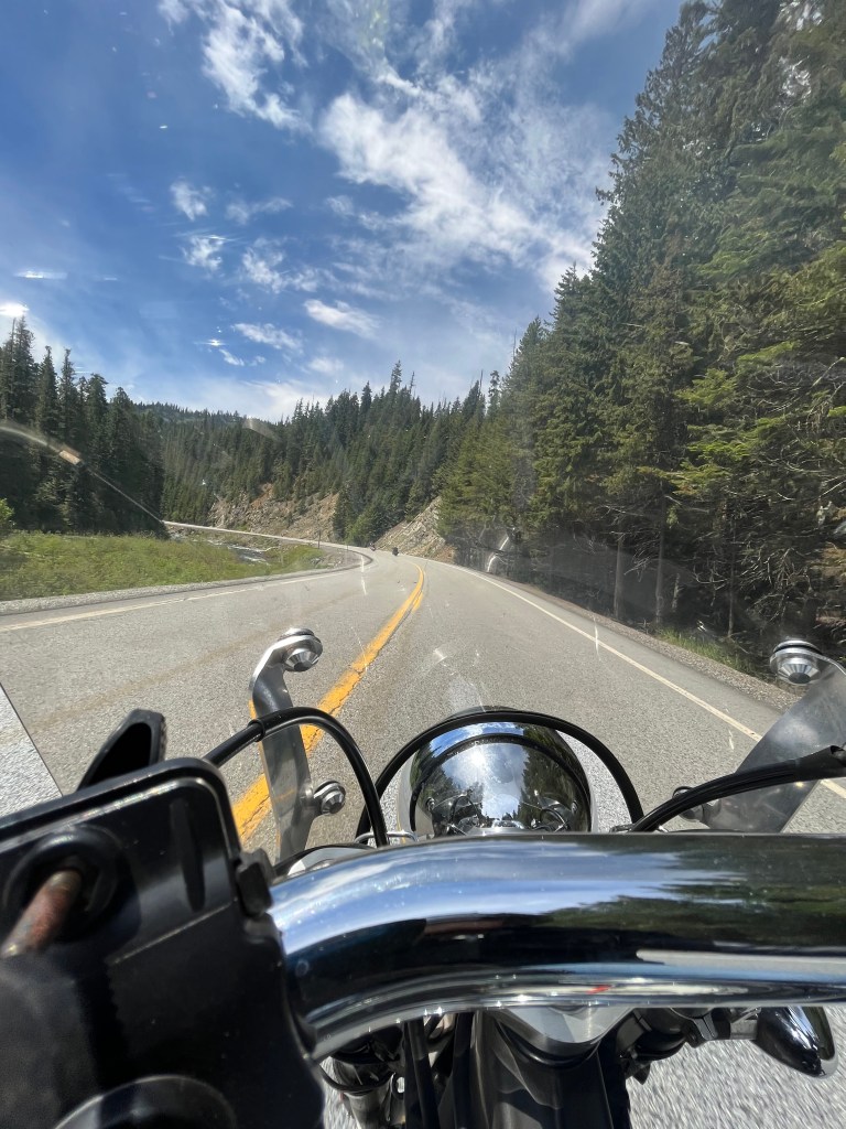
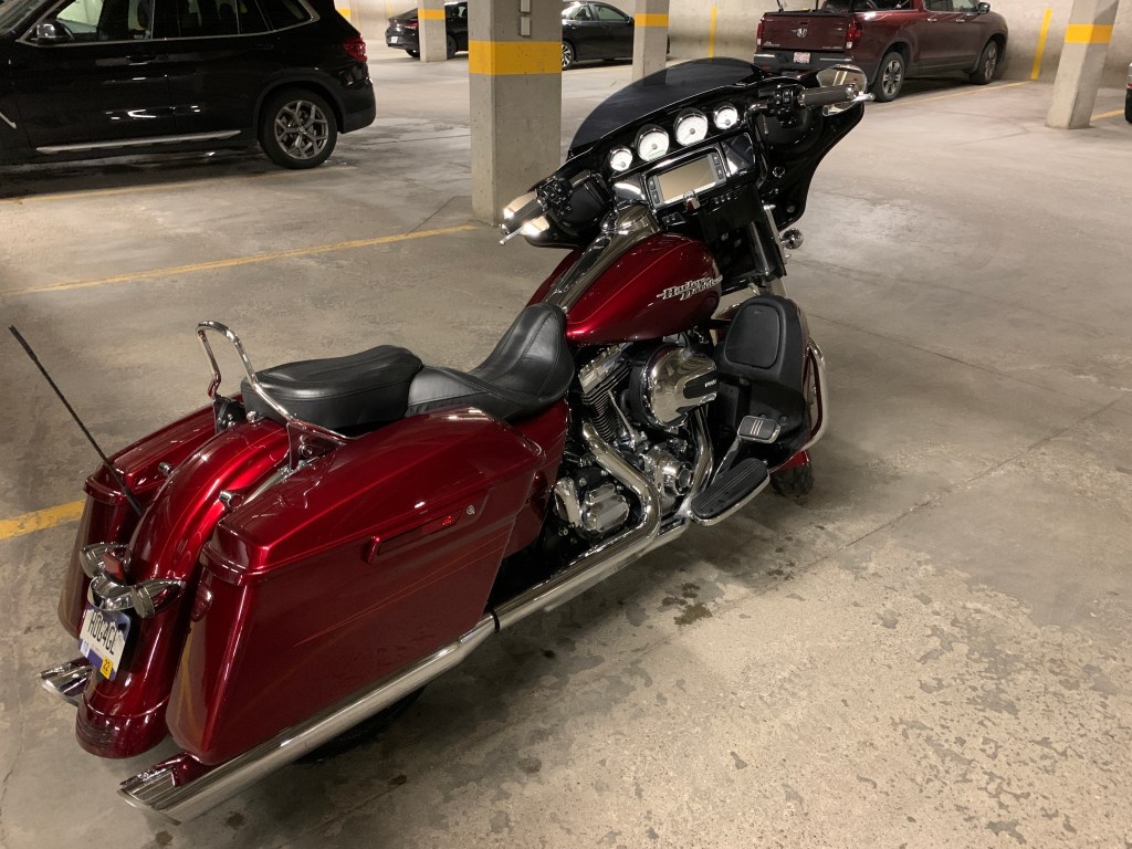
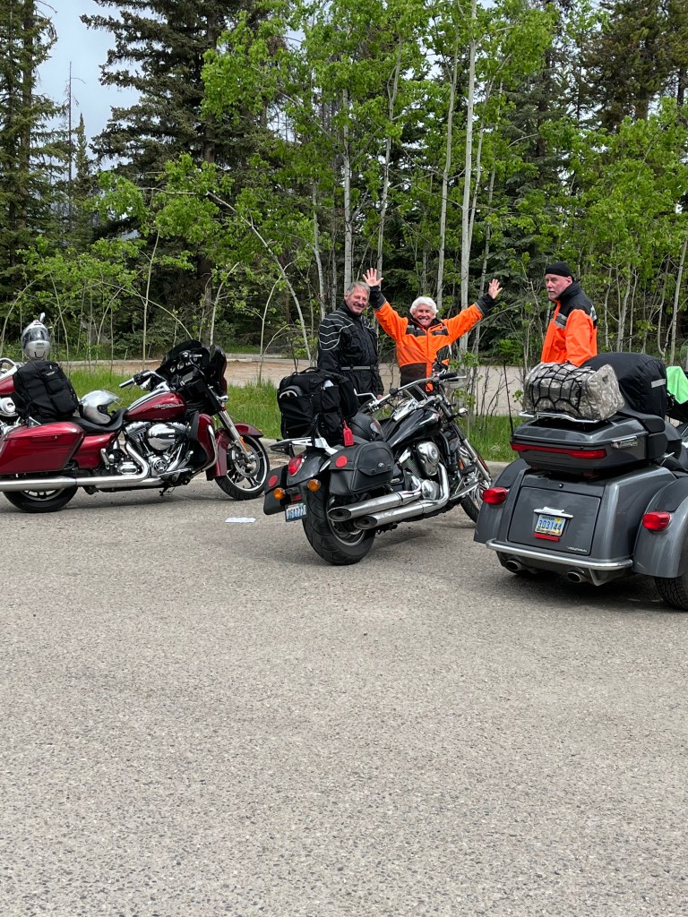
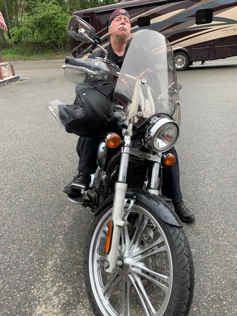
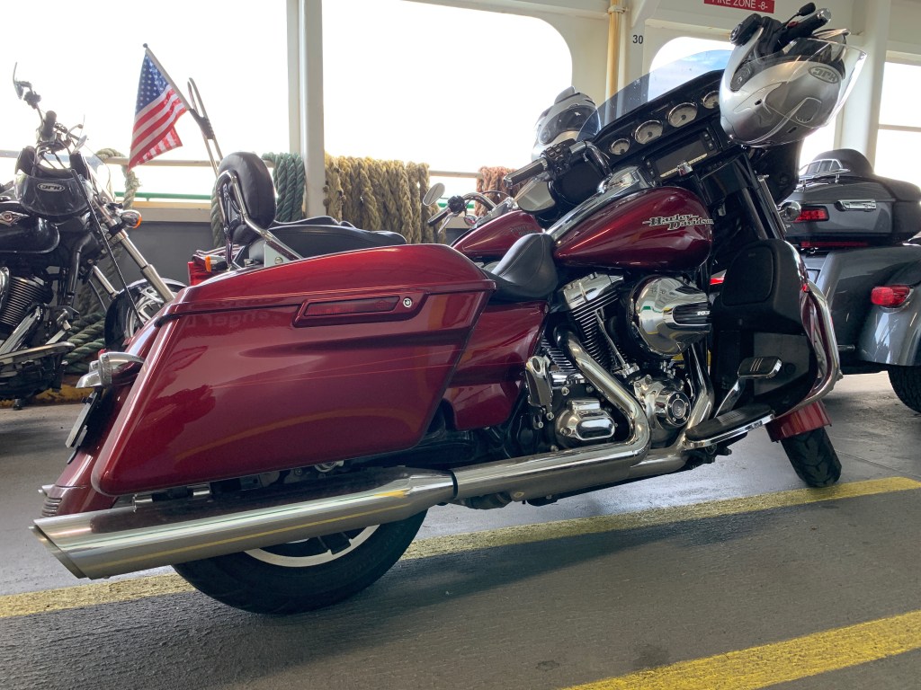
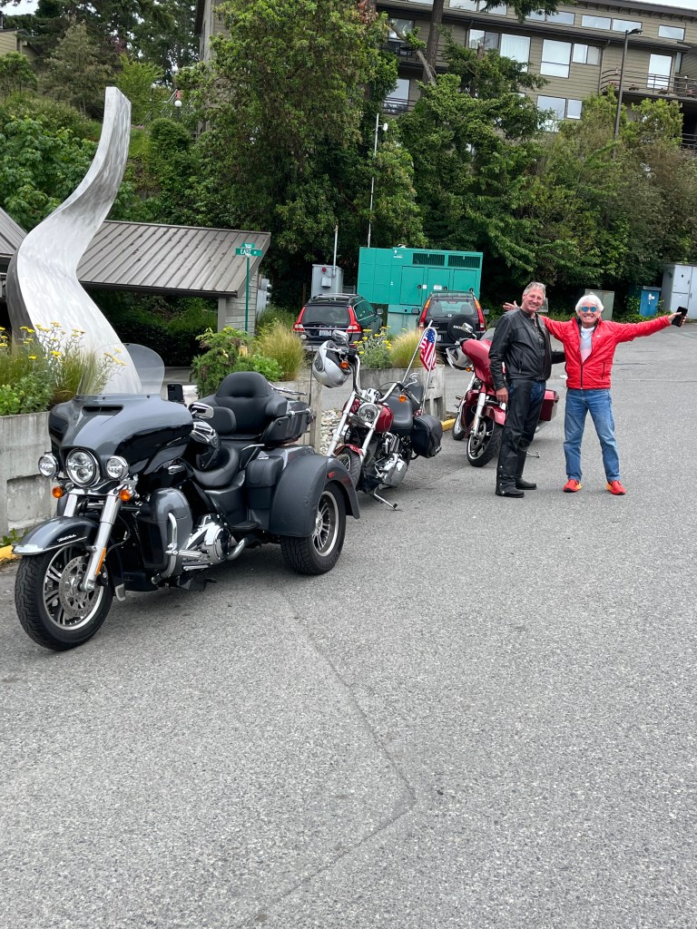
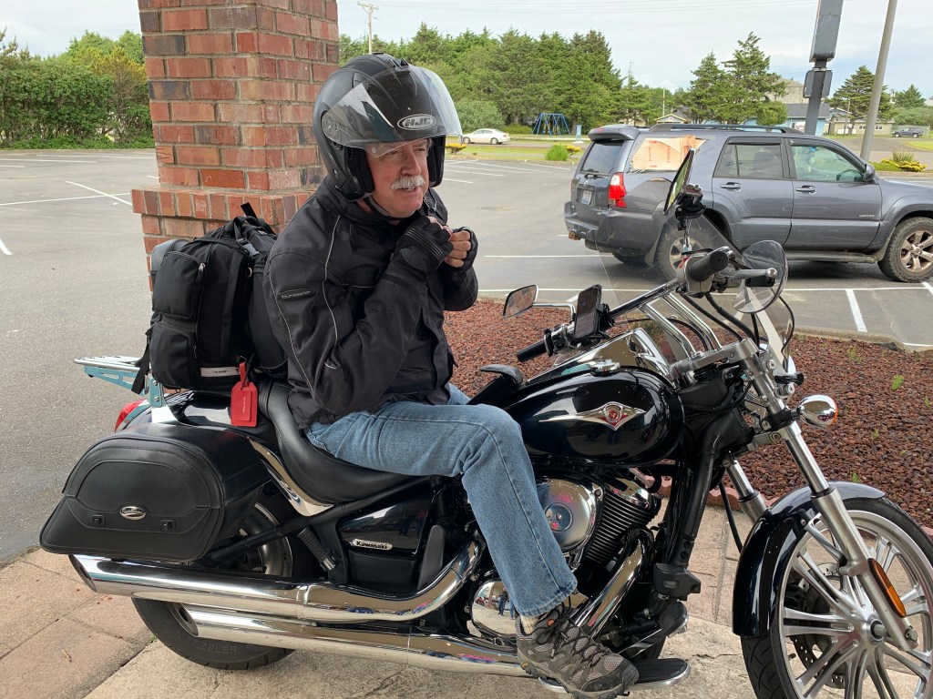
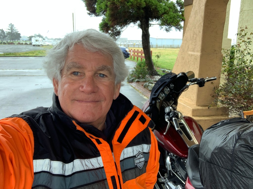
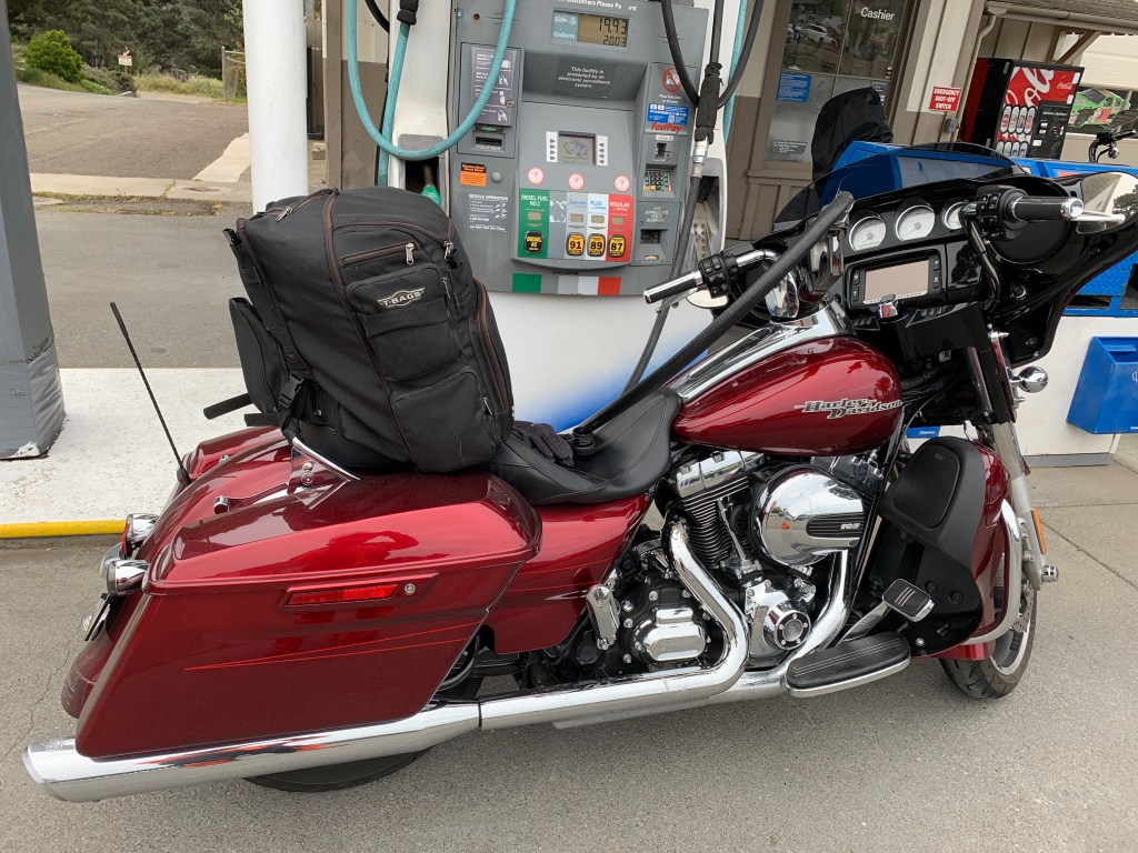
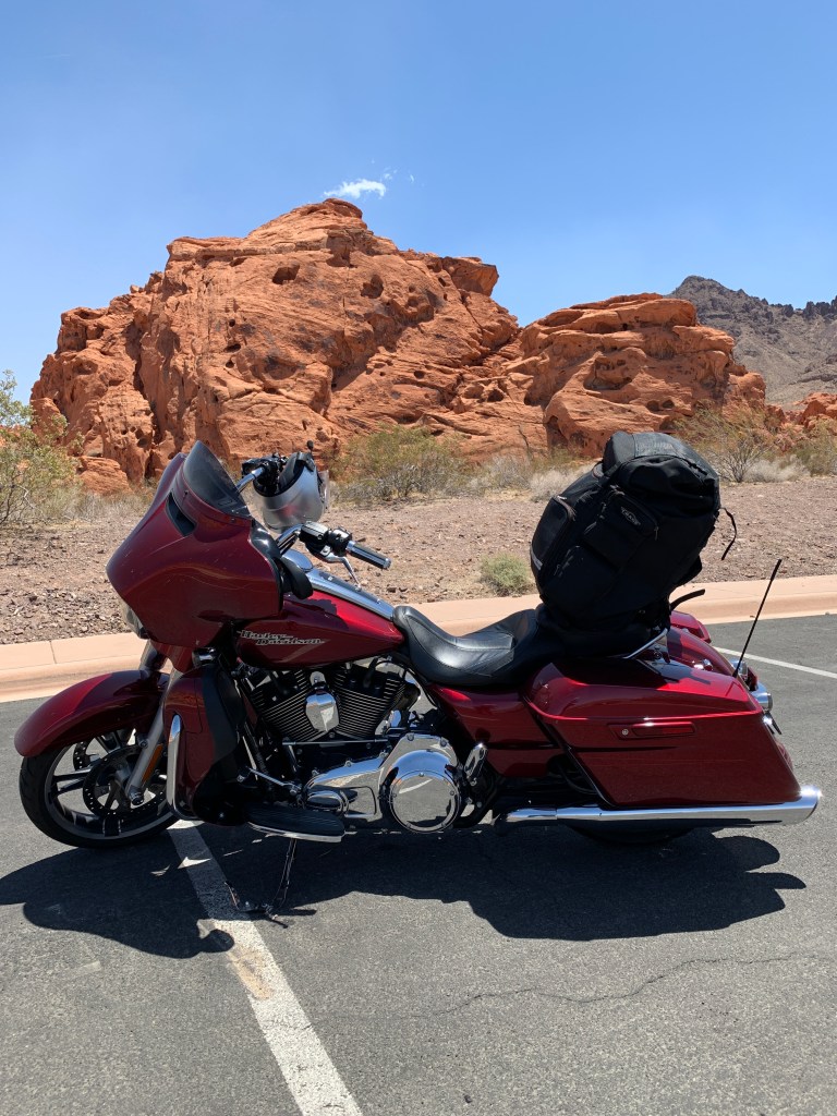
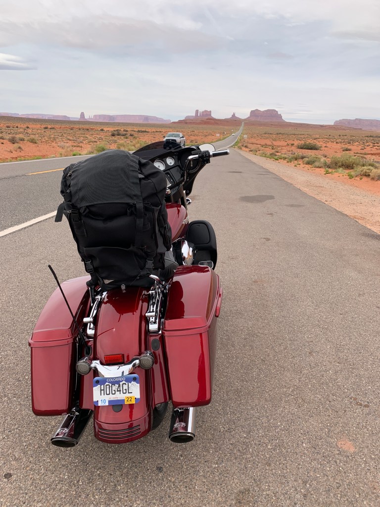
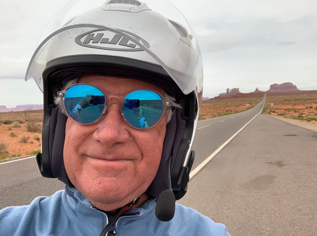
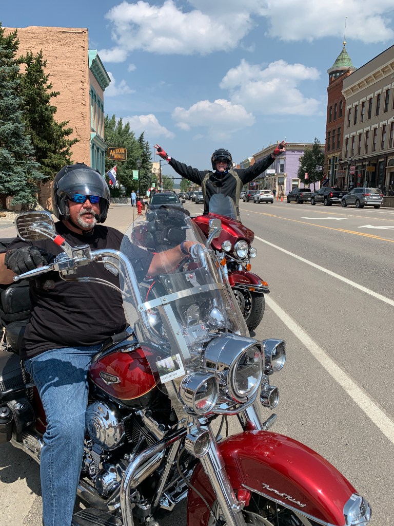
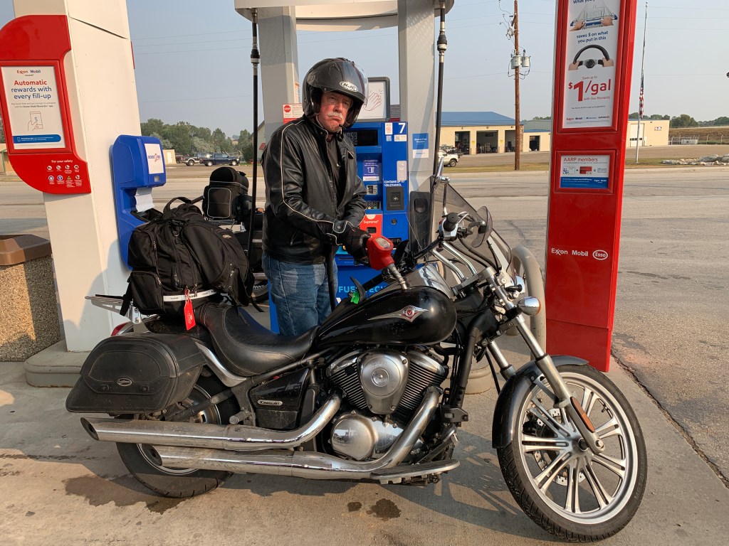
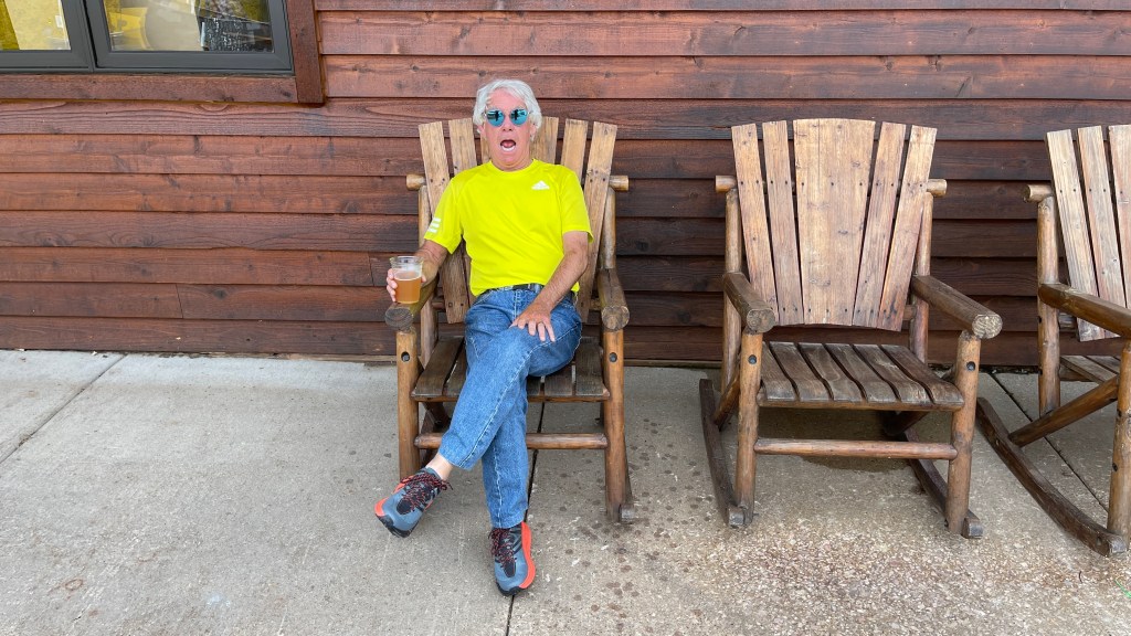
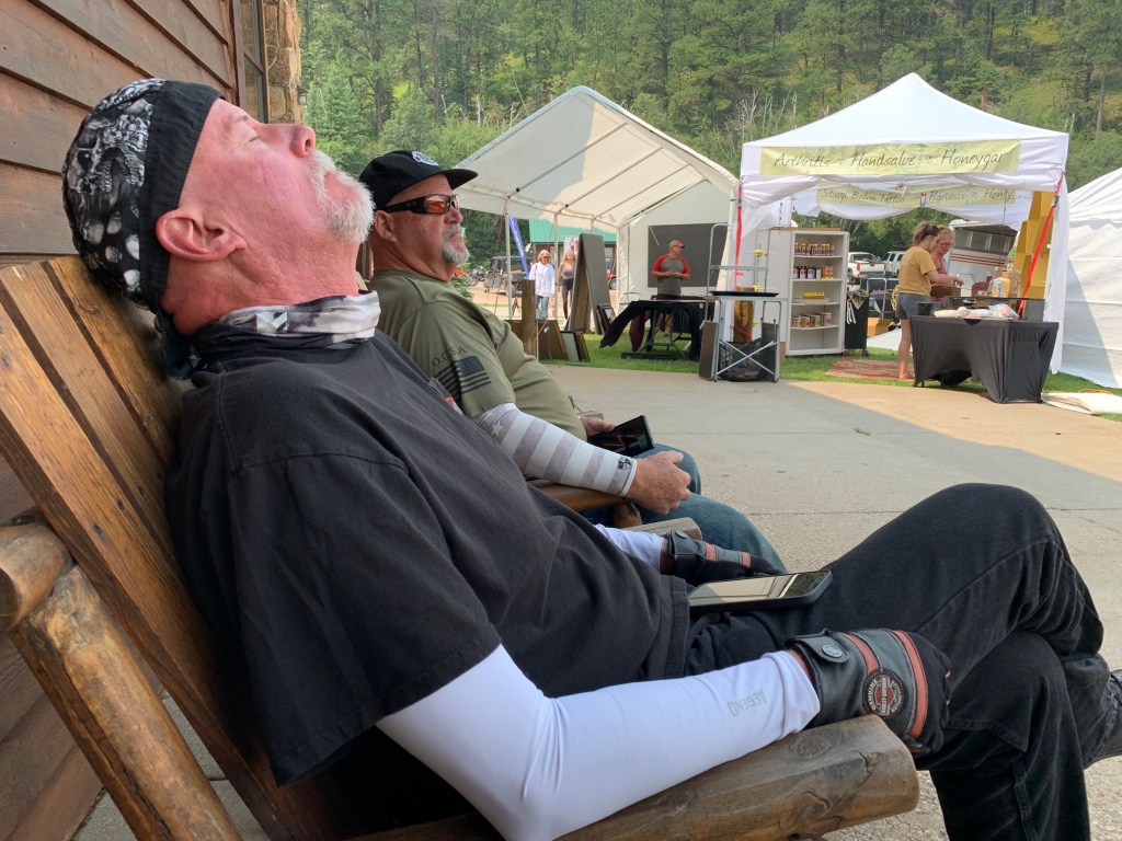
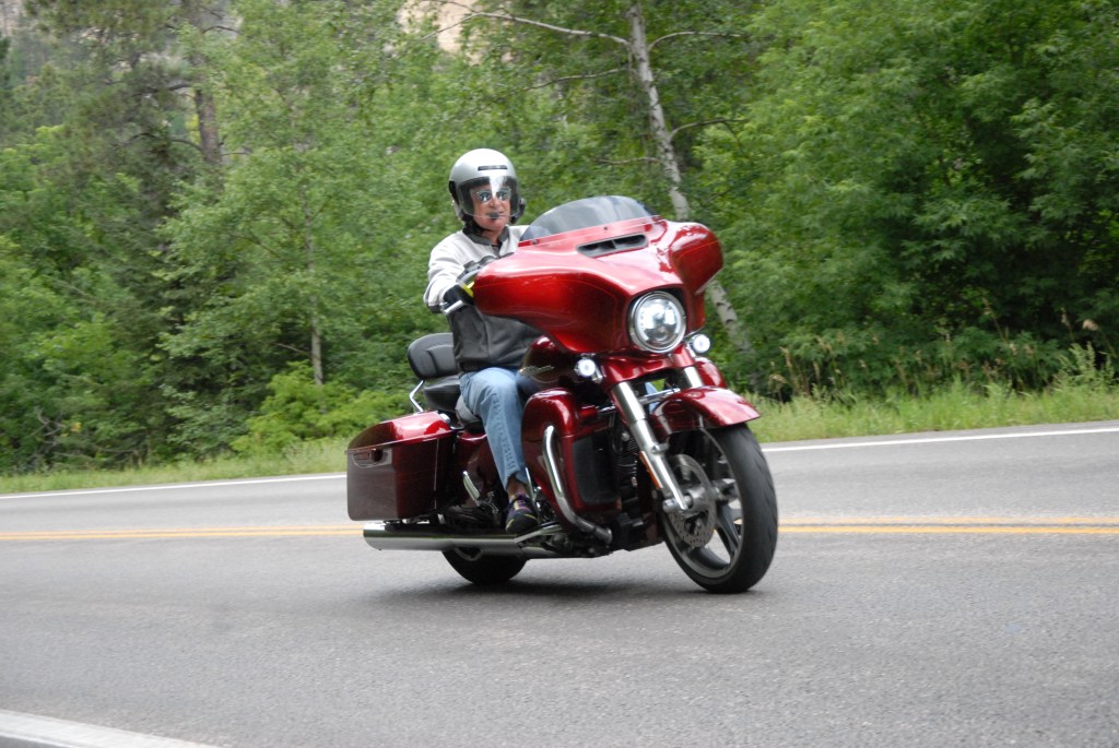
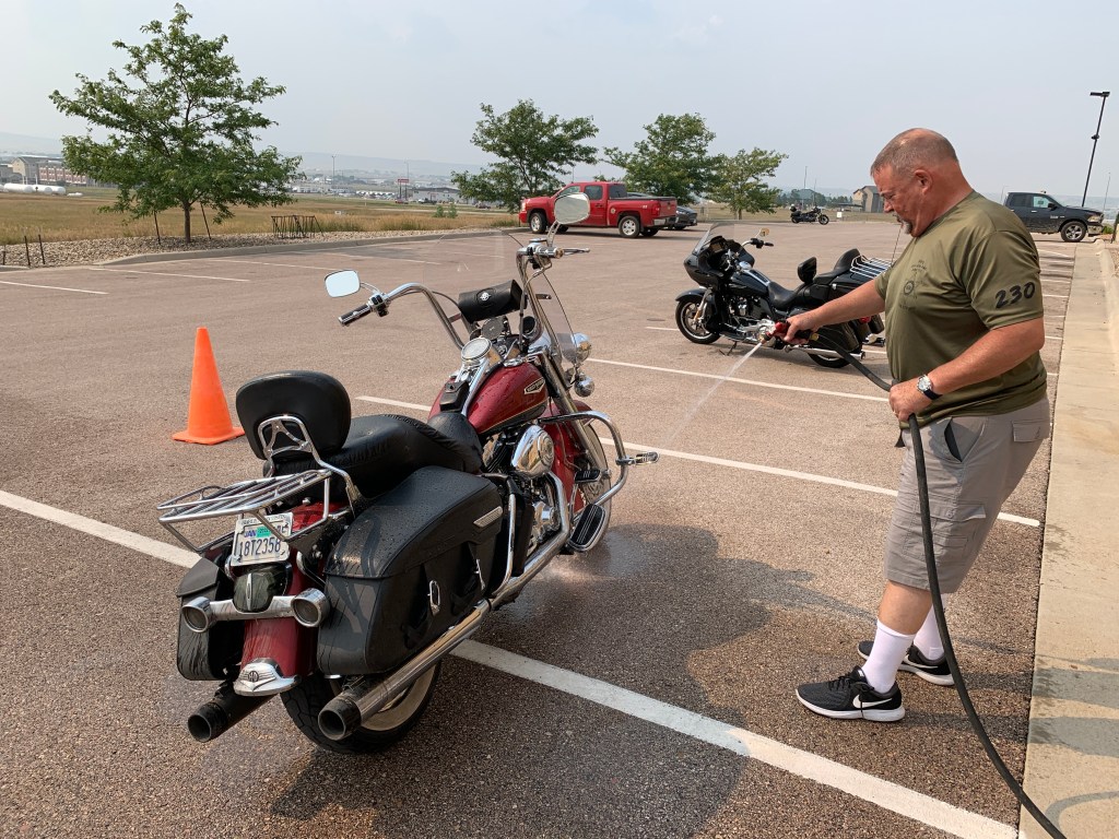
For savvy readers of this blog — and that’s pretty much all of you, am I right? — you know my passion is vrooming’ down the road on my Harley, and writing about it.
But once in a while, I find a good excuse for blog posts about other worthy endeavors.
This week is one of those times.
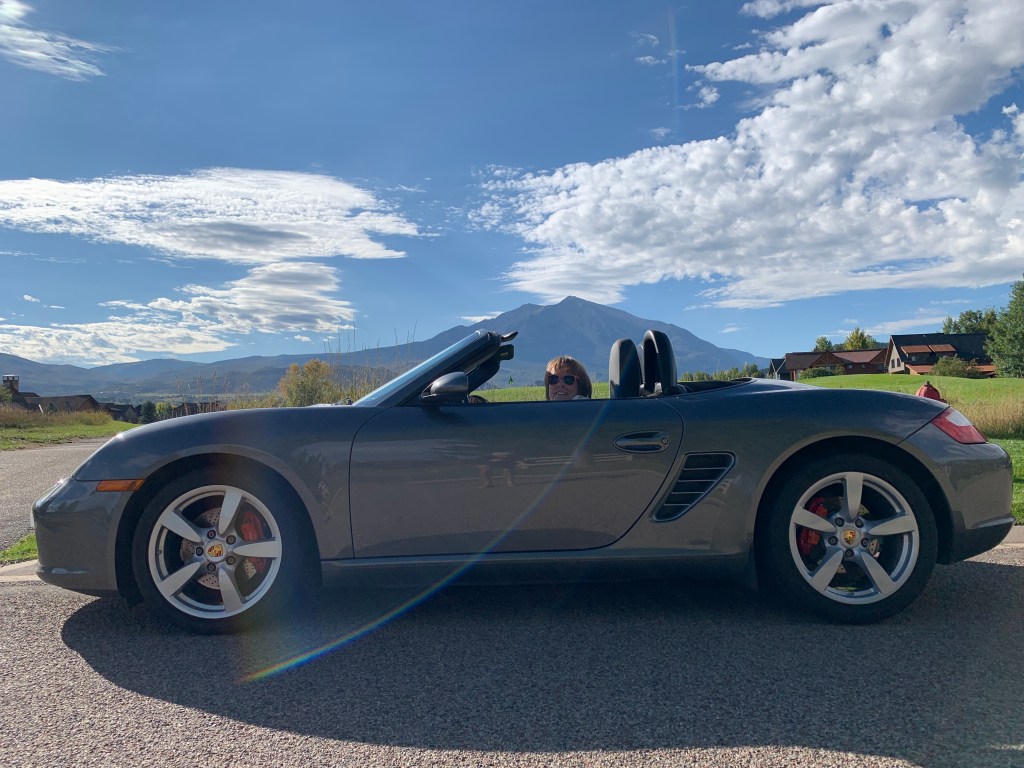
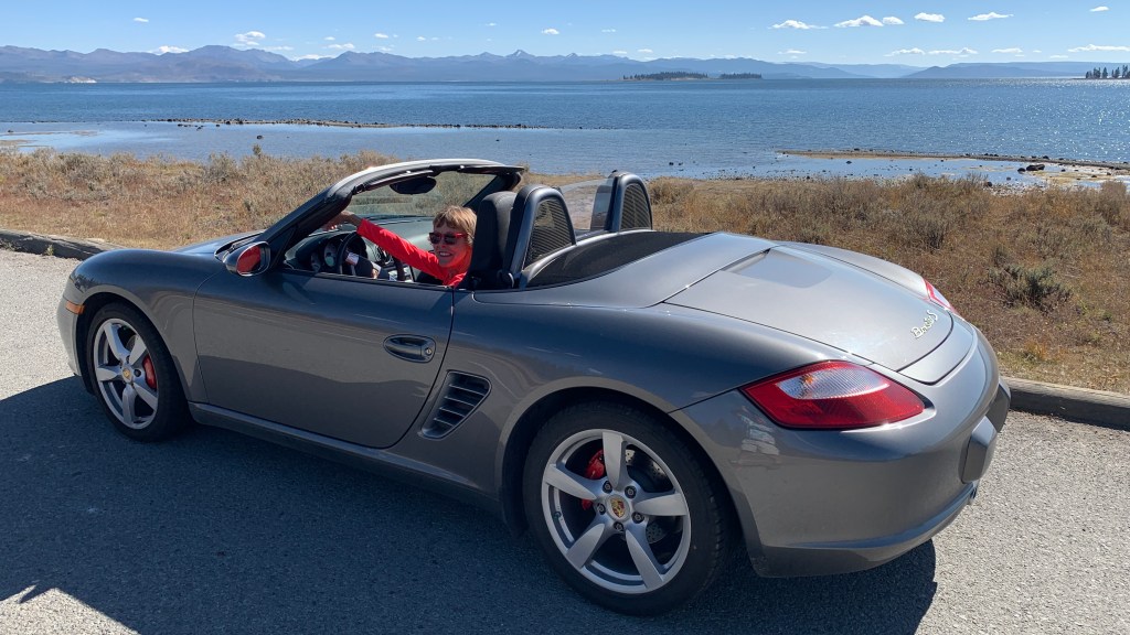
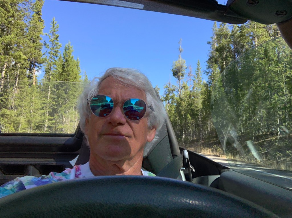
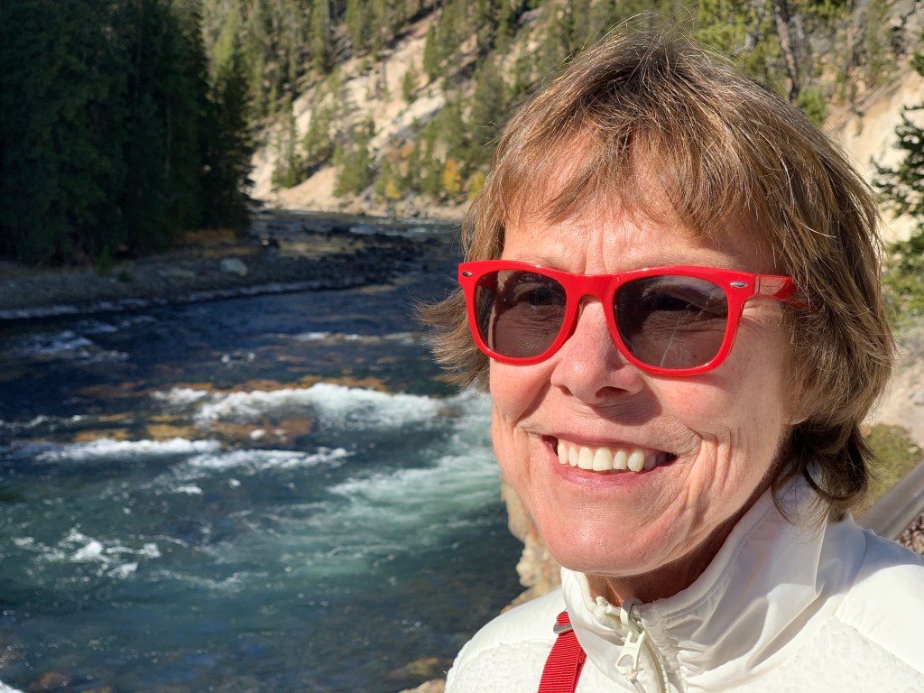
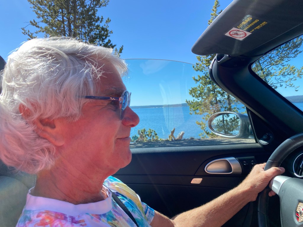
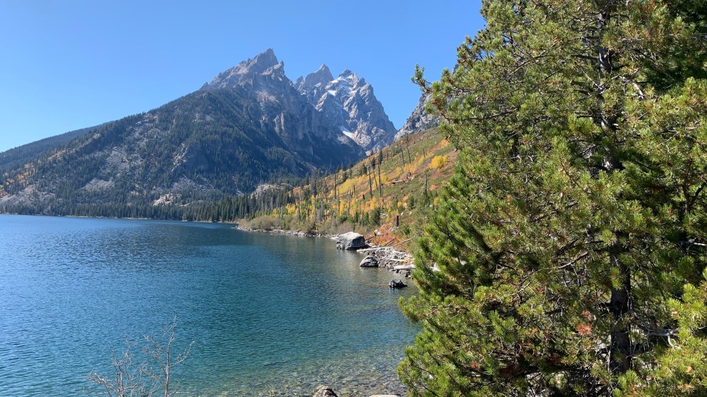
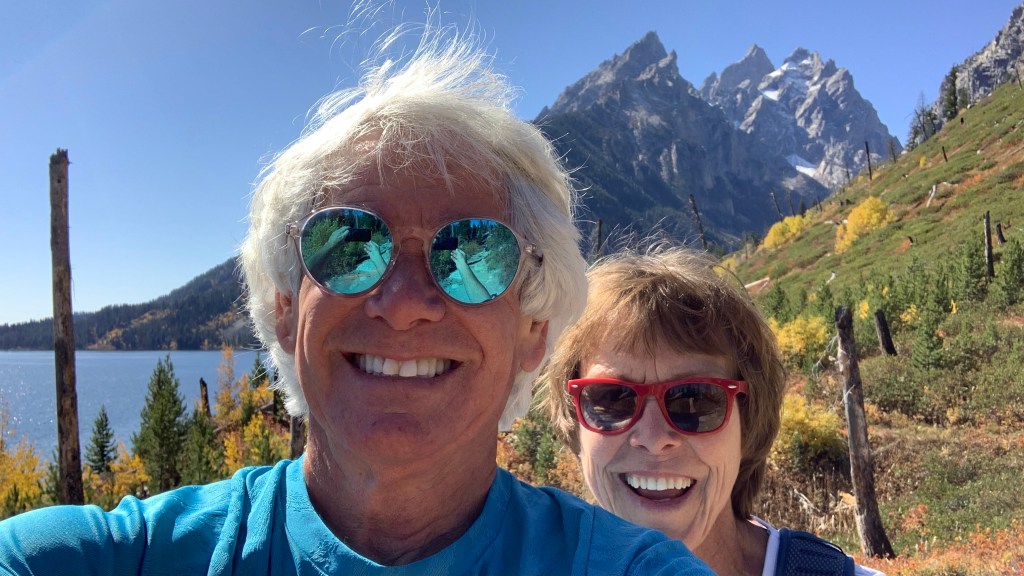
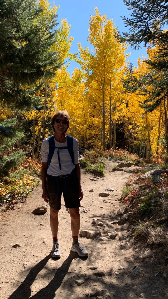
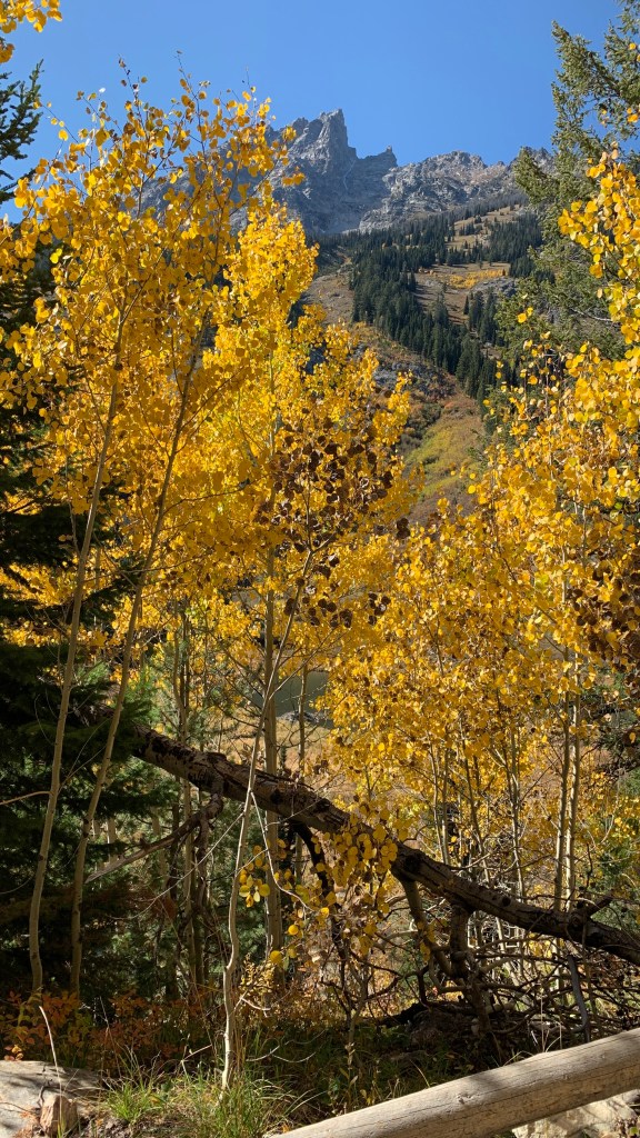
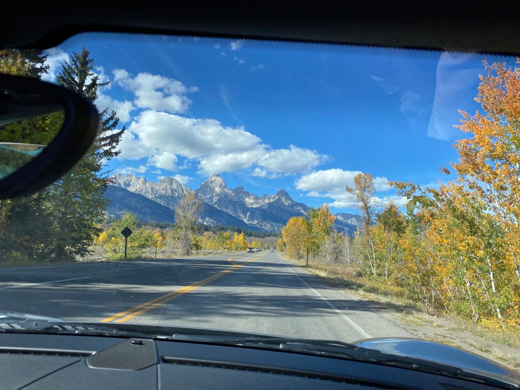
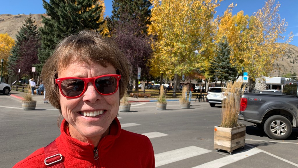
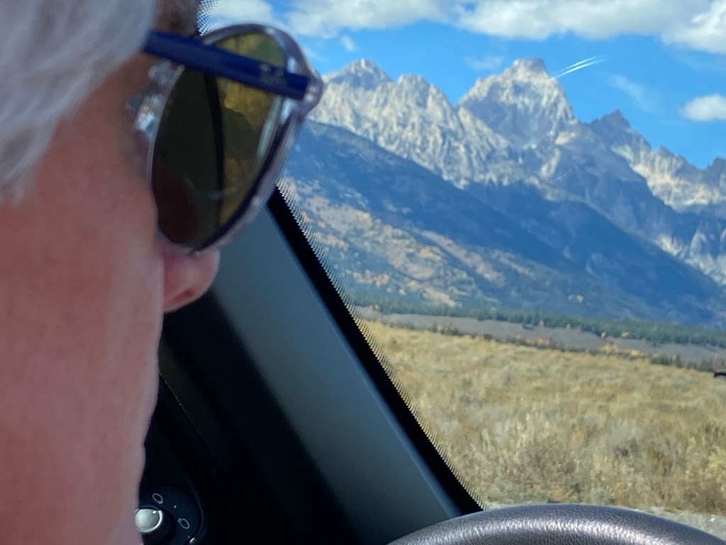
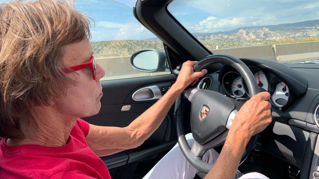
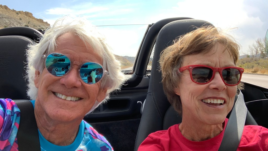
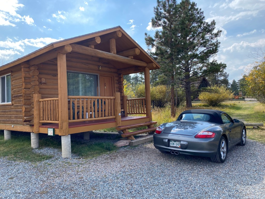
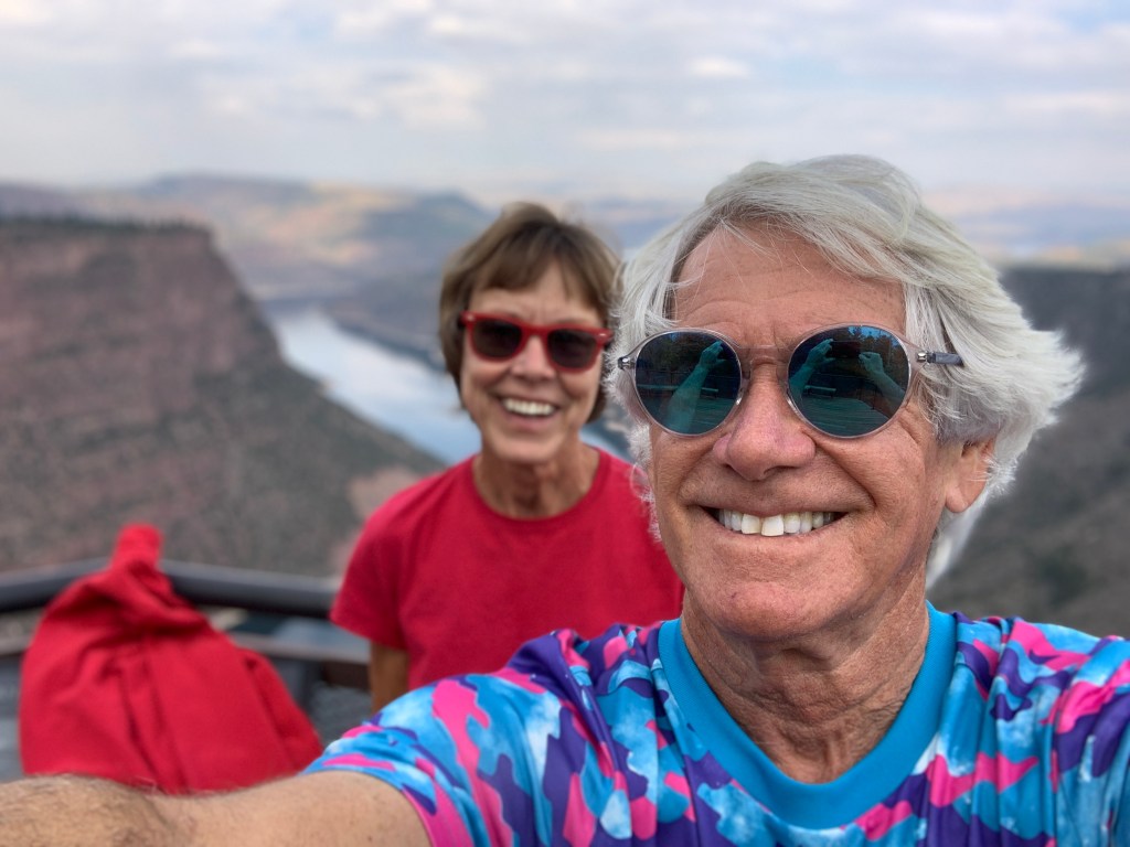
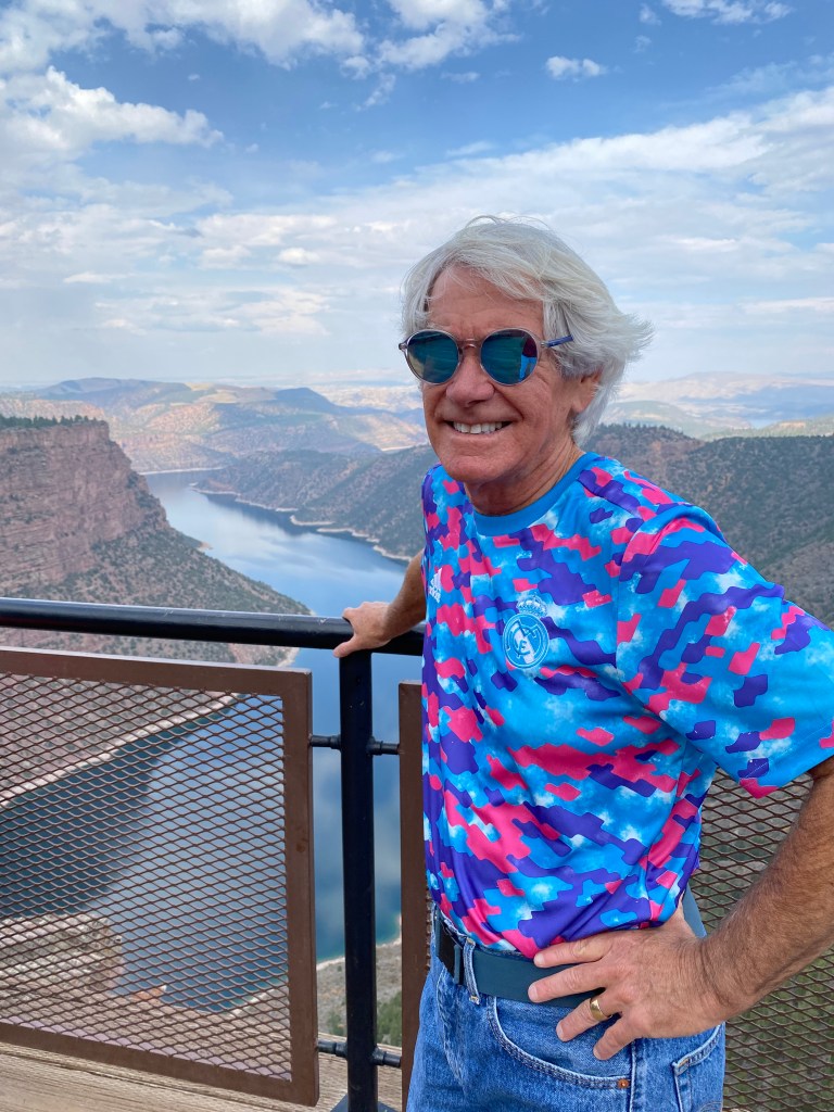
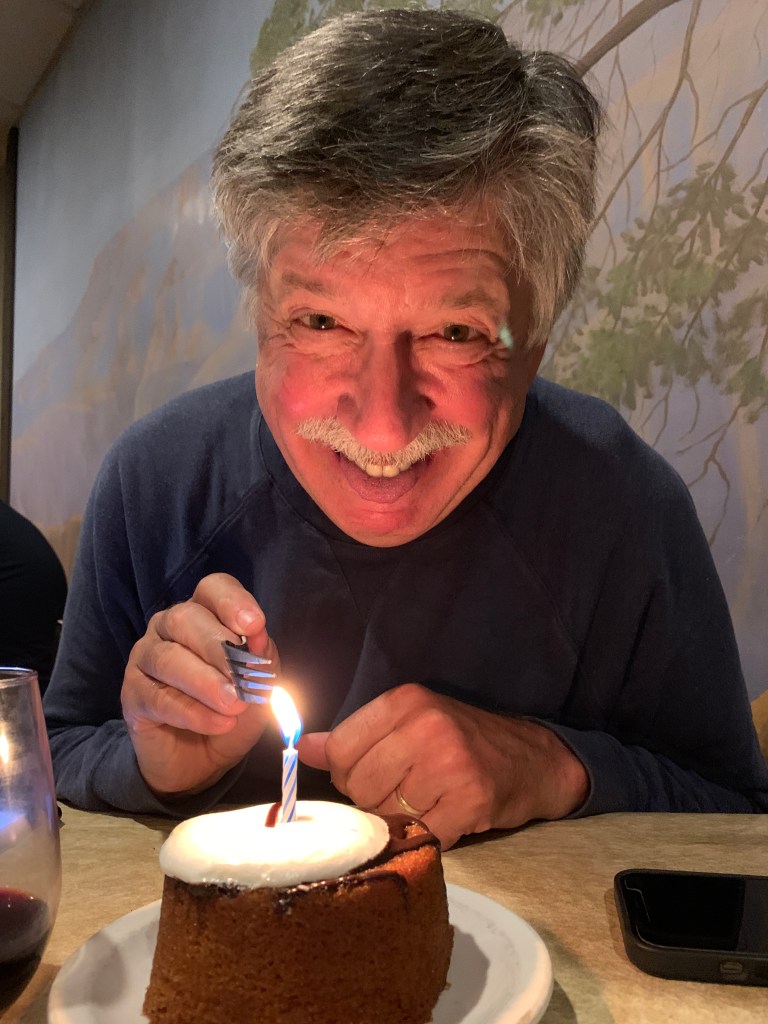
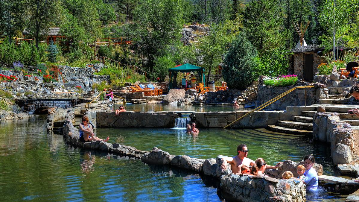
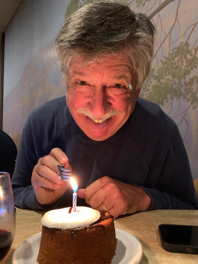
For the third year in a row, we’re celebrating the start of fall by jumping in the Boxster and taking a Rocky Mountain road trip. We’re also celebrating Sarah’s birthday, which happens to be tomorrow. She seems to have perfected the fine art of turning a birthday dinner into a week-long party. I’m just along for the ride, and happy to be included.
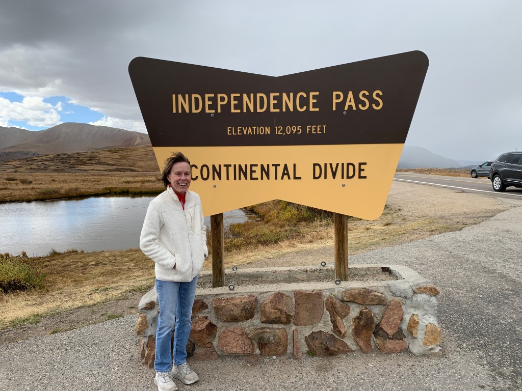
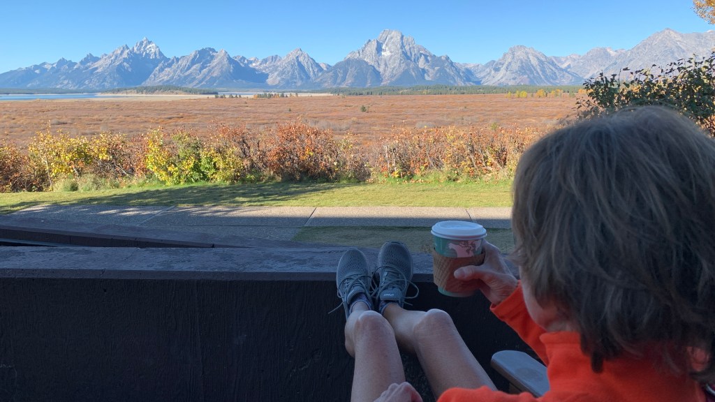
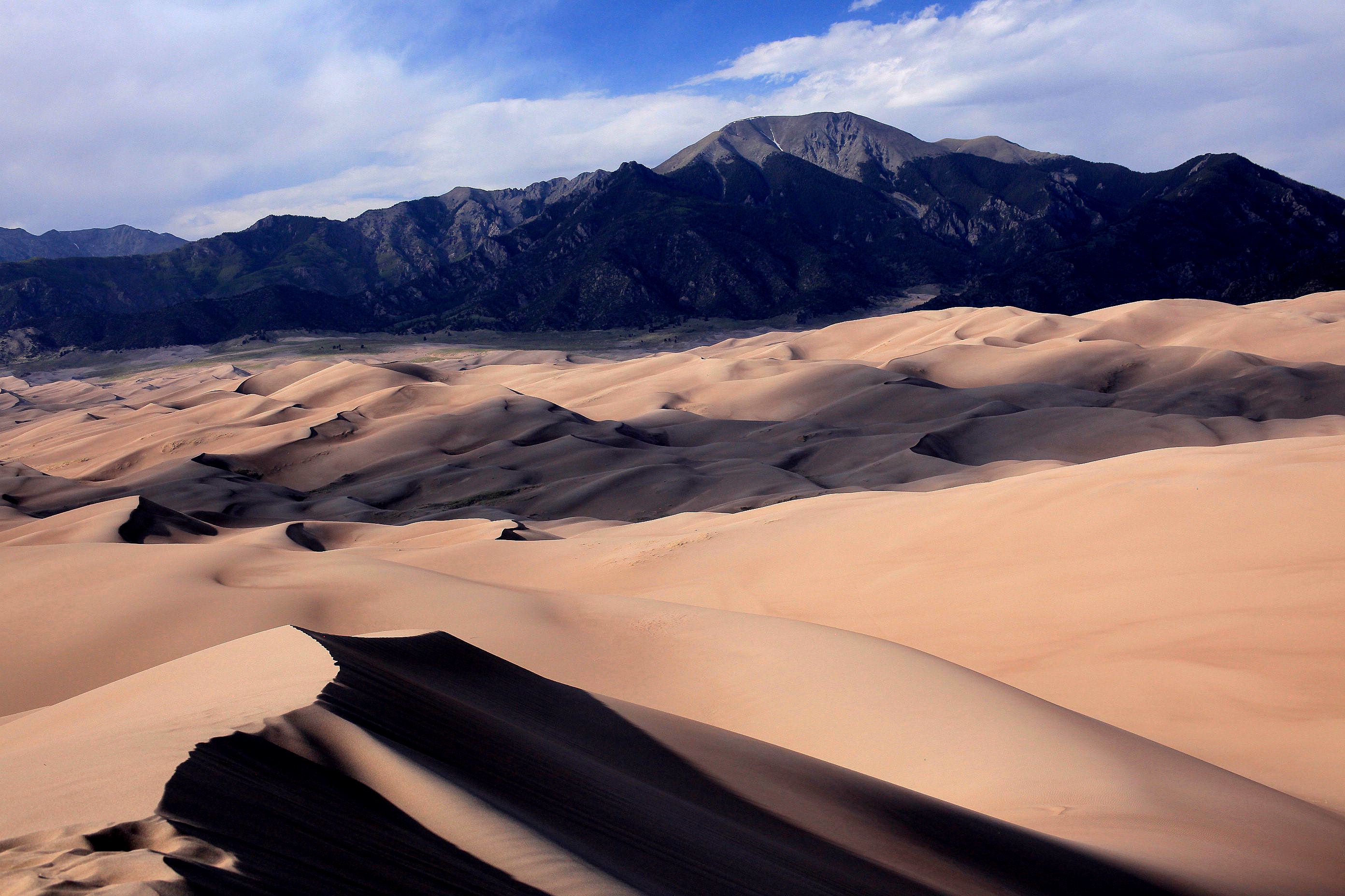
Over the next week, we’ll be checking out parts of Colorado I’ve fallen in love with on various Harley rides, but Sarah has yet to experience.
Party 🎉 girl.
***
Today, we’re headed for Steamboat Springs. It’s a 2.5-hour drive that will take us twice that long, because our travels are all about the journey, not the destination.
And we’re off. Vroom!
***
Of course it took us five hours to get to Steamboat Springs. We took the scenic route.
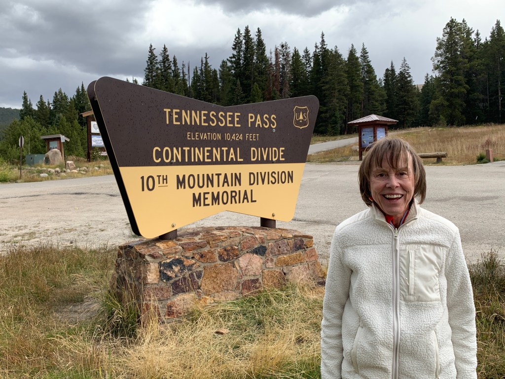
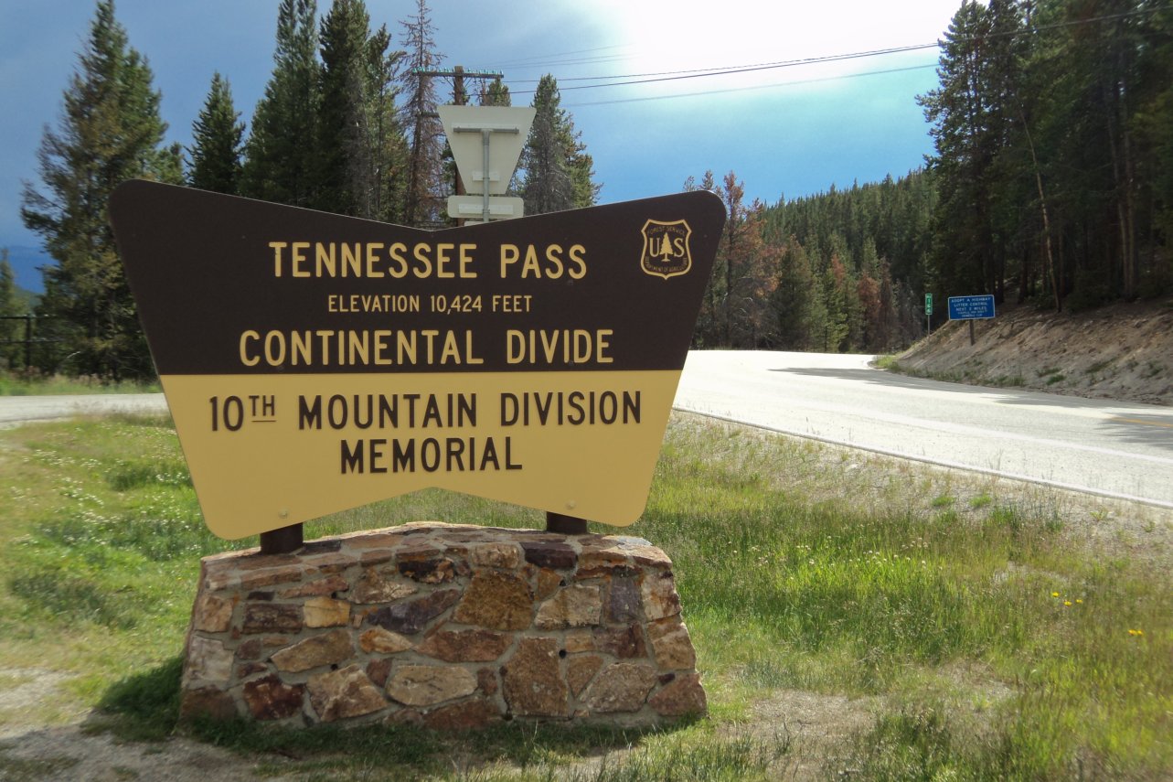
Tennessee Pass is a must-see detour for my Southern babe.
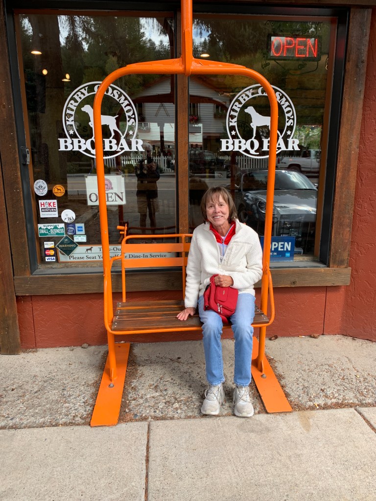
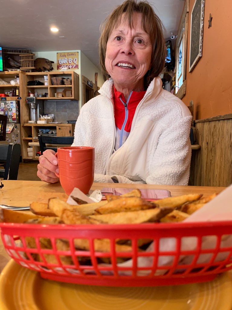
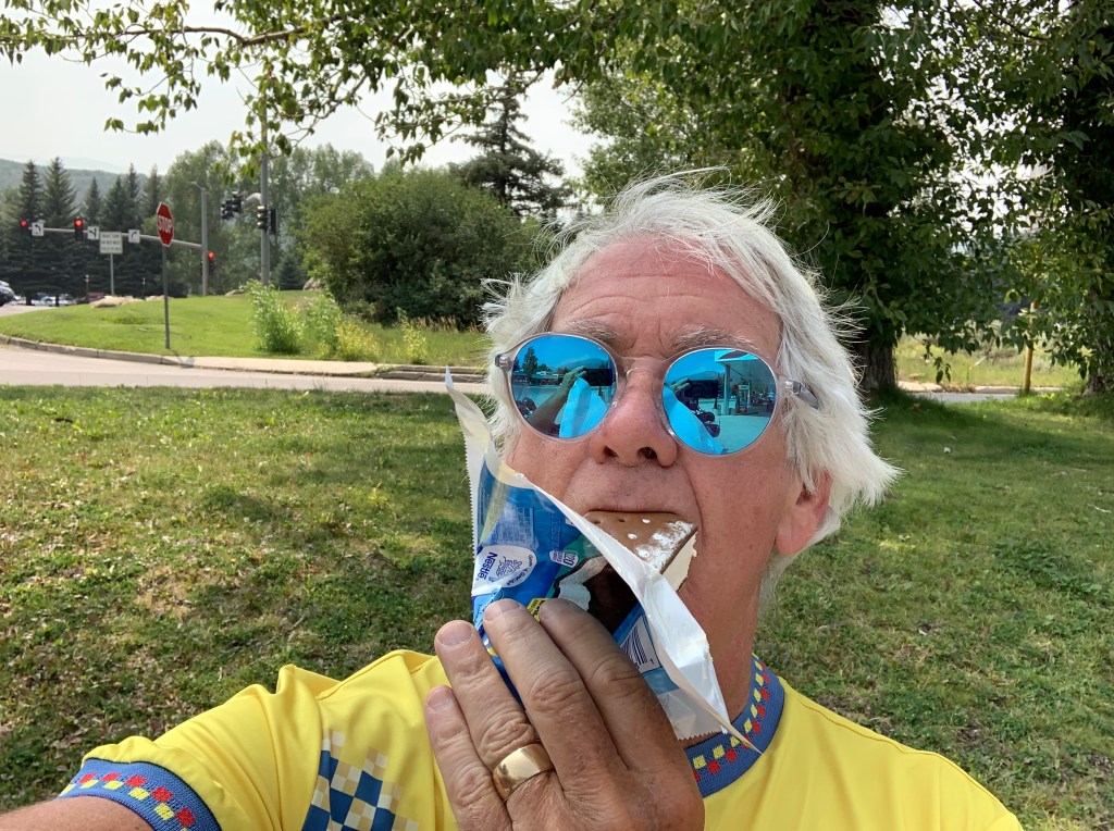
Eat your heart out, Mike. We made a snack stop at Kirby Cosmos BBQ in Minturn. North Carolina barbecue in Colorado!
Today is my last day in the saddle. On this trip, anyway.
After 24 days, I expect to be home in Carbondale tonight.
I’ve made wrong turns before. We’ll see.
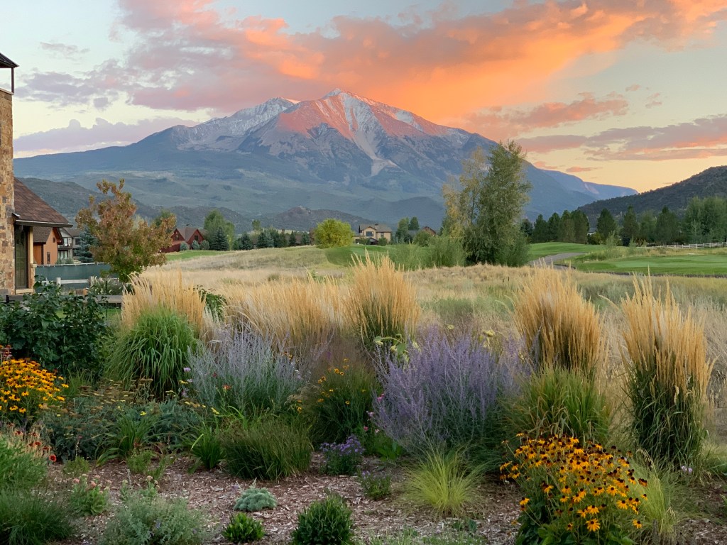
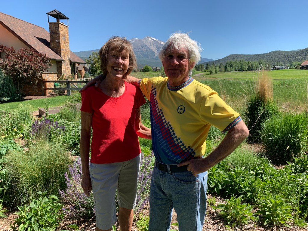
The view from our back patio. This is what awaits me, if I can find my way home.
***
We head south out of Dutch John on US Highway 191 for 35 miles. That makes 275 miles on US-191 in the past two days.
The Highway 191 journey ends in Vernal, Utah.
We’re riding through the Ashley National Forest, which covers 1,384,132 acres in the high Uinta Mountains. Elevations range from 6,000 feet to 13,528-foot Kings Peak, the highest point in Utah. Kings Peak was named for Clarence King, a surveyor in the area and the first director of the US Geological Survey.
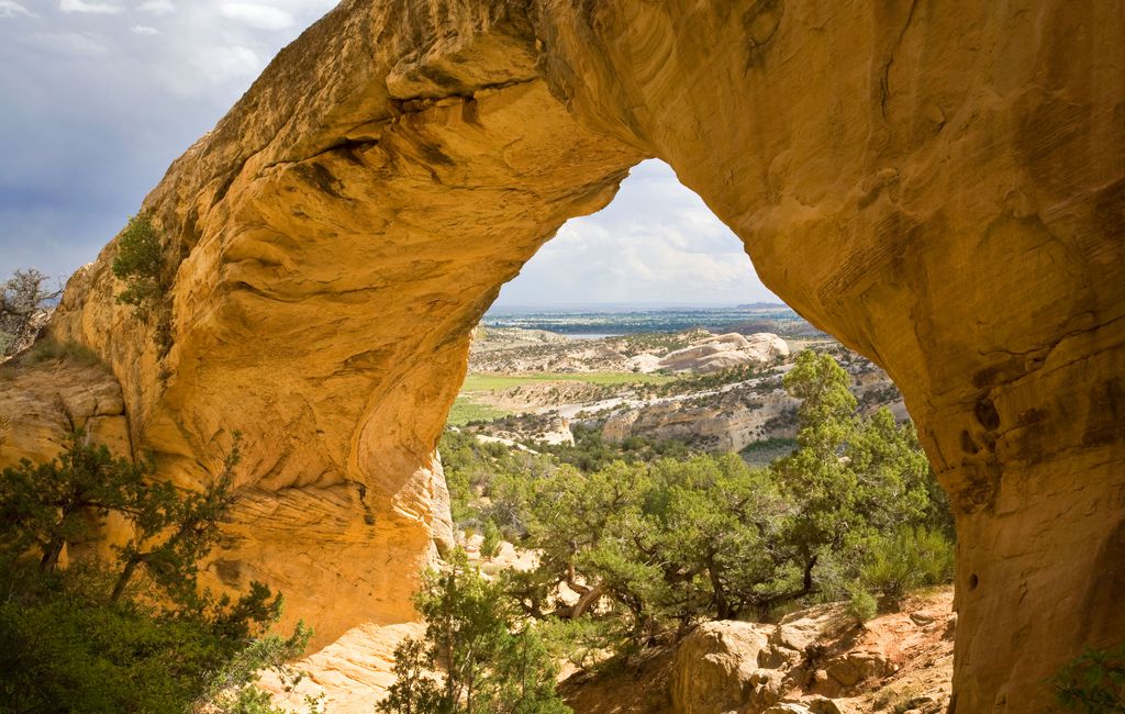
On the way there, eight miles before arriving in Vernal, we roll past Moonshine Arch State Park. The arch itself is 85 feet wide, and 40 feet high. It’s tucked among the Weber sandstone formation at the base of Red Mountain. From the arch, there are great vistas of Vernal. You can access the arch by jeep or ATV, neither of which are available to us today. Or, you can hike 1.8 miles out and back.
Nah. Vernal beckons.
Moonshine Arch, looking toward Vernal.
Less than a half-mile down the road from the Moonshine Arch turnoff, we roll past Steinaker Lake State Park, on our way into town. The park is popular this time of year for swimming, fishing, boating and waterskiing. From the Lake’s southern shore, it’s only about three miles to Vernal.
***
Unlike most Utah towns that were settled by Mormon settlers, Vernal was not.
It began in 1878 as Ashley Center, named in honor of William H. Ashley, an early fur trader who entered this area in 1825 by floating down the Green River in a bull boat made of willow branches covered with animal hides.
The town was renamed Vernal in 1893. “Vernal” implies a spring like growth; the vernal equinox marks the beginning of spring. Vernal is bordered on the north by the Uinta Mountains, one of the few mountain ranges in the world that lies in an east-west rather than the usual north-to-south direction.
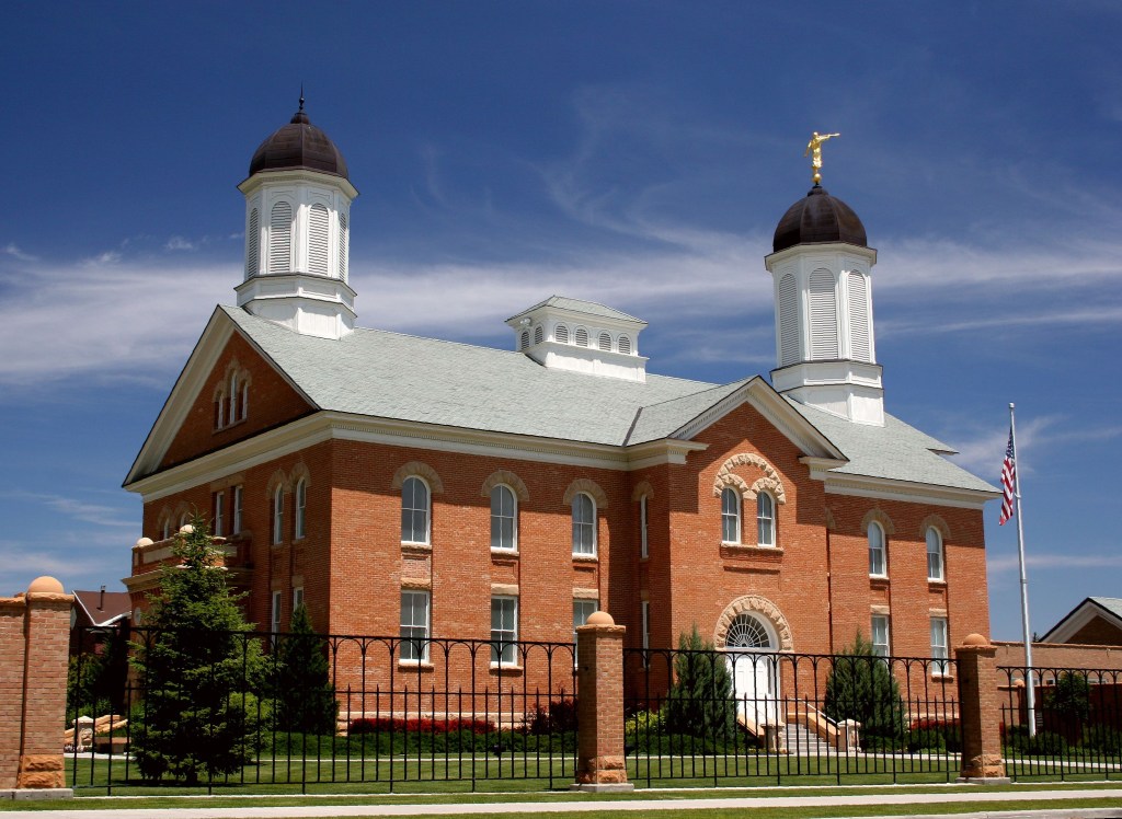
Despite its non-Mormon origins, the city of about 10,000 today has its own Mormon Temple, the 51st built worldwide (there are now more than 280), and the 10th in the state of Utah. The Vernal Temple, dedicated in 1997, was the first built from a previously existing structure.
Except for the angel Moroni, which all Mormon temples have, the Vernal Temple doesn’t look at all like a Mormon temple. For the curious and non-Mormon among you (pretty much everyone reading this blog), the golden statue of Moroni in flowing robes, with a long horn pressed to his lips, is symbolic of the preaching of the gospel to the world.
The Mormon temple in Vernal. Note the angel Moroni, upper right.
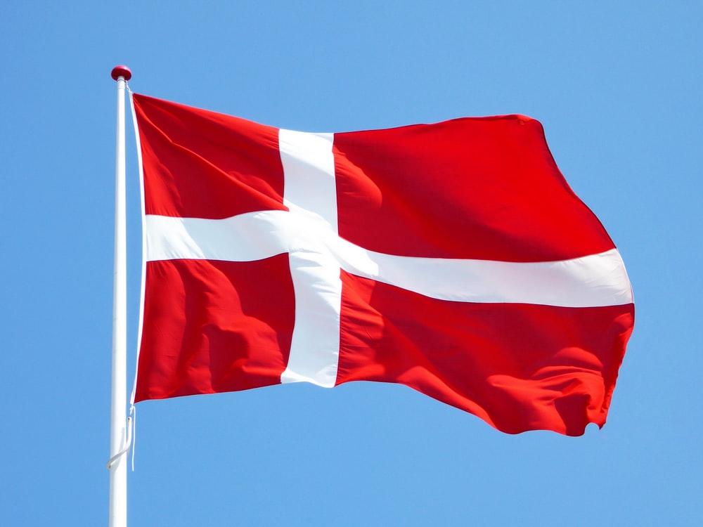
From Vernal, we head east on US Highway 40, soon crossing the Green River in Jensen, population 222. Jensen was first settled in 1877 and named for Lars Jensen, an early prospector and ferryman. With a name like Lars Jensen, he had to be a Danish immigrant. Denmark supplied more immigrants to Utah in the nineteenth century than any other country except Great Britain. Most of these Danes – nearly 17,000 – were converts to Mormon Church.
Danish emigration to Utah began January 31, 1852, when a group of nine Mormons left Copenhagen for Hamburg, continued by steamer to England, and eventually sailed from Liverpool with 19 additional Danes who joined them. It was a long and winding road, but all ended up in Utah, nine months later.
Today, the town of Jensen’s main importance is as the Utah entrance to Dinosaur National Monument.
***
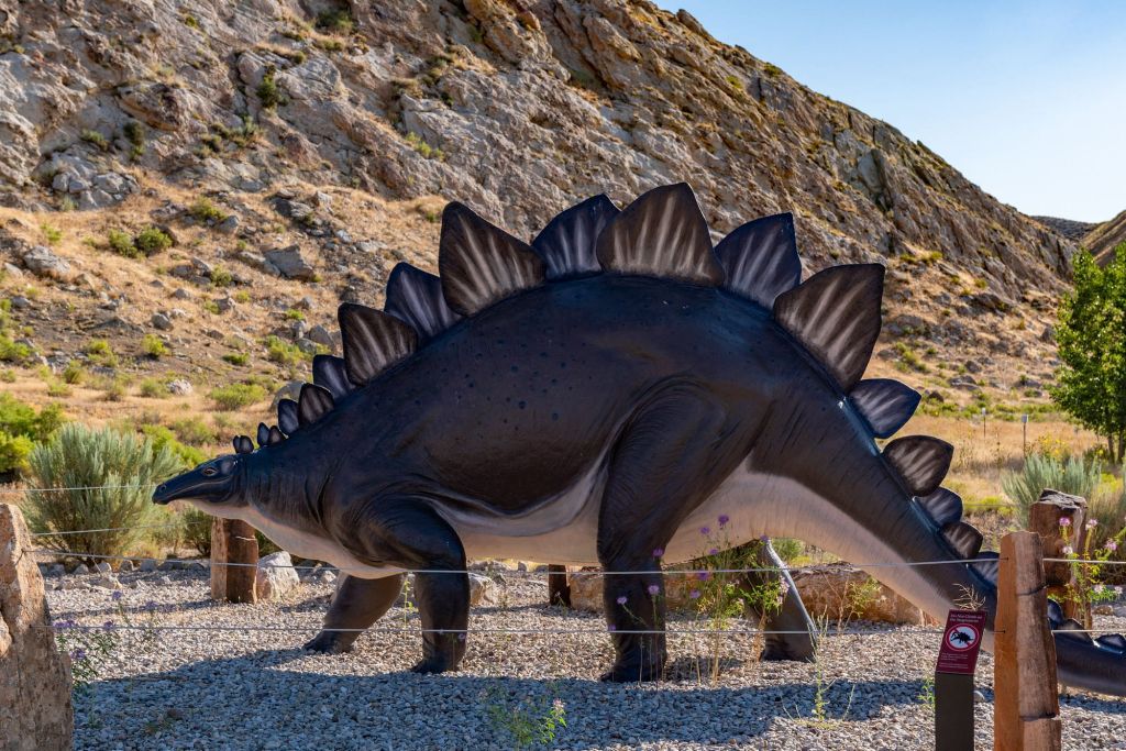
Relics from the past, at Dino National Monument.
Dinosaur National Monument sits on the southeast flank of the Uinta Mountains. The monument, about an hour’s drive from the city of Price, is in both Utah and Colorado. It boasts one of the densest concentrations of Jurassic dinosaur fossils in the world. The bones are just as nature arranged them, 150 million years ago, deposited by an ancient stream.
To pass through Dinosaur National Monument, four-wheel drive is not required, but is useful on steep unpaved roads. Clearly not a place for Harleys on the last day of an otherwise safe and incident-free trip.
We soon cross the Utah-Colorado border and roll through the town of Dinosaur, population 243. The town was originally known as Baxter Springs, owned by Art and Fanny Baxter. It was renamed Artesia for its valued water supply when a town was platted to accommodate the oil boom in the 1940s. The current name was adopted in 1966, to capitalize on the town’s proximity to Dinosaur National Monument.
***
In Rangely, contemplating a home-cooked meal.
Still contemplating.
Past the town of Rangely, we follow the White River for about 35 miles, then turn south on Colorado Highway 13, also known as Government Road. The road leads us toward the town of Rifle, population 10,000. The town took its name from Rifle Creek, which was named for an incident in which a trapper left his rifle along the banks of the creek, where it was found.
A few years ago, as part of a local Harley day ride, I had lunch in Rifle at Shooter’s Grill. The place is famous for its owner: ultra-conservative Congresswoman Lauren Bobert, an embarrassment to many of us in Colorado’s 3rd congressional district, where I live. I felt soiled eating there, where servers pack guns on their hips in holsters. I vowed to never see Rifle again.
So, a few miles before Rifle, we turn north on Highway 325, which takes us to Rifle Gap State Park, a 360-acre lake used for boating, fishing, swimming, RV and tent camping. Unlike recent years, when it was dangerously low, the Rifle Gap Reservoir today has sufficient water to sustain the area’s recreational needs.
At Rifle Gap State Park. It’s a short ride home for me, even shorter for Jim to his home in Glenwood Springs.
The road continues for the next ten miles, through rolling hills and pastures, until we reach New Castle, a town of about 5,500 residents. New Castle is growing rapidly, as it’s still somewhat undiscovered and housing prices haven’t gone through the roof. Yet.
Because of its affordability, New Castle, for some, is a bedroom community for workers in Aspen – 53 miles away.
From New Castle, I can make it home by memory. Twelve miles on I-70 (the last interstate riding of the trip). Highway 82 from Glenwood Springs to Carbondale. South on Highway 133 in Carbondale, and in no time, I’m pulling into my driveway.
***
I’m home!
After 24 days and 5,800 miles, I’m home.
Tonight, I’ll look forward to my first home-cooked meal (in my home, in Carbondale) since May 26.
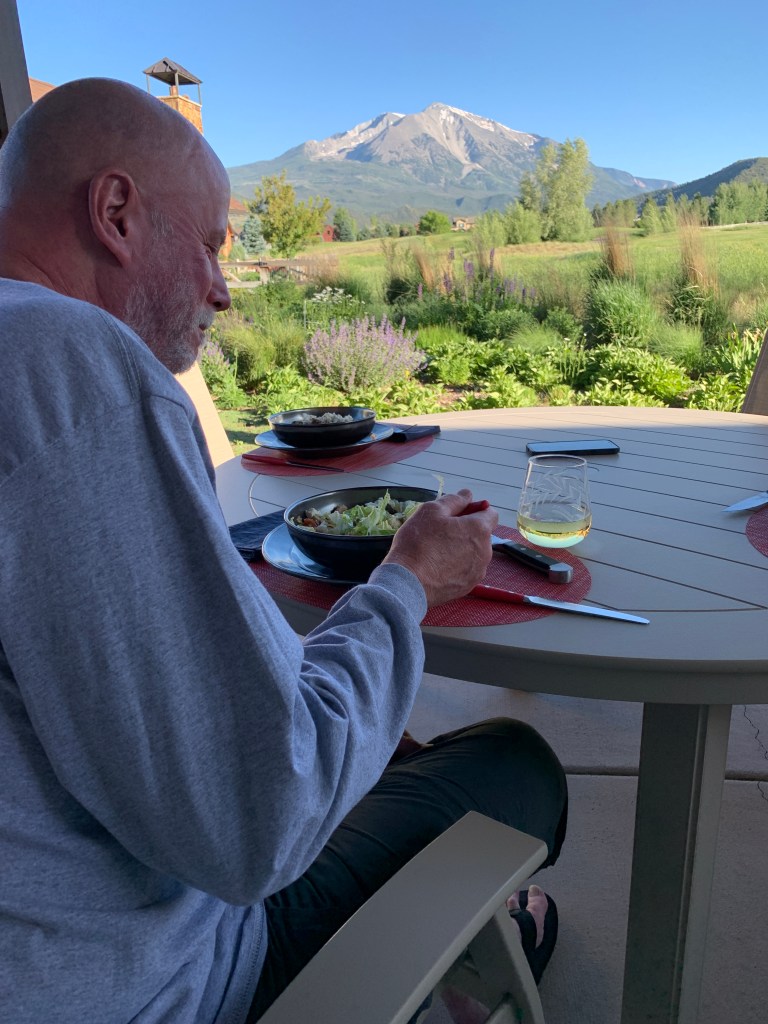
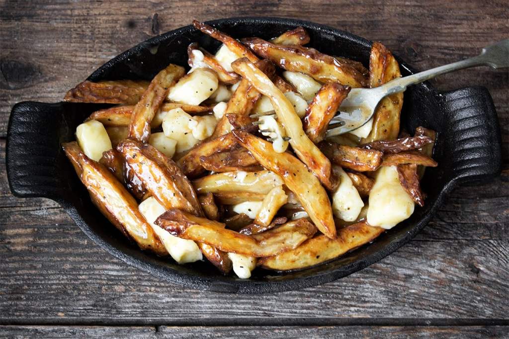
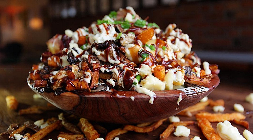
Sarah doesn’t have a poutine recipe, so I’ll anticipate a healthy dinner on our patio with a view of Mount Sopris. Turns out she’s planned a special meal for the road warriors — surf and turf (salmon and steak). She’s even baking a berry crumble for Dave — his favorite dessert.
Dinner in Carbondale. thank you, Sarah. Dig in big fella!
It’s a tradition – and you know how I love traditions – that I immediately begin a post-ride diet cleanse upon walking in the door. I should lose the five pounds that I gained on this ride in no time.
Finally, 25 days ago, on the first blog post of this trip, I said coverage of this journey would be different than usual. Fewer words, more pictures.
It appears I failed miserably at that. Maybe words are my happy place.
Whether you read my posts or not, I’m glad to have had you along for the journey. Hope you enjoyed the ride.
If, by some chance, you learned anything in the consumption of these blog posts … you’re welcome.
Today, as we continue our journey home, we pause to honor the fathers in our lives.
Happy Father’s Day!
***
We leave Victor, and six miles later, say good-bye to Idaho.
It’s been fun, Idaho, but Wyoming beckons.
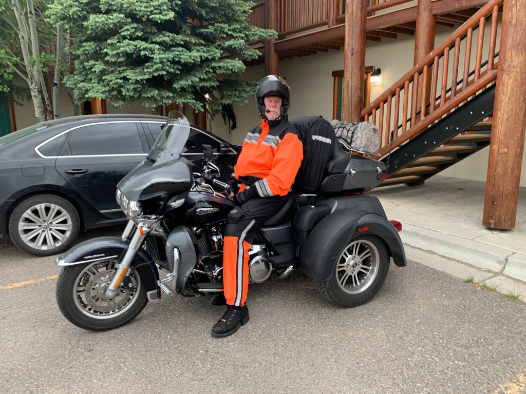
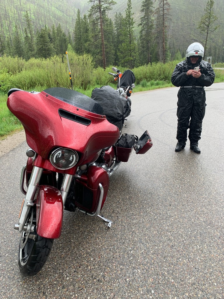
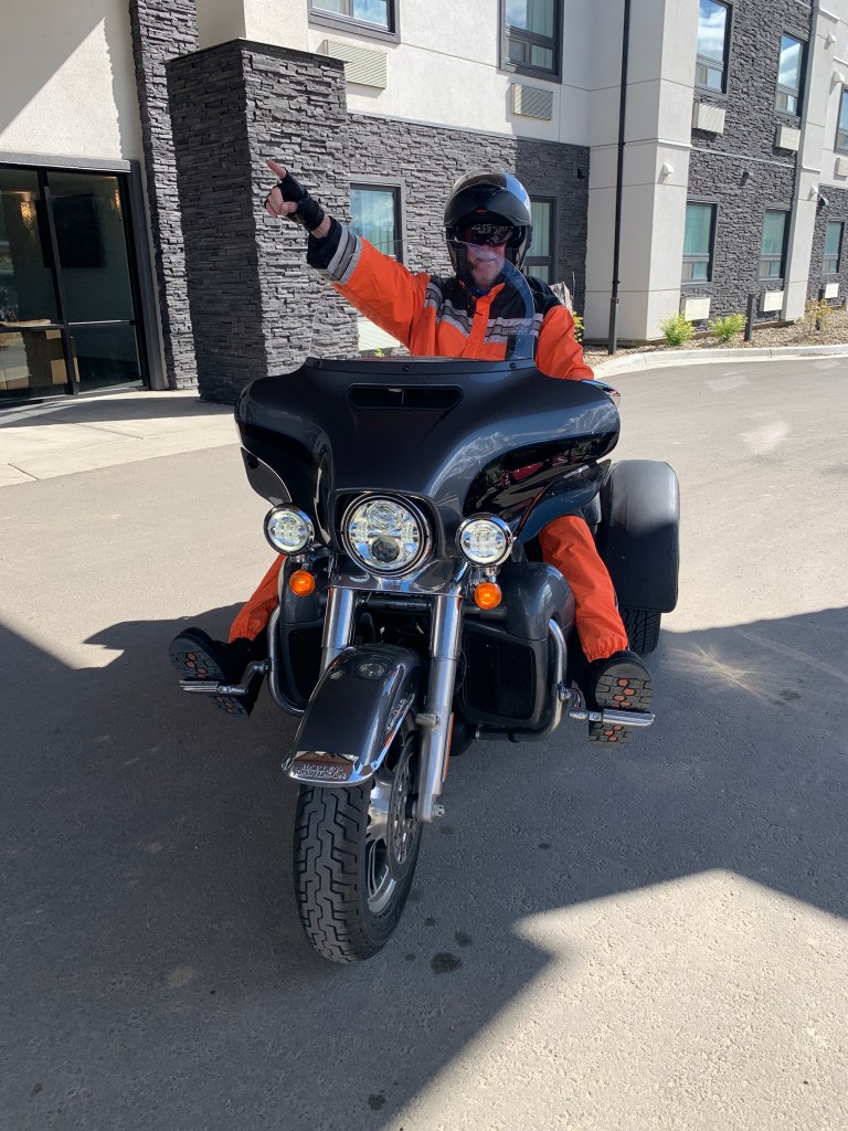
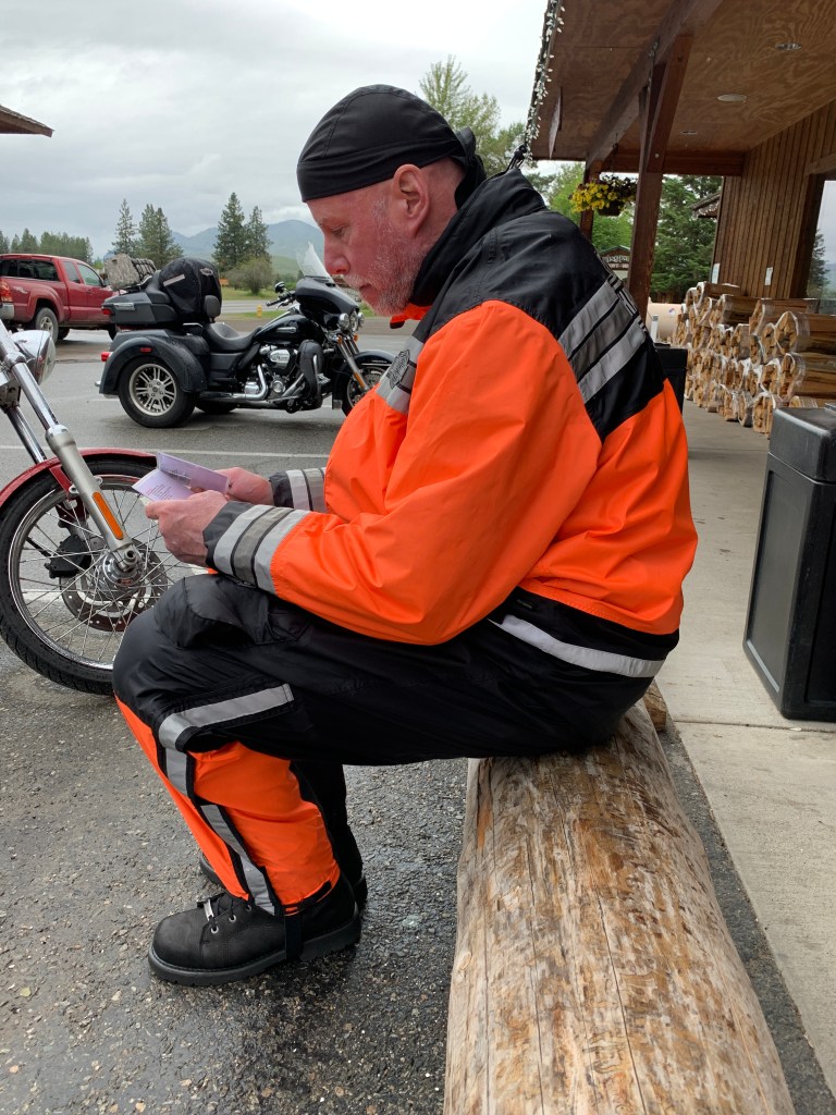
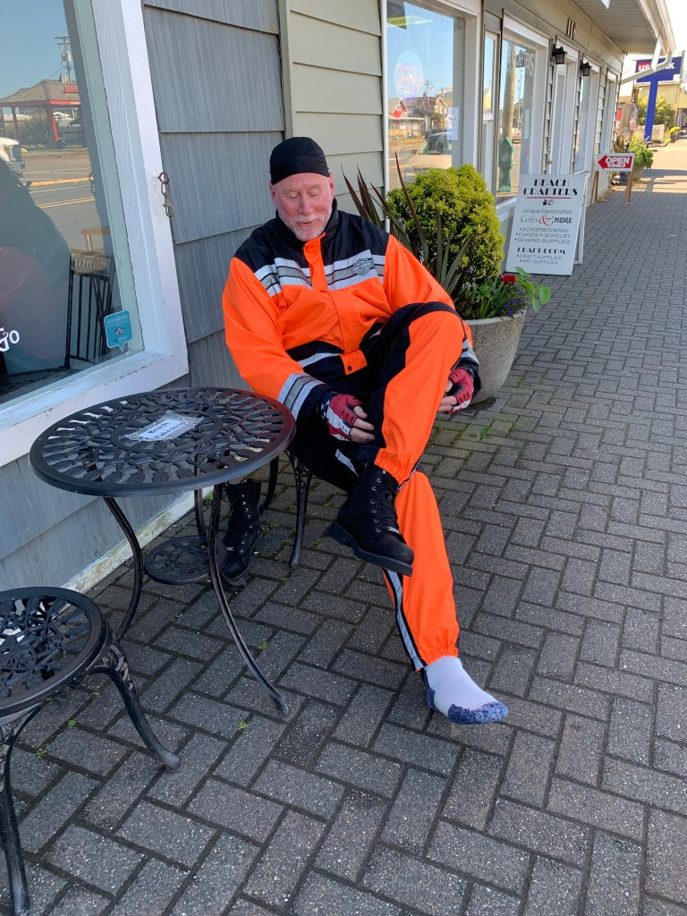
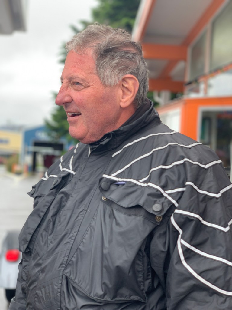
Dave’s all dressed up for Father’s Day. He’s rocking the rain suit, and he’ll need it.
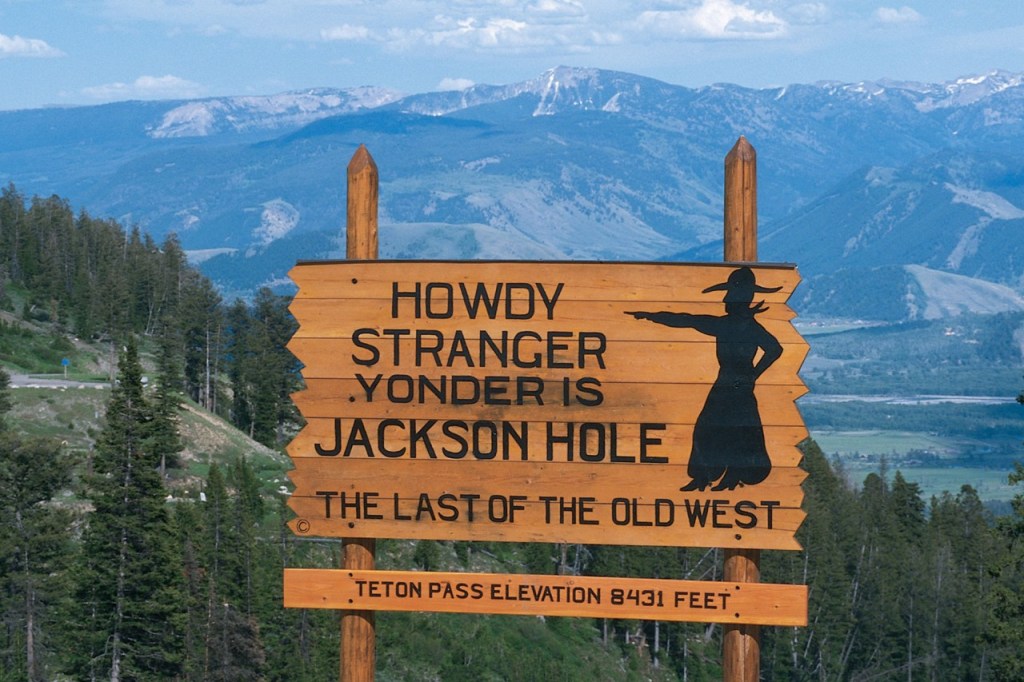
As we cross into Wyoming, America’s least populated state, we head east on the Teton Pass Highway. Once we enter Wyoming, it’s only six miles to Teton Pass, famous for its sign that sits on the 8,431-foot summit.
The sign that greets you at Teton Pass.
Teton Pass connects the towns of Victor, Idaho, and Wilson, Wyoming. Wilson is named for Elijah Nicholas Wilson, who lived with the Shoshone Indians as a boy in the 1850s. His book, “The White Indian Boy,” describes his experiences, including his time as a rider for the Pony Express.
Today, Wilson is a quaint community of 1,500, known for its interesting nightlife and tasty breakfasts. It’s rustic and authentically western.
A mile past Wilson, we cross the Snake River, roll through some gentle hills, and approach the town of Jackson, named after David Edward “Davey” Jackson, a beaver trapper in the area in the late 1820s.
There’s more than a little confusion over Jackson, and its neighbor, Jackson Hole.
Both are named after the same guy. But most of the similarities end there.
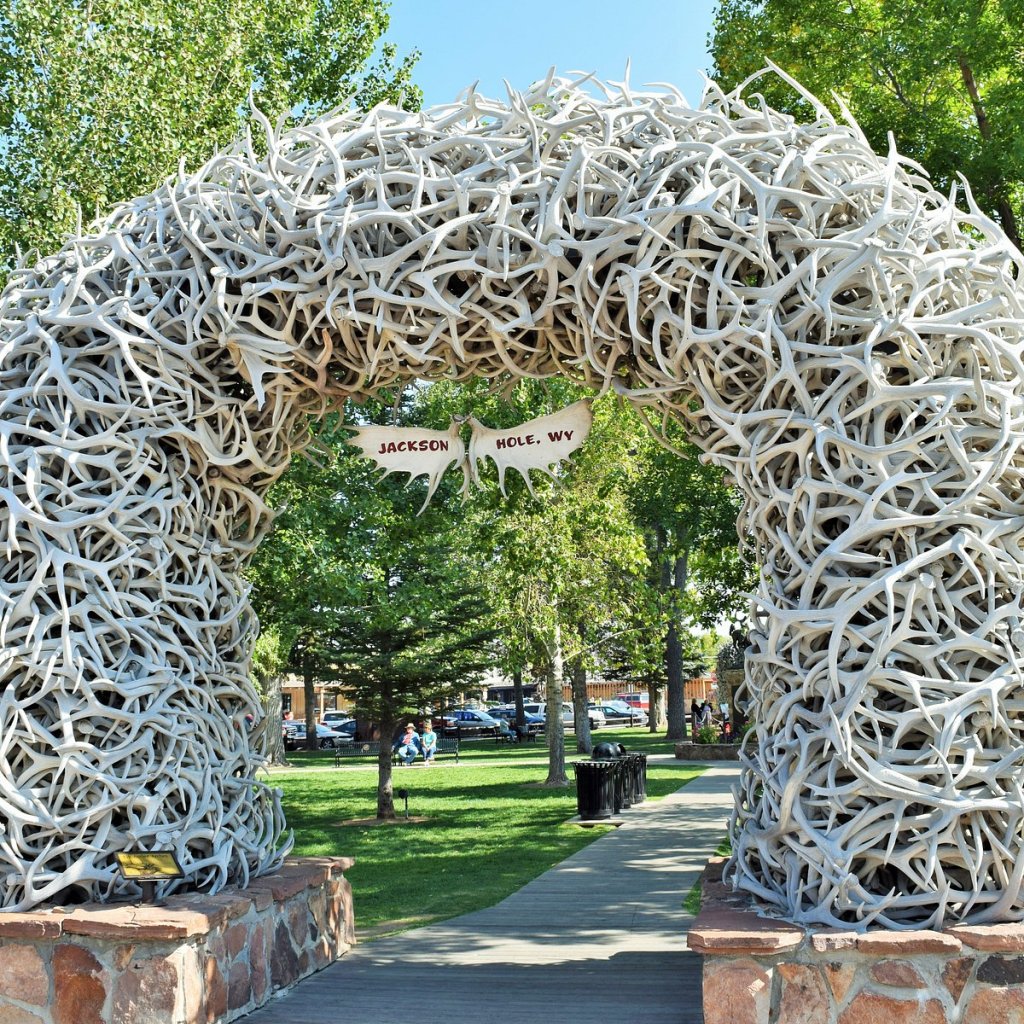
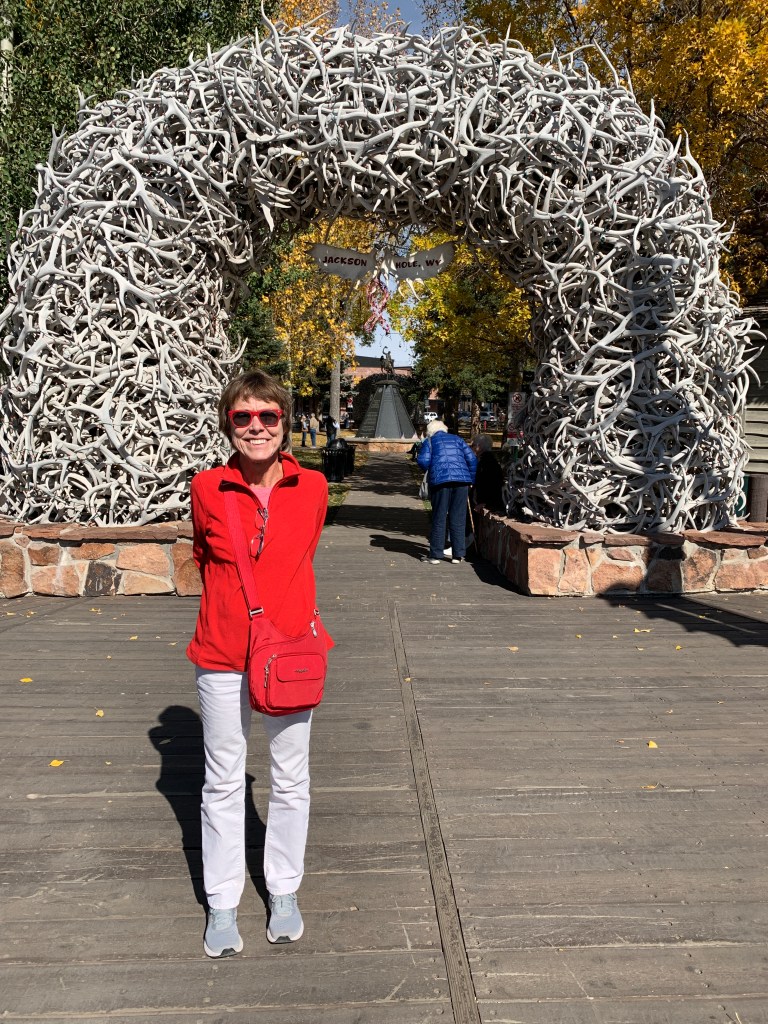
The famed elk antler arches at Jackson’s town square.
Jackson is a town. It has a population of about 11,000. Jackson is a popular tourist destination, due to its proximity to nearby ski resorts, and Grand Teton National Park, and Yellowstone National Park.
Jackson Hole is a valley. And a ski resort. The ski resort is located in Teton Village, about 10 miles from the town of Jackson.
One thing Jackson and Jackson Hole share: unaffordable living. It’s on a par with Aspen, not far from Carbondale, where I live.
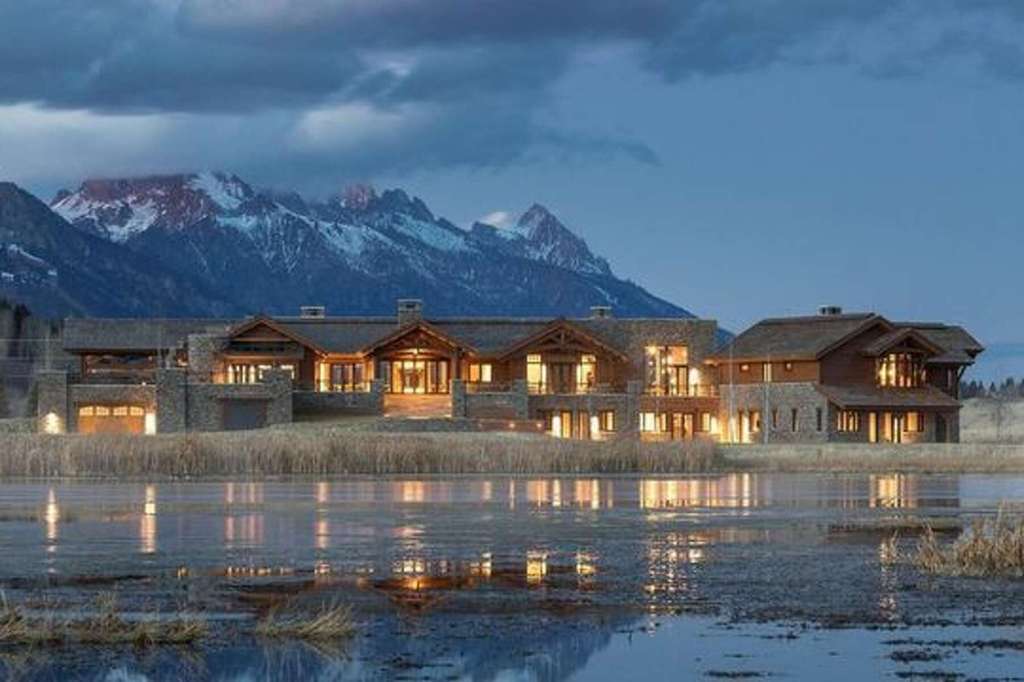
This Jackson gem was for sale two years ago for $35 Million. Nice view of the Tetons.
***
A mile west of the town of Jackson, we turn south on US Highway 191, which we’ll be on for the next 240 miles.
About 15 miles south of Jackson, we arrive at Hoback Junction, the confluence of the Hoback and Snake Rivers. Many whitewater rafting trips head down the Snake River Canyon from Hoback Junction. The river, and the junction, are named after John Hoback, an explorer and guide who traveled with the Astor Expedition in search of animal pelts.
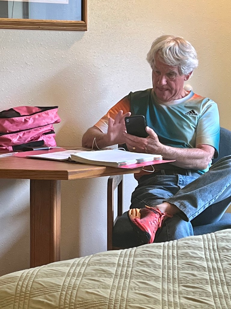
We take a break from the rain, and Jim picks out his next playlist on his phone.
At Hoback Junction, we turn away from the Snake River, and head toward the town of Pinedale, 63 miles away. With a population of about 2,000, Pinedale is the county seat of Sublette County. It’s a hunting outfitting town and a gateway to the Wind River Mountains.
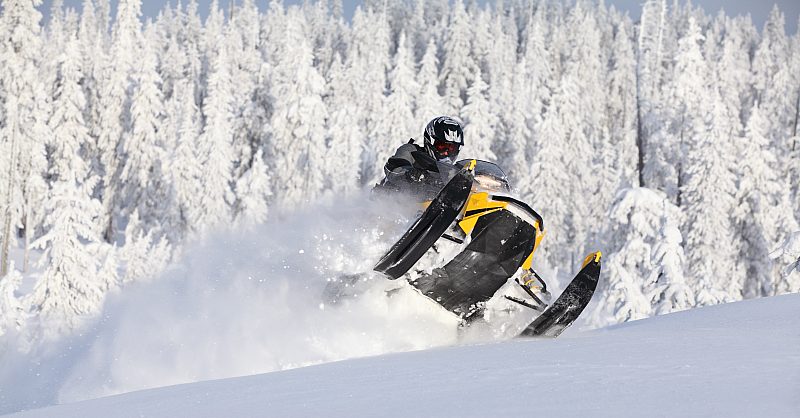
Pinedale is a snowmobiler’s paradise.
In the winter, Pinedale is known for its access to over 300 miles of groomed snowmobile trails through varied terrain, along with its frozen lakes that offer ice fishing, snowshoeing, skating and more. The town’s website calls Pinedale “The Real Wyoming.”
Pinedale is home to the Museum of the Mountain Men, which says it preserves and interprets the history of the Rocky Mountain fur trade. If we hung around until July 7, we could attend the Museum’s Annual Western Art & Wine Auction.
This looks like fun 🤪
***
Highway 191 turns south in Pinedale. It’s exactly 100 miles to Rock Springs. With a population of 38,000, Rock Springs is Wyoming’s fifth largest city. Rock Springs gets its name from a spring that flows through the northern part of town.
It’s known as the “Home of 56 Nationalities” because of the influx of immigrants from all over the world who came to work in the coal mines that supplied the fuel to power the Union Pacific Railroad’s steam engines. The railroad’s conversion to diesel and oil power in the mid-1900s drove out many of the city’s coal mines. But today, Rock Springs thrives with trona mines and a booming oil and gas industry,
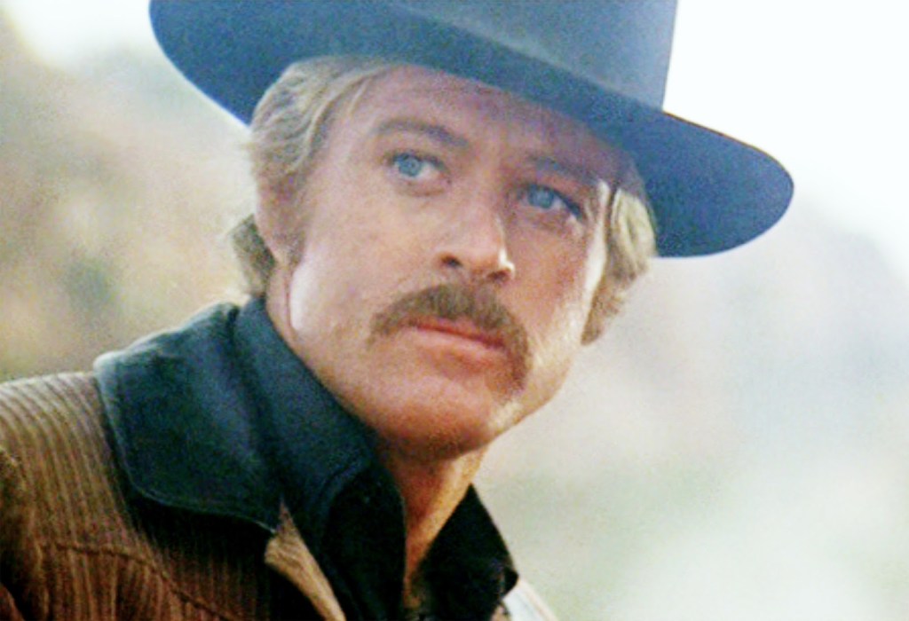
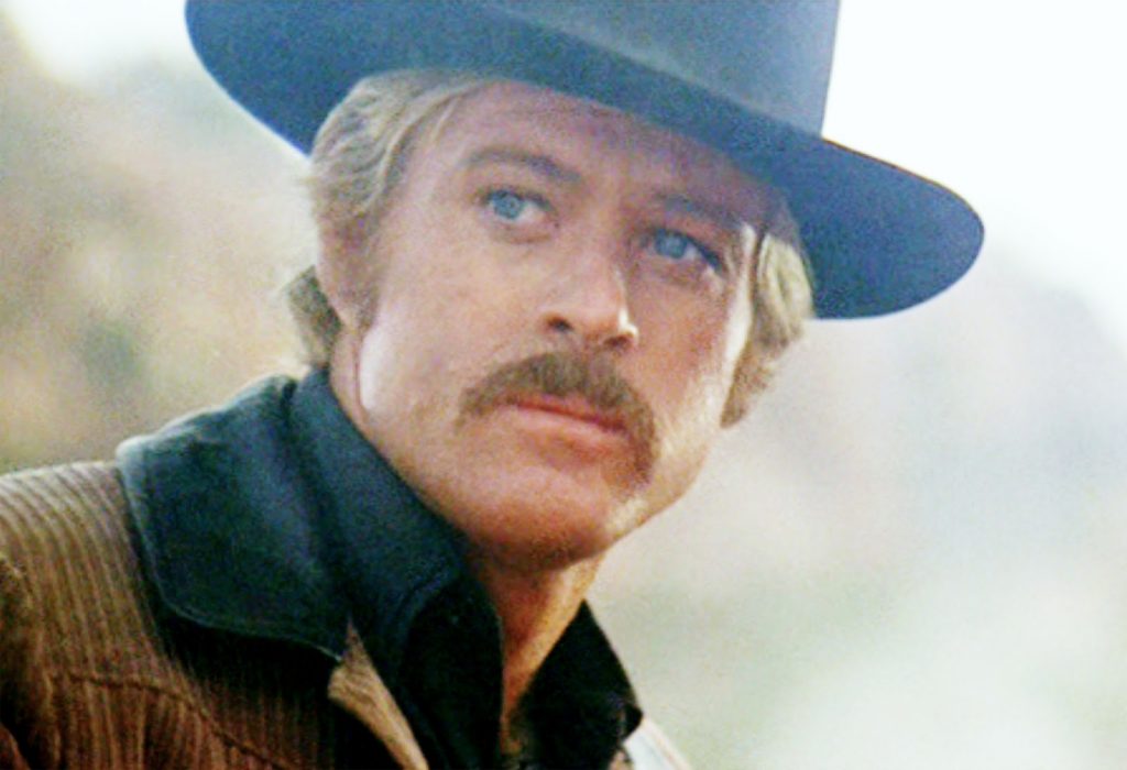
Outlaw gangs who roamed the West often passed through Rock Springs or used it as a destination. After a few years of robbery and thefts, and a two-year stay in the Wyoming State Penitentiary, young George Cassidy moved to Rock Springs in the early 1890’s. He got a job working for the William “Walt” Gottsche Butcher Shop located at 432 Front Street in Rock Springs, which is where he got the name “Butch.”
Robert Redford, as Butch Cassidy. It all started in Rock Springs.
***
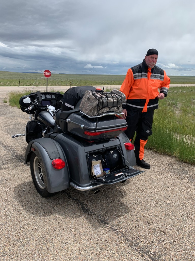
Dave has his own roadside tailgate party along the highway.
As we continue our journey south, we’re on Highway 191 for another 50 miles, before crossing into Utah.
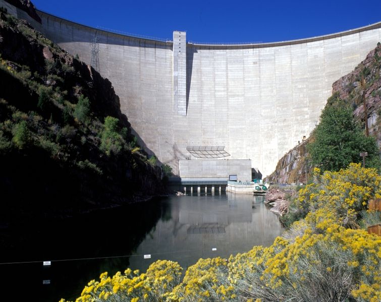
We roll over the Green River at the Flaming Gorge Dam Visitor Center, where we can learn about the Flaming Gorge National Recreation Area. The recreation area encompasses 207,363 acres of scenic landscape and wilderness. The heart of the area is the Flaming Gorge Reservoir, created by the Flaming Gorge Dam. Highway 191 takes us directly over the dam.
The Flaming Gorge Dam is 502 feet high.
The 502-foot-high dam sits on the Green River at just over 6,000 feet elevation. The town of Green River, about 50 miles north of here, is where the river begins.
Green River is also where the Flaming Gorge name came from. On a spring day in 1869, John Wesley Powell and nine men boarded small wooden boats at Green River to embark on a daring exploration of the Green and Colorado Rivers, culminating in the passage of the Grand Canyon.
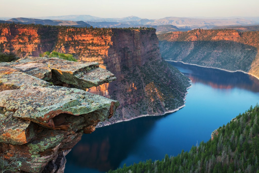
Powell and his men slowly worked their way downstream, successfully completing their journey in late summer. It was on May 26, 1869 that Major Powell named the Flaming Gorge, after he and his men saw the sun reflecting off of the red rocks. To them, it looked like rocks on fire.
Flaming Gorge. Yes, it does look like rocks on fire.
The town of Dutch John was constructed in the late 1950s by the Bureau of Reclamation to house workers building the Flaming Gorge Dam. During the peak years of construction activity at the dam, as many as 3,500 people lived there. Today, Dutch John’s population fluctuates between 150 in the winter and 250 in the summer, as temporary residents come to fly-fish the Green River, or see the dam.
Dutch John, where we’re staying tonight, is named after an early resident, John Honselena. He was a horse trader who supplied emigrants and the railroad with horses in the 1860s. People called him Dutch John because of his thick accent. Turns out he was actually German, not Dutch.
The Flaming Gorge Resort at Dutch John offers a range of lodging options, from motel rooms to RV parks to park your rig.
Most who come here are on a fishing trip. After a day on Flaming Gorge Lake or the Green River, they plan to clean, then cook, their Lake Trout, Rainbow Trout, Kokanee Salmon, or Smallmouth Bass.
We have no fish to fry, so we’ll be eating at the Resort’s in-house restaurant. It’s an all-American menu.
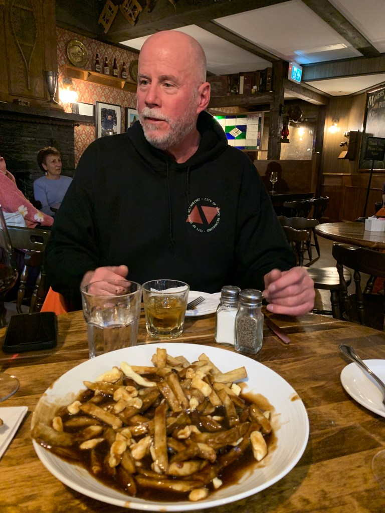
On our last night before returning to Carbondale, there will be no poutine on the table.
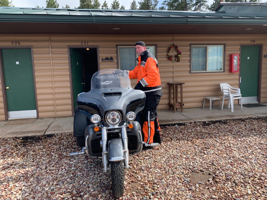
Dave settles into room 307 at the Flaming Gorge resort. Nice parking spot!
The overnight temperature in Stanley was not record-setting. But it was a bit jarring. Forty-something. In mid-June. Brrrr.
Time to hunt for warmth.
Turns out we find it, only four miles out of town, as we head east on Idaho Highway 75, which follows the Salmon River.
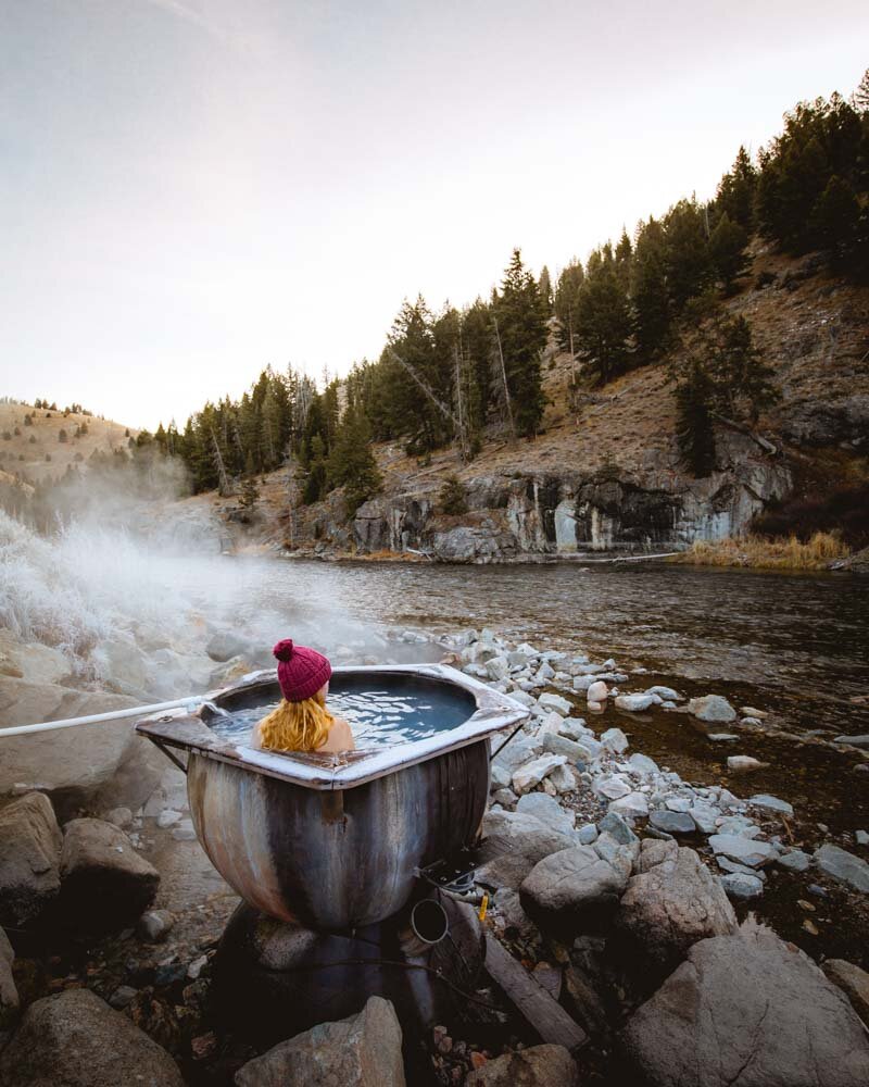
We find our warm-up at Botox Hot Springs, a wooden tub along the Salmon River.
Boat Box (Botox?) Hot Springs.
OK, it’s early. I mis-read the sign.
It’s not Botox Hot Springs. It’s Boat Box Hot Springs. Close enough.
Either way, you can still feel rejuvenated, with whatever Botox-free wrinkles you bring into the tub.
The name, Boat Box, stems from an old wooden box tub that once sat in the same place as the current one. It was a popular spot for rafters, but river flooding swept it away.
Now, cables hold the Boat Box Hot Springs tub in place so anyone can enjoy its waters. A pipe delivering steaming hot water comes from the hillside above the boat box and does not have an adjustable faucet. You simply fill the “box” with the pipe or set it off to the side. The water is incredibly hot, so be careful when you get into the tub. There is a plastic bucket that allows you to regulate the temperature by dumping cold river water into the pool.
The tub only fits about three to four people, so it’s very cozy and can get crowded during peak season. It’s a perfect size for me, Dave, and Jim. Best to visit early morning or early evening, when crowds typically die down. You’ll see it just off the road, on the right-hand side.
***
It was very windy, all day.
We continue east, as the road winds its way through the Sawtooth Mountains, toward Challis, 55 miles away.
There’s little along the way, other than trees, mountains and endless beauty. We’re in the Salmon-Challis National Forest.
The forest, with more than 4.2 million acres, is one of the largest national forests in the lower 48 states. It has most of the land area of the Frank Church River of No Return Wilderness, the largest wilderness area south of Alaska.
The River of No Return.
The Sawtooth Mountain Range, which we’re now in, has a unique look. The mountains are named for their easily recognizable jagged peaks, you know, like a saw.
The Sawtooths (Sawteeth?) cover 678 square miles. There are 57 peaks over 10,000 feet in the Sawtooth Range, about the same number of peaks in Colorado that are over 14,000 feet.
A mile short of Challis, we turn away from the Salmon River, and head south on US Highway 93.
The town of Arco is our next stop, 80 miles away.
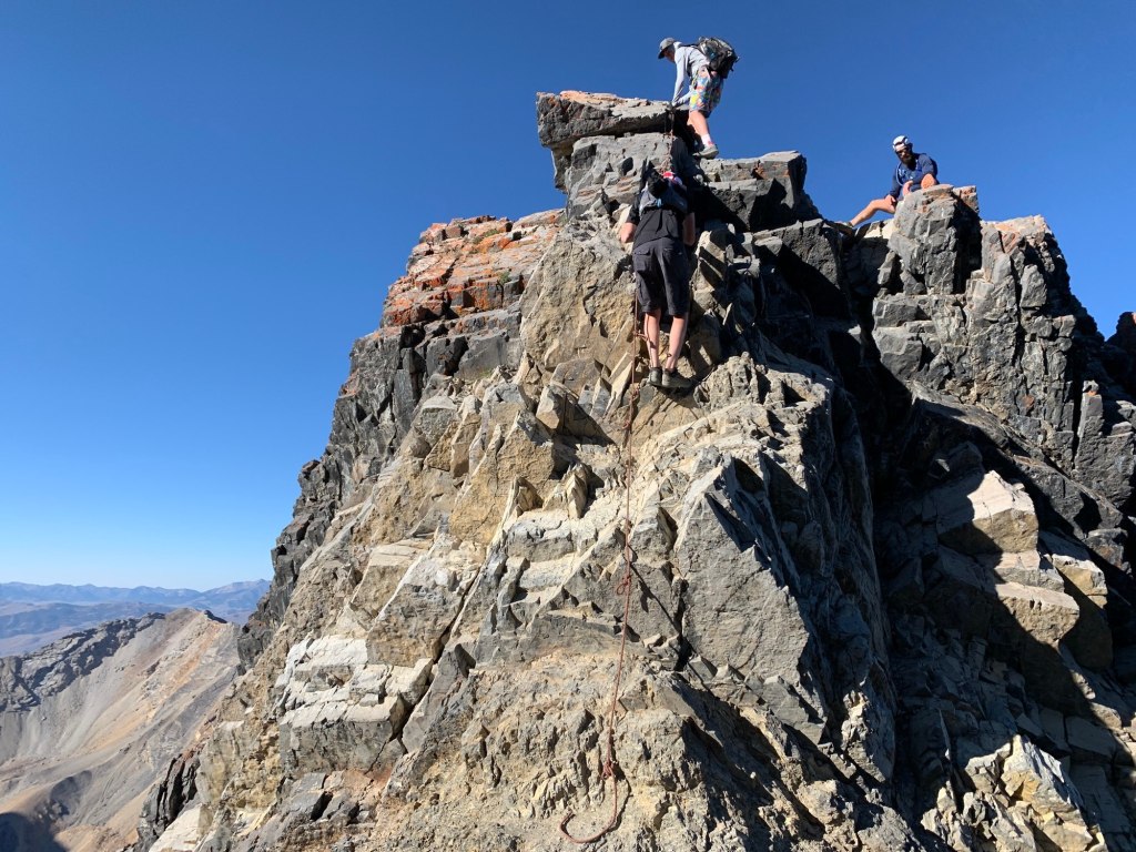
Climbing Mount Borah, not for the faint of heart.
Halfway to Arco, on our left, we see Borah Peak, Idaho’s highest mountain. The 12,662-foot mountain is named for William Borah, a US Senator from Idaho who served from 1907 until his death in 1940. Last year, the US Geological Survey officially recognized Mount Borah as Idaho’s only active glacier.
Climbing Mount Borah is a 5,262-vertical-foot slog from the trailhead to the summit, in just over 3.5 miles. It’s just a strenuous hike, until you reach a point just before the main summit crest called “Chickenout Ridge.” Here, many climbers abort the attempt once they see the hazards up close. There are no shortcuts to avoid Chickenout Ridge.
If you’re not living on the edge, you’re taking up too much space.
***
We arrive in Arco around 1 pm.
Arco, population 1,000, was the first community in the world ever to be lit by electricity generated solely by nuclear power. This happened for about an hour on July 17, 1955. The town was powered by Argonne National Laboratory’s BORAX-III reactor at the nearby National Reactor Testing Station.
Six years later, the facility gained additional fame when a reactor was destroyed through an operator maintenance error. The ensuing steam explosion killed three people. It was the world’s first fatal nuclear reactor accident, and the only one in the US. So far.
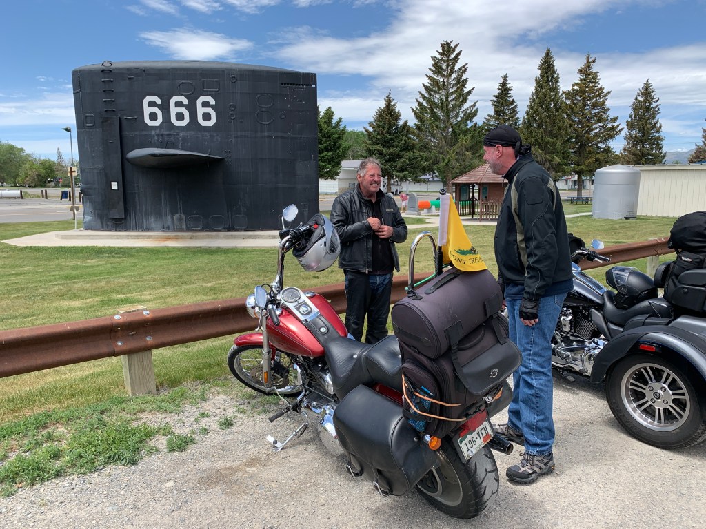
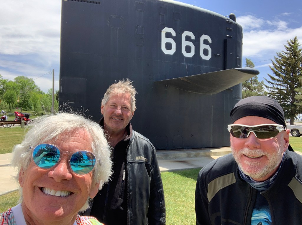
Wait, what? A submarine in Arco?
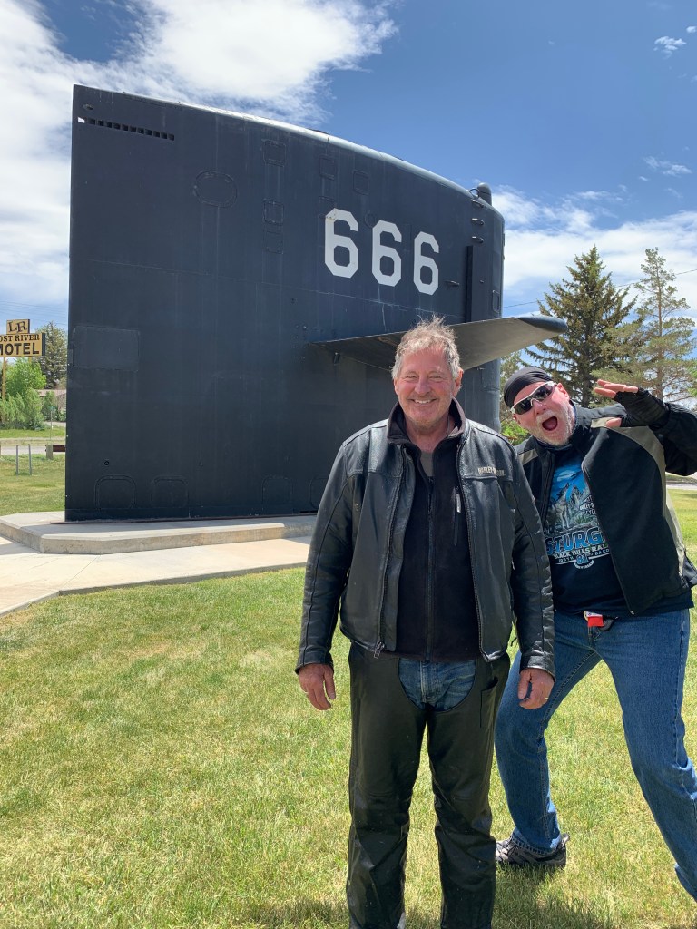
Dave, the master of photobombing, steals Jim’s limelight at the USS Hawkbill.
In Arco, you’ll find another relic of the nuclear age: a “sail” from a nuclear submarine, the USS Hawkbill. It’s part of a roadside park in Arco. The Hawkbill was sometimes called the “Devil Boat,” because of her hull number, 666. The “Devil Boat” name is prompted by a quote from Revelations, Chapter 13: “And I stood upon the sand of the sea, and saw a beast rise up out of the sea … Here is wisdom. Let him that hath understanding count the number of the beast: for it is the number of a man; and his number is 666.”
Enjoying Arco, if that’s possible.
The Hawkbill was decommissioned in 2000, the last of the “short-hull” Sturgeon-class attack submarines to exit its service life. It’s now part of the roadside Idaho Science Center, honoring Arco’s long association with the US Navy, and the nuclear fleet, in particular.
***
In Arco, it’s time to fuel up and hydrate, before pushing on toward Idaho Falls – about 65 miles east.
With a population of around 62,000, Idaho Falls is about 10 times as large as Carbondale.
Idaho Falls, in my memory, will always be “Idiot Flats,” as that’s what one of my college roommates called it. He was from Idaho Falls, and must have known what he was talking about.
Maybe things have changed since then. In 2019, livability.com put Idaho Falls on its list of top 100 affordable places to live, with a “liv” score of 617. The quintessential meal in Idaho Falls, according to livability.com: “A big heaping pile of potato pancakes topped with applesauce from Smitty’s Pancake & Steak House.” That, and other attributes, was enough to push Idaho Falls to number 47 on the list.
Mormons make up about 60 percent of the population here. Idaho has a greater percentage of Mormons than any other state, except Utah.
They’re everywhere!
Idaho has six Mormon Temples. The first one was built here in Idaho Falls. There are 282 temples worldwide. You won’t be able to get into any of them without a “temple recommend.” To get the magic slip of paper, you have to successfully answer a series of questions, most of which are baffling to me.
I can honestly say I ace one of the questions: “Do you strive to be honest in all that you do?”
Yes, I do.
The rest of the test … meh.
***
Leaving Idaho Falls, we follow US Highway 26 for the next 43 miles, leading us to Swan Valley.
The last 10 miles are along the South Fork of the Snake River.
Swan Valley is said to be one of the premier tail water dry-fly trout fisheries in North America. Tail water? According to Orvis, tailwater fisheries are those that exist solely due to the influence of a dam at the head of the river, or section of the river, that regulates flow and temperature. In short, tailwater fisheries are there because there’s a dam above them.
The dam here is the 20-mile-long Palisades Reservoir. Palisades Dam has a maximum height of 260 feet above the stream bed; it is one of the largest embankment dams ever built by the Bureau of Reclamation. It took more than 13.5 million yards of earthen dirt, rock, and gravel to build it.
The Palisades Reservoir. More than 13.5 million yards of dirt, rock and gravel made it possible.
From Swan Valley, it’s just 20 miles to tonight’s destination, Victor.
To get there, we ride on Idaho Highway 31, known locally as Pine Creek Road. It takes us through rolling hills, and along Pine Creek. We cross Pine Creek Pass, elevation 6,778 feet, and begin the descent into Victor.
Victor was named in honor of George Victor Sherwood, the mail carrier between the south end of Teton Valley, and Jackson, near the end of the 19th and beginning of the 20th centuries. With mail on his back, Sherwood walked, skied or rode his horse over Teton Pass to make his delivery to Jackson Hole – 34 miles away.
Victor, population 2,000, is the largest city in Teton County. It’s become a bedroom community for the resort towns of Jackson and Jackson Hole – whose housing prices have become prohibitively expensive.
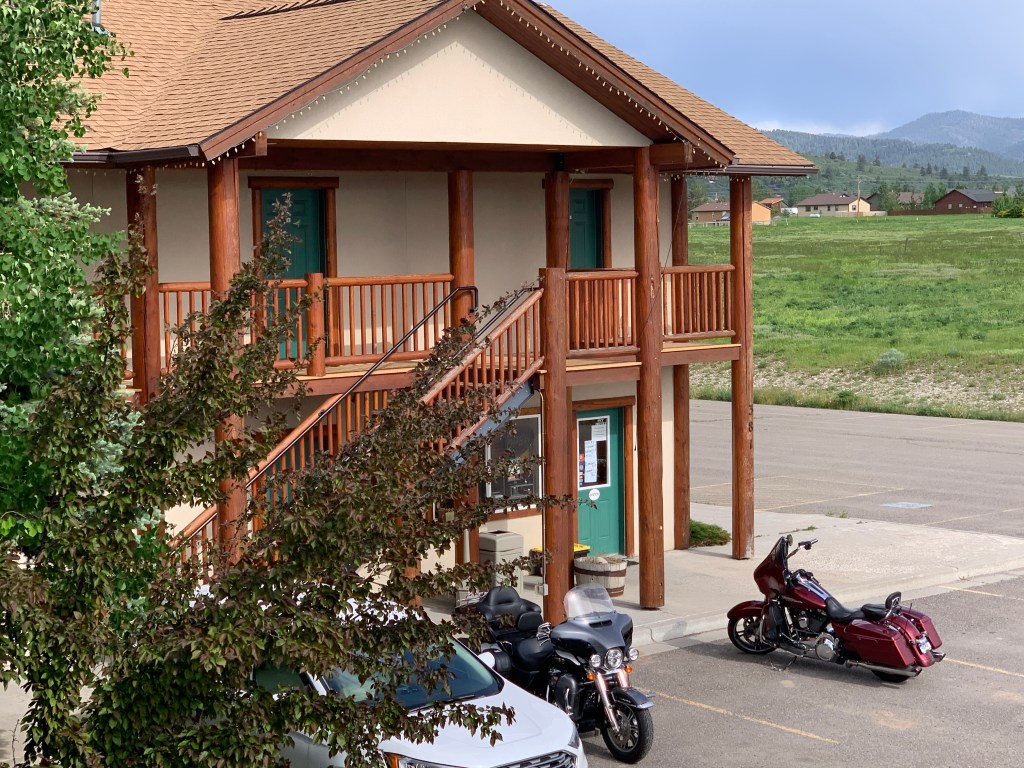
We can afford a room at the Teton Valley Motel, for one night anyway. $244, with tax, for a King Studio.
Our lodging for the night. Note the convenient parking.
The day begins, as we have a final breakfast with Randy before he ends his ride and begins heading home to Poulsbo, Washington.
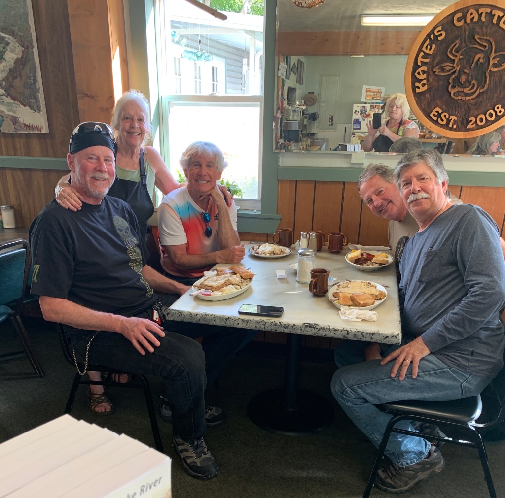
Breakfast at Cate’s Cattleman’s and Family Cafe. Best breakfast in Riggins. That’s Cate posing with us.
Try Cate’s. You’ll like it.
From Riggins, the Salmon River continues its path east to the town of Salmon, then flows south through Challis, and west to Stanley. It’s a circuitous route we won’t follow, but we will see the Salmon River again when we get to Stanley later in the day.
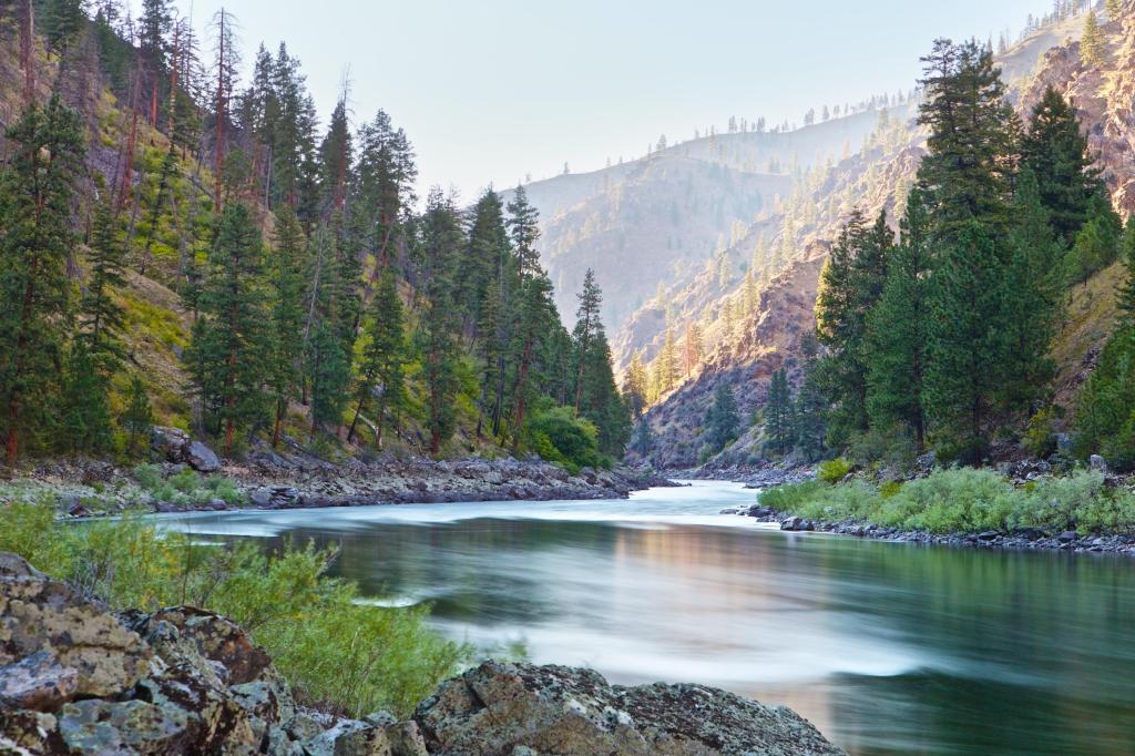
The Salmon River: Idaho at its best.
The Salmon flows for 425 miles through central Idaho, dropping more than 7,000 feet from its headwaters near Galena Summit in the Sawtooth Mountains to its confluence with the Snake River.
We ride south out of Riggins, leaving the Salmon River behind.
Today’s leisurely ride, all 203 miles of it, will be entirely in Idaho.
Except Randy. His ride will take him to Spokane, where he’ll have dinner with his parents, and siblings. it’ll be an early Father’s Day celebration, before Randy heads home to the Puget Sound area.
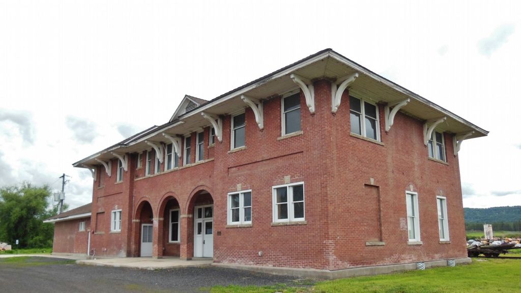
We’re on US Highway 95 for 35 miles until we reach New Meadows, a rural city of less than 500, on the Little Salmon River. New Meadows hosts the last surviving Pacific and Idaho Northern Railroad Depot. The depot was built in 1910 and served as the northern end of the railroad.
The last surviving Pacific and Idaho Northern Railroad Depot is in New Meadows, Idaho.
New Meadows sits at the crossroads of US Highway 95 and Idaho Highway 55.
We turn south on Highway 55, and soon find ourselves in McCall, only 10 miles away. McCall, established by Thomas and Louisa McCall in 1889, is an all-season tourist town on the southern shore of Payette Lake. It was originally a logging community whose last sawmill closed in 1977, when I lived in the Boise area, about 100 miles away.
We roll through McCall and continue south on Highway 55, riding past Lake Cascade and the town of Cascade. Lake Cascade is a popular summer-time fishing spot, offering perch, trout, smallmouth bass, Kokanee salmon and Coho salmon. In the winter, it has an active ice fishing crowd.
The town of Cascade, with a population of around 1,000, once had a sizable Boise Cascade sawmill. It closed in 2001.
***
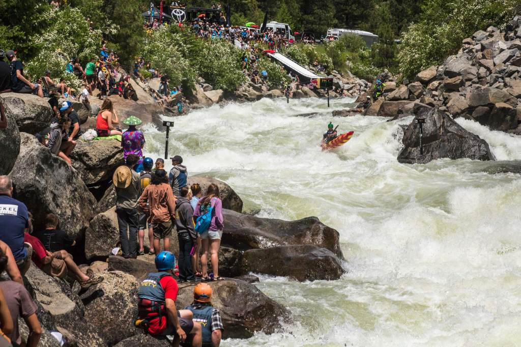
We pass by hundreds of kayakers parked alongside the road. They’re gathering for a three-day whitewater kayaking event, the North Fork Championship. The three-day event is being held on the raging waters of the North Fork of the Payette River.
It’s extreme whitewater kayaking. Fifteen miles of Class V rapids!
Highway 55 takes us past Smiths Ferry to Banks.
With a population of 17, Banks has little to offer. It doesn’t even have a bank. No ATM, either.
The North and South Forks of the Payette River meet in Banks, which makes it a popular destination for people rafting or kayaking on the river. The Payette River is named for Francois Payette, a Canadian fur trapper who was one of the first people of European descent to explore the Payette River Basin in the early 1800s. Before Payette and other Europeans began exploring western Idaho, the river’s watershed was originally settled by the Shoshone, Nez Perce, Paiute, and Bannock Indian tribes.
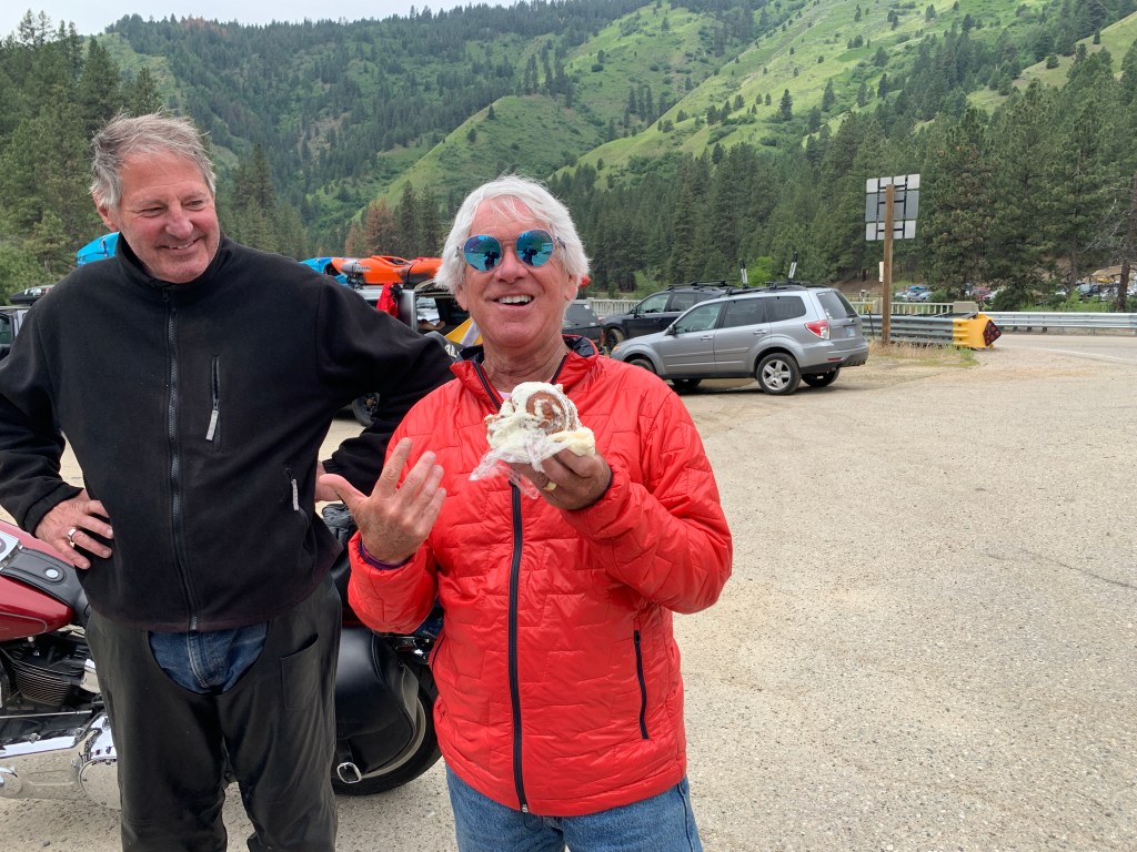
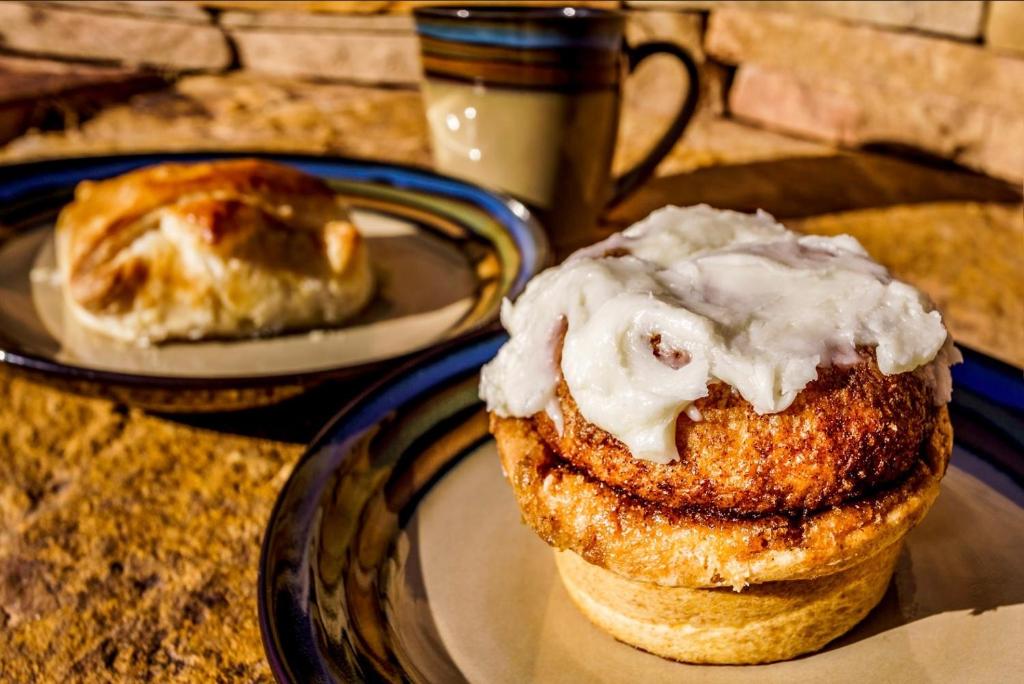
Taking a break before riding on the Banks Lowman Road. That’s a cinnamon roll I got at Cate’s in Riggins. She told us she got up at 1:30 this morning to bake my sweet treat.
We jump on the Banks Lowman Road, and head east toward the town of Lowman, population about 40. Lowman is notable for having a one-room school, one of only a few hundred still in use in the US. One-room schoolhouses once were a common feature in the Great Plains and un-populated areas, like rural Idaho. One teacher, typically a young, single woman, taught farm children in grades one through eight in a small building. Often the teacher had only an eighth-grade education herself.
It’s about 35 miles from Banks to Lowman, with the Payette River connecting the two tiny towns. About halfway between Banks and Lowman, it becomes the Wildlife Canyon Scenic Byway, as the road twists and turns in concert with the river.
In Lowman, the Banks Lowman Road becomes Idaho Highway 21, also called the Ponderosa Pines Scenic Route. We’re surrounded by Ponderosa Pines.
Taking a break, 30 miles south of Stanley.
I took a break, too.
From Lowman, it’s 58 beautiful miles to tonight’s destination, Stanley. Seven miles before arriving in Stanley, we pass the Park Creek Overlook and Ski Area. The ski area has a groomed Nordic trail system, popular in the winter.
Stanley, Idaho. Nice setting for a town.
Stanley is a western town set on the banks of the Salmon River. It’s the same river where we began our day in Riggins, but here in Stanley, it has a completely different feel.
The Stanley basin was discovered by fur trappers in the 1820s. The town takes its name from Captain John Stanley, a Civil War veteran. He led a party of prospectors who passed through the basin on their way to Idaho City.
The elevation here is 6,253 feet – almost identical to our home in Carbondale, Colorado. But Stanley gets much colder than what we’re used to. In fact, Stanley is continually the coldest place in the continental US. A two-decade long study revealed that Stanley led the nation recording the country’s lowest temperatures 522 times during a 20-year period, the vast majority of them during the summer.
Today, it’s mid-June, so the temperatures in Stanley are relatively mild. At least they are when we arrive in mid-afternoon.
We’ll check for icicles in the morning.
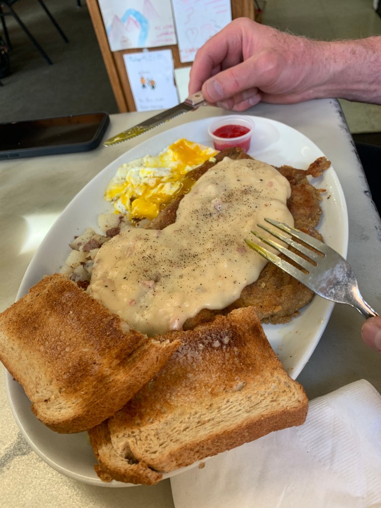
One way to stave off cold is by consuming calories. That’s what Randy and Dave did, opting for a chicken fried steak breakfast at Cate’s in Riggins this morning. ”It’s the best chicken fried steak I’ve ever had,” Dave said. He should know. the big is a CFS connosseur.
Today, he’ll break our hearts by ending his ride with us.
But first, we have 277 miles ahead on some spectacular Montana and Idaho roads.
C’mon, Randy. Let’s saddle up and ride one more time.
***
Much of today’s route is familiar.
Dave, Randy and I rode it last year on our way north toward South Dakota’s Black Hills.
Our day begins by riding south on US Highway 93.
We roll through Pablo, population 2,200. The town takes its name from Michel Pablo, known for his efforts to save the American bison from extinction. Pablo, the town, is home to Salish Kootenai College, a private tribal land-grant community college that serves the Bitterroo Salish, Kootenai, and Pend d’Oreilles tribes.
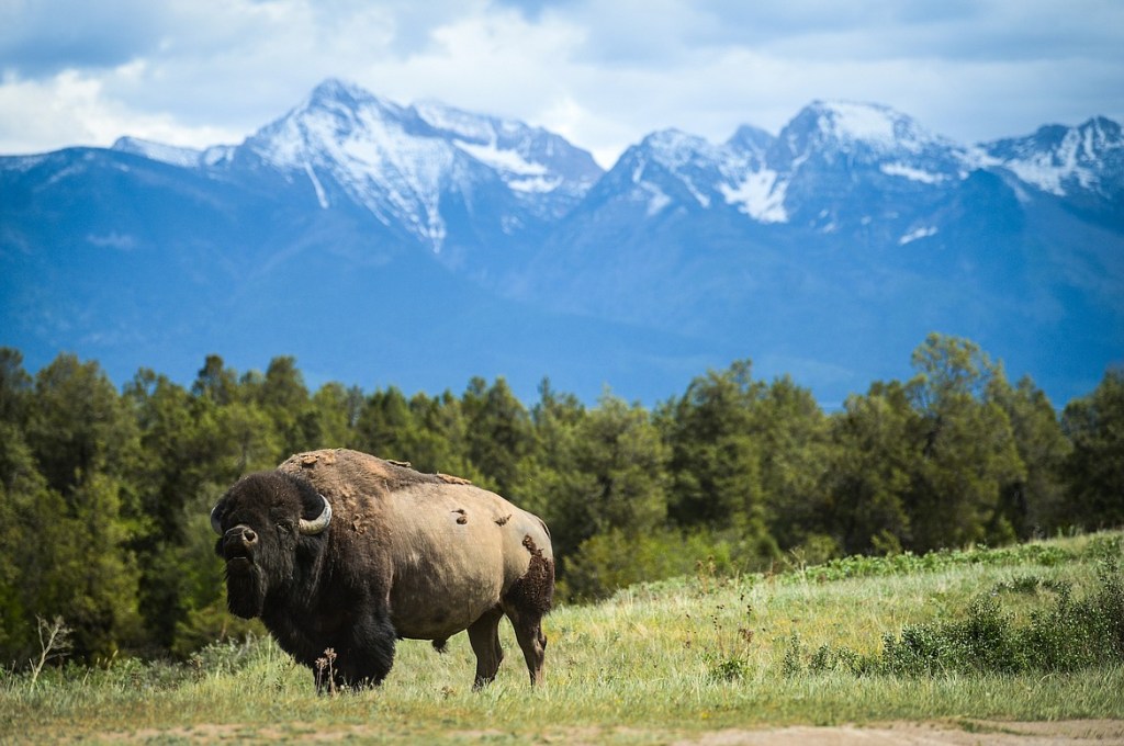
Twenty miles down the road, on our right, is the 19,000-acre National Bison Range. The range was established in 1908 to provide a sanctuary for bison. Today, the herd here is less than 500 bison. The Bison Range serves as the central point for bison research in the US.
The National Bison Range, a herd less than 500.
Beyond the Bison Range, there’s little civilization for 30 miles until we cross Interstate 90 on the outskirts of Missoula. With a population of about 75,000, Missoula is Montana’s second largest city – after Billings.
Missoula, which sits on the Clark Fork River, is home to the University of Montana. The name Missoula comes from the Salish name for Clark Fork River, which roughly translates to “place of frozen water.” Missoula is known for its blue-ribbon trout fishing and spectacular natural beauty.
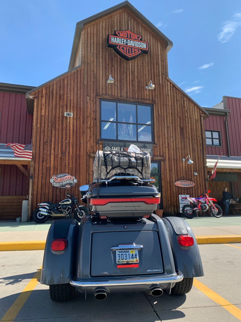
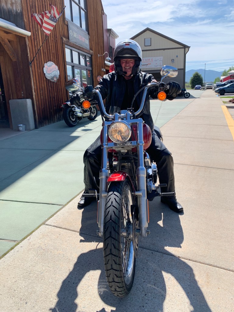
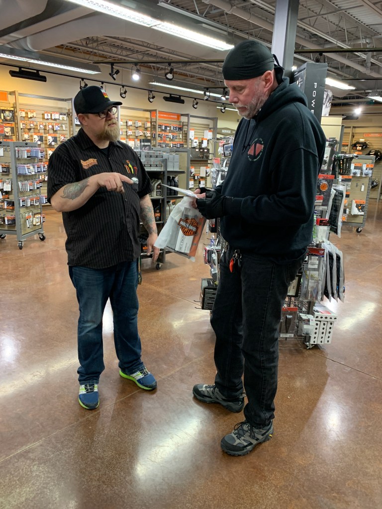
At the Harley store in Missoula.
Jim shows off his new front tire at Grizzly H-D. Safety first!
Dave works with his personal shopper, the Parts manager.
Highway 93 skirts the western edges of Missoula, and includes two Walmart Supercenters, only a few miles apart. As we leave Missoula, we follow the Bitterroot River until we reach the town of Lolo, population about 4,000.
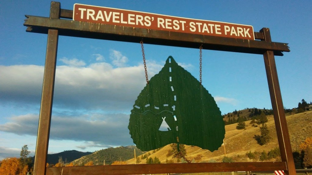
Lolo, Montana — home to Travelers’ Rest State Park.
Lolo is home to Travelers’ Rest State Park, where Lewis and Clark camped in 1805 and 1806. The Lewis and Clark expedition party included 27 unmarried soldiers, a French-Indian interpreter, and a contracted boat crew – 45 people in all.
Lewis, Clark, and their fellow expeditioners, found the area that is now Travelers’ Rest State Park a relaxing place to hang out. For them, it was ideal to stop, rest, hunt and repair their gear before tackling the trip over Lolo Pass. Today, the park is distinguished for being the only archaeologically verified campsite of the Lewis and Clark expedition.
***
In Lolo, we head west on US Highway 12, the Lolo Pass Highway. The 132-mile roadway is known among motorcyclists (like us) as one of the top rides in the country.
We begin to climb the 32 miles up to the Lolo Pass summit. The top of the pass is at 5,233 feet in the Bitterroot Mountains, the highest point on the Lolo Trail. The pass sits on the border between Montana and Idaho.
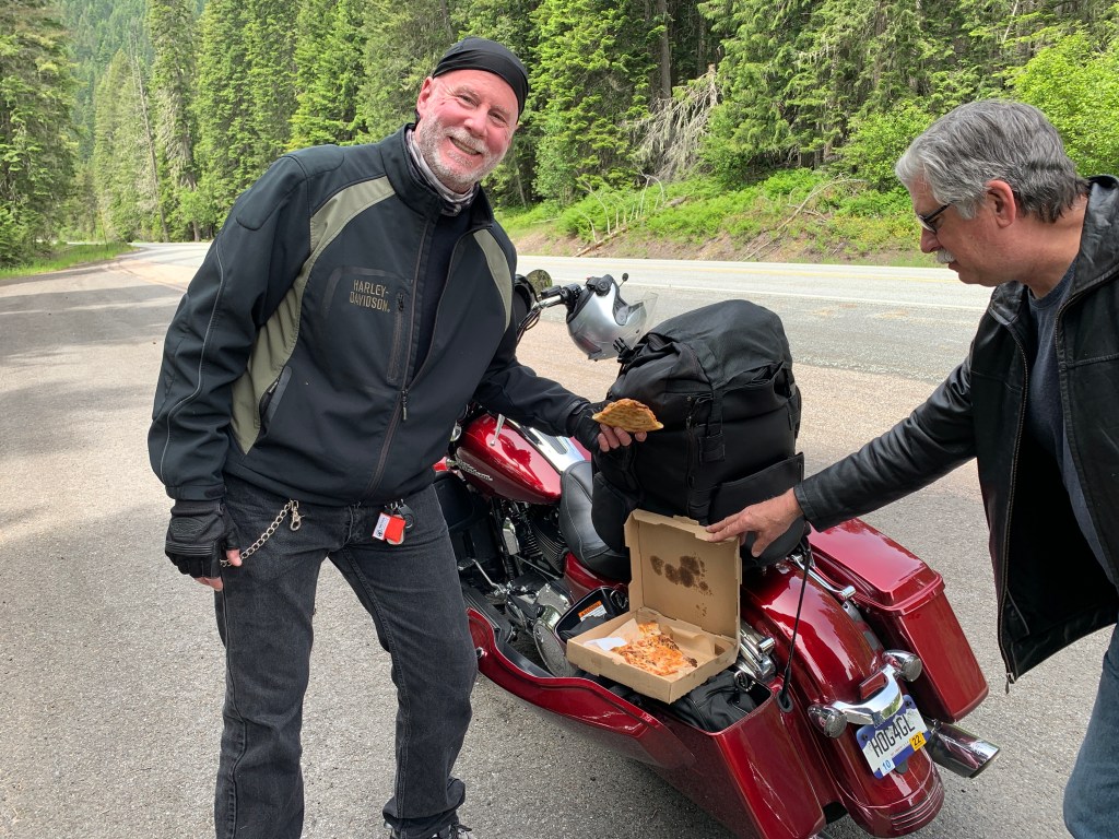
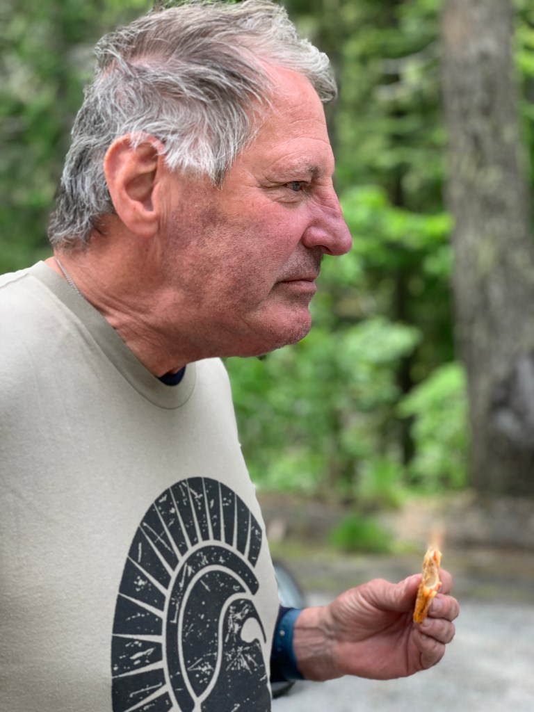
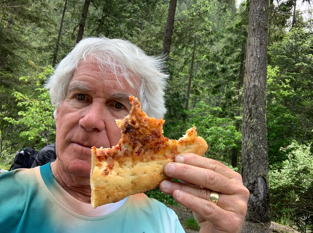
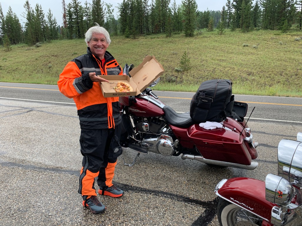
We stop for pizza on Lolo Pass. It’s leftover from last night’s dinner.
The name of the pass is sometimes said to have been Salish version of the French name Laurence or Laurent, but was probably a French nickname. The name Lolo was not used by Lewis and Clark. Its first known mention is in the 1810 journal of David Thompson, who described three fur trappers, probably of French descent, named Michael, Lolo, and Gregoire.
Last year, due to heavy smoke from western wildfires, we saw little of Lolo Pass. This time is different.
Yum.
More yum.
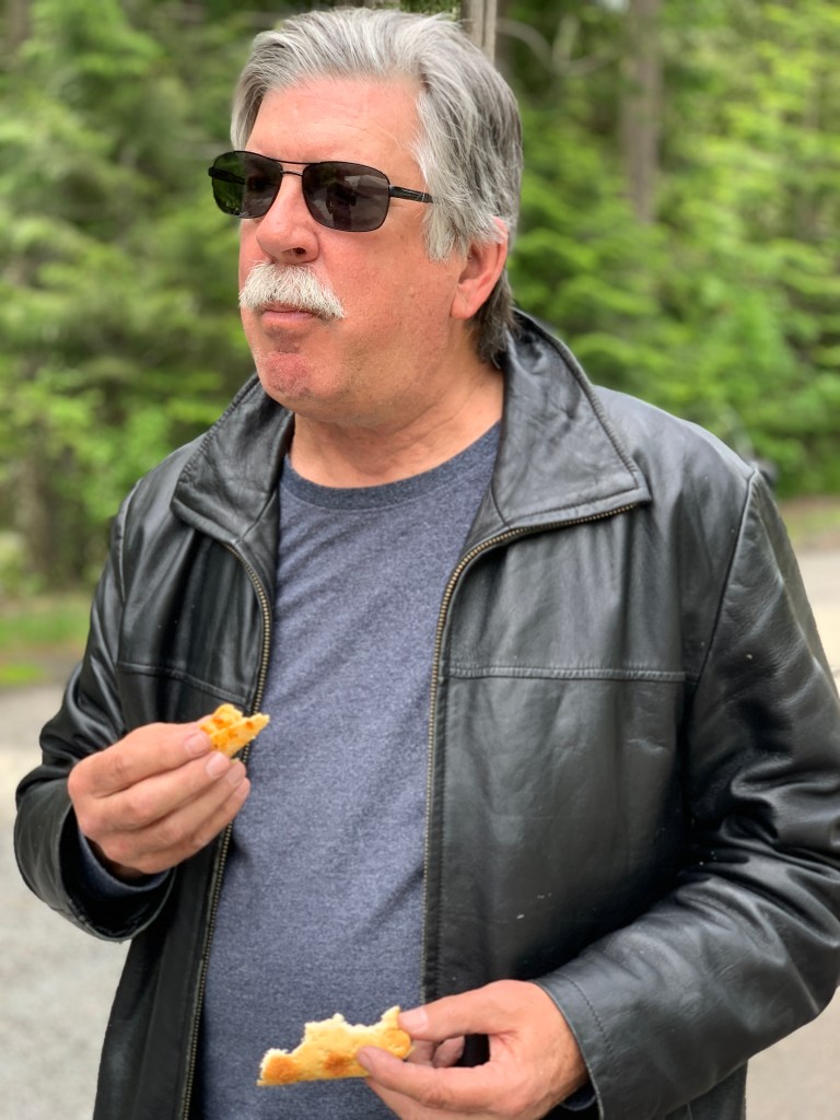
Tasty!
As we slowly descend from the pass, we begin to follow the Lochsa River. Lochsa (pronounced LOCK-saw) is a Nez Perce word meaning rough water. Kayakers and whitewater rafters run the Lochsa, generally between April and June. The waters are turbulent this time of year.
It’s about 13 miles from the pass to Lochsa Lodge, believed to be the only place on the Lolo Pass Highway where you can get something to eat or drink. Their signature dish: blackberry cobbler, a la mode. The lodge was built in 1929 for hunters, well before the Lolo Pass Highway was completed in the early 1960s.
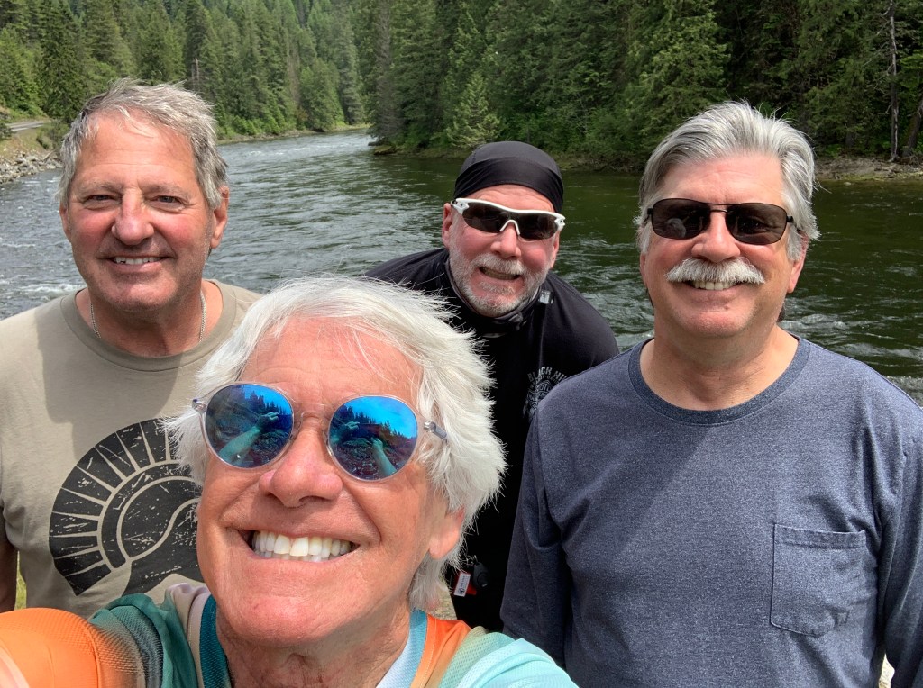
Along the Lochsa River.
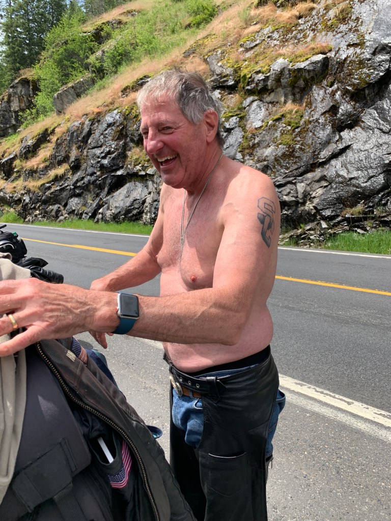
Jim is apparently preparing for a game of shirts and skins along the river. It was warm for the first time in two weeks.
He looked like a new man after his wardrobe change.
Highway 12 follows the Lochsa River for 65 twisty miles, until the Lochsa empties into the Middle Fork of the Clearwater River. From here, we continue on Highway 12 along the Clearwater until, 23 miles later, we arrive in Kooskia – the end of the Lolo Pass Highway.
Dave contemplates the meaning of life while studying the Lochsa River.
Kooskia, population 600, sits at the confluence of the South and Middle Forks of the Clearwater. The name Kooskia is believed to come from the Nez Perce word “koos-koos-kia,” which refers to the Clearwater River. Kooskia is within the Nez Perce Indian Reservation, whose tribal lands cover about 1,200 square miles.
***
Getting to Kooskia took about six hours on the road. We still have about 90 minutes to go before arriving in tonight’s destination, Riggins. It’ll be an unusually late arrival for us.
In Kooskia, we turn south on Idaho Highway 13, which follows the South Fork of the Clearwater River. The road takes us through Harpster, which leads to the Harpster Grade Road. Soon we’re in Grangeville, home to the Idaho County Airport, the Idaho County Seat, and Border Days, held every July 4.
The view from Randy’s Kawasaki.
Now on US Highway 95, we roll past a portion of the Nez Perce National Historic Park. This park is actually 38 sites located across the states of Idaho, Montana, Oregon, and Washington, which include traditional aboriginal lands of the Nez Perce people. The 38 sites are linked by the history of the Nez Perce people, rather than by geographic location.
Just south of White Bird, we follow the Salmon River for the rest of the day’s ride. White Bird was the site of the 1877 Battle of White Bird Canyon, which was the first fight of the Nez Perce War and a significant defeat of the US Army. Chief White Bird was a leader of the tribe, and the reason the town got its name.
The Salmon River leads to Riggins, population 400. In June, it’s a very popular place to fish. Steelhead and chinook salmon are a big draw. Drift boat salmon fishing is the way to go.
Fishing on the Salmon River. Wild!
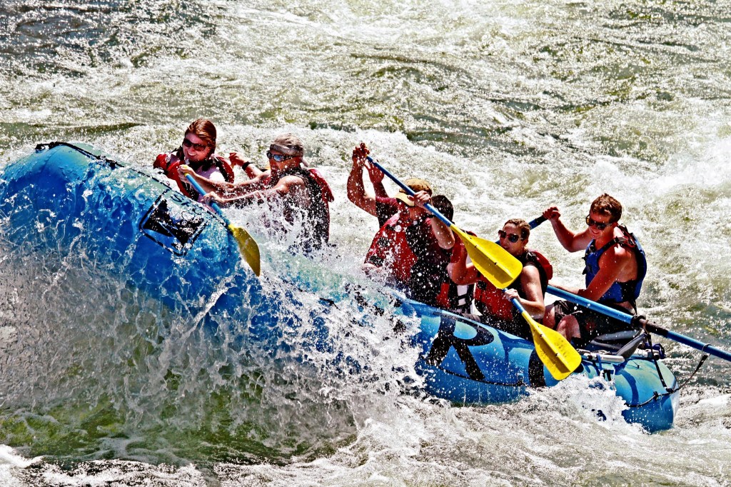
If you’re not into fishing, rafting the Salmon River can be an epic experience. Early June is generally when the river is running highest and fastest. There’s an annual event called the “Big Water Blowout,” a celebration of the river coming to life with its seasonal explosion of water. It’s held on the first Saturday in June, just about two weeks ago.
The Salmon River near Riggins provides 60 miles of easily accessed whitewater set in the bottom of a deep river gorge and filled with thrilling rapids. The Salmon River is the longest un-damned river in the lower 48 states.
The Big Water Blowout. Really wild!
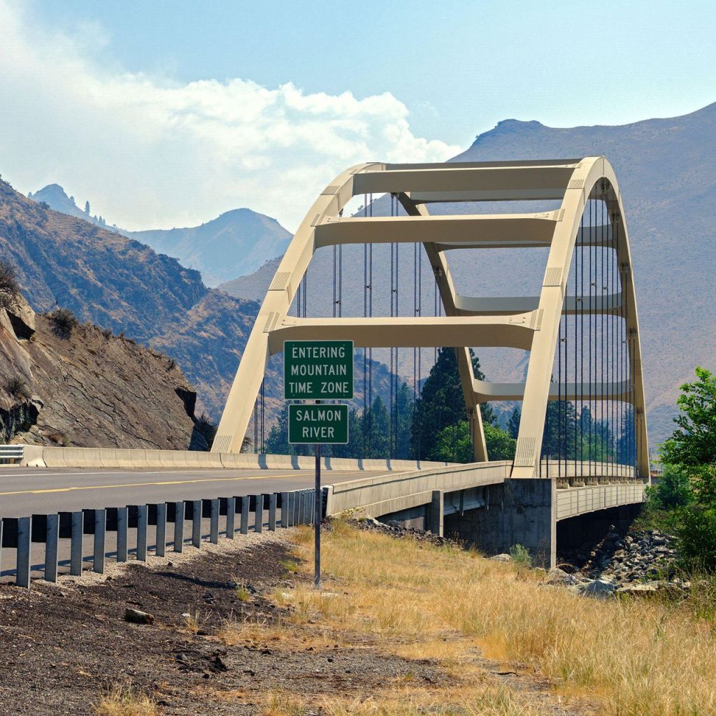
About a mile before arriving in Riggins, we cross the Time Zone Bridge, a 500-foot-long steel tied arch bridge over the Salmon River.
Riggins is the northwestern most town in the Mountain Time zone; the Pacific Time begins just north of the city, across the Salmon River.
The Time Zone Bridge marks the place where we officially reset our watches, before checking into the Riverview Motel. Since nobody wears watches anymore, the bridge is actually the place where our phones automatically reset their time.
Time Zone Bridge. Does anybody really know what time it is?
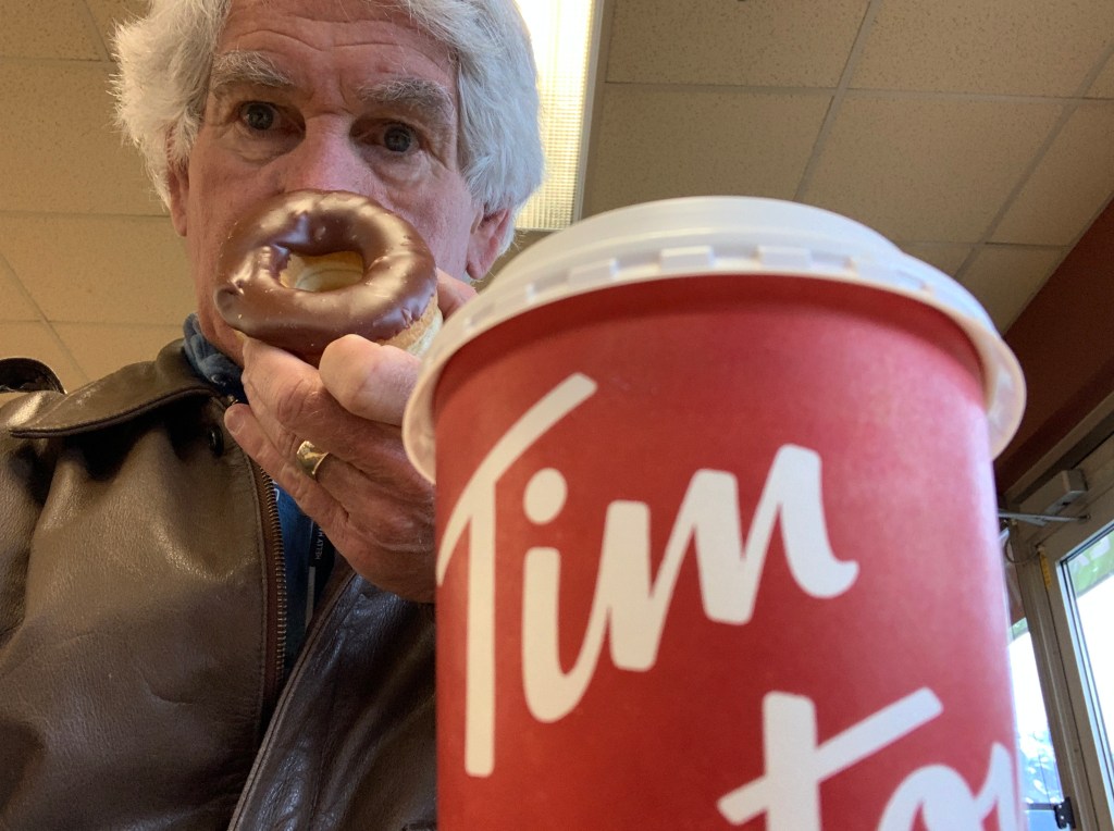
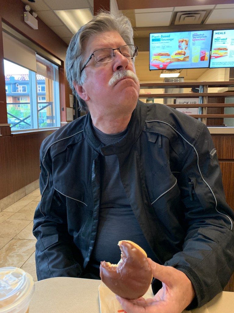
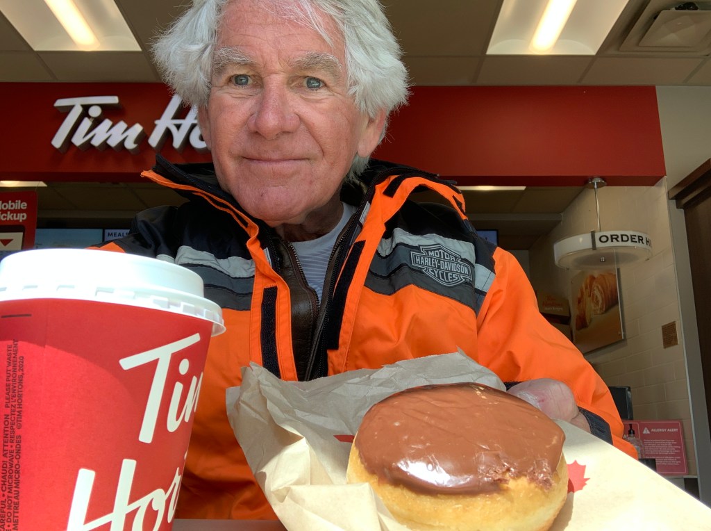
One last coffee and chocolate creme donut at Tim Horton’s, and it’s time to head south.
Randy’s was equally pleasurable.
It’s been a great six days, Canada.
Thank you for the warm welcome in Osoyoos, the beautiful scenery on the Icefields Parkway, and our final serving of poutine.
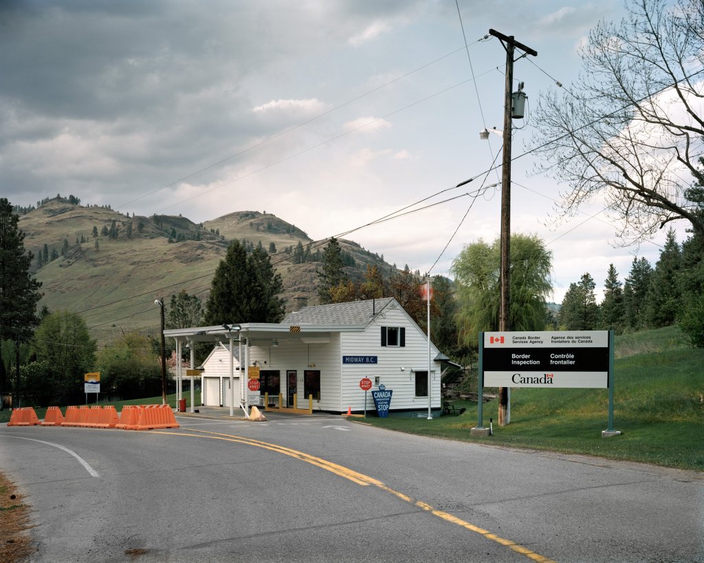
The USA is beckoning, so we head for the Rykerts-Porthill Border crossing, one of only two ports of entry along Idaho’s 45-mile border with British Columbia, Canada.
We only need one port of entry today, so this should work just fine.
Rykerts is on the Canadian side of the border. It’s named for John C. Rykert, who established a Canadian customs station immediately north of the boundary in 1883 to intercept steamboats and other river traffic sailing on the Kootenai River from Bonners Ferry to Kootenay Lake. Rykert was a customs officer, immigration inspector, gold commissioner’s agent, and registrar of shipping.
The name Rykerts stuck.
The Rykerts-Porthill entrance to Canada. More like a country inn than international border crossing.
On the US side of border, Porthill is named for miner Charles Plummer Hill. Port (of entry) + Hill = Porthill.
We’re now on Idaho Highway 1, which lasts for only 12 miles, making it perhaps the shortest Highway 1 ever.
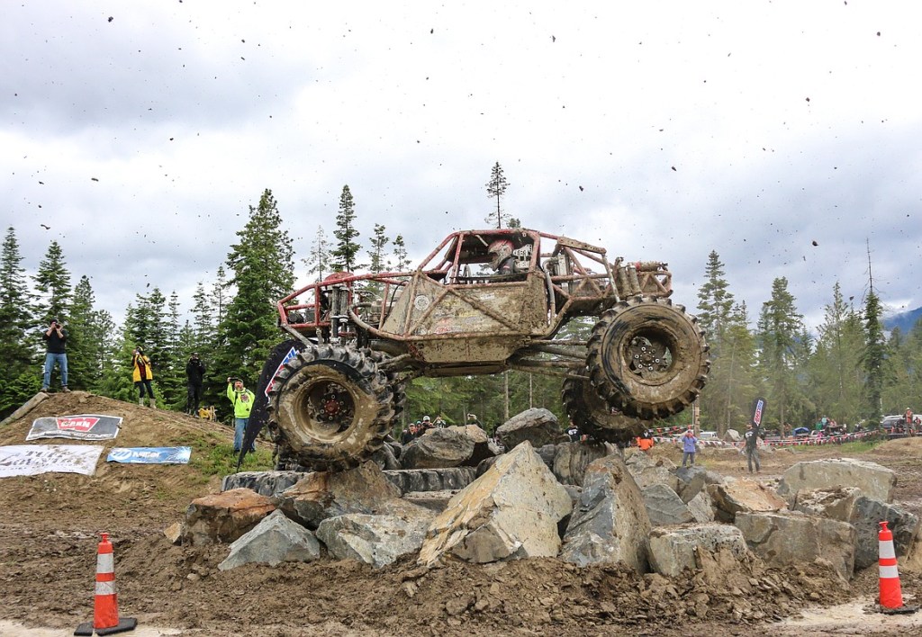
We turn south on US Highway 95, and almost immediately roll past the Mountain Mafia Off-Road Park, located on Purcell Trench Ranch. Throughout the year, the 90-acre grounds hosts multiple off-road motorsport and snow sports events. The place is featured on Apple TV.
We just missed Mountain Havoc, which ran June 10-13. Dang. Mountain Havoc was billed as “Pure family-friendly Vehicular Violence.”
If you’re into adrenaline sports, this is your place.
If adrenaline sports aren’t for you, keep moving south on Highway 95.
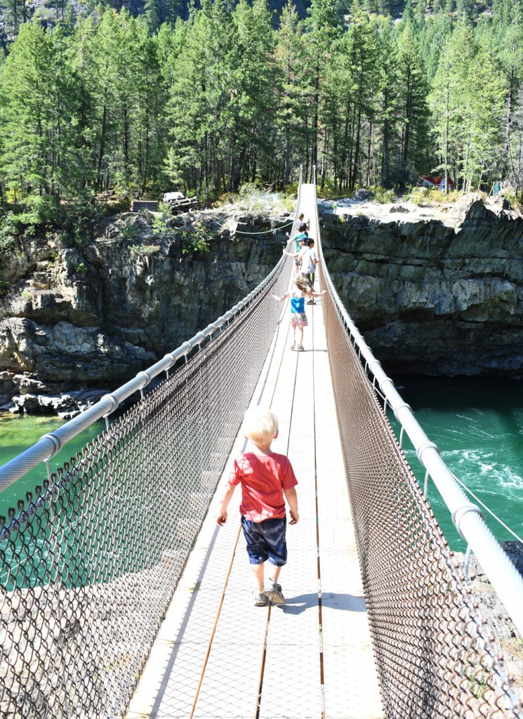
A few miles north of Bonners Ferry, we turn onto US Highway 2, which follows the Kootenay River into Montana. It’s about 35 miles to the Kootenai Falls Swinging Bridge, which is listed Number 1 on TripAdvisor’s list of things to do in or near Libby, Montana.
Kootenai Falls Swinging Bridge. If little kids can cross it, we should be able to.
The bridge, which sits 100 feet above the Kootenai River, was built by the Civilian Conservation Corps in 1937 to improve access for firefighting. The bridge was destroyed by flooding in 1948, then rebuilt in the 1950s on concrete towers. The current 210-foot bridge was reconstructed on the existing cables and supports in 1993.
***
The swinging bridge is about 10 miles from Libby, population 2,700.
Libby was named after miner Stephen Allen’s daughter, Elizabeth – who went by Libby.
The town’s economy was largely supported in its early years by the use of natural resources, such as logging and mining. Mining and timber mills have since closed down.
In 1919, vermiculite was discovered in the mountains near town. In 1963, W. R. Grace and Company bought the local mine, by which time it was producing 80% of the vermiculite in the world.
Because the local vermiculite contains asbestos, and the mine’s byproducts were used in local buildings and landscaping, the town suffered from an extremely high rate of asbestosis. Nearly 10 percent of the population died from asbestos contamination.
Along the Kootenay River.
It was cold. But not raining!
In Libby, we turn away from the Kootenay River, continuing south and east on Highway 2 toward Kalispell, where we stop for a fuel and hydration break.
The name Kalispell is a Salish word meaning “flat land above the lake.” The lake it’s above is Flathead Lake, about 10 miles south.
We ride along the western shore of Flathead Lake for the next 42 miles, en route to tonight’s destination, Polson.
Flathead Lake is the largest freshwater lake west of the Mississippi river. It has more than 200 square miles of water and 185 miles of shoreline.
Flathead Lake has some nice scenery.
Want a high-end experience on Flathead Lake? You can buy Cromwell Island, a 348-acre charmer. It’s listed at $72 million. The property is said to be the largest private island with a single owner west of the Mississippi River.
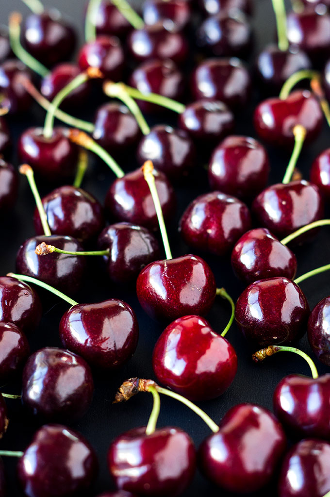
The lake is known for its fruit orchards, which are full of Flathead Lake Cherries. There are more than 120 cherry growers in the Flathead Valley – producing some of the best cherries in the USA.
Randy is quite the cherry fan.
Harvest season for Flathead Lake Cherries is generally from the second week of July through the second week in August. Cherries are available at roadside stands along Flathead Lake or at local Farmers Markets. We’re just a little early.
The 2022 Flathead Lake Cherry festival is set for July 30 and 31 on Main Street in Polson.
We’ll miss the festival, but we won’t miss Polson. It’s where we’re staying tonight.
Flathead Lake cherries. We’re just a little early.
The day begins with a shout-out to Brittany, our unofficially adopted daughter. Today’s her birthday.
Sarah and I think she’s almost 40, but have never asked for ID!
Happy Birthday, Britt!
What’s your number?
Brittany and me, on the Rio Grande Trail north of Carbondale, in October 2021. Happy Birthday, Britt!
***
Wet, but ready to ride.
We begin our journey south toward the US-Canada border by following the waters on the western shore of the Columbia River. We’re riding on British Columbia Highway 23.
The river, which has the greatest flow of any North American river entering the Pacific Ocean, begins its 1,243-mile journey in British Columbia before coursing through Oregon and Washington on its way to the Pacific.
South of Revelstoke, the Columbia widens and becomes the Arrow Lakes. There are two Arrow Lakes – Upper and Lower. Clever names.
Upper Arrow Lake is a popular destination in the summer for boating, swimming, camping and fishing.
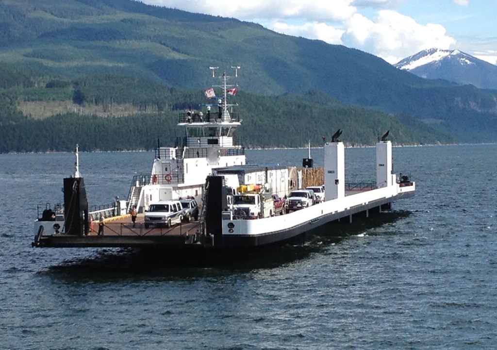
Thirty miles from Revelstoke, Highway 23 crosses the lake. And so do we. On a ferry.
We arrive at Shelter Bay where we board the Upper Arrow Lake ferry, which is considered a continuation of Highway 23.
The ferry is part of the BC ferry system, the largest passenger ferry line in North America. It operates a fleet of 36 vessels, serving 47 locations on the British Columbia Coast.
But we’re 300 miles inland.
The inland ferries operate under private contract with the British Columbia Ministry of Transportation and Infrastructure. All 14 inland ferries are free of charge to users, as they provide essential transportation links to local communities. These routes cross interior lakes and rivers throughout the province.
Altogether, the BC Ferries freshwater fleet consists of five powered cable ferries, five “reaction” ferries (attached to cables and pulled across by the river’s flow) and five free-running ferries (no cables required).
So, we roll on to the MV Columbia, which can transport 80 vehicles and 250 passengers. It was built at a shipyard in Nakusp, on the eastern shore of Upper Arrow Lake, about 30 miles south of here.
Our ride across Upper Arrow Lake takes 20 minutes.
Cute little ferry, across the Upper Arrow Lake.
We arrive at the Galena Bay Ferry Terminal, and continue our ride south, this time along the east shore of Upper Arrow Lake.
In Nakusp, where the MV Columbia was built by WestBridge Steel at a cost of $26.5 million, we turn southeast on Highway 6. The road soon follows the east shore of Slocan Lake. Slocan is an Okanagan word meaning “pierce or strike on the head,” referring to the salmon-fishing practice of the Okanagan.
We follow the Slocan River through the Slocan Valley until it widens and becomes the Kootenay River, which takes us to Castlegar. Castlegar, home to Selkirk College, sits at the confluence of the Kootenay and Columbia rivers.
Castlegar is the most civilized place we seen since leaving Revelstoke. Seems like a good opportunity to gas up, get a drink, and prepare for the day’s final segment – 74 miles to Creston, British Columbia, tonight’s destination.
***
From Castlegar, we head east on British Columbia Highway 3, which takes us the entire 74 miles to Creston.
The place was formerly known as Fred Little’s ranch. Eventually it was named Creston, a name selected by Fred Little. He liked the name Creston, since he had worked in Creston, Iowa, for the Chicago, Burlington and Quincy Railroad. Thanks, Fred.
Creston is about seven miles north of the US-Canada border crossing.
This is our final night in Canada, eh.
One last serving of poutine, anyone?
Dave finally gets the poutine he’s been Jonesing for. It was worth the wait!
*** OK. Another late-breaking news flash: Like yesterday, we were drenched by record-setting rainfall. Again. Ugh 😢
So we got a bucket-full of lemons, and made sweet lemonade.
The above post is the work of a delusional old fart (me) wanting to describe the ride we would have taken. If only we weren’t in the middle of 100-year floods caused by rain that shut down, for example, all the entrances to Yellowstone National Park.
in the interest of safety, we called yet another audible and sheltered in place. Dave calls it “smart risk management.”
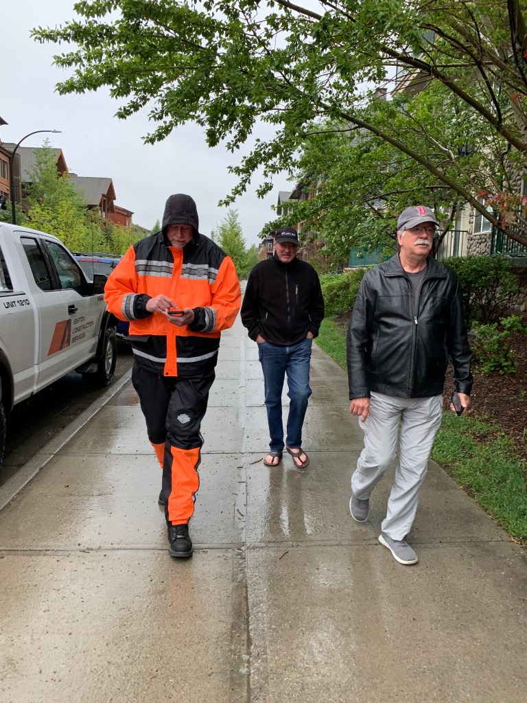
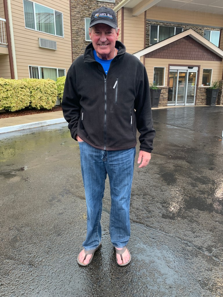
Our day was reduced to walking around in the rain. Jim made good use of his flip-flops.
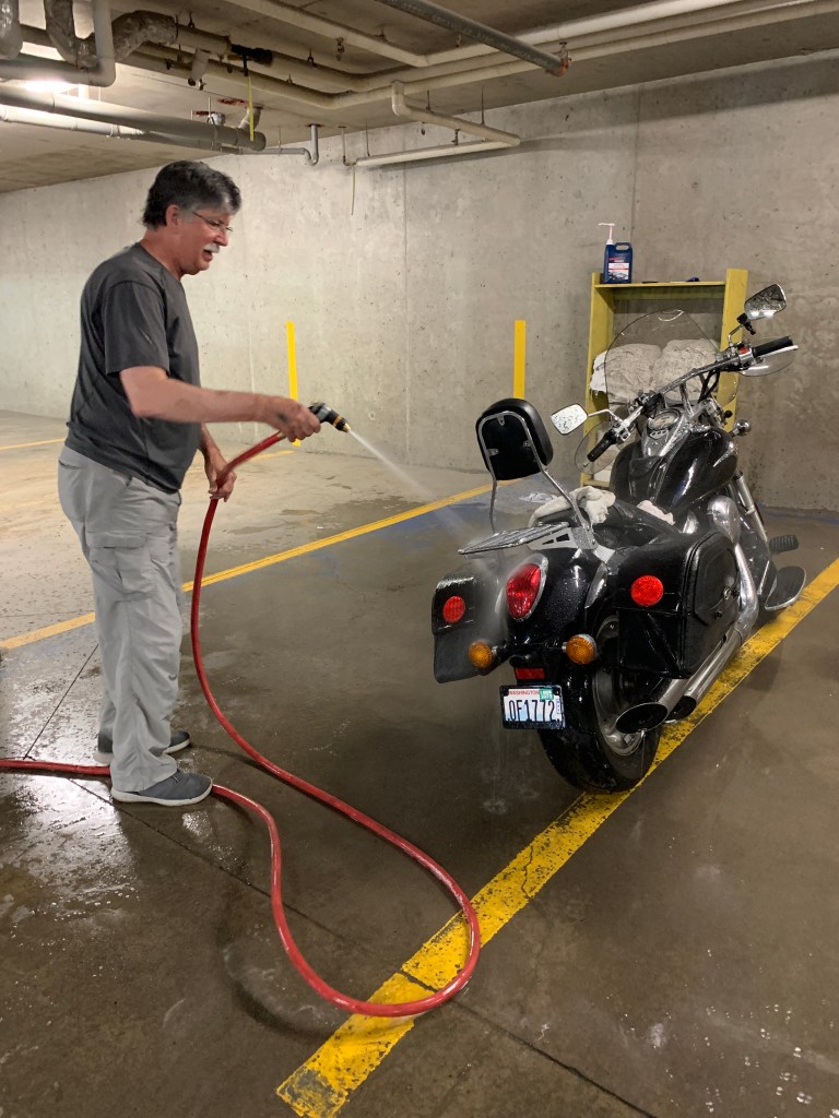
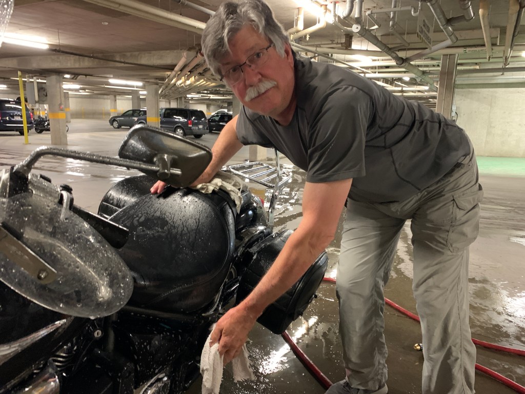
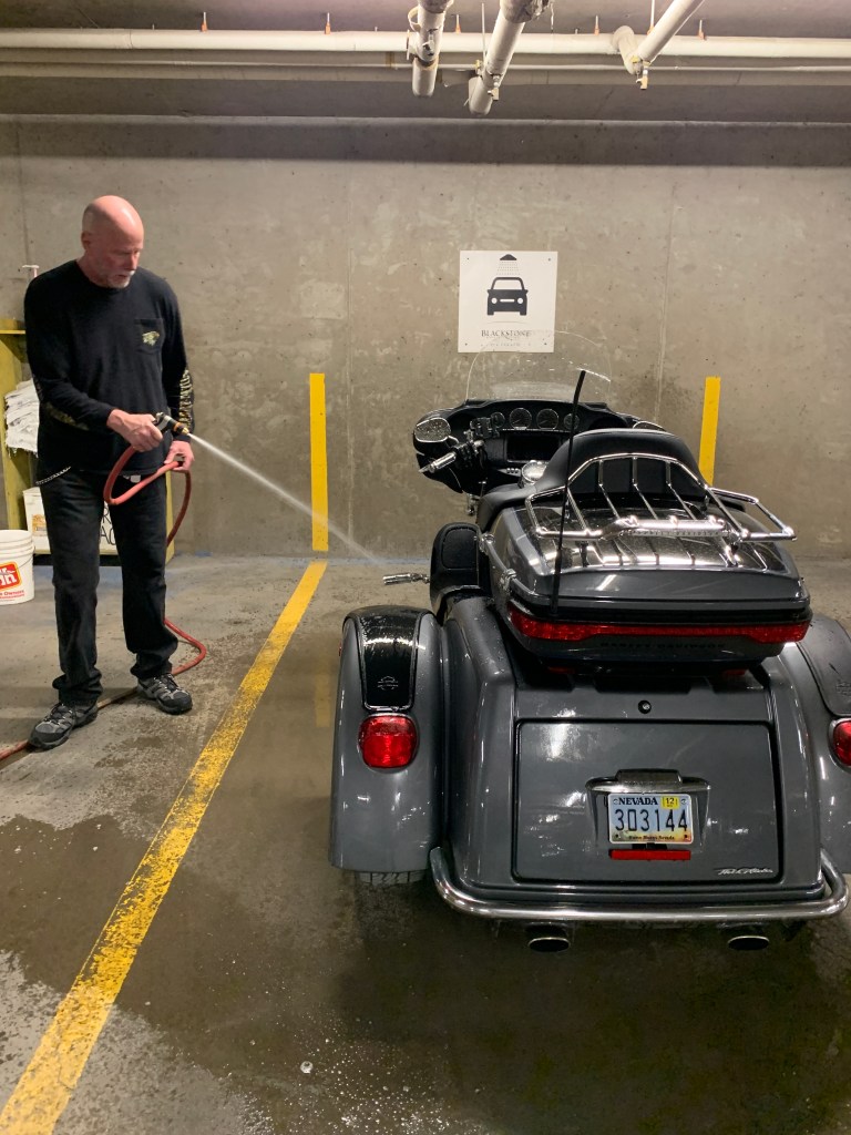
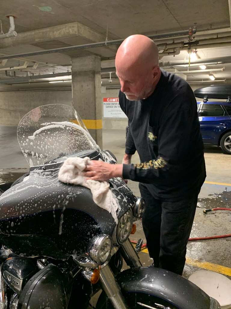
Randy showed he was a team player, washing his filthy bike to be somewhat on the same level as the rest of the posse.
Even Kawasakis deserve tender loving care.
The bike was clean. Randy was spent.
Tomorrow, with any luck at all (we may need some) we’ll finally be back in the USA. Love ya, Canada, but it’s time to come home 🙏
It’s a wet morning in Canmore, as we forage for food (breakfast).
We begin our day on route transcanadienne, theTrans-Canada Highway. We’re retracing our steps from yesterday afternoon in Banff National Park.
Riding northwest from Canmore, we pass the famed Mount Rundle on our left.
Mount Rundle, 9,675 feet at its summit, overlooks the towns of Banff and Canmore. The mountain was named after Reverend Robert Rundle, a Methodist minister invited by the Hudson’s Bay Company to do missionary work in western Canada in the 1840s.
The wedge-shaped mountain, which extends more than seven miles lengthwise, could easily be considered a small mountain range. There are seven distinct peaks. Rundle 1 is at the far north end of the range; Rundle 7 at the south end. With enough skills and time, you can traverse from Rundle 1 to Rundle 7
Nice view from the top of Mount Rundle.
Mount Rundle, whichever number you pick, is one of the most popular climbs in the Canadian Rockies. For climbers and hikers in the know, Mount Rundle is considered a “scramble.”
Scrambling is a walk up steep terrain involving the use of one’s hands. It’s a somewhat ambiguous term that lies somewhere between hiking, walking, easy mountaineering and rock climbing. It’s a middle ground between hiking and moderate rock climbing.
To fully enjoy scrambling, plan to be free of technical apparatus, like ropes. There’s a lot to learn about scrambling. Be prepared before you try it. Especially in places like Mount Rundle.
***
We pass the Trans-Canada Highway turnoff to Banff – been there, done that – and exit the highway near Silverton Falls, a two-tiered waterfall that empties into the Bow River.
Silverton Falls and its two tiers.
We’re now on Alberta Highway 93, the Banff Windermere Highway. We soon cross the continental divide, where we find ourselves in British Columbia and the road becomes BC Highway 93.
The Continental Divide is the boundary between British Columbia and Alberta. It’s also the boundary between Banff National Park, which we’re leaving, and Kootenay National Park, which we’re entering.
The Kootenay region of British Columbia is huge, covering nearly 19 million acres. The region takes its name from the Kootenay River, which we’ll follow for the next hour or so.
Kootenay gets its name from the Kutenai First Nations people. Note the two different spellings of Kootenay/Kutenai.
In Idaho, Kootenai is the preferred spelling. That’s where you’ll find the city of Kootenai, and Kootenai County, home to the resort city of Coeur d’Alene.
That’s three different spellings in the past two paragraphs.
But wait, there’s more. An 1814 map of North America by Aaron Arrowsmith included the Coo-too-nay River.
Yes, It’s confusing. There are at least 34 ways to spell Co Tinneh, Coutannie, Cottonahou – or whatever you call it, and however you spell it.
***
Many uses for radium.
As we roll through Kootenay National Park – that’s the park’s official spelling – we eventually find ourselves in the town of Radium Hot Springs, at the crossroads of Highways 93 and 95. We’ll turn north on Highway 95.
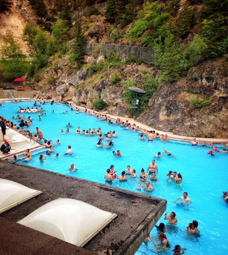
Radium Hot Springs, population 700, is one of the main attractions in Kootenay National Park. The hot springs pool in town has water temperatures that range from 95 to 117 °F. The town is named for the odorless hot springs that heat the pool.
Development of the hot springs began when a British medical journal suggested, and a 1914 chemical analysis confirmed, the presence of radium within the water. For you geology fans out there, the top five minerals found in the Radium Hot Springs are: Sulphate, Calcium, Bicarbonate, Silica, and Magnesium.
Radium is a highly radioactive element and can be extremely dangerous. However, it was once used in many everyday products, including wristwatches and toothpaste, and thought to have curative properties until its intense radioactivity was found to cause adverse health effects. Radium has an abundance of about one part per trillion in the Earth’s crust.
Radium Hot Springs, nature’s swimming pool.
With Bugaboo Provincial Park on our left, we now follow the Columbia River northwest until we reach the town of Golden, population about 4,000. It’s about 65 miles froom Radium Hot Springs to Golden, which sits at the intersection of British Columbia Highway 95 and the Trans-Canada Highway.
Much of Golden’s history is tied to the Canadian Pacific Railway and the logging industry. Today, the town’s economy still relies on those two influences, but the development of the Kicking Horse Mountain Resort has made tourism a big draw.
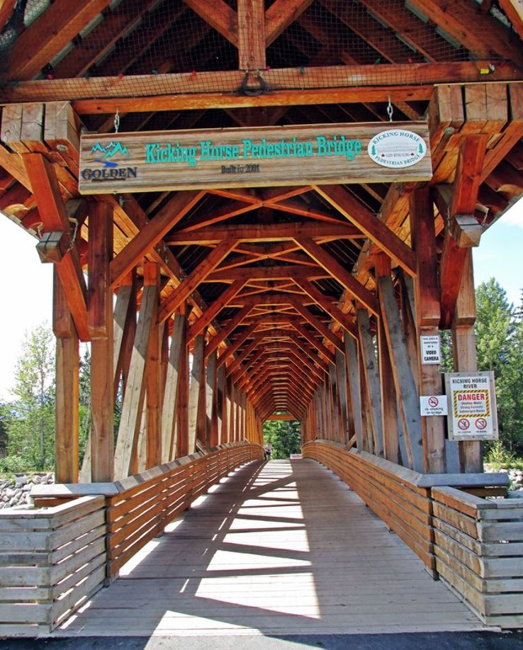
Golden is home to the Kicking Horse Pedestrian Bridge, the longest free-standing timber frame bridge in Canada. The bridge spans the Kicking Horse River, which runs through Golden.
In 2001, more than 100 members of the Timber Framers Guild came from the US, Europe, and all over Canada to help construct the bridge. The superstructure weighs approximately 210,000 pounds and was made of 72,000 board feet of Douglas-fir timbers.
The Kicking Horse Pedestrian Bridge is a wooden marvel.
There are a lot of things in this area named after the Kicking Horse River: the Kicking Horse Pedestrian Bridge, the Kicking Horse Mountain Resort, and Kicking Horse Pass among them. The Kicking Horse name has an interesting background.
It began with railway expansions from the prairie provinces – Alberta, Manitoba and Saskatchewan. In 1858, Sir James Hector, a geologist and member of the Palliser Expedition, set out in search of mountain passes that would cross the Continental Divide into a western river valley. At his camp near Wapta Falls, a packhorse bolted, and Hector gave chase. As he rounded up the horse, it kicked him, breaking his ribs and knocking him into unconsciousness.
Both the river and the pass were named Kicking Horse, for Hector’s ornery steed.
***
Rogers Pass.
We follow the Trans-Canada Highway, and 50 miles past Golden arrive at Rogers Pass. The 4,364-foot pass, in in the Selkirk Mountains, in the heart of Glacier National Park. The pass is a Canadian National Historic Site.
In 1881, as Canadian Pacific Railway looked for a route over the unexplored Selkirks, it offered Major Albert Bowman “A.B.” Rogers naming rights and a $5,000 bonus to locate a pass. Apparently, he was successful, as the pass is now named after him. Rogers refused to cash the $5,000 check, and instead framed it upon his wall until Canadian Pacific General Manager William Cornelius Van Horne offered him a gold watch as an incentive to cash it. Folklore has generated many variations of this story.
From Rogers Pass, it’s about 40 miles to tonight’s destination, Revelstoke.
As is tradition – you know I love traditions – we make a brief visit to the Revelstoke Mountain Resort on our way into town. If there’s a ski area on our route, I wanna see it. The Revelstoke Mountain Resort sits on the shoulder of 8,074-foot Mount Mackenzie, named for Scotland-born Alexander Mackenzie, Canada’s second prime minister.
Revelstoke Mountain Resort has the largest vertical rise of any ski area in North America – 5,620 feet. Snowmass, where I work in the winter, has 4,406 feet of vertical rise. Largest vertical drop in the world: 8,982 feet, at Chamonix in France.
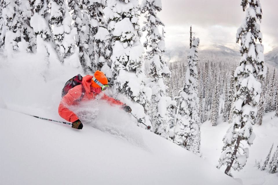
Revelstoke. Steep and deep.
Revelstoke’s Master Plan calls for the eventual construction of as many as 25 lifts, and an expansion to 10,000 skiable acres, making it the largest resort in North America. Today, it has 3,120 skiable acres, comparable in size with Snowmass, which has 3,362 skiable acres.
Largest ski area in the world: Les Trois Vallées in France, which has nearly 26,000 skiable acres. That would make it larger than the five biggest US ski resorts combined. Les Trois Vallées integrates three resorts in the Northern French Alps: Val Thorens, Courchevel, and Meribel. I’ve skied there twice. It’s pretty epic.
***
Revelstoke Mountain Resort’s ski season ended on April 19, same as Snowmass.
With no skiing on the horizon until the 2022-23 season begins in November, we call it a day, and settle into Revelstoke for the night.
Late-breaking update: The trip I just described turns out to be the fantasy of a delusion man. Me.
It’s what we would have done, except the weather today was totally shitty. It rained hard, all day, everywhere we were going, from Canmore all the way to Revelstoke. Why would anyone of sound mind ride on a say like that?
So, following a posse team meeting, we erred on the side of safety and comfort, and decided to stay in Canmore one more night. We are at a great hotel, with laundry (in our rooms!!!) and underground bike wash facilities.
We plan to be back on schedule tomorrow And yes, ladies (Sarah, Gail, Terri and Jo) — we will be home on time. Plan on it 😀🙏😀
For the next 145 miles we’ll be riding the Icefields Parkway, from Jasper to Lake Louise.
Here, the journey is the destination.
And we’re off!
***
The story of the Icefields Parkway began 50 million years ago. Fierce tectonic forces pushed the ocean floor and transformed it into the mountains that today make up the Canadian Rockies.
By the end of the 19th century, the Canadian Pacific Railway responded to the growing interest in mountaineering in the Rockies by giving seasonal contracts to Swiss guides. They led mountaineers and tourists in explorations of the area. Meanwhile, to the north, tourism in the region was also gathering momentum with the establishment of Jasper National Park in 1907 and the Grand Trunk (not to be confused with Grand Funk) Pacific Railway reaching Jasper in 1911.
As an economic project during the Depression Era, the Government of Canada decided to transform what was then known as the “Wonder Trail” into a single-track road. In 1931, construction began for the Icefields Highway: a new road that would make the famous mountain path accessible to everyone.
It took 600 men nearly 10 years to complete the project. Workers were paid about $5 a month with a stipend for clothing and tobacco. With only one tractor per crew, most of the work was completed by hand, and with teams of horses.
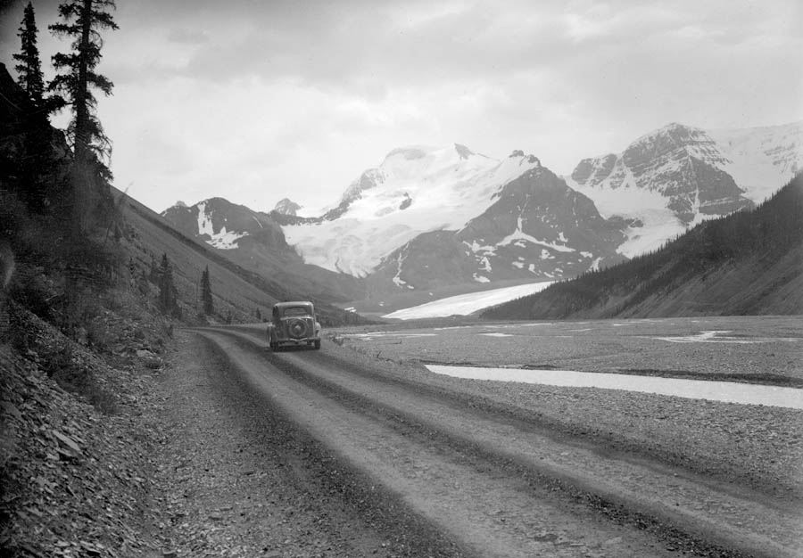
The Icefield Parkway was the first road in the world that could take people to the “toe” of a glacier. This photo was taken around 1940 and shows the Athabasca Glacier in the background.
At first, the 18-foot-wide road was gravel and dirt, before being paved, realigned, and modernized in 1961.
The road, the first in the world that could take people to the “toe” of a glacier (its lowest end), was completed in 1940. Described as a “wonder trail,” the highway was the brainchild of Arthur Oliver Wheeler, the principal land surveyor in charge of plotting the border between Alberta and British Columbia in the early 1900s.
***
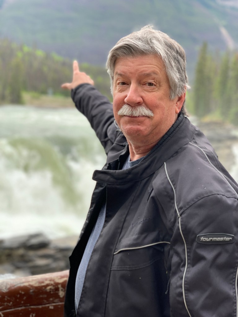
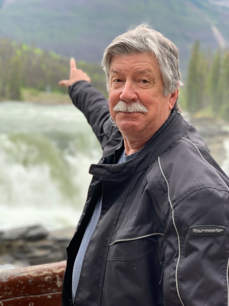
Randy points the way.
We follow the Athabasca River from Jasper, south and east on the Icefields Parkway. The Athabasca River runs some 765 miles from the Columbia Icefield in Jasper National Park northeast to Lake Athabasca in northern Alberta and Saskatchewan.
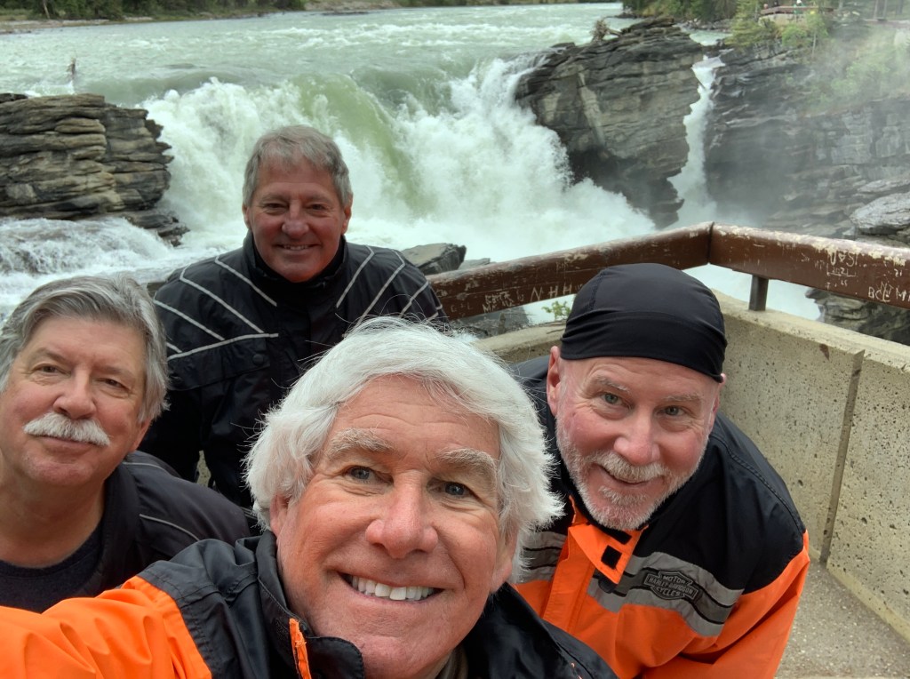
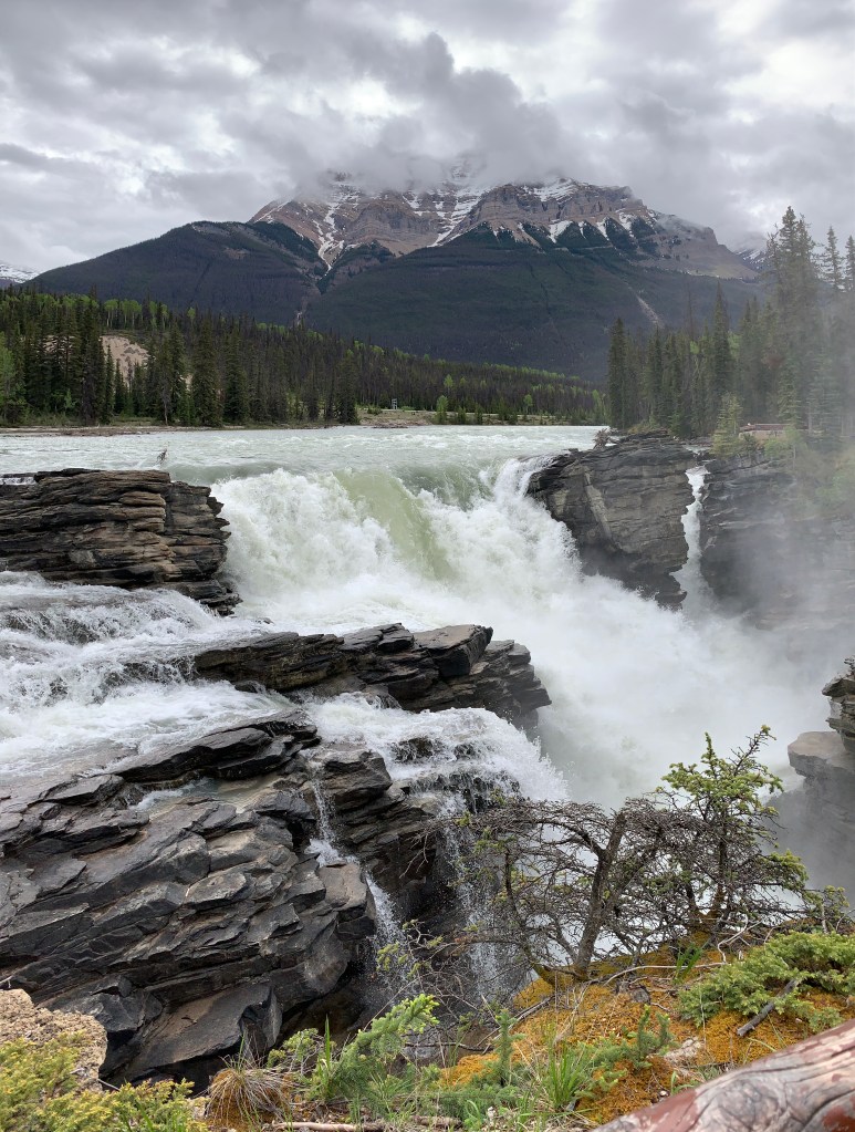
Four tourists at Athabasca Falls.
Twenty miles out of Jasper, we find Athabasca Falls, just off the parkway. From the roadside parking lot, it’s a short hike to the falls – and well worth the effort. A series of short and easy pathways take visitors along these impressive cascades and up close to the roaring falls themselves.
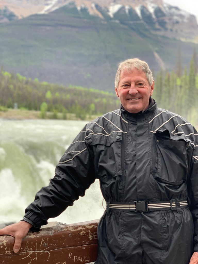
The Falls provide a nice photo spot.
Athabasca Falls is about 75 feet high, not much compared to other more famous waterfalls, but it’s very powerful. Its power comes from the sheer volume of water flowing into the gorge from the Athabasca River, fed by the massive Columbia Icefield.
It’s definitely worth the two weeks it took to get here.
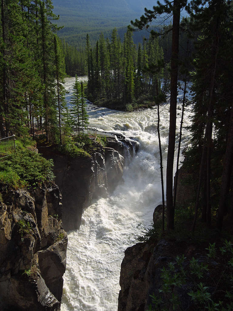
Only 15 miles past Athabasca Falls, we come to Sunwapta Falls. With a drop of 61 feet, Sunwapta Falls consists of an upper and lower fall with a hike that will get you close enough to feel the mist. It’s a Class 6 waterfall, meaning it’s unrunnable, and you’re likely to die if you try.
To get to Sunwapta Falls, you hike about a mile. It won’t kill you.
Sunwapta Falls: a bit of a hike, but well worth it.
***
The Columbia Icefield, composed of eight glaciers and encompassing an area of about 200 miles, sits near the halfway mark on the Icefields Parkway. This ice mass is one of the largest south of the Arctic Circle and is one of the most reachable in North America. The Athabasca, Snowdome, and Stutfield Glaciers can be seen from the parkway.
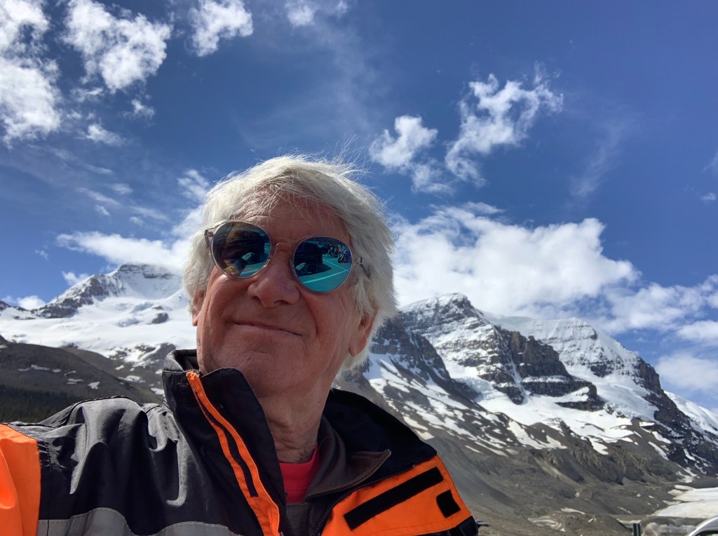
Near the glacier, or what’s left of it.
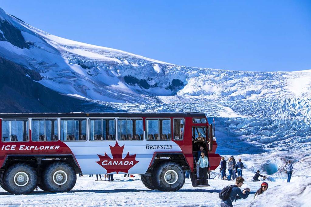
The Athabasca Glacier is a 10,000-year-old sheet of ice, nearly four miles long, and up to 1,000 feet thick. The glacier has lost 60 percent of its volume in the last 170 years. The Athabasca Glacier is receding about 16 feet a year. Experts believe it will be completely gone within 70 years.
Commercial tours are available to irun tourists up the glacier in the summer. The three-hour round-trip costs about $90.
Seeing the Athabasca Glacier up close and personal.
***
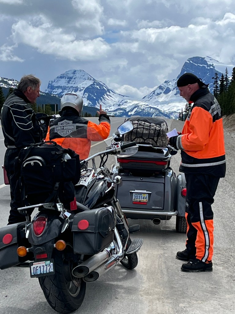
At Bow Summit, plotting our next move.
We cross the Saskatchewan River, then arrive at Bow Summit. At 6,840 feet, it’s the highest point on the drive from Banff to Jasper. The summit is the highest elevation crossed by a public road in Canada. Bow Summit, in Banff National Park, provides a stunning overlook of the Bow Valley.
From here, we’re only 20 miles from Lake Louise, world famous for its turquoise lakes, the Victoria Glacier, spectacular mountains, a world-class ski resort and a palatial hotel.
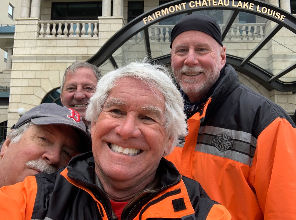
This is the palatial hotel. We are worthy.
We begin our Lake Louise exploration by visiting the Lake Louise Ski Resort. If I’m anywhere near a world-class ski area on a Harley trip, I’ve pretty much got to visit it. Tradition, you know. Lake Louise epitomizes world-class.
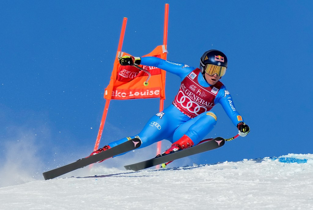
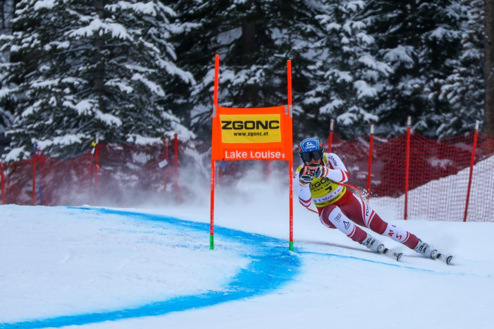
The resort is the first stop every year on the FIS Alpine Ski World Cup circuit. In November 2021, Sofia Goggia of Italy won both the women’s downhill and Super-G. Matthias Mayer of Austria won the men’s downhill; the men’s Super-G was cancelled due to heavy snowfall.
Sofia Goggia of Italy had success at the 2021 World Cup at Lake Louise.
So did Mathias Meyer.
This year, the Lake Louise men’s downhill and Super-G will be held November 25-27, and the women’s events will be held December 2-4.
Lake Louise doesn’t get to have all the ski racing fun. Those of us who live in Colorado and love skiing are pretty stoked about the recent announcement that Aspen will host men’s FIS downhill and super-G races in early March, 2023.
***
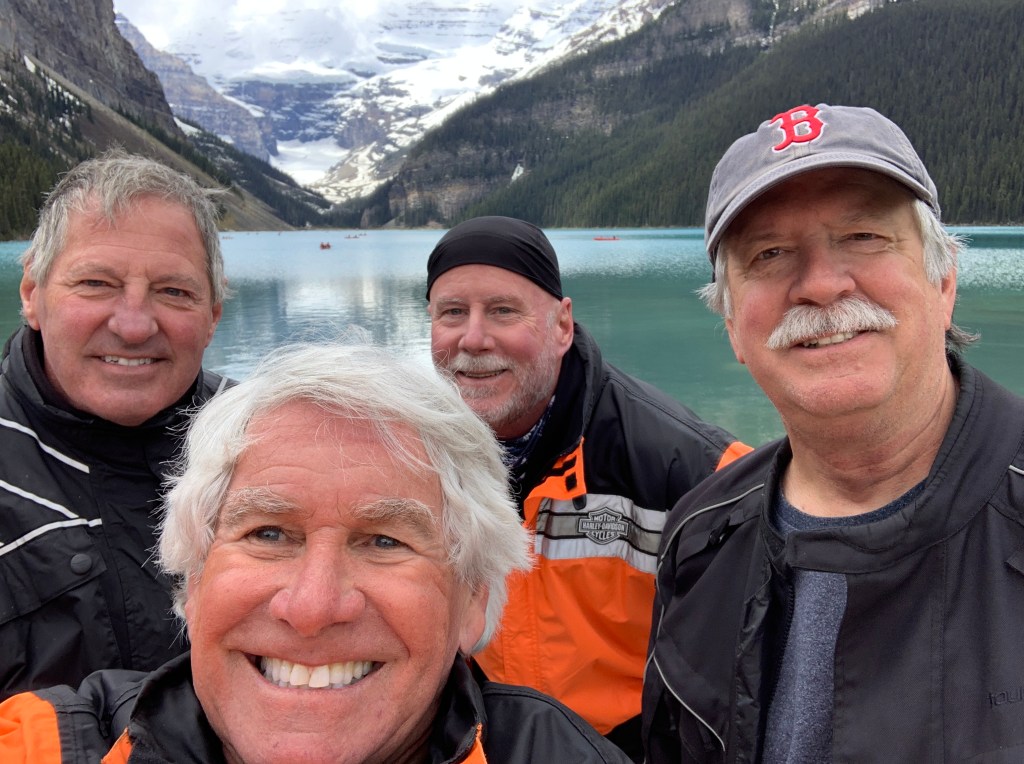
At Lake Moraine, just outside the Fairmont Chateau Lake Louise.
A well-known tourist poses by the lake.
You can’t say you’ve been to Lake Louise without stopping at the Fairmont Chateau Lake Louise, a historic and elegant hotel sitting square on the lake. Built in 1890 by Canadian Pacific Hotels, a division of the Canadian Pacific Railway Company, it’s considered a grand railway hotel.
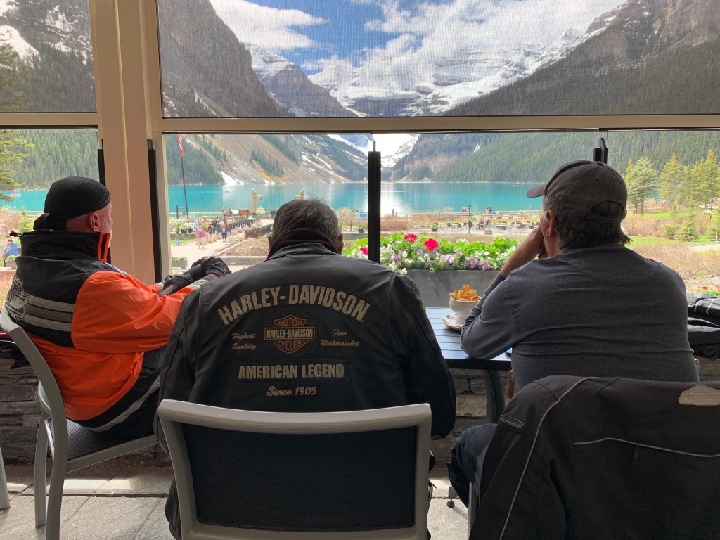
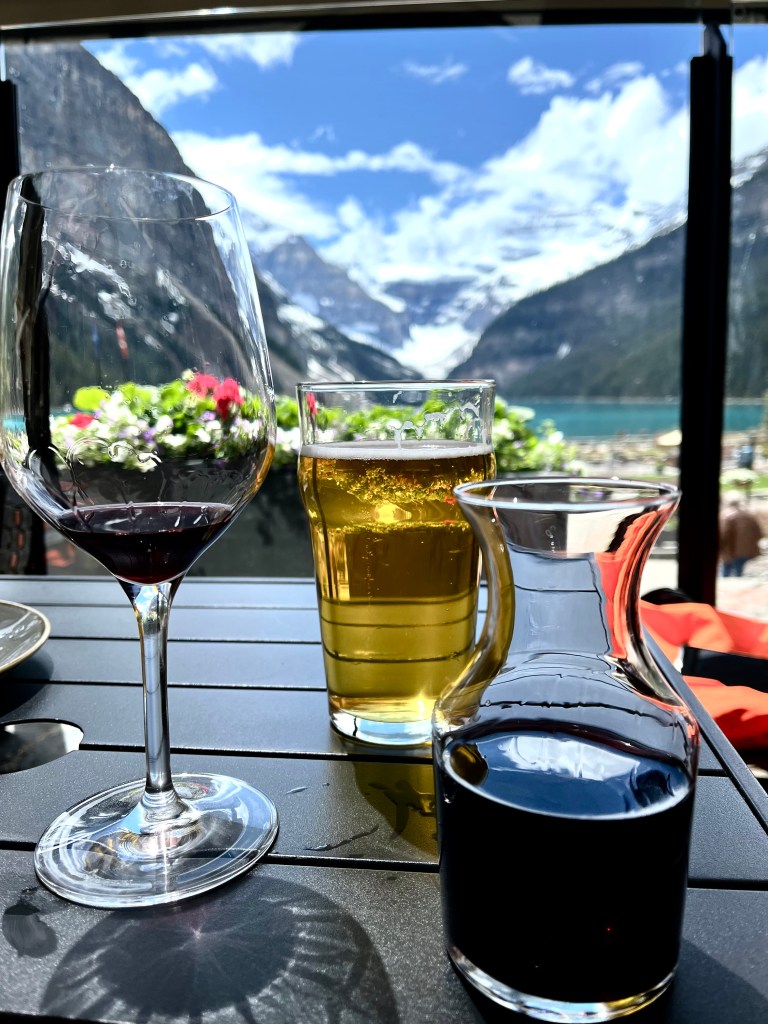
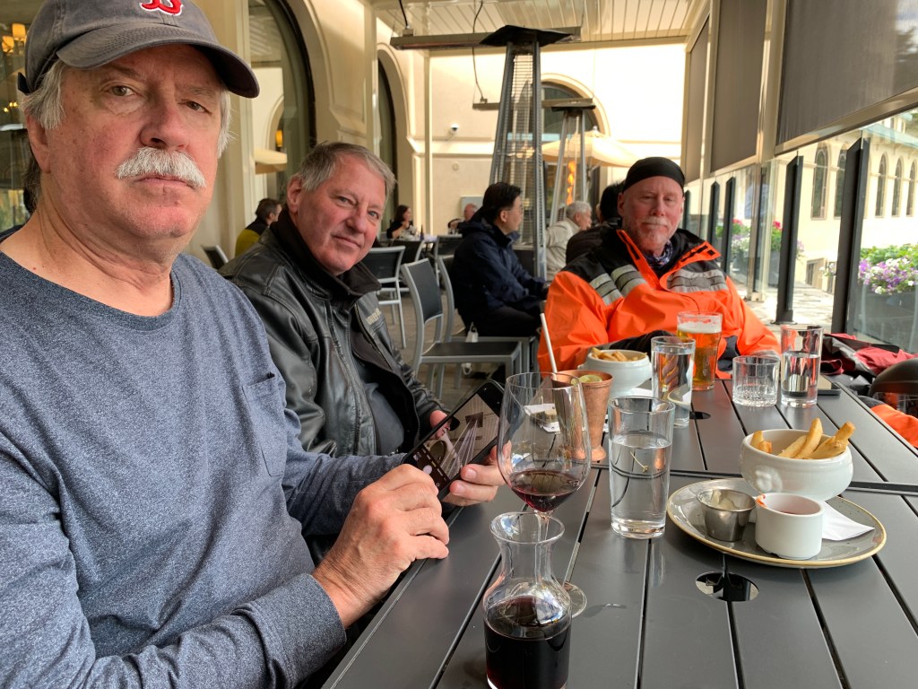
We stop at the hotel for a drink. Nice view from our table.
The Fairmont Chateau is not exactly falling down. Its 539 rooms were renovated in 2016. The Chateau is considered a five-star hotel. It should be; the best deal we could find for tonight gets us a basic room for $835, including taxes and fees. For another $85 a night, you can bring a pet. Valet parking is $45 a day. Let’s just round up and call it a cool $1,000 a night. Whether in Canadian or US funds, that’s still a major splurge.
Or, you can spend $100 for drinks and fries. That’s what we chose to do.
Other grand railway hotels in Canada include the Banff Springs Hotel; the Chateau Frontenac in Quebec City; the Chateau Laurier in Ottawa; the Place Viger in Montreal; the Algonquin Resort in New Brunswick, the Empress in Victoria, British Columbia.
You could easily do a grand railway hotel tour, perhaps on a Harley. It would last all summer, and leave you virtually penniless.
In a few minutes, we could begin our Alberta-based version of a grand railway tour, visiting the Fairmont Banff Springs Hotel, 39 miles down the road.
***
The Banff hotel opened in 1888, one of the earliest of Canada’s grand railway hotels. It sits at the southern boundary of Banff, a resort town within Banff National Park. The area was named Banff in 1884 by George Stephen, president of the Canadian Pacific Railway, recalling his birthplace near Banff, Scotland.
Of course, the Fairmont Banff Springs hotel does not disappoint. With 757 guest rooms and suites, the hotel is the epitome of elegance. It’s a wonder they let us in the front door.
***
Wrapping things up at the Fairmont.
Both the Fairmont Chateau Lake Louise and the Fairmont Banff Springs Hotel are a bit more upscale than where we’re staying tonight.
We’re heading for Canmore, about 15 miles east of here on the Trans-Canada Highway. Originally a sleepy mining town, Canmore now has a population of about 15,000, The city grew like crazy after the International Olympic Committee announced that the 1988 Winter Olympics would be held in Calgary, 50 miles to the east.
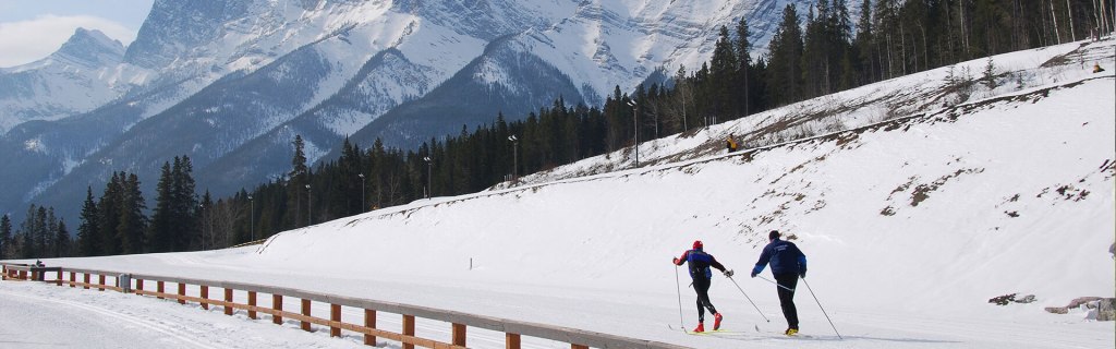
The Canmore Nordic Centre was developed to host the Nordic events at the Calgary Olympics.
These skiers have the Calgary Winter Games to thank for the Canmore Nordic Centre.
The alpine events for the Calgary Olympics were held in Nakiska, about 30 miles from Canmore. The ski area opened in 1986, in preparation for the 1988 Winter Games.
Nakiska, site of the 1988 Winter Olympic alpine events.
Nakiska is a Cree word meaning “meeting place.”
Tonight, our meeting place in Canmore is at the Blackstone Mountain Lodge.
It’s not five-star, but meets all our requirements: hot shower, clean sheets, free parking.
My number today: $113 (the cost of dinner for one at the Fairmont Chateau Lake Louise, if you have a 22-ounce Bone-In Striploin, Steak Fries, and a Beet Salad; beverages and tip are not included. A bottle of Cabernet will add $250 to your bill.)
Today’s ride is less than 200 miles, the shortest on this trip. What it lacks in length, it makes up for in beauty.
We’re on our way to the Canadian Rockies – Rocheuses canadiennes, to our French-Canadian friends.
The Canadian Rockies contain some of the most famous national parks in Canada, including Banff, the oldest national park in Canada. We’ll visit Banff tomorrow.
But first, we’ve got some climbing to do from Clearwater, which sits at 1,500 feet in the Thompson River Valley.
Leaving Clearwater, Dave is dressed for rain. It was dry all day!
The ride north from Clearwater to Valemount is 122 miles along the Southern Yellowhead Highway, which mostly follows the North Thompson River. The highway is named after an Iroquois fur trader and explorer named Pierre Bostonais. He had yellow streaks in his hair, and was nicknamed “Tête Jaune” (Yellowhead).
A female tête jaune.
Two hours after leaving Clearwater, we roll through Valelmount, a village of about 1,000 residents in the Robson Valley, on our way to the Canadian Rockies. With a motto of “Let the Mountains Move You,” we know we’re on our way to somewhere special.
Valemount, with an annual snowfall of 550 inches, is one of British Columbia’s premier mountain sledding destinations. Snowmobiling is an integral part of Valemount’s economy.
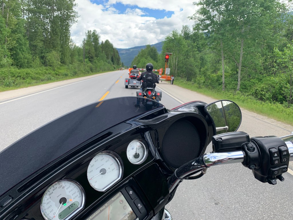
We encountered a lot of slowing, and stopping, for road construction.
For more than 40 years, Valemount has been celebrating Valemountain Days every June – with a parade, a pageant, and a barbecue competition. Valemount loves to have a good time. Its slogan is a good clue: “Come for the Mountains, Stay for the Party.”
Party on, Valemount!
How do you party when you’re stopped for road construction? That’s Jim behind me, searching for ”parties near me.”
***
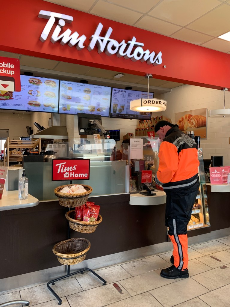
Dave makes a pit stop at the Tim Hortons in Valemount.
In Valemount, we roll past a Tim Hortons.
In Canada, that’s not unusual. There are more than 4,300 Tim Hortons in Canada, spread over 957 Canadian cities. More than 92 percent of all Canadians, aged 18-34, have visited Tim Hortons.
When in Canada, do as the Canadians do.
What’s up with Tim Hortons? Is it more McDonald’s, Starbucks or Dunkin’ Donuts, eh?
Coffee and a donut. Must be Tim Horton’s.
Tim Hortons is known as the king of Canadian donuts. Founded in 1964, the company became a multi-million-dollar company within less than half a decade. As of today, it’s Canada’s leading restaurant chain, with more than 5,100 establishments worldwide.
The restaurant was named after its founder, the legendary, fiery-tempered hockey player, Tim Horton. Horton played for the Toronto Maple Leafs for close to 20 years, scoring 115 goals with 403 assists in the regular season. He played on the NHL’s All-Star team six times and on was on four winning Stanley Cup teams. Horton was known for his spleen-squeezing bear hug, which he would wield against opponents who were trying to waylay him with erratic haymakers and uppercuts.
In the middle of his career, the hockey pro decided to open a donut shop in Hamilton, Ontario – about an eight-hour drive from where he grew up in Cochrane. Unlike hockey players today, back in the ’60s, these hard-skating athletes didn’t make nearly as much money. Horton always had an interest in the food-service business, so he decided to give it a go.
The concept was simple: delicious donuts and strong, freshly brewed coffee that was affordable, served hot every day and would keep the shift-workers at the local steel factories buzzed on caffeine all day long.
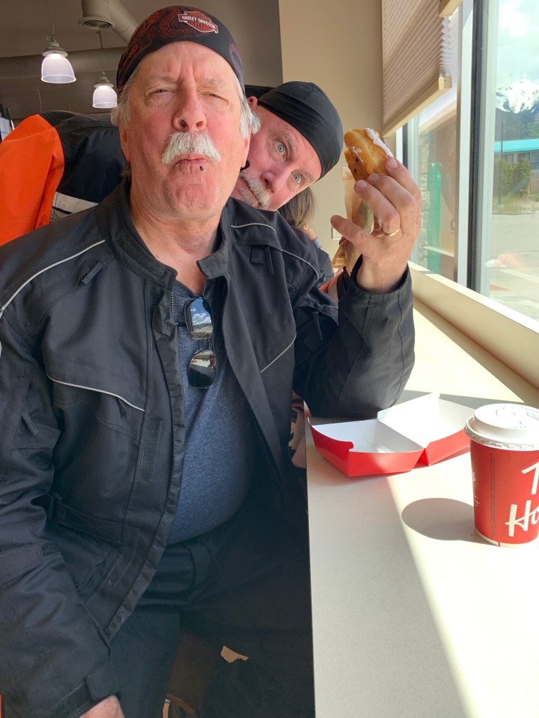
Dave photobombs Randy at Tim Hortons, as Randy snarfs down a smore, to go with his caffeine buzz.
***
From Valemount, it’s just 10 miles to Tête Jaune Cache, which sits at the confluence of the North Thompson and Fraser Rivers. Tête Jaune Cache has a year-round population of about 500.
Here, we turn east onto the Yellowhead Highway, and follow the Fraser River past Rearguard Falls Provincial Park. The 113-acre park has a viewpoint for travelers to witness the end of a long journey by the Chinook, the largest of the Pacific Salmon. These fish have survived several years at sea to return to the river of their birth, the mighty Fraser.
Rearguard Falls, a salmon hot spot.
Now that we’re in the heart of the Canadian Rockies, there are towering peaks everywhere – named and unnamed.
Two directly ahead of us are worth noting: Mount Terry Fox, and Mount Robson.
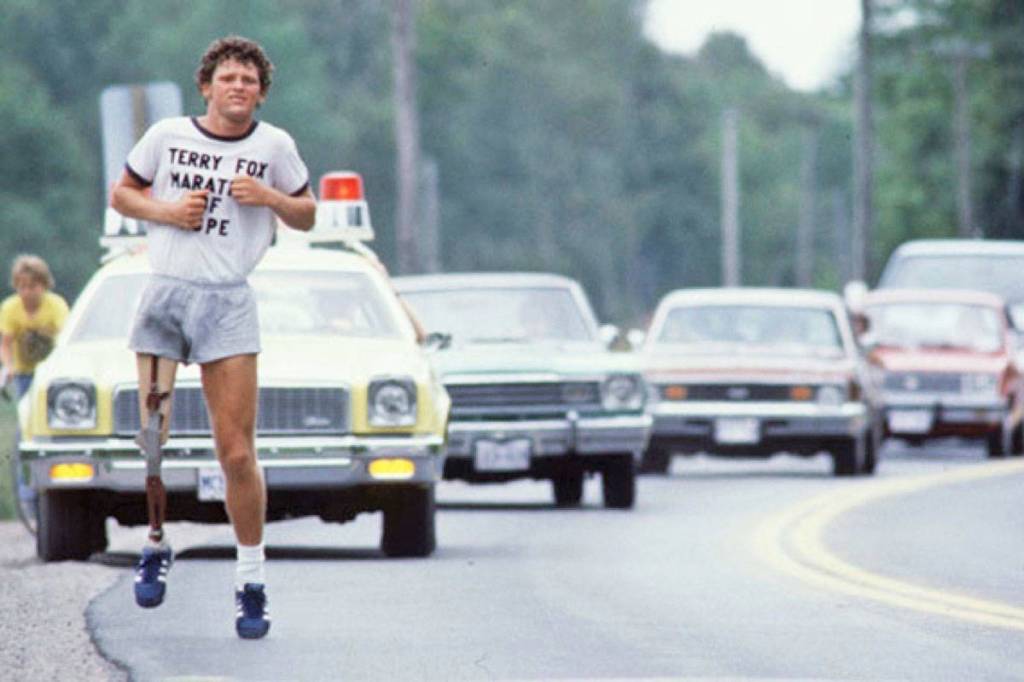
To our right is Mount Terry Fox, 8,694 feet. In 1981, the previously unnamed mountain was named in honor of Terry Fox, a Canadian athlete, humanitarian and cancer research activist who died that year at the age of 22.
In 1980, with one leg having been amputated due to osteogenic sarcoma just above his right knee, Fox dipped his artificial leg in the Atlantic Ocean in St. John’s, Newfoundland, embarking on an east-to-west run across Canada, to raise money and awareness for cancer research. Although the spread of his cancer eventually forced him to end his quest in Winnipeg after 143 days and 3,339 miles, his efforts resulted in a lasting, worldwide legacy.
Terry Fox was an inspiration to all of Canada.
At the time, I was living 20 miles from the Canadian border, in a market dominated by Canadian events. Terry Fox was front-page news throughout his run. I was moved to tears almost daily by his “Marathon of Hope,” which brought an entire nation together.
Fox was named Canada’s Newsmaker of the Year in both 1980 and 1981. Considered a national hero, he has had many buildings, statues, roads, parks and mountains named in his honor.
Mount Terry Fox Provincial Park, established in 1982, is about a mile from us.
***
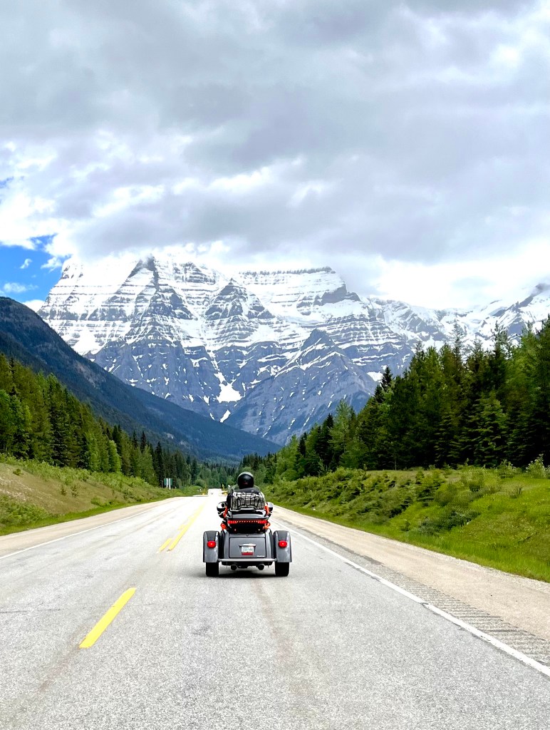
That’s Dave, on his trike, approaching Mount Robson. It’s hard to miss.
As we continue along the Yellowhead Highway, we pass a number of places with the Robson name: Mount Robson Rafting Company, Robson River Campground, Mount Robson Visitor Centre, Café Mount Robson, Mount Robson Provincial Park.
The Mount Robson Visitor Center, which we stop at briefly, is the farthest north we’ll be on this trip: 53.0355 degrees North latitude. Each degree of latitude is about 69 miles, so we’re about 276 miles north of the US-Canadian Border, which sits on the 49th parallel.
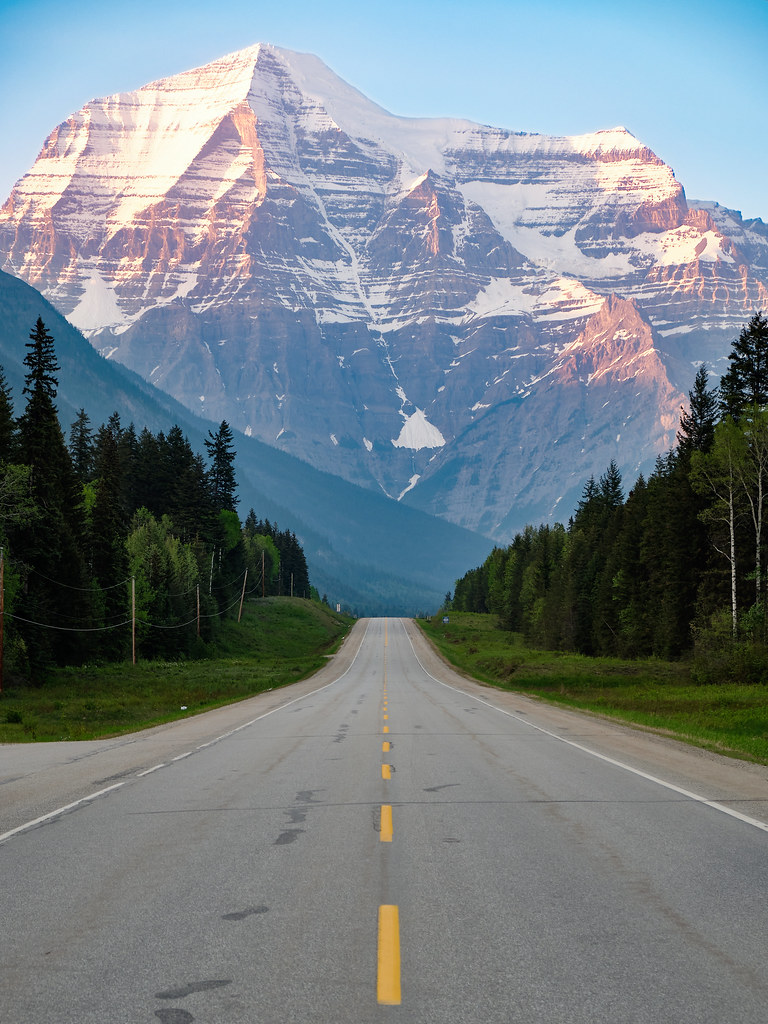
Mount Robson, a few miles to the north, is the highest peak in Canadian Rockies 12,989 feet. Its south face is clearly visible from the Yellowhead Highway, and is one of Canada’s most photographed scenes. It may be to Canada what the Maroon Bells are to Colorado.
Mount Robson: the Canadian version of Maroon Bells.
Mount Robson is believed to be named for Colin Robertson, a Scotsman who worked for both the North West Company and the Hudson’s Bay Company at various times in the early 19th century.
The Fraser River empties into Moose Lake, the only lake along the course of the 854-mile-long river. The lake is filled with wild native Rainbow Trout, fattened on freshwater shrimp.
Soon, we cross Yellowhead Pass, which marks the Continental Divide, and the provincial boundary between British Columbia and Alberta. The pass, at 3,711 feet, is designated a Canadian National Historic Site.
From Yellowhead Pass, it’s only 17 miles to tonight’s destination, Jasper.
With a population of about 4,700, Jasper sits in the Athabasca River valley and is the commercial center of Jasper National Park, the largest national park in the Canadian Rockies, and home to the Columbia Icefield.
Jasper also marks the beginning of the Icefields Parkway, tomorrow’s journey, and the highlight of this 24-day trip.
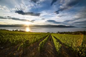
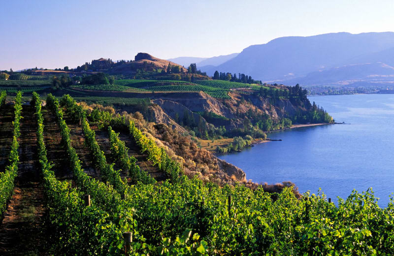
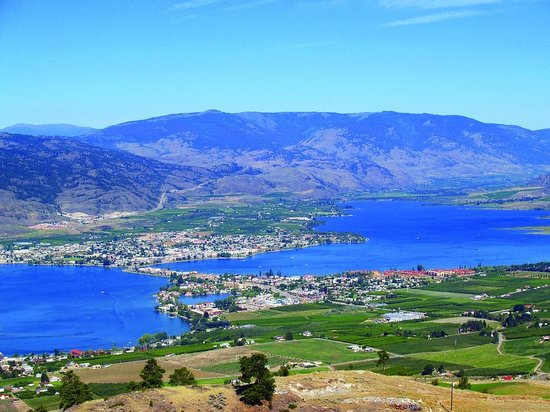
The Okanagan Valley has more than 200 vineyards and 120 wineries. Wine production here dates to the 1850s, with the establishment of the Okanagan Mission and the planting of grapevines to supply sacramental wines.
There are more than 60 grape varieties grown in the Okanagan including Merlot, Cabernet Sauvignon, Pinot noir, Pinot gris, Chardonnay, Auxerrois blanc, Marechal Foch and Cabernet Franc.
Grapes, anyone?
Forty miles after leaving Osoyoos, we rumble into Penticton, population about 34,000. The city is situated between two lakes – Okanagan and Shaka. There are more than 170 wineries in the Penticton area, eight craft breweries, two cideries and three distilleries.
No one’s gonna leave this place in a state of thirst.
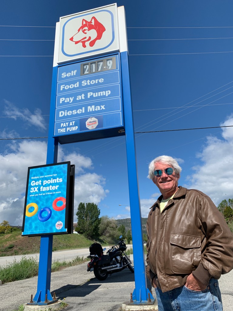
But you might leave penniless, after a fill-up. The $2.17.9 looks cheap, until you realize that’s for a litre, not a gallon!
***
Okanagan Lake is 85 miles long, and we follow its western shores for the entire length of the lake. We pass by Kelowna, whose metropolitan population is more than 222,000 – making it British Columbia’s third largest after Vancouver and Victoria. The name Kelowna comes from an Okanagan word referring to a male grizzly bear.
Most of Kelowna is on the east side of Okanagan Lake. We continue north on British Columbia Highway 97, through West Kelowna, and avoid the big city on the other side of the lake.
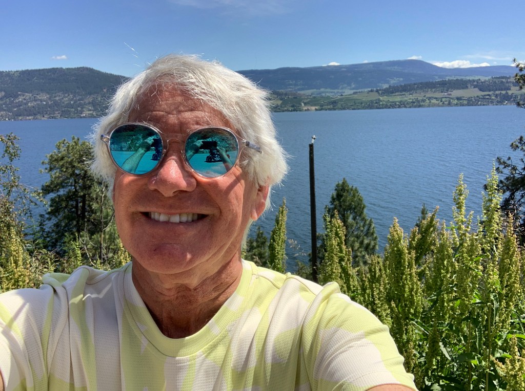
Okanagan Lake is huge. And spectacular.
Enjoying the lake views.
What a difference a day makes. No rain today!
One more, then it’s time to saddle up.
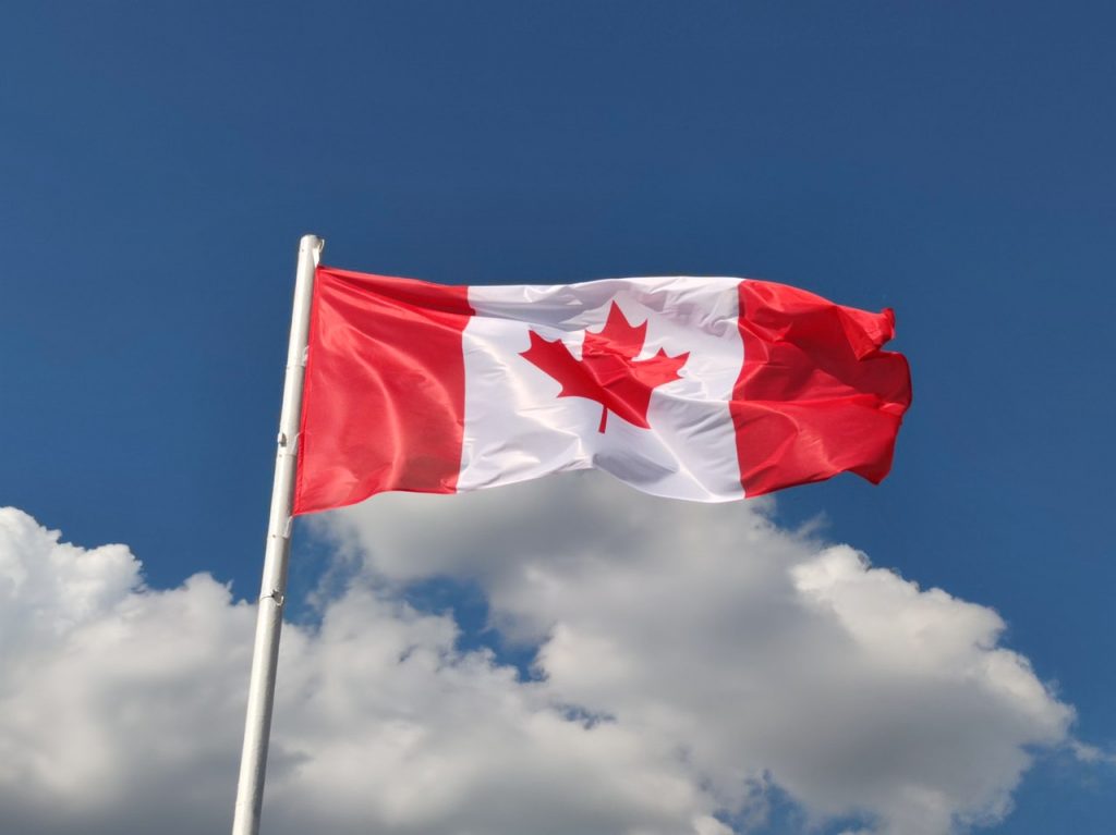
About 40 miles north of Kelowna, the lake ends, and we turn northwest toward Falkland, a small community known for having Canada’s largest flag. The gigantic Canadian flag is located on Gyp Mountain, and can be seen up to four miles away. The flag is 28 feet high by 56 feet wide. It’s made of 2 x 6 lumber framework, has eight 46-foot telephones, 185,000 pounds of cement blocks and metal. Clearly, the flag doesn’t flutter in the wind.
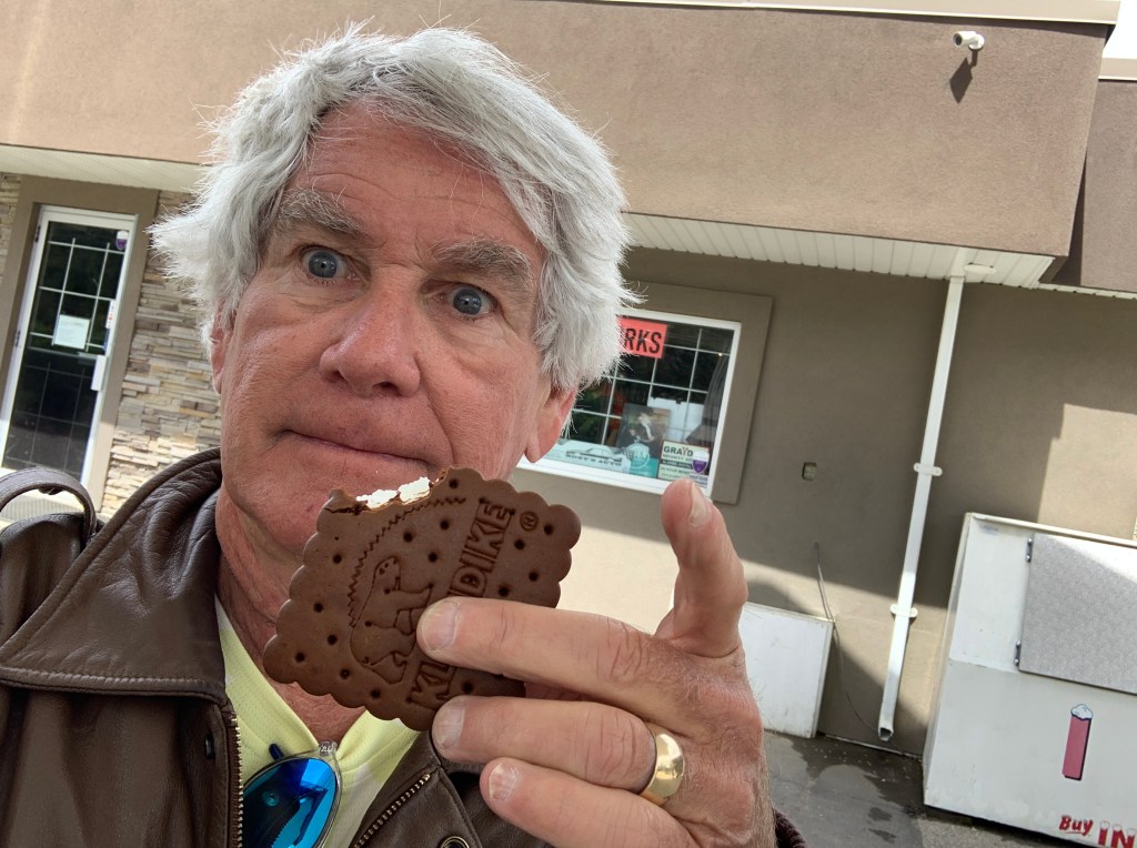
In Falkland, savoring my favorite roadside treat.
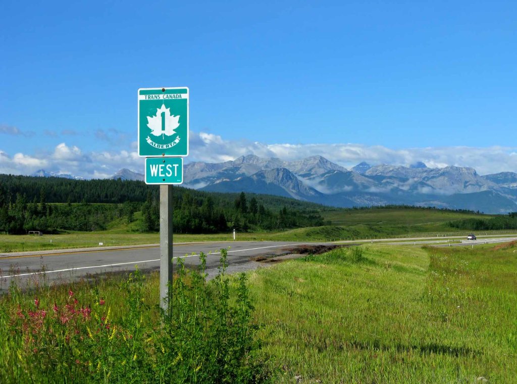
We merge onto Canada’s Highway One, the Trans-Canada Highway, and follow it west along the southern shore of the South Thompson River. The Trans-Canada Highway is the world’s longest national road. It extends west to east between the Pacific and Atlantic coasts for 4,999 miles. The highway stretches between Victoria, on British Columbia’s Vancouver Island, to St. John’s, in Newfoundland and Labrador.
(For perspective, the Pan-American Highway is the longest road in the world and it is comprised of a network of roads that starts in Prudhoe Bay in Alaska and stretches all the way to Ushuaia in Argentina covering a distance of 30,000 miles. It crosses a total of 14 countries in North, Central, and South America)
The Trans-Canada is a series of provincial highways that join all 10 Canadian provinces. The journey across the highway covers six time zones, in conditions that vary from congested urban freeways (Ottawa and Montreal) to sparsely populated wilderness. Many Canadians call it la route transcanadienne, especially in Quebec, where French has been the official language since 1974.
La route transcanadienne.
We’re only on the Trans-Canada for 15 miles, because we’re turning north off of it in Kamloops, a city of about 100,000 that sits at the confluence of the South and North Thompson Rivers.
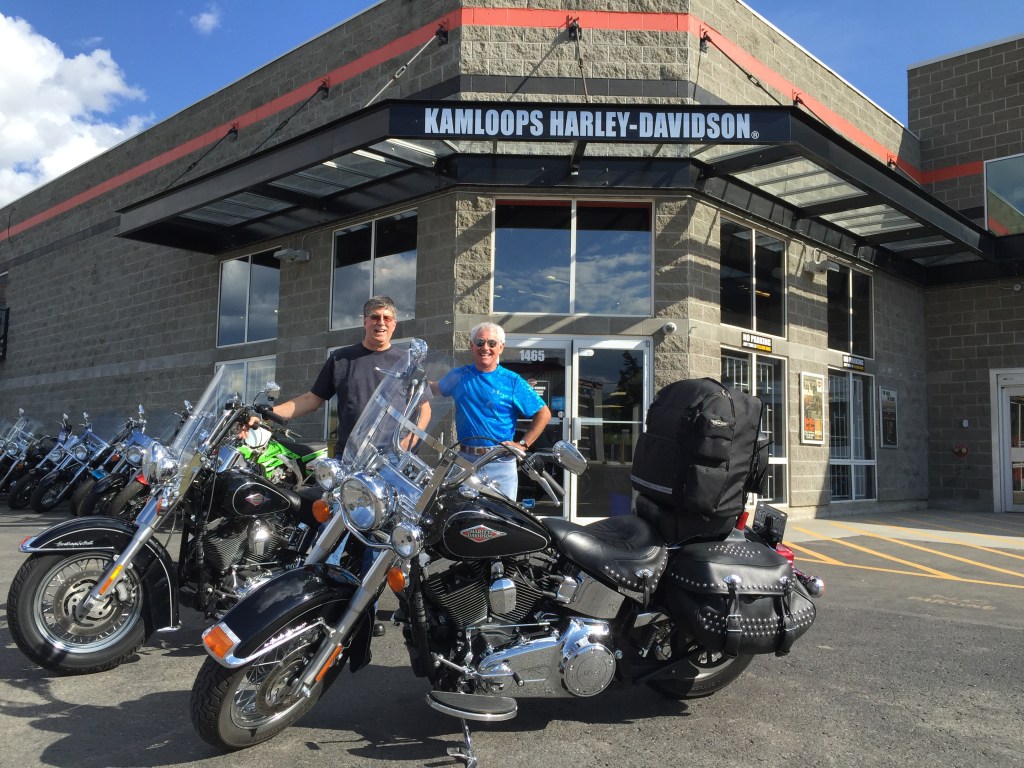
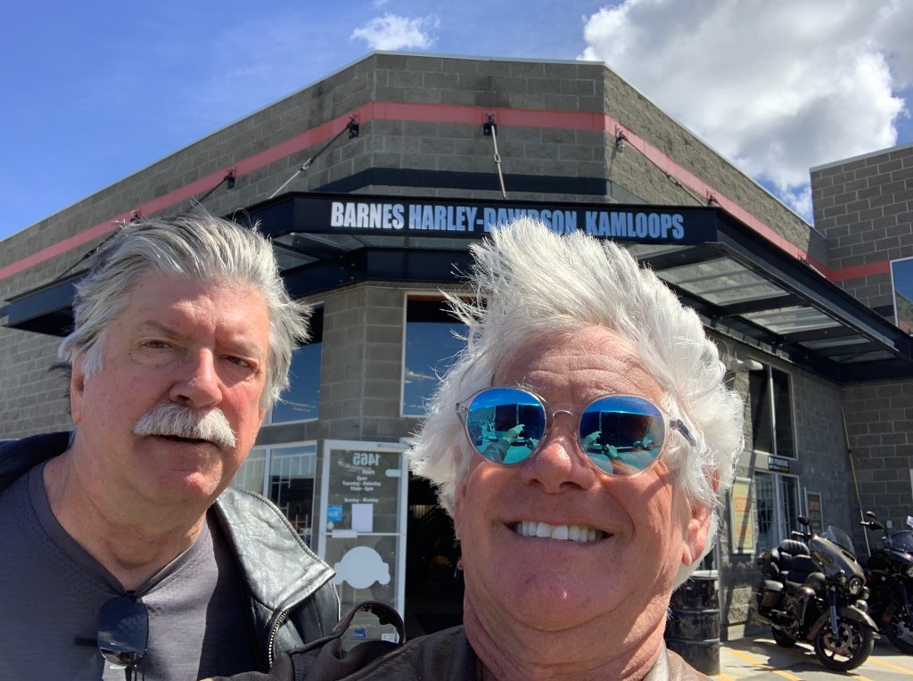
I’ve been to Kamloops once before, in 2015, when Randy and I drove up here from Seattle in his F-150 trash hauler. We rented a couple of Softail Heritage Classics from a Kelowna Harley dealer, and rode around Canada for five days.
A couple of young studs at the beginning of a Canadian road trip.
For Randy and me, this part of the world seems oddly familiar.
Here we are, seven years later. Same place, same youthful look.
We follow British Columbia Highway 5 along the North Thompson River for 75 miles toward tonight’s destination of Clearwater. Fur traders in 1862 named the Clearwater for its distinct clarity, compared to the relatively muddy waters of the North Thompson.
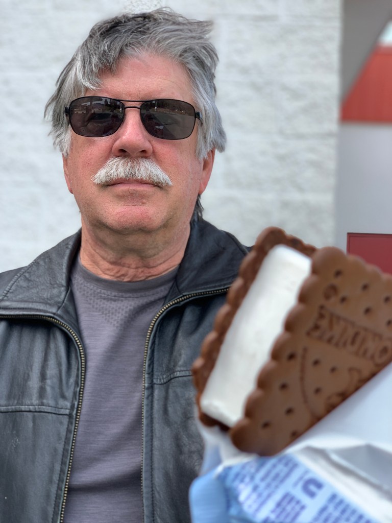
Randy has a thing for ice cream sandwiches, too. This was at our last stop before arriving in Clearwater.
Here, in the town of Clearwater, the Clearwater River empties into the muddy North Thompson.
Meanwhile, we empty into our hotel, and prepare for our second full day in Canada.
By tonight, we’ll be in Canada. We expect to hear eh more than occasionally.
It’ll be our first visit there since 2019, when a pre-Covid trip took us to Victoria, British Columbia for a one-night stand. Dave, Jim and Randy were along for the ride on that trip, too.
This time, we’ll be in Canada six nights, with the highlight coming this weekend, when we visit the Icefields Parkway, in the Canadian Rockies.
But first, we’ve got to find our way to Canada. It’s almost 260 miles from here.
Let’s get started.
***
Another wet day 😢
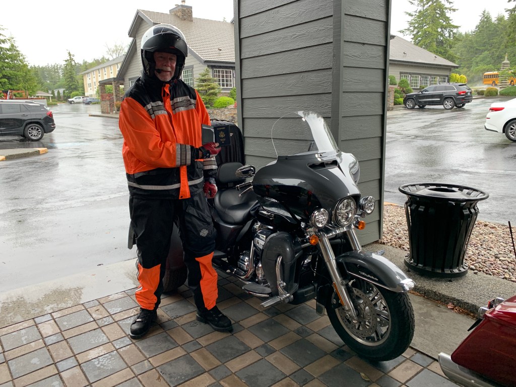
Dave is so ready for Canada that he’s got his passport out before we leave Oak Harbor!
Let’s get this show on the road.
We roll out of Oak Harbor for the last time, heading north on Washington Highway 20, which we’ll be on for the next 200 miles.
Another crossing of the Deception Pass Bridge brings us to Fidalgo Island, where we follow Highway 20 east, cross the Swinomish Channel and find ourselves back on the mainland.
The Skagit County cities of Burlington and Sedro-Woolley are ahead. Soon, civilization becomes sparse. We’re riding along the Skagit River, which brings us to the town of Concrete, once home to the Washington Portland Cement Company. Concrete was originally named Cement City.
Pouring concrete. Good name for a town.
Along Highway 20, towns seem to be spaced 15 miles apart.
Rockport is 15 miles ahead.
Another 15 miles and we arrive in Marblemount.
In Marblemount, shopping for something warm.
Fifteen more miles and we’re in Newhalem.
These small towns each have populations of less than 50 residents.
Still warming up and drying out.
***
Newhalem sits at 515 feet of elevation. It’s at the beginning of our climb on the North Cascades Highway. In Newhalem, we find the North Cascades Visitor Center at the west end of the North Cascades National Park.
Newhalem is a company town owned by Seattle City Light. It’s populated entirely by employees of the Skagit River Hydroelectric Project, which extends 40 miles along the Skagit River from Newhalem to the Canadian border. Seattle City Light has generated hydroelectric power on the upper Skagit River since 1918.
Are we having fun yet?
The name Newhalem? It comes from a Salish Indian language and roughly means “goat snare.” This apparently relates to the traditional use of snares to capturing mountain goats on nearby slopes, for use in creating goat wool.
***
Leaving Newhalem, it’s five miles to Diablo Lake, a reservoir that’s part of the Skagit River Hydroelectric Project. At one time, the Diablo Dam was the world’s tallest, standing 389 feet high. The dam was completed in 1930, and began generating electricity in 1936.
The Diablo Lake Vista Point provides breathtaking views of the lake.
Ross Lake offers spectacular views.
Two miles ahead, the Ross Lake Overlook offers similarly spectacular views of Ross Lake, a large reservoir that was once called Ruby Dam. Ross Lake is a major recreation destination within the North Cascades, attracting visitors with fishing, canoeing, kayaking and hiking.
A favorite destination for travelers is the Ross Lake Resort, consisting of 15 floating cabins and a marina on Ross Lake. Getting to the resort requires a one-mile hike from State Highway 20. There are no roads to the resort.
The Ross Lake Resort is a relaxing getaway.
We’re in North Cascades National Park, and never had to stop and show our passes for entry. Because Highway 20 is a major east-west route, there’s no fee for entering, and no ranger gate. For various reasons, 14 other national parks have no entry fee, including Kenai Fjords in Alaska, Hot Springs in Arkansas, Congaree in South Carolina, and Redwood in California.
The North Cascades Highway’s path across the Cascade mountains follows one of the oldest roads in Washington, established in 1896 as a wagon route. Even before that, it was originally the corridor used by local Native American tribes as a trading route for more than 8,000 years.
At 5,477 feet, Washington Pass is the highest point on the North Cascades Highway. Winters are brutal here. The highway closes every winter due to heavy snowfall and avalanche danger. It generally takes four to six weeks to clear the road of its winter snow covering, before opening in the spring.
***
It’s been raining like crazy all day, since we left Oak Harbor. The temperature at Washington Pass is 37 degrees. We are soaked to the bone and freezing our asses off 😢
We descend from Washington Pass, and roll through the town of Mazama, at the upper end of the Methow Valley. Mazama boomed in the early 20th century as the departure point for mining towns in the rugged Harts Pass area. Today, with a population of about 160, Mazama has a general store, adventure supply store, gas station, café and two restaurants. It’s home to one of the world’s longest cross-country skiing trails, stretching for 120 miles.
Mazama, home to one of the world’s longest cross-ski trails.
Mazama is only 15 miles from Winthrop, continuing the town-every-15-miles-on-Highway-20 concept.
Randy made it to Winthrop. It’s unknown what he’s doing here.
Winthrop, population 350, is known for its Old West design of all the buildings in town, complete with false-fronts and boardwalk sidewalks. The town theme idea was inspired by Leavenworth, Washington – which is based on a Bavarian mountain town.
One of the western-themed buildings is Three Fingered Jack’s, where you can get a Jack’s Country Breakfast, or a Jack Attack Burger for lunch or dinner. Jack’s is the oldest legal saloon in Washington State.
Dave checks up on his reading in Winthrop.
Eight miles down the road (what happened to 15-mile spacing?) is Twisp, a town of about 900 that sits at the confluence of the Twisp and Methow Rivers. Twisp calls itself a “dynamic center for art, culture and adventure.”
After four hours of rain, it finally stops in Twisp. we’re drenched, but things are looking up.
From Twisp, it’s 30 miles to Okanogan, again shattering the concept of towns 15 miles apart. Okanogan, population about 2,600, means “rendezvous” or “meeting place” in a Native American language.
Randy gets animated while consuming his hot fudge sundae at the McDonald’s in Omak.
Ahead are three more small towns in the next 50 miles of US Highway 97 before we arrive in Canada: Omak (“Heart of the Okanogan”), Tonasket (“All Roads Lead to Tonasket”), and Oroville – which sits at the southern edge of Osoyoos Lake.
Oroville, with a population of about 2,000, is the last US civilization we’ll see for a week.
First settled in the late 1850s, it was named Oro, after the Spanish word for gold. Oro seemed like a fitting name; it was an effort to attract prospectors and merchants to nearby gold mines. But the US Post Office objected to the name “Oro” because a town in Washington was already named “Oso,” so in 1909, the name was changed to Oroville.
The Canada / US Border is just four miles north of Oroville. The Oroville / Osoyoos border crossing is open 24 hours a day, year-round.
We show the Canada Border Services agents our proof of Covid vaccination, and US passports. They let us into the country, anyway.
We’ve arrived in the Great White North!
***
Once in Canada, we suddenly show signs of advanced politeness, like all Canadians. That’s the stereotype anyway.
We’re riding like normal people as we enter the town of Osoyoos, British Columbia, two miles on the northern side of the border, and tonight’s destination. Osoyoos, nestled on the banks of Osoyoos Lake, means “narrowing of the waters” in the local Okanagan language.
Lake Osoyoos straddles the US-Canadian border.
Osoyoos calls itself “Canada’s Warmest Welcome,” a nod to the pleasant summer temperatures there. Its average daytime temperature, year-round, is 62 degrees, making it one of the warmest in Canada. Osoyoos Lake is said to be the warmest freshwater lake in Canada.
The weather is ideal for fruit growing. Osoyoos has commercial orchards growing cherries, apricots, nectarines, peaches, plums, pears and apples. Agriculture is a major component of the local economy, as you can tell from the abundant produce stands along the highway entering town.
We’re relieved to finally be in Canada. It’s taken me nearly two weeks to get here. The Great White North beckoned, and we’ve arrived.
Great White North?
Rick Moranis and Dave Thomas, as Bob and Doug Mackenzie. They made the Great White North famous.
Although it’s unknown who coined the term “Great White North” in reference to Canada, the nickname has been in use for decades. Here’s the basis of the nickname:
Great: Canada is “Great” because the only country larger than it is Russia. Canada’s total area is nearly four million square miles, but nearly 80 percent of Canada’s population lives within 90 miles of the US-Canada border. To go with its Great title, Canada also has the longest coastline in the world.
White: The real-life Great White North, also known as Canada’s Arctic Archipelago, is nearly 580,000 square miles. The population of the entire region is just 14,000 people. Quttinirpaaq National Park in Nunavut receives less than 20 visitors a year. It’s the second most northerly park on Earth, after Greenland National Park. Quttinirpaaq National Park covers 14,585 square miles, making it the second largest park in Canada. The park has extensive glaciers and ice caps, desert-like conditions, and life forms that are uniquely adapted to the extreme polar environment
North: This is a simple explanation. Canada and the US are the two biggest countries in North America. Canada just so happens to be the furthest north, and it’s long been known as America’s “neighbor to the North.”
The term “Great White North” was made famous on the 1980s TV show, SCTV. It featured two fictional Canadian brothers, Bob and Doug McKenzie, who played upon Canadian stereotypes in each episode, which included saying “hoser,” finishing every sentence with “eh?,” eating back bacon, and drinking beer.
We’re in the Great White North for the next six days.
***
Poutine, one of the Canadian basic food groups.
There’s a lot to love about Canada, including poutine, informally known as Canadian comfort food.
Poutine consists of French fries and cheese curds with light brown gravy on the top. Oof. I can feel my arteries hardening just thinking about it.
Poutine is a fast-food dish that’s usually offered in small diners, pubs, roadside chip wagons and hockey arenas. At least that’s how the poutine craze began, before it became popular everywhere in Canada, at every price point and for nearly every palate.
While poutine is now available at fine restaurants and fast-food chains alike, it was completely unknown until the mid-20th century. It first appeared in rural Quebec snack bars in the late 1950s.
The word poutine is commonly believed to have originated from the English word pudding (or its French equivalent, pouding) used to describe a mixture, typically messy, of various foods. In Québec, the term poutine is slang for mess.
While poutine is, for many, an unlikely choice for haute cuisine, the sturdy classic became a chef favorite during the comfort food revolution of the 2000s. Celebrated Montreal chef Martin Picard of Au Pied de Cochon was the first to elevate poutine. In 2002, he introduced his often-imitated foie gras poutine, combining high and low Quebec cuisine on a single plate.
This plate of poutine goes for $70!
Poutine is now a Canadian national staple, even the subject for fantasy foodies. Here’s a list any self-respecting poutineer would want to be part of.
Tonight in Osoyoos, there are all kinds of poutine possibilities: Gnocchi poutine at a wine bar; butterchicken poutine at a family restaurant; pizza poutine at a pizza joint. Even A&W Canada has poutine. Same for Dairy Queen, McDonalds, Burger King, Wendy’s and KFC. It’s everywhere.
My number today: 1,170 (calories in a “regular” helping of poutine at New York Fries, a Canadian-based fast casual restaurant chain specializing in hand-cut fries and authentic poutine).
The Puffin is a seabird. It was also the name of my first sailboat.
In the early 1980s, I lived in Bellingham, Washington – about 50 miles north of Oak Harbor.
I moved there, not for professional opportunity, but to sail the San Juan Islands.
Before buying a home, I bought a sailboat named “Puffin,” and taught myself how to sail in the dead of a northwest winter.
Puffin was a C&C 27, a great little boat that took me to unspoiled inlets and islands in the waters of Washington State and British Columbia. Day sailing after work, and cruising on weekends were special times.
My memories of those voyages from 40 years ago are still vivid.
Today, I’m going to visit those waters again.
***
Ferry good.
From Oak Harbor, it’s a half-hour Harley ride to Anacortes, where we’ll catch the 9:30 a.m. Washington State Ferry to Friday Harbor.
We roll north on Washington Highway 20, crossing over Deception Pass at the north end of Whidbey Island. Deception Pass is a strait separating Whidbey Island from Fidalgo Island, home to the Anacortes Ferry Terminal.
The beautiful Deception Pass Bridge, rising 180 feet above the water, is on the National Register of Historic Places. It’s a commonly photographed sight in the Puget Sound region, along with the Space Needle, Mount Rainier, and Pike Place Market.
Deception Pass Bridge. Well actually, two bridges.
The Deception Pass Bridge is actually two bridges. Pass Island sits between Whidbey Island and Fidalgo Island. One bridge span connects Whidbey Island with Pass Island; the other span connects Pass Island with Fidalgo Island.
A group of sailors led by Joseph Whidbey, part of the Vancouver Expedition, found and mapped Deception Pass on June 7, 1792. George Vancouver gave it the name, “Deception,” because it had misled him into thinking Whidbey Island was a peninsula.
Deception Pass has dramatic tidal flows, with currents reaching more than eight knots (9.2 miles an hour). Four times a day (ebb and flood tides, x 2), the waters of Saratoga Passage and the Strait of Juan de Fuca surge through the narrow opening of Deception Pass. Boats can be seen waiting on either side of the pass for the current to stop or change direction before going through. Slack tide is optimal.
***
On the water.
Crossing Deception Pass, we’re about halfway to the Anacortes Ferry Terminal, where we’ll board the MV Suquamish for our hour-long ride to San Juan Island. The “MV” in MV Suquamish stands for Motor Vessel.
Today, almost every ship is a Motor Vessel, because the alternative, SS (Steam Ship) is rarely used anymore. The Suquamish, built in 2018, holds 144 vehicles. With any luck, four of them will be ours.
The MV Suquamish, our ride to San Juan Island.
At mean high tide, the San Juan Island archipelago comprises over 400 islands and rocks, 128 of which are named. Some of the islands are just big rocks, exposed at low tide. Many of the small and medium-sized islands are privately owned.
At sea.
From my days living in the northwest, I’ve visited many of the islands – not just those reachable by ferry, but smaller islands you can explore if you’re lucky enough to have a boat (I was). Clark, Matia, Sucia, Patos, Stuart, and James are just a few of the islands where I’ve dropped an anchor, or tied to a mooring buoy.
Lovin the open water.
Today, we plan to visit two of the four islands served by the Washington State Ferry system. These ferries connect Orcas, Shaw, Lopez and San Juan Islands.
The Washington State Ferry system is a special way to see the San Juan Islands.
The Washington State Ferry system is the largest ferry operator in the US. With 21 vessels and 20 terminals, the Washington State Ferry system carries about 23 million passengers every year, including the four of us today. The largest ferry, 460 feet long, holds up to 2,500 passengers and 200 vehicles.
It’s how we roll.
The ferry system is operated by the Washington State Department of Transportation, and is considered part of the state’s highway system. Originally, Washington state only intended to run ferry service until cross-sound bridges could be built as a replacement. But those bridges were thankfully never approved, leaving Washington residents and tourists with a wonderful way to be one with nature.
I’ve been coming to the San Juan Islands since moving to western Washington in 1979. My first trip on the ferry was in August 1979, when I rode my 1976 Honda CB550F onto the ferry, which took me to Orcas Island. It was an overnight trip to Rosario Resort, the former Eastsound estate of Seattle shipbuilder and mayor (1888-1890) Robert Moran.
***
Today, we will visit Orcas Island, as well as San Juan Island.
Our first stop is Friday Harbor, an idyllic port that’s the commercial center of the San Juans. The ferry ride to get there is a 19-mile journey across Rosario Strait, through Thatcher Pass, past the northern tip of Lopez Island, through Upright Channel, along the southern reaches of Shaw Island, and into Friday Harbor.
You can rent these things to drive around San Juan Island. We didn’t.
Friday Harbor is the largest town in the San Juans, with about 2,500 year-round residents, and thousands more during the summer tourist season. Friday Harbor was not named after the day of the week. The name originates from Joseph Poalie Friday, a native Hawaiian. He moved to San Juan Island in the 1860s, raising and herding sheep around the area that is today known as Friday Harbor.
Most everything worth seeing in Friday Harbor is within walking distance of the ferry landing. You’ll find a whale museum, art museum, community theater, bed and breakfasts, hotels and inns, restaurants, shops, and a refreshing absence of fast-food chains.
This is not fast food.
We’re not constrained by “walking distance of the ferry landing.” We have motorcycles, and intend to see as much of the island as possible, before catching our departing ferry at 2:20 p.m.
We roll off the ferry, and get onto Roche Harbor Road, which takes us to the Hotel De Haro, part of the Roche Harbor Resort. During my sailing days, I cruised into Roche Harbor many times.
***
At San Juan County Park.
From Roche Harbor, we ride along the western coastline of San Juan Island, passing through San Juan County Park and Lime Kiln Point State Park, a great place to watch orcas and gray whales. It’s considered one of the best whale-watching spots on Earth. If you’re lucky, you can see humpback and minke whales pass through the area every May through September. Peak times depend on salmon runs.
After our 33-mile ride around the island, we arrive back in Friday Harbor and get in line at the Ferry terminal for our next journey – the 2:20 p.m. inter-island eastbound ferry to Orcas Island, the largest of the islands in the San Juan archipelago.
Waiting for the 2:20 ferry to Orcas Island.
Waiting for, um, who knows?
***
We board the MV Tillicum – at 310 feet in length, one of the smallest vessels in the Washington State Ferry system – and say good-bye to Friday Harbor.
Randy catches up on his reading during the ferry ride.
The ferry takes us through Upright Channel, along the west side of Shaw Island, through narrow Wasp Passage, and into the Orcas Island Ferry Terminal. It’s a 50-minute ride that covers 8.6 miles.
Our bikes got the best spots on the ferry.
One of us found time to nap on the boat.
We roll off the MV Tillicum around 3:15 – plenty of time to explore the island, and find dinner, before heading back to Oak Harbor.
At the top of Mount Constitution.
Our first stop is the famed Mount Constitution overlook in 5,252-acre Moran State Park. Mount Constitution was named by Charles Wilkes during the Wilkes Expedition of 1838-1842. The Wilkes Expedition was chartered to explore and survey the Pacific Ocean and surrounding lands. Wilkes named the Orcas Island mountain for the USS Constitution, also known as Old Ironsides.
Nice view.
Riding to Mount Constitution is about 18 miles, a 45-minute journey to the top of the 2,409-mountain. It’s the highest point in the San Juan Islands. A stone observation tower patterned after a medieval watch tower stands at the summit, offering panoramic views of the San Juans, the Cascade Mountains, and nearby Canadian and American cities.
The stone tower is a replica of Russian watchtowers constructed in the Caucasus during the 12th century. In the 1930s, the Civilian Conservation Corps constructed this tower, and the roads and bridges that lead to the summit of Mount Constitution.
Must be the thin air.
From the top of Mount Constitution, it’s about a seven-mile ride down the mountain to the Rosario Resort and Spa, where we plan to have an early dinner before catching our last ferry of the day.
The historic Moran Mansion is the centerpiece for the resort and marina, located on the shores of Cascade Bay. In my sailing days, I often cruised to the Rosario Resort, tied up to a mooring buoy, and rowed in to the resort for dinner.
Today, no rowing is needed to get here.
We rumble into the resort, find prime parking, and forage for food.
Visiting the Rosario Resort on a motorcycle is cool. Arriving in a floatplane is even better.
***
Dinner at the Rosario Resort.
After dinner, we saddle up for the 14-mile ride to the Orcas Island Ferry Terminal. Our reservations are for the 7:50 eastbound sailing to Anacortes aboard the MV Chelan.
We land in Anacortes, 30 minutes late, at 9:10 pm – and arrive back in Oak Harbor with little daylight to spare. The days are long in the Northwest; sunset tonight is upon us.
What a day!
Tomorrow? Canada, eh.
***
To view today’s ferry route in Google Maps, click here.
We leave Ocean Shores, heading north on Washington Highway 109. We roll through Ocean City, Copalis Beach, Seabrook, and Pacific Beach, before arriving in Moclips a half hour later.
These towns all have a history rich in tourism dating back to the early 1900s. Moclips, population 47, and other nearby beach towns were once popular vacation destinations, until they were taken off the map by the US Navy during World War II, to be used as a base for the Navy.
Today, tourism is once again popular in these coastal towns.
Just another tourist, cooling his jets.
According to early-20th century University of Washington history and botany professor, Edmond Meany, Moclips comes from a Quinault Indian word meaning a place where girls were sent as they were approaching puberty. William Bright, a professor of linguistics and anthropology who has written about Native American place names, says the name comes from the Quinault word meaning “large stream.”
You choose.
Moclips: nice views, odd name.
***
We turn northwest in the Moclips Highway, en route to Lake Quinault. The lake is at the southern edge of the Olympic National Park. The historic Lake Quinault Lodge, built in 1926, has a rustic style reminiscent of the Old Faithful Inn at Yellowstone National Park. They’re similar because the two lodges share the same architect: Robert Reamer.
The Lake Quinault Lodge is on the National Register of Historic Places. A fireplace room with a king bed and lake view goes for $546.76 a night, including taxes and fees.
Lake Quinault Lodge, an idyllic setting.
From Moclips, northwest to the Lake Quinault Lodge, and west to Queets – it’s essentially a 53-mile detour around the Quinault Indian Reservation. There are no roads through the 208-thousand-acre reservation, which includes 23 miles of Pacific coastline.
The Quinault say they are among the small number of Americans who can still walk the same beaches, paddle the same waters, and hunt the same lands their ancestors did centuries ago. The Quinault Indian Nation consists of the Quinault and Queets tribes and descendants of five other coastal tribes: Quileute, Hoh, Chehalis, Chinook, and Cowlitz.
The town of Queets, population 174, sits on the northwest corner of the Quinault reservation. Its primary residents are members of the Quinault Indian Nation.
Here, we turn north and follow US Highway 101, first along the coast for 10 miles, where we pass the historic Kalaloch Lodge. The waterfront lodge is part of Olympic National Park, which may explain why rooms top out at $444 a night.
Does this motley crew seem able to afford $444 a night — each?
The highway takes us inland again, through the Hoh Rainforest, to Forks, population about 3,600. Like so many Pacific Northwest towns, Forks had an economy fueled by the local timber industry. As timber fell into a years-long slump, Forks re-thought its economic plan and turned to prisons. Today, Forks relies on the nearby Clallam Bay Corrections Center and Olympic Corrections Center for more than 400 jobs.
Another economic draw: tourism related to Stephenie Meyer’s 2005 novel series Twilight, and films of the same name – set in Forks.
Robert Pattinson and Kristen Stewart dated after meeting on the set of Twilight.
***
We follow the Olympic Highway from Forks for 53 miles to Port Angeles. Along the way, we roll past the southern shore of Lake Crescent. With a maximum depth of 624 feet, it’s the second deepest lake in Washington state. Lake Crescent, known for its brilliant blue waters and exceptional clarity, is inside of Olympic National Park.
Soon, we arrive in Port Angeles, a Clallam County city of 20,000 residents that sits on the Strait of Juan de Fuca. Port Angeles connects to Victoria, British Columbia – Canada! – by a one-hour ride on the MV Coho ferry. The Coho suspended service for 18 months during the Covid pandemic, and has now resumed operations. The ferry infuses an average of more than $5 million a month into the Clallam County economy.
We inject about $150 into the Port Angeles economy, stopping to gas up our four bikes.
***
Leaving Port Angeles, we roll past Sequim Bay and Discovery Bay, small inlets off the Strait of Juan de Fuca. Ahead is the Victorian city of Port Townsend, where scenes from An Officer and a Gentleman were shot. The film celebrates its 40th anniversary this year.
30-year-old Richard Gere was a hunky Zack Mayo in An Officer and a Gentleman.
We’re in Port Townsend, not to catch a movie, but to board a ferry.
Waiting to board the ferry in Port Townsend.
The Washington State Ferry, MV Kennewick, will be our 35-minute ride across the Puget Sound to Whidbey Island, fourth-longest island in the US, though that number is disputed.
Parked on the ferry and heading across Puget Sound.
The 273-foot-long vessel was built in Seattle in 2011. It has room for 64 vehicles, including our four motorcycles.
Aye, captain.
On the water. I was born for this.
Technically, the ferry route is called Port Townsend-to-Coupeville. But we actually land at Fort Casey, a Washington State Park. Fort Casey sits next to the Admiralty Head Lighthouse. Admiralty Inlet was considered so strategic to the defense of Puget Sound in the 1890s that three forts, including Fort Casey, were built with the intention of deterring invading ships.
The guns of Fort Casey. That’s Mount Rainier in the background.
Fort Casey is a 467-acre marine camping park with a lighthouse and sweeping views of Admiralty Inlet and the Strait of Juan de Fuca.
Here, we depart the MV Kennewick, and begin the final leg on today’s journey – 15 miles to Oak Harbor, population 22,000. At 41 miles in length, north to south, Whidbey is said to be the fifth longest island in the continental US, behind only Long Island (New York), Padre Island (Texas), Hatteras Island (Texas), and Isle Royale (Michigan).
Oak Harbor is home to Naval Air Station Whidbey Island, where you’ll find all Navy tactical electronic attack squadrons flying the Boeing-built EA-18G Growler. The based also houses eight Maritime Patrol and Reconnaissance squadrons flying the P-3 Orion, P-8 Poseidon and EP-3E Aries.
The EA-18G Growler at Whidbey Island NAS.
***
Whidbey Island hosts festivals and celebrations throughout the year.
Or in June, you can roll into Oak Harbor with Dave, Jim, Randy and me – and celebrate your arrival on America’s 40th largest island – Whidbey Island (169 square miles).
Oregon’s rugged coastline causes the coastal highway to occasionally sneak inland.
Today that’s just what it does.
Fancy footwear: Jim dresses for success in Lincoln City.
Flip-flops are great riding attire! Whose bike is that, anyway?
Leaving Lincoln City, we turn away from the coast for 25 miles, until Tillamook Bay appears on our left. Tillamook Bay is Oregon’s second largest, encompassing 597 miles of watershed.
Tillamook is a Coast Salish word meaning “Land of Many Waters,” probably referring to the rivers that enter the bay. The rivers emptying into Tillamook Bay include the Kilchis River, the Wilson River, and a bunch of unnamed creeks.
More fancy footwear. Dave’s boot adventures continue.
The Cape Meares Lighthouse, on the west entrance to Tillamook Bay, is Oregon’s shortest. The 38-foot-high lighthouse began operation in 1890 and was decommissioned in 1963.
Cape Meares lighthouse: short but sweet.
On the northern end of Tillamook Bay, the coastal highway again returns to the coast, meandering through Rockaway Beach and Nedonna Beach before skirting Nehalem Bay and the Nehalem River.
The Oregon Coast Highway continues its path northward until we reach the state’s most famous seaside town, Cannon Beach, 85 miles from where our day began. The town is named after a naval cannon that washed ashore after a shipwreck in the 1840s.
Me, my Harley, and Haystack Rock.
Cannon Beach is best known for its iconic Haystack Rock, one of the most famous coastline scenes in Oregon. Haystack Rock rises 235 feet out of the Pacific Ocean. National Geographic has listed it as one of the world’s 100 most beautiful places.
Haystack Rock: one of the world’s most beautiful places.
William Clark, one of the leaders of the Lewis and Clark Expedition, first came to Cannon Beach in 1805. Looking out to the Pacific, he called it “… the grandest and most pleasing prospects which my eyes ever surveyed, in front of a boundless Ocean.”
Every June, Cannon Beach hosts a sand castle building contest. This year, it’ll be held on June 11, next Saturday.
Sand castles at Cannon Beach.
Twenty miles ahead, we arrive in Astoria, as we prepare to cross the mighty Columbia River and enter the state of Washington.
Astoria is the oldest American settlement west of the Rocky Mountains, and the oldest city in the state of Oregon. The city is named for John Jacob Astor, an investor from New York City, whose American Fur Company founded Fort Astoria where the city is today.
Astoria’s economy once centered on fishing, fish processing, and lumber. In 1945, about 30 canneries could be found along the Columbia. Bumble Bee Seafoods closed its last Astoria cannery almost 40 years ago, and today, the city’s economy is built around tourism, a growing art scene, and light manufacturing.
The Astoria-Megler bridge, completed in 1966, is the largest continual truss bridge in North America. To allow ship traffic up the Columbia, the bridge has a clearance of 196 feet at high tide.
The Astoria-Megler bridge crosses the mighty Columbia.
The steel cantilever bridge is slightly more than four miles long, and was the final link in the US highway system between Mexico and Canada. From 1926 until the bridge opened, ferry service was the only way to get across the Columbia north of Astoria.
Normally, only motor vehicles and bicycles are allowed on the bridge. But once a year, usually in October, the bridge hosts the “Great Columbia Crossing,” where participants can run or walk from the Washington side to Astoria. This year’s 10K run/walk event will be held on October 9. Be there, or be square.
The Great Columbia Crossing, an annual tradition.
The bridge has been featured in Hollywood movies, including Kindergarten Cop, Free Willy, and The Goonies.
The Columbia River Bar is a major marine coastal hazard. Since 1792, about 2,000 large ships have sunk, in and around the Columbia Bar. It’s no wonder that the mouth of the Columbia River is known as the Graveyard of the Pacific.
The Columbia River Bar is so challenging to navigate that ship pilots earn an average annual salary of $214,000. That may sound good, but their peers in San Francisco and the Puget Sound earn between $387,000 and $450,000 a year. Nice pay for driving a boat around.
***
We soon find Willapa Bay to our left, and ride most of the way around it. The bay is the second-largest estuary on the Pacific Coast. It’s quite shallow; more than half of its surface area lies in the intertidal zone, and half of the volume of water inside it enters and leaves with every tide.
As we ride along the bay, we cross the water in Raymond, where the Willapa River feeds into Willapa Bay. Raymond was once a booming logging and fishing town. Its business section was built on stilts five or six feet above the tidelands. Its population in the early 1900s was 6,000 – about twice what it is today.
Sweets, anyone?
In Raymond, we turn west on Washington Highway 105, and continue along the northern end of Willapa Bay, until we once again find ourselves along the Pacific. Just south of Westport, we again ride along the shores of a large bay – Gray’s Harbor.
Gray’s Harbor is named for fur trader Robert Gray, who in 1792 crossed the bar into a bay he called Bullfinch Harbor, which was subsequently renamed Chehalis Bay and then Gray’s Harbor. We ride along the southern shore of Gray’s Harbor, then cross the Chelais River into Aberdeen – before cruising through Hoquiam and along the northern shore of the bay.
Hoquiam’s name comes from a Native American word meaning “hungry for wood.” The name originally derived from the great amount of driftwood at the mouth of the Hoquiam River. Later, Hoquiam became a major logging and timber center. From 1880 on, Hoquiam’s growth was largely dependent on the lumber industry. The decline of lumber and logging in the northwest also doomed the Hoquiam economy.
***
There’s no bad time for pastries.
From Hoquiam, it’s about 20 miles to tonight’s destination, Ocean Shores. The route is mostly along the North Bay of Gray’s Harbor. The city of Ocean Shores sits on a narrow peninsula, halfway between North Bay and the Pacific Ocean. Ocean Shores is known for its long Pacific beach and fresh seafood.
Turns out you can drive, or ride, on the beach. Make sure to keep track of the tide levels and only drive on hard-packed sand. The Ocean Shores official city website says if you become stuck, expect towing fees to be at least $100; the city strongly recommends four-wheel drive vehicles for beach cruising.
Which, of course, leaves Harleys out. It’s hard to have four-wheel drive when you only have two wheels.
Beach Riding: watch the tides, and stick to hard-packed sand.
Finding no need to scamper to higher ground for Tsunami survival, we depart Crescent City.
On our way toward the golf mecca of Bandon Dunes, we pass through Denmark.
Denmark, Oregon, actually. That’s notable to me because Sarah and I were married in Dragør, Denmark – just outside Copenhagen – and I speak a little Danish.
Jeg taler om lidt dansk.
Denmark, Oregon, was founded by first-generation Danes who developed a profitable dairy industry in the area. In 1915, the community had a sawmill (savværk), a cheese (ost) factory, a creamery (flødetøj), and a public school (skole).
In 1940, it had a population of nearly 100. But improvements to US Highway 101 bypassed the business district, and the community went into decline.
Today, it has nothing.
I dag, det har ikke noget.
***
Roadside footwear adjustment.
Gold Beach, Oregon.
Fifteen miles north of Denmark is Bandon, a town of about 3,000, mostly known for its golf. Bandon was named by George Bennet, an Irish immigrant, who settled nearby in 1873 and named it after Bandon, Ireland – his hometown.
Burger break in Bandon.
Today, nearby Bandon Dunes is considered one of the top golf resorts in the US, if not the world. It has five seaside courses, all with incredible ocean views. An additional two non-traditional courses include “The Punchbowl,” a 100,000 square-foot putting course, and Bandon Preserve, a 13-hole par 3 course.
Nice setting for a golf course, or anything else.
Twenty-five miles north on Bandon is Coos Bay, a city of about 16,000 with a history in shipbuilding and lumber products. It’s the largest city on the Oregon coast.
We pass through Newport, then the picturesque town of Depoe Bay, site of one of the more memorable scenes from 1975 Academy Award winner, One Flew Over the Cuckoo’s Nest. In this scene, the inmates from the insane asylum escape to go fishing in Depoe Bay. During the movie’s fishing interlude, Randall Patrick McMurphy, played by Jack Nicholson, offers the timeless line: “You’re not nuts; you’re fishermen!”
He’s not nuts. He’s a Harley rider!
Depoe Bay, for some reason, claims to have the world’s smallest navigable harbor, covering about six acres, with a 50-foot-wide channel connecting it to the Pacific Ocean. It’s also known as the Whale Watching Capital of the Oregon Coast.
From Depoe Bay, it’s only 10 miles to tonight’s destination, Lincoln City.
The city was incorporated in 1965, uniting the cities of Delake, Oceanlake and Taft, and the unincorporated communities of Cutler City and Nelscott – all adjacent communities on Highway 101. The name Lincoln City, honoring former president Abraham Lincoln, was chosen from contest entries submitted by local school children.
During the naming contest, the soon-to-be city was almost called “Surfland.” That’s what the majority of school kids in the area wanted. In 1999, a number of locals wanted to rename it “Beach City.” That didn’t stick, either. So, Lincoln City will apparently remain Lincoln City, for the foreseeable future.
A big annual event in Lincoln City is the Oregon Summer Kite Festival. This year the festival will be held on June 25 and 26. It will blow you away.
The Oregon Summer Kite Festival in Lincoln City, a good time to get blown away.
One other event in Lincoln City that could blow you away is the Nelscott Reef Big Wave Classic. Nelscott Reef is named for the former community of Nelscott that’s now part of Lincoln City. The reef is about a half-mile offshore at a depth of about 18 feet. The open ocean swells can reach up to 50 feet in the winter season. Nelscott Reef is Oregon’s big wave claim to fame.
The Big Wave Classic is a one-day event between October 1 and March 31. It’s called on three days’ notice to guarantee optimal conditions. The event is for experts only, a double-black run in the water. If the waves don’t kill you, the sharks might.
The Big Wave Classic.
So much to do in Lincoln City. So little time to do it.
Me and the Queen, in 2019. We were both so young. Stopping at Queenie’s is a tradition.
Lynn Derrick is the Queen. The last time she made breakfast for us was three years ago. Can’t wait to see what she’s cooking up today.
We stop at Queenie’s, but they aren’t yet open, so we power on toward Mendocino. Our royal tradition will have to wait til next time.
Queenie’s is in Elk, home to Greenwood State Beach, Elk Rock, and the Elk Cove Inn and Spa.
Elk is about halfway from Point Arena, where our morning began, to Mendocino, Northern California’s best known artist colony. The town’s name comes from Cape Mendocino, named by early Spanish navigators in honor of Antonio de Mendoza, Viceroy of New Spain. Mendoza means cold mountain.
For two weeks every summer since 1986, the Mendocino Music Festival is held here. Evening concerts feature the Festival orchestra, composed of professional musicians from the San Francisco Symphony, the San Francisco Opera orchestra, the San Francisco Ballet orchestra, the Symphony of the Redwoods and other Bay Area orchestras. This year’s festival begins July 9. We’re a little early.
But we need gas, so we stop in Mendocino for a top off.
Yes, Mendocino has the highest prices in the US. $19.93 for 2.003 gallons of premium. The pump price: $9.94.9 per gallon!
***
Ten miles north of Mendocino is Fort Bragg. The city was founded, before the Civil War, as a military garrison. It was named for Braxton Bragg, who later became a general in the Confederate Army. A graduate of West Point (class of 1837), Bragg earned a reputation for incompetence, for wantonly shooting his own soldiers, and for losing battles. Books have been written about Bragg, calling him the “Most Hated Man of the Confederacy.”
Braxton Bragg, treasonous Confederate general with a California city and North Carolina military base named after him.
There’s no military presence today in Fort Bragg, California. The much better-known Fort Bragg, is in North Carolina. It’s all about the military. Also named for Braxton Bragg, North Carolina’s Fort Bragg is the largest military installation in the world, with more than 50,000 active-duty personnel.
Fort Bragg, North Carolina, may soon have a new name. A congressional naming commission in late May recommended renaming nine military bases originally named for leaders of the Confederacy, including Fort Bragg. The commission recommends changing Fort Bragg to Fort Liberty. It’s the only one of the ten bases to be named after an abstract idea, not an individual — or group of people. The recommendations must be approved by Congress and the Secretary of Defense.
***
We make a brief stop in Leggett. Where’s Dave? Oh, there he is — the speck of orange, off in the distance.
Highway One hugs the coast for another 30 miles, then turns inland for several hours. The coastal highway becomes US Highway 101, as it winds through towering groves of redwood trees.
We turn off of Highway 101, and on to California Highway 254, which parallels Highway 101. Highway 254 is called the Avenue of the Giants.
Dave is one of the giants in the Avenue of the Giants.
The towering Coast Redwoods on both sides of the road are what give the Avenue of the Giants its name. The redwoods found along the Avenue of the Giants – are Coast Redwoods, also called California Redwoods. Sequoia Sempervirens is the official scientific name for the Coast Redwood. The trees grow in a narrow band near the coast of northern California and southern Oregon.
As the tallest trees in the world, Coast Redwoods can grow to be more than 360 feet tall. The big ones have names, like Hyperion – at 379 feet, the tallest known Coast Redwood. That’s higher than the Statue of Liberty, including the pedestal.
The root structure for Coast Redwoods is unusually shallow; their roots grow only 6 to 12 feet deep. But the roots spread out as much as 50 feet around the tree, forming a broad base to hold it steady in high winds, and to gather lots of moisture.
Jim, among the tall trees.
We experience the beauty of the redwoods for 31 exquisite miles, before exiting the Avenue of the Giants at its northern entrance and returning to Highway 101.
Then, we turn inland for several hours. That’s where the really, really big trees are.
Really big guys, among really big trees.
We follow the Eel River, rolling through Fortuna, known as The Friendly City.
At the southern end of Arcata Bay is the port city of Eureka, the largest coastal city between San Francisco and Portland. Eureka is California’s state motto. It means: “I have found it.” Those words were probably intended to refer to the discovery of gold in California.
The appropriately named Redwood Highway leads us north, crossing the Klamath River and pushing toward tonight’s destination, Crescent City.
***
Crescent City, the only incorporated city in Del Norte County, is named for the crescent-shaped stretch of sandy beach south of the city. Its population of about 6,600 includes inmates at Pelican Bay State Prison, a badass place to be. Forty percent of the prison’s 2,700 inmates are serving life sentences and nearly all have histories of violence at other California prisons that resulted in their transfer to Pelican Bay.
A tsunami of bad things can happen there.
Speaking of tsunamis – world’s worst segue! – Crescent City experienced a world-class tsunami in 1964. It started with a 9.2 magnitude earthquake in Alaska that sent huge waves surging toward Crescent City. In less than five hours, during the early morning hours of March 28, three smaller waves pushed into storefronts and businesses, causing little damage and a sense of calm in the people trying to clean up.
Then, a huge wave, cresting at nearly 21 feet, slammed into the downtown, killing 11 people, and devastating 29 city blocks. Nearly 300 buildings and homes were destroyed. Today, you can still see high-water marks posted on buildings that survived the tsunami.
Head for high ground!
Crescent City is still on alert. The city’s website advises residents and visitors – including us – if they feel a sizable earthquake, head north for high ground at 9th Street. Leave your vehicle (Harley?) and walk especially briskly if you hear tsunami sirens.
Hearing none, we check into our motel, and plan a destruction-free dinner.
Our Highway One funfest is just beginning. Strap in.
Yesterday we experienced its most famous section – the 65 miles from San Simeon to Big Sur.
Today, we cross the world’s most famous bridge – the Golden Gate – and follow the California coastline for 206 memorable miles.
***
Navigation, on these rides, can be critical, and often challenging. On the California coast, you’d have to be a moron to get lost.
Simple as this: follow the Highway One signs, and make sure the Pacific Ocean is on your left.
That’s what we do as we leave the Santa Cruz Boardwalk, heading north toward San Francisco.
The Ritz Carlton at Half Moon Bay. Nice digs.
There’s little development and scant civilization until we reach Half Moon Bay, named for its half-moon shape. The area’s largest employer is the Ritz Carlton hotel, a luxury resort with two beachfront golf courses designed by Arthur Hills. The LPGA held its Samsung World Championship here on the Ocean Course in 2008. The winner: American Paula Creamer, who grew up 40 miles away in Pleasanton.
Paula Creamer, the last winner at Half Moon Bay.
This stretch of Highway One is called the Cabrillo Highway. It’s named after Juan Rodríguez Cabrillo, a Spanish explorer known for checking out the west coast. He was the first European to navigate the coast of present-day California, and is best known for exploring the coast for two years, beginning in 1542.
Soon, we see signs of life as we approach the city of Pacifica, which sits between Half Moon Bay and San Francisco. Pacifica, which is Spanish for “peaceful,” is a surfing destination with a renowned skateboard park.
Surfing at Pacifica’s Rockaway Beach is the real deal.
Highway One becomes Interstate 280, which takes into the heart of San Francisco. With a population of more than 870,000, San Francisco is by far the largest city we’ll see on this trip.
Named for Saint Francis, the city has some interesting history.
During the Great Depression, not a single bank in San Francisco failed.
The Beatles gave their last full concert at Candlestick Park on August 29, 1966.
In 1906, three quarters of the city was destroyed by an earthquake and fire.
The US Navy originally planned to paint the Golden Gate Bridge black with yellow stripes. The famed “international orange” color was intended to be a sealant.
The city’s cable cars are the only National Historical Monuments that can move. The cables that pull the cars run at a constant speed of 9.5 miles an hour.
San Francisco’s cable cars are the only National Historical Monuments that are movable.
As we roll through the city, the road quickly becomes Highway One again, or 19th Avenue, as the locals call it. We see block after block of old, overpriced houses and apartments in the Sunset and Golden Gate Heights districts. In San Francisco, the average price of single-family homes is more than $1,200 dollars per square foot. The median price for condos in San Francisco is $1.25 million, and for single family homes it’s $1.75 million.
We pass through Golden Gate Park, a 1,017-acre urban park that’s San Francisco’s version of New York’s Central Park. With 13 million visitors a year, Golden Gate Park is the fifth-most visited city park in the US, after Central Park, Chicago’s Lincoln Park, and two parks in San Diego.
The Presidio had been a fortified location since 1776, when New Spain established the Presidio to gain a foothold in the San Francisco Bay. Today, the park has wooded areas, hills and scenic vistas overlooking the Golden Gate Bridge, San Francisco Bay and the Pacific Ocean.
All of a sudden, out of nowhere, the Golden Gate Bridge appears. One of the most famous and photographed sights in the world, the bridge spans the Golden Gate, a one-mile-wide strait connecting the Pacific Ocean and San Francisco Bay.
With its 746-foot tall towers, Art Deco styling and distinctive international orange color, the bridge draws 10 million visitors annually, not counting the estimated 112,000 vehicles that cross the bridge daily, commuting to and from work in San Francisco.
In 1955, when I first crossed the bridge as a kid – OK, as a passenger in our family car – the toll was 25 cents.
Today, as northbound riders, we won’t be reaching into our pockets for quarters to pay the toll. The toll now is $8.05 for two-axle vehicles; it’s paid electronically at the San Francisco end, for southbound travelers.
There’s no discount for motorcycles. But because we’re crossing the bridge northbound, it’s free today!
Apparently if you’re colorful enough, you can take up all the lanes on the Golden Gate Bridge.
The Golden Gate Bridge has been declared one of the Seven Wonders of the Modern World by the American Society of Civil Engineers. It’s a pretty elite list, including the tunnel under the English Channel, the Empire State Building, and the Panama Canal.
When the Golden Gate Bridge opened in 1937, after four years of construction, it had cost more than $35 million to build. That’s chump change by today’s standards. It was completed ahead of schedule and under budget. At the time of its opening, the bridge was both the longest and tallest suspension bridge in the world.
Making history on the Golden Gate. Don’t try this at home.
On the north side of the Golden Gate, we enter Marin County, home of San Quentin State Prison and my 81-year-old cousin, Rich.
Skirting the Golden Gate National Recreation Area and the Tennessee Valley, we roll through Muir Beach, named after John Muir, an influential Scottish-American naturalist who was an early advocate for the preservation of America’s wilderness.
He co-founded the Sierra Club, and devoted most of his later life to the preservation of western forests. Muir briefly studied natural sciences at the University of Wisconsin but, ultimately, chose to spend his lifetime enrolled in what he called the University of Wilderness.
We’re now on the Shoreline Highway, which Highway One is called locally. We are riding along the southern end of Mount Tamalpais State Park, whose primary feature is 2,571-foot Mount Tamalpais. The park is full of redwood and oak forests. It’s a popular hiking, picnicking and camping destination for Bay Area residents. The western slopes of Mount Tamalpais descend to the Pacific Ocean at Stinson Beach. Mountain biking is said to have been invented on the slopes of Mount Tam, as the locals call it.
Mountain biking was apparently invented here.
Stinson Beach is a popular day trip for San Francisco residents eager to get out of the city.
It’s a great place for beachcombing, especially in the winter, when the crowds are smaller, and during morning low tides. The waters off Stinson Beach are part of the Red Triangle, an area extending from Bodega Bay to Big Sur and including the Farallon Islands. Shark attacks, especially from Great Whites, are occasional within the triangle; but still, quite rare. A surfer at Stinson Beach was attacked by a Great White in 1998; another surfer was attacked in 2002.
Stinson Beach has been the setting for a number of Hollywood movies, including Play It Again, Sam; Basic Instinct; and Shoot the Moon.
Today, Stinson Beach is a good place for lunch, and to catch up with my cousin, who I haven’t seen since Covid.
I was quite surprised to see my cousin. What are the odds of such a chance encounter?
***
After our Stinson Beach lunch, Highway One turns inland. On our way north we pass through Bolinas, Olema, Point Reyes Station, and the appropriately named town of Bivalve.
Bivalve was founded by the Pacific Oyster Company, after it established 450 acres of oyster beds there in 1907. Bivalves, of course, are aquatic mollusks that have a compressed body enclosed within a hinged shell, such as oysters, clams, mussels, and scallops.
We’re nearing Bodega Bay, a marine habitat used for navigation, recreation, and commercial and sport fishing including shellfish harvesting. In the US, a bodega is a small convenience store. In a Spanish-speaking country, a bodega is a wine shop or wine cellar.
Bodega Bay is most famous for its role in the 1963 Alfred Hitchcock film, The Birds, Hitchcock’s first horror/fantasy film. The movie centers on a small California coastal town (Bodega Bay) that is inexplicably attacked and rendered helpless by massive flocks of aggressive birds.
Tippi Hedren, now 92 years old, became instantly famous for her role in The Birds. She was 32 during filming.
The majority of the birds seen in the film are real, although an estimated $200,000 was spent on the creation of mechanical birds for the film. The crow attacks were enhanced by what was then called the special effects department. The special effects shots of the attacking birds were completed at Walt Disney Studios by animator/technician, Ub Iwerks. Iwerks is better known for being the co-creator of Mickey Mouse in 1928. The other co-creator: Walt Disney.
From Bodega Bay, it’s only 62 miles to tonight’s destination, Point Arena. Because we’re on Highway One, it’ll take an hour and 40 minutes to get there. What’s the rush?
Formerly known as Punta Arena, the quaint city, population 450, has long been associated with hippie and counterculture groups. It’s one of the smallest incorporated cities in California.
It’s small, yet big enough for several restaurants, and the charming Wildflower Boutique Motel, our home for the evening.
Today, we’ll be on California Highway 1, the world-famous Pacific Coast Highway. All day long.
Highway One is said to be one of the world’s most scenic and iconic drives. I’ve ridden it a half-dozen times, north and south. Each time it just gets better and better. Today should be no different.
This coastal gem begins 1,300 hundred miles of riding over the next six days, as we work our way up the coast of California, Oregon and Washington.
***
US Highway 101 is our route out of Santa Maria.
“The 101,” as Californians call it, takes us past Pismo Beach, and turns inland for a few miles before arriving in the college town of San Luis Obispo, called “SLO” by those in the know. The school, formally known as California Polytechnic University at San Luis Obispo, is most often referred to as Cal Poly.
SLO is also the International Olympic Committee code for Slovenia, the country of 2 million people located in the Balkans, in Central Europe. Slovenia, once part of the Austro-Hungarian empire, gained its independence from Yugoslavia in 1991, and today is a member of the European Union and NATO, the North Atlantic Treaty Organization.
In southern California SLO, we turn north and west on Highway One. The fun is almost upon us.
Ten more miles and we hit the beach.
Just after passing through Morro Bay, we lock eyes on the Pacific Ocean, which will be our companion until the middle of next week.
Cinnamon roll and coffee at the French Corner Bakery in Cambria, a tradition since 2015. i love traditions!
The artistic haven of Cambria is 20 miles ahead. I’ve stayed in Cambria twice on previous Harley trips. It’s either the finish line marking the end of a southern trip down the coast, or the start line, denoting the beginning of our northward fun-fest.
We arrive in Cambria, take a breather, and get ready for the ride of our lives.
My half-eaten cinnamon roll.
***
The Hearst Castle: when daily journalism was king.
From Cambria, it’s only 10 miles to San Simeon, home of the Hearst Castle, a 90,000-square foot mansion that overlooks the Pacific Ocean. Today, the Hearst Castle is a California state park, and a National Historic Landmark. It’s been closed for the past two years due to the pandemic and severe rainstorm damage that prompted a $14 million renovation. It finally re-opened to the public on May 11.
William Randolph Hearst’s timing was impeccable. He got disgustingly wealthy in the early 1900s, making a fortune in the newspaper business, developing what was at the time the largest newspaper chain in the US. Hearst dreamed big, and lived large.
Between 1919 and 1947, he built La Cuesta Encantada (The Enchanted Hill), known today as the Hearst Castle. It cost $700 million to build; today, the construction bill, adjusted for inflation and current building costs, would run around five billion dollars!
At the height of Hearst’s wealth, the estate around the castle totaled more than 250,000 acres. Hearst, his castle and his lifestyle were satirized by Orson Welles in his 1941 film, Citizen Kane.
Nice views of the Pacific.
The castle has spectacular views of the Pacific Ocean.
So do we.
Ocean view.
***
Riding north from San Simeon, there’s nothing but miles and miles of unparalleled visual beauty.
Highway One is a narrow, twisty roadway with steep drop-offs over cliffs that fall precipitously to the Pacific Ocean. It’s 65 miles from San Simeon to Big Sur.
A photo-worthy view.
Big Sur has been called the longest and most scenic stretch of undeveloped coastline in the lower 48. It’s a popular destination for about seven million people who live within a day’s drive, and visitors from across the world.
Stopped in Big Sur for a frozen strawberry concoction. Yummy!
The region receives about the same number of annual visitors as Yosemite National Park, but offers extremely limited bus service, few restrooms, and a narrow two-lane highway with few places to park alongside the road. Perfect!
Bixby Creek Bridge, a Highway One landmark.
About 10 miles north of Big Sur is the picturesque Bixby Creek Bridge, made famous in more than a few Hollywood movies and TV shows. The 714-foot-long bridge has been featured in Basic Instinct, Play Misty for Me and the HBO series, Big Little Lies.
The Bixby Creek Bridge signals that we’ve almost arrived in Monterey, 10 miles north of the bridge. Monterey is home to the world-famous Monterey Bay Aquarium, Cannery Row, Fisherman’s Wharf, and the annual Monterey Jazz Festival.
***
Dig in, Big Fella. It’s a tradition. (photo shot July 23, 2019)
I love traditions. Sarah’s cheesecake at Thanksgiving. Sunday New York Times crossword puzzles. Hot cookies at Up 4 Pizza at Snowmass with my Aspen Valley Ski Club kids. Seder with family. Harley riding with my good buddies.
Same Dave Different year. Its a tradition (so, apparently, is his jacket). This is today.
Traditions are important because they contribute a sense of comfort and belonging.
Today marks a return to an important tradition on Harley rides that involve the California coast: clam chowder on Monterey’s Fisherman’s Wharf. For the third time, Dave and I are stopping at the Old Fisherman’s Grotto restaurant for yummy chowder, served in a carved-out loaf of French bread.
Tradition.
***
We leave Monterey with full tummies and a renewed sense of tradition.
At Fisherman’s Wharf in Monterey. Heading for Santa Cruz.
Tonight’s destination, Santa Cruz, is only 42 miles away.
We ride along Monterey Bay, continuing our journey north on Highway One. Santa Cruz is situated on the northern edge of Monterey Bay. The bay is huge. It takes us about an hour to cover the 42 miles from Monterey to Santa Cruz.
Santa Cruz is a thriving beach town with a population approaching 65,000. It’s home to the University of California, Santa Cruz (best team name in college sports: the Banana Slugs).
Highway One actually goes through the heart of Santa Cruz, but misses the city’s major attraction: the Santa Cruz Beach Boardwalk. We exit Highway One, cross the San Lorenzo River, and head for tonight’s lodging, right on the Boardwalk.
We leave Lone Pine, and head south on US Highway 395.
Immediately, we ride past Owens Lake, a mostly dry lake on the eastern side of the Sierra Nevada mountains. Unlike most dry lakes that have been dry for thousands of years, Owens held significant water until 1913, when much of the Owens River was diverted into the Los Angeles Aqueduct, causing the lake to dry up.
Essentially, Owens Lake dried up so that Los Angeles could have water. Water from the Owens Valley was used to fuel LA’s explosive growth. The story of that water diversion was told in the 1974 film, Chinatown, starring Jack Nicholson and Faye Dunaway.
Owens Lake is so dry that, in 2013, it was named as the largest single source of dust pollution in the US.
Owens Lake gave itself up so that LA could have water.
About 60 miles south of Owens Lake, we head west on California Highway 178. We’ll stay on this highway for nearly 100 miles, until we roll into Bakersfield, one of Dave’s favorite cities in the world. It’s right up there on his pantheon of places, along with Montrose, Colorado.
The road winds over 5,280-foot Walker Pass, through the southern Sierra Nevadas. Walker Pass is a National Historic Landmark. It was charted as a route through the Sierras in 1834 by Joseph Rutherford Walker, a member of the Bonneville Expedition. The pass is the highest point on Highway 178.
It’s all downhill from Walker Pass.
In beautiful Onyx, California — on our way down from Walker Pass.
In 90 minutes, we’ll be in Bakersfield, doing whatever people in Bakersfield do.
For us, that means gassing up our bikes, and grabbing something to drink. We calling it fueling and cooling.
We’re in California, where gas prices border on ridiculous. Um, actually, they’ve long crossed the ridiculous threshold. Gas today is closer to $7 per gallon than $6. Yes, it’s premium, and my tank only holds six gallons, but still. The possibility of a $40 fill-up on a motorcycle is crazy.
California’s gas prices have traditionally been the highest in the US. It’s partly because of taxes as well as regulatory programs aimed at reducing greenhouse gas emissions. Together, they add about $1.27 to the cost of a gallon of gas, according to a calculation by the Western States Petroleum Association.
OMG. who can afford a fill-up?
***
The population of Bakersfield’s metro area is more than a half million. It’s a significant hub for both agriculture and energy production. Kern County is the most productive oil-producing county in California, and the fourth-most productive agricultural county in the US.
One of the best things to like about Bakersfield: it’s the birthplace of the country music genre known as the Bakersfield Sound. Buck Owens and Merle Haggard became two of the most successful artists of the original Bakersfield era while performing with the Buckaroos (Haggard) and the Strangers (Owens).
Bakersfield’s Harley-Davidson dealer is located on Merle Haggard Drive!
There are tons of these in the Bakersfield area.
We leave Bakersfield behind, and are reminded of the region’s key resource: oil. We roll past the Midway-Sunset Oil Field, the largest in California, on our way to Maricopa. Kern County produces 66 percent of the oil in California, about 10 percent of the U.S. oil supply, and approximately 1 percent of the world’s total oil production. That works out to about 560,000 barrels of oil per day.
And, $7-a-gallon gas!
***
Now on California Highway 166, nicknamed the Cuyama Highway, we roll through the towns of Cuyama and New Cuyama, two miles apart. Apparently, one is newer than the other. The name Cuyama comes from an Indian village named for the Chumash word, kuyam, meaning “clam” or “freshwater mollusk.”
After 77 miles on Highway 166, we arrive in Santa Maria, tonight’s destination.
Spanish for “St. Mary,” Santa Maria is notable for its wine industry and Santa Maria-style barbecue. This style of cooking was copyrighted by the Santa Maria Valley Chamber of Commerce in 1978. A favorite is beef tri-tip, seasoned with black pepper, salt and garlic before grilling over coals of native coast live oak.
If we didn’t already have dinner on the brain, now we do. Time to park the bikes, and get serious about the rest of the day.
In the hotel bar, we Ran into Jim Ingraham from Glenwood Springs, Colorado. Who knew? Hey Jim, wanna ride to Canada?
Turns out the hotel restaurant, Portabella Bar & Grill, has Santa Maria-style BBQ. Done!
Two Harley studs, ready for three weeks on the road. The bikes won’t be this clean again till we get home.
Thanks for the hospitality, Bowmans. Time to move on.
Hello, people! We’re leaving Las Vegas.
Leaving Las Vegas. That’s essentially what we’re doing.
Leaving Las Vegas was a 1995 Hollywood film, based on the semi-autobiographical novel of the same name by John O’Brien. Nicolas Cage stars as Ben, a suicidal alcoholic who, having lost his family and been recently fired, decides to move to Las Vegas and drink himself to death. Once in Las Vegas, he develops a romantic relationship with Sera, a pretty, but hardened, prostitute – played by Elisabeth Shue.
That’s pretty dark, as was the film. The movie review site “Rotten Tomatoes” gave Leaving Las Vegas 91% on the “Tomatometer.”
Our day looks to be much sunnier. We’re headed for Death Valley.
***
We point west on Nevada Highway 160, and an hour after leaving Las Vegas, arrive in Pahrump. The city calls itself “Easy to reach and hard to forget.”
Hydrating in Pahrump.
There’s much to do here, including off-road adventures, hot-air ballooning, golf, bird watching, and yes, firearms training. There’s even a Ladies Day, every Thursday, at the Front Sight Firearms Training Institute.
In Pahrump. Sore feet. Long story. Ask Dave when you see him.
Pahrump, with a population of more than 37,000, is the last stop on our way to Death Valley. You can go really fast around here. On November 4, 2017, a Swedish-made supercar, the Koenigsegg Agera RS, reached a top speed of 277.9 miles an hour on Nevada Highway 160, the same road we’re on. That’s about four times the speed I’m likely to ride today. If you follow this blog, you know I ride like Grandma, which is why I’m still alive today.
I prefer shoes.
Koenigsegg Agera RS. Vroom!
About 20 miles beyond Pahrump, we cross into California on State Line Road, and approach Death Valley Junction.
At the junction, you can go north or south on California Highway 127, or west on California Highway 190.
Or, you can visit the Amargosa Opera House, where resident Marta Becket staged dance and mime shows from the late 1960s until her last show in 2012. She died in in 2017, at the age of 92. There’s little else in Death Valley Junction.
Marta Becket at the Amargosa Opera House.
***
We head west on Highway 190, soon entering Death Valley National Park.
Death Valley is the 23rd National Park Dave and I have visited on our motorcycle journeys since 2015. Want the full list?
Arches
Badlands
Black Canyon of the Gunnison
Bryce Canyon
Canyonlands
Capitol Reef
Crater Lake
Death Valley
Glacier
Grand Canyon
Grand Teton
Joshua Tree
Kings Canyon
Lassen Volcanic
Mount Rainier
North Cascades
Olympic
Redwood
Rocky Mountain
Sequoia
Yellowstone
Yosemite
Zion
In addition, I’ve been to Denali, Great Smoky Mountains, Haleakala, Kenai Fjords, and Shenandoah National Parks. Twenty-eight in all.
Pretty sure I’ve gotten my money’s worth out of my National Parks Lifetime Senior Pass, acquired in 2012 for $10.
What’s your number?
***
A day in Death Valley.
Today, we’re exploring Death Valley, the largest National Park in the lower 48. At 3,373,063 acres, it’s larger than Rhode Island and Delaware.
According to the National Park Service, Death Valley was given its forbidding name by a group of pioneers lost here in the winter of 1849-1850. Even though only one of the group died here, they all assumed that this valley would be their grave. As the party climbed out of the valley over the Panamint Mountains, one of the men turned, looked back, and said “Goodbye, death valley.”
The name, Death Valley, was coined based on a winter-time visit. Imagine if the pioneers had been here in the summer.
It gets hot here. Very, very hot.
It was in the mid-90s today. can’t imagine the heat in July and August.
As someone who lived in the California desert for 17 years, I’m more than a little familiar with heat. But Death Valley heat is otherworldly.
The record high is 134 F. That’s not a typo.
Rain? Not so much.
Average annual precipitation in the park is a little more than two inches, most of that coming in December, January and February.
Clearly, Death Valley is the hottest and driest National Park. It’s the lowest, too.
Badwater Basin is 282 feet below sea level, the lowest point in North America. The salt flats there cover nearly 200 square miles, and are composed mostly of sodium chloride (NaCl – table salt), along with calcite, gypsum and borax.
Badwater Basin: lotsa NaCl.
We pass within about 10 miles of Badwater Basin, but save a visit there for another trip.
There’s no missing Twenty Mule Team Canyon. We ride right through it.
It’s where we find the Harmony Borax Works. After borax was found near Furnace Creek Ranch in 1881, the Harmony Borax Works employed 40 men, who produced three tons of borax daily.
Getting the finished product to market from the heart of Death Valley was a difficult task. The Harmony operation became famous through the use of large mule teams and double wagons that hauled borax on the long overland route to Mojave.
The image of the “20-mule team” persists to this day, made famous by TV westerns in the 1950s. The 20 Mule Team Borax brand originally became a household name through the sponsorship of the radio program, Death Valley Days. The program evolved into a TV show in 1952, hosted by Ronald Reagan. It was the last job he had as an actor before becoming governor of California.
Last acting gig before turning to politics.
Borax? It’s a powdery white substance, widely used as a household cleaner and a booster for laundry detergent. Borax is a combination of boron, sodium, and oxygen. Now you know.
Continuing our ride through the park, we pass through Furnace Creek, which holds the record for highest recorded natural ground surface temperature on Earth: 201 °F. Seriously? Yep, 201 – on July 15, 1972. The theoretical maximum possible ground surface temperature has been estimated to be between 194 and 212 °F for dry, darkish soils of low thermal conductivity. Oof!
July 15, 1972 – the 201 degree day in Furnace Creek – was a big date in history. Another 7/15/72 milestone: “Honky Chateau” becomes Elton John’s first Number One album in the US. The album includes “Rocket Man” and “Honky Cat.”
***
Our next point of interest is Stovepipe Wells. It has a full-service hotel, general store, and an airstrip. We arrive in Stovepipe Wells around noon. It’s a good place to stop for a cold beverage.
Having a cold one in Stovepipe Wells.
Cooling off in Stovepipe Wells.
Thirty miles from Stovepipe Wells is the Panamint Springs Resort. Calling it a resort is a bit of a stretch. The place consists of a motel, cabins, RV and tent campsites, a restaurant and gas station. It has air conditioning, too. On a hot day that could come in handy.
West of Panamint Springs, the road gets twisty and quite interesting.
We’re in Rainbow Canyon, often referred to as “Star Wars Canyon.” The nickname comes from the canyon’s mineral-rich soil and rocky walls in shades of red, gray and pink. The canyon calls to mind a landscape in a galaxy far, far away — Tatooine, the home planet of Star Wars character Luke Skywalker.
Star Wars Canyon is one of the few places in the world where photographers can see combat aircraft flying below them. Military training flights have used the canyon since World War II, zipping through the canyon at 200 to 300 miles an hour – as low as 200 feet above the canyon floor.
An F-18 Hornet flies through Rainbow Canyon.
Unfortunately, in 2019, a jet crashed in the canyon, resulting in the death of the pilot and injury to several visitors in the area. The accident temporarily put an end to training flights through Rainbow Canyon.
The US Navy attributed the crash of the F/A-18E Super Hornet to an inexperienced pilot’s split-second lapse in judgment. The Navy pilot, a Top Gun graduate, was leading a two-fighter low-level training mission through Rainbow Canyon when his aircraft collided into the canyon wall at more than 600 miles an hour.
***
Nice view at the Father Crowley Overlook.
The Father Crowley Overlook offers great views into Rainbow Canyon. The overlook is named in honor of Father John J. Crowley, an early 20th century Catholic priest in California’s large but sparsely populated Eastern Sierra. As the lone priest in this huge, desolate region, he was known as the “Desert Padre.” Father Crowley served there from 1919 until his death in 1940 at age 48.
You can almost imagine fighter jets in the canyon below us.
Ten minutes after leaving Father Crowley Overlook, we roll out of Death Valley National Park, and are on our way to tonight’s destination, Lone Pine. The town is named after a solitary pine tree that once existed at the mouth of Lone Pine Canyon. The pine tree has long since vanished, destroyed in a flood.
Lone Pine calls itself the portal to Mount Whitney. At 14,505 feet, it’s the highest mountain in the lower 48 states. Lone Pine has the distinction of being within a one-hour drive of both the highest and lowest elevations in the lower 48!
Mount Whitney is a hop, skip and a jump from Lone Pine.
One of the two residents of my home in Carbondale has hiked to the top of Mount Whitney. It was not me.
Good day to wash the bike and get three days of road grime off. I will leave Henderson with one of the cleanest machines around.
Over the past three days, I spent 18 hours in the saddle, and added 800 miles to my odometer.
With beautiful desert weather and a nice pool at the Bowman house, it’s time to cool my jets.
Pool time in Henderson.
Tomorrow, Dave and I leave the comfort of his Henderson hacienda, and begin 21 straight days of riding. Once we leave Casa Bowman, I’ll have 5,000 miles ahead of me before returning to Carbondale. Taking a day off is not a tragedy.
I plan to enjoy my day of leisure. See you in the morning.
***
My number today: 1,025 (weight, in pounds, of my fully loaded Harley — including me — when I hit the road tomorrow)
Dave and Gail, at Mount Rushmore in August 2021. Haven’t seen them since.
Today’s destination is Henderson, Nevada – home of my riding pal since 2015, Dave Bowman.
Leaving Kanab, I’m only 237 riding miles from Dave and Gail’s front door.
The day begins by heading south on US Highway 89A, which crosses back into Arizona and soon takes me to the town of Fredonia, known as the gateway to the North Rim of the Grand Canyon.
Dave, Randy, and my shoes, visited the North Rim of the Grand Canyon a few years back. The Grand Canyon could be considered the gateway to Fredonia?
Fredonia, with a population of about 1,300, was laid out in the 1880s. Its name is said to mean the “land of free women.” Inexpensive, maybe. But free?
Fredonia sits just outside the eastern edge of the Kaibab Indian Reservation. With a land area of just under 189 square miles, the reservation is home to five tribal villages and less than 200 residents.
Soon after riding through the Kaibab reservation, I enter the Arizona town of Colorado City, best known for its checkered history with the Mormon church. Colorado City adjoins the town of Hilldale, Utah. Both towns, surrounded by the Vermillion Cliffs, have long been associated with polygamy.
I’m happily married – one wife at a time, thank you very much – and feel a bit out of place here.
Entering Utah.
I enter Utah, which would still be a US Territory today if the Mormon church hadn’t renounced polygamy in 1890 (the church called it “plural marriage.”). Utah became a state six years later.
Outside of the US, there are still dozens of countries where polygamy is either legal, or illegal but still practiced. A few examples: Afghanistan allows up to four wives, as does Gambia, Lebanon, Libya and Bahrain, the Philippines and Singapore. In most of those countries legal polygamy is only allowed for Muslims. Who knew?
Entering Utah, where polygamy is pretty much, kinda/sorta a thing of the past.
***
A few miles northwest of Colorado City / Hilldale, I pass through Hurricane – pronounced HER-ah-kun. Hurricane, population 20,000, was first settled in 1896, and got its name after a whirlwind blew the top off a buggy in which Erastus Snow was riding. Snow was a member of the Quorum of the Twelve Apostles of the Church of Jesus Christ of Latter-day Saints, and a leading figure in the Mormon colonization of Arizona, Colorado and New Mexico. He had 4 wives, 23 sons and 13 daughters.
Hurricane is just a few miles from St. George, Utah, one of the fastest-growing cities in the US. St. George was founded as a Mormon cotton mission in 1861, under the direction of Erastus Snow, the 4-23-13 guy described in the previous paragraph. Early settlers cultivated cotton as a commodity crop, but they didn’t succeed in producing it at competitive market rates, so cotton farming was eventually abandoned in the area.
Today, nearly 70 percent of the population of St. George identifies as Mormon – twice as many per capita as Salt Lake City.
In St. George, I hop on Interstate 15 South for 61 mostly boring miles. Yes, mostly boring, because it’s an Interstate highway. The section for quite a few miles through the Virgin River Gorge is an exception to the “boring” rule, as it seems like a freeway through the Grand Canyon.
I-15, a less-than-boring drive.
Before long, I cross into Nevada, rolling past the town of Mesquite, with all its golf courses and slot machines.
Then, finally, I exit I-15 near Moapa Valley, Nevada – best known for the nearby Valley of Fire, Nevada’s first and most famous state park. Valley of Fire is a 40,000-acre geological wonderland of towering red sandstone outcroppings set among tan and gray limestone. The sandstone formations were formed from shifting sand dunes 150 million years ago.
Hydrating in Moapa Valley. It’s a tradition.
When I arrive in Moapa Valley, it’s a tradition to stop at the Shell station, have a cold drink, and text Dave: “I’ll be there in an hour and a half.” I like traditions. So that’s what I do.
Comin’ your way, Dave!
It’s usually quite hot in Moapa Valley. There’s a reason the Valley of Fire got its name. Whenever I visit the place, I’m generally motivated to hustle on to Henderson.
Today is no different.
Bike photo at the Redstone rest stop. It’s a tradition!
For about 50 miles, I follow Nevada Highway 167, which parallels Lake Mead, a reservoir formed by the Hoover Dam. It’s the largest reservoir in the US, in terms of water capacity. The lake has remained below full capacity for nearly 40 years, due to drought and increased water demand. The water level is now 1,052 feet, down 35 feet from last year. And it’s still dropping.
Dropping water levels generally make my head crooked.
Lake Mead and Lake Powell are part of a system that provides water to more than 40 million people, and water levels in both lakes have dropped to historic lows as the West experiences the most severe megadrought in 1,200 years. The water’s so low it’s exposing dead bodies long since forgotten.
Lake Mead, leaving a bathtub-like ring.
Leaving Lake Mead behind, I’m soon on the outskirts of Henderson, Nevada’s second-biggest city, after Las Vegas. Henderson’s population is more than 320,000.
Among its residents are Dave and Gail Bowman, my hosts for the next two days.
Looking forward to darkening your doorstep soon, Bowmans!
Breakfast at the Stone Lizard Lodge, where I stayed, is pretty sweet.
After a delightful breakfast at the Stone Lizard Lodge – highly recommended – I head south on US Highway 191.
In 25 miles, I pass through the tiny town of Bluff, population 90. It’s nestled between sandstone bluffs and the San Juan River. Bluff sits on the Trail of the Ancients Scenic Byway.
The town was settled in 1880 by Mormon pioneers seeking to establish a mission in the Four Corners area (Utah / Colorado / Arizona / New Mexico). Bluff claims to have been established in 650 A.D., and incorporated as a town in 2018.
Unlike Blanding, where I dined last night, Bluff is not a dry town. You can get a glass of wine, or tasty craft beer with your meal.
But it’s 9:30 in the morning. I’ll power on toward today’s destination: Kanab, Utah.
Twenty-five miles southwest of Bluff is Mexican Hat, named for a curiously sombrero-shaped rock outcropping on the northeast edge of town. The Mexican hat is a flattened pancake disk atop a 300-foot-high talus cone. Mexican Hat is frequently noted on lists of unusual place names.
The “Hat” in Mexican Hat.
Mexican Hat, with a population of less than 100, is more of a tiny village than a town. It has a gas station.
***
I soon cross into Arizona, and enter Oljato-Monument Valley. It’s the home to a cluster of sandstone buttes. The largest reaches 1,000 feet above the valley floor.
Monument Valley. Desolate, but beautiful.
Monument Valley is considered a sacred area that lies within the Navajo Nation Reservation. The valley has been featured in a number of Hollywood films, including John Ford’s Stagecoach (1939) and Sergio Leone’s Once Upon a Time in the West (1967) – the first Spaghetti Western to be filmed outside Europe.
I’m squarely in the middle of the Navajo Nation, a 27,000-square mile Native American territory, mostly in northeastern Arizona and northwestern New Mexico. It’s the largest land area retained by a Native American tribe in the US. By area, the Navajo Nation is larger than 10 states.
The monuments are behind me.
The desolate desert landscape in the Navajo Nation stretches as far as the eye can see.
Monument Valley, a sacred area.
***
Soon, I arrive in Kayenta, the gateway to Monument Valley Navajo Tribal Park. Kayenta Township is the only municipal-style government on the Navajo Nation.
In Kayenta, I turn southwest on US Highway160, then join Arizona Highway 98, and point toward Page, Arizona – 64 miles away.
Page sits near the Glen Canyon Dam and Lake Powell, both huge tourist draws.
The Glen Canyon Dam. That’s the Colorado River above the dam.
Page was founded in 1957 as a housing community for workers and their families during construction of the nearby Glen Canyon Dam. The city was originally called Government Camp, but was later named for John Page, commissioner of the Bureau of Reclamation from 1936 to 1943.
And that’s the Colorado River downstream of the dam. If you followed the Colorado another 100 miles, you’d end up in the Grand Canyon.
Page is considered the gateway to the Glen Canyon National Recreation Area and Lake Powell, which together attract more than three million visitors each year.
Lake Powell is a summer paradise.
***
Leaving Page, I cross the Colorado River on US Highway 89, just south of the Glen Canyon Dam. Seventy-six miles later, after crossing back into Utah, I arrive in Kanab, tonight’s destination. The town calls itself “Magically Unspoiled.”
Kanab is surrounded by towering sandstone cliffs and vistas of sagebrush. The town was founded in 1870 when ten Mormon families moved into the area. Kanab is named for a Paiute word meaning “place of the willows.”
Locals refer to Kanab as “Little Hollywood,” because of its history as a filming location for movies and television shows, most of them westerns. Films shot there include Stagecoach, El Dorado and Planet of the Apes. TV shows include The Lone Ranger, Death Valley Days and Gunsmoke.
You can go to the Little Hollywood museum, and check out Kanab’s Wild West film history through old movie sets and memorabilia. It’s free, a few hundred feet from the hotel, and right next to the Rocking V Cafe, where dinner awaits.
The evening has promise.
Mac ’n cheese and Diet Pepsi. The Rocking V rocks my dinner.
If you live in Carbondale (I do), and are going on a long motorcycle ride (I am), there are only three ways out of town.
Head east through Aspen on Colorado Highway 82, then over 12,095-foot Independence Pass. It’s spectacular, but just opened yesterday after a winter of heavy snow. So, no. Not today.
Ride 15 miles north to Glenwood Springs, hop on I-70, and go from there. Interstate highway? Meh. So, no. Not today.
Go south on Colorado Highway 133, zoom over 8,755-foot McClure Pass, and see where life takes you. Yesssss!
***
Last pic with Sarah for awhile. Beautiful day for a ride.
I begin my day as I begin any other day in Carbondale – pulling out of my driveway onto Sopris Mesa Drive. Pretty routine and predictable.
In one mile, I’m on Highway 133 and a whole new world awaits.
It’s the beginning of a 5,800-mile, 24-day journey that takes me to 10 states, two Canadian provinces, and seven national parks – three in the US, and four in Canada. The trip is a blend of coast, mountains, desolate valleys, and everything imaginable in between.
***
Assuming you’re a follower of this blog (why else would you be reading it?), you should be familiar with the beginning of today’s route.
I’m heading south toward Hotchkiss, Colorado, about 65 miles away. To learn more about this route, you can revisit Day One of my 2021 ride. Click here to do that. Stop reading when you get to Delta.
Hydration break in Hotchkiss.
In Delta, I turn south on US Highway 50, which takes me through Olathe, Colorado’s corn capital, and home to Olathe sweet corn. The annual Olathe Sweet Corn Festival over the years has featured big-name musical groups, including Three Dog Night, Kansas, Styx, LeAnn Rimes, Travis Tritt and Clint Black. This year’s corn fest, the first one since Covid, happens on August 6 in downtown Olathe. A festival highlight on August 6: The Hugh Phillips Band, belting out Colorado Country music at 4:30 pm in Olathe Sweet Corn Park.
Looking for Olathe corn? Most of it is yellow and white, and can be found across the country at Kroger grocery stores (Ralph’s in Southern California; City Market in Colorado; QFC in Washington state). Kroger, America’s largest supermarket chain by revenue, frequently purchases most or all of the Olathe sweet corn stock, which can amount to about 30 million ears of corn.
The Olathe corn season kicks off in late July, and runs through September. It’s as short and sweet as the corn itself.
Olathe sweet corn. Yum!
***
From Olathe, I continue south toward Montrose.
I’ve been to Montrose a dozen or more times, but remember little about it other than this: my riding buddy Dave hates the place. He intensely dislikes all the stoplights. He says nuts to Montrose for making him sit on his overheating Harley for what seems like forever at red lights. He detests the way Montrose ruins the rhythm of a ride that’s gone so well for the last bunch of beautiful miles, then you’re trapped in traffic for 30 minutes.
A few years ago, after an interminably long journey down Main Street, with a stop at pretty much every signal, Dave called me on our helmet-mounted intercom system. He wanted me to know he plans to have his ashes spread at one of those signals – just to spite Montrose.
I think he’s kidding.
Montrose, Colorado. What so bad about a Denny’s and a Sonic fast-food place, Dave? As the sign says, it’s an All-American city.
Today, I only stopped at six Montrose signals. Dave woulda liked that.
***
Leaving Montrose, US Highway 50 becomes Highway 550, which takes us to the town of Ridgway. Ridgway began as a railroad town, serving the nearby mining towns of Telluride and Ouray. Railroads and ranching have always been part of the Ridgway story.
The town is named for Denver and Rio Grande railroad superintendent Robert Ridgway, who established Ridgway in 1891. Today, there’s a Ridgeway Railroad Museum at the southwest corner of US Highway 550 and Colorado Highway 62. Also at that junction: the only traffic signal in Ouray County.
Ridgway went through some tough times beginning with the collapse of the silver market in 1893, the demise of the Rio Grande Southern Railroad in the 1950s, and the controversial plan by the US Bureau of Reclamation to construct a large dam that would inundate the town. In this case, inundate means burying the town in water.
The town’s people persevered, and Ridgway made a comeback. The dam was built elsewhere. And, the 1960s filming of two prominent Hollywood productions, How the West was Won, and True Grit, brought recognition to the community.
Hydrating in Ridgway.
In Ridgway, I turn east, and head for the town of Placerville. The road takes me over the Dallas Divide, elevation 8,970 feet. The divide serves as the geological boundary between the San Juan Mountains and the Uncompahgre Plateau.
Dallas Divide, a beautiful stretch of highway.
About a half-hour past the Dallas Divide, I arrive in Norwood, which sits in the San Miguel River Canyon. It’s named for Norwood, Missouri – the native home of a first settler in what is now Norwood, Colorado.
Norwood is on a mesa at 7,000 feet, with vistas ringed by the La Sal Mountains to the west, the Uncompahgre Plateau to the north, the San Juan Mountains to the east, and Lone Cone Peak to the south. After 180 miles on the road, it’s a good place to fuel up for the remainder of today’s ride — 112 miles to Blanding, Utah.
***
Near the tiny town of Naturita, I turn south onto Colorado Highway 141, the Unaweep / Tabeguache Scenic Byway, and continue for about 60 miles, approaching the Colorado-Utah border. This byway traces the Dolores River Canyon, which reaches depths of 2,000 feet.
Unaweep / Tabeguache Byway, earns its “Scenic” name.
Eventually, I find myself on US Highway 491, and soon I’m in Utah. Fifteen miles into the Beehive State, I arrive in the city of Monticello. It’s named after Thomas Jefferson’s estate in Virginia. From here, I turn south on US Highway 191. In 20 miles, I roll into Blanding, tonight’s destination.
Blanding was first known as Grayson, named after Nellie Grayson Lyman, wife of Mormon settler Joseph Lyman. The town changed its name in 1914 when a wealthy easterner, Thomas W. Bicknell, offered a thousand-volume library to any Utah town that would adopt his name. Grayson was renamed Blanding after the maiden name of Bicknell’s wife, and newly-named Blanding was overrun with books.
When you arrive in Blanding, you should set your clocks back. About 100 years.
Things don’t get too crazy in here. Blanding has been a “dry” city – no alcohol sales – since the 1930s. Talk of repealing the prohibition has surfaced periodically, and in 2017, Blanding residents voted overwhelmingly to keep the predominantly Mormon town dry.
From my last visIt to Blanding in 2016. Dave had a fake beer, cuz it’s Blanding.
Blanding is one of four cities in San Juan County that ban alcohol sales, according to statistics from the Utah Beer Wholesalers Association. The towns of Aneth and Navajo Mountain, located within the Navajo Reservation, and White Mesa on the Ute Reservation, also are dry.
1,111: The distance, in miles, from my home in Carbondale, Colorado, to Monterey, California. I’ll have a bowl of clam chowder there on June 2.
1,344: The distance, in miles from my home in Carbondale, to Jasper, Alberta (Canada). I’ll have a bowl of poutine there on June 11.
51,000: The number of words it took me to blog about last year’s Harley ride, an 18-day adventure that culminated in Sturgis, South Dakota.
26,391: The number of days of my existence, beginning on February 24, 1950. LTD (Life to Date).
14: The number of Harley trips I’ve taken since I began long-distance riding in 2009.
51,000: The number of miles I’ve ridden on a Harley, on these trips.
197: The number of blog posts about those trips (including this year’s journey).
100: In percent, the probability you’ll receive a blog post from me every day from now until June 20.
15: The number of hours until I hit the “start” button on my Harley. Let the vrooming begin.
Life is a numbers game.
What’s your number?
***
If you haven’t guessed by now, tomorrow morning I fire up my 2016 Harley Street Glide Special and begin a 24-day journey. The highlight of this year’s trip is the Icefields Parkway, a spectacular highway in the Canadian Rockies that connects Banff National Park, and Jasper National Park.
Conde Nast Traveler magazine considers it one of the top drives in the world.
Words cannot adequately describe the beauty of that 144-mile drive. I won’t even try.
The Canadian Rockies: awesome and epic.
If you love the verbal descriptions that are a staple of my daily blog posts when I’m on the road, you might be disappointed this year. I’m gonna give the words a bit of a breather, and let my pictures do most of the talking.
At least that’s the plan.
But words are my happy place. You never know what’ll happen when I sit down at a keyboard.
***
The route over the next 24 days is simple. There are basically four parts.
Part 1, “Transit” – Three days to Henderson, Nevada, where I connect with my riding pal, Dave Bowman. After a rest day (what happens in Nevada, stays in Nevada), we pass through Death Valley National Park, and the portal to the highest mountain in the lower 48, en route to the California coast.
Badwater Basin, hot stuff in Death Valley.
Part 2, “Pacific Coast” – From San Simeon, home of the Hearst Castle, we head up the Pacific Coast Highway, over the Golden Gate Bridge, following the Pacific Ocean coastline through California, Oregon, and Washington – 1,300 glorious miles – until we reach the Strait of Juan de Fuca. While in the Pacific Northwest, we tour the San Juan Islands archipelago, on ferries and motorcycles.
California Dreaming … a June 3 destination.
Part 3, “Canada, eh” – We enter Canada via a tiny town named Osoyoos, British Columbia, then head north for a week of riding that takes us through the Canadian Rockies, to several world-class ski resorts, with opportunities galore for poutine.
Nothing says Canada like the Canadian Rockies.
Part 4, “Heading Home” – Our final week on the road takes us through mountainous regions of Montana, Idaho, Wyoming, and Utah. We’ll ride for hundreds of miles along river banks that include the Kootenay, Clearwater, Locsha, Snake, Payette, and Salmon Rivers.
Riding the rivers.
That’s what I’ll be doing for the next 24 days.
Hope you’ll come along for the ride.
***
Since 2009, I’ve written nearly half a million words to describe my rides around the US, and Canada. I’ve posted several thousand photos.
I’ve been home for almost 24 hours. Am missing the daily ride routine: fuel up, hit the road, make some turns, enjoy the scenery, take hydration break, check into motel, eat dinner, crash, and get ready to it all over again the next day.
Oh, and snap some pics along the way.
Which made me think, why not a final “Photo Postscript” blog post, sharing my favorite pics from this year’s ride.
So, here you go. Enjoy the highlight reel. Vroom!
p.s. It was a great ride, but I’m super glad to be home 🙂
***
I love Colorado! Photo shot at Mount Rushmore’s parade of state flags.
Hey guys, look who I found in Ketchum, Idaho — Randy Suhr.
Look who else I found in Ketchum — our Carbondale neighbors, Bruce and Jane Warren.
Nice place for a beer, Dave. At Jackson Lake, Wyoming.
Turn around, Scott. The show is behind you. What happens in Sturgis, stays in Sturgis.
Dave is the photobombing master.
OMG, he’s doing it again!
Happy Birthday, Randy. Enjoy the lava cake.
Dang, that’s a tall bike. Can barely get my tippy toes on the ground.
Thinking about Jo.
Wet, but having a great time.
If you’re Dave, there’s never a bad time to hydrate.
Road construction. A daily happening.
More road construction. Near Glacier National Park.
Meanwhile back at the ranch … while I’m off riding, Sarah’s hiking with Ranger Bob.
Gail’s favorite pic from the Black Hills.
Dave photobombs Gail’s chardonnay. It was a good way for both of the Bowman’s to enjoy her beverage, in slightly different ways.
Stopping for a pizza on the Chief Joseph Scenic Highway.
Sturgis. The whole point of the trip.
So, we’re in Custer State Park, South Dakota, stopping at a roadside food truck to get a buffalo brat. The nice lady behind the counter says to me, “Sir, are you riding a bicycle?” Ouch.
Speaking of bicycles, Sarah picked up a new e-bike while I was gone. Here she is, riding it to the famed Woody Creek Tavern. Vroom.
Age 71, and I finally got my first tat!
Dave takes his nap time quite seriously.
Home at last! Photo shot almost exactly 24 hours ago.
(Blog note: the following post should have been posted Tuesday night. Due to a clerical error [oops, I forgot], it’s being posted on Wednesday morning instead).
***
Tonight, for the first time in 18 days, I’ll be sleeping in my own bed, in Carbondale. With Sarah.
All that is good reason to fire up the bikes and head south out of Steamboat Springs.
We’re following the Yampa River on Colorado Highway 131. We pass through the towns of Phippsburg, Oak Creek and Yampa, each with populations comfortably in the very low triple digits.
Just a few miles east of Oak Creek is Stagecoach State Park. In the winter, the park offers ice fishing, showshoeing, cross-country skiing and fat biking along seven miles of groomed trails. Fat biking does not refer to the conditioning of the rider; a fat bike has oversized tires, typically four inches or more in diameter – designed for low ground pressure to allow riding on soft, unstable terrain – like snow.
Stagecoach State Park is about 20 miles south of Steamboat Springs, and is the site of a one-time ski area named Stagecoach. The ski area operated in the early 1970s, and closed after two seasons. It was originally intended to be one of the largest ski areas in Colorado. There have been numerous attempts over the past few decades to re-open a ski area where Stagecoach once was. So far, none have succeeded.
Stagecoach Ski area was a mile south of where Stagecoach reservoir is today; the reservoir, not built until the late 1980s, didn’t exist when the ski area was in operation. The name Stagecoach comes from the mode of transportation once used to travel over Yellow Jacket Pass, now (Routt) County Road 14, on the way to Oak Creek or Steamboat Springs.
This is what’s left of the Stagecoach Ski Area.
***
Forty miles after leaving Steamboat Springs, we arrive in Toponas, whose population is safely in double digits. Here, we turn onto Colorado Highway 134, which will take us over Gore Pass.
Gore Pass is named after Al Gore, winner of the 2000 presidential election. Though he never took office in the White House, the Pass seems like a reasonable consolation prize.
Al Gore. A good person to name a Colorado mountain pass after.
It’s a great road for the next 27 miles, winding its way over Gore Pass, which is at 9,527 feet. Unlike Rabbit Ears Pass, a well-traveled highway we rode yesterday into Steamboat Springs, Gore Pass has an almost total lack of people and cars. Because of that, bicyclists consider it a hidden gem.
As we ride over Gore Pass, and through Arapaho National Forest, we don’t see mountain peaks. Instead, we’re surrounded by aspen and pine trees.
We arrive at the summit and see traces of a sign that identifies an alternate naming of Gore Pass. This “other” naming says Gore Pass is named after Sir St. George Gore, an Irish baronet from Sligo, whose sole purpose was to break records and fill his trophy room.
In 1975, there was a sign on the highway that read: “Here in 1855 crossed Sir St. George Gore, an Irish baronet bent on the slaughter of game and guided by Jim Bridger. For three years he scoured Colorado, Montana, and Wyoming, accompanied usually by fort men, many carts, wagons, hounds, and unexampled camp luxuries. More than 2,000 buffalo, 1,600 deer and elk, and 100 bears were massacred for sport.”
Which do you prefer? Al Gore, inventor of the Internet and savior of the planet, or Sir St. George Gore, destroyer of animal life?
***
At the Kremmling Mercantile, after riding over Gore Pass.
Highway 134, named after a Gore, ends as it intersects with US Highway 40, just five miles north of Kremmling, which calls itself “the best little town you’ve never heard of.” We’ve heard of it, because we rolled through it yesterday on our way to Rabbit Ears Pass. And I read about it on my blog last night.
Kremmling, home to about 1,500 hearty souls, sits at the confluence of the Colorado River and adjoining Blue River and Muddy Creek. Elevation here is 7,313 feet.
In Kremmling, we turn south on Colorado Highway 9, which follows the Blue River until it empties into the Green Mountain Reservoir. The Green Mountain Dam, at an elevation of 7,950 feet, was built between 1938 and 1942 by the US Bureau of Reclamation.
The dam and reservoir store water to benefit Colorado’s Western Slope, which is pretty much everything in the state west of the Continental Divide. The reservoir’s lake is popular with fishermen, who catch rainbow trout, lake trout, brown trout, and kokanee.
Thirty-seven miles after leaving Kremmling, we arrive in Silverthorne, which sits at 9,035 feet. Silverthorne was named for Judge Marshall Silverthorne, who served as the judge of the miner’s court in nearby Breckenridge.
The Dillon Reservoir is a spectacular setting for summer activities.
Silverthorne was a makeshift camp for workers during the construction of the Dillon Reservoir from 1961 to 1963. In Silverthorne, we’re only a few miles from the Dillon Reservoir, which provides 40 percent of Denver’s fresh water supply.
Silverthorne is a relatively reasonably priced place to stay while skiing nearby winter resorts, including Arapahoe Basin, Keystone, Copper Mountain and Breckenridge. Silverthorne even has a park-and-ride system that will deliver you to those high-priced Summit County ski areas.
It’s a good place to gas up, grab a soda, and get ready for the ride south toward Leadville, the highest incorporated city in the US.
Final gas stop of the trip: at the Sinclair station in Silverthorne.
In Silverthorne, Dave photobombed me while I was having a late-morning milkshake.
***
We jump on Interstate 70 for 10 miles, and exit at the Copper Mountain ski area, which sits at the junction of I-70 and Colorado Highway 91.
Copper Mountain, with 26 lifts and more than 2,500 skiable acres, is known for its naturally divided terrain, allowing skiers and riders to enjoy the mountain at their own pace. Copper is home to the US Ski Team’s downhill training each season.
Lindsey Vonn speeds down the training course at Copper Mountain in 2013, before a crash that partially tore her ACL, causing her to miss the 2014 Sochi Winter Olympics.
Copper Mountain is owned by Powdr Resorts, one of the smaller resort conglomerates. Powdr’s other holdings include Oregon’s Mount Bachelor, Killington in Vermont, Lee Canyon outside of Las Vegas, Snowbird in Utah, and Eldora, about 20 miles west of Boulder in Colorado. Oh, you probably knew this – Powdr is not a typo. It’s a clever marketing name.
Highway 91 takes us south toward Fremont Pass. At 11,318 feet, the pass forms the Continental Divide on the border between Lake County and Summit County. It’s named for John C. Frémont, an explorer who discovered the pass while traversing present-day Colorado during the 1840s.
The pass summit is the site of Climax Mine, a molybdenum mine. At its highest output, the Climax mine was the largest molybdenum mine in the world, and for many years it supplied three-fourths of the world’s supply of molybdenum.
Molybdenum, atomic number 42, is a silvery-white metal that is ductile and highly resistant to corrosion. It has one of the highest melting points of all pure elements — only the elements tantalum and tungsten have higher melting points. And that concludes today’s science lecture.
The Climax Mine was very productive, and created quite a scar on the Colorado landscape.
***
From Fremont Pass, it’s about 11 miles to the historic town of Leadville, which sits at 10,152 feet. It’s a former silver mining town, whose population was nearly 30,000 at the height of the mining boom. Today, the population is closer to 2,700.
Leadville is credited with producing 240 million troy ounces of silver and nearly three million troy ounces of gold. For the curious among you: a troy ounce is a unit of measure used to denote the value of a precious metal; it’s about 10 percent heavier than the “avoirdupois” ounce, which you use for everyday purposes. So, an ounce of gold weighs 2.759537 grams more than an ounce of sugar.
Maybe today’s science lecture wasn’t quite over.
Just before rolling into Leadville, we turn north on US Highway 24, which turns and twists for the next 29 miles, taking us over Tennessee Pass and on to Minturn.
The sign says it all.
Tennessee Pass, elevation 10,424 feet, sits on the continental divide. It’s named after Tennessee, native state of a group of early mining prospectors in the area near Leadville. Tennessee is also the one-time home of Al Gore, after whom Gore Pass is named. Remember that, from earlier today?
Tennessee Pass serves as the dividing line between the San Isabel National Forest, and the White River National Forest. It’s also the location for Ski Cooper, one of the oldest ski areas in Colorado. Ski Cooper, not to be confused with Copper Mountain, has views of some of Colorado’s highest peaks in the Sawatch Range, including Mount Massive (14,429 feet) and Mount Elbert (14,439 feet), the state’s two highest fourteeners.
Ski Cooper’s origin goes back to World War II. In 1942, the US Army selected a site near the isolated railroad stop of Pando, Colorado, to train the ski troopers of the famed 10th Mountain Division. It was the only US military unit since the Civil War to be recruited by a civilian entity, the National Ski Patrol.
The training site, which became Camp Hale, was chosen for its rail access, rugged mountainous terrain, and 250 inches of average annual snowfall. All that assured a six-month-long ski training season at nearby 11,700-foot Cooper Hill.
After two years of rigorous training, the 10th Mountain Division was ordered to Italy in 1945 and played a vital role in the liberation of northern Italy. Sadly, 992 ski troopers were killed in action and 4,000 wounded, the highest casualty rate of any U.S. division in the Mediterranean.
The 10th Mountain Division, training at Tennessee Pass in the early 1940s.
Following the end of the war, some veterans founded Ski Cooper as a public ski area. To this day, it continues to host a Memorial Day celebration for the World War II veterans of this division. Ski Cooper is a laid-back ski area, with two chairlifts and a family atmosphere. Season passes for the 2021-2022 season went on sale July 1. Listen up, old farts: season passes for those 75 and older are free!
I’ve looked everywhere, unsuccessfully so far, for origins of the Ski Cooper name. Best I can conjure is that it was named after actor Gary Cooper, who was at the top of his game when Ski Cooper was being founded. He won the Best Actor Academy Award for his role in the 1942 film, Sergeant York. That was the same year US Army training for the 10th Mountain Division began at what is now Ski Cooper.
***
Stopping for a break in historic Leadville.
From Tennessee Pass / Ski Cooper, we continue north on the 10th Mountain Division Memorial Highway, also known as US Highway 24. It’s about 20 miles on this winding road to the charming mountain town of Minturn, population 1,000. It’s named for Robert Minturn, who was vice president of the Denver and Rio Grande Western Railroad that founded the town.
Minturn was originally developed as a railroad town in the late 1800s, attracting railroad workers from around the country who settled in Minturn and helped shape the town’s character.
Despite its small size, Minturn claims to have more year-round residents than its upscale resort neighbors, Vail and Beaver Creek, which are both just off of I-70.
The whole point of stopping in Minturn is lunch at Kirby Cosmo’s BBQ. Their style of BBQ comes from Asheville, North Carolina, and Greenville, South Carolina. Carolina barbecue is usually pork, served pulled, shredded, or chopped, but sometimes sliced. It may also be rubbed with a spice mixture before smoking and mopped with a spice and vinegar liquid during smoking. Carolina is probably the oldest form of American barbecue.
After 170 miles on the road since leaving Steamboat Springs this morning, it all sounds quite tasty.
Speaking of tasty, one last ice cream sandwich, for the road.
***
We depart Minturn, savoring the taste of the final lunch of our trip. Soon, we join Interstate 70, and head for home.
We’re on I-70 for the next 55 miles. Yes, it’s an interstate. No, it’s not boring. Interstate highways in Colorado break the mold. They are often spectacular, if for no other reason than Colorado is pretty damn spectacular.
We follow the Eagle River, a tributary of the Colorado River. We’ll be tracing the river’s path until Dotsero, where the Eagle dumps into the Colorado.
Soon, we roll past Beaver Creek, a ski area owned and operated by Vail Resorts. Beaver Creek is a regular host of World Cup ski events, usually in early December. The area has 25 lifts, 1,815 skiable acres, and more than 3,300 feet of vertical rise.
We slowly descend out of the mountains, passing the towns of Wolcott and Eagle, until we pass by Gypsum, home to two indispensable businesses: an American Gypsum drywall plant and mine, and the Costco where Sarah and I shop. The town is named for its nearby gypsum deposits. American Gypsum also has wallboard plants in New Mexico, Oklahoma and South Carolina.
Hanging wallboard is hard work. This 4 x 8 foot sheet probably came from Gypsum.
The Costco in Gypsum, unlike any I’ve ever been in, is never crowded. Never.
When we lived in La Quinta and shopped regularly at a Costco, five miles from home, it was always crowded. Always. Aisles packed full, long lines at the cash register. Cars circling the parking lot for a rare empty space, like buzzards over buzzkill.
The Coachella Valley, with a winter population estimated at 800,000, has two Costco locations.
What amazes me, is that the smart people who run Costco decided to open a store in little ol’ Gypsum, population 7,300 – seemingly in the middle of Rocky Mountain nowhere.
Generally, when Costco property strategists look for a location for a new warehouse, they want a population center of 200,000 within five miles of the store. If you have a map and do the math, Gypsum’s Costco is a far cry from that standard.
Other than Gypsum, the only town within five miles of the Costco is Eagle (population 7,000). From there, the population centers are quite a ways off in the distance, and probably add up to considerably less than half of the 200,000 threshold.
Vail (population 5,500) is 35 miles away. Glenwood Springs (population 10,000) is 29 miles away. Carbondale (population 7,000) is 43 miles away. And yet …
The huge warehouse chain, with nearly 800 locations worldwide, selected the Gypsum site to open in 2006 because of what it called the “high demographic growth” in the Eagle Valley.
With annual revenues of more than $150 billion, Costco obviously knows what it’s doing. I’m just grateful it’s only a 43-mile drive for my $1.50 hot dog and soda.
$1.50 for a Costco hot dog and soda. Almost worth a 43-mile drive.
***
It’s about a 50-minute ride from the Gypsum Costco to our home in Carbondale – half of it on the Interstate, half on surface roads.
We continue west on I-70, through spectacular Glenwood Canyon to Glenwood Springs. Glenwood Canyon is about 12 miles long, with walls climbing as high as 1,300 feet from the Colorado River.
Glenwood Canyon is often considered one of the most scenic natural features on the US Interstate Highway System. Building the highway through Glenwood Canyon was no easy feat; to build a four-lane roadway, the Colorado Department of Transportation essentially had to construct two roadways, one nearly on top of the other. Work on the roadway began in 1980, and when completed in 1992, it was the last piece of the interstate highway system to fit into place.
I-70 through Glenwood Canyon is one of the most spectacular highways in the Interstate system.
The roadway, built at a cost of $490 million, includes 40 bridges and viaducts, two 4,000-foot tunnels, and four full-service rest areas that provide access to trails and the Colorado River.
The final link of I-70 through Glenwood Canyon has been hailed as an engineering marvel because of the care taken to incorporate the interstate improvements into the fragile canyon environment, while leaving as much of the flora and fauna intact as possible.
Glenwood Canyon ends in Glenwood Springs, where we exit I-70 for the remaining 15-mile ride to Carbondale.
Before you know it, we arrive in Carbondale, and another journey comes to an end.
***
Oh wait. The description of the last part of our ride can’t possibly be accurate. We had planned to take the route above, through Glenwood Canyon. It’s so beautiful.
But since late July, the interstate highway through the canyon has been closed due to mudslides. So we called an audible and took an alternate route, over Independence Pass, through Aspen and on to home. A great ride, just not what we planned.
I pulled into our driveway in Carbondale at exactly 3:35 pm. Nice to be home.
***
Four thousand miles in 18 days. Several of the top motorcycle roads in the country. A bunch of national parks and monuments. Six states. Lots of unhealthy but very tasty food. And of course, Sturgis.
All told, it took about 51,000 words of blogging to describe the trip. That’s enough for a 170-page book, 12-point font, double-spaced with normal margins. Sadly, this year’s effort falls just short of what would be considered an average-length novel.
Still, if by some chance you learned anything over the past few weeks during your consumption of this blog, anything at all, you’re welcome!
Until next year …
Vroom.
***
Day Eighteen Summary: 244 miles. Gore Pass, Tennessee Pass, Glenwood Canyon.
Click here to see today’s complete route from Steamboat Springs, Colorado, to Carbondale, Colorado.
Today’s fun facts, favorite foods, funky place names and famous folks:
Colorado fun fact: The Grand Mesa, east of Grand Junction, is known as the largest flattop mountain in the world. Spanning around 500 square miles and standing more than 10,000 feet above sea level, the Grand Mesa is home to various wildlife, distinct geologic features, Grand Mesa National Forest, and spectacular views.
Standup Paddleboarding is a popular activity at the many alpine lakes on the Grand Mesa.
Colorado favorite food: The Food Network’s list of essential Colorado foods includes the Truffle Fries at Aspen’s Ajax Tavern. Yes, $17 for fries is a bit of a splurge, but as a spud connoisseur, I can attest to their scrumptiousness. In the four years we’ve lived in Colorado, every guest at our Cozy Carbondale Cottage has been treated to Truffle Fries in Aspen. They’re hand cut from Idaho potatoes (not frozen), drizzled with truffle oil and tossed with Parmesan and parsley. C’mon … you have the rest of your life to diet!
$17 for a basket of fries, and worth every penny.
Colorado funky place name: Nederland, west of Boulder, got its name when a mine in the area was sold to Mining Company Nederland, from the Netherlands, in 1873. Nederland means “low land” in Dutch. The town of Nederland is located significantly lower than the Caribou Mine that was purchased by the Dutch mining company. Still, low-lying Nederland sits at an elevation of 8,228 feet.
The other Nederland is in the Netherlands, better-suited for tulip growing.
Colorado famous folk: Mikaela Shiffrin, the most decorated female ski racer in US history, was born in Vail, and still lives there when not on the World Cup circuit. She won the first of two Olympic gold medals at the age of 18, making her the youngest slalom champion in Olympic alpine skiing history. The 26-year-old Shiffrin, who lives in Vail when she’s not traveling the world, is expected to shatter all World Cup and Olympic records by the time she hangs up her gear for the last time. Shiffrin may be the greatest ski racer of all time, male or female. She’s that good.
Mikaela Shiffrin may be the best ski racer ever.
A look ahead @ tomorrow: Kickin’ back, nothing to do.
Today’s beverage of choice: caramel Frappuccino. Yum!
Cheyenne is less than 10 miles from the Colorado state border. I can almost sniff being home.
So, we leave cowboy town, point south on Interstate 25, and begin our final two days on the road. Well, my final two days. Dave and Scott won’t be home quite so quickly.
After 27 miles, we exit the Interstate and head west, eventually arriving at Ted’s Place. Who’s Ted?
In 1922, 29-year-old Ted Herring opened a gas station and store at the intersection of US Highway 287 and Colorado Highway 14. Ted cut the ribbon on the station just in time for fishing season – on May 22, 1922, and it didn’t take long for the name, Ted’s Place, to stick.
Ted’s Place is a traveler’s tradition with a lot of history. Next year, Ted’s will celebrate its 100-year anniversary.
Ted turned out to be more than just a gas jockey. In 1938, he was elected to the Colorado state legislature, where he served six terms in the House, followed by one term in the Senate.
Ted’s Place is located near the mouth of the Poudre Canyon, about five miles northwest of Fort Collins.
Ted died in 1963, and today, after a succession of different owners, his property is just another gas station owned by Shell. Whatever it’s called, it’ll always be Ted’s Place.
Still sucking on the Frappuccino. Hydration at its best.
***
At Ted’s Place, we continue south, past Bellvue, and along the eastern shore of Horsetooth Reservoir. The reservoir, just west of Fort Collins, takes its name from nearby Horsetooth Mountain.
In 1933, the Poudre Valley had been enduring years of drought and dust storms. Local farmers began realizing the need for more water to satisfy the thirst of the crop-bearing farms around Fort Collins.
Knowing the water from the Poudre River was inconsistent, sometimes providing too much and at other times not enough, Horsetooth Reservoir was developed to solve the problem. The reservoir acquired its name from the unique rock formation that sits above the large body of water.
A few miles past the southern end of Horsetooth Reservoir, we arrive in Masonville, little more than a post office, a Presbyterian Church, and Masonville Mercantile. Buckhorn Road brings us closer to civilization, delivering us to US Highway 34.
In about 20 minutes, we arrive in Estes Park, the eastern gateway to Rocky Mountain National Park. The town is named after Missouri native Joel Estes, who founded the community in 1859, then moved his family there four years later.
Entering Estes Park. Always a good idea to wave to the photographer.
Estes Park sits along the Big Thompson River, and adjoins Lake Estes. The river s named for English fur trapper David Thompson, employed in 1810 by the Northwest Fur Company to explore the Rockies.
The most famous landmark in Estes Park is the historic Stanley Hotel, which served as the inspiration for the Overlook Hotel in Stephen King’s 1977 bestselling novel, The Shining. The hotel was built by Freelan Oscar Stanley of Stanley Steamer fame. It opened on July 4, 1909, as a resort for upper class easterners and a health retreat for sufferers of pulmonary tuberculosis. The 142-room hotel is on the National Register of Historic Places.
We’ve been on the road a little more than two hours as we roll into Estes Park. It’s a good place to relax before we push on to Rocky Mountain National Park, home to the highest paved mountain pass in North America.
At nearly 12,000 feet. Beautiful day.
***
With about 4.5 million visitors each year, Rocky Mountain National Park is one of the most visited national parks, right up there with Grand Canyon, Yosemite and Yellowstone. Great Smoky Mountain National Park in Tennessee and North Carolina is by far the most visited park, with more than nine million people enjoying its beauty every year. It was the first national park I visited on a Harley.
Rocky Mountain National Park, established in 1915, is one of four national parks that are in the Rocky Mountain Range. The other three we visited earlier on this trip: Yellowstone, Grand Teton, and Glacier.
US Highway 34 takes us into the park’s eastern entrance, and soon becomes Trail Ridge Road. Trail Ridge Road runs 48 miles from Estes Park to Grand Lake, at the western entrance to the park. It took the Civilian Conservation Corps from 1929 to 1932 to build the road, because heavy snows kept them from working more than three months a year.
As you might guess, it’s closed during the winter. Trail Ridge Road usually opens in late May, and closes around Columbus Day in October, when the National Park Service gives up fighting the snow and turns the road back to Mother Nature for the winter.
The highest point on Trail Ridge Road is 12,183 feet above sea level. We arrive there about a half-hour after leaving Estes Park. Up here, it’s about 30 degrees cooler than when we entered the park.
At the Alpine Visitor Center. A little haze from wildfire smoke, but we’ve seen a lot worse.
From the park’s highest point on Trail Ridge Road, we descend about 400 feet to the Alpine Visitor Center, which is at 11,796 feet. It’s the highest visitor center in the National Park system.
It’s also a good place to rest, grab something to drink and enjoy the sights from the rear deck, before continuing with the 15-mile ride to the park’s west entrance, the Kawuneeche Visitor Center. Along the way, we roll past 10,759-foot Milner Pass.
The pass sits on the Continental Divide, with the Never Summer Mountains to the west, and Poudre Lake to the east. The lake, which is the source of the Cache La Poudre river, freezes completely in the winter. As a result, it’s a dead lake, because no fish can survive. Bummer.
Even in a national park, there’s road construction 😢
***
Sixteen miles later, after a steep descent, we exit the park, and arrive at Grand Lake, the largest natural body of water in Colorado. Grand Lake sits at 8,369 feet – more than 3,800 feet below the high point on Trail Ridge Road.
Grand Lake is Colorado’s deepest natural lake, and is part of the headwaters of the Colorado River. The lake has what’s believed to be the world’s highest-altitude yacht club.
It doesn’t get much better than sailing at 8,300-feet plus.
Highway 34 follows the western shoreline of Grand Lake, then takes us along the western edge of Lake Granby, and to the town of Granby, population around 2,100. The town was founded in 1904 along the route of the Denver, Northwestern & Pacific Railway, and incorporated one year later. It was named after Granby Hillyer, a Denver lawyer who later served as the US Attorney for the area that today includes Granby.
In Granby, we turn west on US Highway 40, and follow the Colorado River for 28 miles, until arriving in the town of Kremmling, population 1,500.
Like so many towns in the area, Kremmling was founded during the Colorado silver boom days. The original post office here was called Kinsey City, named after brothers Aaron and John Kinsey, who had a local ranch. The Kinsey City postmaster was Rudolph Kremmling, who ran the town’s general store. In 1895, the town was officially re-named Kremmling.
En route to Steamboat Springs.
***
US Highway 40 turns sharply north in Kremmling. The road climbs gradually until 30 miles later, we reach Rabbit Ears Pass, at 9,426 feet. The pass supposedly has the shape of rabbit ears, though they’re hard to see when you’re vrooming by at 60 miles an hour. What we do see, is a sign that reminds us Rabbit Ears Pass is on the Continental Divide. On the east side, water flows toward the Atlantic watershed; on the west side, it flows toward the Pacific watershed.
From Rabbit Ears Pass, it’s about 20 miles on Highway 40 to tonight’s destination, – nicknamed “The Boat.” Steamboat Springs, population 12,000, has its own hot springs, which gave the town its name.
Upon first hearing a chugging sound, early trappers believed that a steamboat was coming down the river. When the trappers saw that there was no steamboat, and that the sound was coming from a hot spring, they decided to name the spring Steamboat Springs. Long before that, the Yampa Valley was the summer hunting grounds of the Ute Indians for hundreds of years. The Utes called them “medicine springs.”
The natural mineral springs, by whatever name, are located throughout the town.
At the end of an active day, few things can compare with a soak in a natural hot springs. The Strawberry Park Hot Springs, above, is less than seven miles from downtown Steamboat Springs.
Like so many Colorado mountain towns – Aspen, Vail, Telluride, Crested Butte, Breckenridge, and Winter Park among them – Steamboat Springs has an economy built on tourism. In the 1960s, skiing put Steamboat Springs on the map, and with good reason. The Steamboat Ski Resort, located on Mount Werner, has nearly 3,000 skiable acres, a vertical rise of more than 3,600 feet, and 26 lifts.
Steamboat Springs has great skiing, and typically awesome Colorado snow. But is it appreciably better than you’d find elsewhere in the Rockies?
A Steamboat Springs marketing campaign in the 1960s made famous the term “champagne powder.” Other Colorado ski areas began using those words, and nearly 50 years later, Steamboat filed a federal trademark application with the US Patent and Trademark Office to claim the name, “champagne powder,” as their own. As a result, other Colorado resorts may have similar snow, but Steamboat is the only one that can claim to have champagne powder. Whatever that is.
Like other major Colorado ski towns, Steamboat eventually diversified and added a strong summer tourist business. In the summer, you can do everything here from mountain biking to horseback riding, golfing, fishing, and rafting on the Yampa River. There’s even an annual Hot Air Balloon Festival, held every July. Other than your imagination, there’s no limit to what a person can do here on an August afternoon.
Lacking imagination, we pull into our hotel, relax, eat dinner, and think about tomorrow – the final day of our 2021 ride.
Happy to be almost home!
***
Day Seventeen Summary: 220 miles. Who’s Ted? Rocky Mountain National Park, Rabbit Ears Pass.
Click here to see today’s complete route from Cheyenne, Wyoming, to Steamboat Springs, Colorado.
Today’s fun facts, favorite foods, funky place names and famous folks:
Wyoming fun fact: In 1869, the Wyoming territory became first in the nation to grant women over the age of 21 the right to vote. Legislators passed the bill for several reasons, including a genuine conviction that women should have the same rights as men, and a desire to attract new settlers to the territory by making it appear more modern.
Wyoming commemorated its role in women’s voting by designating a 19-mile stretch of Highway 28 as the “Wyoming Women’s Suffrage Pathway.” Here, Wyoming state officials celebrated the fabrication of the newly minted highway sign in 2018.
Colorado fun fact: The Great Sand Dunes National Park and Preserve is home to the tallest dunes in North America. Within the park, you can hike the Star Dune, which rises approximately 750 feet above the floor of the San Luis Valley in southern Colorado. The dunes at the National Park cover an area of about 30 square miles, and are estimated to contain more than 6.5 billion cubic yards of sand.
The Great Sand Dunes National Park is a nice blend of Saudi Arabia and the Himalayas.
Wyoming favorite food: Wyoming doesn’t have any official state foods, though jerky of any kind is an iconic staple. Especially popular are buffalo, antelope, venison, elk, and even rattlesnake. They’re all low in fat and cholesterol, high in protein.
Nothing better than high-protein elk jerky.
Colorado favorite food: More than 300 craft beers are brewed in Colorado. They’re popular enough that we’ll consider them a food for purposes of this blog. My hometown of Carbondale has its own craft beer scene, including Roaring Fork Beer Company and Carbondale Beer Works.
Roaring Fork Beer Company is one of Colorado’s best.
Wyoming funky place name: Laramie, home to the University of Wyoming, is located along the Laramie River in southeastern Wyoming. The city is named for Jacques LaRamie, a French-Canadian trapper who disappeared in the nearby mountains in the 1810s and was never heard from again. More Wyoming landmarks are named for him than for any other trapper, except Jim Bridger.
Laramie, named after Jacques LaRamie, is home to the University of Wyoming. War Memorial Stadium on campus is the highest FBS football stadium in the US — 7,215 feet above sea level.
Colorado funky place name: Coffeepot Pass, elevation 12,726 feet, in Pitkin County, was named by a group of prospectors in the 1870s. They found an abandoned coffeepot while traveling over this route. There’s no record that the exploration relic has ever been found.
Is this the abandoned coffee pot that inspired Coffeepot Pass?
Wyoming famous folk: Gerry Spence is a classic country lawyer, born in Laramie and a graduate of the University of Wyoming College of Law. Spence began his career as a defense attorney, then, saying he “saw the light,” became committed to representing people instead of corporations, insurance companies and banks. The semi-retired 92-year-old has a home in Jackson Hole, and is in the Trial Lawyers Hall of Fame.
Wyoming’s most famous lawyer, Gerry Spence.
Colorado famous folk: Singer John Denver, born Henry John Deutschendorf Jr., lived in Aspen for much of his adult life after adopting Colorado as his beloved home state. His 1972 song, “Rocky Mountain High,” was inspired by his love for the state. It’s one of Colorado’s official state songs. Denver lived in Aspen for a quarter century until dying in an airplane crash in 1997, when the Rutan Long-EZ experimental aircraft he was flying crashed into Monterey Bay, California. He was 48, flying with a suspended pilot’s license, and a lot of music still to be written and sung.
We say goodbye to Rapid City, our home for the past four days, as we head west on US Highway 16 one last time.
Mount Rushmore Road takes us past Reptile Gardens, Bear Country USA, through Rockerville, and on to Hill City, known as “Heart of the Hills.” The Hills, of course, are the Black Hills, which we’ll be riding through for another hour or so, as we start our long journey home.
Like so many towns and cities in the Black Hills, Hill City traces its roots to the mining rush of the late 19th century. In 1876, it was the first settlement established in conjunction with the initial discovery of Black Hills gold in French Creek, just 13 miles south of where Hill City sits today.
Tin mining was dominant in the 1880s, but the so-called “Tin Age” was short-lived, and as that industry waned, tourism and timber became increasingly important.
Today, with a population of around 1,000, Hill City comes alive every summer with the rumble of thousands of Harleys coming to town for the Sturgis motorcycle rally. The town even has its own Harley store, Hill City Harley-Davidson, located in an old funeral parlor on — wait for it — Harley Drive.
***
The Crazy Horse Memorial, a work in progress since 1948.
As we continue south on US Highway 385, we ride by a turnoff to the Crazy Horse Memorial – a monument that’s been under construction since 1948 and is still decades from completion.
The Crazy Horse Memorial will depict Crazy Horse, an Oglala Lakota warrior, riding a horse and pointing into the distance. The sculpture’s final dimensions are planned to be 641 feet wide and 563 feet high. If it’s ever completed, the Crazy Horse Memorial could become the world’s largest sculpture, dwarfing nearby Mount Rushmore. For now, the Crazy Horse Memorial is just considered the world’s largest mountain carving in progress.
The carving began more than 70 years ago, the work of Korczak Ziolkowski, a Polish-American sculptor and designer of the memorial. “By carving Crazy Horse,” he said, “if I can give back to the Indian some of his price and create a means to keep alive his culture and heritage, my life will have been worthwhile.”
Ziolowski died in 1982, at age 74. His family is carrying on the tradition. Monique Ziolkowski, the ninth child of Korczak and Ruth Ziolowski is now the CEO and Director of Mountain Carving, Construction and Maintenance. Her sister, Jadwiga, the fourth of the nine Ziolowski children, is the CEO of the Crazy Horse Memorial. It’s a family business their dad would have been proud of.
Every year, more than a million people visit the memorial. It’s become a controversial and divisive symbol. Some think it’s become a tribute not to Crazy Horse, but to the Ziolkowski family. If this blog post seems short on detail, here’s a really interesting read.
Crazy Horse close-up.
***
A few miles south of the Crazy Horse Memorial, we roll through Custer, generally considered to be the oldest town established by European Americans in the Black Hills. Custer claims to have the widest Main Street in the United States. The 100-foot roadways were built in the 19th century to accommodate a team of oxen pulling a wagon to turn completely around.
Custer is named for Major General George Custer, a cavalry commander in the Civil War and American Indian Wars. Custer was admitted to the US Military Academy (West Point), where he graduated last in his class of 1861. He died at the Battle of Little Bighorn in Montana, at the age of 36, fighting a coalition of Lakota and Cheyenne Indians.
The 1876 Battle of Little Bighorn has come to be popularly known as “Custer’s Last Stand.” It was the most decisive Native American victory and the worst US Army defeat in the long Plains Indian War. Within five years, almost all of the Sioux and Cheyenne involved in that battle would be confined to reservations.
From Custer, we continue south. Next stop is the oddly named ghost town of Sanator. The US Postal Service established a post office here in 1921, and called it Sanator – after the local South Dakota Tuberculosis Sanitorium. For blog readers too young to remember, a sanatorium is a medical facility for long-term illness, most typically associated with treatment of tuberculosis. The Sanator post office has been closed since 1962.
***
Pringles come in all sorts of flavors. For some snack food lovers, they’re almost like potato chips.
The town of Pringle, population 112, is seven miles ahead.
Pringle is named after the stackable potato chips that have been a snack staple since 1967. Originally developed by Procter & Gamble in 1967, and marketed as “Pringle’s Newfangled Potato Chips,” the name was changed for introduction to the national market. Procter & Gamble chose the Pringles name from a Cincinnati telephone book, selecting Pringle Avenue in Finneytown, Ohio, for its pleasing sound.
The brand was sold to Kellogg’s in 2012. Pringles are now sold in more than 140 countries, and are said to be the fourth most popular snack brand after Lay’s, Doritos and Cheetos.
There’s a lot of internet debate over whether Pringles are actually potato chips. Turns out they are made of about 42% potatoes. Among the other ingredients are wheat starch and flowers, vegetable oils, an emulsifier, salt, and seasoning. This mix is then made into a mushy paste, which is extruded out of a machine in precise quantities – meaning every Pringle is exactly the same size, shape and consistency.
The consistent saddle shape is mathematically known as a hyperbolic paraboloid. This allows them to stack perfectly in the can. Technically, they contain something that was once part of a potato, but it’s probably reasonable to make a distinction between them and ordinary potato chips.
Pringles come in an avalanche of flavors, from basic potato chips, to Mac ‘N Cheese, Honey Mustard, BBQ, Buffalo Ranch, Jalapeno and more. In 2019, the website Delish taste-tested 21 Pringles flavors. Their favorite: the Original.
The website Thrillist did a similar taste test of 35 Pringles flavors. Their testers came to a slightly different conclusion, opting for Cheddar Cheese as the Number One choice. Said one of the tasters: “The flavor of the Original – that potato taste coupled with glorious salt – meshes beautifully with a generous dusting of bright-orange Cheddar dust that melts in your mouth.” Mmmmmmmmmm, good.
These are the Thrillist tasters. Looks like they enjoyed the experience.
Oops. I must have taken my eye off the ball while writing today’s blog post.
Pringle, a semi-ghost town in Custer County, got its start as a stage stop on the Sidney-Custer Trail. Operated by cattleman Henry Pringle, the town was actually named after Anna Carr Pringle, who provided hospitality to the railroad crews when they came through town in the 1890s.
So Pringle really has no connection to Procter & Gamble, Kellogg’s, or any other 20th century food-processing giant. Still, you now know much more about Pringles chips than you did a few minutes ago.
My error. You’re welcome.
A roadside break. We’re heading home.
***
In Pringle, we turn off of US Highway 385 and make our way toward the South Dakota / Wyoming border. The last South Dakota town we pass through on our journey is Edgemont, population a little under 800.
Burlington Northern Santa Fe trains in Edgemont, South Dakota. Railroads keep the town humming.
Edgemont is a crew change point for Burlington Northern Santa Fe freight trains. Railroads have always been a part of Edgemont’s history. The town was established with the arrival of the railroad, three days before South Dakota became a state on November 2, 1889.
Since then, its fortunes have been dependent on a industries ranging from a World War II ammunition depot that employed 5,000 people, to uranium mining in the 1960s and ‘70s.
Today, Edgemont is about trains. And Harleys.
We cross into Wyoming, nicknamed the “Equality State” because of its historical role in establishing equal voting rights for women. “Equal Rights” is the state motto.
Wyoming was the first territory to grant “female suffrage” and became the first state in the nation to allow women to vote, serve on juries and hold public office. Pretty progressive place. Sort of. A solidly Republican state, Wyoming has not voted for a Democrat in a presidential election since it went for Lyndon Johnson in 1964.
To those who live here, Wyoming is more about cowboys than politics. Known as the Cowboy State, the official state symbol is a cowboy on a bucking horse. The cowboy culture is everywhere you look. Except maybe here in Edgemont, railroad town.
The cowboy on a bucking horse is Wyoming’s official state symbol. Wyoming has a cowboy culture.
***
There’s little culture in this sparsely populated corner of the state – cowboy or otherwise.
We begin riding south on US Highway 18, part of the CanAm Highway, unaware of horses or anything considered western. The CanAm Highway stretches 1,479 miles from El Paso, Texas, all the way up into Canada. Along the way, it cuts through South Dakota on US Highways 18 and 85. The highway passes through six states: Texas, New Mexico, Colorado, Wyoming, South Dakota, and North Dakota.
The landscape here in the high plains is barren, to put it mildly. This is eastern Wyoming.
In 45 miles, we arrive in Lusk, population 1,600. Lusk is known for being the county seat of the least populated county in the least populated state of the US. That’s quite a claim to fame.
On the Blue Star Memorial Highway.
Lusk was founded in 1886 by Frank Lusk, a renowned Wyoming rancher and partner in the Western Live Stock Company. Apparently, little has changed; the primary industry in Lusk is still cattle ranching.
Lusk’s motto: “Little Town with Big Possibilities.”
For us, it’s a good place to fill up with gas, rest, and prepare for our push south toward Cheyenne, 140 miles away.
***
The CanAm Spyder F3 is a sporty machine. Just ask Jenny Smith, pictured above. Her CanAm would be right at home on the CanAm Highway in Wyoming. This might be Randy’s next machine; Jo would like that!
As we continue south on the CanAm Highway, there’s little to see in the 47 miles between Lusk and Lingle. Well, we do pass through Jay Em, a deserted town that has a post office, and little else.
Jay Em was established in the 1860s around a watering hole claimed by Jim Moore, who had the second-largest cattle ranch in the Wyoming Territory. He used the brand “J Rolling M,” from which the community and “Jay Em Creek” would later take their names.
Jay Em is almost exactly half way between Lusk and Lingle. If you blink, you’ll miss Lingle. We don’t blink, and 10 miles later, arrive in Torrington, population 6,500. Torrington is the last city of any consequence we’ll see on our way to Cheyenne, tonight’s destination.
Torrington was founded in 1900 by W.G. Curtis, and named by him for his hometown of Torrington, Connecticut (which is named after Torrington, in Devon, England). Torrington is situated on the historic Mormon Trail and near the Oregon and California Trails along the banks of the North Platte River. Here, we’re only about five miles west of the Nebraska border.
The Torrington Livestock Commission holds weekly livestock auctions here. They’re among the largest auctions in Wyoming, and in the US. Yearling and calf sales are held every Wednesday, August through March. The auctions draw cattle from a nine-state region. Buyers come from all over the US.
Moooooooo. These cows will soon be sold at auction.
***
From Torrington, it’s a little more than 80 miles to Cheyenne, the Wyoming state capital. In all my Harley rides, this is the only the second state capital I’ve stayed in (I spent a night in Santa Fe, New Mexico in 2014.) What are the odds of that happening? Over the years, I’ve ridden through 21 states. Apparently, I take the roads less traveled.
With a population of around 60,000, Cheyenne is Wyoming’s most populous city – and the 589th-largest in the US. It was named for the Native American Cheyenne nation. Cheyenne is a term meaning “people of different speech” or “red talkers.”
At a rest stop about 40 miles from Cheyenne. It was 94 degrees, which prompted an unusual activity for me. See next photo.
The construction of the Union Pacific Railroad brought hopes of prosperity to the region when it reached Cheyenne on November 13, 1867. The population at the time numbered over 4,000, and grew rapidly. This rapid growth earned the city the nickname “Magic City of the Plains.”
Yes, that’s water I’m drinking. Anyone familiar with my hydration habits will tell you there’s a level of desperation when I actually suck on a water bottle. It’s about my sixth choice — after Diet Pepsi, Frappuccino, ice cream, slushee, and a milk shake.
Cheyenne claims to be home of the world’s largest outdoor rodeo, Cheyenne Frontier Days. It’s a 10-day event held every year the last full week of July. Frontier Days includes Professional Rodeo Cowboys Association rodeo, concerts, Professional Bull Riders, US Air Force F-16 Thunderbird fly-bys, parades, pancake breakfasts, and a carnival.
The cowboy fest begins annually with a cattle drive, as cowpokes drive 550 head of steer more than four miles from their pasture north of Cheyenne to their stalls at Frontier Park.
There’s even a world-class concert lineup, which often includes the top names in country music. This year’s entertainment included Eric Church, Garth Brooks, Rhett Akins and Blake Shelton.
2021 Frontier Days ended on August 1. We just missed it, by a week. So close!
Cheyenne’s Frontier Days has a lot going on. The highlight is the rodeo.
So, we mosey on down to our hotel, and call it a day. Tomorrow, we return to Colorado.
***
Day Sixteen Summary: 295 miles. A memorial in progress, Pringles confusion, a little late for Frontier Days.
Click here to see today’s complete route from Rapid City, South Dakota, to Cheyenne, Wyoming.
Today’s fun facts, favorite foods, funky place names and famous folks:
South Dakota fun fact: The tradition of spreading sawdust on the floors of bars and saloons started in Deadwood, South Dakota, due to the amount of gold dust that would fall on the floor. The sawdust was used to hide the fallen gold dust and was swept up at the end of the night.
One of sawdust’s many uses: hiding gold dust in Deadwood.
Wyoming fun fact: The “Bucking Horse and Rider” is a registered trademark of Wyoming. This logo consists of a silhouette of a cowboy riding on a bucking horse. In 1936, Wyoming made it a trademark for its license plates. It has been used as the state’s popular insignia since 1918. Wyoming is the Cowboy State, after all.
The “bucking Horse and Rider” has been on Wyoming license plates since 1936.
South Dakota favorite food: Kuchen is South Dakota’s official state dessert. This pie-like pastry features rich custard poured over your choice of fruit. Made with sweet dough and a filling of custard, fruit or nuts – was first introduced to the area in the 19th century and has been a favorite among locals ever since. The Cedar Pass Restaurant in Badlands National Park offers a daily selection of kuchen.
Peach kuchen with vanilla ice cream — a South Dakota favorite.
Wyoming favorite food: Bison burgers are quite a thing in Wyoming. Recently, the National Bison Association and the Food Channel collaborated to identify the state’s best bison burgers. The result: go to the Senator’s Steakhouse in Cheyenne, which gets its meat locally from the Terry Bison Ranch. At the Senator’s Steakhouse, any burger on the menu can be upgraded to a bison burger – including mushroom Swiss burger, jalapeno burger or peppercorn bleu cheese burger.
Try a California-style bison burger, with Havarti cheese, red leaf lettuce, tomatoes and yellow onion. Here’s the recipe.
South Dakota funky place name: Akaska. You read that right. Akaska, not Alaska. While this looks like a typo of Alaska (which would be very easy to make considering the keyboard layout), the true meaning is “uncertain” in the Sioux language. Only 42 people live there and railway service stopped going to Akaska in 1940.
Akaska is not a typo. It’s a place in South Dakota.
Wyoming funky place name: Medicine Bow is named after the Medicine Bow River. Native Americans made their bows using material from the river. Anything good was considered medicine to them. Seems reasonable.
Native Americans made bows using materials from the Medicine Bow River.
South Dakota famous folk: New England Patriots and Baltimore Colts placekicker Adam Vinatieri grew up in Rapid City, and played football at South Dakota State (go Jackrabbits!). He holds more than 25 NFL records, including most consecutive field goals in history: 44! Today, at age 48, Vinatieri is recently retired as the oldest active player in the NFL.
Adam Vinatieri could have played into his 60s. The guy has got a leg!
Wyoming famous folk: Like many wealthy Hollywood celebrities, actor Harrison Ford has a home in Jackson Hole. The 79-year-old onetime heartthrob gained worldwide fame for his starring role as Han Solo in the original Star Wars trilogy. The box office grosses of his films total more than $5.1 billion.
The world-famous Sturgis motorcycle rally, attracts more than a half-million bikers for a week of craziness every year in early August. This year, the rally is expected to draw as many as 700,000.
The route is easy, even scenic. Ride through Nemo, avoid the mess of clownfish all over the highway, then through beautiful Vanocker Canyon on Forest Service Road 26.
From Rapid City, it’s 42 miles to Sturgis. We take the road less traveled to get there, mostly through the Black Hills.
Many of our Harley colleagues, impatient to arrive at the rally, hop on I-90 for a shorter and far less interesting ride to Sturgis. Their journey takes half as long, and is about 10 percent as fun.
Sturgis has a population of 6,267 – until the first full week of August each year – when it swells to a half million or more. The city is named after Brigadier General Samuel Sturgis, who served as a Union general in the Civil War. A sculpture of him mounted on horseback sits at the town’s eastern entrance, on South Dakota Highways 34 and 79, not far from the Full Throttle Saloon.
General Samuel Sturgis. You should name a motorcycle rally, and a city, after him.
The 80th Sturgis Motorcycle Rally is why we’re here.
It began in 1938, originally held for stunts and races – and has since evolved into a meeting for motorcycle enthusiasts from around the world. It’s mostly about Harleys, but other bikes are welcome.
All bikes are welcome, even Randy’s Kawasaki.
The city of Sturgis estimates the Rally brings more than $800 million to South Dakota every year.
We’re spending the entire day in Sturgis, so today’s blog post is intentionally light on words and heavy on photos. If, by chance, you stumble across any non-family-friendly photos, send the kids out of the room, and remind yourself that what happens in Sturgis stays in Sturgis.
***
Scott snaps a pic of Gail and Dave, soon after we park the bikes.
This nice young Boy Scout led us up the viewing stand for the pics of Main Street.
Once on the stand, it’s fire away!
Dave worked on his selfie skills.
Dave gets up close and personal with a vendor who was selling “healing.” You’ll have to ask Dave.
Harley precision riding demo. Don’t try this at home.
Dave checks out a CVO Trike. This $48K toy could be in his future, if Gail has her way.
I try the Harley adventure touring bike on for size. It’s way too big (tall). Note my toes barely reaching the ground.
Posing with the Sturgis sign on the hill, visible in the distance.
Dave tries an Indian Scout on for size.
At the SideHack Saloon, Scott catches up on the news.
Scott, turn around. The show is behind you!
When in Sturgis, I’m apparently a chick magnet.
I didn’t get any T-shirts, but I am leaving Sturgis with a tattoo. There was no alcohol involved. Seriously.
Yes, it’s a Yin/Yang symbol.
***
Day Fifteen Summary: 74 miles. Sturgis. Nuff said.
Click here to see today’s complete route from Rapid City, South Dakota, to the Sturgis motorcycle rally, and back to Rapid City.
Today’s fun facts, favorite foods, funky place names and famous folks:
South Dakota fun fact: The Black Hills hold two national caves: Wind Cave National Park and Jewel Cave National Monument. Jewel Cave is presently the fourth-largest cave in the world, with more than 182 miles of surveyed and mapped passages. (Largest cave in the world is central Vietnam’s Son Doong, said to be 1.4 billion cubic feet.)
Wind Cave National Park has few stalactites and stalagmites, but many unusual formations and a variety of minerals in its caves.
South Dakota favorite food: Here’s a tasty combo – chili and cinnamon rolls. This unlikely pair is a South Dakota favorite. You can’t go wrong with a delicious warm cinnamon roll dipped in a bowl of chili. Together, they’re a school lunch staple, dating back to the early 1960s. You can eat them in the same bowl, but the most common approach is to enjoy a cinnamon roll for desert after polishing off a hearty serving of chili.
Chili and cinnamon rolls are a South Dakota staple, particularly for school lunches.
South Dakota funky place name: During the Black Hills gold rush of the 1870s, a miner found gold in a narrow canyon that became known as Deadwood Gulch, about 40 miles northwest of Rapid City. The name Deadwood came from the many dead trees that lined the canyon walls at the time. One hundred forty-five years later, the town of Deadwood remains a popular tourist haven that even has its own Harley store, Deadwood Harley-Davidson.
Deadwood has wall-to-wall Harley parking during rally week.
South Dakota famous folk: Game show host Bob Barker spent most of his youth growing up on the Rosebud Indian Reservation in Mission, South Dakota. Now 97 years old, Barker hosted CBS’ The Price is Right from 1972 to 2007, making it the longest-running daytime game show in North American TV history.
Eighty-three-year-old Bob Barker gestures during the taping of his final episode of The Price is Right, on June 6, 2007.
Happy Anniversary, Dave and Gail. August 6, 1983 — apparently a day to remember. Thirty-eight fabulous years! Congratulations to the happy couple.
***
Today, we’re eastward bound.
As we leave our Rapid City base of operations, we’ll head as far east as this 2021 trip will take us.
If we get on Interstate 90, by the end of the day, we’ll be in Sioux Falls, South Dakota’s most populous city with more than 180,000 residents. Sioux Falls is about 350 miles from here.
Even closer on I-90, about 10 miles east of here, is Ellsworth Air Force Base, a major employer in the Rapid City area. Ellsworth is home of the US Air Force’s 28th Bomb Wing and the California-built B-1B bomber. Ellsworth is one of only two hosts to the B-1B; the other is Dyess AFB in Texas.
The B-1 Bomber has two home bases. One is at Ellsworth Air Force Base, just outside of Rapid City.
Ellsworth was established in 1941 as Rapid City Army Air Base. It was later named in honor of Brigadier General Richard Ellsworth, who was killed when his RB-36 bomber crashed during a 1953 training flight in Newfoundland, Canada.
Over the years, Ellsworth has hosted various missile systems (Nike, Titan, Minuteman) and the B-52 Bomber. Today, the base’s population of 8,000 includes military members, family members and civilian employees.
We could go to Ellsworth, and probably get turned away at the front gate. Big bad dudes on Harleys? Probably outlaws.
A much better destination east of Rapid City is Badlands National Park. It involves no Interstate highway travel, and it’s a National Park! We should be there in an hour and a half.
What’s so bad about these lands?
***
So, we leave Rapid City and head southeast on South Dakota Highway 44, quickly rolling past Rapid Valley, Green Valley, and the Rapid City Regional Airport. Seventy-three miles later, we arrive in the tiny town of Interior, population 94.
Interior is less than a mile from the entrance to Badlands National Park. We turn northeast on South Dakota Highway 377 and quickly enter the park.
First thing we see is the Ben Reifel Visitor Center, named for a Lakota Sioux man, born in a log cabin on South Dakota’s Rosebud Indian Reservation, to a Brule Sioux mother and a German-American father. Life on the reservation wasn’t easy. Ben Reifel’s parents told him he couldn’t go to high school, so he ran away from home, traveled 250 miles to enroll in school, and eventually graduated from South Dakota State University with degrees in chemistry and dairy science.
Ben Reifel. A life worth living.
Reifel, also known as Lone Feather, achieved the rank of Lieutenant Colonel in the US Army during World War II, earned a PhD from Harvard, and became the first Commissioner of the Bureau of Indian Affairs. He served five terms as a US Congressman, the first Lakota to be elected to the House of Representatives.
While in office, and during his time at the Bureau of Indian Affairs, Reifel pushed for better education on reservations and recommended that reservation and county schools be merged so Native Americans and non-Natives could be educated together. His lasting legacy is Ben Reifel Middle School, set to open this fall in Sioux Falls.
***
Scott checks out the Badlands.
Native Americans have been here a long time, long before Badlands became a national park.
Bordering the south side of Badlands National Park is the Pine Ridge Indian Reservation, home to about 60,000 Native Americans who are part of the Oglala Lakota Sioux Nation. These people have called the area home for more than 11,000 years.
Badlands National Monument acquired 133,000 acres of Lakota land in 1976, two years before the monument was established as a national park. That’s nearly half of the park’s size.
Oglala Lakota County, which is entirely within the Pine Ridge Indian Reservation. It is the poorest county in the US, with a per capita annual income of $8,768. And, it has the lowest life expectancy in the US. Life on the Pine Ridge Reservation is not easy.
Much of what we’ll see today in Badlands National Park was once Native American lands.
Bad lands. Good person.
***
We step out of the Ben Reifel Visitor Center, saddle up, and head west on South Dakota Highway 240, part of the Badlands National Park Scenic Byway. The road will take us past spectacular buttes, cliffs and multi-colored spires.
The 38-mile byway has numerous passes, 15 overlooks, hiking trails, and untold beauty. The landscape is harsh, rugged, and very photogenic.
As we begin to roll through the park, we wonder about the name, Badlands.
Unique topography, and spectacular in its own way.
The Lakota people were the first to call the area mako sica, or “land bad.” Extreme temperatures, lack of water, and the exposed rugged terrain led to this name. In the early 1900s, French Canadian fur trappers called it les mauvais terres pour traverse, or “bad lands to travel through.”
It’s not so bad to travel through today. We continue on the scenic byway, heading northwest through a labyrinth of sand buttes and spires that appear to come from another planet.
It is a truly desolate place. The land has been ruthlessly ravaged over millions of years by wind and water, giving it a look seldom seen on this planet. You can scour the land for miles and see no sign of civilization.
But the cool thing is, you can see for miles and miles.
Love the sleeves, Brittany. Thank you 😘
***
The largest feature in the park is known as “The Wall.” It’s a 60-mile stretch of tiered cliffs, a huge natural barrier ridging the landscape, sculpted into pinnacles and gullies by the forces of water. National Geographic compares the Wall to an enormous stage set – colorful, dramatic, and not quite real. Water has been carving away at the cliffs for ages, and even today, it continues to erode the cliffs an inch or more every year.
Badlands, from Scott’s viewpoint.
The Wall is the heart of the Badlands landscape, the heavily eroded escarpment that defines the namesake topography. The Wall stretches roughly from the towns of Scenic in the west to Kadoka in the east. These colorful cliffs are a half-million years old.
About 25 miles after entering the park, the scenic byway turns north, toward the town of Wall – named for the wall of rock formations that’s within Badlands National Park.
You know, The Wall.
***
We soon arrive in Wall, the town.
At Wall Drug. Having a bad hair day, but still styling’.
Wall is most famous for Wall Drug Store, which opened as a small pharmacy in 1931 and eventually developed into a large roadside tourist attraction.
Anyone who’s ever driven through South Dakota, Nebraska, Montana, Wyoming or other neighboring states, is familiar with the ubiquitous signs and billboards that remind you, “785 Miles to Wall Drug. Free Ice Water.” Most of the hand-painted billboards are on a 650-mile stretch of Interstate 90 from Minnesota to Billings, Montana. At its peak in the 1960s, Wall Drug had more than 3,000 highway signs!
Wall Drug struggled for years until the owner’s wife thought of advertising – and offering – free ice water to parched travelers heading to the newly opened Mount Rushmore monument 60 miles to the west. To this day, tourists like us still drink the free ice water, though it’s no longer the main attraction.
At Wall Drug, there’s also a cowboy-themed shopping mall, western art museum, a chapel and an 80-foot Apatosaurus – a dinosaur that lived in North America during the Late Jurassic period.
Badlands National Park, as seen from Scott’s helmet-mounted GoPro camera.
More than two million visitors cruise through Wall Drug each year. Less than one million visit Badlands National Park.
Many of those who come to Wall, particularly during Sturgis Rally Week, also visit Badlands Harley-Davidson. This Harley store has no bikes for sale – not that we need any – just a lot of t-shirts, chachkas, and over-priced Harley-branded items. Who needs a $45 t-shirt commemorating their visit to Wall? Scott does.
Badlands has some quality riding.
***
Also in Wall, is the National Grasslands Visitor Center. It’s where you can learn about the Buffalo Gap National Grassland, which includes nearly 600,000 acres – many surrounding Badlands National Park.
The grasslands start at the park’s northern border. They’re the second-largest protected national grassland, dotted with endless miles of prairie, open skies, rolling plains, and chalk-colored geological formations similar to those found in Badlands National Park.
The Buffalo Gap National Grassland is managed by the US Forest Service. It has two tracts: one at the north end of Badlands National Park, and one along South Dakota’s southwest border with Wyoming.
The US has 20 national grasslands, totaling nearly four million acres. The grasslands are similar to other lands managed by the forest service, except the lands consist of prairie vegetation, not trees.
Buffalo Gap National Grassland includes nearly 600,000 acres of, um, grass.
***
We had a nice break in Wall, but there’s more to see in Badlands National Park.
To return to the park, we could head east on Interstate 90 for 20 miles, and exit by the Minuteman Missile Visitors Center, a historic site designed to give you a first-hand look at a relic of the Cold War. Here, you can see how the end of the world might have begun.
The site was established in 1999 to illustrate the history and significance of the Cold War, the arms race, and missile development.
It’s believed to be the world’s first national park dedicated to commemorating the events of the Cold War. Two 1960s-era Intercontinental Ballistic Missile sites have been preserved for public viewing. Delta-09, an underground missile silo on the edge of Badlands National Park, still holds a Minuteman II missile that, when active, could have sent a nuclear weapon to the Soviet Union in 30 minutes.
Those were the days!
As a postscript, 450 of the newer Minuteman III missiles are still on active duty at Malmstrom Air Force Base near Great Falls, Montana, Minot Air Force Base in North Dakota, and Warren Air Force Base near Cheyenne, Wyoming.
Minuteman IIIs, made by Boeing, have a range of more than 8,000 miles, a speed of more than 15,000 miles an hour, and the ability to carry up to three independently targeted nuclear warheads. That would be more than enough to obliterate the world many times over.
Ka-boom!
You could see a decommissioned ICBM like this at the Minuteman Missile Visitor Center.
***
Just south of the missile site, is a return to South Dakota Highway 240 where riders re-enter Badlands National Park at the Northeast Entrance Station.
Immediately, riders arrive at the Big Badlands Overlook, the first grand view upon entering the park from the east. From there, it’s about mile to several trailheads that take you to a boardwalk with spectacular views of the Badlands Wall.
After a welcome hike, you can get back on your bikes and complete the Badlands Loop Scenic Byway. It takes you past the Ben Reifel Visitor Center, and dumps us out of the park at the southern entrance, in Interior.
This is where we began our day in the park, and now it’s time to head back to Rapid City. Seventy-three miles later, we arrive in Rapid City, and prepare for tomorrow – a day in Sturgis!
Final pic in Badlands, from Scott’s point-of-view.
***
Day Fourteen Summary: 213 miles. Badlands, Wall Drug, missile town.
Click here to see today’s complete route from Rapid City to Badlands National Park and back.
We’re on our way to Sturgis!
***
Today’s fun facts, favorite foods, funky place names and famous folks:
South Dakota fun fact: A South Dakota tradition is the annual Potato Days in the town of Clark, known as the Potato capital of South Dakota. One of the highlights of Potato Days since it began in 1997, is the mashed potato wrestling contest, held in a large pit filled with, of course, mashed spuds. Wouldn’t you think this is more appropriately done in Idaho?
Proud mashed potato wrestlers at Clark’s Potato Days.
South Dakota favorite food: The state’s official state bird is the ring-necked pheasant, and its official state fish is walleye – a terrific meal combination. Pheasant is typically prepared with herbs and vegetables, while walleye can be grilled, fried, broiled or baked. Few places serve it better than the appropriately named Pheasant Restaurant in Brookings, whose specialty is the Pheasant Salad Sandwich, served on grilled marble rye.
A pheasant salad sandwich — South Dakota comfort food.
South Dakota funky place name: Gayville, a small town in Yankton County in southeastern South Dakota, was originally settled by Scandinavian farmers. The town got its name in 1873 from Elkanah Gay, an early postmaster. Gayville is the self-proclaimed “Hay Capital of the World.”
Wayville calls itself the Hay Capital of the World.
South Dakota famous folk: Mary Hart, born Mary Johanna Harum, was a long-time host of the syndicated TV show, Entertainment Tonight. She was born in Madison, South Dakota, and lived in Sioux Falls as a child. As Mary Harum, she was crowned Miss South Dakota 1970. Mary Hart is not a made-for-TV name; she became Mary Hart when she married Terry Hart in 1972. Now 70, Hart splits her time between the ritzy Yellowstone Club in Montana, and a mega-home at the exclusive Bighorn Country Club in Palm Desert, California.
Mary Hart, Miss South Dakota in 1970, is better known for hosting Entertainment Tonight.
Bonus pic from last night’s dinner. Gail and Dave both enjoyed her glass of Chardonnay.
Half a million riders from all over the country are gathering for the annual Sturgis Motorcycle Rally, which officially begins tomorrow. Dave, Scott and I are among them.
Two biker babes, Sarah Murr and Gail Bowman, were supposed to be joining the posse for our four days in the Black Hills. You may know them as Mrs. Gary Lesser (which she doesn’t call herself) and Mrs. Dave Bowman. Sadly, Sarah couldn’t make her flight out of Eagle, Colorado, because of the I-70 closure through Glenwood Canyon. Damn!
But Gail successfully flew into Rapid City yesterday from Southern Nevada to ride and party with the Harley glitterati. Welcome, Mrs. Bowman! Glad to have you aboard.
Welcome back to the posse, Gail!
Many Harley enthusiasts come here every August. They couldn’t imagine a year without a trip to the Black Hills. So, of course, they’re particularly restless this year. Some missed the 2020 event, which was wisely cancelled due to Covid-19. Hundreds of thousands showed up, anyway.
We missed the 2020 Sturgis rally, too. Our posse had been planning a 2020 Sturgis trip, ever since we finished the three-week 2019 journey to Canada and back, nearly two years ago.
Having the Sturgis rally last year, as though we were living in normal times, would have been one of the stupidest ideas. Ever. And yet it went on as usual – 460,000 knuckleheads gathering in the Black Hills, despite South Dakota being, like the rest of the world, in the midst of a pandemic.
Because of its freedom-thinking, personal responsibility-loving population, and a governor who largely ignored Covid, South Dakota was harder hit by the pandemic than other states that took it more seriously. Masks? Social distancing? Not here.
Downtown Sturgis during unofficial rally week last year was one gigantic Petri dish – thousands upon thousands of riders, many with underlying health conditions, disdain for public health restrictions, generally dismissive of science, bringing their germs and viruses from every corner of this country.
What could possibly go wrong?
Now back to a semblance of normal, riders at this year’s rally are scattered all over the Black Hills, from Rapid City to Deadwood, from Belle Fourche to Spearfish. More than likely, there will be more than a half-million of us converging on this tiny town.
We’re all here for pretty much the same reasons: Great riding on fabulous roads, biker camaraderie, a chance to show off our beautiful bikes and Harley mamas — and of course, Sturgis.
The Bowman’s are celebrating their 38th anniversary while in the Black Hills.
***
Tourism is big in South Dakota, accounting for more than 55,000 jobs, and bringing in about $4 billion annually. The state estimates as many as 15 million visitors a year come to South Dakota, generating more than $300 million in tax revenue. Tourism spending supports almost nine percent of all jobs in South Dakota.
Big numbers, for sure. But the really big drivers of the state economy are agriculture, manufacturing and mining.
Agriculture, including livestock and crops, has about a $21 billion impact annually on the state’s economy. The state has an estimated five beef cattle per resident of South Dakota. That’s a lot of T-bones!
Pork processing in Sioux Falls. Nearly 130 million servings per week!
Manufacturing accounts for about 10 percent of the state’s workforce. Food processing is a big part of that, including gigantic operations like Smithfield Foods. The Sioux Falls pork producing facility, home to a large-scale Covid outbreak, is one of the largest food processing sites in the US. Its 3,700 employees supply nearly 130 million servings of food per week.
And there’s mining. Even though the gold mine in Lead closed down in 2001, other types of mining continue – including construction sand, gravel and stone. Minerals like gypsum, silver and copper are found in abundance. One of my favorite places of higher learning is South Dakota School of Mines and Technology. Best college nickname ever. Go Hardrockers!
This week, more than any other, tourism is king. Hundreds of thousands of motorcycle riders are descending on the Black Hills. They’ll spend an estimated $800 million on beer, burgers, hotel rooms and souvenirs, proving they made it to Sturgis. Each August, the rally accounts for about 95 percent of Sturgis’ annual revenue.
At Mount Rushmore.
***
We begin our journey through the Black Hills by heading south out of Rapid City on US Highway 16, also called Mount Rushmore Road. It’s an easy, well-marked, 30-minute ride to the Mount Rushmore National Memorial – South Dakota’s biggest lure for all those millions of tourist dollars.
The Mount Rushmore Memorial, of course, is a sculpture carved into the granite face of the mountain, featuring 60-foot-high depictions of four US Presidents: George Washington, Thomas Jefferson, Theodore Roosevelt, and Abraham Lincoln.
Four tourists at a South Dakota National Memorial.
Mount Rushmore is by far the state’s top tourist attraction. Nearly two and a half million visitors come here each year. The only national monuments or memorials seen by more tourists are in Washington DC or New York City, which have a somewhat larger population base to draw from than the greater metropolitan Rapid City area.
Sturgis rally week is a particularly crazy time at the Mount Rushmore Memorial.
Happy Anniversary, Bowmans!
Work on the mountain, carving the presidential faces, took place between 1927 and 1941. It was a Depression-era feel-good project. Danish-American Gutzon Borglum and his son, Lincoln Borglum, led a team of more than 400 workers on the gigantic rock carving effort.
More than 90 percent of the memorial was sculpted using dynamite; the blasts removed about 450,000 tons of rock. Details were finished with jackhammers and hand chisels. The initial concept called for each president to be depicted from head to waist, but lack of funding forced construction to end in late October 1941, with faces only.
At Mount Rushmore. Note the Colorado state flag! And, note the stylish fashion statement, at least that’s what I thought until later in the day — when a lady at a food truck in Custer State Park said, “Sir, are you riding a bicycle?” That was somewhat deflating 😢
Here’s how the above photo was shot. Always good to see how the sausage is made.
***
We leave Mount Rushmore, continuing west on South Dakota Highway 244. The highway takes us around 7,242-foot Black Elk Peak, the highest point in the US east of the Rockies. Atop Black Elk Peak is a stone fire tower built by the Civilian Conservation Corps in the 1930s. The tower has a panoramic view of the Black Hills.
When he was a US Senator in the 1920s and ‘30s, Norbeck proposed most of the roads that now make up the Peter Norbeck Scenic Byway, a route that was proclaimed one of America’s top 10 scenic drives by the Society of American Travel Writers.
The roads were built with hundreds of curves, switchbacks and other architectural features, designed to limit the speed of travelers to 35 miles an hour, so they could best enjoy the beauty of the Black Hills.
Norbeck personally explored Iron Mountain at age 63, looking for views that best showed off the Black Hills landscapes and the emerging faces being carved at Mount Rushmore. He also served two terms as South Dakota’s Governor, and is often remembered as “Mount Rushmore’s great political patron,” for promoting construction of the sculpture and securing federal funding for it.
At the highest point on the Peter Norbeck Scenic Byway, on the summit of Iron Mountain, there is a small memorial recognizing his legacy, and describing him as: “Well driller, Statesman, first native Governor of South Dakota, US Senator, founder of Custer State Park, sponsor of Mount Rushmore Memorial, road builder, art lover, poet of nature, patriot, gentleman.”
Nice way to be remembered. We should all be so well thought of.
Three bikers, hailing a cab. Or something.
***
Highway 87 next takes us to Sylvan Lake, and Sylvan Lake Lodge, known as the crown jewel of Custer State Park, which we’re now in. Custer is South Dakota’s largest state park, with more than 71,000 acres of hilly terrain. It’s home to many wild animals – which we expect to see later today.
Sylvan Lake is probably the most recognizable of the five Custer State Park lakes. It’s a favorite for photographers and artists, and a popular spot for weddings and other popular occasions, including an occasional bar mitzvah.
Very occasional.
There are less than 400 Jews in all of South Dakota, the fewest of any state in the country. That’s less than a tenth of one percent of South Dakota’s population. The state has only one permanent rabbi, 31-year-old Mendel Alperowitz, who moved his family from Brooklyn, New York, in 2016 to lead the congregation in Sioux Falls, South Dakota.
Rabbi Alperowitz is the first Rabbi to live in the state since the late 1970s. He says he misses the kosher sushi available in New York, but feels a calling to serve the tiny Jewish community in South Dakota.
In Rapid City, at the Synagogue of the Hills, a lay leader orchestrates bar mitzvah ceremonies, performs ritual circumcisions and conducts funeral services. The tiny Jewish community worries that too few children are coming along to sustain it.
A hydration break (well, ice cream for me).
***
From Sylvan Lake, we continue east on Highway 87, where the road is now known as the Needles Highway.
The Needles Highway name comes from the needle-like granite formations that seem to pierce the horizon along the highway. The Needles are eroded granite pillars, towers and spires, popular with rock climbers, tourists, and dudes on Harleys.
A portion of the Needles Highway is designated a National Natural Landmark, recognizing and encouraging the conservation of the natural history in the US. The National Natural Landmarks program recognizes the best examples of biological and geological features in both public and private lands.
The Cathedral Spires and Limber Pine Natural Area, on the Needles Highway, has been such a National Natural Landmark since 1976. The Cathedral Spires are a unique geological formation that provides untold rock-climbing opportunities.
The Cathedral Spires are one of 13 National Natural Landmarks in South Dakota, and were the original site proposed for the Mount Rushmore carvings. But sculptor Gutzon Borglum rejected the location because of the poor quality of the granite and the fact that the Needles were too thin to support the presidential sculptures.
A series of narrow rock tunnels are a highlight of the Needles Highway. The tunnels can fit only one car or motorcycle at a time.
Going through one of the one-lane tunnels. Photo from Scott’s helmet-mounted GoPro camera.
The 14-mile-long Needles Highway attracts about 300,000 people every year, many during Sturgis Rally Week. Seems like 295,000 of them are here today.
Because of snow, the Needles Highway is closed during the winter, and re-opens for driving and riding (if you’re on a motorcycle, it’s called riding) every year in early April. It would be difficult to imagine a trip to the Black Hills that didn’t include this roadway.
***
We continue south on Highway 87, and eventually turn east on Wildlife Loop Road, one of the highlights of Custer State Park. Wildlife Loop Road travels through 18 miles of open grasslands and pine-speckled hills that much of the park’s wildlife calls home.
On Wildlife Loop Road, you might see bison, pronghorn, whitetail and mule deer, elk, coyotes, burros, prairie dogs, eagles, hawks, and a variety of other birds.
Traffic is congested and the pace is slow, rarely over 20 miles an hour.
The free-roaming buffalo herd in the park numbers about 1,300. Most safety guidelines suggest you stay in your vehicle when buffalo are approaching. We’ll see how that works on a Harley.
We slowly follow Wildlife Loop Road through the park until it meets up with US Highway 16A near the State Game Lodge at Custer State Park Resort. The lodge, built in 1920 from native stone and timber, is listed on the National Register of Historic Places. It served as the summer White House for President Calvin Coolidge in 1927, and was visited by President Eisenhower in 1953.
The Wildlife Loop Road is open year-round, subject of course, to the predictably unpredictable weather in the Black Hills. When the snow falls, it’ll be plowed off the road, just as soon as the buffalo get out of the way.
***
We join Highway 16A and head northwest. The highway is more familiarly known as Iron Mountain Road. It’s a 17-mile stretch of paved paradise featuring 314 curves and 14 switchbacks. Your speed seldom exceeds 20 miles an hour on Iron Mountain, all the better to make the leisurely ride utterly enjoyable.
Iron Mountain’s pigtail bridges are like a carnival ride.
One of Iron Mountain Road’s unique features is the three “pigtail” bridges which spiral the rider back over the road they just went on in one massive sweeping turn. The result is a corkscrew shape. Most of these so-called pigtail bridges in the US were made of wood, and built by the Civilian Conservation Corps in the 1930s.
The 17-mile-long Iron Mountain Road also has one-lane rock tunnels that offer spectacular views of Mount Rushmore as you exit the tunnels. The tunnels were blasted through sheer granite walls when they were built by the Civilian Conservation Corps.
The first tunnel we come to is Scovel Johnson Tunnel, named for the man who led the construction of the Needles Highway. Johnson also did survey work on Iron Mountain Road, and contributed to the layout of Sylvan Lake. This tunnel with his name on it is 8’9” wide by 9’8” high, making it the narrowest tunnel in South Dakota.
The second tunnel on Iron Mountain Road is the CC Gideon tunnel, named for Cecil C. Gideon, who designed and built many local structures in the Black Hills, Among Gideon’s legacies are the Custer State Park Game Lodge and the famous pigtail bridges on Iron Mountain Road. The CC Gideon Tunnel is a little roomier, giving riders 11’ 6” of width and 10’ 9” of height to work with.
The third tunnel is the Doane Robinson Tunnel. It perfectly frames the faces on Mount Rushmore, as you ride through the tunnel. Robinson was the state historian of South Dakota in the 1920s, and is best known for dreaming up the idea for the Mount Rushmore National Memorial. The Doane Robinson Tunnel is the roomiest of the three. It’s 12 feet wide, and 11’ 4” high.
The Doane Robinson Tunnel perfectly frames the faces on Mount Rushmore.
If you want to enjoy the pigtails and tunnels over and over again, you can do that year-round. The Iron Mountain Road is open throughout the year, barring a big dump of snow in the Black Hills. After the snowfall, the road will be plowed, and you’re free to continue your joyride.
***
From the time we exit the Iron Mountain Road’s final pigtail, it’s only about a mile until we arrive in the historic town of Keystone – considered the home of Mount Rushmore, only two miles away.
In Keystone, there are two distinct parts to the town – the “New” Keystone, a mile-long retail district along US Highway 16A, and the “Old” Keystone, the original gold mining settlement along east-flowing Battle Creek.
Keystone, which got its name from a local mine, was once a boomtown after the discovery of placer gold two miles east of the town’s current location. Placer gold is still thought to exist here in abundance, but the great depth of the deposits makes it difficult and impractical to reach.
With a population of a little more than 300, Keystone comes to life each summer during tourist season, never more so than during Sturgis Rally week. For such a small town, Keystone has a thriving food scene, with nearly two dozen restaurants.
Leaving Keystone, it’s a 20-mile ride back to Rapid City, where we park the bikes and relax after a day of exploration in the Black Hills.
What a day!
***
Day Thirteen Summary: 125 miles. Mount Rushmore, pigtails, wildlife.
Click here to see today’s complete route from Rapid City, South Dakota, to Mount Rushmore, through the Black Hills and back to Rapid City.
Today’s fun facts, favorite foods, funky place names and famous folks:
South Dakota fun fact: Belle Fourche, about 55 miles northwest of Rapid City, is the geographical center of the United States of America. In 2008, a large granite compass rose was installed in Belle Fourche, and called the “Center of the Nation” monument. The actual geographic center is 20 miles north of Belle Fourche on private farmland, but Belle Fourche is the closest town and a good place for the monument and visitor center.
Her armpit is in the dead geographical center of the US.
South Dakota favorite food: Kolache, which originated in Central Europe, is a delicious pastry topped off with candied fruit or cream cheese. Kolaches are similar to tiny pies. One of the best places to get your hands on kolaches is in Tabor – the unofficial Czech capital of South Dakota. Great place for kolache: Czeckers restaurant in Yankton.
Kolache and Koffee. Great combo.
South Dakota funky place name: The town of Volin looks like “violin” but clearly isn’t. With a population of 161, it’s one of the smallest towns that has an Interstate exit. It’s 20 miles west of I-29, it was the only town directly off the Interstate near Union Grove State Park, so it got an exit.
You won’t find many of these in Volin.
South Dakota famous folk: Tom Brokaw, former NBC Nightly News anchorman, grew up in Yankton, South Dakota, and graduated from the University of South Dakota in Vermillion. During the heyday of network TV news, Brokaw competed against Peter Jennings (ABC) and Dan Rather (CBS). He’s also written a number of best-selling non-fiction books, including The Greatest Generation and The Fall of Richard Nixon. Today, at age 81, Brokaw is still actively engaged in reporting on the American experience.
Tom Brokaw did pretty well for a kid from Yankton, South Dakota.
Happy Birthday, Randy. Lava cake and a candle. Dude knows how to celebrate. This was at dinner last night, slightly after posting yesterday’s blog. Photo was too good to just gather dust.
***
Randy fuels up this morning In Buffalo, ready for the 950-mile ride home to Seattle. His destination today: Missoula, Montana — about 507 miles on I-90 west.
One last group pic, and Randy’s on his way west.
*** Our day begins with a hundred miles of humdrum transit. Then, we’ll visit a world-famous national monument, and end with Black Hills beauty.
Much of Wyoming is spectacular. Our morning ride east out of Buffalo is anything but.
It’s a boring 70 miles on Interstate 90 to Gillette, which calls itself the Energy Capital of the Nation. With a population of about 32,000, Gillette is Wyoming’s fourth-largest city – after Cheyenne, Casper and Laramie.
Gillette sits in the heart of the Powder River Basin, known for its coal deposits. The Powder River was so named because the sand along a portion of its banks resembles powder or dust.
Coal in the Powder River Basin. It’s hardly clean.
The Powder River region supplies about 40 percent of coal production in the US. Wyoming has been the top coal-producing state in the United States since 1988, accounting for more than twice as much as West Virginia, and more than the entire Appalachian region. The area has been home to the eight largest US coal mines.
Nearly 14 percent of US greenhouse gas emissions come from burning Powder River Basin coal.
It’s a dirty, filthy place. There is no such thing as clean coal. And there sure as heck isn’t any “beautiful, clean coal.” That’s an energy industry myth, popularized by the coal industry and propagated by a recent occupant of the White House.
“Clean coal” refers to coal plants that capture the carbon dioxide emitted from smokestacks and bury it underground as a way of limiting global warming. It’s also known as carbon capture and storage. If you’ve ever driven by or been to a coal mine, you know how stinkin’ dirty it really is.
For us, for today, it’s clean enough here in Gillette to relax, grab a soda, and anticipate the day ahead. By mid-day, we hope to find something photo-worthy.
But first, we jump back on Interstate 90 and ride 30 miles to Moorcroft, population 1,000. Moorcroft sits on the banks of the Belle Fourche River, which we’ll follow off and on much of the rest of the day.
In the latter part of the 19th century, the Belle Fourche River was known as the North Fork of the Cheyenne River. Belle Fourche is a name derived from French meaning “beautiful fork.”
In Moorcroft, we turn north on US Highway 14, which immediately takes us past Keyhole Reservoir and State Park. The area offers a variety of fishing and water sports, in addition to camping, picnicking, hiking and bird watching. About 225 bird species can be observed in the park; during the summer, the most abundant species include the White Pelican, Osprey, Common Yellowthroat and Savannah Sparrow.
The White Pelican is one of the birds found at Keyhole State Park.
***
The mountains that surround Keyhole form the western boundary of the Black Hills, where we’ll spend the next four or five days.
The Black Hills are a small, isolated mountain range rising from the Great Plains, whose highest point is 7,244-foot Black Elk Peak, formerly known as Harney Peak.
Black Hills? The Lakota Indians considered the hills black because of their dark appearance from a distance, as the hills were covered in trees.
Native Americans have a long history in the Black Hills. After conquering the Cheyenne tribe in 1776, the Lakota took over the territory of the Black Hills. In 1868, the US government signed the Fort Laramie Treaty, which was designed to bring peace between the whites and the Sioux, who agreed to settle within the Black Hills reservation in the Dakota Territory.
The treaty also exempted the Black Hills from all white settlement. Forever. But when an expedition led by General George Custer discovered gold in the Black Hills in 1874, thousands of miners swept into the area in a frenzied gold rush.
During the gold rush, the US Government defeated the Lakota and their Cheyenne and Arapaho allies, taking control of the region, in violation of the Treaty of Fort Laramie. The Lakota never accepted the validity of the US appropriation and to this day, they continue efforts to reclaim the area in the Black Hills that was once theirs.
Today, the Black Hills may be best known for Mount Rushmore and the annual Sturgis motorcycle rally – our ultimate destination on this trip.
***
Cute couple. Mr. and Mrs. Bowman. The photo has a certain magic to it.
We ride along the western edge of the Black Hills for about 30 miles. Ahead of us appears this huge, quite recognizable monolith: Devils Tower National Monument.
Devils Tower is a laccolithic butte rising dramatically 1,267 feet above the tree-lined Belle Fourche River. The tower itself stands 867 feet, from base to summit. Every year, about 400,000 tourists like us visit Devils Tower. About one percent of them climb it.
In 1906, President Theodore Roosevelt proclaimed the two-square mile park surrounding the tower as America’s first National Monument. The stone pillar is about 1,000 feet in diameter at the bottom, and 275 feet at the top, making it the premier rock-climbing challenge in the Black Hills.
The name Devil’s Tower originated in 1875 during an expedition led by Colonel Richard Dodge, when his interpreter speaking to Native Americans mis-interpreted the name to mean “Bad God’s Tower,” which then became Devil’s Tower. Following standard geographic naming conventions, the apostrophe was dropped and, voila, you have Devils Tower.
More photo magic!
The monster monolith is most famous for its role in the 1977 Steven Spielberg movie, Close Encounters of the Third Kind. The movie’s release caused a huge increase in the number of visitors (and climbers) to the monument. Most years, it sees nearly a half-million visitors, almost as many as the Washington Monument.
***
I’m compelled to share a brief story about Devils Tower, one with a very local connection.
My across-the-street neighbor in Carbondale, Dave Durrance, lit up when I told him I was making a pilgrimage to Devils Tower. Dave is part of the famous Durrance skiing family; his dad, Dick Durrance, was the most accomplished ski racer of his time, winning 17 national championships in the 1930s and ‘40s. He was the Bode Miller of his time. Dick, who later led the Aspen Skiing Company, and the Alta ski resort in Utah, is in the US Skiing and Snowboarding Hall of Fame.
Dick Durrance, in his prime.
But this story isn’t about Dick.
Dick’s brother, and Dave’s uncle, Jack Durrance, made one of the first ascents of Devils Tower in 1938, pioneering what has since become known among climbers as the “Durrance Route.” The route, now the most popular way up Devils Tower for modern climbers, is recognized in the historic climbing text, Fifty Classic Climbs of North America. Three years after inventing the Durrance Route, Jack Durrance made news for a daring rescue mission atop Devils Tower, volunteering to bail out a parachutist stuck on top of the monolith. It’s quite a story.
The Durrance family is a Colorado treasure. I’m fortunate enough to ski several times every season at Snowmass with Dave, a former racer, coach and member of the US National Ski Team. His technique and style are as precise as his artwork. Even at age 75, he is a blur coming down the mountain.
Whoosh!
Dave Durrance, in artist mode. He can ski, too.
***
Our Devils Tower experience complete, we now head for the heart of the Black Hills.
US Highway 14 brings us to Sundance, population about 1,200. Sundance is named after the Sun Dance ceremony practiced by several American Indian tribes, which often involves the community gathering together to pray for healing.
Just got a text from Randy. He’s in Billings, Montana, and from the looks of it, is happy to be there?
The town is perhaps best known for someone who passed through it in the late 19thcentury. After his release from the Sundance jail in 1888, Harry Longabaugh, an outlaw and member of Butch Cassidy’s Wild Bunch, acquired the moniker, “The Sundance Kid.”
His nickname entered the popular culture with 1969 release of the movie Butch Cassidy and the Sundance Kid. Robert Redford, who portrayed Longabaugh in the movie, later named his Sundance Ski Resort near Provo, Utah, and the Sundance Film Festival, after this character.
Butch Cassidy and the Sundance Kid made Robert Redford a household heartthrob.
Another surprise in Sundance: even though it’s a small town seemingly in the middle of nowhere, it has a Harley dealer, Deluxe Harley-Davidson. As Dave and Scott will tell you, it’s not possible to have too many Harley stores; you should see their t-shirt collections!
***
In Sundance we reluctantly reboard Interstate 90. Thankfully, we’re on it for less than six miles, before exiting.
We cross Sundance Creek, and leave the Interstate on Moskee Road. Moskee had its beginning in the early 1900s as a lumber and sawmill town. Today it’s a ghost town.
Moskee Road delivers us to Buckley Canyon, which gives way to Grand Canyon Road. In less than 10 miles, we cross into South Dakota, named after the Lakota and Dakota Sioux Native American tribes. Dakota is the Sioux word for “friends” or “allies.”
The Sioux dominated the area in the 1800s. By the late 19thcentury, European-American settlement intensified after a gold rush in the Black Hills and the construction of railroads from the east. Encroaching miners and settlers triggered a number of wars with Indian tribes, ending with the Wounded Knee Massacre in 1890. The Battle of Wounded Knee was a massacre of several hundred Lakota Indians, almost half of whom were women and children, by US Army soldiers.
South Dakota’s official website uses the tagline, “Great Faces. Great Places” – also the state’s official slogan. The Great Faces are a reference to the four US Presidents, whose likenesses are carved into Mount Rushmore, which we’ll visit tomorrow.
***
Relaxing at the Spearfish Canyon Lodge.
As we cross into South Dakota, Grand Canyon Road becomes Wagon Canyon Road, then Roughlock Falls Road. Of course, it takes us to Roughlock Falls, which got its name from pioneers who “roughlocked” their wheels when traveling down the canyon, to prevent the wagons from rolling freely.
Just past Roughlock Falls, at the ghost town of Savoy, we turn onto US Highway 14, which brings us to Cheyenne Crossing, at the south entrance to Spearfish Canyon National Scenic Byway.
Must have been a late night. Dave is catching up on his sleep at the Spearfish Canyon Lodge.
Cheyenne Crossing is also home to the Stage Stop Café, known widely for having the best Indian tacos in the Black Hills. For the curious, Indian tacos, also known as Navajo tacos, are made with Indian fry bread instead of tortillas.
After Native Americans were relocated to reservations, beginning in 1851, they were rationed flour, powdered milk, salt, and lard. From these rations, Indian tacos were invented. Since then, they have become a common food in states with large Native American populations.
In Cheyenne Crossing, we continue east on US Highway 14, rolling past the Terry Peak Ski Area, which calls itself the “best kept secret” in the Midwest. Terry Peak draws sklers from all of South Dakota and slices of Wyoming, North Dakota, Nebraska and Minnesota. Midwesterners drive up to eight hours to sample its 1,052-foot vertical feet of skiing.
The area opened in 1936 with one rope tow built by the Bald Mountain Ski Club. Terry Peak got its first chairlift in 1954, and today has four lifts, 30 runs and 450 skiable acres.
The city of Lead, population about 3,000, is just a few miles ahead on our route. Lead (pronounced “leed”) was named for its deposits of valuable ores. It’s the site of the Homestake Mine, the oldest, largest, deepest (8,240 feet) and most productive gold mine in the Western Hemisphere, before it closed in 2002 after 125 years of operation.
The Homestake Mining Company founded the city of Lead as a company town for its employees. At its peak, the mine employed 2,200 workers and supported a vibrant community with virtually no unemployment.
The mine produced more than 40 million troy ounces of gold during its lifetime, before low gold prices, poor ore quality, and high costs caused its demise. During its heyday, Lead was the economic engine of South Dakota, led by the Homestake Mine.
***
Just east of Lead, we turn south on US Highway 385, riding past Tomahawk Lake Country Club until the road intersects with Nemo Road. Nemo was established in 1877, and of course, was named after the clownfish made famous in the 2003 Pixar movie, Finding Nemo.
Nemo. In situ. Nemo and his fellow clownfish are all over the Black Hills.
For you Nemo fans, there are 28 species of clownfish. The most common clownfish, and the one that looks most like Nemo, is the percula clown fish. It’s bright orange with white stripes. Clownfish live on the ocean floor. And, of course, in South Dakota’s Black Hills.
We roll through Nemo – there’s little to see other than clownfish littering the highway – and continue on our way to Rapid City, tonight’s destination – only 23 miles away.
Nemo Road eventually becomes South Canyon Road, and takes us directly into Rapid City, South Dakota’s second-largest city, after Sioux Falls. The city is named after Rapid Creek, where the settlement began in the 1870s.
The public discovery of gold in 1874 by the Black Hills Expedition, led by George Armstrong Custer, brought a mass influx of European-American miners and eventual settlers into this region of the Dakota Territory.
Rapid City, known as the “Gateway to the Black Hills,” is our home for the next four days.
Time to unpack!
Before dinner, might as well clean up two weeks of bugs and dirt from the bikes. Good as new, and won’t embarrass ourselves riding through the Black Hills.
***
Day Twelve Summary: 249 miles. Black Hills, Devils Tower, finding Nemo.
Click here to see today’s complete route from Buffalo, Wyoming, to Rapid City, South Dakota.
Today’s fun facts, favorite foods, funky place names and famous folks:
Wyoming fun fact: There is no Brokeback Mountain in Wyoming. The 2005 film was set in the mountains of Wyoming, but was actually filmed in Alberta, Canada. According to the state’s director of Tourism, the movie increased Wyoming tourism more than any other movie since Close Encounters of the Third Kind brought visitors to Devils Tower.
Great movie, winner of Academy Awards. Did not happen in Wyoming.
South Dakota fun fact: South Dakota is the home of the Dakota, Lakota and Nakota tribes, which make up the Sioux Nation. South Dakota has one of the largest Native American populations, with nine official tribes and 60,000 people.
The Lakota Sioux, with their richly feathered regalia, have become a symbol for all of America’s native people.
Wyoming: When in Jackson, stop at Café Genevieve, and try their Pig Candy. Yes, Pig Candy. It’s a bacon lover’s dream come true. Thick applewood-smoked bacon is cooked fresh daily and covered in a blend of sugars and spices; it’s baked “low and slow,” which results in the ultimate coating.
Pig Candy — a favorite at Jackson’s Cafe Genevieve.
South Dakota favorite food: You can’t visit South Dakota without trying Chislic. Made from lamb, beef, deer or venison, these half-inch meat cubes are grilled or deep-fried to perfection. In 2018, the South Dakota Legislature named Chislic as the state’s “Official nosh.” When in Sioux Falls, you’ve gotta go to Urban Chislic, a new restaurant where you select your meat and choose from 18 different dipping sauces or 9 dry rubs. All Chislic, all the time!
Chislic. Select your meat, dry rubs, topping, and eat away.
Wyoming funky place name: The Mormon Row Historic District is in Grand Teton National Park, near the town of Moose – which we visited last week. In the late 1800s, leaders of Mormon Church sent parties from the Salt Lake Valley to establish new communities and support their expanding population. The homesteading area was known as Mormon Row, and is now on the National Register of Historic Places.
Mormon Row is a pretty nice setting for the Moulton Barn.
South Dakota funky place name: The town of Running Water, population 36, sits in the southeast part of the state, near the confluence of the Niobrara and Missouri rivers. That’s where Running Water got its name. The meeting of those two rivers created a current that French trappers and explorers called, L’eau Qui Court (“the waters that run”).
Another way to think of Running Water.
Wyoming famous folk: Country music singer/songwriter and rodeo champion Chris LeDoux grew up in Cheyenne, and lived much of his life in Wyoming. To help pay his expenses while traveling the country on the national rodeo circuit, he began composing and singing songs, describing his lifestyle. LeDoux recorded three dozen albums, was nominated for a Grammy, and honored with the Academy of Country Music Cliffie Stone Pioneer Award. He died in 2005 at the age of 56.
Chris LeDoux plays his final concert, at Kemper Arena in Kansas City, Missouri — in 2004.
South Dakota famous folk: Former US Congressman and Senator George McGovern grew up in Mitchell, South Dakota before embarking on a lifelong career in public service. McGovern was one of the first and best-known politicians to strongly oppose the Vietnam War. He may be best remembered nationally for his 1972 presidential run against Richard Nixon, losing in one of the biggest landslides in US history. McGovern died in 2012 at the age of 90.
George McGovern, a landslide loser and South Dakota political icon.