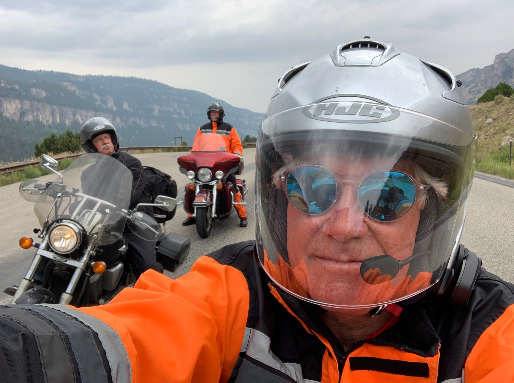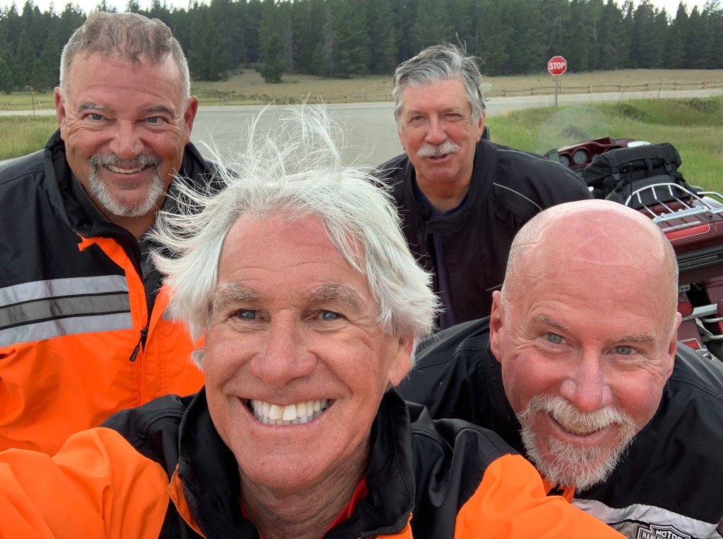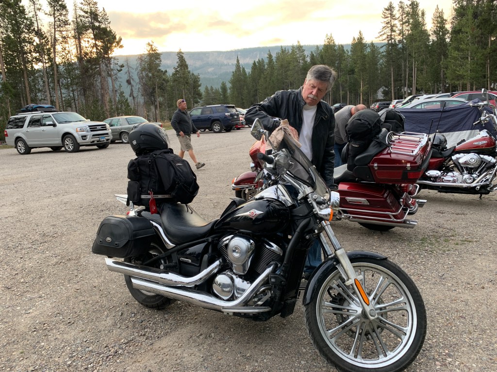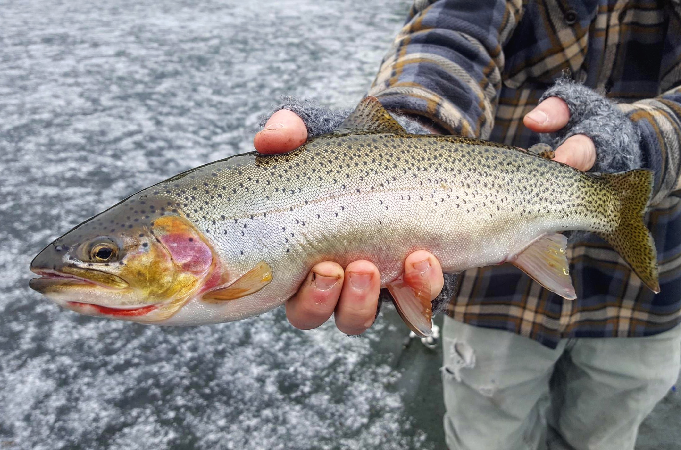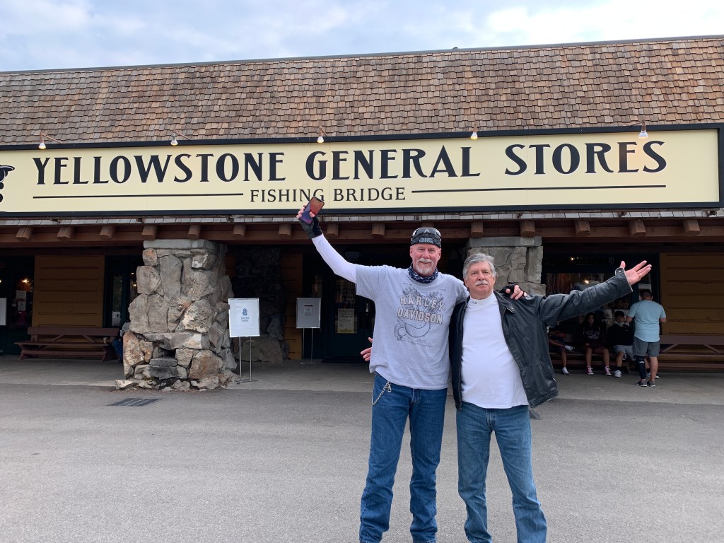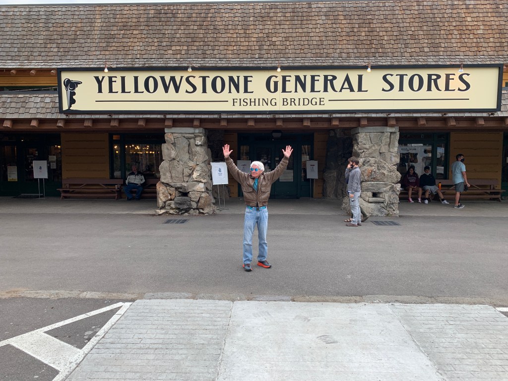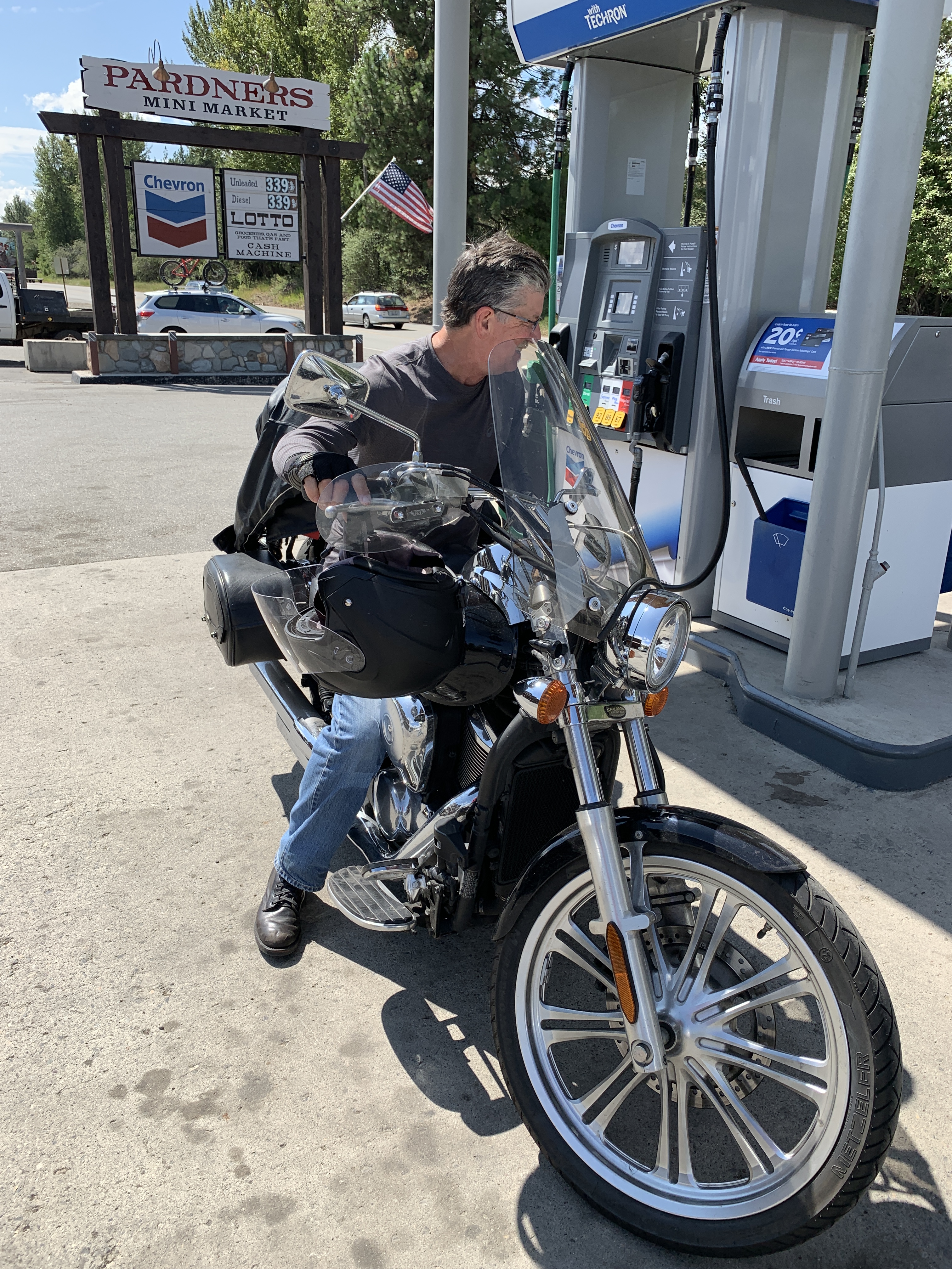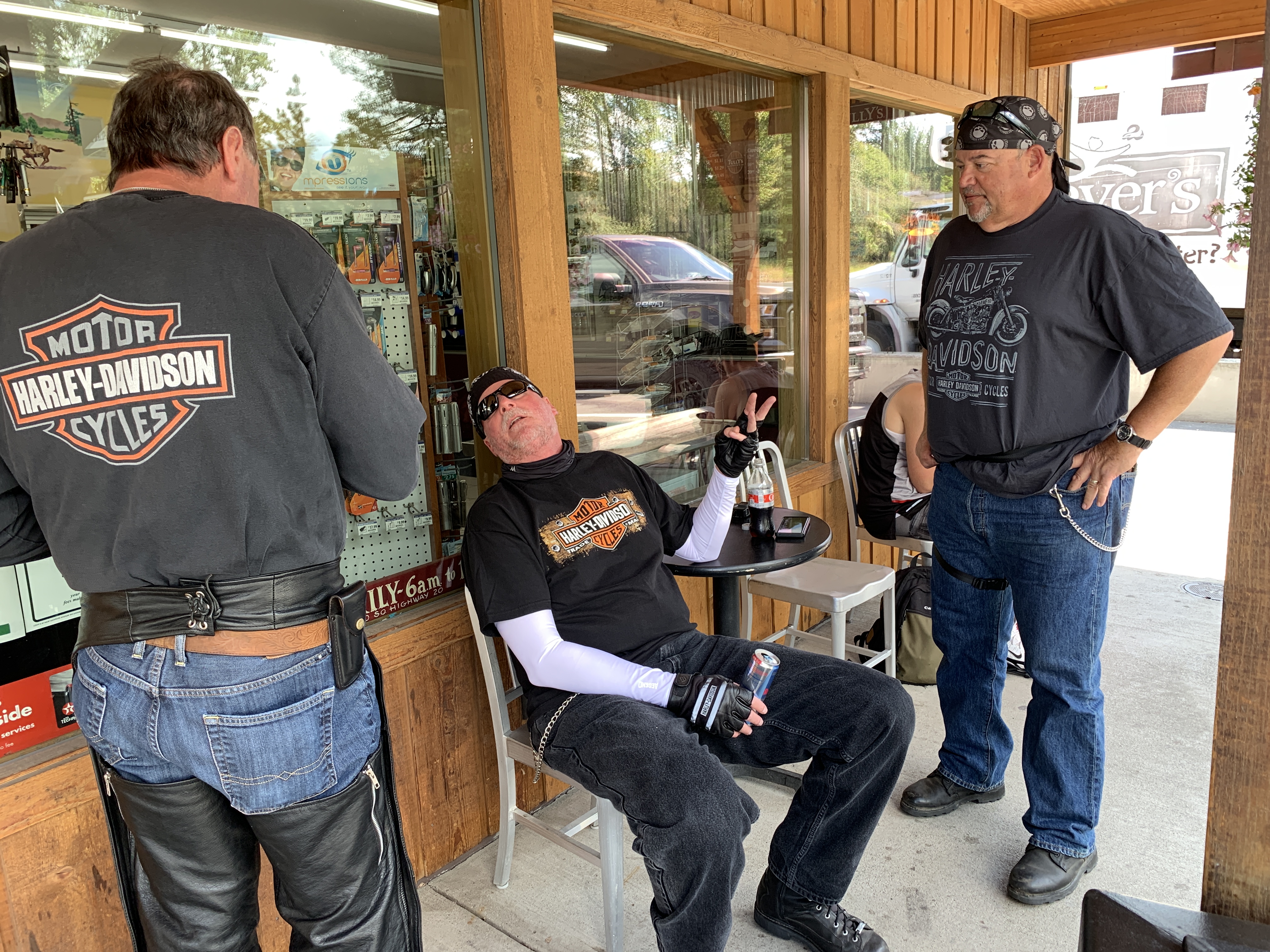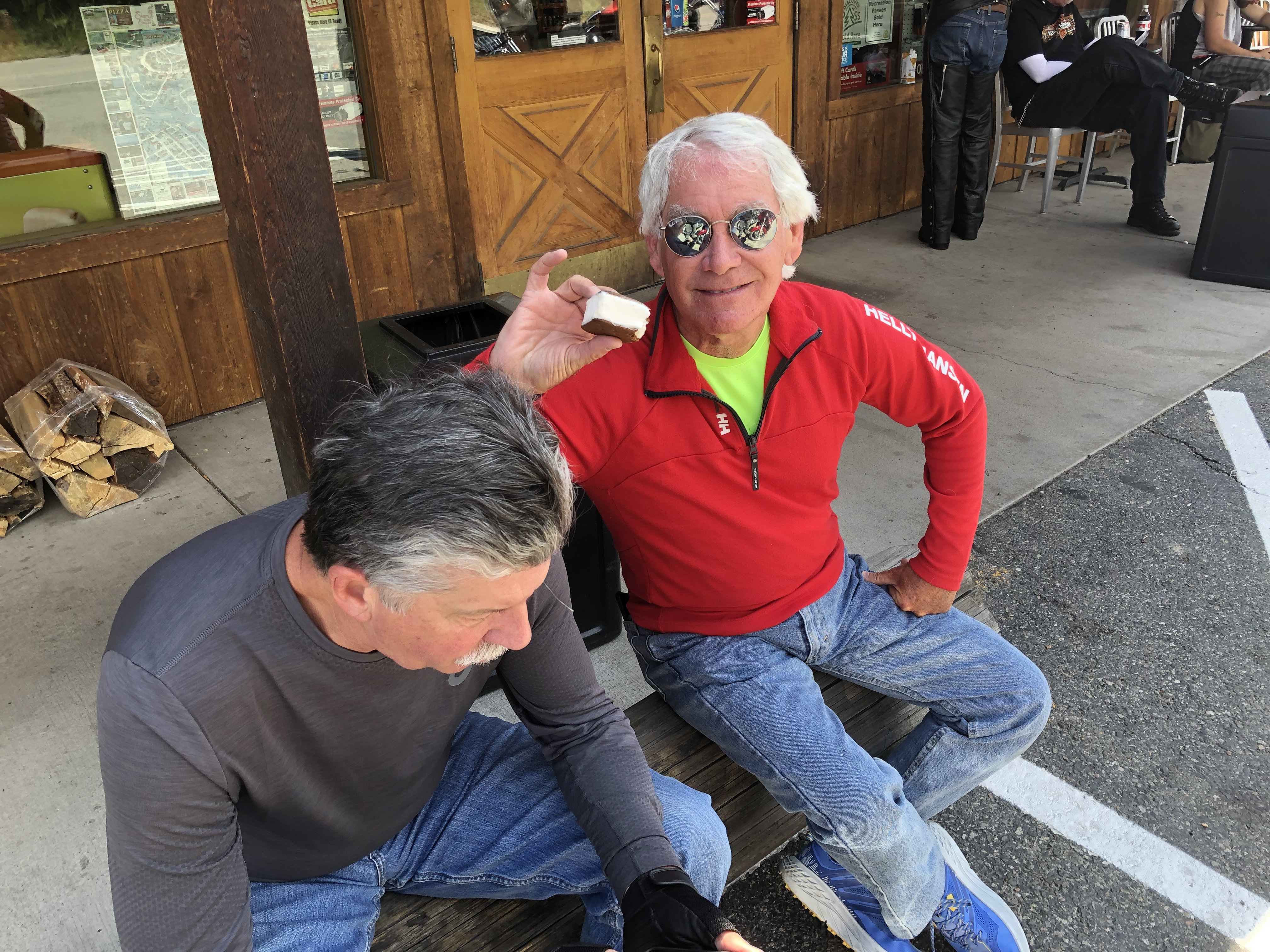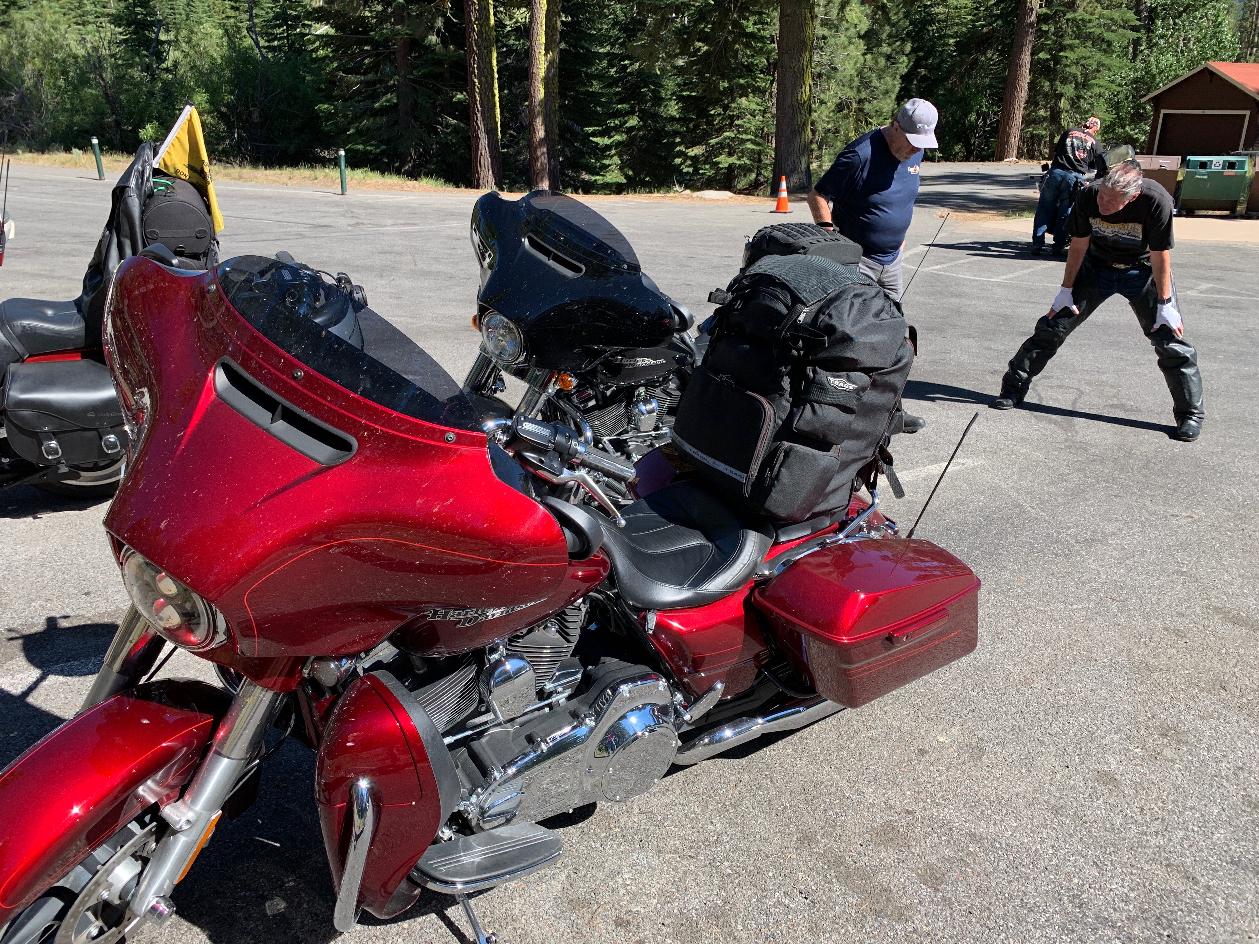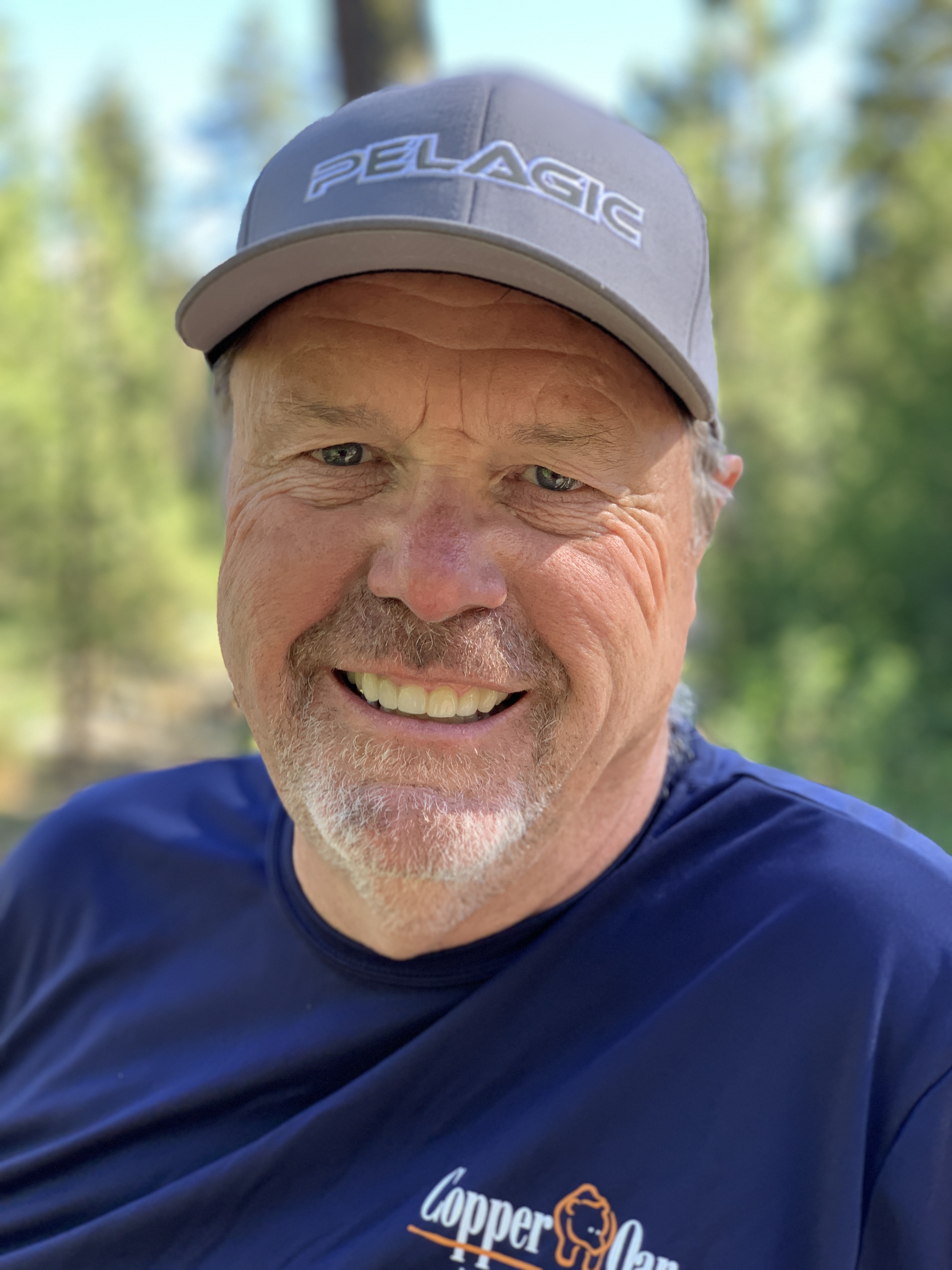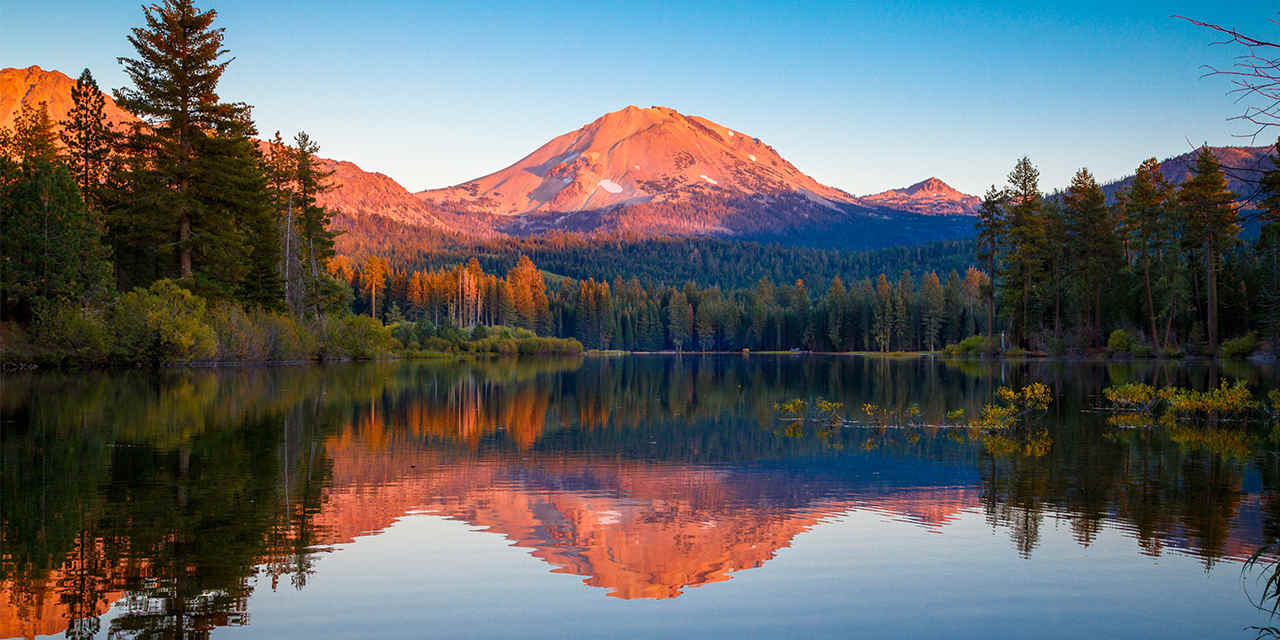
You Go, Lolo!

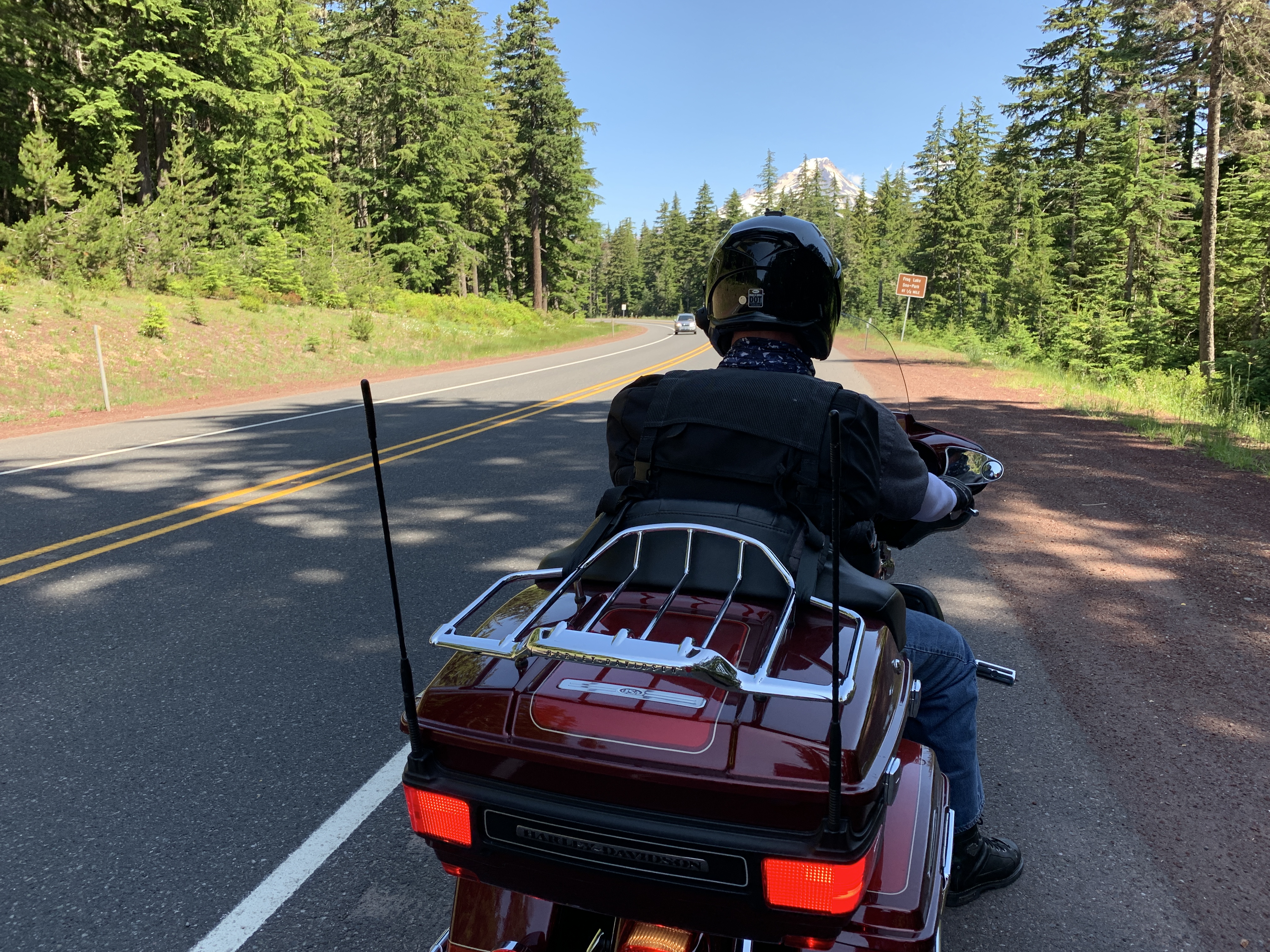
The same road that brought us to McCall, Idaho Highway 55, leads us out of town.

We follow Highway 55 west for ten miles, before arriving in New Meadows. New Meadows sits at the junction of the primary north-south highway in the state, US Highway 95, and State Highway 55, which got us here.

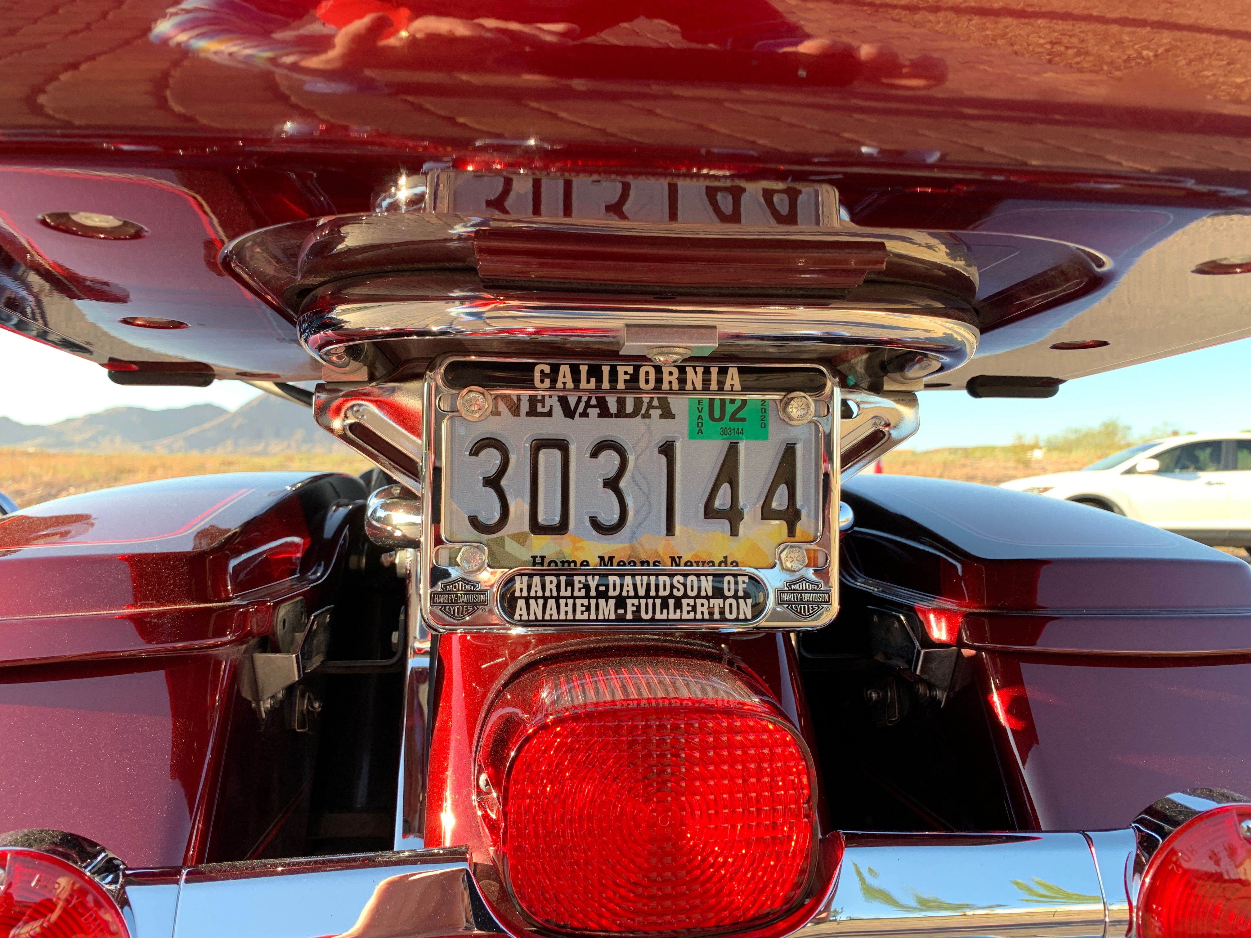
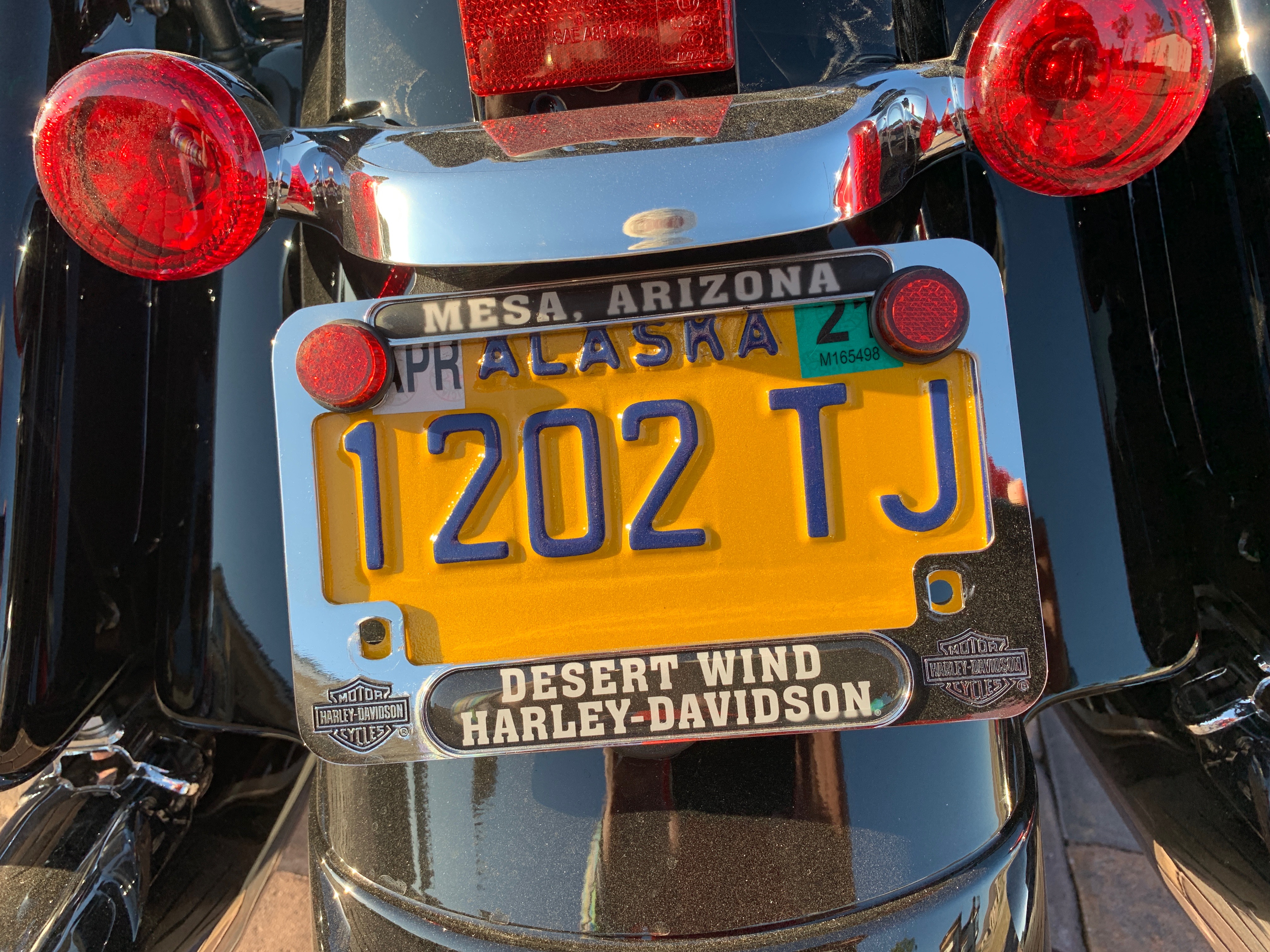
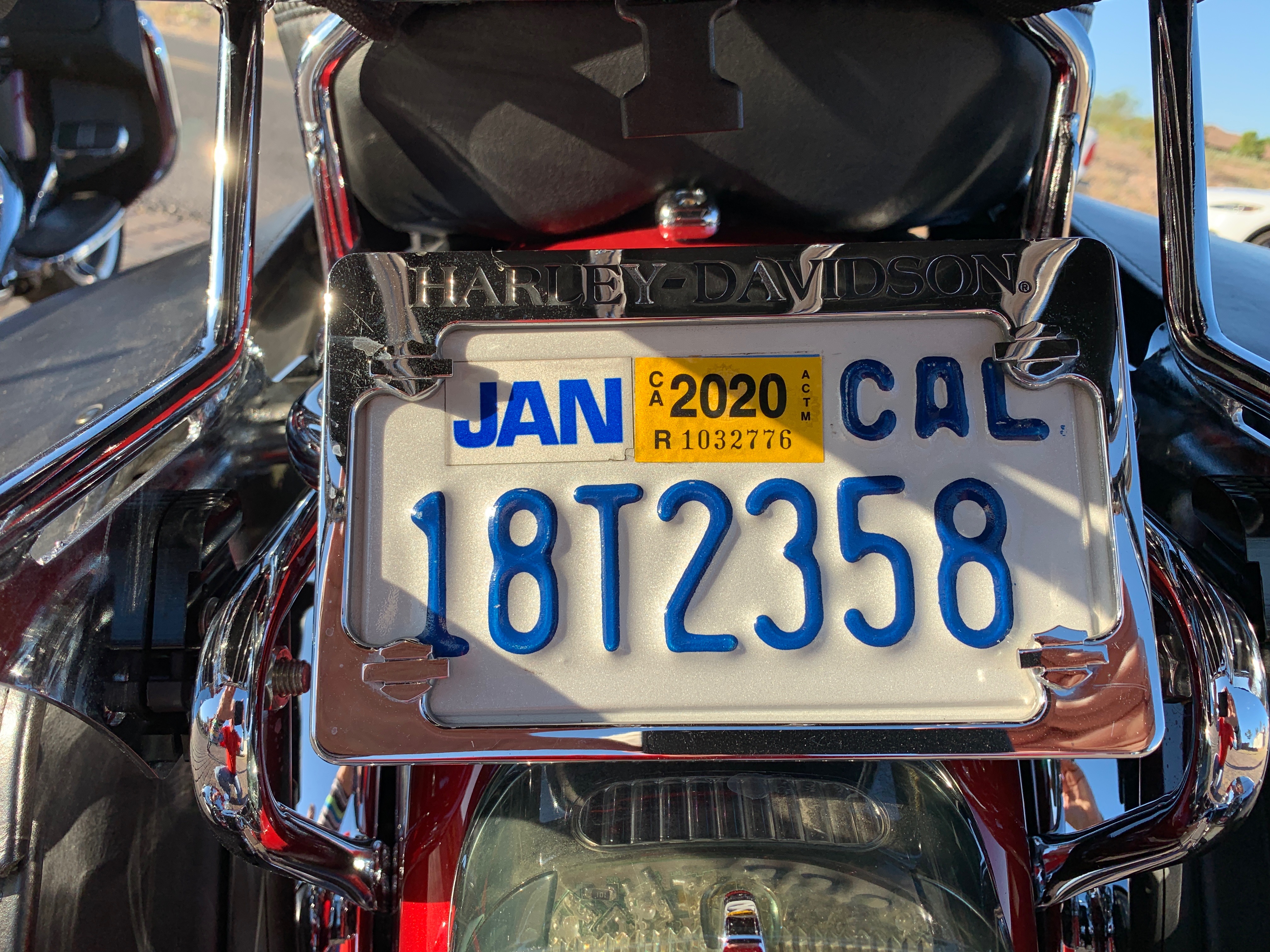
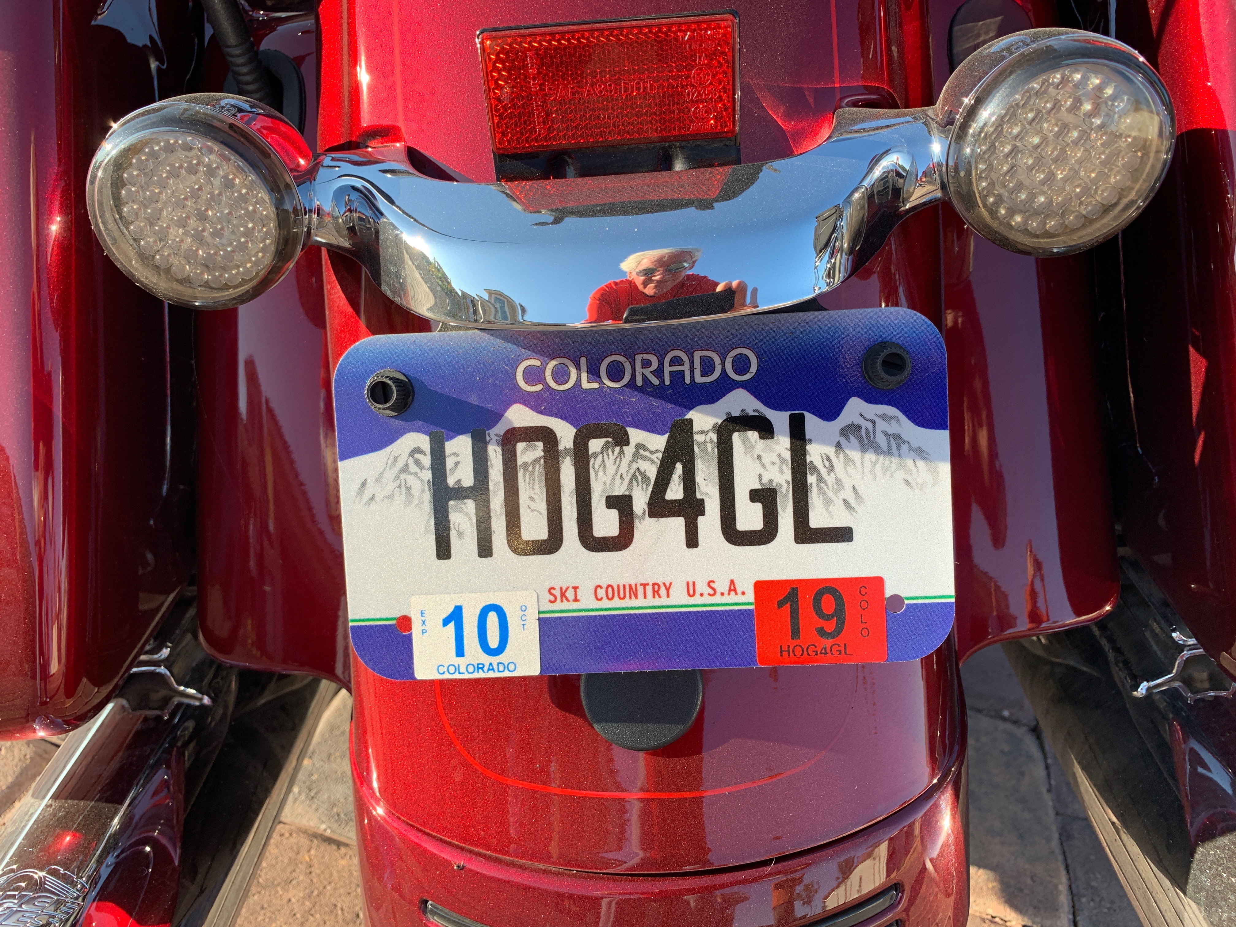
More importantly, New Meadows is our first exposure to Adams County (2A license plates).

We turn north on US Highway 95 and head toward Riggins. Like so much of Idaho, we see little for mile after mile, other than the Little Salmon River and pine trees as far as you can see.

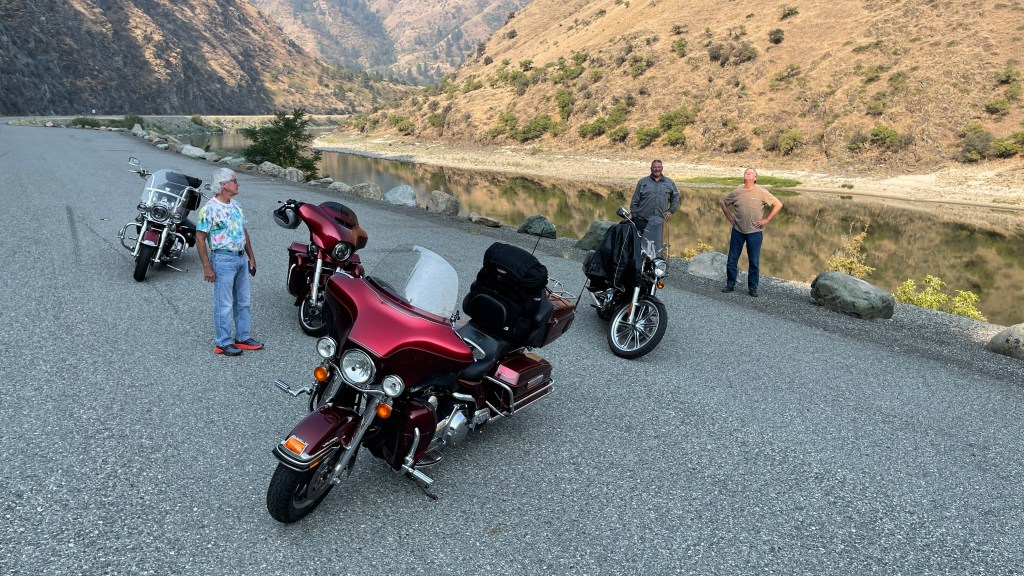
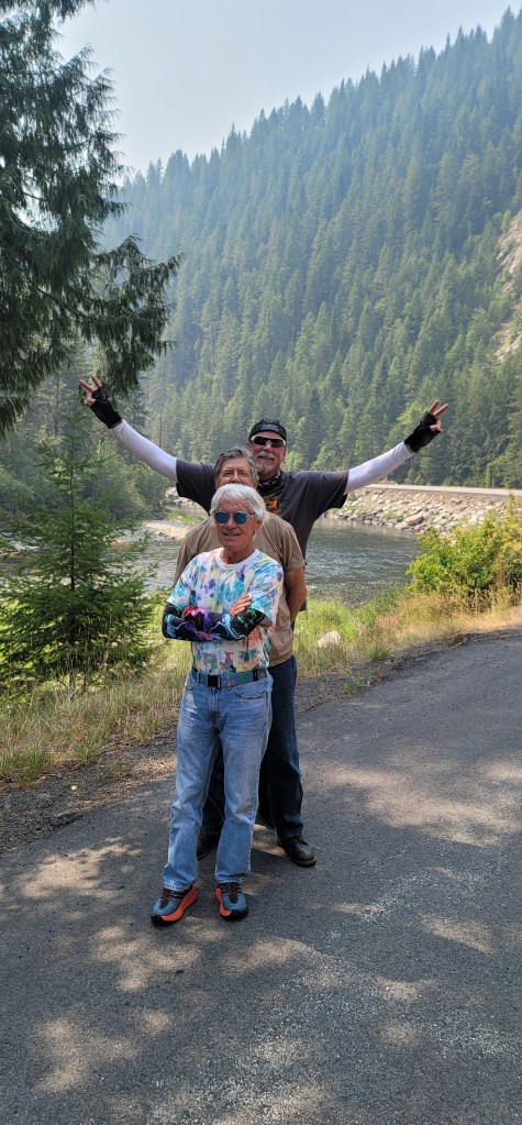
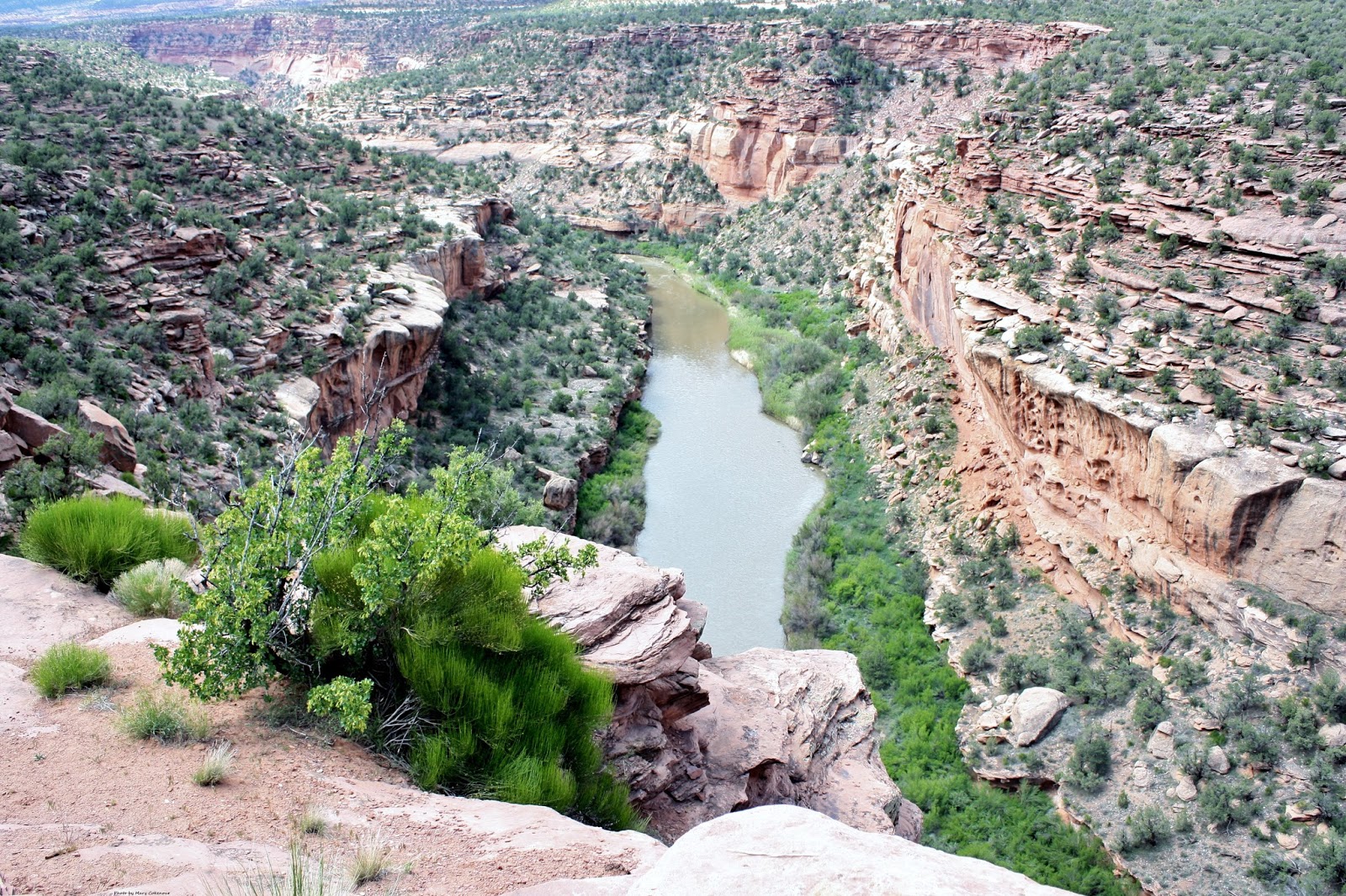
Somewhere in Idaho, along the Salmon River.

When the Little Salmon River meets the Salmon River, we arrive in Riggins (I license plates). Riggins, population about 400, is the northwestern most town in the Mountain Time zone; the Pacific Time begins just north of the city, across the Salmon River. Riggins’ town motto: Come See For Yourself.

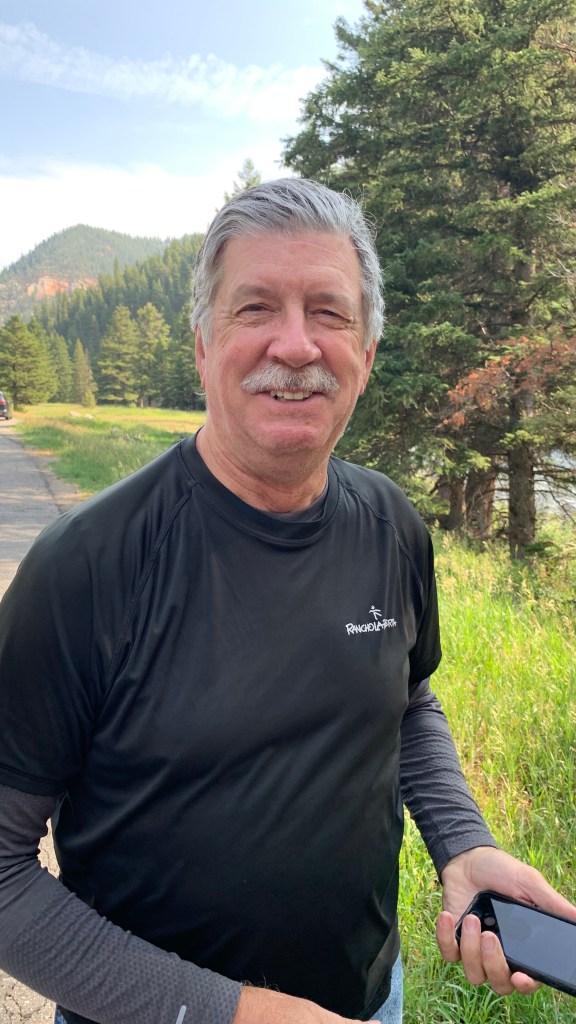
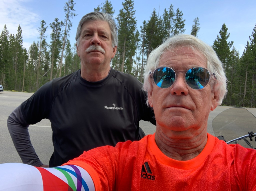
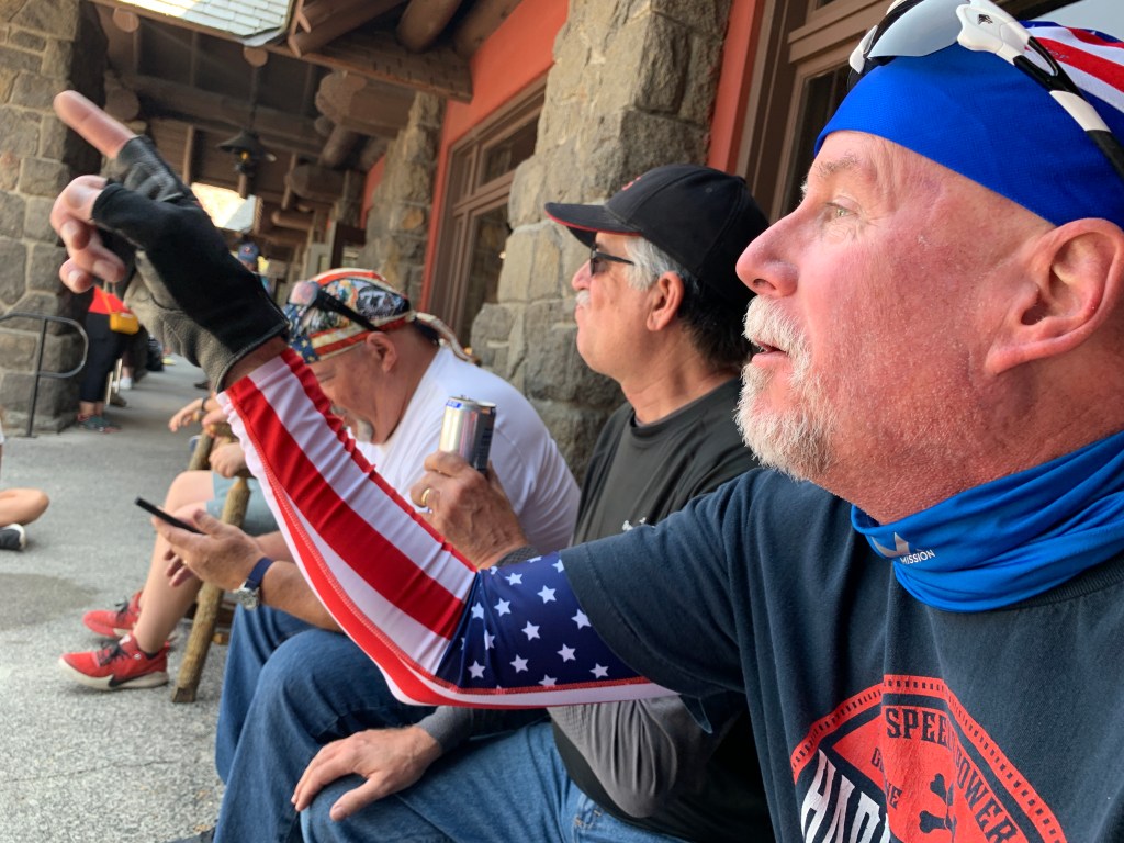
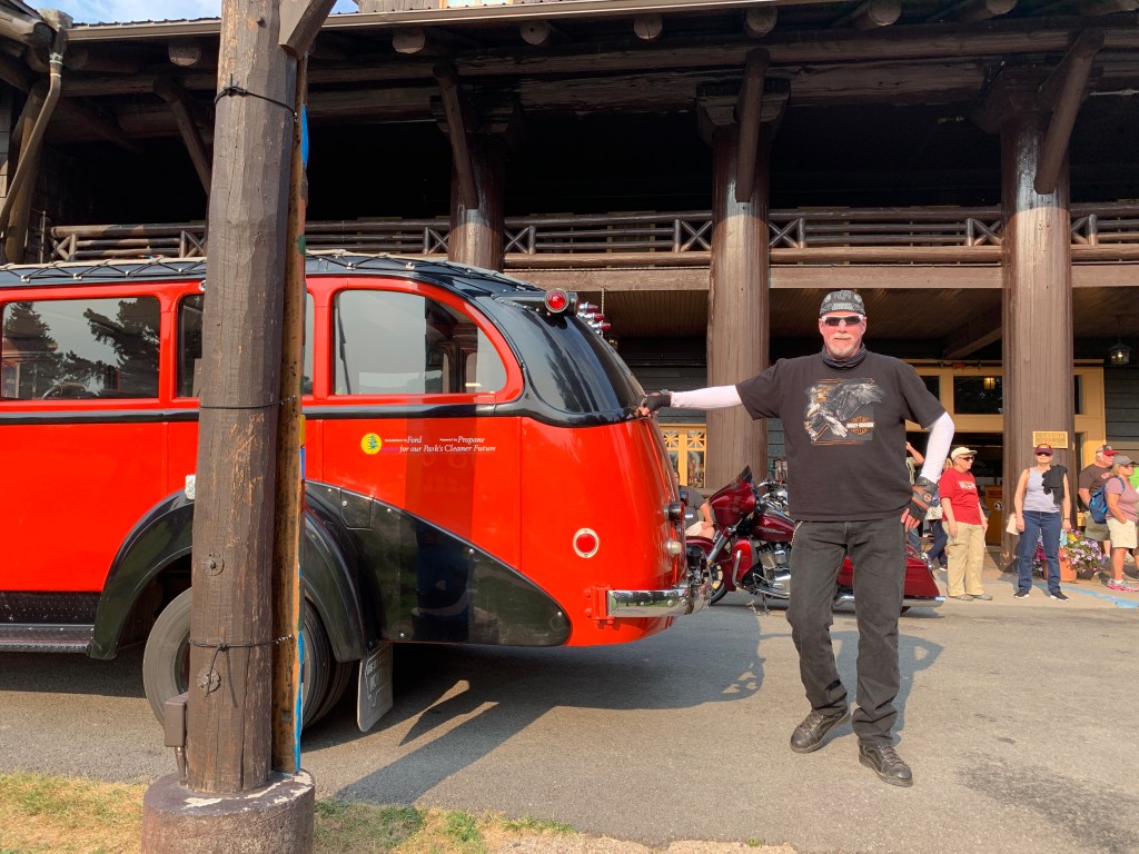
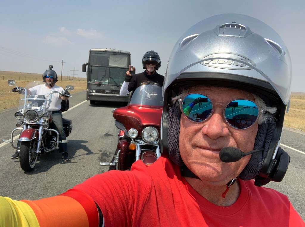
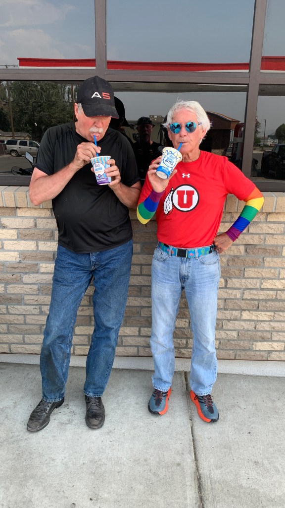
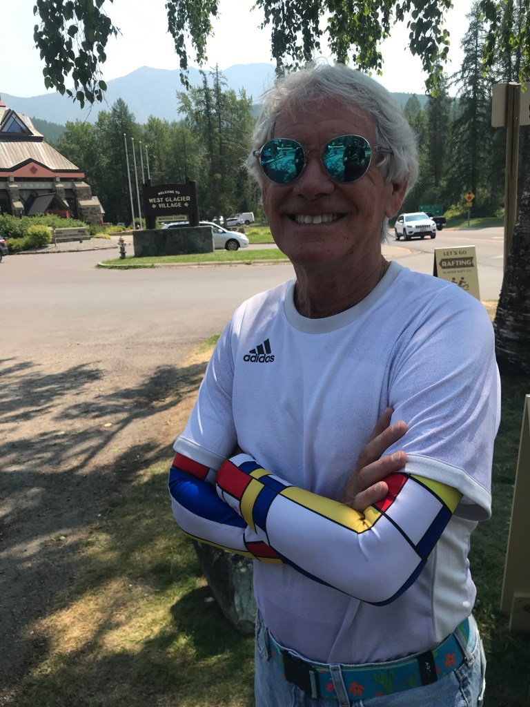
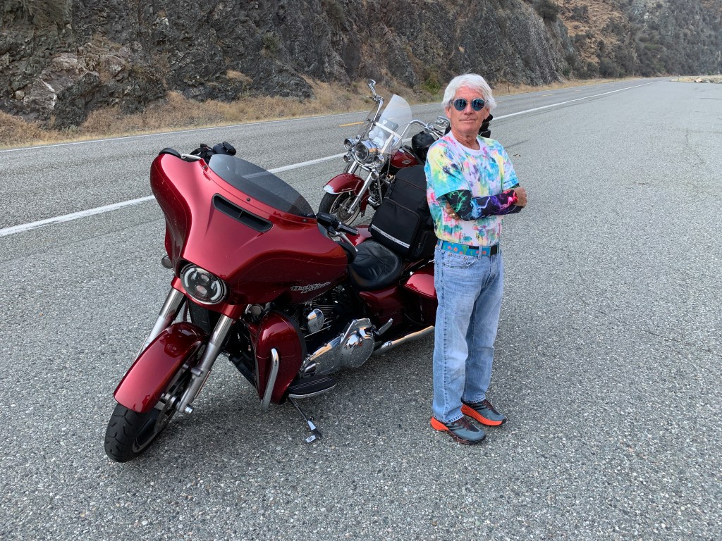
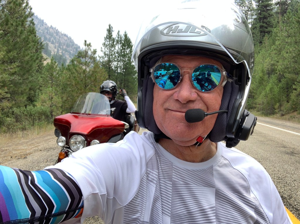
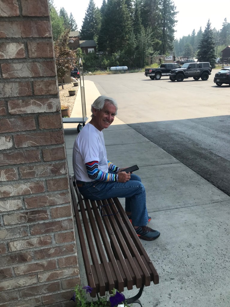
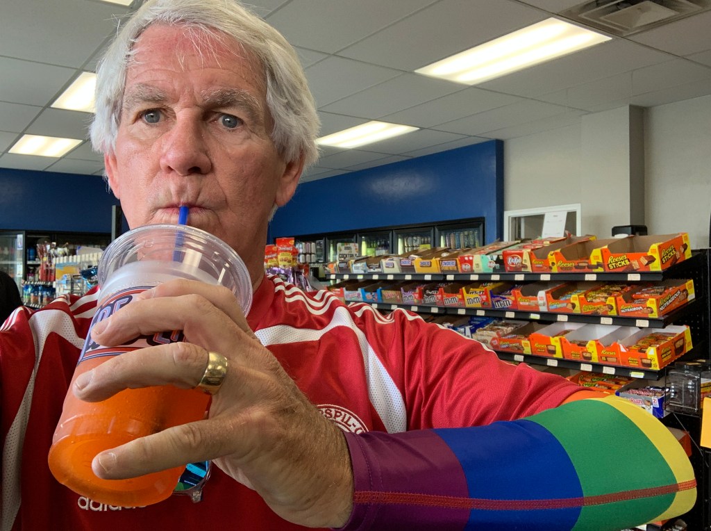
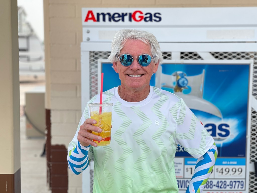
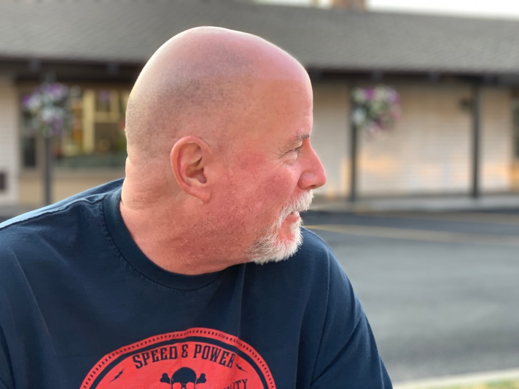
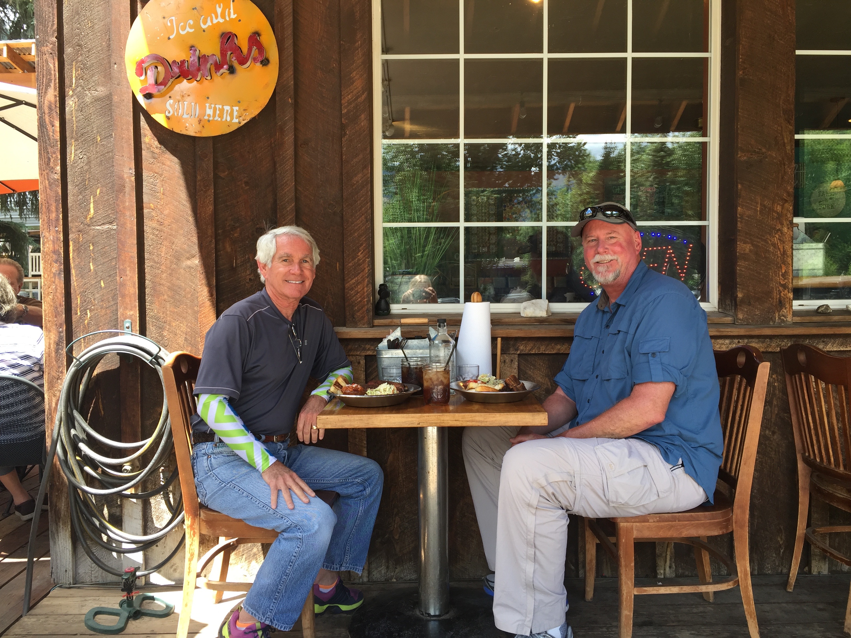
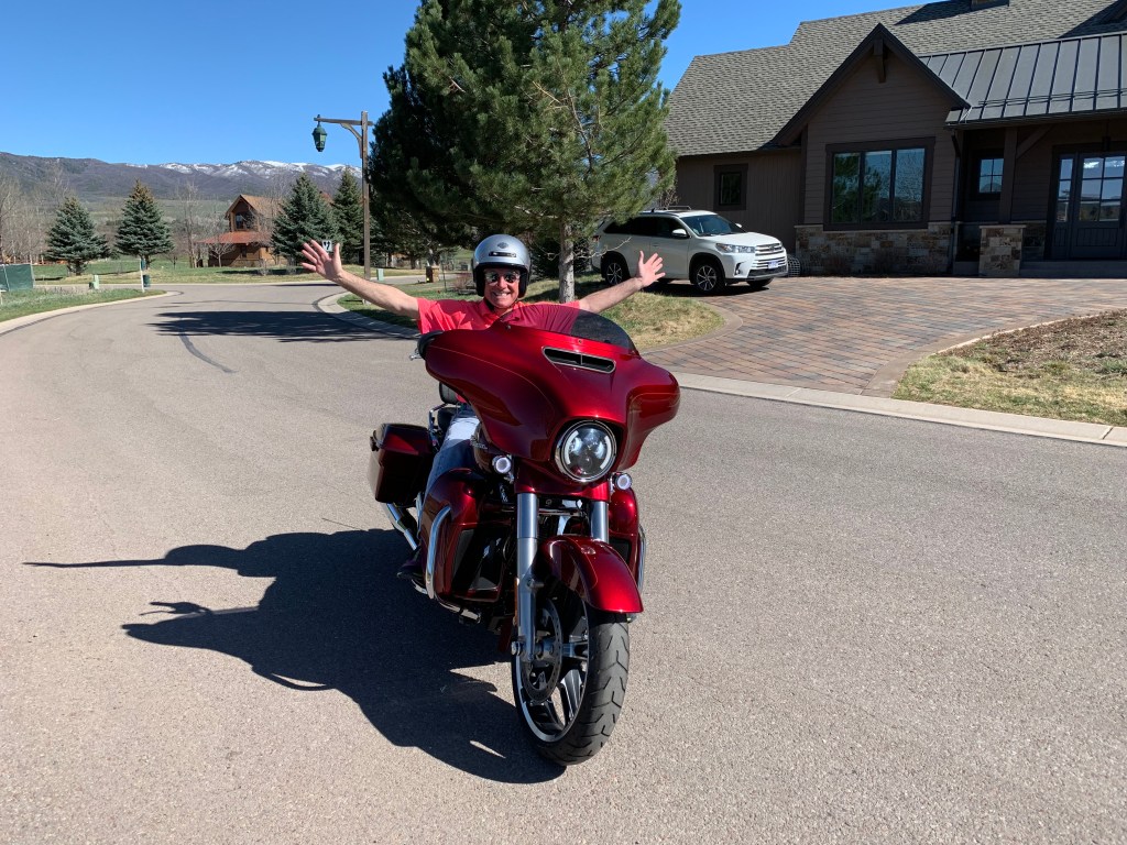
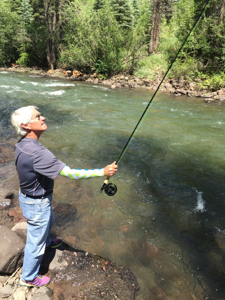
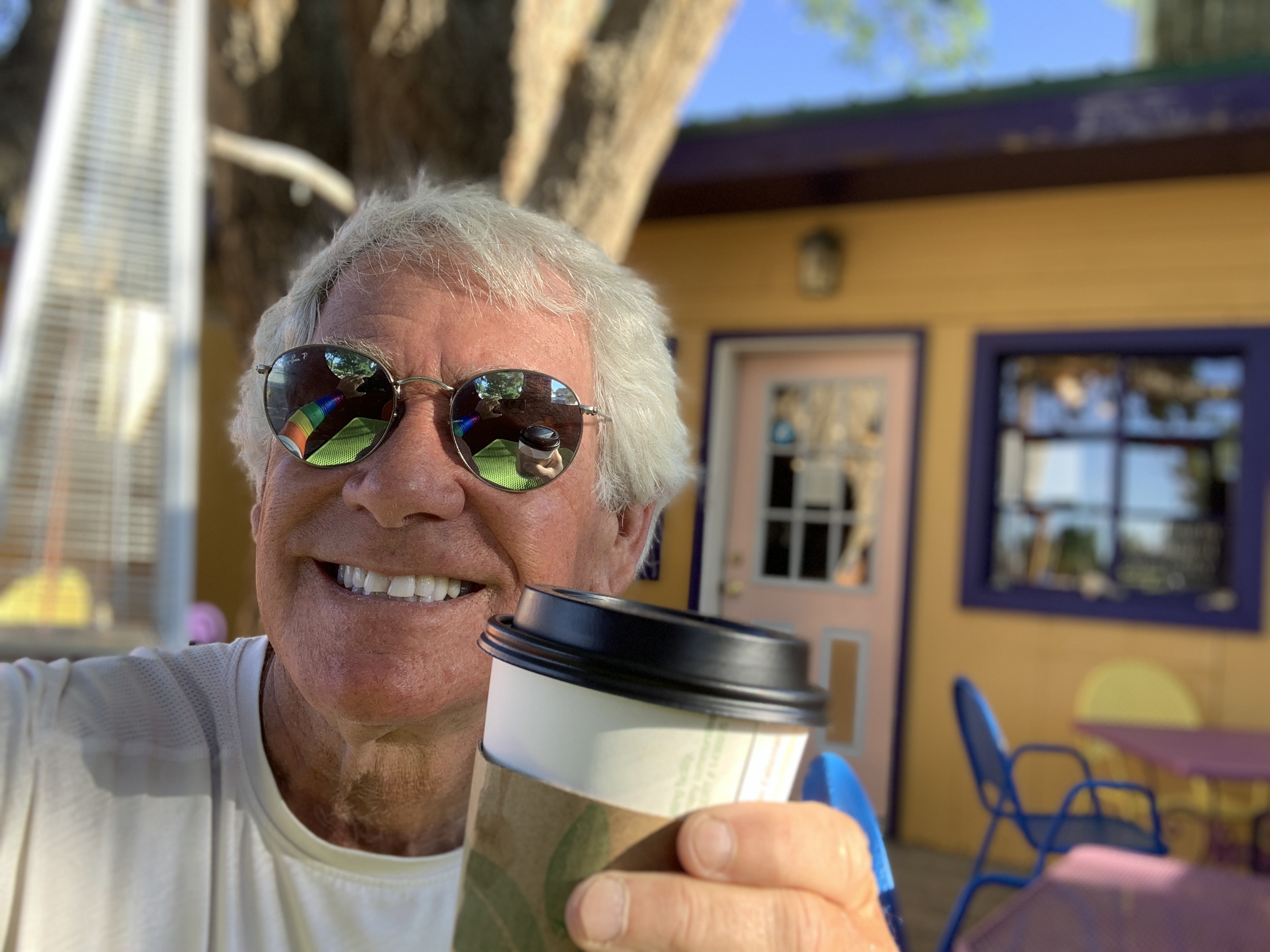
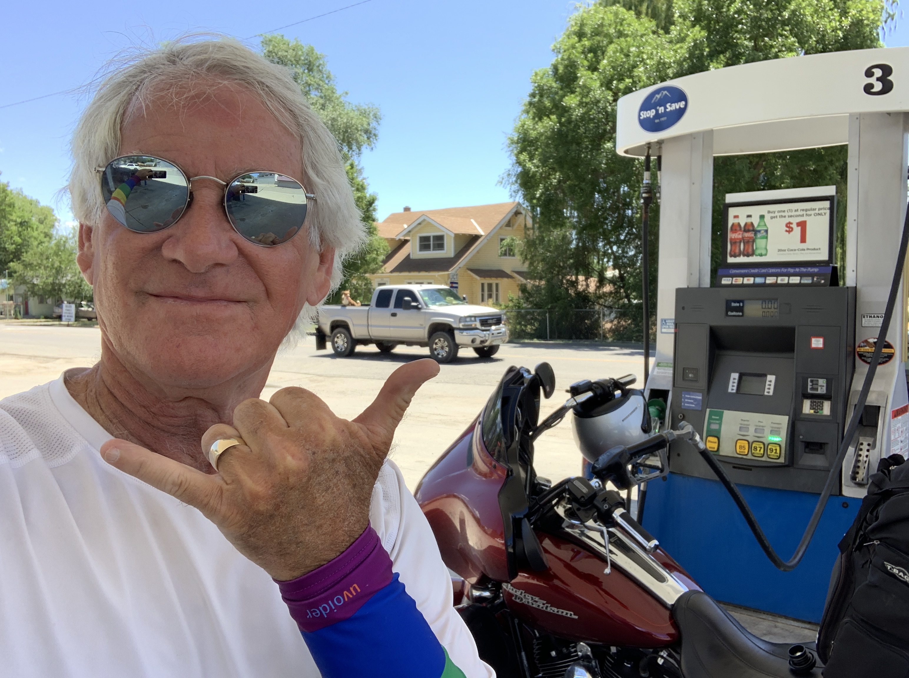
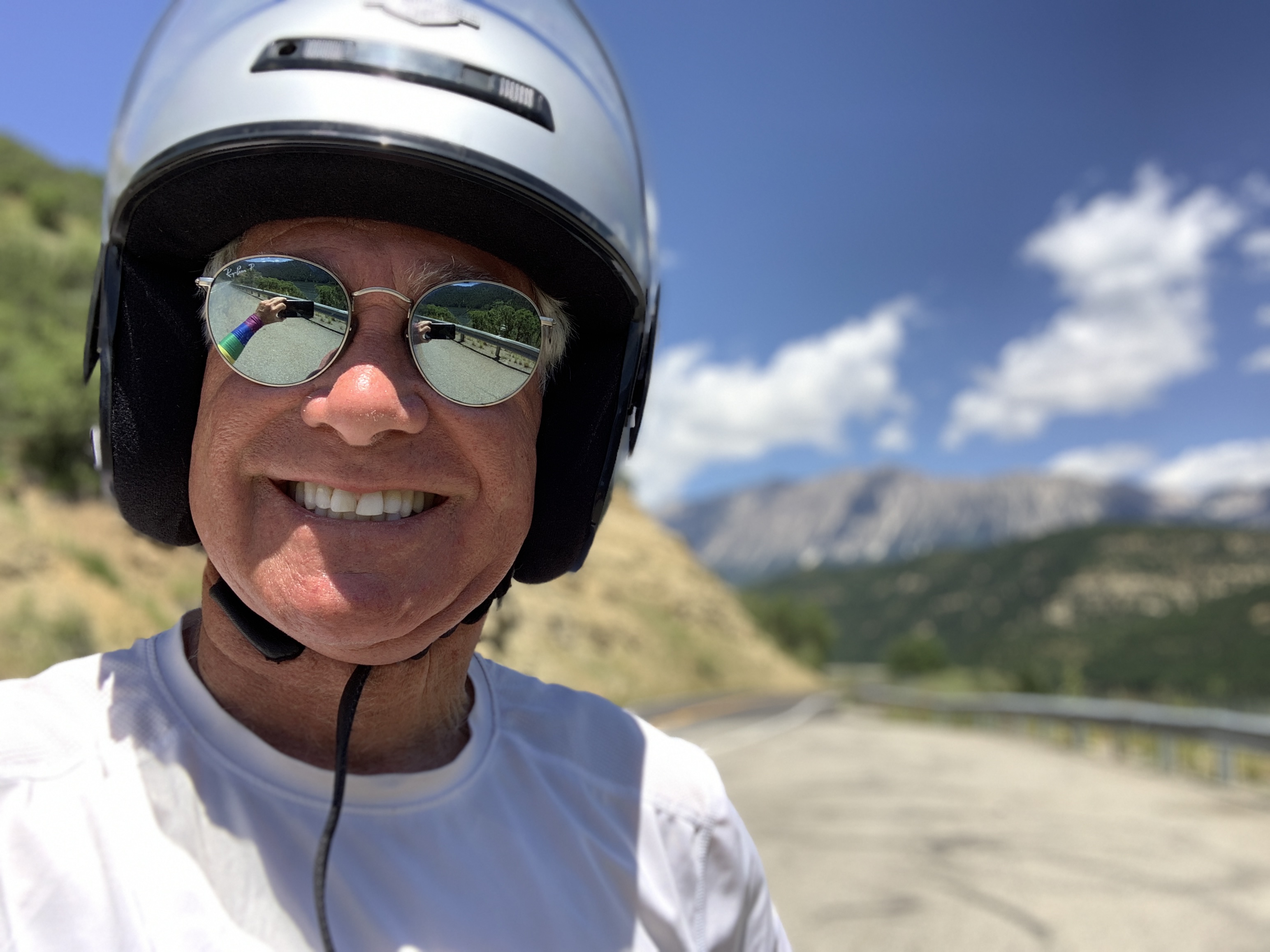
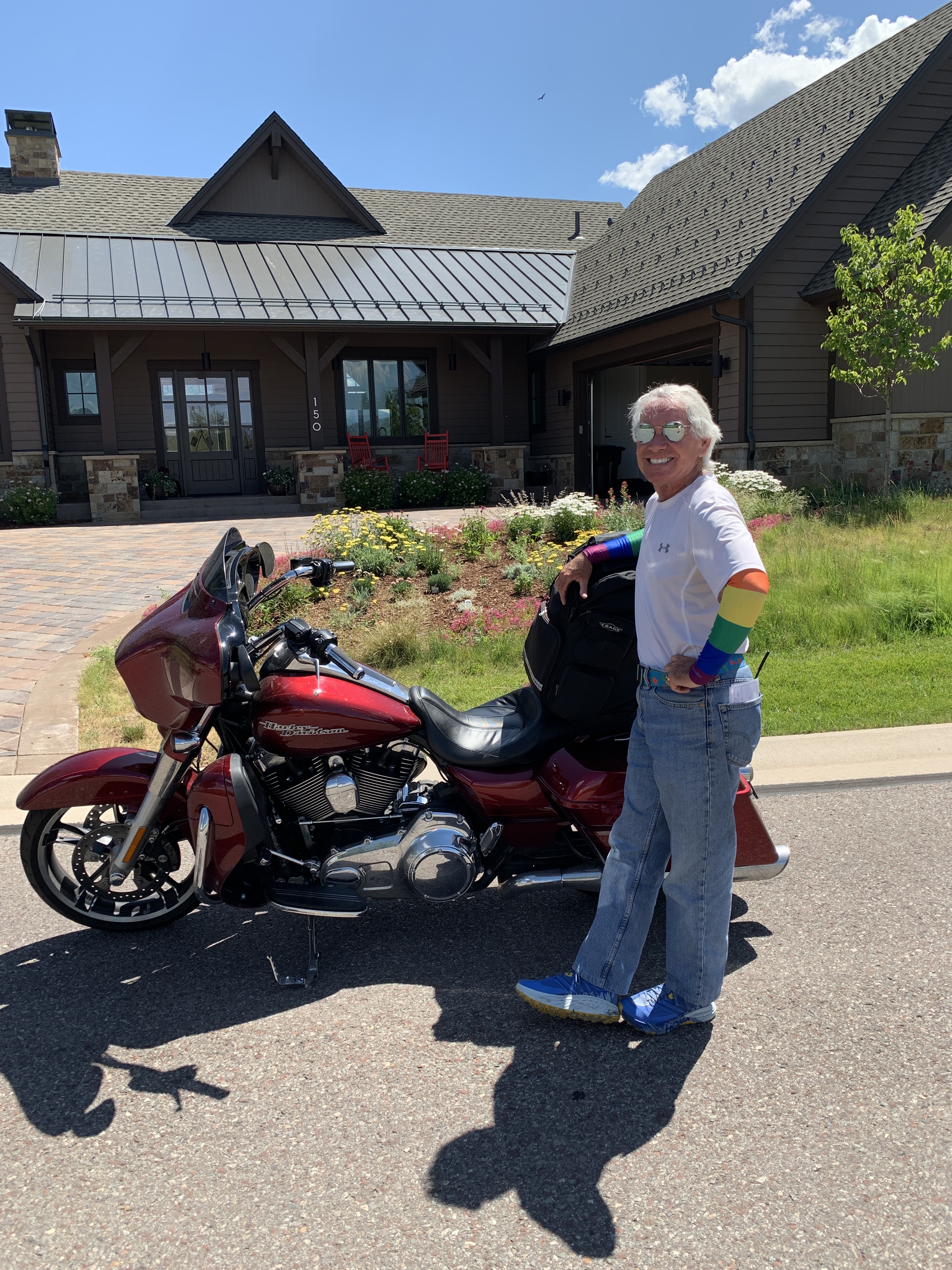
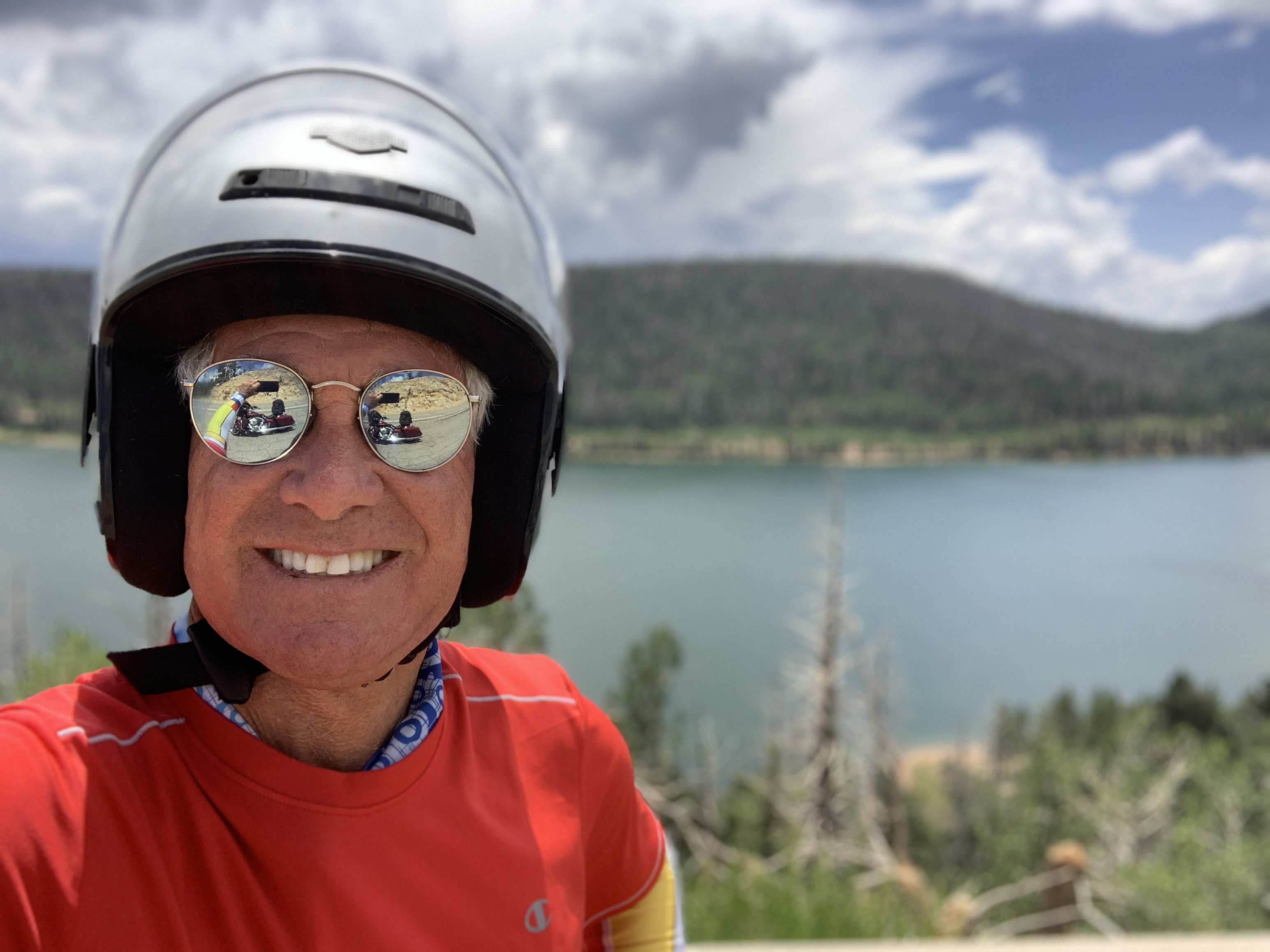
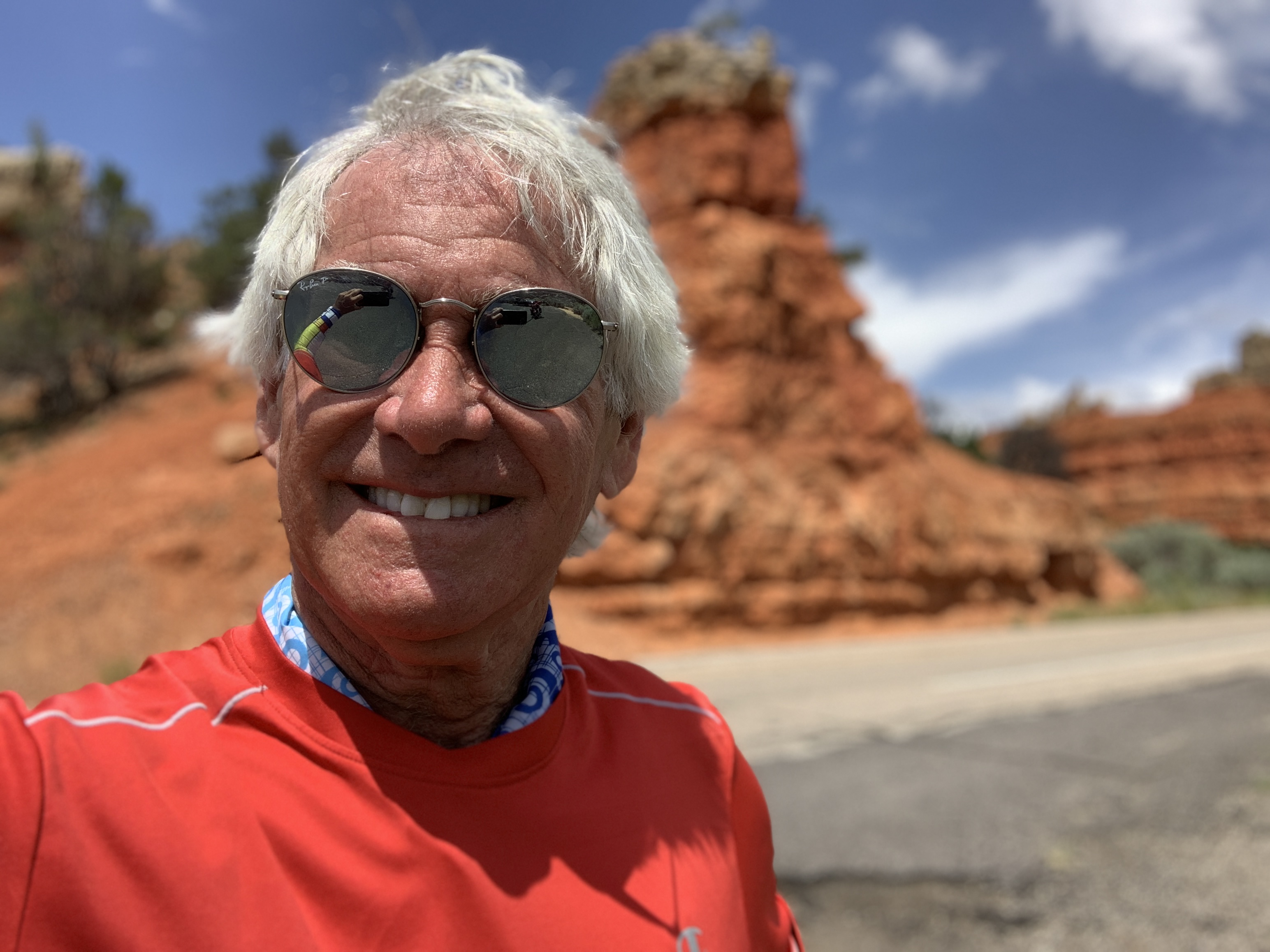
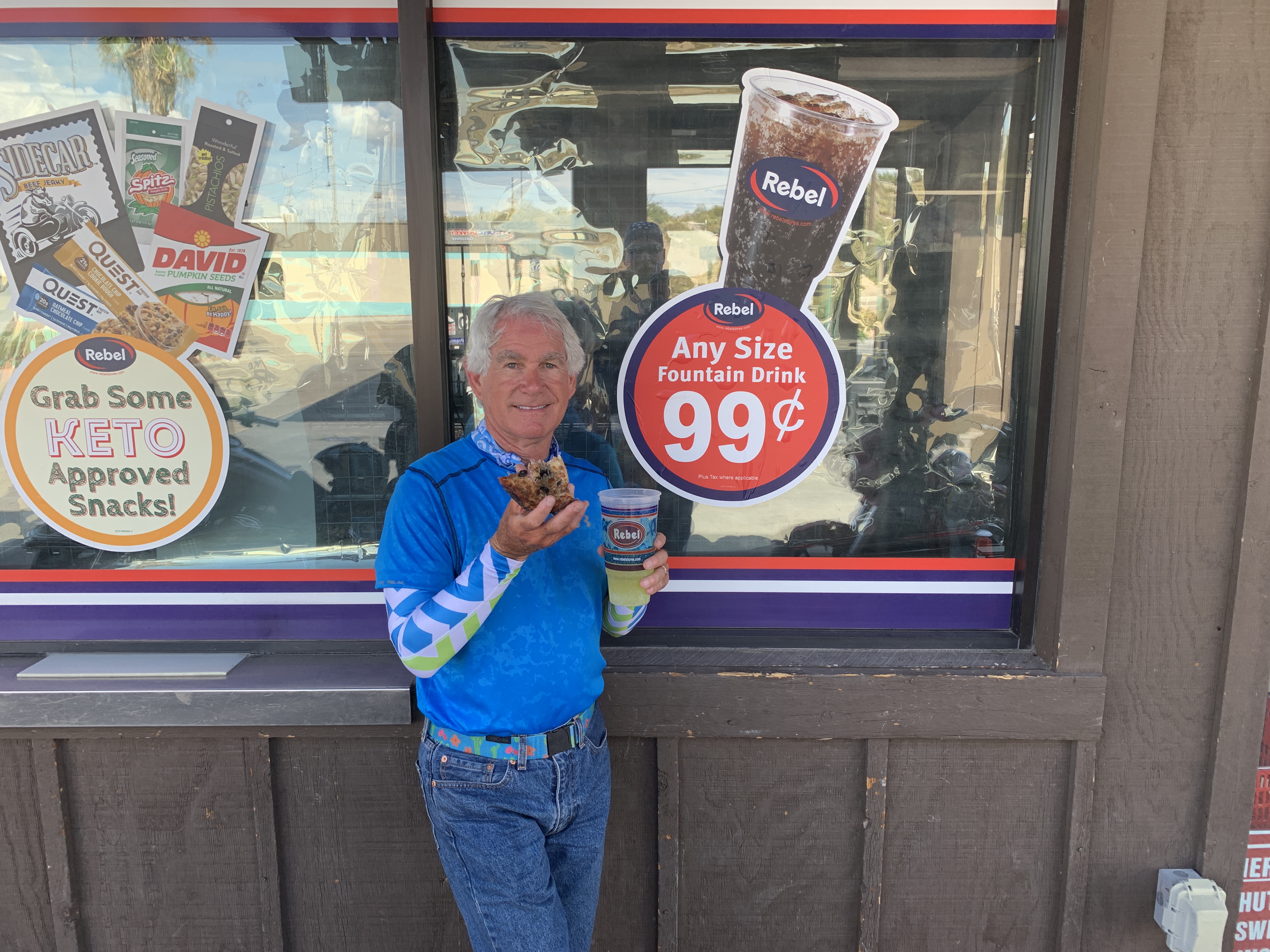
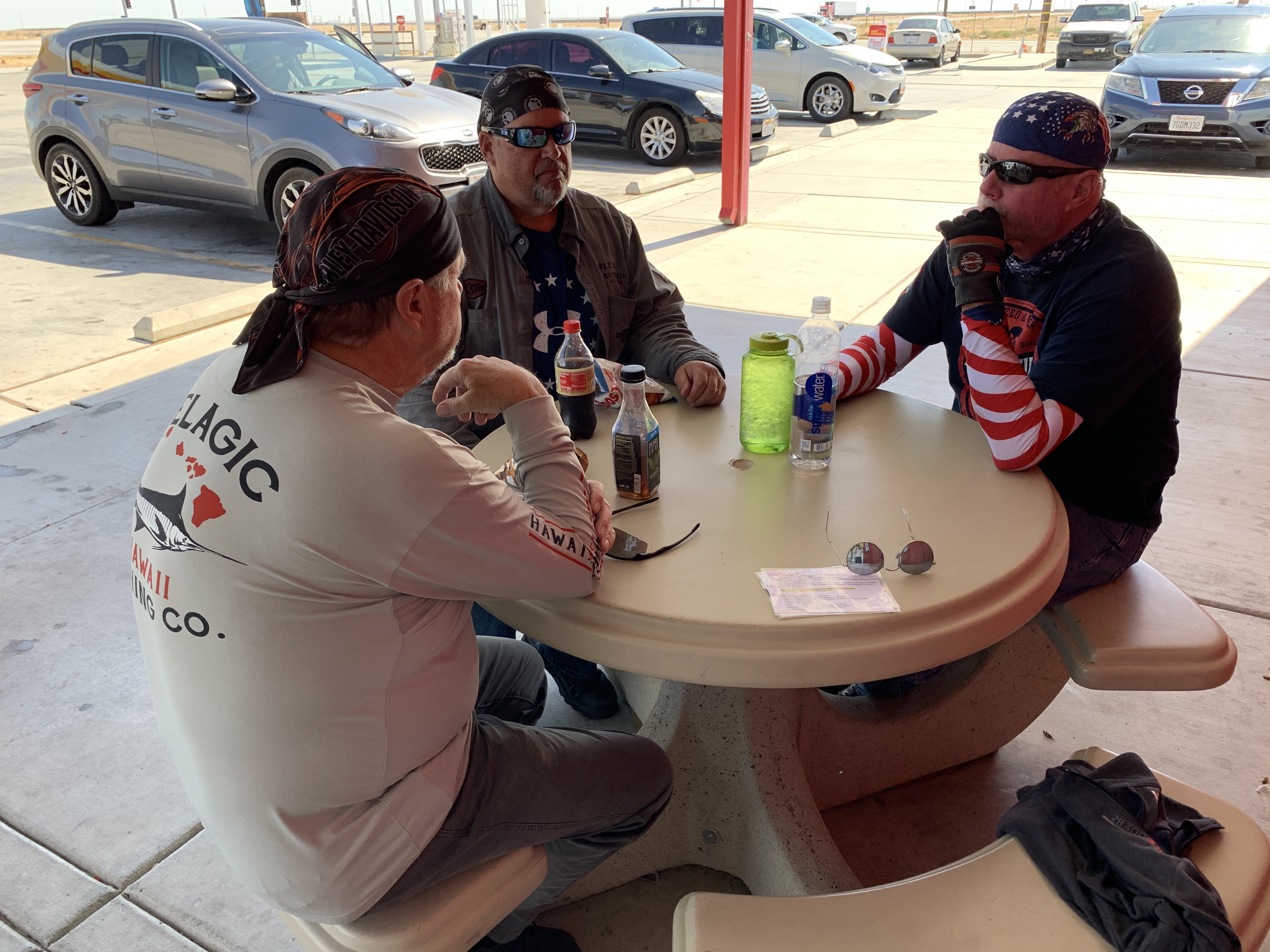
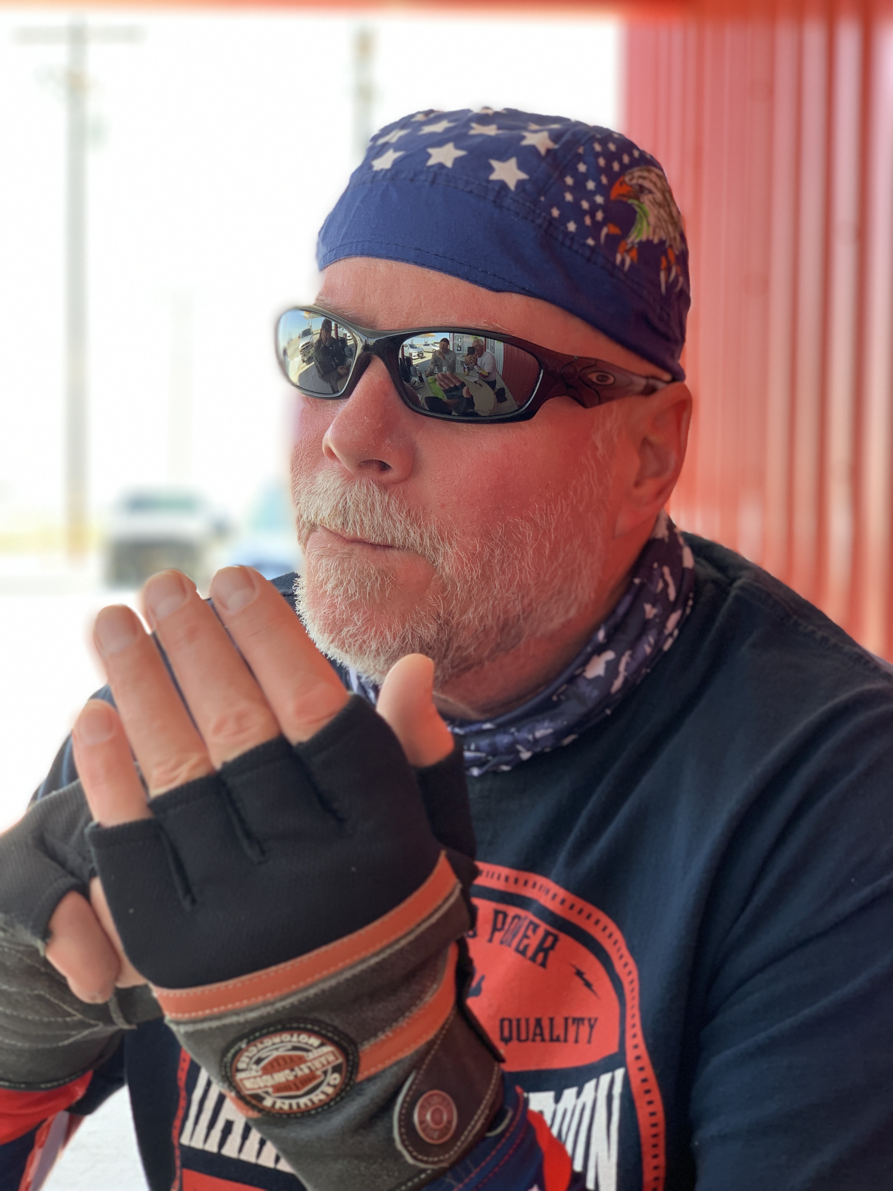
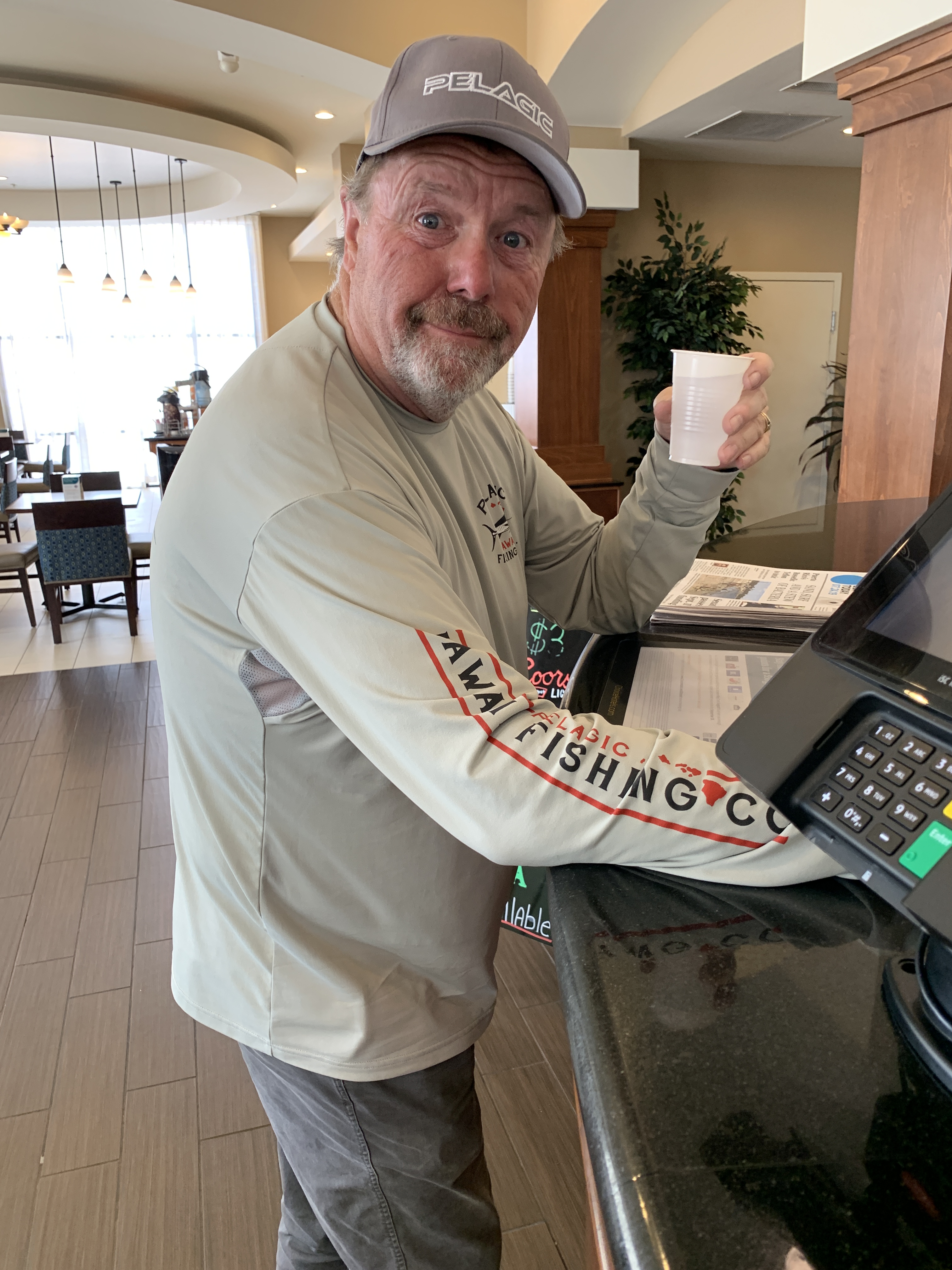
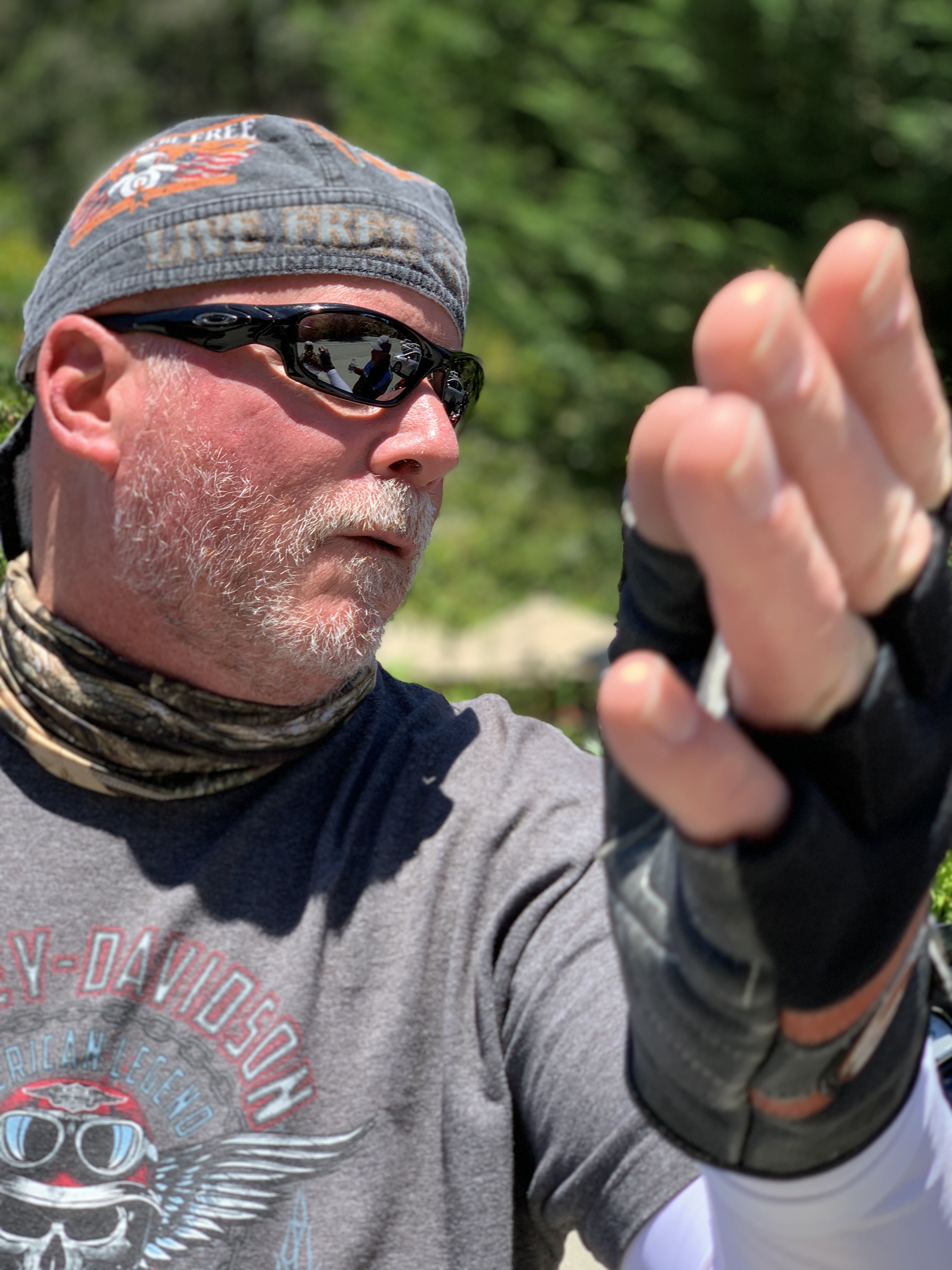
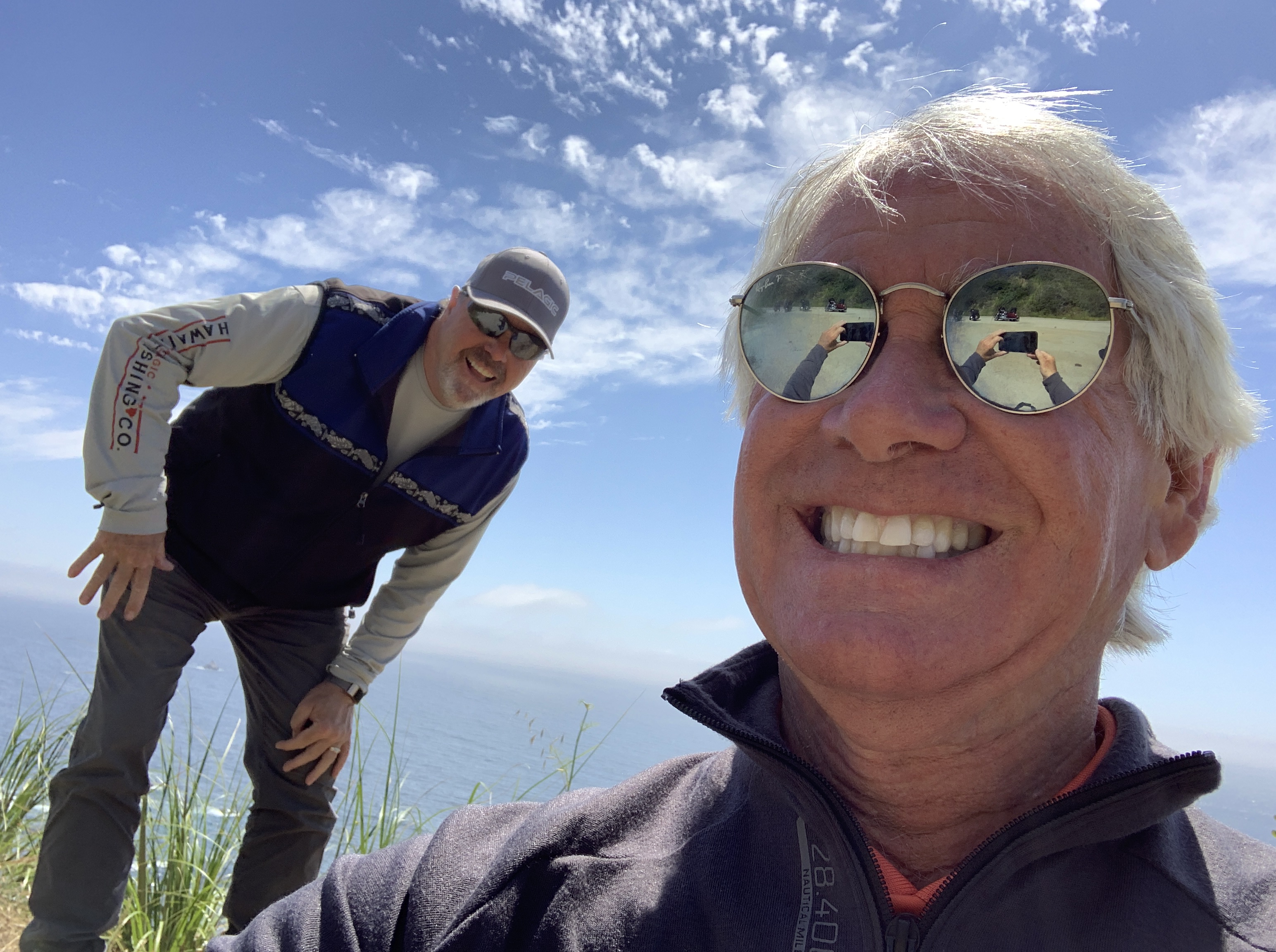
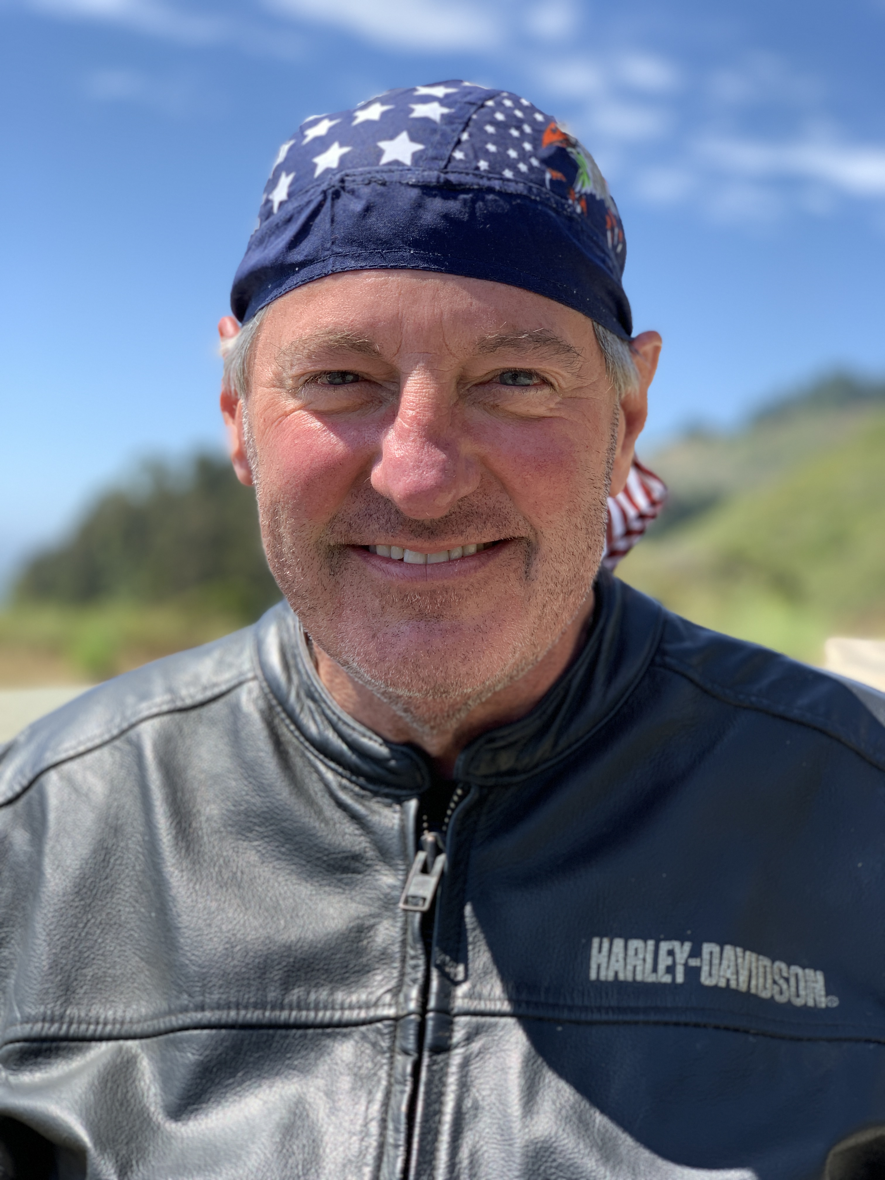
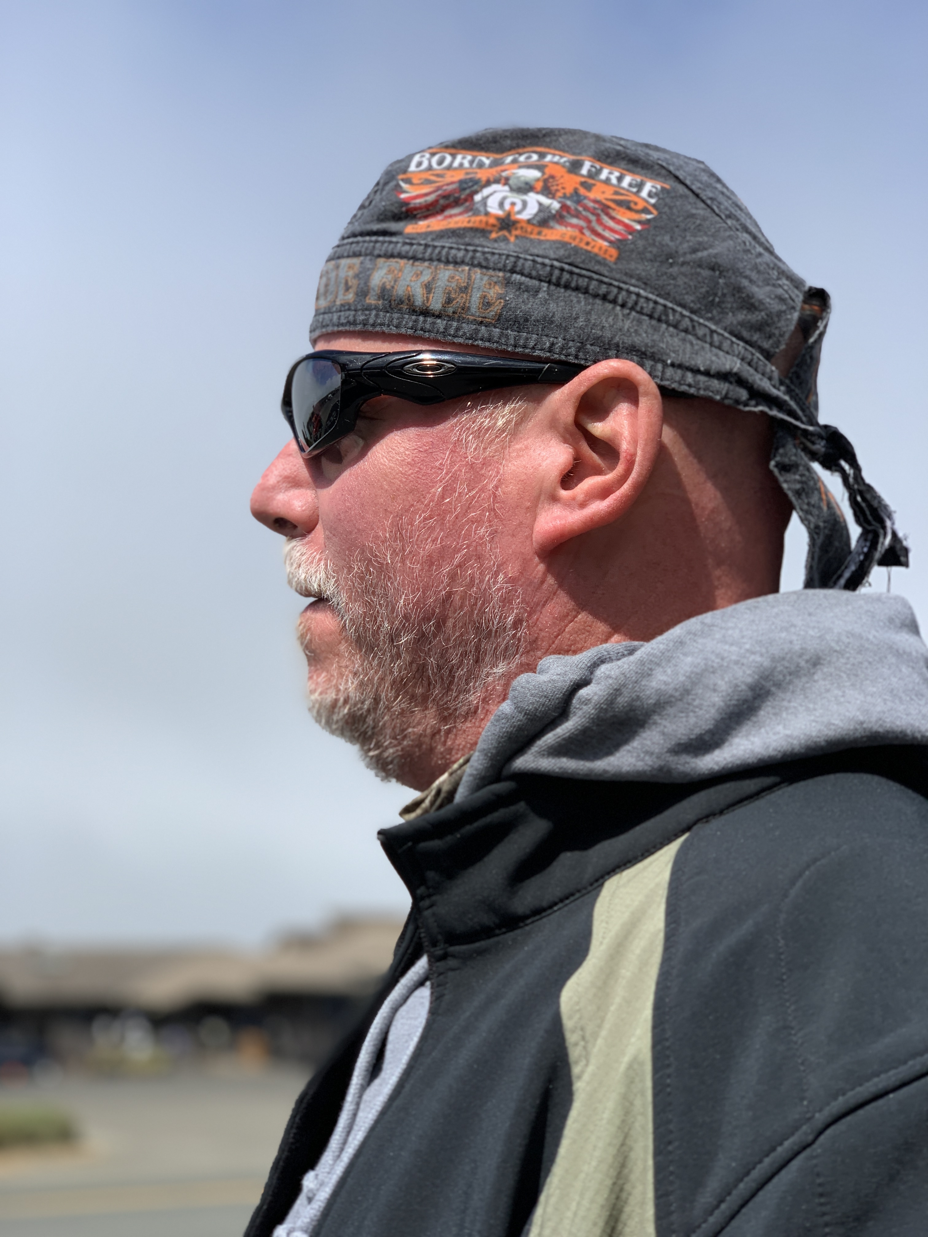
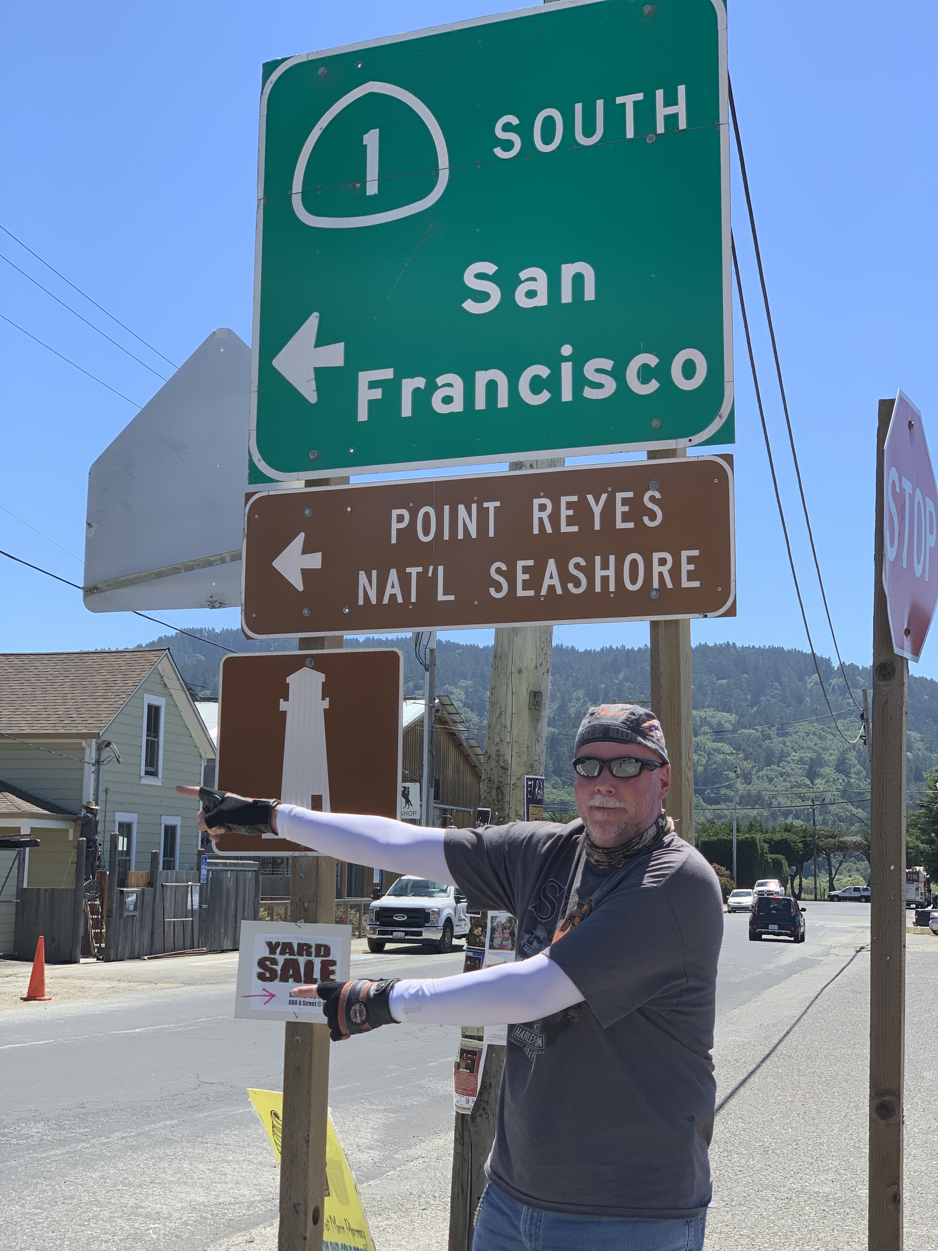
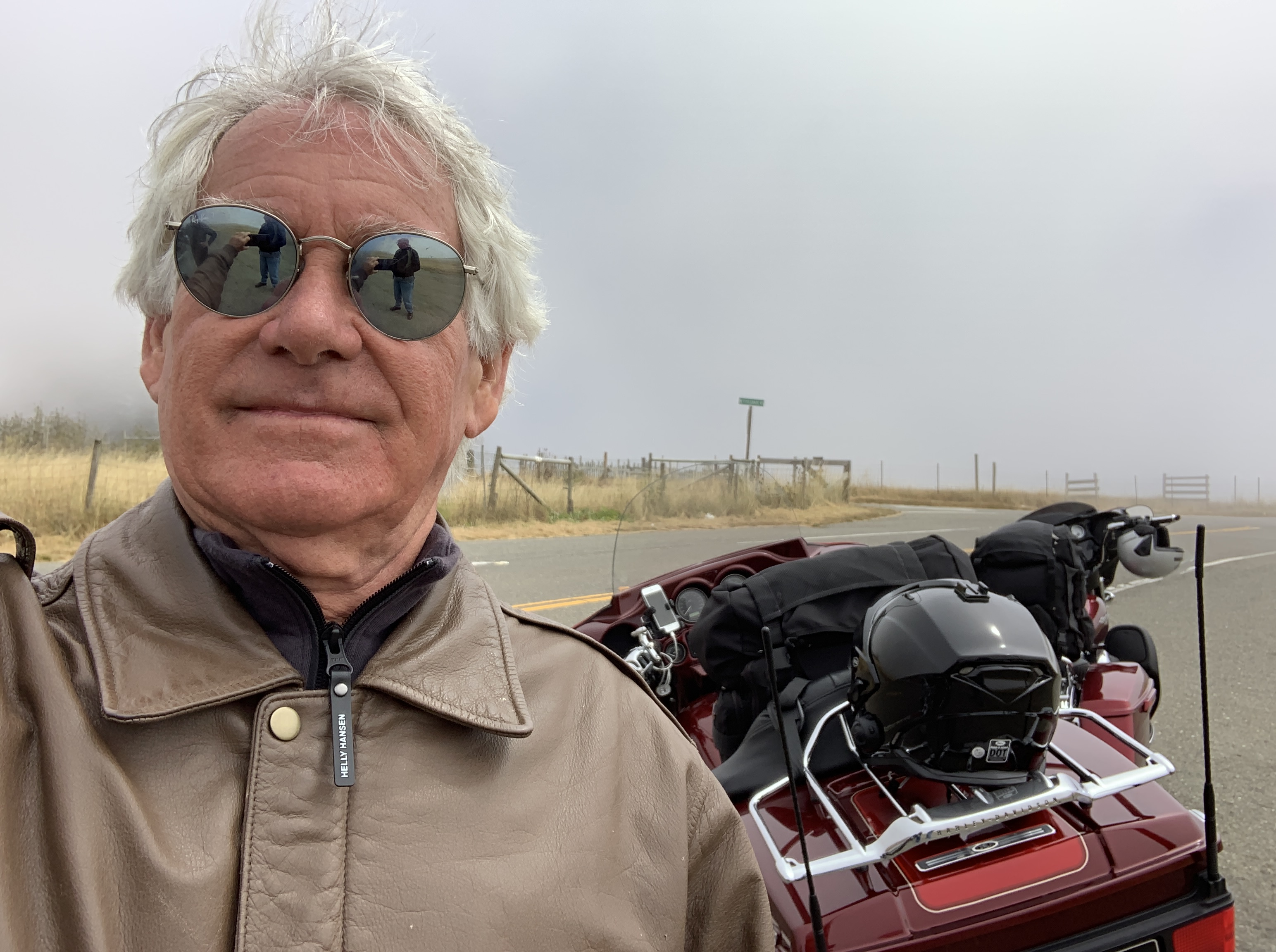
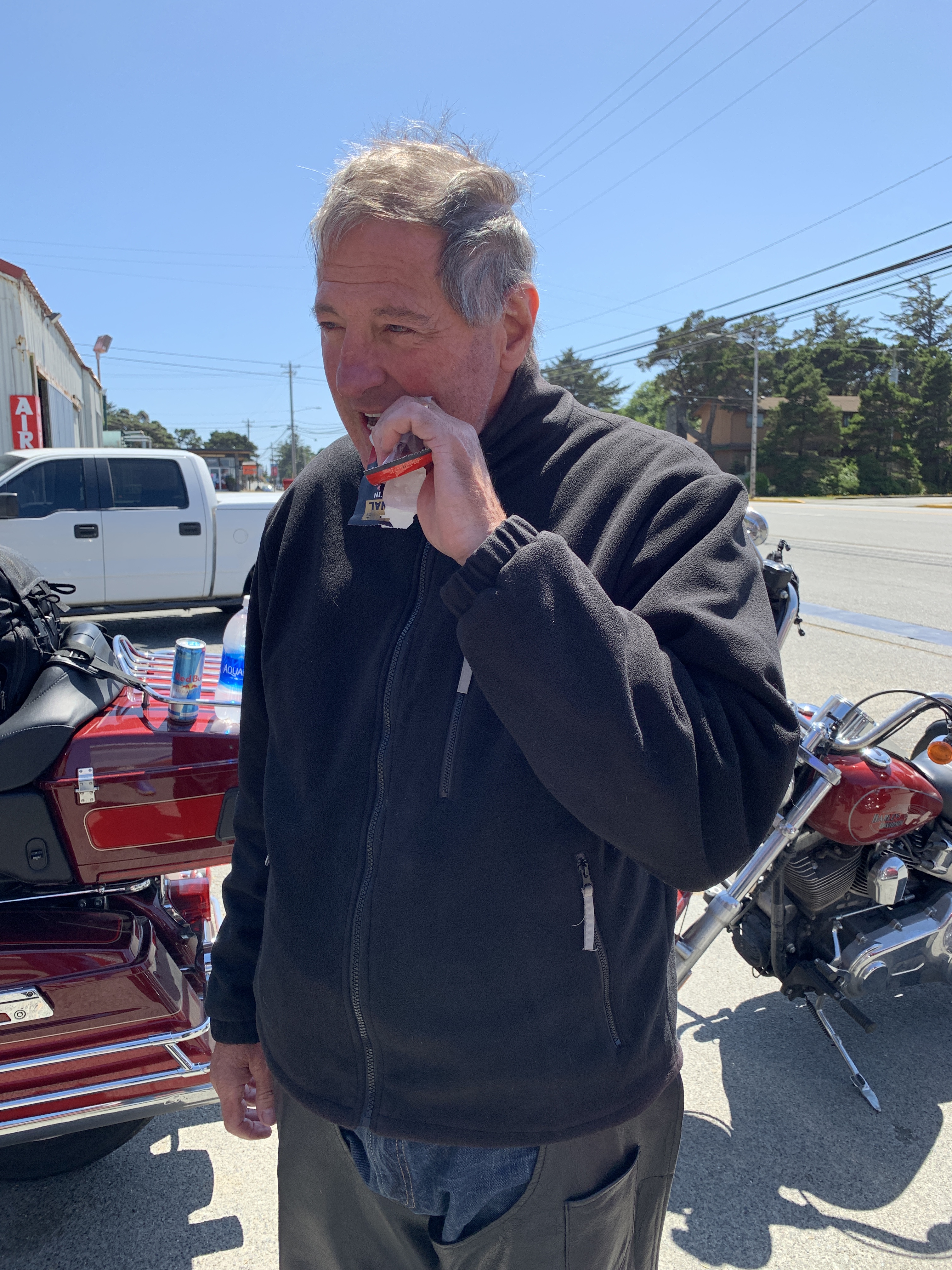
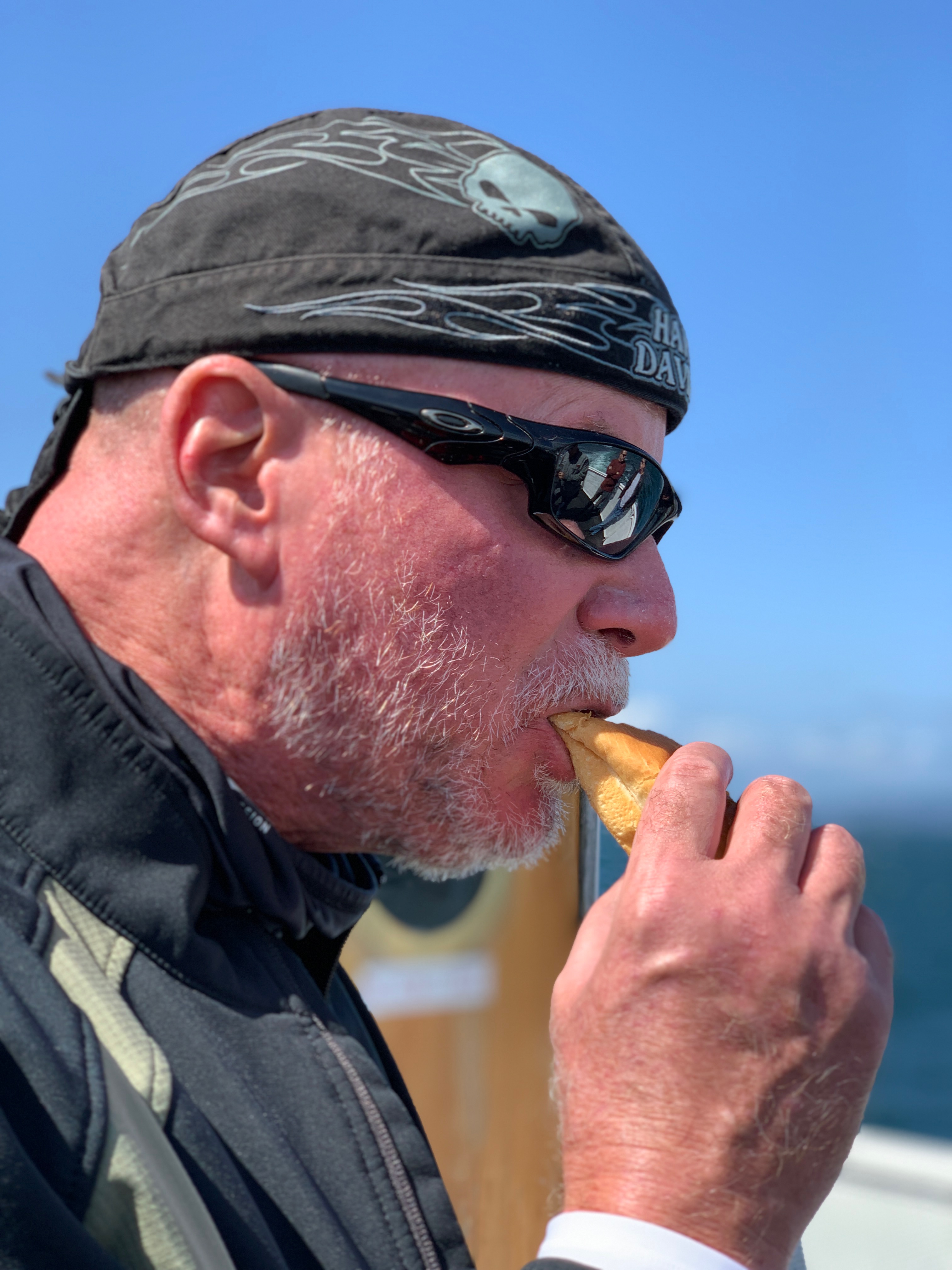
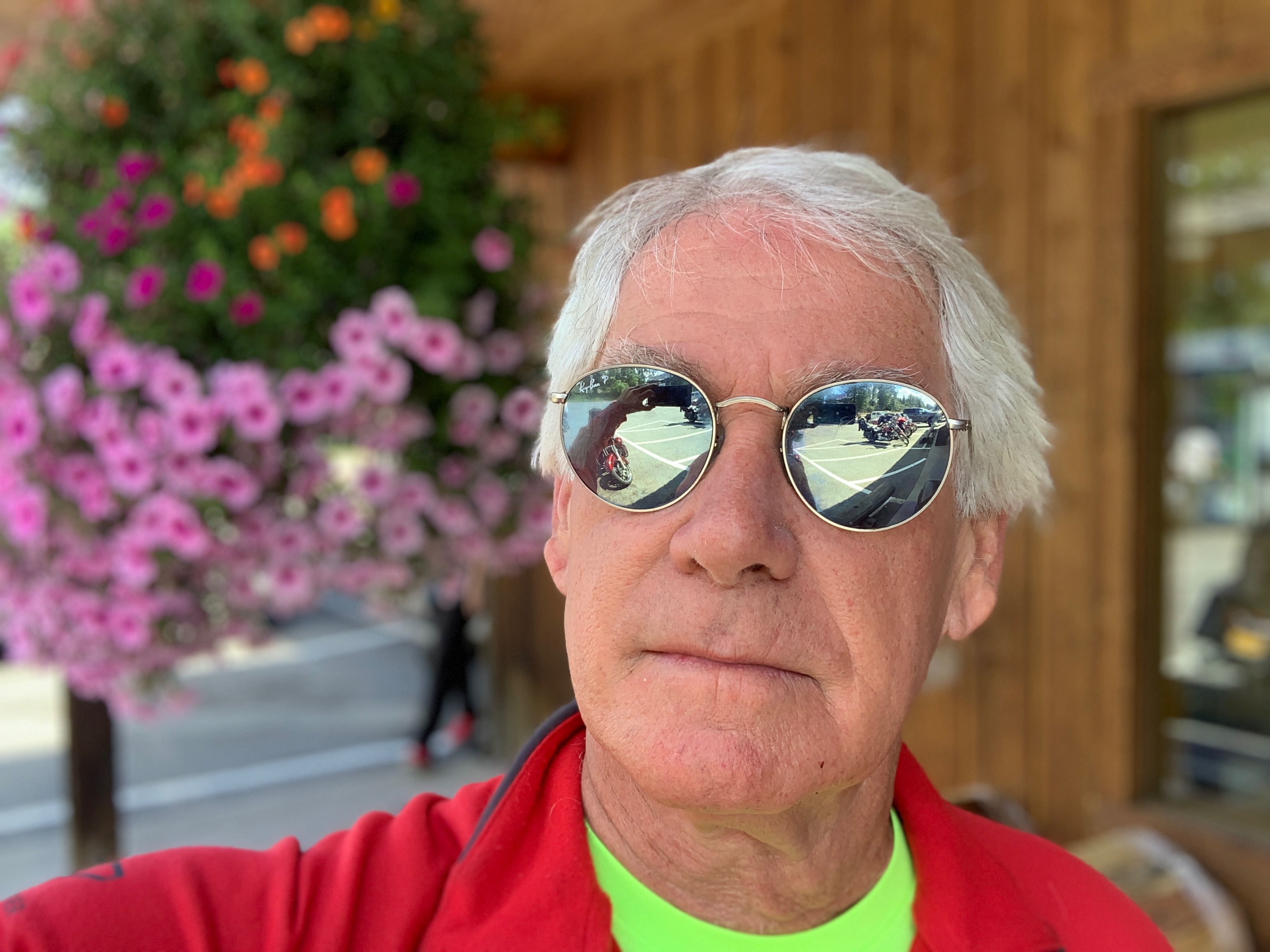
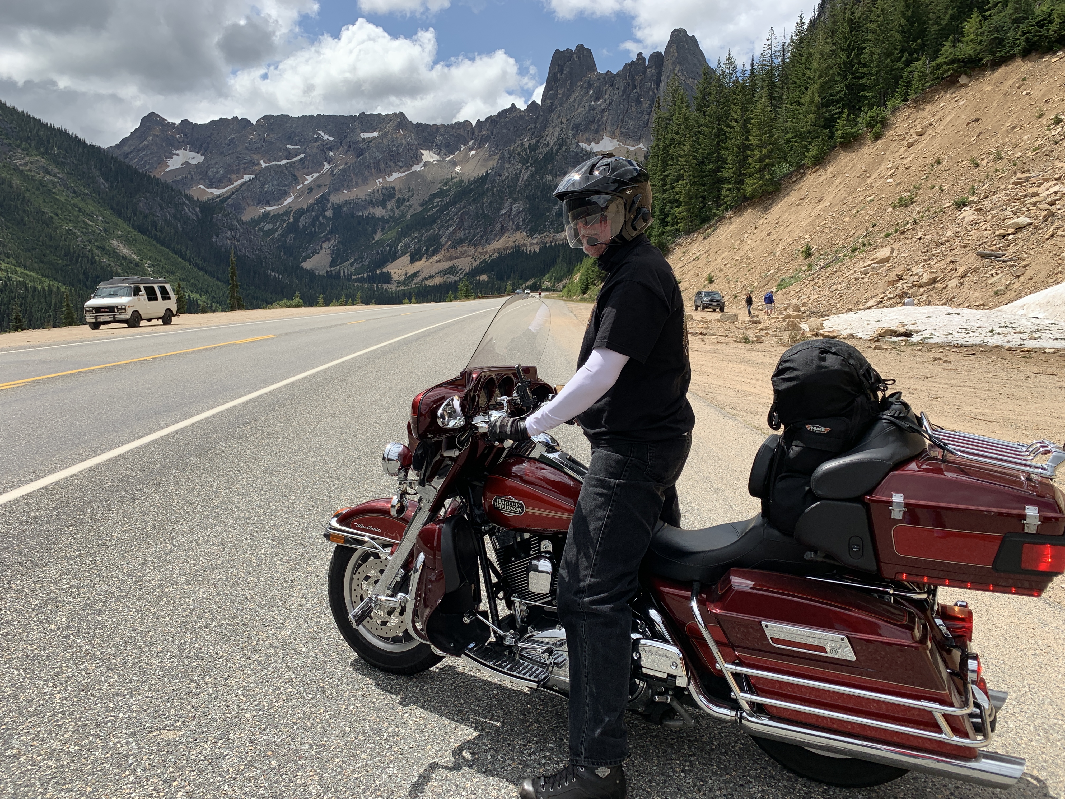
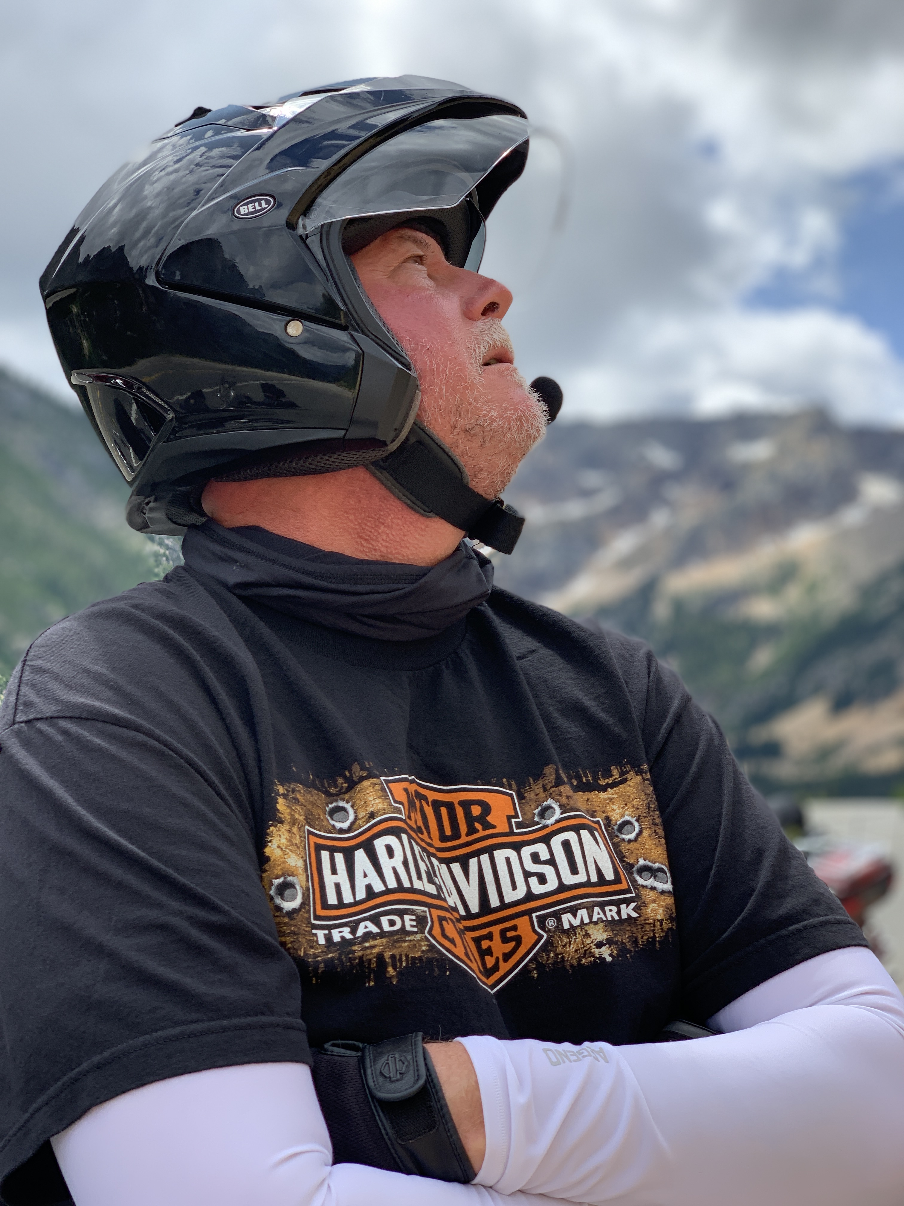
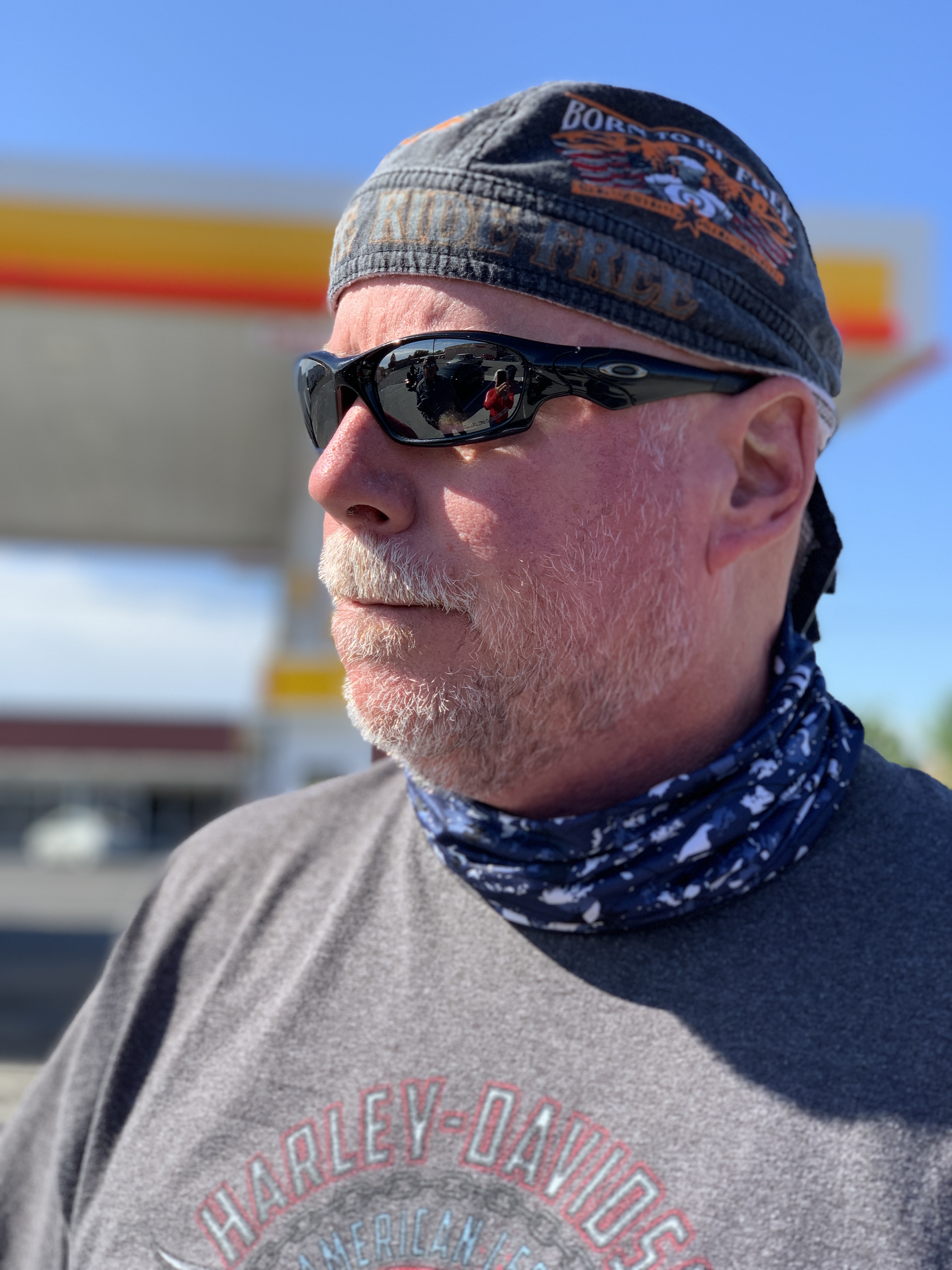
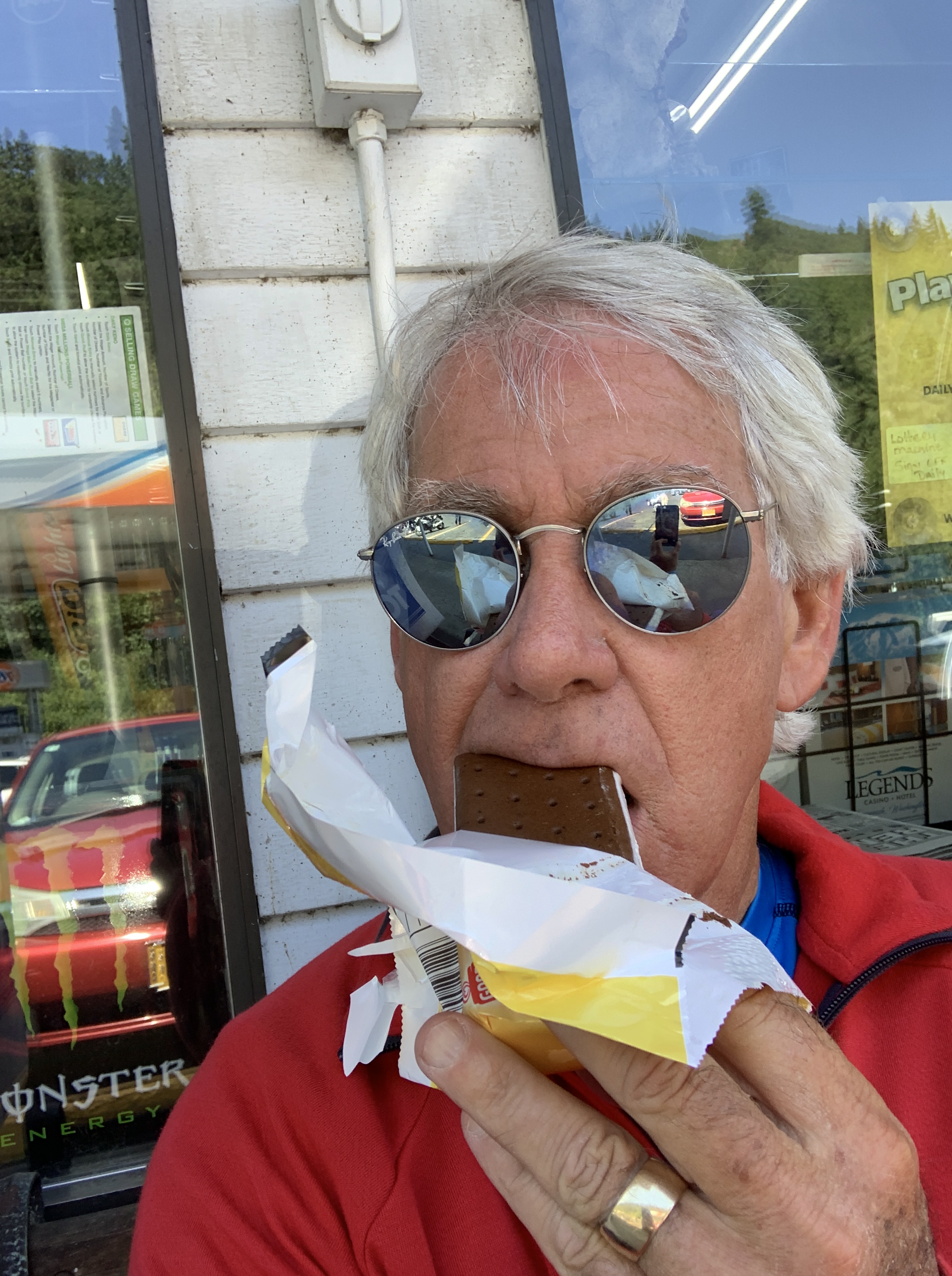
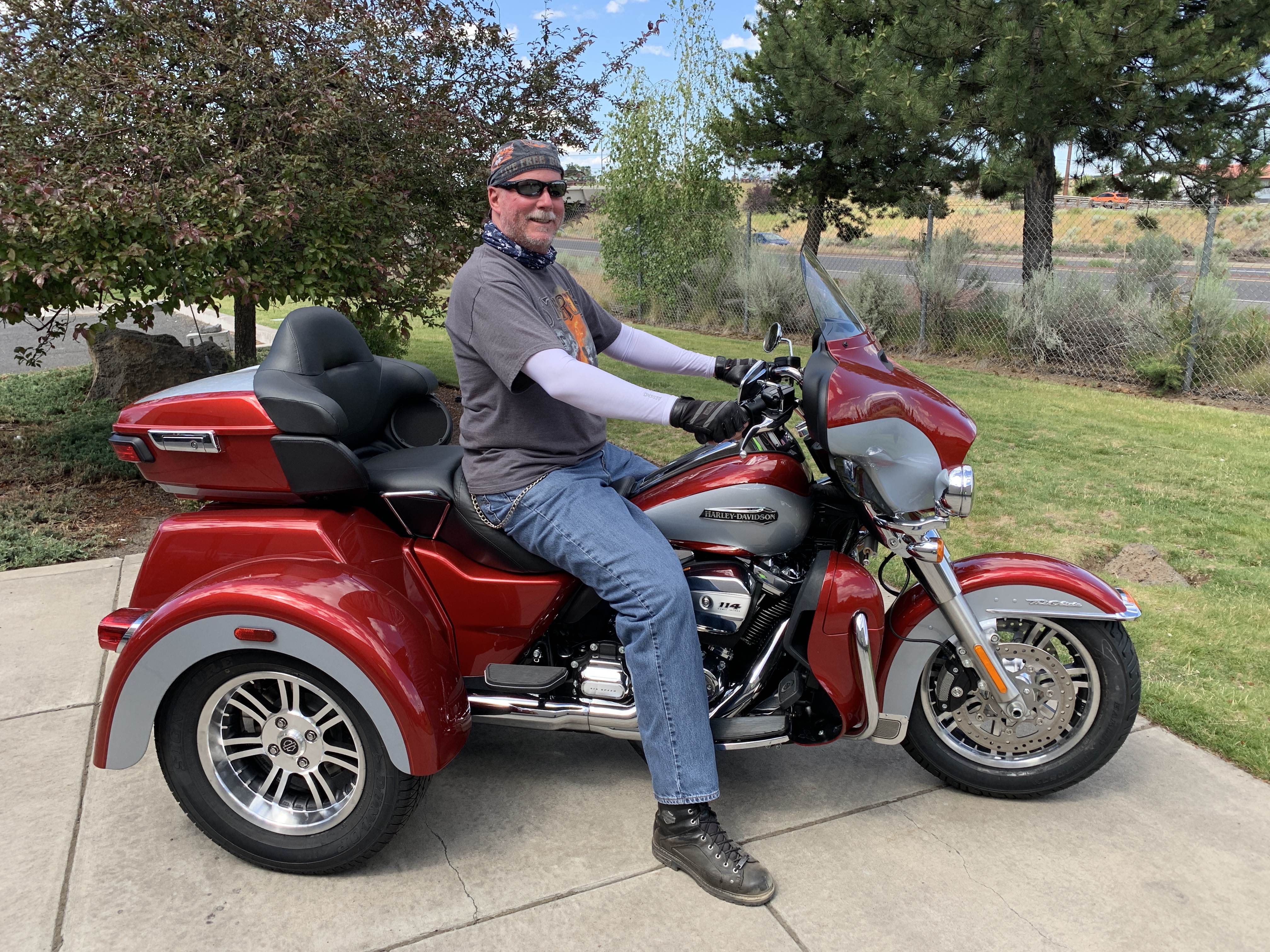
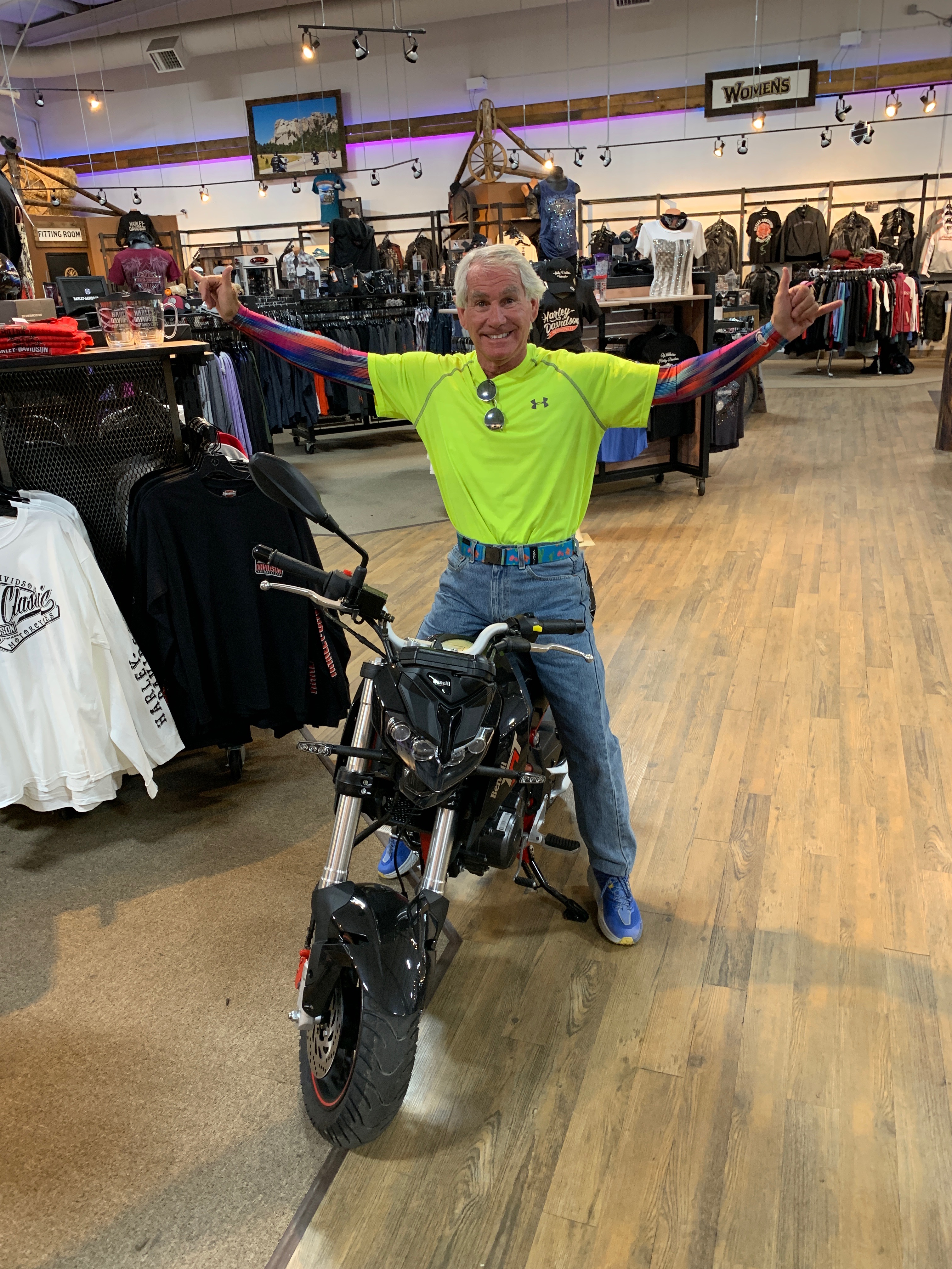
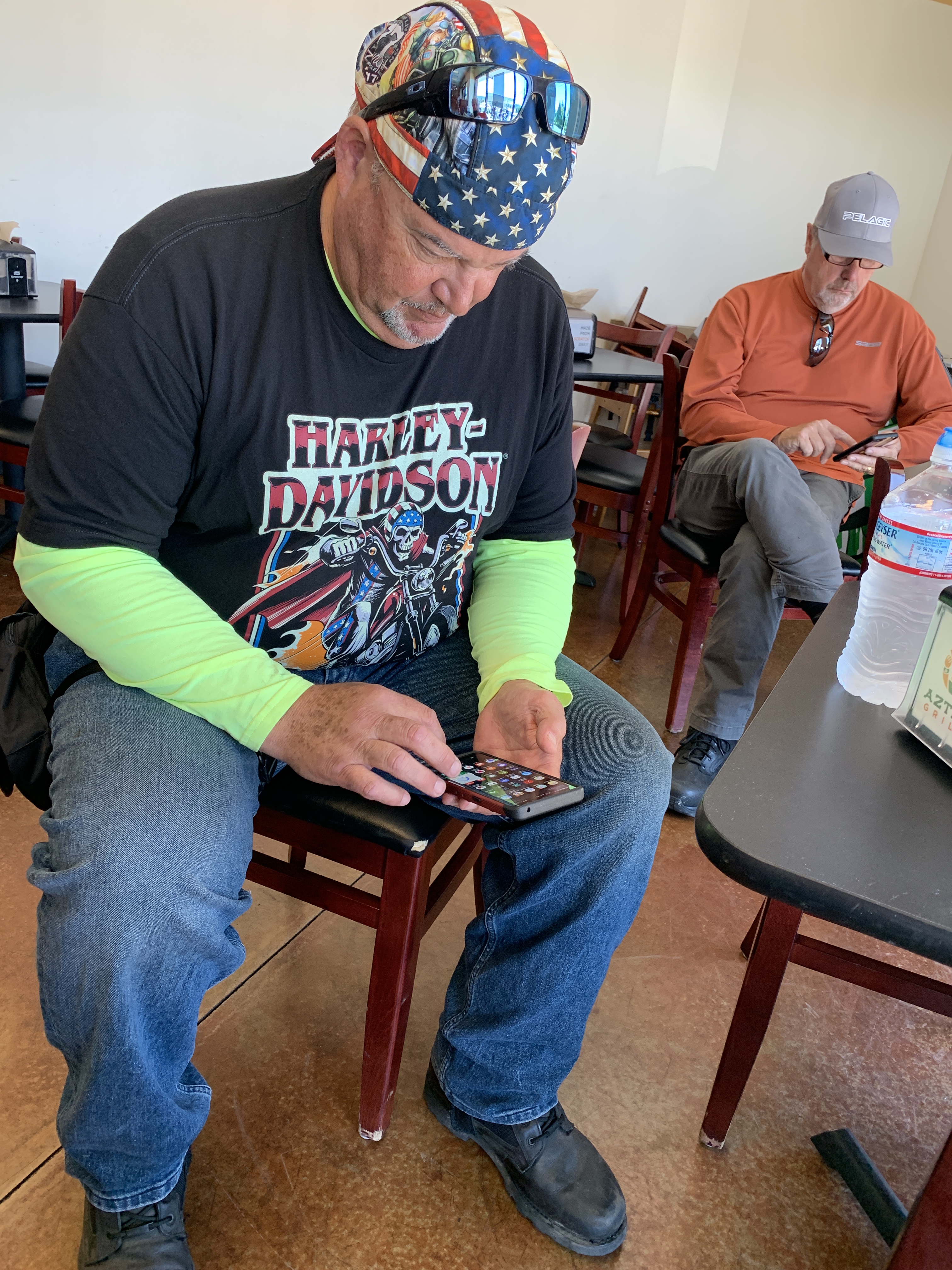
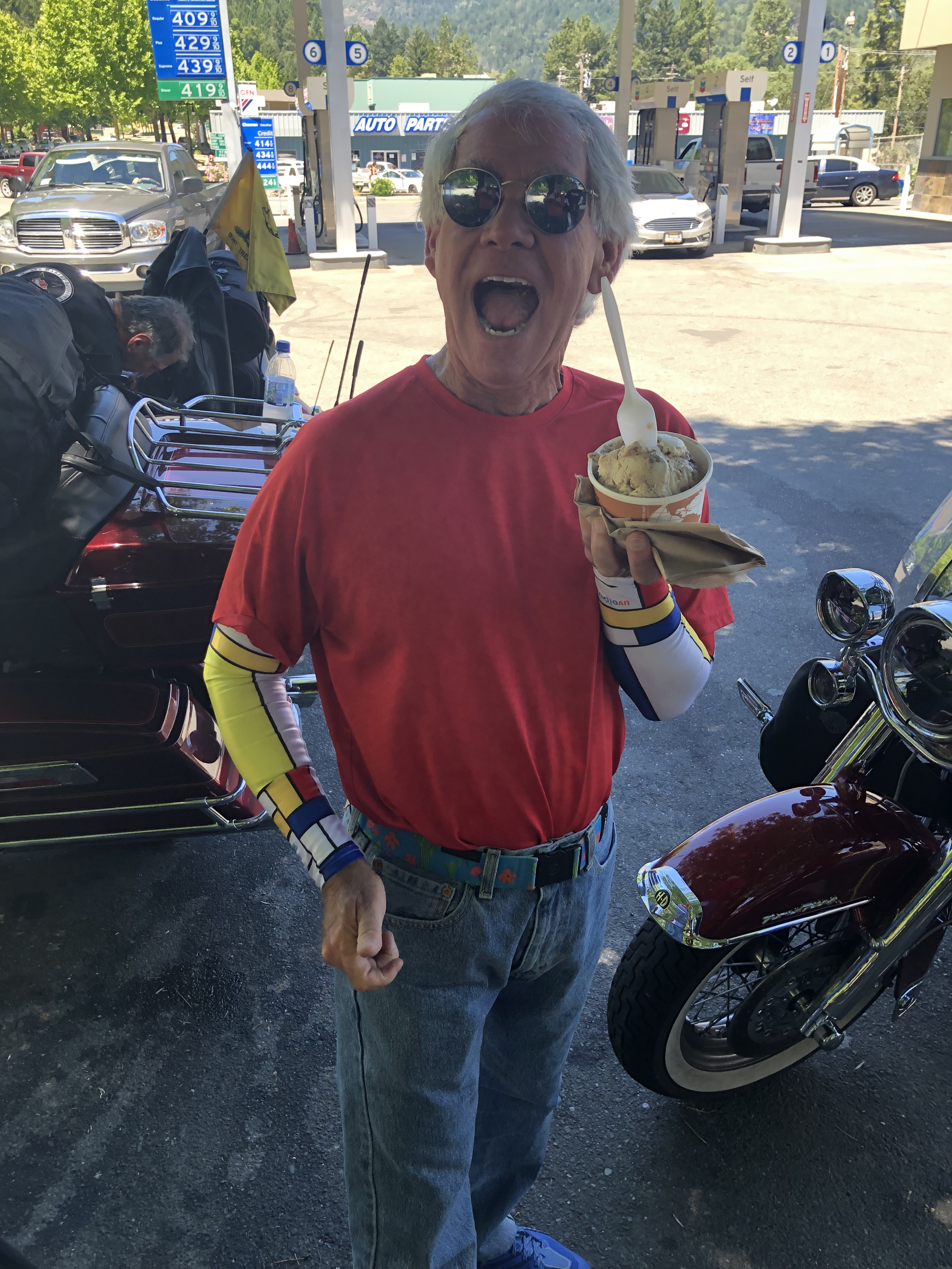
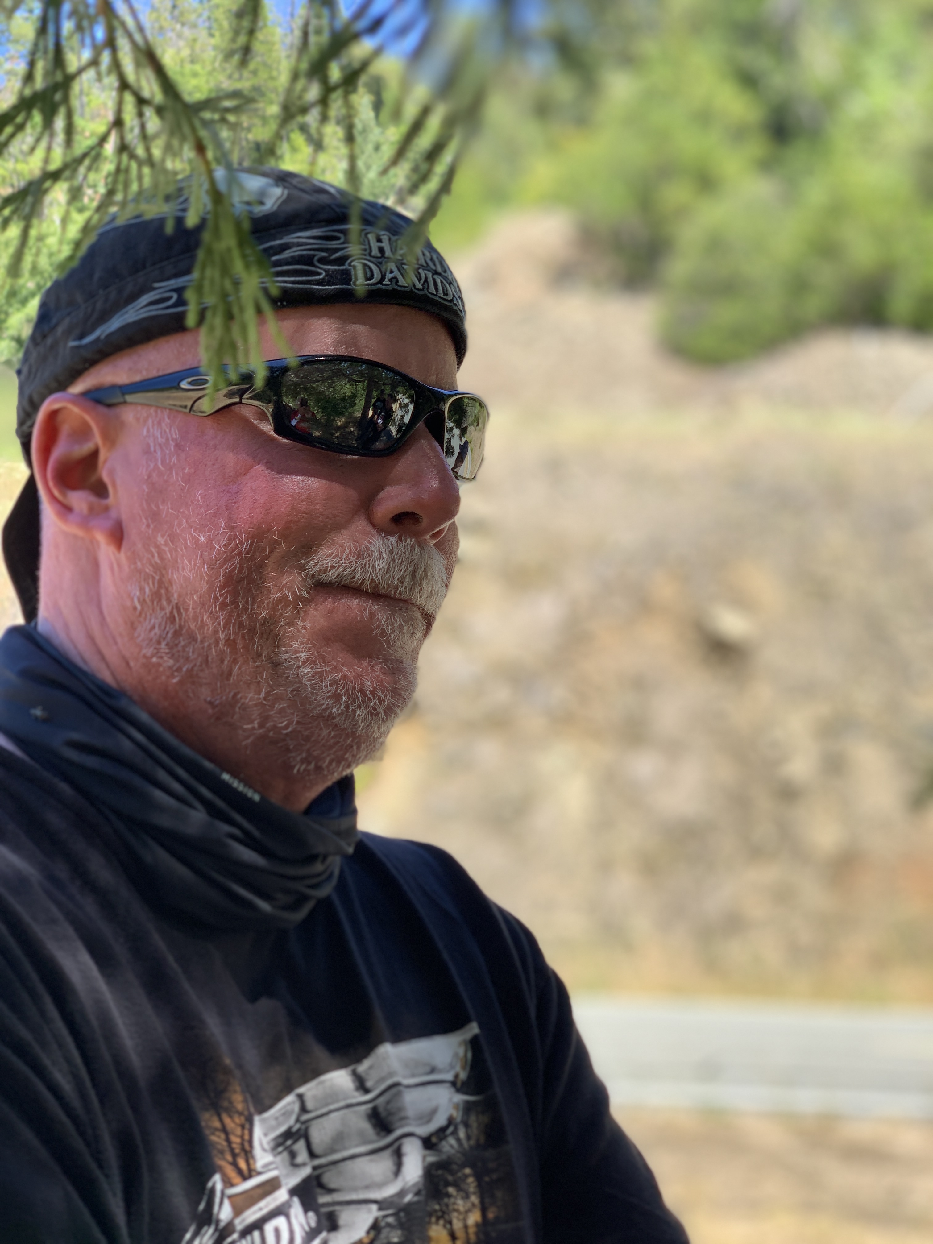
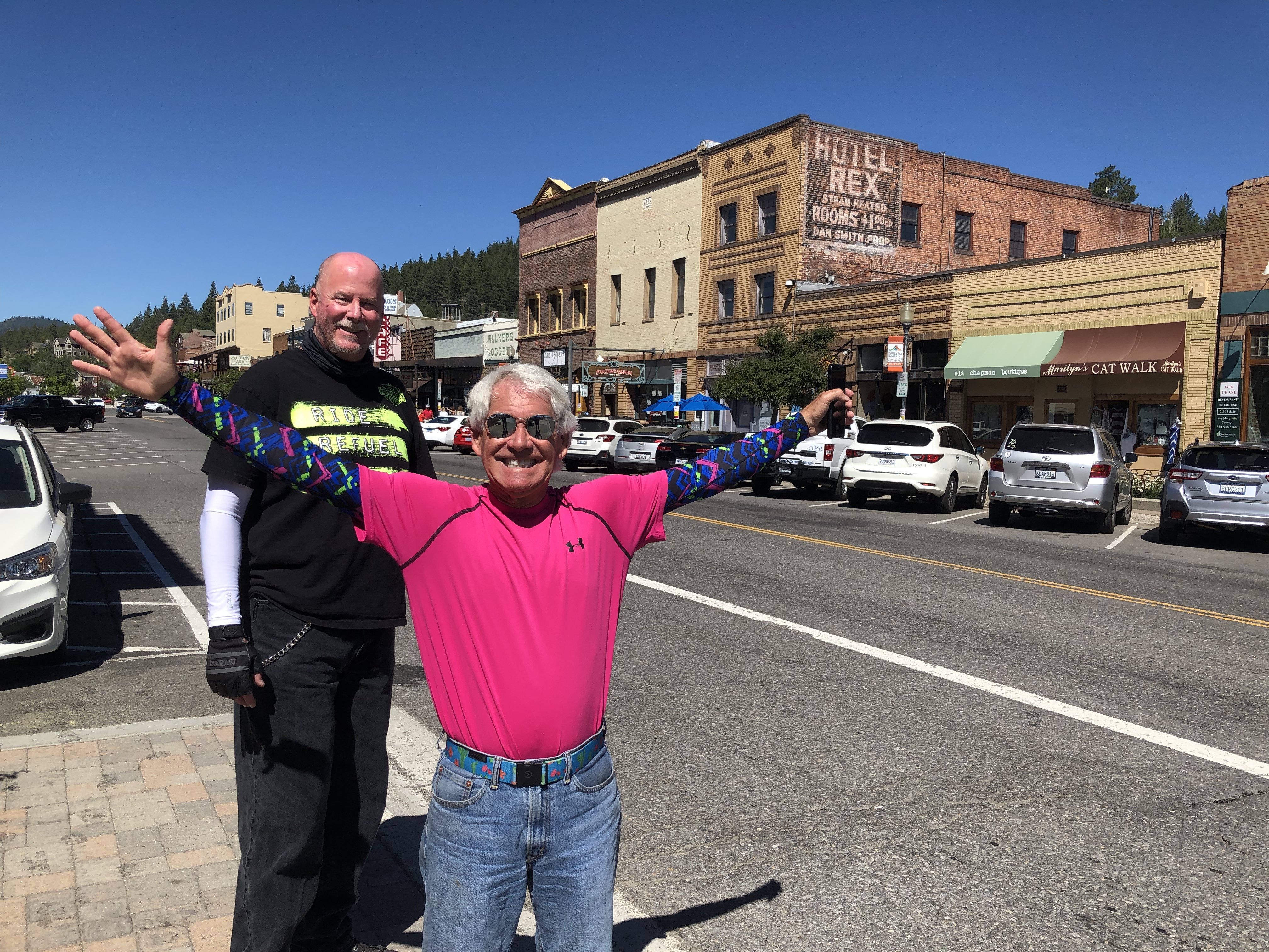
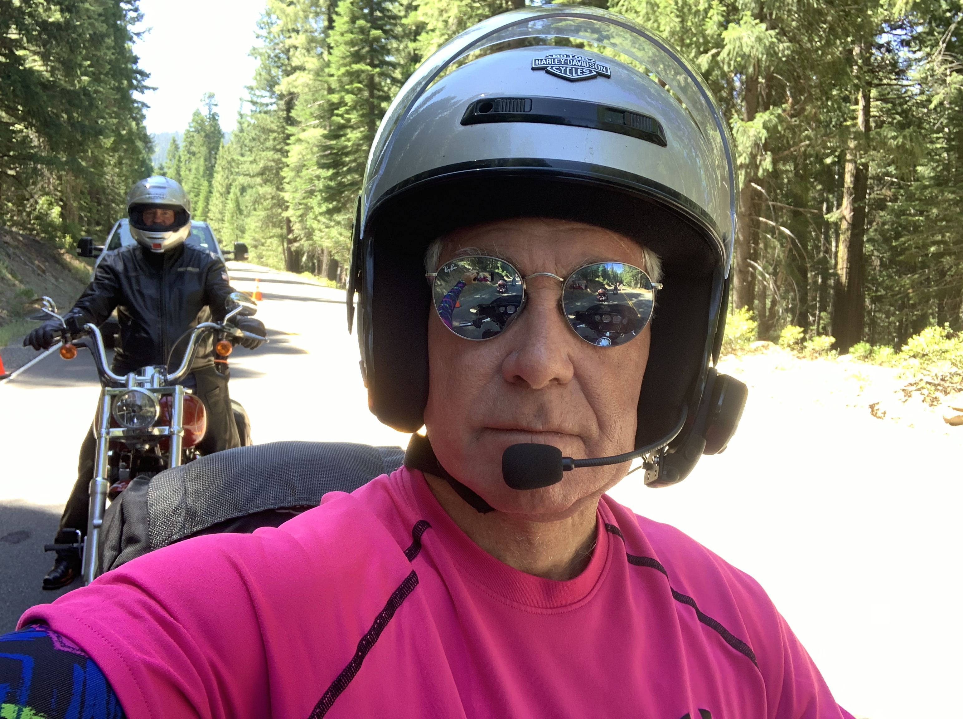
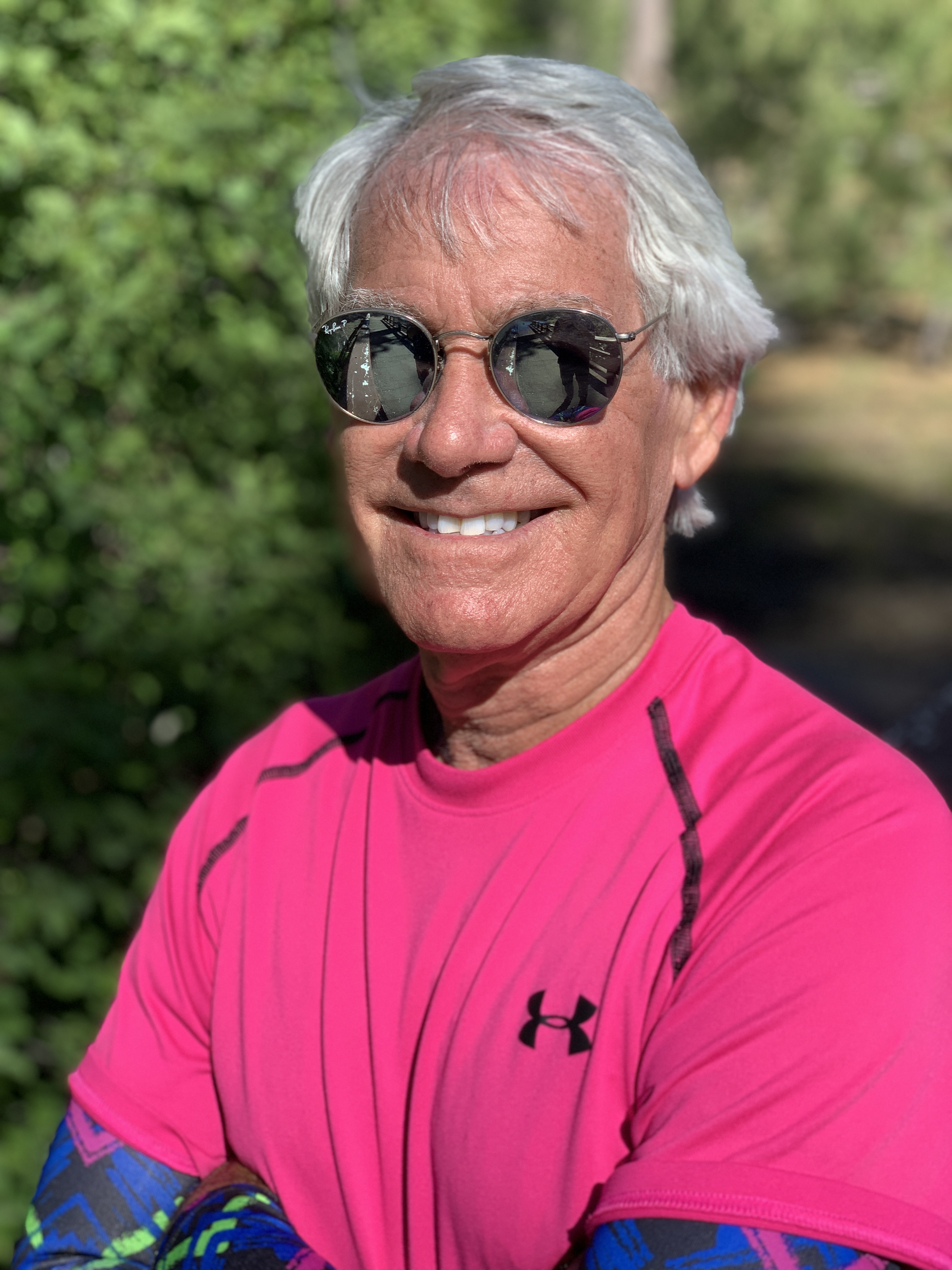
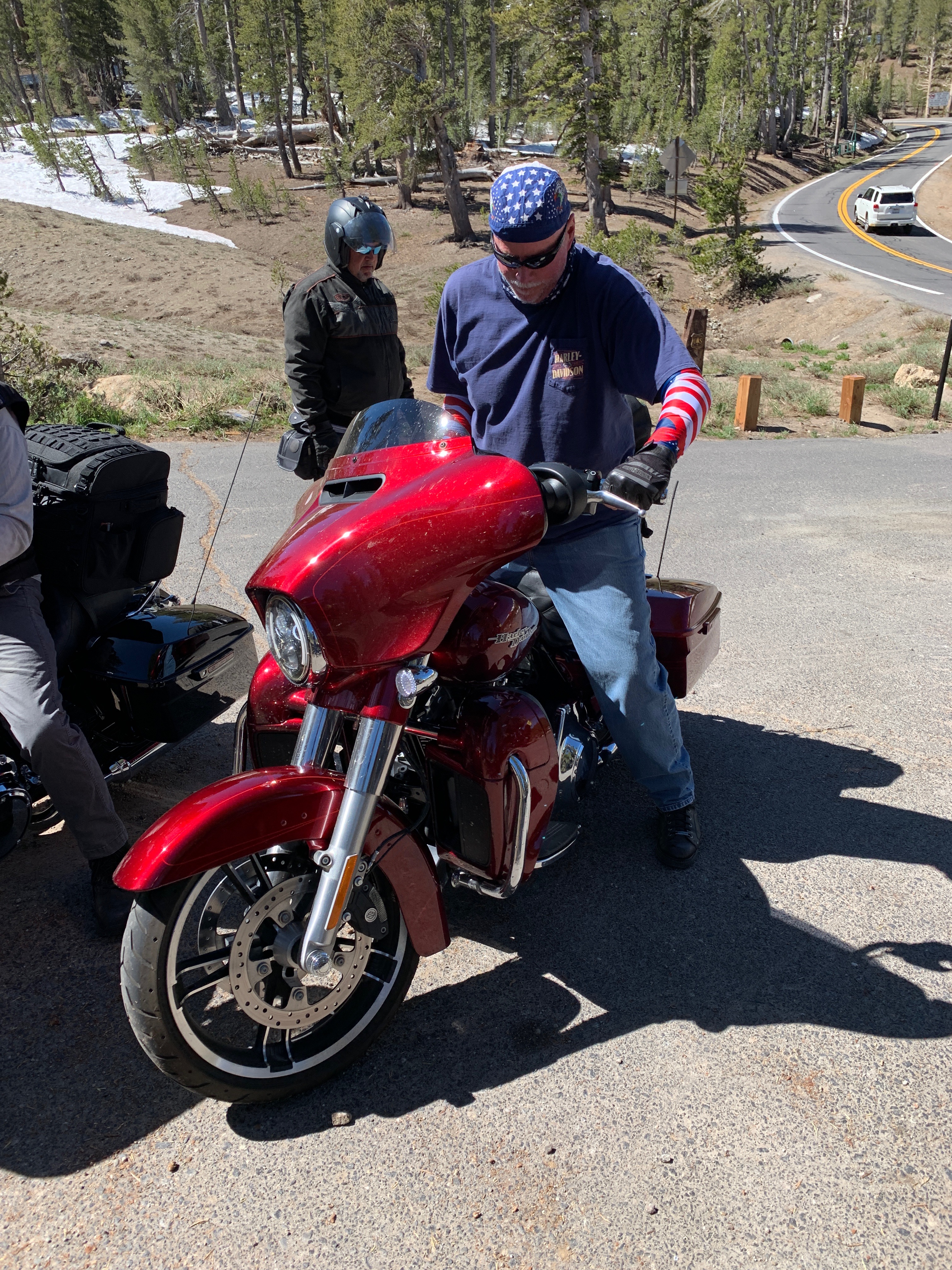
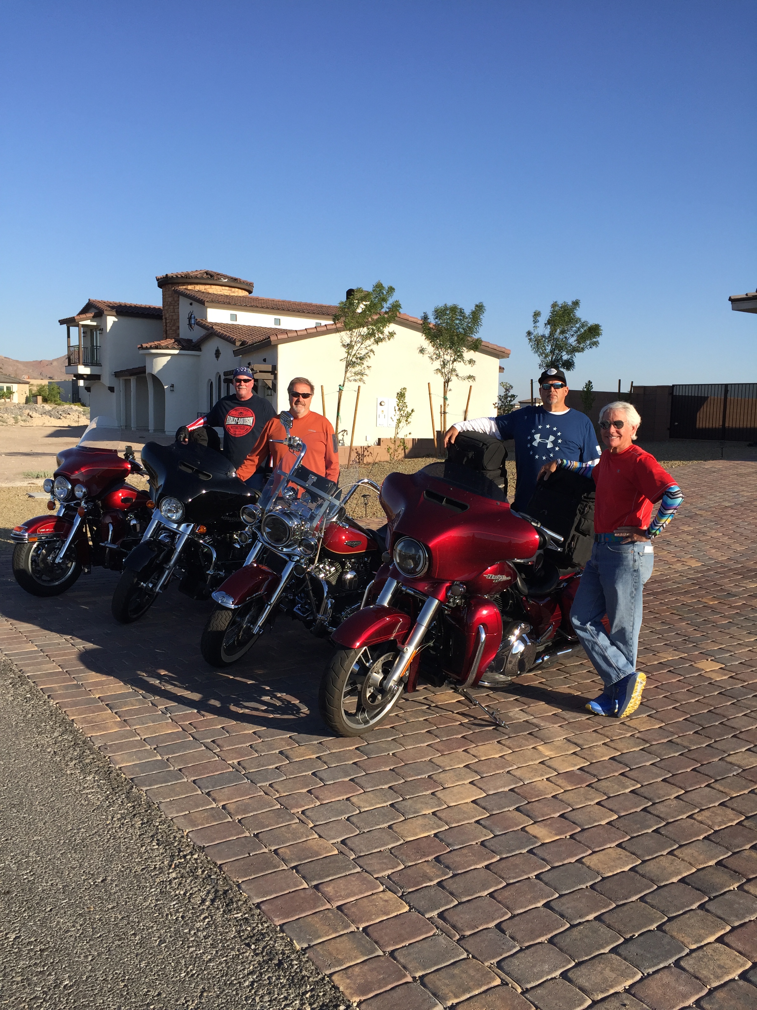
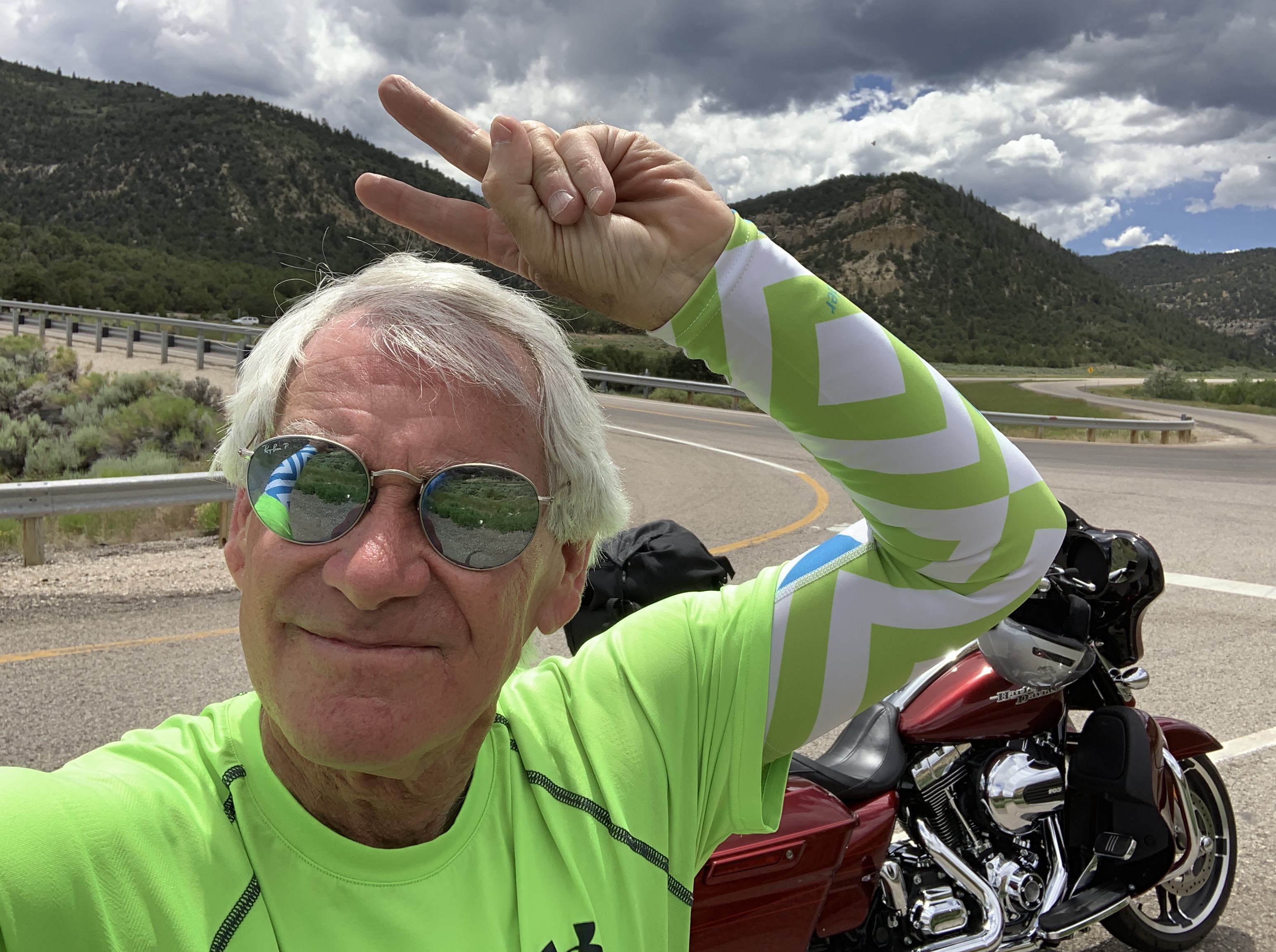
Love the SPF 50 sun sleeves! Thank you, Brittany 😘

For the next hour, we follow the Salmon River, through Lucile and on to White Bird, population 91. This was the site of the 1877 Battle of White Bird Canyon, which was the first fight of the Nez Perce War and a significant defeat of the US Army. Chief White Bird was a leader of the tribe, and the reason the town got its name.

***

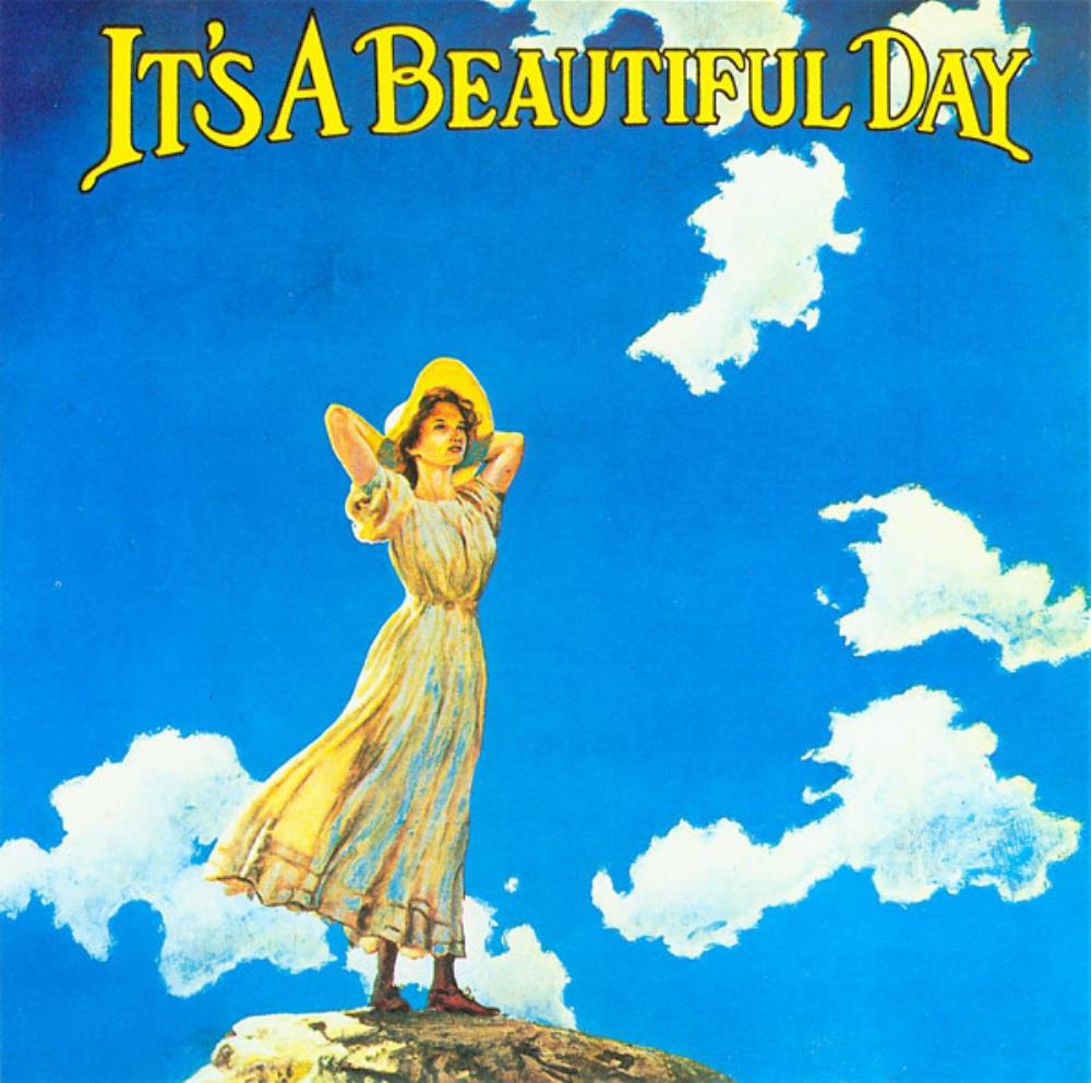
D-06, Beautiful Day, White Bird
Time traveling, back to the ’60s.

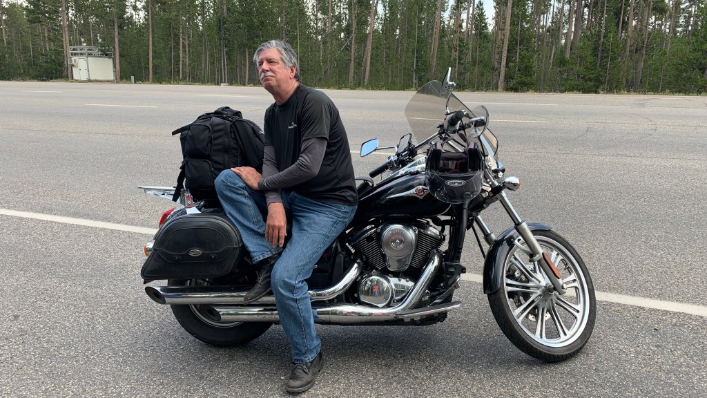
Long before we arrived in the town of White Bird, my early recollections of White Bird were from the song by the band, It’s a Beautiful Day. White Bird, originally recorded in 1968 was their biggest hit, and remains on a playlist I listen to while on Harley rides like this.

Although they were one of the earliest and most important San Francisco bands to emerge from 1967’s social phenomenon, Summer of Love, It’s a Beautiful Day never quite achieved the success of contemporaries such as Grateful Dead, Jefferson Airplane, and Santana.

It’s a Beautiful Day was one of the first rock bands to make violin playing cool. They were to the violin what Jethro Tull was to the flute.

That was a welcome waltz down Memory Lane. For me, anyway.

The ride along the Salmon River was a great way to start the day.

***

Four miles past White Bird, a historical landmark commemorates the battle of White Bird. It’s the last thing of note we see before arriving in Grangeville, 20 miles up the road. Grangeville is home to the Idaho County Airport, the Idaho County Seat, and Border Days, held every July 4.

Border Days features Idaho’s oldest rodeo, and what’s believed to be the world’s largest egg toss. Roughly 15,000 eggs have been cracked on Grangeville’s Main Street each year since the event began in 2009. The egg toss begins at 9 a.m. sharp.

In Grangeville, we begin our journey east, jumping on State Highway 13, the Harpster Grade Road, which takes us, of course, to Harpster. It’s unclear where the name Harpster comes from. Clearly, it’s unrelated to the musical instrument. One who plays the harp is called a harpist. A really cool dude might be considered a hipster harpster.

D-6, Noa Gabay, Israeli Harpist
Twenty-three year-old Noa Gabay started playing the harp at age 5, in her native Israel. After seeing the harpist in performances of The Nutcracker and Swan Lake, she instantly fell in love with the instrument.

We’ve been following the South Fork of the Clearwater River, and we’ll continue along its path to the town of Kooskia, just 13 miles north of here.

Kooskia, population 600, sits at the confluence of the South and Middle forks of the Clearwater. The name Kooskia is believed to come from the Nez Perce word “koos-koos-kia,” which refers to the Clearwater River. A historical stain on Kooskia is its Internment Camp, which housed more than 250 interned Japanese-American men during the final two years of World War II.

Today, Kooskia is within the Nez Perce Indian Reservation, whose tribal lands cover about 1,200 square miles. The Nez Perce are one of five federally recognized tribes in the state of Idaho, and one of more than 300 federally recognized American Indian tribes in the US.

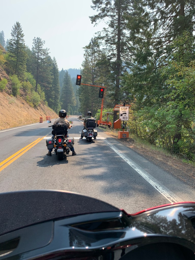
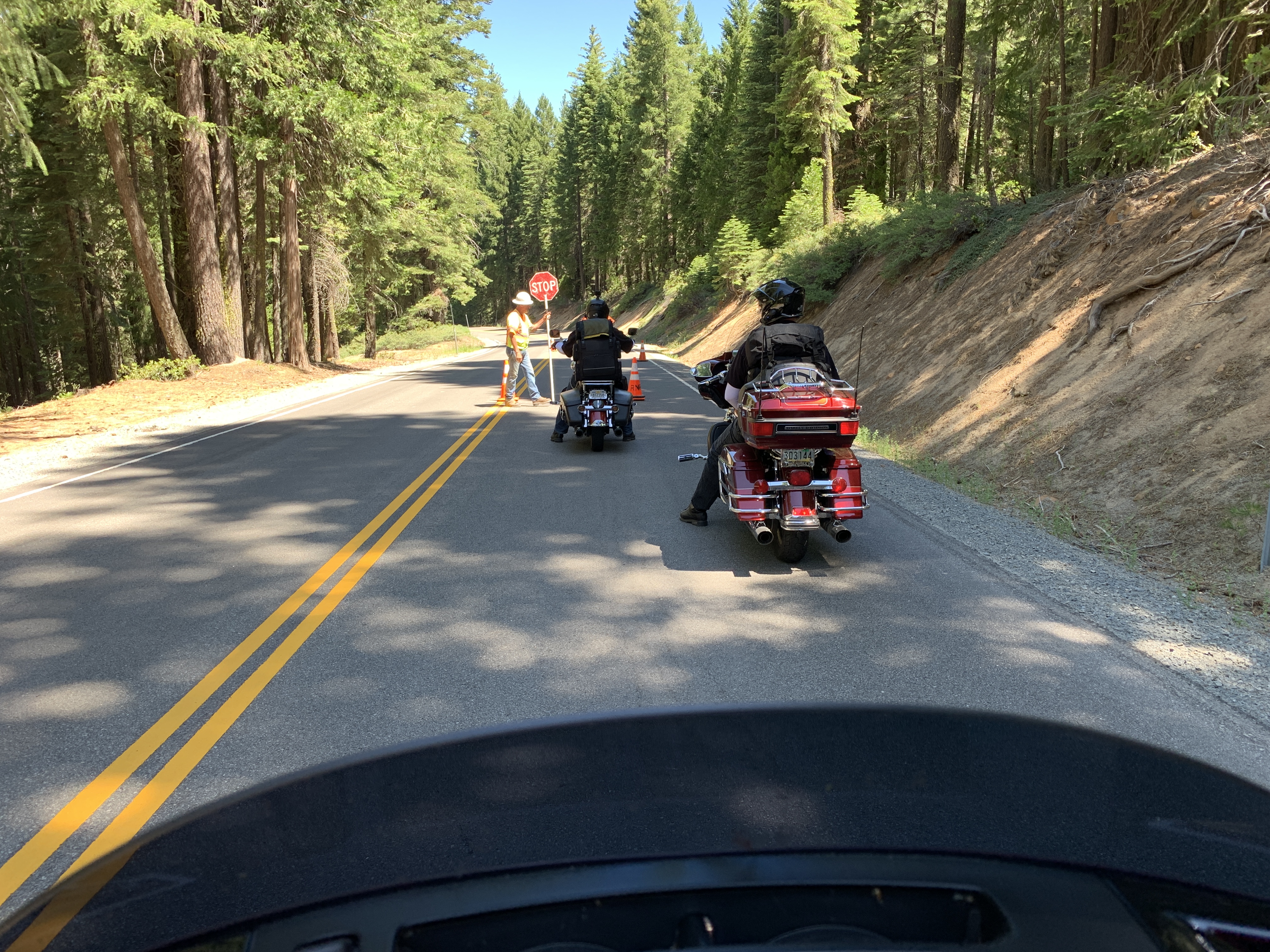
Road construction season continues. Haven’t had a day without it. Yet.

***

Kooskia marks the beginning of the Lolo Pass Highway, known among motorcyclists as one of the top ten rides in the country. From Kooskia, it’s 104 miles to Lolo Pass, and 28 more to the town of Lolo, Montana.

So, we do what all smart Harley riders do, and turn east on US Highway 12, beginning the journey to Lolo Pass.

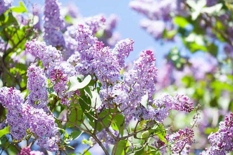
We follow Highway 12, and the Clearwater River, east. Fifteen miles later, we arrive in the tiny town of Syringa, named for the shrub that grows in the area. It’s also the Idaho state flower. Syringa is a woody shrub with clusters of white, fragrant flowers. Native Americans found many uses for syringa; the wood was used to make pipe stems, harpoon shafts, bows, arrows, root digging sticks, and snowshoes. The bark and leaves of syringa were used to make soap.

syringa
Syringa. Would you name a town after this?

The town of Syringa is in the Nez Perce – Clearwater National Forest, which we’ll be riding through for the next three hours, until we arrive at Lolo. Most of the path of the Lolo Pass Highway runs along the Clearwater and Lochsa Rivers.

Our journey is much easier than what the Lewis and Clark Expedition encountered. In 1805, they descended the Clearwater in dugout canoes.

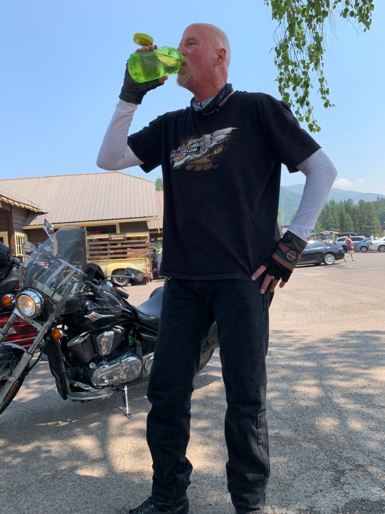
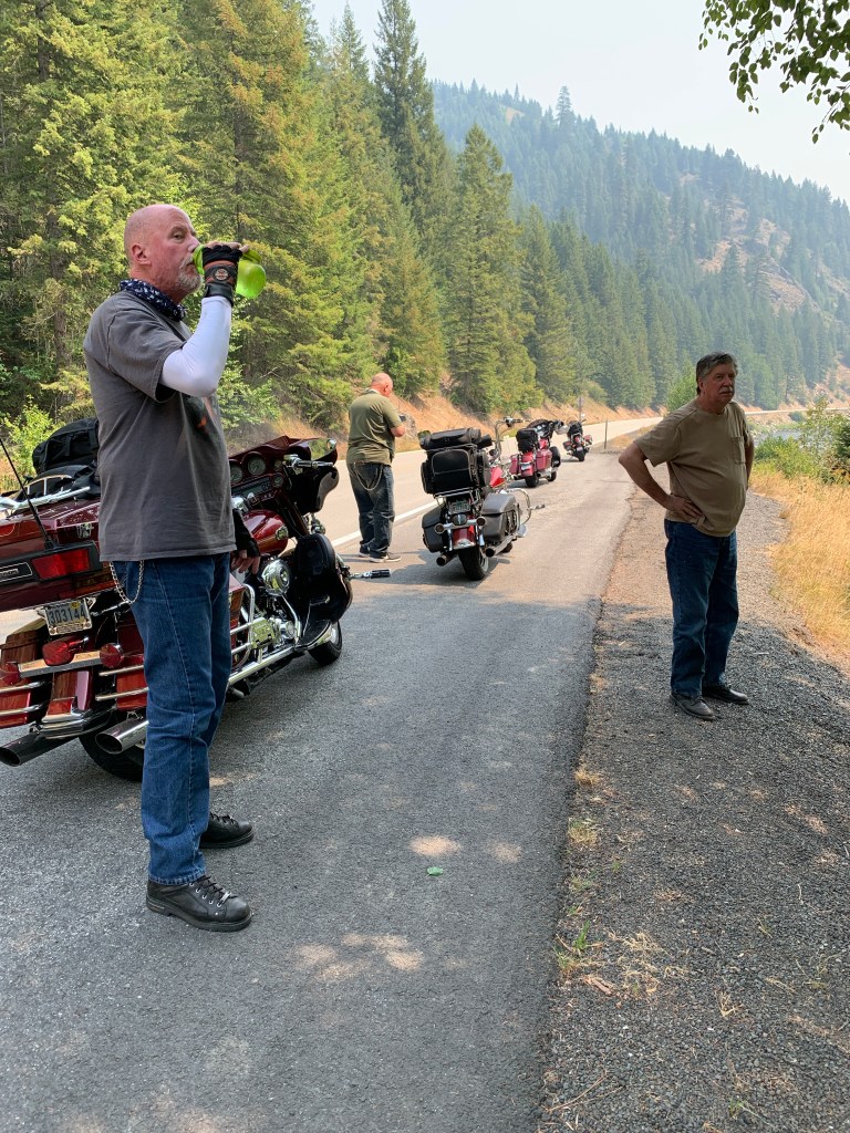
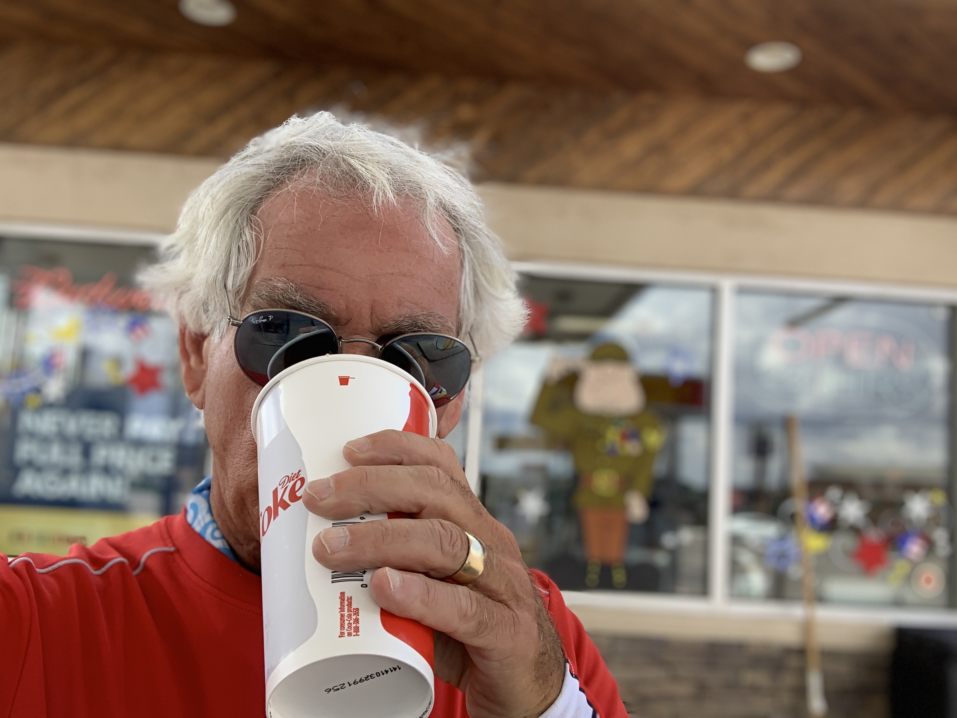
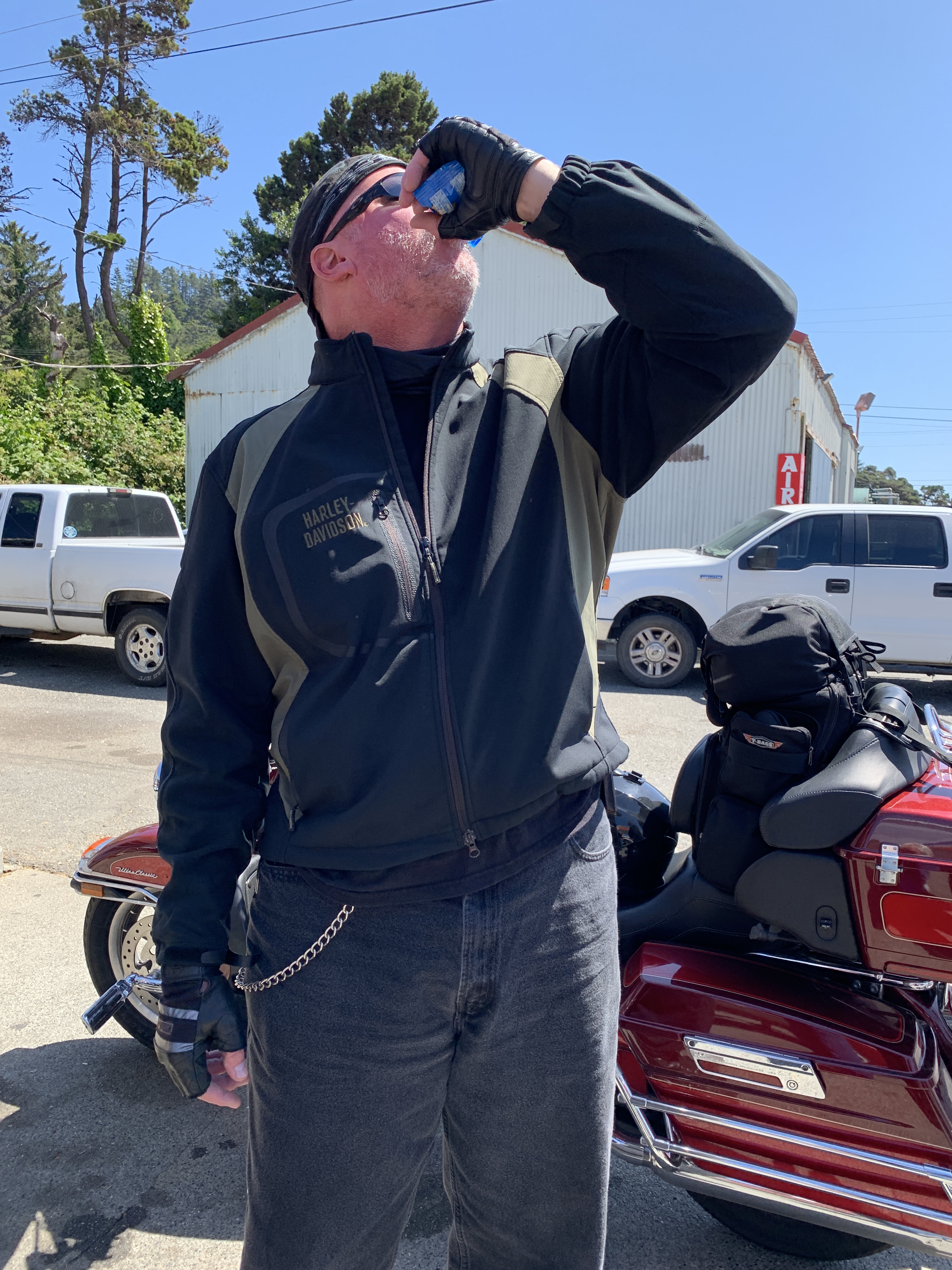
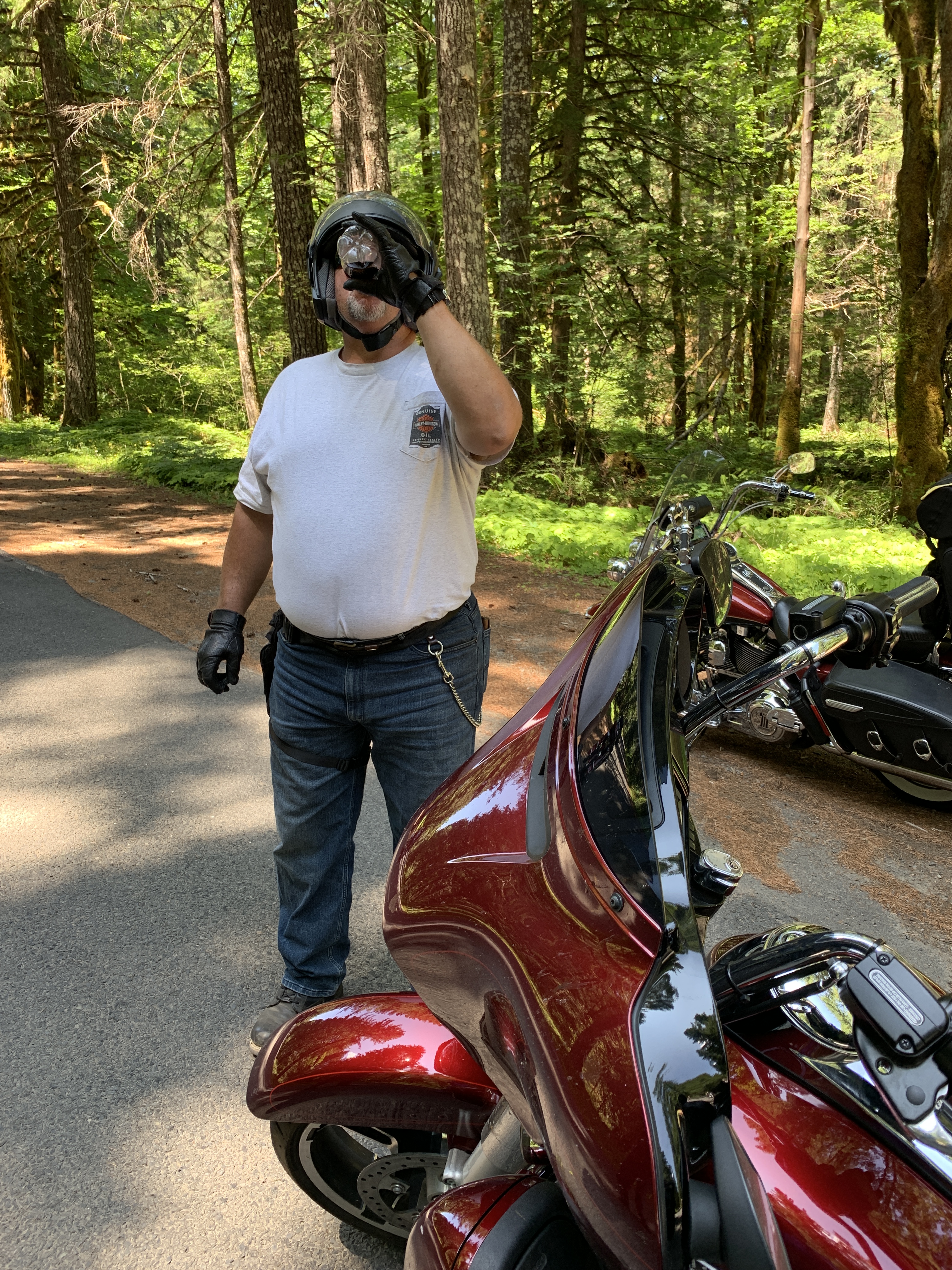
It was hot! Dave seldom misses a hydration opportunity.

In the town of Lowell, population 30, the Middle fork of the Clearwater River becomes the Lochsa River. Lochsa (pronounced LOCK-saw) is a Nez Perce word meaning rough water. Kayakers and whitewater rafters run the Lochsa, generally between April and June.

We’re now following Highway 12 along the Lochsa River’s north bank. This roadway, completed in the early 1960s, was one of the last two-lane US highways built.

We don’t see much for the next two hours, until we arrive at Lochsa Lodge, constructed in 1929 for hunters. Sportsmen traveled by trail from Missoula, Montana, and from Kooskia, Idaho, to stay at the lodge — before Highway 12 was built.

Lochsa Lodge is one of the few places on the Lolo Pass Highway where food and beverage is available. Their signature dish: blackberry cobbler, a la mode.

D-06, Lochsa Lodge
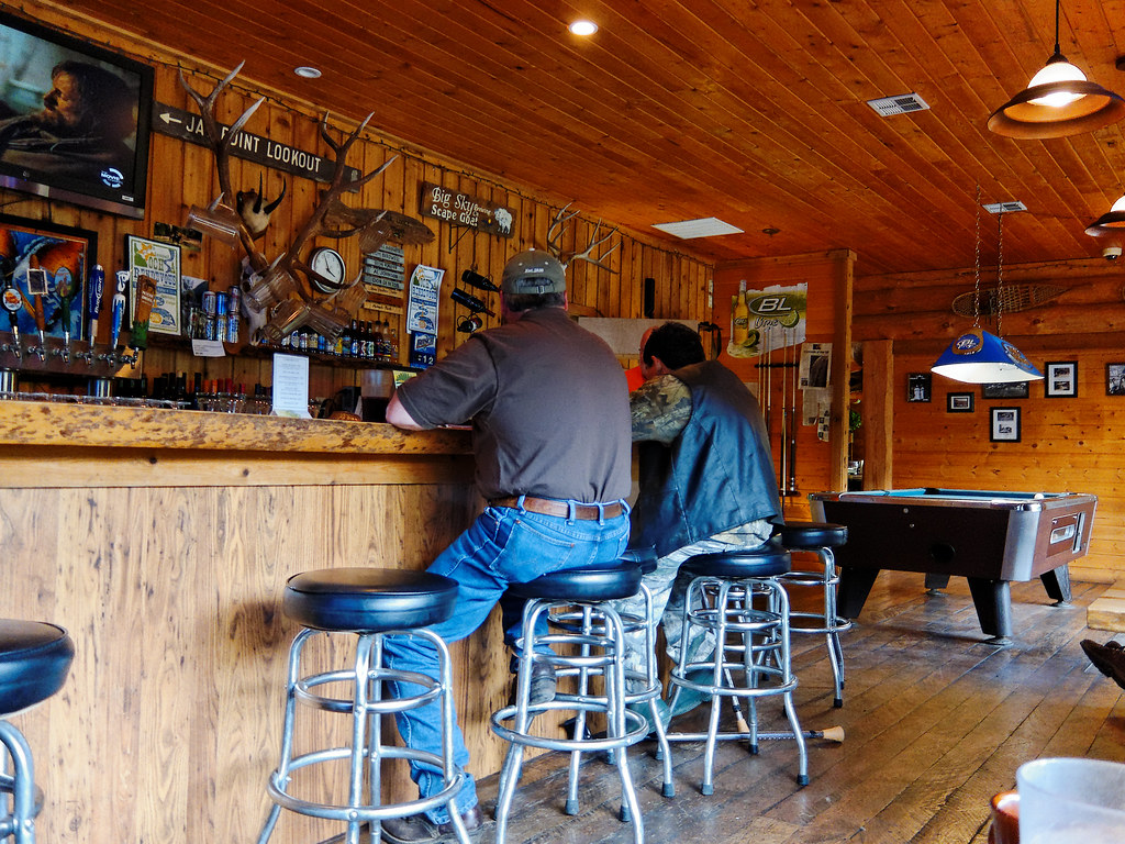
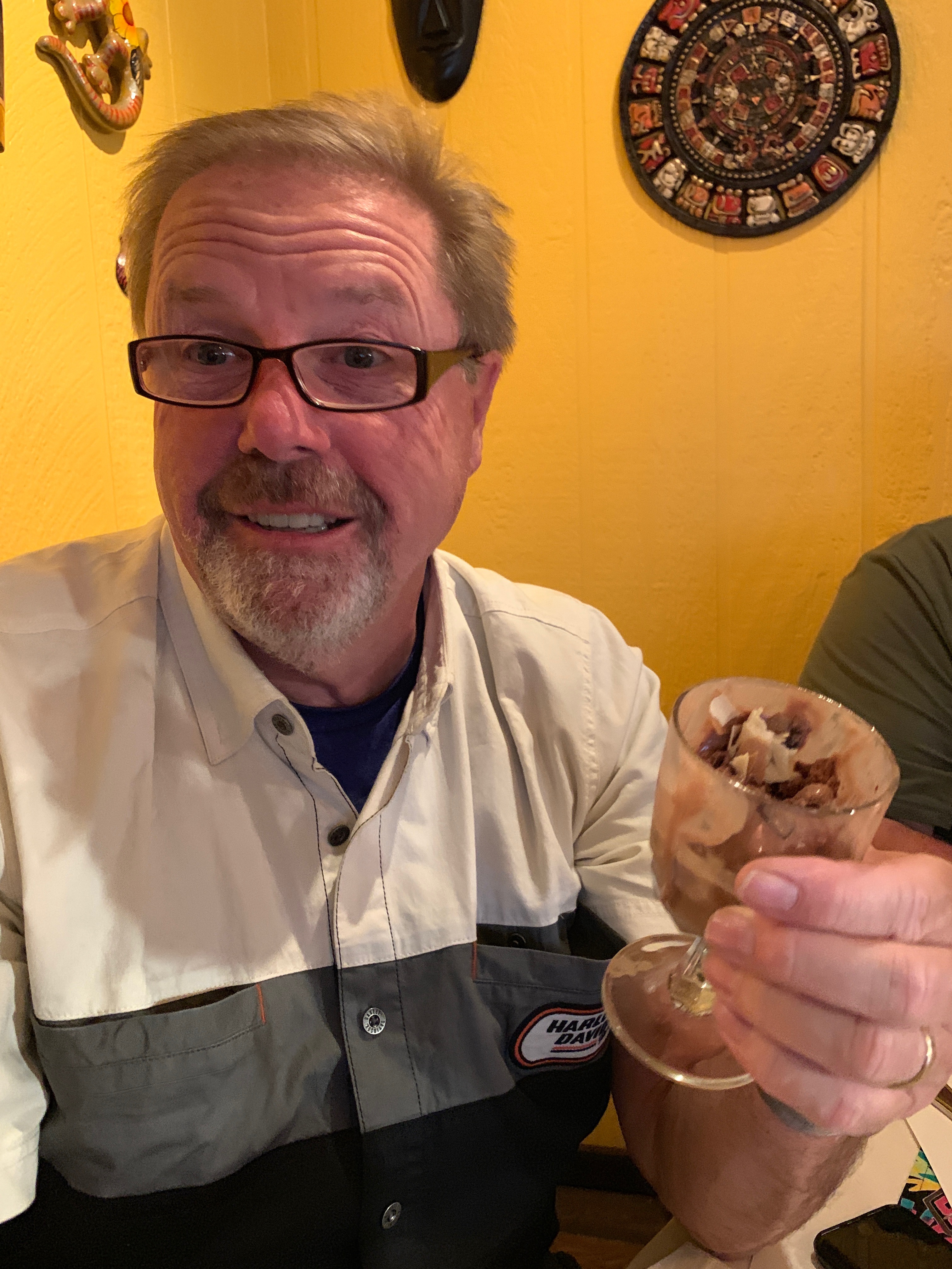
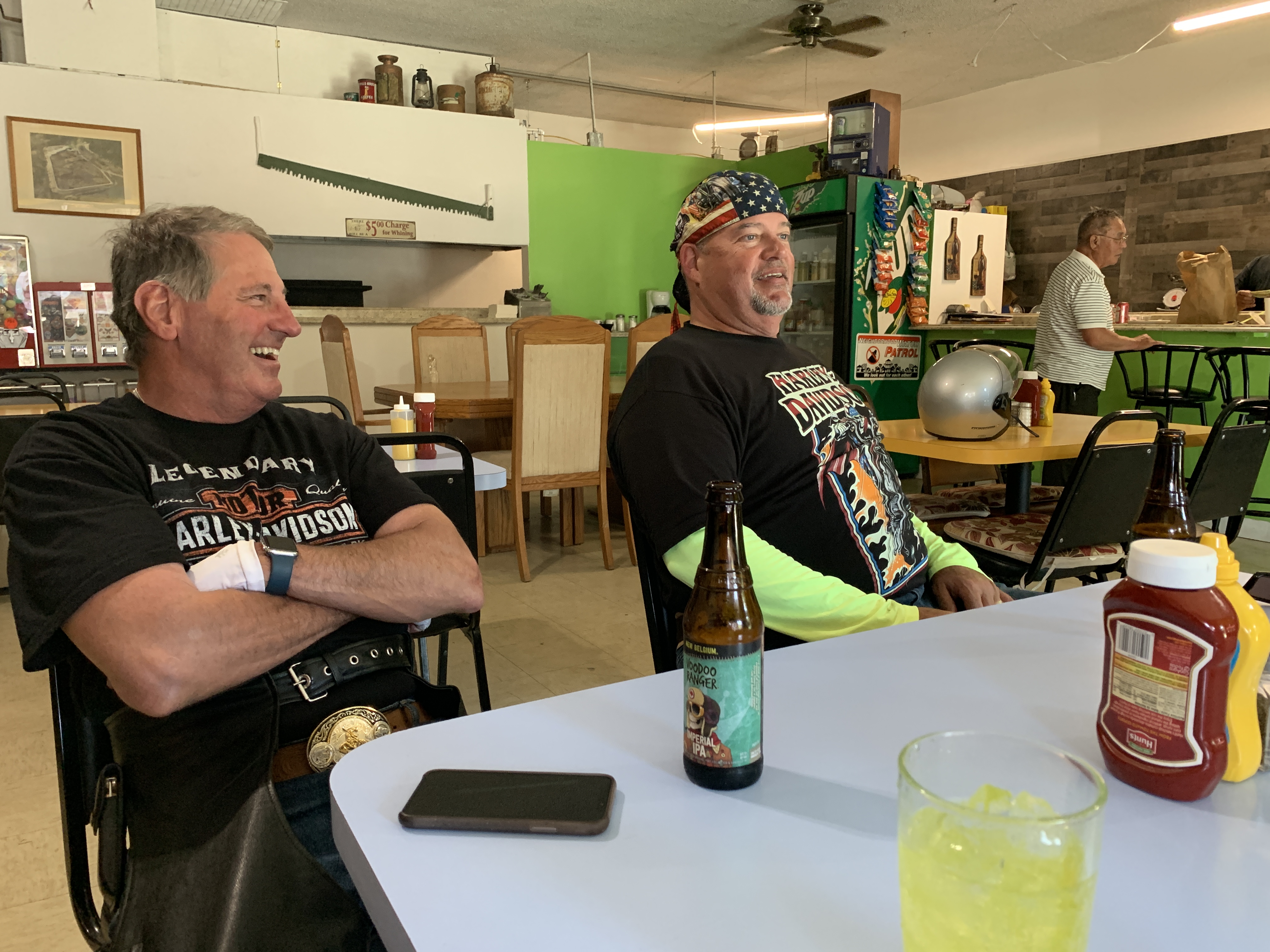
Lochsa Lodge, a nice place for a beer. Or blackberry cobbler. Or both.

***

Must be good humor in blackberry cobbler.


From Lochsa Lodge, it’s 13 miles to Lolo Summit, elevation 5,233 feet. Lolo Pass sits on the border between Idaho and Montana. It’s the highest point on the historic Lolo Trail, which was used by Nez Perce in the 18thcentury, and the Lewis and Clark Expedition, on their westward snowbound journey in September 1805.

The Lolo Trail is a National Historic Landmark, designated for its importance to the Lewis and Clark Expedition, and its role in the 1877 Nez Perce War.

There are different stories as to where the name Lolo came from. The name Lolo was not used by Lewis and Clark. Its first known mention is in the 1810 journal of David Thompson, who described three fur trappers, probably of French descent: Michael, Lolo and Gregoire.

D-06, Lolo Jones (hurdling)
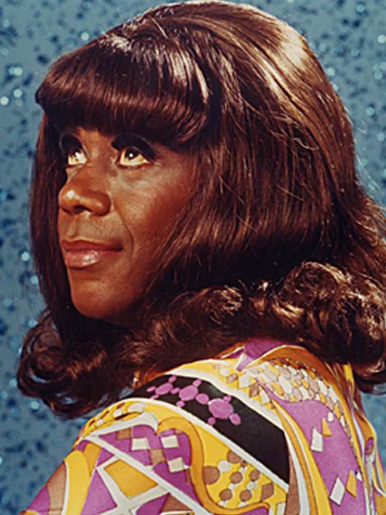
Lolo Jones stumbles to a seventh-place finish in the 100-meter hurdles at the 2008 Olympics. She was expected to win, but tripped over the second-to-last hurdle.

To Olympics fans unfamiliar with this part of the country, the best-known Lolo is Lolo Jones, born Lori Susan Jones. She’s a track star who received All-American honors while at Louisiana State University, for her hurdling prowess. Jones was favored to win gold the 100-meter hurdles at the 2008 Beijing Olympics, and was pulling away from the field when she tripped on the second-to-last hurdle and finished in seventh place.

Lolo Jones is one of the few athletes who have participated in both the Summer and Winter Olympics. While she’s best known for her work on the track, she represented the US in bobsledding at the 2014 Winter Olympics. Jones is not competing in the 2021 Tokyo Summer Olympics, which are happening this week, but she’s still pursuing her dream of a winter Olympics medal at the 2022 games in Beijing, China.

She got the nickname Lolo as a child when people called on the phone, asking to speak to Lori – also her mother’s name. To make things less confusing, they decided to call the younger Lori “Lolo.”

Now 38 years old and never married, Jones has attracted quite a bit of attention for her desire, so far apparently successful, to wait until she’s married to have sex. In a highly publicized 2012 interview, she said her virginity was a “gift” she wanted to give to her husband.

Jones says her widely known position on virginity has “killed” her dating life.

To learn more about Lolo — and who doesn’t? — her new memoir, released just last week, is on bookshelves: How to Face Life’s Hurdles With Grit, Hustle, and Grace.

D-6A, Lolo
Oh, Lolo.

***

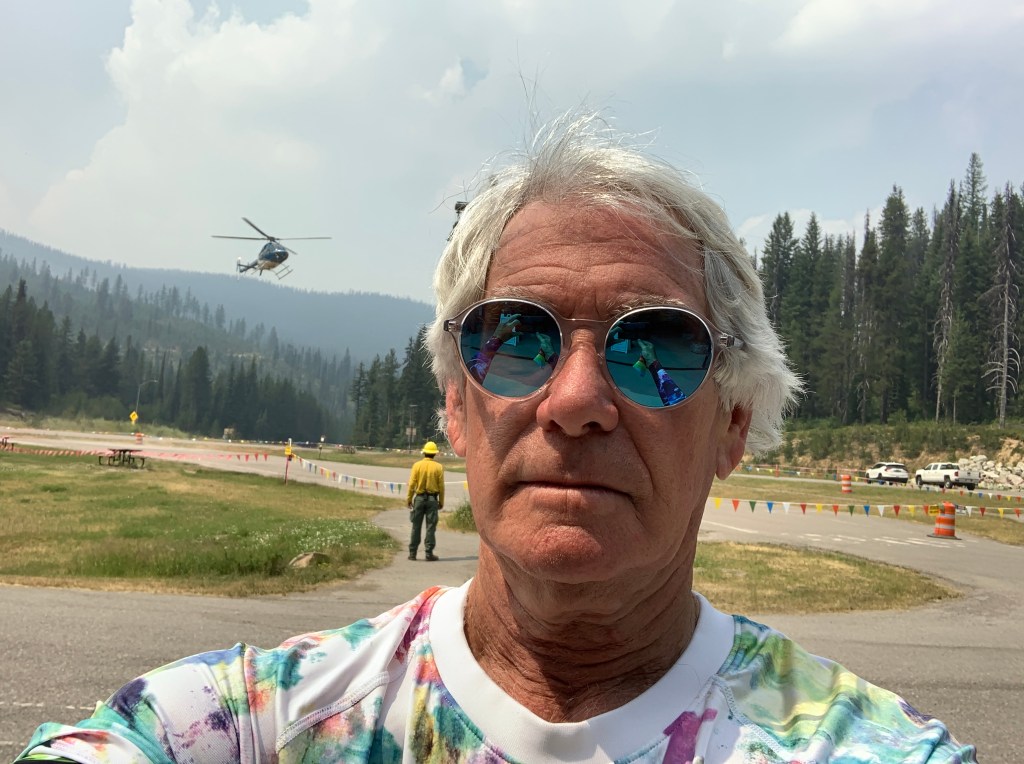
We pulled over at the Lolo Pass rest stop, at the summit. It was a beehive of activity, with firefighting crews directing a Forest Service helicopter to do fire reconnaissance. If you look closely, you’ll see the helicopter almost flying into my head.

At Lolo Pass, atop the Bitterroot Range, as we cross over into Montana, we begin to see more Montana license plates than Idaho plates.

While Idaho was known for its county identifiers on state license plates, Montana’s thing it its huge variety of available plates. If you move to Montana and go to register your car or truck, you have nearly 300 options to choose from. None of them say “Famous Potatoes.”

Turns out you can look at a Montana plate and figure out where the vehicle is from; it’s just harder than in Idaho. Each of Montana’s 56 counties is assigned a number, 1 through 56, and those numbers follow the word Montana on each plate. All you have to do to keep track of this is memorize which county goes with which number.

To get started, number 1 is Silver Bow County, and number 56 is Lincoln County. Good luck with the other 54.

Montana, with a population of just over one million, is the 43rdmost populous state. But it’s a large state geographically – the fourth largest state by land size, trailing only Alaska, Texas and California.

Its population density is 7.3 people per square mile. The only states with smaller human population density are Wyoming and Alaska. On the bright side, Montana has the largest grizzly bear population in the lower 48 states.

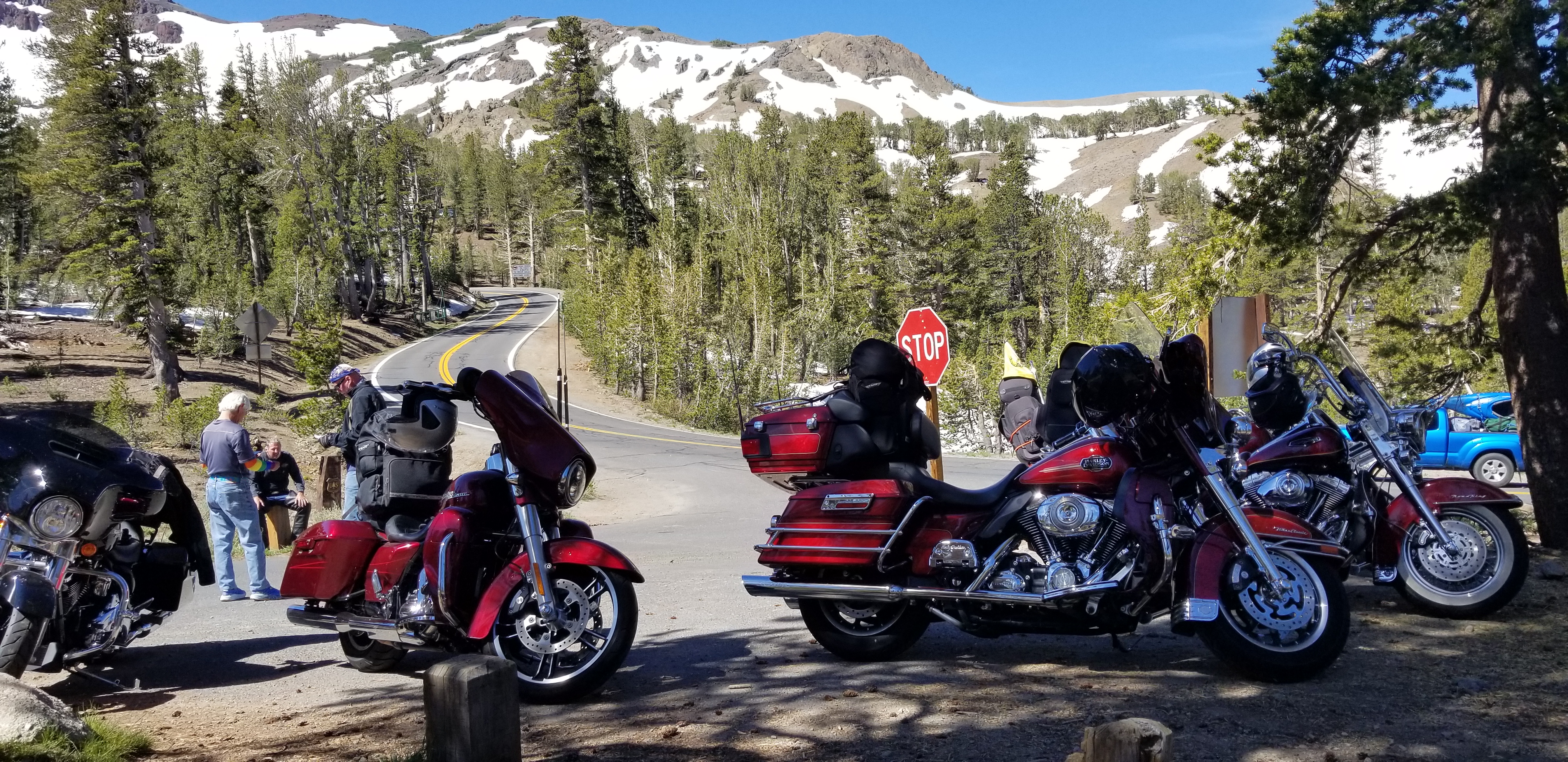
Along the Lewis and Clark Highway. Heading for Lolo, then Missoula.

***

Idaho Highway 12, which we’ve been traveling on for the past 130 miles, is also known as the Lewis and Clark Highway – and for good reason.

From Lolo Pass, we descend about 3,000 feet over the next 32 miles until we arrive in Lolo, Montana. Lolo is home to Travelers’ Rest State Park, where Lewis and Clark camped in 1805 and 1806. The Lewis and Clark expedition party included 27 unmarried soldiers, a French-Indian interpreter, and a contracted boat crew – 45 people in all.

Lewis, Clark, and their fellow expeditioners, found the area that is now Travelers’ Rest State Park a relaxing place to hang out. For them, it was ideal to stop, rest, hunt and repair their gear before tackling the trip over Lolo Pass. Today, the park is distinguished for being the only archaeologically verified campsite of the Lewis and Clark expedition.

Travelers’ Rest State Park sits on the West Fork of Lolo Creek, in downtown Lolo – just across the street from the Lolo Creek Steakhouse.

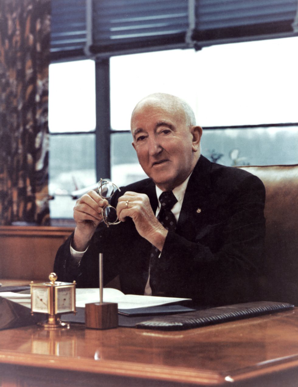
One of Lolo’s most famous residents is Bill Allen, who was born there in 1900, graduated from the University of Montana and Harvard Law School. Allen served as president of Boeing from 1945 to 1968. Boeing, of course, is the big ‘ol airplane company where Sarah and I worked – not during the Bill Allen era, but his fingerprints were all over the company, in a good way. There were no Bill Allen scandals. No jail time, no philandering, no drama, no PR nightmares or embarrassments.

Bill Allen is recognized as being largely responsible for Boeing’s success in the early years of the jet age, having bet the company in 1952 on the development of what would become the 707. He bet the company again in the mid-1960s with the development of the 747. Both of those airplanes changed the course of aviation history and made international airplane travel possible for the masses.

Boeing could desperately use another Bill Allen these days. Maybe the Boeing Board of Directors should start looking in Lolo.

D-6, Bill Allen Boeing
Boeing could use leadership like Bill Allen’s today.

***

Bill Allen’s birthplace in Lolo is only 10 miles to tonight’s destination, Missoula.

With a population of about 75,000, Missoula is Montana’s second largest city – after Billings. Missoula, which sits on the Clark Fork River, is home to the University of Montana. The name Missoula comes from the Salish name for Clark Fork River, which roughly translates to “place of frozen water.”

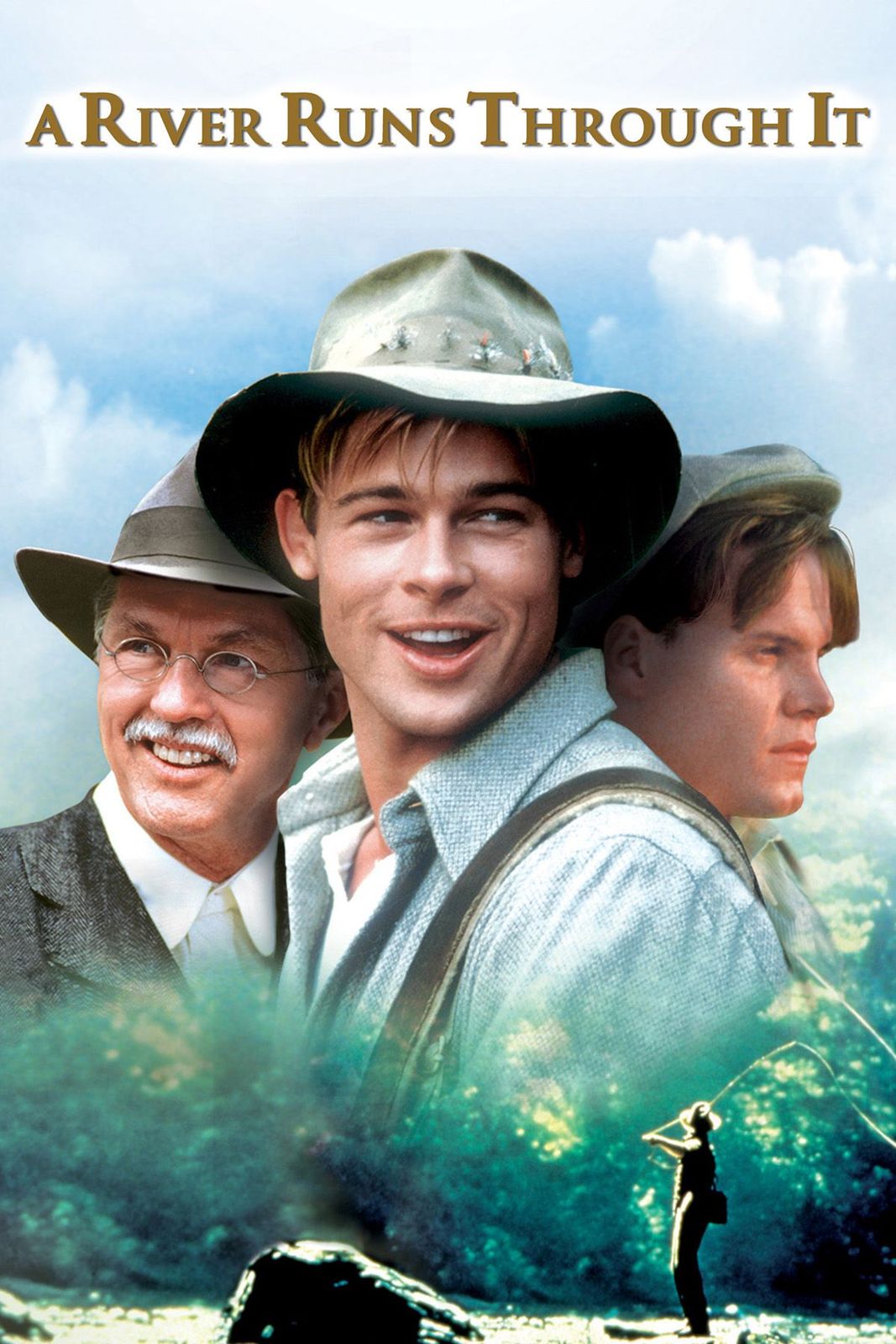
Missoula is known for its blue-ribbon trout fishing and its spectacular natural beauty. Author Norman Maclean, who spent his early years in Missoula, made both fishing and nature famous with his 1976 book, A River Runs Through It. The book was later made into a 1993 Hollywood film starring a very young Brad Pitt. The movie won an Oscar for its cinematography showcasing Montana’s beauty.

D-6, River Runs Through It Poster
Brad Pitt was a hunky 28-year-old when A River Runs Through It played on the big screen.

While the book and movie are set in Missoula and on the Blackfoot River, the actual filming was done elsewhere in Montana – in Livingston and Bozeman – and on the upper Yellowstone, Gallatin and Boulder Rivers. To watch the film, you’d never know it wasn’t shot in Missoula, and on the Clark Fork River. That’s Hollywood.

Missoula seems like a good place to stop for the day, so we park the bikes and begin thinking about tomorrow’s journey on yet another road considered one of America’s top 10 for motorcycles.

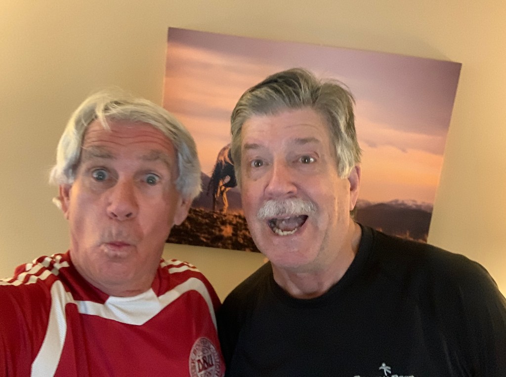
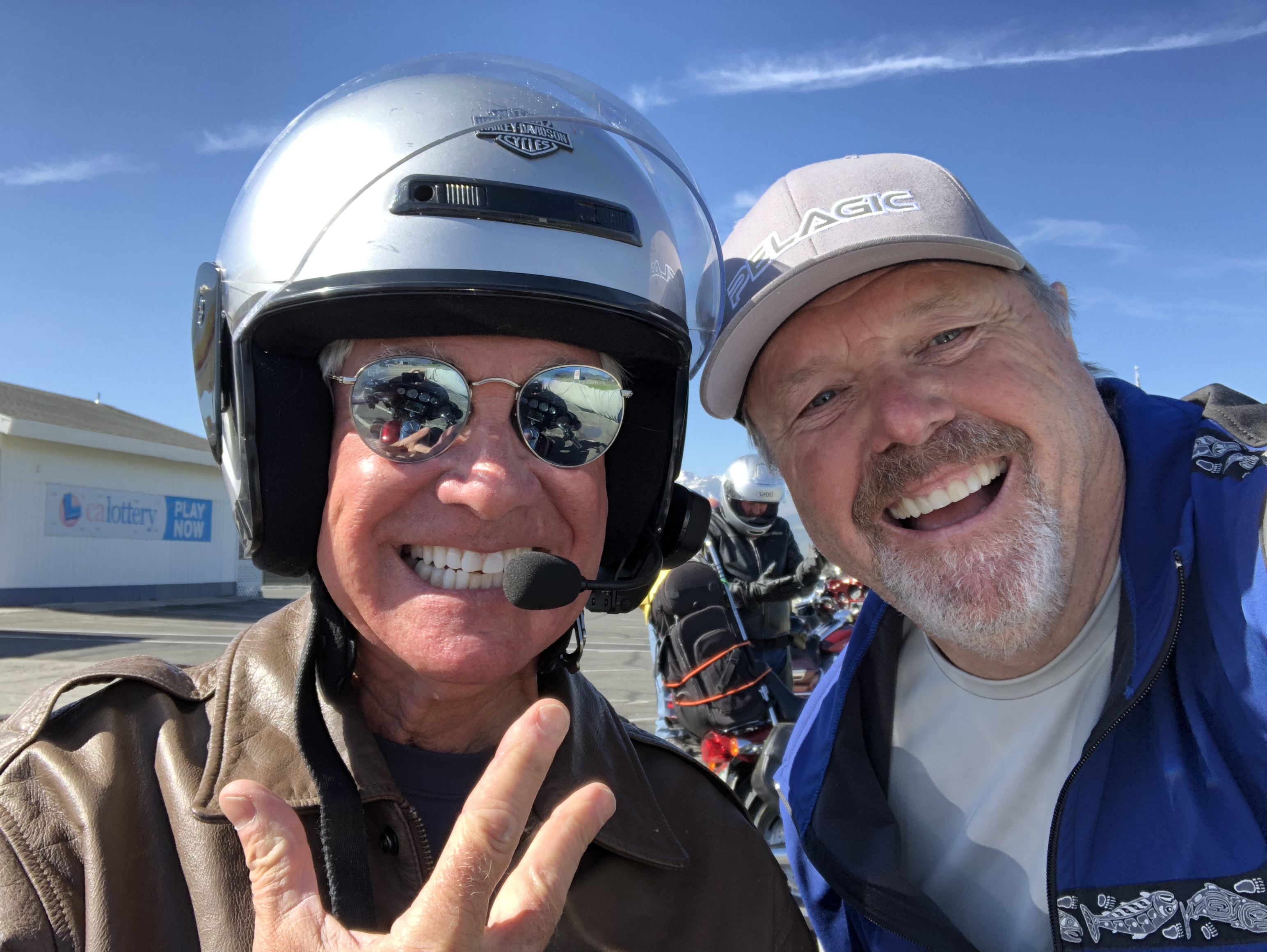
For the second day in a row, I bump into a long lost friend. The guy on the right is Stuart Hilleboe, a former college roommate I hadn’t seen in nearly 50 years. Stuart lives in Missoula now. Dude hasn’t aged a bit! Shared dinner and a lot of good memories.

***

Day Six Summary: 258 miles. Lolo Pass, Lolo Jones, all things Lolo.

Click here to see today’s complete route from McCall, Idaho, to Missoula, Montana.

Today’s fun facts, favorite foods, funky place names and famous folks:

Idaho fun fact: Idaho’s State Capitol building in Boise is the only one in the US heated by geothermal energy. The heat comes from hot springs located 3,000 feet underground. Boise became the capital of the Idaho Territory in 1864, then the state capital when Idaho was admitted to the Union as the 43rdstate on July 3, 1890.

D-06, Idaho State Capitol
Idaho’s State Capitol building in Boise, heated geothermally.

Montana fun fact: The world’s largest steer can be found at the O’Fallon Museum in Baker, Montana.  Weighing in at 3,980 pounds, he grew to be 5’9″ tall and 10’4″ long. Born March 23, 1923, just east of Baker, in southeastern Montana, the steer lived for 15 years and 4 months. His owner, Jack Guth, christened him “Steer Montana,” and exhibited the animal at more than 60 state fairs.

steer_montana
Steer Montana, now in Baker at the O’Fallon Museum.

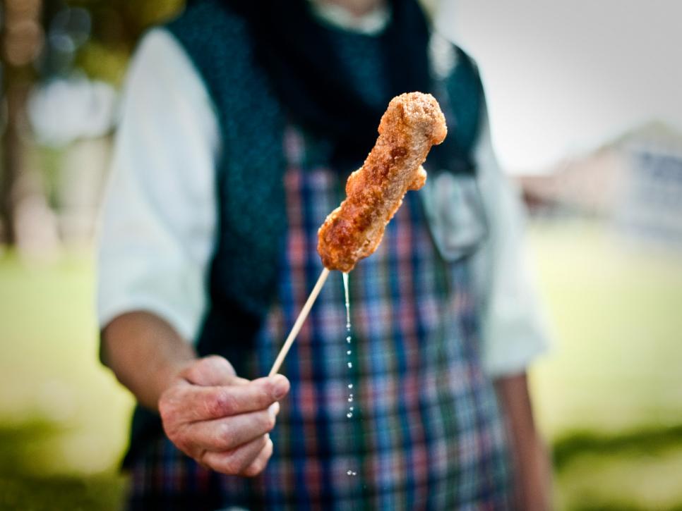
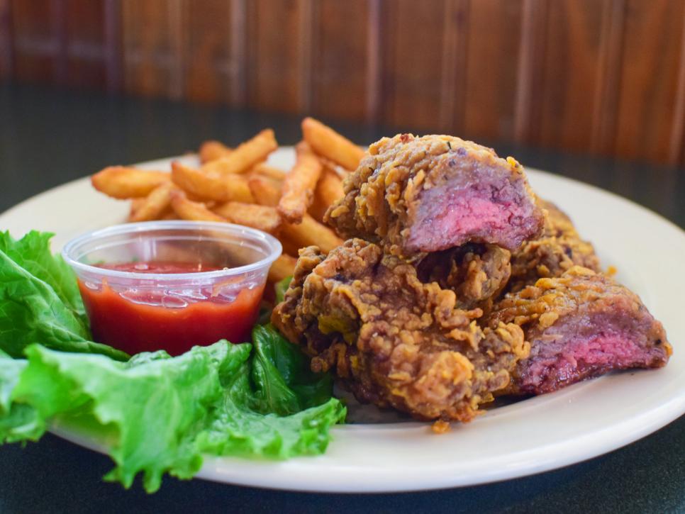
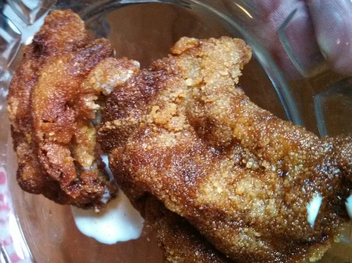
Idaho favorite food: Finger steaks! These battered, deep-fried beef strips were invented in the mid-1950s by Milo Bybee at the Torch Lounge in Boise. Though you can order a basket of these crunchy morsels at many dive bars, Lindy’s Steak House in Boise has perfected the recipe. The chefs at Lindy’s use top sirloin, rub it with fresh garlic, then dunk it in seasoned flour and drop the whole thing in a high-pressure deep-fat fryer until it’s crisp outside but still pink on the inside.

D-6, Finger Steaks
Finger Steaks at the Torch Lounge are worth a stop, if you’re in Boise.

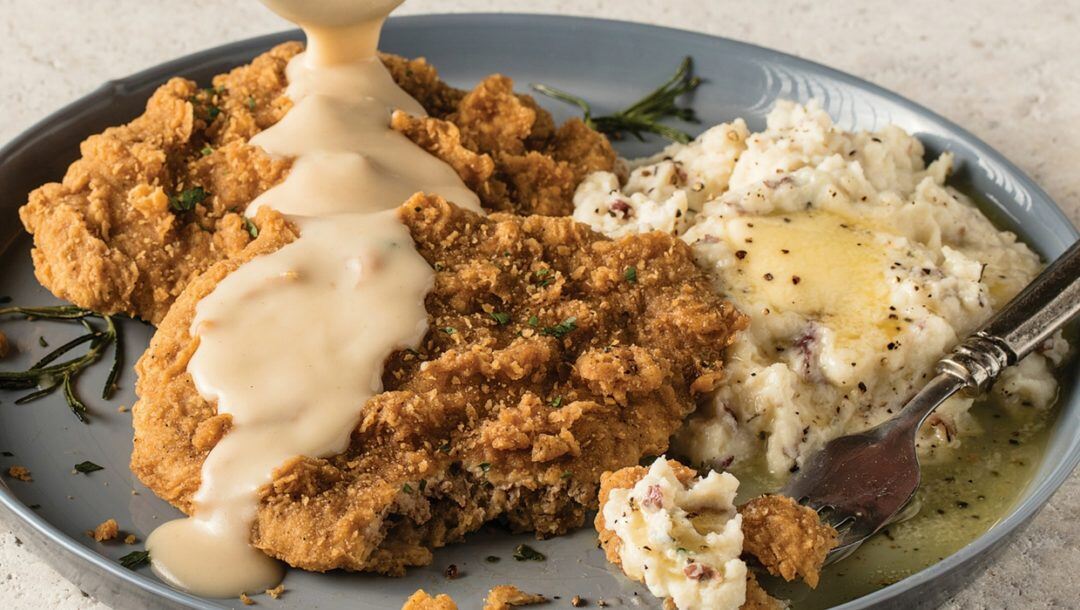
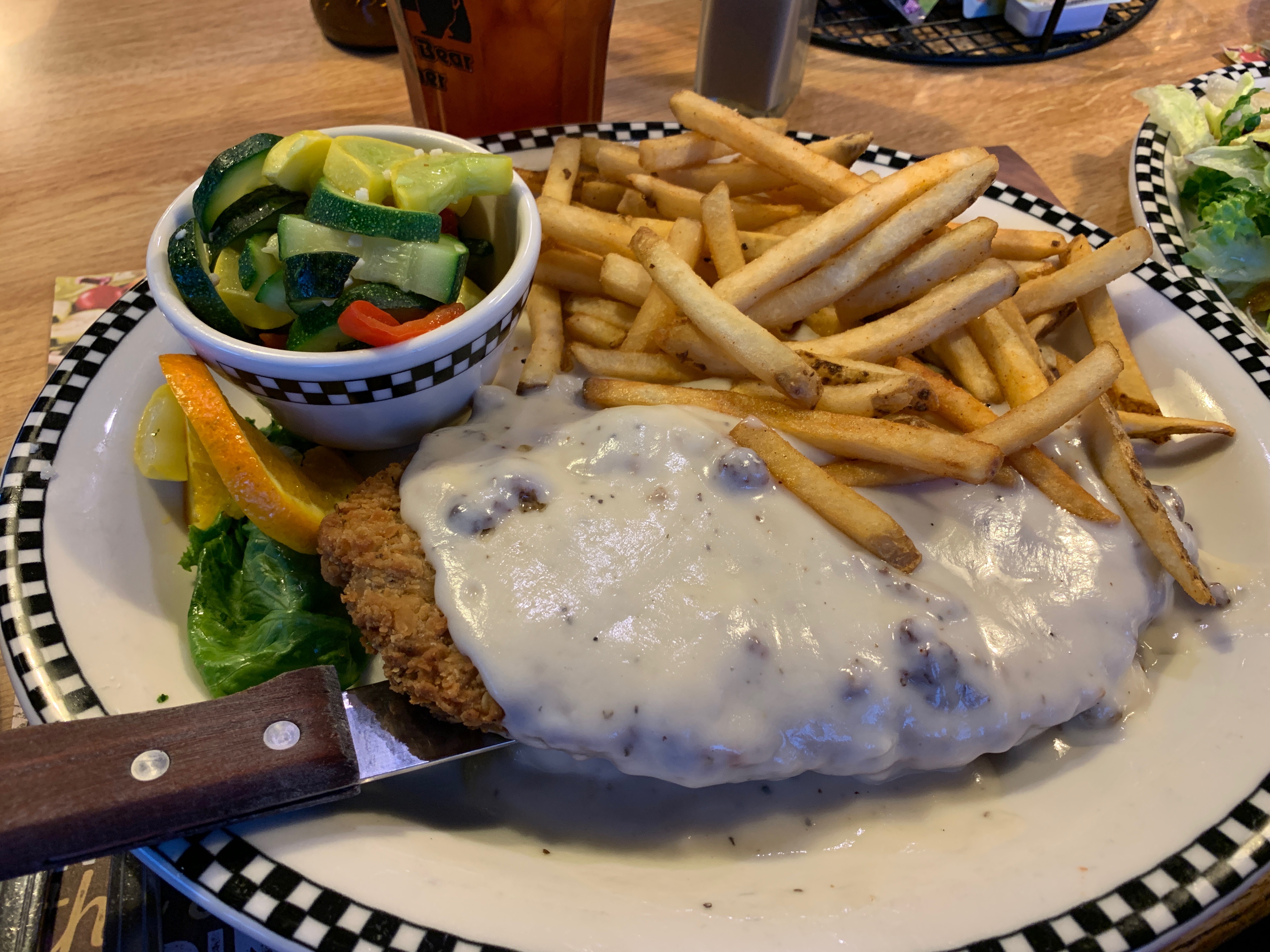
Montana favorite food: While not an official state food, chicken fried steak is quite popular in Montana. It’s a signature dish at the Western Café in downtown Bozeman. The breakfast version is coated in homemade breading, grilled and nestled in a bed of sausage gravy. Yum!

BP-Chicken-Fried-Steak-FI-1080x610
What’s not to like about chicken fried steak, sometimes called country fried steak?

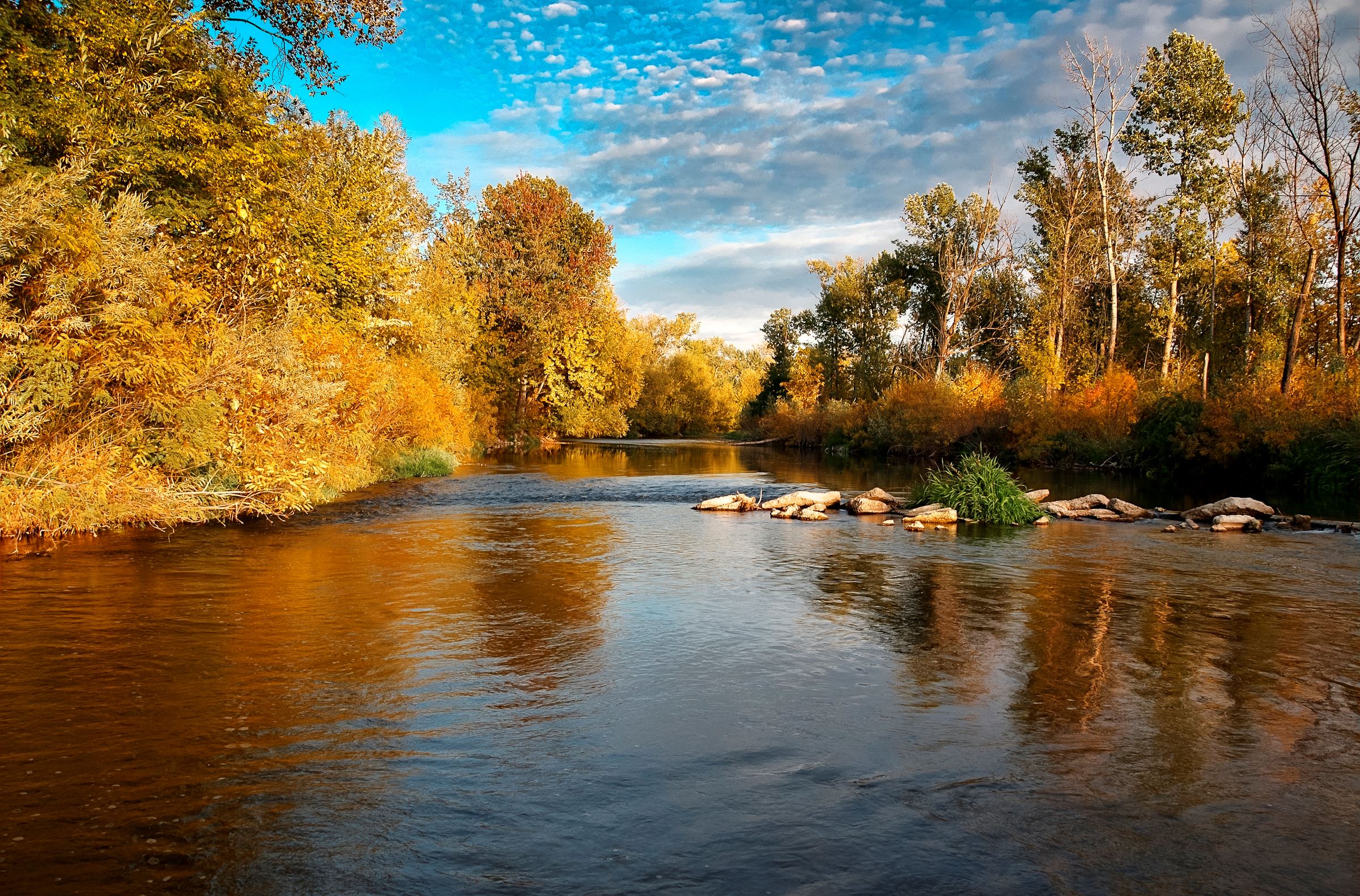
Idaho funky place name: The state capital of Boise is named after the Boise River, which got its name from French-Canadian explorers and trappers, who noted the variety of trees growing along its banks. Apparently, after traveling over a long stretch of arid land, they were excited to see the woods: “les bois!” (French for, the woods). To sound like a local, pronounce it BOY-see, not BOY-zee. There is no Z in Boise.

D-06, Boise River
The Boise River, with all its trees and woods, is quite splendid.

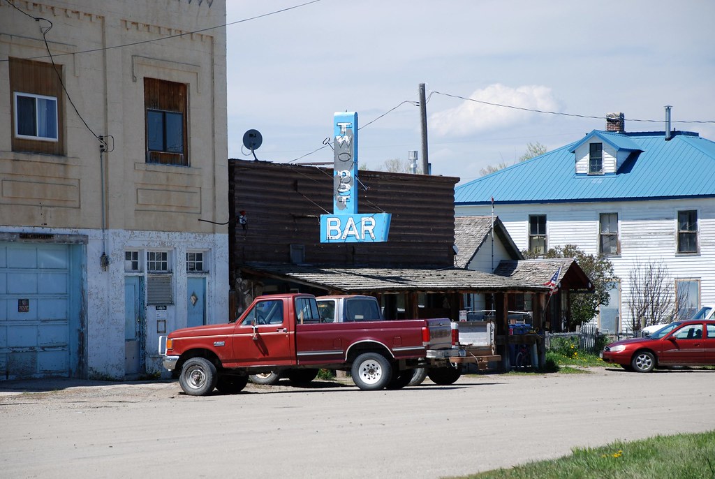
Montana funky place name: Two Dot is a tiny community in Wheatland County. Its name comes from the cattle brand of the late George R. Wilson, who donated the land for the town. “Two Dot Wilson” had a cattle brand that was simply two dots, placed side by side, on the hip of his cattle.

two dot
There’s not much in Two Dot, Montana — except the Two Dot Bar.

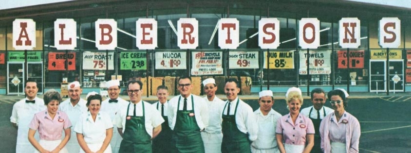
Idaho famous folk: Joe Albertson, founder of the Albertsons chain of grocery stores, grew up in Caldwell, just northwest of Boise. Albertson began his career as a clerk at a Safeway store in Caldwell, before starting his own grocery store at Sixteenth and State Streets in Boise – which eventually grew into the Albertsons chain of more than 600 locations. Albertson died in Boise in 1993 at the age of 86.

albertsons
Albertsons has been around a long time. Note the jug milk for 85 cents!

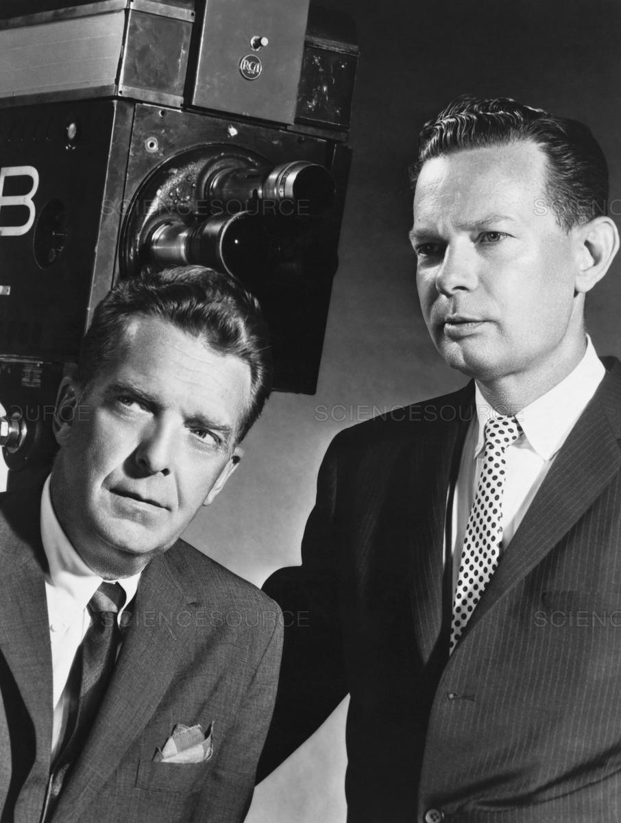
Montana famous folk: Newsman Chet Huntley, of NBC’s Huntley-Brinkley Report, was born in Caldwell, Montana, lived in various small Montana towns, and attended Montana State College. At the time of his death in 1974 at age 62, he lived in Big Sky, Montana. When the Huntley-Brinkley Report aired from 1956 to 1970, it ended each night with the words: “Good night, Chet.” “Good night, David.”

D-06, Huntley and Brinkley
That’s Huntley on the left, Brinkley on the right.

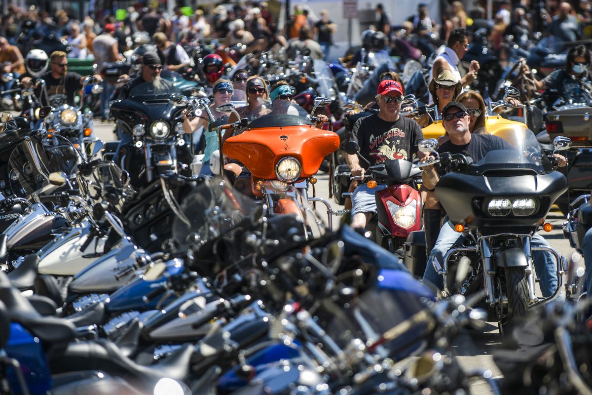
Sturgis, anyone?

Vroom.

A look ahead @ tomorrow: Going to the Sun.

Weightless in Idaho

An unexpected treat got my day off to a special start.

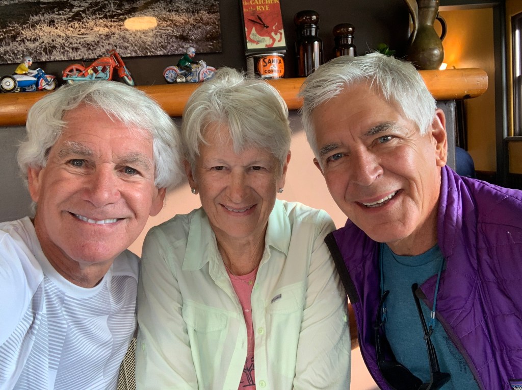
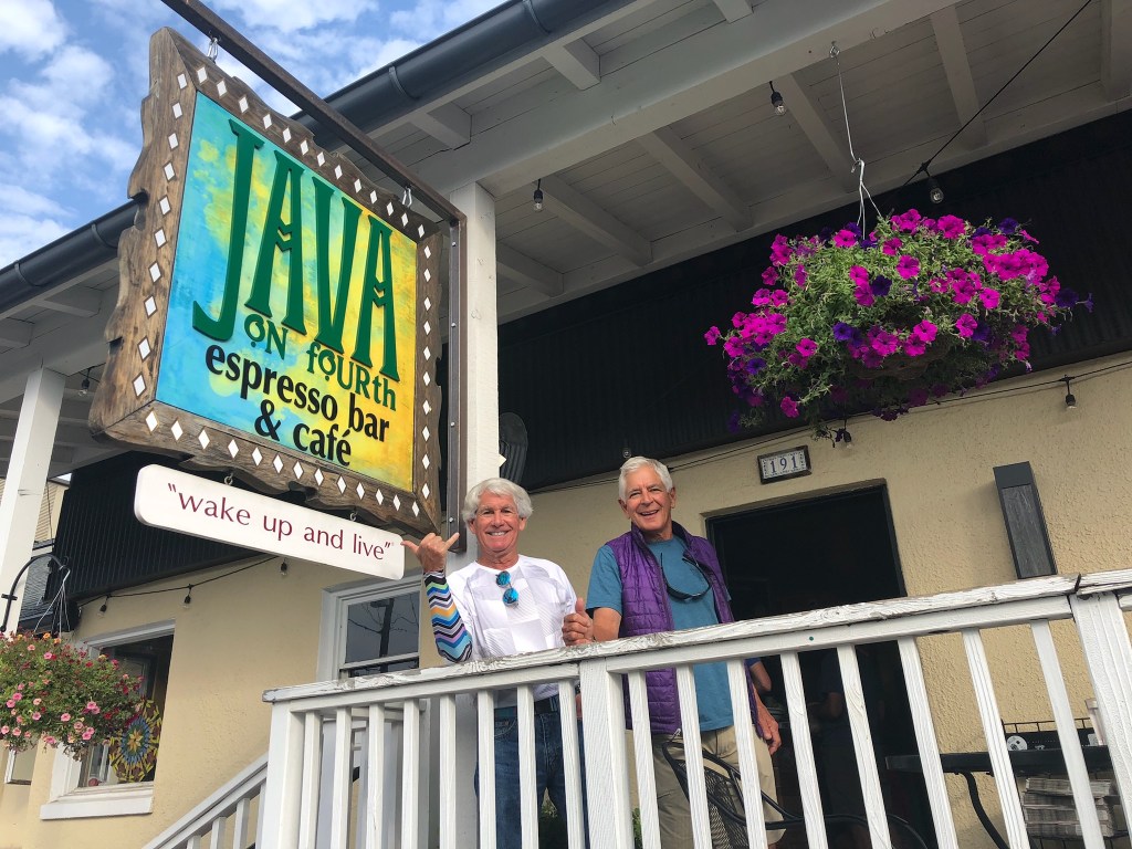
I was minding my own business, having a latte. Then I looked up … and saw two familiar faces.

What are the chances of bumping into River Valley Ranch neighbors, hundreds of miles from home?

And there they were. Bruce and Jane Warren. Larger than life. All the way from Carbondale, Colorado.

Turns out they’re heading the same direction we are: Stanley, Idaho.

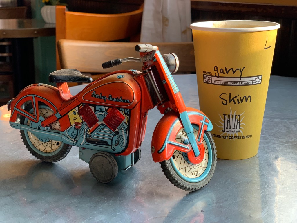
Safe travels, Bruce and Jane. Pro tip: when in Ketchum, try Java on Fourth. Their blueberry muffins are scrumptious!

***

The road north from Ketchum, Idaho Highway 75, will take us to Galena Summit, 30 miles away. We’re on the Sawtooth Scenic Byway, which has the distinction of being the 100th National Forest Scenic Byway.

We’re riding through the Boulder Mountains, in the Sawtooth National Recreation Area – three quarters of a million acres of scenic mountain country.

The Sawtooth Scenic Highway delivers us to Galena Summit, on our way to the town of Stanley.

The Sawtooth Range, covering 678 square miles, is part of the Rocky Mountains in central Idaho. There are 57 peaks over 10,000 feet in the Sawtooth Range, about the same number of peaks in Colorado that are over 14,000 feet.

On our way to Galena Summit, 23 miles from Ketchum, we encounter the famous Galena Lodge. It’s a county-owned treasure with cross-country skiing in the winter, and hiking, mountain biking and horseback riding in the summer.

In Galena, we begin riding along the Big Wood River, and follow it to Galena Summit, 8,701 feet above sea level. It’s the highest summit in the Northwest US.

Galena is a mineral, lead sulfide. It’s the most important ore of lead and an important source of silver. The name Galena means “calm,” and it’s become an occasional 21stcentury name for newborn girls. Galena is the female version of the more typically male name, Galen.

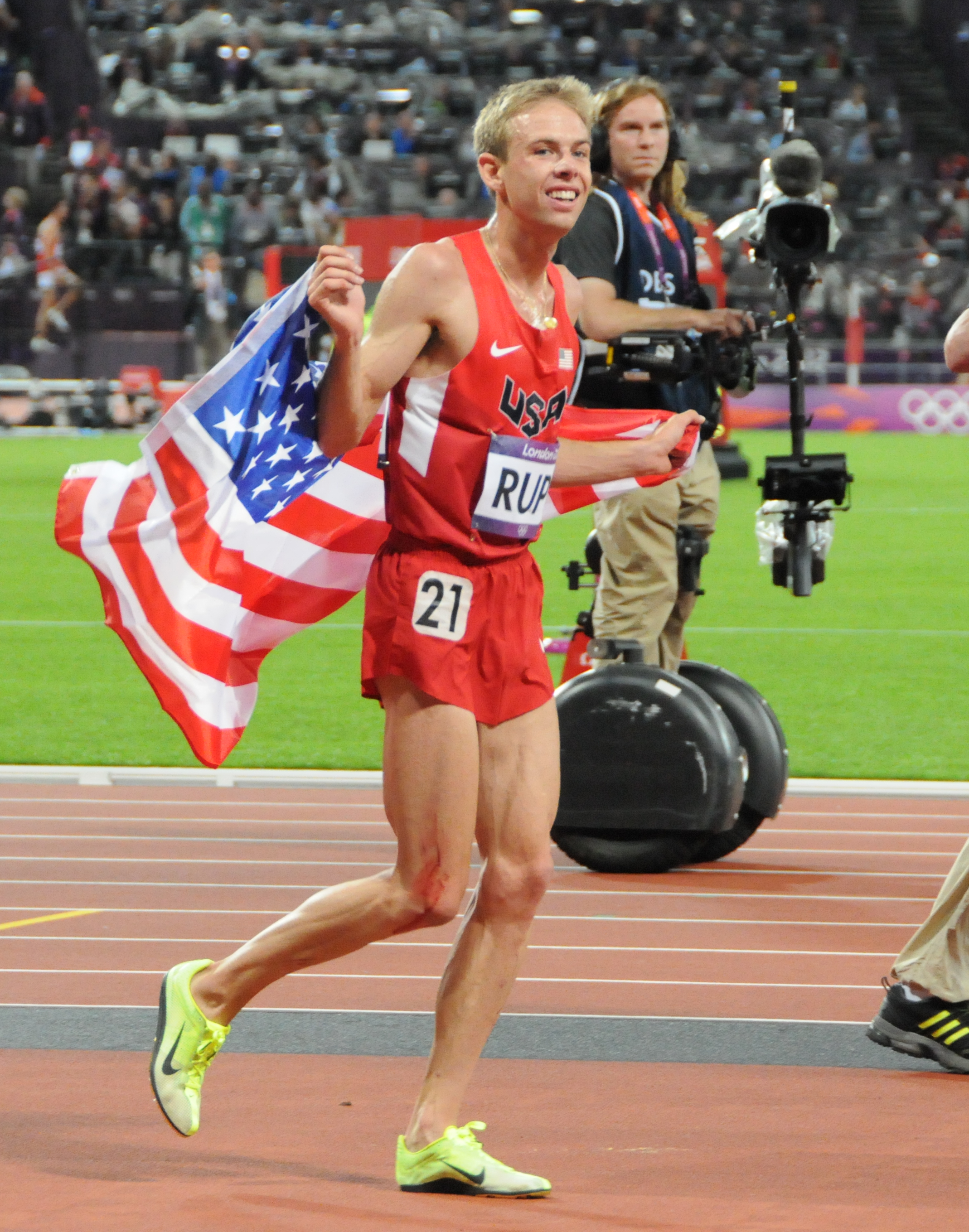
D-5, Galen Rupp
Galen Rupp, the male version of Galena, celebrates after breaking the US record in the 10,000 meters at the Prefontaine Classic in Eugene, Oregon in 2014. His time: 26:44.36. He won the silver medal in that event in the 2016 London Summer Olympics.

***

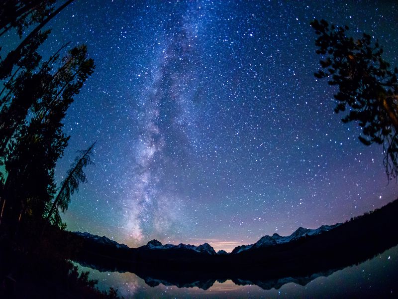
Galena Summit is a great place to view the night sky. It’s part of the Central Idaho Dark Sky Reserve, the first and so far, the only International Dark Sky Reserve in the US. At 1,416 square miles, it’s the third-largest such reserve in the world. Only wilderness areas in Quebec, Canada, and New Zealand’s South Island are larger.

Since its establishment in 2017, tourists flock to the reserve to get views of the stars. Here, the skies are the clearest you’ll find in the continental US. The International Dark Sky Association has given the Idaho reserve a gold-tier designation, meaning the inhabited areas at the periphery of the wilderness have appropriate laws in place to cut down light emissions. 

One of those inhabited areas is the Ketchum / Sun Valley metropolis, where the high altitude and low humidity help to make for a brilliant night sky. Ketchum was the first city in Idaho to have a dark sky ordinance, which requires urban lighting fixtures to divert light down rather than up, and limits the time frames for holiday lights. Those who violate this law can be fined up to $300 for a “light trespass,” classified as a misdemeanor. (Carbondale, Colorado, where I live, has similar dark sky restrictions. Our lighting is in compliance!)

We stayed in Ketchum last night, and somehow forgot to gaze into the night sky. Damn! Sunset here at Galena Summit is 9:05 pm tonight, so we can have a do-over by pulling over, waiting about 12 hours, and enjoying the beautiful night sky. We chose to ride on.

If only we’d stayed at Galena Summit for the rest of the day. This could have been our view.

***

Descending from Galena Summit, we continue through the Sawtooth Mountains, named for their jagged peaks, reminiscent of serrated teeth on a saw.

In 32 miles, we’ll be in Stanley, which calls itself the “Trailhead to Idaho Adventure.” Stanley, with a population of less than 100, is in Custer County (7C license plates). It’s said to be the geographical center of Idaho’s population.

Fur trappers from the Hudson’s Bay Company discovered the Stanley Basin in the 1820s. The area was named after Captain John Stanley, a Civil War veteran, who led a party of prospectors through the area in the early 1860s.

To call this area wild is an understatement.

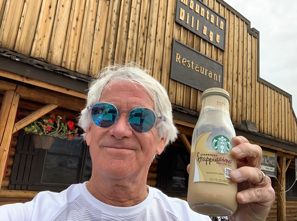
Even in the wild, you can find a cold Frappuccino.

Just north of Stanley is the largest contiguous wilderness area in the US, outside of Alaska, the Frank Church River of No Return Wilderness. Congress created the 2,366,757-acre wilderness area in 1980. Four years later, it was re-named, in honor of US Senator Frank Church, less than four weeks before his death at age 59. Church represented Idaho in the Senate from 1957 to 1981. His 1974 election was the last time a Democrat won a Senate seat in this flaming red state.

There are more acres of road-less wilderness in this region than anywhere else in the lower 48 states.

Much of the ride toward Stanley is along the Salmon River. The Salmon flows for 425 miles through central Idaho. It’s one of the largest rivers in the continental US without a single dam on its mainstem.

In August 1805, just after crossing the Continental Divide, Lewis and Clark ventured down the Salmon River, but found it too rough to safely navigate. They found its swift current and large rapids more than a little challenging.

Lewis and Clark had trouble with the river, but their difficulties were unrelated to the Salmon’s nickname: “The River of No Return.” In the mid-1800s, when the gold rush flooded Idaho, miners arrived in droves. There was a growing demand for lumber.

Due to the wild nature of the river, simply floating logs from one location to another was out of the question. Men with the familiarity of flatboats and their ability to transport huge loads, created the sweep scow – a large wooden boat with a flat bottom, ranging in length from 26 to 38 feet.

Each boat was hand built out of green lumber, then loaded with logs and driven downstream from Salmon City. Upon arrival in Shoup, Riggins or Lewiston, the load of lumber was sold, the sweep scow was dismantled and then also sold as lumber. And that’s why the Salmon was called “The River of No Return” – because once dismantled and sold, the boats would never return.

This image has an empty alt attribute; its file name is 16217_8_mark-larson-1.jpg
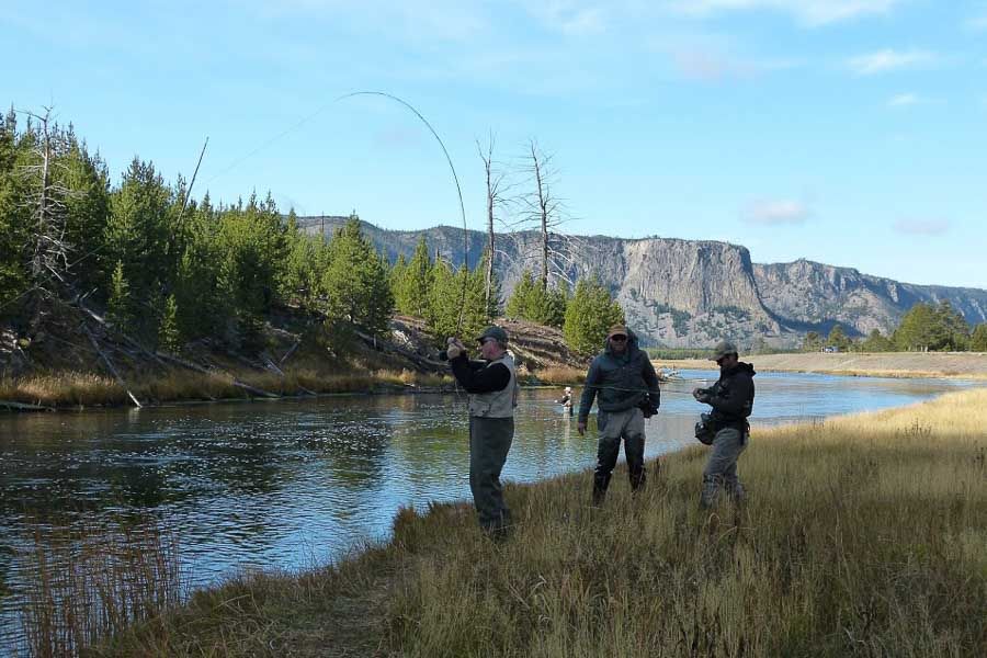
Turns out the Salmon is not a river of no return, if you have modern-day equipment, and know how to use it.

***

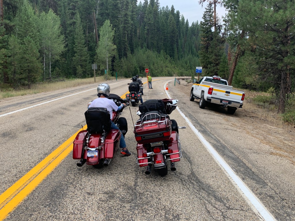
It’s road construction season. Seems like everywhere we go, there’s at least one delay. A small price to pay for keeping the roads in decent shape. This delay was 22 minutes.

We turn west in Stanley on Idaho Highway 21, which will take us to Lowman, about 58 miles away. Lowman is in Boise County (6B license plates), nestled along the South Fork of the Payette River.

To get to Lowman, we ride the Ponderosa Pine Scenic Byway, which winds through the Boise National Forest, taking travelers through wide open spaces. More than two-thirds of the state is public lands, and almost a tenth of its acreage is federally protected wilderness.

In Lowman, we turn off of Highway 21 and head west on Banks Lowman Road. It follows the course of the Payette River, until arriving at the town of Banks, 34 miles later. The North and South forks of the Payette River meet at Banks, which makes it a popular destination for people rafting or kayaking on the Payette River.

More road delays. No worries. It’s all about the journey.

The Banks Lowman Road is so named, because it starts in Lowman, and ends in Banks. Here, we turn onto Idaho Highway 55, the Payette River Scenic Byway. We head northward, following the North Fork of the Payette River on its winding course to Lake Cascade, into which it empties.

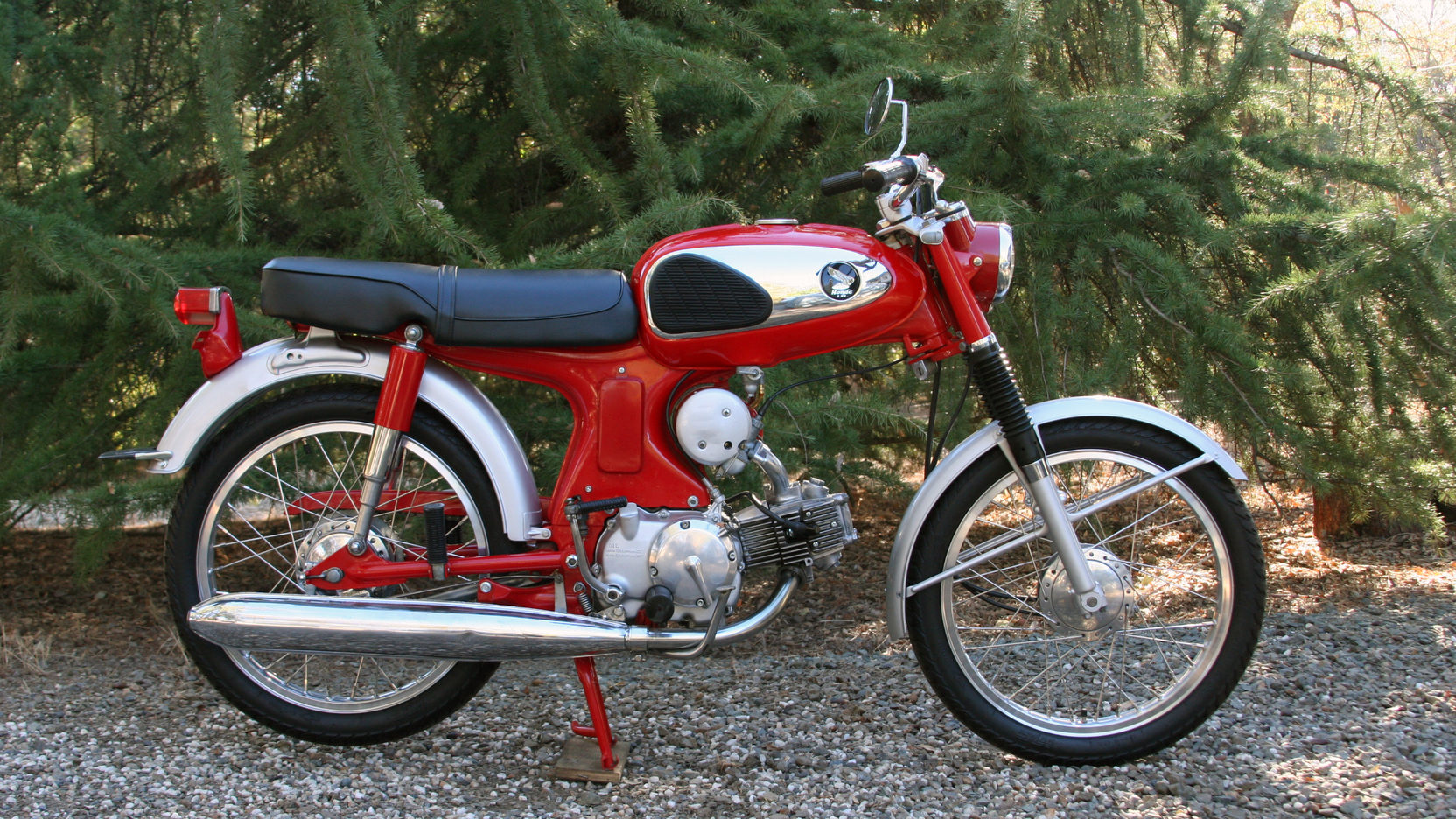
Here, on Highway 55, I reached 100 miles an hour on a motorcycle for the first and last time — on my 1976 Honda CB550F. C’mon, it was the ’70s; I was young and reckless. Now I’m old and ride like Grandma, which is key to my survival.

The Payette River is named for Francois Payette, a Canadian fur trapper who was one of the first people of European descent to explore the Payette River Basin in the early 1800s. Before Payette and other Europeans began exploring western Idaho, the river’s watershed was originally settled by the Shoshone, Nez Perce, Paiute, and Bannock Indian tribes.

About halfway to Lake Cascade, we pass through Smiths Ferry, population about 75. In 1891, the settlement was named after Jim Smith, who owned a ferry that transported livestock across the Payette River to their summer pasture.

Smith’s Ferry, home to the Cougar Mountain Lodge, is in Valley County (V license plates).

We roll past Lake Cascade, a 47-square mile reservoir that has perch, trout, smallmouth bass, Kokanee salmon and Coho salmon fishing in the summer, and an ice fishing season in the winter.

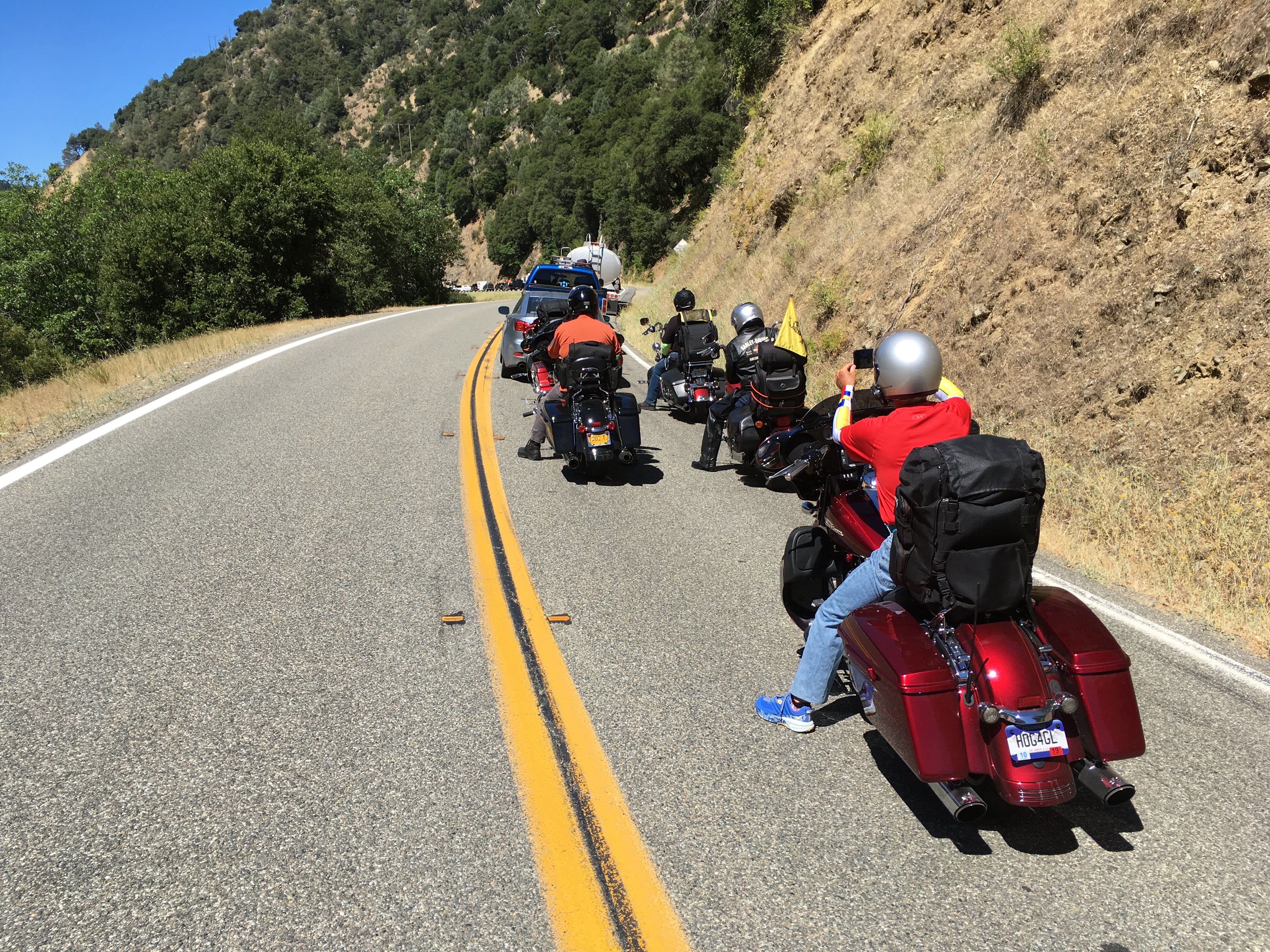
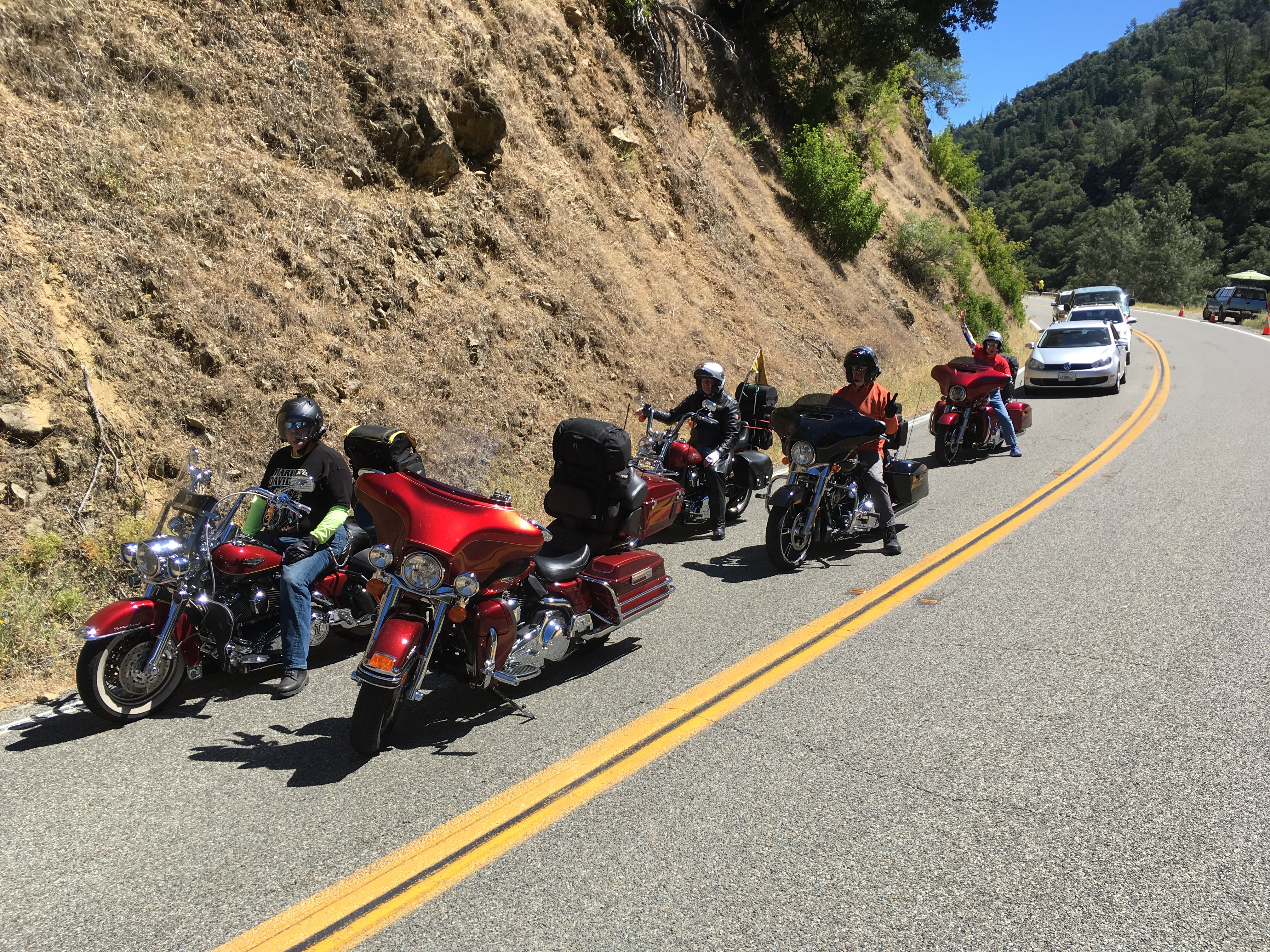
Traffic delays do have an additional benefit: photo ops.

***

Donnelly, population 150, is at the far northern end of Lake Cascade. From here, it’s only 14 miles to tonight’s destination: McCall.

McCall, established by Thomas and Louisa McCall in 1889, is an all-season tourist town on the southern shore of Payette Lake. It was originally a logging community whose last sawmill closed in 1977, when I lived in the Boise area, about 100 miles away.

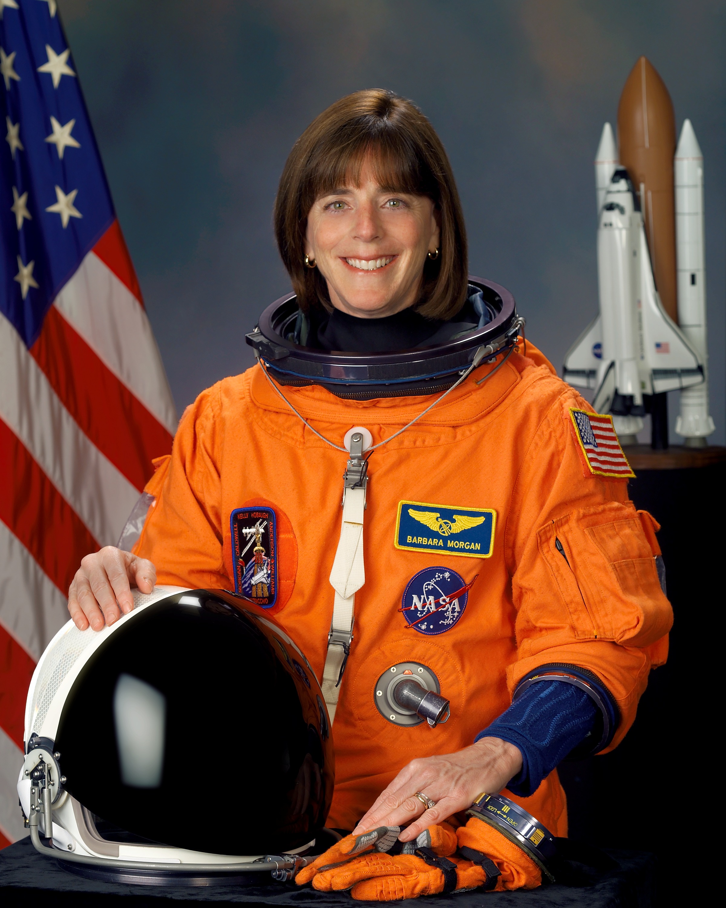
At that time, McCall’s most famous resident was a teacher at McCall-Donnelly Elementary School. Barbara Morgan, a Stanford graduate who taught there for more than 20 years, is a former NASA astronaut. She participated in the Teacher in Space Program, and was a backup to Christa McAuliffe for the 1986 ill-fated Space Shuttle Challenger mission.

After McAuliffe’s death, Morgan trained as a Mission Specialist, and eventually flew on the Space Shuttle Endeavour in August 2007. She was in space on that mission for 12 days, 17 hours and 53 minutes. The mission was an assembly-and-repair trip to the International Space Station.

Morgan operated the shuttle’s and space station’s robotic arms to install hardware on the space station. In addition, schoolchildren enjoyed the lessons she conducted while in space.

Morgan, who will turn 70 in November, left the astronaut corps in 2008 to become a Distinguished Educator in Residence at Boise State University, a position created specifically for her that entailed a dual appointment to the Colleges of Engineering and Education.

Her legacy in McCall: Barbara Morgan Elementary School, which has been enriching kids’ lives there since 2008.

D-05, Barbara_morgan
Barbara Morgan, in her space days.

***

McCall, population around 3,000, is home to an annual winter carnival, inspired by the Payette Lake Winter Games, first held in 1924. It has one of the highest average snowfalls in the state. You can imagine it must be a good place for skiing.

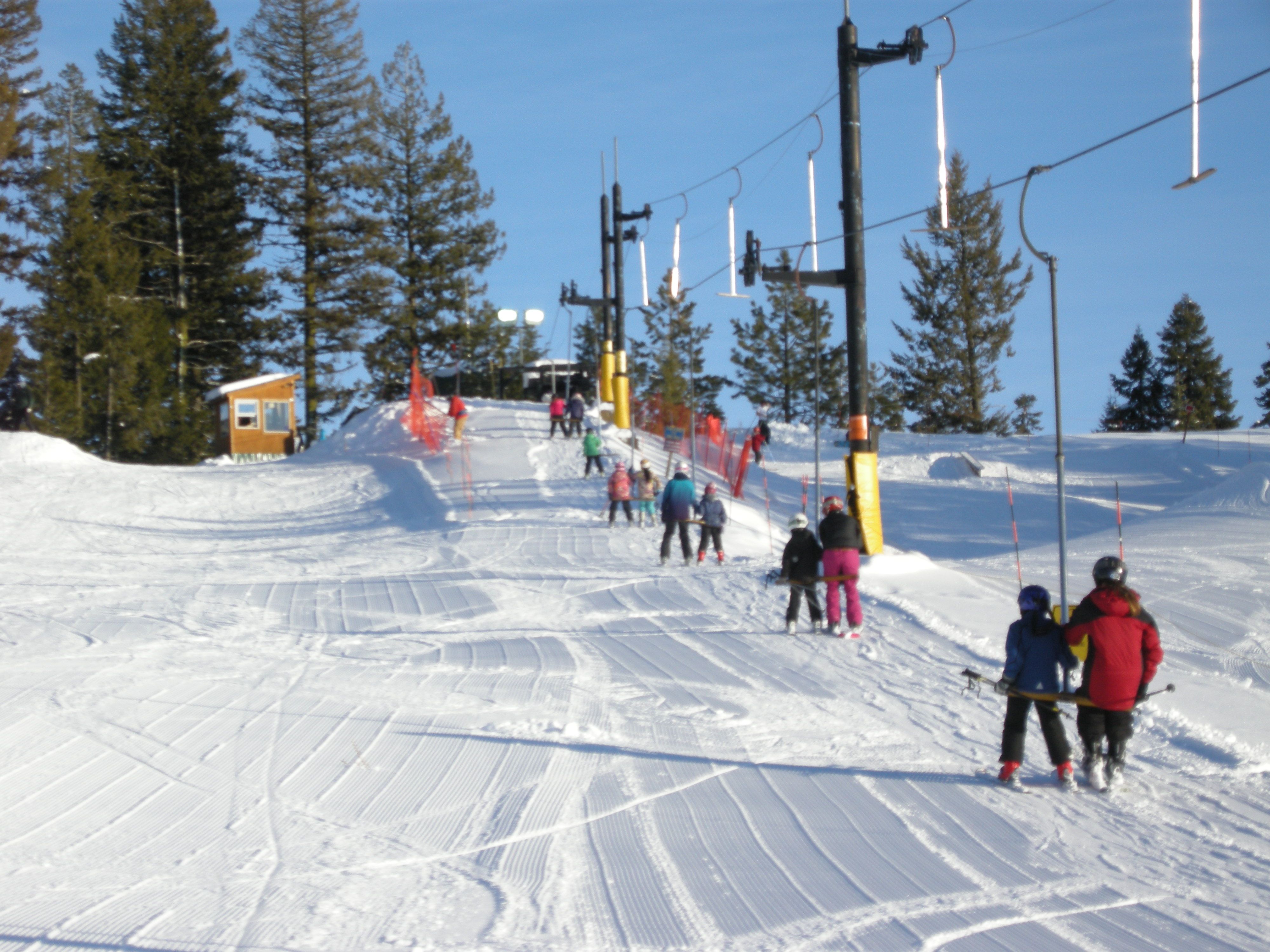
Just two miles from town is Little Ski Hill, opened in 1937 as a diversion for local forest workers. Little Ski Hill was the second ski area in Idaho, after Sun Valley, which opened a year earlier. The appropriately named Little Ski Hill has one T-bar lift, and a vertical drop of 405 feet.

D-5, Little Ski Hill
This T-bar is the only lift at Little Ski Hill. It gets the job done.

Nine miles from McCall is Brundage Mountain, whose five chairlifts and 1,800-foot vertical rise make it more than a little ski hill.

It’s about 80 degrees as we pull into McCall, not exactly optimal skiing temperatures.

So we park the bikes, explore town, and prepare for dinner.

Arrived at motel in McCall at 3:30, then sat down to write today’s blog post.

***

Day Five Summary: 217 miles. Steaming to Stanley, tracing Lewis and Clark’s steps, a teacher in space.

Click here to see today’s complete route from Ketchum, Idaho, to McCall, Idaho.

Today’s fun facts, favorite foods, funky place names and famous folks:

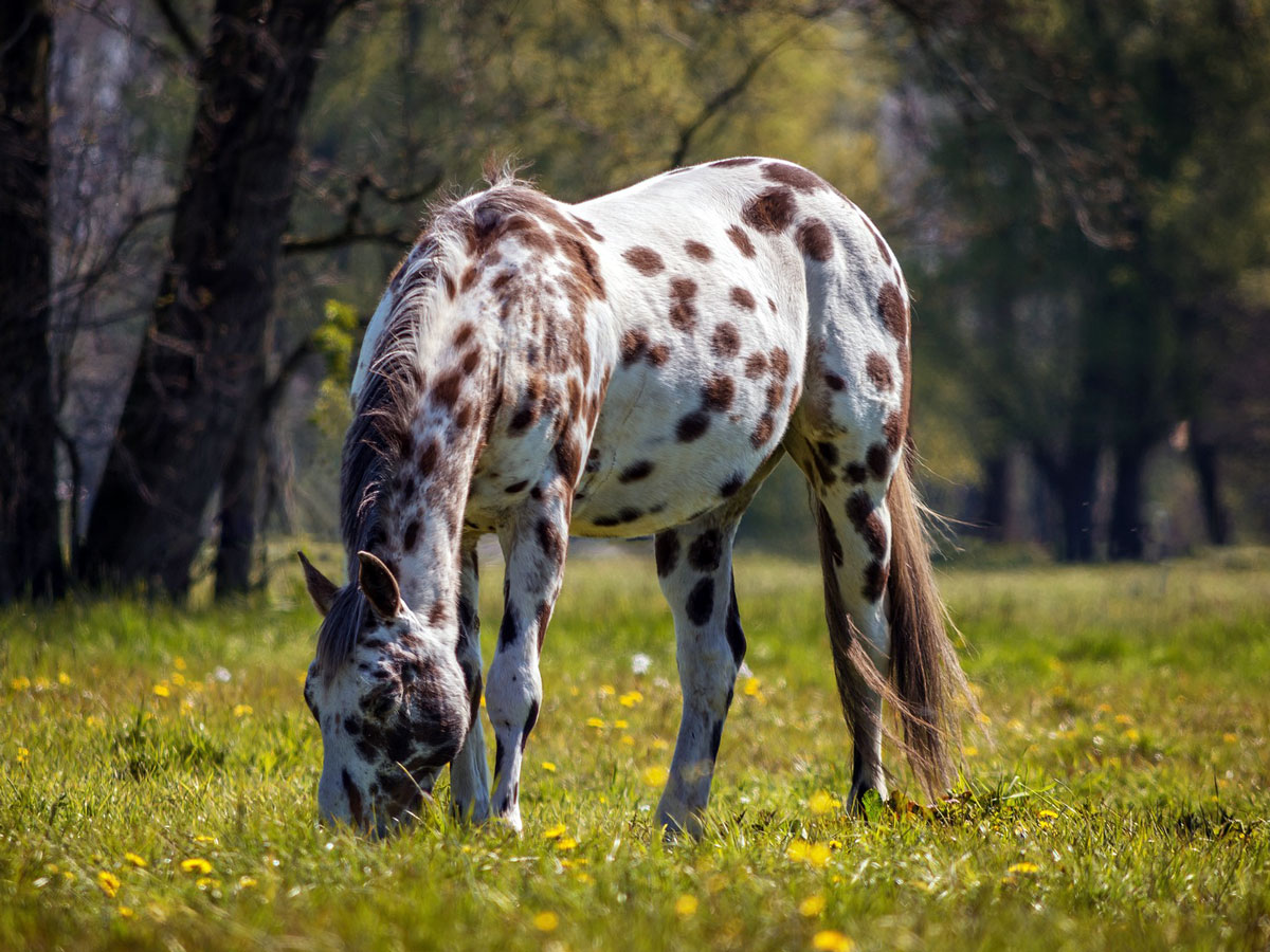
Idaho fun fact: The state horse, the Appaloosa, was brought over by the Spaniards in the 1700s and embraced by the Nez Perce tribe. Settlers called the spotted equines “Palouse horses” after the Palouse River, and the name stuck. Gradually a Palouse horse evolved into Apalouse horse, and eventually Appaloosa.

D-05, Appalossa Horse
The Appaloosa, spotty at best, is Idaho’s state horse.

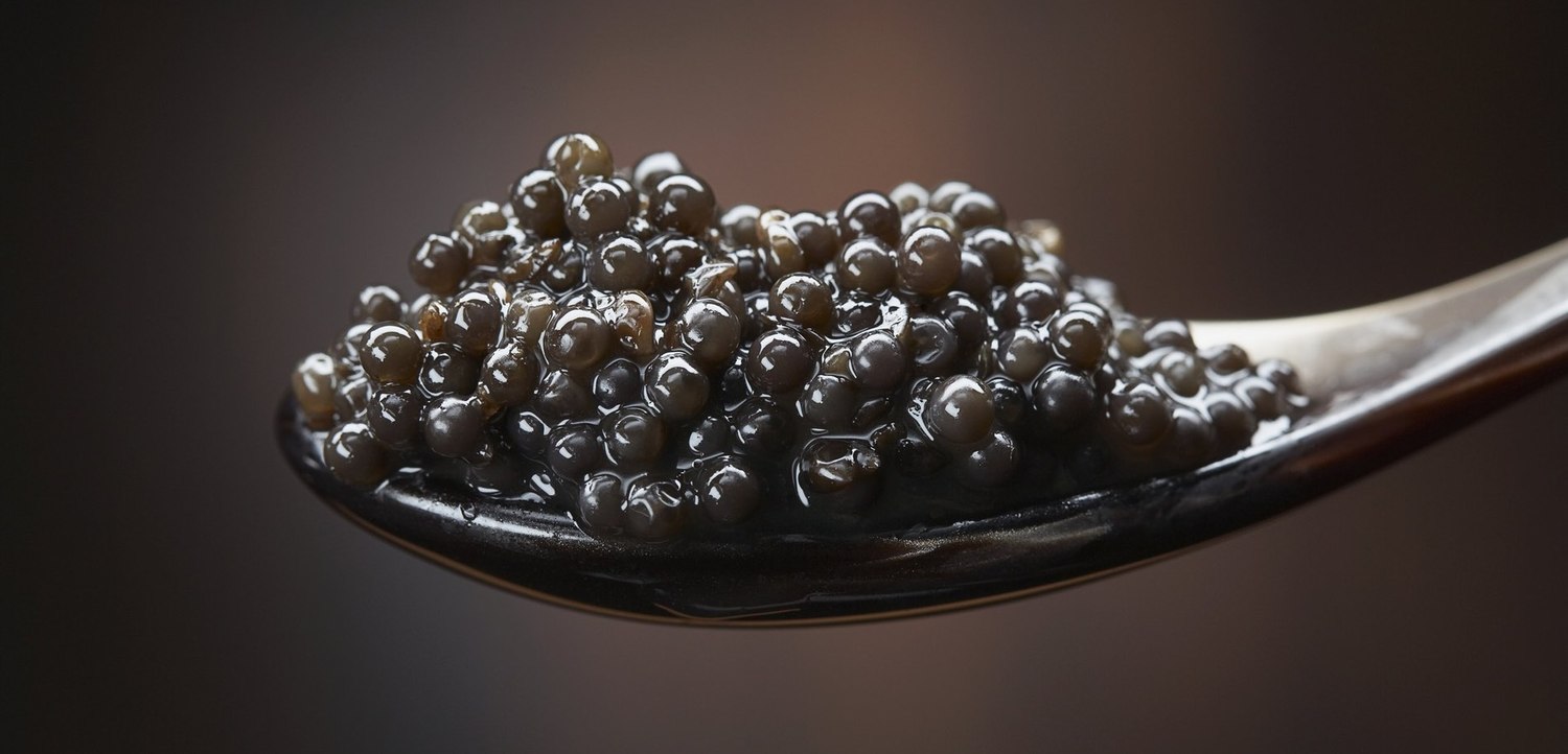
Idaho favorite food: You haven’t lived until you’ve tried Idaho sturgeon caviar. Raised near Hagerman, Idaho, by Fish Breeders of Idaho, these dinosaur-like fish produce the phenomenal Idaho White Sturgeon Caviar known as The American Beluga. These fish eggs don’t come cheap; the retail price often reaches $125 per ounce. If you’re having a party and want to go big, you can get a four-ounce tin for $380 from the Seattle Caviar Company.

D-5, Caviar
Idaho White Sturgeon Caviar. An expensive delicacy.

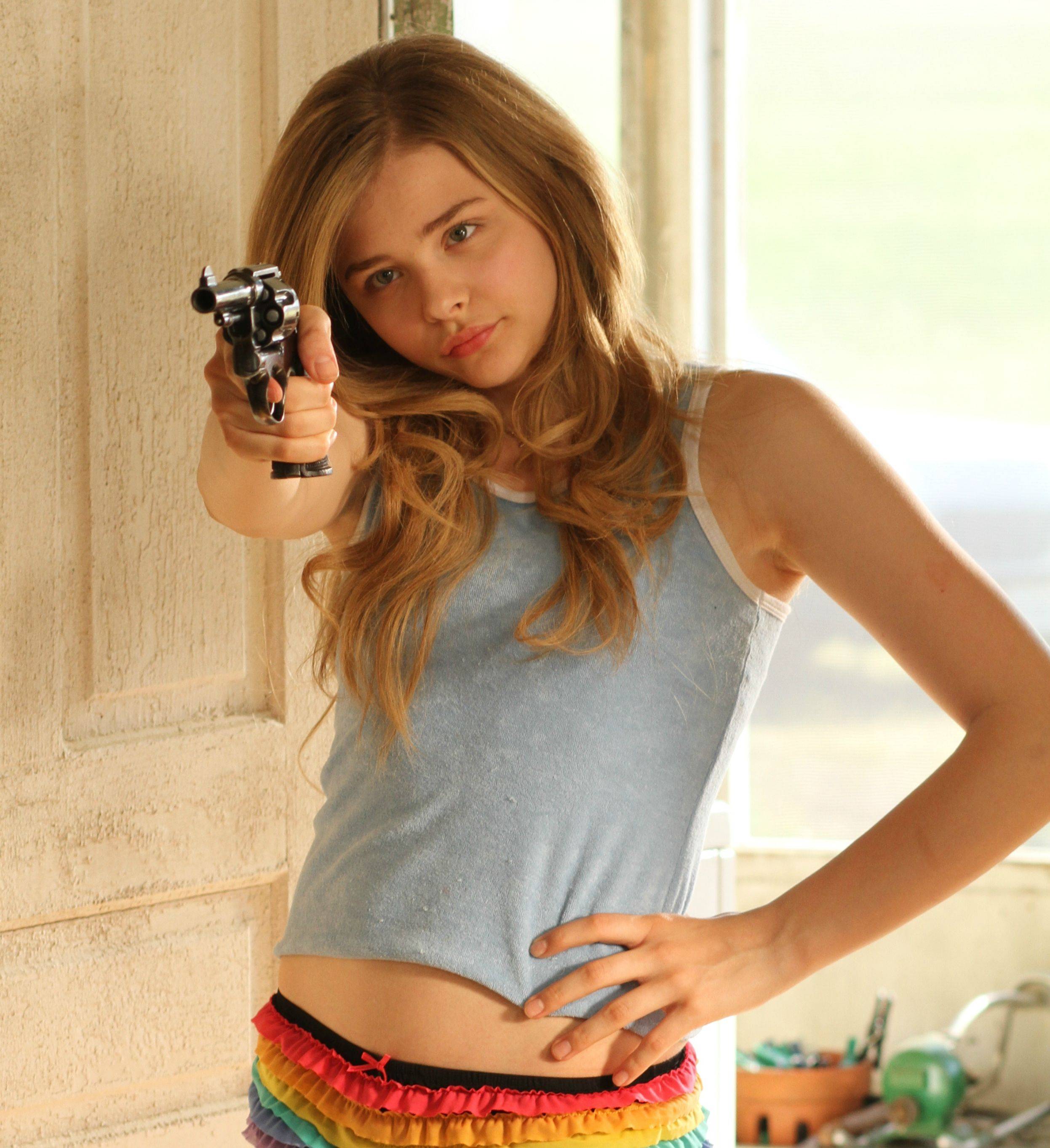
Idaho funky place name: The community of Dickshooter is in southwest Idaho, in Owyhee County. Dickshooter is not a typo. The place is named for Dick Shooter, a pioneer settler. It’s on many lists of “unusual place names.” To get there, go to Nampa, about 20 miles west of Boise, drive south for four hours, and there it is, in the middle of the Owyhee Desert. Truly in the middle of nowhere.

D-5, Dickshooter, from the movie hick
That’s a six-shooter, not a dickshooter. Either way, the kid with the gun is Chloe Grace Moritz in the 2011 movie, Hick. In the film, she received the gun on her 13th birthday.

Idaho famous folk: Former Alaska Governor Sarah Palin was born in Sandpoint, Idaho, and attended the University of Idaho in Moscow. Before entering politics, she worked as a sportscaster for KTUU-TV in Anchorage, for my friend John Tracy. Anything you’ve read or heard about Palin is pretty much John’s fault, including Senator John McCain’s selection of her as a 1998 running mate. Today, at age 57, Palin is a divorced mother of five who apparently still lives in Alaska and has thankfully faded into well-deserved obscurity.

Palin 2
“Take that, John Tracy!” Sarah Palin, trying to make a point.

Sturgis, anyone?

Vroom.

A look ahead @ tomorrow: Come See For Yourself.

A Primer on Potatoes

Today, we leave Afton, riding at what would be considered maximum Harley takeoff weight. We are leaving Afton and not coming back, so we’re loading up the bikes to full capacity.

The first 64 miles of today’s ride are a mirror image of yesterday’s final 64 miles, only in the opposite direction.

North on US Highway 89 to Alpine Junction. Northwest on US Highway 26, following the shoreline of Palisades Reservoir, then riding along the Snake River until we reach Swan Valley, 64 miles from Afton.

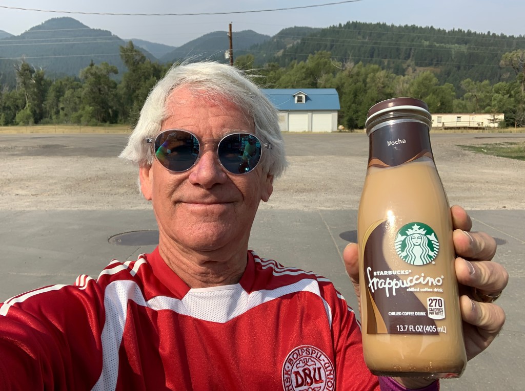
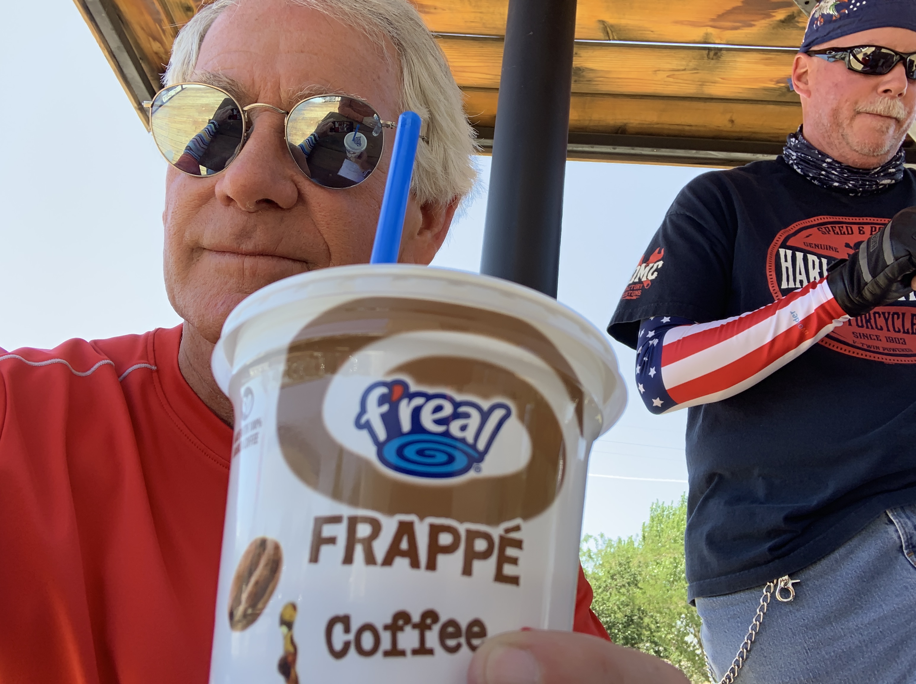
Lotta hydrating going on today. In Swan Valley, a Frappuccino hit the spot!

Swan Valley was at one time a haven for whistling swans.

Today in Swan Valley, we’ll try something new: heading northwest on the Swan Valley Highway, toward Idaho Falls – in the heart of potato country.

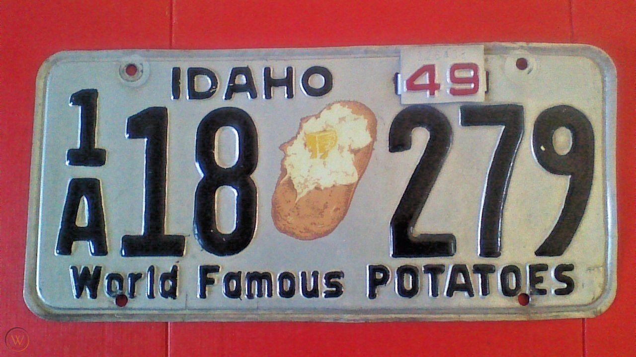
Swan Valley is in Bonneville County, home of 8B license plates. While Idaho plates can be differentiated by their county of registration, all plates have one thing in common: Famous Potatoes. Since 1957, all Idaho plates have been issued with the slogan, FAMOUS POTATOES – yes, in all caps!

For many years, Idaho plates were also embossed with the image of a giant spud. The 1948 and 1949 plates had a larger-than-life potato with a dab of butter!

D-04, Idaho Plate (w spud and butter)
Idaho’s 1949 license plates. You could almost eat off those things!

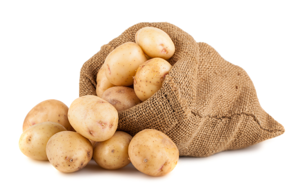
Idaho leads the nation in potato production, accounting for nearly one third of all US potatoes. Idaho growers produce potatoes on more than 300,000 acres of fertile volcanic soils. Volcanic ash has a rich supply of trace minerals and appears to be necessary for successful potato production.

Warm days and cool evenings are ideal for growing taters. It’s the secret sauce for baking potatoes and firm French fries. While the Russet is the most well known of the Famous Idaho Potatoes, farmers in the southeast part of the state grow more than 30 varieties, including Yukon Golds, Reds, and Fingerlings.

*** 

No discussion of potatoes would be complete without a spell check.

It’s p-o-t-a-t-o.

No “e” on the end. Unless you’re Dan Quayle.

On June 15, 1992, then-vice president Quayle gained notoriety and well-deserved ridicule for spelling potato with an “e” on the end. Quayle, never known as an intellectual heavyweight, altered 12-year-old student William Figueroa’s correct spelling of “potato” to “potatoe” at the Muñoz Rivera Elementary School spelling bee in Trenton, New Jersey.

Quayle is probably better remembered for this gaffe than for anything he did while in office. In fact, if you Google “Dan Quayle vice presidential accomplishments,” you’ll find a seriously unimpressive list, topped by his visits to 47 countries, and being appointed chairman of the National Space Council. Wow!

Has anyone ever considered why former US Senators from Indiana make such poor choices for vice presidents? Quayle is generally regarded as one of the weakest VPs ever, just behind the disgraced Spiro Agnew (who was from Maryland).

On the bright side, Quayle is ranked #66 on the list of Famous Politicians You’d Want to Have a Beer With. And, as a single-digit handicap golfer, you might enjoy watching Caddyshack with him.

D-04, Quayle in 1989
Dan Quayle in 1989. A new vice president with spelling issues.

What is it with Indiana politicians who rise beyond their level of incompetence and become Vice President? Six of ‘em, so far.

***

We arrive in Idaho Falls, one of the larger cities we’ll visit on this trip. With a population of around 62,000, it’s similar in size to Grand Junction, which I passed through on Day One of our journey.

Idaho Falls, in my memory, will always be “Idiot Flats,” as that’s what one of my college roommates called it. He was from Idaho Falls, and must have known what he was talking about.

Maybe things have changed since then. In 2019, livability.com put Idaho Falls on its list of top 100 affordable places to live, with a “liv” score of 617. The quintessential meal in Idaho Falls, according to livability.com: “A big heaping pile of potato pancakes topped with applesauce from Smitty’s Pancake & Steak House.” That, and other attributes, was enough to push Idaho Falls to number 47 on the list.

In Idaho Falls, a Georgia Peach slushy was just what the doctor ordered.

Idaho Falls is in Bonneville County (8B license plates), where Mormons make up about 60 percent of the population. Idaho has a greater percentage of Mormons than any other state, except Utah.

Idaho has five Mormon Temples. A sixth one, in Pocatello, is under construction and should be completed later this year. Utah has 17, with another six either under construction or awaiting the start of construction. The first Mormon temple in Idaho is right here in Idaho Falls.

We blow through Idaho Falls, and head west on US Highway 20, known as the West Arco Highway. Arco?

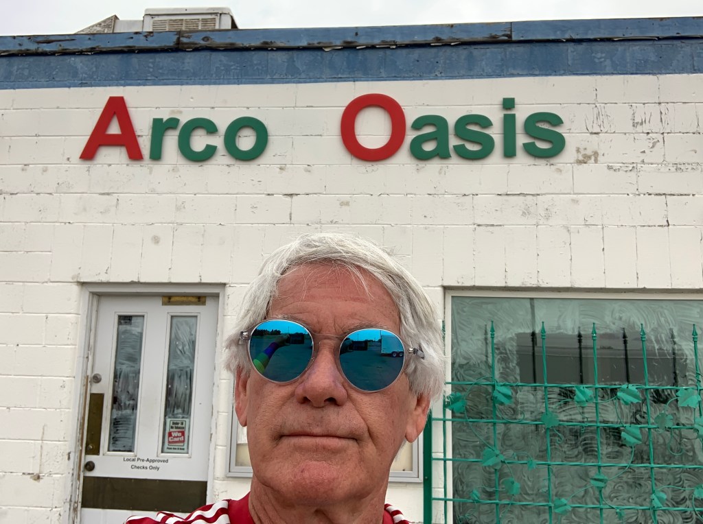
In Arco, there was nothing to drink, even at the Oasis. The convenience store was boarded up 😢

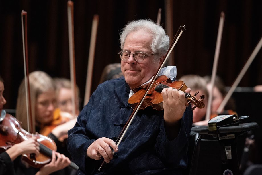
Musically, arco means with the bow, something you might do with a violin, or a cello.

D-04, Itzhak Perlman in 2020
Itzhak Perlman is pretty handy with a bow. He’s a master of the arco.

ARCO also signifies Atlantic Richfield Company, a giant oil company with more than 1,300 gas stations in the western US.

In Idaho, Arco is a city in Butte County (10B license plates) with a population of around 1,000.

Arco was the first community in the world ever to be lit by electricity generated solely by nuclear power. This happened for about an hour on July 17, 1955. The town was powered by Argonne National Laboratory’s BORAX-III reactor at the nearby National Reactor Testing Station.

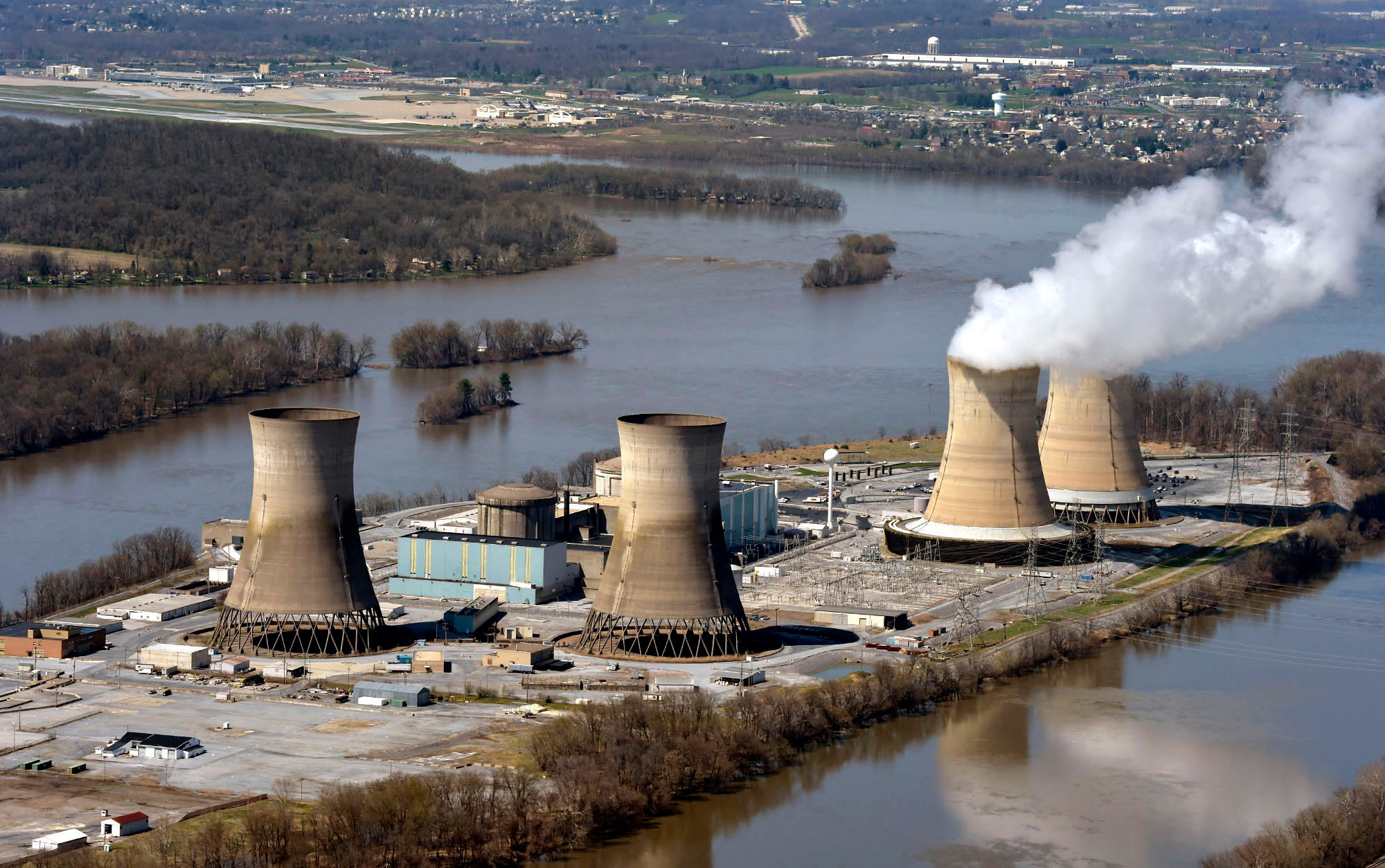
Six years later, the facility gained additional fame when a reactor was destroyed through an operator maintenance error. The ensuing steam explosion killed three people. It was the world’s first fatal nuclear reactor accident, and the only one in the US, so far.

D-4, TMI
Three Mile Island. At least it didn’t kill anyone.

***

In Arco, we turn southwest and head for the Craters of the Moon National Monument and Preserve, so named because early settlers thought the landscape resembled the surface of the moon. How would they have known? When the pioneers arrived here, man hadn’t yet set foot on the moon.

The second group of NASA astronauts to walk on the moon visited Craters of the Moon in 1969 – not to train, but to study the volcanic geology.

Apollo 14 astronauts Alan Shepard, Edgar Mitchell, Joe Engle, and Eugene Cernan explored the lava landscape and learned the basics of volcanic geology in preparation for future trips to the moon.

NASA believed these men might someday be walking on the moon, with the rare opportunity to collect samples of different rocks on the lunar surface. Since only a limited amount of material (850 pounds total in 6 moon landings) could be brought back, it was important that they know enough geology to pick up the most scientifically valuable specimens.

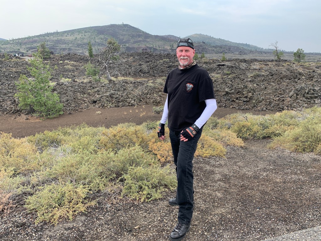
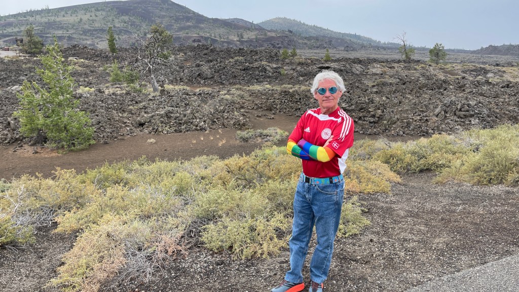
Dave soaks up the geology at Craters of the Moon.

Craters of the Moon has three major lava fields. It is a dormant volcanic area, not extinct – meaning the volcanoes are sleeping, not dead. It’s believed that volcanic activity occurred on the Snake River Plain for millions of years, but Craters of the Moon was formed by eruptions that began about 15,000 years ago. The most recent activity was about 2,100 years ago. Geologists believe the area will become volcanically active again within the next 1,000 years.

It’s like being on the moon, only without astronaut training.

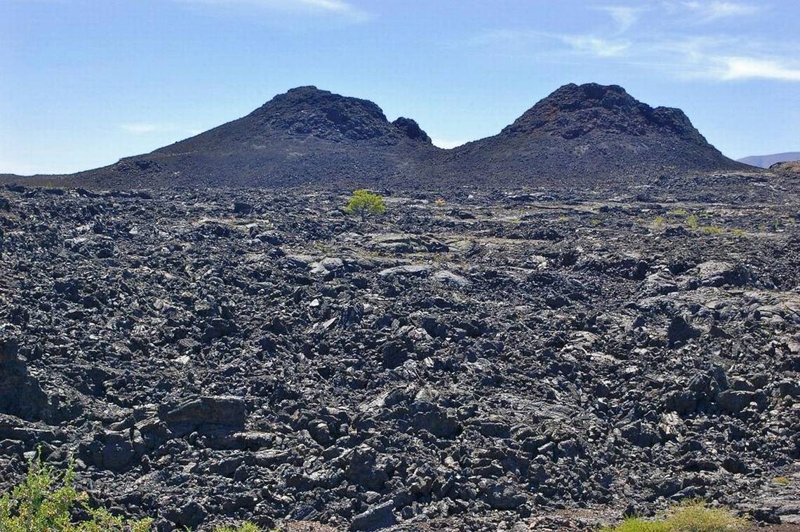
US Highway 26 takes us along the northern edge of the monument. The views are otherworldly.

D-04, Craters of the moon
At Craters of the Moon, it really does look like a moonscape.

At the western tip of Craters of the Moon, we turn onto US Highway 20, and head toward the tiny community of Picabo, pronounced PEEK-a-boo. The name is said to come from a Native American term translated as silver water.

Picabo was made famous by Picabo Street, an Olympic skler who grew up nearby. Her parents decided to let Picabo choose her own name when she was old enough, so for the first two years of her life she was simply called “baby girl” or “little girl.” At age 3, she was required to have a name in order to get a passport. So she chose Picabo, naming herself after the nearby village of Picabo.

Picabo Street won the gold medal in the Super G at the 1998 Winter Olympics in Nagano, Japan, and a silver medal in the Downhill at the 1994 Olympics in Lillehammer, Norway. Today, the 50-year-old Street lives in Park City, Utah, where she operates the Picabo Street Academy, an academic center she founded to provide individualized schooling for athletes, artists or anyone who can’t be in a classroom seven hours a day, five days a week, nine months a year.

D-04, Picabo Street
Picabo Street, celebrating her Super G gold at the 1998 Nagano Olympics.

***

Picabo, the town, is in Blaine County (5B license plates), where we’ll spend the remainder of our day.

We’re now only 30 miles from today’s destination: Ketchum.

We roll through Bellevue, a one-time silver, gold and lead mining town. Five miles north of Bellevue, on Idaho Highway 75, is the town of Hailey, home to the airport for the resort areas of Sun Valley and Ketchum. Hailey is named after John Hailey, a two-time congressional delegate from the Idaho Territory – before Idaho became a state in 1890.

From Hailey, it’s only a 12-mile ride to Ketchum.

Ketchum, with a population of about 3,000, is next to Sun Valley. Both sit in the same valley beneath Bald Mountain, home of the Sun Valley ski area. Ketchum is named for David Ketchum, a local trapper and guide in the 1880s.

After the development of Sun Valley by the Union Pacific Railroad in the 1930s, Ketchum became popular with A-list celebrities, including Gary Cooper and Ernest Hemingway. Hemingway loved the area’s fishing and hunting, and in the late 1950s, he bought a home overlooking the Big Wood River. It was there that he committed suicide in 1959.

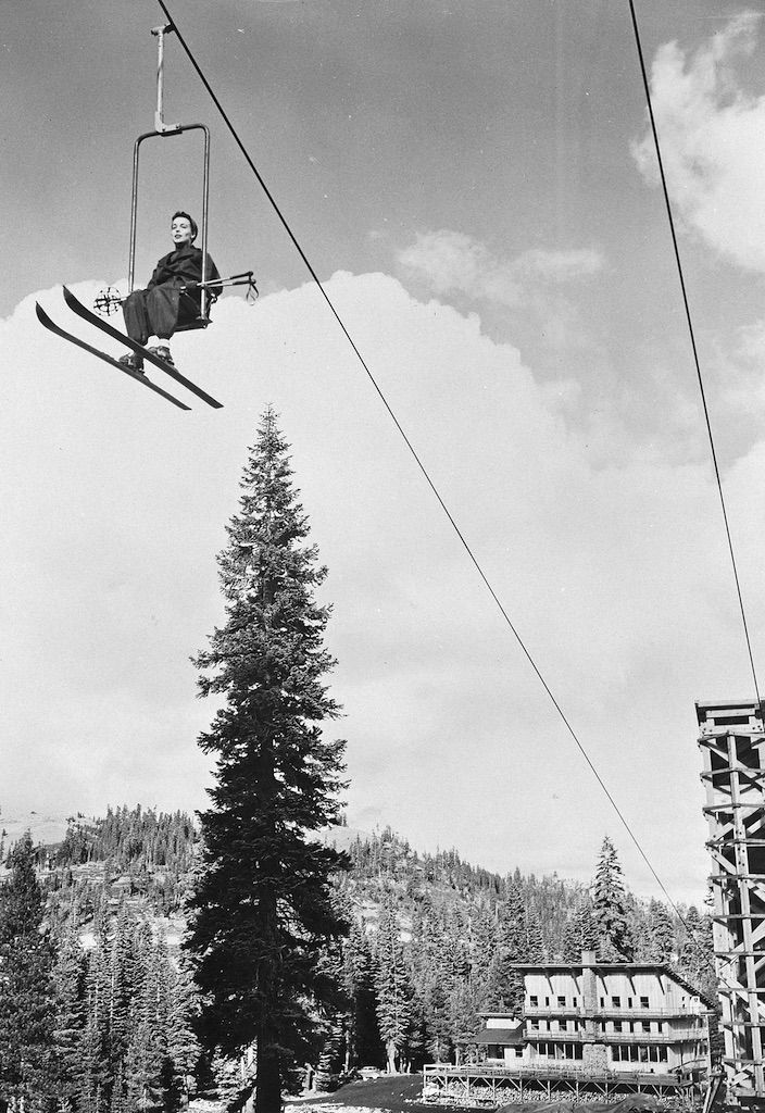
The base of the Sun Valley ski resort is just west of Ketchum. The world’s first chairlifts were installed there in 1936. The single-seat chairlift design was adapted by a railroad engineer recalling banana loading conveyer equipment used for tropical fruit ships’ cargo.

D-04, sun Valley chairlift
Sun Valley’s original single chairlift. This is how you skied in 1936.

Today, Sun Valley is a major destination resort, the first real ski resort in the US. Here, the very idea of an American ski vacation was born.

This guy must be on a ski vacation at the Best Western in Ketchum, where we are staying.

Every year, when ski magazines come out with their list of best ski areas in North America, or best ski resorts in the West, Sun Valley dukes it out with Aspen Snowmass for the title. In 2020, Aspen Snowmass was top dog. Go Snowmass!

In the shadow of Sun Valley’s now quiet ski lifts, we park our bikes and call it a day.

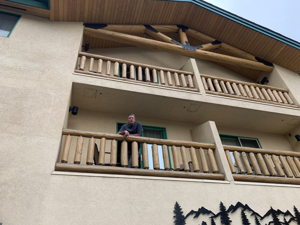
OMG! It’s the guy on the balcony. Welcome to Ketchum, Randy. The posse now totals four.

***

Day Four Summary: 254 miles. Spud mania, Idiot Flats, nuclear meltdowns.

Click here to see today’s complete route from Afton, Wyoming, to Ketchum, Idaho.

Today’s fun facts, favorite foods, funky place names and famous folks:

Wyoming fun fact: The country’s first female governor was elected in Wyoming. After Nellie Tayloe Ross’s husband, Governor William Bradford Ross, died, she was elected to finish his term. She served as the 14th governor of the state from 1925 to 1927, and was later appointed by FDR to serve as the director of the United States Mint.

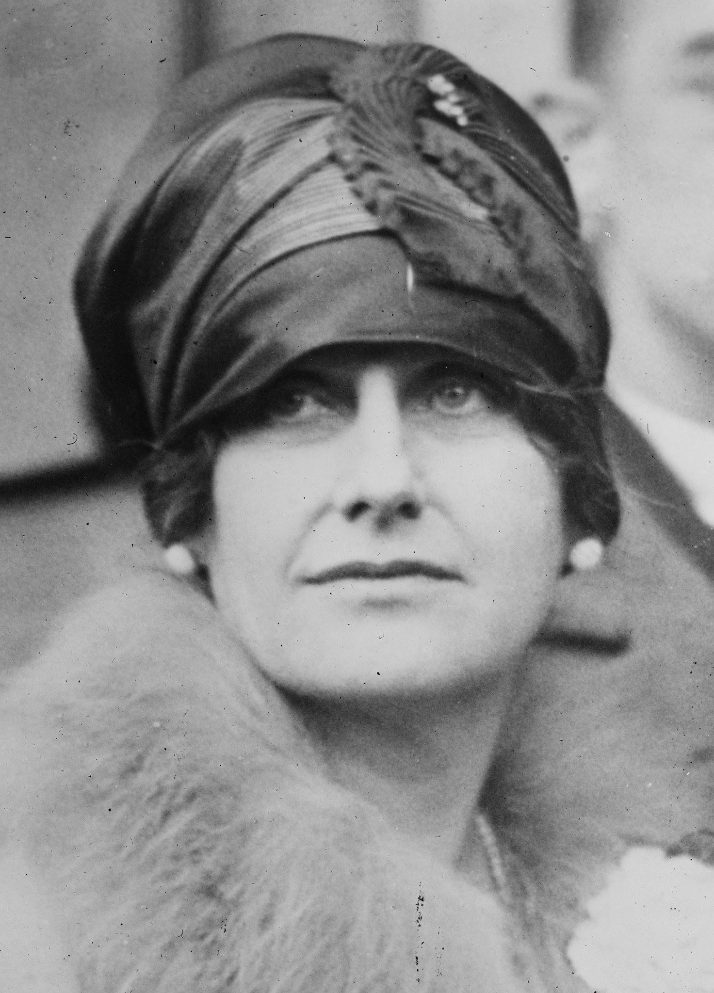
D-04, Nellie Tayloe Ross
Nellie Tayloe Ross, the 14th governor of Wyoming. She later had a thing for mints.

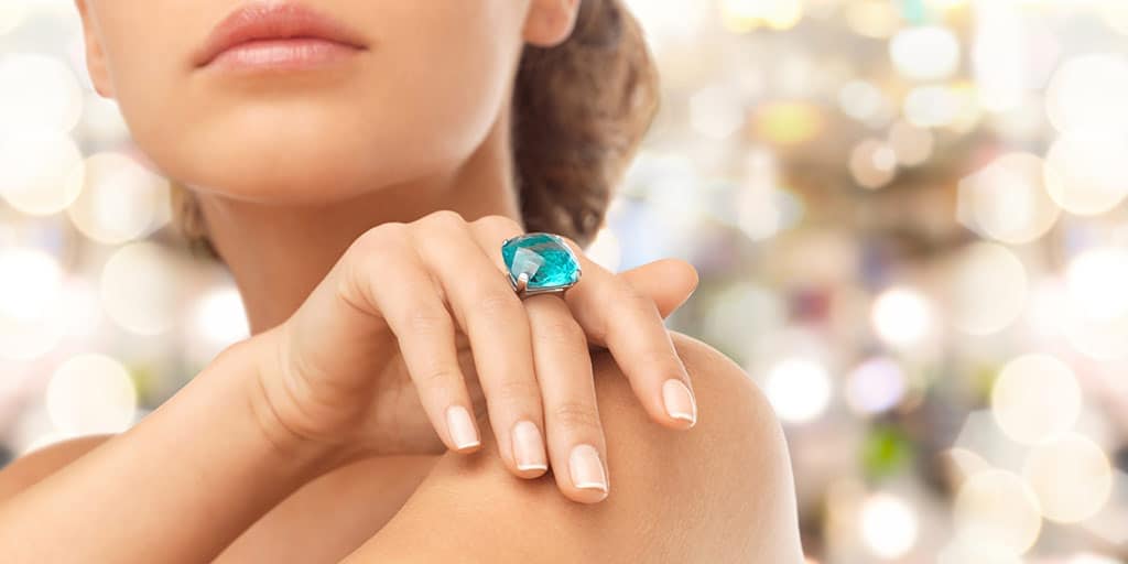
Idaho fun fact: Idaho is sometimes referred to as the Gem State, its official state nickname. You can find nearly 72 types of precious stones in the state. The mountains of Idaho contain veins of gold, silver, lead, zinc, cobalt, copper, and many other rare minerals. Among these valuable minerals are gems – star garnets, jasper, opal, jade, topaz, zircon, and tourmaline.

cocktail-ring-1 topaz
An Idaho topaz cocktail ring — perfect for any occasion.

Wyoming favorite food: Rocky Mountain oysters (calf testicles!) are considered a delicacy. The best place to find them is at ranch brandings from late March through June, where they’re cut, cleaned, sliced thin and deep-fried on the spot. Not ready for the full-meal deal? Try them as an appetizer at Cavalryman Steakhouse in Laramie.

D-04, Rocky MOuntain Oysters (from Bunkhouse Bar in Cheyenne)
Rocky Mountain oysters, at the Bunkhouse Bar in Cheyenne. Tasty!

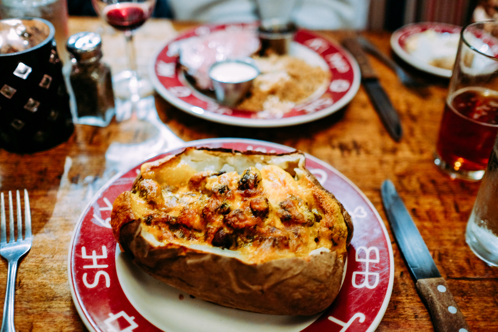
Idaho favorite food: This should surprise no one, but Idaho’s official state food is the potato. They’re inexpensive, ubiquitous, and tasty. When I lived in Idaho in the 1970s, a person with a big ass shaped like a sack of potatoes was known as a “spud butt.” A unique potato preparation is the Jim Spud, an Idaho potato loaded with six ounces of teriyaki steak scraps, carmelized onions, butter, sour cream, and a mount of melting cheddar cheese. You can get these at the Pioneer Saloon in Ketchum.

Jim spud
A Jim Spud at Ketchum’s Pioneer Saloon — the quintessential Idaho potato experience.

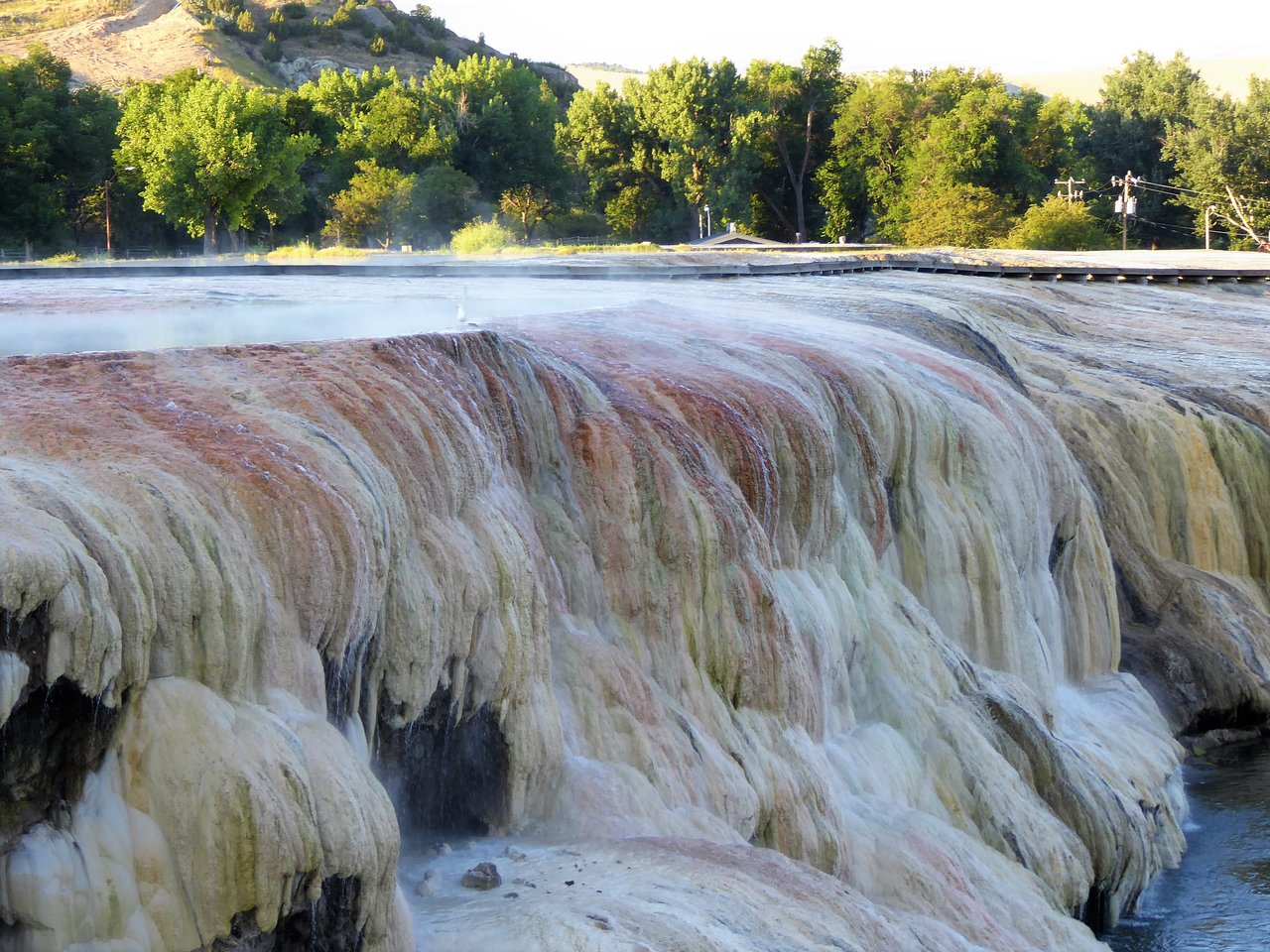
Wyoming funky place name: Thermopolis, known as the gateway to Yellowstone, claims to have the world’s largest mineral hot springs. The name comes from the Greek for “hot city.” Therm = heat. Polis = city. Thermopolis is home to Hot Springs State Park, the most visited state park in Wyoming. The springs are open to the public for free, as part of an 1896 treaty signed with the Shoshone and Arapaho Indian tribes.

D-04, Thermpopolis Hot Springs
Thermopolis Hot Springs. There’s some mineral content going on.

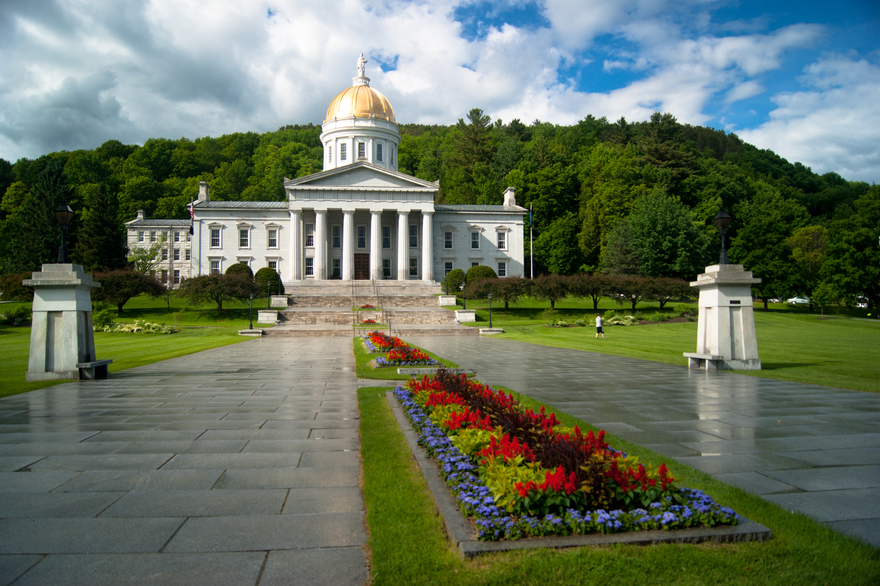
Idaho funky place name: Montpelier, in southeastern Idaho’s Bear Lake Valley, was first known as Clover Creek, then Belmont, and eventually Montpelier – the name it was given by Brigham Young. He named the town after the capital of his home state of Vermont. Today, Montpelier, Vermont, has a population of about 8,000, making it the least populous state capital in the US.

SONY DSC
Montpelier, Vermont, was the inspiration for Idaho’s town of Montpelier.

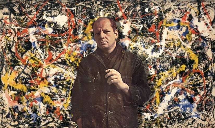
Wyoming famous folk: Impressionist painter Jackson Pollock was born in Cody, Wyoming. He was known for his highly personalized technique of splashing liquid household paint onto a horizontal surface, a process known as “action painting,” since he used the force of his whole body to paint in an almost frenetic dancing style. It must have worked; his original paintings have sold for up to $200 million. Pollock died in an alcohol-related single-car accident in 1956, at the age of 44.

Jackson-Pollock1
Jackson Pollock, born in Cody, Wyoming, with one of his colorful works.

Idaho famous folk: Actress and supermodel Margaux Hemingway once lived on her famous grandfather Ernest’s farm in Ketchum, Idaho – where we’re staying tonight. (No, we’re not staying at the farm; but we are staying in Ketchum.) In the mid-1970s, Hemingway appeared on the covers of Cosmopolitan, Elle, Harper’s Bazaar, and Vogue. After highly publicized episodes of addiction and depression, she died of a drug overdose in 1996 at the age of 42.

margaux2
Margaux Hemingway, cover girl.

Sturgis, anyone?

Vroom.

A look ahead @ tomorrow: Sawing teeth.

Grand Teton: “The Big Tit”

We leave Afton this morning, each of our motorcycles departing with a reduced takeoff weight.

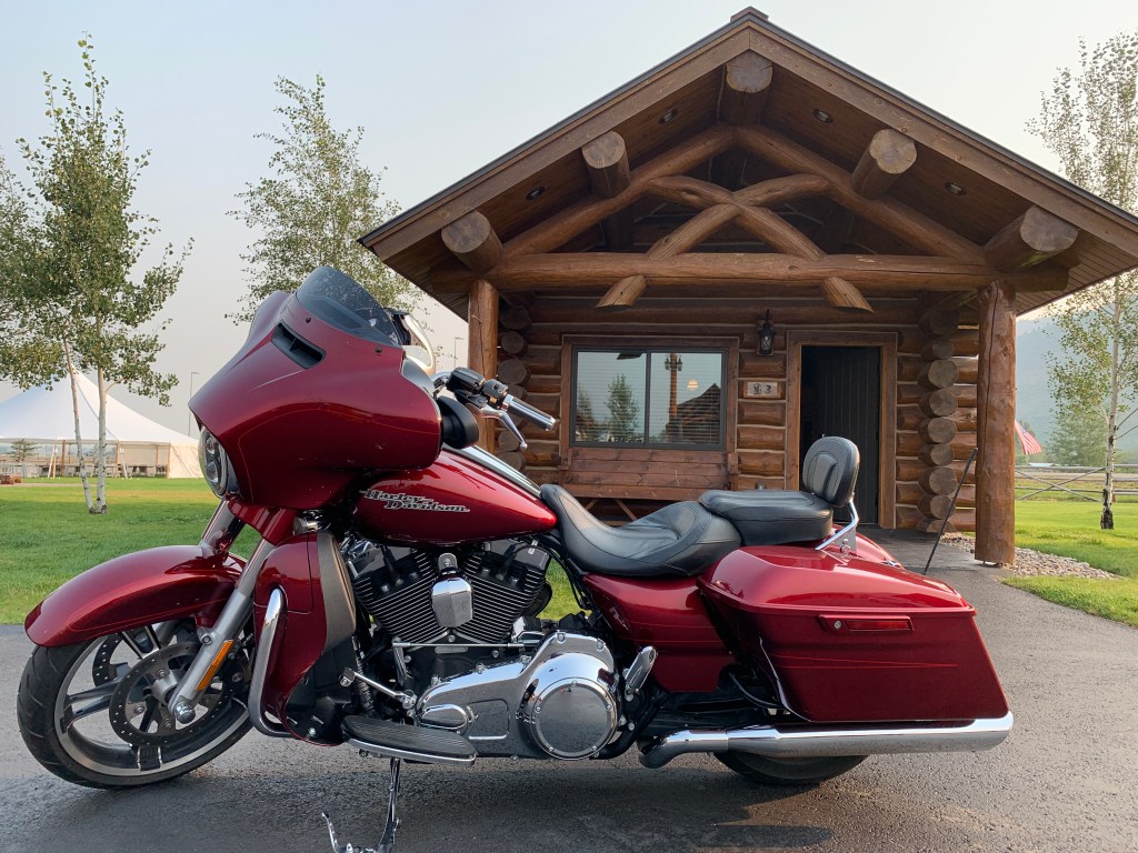
Ready for takeoff, with reduced takeoff weight. Note the missing baggage. Bike is light as a feather.

Takeoff weight? Yes, that’s an aviation term describing all that’s on board at takeoff. In addition to the “operating empty weight” of the airplane, takeoff weight includes passengers and baggage, cargo, reserve fuel, trip fuel and taxi-out fuel.

All airplanes have a maximum takeoff weight, the heaviest weight at which it’s been shown to meet all the airworthiness requirements. When I did PR for the Boeing 747, its maximum takeoff weight was 910,000 pounds. When I did PR for the Boeing C-17, its maximum takeoff weight was about 585,000 pounds. Big airplanes, both of them.

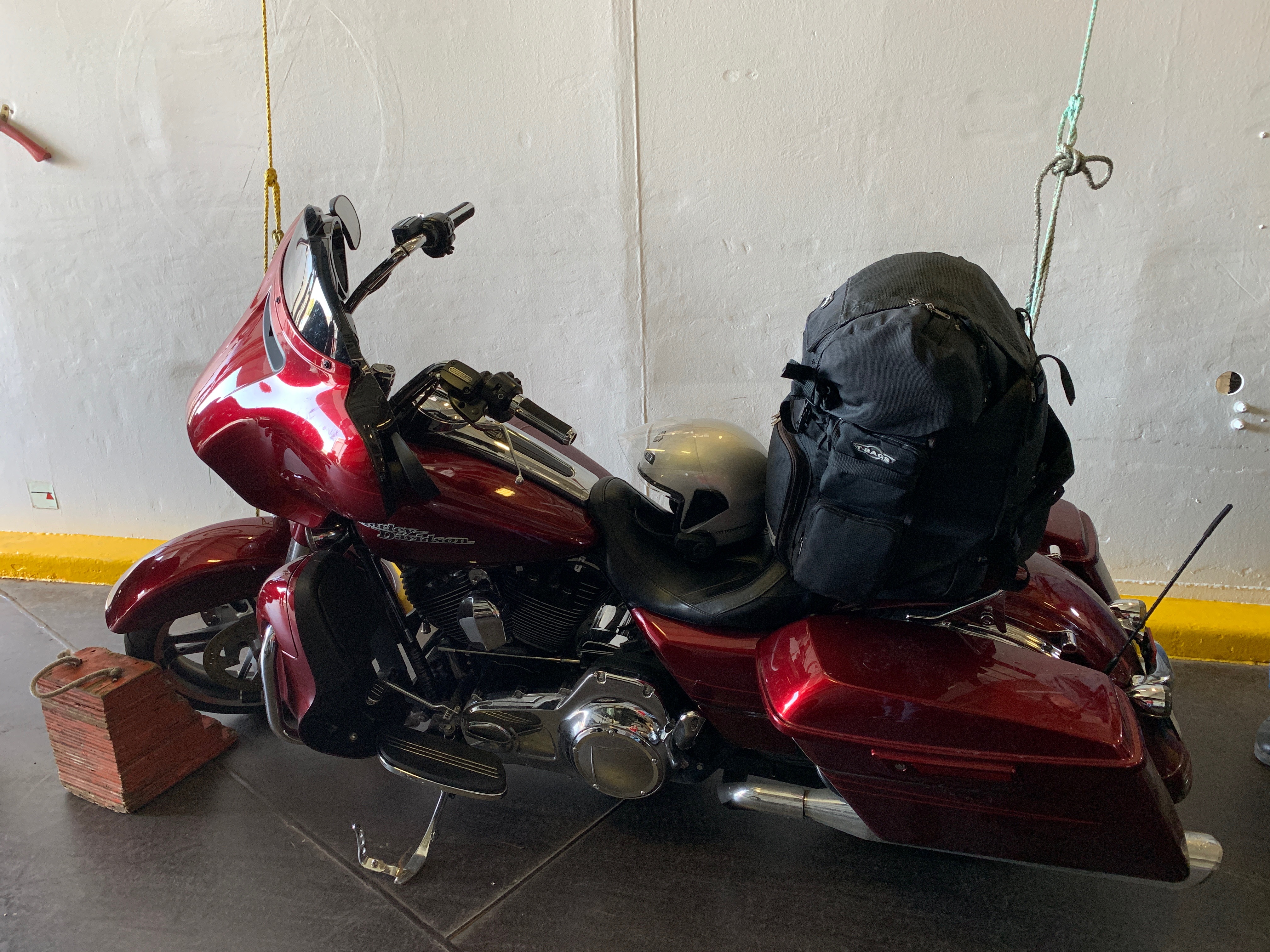
Today’s Harley takeoff weight does not have a maximum. If it did, the maximum would be pretty much the weight of my bike (820 pounds, including oil and gas), my travel pack (40 pounds), whatever I can stuff into my saddlebags (30 pounds), plus me (135 pounds), my helmet and whatever I’m wearing. All told, just a hair over 1,000 pounds thundering down the highway.

On this day, our takeoff weight does not include baggage. That’s because we’re returning to Afton tonight, and only have to bring with us whatever we need for the day, not supplies for the 18-day trip to Sturgis and back.

The bikes actually handle better with the reduced weight. They’re more nimble and more responsive.

***

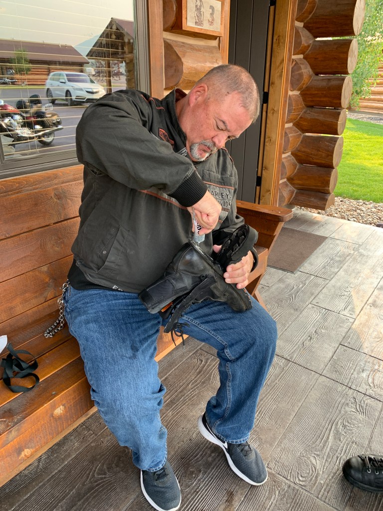
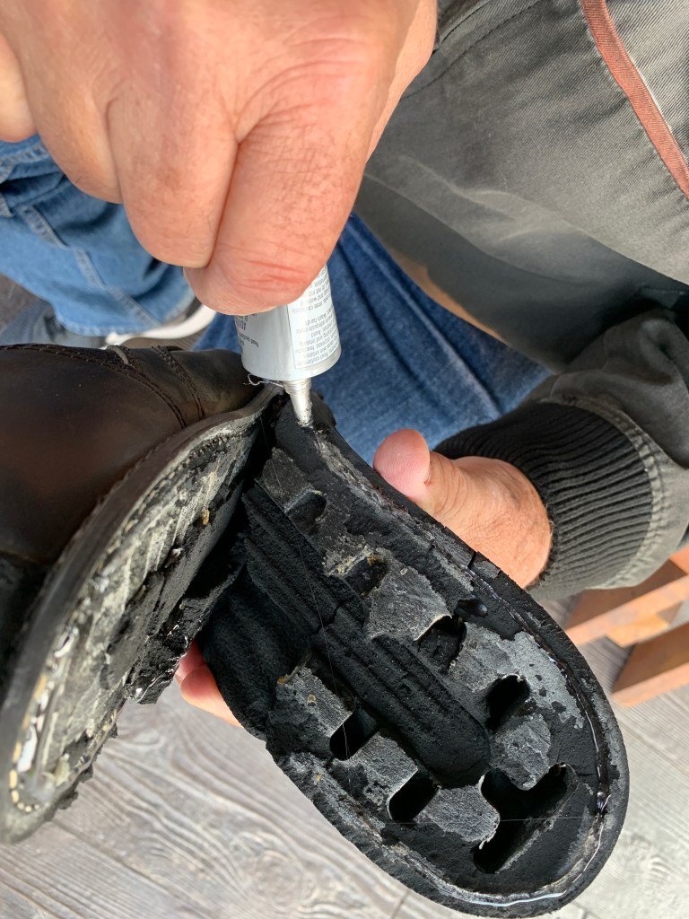
Before leaving Afton, Scott does some emergency boot repair, with a little help from the local Ace Hardware, which had the perfect glue in stock.

We leave our posh accommodations and point toward Afton, which takes its name from the River Afton, in Scotland. Afton, like most towns in Wyoming’s Star Valley, was founded by Mormons in 1885.

Gooey, but successful.

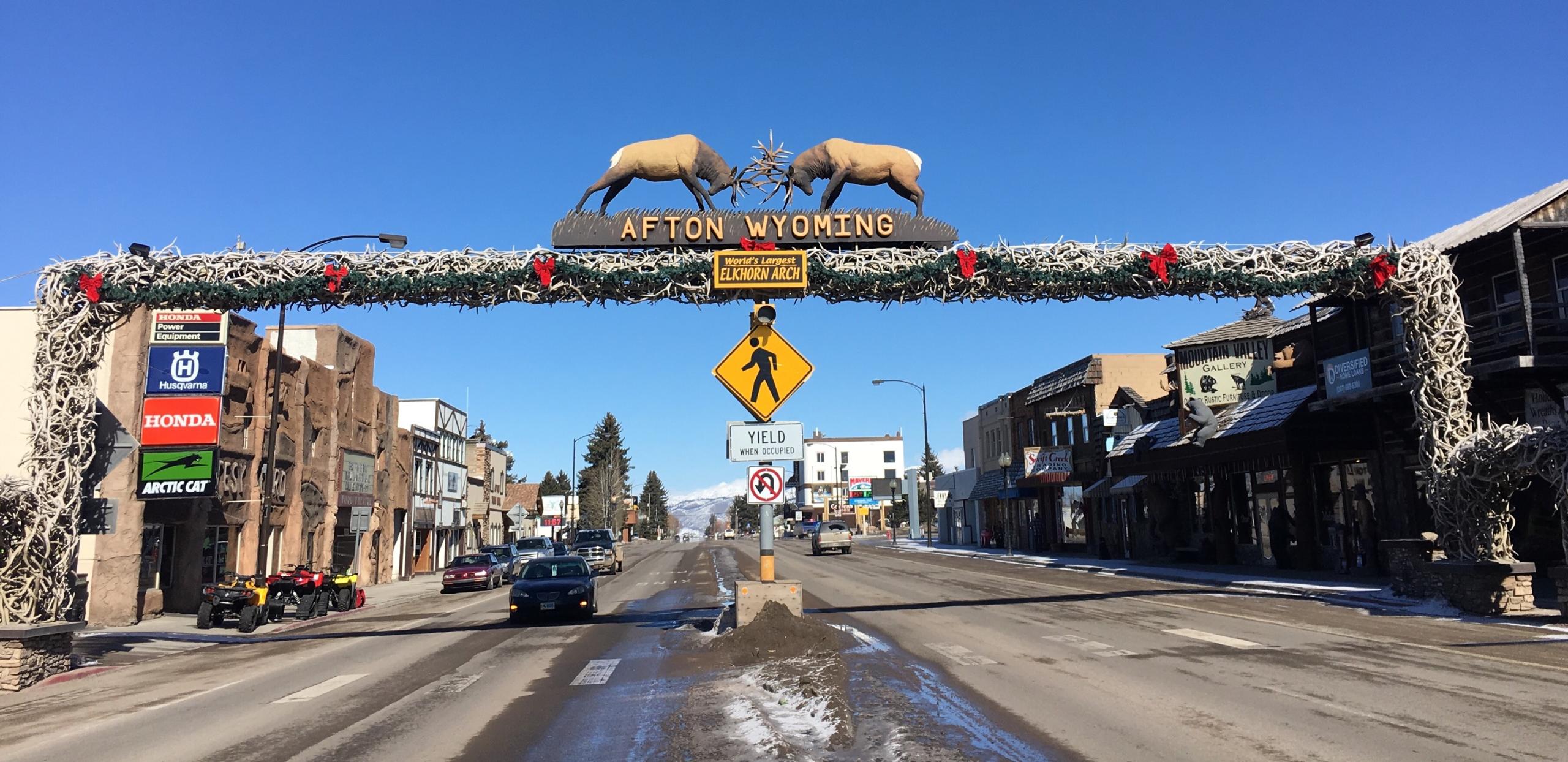
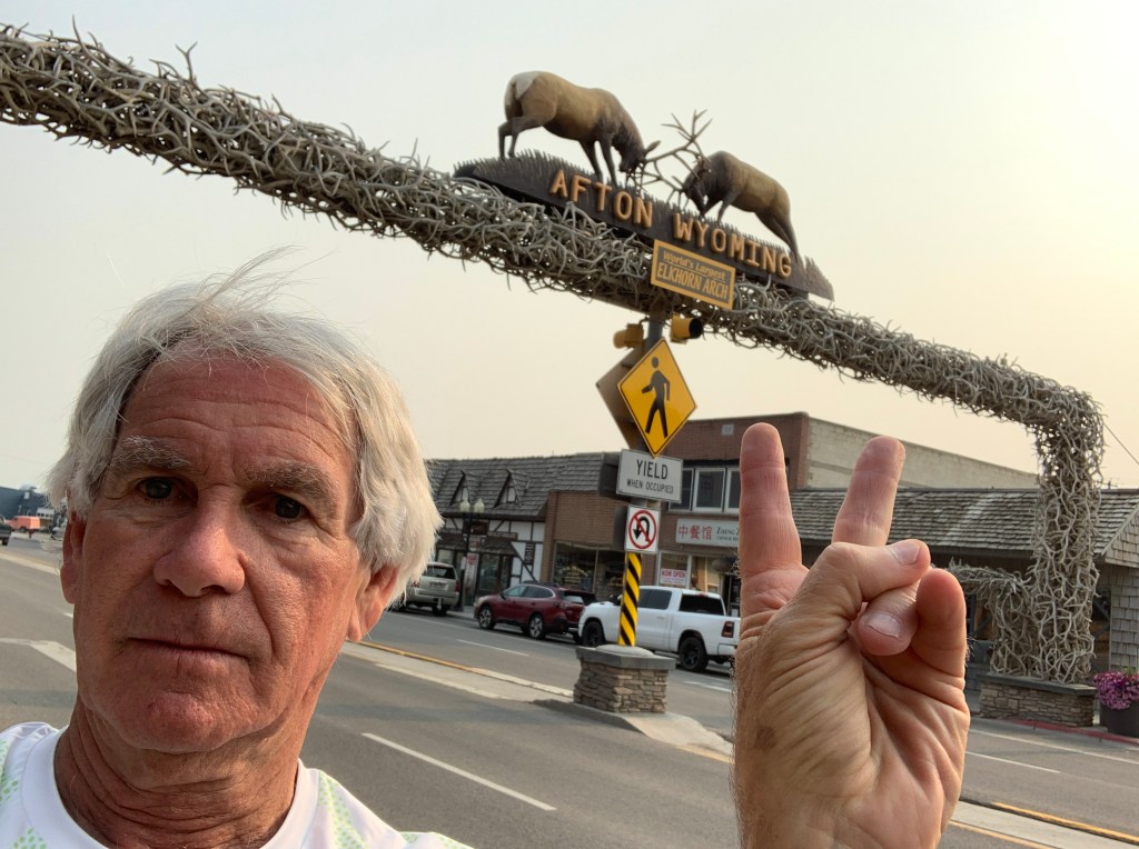
Afton is home to the world’s largest arch made of elk antlers. The arch is made up of 3,011 elk antlers, spanning 75 feet across Afton’s Main Street. Fifteen tons of antlers, hovering over four lanes of traffic!

The antlers in the arch did not come from killing elk. Boy Scouts picked them up in the surrounding area in 1955, in the spring, when the elk naturally shed their antlers.

D-03, Afton Antlers
Fifteen tons of antlers, spanning Main Street in Afton.

With a population of less than 2,000, there are more elk antlers than human residents of this town.

Peace, out.

About 35 miles north of Afton, we arrive at Alpine Junction, nearly halfway between Afton and Jackson Hole. Alpine Junction is at the southeast tip of Palisades Dam and Reservoir, which gets its water from the Snake River. The reservoir is a hot spot for trout, especially cutthroat. Ice fishing is a popular pastime in the winter.

We’re just a few miles from Idaho; nearly the entire reservoir is in Idaho’s Bonneville County (8B license plates).

In Alpine Junction, we turn east on US Highway 26 and follow the Snake River, the largest tributary of the Columbia River. The river will lead us to Jackson, which is often mistakenly called Jackson Hole. They are two separate places, about ten miles apart.

Both Jackson and Jackson Hole get their name from David Edward Jackson, a pioneer, trapper, fur trader and explorer born in what is now West Virginia. He worked for the Rocky Mountain Fur Company, and was one of the first European Americans to spend an entire winter in the valley of the Teton Mountains.

Jackson, and Jackson Hole are both popular tourist destinations, due to their proximity to ski areas, including Jackson Hole Mountain Resort – and because of their closeness to Grand Teton National Park and Yellowstone National Park.

Technically, Jackson Hole is a 55-mile-long valley between the Teton Mountain Range and the Gros Ventre Range. The term “hole” was used by early trappers or mountain men, as a term for a large mountain valley.

With an 8,000-foot runway, Jackson Hole Airport is the largest and busiest commercial airport in Wyoming, and the only international airport in the US located inside of a National Park. The airport is large enough to handle Boeing 757s, operated by Delta Air Lines.

D-03, Million Dollar Cowboy Bar
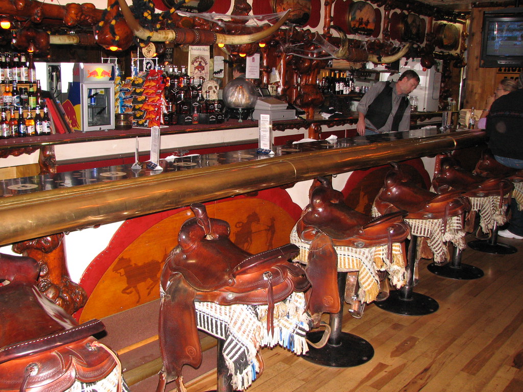
The Million Dollar Cowboy Bar in Jackson is known for its saddle barstools.

If you’ve ever been to Jackson, you probably stopped at the Million Dollar Cowboy Bar, which has been around for more than 125 years. Over the years, its stage has hosted – among others – Waylon Jennings, Glen Campbell, Tanya Tucker and Willie Nelson. The Million Dollar Cowboy Bar’s saddle barstools have been a signature item since 1973, the year I first visited the place. It’s a good place to grab a cold one on a hot day.

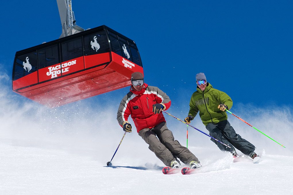
The Jackson Hole Mountain Resort is one of North America’s largest ski areas. It’s located in Teton Village, which we’ll visit later today.

***

We continue north on US Highway 191, following the path of the Snake River, until 30 miles later, we arrive in Moran, the entrance to Grand Teton National Park. The community of Moran is named after Thomas Moran, a painter and printmaker whose work often features the Rocky Mountains.

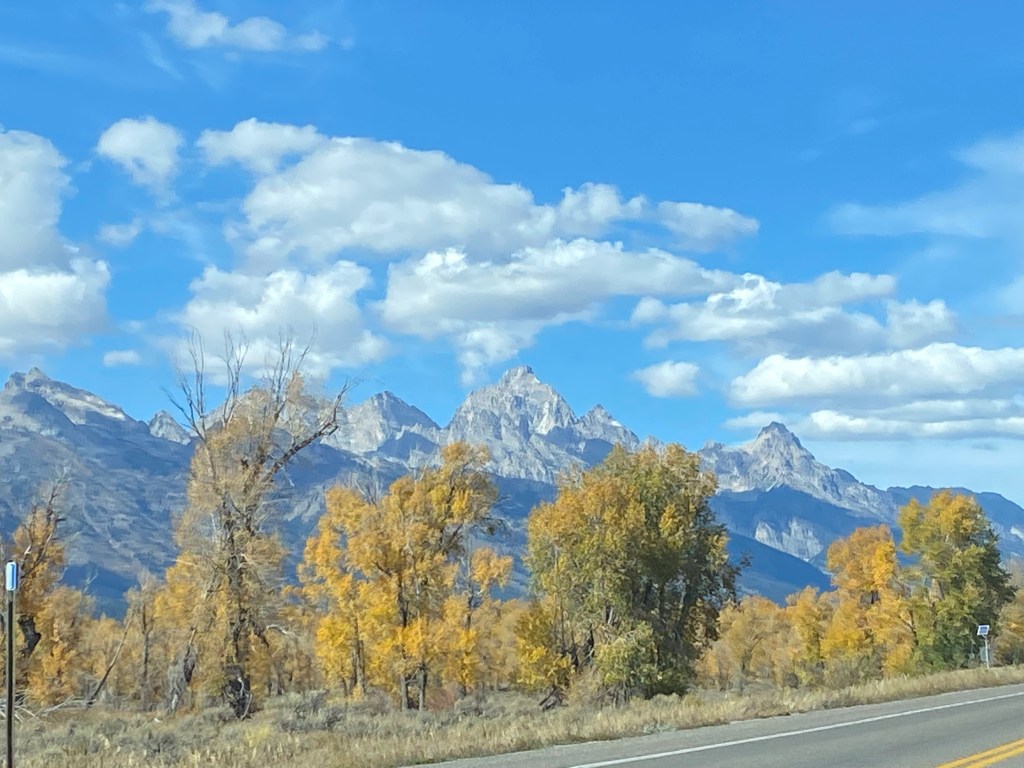
The Tetons are spectacular.

In 1871, Moran accompanied an expedition team into the unknown Yellowstone region. His vision of the western landscape from that expedition was critical to the creation of Yellowstone National Park, which we’ll visit next week.

Let’s not get ahead of ourselves. Today, we’re visiting Grand Teton National Park.

The park is named for Grand Teton, at 13,770 feet, the tallest mountain among the jagged peaks in the Teton Range.

Grand Teton means large breast in French — leave it to a lonely French trapper to make a Freudian association of those prominent crags — the Three Tetons. French trappers are responsible for naming the three peaks now known as the South, Middle, and Grand Teton. They called the mountains “Les Trois Tetons,” or “The Three Breasts.” The Grand Teton – the tallest and best known of the three – literally means “the big tit.”

Climbing the Grand Teton is a major feat of mountaineering. An aura of mystique surrounds it. If you make it to the top of Grand Teton, you are a serious athlete, and maybe just a bit crazy.

The Grand Tetons are totally badass.

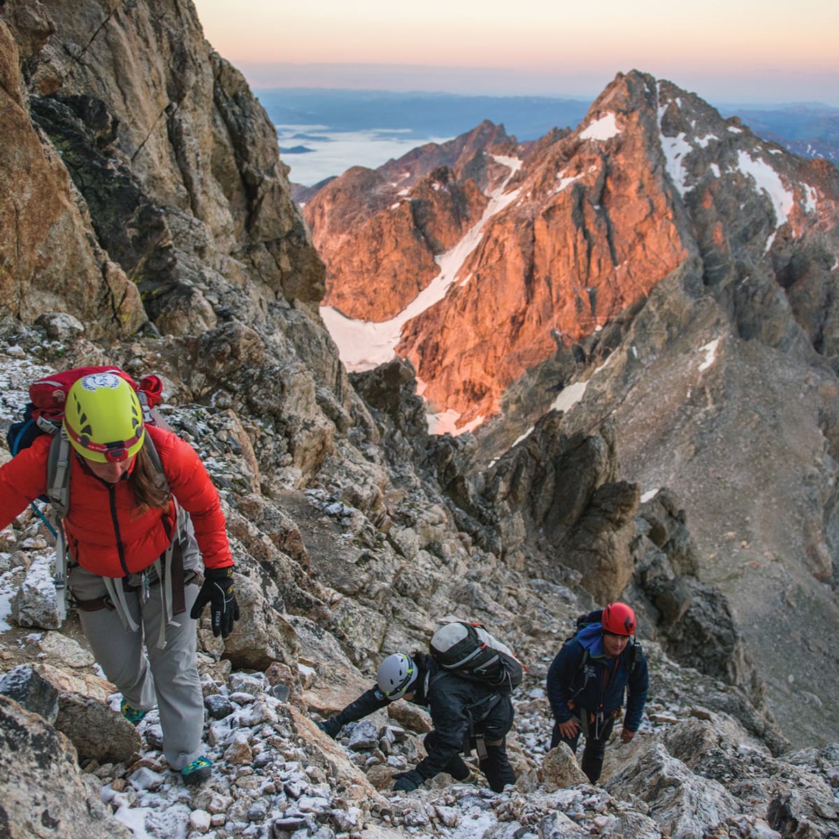
D-03, Climbing Grand Teton
You’ve got to be in seriously good shape, and know what you’re doing, to climb the Grand Teton. These climbers are on the Grand Teton’s Upper Saddle. That’s the Middle Teton in the background.

More than a thousand climbers attempt to summit the Grand Teton each year. Mount Everest attracts only half as many. Most who seek the summit of the Grand Teton are led by a guide service.

For those whose thirst for adventure is hard to slake, skiing down the Grand Teton is an option. Bill Briggs made the first ski descent of the mountain on June 15, 1971, including rappelling down a 165-foot cliff face with his skis on. As a result, he’s known as the “father of extreme skiing,” and was inducted into the US Ski and Snowboard Hall of Fame in 2008.

Briggs, who still lives in Jackson Hole, will be 90 years old in December.

***

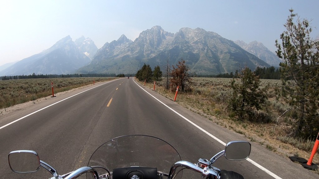
The Tetons, shot from Scott’s helmet-mounted Go Pro camera.

The Grand Tetons provide as spectacular a backdrop for photography as you’ll find anywhere. Whether you snap pics with your iPhone, or use professional equipment, you simply can’t go wrong trying to frame the perfect shot in Grand Teton National Park.

Photographer Jonathan Irish offers some tips on where to find the most breathtaking landscapes, and how to walk away with the ultimate photo.

Grand Teton National Park connects to nearby Yellowstone National Park by the John D. Rockefeller Memorial Parkway, which we’re now riding.

The 24,000-acre Rockefeller Memorial Parkway was originally part of Teton National Forest, but was transferred to the National Park Service in the 1970s to create an unbroken connection between the two national parks.

Rockefeller was a conservationist and fabulously wealthy philanthropist who was instrumental in the creation and enlargement of a number of national parks, including Grand Teton. By the time Rockefeller died in 1937, his assets equaled two percent of America’s total economic output. That would be worth about $400 billion today, the biggest fortune in modern history. Take that, Jeff Bezos!

But Rockefeller wasn’t just another really rich guy. He used his extraordinary wealth to make the world a better place, purchasing and donating thousands of acres of land to the US National Parks system.

***

In part because of its proximity to Yellowstone National Park, Grand Teton National Park is one of the most visited of the national parks, with around three million visitors each year.

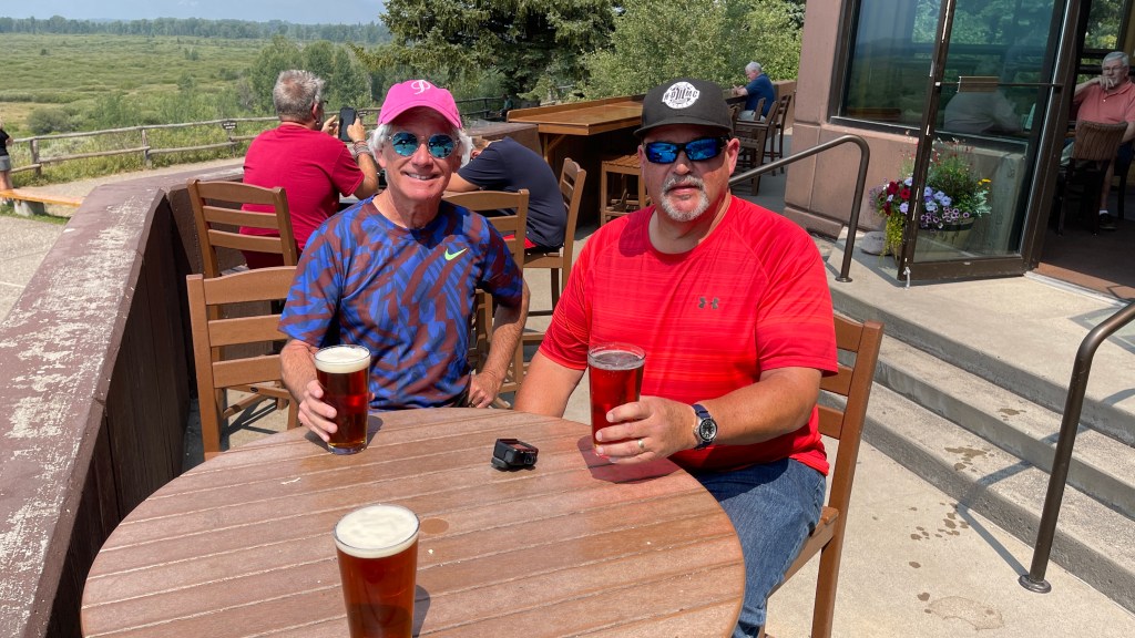
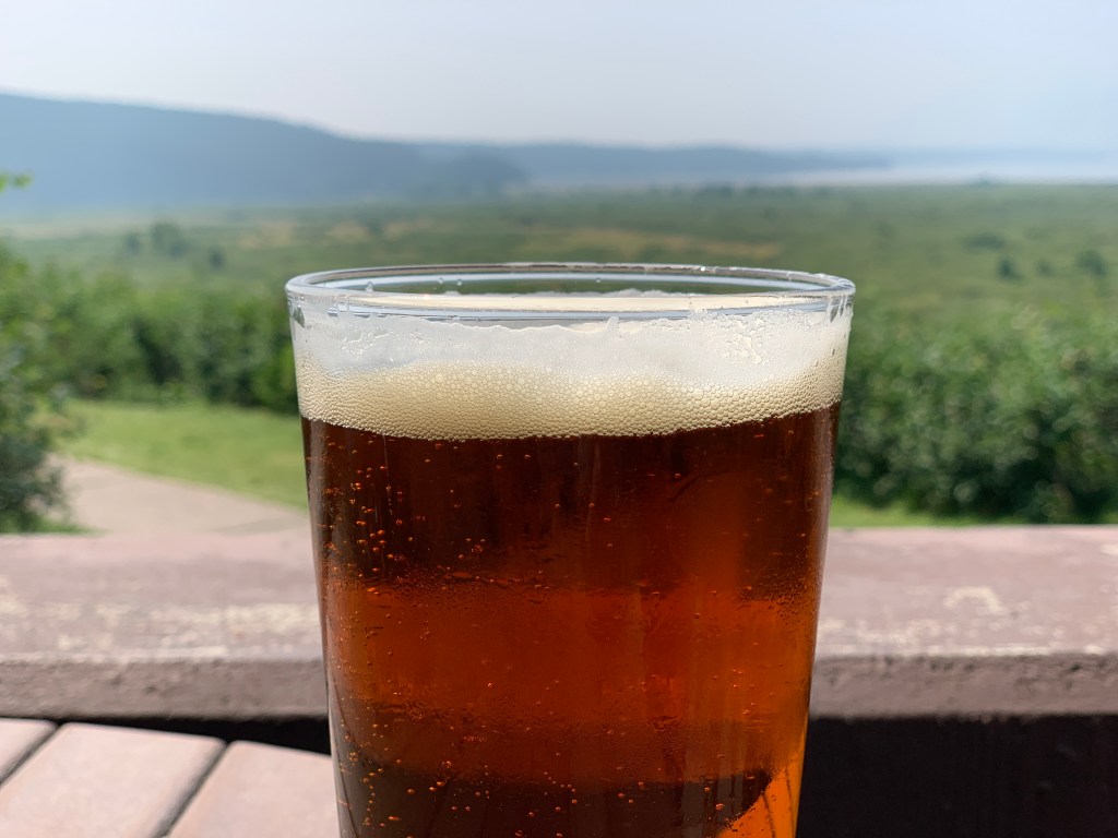
Enjoying a cold one at Jackson Lake Lodge.


Five miles west of Moran is Jackson Lake Lodge, which sits on beautiful Jackson Lake – with a stunning view of the Teton Mountains. The 15-mile-long glacial lake is primarily fed by the Snake River. At 6,772 feet, Jackson Lake is one of the largest high-altitude lakes in the US.

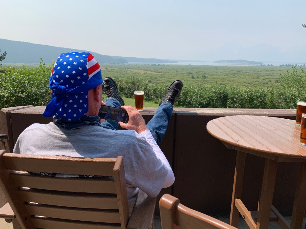
The views of the Tetons from the patio at Jackson Lake Lodge are usually epic. But there’s been a haze over the valley for the past month, thanks to western wildfires.


Jackson Lake Lodge is a fabulous place to stop, stretch, even have a cold beer on a warm summer day.

The Tetons are out there. Somewhere.
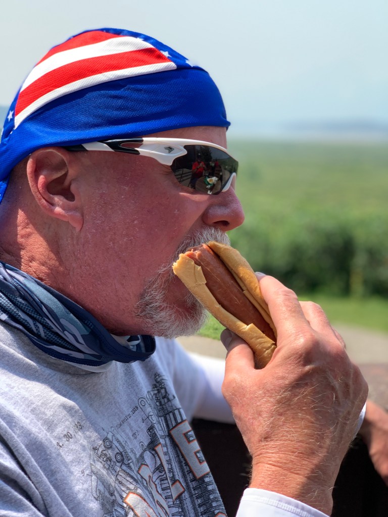
Beer and a hot dog. Great combo.
D-03, Jenny Lake
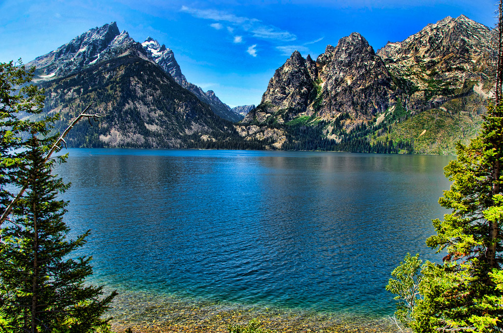
Jenny Lake is a hidden gem on Teton Park Road.

Leaving the lodge, we ride along the shoreline of Jackson Lake, on Teton Park Road – past Signal Mountain Lodge, and to Jenny Lake, home to the Jenny Lake Visitor Center. Jenny Lake is named after a Shoshone Indian woman who married an Englishman, Richard Leigh. Jenny and their six children died of smallpox in 1876.

Smallpox was far more deadly than Covid-19; in the 20thcentury alone, an estimated 300 million worldwide people died from smallpox. Of all the diseases ever suffered by humans, smallpox is the only one to be completely eradicated from the face of the Earth.

The campaign to permanently shit-can smallpox ended in 1980 and is one of the greatest triumphs of global public health. In that year, the World Health Organization announced that the disease known medically as variola major had been eliminated in its last pockets of infection – in India, Bangladesh, and Africa.

***

From Jenny Lake, we continue south on Teton Park Road, eventually landing in the small town of Moose, which sits on the banks of the Snake River. Moose is populated mostly by families that work in Grand Teton National Park. The park’s headquarters are in Moose, named of course for the animals that are the largest of all deer species.

In Moose, we turn onto Moose Wilson Road, an eight-mile scenic drive that connects Moose with Teton Village, home to the Jackson Hole Mountain Resort. The resort includes Apres Vous Mountain, primarily intermediate terrain, and Rendezvous Mountain, which has bowls, glades and chutes – and some pretty extreme skiing.

Eat your heart out, skiers. This might be even better with snow.

The Jackson Hole ski area, comparable in size and diversity to Snowmass (where I work in the winter) has about 4,100 vertical feet of skiing. Snowmass has 4,400 vertical feet, the most of any ski area in the US.

D-03, Jackson Hole skiing
Jackson Hole Mountain Resort rivals Snowmass for size and diversity.

Moose Wilson Road ends at its junction with Wyoming Highway 22, the Teton Pass Highway. Here, we turn west, and in a few miles, arrive at the Town of Wilson, which completes our journey on Moose Wilson Road – from Moose to Wilson.

Wilson is named for Elijah Nicholas Wilson, who lived with the Shoshone Indians as a boy in the 1850s. His book, “The White Indian Boy,” describes his experiences, including his time as a rider for the Pony Express.

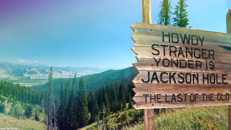
Six miles from Wilson, we arrive at Teton Pass, with its “Howdy Stranger, Yonder is Jackson Hole” sign. The pass sits at 8,431 feet, and has a maximum grade of 10 percent. Wyoming’s Transportation Department says the pass has some of the steepest grades in the Continental US.

D-03, Howdy Stranger
Teton Pass. Howdy, Stranger!

Teton Pass Highway crosses into Idaho, becomes Idaho Highway 33, and enters the town of Victor in Teton County (1T license plates). Victor was named in honor of George Victor Sherwood, the mail carrier between the south end of Teton Valley, and Jackson, near the end of the 19th and beginning of the 20th centuries. With mail on his back, Sherwood walked, skied or rode his horse over Teton Pass to make his delivery to Jackson Hole.

Our journey from Victor is much less fraught than whatever Sherwood experienced.

We head southwest on Idaho Highway 31, over Pine Creek Pass, and toward the town of Swan Valley. From here, we follow the Snake River southeastward for about 10 miles until we arrive at the Palisades Reservoir.

US Highway 26 takes us along the north shore of the reservoir until, after 15 miles or so, we cross back into Wyoming at Alpine Junction, where Highway 26 and Highway 89 meet.

We head south on Highway 89, toward the elk antlers in Afton. Thirty-three miles later, we arrive back in Afton, where our day began.

***

Day Three Summary: 250 miles.  Elk antler scavenging, the big tit, Howdy Stranger.

Click here to see today’s complete route from Afton, Wyoming, to Jackson Hole and back to Afton.

Today’s fun facts, favorite foods, funky place names and famous folks:

Wyoming fun fact: Wyoming didn’t raise the legal drinking age from 19 to 21 until 1988 — the last state in the union to do so. In 1984, Congress passed the National Minimum Drinking Age act, which required states to raise their ages for purchasing alcohol to 21, or lose 10 percent of their federal highway funds. The Wyoming Legislature reluctantly gave in. A postscript: When I was a teenage student at the University of Utah, we would drive to Evanston, Wyoming to legally buy beer.

most-popular-drinking-games-college
College kids as responsible drinkers? Sure.

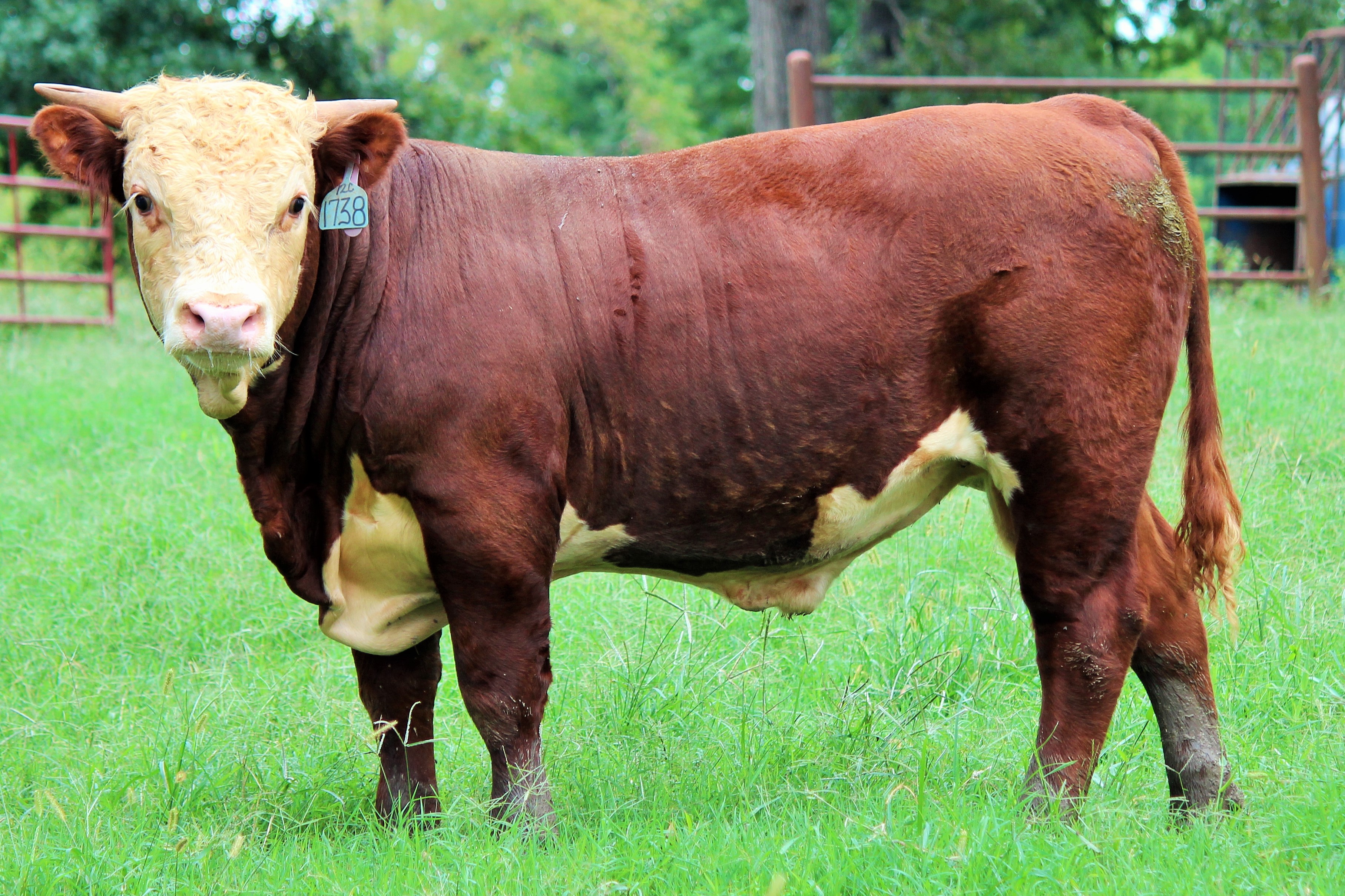
Idaho fun fact: Someone once paid $600,000 for a bull from Idaho, the most expensive bull ever sold, at the time. The cost was high because the Hereford bull weighed 1,410 pounds, and its lineage was impeccable.

hereford4
Hereford bulls. Mooooooooooooooo!

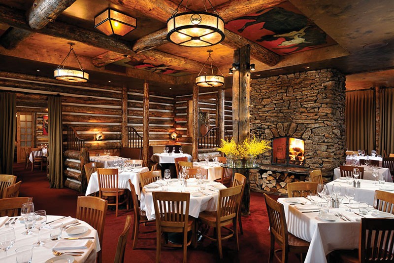
Wyoming favorite food: Since we rolled through Jackson this morning, it’s fitting that our favorite Wyoming food of the day comes from the Wild Sage restaurant at the Rusty Parrot Lodge. It’s the only restaurant in Jackson to receive the AAA Four Diamond award. The restaurant offers regional cuisine prepared with fresh local meats, sustainable seafood and organic produce. Try the tea-smoked elk chop, dry-aged bison ribeye or hibiscus-braised lamb shank. Sadly, the hotel and restaurant burned down in November 2019 and isn’t expected to re-open until 2022.

wild sage3
The Wild Sage restaurant in Jackson, home to some of Wyoming’s favorite dishes.

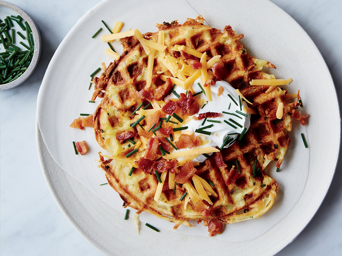
Idaho favorite food: There’s no getting around it, potatoes are the bomb in Idaho. Spuds are the official state food. There’s no end to the ways they can be prepared. One potato road less traveled involves potato waffles, a hybrid dish that combines waffle batter with taters. Some potato waffle recipes include leftover mashed potatoes. Try this, or this.

D-3potato waffles
Potato waffles. Who knew?

Wyoming funky place name: Chugwater is a historic small town along the old Oregon Trail, about 45 miles north of Cheyenne. Today, only about 200 people call this place home. It got its name from an old buffalo hunt legend, when some bison were accidentally chased off a cliff, they landed in a river, making a water chugging sound.

D-03, Chugwater 2
If you’re thirsty, chug water. It’s quite the sensible thing to do.

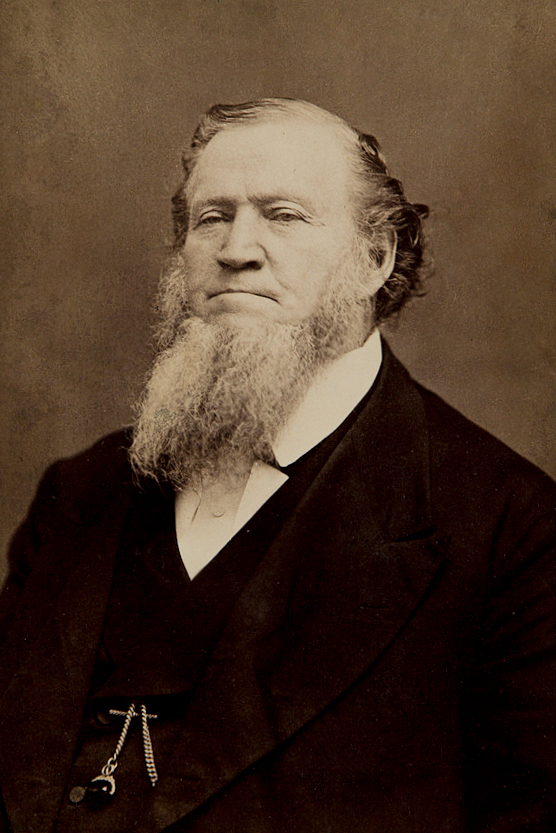
Idaho funky place name: The town of Dingle, in Bear Lake County, was given its name by Brigham Young, possibly after the sound of trains passing by, or after the sound of cowbells in the fields. Dingle is not the birthplace of dingleberries.

Brigham_Young_by_Charles_William_Carter
Brigham Young gave the Idaho town of Dingle its name. What was he thinking?

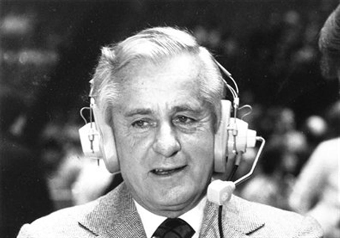
Wyoming famous folk: Sportscaster Curt Gowdy grew up in Cheyenne, where he was an all-state basketball player. Gowdy made famous the nickname, “Granddaddy of Them All,” referring to the Rose Bowl in Pasadena, California. Curt Gowdy State Park, halfway between Laramie and Cheyenne, recognizes his accomplishments as a broadcaster and outdoorsman. Gowdy died in 2006 at the age of 86.

Sportscaster-Curt-Gowdy-dies-of-leukemia-at-86
Wyoming broadcasting legend Curt Gowdy.

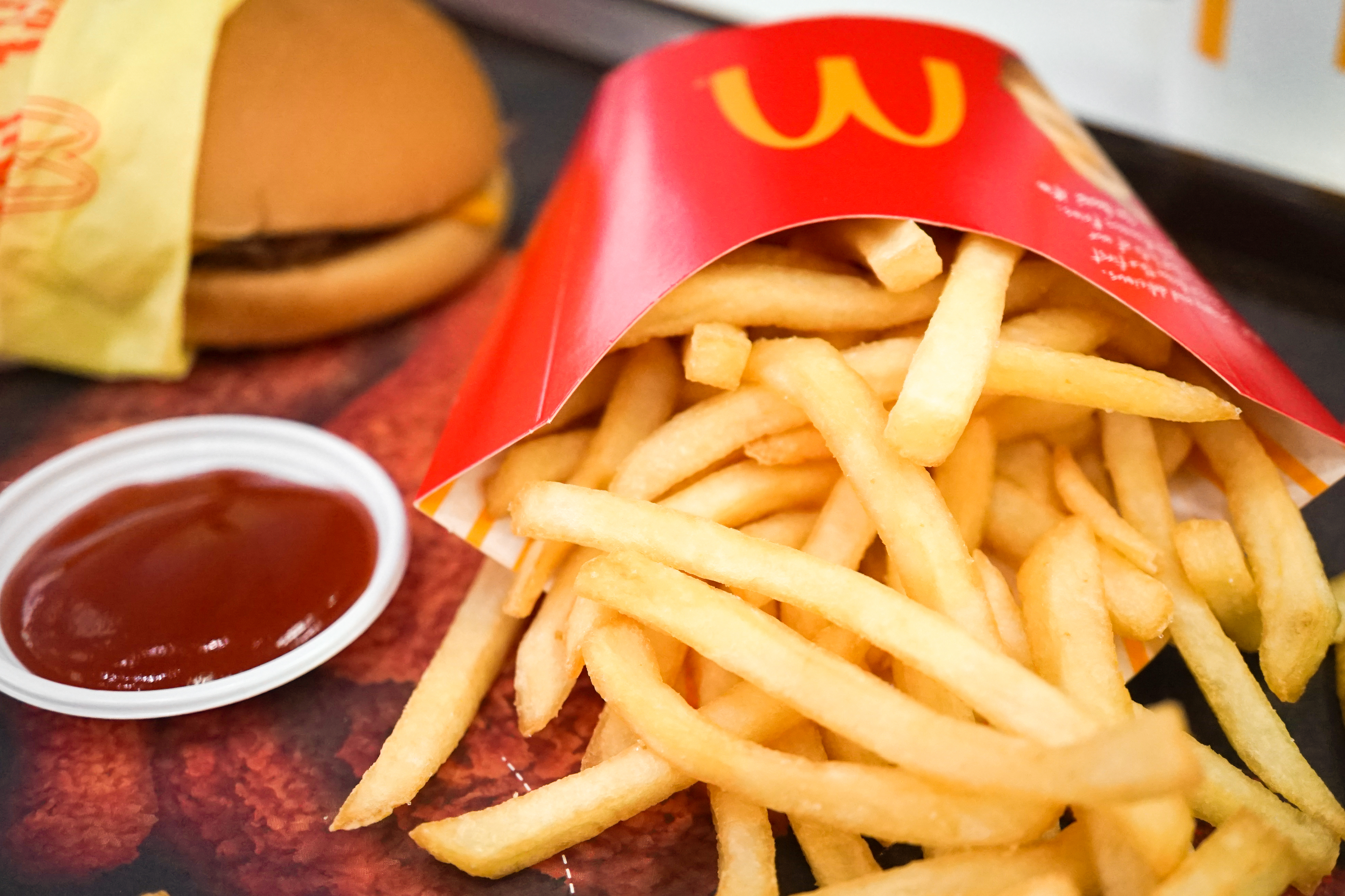
Idaho famous folk: Ever had French fries at McDonalds? Then you probably have J.R. Simplot to thank. Born in the small farming community of Declo, Idaho, Simplot went on to create a potato empire, making billions by commercializing frozen French fries, and being the primary supplier of spuds to McDonalds. Simplot died in 2008 at the age of 99. At the time of his death, he was the oldest billionaire on the Forbes 400 list of wealthiest Americans.

fries
Burger, fries and a coke. Might not be good for you, but it was a home run for J.R. Simplot.

Sturgis, anyone?

Vroom.

A look ahead @ tomorrow: Spuds!

Cowboys and Fossil Fish

It’s time to leave dinosaurs behind and head north from Vernal. Wyoming, the Cowboy State, is definitely in our future.

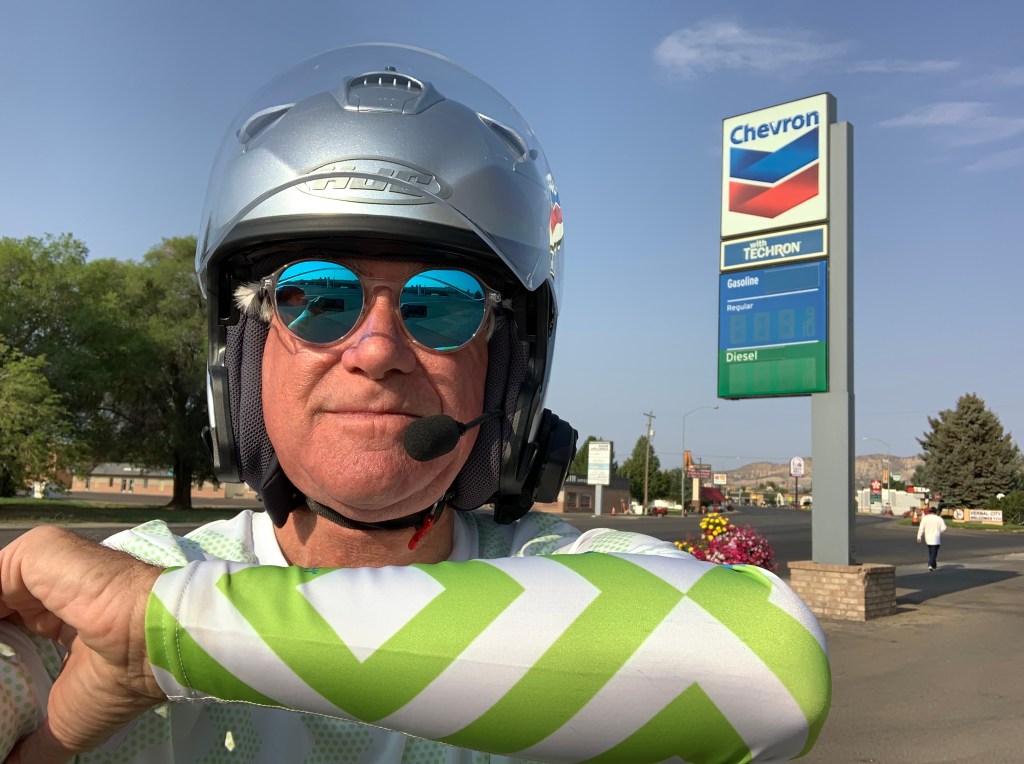
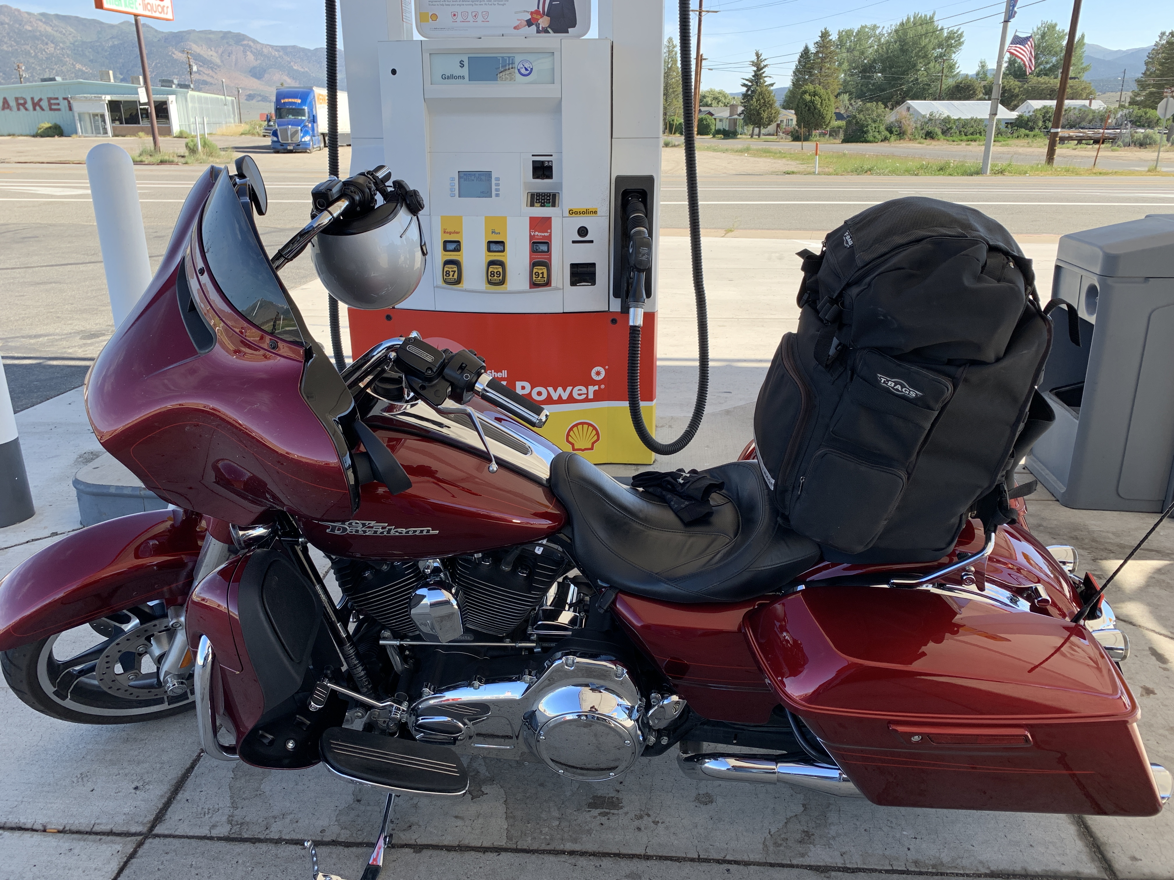
Note the SPF 50 sleeves. Keeps me sun-blocked, and makes Sarah happy. I’m a skin cancer (melanoma) survivor. Pic shot at Vernal gas station.

Within minutes, we roll past Steinaker State Park and Reservoir, about seven miles from Vernal along US Highway 191. The park is popular this time of year for swimming, fishing, boating and waterskiing.

Soon, we are in the Ashley National Forest, which covers 1,384,132 acres in the high Uinta Mountains. Elevations range from 6,000 feet to 13,528-foot Kings Peak, the highest point in Utah. Kings Peak was named for Clarence King, a surveyor in the area and the first director of the US Geological Survey.

Whatever you can do at Steinaker State Park, you can really do at Flaming Gorge National Recreation Area, about 30 miles north. Same water sports activities, just on a much larger scale. Including the Flaming Gorge Reservoir, the recreation area encompasses 207,363 acres of scenic landscape and wilderness.

On a spring day in 1869, John Wesley Powell and nine men boarded small wooden boats at Green River, Wyoming to embark on a daring exploration of the Green and Colorado Rivers, culminating in the passage of the Grand Canyon.

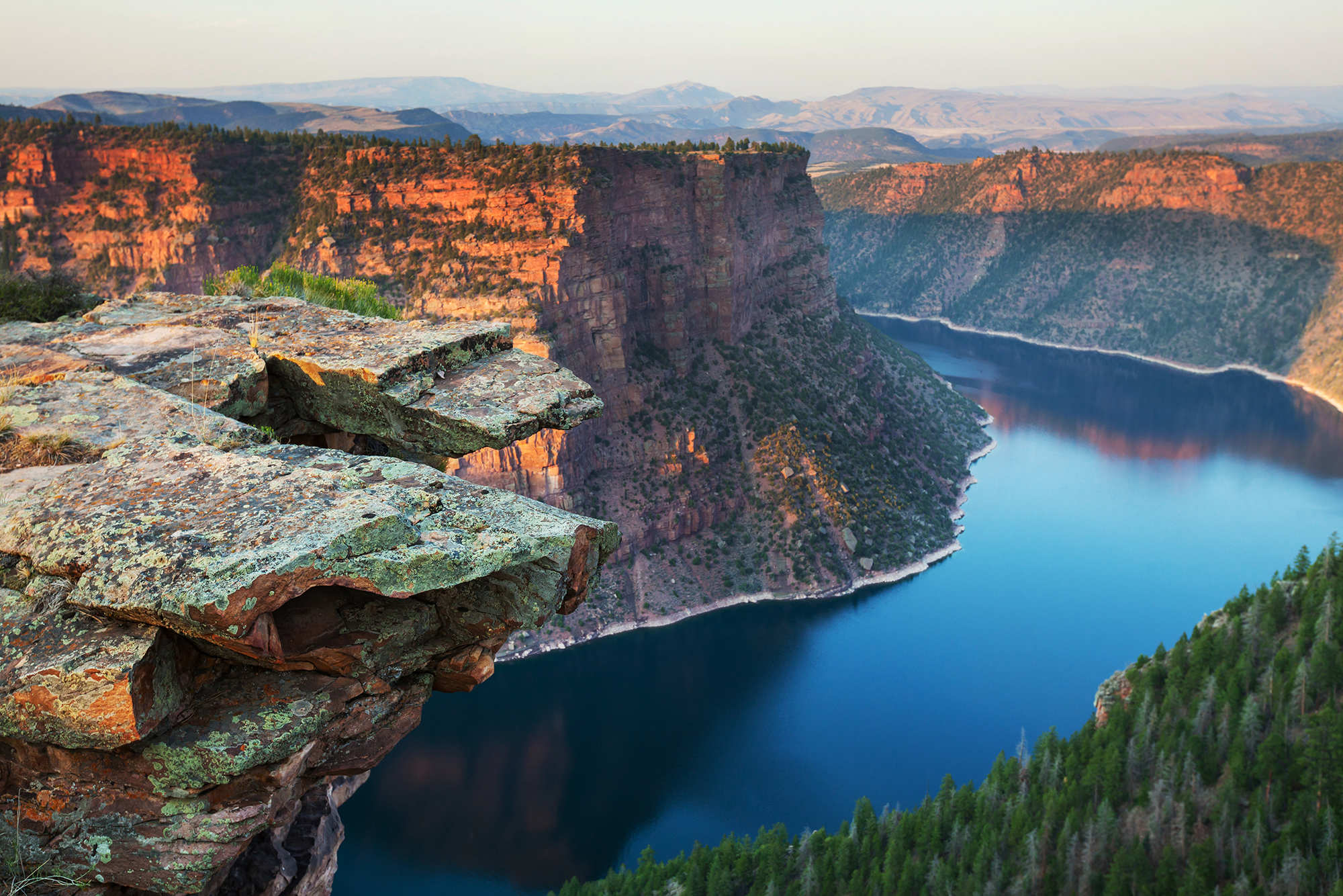
Powell and his men slowly worked their way downstream, successfully completing their journey in late summer. It was on May 26, 1869 that Major Powell named the Flaming Gorge, after he and his men saw the sun reflecting off of the red rocks. To them, it looked like rocks on fire.

D-02, Flaming Gorge
Flaming Gorge, like red rocks on fire.

The Flaming Gorge Dam sits on the Green River at just over 6,000 feet elevation. The dam is 502 feet high – 50 feet higher than the Great Pyramid of Giza, and 50 feet shorter than the Washington Monument. Its hydropower generation produces more than 344 million kilowatt hours of power each year.

Flaming Gorge is famous for its trophy lake trout. A good number of 30-pound fish are caught there each year. Fishing is also very good for rainbows, brown trout, kokanee salmon and smallmouth bass.

A final note about Flaming Gorge: Native Utahns, with their distinctive way of speaking, pronounce it Flaming Garge, which rhymes with Large. Same people who pronounce American Fork, American Fark, which rhymes with Mark.

I’ve puzzled over that since first arriving in Utah in 1968. The pronunciation hasn’t changed over the years. That’s just how they talk.

***

A mile or two south of the Flaming Gorge Dam, we turn west on Utah Highway 44, which takes us past Ute Mountain, elevation 9,984 feet. Followers of this blog know that I am partial to anything with the name “Ute,” as I’m a graduate of the University of Utah (BS Journalism, 1973).

Go Utes!

Yes. Go Utes!

We leave the Ashley National Forest, roll past the southwestern tip of the Flaming Gorge Reservoir, and arrive at the tiny town of Manila, population 310. The settlement was named in 1898, commemorating the American naval victory at the Battle of Manila Bay in the Philippines.

The town of Manila, un-related to envelopes and folders, is our last Utah point of interest on this trip. In case you’re curious, Manila is actually connected to envelopes and folders, which are buff in color. The Manila name comes from Manila hemp, from which Manila folders were originally made.

Manila brings us to the Utah/Wyoming border, which we cross and head northwest on Wyoming Highway 414. With the exception of three unexplainable minutes (to be explained later), we’ll spend the rest of the day in Wyoming, the Cowboy State.

Hydrating in Wyoming. That’s a Diet Dew, for you discerning beverage connoisseurs.

In less than an hour, we arrive at Mountain View, a gas stop just south of the better-known town of Fort Bridger. In 1843, Jim Bridger established a trading post here for those who were traveling westward on the Oregon Trail. Today, Fort Bridger is a historic site, with a reconstructed trading post and other preserved buildings.

***

Following a gas and hydration break, we cross Interstate 80 and head northwest on Wyoming Highway 412, which soon merges with US Highway 189 and takes us to Kemmerer, population 2,700.

The town of Kemmerer was named after Pennsylvania coal magnate Mahlon Kemmerer, who provided the financial backing for a late-1800 coal mining operation in the area.

Kemmerer calls itself “The Fossil Fish Capital of the World.” The Green River Formation of Colorado, Utah, and Wyoming is one of the world’s best locations for finding fossil fish. These fossils were preserved in Intermountain lake basins while the Rocky Mountains were still growing, about 50 million years ago.

Dave gets pensive, thinking about fossil fish.

In Kemmerer, we turn west on US Highway 30, which takes us through the Cokeville Meadows National Wildlife Refuge. The refuge covers more than 26,000 acres of wetlands along the Bear River. It’s considered to be the finest redhead duck habitat in the region, and one of the best migratory bird sanctuaries in Wyoming.

Soon we roll through Cokeville, population 535. It was named for the coal found in the area. By burning bituminous coal in kilns or pits, the residue left behind is called coke, which is simply coal charcoal, and is nearly pure carbon. Coke is kind of a purified coal.

Wyoming is the epitome of coal country. It mines more coal than any other state, more than triple the amount of the number two state, West Virginia.

We’re now going directly north, paralleling and in some cases, straddling the Wyoming/Idaho border.

Near the tiny town of Geneva, Idaho – population 141 – we cross into Idaho for about two miles. The community was named after Geneva, Switzerland, the native land of many of the first settlers.

D-02, Geneva Switzerland
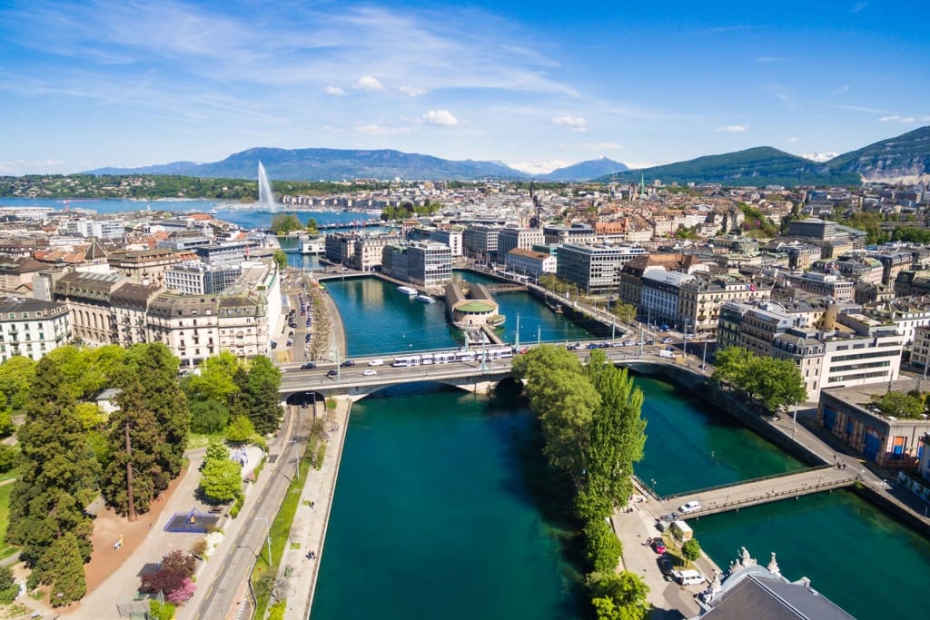
Beautiful Geneva, Switzerland — where the Rhone and Arve Rivers meet.

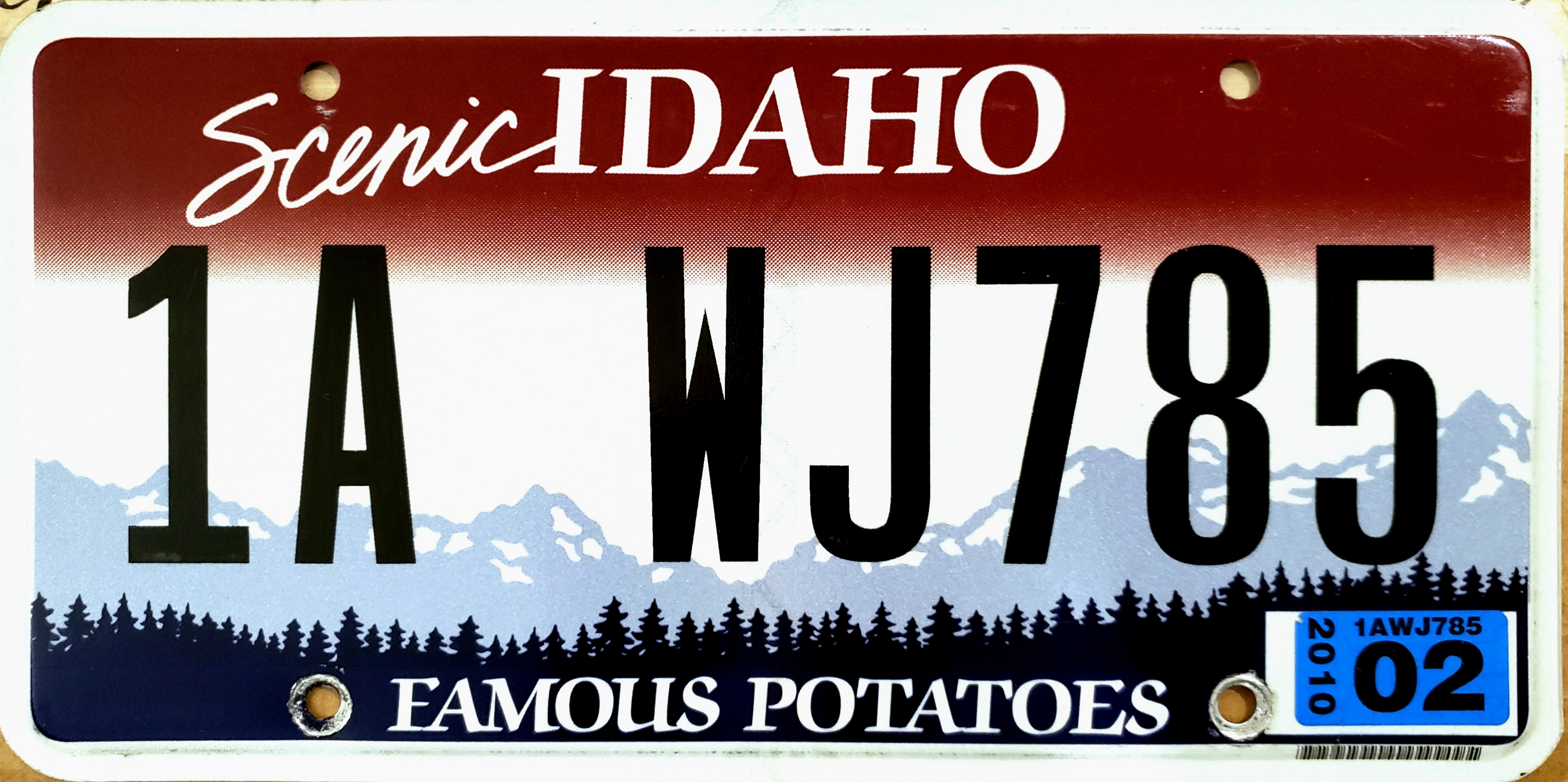
The few cars we see have Idaho license plates that begin with 2B. This is not a Shakespearian construct (“2B or not 2B”); Idaho license plates have designators identifying which of the state’s 44 counties the vehicle is registered in.

2B represents Bear Lake County, home to Geneva.

Ever since I lived in Idaho, from 1975 to 1979, I’ve had an odd fascination with these license plates. I lived in Eagle, a suburb of Boise. Eagle is in Ada County, which has 1A plates. Over the next few days, as we ride through Idaho, we’ll be sure to note the dominant license plates in each area, in case any of you share my asmusement in these plates.

D-02, Idaho License Plate
If you live in Ada County, Idaho, your license plate will look something like this.

***

After two unexplainable miles a few hundred feet into Idaho, we cross back into Wyoming, where we’ll spend the rest of the day.

Two miles south of Afton, Wyoming, we turn off of US Highway 89 at the entrance to the Kodiak Mountain Resort. Who rides Harleys to a resort? We do.

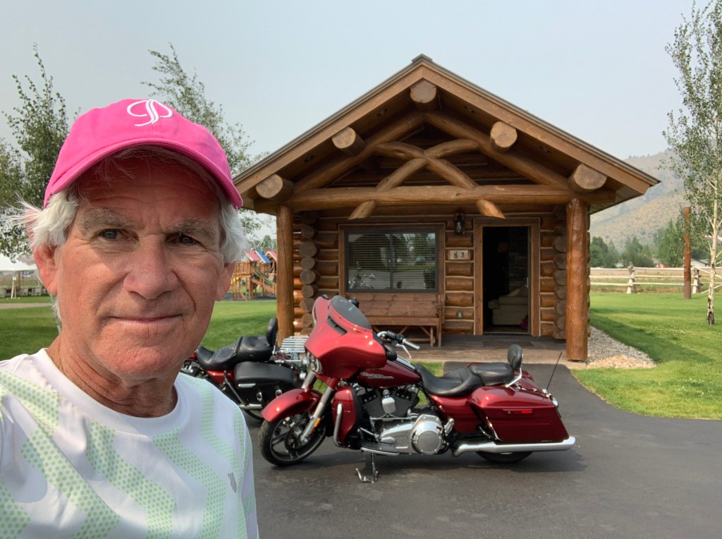
Cabin #3. This place is so fabulous, Sarah and I are coming here for her birthday in late September.


Kodiak Mountain Resort is probably the finest lodging I’ve ever experienced on a Harley trip. It’s so nice, we’re gonna stay here for two nights!

***

Day Two Summary: 246 miles. A unique Utah dialect, fossil fish, 2B plates.

Click here to see today’s complete route from Vernal, Utah, to Afton, Wyoming.

Today’s fun facts, favorite foods, funky place names and famous folks:

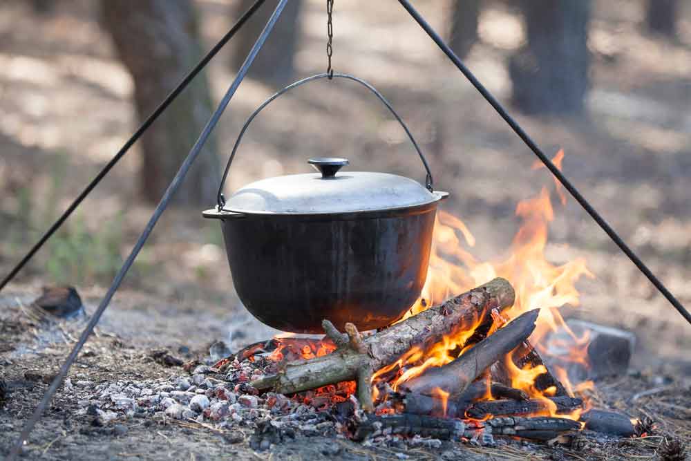
Utah fun fact: Utah’s official state cooking vessel is the Dutch oven. Like the axe and the rifle, these cast iron cooking pots would have been considered precious necessities by westbound pioneers coming to the area in the 19th century. Chuck wagon cooks used two or three Dutch ovens when preparing chow over a campfire. Utah recognized the Dutch oven as the official state cooking pot in 1997.

D-2, Dutch oven over campfire
Chuck wagon cooks used Dutch Ovens, like this, to provide chow for their traveling parties.

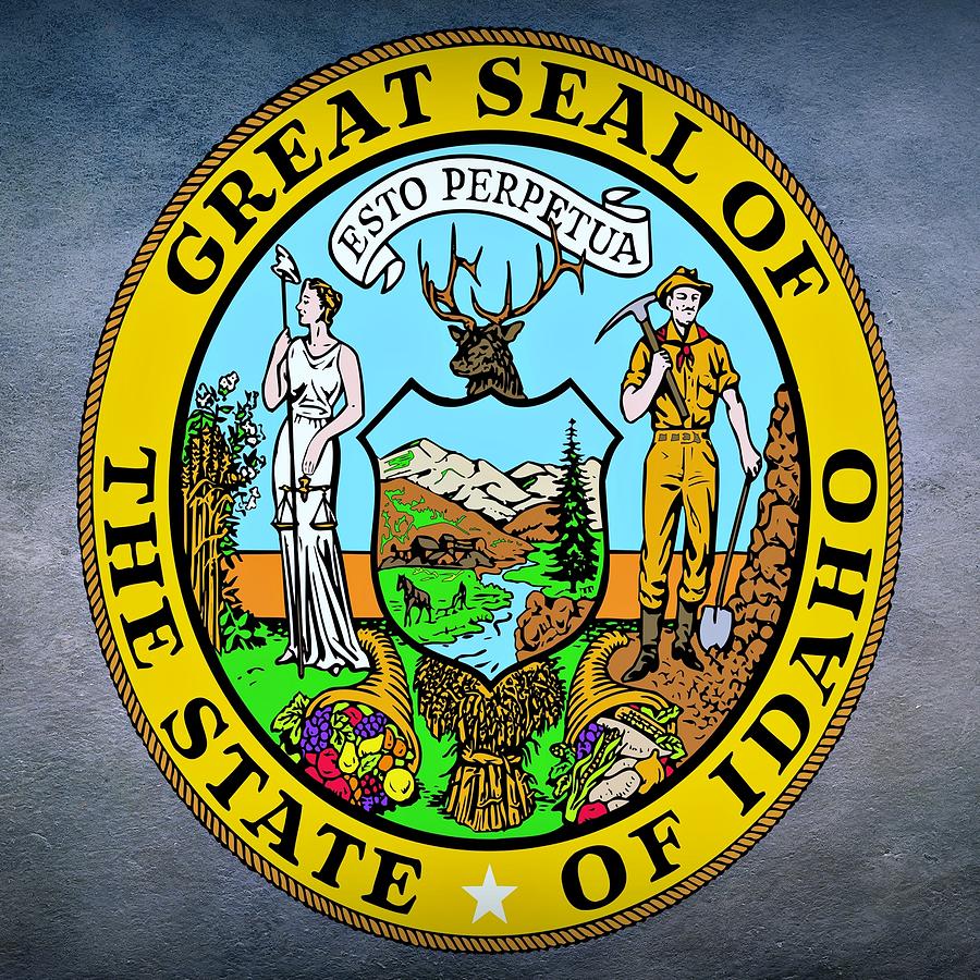
Idaho fun fact: Women should be pretty proud of Idaho, as it has the only state seal in the United States that was designed by a woman. The woman was Emma Edwards Green, and her design was chosen in 1891. Idaho Governor Norman Wiley awarded Green $100 for her design, which depicts a miner, a woman, and various natural resources of Idaho.

-idaho-state-seal-movie-poster-prints
Esto Perpetua. It’s the only state seal in the US to be designed by a woman.

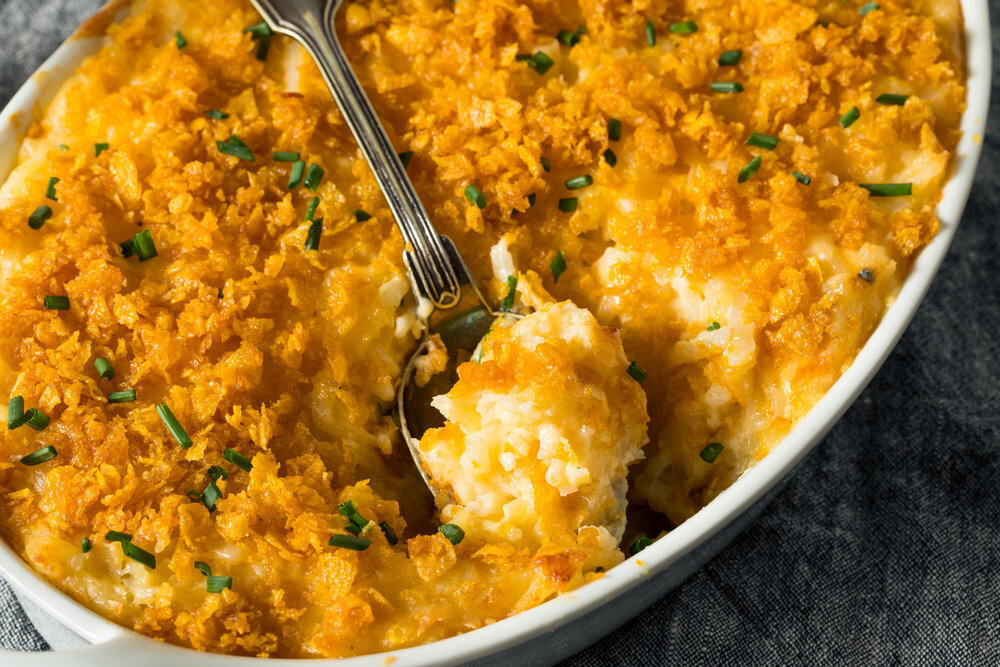
Utah favorite food: A Utah delicacy is Mormon Funeral Potatoes, so unhealthy that they’ll contribute to your own demise. Funeral Potatoes include a bag of frozen hash brown potatoes, cream of chicken soup, sour cream, shredded cheddar cheese and crumbled potato chips. Funeral Potatoes are actually on the menu at many Utah restaurants, including Hoof & Vine in Salt Lake City. Food & Wine magazine calls the dish “One of the Greatest American Triumphs.” They’re to die for!

Homemade Funeral Potatoes Casserole
Mormon Funeral Potatoes: mortician in the kitchen!

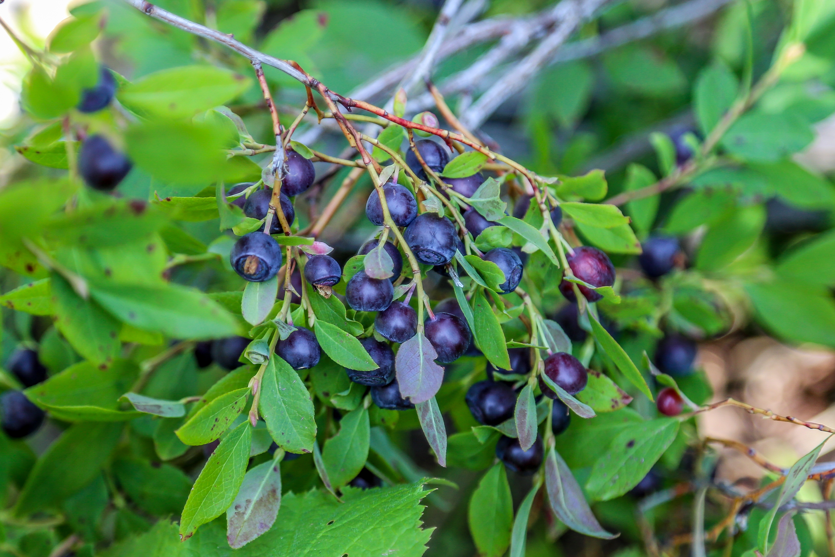
Idaho favorite food: Huckleberries are the official state fruit. You can get huckleberry jam, huckleberry pancakes, huckleberry ice cream, huckleberry syrup, and more. Huckleberries hold a place in archaic English slang. “I’m your huckleberry” is a way of saying you’re just the right person for the job. During ski school season at Snowmass, a huckleberry is a code word for a missing child.

D-02, Huckleberries
Huckleberries, the official state food of Idaho, are good for many uses, including ice cream and pancakes. “I’m your huckleberry,” I tell people.

Utah funky place name: The town of Elmo, in Emery County, was settled in 1908 and named for the first four families that settled there: E for Ericksons, L for Larsens, M for Mortensens, and O for Oviatts. Tickle me, Elmo.

D-02, Elmo Sesame Street
Tickle me, Elmo — especially if you’re from Elmo, Utah.

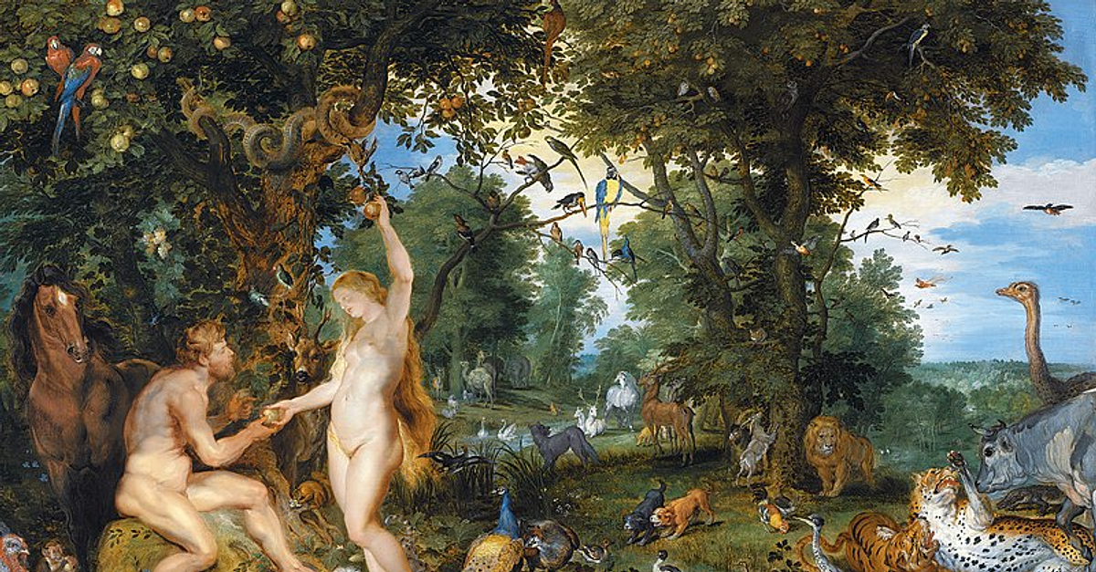
Idaho funky place name: Eden, Idaho is named after the Biblical Garden of Eden, because of the picturesque valley surrounding the town. Besides its Biblical connotations, Eden generally is defined as a place of pristine or abundant natural beauty. The town is in Jerome County, about 15 miles northeast of Twin Falls.

eden
The Garden of Eden inspired the Idaho town of Eden.

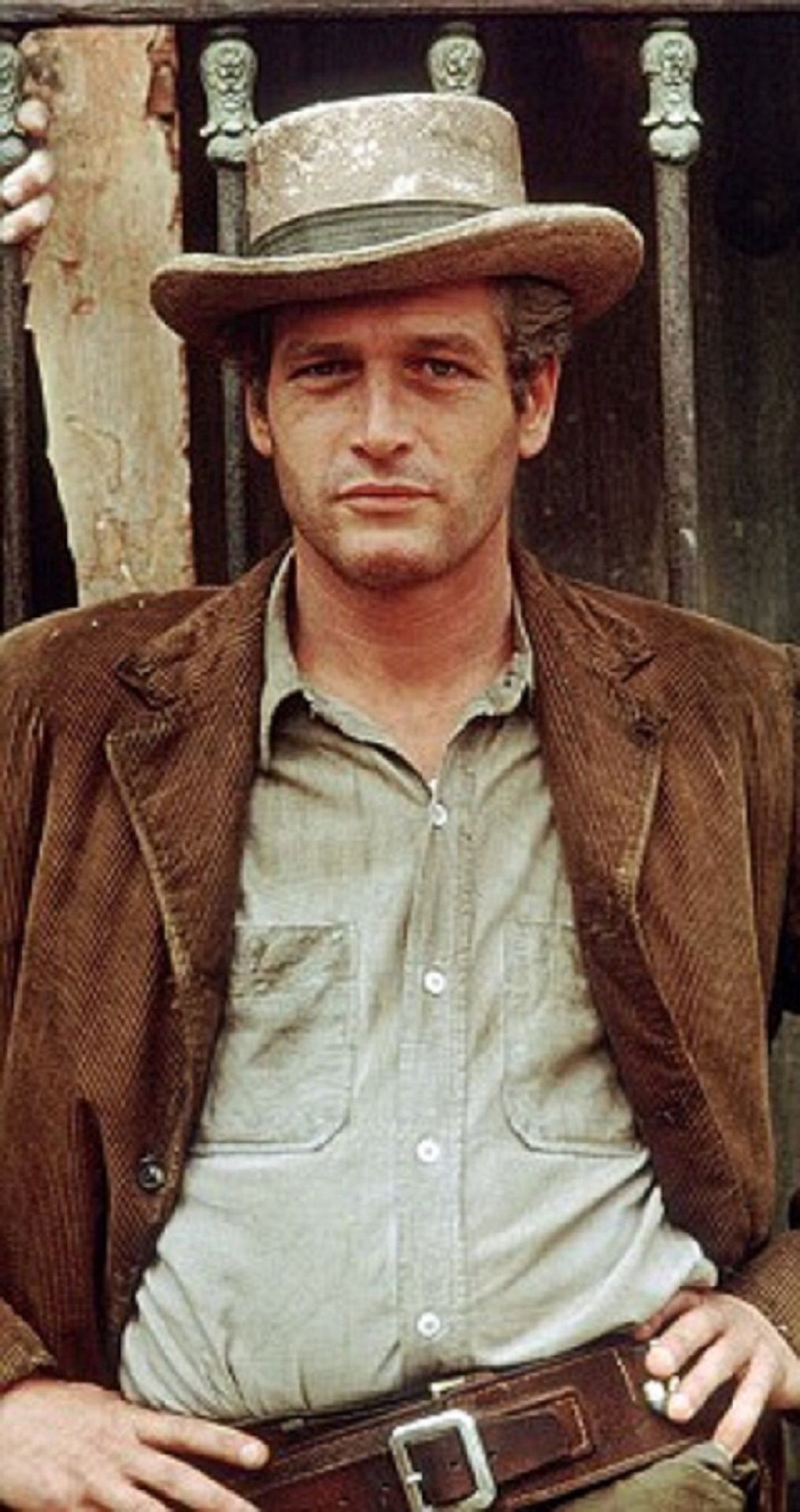
Utah famous folk: Robert LeRoy Parker, better known as Butch Cassidy, was a train robber and bank robber, made famous in the movie, Butch Cassidy and the Sundance Kid. He was born in 1866 in Beaver, then part of the Utah Territory. As seen in the movie, Parker died at age 42 in a shootout in San Vicente, Bolivia. For you geographiles, Bolivia is sandwiched in South America between Peru, Brazil, Paraguay, Argentina, and Chile.

D-02, Butch Cassidy (Paul Newman)
Paul Newman, as Butch Cassidy, in the 1969 film, Butch Cassidy and the Sundance Kid.

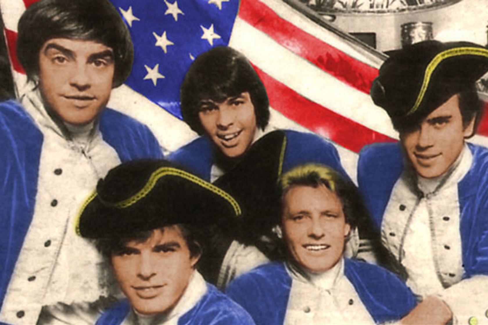
Idaho famous folk: Anyone who lived through the 1960s would remember Paul Revere and the Raiders, a rock group famous for songs like “Kicks,” and “Good Thing.” Their lead singer, Mark Lindsay, was from the Boise, Idaho, area – where the band got its start. Today, at age 79, Lindsay lives in Maine.

paul revere
Idaho’s most famous rock band, Paul Revere and the Raiders. That’s lead singer Mark Lindsay, upper left.

Sturgis, anyone?

Vroom.

A look ahead @ tomorrow: Teton time.

Hot Springs, Clothing Optional

Four Harley riders, stricken by the Covid-19 shitstorm and deprived of a 2020 trip, are set to rumble. It’s been two years since the posse last hit the road. Time to get moving.

This morning, I exit Carbondale. Alone. Destination: Vernal, Utah.

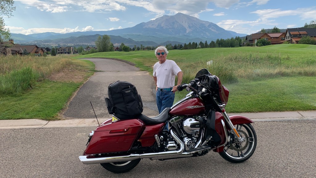
Leaving Carbondale this morning. Destination: Vernal … and eventually, Sturgis!
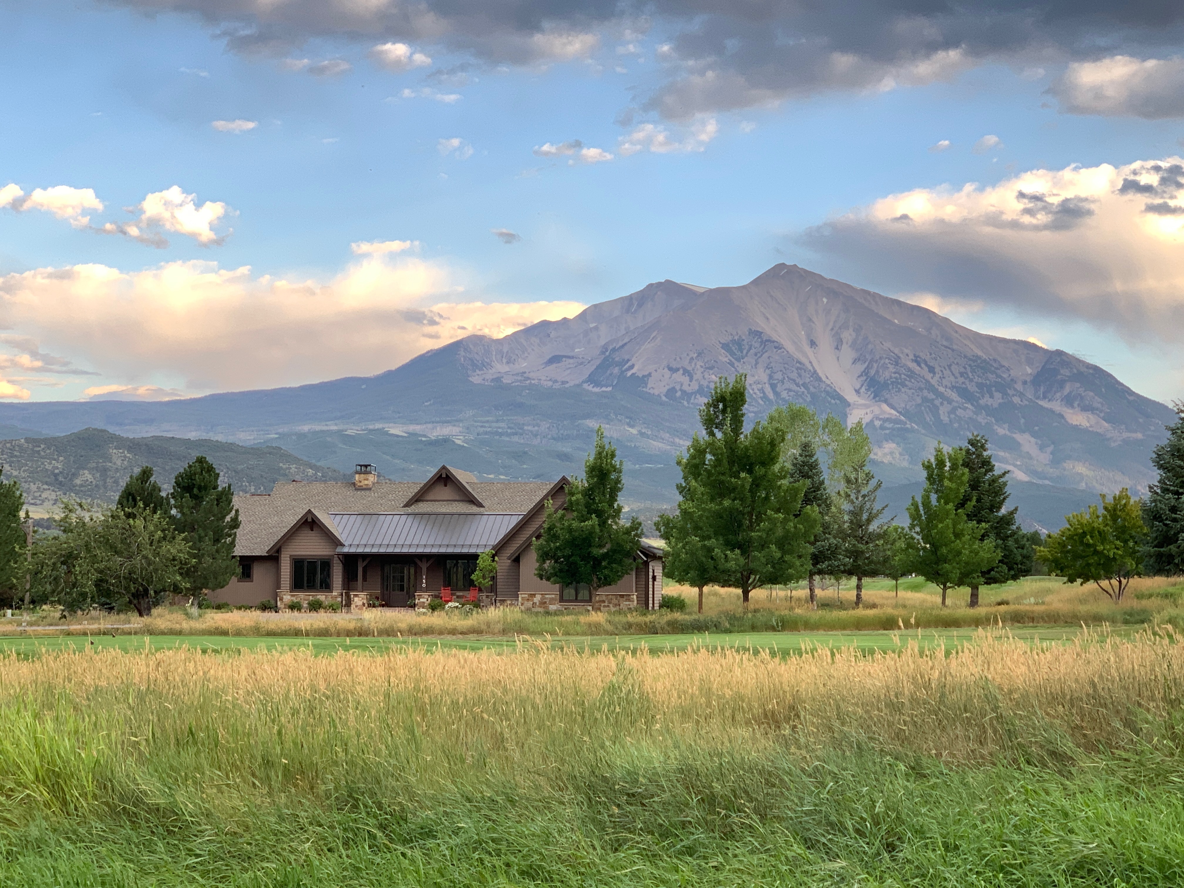
One last pic of Mount Sopris, and I’m gone.

Riding companions Dave and Scott, are on their way to Vernal, too. They’re coming from southern California (La Habra) and southern Nevada (Henderson). With any luck, we’ll meet for dinner tonight in Vernal.

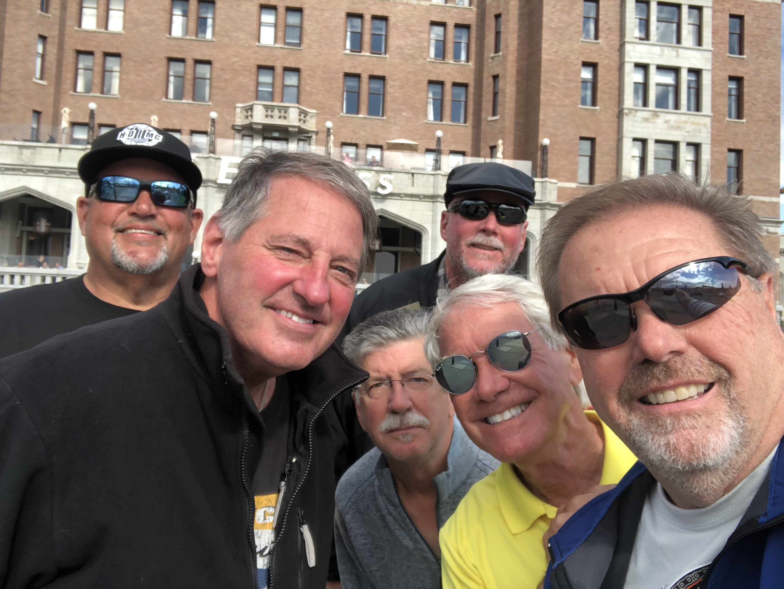
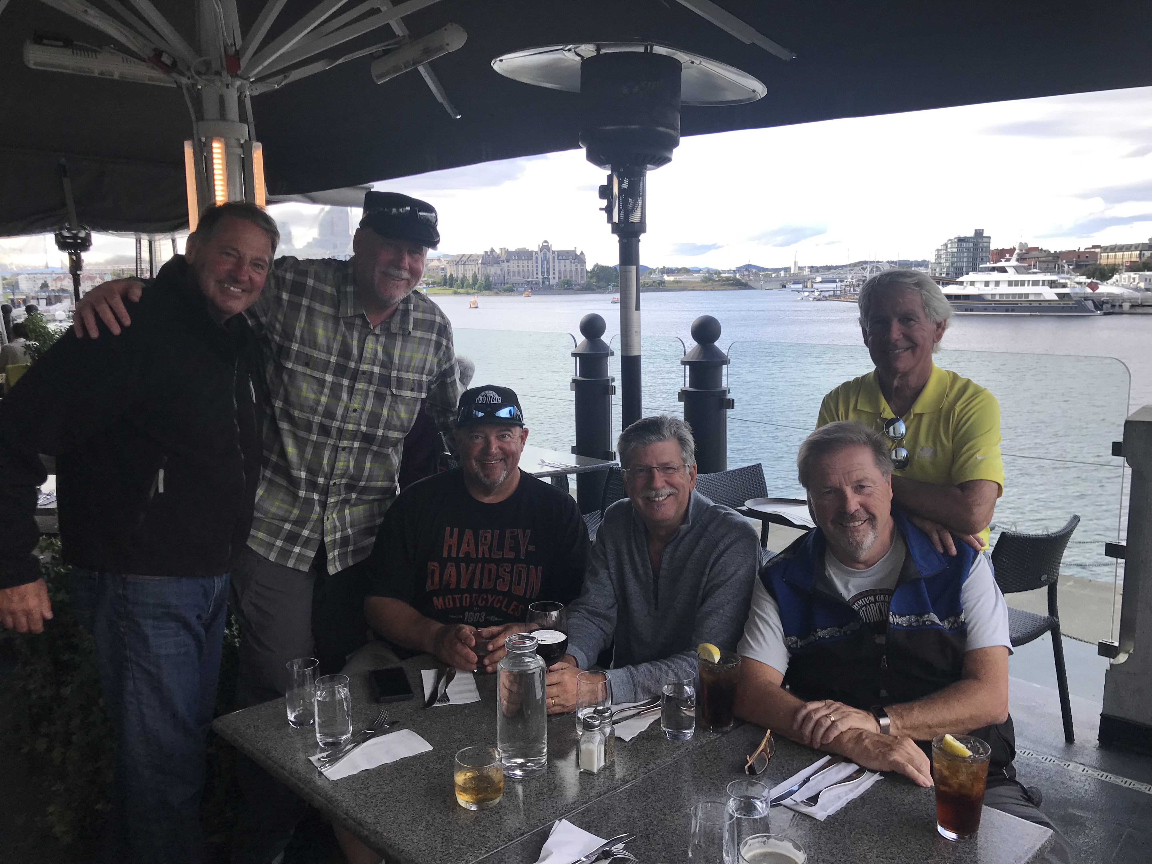
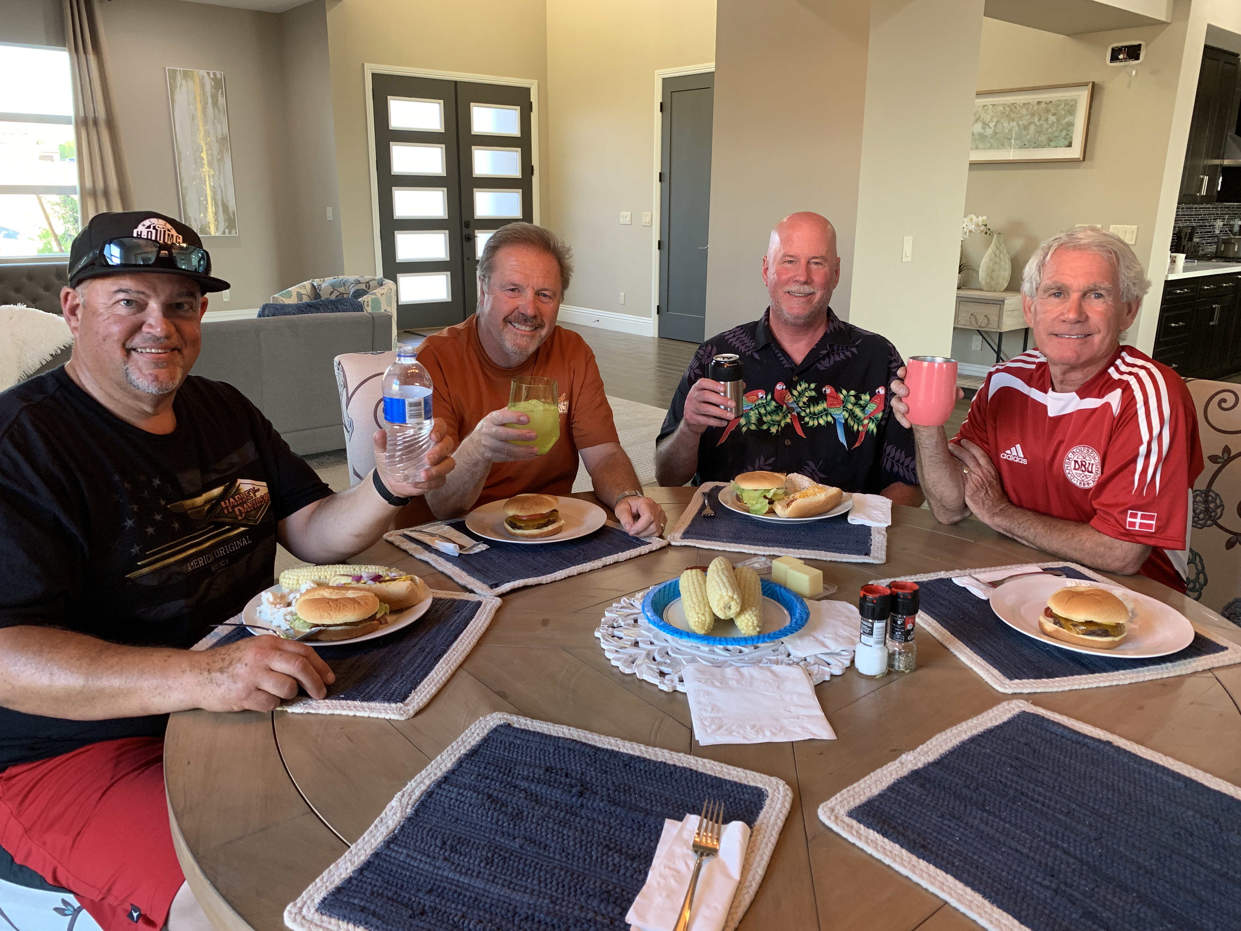
The fourth member of this year’s posse, Randy, is still in Seattle. He’s getting ready to meet us somewhere in Idaho, later this week. Randy will likely show up with a black Kawasaki, chauffeured in the back of an F-150 pickup truck. We love him, anyway. Dude has style.

I leave our Cozy Carbondale Cottage, ride a mile through the River Valley Ranch community Sarah and I call home, and head south on Colorado Highway 133.

We’re on our way to Sturgis!

The Crystal River is on my left. The views are stunning. We are so blessed to live in this Rocky Mountain paradise.

Soon, I pass Avalanche Ranch, a secluded hot springs with 18 cabins and gorgeous views of the valley. While staying at Avalanche Ranch, you can fish, hike, bike, and canoe on the Crystal River. In the winter months, snowshoeing, sledding, skiing, and tubing are popular.

Year-round, it’s an in-demand wedding destination.

D-1, Avalanche Ranch Wedding (Josh and Larissa)
In the summer of 2017, Josh and Larissa were married at Avalanche Ranch. It’s a beautiful setting to say “I do.”

About a mile past Avalanche Ranch, a few hundred feet north of mile marker 55, is Penny Hot Springs. It’s a low-key, clothing-optional pool used by locals who aren’t interested in spending money on commercial hot springs in nearby Glenwood Springs. Penny Hot Springs is free. Whether you want to or not, you might see some skin there.

The hot springs are named for Dan Penny, who in the 1960s ran a small hotel and bathhouse on the railroad line upstream of Avalanche Creek. Visitors would stay at his hotel, visit the hot springs bathhouse, remove their clothes, and in the free-spirited manner of the ‘60s, soak up the Rocky Mountain vibes in the nude.

At Penny Hot Springs, white-hot spring water mixes with the frigid Crystal River and creates varied temperature pools, depending on how much river water is allowed into the rock pools. Penny Hot Springs is a bare bones, completely natural experience.

D-1A, Penny Hot Springs
At Penny Hot Springs, there’s no admission fee, and you can be as naked as you wanna be.

For those who love soaking in hot springs – and paying for it – there’s actually a Colorado Historic Hot Springs Loop.  The loop takes you on a driving tour of the state’s best hot springs. The springs are all within a day’s ride of here.

Ride. Soak. Relax. Repeat.

Maybe another time.

***

As I continue south on Highway 133, Mount Sopris is on my left. You can’t miss it. The mountain is named for Richard Sopris, former prospector, mayor of Denver, and part of the first European expedition in the Roaring Fork Valley. He surveyed the area around the mountain in 1860 on a mapping and gold exploration trip.

His group traveled only as far as the base of the mountain. The details they collected while exploring the area were used in creating the first maps of what was then the Colorado Territory.

Sopris is a popular summer hike for locals. It’s a little more than 13 miles to the summit and back, with a vertical rise from the trailhead of about 4,400 feet.  The average grade is 12 percent, with a maximum steepness of 34 percent near the top. This is not a leisurely day hike.

D-1, Sopris and us (2018)
In 2019, Sarah and I hiked nearly four miles from the trailhead at Dinkle Lake, to Thomas Lakes. That’s Mount Sopris beyond the tree line. We thought we could have made it the remaining three miles to the summit, but decided to wait for another day.

A lot of hikers camp overnight at Thomas Lakes – a little more than halfway up – then complete the remaining three miles to the peak the next day. From Thomas Lakes, the first mile or so is along a dirt trail, but from there on, beginning at around 11,800 feet, it’s mostly jagged and loose rocks until you reach the top. If you like scree fields and talus, this is the perfect place for you. The final 1,000 feet is really more of a scramble than a hike.

But getting to the top has a huge payoff. The views are spectacular, including McClure Pass to the south, the Elk Mountains, and classic 14,000-foot peaks like Maroon Bells, Pyramid Peak, Capitol Peak and Snowmass Peak.

Mount Sopris, part of the Elk Mountain Range, is the dominant feature in almost any photo of the Roaring Fork Valley. At 12,953 feet, Sopris is the view everyone in the valley wants to have. Sarah and I are lucky enough to see it, bigger-than-life, every single day.

Life is good.

D-1, Sopris and our house!
That’s our house in the foreground, and Mount Sopris in the distance. It’s a pretty special view.

From Carbondale, as I continue along the West Elk Scenic Byway, it’s about 16 miles south to the nearest town, Redstone. By the time I roll past Redstone, I’ve already climbed about 1,000 feet.

Known as the “Ruby of the Rockies,” Redstone sits at 7,200 feet, on the banks of the Crystal River. It’s an unimaginably beautiful setting for a Colorado mountain town.

Redstone is a charming little village, home to about 130 residents. Here you’ll find the Redstone Castle, an opulent 42-room Tudor-style mansion that’s listed on the National Register of Historic Places. After years of distress, the castle was recently purchased, restored, and reopened. And now it’s for sale, again. For $16,900,000 — it could be yours! Our friend, Jeff Bier, has the listing. Nice commission on that sale!

About five miles south of Redstone, there’s a turnoff to the town of Marble. If I turn onto Gunnison County Road 3, I’d arrive in Marble about 20 minutes from now, in time for a very early lunch.

Marble is located in a valley of the upper Crystal River, surrounded by the tall peaks of the Maroon Bells-Snowmass and Raggeds Wilderness Areas.

The Town of Marble got its name from the stone that is quarried there: Yule Marble. It’s the only place on earth where Yule Marble is found. This beautiful white marble from Marble provided the stone for the exterior of the Lincoln Memorial, and the Tomb of the Unknown Soldier at Arlington National Cemetery.

To most of the world, Marble is famous for its marble.

D-1, Slow Groovin
Dave and I at Slow Groovin’, at the start of the 2018 Rocky Mountain Rib Rally.

For me, the best part about Marble is Slow Groovin’, the BBQ restaurant that attracts foodies from all over western Colorado. Two years ago, Dave and I took part in the 2018 Rocky Mountain Rib Rally – an opportunity to explore beautiful scenery, then visit restaurants each evening in search of Colorado’s best ribs.

At the end of two weeks on the road, after riding all over Colorado and thoughtfully evaluating Rocky Mountain grill masters, we ranked the state’s tastiest ribs. Turns out we didn’t have to go far to find the best.

Slow Groovin’ topped on our list.

D-1, Ribs
Dig in, Big Fella!

***

I still have 260 miles to go before parking my bike for the day.

This is no time for early morning ribs. So I roll past the turnoff to Marble and continue south on Colorado Highway 133. Almost immediately, I begin the steep climb toward McClure Pass.

At 8,763 feet, the pass sits on the boundary between Pitkin and Gunnison Counties. The approaches on either side of the pass have an eight percent grade, making McClure Pass among the steepest in Colorado, joining Red Mountain Pass and Hoosier Pass, also at eight percent. The only Colorado pass that’s steeper is Slumgullion Pass, with a 9.4% grade.

Thomas McClure, a local farmer and Irish mining immigrant, is credited with cutting the first road leading from the Crystal River Valley over “McClure’s Pass” to the North Fork of the Gunnison River. He’s also known for developing the “Red McClure” potato in the early 1900s. By the 1930s, the Roaring Fork Valley exported more than 400 rail cars filled with potatoes every year, more than the entire state of Idaho.

Times change.

Today, Colorado produces less than five percent of all US potatoes. Idaho, whose license plates tout its “Famous Potatoes,” raises more than 30 percent of all spuds grown in the US. In two days, we’ll be deep into potato country when we roll through Idaho. You can expect to learn a lot more about potatoes then.

D-1, Sack of potatoes
These are famous potatoes, some of Idaho’s best.

***

Once over McClure Pass, I begin the descent toward Paonia. Along the way, I pass Paonia State Park and Paonia Reservoir. I’m now following the North Fork of the Gunnison River.

This is coal country, or at least what used to be coal country. The mines in Somerset and Bowie, producing Uintah coal, aren’t what they used to be. Employment and production have both plummeted precipitously. The future of coal in the west is grim.

Ten minutes past the Bowie coal mine, I roll through the town of Paonia, population 1,500. Paonia is known today for its fruit orchards, which produce peaches, apples, cherries, pears, and plums. There are also wineries galore, including Black Bridge, Stone Cottage Cellars, and Endless Endeavor.

The Paonia area is one of the few regions of Colorado that has successfully cultivated and bottled a pinot noir. Black Bridge Winery offers a Beezley Block Pinot, made entirely from grapes harvested at their peak of flavors. The name “Beezley Block” honors the tough, pioneer farmers who cleared the land where the vineyard prospers today.

If this weren’t a Harley adventure, I’d have some excellent wine tasting in my future.

D-1, Wine Tasting, Azura Cellars
The wine tasting is a special experience at Paonia’s Azura Wine Cellars and Gallery.

Nine miles past Paonia, I arrive in Hotchkiss, a town of less than 1,000 residents, named after Enos T. Hotchkiss, a local pioneer who settled here in the 1880s. Hotchkiss calls itself the “Friendliest Town Around.” For me, Hotchkiss is a prime lunch destination for summer Harley rides – 132 miles (round trip) to Zach’s and back.

Today In Hotchkiss, I turn onto Colorado Highway 92 and head toward Delta – about 20 miles to the west. The city of Delta isn’t much to get excited about.

The town’s symbol is an 85-foot cottonwood tree, known as the Ute Council Tree. It was once a gathering point for tribal discussions. Today, the tree symbolizes the growing connections between Colorado Utes and the Western Slope’s other residents. It’s dedicated to Chief Ouray and his wife, Chipeta, who strove to keep peace between the Utes and the white man. Chief Ouray met with white settlers under this very tree, well before there was a city of Delta.

Delta got its name because of its location on the delta where the Uncompahgre River flows into the Gunnison River. Delta has other meanings and uses. It’s also the fourth letter of the Greek alphabet. Uppercase Delta “Δ” is the symbol for change in any changeable quantity, in both math and science. Just sayin’ …

Delta is right off US Highway 50, which crosses 12 states, connecting Delta with Sacramento, California, to the west – and Ocean City, Maryland, to the east.

D-1, Delta
One more kind of Delta. It’s an Airbus A350.

***

Leaving Delta, I head west on Highway 50 toward Grand Junction, about 40 miles away. I’m riding along the edge of the Dominguez-Escalante National Conservation Area – 210,172 acres of protected public lands. Dominguez-Escalante, with its red rock canyons and sandstone bluffs, is part of the Uncompahgre Plateau.

As I roll past this conservation area, I’m not far from the Gunnison River. Eventually the Gunnison River empties into the Colorado River. When that happens, I’ll be in Grand Junction, the largest city on Colorado’s Western Slope.

The Grand in Grand Junction refers to the Grand River, renamed the Upper Colorado in 1921. And Junction, of course, refers to the confluence of the two major rivers – the Colorado and Gunnison.

Where the two rivers meet, I turn west on Monument Road, so named because it takes us to Colorado National Monument. The monument’s 32 square miles include red rock canyons and a breathtaking sheer-walled landscape.

The featured attraction is Monument Canyon, which includes rock formations such as 450-foot-high Independence Monument, the canyon’s tallest freestanding formation and its most iconic landmark.

There are several ways to experience this huge monolith: Drive to the Independence Monument View pullout, which is what I do. Or, for the super adventurous, you can climb to the top, after first hiking 12 miles to its base.

Every Fourth of July for the past 110 years, climbers ascend to the top of Independence Monument, and unfurl a large American flag.

D-1, Independence Monument
Independence Monument, the signature rock formation at Colorado National Monument.

***

Leaving Colorado National Monument, I arrive at the city of Fruita, once known for its fruit production. Today, it’s better known for mountain biking, hiking, rafting, and its proximity to the Colorado National Monument.

Fruita is home to the Western Colorado Dinosaur Museum.  I am in the heart of dinosaur country, a paleontologist’s fantasyland.

Here, you could discover that Colorado’s state dinosaur is the Stegosaurus. The Stegosaurus was a large herbivorous dinosaur that lived in the area now called Colorado, 150 million years ago. This was the mid-Jurassic to the late Cretaceous period.

Colorado is one of eight states to have an official state dinosaur.

D-1, Stegosaurus
The Stegosaurus, Colorado’s official state dinosaur.

In Fruita, after 150 miles of riding since leaving Carbondale this morning, I stop for gas, and plan the remainder of today’s ride through dinosaur country.

I leave Fruita and head northwest on US Highway 50, toward the town of Loma, whose name comes from a Spanish word meaning “small hill.” Here, I turn onto Colorado Highway 139, and head north. The highway, also known as Douglas Pass Road, leads to 8,205-foot Douglas Pass, in the Bookcliff Mountains.

Along the way, I have views of Utah’s La Sal Mountains, which have a dozen peaks over 12,000 feet. La Sal means “the salt.”

This area is sparsely populated. There isn’t much to see for about 70 miles until I come to the town of Rangely, population 2,400.

An unexpected treat in Rangely is its Automotive Museum, a collection of 35 classic cars, and even a 1907 Indian motorcycle. It’s ranked #2 on the list of top things to do in Rangely.

Rangely, which has a golf course, gas stations, a community college, and a hospital, is the last civilization of note I’ll see until reaching today’s destination an hour from now.

***

Leaving Rangely, I head west on Colorado Highway 64, and roll through the town of Dinosaur. With a population of just over 300, there’s not much in Dinosaur, though the town does have three marijuana shops, including – you guessed it – the Dino Dispensary.

Dinosaur was originally known as Baxter Springs, then renamed Artesia for its valued water supply. The name was changed again to Dinosaur in 1966, hoping to capitalize on the town’s proximity to Dinosaur National Monument, which gets about 300,000 visitors a year. The monument’s headquarters, the Canyon Visitor Center, is just east of town on US Highway 40.

In Dinosaur, I turn west on Highway 40, and in a few miles, I’m in Utah, home for many years to the “Greatest Snow on Earth” license plate. It does get cold and snowy in this part of Utah during the winter, but the nearest ski area is Park City, about 100 miles west.

Dinosaur National Monument is just north of here on the southeast flank of the Uinta Mountains. The monument, about an hour’s drive southeast from the city of Price, is in both Utah and Colorado. It boasts one of the densest concentrations of Jurassic dinosaur fossils in the world. The bones are just as nature arranged them, 150 million years ago, deposited by an ancient stream.

D-1, Dinosaur Quarry
The Dinosaur Quarry at Dinosaur National Monument. It takes you back in time, 150 million years.

Although most of the monument area is in Colorado, the Dinosaur Quarry and its exhibit hall are in Utah. For the adventurous, you can find more than 800 paleontological sites and fossils of dinosaurs, including the Allosaurus, Utah’s official state fossil.

The Allosaurus was the predominant North American predator during the Late Jurassic period. It measured around 16 feet in height, 39 feet in length, and weighed in at about four tons.

The Allosaurus is Utah’s official state fossil, not to be confused with the official state dinosaur. In 2018, Utah Governor Gary Herbert signed into a law a bill making the Utahraptor the official state dinosaur. The Utahraptor is a cousin of the Velociraptor, made famous by the Hollywood movie, Jurassic Park.

Weighing up to 1,000 pounds and being up to 23 feet long, the Utahraptor was conslderably larger than the Velociraptor. Unlike its Jurassic Park portrayal, the Velociraptor was actually the size of a turkey, weighing only about 30 pounds.

Both had lethal killing claws on each foot. Pick your poison.

D-1, Velociraptors
The Velociraptors in Jurassic Park were quite frightening. The actual Velociraptors were much smaller, the size of a turkey. Those wouldn’t have been nearly as scary.

***

Soon, I cross the Green River, roll through the town of Jensen – Utah’s entrance to Dinosaur National Monument – and arrive at today’s destination, Vernal.

Unlike most Utah towns that were settled by Mormon settlers, Vernal was not. It began in 1878 as Ashley Center, named in honor of William H. Ashley, an early fur trader who entered this area in 1825 by floating down the Green River in a bull boat made of willow branches, covered with animal hides.

The town was renamed Vernal in 1893. “Vernal” implies a spring like growth; the vernal equinox marks the beginning of spring.

Despite its non-Mormon origins, the city of about 10,000 today has its own Mormon Temple, the 51st built worldwide (there are now more than 175), and the 10th in the state of Utah. The Vernal Temple, dedicated in 1997, was the first built from a previously existing structure. Before becoming a temple, it was the Uintah Stake Tabernacle for Mormons in eastern Utah. Except for the angel Moroni, which all LDS temples have, the Vernal Temple doesn’t look at all like a Mormon temple.

D-1, Vernal Temple
The Vernal LDS Temple is unlike any others. Except if you look closely, you can see the angel Moroni atop the right-hand tower.

The Vernal Temple is less than a mile from tonight’s destination: the aptly named Dinosaur Inn.

At the Dinosaur Inn, the posse grows from one to three — as Dave, Scott and I meet for the first time since our 2019 ride to Canada.

Dinner at Vernal Brewing Company. Good to see the old guys. That’s Dave on left, Scott on right.

***

Day One Summary: 284 miles. On the road at last, taking a rib hiatus, two state dinosaurs for the price of one.

Click here to see today’s complete route from Carbondale, Colorado, to Vernal, Utah.

Today’s fun facts, favorite foods, funky place names and famous folks:

Colorado fun fact: The world’s largest natural hot springs pool is located in Glenwood Springs. The two-block long pool is across the street from the historic Hotel Colorado, a favorite stop of former president Teddy Roosevelt. It’s a popular place. You can get an annual pass for $348, or a family pass for $797. Just want to dip your toes in for the day? That’ll be $49.75 during peak season (now).

D-1, Glenwood pool
The Glenwood Springs pool is the largest natural hot springs pool on the planet.

Utah fun fact: The state symbol is the beehive, symbolizing thrift and industry, which is also the state motto. Utah is known as the Beehive State. So, of course, it’s no surprise that the Utah state insect is the honeybee.

Big swarm bee on tree
Utah is known as the Beehive State.

Colorado favorite food: Colorado does not have an official state food, but two favorites are Palisade peaches and Olathe sweet corn. The first peach tree was planted in Palisade in 1882, and today, the area east of Grand Junction produces hundreds of thousand of pounds of perfect peaches, exported throughout the US and around the world. Olathe, which once grew sugar beets and barley, has hot days and cool nights, ideal for growing sweet corn. The crop has a mid-summer harvest, and usually hits store shelves by July.

corn
Olathe sweet corn is a Colorado staple. Along with Palisade peaches, it’s the state’s most famous food.

Utah favorite food: Jell-O is the state’s official snack food. Utah residents consume more Jell-O per capita than any other state in America. One theory: Jell-O and its jiggly allure is one of the only acceptable vices for rebellious LDS teens. A basic batch of Jell-O shots is made with one cup of juice, one packet of gelatin, a half cup of cold water and a half cup of alcohol, usually vodka. With these proportions, your Jell-O shots will be around 10 percent alcohol, by volume.

D-1, Strawberry Margarita Jello-shots
These strawberry margarita Jell-O shots are a big hit at Utah parties.

Colorado funky place name: Pieplant, in Gunnison County, is named for the wild rhubarb that grows wild near this early 20th-century mining town. Today, Pieplant is a former mining area, now a ghost town along the Taylor River. After mining there died down, local cowboys would stay in the deserted cabins while tending to their herds.

pieplant
Pieplant, a rhubarb that provided a name for the Colorado ghost town.

Utah funky place name: Amalga, settled in 1850, got its name from the Amalgamated Sugar Company that agreed to build a factory in the town in the early 1900s, refining sugar from sugar beets. The factory was shut down in 1929 due to a sugar beet blight which caused 22 sugar factories in the western US to close. Today, Amalga’s economy centers around dairy farming.

D-1, Sugar Beet
The sweet sugar beet. From this handful, you can refine a lot of sugar.

Colorado famous folk: Journalist and author Hunter S. Thompson, founder of so-called “gonzo” journalism, lived in Woody Creek, near Aspen. His most famous work is Fear and Loathing in Las Vegas, a book first serialized in Rolling Stone magazine, in which he grapples with the implications of what he considered the failure of the 1960s counterculture movement. Following a series of health problems, Thompson committed suicide in 2005 at the age of 67.

gettyimages-871379730-copy
Hunter S. Thompson, a Colorado legend.

Utah famous folk: The Osmond Brothers, all six of them, got their start in Ogden, Utah. They included Merrill, Jay, Alan, Wayne, Jimmy, and of course, Donny. Little sister Marie had a musical career, too. Today, 63-year-old Donny lives in Provo and 61-year-old Marie lives in nearby Orem. “Donny and Marie,” a 90-minute variety show, ran continuously at the Flamingo Hotel in Las Vegas for 11 years. Their 1,730 performances are the most of any singing act in Vegas history.

D-1A, Donnie and Marie
Donny and Marie, all grown up. He’s now 63 and she’s 61.

Sturgis, anyone?

Vroom.

A look ahead @ tomorrow: The Cowboy State!

F*#k Covid. Let’s Roll!

A rare day in 2020 when the Harley left the garage. Look ma, no hands!

Last year, for the first time in a decade, my Harley mostly sat in the garage.

Because of the coronavirus pandemic, I wasn’t able to take my annual trip through the American West. It’s a tradition I relish.

The highlight of my summer fell victim to a deadly disease.

Five of us had planned a 2020 trip to Sturgis, South Dakota, with stops along the way in Utah, Idaho, Montana, Wyoming, and Colorado. It would have been epic.

Then the coronavirus came along, and our trip got cancelled.

F*#k Covid-19.

When we pulled the plug on the ride, I was tremendously disappointed. A lot of planning goes into these journeys. A lot of enjoyment occurs along the way.

Then, through my disappointment, I put things in perspective, and had a serious reality check.

I consider myself lucky.

January 13, 2021 — the day I got my first Moderna Covid-19 vaccine. Life’s good.

I am fortunate to be healthy.

At age 71, I’m in the so-called vulnerable population. I’m among the people who stayed at home, isolated, longer than others, because I’m statistically most at risk. But I was not infected by the virus, and I know few who were.

As of today, as many as eight million people have died of Covid-19 worldwide, according to the World Health Organization, 600,000 in the US. While life is now getting somewhat back to normal, the suffering over the past 18 months has been heartbreaking.

Who among us doesn’t want to hug a health care worker, a grocery store clerk, a transit driver? (A ski instructor?) We owe a huge debt of gratitude to those essential workers who kept the country rolling, despite great personal risk to their own health and safety.

Sarah and I have nothing to complain about, and much to be thankful for. We are the lucky ones.

I am fortunate to have a steady paycheck.

Forty million people in this country lost their jobs. Businesses by the millions closed; many are gone forever. Dreams turned into nightmares. Families were turned upside down, food lines were miles long, bankruptcies off the charts. Untold lives will never be the same. It is beyond sad.

None of that personally affected us. Sarah and I can still look forward to our monthly pension checks, our Social Security, our meaningful winter jobs at Snowmass. We are still able to put food on the table, and wine in the cooler. We are the lucky ones.

Having a motorcycle trip postponed for a year? Not exactly a big deal.

One of my few rides in 2020: to downtown Carbondale and back.

***

Remember that planned 2020 trip to Sturgis for the annual motorcycle rally in the Black Hills, the trip that was cancelled? The journey was meant to be, and it will be.

We are doing it in 2021 instead. The exact same trip, just one year later.

2020-One!

Tomorrow morning, I am saddling up and heading for Sturgis.

Along with my riding pals Dave, Scott, and Randy, I’ll be on the road for the better part of three weeks. For the first time, Sarah will be joining me; she’s flying into Rapid City for the Black Hills portion of the ride!

As I always do on these trips, I will blog nightly about what I did, saw, experienced, and ate each day. I’ve had a whole lot of time to think about this year’s adventure, so you can expect me to be unusually verbose.

I look forward to this year’s trip with great anticipation. And I’m glad you’ll be along for the ride, too.

F*#k Covid-19. Let’s Ride!

It’s been two years since I’ve been on the road with the guys. Am itching to fire up the Harley and get moving. This was two years ago, in front of the Empress Hotel in Victoria, British Columbia. Left to right: Scott, Jim, Randy, Dave, me, John.

But before I finish packing for tomorrow morning’s departure, there’s one stop Sarah and I need to make. A few minutes ago, we walked down to Carbondale, for the opening night of Mountain Fair. This year marks the 50th anniversary of Mountain Fair, a celebration of, well, all things Carbondale.

Everyone who’s anyone, and that includes us, has Mountain Fair on their calendar, marked indelibly in permanent ink. I’m guessing some of you were unable to attend tonight. Your loss.

So, here are a few pics. It’s the next best thing to being here.

Mountain Fair. You have to be here to experience it.
Carbondale’s police offers wear tie-dye with their uniforms when Mountain Fair comes along every summer. Nice touch.
This is the last I’ll see of Sarah till she shows up in Rapid City, South Dakota on Aug. 4. It was a fun send-off.


***

At the end of each day’s blog post over the next few weeks, I’ll share some interesting factoids and trivia about the state (or states) we visited that day. You’ll undoubtedly pick up some useful information about each state:

  • Generic fun facts
  • Favorite foods
  • Place name origins
  • Famous people with a tie to the state

The knowledge you’ll gain will be incalculable. As you may have heard me say before, if you learn anything along the way during your consumption of this blog, you’re welcome.

Here’s a bit of a preview.

Today’s fun facts, favorite foods, funky place names and famous folks revolve not around a state, but the Roaring Fork Valley, which extends from Glenwood Springs, through Carbondale and up-valley from Basalt to Aspen.

Roaring Fork Valley Fun Facts: The Roaring Fork Valley includes three rivers with Gold Medal trout fishing: the Fryingpan, the Colorado, and the Roaring Fork. Gold Medal waters are able to produce 60 pounds of trout per acre. Only 322 miles of Colorado’s 9,000 miles of trout streams carry the Gold Medal signature. The Crystal River, a mile from our house, does not have Gold Medal waters. But I can walk to it and fish any time I want. For $10.07 a year!

No doubt about it, I am a badass fly-fisherman. I haven’t yet caught a fish, but for $1 a year (prices have increased since this photo was taken), I’m getting my money’s worth. Above, I’m fishing the Crystal River near Redstone.

Roaring Fork Valley Favorite Foods: For a town of 6,000 people, the restaurant scene in Carbondale is beyond fabulous. Restaurants worth a look include Silo, Phat Thai, The Goat, Allegria, The Village Smithy, Izakaya, and of course, Peppino’s Pizza. But if you really want an awesome meal, try the grilled dish of the day in the backyard at Sarah and Gary’s Cozy Carbondale Cottage, with a breathtaking view of Mount Sopris.

Backyard grillin
Lots of good places to eat in Carbondale, but none with a better view than what you’ll get from our back patio. That’s our friends, the Wiseners, enjoying the food and view.

Roaring Fork Valley Funky Place Names: As you’re driving east on Colorado Highway 82, from Carbondale toward Aspen, you roll through the tiny community of El Jebel, just west of Basalt. El what?  Most folks mis-pronounce it, and few have a clue what it means. Turns out El Jebel (El Juh-BELL) means “The Mountain” in Arabic. The name was taken more than a century ago from a large ranch in what is now El Jebel.

D-0, El Jebel, Breakfast in America
When in El Jebel and needing a morning meal, try Breakfast in America.

Roaring Fork Valley Famous Folks: John Henry “Doc” Holliday, a gambler, gunfighter, and dentist, is buried at the Pioneer Cemetery in Glenwood Springs. He’s best known for his role in the events leading up to and following the 1881 Gunfight at the O.K. Corral. Holliday received his DDS from the Pennsylvania College of Dental Surgery – now part of the University of Pennsylvania. He died in Glenwood Springs in 1887 at the age of 36, not in a gunfight, but of tuberculosis.

D-0, doc holliday
After living through the Gunfight at the O.K. Corral, Doc Holliday died of tuberculosis.

A look ahead @ tomorrow: Let’s Roll!

Nice Day For a Ride

IMG_7442.jpg
Sturgis: nice place for a party. Bad spot for a Covid gathering. This was my first visit, in 2017.

It’s August 8, first day of the 80th annual Sturgis motorcycle rally. I was supposed to be there, among 500,000 riders gathering from all over the US.

For nearly a year, I’d planned an 18-day, 4,000-mile trip that would take me and four riding pals through Colorado, Utah, Wyoming, Idaho and Montana — en route to South Dakota’s Black Hills.
Then, Covid happened.

I cancelled.

Despite the pandemic surging around the world, a quarter million Harley riders still showed up for the event. Few masks, little social distancing, huge crowds, lots of beer.

What could possibly go wrong?

Sturgis 2020.jpg
Social distancing, Sturgis style. This is the 2020 rally.

I chose to stay home.

Today, when I was supposed to be in Sturgis, I rode to downtown Carbondale instead.

IMG_0758.jpg
On my way to Carbondale, a 1.5-mile adventure. It’s my first ride since hip replacement surgery.

Maybe I Spoke Too Soon

53C1619D-9D69-48E0-BE6A-5E292DA86A16

The big seven-oh.

Exactly four months ago, I celebrated my 70th birthday.

As the first male in my family to make it that far, I was feeling pretty invincible.

IMG_0423

Party time!

“I’m genetically blessed,” I gloated to a crowd of 50 friends and family. “I’ve got all my original parts: hips, knees, wisdom teeth, tonsils, adenoids, appendix. And, my hair.”

Turns out I may have spoken too soon.

FF14A150-8867-44CD-9175-D2997D131877

Ready to ski again.

This morning, I got a new right hip.

With rehab on the horizon, I’ll be good as new by ski season.

But damn. Karma is a bitch! Next time around, I’ll be a little less cocky.


What a Week: Seven-OH!

This week was one for the ages.

I celebrated three major anniversaries.

Fifty: It’s been 50 years since I began teaching skiing. Not 50 years of continuous service, of course. I taught for two years at Alta’s Alf Engen Ski School, while a student at the University of Utah — then took a 46-year hiatus, before starting all over again at the Aspen Snowmass Ski School in 2018. Today, I celebrated my 50-year teaching anniversary by becoming a certified ski instructor. At Buttermilk this afternoon, I was awarded Level 1 Certification status by the Professional Ski Instructors of America. It only took half a century!

IMG_0516.jpg
At Buttermilk this afternoon, a few minutes after learning I’d become a certified ski instructor.

Sixty: 60 years ago this week, I took my first ski lesson. It happened at Squaw Valley, California, just days after the 1960 Winter Olympics ended there. Skiing was one of my earliest passions, before I even knew what passion was.

Seventy: 70 years ago, on February 24, 1950, I entered this world at Peralta Hospital in Oakland, California. Turning 70 last week was a big deal. I’m the first male in my family to make it this far. It’s a very pleasant surprise to be a healthy 70, and be doing the things I love with the people who mean the most to me.

These three life milestones — 50, 60, and 70 — were reason to celebrate last week, so that’s exactly what we did.

53C1619D-9D69-48E0-BE6A-5E292DA86A16
Takes a lot of lungs to blow out 70 candles. It was quite the inferno, as 50 friends and family gathered in Carbondale on Tuesday to celebrate my 70th birthday.
IMG_6518.jpg
Here’s what the cake looked like before it was on fire.  Great cake, and thank you, Yvonne, for your extraordinary baking skills!
IMG_6511.jpg
The RVR Barn was a perfect venue for the party.
IMG_6522.jpg
Wine stewardesses.
IMG_6506.jpg
Every table had two bottles of J Lohr, selected to pair well with Slow Groovin ribs, baked beans, Mac ‘n cheese, cole slaw, and cornbread.
IMG_0415
On my birthday, Sarah and I took a hike around the neighborhood with our unofficially adopted daughter, Brittany.  She journeyed to Carbondale from Southern California to be part of the week’s festivities.
IMG_0442
One of the highlights of my week was taking Brittany skiing at Snowmass  it was her first time on skis.
Britt, magic carpet JPG
I had the privilege of giving her a private lesson. It began on the “magic carpet” in the Elk Camp Meadows, Snowmass’ beginners area.
skiing JPG 2
Brittany caught on quickly, going from a Level 1 (Never Ever) to a Level 3 — in one day.
IMG_0505.jpg
Her visit, and my week, ended too soon. The memories will live on.

Remembering Betsy

Betsy 1.jpg
Betsy in La Quinta, 2008.

This blog is dedicated to riding.

Today was Betsy’s last ride.

Stretching.jpg
Big stretch!

After being a gentle, loving presence in our lives the past 16 years, Betsy has moved on to kitty heaven. Intestinal cancer finally took her from us. Today’s blog post honors Betsy’s memory.

She was never very far from Sarah. They were inseparable.

Sarah and Betsy 1.jpg
Sarah and Betsy.jpg

Betsy and her sister, Lucy, had great times together. They rarely found a chair they didn’t like. In our La Quinta home, they were in this chair more than we were.

Girls, in chair.jpg

We will treasure the memory of our two girls. Now, Lucy is our remaining fur baby. They were best buds, almost from the beginning.

Betsy and Lucy.jpg

Betsy had an affinity for Sarah, but once in a while, she graced me with her presence, too.

GL and Betsy.jpg
GL and Betsy 2.jpg

She loved staying warm by the fireplace.

Fireplace, AspenGlen.jpg
Fireplace, Sopris Mesa.jpg

She was a big fan of having her picture taken with Sarah. Betsy was the best cuddler. Ever.

Betsy and Sarah.jpg

She even stared down deer when they visited us.

With Deer.jpg

We’ll never see another Calico without thinking of Betsy.

Closeup.jpg

A nightly routine here in Carbondale was for the three girls to have quality time together. Sarah read, while Betsy and Lucy sat in her lap.

This was before Betsy got sick.

Sarah and Girls.jpg

The last few months have been challenging. Betsy’s cancer slowly ate away her strength. But right up until the end, she always found a place in Sarah’s lap.

This is our last photo of Betsy, shot two days ago.

Last photo.jpg

We gave Betsy a loving, comfortable home since 2004. In turn, she gave us a lifetime of memories.

If you have a memory of Betsy, please honor her by sharing it with us.

We love you, Betsy.

Home at Last!

After 23 days on the road, I’m ready to be home.

With any luck, I’ll be in Carbondale by tonight, sleeping in a familiar bed.

One final breakfast on the road, and I’m on my way. The Peace Tree Juice Café was so good last night I’m giving it a re-run this morning.

6453F991-35F1-4ADC-ACA9-8698E8A505D3
Latte breakfast at at the Peace Tree. Peace and love to everyone!

***

US Highway 491 is the road east out of Monticello. In 17 miles, I cross from Utah into Colorado. Doesn’t look any different, but feels really good. Just that much closer to home.

At the junction of Colorado Highway 141, I turn north. I’ll be on this road for the next 56 miles, through Slick Rock and on to Naturita – Spanish for little nature.

E1161060-482C-46E9-86B8-6478E8D39B77
In Norwood, it’s Sunday morning and the streets are empty.

Just east of Naturita, I turn onto Colorado Highway 145, which takes me to Norwood, 15 miles away. Norwood sits on a mesa at 7,000 feet, with vistas ringed by the La Sal Mountains to the west, the Uncompahgre Plateau to the north, the San Juan Mountains to the east, and Lone Cone Peak to the south.

959746CC-066F-4EE3-AD1C-AF9393A4B15A
Welcome to Norwood.

Norwood, which sits in the San Miguel River Canyon, is named for Norwood, Missouri – the native home of a first settler.

Dolores Canyon, San Miguel River
The spectacular Unaweep Canyon follows the San Miguel River, just outside of Norwood.

Leaving Norwood, I ride along the San Miguel River until reaching Leopard Creek Canyon, 17 miles away. Here, I turn north, away from the river, onto Colorado Highway 62. Twenty minutes later, I roll into the town of Ridgway.

Ridgway began as a railroad town, serving the nearby mining towns of Telluride and Ouray. Railroads and ranching have always been part of the Ridgway story. The town is named for Denver and Rio Grande railroad superintendent Robert Ridgway, who established Ridgway in 1891. Today, there’s a Ridgeway Railroad Museum at the southwest corner of US Highway 550 and Colorado Highway 62.

Ridgway went through some tough times beginning with the collapse of the silver market in 1893, the demise of the Rio Grande Southern Railroad in the 1950s, and the controversial plan by the US Bureau of Reclamation to construct a large dam that would inundate the town. In this case, inundate means burying the town in water.

The town’s people persevered, and Ridgway made a comeback. The dam was built elsewhere. And, the 1960s filming of two prominent Hollywood productions, How the West was Won, and True Grit, brought recognition to the community.

Ridgway sits at the junction of Colorado Highway 62, which brought me here, and US Highway 550 – which will bring me ever closer to home.

ridgway-state-park-ebffa428
There’s a lot to do at Ridgway State Park.

I ride past Ridgway Reservoir and Ridgway State Park on the way to Montrose, 26 miles away.

I’ve been to Montrose a dozen or more times, but remember little about it other than this: Dave hates the place. He intensely dislikes all the stoplights. He says nuts to Montrose for making him sit on his overheating Harley for what seems like forever at red lights. He detests the way Montrose ruins the rhythm of a ride that’s gone so well for the last bunch of beautiful miles, then you sit in traffic for 30 minutes.

Last summer, after an interminably long journey down Main Street, with a stop at pretty much every signal, Dave called me on our helmet-mounted intercom system. He wanted me to know he plans to have his ashes spread at one of those signals – just to spite Montrose.

I think he’s kidding.

134D9175-DBCB-4475-858D-90926BB1DA8E
For lunch, I have my first (and last) hot dog of the trip.
A8BF7340-5FFC-41AD-A4B1-B26357F1FDAB
Yum?

The city of 19,000 has every imaginable food franchise along its busy main street – Highway 550 – including (from south to north) Applebees, Chili’s, Papa Murphy’s, McDonalds, Sonic Drive-in, Denny’s, Starbucks, Wendys, Pizza Hut, KFC, Taco Bell, Dairy Queen, Little Caesar’s, Subway, Burger King, Wienerschnitzel, and Long John Silver’s. What a slice of Americana!

Homesick for Montrose, Dave?

***

Seasoned-Corn-on-the-Cob-ThinkstockPhotos-498650609-1
Olathe Sweet Corn.

From Dave’s All-American city, I continue north, through the corn town of Olathe, home of the Olathe Sweet Corn Festival, held every August. This year, the two-day event begins on August 3 – this Saturday – when you can see country music star Craig Campbell.

He’s sure to perform his hit single, “See You Try,” the story of a relationship that stays flirty and fun even after years of marriage. Campbell didn’t write the song, but says he instantly gravitated to it because of its personal connection to his own experiences with his wife, Mindy Ellis.

Campbell will be headlining the music lineup at the Sweet Corn Festival. This year is the 28th anniversary of the festival, a celebration of the town’s role as king of sweet corn.

Olathe brings me to Delta, built as a trading post for early settlers and the Ute people. Go Utes!

The town is named because of its location on the delta where the Uncompahgre River flows into the Gunnison River.

In Delta, I turn east on Colorado Highway 92 and ride along the northern edge of the Gunnison Gorge National Conservation Area – 62,844 acres of protected lands that include whitewater boating and world-class gold medal trout fishing.

colorado-whitewater-rafting
Rafting on the Gunnison River, in the Gunnison Gorge National Conservation Area.

***

It’s about 20 miles to the town of Hotchkiss, named after local pioneer Enos Hotchkiss. From here, I have a pretty good idea how to make it home.

490D9979-0C92-4BD3-B9CE-71CDA829357B
In Hotchkiss, 65 miles from home, I make my last gas stop of the trip.
45DF776A-C1E2-4438-8519-697E5694583F
208.2 miles since Monticello. $12.19 for 3.75 gallons. That’s 55.5 miles per gallon, almost Prius-worthy.

I turn north on Colorado Highway 133, roll through the slumping coal towns of Bowie and Somerset, and ride along the North Fork of the Gunnison River. For several beautiful miles, I follow the outlines of Paonia Reservoir and Paonia State Park.

7726C9E0-5632-4916-9882-B86C85531904
By the Paonia Reservoir.
422425FE-0087-4F36-93FB-DA975BA9C862
Almost home!

In 16 miles, I arrive at 8,770-foot McClure Pass. It’s one of the steepest paved roads in Colorado, requiring drivers – and riders like me – to climb an eight percent grade. The last time I rode over McClure pass, in August 2018, was with my favorite passenger, Brittany Kühn.

From the pass, the road descends steeply toward the town of Marble, summer home of Slow Groovin’, named last summer as the Best BBQ Ribs in Colorado. Who made that pronouncement? Dave and I did, after sampling ribs at 12 BBQ joints all over the state on our 2018 Rocky Mountain Rib Rally.

Pretty awesome that the best ribs around are right in my backyard.

I say right in my backyard, because it’s exactly 28 miles from Slow Groovin’ to our front door in Carbondale.

Slow+Groovin+BBQ+building+w+mountain
Slow Groovin’, exactly 28 miles from our front door!

***

Highway 133 takes me past the turnoff to Marble on Gunnison County Road 3, and I continue north toward home. I pass the charming town of Redstone, listed on the National Register of Historic Places.

Redstone was established in the late 19thcentury by industrialist John Cleveland Osgood as part of a coal mining enterprise. Today, with a population of 130, Redstone’s economy is built around tourism.

A dominant feature in town is the Redstone Castle, a recently-reopened 42-room Tudor-style mansion. Redstone sits on the Crystal River, which I follow for the remaining 16 miles to Carbondale.

Two hundred sixty-eight miles from this morning’s start in Monticello, I’m home.

40C242E5-A770-4B69-8B71-19D1A0BB7A93
2:35 pm. Home at last!
IMG_9728
Relaxing on back patio.

***

The last three weeks on the road have been more fun than humans should be allowed to have.

720969FE-5D0B-475F-8610-3540966824C6
The posse.

Along with Dave, Scott, John, Jim and Randy – I rode 5,517.9 miles, visited six national parks, had one country fried steak breakfast and four fish-and-chips dinners.

We crossed high mountain passes, still covered in snow – and rode through searing desert heat. We sailed on ferries through gorgeous archipelagos and across international borders.

We saw volcanoes, lighthouses galore, and learned why some towns are just plain funny. We rode over the world’s most famous bridge, several of the world’s best motorcycle roads, and became positively poetic among the Redwoods.

Twenty-four Canadian Fun Facts later, we learned a lot about Canada, eh.

720A49B3-5656-4393-A7C3-D2F5167810A3
Final Canadian Fun Fact; those are six American bikers in front of a Victoria landmark, the Empress Hotel.

This year’s blog ran more than 35,000 words – what publishers would place somewhere between a short story and novella.

If, by some miracle, you learned something in the consumption of my daily blog posts over the past 23 days, you’re welcome.

Until next year …

Vroom, vroom.

vroom

***

Day Twenty-Three Summary: I’m home!

Click here to see today’s complete route from Monticello to Carbondale.

I’m home, eh?

Vroom, vroom.

***

Today’s Canada Fun Fact, eh?  The license plate for cars, motorbikes and snowmobiles in Nunavut was once in the shape of a polar bear. Its license plates today feature a polar bear, inuksuk, three sets of northern lights and 25 stars.

licenceplate
Nunavut bear-shaped licence plate, now a collector’s item.

Fun With Hogbacks

Dream Your Ride - Utah Route 12 Hogback
My reaction is the same every time I’m on Highway 12: I’m terrified, and I love it.

Utah Highway 12 is a road I never tire of.

Sure, it scares me, especially the hogback section that elicits the same sphincter-tightening reaction every time.

But hey, I can do this.

51CB560A-9D53-4C3A-A7D9-05B922E9A1E4
First, breakfast at Bryce Canyon Coffee Co. note the latte is made with nonfat milk. The diet has started!
B6F4A5E4-BAA7-41A5-B8C4-52E9DD036FA2
Never mind. The diet begins when I get home.

***

I leave Tropic and push eastward, toward Esaclante, 40 miles away. Escalante is a small ranching town with about 800 full-time residents. It’s named after Silvestre Velez de Escalante, a Franciscan missionary and a member of the first European expedition into southern Utah.

Escalante sits at about 5,820 feet. It feels hot and dry, almost desert-ish. Annual precipitation averages only about 10 inches. Hard to believe I’m almost at 6,000 feet.

54C2A2BC-01F9-4D6D-893E-10670E337D9A
Just past Escalante. It’s a beautiful day to ride.
050CFB4B-9F23-4D2C-A60E-59C835E7B197
I ❤️ Highway 12.

After Escalante, the road begins to climb, steeply in places, on its way to more than 9,600 feet. Fourteen miles up the road, by the Kiva Koffeehouse, I cross the Escalante River on the way to the hogback.

fixedw_large_4x
That’s the Kiva Koffeehouse, above right, and the Kottage, lower left.

The Kiva Koffeehouse & Kiva Kottage, open May through November is at mile marker 73.86 on Highway 12. It offers a place to stop, view Escalante Canyon, and even stay for the night if you have an overwhelming aversion to hogbacks.

A kiva, if you must know, is a large circular structure, used by Pueblo Indians for religious rituals and political meetings. Or, today, for koffee konsumption.

This kiva is an architectural gem, seemingly in the middle of nowhere. As the brainchild of artist Bradshaw Bowman, it was a labor of love. Bowman (no relation to Dave) was the founder of Bowmanite concrete stamping and is considered the father of decorative concrete. He seemed to make a point of leaving concrete out of the Kiva.

The circular building, which took five years to build, is crafted from wood, stone and glass. Bowman, who studied engineering at Stanford, learned as he went along to be an architect and builder.

It took him two years to collect the 13 Ponderosa Pine perimeter logs that serve as support columns. Each of the log columns is more than 40 inches in diameter. The smaller interior logs and rafters are Spruce. The sandstone walls were quarried from an onsite quarry that the family has owned since homesteading it in the 1860s.

Bowman completed the building at age 87. He died two years later, on Christmas Eve in 2000.

***

A03AFE3F-1F32-4C00-94A5-290351068D15
There’s a scenic viewpoint about 200 feet from the Kiva Koffeehouse.

The hogback is about halfway between the Kiva Koffeehouse and Boulder, about 14 miles away. For the uninitiated, a hogback is a long narrow ridge or series of hills with a narrow crest and steep slopes with nearly equal inclines on both sides. As you might guess, the name refers to its resemblance to the back of a hog.

Boulder, a town of about 200, takes its name from nearby Boulder Mountain, a vast timbered plateau of the Dixie National Forest that rises to 11,316 feet.

54D3DA38-DD62-4571-A432-0A6AB7F125C7
Much different from Boulder, Colorado.

The 30-mile long portion of the highway that ascends and descends Boulder Mountain is known as the Boulder Mountain Highway. It climbs to an elevation of more than 9,600 feet, and winds through a huge aspen grove, before descending into the town of Torrey – gateway to Capitol Reef National Park.

The town of Boulder, with two world-class restaurants, sits at 6,700 feet. You can eat at Hell’s Backbone Grill, a James Beard Award semifinalist the past two years – and voted Best Restaurant of the Rockies by Elevation Outdoors magazine in 2017. Or, you can try the Burr Trail Grill, known for its pickled beets and gingerberry pie. Both eateries offer amazing food, especially when you consider their remote location and minimal population.

springtime+carrot+soup+recipe
Hell’s Backbone Grill serves up some mighty fine meals. You might enjoy their springtime carrot soup.

From Boulder, it’s about 36 miles, over the heavily forested mountain, beyond the tree line, past beautiful Aspen groves, to the town of Torrey. Torrey sits at 6,830 feet, at the northeastern terminus of Highway 12.

The town was established – you guessed it – by Mormon settlers. It was initially known as Youngtown, after John Willard Young. Mormon fun fact: Young is one of the few individuals to have been an apostle of the Mormon Church without ever having been a member of the Quorum of the Twelve Apostles.

Today, the town of Torrey is named after one of Theodore Roosevelt’s Rough Riders, Col. Jay Torrey. Torrey – the town, not the Colonel – is considered the gateway to Capitol Reef National Park, only 10 miles to the east.

5AC27603-AED6-4DDA-86FB-9153E7876479
In Torrey, I meet a large group of riders from France. They’re all on rented Harleys.

***

2E763BA0-0A67-44A2-8BE4-752B7DEEAD62
Spectacular views are everywhere you look in Capitol Reef.

Capitol Reef National Park has 241,904 acres of colorful canyons, ridges, cliffs, towers, arches, buttes and monoliths.  The area is named for a line of white domes and cliffs of Navajo Sandstone, each of which looks a bit like the US Capitol building.

7689DD99-FFD0-4B12-B58D-E5B8A1B2AA01
Bike’s looking pretty good with three weeks of dirt.
6F378B43-A365-4EC5-8E70-CB7FA17A964B
I’ve accumulated one day’s worth of dirt.

To get there from Torrey, you simply head east on Utah Highway 24. Because the highway is a main east-west route across Utah, there’s no toll or fee to ride through most of the park. As I journey through Capitol Reef, the town of Fruita is ahead. It had been long abandoned in 1955, when the National Park Service purchased Fruita to be included in Capitol Reef National Park. Today, few buildings remain, except for a restored one-room schoolhouse.

3356DEE5-C1A5-4FDC-A6D3-45470B1FF468
It’s hard to find a bad picture in Capitol Reef …
5D857E93-06CD-4D65-B5ED-5B68F7F0F888
… unless you put yourself in it.

Fruita’s orchards are thriving, under the ownership of the National Park Service. Visitors to the park are welcome to consume ripe fruit from any unlocked orchard – including cherry, apricot, peach, pear, apple, plum and mulberry.

It’s about 37 miles east from the Capitol Reef visitor center to the town of Hanksville, located at the junction of Utah Highways 24 and 95. You’ll find this hard to believe, but the town was named after Ebenezer Hanks, leader of a group of Mormon pioneers who established a small settlement here in 1985.

***

I turn south on Highway 95.

In 26 miles, there’s a turnoff onto Utah Highway 276, which could take me to Bullfrog. Bullfrog is a popular place on the northern shores of Lake Powell, attracting tourists, fishermen, boaters and outdoor enthusiasts.

1O9c-xSkeRD7dUThOrz8hjw
Houseboating on Lake Powell.

The Bullfrog marina offers a jumping-off point to begin vacationing on Lake Powell. Bullfrog is 96 river miles upstream from the main Lake Powell visitor hub at Page, Arizona. Lake Powell is considered America’s houseboating mecca. It’s home to 96 major canyons and nearly 2,000 miles of shoreline.

At the turnoff to Highway 276, I choose not to make that turn. Instead, I continue on Highway 95, rolling through Leprechaun Canyon, one of Utah’s famed slot canyons. There’s a trailhead to hike this canyon, just east of mile marker 28.

Soon, the road crisscrosses the Colorado River and winds its way to Fry Canyon, a uranium boom town during the 1950s. It’s a ghost town today.

From Fry Canyon, it’s only a few miles south on Highway 95 to Natural Bridges National Monument, Utah’s first National Monument. It features one of the largest natural bridges in the world, carved over thousands of years from the white Permian sandstone that gives the nearby White Canyon its name.

Sipapu Bridge is the largest of the three natural bridges in the park and the second largest in the United States. Sipapu, Hopi for place of emergence, has a 268-foot span. Natural bridges are formed through erosion by water flowing in the stream bed of the canyon.

Given its remote location, it’s no wonder the park has some of the world’s least light-polluted night skies. The International Dark Sky Association named Natural Bridges the world’s first International Dark Sky Park.

It’s a sanctuary of natural darkness.

***

0DA41A70-A001-4F20-9A81-FF3F41058CC5
At one of the few scenic viewpoints on Highway 95.
D44E8CB7-30F2-4D5C-AF10-5E44923B5C28
It rained along my route, but not when I was riding. #CharmedLife

I follow Utah Highway 95 for another half-hour, until it runs into US Highway 191. Here, I turn left and in five miles, I arrive in Blanding.

Blanding is a cultural blender. It mixes cowboy culture, Native American culture, and Mormon culture.

IMG_5886
Last time I was in Blanding, in 2016 with Dave and Randy, Dave had an O’Doul’s “non-alcoholic beer” with his fried chicken at the Homestead Steakhouse.

For years, Blanding has been one of America’s last remaining “dry” communities, with a prohibition on alcohol sales. Two years ago, in a city-wide referendum, voters in Blanding overwhelmingly decided to keep the long-standing alcohol ban. Proponents of keeping Blanding dry said prohibition is the key to the city’s character. They won.

Blanding, dry since the 1930s, will continue that way.

Most of the other dry counties in the US are in the Bible belt. Kentucky has the most with 39 dry counties; Arkansas is a shot glass behind, with 38. Other states with multiple dry counties, in order of dryness, are Tennessee, Kansas, Mississippi, Texas and Georgia. Apparently, the 21st century is slow to arrive some places.

Not all of San Juan County, where Blanding is located, is dry. If you want a beer, glass of wine, or whatever, continue north on Highway 191 for 20 miles to Monticello, the county seat of San Juan County. Settled in 1887 by Mormon pioneers (really?), Monticello was named in honor of Thomas Jefferson’s Virginia estate.

Along with much of San Juan County, Monticello grew significantly during the uranium boom from the late 1940s to the early 1960s. A golf course called The Hideout, was built in 2000 near the reclaimed site of the area’s uranium mill, using Department of Energy cleanup funding. The Hideout, with views of the Abajo Mountains, includes a three-hole course for juniors, and is ranked as the number two public golf course in Utah.

In Monticello, you can also visit the Canyon Country Discovery Center, the Frontier Museum, and Church Rock – all highly ranked by Trip Advisor. And, you can get all the alcohol you want. Cheers!

It’s nice there’s so much to do here.

8ECDF03E-C1BD-4570-A944-3FFA2BFD2E38
Dinner at the Peace Tree Juice Cafe. Eat your heart out, Dave!
AE5199BE-3C1A-4227-861B-F675DA2ED309
Vegetarian pizza and iced tea. The diet begins!

My only goal is to park the Harley, have dinner and a good night’s sleep before tomorrow’s final push to Carbondale. Looking forward to returning to Colorado.

I’m coming home, Sarah! 

***

Day Twenty-Two Summary: Kiva Koffeehouse, bullfrogs and bridges.

Click here to see today’s complete route from Tropic, Utah, to Monticello, Utah.

I’m on my way home, eh?

Vroom, vroom.

***

Today’s Canada Fun Fact, eh?  Canada is the world’s largest source of the rare element Cesium. It is found at Bernic Lake, Manitoba. Cesium is a soft, silvery-golden alkali metal with a melting point of 83.3 °F, which makes it one of only five elemental metals that are liquid at or near room temperature.

maxresdefault-2
Cesium. Melts at room temperature.

On My Way Home

8FFB79B8-562C-4B5B-B483-9A5B8988EF5B
Ever the consummate host, Dave puts my Harley on a lift in his garage and checks my tire pressure. 40 in the rear, 36 in the front. I’m good to go.
IMG_9639
You gotta appreciate a guy who’ll get on his hands and knees to keep me safe.
F9AE8D34-75E9-449C-82CF-617CEB97C766
Just after 7:30 am, I wave goodbye to the Bowman’s and head out of Henderson.

For the first time in 17 days, I’m riding without adult supervision.

I’ll be on my own for the next three days, as I head home to Colorado.

My 229-mile day begins as I ride east, paralleling the shoreline of Lake Mead. I rode this road a few weeks ago, on my way to Henderson, at the beginning of my journey. This time, I’m going the opposite direction.

7058B34D-E334-46E5-B008-867CF2A30080
At Redstone, a rest stop in the Valley of Fire, I grab a selfie in front of a popular photo rock. It’s 94 degrees.

I continue through the Valley of Fire State Park. It’s hot here, but not nearly as toasty as it’ll be later in the day. Good thing I’m getting an early start.

North of Moapa Valley, about two hours after leaving Casa Bowman, I leave the relative calm of off-the-beaten-path travel, and join thousands of travelers on I-15 North, heading toward St. George, Utah.

I’ve gone from the road less traveled, to the road too traveled.

I’ll be on I-15 for about 115 miles. For much of the flow of traffic, that’s about an hour and a-half on the road. I’m a slow poke. It’ll take me two hours, at least.

What’s the hurry?

2F205D95-2B94-4D07-829E-CC2FE8E99487
While I’m riding, John arrives home in Mesa, Arizona and cools his heels by the pool. That makes me the only member of the posse still on the road.

***

4538BD89-40F0-44B6-933E-8F99C2CB5689
In Cedar City, hydrating at the Shell station.

By late morning, I arrive in Cedar City, elevation 5,846 feet. Cedar City is located on the western edge of the Markagunt Plateau. The area was settled in 1851 by Mormon pioneers, sent there to build an iron works, because of the vast iron and coal resources only 10 miles from town.

Cedar City is a tourism gateway to nearby Bryce Canyon National Park, Zion National Park, Grand Canyon National Park, and of course, Cedar Breaks National Monument. The city of nearly 30,000 is home to Southern Utah University. It’s named after the abundant local trees, which are actually junipers, not cedar.

I was last in Cedar City two summers ago, with Scott and Dave, on the way home from Sturgis, South Dakota.

IMG_7726
Last visit to Cedar City, in 2015. You may recognize these guys.

In Cedar City, I turn east on Utah Highway 14, which follows Cedar Canyon for nearly 40 miles on a scenic ride that crests at nearly 10,000 feet. The road takes me through Dixie National Forest and Duck Creek Village, to the junction of US Highway 89.

F2C5359C-49AB-4E5C-BB77-FAC301481347
On Highway 14, in Cedar Canyon.
6CCAAE7D-48D0-42D8-8D48-A8CC7E3B85A9
That’s Navajo Lake, along Highway 14.

Here, with Bryce Canyon National Park pulling me northward, I turn left onto Highway 89. Twenty-one miles later, I head east on Utah Highway 12, a Scenic Byway that was Utah’s first All-American Road. It’s known as A Journey Through Time Scenic Byway, and is considered one of the top five motorcycle roads in the US.

7184E5A6-DD4E-40BA-AFAA-2DFDD905E287
On Highway 12, at the entrance to Red Canyon.

I’ve now ridden Highway 12 four times in each direction. Without exception, it’s exhilarating, and in a few places, on the top of a hogback, terrifying. There’s this little gremlin in my head that continually reminds me, “Dude, you really shouldn’t be here.”

I ignore those voices, and enjoy 98 percent of the ride. The other two percent is the dreaded hogback.

For 123 miles, all the way to Torrey, Utah, Highway 12 is a non-stop thrill.

A few miles after turning onto Highway 12, I enter Red Canyon, home of Red Canyon State Park and Red Canyon Scenic Drive.

All red, all the time.

You have to see it to believe it.

I keep coming back, and it feels like a new experience every time.

29381904-2198-47C4-A09B-B4D4CDBA2F4A
Getting ready to roll through Red Canyon. It was a beautiful day, then I got drenched by a summer thunderstorm 15 minutes later!

***

IMG_5815
On a previous visit to Bryce Canyon, in 2016. No time for hoodoos today.

Thirty-five miles after rolling into Red Canyon, I arrive at the junction of Utah Highways 12 and 63, the entrance to Bryce Canyon National Park. I’ve been to Bryce, with its plateaus and hoodoos, several times. Reluctantly, I ride right past Highway 63.

Today’s destination, Tropic, is only a few miles away.

Like almost everywhere in Utah, Tropic was established in the late 1800s by Mormon settlers. It’s such a common and familiar story, you could easily copy and paste those words into the history of any Utah town: “blankety-blank was established in the late 1800s by Mormon settlers.”

The organization of Tropic began when Andrew J. Hansen, William Lewman and James Ahlstrom surveyed the townsite in the spring of 1889. It included 16 blocks of four lots per block, each lot measuring one and a quarter acres. Sixty-four lots were sold at $7.50 per lot. Mormons are very organized, and keep detailed records.

Tropic began in 1892 with 15 families. Today, it’s a ranching community with about 550 residents.

Make that 551.

I’m settling in for the night.

9E1240E6-9201-4D8E-9AB7-91220318679C
An early dinner at IDK Barbecue, about 100 feet from the hotel. Ribs!

***

Day Twenty-One Summary: The posse shrinks, riding beautiful Highway 12, swelling Tropic’s population.

Click here to see today’s complete route from Henderson, Nevada, to Tropic, Utah.

I’m on my way home, eh?

Vroom, vroom.

***

Today’s Canada Fun Fact, eh?  There are more than 2,800 hockey rinks in Canada. However, almost twice as many kids under 14 years play soccer than hockey.

can-power-skate-kids1-1024x432
Hockey, a Canadian obsession.

Searchlight’s On: We’re Heading Home

F2FB791B-212B-498E-85AF-9C7CF7E7CE7E
6:30 am, and John fires up his Harley. He’s leaving the posse and heading for Flagstaff, Arizona — on his way home to Mesa.
IMG_9613
Good parking lot technique. See you next time, John.

No longer the butt of our own jokes, we saddle up for the final push to Henderson, where we’re targeting an early arrival at Casa Bowman. It’s a 181-mile ride, which should give us about three hours of time in the saddle.

The posse is now down to two: Dave and me. John is heading home to Arizona, and Scott is on his way home in Fullerton, California.

What remains of the posse leaves early to minimize the desert heat. Turns out that’s almost not physically possible.

0CE5045B-F97B-4382-B127-03AEF8DF9E97
In Baker, home of the world’s tallest thermometer. Today, as we roll through Baker, it’s 97 degrees.
600C36F2-5BEF-4F57-BE68-7EBB8E38572B
It’s an impressive structure. So is the thermometer.

Still, we ride for an hour on I-15 before arriving in Baker, home of the world’s tallest thermometer. Visible for miles, it’s a 134-foot tall electric sign that commemorates the hottest temperature ever recorded: 134 degrees Fahrenheit in nearby Death Valley. The sign weighs 76,812 pounds and is held together by 125 cubic yards of concrete.

8823E12B-1C7D-4AD0-BB05-4F345704A166
It’s still 97!

Baker, which sits at the western edge of the Mojave National Preserve, was founded as a station of the Tonopah and Tidewater Railroad in 1908. It was named for Richard Baker, an eventual president of the railroad.

The Mojave National Preserve, a 1.6-million-acre park, has sand dunes, cider cone volcanoes, a Joshua tree forest and carpets of wildflowers. The ghost town of Kelso is in the middle of the preserve. Kelso has a defunct railroad depot serving as the Visitor Center for the preserve.

From Baker, we ride 40 miles east on I-15 before exiting onto Nipton Road, which becomes Highway 164 after we cross into Nevada. We’ll follow this road for 31 miles to Searchlight, Nevada. Searchlight, with a population of less than 600, is a typical tiny Nevada town – gas stations, casinos, fast food restaurants – sometimes all under one roof.

D211631B-B1C8-496D-B8E5-77440D3AD069
In Searchlight, last hot dog of the trip.
CCBC7393-D405-4E99-90AA-D81D31D05823
Meanwhile, John polishes off his last hot dog of the trip — in Seligman, Arizona.

Former US Senator Harry Reid grew up in Searchlight and later became Senate Majority Leader. Reid says the most likely story as to how the town received its name was that when George Frederick Colton was looking for gold in the area in 1897, he supposedly said that it would take a searchlight to find gold ore there.

Shortly after saying that, Colton found gold in Searchlight, leading to a boom era when Searchlight had a larger population than Las Vegas.

B0DC19CF-7E77-4B6F-8DE3-C8D39B445C9A
At a convenience store in Searchlight, I open my saddlebag and find leftover pizza. Paired with diet Dew, it makes a mighty fine breakfast.
23A2D4AB-4038-406B-8EAD-0E1794601F52
While we’re in Searchlight munching on hot dogs and pizza, Scott arrives home in Fullerton.

***

Searchlight sits at the intersection of Nevada Highway 164 and US Highway 395.

From here, it’s a hop, skip and a jump to Henderson. We turn north on Highway 395, and in less than 40 minutes, we arrive at tonight’s destination: Casa Bowman.

It’s 11am, and our riding day is over.

IMG_9624
We arrive in Henderson, and immediately the Bowman hospitality is on full display. Thanks, Gail!
9D070D67-CCBC-45C7-ADAD-F627C04B850E
Mid-afternoon, Dave and I have our annual “receipt party,” where we take two weeks worth of expenses and figure out who owes who, and how much everyone owes (or is due). It’s high-powered math, sure to enrich the two guys massaging the receipts.
8455680E-9154-475A-9DF9-937700051163
Dinner at Bownan’s. Thanks for the hospitality!
A0E87BBE-CE05-43FC-AA54-140EBA98574C
Best Mexican food in Henderson!

***

Day Twenty Summary: Home at last. At least Dave is.

Click here to see today’s complete route from Barstow, California, to Henderson, Nevada.

We’re on our way home, eh?

Vroom, vroom.

***

Today’s Canada Fun Fact, eh?  The heaviest rainfall ever recorded was in Buffalo Gap, Saskatchewan. On May 30, 1961, 10 inches fell in less than an hour.

delin_-_lacma_rain_room_drops
Ten inches in an an hour. Only in Buffalo Gap, Saskatchewan.

Bakersfield and Barstow: Lotsa Laughs!

B1D72B65-6EEF-4C16-83DE-B3701D960278
A Cambria tradition: breakfast at the French Corner Bakery.
32C5E2DF-2469-486B-A62C-3142FA209AD1
Breakfast al fresco.
1578CD75-8FA9-438E-AA8F-A8EC4B086D20
Jim has a final cup of coffee before heading home to Sherman Oaks, California. That leaves four of us in the posse, as the rest of us head east into the hot zone.

Our Highway 1 fun fest is almost over.

Leaving Cambria, we head south on Highway 1, the Cabrillo Highway. We’re on the highway for 2.3 miles, then our coastal celebration suddenly comes to an end.

We begin our long slog inland, through the intense summer heat, toward some places you’ll probably laugh at.

Our first destination is quite popular, and very expensive.

We turn east on California Highway 46, five miles post-Cambria. We’re on our way to Paso Robles, the hub of a world-class wine region. Wine grapes were introduced to the Paso Robles soil in 1797 by the Spanish conquistadors and Franciscan missionaries. Spanish explorer Francisco Cortez envisioned an abundant wine-producing operation and encouraged settlers from Mexico and other parts of California to cultivate the land.

vineyard-sunset
Paso Robles is a wine lover’s paradise.

Since then, the wine business here has done quite well. More than 25 different varieties of grapes are grown in Paso Robles wine country. There are more than 250 wineries to process all those grapes.

Tonight, at the Vina Robles Amphitheater in Paso Robles, with a little planning ahead, we could have enjoyed wine under the stars and seen Chicago in concert. 2019 Marks the band’s 52nd consecutive year of touring. Saturday in the Park, on a Wednesday evening. The Chicago concert begins at 8 pm.

Sadly, by then, we’ll be at tonight’s destination, Barstow. Barstow is one of those places you’ll probably laugh at. More on that later.

***

From Cambria, the ride gets hot, sorta ugly and somewhat boring. Those are relative terms. Compared to what we’ve experienced the past two weeks, it’s hotter, uglier, and boringer.

44C9DB2F-E024-47F9-8BAB-A8A922ED9C12
Cooling off at Blackwell’s Corner.
A7BA7F2C-F455-4BD0-998D-4BE60EA30CBB
The shade was welcome on a 100-degree morning.
0ED8052A-A2B3-4916-AB7D-D7EBFDD8C8B4
The epitome of motorcycle cool at Blackwell’s Corner.
5166CFF8-5002-49D5-96FB-74F6885E947B
100 in the shade. Nothing bothers Scott.
82BC8521-10F4-4352-B427-966F1F960DBF
Time to ride again. Let’s roll!

An hour east of Paso Robles, just before reaching I-5, we arrive in Lost Hills, named for the nearby low mountain range. Low means the hills reach 200 feet. The Lost Hills Oil Field has more than 110 million barrels of producible reserves still in the ground, making it one of the largest in California.

In Lost Hills, we head for the day’s next laugh line: Bakersfield. With a population of nearly 400,000, Bakersfield is California’s ninth-largest city. It’s part of Kern County’s thriving oil economy, the most productive oil-producing county in the US. It’s also the fourth-most productive agricultural county, by value, in the US.

2019-3-Feature-KITG-Chevron-Kern-River-Oil-Field-WB
Bakersfield oil fields. That’s not at all funny.

There’s a lot of production going on here. Bakersfield is also the birthplace of the country music genre known as the Bakersfield Sound, whose origins are in honky tonk. The two most successful artists of the original Bakersfield Sound were Buck Owens and the Buckaroos, and Merle Haggard and the Strangers.

Bakersfield is the butt of a lot of jokes. Many of them are about meth and trailer parks.

And don’t forget Bakersfield’s miserable air quality. Here’s one: Bakersfield … why trust air you can’t see?

Emissions from oil refineries and agriculture make Bakersfield the most air-polluted city in the US. The American Lung Association says the city’s air is the worst in the US for short-term and year-round particle pollution, and the second worst for ozone pollution.

Meth and crappy air. Actually, not funny at all.

***

We miss little of Bakersfield, rolling through town on Highway 58 in 105-degree heat, in slow stop-and-go traffic. It’s scorching hot!

We stay on Highway 58, and in less than an hour, arrive in Tehachapi, a city in the Tehachapi Mountains between the San Joaquin Valley and the Mojave Desert.

D3C5D487-1795-40CB-92C5-2A9BDCE538B1
In Tehachapi, Dave helps guide us to our next waypoint.

After 177 miles on the road, Tehachapi is a good place to gas up and grab something cold before pushing on to Barstow, another very funny place.

First, we continue east on Highway 58, rolling past Edwards Air Force Base, home to the Air Force Test Center, Air Force Test Pilot School, and many test activities conducted by the commercial aerospace industry. Dave spent a lot of time here early in his career when he was involved in flight testing aircraft for McDonnell Douglas.

Edwards is the second-largest base in the US Air Force, covering 481 square miles. It has three lighted, paved runways, the longest of which is 15,024 feet long, with an extra 9,558 feet of lakebed runway available at its northerly end. That should be plenty for your Cessna 172, which would be somewhat out of place here, as the airspace is highly restricted.

Thousands of aviation enthusiasts who otherwise wouldn’t have access to the base show up in droves for what’s known as the Los Angeles County Air Show. Yes, Edwards is located in Kern County, but the air show now alternates each year between Lancaster, California — which is in Los Angeles County, and Edwards. The next airshow at Edwards will be in October 2020. The last one was in 2009.

Open House
Edwards is a popular venue for its open house and air show. Note three Boeing aircraft in the middle of the frame: the 747 that carried the NASA space shuttle, the B-1 bomber, and the C-17 Globemaster III.

Not far from Edwards is Kramer Junction, where Highway 58 and US Highway 395 meet. The most popular thing to do in Kramer Junction is leave Kramer Junction. Other than gas and food, there isn’t much happening here.

Only 34 more miles east and we come to Barstow, the last source of laugh lines for the day. Johnny Carson made jokes about Barstow, Bakersfield and Burbank. The three Bs.

If you’re a Millennial and have never heard of Johnny Carson, let’s just say he was his generation’s Jay Leno, David Letterman, Stephen Colbert, Conan O’Brien, Jimmy Kimmel, Jimmy Fallon, Trevor Noah and Jay Leno – all wrapped in one.

Following five hours of intense desert heat, we park the Harleys in Barstow, hold back our laughter, and call it a day.

DAE2BE75-D26C-4A10-A215-77B414E3745F
Checking into the hotel in Barstow. For a guy who spent the last two hours in 108-degree heat, Dave looks remarkably refreshed.
2B5DC4FB-AB37-49E9-9B47-523D7B69BDCC
John hydrates in the lobby, looking fresh as a daisy after his two hours of furnace-like riding.

Tomorrow, we head for Henderson.

03872ACA-7B6A-4389-8542-2C21954595EA
But first, our last supper as a posse — dinner for four at Oggi’s in suburban Barstow. See you guys next year.
IMG_9607
“I said I wanted black olives, not anchovies!”
IMG_1127
After dinner, as we walk back to the hotel, I carry a box of leftover pizza. It’ll be a handy treat tomorrow.

***

Day Nineteen Summary: Bakersfield to Barstow – a laugh a minute.

Click here to see today’s complete route from Cambria, California, to Barstow, California.

We’re on our way home, eh?

Vroom, vroom.

***

Today’s Canada Fun Fact, eh? Fifty percent of the world’s polar bears live in Nunavut, Canada. Nunavut is the newest, largest and most northerly territory of Canada. Polar bears in Nunavut are probably the most widely recognized symbols of the Arctic. The Inuit population believes there are so many polar bears in Nunavut that it’s a public safety concern.

polar-bear-mother-cubs-1024x576
A polar bear and her cubs in Nunavut. Cute, until you come face-to-face with them.

Highway One: Living Large on the California Coast

340768-svetik
Pacific Coast Highway, a nice place for a Harley — or four of them.

Today, we’ll be on California Highway 1, the Pacific Coast Highway, the entire day.

It’s said to be one of the best scenic drives in the world.

It’ll be our last day along the Pacific Ocean. Tomorrow, we turn inland, and begin the ride home.

Today is a celebration of the past two weeks on the road.

***

We begin by rolling south on Highway 1.

As we ride along the shoreline, we’re on the western edge of McNee Ranch State Park, whose highest point is 1,898 feet above sea level in the Santa Cruz Mountains. The park has extensive hiking trails with views of the ocean, and San Francisco.

2010_mavericks_competition
Mavericks Beach. Now that’s some serious surfing.

Less than 10 miles from Pacifica, on the northern edge of Half Moon Bay, is a coastal spot known worldwide for its high-octane surfing: Mavericks Beach. Anybody who knows anything about surfing can tell you stories about Mavericks, where monster waves rise as high as 60 feet. Riding waves this big, surfers can reach speeds up to 20 miles an hour.

The humongous waves break about a half-mile offshore. It’s not uncommon to see riders towed to the break by a personal watercraft, like a Jet Ski; it’s called tow-in surfing.

Mavericks has an annual big wave contest, called the Mavericks Challenge. It has an interesting twist: the event doesn’t have a fixed date. No one knows precisely when it will be held until 24 hours before it begins. You gotta be spontaneous to participate in this surf extravaganza. Don’t feel a need to travel to northern California to watch the Mavericks Challenge? You can catch it online.

The big waves at Mavericks come after massive winter storms. Unique underwater geography combines with severe weather to create some the biggest and most dangerous waves in the world. Some years, if gargantuan waves don’t materialize, the event is cancelled until the following year. There may be a Mavericks Challenge this winter. Or not.

Mavericks did not get its name from the Tom Cruise character in the movie, Top Gun. The naming of Mavericks Beach is connected to three local surfers who discovered the area in 1967.

One of the surfers brought his dog “Maverick” along, but decided to leave him on the shore. Maverick was used to swimming out into the water with his owner Alex Matienzo, and decided to swim out and join the surfing crew that day.

The three surfers decided to name the location for their dog, Maverick, a white German Shepherd who seemed to enjoy himself in the waters now known as Mavericks Beach.

6B4C4195-9866-45D3-A549-ED11139145DC
A maverick on two wheels.

***

Half Moon Bay, where Mavericks sits, is named for its half-moon shape. The area’s largest employer is the Ritz Carlton hotel, a luxury resort with two beachfront golf courses designed by Arthur Hills. The LPGA held its Samsung World Championship here on the Ocean Course in 2008. The winner: American Paula Creamer, who grew up 40 miles away in Pleasanton.
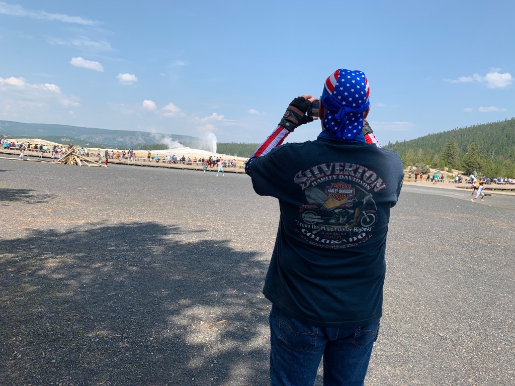
This stretch of Highway 1 is called the Cabrillo Highway. It’s named after Juan Rodríguez Cabrillo, a Spanish explorer known for exploring the west coast. He was the first European to navigate the coast of present-day California, and is best known for exploring the coast for two years, beginning in 1542.

Five hundred forty-two miles south of here, in San Diego, you’ll find the Cabrillo National Monument. It commemorates Cabrillo’s landing at San Diego Bay on September 28, 1542. Good things happen on September 28. It’s Sarah’s birthday, too — and our La Quinta friends Judy Hirsch (she’ll be 76 later this year) and Jim Hawkins (he’ll be 83).

***

bigs-Pigeon-Point-Lighthouse-Beach-149291828-Large-e1512521988206-1000x600
Pigeon Point Lighthouse — the tallest of any on the Pacific Coast.

The Cabrillo Highway continues its way south, passing Pescadero State Beach, Bean Hollow State Beach and Pigeon Point Light Station Historic Point. The Pigeon Point Lighthouse, built in 1871 to guide ships on the Pacific coast toward San Francisco, is the tallest lighthouse of any in Washington, Oregon or California. The 115-foot white masonry tower resembles a typical New England lighthouse structure.

559110C8-88E6-4089-8AF6-AD2F1815EC5E
Scott on his phone at a rest break. As you know by now, phones have only three uses: reading news, checking on investments, and watching internet porn.

Año Nuevo State Park is just ahead. It encompasses Año Nuevo Island and Año Nuevo Point. Spanish maritime explorer Sebastián Vizcaino sailed by the point on January 3, 1603. His diarist, Father Antonio de la Ascensión, named it Punta de Año Nuevo (New Year’s Point) for the day on which they first sighted it.

From Año Nuevo Point, it’s a little more than 20 miles to Santa Cruz, known for its surfer-dude, laid-back lifestyle, and the University of California, Santa Cruz. With a name like that, it’s easy to understand how the city gets mottos like Let’s Cruz, or This is How We Cruz.

In 1769 the Spanish explorer Don Gaspar de Portola discovered the area now known as Santa Cruz. When he came upon a beautiful flowing river, he named it San Lorenzo in honor of Saint Lawrence. He called the rolling hills above the river, Santa Cruz, which means holy cross.

E3601F64-44FB-47F1-A331-5D9FFC84D999
John, in Santa Cruz.
DA0E759D-3579-4CED-AE04-8AC33E019CB2
The guys gather around Scott, apparently trying to see what he’s got on his phone.

Today, Santa Cruz is a thriving beach town with a population approaching 65,000. Highway 1 actually goes through the heart of Santa Cruz, but misses the city’s major attraction: the Santa Cruz Beach Boardwalk.

photo_BeachShot01
For a good time, try the Santa Cruz Beach Boardwalk.

Santa Cruz is situated on the northern edge of Monterey Bay. The bay is huge. It takes us about an hour to cover the 42 miles from Santa Cruz to the city of Monterey, at Monterey Bay’s southern edge.

About two-thirds of the way to Monterey, we roll through Castroville, known as the Artichoke Capitol of the World. Castro is named for former Cuban leader, Fidel Castro. Or his brother, Raul. Or San Francisco’s Castro district.

Spanish settlers (one is named Castro) brought the first artichokes to California. In 1922, Andrew Molera planted the first artichoke shoots in Castroville. By the following year, there were nine artichoke growers – and within four years, there were more than 50 growers and 12,000 acres of artichokes.

Fun fact: Marilyn Monroe was given the honorary title of Artichoke Queen in 1947 during a visit to the Monterey Bay Area.

***

jdc_9685
Fort Ord Dunes State Park. A nice place for basic training.

We’re almost to Monterey. First, we pass by Ford Ord Dunes State Park, once the home of the Fort Ord Army training area. The old Army facility closed in 1994, and some of the land was converted into the Fort Ord National Monument. During its peak, the base hosted as many as 50,000 soldiers – many receiving basic training there, as I would have if I’d been drafted into the Vietnam War. My 1969 draft lottery number was 236, allowing me to skip the Fort Ord and boot camp experience altogether.

The site functioned as a military base for more than 70 years until it was closed down as a result of the 1988 Base Realignment and Closure act, signed by President George H. W. Bush. Fort Ord was the biggest base to be shut down that year by what is commonly known as BRAC.

Base Realignment and Closure is a congressionally-authorized process to increase the Department of Defense efficiency by closing and consolidating military installations. Since the first BRAC in 1988, more than 350 installations have been closed.

Not far from Fort Ord is California State University, Monterey Bay. It’s located on the site where Fort Ord used to be. The university was founded in 1994 with an enrollment of 654 students. Today, it has 10 times that many. Fun fact: 64 percent of the students here are female.

IMG_9536
We hop off the bikes in Monterey, and do the tourist thing at Fisherman’s Wharf.
9889EACB-5865-4468-BCC5-0E591EADDD68
Stopping in Monterey for clam chowder in a sourdough bread bowl.
5C32F1E8-0941-4D65-BAA3-87BB68D9651B
Yum.
D4BBD61A-AF51-415B-AEDF-363FAE682066
Yum yum.
85DB2E06-C8FD-471F-9EEC-C9637D237264
John digs in.

A tradition on these trips – OK, we’ve done it once, in 2015 as Dave, Scott and I rode together for the first time – is to stop in Monterey for clam chowder along their fishermen’s wharf.

Today marks our second time stopping in Monterey for clam chowder served out of a hollowed-out piece of French bread. Doing something twice means it can officially be called a tradition. Just like breakfast at The Stove in Mammoth Lakes.

C73E66D8-03DA-4E2B-AF34-4180CC1FF73E
At Fisherman’s Wharf, after chowder.
18B7170D-331A-4A8B-BD6F-05E21EE22B27
On the wharf, before heading south.
963522BB-2CA2-43BC-8C59-80809A956A78
John stops for chocolate before leaving Monterey.

***

If there was any justice in this world, even a shred of basic fairness, we’d be on our way to the famed 17-Mile Drive, a leisurely stroll through picturesque Pebble Beach. It’s one of the most scenic drives anywhere.

The 17-Mile Drive is the main road through the gated community of Pebble Beach. For $10.50 per vehicle (it’s reimbursed if you spend $35 or more at any Pebble Beach restaurant!), you get the opportunity to visit world-famous golf courses, see the Lone Cypress Tree, and ride past Lovers Point Park.

We’ll do none of that. The uber-wealthy snobs who own property here in the Del Monte Forest for some reason are not fans of motorcycles, and don’t allow them. No Harleys in the ‘hood.

Damn rich people.

Monterey,Carmelandthe17-MileDriveDayTour
Here’s a sight we won’t see: the 17-Mile Drive.

Just past the southern gate to the 17-Mile Drive, we pass Carmel, formally known as Carmel-by-the-Sea. Carmel is a small beach town famed for its natural scenery and rich artistic history. Carmel has several unusual laws, including a prohibition on wearing high-heel shoes without a permit. Actor-director Clint Eastwood was elected Mayor of Carmel in 1986, and served a two-year term.

Point Lobos is just south of Carmel. The Point Lobos State Natural Reserve is called the crown jewel of California’s 280 state parks. Point Lobos, with its headlands, coves and rolling meadows, is full of hiking trails. Wildlife here includes seals, sea lions, sea otters and – from December to May – migrating gray whales. The area used to be the home of a thriving whaling and abalone industry.

After Point Lobos, we roll through Carmel Highlands, then Garrapata State Park – with its two miles of beachfront and coastal hiking. From here, it’s only a few miles to the picturesque Bixby Creek Bridge, perhaps the most photographed in California — after the Golden Gate. They’re both on a pretty short list of very famous bridges.

The Bixby Creek Bridge is featured prominently in the HBO dramatic series, Big Little Lies. Turns out that using the bridge in Big Little Lies is a bit of a lie, itself.  The show is set in Monterey, and one might wonder: why would Reese Witherspoon, Shailene Woodley, Laura Dern, Nicole Kidman and other moms take their children to and from school in Monterey by driving over the Bixby Creek Bridge? The bridge, after all, is almost 20 miles south of Monterey. Artistic lie-scence?

Before the Bixby Creek Bridge opened in 1932, residents of the Big Sur area were virtually cut off during winter due to blockages on the often-impassable Old Coast Road, which led 11 miles inland.

c12b62e5a15e7701999781c9120cfa0f
The Bixby Creek Bridge, one of the most photographed bridges in California — after the Golden Gate.

Once we’ve crossed the 714-foot long bridge, it’s only 10 miles to Big Sur, named after riding pal Randy Suhr, who left the posse a few days ago in Northern California.

Big Sur has been called the longest and most scenic stretch of undeveloped coastline in the lower 48. It’s a popular destination for about seven million people who live within a day’s drive, and visitors from across the world. The region receives about the same number of annual visitors as Yosemite National Park, but offers extremely limited bus service, few restrooms, and a narrow two-lane highway with few places to park alongside the road.

9CD3476A-E195-4A69-9804-88D0E585F6D0
We take a rest break in Big Sur, and suddenly John’s helmet doesn’t fit anymore.
FBFBC3DF-7D84-41B6-BAF8-D59120E28111
Jim cools off in Big Sur.
5A6C6310-AC1C-4188-BAF9-A1A172CF25DA
Big Sur is a nice setting for posse portraits.
94654B4B-6C51-4F50-9637-CD2E131B192B
Nice fingers!
IMG_9561
Pretty sure John’s enjoying the sweets he bought before leaving Fisherman’s Wharf.
F55E5392-9CA1-4769-9F20-6FC7543A4BFA
One last pic, then let’s continue south.

In Big Sur, we’re about a mile inland, nestled among redwood forests. Leaving Big Sur, we make a beeline to the coast. For the next 80 miles, there’s minimal development and maximal beauty. It’s a narrow, twisty roadway with steep drop-offs over cliffs that drop precipitously to the Pacific Ocean.

Now the fun really begins.

***

Twelve miles south of Big Sur, we roll through Julia Pfeiffer Burns State Park. The 3,762-acre park is named for Julia Pfeiffer Burns, a respected pioneer and rancher in the Big Sur region in the early 20th century, who lived in the area for much of her life until her death in 1928. The park has fabulous hiking, and even scuba diving in the Julia Pfeiffer Burns Underwater Area.

For the next several hours, until we reach San Simeon, it’s nothing but miles and miles of unparalleled visual charm. There are occasional places, like Lucia, Gorda, and Ragged Point, to pull over and grab a beverage. But the unending rugged beauty and lack of development is what sets this road apart.

48A21964-98DE-4370-BC03-AB8A51DCB4AF
Last stop of the day.
5756D72D-FB24-4291-A050-F1854C91D2F6
John frames Dave and Scott in front of the Pacific.
C64E70BA-412C-4AE2-B404-7CBBA6C710E9
I’ve been photobombed!
8BC25059-1C5B-44AE-9DD2-9649DF31AB73
Last roadside butt break of the day.

A few miles before San Simeon is the Piedras Blancas State Marine Reserve, a 20-square mile area that protects all marine life within its boundaries, including sea lions, elephant seals, harbor seals, northern fur seals and sea otters. These marine protected areas are designed to conserve and restore ocean biodiversity.

If you like elephant seals – and who doesn’t? – you’ll enjoy Elephant Seal Vista Point, the last place to gawk at nature before San Simeon. Elephant seals are huge, loud, and so ugly they’re cute. On San Simeon State Beach, about 18,000 elephant seals crowd this four-mile stretch of beach.

The peak months for viewing elephant seals here: October through March. Timing is everything.

a785700c2a6391157c1047cc5e2ddbd0
Elephant Seals. Everywhere.

***

William Randolph Hearst’s timing was impeccable. He got disgustingly wealthy in the early 1900s, making a fortune in the newspaper business, developing what was at the time the largest newspaper chain in the US. Hearst dreamed big, and lived large. Between 1919 and 1947, he built La Cuesta Encantada (The Enchanted Hill), known today as the Hearst Castle.

At the height of Hearst’s wealth, the estate around the castle totaled more than 250,000 acres. Hearst, his castle and his lifestyle were satirized by Orson Welles in his 1941 film, Citizen Kane.

3_RPSS_12_Ragged_Point_San_Simeon_Hearst_Castle_at_Night_c16a4a6f-5056-a36a-0b70b17003ac1334
The Hearst Castle: decadence at its best.
neptune-pool-hearst-castle-HEARSTPOOL0619
Pool party, anyone?

The Hearst Castle is a 90,000-square foot mansion that overlooks the Pacific Ocean. Today, the Hearst Castle is a state park, and a National Historic Landmark.

From San Simeon, it’s only 10 miles to Cambria, tonight’s destination. Cambria is a charming seaside village that marks the end of our journey down the coast.

Tomorrow, we head inland. It’s time for some heat.

0116095D-5B06-437F-94F6-527F836E9198
Jim breaks out his new do-rag for the last hour of the ride. Dude is bad-ass!

***

Day Eighteen Summary: No surf at Mavericks, a chowder tradition continues, 80 miles of Highway One beauty.

Click here to see today’s complete route from Pacifica, California, to Cambria, California.

We’re on our way home, eh?

Vroom, vroom.

***

Today’s Canada Fun Fact, eh?  There are more donut shops in Canada per capita than any other country. Canada has roughly one donut shop for every 13,000 people. Among the most common donut shops in Canada: Tim Hortons, Dunkin Donuts, and Krispy Kreme.

5c07e38c5930f808ef55f7d4-750-563
Canadians love their donuts!

I Left My Heart … in San Francisco

Every day on the road has its nirvana moment.

Today’s will come in about six hours, when we arrive at one of the most photographed structures in the world.

First, we begin the day by rolling down the Mendocino Coast.

VCW_D_Mendocino_T6_file0461_1280x642
Mendocino Coast Botanical Gardens. Beauty by the sea.

Less than a mile south of Fort Bragg, we come to the Mendocino Coast Botanical Gardens, a 47-acre gem with plant collections suited perfectly to the mild coastal climate. Here you’ll find heaths and heathers, rhododendrons, camellias, fuchsias, dahlias, magnolias, maples, succulents, begonias and conifers.

Admission is $15. To see a bunch of plants? Turns out that’s a pretty good value if you compare it to the $33.80 admission fee to visit Butchart Gardens near Victoria, British Columbia.

We keep our botanical garden visit scorecard for this trip clean, and skip them both.

Two miles down the road, we pass Jug Handle State Natural Reserve, a 776-acre park. The reserve encompasses five marine terraces along the Pacific coast, cut by wave action over millennia as the sea level fluctuated and the land underwent tectonic uplift. Each terrace has been above water about 100,000 years longer than the level below it.

The park is named after Jug Handle Creek, which runs through it. The name Jug Handle comes from the shape of a bend in the old road across the creek. Jug Handle is roughly half way between Fort Bragg and Mendocino.

The points of interest come quickly on Highway 1, Shoreline Highway.

B97EE1A4-3981-40A7-B7F8-99079A51DE09
I am not a point of interest. This is shortly after breakfast, with a tummy full of corned beef hash.

***

Point-Cabrillo-Lighthouse-1500x609
The Point Cabrillo Light Station.

One mile farther down the road is Point Cabrillo, and the Point Cabrillo Light Station Historic Park. The lighthouse has been a federal aid to navigation since 1909. The light is only 32 feet above the ground, but because of the height of the headlands, it stands 81 feet above sea level.

Point Cabrillo, the sandstone headland on which the Point Cabrillo Light lies, was named after the Portuguese explorer João Rodrigues Cabrillo. Interestingly, Cabrillo’s voyage of exploration on behalf of Spain along the California coast did not reach as far north as the point that now bears his name.

From Point Cabrillo, it’s only five miles down the Shoreline Highway to Mendocino Headlands State Park, and the town of Mendocino, an artist colony. Ten years ago in Mendocino, Sarah and I purchased Poppies, a 4-by-5 foot acrylic beauty that hangs by the dining table in our Carbondale home.

IMG_9593
The artwork behind the blog’s author is Poppies, which we found in Mendocino. Why the ski instructor uniform? On the day I picked it up from SkiCo’s wardrobe department in Aspen, I just wanted to see what it looked like. Sarah posed me in front of Poppies.

Most of the town is on the National Register of Historic Places listing, and is part of the Mendocino and Headlands Historic District. The town’s name comes from Cape Mendocino, named by early Spanish navigators in honor of Antonio de Mendoza, Viceroy of New Spain. Mendoza means cold mountain.

For two weeks every summer since 1986, the Mendocino Music Festival is held here. Evening concerts feature the Festival orchestra, composed of professional musicians from the San Francisco Symphony, the San Francisco Opera orchestra, the San Francisco Ballet orchestra, the Symphony of the Redwoods and other Bay Area orchestras.

We’re in Mendocino, right in the middle of this year’s event, which began on July 13 and runs until this Saturday, July 27. It’s a huge festival, held in a 16,000-square-foot tent overlooking the Pacific Ocean. You can attend more than two dozen concerts during the festival, from blues to bluegrass, symphonies to opera, and jazz to Celtic.

The music all happens at night. So we press on, in search of culture that occurs on our schedule.

Orchestra rehearsal.
The Mendocino Music festival goes on without us.

***

Leaving Mendocino, we cross the Big River, then the Little River and the Navarro River. Fifteen miles south of Mendocino, after a beautiful ride down the Pacific coast, we arrive in the town of Elk, population 208.

Elk is home to Greenwood State Beach, Elk Rock, and the Elk Cove Inn and Spa. But Elk is best known, by bikers at least, for Queenie’s Roadhouse Café, a great breakfast stop for five hungry Harley guys. We park the bikes, walk in, sit down, and chow down.

Queenie’s does not disappoint.

A7E77839-2DCD-4C6A-A833-B5143A15E244
Meet Queenie. She’s getting ready to cook our breakfast.
D58A443B-BB05-4593-A7A8-6BE2ADC4DCCD
The salmon is being poached for Scott’s omelet. The bacon is for Dave, the potatoes are for all of us.
9035438F-BAE5-4F0F-A6FE-4E6752699BAD
Queening is working hard to make this a meal to remember.
566D569C-EF5E-49D8-9F56-3B33F44CE2B1
She cooked Dave’s bacon just the way he likes it: crisp.
E1185770-8F12-4A13-89B0-F5B233CD33AA
While Queenie cooks, the guys wait patiently for their food.
4853A56C-33EF-4C5D-90DE-1844A897A435
Scott’s pretty excited about his salmon omelet.
IMG_9481
The Queen of the Kitchen, with the King of the Road.

***

After breakfast, we saddle up, and continue heading south on the Shoreline Highway. Manchester and Manchester State Park are 10 miles down the road. Both are named after Manchester, England, an early settler’s former home.

Manchester is just a mile from Point Arena Lighthouse, built on rocky Point Arena. The lighthouse is 115 feet high. It’s been in use since 1908. The final scenes for the 1992 movie, Forever Young, were shot near the lighthouse. The number one thing to do in Point Arena, according to Trip Advisor: visit the lighthouse.

A6A502C6-EB8C-4A7C-9CB1-E7B398BCC30B
Near Point Arena, as the sun peeks through the clouds for a minute.

Past Point Arena are a series of small towns, miles apart from one another: Gallaway, Gualala, Sea Ranch, Stewart’s Point, Timber Cove and Jenner, which sits at the mouth of the Russian River. Jenner is not named for the Jenner family of Kardashian-ish fame.

As we cross the Russian River, we roll through Sonoma Coast State Park.

We’re nearing Bodega Bay, a marine habitat used for navigation, recreation, and commercial and sport fishing including shellfish harvesting. In the US, a bodega is a small convenience store. In a Spanish-speaking country, a bodega is a wine shop or wine cellar.

Bodega Bay is not known for its convenience stores, though it has a few: Pelican Plaza Grocery & Deli, and Diekmann’s Bay Store.

the_birds_17
Bodega Bay was a frightening place, as depicted in Hitchcock’s film, The Birds. Yes, that’s Tippi Hedren.

Bodega Bay is most famous for its role in the 1963 Alfred Hitchcock film, The Birds, Hitchcock’s first horror/fantasy film. The movie centers on a small California coastal town (Bodega Bay) that is inexplicably attacked and rendered helpless by massive flocks of aggressive birds.

The majority of the birds seen in the film are real, although an estimated $200,000 was spent on the creation of mechanical birds for the film. The crow attacks were enhanced by what was then called the special effects department. The special effects shots of the attacking birds were completed at Walt Disney Studios by animator/technician, Ub Iwerks. Iwerks was better known for being the co-creator of Mickey Mouse, along with Walt Disney, in 1928.

Bodega Bay is a good place to stop, gas up (I’ll pump, thank you), and look for birds. There’s even a restaurant in town named The Birds Café. No special effects needed.

***

D9435405-5F8B-4F2A-9502-48020F5BB8D5
No special effects needed for these pics, either.
85D44437-05A4-423C-AA5F-3FB9DF4E8F44
John’s happy to finally see the sun.

After Bodega Bay, Highway 1 turns inland for a few miles, then continues south through Tomales and on to Tomales Bay. We’re on the east side of Tomales Bay. On the west side is Point Reyes National Seashore, a 71,000-acre park preserve located on the Point Reyes Peninsula in Marin County. There’s world-class hiking, including hundreds of miles of trails and beachwalking.

BB9CC926-C2E0-4D8B-91BF-1520CACF5251
The sun disappeared again.

We follow Highway 1 along Tomales Bay for 11 miles to the town of Bivalve. Bivalve was founded by the Pacific Oyster Company, after it established 450 acres of oyster beds there in 1907. Bivalves, of course, are aquatic mollusks that have a compressed body enclosed within a hinged shell, such as oysters, clams, mussels, and scallops.

1844b427d78543012d06f4aee27c1846
Point Reyes Station. Nice setting for a lighthouse.

Bivalve leads us to Point Reyes Station, Olema, past Bolinas and to Stinson Beach – a popular day trip for people in the San Francisco Bay Area. We’re now only about 20 miles from The City.

3185BC14-C1B3-466F-B274-B5A7921FAA13
In Poinr Reyes Station, Dave helps us navigate to our next waypoint.

Stinson Beach is a great place for beachcombing especially in the winter, when the crowds are smaller, and during morning low tides. The waters off Stinson Beach are part of the Red Triangle, an area extending from Bodega Bay to Big Sur and including the Farallon Islands. Shark attacks, especially from Great Whites, are occasional within the triangle; but still, quite rare. A surfer at Stinson Beach was attacked by a Great White in 1998; another surfer was attacked in 2002.

Stinson Beach has been the setting for a number of Hollywood movies, including Play It Again, SamBasic Instinct; and Shoot the Moon.

EE4517E9-12D9-4451-953F-E8D3FF2EFCD3
It’s been a long day.. Yawn.
A9CF2F3E-FD9C-4DCB-AEE4-572DA6A9DDC3
Scott’s wide awake.
4C367043-87A2-4A9C-BE96-D8C10903F80A
Jim takes a snack break.
C677CC1B-C58F-482F-82F4-D1C71710240B
I’m just trying to stay warm.

***

mount-tamalpais-state-park-marin-county-hike-views-via-magazine-shutterstock_596061851
Marin County’s Mount Tamalpais has some great hikes, and spectacular views.

As we continue south on the Shoreline Highway, we are riding along the southern end of Mount Tamalpais State Park, whose primary feature is 2,571-foot Mount Tamalpais. The park is full of redwood and oak forests. It’s a popular hiking, picnicking and camping destination for residents of the Bay Area. The western slopes of Mount Tamalpais descend to the Pacific Ocean at Stinson Beach.

Six miles south of Stinson Beach is Muir Beach. Muir Beach is not named after Sarah Murr. It could be, but they’re spelled slightly differently. Muir Beach, like so many things Muir-related in this area, is named after John Muir, an influential Scottish-American naturalist who was an early advocate for the preservation of America’s wilderness.

He co-founded the Sierra Club, and devoted most of his later life to the preservation of western forests. Muir briefly studied natural sciences at the University of Wisconsin but, ultimately, chose to spend his lifetime enrolled in what he called the University of Wilderness.

A_MUBE_100727_MCu_1
The overlook at Muir (Murr?) Beach.

In Muir (Murr?) Beach, the Shoreline Highway turns inland to go around the Golden Gate National Recreation Area, an 82,000-acre preserve protecting environmentally sensitive areas on both ends of the Golden Gate Bridge. More than 15 million visitors a year come to the Golden Gate National Recreation Area, considered to be one of the largest urban parks in the world.

It’s only about six miles from Muir Beach to Mill Valley, on the shores of Richardson Bay, an inlet in the San Francisco Bay. Here, the Shoreline Highway joins the heavily traveled US Highway 101, rolls past Sausalito, and turns toward San Francisco.

***

IMG_7880.jpg
Hey, there’s a cute couple in front of the Golden Gate Bridge! Photo shot in 2017 from the San Francisco side.

We’re now in Marin County. To get to San Francisco from here, you ride about three miles south, through the Marin Headlands, and out of nowhere appears the Golden Gate Bridge, one of the most famous and photographed sights in the world. The bridge spans the Golden Gate, a one-mile wide strait connecting the Pacific Ocean and San Francisco Bay.

The Golden Gate Bridge has been declared one of the Seven Wonders of the Modern World by the American Society of Civil Engineers. It’s a pretty elite list, including the tunnel under the English Channel, the Empire State Building, and the Panama Canal.

When the Golden Gate Bridge opened in 1937, after four years of construction, it had cost more than $35 million to build. That’s chump change by today’s standards. It was completed ahead of schedule and under budget. At the time of its opening, the bridge was both the longest and tallest suspension bridge in the world.

7-Wonders-of-the-World-Golden-Gate-Bridge-USA-_361
Building the Golden Gate Bridge seemed impossible at the time. That’s why its construction is such an engineering marvel.

With its 746-foot tall towers, Art Deco styling and distinctive international orange color, the bridge draws 10 million visitors annually, not counting the estimated 112,000 vehicles that cross the bridge daily, commuting to and from work in San Francisco.

Before the bridge was built, a ferry company took passengers and cars between San Francisco and Marin County, across the Golden Gate. It’s hard to imagine a time when the bridge wasn’t there.

4C9C883C-548A-4AFB-9E65-DB0859776835
We made it!
9F526E17-3A2C-4270-B4C1-C931B7A5A802
We weren’t sure where the bridge was, so Dave helpfully pointed it out.
IMG_9515
So John took a picture of it.
4E32B929-F126-44BF-AA3A-FC4A2A9EC9C7
Here’s his photo.
4C51B088-A3E1-452E-9D38-7B005934D3CC
This one’s for you, Donna.
IMG_0925
Southern California boy living large by the Golden Gate.
43360B74-D09B-4D35-9DB6-8F0F2336CE90
Final bridge pic. Time to ride across it, into San Francisco.
IMG_9520
Hey John, could you get the camera any closer?

***

We cross the Golden Gate Bridge, and enter San Francisco’s Presidio district. The Presidio, originally El Presidio Real de San Francisco, is a park and former US military fort. It’s part of the Golden Gate National Recreation Area.

The Presidio had been a fortified location since 1776, when New Spain established the Presidio to gain a foothold in the San Francisco Bay. Today, the park has wooded areas, hills and scenic vistas overlooking the Golden Gate Bridge, San Francisco Bay and the Pacific Ocean.

fixedw_large_4x
The Presidio sits on a nice piece of real estate.

Leaving the Presidio, we seem to be in the middle of an old, large, over-populated, over-priced, over-caffeinated, hyper-techy American city. San Francisco is the second-most expensive American city to live in (New York City, of course, is the priciest). Here, the median home price per square foot is more than $1,150. You can get a tiny apartment for $1 million, if you’re willing to engage in a bidding war.

***

We’re now on Park Presidio Boulevard, which takes us through seven blocks of San Francisco’s Richmond District, before entering Golden Gate Park, a 1,017-acre urban park that’s San Francisco’s version of Central Park in New York.

With 13 million visitors a year, Golden Gate Park is the fifth-most visited city park in the US, after Central Park, Chicago’s Lincoln Park, and two parks in San Diego. We’re in Golden Gate Park for less than a quarter mile before returning to block after block of old, overpriced houses and apartments in the Sunset and Golden Gate Heights districts.

It feels very urban, very congested, and very much near the end of our day.

***

In 10 miles, we should arrive at tonight’s destination, Pacifica. After a short 1.6-mile hop on I-280 south, we ride the rest of the way on Highway 1, which brings us to Pacifica, a city of about 40,000 on the Pacific Ocean, just south of San Francisco. Pacifica is about five miles due west from the San Francisco International Airport.

CC9FCC3E-5A4A-440B-B7E2-8F5BCB67E22B
We’re almost at the SFO airport, but it’s time for dinner.

With no flights to catch, we go VFR direct to the hotel, contemplate dinner, and wonder how tomorrow could possibly top today.

It will.

***

Day Seventeen Summary: Music in Mendocino, a town named Bivalve, a civil engineering marvel.

Click here to see today’s complete route from Fort Bragg, California, to Pacifica, California.

We’re on our way home, eh?

Vroom, vroom.

***

Today’s Canada Fun Fact, eh?  The Moosehead Brewery in Saint John, New Brunswick, turns out 1,642 bottles of beer per minute. Moosehead, founded in 1867, is Canada’s oldest independent brewery. It has an estimated 3.8 percent share of the Canadian domestic beer market.

IMG_9360
The Moosehead brewery in Saint John, New Brunswick, churns out a lot of beer, eh.

I Think That I Shall Never See. A Poem Lovely as a Tree.

GettyImages-1005095154-5c24bd7646e0fb00015912eb
Giant Redwoods in Redwoods National Park.

Today is about trees.

Big trees.

Thousands upon thousands of huge redwoods, Sitka spruce, Sequoias and more.

***

But before we see any trees, we have a goodbye breakfast at the Chart Room restaurant. We’re wishing Randy safe travels as he heads home to Seattle.

B001B578-4AB3-414A-B864-CDA5CFE93FE9
Randy prepares for the ride northward.
AC1234F6-0BB9-400E-9AF7-9D5ED920FE1B
Table for six.
A011DA54-AC7B-41C1-A2A5-65A2715894EF
What is that healthy concoction you’ve got there, Randy? Looks a lot like country fried steak. And ketchup on your canteloupe.
EC004347-5806-412F-B4F4-6B6ECD224C4C
After breakfast, Randy makes final preparations for his voyage north. He’ll be staying in McMinville, Oregon.

The five of us leave Crescent City on US Highway 101, now called the Redwood Highway. That should be a clue of what’s ahead.

In a few miles, we begin riding through the Del Norte Coast Redwoods State Park. About half the 31,000-acre park is old growth forest of Coast Redwoods. It includes eight miles of wild Pacific Coast shoreline.

Here, tall trees meet the sea.

With its often-foggy weather and abundance of rhododendrons, the park is especially photogenic. If you’ve ever seen a picture of huge redwoods in the fog with masses of pink flowers at their bases, it was probably taken here.

del-norte-redwoods-sm15-7
Redwoods and rhododendrons, co-existing in Del Norte Coast Redwoods State Park.

The highway takes us to the town of Requa, which lies on the north bank of the Klamath River. Requa is a Yurok word that translates to mouth of the creek.

We cross the Klamath River, and ride south along the eastern edge of the Prairie Creek Redwoods State Park. This 14,000-acre park is a coastal sanctuary for old growth Coast Redwood trees. The park is jointly managed by the California Department of Parks and Recreation, and the National Park Service. Many redwoods in this park reach more than 300 feet in height.

The Prairie Creek Redwoods State Park is part of a complex of several state and national parks along the northern California coast. These combined parks, known as Redwood National Park, contain 139,000 acres of old growth temperate rain forests. Taken together, the parks protect 45 percent of all remaining Coast Redwood old-growth forest.

They are the tallest tree species on Earth.

***

15FC2143-F81A-47E7-B22F-53E9A589785C
I love trees! Note the photographer’s feet 👍

Trees, written by Joyce Kilmer in 1913, is probably the most quoted poem in American history.

It begins:

I think that I shall never see
A poem lovely as a tree. 

And it ends:

Poems are made by fools like me,
But only God can make a tree. 

That’s something to think about, on this day spent mostly among trees.

***

ClamBeach-Humboldt-County-Large-1000x687
Clam Beach. It looks somewhat different from the road.

Just west of Orick, the highway again runs along the coast for miles, until reaching Clam Beach, named for the plentiful razor clams you can dig for there. The beach at Clam Beach County Park was named California’s most polluted beach in a 2017 study by an environmental nonprofit. Those clams aren’t sounding so good anymore.

We’re routed slightly inland, around Arcata Bay, as we continue south. Arcata, population 18,000, is the home of Humboldt State University, the northernmost site of the 23-campus California State University system. With a student body equaling nearly half the city’s total population, Arcata is a classic example of a traditional college town.

At the southern end of Arcata Bay is the port city of Eureka, the largest coastal city between San Francisco and Portland. Eureka is California’s state motto. It means: I have found it. Those words were probably intended to refer to the discovery of gold in California.

Humboldt Bay is just south of Eureka. Along with Arcata Bay, Humboldt Bay empties into the Pacific Ocean. In Humboldt Bay, you’ll find a state marine recreational management area, and the Humboldt Bay National Wildlife Refuge.

In 1850, Douglas Ottinger and Hans Buhne entered the bay, naming it Humboldt in honor of the great naturalist and world explorer, Alexander von Humboldt. Von Humboldt was a Prussian polymath — a person of wide-ranging knowledge or learning. He was also a geographer, naturalist, explorer and influential proponent of Romantic philosophy and science.

If you have a resume like that, you get to have stuff named after you.

***

738A91A2-C86F-4BDE-868F-71C3BEDEEC42
These trees are huge!

We turn inland for several hours. That’s where the really, really big trees are.

We follow the Eel River, first rolling past Fortuna, known as The Friendly City. A few miles down river is Scotia, a once-booming company town founded by the Pacific Lumber Company. Scotia, originally known as Forestville, became Scotia when it was populated by residents originating from New Brunswick and Nova Scotia, Canada. The name Scotia was chosen by a coin toss; the alternative, on the losing side of the coin toss, was Brunswick.

Scotia is only five miles from the north entrance to the Avenue of the Giants, a 31-mile road that’s easily the most scenic drive in the redwoods. The Avenue of the Giants is 51,222 acres of redwood groves.

217FB2DB-18B2-417F-8058-D9EA797325DD
At the Avenue of the Giants visitor center.
838E092D-A1EE-4032-9730-5541FEB1A386
The trees dwarf everything, including our Harleys.

We turn off of Highway 101, and on to California Highway 254, which parallels Highway 101. Highway 254 is called the Avenue of the Giants.

The towering Coast Redwoods on both sides of the road are what give the Avenue of the Giants its name. The redwoods found along the Avenue of the Giants are Coast Redwoods, also called California Redwoods. Sequoia Sempervirens is the official scientific name for the Coast Redwood. The trees grow in a narrow band near the coast of Northern California and Southern Oregon.

California-Redwood-Sequoia-Tallest-Tree
Hyperion, the world’s tallest Redwood. It’s believed to be about 800 years old.

As the tallest trees in the world, Coast Redwoods can grow to be more than 360 feet tall. The big ones have names, like Hyperion — at 379 feet, the tallest known Coast Redwood. That’s higher than the Statue of Liberty, including the pedestal.

The root structure for Coast Redwoods is unusually shallow; their roots grow only 6 to 12 feet deep. But the roots spread out as much as 50 feet around the tree, forming a broad base to hold it steady in high winds, and to gather lots of moisture.

AE0A4330-9289-4BA0-8C03-D54136E3F883
The redwoods make even Dave look tiny.
C69DC709-DADD-4591-B688-4428E6C1BADD
We’re getting pretty good at this.
06FD087F-5E80-419A-8434-5E6C72F15D0A
And now, a few tree portraits.
0A4E315A-5F7C-40FC-9C09-7889B3188037
Have another.
233679D7-808F-4244-8125-75B9FAD9511B
And another.
A9B91D28-BF94-4288-A96E-750E05F6B8FF
And one more.
466BA8AC-B8AC-475F-AA5A-B765B4C999EE
And finally, a trick shot. John made the magic happen.

We experience the beauty of the redwoods for  miles, before exiting the Avenue of the Giants at its southern entrance and returning to Highway 101. From here, it’s just six miles to Garberville, a once-thriving timber town that now has marijuana cultivation as its economic driver.

Garberville is also where we stop to rest, and fill up with gas. We get to fill our tanks all by ourselves!

***

After our rest break, we continue south on Highway 101 to Leggett, 23 miles away. Leggett is home to the Chandelier Drive Thru Tree, part of a privately-owned grove that’s been in the hands of the Underwood family since 1922. The attraction of the Chandelier tree is that you can drive through it, unless you have a motor home, or are pulling a large trailer. The name Chandelier Tree comes from its unique limbs that resemble a chandelier.

The Chandelier tree is 275 feet tall, 58 feet in circumference, 21 feet in diameter. The tree’s opening, which is 6 feet wide by 6 feet 9 inches tall, was cut in the mid-1930s. Cars have been driving through it ever since, and paying for the privilege. Ten dollars a car. Unclear whether there are Harley discounts.

A number of tall trees in California were similarly opened up for cars to drive through, mostly in the late 1880s and early 1900s. The tree tunnels were cut to stimulate car tourism, a new concept at the time. The men who were paid $75 to cut tunnels in the trees did not know or care about the damage they were inflicting. Because of the damaging effects of carving through trees, the practice of creating tunnel trees has long passed.

***

7DEFC606-81C8-44C9-A69D-ABA6A98CB681
On Highway 1, the temps drop, and John adjusts accordingly.

In Leggett, we turn southwest onto California Highway 1, which we’ll be on for the duration of our visit to California. The road, known here as the Shoreline Highway, becomes super twisty as it winds its way to Rockport, about 20 miles away.

Rockport, which began as a small company town serving the timber industry, is regarded as the southern end of the Lost Coast Region. The Lost Coast is a mostly natural and undeveloped area of California’s North Coast. It was named the Lost Coast after the area lost its population base in the 1930s. In addition, the steepness of the coastal mountains made this stretch of coastline too costly for highway and road builders to establish routes through the area, leaving it the most undeveloped and remote portion of the California coast.

1AD5FA73-04CF-48BD-AA5A-2522C2B514B9
Final roadside stop on Highway 1 before heading to Fort Bragg.

There are five miles of twists and turns between Rockport and Hardy, named for R.A. Hardy, who owned a wharf nearby. The town at one time had a mill and a large hotel. There’s nothing here today other than memories.

Hardy is where we resume our ride along the Pacific Ocean. The Shoreline Highway hugs the coastline until we get to Inglenook, where the roadway is a mile from the beach because it has to go around the MacKerricher State Marine Conservation Area, a state park with nine miles of coastline. The park is named after Duncan and Jessie MacKerricher, who moved to the area from Canada in 1864. They hired a staff of native people to work on their ranch, which produced butter, potatoes, and draft horses. In 1949, their descendants sold the MacKerricher property to the state of California, which made it a state park.

MacKerricher Park is only three miles from tonight’s destination, Fort Bragg. The city was founded, before the Civil War, as a military garrison. It was named for Braxton Bragg, who later became a general in the Confederate Army.

There’s no military presence today in Fort Bragg, California. The much better known Fort Bragg, is in North Carolina. It’s all about the military. Also named for Braxton Bragg, North Carolina’s Fort Bragg is the largest military installation in the world, with more than 50,000 active duty personnel.

Fort Bragg, North Carolina, trivia: Actress Martha Raye is buried in Fort Bragg, in commemoration of her work with the USO during World War II and Vietnam.

Fort Bragg, California trivia: Five old guys on motorcycles are hungry and could use a seafood dinner.

IMG_9466
So we stop at a Mexican restaurant and John has something sweet for dessert.

***

Day Sixteen Summary: It’s hug-a-tree day.

Click here to see today’s complete route from Crescent City, California, to Fort Bragg, California.

We’re on our way home, eh?

Vroom, vroom.

***

Today’s Canada Fun Fact, eh? John Cabot was the first explorer to reach Canada. In 1497, after sailing by sea from Bristol, England, he arrived in what is believed to be modern-day Newfoundland. He made a claim to the North American land for King Henry VII of England. Cabot sailed on the ship Matthew with a crew of 18 men. Cabot, originally from Venice, Italy, was born Giovanni Caboto.

mistaken-point-ecological-reserve-newfoundland-canada.ngsversion.1508250618693.adapt.1900.1
John Cabot was the first explorer to reach Canada, arriving in what’s believed to be modern-day Newfoundland.

Rolling Down the Oregon Coast

3B0F484F-0BD5-4BE3-AB72-BEB60DA20F81
Randy and John, on the Oregon coast.

Today’s blog post could easily be written in 17 words: Riding south on Highway 101 for 215 miles along the Oregon coast. Arriving in Crescent City, California.

Done.

Except I’m incapable of being that terse. There’so much to see. And so much to say.

So, let the riding, and the writing, begin.

***

yl-slide4
At Yaquina Bay. So many lighthouses in Oregon!

Just north of Yaquina Bay, we pass the historic Yaquina Bay Lighthouse. It’s believed to be the oldest structure in Newport, and the only existing Oregon lighthouse with the living quarters attached.

The Yaquina Bay Lighthouse was built in 1871, decommissioned three years later, then officially restored in 1996 as a privately maintained aid to navigation. Its light, which shines with a steady white light from dusk to dawn, is 161 feet above sea level.

Lighthouses are beautiful and fascinating historical buildings. With the advent of GPS and modern navigational technology used on ships, you’d think the people who maintain the buildings would let the beacons go dim, rather than continue pursuing an obsolete technology.

But to many mariners and even to the US Coast Guard, lighthouses are still a useful guide. An estimated 60 to 70 percent of the country’s 800 or so lighthouses are still active today. It’s hard to get a precise number, because lighthouses are divided among private owners, non-profits and the government.

Most ships and boats have GPS of some sort. But technology fails from time to time. That’s why mariners and fishermen still use lighthouses as a backup to their electronic equipment, sort of like double-checking the street signs while driving with GPS.

Except for low-tech Randy, our bikes are equipped with modern nav systems; in some case, the guidance comes from a phone lashed to the handlebars. If there’s a failure, we won’t rely on a nearby lighthouse; we’ll just radio a fellow posse member and ask for directions.

***

Q309CLbridgeov
The Yaquina Bay Bridge is one of 14 bridges on Highway 101 designed by the same engineer.
IMG_9348
The bridge could be copied. John can’t.

We pass the Yaquina Bay Lighthouse, and cross over the Yaquina Bay Bridge. The bridge, designed by engineer Conde McCullough, was inspired by the Art Deco era. The Yaquina Bay Bridge, built with concrete and steel arches, is one of the most recognizable of the 14 bridges on US Highway 101 that McCullough designed.

Past the bridge, we ride past the Yaquina Bay Shellfish Preserve, and then roll by South Beach State Park, believed to be birthplace of the South Beach diet. There are no fat people here.

The community of Seal Rock, just ahead of us, is named for Seal Rocks, a ledge of partially submerged rocks that parallel the shore for about two miles. At one time, hundreds of seals and sea lions rested on these rocks.

A few miles south of Seal Rock is Bayshore, which sits across Alsea Bay from Waldport. Waldport has an Ace Hardware, a Chevron station, a Mormon church and a liquor store – but is most well known for an incident that happened in September 1975.

That’s when self-proclaimed prophet Marshall Applewhite gave a lecture in Waldport on UFOs, attended by about 150 people. In the following days, an estimated 20 residents, nearly one out of 30 people who lived in Waldport, abandoned their homes and possessions and joined Applewhite’s cult, Heaven’s Gate.

In March 1997, the bodies of 39 members of the Heaven’s Gate cult – including Applewhite – were found dead in a house in Rancho Santa Fe, California. They apparently had participated in a mass suicide, in order to reach what they believed was an extraterrestrial spacecraft following the Hale-Bopp Comet.

6A3D00CA-14FF-41CC-BFE9-7CC6F340AB42
In Reedsport, we stop at Dairy Queen, and John has a cone.

***

Ten miles south of Waldport is Yachats, whose name comes from the Siletz language and means “dark water at the foot of the mountain.”

In 2011, Arthur Frommer, founder of Frommer’s Travel Guides, listed Yachats as one of his top 10 favorite vacation destinations in the world. And, in 2007, Budget Travel magazine named Yachats one of the Ten Coolest Small Towns of the U.S.A. As guys who are into budget travel, we should appreciate all that Yachats has to offer. For an updated list of Budget Travel’s 10 Coolest Small Towns in America, here you go.

Yachats, with a population of around 700, has a number of annual cultural events worth noting. The Yachats la de da Parade is held each July 4 at noon. Some of the regular entries include the Yachats Umbrella Drill Team, a belly dancing troupe, and a Yachats Fire Department truck accompanied by Dalmatian miniature goats.

IMG_5113
The Yachats Umbrella Drill Team, showing off in a recent Yachats la de da Parade.

If you come back in November, you can attend the Yachats Celtic Music Festival, a four-day event that this year will include Cassie and Maggie MacDonald, Nuala Kennedy and Eamon O’Leary, and Gillian Boucher and Bob McNeill.

Only a few miles south of Yachats along Highway 101 is Cape Perpetua, a large forested headland that’s part of the Siuslaw National Forest. At its highest point, Cape Perpetua rises to over 800 feet above sea level. The cape was named by Captain James Cook in March 1778, as he searched for the Pacific entrance to a Northwest Passage. Cook named the cape Perpetua because he discovered it on St. Perpetua’s Day.

For his efforts, a small point a few miles south of Cape Perpetua was named after him: Captain Cook Point.

***

la-tr-d-heceta-head-escape-20141221
The Heceta Head Lighthouse, one of Oregon’s most photographed.

Highway 101 closely follows the coastline for another 10 miles until we come to the Heceta Head, site of one of Oregon’s most photographed lighthouses. The structure is 56 feet tall, but because it’s placed on a bluff, the lighthouse stands 205 feet above sea level.

30A9C5C4-146C-4869-B9C3-010B6A371E2B
That’s the Heceta Head Lighthouse, off in the distance. What’s up with the green rock?
8A5B1973-4ACF-4A18-87E6-25674E00264B
John and Bert have their moment in the sun, at a vista point overlooking the Heceta Head Lighthouse.
B81AF806-1255-4643-B4FF-09E02096E56E
Hey Scott … what exactly are you doing?

Heceta Head Lighthouse was named after Spanish explorer Bruno de Heceta, who discovered the area. Heceta Island in Alaska is also named after him. Visiting Heceta Head Lighthouse is named by Trip Advisor as the number one thing to do in the area.

Less than a mile south of Heceta Head is Sea Lion Caves, a connected system of sea caves and caverns that’s believed to be America’s largest. Sea Lion Caves is where Steller sea lions and their cubs take shelter each year. It’s said to be one of the great sea grottos of the world, comparable in size and coloration to the famed Blue Grotto in the Mediterranean.

Sea Lion Caves is a privately owned wildlife preserve and bird sanctuary. Crassly, to get to Sea Lion Caves, you enter through a gift shop, pay a $14 entry fee, and walk down to the ocean. Parking is free!

Ten more miles down Highway 101, we roll through Florence, which sits at the mouth of the Siuslaw River. Florence is at the northern end of the Oregon Dunes National Recreation Area. The dunes are the largest expanse of coastal and sand dunes in North America, some reaching as much as 500 feet above sea level. They’re the product of millions of years of erosion by wind and rain on the Oregon Coast. Frank Herbert’s science-fiction novel Dune was inspired, in part, by the author’s research and fascination with the area.

GV15110389H
The Oregon Dunes National Recreation Area has some serious sand.

***

Near the southern end of the Oregon Dunes Recreational Area, we cross the Umpqua River and roll into the city of Reedsport. It was named for a local settler, Albert Reed, who founded the city in 1912.

At the mouth of the Umpqua River, just off the Pacific Ocean, is the 65-foot high Umpqua River Lighthouse, the first on the Oregon Coast. In 1851, Congress appropriated $15,000 for the Umpqua River Lighthouse. It was opened for navigational use in 1857.

We cross over Coos Bay, and in North Bend, turn west to follow the Cape Arago Highway. This takes us through Barview, which is what one apparently sees late at night after too many beers.

In Barview, we don’t even see the Cape Arago Lighthouse. It can only be viewed from afar, and that’s exactly how we’ll see it (or not). The lighthouse sits 100 feet above sea level, on an islet off Gregory Point. Cape Arago is Oregon’s newest lighthouse, built in 1934. It was officially deactivated in 2006.

1B134BD9-3090-4193-AF2E-9AC34F175EB4
My Harley, with a nice morning view.

The South Slough National Estuarine Research Reserve is ahead. It’s a 4,770-acre reserve located on Coos Bay Estuary. The National Estuarine Research Reserve System is a network of 29 protected areas established by partnerships between the National Oceanic and Atmospheric Administration and coastal states. The National Estuarine Research Reserve System protects more than 1.3 million acres of coastal and estuarine habitats for long-term research, water-quality monitoring, education, and coastal stewardship.

Bandon_2
Bandon Dunes is a spectacular setting for seaside golf, with world-class design.

We return to Highway 101. About a mile west is the most sought-after golf complex in the US, maybe even in the world: Bandon Dunes Golf Resort. Self-branded as Golf As It Was Meant to Be, Bandon Dunes includes five seaside courses: Bandon Dunes, Pacific Dunes, Bandon Trails, Old MacDonald, and a 13-hole par-three course: Bandon Preserve.

A sixth course, called Bally Bandon Sheep Ranch, is under construction, and expected to open for play in 2020. The Sheep Ranch, designed by Bill Coore and Ben Crenshaw, should be quite spectacular. With a mile of coastline to work with, nine of the 18 greens will be directly on 100-foot cliffs overlooking the Pacific Ocean.

Just south of Bandon Dunes, we cross over the Coquille River and almost see, off in the distance, the Coquille River Lighthouse. The lighthouse was built in 1895 to mark the entrance to the Coquille River and help mariners get past the ever-shifting sand bars. The light would also serve as a coast light for vessels heading up and down the Pacific Ocean. It’s been deactivated since 1939.

With nothing to guide us other than our own instincts and GPS, we roll into the town of Bandon and stop for gas. Here in Coos County, the population is around 64,000. Highly unlikely we’ll be pumping our own gas today.

C4871F52-5D35-410D-B491-3986C1508ACB
In Bandon, after gassing up, John chats with Nindy, a rider friend from Portland.
890E3532-4D68-4F15-AF2C-51276BA072FF
Randy has a full tank and is ready to ride.
80E64420-8FA6-4361-89F8-C45EDFAA1920
We’re all ready to ride.
IMG_9399
Like me, John enjoys his ice cream.

***

From Bandon, Highway 101 continues south, though for the next 27 miles, the road strays from the coastline.

A few miles inland, we pass through Denmark.

dreamstime_l_33070254
One of my favorite cities: Copenhagen, Denmark

Denmark, Oregon, actually. That’s notable to me because Sarah and I were married in Dragør, Denmark – just outside Copenhagen – and I speak a little Danish.

Jeg taler om lidt dansk.

Denmark, Oregon, was founded by first-generation Danes who developed a profitable dairy industry in the area. In 1915, the community had a sawmill, a cheese factory, a creamery and a public school.

Today, it has nothing.

I dag, det har ikke noget.

***

_dsc2128
The Cape Blanco lighthouse, Oregon’s oldest.

We’re far enough from the coast that we miss Floras Lake State Natural Area and Cape Blanco State Park, each by a few miles. At the western end of Cape Blanco State Park is the Cape Blanco lighthouse. It sits 256 feet above sea level. The lighthouse was built in 1870, making it the oldest standing lighthouse in Oregon.

426C90C1-289C-46C7-8B2F-F00897EF7E0B
We stop in Gold Beach for snacks.
0E760E2F-6354-4F97-AF9F-3D182C413510
Snacking in Gold Beach.
B008F474-A3EE-4D00-9B50-D1F7FF08777C
Let’s finish up those snacks and hit the road.

As the highway continues south, we finally link up with the Pacific again in Port Orford. Port Orford takes its name from George, Earl of Orford, a friend of explorer George Vancouver. As the oldest town on the Oregon coast, Port Orford is the westernmost settlement in Oregon, and the westernmost incorporated place in the lower 48. That’s a lot of superlatives.

We roll through Humbug Mountain State Park, dominated by 1,756-foot Humbug Mountain. Hiking to the top of the mountain is a favorite activity in the park.

Highway 101 stays quite close to the ocean as we head south from Humbug Mountain. In Wedderburn, we cross the Rogue River and head toward Kissing Rock, a rock formation that looks more like a shark fin than a kiss. Lore has it that the name comes from the area’s reputation as a place where teenagers gathered to lock lips.

2017SB_PacificCoast_KenjiSugahara
Pistol River State Scenic Viewpoint. Scenic, just as advertised.

Pistol River State Scenic Viewpoint is next in our sights. It’s a park set in the dunes. The Pistol River supposedly got its name when a militia soldier lost his pistol in the river during the infamous Rogue River Indian War.

We soon enter the Samuel H. Boardman State Scenic Corridor, a 12-mile long, ocean-hugging stretch of highway that features scenic viewpoints, picnic areas and trailheads. It’s named in honor of Samuel H. Boardman, Oregon ‘s first Parks superintendent.

Brookings, a city of about 6,500, is just ahead, on the Chetco River. The city was named after John E. Brookings, president of the Brookings Lumber and Box Company, which founded the city in 1908. In Brookings, we cross the Chetco River.

On September 9, 1942, Mount Emily (near Brookings) became the first site in the mainland United States to be bombed during World War II. A Japanese floatplane piloted by Nobuo Fujita was launched from a submarine. The plane was armed with incendiary bombs on a mission to start massive fires in the dense forests of the Pacific Northwest. The attack caused only minor damage.

Fujita was invited back to Brookings in 1962, long after the war’s end. He presented the town his family’s 400-year-old samurai sword in friendship, after the Japanese government was given assurances that he would not be tried as a war criminal.

Brookings made Fujita an honorary citizen, several days before his death in 1997.

***

4333021199_6c631f87b0_b
The Pelican Bay lighthouse, one of the newest in the US.

Just south of Brookings, we pass Oregon’s southernmost lighthouse. It’s known as the Port of Brookings lighthouse, sometimes called the Pelican Bay lighthouse. Whatever you call it, the lighthouse stands 141 feet above sea level. It’s one of the newest lighthouses in the US. The Coast Guard commissioned it as a private aid to navigation in 1999.

Five miles from the lighthouse, we cross into California, between Crissey Field State Recreation Site (Oregon) and Pelican State Beach (California).

We’ll be filling our own gas tanks from now on, without any help!

It’s 30 more miles to tonight’s destination, Crescent City. I can make it that far on a half-gallon of gas.

We cross the Smith River, and roll past Pelican Bay State Prison, California’s only supermax site. The prison’s primary purpose is to house the “worst of the worst” violent male prisoners from the California state prison system; 40 percent of the prison’s 2,700 inmates are serving life sentences and nearly all have histories of violence at other California prisons that resulted in their transfer to Pelican Bay. There’s a Greyhound Bus station just outside the prison’s entrance.

A67D1479-FAF3-482A-9A0A-69C967707235
Inside Pelican Bay.

Pelican Bay is a badass place that you don’t want to get anywhere near. A half-mile off Highway 101 is as close as we get.

After about five hours of riding, nearly all of it on Highway 101, we pull into Crescent City and call it a day.

***

Day Fifteen Summary: Lighthouses galore, an American Denmark, weirdness in Waldport.

Click here to see today’s complete route from Newport, Oregon, to Crescent City, California.

We’re on our way home, eh?

Vroom, vroom.

***

Today’s Canada Fun Fact, eh?  The National Flag of Canada came into being in 1965 to replace the Union Jack. It is an 11-pointed red maple leaf on a white square. The flag made its first official appearance on February 15, 1965; the date is now celebrated annually as National Flag of Canada Day. The maple leaf symbolizes unity, tolerance and peace.

RedWhiteFlexMesh_0116a17d-7944-46c7-909c-d03120781a8b
The maple leaf can be found all sorts of places, from the Canadian flag, to trucker hats.

Fish On!

7ED040A6-90D8-48B0-B45E-70D6004ADF38
We’re heading down the coast today.

For the next five days, we’ll be making our way down the Pacific coast in Washington, Oregon, and California. We’ll be mostly on US Highway 101 and California Highway 1 – the Pacific Coast Highway.

Because of our proximity to the ocean, there should be a lot of seafood involved – at least in the evenings. For breakfast, we can still expect to see an occasional chicken fried steak, or country fried steak, as the foodies call it.

Today’s ride is 243 miles, from Aberdeen to Newport, Oregon. Should take us about five and a-half hours, according to Google Maps, which is seldom wrong.

We begin by riding south on Washington Highway 105, along Grays Harbor, a 17-mile long bay that flows into the Pacific Ocean. Grays Harbor is named after Captain Robert Gray, who discovered and entered it in May 1792, while making fur trading voyages along the north Pacific coast.

What was the composition of his body? Gray’s Anatomy.

Fishing is top dog in this region. Marinas are full of large commercial fishing fleets. The biggest one is at Westport, which is at the end of Highway 105, on a peninsula at the entrance to Grays Harbor.

If you like to go out on recreational charter fishing boats in the topsy-turvy Pacific Ocean and puke your guts out, this is the place for you. The water here is not for sissies.

seasick.00-720x530
Worshipping the porcelain gods, at sea. It happens.

Still, if you’re game, there’s a lot of tuna to be caught on boats leaving from Westport. You’ll be fishing 25 to 60 miles offshore. Westport charters land nearly 90 percent of Washington’s sport albacore catch. Costs are a bit more than tuna in a can: $400 per person, plus tips and extra for fish cleaning if that’s how you roll.

Remember to stop at Walgreens and pick up some Dramamine, or a similar motion sickness product.

Tuna excursions depart around sunrise, and are gone around 10 hours – dock to dock. That’s almost twice as long as we’ll be in the saddle today.

***

Just below Westport, we turn south on Highway 105.

We pass through Grayland, North Cove, and ride slightly past Tokeland. There must have been a few joints smoked there over the years. One of the best references to toking comes from the Steve Miller Band: “I’m a joker, I’m a smoker, I’m a midnight toker.”

sf-steve-miller-band-peter-frampton-hard-rock-20180212
Steve Miller. He’s a joker, a smoker, and a midnight toker.

Turns out Tokeland is named after Chief Toke, who came from Chinook and Chehalis stock, and spent summers in the area that now bears his name.

Highway 105 hugs the shore of Willapa Bay. With more than 260 square miles of water surface, Willapa Bay is the second-largest estuary on the Pacific Coast.

By the time we get to Raymond, a once-booming fishing and logging town, Willapa Bay becomes Willapa River. In very recent years, Raymond has seen an influx of marijuana manufacturing, in part because of Initiative 502, passed by Washington voters in 2012. The initiative legalized the recreational use of marijuana. Maybe Tokeland isn’t so wrongly named.

7BD87184-B498-4DC8-BBE0-9C2FAF414E6F
Everybody loves Raymond. Especially Randy. Here he is, in Raymond.

As Randy well knows, Everybody Loves Raymond. That was a play on words. If you missed it on Randy’s bio, posted on this blog, he was a long-time first assistant director on the hit TV sitcom, Everybody Loves Raymond.

5D219CAC-AFC7-445F-AA2A-CEE196C24307
We stopped in Raymond for a rest, and, well, because it’s Raymond.

In Raymond, we cross the Willapa River on the Park Avenue Bridge (twice!), then rejoin US Highway 101 South. We’re riding right along Willapa Bay, through the Bone River Natural Area Preserve, and the Niawiakum River Natural Area Preserve. These two preserves are part of an intact tidal river system that contains some of the best remaining salt marsh systems in Willapa Bay.

Highway 101 follows Willapa Bay, through the town of Nemah, then along the Willapa National Wildlife Refuge – 11,000 acres of sand dunes, beaches, mudflats, grasslands, saltwater and freshwater marshes, and coniferous forest. The refuge is home to a wide variety of wildlife, including Roosevelt elk, black bear, and shorebirds. You’ll also find several endangered and threatened species including the snowy plover, brown pelican, and marbled murrelets.

Until doing research for today’s blog post, I’d never heard of a murrelet. I would have guessed it’s a small Murr, like Sarah. Turns out I’m wrong. A murrelet is a dove-sized seabird that nests in old-growth forests.

The marbled murrelet, a member of the auk family, is considered globally endangered.

Marbled Murrelet b13-39-316_V
A marbled murrelet. Endangered, and worth saving.

***

At the southern end of Willapa Bay, we approach Cape Disappointment State Park. Cape Disappointment is a headland located at the extreme southwest corner of Washington, on the north side of the Columbia River Bar. The cape got its name in 1788 by British fur trader John Meares. After a storm, Meares turned his ship around just north of the cape and therefore just missed discovering the Columbia River.

How disappointing.

Cape Disappointment receives about 2,500 hours of fog a year, the equivalent of 106 days – making it one of the foggiest places in the US. It has twice as many foggy days as San Francisco’s notoriously foggy Golden Gate.

The US Coast Guard Station at Cape Disappointment is renowned for operating in some of the roughest sea conditions in the world. It’s home to the National Motor Lifeboat School, the only school for rough weather and surf rescue operation in the US.

We’re now riding along the mouth of the Columbia River, toward the bridge that will take us south into Oregon. This area is known as the Columbia Bar. The bar is where the river’s current dissipates into the Pacific Ocean, often as large standing waves.

The Columbia River Bar is a major marine coastal hazard. Since 1792, about 2,000 large ships have sunk, in and around the Columbia Bar. It’s no wonder that the mouth of the Columbia River is known as the Graveyard of the Pacific.

The Columbia River Bar is so challenging to navigate that ship pilots earn an average annual salary of $214,000. That may sound good, but their peers in San Francisco and the Puget Sound earn between $387,000 and $450,000 a year. Nice pay for driving a boat around.

astoria-megler-bridge-what-to-do-astoria-oregon-via-magazine
The Astoria-Megler Bridge spans the lower Columbia River. That’s Astoria’s Cannery Pier Hotel, with a pretty nice view of the bridge.

The Columbia River forms the border between Washington and Oregon. The Astoria-Megler Bridge, slightly over four miles long, crosses the river and takes us into Oregon. To allow ship traffic up the Columbia, the bridge has a clearance of 196 feet at high tide.

The bridge was built in the mid-1960s to replace ferry service that was inefficient and subject to disruptions during bad weather. When the bridge was completed, it provided the final link in the US highway system between Mexico and Canada.

We cross the river and arrive in Astoria, Oregon, continuing our journey down the West Coast. Astoria is the oldest American settlement west of the Rocky Mountains, and the oldest city in the state of Oregon. The city is named for John Jacob Astor, an investor from New York City, whose American Fur Company founded Fort Astoria where the city is today.

Astoria’s economy once centered on fishing, fish processing, and lumber. In 1945, about 30 canneries could be found along the Columbia. Bumble Bee Seafoods closed its last Astoria Cannery almost 40 years ago, and today, the city’s economy is built around tourism, a growing art scene, and light manufacturing.

DFAFC9FA-4414-4832-BEA7-3505414FB299
We stopped in Chinook at the Chinook Coffee Company, and caffeinated up.
A305F5ED-357E-42F6-9892-5B6BBE1CCE6E
I’ll have what he’s having.
IMG_9309
There’s a drive-through window, but we chose to sit down and enjoy our coffee.
CC0C868C-6A17-4D0A-BFE0-E2FF70D1D326
A perfect place to stop.
A36E87D6-66A2-4FDE-BAB1-BA468D72BF87
Randy’s coffee removed the need for his midday nap.
11D1D3FB-3C4C-4509-8258-32A0B8BE28CE
Meanwhile, Jim and Gary are on their phones, which have only three uses on this kind of trip.
IMG_9323
The bikes keep a watchful eye on Dave as he enjoys his coffee.

***

Highway 101 takes us across Youngs Bay and then continues south through Sunset Beach, Surf Pines and Seaside – all within a half-mile or so of the Pacific. The highway, for some reason, turns a few miles inland, bypassing Ecola State Park, Crescent Beach, and a view of the Tillamook Rock Lighthouse.

Tillamook-Rock-Light-1-copy
Terrible Tilly, abandoned but still worth a look.

The Tillamook Rock Lighthouse sits abandoned on a rock about a mile off the coast at Ecola State Park, just south of Seaside. It earned the name Terrible Tilly because of the challenges in building and operating it. Tilly was originally commissioned to guide ships entering the Columbia River. Since being decommissioned in 1957, the lighthouse has changed hands several times. It was most notably used as a columbarium – a storage place for the ashes of the dead.

Soon, we roll through Cannon Beach, recognized by its well-known landmark, Haystack Rock, one of the most famous coastline scenes in Oregon.

82965d3e-bd10-4e94-a812-4bec7f335512-large16x9_PhotoofCannonbeachfromKATUsChrisLiedle
The iconic Haystack Rock.

The road from Cannon Beach is called the Oregon Coast Highway. It generally hugs the coastline until turning inland between Manzanita and Nehalem, where we stop for gas.

***

We may have won the gas lottery.

As you’ll recall from a blog post last week, Oregon doesn’t allow self-serve gas pumping, unless it’s at a stand-alone station, and in a county of less than 40,000 population. Nehalem is in Tillamook County, population 27,000. Because that’s less than the 40,000 threshold for self-service, we might actually get to handle our own pumps. It’s our version of adulting.

Anyway, we’re on motorcycles and we’re exempt from the law, so we’ll fill up our own machines, thank you.

4312CCB1-459F-4EE4-AB80-5AFC0DB81641
Snacking at the gas station in Nehalem. That’s an ice cream sandwich. Surprise.

Nehalem, where we stop for gas, sits on the Nehalem River, which feeds into Nehalem Bay, which empties into the Pacific Ocean. We cross the river at a fairly narrow point and continue south on Highway 101, through Brighton, Nedonna Beach, Rockaway Beach, Bayview and Garibaldi.

We’re winding our way around Tillamook Bay. Tillamook is a Coast Salish word meaning Land of Many Waters, probably referring to the rivers that enter the bay. The rivers emptying into Tillamook Bay include the Kilchis River, the Wilson River, and a bunch of unnamed creeks.

D357B267-3C2A-4251-9EEB-F0D9E98F5ECF
As has been the case almost every day in every state, there was a road construction delay.
3735E320-52F9-4B37-882D-617A491BE335
Randy seems to enjoy the road construction.

In Tillamook, we turn west on Oregon Highway 131, flit by Netarts Bay and the Netarts Bay Shellfish Preserve. Here, clams have been harvested for hundreds of years.

Cape Lookout State Park is just south of Netarts Bay. Cape Lookout is a sharp rocky promontory sticking a mile and a half into the Pacific. South of Pacific City, we return to US Highway 101, and turn inland for a few miles, riding through the Cascade Head Scenic Research Area.

52FC0197-E7BF-4486-B73D-39F6D072FD32.jpeg
An unidentified member of the posse makes an unannounced pit stop on the side of the highway.
IMG_9333
Judging by the jacket, it couldn’t have been Randy.

The road naturally turns back toward the coast, rolling through Wecoma Beach, Ocean Lake, Lincoln City and Cutler City, located on the Siletz Bay National Wildlife Refuge. It’s one of six National Wildlife Refuges comprising the Oregon Coast National Wildlife Refuge Complex. The Siletz Bay refuge was established in 1991 primarily to return the salt marsh to its natural state. Formerly, it had been diked and ditched to create pasture for dairy cows.

From Siletz Bay, we’re only about 20 miles from tonight’s destination, Newport. We power through Depoe Bay, without realizing its cinematic significance. In one of the more memorable scenes from 1975 Academy Award winner, One Flew Over the Cuckoo’s Nest, the inmates from the insane asylum escape to go fishing in Depoe Bay.

During the movie’s fishing interlude, Randall Patrick McMurphy, played by Jack Nicholson, offers the timeless line: “You’re not nuts; you’re fishermen!”

one-flew-over-cuckoos-nest-1200-1200-675-675-crop-000000
Jack Nicholson in One Flew Over the Cuckoo’s Nest. He wasn’t nuts; he was a fisherman.

***

2D2739A5-D294-49FC-9067-B64F1DE8DE7B
In Depoe Bay, we finally get a good look at the ocean we’ve been chasing most of the day.
0ADACA83-5DCE-42AB-A725-E067AFBAD6CC
Late afternoon in Depoe Bay.
IMG_9341
Enjoying Depoe Bay.
IMG_9349
Where’s Randy? Must be on his phone …

From Depoe Bay we roll by Beverly Beach and past the Yaquina Head Lighthouse, near the mouth of the Yaquina River. The lighthouse tower stands at 93 feet (162 feet above sea level), and is the tallest lighthouse in Oregon. It’s one of 11 lighthouses on the Oregon coast.

Most of Oregon’s lighthouses were designed and built by the US Army Corps of Engineers between 1870 and 1896. They were erected on prominent headlands or near major estuaries to support commercial fishing and shipping along the Oregon coast. All nine of Oregon’s surviving – and operational – lighthouses are on the National Register of Historic Places, visited by more than 2.5 million people each year.

Once you pass the Yaquina Head Lighthouse, it’s only four miles to Newport, home of the Oregon Coast Aquarium. Newport’s motto: The Coast You Remember.

We park the bikes at our hotel in Newport, and contemplate having a dinner we’ll remember.

4752131B-1CF1-4F80-B19A-B3F4B838F189
At dinner, the posse grows to seven, with the addition of Bert Rudman, on the left. I worked with Bert at KOMO-TV in the mid-1980s, and hadn’t seen him since then. Bert is a news director in Eugene, Oregon. He’s gonna ride with us tomorrow … sort of an Oregon host.
IMG_9369
A 1980s KOMO reunion.
IMG_9373
Randy worked at KOMO, too, and shot the above photo.

***

Day Fourteen Summary: Adulting at the pump, Everybody Loves Raymond, the Coast You Remember.

Click here to see today’s complete route from Aberdeen, Washington, to Newport, Oregon.

We’re on our way home, eh?

Vroom, vroom.

***

Today’s Canada Fun Fact, eh? The English version of Canada’s national anthem, O Canada, was written by Robert Stanley Weir for the Diamond Jubilee of Canada’s confederation in 1927. O Canada was originally commissioned by Quebec Lieutenant Governor Theodore Robitaille for the 1880 Saint-Jean-Baptiste Day ceremony. Because Canada is officially bilingual, O Canada has lyrics in both English and French.

IMG_5851_2lowres
O Canada, eh?

Come as You Are

mvcoho
The MV Coho: our ticket out of Canada.

Oh, Canada!

It’s been a great 23 hours, but now it’s time to head back to the USA.

80B9A958-E476-47ED-8F81-AFFAF5BCFCF5
Waiting in line for the ferry to Port Angeles. We’re in lane #1, which you’ll want to remember.
C71D26D6-F76A-4D4E-8F73-1D9FD48632E5
The sticker on our headlights indicates our lane assignment. Randy took a special liking to the concept of being number one.
C28A217A-CC70-429B-AB64-8AFF308CF284
While waiting in line, John does some housekeeping on his Harley.
22C117D4-3B1A-4BEF-B0A2-159106A1A69A
Meanwhile, Randy’s still thinking about the number one.

There are four ferries a day in the summer season from Victoria south to Port Angeles, on Washington state’s Olympic Peninsula. After a leisurely breakfast, we board the second ferry of the day – the 10:30 am sailing.

30504279-CAD1-49DD-9A22-6FC827DEA316
That’s the MV Coho behind me, arriving in Victoria harbor from Port Angeles. The ferry goes back and forth between the two cities all day long.
239904EC-E20E-4C9D-8258-2BE0D63187B6
The ferry docks in Victoria, and we’re all treated to a special show …
3DA45C1F-E052-4B0C-B9CD-DF679C926FC9
We watch dozens of “Deuces” roll off the ferry, part of a huge car show in Victoria this weekend. The deuces are 1932 Fords. They’re among more than a thousand classic cars in town for the event.
IMG_9237
The “Deuces” come in all sorts of body styles and colors. Gotta love pink!

The MV Coho is our ride across the Strait of Juan de Fuca. The Coho is a passenger and vehicle ferry owned and operated by Black Ball Line, a private company. She’s Black Ball’s only ferry. The ship is named after the coho salmon commonly found in the Pacific Northwest.

3CA49D24-F83B-449E-A8B4-1FF0E569AC41
We load our bikes on the ferry, lash them to the wall, put wheel chicks in place, and hope for the best. It’s a little unnerving.
IMG_9245
Crossing my fingers it doesn’t tip over during the crossing. The seas can be quite rough.

The 23-nautical-mile crossing takes about 90 minutes. We sail directly south across the Strait of Juan de Fuca. The Strait connects Puget Sound waters, in the Seattle area, to the Pacific Ocean.

The Strait of Juan de Fuca is about 96 miles long, from west to east. If you were to bisect it with a line running west to east, you would roughly be drawing the US/Canadian international border in these waters. This part of the border is completely unrelated to the 49th parallel that forms most of the US/Canadian border.

The Strait was named in 1787 after Ioannis Phokas, a Greek maritime pilot, best known for his claim to have explored the Strait of Anián in the service of the King of Spain, Philip II. Phokas was better known by the Spanish translation of his name, Juan de Fuca. And that’s why this huge body of water, once called the Strait of Anián, is known today as the Strait of Juan de Fuca.

C2F42BE9-F220-48E9-B43E-B67B0054B55B
John is excited as we prepare to leave the harbor.
E9E8BE46-581B-4837-B092-2418AEB86355
We’re finally underway, heading south to Port Angeles.
234D2F54-C3FC-4AD7-9A82-7808F31C1F35
John and Randy enjoy the view from the aft deck.
IMG_9249
Dave couldn’t pass up the chance for an onboard hot dog.

***

We roll off the MV Coho in Port Angeles, and it occurs to me I’ve never been here before. I lived in Washington state for 23 years, and have not seen this part of the state – the Olympic Peninsula. The 3,600-square-mile peninsula is bounded on the west by the Pacific Ocean, the north by the Strait of Juan de Fuca, and the east by Hood Canal.

0AF4D7E8-A76C-42EE-9809-49B3A7D8F7E9
With Randy’s help, I’m now apparently in line 111.
747C2549-4992-43B2-B7FF-9A3F4605B5BE
And so is Randy, or maybe in line 1111.

The peninsula is home to rain forests, the Olympic Mountain range, the Olympic National Forest and the Olympic National Park. It also has a dozen state parks, including the fun-to-say Dosewallips State Park – the eastern gateway to the Olympic Peninsula.

54360288-436C-4FB5-9C3C-5231DD8F541F
In sport Angeles, we discover some tires are low on air, and fill them to the correct pressure.
5E4CB082-1B91-482D-8E77-2C0635044CF6
John’s not above getting himself dirty to have a properly inflated tire.

Leaving the ferry terminal in Port Angeles, we head west on Washington Highway 112 toward Pysht, a ghost town 33 miles away. We’re riding along the southern shore of the Strait of Juan de Fuca. Pysht is a Native American word meaning “where the wind blows from all directions.”

From Pysht, or what’s left of it, the road turns away from the sea.

In five miles, at the junction of Highways 112 and 113, we have a choice: continue west to Neah Bay, about as far northwest as you can get in the lower 48. Neah Bah is 70 miles away, and on the Makah Indian Reservation. Or, we turn south toward Forks, possibly named for the silverware that’s on your dinner table.

We choose the southern route, and head for Forks.

93084_30000_splendide-carded-stainless-steel-openstock-dinner-fork-set-of-6
We’re heading for Forks, the city of Forks.

***

Highway 113, known as Burnt Mountain Road, takes us to Sappho, a former logging town named after the Greek poet, Sappho – not to be confused with the giant footwear e-tailer, Zappos.

D30C6B80-BB82-40E7-A336-329626A0324C
In Forks, Randy checks the news, his investments, or internet porn. As you know by now, those are the only uses for a phone for a trip like this.
IMG_9262
Meanwhile in Forks, the other guys engage with each other, not their phones.

In Sappho, we turn south on US Highway 101, and continue past Beaver to Forks. At one time, like so many Pacific Northwest towns, Forks had an economy fueled by the local timber industry. As timber fell into a years-long slump, Forks re-thought its economic plan and turned to prisons. Today, Forks relies on the nearby Clallam Bay Corrections Center and Olympic Corrections Center for more than 400 jobs.

Highway 101 heads inland after Forks, meets up with the Hoh River, then follows the river back toward the coast. We reach the Pacific Ocean at Ruby Beach, and ride south, passing the popular Kalaloch Lodge, a romantic getaway right on the coast.

A few miles past Kalaloch, we cross the Queets River and roll through Queets, population 174. The primary residents here are Native Americans of the Quinault Indian Nation. The name Queets comes from the Quinault word meaning dirt.

Side note regarding dirt: as a ski instructor last season, I learned that DIRT is an acronym for Duration, Intensity, Rate and Timing. Those terms describe ways you can change or adjust movements to get a different result, for example the differences between a short radius turn and a larger radius turn.

And that’s today’s dirt from a ski instructor on a Harley.

***

E60CFCF1-875F-4147-9D87-38E2EE3F2FC0
John arrives at the Lake Quinault Lodge.
0349B10E-A6F4-47E4-AD08-44347C833558
Admiring the big trees outside the Lake Quinault Lodge.
B4FBC9E4-56A1-4F4C-AC93-99E4F608BC59
The lodge, of course, sits right on the lake.
1D052209-65C9-42A5-838E-BE6A66C0C755
We encounter a Sasquatch by the lake.

From Queets, we turn inland again, and in less than 30 miles, arrive at the historic Lake Quinault Lodge in Olympic National Park. The lodge, built in 1926, has a rustic style reminiscent of the Old Faithful Inn at Yellowstone National Park. They’re similar because the two lodges share the same architect: Robert Reamer.

IMG_9279
Beachfront posing.
19102582-759F-49DA-89CA-F652D3F7421C
The lodge has a beautiful lake view …
3140CAF0-9037-46FF-80BA-BB390F4A7958
… and is a nice place to have a beer.

The Lake Quinault Lodge is on the National Register of Historic Places. It might as well also be on the national cash register of historic places; a fireplace room with a king bed and lake view goes for $459.92 a night, including taxes and fees.

After exploring the lodge and its manicured grounds, we continue on toward Humptulips, which, along with Dosewallips, has to have one of the best place names. Ever.

But shortly before we get to Humptulips, we turn off of US Highway 101, and head southwest on the Moclips Highway. In 20 miles, we arrive in Moclips, a community of 200 residents. The town is near the mouth of the Moclips River, which empties nearby into the Pacific Ocean.

Moclips sits right on the Pacific. The origins of the word Moclips are unclear. It may come from the Quinault word meaning, “large stream.” An alternate version, from Edmond Meany, a University of Washington professor in the early 1900s, is that moclips comes from a Quinault word meaning “a place where girls were sent as they were approaching puberty.”

***

Heading south on Washington Highway 109, we cruise through a bunch of beach towns with tiny populations – Pacific Beach, Ocean Grove, Iron Springs, Copalis Beach and Ocean City. Most have a general store, and little more.

A mile past Ocean City, the highway turns east and follows the shoreline of Grays Harbor, a large bay that includes the Grays Harbor National Wildlife Refuge. Here, up to one million shorebirds gather in spring and fall to feed and rest. As many as 24 species of shorebirds use the refuge, with the most abundant being the western sandpiper and dunlin.

We follow Highway 109, crossing the Hoquiam River toward the tri-city area of Hoquiam/Aberdeen/Cosmopolis – once booming logging towns. The name Hoquiam comes from a Native American word meaning hungry for wood, from the great amount of driftwood at the mouth of the Hoquiam River.

Just a few miles past Hoquiam is tonight’s destination, Aberdeen, which sits on the Chehalis River and is home to 17,000 residents. Aberdeen is known as the southern gateway to the Olympic Peninsula.

The city is also noted for being the one-time home of Kurt Cobain — guitarist, singer and frontman for the rock band Nirvana. Cobain, who died of a drug overdose in 1994 at the age of 27, was honored in Aberdeen 10 years after his death by a sign that says, Welcome to Aberdeen. Come as You Are.

MTV Unplugged: Nirvana
Kurt Cobain: Come as You Are

Come as You Are is a Nirvana song, released as the second single from the band’s second studio album, Nevermind. Rolling Stone ranked Come as You Are as number 445 on its list of the 500 Greatest Songs of All Time.

Randy is a huge Nirvana fan. Come as you are, Randy. It’s time for dinner.

DDA89667-D060-4AC1-9D5E-0B99A6A67846
Dinner at Bily’s, a short walk from the hotel.
IMG_9292
Really, Randy. Two country fried steak dinners?
9AD84668-1B53-41F1-B9C9-14E3774F532E
At dinner, Randy had me rolling on the floor with laughter.

***

Day Thirteen Summary: Ocean views, knives and Forks, Come as You Are.

Click here to see today’s complete route from Victoria, British Columbia, to Aberdeen, Washington.

We’re on our way home, eh?

Vroom, vroom.

***

Today’s Canada Fun Fact, eh? The Canadian motto is A Mari Usque Ad Mare. It means From Sea to Sea. The phrase comes from a Latin translation of Psalm 72:8 in the King James Bible: “He shall have dominion also from sea to sea, and from the river unto the ends of the earth.”

images
“From sea to sea …”

We’re in Canada, eh!

BDF4BF75-DE71-4028-A0BE-F66314B12D47
Rain, again. At 7 am, this is what we experienced on the way to the ferry.

Anacortes is known as Your Island Getaway.

Today, we’re getting away from Fidalgo Island, where Anacortes is located. We’re heading to Vancouver Island, in Canada. On our way, we’ll pass through the San Juan Island archipelago.

Islands everywhere. Hundreds and hundreds of them. Many with names. Some are just big rocks, exposed at low tide.

B989544C-0D74-4972-844D-DD4172F3006C
Dressed for success, if you consider riding in the rain successful.
9E55EEAA-958A-4D47-8256-85D799E8B761
Exquisite framing and composition. Time to leave the hotel and head for the ferry.

We begin by riding the five miles from downtown Anacortes to the Washington State Ferry terminal.

I’ve been coming here since moving to western Washington in 1979. My first trip on the ferry was in August 1979, when I rode my 1976 Honda CB550 F onto the ferry, which took me to Orcas Island. It was an overnight trip to Rosario Resort, the former Eastsound estate of Seattle mayor and shipbuilder Robert Moran.

The Washington State Ferry system is the largest ferry operator in the US. By comparison, the world’s largest ferry system is in Istanbul, Turkey. It has 87 vessels, crossing the Bosphorus Strait.   Some 300,000 people in Turkey’s biggest city take the ferry to work every day.

2E422B75-D4EA-473B-BF8E-C5E48EEE7346
In line, ready to board the ferry.

Closer to home, with 23 vessels and 20 terminals, the Washington State Ferry system carries about 25 million passengers every year, including the six of us today. The largest ferry holds up to 2,500 passengers and 200 vehicles

The ferry system is operated by the Washington State Department of Transportation, and is considered part of the state’s highway system. Originally, Washington state only intended to run ferry service until cross-sound bridges could be built as a replacement. But those bridges were thankfully never approved, leaving Washington residents and tourists with a wonderful way to be one with nature.

516A1656-28E9-403A-A44D-D61BD38BC909
On board the MV Chelan. We’re on our way to Canada, eh!

Thousands of commuters a day ride the ferry to work in downtown Seattle, coming from Bainbridge Island, Vashon Island, and Bremerton — riding across the Puget Sound and Elliott Bay.

Our ferry ride won’t take us anywhere near Seattle. The 44-mile route is from Anacortes, through the San Juan Islands, and on to Sidney, British Columbia.

029607EE-96CC-44FD-8677-703B5ADFE9DE
Relaxing on the ferry. It’s 8:30 am, and Dave’s starting the day with a traditional coffee-and-popcorn.

***

We’re on the Ferry Chelan, 328 feet long with a draft of 15 feet, 6 inches. The Chelan’s two diesel engines produce 5,000-horsepower, giving the vessel a top speed of 16 knots. The MV Chelan was built in 1981 and refitted in 2004 to include a second vehicle deck. The vessel carries nearly 1,100 passengers, 124 autos — and today, at least 6 motorcycles.

5C9DA831-4AE0-4B44-8C50-E29ED373E585
Nice window seat for Randy and John. I believe they were in the ferry’s first-class section.
D50A301D-FB12-42A3-B639-364001FC5305
Randy, flying first class.

The “MV” in MV Chelan stands for Motor Vessel. Today, almost every ship is a Motor Vessel, because the alternative, SS (Steam Ship) is rarely used anymore.

From Anacortes, the Chelan sails west across Rosario Strait, a major shipping channel. More than 500 oil tankers pass through the strait each year, to and from refineries in Anacortes and Cherry Point, north of Bellingham.

The ferry continues through Thatcher Pass, a half-mile wide opening between Decatur Island, to the south, and Blakely Island, to the north.

5677786F-D4C2-48CF-AA69-1046A9BD45D3
I love the fresh sea air.

From there, we pass by the northern tip of Lopez Island, the third-largest of the San Juan Islands and because of its flatness, a haven for bicycling. Lopez Island is named for Gonzalo López de Haro, a Spanish naval officer and the first European to discover the San Juan Islands archipelago.

Lopez is one of four San Juan Islands served by the Washington State Ferry system. The others are Shaw, Orcas and San Juan Islands. Today, our ferry to Sidney, British Columbia stops only at Friday Harbor on San Juan Island on its way to Canada, eh.

67524A17-D80F-409D-9CB9-CED3F2CF301D
The big guy looks at home in the San Juan Islands.

The San Juan Island archipelago includes 172 islands, 128 of which are named. At low tide, the number of islands rises to around 400. Some of the islands are no bigger than a rowboat and many disappear if the tide gets too high. Many of the small and medium-sized islands are privately owned.

When I lived in Bellingham, Washington in the early 1980s, I had a sailboat, Puffin, that I sailed often in the San Juans. It’s hard to overstate how cool it is to sail among these islands.

The first trip Sarah and I took together was in the summer of 1998, when we chartered a sailboat in Bellingham, and sailed through the San Juans to Victoria, British Columbia. This is my first trip back to these waters since then.

IMG_9180
The ferry is a nice place to nap. If you’re on your morning commute.
222F9855-4F28-47F8-B7F5-A4C05A181FDF
All that fresh air wore Dave out.
585A68AD-C039-4D36-8AC9-E7C7FF5B7031
Randy could barely keep his eyes open, too.

***

Near the Lopez Island ferry terminal, we turn southwest, and sail the Upright Channel, between Lopez and Shaw Islands. The ferry follows the southern shoreline of Shaw Island, turns north of Brown Island, and lands in Friday Harbor on San Juan Island at precisely 9:55 am, an hour and 25 minutes after leaving Anacortes. The ferry system runs like a Swiss railway, without the rails.

03A6B29B-A89E-4D35-B599-D7F65A03AB2E
Jim, on the other hand, is wide awake.

Friday Harbor is the largest town in the San Juans, with about 2,500 year-round residents, and thousands more during the summer tourist season. Friday Harbor was not named after the day of the week. The name originates from Joseph Poalie Friday, a native Hawaiian. He moved to San Juan Island in the 1860s, raising and herding sheep around the area that is today known as Friday Harbor.

A494E225-48D4-4000-BF41-D29F6CA9E25E
Almost arrived in Friday Harbor.

Most everything worth seeing in Friday Harbor is within walking distance of the ferry landing. You’ll find a whale museum, art museum, community theater, bed and breakfasts, hotels and inns, restaurants, shops, and a refreshing absence of fast-food chains.

We get to experience none of that. If you’re headed to Canada, you don’t get to disembark in Friday Harbor, even for a few minutes. Don’t even bother to tell the ferry captain you need a bathroom break in town; the MV Chelan has you covered.

B08F0B89-DAB1-4A12-99AB-7891AE0136F0
My first visit to Friday Harbor since I was here with Sarah 20 years ago.

Our ferry makes a quick stop in Friday Harbor, dropping off cars and walk-on passengers, and taking on a few that are headed for Canada. We leave Friday Harbor, heading northwest through San Juan Channel, following the northern shoreline of San Juan Island.

We cross into Canadian waters in Haro Strait, another major shipping channel. It’s the main waterway for ships coming to and from the Port of Vancouver on the Canadian mainland. Haro Strait is part of the international boundary between Canada and the US. Haro Strait was named in 1970 by the commander of the Princesa Real, in honor of his pilot, Gonzalo López de Haro.

At 11:15 am, our ferry’s journey ends in Sidney, British Columbia, on the northern end of the Saanich Peninsula on Vancouver Island.

We’re in Canada, eh!

***

The world-famous Butchart Gardens is only a few minutes from the Sidney ferry terminal.

51C460BB-C1DC-4917-8485-9582E038A18B
Butchart Gardens. The posse voted to skip it, instead opting for a visit to the Victoria Harley store.

Sidney is located less than a mile from the Victoria International Airport. Victoria is the provincial capital of British Columbia, and tonight’s destination. The southernmost major city in Canada, with a population of nearly 400,000 — Victoria is a 17-mile ride south from Sidney.

A few miles of that ride are on the Trans-Canada Highway, which begins at the intersection of Douglas Street and Dallas Road, where the “Mile 0 Monument” stands. Tonight’s lodging is less than a mile from that monument.

8628762B-071C-4A2A-969D-6D40156A63A9
At the Victoria Harley dealer, Matt installed a new battery on my bike, cuz after 3 1/2 years, mine was behaving as though it might not get me home.
IMG_9194
Randy waited patiently in the Harley store while Matt was installing my new battery. Randy looks right at home in the Harley milieu, despite riding a Kawasaki.

As you might guess, Victoria is named after Queen Victoria. She was Queen of the United Kingdom from 1837 until her death in 1901. Victoria was preceded by William IV, and succeeded by Edward VII, for you royal fans. Her reign of nearly 64 years was longer than that of any of her predecessors, but not as long as Queen Elizabeth II, who has reigned since ascending to the throne in 1952.

***

8B7A50CD-AF99-41EC-8D8B-71851C3A53FF
At Victoria’s inner harbor.

Victoria does have some notable historical buildings. There are the neo-baroque BC Parliament buildings, which can be seen from the Victoria Inner Harbour. There’s the Inner Harbour itself, with its cruise ship port, ferry terminal, pleasure boat docks and seaplanes coming and going.

4AD69A1C-EC92-4141-8E1D-4DA92790C43B
We arrive at the Embassy Inn, it’s 3 pm, and Randy’s already sleeping. Dude can sleep darn near anywhere. He looks so peaceful.

And there’s the 412-room Empress Hotel. About all you can say is wow. They just don’t make hotels like that anymore. At least not any we’re likely to stay in on this trip. Randy is still chafing that he was booted out of the Empress back in the 1980s for wearing jeans. The place is quite proper.

497023C7-9EEB-4A6C-9C92-EB028C84F768
Randy finally gets into the Empress, in blue jeans!

The Empress was built in 1904 by Canadian Pacific Hotels, a division of the Canadian Pacific Railway Company. Designed by Francis Rattenbury as a Chateauesque-styled building, it’s considered one of Canada’s “grand railway” hotels.

D3D6184C-EDD9-481F-915F-8D56B06273B5
At the Empress.
6FE1DAF9-9E9D-44F8-A3D6-20FA97B68CF8
We thought this was the main entrance. It was, last time I was here. The lady security guard (hostess?) pointed us in a different direction.

Other grand railway hotels include the Banff Springs Hotel and Chateau Lake Louise – both in Alberta; the Chateau Frontenac in Quebec City; the Chateau Laurier in Ottawa; the Place Viger in Montreal; and the Algonquin Resort in New Brunswick. The largest of the grand railway hotels is the Royal York in downtown Toronto.

You could easily do a grand railway hotel tour, perhaps on a Harley. It would last all summer, and leave you virtually penniless.

We’ll be sure to discuss that tonight, over dinner. Seafood, and future grand railway hotel tours.

Ah, the good life.

9599D2E1-2BF4-4CB7-A6F3-D4296CF36F28
Empress selfie.
3772059C-84E2-441D-80E3-B87F5627C809
Dinner st the Steamship Grill, overlooking Victoria’s inner harbor.

***

Day Twelve Summary: Shortest motorcycle ride of the trip, about 22 miles. Most beautiful ride of the trip, 44 miles through the San Juan Islands on a ferry. Planning the first-ever Harley tour of Canadian grand railway hotels.

Click here to see today’s complete route from Anacortes, Washington, to Victoria, British Columbia (Canada).

We’re finally in Canada, eh?

Vroom, vroom.

***

Today’s Canada Fun Fact, eh?  The world’s largest totem pole was carved in Victoria, British Columbia, tonight’s destination. The totem pole, which now resides in British Columbia’s Alert Bay, is 180 feet high.

World's_Tallest_Totem_Pole,_Victoria,_British_Columbia
Oooh, baby. That’s a big one.

Roll on Columbia, Roll on.

7344FB07-FEBA-44CD-84D3-8F6D8D95D47C
Today’s blog post begins with a photo I inadvertently omitted yesterday. It’s three Harley studs in Mount Rainier National Park, exquisitely framed by Randy.

This morning, as we roll out of Wenatchee, we follow the Columbia River for 55 miles. We’re riding on US Highway 2, along the east shore of the Columbia.

Like the Columbia, we’ll roll on.

The 1,243-mile long Columbia is the largest river flowing into the Pacific Ocean. And, it’s one of the world’s greatest sources of hydroelectric power. The 14 hydroelectric dams on the Columbia and many more on its tributaries produce more than 44 percent of total US hydroelectric power generation.

553899-Grand-Coulee-Dam
The Grand Coulee Dam is a huge power generator.

The Grand Coulee Dam, about 70 miles east of Wenatchee is the largest in the US, supplying more than 6,800 megawatts of power to eleven western states: Washington, Oregon, Idaho, Montana, Wyoming, Colorado, California, Nevada, New Mexico, Utah and Arizona. That’s three times more power than is generated by the Hoover Dam, which generally gets the lion’s share of attention when it comes to dams.

Hydroelectricity is such a big deal in this part of the Northwest that, in 1941, the Bonneville Power Administration commissioned folk singer Woody Guthrie to write a song about it:

“Roll on Columbia, roll on, roll on
Roll on Columbia, roll on, roll on
Your power is turning our darkness to dawn
So roll on Columbia, roll on”

“Roll On, Columbia, Roll On” was part of the Columbia River Ballads, a set of 26 songs written by Guthrie for the Bonneville Power Administration, the federal agency created to sell and distribute power from the river’s federal hydroelectric facilities.

The song glamorized the harnessing of the Columbia River. Because of its message and popularity, “Roll On, Columbia, Roll On,” was established as Washington’s official state folk song in 1987.

Here in the upper left corner of the US, the Columbia is central to the Northwest’s identity – culturally, geographically, politically.

***

lake-chelan_aerial_2
The town of Chelan is on the east shore of beautiful Lake Chelan.

As we ride along the Columbia, we pass by the town of Chelan, on the east shore of Lake Chelan.

Lake Chelan is a narrow, 50-mile long lake, roughly midway between Seattle and Spokane. It’s a common weekend summer getaway for Seattleites.

Chelan, with a population of about 4,000, anchors the eastern end of the lake. It’s a scenic resort community known for warm sun and clear blue lake waters. Chelan has golf, mountain biking trails, all sorts of water sports, wine shops and boutique shopping.

12FB68B1-A7FE-4935-AC26-EA96D76D93C2
Scott takes a break roadside.

Today, Chelan is a recreational mecca. But it was the quest for riches, not tourism, that first brought waves of newcomers to the lake’s shore in the late 1800s. Gold, silver, copper and other minerals were found in abundance. Ponderosa pine and Douglas fir blanketed the surrounding mountainsides, and a limitless supply of pure alpine water was on tap for consumption, irrigation and later, power generation.

On the far northwestern end of the lake is the tiny community of Stehekin, surrounded by mountains up to 9,000 feet. Stehekin is accessible only by passenger ferry, private boat, float plane, horseback or hiking trail. The name Stehekin comes from a Native American word meaning “the way through.” Stehekin is in the Lake Chelan National Recreation Area.

DSC_0358-2
You have to love the isolation of Stehekin.

Chelan is a Salish indigenous word meaning deep water. Lake Chelan has a maximum depth of 1,486 feet, making it the third deepest lake in the US — after Crater Lake and Lake Tahoe, both of which we visited earlier in the week.

Lake Chelan is the largest natural lake in the state of Washington. Ironically, it empties into the state’s shortest river – the Chelan – which flows barely four miles before joining the mighty Columbia for its run to the Pacific Ocean.

The lake was formed gradually over millions of years with the rise of the Cascade Mountains. Today, about 100 glaciers are liberally sprinkled on the nearby Cascade peaks. The glaciers store water through the summer, which helps irrigate the productive fruit orchards in the area.

***

C179A6A7-782D-4B7C-B92B-28FD732BC687
We arrive in Pateros, and Randy checks the news, or his portfolio, or internet porn. Those are pretty much the only choices.

Twenty miles north of Chelan, we come to Pateros, where we turn northwest, away from the Columbia. In 1900, Charles Nosler acquired most of the townsite for what would become Pateros. He named it Pateros, after a village in the Philippines he previously visited. Unsurprisingly, Pateros’ international sister city is Pateros – near Manila in the Philippines.

In Pateros, we turn on to Washington Highway 153, and follow the Methow River. The Methow is named after the Methow Native Americans, which today are part of the Confederated Tribes of the Colville Indian Reservation.

D99A9A00-3E73-44A7-AE65-198BC4AB0E86
Bikes in Pateros. Note that Gary is not on his phone.
AF08D439-51DE-44A5-A8AF-C046A05E72B8
Talking politics in Pateros.
3F2B8158-C9E4-42A9-9D44-72A1D2D6197A
John keeps a close eye on fueling activity at the Pateros Chevron.

We roll through the towns of Methow and Twisp, before arriving in Winthrop, about 100 miles from where our day began, in Wenatchee.

Winthrop is known for the Old West design of its buildings, complete with false-fronts and boardwalk sidewalks. It’s home to the oldest legal saloon in Washington state, Three Fingered Jack’s, where you can get a Jack’s Country Breakfast, or a Jack Attack Burger for lunch or dinner.

748ABBE3-3D80-4653-8EC8-E8EEC621160B
At Pardner’s mini-mart in Winthrop, Randy gassed up.

Winthrop is where we’ll park our bikes, gas up, and cool off before heading on to another national park.

302937BA-14A2-4C3D-A75F-1CEB26BFDC4B
Still talking politics, now in Winthrop.
13DF2A33-408C-4389-BF84-F031EBF6EAC5
Ice cream sandwich break in Winthrop, before heading west on the North Cascades Highway.
IMG_9130
Nice flowers. And John’s Harley.
IMG_9127
Nice flowers. And, whatever.

***

Leaving Winthrop, we’re now on Washington Highway 20, known as the North Cascades Highway. At 436 miles, it’s the state’s longest highway – and is one of the best motorcycle roads in the Northwest.

The highway’s path across the Cascade mountains follows one of the oldest roads in Washington, established in 1896 as a wagon route. Even before that, it was originally the corridor used by local Native American tribes as a trading route for more than 8,000 years.

434089BB-FE3D-4707-898D-94A89F65FD6A
On the North Cascades Highway, approaching Washington Pass.
E1E9D0A4-E86D-42B8-B8AB-A988A0768B0A
A beautiful day for a mountain ride.

Like other roads we’ve ridden on this trip, including Cayuse Pass and Chinook Pass a few days ago, the North Cascades Highway closes every winter due to heavy snowfall. It generally re-opens by late April, and this year opened on April 18.

Soon, we enter North Cascades National Park, which last year celebrated its 50th anniversary. Entering the park is a different drill than in most national parks. Because Highway 20 is a major east-west route, there’s no fee for entering, and no ranger gate.

F681DE4E-098E-4245-A61F-9351691FBAB6
That’s Randy in the foreground. We think he’s riding a Kawasaki.

Just roll on in, on that beautiful V-twin. Or whatever it is Randy’s riding.

North Cascades National Park is a vast wilderness of conifer-clad mountains, glaciers and lakes. The North Cascades Highway was the first National Scenic Highway in the US.

58805138-80B7-4D1B-AB9F-EE025035B788
You can never have too many selfies.

Washington Pass is the highest part of the drive: 5,477 feet. The Diablo Lake overlook offers incomparable views of the surrounding Cascades. The lake’s emerald green color is caused by the sun’s reflection on glacier-ground rock dust suspended in the water.

376A6EED-C71B-4BDA-91D8-F1F7C5B057BB
Randy’s buddy is driving the logging truck. The truck kept Randy, Scott and John miles behind the other guys. The trucker actually honked as he passed us.

As we round a gradual curve on Highway 20 at the Happy Creek Trailhead, near the southern end of Ross Lake, we hit the northernmost point on our three-week trip. How far north? It’s at 48.7274 degrees latitude. We’re about 10 miles south of the Canadian border, which is at 49 degrees latitude – the 49th Parallel North.

kt99vxmvh2611
Diablo Lake, a beautiful reservoir formed by Diablo Dam.

Diablo Lake is a reservoir that’s part of the Skagit River Hydroelectric Project, managed by Seattle City Light. At one time, the Diablo Dam was the world’s tallest, standing 389 feet high.

About five miles west of Diablo is the town of Newhalem, site of the North Cascades Visitor Center at the west end of the national park. Newhalem is a company town owned by Seattle City Light and populated entirely by employees of the Skagit River Hydroelectric Project.

B40BD5C0-BB32-4718-8212-1200E71BE5F3
Don’t read too much into Dave’s body language. He was not the least bit bored.
IMG_9140
Caption, anyone?

The big event every summer in Newhalem is its summer mushball tournament, a form of softball played using a large, elastic-shelled ball. The event is scheduled for next weekend. Bummer that we’ll miss it.

249C168D-9DC5-4E42-B58C-418FAE129056
In Newhalem, we grab a pic in front of an old train.
52EC8715-0FB3-4FA2-A70F-29A710D447E6
We felt right at home in Newhalem, a company town. Some of us used to work for companies.

***

EAB31266-FCE3-455E-8885-ECDAFEE057A9
Three former KOMO-TV guys (1980s) in Newhalem.

As we continue west on the North Cascades Highway, we are clearly descending toward sea level. Newhalem is at 515 feet. The next town, 15 miles away, is Marblemount, 315 feet above sea level. Another 15 miles and we arrive in Concrete.

You could guess how Concrete got its name, and you’re probably right. Concrete was home to the Washington Portland Cement Company and was originally named Cement City.

All these towns are on the Skagit River, which we’ll follow to tonight’s destination, Anacortes.

Highway 20 takes us through Sedro-Woolley and Burlington, where we cross I-5, then roll across the Swinomish Channel and onto Fidalgo Island, home to Anacortes. Anacortes is commonly known for its Washington State Ferry terminal that takes vehicles and passengers into the world-famous San Juan Island archipelago.

IMG_3000-2
You can board this ferry in Anacortes, and cruise through the San Juan Islands. That’s Mount Baker in the background.

The name Anacortes is an adaptation of the name of Anne Curtis Bowman, who was the wife of early Fidalgo Island settler Amos Bowman. Anacortes has two major oil refineries: Shell and Marathon. The two refineries are, by far, the largest employers in Anacortes. I’m halfway surprised not to bump into my friend, Curtis Smith, Shell Oil PR guy.

At the end of a 250-mile day, we park our bikes at the tiny Marina Inn, fittingly located in Anacortes on Highway 20, where we’ve spent much of our day.

Tonight, we transition from meat-and-potatoes dinners, what you’d expect in the Paul Bunyan-like mountains of the past week – to seafood. We’re no longer lumberjacks, but men of the sea.

Our next week on the road will be along the water’s edge. Should be a lot of fish and chips, salmon, oysters, and whatever else from the sea floats our culinary boats between here and Southern California.

***

Day Eleven Summary: Roll on Columbia, North Cascades Highway, getting healthy on seafood.

Click here to see today’s complete route from Wenatchee, Washington, to Anacortes, Washington.

We’re on our way to Canada, eh?

Vroom, vroom.

***

Today’s Canada Fun Fact, eh?  Canada consumes more macaroni and cheese than any other nation in the world. Canadians eat 55 percent more Kraft Dinner or KD, than Americans do. Mac and cheese is so popular that it’s been called the national dish of Canada, and is the most popular item sold in Canadian grocery stores.

mac
Mac n cheese: Canada’s national food obsession.

A Day in Paradise

434F16B5-0D06-45B4-9810-DDBCFD007317
Uh-oh. Morning raindrops on the Harley. That can’t be good 😂
726D77F4-97BD-40DC-93F8-F3055DB69488
So we all break out our rain gear, saddle up, and hope for the best.
IMG_9073
Right in front of our hotel, and next to the gas station, elk were grazing.

Today, we hope to catch more than a glimpse of Washington state’s highest point, cross two recently opened highway passes, roll through our third National Park this week, and end up in the heart of the state’s agriculture belt.

We begin by turning west out of Packwood on Skate Creek Road, alternately known by the far less interesting name of National Forest Road 52. Because of its remote location and brutal weather in the shadow of Mount Rainier, Skate Creek Road is closed during winter months.

But we’re halfway through July, so we roll comfortably northwest for 10 miles or so, until reaching the Nisqually River. The Nisqually River starts on the southern slope of Mount Rainier, and empties into the southern end of the Puget Sound.

We follow the contours of the river until we find a place to cross it, about a mile east of Ashford. Ashford is the last town before we arrive at the entrance to Mount Rainier National Park, just a few miles up the road.

E7093069-F58C-479B-B132-7932139903AD
Everywhere you look, trees and raindrops. And Harleys. And a black Kawasaki.

At the park entrance, we show our park passes and enter through the Nisqually Entrance Historic District. It has the log entrance arch typical of all Mount Rainier entrances, a log frame ranger station, and various other structures – all built around 1926. The park’s entrance area has been on the National Register of Historic Places for almost three decades.

This entrance to the park is open year-round, though the roads through the park are not.

It snows here in the winter. A lot.

AB8960BE-DED3-4B62-9CF3-084EFE4A82F0
Rain or shine, feelin’ fine.

***

Mount Rainier National Park was established in 1899 as America’s fourth national park; only Yellowstone, Sequoia and Yosemite gained national park status sooner. All of Mount Rainier National Park is designated a National Historic Landmark District. This designation honors the consistently high standard of design and preservation of the park’s rustic-style architecture.

Much of that architecture is found in Longmire, a visitor center six miles from the park’s entrance. The area is named after James Longmire, an early settler in Puget Sound. In Longmire, you’ll find the National Park Inn, the Longmire Museum, and the 1928 National Park Service Administration building, which is now a Wilderness Information Center.

B3431B43-7E85-44E4-8931-B332F55B5D98
Wave at the camera, guys.

Longmire, which sits at 2,761 feet, is the second-most popular destination for park visitors. The most popular is Paradise, 11 miles away on a snaking, steep highway known as Paradise Road.

In those 11 miles, we climb about 2,700 feet to Paradise. Roughly two million people a year visit Rainier National Park. Sixty percent of them go to Paradise. The road from the Nisqually park entrance to Paradise, 17 miles in all, is one of the few in the park open to car traffic in the winter.

966F4490-5D47-46CD-8875-0945484E123B
Dave, having a paradise moment.
IMG_9091
Surrounded by trees.
IMG_9089
Not everyone wears the Harley orange-and-black rain suits.

Here in Paradise is the Henry M. Jackson Visitor Center, named for the former US Senator from Washington state. During his childhood, Jackson’s sister nicknamed him “Scoop,” after a comic strip character she thought he resembled. The nickname stuck, and he was called Scoop the rest of his life.

47C80D45-B1AA-4D68-A12B-9EA0C0C1278D
Even on a day like this, hikers take off from the Henry Jackson Visitor Center and head up the mountain.
IMG_9099
How are things so green in this part of the world? Rain’s a lot.

It’s interesting how people and places are named. Paradise, site of the Jackson Visitor Center, got its name from James Longmire’s daughter-in-law, Martha.

When she first saw the site where Paradise is today, Martha exclaimed, “Oh, what a paradise!” She must have seen it in the summer. In the winter, Paradise receives an average of 643 inches of snow each year!

***

After clearing mountains of snow, the road east from Paradise generally opens each year by late May. We now head east on Paradise Road, which soon becomes Stevens Canyon Road.

Stevens Canyon is named for General Hazard Stevens, who made the first documented ascent of 14,411-foot Mount Rainier in August 1870. The mountain was originally named Tahoma, or “Great Snowy Peak” by the Yakima Indians. British explorer George Vancouver, who charted northwestern Pacific Coast regions in the 1790s, renamed it after Admiral Peter Rainier of the British Navy. The name was hotly contested for more than 100 years, because Americans felt the mountain shouldn’t be named after a British officer who’d never even been to the US.

Mount Rainier is the most heavily glaciated peak in the contiguous US, with more than two dozen named glaciers. More than 10,000 people a year try to scale the mountain, and many expeditions for bigger mountains come to Rainier for their training runs. Some mountaineers, including Sarah Murr, climb to 10,188-foot Camp Muir, which they use as a base camp on their way to summiting Mount Rainier. Sarah’s ben there about a dozen times; it ought to be named Camp Murr.

Dorais_FKT_Rainier
Mount Rainier can be alluring in the summer, foreboding in the winter. Too bad we were unable to see the mountain today.

If you’re thinking about climbing Rainier, you’d better take it seriously. It’s a much bigger deal than a day hike to the top of a Colorado fourteener. From the highest trailhead, climbers gain 9,000 feet of elevation to reach the summit. That’s as much as from Mount Everest’s advanced base camp to its summit.

Rainier is less deadly than Everest. Still, the mountain in our midst kills climbers almost every year. If you’re not discouraged and still want to give it a go, here’s a great primer on climbing Mount Rainier. There are more than 50 routes to the summit. The vast majority of climbers take the Disappointment Cleaver Route.

AC8DC9DA-DB1F-47EF-BF86-F0FF5823A466
Scott looked ready to climb the mountain, but we had riding to do.

We’d be inclined to give the mountain our best shot, but we have places to go and things to do. On our motorcycles. Maybe another day.

12_Things_Rainier_2
Climbing Mount Rainier is a serious adventure.

***

D8122AE6-7DED-4FB1-98A0-A15E81BBAE84
Matching rainsuits. Different body types.
670053E3-01AF-4C98-92CA-055A9744CA99
Somewhat less of a coordinated fashion statement for Jim, John and Randy.

So we continue on Stevens Canyon Road, named for the first man to summit Rainier.

We pass Reflection Lake, Louise Lake, and Upper Sunbeam Falls. The road makes a hairpin turn at Bench Lake, then winds its way to the trailhead for the Grove of the Patriarchs Trail, considered one of the easier hikes in the park. The hike is only about a mile and a-half round trip, with no elevation gain. Its attraction is the surrounding Douglas firs, western hemlocks, and western red cedars.

B5E4C872-6F8E-44ED-8061-44EC49637389
Randy does his best pirate imitation on the way to Cayuse Pass.

Just past the Grove of the Patriarchs Trail, we turn north on Washington Highway 123, which in a few miles takes us to 4,675-foot Cayuse Pass. Because of heavy snow and avalanche danger, the pass is closed every winter, and generally opens around Memorial Day weekend. This year, Cayuse Pass re-opened on May 24.

Cayuse Pass sits at the intersection of Washington Highways 123 and 410.

B5C03A9D-BFB7-4B2D-A179-88524A16789B
It was so foggy we never saw Cayuse Pass or Chinook Pass.

We turn east on Highway 410, which will take us over 5,430-foot Chinook Pass. It’s also closed in winters, for the same obvious reasons. Chinook Pass re-opened for the summer season on May 24.

From 1940 through 1959, Chinook Pass was one of the top ski areas in the state, with a season that ran from December to June. There were numerous non-permanent rope tows that extended from Cayuse Pass to the Tipsoo Lake area. The requirement that they were temporary tows was made by Mount Rainier National Park so the lifts could be removed when the snow melted in the summer months.

When nearby White Pass ski area opened, there was no longer a need for rope tow skiing on Chinook Pass. This area is the heart of ski country in Washington state, and it gets a ton of snow. Crystal Mountain ski area, only a few miles north of Chinook Pass, received 407 inches this season, and was open for skiing on weekends this year until June 21.

IMG_4797-web-optimized
Late spring skiing at Crystal Mountain, with spectacular views of Mount Rainier.

Highway 410 is also known as the Mather Memorial Parkway, named for Stephen Mather, first director of the National Park Service. Mather served in that capacity from 1917 through 1929.

E023A095-6E78-4662-A589-D2A5FCF33CD1
Sitting on his bike, Randy can be quite entertaining.

For the next 32 miles, until we arrive in the town of Cliffdell, we are on Highway 410. By the time we get here, we’ve descended 3,000 feet from Chinook Pass. Cliffdell, originally called Spring Flats, was renamed Cliffdell in 1920 in honor of Cliff and Della Scott of Seattle. Cliff and Della were friends of the town’s developer.

Here, we stop for gas, midway through the day’s ride. Midway? Seems like we’ve been on the road forever. We’ve gone 115 miles since Packwood, and have 135 to go before arriving in tonight’s destination, Wenatchee.

***

87133CB9-72D3-45E7-BC17-15799FB50637
In Natches, we finally get to take off our rain gear.

After our break in Cliffdell, we continue east on Highway 410 for about 20 miles, following the Naches River through the towns of Pinecliff, Nile and Naches. We arrive on the outskirts of Yakima, a city of around 100,000 named for the Yakama tribe, early inhabitants of the Yakima Valley. Yakima sits at the confluence of the Naches and Yakima Rivers.

The Yakima Valley is agriculturally productive, known for its apple, grape, pear, cherry, melon and hop production. The valley produces nearly 80 percent of all hops grown in the US. Its vineyards make for an active wine region.

We’re on the northern fringes of Yakima, and never quite make it to the city. We cross over the Yakima River, and continue north on Washington Highway 823, through Selah, host to two Tree Top apple processing plants. Because of the nearby orchards and juice processing plants, Selah is often referred to as the Apple Juice Capital of the World.

Highway 823 crosses, then follows the contours of the Yakima River. Transitioning to Washington Highway 821, the road continues north to Wymer, Umtanum, and Holmes. We’re now just south of Ellensburg, home to Central Washington University.

Again, we turn onto the now-familiar US Highway 97 and roll north to the town of Peshastin, known for the Peshastin Ditch, dug by pioneers in 1889. The ditch was an important part of the overall irrigation system in the area, delivering water to the orchards on the slopes above Cashmere.

In Peshastin, we head east on US Highway 2, following the Wenatchee River toward Cashmere, notably not named for the luxurious sweater fabric. Cashmere fibers come from fine-haired Cashmere goats in the Gobi Desert, which stretches from Northern China into Mongolia. Because there’s not a lot of hair on Cashmere goats, it’s an expensive commodity. You know, supply and demand.

Cashmere-goats-gobi-mountains-1
If you want a cashmere sweater, it’ll somehow involve a Cashmere goat.

For some reason – seriously – the Cashmere valley was named for Kashmir, India – as a local leader said it resembled the foothills of the Kashmir region. The spelling was subsequently changed to a more Americanized Cashmere.

The Cashmere area has a rich history of fruit tree production. Apples are abundant. Pears are everywhere, particularly Bartlett and D’Anjou varieties.

Of course, if the climate is good for growing fruit, it must be hot in the summer. Yes, it is.

So it’s a welcome sight, eight miles ahead, when we roll into Wenatchee, tonight’s destination, at the end of a 250-mile day. Wenatchee, located at the confluence of the Wenatchee and Columbia Rivers, is often called the Apple Capital of the World because of the valley’s plentiful orchards.

JJ-Red-Golden-1655

How big is the apple influence here? The West Coast League baseball team based here is called the Wenatchee AppleSox. There’s an Applebee’s restaurant, a few miles from our hotel. We must be famished even uttering the word Applebee’s.

Time to park the bikes and ponder actual, edible non-apple focused meals.

IMG_9112
Dinner at the Rail Station and Ale House.

***

Day Ten Summary: Tiny church, big mountain, apples everywhere.

Click here to see today’s complete route from Packwood, Washington, to Wenatchee, Washington.

We’re on our way to Canada, eh?

Vroom, vroom.

***

Today’s Canada Fun Fact, eh?  Canada is the world’s most educated country. More than half its residents have college degrees. Canada’s literacy rate is said to be 99 percent. The literacy rate in the US is 86 percent.

160808-mcgilluniversity-submitted
The campus at McGill University in Montreal. McGill offers degrees and diplomas in more than 300 fields of study.

Surf’s Up, Dude!

woodie-car-beach
Surf music, highlighting today’s soundtrack.

Today’s iPod playlist includes surf music.

Somehow that seems incongruous, as we’re several hundred miles inland. But there’s a method to my madness.

The Beach Boys are generally considered the best surf band ever. Their tune, God Only Knows, is regarded as one of the best songs of all time. Rolling Stone magazine has the Beach Boys’ tunes Good Vibrations, All Summer Long and California Girls on their list of 10 Greatest Summer Songs of all time.

That was some awesome music, part of the Southern California surf sound from the mid-1960s. It was a key part of the soundtrack of my life as I grew up in California.

Today, surfing will be front and center on our ride. It’ll become obvious in a few hours.

***

9DE6C52E-3AC9-4152-B5D4-763ABA66FA9A
This is Jack, our gas pump attendant at the Shell station in Bend.
50A7DD6B-E2E2-4CD2-97A4-72D68F5B9508
Jack helped Scott fill up. Even offered to wash his windshield.

From Bend, we head north on US Highway 97. By the end of the day, we’ll cross the Columbia River and be in Washington state.

Soon we pass Redmond, and the Redmond Municipal Airport. Known in airport lingo as RDM, the facility has direct service to Seattle, Portland, San Francisco, Los Angeles, Phoenix, Salt Lake City, Denver, and starting this summer – Chicago.

The Redmond airport serves Bend and central Oregon with flights on Alaska, American, United and Delta airlines. Twenty-five flights a day. A lot of people want to visit Bend.

Our goal is to leave Bend in the rear-view mirror.

B89E1B4C-8970-4775-9E61-7A6FDE02215A
In Madras, far equipment is big.
9AF7C1D2-EB45-4B04-AFDE-F065BE0738E9
Sarah would be like a kid in a candy store.
24D50830-5FDD-4E98-AC3B-CDAAE7C570D3
Dave, at a Shell station in Madras.

Forty miles north of Bend is the town of Madras. Madras is reportedly named for the cloth fabric of the same name, which is itself named for the city of Madras (now Chennai) in India.

Madras is a lightweight cotton fabric with patterned texture and plaid design. It’s used primarily for summer clothing. With authentic Madras, both sides of the cloth must bear the same pattern, and it must be hand woven. In the US, the plaid cotton madras shirt became popular in the 1960s among the post World War II generation of preppy baby boomers. That’s me!

WR_6161_3__88606.1531159978
A madras shirt, from the Woolrich catalog. Preppy enough?

I was almost ready to order me some colorful Madras online. On my way to pressing the “Buy Now” button, I read that the fabric is generally regarded as belonging to the peasant class in its native India.

We’re bikers. We’ll stick with denim.

***

A few miles northwest of Madras, on US Highway 26, is the Madras Municipal Airport, once known as the Madras Army Air Field. In World War II, it was a training base for Boeing B-17 Flying Fortress bombers and Bell P-63 Kingcobra fighters.

What really draws aviation enthusiasts to this area is the Erickson Aircraft Collection, rated by Trip Advisor as the number one thing to do in the Madras area. A huge aircraft hangar left dormant by the end of World War II now houses a collection of war-era aircraft.

The facility even offers rides in the airplanes, including the PT-17 Stearman, the AT-6 Texan, and a DC-3. The military model of the Douglas DC-3 was named by General Dwight D. Eisenhower as one of the four weapons that contributed significantly to the allied victory in World War II. The other three: the jeep, the bazooka and the atom bomb.

DC3
The DC-3. At one time, they were everywhere!

More than 16,000 DC-3s were produced; 10,048 of them were military derivatives built in Santa Monica, Long Beach, and Oklahoma City. That’s a lot of airplanes. By comparison, about 10,500 Boeing 737s have been assembled (more than 15,000 have been ordered).

Many DC-3s and their derivatives are still in use today, performing functions such as aerial spraying, freight transport, passenger service, military transport, missionary flying, skydiver shuttling and sightseeing.

***

5BFFCCD2-F62C-49E1-A91F-C387280AE78F
Near Maupin, with Mount Hood in the distance.

Just a few miles from the aircraft collection is the town of Maupin, known as the Gateway to the Deschutes River.

It would make a good story to say that Maupin is named for Armistead Maupin, author of Tales of the City – a series of novels set in San Francisco. Like me, Maupin is a former newspaper and TV reporter. Unlike me, he’s made a fortune as a writer. You’re getting exactly what you pay for with this free blog!

Maupin is actually named for Howard Maupin, a pioneer who had a farm and ferry at the town’s location in the late 19th century.

83DAB55A-A3B5-4AE2-AABC-4047C1290F00
Sasquatch stuff is big in Oregon.

We continue northwest on US Highway 26, past the old warbirds, crossing the Deschutes River. We roll through the Warm Springs Indian Reservation, home of Painted Pony Expresso and the Indian Head Casino.

Here, Highway 26 is also called the Warm Springs Highway. We leave the Warm Springs reservation after a half hour or so, and enter Mount Hood National Forest. The forest covers more than one million acres, and has more than four million visitors annually.

D009E7DF-A7DC-4BBE-9156-E7C00345BC8C
We’re getting close to Mount Hood.

Ten miles into the forest, we turn northeast on Oregon Highway 35, which takes us immediately past the Mount Hood Meadows ski area. The ski area sits on the southern shoulder of Mount Hood, a 11,249-foot volcano that can be seen as far away as Portland, about 50 miles northwest.

Mount Hood is the highest point in Oregon. Its last eruptive period took place about 200 years ago. Today, Mount Hood is considered the Oregon volcano most likely to erupt. The US Geological Survey says the odds of an eruption in the next 30 years are somewhere between three and seven percent.

Those are odds we can live with.

C37DEF23-C6EA-4469-ACE5-9362D04FCCAD
Near Mount Hood.
IMG_9043
Mount Hood is very photogenic.

***

dsc08202
A skier near Illumination Rock on the shoulder of Mount Hood. Climbing Illumination Rock is said to be the most technically demanding ascent in the Pacific Northwest. This part of the mountain is not serviced by ski lifts, but there are six ski areas on other parts of Mount Hood.

Mount Hood has six ski areas: Timberline, Mount Hood Meadows, Ski Bowl, Cooper Spur, Snow Bunny, and Summit. Mount Hood Meadows, which we roll by on our way north, is the largest of the six, with 11 chairlifts and 2,150 acres of skiable terrain.

We continue north on Highway 35, and in 30 miles, arrive in the town of Hood River, a port on the Oregon side of the Columbia River. With more than 440 local apple orchardists, Hood River is famous for its hard cider scene.

But what Hood River is really known for is its wind — and windsurfing. Hood River is ground zero for the windsurfing and kiteboarding world.

We’re smack in the middle of the Columbia River Gorge National Scenic Area. Scenic it is.

Locals just call it The Gorge. Best windsurfing spots: The Hook, The Hatchery, Rooster Rock, The Wall, and Blackberry Beach. Adrenaline junkies love this place. Strong western winds and big swells draw riders from all over the world.

Grab your board and go!

WinfdsurferHatchTysonPoor
Woo-hoo!

***

Hood River, 62 miles east of Portland, is our last stop before crossing into Washington state. Riding across the mile-long Hood River Bridge comes with a $1 toll for motorcycles.

It’s been a while since our last gas stop. Because of Oregon’s silly ban on self-serve pumping, we haven’t filled our own tanks for a few days.

So we roll through Hood River, cross the Columbia River and enter Washington State. Now free to pump as we please, we stop in the town of White Salmon, and fill up, like giddy 10-year-olds. White Salmon, which sits on the Washington side of the Columbia River, is named for a now-extinct species of salmon that once thrived here.

2D167425-A9A5-4476-B5B2-1326E0EA1F0E
Snacking in White Salmon.

In White Salmon, we turn west on Washington Highway 14, the Lewis and Clark Highway, and ride along the northern shores of the Columbia River. The highway is named for the explorers who led an expedition commissioned by President Thomas Jefferson shortly after the Louisiana Purchase in 1803.

They were tasked with exploring and mapping the newly acquired territory, and finding a practical route across the western half of the continent. They also were asked to establish an American presence in the territory before Britain and other European powers tried to claim it. Seemed to work pretty well.

***

C30390BE-88B7-4215-983C-23935BAE7BA2
Scott stops for hydration on a country road.

We continue along the north shore of the Columbia for 16 more miles, passing through Cook and Home Valley, before arriving at the town of Carson. Here, we say goodbye to the Columbia, and turn north on the Wind River Highway. It’s the last time we’ll see the Columbia until next week, when we’re heading home from Canada.

We follow the Wind River Highway and Meadow Creek Road for the next 20 miles or so, riding through Gifford Pinchot National Forest. The road becomes narrow and winding, and takes us to Northwoods, on the eastern edge of the Swift Reservoir.

In Northwoods, we turn north on National Forest Road 25, which will be our playground for the next 42 miles. We’re following the eastern side of Mount Saint Helens National Volcanic Monument and Spirit Lake. The road is very twisty and said to be one of the best motorcycle roads in Washington. We concur with that assessment.

UpperLevelFlowersStHelens_30x20
Mount Saint Helens can be quite peaceful, when paired with wildflowers.

There’s a turnoff to National Forest Road 99, which would take us up Windy Ridge, very near the crater of Mount Saint Helens. Instead, we continue northward to the town of Randle, on the well-traveled east/west route, US Highway 12.

After 16 miles of riding along the Cowlitz River, Highway 12 leads us to tonight’s destination: Packwood.

2B7508D8-1000-4D32-A7E7-0838C0364160
Final rest stop before arriving in Packwood.
IMG_9059
The trees were plentiful and the road was rough. We all might have to check our dental work when we get home.
IMG_9061
Everyone ready to push on to Packwood?
IMG_9063
There’s always one pirate in the crowd.

Packwood is a good jumping off spot to Mount Saint Helens National Volcanic Monument, to the south – and Mount Rainier National Park, to the north. As the crow flies, Packwood is only about 10 miles from 14,410-foot Mount Rainier.  On clear days, there are spectacular views of the mountain from here.

With sore butts after six hours in the saddle and 266 miles on the road, we check in to the Cowlitz River Lodge and contemplate our next move: dinner.

946417DC-D2B6-4803-8689-81660E520EA1
Hey everyone … it’s Randy Suhr!

At the dinner table, we find Randy Suhr, an old (he’s on Medicare!) friend from my days at KOMO-TV in Seattle. I’ve known Randy since 1983. He’s ridden to Packwood from his Seattle home, and is joining us for the ride to Canada. To learn more about Randy, click here and scroll down to his bio.

Welcome to the posse, Randy.

***

Day Nine Summary: Fun with fabric, windsurfing The Gorge, among Cascade volcanoes.

Click here to see today’s complete route from Bend, Oregon, to Packwood, Washington.

We’re on our way to Canada, eh?

Vroom, vroom.

***

Today’s Canada Fun Fact, eh?  In Canada, the one dollar coin is called a loonie. The loonie is a gold-colored coin that was introduced in 1987 and is produced by the Royal Canadian Mint at its facility in Winnipeg.

623932080126-3
Yep. It’s worth about a dollar.

The Threat is High. Very High.

00B28F81-8FB5-4316-A2A7-1CA6AF59CF5E
Cat at hotel in Yreka, just begging to show up in the blog  it worked.

Today, we’ll cross into Oregon, my fifth state on this trip. Colorado, Utah, Nevada and California are the others. Still to come: Washington and, while technically not a state, British Columbia. OK, it’s a Canadian province, but it feels like a 51st state. More on that later.

573BEF47-F58D-4AF4-9DD0-0D36536EF8EC
Ten miles from Mount Shasta. Beautiful!

As we head east toward US Highway 97, we come within about 10 miles of Mount Shasta, which towers over the valley. Shasta is a 14,179-foot dormant volcano. It’s the second highest peak in the Cascades, after Mount Rainier.

AF00784B-4617-4707-9570-65DCA443E130
Lovin’ Mount Shasta!

The last eruption of Mount Shasta is believed to have happened in 1786. During the last 10,000 years, Mount Shasta has erupted, on average, every 800 years. That’s a long time to you and me, but not a sizable span geologically. The US Geological Survey monitors Mount Shasta, and rates it as a very high-threat volcano.

5B90FD4F-3D7B-43E1-9822-F6025DC88F33
This is for you, Terri.

The USGS threat ranking is not an indication of which volcano will erupt next. Rather, it indicates how severe the impacts might be from future eruptions at any given volcano. At the top of the very high threat list is Hawaii’s Kilauea. The next two are Mount Saint Helens and Mount Rainier, both in Washington State.

***

CE434BBD-5E8B-4C60-A125-17420833C4B9
Dorris?

We roll northward on Highway 97 toward the Oregon state line. Just north of Dorris, we cross into Oregon and continue toward Klamath Falls. To our left is Bear Valley National Wildlife Refuge. To our right is Lower Klamath National Wildlife Refuge. Lots of refuge to be found around here.

About 87 miles after leaving Yreka, we arrive in Klamath Falls, which sits at about 4,100 feet. The city was built on the logging industry. Klamath falls is located on the Klamath River and Upper Klamath Lake. For some reason, it’s nicknamed Oregon’s City of Sunshine. Klamath Falls averages 218 sunny days a year; the national average is 205.

We leave Klamath Falls, continuing our ride on Highway 97. We’re riding along the east shore of Upper Klamath Lake. Just before the Kla-Mo Ya Casino, we turn north on Oregon Highway 62, the Crater Lake Highway.

8A2A2075-8841-4C3C-8390-0D7BB32319CA
Let’s gas up!

Here at the junction of Highways 97 and 62 is the Crater Lake Junction Travel Center in Chiloquin. We’ll stop and fill our tanks with gas, we hope.

For anyone who hasn’t visited Oregon, there’s a bit of a culture shock when it’s time to fill up. Oregon is one of only two states that ban self-service gas stations. The other is New Jersey.

But thanks to a recent law that went into effect on January 1, 2018, customers can now pump their own gas in Oregon, though only at stand-alone gas stations, and only in counties with fewer than 40,000 residents. Chiloquin, where we’re now trying to fill our tanks, is in Klamath County, population 67,000.

The Oregon law that’s causing others to do the filling has been around for nearly seven decades. The original ban on self-service gasoline was passed in 1951. The law includes justification language explaining that pumping gas can expose customers, including pregnant women and children to unsafe fumes.

The law’s rationale also says customers pumping gas can be dangerous for novices, can cause spills and can cause discomfort to the elderly. I assume that’s people older than we are.

It turns out this is not gonna be an issue for us today. The Chiloquin location is on an Indian Reservation, and they’re exempt from the gas law. On top of that, after asking questions of the gas pump attendants, we find out that motorcycles are exempt, too.

So, we get to pump our own gas, just like everywhere in the known world. Except New Jersey.

Who knew pumping gas could be so complicated?

***

77EADFA4-C66A-4276-9E19-8C4EA5094E50
At the Crater Lake Visitor Center.

After our gas stop, we continue north on Highway 62, which takes us through Fort Klamath and nine miles later, to the entrance of Crater Lake National Park — our second national park of the trip.

DDA5F57B-ED00-4C7C-82E5-849E271022F4
Met some nice people at the Visitor Center, a J Dub family. I did not convert.
IMG_8997
Hi there.

We enter the park, immediately turning onto the Volcanic Legacy Scenic Byway, which takes us along the western side of Crater Lake. The lake, which is about six miles by five miles, is famous for its deep blue hue and water clarity. With a depth of 1,949 feet, Crater Lake is the deepest in the United States, and the ninth-deepest in the world. By comparison, the world’s deepest lake is Lake Baikal in Russia: 5,387 feet deep.

IMG_8999
The lake is very photo-worthy.

There are no rivers flowing into or out of the lake. Rain and snowfall compensate for the water evaporation. The new water comes into the lake at a rate that hypothetically replaces the Crater Lake’s water every 250 years.

3BDBAC36-FD53-48F2-A496-AE9E2F13D22A
Dave and Scott in some kind of mating ritual. Don’t ask.
F5A24DE0-4A1B-4540-B025-AB2023DB73E3
Wizard Island will be in the background of John’s selfie.

Crater Lake has two small islands. One of them is Wizard Island, a 315-acre gem on the west side of the lake that we ride past a few miles after the park’s visitor center. Wizard Island is a volcanic cinder cone that rises about 755 feet above the surface of the lake. The island was created after the violent eruption of Mount Mazama about 7,700 years ago, forming the caldera that now contains Crater Lake. It may have been North America’s largest eruption in 640,000 years.

DBC49EB2-6799-4297-AD0B-1F0FC7C650B6
Still some snow on Rim Drive.

Rim Drive is a 33-mile loop that winds around the lake, climbing from 6,500 feet at its lowest point, to 7,900 feet above sea level. Speed limit is 35 miles an hour, so you do the math. It’s about a one-hour journey, not including stops at the four observation points and 15 turnout vista points.

***

F69EF289-D32C-4533-913C-D9AFA2BECD67
Nice view.
317D4F21-4531-4745-A256-7F298A114FE2
Loving the park!
IMG_9008
Wow.

After loading our phones with photos of the lake, we head to the northern park entrance station to exit the park. A mile later, we turn east on Oregon Highway 138. Fifteen miles after that, we’re back on Highway 97 north, riding through the Deschutes National Forest.

On our way to Bend, we pass by the towns of Chemult, Crescent, La Pine and Three Rivers. If you took our Six Rivers quiz yesterday, you might try today’s Three Rivers quiz; it should only be half as difficult. The Three Rivers are the Deschutes, the Little Deschutes and the Spring.

Ten minutes up the road from Three Rivers is Sunriver, a planned residential and resort community along the eastern side of the Deschutes River. Sunriver Resort is home to 63 holes of golf, including the famed (and expensive) Crosswater Club. Sunriver claims 300 days of sunshine a year, and has spectacular views of 9,068-foot Mount Bachelor, about 15 miles to the northwest.

B69EE629-529B-4592-A651-1831770C5DE0
In Bend, Jim stops at Wildhorse Harley for a new rear tire. #SafeRiding!
102D3B49-7DFD-4C03-91AB-2D5CF7DEC0F2
Scott got one, too.
FF333A0E-2F2B-489C-919F-07833BDA16C9
Dave wanted more than a new tire, so he checks out the trikes.  Note his erect posture!
IMG_9019
Finally, a bike my size.

Fifteen miles northeast is the city of Bend, a rapidly growing community of nearly 100,000 year-round residents. Bend began as a logging town, but today is known as a gateway for outdoor sports including mountain biking, fishing, hiking, camping, rock climbing, white water rafting, skiing, paragliding and golf.

In 2015, Men’s Journal magazine ranked Bend as one of the 10 Best Places to Live. Carbondale, my newly adopted home town, is also on that list.

Since we can’t be in Carbondale tonight, we’ll park our bikes and spend the next 16 hours in a suitable alternative. Bend.

A55B411A-6C42-47F7-998F-03B558DB37CD
Dinner at Worthy Brewing Company in Bend.

***

Day Eight Summary: Cratering in Oregon, eruptions on demand, and making a best-places to live list.

Click here to see today’s complete route from Yreka, California, to Bend.

We’re on our way to Canada, eh?

Vroom, vroom.

***

Today’s Canada Fun Fact, eh? Looking for a tax break in Canada? Dog food is tax deductible. Well sort of. It’s tax deductible if it’s for a service dog.

b2ap3_medium_poodle-dog-canada-flag

B-A-K-E-R-Y, or Y-R-E-K-A?

Shasta-Pop-Generic-Social-Share
Yes, It Hasta be Shasta!

Shasta! It hasta be Shasta!

That’s an ad campaign slogan for Shasta Beverages, which is not receiving any sort of product placement fee for this mention of their company.

Shasta Beverages makes a wide variety of soda flavors under the brand name Shasta Soda. The company first sold mineral water in 1889, distributed in siphon bottles.

Here’s a Shasta fun fact: in 1953, it became the very first company to package soft drinks in cans. Coca Cola was still consumed in bottles.

Why the riff on Shasta?

We’re leaving Redding, which almost has a view of Mount Shasta, and heading west through the town of Shasta. If you know a better way to start today’s blog post, call me.

Eight miles west of Redding, we roll through Shasta on California Highway 299, on our way to Whiskeytown. The town’s name etymology is unclear, but is generally attributed to one of two sources: during the gold rush era, a barrel of whiskey fell from a pack mule and into a nearby creek; also, there’s a legend that miners at Whiskeytown could drink a barrel of the hard liquor a day.

Either way, the name Whiskeytown stuck, but the town didn’t. The entire town of Whiskeytown was flooded in 1962 to make way for Whiskeytown Lake, part of the Central Valley Water Project. Today, Whiskeytown Lake attracts swimmers, water skiers, kayakers, sailors, and fishermen.

***

DC1A1CA5-952F-4CDE-B724-4DCED065F9F3
Bikes resting comfortably in Weaverville, while inside…
B762ED85-58A4-441A-B68A-BF5D19B91C18
… Scott and John check on their investments, or the news, or internet porn, or whatever.

We continue on Highway 299, crossing the Trinity River, and in Douglas City, turn north on California Highway 3 toward Weaverville. Douglas City was settled around 1850 as a mining and supply town. It was named after Stephen Douglas of Illinois, who became well known after the Lincoln-Douglas debates of 1858.

Six miles up the road is Weaverville, a historic California Golf Rush town located at the foot of the Trinity Alps Wilderness Area. During the gold rush, Weaverville was home to 2,000 Chinese gold miners, and even had its own Chinatown.

In Weaverville, we hop back onto Highway 299, rolling through Junction City, Helena, Big Bar, Del Loma, and Trinity Village, on our way to Willow Creek. These places were all settled during the gold rush.

Located in Humboldt County, Willow Creek has about 1,700 year-round residents. It’s only about 30 miles as the crow flies from the county seat and harbor city of Eureka, which we’ll visit next week on our way home from Canada.

5C98DE70-D2CB-4C98-9EC9-97954E0396E4
In Willow Creek, we stop for gas, and I get a cup of ice cream. It’s my signature form of hydration.

Willow Creek is nestled in the heart of the Six Rivers National Forest. If you can guess the six rivers after which this national forest is named, you’re eligible for a prize.

Wait no more. The six rivers are the Eel, Van Duzen, Klamath, Trinity, Mad and Smith. All pass through or near the forest’s boundaries.

Willow Creek is also home to a Chevron station. So, we stop for gas and beverages, before pushing northward.

In Willow Creek, known as the Gateway to Bigfoot Country, we turn north on California Highway 96, sometimes called the Trinity River Highway. It’s also called the Bigfoot Scenic Highway. This region boasts more Bigfoot sightings than anywhere in the country.  In Willow Creek, you can even play golf at the Bigfoot Country Club, a nine-hole course measuring 2,530 yards.

150508-lockwood-bigfoot-tease_rnij5h
Saw the sign, but little else.

***

5626E2E1-AB54-48C0-AC43-E702C26C4904
We were delayed four times today for road construction, a total of about 35 minutes!
B10317A8-34FA-4827-87A7-B9612C8E29AB
Road construction… aargh!!!

For the next two hours or so, we follow Highway 96 along the Trinity and Klamath Rivers. We roll through Hoopa, and the Hoopa Valley Indian Reservation, home to the Lucky Bear Casino.

5C3E0550-F8E9-4A0B-A9C1-6421551262DA
At a place called Happy Camp, having refreshments. We are considered happy campers.
0542D930-48FA-41F9-9F72-C59D11BE8842
Another happy camper in Happy Camp.

Next civilization ahead of us is Somes Bar, named after miner George Somes. He found gold here in 1850. Somes Bar is at the confluence of the Salmon and Klamath Rivers.

We are in the heart of Redwood country, home to some of the tallest and oldest trees in the world.

EEFE4872-1C5C-4A5E-A028-DF129CF0C540
It was 95 degrees, and all the shade to be found was under a single roadside tree 😂
81D33209-D604-47E1-B56D-761181EB41F5
Made in the shade!

From Somes Bar, we continue north on Highway 96 for another 53 miles until reaching Fort Goff, which is little more than a campground on the Klamath River. For the detail-oriented, the Fort Goff Campground has five walk-in campsites, a pay phone, and a historic cemetery across the road.

Fort Goff is about 60 miles from tonight’s destination, Yreka.

FD4C2296-28DB-4B9A-919D-D57541331382
Last stop before Yreka.
3FFDE338-3B5D-46CC-A4B8-30D2A47761DD
Hunting for shade.

We follow the Klamath River on Highway 96 for 47 more miles until turning south onto California Highway 263, which parallels I-5 and takes us to our lodging.

29AC0680-33F3-4374-B3BA-88D5D9BB9841
Today’s portrait session: Scott
0A23D4EC-68BB-46F4-8F07-519169B37C68
Jim’s turn in the portrait studio.
C2AFC4BC-74B4-474E-BEFC-85EE65550B44
Roadside Dave.

***

Yreka (WHY-reeka) is not to be confused with Eureka (YOO-reeka). Legend has it that Yreka got its name by accident. Here’s how Mark Twain tells the story of the town’s naming:

At the mining camp, there was a bakeshop with a canvas sign that had not yet been put up, but had been painted and stretched to dry in such a way that the word BAKERY, all but the B, showed through and was reversed. A stranger read it, wrong-end-first, YREKA, and believed that was the name of the camp. The campers were satisfied and the name stuck.

Our Harley riding group is equally satisfied with the name, and as a result, we’ve chosen to stay in Yreka tonight.

1*oUqIjw8wHvQtGfcKL9DQWw
Bakery. A good alternative to Yreka.
IMG_8982
Somebody’s having country fried steak for dinner at the Black Bear Diner. Ssshhhhh.

***

Day Seven Summary: Six Rivers, naming Whiskeytown, and knowing how to spell Bakery in both directions.

Click here to see today’s complete route from Redding, California, to Yreka, California.

We’re on our way to Canada, eh?

Vroom, vroom.

***

Today’s Canada Fun Fact, eh? Calgary is the sunniest major city in Canada. It has 2,396 hours of bright sunshine per year, and experiences about 333 sunny days annually.

shutterstock-683939047
Have a beautiful sunny day in Calgary, eh?

Visiting Big Blue, and a Volcano, Too

416D0B3B-E030-4F71-A522-3C290D06E447
The Heavenly Valley gondola at 7 am, already spinning! It’s a block from the hotel.

We begin our 267-mile day by riding northwest out of South Lake Tahoe on California Highway 89. This road, like so many on this trip, is seemingly made for motorcycles. It takes us along the western shore of Lake Tahoe.

Lake Tahoe, which sits at 6,225 feet, straddles the state line between California and Nevada. With a depth of 1,645 feet, it’s the second deepest in the US, behind Oregon’s Crater Lake – which we’ll visit on Saturday.

02B5264F-F870-4310-9A3F-5BBF2BA20744
Jim takes in the early morning views of Lake Tahoe.

Tahoe is a big lake, covering 191 square miles. Multiplying its surface area times its depth, the lake has a huge volume – trailing only the five Great Lakes as the largest by volume in the US.

The lake is much more than huge. It’s gorgeous.

One of Tahoe’s nicknames is Big Blue, for the unmistakable hue of the lake. Turns out the color comes not from the sky; the vivid Tahoe blue arises from its depths.

66FAAE39-66BE-4ABF-8592-3EE0EB64684C
Overlooking Emerald Bay.

Highway 89 climbs steeply with tight switchbacks as it rises over Emerald Bay, so named for its emerald green color. Emerald Bay is one of Lake Tahoe’s most photographed locations. Emerald Bay State Park contains the only island in Lake Tahoe, Fanette Island. Fanette is accessible by boat, canoe, or kayak. Swimming to the island is not allowed, because of hazards that include extremely cold waters and boat traffic in the area.

As someone who grew up vacationing at Lake Tahoe, I can attest to its chilliness. Even on a warm summer day, the surface water is only in the mid-60s. Brrr.

90755351-1397-4617-B4D7-161637DE44A5
The Emerald Bay vista point is a great selfie opportunity!
IMG_8907
Yours truly.

We continue north on Highway 89, rolling past Rubicon Bay, Meeks Bay and McKinney Bay – site of the Homewood Mountain Resort ski area. Homewood is small, with only eight lifts – and offers the Tahoe region’s lowest daily lift price – $49 online. That’s inexpensive for skiing these days, but begs the question: how do you ski online?

It’s about 30 miles from South Lake Tahoe, where our day began, to Tahoe City. That distance took about an hour. Nice leisurely way to kick off today’s travels.

Tahoe City is not far from three major ski resorts near the north end of Lake Tahoe: Squaw Valley / Alpine Meadows and Northstar.

I learned to ski at Squaw Valley in March 1960, the week after the Winter Olympics there ended. In 1956, when the International Olympic Committee awarded Squaw Valley the 1960 Olympics, the area had one chair lift, and two rope tows. Today, it has 30 chairlifts.

The IOC gambled on Squaw Valley, and won.

020818-SierraStories_1960-Olympic-Jumper-LIFE
The 1960 Winter Olympics put Squaw Valley on the map.

***

393D6FE5-D186-4C81-A35B-4DFECF3DA864
Downtown Truckee. Sarah: note the SPF 50 sleeves. Yes, they color coordinate with my shirt.

In Tahoe City, we continue north on Highway 89. Fifteen minutes later, we arrive in Truckee, a railroad town on the Truckee River named after a Piute chief. Truckee may be best known for the Donner Party’s disastrous end in 1846, when a severe blizzard brought the settlers to a halt, resulting in dozens of fatalities and yes, cannibalism.

786795C8-1327-4BEB-BEF4-B075807732F8
In Truckee, Scott recalls his Boy Scout training, and helps a 90-year-old woman gas up her huge SUV. You go, Scott!

A half-hour up the road, we arrive at Sierraville, site of the only traffic signal in Sierra County. It’s a flashing red light. Woo-hoo.

At the light, you are faced with several choices. Sit and watch the beautiful scenery. Turn left. Turn right.

We go left, on California Highway 49, toward Sattley and Calpine, founded around 1919 to support a nearby lumber mill. There are a lot of trees here. We’re in the Tahoe National Forest.

If you continue on Highway 89 – and we will – you come to two golf courses worth a look: Whitehawk Ranch and Graeagle, each carved out of forests of pine, cedar, fir and aspen.

6834EC9C-BE91-4E35-B38F-66E2D4AEB045
It’s road construction season.  We get a little of this every day.
BEE4ACF0-B47F-4410-8BAF-89B8989D4990
Taking a break for road work on Highway 89 north.

Soon, we transition to the Plumas National Forest. The only way to notice the difference between the Plumas and Tahoe forests is the signs along the road. Same trees. Different forest.

Not long after Graeagle, we turn left onto California Highway 70, passing through Two Rivers, Cromberg, Spring Garden and Massack – before arriving in Quincy, named after John Quincy Adams, the sixth president of the US.

A663B5CB-1AC5-4B4F-A280-CE5BD1B39D3B
In Quincy, Jim stops for a strawberry shake.
IMG_8924
A peach shake tasted mighty refreshing on a 100-degree day.

Near Paxton, we return to Highway 89, turn north, roll through Moccasin and Greenville – the last stop before Lake Almanor. With its 52 miles of shoreline, Lake Almanor is a large reservoir formed by Canyon Dam on the north fork of the Feather River. Much of the southern shore of Lake Almanor is in Lassen National Forest. We’ll visit Mount Lassen in a few hours.

First, it’s time for a gas stop. We pull into Chester, named after Marshall Dillon’s sidekick on the ‘60s TV show, Gunsmoke.

Um, actually, Chester was founded by two settlers, one from Chester, Vermont, the other from Chester, Missouri. If you were those two settlers, what else could you possibly call the town?

***

fixedw_large_4x
From Highway 89 near Lake Almonor, there are great views of Mount Lassen, off in the distance.

Chester and the Lake Almanor Basin are known as gateway communities to Lassen Volcanic National Park. That’s where we’re now headed.

In 30 miles, we arrive at the park’s southwest entrance station. Lassen is the 16th National Park I’ve visited with Dave since we began riding together in 2015. Here are the first 15:

  • Yosemite
  • Kings Canyon
  • Sequoia
  • Joshua Tree
  • Zion
  • Bryce Canyon
  • Capitol Reef
  • Canyonlands
  • Arches
  • Grand Canyon
  • Black Canyon of the Gunnison
  • Badlands
  • Rocky Mountain
  • Yellowstone
  • Grand Teton

On this trip, we’ll add to that list by visiting six more National Parks:

  • Lassen Volcanic
  • Redwood
  • Crater Lake
  • Mount Rainier
  • North Cascades
  • Olympic

Only 40 more and we’ll have visited all 61 of America’s national parks.

***

296F9895-54C2-47F4-821F-32BAD53C2CCA
Entering Lassen National Park.

We enter Lassen Volcanic National Park and begin driving toward its dominant feature, 10,457-foot Lassen Peak. We’re on Volcanic Legacy Scenic Byway, a continuation of Highway 89.

There’s a good reason the park is called Lassen Volcanic National Park. Lassen Peak is the largest plug dome volcano in the world, and the southernmost volcano in the very active Cascade Range. Think Mount Saint Helens. If you lived in the northwest in 1980 — and I did — who could forget its May 18, 1980 eruption?

Lassen Volcanic National Park is one of the few areas in the world where all four types of volcano can be found: plug dome, shield, cinder cone, and stratovolcano. That’s a lot of geology for a Harley travel blog.

FF66F704-7B9E-4FC0-B93C-2AE06947CD56
Dave enjoys himself at a gurgling sulphur pool called “Sulphuric Works.”
980F3FCC-7933-4C4F-8F09-5D3B8EC0BA35
John takes a liking to the bubbling sulphur pool.

About six miles after entering the park, we come to the trailhead for Bumpass Hell, the park’s largest concentration of hydrothermal features. The pronunciation of Bumpass (Bump-ASS, like twerking?) is somewhat unclear, but we do know where the name comes from. Early pioneer Kendall Vanhook Bumpass was an unfortunate explorer who stumbled upon these scalding hot waters in the 1860s, stepping into a boiling pool and burning his leg.

The Hell in Bumpass Hell is aptly named. Here you see geology in action – 16 acres of boiling springs and mud pots, hissing steam vents, and roaring fumaroles. It’s kinda like a mini-Yellowstone, with names like East Sulphur Creek, and Bumpass Hot Springs.

IMG_8941
Jim, what are you doing?

We choose not to hike to hell and instead power on past Lake Helen and the Lassen Peak Trailhead. The hike to Lassen Peak is five miles round trip, with a 2,000-foot elevation gain. Expect to be on your feet from three to five hours making your way to the summit.

Along the hike are views of the devastation from Lassen’s 1915 eruption. The eruption wasn’t a single event; it was a series of eruptions that lasted from 1914 through 1917. The most powerful, in 1915, created a huge column of volcanic ash and gas that rose more than 30,000 feet into the air. The plume was visible from as far away as Eureka, 150 miles to the west.  Volcanic ash from the explosion was found in Elko Nevada, 280 miles to the east.

The eruptions of this era signaled Lassen’s awakening after a 27,000-year-long slumber. Lassen Peak is the largest of a group of more than 30 volcanic domes that erupted over the past 300,000 years in what is now Lassen Volcanic National Park (the national park system didn’t exist 300,000 years ago!).

AB6ADD29-77BA-44C4-A55D-798078387D88
John sits for a portrait as we leave the park.
7A2F7EE4-0707-4EA6-94C6-DA8A73AB7E42
Must be happy about something?

Just before leaving the park, we roll past Manzanita Lake, which has excellent trout fishing. We turn west on California Highway 44 for the 47-mile ride to Redding, tonight’s destination. It’s 100 degrees when we arrive at the hotel.

Time to cool off, have dinner, and plan tomorrow’s ride

vc_ca101_nationalparks_lassenvolcanic_manzanitalake_rf_628846294_1280x640
At Manzanita Lake, you can fish for trout, and have a pretty nice view of Mount Lassen at the same time.
818F7914-6B09-4F2F-889C-1EAF359CFBB0
Dinner at Kahuna’s Mongolian BBQ. Smoking hot!
IMG_8951
Nice to know you don’t have to go all the way to Mongolia for food like this.

***

Day Six Summary: First national park of the trip, Big Blue is not IBM, and Bumping Ass.

Click here to see today’s complete route from South Lake Tahoe, California, to Redding, California.

We’re on our way to Canada, eh?

Vroom, vroom.

***

Today’s Canada Fun Fact, eh?  The highest mountain in Canada is Mount Logan in the Yukon Territory. It’s 19,551 feet.

28718403686_bf394da5a0_b
Heading toward the summit of Canada’s highest peak, Mount Logan.

Sonora and Ebbetts – A Passing Fancy

IMG_4920
Eating breakfast at The Stove, a tradition since 2015. That’s Dave and his son, Nathan in 2015, when the tradition began.

Eating breakfast at The Stove is a Mammoth Lakes tradition.

Last time Dave, Scott and I were here – in 2015 – we broke bread with Dave’s son, Nathan. Nathan was living that summer in Mammoth, and working at nearby Lake Mary.

Today is Nathan’s 27th birthday.  Happy b-day, Nathan.  In honor of your birthday, we’ll preserve the memory and eat instead at Schat’s Bakery.

0731B55F-AEE2-4E86-8AC4-BA10198EE290
At Schat’s bakery.  Sweet!
IMG_8857
How sweet it is!

***

We roll out of Mammoth Lakes and head north on US Highway 395. Today’s plan is to cross the Sierra mountain range over two scenic passes: Sonora and Ebbetts. Both have been closed all winter, as they always are, due to predictably heavy snowfall. The two passes reopened in the past few weeks, just in time for our trip. Thanks, California Department of Transportation!

Riding through the Inyo National Forest, we pass June Lake Junction, the turnoff toward June Lake. June Lake holds special memories for Dave and Scott, as they camped there with their families when the kids were young. Seems like a lifetime ago.

About 30 miles after leaving Mammoth Lakes, we roll past Lee Vining, a tiny community on the southwest shore of Mono Lake. The town was named after Leroy Vining, who founded it in 1852 as a mining camp.

The economy of Lee Vining relies largely on tourism, since it’s the closest town to the east entrance of Yosemite National Park. Tourism here is mostly confined to the summer months, because California Highway 120 through Yosemite is closed the rest of the year because of an abundance of snow. Highway 120 is known as Tioga Pass. At 9,943 feet, it’s the highest mountain pass in California.

strange-world-of-mono-lake-588709742-581a3f3a3df78cc2e83e7a9c
Mono Lake: highly alkaline, and beautiful in its own way.

A mile past Lee Vining, we are within a few feet of Mono Lake, believed to be one of the oldest lakes in the Western Hemisphere. Scientists say it was formed about 750,000 years ago.

Mono Lake, with about 70 square miles of surface area, has life that’s composed of algae, brine shrimp, and alkali flies. It’s one of the most productive ecosystems in the world. The lake is alkaline, with a salt content nearly three times as high as the ocean.

The Los Angeles Aqueduct provides about 75 percent of Los Angeles’ water supply. The aqueduct gets its water from the Owens Valley, which includes Mono Lake. The aqueduct is a 233-mile long system that moves water from the Owens Valley to the San Fernando Valley. The aqueduct was built under the supervision of civil engineer William Mulholland, who designed the Los Angeles city water infrastructure in the early 1900s.

It turns out his achievement had unintended consequences that have greatly affected Mono Lake. Mulholland’s project diverted Mono Lake’s tributary streams 350 miles south, to meet the growing water demands of Los Angeles. As a result, the volume of Mono Lake has dropped by half, and its salinity has doubled. That’s an unsustainable combination.

For you movie fans, Roman Polanski’s 1974 film noir classic, Chinatown, describes, in Hollywood fashion, how the Los Angeles Aqueduct came to be.

Chinatown-header
In the movie Chinatown, Jack Nicholson and Faye Dunaway helped tell the story of how the Los Angeles Aqueduct came to be.

***

Leaving Mono Lake, we cruise past Dog Town, a ghost town from California’s gold rush era. Dog Town was the site of the first gold rush on the eastern slope of the Sierra Nevada mountains. Prospectors rushed there after hearing rumors of gold being found near Mono Lake.

The name Dog Town? It was often applied by miners to camps where living conditions were miserable. You know, living like dogs.

Ten minutes north of Dog Town, we come to Bridgeport. Its population of 575 swells many times over in the summer because of tourism. It’s a trout fishing haven.

Bridgeport Reservoir – along with Twin Lakes, Virginia Lakes, Green Creek, the East Walker River, the West Walker and numerous small tributaries and backcountry lakes – offer some of the premier Rainbow, Brown and Cutthroat trout fishing to be found anywhere in the world. The Bridgeport Fish Enhancement Program sponsors fishing tournaments twice per season. Bridgeport’s Trout Tournament is held annually in late June.

07E6FA87-6E68-406F-9C4C-7EC0C2A9E290.jpeg
We gassed up at the Shell station in Bridgeport.  $5.39 per gallon for premium! Thanks a bunch, Curtis Smith 😂

Bridgeport is also notable for its proximity to the well-preserved ghost town of Bodie, about 24 miles east. A gold-mining ghost town that once had a population of nearly 10,000, Bodie is now a State Historic Park. Today, it looks pretty much the same as it did more than 50 years ago when the last residents left. It’s been preserved in what’s called a state of arrested decay.

After an hour on the road, Bridgeport is a nice place to rest before we push on to conquer today’s two mountain passes.

6B67F0B9-91B3-42BC-B8A2-BC6C68EF4FEC
In Bridgeport, laughing about the price of gas.

***

Our first planned conquest of the day is Sonora Pass. At 9,623 feet, it’s the second-highest highway pass across the Sierra Nevadas. Sonora Pass is closed throughout the winter and generally re-opens in May or June. This year, the pass opened May 31. The highway over the pass is extremely steep, exceeding eight percent most of the way, with up to 26 percent grades in some locations.

Just past Fales Hot Springs is Sonora Junction, is the turnoff to California Highway 108, otherwise known as Sonora Pass.

The climbing begins immediately.

As we rise toward the summit of Sonora Pass, we pass Pickel Meadow, at 6,762 feet. It’s home to the US Marine Corps Mountain Warfare Training Center.

The MWTC is considered to be the Marine Corps’ premier training site for preparing Marines to serve in mountainous regions, with an emphasis on cold and high altitude confrontations. This training post was first established in 1951 to provide cold weather training for replacement personnel bound for the Korean War.

AA44AAD7-A4BE-47EC-923A-2A5A998AB0E7
Near the summit of Sonora Pass.

For the next 70 miles or so, as we ride through the Stanislaus National Forest, there’s little to see and experience other than rugged mountains, great roads, and trees everywhere you look.

IMG_8866
That’s not Dave’s bike. He’s just providing valet parking service for a shorter rider.
F80E57BE-D4EB-455B-B1F8-36F35EEB7B73
Scott having an aha moment somewhere on Sonora Pass.

***

5CD745E9-C38C-4036-A79B-B52590FFA5F0
Lunch in Strawberry, at the Strawberry Inn.

As we begin to descend toward the city of Sonora, we pass Dardanelle, Bumblebee, Strawberry, and Long Barn – a wagon train stop along Sonora Pass during the 1800s gold rush era. Pioneers traveling west would stop at The Long Barn, where they could refresh supplies, food and rest a spell.

Come to think of it, given the ruggedness of the last 50 miles or so of road, it’s hard to imagine wagon trains even making this journey. Talk about living on the edge!

The mid-day temperatures are approaching triple digits as we near the town of Sonora. Thirteen miles east of Sonora, we roll through Twain-Harte. Its motto: More Trees Than People. Twain-Harte’s population is 2,200. Number of trees: more than that.

The unique hyphenated town name is derived from the last names of two famous authors who lived in California in the 1800s, Mark Twain and Bret Harte.

Twain (1835-1910), born Samuel Langhorne Clemens, is the more famous of the two. The Adventures of Tom Sawyer and its sequel, Adventures of Huckleberry Finn, have been staples in American classrooms for years.

Harte (1836-1902) is best remembered for his short fiction featuring miners, gamblers and other romantic figures of the California Gold Rush. Among his works: The Tales of the Argonauts, The Stolen Cigar Case, and Plain Language from Truthful James.

3D7F82A1-29B5-43AF-A025-762F7D648842
Smile, Scott 😎😎😎

***

We arrive in Sonora early afternoon. It’s hot, dry, time for gas and something cold to drink. Sonora, smack in the middle of gold rush country, is known as the Queen of the Southern Mines. The city is named after miners from Sonora, Mexico, who settled the city in 1848.

The California gold rush may have been one of the most significant events to shape American history during the first half of the 19thcentury. A total of $2 billion worth of precious metal was extracted from the area during the gold rush, which peaked in 1852. By the time the gold rush ended, miners had found more than 750,000 pounds of gold.

dfs
You can never have too much gold.

It was called the gold rush because people from all over the country rushed to California in pursuit of the kind of wealth they’d never dreamed possible. In March 1848, before the gold rush began, the non-native population in California was around 800. By the end of that year, the non-native population had ballooned to about 100,000.

During the gold rush, about 150,000 people traveled to California by boat, and 150,000 more came by land – all seeking new found wealth. Despite heading west in search of riches, not that many miners got rich during the gold rush. The best way to make a fortune during that time was by providing miners with over-priced food, supplies and services. An axiom was coined to demonstrate this concept: If you want to get rich, sell shovels.

With the gold rush’s huge increase in population came a pressing need for civil government. In 1849, Californians sought statehood, and after heated debate, Congress admitted California to the Union in 1850, making it the 31ststate.

***

Leaving Sonora, we hop on California Highway 49, known as the Golden Chain Highway. The roadway links many historic communities of the 1849 California gold rush. Highway 49 is numbered after the 49ers, the waves of immigrants who swept into the area looking for gold. The 1849 gold rush was such a big deal in California, it inspired the name for the San Francisco 49ers of the National Football league.

Fifteen miles from Sonora, we pass Tuttletown, originally known as Mormon Gulch, after a company of Mormons who began mining gold there in 1848. Toward the end of the summer, however, Judge A. A. H. Tuttle settled in the area and built a log cabin. His tavern became the focal point of the village that now bears his name.

After crossing New Melones Lake, we pass Carson Hill and arrive in Angels Camp. Mark Twain based his short story The Celebrated Jumping Frog of Calaveras Countyon a tale he claimed he heard at the Angels Hotel there in 1865. The event is commemorated with a Jumping Frog Jubilee each May at the Calaveras County Fairgrounds, just east of the city. Because of this, Angels Camp is sometimes referred to as Frogtown.

In Angels Camp, we turn east on California Highway 4. It’s the beginning of our second Sierra mountain pass crossing of the day. This time, we’ll do Ebbetts Pass.

***

18c_ebbettspass
The road over Ebbetts Pass is, in places, barely more than one lane wide.

Highway 4, the road over Ebbetts Pass, is also known as the Alpine State Highway. John Ebbetts, a California pioneer and Captain of the Knickerbocker Exploring Party of New York, first traversed the pass in April 1851 with a large mule train. Ebbetts hoped it would make a suitable route for the transcontinental railroad to cross the Sierra Nevada range, as he observed little snow there at the time.

He might have thought differently if he’d been around in the winter, when snow is generally abundant. The transcontinental railroad was eventually built in the 1860s to cross the Sierras over Donner Pass, near Truckee, California — where Interstate 80 is today.

Ebbetts Pass summits at 8,730 feet. It’s a 61-mile National Scenic Byway that generally closes for the winter in Mid-November, and stays shut down until May or June. Today, there’s plenty of snow, but the road has been open since May 31. And, there’s and still no railroad over Ebbetts Pass.

The road over Ebbetts Pass is every bit as spectacular as Sonora Pass. Unlike Sonora Pass, which is two-lane the entire way with a double yellow center line and shoulders and passing lanes, Ebbetts Pass is more spartan.

Ebbetts Pass narrows, often has barely room for two vehicles to pass, no shoulders, and precipitous drop-offs. An extensive section of the pass has no dividing line, and in some places is basically a one-lane road.

What are we thinking?

***

Somehow, we survive.

C75B3032-3709-43B5-94AF-4C9F3D662C21
Cooling our heels at the Markleeville General Store.

After descending from 8,730 feet and turning north on US Highway 89, we eventually find ourselves at Markleeville. Jacob J. Marklee founded a toll bridge crossing the Carson River in 1861. He hoped to tap into the traffic from the silver mining boom in the region. After his death in a gunfight in 1863, a post office was opened and named after Marklee. Thus, Markleeville.

E03F8836-C9A8-48DF-875F-064B53AFCE2A
Loving Markleeville.

Markleeville is on the map for annually hosting a bicycle race called the Death Ride. The Death Ride attracts extreme athletes from all over the US, who pedal over five Sierra passes for a total distance of 129 miles and more than 15,000 feet of elevation gain. The winner generally finishes in around eight hours of riding time. Survival is considered a pretty reasonable goal.

In 2018, nearly 1,700 riders participated; 1,045 of them finished the race. This year’s Death Ride, called the Tour of the California Alps, will be held July 13 – this Saturday.

gf-deathride
Cyclists in a recent Death Ride. It’s much easier on a Harley.

***

From Markleeville, we continue west on California Highway 89.

In Alpine Village, with Lake Tahoe almost in sight, we head west onto California Highway 88, roll past Sorensens and Picketts Junction, jump back on California Highway 89, and arrive at Meyers – a former stagecoach stop. The town of Meyers is registered as California Historical Landmark #708.

Myers is the last town of any consequence before South Lake Tahoe, tonight’s destination.

After 271 miles, 6 hours in the saddle, and two major crossings of the Sierra Nevadas, we roll into South Lake Tahoe, exhausted and exhilarated.

We check in to our night’s lodging, relax a few minutes, then head out for dinner somewhere around the base of the Heavenly Valley Ski Area.

The mountain has been closed to skiers since early May. The restaurants and bars are always open. Especially for old guys on Harleys.

IMG_8896
Burger and chips at South Lake Tahoe.

***

Day Five Summary: Sonora Pass, Ebbetts Pass, no Death Ride for the posse.

Click here to see today’s complete route from Mammoth Lakes, California, to South Lake Tahoe, California.

We’re on our way to Canada, eh?

Vroom, vroom.

***

Today’s Canada Fun Fact, eh?  Alert, in Nunavut Territory, is the northernmost permanent settlement in the world. Alert, with a population of about 62, is about 500 miles from the North Pole.

b3d5952e0a1f731a0294bb61e0ec2073
The airport in Alert is the northernmost in the world.

Riding With the Furnace On

13339641-FD67-4690-A5B0-F4F9D67B6AB6
Kickstands up, on schedule at 7 am!

Thank you for the hospitality, Dave and Gail.

It’s time to hit the road.

We make an effort this morning to leave somewhat earlier than usual. It’s already baking hot, and gonna be in the high 90s all day long.

IMG_8833
Four Harleys from four different states. Can you guess which plate goes with which rider?
IMG_8834
Geez, who rode all the way from Alaska?
IMG_8835
California dude?
IMG_8836
Colorado rocks!

Four Harleys – three red and one black – fire up and head northwest from Henderson on I-515, the beltway that goes around Las Vegas. We see all the familiar sights of the Vegas Strip off in the distance – huge casino hotels, full of gamblers, 24/7/365.

736C32B4-ECDF-4DED-9D92-E8C040A3A69B
We passed by the strip, but avoided the temptation.

We pass by Sin City, without the slightest though of sinning. We’re only thinking about the six hours of ride time ahead, in mostly searing heat.

We’ll be on US Highway 95 for the next 180 miles or so. As we leave Las Vegas, we ride along the northern edge of Red Rock Canyon National Conservation Area. More than two million people visit the area each year. We won’t be among them.

The road turns slightly west at Indian Springs, near Creech Air Force Base, home to a command and control facility that manages military drones all over the world. These are the unmanned aerial vehicles made famous in the Afghanistan and Iraq wars, and in movies like Eye In The Sky, starring Helen Mirren.

B28E9E6A-9B7E-49C9-841C-E51BA50EABFD
Discussing drones on the side of the road, next to Creech Air Force Base.

About 100 miles after leaving Henderson, we roll into the town of Amargosa Valley. The community is named for the Amargosa River, which flows to nearby Death Valley. In Amargosa Valley, we could turn south on Nevada Highway 373 and be at Death Valley Junction in 20 minutes. Death Valley Junction is a desert ghost town, which on a 110-degree July day has little appeal for us.

So, we use those same 20 minutes and continue northwest on US Highway 95 to Beatty, a town of about 1,000 residents on the Amargosa River, where we’ll fill our gas tanks and rest a spell. Beatty, known as the Gateway to Death Valley, is only about eight miles from the entrance to Death Valley National Park.

death-valley-badwater-gi-857642770-1024x683
Badwater Basin, 282 feet below sea level, with an otherworldly aura.

Death Valley has the second-lowest point in the Western Hemisphere: Badwater Basin, 282 feet below sea level. (Lowest land on earth: The Dead Sea Depression in Israel, Jordan and Syria – 1,355 feet below sea level.)

Death Valley National Park is home to many species of plants and animals that have adapted to the harsh desert environment. It’s the hottest and driest place in North America. It’s so hot (drum roll, please), that many records of the highest daily temperatures in the US leave off Death Valley as a matter of course.

On the afternoon of July 10, 1913, the US Weather Bureau recorded a high temperature of 134 degrees Fahrenheit at Greenland Ranch, now known as Furnace Creek. This stands as the highest ambient air temperature ever recorded on the surface of the earth. Yow! That was exactly 106 years ago tomorrow.

No thank you. It’s plenty hot enough here in Beatty.

FB5E5380-7CC6-481C-8827-710FAD23C77E
When it’s hot, you gotta hydrate.  In my case, with a coffee milkshake.

***

From Beatty, we continue on US-95 for another 52 miles of nondescript terrain. We hang a sharp left onto Nevada Highway 266, at Lida Junction. Here, there’s a tiny airstrip owned by Esmeralda County and in use since 1955. The airport has one runway with a dirt surface measuring 6,100 by 80 feet. It was built to provide access to the Cottontail Ranch, a nearby brothel that closed in 2004 when the madam retired. Seriously.

Four guys on Harleys passing by a brothel in the middle of nowhere. What could possibly go wrong?

We’re on Highway 266 for the next 40 miles, passing by 9,035-foot Magruder Mountain, not even close to the highest in Nevada. It’s named after John B. Magruder, a Confederate Army general. Highest point in Nevada: Boundary Peak, 13,147 feet. Boundary Peak is less than a half-mile from the California state line. That’s where the name came from.

Finally we cross into California, where we’ll be for the next few days.

The road transitions to California Highway 68, becomes quite twisty, and takes us past Deep Springs and Deep Springs College. With only about two dozen students, Deep Springs is an unusual college setting. And, an unusual college.

Deep Springs College is said to be the smallest institution of higher learning in the US. In addition to their studies, students work a minimum of 20 hours a week either on the ranch and farm attached to the college, or in positions related to the college and community.

The college is all that remains in Deep Springs Valley, a geological depression between the White and Inyo mountain ranges. Because of its small enrollment, the number of alumni is low, and most continue their studies at other universities. Two-thirds go on to earn a graduate degree. More than half eventually get a doctorate. Deep Springs alumni include journalists Walter Isaacson, Steve Jobs’ biographer – and Charles Collingwood, noted CBS correspondent who famously taped a tour of the White House with Jacqueline Kennedy in 1962.

***

AB70186B-6721-4636-9D27-201AEABF92D2
Relaxing in Big Pine before the last 57 miles to Mammoth Lakes.

Twenty-eight miles past Deep Springs, we arrive in Big Pine.

Big Pine sits at 3,989 feet, the intersection of California Highway 168 and US Highway 395. At one time, there actually was a single huge pine tree that gave the town its name. Today, it’s gone. In its place is a lone sequoia just north of Big Pine’s business district.

The single most important feature of modern Big Pine is Copper Top BBQ, named by Yelp in 2015 as the best restaurant in the US. Not the best barbecue. The best restaurant! You’ve apparently got to try it for yourself, and we do.

Here, we stop for ribs and gas up for the ride to Mammoth Lakes, tonight’s destination. It’s about an hour away. Well, we woulda had ribs but they were closed for “restocking.” Lame!

First, we come to Bishop, the only incorporated city in Inyo County. It still has considerable Western Americana elements. A dozen western films have been shot here. And three weeks ago, Bishop hosted the California High School State Rodeo Championship.

Twenty miles up the road, we come to Tom’s Place. It began as Hans Lof’s, a resort started in 1919 by, yes, Hans Lof. Then, Tom Yernby bought the rustic retreat in 1922, renamed it after himself, and it’s been Tom’s Place ever since.

A few miles beyond Tom’s Place is Crowley Lake, a reservoir on the upper Owens River. The lake was created in 1941 when the Los Angeles Department of Water and Power built the Long Valley Dam for water storage, flood control, and power generation. Today, Crowley Lake is known for its trout fishing. Up to 10,000 fishermen (and women) hit the lake on opening day.

Not far past Crowley Lake, on our right, is the Mammoth Yosemite Airport. Caution to arriving aircraft: night flying is not recommended without knowledge of local terrain. And, there’s no snow removal during night time hours. Good stuff to know, if you’re planning on flying yourself in to the airport.

The Mammoth Yosemite Airport is mostly used for general aviation, but has scheduled passenger service in ski season to support nearby Mammoth Mountain. The most common destination from here is LAX; there’s a huge population base in the Los Angeles area eager to ski at Mammoth.

17-18_transportation-air-travel_united_1200x492
If you can’t ride a Harley to Mammoth, here’s the next-best way to get there.

***

We are eager to arrive at Mammoth, too. So we continue the final three miles on US Highway 395, before turning off on California Highway 203 toward Mammoth Lakes, tonight’s destination. You pass through Mammoth Lakes to get to the Mammoth Mountain Ski Area, one of the largest in California.

Mammoth was founded in the 1940s by Dave McCoy, a hydrographer for the Los Angeles Department of Water and Power. As a member of the Eastern Sierra Ski Club, McCoy noticed that Mammoth Mountain consistently received more snow than other mountains in the Sierras. He bought a portable rope tow from the club in 1941 and usually kept it at Mammoth. In 1953, the US Forest Service awarded a permit to McCoy to operate the ski area, and he built it into what it is today.

With 28 lifts and a ton of annual snowfall, Mammoth is a skier’s paradise. It has about 3,500 acres of skiable terrain, just a few more than Snowmass, where I hang out in the winter. Mammoth has one of the longest ski seasons in North America – generally from the start of November to Memorial Day. In the 1994-95 season, it stayed open until August 13! This season was another one for the ages; lifts are still spinning on weekends for die-hard skiers and shredders.

1798644_10152419199112395_2462577372143409950_n-2
Things get a little crazy with late-season skiing at Mammoth Mountain. #NeverSummer!

We stop spinning as we roll into Mammoth Lakes and park our bikes for the night. Today’s ride was 325 miles of mostly furnace-like heat. It’s the last marathon ride of this trip.

Dave, Scott, John and I were not the only ones to have a marathon ride today.

A784C35D-ACA3-41A1-B6E3-29A44F94189A
Jim Ingraham arrived in Mammoth Lakes about 30 mi utes before Team Henderson.

Jim Ingraham, a friend from Glenwood Springs, Colorado, rode his Harley 300 miles today from Sherman Oaks, California, to meet us in Mammoth Lakes! Jim’s joining the posse for the rest of our voyage to Canada. To learn more about Jim, click here and scroll down until you see his bio.

Tonight, our dinner table expands to five.

B5CC1C3B-CAE3-408E-AB93-1907F5E7B614
Dinner at the Mammoth Tavern.

Tomorrow morning, the fun begins. That’s when we cross the Sierra Nevada mountains over two spectacular passes, one going west with the morning sun at our backs, and the other heading east in the late afternoon.

Until then, good day, eh?

***

Day Four Summary: Hot, hot, hot. Lunch at America’s best restaurant. The Posse’s first day on the road.

Click here to see today’s complete route from Henderson, Nevada, to Mammoth Lakes, California.

We’re on our way to Canada, eh?

Vroom, vroom.

***

Today’s Canada Fun Fact, eh?  The coldest temperature ever recorded in Canada was -81.4 F. That happened on Feb. 3, 1957 in Snag, Yukon. For comparison purposes, the coldest temperature ever recorded at ground level on Earth is -128.6 F, at the Soviet Vostok Station in Antarctica, in July 1983. Brrr!

4214410_f5201
Snag, Yukon. Brrr!

(No) Rest for the Weary

73B79A8A-B4A1-4C32-8BB8-F8550EA363E0
Tomorrow, these guys will be on Harleys, heading for Canada, eh!
IMG_7545
The blog’s author, on a cool pink floatie!

Today is for rest and relaxation at Casa Bowman, and our last home-cooked meal for three weeks.

You get a rest, too.

You won’t have to expend many calories reading today’s blog post. It’ll be easy on the eyes. Promise.

Tomorrow, we ride.

D5AFFBD9-9C84-4A36-A103-2DF15672582B
But first, an indoor test of our helmet-mounted communication system.

***

Day Three Summary: What happens in Henderson, stays in Henderson.

We’re on our way to Canada, eh?

Vroom, vroom.

***

Today’s Canada Fun Fact, eh?  The world’s most northerly sand dunes are in Athabasca Provincial Park in northwest Saskatchewan. The dunes are about 100 feet high. The park, which was created to protect the sand dunes, is accessible by float plane only.

untitled-2
Sand dunes in Athabasca Provincial Park — the most northerly in the world.

Rolling With an Iron Butt

AA2A7006@0,75x
Today’s ride is pretty much about getting from point A (Richfield, Utah) to point B (Henderson, Nevada).

Yesterday’s ride was 326 miles. Today’s is 335, much of it in the blazing heat of desert summer. Those are both longer-than-normal rides for me. Yesterday and today are not about the journey; they’re about the destination.

So, on a hot July day, I leave Richfield earlier than my usual departure time, hoping to miss some of the unavoidable and unbearable afternoon sun. We’ll see how that goes.

From Richfield, I’m only on I-70 for 13 miles. That’s way better than yesterday’s 300 miles of Interstate riding.

I’ve never been a big fan of Interstate Highway motorcycle riding. What’s the point? For me, riding on I-whatever is only the means to an end – getting efficiently from point A to point B, so I can begin riding the road less traveled.

txhillcountry
My preference: the road less traveled.

But there are a bunch of motorcycle maniacs – present company excluded – who delight in racking up mile after mile of Interstate time. They’re members of the Iron Butt Association. This is not a joke. The Iron Butts are a loose-knit group that touts themselves as the World’s Toughest Riders.

There’s apparently a fine line between tough and crazy. The Iron Butts appear to have crossed that line, and kept on riding for hours on end.

To achieve Iron Butt membership, you’ll need – at a minimum – to ride the Saddle Sore 1000. That’s a 1,000 mile ride in 24 hours or less. You can also achieve Iron Butt status by visiting 48 states in 10 days, or seeing at least 50 National Parks in 25 states – in less than a year. Oh, they take this stuff seriously. If you’re an Iron Butt wannabe, you’ll need documented proof of your achievement.

These guys are hard core, and saddle sore!

***

fishlake-pando.ngsversion.1472035312793.adapt.1900.1
Fishlke National Forest, home to Pando.

I soon turn south on US Highway 89, and am hugging the eastern edge of Fishlake National Forest. The forest covers 1.5 million acres, and includes Pando, a clonal quaking aspen stand that is said to be the oldest (80,000 years) and largest (106 acres) organism on earth. Pando has one gigantic underground root system, and it’s not healthy. A study published in 2018 concludes that due to human interference, Pando hasn’t been growing for the past 30 to 40 years.

The area along Highway 89 is sparsely populated. There are towns with a few hundred residents, like Marysvale – likely named for, and commemorating, the Virgin Mary.

Then there’s the ghost town of Alunite, a mining area abandoned since 1930. Alunite is an ore rich in both aluminum and potash. When the US entered World War I, the Alunite mines gained strategic importance as the only domestic source of potash, needed for manufacturing explosives.

To my left is the Piute Reservoir, a 2,510-acre trout fishing haven. The reservoir sits at 5,900 feet on the cliffs of the Sevier Plateau. Both the reservoir and Piute County are named for the Native Americans who dominated this area at one time. For you spelling fanatics – the Utah State legislature changed the spelling from Paiute (the Native American people) to Piute.

***

64377366-D701-43AE-A08D-2297BA5E2E7F
Not much happening at the Chevron station in Panguitch at 8 in the morning.

About 75 miles after leaving Richfield, I roll into the town of Panguitch. In 2007, the entire town was designed as a Historic District. Its history mostly centers around Mormon settlers, as is the case for most of rural Utah. A Danish Mormon convert named Jens Nielsen led the settlement of Panguitch in 1864. Nielsen is known as the founder of several communities, including Cedar City. He was part of the Hole-in-the-Rock Expedition, a group of Mormon settlers intent on establishing a colony in what’s now southeastern Utah.

A few miles south of Panguitch is the turnoff to Utah Highway 12, the road to Bryce Canyon National Park. Highway 12 is one of the best motorcycle roads in the US. I’ll visit it on the way home in a few weeks. It’s way too early to be thinking about that. So, let’s keep rolling south on US Highway 89.

Fifty miles from Panguitch, is Mount Carmel Junction. Here, I turn west on Utah Highway 9. In 12 miles, I’ll be in Zion National Park, the first of a half-dozen national parks I’ll visit on this trip – and the only one I’ll see by myself.

IMG_8798
At Checkerboard Mesa, in Zion National Park.

Congress established Zion National Park in 1919. It was the first of Utah’s five national parks, each with stunning natural beauty. The others are Arches, Bryce Canyon, Capitol Reef and Canyonlands.

0083937_delicate-arch-at-sunset-36x36-d
Delicate Arch, in Arches National Park, is an iconic Utah symbol, and is depicted on Utah license plates.

The town of Springdale sits at the west entrance to Zion National Park. In 2008, Forbes Traveler magazine named Springdale one of the 20 prettiest towns in the US. With a population of 547, there are far more visitors to Springdale than residents. Its only industry is tourism, which makes sense because of Springdale’s proximity to one of the most visited national parks in the US. Springdale welcomes several million visitors from all over the world every year.

Last year, 4.3 million people visited Zion National Park. Only Great Smoky Mountains National Park, with 11.3 million visitors, and Grand Canyon National Park, with 6.3 million, drew more.

4529BC42-13EE-4AC1-8745-B94E7AA8E17E
It’s special to have the luxury of time, cruising through Zion National Park on my way south.

***

0C523116-2634-458D-B335-CE0955401483
In Zion Canyon. This one’s for you, Brittany 😎

Continuing west on Utah Highway 9, I roll through the town of Virgin, best known for its gun ownership law enacted in 2000, requiring every homeowner to keep and maintain a firearm. For this dubious distinction, Virgin was highlighted in Michael Moore’s 2002 film, Bowling for Columbine. Exceptions to the gun ownership law are “the mentally ill, convicted felons, conscientious objectors and people who cannot afford to own a gun.”

Virgin sits along the Virgin River, for which it’s named. The Virgin River, a tributary of the Colorado, was designated Utah’s first wild and scenic river in 2009, during the centennial celebration of Zion National Park.

Zion-First-Light-Paul-Reiffer-National-Park-Utah-Sunrise-Fall-Autimn-Virgin-River-The-Watchmen-Sky-Long-Exposure-Ultimate-Photography-Professional-Landscape
The Virgin River flows through Zion National Park.

The river – and town – are not named for the Virgin Mary. They are named for Thomas Virgin, a member of the first American party to see it, in 1826. Virgin is pronounced VER-guhn.

Ten miles post-Virgin, I roll through the town of Hurricane, pronounced HER-ah-kuhn. I had to live in Utah for seven years to get that right.

First settled in 1896, Hurricane got its name after a whirlwind blew the top off a buggy that Erastus Snow was riding in. “Well, that was a hurricane,” Snow exclaimed.

Hurricane is windless today, and a good place to stop for gas. It’s about halfway to tonight’s destination – Henderson, Nevada.

***

082B24DD-0B18-4A27-A967-AA1F490935EE
The Virgin River Gorge south of Saint George is like riding through the Grand Canyon.

With a full tank of gas, I ride west about 10 miles, past Zion Harley Davidson, and jump onto I-15 South, which I’ll follow for 74 miles. But first there’s St. George, the second-fastest growing city in the US.

Mormons do like to multiply.

They are taught from a very early age that children are vital to God’s plan, and that the highest and most sacred gift that God has given his children is the ability to have children of their own. Not exactly a model for zero population growth.

1362776
Mormons do like to multiply. This is the South Jordan, Utah, family of Doug and Deanne Walker: nine biological and nine adopted children.

The population of St. George is 70 percent Mormon, and growing.

St. George is named after George A. Smith, an apostle of the Mormon Church in the 1860s. Other notables from St. George include Gaskell Romney, Mormon leader and grandfather of US Senator Mitt Romney; country music singer Tanya Tucker; and LaVell Edwards, former BYU football coach.

***

South of St. George, after crossing into Arizona, is the spectacular Virgin River Gorge. Rolling through the 24-mile gorge feels like riding an Interstate Highway through the Grand Canyon.

B9317795445Z.1_20150621172914_000_GVVB4KGQC.1-0
I-15 through the Virgin River Gorge — I never get tired of that road.

Before long, I enter Nevada, and pull over in Mesquite for a rest break. Mesquite was settled by Mormon pioneers, who named it after the mesquite timber found near the original town site. Today, Mesquite is home to a growing retirement community, several golf courses, casinos, gas stations, and the Mesquite Desert Dogs of the TBL (The Basketball League).

By exit 93, I’ve had enough of Interstate riding for the day.

I turn off I-15, and head toward Moapa Valley, known as the Gateway to the Valley of Fire. Moapa Valley is about 65 miles northeast of Las Vegas.

NV_ValleyOfFire_littleny-iStock-688319298
The Valley of Fire. Red. Hot.

A few miles south of Moapa Valley I enter the Valley of Fire State Park. Yes, it’s hot. The area is known for its 40,000 acres of bright red Aztec sandstone. On a sunny day, like today, the rock formations look like they are on fire, giving the park its name.

Most of the Valley of Fire is within a mile or two of Lake Mead, which straddles the Nevada/Arizona Border. Lake Mead is a man-made lake that lies on the Colorado River. The lake was formed in 1935 by the creation of the Hoover Dam. Its reservoir serves water to the states of Arizona, California and Nevada.

128B6FB7-BB2C-488B-A966-65CF6CC2A0E6
Final stop in the Valley of Fire before arriving in Henderson.. it was hot. 105 degree hot.

Nearly eight million people visit Lake Mead every year, many of them coming from nearby Las Vegas. Lake Mead is only about 25 miles from the Las Vegas strip, the birthplace of neon and faux reality (“Hey Mildred, is that really the Eiffel Tower?”).

Lake Mead’s Las Vegas Bay is at the far west end of the lake. From here, it’s only a few minutes ride to Henderson, Nevada’s second-largest city, with a population of about 302,000. Henderson is a haven for Californians fleeing the Golden State’s high cost of living, oppressive tax structure, and liberal politics.

***

Tonight, Henderson’s population will swell somewhat.

In mid-afternoon, I pull into the driveway at Dave and Gail Bowman’s new home. Yes, that Dave Bowman, the Harley guy I’ve ridden with the past four summers. After the better part of a lifetime in southern California, the Bowmans had finally had it with SoCal politics and what they called California’s exorbitant cost of living.

So they picked up stakes, sold their home in Fullerton, California, and moved to Henderson.

Lucky for me, because after 335 miles in the saddle, I’m ready for a rest. I am so not Iron Butt ready.

IMG_8813
Hey everybody, it’s John Tracy and his new Harley. Yes, he and the bike are inside a trailer, waiting to be offloaded at Dave Bowman’s house in Henderson.
4CEB1B97-7733-4D8B-B8A3-44A8576DC2C7.jpeg
John Tracy isn’t Iron-Butt-ready, either.  But he might be by the end of the trip.  John and his new Harley arrived in Henderson in style — in the back of Ken Spadafora’s huge trailer. That’s a story for another day.  Ask John when you see him.

It’s no coincidence that I stumble across two good friends at Dave’s house: Scott Donaldson and John Tracy. Along with Dave, they’ll form part of the posse that is riding to Canada with me.

To learn a little more about these wild guys, click here and scroll down to Dave, Scott and John’s part of the page. You’ll recognize them, cuz they look like old guys on Harleys. Kinda like the 2007 movie, Wild Hogs.

The Bowman family is kind enough to host the posse at their home tonight. It’s been a long, hot ride for all of us to get here. But the Bowmans – masterful grillers and bartenders – promise to make it worth our while.

We’ll all leave from Casa Bowman and head for Canada. Just not quite yet.

9C39069D-17F7-471D-B6CA-51261127E69E.jpeg
Thanks for dinner, and the hospitality, Dave and Gail.  If you don’t know who these people are, left to right: Scott, John, Dave and Gary.

***

Day Two Summary: The Valley of Fire, avoiding an iron butt, assembling the posse.

Click here to see today’s complete route from Richfield, Utah, to Henderson, Nevada.

We’re on our way to Canada, eh?

Vroom, vroom.

***

Today’s Canada Fun Fact, eh?  Canada has the longest coastline of any country in the world: 151,600 miles. (Note: by comparison, Lake Mead’s shoreline is 550 miles). That number, 151,600 – which is not a typo – includes Canada’s mainland coast, the islands of Newfoundland, Cape Breton and Prince Edward Island, and all measurable islands.

WEB-Cape-Breton-I1
Cape Breton, part of Canada’s 151,600-mile coastline.

Heading For the Great White North

2188__2__large

How’s it goin’, eh?

I’m heading to Canada.

I left this morning, but won’t get there ‘til the middle of July. With any luck, I’ll be there in 10 days.

It’s a long ride.

Over the next three weeks, I’ll rack up about 5,500 miles going to Canada and back.

Might as well get started.

***

82932CDD-376B-4181-8C2D-2DD62CC920A7
All set to go. Kickstand up at 7 am!

So, I roll out of our Carbondale driveway, and head west.

I’ve never been a big fan of Interstate highways. But for the next couple of days, there are few good alternatives.

I-70 West is the preferred route to tonight’s destination – Richfield, Utah. I’ll be on I-70 today for more than 300 miles.

At one time in my riding career, that would have terrified me. But technology, being the great equalizer, makes my journey bearable. Cruise control gives my right wrist a break. The stereo gives my Harley a rolling rock concert feel. It helps to have playlists put together just for this trip.

And the navigation system tells me everything I need to know – time and distance to destination, rest stops along the way, gas stops, elevation, even Harley dealers en route. And it shows outside air temperature, as if I can’t feel it for myself.

I can pretty much just hold on to the handlebars and do my best to stay awake. It’s not quite a driverless car, but riding a modern Harley is miles beyond anything I ever thought possible when I first saddled up on a Honda S90 in 1965.

lv0116-227928_1@2x
She’s a beauty, a 1965 Honda S90. Just like my first-ever motorcycle. Spartan, but functional.

Riding a motorcycle these days is so easy, even a 10-year-old could do it.

***

In 20 minutes, I arrive in Glenwood Springs, the jumping-off spot onto I-70. Glenwood Springs, with a population of around 10,000, is the largest town in the Roaring Fork Valley. We go there for doctor appointments – an occasional dermatology check or colonoscopy – but little else.

Yes, Sarah makes her presence known at the Glenwood Springs Wal-Mart. And, we pass through Glenwood Springs on our way to the Costco in Gypsum, Colorado. But other than retail and medical visits, we’d much rather hang out in our hometown of Carbondale.

The first place of any consequence on the road west from Glenwood Springs is New Castle, whose motto is: Authentically Colorado. About 12 miles west of Glenwood Springs, New Castle is a bedroom community for towns up valley.

Because of the ridiculously high cost of housing in the Roaring Fork Valley, it’s not uncommon for workers in Aspen to live in New Castle, 55 miles away. Their morning commute is known as the up-valley rally.

Other than driving by it on the interstate, I’ve been to New Castle only twice.

The first time was about four years ago, when I played golf at the Lakota Canyon course – now in bankruptcy, but operating – at least for this season. As in many communities across the country, golf courses have been overbuilt in the Roaring Fork Valley, and are hanging on for survival. Too many courses, not enough golfers. It’s a demographic issue. Golf is “aging out.”

The second time in New Castle was six weeks ago, when Sarah and I went plant shopping at Dwyer’s, a family-owned nursery with prices considerably more reasonable than what you’d find in the Basalt, Aspen or Carbondale areas.

IMG_2546
At Dwyer’s in New Castle, May 2019. There’s even an on-site Calico cat to help with plant selection.

One other thing about New Castle: it’s home to Murr Ranch.

Every time we drive west on I-70, Sarah perks up when she see highway signs pointing to Murr Ranch. She even checked to see if the New Castle Murrs are any relation to the Tennessee Murrs. No connection, other than the spelling.

You might be saddened to know that the Colorado Murr patriarch, Richard Murr, died last year following 52 years of marriage to his wife, Linda. After earning a Bachelor’s degree in Horticulture from Colorado A&M (now Colorado State) in Fort Collins in the late 1950s, he used that degree working the family’s ranch, growing and harvesting various kinds of fruit and alfalfa hay.

***

As I roll along I-70 through western Colorado, there are occasional small towns dotting the interstate’s edge, many with fun names. Here are a few:

  • Silt, named for the silt deposits at the original town site.
  • Rifle, named not for a firearm, but for Rifle Creek.
  • Rulison, which shares its name with Project Rulison, an underground 40-kiloton nuclear test project in 1969 where Rulison now stands.
  • Parachute, which gets its name from the watershed patterns of the nearby Roan Plateau. A surveyor thought those patterns looked like the shroud lines of a parachute, and the arc of the ridge line above the streams resembled the canopy of a parachute.
  • DeBeque, named after Dr. W.A. E. deBeque, who explored the area in 1884 while looking for a suitable location for a ranch.

The last town before Grand Junction is Palisade, named for its nearby cliffs. Merriam-Webster defines a palisade as a line of bold cliffs. Palisade, of course, is known for its wineries and peach orchards.

palisade-co-mtn-bike-slide1
Palisade, home to wineries and peach orchards, is named for its cliffs.

Grand Junction, with a population of more than 60,000, is the largest city between Denver and Salt Lake City. It’s named for the confluence of the Grand River (now called the Upper Colorado River) and the Gunnison River.

My cousin graduated from Grand Junction High School, class of 1959. The city was no great shakes in his day, and still isn’t today. The years have not been kind to Grand Junction.

Best thing about Grand Junction? Grand Junction Harley-Davidson. It’s the closest Harley dealer to Carbondale (“only” 100 miles away), and their service department keeps my bike running smoothly.

85DAC3D0-3880-4327-8498-0AFD79EFC0F8
On my way west, I stopped for a new rear tire at Grand Junction Harley. In by 9, out by 10!

Today, with about 13,000 miles on the odometer, it’s time for a new rear tire. So I pull into Grand Junction Harley for a replacement tire that should enhance my traction and safety over the next few weeks, and decrease our net worth by $300. A shout-out to the GJ Harley service department for being prompt, getting me the first appointment of the day (9:00 am), and sending me out the door on my way to Canada by 10:00 am.

Vroom!

***

A few miles west of Grand Junction is Fruita, which began as a fruit-producing region. Today, Fruita is better known for mountain biking, hiking, rafting, and its proximity to the Colorado National Monument. The monument’s feature attraction is Monument Canyon, which includes rock formations such as Independence Monument, the Kissing Couple and Coke Ovens. I’ve explored Colorado National Monument on previous trips. If you’re in this part of western Colorado, it’s a must see.

HERO_ColoradoNationalMonument_Web72DPI
Colorado National Monument. Definitely worth a look.

I-70 runs through McInnis Canyons National Conservation Area, a 124,430-acre parcel of land that includes the second-largest concentration of natural arches in North America. The Colorado River flows through this conservation area, which is managed by the Bureau of Land Management.

At McInnis’ western edge is the Utah state line. State line fun fact: Utah and Colorado are two of the only three states whose borders are entirely made up of straight lines; the other is Wyoming. America loves its straight-line borders. Forty-nine states have at least part of their border in a straight line. The only state without a partial straight-line border is Hawaii. Go figure.

Seventy boring miles later, I roll past Crescent Junction, the turnoff onto US Highway191 that takes you to Moab, Arches National Park, and Canyonlands National Park. These areas are examples of nature at its best.

From Crescent Junction, it’s about 30 miles west to Green River, named for the waterway on which it sits. John Wesley Powell, who made the first passage through the Grand Canyon on the Colorado River, made two voyages down the Green River in 1869, floating the river all the way to its confluence with the Colorado.

Green River has a few gas stations and little else. Fill up. Snack. Hydrate. Move on.

Time to continue toward tonight’s destination: Richfield, Utah.

There’s pretty much nothing between Green River and Richfield. Well, lots of natural beauty, but no development. Maybe that’s a good thing.

E7C27814-0684-4935-9D0D-A4D85158B70A
A quick break between Green River and Richfield  note the color-coordinated sun sleeves. They’re SPF 50, cuz I’m a melanoma survivor!

***

It’s 125 miles of nothingness from Green River to Richfield. Seriously, nothing. No civilization, but a lot of beauty.

Then why overnight in Richfield? What’s up with that?

Located in south central Utah, Richfield is about halfway between Carbondale and tomorrow’s destination, Henderson, Nevada. Richfield has become a regional tourist center, in part because it’s about halfway between Los Angeles and Denver.

Like so much of Utah, Richfield was founded by Mormon settlers who found fertile soil, good water, and wood in the nearby hills. You’re gonna see a pattern on this year’s blog: it’s challenging to find a small western town that was not settled by Mormons.
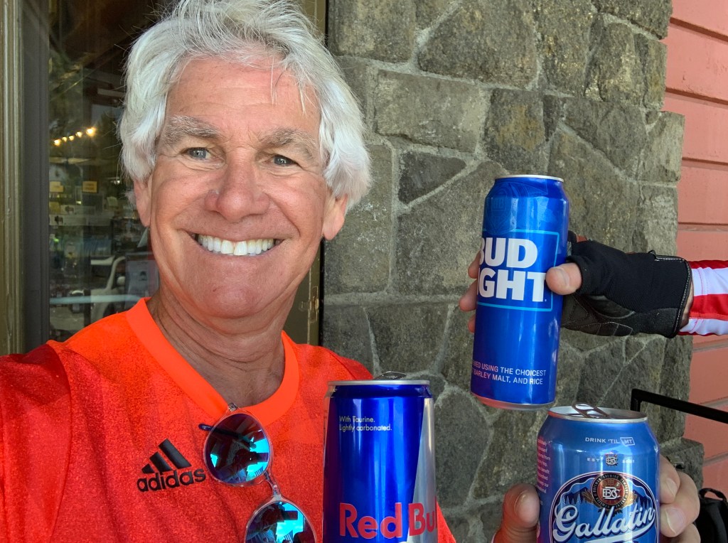
mormon-missionaries
Why so many Mormons? For one thing, they have more than 70,000 missionaries worldwide, whose job it is to spread the gospel — to help you realize you should be Mormon, too.

Beginning last year, Mormons officially hated being called Mormons. They now wanna be known as the Church of Jesus Christ of Latter Day Saints. Not Mormons. Not even the LDS Church. The church’s August 2018 rebranding supposedly stemmed from a divine communication between God and the church’s president, Russell Nelson.

Whatever you call them — Mormons, LDS, Church of Jesus Christ of Latter Saints — they’re a big presence in this part of the world. There are about two million Mormons in Utah, more than 6.5 million in the US, and north of 16 million worldwide As someone who lived in Utah for seven years (1968-1975), I just think of them as friendly people who are the world’s largest cult.

That last paragraph may have lost me any remote chance I had at getting into the Mormon celestial kingdom — the highest of their three degrees of glory in heaven. How to get there? Be properly righteous.

I’m out.

***

Good things can happen to those who come from Richfield. US Senator Jake Garn, the first member of Congress to fly in space, was born here. Walter Frederick Morrison, inventor of the Frisbee, was also born here.

I arrive in Richfield in the late afternoon, ready to relax, chow down, and write tonight’s blog post.

12235E5B-843D-452B-B54E-5D566660EC96
Burger and fries for dinner at Wingers, and a Diet Coke for hydration.

Tomorrow, I meet up with most of the posse that will be joining me on the journey to Canada.

‘Til then, good day, eh?

***

Day One Summary: Goodbye, Carbondale. Hello Richfield.

Click here to see today’s complete route from Carbondale, Colorado, to Richfield, Utah.

I’m on my way to Canada, eh?

Vroom, vroom.

***

Today’s Canada Fun Fact, eh?  The highest tides in the world occur in the Bay of Fundy, between the Canadian provinces of New Brunswick and Nova Scotia. There’s a 56-foot tidal range in one part of the Bay of Fundy. Twice each day, the bay fills and empties a billion tons of water during each tide cycle; that’s more than the flow of all the world’s freshwater rivers combined! Check it out.

1197_S-Maitland
The Bay of Fundy has some serious tidal changes.

How’s It Goin’, eh?

4th-of-july-fireworks-nyc
Happy Birthday, USA!

Yesterday, on July 4, Americans celebrated Independence Day with an orgy of picnics, parades, and red-white-and-blue fireworks displays.

Happy Birthday, USA!

Sarah and I spent the better part of the day in Redstone, a charming mountain town of 135 residents. Redstone sits on the Crystal River about 25 minutes south of Carbondale. Redstone’s Fourth of July includes a pie sale, ducky derby, F-16 fly-by, and a parade on Redstone Boulevard featuring fire trucks, horses, Airstream trailers, Jeeps, kids on bicycles, and a lady ukulele band on a float.

IMG_8755
The July 4, 2019 parade in Redstone. It’s a quintessential small-town (population 135) celebration, and is now an annual tradition for Sarah and me.

In a few hours, I begin my own celebration of summer.

Tomorrow morning, I climb aboard my Harley and begin a three-week, 5,500-mile odyssey through Colorado, Utah, Arizona, Nevada, California, Oregon, Washington – and ultimately, to our northern neighbor, Canada.

It’s the tenth anniversary of my first overnight trip on a motorcycle.

Vroom, vroom!

***

canehday3009625-jpg
Canada’s “living flag,” on the lawn of British Columbia’s Parliament, where we’ll be in 12 days. More than 3,600 humans dressed in red and white created the maple leaf flag to celebrate Canada Day on July 1.

Happy Birthday to Canada, too!

On July 1, Canadians had their own national celebration: Canada Day.

Monday marked the 152nd anniversary of the 1867 Constitution Act, originally called the British North America Act. On July 1, 1867 Canada became a self-governing dominion of Great Breat Britain, and a federation of three provinces: Nova Scotia, New Brunswick, and the Province of Canada (now Ontario and Quebec).

Four years later, British Columbia joined the federation as Canada’s sixth province, extending the dominion of Canada to the Pacific Ocean. It’s a darn good thing that happened, otherwise we’d be visiting a UK outpost when we arrive in Victoria, British Columbia, on July 17.

Canada Day celebrations are typically understated outdoor public events such as parades, carnivals, barbecues, air and maritime shows, fireworks, concerts and citizenship ceremonies. They are tasteful displays of red-and-white national unity.

No tanks.

***

Now, a story about me and Canada.

Fifty years ago, there was about a one-in-three chance I’d end up living there. The Vietnam war was raging, and the US government decided to use a lottery system to remove perceived inequities in the Draft — the war was being fought disproportionately by those on the lower rungs of America’s socio-economic ladder.  The lottery would eliminate “1-S” student deferments, meaning being a university student no longer provided shelter from the war.

The December 1969 Draft lottery affected about 850,000 men.

At the time, I was a sophomore at the University of Utah, bumbling my way through school by skiing, partying and maintaining an embarrassingly low GPA. Then came December 1, 1969 — a day many of us will never forget. It was the first Vietnam-era Draft lottery, and the first time a lottery system had been used to select men for military service since 1942.

The bounce of a ball could decide the course of one’s life.

kvimw0bcvo611
One of those blue capsules played a large role in determining my draft status. December 1, 1969, was an evening to remember.

There were 366 blue capsules in a large tumbler, each representing one day of the calendar year. Your birthday matched up with a number, 1-366, and that number determined the order in which men would be called to duty. It was pretty much a given that the lower third (1-120) would receive a Draft notice and be sent to Vietnam. The middle third (121-240) were less likely to be drafted, and the highest third (141-366) could rest easy. No one knew this at the time, but the highest draft number called for induction from the 1969 lottery was 195.

Vietnam was an unpopular and highly divisive war. Like a lot of Americans, I thought it was a war not worth fighting, and I had decided that if drafted, I’d head for Canada, as an estimated 125,000 draft-eligible men did. About half returned to the US when President Jimmy Carter granted them amnesty in 1977.

Nearly 49,000 Americans had already died in the Vietnam War, when, on the evening of December 1, 1969, millions of young men like me gathered in college dorms and friends’ homes to learn their fate. The lottery, with an air of high drama, was broadcast live from the Selective Service headquarters in Washington DC, hosted on CBS by Roger Mudd.

The first number picked was September 14. Most Draft-eligible men with that birthday would be fighting in Vietnam within a year. Much later that night, a blue capsule with the number 236 landed on my birthday — February 24.

Two-thirty-six. I never received a draft notice, never put on a uniform, and never went to Canada — except as a tourist many years later.

That Draft lottery affected every American male between 19 and 26. An unknown 23-year-old New Yorker who already had a medical deferment for bone spurs in his heels, received the number 356 in the December 1969 lottery, further guaranteeing he’d never serve in the military. That New Yorker, of course, was Donald Trump.

***

As followers of this blog know, I have a habit of blogging nightly while on the road. It gives me something to do after parking the bike at the end of a long ride, and lets Sarah know where I am – and how my day went.

Glad you’ll be along for the ride, too.

Every ride has its own rhythms. Sometimes, there’s a culinary imperative. Last year, it was all about ribs.

8C74B3BA-8E8B-44D4-87AC-C29B2D7026CC
Ribs and beer in Estes Park, Colorado. Last year’s ride was a rib fest.

This year, we’ll be doing meat and potatoes on our way north as we head through the Sierra, Siskiyou and Cascade mountain ranges. We’ll enjoy Canadian food – whatever that is – during our stay in the Great White North. And then, as we head down the west coast of Washington, Oregon and California – we’ll have seafood, likely sourced from the nearby Pacific Ocean.

Halibut and chips, anyone?

***

As someone who once lived a stone’s throw from Canada, and often sailed in Canadian waters, I have a fondness for Canada. I love the people. I admire their politics and politeness. I appreciate their obsession with hockey. It’s cute that they enjoy curling – even if it began in Scotland.

And, I love their linguistics. I’m fascinated with the “eh” up-inflection at the end of a sentence, as in: How’s it goin’, eh?

It’s like a Canadian version of, you know?

Eh is a filler word, often obscuring the meaning of what you actually meant to say.  Think about the last time you listened to someone with the filler habit. Chances are good you spent the time he or she spoke either being annoyed, or counting the number of times you heard the filler phrase.

IMG_9807
How’s it goin’, eh?

In my corporate life, I was fascinated with exec-speak that gorged on the throwaway end-of-sentence filler phrase, “going forward” – as in, “This program is gonna achieve 10 percent profit margins, going forward.” As if you can do anything going backwards.

I often sat in meetings and presentations, making tick marks on a notepad, counting the excessive use of going forward. Not exactly a period of language enlightenment. Going forward was similar to eh, eh?

Eh is also known as an invariant tag – something added on to the end of a sentence that’s the same every time’s its used. For more on why Canadians say “eh,” check this out.

It’s good reading, eh!

To help you discover the joys of Canada, I’m including a Canadian Fun Fact at the end of each day’s blog post. These fun facts come at no extra charge to you.

Over the next few weeks, if you learn anything about Canada – or any of the other amusing destinations on this year’s route – you’re welcome.

Vroom, vroom!

***

Today’s Canada Fun Fact, eh?  The longest highway in the world is the Trans-Canada Highway. It’s more than 4,860 miles long, and crosses six time zones. We’ll ride a few miles of the Trans-Canada Highway on this trip.

eecd2a0a-2457-4b40-b395-ef000ba96c33
Trans-Canada Highway: the world’s longest!

Merry Christmas, 2018

Hey everyone. Merry Christmas.

No Harley rides today. So why am I blogging?

Today, I received a pretty awesome Christmas present, even better than riding my motorcycle over Independence Pass. Christmas is generally not a big deal to me. Today it was.

Today, I taught my first ski lesson in 46 years.

Last time around, it was at the Alf Engen Ski School in Alta, while I was a student at the University of Utah in the early 1970s. Today, I’m part of the 7-17 Kids Division at the Ski and Snowboard Schools of Aspen/Snowmass.

IMG_9649
On Christmas Eve, I had my final “training” day. On the right is one of my favorite students, Mimi Dora. That’s me on the left.

After several weeks of training, and a few audits, I was paired today with two 10-year-old girls, one from Chicago and one from Birmingham, Alabama. They started the day as “Level 1” students — beginning skiers. They ended the day as “strong Level 2” skiers. They were good kids, and gave me exactly what I wanted out of a ski lesson: the satisfaction of knowing I’d helped them, at least a little bit.

I hope I was able to make a difference in their lives. At this point in my life, that’s what this late-in-life career change is all about: helping others develop a passion for skiing as I once did. That’s how it all began for me, when I was 10, as I took lessons at Squaw Valley, California, the week after the 1960 Olympics.

It’s a pretty special opportunity I’ve been given by the Aspen Skiing Company, and I’m immensely grateful for it.

Today’s lesson was a joyful Christmas gift. Thank you, Santa.

***

Oh, and here’s what Sarah’s day looked like.

IMG_9656
Sarah, at her office at the Treehouse in Snowmass. Note the fashion statement: blending the official AspenSnowmass uniform, with Christmas PJs.

She’s working at Snowmass, too, in the “Treehouse,” the hub of children’s ski school operations.

It’s pretty darn cool that Sarah and I have a new “family business.”

Our driveway is snow covered, and there’s probably not a Harley ride in my future for a few months … and yet … life’s pretty darn good.

Happy Holidays!

So Long, Dave. See You Next Year!

The 2018 Rocky Mountain Rib Rally is officially over. At least it is for me.

Today I turn my attention to golf, tennis, hiking, bicycling – awesome, adventurous and active stuff Coloradans do all summer.

IMG_9123
Dave laces up his boots, as he prepares to head home.

While I kick back, Dave begins the three-day journey to Southern California, where he’ll join his family to celebrate the Fourth of July. Today’s destination: Richfield, Utah.

Thank you, Gail, Nathan and Tess – for sharing Dave with us the past few weeks.

Safe travels, Dave.

IMG_9127
At 7:36 a.m. Mountain Time, Dave leaves Carbondale and begins the journey home.

***

To wrap up this year’s ride, here’s a summary of the 2018 Rocky Mountain Rib Rally, by the numbers.

Most of these numbers are from blog posts over the past 14 days. If you want to consider this a reading comprehension quiz for material consumed over the past two weeks, be my guest.

And now the numbers.

  • 240,000,000: number, in troy ounces, of silver produced in Leadville mines
Olathe corn
Olathe sweet corn. Yum!
  • 30,000,000: ears of Olathe corn bought annually by the Kroger grocery chain
  • 22,000,000: annual capacity, in barrels of beer, of the Coors brewery in Golden
  • 7,093,114: in dollars, average home sale price in Aspen in first quarter, 2018
$41 Million Jigsaw ranch
This Aspen home sold for around $41 million.
  • 104,185: square miles in Colorado
  • 26,000: number of vehicles traveling daily through the Eisenhower Tunnel
  • 18,000: height, in feet, of a rumored peak in Rockies; the rumor was debunked in 1869 by a group of Harvard mining students
IMG_8566
The view of 12,953-foot Mount Sopris from the living room of our Carbondale home. That’s our cat, Lucy, enjoying the sunshine — and ignoring the view.
  • 12,953: elevation, in feet, of Mount Sopris, a view to die for
  • 12,183: highest elevation ridden (Trail Ridge Road)
  • 9,017: elevation, in feet, of Dillon Yacht Club – believed to be the world’s highest yacht club
  • 6,388: elevation, in feet, of the front door to our house in Carbondale
IMG_8944
Fishing on the Fryingpan River.
  • 6,000: miles of fishable rivers and streams in Colorado
  • 3,317: in feet, lowest elevation in Colorado
  • 2,472: total miles ridden miles during Rocky Mountain Rib Rally
  • 1,899: cost, in dollars, of a Doctor of Ministry degree at Patriot Bible University in Del Norte
  • 950: cost, in dollars, to attend a week-long Marble symposium in Marble
  • 400: number of rail cars filled with McClure potatoes exported every year from the Roaring Fork Valley in the 1930s
IMG_8713
Lunch at Slow Groovin in Marble. Best ribs on the trip.
  • 144: (estimated) number of ribs consumed during 2018 Rocky Mountain Rib Rally
  • 92.09: in dollars and cents, most expensive dinner for two during Rocky Mountain Rib Rally, at Low Country Kitchen in Steamboat Springs. Including tip.
  • 80: members of the Aspen Yacht Club
  • 60: pounds of trout, per acre, to be considered Gold Medal fishing waters
fly-fishing-925142
Fly fishing in the Rockies. What could be better?
  • 58: generally agreed-upon number of fourteeners in Colorado
  • 57: total hours in the saddle during Rocky Mountain Rib Rally
  • 48: number of years Billy Kidd has been Director of Skiing at Steamboat Springs
  • 35: maximum length, in feet, of vehicles allowed over Independence Pass
September_snow_on_CO_82_near_Independence_Pass
Independence Pass: difficult enough in a nimble vehicle, impossible in a semi-truck. Photo above shot in September.
  • 23: atomic number of Vanadium
  • 20: cost, in dollars, of a 2018-2019 season pass at Monarch Mountain – if you’re under 6 or over 69
  • 18: top speed, in miles per hour, of the Durango-to-Silverton narrow gauge train
  • 17: cost, in dollars, of Truffle Fries at Ajax Tavern in Aspen
  • 15: hours of daylight on June 21, the first day of summer in Carbondale
8C74B3BA-8E8B-44D4-87AC-C29B2D7026CC
Rib dinner at Smokin Dave’s in Estes Park — one of 13 consecutive rib meals on this trip.
  • 13: number of consecutive rib dinners (and lunches) during 2018 Rocky Mountain Rib Rally
  • 9.4: percent of grade over Slumgullion Pass, steepest in Colorado
  • 8: number of crossings of the Continental Divide (Hoosier, Cochetopa, Independence, Tennessee, Loveland, Monarch, Berthoud and Fremont Passes)
  • 4: Number of fishing days over the past two weeks
  • 1: number of restaurants in Naturita
  • 0: Tie: number of times we rode on unpaved roads. And, number of fish we caught.
cruiser-comparison-hd-honda-yamaha-2
Here’s a sight you’ll never see on one of my rides. We rode on unpaved roads zero times.
IMG_8804
Had a great time fishing Colorado waters. Photo above is on Roaring Fork River. Zero is the number of fish caught on our trip.

***

Glad you’ve been along for the ride.

Until next year …

Vroom, vroom!

Fish On!

We are so over this riding-and-ribs thing.

Today, we’re going fishing.

Harleys won’t even leave the garage.

***

So we take a short drive from our Carbondale home to the Fryingpan River, not far from Basalt. The Fryingpan has some of the best fly fishing waters anywhere.

IMG_9073
Ever the optimist, Dave has his net at the ready — for the big moment.
IMG_9075
It’s a beautiful spot on the river.
IMG_9099
That’s Dave, way off in the distance. He has the river almost to himself. Four trout found his flies.
IMG_2161
Cast away!
IMG_9093
Sarah had her first fly fishing experience today. She’s a natural.
IMG_9096
Nice form!
IMG_9092
She even had herself a top-notch assistant.
IMG_0688
We had three rods and three reels. We used five flies. We had a surefire recipe for success.
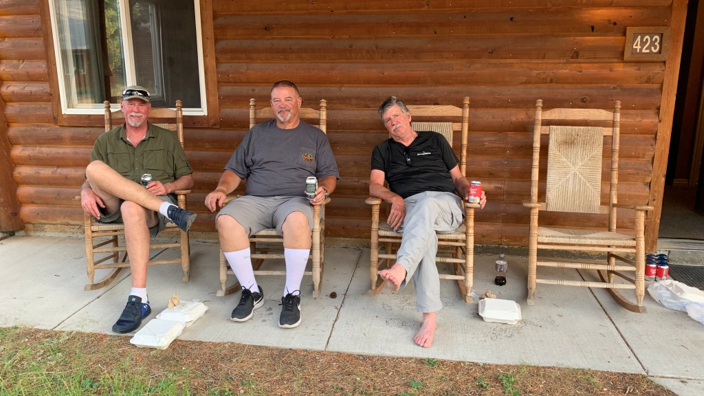
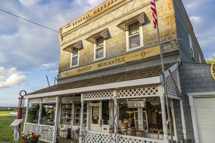
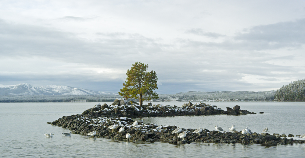
IMG_9109
And yet … the closest we came to trout all day was at City Market’s fish department.
IMG_0693
The ones that didn’t get away. These were the trout that Dave was photographing in the pic above.

We still manage a seafood dinner on Dave’s last evening in Colorado.

It’s not anything that would ever be caught in a Colorado Gold Medal river. But nobody’s shoving away from the table hungry tonight.

IMG_9115
Farewell dinner. End of a great ride.
IMG_9118
Garlic shrimp. Garlic potatoes. Garlic everything!

***

Day Fourteen Summary: We’re done riding. Fish on!

Vroom, vroom.

***

Today’s Colorado Fishing Fun Fact: Colorado’s Parks and Wildlife service does a wonderful job promoting sustainable fishing, and gives guys like me who’ve never fished before a reason to try it: my 2018-2019 fishing license cost $1.00. Cost breakdown: 25 cents for Search and Rescue; 75 cents for Wildlife Education Fund Surcharge. That’s all. Eat your hearts out.

Today’s Rocky Mountain Rib Rally Fishing Fun Fact: Basalt, which we’ve ridden through and dined in several times, is the only town in America with two Gold Medal rivers flowing through it: the Fryingpan and the Roaring Fork. The Crystal River, which we cross every time we ride out of our River Valley Ranch subdivision, offers 30 miles of fishing waters from Carbondale to Marble. In these local waters you’ll find rainbow trout, cutthroat trout and brown trout.

Today’s Colorado Food Fun Fish Fact: A shore dinner of trout caught just minutes before eating them is often said to be the best fish meal you’ll ever have. Native fish with an orange or pink color to their flesh are the best tasting, whether brown trout, brook trout or rainbow trout. The cutthroat trout, the state’s only indigenous variety of trout, is the official state fish of Colorado.

Riding Through an Erotically Named Ghost Town

Today marks our last riding of any consequence on this year’s Harley adventure. Day 13 of the 2018 Rocky Mountain Rib Rally takes us from Silverthorne in Summit County to our home base in Carbondale.

It’ll be a short ride, but one with plenty of excitement.

Summer-in-Copper-Mountain-Colorado-Homes-for-Sale-REMAX-of-the-Summit-The-Henry-Barr-Team2560x1600
Copper Mountain, in the summer.

We begin by riding south on I-70 for 10 miles to the Copper Mountain ski area, where we turn onto CO-91, and head toward Leadville.

As if we haven’t crossed the Continental Divide enough times, we do it again at Fremont Pass, an 11,318 foot crossing named for John Fremont, an explorer who discovered the pass while traversing present-day Colorado during the 1840s.

Adjacent to the pass is the titillatingly named Climax Mine and Mill, a major molybdenum mine that’s been in operation since 1915. At one time, it was the highest-producing molybdenum mine in the world, producing three-fourths of the world’s supply of molybdenum.

Climax mine
Mining at Climax. Great name, ugly result.

Over the years, it has evolved from an underground mine to a pit mine. The village of Climax is now considered to be a ghost town, even though the mine remains active.

Molybdenum, commonly called “moly,” is used to make some missile and aircraft parts, and is used in the nuclear power industry. It’s also used as a catalyst in the refining of petroleum.

For you geology nuts, to produce molybdenum, the ore is crushed on-site, and the molybdenite is separated from the waste material by froth flotation. Simple enough.

***

Just past Climax – I can’t believe I’m writing that – the road makes a hairpin turn and crosses the East Fork of the Arkansas River. On the remaining 12 miles to Leadville, we roll past a number of fourteeners on our left, among them: Mount Democrat (14,154); Mount Lincoln (14,293), named after the Lincoln Continental; Mount Sherman (14,035), named after General William Tecumseh Sherman.

sh11_0
The hike up Mount Sherman, a “beginner fourteener.”

Mount Sherman is one of the most nondescript of the fourteeners, and one of the easiest (least difficult) to climb; it is recommended as a “beginner fourteener.” Mount Sherman is also the only fourteener that has had a successful aircraft landing on its summit. OK, it was a successful crash landing of a Cessna 310, but still. It happened in January 1967, when five people on the plane survived temperatures that reached 20 below zero. The rescue mission was featured in the February 1993 issue of Readers Digest. Don’t try this at home.

We roll through Leadville on our way to Twin Lakes, where we turn west on CO-82 and begin the 17-mile climb to Independence Pass, an ascent of about 2,900 feet. Much of the way, it’s a narrow and winding road, giving the Colorado Department of Transportation reason to ban oversized and overweight vehicles from the pass.

Indy Pass truck
Yikes! There’s a reason semis aren’t allowed on CO-82 over Independence Pass.

No vehicles over 35 feet in length (including a vehicle and trailer) are allowed on the roadway between milepost 84 on the eastern side, and milepost 42 on the western (Aspen) side. In an effort to deter semi-trucks from illegally using Highway 82 over Independence Pass, the Colorado Legislature raised the fine for to $1,000. Fines can be increased to $1,500 if a truck using the pass causes road closures or traffic delays.

There are turn-around spots for large trucks around mileposts 42 and 84, intended to give truckers a way to avoid the mess they otherwise could create.

Independence Pass Truck
A semi-truck gets stuck as it tries to turn around near the closure gate on Independence Pass.

Today, we have no such issues on our Harleys. It’s smooth sailing all the way to the summit. There are several 10-mile-an-hour, first-gear, hairpin turns in the last few miles on the climb to the pass. That’s all part of the fun.

You do have to bring your A game to ride Independence Pass. We’ve got game!

***

IMG_9054
One final photo op at the pass.
IMG_9048
Photo taken to show my Harley at the pass, and to prove I was not helicoptered in.

After more photos at the Continental Divide sign marking the pass, we press on for the 20-mile descent into Aspen.

Because today’s ride is a short one, we arrive in Aspen in the early afternoon, park the bikes, and look around. We also take the opportunity for one last rib meal on the road before heading back to Carbondale.

Lunch is at Hickory House in Aspen, on CO-82, on the way out of town.

IMG_9058
Hickory House. Meh?

The ribs are OK, but certainly not the best in Colorado, as the Hickory House says on its promotional materials — including its cups and menus. The Hickory House, with its small rack of baby backs, didn’t move any of the other Colorado rib restaurants off the podium.

IMG_9061
Note the”Best Ribs in Colorado” claim. Not. Their promotional material should be revised to say “Best Ribs at The Hickory House.”

So, after 13  consecutive rib meals, here are the final standings: Gold Medal, Slow Groovin’ (Marble); Silver Medal, three-way tie among Serious Texas BBQ (Durango), Smokin’ Dave’s (Estes Park), and Arapahoe Cafe (Dillon).

There is no Bronze Medal, since the next award beyond the four listed above would be a fifth-place, and medals aren’t awarded for being number five — at least not on the Rocky Mountain Rib Rally.

Tomorrow we begin our rib detox, with a return to our normal healthy diet.

***

Day Thirteen Summary: Our thirteenth straight day of ribs. Top that, you slackers and vegans!

Click here to see today’s complete route from Silverthorne to Carbondale.

Glad you’re along for the ride.

Vroom, vroom.

***

* CO_Love_License_Plate_1c_13.89_x_6.69

Today’s Colorado Fun Fact: It’s against the law to pick Colorado’s state flower, the Colorado Blue Columbine, on public land or without prior consent of a private landowner.

Today’s Rocky Mountain Rib Rally Fun Fact: In the first quarter of 2018, Aspen had a luxury median home sale price of $18.34 million. To give you an idea of how crazy the Aspen real estate market is, we’ve met several long-time Aspenites who sold their unpretentious, blue-collar homes for $6 million; the homes were then torn down to build much more extravagant residences. The per-square-foot price in Aspen is closing in on $2,000!

Today’s Colorado Food Fun Fact: The term “cheeseburger” was originally trademarked, in 1935, by Louis Ballast of Denver’s Humpty Dumpty Drive-In. On the northwest side of downtown Denver – at the corner of Speer Boulevard and Alcott Street – is a small, engraved stone marker on the site where Humpty Dumpty’s once was. The location today is a Key Bank.

Riding Above the Tree Line on Trail Ridge Road

We leave our motel, the Blue Door Inn, heading west from Estes Park, and in a matter of minutes, we enter Rocky Mountain National Park.

But first, we stop for breakfast at the Notchtop Bakery and Cafe. It’s gonna be a leisurely day on the road as we head up the mountain. So we’ll carbo load before leaving Estes Park.

D83FE639-31AC-4913-A70E-6DD973A35C3E
Good eats at the Notchtop.
63B64477-D17C-456F-BADB-9BE0BB4133C8
Cowboy Special. Guess who?
F7F0CCAA-2970-4452-A029-E8DFD738B4DC
Health food. Guess who?

***

With more than four million visitors annually, Rocky Mountain National Park is one of the most visited national parks, right up there with Grand Canyon, Yosemite and Yellowstone.

We are riding on Trail Ridge Road, US-34, which runs for 48 miles through the park from Estes Park to Grand Lake. Trail Ridge Road is yet another of Colorado’s Scenic Byways. Today marks my third ride on this spectacular motorcycle road, and my first time going east to west.

2FF6032D-2B64-411B-8785-EFDF02454D17
Trail Ridge Road, a thrill above the timberline.

The first time I rode Trail Ridge Road was in 2014, with Ray Sanders (click here, scroll down to Ray), who introduced me to the joys of motorcycle touring. Ray, who’s married to Sarah’s cousin Tina, lives near Knoxville, Tennessee.

He was 83 at the time, and knew he had one more big ride in him. As part of his last motorcycle tour, he rode all the way from Tennessee to Colorado, specifically to do Trail Ridge Road one last time. It is, after all his all-time favorite ride. And that’s saying something; Ray has ridden more than a half-million miles, all over the world.

E65A077C-EF3C-4638-A477-5BE7D3D151D5
But Ray hasn’t ridden Trail Ridge Road in these conditions, and certainly not on a bicycle.

***

Building Trail Ridge Road was a landmark achievement for its day. From 1929 to 1932, the Civilian Conservation Corps could only work on the road three months at a time, due to the heavy snows.

Trail Ridge Road is closed during the winter, usually opening in late May, and closing around Columbus Day in October, when the National Park Service gives up fighting the snow and turns the road back to Mother Nature for the winter.

From the park’s eastern entrance, Trail Ridge Road begins to climb steeply. In about 20 miles, we’re above the tree line, heading for the road’s highest elevation: 12,183 feet. This spot makes Trail Ridge Road the highest continuously paved road in North America. There are higher paved roads, like Colorado’s Mount Evans, which takes you to the top of a fourteener – but it is not continuous; it goes to the top, you turn around, and go back down.

A few miles past the 12,183-foot marker, we arrive at the Alpine Visitor Center. At 11,796 feet, it’s the highest Visitor Center in the National Parks system.

90FECD35-FED8-4999-AF89-A3EC8DD20D5D
Outside the Alpine Visitor Center. Temp was 56 degrees.

Last year, when Dave and I (and Randy and Scott) rode through the park, west to east, the Alpine Visitor Center was disappointingly closed for repairs. This year, it’ll be a good place to rest, grab something to drink and enjoy the sights from the rear deck, before continuing west for the 20-mile ride to the park’s Kawuneeche Visitor Center, its western entrance.

***

0657BA85-A5E4-4E96-90BD-2500CB425BFD
At the Visitor Center, leaving RMNP.

We exit Rocky Mountain National Park in Grand Lake, Colorado’s largest and deepest natural lake. Grand Lake sits at 8,280 feet, and is part of the headwaters of the Colorado River. That might explain why we’re now riding on the Colorado River Headwaters Scenic Byway.

We’re on this scenic byway for only about 10 miles, riding from Grand Lake to Granby. We ride along the west shore of Lake Granby, the third-largest body of water in Colorado and home to the Lake Granby Yacht Club, established in 1902. At 8,280 feet, it’s one the world’s highest-elevation yacht clubs. The Dillon Yacht Club, near tonight’s destination, is believed to be the highest: 9,017 feet.

In Granby, we continue south on US-40, closing in on the Winter Park ski area. Only 65 miles from Denver, Winter Park attracts hordes of skiers from Colorado’s mile-high city, many of whom take the Winter Park Express train to and from the area.

B31D5C54-87A0-42D5-8B3F-2CBC86437085
The Winter Park Express. A stress-free ride from Denver to Winter Park.

The train goes through the Moffat Tunnel, built in the late 1920s to provide Denver with a railroad connection to western Colorado via the Continental Divide. The Winter Park Express drops skiers off at Winter Park’s base ski area.

Travel Colorado Ski Train
A skier heads for his seat on the Winter Park ski train.

Like many Colorado ski resorts, Winter Park is open in the summer, operating its lifts for mountain biking, hiking, and other activities.

***

The ride from Winter Park to Berthoud Falls, all 17 miles of it, is spectacular. The road is twisty, steep, and extraordinarily scenic, with 10-mile-an-hour hairpin turns.

46CE7AE1-FDD8-436F-9608-500EC9D024D4
US-40 over Berthoud Pass is quite twisty.

Two-thirds of the way to Berthoud Falls, we cross Berthoud Pass, which sits on the Continental Divide. It’s 11,307 feet, and is on the route for skiers as they drive from Denver to Winter Park – a 90-minute journey. The pass is named for Edward Berthoud, the chief surveyor of the Colorado Central Railroad during the 1870s.

Berthoud Pass is home to the now-defunct Berthoud Pass Ski Area, which still attracts backcountry skiers, snowboarders and snowshoers. It has an abundance of steep and challenging terrain, and averages 500 inches of snow a year. The ski resort closed in 2003 due to financial problems caused by lack of water and sewage at the top of the pass.

3A0FD04C-B42B-42FB-B5BB-2F326C0C54DE
More Berthoud Pass hairpins. Many are 15 or 20 mph turns.

From Berthoud Pass, we descend steeply to Berthoud Falls, which sits at 9,800 feet. Around Berthoud Falls, there are some great hikes. Maybe another day.

It’s less than nine miles to I-70, which we’ll take to our next two ski areas, Loveland and Arapahoe Basin. But first, we pass through the Town of Empire, population 282.

A696B006-CEBF-4D1D-8BBE-A04E5228254D
At the original Hard Rock Cafe in Empire.

Empire is a former mining town that actually has a Hard Rock Café. The café, which is currently shut down, has been there since 1934; it is not affiliated with the chain of restaurants that also call themselves the Hard Rock Café. Empire’s Hard Rock Café was named for the hungry hard rock miners that came to eat, many years ago.

The previous operator of the café called it quits in 2017. The town is looking for someone who’s interested in bringing the place back to life. Anyone?

Hard Rock Cafe
A good business opportunity. If you want to be an Empire builder.

***

Riding west on I-70, we continue climbing steeply for nearly 15 miles, until we reach almost 11,000 feet.

We take the exit for US-6 to Loveland Pass. As we leave the Interstate, we’re within spitting distance of the Loveland Ski Area. The exit takes us right past it. The Loveland Ski Area is a combination of two separate areas: Loveland Basin and Loveland Valley. They were once connected by a chairlift, and now are served by bus.

Because of its high base elevation – 10,400 for the Valley; 10,800 for the Basin – Loveland is typically one of the first ski areas in Colorado to open each season. The earliest opening on record was October 7, 2009. Skiing halfway between Labor Day and Halloween … really?

Both ski areas are at the eastern portal of the Eisenhower Tunnel, a civil engineering marvel that carries I-70 traffic under the Continental Divide. With a maximum elevation of 11,158 feet, it’s one of the highest vehicular tunnels in the world. The four-lane Eisenhower Tunnel, opened in 1973, is the longest mountain tunnel and highest point on the US Interstate Highway System.

E1B1CD1E-2D0A-4AE0-9990-B9BD65806FF4
Tunnel vision.

This should be obvious to anyone who’s taken a 4th-grade history class, but the tunnel is named after Dwight Eisenhower, the US President for whom the Interstate system is also named.

The idea for a tunnel under Loveland Pass had been kicking around since the 1940s, and serious discussion began when the state of Colorado lobbied to route a transcontinental highway across the state. Engineers recommended to tunnel under the pass, rather than try to build a route across it that conformed to Interstate Highway Standards.

FFE8DF78-3911-4DCF-9D66-13199E58E471
Tunnel doesn’t look like much on the outside, but building it was quite the achievement.

There are actually two tunnels, each with two lanes. The westbound tunnel is 1.693 miles long, while the eastbound tunnel is 1.697 miles long. Only an engineer would be able to explain or understand the difference in length.

About 12 million vehicles pass through the tunnel every year. We will not add to that total, as we exited I-70 moments before we would have entered the tunnel.

***

31158BF7-69B6-4E6F-8D7E-FB59250DBBC8
Loveland Pass. A spot for lovers ❤️

Instead of continuing west on I-70, we’re now heading south on US-6 toward Loveland Pass, only about six miles away. Loveland Pass is yet another major crossing that sits on the Continental Divide. The pass is 11,990 feet. To reach it, you ride a steep, steady 6.7 percent grade, and navigate numerous hairpin turns along the way.

Loveland is the highest mountain pass in Colorado that regularly stays open during the snowy winter season. The pass is named for William Loveland, the president of the Colorado Central Railroad in the late 19thcentury. Because of snow, cold weather, steepness and curves, Loveland Pass can be extremely treacherous in the winter. Today, it’s a piece of cake.

77AD04F5-B2D3-46E0-83CB-99CD5FA8D3F4
Shooting engagement and wedding photos at Loveland Pass has become good business for savvy photographers.

Seven miles after crossing Loveland Pass, we roll past the Arapahoe Basin Ski Area, called “A Basin” by locals. With a base elevation of 10,780 feet, A Basin is known for its extended season, usually staying open until early June, and sometimes into early July. This year, even with a disappointing snow season throughout the Rockies, A Basin was open until June 3.
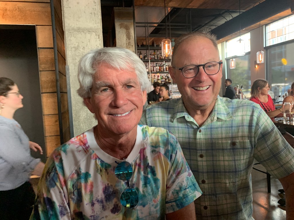
A Basin June Skiing
Tim Johnson launches off a small hill at Arapahoe Basin on closing weekend in early June.

From A Basin, it’s only 13 miles to Silverthorne, our destination for the evening. We continue west on US-6, and roll past yet another ski area: Keystone <link>. For the past 20 years, Keystone has been owned and operated by Vail Resorts. In summer – now – Keystone provides lift access for mountain biking, biking parks, and hundreds of miles of single-track mountain biking.
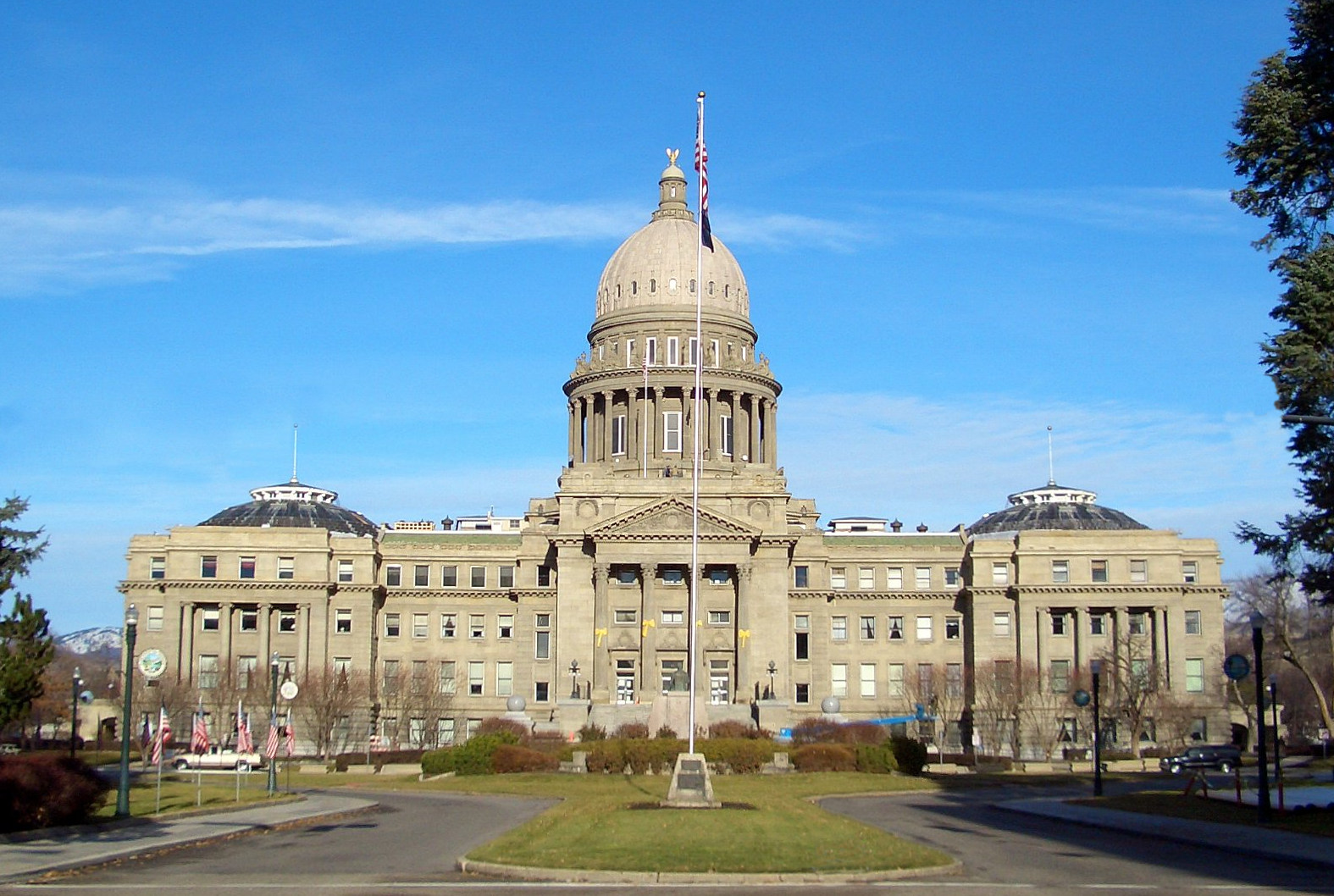
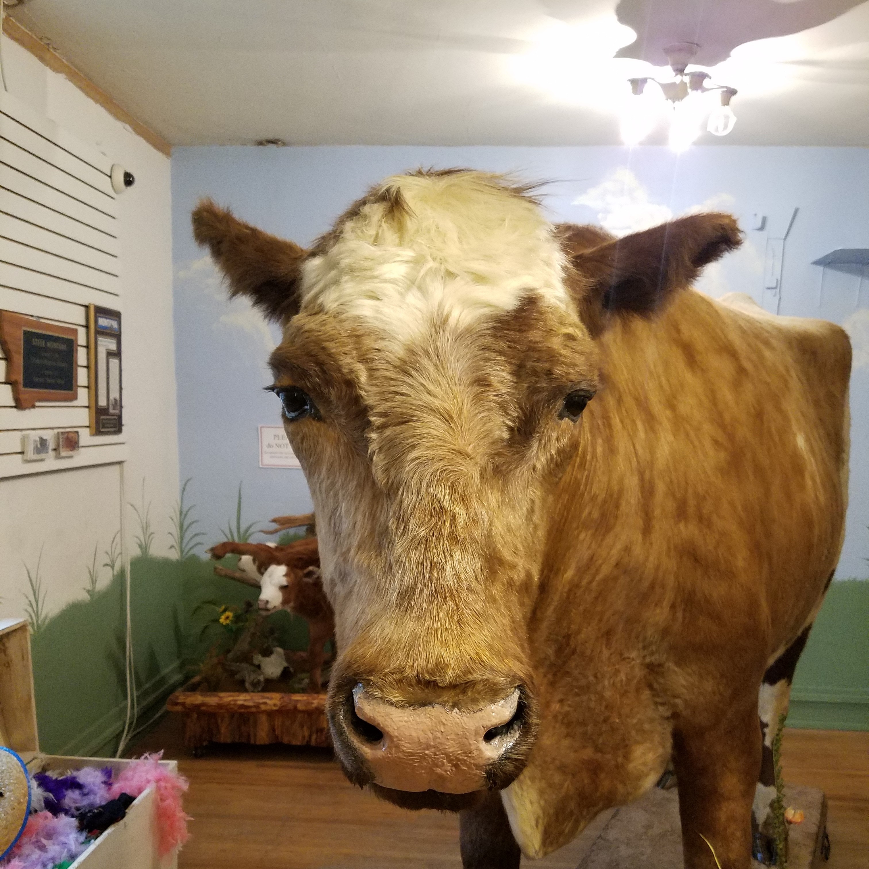
It’s almost ridiculous how many world-class ski areas there are within a few miles of each other. In the last half-hour, we’ve blown by three of them on our way to Silverthorne.

We arrive in Silverthorne after a relatively short but spectacular day – 145 miles and less than four hours in the saddle.

Did someone say Ribs?

Tonight we’re heading to the Arapahoe Cafe in nearby Dillon.

6DC534D5-D349-4330-968B-F73B8540A3FF
Arapahoe Cafe. Good eats.
D2AB9895-6EC0-44E9-949C-DFDD08615BDF
Standard half rack: six ribs. Smoked, and yummy.

Tonight’s dinner made the podium a bit more crowded. Arapahoe Cafe joins Serious Texas BBQ (Durango) and Smokin’ Dave’s (Estes Park) in a three-way tie for second place. Slow Groovin’ (Marble) remains in first place as the 2018 Rocky Mountain Rib Rally nears the finish line.

***

BD28775B-B772-4939-B850-3FBC15181559
We stumbled onto the first-ever concert at the new Dillon amphitheater.

After dinner, we walked a block to the brand new amphitheater in Dillon. A band called “Nacho Men” was playing at the first-ever concert there. Free!

It’s a gorgeous setting for sunset entertainment. The stage sits directly in front of the Dillon Reservoir. In the background, sailboats flit by. Quite the scene.

EFD324D7-D800-4CF8-ACDB-D22A5B149D58
Groovin to the sounds of Nacho Men.

***

Day Twelve Summary: The highest continuously paved road in North America. Thank God for continuous paving.

Click here to see today’s complete route from Estes Park to Silverthorne.

Glad you’re along for the ride.

Vroom, vroom.

***

* CO_Love_License_Plate_1c_13.89_x_6.69

Today’s Colorado Fun Fact: The Colorado Rockies are part of the North American Cordillera, which stretches 3,000 miles from Alaska, through western Canada and the United States, into northern Mexico. The centerpieces of this dramatic uplift are the peaks over 14,000 feet, or “fourteeners”, as they are affectionately referred to by climbers. There are 58 fourteeners in Colorado, according to the Colorado Geological Survey.

Today’s Rocky Mountain Rib Rally Fun Fact: We rode over Loveland Pass earlier today. Loveland is known as “The Sweetheart City.” Every year thousands of Valentine’s Day cards are mailed from or mailed to Loveland, where a staff of volunteers stamps them with a personal Loveland stamp and re-sends them out to their recipients. Here’s how to find the Love.

Today’s Colorado Food Fun Fact: Colorado has more microbreweries per capita than any other state. Two of them are in Silverthorne, where we’re staying tonight: the Baker’s Brewery and the Angry James Brewery. Two more are in Carbondale: Carbondale Beer Works and Roaring Fork Beer Company.