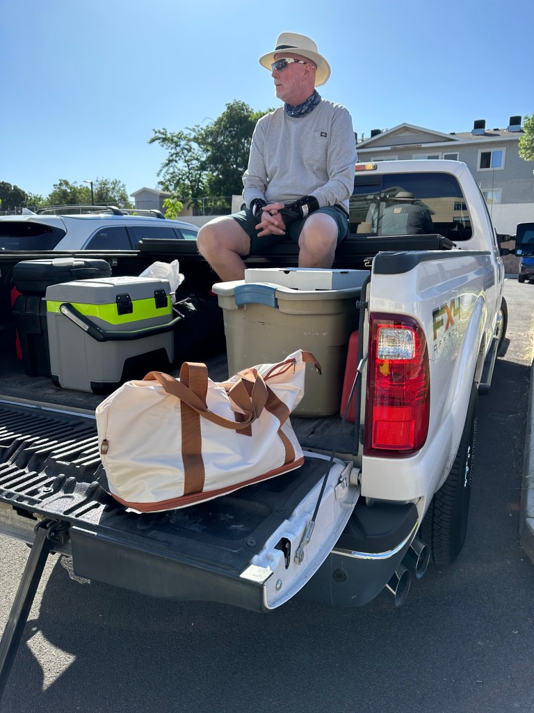
For the third morning in a row, we leave Page.
This time, we won’t be coming back.
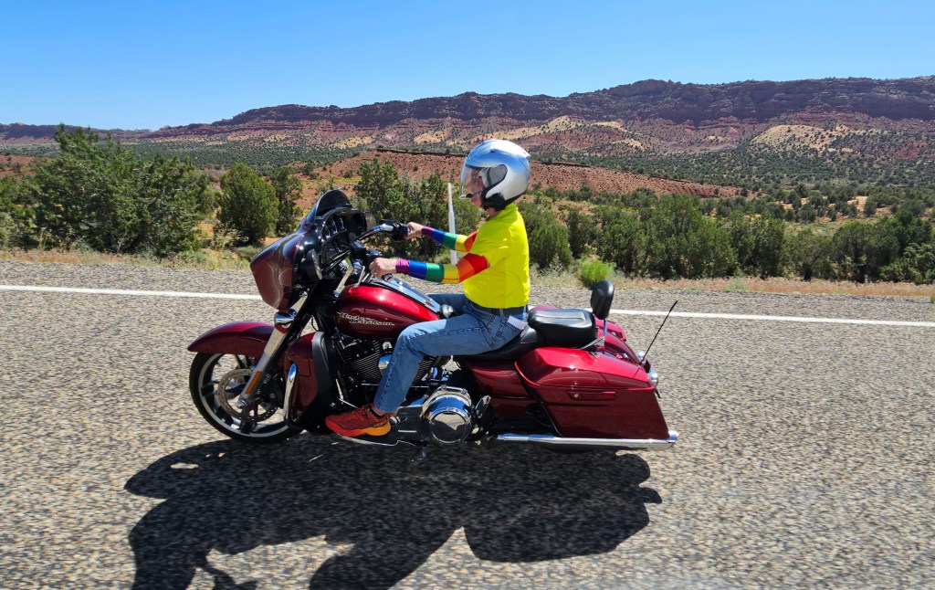
Today’s ride is just a hair over 200 miles. We’ll see some breathtaking sights before arriving in St. George, Utah, this afternoon.
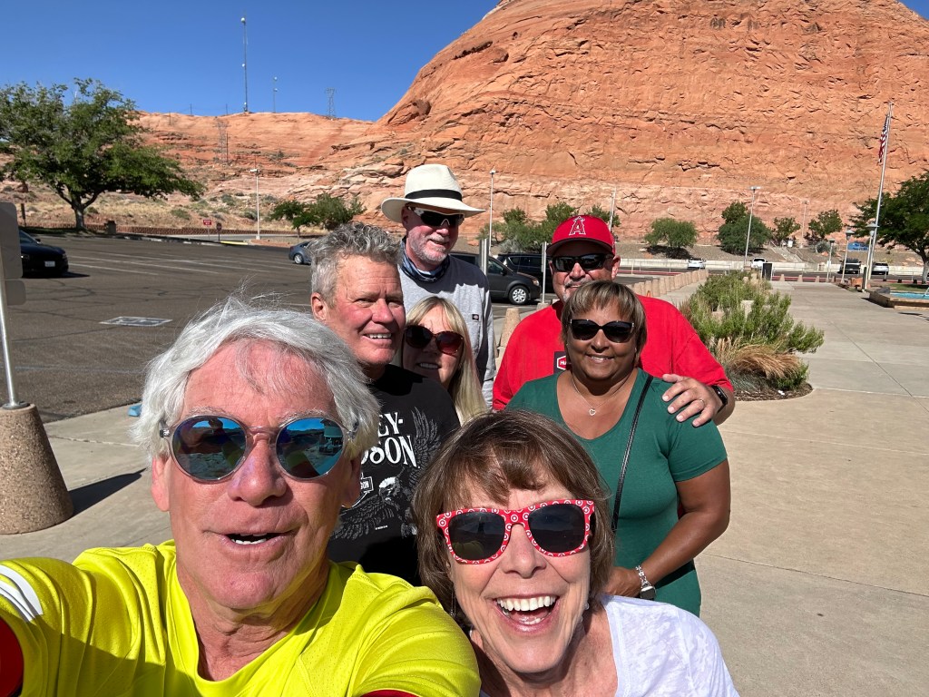
Less than three miles from Page, we cross the Colorado River and immediately make our first stop of the day. We’ve arrived at the Carl Hayden Visitor Center, adjacent to the Glen Canyon Dam. Hayden represented Arizona in the House of Representatives and the US Senate from 1911 to 1969. He was the first Senator, from any state, to serve seven terms.
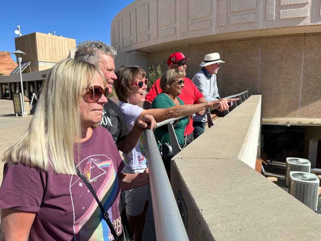
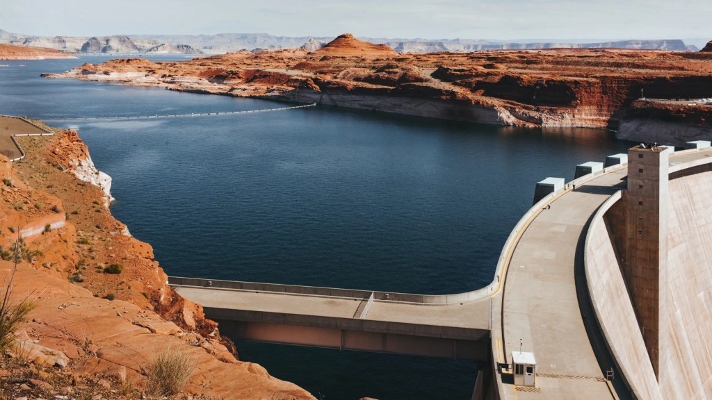
The Glen Canyon Dam is essentially what created Lake Powell. The dam is the only reason Lake Powell exists. Both the dam and the lake are the huge tourist draw in this area. You can’t talk about one without talking about the other.
A Water System in Jeopardy
The dam rises 710 feet above bedrock within the steep, rust-colored sandstone walls of Glen Canyon. It was constructed to harness the power of the Colorado River, in order to provide for the water and power needs of millions of people in the West.
Glen Canyon is the second-highest concrete arch dam in the US, almost as big as Hoover Dam, which stands at 726 feet.
Lake Powell has a water storage capacity of 26.2-million-acre feet; an acre foot is about 326,000 gallons, or enough water to cover an acre of land – about the size of a football field – one foot deep. An acre-foot is enough water to supply two or three US households for a year.
Twenty six million acre feet is clearly a lot of water. The Lake Powell water storage capacity, created by the Glen Canyon Dam, serves as a “bank account” of water that’s drawn on in times of drought. That would be now.
Yes, the winter of 2022-23 saw historic snowpack that feeds the Colorado River. As the snowpack melts, the result is higher water levels this spring and summer. Still, we are in a 23-year megadrought, and last winter didn’t solve it.
“Our wet winter was joyous, but this is in no way any kind of solution,” said US Senator John Hickenlooper of Colorado. “It gives us a little bit more time to figure out what the solutions will be.”
This year, Lake Powell will likely end the 2023 water year, which closes on September 30, at about 32 percent of its capacity – according to Bureau of Reclamation forecasts. It’s enough to generate power, but barely.
***
Hydroelectric power produced by the dam’s eight generators creates around five billion kilowatt-hours of power annually, which is distributed to Wyoming, Utah, Colorado, New Mexico, Arizona, Nevada and Nebraska. The dam generates power for nearly six million homes. It’s part of a Colorado River basin system that provides – or is designed to provide – electric power and water to roughly 40 million people, including the cities of Las Vegas, Phoenix, Los Angeles and San Diego. The system also provides water to irrigate up to five million acres of farmland in the Southwest.
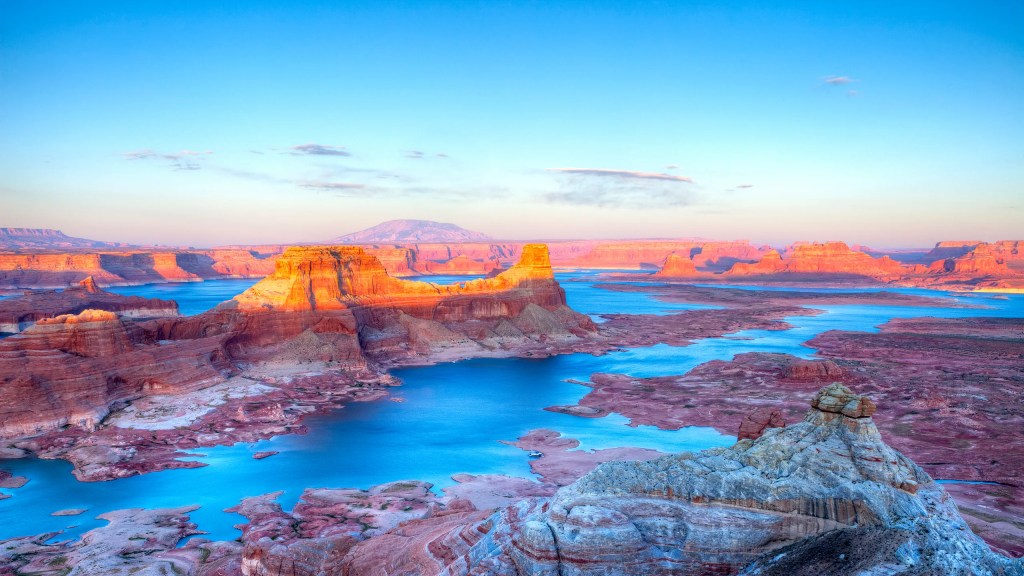
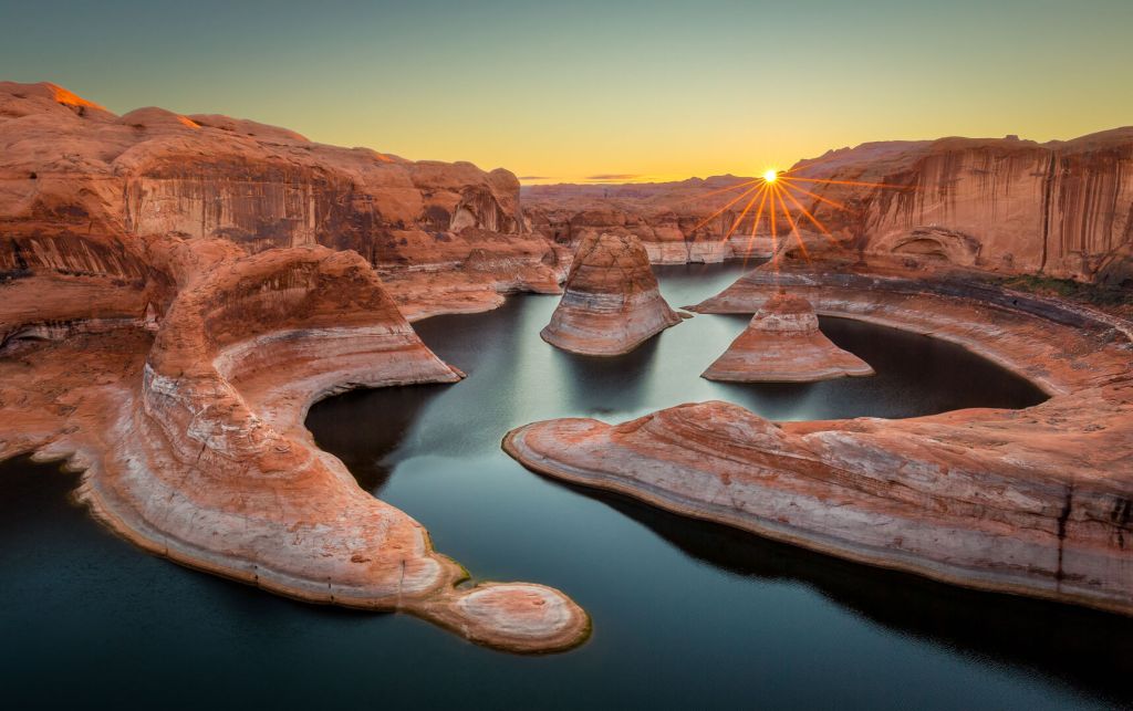
Lake Powell is formed by the waters of the Colorado River, upstream of the dam. Lake Powell has 1,960 miles of winding shoreline when full, which it certainly is not now. Its 186-mile length make it the second largest reservoir in the US. Lake Mead, formed by the Hoover Dam, is the largest.
Construction on the Glen Canyon Dam started on October 20, 1956, when President Dwight Eisenhower pressed a button from the White House, detonating the first powder charge. Construction of the dam cost $155 million. It was formally dedicated by Lady Bird Johnson in 1966.
Following the dam’s completion, Lake Powell began filling on March 13, 1963. It took 17 years for the fill to be completed, a process known as “full pool.” Kind of like filling your swimming pool for the first time. When Lake Powell is full, its elevation is 3,700 feet above sea level. It’s nowhere near that today.
Lake Powell is named after Major John Wesley Powell, a Civil War veteran who successfully navigated the first expedition down the Colorado River through the Grand Canyon in 1869. The lake offers unparalleled recreational opportunities. The Glen Canyon National Recreation Area, which encompasses Lake Powell, is visited by more than three million people a year.
The lake is under considerable stress.
Lake Powell is so low that federal officials have twice taken emergency measures to use water from upstream reservoirs to boost Lake Powell’s declining levels. Plans are underway for the time when Lake Powell falls too low to generate any hydropower. None.
It’s at high risk of being forced offline if the lake’s level drops below 3,490 feet above sea level. In late 2022, the water level was around 3,525 feet, leaving it only 24 percent full.
The 3,490-foot mark is a critical threshold. There’s significant uncertainty – and concern – about what happens when the water level gets that low.
Complicating matters are ongoing talks on allocation among the seven states on the Colorado River, the source of Lake Powell’s waters. The Colorado river basin is governed by a centuries-old agreement that allocates more water than flows through the river, and the federal Bureau of Reclamation has called on states to reduce water use by two million to four million acre-feet.
Just a few weeks ago, in a deal brokered by the federal government — Arizona, California and Nevada agreed to take less water from the Colorado River. The agreement, announced May 22, calls for the US government to pay about $1.2 billion to irrigation districts, cities and Native American tribes in those three states — if they temporarily use less water. The conservation plan runs through 2026, when negotiations will have to begin all over again.
Last year, the Bureau of Reclamation, which operates the dams, released about 500,000 acre-feet of water from the Flaming Gorge Reservoir, which increased the Lake Powell water level by about 16 feet. Experts say this can’t be a sustainable, long-term solution. Something about robbing Peter to pay Paul, hydrologically.
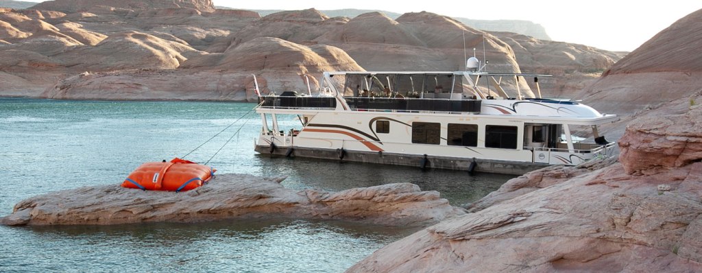
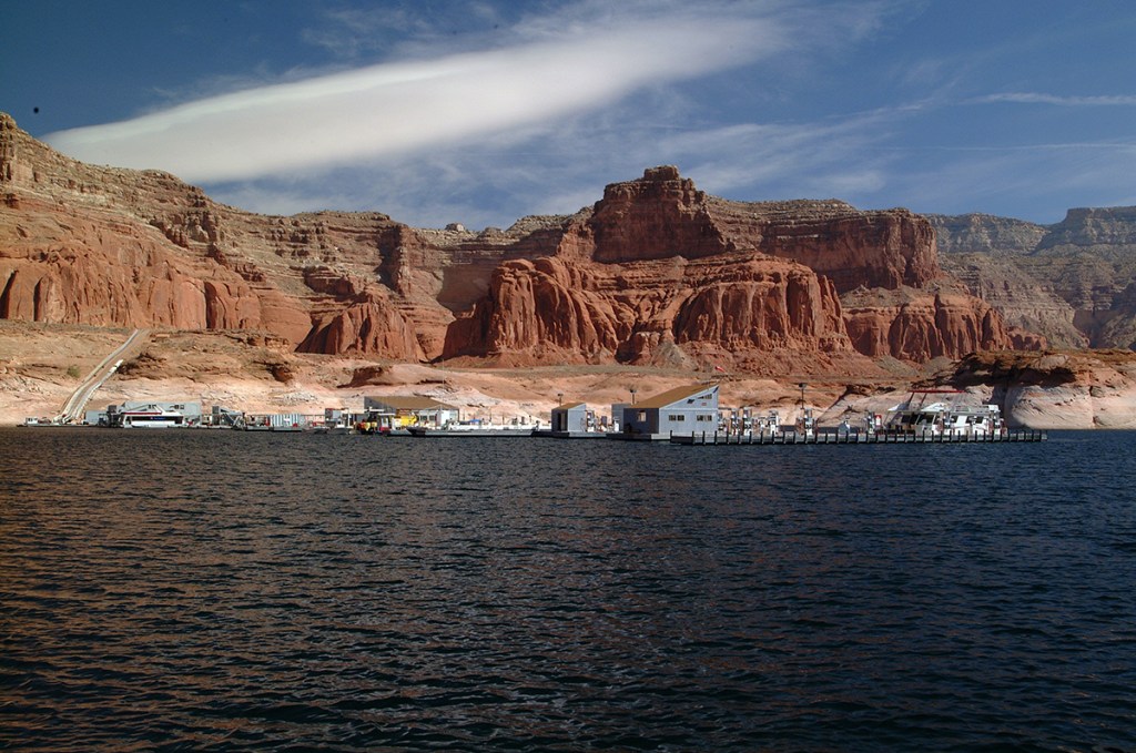
Since 2001, declining water levels due to climate change and 20 years of drought have reshaped Lake Powell’s shoreline. Low water has closed a number of marinas and boat launch ramps. The huge houseboat tourism industry is in trouble. Miles of Lake Powell are drying mudflats. Houseboats are at risk of being marooned. Closed boat ramps have forced some houseboats off the lake, leaving tourists and businesses scrambling.
What is the future of Lake Powell? It’s complicated.
Time to saddle up and move on.
High-end Hospitality
We leave the dam, and eight miles later, we cross into Utah.
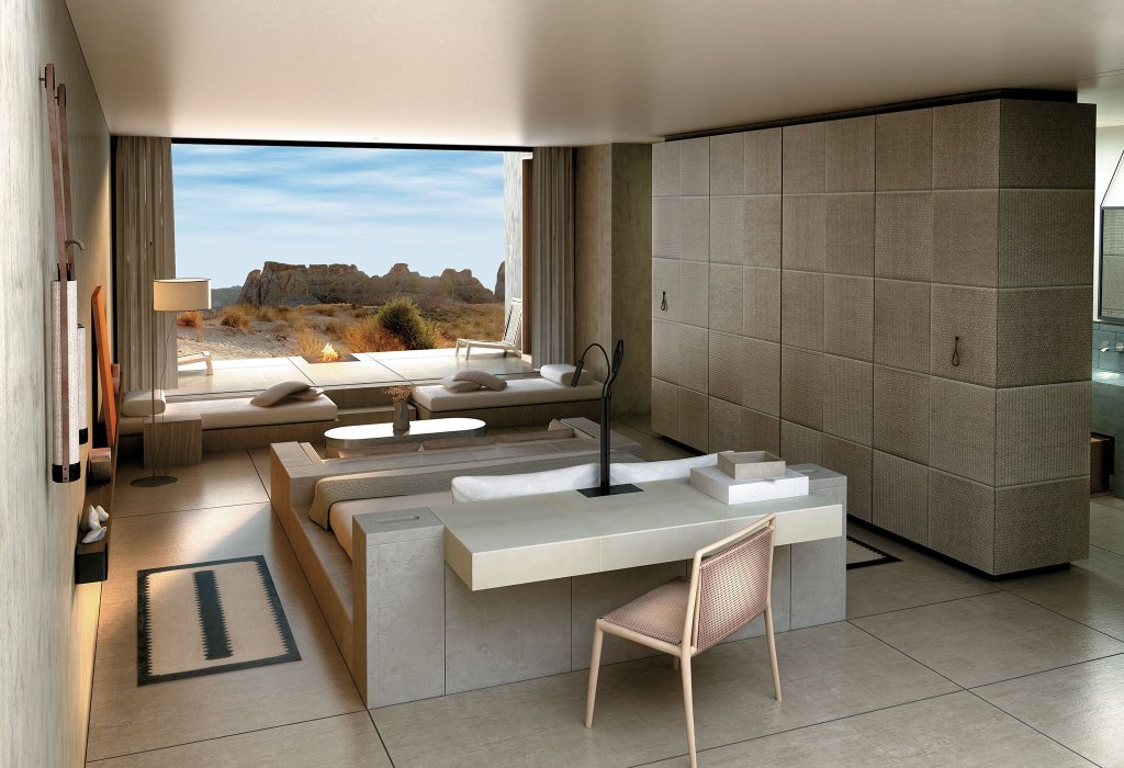
Soon, there’s a barely noticeable turnoff to an other-worldly resort. The Amangiri is tucked away about a half-mile from the highway, un-seen and (for my taste) un-affordable. Opened in 2009, the Amangiri redefines luxury in the Utah desert.
The last three nights, we stayed at the Hyatt Place in Page, a pretty nice place for old guys on Harleys, and their biker babes. But we coulda overnighted at the Amangiri, had we only known it was there.
I checked, and to stay there tonight, the lowest-priced room is $4,000. Per night. That’s not a typo. Apparently, I’m not their target demographic, and neither are the guys (and girls) I’m traveling with. Still, it’s fun to fantasize.
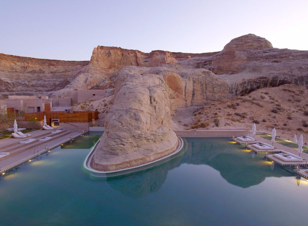
Amangiri is part of a Swiss-headquartered multinational hospitality company. Founded by Indonesian hotelier Adrian Zecha in 1988, the company operates 34 properties in 20 countries. Each location has a small number of rooms, usually less than 55. Many of the properties reportedly have a ratio of six staff to every guest.
The CEO, chairman and owner of Aman Resorts is Vladislav Doronin, born in Saint Petersburg, Russia 60 years ago. He renounced his Soviet citizenship in 1986, and is today a Swedish citizen.
If you live in the Roaring Fork Valley – where Carbondale is located – you may recognize that name. That’s because in 2022, his company paid $76.5 million for an acre – one acre – of land in Aspen. It’s believed he plans to build a hotel on that property. The land purchase generated quite a bit of controversy in Aspen. An Aman hotel on that site would give the current big dogs in town, the Little Nell, the St. Regis, and the Hotel Jerome, some serious competition for bragging rights to Aspen’s highest-priced rooms.
Tonight’s lodging is already arranged. We’re gonna stay in St. George, Utah, at a pretty upscale hotel. Upscale for us, anyway. So a visit to the Amangiri seems unnecessarily over the top.
Next Stop: Kanab
About an hour west is our first stop of the day: Kanab, Utah, which calls itself “Magically Unspoiled.”
Kanab, population 5,000, is surrounded by towering sandstone cliffs and vistas of sagebrush. The town was founded in 1870 when ten Mormon families moved into the area. Kanab is named for a Paiute word meaning “place of the willows.”
Locals refer to Kanab as “Little Hollywood,” because of its history as a filming location for movies and television shows, most of them westerns. Films shot there include Stagecoach, El Dorado and Planet of the Apes (not exactly a Western!). TV shows include The Lone Ranger, Death Valley Days, and Gunsmoke.
You can go to the Little Hollywood Museum, and check out Kanab’s Wild West film history through old movie sets and memorabilia.
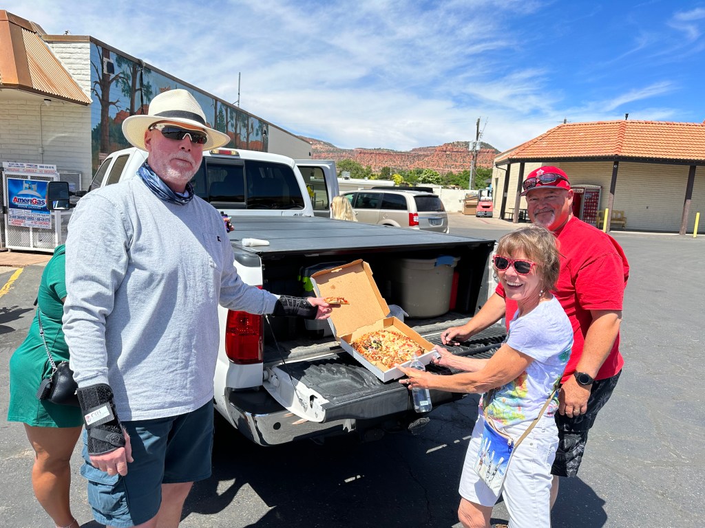
Or, be like us and stop at the Chevron station for gas and drinks.
Heading for Zion
With full tanks, we head northwest on US Highway 89. Seventeen miles later, we arrive in Mount Carmel Junction, the confluence of US Highway 89 and Utah Highway 9. Here, we’re only about 20 minutes from the east entrance to Zion National Park.
From Zion’s earliest days, getting to the park from the east was quite a logistical challenge.
In 1919, a Congressional bill designating Zion National Park was signed into law. In 1923 the task of finding a way to open Zion Canyon from the east side of the park began. That’s where we’re coming from today.
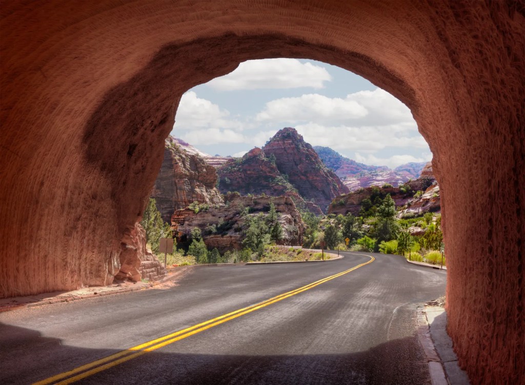
After considering four different routes, construction work on the Zion-Mount Carmel Tunnel and Highway began in 1927. The tunnel was considered quite an engineering feat for the time, requiring boring 5,613 feet through solid rock. Building the road, and the tunnel, presented unique logistical, engineering and design challenges.
The most significant challenge was constructing the 1.1-mile tunnel through the heart of the sandstone cliffs, connecting the new road from the east with the switchbacks to the west.
Four different crews began work on opposite ends of the planned road. On the western side, a Nevada construction company began carving a series of seven switchbacks from the canyon floor up to the sandstone cliffs above. On the east side, where we are now, two crews from companies based in Springdale, Utah, began cutting a road toward the canyon from Mount Carmel Junction. They had to continually blast their way through the sea of sandstone slickrock, which covers six miles of the park’s east side.

Two years and ten months after the project began, the highway and tunnel were ready for tourists. On July 4, 1930, in the early years of the Great Depression, the tunnel and highway were dedicated, linking Zion Canyon to the land east of the park. At the time, it was the longest non-urban tunnel of its type in the US.
Considering the technology and materials available at the time, it’s an amazing accomplishment. The highway and tunnel are listed in the National Register of Historic Places, and the American Society of Civil Engineers designated the structures as a Historic Civil Engineering Landmark. Other structures on that list include the Brooklyn Bridge, the Cape Hatteras Lighthouse, the Eiffel Tower, the Erie Canal, and Machu Picchu.
Calling it Zion
We enter Zion National Park at its east entrance, our third visit to a National Park in the past three days.
Zion is the third-most visited of all the National Parks. In 2022, it had 4.69 million visitors. Only Great Smoky Mountains National Park and Grand Canyon National Park had more.
We’re getting great value from my senior pass, acquired in 2012 for $10. The pass gives me (and passengers along for the ride) lifetime access to US public lands managed by the National Park Service, Fish and Wildlife Service, Bureau of Land Management, Bureau of Reclamation, US Forest Service, and the US Army Corps of Engineers. It may be the best deal, ever. Getting old, and being old, has its privileges.
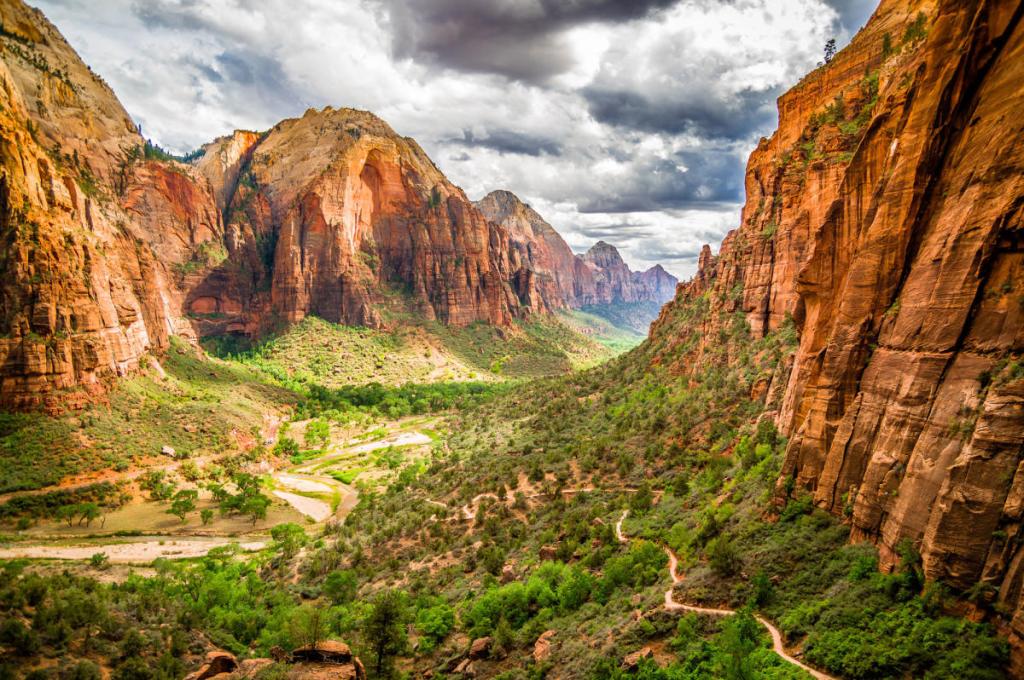
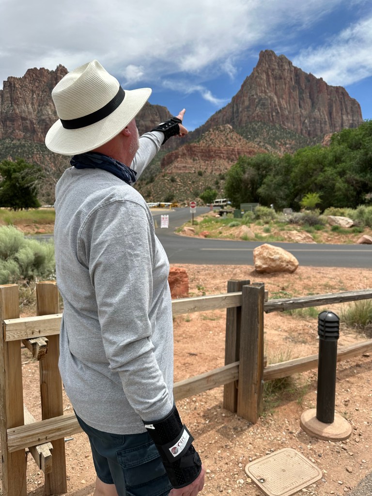
For the next 20 miles, we snake our way through Zion Canyon, in the heart of Zion National Park. The canyon is the most prominent, and the most photographed feature in the 229-square mile park. With Navajo sandstone walls up to 2,640 feet high, the canyon stretches for 15 miles. The six-mile road through the canyon is brilliantly designed, allowing us to appreciate nature’s work, millions of years in the making. It’s known as Zion Canyon Scenic Drive; to call it scenic is an understatement. I’ve been here a half dozen times, and it never gets old.
Like much of Utah, the area we know today as Zion National Park was first visited by Mormon pioneers, missionaries and explorers. They originally established a Southern Utah footing in the Cedar City area, then expanded all the way to the southern desert region near what was eventually called the Virgin River and Zion Canyon.
The early white settlers were astounded at the beauty of the towering cliffs and slot canyons that are now part of the national park. A Mormon pioneer named Nephi Johnson and a Paiute guide ventured into the main canyon to see if the land could be farmed. When Johnson returned with good news, early Mormons established a settlement in the 1850s
Naming the area Zion is credited to one of these early settlers, Isaac Behunin. Zion is a Biblical word that is prominent in the Mormon lexicon. It refers to a place of spiritual sanctuary. To the Mormon people, Zion symbolizes an eventual religious utopia and a final gathering place in the last days. Behunin once said of the area, “A man can worship God among these great cathedrals as well as he can in any man-made church; this is Zion.” The word Zion originally comes from the Bible, referring to Mount Zion in ancient Israel.
While the locals latched on to the name Zion, the park’s name was originally Mukuntuweap, meaning “straight canyon,” given by explorer John Wesley Powell as he believed it to be the Paiute name for the area. In the summer of 1909 US President William Taft declared the area as federally protected and officially named it Mukuntuweap National Monument, deciding to go with the Paiute name, rather than the one chosen by Utah’s early pioneers. That didn’t sit well with the locals.
In 1918, after nearly a decade of grievances, the assistant director of the recently-formed National Park Service visited the canyon and proposed changing its name from the locally unpopular Mukuntuweap to Zion. A year later, the word “Monument” was replaced with “Park,” and voila – you have Zion National Park.
Glamping on Kolob Terrace Road
It’s around noon, as we roll into Springdale, just outside the western entrance to the park. With little more than 500 residents, Springdale seems much larger than that. More than four million visitors come to Zion National Park every year, and nearly all of them roll through Springdale. The town has restaurants, hotels, and outdoor equipment shops to meet every imaginable price point.
Ten miles after Springdale, we arrive in the town of Virgin, population 600. Virgin is located along the Virgin River, for which it’s named. It’s believed the river was named “La Virgen” by Spanish Catholic missionaries, in honor of the Virgin Mary.
Virgin offers the entry point to our final adventure of the day: exploring the Kolob Terrace.
We turn north on Kolob Terrace Road, and follow it for 20 spectacular miles until arriving at the Kolob Reservoir. The reservoir is a good turn-around spot for many reasons, not the least of which is that the road is not paved beyond the reservoir
The 20-mile journey to the reservoir takes nearly an hour, which should tell you something. It’s steep, and extremely twisty – including a marked five-mile-an-hour hairpin turn.
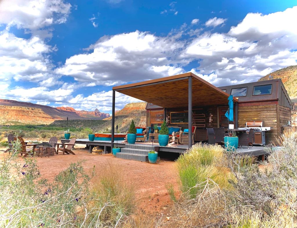
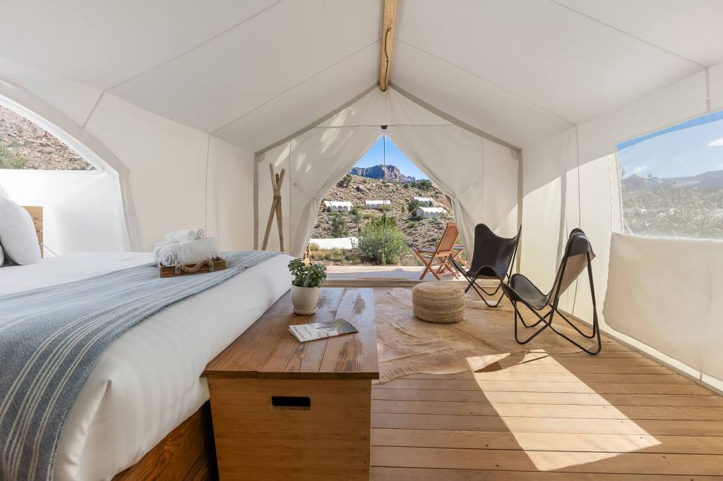
Along the way, we enter and exit the park several times, but there are no formal park entrances on the road. Kolob Terrace Road seems to be Utah’s glamping capital. Glamping – you know, glamour camping – where nature meets luxury. We pass by quite a few glamping resorts, where you can easily pay $600 a night or more to stay in a tent or tiny home.
There’s Open Sky, whose brand is “Be of Nature … Indulge in Life.” Their Desert Rose Luxury Camp sleeps two, and was available tonight – last time I checked – for a cool $698.35, taxes and resort fee included. For $65 dollars more, you can upgrade to include their Birthday Package – room decorations, candles, flowers, and a greeting card.
Or, you can try Zions Tiny Oasis, a tiny home resort, where you can enjoy the King Solomon Tiny House for $1,103.54 a night, taxes and fees included. If that doesn’t float your boat, three other tiny homes are on site, and each can be rented for about $565 a night.
Still shopping around? Try Under Canvas Zion, where your night in a Deluxe Tent will set you back $561, including tax and resort fees, of course. Under Canvas Zion calls it “upscale glamping.” Is there any other kind?
Finally, there’s the Lazalu Zion Retreat, whose brand is “Hard to Find, Harder to Forget.” You can have a night at Lazalu’s Zion Suite for $640, including taxes, cleaning fee and service fee. Lazalu calls itself “off the grid and green.”
Kolob Terrace Road is loaded with glamping opportunities. And it’s a great hour-long Harley adventure. The road is the least travelled of the main roads through Zion National Park. The elevation on Kolob Terrace Road ranges from 3,550 feet in Virgin, to more than 8,100 feet. It offers spectacular views and vistas. Kolob Terrace Road is the least visited part of the park, and its best-kept secret.
By now, you may have wondered about the word, “Kolob.” It comes from the Book of Mormon and is used to describe the star nearest the throne of God in Abraham 3:3, signifying a high and exalted place. Kolob is the star that governs all the others. Either you believe, or you don’t. That’s how our Mormon friends describe it, anyway,
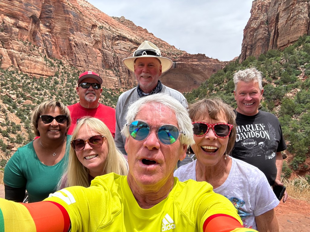
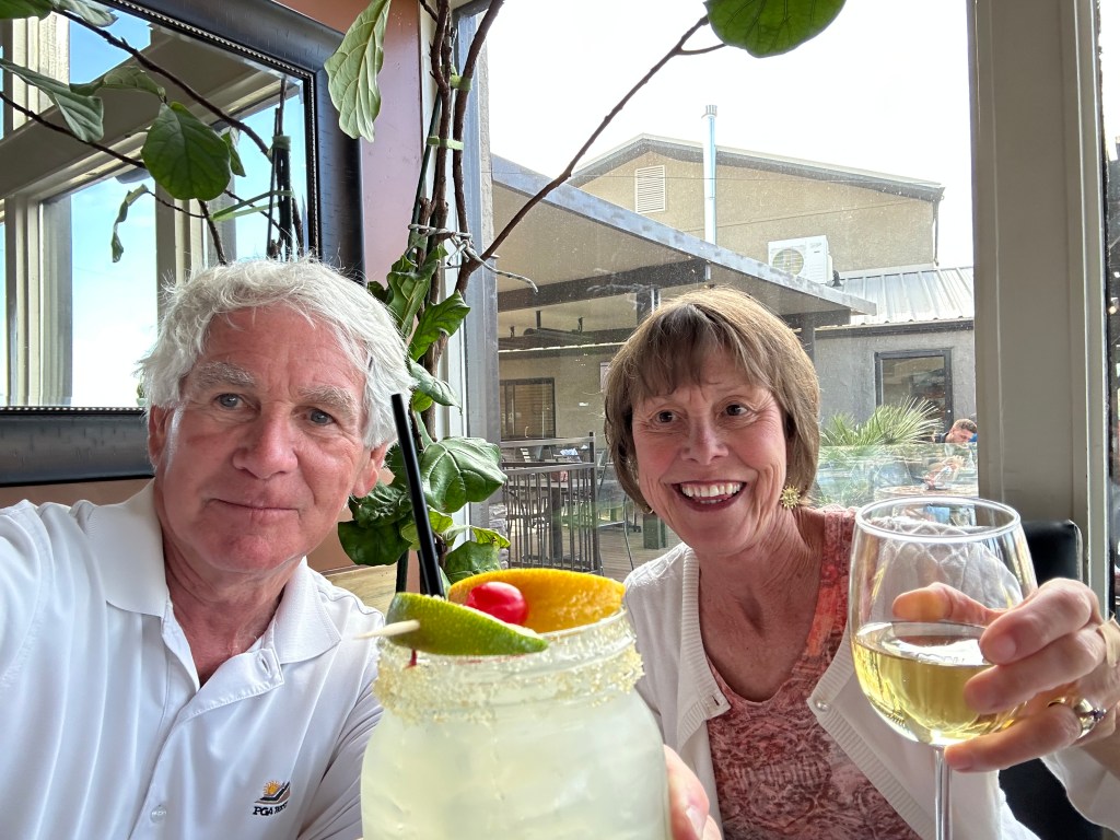
Last Night with the Girls
Following an R & R break at the Kolob Reservoir, we turn around and head back toward Virgin. Utah Highway 9 takes us through La Verkin and Hurricane on our way to St. George, tonight’s destination.
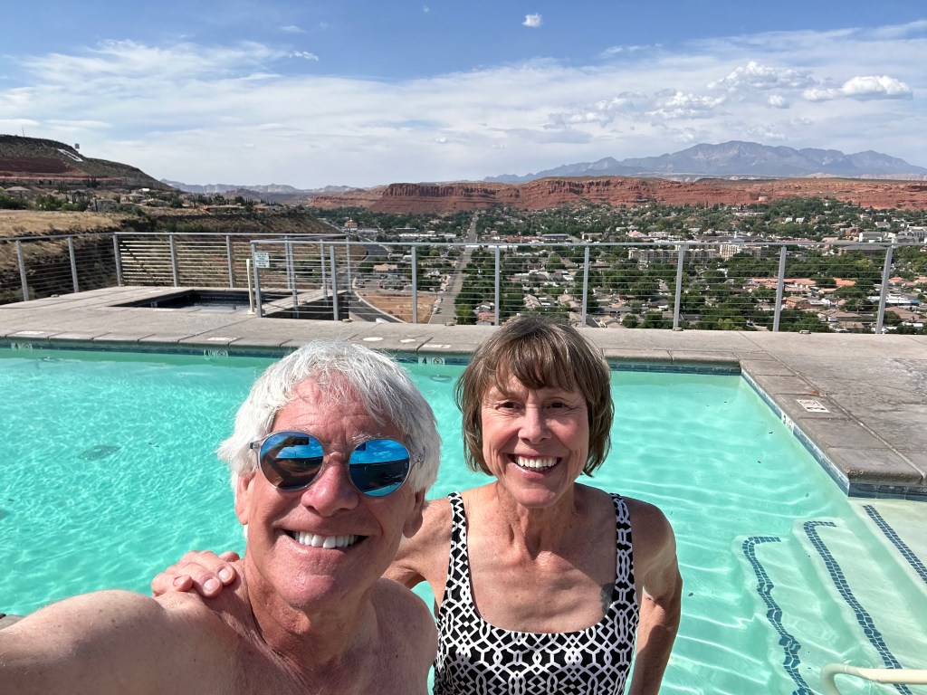
As we roll into St. George and check in to the Inn on the Cliff, it’s hard to believe today’s ride only covered 206 miles. I check my odometer, and that’s exactly what it was. Two oh six.
Tonight is a last supper, of sorts, for our co-ed posse. Tomorrow, Sarah catches a flight from St. George to Aspen. Gail and Dave jump in the F-350, and head back to their home in southern Nevada.
Beginning early tomorrow morning, the rest of the trip will be a guys-only, testosterone-fueled journey you can read about for the next two weeks. Hanging with the girls was fun, while it lasted.
***
The Day in Review:
Click here to see today’s complete route from Page, Arizona to St. George, Utah – via Zion National Park.
Today’s Takeaways:
- Water crunch in the west.
- $4,000 a night? Anything’s possible.
- Glamping in Kolob Terrace.
Today’s Trivia: St. George – How to Sustain Growth?
With a 2023 population of about 101,000, St. George is the largest of all the towns founded during the Mormon Church’s Cotton Mission of 1861. When the Civil War broke out, Brigham Young was president of the Mormon church, a position he held for 29 years, beginning in 1847. Young thought it would be necessary to raise cotton, if possible, during the Civil War. His idea was for the church to produce enough cotton to supply its members’ needs for clothing. Church members were told that the Cotton Mission should be considered as important to them as if they were called to preach the gospel.
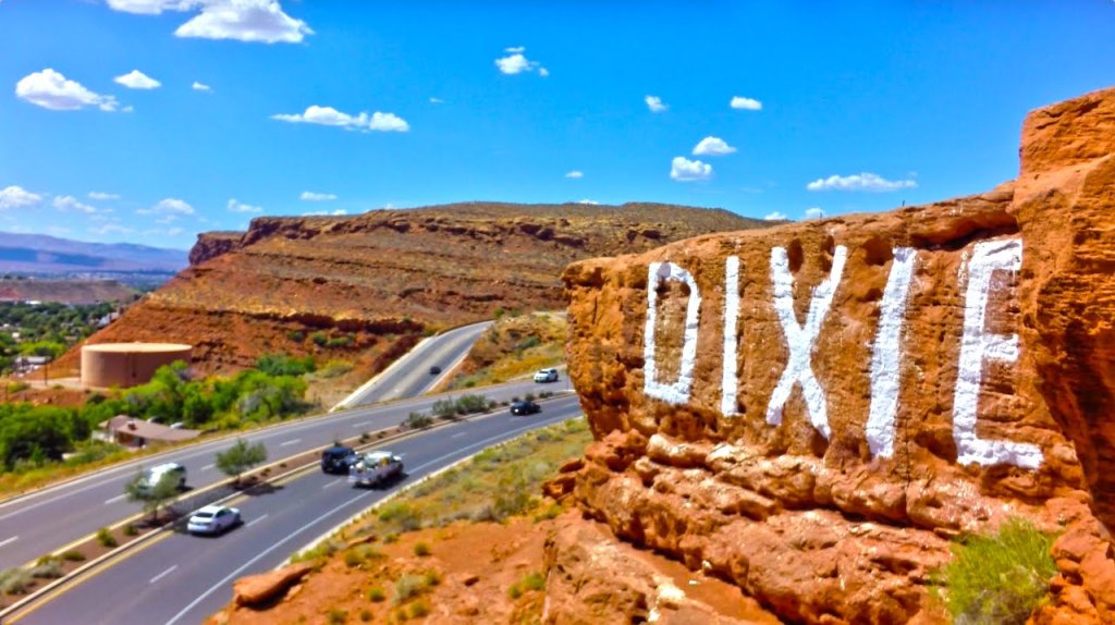
Many of the early settlers of St. George originally came from the southern states, converts who were familiar with cotton, but not irrigation. They came to the “Cotton Mission” to grow cotton, but they also brought with them a phrase for the area which has become widely adopted – they called the St. George area “Utah’s Dixie.”
Its southern Utah climate was conducive not just for growing cotton, but for agriculture of all sorts. In 1950, St. George was a sleepy little community of about 4,500. By 1990, its population had exploded to more than 28,000. Sunny days, comparatively inexpensive living, and an economic opportunity based around tourism and recreation have helped the area grow like, well, cotton. Oh, and Mormons do reproduce like rabbits. They believe in a commandment to strengthen the family by multiplying and replenishing the earth (Genesis 1:28).
St. George and surrounding Washington County, two hours northeast of Las Vegas in Utah’s hottest and driest corner, was once known mostly as the gateway to Zion National Park. Now, its stunning landscape is drawing droves of retirees and remote workers from northern Utah and beyond. The county’s population of about 180,000 is expected to more than double by 2050 — even though its single water source, the Virgin River basin, is dwindling as the West remains locked in the worst drought in 1,200 years.
According to the US Census, St. George is the fastest-growing metro area in America. The area seems to add, on average, about 10,000 new residents every year.
Which makes one wonder: do you control the growth, or let it continue unabated, and search for more water?
St. George Mayor Michele Randall says of all the issues facing her rapidly growing city, it’s water that “keeps me up at night.” Utah has long pushed for a 140-mile pipeline from Lake Powell, the massive Colorado River reservoir, to pump water to the St. George region. But given the lake’s plummeting water levels, Randall said she has no hope for a pipeline in her lifetime (she’s 55).
To help address the water issue, the St. George City Council is being thoughtful and creative. The council has adopted limits on grass at new homes and a ban on ornamental grass at new non-residential buildings. Those measures are expected to save 11 billion gallons over the next decade. Also being considered: fees for high water users and a turf buyback program. Mayor Randall calls these “baby steps,” and says suggestions of limiting growth go nowhere in an economy where 30 percent of it is attached to the building industry.
The million-dollar question: will St. George have enough water to sustain its nearly unstoppable growth?
Oh, the St. George name? The town was named in honor of George A. Smith, an early Mormon Church apostle and first counselor to Brigham Young. Smith was known as the “Potato Saint” because he urged early settlers to eat raw, unpeeled potatoes to cure scurvy. That’s where the “Saint” in St. George comes from. Smith did not participate in the town’s settlement, but in 1861, personally selected many of the pioneers who originally settled the area.
Saint George. The Potato Saint.
And now you know.

Gary,
Great to see you and Sara enjoying yourselves. Wished I had gotten your blog earlier. It was forwarded to us from Kim Cox. Pat and I left PGA West in March and bought a home in St George. Would of loved to see you. We enjoy Cliffside often. Travel safe and maybe next time.
LikeLike
Sara, Looks like you are having fun! Let us know when you get back and settled in, when you want to chat.
Jim & Kim
LikeLiked by 1 person
Sarah you are a good sport! I enjoyed tracking you and Gary! Thanks for the great ride…..
LikeLike