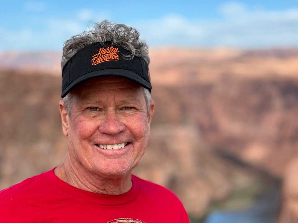
After yesterday’s visit to the Grand Canyon South Rim, today we explore the canyon’s other rims. Yes, there’s another rim that’s part of Grand Canyon National Park – the North Rim.
And unofficially, there’s an East Rim. That’s where our day begins.
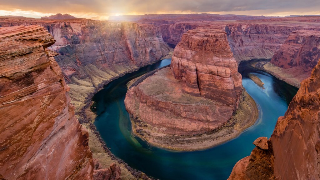
Horseshoe Bend: Worth a Look
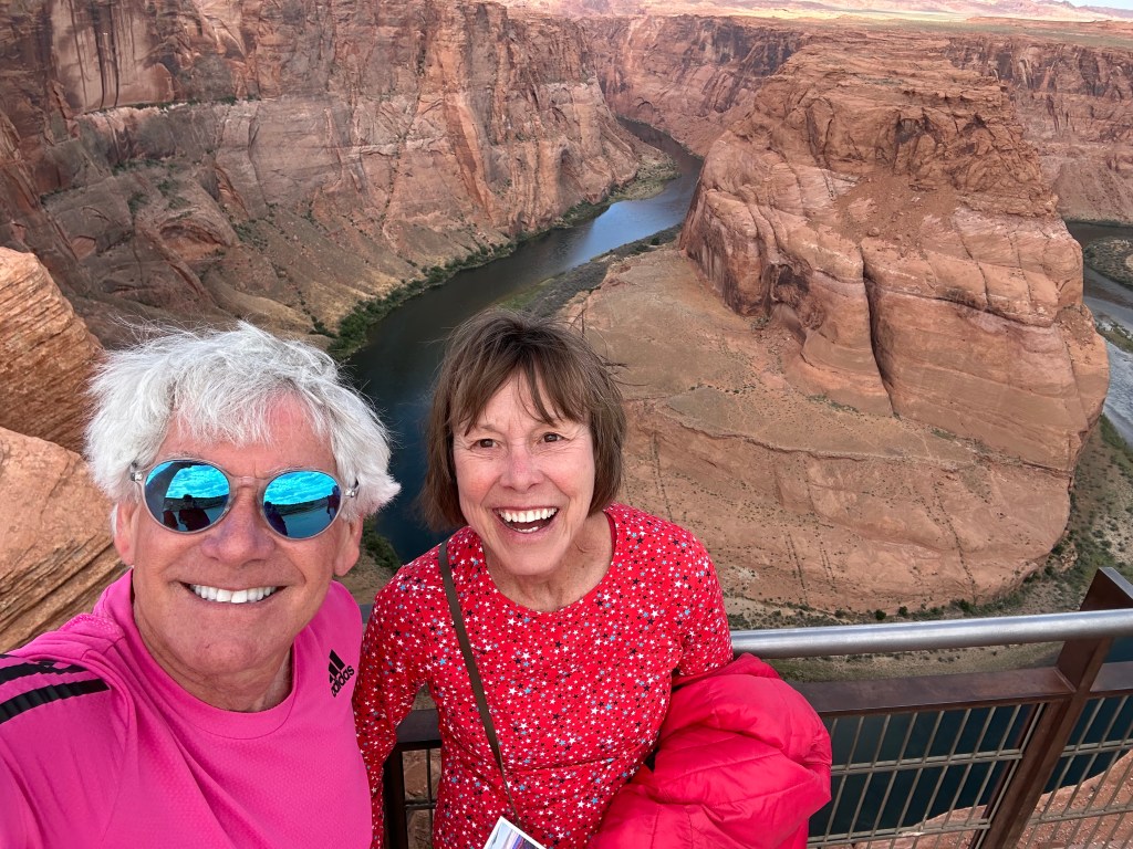
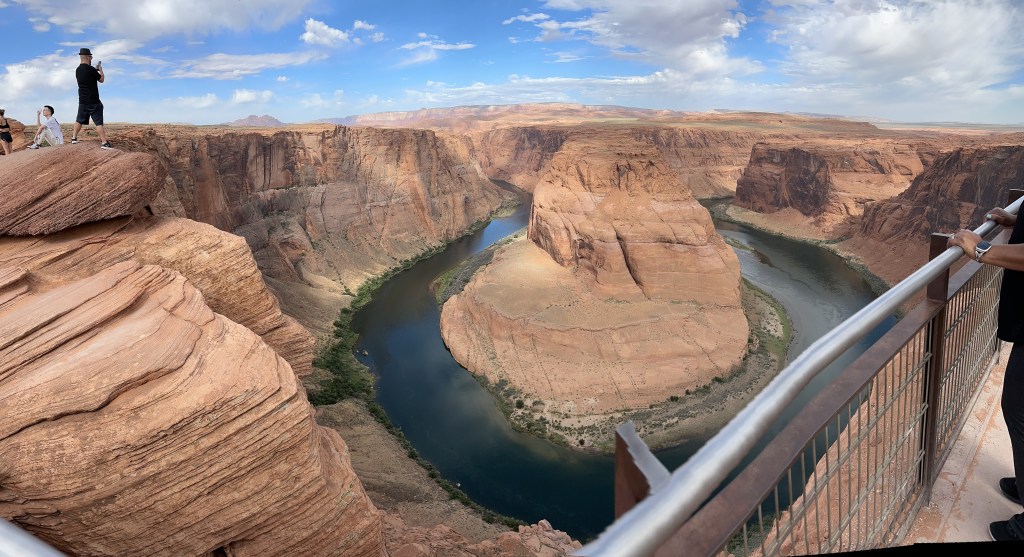
Five minutes south of our morning gas stop, we see signs for the Horseshoe Bend Overlook Parking Lot. Sounds promising. Not the parking lot. The overlook.
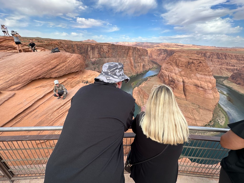
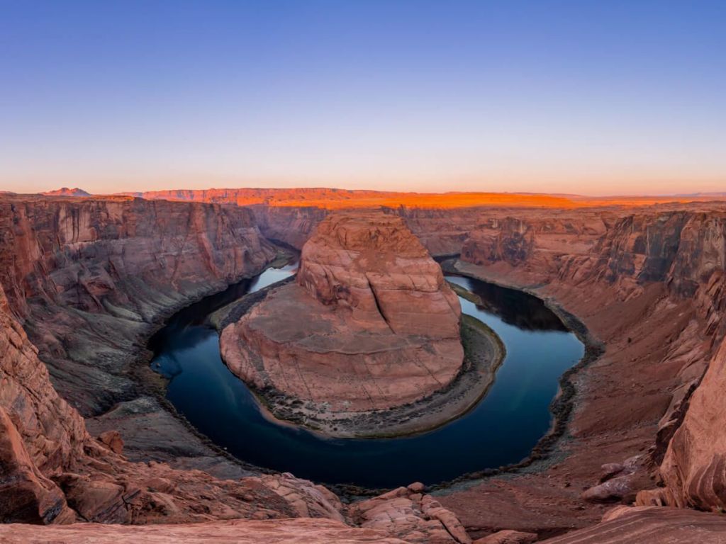
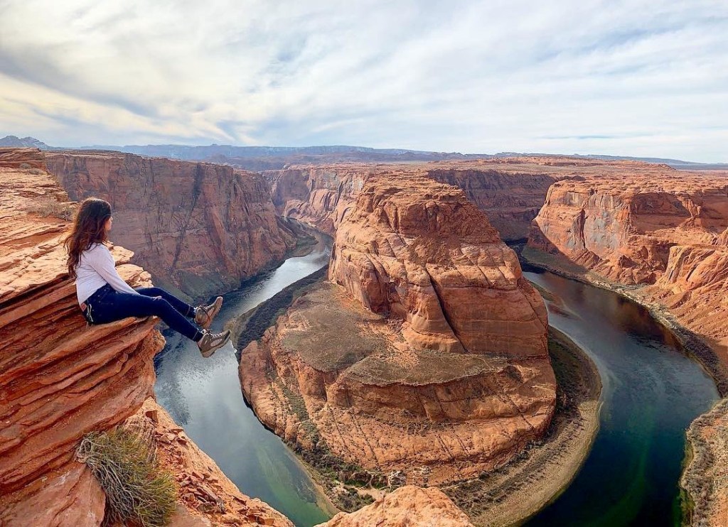
Horseshoe Bend is probably the most photographed location on the Colorado Plateau. About two million visitors come here each year, often in search of the perfect pic. Many time their visits for sunrise or sunset photography.
Sunrise at Horseshoe Bend today was at 5:07 am. We missed it. By a mile. This is a leisurely Harley trip. We’ll get here when we get here. Relax.
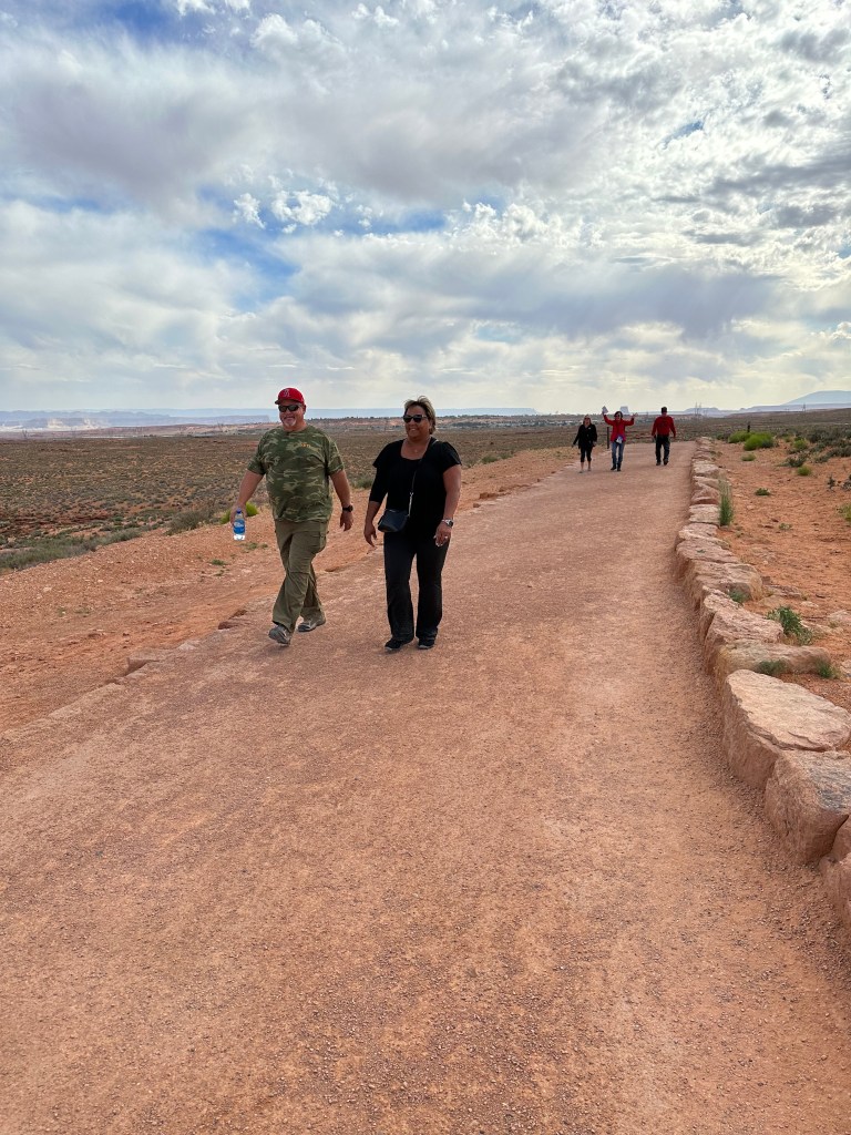
We pay our $5 parking fee – motorcycles are half the price of passenger vehicles – put our kickstands down, and begin the 15-minute walk to the Horseshoe Bend overlook. It’s about 1.5 miles round-trip to the overlook – out and back. Mostly flat. Let’s get started.
A geologic masterpiece sculpted by the Colorado River, Horseshoe Bend is an example of what happens when water takes the path of least resistance. Approximately five million years ago – or what a geologist might describe as “just the other day” – the Colorado Plateau abruptly uplifted. The rivers that flowed across this ancient landscape were suddenly trapped in their beds. Seeking a new natural level, with the help of gravity, the Colorado River began cutting through rock layers deep and fast.
For you geology fans, Horseshoe Bend is made up of three rock layers: the bottom is Kaibab Limestone, the middle is Coconino Sandstone, and the top is a layer of Hermit Shale.
Here at Horseshoe Bend, an unstoppable force met an immovable object, namely, a sandstone escarpment. Since this rock formation wasn’t going to budge anytime soon, the river did the most logical thing it could: it went around it. The result is a 270-degree bend in the river, called an “incised” or “entrenched meander.” The river bends back on itself, resulting in the characteristic horseshoe shape.
Horseshoe Bend is often referred to as the “eastern rim of the Grand Canyon.” The iconic bend in the river is not part of the Grand Canyon National Park, though the Colorado River that passes through Horseshoe Bend is actually part of the Glen Canyon National Recreation Area.
The overlook is 4,200 feet above sea level, and the Colorado River below sits at 3,200 feet, making it a 1,000-foot drop. Every year, you can expect to hear about selfie-seeking tourists falling to their death. Much of the rim is unprotected, leaving thrill-seeking photographers to discover the fine line between adventure and stupidity.
Navajo Bridge at Marble Canyon
Leaving Horseshoe Bend, we head south on US Highway 89, as we did yesterday. But today, our destination is the Grand Canyon’s North Rim.
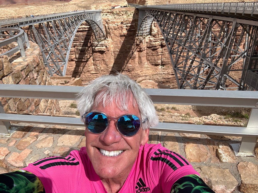
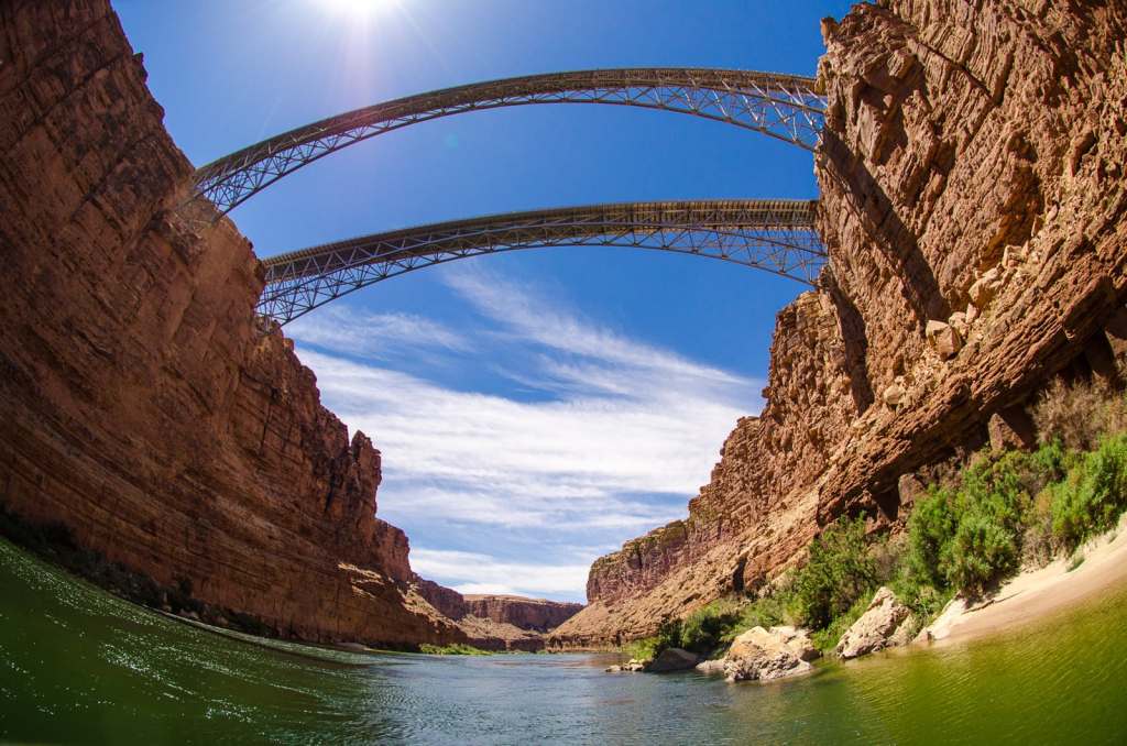
So, at the tiny native village of Bitter Springs, we turn north onto US Highway 89A and begin the three-hour journey to the “other” Grand Canyon. About 15 miles from Bitter Springs, we cross the Colorado River at Marble Canyon on the Navajo Bridge. The bridge is 467 feet above the river.
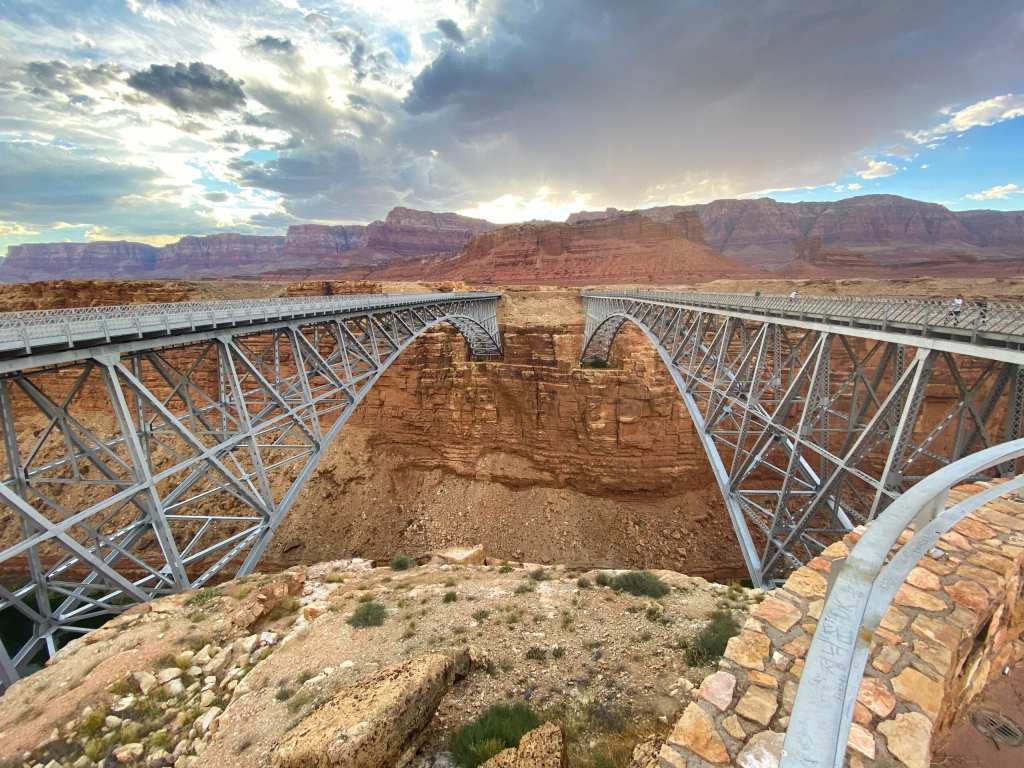
The original bridge across the Colorado River was built in 1929. Nearly 7,000 people attended the grand opening. It was cause for celebration, because until that time, you had to travel 800 miles around the canyon to reach the other side of the river.
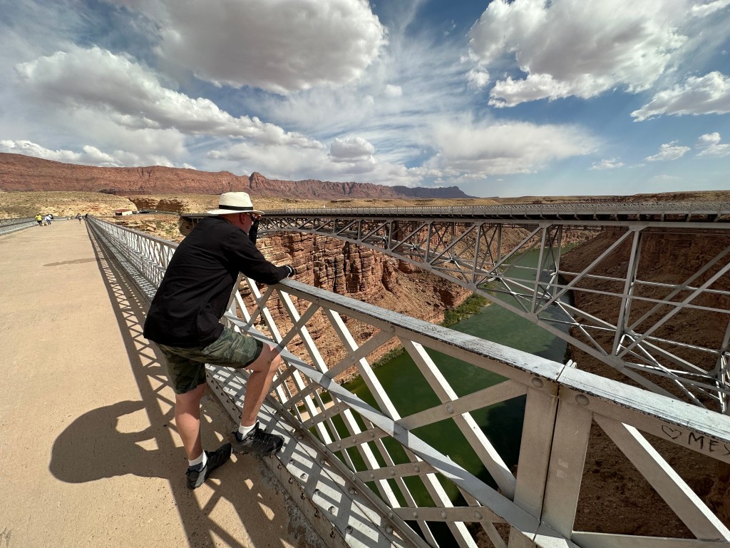
This 18-foot-wide bridge served the area well for 66 years, but as cars and trucks became larger, wider and heaver, the need for a stronger, wider bridge became apparent. Construction on a new, 44-foot-wide bridge began in 1993. Two years later, it was completed, and the new Navajo Bridge was christened with a bucket of Colorado River water.
The historic bridge still remains, and is used for pedestrian traffic only. It even comes with a sign that says, “No Jumping From Bridge.” Seriously?
The 1929 bridge cost $390,000 to build; the modern bridge came in at $14,700,000. Times change.
This area is generally acknowledged as the start of the Grand Canyon. Marble Canyon also marks the western boundary of the Navajo Nation. The name Marble Canyon is really a misnomer, as there is no marble here. Although John Wesley Powell knew this when he named the canyon, he thought the polished limestone looked like marble.
Nearing Jacob Lake
As we leave Marble Canyon and continue our journey toward the Grand Canyon North Rim, we ride along the Vermilion Cliffs National Monument. The monument is a 280,000-acre treasure with many diverse landscapes, including the Paria Plateau, Vermilion Cliffs, Coyote Buttes, and Paria Canyon. The monument borders Kaibab National Forest to the west and Glen Canyon National Recreation Area to the east.
Most roads within the National Monument need a high clearance, four-wheel-drive vehicle, due to deep sand. Not much of an attraction for Harleys.
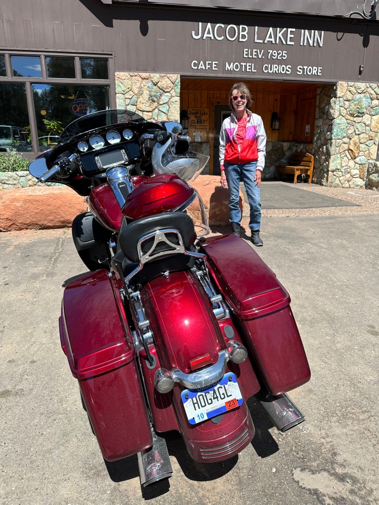
Our next stop is Jacob Lake, the last civilization before approaching the Grand Canyon National Canyon’s North Rim. A steep, winding road bring us to the Jacob Lake Inn, which calls itself the Gateway to the North Rim. It’s known as the gateway because it’s the starting point of Arizona Highway 67, the only paved road leading to the North Rim, about 44 miles to the south.
Jacob Lake was named for Jacob Hamblin, an early Mormon pioneer. He was shown the location in the late 1850s by the Kaibab band of Southern Paiutes, who spent their summers there. Today, Jacob Lake consists of a motel and cabins, a general store, a gas station, and a US Post Office (ZIP code 86022). The complex sits at roughly 8,000 feet, in a large ponderosa pine forest that’s part of Kaibab National Forest.
After a break at the Jacob Lake Inn, we press on toward the North Rim. We’re now on Highway 67, also known as the Grand Canyon Highway. Thirty miles later, we arrive at the entrance to the park. The actual rim of the Grand Canyon is an additional 14 miles south of the park entrance.
A few miles before entering the park, we pass by Kaibab Lodge, built in 1926 and 1927. It’s somewhat spartan, with old-school cabins, and calls attention to that feature in its marketing: No TVs or phones in the rooms, no WiFi on site, but there is a large selection of board games available. That’s a nice journey back in time.
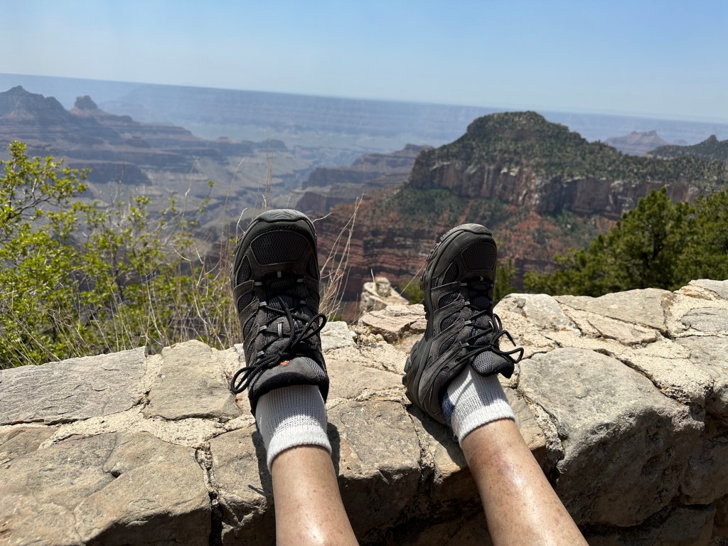
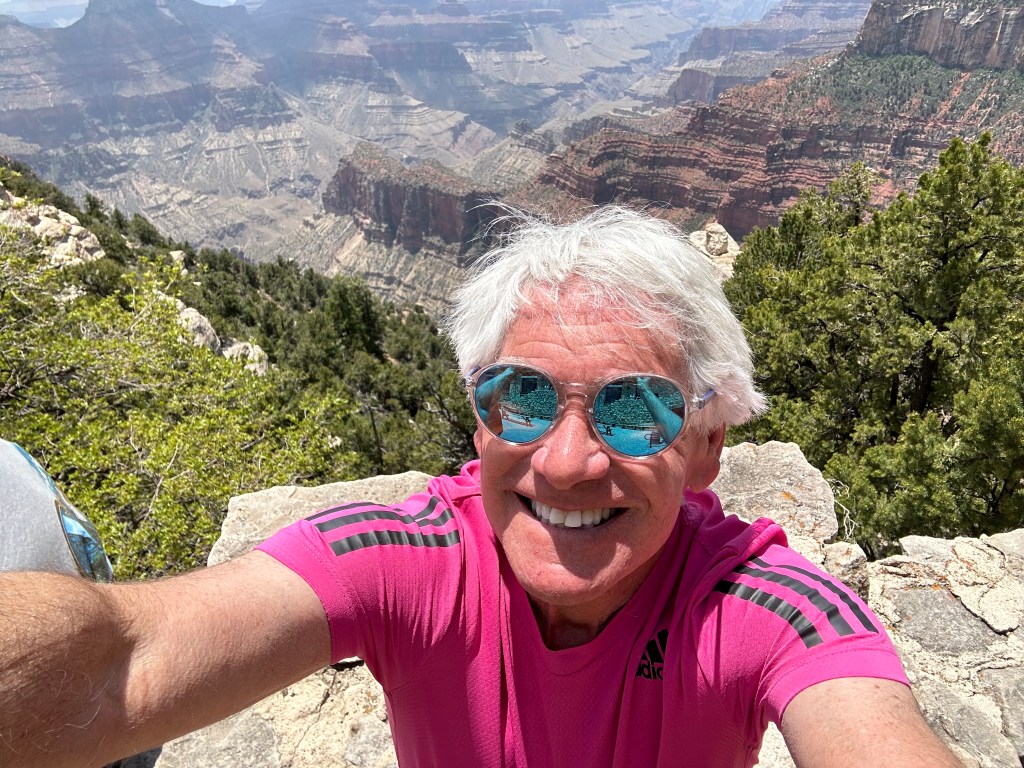
North Rim: A Quieter Alternative
The South Rim, which we visited yesterday, sees far more tourist traffic than the North Rim. By comparison, the North Rim seems quieter, cooler, less congested, and less discovered. Because of its 8,300-foot elevation, the North Rim’s temperatures are more moderate.
Unlike the South Rim, which is open year-round, the North Rim is closed in the winter. The Road to the North Rim is generally closed from December 1 through May 14. Technically, the park remains open during this time for snowshoers, backpackers, and cross-country skiers, but this requires parking 45 miles away at Jacob Lake, and securing a backcountry permit in advance.
Of the five million people who visit the Grand Canyon each year, only about 12 percent ever make a trip to the North Rim. It’s just that much more remote, and difficult to access.
But we’re here. Let’s explore.
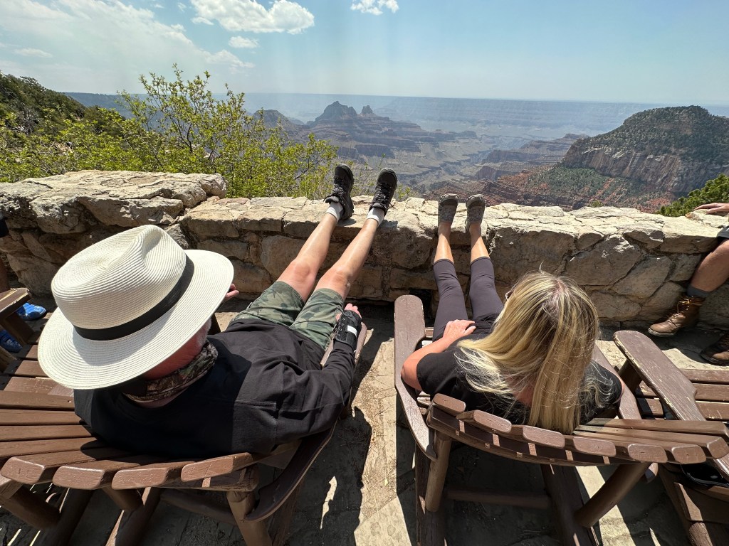
We leave the North Rim, relaxed, recharged and invigorated.
It’s about a two and a-half hour ride back to Page. We’ll take the same route as we did earlier today, just in reverse.
About an hour to Jacob Lake. Rest.
An hour and a-half past the Vermillion Cliffs, over the Navajo Bridge, and on to Page. Call it a day.
Tomorrow will be the finale for our co-ed posse. There’s another national park in our future. Should be spectacular.
***
The Day in Review:
Click here to see today’s complete route from Page to the Grand Canyon North Rim, and back to Page.
Today’s Takeaways:
- Meandering into a horseshoe.
- Two Navajo Bridges. No jumping, please.
- North Rim. Less congested, less discovered, more fun.
Today’s Trivia: Horseshoe Bend Photo Tips
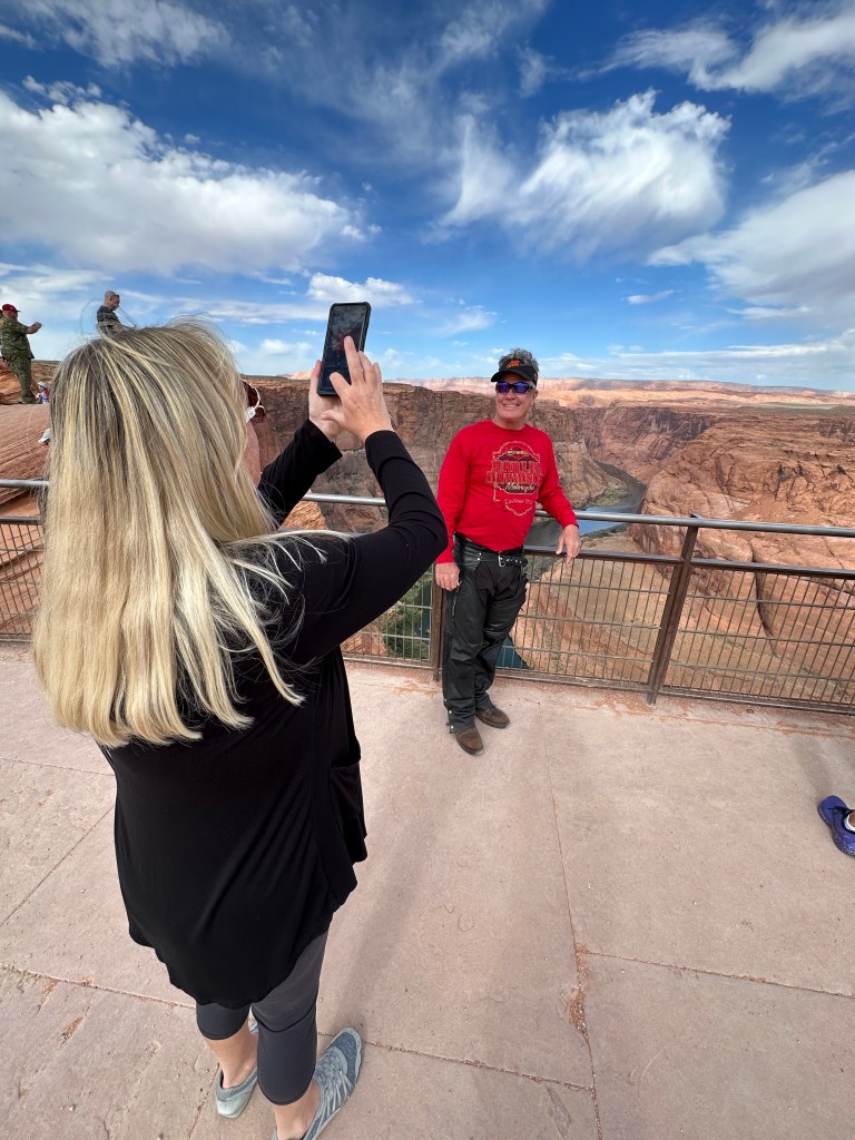
People come from all over the world to see Horseshoe Bend. Many want a photographic keepsake.
The pictures we’ve all seen show Horseshoe Bend in its most beautiful light. But it isn’t easy to capture that one-in-a-million shot.
Want some tips on snapping that best-ever, postcard-worthy photo? You’ve come to the right place. This one’s for you, Tricia.
Time of Day: Serious photographers target sunrise or sunset. If today was your visit, you’d time your arrival for a 5:07 am sunrise. If you want to grab a sunset shot tonight, that’ll happen at 7:43 pm.
Sunrise Tips: It’s far less crowded at sunrise. Golden hour with soft light before sunlight touches the sandstone rocks can be stunning. Once the sunlight hits the distant sandstone, the light is deep red and beautiful. If you’re lucky enough to have clouds in the sky, a rarity here, the clouds can enhance your images. At sunrise, the best light lasts for maybe 30 seconds after the sun hits the back walls of the Vermillion Cliffs. Hey Jack — be nimble.
Sunset Tips: Sunset at Horseshoe Bend is a swarm of activity. You won’t be alone. You’ll be shooting directly west into the sun, giving you a stunning orange and yellow sunset. The colors of sandstone turn from sun-washed yellow to cool and soft oranges. Expect to hear the crowd cheering as the sun sets on the distant horizon. Try to capture the very last rays of the day.
Where to Set Up: There’s a viewing platform, with a protective railing to keep you from plunging 1,000 feet to the Colorado River. The platform takes up only a small amount of the real estate on the rim, and better perspectives of Horseshoe Bend are available – if you don’t restrict yourself to this spot, where 99 percent of the images are taken.
Choice of Lenses: A 14-16 mm wide-angle lens on a full-frame camera will let you capture the whole panorama in a single frame. A fisheye lens can be helpful, as well. If you don’t have a wide lens, or if you want a super high-resolution image, you can stitch together a panorama in Photoshop. If you don’t have a stand-alone camera, the newer iPhone 14s have 24 mm wide-angle lenses.
Use a Tripod: If you’re coming for sunrise/sunset photography, use a sturdy tripod with a quick-release cable, timer, or remote. This will help avoid camera shake.
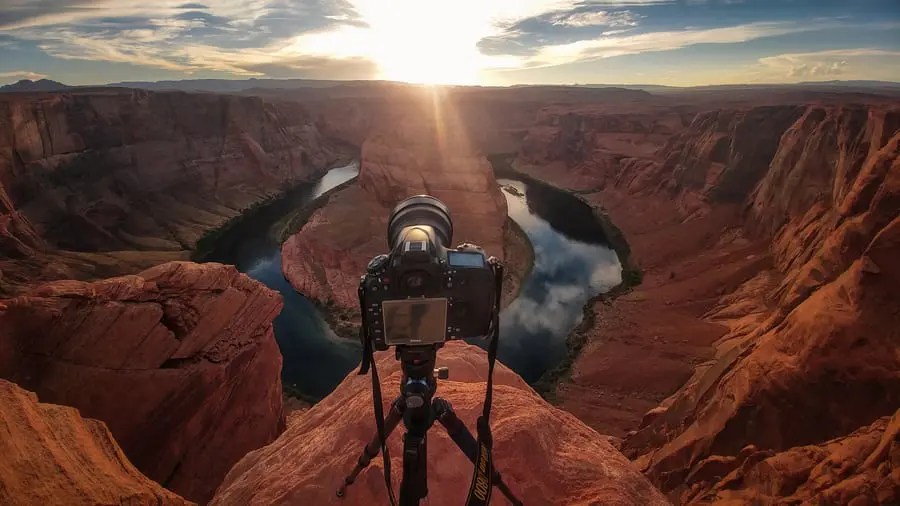
Use a Polarizer: Depending on time of day and the weather, you might get a lot of glare reflecting off the water, so if you have a polarizer, use it. The polarizer can tame the reflection, and make the colors pop.
Use the “Finger Filter.” Try using your finger or hand to block out the brighter parts of your image, so you don’t get crazy lens flare.
Avoid the Crowds: Try visiting in the off-season (winter). You’ll be happy you had fewer people jostling for the best camera positions.
Power to the People: Speaking of people, try to get a human in your shot. It’ll help to provide a sense of scale, and give an idea of how huge Horseshoe Bend really is.
And, now you know.
***
p.s. here’s what an amateur photo of Horseshoe Bend looks like, shot with my iPhone at 8:12 this morning:

So very cool! – All of it!
LikeLike
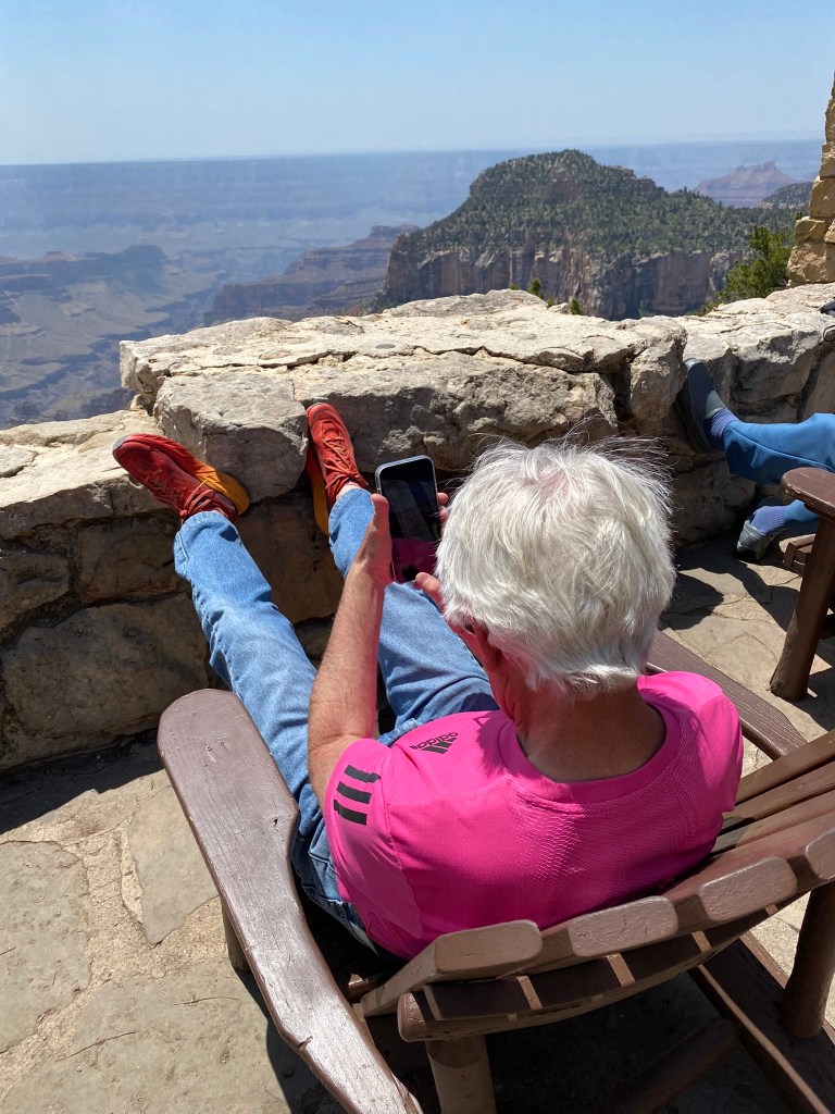
I remember those feet pixs from the North Rim. Very nice
LikeLike
Looks like lots of fun!
LikeLike