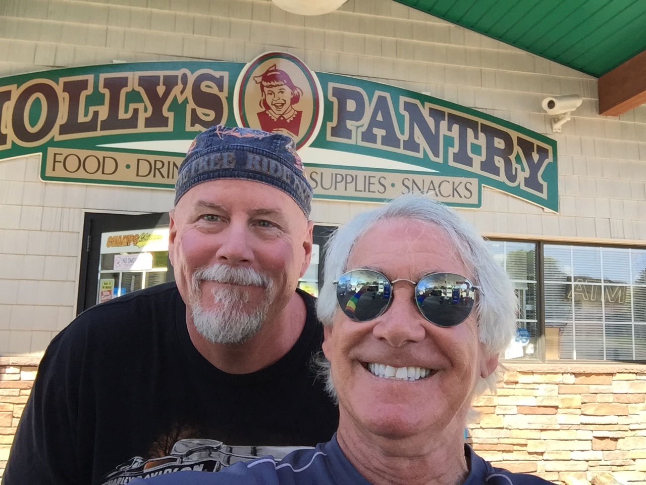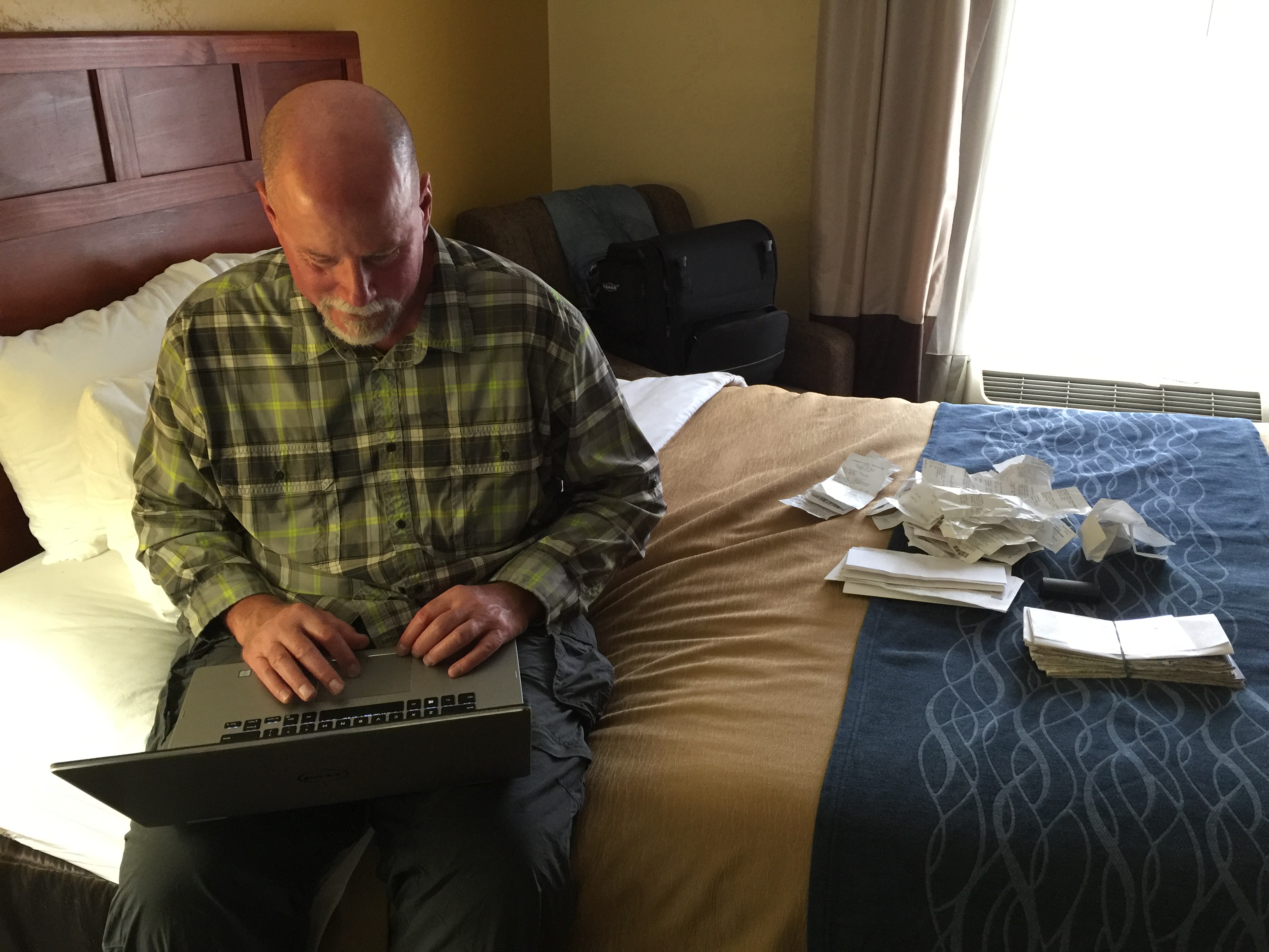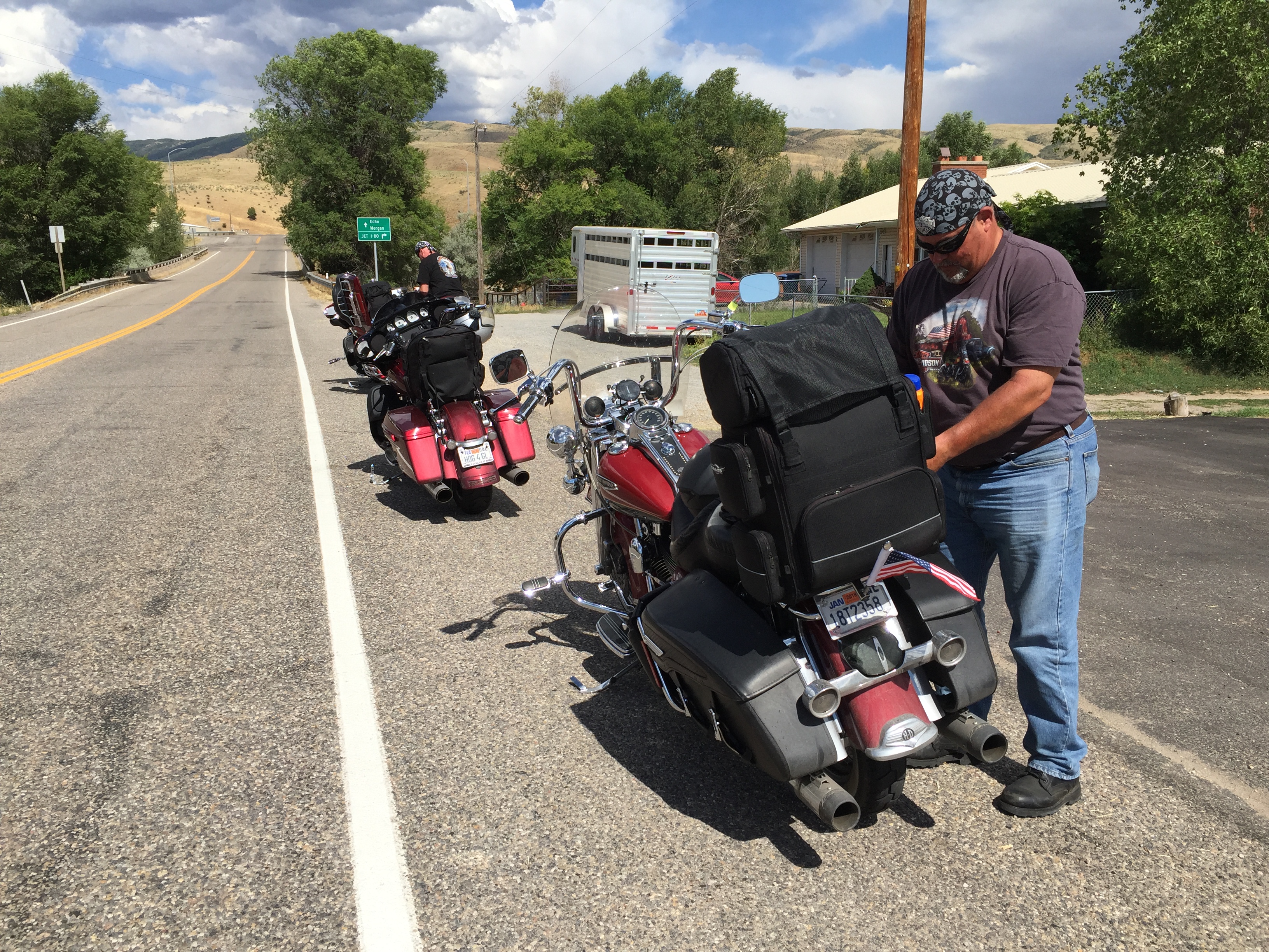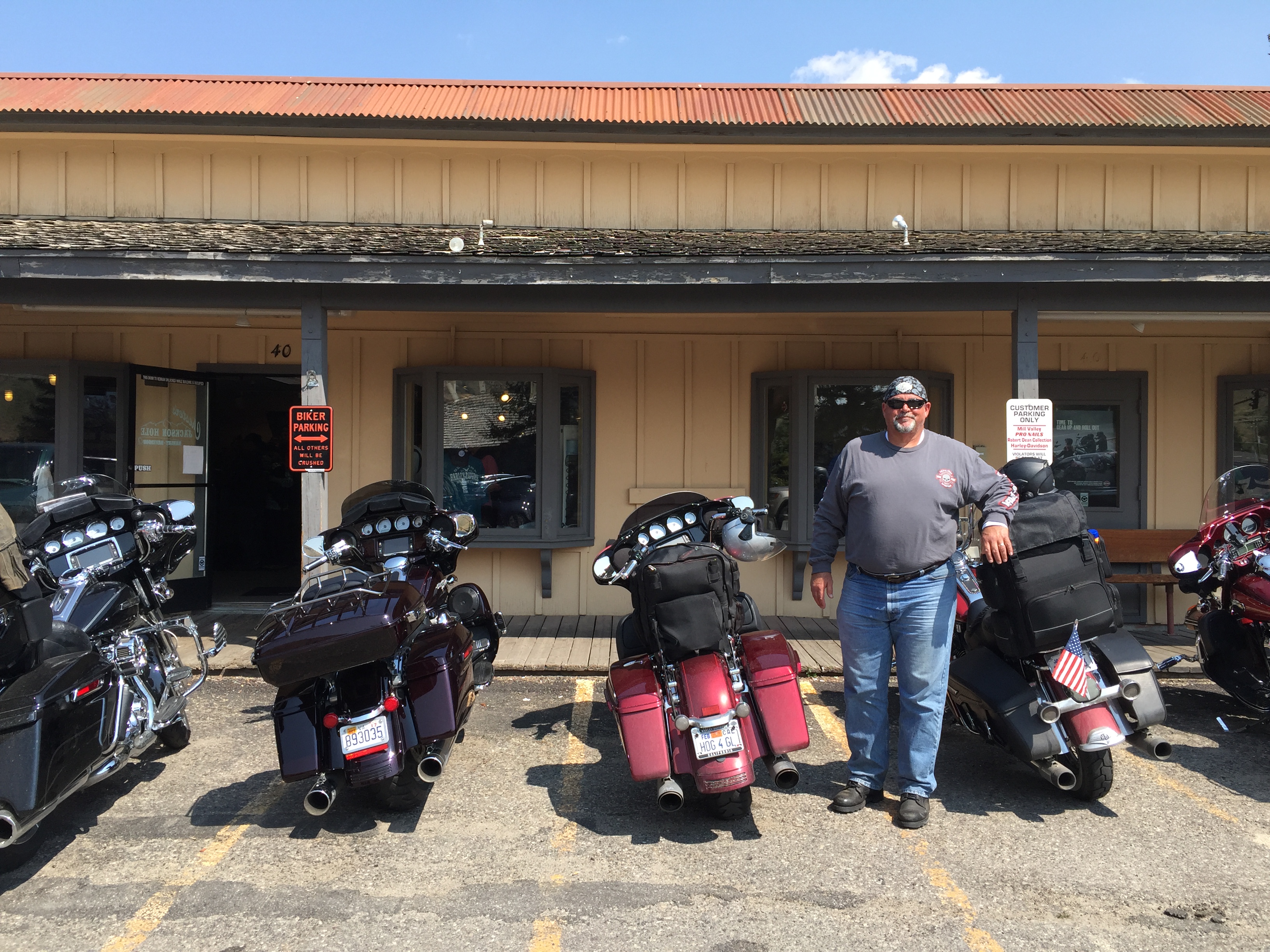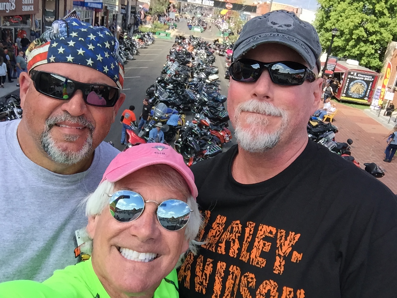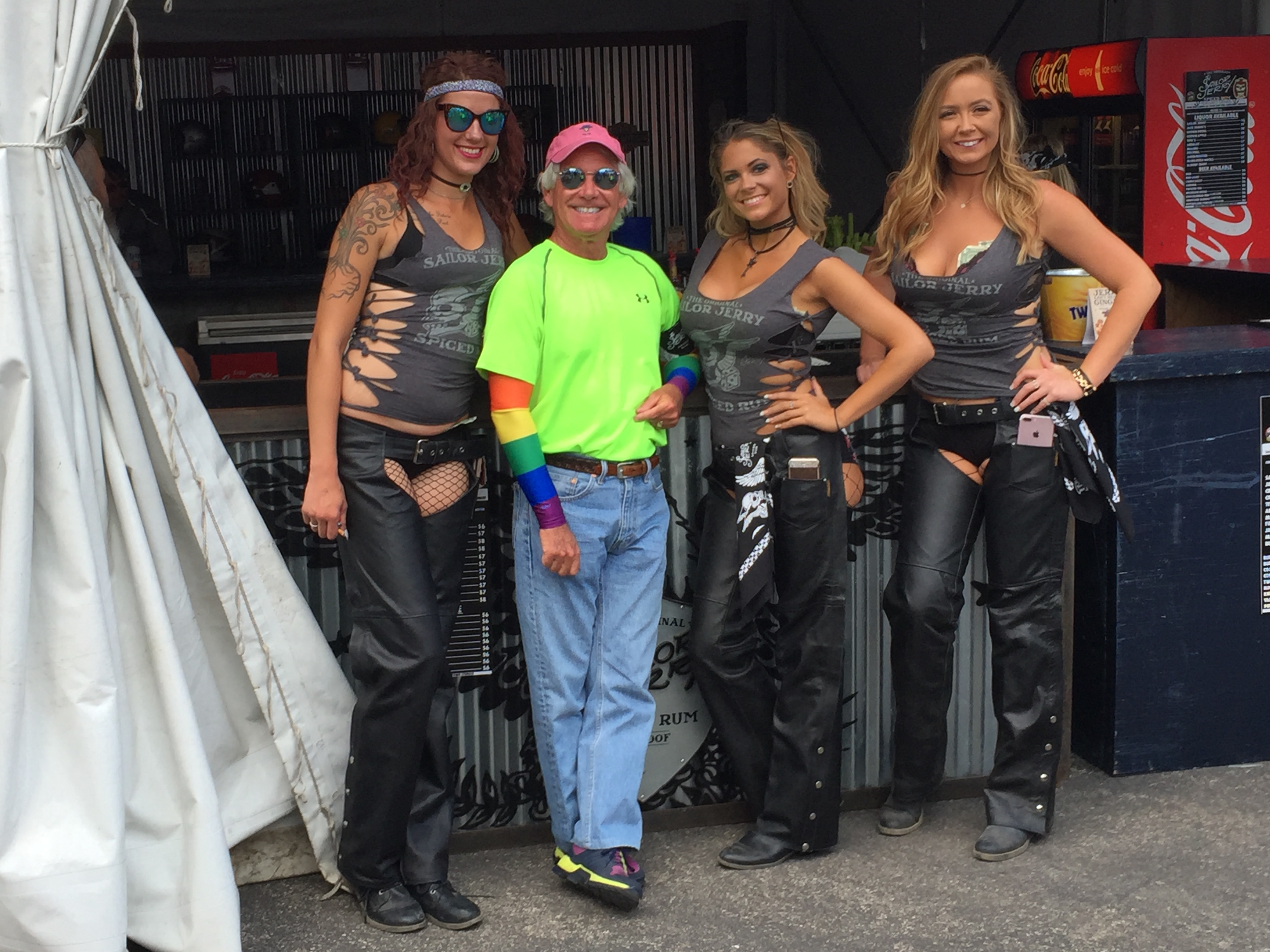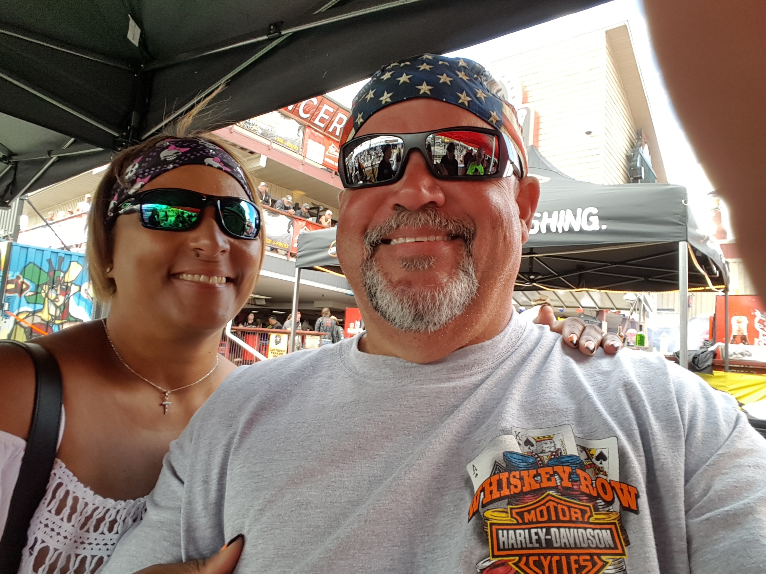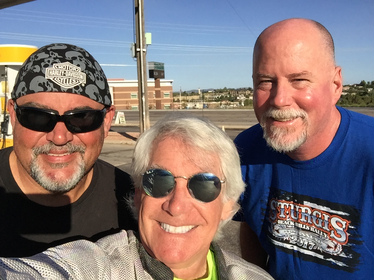
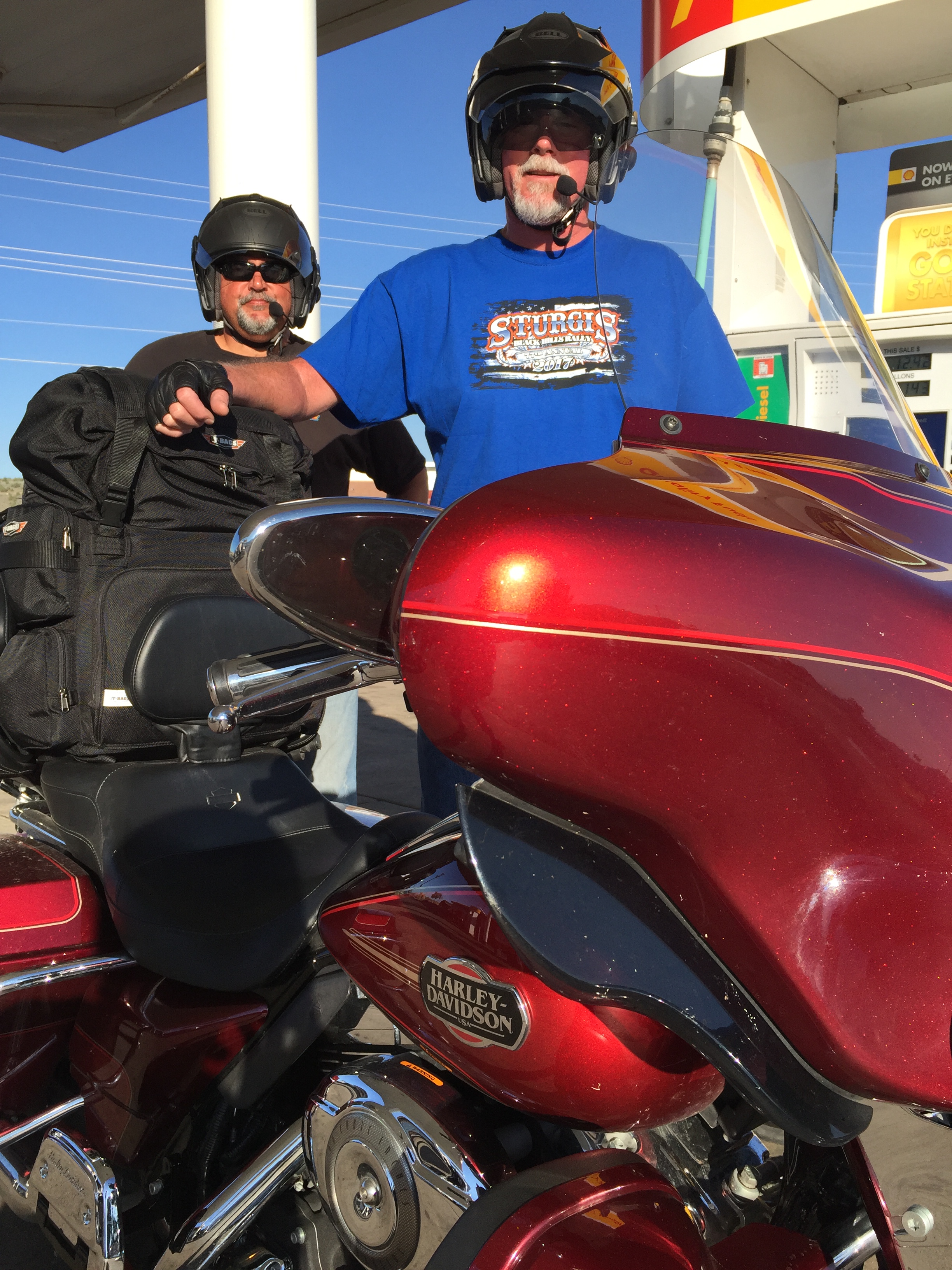
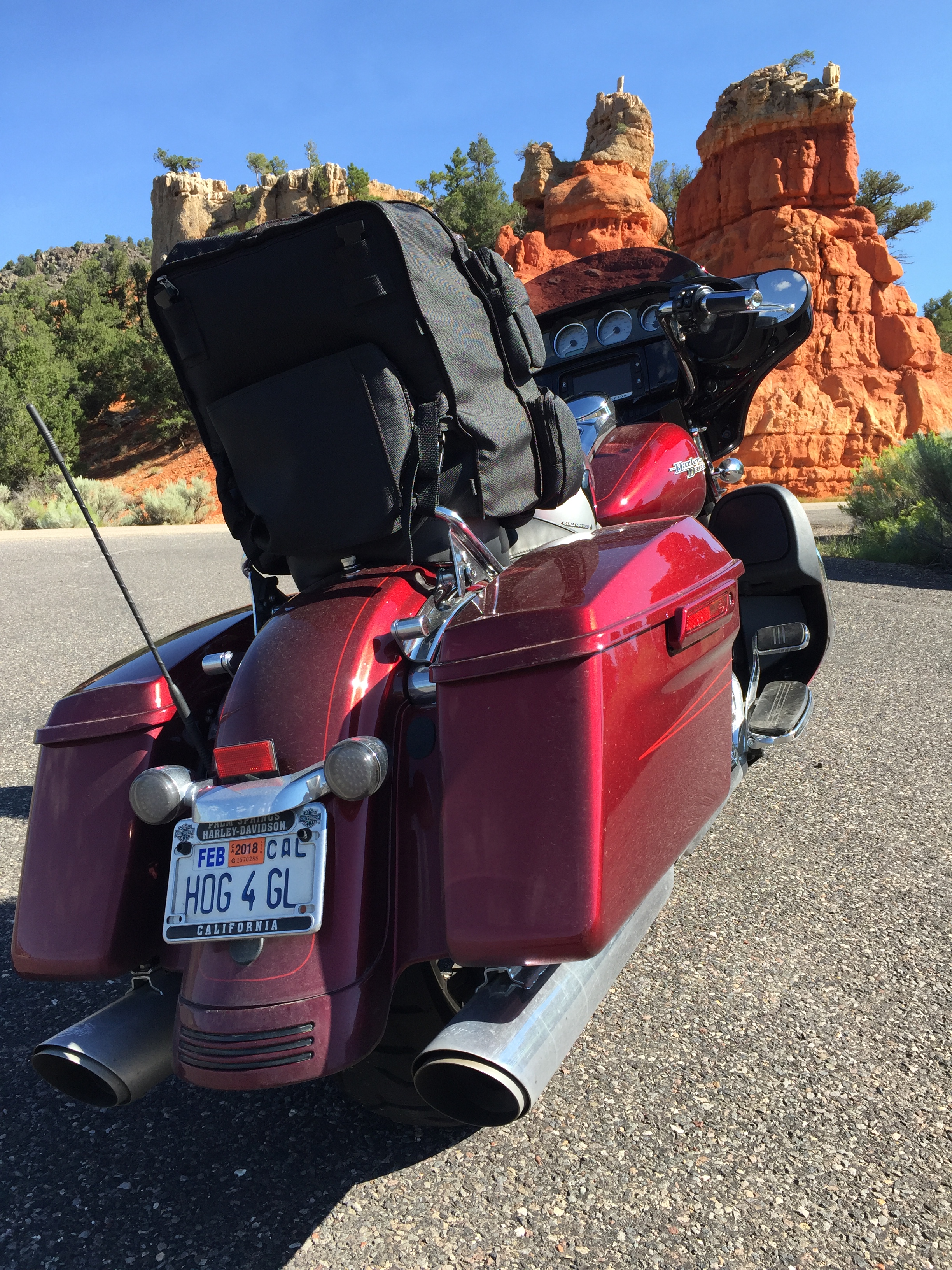
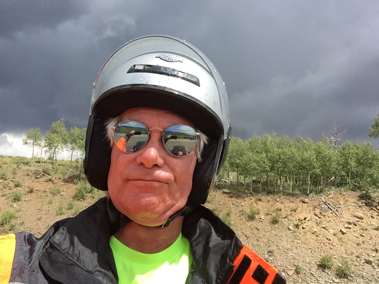
After 16 days and 3,457 miles riding with Dave and Scott (and Randy, too), I’m on my own.
And, I’m on my way home.
The first sentence makes me sad. The second makes me happy.
***
As Dave and Scott head west toward Orange County, California, I leave Cedar City, too – beginning the 500-mile ride to the new Lesser/Murr homestead in Carbondale, Colorado.
My rear-view mirror is full of memories — and in front of me lies unbridled excitement about a new life in the Rockies.
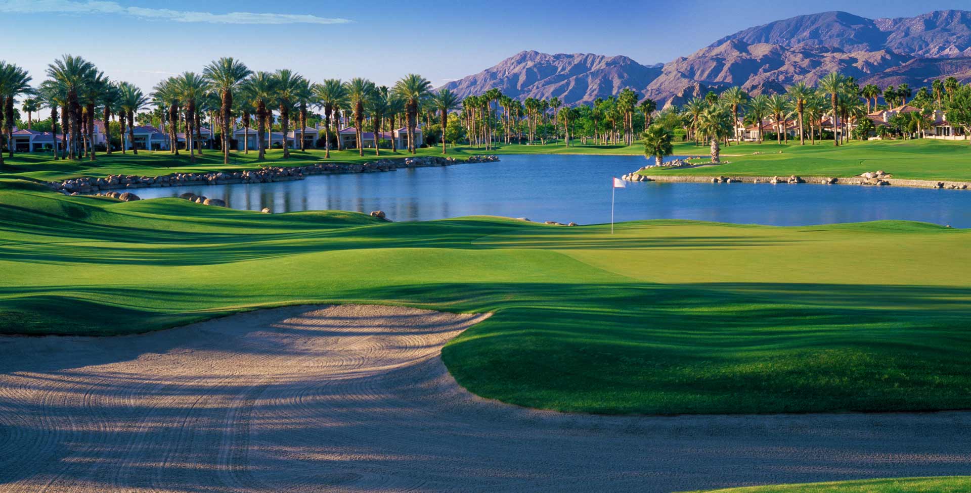
Who leaves paradise (La Quinta) after 16 years of the good life at PGA West?
Who says goodbye to their friends and relocates to a place whose beauty is breathtaking, but so much about it is foreign?
Sarah and I do.
If you have to ask us why, well, you probably wouldn’t understand.
***
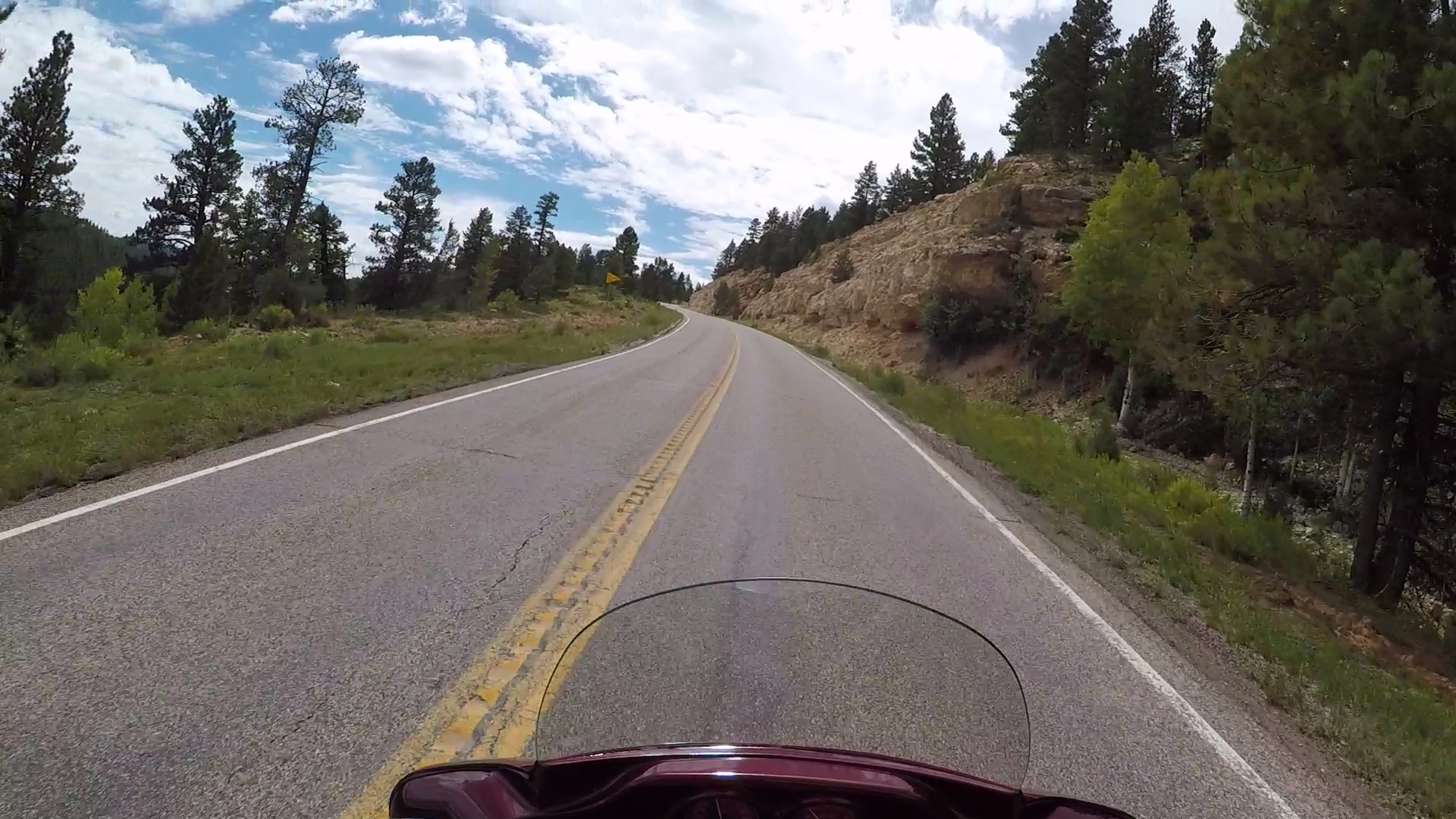
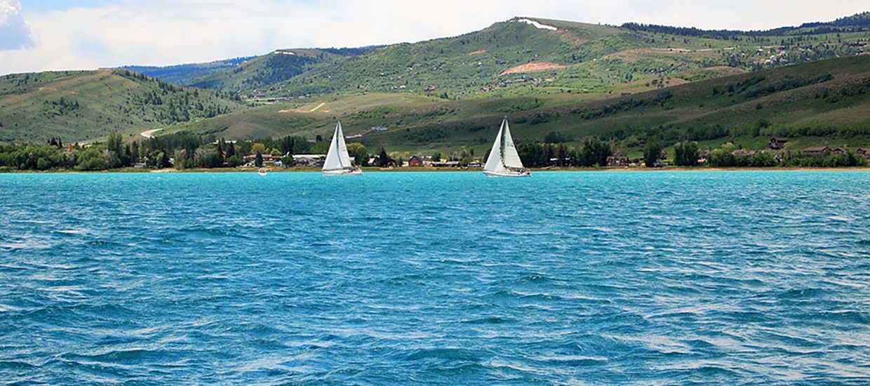
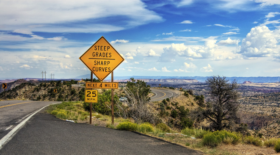
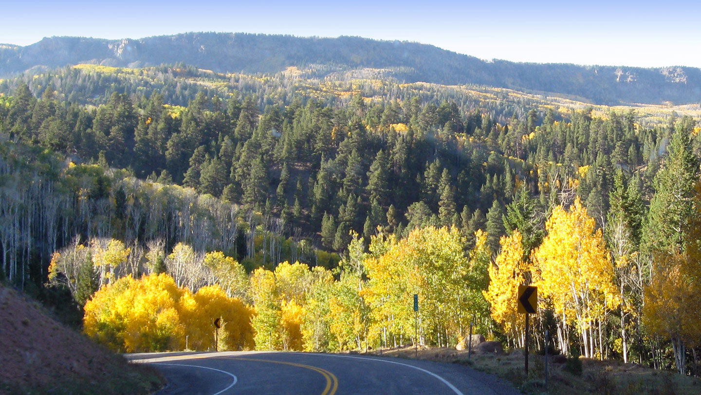
Utah Highway 14 leads me eastward from Cedar City into Cedar Canyon, a scenic drive that crests at nearly 10,000 feet.
For the next 35 miles, the road twists and turns, past Navajo Lake, through Duck Creek Village, and eventually to the intersection with US Highway 89. The road through Cedar Canyon offers epic views of the Dixie National Forest, before giving way to massive meadows on both sides of the highway.
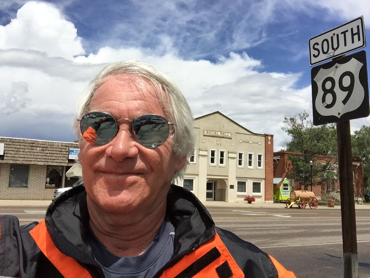
At the gas station that marks the junction of Utah Highway 14 and US Highway 89, I turn north and begin making my way toward Bryce Canyon National Park.
I roll through the town of Hatch, population 133, home of the Bryce Zion Inn – where identity confusion apparently caused it to be named after both National Parks. An unconfirmed report suggests Hatch is named after 84-year-old US Senator Orrin Hatch, now serving his seventh term. The ultra-conservative Hatch hasn’t decided whether he’ll seek an eighth Senate term in 2018, but says he might be willing to step aside if Mitt Romney decides to give elective office another try. In a recent Salt Lake Tribune poll, 58 percent of Utahns said Hatch “definitely” should not seek re-election.
***
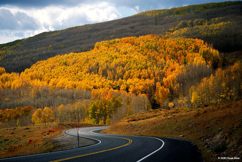
About 10 miles north of Hatch is the turnoff to Utah Highway 12, a Scenic Byway that’s Utah’s first All-American Road.
Known as “A Journey Through Time Scenic Byway,” it’s considered one of the top five motorcycle roads in the US.
I’ve ridden Highway 12 three times in each direction (east to west, west to east), and it does not disappoint. It’s 123 miles of unparalleled beauty, alternatingly breathtaking and terrifying.
Parts of Highway 12 were built by in the 1930s by the Civilian Conservation Corps, a work relief program that operated from 1933 to 1942 as part of FDR’s New Deal. It provided unskilled manual labor jobs related to the conservation and development of natural resources in rural lands owned by federal, state and local governments.
When the Civilian Conservation Corps built Highway 12, the new road provided the first year-round access for cars to this once-isolated part of southwestern Utah.
Highway 12 has been voted the second-most beautiful highway in the world, and for good reason.
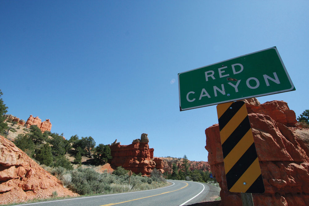
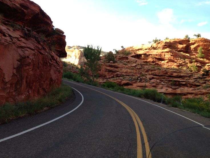
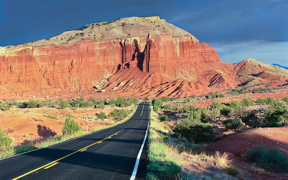
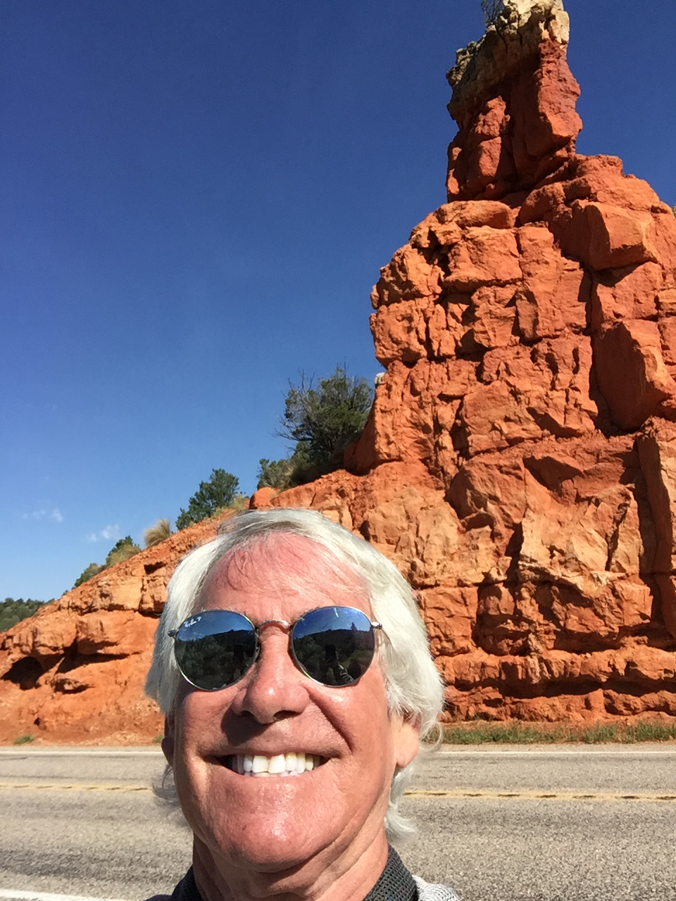
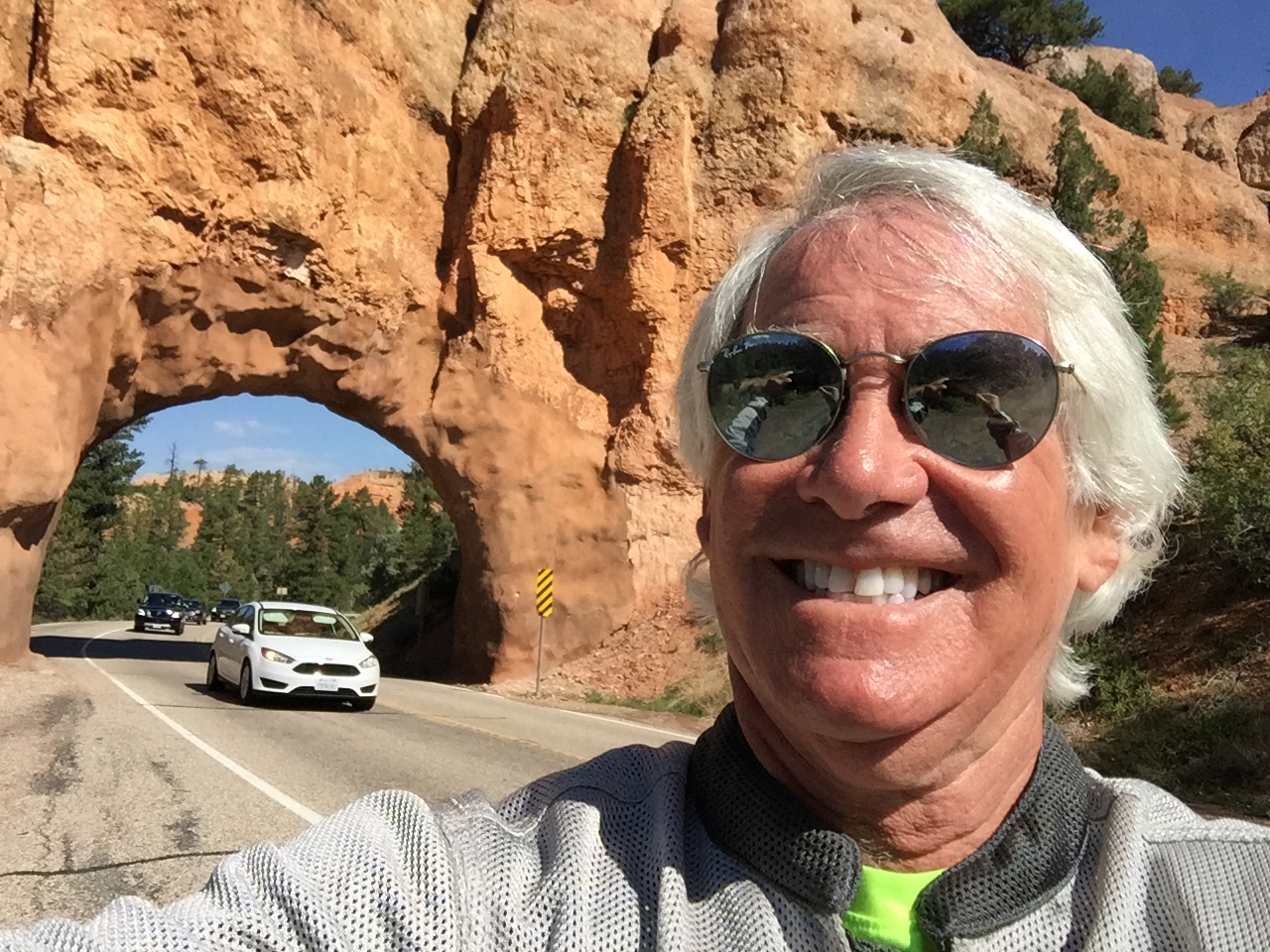
A few miles after turning onto Highway 12, I immediately enter Red Canyon, home of Red Canyon State Park and Red Canyon Scenic Drive. All red, all the time. There’s red rock everywhere you look. The colors come from the presence of iron oxide, or hematite. Exposure to the elements caused iron minerals to oxidize, or rust, resulting in red, orange and brown-colored rocks.
Highway 12 approaches Bryce Canyon National Park from the west via Red Canyon, a relatively shallow valley in the side of the Paunsaugunt Plateau surrounded by exposed orange red limestone.
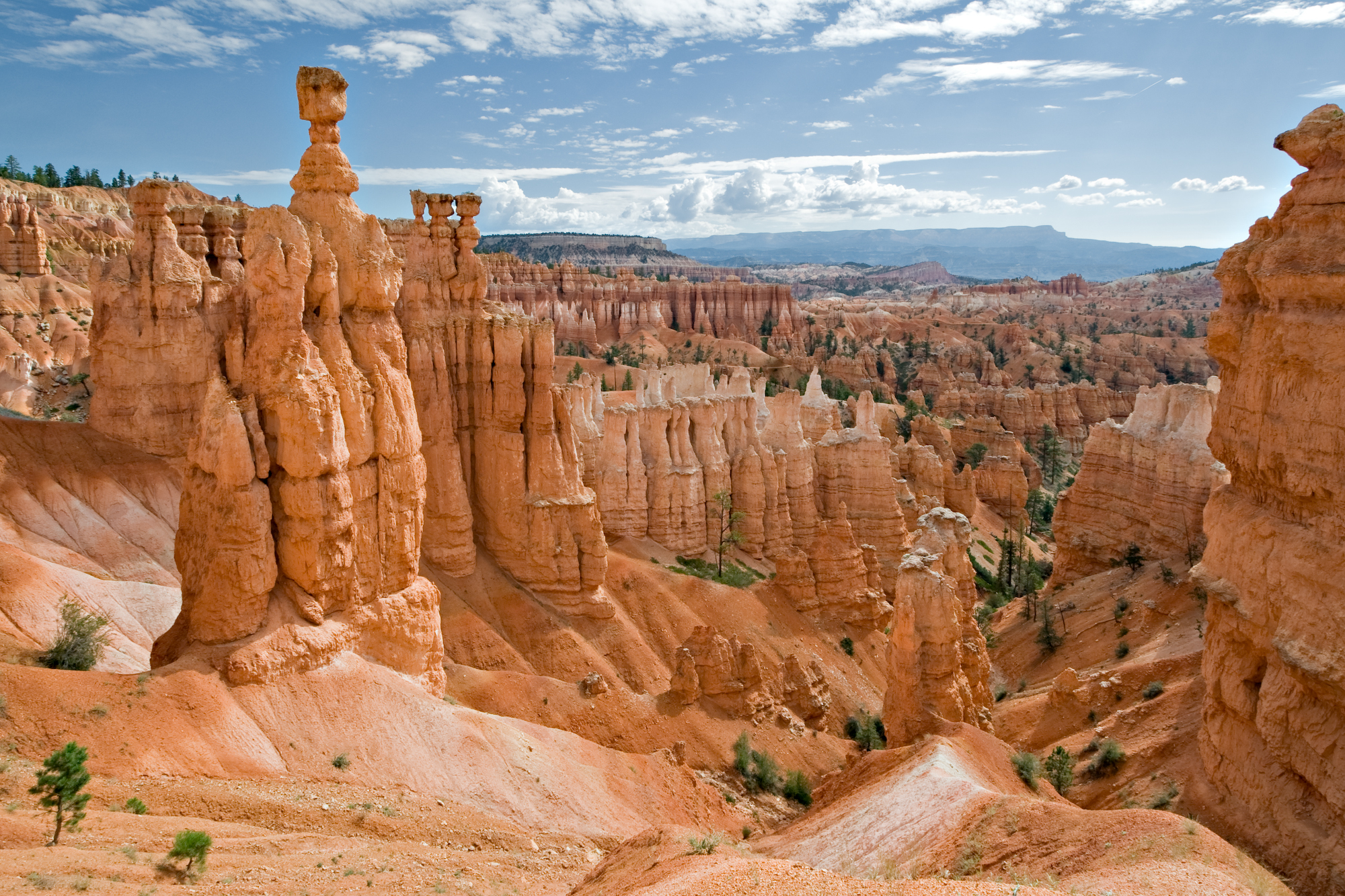
The rocks are eroded into the familiar pinnacles, spires, columns and hoodoos also found in the national park about 10 miles to the east. The formations line Highway 12 for about 4 miles, starting quite abruptly at the edge of the plateau, then fading away as the road reaches the flat grasslands on top, and extend several miles north, including two other large valleys of Losee and Casto Canyons.
And before you know it, I arrive at the turnoff to Bryce Canyon National Park, home of hoodos.
But today is not a park visitation day. I’ll smell enough roses, metaphorically speaking, just by enjoying this spectacular road.
***
Shortly after the Bryce Canyon turnoff, I roll through the towns of Tropic, Cannonville and Henrieville, all established in the late 1800s by Mormon settlers.
Thirty miles northeast of Henrieville is Escalante, a small ranching town with about 800 full-time residents. It’s named after Silvestre Velez de Escalante, a Franciscan missionary and a member of the first European expedition into southern Utah. In 1776, Escalante left Santa Fe, New Mexico, trying to find a route to the missions of California. His expedition took him through western Colorado and west across central Utah before eventually arriving in what is today called the Escalante Desert.
Once you pass through Escalante, the road becomes exhilarating, and in places, sphincter-tightening. It has scary switchbacks and steep drop-offs. That sound you just heard was me, praying for a safe passage.
There’s a “hogback” section that pretty much brings me to tears every time I’m on it – today included.
A hogback is a long narrow ridge or series of hills with a narrow crest and steep slopes with nearly equal inclines on both sides. As you might guess, the name refers to its resemblance to the back of a hog. Apologies to my Jewish friends and family for riding on a non-kosher geological formation. I’ll try to pick my routes more carefully next time.
***
From the hogback, you head toward Boulder, a town of just over 200 residents. Boulder has the best food along Highway, at either Hell’s Backbone Grill or the Burr Trail Grill.
From Boulder, the road begins climbing steeply. Coincidentally, so do I.
The 30-mile long portion of the highway that ascends and descends Boulder Mountain is known as the Boulder Mountain Highway. It climbs to an elevation of more than 9,600 feet, through a huge aspen grove, before descending into the town of Torrey – gateway to Capitol Reef National Park.
Building Highway 12 took nearly four decades, as construction crews sporadically blasted, cut and paved their way through rugged hills cliffs from the 1940s to the 1980s. The road was initially built to move cattle, supplies and mail for the people in five small towns in southern Utah. But when the last stretch over heavily forested Boulder Mountain was finally paved in 1985, it didn’t take travelers long to discover that this road was the best tour of Utah’s red-rock desert that can be made in a single day.
If you enjoyed the ride on Utah Highway 12 as much as I did, here’s a chance to revisit it, this time from East to West – the entire 125 miles in time-lapse video.
***
At the northeastern terminus of Highway 12 is Torrey, elevation 6,830 feet. Torrey was established in the 1880s by Mormon settlers, and was initially known as Youngtown, after John Willard Young. He’s one of the few individuals to have been an apostle of the LDS Church and a member of the First Presidency without ever having been a member of the Quorum of the Twelve Apostles. Gotta love Mormon trivia!
The town of Torrey was named after one of Theodore Roosevelt’s Rough Riders, Col. Jay Torrey.
Torrey is tonight’s destination. After a thrilling 123-mile ride on Highway 12, arriving here is almost anticlimactic.
The biggest excitement here is conjuring up the past, thinking of Butch Cassidy, whose boyhood home was not far from here, and Zane Grey, author best known for adventure novels like Riders of the Purple Sage, who often visited Torrey.
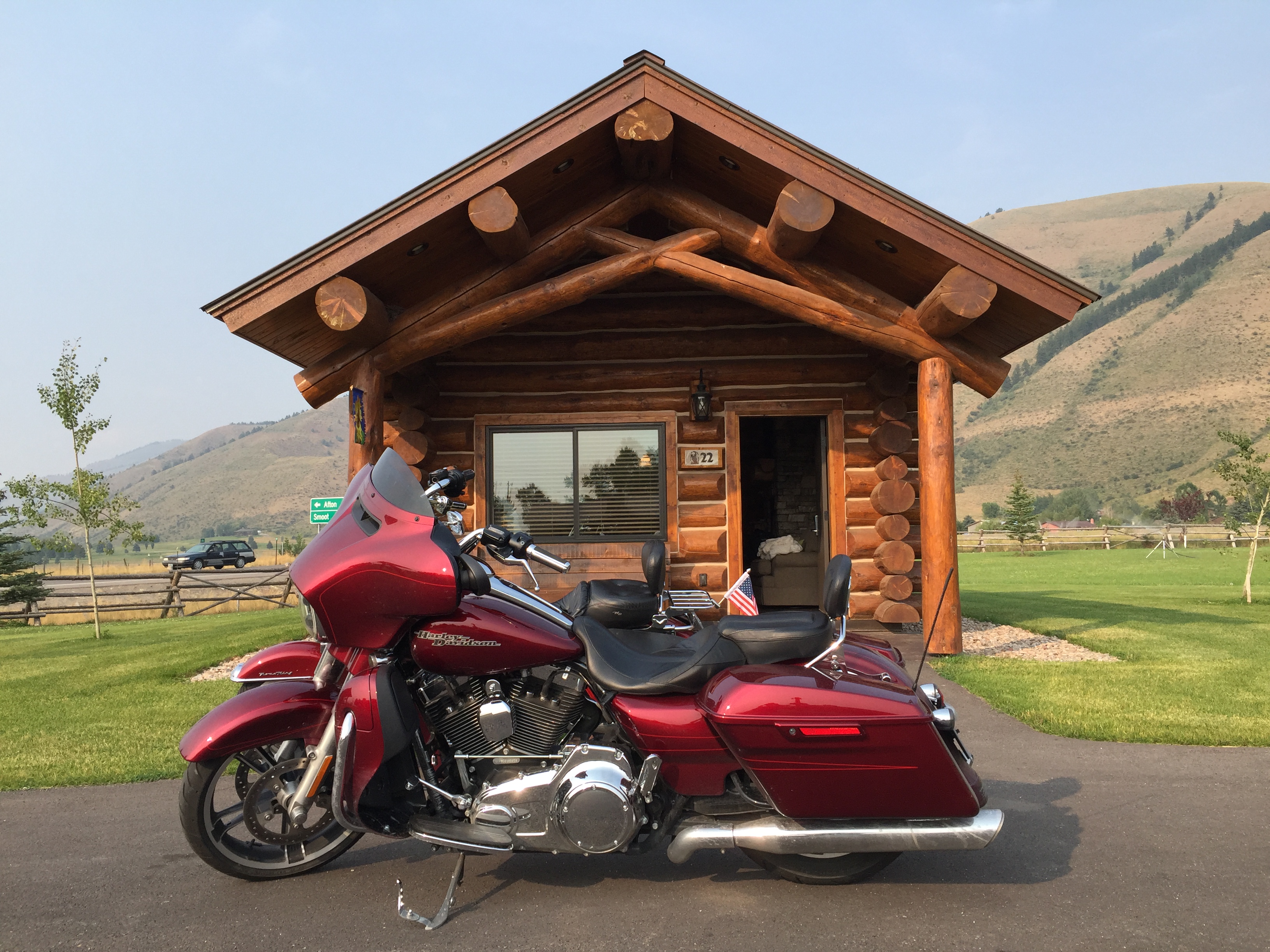
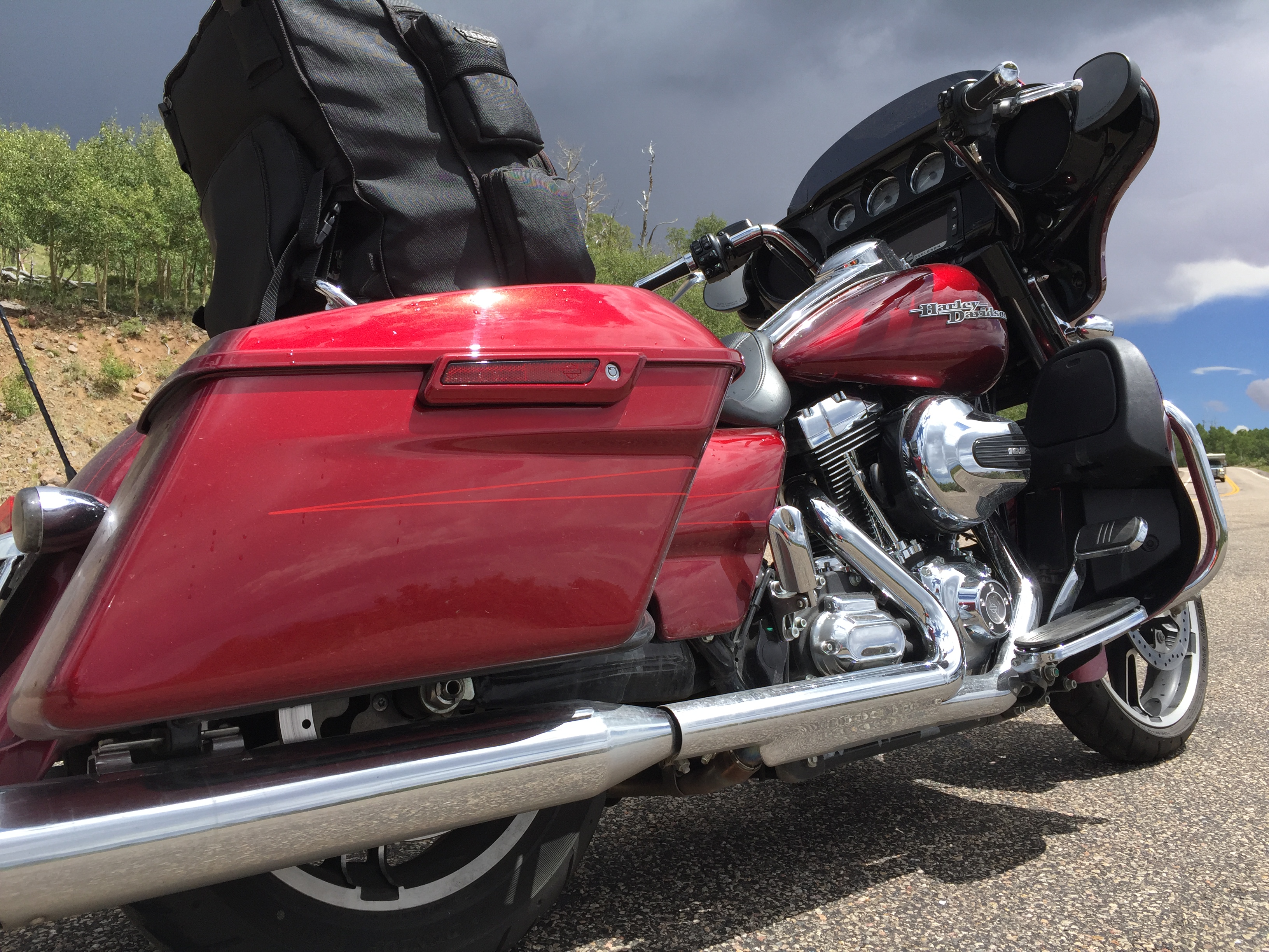
Me, I’m parking the bike at the Red Sands Hotel, grabbing a quick bite, and preparing to press on tomorrow toward the Lesser/Murr homestead in Colorado.
***
Day Seventeen Summary: One of America’s top five motorcycle roads, the second-most beautiful highway in the world. Life’s good.
Click here to see today’s complete route from Cedar City to Torrey.
I’m on my way home.
Vroom, vroom.
***
Today in Bucket List History:
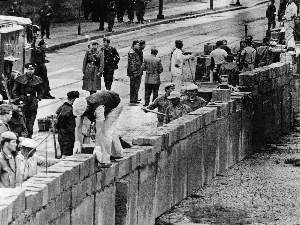
Bucket List Goal: “Build a Monument to Paranoia.”
Goal Achieved: On August 13, 1961, construction begins on the Berlin Wall in East Germany. The Wall falls 28 years later, on Nov. 9, 1989. East Germany officially referred to the Wall as the “Anti-Fascist Protective Wall,” implying that the NATO countries and West Germany in particular were considered fascists by German Democratic Republic propaganda.
What’s on your bucket list?
***
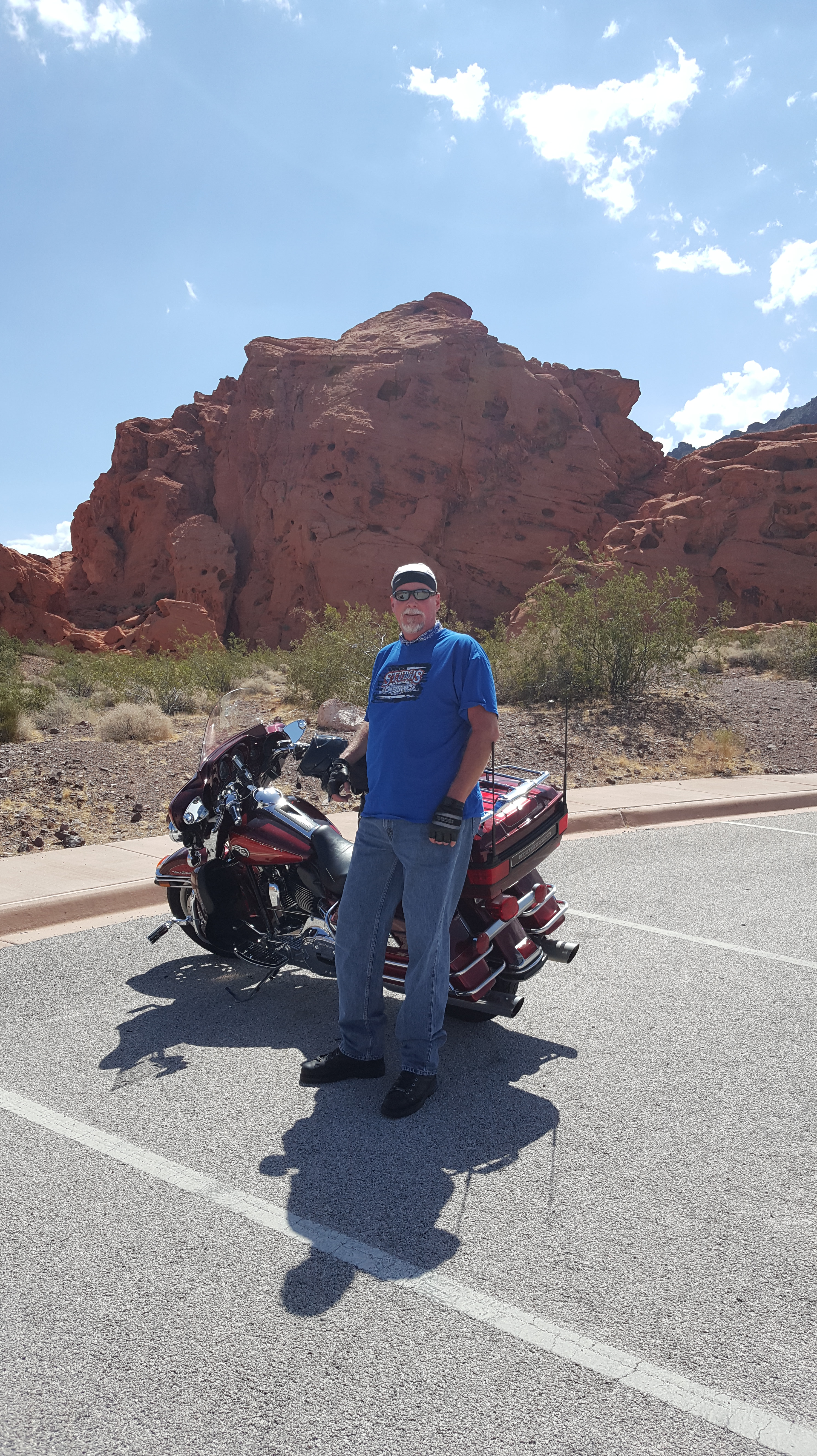
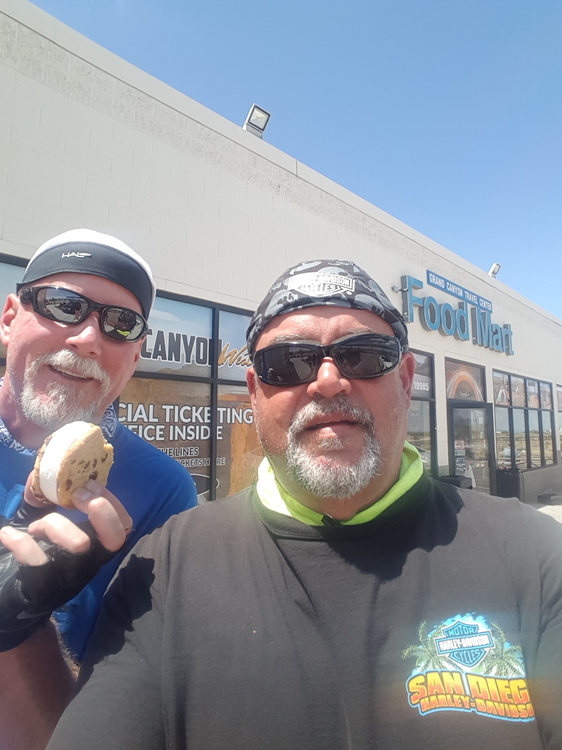
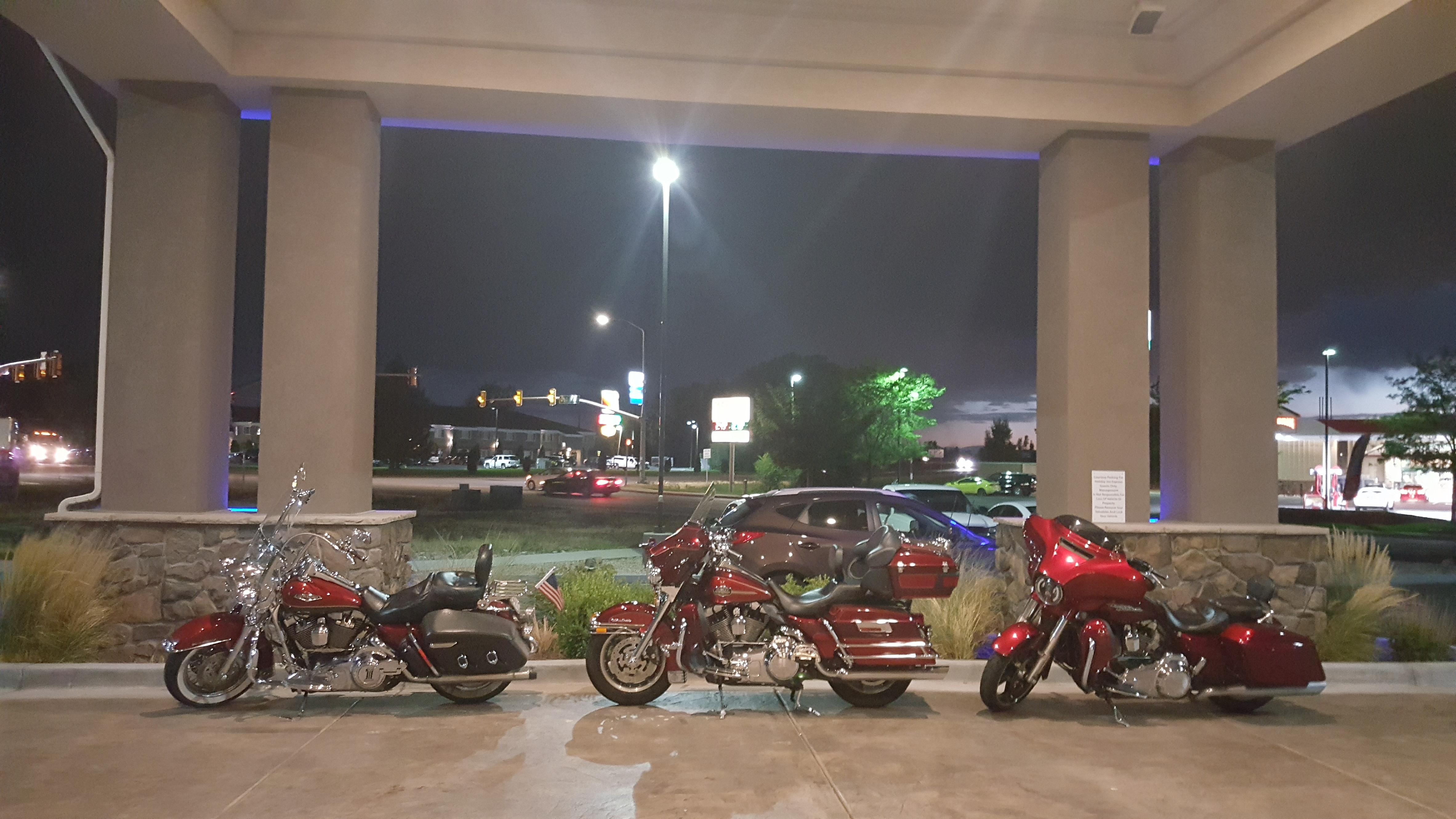
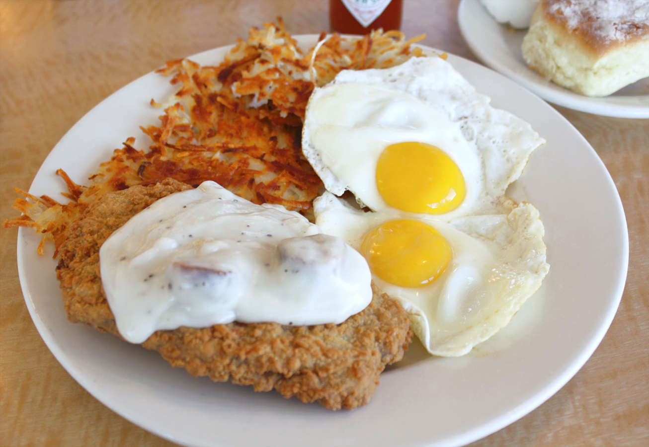
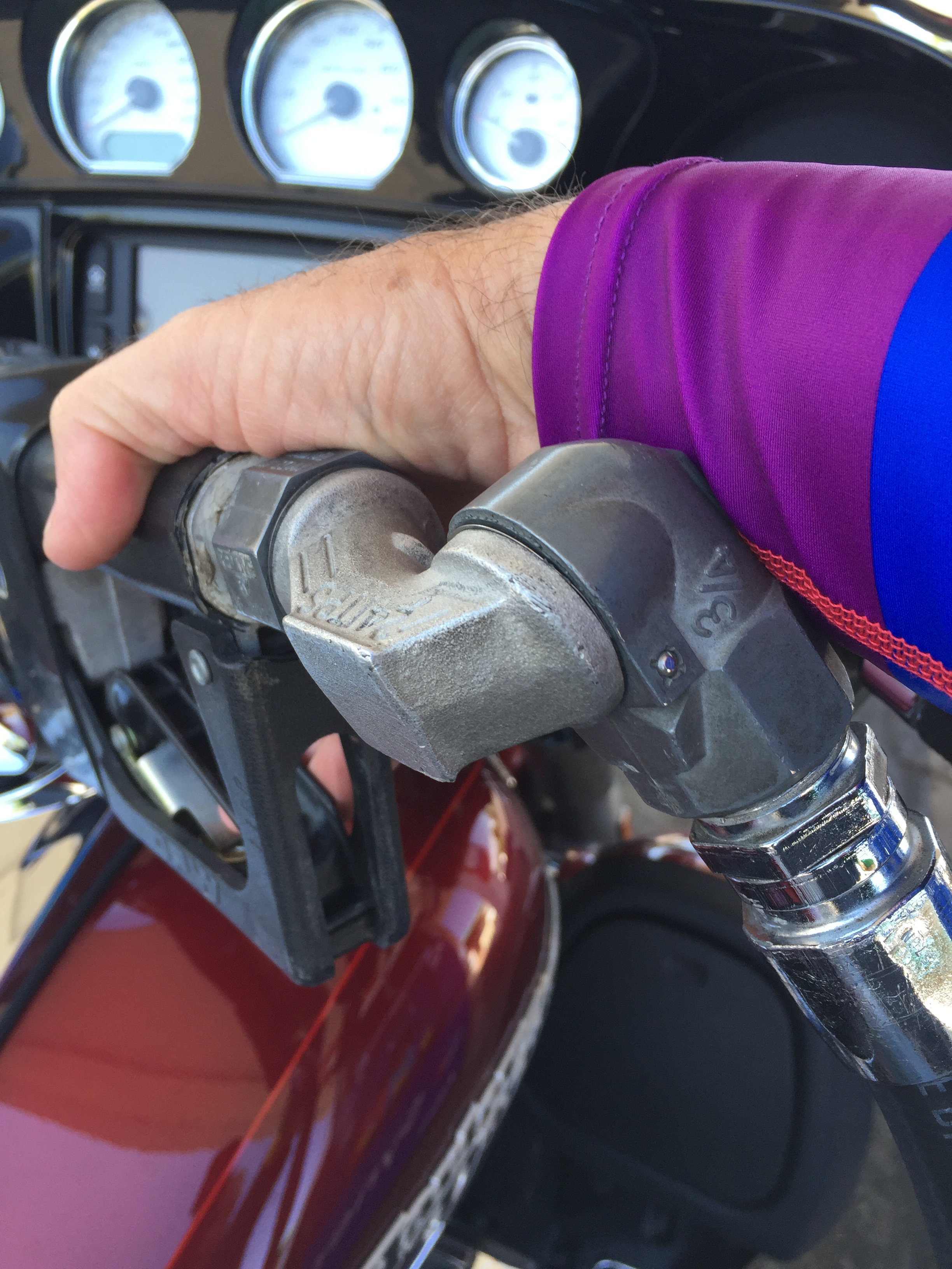
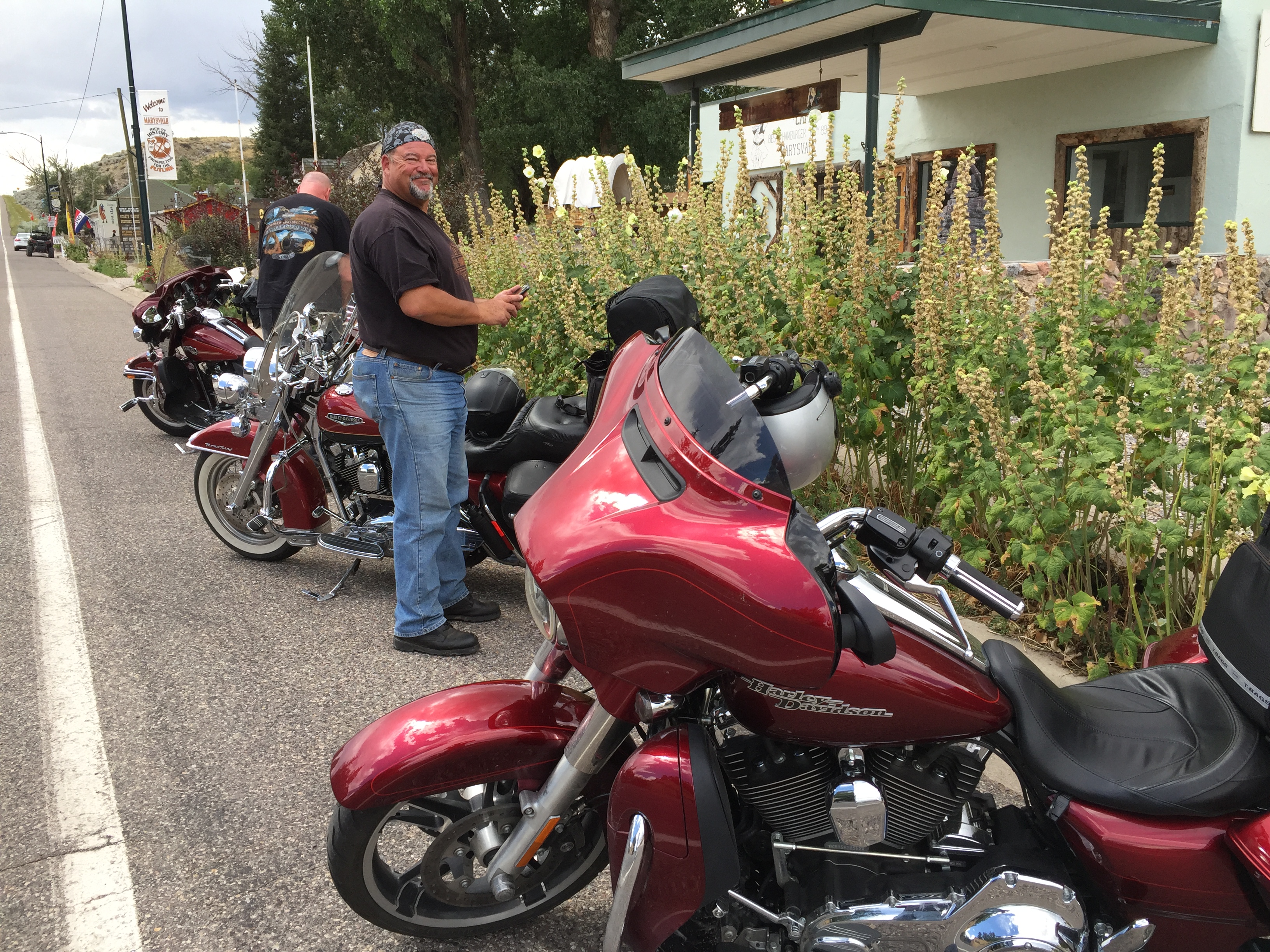
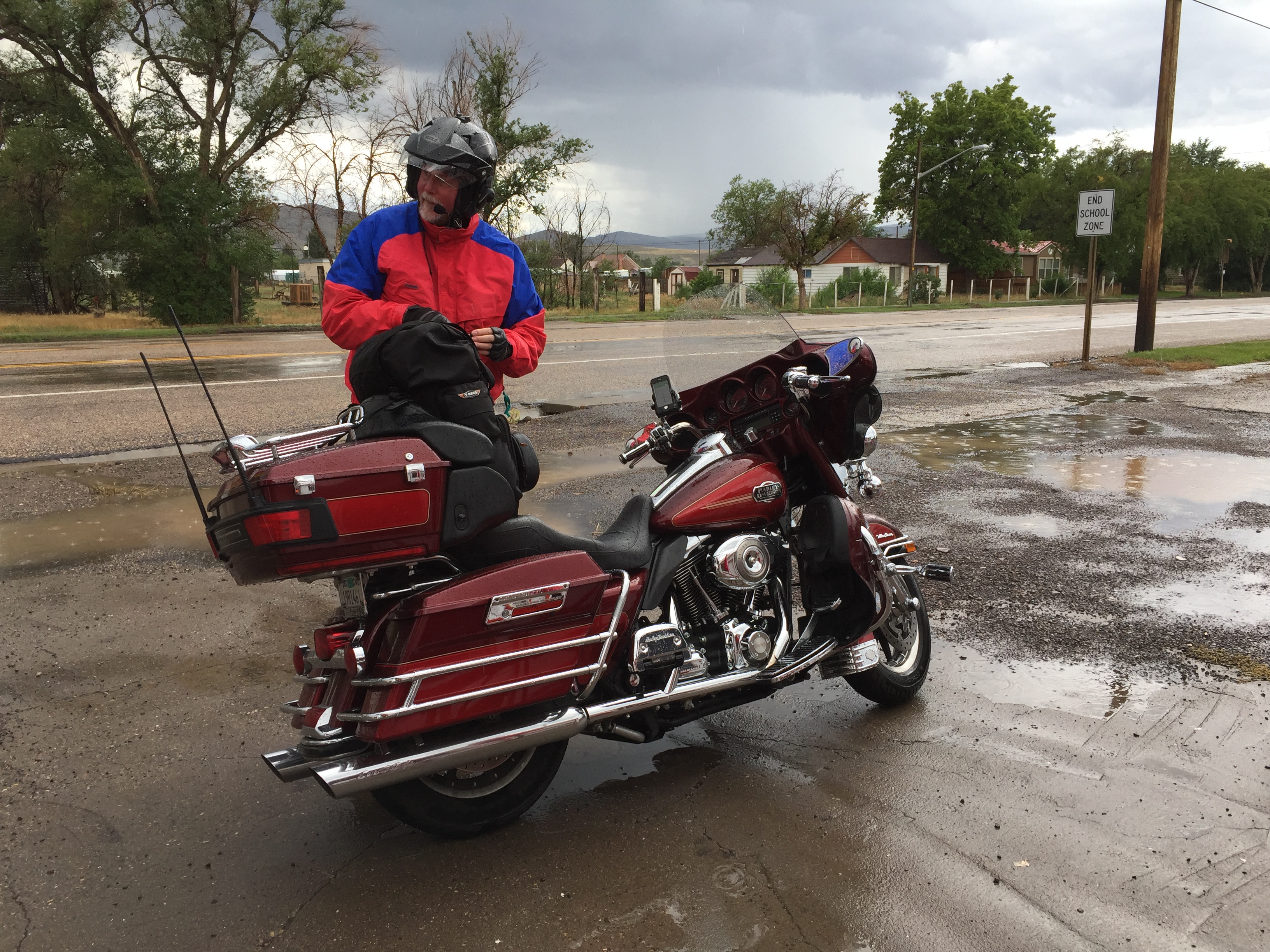
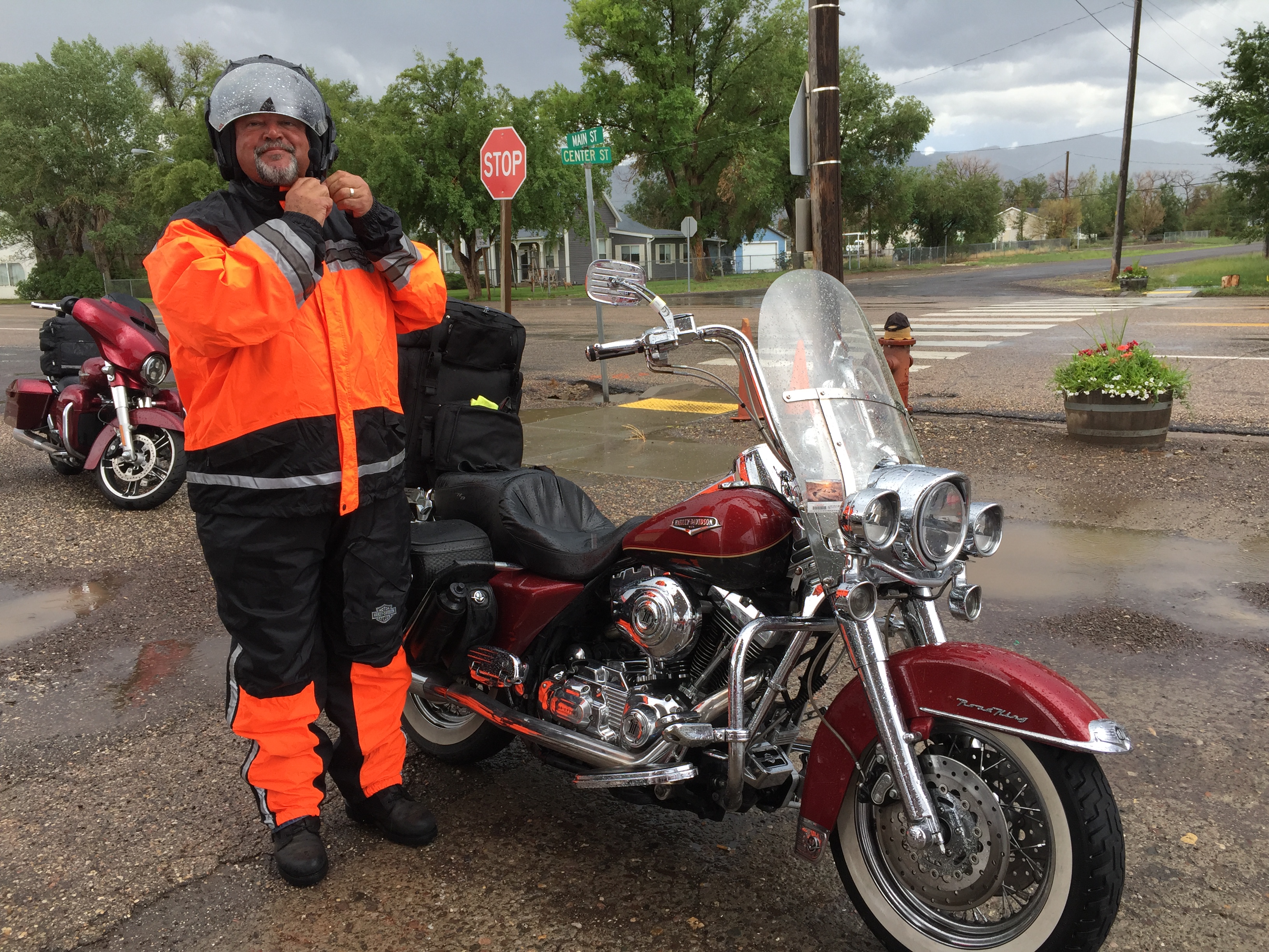
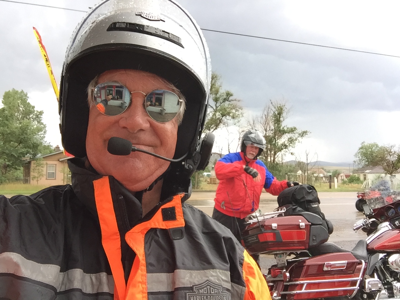
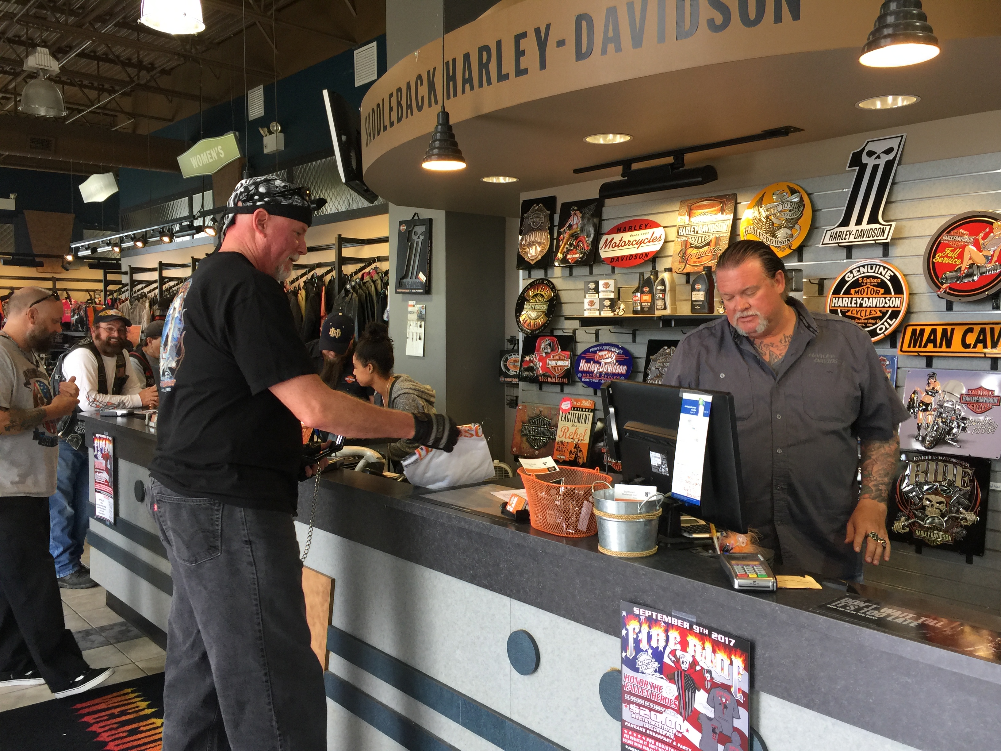
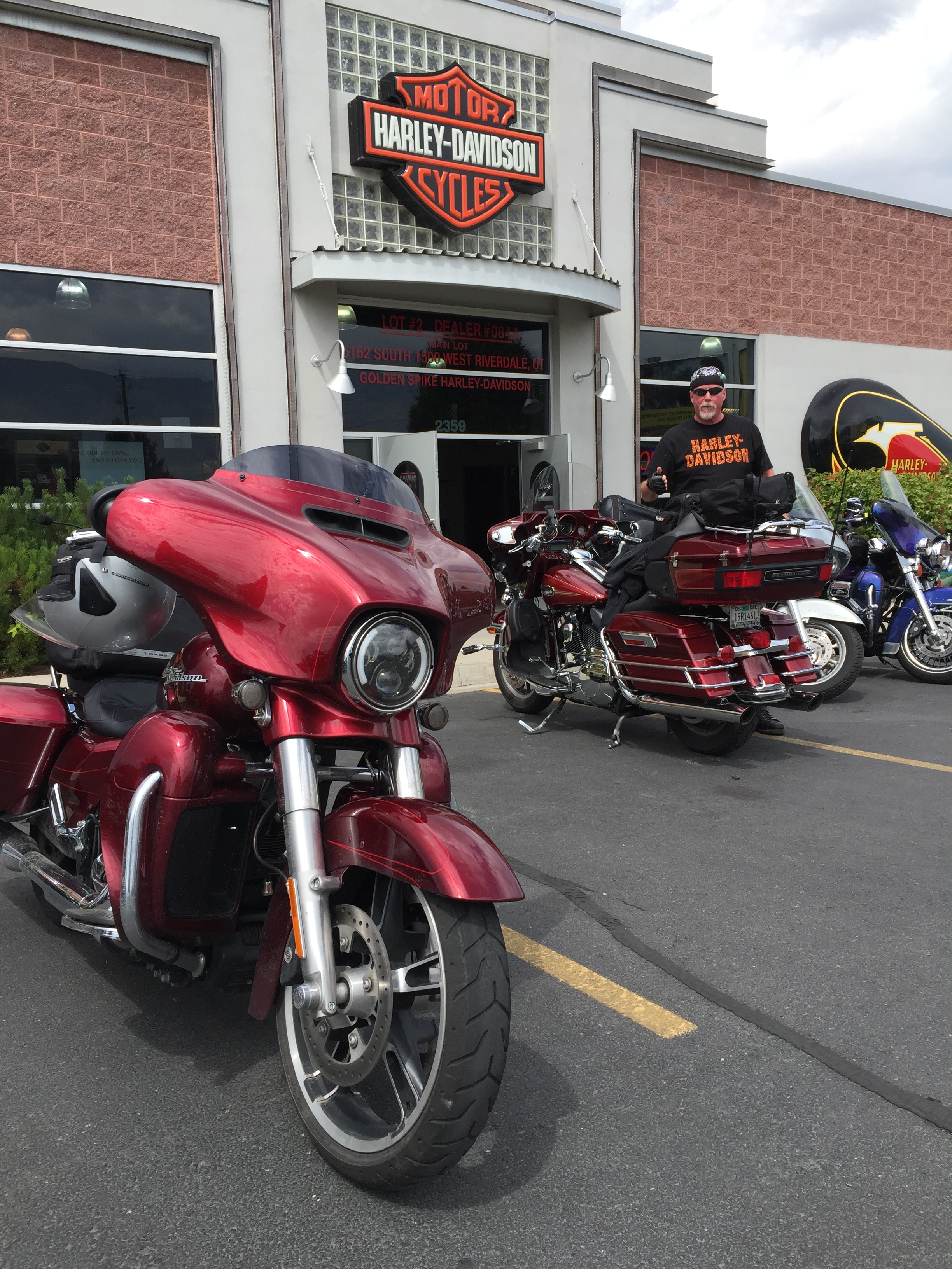
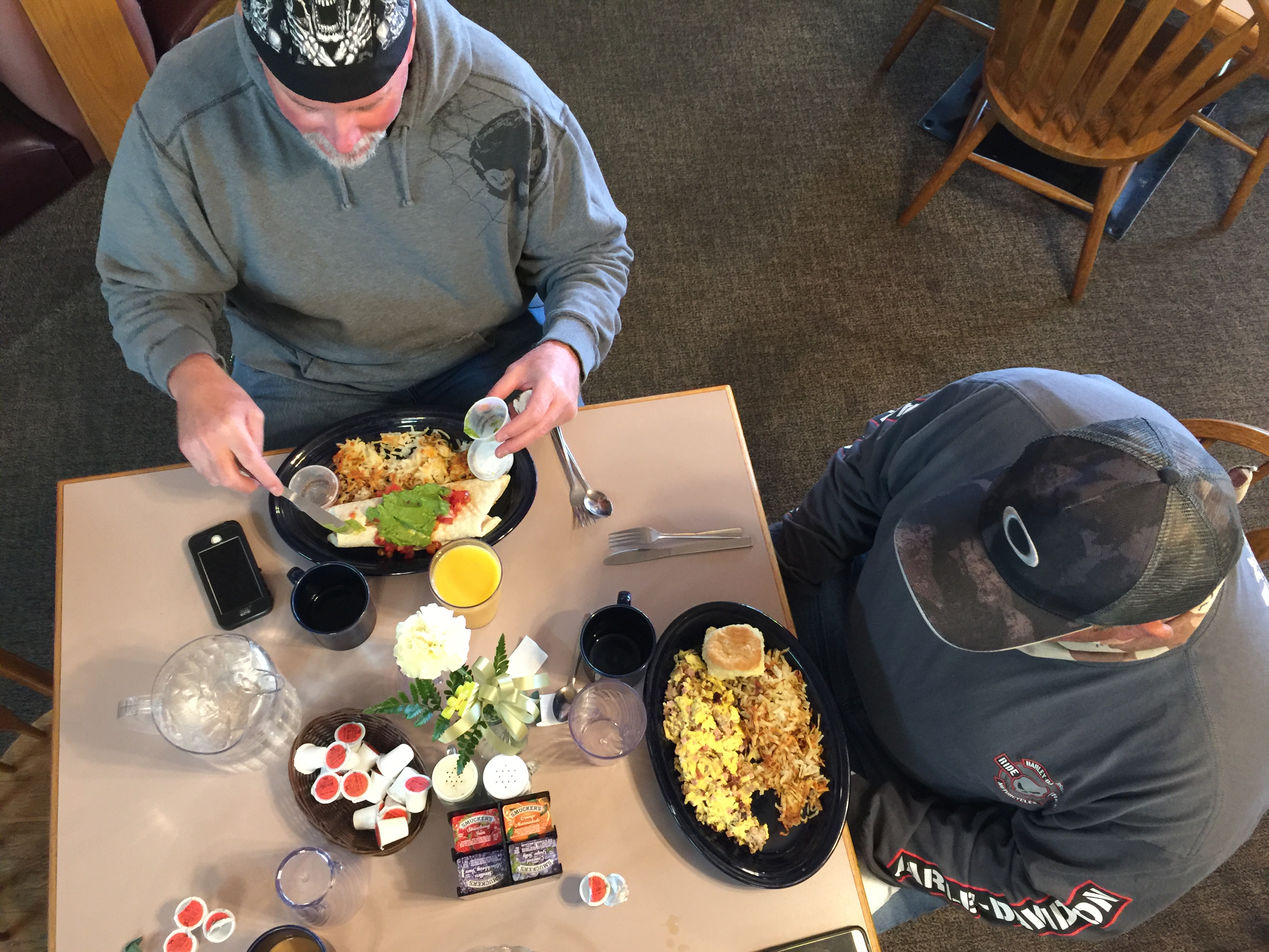
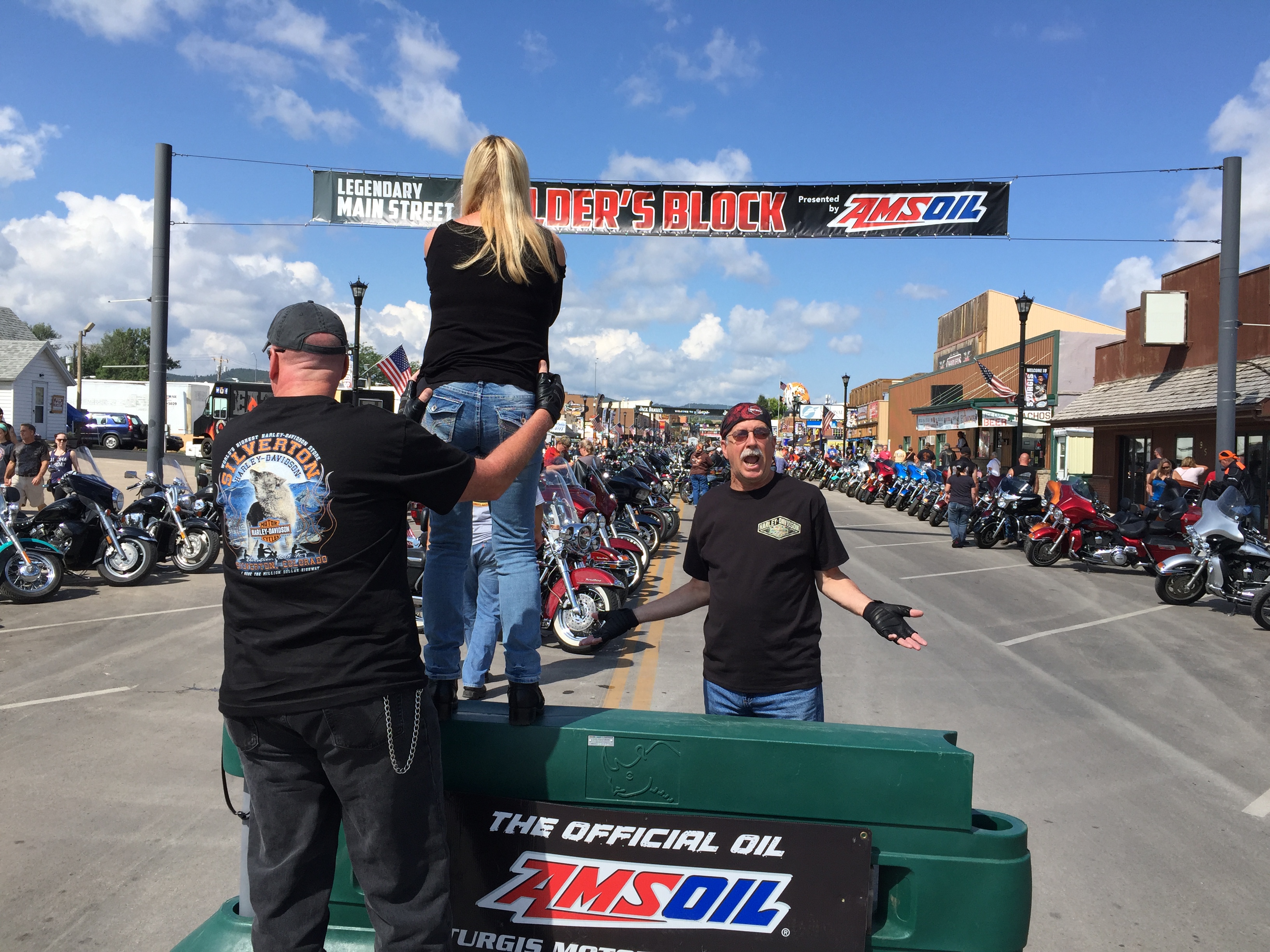
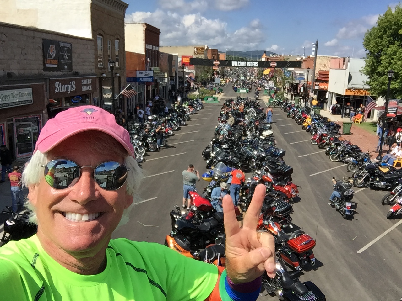
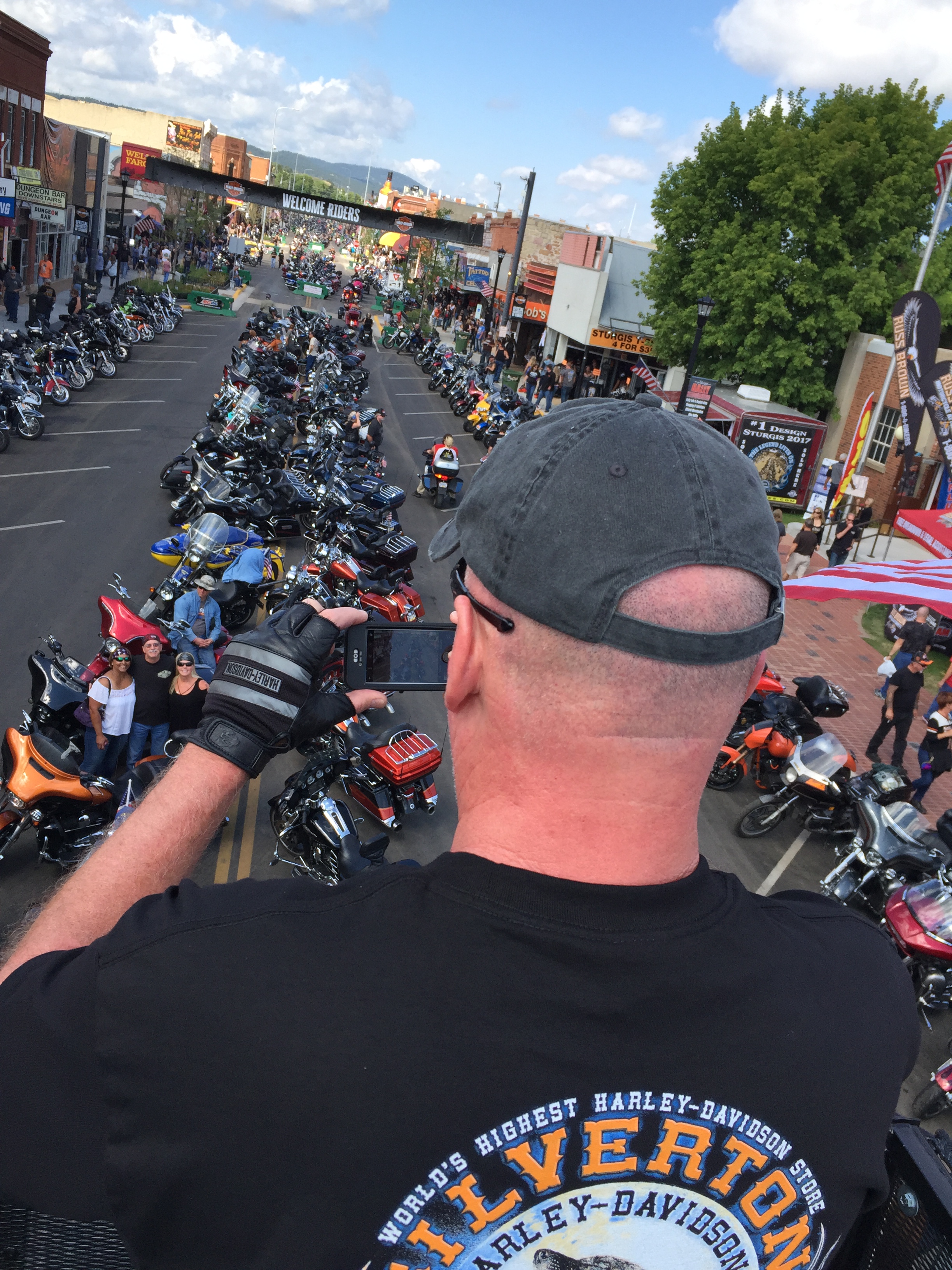
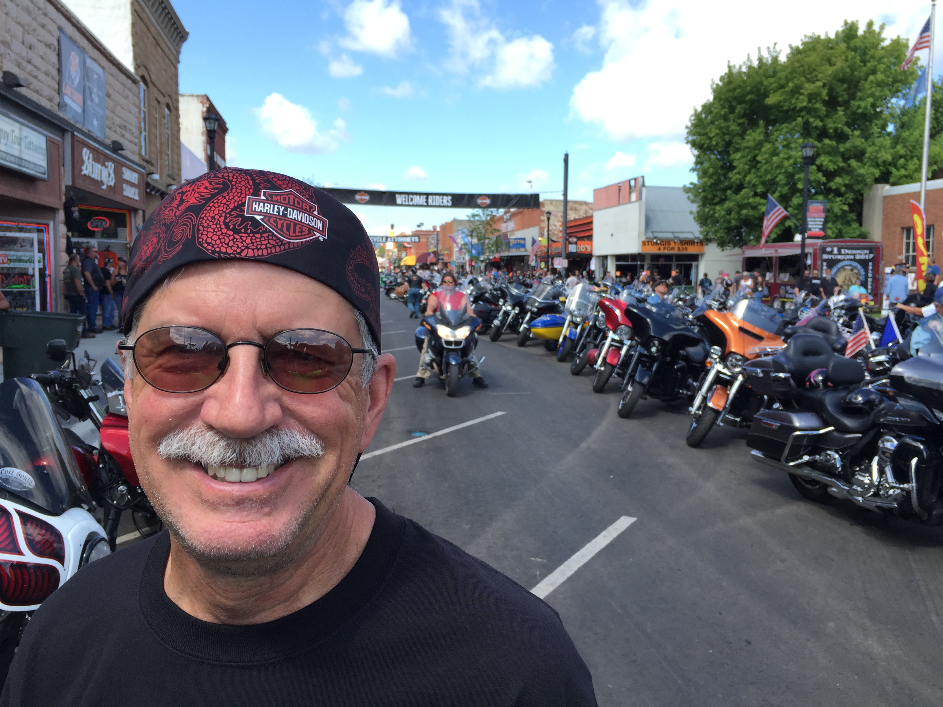
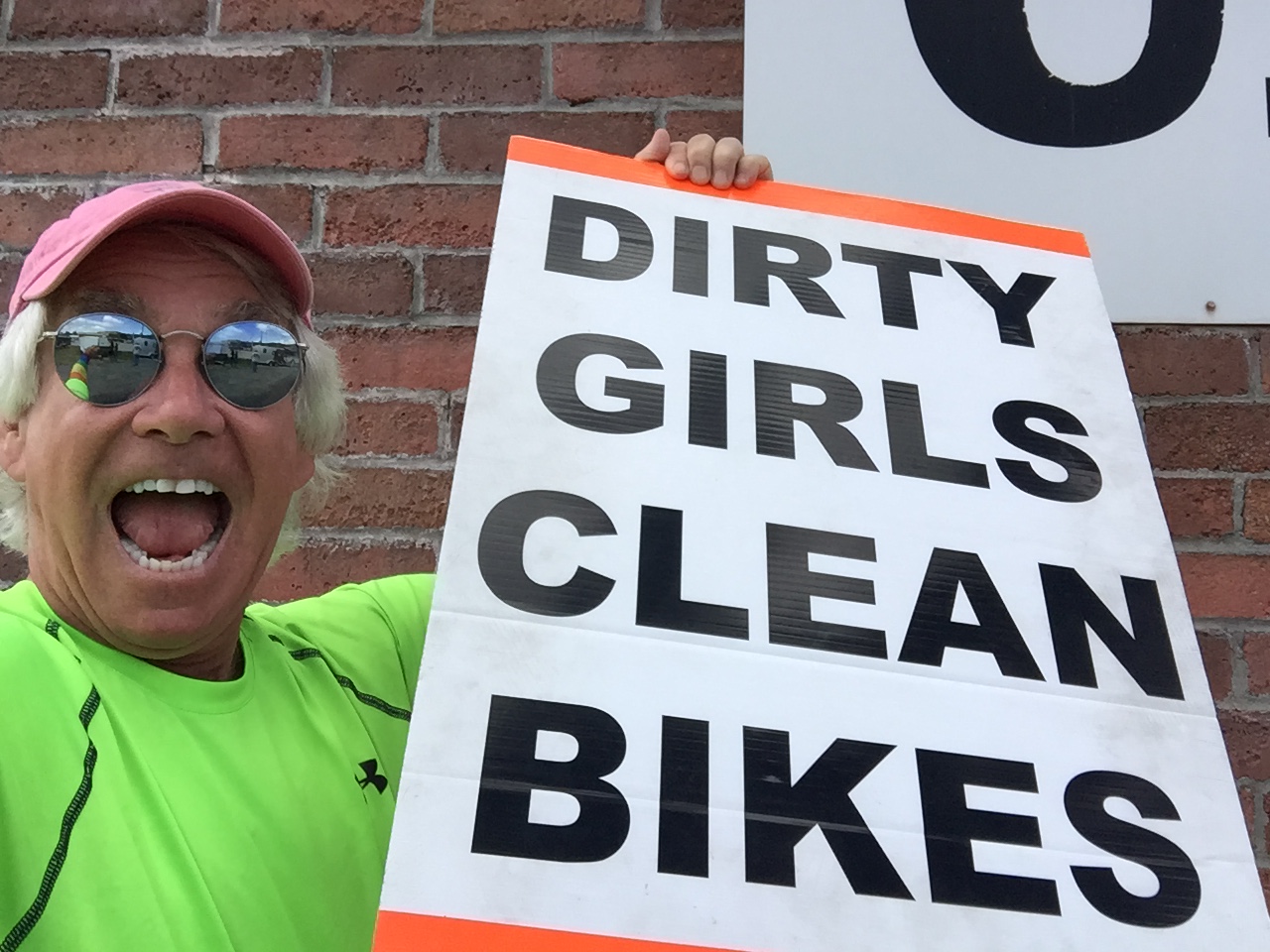
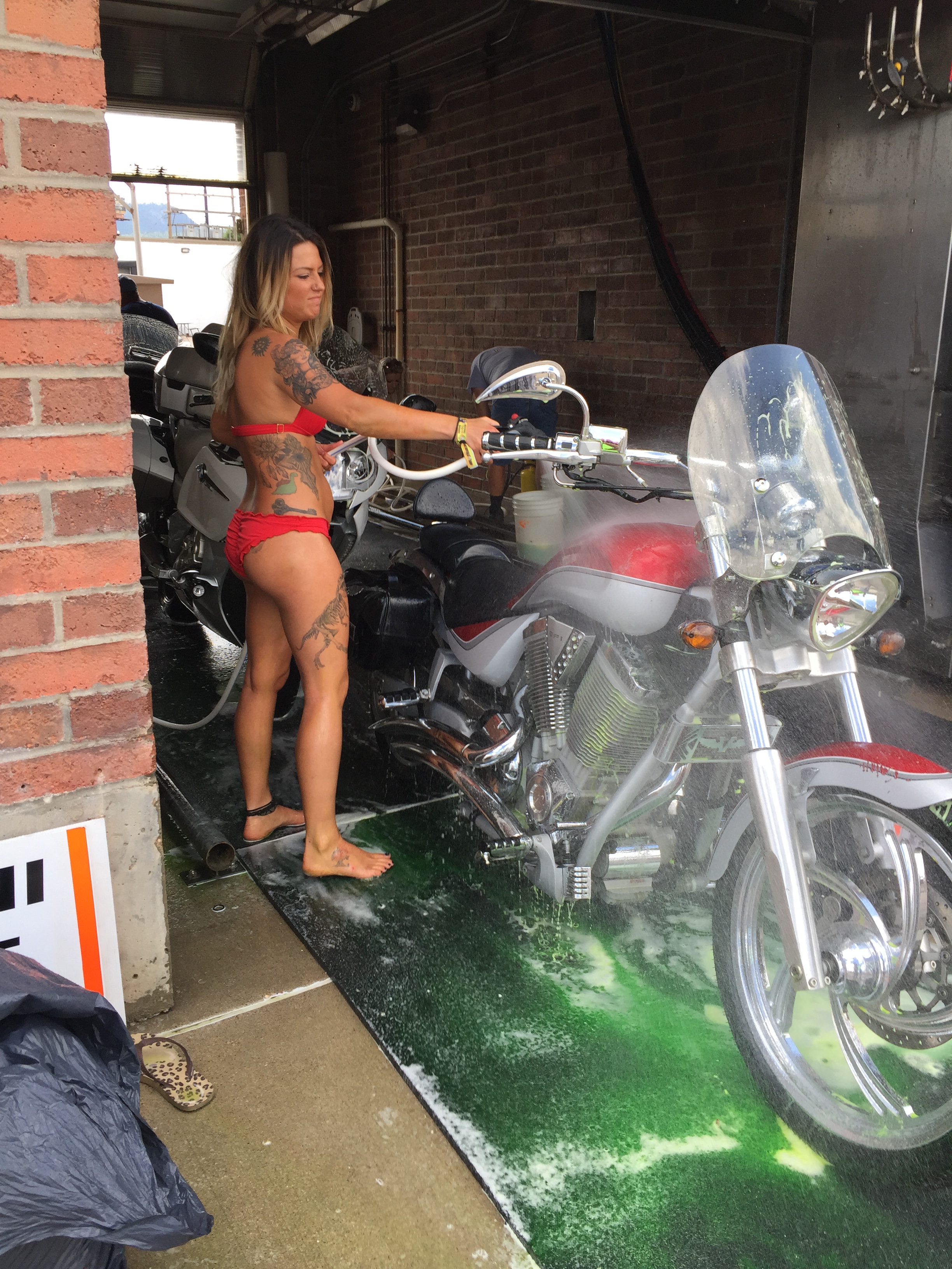
A postscript: Dave and Scott are in Kingman, Arizona, tonight, cooling off before riding through a blast furnace tomorrow on their way home to Orange County. Here are a few photos, showing their day on the road.