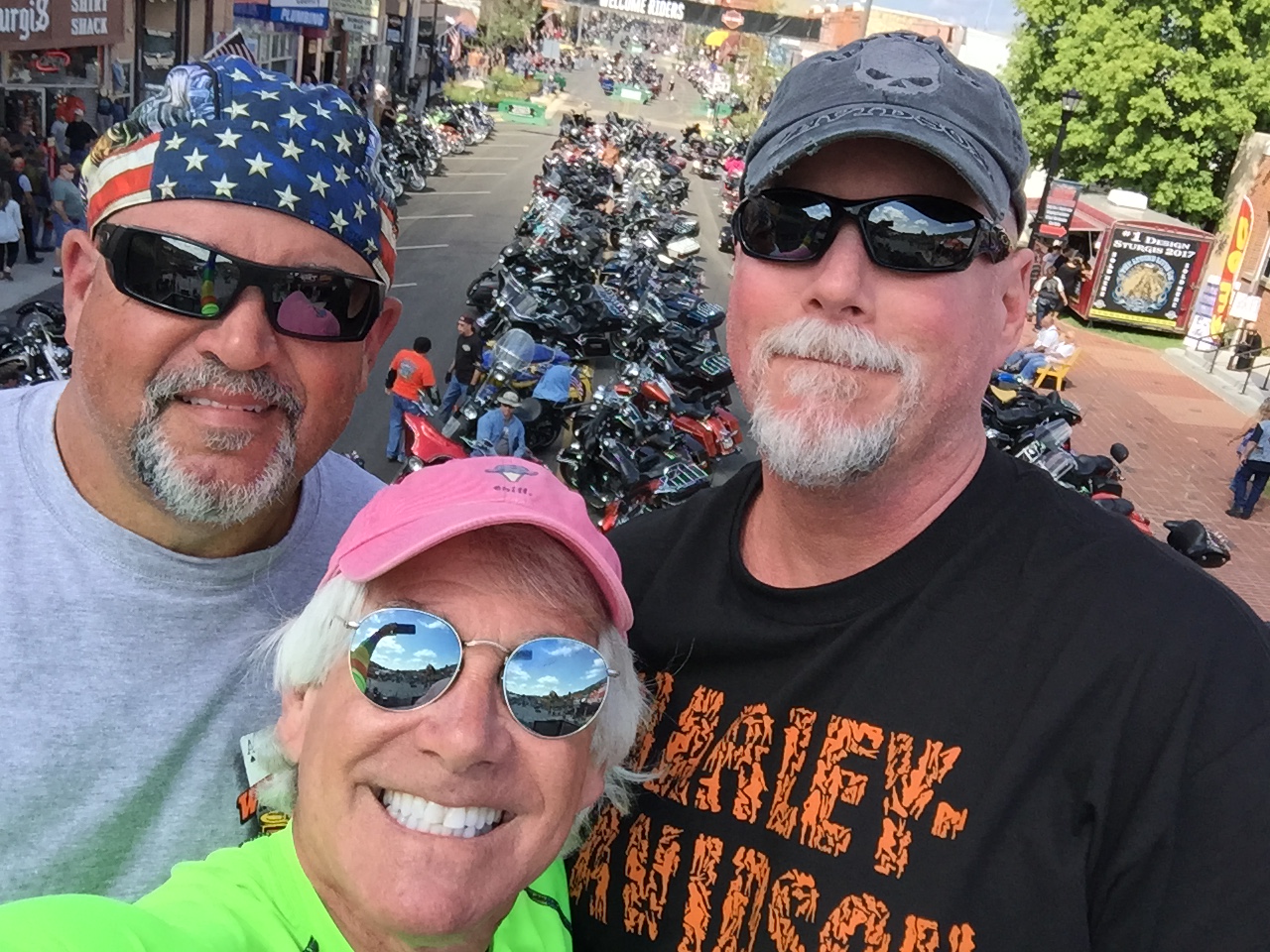
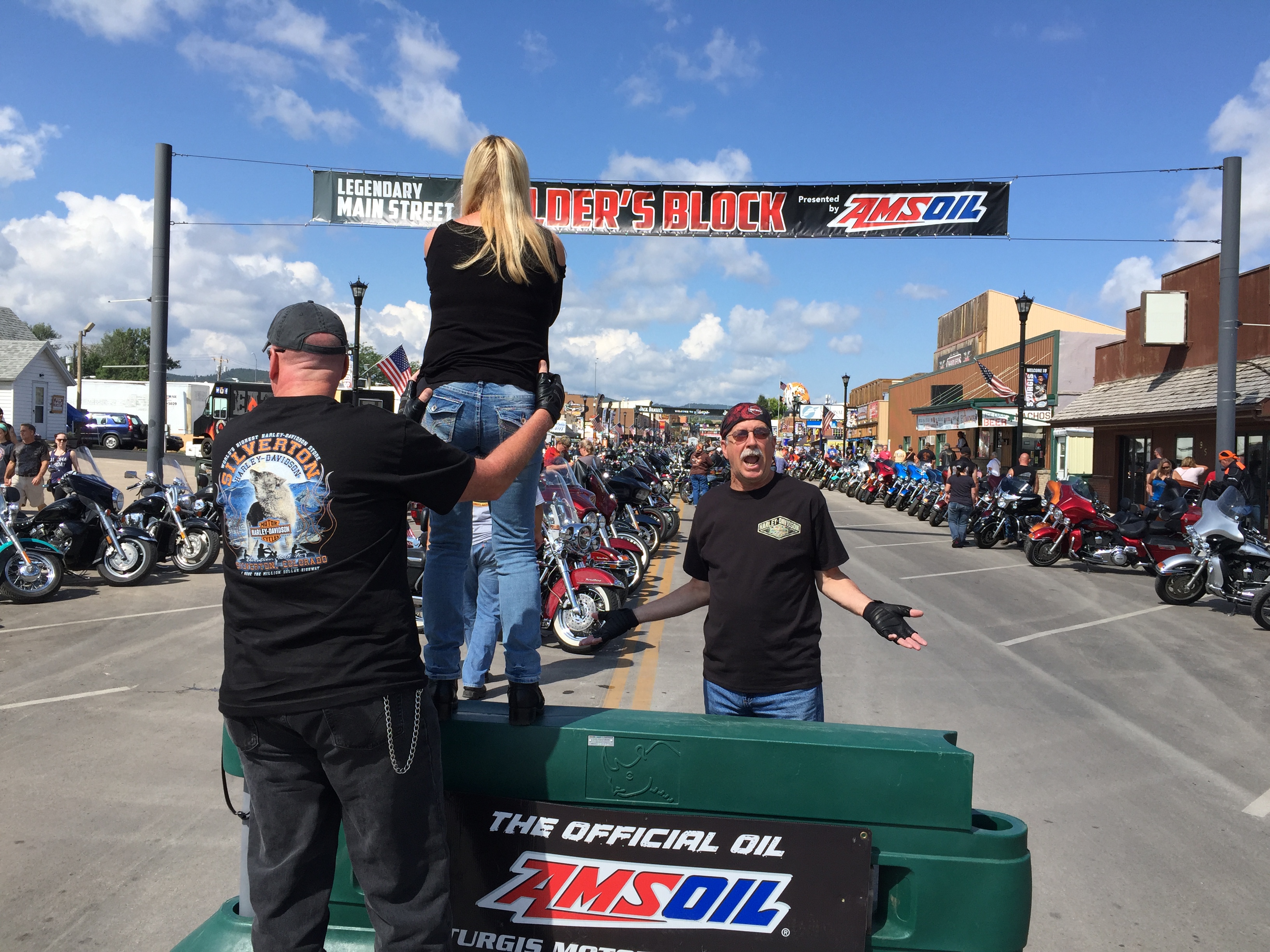
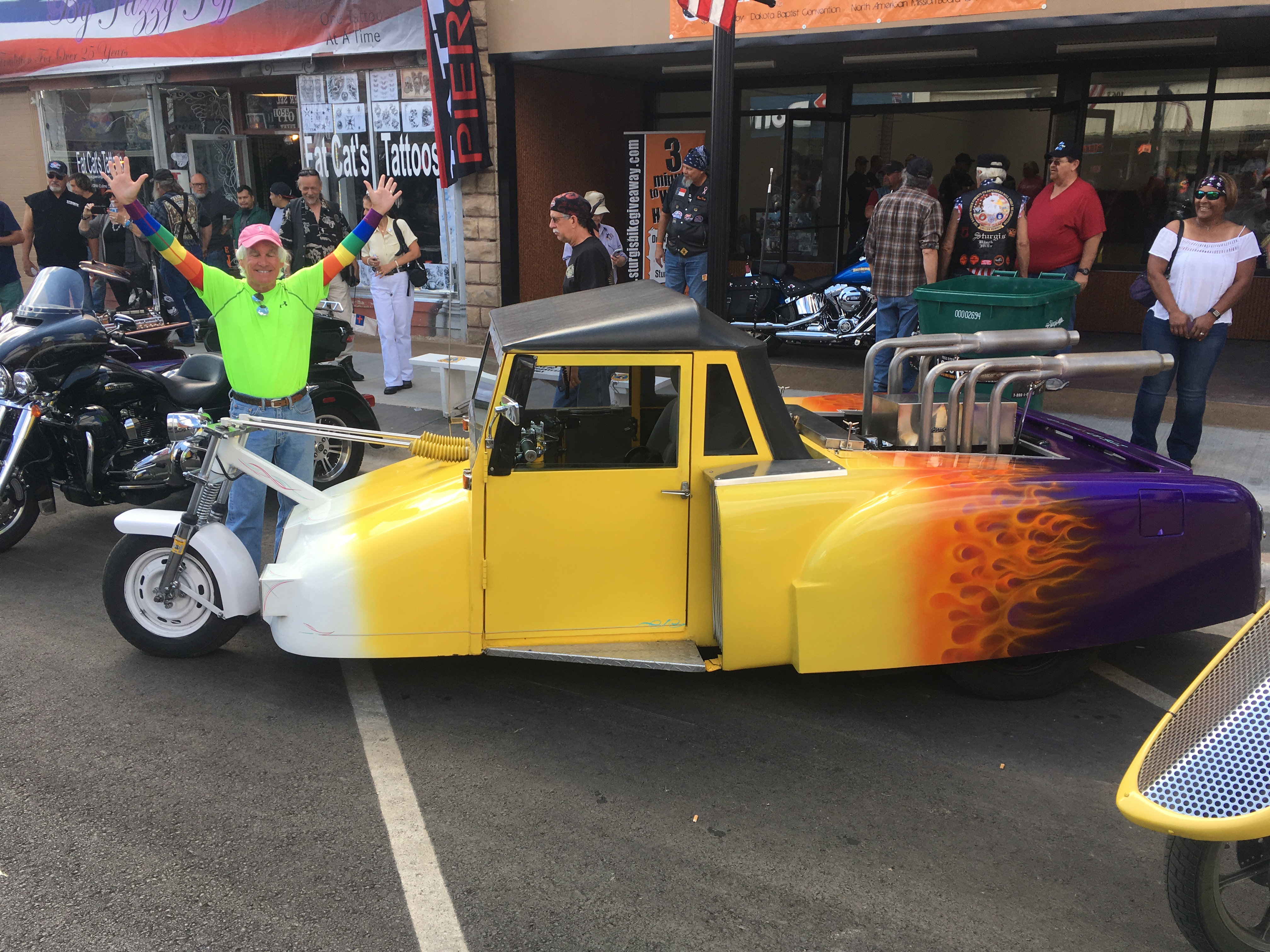
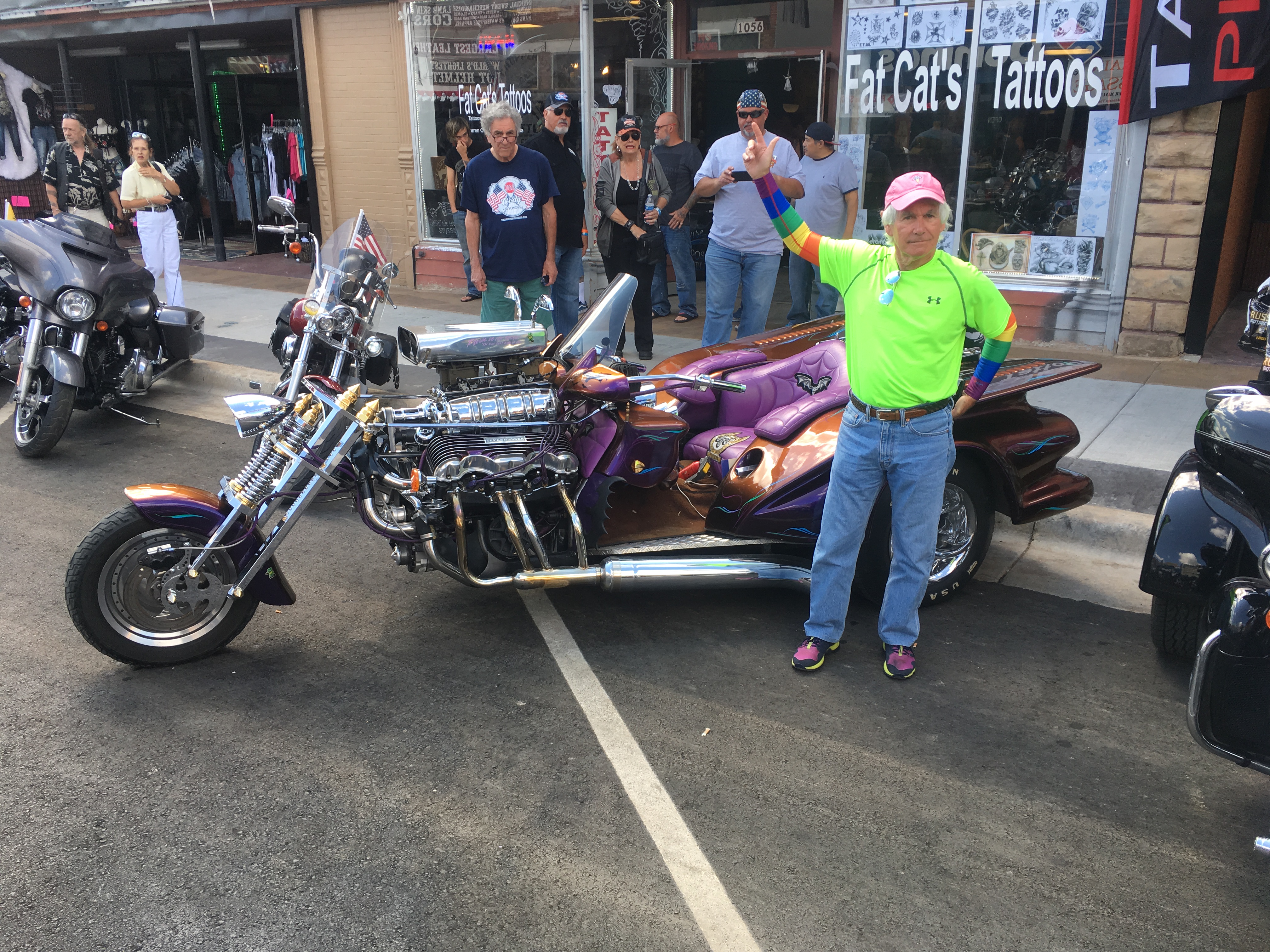
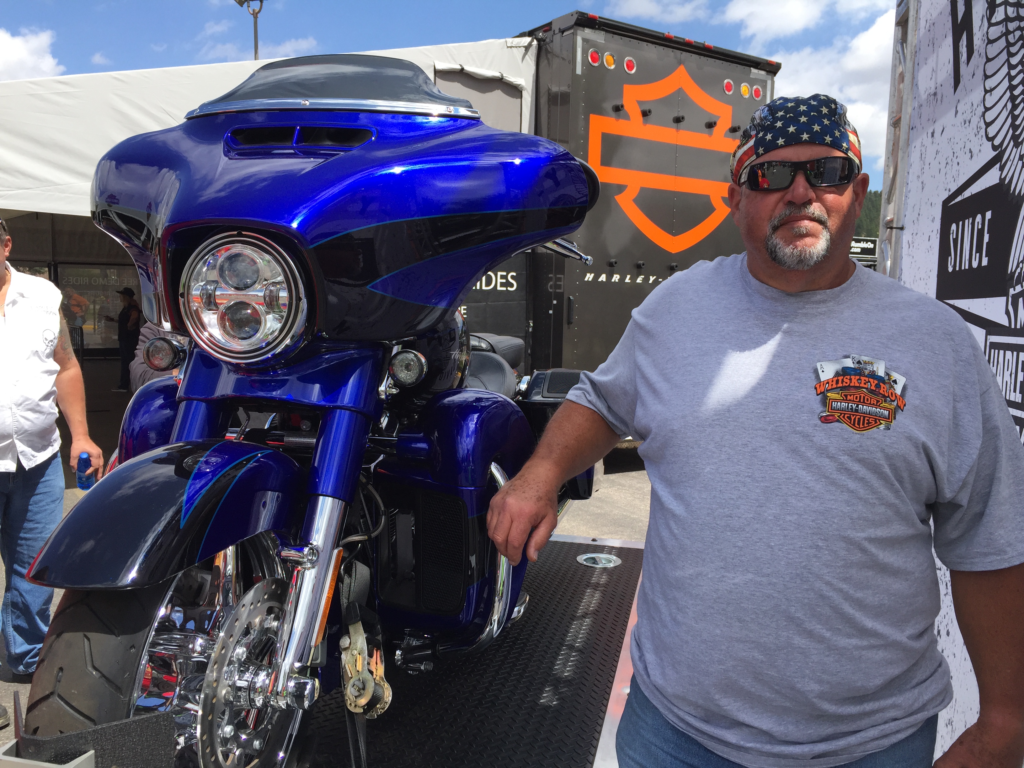
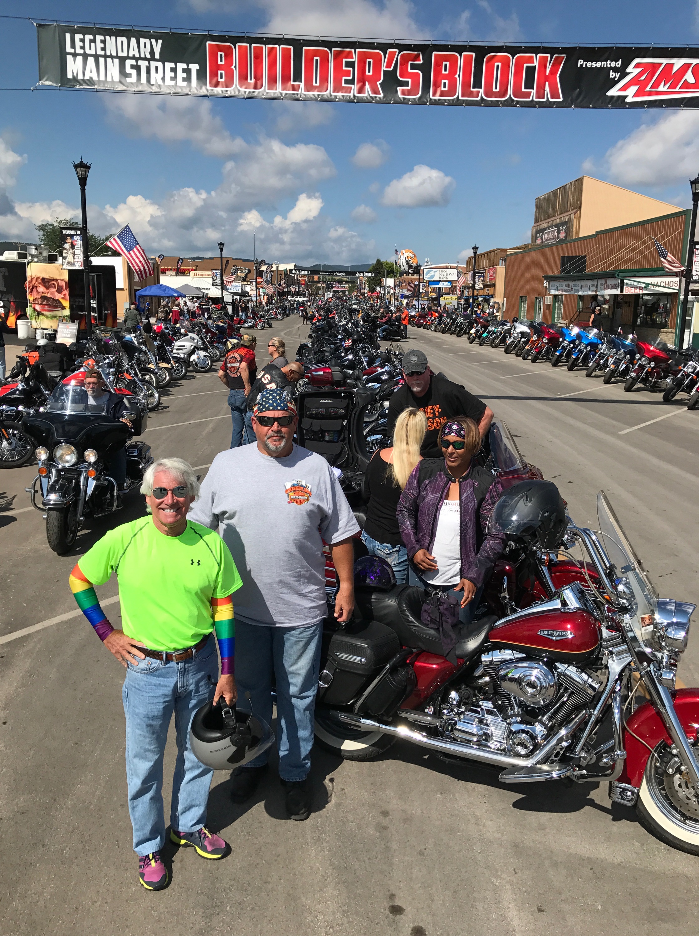
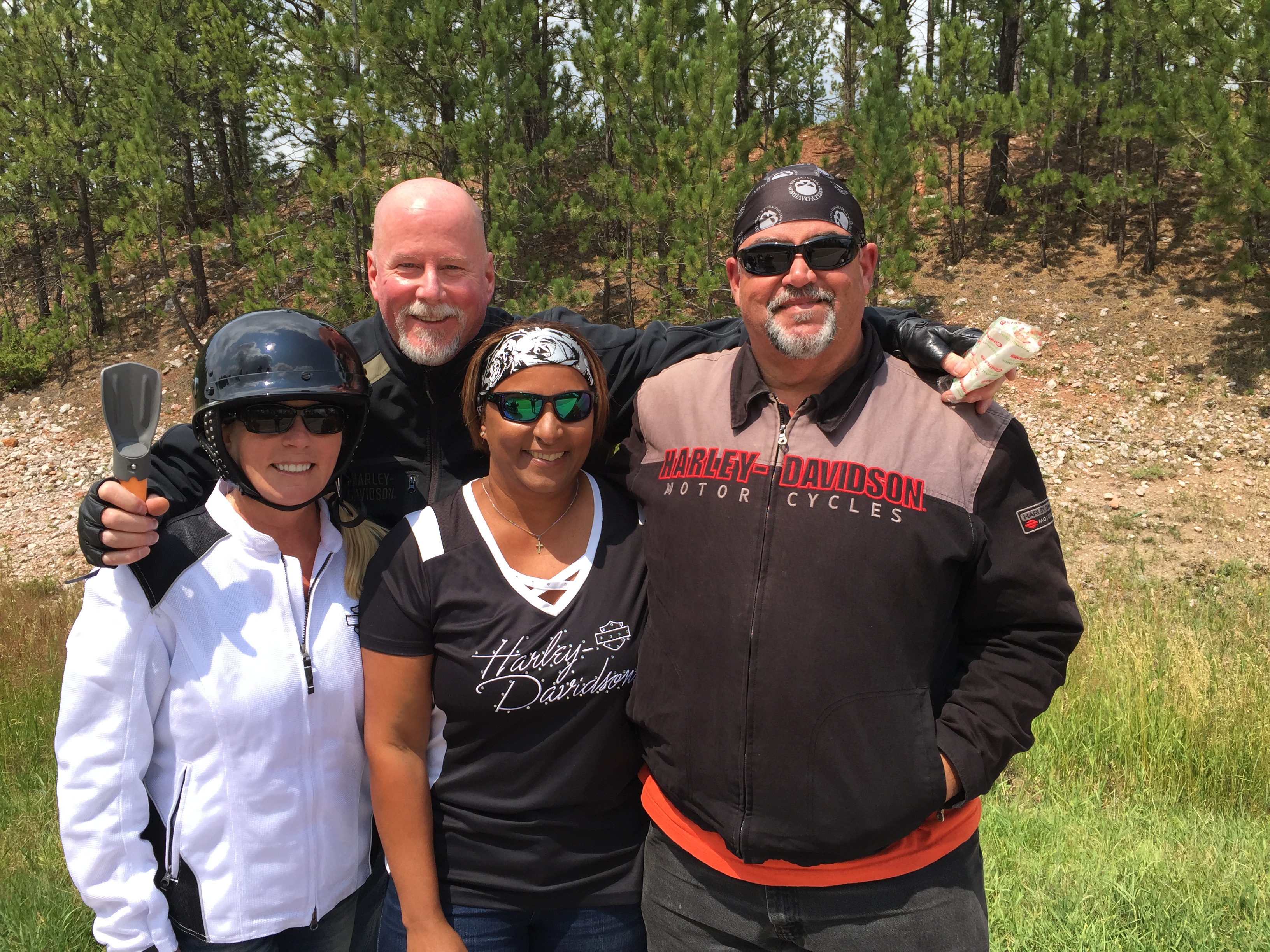
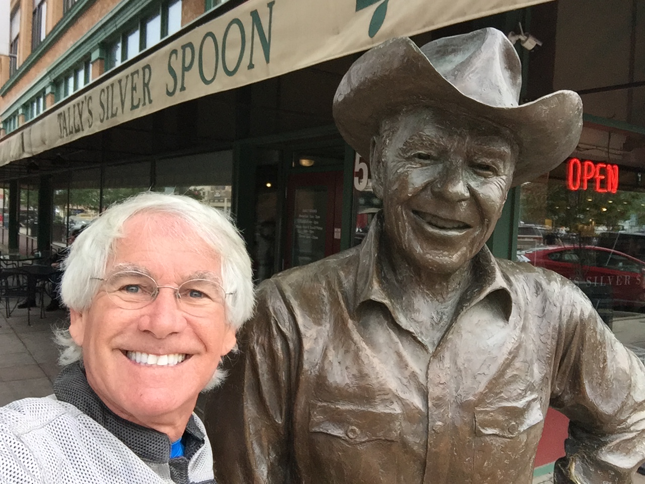
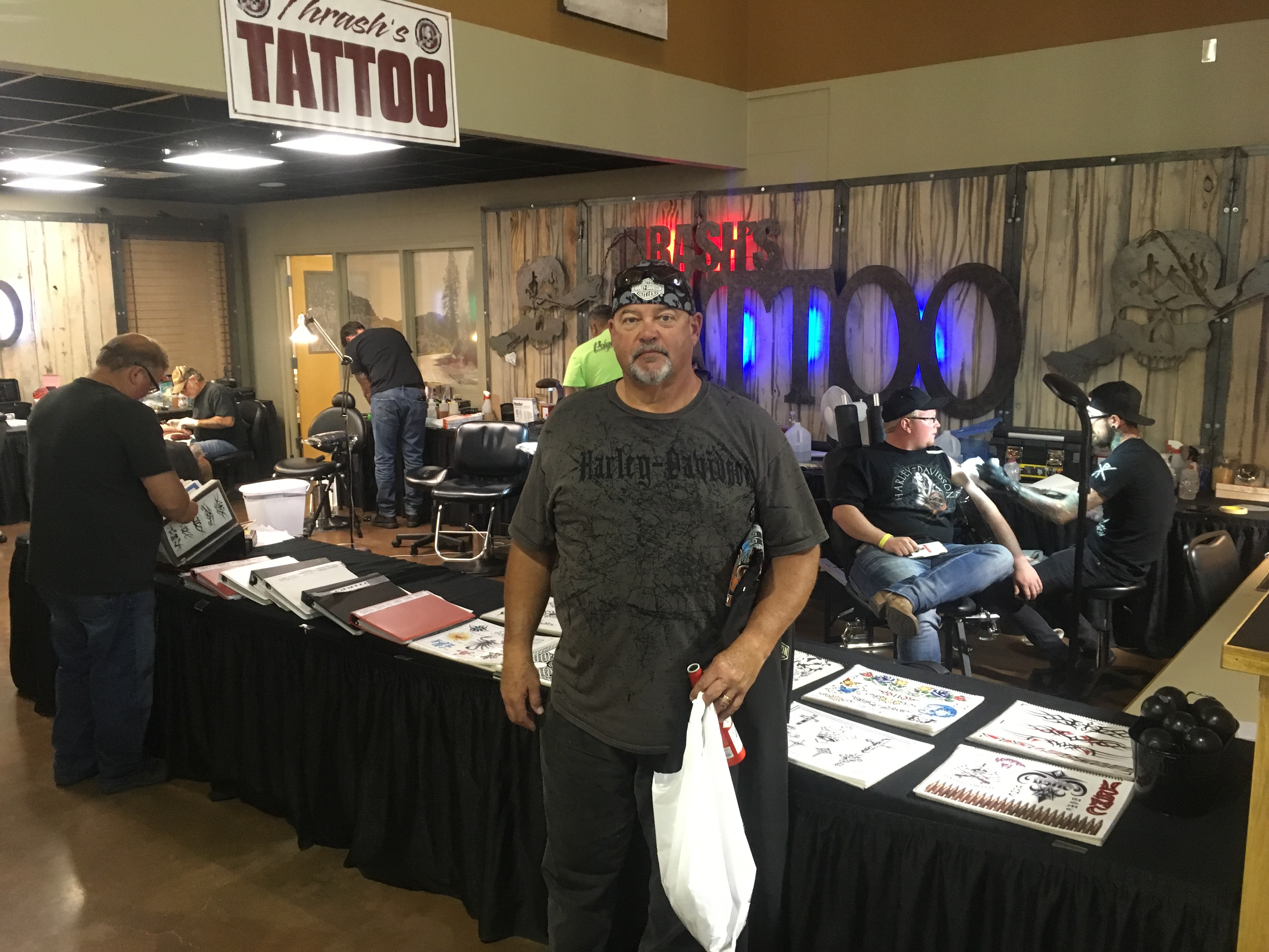
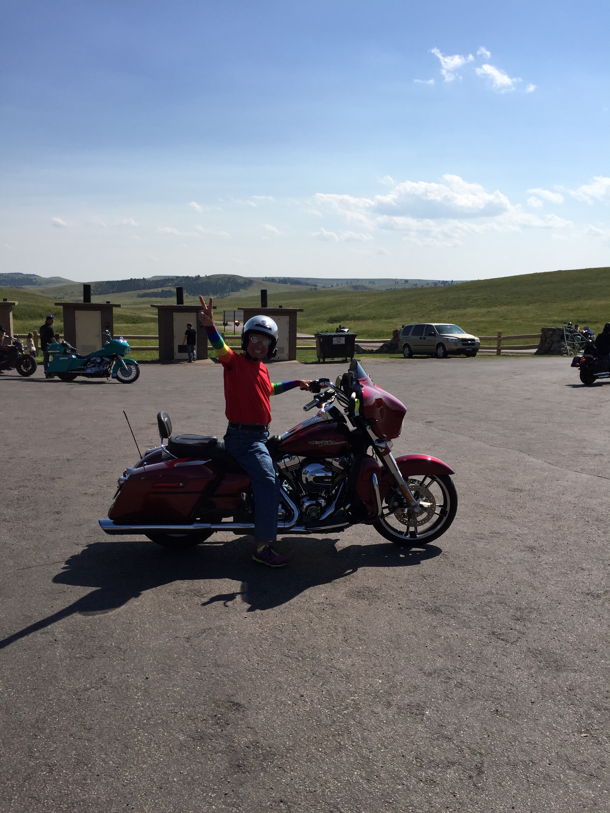
Our Table for Six is shrinking.
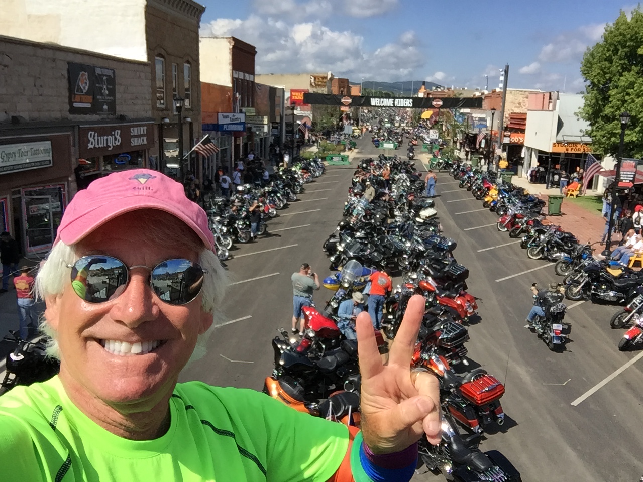
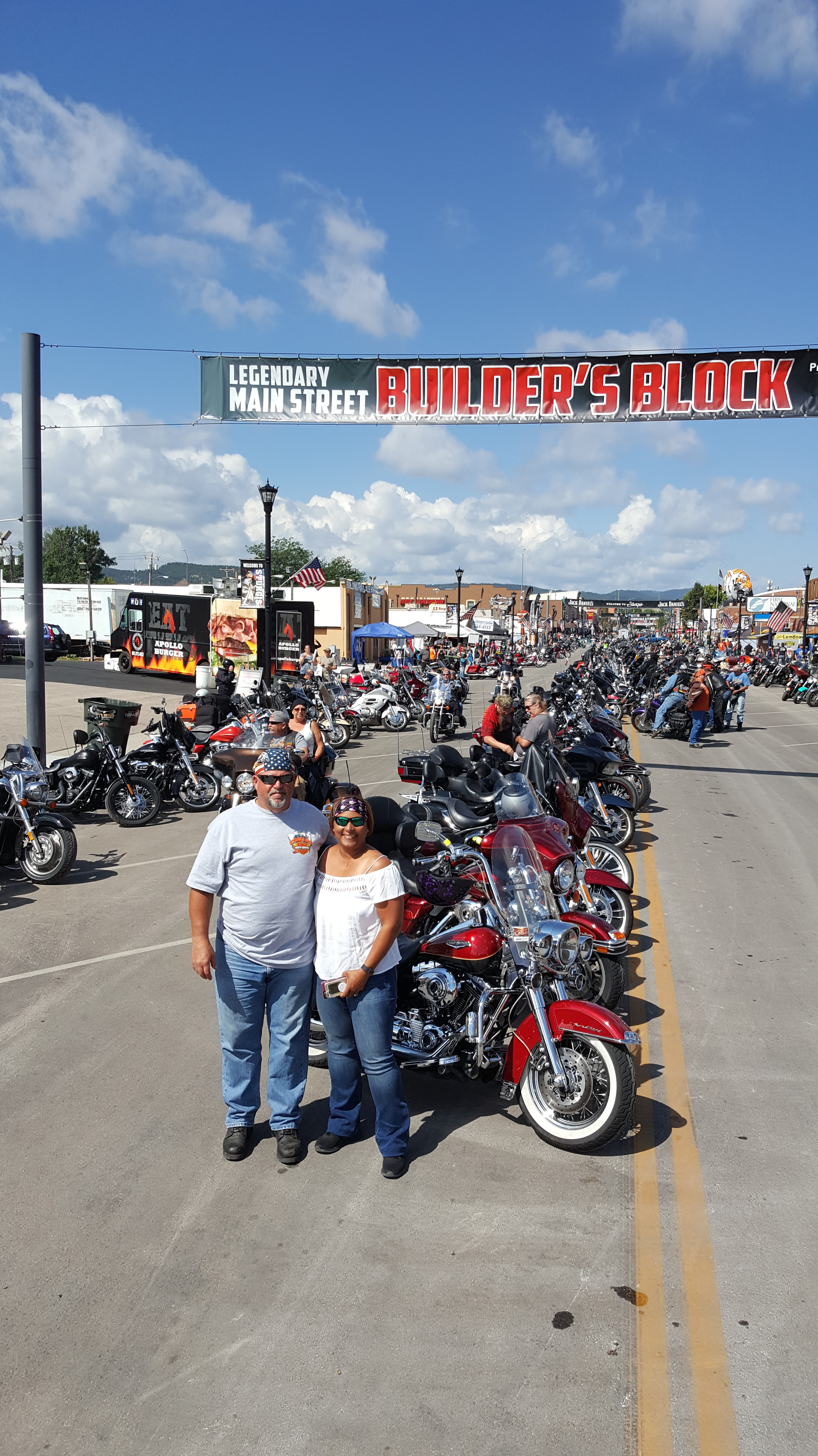
The guys begin the long ride home, and the girls say goodbye to Rapid City, too.
So, our Table for Six is again a Table for Three.
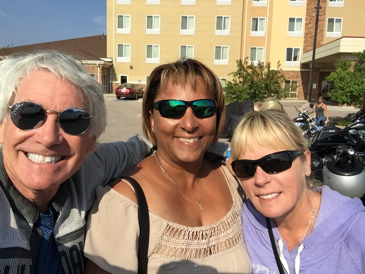
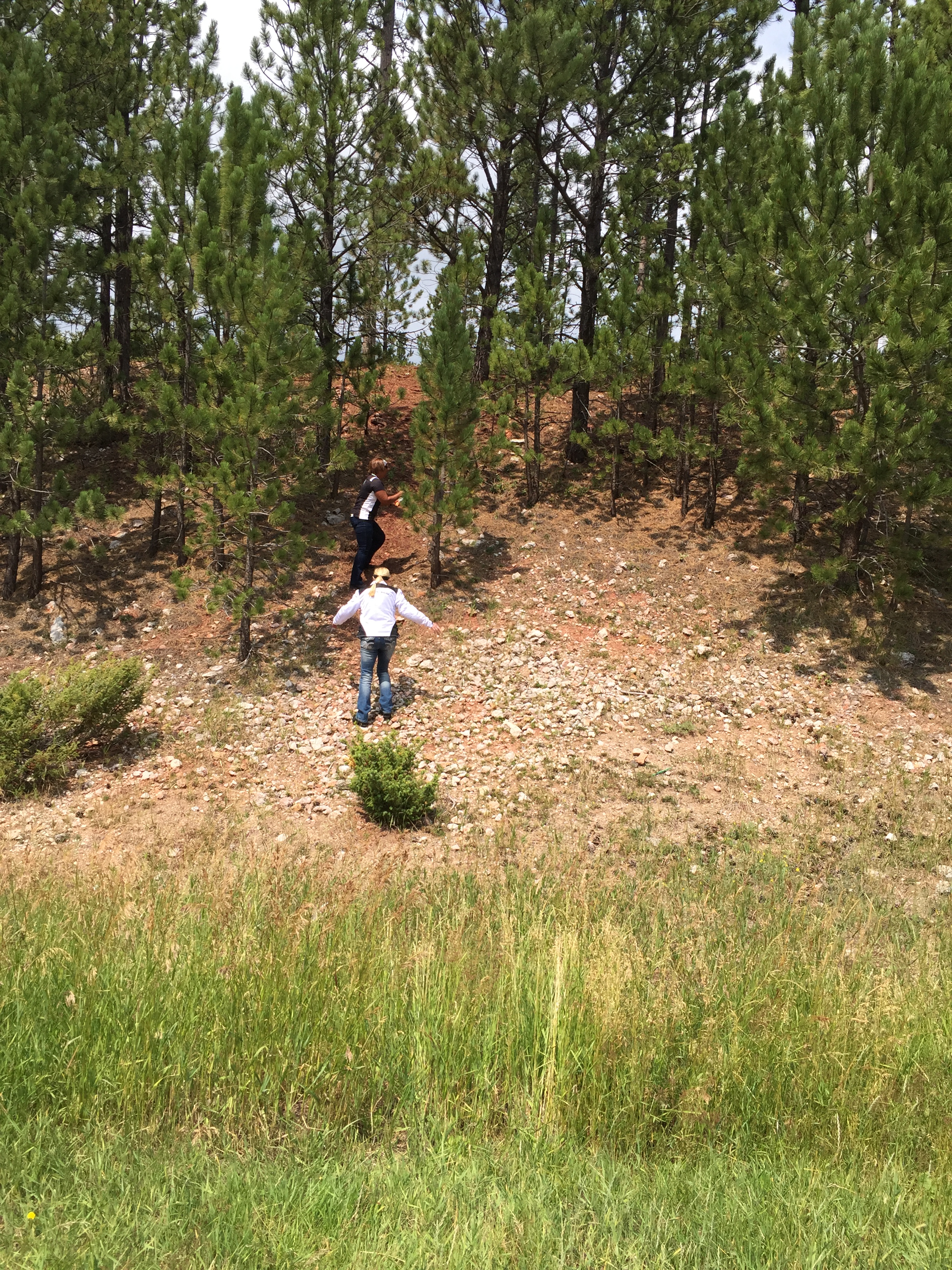
Gail, and Jackie make a run for the Rapid City Airport, where they’ll start their journey home to Southern California.
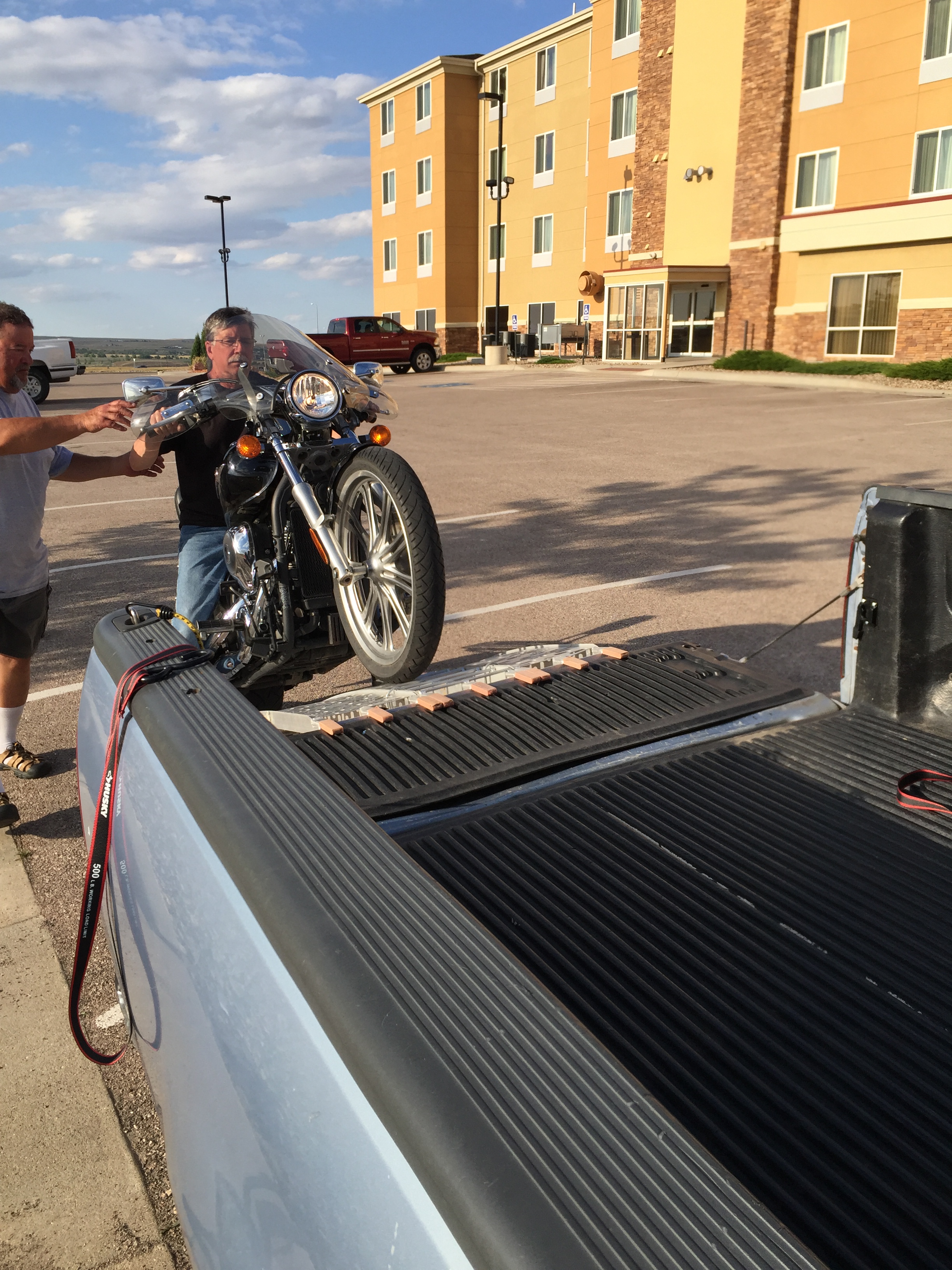
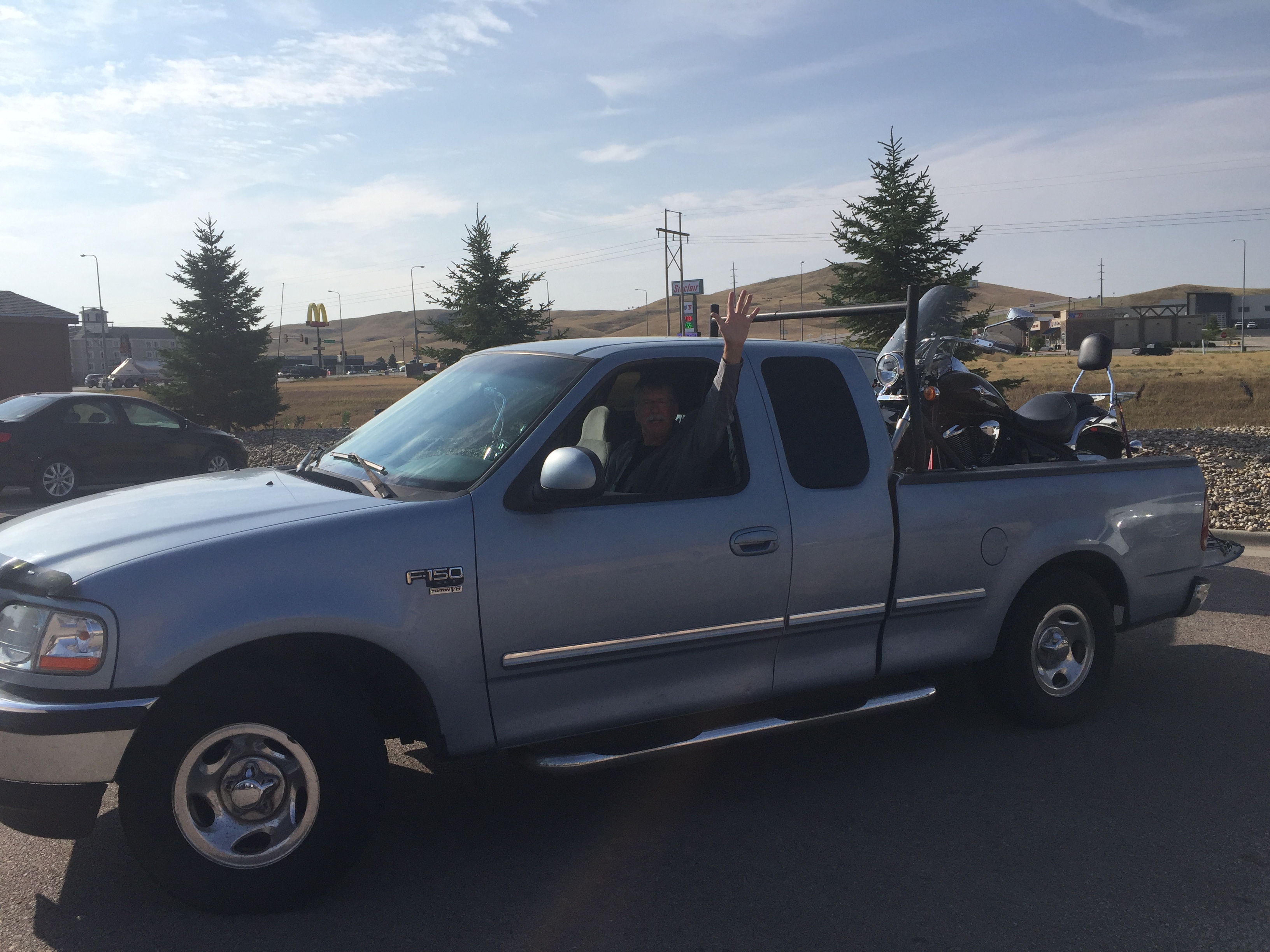
Randy loads his bike into the back of his F-150 and heads home to Seattle.
And the boys ride through the Black Hills one last time on their way south. Their trip is far from over.
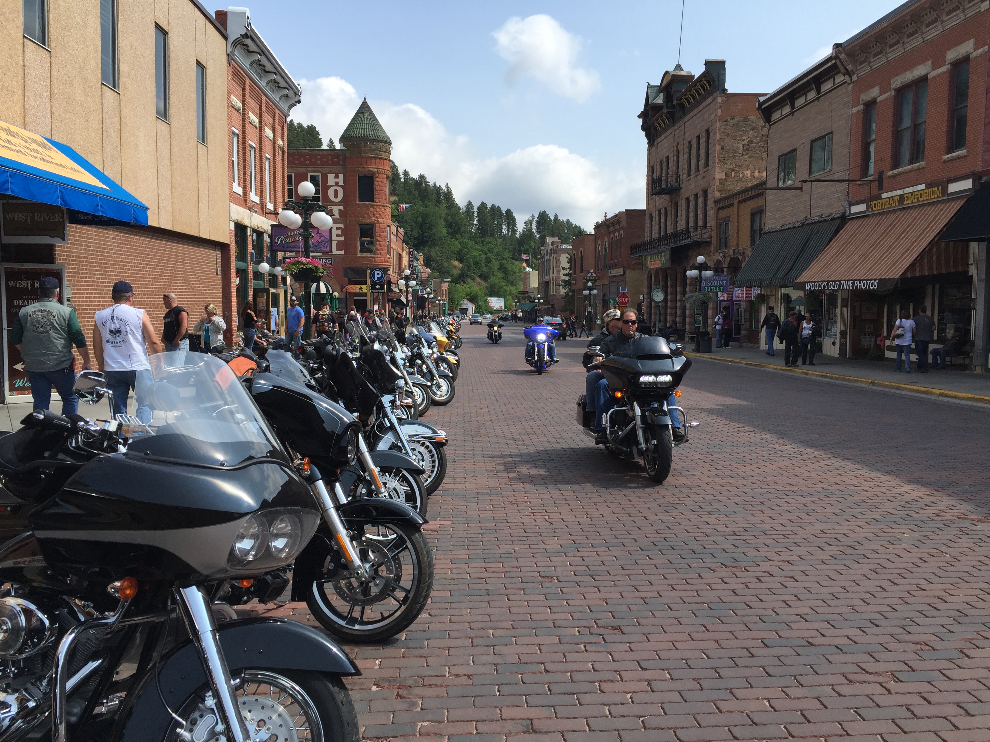
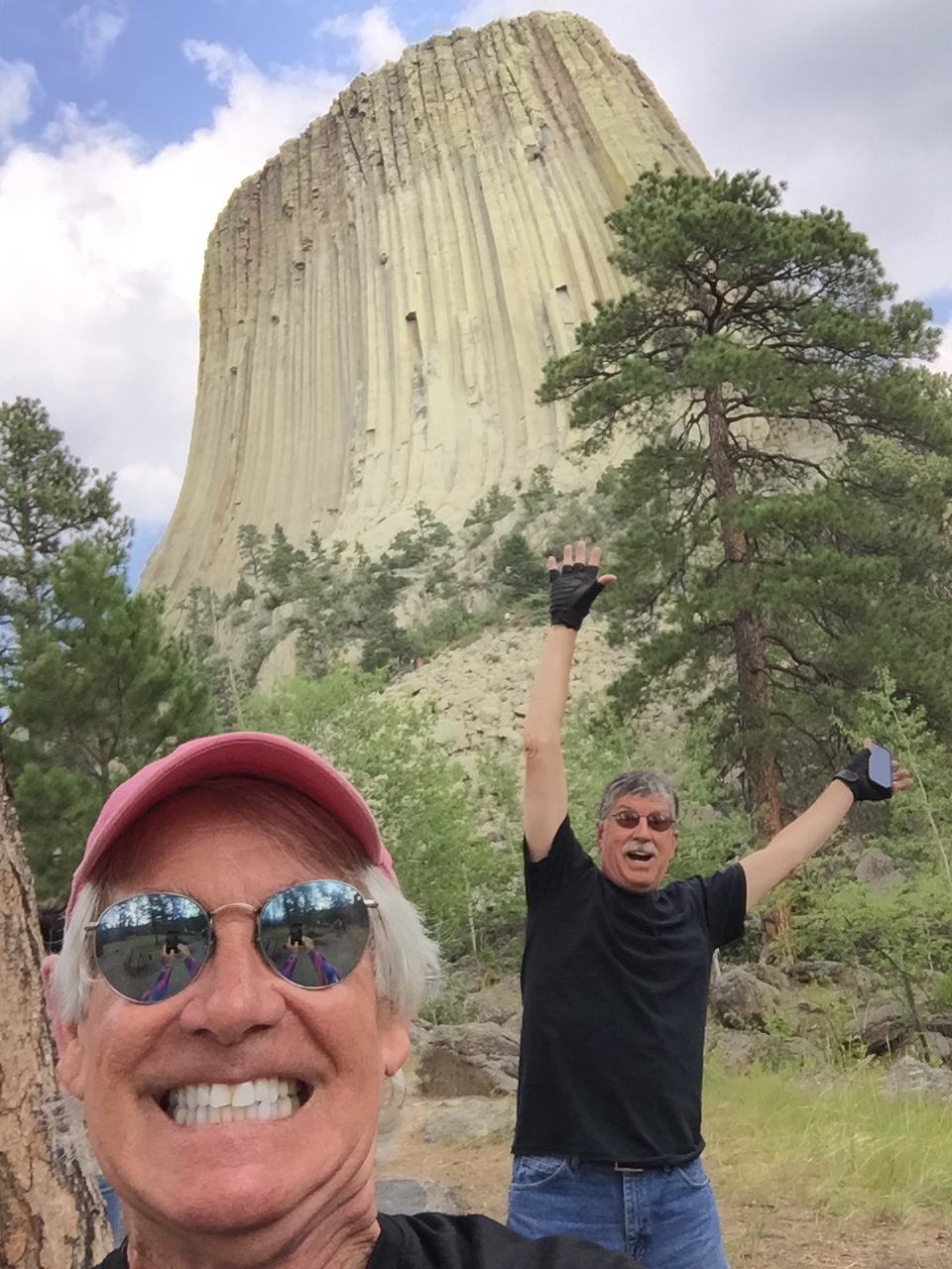
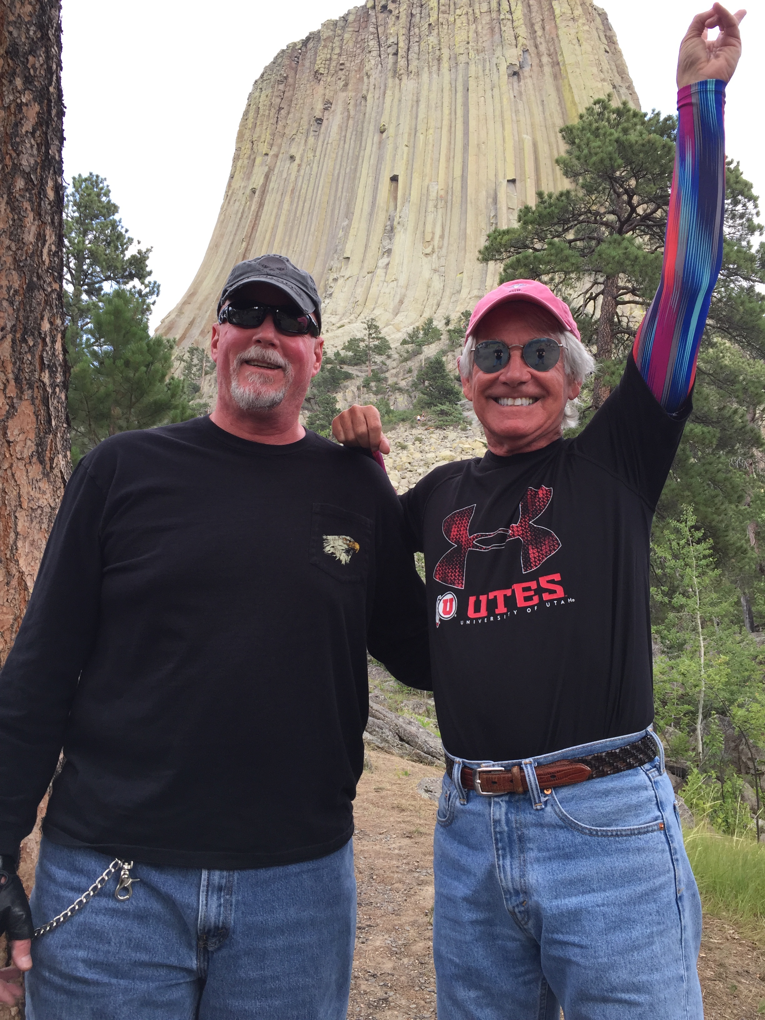
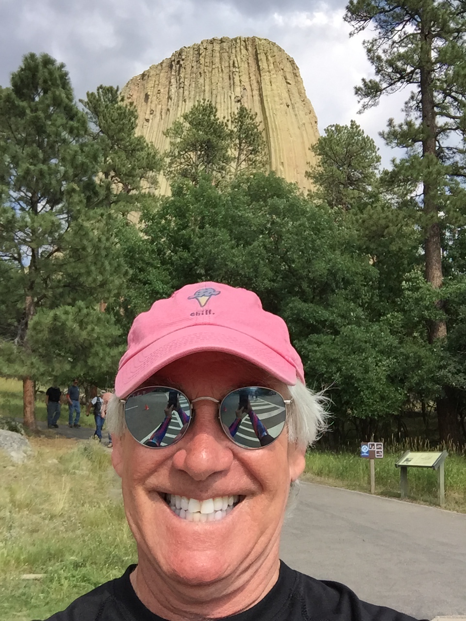
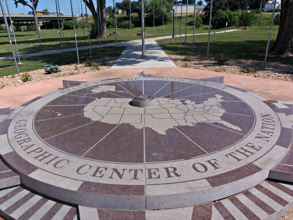
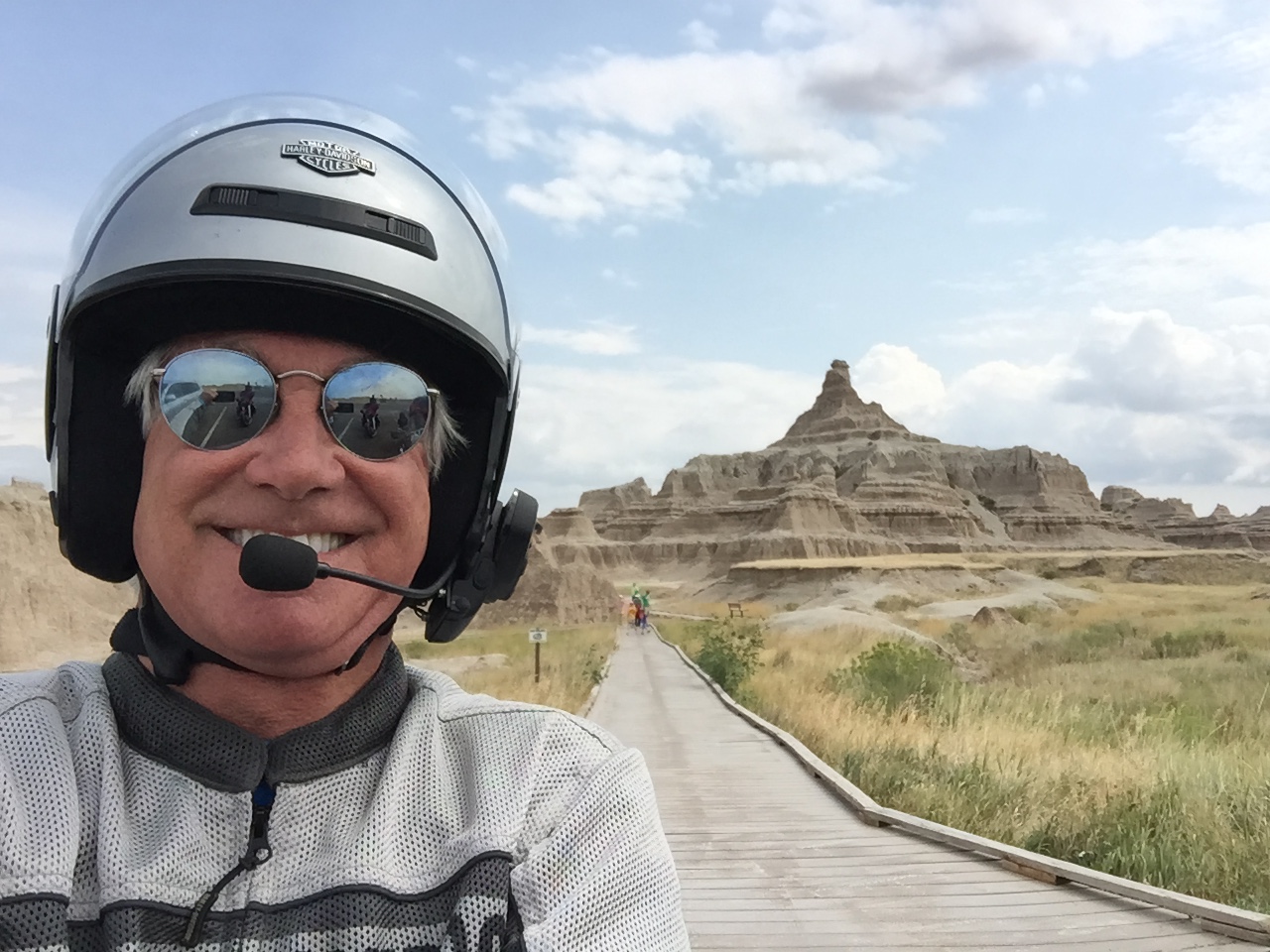
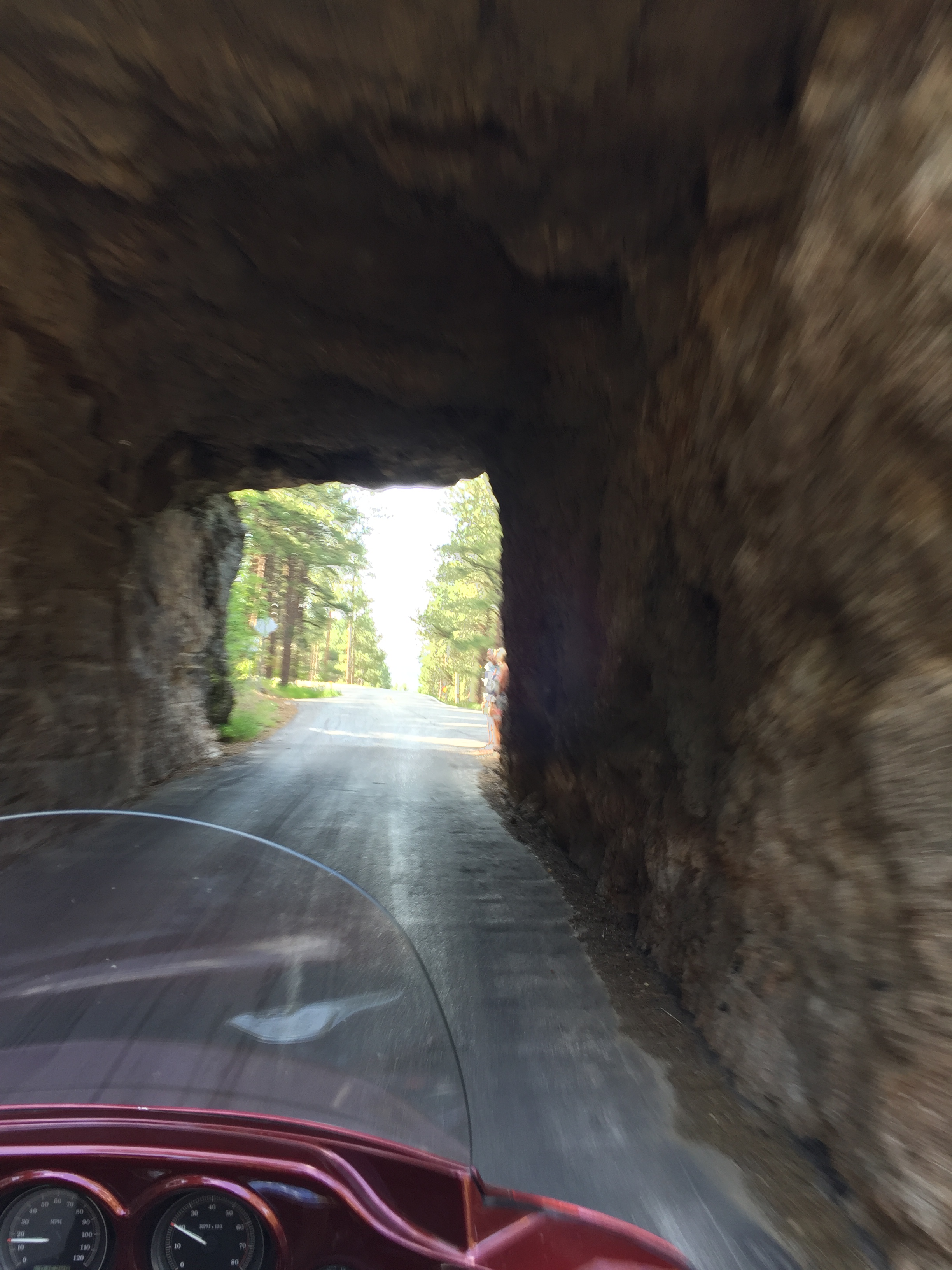
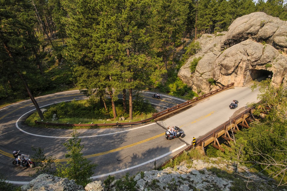
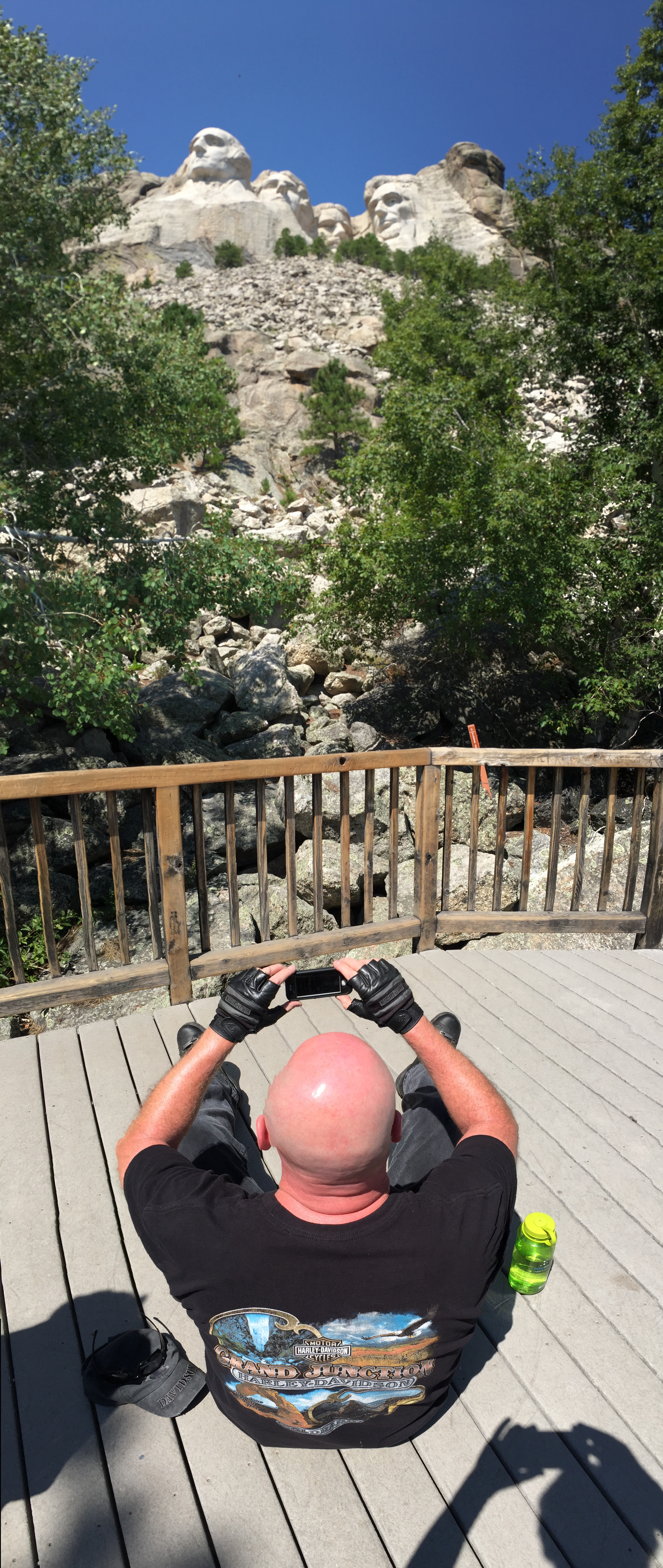
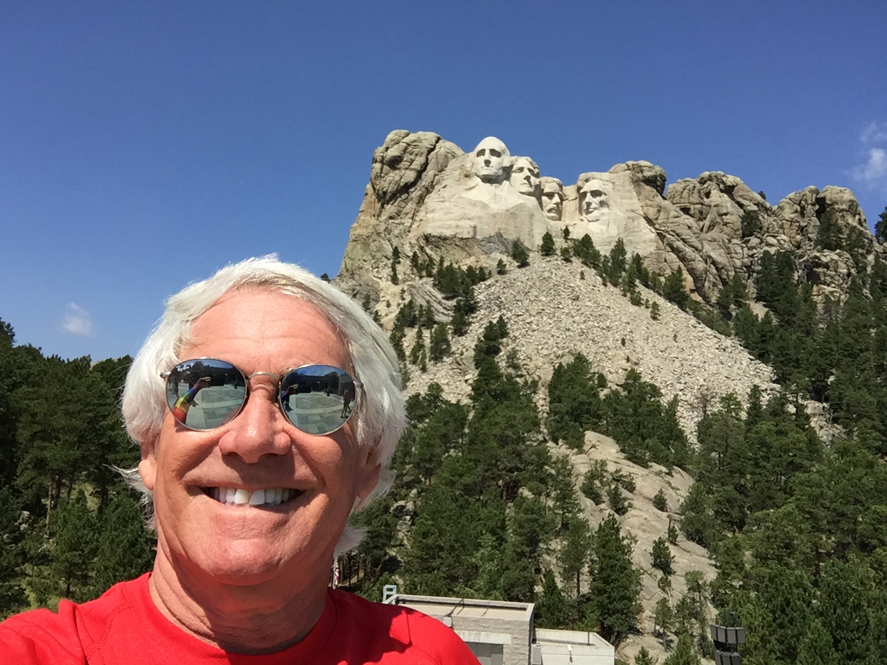
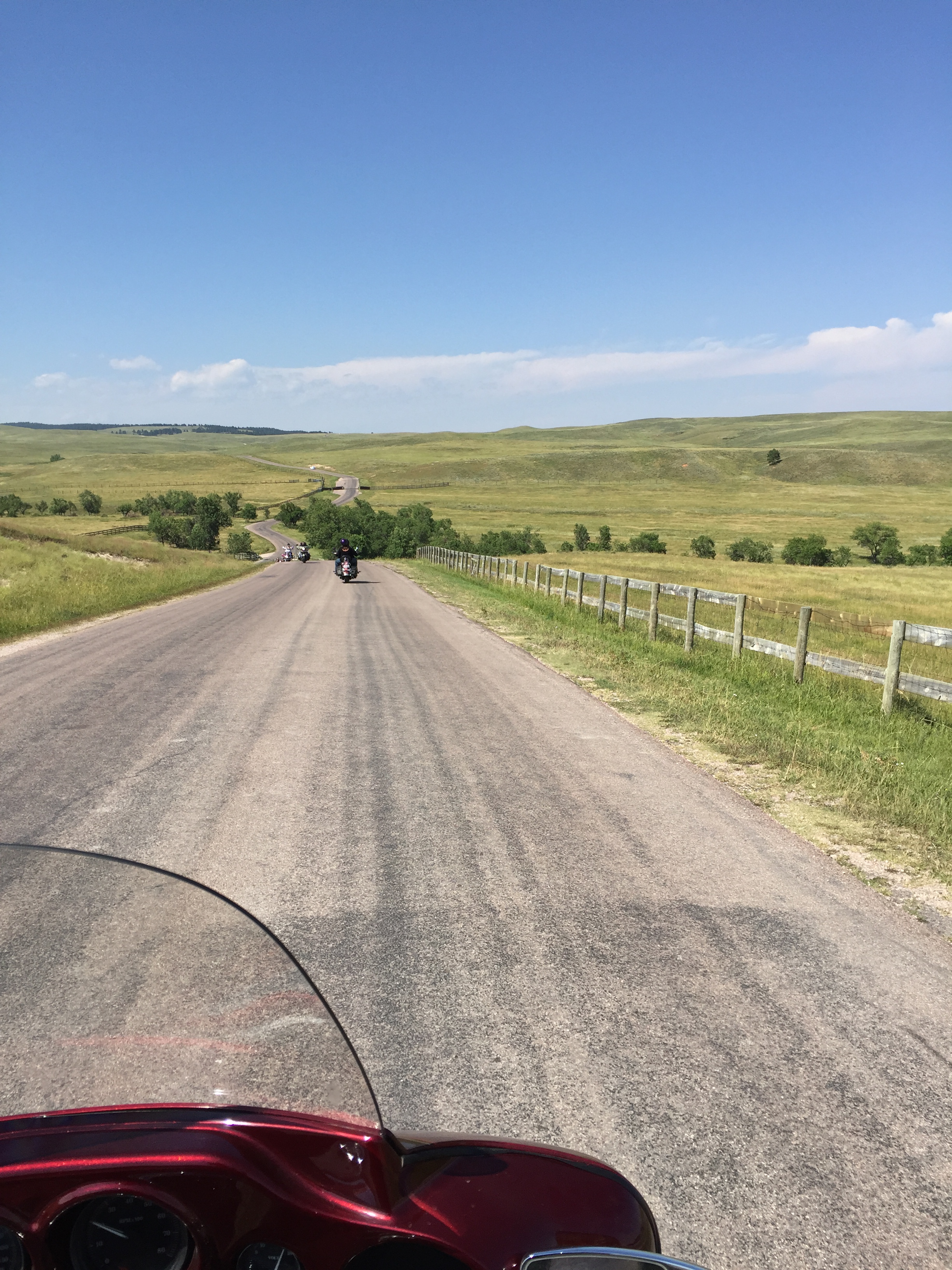
The Harleys point southward on US Highway 16, leaving Rapid City for the last time. We roll through Rockerville, Hill City, and past Black Elk Peak, at 7,242 feet, the highest point in South Dakota and the Black Hills. We rode past Black Elk Peak last Friday, but forgot to tell you about a recent shit-storm surrounding its name.
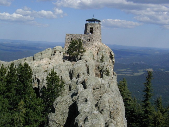
If you haven’t heard of Black Elk Peak, that’s because until August 2016, it had been known as Harney Peak, the highest US point east of the Rocky Mountains. Harney Peak was named after Army General William Harney, whose troops fought against Indians during American expansion in the west. Harney was also a US government negotiator with Native American tribes over treaties.
In 2015, the South Dakota Board of Geographic names took testimony from across the state on requests to change the name to either Black Elk – named after a Sioux holy man – or Hinhan Kaga (Making of Owls). But amid public backlash, the state board backed away from renaming the peak.
Then, in 2016, the Federal Board of Geographic Names moved ahead with the change, despite opposition from the South Dakota Department of Tourism and the Department of Game, Fish and Parks. The Federal Government won, as it usually does. So today, we ride past Black Elk Peak.
***
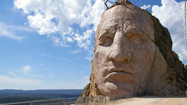
We’re soon riding by a turnoff to the Crazy Horse Memorial – a monument that’s been under construction since 1948 and is still far from completion.
The Crazy Horse Memorial will depict Crazy Horse, an Oglala Lakota warrior, riding a horse and pointing into the distance. The sculpture’s final dimensions are planned to be 641 feet wide and 563 feet high. If it’s ever completed, the Crazy Horse Memorial could become the world’s largest sculpture, dwarfing nearby Mount Rushmore. For now, the Crazy Horse Memorial is just considered the world’s largest mountain carving in progress.
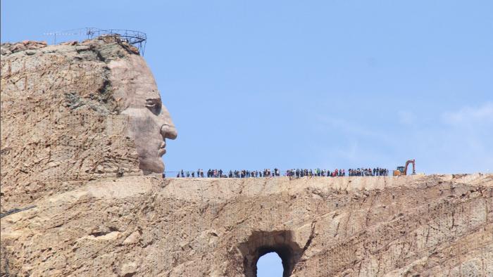
The monument is proceeding on a glacial pace; all it needs is money, and lots of it. As a private endeavor, its future is dependent on funding from a Memorial Foundation that charges fees for its visitor centers and earns revenue from its gift shops. At $11 per visitor ($5 per person on a motorcycle), it’s gonna take a long, long time to fund the millions of dollars needed to complete the memorial.
A few miles south of the Crazy Horse Memorial, we arrive in Custer, generally considered to be the oldest town established by European Americans in the Black Hills. Custer claims to have the widest Main Street in the United States, but it should be noted that quite a few cities make a similar claim – including Plains, Kansas; Greenwood, South Carolina; Onawa, Iowa; and Keene, New Hampshire. We’ve all got to get on the map one way or another.
Whatever. Not to be outdone, Custer made the street wide enough in the 19th century for a team of oxen pulling a wagon to turn completely around.
Custer is named for Major General George Custer, a cavalry commander in the Civil War and American Indian Wars. Custer was admitted to the US Military Academy (West Point), where he graduated last in his class of 1861. He died at the Battle of Little Bighorn in Montana, at the age of 36, fighting a coalition of Lakota and Cheyenne Indians. The Battle of Little Bighorn has come to be popularly known as “Custer’s Last Stand.”
***
From Custer, it’s about a 15-minute ride on US Highway 16 to Jewel Cave National Monument, which contains the third-longest cave in the world.
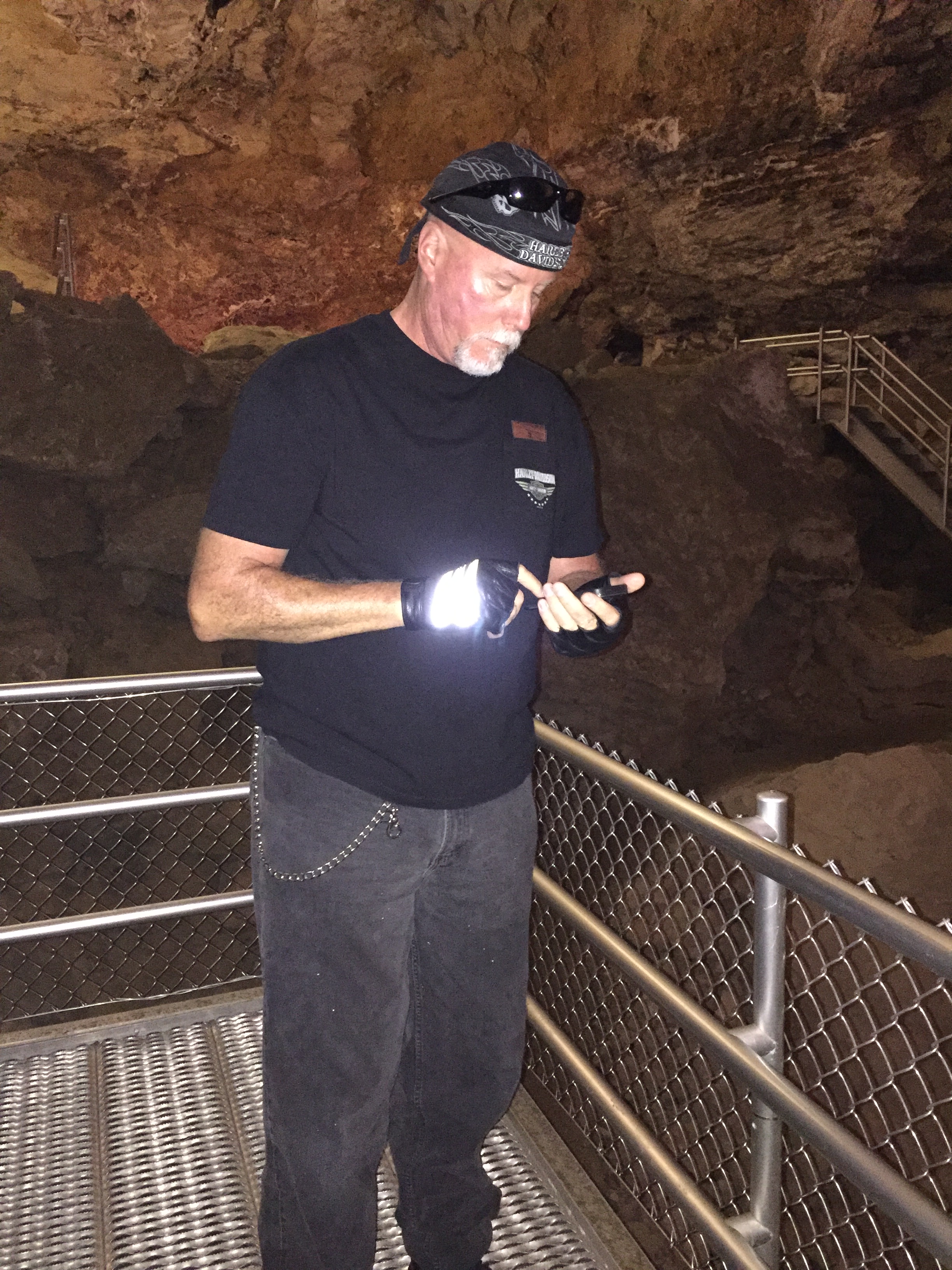
Jewel Cave has nearly 182 miles of mapped and surveyed passageways. As recently as 1959, less than two miles of passageway had been discovered.
The cave got its name in 1900. That’s when early miners dynamited an opening to make it larger, and an observer discovered crawlways and low-ceilinged rooms coated with beautiful calcite crystals that sparkled like “jewels” in their lantern light.
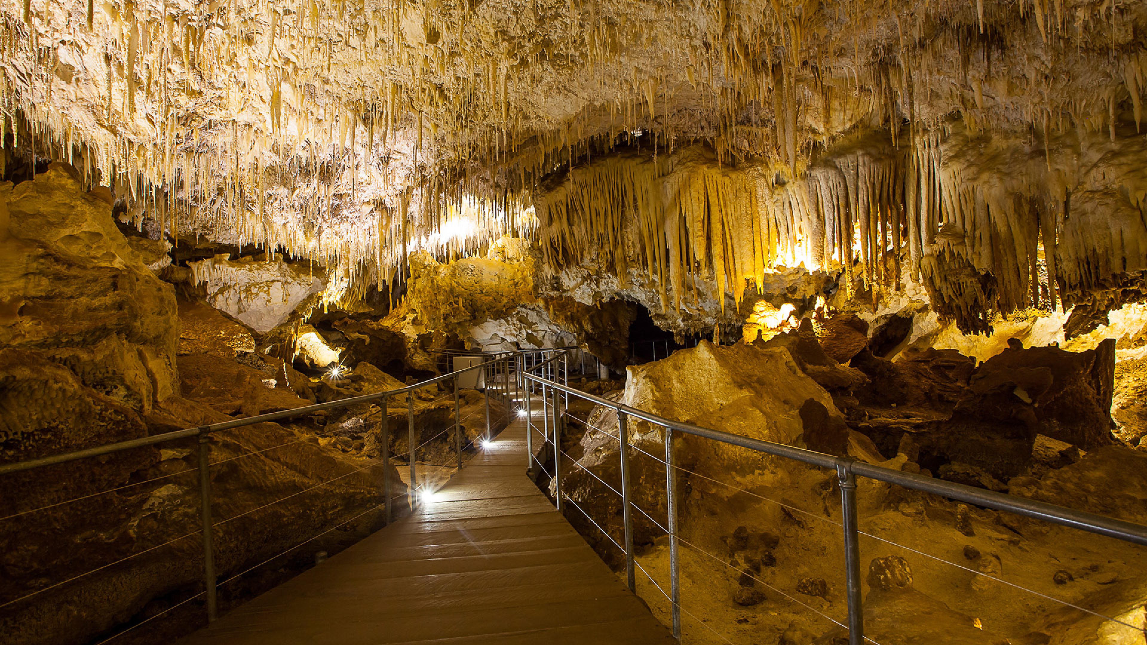
A local movement to set Jewel Cave aside for preservation culminated in President Theodore Roosevelt proclaiming it a National Monument in 1908.
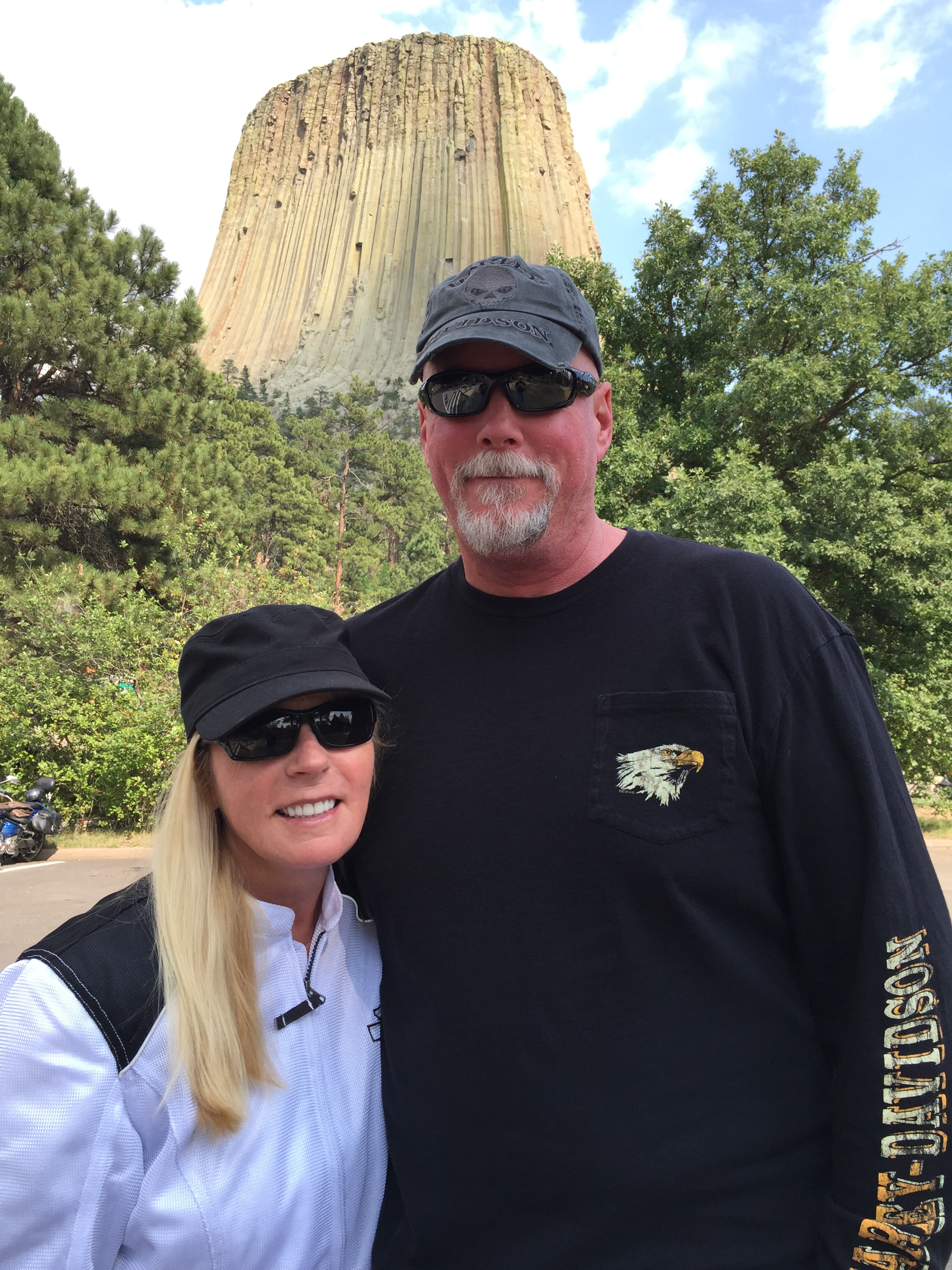
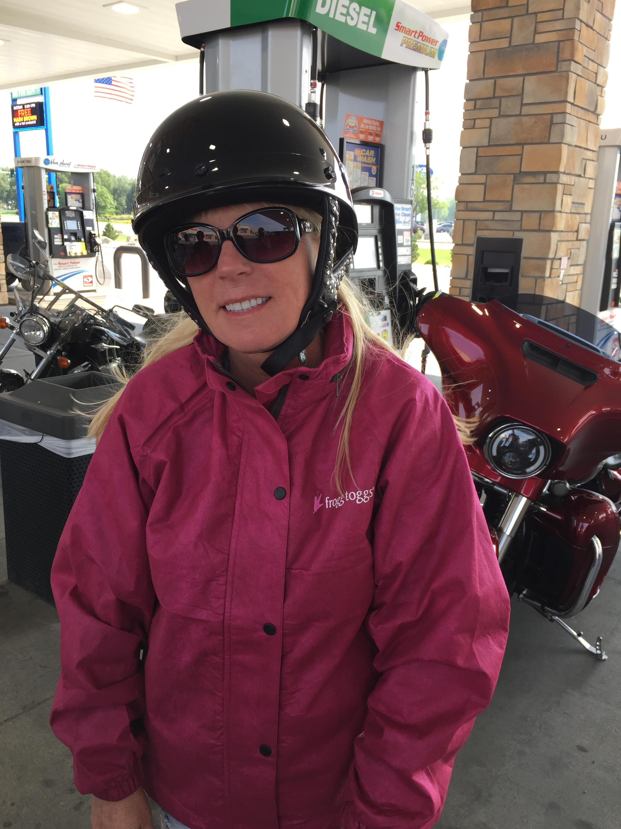
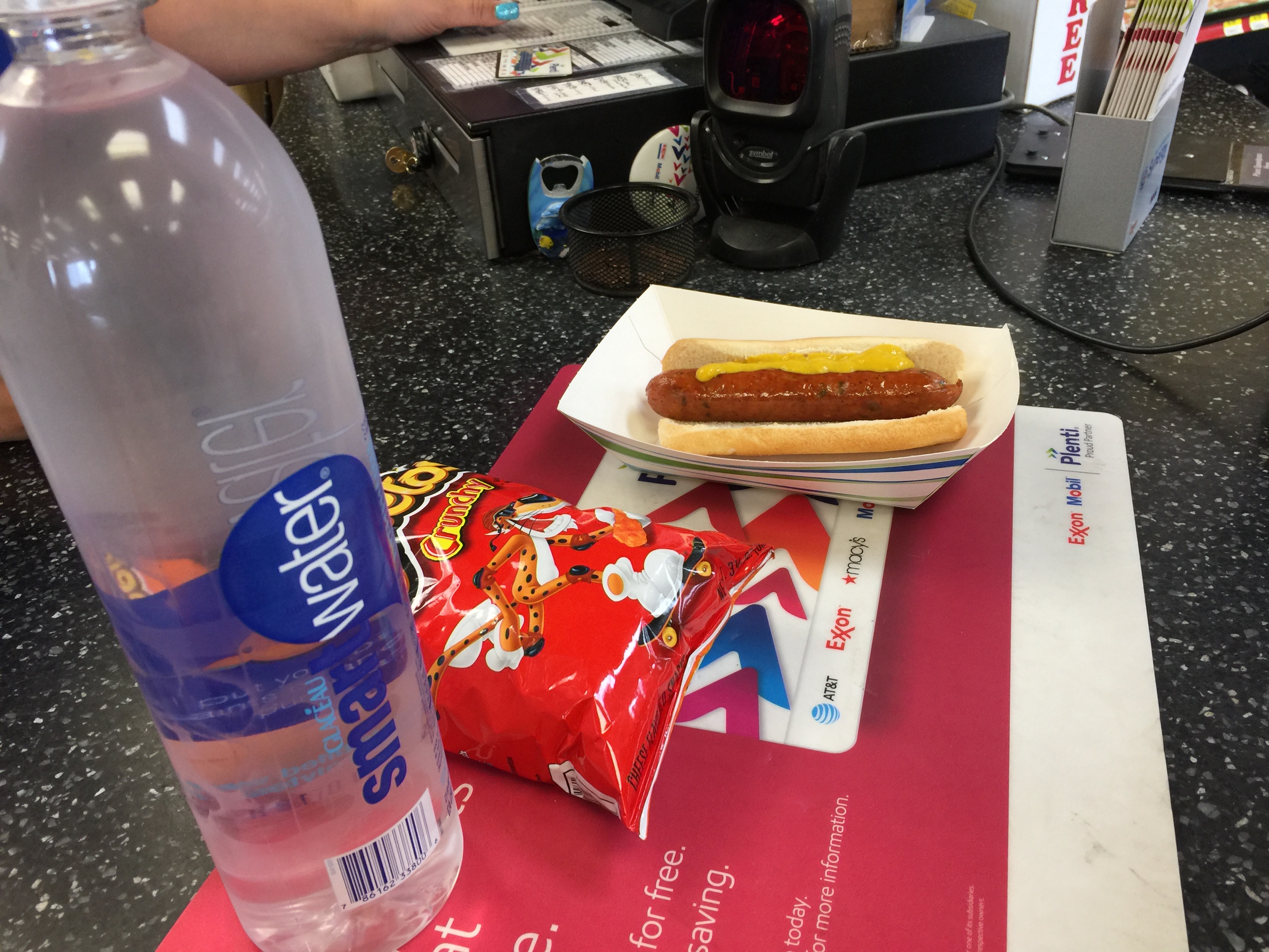
We continue west on Highway 16, crossing into Wyoming and continuing west on Wyoming Highway 450 in Newcastle. About 100 miles after leaving Jewel Cave, we arrive in the town of Wright, population 1,856. Settlement began here in the 1970s, with the creation of the Black Thunder Coal Mine, at the time the most productive mine in the US. The majority of people living in Wright are employed by the various mines surrounding it.
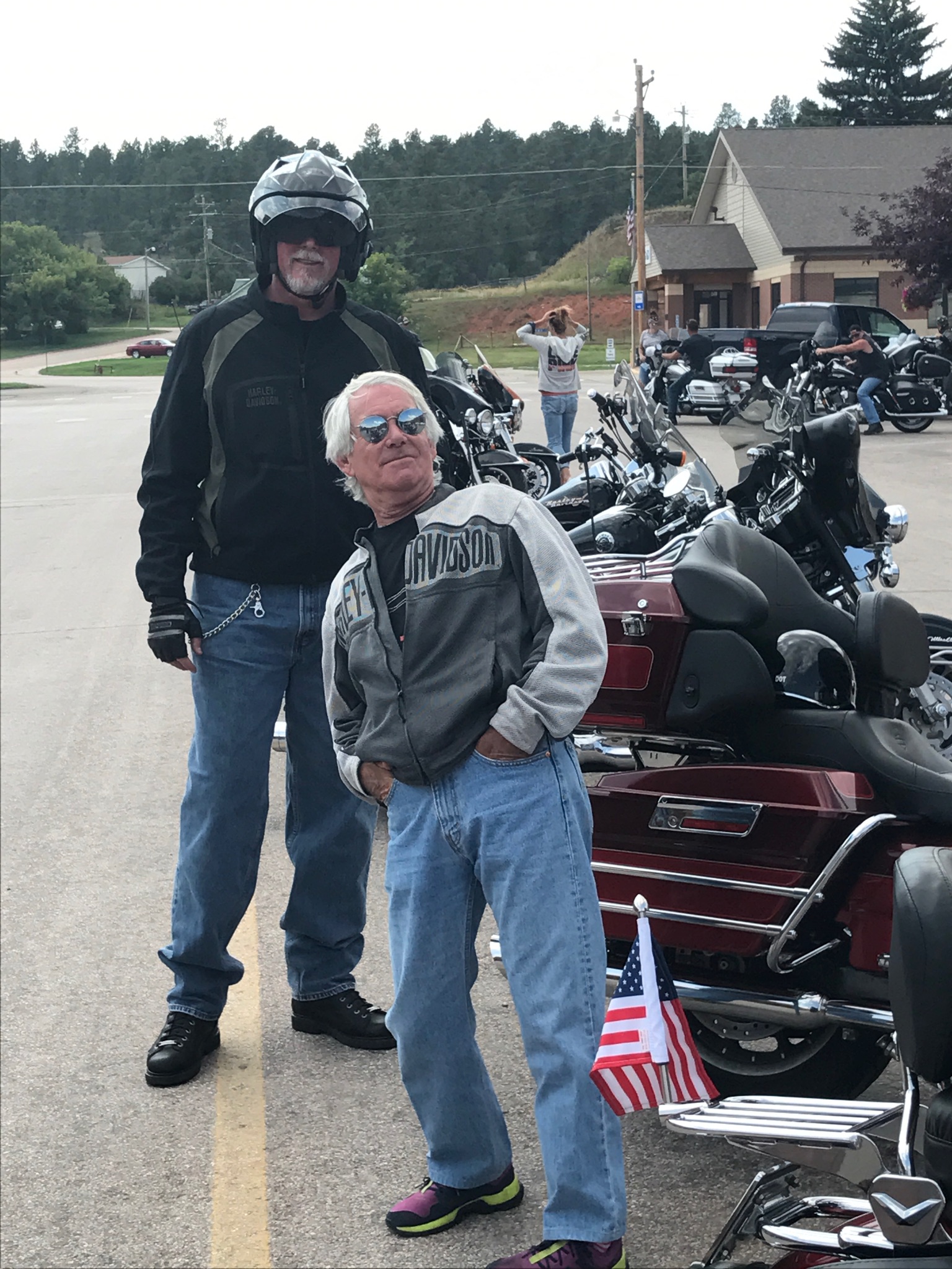
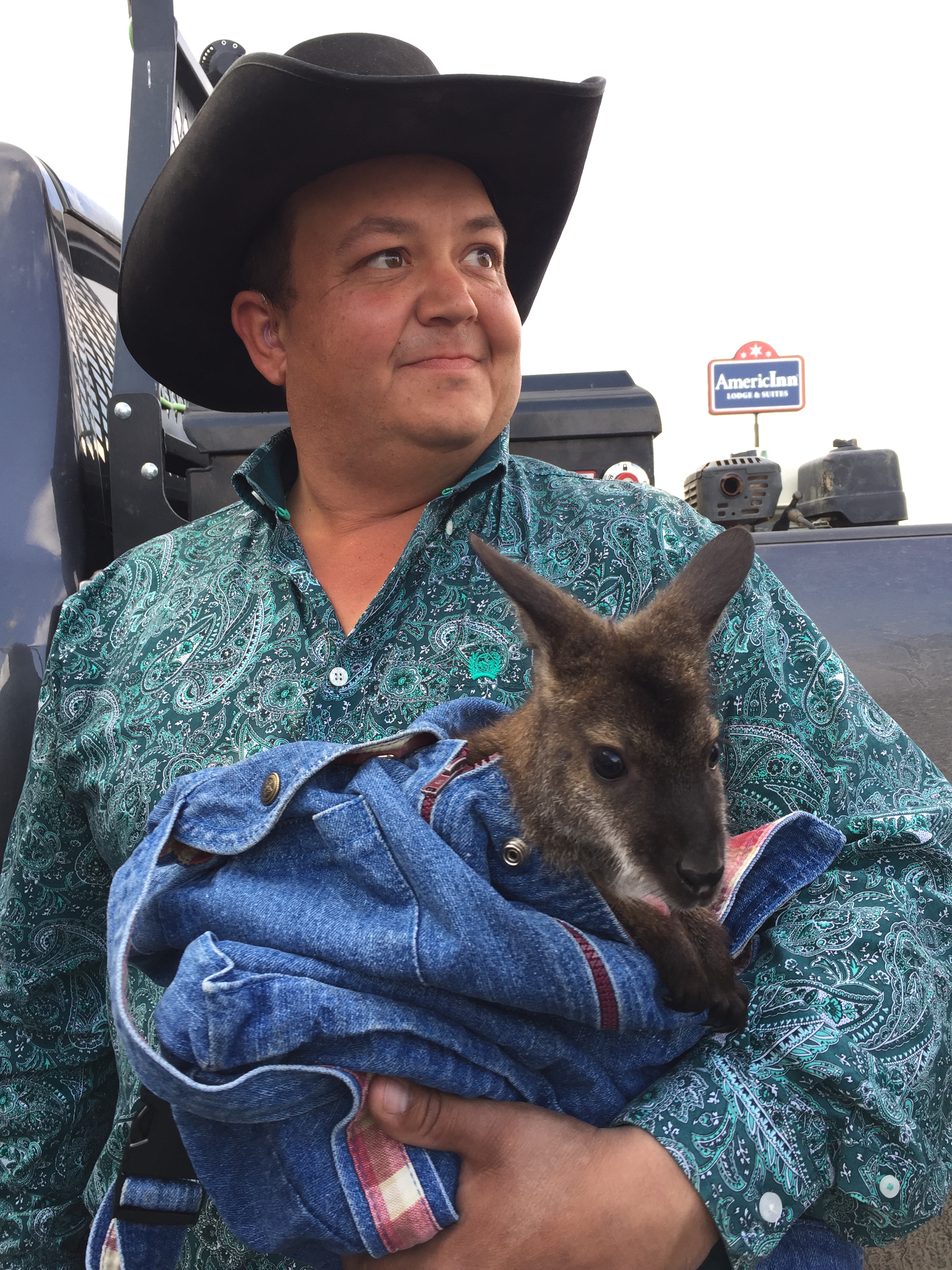
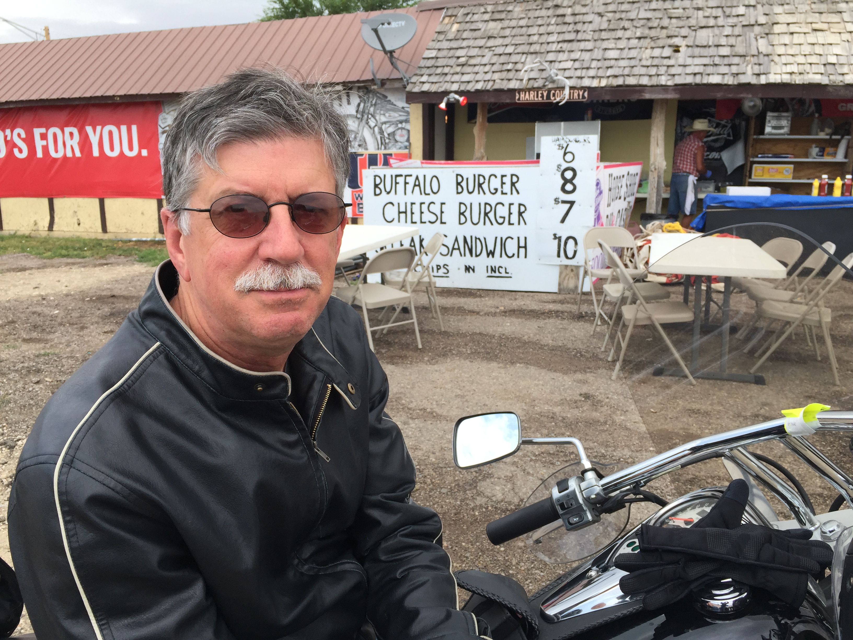
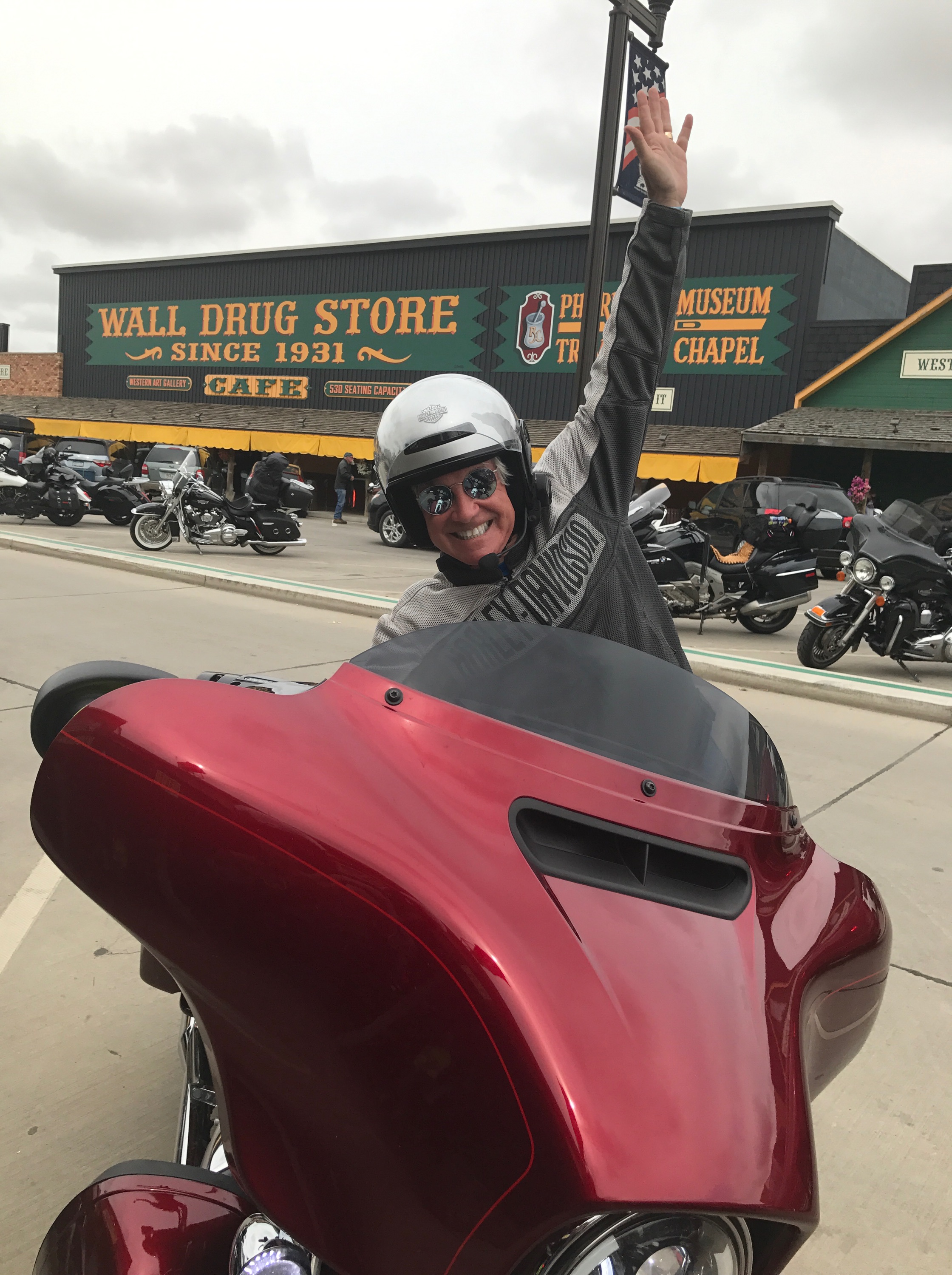
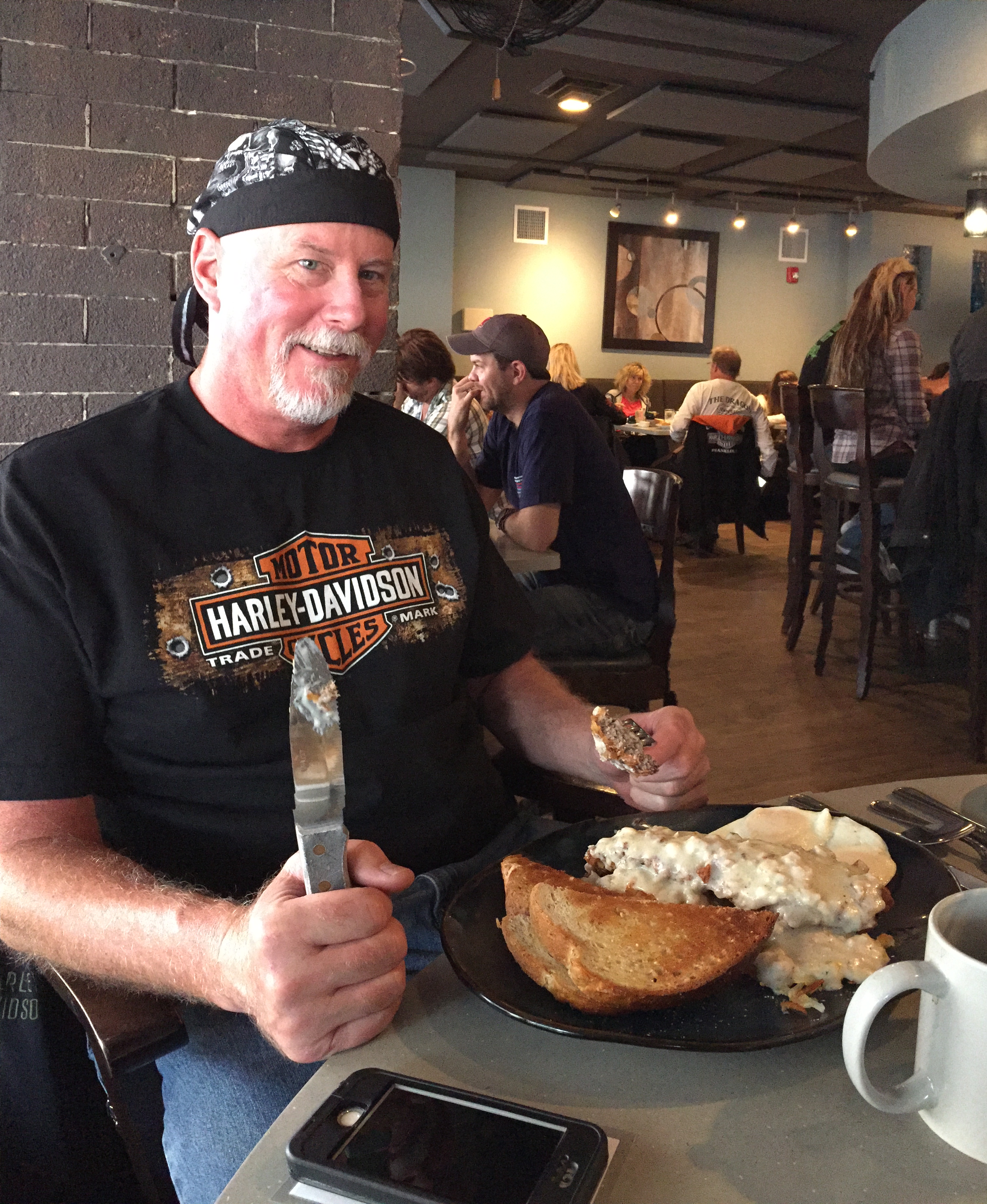
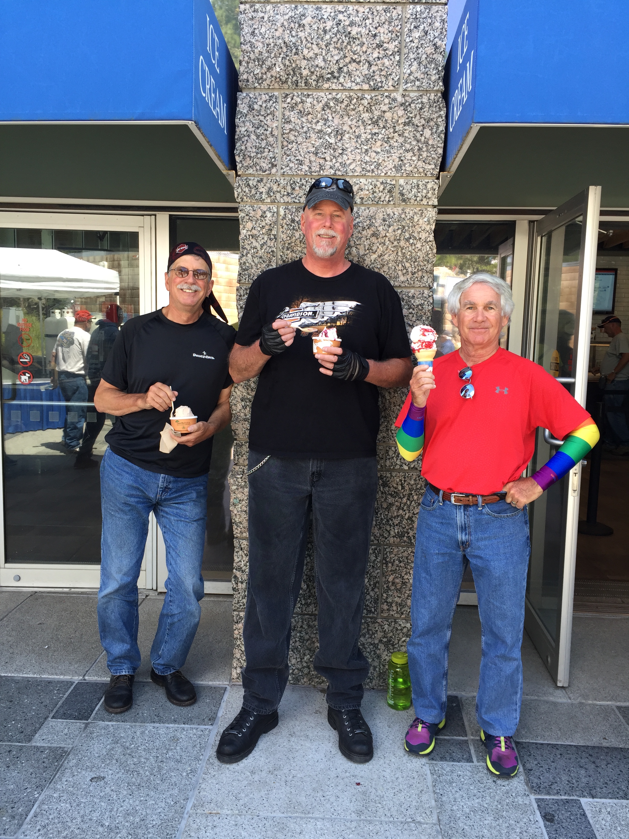
We’re still 110 miles from today’s destination, so Wright is a good place to stop, gas up, have a snack, and grab a cold one. Dave does all four, as the photo below shows.
***
In Wright, we turn north on Wyoming Highway 59, and head for Gillette, about 40 miles away. Gillette is centrally located in an area involved with the development of vast quantities of coal, oil, and coalbed methane gas. With its location, Gillette calls itself the “Energy Capital of the Nation,” noting that the state of Wyoming provides nearly 35 percent of America’s coal.
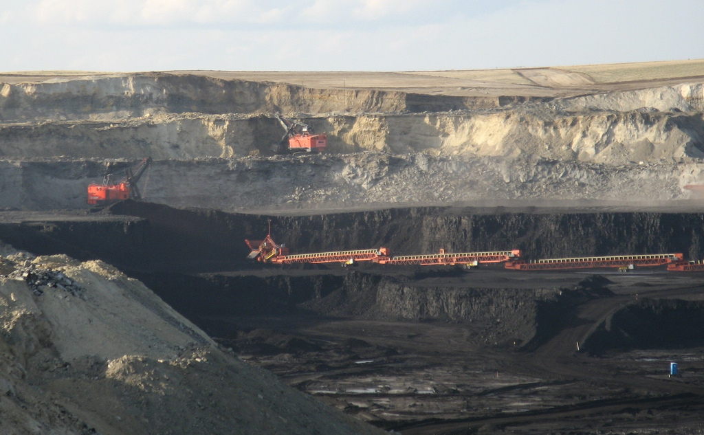
Over the past ten years, Gillette’s population has increased by nearly 50 percent, and the city now is home to more than 30,000 residents. Interestingly, the last huge Gillette population growth spurt – in the 1960s – resulted in what is now known as the “Gillette Syndrome.” The study that coined the term “Gillette Syndrome” found that social disruption can occur in a community due to rapid population growth. Gillette’s quick increase in population resulted in increased crime, high costs of living, and weakened social and community bonds.
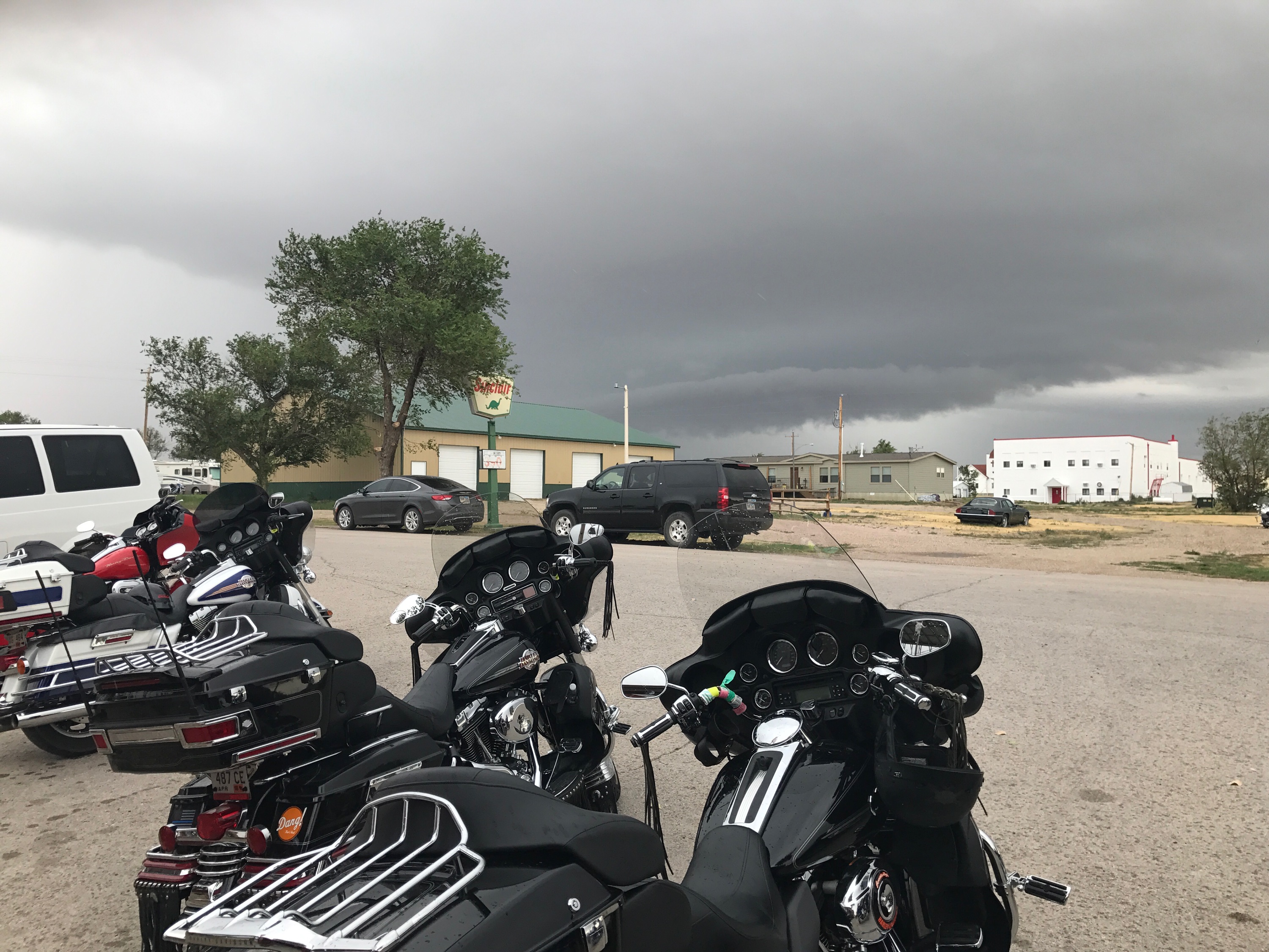
We leave the city as we found it, and head west on Interstate 90 toward Buffalo, 67 miles away, where I-90 meets I-25, at the foot of the Bighorn Mountains. Buffalo is booming, too. Same reason: energy. Methane extraction and production are driving the boom.
***
Today’s blog post ends with an interesting tidbit about Buffalo, and how it was named. Of course, it must be named after the big animal, sometimes called bison, that roams the Great Plains. Wrong, buffalo breath.
Here’s what really happened. When time came to name the town in the 1880s, several names were placed in a hat, and one was drawn. “Buffalo” was the name suggested by William Hart, in honor of his hometown, Buffalo, New York. OK, fine.
But where did Buffalo, New York, get its name? Buffalo, New York, formerly known as Buffalo Creek, received its name from the creek that flows through it. Yeah, but … where did Buffalo Creek get its name?
Well, There are two theories, and you can choose whichever you prefer. One theory is that Buffalo Creek is named for the American Bison that were found in Western New York state at one time. The other theory is that the name is an Anglicized form of the French name Beau Fleuve (“beautiful river”), which was supposedly an exclamation uttered by missionary Louis Hennepin when he first saw the Niagara River.
Spin the wheel. Flip a coin. Draw straws. Your choice.
All Buffalo, All the Time.
***
Day Twelve Summary: Girls fly home, boys ride and drive west, cavemen on the loose, Wyoming’s gigantic carbon footprint.
Click here to see today’s complete route from Rapid City to Buffalo.
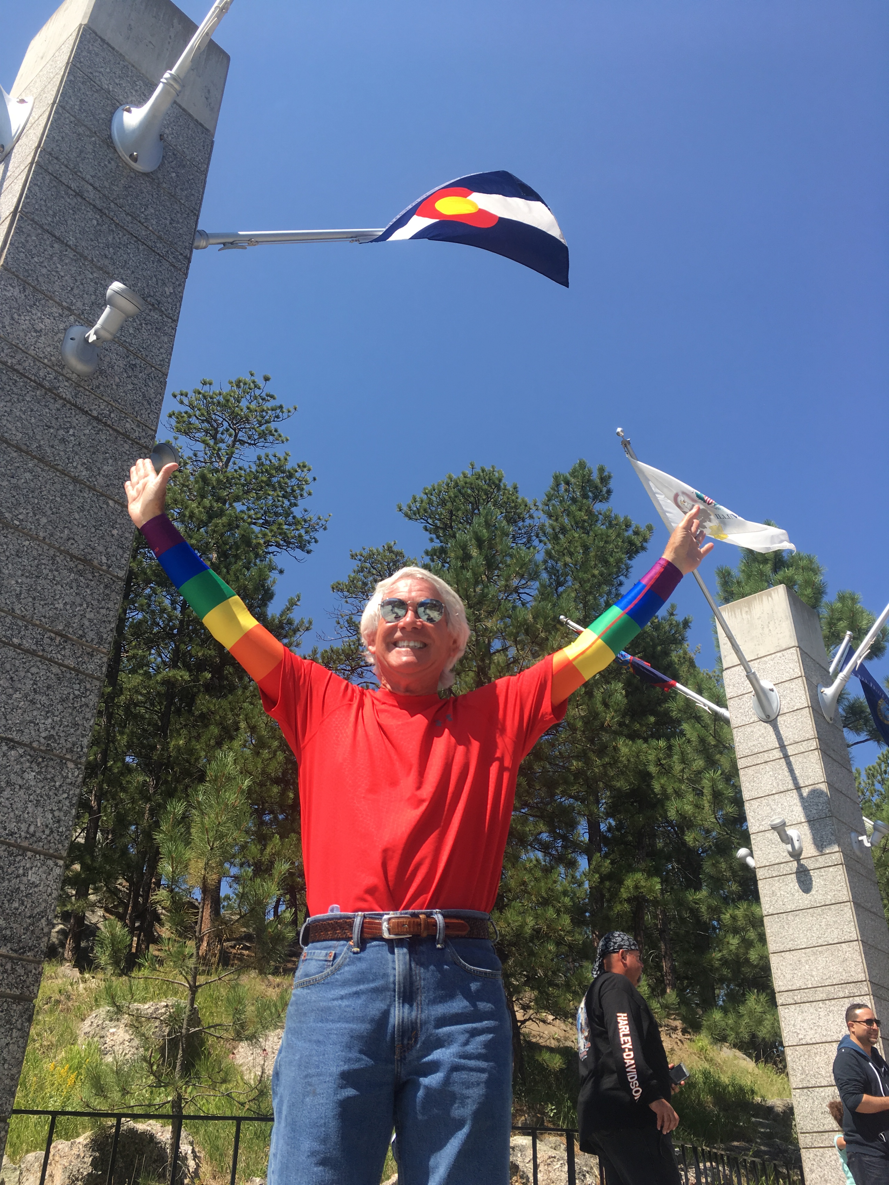
We’re on our way home! And so are the girls!
Vroom, vroom.
***
Today in Bucket List History:
Bucket List Goal: “Wear Something Completely Inappropriate to Work.”
Goal Achieved: On August 8, 1976, The Chicago White Sox baseball team suits up in shorts during the first game of a doubleheader against the Kansas City Royals. Despite winning the game, 5-2, the shorts are such a fashion disaster the White Sox dress in pants for the second game.
What’s on your bucket list?