All Good Things Come to an End — in Farragut, Tennessee

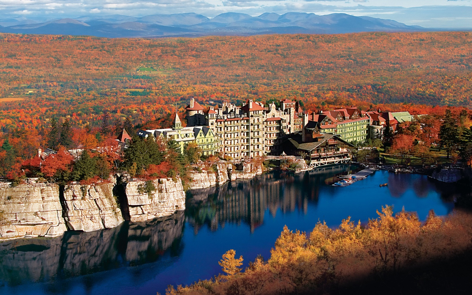
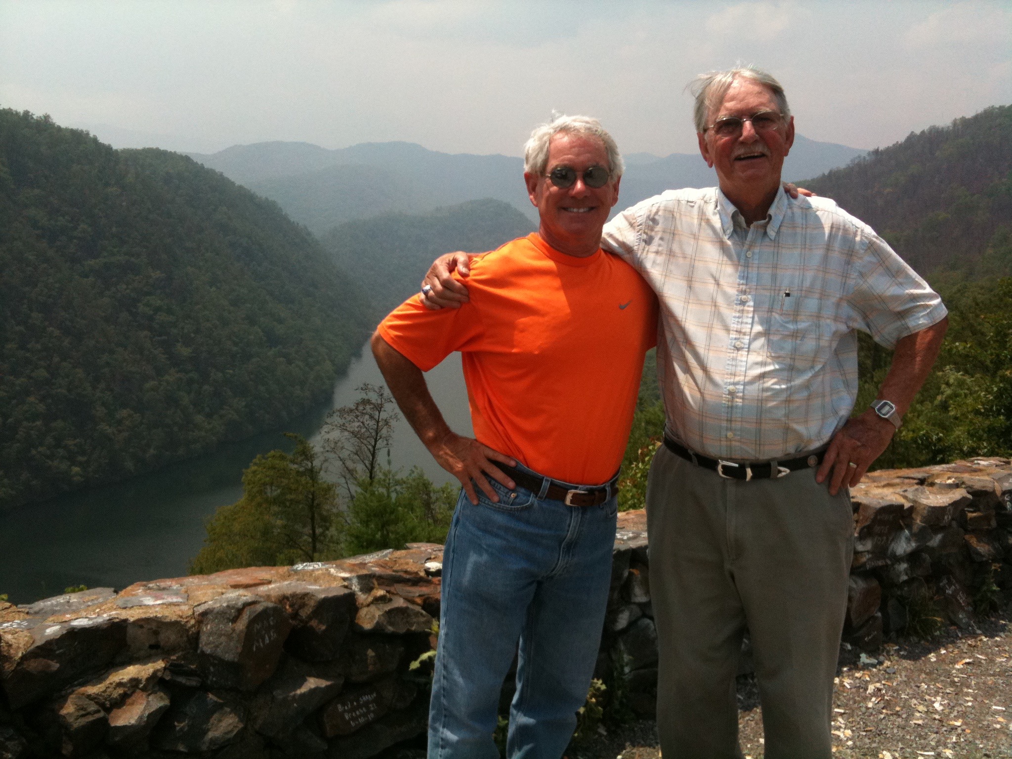
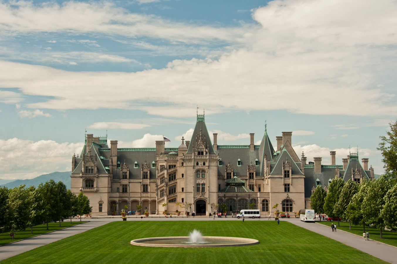
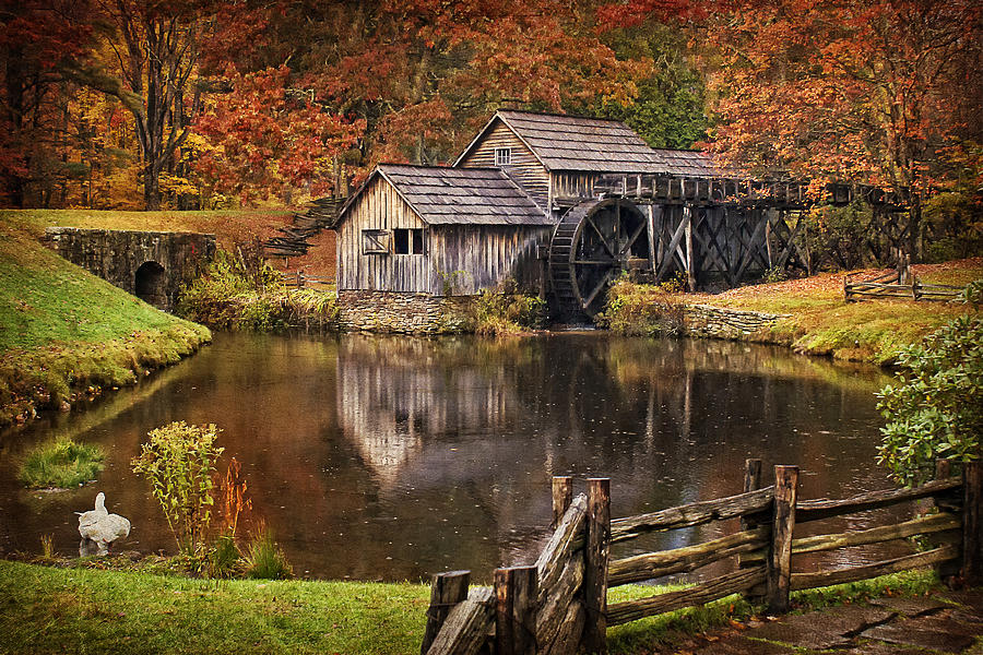
As we leave Asheville, North Carolina, we see the Biltmore Estate off in the distance. You could argue it’s the Eastern version of California’s Hearst Castle. At 175,000 square feet, the Biltmore Estate is the largest privately-owned home in the US. No one has lived there since the 1950s. It has 250 rooms and 75 acres of formal gardens. The Biltmore’s grounds and buildings have appeared in a number of Hollywood films, including “Forest Gump,” “Being There,” and “Patch Adams.”

The French Broad River bisects the estate, which was 125,000 acres (the size of Rhode Island) when completed in 1895. Sadly, the Biltmore is now only 8,000 acres. Bummer.

biltmore-estate-wedding-photos-31
Biltmore Estate. Nice place for a wedding.

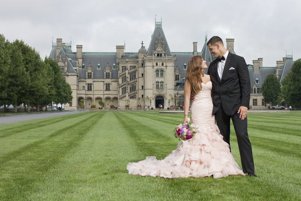
The Biltmore Estate is exactly how you’d spend your money, if only you had the billions to do it. It was how George Washington Vanderbilt II spent his money. He was a grandson of Cornelius Vanderbilt and the youngest child of William Henry Vanderbilt, whose family had amassed a fortune through steamboats, railroads and various business enterprises. George Vanderbilt bilt (sic) the Biltmore Estate with a $12 million inheritance. That was serious money in the late 1800s.

We view the Estate from afar, because we are too cheap to pay the $50 ransom required to enter the grounds. Yes, it’s a bit highbrow for two guys on bikes, eager to head home. But if you want to learn more about the Biltmore Estate, click here.

***

IMG_1662
Antique rides at the Wheels of Time museum in Maggie Valley.

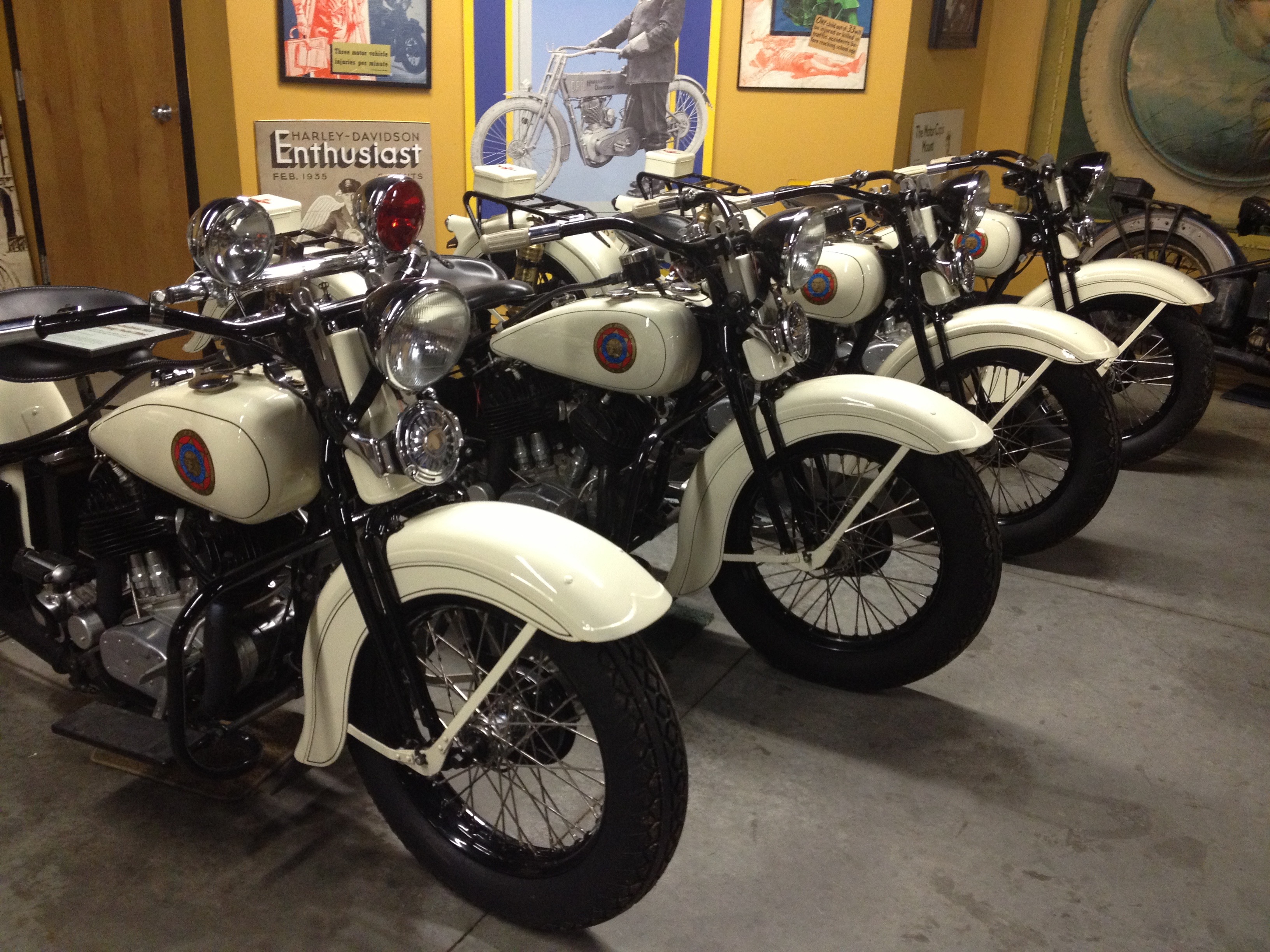
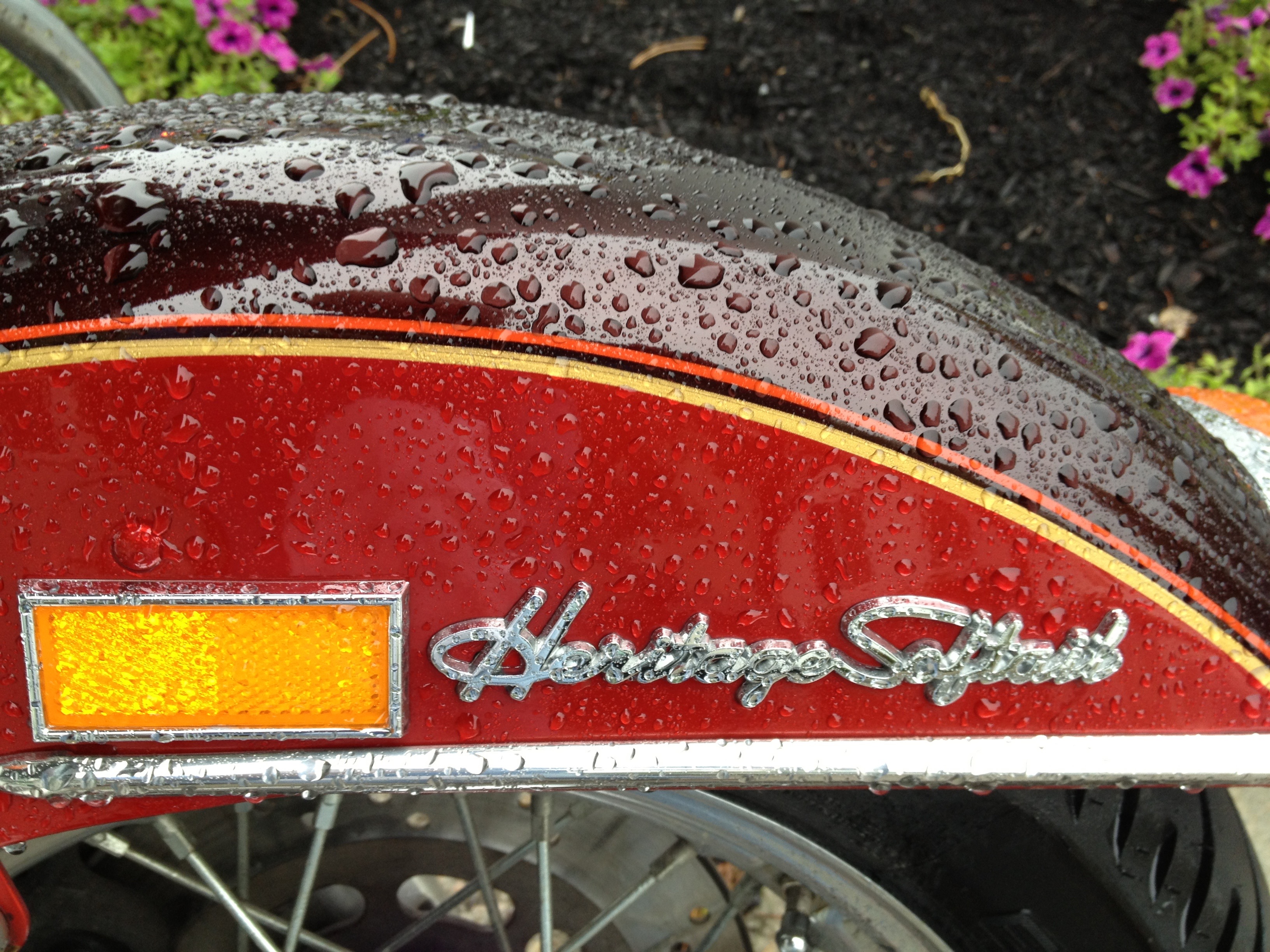
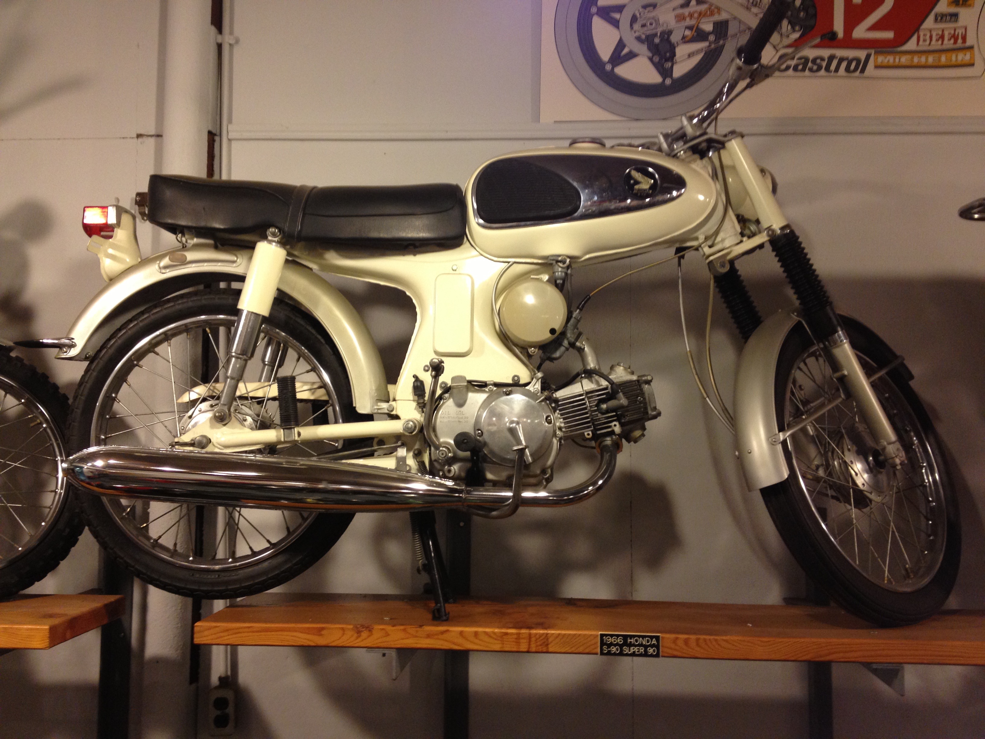
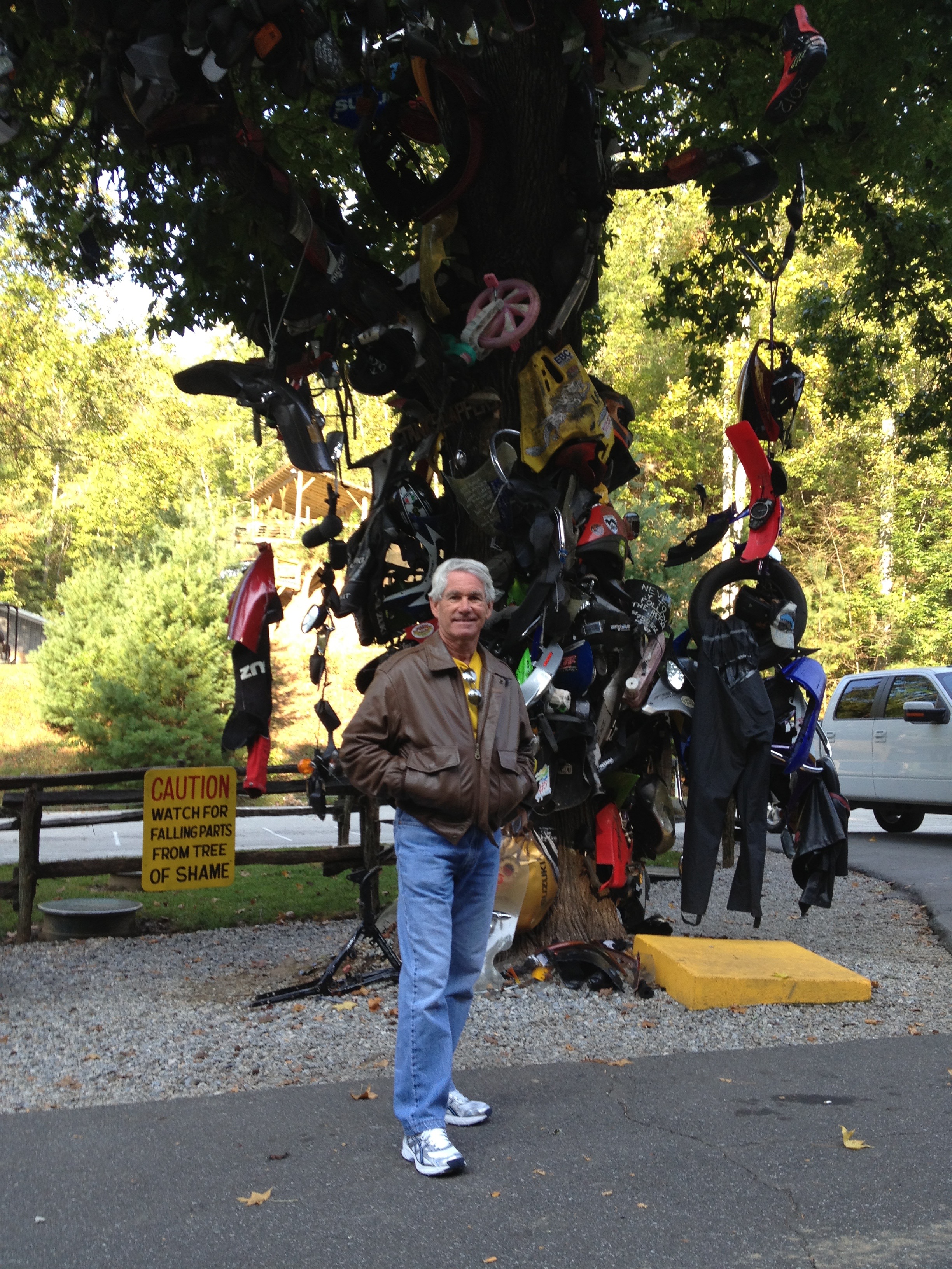
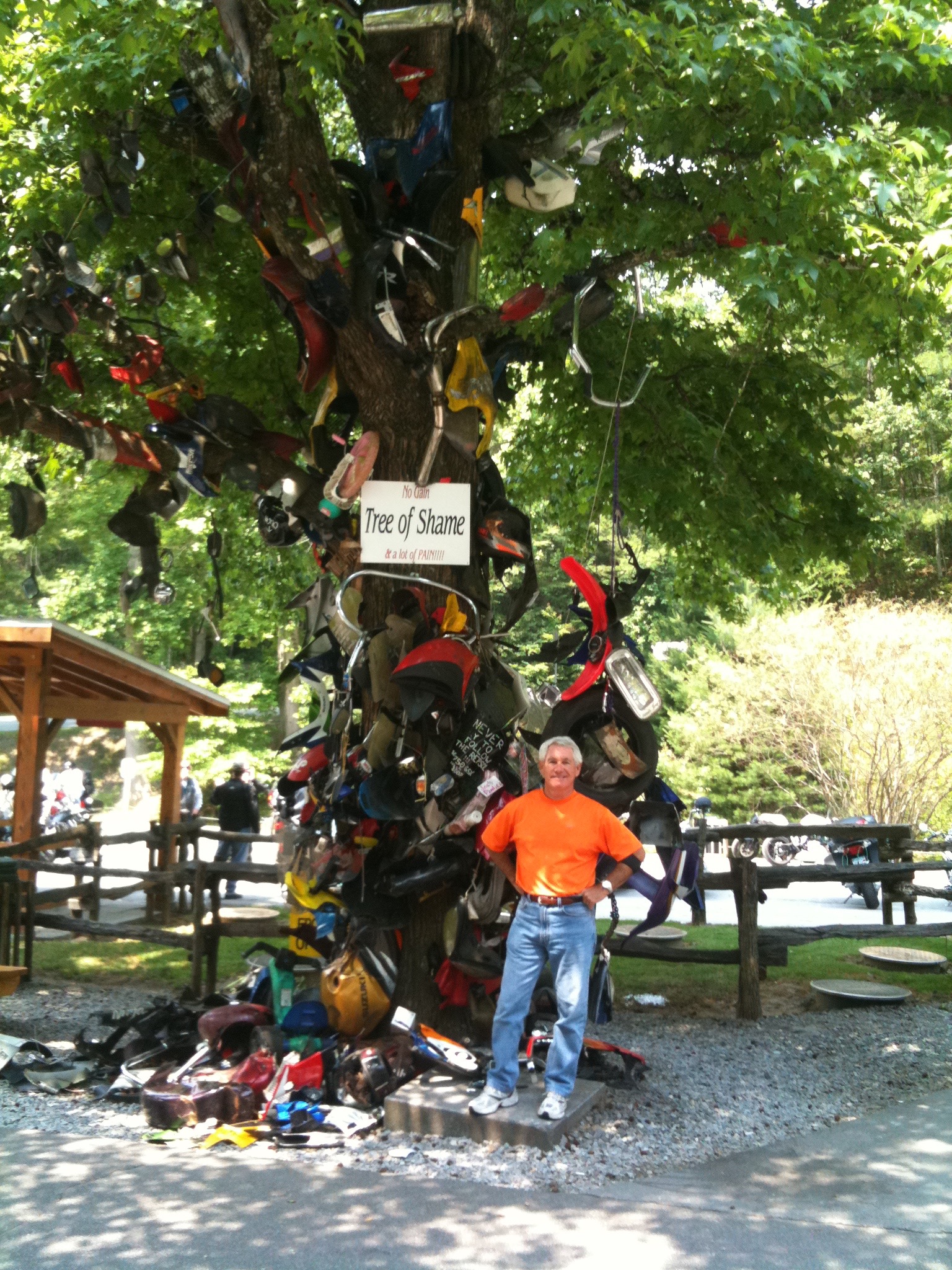
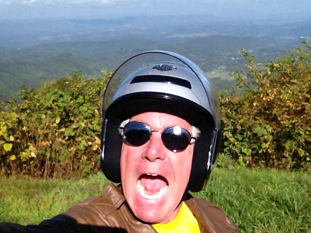
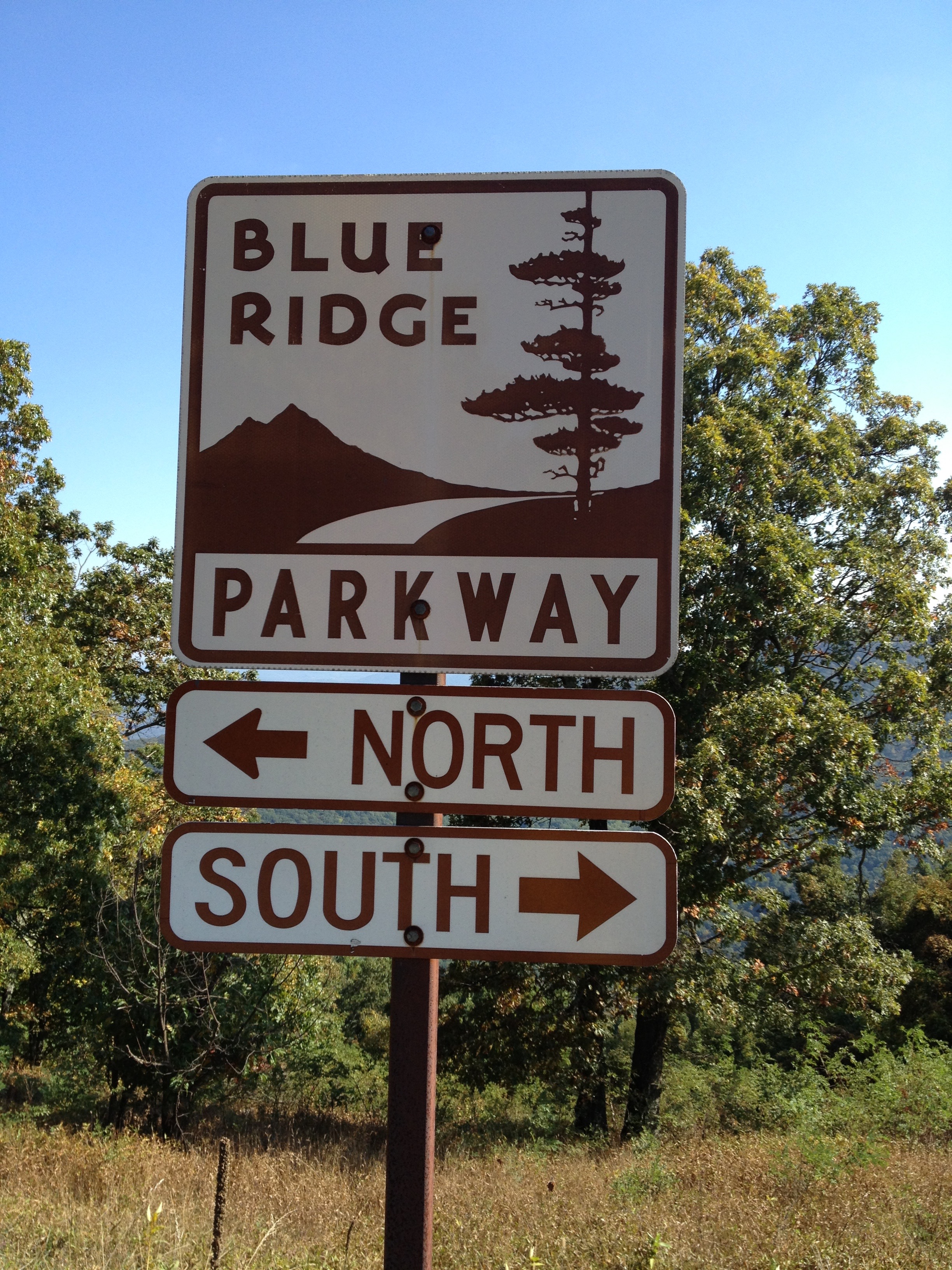
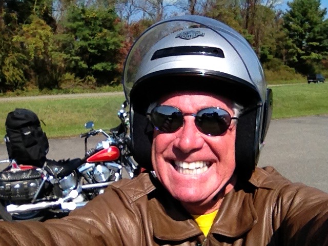
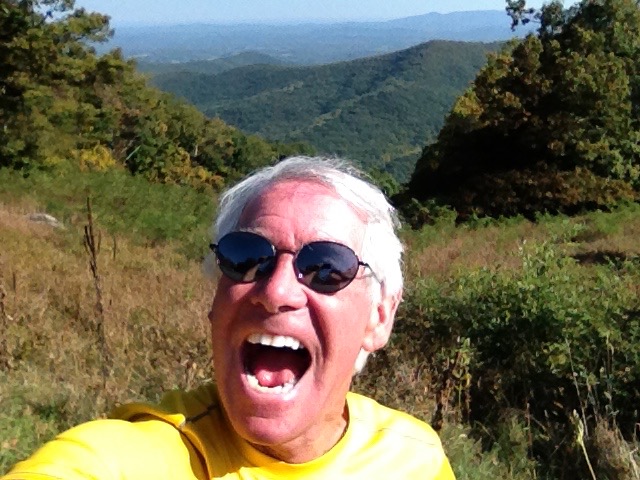
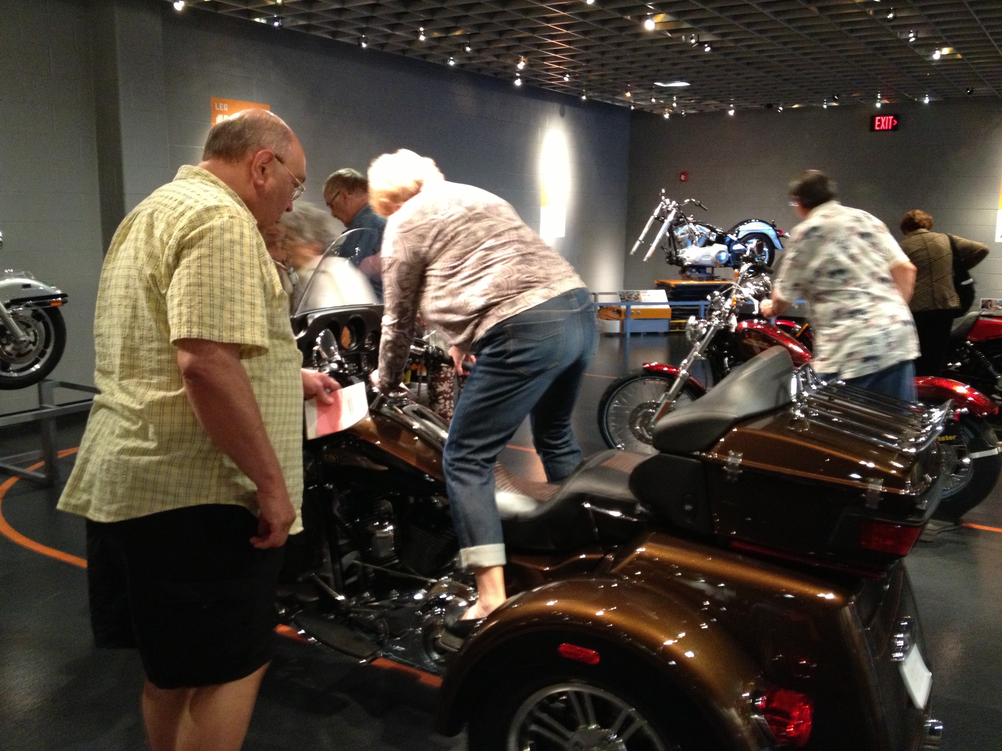
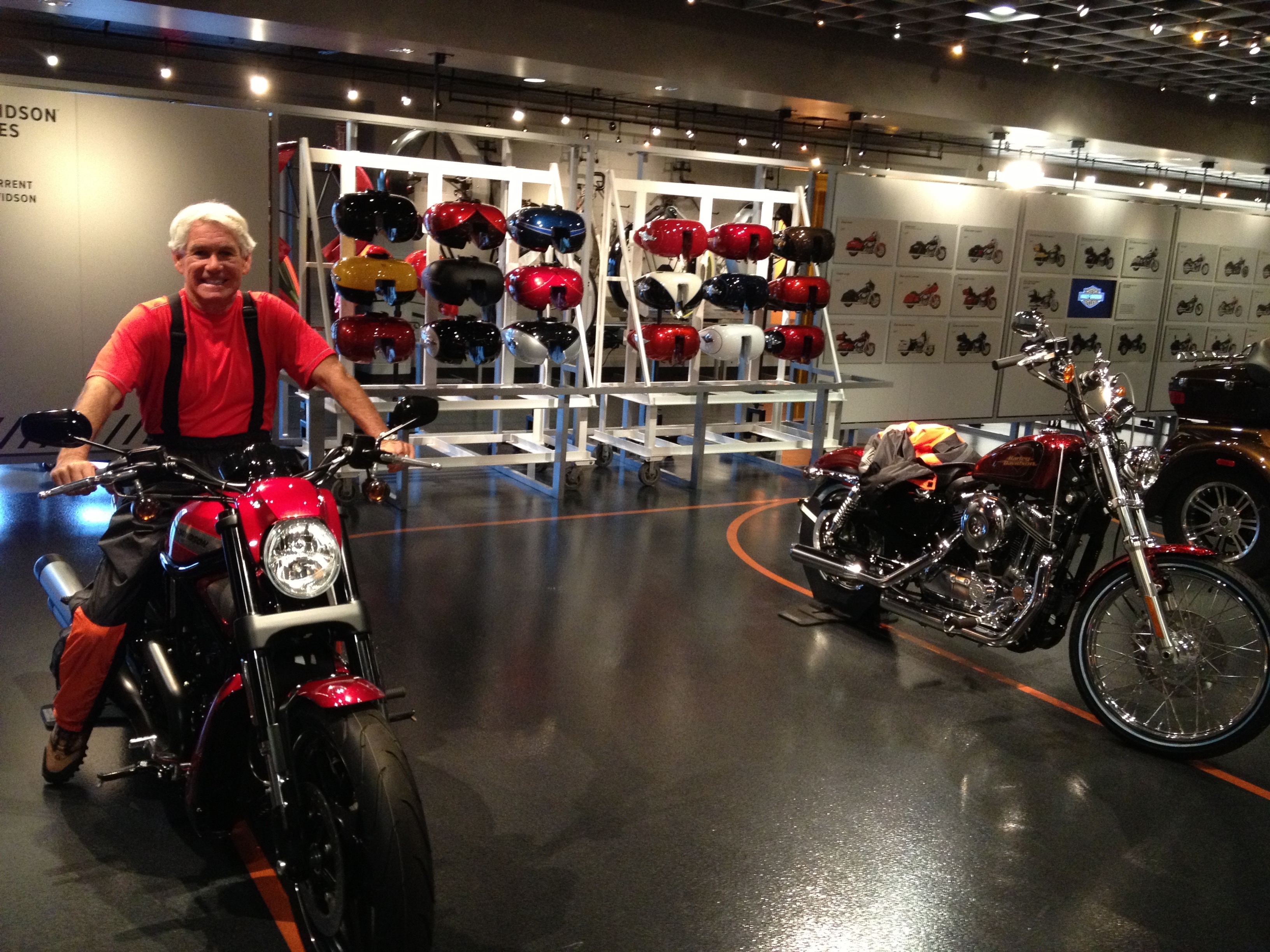
We jump back on the Blue Ridge Parkway, heading for its southern terminus in Cherokee, North Carolina. We cross the Great Smoky Mountains Expressway, then take a detour off of the Parkway. We stop in Maggie Valley, North Carolina, to check out the Wheels of Time Museum, a waltz through motorcycle history. To see a slice of what we took in, click here. Or check out my photos; I got a bit carried away.

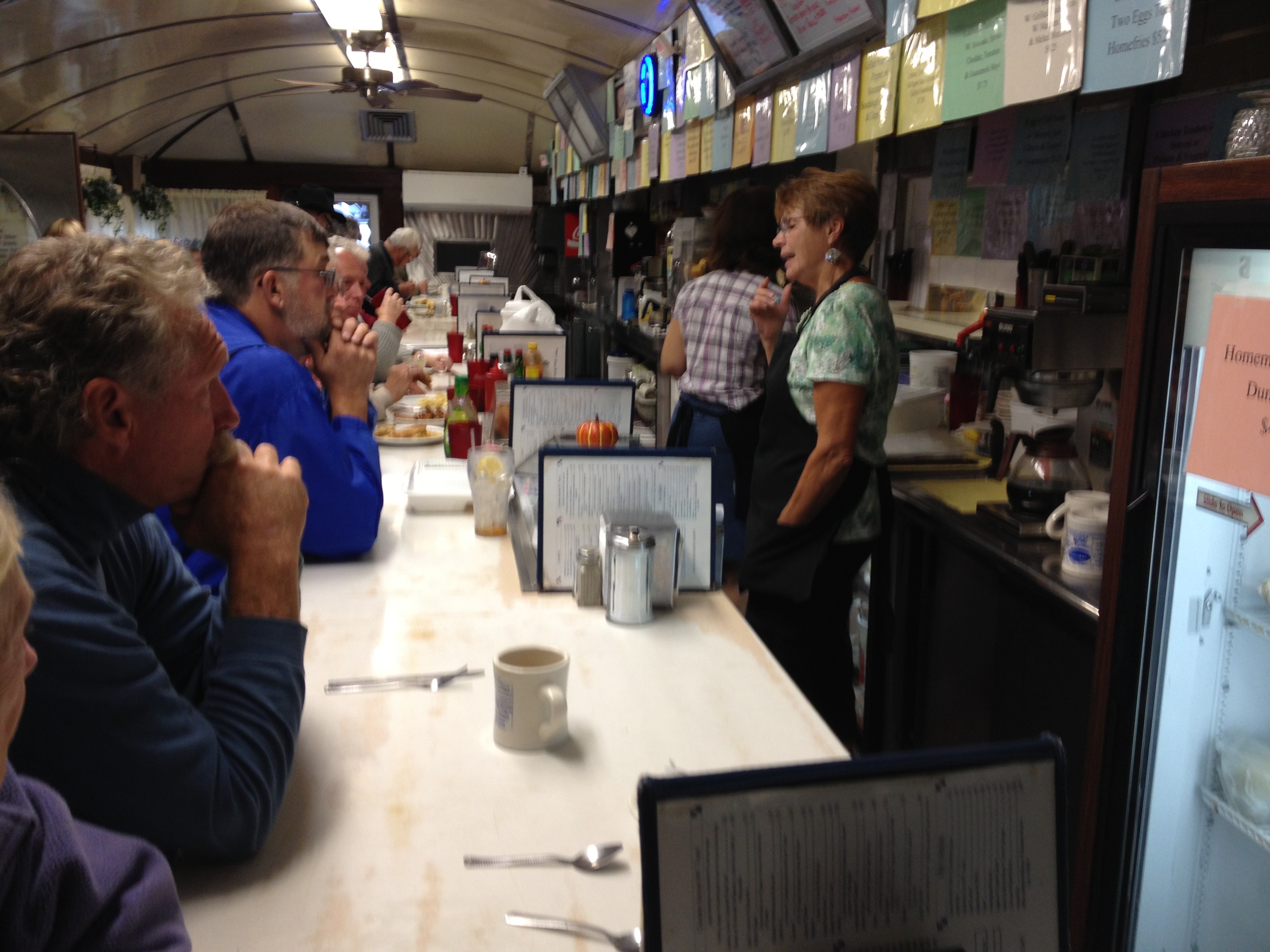
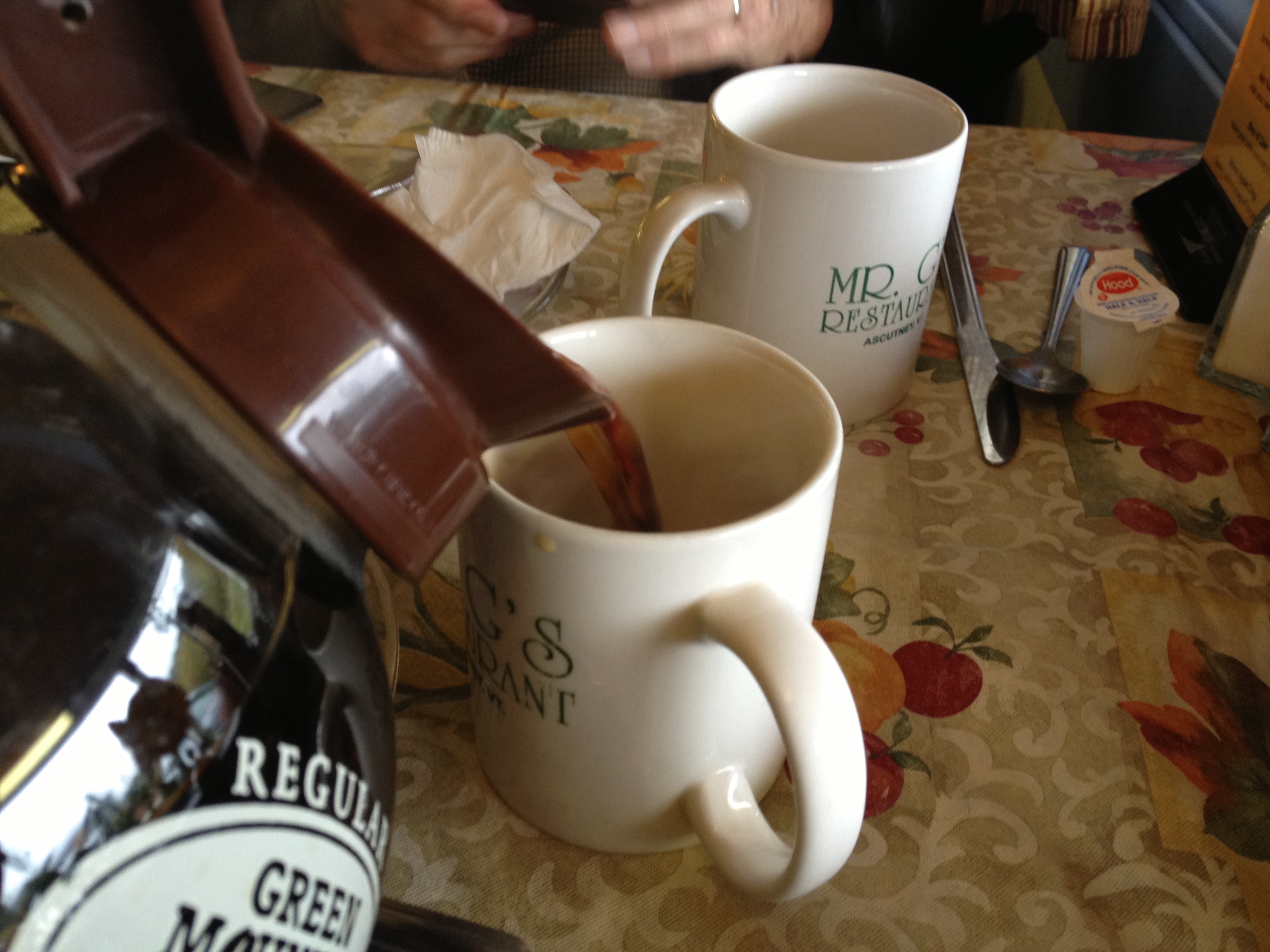
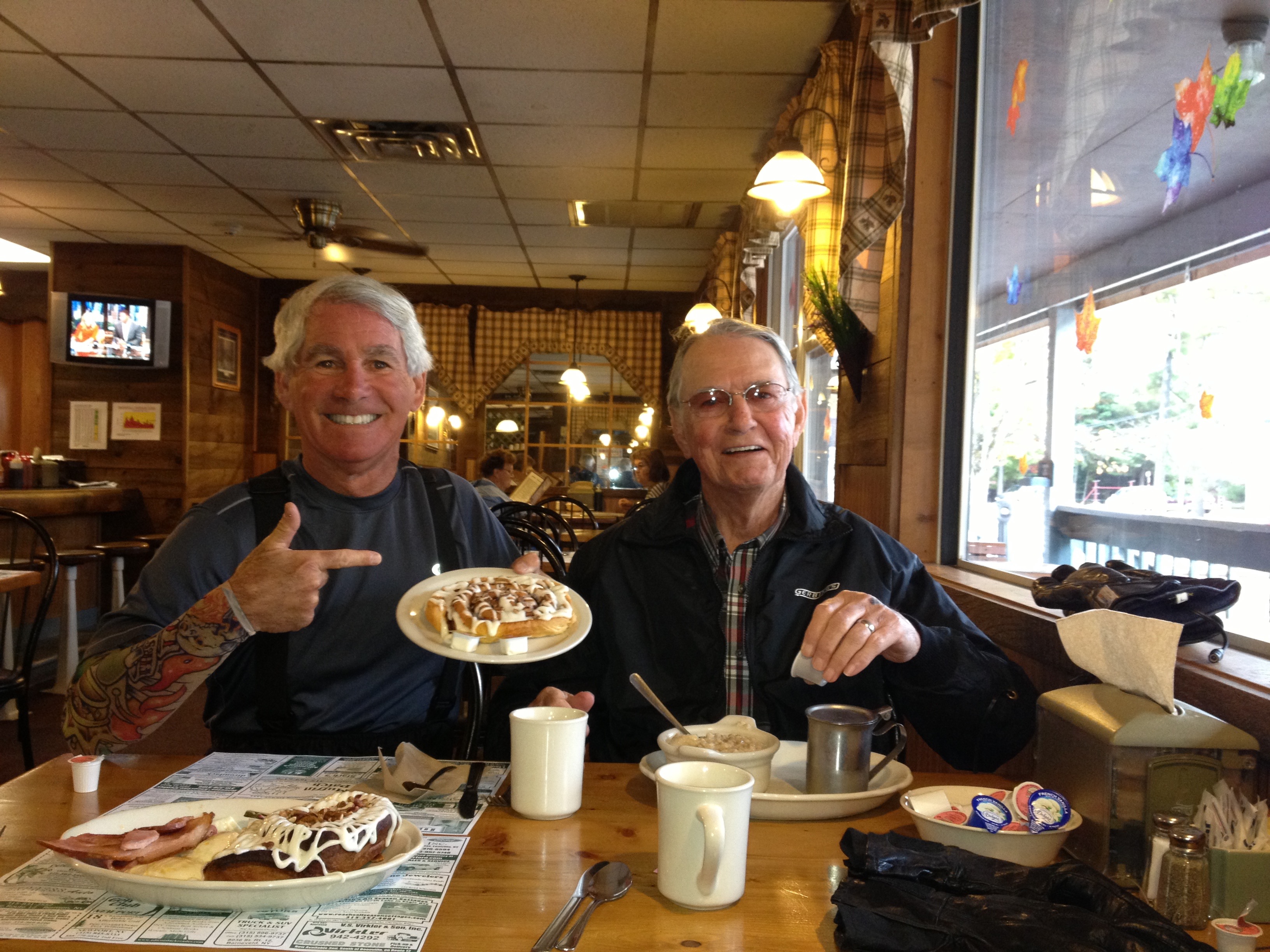
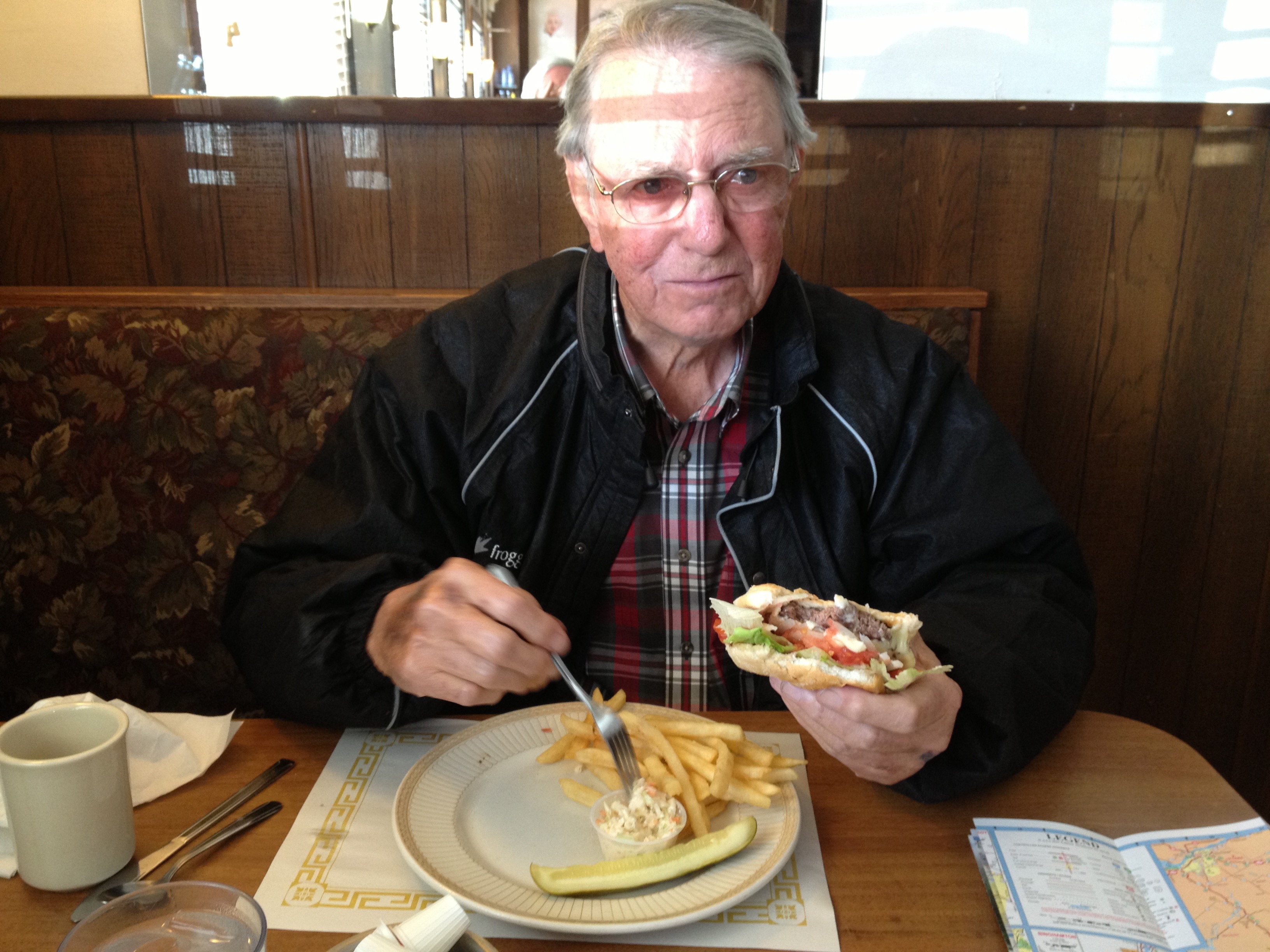
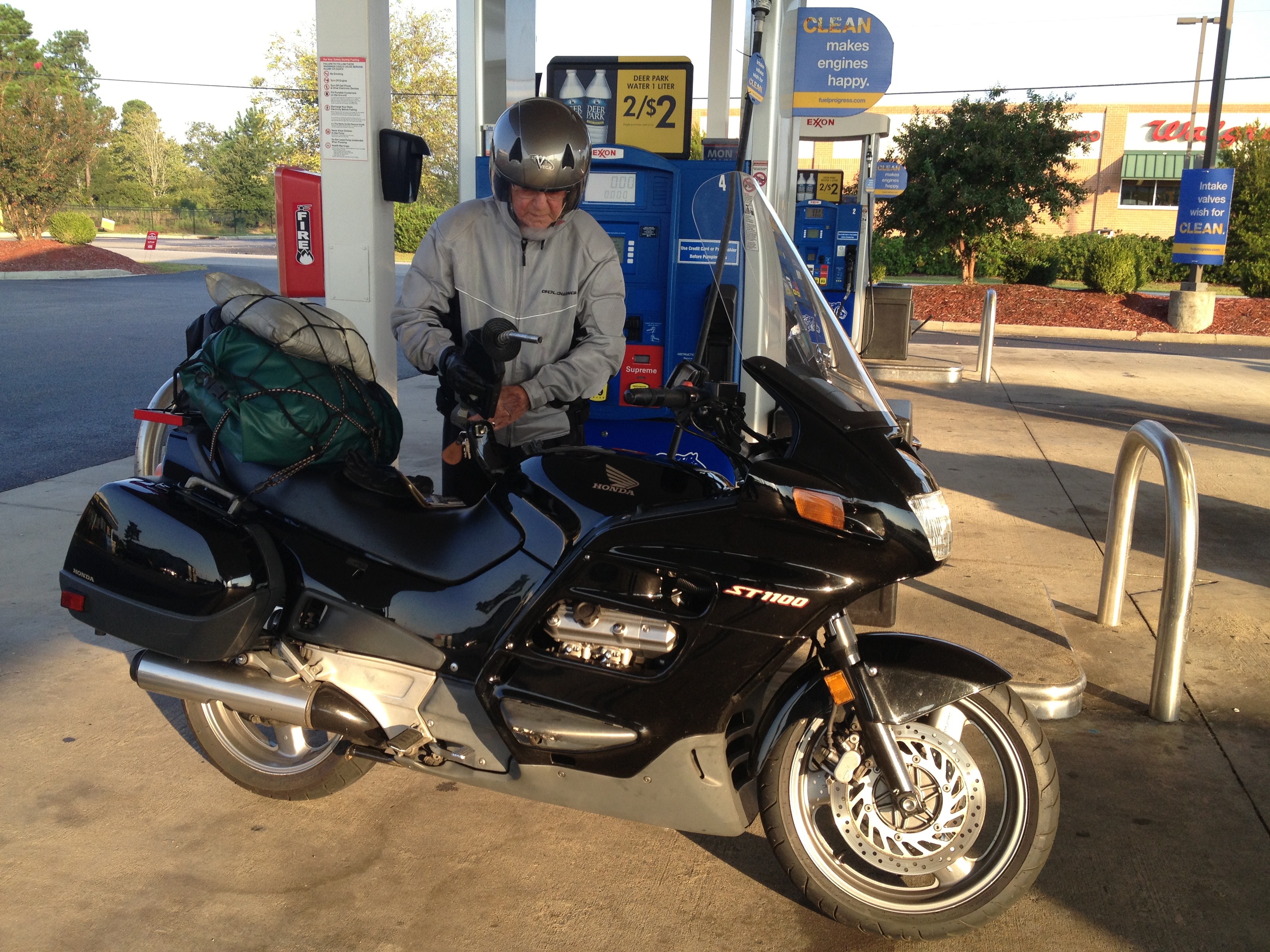
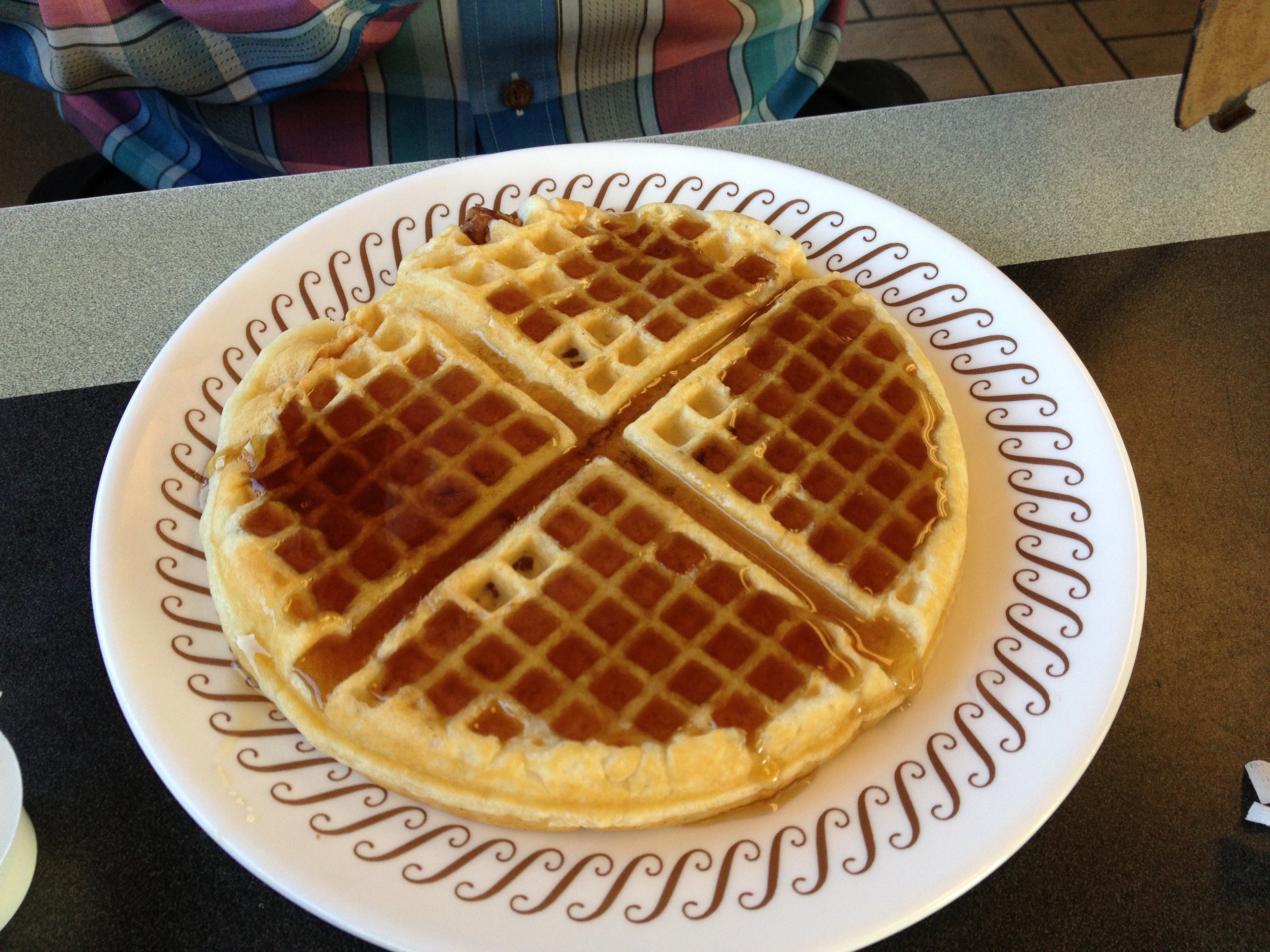
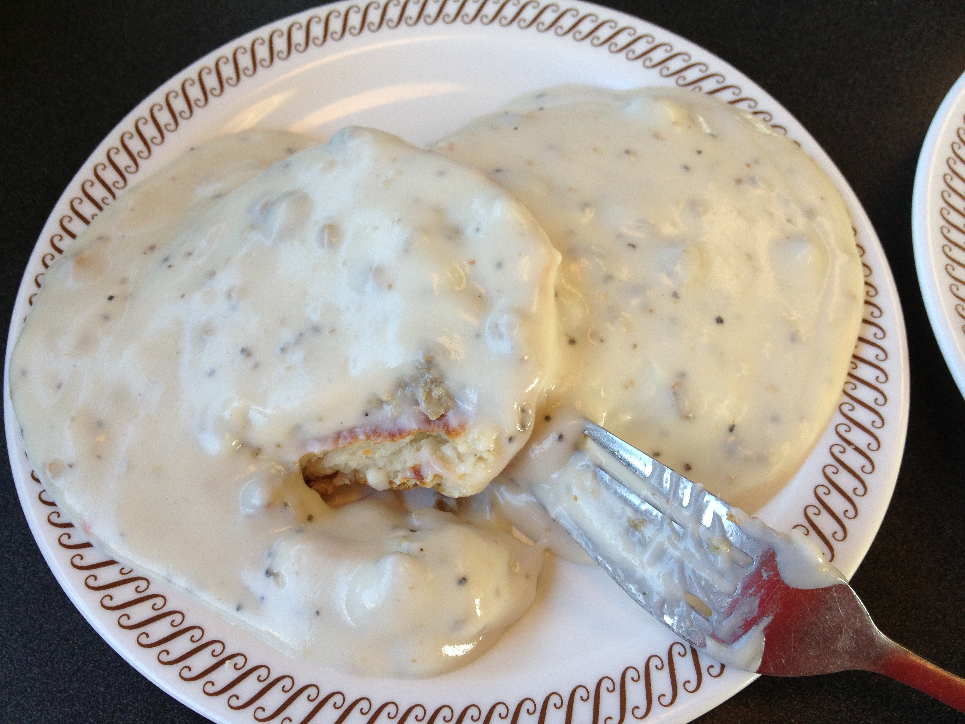
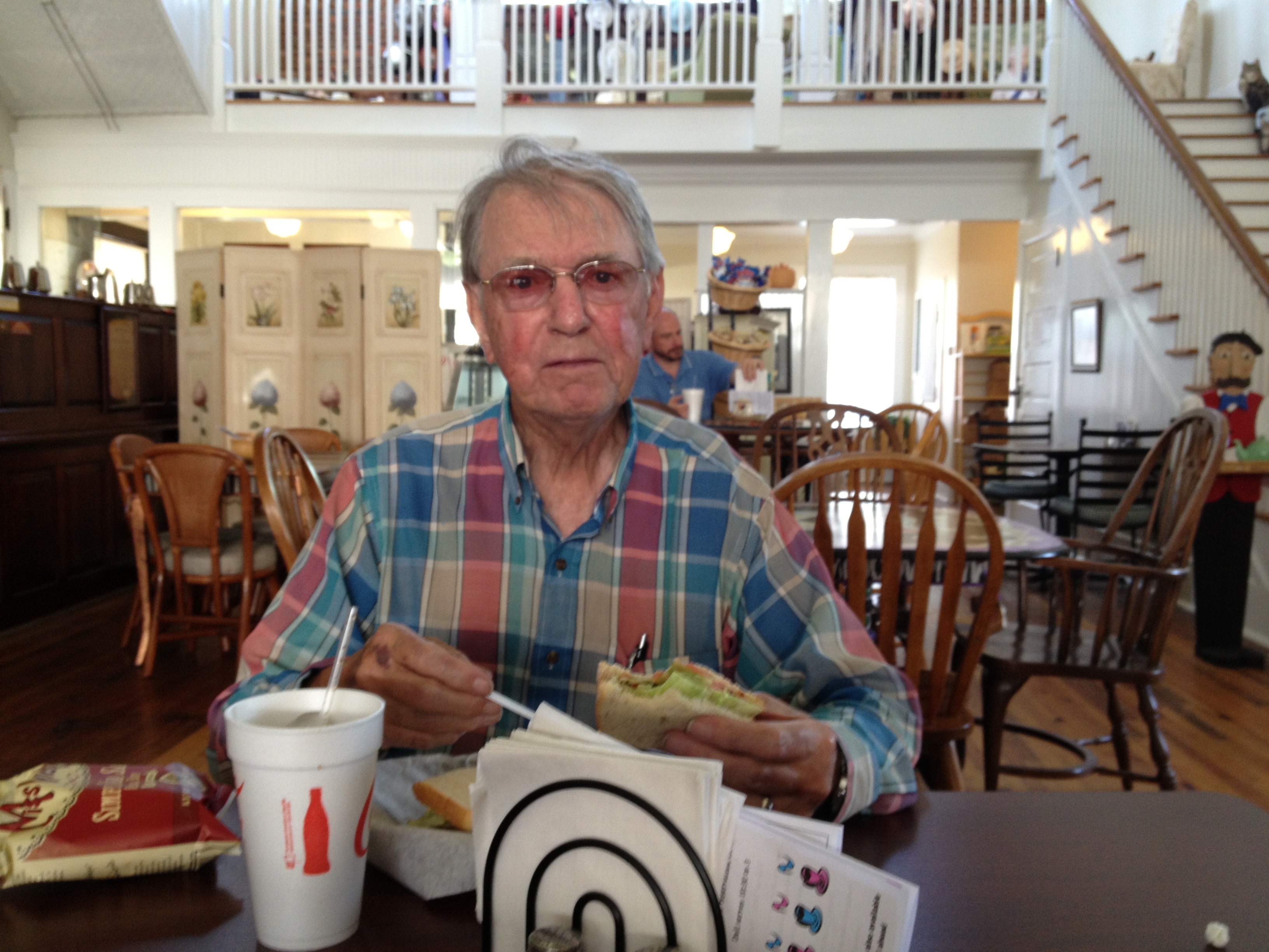
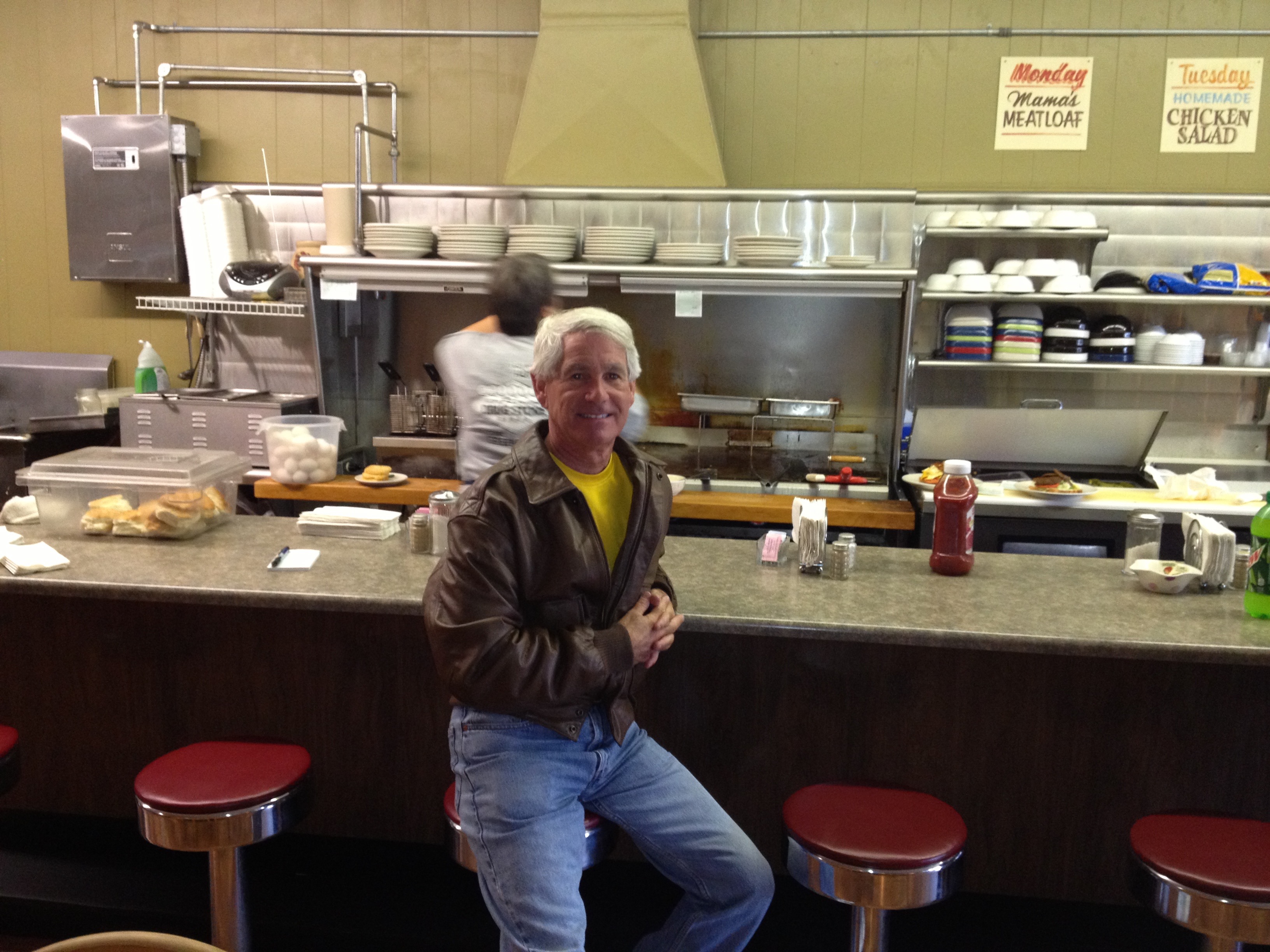
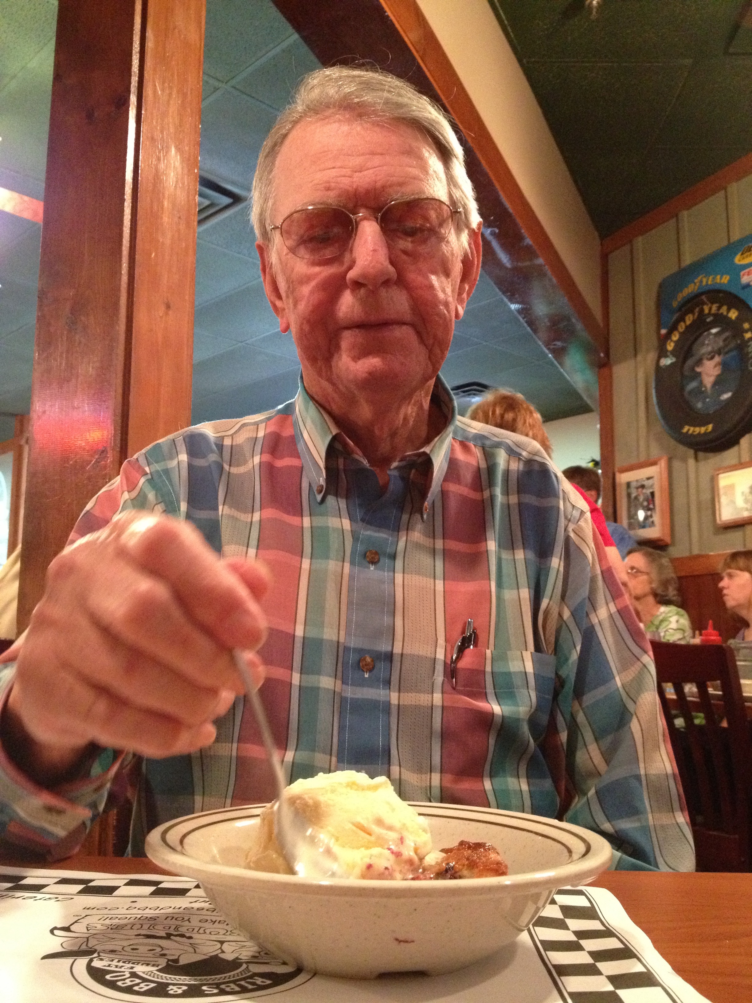
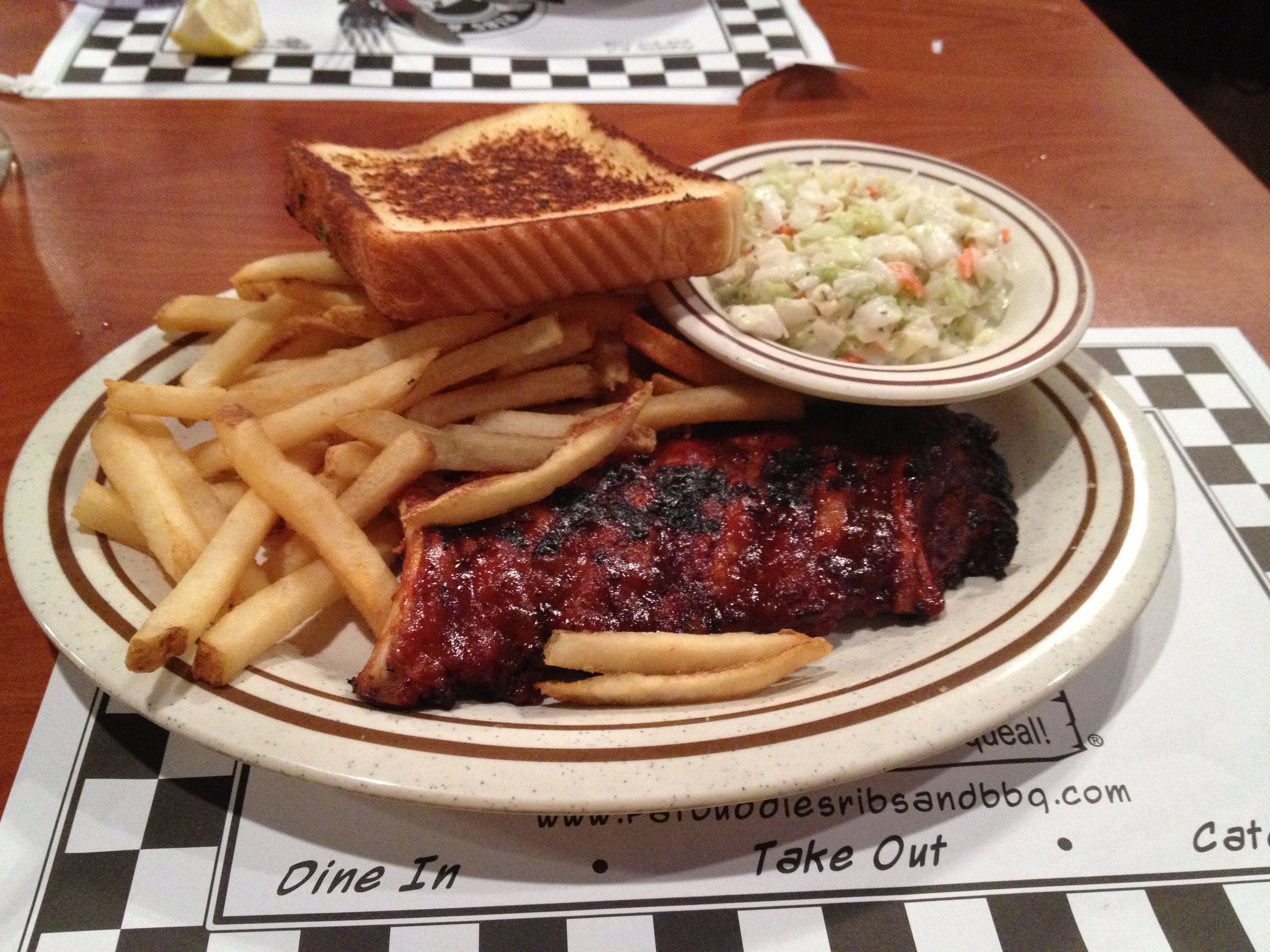
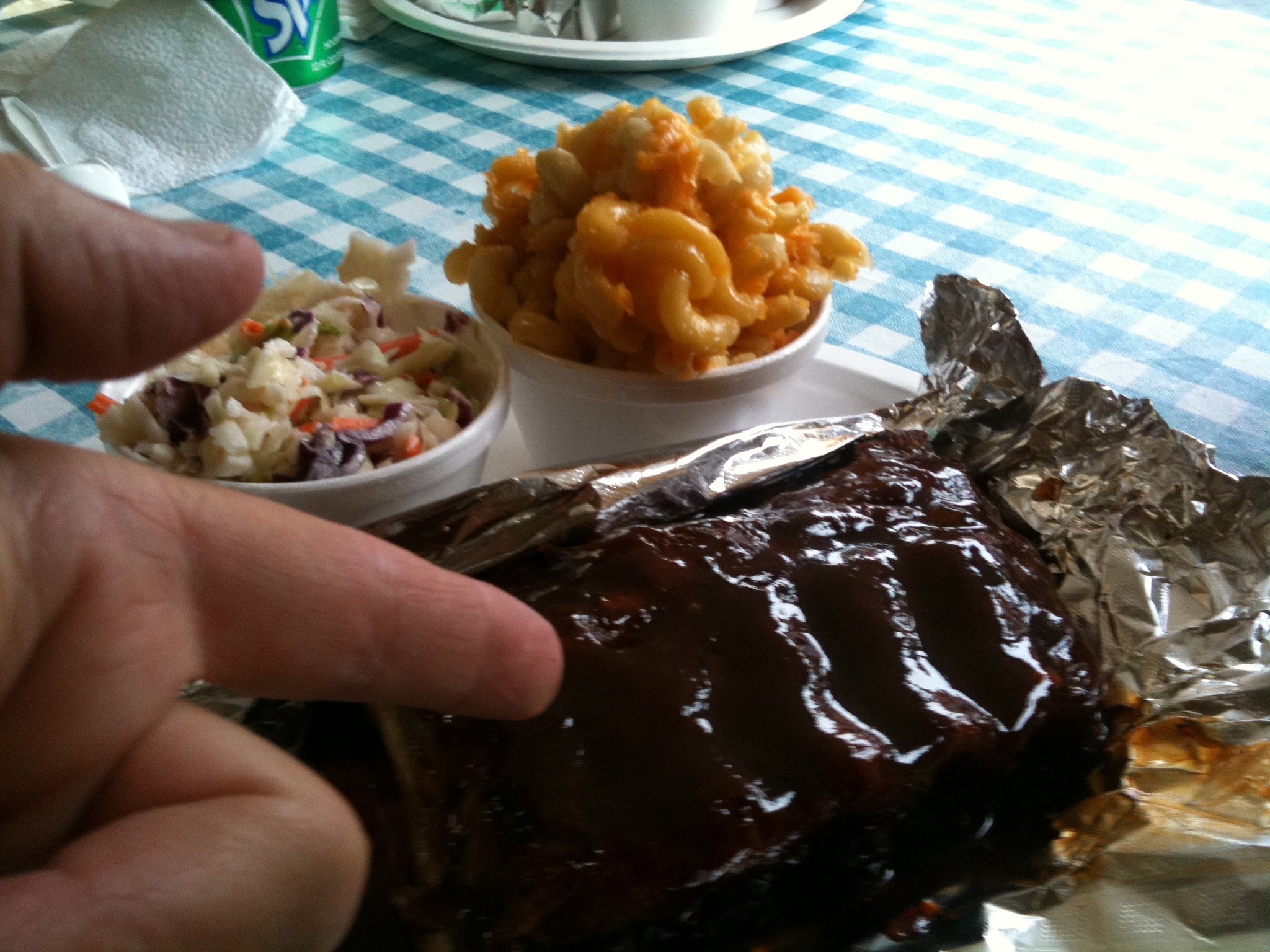
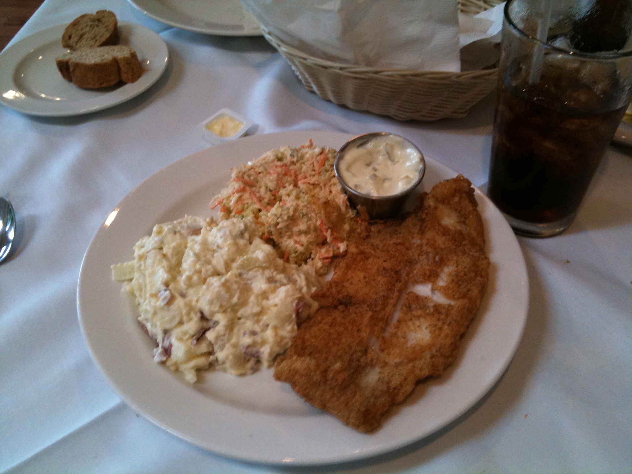
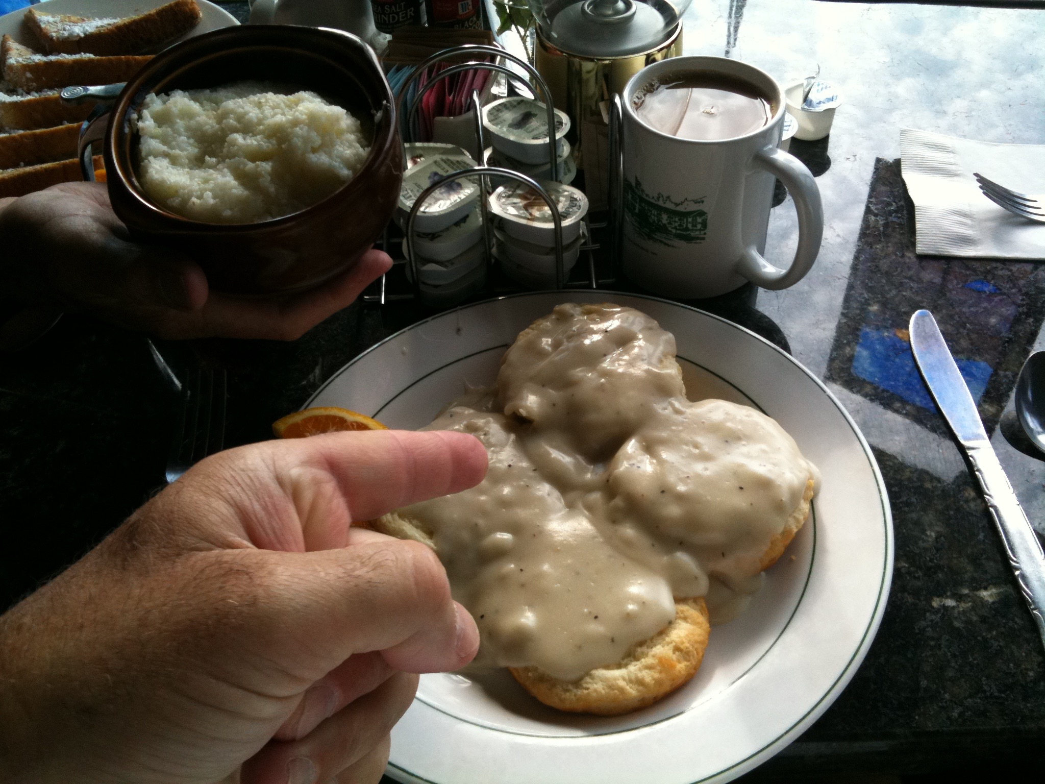
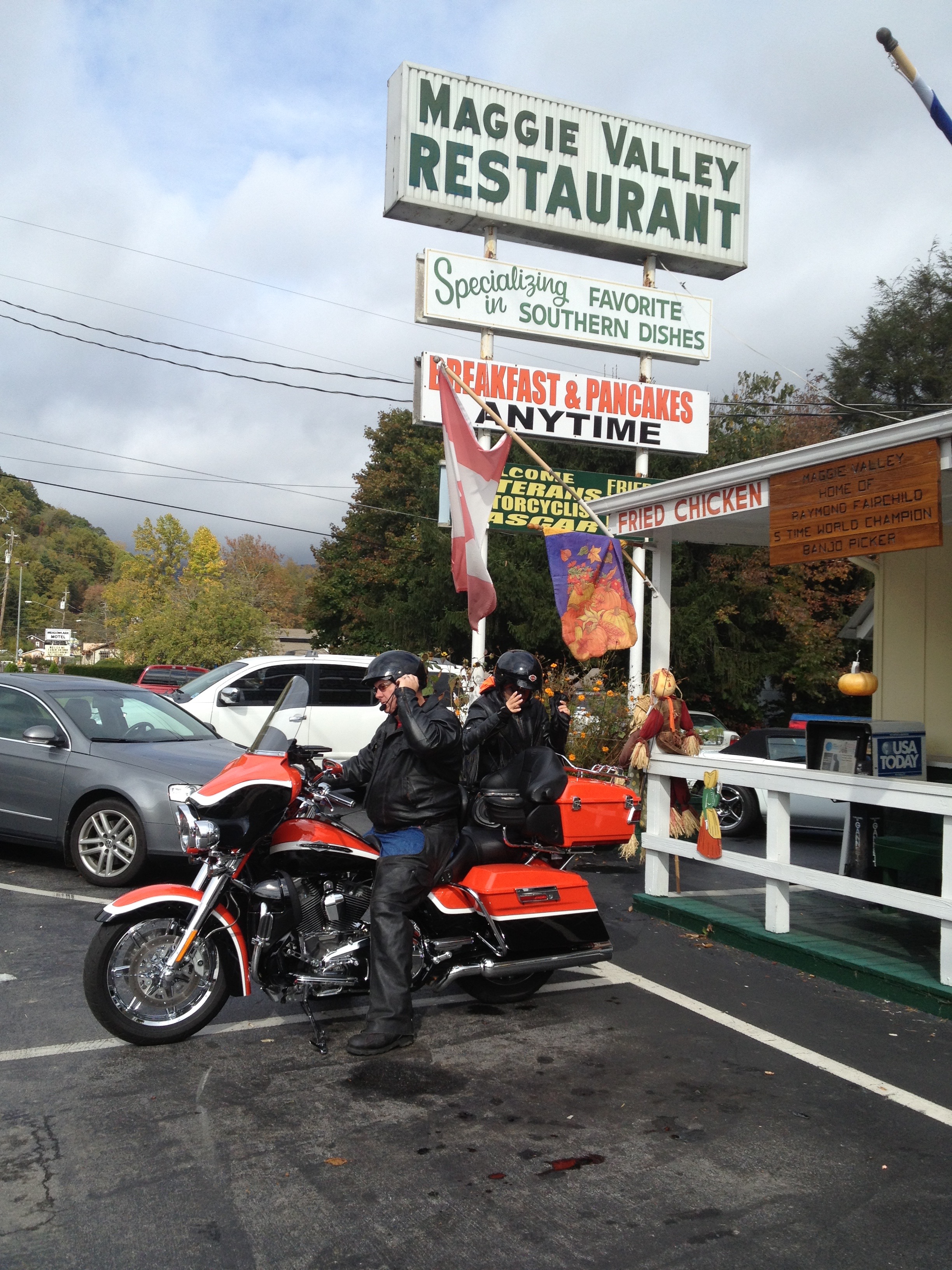
Speaking of slices, we have lunch at the Maggie Valley Restaurant — which, like everything else around here — is rich in history. Click here to learn more about this place that’s been serving up family fare for 60 years. My final breakfast on the road is full of calories and southern flavor: eggs, taters, biscuits and gravy, ham. I may not need to eat again till I get home.

IMG_1631
Breakfast at the Maggie Valley restaurant.

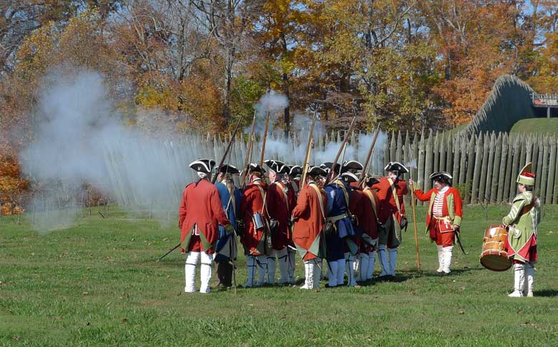
From Maggie Valley, we head for Cherokee, where we stop for gas, and finish our ride on the Blue Ridge Parkway. Remember the 1955 movie, “Davy Crockett, King of the Wild Frontier?” The film starred Fess Parker as Davy Crockett and Buddy Ebsen (better known as Jed in “The Beverly Hills” and as “Barnaby Jones”). I loved that movie. It was shot in Cherokee.

From Cherokee, we ride US-441 for about 8 miles and then turn west on US-74, the Great Smoky Mountain Expressway. The Expressway roughly follows the route of the historic Murphy Branch of the Western North Carolina Railroad (now owned by the Norfolk Southern Railway) and the Great Smoky Mountains Railroad. Much like the railroad before it, the Great Smoky Mountains Expressway connects the mostly rural areas in southwest North Carolina to the rest of the state.

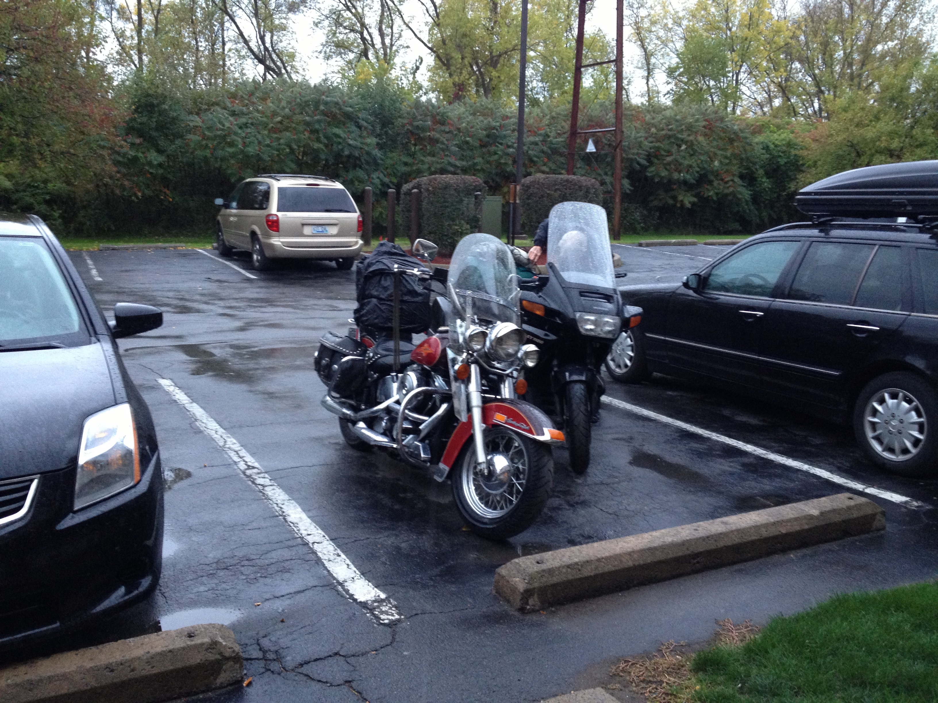
Near Almond, North Carolina, we turn north on NC-28, which, along with NC-143, takes us into Robbinsville, North Carolina. We rode through Robbinsville going the other direction 17 days ago, on Day One of our journey.

IMG_1673
On the Cherohala Skyway, nearing Knoxville.

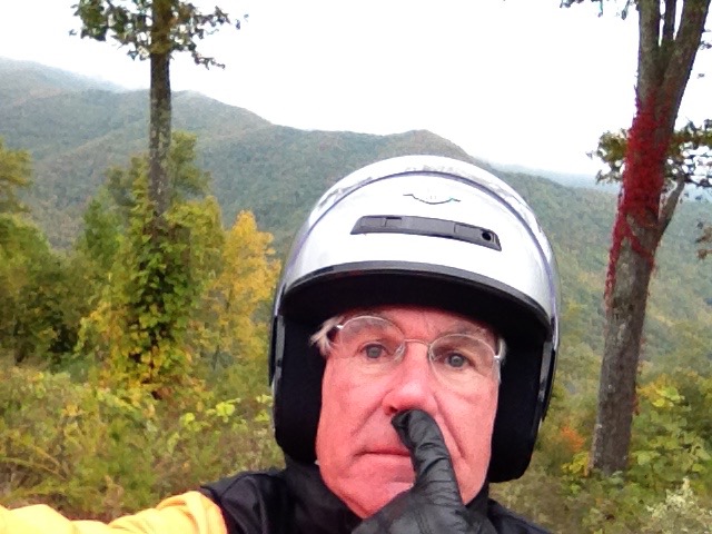
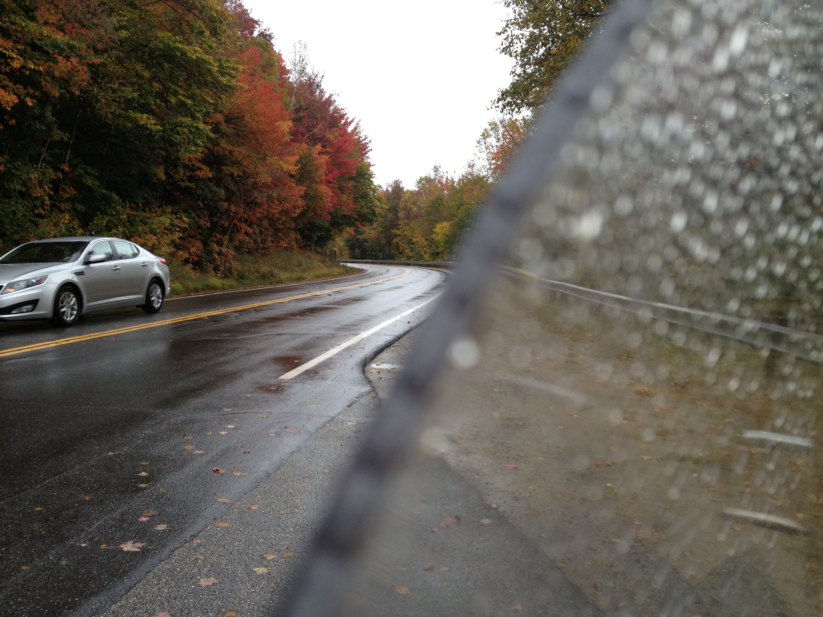
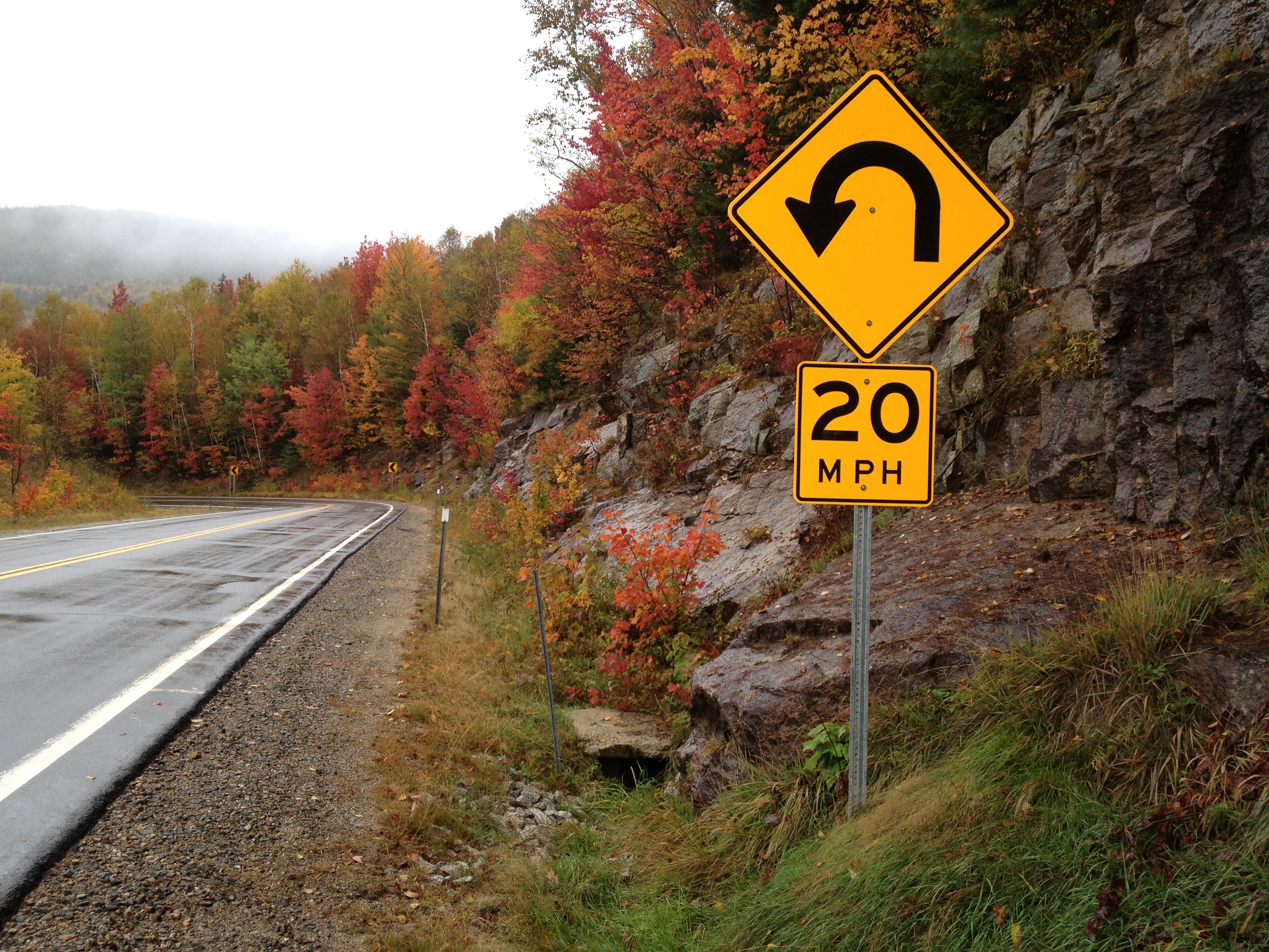
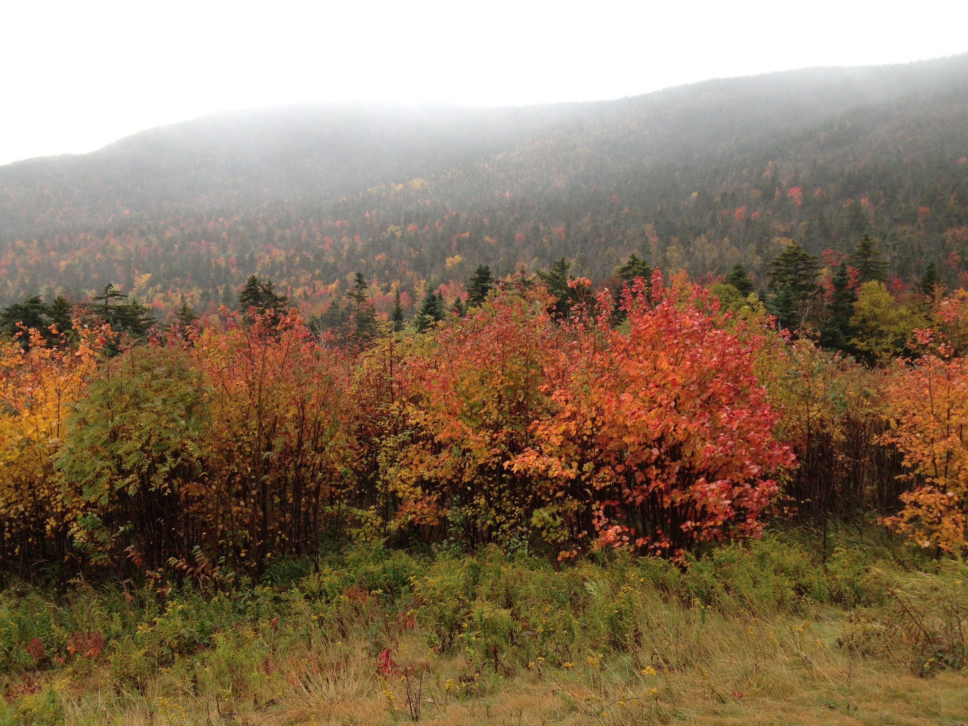
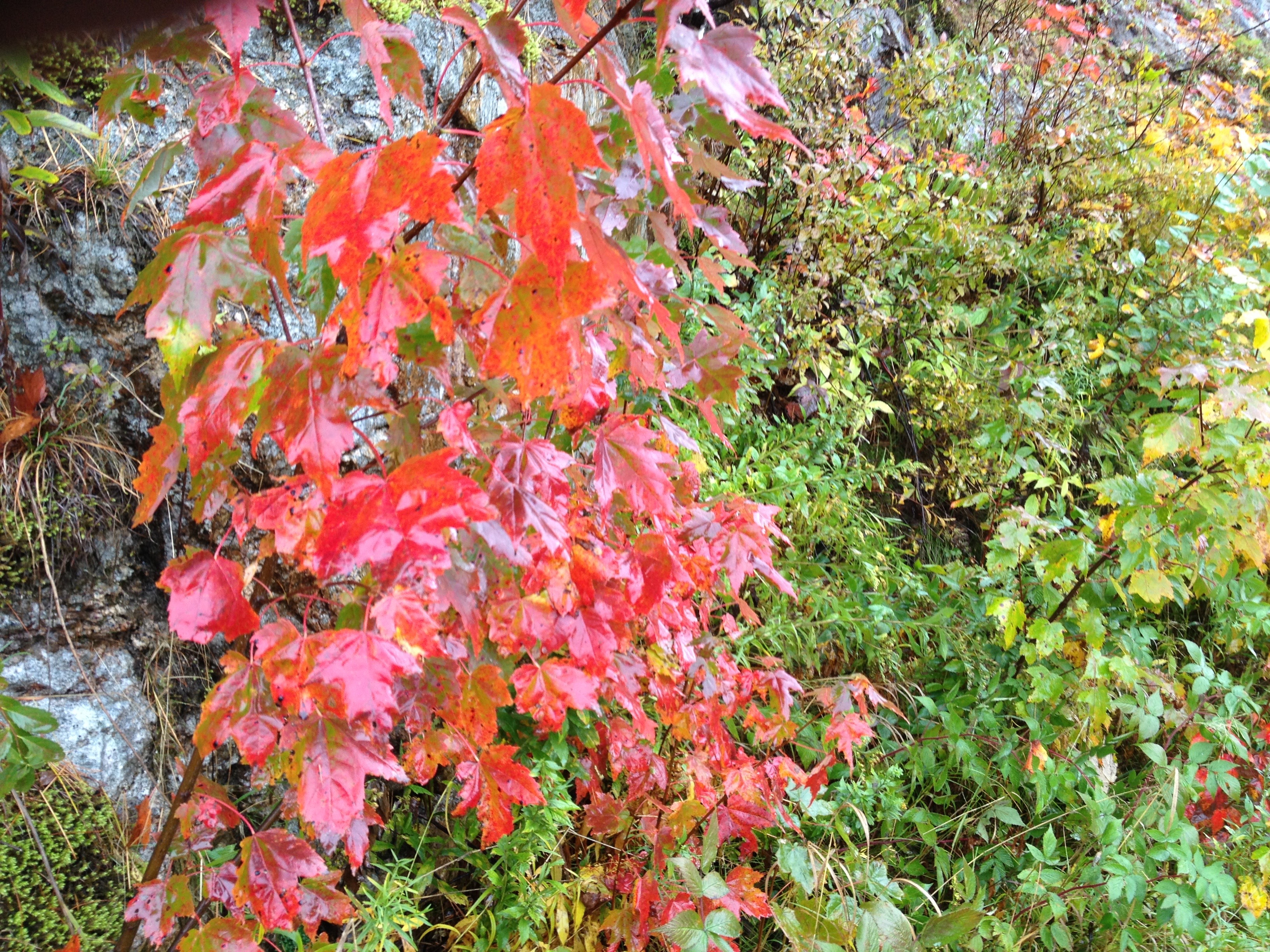
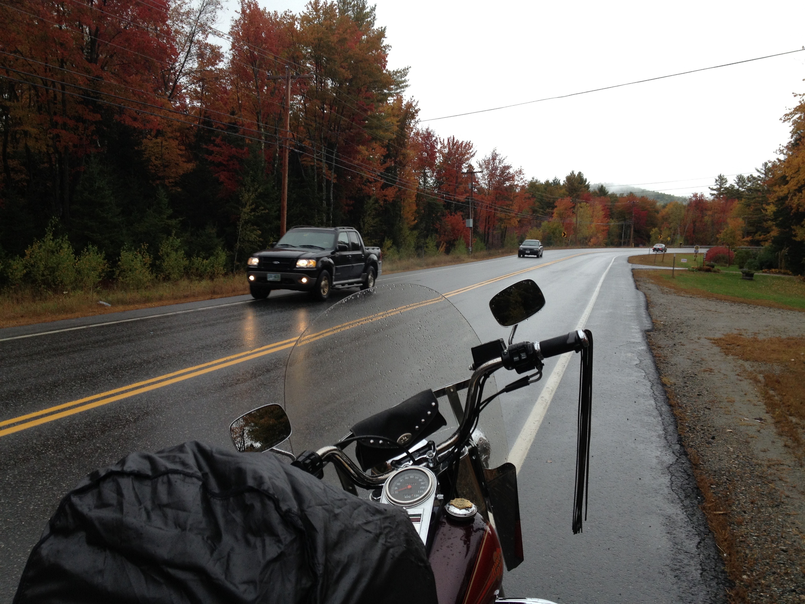
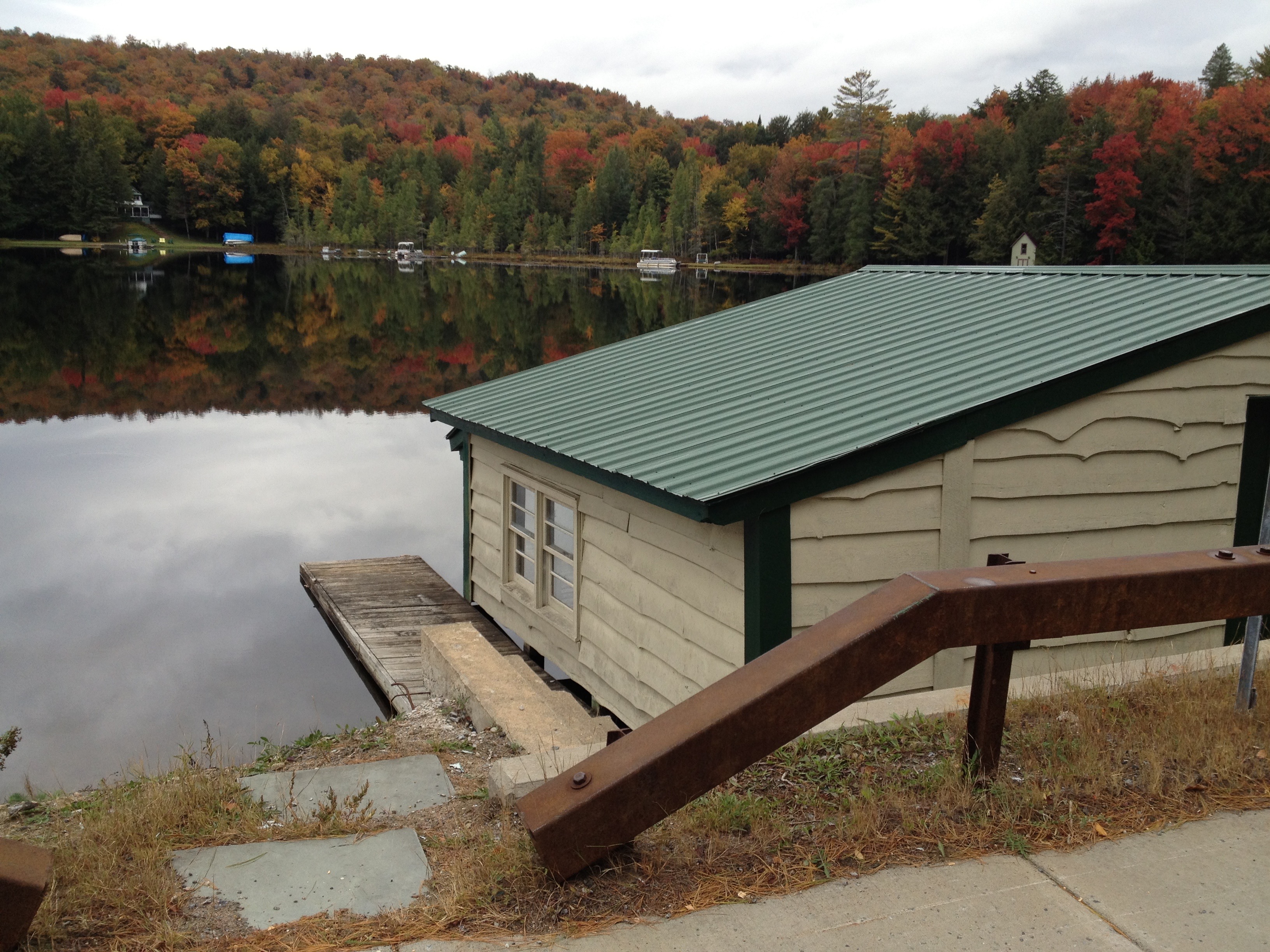
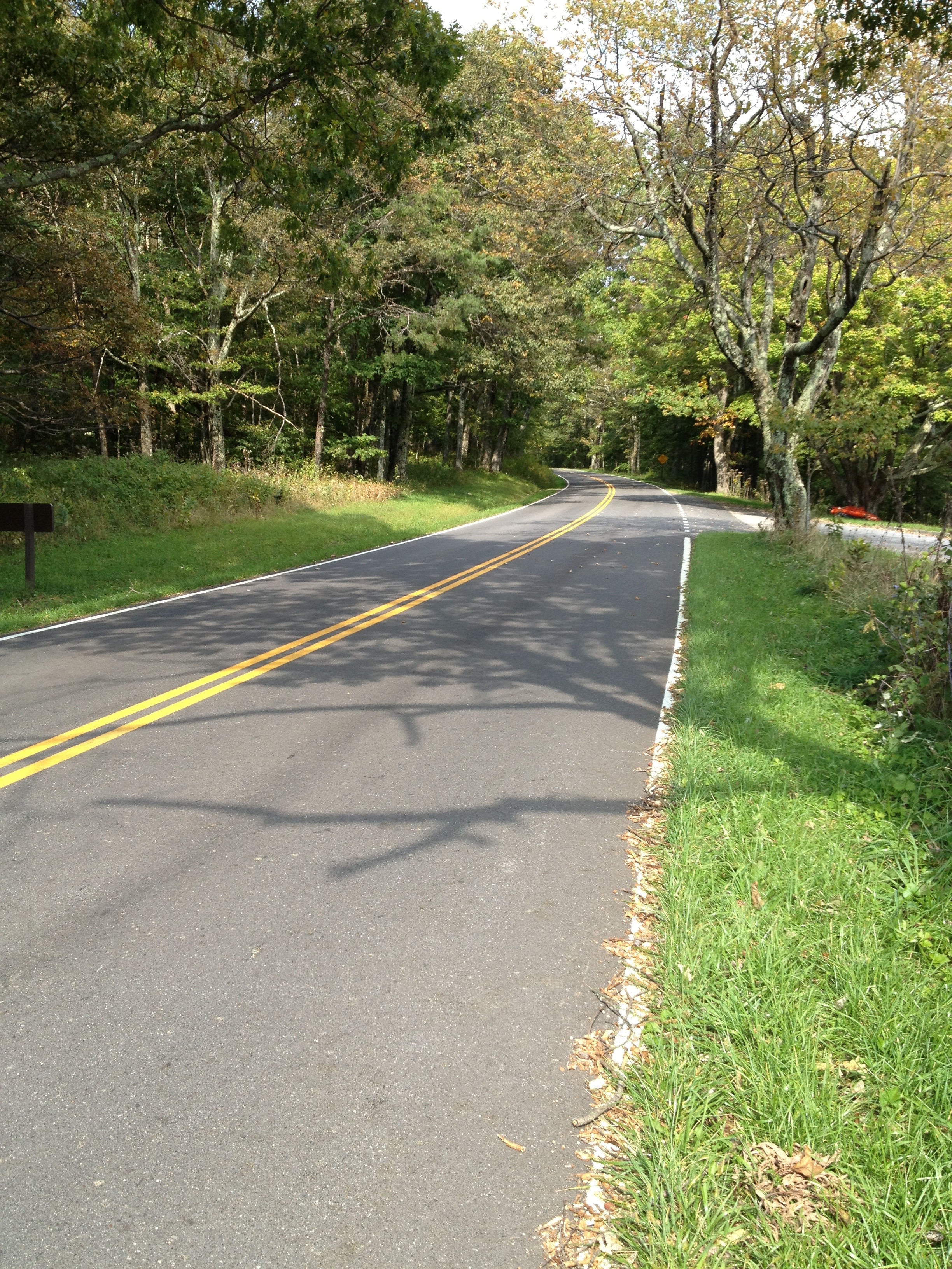
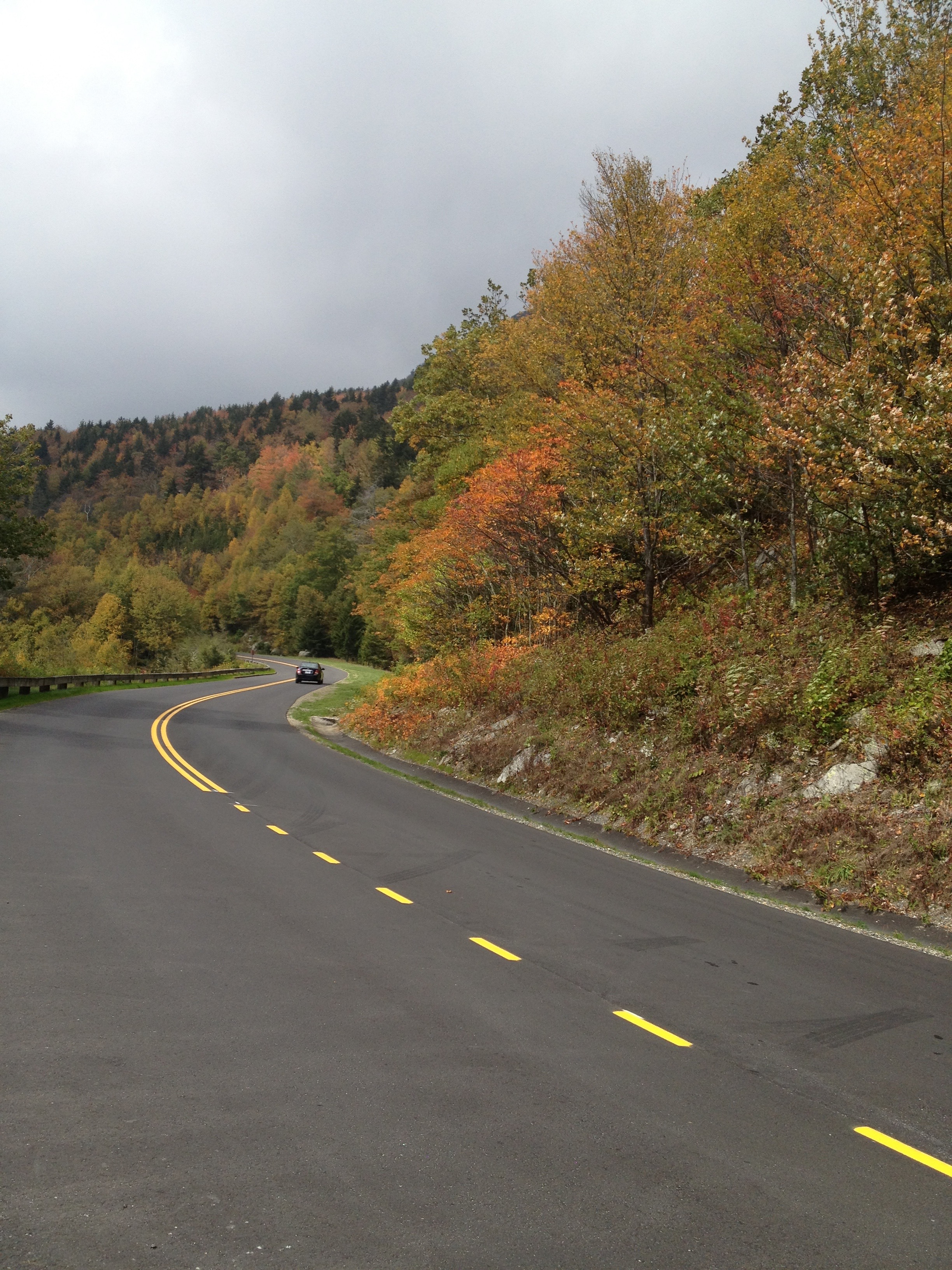
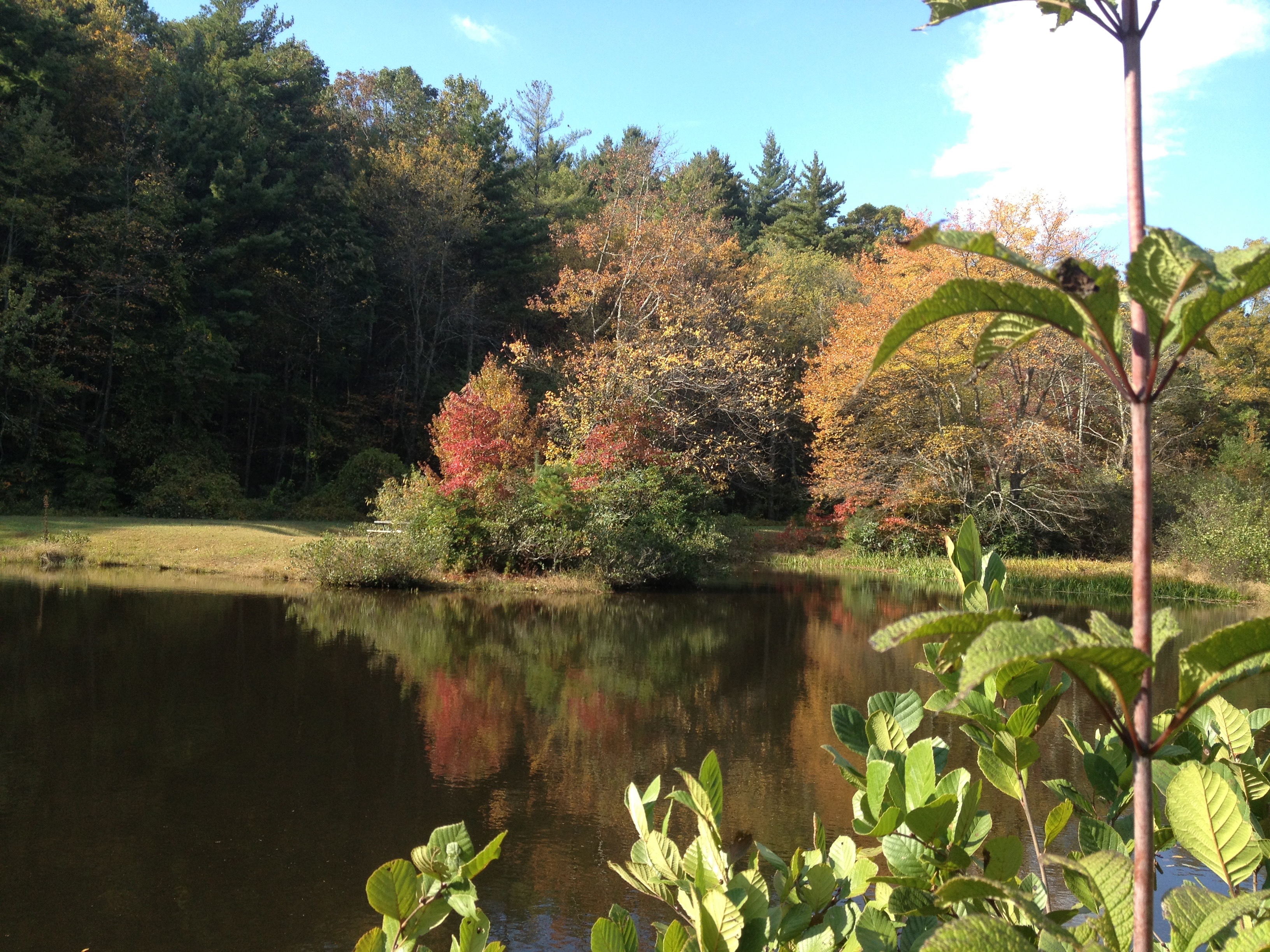
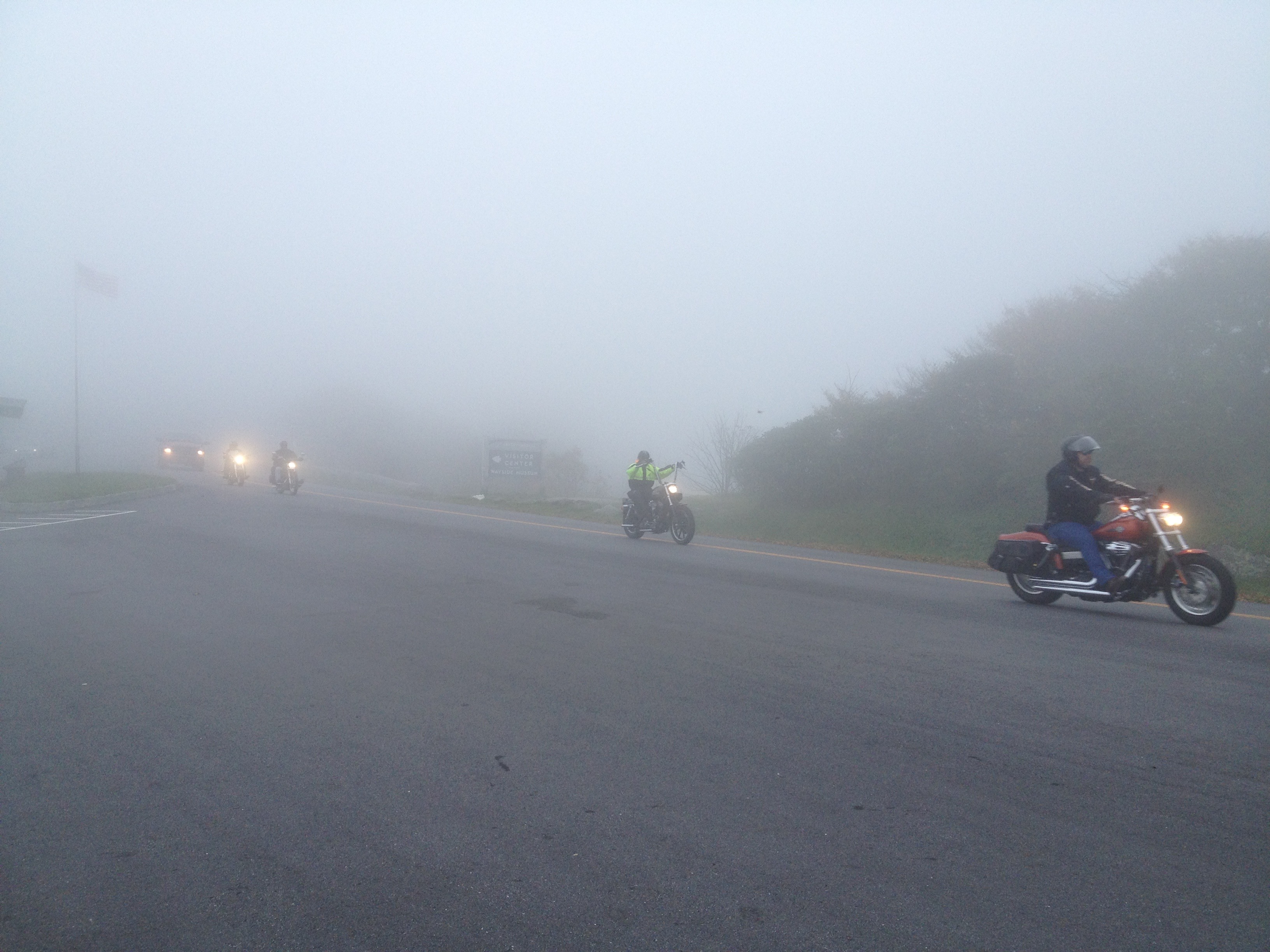
NC-143 soon becomes the Cherohala Skyway, where we spend much of the remainder of our afternoon. The Cherohala, which becomes TN-165 when it crosses into Tennessee, ranks a close second to the Blue Ridge Parkway in awesomeness for a motorcycle ride. It’s a 43-mile long Scenic Byway that connects Tellico Plains, Tennessee, to Robbinsville, North Carolina. Cherohala is a portmanteau of Cherokee and Nantahala, the two national forests through which it passes. Click here to see more on the Cherohala Skyway, which was completed in 1996 at a cost of $100 million. Or try this. To take a ride on the Cherohala, click here for a fun video.

When the Cherohala winds to an end in Tellico Plains, we’re only 52 miles from the Sanders residence in Farragut. We ride through Vonore, which sits at the confluence of the Little Tennessee and Tellico Rivers.

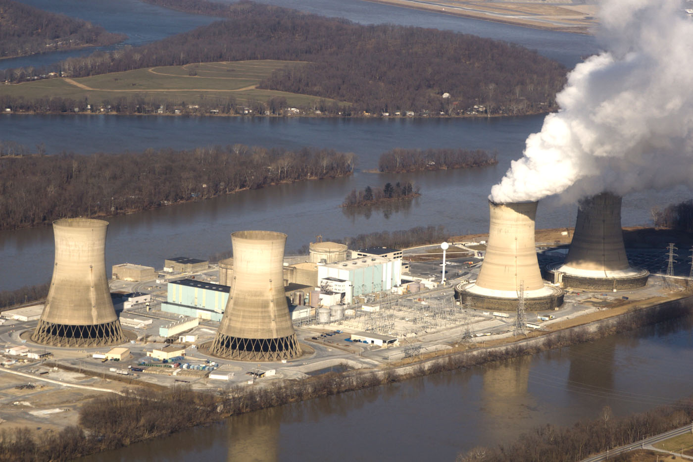
Vonore is near the center of one of the richest archaeological regions in the southeastern United States. Sadly, most of the valley’s archaeological sites were flooded in 1979 when the Tennessee Valley Authority (TVA) completed Tellico Dam at the mouth of the Little Tennessee. The Tellico Dam does not produce any electricity, but the TVA sure does. The TVA — with 29 hydroelectric dams, 3 nuclear power plants, 11 coal-powered plants and a number of other power generation facilities – is the nation’s largest public power provider, serving more than nine million people in Tennessee, Alabama, Georgia, Kentucky, Mississippi, North Carolina and Virginia. That’s a bunch of watts, Bubba!

***

fort_loudoun_soldiers
A historical re-enactment at Fort Loudoun, not far from the Sanders home.

We pass by historic Fort Loudoun, a British colonial fort designated a National Historic Landmark in 1965. Loudon County – named for Fort Loudoun — is home to Greenback, Tennessee. Greenback, as everyone knows, is home to Sarah Murr’s family. Life is coming full circle, an indication our trip must be near its end.

We cross the Tennessee River, and ride through Lenoir City, named after the Lenoir family. A 5,000-acre tract of land, including what is now Lenoir City, was deeded to General William Lenoir as payment for his services during the Revolutionary War.

From Lenoir City, we ride on US-11 a few miles and hop on Kingston Pike, once known as the Dixie Lee Highway (not named after former Washington state Governor Dixie Lee Ray). Kingston Pike, originally part of a Native American trail, connects Knoxville with Farragut.

IMG_1678
Arriving home at the Sanders residence in Farragut, Tennessee. The journey is officially over.

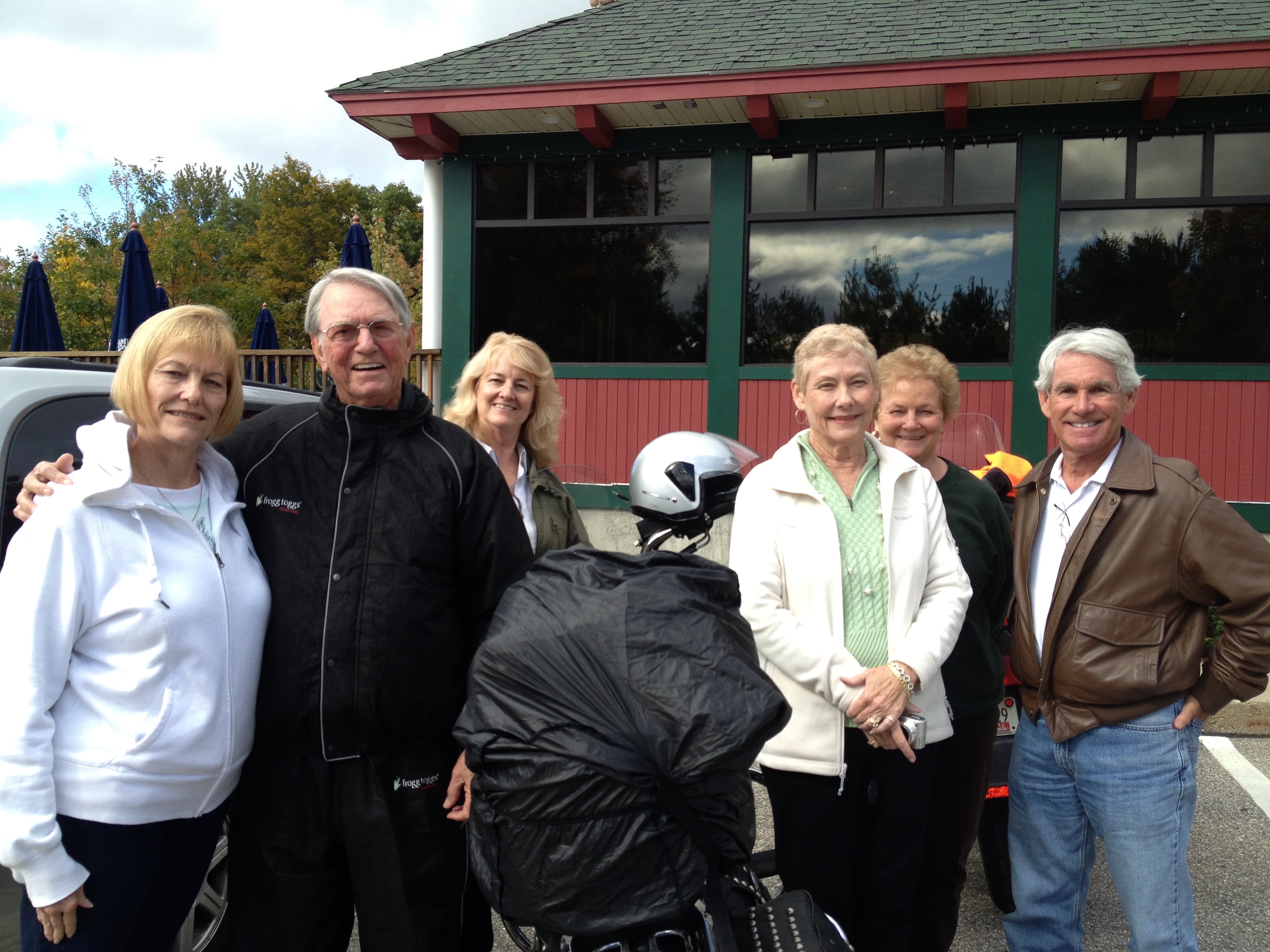
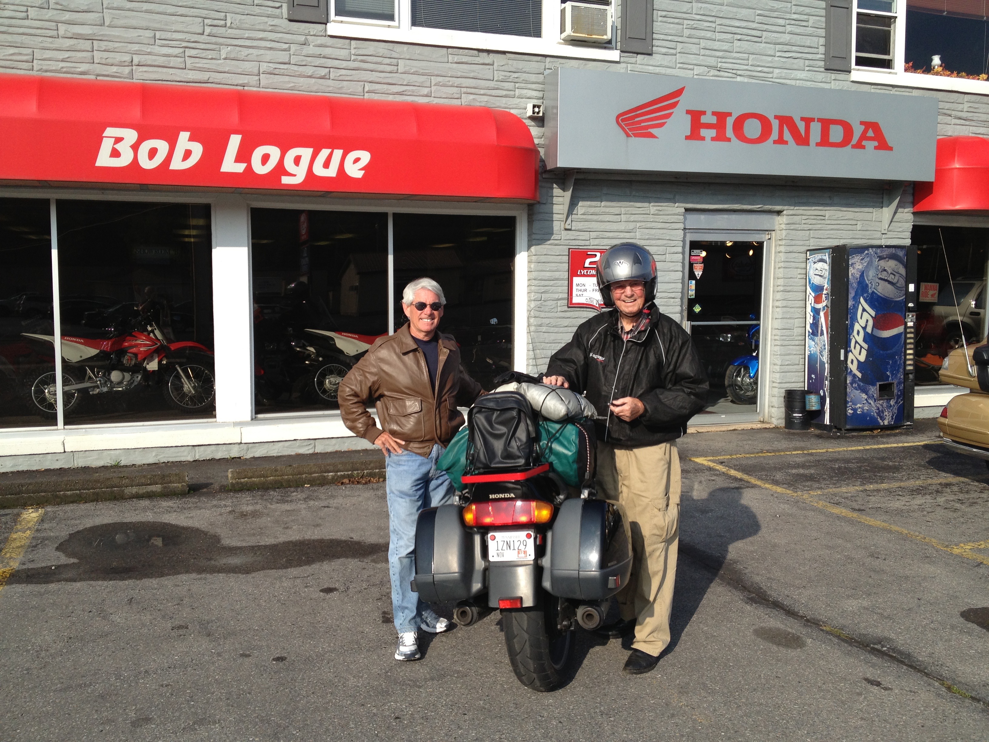
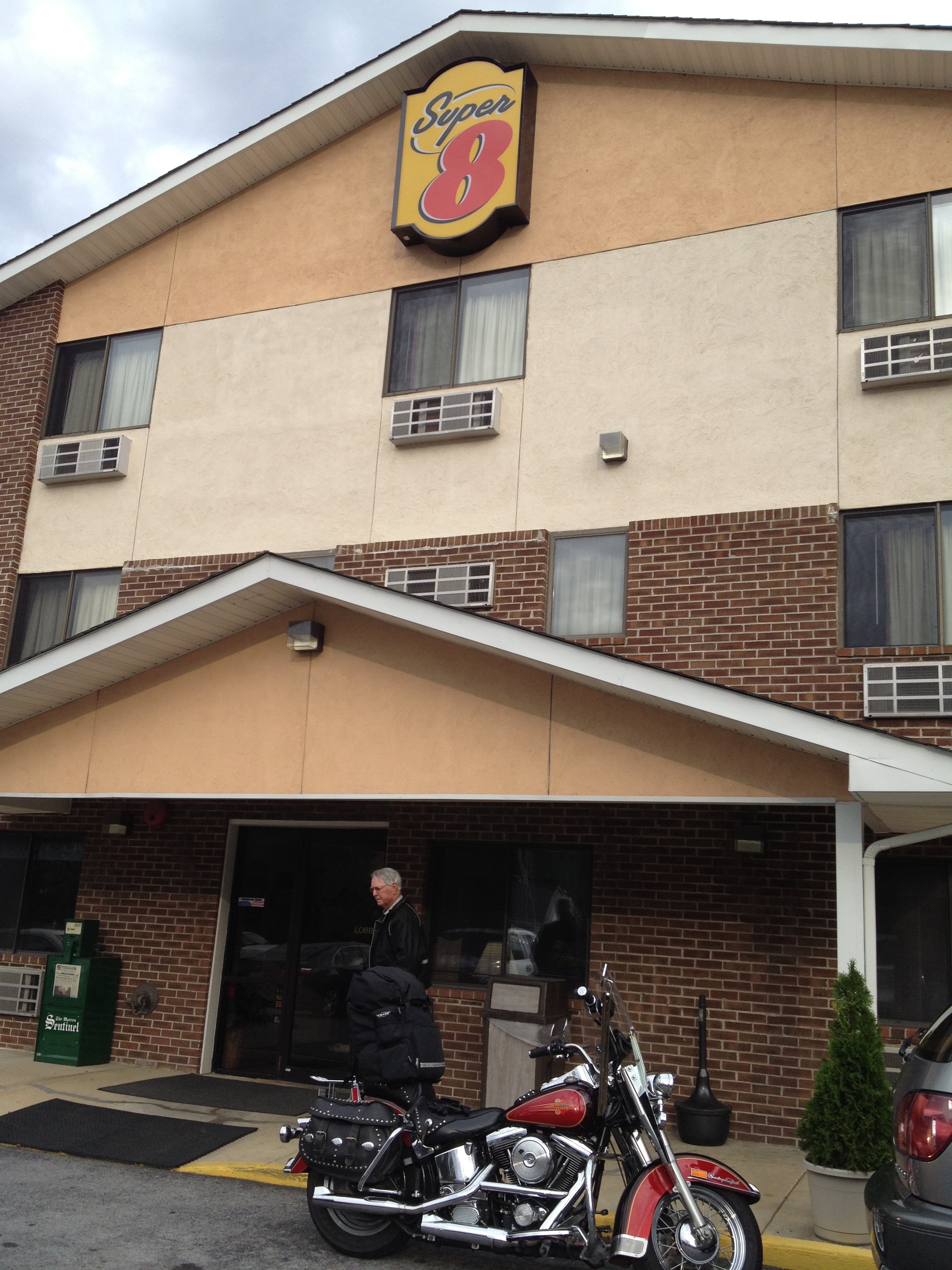
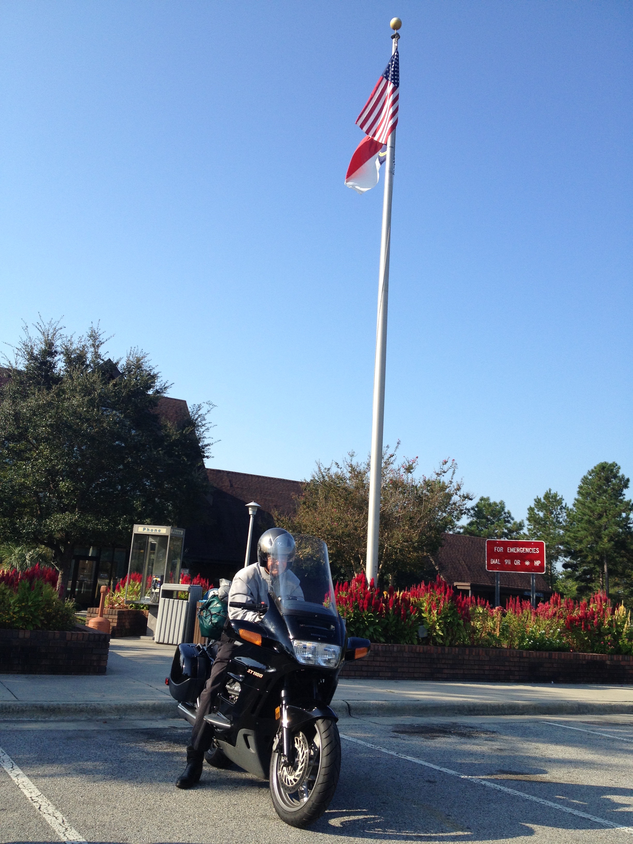
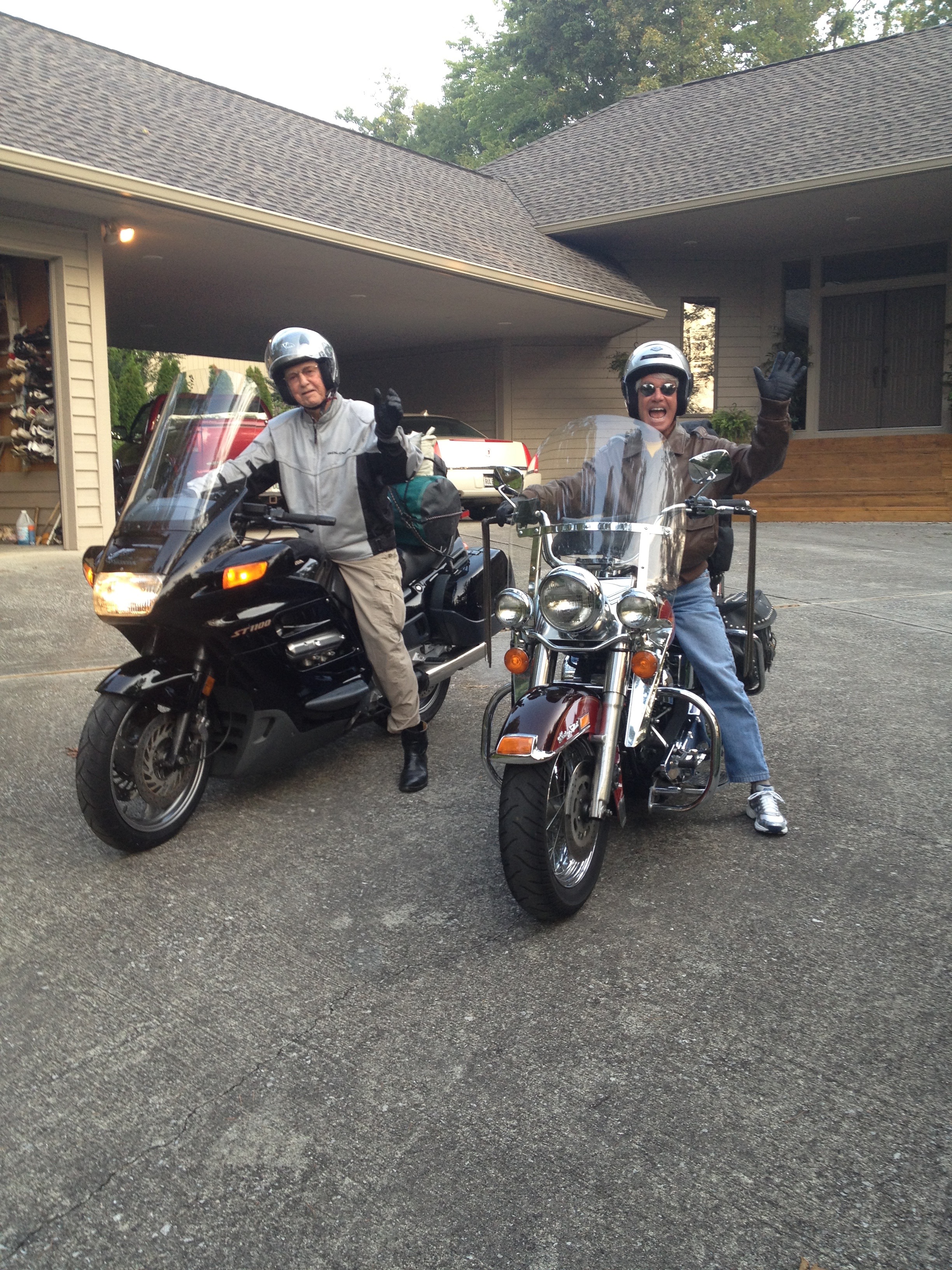
And then, before you know it, we arrive at Ray and Tina’s house in Farragut. Tonight’s five-star lodging: The Sanders residence ($0 no tax, and minimal tipping).

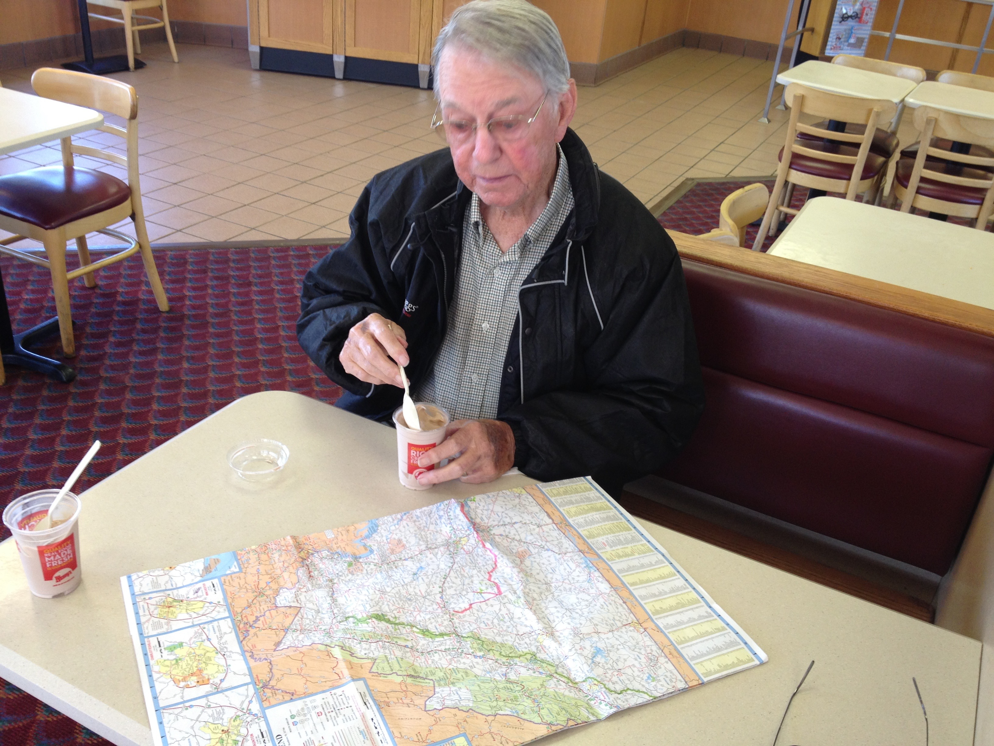
To view today’s complete route from Asheville, North Carolina, to Farragut, Tennessee, click here.

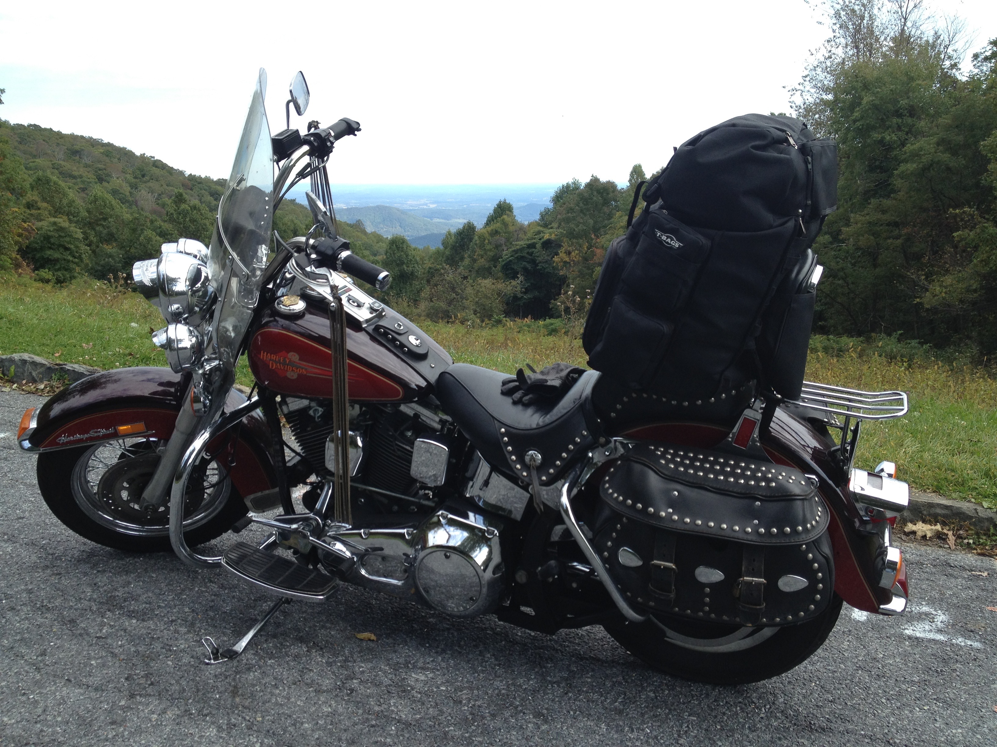
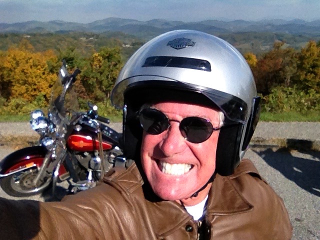
Today’s miles ridden: 252. Total miles since leaving Farragut on September 21, the start of our trip: 4,011. Incidentally, I rode the last 1,707 miles with out a working speedometer. I am that good. One more stat worth noting: over the past 17 days, we spent about 110 hours in the saddle. And my butt isn’t even sore.

Day Seventeen Summary: The benefits of a silver spoon, Fess Parker as Davy Crockett, riding the Cherohala, the power of TVA, heading for home.

***

This year’s ride is over. With little time yet for reflection, the past few weeks are a blur of memories.

  • Seventeen days. Four thousand miles. Twelve states. Zero injuries.
  • From the deep South to (almost) Oh Canada — and back.
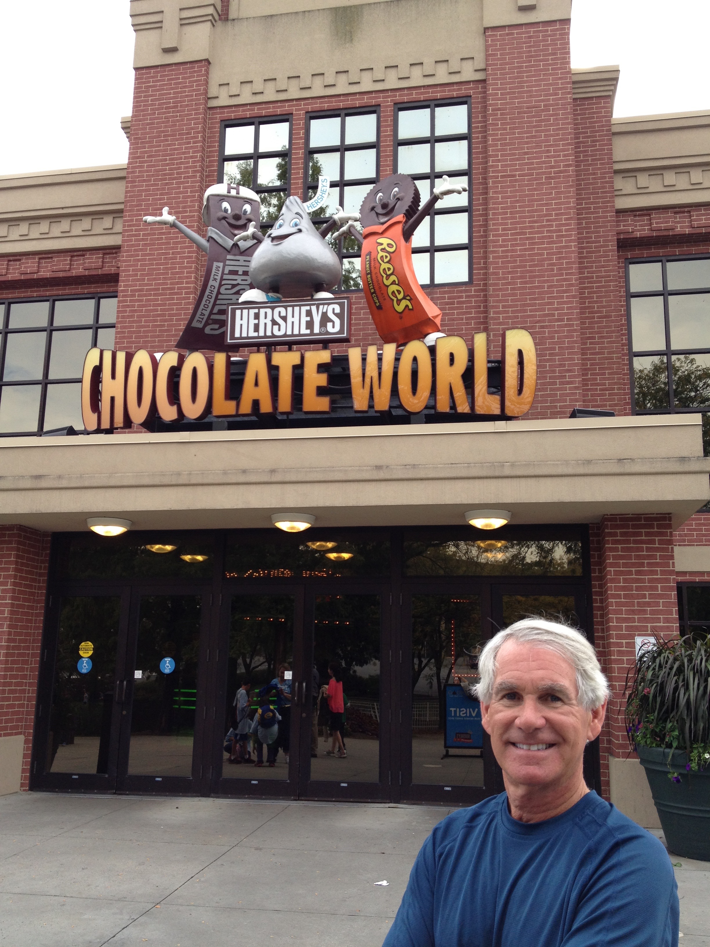
  • Chocolate theme parks, and ice cream factories.
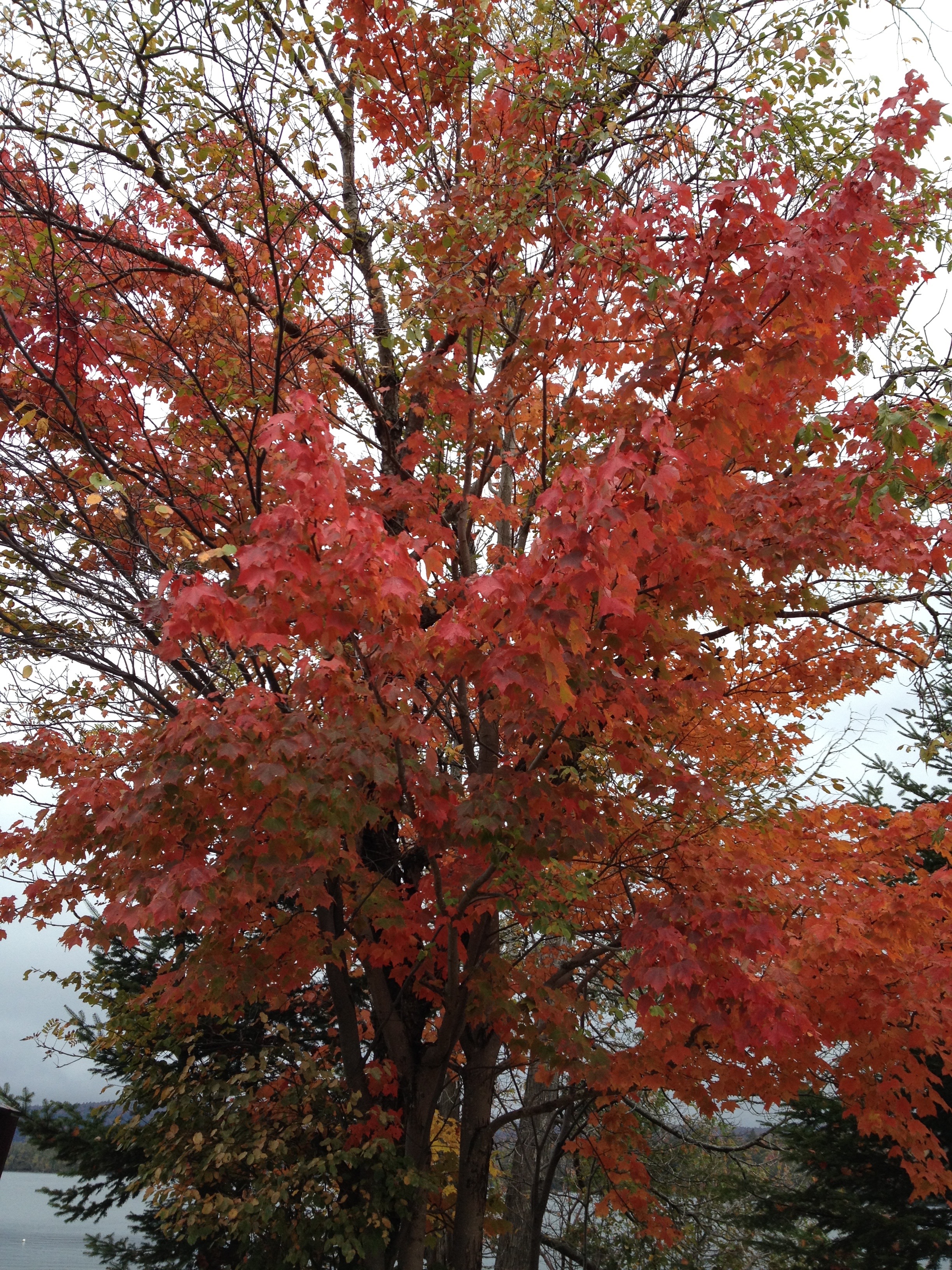
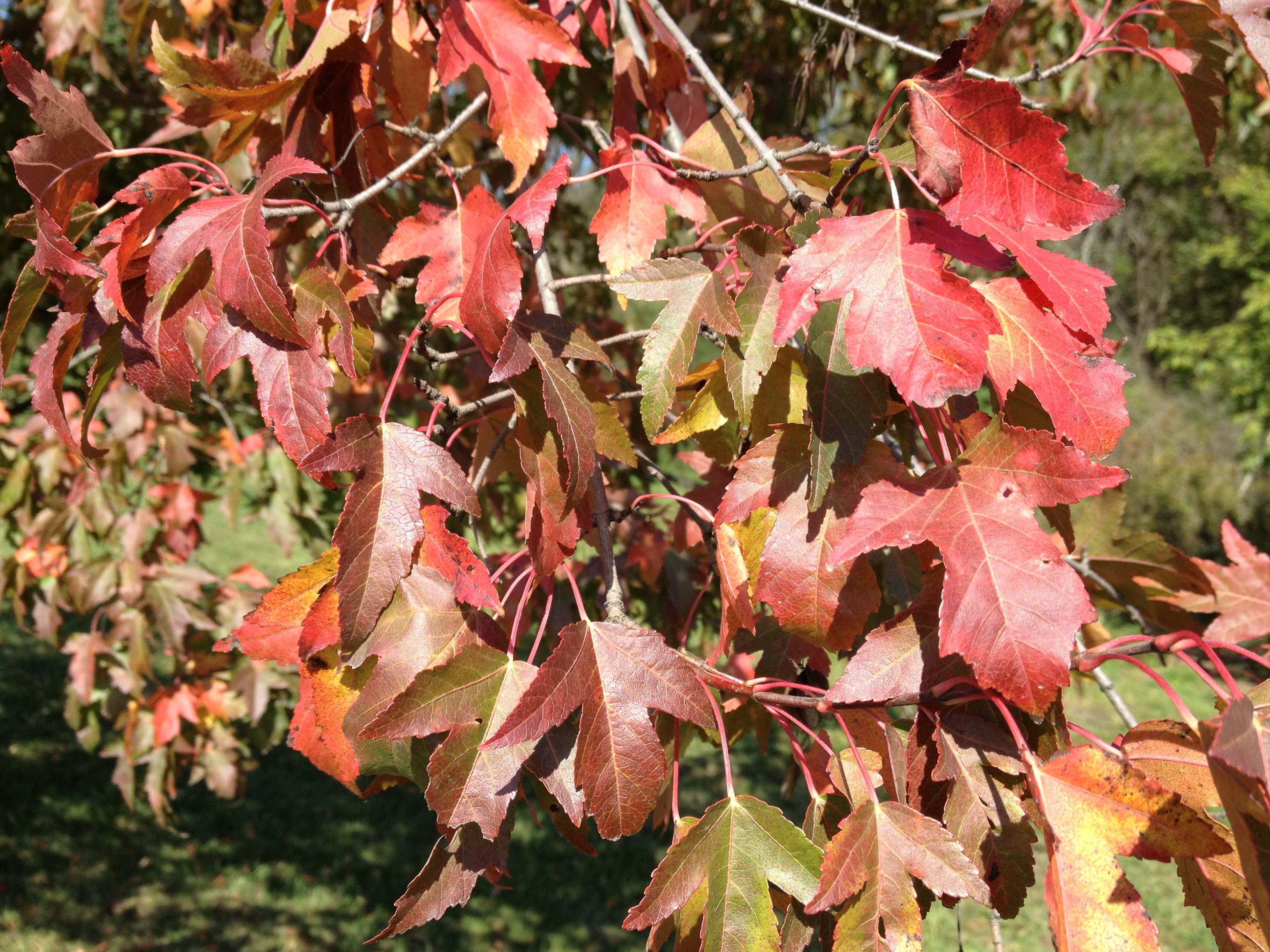
  • Civil War sites, striped lighthouses, fall colors.
  • River valleys, mountains, lowlands and the Atlantic
  • Ferry rides, scenic byways, and an iota of interstates.
  • Cheap motels with comfortable beds.
  • More than 25,000 words blogged, and 350 photos posted — enough for a book.

Something for everyone — at least for me, and for Ray.

***

Hope you enjoyed being a part of the journey. It was nice having you along for the ride.

Your warmth, and occasionally derisive comments, made me feel a little less isolated on the road. In the unlikely event that you learned anything these past few weeks, you’re welcome.

What will tomorrow bring?

I’m on my way home to La Quinta. Most famous person there: Sarah Murr.

The “Happiest City For Women” … But Where?

The origin of town names can be stories in themselves. This morning, we wake up in Fancy Gap Virginia, population 260. Fancy Gap has long been a major passageway between western North Carolina and southwestern Virginia.

Fancy Gap apparently got its name in the mid-1800s. Ira Blair Coltrane, a self-made engineer and a Colonel in the Confederate Army, was 15 years old in 1830 when he helped his grandfather drive loaded wagons up a steep incline. The legend is that he saw a better route up the mountains across the valley, and remarked that it would make a “Fancy Road.” This route soon became Fancy Gap Turnpike. From there, you can easily see how the town became Fancy Gap. You can, right?

IMG_1579
A slice of musical history at the Blue Ridge Music Center.

Heading south for another day on the Blue Ridge Parkway, we cross from Virginia into North Carolina. Shortly after that, we arrive at the Blue Ridge Music Center, which has an excellent display, depicting the roots of American music. We arrive just after the doors open at 9 am; too bad we’re so early — live music begins at noon.

But we have miles to go, so we skip the free concert and continue south on the Parkway.

The historic Cumberland Knob Recreational Area is ahead. Cumberland Knob is where construction on the Blue Ridge Parkway began in 1935. It was the first recreation area on the parkway open to the public. From Cumberland Knob, it’s about 100 miles to Grandfather Mountain, site of the Parkway’s completion in 1983. At 5,946 feet, it’s the highest peak on the eastern escarpment of the Blue Ridge Mountains.

IMG_1599
Fall foliage on the Blue Ridge Parkway.

Grandfather Mountain is rich with history. It has a mile-high swinging bridge, and views that are beyond compare. The “swinging bridge” gets its name because of the bridge’s tendency to sway in high winds. Yikes. Click here to learn more about Grandfather Mountain.

C22463CCF405EA752127A2CD72264461
The famous swinging bridge at Grandfather Mountain.

While at Grandfather Mountain, we could stop at Mildred’s Grill for lunch. I’m pretty sure Mildred would personally take our order and bring our plates out. To see what’s on the menu, click here.

But we skip Mildred’s, because there’s an $18 per person charge to ride up the road to the restaurant, which essentially means our burgers cost $30. Those are Manhattan prices, and in rural North Carolina, that’s hardly palatable.

***

So we continue south on the Parkway for about 30 miles to Little Switzerland, North Carolina, where we have lunch at the Little Switzerland Inn — and spend less than half of what it would have cost to be served by Mildred.

After lunch, we consider jumping off the Blue Ridge Parkway at milepost 334 and taking a side road south on NC-226A. It’s known as the Diamondback — which has 190 turns in 12 miles, a little like the Tail of The Dragon (also in North Carolina), which we rode on Day One of our trip — two weeks ago. Click here to experience the Diamondback — which, of course,, is named for the snake you don’t want to mess with.

IMG_1586.jpg
Little Glade Mill Pond, along the Blue Ridge Parkway.

We’ll turn west at Buck Creek Campground & Driving Range, and join NC-80. Buck Creek, seemingly in the middle of nowhere, bills itself as having 74 hook-up sites and a state-of-the-art driving range. Seventy-four hookup sites sounds like something you’d find at a big-city singles bar.

Ten miles later, we’re back on the Parkway.

IMG_1592
Self portrait at Stack Rock Overlook.

That would have been a fun side trip, but we stick instead to the Parkway. It seems only right that we continue to ride all 469 miles from the northern end to the southern terminus in Cherokee, North Carolina.

***

We pass by Mount Mitchell State Park, North Carolina. Mount Mitchell is the highest peak east of the Mississippi — 6,684 feet. It’s about ten miles from the Parkway, and surrounded by the Pisgah National Forest, but its presence can’t be missed. (Pisgah in Hebrew refers to a “high place” like the top of a mountain). The mountain was named after Elisha Mitchell, a professor at the University of North Carolina, who determined its height in 1835 and fell to his death at nearby Mitchell Falls in 1857, when he returned to verify his earlier measurements. His tomb is at the summit of Mount Mitchell.

I said Mount Mitchell’s presence can’t be missed. Well, we actually couldn’t see the mountain. It was shrouded in clouds and fog, which made the riding on the area quite challenging. We slow to 20 mph or so, barely able to navigate by the center yellow line.

IMG_1616
Riding in the fog, on Mount Mitchell.

Mount Mitchell is in the Pisgah National Forest in the Appalachian Mountains. The Pisgah covers nearly 513,000 acres, including parts of the Blue Ridge Mountains and Great Balsam Mountains. The Blue Ridge Parkway takes us along the southern edge of the Pisgah, through Craggy Gardens toward Asheville, North Carolina. Craggy Gardens is covered with purple rhododendrons in mid-June, which would be spectacular if it weren’t early October right now.

We continue along the Parkway for about 40 miles, until we get to Asheville, our stopping point for the day. Asheville is at milepost 385 on the Parkway, meaning we are about 79 miles from where the Parkway ends in Cherokee, North Carolina.

Before the arrival of Europeans 470 years ago, the land where Asheville now exists lay within the boundaries of the Cherokee Nation. Today, Asheville is a happening place. Modern Maturity magazine named Asheville one of the “50 Most Alive Places to Be;” American Style magazine called it one of “America’s Top 25 Arts Destinations;” it’s one of AARP magazine’s “Best Places to Reinvent Your Life;” and Self magazine named it the “Happiest City for Women.” Magazines love Asheville!

Biltmore Estate
The Biltmore Estate in Asheville, North Carolina. We chose to stay at the Motel 6 instead.

Notables with Asheville connections:

  • Actress Andie MacDowell, who lives in Biltmore Forest, adjacent to Asheville; her film career includes “St Elmo’s Fire” (1985), “Green Card (1990), “Groundhog Day” (1993), “Dinner With Friends” (2001) and “Footloose” (2011)
  • Singer Roberta Flack (“Killing Me Softly” and “Feel Like Makin’ Love”) was born here
  • Zelda Fitzgerald, wife of F. Scott Fitzgerald (who called her “the first American flapper”), died at age 48 in a fire with eight other women at an Asheville mental institution.

Lodging tonight at the Motel 6 in Asheville ($71.99 tax). Asheville will be the Happiest City for Ray and me, an alive arts destination that allows us to reinvent ourselves. Which may be a bit of a stretch for a rib dinner and a night at the Motel 6.

m6_1134_exterior1
Motel 6 in Asheville. Way better room rates than the Biltmore Estate!

***

Oh, almost forgot to mention: this is our third and final college football Saturday on the road. To be perfectly honest, I have no idea who’s playing today. A game earlier in the week effectively ended my interest in college football for the year. On Thursday night, the University of Utah got crushed by USC. Ouch. And to my embarrassment, the game was nationally televised. For me, the season is over, and the annual healing process is underway. There’s always next year (though we did beat BYU on September 15 in the only game all season that really matters).

Utah’s had some strong football teams in recent years, including 2008 when the Utes finished 13-0 and ended up Number 2 nationally in the season’s final poll. The highlight of Utah’s perfect season was humiliating Alabama in the Sugar Bowl, 31-17. Yes, Alabama of the apparently no-so-invincible Southeastern Conference, getting thrashed by a bunch of slow, white kids from the lowly Mountain West Conference. Just sayin’ …

***

Day Sixteen Summary: a Fancy Road, a swinging bridge, a big-time hook-up site, a Hebrew lesson, a great place to reinvent yourself, trashing the SEC. Miles ridden today: 218.

To view today’s complete route from Fancy Gap, Virginia, to Asheville, North Carolina, click here.

What will tomorrow bring?

A Special Shout-Out to the Civilian Conservation Corps

Sunshine!

For the first time in more than a week, we wake up to brilliant, sunny skies. Woo-hoo!

It’s a long overdue change in the weather. The forecast even looks good for the remainder of our ride to Farragut, Tennessee. So if you see me smiling today, there’s good reason.

Let’s put on our sunglasses and hit the road.

IMG_1545
Hooray, the sun’s out. It must be national sunglasses selfie day.

***

Our day begins in Waynesboro, Virginia. As we learned yesterday, Waynesboro was named for US Army general and statesman Anthony Wayne. Wayne’s military exploits and fiery personality quickly earned him the nickname of Mad Anthony.

The Civil War’s Battle of Waynesboro, which lasted only 20 minutes, was fought on March 2, 1865. It was the final battle for Confederate Lt. Gen. Jubal Early, whose force was destroyed there. Losing that battle was the fatal blow for the Confederate Army in the Shenandoah Valley.

***

We spend almost the entire day on the Blue Ridge Parkway. Click here to see a map of the Blue Ridge Parkway. It may be the best place on the planet to ride a motorcycle.

IMG_1558
Today, we’re heading South. Must be on our way home.

The Parkway has good road surfaces, great scenery, excellent visibility, gentle curves, a 45 mph speed limit, and no commercial distractions.

Last year, Ray and I rode the Blue Ridge Parkway from south to north, all 469 miles of it. This year, we’ll ride most of it, on our way home to Tennessee, from north to south. It seems like a different road, and is only vaguely familiar from a year ago. Everything that was on the left is now on the right. There’s probably a political metaphor somewhere in that.

The Blue Ridge Parkway runs mostly along the Blue Ridge Mountains, a major mountain chain that’s part of the Appalachian Mountains. The Parkway includes the Great Smoky Mountains, the Balsams, the Pisgahs, the Craggies, and the Black Mountains. This place seems to have been constructed for motorcycles. The Blue Ridge Parkway was actually built to connect Shenandoah National Park (our ride yesterday) to the Great Smoky Mountains National Park.

It began as a Civilian Conservation Corps project in the 1930s, and took more than 52 years to complete. Originally called the Appalachian Scenic Highway, construction began on September 11, 1935. During World War II, Civilian Conservation Corps crews were replaced by conscientious objectors in the Civilian Public Service program.

IMG_1553 (1)
Hey, we’re having fun now.

The Civilian Conservation Corps ran from 1933 to 1942 as part of FDR’s New Deal. It provided unskilled manual labor jobs related to the conservation and development of natural resources in rural lands owned by federal, state and local governments. The CCC was designed to provide employment for young men who had difficulty finding jobs during the Great Depression. Over the program’s life, some 2.5 million young men participated. Among the Civilian Conservation Corps’ most famous alumni: actors Raymond Burr, Robert Mitchum and Walter Matthau; test pilot Chuck Yeager; and baseball players Stan Musial and Red Schoendienst. One of the most spectacular and enduring legacies of the CCC’s efforts is the Blue Ridge Parkway.

***

The Civilian Conservation Corps did not construct the entire Blue Ridge Parkway. The final stretch of the Parkway was completed around Grandfather Mountain, North Carolina, in 1983. The Parkway is entirely in two states: Virginia (our ride today) and North Carolina (our ride tomorrow). Its highest point is 6,053 feet on Richland Balsam Mountain. The speed limit is never above 45 MPH, which is a good way to guarantee a leisurely and safe ride.

We jump on the Parkway today at Milepost 0, and begin the journey that ends in Cherokee, North Carolina, at Milepost 469. Click here to learn more about the Blue Ridge Parkway, truly one of the best motorcycle rides anywhere.

There are more than 200 overlooks along the Parkway. Some have spectacular scenic vistas; others just are small parking lots looking head-on at trees. The views may have been good when the Parkway was built, but the trees have grown up over the past 70-or-so years, all but destroying some views. But if you’re selective, you can easily find overlooks worth seeing. I’ve tried to find a few, and include them below in today’s photos.

IMG_1532
Otter Lake, Virginia: a low point on the Blue Ridge Parkway.

About halfway through the day’s ride, we pass by Roanoke, Virginia, the largest city along the Parkway. A sports fun fact about Roanoke: the 1971–1972 Virginia Squires of the ABA are the only major league sports team to regularly play home games in Roanoke. During the 1971–1972 season, the Squires split home games among Richmond, Norfolk, Hampton Roads, and Roanoke. Julius Erving (who is two days older than I am) played his professional rookie season with the Squires in 1971–1972.

We hop off the Parkway for a few minutes in Roanoke for gas and lunch. Neither is worth mentioning; gas is gas, and our roadside diner experience would rate a poor review on Yelp and Trip Advisor.

***

We pass by Mabry Mill at Milepost 170, where there’s a gristmill, sawmill and blacksmith shop. And a restaurant, which probably would have been a better choice than the disappointing diner in Roanoke. Click here to see what we missed.

mabry-mill-priscilla-burgers
Picturesque Mabry Mill, along the Blue Ridge Parkway.

We ride through Rocky Knob Recreational Area, one of the first developed areas built along the Parkway. You may remember that last year, Ray and I stayed at the Rocky Knob Cabins, near Meadows of Dan, Virginia. The cabins were built around 1935 by the Civilian Conservation Corps to house themselves while they built the nearby section of the Blue Ridge Parkway. Click here if you’re feeling the urge to rent a room. Check in time is 3 pm.

Not far from Rocky Knob, we arrive at Meadows of Dan, Virginia. Meadows of Dan is where the Blue Ridge Parkway crosses US-58, the Jeb Stuart Highway. The community’s name comes from the Dan River, which flows through the area. The Meadows of Dan motto: “A simpler place in time.”

Simplicity is what we yearn for on this trip. So it hardly seems right that our next stop is called “Fancy Gap.” Here in Fancy Gap, there are no flights of fancy, no passing fancies. There’s nothing fancy, except the name.

Yes, Fancy Gap, Virginia, may have a gap, but it’s not ornate, showy, elaborate, or chichi.

If you Google “things to do in Fancy Gap,” you will find some interesting activities and locations, including the Fancy Gap Pickin’ Porch. At the Pickin’ Porch, you will enjoy musical events, usually involving a banjo. These are the Blue Ridge Mountains, after all. Pickin’ and Grinnin’ is what people do at bluegrass jam sessions. You pick the strings of the instrument and grin because it makes you happy. If you’re into pickin’ and grinnin’, click here for a slice of Roy Clark. Miles ridden today: 222.

IMG_1560
Yay. Made it to Fancy Gap!

Tonight, we’re at the Days Inn in Fancy Gap ($75 tax).

***

Day Fifteen Summary: Back on the Blue Ridge Parkway, Honoring the Civilian Conservation Corps, Saluting Doctor J, a simpler place in time, pickin’ and grinnin’.

For today’s complete route from Waynesboro, Virginia, to Fancy Gap, Virginia, click here.

What will tomorrow bring?

It’s a Five-Star Day. It Really Is!

We wake up this morning, and the parking lot at the York Motel 6 is full of … cars. And rain puddles. Arghh!!!

This is day 9 in a row of rain. If this were a TV news show, they’d call it “Harley Stormwatch 2012!”

I am really looking forward to drying out in La Quinta soon. Or maybe having a rain-free day at least once before we return to Farragut, Tennessee, on Sunday.

***

IMG_1488
At the Harley plant in York. “Does this bike make my butt look big, dear?”

If you’re riding 4,000 miles ( / -) in 17 days on a Harley, you just can’t (or shouldn’t) pass up the opportunity to tour the Harley Davidson plant in York, Pennsylvania. So of course, we check it out. Click here to learn more about the wonderful world of Harley. Click here to see a cool video, showing how my Harley was made — right here in York. You will believe in American workmanship, all over again.

At the York facility, They assemble softails, touring bikes, and trikes. Which means my Harley at hone came off the assembly line here. The drive train (engine and transmission) are shipped from Wisconsin, where theyre made lovingly by cheeseheads.

The parallels between Harley production and production of Boeing jetliners are striking. Both focus on work teams, continuous improvement, and modern manufacturing processes. The Harley plant utilizes robotics and state-of-the-art assembly.

IMG_1495
Checking out the bikes at the Harley plant in York.

As we walk throughout the factory, we see many parallels to Boeing production: high use of kitting, take time, visual reminders of how the production is moving, a high awareness of any issues that need immediate attention.

One major difference between Harley and Boeing production: I am not licensed to fly 747s, but I do have a California motorcycle endorsement.

Another major difference: About 30 percent of Harley production is exported. The number at Boeing is just the opposite: 30 percent are for domestic (US) delivery, while 70 percent of Boeing’s jetliner production is for international consumption.

The free tour (take note, Boeing) lasts about an hour, and takes us through all major facets of Harley production. I would show you what it looks like, but they don’t allow cameras on the factory floor.

IMG_1498
Harley poker chips for sale in the York Harley tour center. I use ’em for golf ball markers.

About 1,000 workers are in the plant. Most are members of IAMAW (International Association of Machinists and Aerospace Workers). They produce many of the more than 200,000 bikes made every year by Harley.

***

We cross I-83, the Veterans of Foreign Wars Memorial Highway, and head west on US-30 toward Gettysburg. We pass the York airport, whose Runway 17/35 is 5,188 feet long. A C-17 loaded with Harleys could land here. A 747 could not. At Boeing, I did PR for both of those airplane programs — the C-17 and the 747. Speaking of C-17s, did I mention I flew into Iraq on a C-17 a few years ago during the Iraq War? Yep, I flew into a combat zone, with the permission and encouragement of the US government. True story. Ask me about it, or click here to read a first-person account of my mission to Iraq. Or, click here to read a more sanitized, corporate version of my foray into war.

And speaking of war zones (nice segue, huh?) … today there’s quite a bit of Civil War tourist stuff on our agenda. After the Harley factory, it’s time to visit Gettysburg National Military Park. If you’re a Civil War buff, this is for you. Click here to learn more about Gettysburg.

NatCem07011123
The Soldiers’ National Cemetery in Gettysburg, Pennsylvania.

On the afternoon of November 19, 1863, the Soldiers’ National Cemetery in Gettysburg was dedicated. The dedication ceremony took place four and a half months after the Union armies defeated those of the Confederacy at the Battle of Gettysburg.

Among the presentations that day was the Gettysburg Address, now known as one of the most famous and enduring speeches in American history. The words of the Gettysburg Address are carved into the south wall of the interior of the Lincoln Memorial in Washington DC. Wanna hear the two-minute Gettysburg Address in its entirety? Click here to listen to a reading by actor Jeff Daniels.

***

We ride south and west from Gettysburg on US-15, crossing into Maryland. We are going from one Civil War site (Gettysburg, Pennsylvania) to another (Antietam, Maryland). We cross I-70, named the Dwight D. Eisenhower Highway, on our way to Sharpsburg, Maryland, home of the Antietam National Battlefield, which we visited on our way north last week.

Eisenhower, who has a hospital named after him in Rancho Mirage, California, has highways and historic sites named after him in the Gettysburg area. Ike had a farm here that served as a weekend retreat when he was President. It then became the Eisenhowers’ home after they left the White House in 1961. While in office, his guests in Gettysburg included Soviet Premier Nikita Kruschev, French President Charles de Gaulle, and British Prime Minister Winston Churchill.

34_dwight_d_eisenhower[1]
Dwight Eisenhower, the 34th President. He has a highway named after him in the Gettysburg area, and a hospital named in his honor in Rancho Mirage, California.

Eisenhower is one of only ten officers promoted to five-star rank in the history of the US military. The five-star rank was permanently retired in 1981 in this country, though other nations (including Australia, Croatia, India, Pakistan, and Poland) still award five-star ranks. As part of the USA bicentennial celebration on July 4, 1976, George Washington was permanently made superior to any other five-star general/admiral with the title “general of the armies.”

***

From Sharpsburg, on the perimeter of Antietam National Battlefield, we continue south through West Virginia on US-340 near Shepherdstown, then crossing into Virginia.

So far today, our ride has not felt any raindrops (other than a few in the Motel 6 parking lot). Now, the sun comes out. It is mostly sunny the remainder of the day — until dark, of course. It appears that we are in for good weather the rest of the way.

As soon as we enter Virginia, we’re in Northern Virginia wine country. That’s what the signs say. We don’t stop at the wineries though, even though there are dozens on our route.

fae654803f2b8d072adf656c73bbd843
Northern Virginia is wine country.

We ride through Berryville, Virginia, whose notables include:

  • Oliver North of Iran/Contra fame, now host of “War Stories with Oliver North” on Fox (during his military career, North received zero stars)
  • Drew Gilpin Faust, former president of Harvard University, and the first woman to hold that position
  • Harry F. Byrd, former senator from Virginia, best remembered for his pay-as-you-go financial policies and his opposition to racial desegregation of public schools

From Berryville, we go south on US-340, cross I-66 by a Wal-Mart Supercenter and continue about five miles to Front Royal, Virginia. Front Royal is at the northern end of Skyline Drive, a spectacular 105-mile ride through Shenandoah National Park. The Park was established in 1935, ostensibly as a playground for residents of nearby Washington DC. To learn more about Shenandoah National Park, click here.

IMG_1505
Entering Shenandoah National Park.

Speed limit along the length of Skyline Drive is 35 MPH. Slow down, and enjoy the scenery. What’s the hurry?

Some people seem to always be in a hurry. There’s a great story about Tina Sanders, owner of the Harley I’m riding on this trip, getting a speeding ticket on Skyline Drive some years ago. I think she was doing 70. Ray says it was a very expensive ticket. For Tina, who racks up tickets in her Cadillac the way most of us collect frequent flyer miles, it’s just part of the cost of transportation. Tina tried, unsuccessfully, to talk her way out of the Skyline Drive ticket. She’s often quite persuasive, and has turned many traffic stops into nothing more than lively conversations with officers of the law — no exchange of paperwork needed.

Today, we ride the entire length of Skyline Drive, which runs along the ridge of the Blue Ridge Mountains. Click here to learn more about Skyline Drive.

IMG_1506
Riding Skyline Drive in Shenandoah National Park.

At the southern exit from Shenandoah National Park, we continue on Skyline Drive for about 10 miles, where it connects with the Blue Ridge Parkway, and crosses I-64. We merge onto I-64 for a few miles, and roll into Waynesboro, Virginia, where we’ll stay for the night: Days Inn ($90 taxes). The motel is on the P. Buckley Moss Parkway (US-340). Who?

Waynesboro is home to P. Buckley Moss and the P. Buckley Boss Museum, which opened in 1989. Patricia Buckley Moss, now 79 years old, is an artist known for her portrayals of rural landscapes and life in the Shenandoah Valley. She was particularly drawn to the Amish and Mennonite people who farmed in the countryside, and has portrayed their figures in iconic ways. In the marketing of her artwork and museum, Moss is called “The People’s Artist.”

IMG_1510
Fall colors, on a sunny day in Shenandoah National Park.

Waynesboro derives its name from General Anthony Wayne. Or Wayne Newton. Or rapper Lil Wayne. Not exactly sure. The city’s local newspaper is The News Virginian, made famous in 2011 by its front-page photo of the regional soap box derby finals.

***

Day Fourteen Summary: Touring the Harley plant, a five-star history lesson, Skyline Drive — what’s the hurry? … the People’s Artist. Miles ridden today: 263. Total miles since leaving Farragut, Tennessee, on September 21: 3,323.

To view today’s complete route from York, Pennsylvania, to Waynesboro, Virginia, click here.

What will tomorrow bring?

20,000 Women? “Wilt Hit on Everything That Moved”

The day begins with so much promise.

It is not raining. We can only hope this will be the first time in eight days we won’t be riding in the rain.

It’s dark and overcast in New Paltz, New York, as we pull out of the Super 8 parking lot at 8:15 am. Our spirits are lifted by the absence of precipitation. We cross our fingers that we have a dry day ahead of us: dry roads, dry skies. Seven hours in the saddle are staring us in the face. Tonight, when Sarah tells me how nice it was in La Quinta today and asks me how my weather was, I want to tell her, without stretching the truth, that we had a good day.

***

Mohonk Mountain house
The Mohonk Mountain House. Not quite our style

We think about dropping by the swanky Mohonk Mountain House for a look-see after breakfast. It’s a few miles from New Paltz. But they charge $35 a person just to get inside the gate and look around, so we decide to keep on riding. Yes, we’re cheap.

Notable guests at the Mohonk Mountain House over the years include:

  • John D. Rockefeller, founder of Standard Oil Company, whose (inflation-adjusted) wealth today would be worth several hundred billion dollars
  • Steel tycoon Andrew Carnegie, who, like Rockefeller, was one of the most important philanthropists of his time
  • Presidents Theodore Roosevelt, William Howard Taft, Rutherford B. Hayes — among others
  • Rabbi Louis Finkelstein, a Talmud scholar and official Jewish representative to President Franklin D. Roosevelt’s commission on peace.

This place reeks of power, wealth and prestige — the antithesis of me and Ray. Click here to learn more about the Mohonk Mountain House.

From here, we pass through the Minnewaska State Park Preserve, a 21,106-acre park on New York’s Shawangunk Ridge. The area has outstanding views of the nearby Catskill Mountains. Or at least it would have outstanding views if only we could see them through the heavy fog.

rain drops
Will the rain ever end?

Less than an hour into our ride, the weather takes an unfortunate turn for the worse. That’s a nice way of saying it begins to rain hard, making our ride unpleasant for the next four hours.

We pull over in Port Jervis, New York, just before crossing into Pennsylvania. We dry out at a convenience store, waiting for the rain to abate. It lets up a bit, but continues to rain steadily. If we wait for the rain to quit, we could be here till Thanksgiving. So we decide to press on, turning toward some beautiful wooded areas near the Poconos.

We ride south and west on US-209, through the Walpack Fish and Wildlife Management Area, and the Delaware Water Gap National Recreation Area. We straddle the Pennsylvania/New Jersey border for miles. Soon, we find ourselves in Stroudsburg, Pennsylvania, in the Poconos region of the state. As you might expect, Stroudsburg was laid out by Col. Jacob Stroud in 1799. His family founded Stroudsburg in the mid-1700s.

Much of the afternoon, we are traveling west and south on US-209 and PA-443, through Brodheadsville, Weissport, New Ringgold, Schuylkill Haven and Pine Grove. We ride through Swatara State Park, opened in 1987 and still largely undeveloped.

IMG_1456
Ray says Hi from a cold and wet Jim Thorpe, Pennsylvania.

We are in Pennsylvania’s coal country, riding through town with names like Port Carbon, Minersville, and Coaldale. We pass mines, mining museums and all sorts of cultural indicators that this was a coal mining center if the US in its day. Today, this area is very depressed, with high unemployment and its better days in the rear-view mirror.

The new coal capital is in Wyoming, which produces more than 440,000 tons of coal a year — nearly eight times as much as Pennsylvania, and three or four times more than West Virginia and Kentucky. Ray and I visited coal communities in those Appalachian states on our 2011 Harley Hillbilly Holiday, passing through coal towns whose better days were also in the past.

Ray is a good source for learning about coal mining; he grew up in an Eastern Kentucky coal camp and had a bachelors degree in mining engineering. If you ask Ray about bituminous coal, be prepared for a thorough explanation.

***

As we approach Hershey, Pennsylvania, the weather gradually clears. The sun even comes out and I switch to my dark glasses; function, not style. It is so balmy — approaching 70 degrees –that I stop and change my clothes to something that is more summer like. When we get off our bikes, I will be wearing a short-sleeve shirt.

ap620302055
Wilt Chamberlain, on the night he scored 100 points, in Hershey, Pennsylvania.

We follow our noses toward Hershey, known as Chocolatetown, USA — for reasons you can smell as you ride into town. On March 2, 1962, NBA player Wilt Chamberlain scored 100 points for the Philadelphia Warriors in a game played at Hershey Sports Arena (now called Hersheypark Arena); his effort remains a single-game NBA record, though Turkish player Erman Kunter scored 153 of his team’s 175 points in a 1988 game!

There’s a plaque in Hershey commemorating Chamberlain’s scoring record. Chamberlain, by the way, is also known for his scoring — off the court. He claims to have bedded 20,000 women — though it’s tough to make the arithmetic work. Someone once calculated Chamberlain would need to have sex with 1.37 women per day from age 15 on to do this. Which, of courses, raises the question: How do you schtupp .37 of a woman? Said one of his conquests, Swedish Olympic high jumper Annette Tannander: “I think Wilt hit on everything that moved.”

***

IMG_1461
Hershey’s Chocolate World. Sweet!

One tourist attraction we couldn’t pass up was Hershey’s Chocolate World, a sweet tribute to all things chocolate. Hershey is popularly referred to as the Sweetest Place on Earth. To sample some Hershey sweetness, click here. Free chocolate tour ride, and free samples! Woo-hoo. If you’re good to me, maybe some kisses are coming your way when I get home in a week or so.

I did find out from our instructor at Hershey University that chocolate begins to melt at 78 degrees F. Pray for cool (but not cold) weather between now and my return to La Quinta next week.

As you might expect, the most famous person to come from Hershey is Milton Snavely Hershey — confectioner, philanthropist and founder of the Hershey Chocolate Company and the “company town” of Hershey. His education ended at fourth grade, so if you want to feel like a sucker for getting an expensive graduate degree(s) and then toiling in obscurity your entire life, take a number and get in line.

After leaving the city of Hershey, we follow the Susquehanna River, which provides more than half the freshwater to the Chesapeake Bay, and drinking water to millions of people in the region. The Susquehanna is 464 miles long, the lengthiest river on the East Coast. That’s only about 4,000 miles shorter than the world’s longest river — the Amazon, which is named after the Seattle based on-line retail bazaar.

Three mile island
Three Mile Island, in its better days.

As we ride south on PA-441 along the Susquehanna, we pass alongside the infamous Three Mile Island nuclear plant. Want to re-live TMI’s disastrous event from March 1979 ? Then click here to read the Nuclear Regulatory Commission’s backgrounder on the accident. Spoiler alert: the accident happened when a cooling malfunction caused part of the reactor core to melt. While there were no injuries on site or to local residents, there’s not a happy ending to this accident. Today, the TMI-2 reactor is permanently shut down and defueled. While TMI-1 continues to operate, its license will expire on April 1, 2014 — at which time both plants will be decommissioned.

In an unfortunate coincidence of timing, the Three Mile Island accident happened 12 days after the opening of the film, “The China Syndrome.” The name of the movie describes a fictional worst-case result of a nuclear meltdown, where reactor components melt through their containment structures and into the earth … all the way to China. Well, that’s uplifting!

***

We cross the Susquehanna and continue on to York, Pennsylvania, our destination for the day. In the early 1800s, York ranked among the nation’s top 100 most populous urban areas. With a population today of less than 45,000, safe to say York has fallen off that list. But it still has some interesting history. York was home for more than 100 years to the Pfaltzgraff pottery company, and the Peppermint Pattie was created here in 1940. The York Peppermint Pattie is now produced by the Hershey chocolate company.

PeppermintPatties2
Yum! Try a York Peppermint Paty, now made by the folks at Hershey’s.

One way to amass wealth is to start your own chocolate company. Another is to stay at cheap places while on the road. Which, of course, we do tonight, lodging at the York Motel 6 ($49.99 tax).

***

Day Thirteen Summary: Wilt’s incredible scoring record, Milton Hershey’s legacy, The China Syndrome, Peppermint Pattie. Miles ridden today: 255.

For today’s complete route from New Paltz, New York, to York, Pennsylvania, click here.

What will tomorrow bring?

Heading for Home: All Good Things Must End :-(

Today, we begin heading home.

Makes me sad, too. But we have miles of beautiful topography and gut-busting culinary experiences still ahead of us. This ride is anything but over.

Most of the ride for the next five days, from here to Tennessee, will have a southern component to it. With any luck, we will arrive in Farragut, Tennessee, eventually. Or not.

If we are really living right, we might avoid a seventh straight day of rain. When I talked to Sarah last night, she said it was 110 in La Quinta. That hardly seems fair.

But when we wake up this morning in Ashland, New Hampshire, we are pleasantly surprised to glimpse glorious, sunny skies — a positive sign bordering on an omen.

The day begins as we ride south along NH-104, through Danbury and along Mount Kearsarge State Park in New Hampshire. Mount Kearsarge is 2,937 feet high. Its name evolved from a 1652 rendering of the indigenous name for the mountain, Carsarga, which is believed to mean “notch-pointed-mountain of pines.”

We ride through Green Mountain National Forest, via Keene, New Hampshire, and Brattleboro, Vermont. Big news source in Brattleboro: the Brattleboro Reformer. Sounds more like a Pilates training device. Click here to check out today’s Brattleboro headlines.

IMG_1441
Selfie on the Molly Stark Trail.

From Brattleboro, we ride west through the Green Mountains on VT-9, the Molly Stark Trail. Stark was the wife of Revolutionary War general John Stark. This trail is thought to be the route used by General Stark on his victory march home from the Battle of Bennington in 1777.

VT-9 is a great road for motorcycles, at least it is this morning. We find spectacular views, nice curves, dry pavement. The absence of rain is a huge bonus.

In Bennington, the Blue Benn is the place to go for lunch. Once there, we chow down (gyro for me and a burrito for Ray) and catch up on the local news. If you want to know what’s happening in Bennington, read the Bennington Banner. Click here to check out today’s Bennington headlines. Bennington is at the west end of the Green Mountain National Forest, about two miles from the Vermont / New York border.

IMG_1452
Lunch at the Blue Benn in Bennington, Vermont.

After a morning of mostly decent weather, it gets ugly after lunch. We encounter steady rain all afternoon. It begins as we ride out if Bennington, and doesn’t let up for the next four miserable hours. It is dark, wet, cold and slippery. Do I sound like a broken record? This is the same weather pattern we’ve had for most of the past week. The weather makes riding less-than-comfortable, less-than-optimally-safe, and it’s quite stressful — never knowing when a moose will saunter into the roadway ahead of me. I’m sure ill feel even better about the New England weather when I talk to Sarah tonight and she gleefully tells me it’s been 110 in La Quinta (and 88 in our pool!).

24229247074_a0135624fa_b
The Blue Benn. A cozy New England diner.

***

Leaving Bennington, we ride south on US-7, crossing into Massachusetts at Williamstown, home of Williams College. The town was named after Ephraim Williams, who was killed in the French and Indian War. In 1756, that war escalated from a regional affair into a world-wide conflict.

Other notable natives and residents of Williamstown include:

  • Actor Matthew Perry, best known for his Emmy-nominated role as Chandler Bing on NBC’s “Friends”
  • Songwriter Cole Porter (“I Get a Kick Out of You”), who — unlike most successful Broadway composers, wrote both the lyrics and the music for his songs
  • Former Major League Baseball commissioner Fay Vincent, who presided over his first World Series in 1989 when the Loma Prieta earthquake (7.1 on the Richter scale) caused game three at San Francisco’s Candlestick Park to be postponed

We follow MA-43 from Williamstown. It takes us into New York state.

IMG_1435
Finally, the sun comes out!

***

Heading southwest on NY-68W, we arrive in Hudson, aptly named for the river it sits on, for the explorer Henry Hudson, and for the car of the same name — produced in Detroit from 1909 to 1954. As you may recall from fifth-grade history, in the early 17th century, Hudson explored the area around what is now New York, while looking for a western route to Asia. He sailed under the auspices of the Dutch East India Company, and explored the river that eventually was named for him, laying the foundation for Dutch colonization of the region.

We follow the Hudson River, north to south, much of the afternoon. We briefly pass through Catskill, which — for someone (me) who has two cats — is an unsettling name for a town. Is it “Cat-skill” … which indicates feline cleverness? Or is it “Cats-kill,” which is more ominous and foreboding? Truth be told, the Catskill Mountains got their name from early Dutch colonial settlers. Kats Kill, in Dutch, means Cat Creek. Yes, the mountains were named after a creek.

Continuing south, we pass through Tivoli Bars and shortly after that, Red Hook. Red Hook was not named for the popular beer brewed in Washington State; it apparently gets its name from the red foliage on trees on a small strip of land on the Hudson River. Notable residents of Red Hook include TV chef Mario Batali, the peripatetic ponytailed media personality, seen on the Food Network, ABC, the Comedy Channel, PBS and elsewhere. Click here if you’re a Mario Batali fan.

IMG_1438
Note the windshield. Clean and dry!

We cross the Hudson, going over the Kingston-Rhinecliff Bridge on NY-199. If we continue down the Hudson another 30 miles or so, we’ll stop by the US Military Academy, better known as West Point. Click here if you want to learn more about West Point. Don’t expect to find an application for admission; for that, you need a congressional appointment, and — for most of you — the ability to turn back the clock 50 years.

We continue down US-9, on the west side of the Hudson. We look across the river, and see the Vanderbilt Mansion National Historic Site in Hyde Park, New York. It’s a 211-acre tribute to industrial wealth in the early 20th century. Frederick William Vanderbilt purchased the property in 1895 for use as a seasonal country residence. The 54-room mansion was built between 1896 and 1899, a good example of Beaux-Arts architecture, which we seldom see in La Quinta. Click here for a free tour of the Vanderbilt Mansion.

It’s a short ride (and symbolically a million miles) from the Vanderbilt Mansion to tonight’s resting place, the Super 8 ($79 tax) in New Paltz, New York. Notable New Paltz residents include boxing champion Floyd Patterson, and Jason West, who married 26 gay couples while in office as Mayor.

***

Day Twelve Summary: the Molly Stark Trail, I Get a Kick Out of You, channeling Henry Hudson, a taste of Vanderbilt. Today’s miles ridden: 285, half of them in miserable conditions.

For today’s complete route from Ashland, New Hampshire, to New Paltz, New York, click here.

What will tomorrow bring?

Kancamagus and Dixville Notch: To Ride, or to Vote

Yesterday was especially grinding and difficult, as we rode in constant rain and darkness on very rough, slippery rides. Then, an additional complication arose about 30 minutes before we arrived at our destination — Lincoln, New Hampshire.

Somewhere west of Lincoln on VT-118, I looked down at the speedometer and noticed something odd: the reading was zero, which seemed unlikely, since we were not stopped. I kept riding toward Lincoln, and continued looking at the speedometer and odometer; both were frozen. So I rode the rest of the way on instinct, hoping for a miraculous mechanical reset, and getting none.

We arrange to stop at a New Hampshire Harley dealer Tuesday morning to see if they can fix the Harley’s speedless condition. So I’ll ride Monday without any speed indications. I’m that good.

***

IMG_1389
Another wet one. This is getting old.

For the fifth day in a row, we wake up to rainy, gloomy skies. This is getting a bit weary.

So we decide to rearrange today’s route, for two reasons: who wants to spend six hours riding on rain-slickened roads? And, who wants to ride 250 miles without a working speedometer/odometer?

Today’s ride will now focus on what is often described as the best leaf-peeping road in New England, and we’ll deal with the speed thing tomorrow.

IMG_1392
Riding the Kancamagus Highway. Even in the rain, it’s beautiful.

From Lincoln, New Hampshire, we head east on NH-112, the famed “Kancamagus Highway,” through a mountainous area of the White Mountain National Forest. The Kancamagus (pronounced “Kank-ah-maw-gus“) is a 26.5-mile long (about 100 yards longer than a marathon), two-lane road that winds along the Swift River and is designated a National Scenic Byway.

My PGA West golf pal, Dan Zeising, claims he rode (or drove, or hitchhiked) the Kancamagus (“Kanc,” for short) many times in his younger days, and recommends it highly. The Kancamagus is often referred to as the best fall foliage trip in the US, and today it lives up to its billing. The colors are the most vivid we’ve seen so far on our trip. Busloads of tourists pull off at scenic overlooks, snapping photos of everything that isn’t green.

IMG_1400
Fall colors on the Kancamagus Highway.

After reaching Kancamagus Pass (elevation 2,855 feet), the Kancamagus ends in Conway, New Hampshire, where we turn north on US-302. Now we’re pointed in the direction of Crawford Notch State Park. What up with all these “notches” anyway? For you geography fans, in northern New England, a notch is a mountain pass. (In the South, stretches between mountains or hills are called “hollows.”)

There seems to be a ski resort around every corner here in the White Mountains. If I ever decide to ski again, this would be a good place to go. We’re not far from Mount Washington.

The next resort we plan to visit is the Omni Mount Washington Resort in Bretton Woods, NH. Click here to learn more about this historic hotel. About five miles east of this resort is Mount Washington.

While we’re in the vicinity of Mount Washington, we’re tempted to ride up the famed Mount Washington Auto Road. It rises from a 1,527-foot elevation at the base to 6,145 feet at the top of the road. Mount Washington is known for having the most extreme weather on the planet (Siberia-like bone-chilling temperatures and 100 MPH winds) — and the road itself can be quite daunting. So Ray and I decide to skip the 7.6-mile journey up the mountain.

IMG_1394
Sarah’s favorite color: red. Perfect for fall riding.

Perhaps the next best thing is to experience Mount Washington in a car. To save you the trip to New Hampshire, click here to view an awesome video of one car’s ride to the top in 6 minutes 21.47 seconds. That’s an average speed of nearly 72 MPH. And, click here to see the secret to driving your car up the mountain so quickly. View these videos and you’ll understand why Ray and I think this road is best left to the hot-shot drivers. Another message subtly embedded in these videos: don’t buy your grandson a Subaru for graduation.

***

We had planned to ride north on NH-26 in northern New Hampshire, and zip through a small town that, until now, has been mostly known for its influence in national elections. That town is Dixville Notch, New Hampshire, a tiny unincorporated village, whose tradition of midnight voting allows it to have the first election results in the US. Eligible voters gather in the ballroom of The Balsams Resort, cast their ballots at midnight, and the polls close one minute later. It’s a tradition that began in 1960. In the 2008 general election, 21 citizens cast their votes: 15 for Barack Obama, 7 for John McCain. Small numbers, huge significance. The 2012 election is five weeks from tomorrow. Go Obama!

Because of today’s rain-and-speedometer-shortened route, we skip Dixville Notch, and will check in with happenings there on election night instead, when I hope you’ll all exercise your franchise and vote.

***

North Conway, New Hampshire, is as far north as we go today. We meet my good friend, Judy Hirsch for lunch there.

IMG_1420
Lunch at the Muddy Moose with Judy Hirsch and her sisters.

It’s nice to see a friendly face — not that Ray’s isn’t friendly. Judy and her sisters (Lori, Pat, and Joan) are relaxing for the week at the Inn at Thorn Hill & Spa in Jackson, New Hampshire, near North Conway. Very, very nice digs. Click here to see how Judy rolls. For comparison purposes, Ray and I will be at the Comfort Inn in Ashland, New Hampshire, which is five-star accommodations when you’ve been on two wheels all day. But it does not have the word “spa” in its title. That says it all.

This is the first time the four sisters have vacationed together since they were children. They’re celebrating Joan’s birthday. When she’s not vacationing with her sisters, Judy and husband Fred Hirsch, a retired radiologist, are in La Quinta (in season) and Rocklin, California (during the summer), near Sacramento. Judy serves on the PGA West Advisory Board of Governors with me.

IMG_1410
Judy, enjoying a hot bowl of chowder on a cool New Hampshire day.

Judy and her sisters join me and Ray for lunch at the Muddy Moose Restaurant in North Conway. To see this touristy restaurant and pub, and the food choices we had, click here.

***

From North Conway, we head south on NH-113, and as we turn west toward Ashland, New Hampshire, our destination for the day, we’re not far from Lake Winnipesaukee, New Hampshire’s largest lake. Lake Winnipesaukee is a tourist destination for Bostonians and New Yorkers seeking respite from the summer heat. It has more than 250 islands. Lake Winnipesaukee has been featured in several well-known plays and films. Some boating scenes from “On Golden Pond” were shot here; and the 1991 comedy “What About Bob?” was set at Lake Winnipesaukee. Trivia question from “What About Bob?” — what was the name of the goldfish that obsessive-compulsive Bill Murray carried around his neck in a plastic bag? You guessed it: “Gil.”

IMG_1424
Stopping at Laconia Harley Davidson for repairs.

On our way to Ashland, we stop at Laconia Harley Davidson in Meredith, New Hampshire — on the shores of Lake Winnipesaukee. It’s a huge Harley dealership in the middle of nowhere. They aren’t able to look at the in-op speedometer, so we continue on toward Ashland on VT-3.

We arrive in Ashland in the late afternoon, and call it a day. By the way, Ashland gets its name from the Kentucky estate of Henry Clay — click here to read about the Lexington, Kentucky, version of Ashland. If you want to read about the latest news in the Conway NH area, your best bets are the Conway Daily Sun, The Carroll County Independent and The Mountain Ear.

***

Day Eleven Summary: Riding the Kancamagus, passing on the Mount Washington Auto Road, voting in Dixville Notch, eating at the Muddy Moose. Today’s ride miles: unknown (but probably less than 100).

Tonight is another budget-busting lodging experience: the Comfort inn in Ashland, New Hampshire ($97.25 tax).

To view today’s entire route from Lincoln, New Hampshire, to Ashland, New Hampshire, click here.

What will tomorrow bring?

In New Hampshire, We’ll Live Free — or Die

We leave the Rutland Ramada Inn, by far the worst lodging I’ve ever experienced. It is old, worn out, dirty, has intermittent hot water, and generally is in disrepair — our room and the entire facility. It is a first-class dump. Heads are going to roll in my travel research department for booking this place. Ramada Inn should be embarrassed and ashamed to charge anyone for staying here. The only positive thing about it is leaving, which we do at 9:15 — in a light rain.

IMG_1375
Wet and wild. Rain. Rain. Rain.

As we leave Rutland, we plan to spend the next 70 miles (about 2 hours) heading south on VT-100, through Plymouth Notch, Weston, Londonderry, Jamaica, Wardsboro — on our way to the Mount Snow resort.

Click here to see why Mount Snow is a decent alternative to Sugarbush, Stowe and the other ski/golf resorts in Vermont. Mount Snow co-hosted the first Extreme Games in 1995, and hosted the Winter X Games in 2000 and 2001. X Games are not pornographic; they’re the Olympics of eXtreme sports, so-named because of their high level of inherent danger. The X Games are eXtremely commercial, and as made-for-TV events, are broadcast on ESPN.

We ride along the eastern edge of the Green Mountain National Forest. The forest takes up nearly 400,000 acres — and is home to a variety of wildlife, including beaver, moose, coyote, black bear and white-tailed deer. Full disclosure: no animals were harmed during the making of this blog; the “no-animals-were-harmed” designation is actually a certification you can get from the American Humane Association. While somewhat tempted, I have not formally applied for that certification. If you want to be a certified protector of animal actors, click here.

IMG_1373
Stopping at Mr. G’s in Ascutney, Vermont, waiting for a break in the rain.

Green Mountain National Forest is known as the “granite backbone” of Vermont — which is somewhat odd, since New Hampshire (not Vermont) is nicknamed the Granite State. Vermont is called the Green Mountain State. Vermont is Green; New Hampshire is Granite. Whatever.

But a funny thing happens on our way to Mount Snow: rain. It’s been raining steadily all morning and we’re reconsidering today’s route. Who wants to spend all day soaking up raindrops and squinting through a rain-splattered windshield and helmet face shield?

IMG_1379
A hot cup of coffee on a cold wet day.

We had planned to ride VT-100 S along the eastern edge of the Green Mountain National Forest, nearly all the way to the Massachusetts border. But since tonight’s destination is Lincoln, New Hampshire — which is considerably north of here, we decide to re-route ourselves east across Vermont, riding toward New Hampshire. That’ll shorten our day by about 100 miles, and give us a few less hours on the rain-slickened road.

Around Ludlow, we turn east on VT-131. About a half hour later, as the weather worsens, we stop in Acustney, Vermont, at Mr. G’s restaurant. We’re not hungry, though we do grab a bite to eat. We are tired of the weather and hope to sit a spell and ride out the rain. After coffee and pie (raspberry for me and strawberry/rhubarb for Ray), we push on — riding east toward Canaan, New Hampshire.

Eventually, we cross the Connecticut River into New Hampshire. New Hampshire is the state with “Live Free or Die” stamped on its license plates.

IMG_1382
In New Hampshire. Still raining!

“Live Free or Die” is New Hampshire’s official state motto, adopted in 1945. The motto comes from a toast written by General John Stark on July 31, 1809. Poor health forced Stark, New Hampshire’s most famous soldier of the Revolutionary War, to decline an invitation to an anniversary reunion of the Battle of Bennington. Instead, he sent his toast by letter: “Live free or die: Death is not the worst of evils.”

Speaking of evils … that reminds me of something worth sharing. In the mid-1970s, I worked as a reporter at KBCI-TV (Channel 2) in Boise, Idaho. The Associated Press bureau chief, Dick Charnock, coined a clever moniker for me: “The Lesser of Two’s Evils.” Tell me that wasn’t worth the wait!

***

Among prominent individuals from New Hampshire:

  • Senator Daniel Webster, a highly quotable orator (“God grants liberty only to those who love it and are always ready to guard and defend it”)
  • Newspaper editor Horace Greeley (“Go West Young Man”), the only presidential candidate to have died prior to the counting of electoral votes
  • Astronaut Alan Shepard, the first American to travel in space, and the only person to hit two golf balls on the surface of the moon (the second was apparently a mulligan)
  • Author Dan Brown, best known for his 1993 thriller, “The Da Vinci Code”
  • Franklin Pierce, the 14th US President, often called one of the least effective Presidents ever

With all that knowledge rattling around our helmets, we bypass Keene, New Hampshire, where we’d originally planned to stop for lunch. So I’d be remiss not to tell you a little about Keene, before we resume our ride toward Lincoln, New Hampshire.

Keene is home to Keene State College, whose students account for one-fourth of the city’s population. Click here to learn more, or to submit your application for admission. On campus, you’ll find the Keene Swamp Bats baseball team, part of the New England Collegiate Baseball League. At least you’ll find them during baseball season, in spring. But with Major League baseball playoff fever currently in full bloom, the baseball story of the moment is taking place on national TV and not in Keene. The two biggest events of the year on Keene’s calendar: The Pumpkin Festival (held this year on October 20) and the Keene Music Festival (held earlier this summer).

***

IMG_1385
Canaan is Halloween ready.

We now find ourselves in Canaan, New Hampshire, home to the Cardigan Mountain School, a boys-only private boarding school, which is the town’s largest employer. Canaan Mountain School was named after Canaan, Connecticut — hometown of many early settlers. Canaan, Connecticut was named after the biblical land of Canaan.

It’s been a long day on the road, and we’re ready to relax, so we head for the luxurious Comfort Inn in Lincoln, New Hampshire, only 40 miles away. It’s, by far, the nicest place I’ve stayed on a motorcycle trip. On a 1-100 scale, I’d give it a 99. Last night’s dump was a 0.

Lincoln is the second-largest town, by area (130.9 square miles), in New Hampshire. It has a population of 1,662 — according to the 2010 census. Lincoln is at the foot of the White Mountain National Forest, which we will explore tomorrow.

We continue northeast through Danbury, Canaan, Warren, and on to Lincoln, where we will park for the night. Lincoln is just east of I-93 (which we cross, but do not ride), and a few miles north of Woodstock, New Hampshire.

In the northeast US, seems like every state has a Woodstock. The most famous former resident of Woodstock, Vermont, is three-time PGA tour winner Keegan Bradley, who was an all-state ski racer at Woodstock’s Union High School before deciding to focus on golf. Also from Woodstock: Laurance Rockefeller, a third-generation member of the Rockefeller family, who owned the Woodstock Inn. Ladies Home Journal named Woodstock the “Prettiest Small Town in America.”

***

Woodstock, New Hampshire, and Woodstock, Vermont, have their own claims to fame. But they have nowhere near the history and cachet of New York’s Woodstock, famous for lending its name to the 1969 Woodstock Music & Art Fair. That watershed rock festival was actually held at Max Yasgur’s dairy farm almost 60 miles away in Bethel, New York. Click here to take a stroll down memory lane and reminisce about Woodstock, where Joe Cocker and Jimi Hendrix rocked the house in front of a half million concert-goers, a pivotal moment in popular music history. Three-day tickets were $18 in advance; in comparison, a three-day ticket for Coachella 2013 is $349. Draw your own conclusions.

Jimi-Hendrix-Woodstock-1969-2
The other Woodstock, the one on Max Yasgur’s farm. That’s Jimi Hendrix, closing the festival on the morning of Monday, August 18. His final song was “Purple Haze. His encore: “Hey Joe”

Organizers of the Woodstock Music & Art Fair underestimated their attendance by 400,000; they expected 100,000 — and half million showed up. As a result, food and water had to be flown in by US Army helicopters.

***

The last 15 or so miles of today’s ride are in the White Mountain National Forest. Toward the end of the ride, we cross the Connecticut River, which defines the border between Vermont and New Hampshire.

Tonight, we set an all-time ride record for most expensive motel on a Harley ride: $122.40 tax, for a room at the Comfort Inn in Lincoln. (It’s believed that someone on a Harley once overnighted at the Ritz Carlton, taking advantage of their legendary motorcycle valet parking). For those prices, I hope there’s at least a mint on the pillow. Or complimentary tickets to Coachella.

***

Day Ten Summary: Exploring Green Mountain National Forest, Living Free — but not Dying, The Lesser of Two’s Evils, Woodstock in 2012. Total (rain-shortened) miles today: about 145.

To view today’s entire route (planned, not actual) from Rutland, Vermont, to Lincoln, New Hampshire, click here.

What will tomorrow bring?

***

Special Reminder: Tonight at midnight EDT is the deadline for entering “Guess Gary’s Globetrotting,” the contest where you can become rich and famous for estimating the number of miles I’ll ride on this trip. If you haven’t entered already, simply send me an e-mail (glesser@dc.rr.com) with the subject line: “Guess Gary’s Globetrotting.” In the e-mail, guess the total number of miles I will ride from Farragut, Tennessee, and back. The trip should end in about a week. Hint: we are averaging about 250 miles a day. The winner will be announced when the ride ends, and the prize will be awarded shortly afterward. FYI — the leader in the clubhouse, and you know who you are, Todd — was in Chicago for the Ryder Cup. If you can’t be a Harley rider on the road, watching the Ryder Cup in person is an acceptable Plan B. Congratulations, Europe 😦

Checking Out the Vermonster at Ben & Jerry’s

We wake up to a light but steady rain, and a similar forecast for the next three days — when we plan to be in Vermont and New Hampshire, looking for leaves.

Rain creates several challenges: it can be uncomfortable (wet), your vision through a wet face guard and windshield is compromised, and wet roadways present potential safety hazards.

IMG_1321
Rain, rain … go away!

Our clear preference is to not ride in the rain, but if we waited for the skies to clear completely, we might never leave. But a lull in the rain could be an opportunity for us to leave Colchester, where we overnighted at the Motel 6.

So we kill a few hours, watching the Weather Channel on TV, having complimentary coffee at the motel, eating breakfast at an across-the-parking lot McDonalds, and debating the merits of the two US Presidential candidates. I’m an Obama supporter, Ray is not. Our debate ends and the rain is still falling. It’s 11 am, and thinking the rain might continue (or suddenly end), we leave Colchester — with a revised ride plan.

IMG_1319
Stuck at Motel 6. Will the rain ever end?

We don’t know it at the time, but it will rain off and on all day long. Spoiler alert: we arrive safely at our destination, wet, cold, but unhurt.

***

We’re on our way to the famous Stowe ski resort. En route, we pass by Mount Mansfield. At 4,395 feet, it’s the highest mountain in Vermont. Mount Mansfield is one of three spots in Vermont where true alpine tundra survives from the Ice Ages. The mountain is believed to be named after Moses Mansfield, an early settler whose previous home was in Mansfield, Connecticut. Implausible as that may seem, an alternate theory is that the mountain was named for Jayne Mansfield (born Vera Jayne Palmer), better known as an actress and early Playboy playmate. She was 20th Century Fox’s answer to Marilyn Monroe. Almost everything in this paragraph is true.

IMG_1355
No snow at Stowe.

Stowe is a year-round attraction for New Englanders. Now that the leaves are turning, active Vermonters are putting their golf clubs away and getting their ski equipment ready for the upcoming season. Click here to see why Stowe would be a great place to vacation, if it wasn’t so darn far away. Far away — what am I talking about? I’m at Stowe!

Hard to believe — as much as I loved skiing, I’ve never been to Stowe until today. Many of you know that I graduated from the University of Utah (“America’s Team”). Yep. BS, Broadcast Journalism, 1973. Why Utah? It was a way of avoiding the draft, and at the same time, allowing me to ski every day. Seemed like a brilliant academic strategy at the time: skiing as a form of higher education.

While at the U, I taught at the Alf Engen ski school at Alta, Utah (“Bend zee knees, five dollars pleeze”). Thirty years later, Sarah and I went to Val d’Isere in France, where we skied for a week on our honeymoon in 1999. I love skiing! But we live in La Quinta because we like to be warm and hate to be cold. As a result, skiing has pretty much become a distant memory. When it’s 75 degrees and sunny all winter where you live, how can you in good conscience, go to a ski area and intentionally inflict cold upon yourself?

Still, after reading about eastern US ski areas for so many years, it’s exciting to finally be visiting one of them.

***

Stowe fun fact: it’s the former home of Maria Von Trapp, matriarch of the Trapp Family Singers, inspiration for the Broadway musical and Hollywood film, “The Sound of Music.” Where else (other than Wikipedia) could you possibly get this kind of knowledge with so little effort? Yes, “Ride With Gary,” the blog full of information, some of it useful.

IMG_1341
Stopping at Ben & Jerry’s. Making good ice cream, and making a statement.

After leaving Stowe, we take a slight side trip 10 miles south of town — to Ben & Jerry’s Ice Cream factory in Waterbury, Vermont. Lifelong friends Ben Cohen and Jerry Greenfield (my people!) completed a correspondence course on ice cream making in 1977, and the following year with a $12,000 investment, they opened an ice cream parlor in a renovated gas station in Burlington, Vermont. The rest, apparently, is sweet history. Can we buy you a cone? Click here to choose a flavor. Ben & Jerry’s fun fact: in 1992, it was the first brand-name ice cream to be taken into space aboard the space shuttle.

If you’re craving sweetness, and are in Vermont, you can try the “Vermonster,” a large ice cream sundae served in a “Vermonster Bucket” at Ben & Jerry’s scoop shops. Its ingredients are 20 scoops of ice cream, 4 bananas, 4 ladles of hot fudge, 3 chocolate chip cookies, 1 chocolate fudge brownie, 10 scoops of walnuts, 2 scoops each of 4 toppings of your choice, and whipped cream. It contains 14,000 calories, and 500 grams of fat. Every year, Ben & Jerry’s holds the Vermonster Challenge, a charity event where teams of two or four people get together and try to be the first to finish the monstrosity. Click here to see how two Texas boys finished off the Vermonster a few years ago. Supersize me!

Click here to learn more about Ben and Jerry.

***

Our original plan was to leave Ben & Jerry’s and head north on VT-100 toward the US/Canadian border, riding to Newport, the last city on the way to the province of Quebec. Newport is about 5 miles from Canada, eh — and it surrounds the southern shore of Lake Memphremagog. Seventy-three percent of the lake’s surface is in Quebec. Little-known fact: the Canadian band “The Tragically Hip” mentions Lake Memphremagog in their 2002 unreleased song, “Problem Bears.”

The US/Canadian border, officially known as the International Boundary, is the longest international border in the world shared between the same pair of countries. The boundary, which originated with the Treaty of Paris in 1783, is 5,525 miles long. For comparison purposes, the shortest international border is two miles — between the Holy See (Vatican City) and Italy.

But we never make it to Newport, or to Canada. Our weather-related route adjustment keeps us from turning northward.

IMG_1359
Selfie at Sugarbush.

So instead of heading north from Ben & Jerry’s, we head south toward another major Vermont resort — Sugarbush, just northwest of the town of Warren on VT-100 in the Green Mountains. Sugarbush, which receives on average, 262 inches of snow every year, is well known to skiers in New England. To learn more about Sugarbush, click here.

Throughout our day as we ride through the Green Mountains, we continually see road signs warning us about the dangers of moose — which apparently have a tendency to wander across the roadway. It’s a bit disconcerting to see signs that say: “Moose Crossing, Next 8 Miles.” WTF? I saw a moose up close last summer in Alaska (Denali National Park) and the thing freaked me out; it was like a giraffe! So the thought of a moose appearing in my lane makes me think about evasive techniques on rain-soaked roads. It won’t be a pretty picture. Fortunately, the only wildlife we see is road kill.

Speaking of the Green Mountains, here’s something you probably didn’t know. The Vermont Republic, also known less formally as the Green Mountain Republic, existed from 1777 to 1791, at which time Vermont became the 14th state. Vermont not only takes its state nickname (“The Green Mountain State”) from the mountains, it is named after them. The French Verts Monts is literally translated as Green Mountains. Glad you asked?

***

IMG_1364
Sugarbush, in the heart of dairy country.

From Sugarbush, we follow VT-100 south for about 35 miles, and turn west on US-4 near the ski resort of Killington. At 3,050 feet, Killington claims to have the largest vertical drop of all New England ski areas.

At the ski area’s Snowshed Lodge, today is the second of the three-day Killington Brewfest, an opportunity to sample microbrews made in Vermont and across New England. The Brewfest, now in its 17th year, offers live music, food tastings and over 60 regional artisan brews on tap — until 6 pm tonight. Tempting as that sounds, it’s been a long day in the saddle, so we continue riding west. There’s probably a cold beer somewhere in Rutland, Vermont – tonight’s destination.

killington-brewfest
Killington Brewfest. Now in its 17th year.

Ten miles later, we arrive in Rutland. In the 1800s, high-quality marble deposits were discovered in Rutland, and with the arrival of the railroad in 1851, marble quarries turned profitable. Rutland soon became one of the world’s leading marble producers.

The city is home every September to the Vermont State Fair. At this year’s Fair, free entertainment included racing pigs, the “Daredevils Unlimited Wall of Death,” and a petting zoo. The grandstand entertainment (not free) included a four-cylinder demolition derby, Allstar Weekend with special guest Burnham, and Scotty McCreery (“I Love You This Big”) with special guest Jenna Jentry.

Notables from Rutland:

  • John Deere, who invented, developed and manufactured the first commercially successful steel plow in 1837
  • Olympic skier Suzy Chaffee, who later became a model and actress — and was known as “Suzy Chapstick,” for her role as a Chapstick spokesperson
  • Carlene King Johnson, Miss USA in 1955

***

For the second time on our trip, we’re riding on college football Saturday. Rutland is home to College of St. Joseph, which may not sound like a football hotbed, but read on. The football in Rutland today is what the rest of the world actually considers football: soccer. The Fighting Saints today hosted Paul Smith’s College. It’s a big rivalry in the Yankee Small College Conference.

DSC_0017
Soccer at the College of St. Joseph. Honest-to-goodness student athletes.

As a reminder of how college sports should be played – with actual student-athletes not seeking professional contracts – the two schools faced off in a women’s game at 1 pm, then a men’s game at 3.

Before heading for dinner, we scour the Rutland Herald’s on-line edition in search of the College of St. Joseph football score. Click here to read the Rutland Herald, which may be your best shot at today’s football score and other major news in the Rutland area.

***

Day Nine Summary: Skiing as a form of higher education, recalling Maria Von Trapp, the sweetness of Ben & Jerry’s, Killington Brewfest, Suzy Chapstick, The Fighting Saints. Today’s ride total: 140 (mostly wet) miles.

Lodging tonight is at the beautiful Ramada Inn ($87.20 tax) in Rutland.

To view today’s complete route from Colchester, Vermont, to Rutland, Vermont click here.

What will tomorrow bring?

In Search of the Elusive Burlington Coat Factory

Happy Birthday, Sarah!

I have your gift with me, so you’ll just have to wait till I get home. Until then, think of something expensive. Fantasize. Use your imagination. But don’t turn the house upside down looking for gift wrapping. It’s safely in my left saddlebag.

Birthday wishes today also go to: Frankie Jonas (12), youngest of the Jonas Brothers; Se Ri Pak (35), South Korean golfer with 25 LPGA tour wins; Naomi Watts (44), blonde star of the 2005 “King Kong” remake; Steve Largent (58), Hall of Fame NFL player with the Seattle Seahawks; Brigitte Bardot (78), French model and actress who’s now an animal rights activist; and Al Capp, creator of hillbilly comic strip “Li’l Abner,” who would turn 103 today if he were still living.

***

IMG_1263
Nice day for a ride? It’s 7:15 am, let’s hit the road.

It’s cold and raining when we get up this morning. So, we put on our rain gear before saddling up in the parking lot of the Utica Red Roof Inn. Good thing we dressed for inclement weather; it rains for the first and last hour of today’s ride.

Today, we ride north through the Adirondack Mountains, en route to Lake Placid, New York. We’re on NY-28, passing through Trenton and Forestport. For two guys looking for changing leaves, our timing seems to be perfect. We hit the fall foliage at its peak. The colors are spectacular — though having said that, you may wonder what kind of drugs I’m on when you see today’s photos. The camera simply does not do justice to the Adirondack colors.

IMG_1283
Autumn arrives in New York.

NY-28 winds along the beautiful Fulton Chain Lakes. The lakes are named after Robert Fulton, inventor of the first commercially successful steamboat. The Fulton Chain Lakes have ultra-descriptive names: First Lake, Second Lake, Third Lake, Fourth Lake, etc. … through Eighth Lake. The lakes begin near Old Forge and end near Raquette Lake, which somehow escaped numbering.

After riding for a little more than an hour, we stop for breakfast in Old Forge at the Mufifn Patch restaurant. This place serves a muffin (duh) or sweet roll with its breakfast choices — sort of in lieu of taters. My sweet roll is delicious and I’m embarrassed to say I was unable to finish it.

IMG_1267
Breakfast at the Muffin Patch.

The Fulton Chain Lakes sport decent populations of game fish, including northern pike, lake trout, rainbow trout, brook trout, landlocked (Atlantic) salmon, largemouth bass, smallmouth bass, yellow perch, brown bullhead, tiger muskie and various panfish. To learn more about the Fulton ChainLakes, click here.

We ride through Long Lake, home of the historic Adirondack Hotel and Helms Aero Service, a floatplane company that serves many of the lakes in this region. Long Lake is the most northerly town in Hamilton County, and it’s the starting point of the Roosevelt-Marcy Trail. Mount Marcy, at 5,344 feet, is the highest point in the Adirondacks.

The Roosevelt-Marcy Trail is named for the historic route Vice President Theodore Roosevelt traveled on a dangerous midnight stagecoach in September 1901 to take the Presidential oath. Roosevelt was climbing Mount Marcy when he got word that President William McKinley — who had been shot two weeks earlier, but was expected to improve — had taken a serious turn for the worse. Roosevelt never made it to Mount Marcy’s summit, but he did become our 26th President.

***

The Adirondacks are full of lakes, as we rediscover when we ride along Tupper Lake, nicknamed the “Crossroads of the Adirondacks,” because of its geographic location in pretty much the exact middle of the six million-acre Adirondack Park.

IMG_1278
Saranac Lake, on a brisk autumn morning.

Next lake on our way to Lake Placid: Saranac Lake, ranked number 11 in the “100 Best Small Towns in America” list. Saranac is both a lake and a town. It’s a beautiful location for a mountain getaway. Saranac apparently decided not to number its lakes, but to describe them by location. It includes Upper Saranac Lake, Lower Saranac Lake, and, of course, Middle Saranac Lake.

Here are some of the people who have frequented the Saranac Lakes over the years:

  • Albert Einstein, theoretical physicist who developed the general theory of relativity, had a summer home here. Think E = MC squared.
  • Mark Twain (born Samuel Langhorne Clemens), known for “The Adventures of Tom Sawyer” and its sequel, “Adventures of Huckleberry Finn,” vacationed here. Twain is known for his witticisms, such as: I didn’t have time to write a short letter, so I wrote a long one instead.” Did he have this blog in mind?
  • New York Governor Andrew Cuomo brings his family here for vacations
  • Author Robert Louis Stevenson (“Treasure Island” and “Strange Case of Dr. Jekyll and Mr. Hyde”) had a cottage in Saranac Lake
  • The Hungarian pianist Bela Bartok spent summers here. Along with Franz Liszt, he’s regarded as Hungary’s greatest composer.

And, as of today, Ray and Gary spent a beautiful fall day here, or at least a few minutes of one fall day.

***

Finally, we roll into Lake Placid, which is best known to those of us not from the east coast as a host of two Winter Olympics — 1932 and 1980. At the 1932 games, Sonja Henie of Norway won the gold medal in ladies figure skating, and the United States won the silver medal in ice hockey. But the USA got much better on ice over the years. Remember 1980?

IMG_1288
Historic Lake Placid.

1980 was a magical Olympic games in Lake Placid. Eric Heiden won a boatload of gold medals; he was the Michael Phelps of his day. And of course, there was the Miracle on Ice (“Do You Believe in Miracles!”), as the underdog USA hockey team held off the highly favored Soviet squad. To watch the historic game’s final minute, including Al Michaels’ enduring call, click here. To learn more about the Lake Placid Olympics, click here.

We stop at the Winter Olympic museum and check out the memorabilia from both the 1932 and 1980 games. Check out the photos elsewhere in today’s blog post.

From Lake Placid, we ride east through Elizabethtown, which, in a surprising development, was not named for Queen Elizabeth. It was named after two women by the name of Elizabeth Gilliland — the wife and a daughter of landholder William Gilliland, who came to the area before the Revolutionary War.

IMG_1309
Crossing Lake Chaplain, heading to Vermont.

We cross I-87, and head for Lake Champlain. We turn south, toward Port Henry, and ride across the lake over a newly constructed bridge, entering Vermont. The original Crown Point Bridge opened to traffic in 1929, but was closed due to safety concerns in October 2009, and taken down by explosive demolition on December 28, 2009. The new bridge opened in November 2011. It’s one of only two bridges connecting New York and Vermont across Lake Champlain. Somewhere in the middle of Lake Champlain is the border between New York and Vermont. For you civil engineering buffs eager to learn about the new bridge’s construction, click here.

Lake Champlain briefly became the nation’s sixth Great Lake on March 6, 1998, when President Clinton signed Senate Bill 927. This bill, which reauthorized the National Sea Grant Program, contained a line declaring Lake Champlain to be a Great Lake. Following a small uproar, the Great Lake status was rescinded on March 24 (although Vermont universities continue to receive funds to monitor and study the lake).

***

961690a239842e3361a26cedf0583355
Burlington, Vermont, in the fall. Surreal colors.

We continue North on VT-7, heading for Burlington, Vermont’s largest city. We ride through Vergennes, Ferrisburgh, Charlotte and Shelburne, as we near Burlington. Noticeable by its absence is the Burlington Coat Factory, acquired in 2006 for $2.1 billion by Bain Capital, whose actions have become the subject of political and media scrutiny as a result of co-founder Mitt Romney’s 2012 presidential campaign. As we later find out, the Coat Factory is headquartered in a different Burlington – Burlington Township, New Jersey.

Colchester, Vermont, is a bedroom community for Burlington, as if Burlington couldn’t contain its own population? Notables from the Burlington/Colchester area include:

  • US Senator Bernie Sanders, the first person elected to the Senate to identify as a socialist
  • Members of the rock group Phish, who got together at the University of Vermont in 1983
  • Olympic skier Billy Kidd, who was 20 years old in 1964 when he became the first American man to win an Olympic alpine skiing medal (teammate Jimmie Heuga took bronze in the same slalom race)
  • Serial killer Ted Bundy, who, shortly before his 1989 execution in Florida, confessed to more than 30 murders in the 1970s
  • Adult film star Christian XXX, originally known as Maxx Diesel at the beginning of his career when he performed in gay porn. Christian has performed in more than 800 films, and says on his blog: “I complain about my life where I get laid every day and make good money and only work about four hours.”

My research department worked overtime to come up with this stuff. I could not possibly make it up.

Inventing the truth is simply the wrong thing to do. It’s bad for one’s blog cred. And, it would be a breach of etiquette, which is quite awkward here in the Burlington/Colchester area. That’s because the Emily Post Institute, created by etiquette author and expert Emily Post, is based in Burlington. Founded in 1946, the Emily Post Institute promotes etiquette, civility and good manners – all of which seem to be in perilously short supply these days. Emily Post named consideration, respect and honesty as the tenets of etiquette. To brush up on your etiquette, click here to visit the Emily Post website.

IMG_1311
Dinner at Junior’s in Colchester, Vermont. Happy Birthday, Sarah!

At dinner tonight, in Ms. Post’s honor, we are particularly careful to avoid any obvious etiquette breaches. Junior’s is the place for Italian in Colchester. I have lasagne and Ray has shepherd pie. We remember to remove the napkin from our place setting, unfold it and put it our lap – as soon as we’re seated.

Once our meal is served, we avoid talking with food in our mouth, said to be rude and distasteful to watch. We resist the temptation to apply makeup at the table; that’s a no-no, too — though Emily Post says it’s okay to quickly apply lipstick if you’re with close friends or relatives in a non-business situation, and at a non-deluxe restaurant. Ray is a relative, this is a non-business dinner, and Junior’s is definitely non-deluxe, though the food is scrumptious.

One more mannerly item: if a woman were to leave our table, Ray and I would for sure stand up. That’s just good etiquette. Chivalry lives! And it turns out a woman is at our table. We are joined by Kerry and Dan, a delightful couple who rode their motorcycles from Conway, New Hampshire — where they live.

IMG_1310
Kerry and Dan. You’d like them.

Having a woman at our table tests our etiquette, and we pass with flying colors. Ray and I remain seated for the duration of our meal; its the right thing to do in Kerry’s presence. By the way – when Sarah called to say hi during dinner, I unintentionally dissed her by not answering the phone. It is impolite to answer a cell phone during dinner – even if it is your wife’s 57th birthday.

IMG_0313
Sarah, enjoying her birthday in La Quinta.

***

In Colchester, we overnight at the Motel 6 ($91.99 tax). WTF? Ninety-one ninety-nine is not a typo: with tax, that’s more than $100 at a Motel 6! In all honesty, and with all due respect and consideration — $100 a night at a Motel 6, regardless of the thread count on the sheets — is bordering on price gouging. How’s that for in-your-face etiquette, Emily?

Day Eight Summary: Cruising the Adirondacks, an Olympian effort, Burlington’s non-coat factory, minding our manners. Happy Birthday, Sarah! Total miles ridden today: about 250.

To view today’s entire route from Utica, New York, to Colchester, Vermont, click here.

What will tomorrow bring?

Put Me in Coach, I’m Ready to Play Today!

It’s a baseball-kind-of day. We’re in Williamsport, Pennsylvania, best known for the Little League World Series, which is held here every summer. This time of year, when the real World Series for grownups is held somewhere else, you can still come to Williamsport and go to its Little League World Series Museum for your baseball fix. Click here to visit it on-line.

For you dyed-in-the-wool baseball fans, the Major League World Series is scheduled to begin October 24 — and if it goes seven games, will end in November. You’re correct if it seems the season is getting longer and longer. Fifty years ago, I attended a World Series game at Candlestick Park in San Francisco, when the Giants lost to the Yankees in seven games. The first game was on October 4 that year, but there were only 20 teams playing major league baseball at the time. Today there are 30.

Mays Willie 2361.2004_Bat_PhotoFile
Willie Mays: one of the best ever, and a bargain at $90,000 a year.

As you know from watching “Moneyball,” player salaries have changed a bit, too. In 1962, centerfielder Willie Mays was a stud for the San Francisco Giants, one of the greatest players of all time, in the prime of his career. He played in all 162 games, hit 49 home runs, and batted .304 His salary was $90,000 for the year. By comparison, last year’s centerfielder for the Giants, Andres Torres (who?) had 4 home runs, and batted .221. For his efforts, Torres was paid $2.2 million. One other frame of reference: today’s highest-paid player, Yankee Alex Rodriguez, makes twice as much per game as Mays earned in an entire season. A-Rod is paid $30 million a year. Oh, how times have changed.

A final baseball thought, on two of the best baseball songs ever.

The first is “Centerfield” by John Fogerty (“Put me in coach, I’m ready to play today …”). “Centerfield” is often played between innings at major league games, and you can hear it on a continuous loop at the Baseball Hall of Fame in Cooperstown New York. Click here to hear/watch Fogerty and Keith Urban play baseball on CMT’s Crossroads series.

Fogerty wrote “Centerfield” after watching the 1984 Major League Baseball All-Star Game from the center field bleachers at Candlestick Park in San Francisco. As Fogerty later told MLB.com, the song “is about baseball, but it is also a metaphor about getting yourself motivated, about facing the challenge of one thing or another.” Click here for the lyrics to “Centerfield.”

Runner-up for best baseball song: “Baseball,” by Michael Franks (“Love is just like baseball, all it is is baseball …”). Click here for its lyrics.

OK, so these songs tell us today must be a day to get ourselves motivated, and a day for love. Let’s ride.

***

IMG_1246
Stopping at Bob Logue Motor Sports Honda, a treasure trove of cycling history.

After continental breakfast at the Williamsport Econo Lodge, on our way out of town, we stumble across an unexpected treasure on Lycoming Creek Road. We stop at the Bob Logue Motor Sports Honda shop to pick up a part for Ray. When we walk in the door, we find a museum of most Honda motorcycle models ever built. The place, which has more than 100 vintage Hondas, calls itself a Classic Showroom. It has three bikes I owned in my younger days, including my first one (1965 S-90), my second one (1967 CL 250 Scrambler) and my last bike before I became a Harley rider (1976 CB 550F).

IMG_1244
A 1965 Honda S-90 on display at Bob Logue Motor Sports Honda. It’s just like my first bike.

Ray picks up a replacement light bulb ($4.50) from the parts department, and we move on.

We ride mostly north through rural Pennsylvania, crossing the Susquehanna River — again (we did it yesterday in the dark) — and in Meshoppen, we cross the Roosevelt Highway (US-6). From Meshoppen, we continue north on PA-267 and enter New York about 20 miles south of Endicott, where we stop at the Broadway Diner for a bite. Ray has a burger (diners don’t have spaghetti), I have a gyro.

IMG_1255
Ray’s burger at the Broadway Diner in Endicott, New York.

Endicott is the home of the Dick’s Sporting Goods Open, a Champions (old guys) Tour event held in August. This year’s winner was Willie Wood, who pocketed $270,000 for beating Michael Allen in a playoff. The Dick’s Sporting Goods Open began in 2007. It took the place of the B.C. Open, a now-defunct PGA Tour (young guys) event that was held annually from 1971 to 2006. You may think, as I did, that the B.C. Open should be held in British Columbia, Canada. Au contraire. The B.C. Open was named for a comic strip.

Notables from Endicott:

  • Cartoonist Johnny Hart, creator of “B.C.” and “The Wizard of Id.” Every year, Hart brought in a group of cartoonists to play in the B.C. Open Pro-Am, including Jim Davis (“Garfield”), Mike Peters (Pulitzer-prize winning editorial cartoonist), Mort Walker (“Beetle Bailey”), Dik Browne (“Hagar the Horrible”) and others.
  • Comedienne Amy Sedaris, known for playing the character Jerri Blank in the TV series, “Strangers With Candy”
  • “Twilight Zone” creator Rod Serling, born on Christmas Day in 1924, winner of Emmys, Hugos and Golden Globes for his work

Here’s a Serling connection you may not be aware of: Rod’s brother, Robert Serling, was a long-time journalist who wrote the book “Legend & Legacy: the Story of Boeing and its People.” The book was published in 1991, too soon to chronicle the legend and legacy of Sarah Murr — who, if you didn’t know it, retired from Boeing on July 31, 2012 — after 35 mostly memorable years with the company.

***

IMG_1248
Construction season on New York’s roadways.

From Endicott, we head for Binghamton, New York – known as the “Carousel Capital of the World” for its collection of antique carousels. If you ride the five Binghamton-area carousels over the summer, you qualify for a free “I Rode the Carousel Circuit” button. Woo-hoo!

We cross the north branch of the Susquehanna River. riding north along NY-12. We’re in the vicinity of Long Pond State Forest, Ludlow Creek State Forest, Five Streams State Forest, McDonough State Forest, Balsam Swamp State Forest, Beaver Meadow State Forest, Skinner Hill State Forest, and other similarly treed areas. So many forests, so little time.

We’re on our way to Utica, New York, former home of Mouseketeer Annette Funicello, and American Bandstander Dick Clark, who got his start in a mailroom at Utica radio station WUTI.

Why stop in Utica? Good question.

Mostly, it’s a convenient place to park at the end of a 223-mile, 8-hour day. When you plan a ride like this, and you don’t want to camp along the way (we don’t), you look for small cities in the middle of nowhere that have cheap motels. Utica fills that bill, so we’ll shut off our bikes at the luxurious Red Roof Inn ($56.99 tax) and call it a night.

FYI, Utica is located where it is because it was next to the shallowest spot along the Mohawk River, which made it the best place for fording across the river. A little-known fact: the Mohawk River was named after the Mohawk hairstyle. Click here to check it out.

IMG_1250
Fall arrives in New York!

As we enter Utica, we roll on I-790 for eight-tenths of a mile, and are within inches of I-90 (The Governor Thomas E. Dewey Thruway). We are really racking up the Interstate miles.

You can catch up on the local goings on by reading the O-D, as the Utica Observer-Dispatch is known locally. Click here to read today’s news. We will probably read the O-D while staying at the Red Roof Inn ($56.99 tax), since it doesn’t offer complimentary copies of the New York Times.

***

Day Seven Summary: Love is just like baseball, following the Susquehanna, Legend and Legacy, the carousel of life. Total miles today: 223. Miles ridden since leaving Tennessee September 21: 1,822

To view today’s complete route from Williamsport, Pennsylvania, to Utica, New York, click here.

What will tomorrow bring? Well, for one thing it’ll be Sarah’s birthday, and I won’t be around to celebrate with her. Who planned this trip, anyway?

“Give Me Liberty, or Give Me Death”

For the first time on this trip, I begin the day as I usually do at home: by doing the daily crossword puzzle. It’s my feeble attempt at getting my neurons firing and bringing myself to a fully awake state. Today’s crossword is from the newly redesigned USA Today, which is complimentary with our motel’s continental breakfast. USA Today’s puzzles, particularly early in the week, can be completed by a hillbilly with a 4th-grade education. So I finish this one in 12 minutes, using a pen.

IMG_1160
OMG, he’s using a pen! No room for error.

Another crossing exercise happens early in today’s ride. We begin the day by crossing the James River. This time (unlike last night when we crossed on a ferry) we cross on a bridge. Today will be the first time in three days that we don’t end the day with a sunset cruise on the water.

Most days of this trip are multi-state extravaganzas. An example is Day One: Tennessee, North Carolina, South Carolina. Today is a one-state wonder: all Virginia, all the time.

We head west on VA-5, The John Tyler Highway. For you history buffs, John Tyler was a native Virginian, and the tenth Vice President of the United States. He became the tenth President after the death of William Henry Harrison in 1841. Years after his presidency ended in 1845, Tyler supported the secession movement and was elected to the Congress of the Confederate States of America (CSA).

IMG_1168
Navigation is a bit tricky, so we stop at Wendys and review the route.

The Tyler Highway follows the James River, and crosses it just west of Tar Bay, on Jordan Point Road. We cross the James River again in Hopewell, Virginia, near the Appomattox Confederate Cemetery. Appomattox is known for General Robert E. Lee’s surrender on Palm Sunday 1865, signaling the end of the Confederacy’s attempt to create a separate nation. I may be astride a Harley in the American South, but it feels like I’m riding through a history book.

Heading west on VA-10, we ride north and west through the city of Chester and Chesterfield County — named for Chesterfield cigarettes and the sofa in your living room. We ride past cotton fields on streets and highways named for giants of US history, places like the Patrick Henry Highway (US-360). He’s best remembered as an orator, famous for his “Give me Liberty or give me Death!” speech in 1775. The line came at the end of his speech in the House of Burgesses on March 23, 1775 — as the House was undecided on whether to mobilize for military action against the encroaching British military force. Eventually, Henry got both liberty and death.

IMG_1165
Very complex and sophisticated navigational techniques.

At Amelia Court House, we turn north on State Route 681 and head for Cumberland State Forest. The Amelia area is known for its supply of minerals, including the nation’s best source of Amazonite found at the Morefield mine. Amazonite, sometimes known as the “amazon stone,” is a bright green color when polished, and is sometimes cut and used as a gemstone. And, a great name for an on-line bazaar: amazonite-dot-com.

We pass through Cumberland National Forest, turn north on US-15 (the James Madison Highway), cross the James River again, and eventually, arrive in Scottsville, Virginia. Scottsville is the birthplace of Thomas Staples Martin, who served five terms in the US Senate, representing Virginia. Scottsville, apparently named after the fertilizer company that markets Miracle-Gro, is a good place to relax, gas up, and have lunch.

From there, we ride north and continue through the Shenandoah Valley, skirting the eastern edge of Shenandoah National Park. Approaching Stanardsville, Virginia, we turn northwest on US-33, which takes us into the park.

We ride through the Rapidan Wildlife Management Area, which is dominated by chestnut oak and tulip poplar trees. Sugar maple and yellow and black birch may be found in some of the higher areas; the area along the eastern slope of the Blue Ridge Mountains ranges from 1,400 to 2,840 feet above sea level.

IMG_1173
A quiet day on Skyline Drive in Shenandoah National Park.

We are now heading north on Skyline Drive, a 105-mile road that meanders through Shenandoah National Park, along the crest of the Blue Ridge Mountains. It’s the only public road through the park, and I get to use my Senior Park Pass again, giving me free entry to the park (the $10 lifetime pass has already paid for itself!). The maximum speed limit on Skyline Drive is 35 MPH, so we slow down, enjoy the views, the scents, the colors, and the music (I have speakers in my helmet, and listen to my iPod with playlists produced just for this ride). To learn more about Skyline Drive in Shenandoah National Park, click here.

Construction of Skyline Drive began in 1931 and ended in 1939 — at a cost of $50,000 per mile. We follow Skyline Drive north for 65 miles; for you mathematicians, that’s slightly less than 2 hours at legal speeds. There are 71 scenic overlooks on the road; we stop at a dozen of them, as you’ll see in some of today’s photos.

IMG_1171
A Harley in Shenandoah.

With Luray to the west and Sperryville to the east, we cross US-211, aka the Lee Highway. It’s named after Robert E. Lee, best known for commanding the Confederate Army of Northern Virginia in the Civil War. When Virginia declared its secession from the Union in April 1861, Lee chose to follow his home state, despite his personal desire for the Union to stay intact and despite the fact that President Abraham Lincoln had offered Lee command of the Union Army.

At the end of Skyline Drive, we jump on US-340 for a few miles. US-340 is the Stonewall Jackson Highway, named for Confederate General Thomas Jonathan Jackson. Confederate soldiers accidentally shot him on May 2, 1963 — at the Battle of Chancellorsville during the Civil War. Jackson survived the loss of an arm to amputation, but died of complications from pneumonia eight days later.

***

We’re on our way to Front Royal, Virginia – about 70 miles west of Washington DC. It’s believed that Front Royal’s name comes from the early years of European settlement, when the area was referred to in French as le front royal, meaning the British frontier.

Front Royal, which sits on the banks of the Shenandoah River, is designated the “Canoe capital of Virginia,” though it’s unclear why. I’m a sucker for canoeing destinations, so we’ll call it a day here in Front Royal. Super 8 Motel ($58.23 tax) is where we rest for the evening.

IMG_1198
A super night at the Super 8.

Tonight’s dinner is at Soul Mountain Cafe in Front Royal. I, of course, had ribs — which should answer a question from a savvy blog follower: “Gary, as a member if the tribe, are you fasting and atoning today (referring to the Jewish High Holidays)? The simple answer is NO! My pork ribs were decidedly un-kosher (“treif”). Hey, I’m on a rib-and-ride trip. Give me a break.

IMG_1210
What remains of my rib dinner at the Soul Mountain Cafe in Front Royal.

***

Day Five Summary: Chesterfield cigarettes, amazonite.com, Stonewall Jackson, canoeing in le front royal. Today’s ride: about 272 miles. Total miles since leaving Farragut, Tennessee, five days ago: 1,338 miles.

To view today’s complete route from Williamsburg, Virginia, to Front Royal, Virginia, click here.

What will tomorrow bring?

Climbing a Lighthouse … in Stiletto Heels?

Ocracoke Island, known as “The Pearl of the Outer Banks,” separates Pamlico Sound from the Atlantic Ocean. The island is a part of the Outer Banks, which are known for their treacherous seas. The large number of shipwrecks there have given these seas the nickname “Graveyard of the Atlantic.” More than 1,000 ships have sunk in these waters since record keeping began in the early 1500s. Among the better-known shipwrecks: the USS Monitor, the first ironclad warship commissioned by the US Navy during the Civil War.

It all sounds so ominous, but it’s really quite peaceful this time of year. Unless there’s a hurricane. Which there isn’t right now. So we celebrate by heading for breakfast at the Pony Island Restaurant. It’s the first meal of substance since Wendy’s yesterday in Swansboro, North Carolina — if you can call Wendy’s substantive.

IMG_1093
Approaching Hatteras Island on the ferry.

At the Northern end of Ocracoke Island, we take the first of two (free!) ferries today, crossing to Hatteras Island. One of the highlights of Hatteras Island is the lighthouse, which you can actually climb — 200 feet to the top ($3.50 for seniors). The light at the top is automated and is visible every 7.5 seconds. In good visibility, it can be seen for up to 20 miles out to sea. Fun fact: more than one million bricks were used in the construction of the structure, which was completed in 1870 at a cost of $167,500.

The lighthouse wasn’t always at its current location. In 1999, the 4,830-ton lighthouse was moved about a half mile from its original location — a 23-day process that resembled moving the space shuttle. The structure, somehow, was moved intact. Why relocate a perfectly good lighthouse? After years of study and debate, the National Park Service decided to stop fighting the constantly changing shoreline and move the lighthouse to a location that would better withstand the elements.

IMG_1096
Posing at the Cape Hatteras Lighthouse.

Whether at the old location or the new one, climbing the Cape Hatteras Lighthouse is quite a workout. I should know. I sprinted to the top to check out the view and take a few photos. Click here for details. There are 248 iron spiral stairs to the top; it’s like climbing a 12-story building. Fortunately, I meet all the requirements for being a lighthouse climber, including: not being carried by another person, not chewing tobacco, not wearing 1 ½-inch heels, and being at least 42″ tall — no jokes, please.

The Cape Hatteras Lighthouse is by far the highest point on the island. Unlike our ride a few days ago through the Great Smoky Mountains, where we reached mile-high elevations, today we are riding almost entirely at sea level, plus-or-minus a few feet. It feels as though we’re riding on a spit of sand in the middle of the Atlantic Ocean. Because we are. Much of the day, Pamlico Sound is to our left, and sand dunes on our right are all that separate the road (NC-12) from the Atlantic Ocean.

IMG_1113
The view from the top of the Cape Hatteras lighthouse.

Along Hatteras Island near Buxton, North Carolina, you’ll find the largest surf available on the East Coast. It’s created by the convergence of the Labrador Current and the Gulf Stream. At Hatteras Island Surf & Sail, you can rent a board by the day or the week. Surf’s up, dude! Click here for today’s surf report.

***

From Hatteras Island, we continue north on NC-12, through Pea Island National Wildlife Refuge, Bodie Island, Nags Head, and then — before heading inland, we reach Kill Devil Hills, just outside Kitty Hawk, North Carolina. If you’re an airplane guy, as I am and as Ray is (he worked at Boeing and piloted his own airplane), the Wright Brothers National Memorial in Kitty Hawk is a totally awesome experience.

IMG_1137
Kitty Hawk has special meaning for those of us who had careers in aviation.

Kitty Hawk, of course, became famous after the Wright brothers of Dayton, Ohio, selected a nearby site to make their first controlled powered airplane flights on December 17, 1903. The Wright Brothers’ first flight was 120 feet –as any Boeing PR person will tell you — thats shorter than the economy section of a 747. The site of the flights is four miles south of Kitty Hawk, near the sand dunes known as the Kill Devil Hills. It now becomes quite obvious why North Carolina’s license plates say “First In Flight.” Click here for more information on the National Memorial.

And of course, click here or here to learn more about the Wright Brothers’ first flight. Kitty Hawk fun fact: its sister city is Coulaines, France.

IMG_1127
This monument marks the spot where the Wright Brothers took flight.

From Kitty Hawk, we head west and north on US-158, crossing the Wright Memorial Bridge into Virginia, and turn north toward Chesapeake, Portsmouth and Norfolk — which are on the Elizabeth River. It’s the most urbanity we will see for some time on this trip, so we hang a left south of Chesapeake and avoid what seems like a huge whiff of city life.

As we approach our destination of Williamsburg, Virginia (named in honor of King William III of England), we realize we’ve got to cross the James River, or ride around it. Fortunately, there’s a (free) ferry to help us out. It’s the Jamestown-Scotland Ferry, the only 24-hour state-run ferry in Virginia. Click here to learn more about this ferry, including its height restriction: 12 feet 6 inches. I think thats a maximum, not a minimum. This 15-minute ride comes courtesy of the Virginia Department of Transportation.

IMG_1145
Onboard the ferry Pocahontas, sailing toward Williamsburg, Virginia.

Tonight’s ferry ride, on the vessel “Pocahontas,” is the second night in a row we’ve been treated to a romantic sunset cruise.

Jamestown is a very historic place, having served as the capital of the colony of Virginia from 1616 until 1699, when the capital was relocated to Williamsburg. Historic Jamestowne is today a major tourist attraction, where visitors can view the site of the original 1607 James Fort. This is where the first permanent English settlement in North America took place.

Oblivious to the history surrounding us, we get off the ferry on the north side of the James River. Your history lesson would not be complete without a reminder of where the James River got its name: English colonists named it after King James I of England. James was the only son of Mary, Queen of Scots.

Laden with factoids from the past, we roll off the ferry in Scotland and make the short ride to Williamsburg, where we park our bikes for the evening.

Williamsburg was founded in 1632 as a fortified settlement on high ground between the James and York rivers. It served as the capital of the Colony of Virginia from 1699 to 1780 and was the center of political events in Virginia leading to the American Revolution.

Today, the city is home to Williamsburg Winery (Virginia’s largest), a major go-kart track, the College of William & Mary, Busch Gardens, and the Kingsmill Championship — an LPGA tour event held earlier this month at the Kingsmill Resort. For you golf fans, Jiyai Shin defeated Paula Creamer on the ninth hole of a not-so-sudden-death playoff to win the Kingsmill Championship. It was the longest playoff in LPGA history.

IMG_1153
Dinner in Williamsburg. Ray takes his pasta quite seriously.

In the mid-1700s, long before golf came to North America, Kingsmill was a 1,400-acre plantation. Its main crop was tobacco. More recently (February 5, 2009), President Obama took his first trip aboard Air Force One, from Andrews Air Force Base near Washington DC — to a conference held in Williamsburg. The 150-mile flight lasted about 30 minutes. The US Air Force, which operates Air Force One, estimates it costs about $180,000 per hour to operate the specially modified 747-200.

Today, I spent $14.40 on gas. That’s how I roll, or at least that’s how I rolled into Williamsburg.

Along with nearby Jamestown and Yorktown, Williamsburg forms part of the Historic Triangle, which attracts more than four million tourists each year.

IMG_1156
Here’s what remains of Ray’s dinner. Not much.

Tonight, Williamsburg is home to two of those tourists — and their bikes. Lodging: Day’s Inn ($49 tax). Dinner at the Olive Garden, a one-minute walk from our room.

***

Day Four Summary: Climbing the Hatteras Lighthouse, flying with the Wright Brothers, remembering King James I.

To view today’s complete route, from Ocracoke Island, North Carolina, to Williamsburg, Virginia, click here. Miles ridden today: 246, not including distance covered on the ferries. Total miles ridden since leaving Farragut four days ago: 1,066

What will tomorrow bring?

Camp Lejeune, Rachel Carson and Ocracoke Island

Our morning begins with continental breakfast at the Econo Lodge in Conway, South Carolina. Were going to be fast at the breakfast table, so we can get an early start today; we have reservations on the 4 pm ferry to Ocracoke Island. If we miss the ferry, we could find ourselves stuck on the mainland. That would totally mess up our ride plan. We want to allow plenty of extra time. What could possibly go wrong?

So we depart Conway at precisely 8 am, and head for the beach.

As we leave Conway, we think about the most famous person from Conway: Vanna White (born Vanna Marie Rosich), best known for her Wheel of Fortune letter-turning persona since 1982. Click here if you’re a Wheel of Fortune fan. I earnestly hope none of you clicked on that hyperlink. My blog’s demographics and Vanna’s seem so hopelessly incompatible.

As lame as Wheel of Fortune is, it won the 38th annual Daytime Emmy Award for Outstanding Game/Audience Participation Show. That was in 2011, when Pat Sajak was awarded the Daytime Entertainment Emmy Awards Lifetime Achievement Award. “General Hospital” was the big winner in this year’s Daytime Emmys, broadcast in June. Tonight, you can watch the 64th Primetime Emmy Awards (shameless plug, for no apparent reason). It’s on ABC, starting at 8 pm Eastern (5 pm Pacific time). The “Hatfields and McCoys,” the story of a legendary family feud not far from here in the late 1800s, is nominated for 16 awards. Sixty-two million viewers watched it on the History Channel over Memorial Day weekend. It wouldn’t be the first time a Family Feud is honored with an Emmy (Richard Dawson, 1978, Outstanding Host in a Game or Audience Participation Show). And that’s your TV enlightenment for the day. You’re welcome.

IMG_1023
Starting the day with a full tank of gas.

***

We pass by Myrtle Beach, South Carolina, on our way up the Atlantic coast. It’s situated on the center of a large and continuous stretch of beach in northeastern South Carolina known as the Grand Strand. Myrtle Beach is considered to be a major tourist destination in the Southeast, attracting an estimated 14 million visitors each summer. With more than 100 golf courses, Myrtle Beach is an obvious destination for golfers; more than 3.4 million rounds are played here each year.

From Myrtle Beach, we enter North Carolina again, where we’ll be riding for the rest of the day.

Heading north and east on NC-133 toward Wilmington, we pass alongside the Military Ocean Terminal (MOT) at Sunny Point, North Carolina — a 16,000-acre site owned by the US Army. The facility, run by the US Department of Defense, is the largest ammunition port in the country, the only DoD terminal equipped to handle containerized ammunition. The only other MOT acronym I’m familiar with is one I’ve always used to describe my people: Members Of the Tribe (MOT).

We continue on through Wilmington, North Carolina, a port city on the Cape Fear River. Many major films have been shot in Wilmington, including “Divine Secrets of the Ya-Ya Sisterhood,” “Cape Fear,” “The Hudsucker Proxy” and “Sleeping with the Enemy.”

IMG_1027
A rest stop near Wilmington, North Carolina.

Notable Wilmington names include:

  • Broadcaster David Brinkley, winner of 10 Emmy awards and the Presidential Medal of Freedom
  • Tennis legend Althea Gibson, the first African-American woman to be a competitor on the world tennis tour and the first to win a Grand Slam title
  • Boxer Sugar Ray Leonard (named Ray Charles Leonard after his mother’s favorite singer), the first fighter to earn more than $100 million in winnings
  • Political douchebag John Edwards — the disgraced philanderer, former US Senator and wanna-be presidential candidate in 2008, known for his $500 haircuts from a Beverly Hills stylist. Today, Edwards reportedly pays $12.95 at Supercuts in Raleigh, North Carolina.

We cruise through Wilmington with barely a thought of its Hollywood connections, and approach Camp Lejeune, a huge US Marine Corps base (“Home of Expeditionary Forces in Readiness”). We are on NC-172, which takes us directly to Camp Lejeune’s main gate. The guard asks me for my military ID, which I don’t have since I craftily avoided military service in the Vietnam era by being a student with a high lottery number.

968081_1280x720
The semper-fi folks at Camp Lejeune had little interest in allowing us on base.

So the guard denies Ray and me entry, telling us to make a U-turn and head away from Camp Lejeune and toward a highway that allows civilians. When planning today’s route, I had no idea that an otherwise apparently available scenic highway was completely unavailable. The detour cost us about 45 minutes, as we has to drive around the extraordinarily large facility. Now we’re beginning to sweat our arrival for the 4 pm ferry. Thanks s lot, Marine Corps.

The 246-square-mile base has 14 miles of beaches, making it a major area for amphibious assault training. Military forces from around the world come to Camp Lejeune on a regular basis for bilateral and NATO-sponsored exercises. Click here to learn more about Camp Lejeune, which is home to more than 43,000 Marines.

It’s only a few miles from Jarhead-land to Swansboro, North Carolina, where we stop for a quick, greasy bite at Wendy’s. The 20-minute lunch will put us back on schedule to meet the ferry system’s requirement to arrive at least 30 minutes before departure.

After lunch, we’re on NC-24, riding along the southern edge of Croatan National Forest. Not Croatian. Croatan. The forest covers nearly 160,000 acres of coastal land and is bordered on three sides by the Neuse River, Bogue Sound and the White Oak River.

We continue east along Bogue Sound through Morehead City, toward Beaufort — named “Best Small Southern Town” by Southern Living magazine, and a “Top 25 Small City Arts Destination” by American Style magazine. Beaufort has been the setting for several novels by native son Pat Conroy, and a popular filming location for major motion pictures, including “The Big Chill,” “The Prince of Tides,” “Forrest Gump,” and “G.I. Jane.”

nh_portlandme_canon-1069
The Rachel Carson National Wildlife Refuge.

Just south of Beaufort is the Rachel Carson National Wildlife Refuge. Created in 1966, this sanctuary protects 1,167 acres of estuary salt marsh and uplands that drain into the Webhannet River. The refuge is named for Rachel Carson, whose 1962 book, “Silent Spring,” raised public awareness of the effects of DDT on migratory songbirds. DDT is dichlorodiphenyltrichloroethane, a controversial insecticide banned in the US since 1972, in large part because of Carson’s thesis that DDT was a threat to wildlife. Migratory birds that nest in Rachel’s refuge include sharp-tailed sparrows, great northern loons, Canadian geese, mallards, buffleheads, red-breasted merganser, sandpipers, gulls and terns.

We ride through the Cedar Island National Wildlife Refuge — 11,000 acres of marsh and woodland habitat in the North Carolina’s Lowcountry. It’s not far from here to the Cedar Island Ferry landing. The ferry is part of the North Carolina Department of Transportation. It will take us to Ocracoke Island, North Carolina.

IMG_1035
First in line, but no ferry available for us.

We arrive at the Cedar Island Ferry landing at 3 pm, right on schedule. We check in, and the lady in the booth says, “Are you Gary and Ray?” How cool is that! Personalized service by the North Carolina Transportation Department.

She (her name is Cindy) knew who we were because we have reservations, and are the only motorcyclists scheduled on the 4 pm sailing. All is good.

Um, all is good until Cindy tells us the 4 pm boat is cancelled due to a mechanical breakdown, and we are welcome to take the 5:30 ferry. The 1,610-horsepower engine is fine; the steering is screwed up. OK fine. Worse things could happen. So we wait an extra 90 minutes, knowing our burger at Wendy’s was not necessary.

When we finally get in the ferry “Cedar Island,” we’re heading for North Carolina’s Outer Banks, a 200-mile long string of narrow islands separating the Currituck Sound, Albemarie Sound and Pamlico Sound from the Atlantic Ocean. Ocracoke is one of the most remote islands in the Outer Banks, and can only be reached by public ferry, private boat, or private plane. Of those three choices, the ferry seems the most logical and affordable.

IMG_1057
On the ferry to Ocracoke Island. Finally.

The average elevation of Ocracoke Island is less than five feet above sea level. Many buildings on the island are built on pilings to lift them off the ground. Flooding is a risk during both hurricanes and large storms. We hope to encounter neither.

As we chug across the Atlantic Ocean and approach the island, we spot the Ocrakoke Island Lighthouse, built in 1823. The 75-foot-tall lighthouse, which cost $11,359 to build, is the oldest North Carolina lighthouse still in continuous service. Its current light apparatus has 8,000 candlepower, and can be seen from 14 miles out to sea. The Ocracoke Island Lighthouse does not have a flash pattern; rather it illuminates a steady white light from dusk until dawn. We arrive about 6:30 pm; sunset is at 6:57. Click here to learn more about the lighthouse.

If you have nothing better to do tomorrow and want to catch the ferry to Ocracoke Island, click here. Suggest you call first to confirm the ferry is on time.

IMG_1073
Sunset on the ferry, en route to Ocracoke Island.

Tonight, in an unusual move, we stay at a non-national brand motel — the Sand Dollar Inn ($69 tax). There’s little about this island that’s franchised. It’s a welcome change.

***

Day Three Summary: Cape Fear, Camp Lejeune, Rachel Carson and a ferry ride across the Atlantic Ocean (not all of it). Today’s distance ridden: about 260 miles.

To see today’s entire route, from Conway, South Carolina, to Ocracoke Island, North Carolina, click here.

What will tomorrow bring?

College Football Saturday: Go Chanticleers!

It’s college football Saturday. In this part of the country, where the Southeastern Conference (SEC) dominates the landscape, college football is like religion. For most of the SEC schools, football is the show – pretty much all there is to do in town. How else could you explain Jordan-Hare stadium in Auburn, Alabama (population 53,380), having a seating capacity of 87,451? That would be like Yankee Stadium seating 12 million people.

In this year’s college football preseason poll, five of the top ten teams were from the SEC, and the two top teams this week are Alabama and LSU — both from the SEC. Teams from the SEC have won the last seven national titles; two each for Alabama, Florida and LSU – and one for Auburn. No national titles for Tennessee, not since 1998 anyway. The Vols’ sixth national championship came 14 years ago in the post-Peyton Manning era, with a quarterback named Tee Martin leading Tennessee to a 13-0 season. Martin, who had a short but undistinguished NFL career, is now a wide receivers coach for a decidely non-SEC team — the USC Trojans.

IMG_0998
College football Saturday in the deep south … it oughta begin at the Waffle House. Ours did, at a Spartanburg, South Carolina location.

On the field, the SEC rocks the house; it sends more players to the NFL than any other conference. Off the field (in the classroom), not so much; with a 60 percent graduation rate, the SEC is the second-worst academic conference in the country.

But like most right-thinking Americans, I am not at all interested in the intellectual capabilities of the players on the field. I like my football violent, in high-definition, on a large screen, with bubbly, blonde, bouncy cheerleaders on the sidelines.

So, when I’m home in La Quinta, Sarah (ginormous Tennessee fan!) and I make a point of watching whatever SEC game is on TV every Saturday throughout the fall. But this Saturday, I’m caught in a football no-man’s land — sitting on a Harley with hours of riding ahead of me.

In Spartanburg, South Carolina, where we begin our day, Wofford College (Southern Conference) takes the week off before playing Elon University in North Carolina next Saturday. No football here today 😦 So, we leave Spartanburg, knowing we’ll be on the road all day, unable to catch up on the scores until we get to our destination: Conway, South Carolina.

Conway’s football team of choice is Coastal Carolina University (Big South Conference). When we arrive in Conway, our timing couldn’t be better. Tonight, the Coastal Carolina Chanticleers play Toledo and the game is on ESPN3! So, incredibly, we don’t even need tickets, just a comprehensive cable package at tonight’s motel. We’d consider going to the game, but alas, it’s being played in the Glass Bowl in Toledo. Ohio.

For the record, a Chanticleer is a proud and fierce rooster that dominates the barnyard.

***

When in the South, you can’t (or shouldn’t) pass up too many opportunities to eat at the Waffle House. As the company’s website says, “We are not in the food business … We are in the people business.”

IMG_1002
Ray’s custom waffle at the Waffle House.

This morning, Ray and I are not in the people business; we are in the food business. We’re looking for breakfast. The Waffle House in Spartanburg, South Carolina, is only two blocks from the Motel 6 where we bunked last night, so we check it out. You gotta love the selection at this place, and its convenience. Click here to view the Waffle House menu. The Waffle House has more than 1,600 locations in 25 states — mostly in the South. Fromour home in La Quinta, the closest Waffle House location is Phoenix, Arizona – where there are 13 of them. Not a single Waffle House in California 😦

Interesting side note about the Waffle House: FEMA, the Federal Emergency Management Agency, has an informal metric known as the “Waffle House Index.” The Waffle House Index determines the impact of a storm and the likely scale of assistance required for disaster recovery. The measure is based on the reputation of Waffle House restaurants for staying open during extreme weather, and for reopening quickly after severe weather events like tornados or hurricanes.

IMG_1001
My Waffle House breakfast: biscuits and gravy.

The Waffle Index has three levels:

  • Green: the restaurant is serving a full menu, indicating the restaurant has power and damage is limited
  • Yellow: the restaurant is serving a limited menu, indicating there may be no power, or only power from a generator, or food supplies may be low
  • Red: the restaurant is closed, indicating severe damage

I am not making this up.

Today, the Spartanburg Waffle House is completely in the Green zone. The only possible damage is to our digestive systems.

***

Before we leave Spartanburg, I should remind you of some of the notable names from this city:

  • Hank Garland, legendary guitarist who played on the records of Patsy Cline and Elvis, among others
  • William Westmoreland, Commander of US Forces in Vietnam during the 1968 Tet Offensive (I was 17 years old when the Tet Offensive began on January 30, 1968 — making me undraftable at the time)
  • Al Rosen, all-star third baseman for the Cleveland Indians and two-time American League home run leader

After breakfast, as we leave Spartanburg, we pass by the Greenville-Spartanburg International Airport (GSP). It’s the second-busiest airport in South Carolina (after Charleston), serving 1,755,509 customers in 2011. Nearly 200,000 of those passengers flew to Atlanta on Delta. The airport last year received an ANNIE award from the publication “Airline and Airport News & Analysis,” for being the fastest-growing small airport in the US.

On our left, a few miles south of the airport, we are reminded again of BMW’s presence in the community. We pass by the Carolina Country Club, which – along with two other area courses – hosts the annual BMW Pro-Am in May. The event is a Buy.com tournament, won this year in a playoff by Australian Nick Flanagan.

BMW.winner
At the BMW pro-am, some lucky golfer wins this Beemer with a hole-in-one. Nice photo op, anyway.

We ride south on SC-215 through Pauline, South Carolina, on our way to Whitmire. Pauline is a tiny, unincorporated town, barely a speck on the map. It’s worthy of mentioning, if only to share the story of how the town got its name. Until the 1890s, Pauline was known as Stribling. The community took the name “Pauline” when it tried to name its post office and the name “Stribling” was already taken; “Pauline” was the first name of the postmaster’s daughter at the time.

We continue south from Pauline, and head for Whitmire, South Carolina, in the center of Sumter National Forest. Turning south on US-176 (the Whitmire Highway) takes us directly to Whitmire. This forest consists of more than 370,000 acres. The Sumter is named for Thomas Sumter, a leader of patriot regular and military forces in the South Carolina piedmont during the American Revolution.

As we ride this morning, a once-a-year astronomical event occurs: the Autumnal Equinox. At 10:49 am in the Northern Hemisphere, the sun crosses the celestial equator, signaling the beginning of fall. Equinox comes from the Latin words for “equal night.” Today, day and night are almost exactly the same amounts of time. We’ll have 12 hours of each. It’s all part of the Earth’s annual trip around the sun. That’s not only astronomical; it’s epic! Welcome to fall.

Starting tomorrow, the daylight portion of each 24-hour period begins to get shorter. You can enjoy fall for the next three months, until the Winter Solstice, officially the shortest day of the year. Winter in the Northern Hemisphere begins on December 21 at 6:12 am. On that day, the sun will be directly overhead at high noon. The 2012 Winter Solstice will be the earliest winter arrival since 1896.

And, that’s your science lesson for the day — with one postscript: the official first day of the climatological fall, as mandated by the World Meteorological Organization, is always September 1, local time, for the Northern Hemisphere. Much of the rest of the non-USA world observes the climatological milestones rather than the astronomical ones. So, for example, it’s already been fall in Europe for the past three weeks. Americans just gotta be different.

***

At the southern end of Sumter National Forest, we head east on SC-34 (the Catawba Trail), ride through Winnsboro, cross I-77 and come to Ridgeway, South Carolina, where we stop in to a charming place for a mid-day snack.

IMG_1004
Stopping for lunch at Laura’s Tea Room in Ridgeway, South Carolina.

We visit Laura’s Tea Room, which is serving High Tea. I think of my English friend, Judith (“The Queen”), who would enjoy Laura’s Tea Room. Hard to believe you can go to Hugh Tea in the South, and in a tiny town at that.

But Laura’s, for $21.95, gives you tea, a scone with Devonshire cream, a salad with homemade dressing, a bowl of soup, quiche, and a three-tiered tray with sandwiches and desserts. I think it’s a six-course event, and the ladies in Ridgeway wear their finest outfits — dresses and hats. Ray and I are severely under-dressed, so we avoid the Tea Room and eat downstairs on the main floor. I had unsweetened ice tea … which, for me, is almost like high tea. Close enough.

IMG_1008
At Laura’s, Ray has a BLT with extra crisp bacon.

From Ridgeway, we continue east on SC-34 for 45 miles, riding through Lugoff, Camden and Bishopville. We pass signs every few miles, reminding us that SC-34 is part of South Carolina’s hurricane evacuation system. It’s a good route to commit to memory; hurricane season is June 1 to November 1.

We pass through Darlington, South Carolina — best known for its car races, including the Bojangles Southern 500 NASCAR event. Bojangles is an interesting name for a race. The Urban Dictionary defines bojangles as “a bouncing male package, preferably balls of large size and proportion.” Bojangles is also a restaurant in the south where you can get fried chicken and iced tea that’s 99 percent sugar. The Darlington race is apparently sponsored by the Bojangles restaurant chain, not by a confederation of scrotums.

Click here to learn more about the Bojangles 500, including a countdown to the May 11, 2013 race — less than six months away. If you can’t wait till 2013, click here to see highlights of the 2012 Bojangles 500. Spoiler alert: Danica Patrica didn’t win. She continues to do much better and be way hotter in GoDaddy.com commercials than on the track. Click here for a GoDaddy TV ad that shows why being pulled over for speeding is not all bad.

From Darlington, it’s a short drive along US-52, southeast to Florence, South Carolina. During the Civil War, Florence was an important supply and railroad repair center for the Confederacy, and the site of the Florence Stockade, where Union prisoners of war were held. For you ultra-sophisticates, Florence is also the capital city of the Italian region of Tuscany, where it’s known as Firenze.

IMG_1018
In the South, seems like there’s a church on every corner.

All day long, we pass by what seems like several churches every mile. Places of worship around here proliferate like Starbucks in Seattle. It’s not unusual to see a Baptist church, a Methodist church, a Penecostal church, and others all bunched together. What you will not see is a Jewish synagogue. My people are apparently rare in the South. Which reminds me … I had a nice email today from my uncle (Bob), wishing me a happy new year. So, to the few MOTs (members of the tribe) reading this blog, happy new year to you, too. The goys among you probably would find this too religiously esoteric, so I won’t explain. Google it, or find a neighborhood rabbi to ask.

***

From Florence, it’s about an hour to Conway, South Carolina, where we’ll call it a day. Conway is one of the oldest towns in the state. Originally named Kingston, the town was created in 1734 as part of Royal Governor Robert Johnson’s Township Scheme. It was laid out on a river bluff, on the western banks of the Waccamaw River. Many buildings in Conway are on the National Register of Historic Places, including the City Hall building, reputedly designed by Robert Mills. Mills is way better known as the architect of the Washington Monument.

One building in Conway without any of those bona fides is Radd Dew Bar B Que Pit. That’s where we dined. The only thing that’s history here is my rib dinner. Sorry, no menu available. Radd Dew, in business since 1960, is listed among the top 100 barbecue houses in South Carolina. Very exclusive.

IMG_1021
Dinner at Radd Dew Bar B Cue in Conway, South Carolina.

With my ribs, I have fries, which is appropriate for a Harley ride. It’s been said that the sound if a Harley is reminiscent of potatoes. A Harley makes a potato-potato-potato sound. My Danish friend, Tom, calls my Harley a “potato machine,” or kartoffelmaskine in Danish. You probably need to be a Dane or Harley lover to get that.

We’ll call it a day here in Conway. Luxury accommodations tonight are at the Econo Lodge ($54.99 tax) on Church Street. Prayer is optional.

***

Day Two Summary: Green Waffle House index, Perils of Pauline, and Mr. Bojangles. Go Chanticleers! Total miles for the day: about 270.

Click here to view today’s entire route, from Spartanburg, South Carolina, to Conway, South Carolina.

What will tomorrow bring?

Slaying the Dragon, Riding Like Grandpa

We leave Ray and Tina’s home in Farragut, Tennessee, early this morning, and begin our journey in search of America. We’re pretty sure we’ll find it.

We’ll ride thousands of miles, cross dozens of state borders, spend little time on interstate highways, see spectacular scenery, consume conspicuous amounts of local cuisine, and stay at some of the ritziest Motel Sixes anywhere. It’s about the journey, not the destination.

You will be along for the ride — as much or as little as you want. As much — if you read my daily blog entries. As little — if you don’t.

***

IMG_0955
Leaving Farragut, in search of America

Our first stop today is Greenback, Tennessee, whose most famous former resident is the now-retired Sarah Murr. Sarah graduated from Greenback High School in 1973, one of 33 in that year’s graduating class. She got her degree Sarah-cum-laude, which apparently means she was at the top of her class. In the top 100 percent, anyway. That’s Tennessee math.

Greenback gets its name from the Greenback party, an American political party in the 1870s and 1880s with an anti-monopoly ideology. Note: the game of Monopoly wasn’t created until the early 1900s, showing how progressive Greenback was in its anti-monopolistic leanings.

IMG_0961
The Greenback Diner. Hasn’t changed a bit since Sarah worked here in the 1960s.

Greenback’s population in the 2010 census was 1,064. Many of them are Murrs, or somehow related to the Murr family. In Tennessee, it’s hard to find someone who’s not your cousin. As the city’s website proudly says, “Everyday is a GREAT day to live in Greenback!”

In 2011, Greenback’s residents were featured in an H&R Block television commercial as part of the company’s nationwide campaign to promote its income tax preparation services. Click here to view the story of that commercial. Along with free tax services for several dozen residents, the company donated several thousand dollars to Greenback School, alma mater of Sarah Elizabeth Murr.

IMG_0958
Yes, Sarah used to work here, at the Greenback Diner.

Leaving Greenback, we wipe the tears from our eyes and press on toward North Carolina. We ride along the Little Tennessee River, through the Tallassee Recreation area, past Chilhowee Lake.

We are skirting the western edge of Great Smoky Mountains National Park, which had more than 9 million visitors in 2011, making it by far the most-visited of the 58 US national parks. The second-most visited park, Grand Canyon, had a mere 4.3 million visitors. The 521,490-acre Great Smoky Mountains National Park is in Tennessee and North Carolina – one of only three national parks crossing state borders (Death Valley is in California and Nevada; Yellowstone is in Wyoming, Montana and Idaho).

Next week, we’ll visit Shenandoah National Park, which is entirely in Virginia. I am purposefully giving my newly acquired “Senior Pass” a good workout; the $10 pass allows me lifetime access to our national parks – and more than 2,000 recreation sites managed by five federal agencies. My Senior Pass admits me, and the passengers in my vehicle, to sites managed by the National Park Service, the US Forest Service, the US Fish and Wildlife Service, the Bureau of Land Management, and the Bureau of Reclamation. Click here to learn more about the $10-for-a-lifetime pass – perhaps the best travel bargain anywhere! For you young, illegal immigrants reading this blog post – here’s some bad news: to qualify for the Senior Pass, you have to be at least 62 years old, and a US citizen or permanent resident.

***

Still in Tennessee, but pointed toward North Carolina — we are now on US-129, heading for a Disneyland-like experience for motorcycle riders. US-129, which becomes the Tail of the Dragon, has 318 curves in 11 miles. If you look at a map of the Dragon, you’ll quickly understand how it got its name.

IMG_0962
Ray, at the beginning of US-129, the Tail of the Dragon.

Speed limit on the Dragon is 30 MPH. You will be passed like a bad check if you go that slowly. There’s a reason I’m still alive after 47 years of motorcycle riding: as you may know, I ride like Grandma. I began riding like Grandma when I got my first bike at age 15 — a 1965 Honda Super 90, which at 90 cubic centimeters, had 1/20th of the displacement of my Harley today. So, to get the most out of the Dragon, I slow down, ride the speed limit, and enjoy the breathtaking scenery. Ray does the same, which is a big part of the reason he’s still riding at age 81. Ray will be 82 on November 8; you can send him birthday wishes at Rsandgolfmc@aol.com

Ray rides like Grandpa. We’re quite a pair.

Full disclosure: Ray actually is a Grandpa. I only ride like Grandma.

***

The Tail of the Dragon ends at Deals Gap Motorcycle Resort, as we cross the state border into North Carolina. Deals Gap is home to the Tree of Shame. Click here to check it out. Started some time in the 1980s by a group of Harley riders, the Tree of Shame is a makeshift shrine to those bitten by the Dragon. After riders have successfully slayed the Dragon (as we did today), they can smile at the parts left behind by other riders who were not so fortunate.

IMG_0975
The Tree of Shame at Deal’s Gap, at the Tail of the Dragon.

As a show of respect to my body and to Tina’s Harley, I leave behind nothing that would embarrass me. Tina’s a gracious Harley lender, but she does expect all the parts to return to Farragut in working order. Click here to learn more about the Tail of the Dragon. Click here to see a video that will make you appreciate why the Dragon is best left to experienced riders like me and Ray.

From Deals Gap, we continue on US-129 toward Robbinsville, North Carolina. Among Robbinsville’s notable former residents are country music singer Ronnie Milsap and NASCAR driver Rodney Orr, who was killed in practice before the 1994 Daytona 500. Daytona is almost as dangerous as riding the Dragon; an estimated 31 motorcyclists have died riding the Dragon since 1995. Before their lives ended, many of these riders were derogatorily known as SQUIDs — Stupid Quick Underdressed and Imminently Dead. Squid can also be shorthand for “squirly kid.” Squids are known to ride in shorts, flip-flops and without a helmet – fully believing they are invincible. You don’t want to be called a Squid: it describes a motorcyclist with a hot bike and questionable skills and judgment. Much better to be called Grandma.

We continue east on NC-143 and NC-28, riding through the Nantahala National Forest, more than 531,000 acres of mostly untouched beauty. Nantahala is a Cherokee word meaning “Land of the Noonday Sun.” It’s a fitting name for the Nantahala Gorge, where the sun reaches to the valley floor only at midday. The Spanish Conquistador Hernando de Soto explored this area in 1540. It would have taken him far less time on a Harley. De Soto was a primo explorer. He traveled well. That’s why a car was named after him. Thought you might enjoy an ad for the 1955 DeSoto. That’s the year Sarah was born. Click here to see the commercial. Love the chrome.

***

We’ve been on the road now for 125 miles, which is about half of today’s ride. We are hungry and we’re for sure in the South, so we stop at Fat Buddies Ribs & BBQ in Franklin, North Carolina. Those of you who know my culinary preferences should not be surprised at my lunch order. If I had only one meal remaining, it would be ribs. Click here to see what’s on the menu at Fat Buddies. Ray had blackberry pie and vanilla ice cream — no ribs. He takes his sweets very seriously.

IMG_0986
Blackberry pie and vanilla ice cream, dessert at Fat Buddies in Franklin, North Carolina.

When we’re riding 250 or so miles in a day, a lunch stop generally is a good time to refill the tummy, and refuel the gas tank. So we gas up, and head east on NC-28 toward Highlands. The curvy, newly paved road from Franklin to Highlands is our best ride of the day. From Highlands, we turn toward Cashiers, North Carolina, which apparently was named for its college that trains bank tellers. Really. Or not. Whatever.

We point east on US-64 and head for Rosman, North Carolina, at the eastern boundary of Pisgah National Forest. Rosman is in Transylvania County. County names are generally not worth mentioning on this blog, but I love to say “Transylvania.” It is derived from the colonial Transylvania Company and has Latin origins: trans (“across”) and silva (“woods”). Transylvania — one can almost picture the vampires. Oh yes, there’s another Transylvania in central Romania.

US-178 takes us into South Carolina, where we ride through the Jocassee Gorges Management Area. According to Native American legend, Jocassee means “Place of the Lost One.” Lost, we are not. We have AAA maps, two GPS navigation systems, a stack of credit cards, and a modicum of common sense.

IMG_0987
My lunch at Fat Buddies. This is the “before” photo …

Ten miles into South Carolina, we hop on SC-11, the Cherokee Foothills Scenic Highway. The Cherokee Indians called the geography in this area the “Great Blue Hills of God.” Following an ancient Cherokee path, this beautiful two-lane road arcs through peach orchards and villages, past Cowpens National Battlefield and over Lake Keowee. We’re on the Cherokee Foothills Scenic Highway for only 27 miles of its 130-mile length, enough of a taste to want to come back at a later date.

***

We depart the Scenic Highway only because an appointment looms in Greer, South Carolina, just outside Spartanburg. We turn south on SC-101 and wind our way to the BMW manufacturing plant, where they assemble Beemer SUVs — the X-Series vehicles (X3, X5 and X6). It’s the Munich-based company’s only US production facility. Click here to learn more about the BMW factory in Greer.

IMG_0991
… and, this is the “after.”

The facility employs more than 7,000 people, and produces — on average — about 1,000 vehicles a day. As two guys who used to work for a big ol’ airplane company, Ray and I have an appreciation for the beauty and complexity of large-scale systems integration. So we stop to visit what’s known as “Zentrum.” It’s a tour facility and museum — a very cool experience. But I already have a German-built (in Stuttgart) car that’s paid for, has low-mileage, and should last me till age 85. So we leave without ordering a new vehicle, instead picking up a few souvenirs before heading for our final leg of today’s trip.

Here’s a footnote about auto assembly by companies we all once considered foreign: 10 “non-US-based” car companies operate 16 big assembly plants in the US. In Ohio, Honda has facilities in Marysville and East Liberty, and another plant in Lincoln, Alabama; Nissan builds more than 500,000 vehicles a year in Smyrna, Tennessee; Toyota builds a half-million vehicles a year in Georgetown Kentucky — the Camry and Avalon sedans. Hyundais are built in Montgomery, Alabama; Volkswagen has a plant in Chattanooga, Tennessee. Mercedes builds M-Class and R-Class vehicles in Vance, Alabama. Kia recently expanded its $1 billion plant in West Point, Georgia.

Discern any geographical, political, socio-economic or cultural patterns? This list is not comprehensive, but it is sobering. In Tennessee alone, more than 60,000 jobs are related to auto and parts production. Click here to read a recent New York Times article on this phenomenon.

***

IMG_0996
Motel 6 in Spartanburg. At the end of a day in the saddle, a comfy bed is a comfy bed.

It’s a 22-mile drive from Greer to the posh Motel 6 in Spartanburg, South Carolina. Disappointingly, we are on I-85 for most of the next 25 minutes, violating a cardinal tenet of Gary’s Road Rules: fuhgedabout the Interstate. But it’s the end of a long day, and we just want to check in, put our feet up, and relax. So we deal with 20 miles of boring, grinding I-something.

About tonight’s accommodations: Motel 6, two full beds, non-smoking. Free morning coffee, free expanded cable and a coin laundry in case we soiled ourselves while riding the Dragon. Woo-hoo, we are living large! It’s $41.99, plus tax. If you’re nostalgic about Motel Six, you correctly remember that the room rate was $6 a night when the first motel opened in Santa Barbara, California, in 1962.

***

Day One Summary: ribs in the belly, dragons in the rear-view mirror, photos in the iPhone, and tchotchkes in the saddlebag. Total miles for the day: 288. A nice way to start our 2012 adventure.

Click here to view today’s complete route from Farragut, Tennessee, to Spartanburg, South Carolina. The route is courtesy of Google Maps. You can get turn-by-turn directions (if you want to replicate the route), or zoom in to see every bend in the road.

What will tomorrow bring?

Get Your Motor Runnin, Head Out on the Highway …

Hi there. Remember me? I’m Gary, the retired PR guy, golfer, pro bono communications consultant and Harley rider. You may recall my writings and ridings from previous years, as I shared my experiences on the road. Last year, it was a Harley Hillbilly Holiday.

To commemorate last year’s ride and prepare for my next adventure, I’ve posted some photos from the 2011 HHH on today’s blog entry. That’s why some of the pix may look familiar. It’s a good reminder of what I have in store the next three weeks, and it helps me make sure the blog is functioning properly. All the images you see on this blog in the days ahead will be original material, shot on my iPhone, in the Fall of 2012, with the ink barely dry on the photo paper.

I’m posting this blog entry because — with apologies to Willie Nelson — I’m on the road again.

IMG_0589
The riding guys: Gary and Ray

Today, I begin a three-week journey, traversing 13 states and perhaps crossing an international border or two. I’ll visit national parks, Scenic Byways, Civil and Revolutionary War sites, lighthouses, islands, the Atlantic Ocean, river valleys and Lowcountry. I’ll ride ferries, explore historic landmarks, photograph fall colors, stay in cheap motels and eat all kinds of unhealthy food.

It promises to be, without a doubt, just about the most fun you can have with your clothes on. And, for the price of an Internet connection, you can join me. But please — do keep your clothes on.

***

With Sarah’s blessing, I’ve left La Quinta and am heading for Farragut, Tennessee.

Right now, I’m at the Palm Springs, California, airport — en route to Knoxville, Tennessee, the urban center of East Tennessee. Farragut is a nine-iron from Knoxville.

IMG_0581
Deal’s Gap. Such a deal!

In Knoxville, people do talk a lot like Sarah. They should; that’s where she’s from. Tennesseans twang. They speak slowly. Depending on how deep into Appalachia you are, they can be all but impossible to understand. Sarah will tell you that when she first arrived in Seattle in the 1980s, she had to write down her words — to help listeners figure out what she was saying.

I still recall the first time Sarah and I arrived at the Knoxville Airport in September 1998. It was late at night, and there was a good ol’ boy talking on his cell phone while he mopped floors. Sounded to me like the dude from Gomer Pyle, USMC. Shuh-ZAY-um! Click here for a true Gomer Pyle Shazam moment (two of them, actually). If y’all have a hankerin’ to speak like Gomer and his cousin Goober, click here for a primer on learning a Southern accent.

The stereotype of Tennesseans being inbred, bible-thumping, closed-minded, truck-driving, gun-toting, beer-swizzling, tooth-missing, uncivilized rednecks is simply not true. Sarah drives a Lexus. Just sayin’.

IMG_0585
The Tree of Shame at Deal’s Gap.

With thanks to Jeff Foxworthy, click here to see 25 ways you might be a redneck (#10: “Your junior prom had a daycare”).

***

Famous folks from Knoxville include:

  • Dave Thomas, who founded Wendy’s hamburgers in 1969, naming the restaurant after his daughter Melinda Lou, whose nickname was “Wenda”
  • Country music stars Chet Atkins, Roy Acuff and Kenny Chesney. Click here to learn more about Chesney, who we saw perform at the Stagecoach country music festival near our home in La Quinta last year.
  • Writer Alex Haley of “Roots” fame, who also conducted the first-ever interview for Playboy magazine (with jazz musician Miles Davis)
  • Pat Summit, winningest basketball coach on the planet, who announced in 2011 she’d been diagnosed with early-onset Alzheimer’s disease
  • Admiral David Farragut of Civll War fame. Farragut is most remembered for his order at the Battle of Mobile Bay: “Damn the torpedoes, full speed ahead!”

The city of Farragut gets its name from Admiral Farragut. The most famous people in Farragut today: Tina and Ray Sanders. More on them shortly.

Besides its notable residents, Knoxville is best known for two things: The 1982 World’s Fair, also called the Knoxville International Energy Exposition; and the University of Tennessee, famed more for its athletics than academics. To be fair, UT offers professional degrees from more than 300 programs, has medical and law schools, and the UT business school is known widely for its Masters of Bubba Administration (MBA) studies.

IMG_0612
The Greenback School, where it all began for Sarah.

First the World’s Fair, which attracted 11 million visitors. Its symbol was the Sunsphere, a 266-foot high steel tower, topped with a five-story gold globe. The Sunsphere, which was featured in a 1996 episode of “The Simpsons,” still stands. The Knoxville World’s Fair debuted several new inventions, including touch-screen displays, boxed milk, and Cherry Coke. Click here to see how the New York Times covered opening day of the Fair 30 years ago. Sarah was still living in Tennessee during the Knoxville World’s Fair, and was one of its frequent visitors. She had a season pass, often going to the Fair for dinner after a long day of work at Boeing’s Oak Ridge facility.

Knoxville’s other claim to fame is the University of Tennessee — which, despite popular opinion and sentiment — Sarah Murr did not attend. Sarah, instead went to Hiwassee College in Madisonville, Tennessee; click here to read about Hiwassee, which is the Koasati and Hichiti Native American word for “copperhead snake.”

IMG_0721
You can never go wrong with ribs after a long day in the saddle.

The Vols, who play football at 102,455-seat Neyland Stadium (with the legendary orange-and-white checkerboard end zone), are part of the Southeastern Conference, where football is king — at least for the men. The Lady Vols basketball team has won eight NCAA Division I titles, the most in women’s college basketball history. If you love all things Vol, as Sarah does, click here to begin acquiring life’s necessities in Tennessee orange. (The official Tennessee orange is Pantone Matching System number 151.) Gotta love the Vol Mall!

Why the name “Volunteers?” Tennessee is known as the “Volunteer State,” for the large number of Tennesseans who volunteered for duty in the War of 1812, the Mexican-American War, and the Civil War.

I am volunteering for nothing today. It’s late and, while I’m happy to be in Tennessee, I need to begin thinking about the ride ahead.

***

Tomorrow is a rest day before we hit the road on Friday. We may get in a round of golf at Fox Den Country Club in Farragut, where aspiring PGA Tour players come each year to play the Knoxville News-Sentinel Open — previously on the Nationwide Tour and now on the Buy.Com Tour. The event’s winner last month was Darren Stiles. Click here to see the Fox Den layout.

Fox Den CC is where Sarah’s cousin Tina lives, a short walk from the first tee. Tina is the same age (77) as Sarah’s mom Betty would be if Betty were alive today. Tina is actually Sarah’s first cousin. It’s hard to resist making jokes about everyone in Tennessee being related. Because they are. Tennesseans have a well-deserved sense of humor about it.

IMG_0684
That’s Tina’s Harley, on the right. She’s a world-class Harley lender.

You may remember, from my “2011 Harley Hillbilly Holiday” that Tina has a Harley just like mine — a Heritage Softail Classic. Click here to check out the bike. Tina’s Softail is garaged in Farragut, and for some reason, she’s happy to let me ride it all over the country. So I have, in essence, Hogs in the Pacific and the Eastern time zones. Life is good.

Tina has only one speed: turbo. She is wholly incapable of doing anything less than 100 percent. She’s a world-class bridge player, genealogist, and golfer. In the late 1960s, Tina shot a 69 at Fairwood Country Club in the Seattle area, which stood as the course record for about 10 years.

Hyper-competitive on the golf course, with the game to back it up — Tina recently won the Ladies Club Championship at Fox Den Country Club — for a record sixth time. That’s almost as impressive as Sam Snead winning the Greater Greensboro Open eight times. Tina’s been club champion at Fox Den in four consecutive decades, starting in 1982. She’s an outstanding golfer, and a USGA rules official, which makes playing with her an amusing experience.

A golf purist, Tina’s Tennessee license plate on her Cadillac reads RULE 1, which in essence defines the game: “Golf consists of playing a ball with a club from the teeing ground into the hole by a stroke or successive strokes in accordance with the Rules.” Rule 1 is the rule on which all other rules are based.

Click here to learn more about Rule 1, and the other official rules of golf. When you play golf with Tina, she’s a rule fanatic. No mulligans. No gimme putts. I hate that.

Oh, and Tina’s also a world-class motorcycle lender. That rocks!

***

IMG_0792
Ray, a riding partner and coach.

Tina’s husband, Ray, will be my riding partner the next few weeks, as he has been for the past few years. In 2009 and 2010, we rode from La Quinta to Lake Tahoe and back — through Sequoia and Yosemite National Parks, over high mountain passes and barren deserts. In 2011, we rode the Blue Ridge Parkway and on into Shenandoah National Park (click here for all things Shenandoah), then visited some swanky golf resorts, including The Homestead in Hot Springs, Virginia — and The Greenbrier in White Sulphur Springs, West Virginia. Click here to find out more about The Homestead, and click here to check out The Greenbrier. We rode through coal country in Kentucky, where Ray grew up — and visited the house where he spent his youth — in the 1930s.

Like me, Ray is not your typical biker. He has no tattoos and no belly. Ray is thoughtful, smart and an inspiration on two wheels. He was the first in his family to get an education beyond high school. Ray earned Bachelor’s and Masters degrees at the University of Kentucky’s Lexington campus — in mining engineering and metallurgical engineering. He’s ridden hundreds of thousands of miles on various motorcycles — Harleys, BMWs, Hondas. It’s hard to imagine a place in this country he hasn’t been, though on this year’s ride, I’ll try to show him some new roads (I did the route planning for our 2012 ride). Ray has ridden through Europe and to the Arctic Circle — but not on the same trip.

IMG_0776
Ray checks out a route. As a former engineer, he leaves little to chance.

Ray makes me feel safe on the road, which I hope is welcome news to Sarah. I am expected to come home to La Quinta in one piece, and celebrate her September 28 birthday some time in October.

Ray and I are a well-matched pair on the road. When you see us heading down the highway, we may remind you of two other famous bikers cruising the USA:

“Get your motor runnin’,

Head out on the highway,

Lookin’ for adventure,

And whatever comes our way.”

Sound like anyone you know? Click here to see a video (suggest you skip the advertisement) that will take you back in time, and capture the essence of a buddy road trip. Compared to this video clip, we are hoping for a happier ending, less camping, shorter haircuts and better food.

***

Last year, you may have received news of my daily travels, via my “Flitter” feed. As you may recall, Flitter is a proprietary hybrid app I developed, blending the best of Flickr (photos) and Twitter (text). What you received from me were Flits (ie, “a Flit from the Twit”). It was a brilliant technical innovation, but a business failure. My IPO was as dismal as Facebook’s.

So this year, I am ditching Flitter and moving up the technology value stream. I will be posting to my new web-based blog (“Ride With Gary“) every day for the next few weeks. Each evening, after we park the bikes for the night, you should receive a short e-mail notification with a highlight or two of the day’s ride, and a reminder to “click here” to visit my blog.

IMG_0685
In addition to blogging about writing, you may learn a thing or two about my culinary choices.

What you are reading now is the first entry on the blog. Here are a few things you might like to know about how the blog works:

  • It is interactive. You can comment on individual photos, or on the entry itself (the text). Feel free to tell me how beautiful the scenery is, how dry my writing has become, or how stupid the mud puddle photo is. You can click on any photo to enlarge it, or view them as a slide show.
  • Size matters! Unlike Twitter’s 140-character limit, this blog has no restrictions on what I can write. TravelPod seems to have unleashed my inner verbosity. This, apparently, is what happens when a PR guy retires and has seemingly unlimited time to get cozy with his iPhone keyboard.
  • I Love my iPhone … but this blog is best viewed either with a tablet (iPad) or a desktop computer. Yes, I posted what you’re reading with an iPhone, and you can view “Ride With Gary” on an iPhone, or an inferior Android-powered device. But your blog-reading experience will be far more enjoyable using something bigger than a smartphone. As mentioned above, size does matter. D’oh! By the way, the new iPhone 5 goes on sale Friday, the first day of our ride. While you’re standing in line at the Apple store, waiting to buy the next big thing, I’ll be riding a decidedly low-tech Harley with a generation-old iPhone 4S in my back pocket.
  • There will be many “click here” links in each day’s blog. For example, you can “click here” to view a menu where we ate; you can “click here” to view the complete route of a day’s ride (courtesy of Google Maps); you can “click here” to learn more about a place we visited; or “click here” to view a video — one I shot, or ripped off from someone else’s great work. For example, click here to view the Day One route from our 2011 Harley Hillbilly Holiday.
  • All the entries will be archived. If you miss a day or two (how could that happen?), you can easily catch up on previous posts.
  • Pay attention … you might learn something. At the end of the ride — sometime in October — you should be a better Jeopardy contestant than you are today. I plan to dump a lot of information in your inbox, some of it useful, much of it trivial, nearly all of it verifiable. If you learn something during the course of my ride — you’re welcome.
IMG_0645
Biscuits and gravy. Seldom a bad choice for breakfast.
  • There’s something in it for you! Yes, you can win a prize. You are welcome to participate in “Guess Gary’s Globetrotting” … a simple contest where the winner gets a special souvenir from my travels. Consider it “travel bling.” To enter, simply send me an e-mail (glesser@dc.rr.com) with the subject line: “Guess Gary’s Globetrotting.” In the e-mail, estimate the total number of miles I will ride from Farragut, Tennessee, and back between now and — well, whenever the ride ends. (Hint: the correct answer is somewhere between 100 miles and 10,000 miles). Entries will be accepted until September 30 at midnight EDT. The winner will be announced when we park the bikes for good in Farragut at the end of the ride, and the prize will be awarded shortly afterward. If there’s a tie, the earliest entry will determine the winner. Your winnings will be tax-free! Like life itself, there is no prize for second place.
  • I look forward to having you along for the ride over the next few weeks — and I welcome your feedback on this blog.

    Unless, of course, you tell me it sucks.