On Day 12 of our National Parks Tour, we head for home.
Southern California is currently experiencing a heat wave, so we adjust our route to avoid the worst of the heat. Originally, we were going to take back roads from Blythe to La Quinta — a 263 mile journey through Brawley, Julian, Warner Springs and Anza – before descending out of the mountains into the Coachella Valley. We would have stopped in Julian for yummy apple pie.
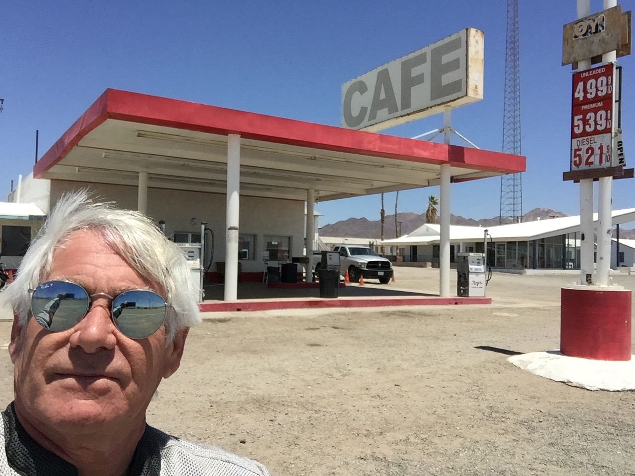
But because of the searing heat, we decide instead to leave Blythe early (7:30 am), and head directly to the Murr/Lesser ranch in La Quinta. It’s only 100 miles, and we arrive home before 10 am — after a stop for refreshments at Chiriaco Summit.
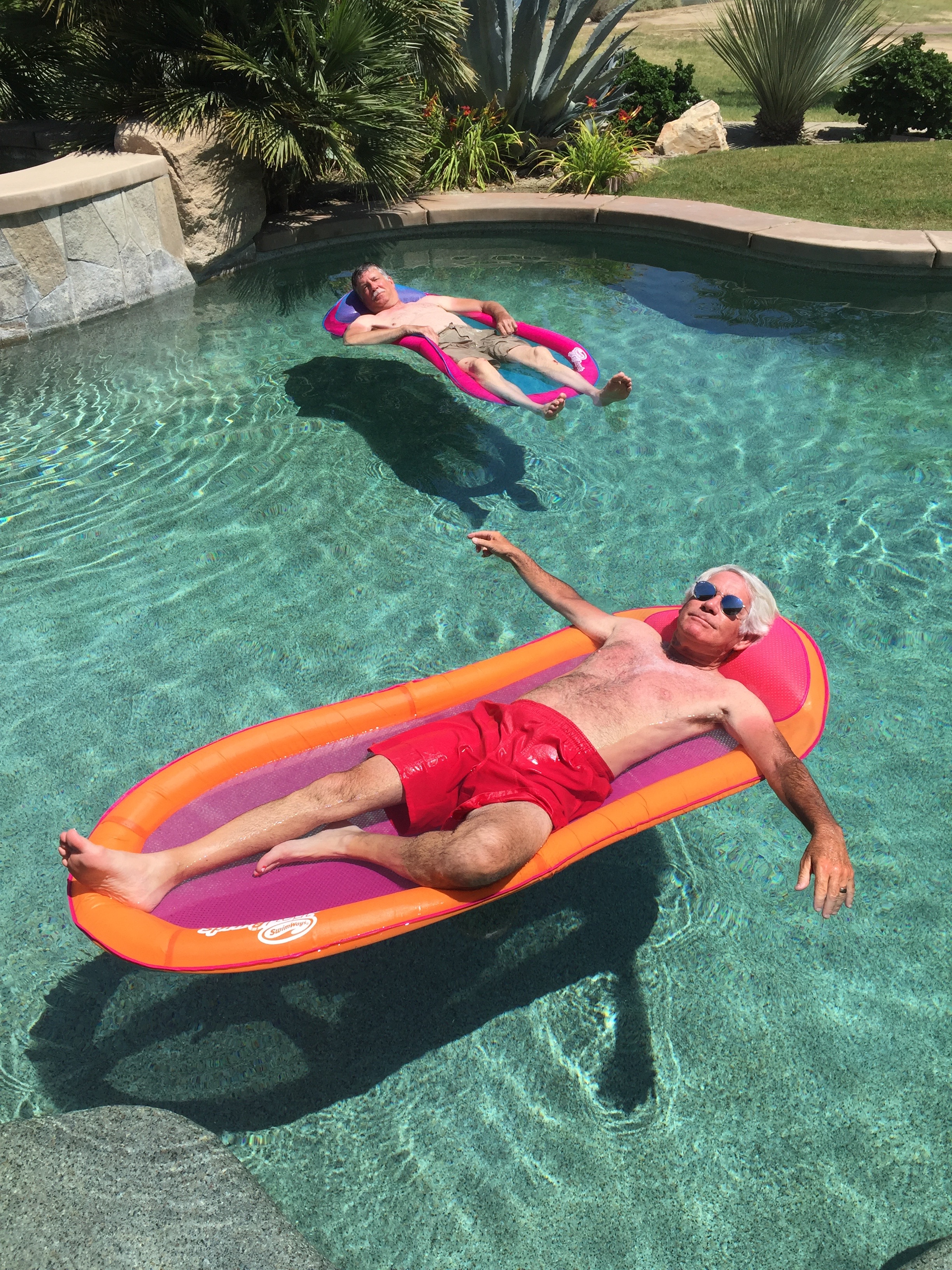
No more riding for a while. Just floating. We’re home.
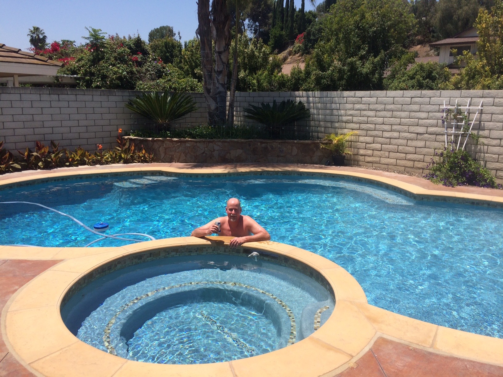
Dave had a similar idea when he arrived home in Fullerton.
So, another awesome ride comes to an end. Twelve National Parks and Monuments in 12 days. Three Harleys, 2,839 miles, great food, scenery and companionship.
Already looking forward to next year. You in?
***
Wanna see the planned route from today’s ride, using Google Maps? click here. The route we actually rode is far less thrilling.
***
And now, our final “Previous Blog Trivia Question:”
Q: What’s the most significant man-made structure in the Imperial Valley?
A: The All-American Canal, an 80-mile long aqueduct that brings water from the Colorado River into the Imperial Valley and to nine cities.
Q: For extra credit – Where else does the All-American Canal go?
A: It feeds water into the Coachella Canal, primarily for agricultural use in the Coachella Valley, which includes La Quinta. The Coachella Canal runs through PGA West.
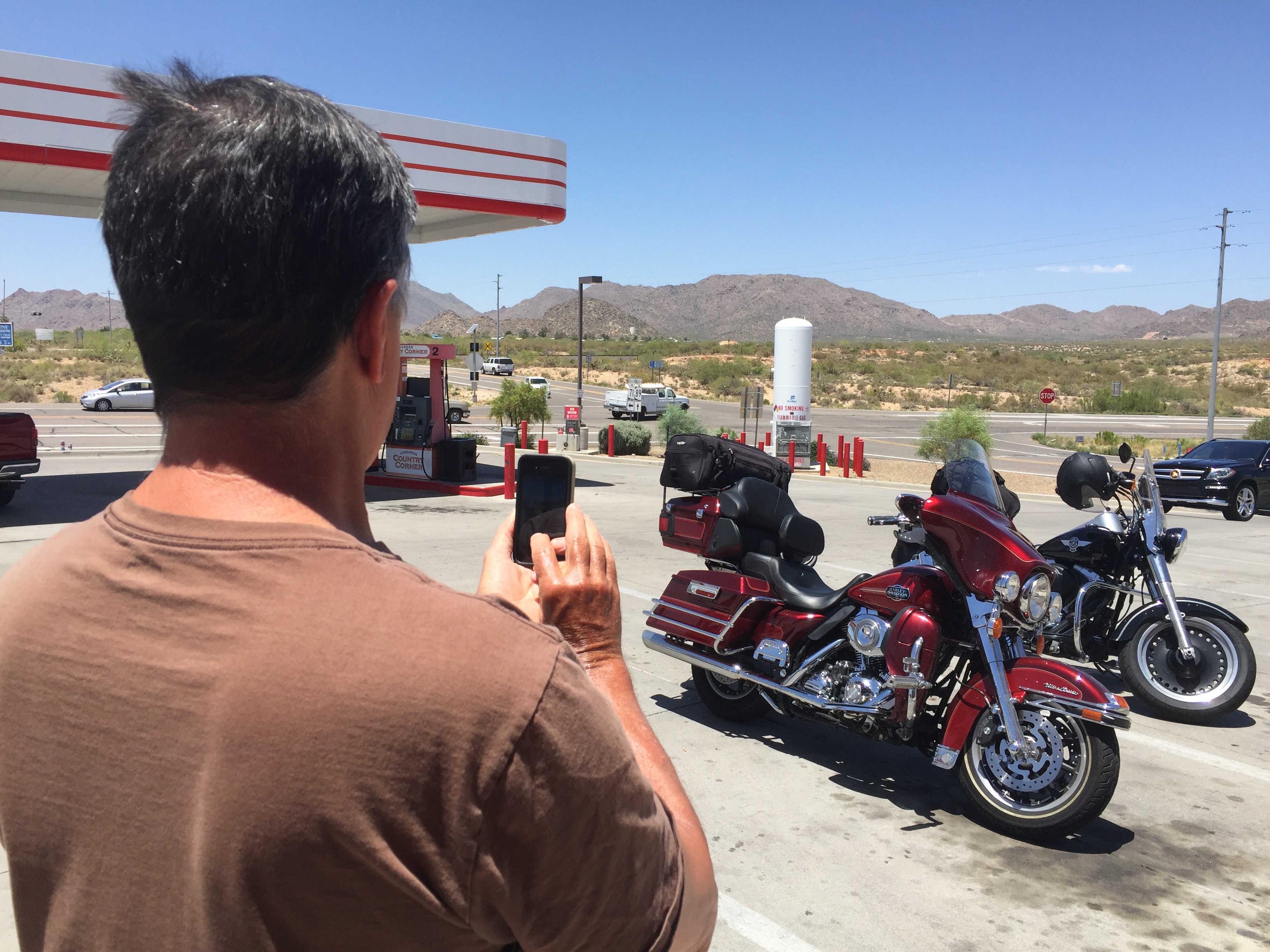
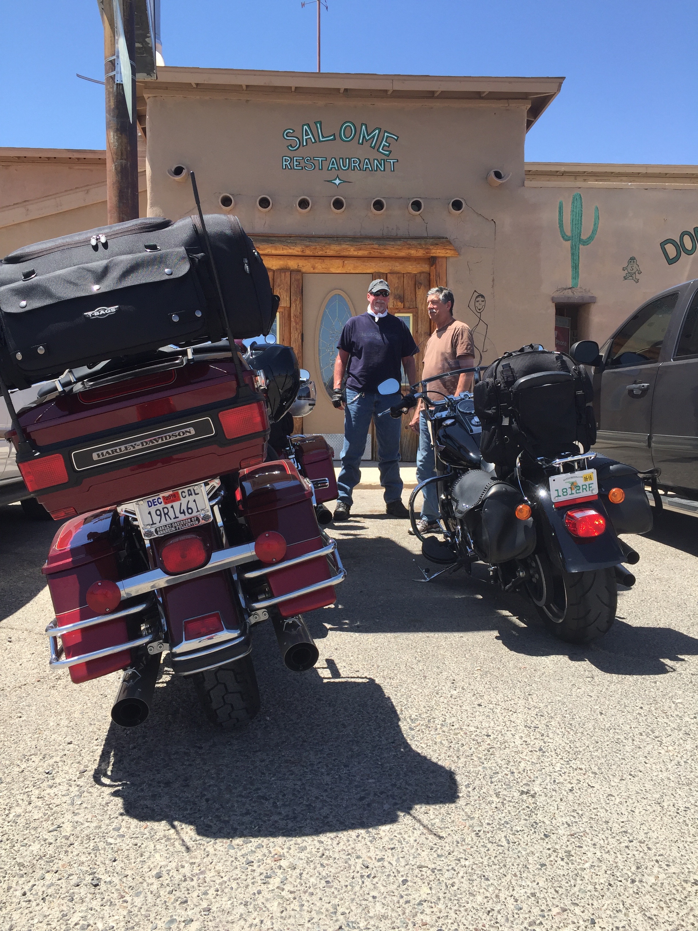
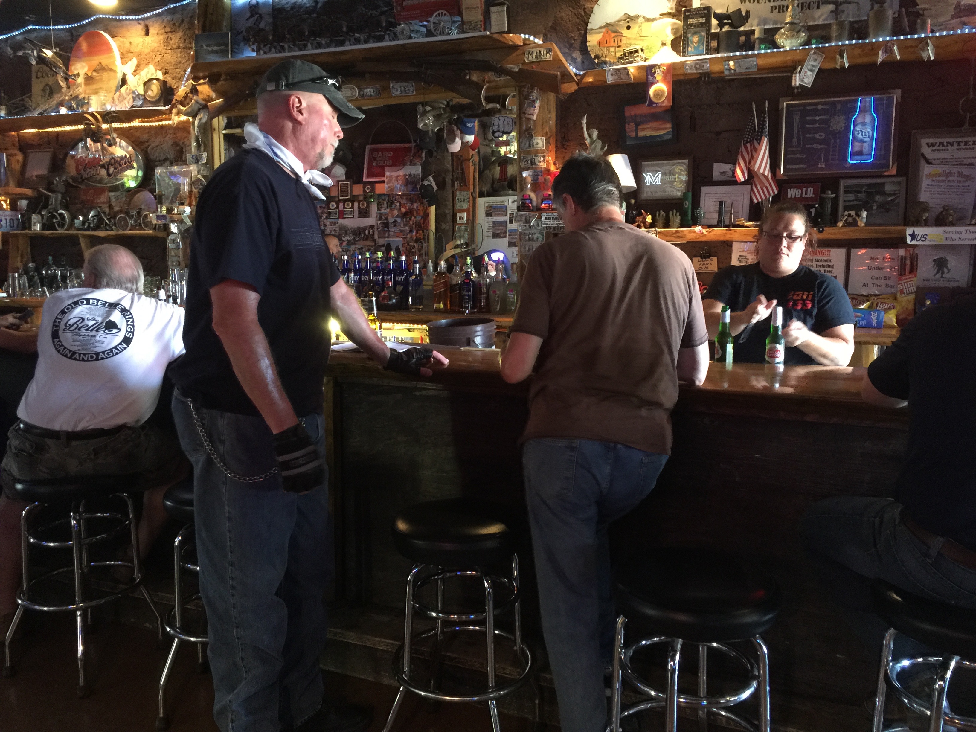
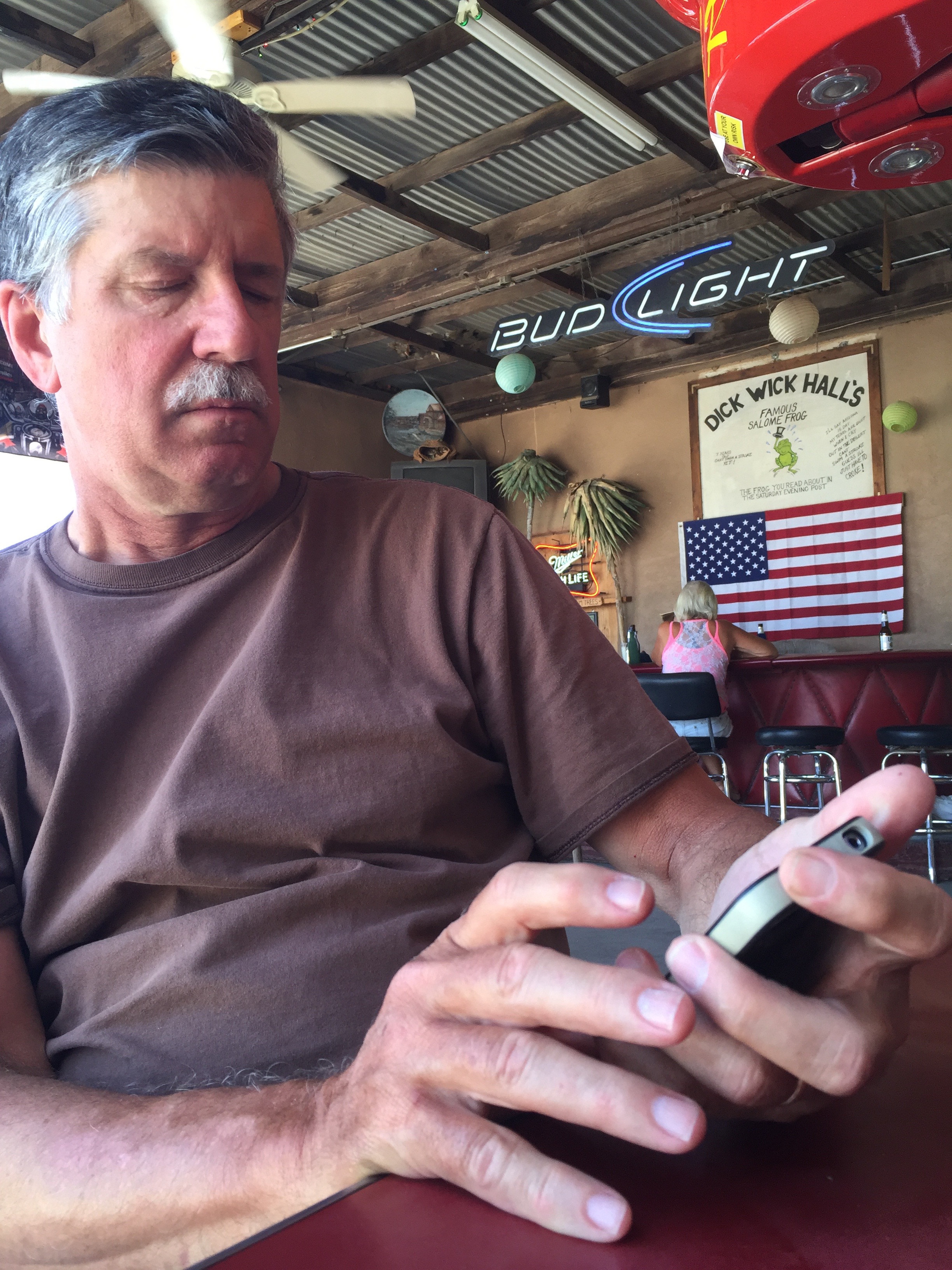
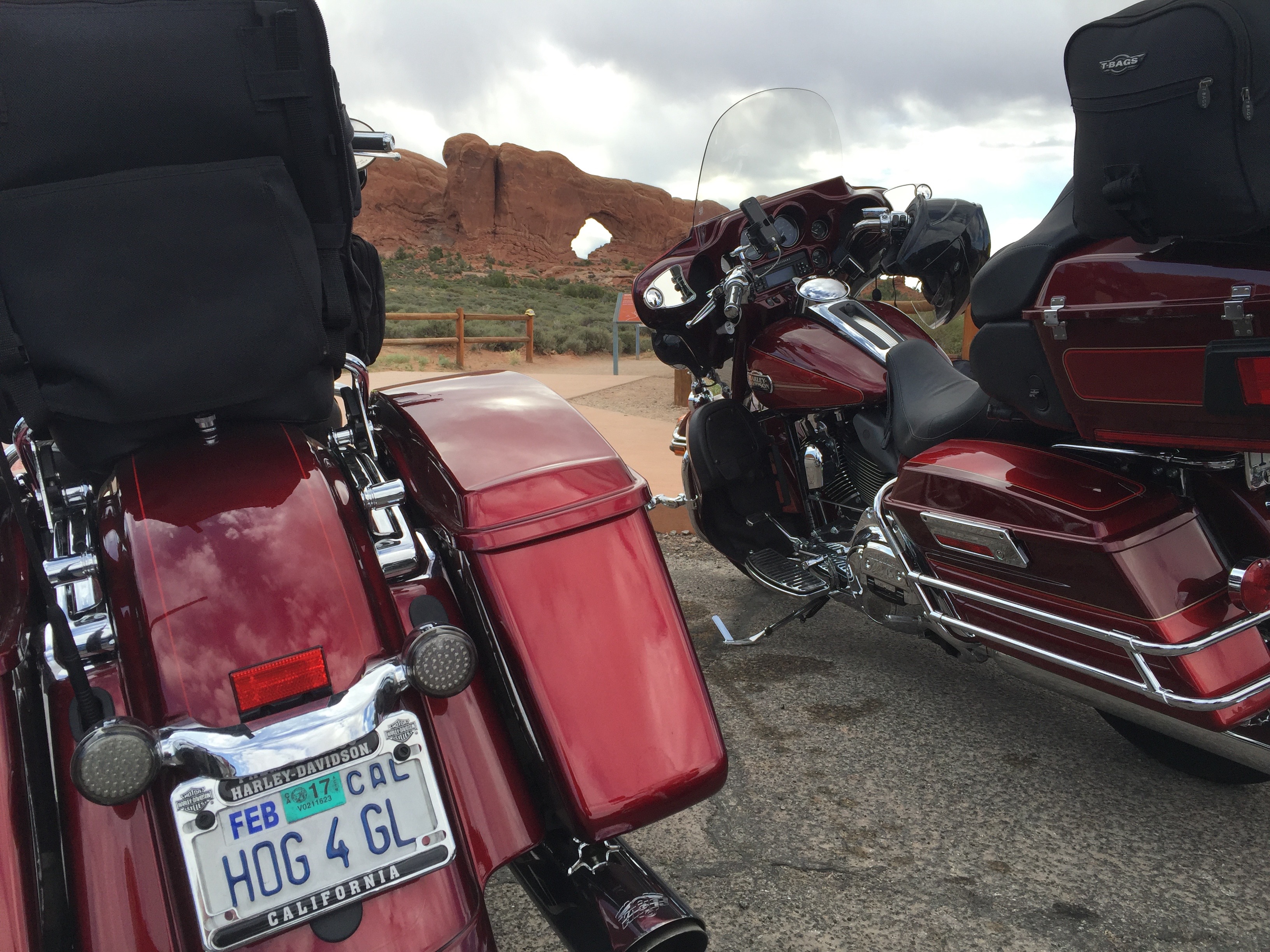
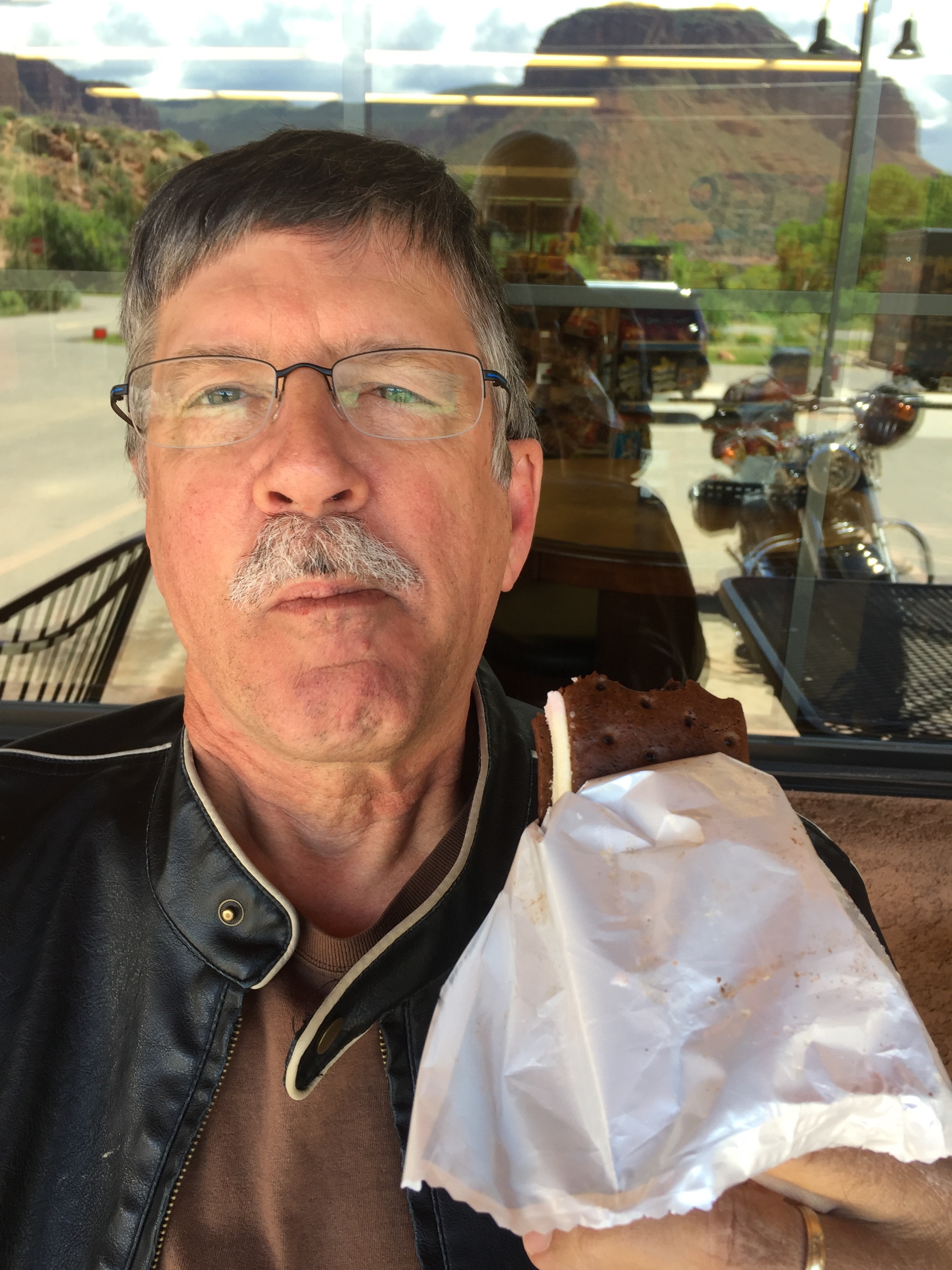
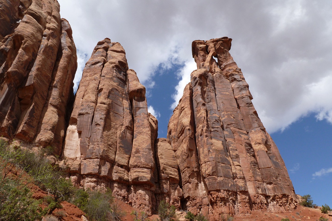
Day 11 of our National Parks Tour takes us through Arizona’s mountain towns of Jerome and Prescott, before crossing the Colorado River into California. Almost home. It is scorching hot — 108 when we arrive in Blythe. No air conditioning on the bikes. Cheap Harleys!
Cooling off on a really hot day, in Salome, Arizona.
To see more of the sights we saw along the way, check out today’s Photos-of-the-Day (PODs), below.
Wanna see the actual route from today’s ride, using Google Maps? click here.
***
And now, today’s “Previous Blog Trivia Question:”
Q: At its peak, how much copper did the mines around Jerome produce?
A: In its heyday, Jerome was once home to 15,000 people and produced 3 million pounds of copper every month. Today, the mines are all closed and about 500 people live there.
Q: For extra credit – Who was the town of Jerome named after?
A: It was named after Eugene Murray Jerome, a New York investor in the early mining operations on Cleopatra Hill, which dominates Jerome’s horizon. A prominent “J” is still visible on Cleopatra Hill.
***
Gotta go.
Vroom, Vroom.
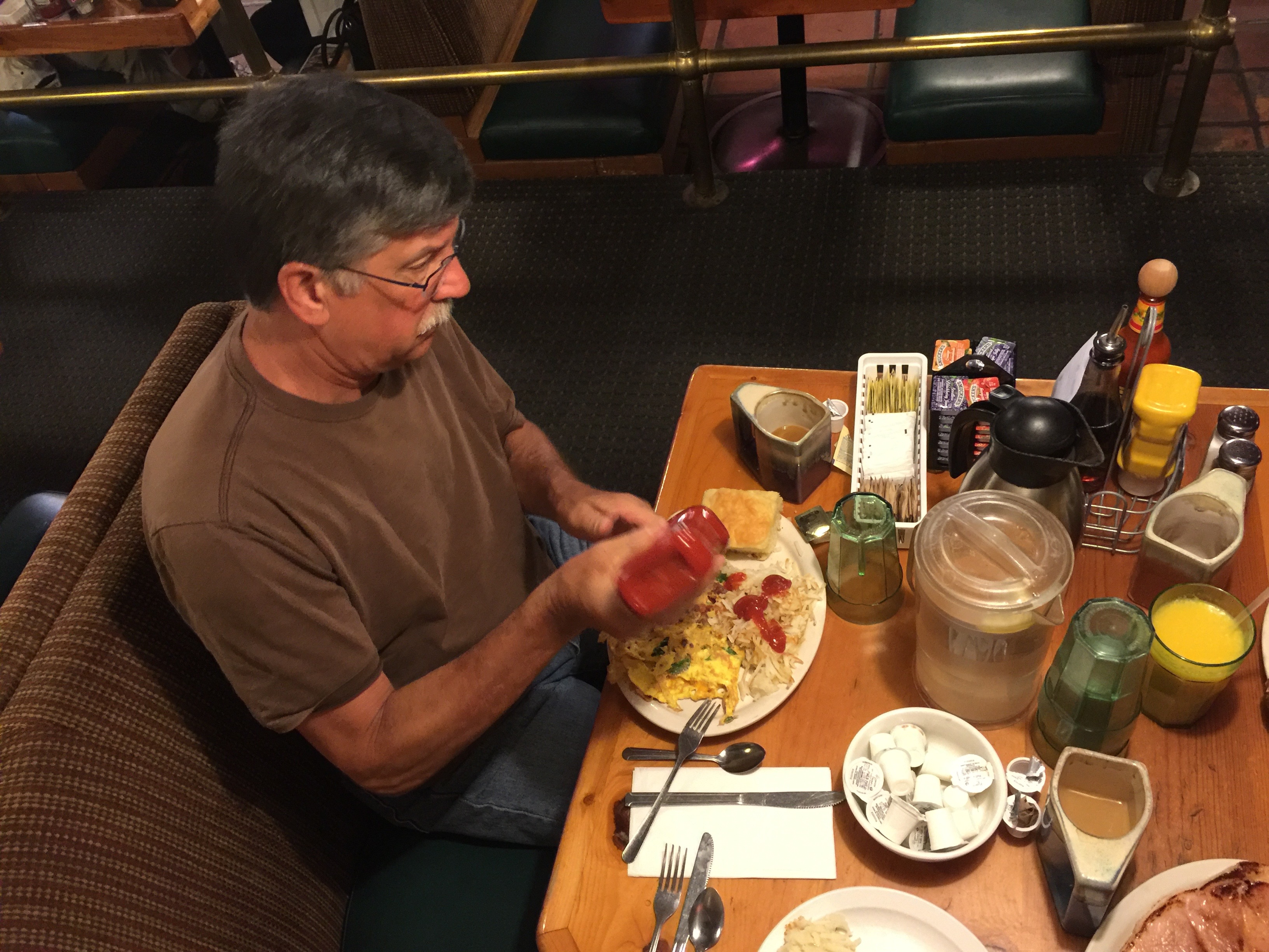
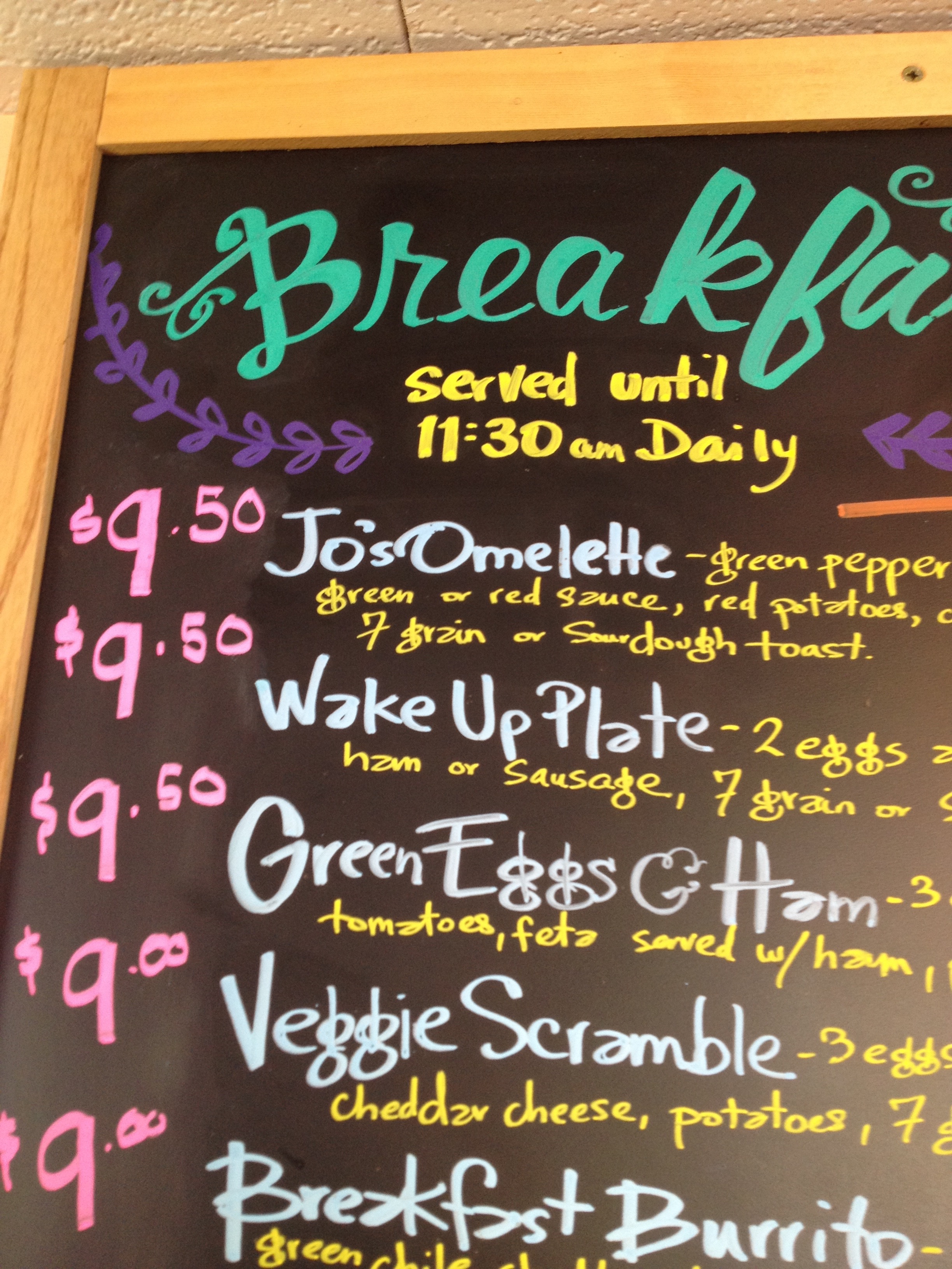
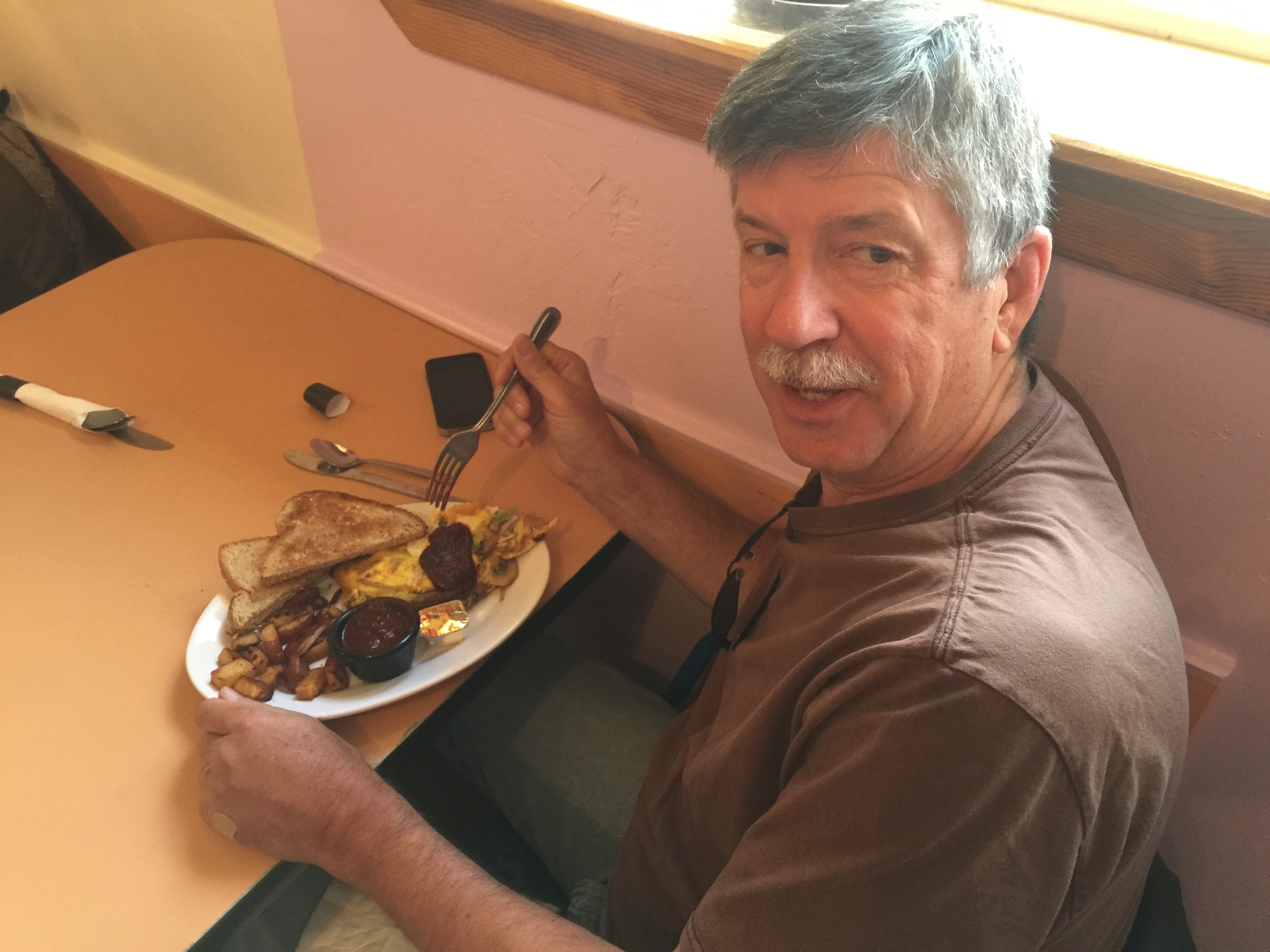
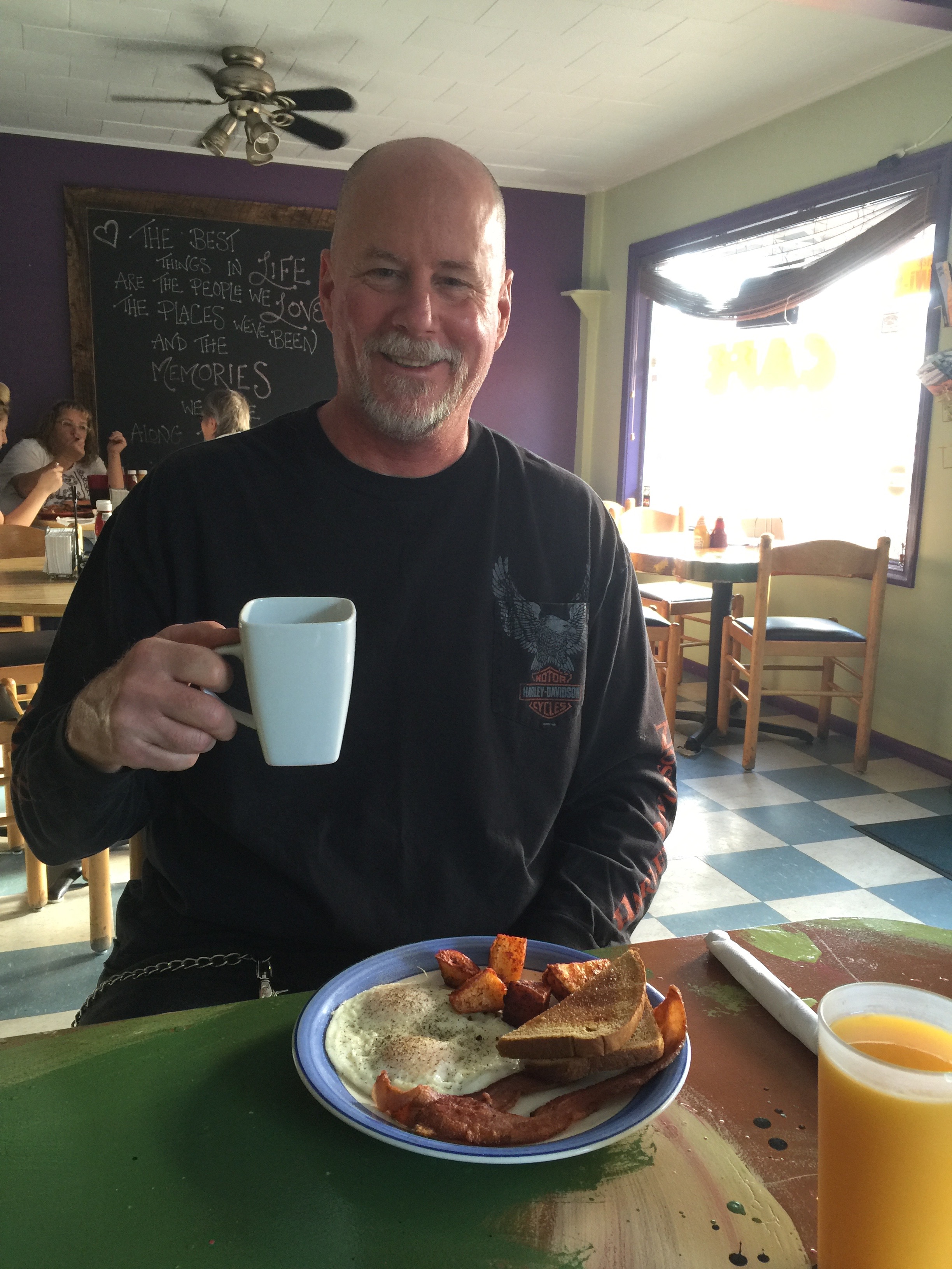
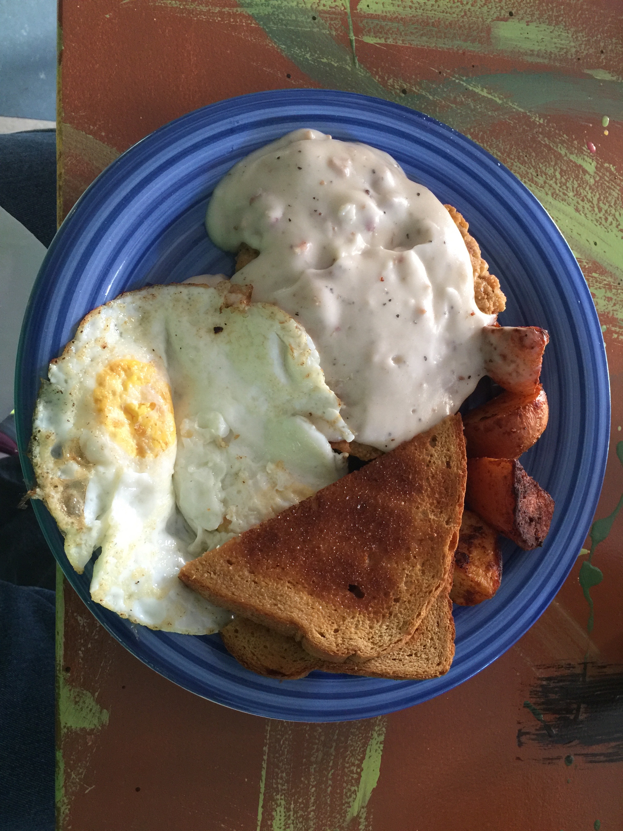
The day begins with an early morning breakfast at the Coffee Pot in Sedona.
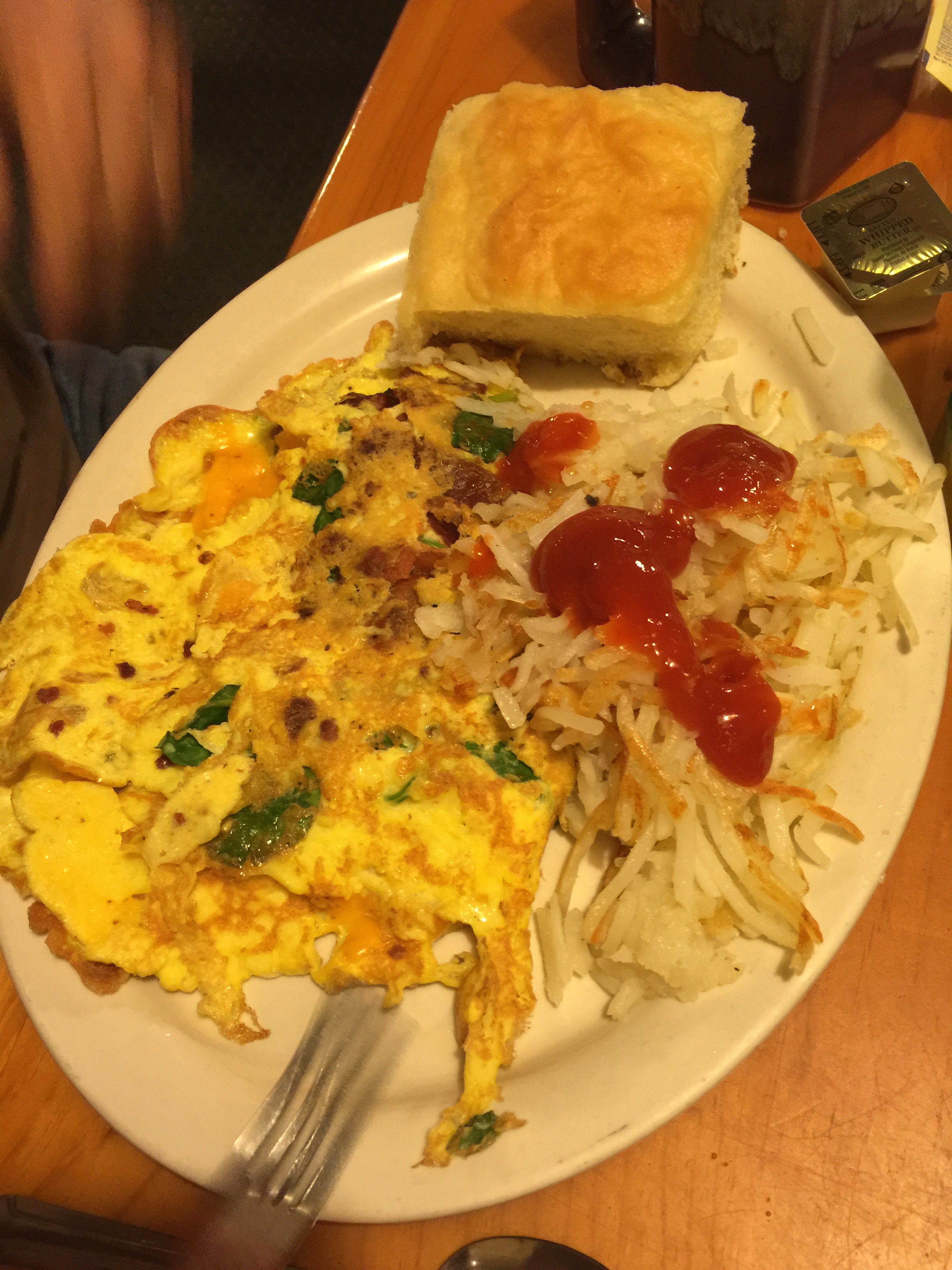
Randy had the #36 omelette.
Apparently the #36 omelette needs lots of ketchup.
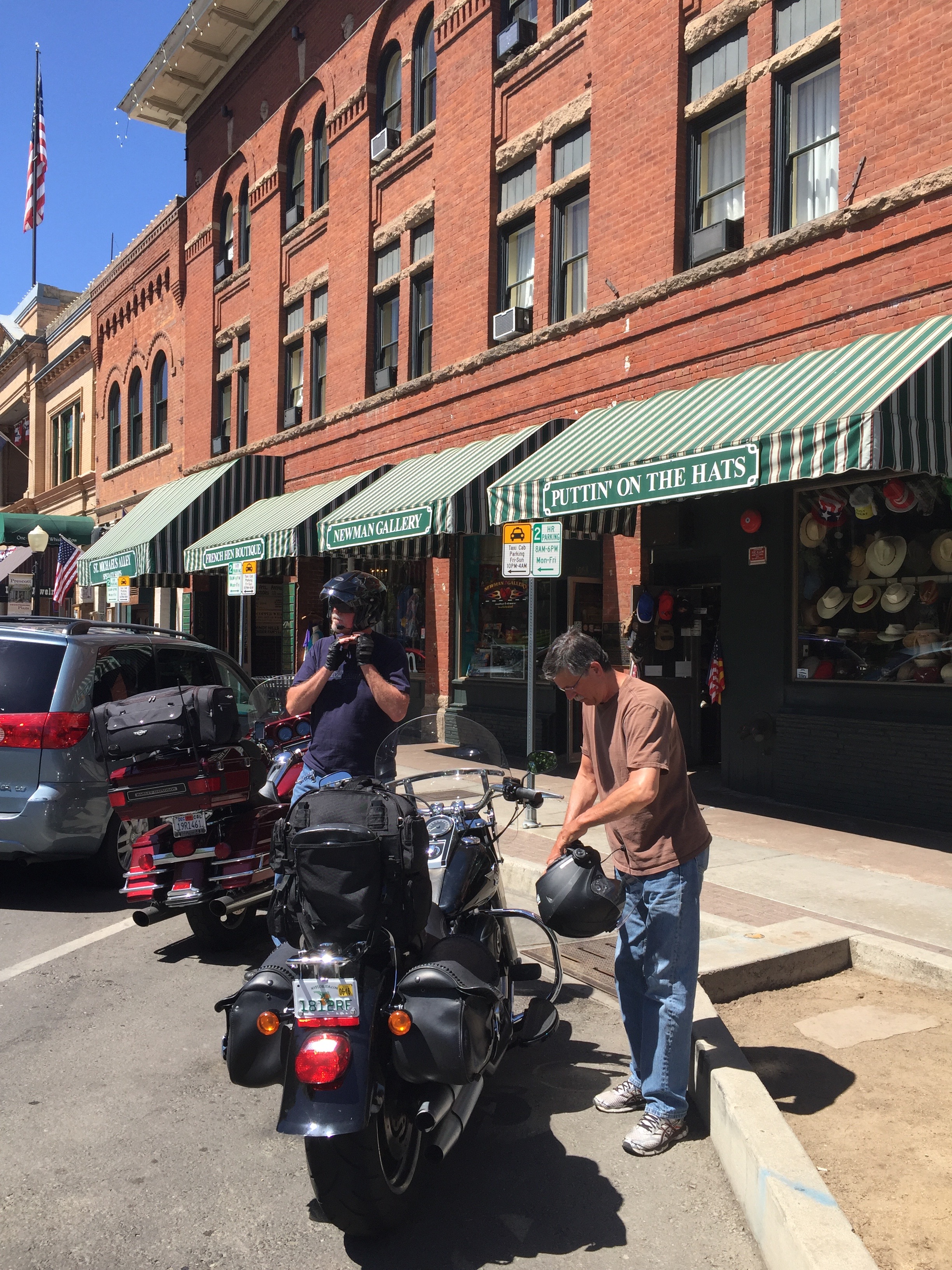
Made a brief stop in Prescott at the town square.
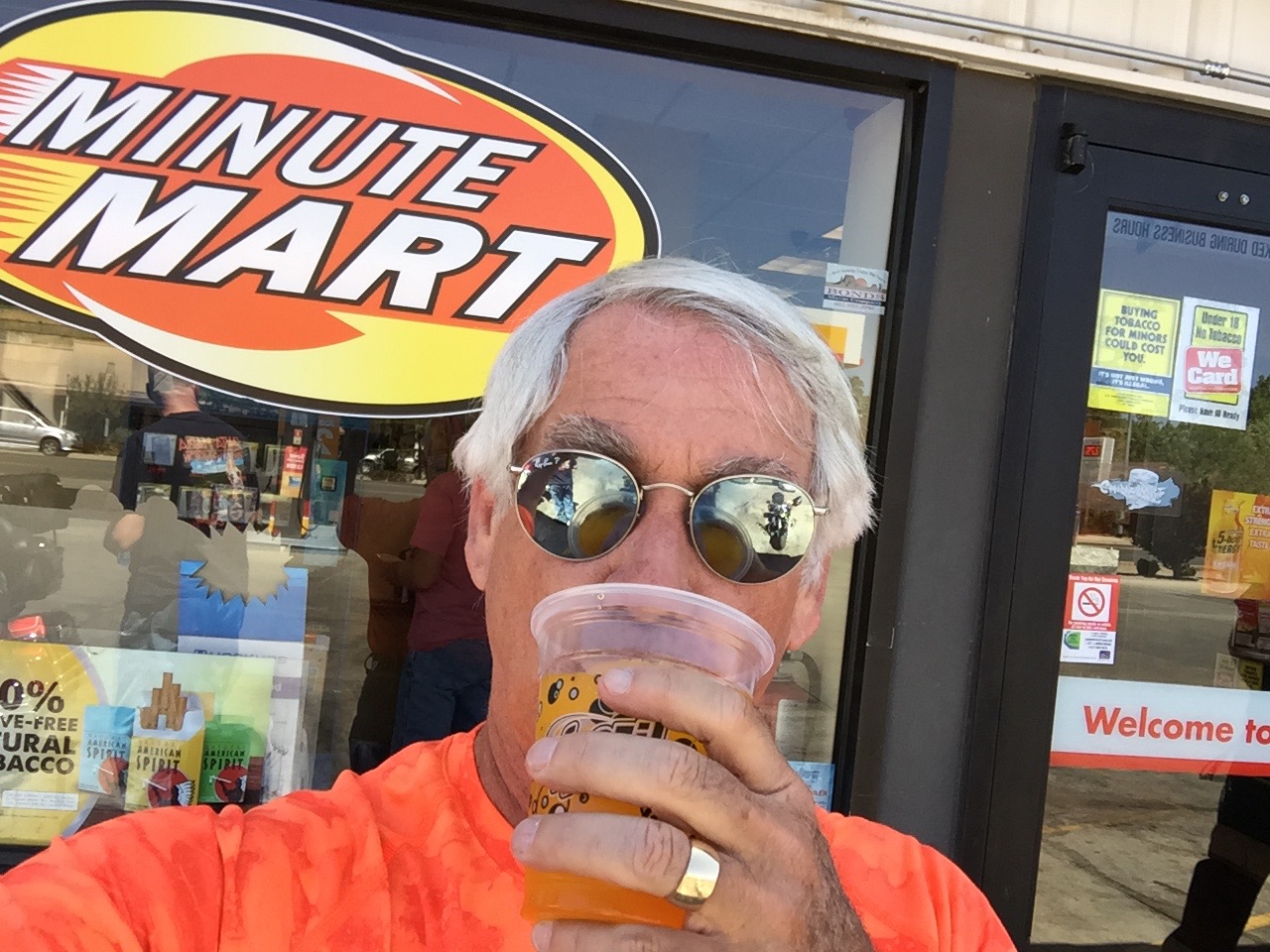
In Prescott, I hydrated with a mango slurpee!
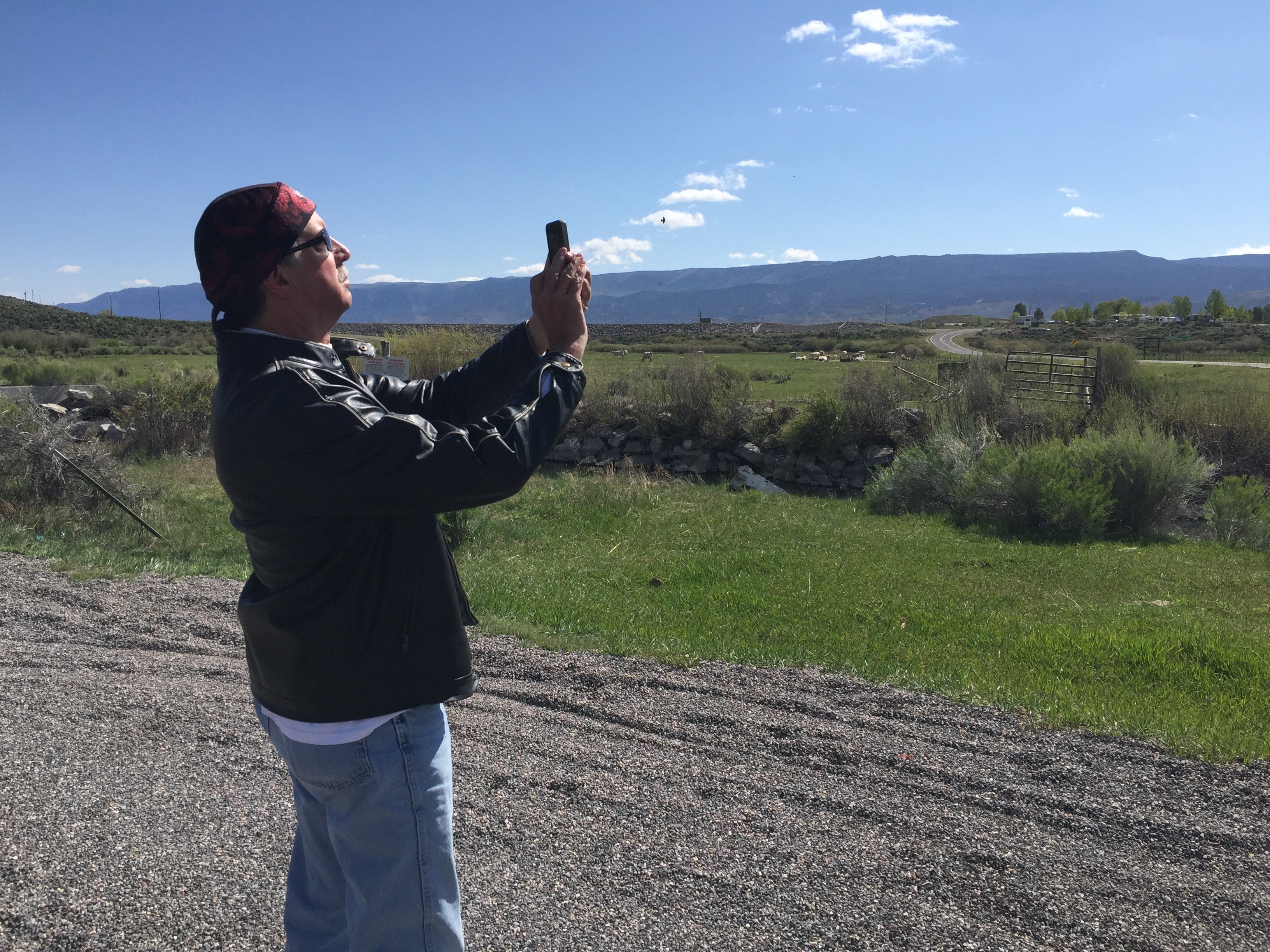
Randy developed a fascination with motorcycle photography.
It was around 108 when we stopped to cool off in Salome, Arizona.
The place had air conditioning. It met our needs.
While we cooled off in Salome, Randy was apparently checking his portfolio.
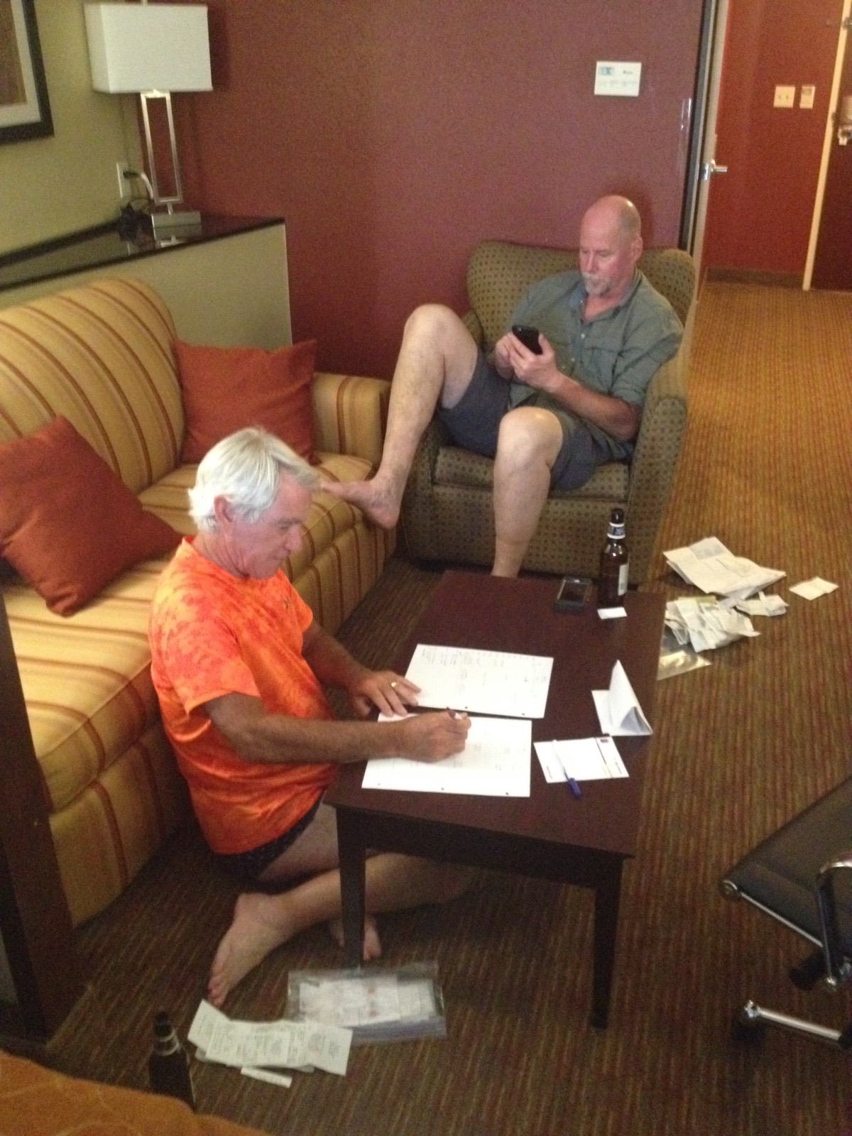
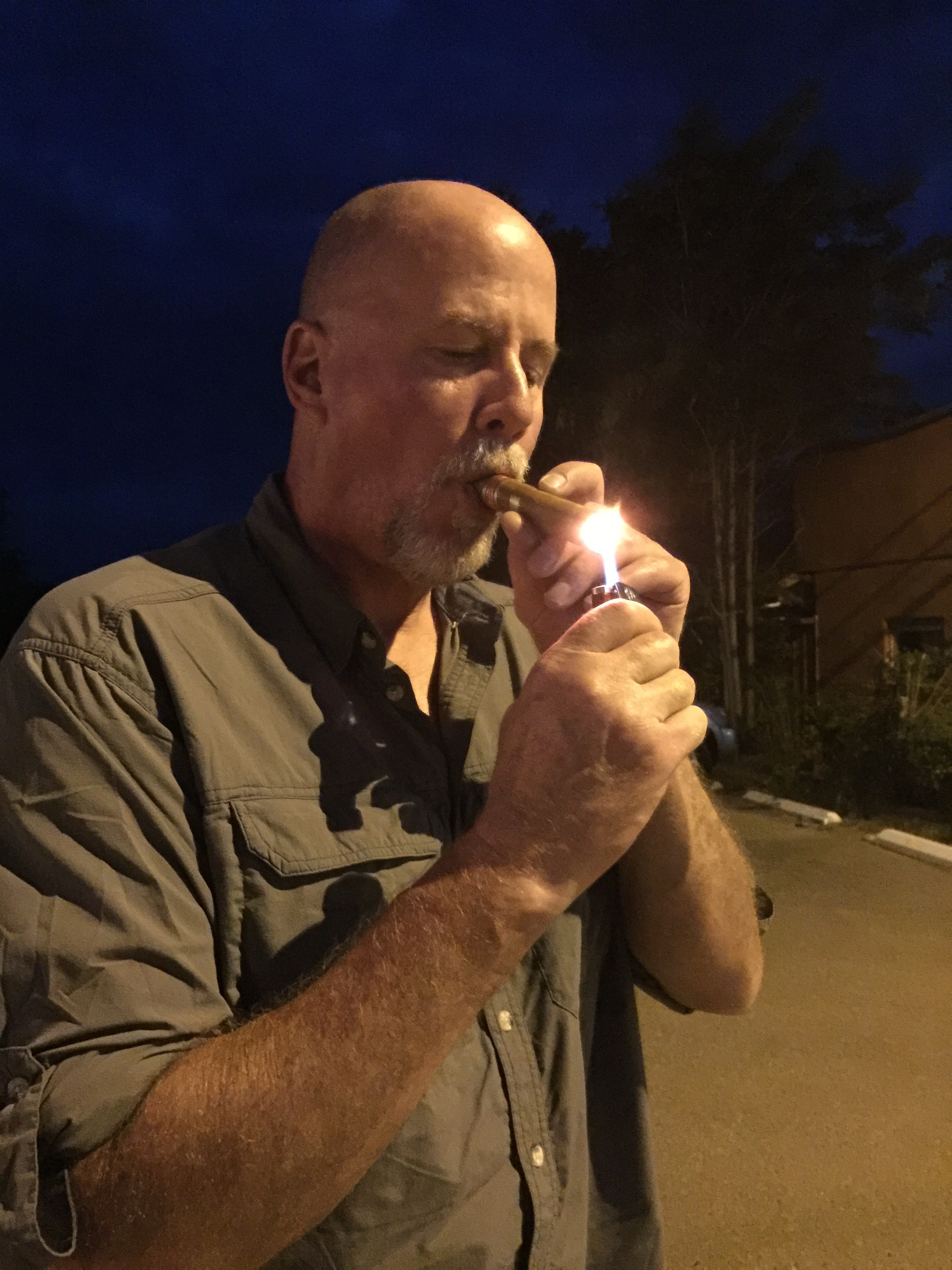
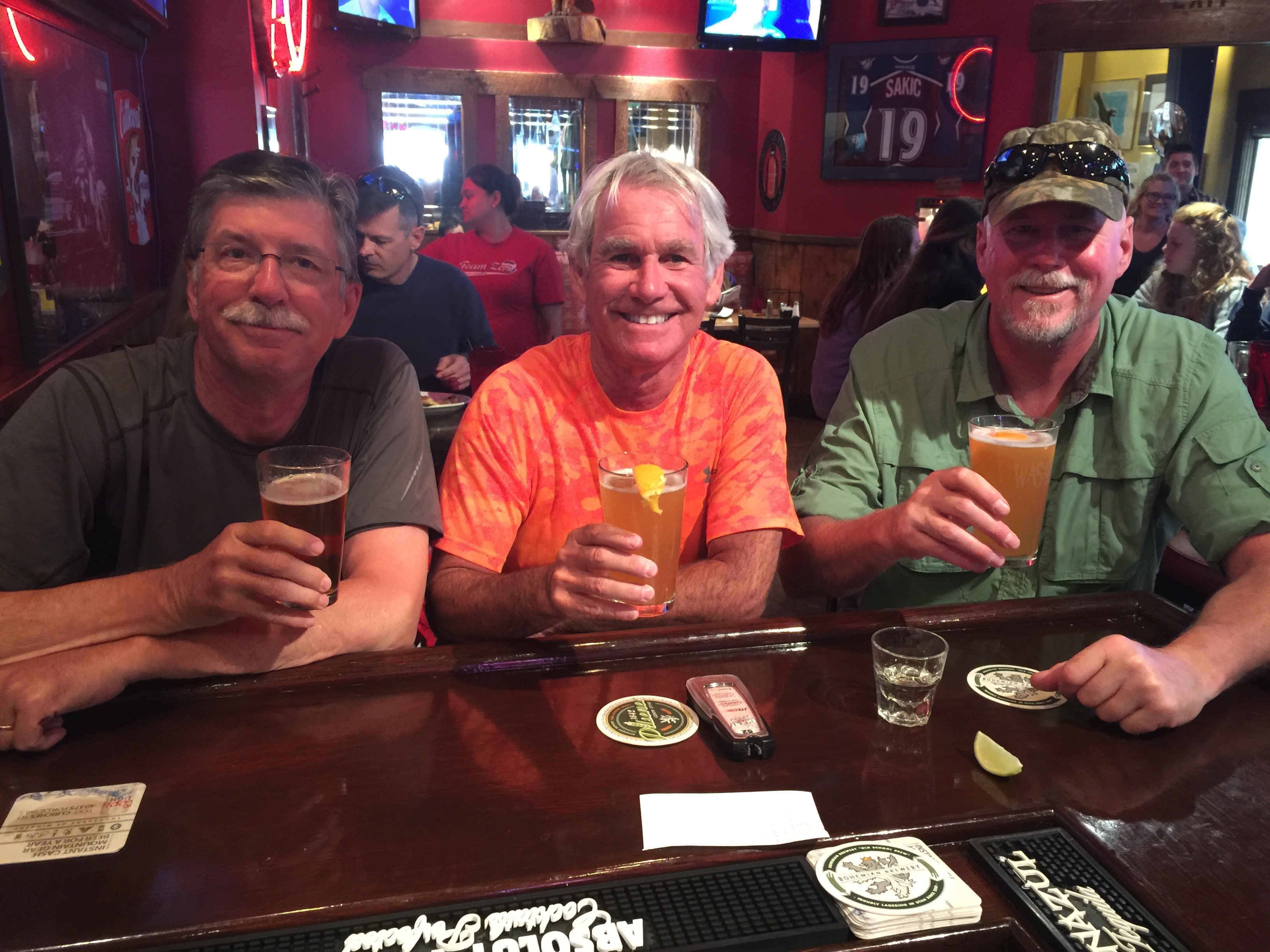
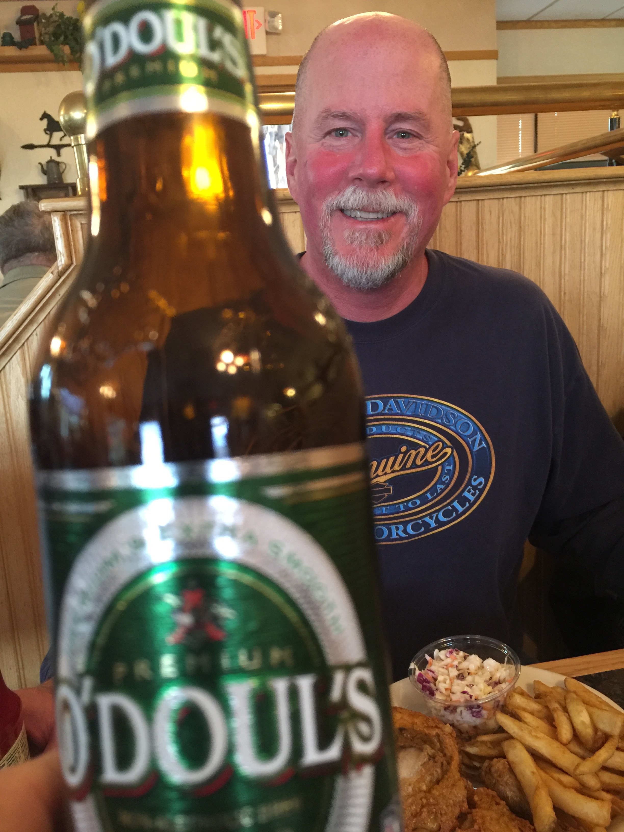
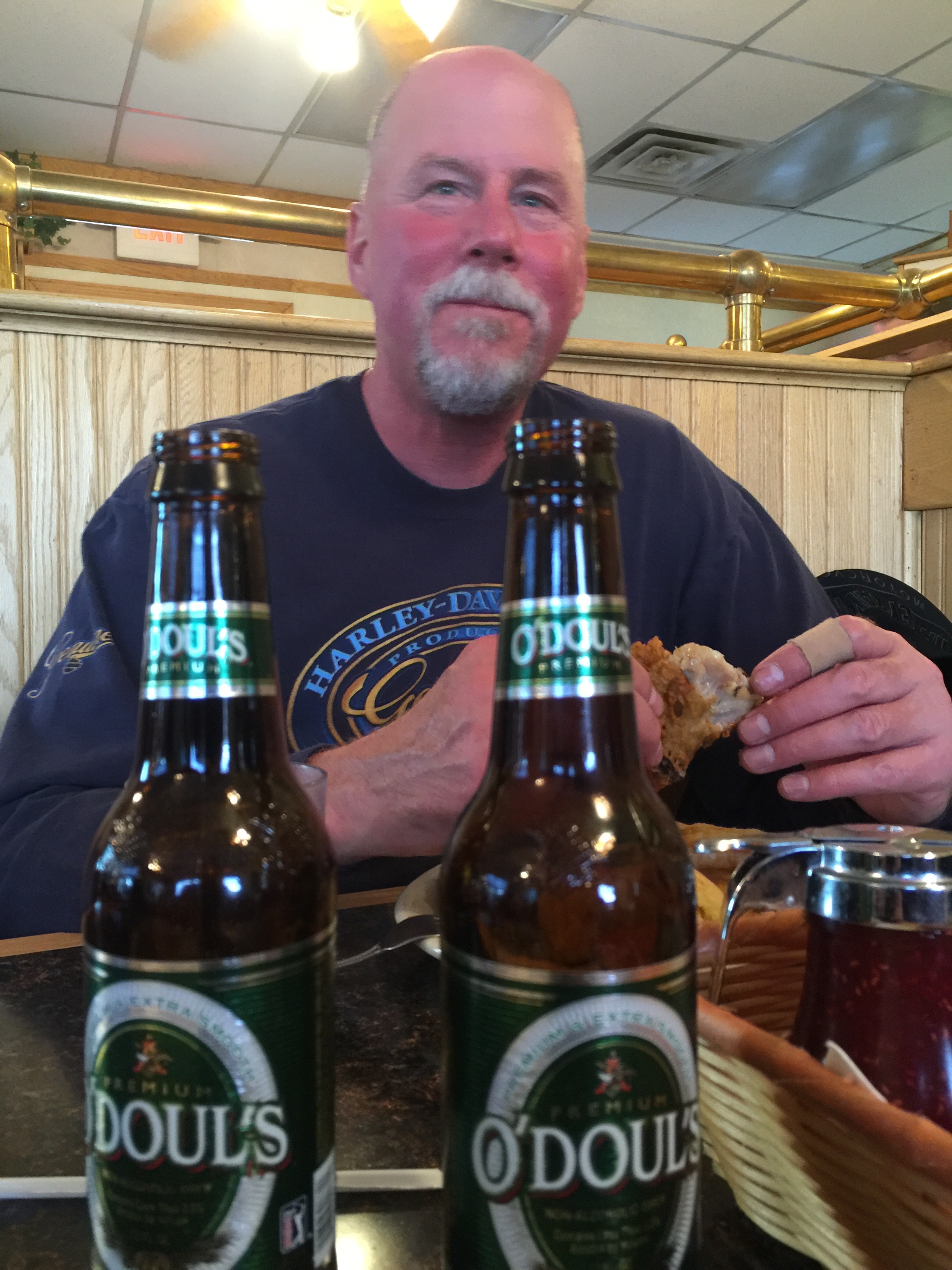
Before dinner, we had a “receipt party” at the motel in Blythe.
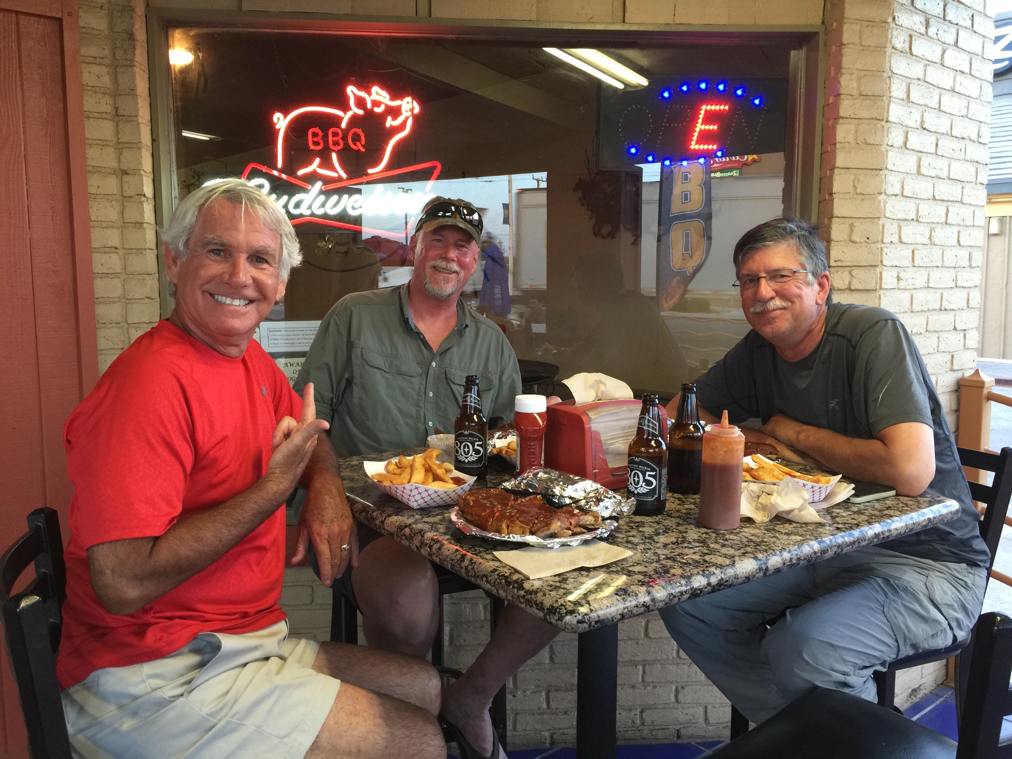
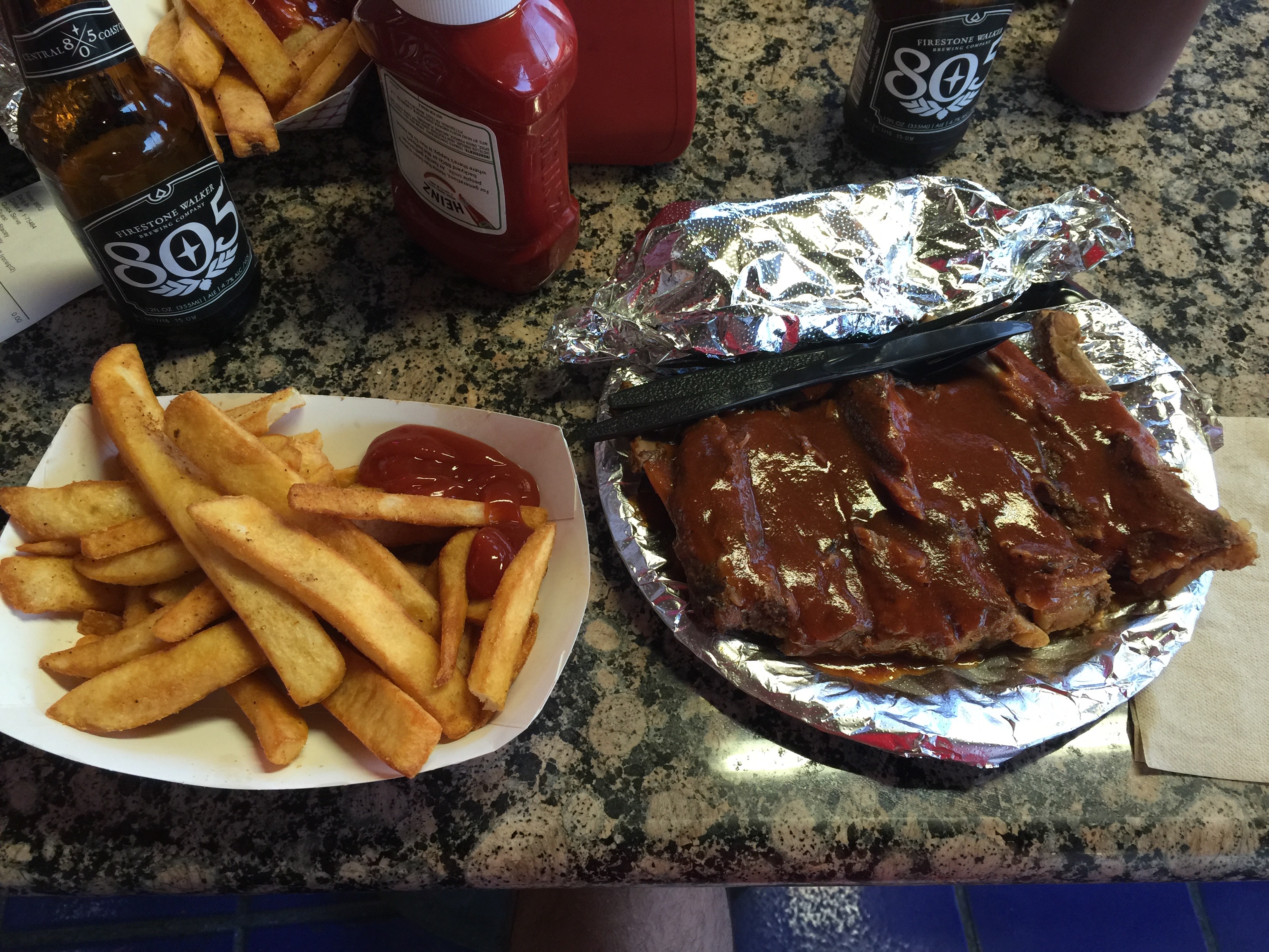
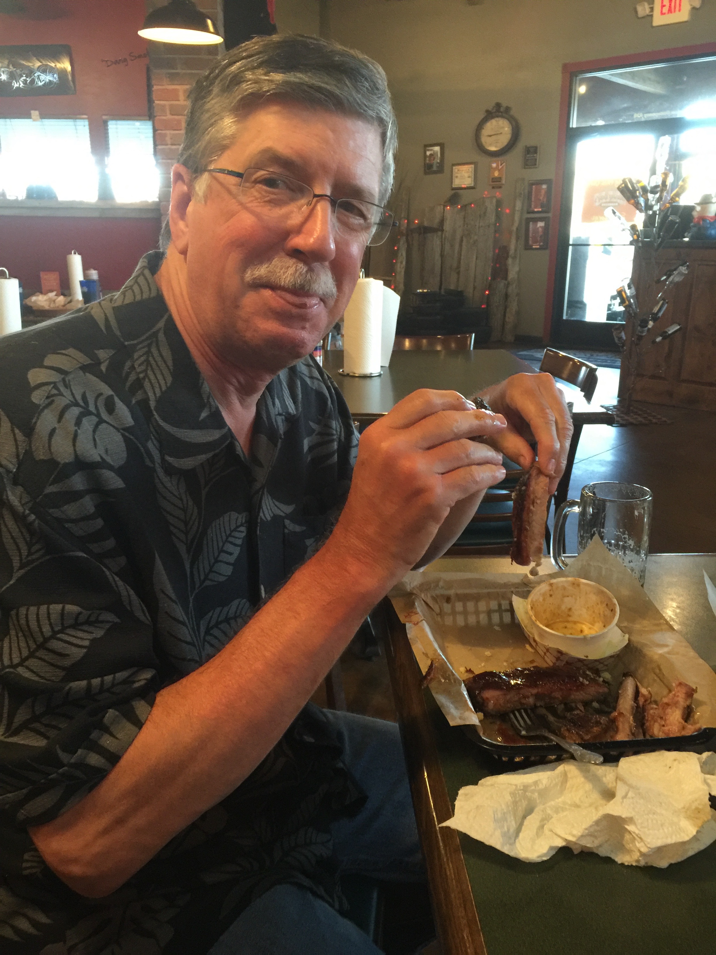
Dinner at Rebel BBQ in Blythe. Yesssss!
Ribs, of course.
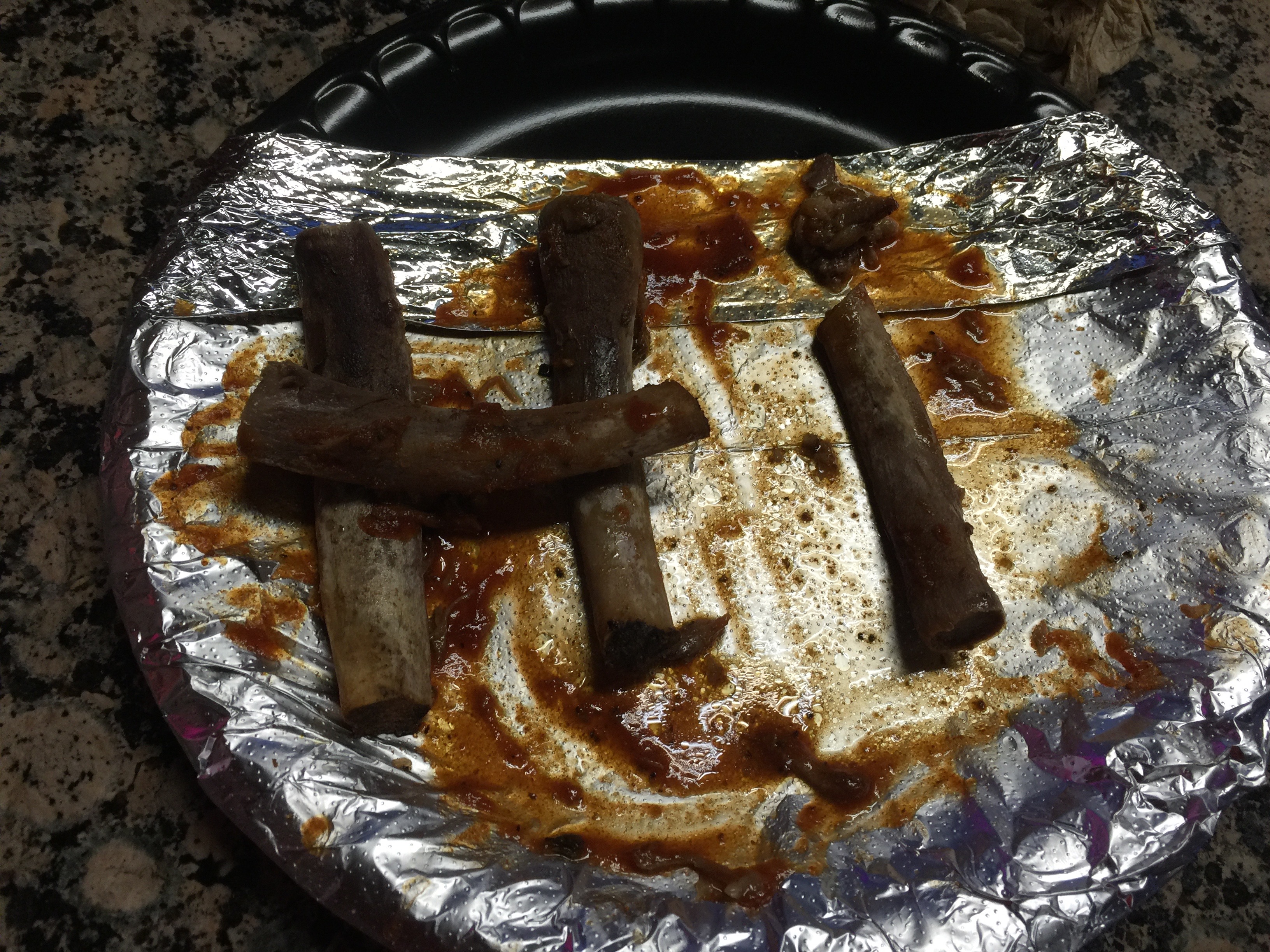
Here’s all that’s left of the ribs. The rest is in my tummy.
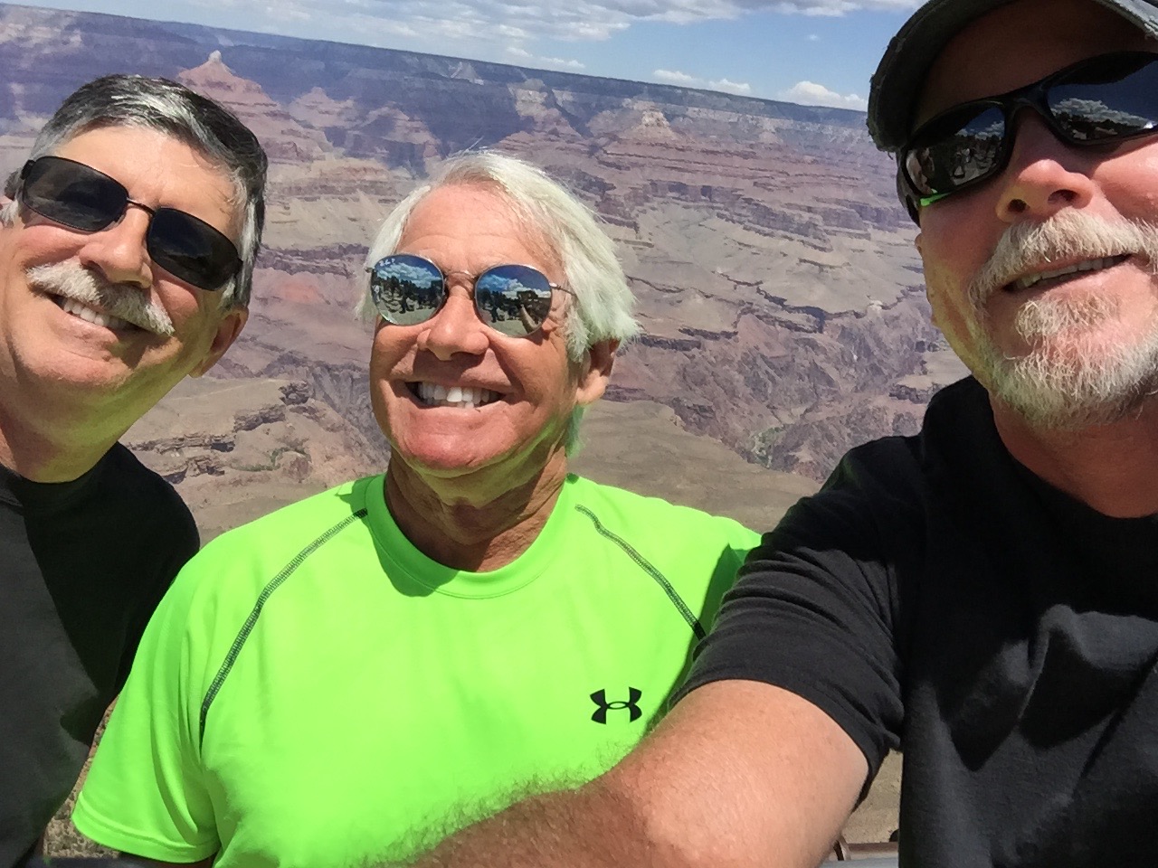
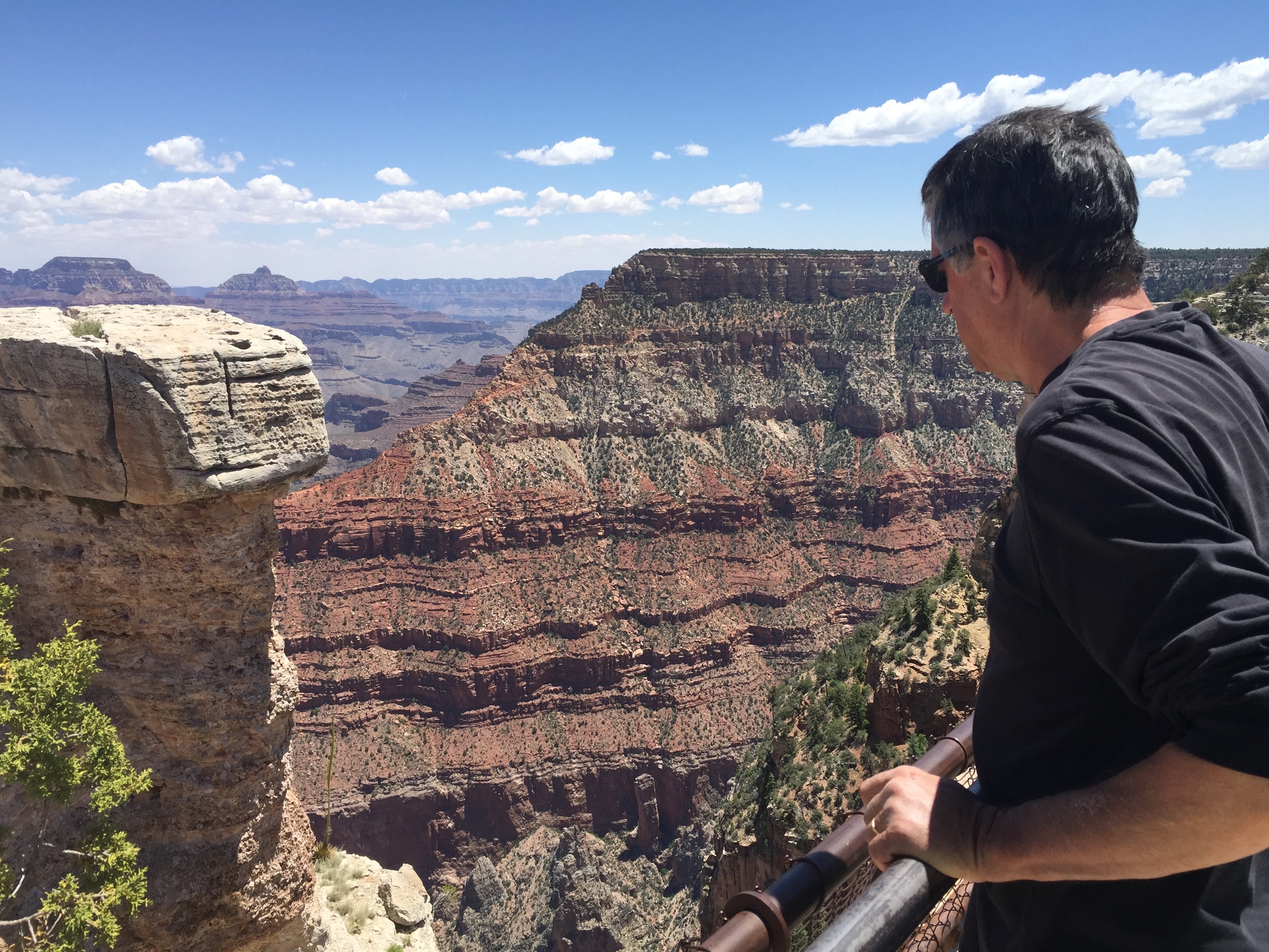
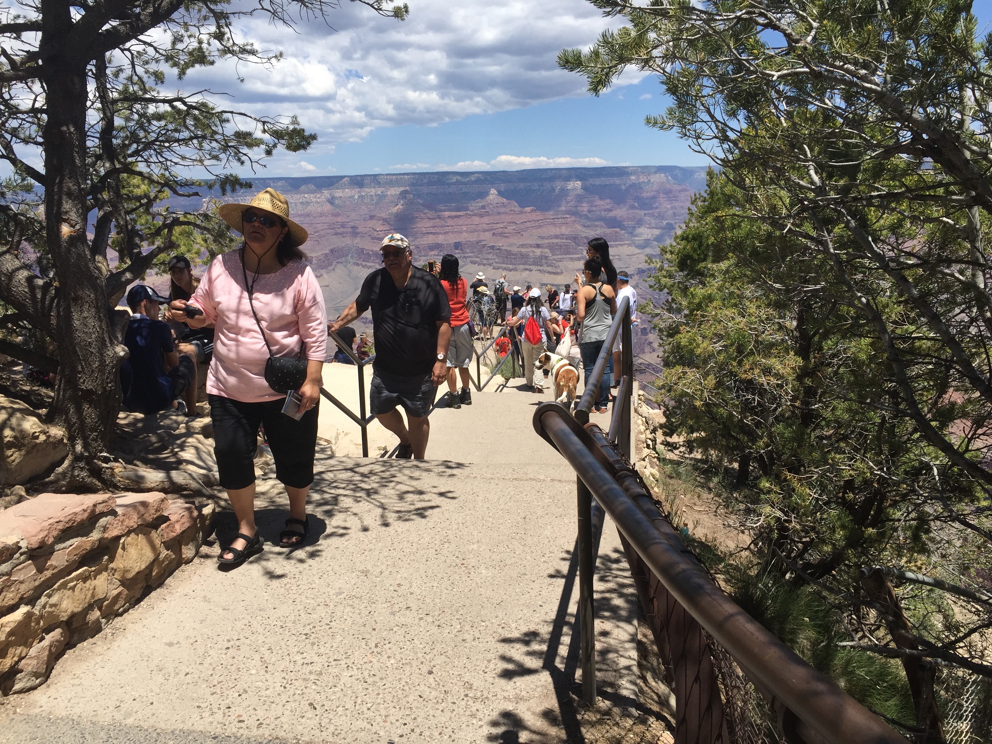
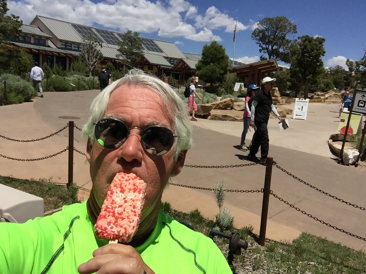
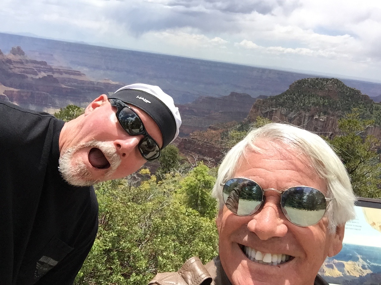
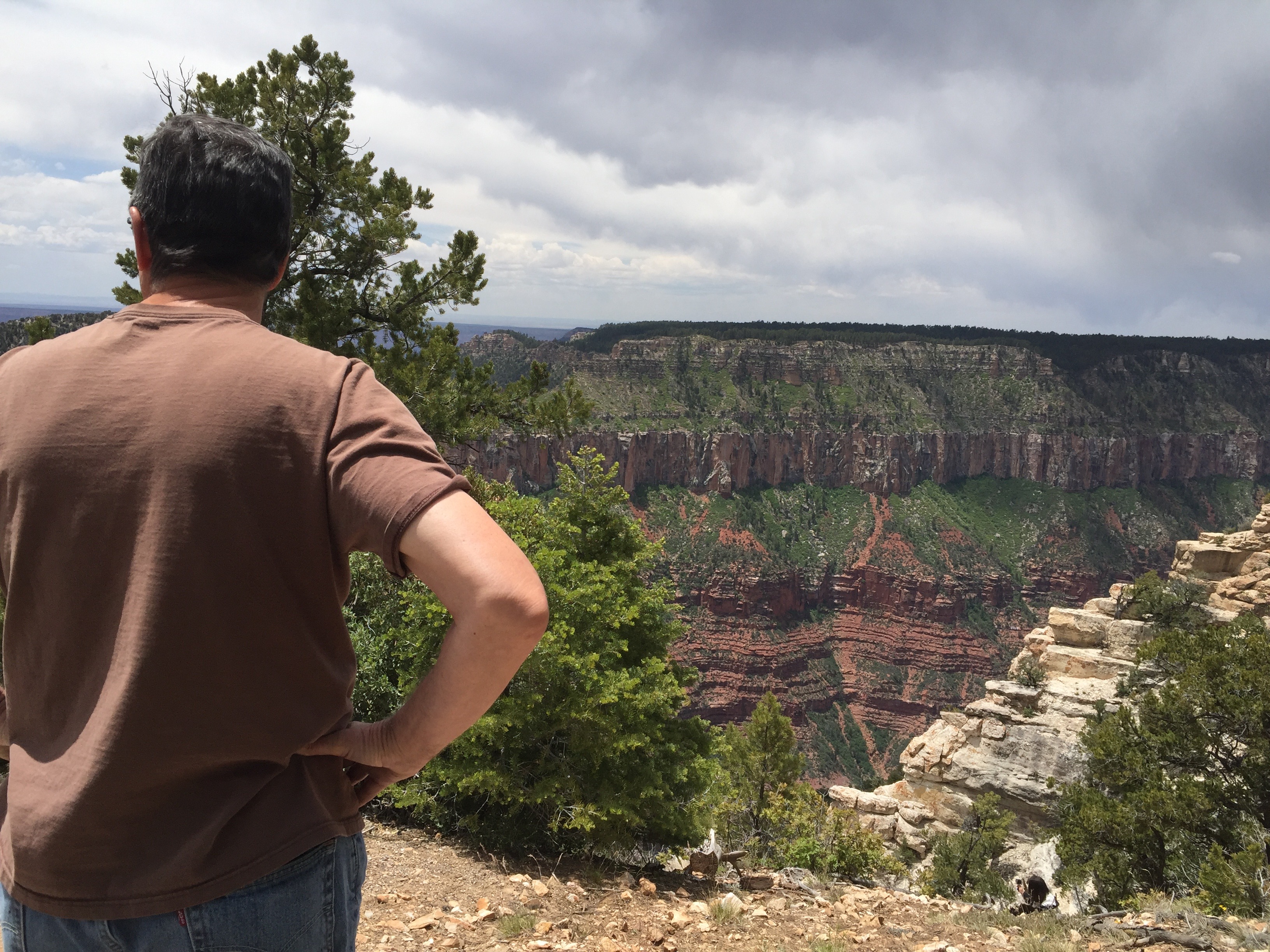
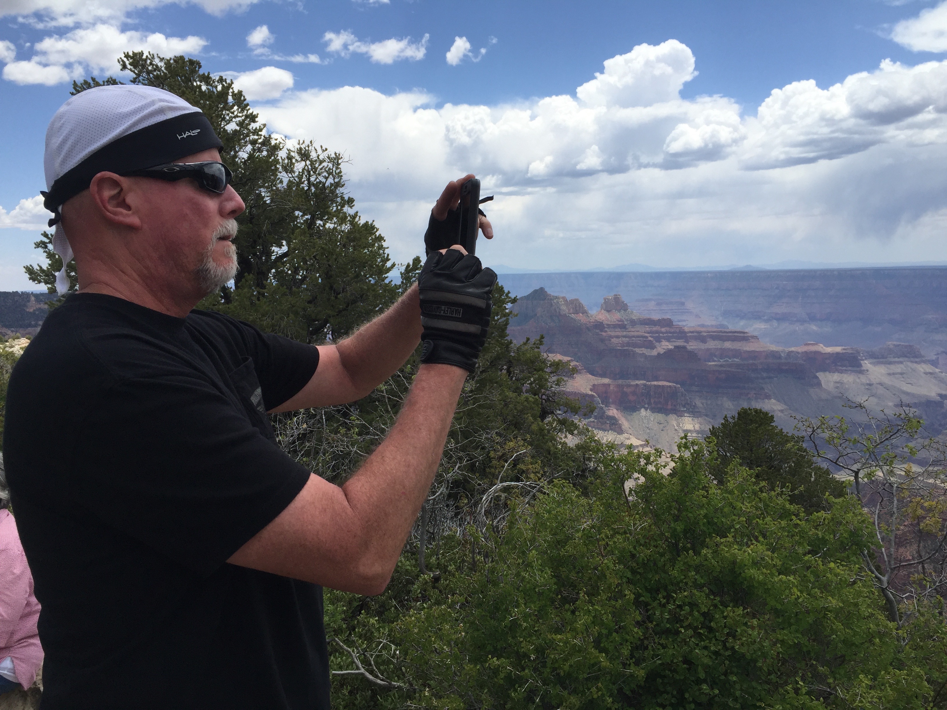
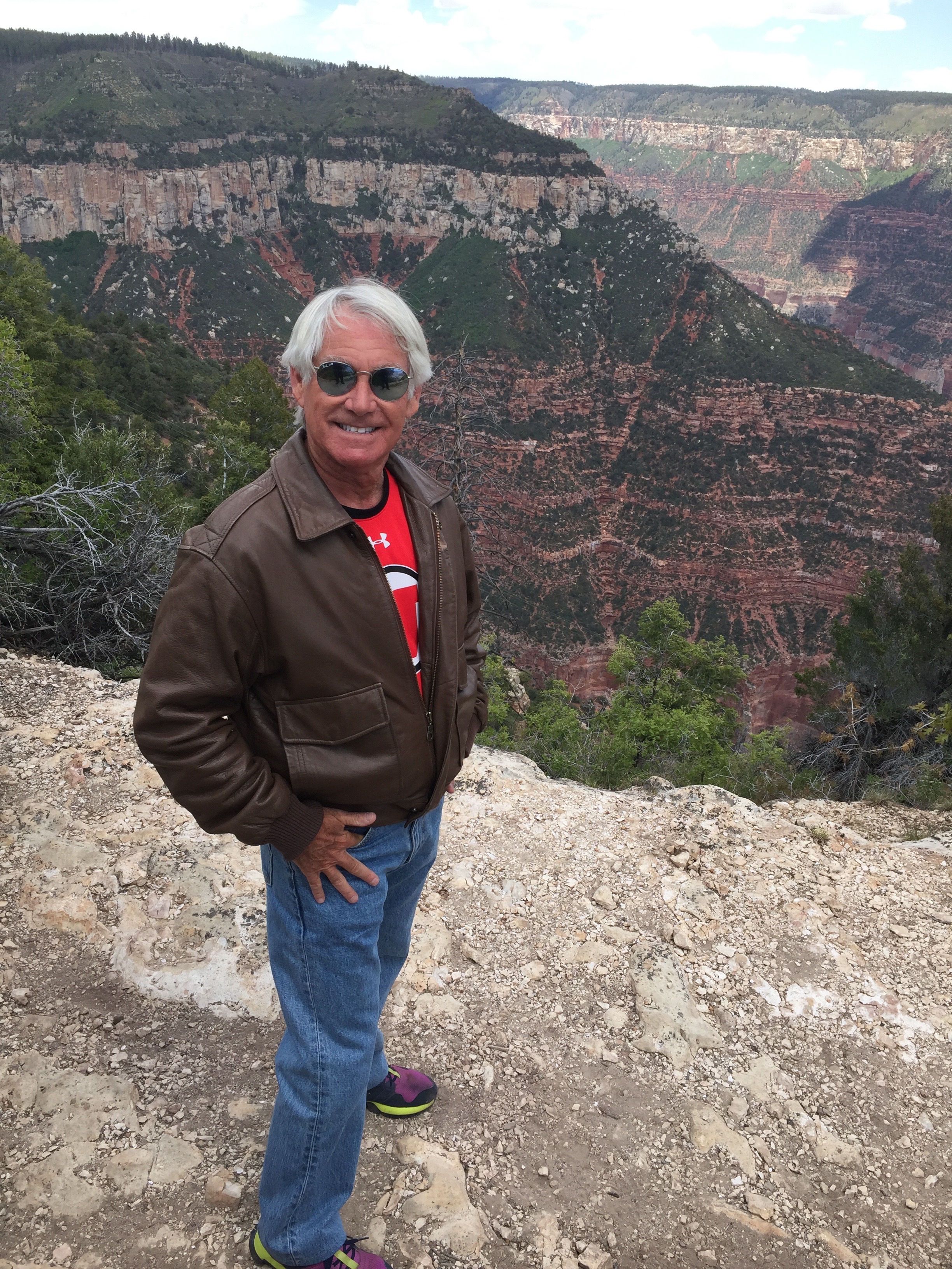
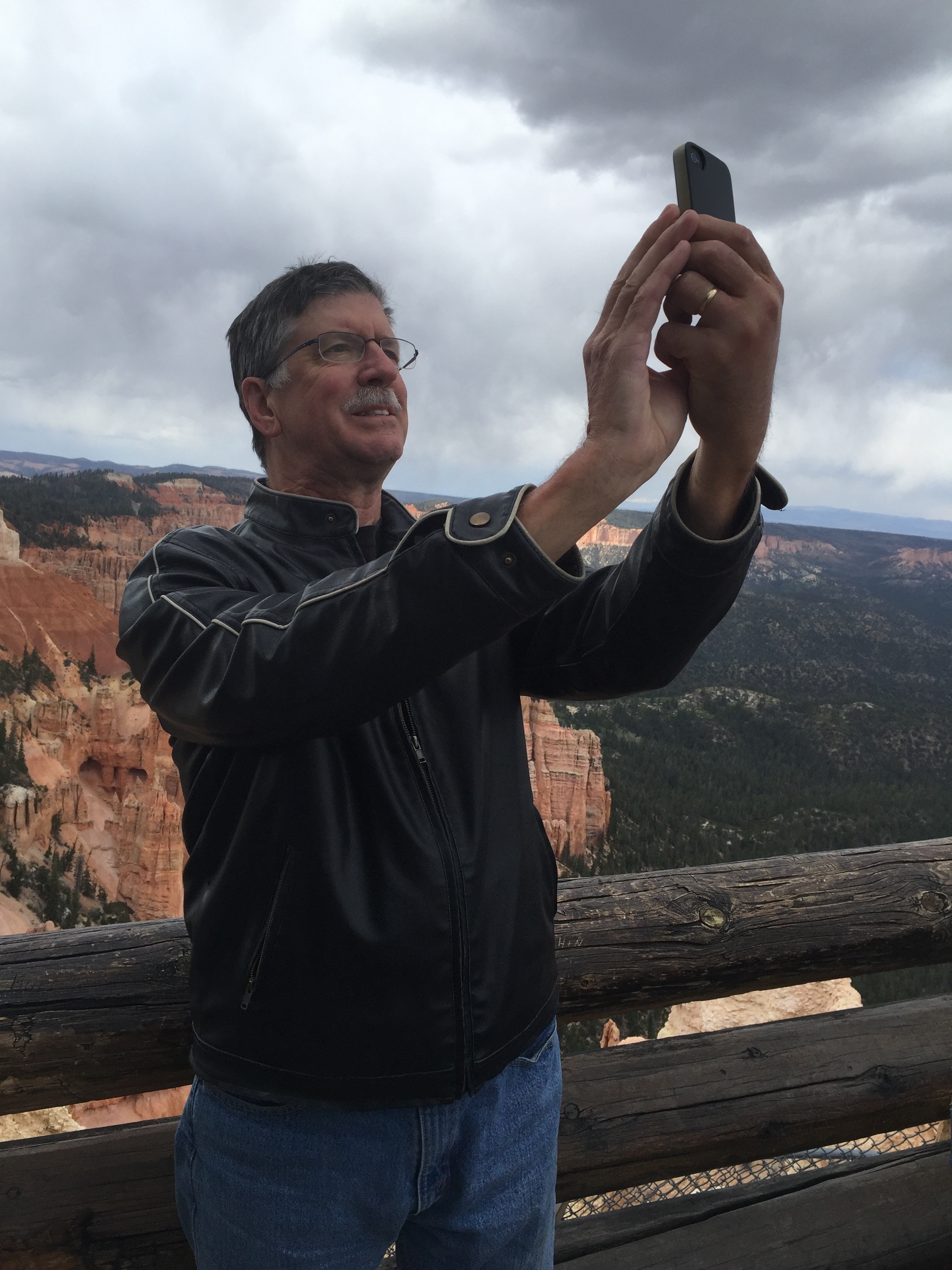
Day Ten of our National Parks Tour takes us to the Grand Canyon’s South Rim, the last National Park of our trip.
At the Grand Canyon South Rim
After doing the tourist-with-camera thing, we head for Sedona, Arizona, on our last night before heading for California.
A side note about Sedona: on Friday, to celebrate my arrival in La Quinta, Sarah leaves for a three-day yoga retreat in Sedona. She’ll be joined by Cindy, their yoga instructor (Stephen) and a bunch of other devoted yoga fanatics. What a great spot to do yoga, or just about anything else.
To see more of the sights we saw along the way, check out today’s Photos-of-the-Day (PODs), below.
Wanna see the actual route from today’s ride, using Google Maps? click here.
***
And now, today’s “Previous Blog Trivia Question:”
Q: What newspaper won a Pulitzer Prize for its coverage of a mid-air collision over the Grand Canyon in 1956, killing 128 people?
A: The Salt Lake Tribune, my first employer after graduating from the University of Utah (full disclosure: I was not involved in the Pulitzer-winning coverage).
Q: For extra credit — Besides the Pulitzer, how else was the Grand Canyon plane crash recognized?
A: The crash site, in 2014, was designated a National Landmark, one of 2,450 sites across the country with such status.
***
Gotta go.
Vroom, Vroom.
Checking out the view.
Busy day at the park.
Strawberry cheesecake on a stick, in the park.
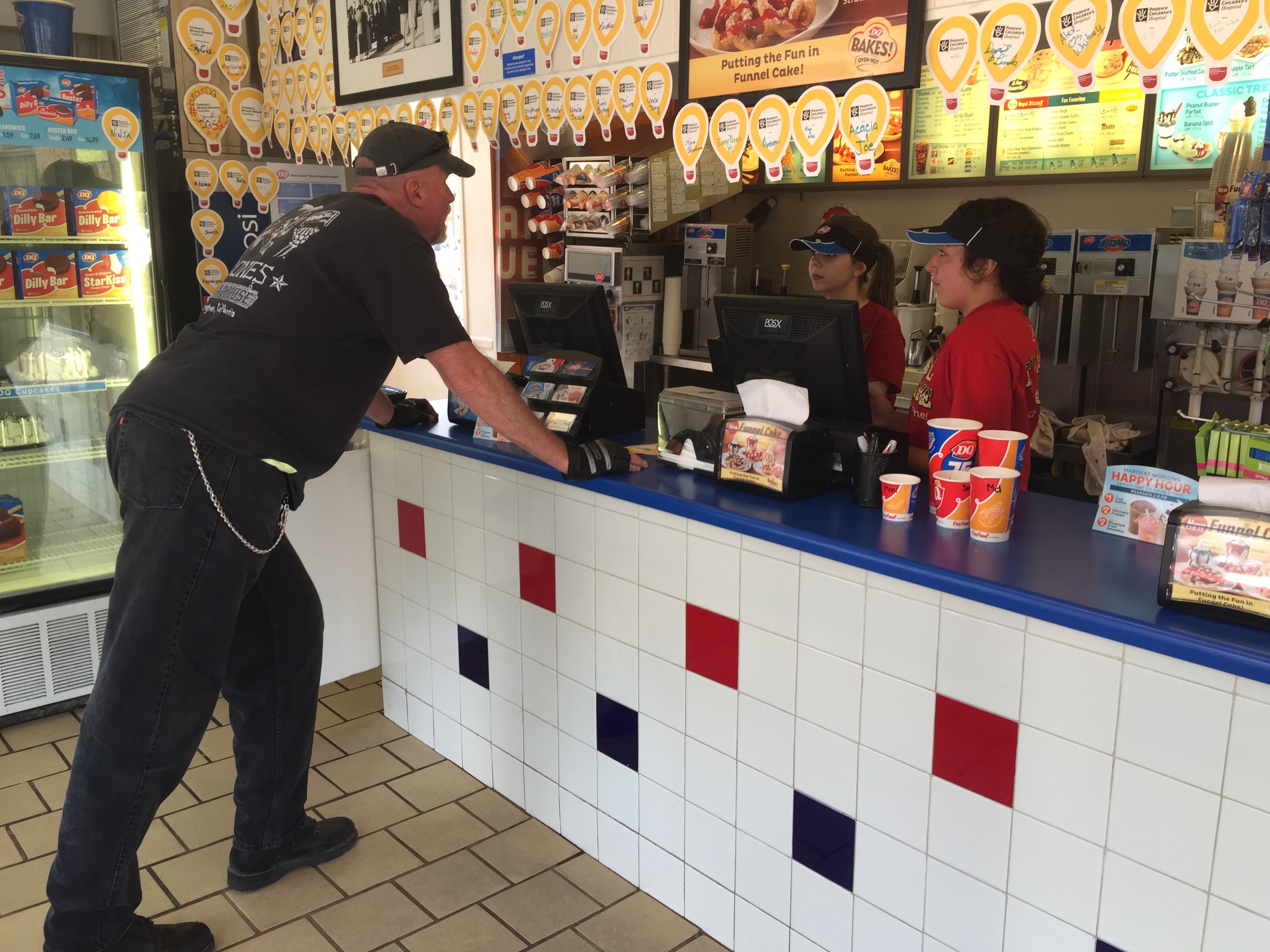
On the way to Sedona, taking a break at a Flagstaff Dairy Queen.
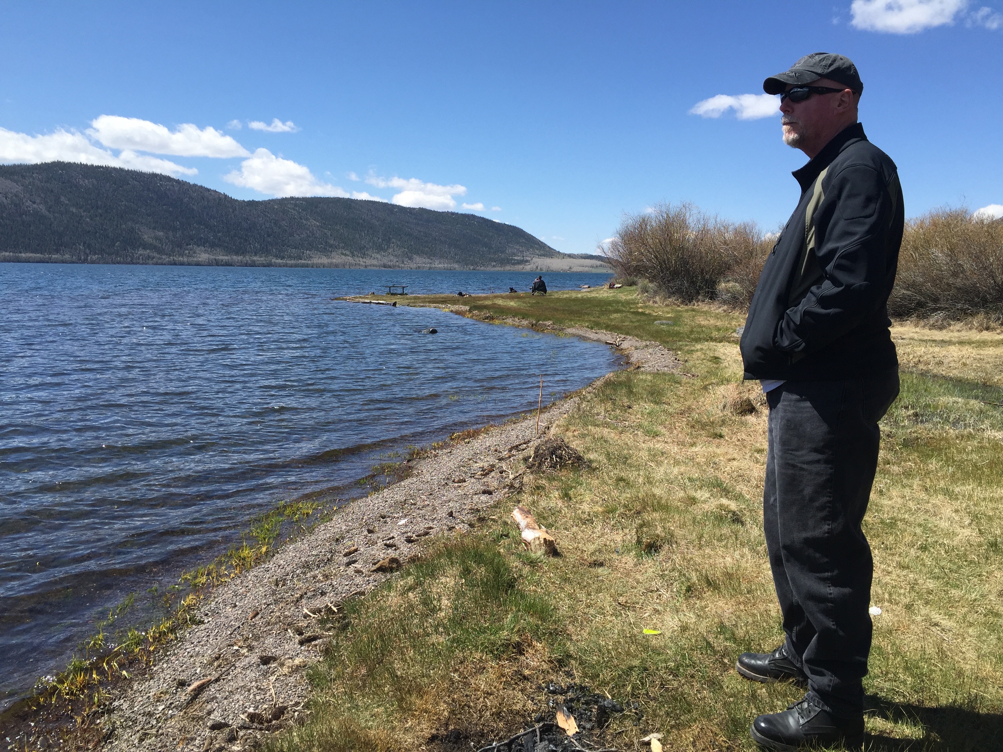
It’s Memorial Day 2016. Day Nine of our National Parks Tour takes us to the “other” Grand Canyon – the far-less visited North Rim. We pass through Jacob Lake and skirt Vermillion Cliffs National Monument before arriving at the North Rim. We look across the canyon toward the South Rim, which we’ll visit tomorrow.
At the Grand Canyon North Rim.
To see more of the sights we saw along the way, check out today’s Photos-of-the-Day (PODs), below.
Wanna see the actual route from today’s ride, using Google Maps? click here.
***
And now, today’s “Previous Blog Trivia Question:”
Q: How many tourists visit the Grand Canyon each year?
A: More than five million, making it the second-most visited park in the National Park system.
Five million people will visit the Grand Canyon this year. One of them is Randy.
Q: For extra credit – what is the most-visited National Park?
A: Smoky Mountain National Park in Tennessee and North Carolina, with about 10 million visitors annually.
***
Gotta go.
Vroom, Vroom.
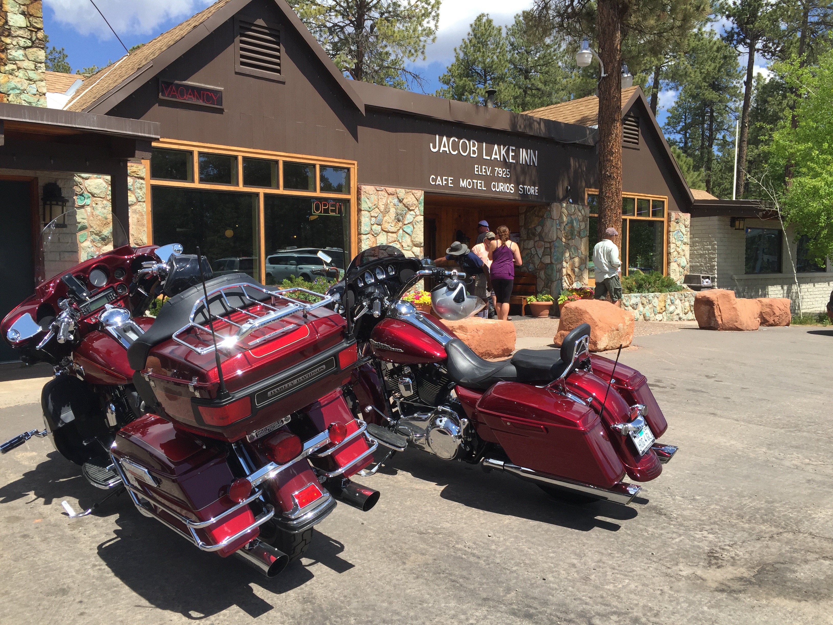
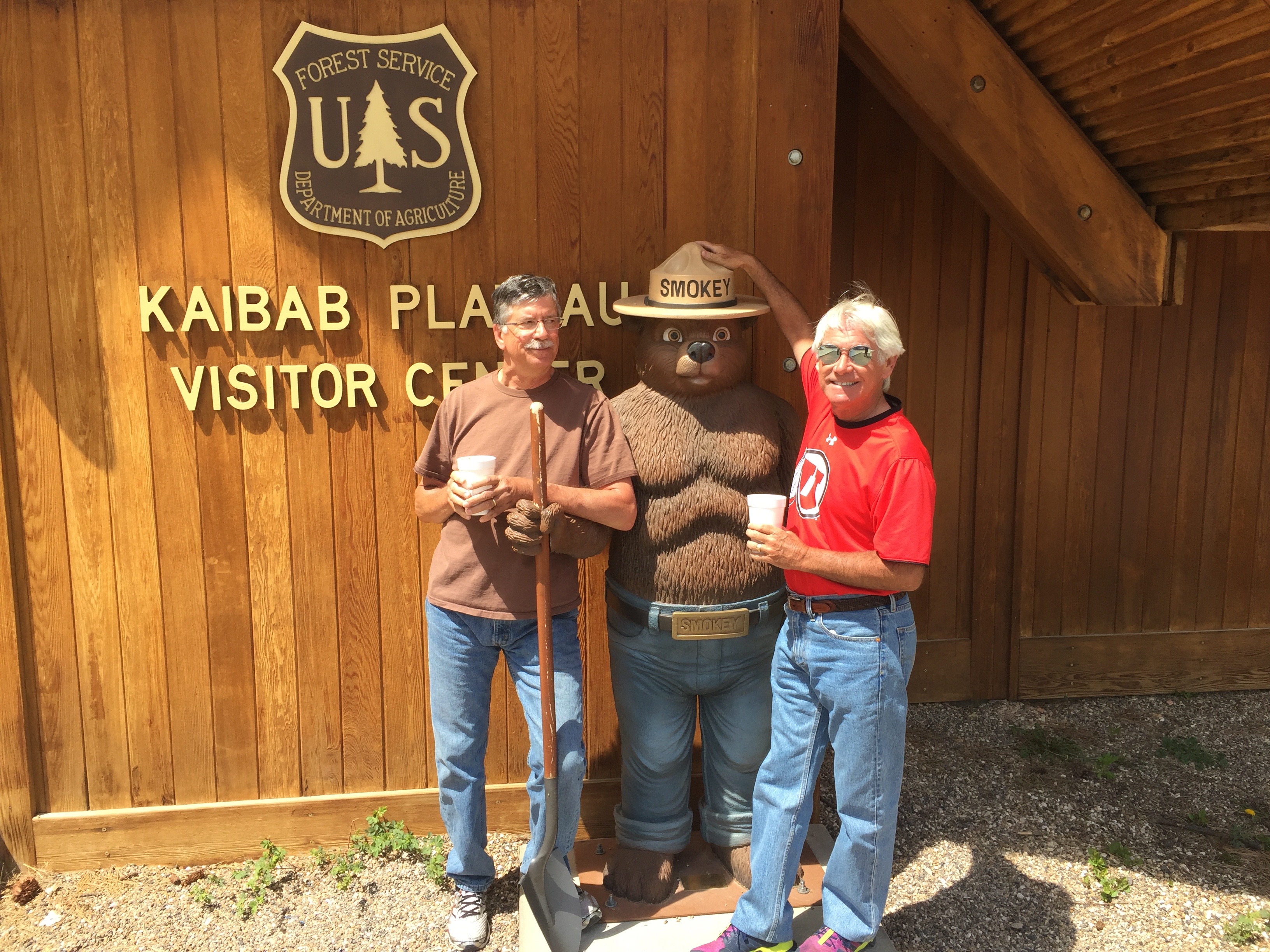
Memorial Day on the road, at Jacob Lake, en route to the North Rim.
The Jacob Lake Inn is the last stopping place before the North Rim.
We wished Smokey a happy Memorial Day, then headed for the North Rim.
Lotsa great photo ops at the North Rim.
It’s a long way down.
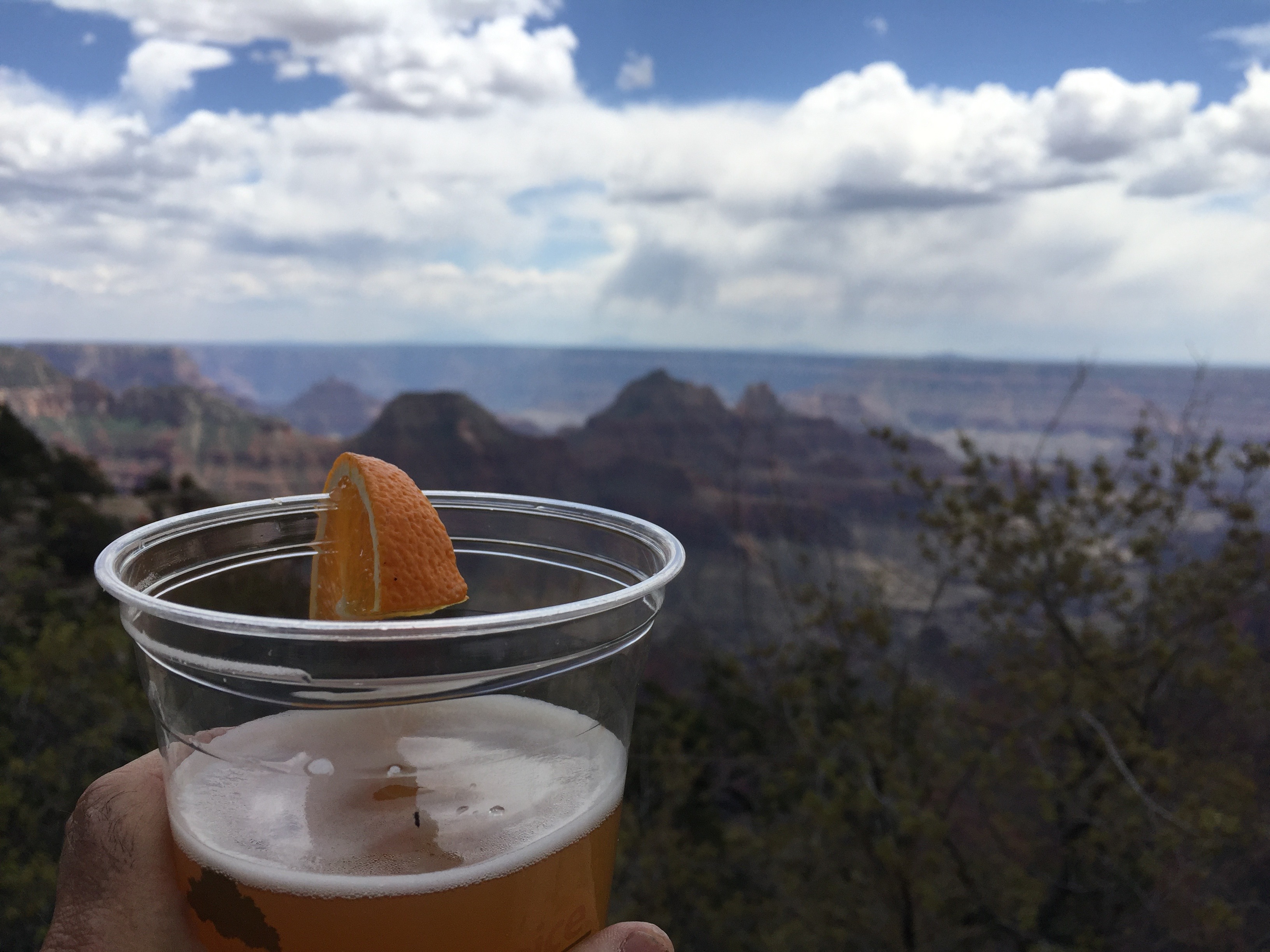
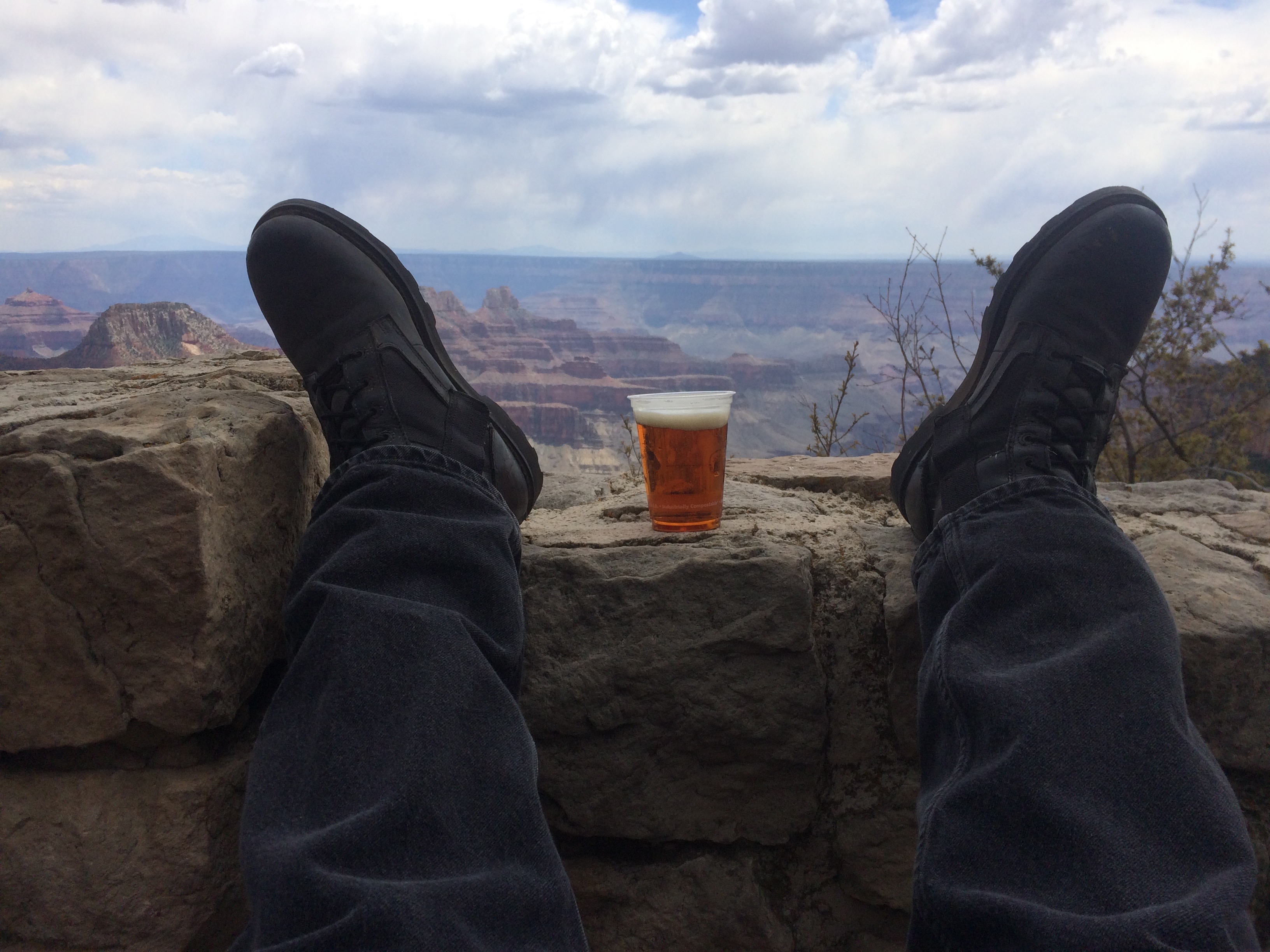
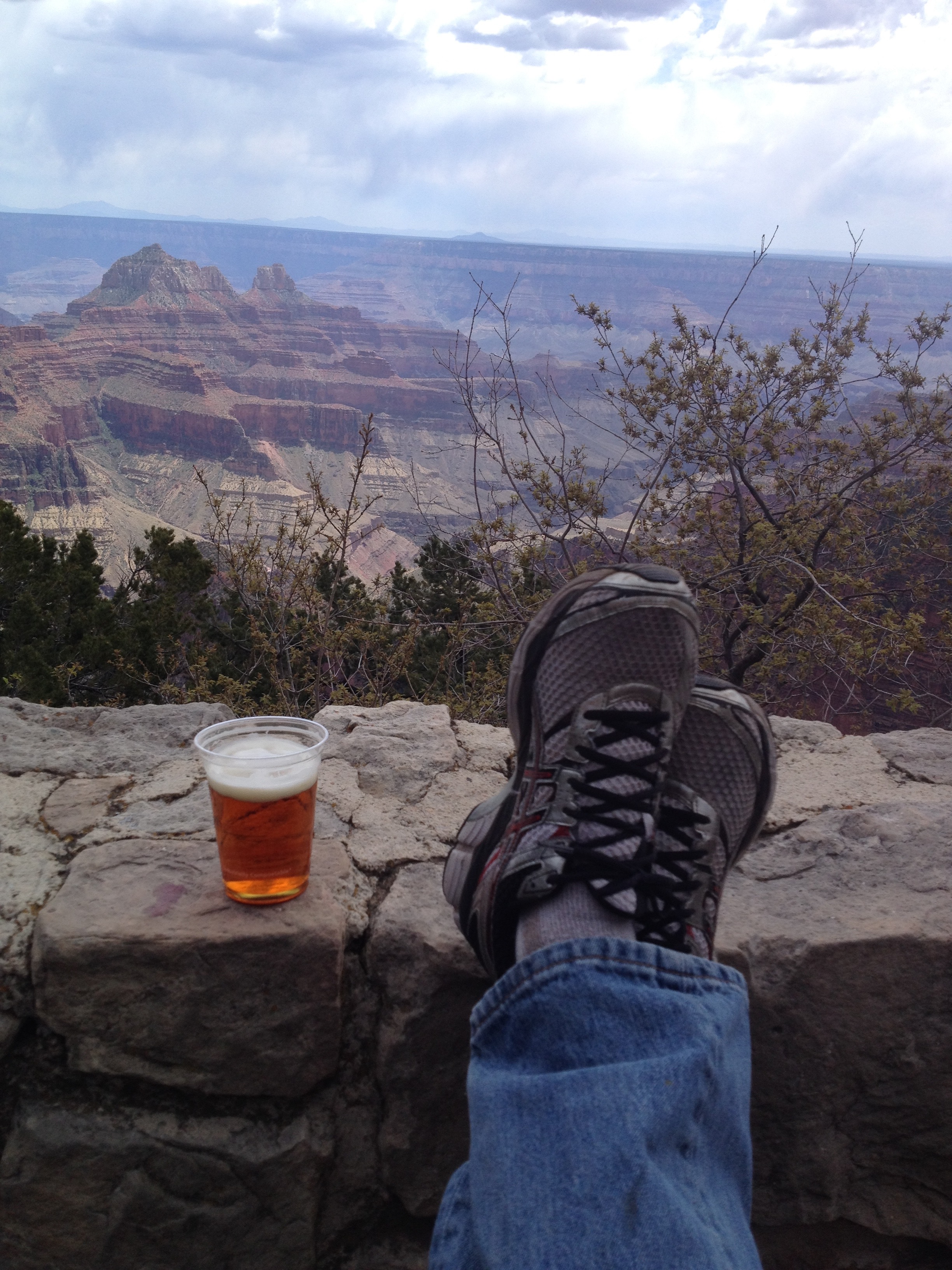
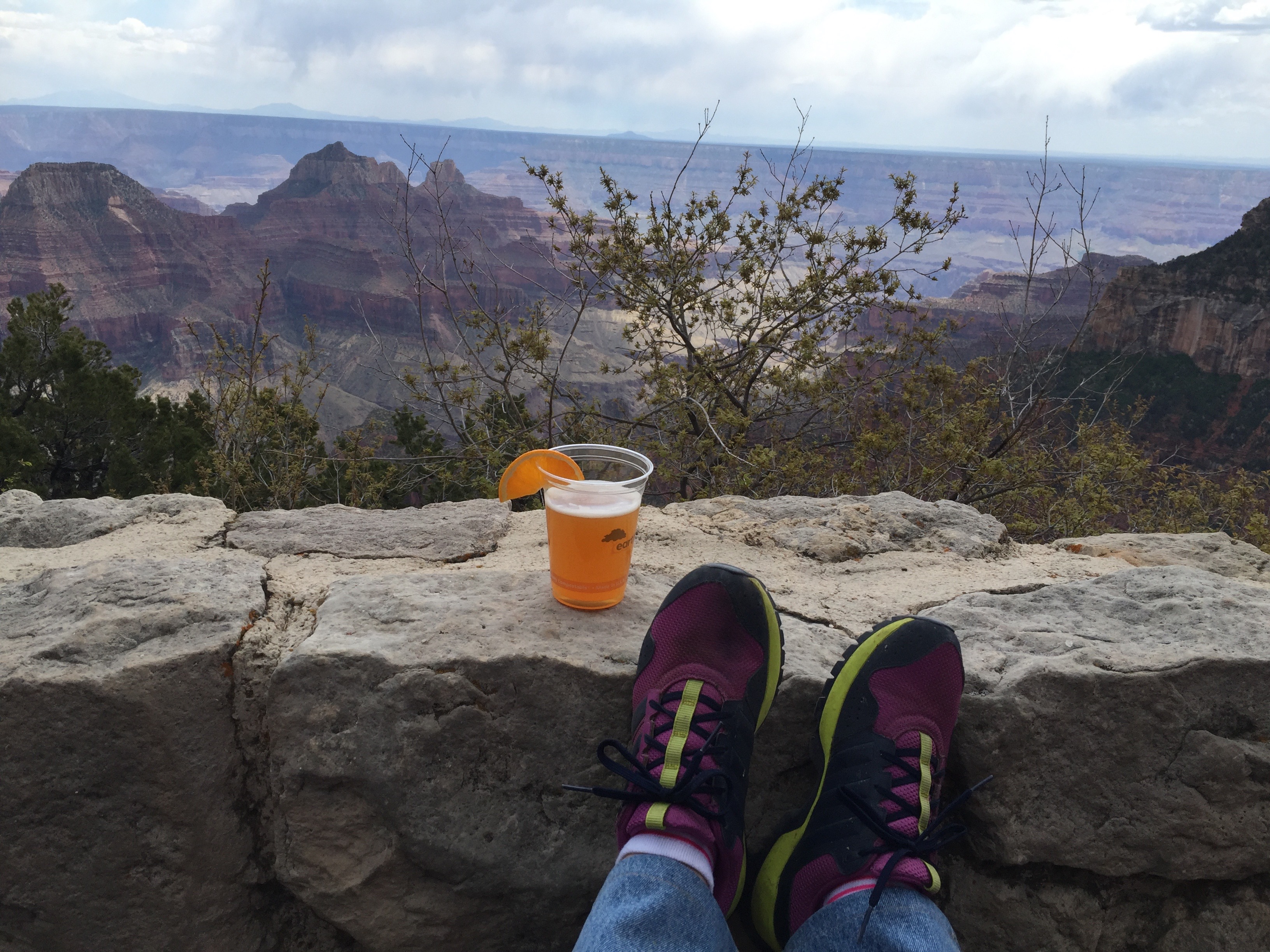
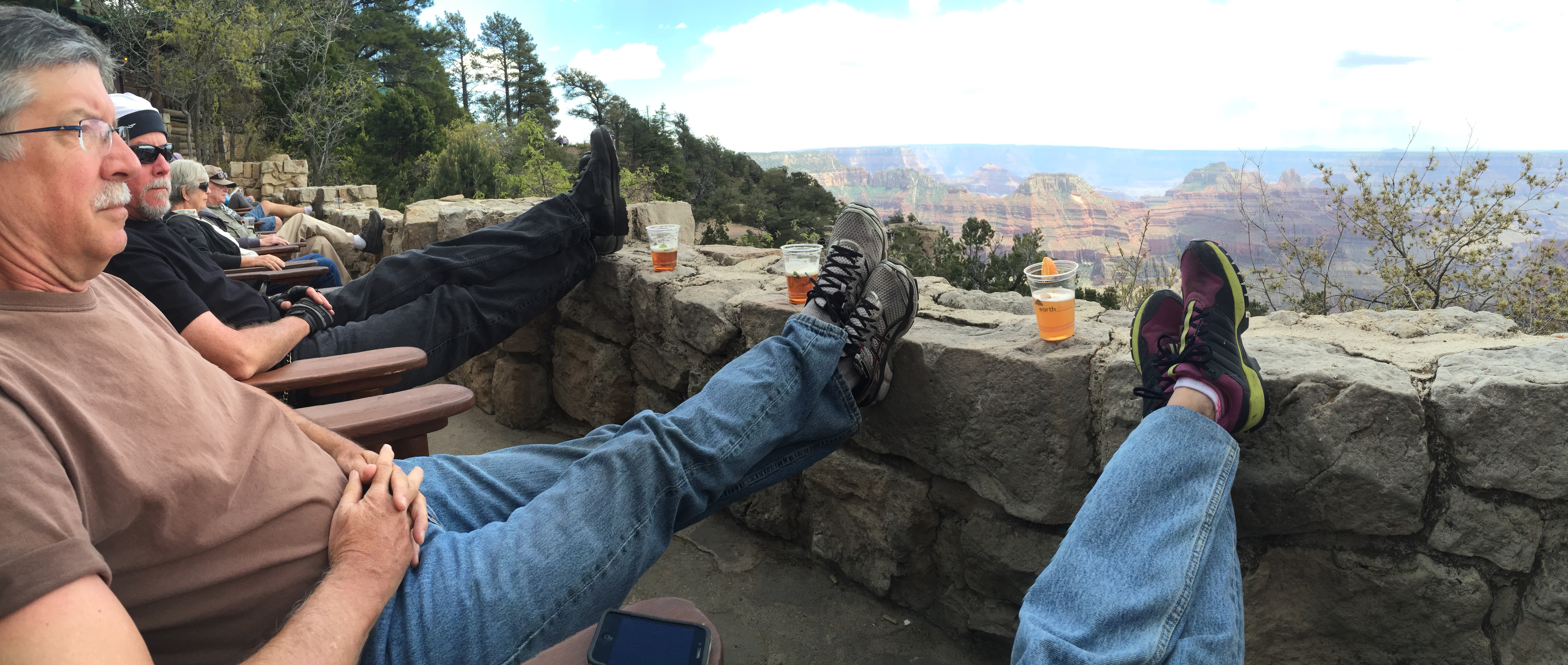
Cold beer with a view of the Grand Canyon.
You can have a beer and have a great perch overlooking the Grand Canyon. Guess whose feet?
Day Eight of our National Parks Tour takes us from southeast Utah to northern Arizona. It’s primarily a “transit” day, getting us in position for tomorrow’s visit to the Grand Canyon. We pass through Mexican Hat, Utah, en route to Page, Ariz., a stone’s throw from Glen Canyon Dam and Lake Powell.
The day began in Arches National Park.
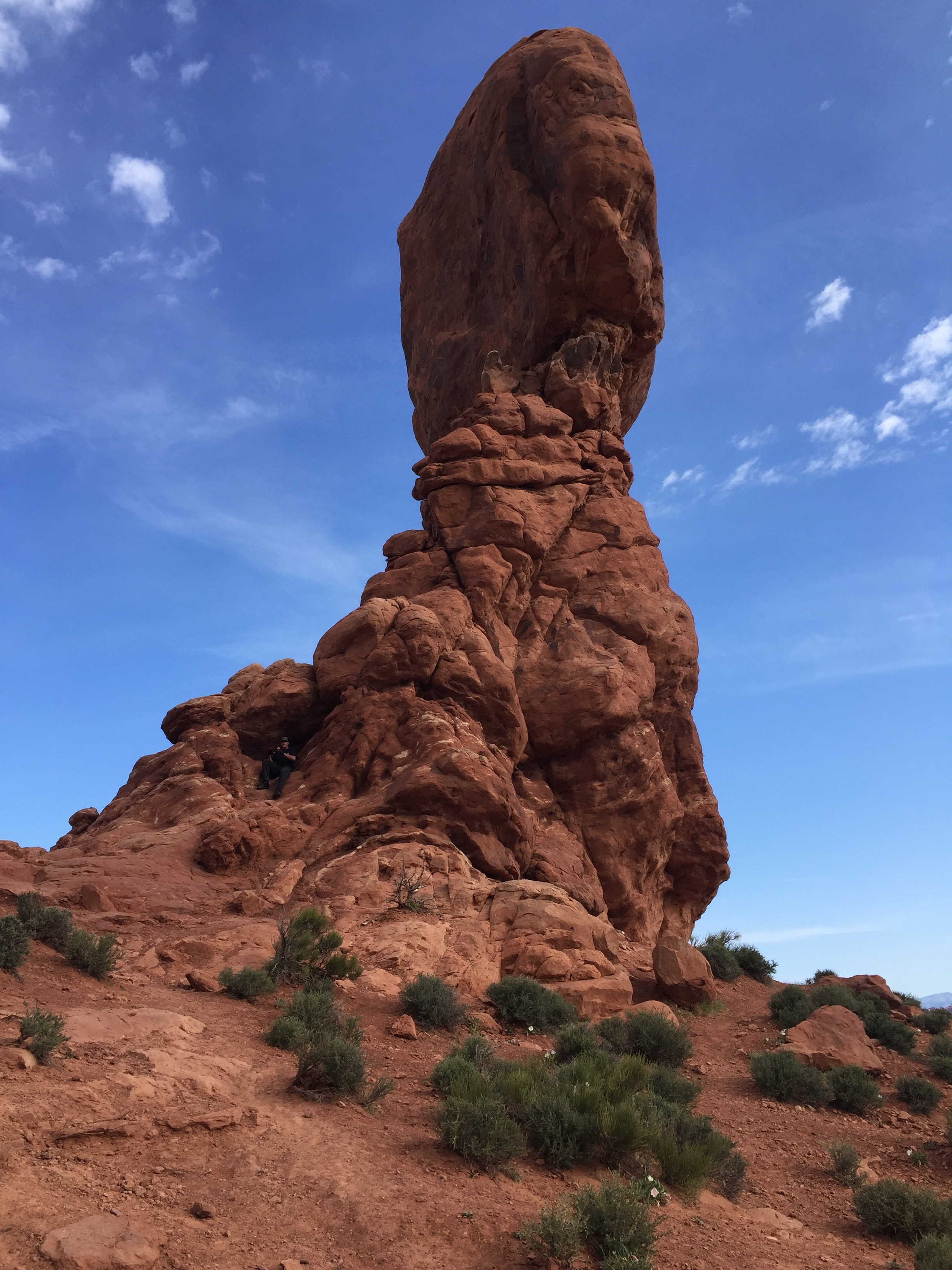
We start the day by being among the first to visit Arches National Park. Yesterday, there was up to a three-hour wait to get in the park, and virtually nowhere to park once inside the park. Today, it was a breeze, at least with a 7:30 am arrival!
To see more of the sights we saw along the way, check out today’s Photos-of-the-Day (PODs), below.
Wanna see the actual route from today’s ride, using Google Maps? click here.
***
And now, today’s “Previous Blog Trivia Question:”
Q: Lake Powell straddles the border between Utah and Arizona. Who was the lake named for?
A: It’s named for John Wesley Powell, the geologist who was the first to survey the Grand Canyon on the Colorado River.
Q: For extra credit – how many people visit Lake Powell each year?
A: About two million.
***
Gotta go.
Vroom, Vroom.
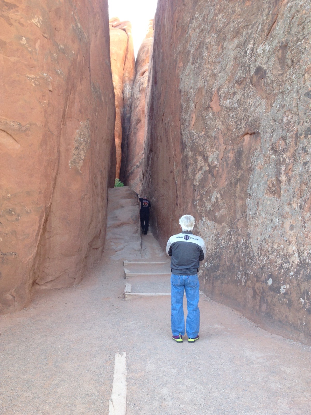
The entrance to Sand Arch Dune. Tight Quarters.
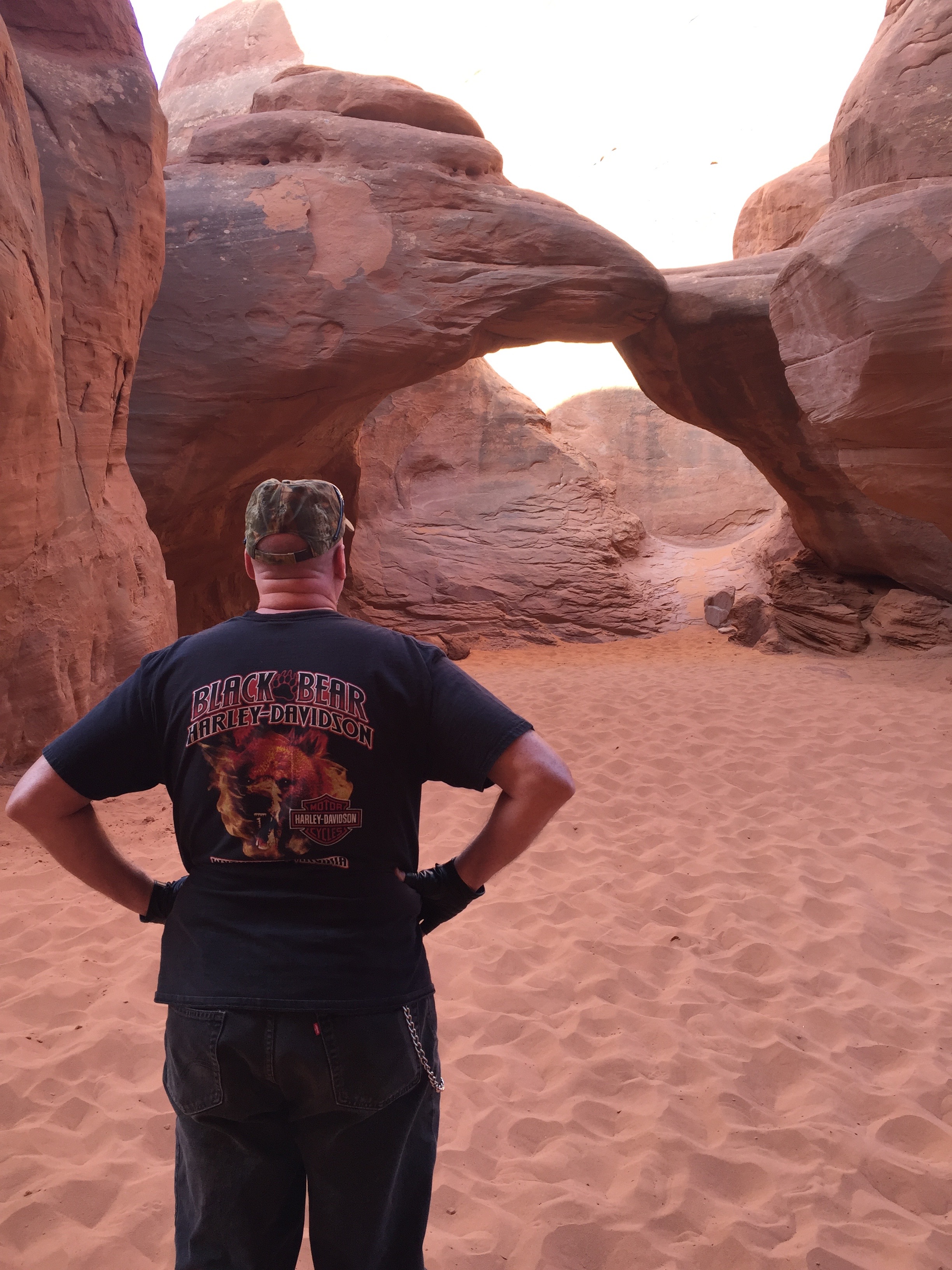
Sand Arch Dune. It’s like a beach in the middle of the desert.
Prime parking spot at Windows Arch.
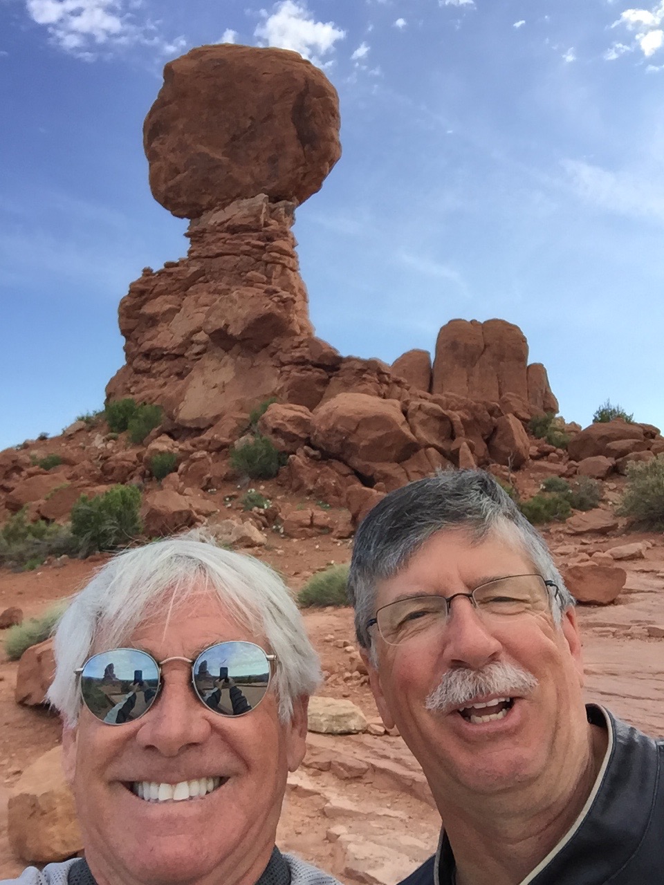
Dave’s in the photo of Balancing Rock. Can you find him?
On the road to Page, Arizona. Not much to see for 250 miles.
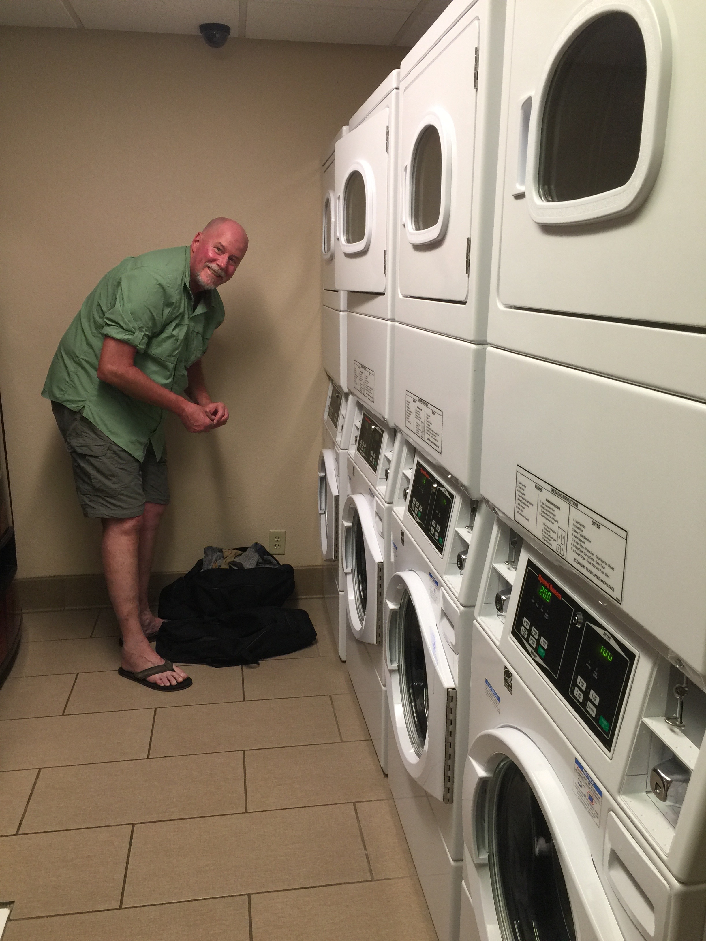
We arrive in Page, and it’s time for laundry — right in Dave’s wheelhouse.
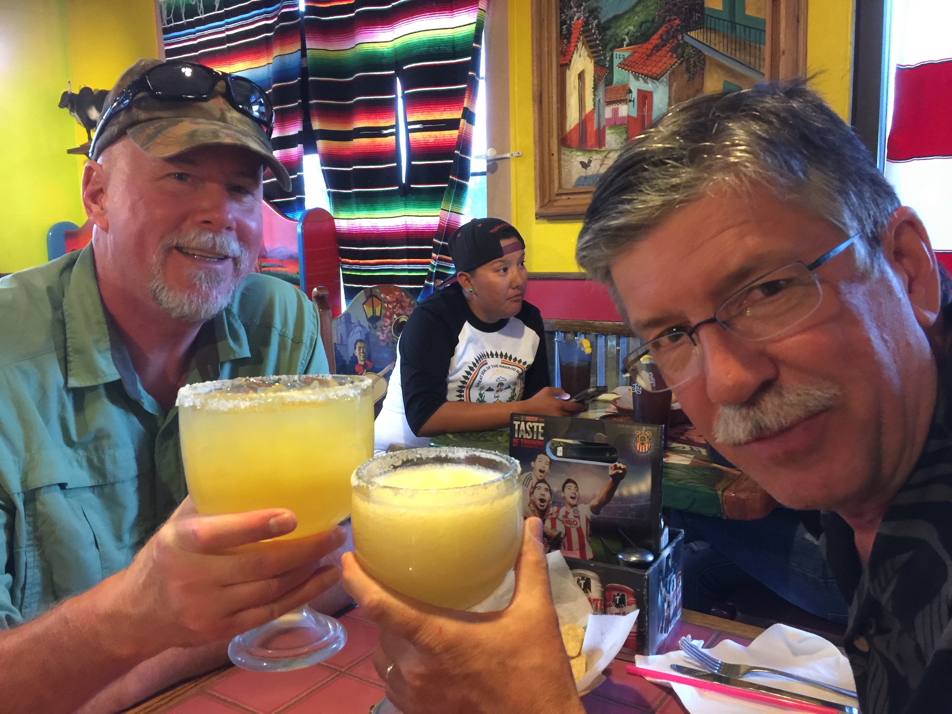
Dinner at Tapatios in Page. Margarita time. Cheers!
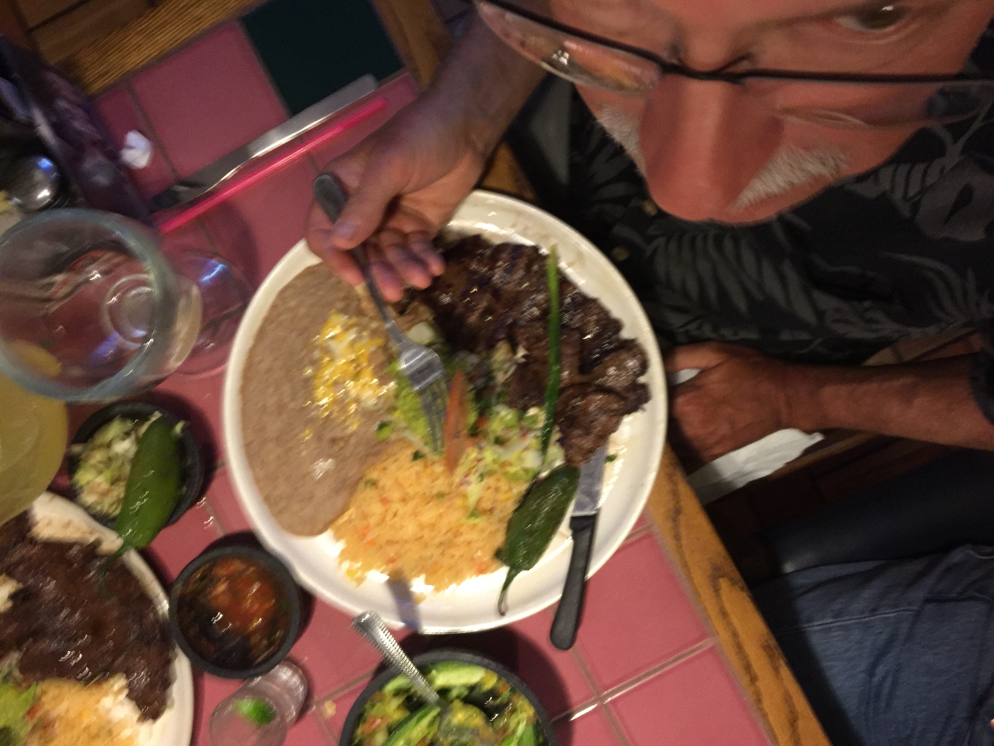
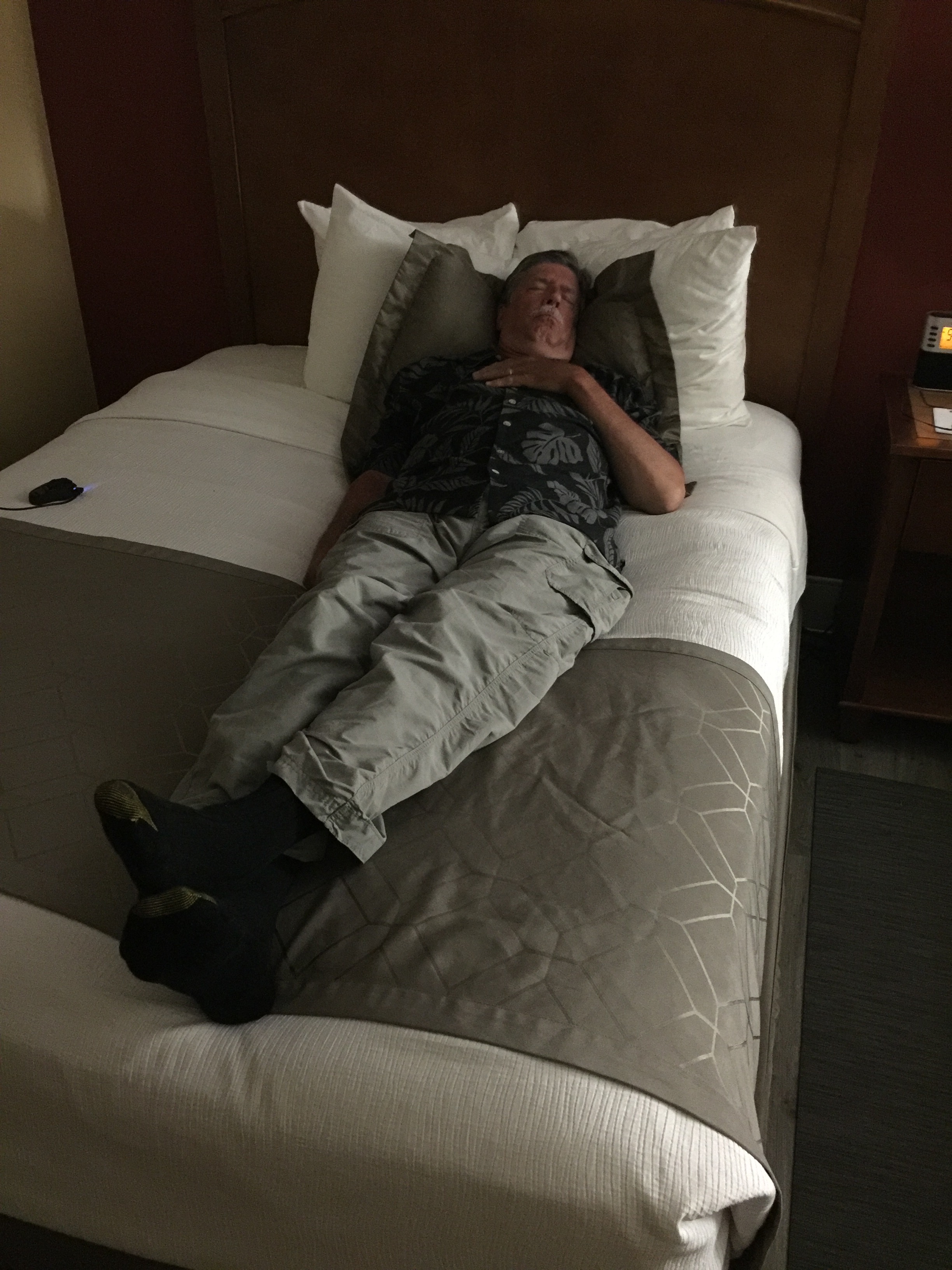
Randy’s carne asada. It made him quite sleepy. See photo below.
Let the old boy sleep. Must have been a long day on the road.
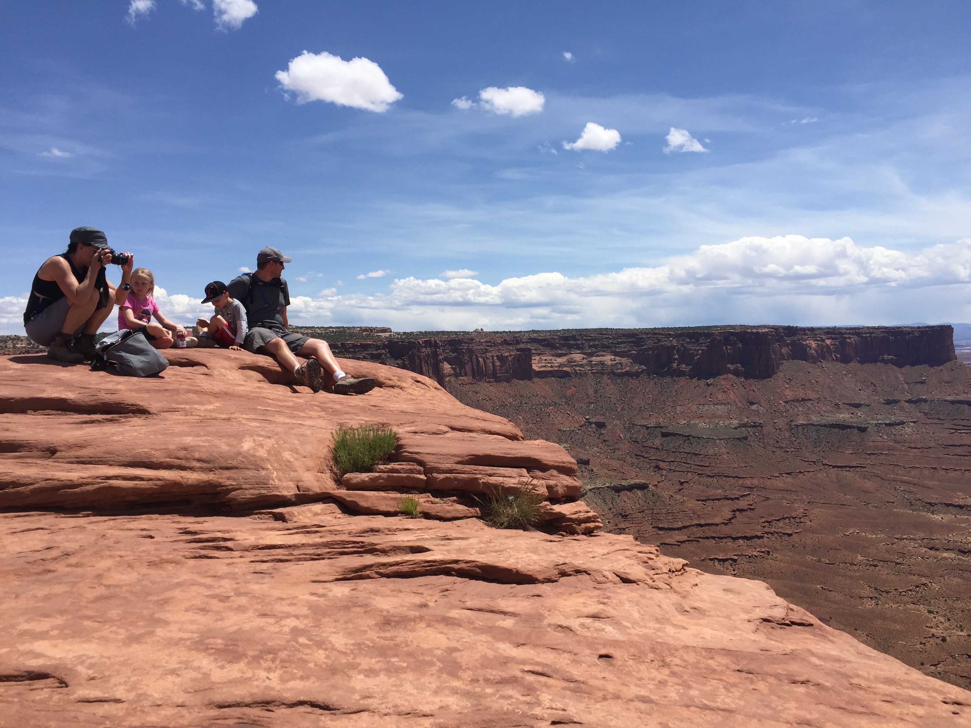
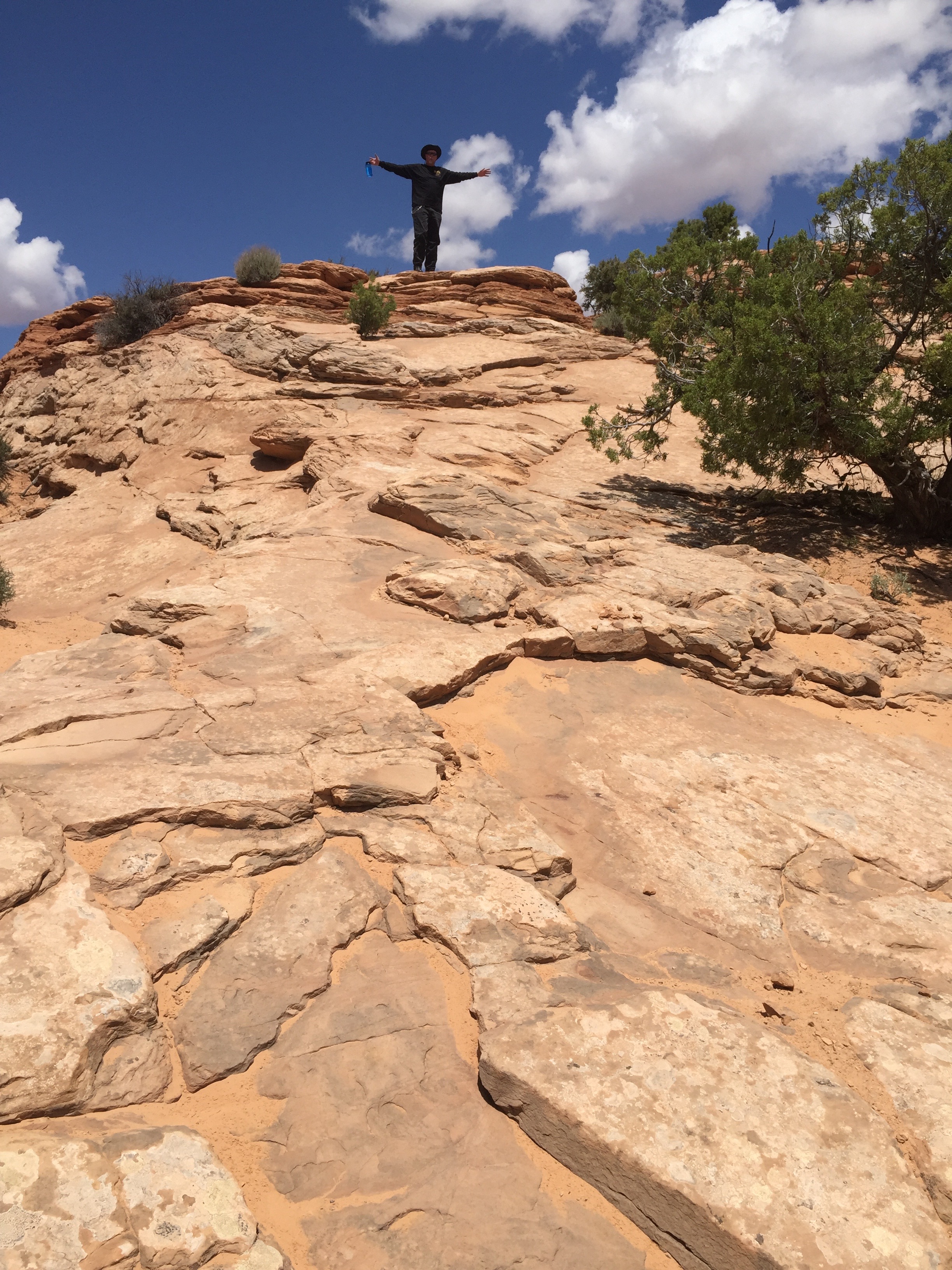
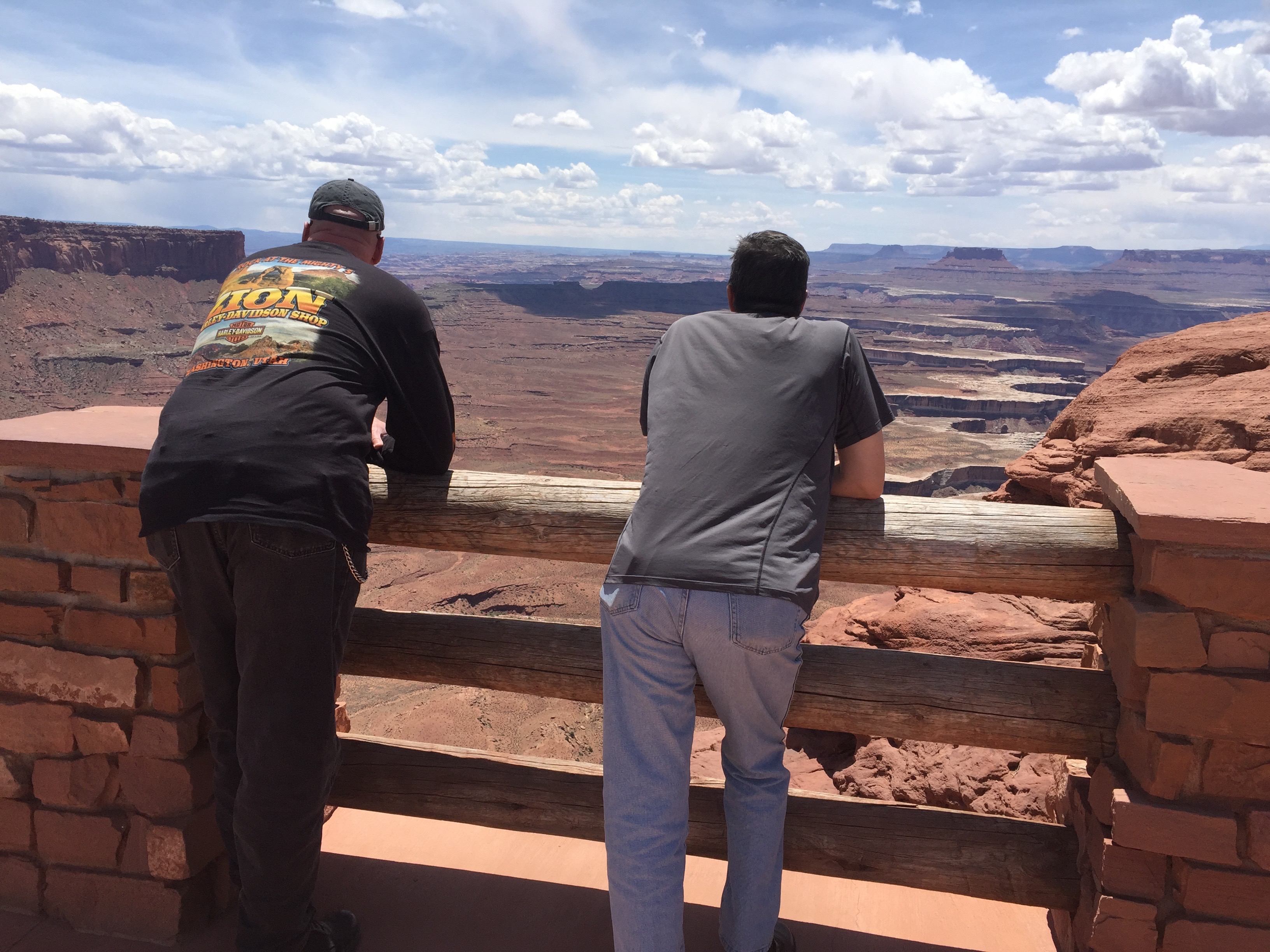
Day Seven of our National Parks Tour takes us to two parks near Moab – one with spectacular canyons, the other with rock formations millions of years in the making.
We also visit a Utah State Park for good measure – at Dead Horse Point, featuring a dramatic overlook of the Colorado River and Canyonlands National Park. Dead Horse Point was used in the final “Grand Canyon” scene of the 1991 film, Thelma & Louise.
The climactic scene from Thelma and Louise was actually shot in Canyonlands National Park.
To see more of the sights we saw along the way, check out today’s Photos-of-the-Day (PODs), below.
Wanna see the actual route from today’s ride, using Google Maps? click here.
***
And now, today’s Previous Blog Trivia Question:
Q: What is the best-known arch in Arches National Park?
A: Delicate Arch – formed of Entrada Sandstone –is the most recognized and photographed Arch in the park – and the artwork for Utah license plates.
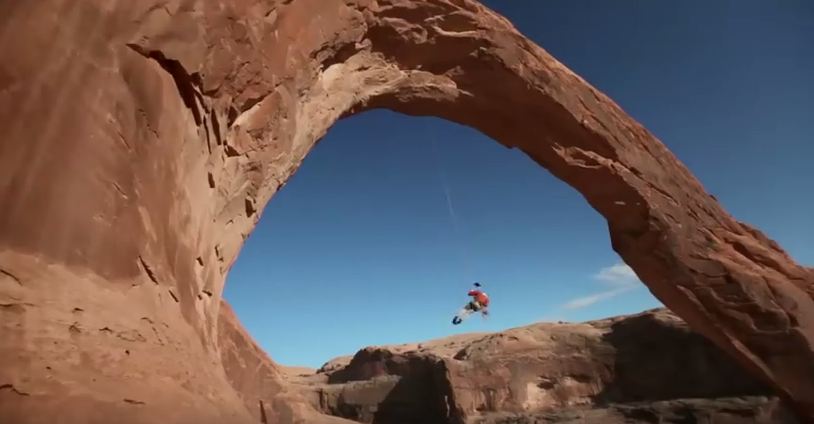
Q: For extra credit – what is Corona Arch best known for?
A: Corona Arch, which is outside Arches National Park, spans 105 feet, and attracts “pendulum swingers,” adventurers who enjoy cheating death. Click here for a GoPro view of pendulum swinging at Corona Arch (with nearly 27 million views, it’s pretty cool!).
Corona Arch. Don’t try this at home!
***
Gotta go.
Vroom, Vroom.
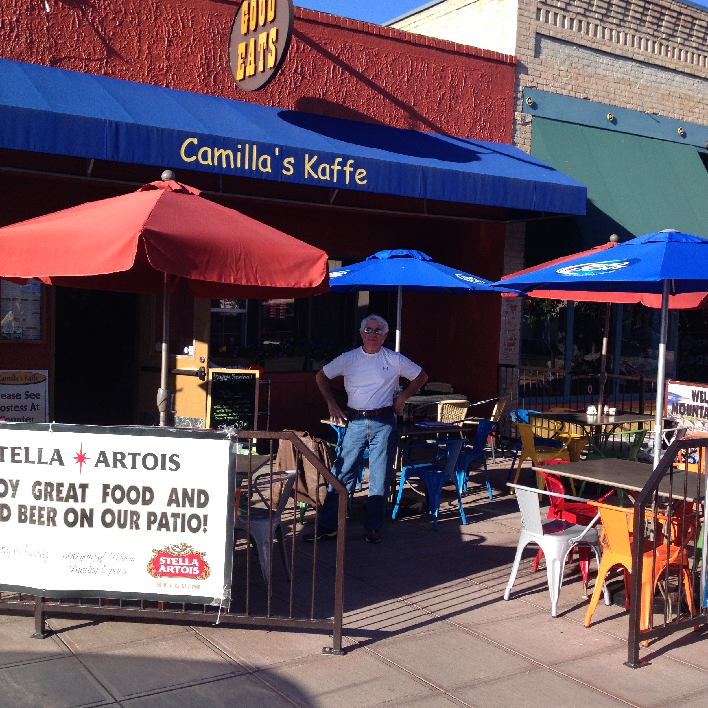
Breakfast at Camilla’s Kaffe in Fruita.
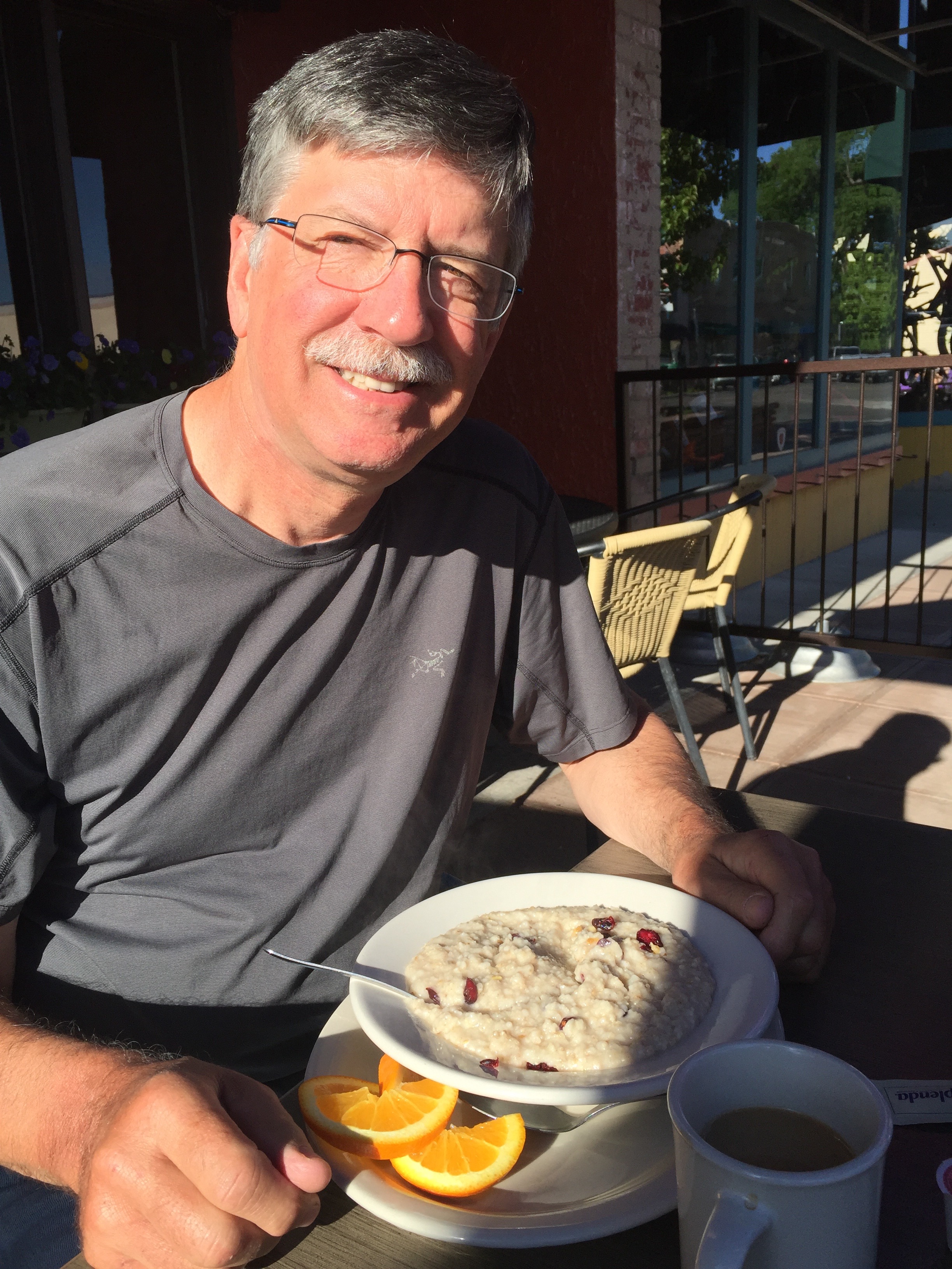
No more kidding around. This IS a breakfast health plate.
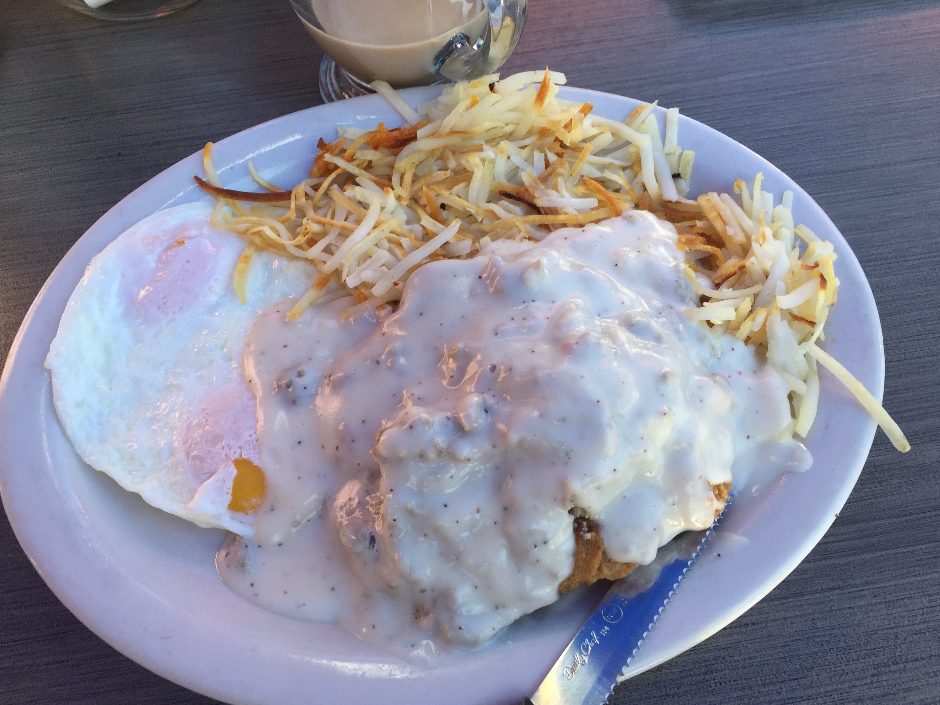
Let’s just say this is a little less healthy, but a lot more tasteful.
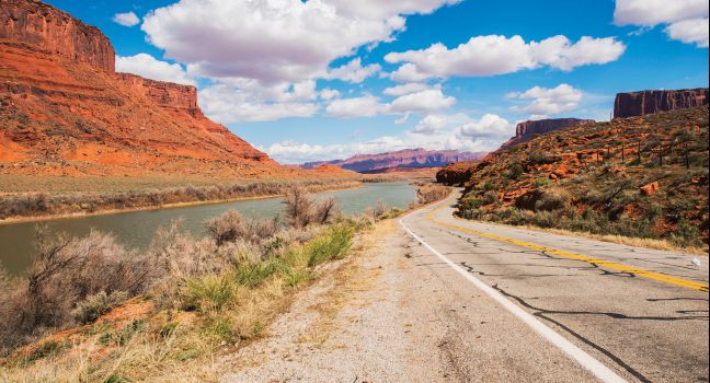
Highway 128 follows the Colorado River gorge into Moab.
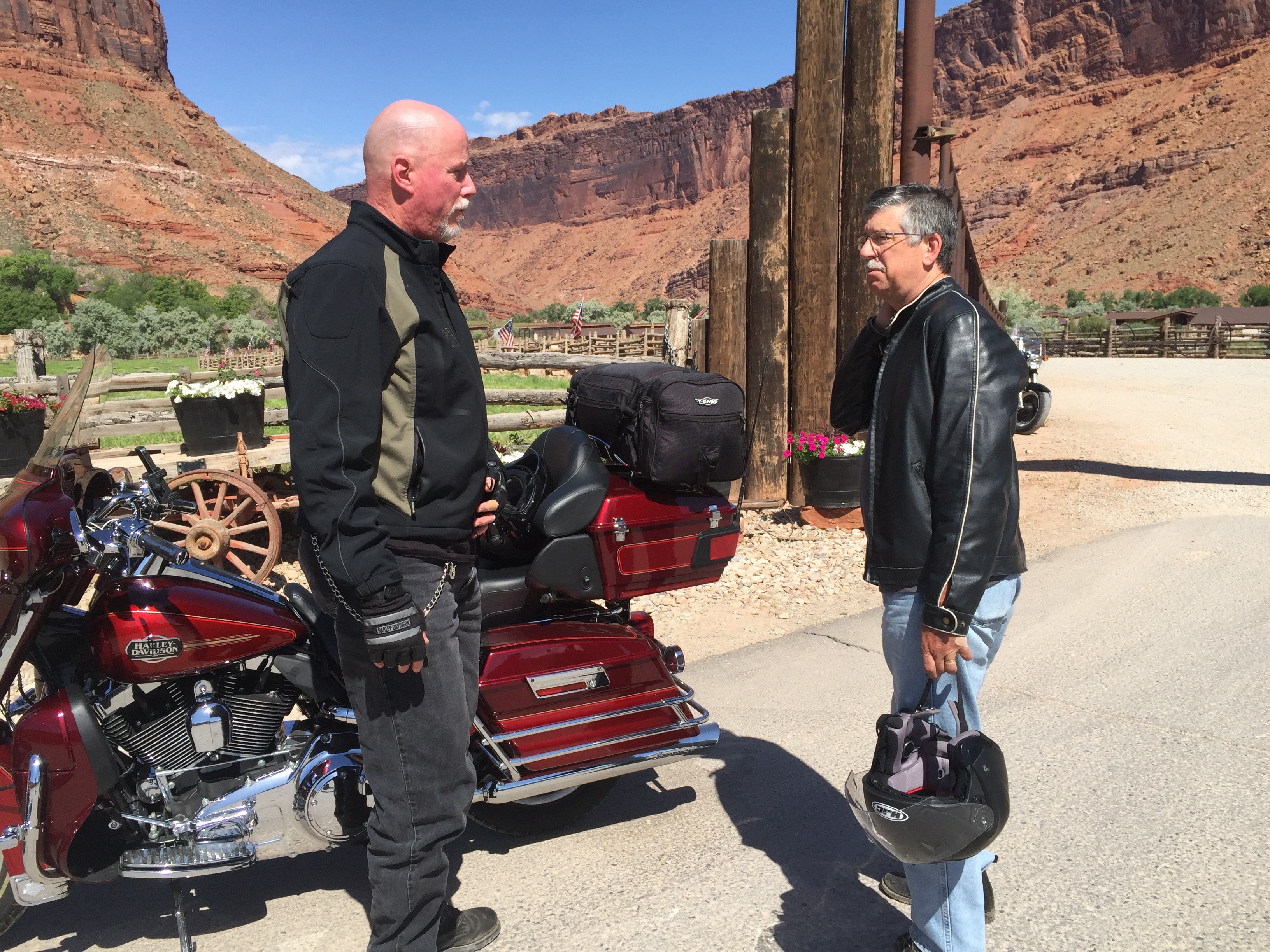
Randy and Dave at the Castle Creek Inn.
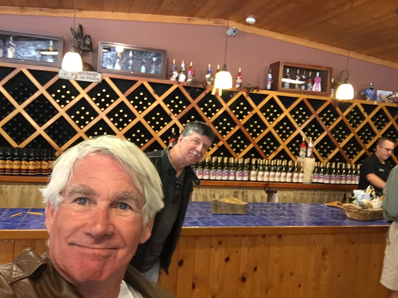
Bad timing. We arrive at the Castle Creek wine tasting room before wine serving begins 😦
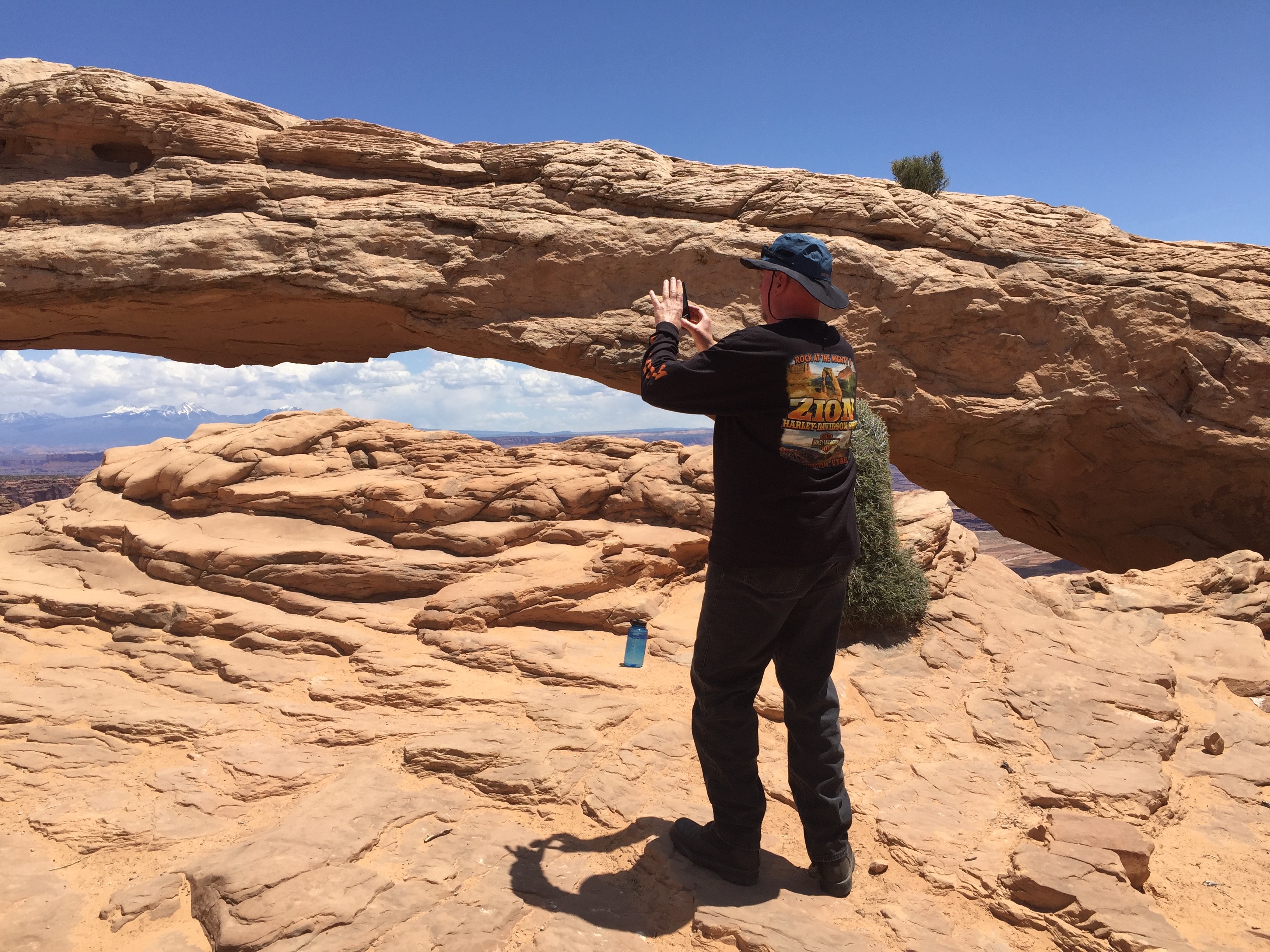
Next stop after Moab: Mesa Arch in Canyonlands National Park.
I’m thinking the edge of a huge cliff isn’t the best place for a family picnic in Canyonlands.
In Canyonlands. Hey you up there, come down.
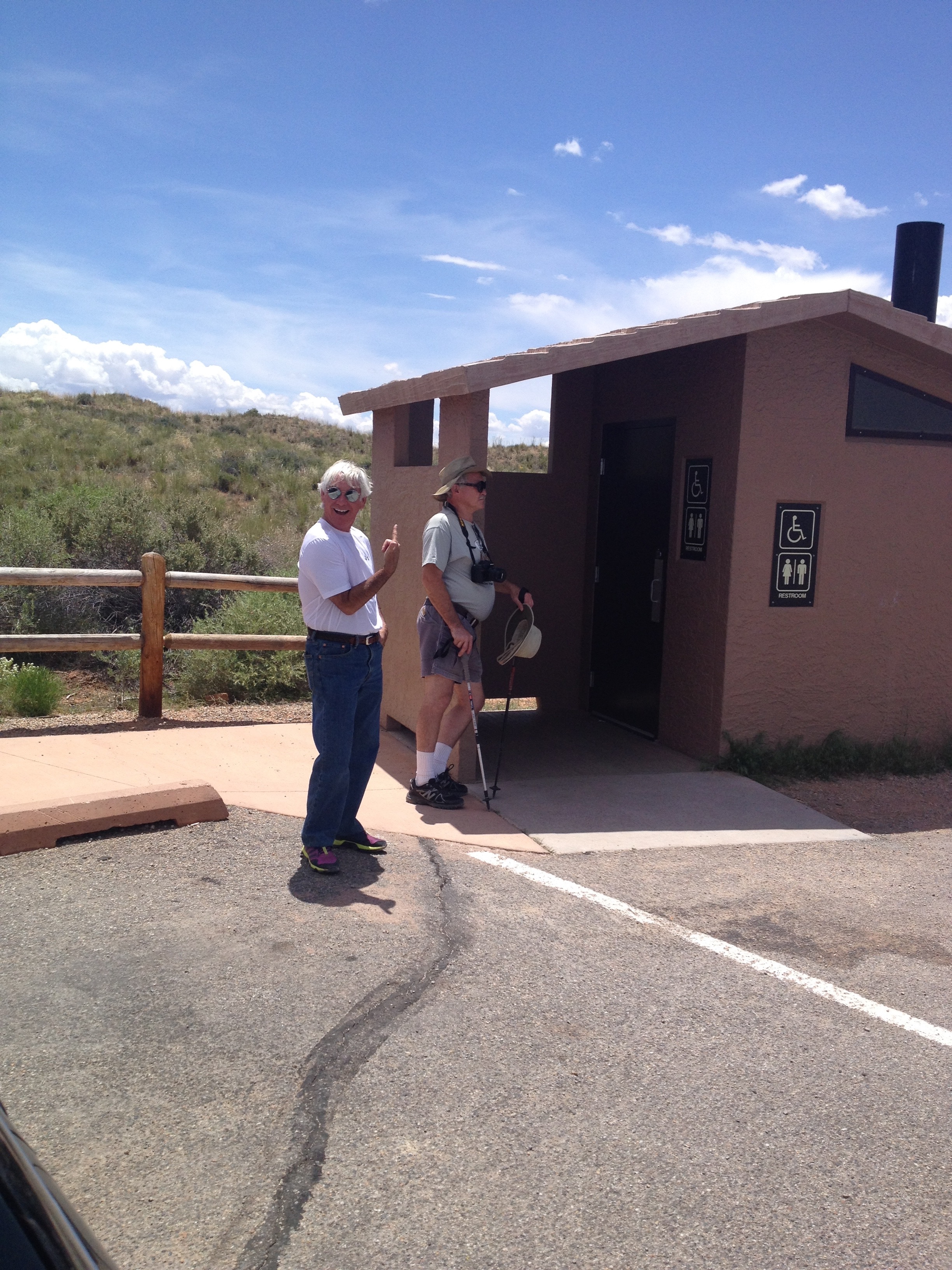
There’s a line to get into one of the few bathrooms in Canyonlands.
At the Green River Overlook in Canyonlands National Park.
Dinner at Zak’s in Moab.
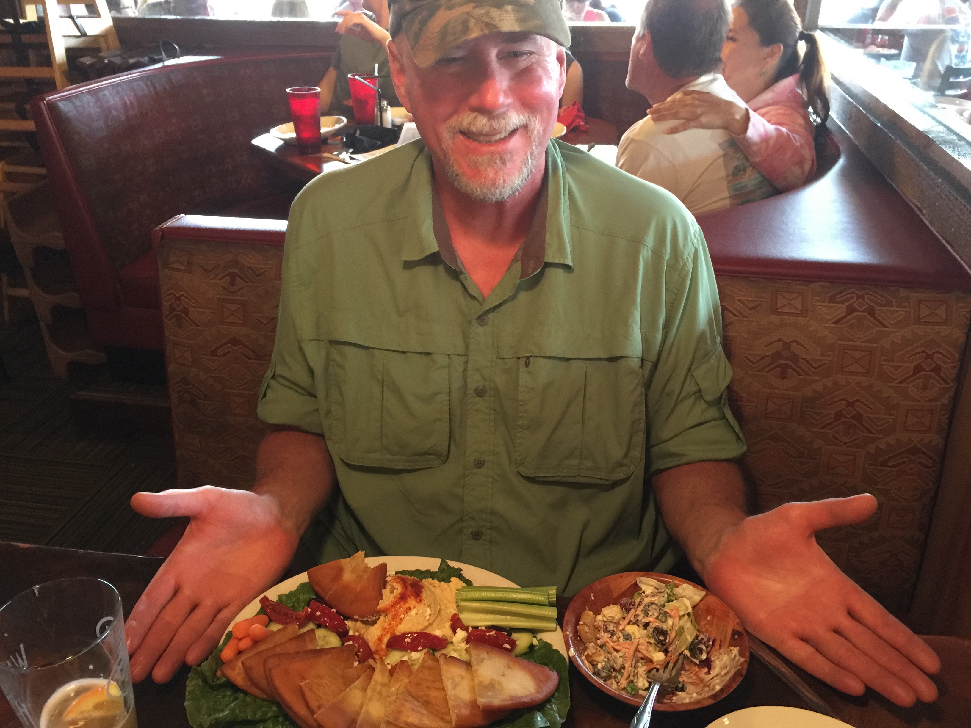
Mediterranean Plate at Zak’s for Dave.
Randy goes for the healthy option, whatever that is.
Day Six of our National Parks Tour takes us to Colorado for the first time, where we pass through Bedrock, Gateway, Naturita, and Grand Junction. We visit the Colorado National Monument on our way to Fruita, home of the Western Colorado Dinosaur Museum.
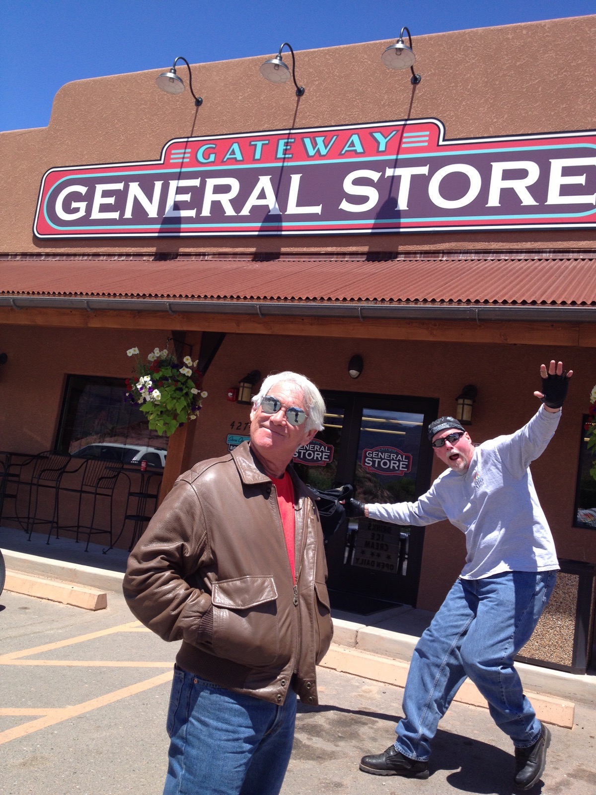
Dave, working on his photobombing routine at the Gateway General Store.
Ice cream sandwich for a mid-morning break in Gateway.
To see the other sights we saw along the way, check out today’s Photos-of-the-Day (PODs), below.
Wanna see the actual route from today’s ride, using Google Maps? click here.
***
And now, today’s “Previous Blog Trivia Question:”
Q: What is the feature attraction in Colorado National Monument?
A: Monument Canyon, which includes rock formations such as Independence Monument, Coke Ovens and the Kissing Couple.
The Kissing Couple in Colorado National Monument.
Q: For extra credit – What is the Kissing Couple?
A: It’s a 400-foot-high needle of sandstone that has a vertical split near the top, separating it into two seemingly intertwined columns, like two giant lovers locked in a timeless embrace. The Kissing Couple, first ascended in 1960, is quite popular among rock climbers.
***
Gotta go.
Vroom, Vroom.
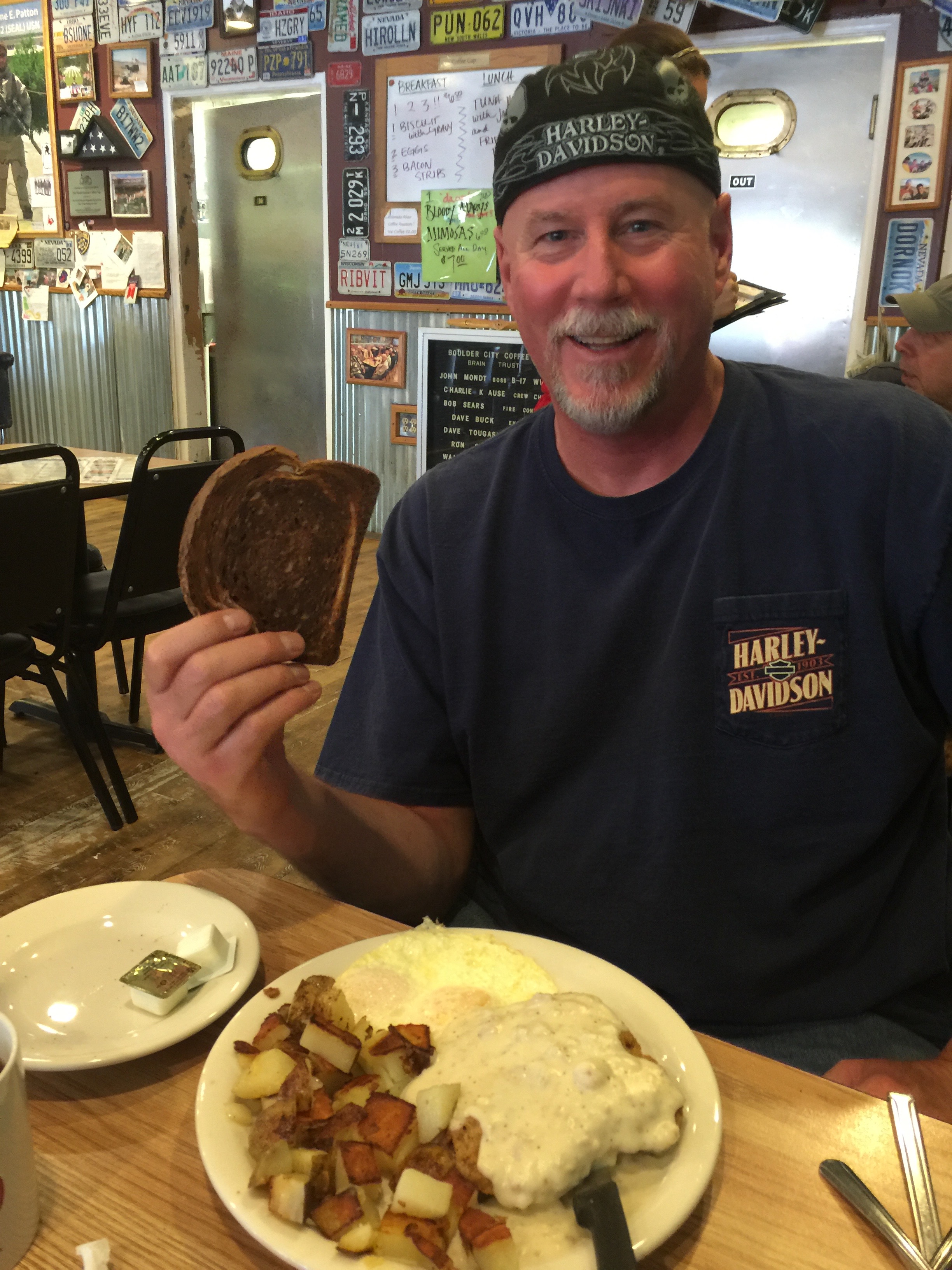
The day begins at the Peace Tree Juice Cafe in Monticello. Of course, Randy has the Jo’s Omelette.
Randy is still half-asleep, but loving Jo’s Omelette.
That’s Independence Rock between Gary and Dave.
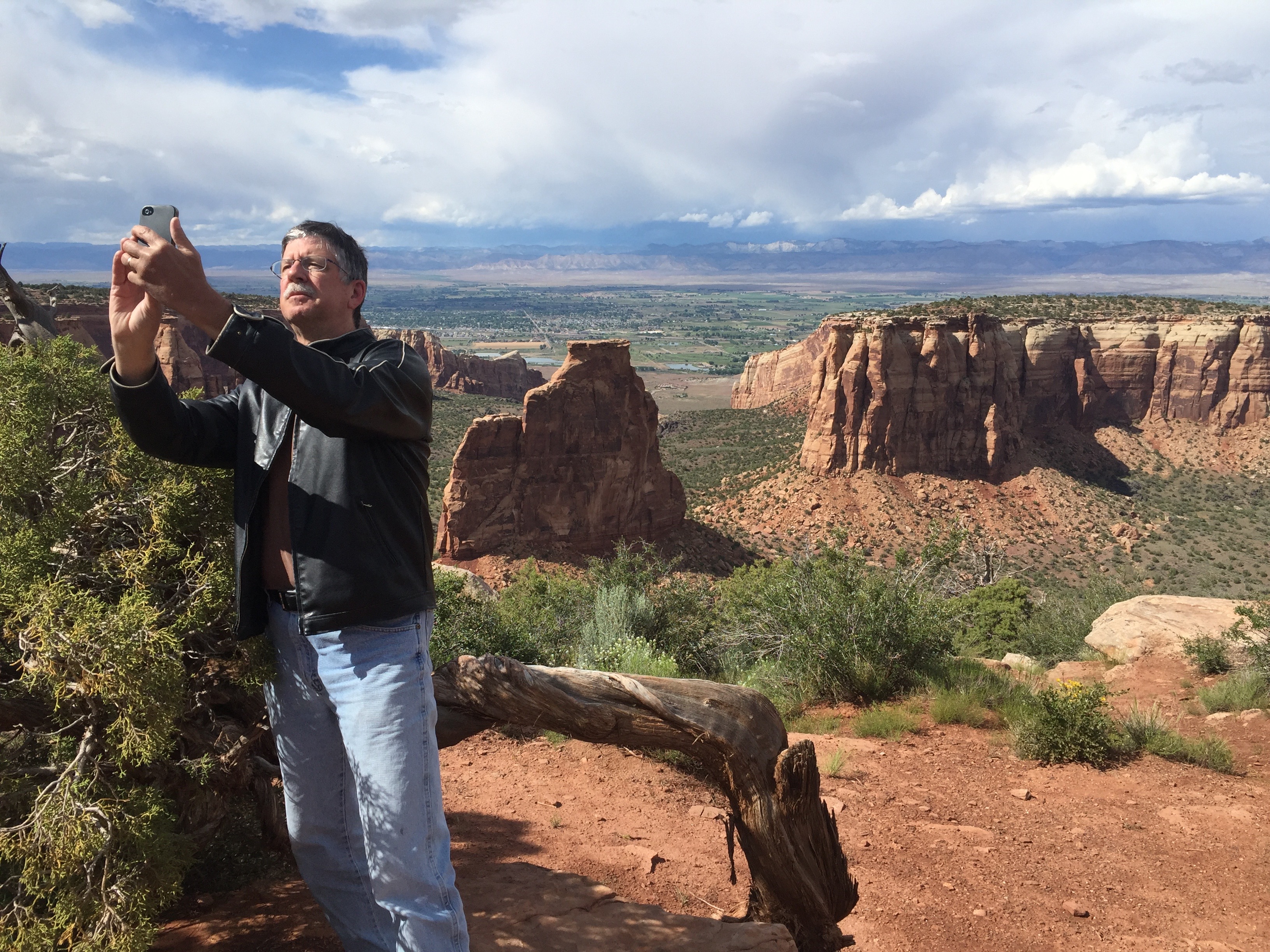
Another selfie in Colorado National Monument.
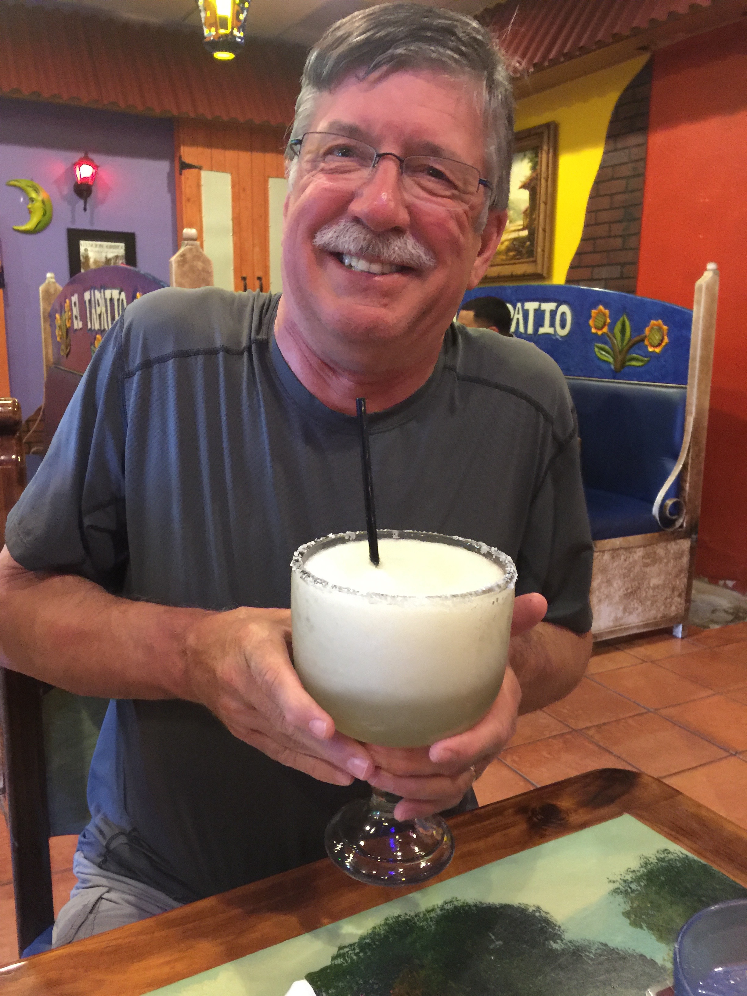
Randy with his “mediana” margarita.
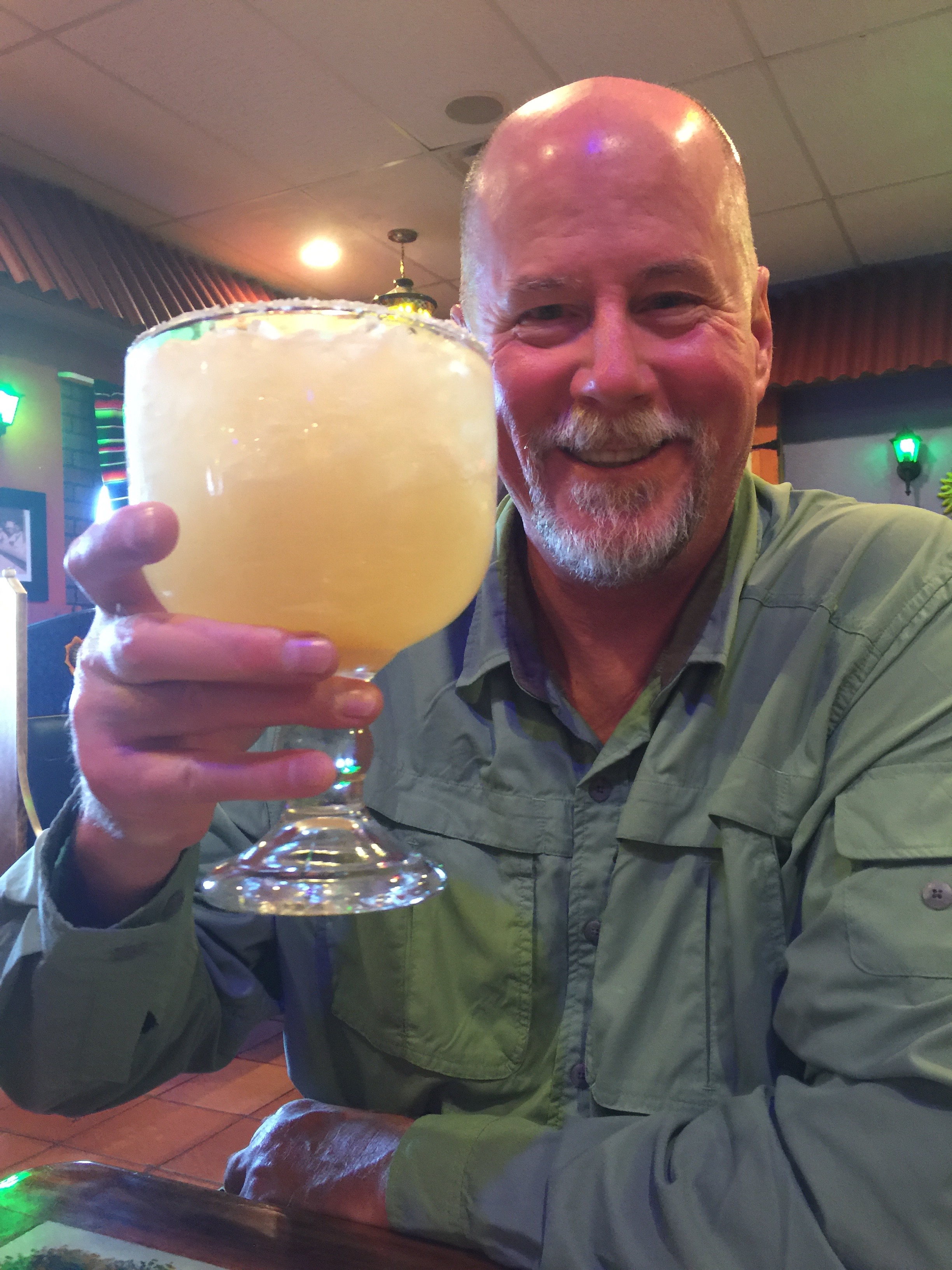
Not to be outdone, Dave goes for the “grande.”
Dave’s dinner. Pairs well with grande margarita. He ate every last bite.
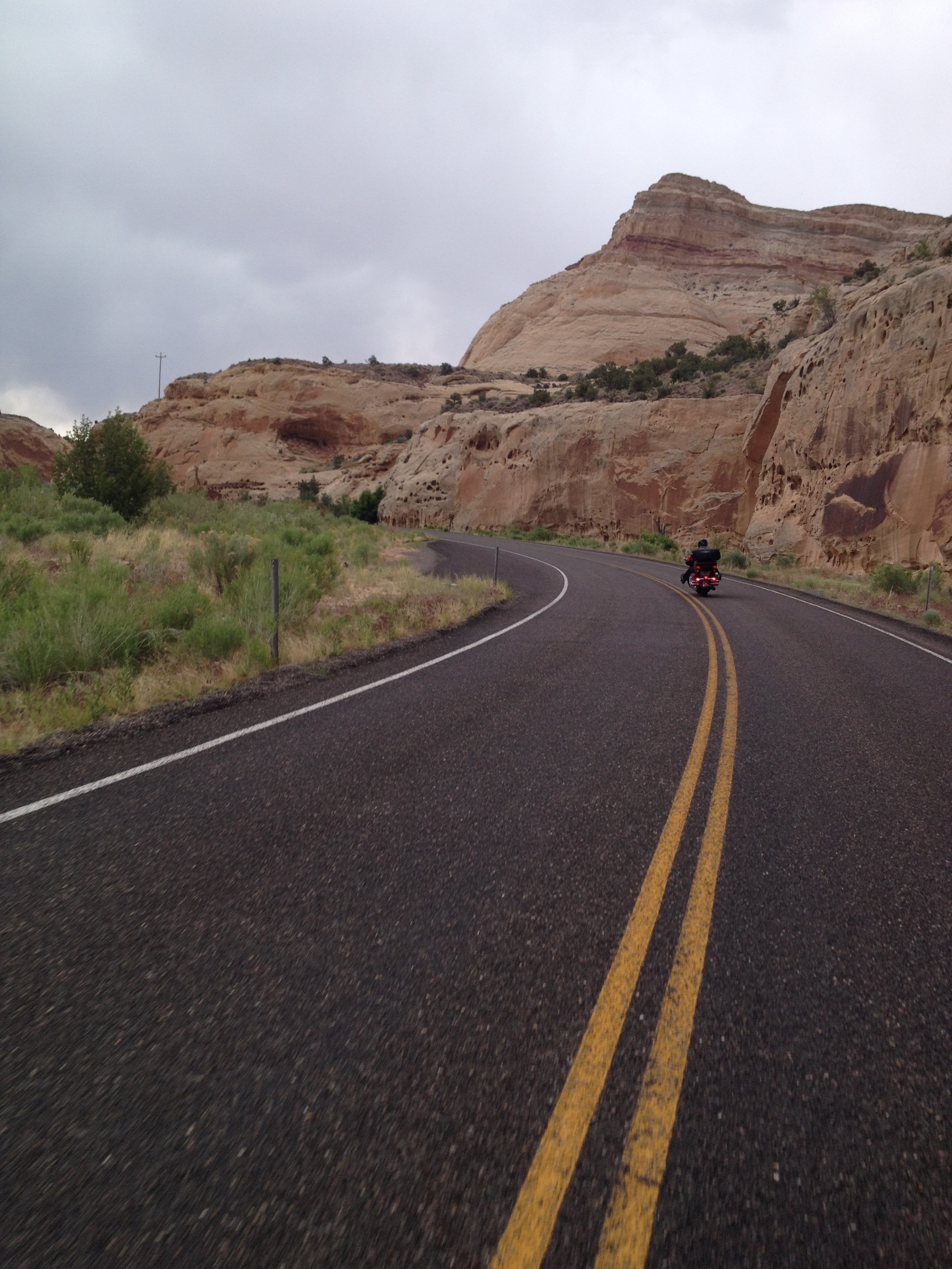
Day Five of our National Parks Tour has us again on Utah Highway 12, one of the top motorcycle roads in the US – only today, we’re going eastbound (yesterday we rode east-to-west).
Randy, at the Capitol Reef National Park Visitors Center.
We pass through one of the few National Parks where no pass is required, since the main road through the park (Utah Highway 24) is maintained by the state of Utah. We also ride through Grand Staircase Escalante National Monument, adding to our National Parks and Monuments collection.
It’s gonna rain today, so we put on our rain gear.
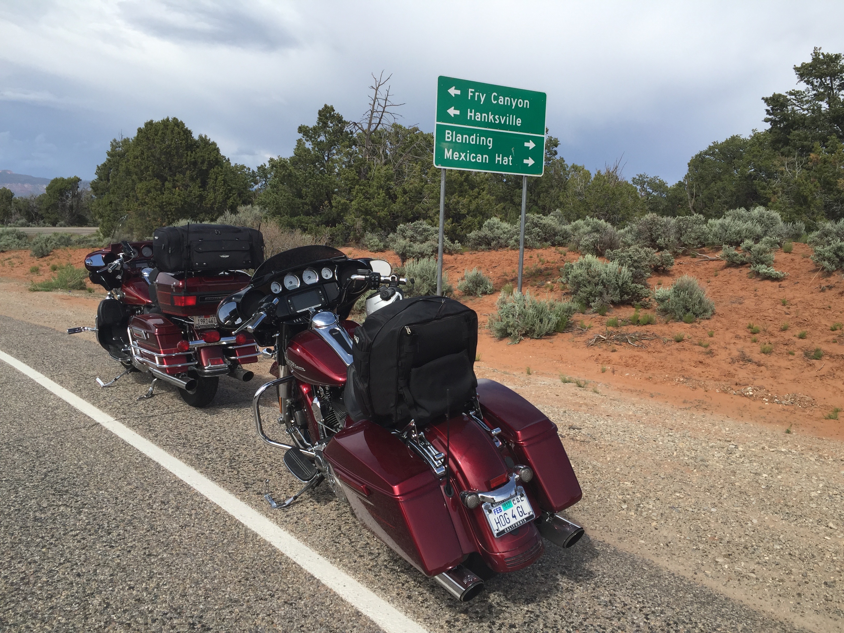
We begin in Tropic, get rained on several times and encounter strong winds, then roll through Torrey and Hanksville, and end up in Blanding.
To see the other sights we saw along the way, check out today’s Photos-of-the-Day (PODs), below.
Wanna see the actual route from today’s ride, using Google Maps? click here.
***
And now, today’s “Previous Blog Trivia Question:”
Q: Who was the town of Hanksville named for?
A: Hanksville got its name in 1885, named after Ebenezer Hanks, leader of a group of Mormon pioneers who established a small settlement there.
Q: For extra credit – What is Hanksville best known for?
A: It was a supply post for Butch Cassidy and the Wild Bunch, who often hid out at Robbers Roost in the desert southeast of town.
***
Gotta go.
Vroom, Vroom.
Ever the gentleman, Dave cleans Randy’s windshield. Good help is hard to find!
All bundled up, and ready to ride. Cheer up, Randy.
Somewhere in Utah. That’s Dave off in the distance.
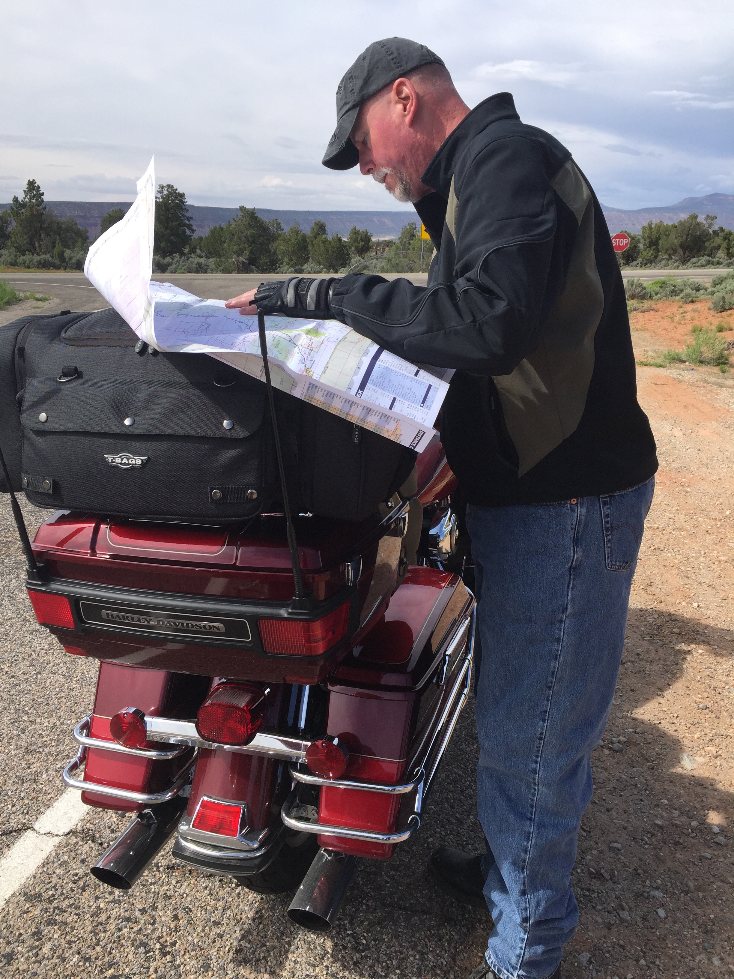
On Highway 95, heading for Blanding.
We’re lost, but we’re making really good time.
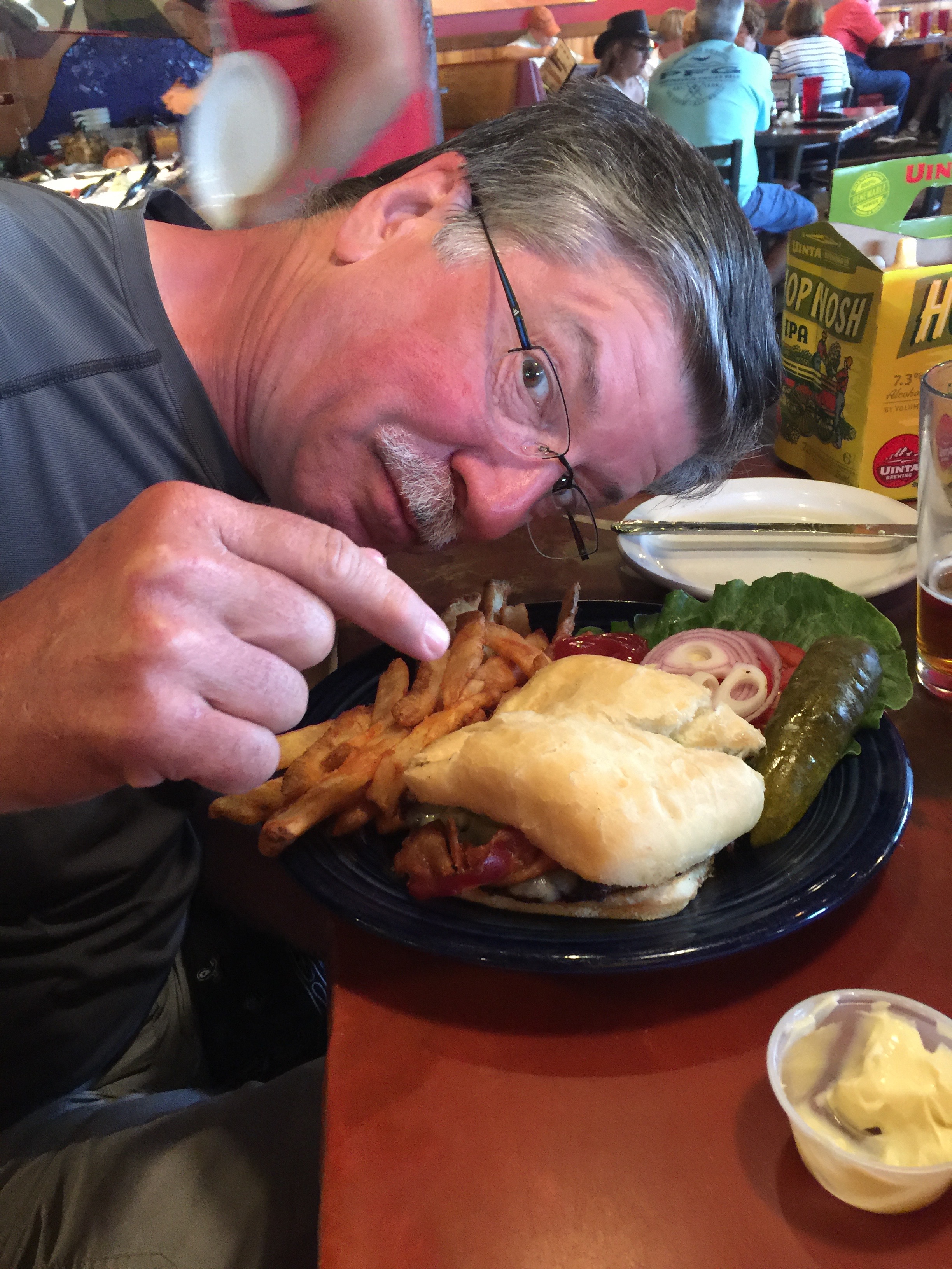
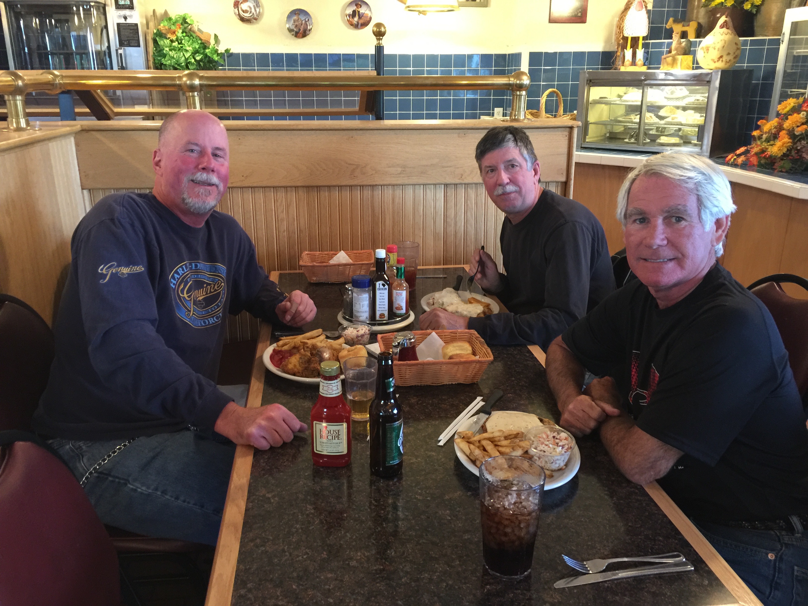
Dinner at the Homestead Steak House in Blanding, sadly, a dry county.
Dry county? Then make mine a double. Pairs nicely with fried chicken.
At the Homestead Steak House. Chicken fried steak, for Randy AND Gary.
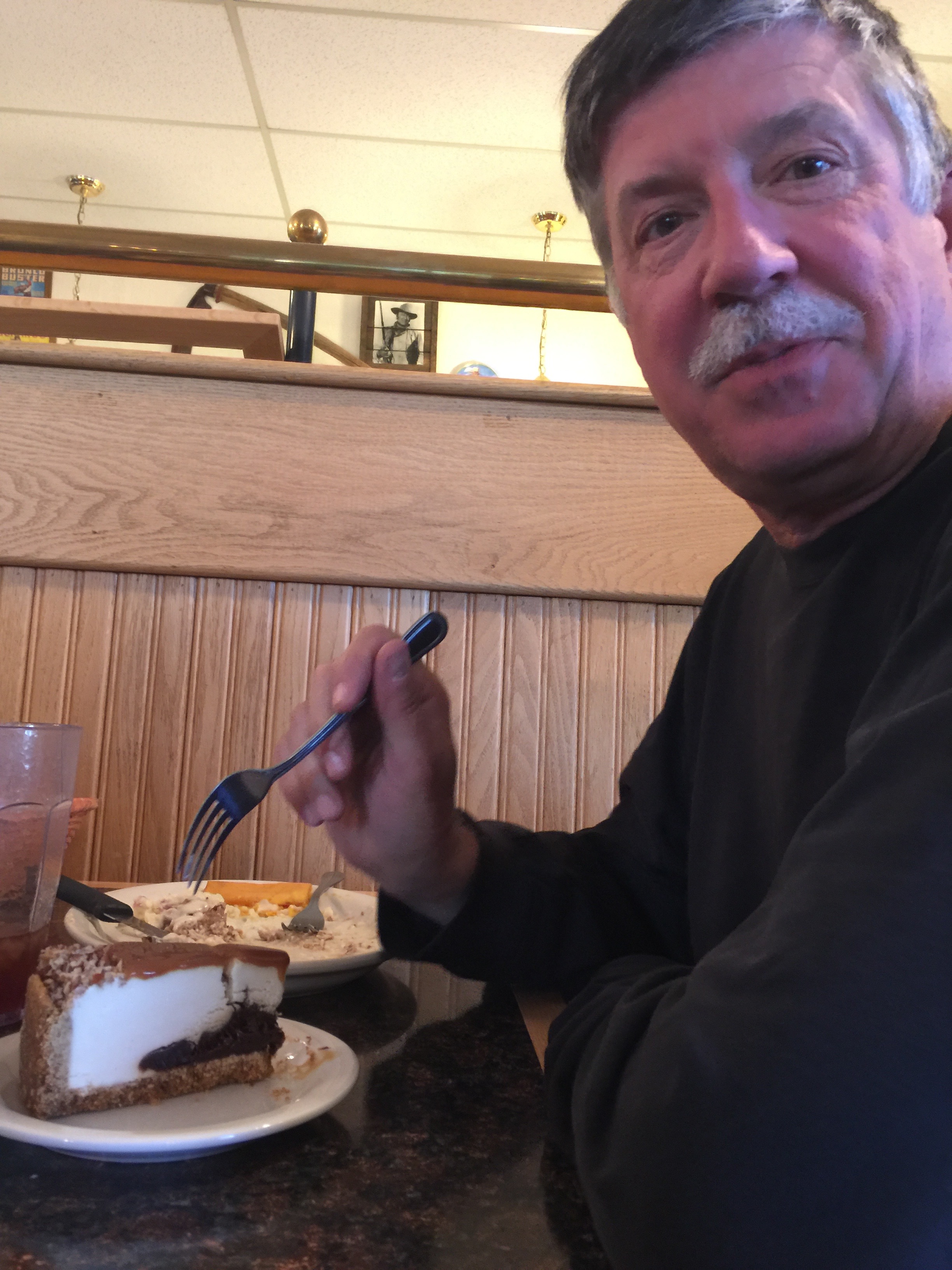
Randy completes his dinner with a slice of cheesecake.
Day Four of our National Parks Tour takes us to the scenic Fish Lake Loop, which winds around a high alpine lake at nearly 9,000 feet. We start the day in Tropic, Utah, pass through the metropolises of Koosharem and Loa, then end it where we began – in Tropic.
At Fish Lake, Dave ponders the one that got away.
To see other sights we saw along the way, check out today’s Photos-of-the-Day (PODs), below.
Wanna see the actual route from today’s ride, using Google Maps? click here
***
And now, today’s “Previous Blog Trivia Question:”
Q: Utah Highway 12 is generally considered one of the top scenic drives in the US. What small city is at the northern end of UT-12, just west of Capitol Reef National Park?
A: Torrey, Utah.
Q: For extra credit – What famous people have connections with Torrey?
A: Butch Cassidy (real name: Robert Leroy Parker), whose boyhood home was not far from Torrey; Zane Grey, author best known for his popular adventure novels (like Riders of the Purple Sage); and Wallace Stegner, historian, novelist, short story writer and environmentalist..
***
Gotta go.
Vroom, Vroom.
Randy taking a photo of something besides himself.
On the road to Fish Lake, Randy demonstrates the epitome of cool.
At a scenic overlook on Boulder Mountain.
They seem to be parked in the middle of the road. How does that work?
Overlooking Highway 12, Dave and Gary discuss the finer points of civil engineering.
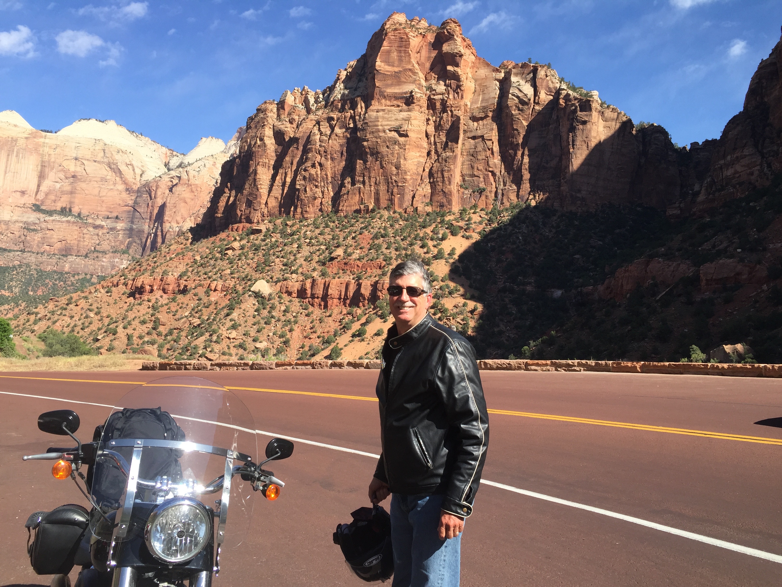
Day Three of our National Parks Tour takes us to two National Parks and one National Monument, where we ride above 10,000 feet for the first time (that was the plan anyway). That’s not very high in a Boeing airplane, but it’s quite exciting on two wheels.
A Dave sighting in Zion National Park.
We pass through Zion National Park, try to visit Cedar Breaks National Monument, and Bryce Canyon National Park – home of the hoodoos. Along the way, we encountered snow, twice, and even some rain.
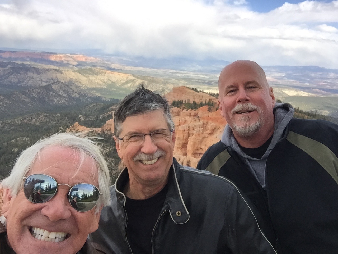
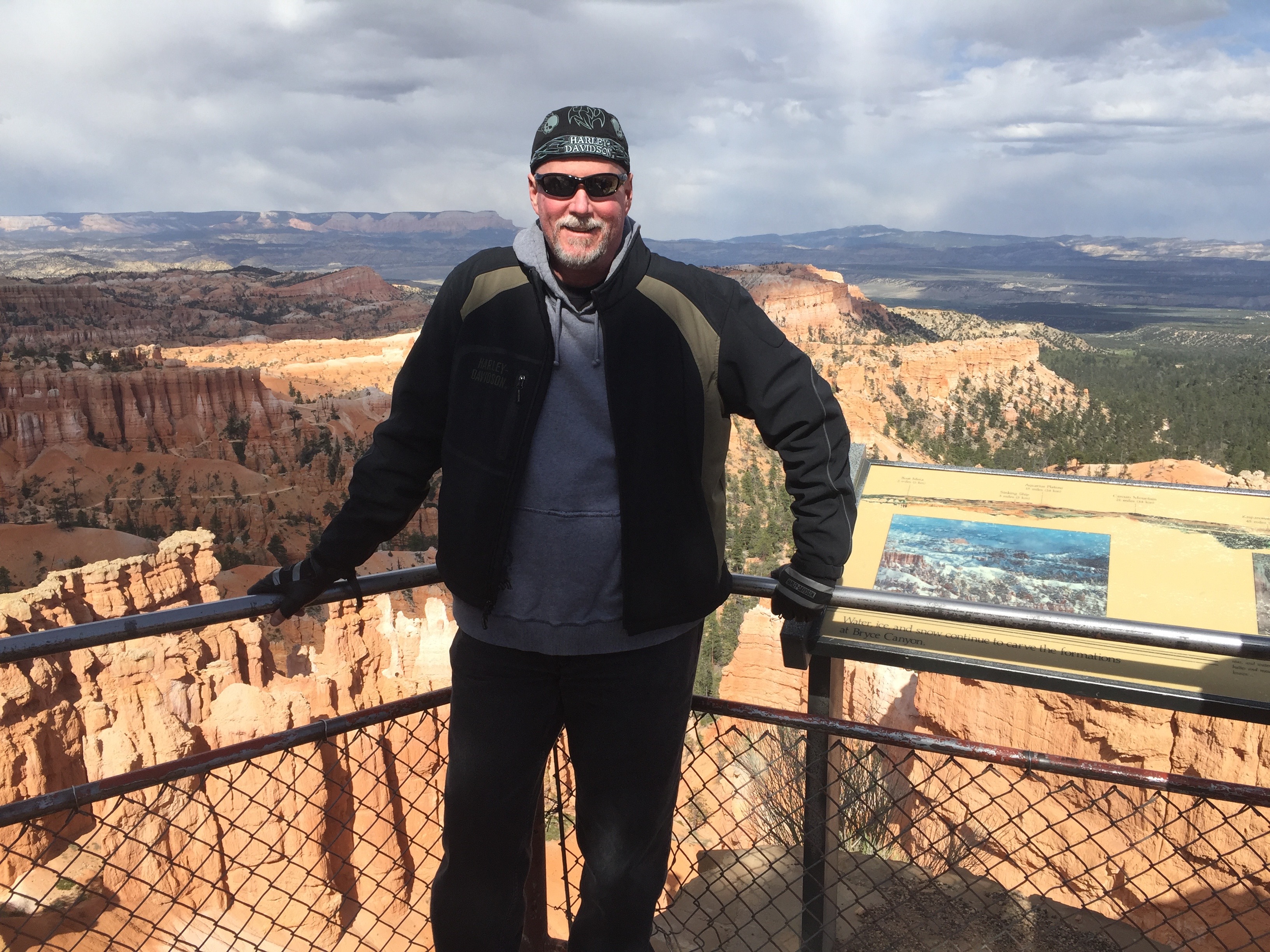
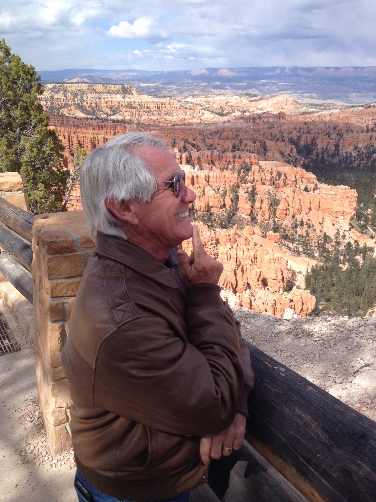
The view from Inspiration Point in Bryce Canyon National Park.
Wanna see the actual route from today’s ride, using Google Maps? click here.
***
And now, today’s “Previous Blog Trivia Question:”
Q: How did Bryce Canyon get its name?
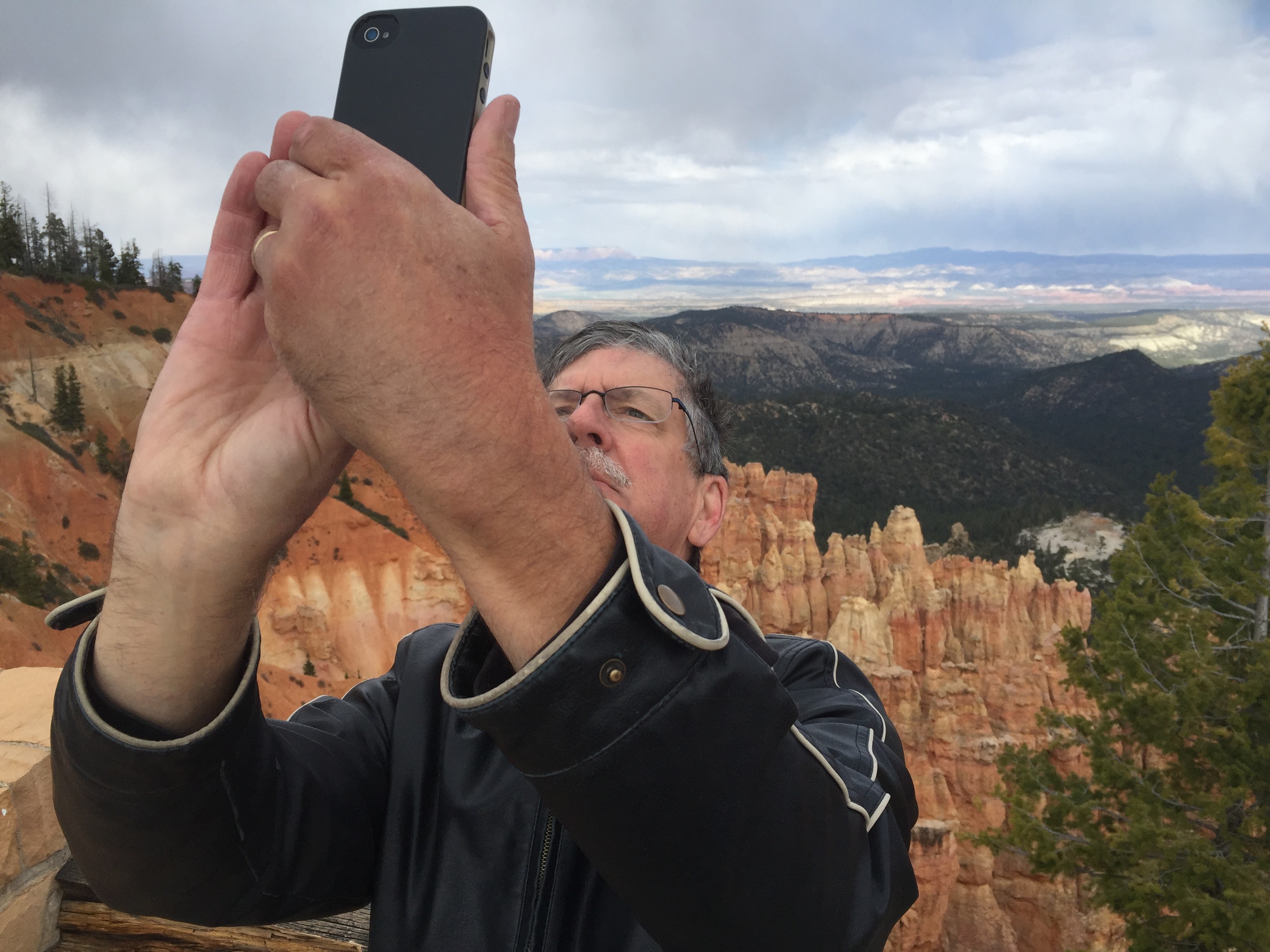
Randy, practicing his selfie skills in Bryce Canyon National Park.
A: The Mormon Church sent Scottish immigrant Ebenezer Bryce and his wife Mary Ann to settle land in the area, because they thought his carpentry skils would be helpful.
Q: For extra credit – how many children did Ebenezer and Mary Ann Bryce have?
A: 12, an even dozen.
***
Gotta go.
Vroom, Vroom.
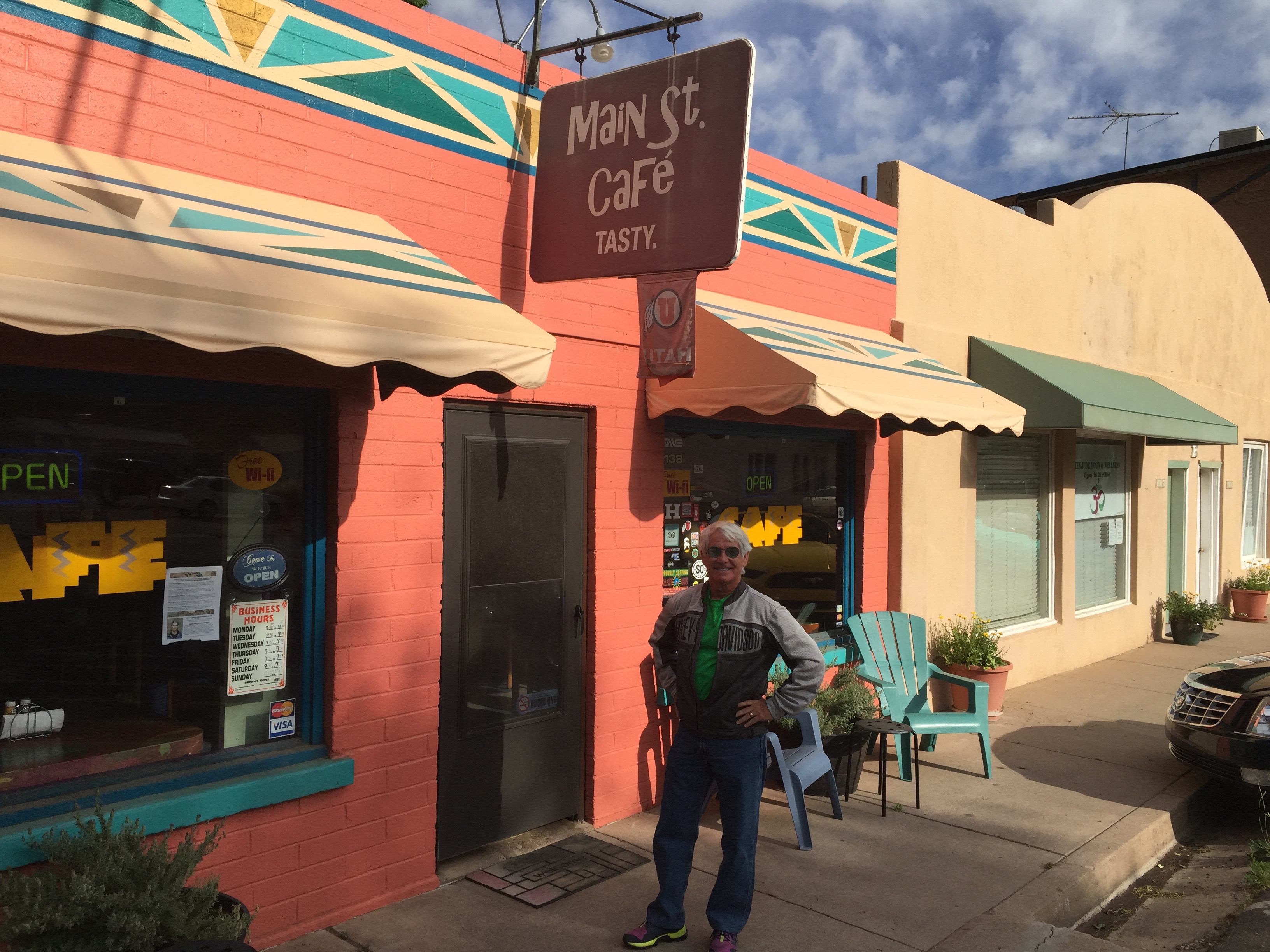
The day begins with a hearty (and healthy!) breakfast at the Main St. Cafe in Hurricane.
Now, there’s a healthy breakfast. Looks like chicken fried steak.
When in Hurricane, eat at the Main St. Cafe. We recommend it!
Randy in Zion National Park, looking away from the view. Huh?
Hey Gail, look who we found in Zion.
Killing time in Panguitch, on our way to Bryce Canyon National Park.
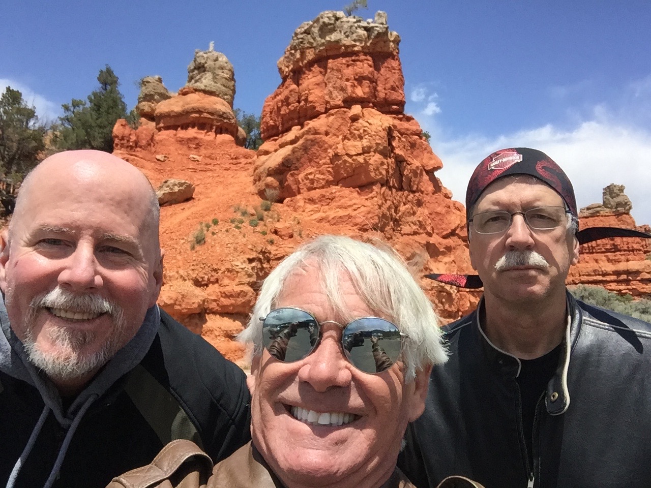
At the entrance to Red Canyon.
At Rainbow Point, at the top of Bryce Canyon National Park.
Randy continues to work on his selfie skills. He’ll get it, eventually.
At Natural Bridge in Bryce Canyon NP.
Dave, at Sunset Point.
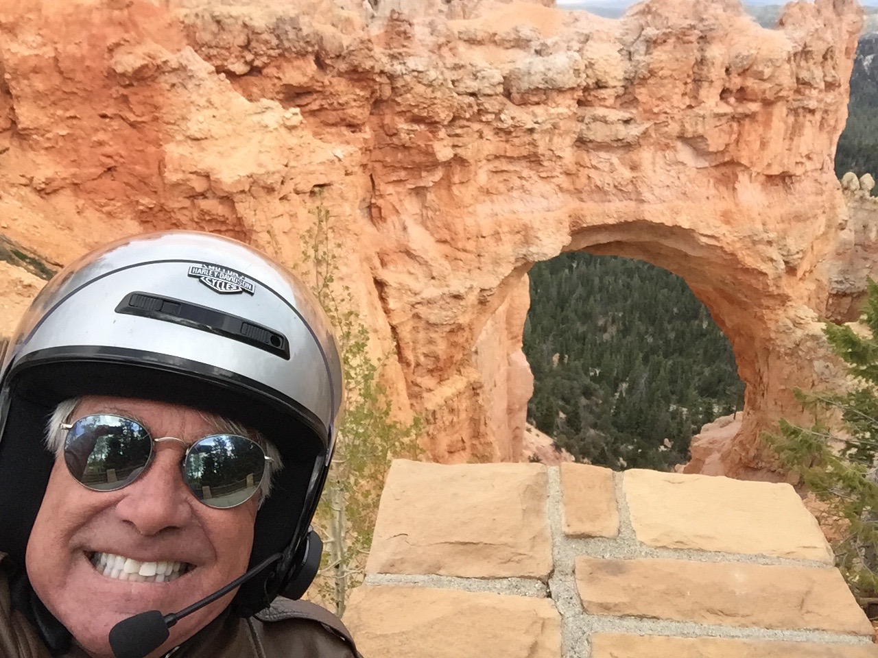
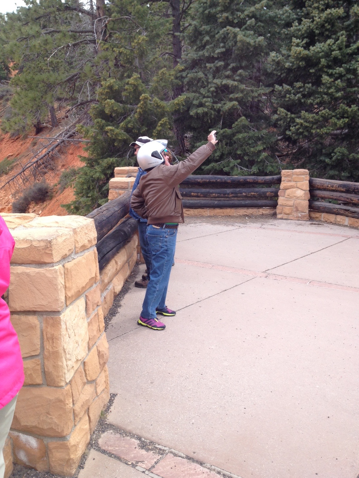
Shooting a selfie at Natural Bridge.
Daydreaming about, um, Sarah.
Photo by Randy. Quite possibly his favorite of all time. Don’t ask.
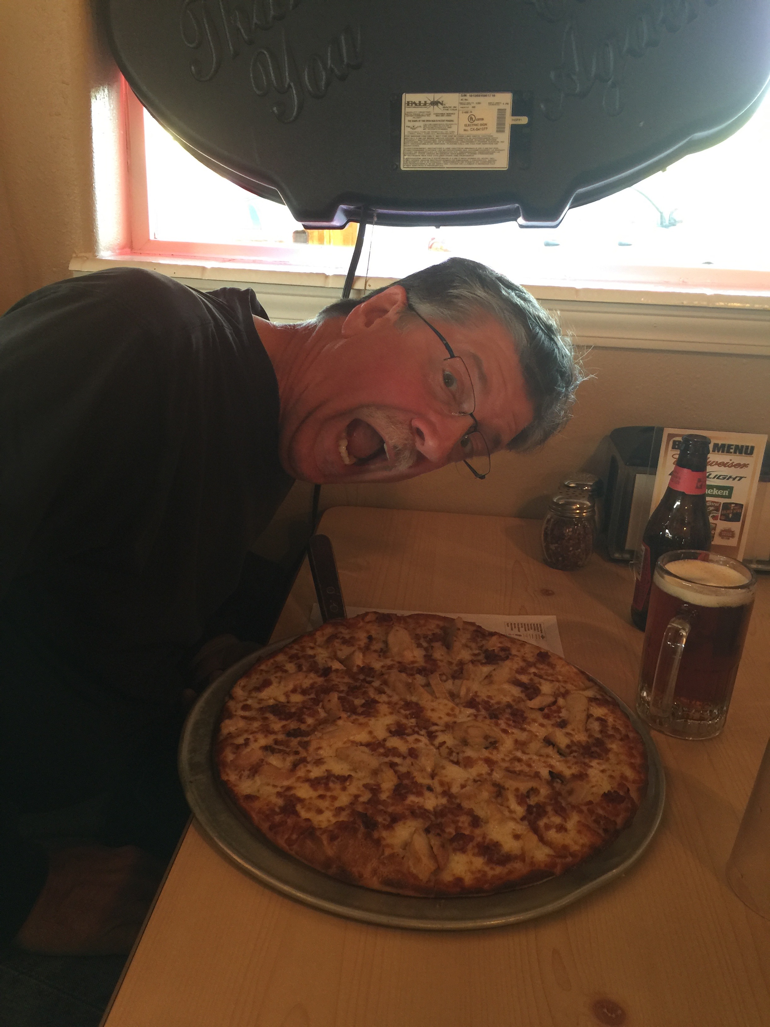
Randy was a bit overwhelmed by his 13-inch pizza at the Pizza Place in Tropic.
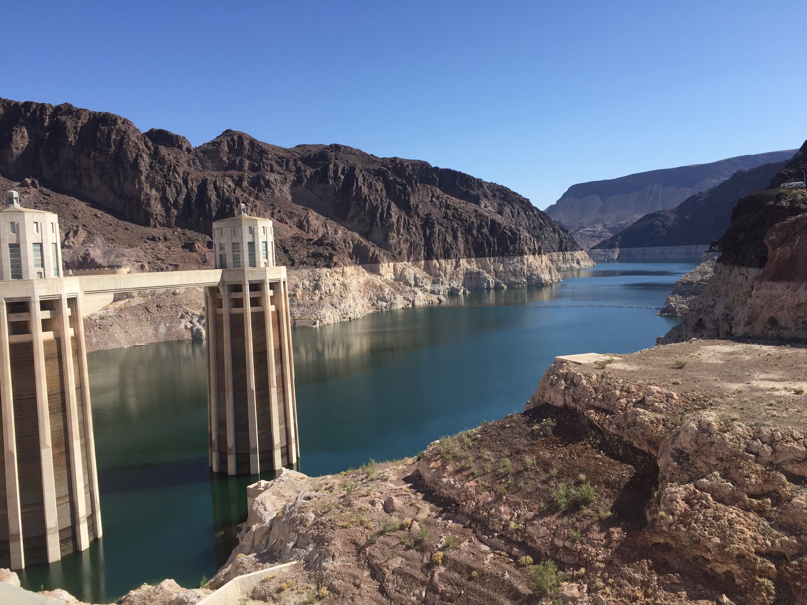
Day Two of our National Parks Tour takes us to the Seventh Wonder of the Industrial World (thank you, BBC) and to the land of Zion (thank you, Utah).
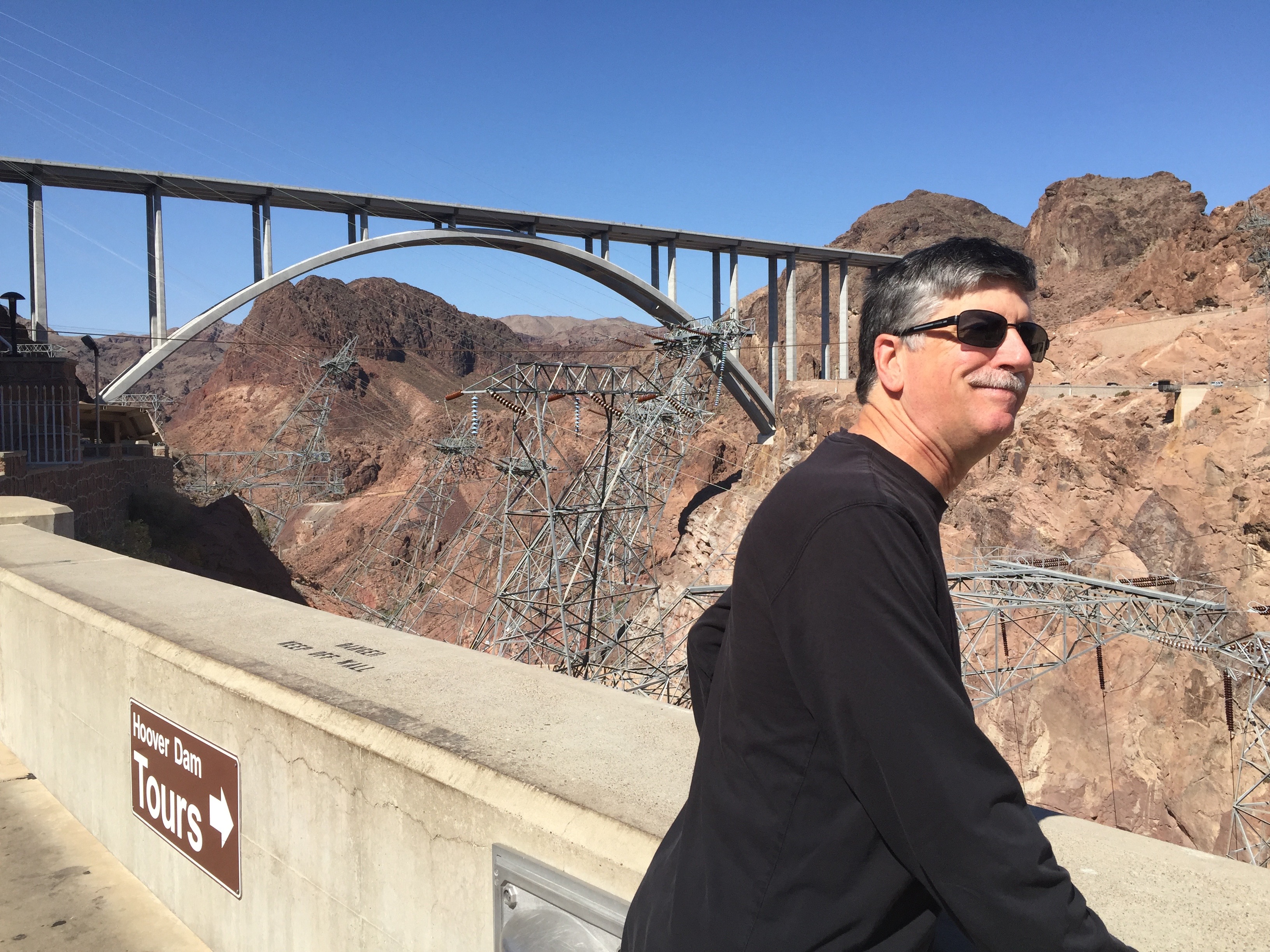
Deep thinking at Hoover Dam.
We visit the Hoover Dam, straddling the Arizona/Nevada border – the largest reservoir in the US. Then, we attempt to zip through Zion National Park to another, much smaller water storage facility – the Kolob Reservoir. There were, um, some unexpected issues along the way, which I’d tell you about, except I’m committed to word economy on this year’s blog, so you’ll just have to guess what went wrong. If it’ll help any, there was no serious bodily injury involved.
Wanna see the actual route from today’s ride, using Google Maps? click here.
***
And now, today’s “Previous Blog Trivia Question:”
Q: What was the cost of building the Hoover Dam?
A: The art-deco design dam was built during the Great Depression at a cost of $49 million.
Hoover Dam’s bathtub effect.
Q: For extra credit — Besides the Hoover Dam, what other structures did the American Society of Civil Engineers include in its list of greatest engineering achievements of the 20th Century?
A: The Golden Gate Bridge, the Panama Canal, the Empire State Building, and the Chunnel under the English Channel – among others.
***
Gotta go.
Vroom, Vroom.
The day begins with, duh … chicken fried steak.
Bad hair day at Aztec Rock.
Three reds: bike, shirt, rock.
Aztec Rock. A popular place.
At Zion NP, our second National Park of the day.
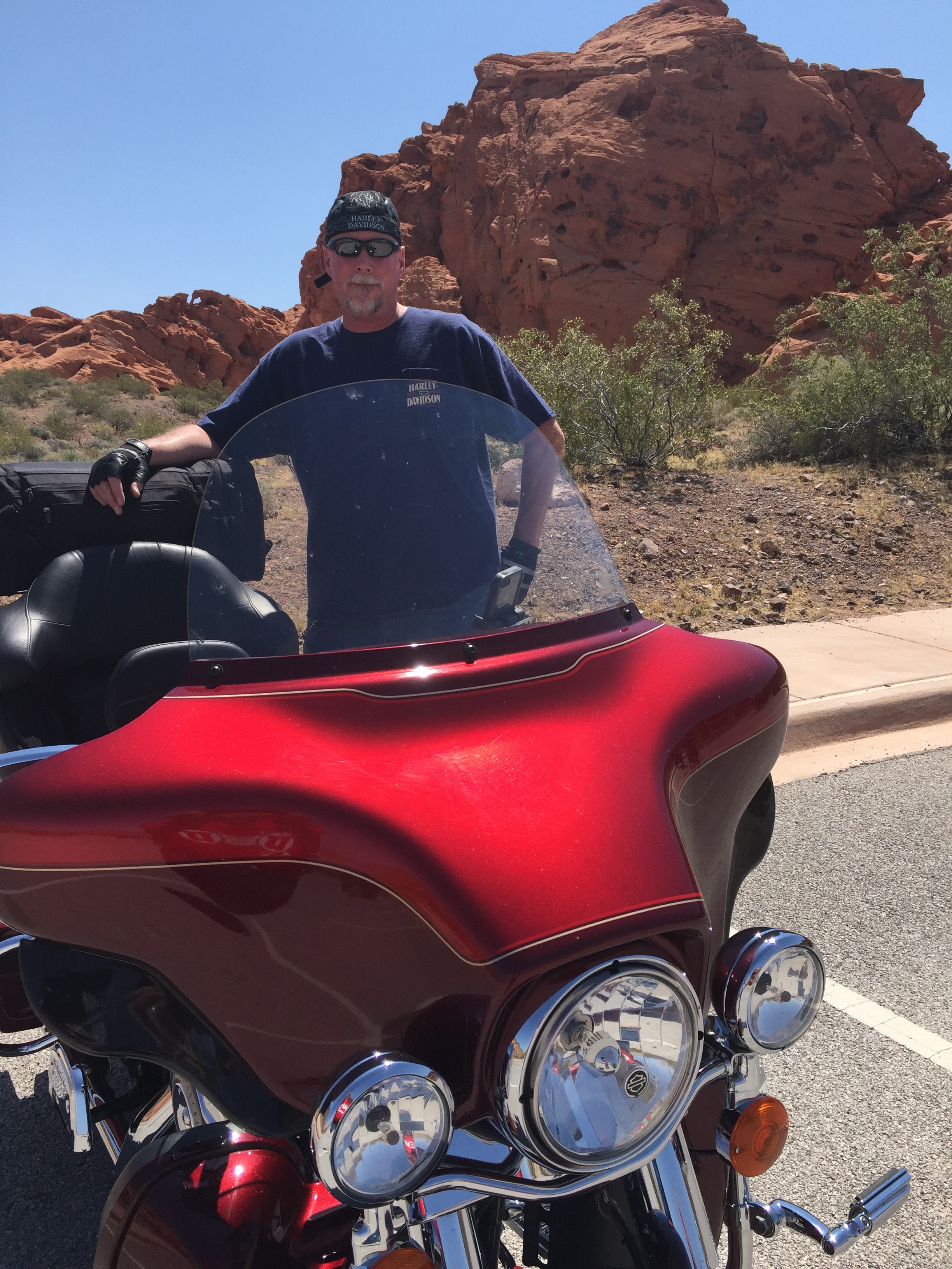
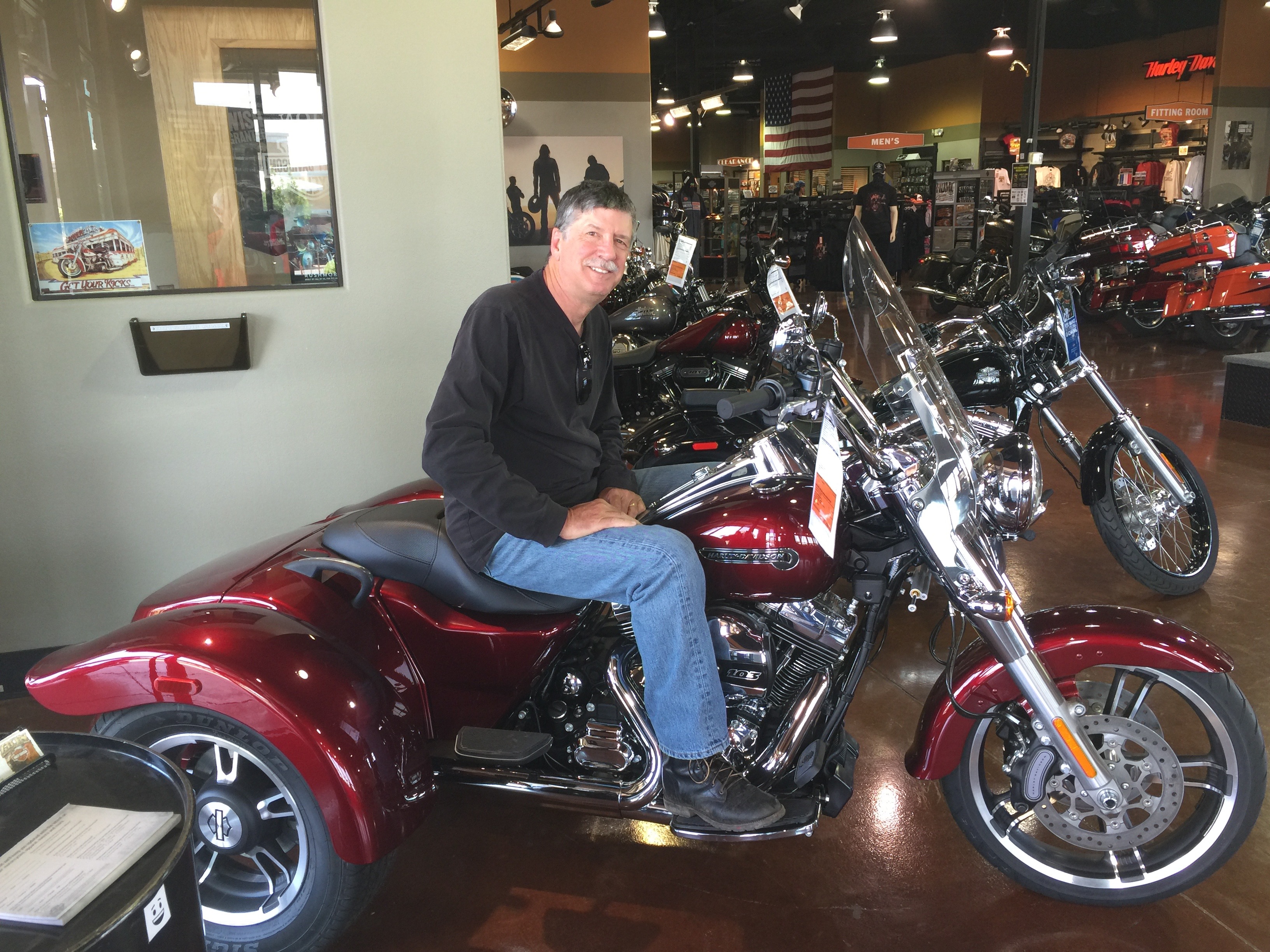
Randy at Zion Harley Davidson. A trike? Really … you need training wheels?
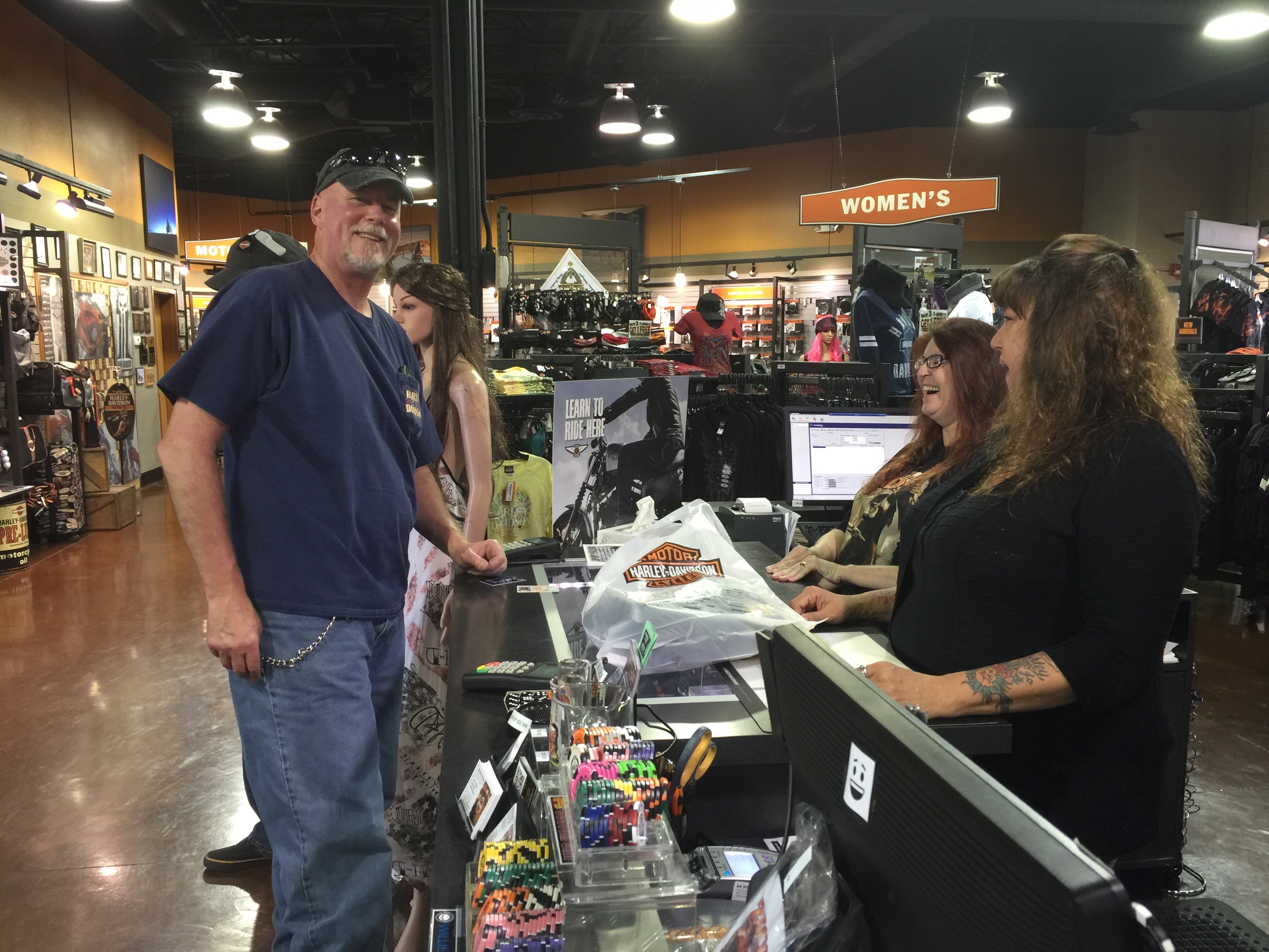
Dave gets some retail therapy at Zion HD, and cracks up the girls along the way.
Our 12-day adventure begins this morning as we roll out of La Quinta, en route to Boulder City, Nevada, just southeast of Las Vegas
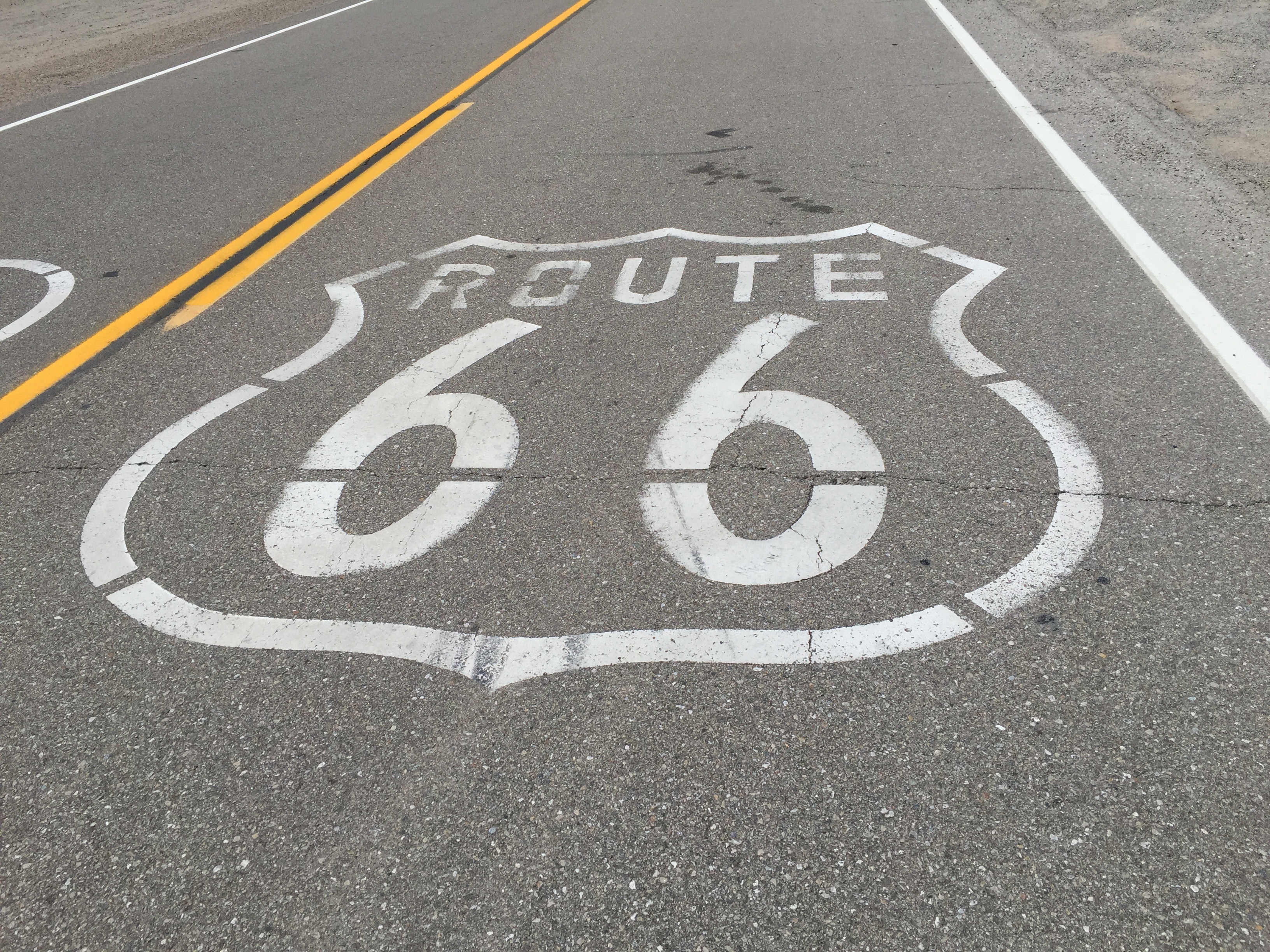
Today, we’ll pass through Joshua Tree National Park, visit the ghost town of Amboy, and get our kicks on what used to be Route 66.
Tracing the old Route 66.
The route from La Quinta to southeast Nevada is similar to one I rode in 2014 with Sarah’s cousin, Ray. If you want to learn more about the legend and lore along the way, scroll down to recall May 22, 2014 (note: the blog posts are in reverse chronological order).
Or, check out today’s Photos-of-the Day (PODs). Remember to read the captions. You might pick up something new. In anticipation of your personal growth from anything you might learn from this year’s blog, you’re welcome.
To see the actual route from today’s ride, using Google Maps, click here.
***
Oh, and here is today’s “Previous Blog Trivia Question:”
Q: What nation’s economy is 1/1000th the size of California’s
A: Cape Verde gross national product is $2 billion, compared to California’s $2 trillion gross state product.
Brittany, Cape Verde’s most important export.
Q: For extra credit, why would anyone care about Cape Verde, an island archipelago 350 miles off of the Western Africa coast?
A: Cape Verde is where, on the island of Fogo, our unofficially adopted daughter, Brittany, served in the Peace Corps from 2006 to 2008 – before becoming a rising star in the Boeing PR machine.
Hi there. Welcome to my blog, Travels With Harley: 2016 National Parks Tour.
Tomorrow, I head out on a 12-day ride to 12 National Parks and Monuments in California, Utah, Arizona and Colorado.
As you may recall, I hit the road on a major motorcycle ride every year – and blog about my travels along the way. Last summer, I went on two journeys – the Canadian Rockies with Randy Suhr in July, and California’s coast and mountains with Dave Bowman and Scott Donaldson in August.
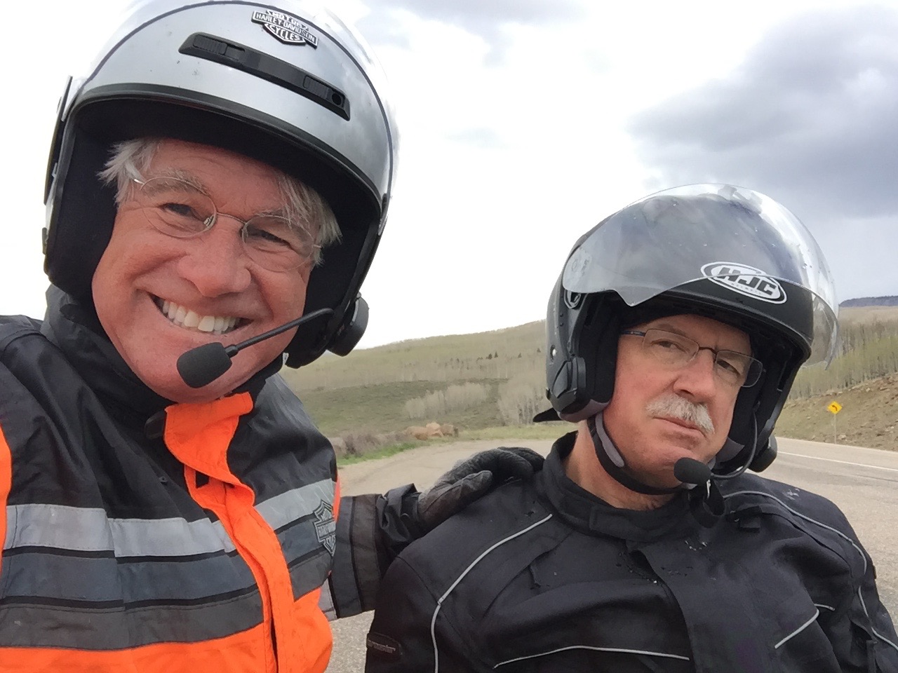
Randy and Dave, who haven’t met until today, will join me for this year’s National Parks tour. Scott had other commitments and couldn’t make this year’s trip, but plans to be on the 2017 ride, wherever it leads us.
The way I see it, you’re all along for the ride. That’s how it feels when I hear from you at the end of a long day in the saddle. When we park our bikes and sit down for dinner, we greatly enjoy reading your comments. Please feel free to send along your thoughts. You can post right here on the blog, and humiliate me publicly. I thrive on your abuse.
To be part of the dialog, click on “Add Comment” at the bottom of any blog entry.
***
Here’s a quick refresher on the 2016 ride crew, and how we know each other:
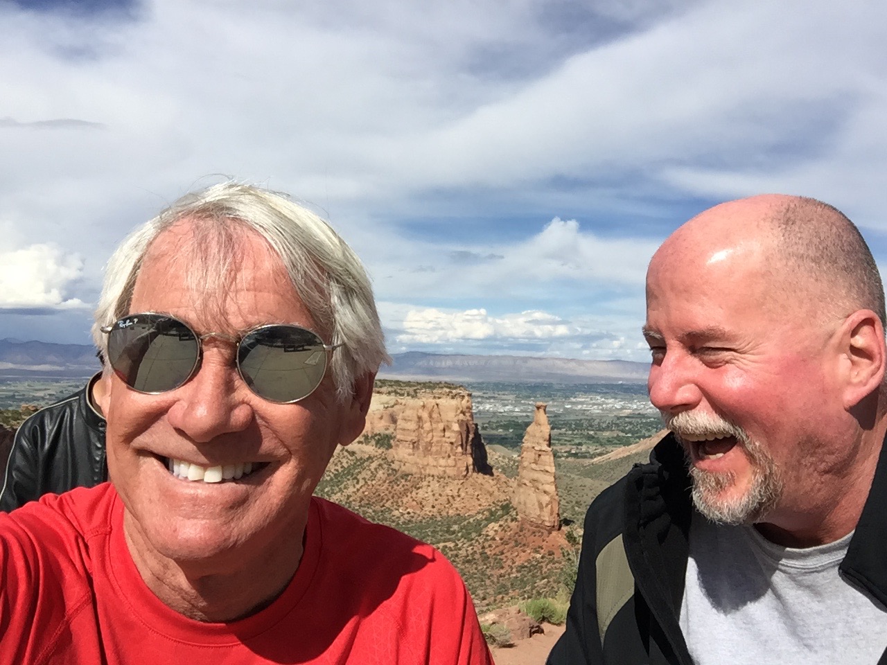
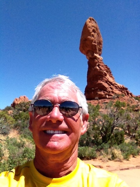
Gary, at Balancing Rock, Arches National Park.
Gary: Originally from Lafayette, Calif., Gary earned a bachelor’s degree from the University of Utah, majoring in Broadcast Journalism (yes, it was kind of like typing school). His first career, in TV news, led Gary to KOMO-TV in Seattle, where he was a news producer in the 1980s. There, he worked alongside Randy, who was then a director. At the time, Gary rode a bright orange 1976 Honda CB550F (earth tones were big in the ’70s!). Eventually, everyone in Seattle with a pulse goes to work at Boeing, so that’s where Gary went in 1988, seeking fame and fortune (he found neither, but walked away with Sarah, the biggest prize of all). He retired from the big ol’ airplane company 20 years later as a public relations and communications guy. In his final Boeing gig in Long Beach, Gary worked for Dave on the C-17 program, stringing together subjects and verbs to tout the C-17’s achievements. Gary rides a 2016 Harley Street Glide Special, which earlier this year he convinced Sarah he should have as his “last bike,” cuz he’s 66 and not getting any younger. Gary and his wife, Sarah Murr, who were married in Dragør, Denmark, recently celebrated their 17th wedding anniversary. Along with their two cats, Lucy and Betsy, they live full time in La Quinta, Calif.
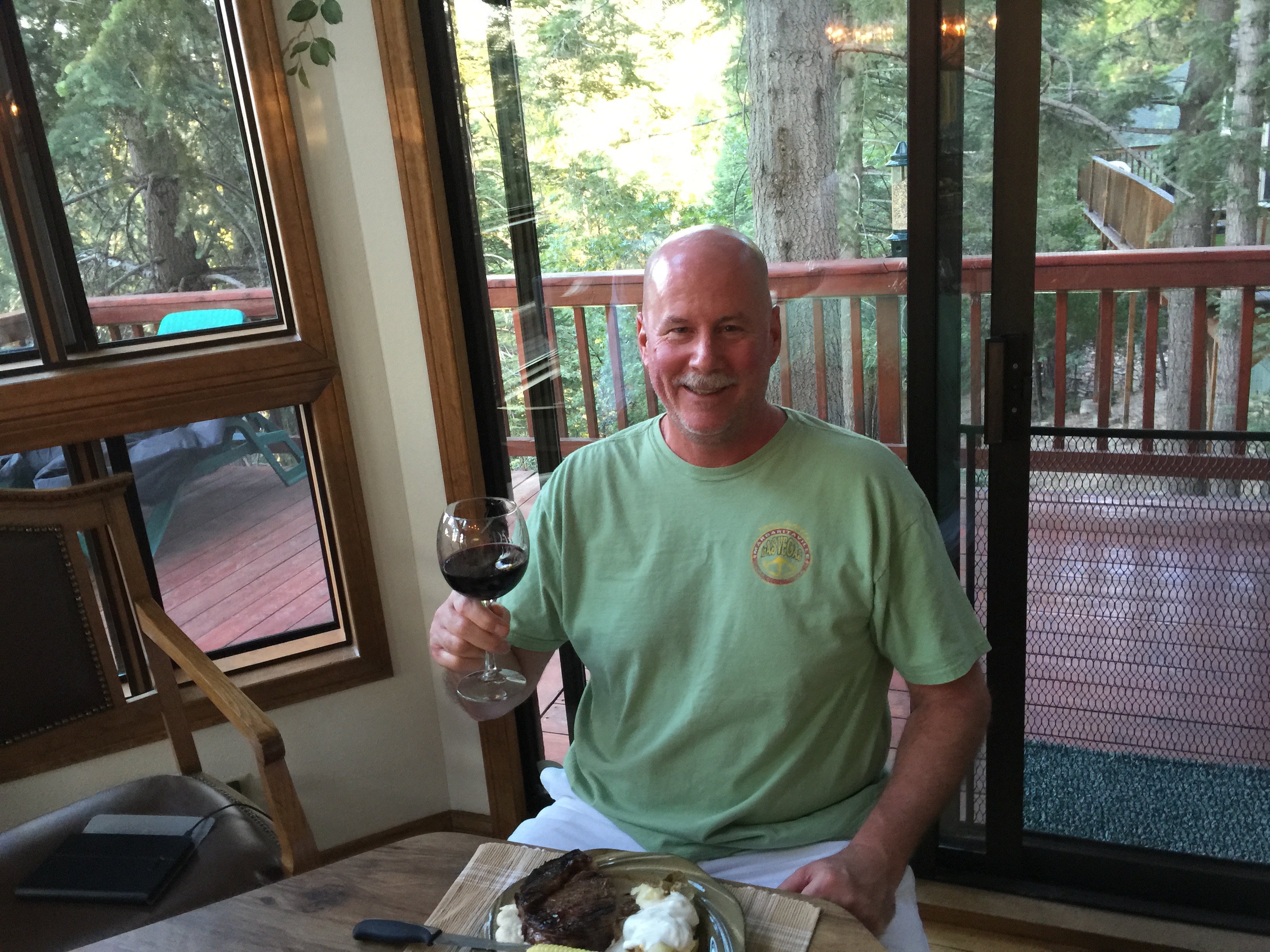
Dave, at his Lake Arrowhead mountain getaway.
Dave: A native Southern Californian, Dave attended Cal State University Long Beach and earned his bachelor’s degree (summa cum laude!) in Computer Science from National University. In addition, he has a master’s degree in Global Technology Management from Pepperdine. The guy is a degree collector. Dave began his aerospace career as an engineer at McDonnell Douglas in Long Beach, eventually retiring as Vice President and General Manager of Boeing Global Mobility Systems. When he was VP/GM of Boeing’s C-17 program, Dave worked alongside Gary, the two of them clueless that the other had any interest whatsoever in motorcycles (actually, they were clueless about lots of things). Dave left Boeing in 2010 after 30 years, then went to work at Eaton in Cleveland, Ohio, as Senior VP of Program Management. He retired from Eaton in 2015, finally giving him time to ride. Always active in his community, Dave’s served for many years on the board for Special Olympics of Southern California. He and his wife Gail live in Fullerton, Calif., and have a mountain getaway near Lake Arrowhead in the San Bernardino mountains. He rides a 2008 Harley Ultra Glide. Dave, now 56, reconnected with Gary after reading his Harley blog year after year, eventually saying, “Count me in after I retire. Let’s ride!”
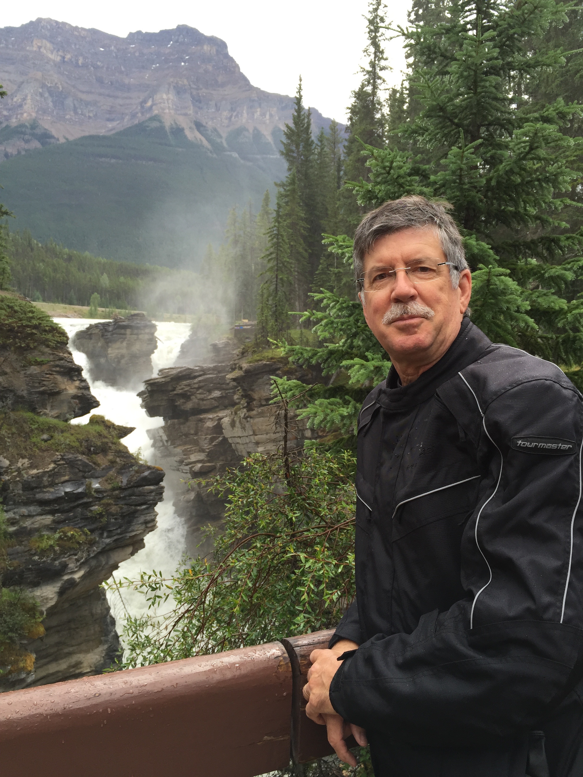
Randy, at Athabasca Falls, on Canada’s Icefields Parkway.
Randy: After growing up in Republic, a tiny town 43 miles west of Kettle Falls, Wash., Randy found his way to Eastern Washington University in Cheney, where he received a bachelor’s degree in Radio and TV Management. Randy says his crowning achievement in Cheney was getting high with Arlo Guthrie, best known for “Alice’s Restaurant.” Seriously. Following graduation, he (Randy, not Arlo) was hired by KOMO-TV in Seattle, in the shadow of the iconic Space Needle. There, he worked in the production department and directed nightly newscasts. When we worked together, Randy sat next to me in the control room and – incredibly – made me look like the genius I clearly wasn’t. Randy left KOMO in the mid-1980s to work at KNBC in Los Angeles, where the proximity to Hollywood allowed him pursue his dream of being a film director. After working on a number of movies, Randy’s last 15 years in the entertainment business were spent primarily as a first assistant director on various TV sitcoms, including Everybody Loves Raymond and The New Adventures of Old Christine. Following his retirement in 2014, Randy and his wife, Jo Shilling, split their time between Phinney Ridge, near Seattle – and Poulsbo. Randy, now 62, rides a 2006 Yamaha V Star at home in Washington state, and is renting a Harley Softail Heritage Classic for this trip. Like Dave, Randy responded to one of Gary’s recent blogs by saying, “Hey, I wanna go next time!”
***
Dinner at the Lesser/Murr Ranch at PGA West. We leave on our journey tomorrow.
And, tomorrow, Randy and Dave join me as we leave La Quinta on a 3,000-mile journey through some of the most spectacular scenery imaginable.
Clearly, there’s a precedent for readers of this blog to sign on for future rides, and become part of Travels With Harley. Who’s next? You know who you are, John Tracy!
Among the lamest of excuses not to join us:
“I have a job.” (Boo-hoo)
“My wife would kill me.” (It’s a risk worth taking)
“I have an aversion to cheap motels.” (Eight hours in the saddle and you won’t care where you sleep, or who’s snoring in the bed next to you)
C’mon, people. Get a life. Travels With Harley 2017 is only a year away.
Finally, a big thanks to Sarah, Gail and Jo for giving the guys an unrestricted two-week kitchen pass. You girls rock!
***
Betsy bones up on ads in the Desert Sun.
That’s about as verbose as I’m gonna get on this year’s blog. Because I’ve previously blogged about many of the places and scenic routes we’ll be riding this year, no point in providing you with déjà vu moments over the next 12 days (how many times do you need to learn about the history and scope of the National Park system?).
That’s why this year’s blog will consist mostly of photos – and captions. Be sure to click on the captions or you’ll miss out on what journalists call “color.”
To see if you were paying attention to my other blogs that already covered the roads we’ll be on this year, I’ll have a “Previous Blog Trivia Question” (PBTQ) each day for you.
There’s no prize for getting the correct answer – other than the knowledge you just might be the smartest person in the room.
Here’s the first Previous Blog Trivia Question (from May 25, 2014).
Q: How many US National Parks are there?
A: 59
Q: For extra credit, what is the largest National Park, and what is the smallest?
A: Largest (8,323,148 acres) is Wrangell-St. Elias, in Alaska. Smallest (5,550 acres) is Hot Springs, in Arkansas.
The day begins as we leave Front Royal, riding north on US-340. Yesterday, US-340 was the Stonewall Jackson Highway. North of Front Royal, it’s called the Lord Fairfax Highway,
Continuing north through Virginia and West Virginia, we cross the Potomac River in Shepherdstown, West Virginia, home of Shepherd University. To learn more about Shepherd University, apparent educator of sheepherders everywhere, click here. We are now in Maryland.
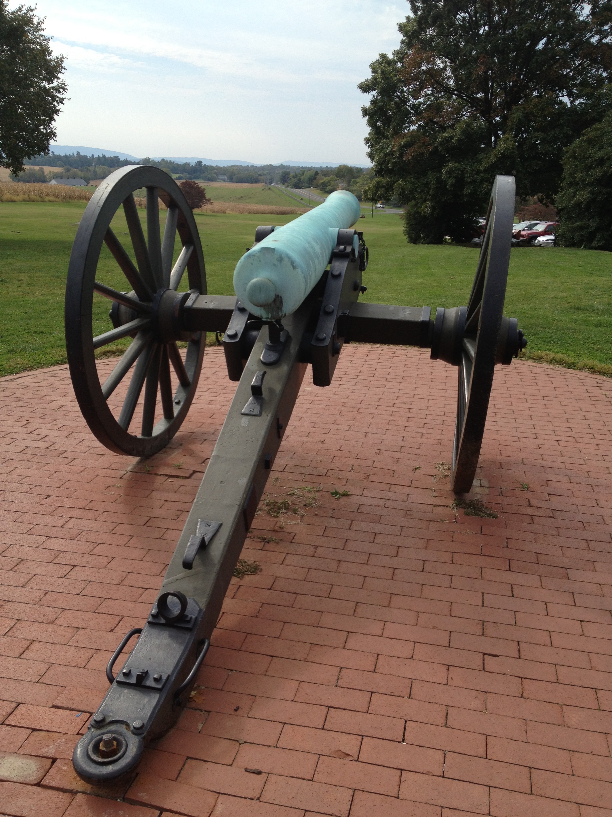
Throughout our ride the past few days, we’ve criss-crossed areas that played a significant role in this country’s history — both the Revolutionary War and the Civil War. Today, we stop at the Antietam National Battlefield in Maryland. It’s a sobering place, home of the bloodiest one-day battle in American history.
The Antietam National Battlefield, site of the bloodiest one-day battle in American history.
More than 23,000 soldiers were killed, wounded or missing after 12 hours of combat on September 17, 1862 — almost exactly 150 years ago. The Battle of Antietam ended the Confederate Army of Northern Virginia’s first invasion into the North, and led to Abraham Lincoln’s issuance of the preliminary Emancipation Proclamation. To learn more about the Antietam National Battlefield, click here.
From Antietam, we continue north on MD-66 and turn onto Jefferson Blvd. We head further north on MD-64, crossing the Mason-Dixon line into Pennsylvania, just south of Waynesboro, Pennsylvania. The Mason-Dixon Line was surveyed between 1763 and 1767 by Charles Mason and Jeremiah Dixon. The survey resolved a border dispute between British colonies in Colonial America. Today, the Mason-Dixon Line forms much of the border between Pennsylvania and Maryland. The Mason-Dixon Line symbolizes a cultural boundary between the Northeastern US and the Southern US.
Based on that symbolism, we’re now honorary Northemers. We push further north, passing the Caledonia Golf Course and crossing US-30, the Lincoln Highway. The Lincoln Highway, named after the 16th US President, continues southeast from here to Gettysburg, Pennsylvania. Instead, we motor north on PA-233 through Michaux State Forest — named for Andre Michaux, a French botanist dispatched in 1785 by King Louis XVI of France and his Queen Marie Antoinette, to gather plants for the Royal Gardens.
As we ride through the Michaux State Forest, we see almost no signs of life for miles and miles. No cars, no buildings. This place is quite remote. At one point, we stop the bikes to rest, and I turn on my phone to see if there’s a cell signal. I see only the “No Service” icon, confirming that we are in the middle of freakin’ nowhere. Good thing nothing goes wrong that requires a phone call.
Then, it’s on to Tumbling Run Game Preserve, a privately owned hunting area. We don’t stop to hunt, though soon we will successfully forage for food in Dillsburg, Pennsylvania. We continue through Pine Grove Furnace State Park, once home to a brick plant built in 1892, and on to York Springs, Pennsylvania.
***
Uh-oh. This can’t be good.
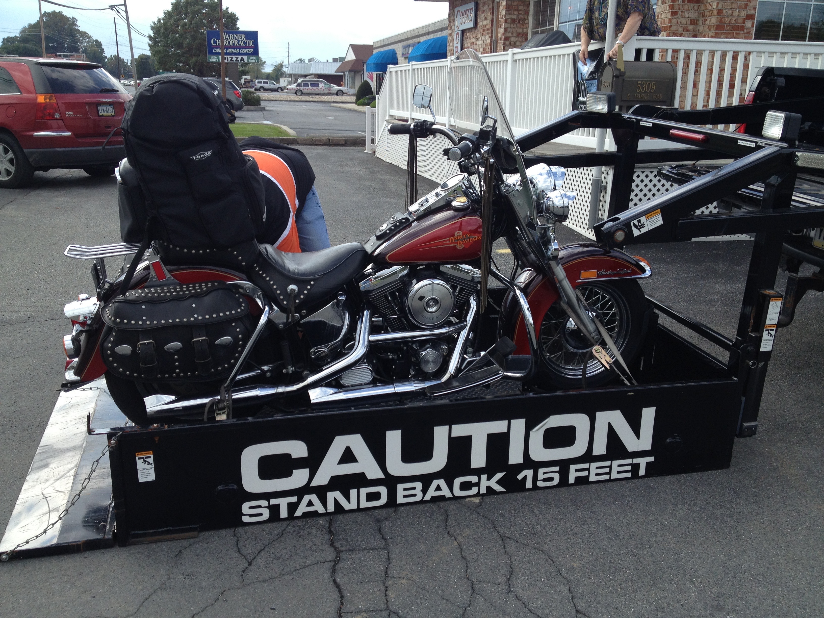
About 2 pm, we come to Mechanicsburg, Pennsylvania — a decent-sized city — and find ourselves in a long road construction-related backup that has us waiting 10 minutes or more, without moving. So we shut off our engines, more for peace and quiet than to save fuel. When the traffic eventually starts moving again, our day takes an interesting turn: my Harley won’t start. Nothing. Not so much as a click. F _ _ k!!! Even the lights don’t come on. Figuring we had a dead battery on our hands, we called the local Harley dealer.
They send a tow truck, a specially-outfitted pickup with a lift designed for motorcycles. The bike will be towed (for $25) to Appalachian Harley Davidson, where they will check out the electrical system before installing a new battery.
Remember how isolated we were in the Michaux State Forest earlier in the afternoon? If our breakdown had happened there — in a cell phone abyss, you might not see again until November. If a bike had to bread down somewhere, we were very lucky it happened in a city with a Harley dealer 1o minutes away.
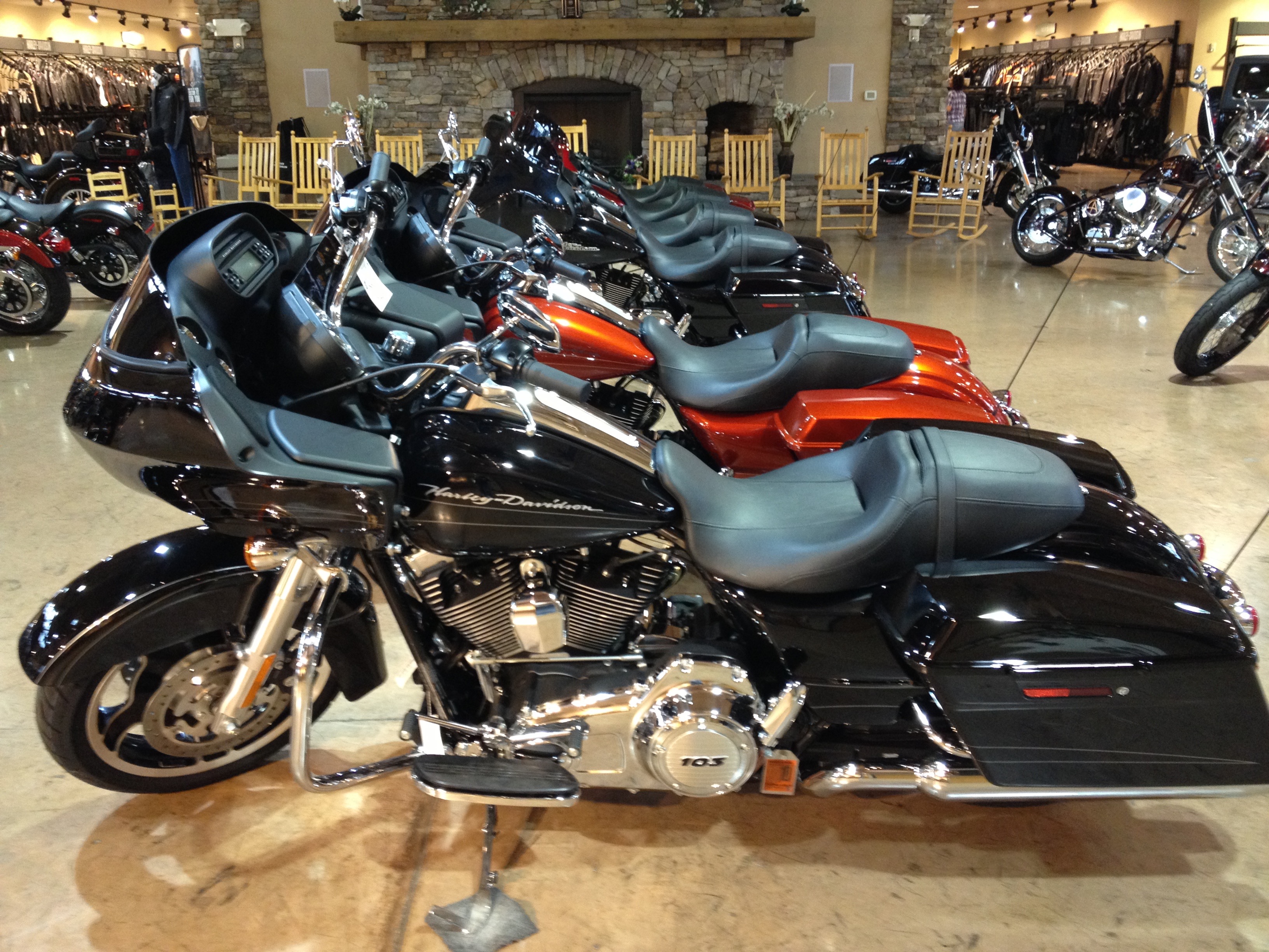
Killing time at Appalachian HD. Just browsing, Sarah.
Three hours later, the service manager brings us the good news: one of the battery leads had become disconnected from the vibration, rendering the Harley’s electrical system useless. Fifty-three dollars later, we are back in business, on the road again heading north. It’s now 5:15 pm, and we are resigned to riding at least half of the remaining 102 miles to Williamsport, Pennsylvania, in the dark. To add insult to injury, we end up riding the last hour in the rain, too.
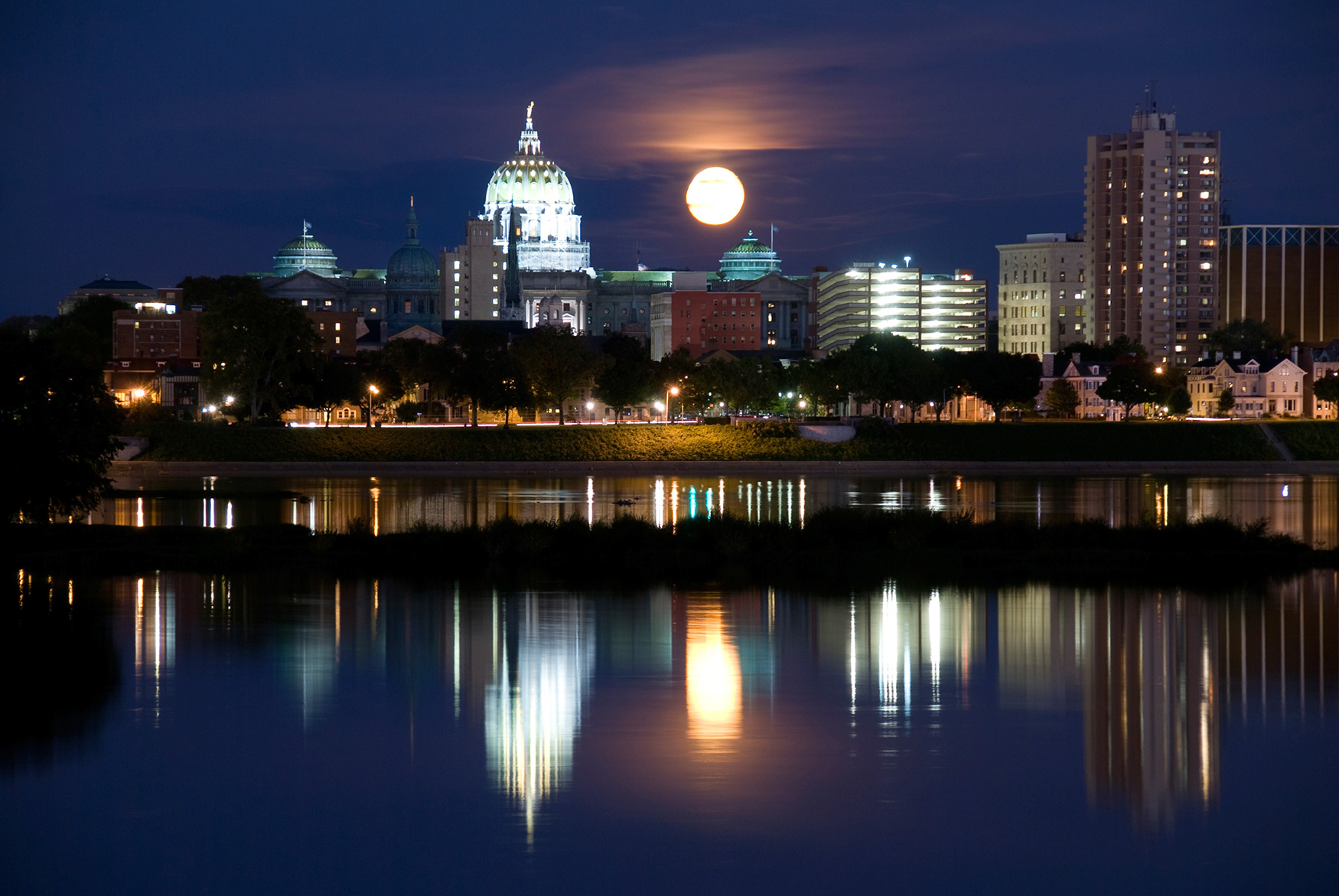
Our route takes us toward Harrisburg, Pennsylvania’s capital, which is also the county seat of Dauphin County. Harrisburg annually hosts the Pennsylvania Farm Show (“From Farm Gate to Dinner Plate”), the largest free indoor agriculture exposition in the US. In 2010, the Daily Beast website rated Harrisburg number seven among metropolitan areas in the US for being recession-proof. Ya gotta love the Pennsylvania farm show; click here to love it even more.
Also in 2010, Forbes magazine rated Harrisburg as the second-best place in the US to raise a family. Notables from Harrisburg include actress Nancy Kulp, who played Jane Hathaway, the love-starved bird-watching perennial spinster on the Beverly Hillbillies TV sitcom for 10 years; and, Philadelphia Eagles running back LeSean McCoy, who recently signed a 5-year, $45 million contract extension.
Important dates in Harrisburg’s history include 1833, when Harrisburg Nail Works opened (where else would 19th century women go for manicures?); 1893, when the first office building (the Dauphin Building) opened; 1960, when the historic governor’s mansion was demolished to make room for a parking lot; and 1966, when Penn State opened a campus on the old Olmstead Air Force Base.
Harrisburg, Pennsylvania.
Harrisburg is full of history, but on this trip, we’re all about avoiding big cities, not embracing them. We point our front wheels in Harrisburg’s direction, though we don’t plan to stop there.
Harrisburg sits on the east shore of the Susquehanna River. We will not cross the river here; we’ll do that a few hours later and about 85 miles upstream.
Instead of going through Harrisburg, we turn north on the west side of the Susquehanna River, riding on scenic Highway 11 and 15. There are spectacular views of the river, but we cant see much of it, since it’s now almost dark. We pass through Marysville, Lewisburg, and other small Pennsylvania towns on our way to Williamsport, where we’ll stay tonight after drying out.
We even cross I-80, which I traveled many times as a youngster, driving from Lafayette, California, to the Lake Tahoe area — for skiing trips and family summer vacations. Turns out I-80 runs from downtown San Francisco, California, to Teaneck, New Jersey. At 2,900 miles, I-80 is the second-longest interstate highway in the US (I-90 is 199 miles longer). In Pennsylvania, I-80 is known as the Keystone Shortway, a non-toll freeway that crosses rural north-central portions of the state on the way to New Jersey and New York City. That’s your geography lesson for the day. If you want to learn more about the US Interstate Highway system, click here.
As great as the US Interstate Highway system is, one of our goals on this trip is to avoid it. Nothing wrong with the Interstate, but when you’re on a Harley, mile after mile of straight-and-level pavement is not the optimal way to see the country. Straight-and-level is more appropriate for airplane flight. So far on this trip, in about 1,500 miles, we’ve managed to stay off the Interstate Highways — except for a 20-mile stretch outside of Spartanburg, South Carolina, and a few miles to avoid the Virginia congestion near Norfolk and Chesapeake. At the end of our ride today, we spend 1.9 miles on I-180 on our way into Williamsport. I can live with that.
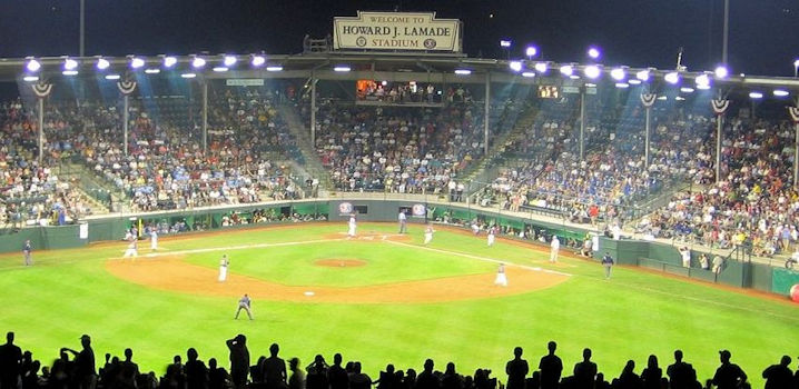
The Howard J. Lamade Stadium, home to the Little League World Series.
We ride into Williamsport on US-15, passing directly by the Howard J. Lamade Stadium, home every August to the Little League World Series. The stadium is two-thirds the size of a Major-League baseball stadium, but 100 percent more exciting, steroid-free, and heartwarming than the adult version. Unlike Major League baseball, the Little League World Series is truly a global event, and admission is free. Teams from Canada, Mexico, the Caribbean, Latin America, Japan, Asia-Pacific, Europe and the Middle East-Africa compete for the privilege of playing the best team from the US in the finals.
One month ago today, a team from Japan crushed Goodlettsville, Tennessee, to win the 2012 Little League World Series. The game was such a blowout (final score: 12-2) that it was called to a merciful end after only five innings. Rule 4.10 (c) defines the so-called “mercy rule,” which caused this year’s title game to end early. For a summary of the key differences between Little League and Major League, including limits on bat size, jewelry, and the mercy rule, click here. This year’s Little League World Series is the last one with players born in the 20th century.
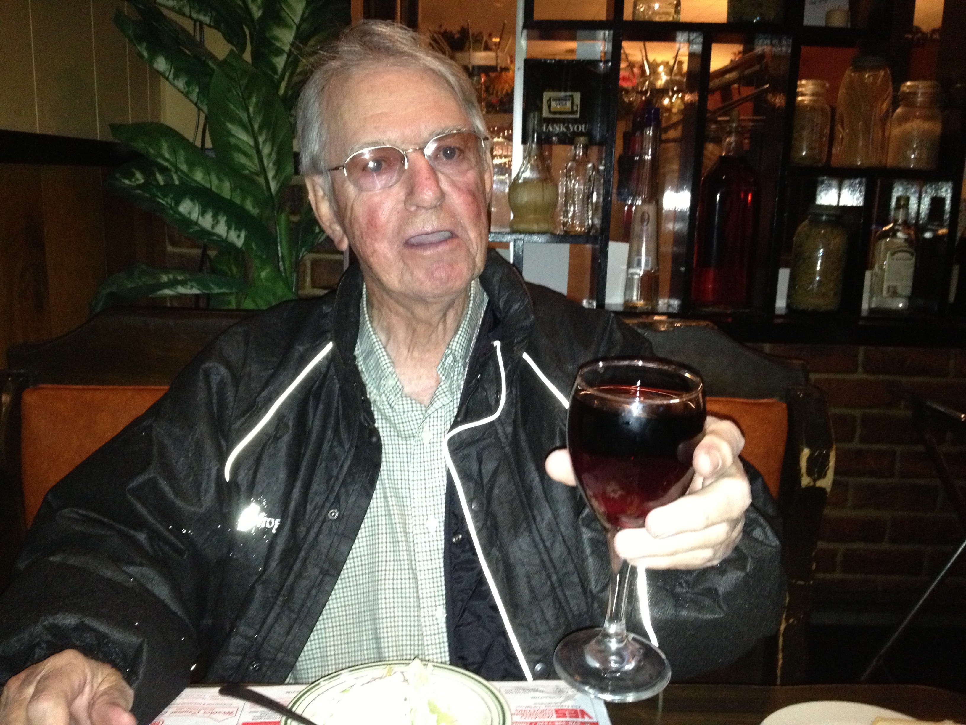
Once in Williamsport, we check into the posh Econo Lodge ($89 tax), unpack, relax, then head to dinner across the street at the Villa Restaurant, a mediocre Italian place made tolerable because we were very happy just to be eating.
Salud, Ray. Dinner’s on me.
Dinner should be on me tonight. I’m celebrating the arrival of my monthly Social Security check, which is directly deposited the fourth Wednesday of every month. Keep your slimy hands off of my richly-deserved entitlements, Romney and Ryan!
***
Day Six Summary: Remembering Antietam, crossing the Mason-Dixon Line, “From Farm Gate to Dinner Plate,” thank you Appalachian Harley Davidson, entitlements R’ us. Today’s ride: about 290 miles.
For today’s complete route from Front Royal, Virginia, to Williamsport, Pennsylvania, click here.