***
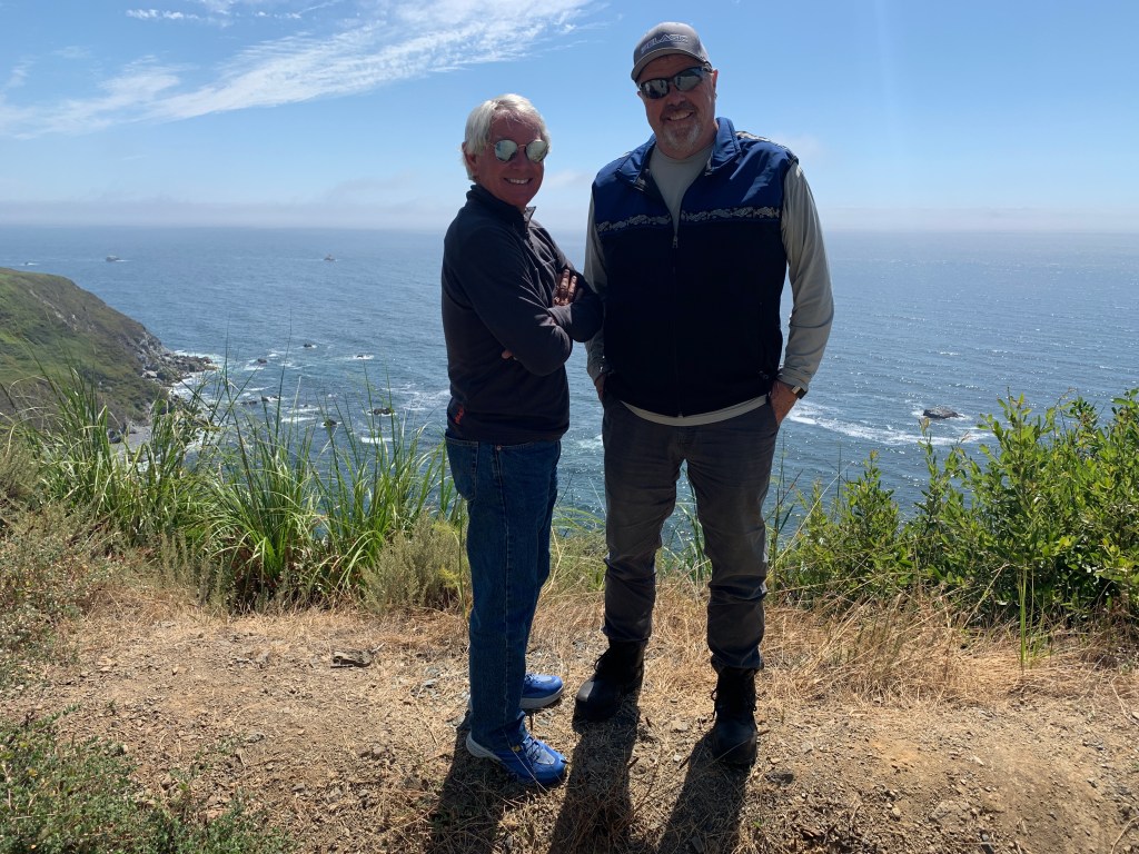
The Pacific Coast Highway runs more than a thousand miles from Southern California to the Strait of Juan de Fuca in Washington State. I’ve ridden this spectacular coastal highway twice, once each direction, including the Oregon coast, Washington coast, and crossings of the Golden Gate Bridge.
To ride from Port Angeles, Washington, to Cambria, California is six fabulous days on the road.
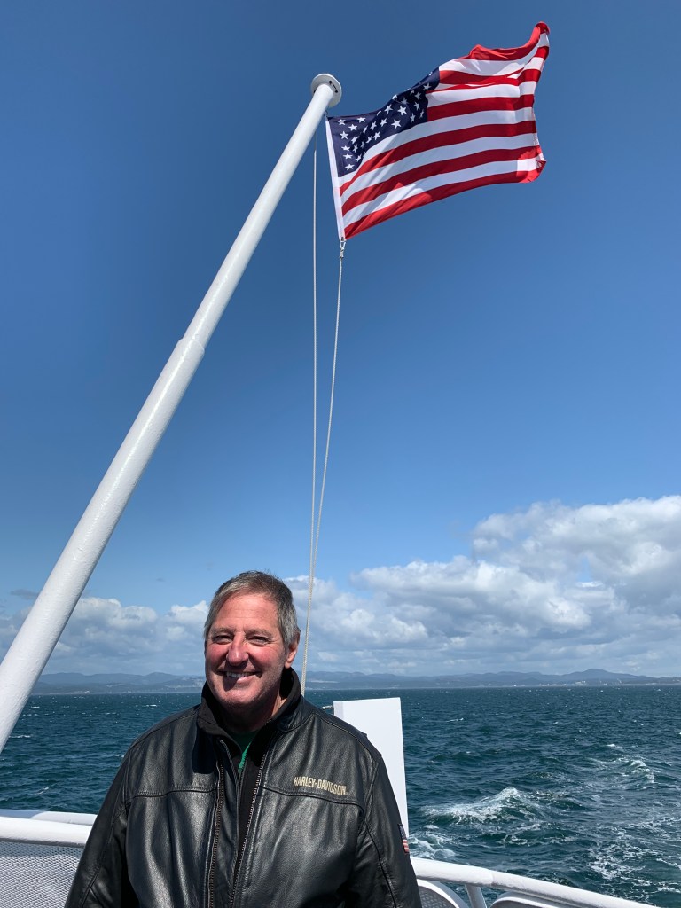
The 23-nautical-mile crossing from Victoria to Port Angeles takes about 90 minutes. We sail directly south across the Strait of Juan de Fuca. The Strait of Juan de Fuca is about 96 miles long, from west to east. If you were to bisect it with a line running west to east, you would roughly be drawing the US/Canadian international border in these waters. The Strait connects Puget Sound waters, in the Seattle area, to the Pacific Ocean.
From Port Angeles, our six-day ride south along the Pacific Coast begins. The journey takes us along the coastlines of Washington, Oregon and California — each unique in its own way.
We leave Port Angeles and head for Forks. This area was once rich in logging, and you see the evidence of that today. Trees everywhere. We’re inland, but only because this stretch of Washington does not have a coastal highway.
Soon, on our journey south, we arrive in Raymond. It’s appropriate that Randy was with us, as he worked for quite a few years on the TV show, Everyone Loves Raymond.
In very recent years, Raymond has seen an influx of marijuana manufacturing, in part because of Initiative 502, passed by Washington voters in 2012. The initiative legalized the recreational use of marijuana. Maybe nearby Tokeland isn’t so wrongly named.
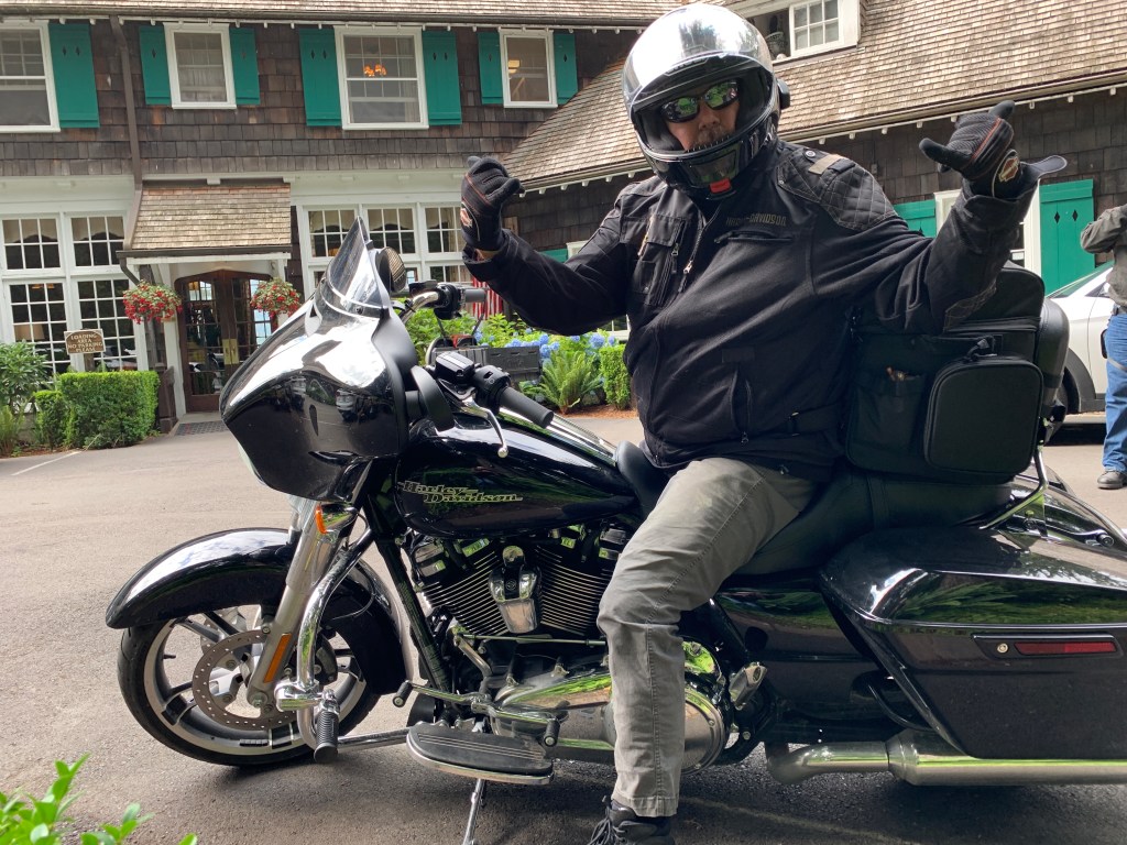
Before long, we’re at the famed Quinnault Lodge in Olympic National Park. The lodge has a rustic style reminiscent of the Old Faithful Inn at Yellowstone National Park. They’re similar because the two lodges share the same architect: Robert Reamer. Quinault Lodge is on the National Register of Historic Places.
For $600 or so a night, you could stay there. We didn’t.
Ahead are a bunch of small beach towns with little population: Pacific Beach, Ocean Grove, Iron Springs, Copalis Beach and Ocean City. Most have a general store, and little more.
A mile past Ocean City, the highway turns east and follows the shoreline of Grays Harbor, a large bay that includes the Grays Harbor National Wildlife Refuge. Here, up to one million shorebirds gather in spring and fall to feed and rest. As many as 24 species of shorebirds use the refuge, with the most abundant being the western sandpiper and dunlin.
Eventually, we cross the Hoquiam River toward the tri-city area of Hoquiam/Aberdeen/Cosmopolis. Aberdeen is noted for being the one-time home of Kurt Cobain — guitarist, singer and frontman for the rock band Nirvana. Cobain, who died of a drug overdose in 1994 at the age of 27, was honored in Aberdeen 10 years after his death by a sign that says, Welcome to Aberdeen. Come as You Are.
A few hundred miles south of Aberdeen, we cross the state line and enter Oregon, whose coastline has a subtly different feel from Washington’s.
At the southern end of Willapa Bay, we approach Cape Disappointment State Park. Cape Disappointment is a headland located at the extreme southwest corner of Washington, on the north side of the Columbia River Bar. The cape got its name in 1788 by British fur trader John Meares. After a storm, Meares turned his ship around just north of the cape and therefore just missed discovering the Columbia River.
Cape Disappointment receives about 2,500 hours of fog a year, the equivalent of 106 days – making it one of the foggiest places in the US. It has twice as many foggy days as San Francisco’s notoriously foggy Golden Gate.
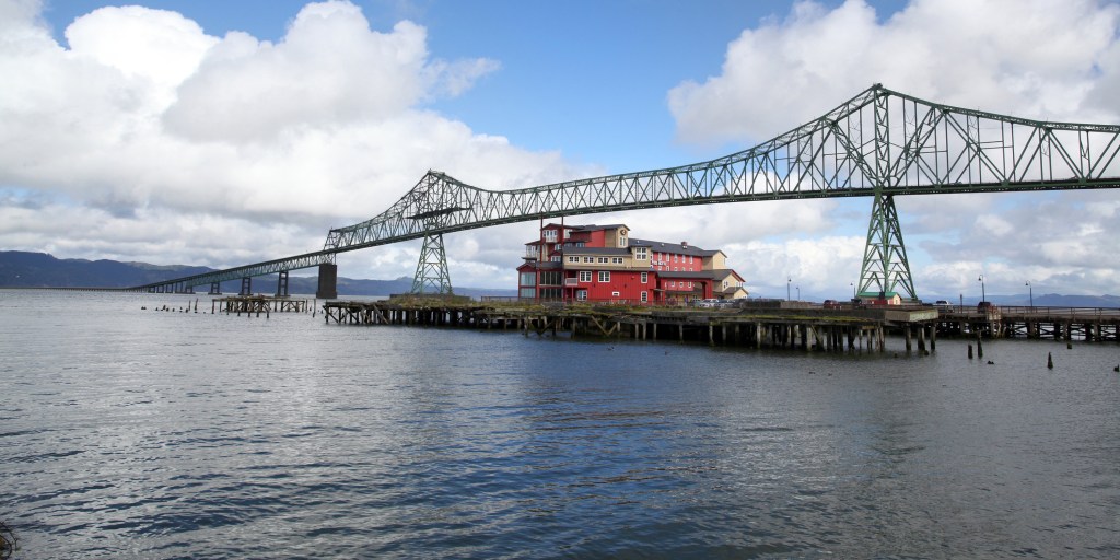
We ride south over the Astoria Megler Bridge, which spans the Columbia River and brings us into Oregon. To allow ship traffic up the Columbia, the bridge has a clearance of 196 feet at high tide. The bridge was built in the mid-1960s to replace ferry service that was inefficient and subject to disruptions during bad weather. When the bridge was completed, it provided the final link in the US highway system between Mexico and Canada.
The bridge takes us to Astoria, our first city in Oregon.
Astoria is the oldest American settlement west of the Rocky Mountains, and the oldest city in the state of Oregon. The city is named for John Jacob Astor, an investor from New York City, whose American Fur Company founded Fort Astoria where the city is today.
About 100 miles south of Astoria, we roll through Lincoln City, then arrive in Depoe Bay, where a noted scene was shot for the movie, One Flew Over the Cuckoo’s Nest. In one of the more memorable scenes from 1975 Academy Award best picture winner, the inmates from the insane asylum escape to go fishing in Depoe Bay.
From Depoe Bay we roll by Beverly Beach and past the Yaquina Head Lighthouse, near the mouth of the Yaquina River. The lighthouse tower stands at 93 feet (162 feet above sea level), and is the tallest lighthouse in Oregon. It’s one of 11 lighthouses on the Oregon coast.
Most of Oregon’s lighthouses were designed and built by the US Army Corps of Engineers between 1870 and 1896. They were erected on prominent headlands or near major estuaries to support commercial fishing and shipping along the Oregon coast. All nine of Oregon’s surviving – and operational – lighthouses are on the National Register of Historic Places, visited by more than 2.5 million people each year.
Lighthouses are beautiful and fascinating historical buildings. With the advent of GPS and modern navigational technology used on ships, you’d think the people who maintain the buildings would let the beacons go dim, rather than continue pursuing an obsolete technology.
But to many mariners and even to the US Coast Guard, lighthouses are still a useful guide. An estimated 60 to 70 percent of the country’s 800 or so lighthouses are still active today. It’s hard to get a precise number, because lighthouses are divided among private owners, non-profits and the government.
Several hundred more miles of spectacular Oregon coastline brings us into California, where we overnight in Crescent City.
We follow the Eel River, first rolling past Fortuna, known as The Friendly City. A few miles down river is Scotia, a once-booming company town founded by the Pacific Lumber Company. Scotia, originally known as Forestville, became Scotia when it was populated by residents originating from New Brunswick and Nova Scotia, Canada. The name Scotia was chosen by a coin toss; the alternative, on the losing side of the coin toss, was Brunswick.
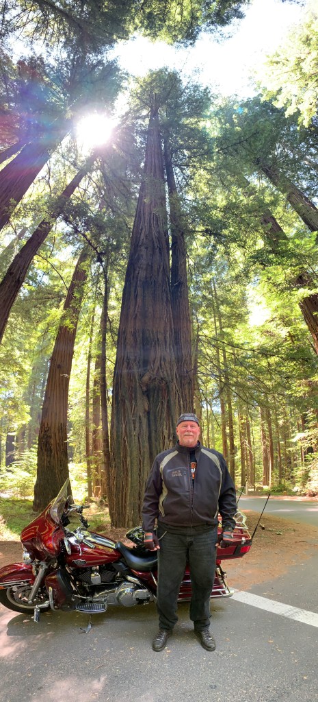
Scotia is only five miles from the north entrance to the Avenue of the Giants, a 31-mile road that’s easily the most scenic drive in the redwoods. The Avenue of the Giants is 51,222 acres of redwood groves.
As the tallest trees in the world, Coast Redwoods can grow to be more than 360 feet tall. The big ones have names, like Hyperion — at 379 feet, the tallest known Coast Redwood. That’s higher than the Statue of Liberty, including the pedestal.
The root structure for Coast Redwoods is unusually shallow; their roots grow only 6 to 12 feet deep. But the roots spread out as much as 50 feet around the tree, forming a broad base to hold it steady in high winds, and to gather lots of moisture.
The Avenue of the Giants brings us back to US Highway 101, and in Leggett, we turn southwest onto California Highway 1, which we’ll be on for the duration of our ride through California. Following a night in Fort Bragg, the California coastline awaits.
We’re on the Shoreline Highway. Ahead is Point Cabrillo, and the Point Cabrillo Light Station Historic Park. The lighthouse has been a federal aid to navigation since 1909. The light is only 32 feet above the ground, but because of the height of the headlands, it stands 81 feet above sea level.
Point Cabrillo, the sandstone headland on which the Point Cabrillo Light lies, was named after the Portuguese explorer João Rodrigues Cabrillo. Interestingly, Cabrillo’s voyage of exploration on behalf of Spain along the California coast did not reach as far north as the point that now bears his name.
We cross the Russian River, roll through Sonoma Coast State Park, and approach Bodega Bay. Bodega Bay is a marine habitat used for navigation, recreation, and commercial and sport fishing including shellfish harvesting. In the US, a bodega is a small convenience store. In a Spanish-speaking country, a bodega is a wine shop or wine cellar.
Bodega Bay is most famous for its role in the 1963 Alfred Hitchcock film, The Birds, Hitchcock’s first horror/fantasy film. The movie centers on a small California coastal town (Bodega Bay) that is inexplicably attacked and rendered helpless by massive flocks of aggressive birds.
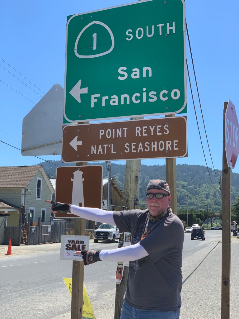
As we continue south on the Shoreline Highway, we are riding along the southern end of Mount Tamalpais State Park, whose primary feature is 2,571-foot Mount Tamalpais. The park is full of redwood and oak forests. It’s a popular hiking, picnicking and camping destination for residents of the Bay Area. The western slopes of Mount Tamalpais descend to the Pacific Ocean at Stinson Beach.
Six miles south of Stinson Beach is Muir Beach. Muir Beach is not named after Sarah Murr. It could be, but they’re spelled slightly differently. Muir Beach, like so many things Muir-related in this area, is named after John Muir, an influential Scottish-American naturalist who was an early advocate for the preservation of America’s wilderness.
He co-founded the Sierra Club, and devoted most of his later life to the preservation of western forests. Muir briefly studied natural sciences at the University of Wisconsin but, ultimately, chose to spend his lifetime enrolled in what he called the University of Wilderness.
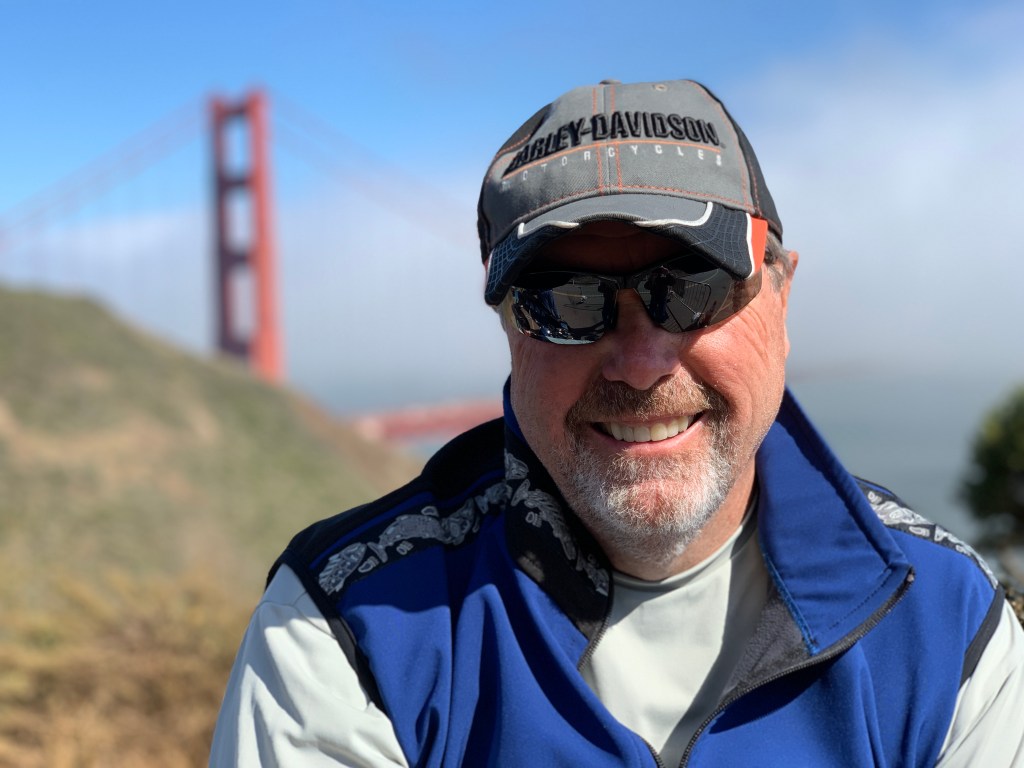
And then, all of a sudden, there it is — the Golden Gate Bridge.
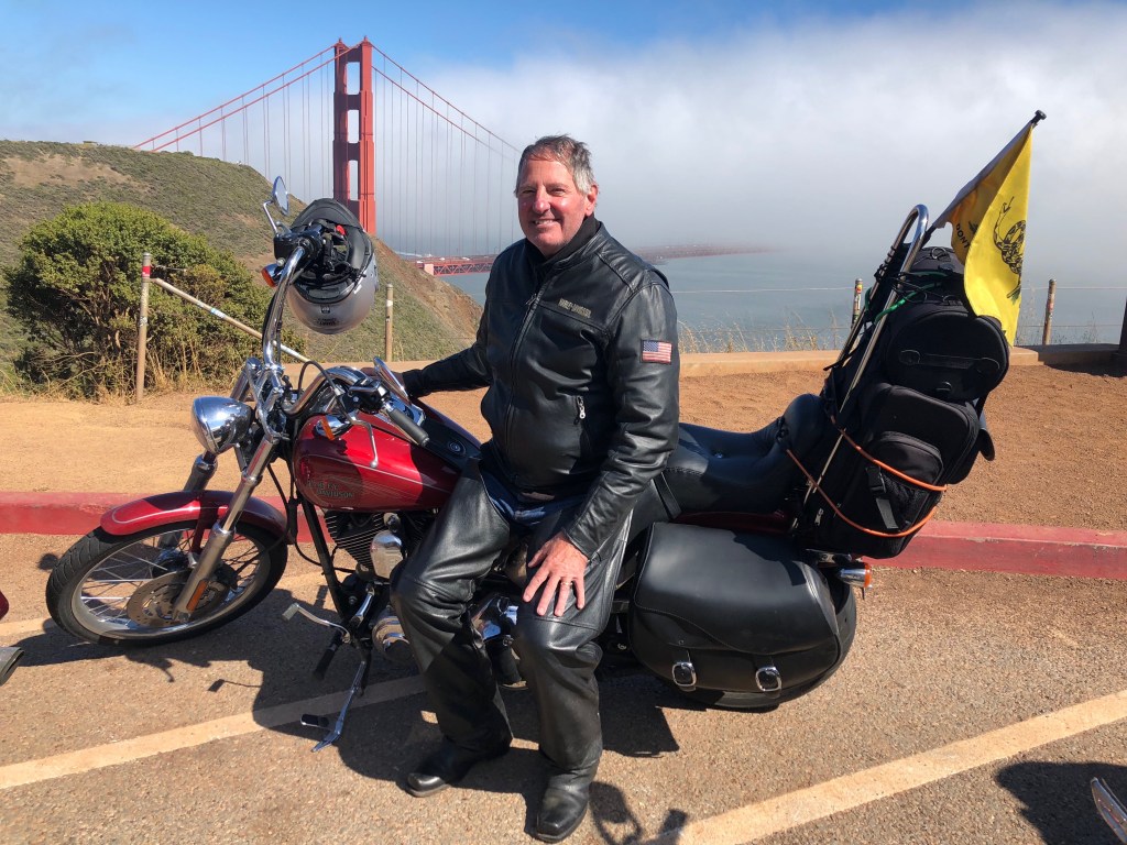
The Golden Gate Bridge is one of the most famous and photographed sights in the world. The bridge spans the Golden Gate, a one-mile wide strait connecting the Pacific Ocean and San Francisco Bay.
The Golden Gate Bridge has been declared one of the Seven Wonders of the Modern World by the American Society of Civil Engineers. It’s a pretty elite list, including the tunnel under the English Channel, the Empire State Building, and the Panama Canal.
When the Golden Gate Bridge opened in 1937, after four years of construction, it had cost more than $35 million to build. That’s chump change by today’s standards. It was completed ahead of schedule and under budget. At the time of its opening, the bridge was both the longest and tallest suspension bridge in the world.
But by far the best-known, and most beautiful stretch of road is about 100 miles of California coastline, from the seaside city of Monterey to the artists colony called Cambria.
We roll through Santa Cruz, and soon approach Monterey, where the fun really begins.
First, we pass by Ford Ord Dunes State Park, once the home of the Fort Ord Army training area. The old Army facility closed in 1994, and some of the land was converted into the Fort Ord National Monument. During its peak, the base hosted as many as 50,000 soldiers – many receiving basic training there, as I would have if I’d been drafted into the Vietnam War. My 1969 draft lottery number was 236, allowing me to skip the Fort Ord and boot camp experience altogether.
The site functioned as a military base for more than 70 years until it was closed down as a result of the 1988 Base Realignment and Closure act, signed by President George H. W. Bush. Fort Ord was the biggest base to be shut down that year by what is commonly known as BRAC.
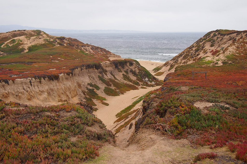
Ford Ord Dunes State Park was once the home of the Fort Ord Army training area. The old Army facility closed in 1994, and some of the land was converted into the Fort Ord National Monument.
During its peak, the base hosted as many as 50,000 soldiers — many receiving basic training there, as I would have if I’d been drafted into the Vietnam War. My 1969 draft lottery number was 236, allowing me to skip the Fort Ord and boot camp experience altogether.
The site functioned as a military base for more than 70 years until it was closed down as a result of the 1988 Base Realignment and Closure act, signed by President George H. W. Bush. Fort Ord was the biggest base to be shut down that year by what is commonly known as BRAC.
Base Realignment and Closure is a congressionally-authorized process to increase the Department of Defense efficiency by closing and consolidating military installations. Since the first BRAC in 1988, more than 350 installations have been closed.
Not far from Fort Ord is California State University, Monterey Bay. It’s located on the site where Fort Ord used to be. The university was founded in 1994 with an enrollment of 654 students. Today, it has 10 times that many. Fun fact: 64 percent of the students here are female.
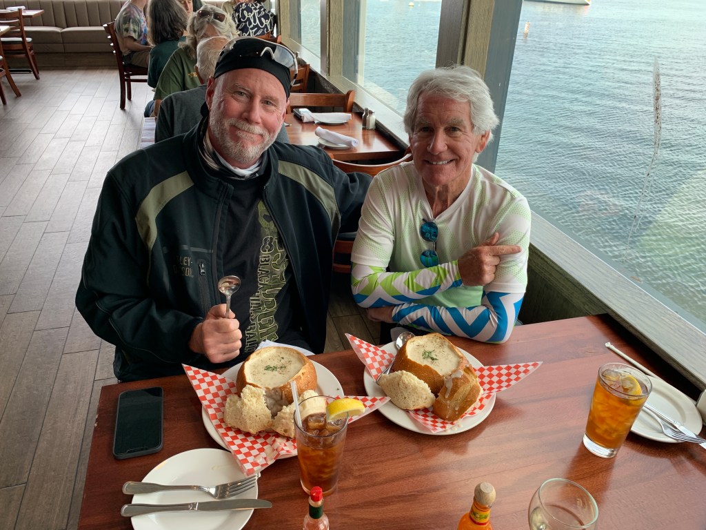
A tradition on these trips is to stop in Monterey for clam chowder along their fishermen’s wharf. It’s a simple concept: clam chowder served out of a hollowed-out piece of French bread.
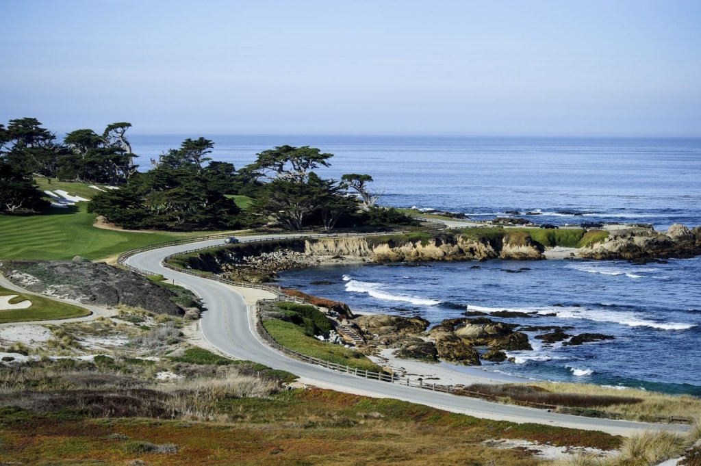
If there was any justice in this world, even a shred of basic fairness, a motorcycle ride in this area would certainly include the famed 17-Mile Drive. It’s one of the most scenic drives anywhere.
The 17-Mile Drive is the main road through the gated community of Pebble Beach. For $12 per vehicle (it’s reimbursed if you spend $35 or more at any Pebble Beach restaurant!), you get the opportunity to visit world-famous golf courses, see the Lone Cypress Tree, and ride past Lovers Point Park.
If you’re on a Harley, you’ll do none of that. The uber-wealthy snobs who own property here in the Del Monte Forest for some reason are not fans of motorcycles, and don’t allow them. No vroomin’ in the ‘hood.
Damn rich people.
Just past the southern gate to the 17-Mile Drive, you pass Carmel, formally known as Carmel-by-the-Sea. Carmel is a small beach town famed for its natural scenery and rich artistic history. Carmel has several unusual laws, including a prohibition on wearing high-heel shoes without a permit. Actor-director Clint Eastwood was elected Mayor of Carmel in 1986, and served a two-year term.
Point Lobos is just south of Carmel. The Point Lobos State Natural Reserve is called the crown jewel of California’s 280 state parks. Point Lobos, with its headlands, coves and rolling meadows, is full of hiking trails. Wildlife here includes seals, sea lions, sea otters and — from December to May — migrating gray whales. The area used to be the home of a thriving whaling and abalone industry.
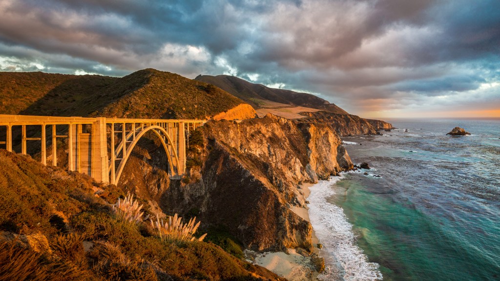
After Point Lobos, you’ll roll through Carmel Highlands, then Garrapata State Park — with its two miles of beachfront and coastal hiking. From here, it’s only a few miles to the picturesque Bixby Creek Bridge, perhaps the most photographed in California — after the Golden Gate.
Before the Bixby Creek Bridge opened in 1932, residents of the Big Sur area were virtually cut off during winter due to blockages on the often-impassable Old Coast Road, which led 11 miles inland.
Big Sur has been called the longest and most scenic stretch of undeveloped coastline in the lower 48. It’s a popular destination for about seven million people who live within a day’s drive, and visitors from across the world. The region receives about the same number of annual visitors as Yosemite National Park, but offers extremely limited bus service, few restrooms, and a narrow two-lane highway with few places to park alongside the road.
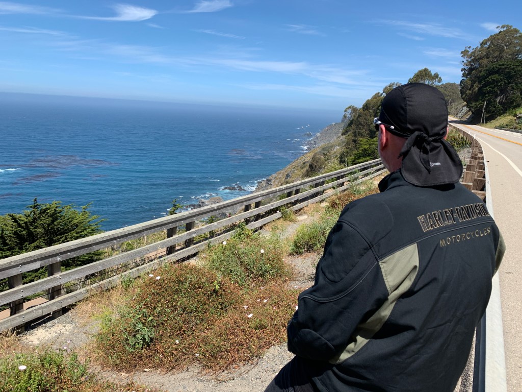
In Big Sur, you’re about a mile inland, nestled among redwood forests. Leaving Big Sur, you make a beeline to the coast. For the next 80 miles, there’s minimal development and maximal beauty. It’s a narrow, twisty roadway with steep drop-offs over cliffs that drop precipitously to the Pacific Ocean.
Now the fun really begins.
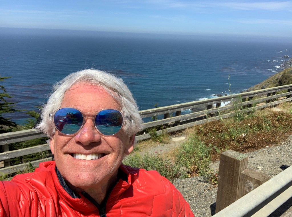
Twelve miles south of Big Sur, you roll through Julia Pfeiffer Burns State Park. The 3,762-acre park is named for Julia Pfeiffer Burns, a respected pioneer and rancher in the Big Sur region in the early 20th century, who lived in the area for much of her life until her death in 1928. The park has fabulous hiking, and even scuba diving in the Julia Pfeiffer Burns Underwater Area.
For the next several hours, until you reach San Simeon, it’s nothing but miles and miles of unparalleled visual allure. There are occasional places, like Lucia, Gorda, and Ragged Point, to pull over and grab a beverage. But the unending rugged beauty and lack of development is what sets this road apart.
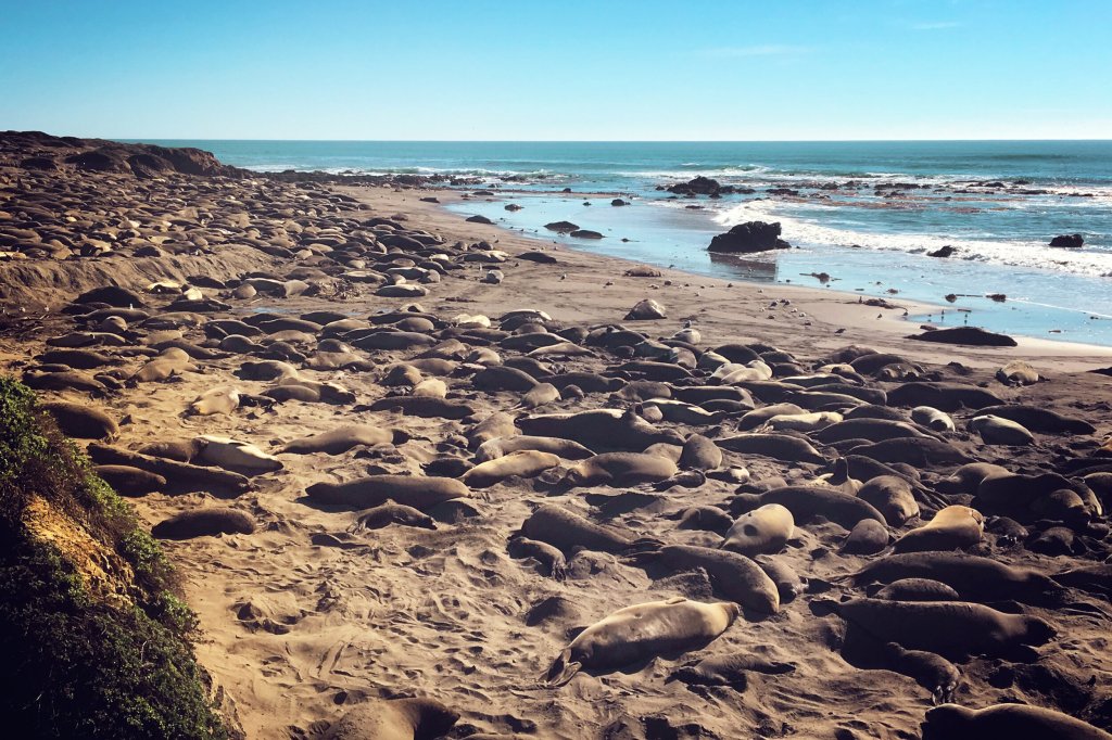
A few miles before San Simeon is the Piedras Blancas State Marine Reserve, a 20-square mile area that protects all marine life within its boundaries, including sea lions, elephant seals, harbor seals, northern fur seals and sea otters. These marine protected areas are designed to conserve and restore ocean biodiversity.
If you like elephant seals — and who doesn’t? — you’ll enjoy Elephant Seal Vista Point, the last place to gawk at nature before San Simeon. Elephant seals are huge, loud, and so ugly they’re cute. On San Simeon State Beach, about 18,000 elephant seals crowd this four-mile stretch of beach.
The peak months for viewing elephant seals here: October through March. Timing is everything.
William Randolph Hearst’s timing was impeccable. He got disgustingly wealthy in the early 1900s, making a fortune in the newspaper business, developing what was at the time the largest newspaper chain in the US. Hearst dreamed big, and lived large. Between 1919 and 1947, he built La Cuesta Encantada (The Enchanted Hill), known today as the Hearst Castle.
At the height of Hearst’s wealth, the estate around the castle totaled more than 250,000 acres. Hearst, his castle and his lifestyle were satirized by Orson Welles in his 1941 film, Citizen Kane.
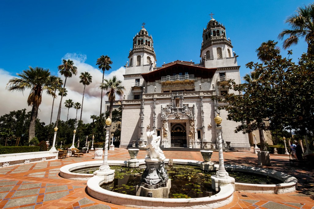
The Hearst Castle is a 90,000-square foot mansion that overlooks the Pacific Ocean. Today, the Hearst Castle is a state park, and a National Historic Landmark.
From San Simeon, it’s only 10 miles to Cambria, a popular overnight destination at the end of the Pacific Coast Highway.
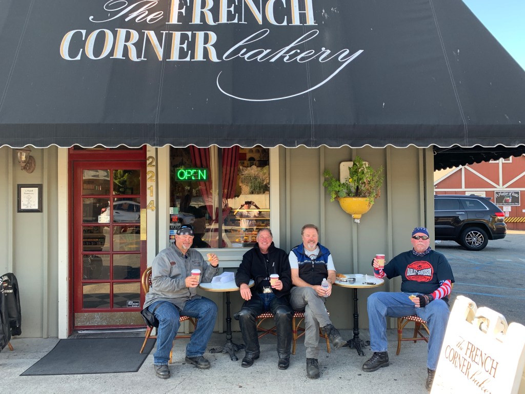
After overnighting in Cambria, we turn inland and head for home.
It’s the end of six days and 1,500 miles of incredible riding — making the Pacific Coast Highway from Washington to California Number 4 on my Top Ten rides list.

