Today marks my last day on the road, bringing to an end a 2,800-mile journey, crossing 29 of Colorado’s 31 Pass-a-Paloozas™. The whole point of the trip was bagging as many of the 10,000-foot-plus paved passes as possible. Mission accomplished.
There are no Pass-a-Paloozas™ on the menu today, but the riding promises to be spectacular.
How do I know this? I did the exact same ride, mile-by-mile, 10 days ago.
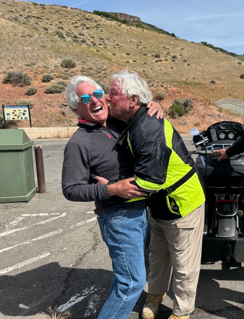
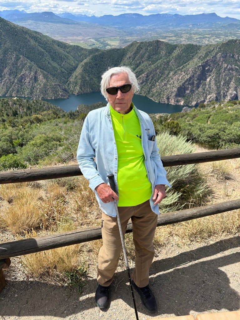
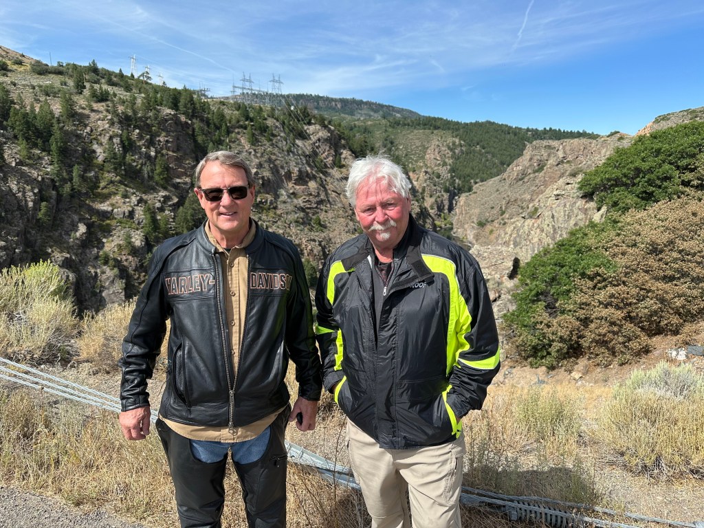
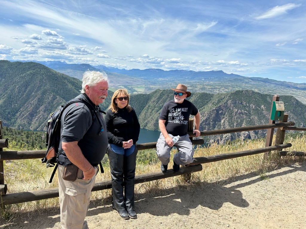
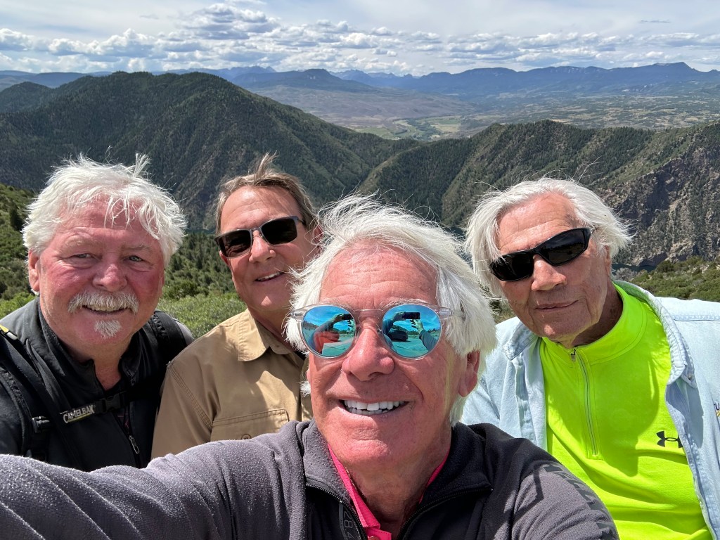
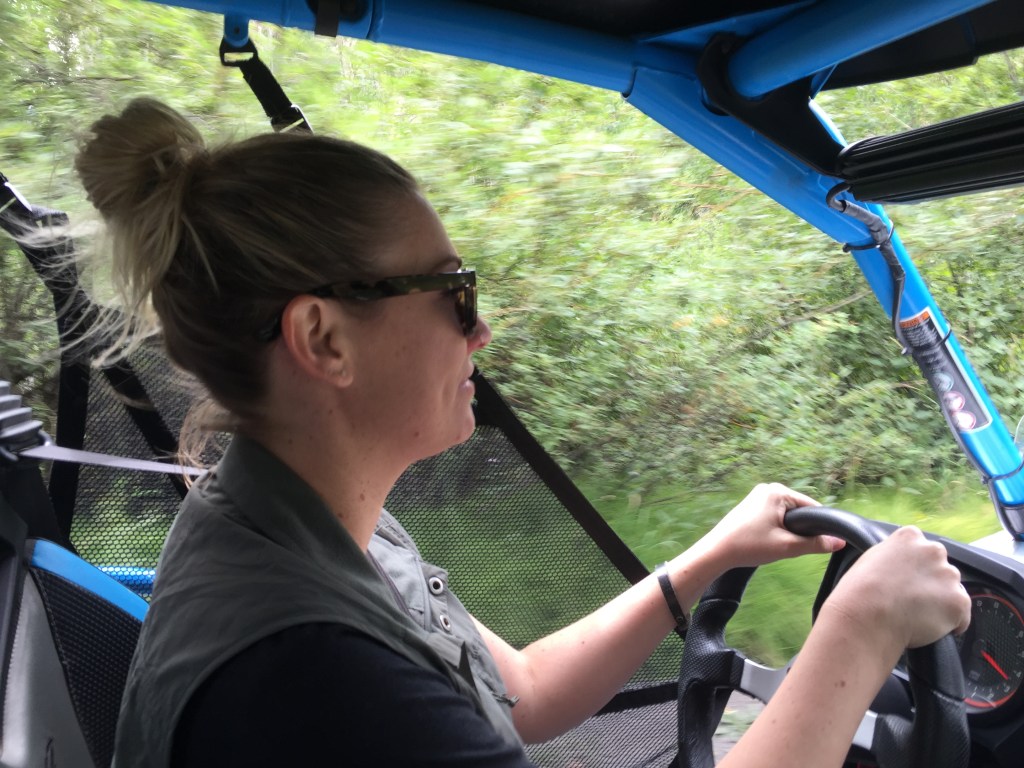
Then, I was with Sarah and Brittany, at the end of my week-long Family Ride. Today, I’ll do the same thing with the guys. The journey is so good, it’s worth doubling up.
Déjà Vu and Groundhog Day. Again.
This blog post will be intentionally light on words. No point in saying much of the same stuff I said on July 18, the usual details and color you either love or hate. If you want that kind of granularity, click here to read my previous post that took us from Ridgway, along the Black Canyon of the Gunnison, over McClure Pass, then the home stretch to Carbondale. That’s exactly what we’re doing today.
You may think I’m being lazy. Maybe.
But how many times do you want to read about Joe Cocker’s only Grammy (“Up Where We Belong”), the capacity of the Blue Mesa Dam (940,000 acre-feet of water), the Colorado state rock (Yule Marble), or the Hotchkiss town slogan (“The Friendliest Town Around”)?
Today, I’ll share just a few photos and captions, from today’s ride. After nearly 50,000 words of blogging over the past two weeks, you’re probably ready for a break.
And there you have it.
Now, it’s time to clean up the bike, find a healthier diet, get some exercise, and return to living my best summer life in Carbondale.
I’ll have a very short blog post tomorrow to conclude this year’s adventure, including a complete listing of all the Colorado Pass-a-Paloozas™, in the event you’re inclined to give them a try. All of ’em, or one at a time.
(mic drop)
Gary, out.
To see today’s route from Ridgway, along the Black Canyon of the Gunnison, over McClure Pass, home to Carbondale, and zero Pass-a-Paloozas™, click here.
***
Today’s Not Quite Pass-a-Palooza™… Lead King Loop: 10,800 feet
The final Not Quite Pass-a-Palooza™ of my two-week trip is right in our backyard, just 40 minutes from our front door in Carbondale.
As we passed by the turnoff to Marble a few hours ago, there were all kinds of off-road vehicles in the area. They were either just getting started, or just finishing, the spectacular Lead King Loop, a 13-mile adventure that begins and ends in Marble.
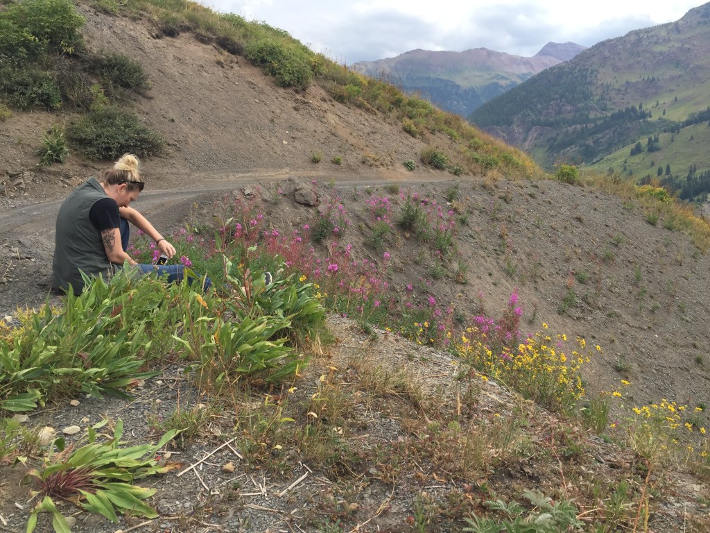
If you try the Lead King Loop – and you should – you’ll circumnavigate Sheep Mountain, see one of the most-photographed sights in Colorado, rearrange your dental work along the bumpy way, and experience a journey of a lifetime. I’ve done it three times – in 2014 (with Vern and Cindy Vennes), 2018 (with Brittany and Sarah), and 2023 (with Dr. Dan Gilbert).
Now, it’s your turn.
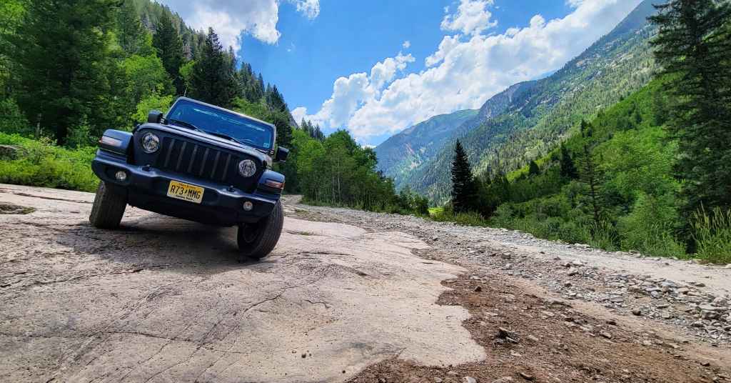
Get Yourself Some Wheels. You’ve heard this before on many of our previous Not Quite Pass-a-Paloozas™, but it’s particularly true on the Lead King Loop: you’re gonna need a high-clearance, four-wheel drive vehicle. No way around it. Air down your tires to improve traction and help prevent punctures; 20-25 psi is a good place to start. Oversize vehicles, such as full-size four-door pickups, are going to have tough sledding on this route.
Leaving Marble, you ride past Beaver Lake. You’re on (Gunnison) County Road 3. The road surface is gentle. Don’t let it fool you. You’ve got a rough, rocky road ahead.
A mile out of town, you come to a fork in the road, at the base of Daniels Hill. This is where you put your rig into four-wheel drive. Going left takes you onto the Lost Trail; going right keeps you on County Road 3, heading toward the tiny town of Crystal.
If you go left at the fork, you’ll do the loop clockwise. If you go right, you’ll do the loop counter-clockwise.
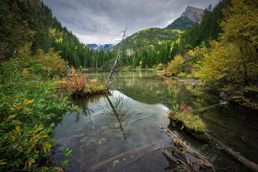
Let’s go Counter-clockwise. You go right, and in a mile, You’re at Lizard Lake, a highly desired camping spot on the road to Crystal. Follow the Crystal River for three miles, and you’ll end up at Crystal, which many people erroneously call a ghost town. More often than not, according to the dictionary, ghost towns are once-flourishing towns wholly or nearly deserted usually as a result of the exhaustion of some natural resource. Crystal didn’t run out of a resource; it’s just too damn remote and hard to get to.
Is Crystal a ghost town? The place is not what it used to be, though it’s hardly a ghost town, either. This time of year, the signs of life are everywhere.
Once called Crystal City, the community sits at 8,950 feet. Like so many Colorado mountain mining towns, it’s located in an area of extreme terrain, spectacular beauty, rugged isolation, and harsh winters.
Miners began working the area in the 1860s, but it was so difficult to access, that it took another 20 years before things began booming. In 1880, prospectors saw outcroppings of quartz crystals nearby, and named the area after the crystals. The town grew as a mining camp for several decades, with an average population of 500. In 1893, there were a half dozen mines, which produced silver, zinc and lead. Miners hoped to replicate the success of places like Leadville. That turned out to be a pipe dream.
In its heyday, Crystal had a newspaper, a post office, hotels, general stores, saloons and a pool hall. Ultimately, the difficulty in reaching Crystal led to its demise. Transporting ore to the depots in Crested Butte and Carbondale, and bringing the basic necessities and mail into Crystal were a challenge in the snow-free months, and nearly impossible in the winter.
Crystal has been mostly a ghost town since 1917, but it never truly died. Today, a few hearty locals spend summers there, and leave again when the snow falls.
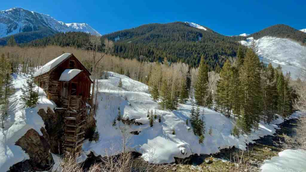
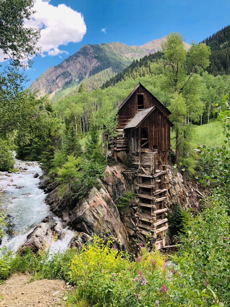
The Iconic Crystal Mill. Just a few hundred feet from Crystal is the famed Crystal Mill, a hydro power house on the banks of the Crystal River that once provided electricity for air drills, and ventilation for miners. Today, it’s one of the most photographed and recognized sights in Colorado.
There’s a Fork in the Road. Take it. Continuing on County Road 3 from Crystal, you come to another fork in the road. If you go right, you’ll head up Schofield Pass and the Devil’s Punchbowl. You may recall, that route was the very first Not Quite Pass-a-Palooza™, on the first day of this trip, way back on July 12.
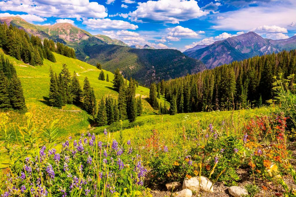
But we go left, staying on County Road 3, and following the North Fork of the Crystal River into the beautiful Lead King Basin. The road is built on slick shale, and can be extremely slippery when wet. Once in Lead King Basin, you’ll have idyllic views of Snowmass Mountain, and zillions of wildflowers, especially in August.
You’ll know it when you reach Lead King Basin. The road emerges from the trees into a gorgeous alpine basin with a waterfall cascading down from Geneva Lake.
The basin is quite remote; that’s part of its charm. But there’s one cabin located in Lead King Basin. It’s the home of Paul Harris, otherwise known as Lead King Paul, and it’s located next to the bridge over the Crystal River. Some have labeled Paul a hermit. Hermits live in solitude as a religious discipline; Paul just likes living in one of the most beautiful places in the world. The guy splits his time between Lead King Basin, where he’s a caretaker for an old miner’s cabin, and a trailer Marble. Lead King Paul has lived this life for 48 years.
In 1902, the Lead King mine was discovered. It produced lead and silver ore, and became one of the more profitable mines in the Crystal valley, but eventually became unsustainable because of its remoteness. The Lead King Mine has been abandoned since 1923. The mine gave the Lead King Loop its name.
The Acme of Lead King. You leave the Lead King basin, and begin climbing steeply over a series of switchbacks that take you to the high point of Lead King Loop, 10,800 feet. You’re now on Lost Trail Road, heading west, toward civilization.
Once you crest the top of Lead King Basin, you’ll drive back down to Marble between Arkansas Mountain and Sheep Mountain. About two miles beyond the highest point of the road, you’ll complete the loop at the top of Daniels Hill, then continue the remaining four miles into Marble. And with that, your work is done.
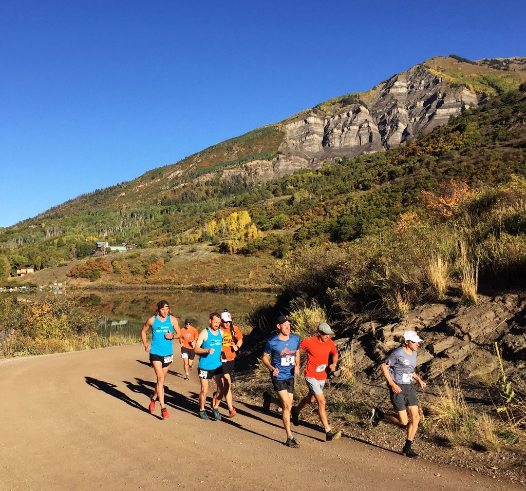
Get off Your Butt and Move. If you’d rather use your own legs to experience the Lead King Loop, every September there’s a 25K charity race that starts and ends in Marble, and completes the loop around Lead King Basin. You can run, walk or hike the loop. A good time is somewhere around two hours. All proceeds benefit the Marble Charter School.
The Lead King Loop attracts up to 17,000 visitors each summer. You can count yourself as being one of them.
To view today’s Not Quite Pass-a-Palooza™ route from Marble, over the Lead King Loop, and back to Marble, click here.

Welcome home brother! Loved the ride! Thanks! Big hugs to Sarah!
LikeLike