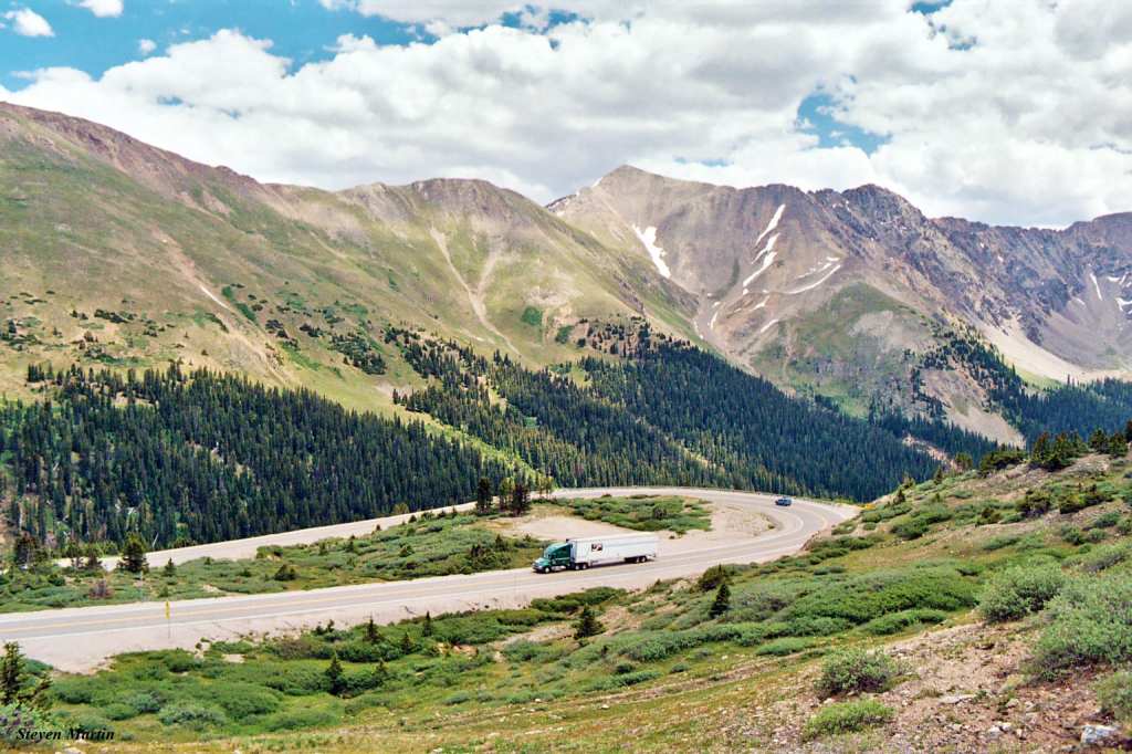
Today’s route looks like it was put together by a drunken sailor.
It zig-zags, corkscrews, loops through the Rockies, makes a wacky figure eight, rolls past a national monument, crosses five Pass-a-Palooza™, edges by some of the best skiing in Colorado, takes us by lakes, reservoirs and mountains – and ends, after 242 miles, in Frisco.
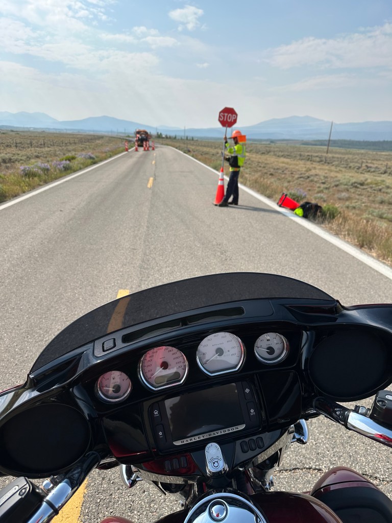
We leave Moose Town, USA, and head south on Colorado Highway 125.
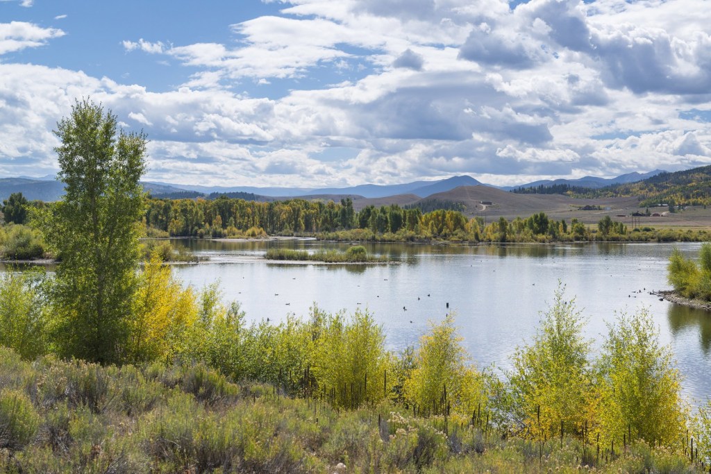
In 53 miles, we arrive at Windy Gap Reservoir, a diversion dam on the Colorado River near Granby that’s part of the Northern Water Municipal Subdistrict. The reservoir diverts nearly 50,000 acre-feet of water each year from the Colorado River to the front range. A nearby pumping station sends water from the reservoir to Lake Granby, six miles away, where it’s then pumped over the mountains to the Front Range, to serve water users there.
At the reservoir, we turn onto US Highway 40 and follow the Colorado River to Hot Sulphur Springs, where we take our first break of the day. The town of 685 is the county seat of Grand County, making you wonder, what else is in Grand County? Um, Fraser, Grand Lake, Kremmling, Parshall, Tabernash.
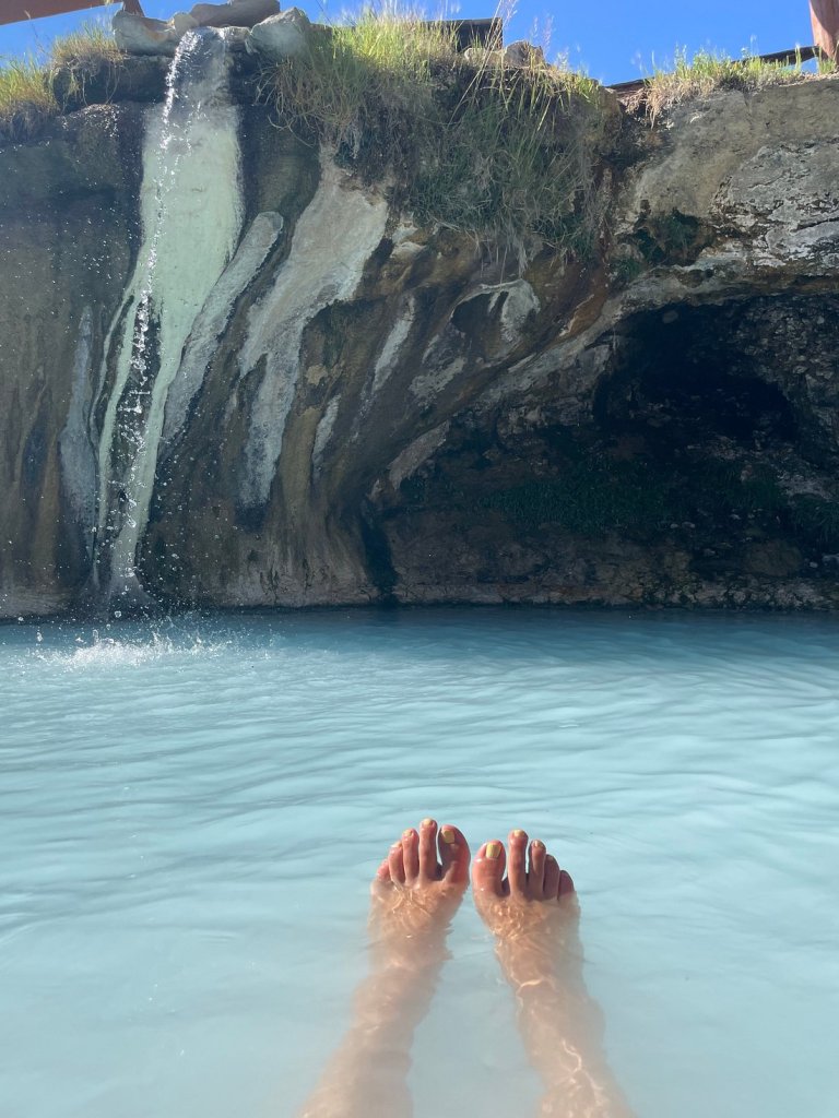
The big thing in Hot Sulphur Springs is the Resort and Spa there. Seven natural springs send 200,000 gallons of piping hot water to pools every day, at temperatures of 104 to 126 degrees Fahrenheit. By the time bathers experience the mineral-rich water in the resort’s 22 pools, it’s delivered to the pools at temperatures between 95 and 112 degrees. An aaaaaah, feels-so-good temperature.
The springs was originally a winter campground for Native Americans who came to use its waters for medicinal purposes.
We continue west on Highway 40 until arriving in Kremmling, 17 miles away. Kremmling was founded in 1881 during the Colorado silver boom, but the lack of mineral resources in the nearby mountains made the town grow more slowly than others at the time. The post office there was originally called Kinsey City in 1881, named after Aaron and John Kinsey, two brothers who made part of their ranch into a town. The first postmaster of Kinsey City was Kare Kremmling, and the town was renamed after him in 1895.
The town of 1,400 sits on the Colorado River. Kremmling calls itself the “Motorsports Capital of Grand County. That’s quite a distinction. It’s unclear what Kremmling means by “motorsports,” but we can only assume ATVs, snowmobiles, dirt bikes, and anything that’s off-road.
In Kremmling, we turn our on-road bikes south on Colorado Highway 9 and head toward Silverthorne, 37 miles ahead. Halfway there, we roll past the Green Mountain Reservoir, created by the building of Green Mountain Dam in 1943. The 153,000-acre foot reservoir stores water to benefit Colorado’s Western Slope. It was the first facility to be constructed as part of the Colorado – Big Thompson Project in 1937. The reservoir has six campgrounds, a boat launch facility, and is a popular spot for boating and fishing.
The Green Mountain Reservoir empties into the Blue River. We’ll follow the Blue River south for the next 20 miles, as we cruise toward Silverthorne, a town of about 5,000 that’s a base camp for nearby ski resorts – Keystone, Breckenridge, Loveland, and Arapahoe Basin.
For us, Silverthorne is a rest stop on our way to a bunch of 10,000-foot-plus passes. The journey for the next few hours is simple, yet confusing. Like life, sometimes. So, to help you readers follow the bouncing ball, here’s our dizzying route for the Pass-a-Paloozas™ ahead. If you’re riding with me, just follow me. We’ve got this.
Pass-a-Palooza™ … Eisenhower Tunnel: 11,158 feet
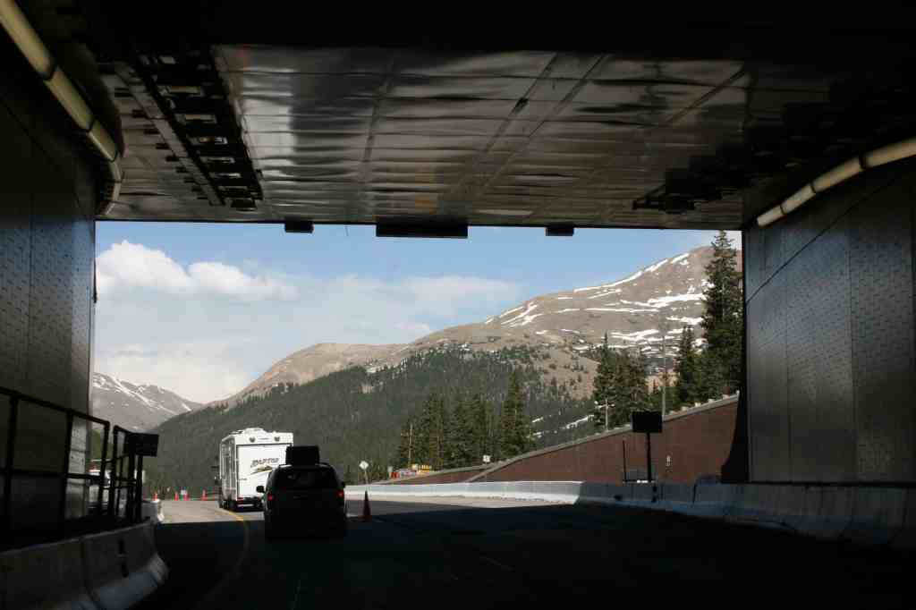
Our first pass of the day is the Eisenhower – Johnson tunnels, about 10 miles east of Silverthorne, on I-70. This is the only mountain pass on this trip we go through, and not over.
The 1.7-mile-long Eisenhower – Johnson Memorial tunnels have a maximum elevation of 11,1587 feet, making them highest and longest mountain tunnels, and the highest point in the US Interstate Highway System. The only highway tunnels in the world that are higher are railroad tunnels in Asia, among them, the 16,171-foot high Hindutag Pass Tunnel in China’s Kunlun Mountains.
Since we’re traveling eastbound, we’ll go through the Eisenhower Tunnel, named after Dwight Eisenhower, the 34th US President, and one of the few five-star generals in US military history; the rank no longer exists. The westbound bore is the Johnson side.
At its dedication in 1973, the Eisenhower tunnel became the highest vehicular tunnel in the world. The idea for a tunnel under Loveland Pass, the route over the Continental Divide, existed since the 1950s. William Loveland, president of the Colorado Central Railroad, dreamed of a tunnel under the divide in 1867, but instead got the wagon road now known as Loveland Pass built. We’ll explore that pass after we get out of the Eisenhower tunnel.
Serious discussion of the tunnel began when the state of Colorado lobbied for the Interstate Highway System to route a transcontinental highway across Colorado. Hard to imagine, but there was a time when the Interstate didn’t exist in Colorado.
Construction of Interstate 70 in Colorado began in the 1960s, and was mostly completed in the 1970s, with the final section through Glenwood Canyon opening in 1992. When construction on what would become the Eisenhower – Johnson tunnel began, it was the largest single federal-aid highway project in American history. It, too, was a key link in completing the Interstate through Colorado.
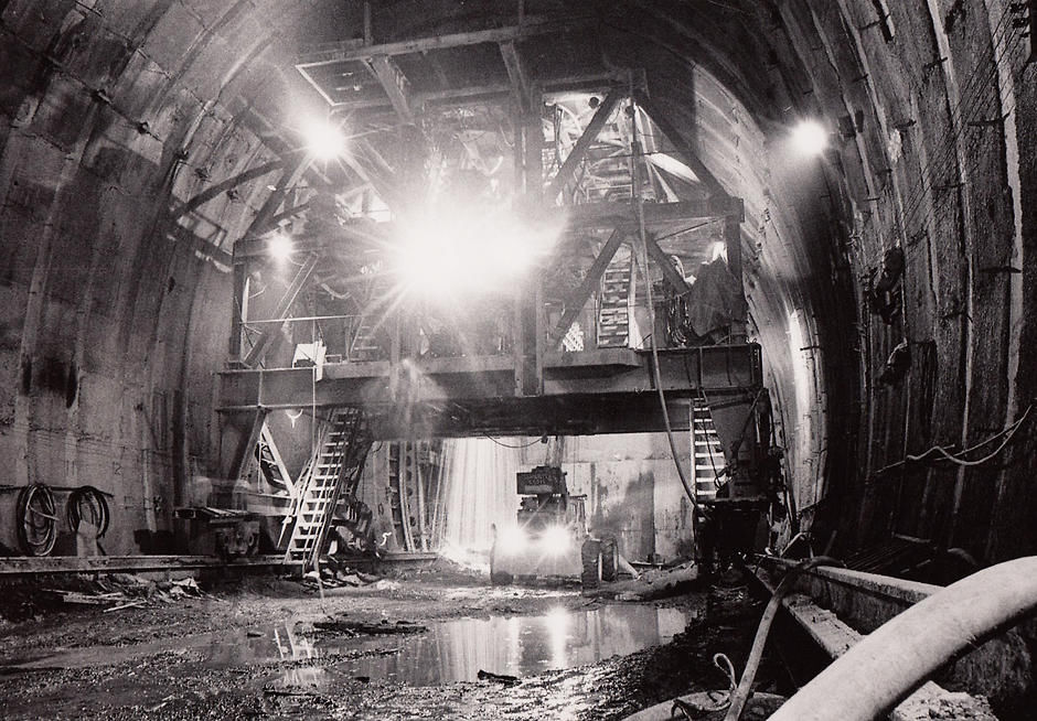
Civil engineers recommended tunneling under Loveland Pass, rather than attempting a route over it. Digging on the tunnel began in 1968, with the goal of opening it in three years. But project managers quickly learned that digging through the solid granite was going to be more difficult, time-consuming, and expensive than originally planned.
Inside the tunnel, miners discovered fragile rock layers that engineers didn’t anticipate, and the mountain couldn’t support itself once certain sections had been dug through. But crews eventually devised a way to bore through the tunnel without triggering a collapse, and the tunnel continued to inch deeper into the mountain. As one highway engineer put it, “We were pioneering every foot of the way.”
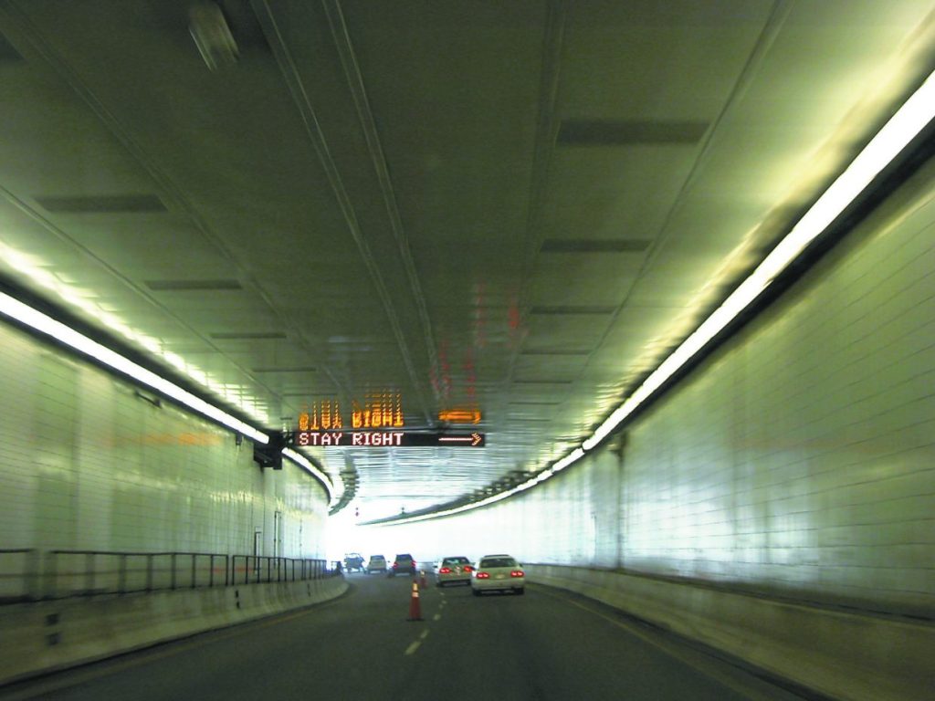
In 1973, the eastbound tunnel bore, the Eisenhower tunnel, opened for traffic. Six years later, the westbound Johnson bore opened, a mirror image of the initial Eisenhower bore. The second tunnel, called the Edwin C Johnson tunnel, is named after a former Colorado Governor and US Senator who lobbied for an Interstate Highway to be built across Colorado. One of his persuasion points was that the tunnel would start the biggest boom in Colorado mountain towns since the Gold Rush.
Today, the tunnels together carry an average of 35,000 vehicles a day, a number that peaks in July and August at up to 50,000 vehicles daily. To date, more than 450 million cars have passed through the two two-lane tunnels without a single fatality.
Pass-a-Palooza™ … Loveland Pass: 11,992 feet
A few hundred feet after leaving the tunnel we pass the Loveland Ski Area, then take the first exit, which directs us toward Loveland Pass. We’re now on US Highway 6, the old road over the Continental Divide before the tunnels were built.
The road over Loveland Pass was once the main path between Denver and Colorado’s mountain ski towns. Today, it’s a way to bypass the tunnel for a more scenic view, or to access the ski slopes of Arapaho Basin. The pass, which rises 800 feet above the tunnel through a series of hairpin switchbacks, is the highest road in the US that’s kept open year-round. Loveland Pass, like so many on this trip, has earned Honorable Mention on my all-time Top Ten list.
Loveland Pass is still used as an alternate to the Eisenhower tunnel, for bicycles, pedestrians, and vehicles carrying hazardous materials – all of those are prohibited from the tunnel and must use Loveland Pass to cross the Continental Divide. If Loveland Pass is closed, the hazmat restriction is temporarily lifted, the tunnel is closed to regular traffic once an hour, and vehicles carrying hazardous materials are escorted through the tunnel in a convoy.
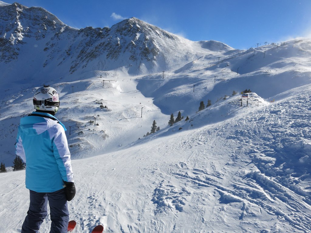
Just three miles below Loveland Pass, after a steep descent, we roll past the Arapahoe Basin Ski Area, usually one of Colorado’s first ski areas to open every season, and the last to close. It often opens in mid-October, and continues to run lifts until June, sometimes July – and once, in 1995, as late as August 10.
From A-Basin’s top elevation of 13,050 feet, you can experience views of Lake Dillon, Breckenridge, Keystone and Loveland pass. The ski area, which opened in 1946, gets about 350 inches of snow a year, and is known mostly for its advanced and expert terrain. Arapahoe Basin is owned by Alterra, and you can use your Ikon Pass to ski there.
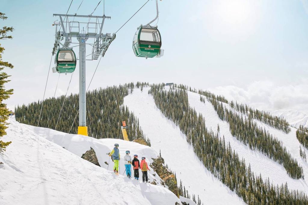
We continue descending beyond A-Basin, riding along the North Fork of the Snake River, which takes us to Keystone, another popular Summit County ski area. Vail Resorts owns the Keystone ski area, so you can use your Epic Pass to ski there. Keystone is centered around River Run Village, which sits at the base of the ski slopes.
The town of Keystone, 9,280 feet above sea level, has two golf courses, a man-made lake. Every summer, it hosts the Keystone Bluegrass & Beer Festival.
Keystone became Colorado’s newest Town in February 2024, when residents voted to incorporate.
Dam It, Dillon
From Keystone, it’s five miles to Dillon, where we fill up with gas before continuing the journey to the next passel of Pass-a-Paloozas™.
Riding into Dillon, we roll past the Dillon Reservoir, also called Lake Dillon. Whatever you call it, the body of water, fed by the Blue River, was created by the construction of the Dillon Dam in 1963. The idea to dam the Blue River and divert the water to Denver originated in the early 1900s.
The Denver Water Board acquired most of the land needed for the reservoir during the Great Depression, when many Dillon residents were unable to pay property taxes; the city of Denver paid the back taxes and took possession of the properties. The reservoir supplies water for the city of Denver. It’s Denver’s largest water storage facility.
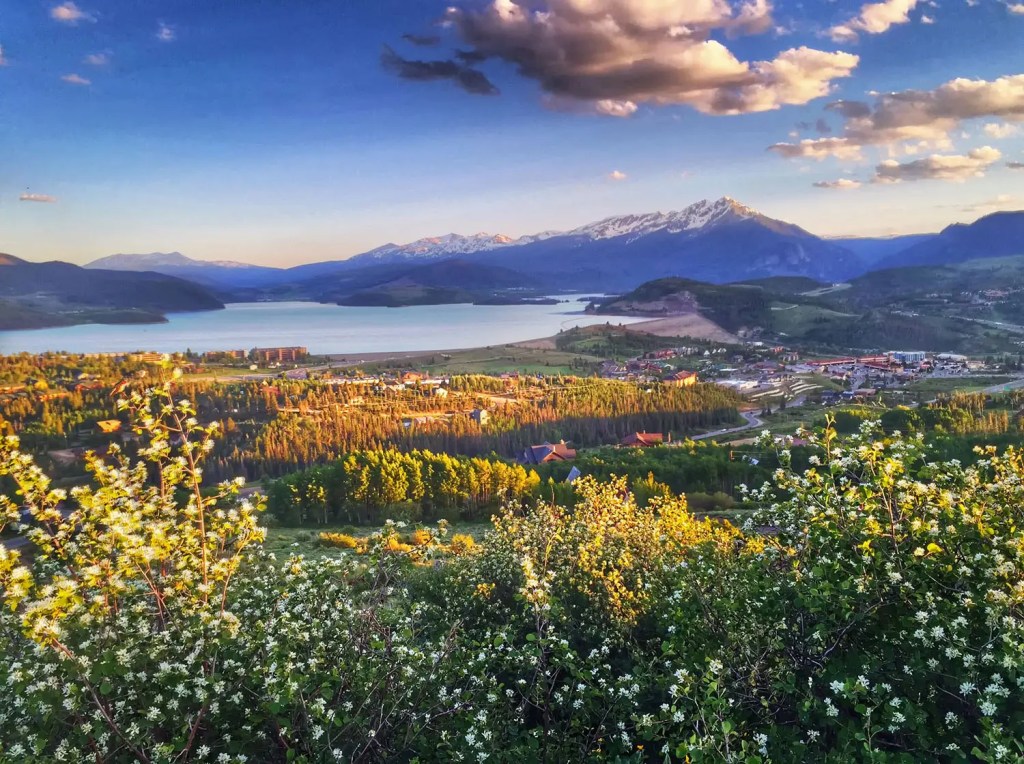
Lake Dillon is huge, with nearly 27 miles of shoreline, holding 250,000 acre-feet of water. Interestingly, the old town of Dillon actually sits at the bottom of Lake Dillon, so there’s an underwater Ghost town beneath the lake. The entire town of Dillon was relocated to build the dam that created the reservoir.
In the summer, the reservoir is a popular spot for boating, fishing, hiking, and bicycling. It’s stocked each year by the Colorado Division of Wildlife with about 50,000 rainbow trout.
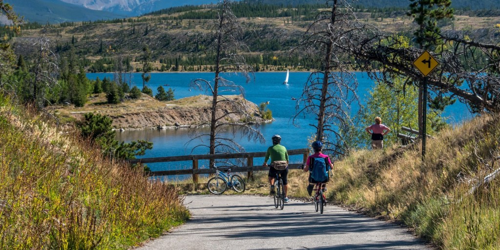
There’s a path that can be accessed all around the reservoir, called the Dillon Reservoir Loop. It’s an 18.8-mile layout that offers stunning views of Summit County’s mountain terrain. Known as the Dillon Reservoir Recpath, the route goes past Dillon, Silverthorne, and Frisco, tonight’s destination.
Leaving Dillon in the rear-view mirror, we climb aboard I-70 for 10 miles, then exit onto Colorado Highway 91, the Top of the Rockies Scenic Byway. This beautiful highway leads us to our next big pass, and a gigantic mine with a hard-to-pronounce and difficult-to spell-product.
Pass-a-Palooza™ … Fremont Pass: 11,318 feet
Twenty miles south of Dillon, we arrive at Fremont Pass, and the Climax Mine, a major source of molybdenum.
The pass is named for John C. Frémont, an explorer who discovered the pass while traversing present-day Colorado during the 1840s. Fremont Pass is open year-round. It’s earned Honorable Mention on my all-time Top Ten list.
At the summit of Fremont Pass on the Continental Divide is the Climax Mine, which at one time supplied 75 percent of the world’s supply of molybdenum. Today, China produces the vast majority of the world’s molybdenum, about 130,000 metric tons a year. That’s two and a-half times as much as the US now produces.
Molybdenum is used as an alloying element for stainless steel and other metals. It enhances the resistance of metals to corrosion and builds their strength at high temperatures.

During the Leadville Silver Boom, prospector Charles Senter discovered and claimed the outcropping of molybdenite (molybdenum sulfide) veins in 1879, but he had no idea what the mineral there was. Senter determined that the rock contained no gold or silver, but retained the claims, just to be on the safe side. Each year he performed the assessment work required to maintain his lode claims, convinced that his mystery mineral must be of value.
In 1895, Senter found a chemist who identified the gray mineral as containing molybdenum. At the time there was virtually no market for the metal. In 1918, Senter received $40,000 for his mining claims and settled into a comfortable retirement in Denver.
When steelmakers determined the utility of molybdenum as an alloy in producing hard corrosion-resistant steel, the first ore shipments from the deposit began in 1915, when the Climax mine began full production.
Climax?
The name comes from the Climax railroad station that was built at the top of the Continental Divide as a place to uncouple helper locomotives after the long climb from Denver to the mining town of Leadville. It was the climax of the route.
Leadville, a Boomtown with a Colorful Past
Soon, we arrive in Leadville, a historic mining town with a colorful and rich history. It had both precious metals – gold and silver – and also industrial metals, including lead, zinc, copper, and iron.
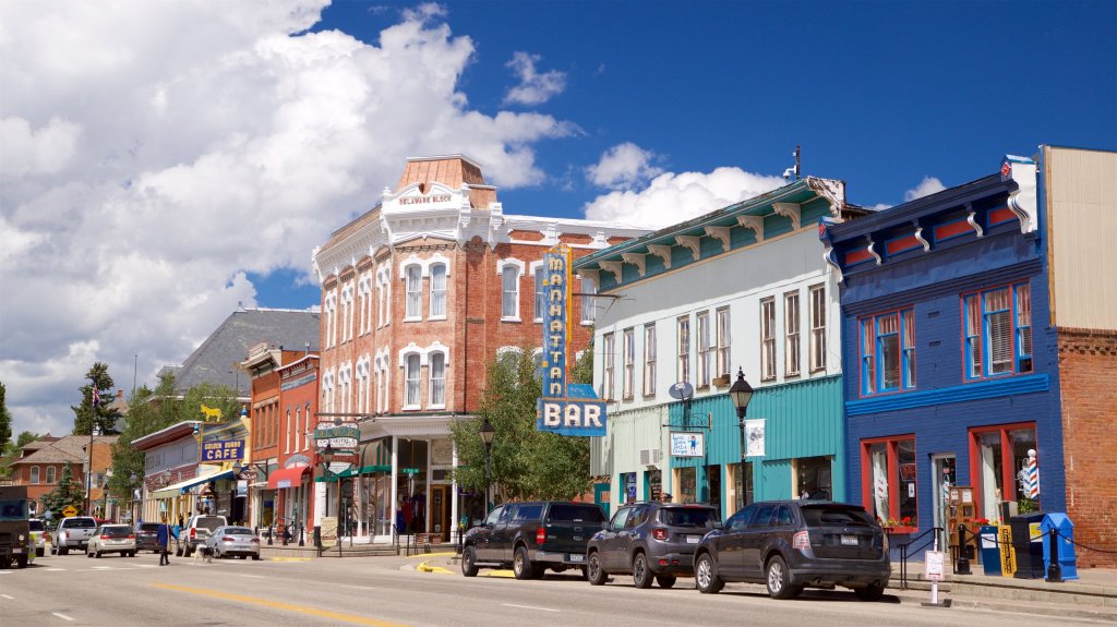
Sitting at an elevation of 10,152 feet, Leadville is the highest incorporated city in the US. The Leadville Historic District has been designated a National Historic Landmark since 1961. Its population today is about 2,700. But during the mining boom of the late nineteenth century, with more than 30,000 residents, it was one of the wealthiest cities in the US, and Colorado’s second most populous city, after Denver.
Mining in the Leadville area began in 1859, when prospectors discovered gold at the mouth of California Gulch. By 1872, placer mining in the area yielded more than $2,500,000, roughly equivalent to $58,000,000 in today’s dollars.
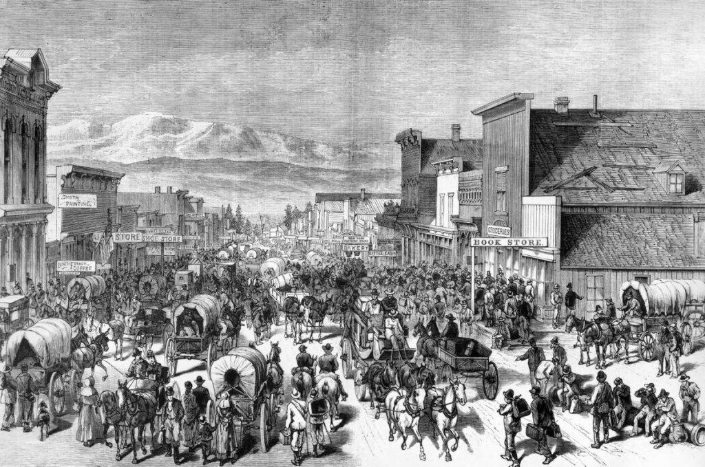
Leadville was founded in 1877 by mine owners Horace Tabor and August Meyer at the start of the Colorado silver boom. Initially, the settlement was called Slabtown, after the quickly built houses that sat on slabs. But when the residents petitioned for a post office, the name Leadville was chosen; they thought lead would be the dominant mineral in the area.
In 1879, Leadville was booming. Its city directory listed 10 dry goods stores, 4 churches, 4 banks, 31 restaurants, 120 saloons, 3 daily newspapers, 19 beer halls, 70 law firms to abate claim jumpers, 35 houses of prostitution, and 118 gambling houses. At the time silver was discovered in Oro Gulch, Leadville had three separate red-light districts.
Railroads played a vital role in Leadville’s history. In 1880, former president Ulysses S Grant rode the inaugural train into town on the Denver & Rio Grande Railroad. When Grant arrived at 10 pm, there was a two-mile long parade and bonfires lighting the way in the night.
Pass-a-Palooza™ … Tennessee Pass: 10,424 feet
In Leadville, we turn north on US Highway 24 and head toward Tennessee Pass, another crossing of the Continental Divide. Tennessee Pass separates the Sawatch Range on the west and the Mosquito Range on the east. The pass got the name because it’s the native state of a group of early prospectors. It’s open year-round. Like so many other passes on today’s route, Tennessee Pass earned Honorable Mention on my all-time Top Ten list. And, ya gotta love a pass named after Sarah’s home state!
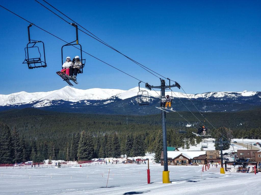
We roll by Ski Cooper, a small, family-oriented ski area at Tennessee Pass nine miles north of Leadville. Ski Cooper (not to be confused with Copper Mountain, which we’ll visit later today), is one of the oldest in Colorado. It opened in 1942, when the area served as the training site for the 10th Mountain Division, based at nearby Camp Hale during World War II.
Ski Cooper is owned by Lake County, and managed by a non-profit with a volunteer board. It has two chairlifts, 64 runs, and 470 skiable acres. A unique feature of Ski Cooper is the views of Colorado’s highest peaks, Mount Elbert and Mount Massive, a pair of fourteeners. A day pass, Monday through Friday, is $45. That’s what I’m talkin’ about!
Cooper started in the early years of World War II, when foreign invasion of the U.S. was a real threat. The military believed that an invasion could be most effectively countered in the rugged terrain of the western Rockies or the eastern Appalachians. Charles Minot “Minnie” Dole, the civilian founder of the National Ski Patrol, urged the War Department to train special troops for mountain, ski, and winter warfare.
In 1942, the Army acted on Dole’s advice. It created the 10th Mountain Division and selected a training site near the remote railroad ice stop of Pando, midway between Leadville and Minturn, where we’ll be in half an hour. Army engineers leveled the valley floor near Pando and named the site Camp Hale, after Brigadier General Irving Hale, a Denver native and West Point graduate. At Cooper Hill, engineers cleared three ski runs and installed the region’s first T-bar tow.
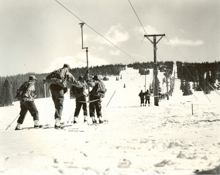
Military ski training on the slopes of Cooper Hill wasn’t easy. The T-bar tow was used only occasionally. Would-be ski troopers often hauled their skis, an M-1 rifle, and a 90-pound pack to the top of Cooper Hill — on foot.
Following two years of rigorous training, the 10th Mountain Division was ordered to Italy to spearhead the advance of the US Fifth Army. In a series of actions in the Apennines that included Riva Ridge and Mt. Belvedere, the unit breached the German army’s supposedly impregnable Gothic Line, secured the Po River Valley, and liberated much of northern Italy.
By May, 1945, when the Germans surrendered, 992 10th Mountain Division ski troopers had been killed in action and 4,000 wounded, the highest casualty rate of any US. division in the Mediterranean Theater.
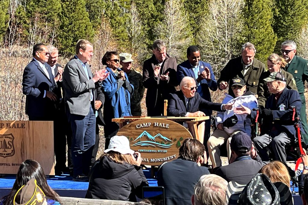
The history of the 10th Mountain Division and Camp Hale are why Camp Hale National Monument was established in 2022. Known as the Camp Hale – Continental Divide National Monument, it’s a memorial to the 10th Mountain Division, the Army’s first and only mountain infantry division.
Wanna learn a lot more about the history of the area? Read the official proclamation establishing the National Monument.
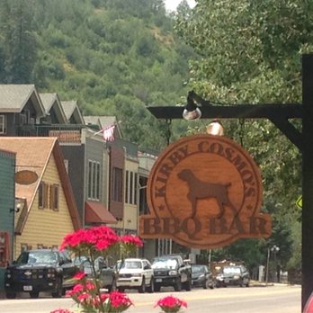
Kirby Cosmo’s in Minturn
We leave Tennessee Pass, and head down valley 20 miles, toward the town of Minturn, 2,500 feet below. Minturn is named for Robert Minturn Jr, who was vice president of the Denver & Rio Grande Western Railroad that founded the town. When the railroad arrived in 1887, Minturn quickly developed into a booming crossroads for transportation and industry. The town was incorporated in 1904.
Minturn, population 1,000, sits about two miles south of I-70. Before we head that direction and tackle our final pass of the day, we settle in to Kirby Cosmo’s BBQ in Minturn. Their BBQ style hails from Asheville, North Carolina, and Greenville, South Carolina. The first time I rode with Clarence, five years ago, we stopped at Kirby Cosmo’s on his recommendation. It’s southern, and so is he. Said Yelp reviewer Lori W from Fairhope, Alabama – Clarence’s home state – “I hadn’t had a hushpuppy in years and these satisfied my craving,”
Every visit to Minturn since my first appearance at Kirby Cosmo’s, I’ve made a point of stopping in to the place. You never know when you might have a hushpuppy craving. We skipped it today, and pressed on toward Vail.
Darn, we passed up Q 😢
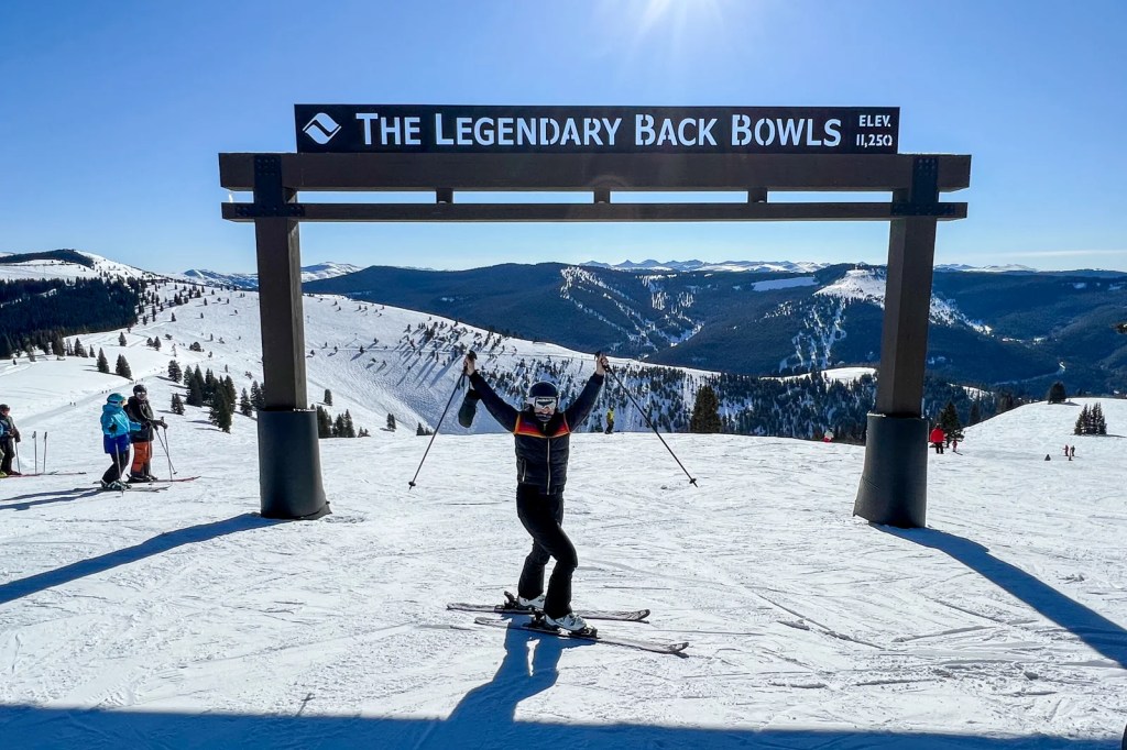
So, we hop on I-70, and in only five miles, roll by Vail, home to Colorado’s largest ski mountain.
The town of 5,000 was incorporated in 1966, four years after the Vail Ski Resort opened at the base of Vail Pass, which we’ll cross in just a few minutes. Vail – the town, the pass, the ski resort – are all named after Charles Vail, the highway engineer who routed US Highway 6 through the Eagle Valley in 1940. That path eventually became I-70, which we’re now riding.
One of the founders of the Vail Ski Resort was Pete Seibert, who served in the 10th Mountain Division during World War II. He trained at nearby Camp Hale, which we visited before our time at Kirby Cosmos, just a few hours ago. Seibert was wounded in Italy at the Battle of Riva Ridge, then went on to become a professional skier.
During his training at Camp Hale, he bivouacked on Vail Mountain and identified it as an ideal ski mountain. Along with other former members of the 10th Mountain Division, Seibert returned to Colorado after the war with the intention of opening a ski resort. Seibert was able to get funding from investors in the early 1960s, and the rest is history.
Vail officially opened for business in December 1962, with one gondola and two ski lifts. Today, it has 33 ski lifts, 195 marked trails, 5,317 skiable acres, and a whole lot of rich people. Vail’s longest run – four miles – is Riva Ridge, a nod to the battle in which its founder was wounded during World War II. Along with Snowmass, where I hang out in the winter, Vail has been named the number one ski resort in the US numerous times. Vail was the first resort owned by Vail Resorts, which now owns and operates 42 ski areas in the US, Canada, Australia and Europe.
Pass-a-Palooza™ … Vail Pass: 10,666 feet
From Vail, it’s a 14-mile ride and a 2,500-foot climb to Vail Pass, which is open year-round, but can be an adventure on snowy, winter days.
The pass was not a traditional historical route through the Rockies. Before 1940, when Charles Vail envisioned the route we’re riding today, the most common route westward was over nearby Shrine Pass, just to the south. Today, Shrine Pass is a narrow, dirt road an unpaved road passable by all but the lowest passenger cars. Thanks to Charles Vail, it’s truly become the road less traveled.
Vail Pass is the road most frequently traveled, as it’s now the main east-west artery through the Rockies. It’s also our last pass of the day.
The road leads us to the base of Copper Mountain, about 1,000 below Vail Pass. Copper is not to be confused with Ski Cooper, which we visited earlier today on our ride over Tennessee Pass.
In the mid-1800s, miners came to the area looking for gold, but instead, they found low-grade copper ore. From then on, the mountain became known as Copper Mountain, long before the ski area came to life.
Copper Mountain sits at Wheeler Junction, where I-70 and Colorado Highway 91 meet. Copper is owned by Utah-based POWDR, and served by the IKON pass. The nearest town is Frisco, tonight’s destination. Frisco is just seven miles ahead on I-70, the conclusion of our five Pass-a-Palooza™ day.
Contrary to popular belief and urban legend, Frisco was not named after the city of San Francisco, on California’s west coast. In 1875, a railroad agent named Henry Learned was hired by rail companies and stakeholders who had interests in expanding their rail lines into the west. One of those was the St. Louis – San Francisco Railway, also known as the “Frisco Line.” Learned selected what’s now Frisco, Colorado, as a town site for the Frisco Line.
The name Frisco was derived from a combination of letters associated with the St. Louis – San Francisco Railway Company. It combined the “FR” from Francisco, the “IS” from St. Louis, and the “CO” from Company – to produce Frisco.
The Frisco Line, which originated in Missouri, never made its way to Frisco, Colorado. Two other railroad companies serviced Frisco: the Denver, South Park & Pacific; and the Denver & Rio Grande. The line did eventually get it right, making it as far south as Frisco, Texas.
Frisco, Colorado, with a population of 2,800, sits just east of I-70. Like so many towns we’ve visited, Frisco owes its history to mining. The area had nearly 15,000 mining claims, 829 of which are still active. Gold and silver mines covered nearby mountainsides.
The town is at the far west end of the Dillon Reservoir, a recreational go-to spot in the summer. You can launch your boat at the Frisco Bay Marina, or rent a pontoon boat, fishing boat, kayak, canoe or stand-up paddle board.
Or, you can pull in to the Hotel Frisco Colorado on the town’s Main Street, and call it a day. That’s what we do.
To see today’s route from Walden, over five (!) Pass-a-Paloozas™, ribs in Minturn, and eventually on to Frisco, click here.
***
Today’s Not Quite Pass-a-Palooza™ … Mosquito Pass: 13,186 feet
Earlier today, we rolled through Leadville on our way to Tennessee Pass and then Minturn, where we ate at Kirby Cosmos BBQ.
Leadville was once the second-largest city in Colorado. It was home to the state’s most productive silver mining district. Today, it’s the highest incorporated city in the US. Leadville is a place of superlatives, you know – words that end in “est.” Because of all the mining in the Leadville area in the late 1800s, it’s always been a prime spot for high mountain roads, connecting mining towns with railroad stops. The value of mining in the area over the years is estimated to be more than $5 Billion in today’s dollars.
As Leadville grew in size during the mining boom, Mosquito Pass became a busy place. It was widened into a stagecoach road, with the town of Mosquito serving as a stage stop, supply point, and relay station. Mosquito is now a ghost town along the Mosquito Pass road, while Leadville is a thriving community.
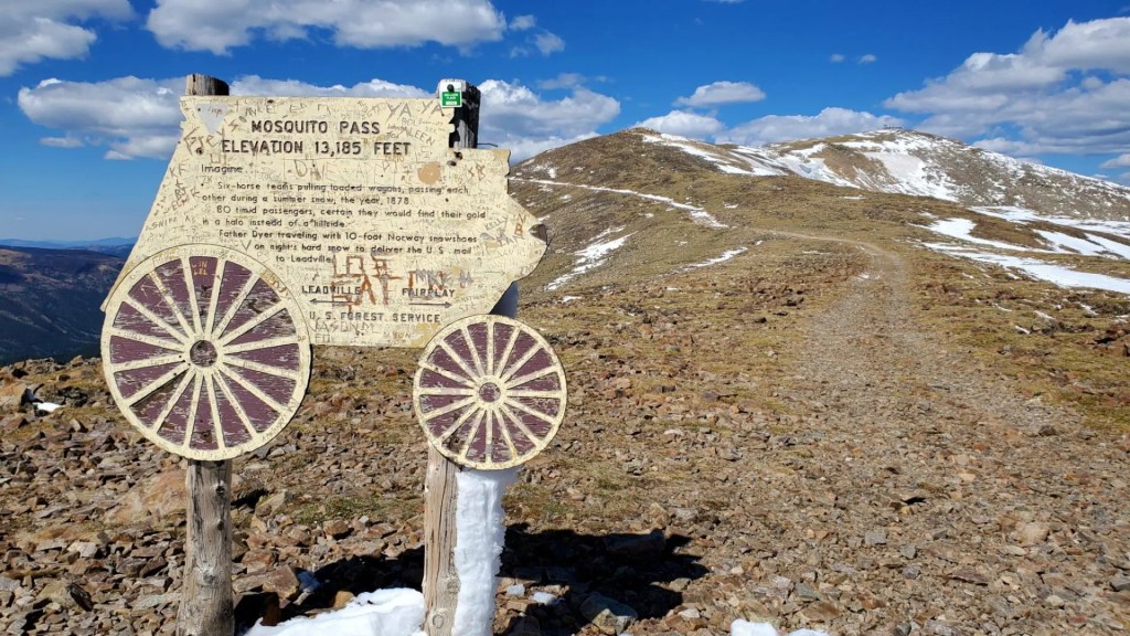
And Leadville is the starting point for today’s Not Quite Pass-a-Palooza™, Mosquito Pass. The road takes adventurous travelers like you on a 17-mile journey from Leadville, on its west end, to Alma on the east.
Mosquito Pass is the highest crossable vehicle mountain pass in the US outside of Alaska. While there are higher vehicle passes, they are all out and back. The trail crosses the Continental Divide, between the Arkansas and South Platte Rivers. In the 1870s, when Leadville’s silver mining district was legendary, Mosquito Pass was used as the fastest way to reach the mines. After all, Mosquito Pass is home to the largest concentration of old mines in the world.
The summit of the pass is 13,186 feet, the highest drivable pass in Colorado. At this elevation, snowstorms are possible any month of the year. But snow and ice never stopped the miners from crossing back and forth.
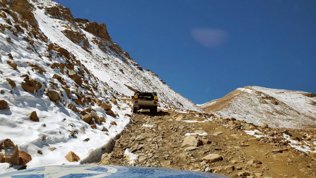
The road is known as the “Highway of Frozen Death.” It got that name because some miners, trying to cross the pass in the dead of winter, were not prepared for the extreme cold that came with blinding blizzards at that elevation. Frozen bodies along the trail became too frequent, and Mosquito became known as the Highway of Frozen Death.
I’ll assume that nickname just makes you want to take on Mosquito Pass even more, so let’s get started.
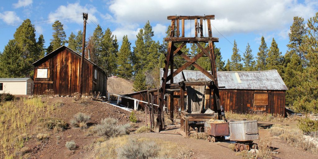
Matchless Mine Love Triangle. Only a half-mile out of town, on (Lake) County Road 3, you find the Matchless Mine, where one of Leadville’s most notorious silver kings, Horace Tabor, struck it rich. Tabor amassed great wealth almost overnight when he bought the Matchless Mine in 1879. It soon became one of the most productive silver mines of the era.
Soon after, he started a scandal when he left his wife Augusta, a respected community leader, for the young, beautiful Elizabeth “Baby Doe” McCourt. Horace and Baby Doe married, with wedding invitations fashioned from solid silver. But their high-flying lifestyle was not to last. When silver prices crashed, their fortune vanished. He died in 1899, leaving Baby Doe and their two daughters destitute. It was one of the most famous love triangles ever.
The Matchless Mine was named after a popular brand of chewing tobacco. Today, what’s left of the mine is an extension of the National Mining Hall of Fame and Museum, which provides tours of the mine during summer months.
What’s in a Name? Before we get too far from Leadville, now’s a good time to consider where the Mosquito name came from. After all, it’s the name of a gulch, a mountain range, a pass, a peak, and a creek.
By 1861, a few hundred miners had moved into a gulch east of the Continental Divide near present-day Fairplay. They were getting enough silver out of the mountain to encourage more miners to move in and suddenly realized they were becoming a town. Meetings were held in an effort to find a name for their town but an agreement could not be reached.
After one long meeting to decide on a name for their town, residents could not come to a consensus. When the meeting reconvened the next day, they reopened the ledger to record their discussions and found a squashed mosquito on the page. “Mosquito” seemed like a good name, and a compromise was quickly reached. It was the only name they could agree on.
No one in the room was sure how to spell the pesky little insect, but they finally decided on, “Musquito”. The spelling was later corrected, followed by the naming of Mosquito Gulch as well as the town of Mosquito, and eventually the pass, the creek, the peak and the mountain.

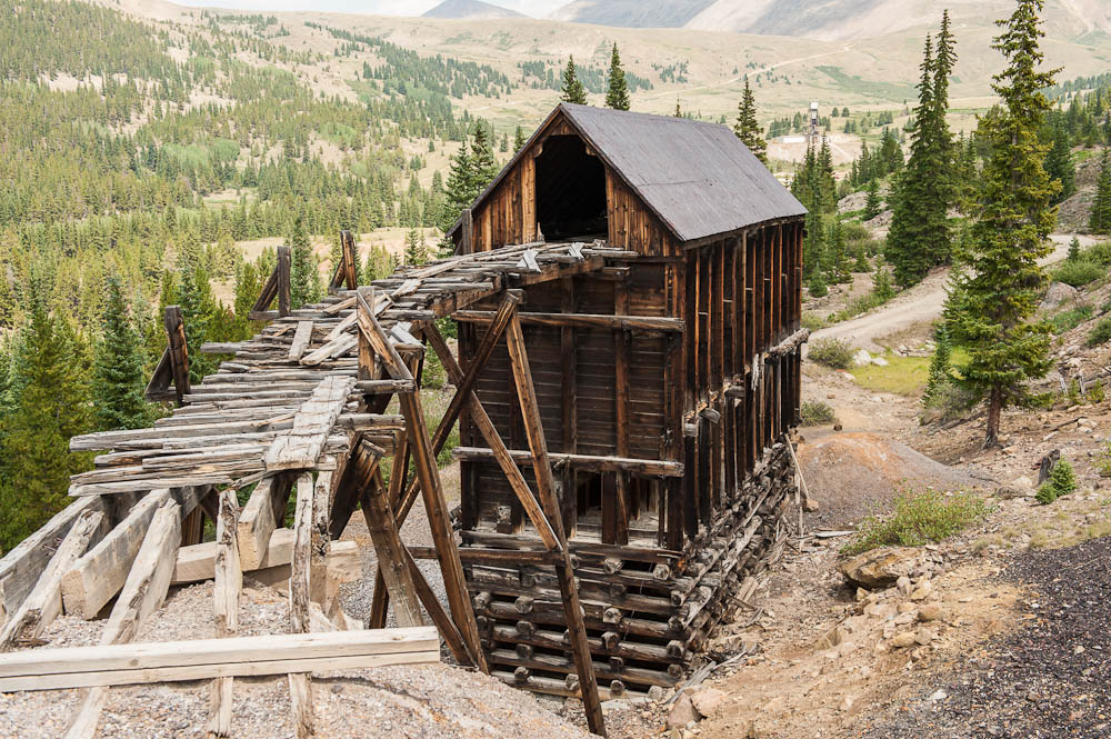
New Monarch Mine. Leaving the Matchless Mine and its sad love triangle behind, you continue about three miles east on the road to Mosquito Pass and arrive at the New Monarch Mine. The New Monarch Mine’s ore house is one of the best-preserved structures in the Leadville Mining District.
The mine was owned by James Brown, husband to the Unsinkable Molly Brown. Unsinkable? Yep, she was a survivor of the Titanic sinkng in 1912, long after she left Leadville.
In Leadville, she met and married James Brown, who brought her great wealth from his mining success, allowing Molly Brown to become a philanthropist and world traveler. She worked in Leadville soup kitchens to assist miners’ families. For leading a life well lived, Molly Brown was inducted into the Colorado Women’s Hall of Fame in 1985.
In Hollywood movies, she’s been played by Thelma Ritter, Cloris Leachman, Tammy Grimes, Kathy Bates, Marilu Henner, and Debbie Reynolds – who earned a Best Actress Oscar nomination for her 1964 portrayal of the Unsinkable Molly Brown.
It’s about four miles from the Monarch Mine, or what remains of it, to Mosquito Pass. Once you arrive at the pass, you will have gained 3,314 feet of elevation since leaving Leadville.
Finally, Arriving at the Pass. Mosquito Pass forms the border between Lake County and Park County. Because of its extreme weather, Mosquito Pass is usually only open for six to eight weeks after the snow melts in July.
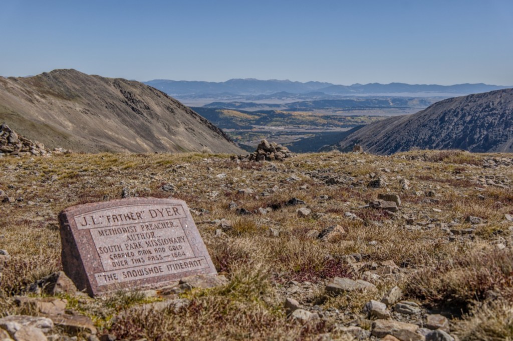
Famed Methodist clergyman and Colorado pioneer Father John Lewis Dyer is one of the first known people to cross Mosquito Pass. Back in the 1860’s, Dyer was known to cross the pass several times per week, even if it required snowshoes, in order to spread his religious message. To supplement his meager preacher income, Father Dyer began carrying mail between Leadville and Alma, leaving in the evening so the snow was frozen and easier to cross.
Father Dyer was called “The Snowshoe Itinerant.” His snowshoes were actually skis; he crossed the frigid pass, again and again, on 12-foot-long wooden skis. At the top of the pass, a memorial marker can be found for Father Dyer, who lived to the age of 89. He was one of the first members of the Colorado Ski and Snowboarding Museum Hall of Fame, inducted in 1977.
In 1879, the extremely treacherous mountain path through Mosquito Pass became a toll road. When it opened, the road carried more than 100 wagons, freighters, and stagecoaches to Leadville each day. The crowds didn’t last long, though. When the railroad came to Leadville in 1880, the bustling road lost its importance, and was abandoned. The town of Mosquito, on the east side of Mosquito Pass, was abandoned, too.
North London Mine and Mill. As you head down the mountain from Mosquito Pass toward Alma, about nine miles east, you’ll drop about 3,100 feet in elevation. Along the way, you’ll pass the site of the North London Mine and Mill, both were tremendously productive and among the richest gold, silver and lead mines in Colorado.
The mine was first established in 1873, and the mill was added 20 years later to help curb the expense of hauling materials to be processed off site. The North Mine and Mill sites were home to Colorado’s first aerial tramway, connecting the two operations.
The North London Mill site, sitting at 11,400 feet above sea level, has been recognized by the Park County Historic Preservation Committee as a local landmark. The North London Mill Preservation (NoLo) was formed in 2017 to plan, finance, preserve and manage the historic buildings at the mill site.
When you’ve seen the remnants of the North London Mill, you have six miles to go before reaching Alma. At 10,578 feet, it’s America’s highest incorporated town; Leadville, at the other end of the road, is the highest incorporated city.
Your arrival in Alma concludes your 17-mile journey over the Highway of Frozen Death.
To view today’s Not Quite Pass-a-Palooza™ route from Leadville, past the Monarch Mine, over Mosquito Pass, and into Alma, click here.

Man, I missed an epic ride today!For wh
LikeLike
Great ride today! No ales or stouts in Steamboat Springs?
David M. Bowman
Corporate Development Executive
Leadership = Connecting People To Their Future
LikeLike