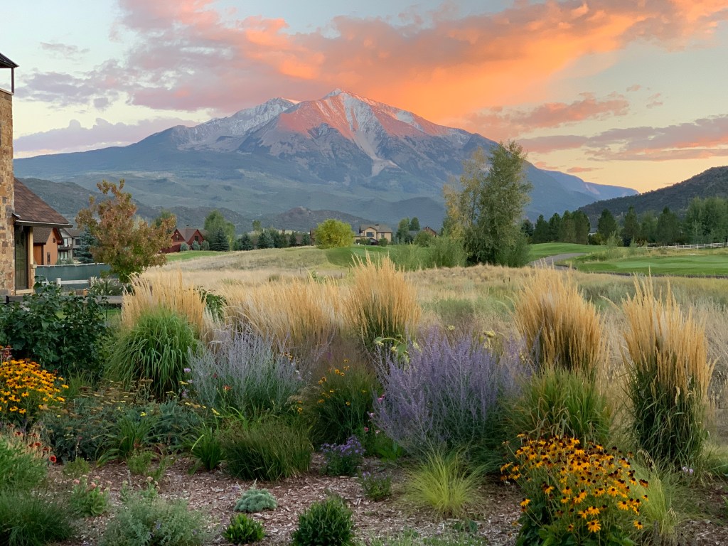
Rocky Mountain National Park is the fifth-most visited in the park system, after Great Smoky Mountains, Grand Canyon, Zion, and Yellowstone. More than four million visitors come to Rocky Mountain NP every year to check out its 415 square miles of dramatic beauty, rugged mountains, sparking lakes, 350 miles of hiking trails, and abundant wildlife.
Since 95 percent of the park is designated wilderness, and only accessible to adventurous hikers, a road from one end of the park to the other is perhaps the most popular way to explore it without burning many calories.
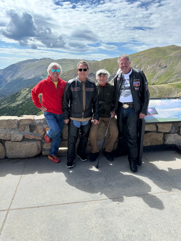
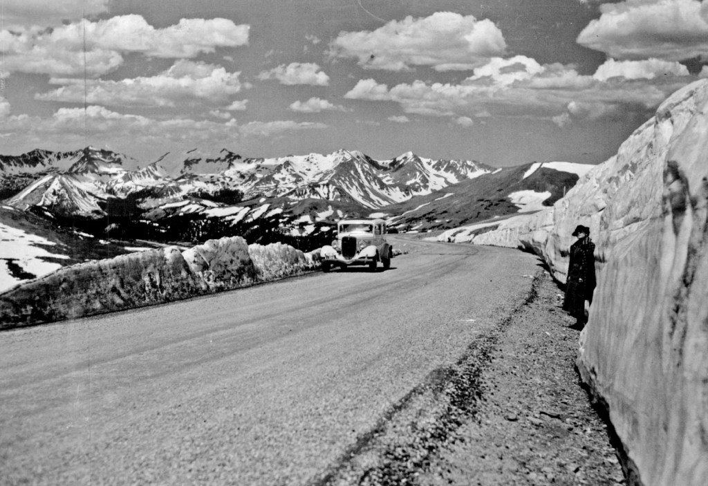
If you’re only gonna see one thing in the park, it’ll probably be Trail Ridge Road, a 48-mile highway in the sky that connects Estes Park, where our day begins, with Grand Lake, on the west end of the park.
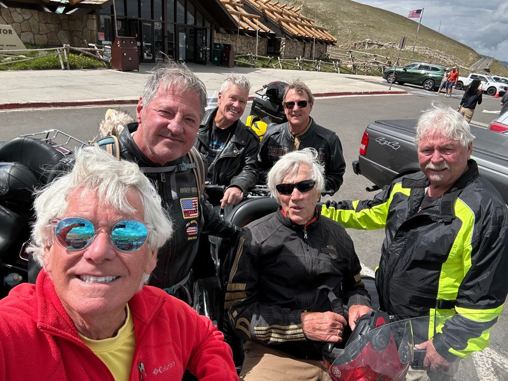
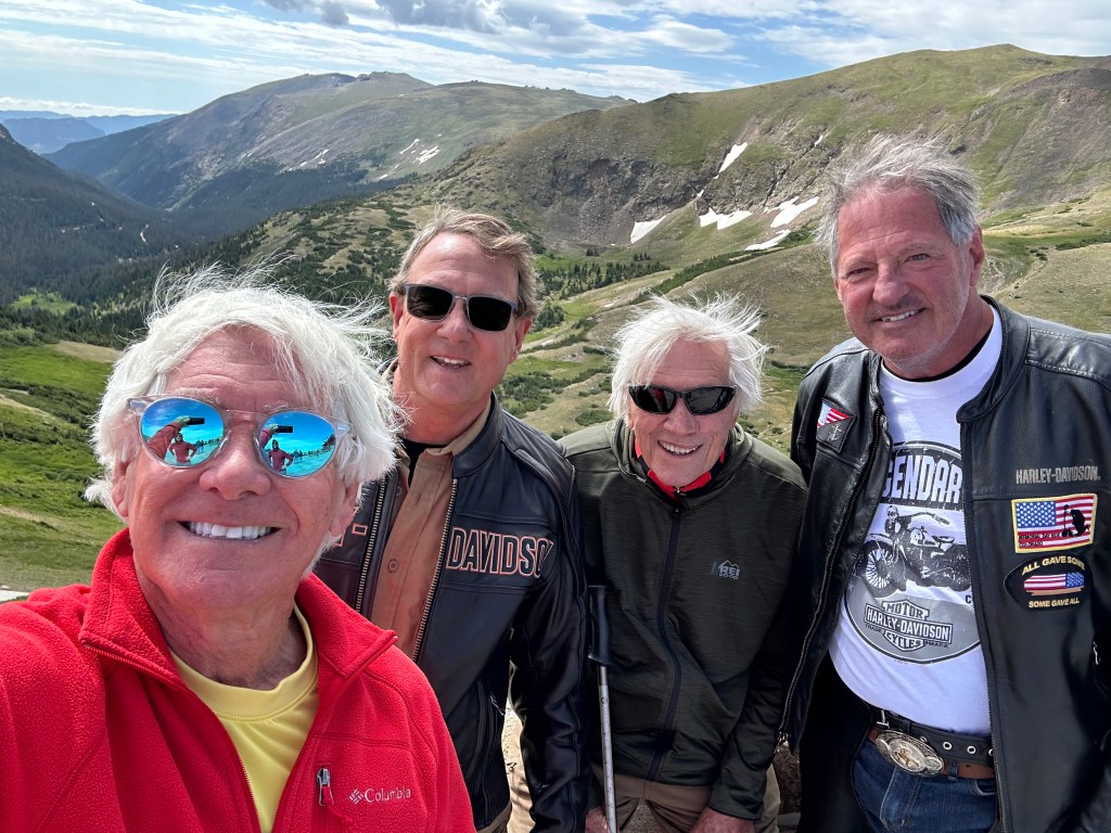
Today, we’ll ride the Trail Ridge Road Scenic Byway over the highest continuously paved stretch of road in North America, cross the Continental Divide three times, and check out the highest visitor center in the National Parks system. Trail Ridge Road is one of my favorites. It’s #7 on my all-time Top Ten list.
The two-lane, 22-foot-wide road is formally known as US Highway 34. That’s the road we’ll take for the first few hours of our day.
In late July of 1913 a convict camp made from prison labor was established, and a crew of 38 men began work on the Fall River Road – the precursor to Trail Ridge Road. Construction continued, first by convict labor and then by contract, until finally on September 14, 1920, the Superintendent of Rocky Mountain National Park drove all the way from Estes Park to Grand Lake. It seemed like a miracle.
Rocky Mountain National Park is one of America’s oldest national parks, established in 1915 just before automobile ownership became mainstream.
Fall River Road was the first road into the park’s high country. It opened in 1921 and quickly proved inadequate for motor travel as a single-track road with steep grades up to 16 percent, tight curves, and a short annual season due to snowpack. By the late 1920s, greater numbers of visitors wanted to explore by car, but the original thoroughfare, Fall River Road, was too narrow for the increasing traffic
So, in 1926 the National Park Service began the search for an alternative route — one that would provide moderate grades, gentle curves, few places of heavy snow accumulation and, most important of all, unparalleled views of spectacular scenery.
The proposed Trail Ridge Road helped to bring about a new philosophy in National Park road building. Along with other roads in Yellowstone, Glacier, Yosemite, and the Grand Canyon, the public demand for easier access to its National Parks was becoming as important as the need to maintain the pristine wilderness.
“A Trip to Never be Forgotten”
In the summer of 1926, SA Wallace of the Bureau of Public Roads came to the park to locate the new road. His selection was fortuitous; at the time, expertise in locating mountain roads was vested in the western railroads, and Wallace had recently come to the Bureau of Public Roads from the Santa Fe Railroad. Building the road turned out to be a major challenge – and achievement – in civil engineering.
Almost immediately the search for a path through the park narrowed to Trail Ridge, a feature that got its name from the Ute Trail, which traverses the entire length of the ridge.
Used for hundreds of years, the trail was once traveled by both Ute and Arapahoe Indians in an area where game was particularly abundant. The trail was so steep that in places the women had to remove the children from their backs and urge them to toddle along the trail. And so, they called the route the taieortbaa — The Child’s Trail.
After checking out the proposed trail, Wallace wrote, “The surveyed route via Trail Ridge is one of unsurpassed mountain scenery, high mountains, deep canyons, many lakes and perpetual snow, alpine flower gardens and wooded areas all combining to make a trip over it to be never forgotten.”
Nailed it.
A Short Season
Trail Ridge Road, Rocky Mountain National Park’s heavily traveled highway to the sky, inspired awe before the first motorist ever traveled it. Building the road was partly a project of the Civilian Conservation Corps, a program created to employ young men to combat the country’s economic downturn during the Great Depression – and to improve US forests, parks and public lands.
Beginning in 1929, workers only had about four months of the year – mid-June to mid-October – to dig, excavate, dynamite and grade the road. At peak construction, 150 workers used horses, steam shovels, tractors and graders.
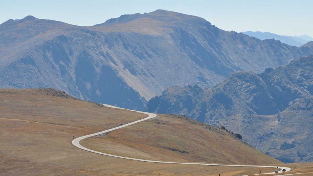
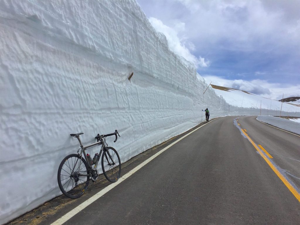
Eleven miles of the highway travel above treeline, the elevation near 11,500 feet where the park’s evergreen forests come to a halt. There, you’ll find few guard rails and no shoulders. Parts of it are, for me, a little intimidating. But I’m kind of a wimp.
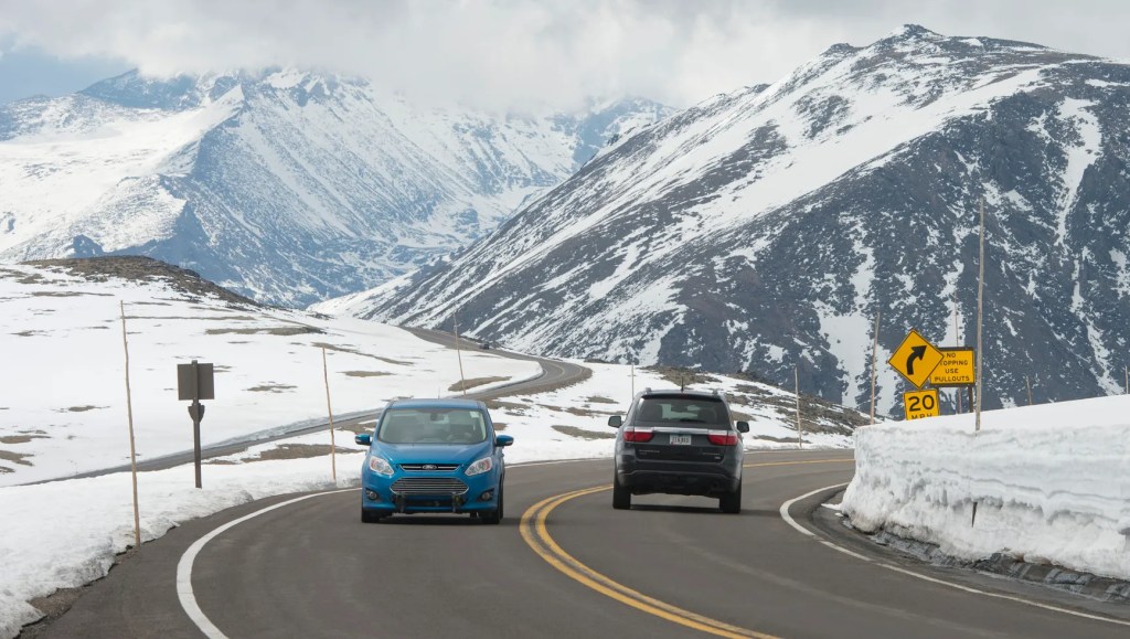
Trail Ridge Road is not designed to be an all-season road. So of course, it generally opens around Memorial Day weekend each year, and shuts down around the end of October, weather permitting.
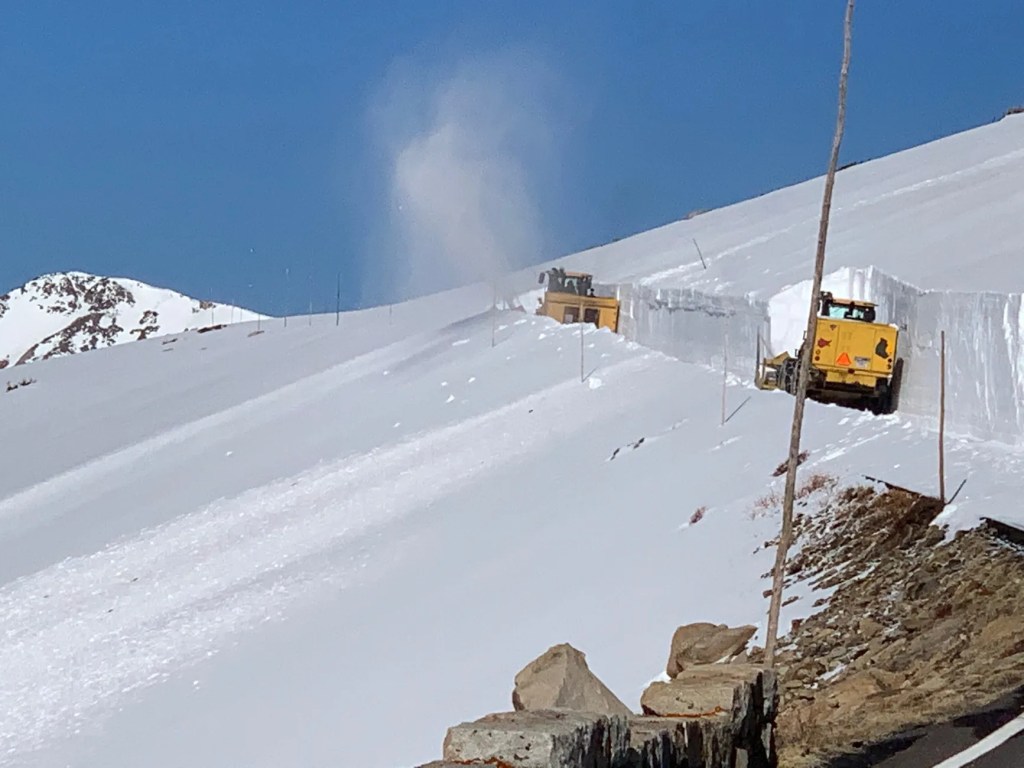
National Park Service plow operators generally begin clearing the snow in mid-April. Crews from the west side of the park and other crews from the east side move along the road and eventually meet at the Alpine Visitor Center – 11,796 feet above sea level. It’s by far the highest visitor center in the National Parks system.
For all its harshness, the Trail Ridge tundra is a place of vibrant life and vivid colors. Pikas, marmots, ptarmigans and bighorn sheep are commonly seen. About 200 species of tiny alpine plants hug the ground, despite a growing season that may last just 40 days.
Pass-a-Palooza™ … Iceberg Pass: 11,827 feet
On our way up toward the highest point on the road, we roll over Iceberg Pass, and keep on climbing. Iceberg pass is 22 miles west of Estes Park. There’s not a lot of fanfare when you arrive at the pass, because there’s still more work to be done.
Pass-a-Palooza™ … Trail Ridge Road: 12,183 feet
Soon after Iceberg pass, we approach the highest point on Trail Ridge Road. It’s unmarked, but it’s there — 12,183 feet above sea level. I’ve been there a half-dozen times, or more – every time scanning for the plaque or sign or something telling me I’m there. Note to Park Service: C’mon, guys. You tout that this road is the highest continuously paved road in the US. So, how hard is it to put up a sign, or paint an X in the road to honor that distinction?
Oh, yes. This hypothetical spot on Trail Ridge Road, at 12,183 feet above sea level … it’s the highest I’ll get on my two-week Colorado Pass-a-Palooza™.
Trail Ridge Road is an American Scenic Byway and a designated All-American Road. At one time, you could take Trail Ridge Road to a ski area known as Hidden Valley, and sometimes called Ski Estes Park. It operated from 1955 to 1991.
The ski area featured an impressive 2,000-foot vertical drop from 11,400 to 9,400 feet, and by the time lifts began turning in 1955, the terrain was divided for each level of skier — 30 percent beginner, 30 percent intermediate, and 30 percent expert. There was also a base lodge with a cafeteria and gift shop, ski patrol headquarters, and a large parking area. A double chairlift was added in 1971, and the ski area became frequented mostly by Northern Colorado residents who would otherwise face a long drive to the larger ski resorts along Interstate 70.
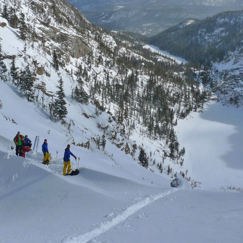
In the late ’80s, it became apparent that Hidden Valley couldn’t compete with the bigger Colorado resorts. Following a meager snow season during which skier visits dropped by more than 30 percent, Hidden Valley removed its lifts in 1991 and closed ski operations for good. Today, there’s skiing in the park, but it’s backcountry touring – self-guided and self-propelled.
Many of the vehicles that go from east to west in the park stop at the Alpine Visitor Center, turn around and head back to Estes Park. The visitor center is just a mile west of the high point on Trail Ridge Road. It offers great vistas of the valleys below. The visitor center is a log building, designed to handle the deep snow of winter. In the spring the building is completely buried in the snow and has to be excavated with large snow removal equipment.
We take a break there, before continuing west to our final Pass-a-Palooza™ in the park.
We’re not the usual tourists, eager to head immediately back to Estes Park. So, we saddle up, and ride four miles west to Milner Pass – the only paved crossing of the Continental Divide in Rocky Mountain National Park. We do this because we want to see Milner Pass, and because it would be unthinkable to leave it off our Pass-a-Palooza™ bingo card.
Pass-a-Palooza™ … Milner Pass: 10,759 feet
Milner Pass sits on the Continental Divide. It has great views of Poudre Lake and provides awesome photo opportunities for tourists wanting to prove they’ve been there.
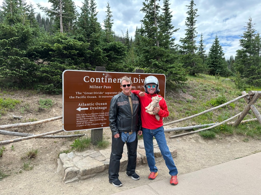
The Continental Divide traverses the Americas from Alaska to Cape Horn in Chile. As it rains on the divide, the future course of a drop of water depends on a matter of feet. All water east of this pass will flow towards the Atlantic Ocean while all water on the west side will flow towards the Pacific Ocean.
Milner Pass is named for TJ Milner, an ambitious railroad promoter who surveyed a rail route across the divide, from Denver to Salt Lake City. Like many surveyed routes of the 1880s, the railroad line was never built. Milner Pass provides access to one end of the Ute Trail that leads to the Alpine Visitor Center.
Milner Pass is as far west as we’ll get on Trail Ridge Road. We turn around, and head back toward the Alpine Visitor Center, then over Trail Ridge Road’s high point, across Iceberg Pass, and down into Estes Park.
Following a short break in Estes Park, we continue along the Big Thompson River Canyon. It’s a spectacular sight. People are fishing all along the river. The trout in the Big Thompson River are largely born in the wild, and range in size from 10 to 12 inches. The river has not been stocked since the mid-1990s. The river houses brown trout, brook trout, rainbow trout, and cutthroat trout.
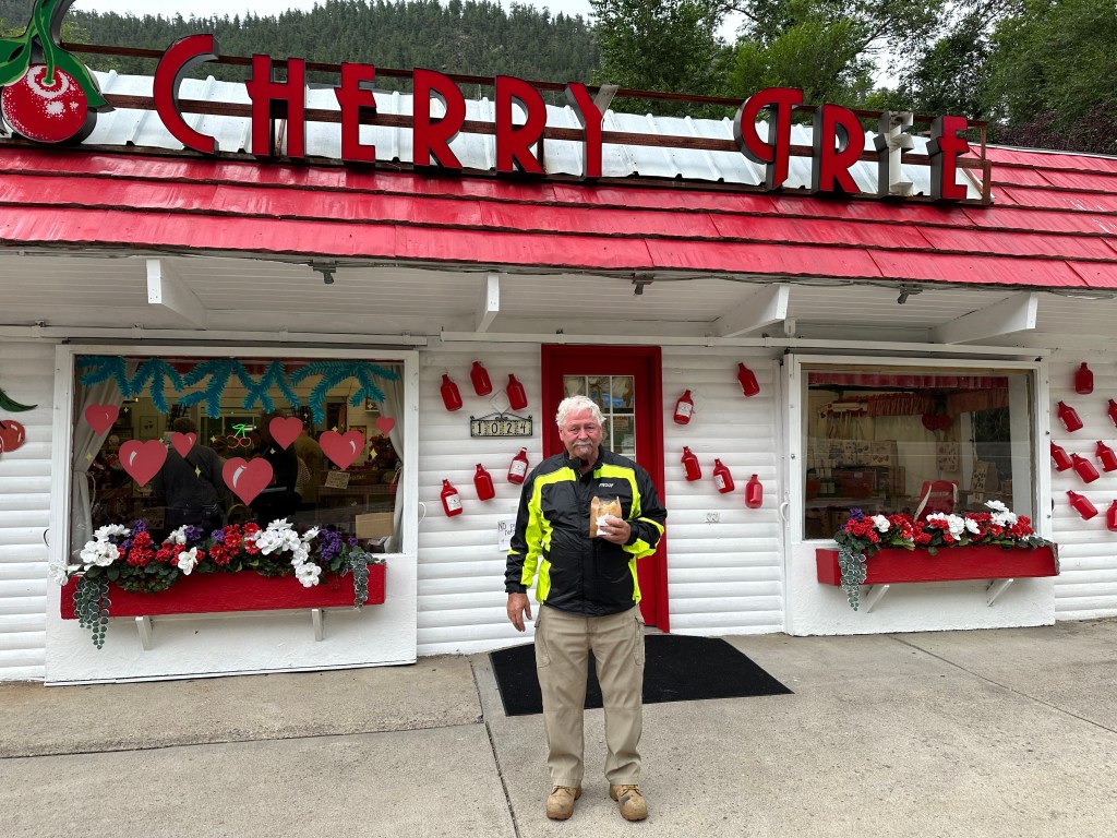
We continue following the Big Thompson River east for about 15 miles, until we arrive at the Colorado Cherry Company, a fourth-generation family business specializing in everything Cherry and Berry.
It’s good place to get a dose of sweetness. So, we do.
Cache la Poudre Scenic Byway
We leave the pie place and head north on (Larimer) County Road 27, which takes us to the Cache la Poudre River. Here, we turn left onto Colorado Highway 14, the Cache La Poudre Scenic Byway. We’ll ride this byway for the next 72 miles – to tonight’s destination: Walden.
The Cache la Poudre River got its name from an incident in the 1820s, when French trappers had to bury some of their gunpowder during a snowstorm in the area. “Hide the powder,” is how Cache la Poudre translates.
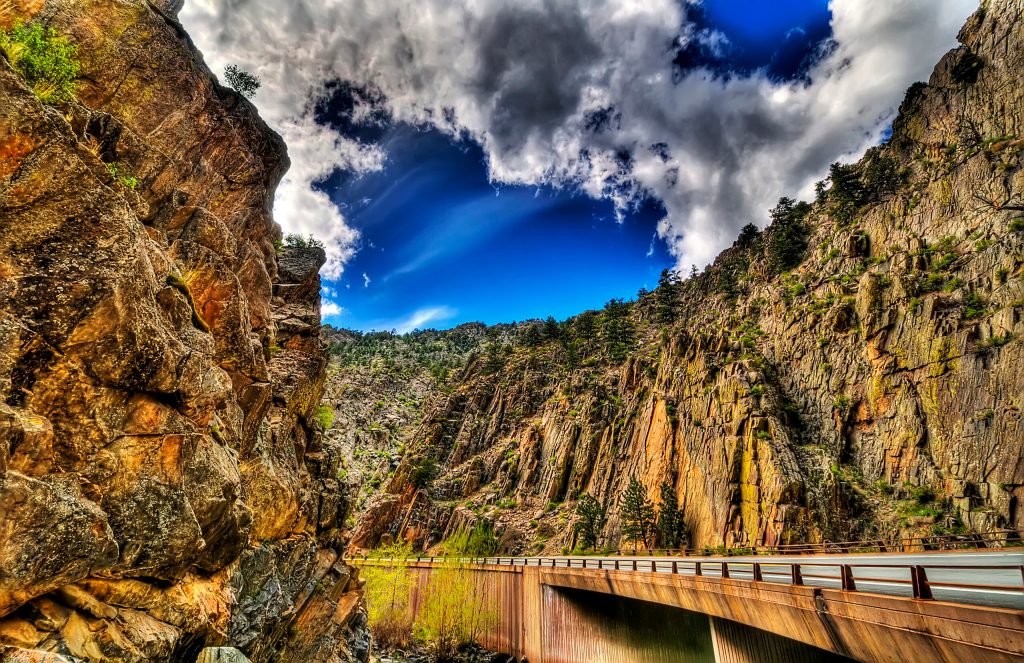
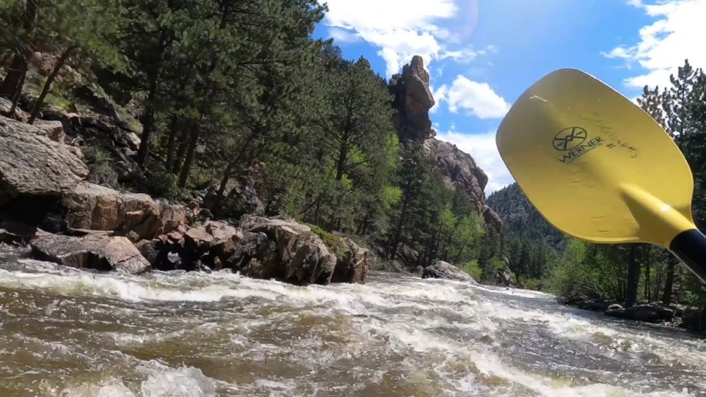
We’re now riding through the Cache la Poudre Wilderness and the Arapaho and Roosevelt National Forest. It’s a narrow canyon, deep and steep, carved by the river over millions of years. The water is high, and running quickly. Very popular place for kayaking. The whitewater swells to a crescendo during the spring runoff. Like many Colorado Rivers, the best waters for rafting and kayaking the Cache la Poudre are in June. We’re a little late, so we keep riding.
Our journey along the Cache la Poudre Scenic Byway continues, as we climb toward 10,276-foot Cameron Pass, which divides the Medicine Bow Mountains to the north, and the Never Summer Range to the south. The pass was named for Robert Cameron, former Civil War Union general and founder of the Fort Collins Agricultural Colony. Cameron, who graduated from medical school in Indiana, later served as a postal clerk in Denver, developed farms in Colorado, and was warden of the Colorado State Penitentiary. Interesting resume the guy had.
Pass-a-Palooza™ … Cameron Pass: 10,276 feet
Cameron Pass was surveyed several times for railroads, including once by the Union Pacific as a possible route through the Rockies. But no railroad was ever built over the pass. The pass gets a lot of snow in the winter, but is generally open year-round. It earned Honorable Mention on my all-time Top Ten list.
From Cameron Pass, we begin the gradual 2,100-foot descent to Walden, 30 miles away.
To our left is the Arapaho National Wildlife Refuge, a 23,464-acre site established in 1967, primarily to provide suitable nesting and rearing habitat for migratory birds. The Arapaho refuge provides a habitat for more than 200 species of waterfowl. It’s is one of more than 560 in the National Wildlife Refuge System across the US.
Walden is known as the Moose Viewing Capital of Colorado. More than 600 moose call this area home. On our way into town, we pass the Moose Visitor Center, which is run by Colorado Parks and Wildlife. It’s located near the logging camp of Gould. Outside the center, there’s a seven-foot-tall sculpture of a moose, made of barbed wire.
We’re ready for a break, and our timing is perfect. We pull into the town of Walden, population 500. Not only is this a break, it’s tonight’s destination. So really, it’s about a 16-hour break!
The appropriately-named Antlers Inn is our home for the evening, along with its restaurant, the River Rock Café.
To see today’s route from Estes Park, over Trail Ridge Road, along the Cache la Poudre Scenic Byway, to Walden, click here.
***
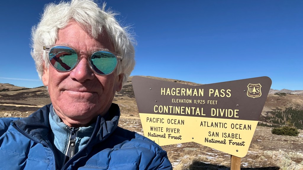
Today’s Not Quite Pass-a-Palooza™… Hagerman Pass: 11,925 feet
I-70, bisects Colorado. It runs west to east for 453 miles, beginning in the high desert west of Grand Junction, and ending in the plains of Kanorado, which has a gas station and a “Welcome to Kansas” sign.
The interstate doesn’t begin and end in those places, but they are the western and eastern ends of it in Colorado. The entire stretch of I-70, 2,153 miles in all, runs from Cove Fort, Utah, to Baltimore, Maryland.
On this trip, most of our riding is south of I-70. Except today, when we ventured north into Rocky Mountan National Park, and as far north as Walden, where our day ended, about 100 miles north of I-70.
Even though we rode north of I-70 today, our Not Quite Pass-a-Palooza™ will stay on the south side, and not be far from home. Really, really close to home. It begins 15 minutes from my front door.
Lunch Date in Leadville. Let’s say you’re in Carbondale, and you get up one day and decide to go to Leadville for lunch. Thinking of you, Mike and John. Good idea, guys.
There are a couple of ways to get there. Most people would drive through Aspen, over Independence Pass, by Twin Lakes, turn left at Highway 24, and drive north about 20 miles to Leadville. All are paved roads, well-maintained. Should take about two and a-half hours, give or take. Ninety miles, in all. A two-wheel sedan will be fine. Drive pretty much whatever you want.
But if you’re adventurous, you can take the road less travelled. Drive to Basalt, and begin your journey over Hagerman Pass. Sixty-four miles, and you’d better bring a four-wheel drive, high-clearance vehicle. You’ll need it.
Today’s Not Quite Pass-a-Palooza™ takes you along the Frying Pan River, past Ruedi Reservoir, through Meredith, over Hagerman Pass, by Turquoise Lake, and into Leadville. If you’re lucky, the journey will take less than three hours. And you’ll be in Leadville in time for lunch at Mineral 1886, where you can chow down until the place closes at 2 pm.
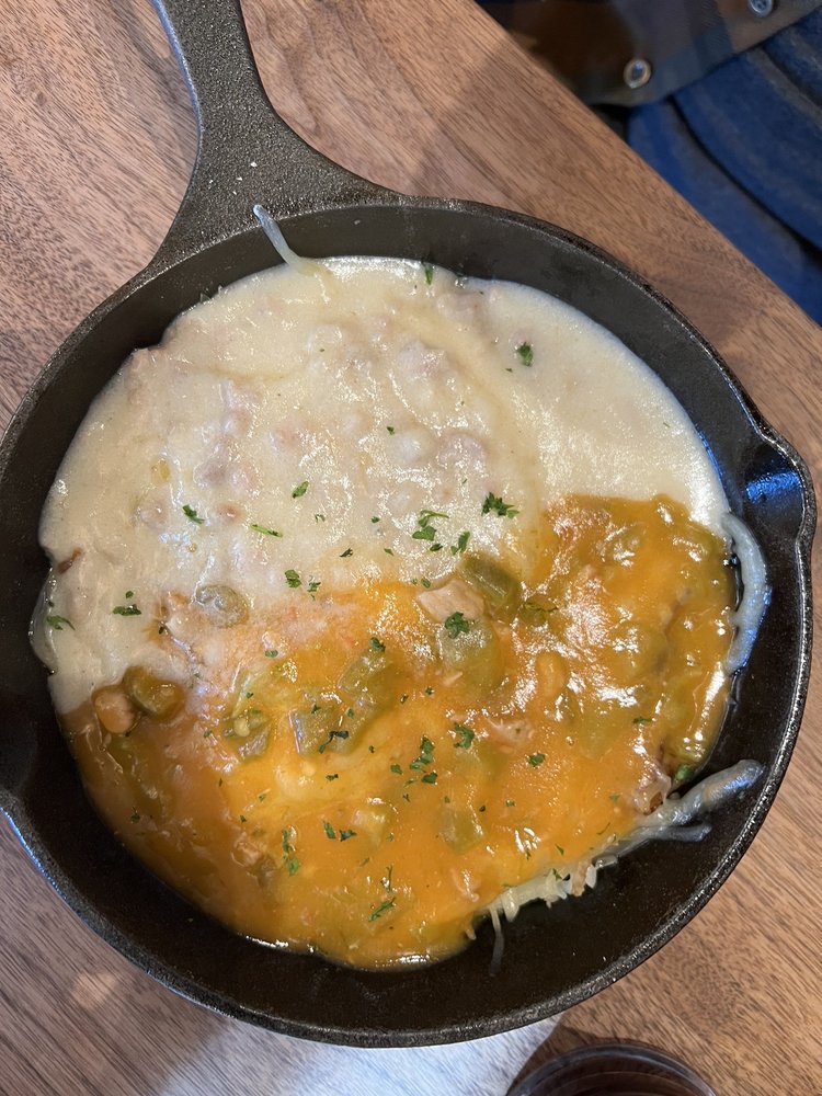
Better get going. A menu favorite, The Leadville 100 – Maple-butter skillet bowl with two eggs, hash browns, chorizo, spinach, mushrooms, roasted tomato and a lot more – could be waiting for you. You have your choice of Gruyere or cheddar cheese, and for sauces, pick one: Hollandaise, green chile, red chile (hot) or sausage gravy.
Yes, the dish is called The Leadville 100. One hundred is not the number of calories you’ll consume; the Leadville 100 is an ultramarathon trail run and mountain bike extravaganza with 12,000 feet of elevation gain, held each August in the mountains near Leadville. Fewer than half of the starters complete the race within the 30-hour time limit.
Basalt, the Beginning of Your Journey. With the Leadville 100 skillet in mind, get yourself to Old Town Basalt. That’s the starting point for your off-road journey to Leadville.
Midland Avenue, the main street through Old Town becomes Frying Pan Road, which you’ll follow for the next 31 miles. As you leave Basalt behind, you’ll ride right along the Frying Pan River for 19 miles, until you reach the Ruedi Reservoir.
The Fryingpan River got its name when a group of trappers were supposedly attacked by a band of Ute Native Americans, and only two of the trappers survived, one of whom was injured. Leaving his wounded friend in a cave close by, the last man took off to look for help but not before hanging a frying pan in a tree so he could find the cave again on his return.
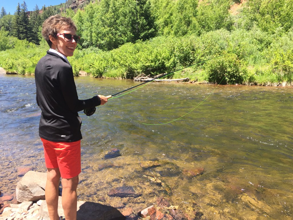
Fryingpan, in the context of the river, is generally spelled as one word, though the Frying Pan Road is two words. Whatever the spelling, the river is known for its Gold-Medal fishing. The dominant fish is the brown trout, but there are also rainbows, cutthroats and an occasional brookie.
Gold Medal Waters. The river originates east of Aspen in the Hunter Fryingpan Wilderness, and flows northwest to the Ruedi Reservoir, which dammed the river in 1968. Below the reservoir, the river travels another 14 miles before converging with the Roaring Fork at Basalt. The portion of the river from the dam to its confluence with the Roaring Fork has been designated as Gold Medal by Colorado Fish and Wildlife.
The Gold Medal designation may be awarded once it the fishery consistently produces a trout standing stock of at least 60 pounds per acre, and produces an average of at least 12 “quality trout” (14+ inches) per acre. The section of the river downstream of the reservoir is catch and release only for rainbows; bag limit for brown trout is two fish up to 14 inches long. If you’re local and you fish, you probably already knew that.
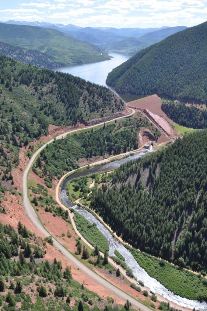
Beyond the dam is the Ruedi (pronounced ROO-die) Reservoir, a 1,000-acre reservoir popular for camping, boating, fishing, and in the winter, ice fishing. A hydroelectric power plant that sits at the base of the dam produces five megawatts of electricity. The plant supplies electricity to the City of Aspen and is owned by the city.
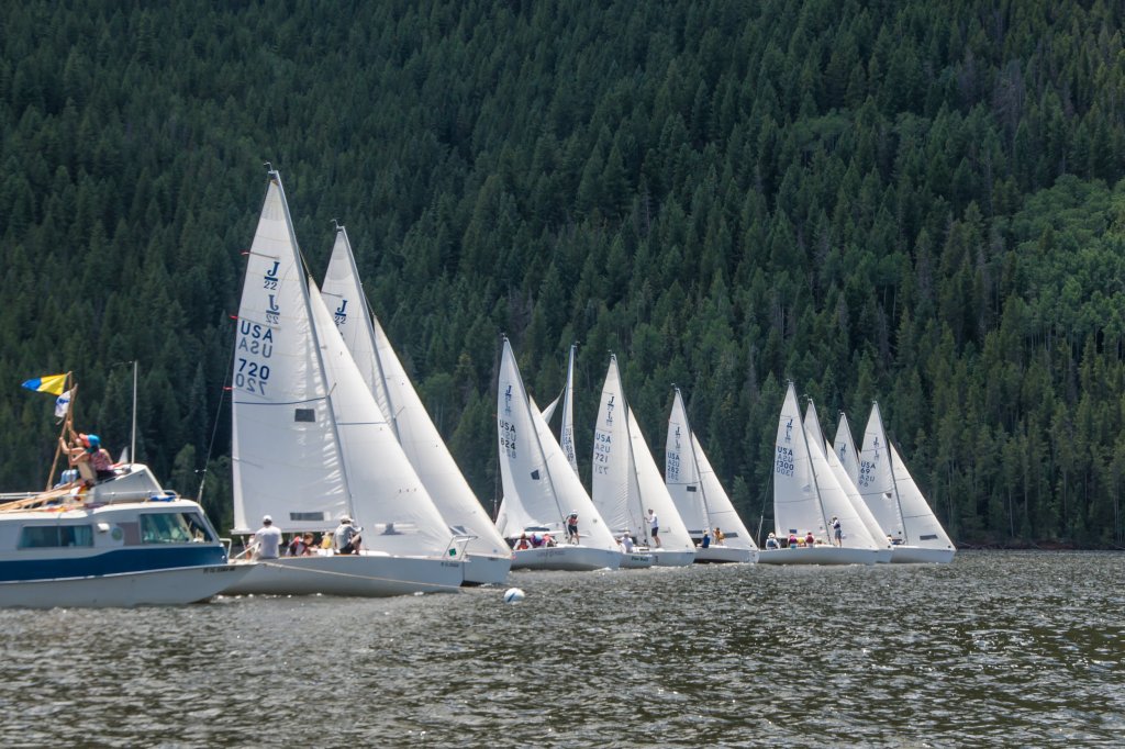
Aspen Yacht Club. The reservoir sits at 7,766 feet of elevation. It’s home to the Aspen Yacht Club, which was founded in 1968 to promote the development of sailing. An annual membership is $700. To join, you’ll need to have a current member sponsor you, then be approved by the yacht club’s board.
The private yacht club is a non-profit organization with about 80 members. It has several events each year open to the public, including its annual regatta held at the end of July. The yacht club offers a clubhouse, boat ramp, and slips for its members.
In the heat of summer, there’s nothing more pleasant than spending a day sailing the waters of Ruedi Reservoir, as temps rarely top 80 degrees — and the water is far cooler.
Heading to Hagerman Pass. At the east end of the reservoir, you’ll roll through Meredith, a tiny community that was once a limestone quarry and lumber camp in the 1890s. Today, Meredith has a general store, a US Post Office, a few homes, and not much more.
Ten miles past Meredith, Frying Pan Road (two words) turns to dirt and rock, and stays that way until you get to Leadville, 30 miles later, just in time for your Leadville 100 skillet at Mineral 1886.
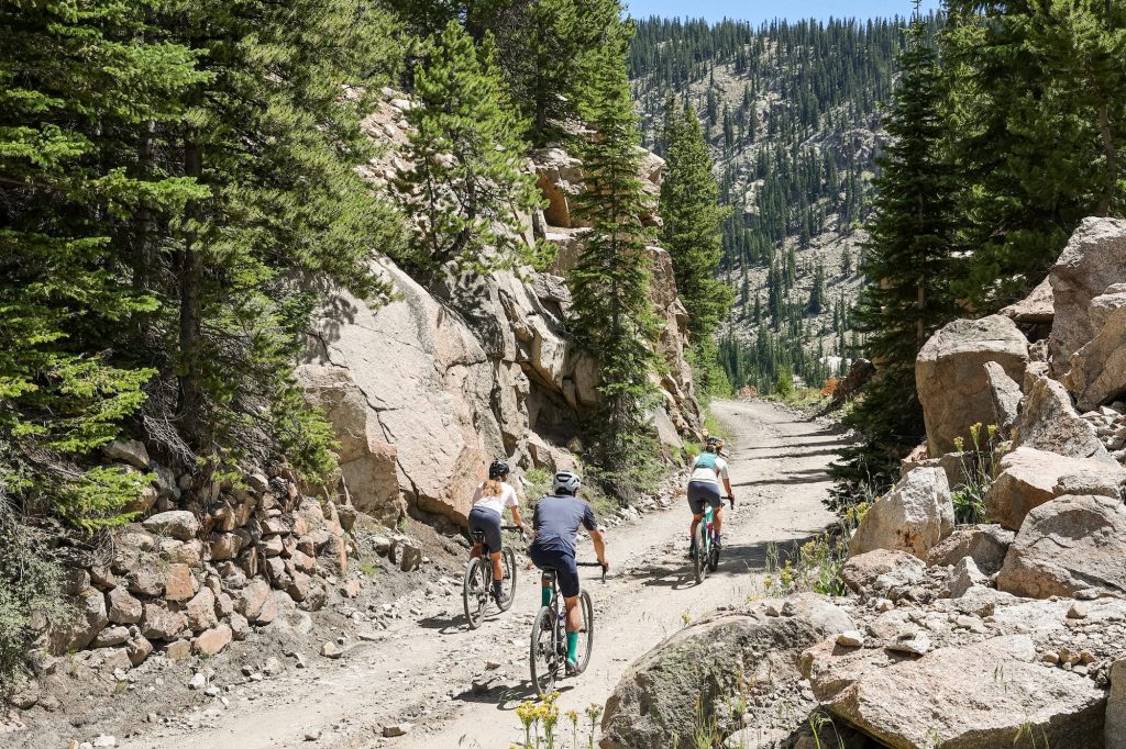
After the paved portion of the road ends near Meredith, the road begins its 4,200-foot climb to Hagerman Pass. At the summit, it changes from Frying Pan Road to Hagerman Pass Road.
The 11,925-foot pass crosses the Continental Divide, traversing the Sawatch Range. It was named for James Hagerman, builder of the Colorado Midland Railroad, which connected Leadville with Aspen. Before the railroad over the pass was built, it was originally called Frying Pan Pass. Today, the road is passable only with four-wheel drive vehicles, bicycles, ATVs or on foot. Two-wheel drive vehicles will find the going tough due to stream crossings and rocky sections.
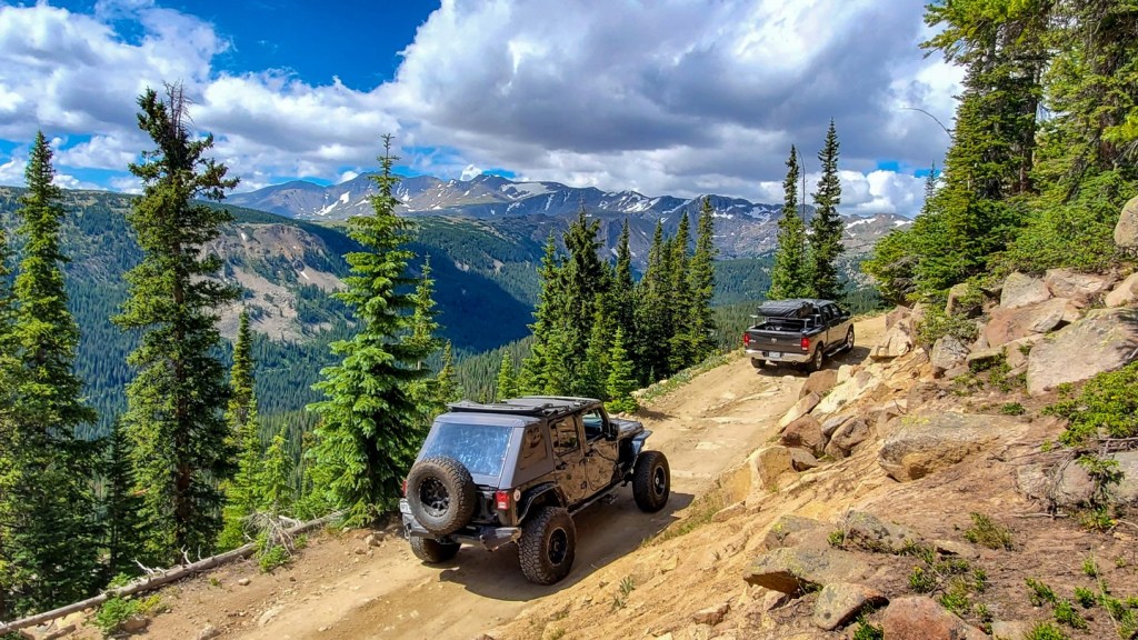
Hagerman Pass is generally open from late May through the first heavy snow in mid or late autumn. It was originally built as a railroad line in 1885 to reach the mines of Aspen. Today, Hagerman Pass follows much of the old rail line. At one time, the Colorado Midland Railroad traveled through tunnels to cross the Continental Divide. One of those tunnels was almost two miles long, eliminating the need for 13 snowsheds, and 12 bridges and trestles.
Starting in 1921, while it was still a railroad tunnel, it was also used as a water diversion tunnel, moving water from Ivanhoe Lake in the Colorado River Basin to Busk Creek in the Arkansas River Basin. After the railroad stopped running, the tunnel continued to be used for automobile traffic over Hagerman Pass. But after a 1943 cave-in on the west end of the tunnel, it was permanently closed to automobiles.
As you continue east toward Leadville, Hagerman Pass Road becomes Turquoise Lake Road, a sure sign you’ve arrived at Turquoise Lake. The lake is five miles west of Leadville. You’re almost there. Might as well call ahead and order your Leadville 100 skillet.
Turquoise Lake, which sits at 9,865 feet, was dammed in 1965 Although the name Turquoise Lake may have visitors expecting to see pristine pale blue/green waters, the reservoir actually derives its name from nearby turquoise mines. The Turquoise Lake Recreation Area is a prime spot for boating, fishing, camping and hiking. The 1,800-acre lake is stocked with rainbow, brown, cutthroat and Brook trout. You can see the sparkling lake from the summit of Hagerman Pass.
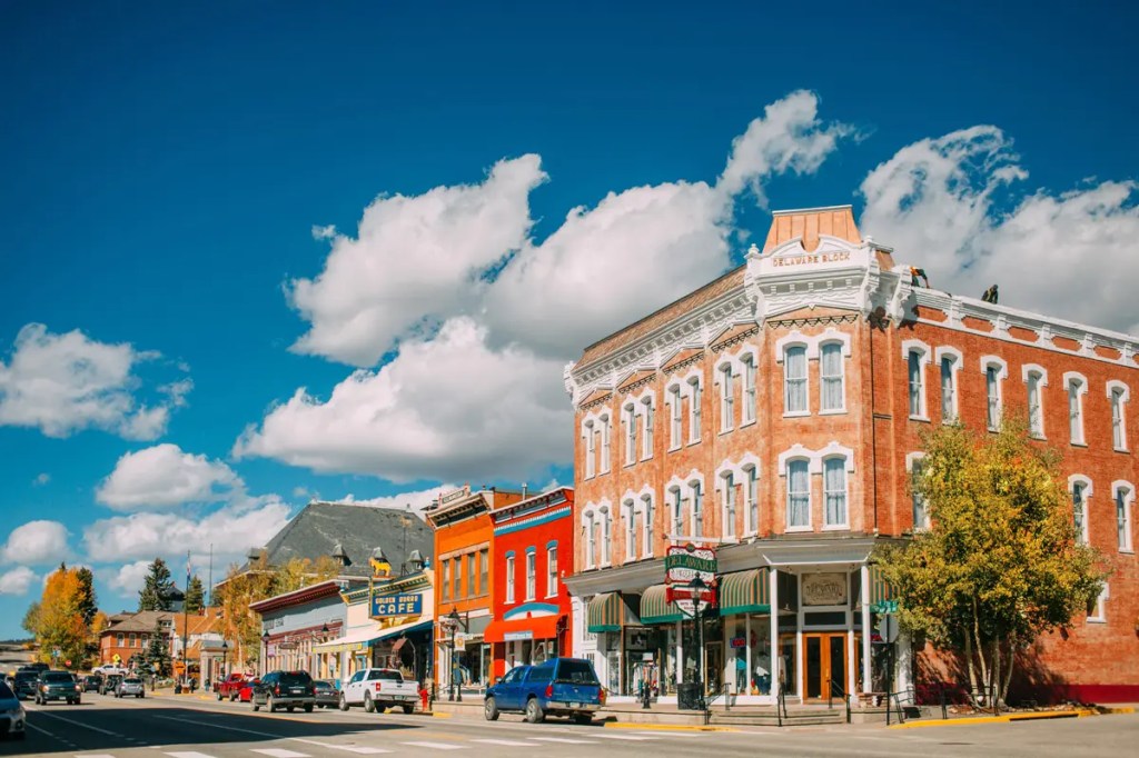
Once you get to Turquoise Lake, the road is again paved. You are approaching civilization in Leadville, now just a few miles away. You’ll follow Turquoise Lake Road, past the Mount Massive Golf Course, and into downtown Leadville, the highest incorporated city in the US.
Now that you’ve arrived, follow your GPS directions to 700 Harrison Avenue, the Historic Delaware Hotel, where you’ll find your table waiting at the Mineral 1886 restaurant. I hope the trip from Basalt was well worth your three hours.
To view today’s Not Quite Pass-a-Palooza™ route from Basalt, over Hagerman Pass, and into Leadville for lunch, click here.

Love today’s ride! Hey, did Jim need a new tire this trip? Have yet to see any Harley service side trips. LOL! Miss you buddy!
Fond memories of Frying Pan and our not-so-successful, but fun, fly fishing. Will return one day to make those fish obedient. Ha!
LikeLike
Jim that is a truly wonderful and very informative post thank you!!!
LikeLike