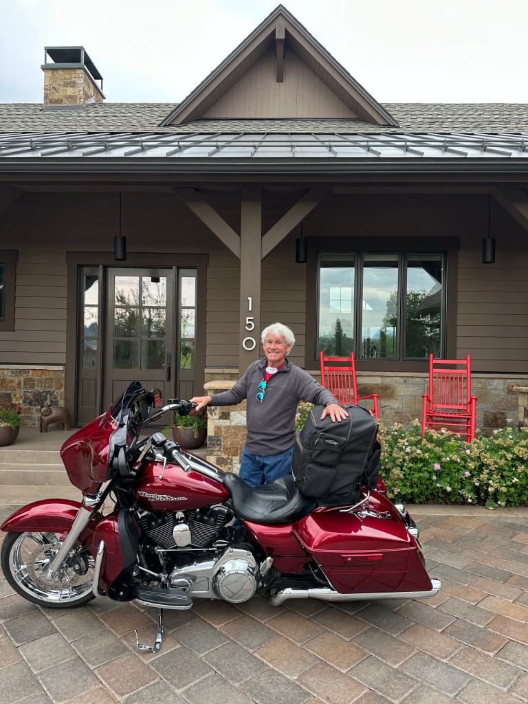
Guys’ week begins today.
The goal is the same as it was last week, when it was just me and the girls: to conquer as many Colorado Pass-a-Paloozas™ as possible.
If all goes according to plan, we should cross 27 of them this week – five today alone.
Oh, regarding the “-Palooza” … it’s a suffix that can be added to almost any word or term to make it seem special or party-worthy. So, Colorado Pass-a-Paloozas™ are mountain passes, at least 10,000 feet in elevation, that are paved. And party-worthy.
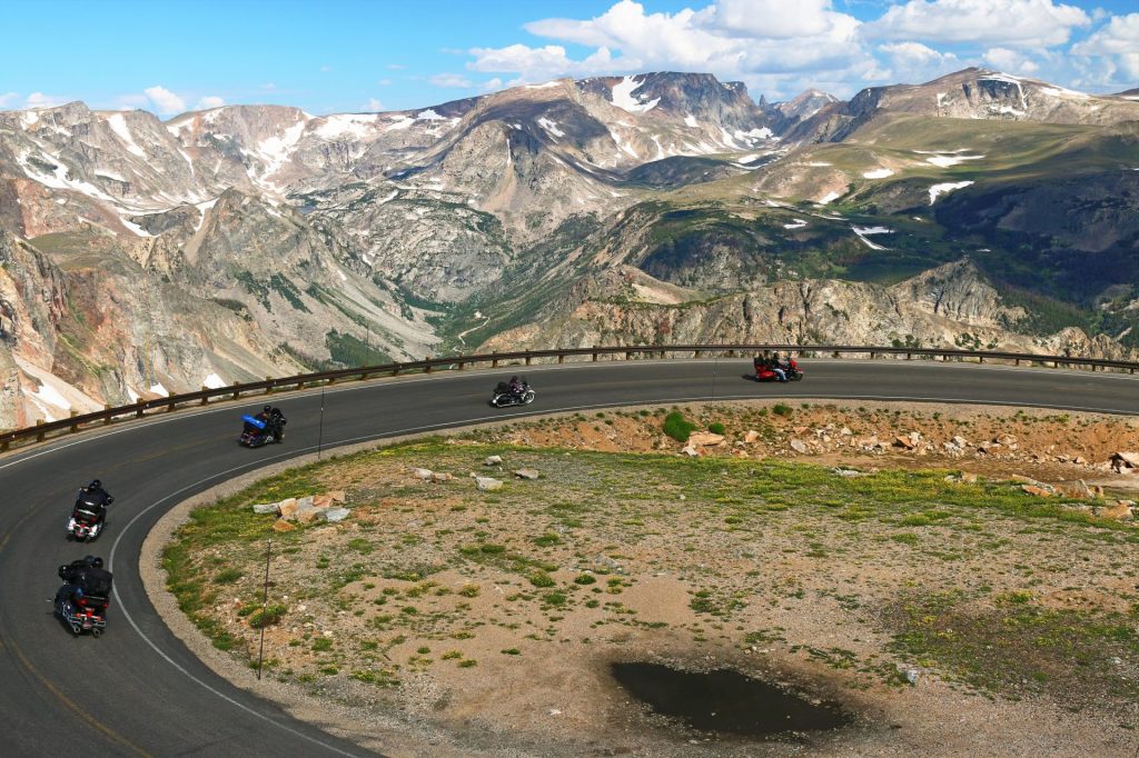
Few states have any of these 10K passes. Montana and Wyoming share the Beartooth Highway (10,947 feet). The road to the top of the Haleakala Crater on the Hawaiian island of Maui tops out at 10,023 feet. Sandia Crest in New Mexico is 10,678 feet. Utah’s Bald Mountain Pass is 10,734 feet. All the rest are in Colorado. Thirty one of them, by my count.
One more Pass-a-Palooza™ item of note before we leave Carbondale this morning: that pesky ™ symbol, in superscript. You’ve been seeing it for the past week, and perhaps wondering what it means. Well, ™ is a trademark symbol.
I haven’t formally registered this Pass-a-Palooza trademark; anyone can use a ™ symbol regardless of whether they’ve successfully registered the trademark, or whether they’ve even applied for a trademark at all. The US Patent and Trademark Office has enough to do without me bothering them. I’ll continue to use the mark because it makes me feel so intellectual, having my own intellectual property.
There you have it. Colorado Pass-a-Palooza™. All mine.
Aspen, Where You Can Buy a $108 Million House
As we head east, we gradually gain elevation from our 6,300-foot starting point in Carbondale. In 30 miles, we arrive in Aspen, elevation 7,900 feet. Aspen is a former silver mining town named for the abundance of aspen trees in the area.
Originally called Ute City, Aspen’s roots go back to the early 1880s, when silver was at its peak production. By 1892, Aspen had surpassed Leadville as the most productive silver mining district in the US. When the silver bust began a year later, Aspen mines closed and thousands of miners were put out of work. The area went into decline for many years.
By 1930, only 700 residents remained. But Aspen’s development as a ski resort soon began, as investors conceived of the idea. But the development was put on hold until after World War II, when the Aspen Skiing Company was founded. (Full disclosure: they’re my employer in the winter.)
Today, Aspen’s economy is based primarily on tourism. The ski company now has four mountains: Aspen, Buttermilk, Aspen Highlands and Snowmass – where I teach 7-to-12-year-old kids to ski. The four ski areas are owned by the Aspen Skiing Company. They are partner resorts on the Ikon Pass.
Real estate in Aspen is some of the most expensive in the country. The average price of a single-family home is around $14 million. Many of these properties are second and third and fourth homes for people who fly in and out of the Aspen airport in private jets.
As author F Scott Fitzgerald famously said, “Let me tell you about the very rich. They are different from you and me. They think, deep in their hearts, that they are better than we are because we had to discover the compensations and refuges of life for ourselves.” That kinda sums up Aspen.
In 2024, a home in Aspen sold for $108 million ($4,820 per square foot). It’s an unreal, obscene real estate market given to vulgar displays of wealth.
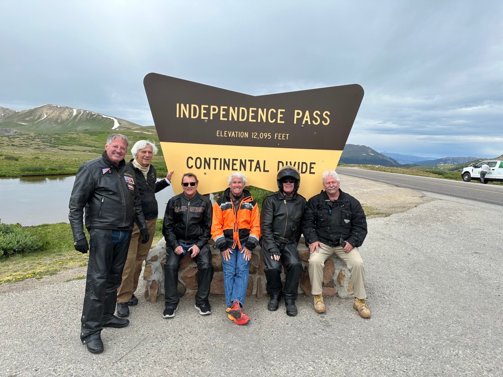
Pass-a-Palooza™ … Independence Pass: 12,095 feet
For us, Aspen is just a small city of 6,600 on the way to our first Pass-a-Palooza™ of the day.
Leaving Aspen on Colorado Highway 82, we begin to climb more than 4,000 feet toward Independence Pass. The road is steep, narrow and twisty – with only a very few guardrails to keep us from plunging to oblivion.
We roll out of Aspen, and immediately begin our journey on the Top of the Rockies Scenic Byway. This spectacular roadway takes us across the Continental Divide and within view of Colorado’s two highest peaks, Mount Elbert (14,440 feet) and Mount Massive (14,421 feet).
From Aspen, it’s less than 20 miles to Independence Pass, which earned Honorable Mention on my all-time Top Ten list. The pass, at 12,095 feet, is the second-highest paved crossing of the Continental Divide, after only Cottonwood Pass, which I rode last week. Indy Pass, as it’s known, is generally open from Memorial Day to November 1, depending on what kind of a snow year we have.
Independence Pass gets its name from the village named Independence, which was established on July 4, 1879 – and is now a ghost town four miles west of the pass – on the Aspen side. Independence grew quickly as miners found gold in the mountains.
B Clark Wheeler, an early investor in those mines, funded the construction of a stage road from Independence to Leadville, the first road to cross the pass. It opened in November 1881, with winter already in full swing at the pass.
The 25-cent tolls, collected at three separate gates, primarily reflected the cost of retaining a large crew of men with snow shovels to keep the road open in wintertime; they were able to keep the road open through its first five winters. When the snow was too deep, sleighs were used instead of wagons. During the summer the stages were able to take the switchbacks at full speed, with dogs running in advance to warn other traffic. A typical voyage over the pass required 10–25 hours and five changes of horses.
Today, it’ll take us about 30 minutes and a thimble-full of gas to get to Independence Pass from Aspen.
Once over Independence Pass, we begin the journey down the mountain toward Twin Lakes, 17 miles east of the pass. Twin Lakes is 9,200 feet high in the San Isabel National Forest, a drop of nearly 3,000 feet from the pass.
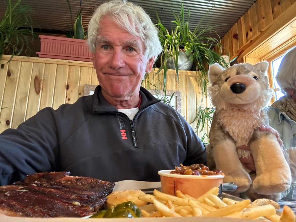
From Twin Lakes, we head south on US Highway 24 toward Buena Vista, which I visited last week with Sarah, Brittany and Walter Jr, my gray wolf buddy. Surf City, Colorado, I called it. Locals just say BV.
In Buena Vista, we turn northeast en route to our next stop: Fairplay. The town, which sits at 9,953 feet –is the fifth-highest incorporated place in Colorado.
A town of about 700, Fairplay began as a gold mining settlement in 1859, during the early days of the Pike’s Peak Gold Rush. The town was named by settlers who were upset by the generous mining claims given to the earliest prospectors, and promised a more equitable system for its residents. Thus, Fairplay.
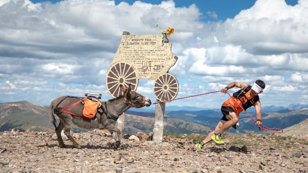
The big deal every year in Fairplay is the Burro Days festival, held on the last weekend of July. Burro Days celebrates the town’s mining heritage. The main feature of the festival is a 29-mile burro race from downtown Fairplay to the 13,000-foot summit of Mosquito Pass. First prize at one time was an ounce of gold; today, it’s $1,000. Mosquito Pass will be a Not Quite Pass-a-Palooza™ next week.
Pass-a-Palooza™ … Red Hill Pass: 10,051 feet
Five miles beyond Fairplay is Red Hill Pass. It’s unlabeled at the summit, and without signage, you’d have no idea you crossed it. But there are indications as you begin the climb up the pass. True to its name, red hills flank both sides of the summit. The pass is open year-round and rarely closes due to winter snowfall.
Pass-a-Palooza™ … Kenosha Pass: 10,001 feet
In 15 miles, we soon roll by 10,001-foot Kenosha Pass, barely cracking the 10K barrier. It’s the lowest of all 31 Pass-a-Paloozas™ in Colorado, and is open year-round.
Before European settlers, Kenosha Pass was often used by Ute Indians headed toward hunting grounds near modern-day Fairplay. During the gold rush, the pass was traversed by prospectors hoping to find gold in the same area. In 1879, the Colorado Silver Boom began and the trail over Kenosha Pass was widened to accommodate wagons heading west. The pass was named for Kenosha, Wisconsin, by a stage coach driver who was from there.
Pass-a-Palooza™ … Guanella Pass: 11,669 feet
Not far from Kenosha Pass, we arrive in the community of Grant. It’s tiny and unremarkable and wouldn’t be worth mentioning, except it’s the jumping off spot for our next Pass-a-Palooza™, Guanella Pass. This year marks the 10th anniversary of the paving of Guanella Pass, which was completed in 2015. Guanella Pass earned Honorable Mention on my all-time Top Ten list.
The history of Guanella Pass is rich and dates back to the time of early settlers and miners. The pass gets its name from Byron Guanella, a road supervisor for Clear Creek County in the late 19th and early 20th centuries. The route was originally a wagon road used by miners in the 1860s during the Colorado Gold Rush.
The 13-mile climb to the summit from Grant is part of the Guanella Pass Scenic Byway. The route from Grant to Georgetown is not maintained in the winter and often closes seasonally after the first heavy snow.
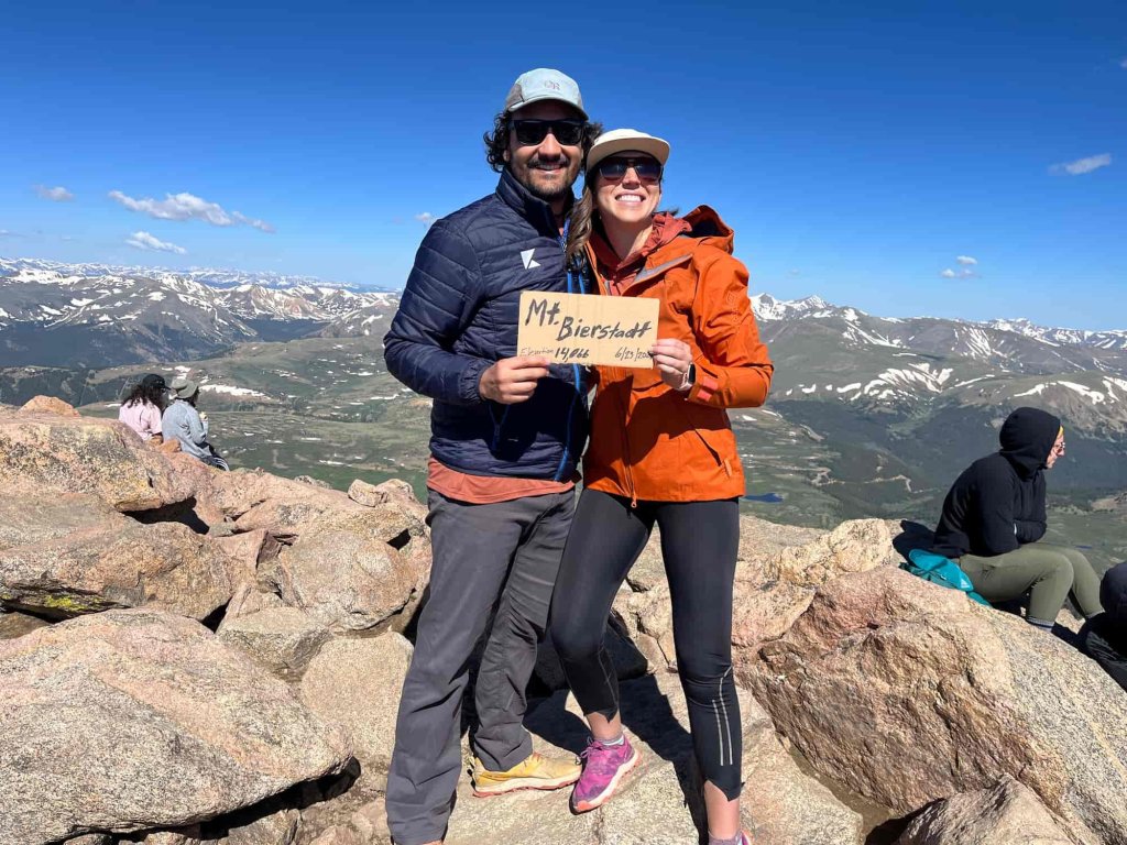
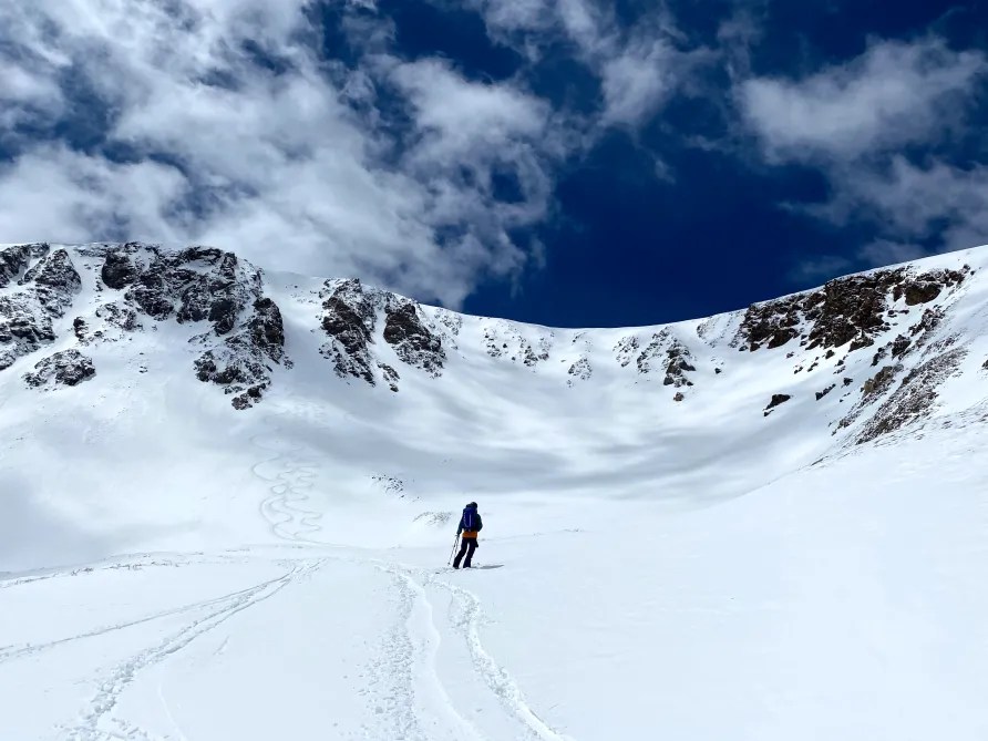
The Guanella Pass Scenic Byway passes through two national forests on its twisting path – the Arapaho National Forest and the Pike National Forest. Very close to the summit is the trailhead for Mount Bierstadt, which is off to our right. If you’re a hiker, Mount Bierstadt, 14,066 feet, is one of the least difficult of all the Colorado Fourteeners. It’s less than eight miles, out and back, from the trailhead to the summit of Mount Bierstadt. A nice day hike with your significant other. Looking at you, Allison and Michael.
Historic Georgetown
From the Guanella Pass summit, it’s a 3,000-foot descent to Georgetown, only 10 miles away. The road is steep. And winding. There are quite a few first-gear hairpin turns. When the sign says “10 mph,” believe it.
Like so many other towns I’ve seen on this trip, Georgetown is a former mining industry hub that now exists solely on tourism.
In 1858, George and David Griffith arrived in nearby Idaho Springs, a little too late to claim any land to explore for mining. So, they ventured west, and a year later, George found gold. In 1860, the Griffiths formally incorporated the Griffith Mining District, and the town of Georgetown was born. Named after George, of course.
As it grew and thrived as a silver mining location, Georgetown was once Colorado’s third largest town, behind Denver and Leadville. Today, it has about 1,000 residents and a lot of visitors.
Once called the Silver Queen of Colorado, Georgetown hit its peak of prosperity in 1877. At the time, 5,000 people lived in and around the city, which had two newspapers, a telegraph office, a bank, five churches and several hotels. But when Leadville’s silver boom started in 1878, its production dwarfed Georgetown’s, and soon Georgetown began to lose its boomtown glow.
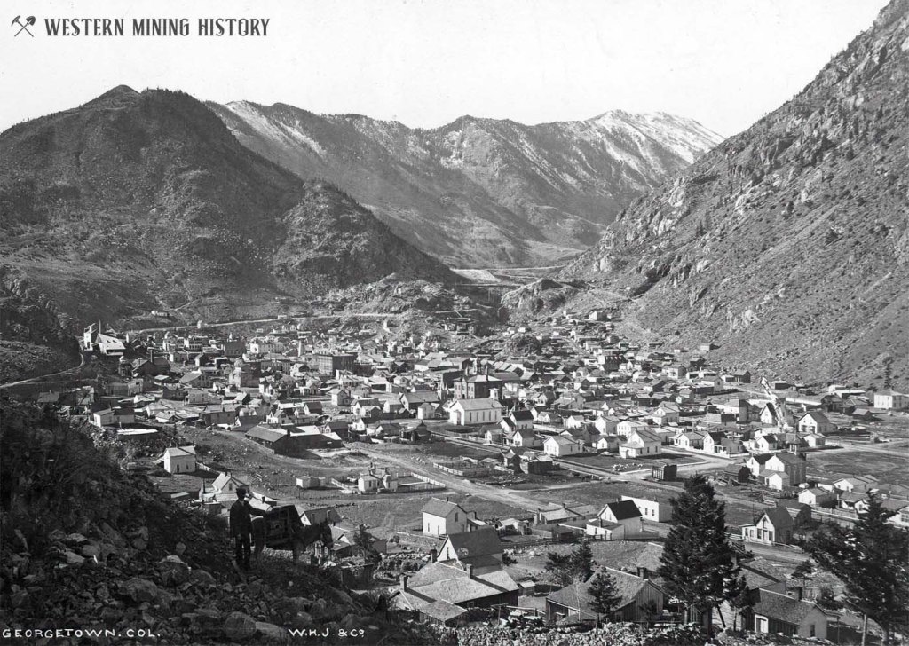
By the late 1930s, Georgetown’s population had dwindled to around 300. During World War II, most of the area’s old mining machinery was removed for scrap metal drives.
After the war, automobile tourism revived and transformed Georgetown’s economy, leading to a new focus on historic preservation. Today, Georgetown is a popular destination for tourists driving west on I-70 from Denver. The town also serves as a base for motorists driving the Guanella Pass Scenic Byway, or hiking nearby Fourteeners, like Mount Bierstadt.
One of the town’s landmarks is Georgetown Lake, a 55-acre reservoir created by a dam during Georgetown’s time as the epicenter of the silver boom. The reservoir stores water for town residents, and the dam provides hydroelectric power to Georgetown and nearby areas.
Pass-a-Palooza™ … Berthoud Pass: 11,315 feet
We leave Georgetown, jump on I-70 East for four miles, then exit the highway to bag our last Pass-a-Palooza™ of the day, Berthoud Pass. It’s yet another Colorado highway that earned Honorable Mention on my all-time Top Ten list.
About 15 miles later, we arrive at the pass, named for Edward L Berthoud, chief surveyor of the Colorado Central Railroad during its expansion throughout Colorado in the 1870s. He led surveys for railroads to booming mining camps in Georgetown, Leadville and San Juan County.
Accompanied by mountain man Jim Bridger, Berthoud discovered the pass in 1861 while surveying a possible route for the railroad. He concluded the pass was suitable as a wagon road, but not as a railroad; steep slopes of the pass presented major challenges for building and maintaining a railroad track.
Many years later, thanks to easy access to the summit, and its close proximity to Denver, just 50 miles away, Berthoud Pass became an attraction for downhill skiing. Throughout the 1930s and ‘40s, the Berthoud Pass Ski Area attracted thousands of visitors exploring the backcountry.
There’s a well-traveled story about a group of skiers, who had visited Sun Valley in 1936. They met at a restaurant in downtown Denver, and supposedly drew out plans on butcher paper for a lift at Berthoud Pass. The motor for the lift was donated by the Ford dealers in the Denver area, and these original skiers volunteered their time to operate the lift on the weekends.
It became Colorado’s first rope tow, giving birth to the state’s first formal ski area.
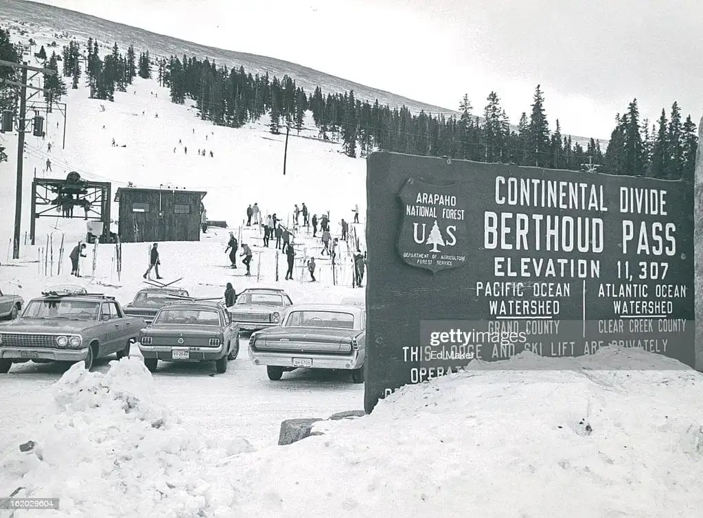
In 1947, Colorado’s first two-person chairlift further opened the area. Years later, Berthoud Pass was known for being Colorado’s first ski area to allow snowboarders on its lifts.
Over time, due to competition from larger resorts, like nearby Winter Park, the Berthoud Pass Ski Area permanently shut down operations in 2003. Construction of I-70 in the early 1990s accelerated the demise of skiing at Berthoud Pass, as Denver residents would have direct passage to ski areas in Vail, Summit County, Beaver Creek and more.
In 2005, the US Forest Service tore down the lodge that once stood on the grounds, and today, you’d have a hard time finding any remnants of Colorado’s first ski area.
From the pass where the ski area once sat, we descend about 2,200 feet to the ski town of Winter Park, our destination for the night. The Winter Park Ski Resort is owned by the City of Denver, and managed by Alterra Mountain Company.
To see today’s route from Carbondale, over five Pass-a-Paloozas™, to Winter Park, click here.
***
Today’s Not Quite Pass-a-Palooza™… Argentine Pass: 13,207 feet
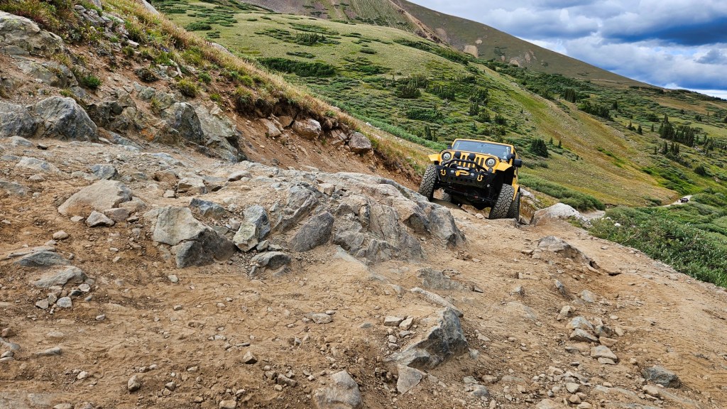
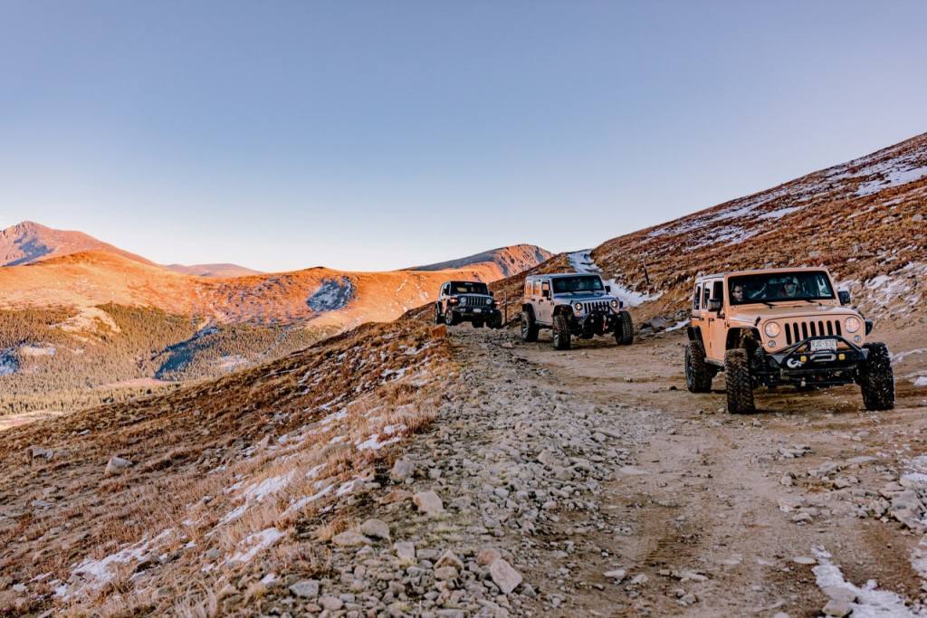
Earlier today, as we rolled into Georgetown on Guanella Pass Road, we were within a few hundred feet of a rocky road that takes adventurers to the highest vehicle-accessible pass in Colorado: 13,207-foot Argentine Pass.
That pass, which crosses the Continental Divide and serves as the border between Clear Creek and Summit Counties, is today’s Not Quite Pass-a-Palooza™.
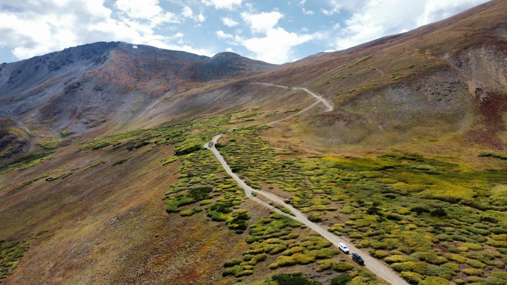
Like so many high-mountain passes in Colorado, it was once used as a toll road, a stagecoach route, and a railway passage. The Argentine Central Railway ran from Georgetown to the pass between 1906 and 1918. These days, the jeep trail to the pass follows the grade of this abandoned railroad.
Your route today begins in Silver Plume, just a few miles west of Georgetown. Interstate 70 is conveniently adjacent to Silver Plume, making your Not Quite Pass-a-Palooza™ journey easy to start.
As you might gather from its name, Silver Plume is a former silver mining camp that boomed in the 1880s. It’s part of the Georgetown-Silver Plume Historic District, which includes well-preserved examples of the buildings and mining structures of the Colorado Silver Boom from 1864 to 1893.
In 1864, silver was first discovered high on the slopes of McClellan Mountain, about two miles north of present-day Argentine Pass. This was the first discovery of silver ore in Colorado. Prospectors named the deposit the Belmont Lode, from the French for “beautiful mountain.” The surrounding area came to be known as the Argentine mining district, from argentum – Latin for silver.
This discovery led to the growth of Georgetown as an early center of silver mining in Colorado. Eventually, both sides of Argentine Pass were heavily mined, and the pass joined the East Argentine and West Argentine Mining Districts. Many signs of mining activity in those areas remain visible today, and you’ll see them on your way to Argentine Pass.
From Silver Plume, the journey to the top of Argentine Pass is 11 miles. You’ll climb 4,140 feet in those 11 miles, as you rise toward the pass.
In 1875, the Hayden Geological Survey reported the Argentine Pass wagon road to be the highest wagon road in Colorado. At the time, it was the primary route from Georgetown to the mining camps in the Blue River Valley – Breckenridge and Montezuma. Today, it’s your only route to the top of Argentine Pass. It’s a converted railroad bed, a ledge road cut from the side of the mountain.
As you roll toward the pass on (Clear Creek) County Road 352, eight miles from Silver Plume you arrive at the Tundra Hut, a backcountry hut perched at 11,594 feet. There’s some fabulous skiing in the bowl next to the hut.
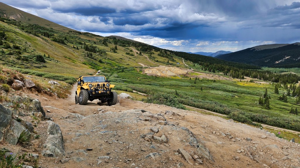
A few switchbacks and two miles later, you arrive at Argentine Pass. Once there, you can admire the view, enjoy lunch, and bask in your accomplishment reaching the pass. There’s plenty of parking at the pass. You’ll want to park, because you can’t continue over to the west side of the pass.
Vehicle travel is only possible on the east (Georgetown) side of the pass, and only during the summer months, and only by a four-wheel drive vehicle with high clearance. The west side of the pass is accessible by foot or on mountain bike. Period.
Argentine Pass gets you many superlatives. It’s the highest point on the American Discovery Trail. It’s the highest road over the Continental Divide in North America. Of the multitude of off-roading destinations in Colorado, it’s the highest.
The views from the pass are spectacular. Grey’s and Torrey’s Peaks, a pair of Fourteeners, are what seems a stone’s throw away, on the other side of a gaping tundra trough. It’s said from Argentine Pass, you can see one-sixth of the state of Colorado.
To view today’s Not Quite Pass-a-Palooza™ route from Silver Plume, up to Argentine Pass, and back to Silver Plume, click here.

Finally, Indy Pass! Love it! BBQ? I love it! Be safe out there gang!
LikeLike
Yikes! I can’t read fast enough… criss crossing the passes, so much interesting info. My head is spinning! Glad you had fun with the girls and are now having fun with the guys. Im living your dre
LikeLike