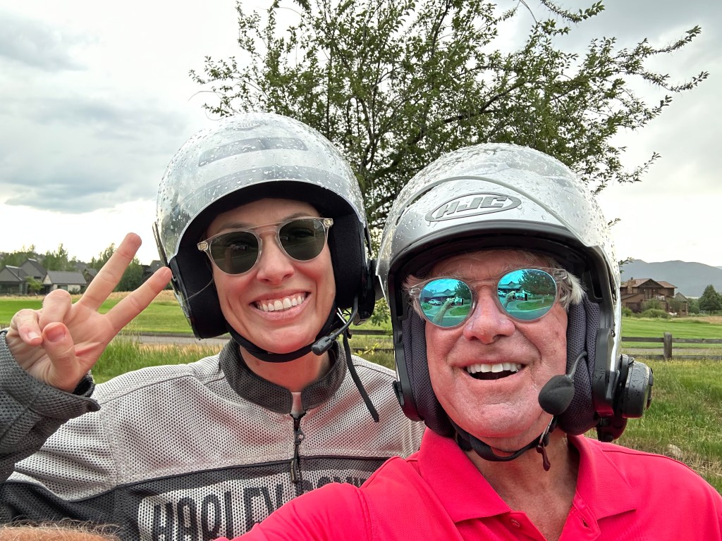
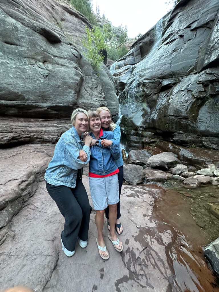
Today marks the last day of our family ride. Sarah, Brittany, Walter Jr and me. It’s been quite the road trip.
We’ll leave Gunnison, see some beautiful scenery, ride some spectacular roads, make a pilgrimage to a familiar place, and end up at home in Carbondale by early evening.
Oh, and not a single Pass-a-Palooza™ today. We’ve done 10 already this week. Next week, I’ll do another 27 of them.
The first 26 miles of our day are on US Highway 50, heading west, rolling along the Blue Mesa Reservoir, Colorado’s second-largest. You’ll remember the Blue Mesa from Tuesday, when we rode along its shores, heading east toward Gunnison, on our way to the Silver Thread Scenic Byway.
Crawford, Home of Mad Dogs and Englishmen
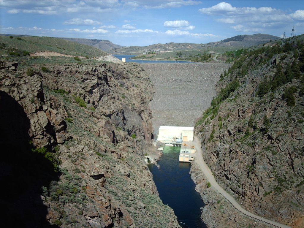
Today, we reach the western end of the reservoir at the Blue Mesa Dam, a 390-foot-high structure that creates the reservoir. Although the dam does produce hydroelectric power, its primary purpose is water storage.
The reservoir stores about 940,000 acre-feet of water; an acre foot is the amount of water needed to cover one acre (43,560 square feet) with one foot of water. An acre foot is 325,851 gallons. The water spilling out of the dam, flowing west, goes into the Gunnison River.
We turn west on Colorado Highway 92, and follow the Gunnison River for the next hour, as it runs along the north side of the Black Canyon of the Gunnison, which we visited earlier in the week. We’re on the West Elk Loop Scenic Byway. It will take us to Crawford, Hotchkiss, over McClure Pass, and eventually to Carbondale.
Forty-two miles beyond the dam, we arrive in Crawford, a town of about 400 named after George A Crawford, who sidled through the area in 1882, on his way to founding Grand Junction. Crawford was elected Kansas governor in 1861, then after leaving public life in Kansas, he headed west. When he passed through the area that now bears his name, Crawford suggested to local residents that this would be a good place for a post office and town to serve the needs of the new and growing ranching community. Locals agreed with his assessment and the next year a post office was erected and named after him.
Crawford apparently never even stayed a night in the area.
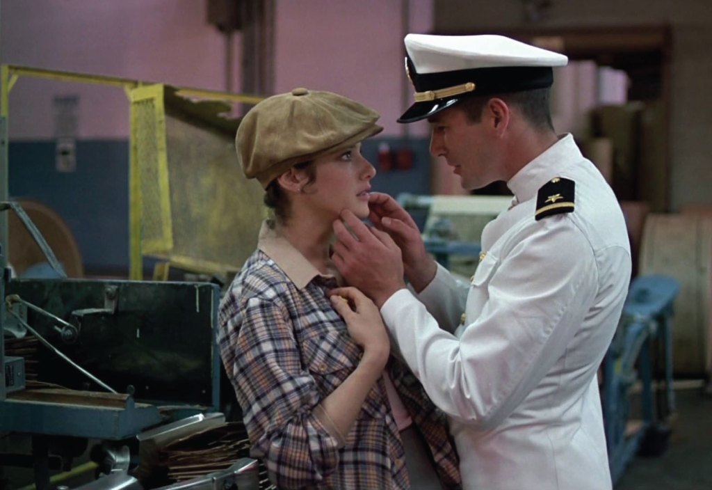
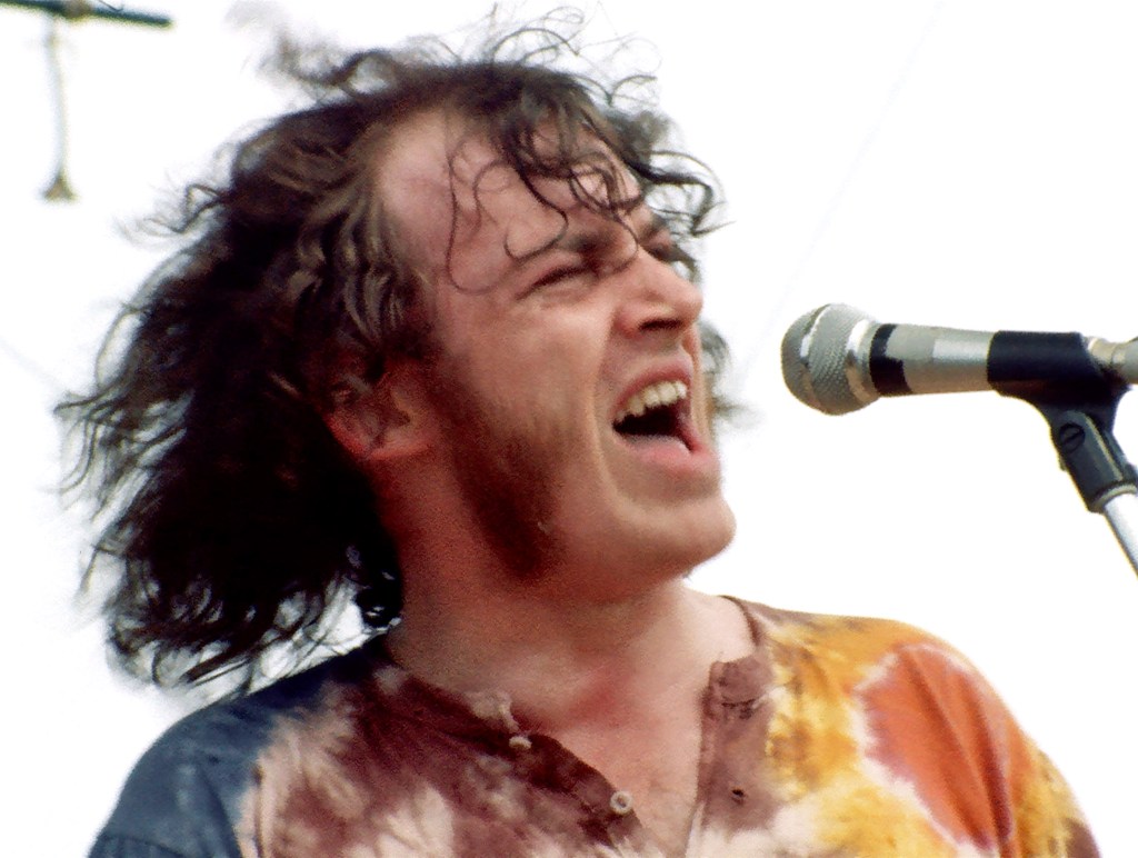
The town of Crawford’s most famous resident is, or was, British rock singer Joe Cocker, who owned a 316-acre ranch there until his death in 2014. While he may be best known for “You Are So Beautiful,” his best-selling song was “Up Where We Belong,” a duet with Jennifer Warnes that earned him a Grammy in 1983. The four-minute song covered the final scene of the movie, Officer and a Gentleman, where Lieutenant Zach Mayo (played by Richard Gere) sweeps Debra Winger off her feet and we all live happily ever after.
Joe Cocker’s property in Crawford was known as Mad Dog Ranch, named after his live album, Mad Dogs and Englishmen, released in 1970. The album had some of Cocker’s biggest hits, including “Cry Me a River,” “Feelin’ Alright,” and “She Came in Through the Bathroom Window.”
Cocker was an OBE, Officer of the Most Excellent Order of the British Empire – the second-highest ranking after knighthood or damehood. Other notable OBEs include author JK Rowling, soccer player David Beckham and actress Keira Knightley. About 500 people receive the OBE each year. The King or Queen of the United Kingdom awards the honor, based on recommendations from the Prime Minister. OBEs go to individuals whose work has made them known nationally. It’s unclear whether this honor bestows any additional value to his Crawford property.
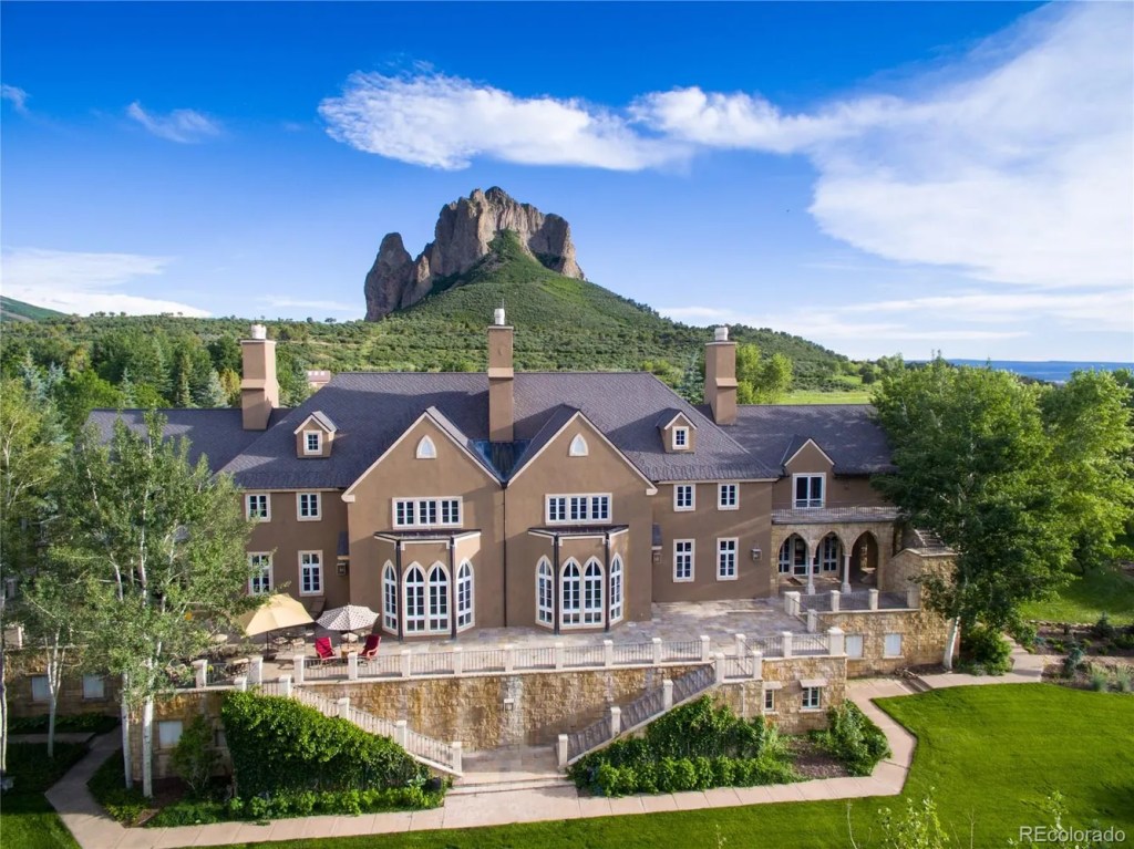
Mad Dog Ranch has been on the market for years, and it could still be yours. The property, with stunning views of Needle Rock and the surrounding West Elk Mountains, comes with a 15,000 square-foot home that includes 15 bathrooms and a five-car garage. The English Tudor-style home was built in 1994.
Amenities include seven en-suite bedrooms, a wood-paneled library, three hot tubs, a pond with two amusement park-style waterslides, equestrian facilities, a 6,570-square-foot guest house, 60 acres of irrigated fields and a gams room with a wet bar and a snooker table that once belonged to King Edward VII.
The current owners, friends of the Cocker family, bought it for $3.9 million from the Cocker estate in 2017 and have been trying to sell it pretty much ever since. Though it’s currently off the market, Mad Dog Ranch’s most recent listing price was $18 million.
The address is 43405 Cottonwood Creek Rd, Crawford, CO 81415 – about five miles northeast of town.
Check it out.
From Crawford to Hotchkiss to Carbondale
From Crawford, it’s about 10 miles to Hotchkiss, a town of about 900, named after Enos T Hotchkiss, a local pioneer. Hotchkiss calls itself “The Friendliest Town Around.”
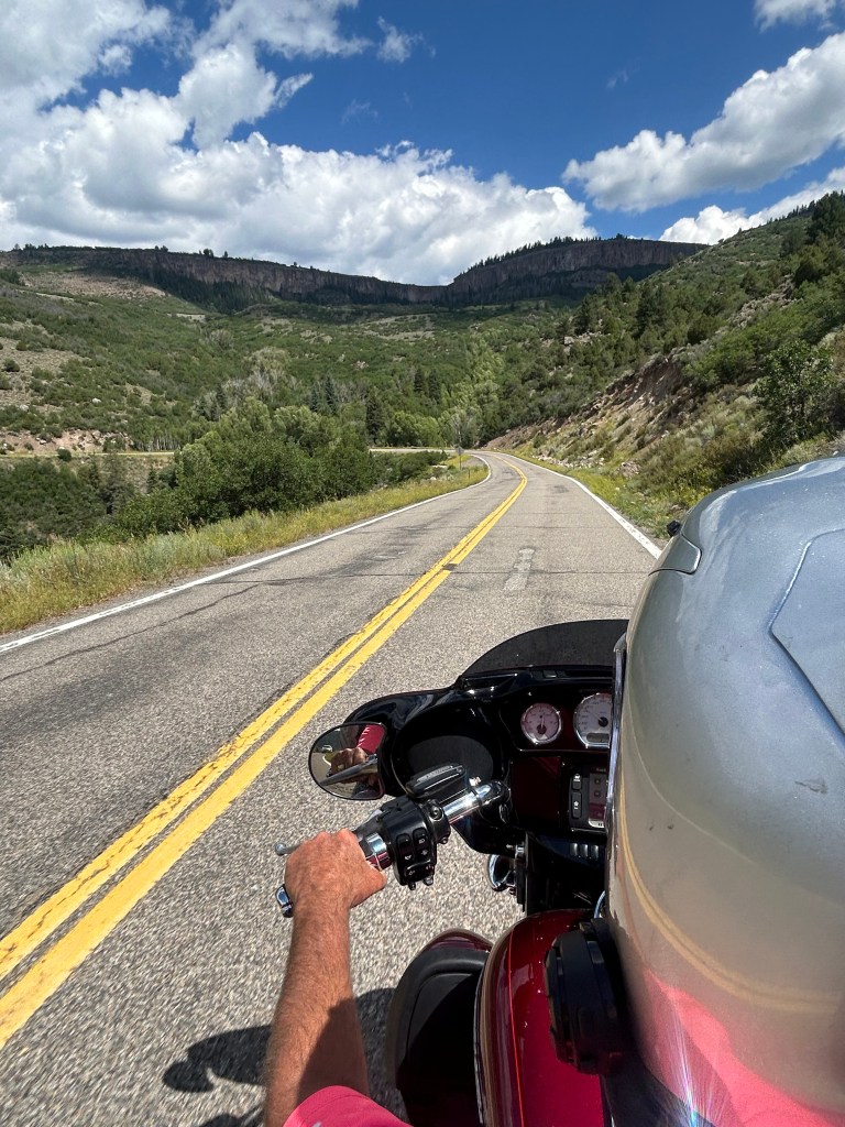
It’s friendly enough that we stop there before heading north on Colorado Highway 133, which takes us past Paonia and over McClure Pass. For me, the road is familiar. Probably eight to ten times each summer, I’ll ride from Carbondale, over McClure Pass, and have lunch in Paonia or Hotchkiss.
After we cross McClure Pass, the skies darken and the rain begins to fall. It felt like a nighttime shower. We roll past Redstone and follow the Crystal River home. We arrive in Carbondale 30 minutes later, soaked, but happy.
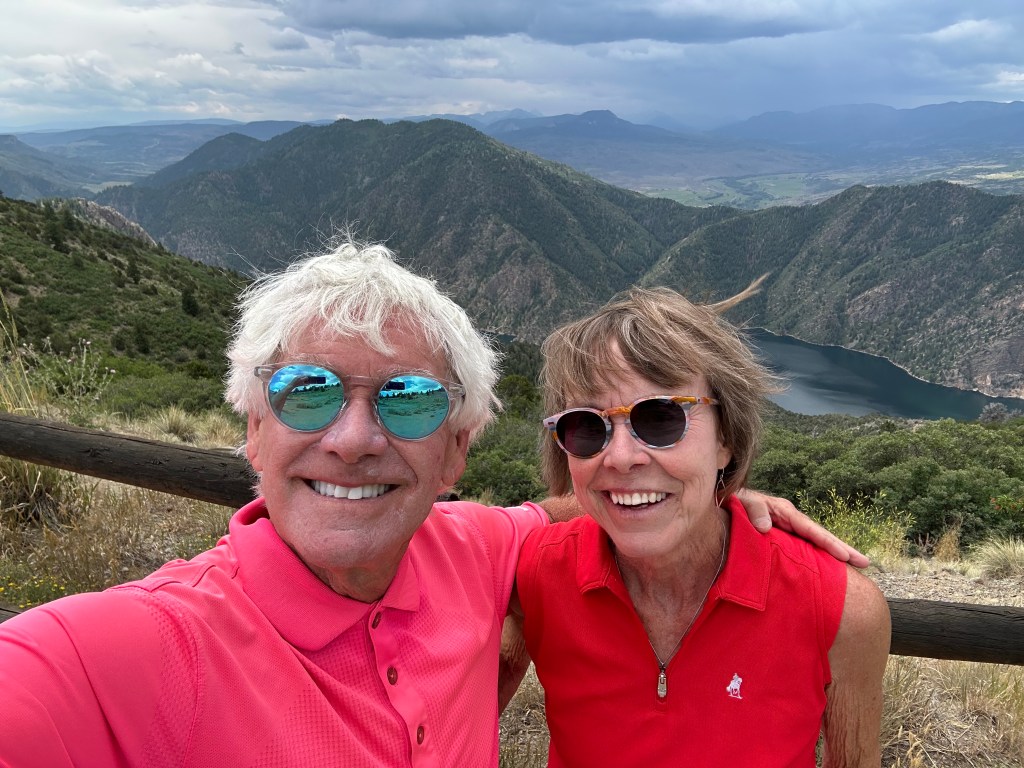
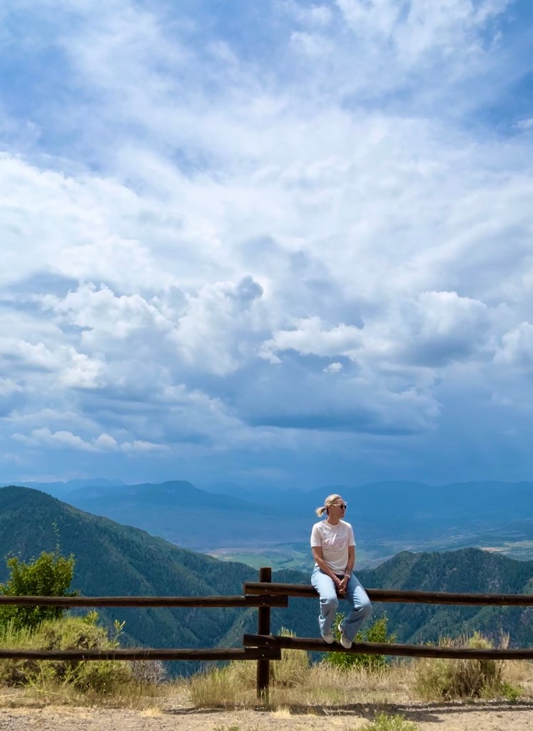
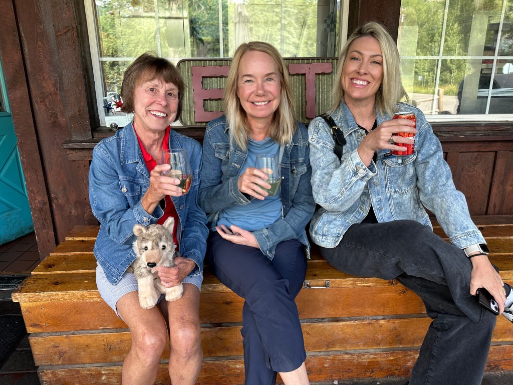
As Brittany packs for her trip home to California tomorrow, we reflect on the past seven days on the road: a Harley, an SUV, Sarah, Brittany, Walter Jr and me. We traveled 1,300 miles, stayed at some pretty fabulous places, enjoyed some epic dinners, rode 10 Colorado Pass-a-Loozas™, and checked off 13 new items on Brittany’s Colorado Bucket List.
To see today’s route from Gunnison, along the West Elk Loop Scenic Byway, to Hotchkiss and the home stretch to Carbondale, click here.
Thanks for joining us on the journey, even if it was only through the magic of blogging. I’m gonna take a few days off, clean up the Harley, then leave Monday for one more week on the road. This time, just the guys.
***
Oh wait, there’s a postscript.
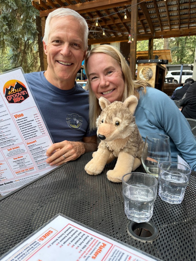
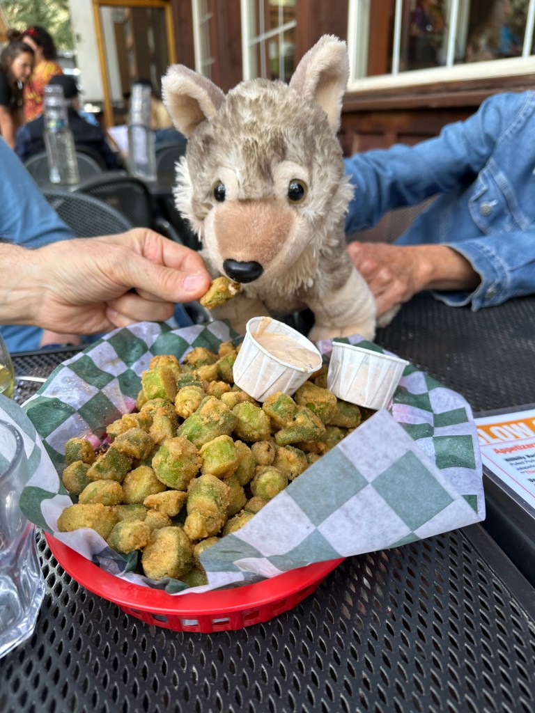
The day’s not quite over. Brittany’s favorite restaurant in the Roaring Fork Valley is Slow Groovin’ in Marble. So as the final stop in our week-long Family Trip, we join our neighbors, the Banburys, and drop by Slow Groovin’ for an early dinner. It’s Brittany’s third time there. She looks forward to a visiting the place every time she comes to Colorado. Appropriately enough, Slow Groovin’ is on her Colorado Bucket List, in the category called “Fun with Food and Beverage.” Check. ✅
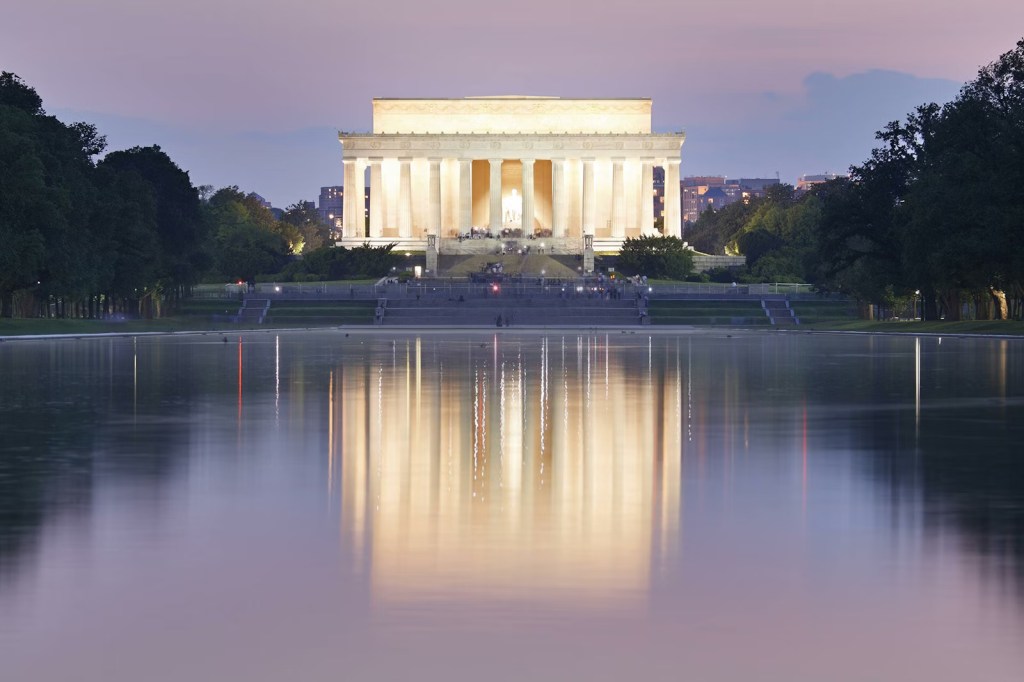
Marble is about 25 miles from our home in Carbondale. The place is known for its Yule Marble quarry that provided stone for the Tomb of the Unknown Soldier, the Lincoln Memorial, Washington Monument, and many other famous structures. Yule Marble has pure composition (99.56% calcium carbonate), light veining, and consistency of pattern throughout the formation. It rocks.
Yule Marble is often compared with classical Italian and Greek marble. The quarry, 1,100 feet above Marble, after you’ve driven a three-mile gravel road, is the only place on earth where Yule Marble is found.
The town of Marble sits at 8,000 feet in the upper Crystal River valley, at the foot of the West Elk Mountains. You won’t find a prettier mountain town. Anywhere.
Of the 200 or so full-time residents of Marble, 15 to 20 of them work at the quarry. It’s believed that the remaining operational quarry has enough marble to last for several hundred years. More than likely, it’ll outlive this blog.
Of course, Marble isn’t just known for its quarry. It’s also the home of Slow Groovin’, a down-home BBQ restaurant that seems right at home in this quiet mountain town.
Followers of this blog may recall that in 2018, I dedicated an entire trip to finding the best ribs in Colorado. For two solid weeks, I rode all over the state with my riding pal Dave, stopping each day at a barbecue restaurant, then rating the ribs in that day’s blog post as if I was some kind of food critic. After sampling BBQ throughout the Rockies, I discovered a simple truth: the best ribs are just a short drive from home – at Slow Groovin’ in Marble.
So it’s fitting that Marble is the final stop on what’s been an epic trip. Glad you could join us.
***
Today’s Not Quite Pass-a-Palooza™… Kebler Pass: 10,007 feet
If you drew a straight line over the Elk Mountains between my house in Carbondale and Crested Butte, the distance is 38.69 miles. Give or take.
But only birds, airplanes, and drones can travel that route. Well really, only birds. There’s not an airport in Carbondale, and drones don’t have adequate range to make the trip.
In any case, Crested Butte isn’t very far from Carbondale.
But when you hop in your car, or saddle up on your motorcycle, you’re generally in for a much longer trip, pretty much the one we took today – through Gunnison, along the Blue Mesa Reservoir, the West Elk Loop, the north rim of the Black Canyon of the Gunnison, over McClure Pass, and into my driveway.
It’s about 175 miles, and takes about four hours.
The drive is spectacular. But there’s a better way to do it, a shortcut that saves 100 miles and perhaps 90 minutes.
That shortcut is today’s Not Quite Pass-a-Palooza™, Kebler Pass. As we’ve learned this week, a Not Quite Pass-a-Palooza™ is at least 10,000 feet, and unpaved. Kebler fits that definition.
Coming from Crested Butte, it’s easy to find your way to Kebler Pass. Leaving town, you quickly turn onto (Gunnison) County Road 12, which leads you over the pass and on to Colorado Highway 133. From there, it’s only 42 miles – all on Highway 133 – and you’ll be in Carbondale.
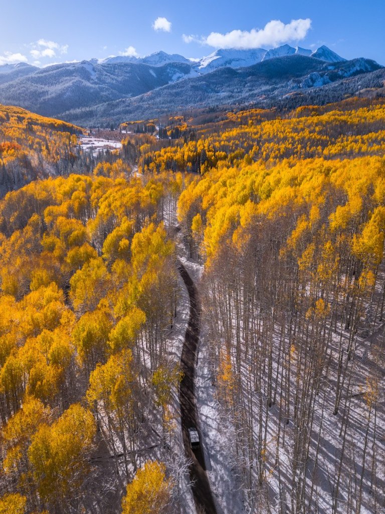
The road from Crested Butte, over Kebler Pass, and on to Highway 133 covers about 30 spectacular miles. Winding through the West Elk Mountains, it follows an old Ute Indian trail, and a one-time railway grade. The route became a private road before being taken over by the state of Colorado, which improved the road in 1930 to something like its current configuration.
Like so many of my Not Quite Pass-a-Palooza™ routes, Kebler Pass once was the site of a mining activity. It produced under the Kebler name from 1919 until it closed in 1954. In its prime, the old Kebler coal mine produced 7,000 tons of coal a month, and employed more than 140 miners. The mine was named for Julian Kebler, a longtime employee of the Colorado Fuel and Iron Company, which operated the mine. Kebler’s name was attached not only to the mine, but to the pass as well.
In 1893 the Denver & Rio Grande Railroad replaced Kebler Pass Road with tracks and began providing service to Crested Butte and to the mines around the summit of the pass. Kebler Pass, a town located at the pass’s summit, served as a rail station.
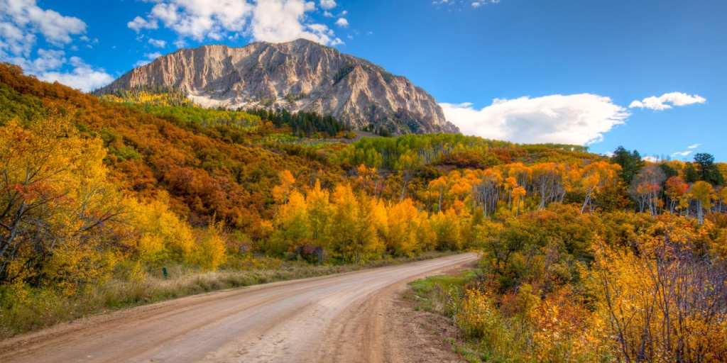
Today, the road is mostly graded dirt. A handful of its 30 miles are paved, mostly near the top of the pass. Kebler Pass is probably the best maintained and least bumpy, of all the Not Quite Pass-a-Paloozas™ I’ll describe over the course of this trip. The road is passable for two-wheel drive, low-clearance vehicles. It’s probably the most Harley-friendly Not Quite Pass-a-Palooza™ you’ll find in Colorado.
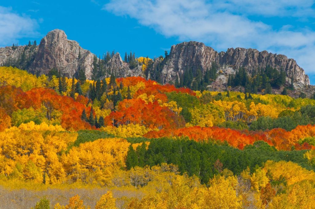
Kebler Pass has a gigantic stand of Aspens, one of the largest in the world. Aspen trees grow from a single root system and all of these trees are a single living organism named the Kebler Pass Aspen Grove. Tourists, and locals like us, descend on the pass every autumn to marvel at the fall colors as they change from green to brilliant oranges, reds, and golds. Leaf peeping is quite the spectacle. It’s a modern-day form of the gold rush.
Once winter sets in, the pass closes – usually around mid-October. The road, while closed to auto traffic, is a popular snowmobile route in the winter. It reopens in mid-to-late June. Unlike some of the other Not Quite Pass-a-Paloozas™, you’ll find no danger over Kebler Pass. Just beauty. That’s a welcome change.
All along Kebler Pass Road, there are hikes to be taken, and camp sites to pitch your tent. A popular spot for both is the Lost Lake, one of several campgrounds in the area not far from the pass.

On your drive from Crested Butte, you’ll arrive at the 10,007-foot pass in about seven miles. Then, from the summit, it’s about a 3,800-foot descent to the intersection with Highway 133, where Kebler Pass Road ends.
Turn left, and go to Paonia and Hotchkiss. Turn right and in 42 miles you’ll be in Carbondale. Either way, the road is smooth and paved.
To view today’s Not Quite Pass-a-Palooza™ route from Crested Butte, over Kebler Pass, to the Paonia Reservoir, click here.

Amazing trip Gary and thank you for describing it so well as we journeyed alongside you in spirit at least. Glad you made it safely home after all those dangerous passes. What adventurers are you,Sarah and Britany. It makes my “expedition” to England look so tame.
LikeLike
Glad you enjoyed the journey, Judith. You would enjoy Colorado.
LikeLike
Nice week-long ride y’all! And I agree with Brittany: Slow-Groovin does have the best ribs in Colorado! Glad all safe back home. Looking forward to next trip!
David M. Bowman
Corporate Development Executive
Leadership = Connecting People To Their Future
LikeLike
First time for the posse: girls outnumbered the guys. I liked it!
LikeLike
Thanks for letting us bike alongside you vicariously. It’s been a gre
LikeLike