The first 44 miles of today’s ride is an echo of yesterday’s finish. We head back up Wolf Creek Pass, over the Continental Divide, to South Fork. The town of 500 sits at the confluence of the South Fork and Rio Grande Rivers.
There’s not much to do here, so we turn east toward Del Norte, a town of 1,500 in the San Luis Valley named for the Rio Grande del Norte, or “large river of the north.” Del Norte was a booming mining and ranching center in the last quarter of the 1800s and on the short list for the capital of Colorado when Denver got the final nod.
There’s not much to do in Del Norte, either, so we turn northeast and head toward Saguache, whose name comes from a Ute word, meaning “water at the blue earth.” Saguache Creek flows just outside of the town, from its beginnings high in the San Juan Mountains. Saguache, population 530, is pronounced Suh-WATCH.
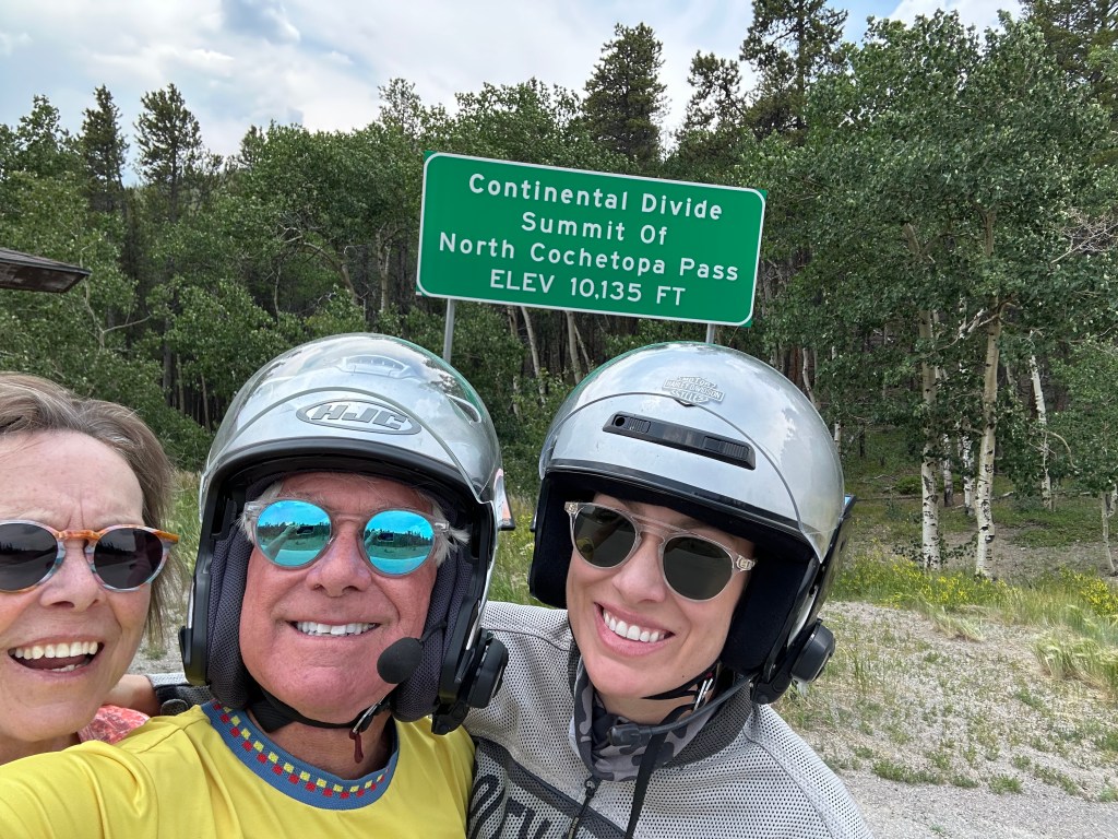
Pass-a-Palooza™ … North Pass: 10,149 feet
Not much to do here, either. So, we turn northwest in search of at least a modicum of something to do. Thirty-one miles later, we arrive at North Pass. At 10,149 feet, it’s today’s first of two Pass-a-Paloozas™. North Pass, also known as North Cochetopa Pass, takes us over the Continental Divide. The pass is open year-round.
From North Pass, it’s 40 miles to Gunnison. The road snakes through a narrow canyon before coming to an end where it meets US Highway 50. We turn west, and in eight miles, arrive in Gunnison, a college town of about 6,600. It was named in honor of Captain John Gunnison, a US Army officer who surveyed for the transcontinental railroad in 1853. He stayed only three days before traveling west to Utah. Apparently, a three-day stay is the minimum for having a city named after you.

The city is home to Western Colorado University, originally founded as the Colorado State Normal School for Children in 1901. A normal school is one created to train high school graduates to be teachers; its purpose is to establish teaching standards, or norms – thus the word “normal.”
Western Colorado University, the first college on Colorado’s Western Slope, is home to about 3,000 students – roughly half of Gunnison’s population. With more than 750 miles of singletrack trails surrounding the city, Western’s students love the area’s biking, hiking and other outdoor activities.
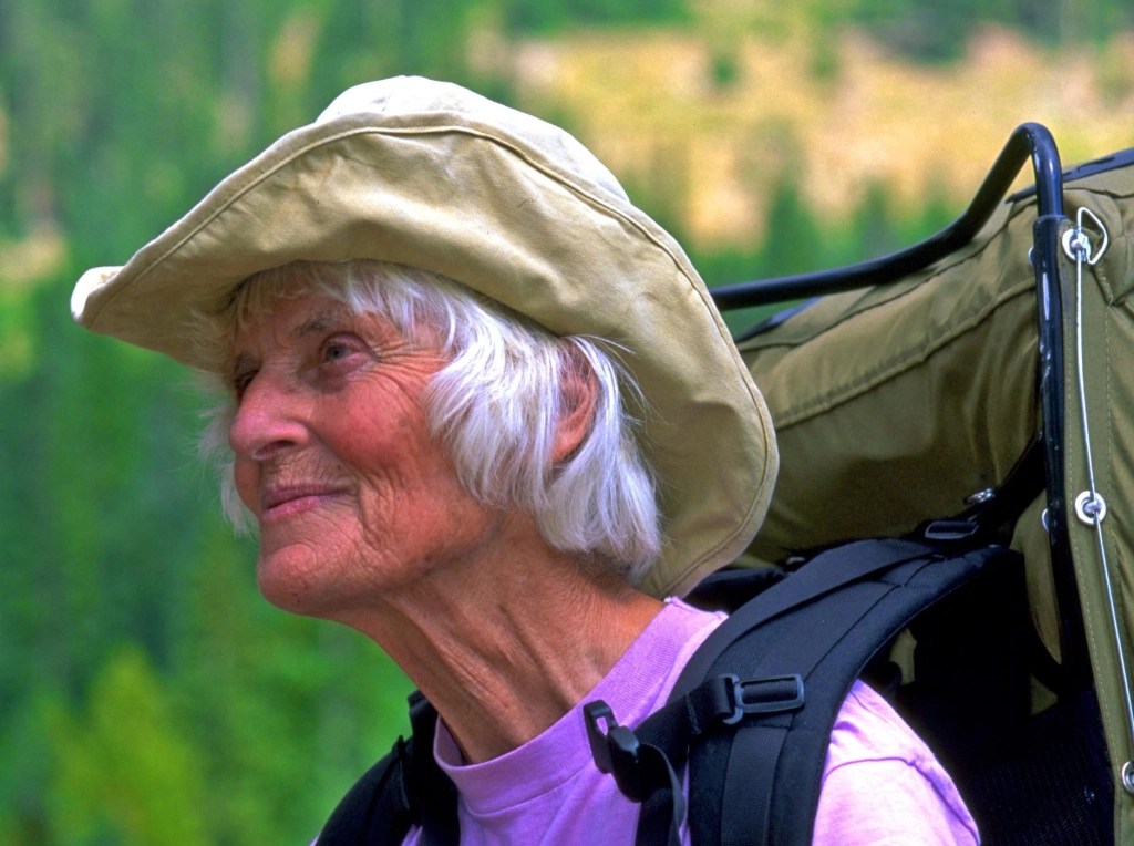
A notable graduate of Western Colorado University is Gudy Gaskill, a mountaineer generally regarded as the driving force behind the creation of the Colorado Trail, a 567-mile path that runs from Denver to Durango. It passes through six national forests, six wilderness areas, and eight mountain ranges. For that achievement, she earned a place in the Colorado Women’s Hall of Fame. Yes, Gudy is the correct spelling; her given name is Gudrun, which has Old Norse and Scandinavian roots.
Onward over the Continental Divide
Ten miles north of Gunnison, we arrive in the quaint fishing village of Almont. The first permanent settlers to Almont were the aptly named Fishers – Samuel C Fisher and his family. The town bore their name until 1881. Samuel Fisher named the town for Almont of Kentucky, the horse that sired his favorite stallion. In the late 1800s, miners in the area brought their ore to Almont, where it was transported by train to Gunnison.
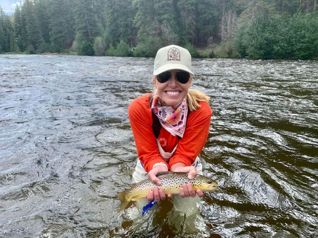
Almont sits where the Taylor and East Rivers meet to form the Gunnison River. This location makes it a prime fly-fishing spot. Almont has several year-round fishing resorts, including the Three Rivers Resort, Carmel’s on the Taylor, and the Taylor River Lodge.
The Taylor River is not named after Taylor Swift, and not after James Taylor, a couple of musicians you may have heard of. The river is named after Jim Taylor, one of the first men to discover gold in the area. The Taylor Park Reservoir and Dam are named for U.S. Representative Edward Taylor, who lived in Glenwood Springs and helped get the reservoir built by a Congressional bill. Lotta Taylors to keep track of.
We follow the Taylor Park River for 25 miles before arriving at the Taylor Park Reservoir, which is filled with rainbow trout and northern pike. The reservoir, sitting at 9,336 feet, is a haven for ice fishing in the winter.
The nearby Taylor Park Trading Post is the jumping off point for today’s Not Quite Pass-a-Palooza™. We’ll get to that a little later in this blog post.
At the reservoir, we turn east onto Colorado Highway 306, and head toward Cottonwood Pass, the highest paved crossing of the Continental Divide.
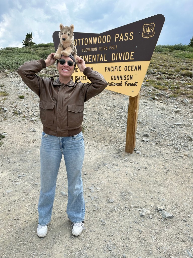
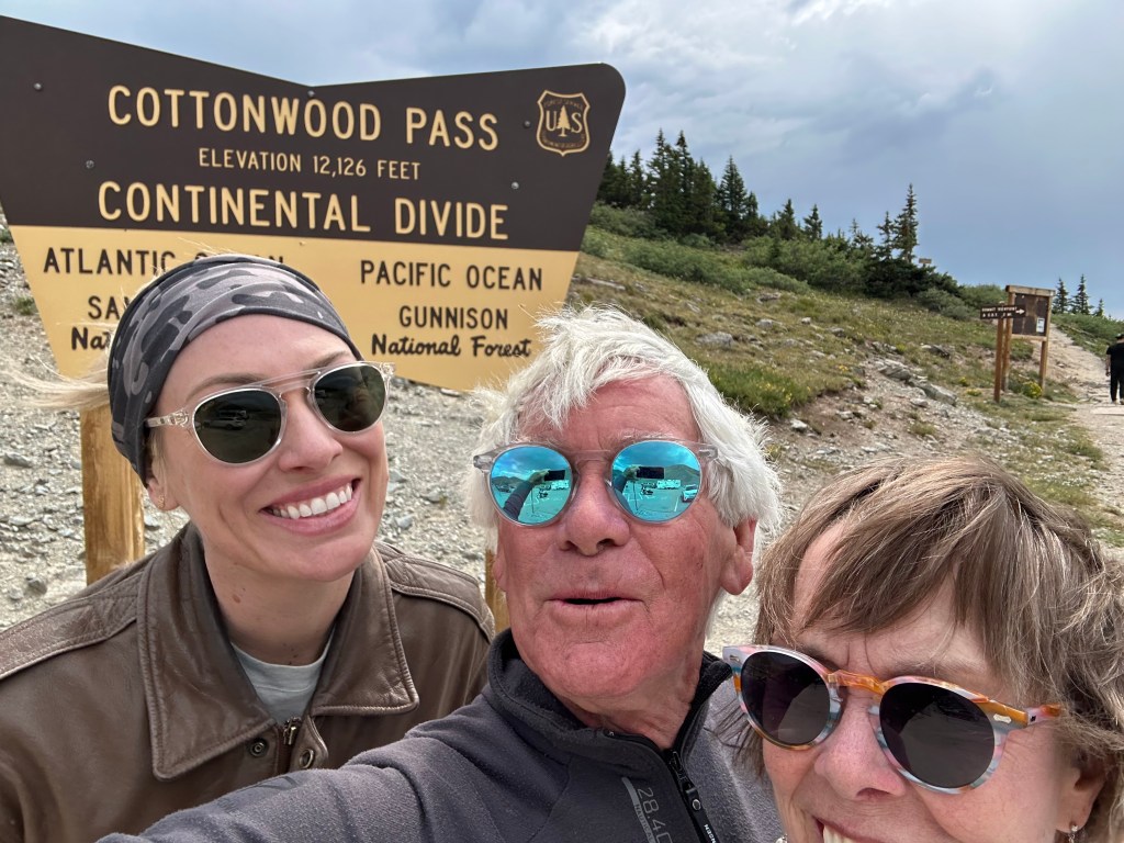
Pass-a-Palooza™ … Cottonwood Pass: 12,126 feet
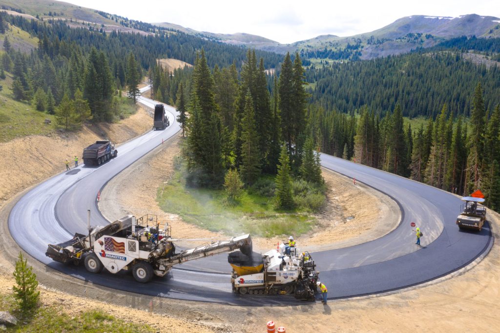
The idea for the road over Cottonwood Pass began in 1955, when the US Forest Service needed a way to get timber out of the heavily forested area. The area surrounding the pass is the Gunnison National Forest to the west – where we are now – and the San Isabel National Forest to the east, where we’re headed. Cottonwood Pass earned Honorable Mention on my all-time Top Ten list.
By 1958, a dirt road over the pass was in place. Originally, the eastern side of the pass was the first to be paved – from Cottonwood Pass to Buena Vista. Then, in 2019, the paving on the western side of the pass was completed, from Almont to Cottonwood Pass. For the first time, this opened up the entire roadway, from Almont to Buena Vista, today’s destination.
At the top of the pass, 12,126 feet high on the Continental Divide, there are great views of the surrounding Collegiate peaks, particularly Mount Princeton to the south.
The road is closed in winter, due to heavy snowfall and avalanches. When open, generally from May through October, the pass is one of the few routes through the Sawatch Range accessible in a standard two-wheel drive passenger vehicle. Or a Harley.
The pass straddles two counties: Gunnison, on the west – and Chaffee on the east. From the pass, we continue east toward Buena Vista, 20 miles from here.
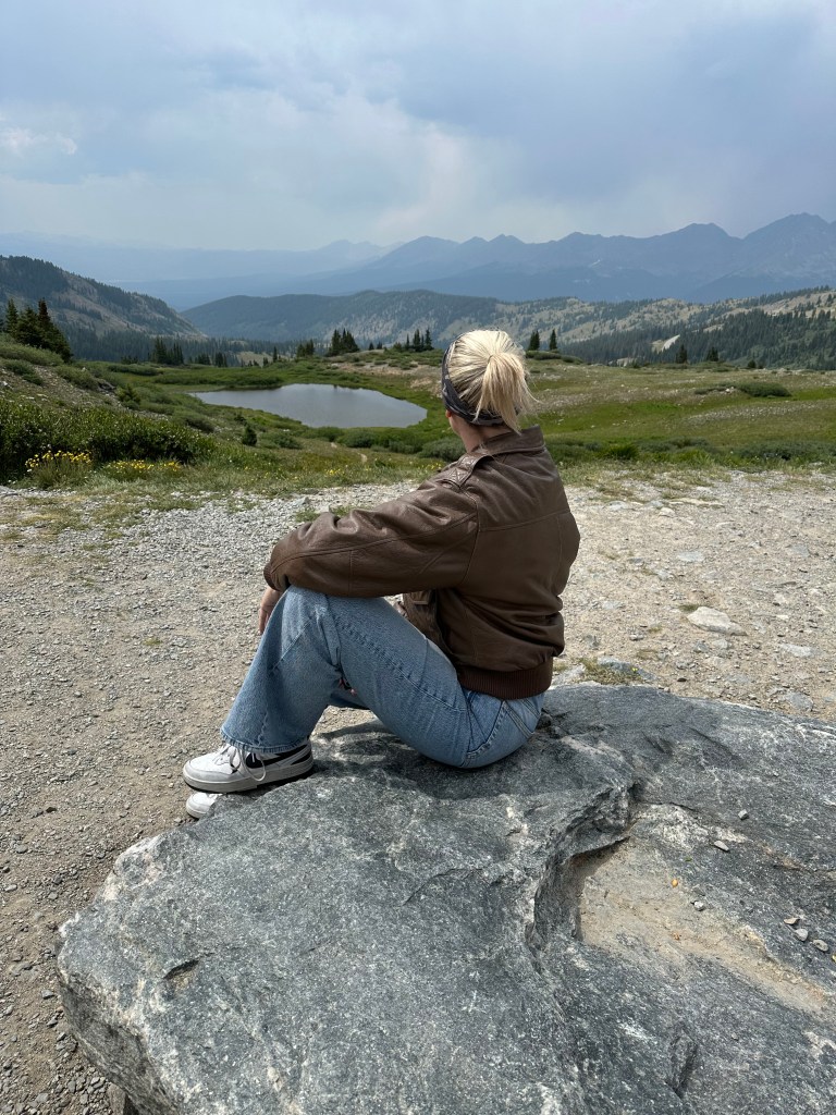
The descent lasts more than 4,000 feet. Buena Vista sits on the Arkansas River at 7,989 feet. The name Buena Vista is Spanish for “good view.” The views are of the river, and the nearby Collegiate Peaks, including Mount Princeton, Mount Yale, and Mount Harvard. The Collegiate Peaks have the highest concentration of 14,000-plus-foot peaks in the US. Tomorrow, we’ll visit the Collegiate Peaks Scenic Byway.
As we approach Buena Vista, the biggest challenge may be agreeing on a pronunciation. Many towns in Colorado, including Buena Vista, take their names from the Spanish language, including the state name itself. Colorado means “colored red.”
Pronouncing Buena Vista should be simple, too. BWAY-nuh VIS-tuh. Except that’s not how it’s pronounced. Coloradans say it BYEW-nuh VIS-tuh. What?
As the story goes, in 1879 a local woman named Alsina Dearheimer wanted to put a unique twist on the town’s name. Her husband was a language and music professor, which may have inspired her linguistic leanings. She knew what the correct Spanish pronunciation was, but she wanted something more catchy, so she borrowed from the first syllable of the English word, “beautiful.”
And there you have it. BYEW-nuh VIS-tuh. Beautiful.
Or, if you want to sound like the locals, just call it “B-V” for short.
Surf’s Up, Dude!
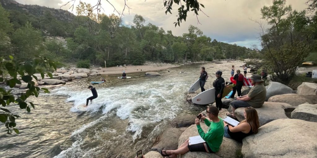
In Buena Vista, on the Arkansas River, Rocky Mountain River Surfing is a thing. The Whitewater Park in BV offers everything from gentle waves for beginners to endless rides for the more experienced. You can ride on StandUp Paddleboards, kayaks, rafts, or actual surfboards.
The park offers five distinct waves, including the Uptown Wave, the Downtown Wave, and the Staircase Wave. It’s the longest whitewater park in Colorado, and the center of river activities in BV.
There’s even a hotel by one of the water features. It’s the Surf Hotel and Surf Chateau, overlooking the surf waves of the Buena Vista Whitewater Park. That’s where we’re staying. It’s a hip, trendy place, popular for weddings, events, parties, and hosting travelers on Harleys and SUVs.
To see today’s route from Pagosa Springs, over Cottonwood Pass, to Buena Vista, click here.
***
Today’s Not Quite Pass-a-Palooza™ … Tin Cup Pass: 12,154 feet
Earlier today, we crossed the Continental Divide by riding over Cottonwood Pass. At 12,125 feet, it’s Colorado’s highest paved crossing of the Continental Divide.
There’s another nearby crossing of the divide, also in the Sawatch Mountain Range, about 10 miles south of Cottonwood Pass. It’s called Tincup Pass, and it’s today’s Not Quite Pass-a-Palooza™.
Tincup Pass, at 12,154 feet, is 29 feet higher than Cottonwood Pass, but Tincup Pass is unpaved. It connects the Taylor Park Reservoir with Nathrop, just eight miles south of Buena Vista, where we’re staying tonight.
The road to Tincup Pass begins at Taylor Park Trading Post, on the east end of the Taylor Park Reservoir. In October 1859, a prospector named Jim Taylor dropped a tin cup into Willow Creek for a drink of water and noticed gold flakes shimmering off of the creek bed. Et voila, Tincup was born. Taylor carried the cup and its gold flakes back to camp in a tin cup, later naming the valley “Tin Cup Gulch.”
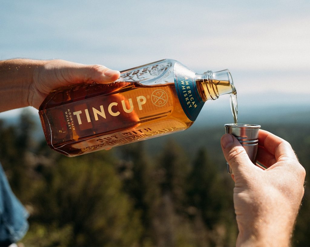
Tin Cup is variously spelled both as two words – Tin Cup – and as one word, Tincup. The TINCUP whiskey, named for Colorado mining pioneers and the tin cups they drank whiskey from, cleverly spells its name in all caps. One word, too.
The town of Tincup sits at 10,157 feet. It’s an 820-foot climb and a seven-mile drive from Taylor Park Reservoir on (Gunnison) County Road 765. Originally named Virginia City, Tincup was once a prominent mining town. Today, it’s a community of summer homes. Many historic buildings are still standing. Tincup has a small general store, and Frenchy’s Café on the Pond, a small log cabin restaurant in the middle of nowhere. Frenchy’s is named after a Frenchman who once ran a saloon in Tincup.
In 1882, there were more than 6,000 residents in and around Tincup, and 20 saloons, the largest of which was Frenchy’s. In 2025, 143 years later, you can still go to Frenchy’s for burgers, sandwiches, shakes and homemade pies – and on Friday nights, prime rib.
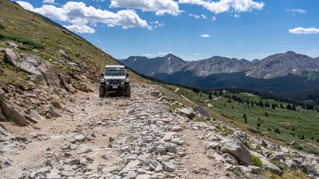
After recovering from your Tincup food coma, follow County Road 267 for six miles, and you’ll arrive at Tincup Pass – 12,154 feet.
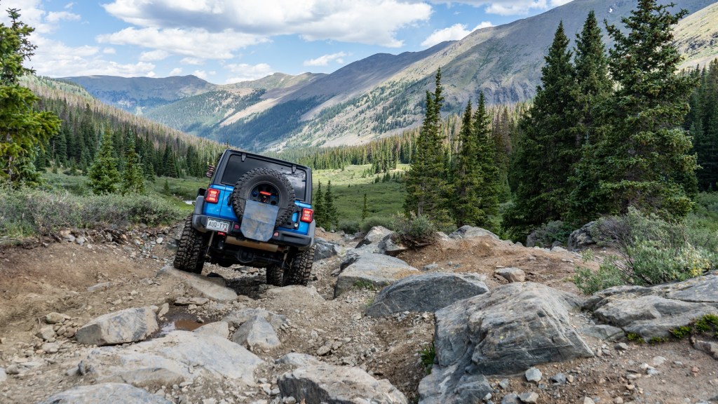
Saint Elmo’s Fire. From Tincup pass, you’ll drop nearly 4,600 feet on your way to Nathrop, and the Arkansas River Valley. But first, you go through another high-country ghost town: Saint Elmo. Like so many other Colorado ghost towns, Saint Elmo was abandoned after mining there collapsed.
Some Saint Elmo context: Saint Elmo is formally known as Erasmus of Formia, a Christian saint and martyr. He is venerated as the patron saint of sailors. Historically, Saint Elmo’s fire has had many spiritual meanings, including a sign of good luck, a sign of the saint’s guardianship, and a warning of an imminent lightning strike. St. Elmo’s Fire, the 1985 movie, was an R-rated post-college drama that introduced us to Demi Moore, Emilio Estevez, Ally Sheedy and other young actors.
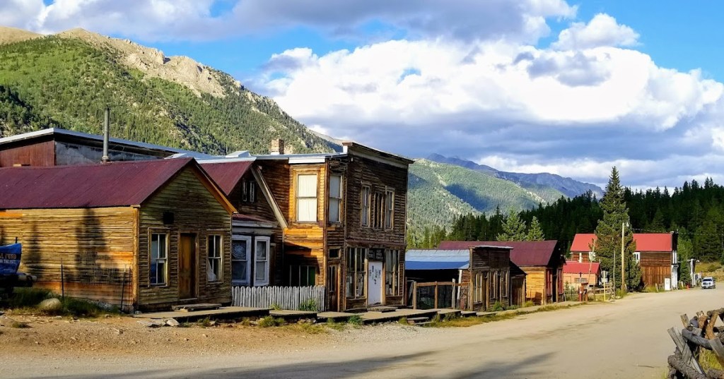
Saint Elmo, the Colorado ghost town, was originally named Forest City, but its name was changed because many other towns already had that name. The name Saint Elmo was chosen by Griffith Evans, one of the founding fathers, who was reading a novel with the same title. Today, it’s one of Colorado’s best preserved ghost towns. A general store is open during the summer, when tourists drop by in their off-road vehicles.
The journey from Saint Elmo is all downhill. You’ll eventually pass the Mount Princeton Hot Springs Resort, and arrive in Nathrop, on your way back to modern civilization.
Much of Nathrop’s history revolves around Henry Nachtrieb, a German businessman who owned and developed much of the land surrounding Nathrop. The name Nathrop is an easier-to-pronounce version of his last name because he found that Americans couldn’t say it correctly. Kinda like Buena Vista.
From Nathrop, just drive eight miles north on US Highway 285 (paved!), and you’ll find yourself in Buena Vista, where we’re staying tonight.
To see today’s Not Quite Pass-a-Palooza™ route from Taylor Park Trading Post over Tincup Pass and on to Nathrop, click here.
