Today will be the shortest ride of the week, maybe the shortest in the history of mankind. Just 110 miles.
We’re trading one resort for the rich and famous, Gateway Canyons, for another: Telluride. Editor’s note: we’re neither rich nor famous. But a guy’s gotta dream, am-I-right?
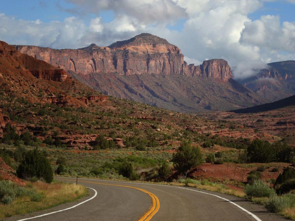
There are no Colorado Pass-a-Paloozas™ (10,000 feet-plus, and paved) on today’s route. We’ll spend much of our road time on the spectacular Unaweep-Tabeguache Scenic Byway, Colorado Highway 141. We follow the Dolores and San Miguel Rivers, which, over millions of years, ate away at the soft sandstone to carve out breathtaking canyons and gorges.
The Hanging Flume, an Engineering Marvel
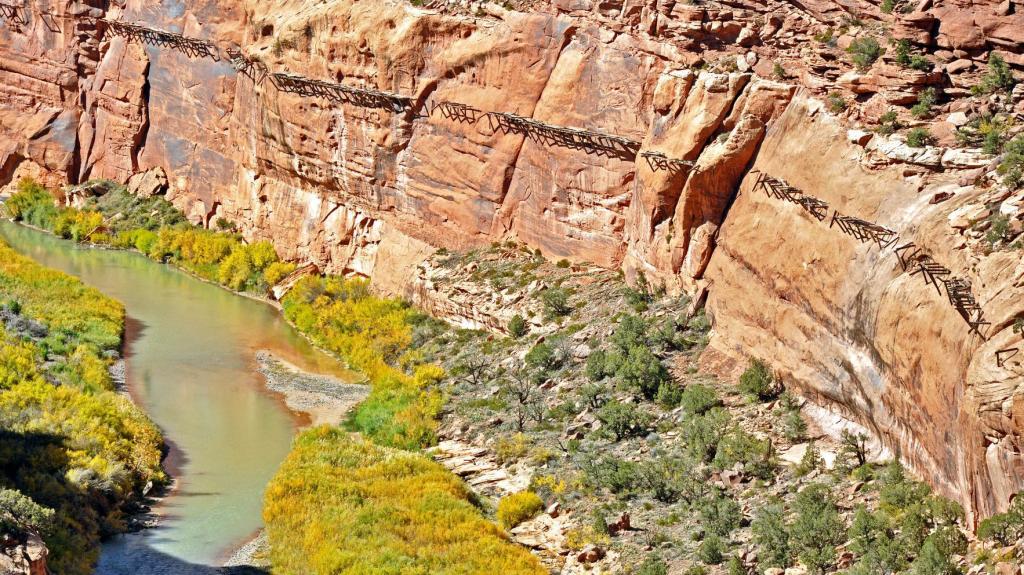
Our first point of interest is 29 miles from where our day began in Gateway. It’s known as the Hanging Flume, and there’s an overlook off of the Unaweep-Tabeguache Scenic Byway where you can see it.
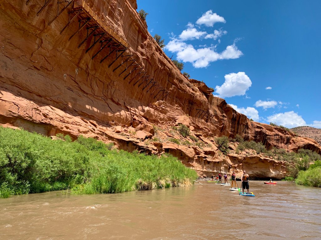
The hanging flume is a three-sided, six-foot-wide and four-foot-deep wooden trough that’s suspended for ten miles along sandstone walls, high above the Dolores River canyon. The hanging flume sits 75 feet or more above the rivers, and is an engineering marvel, considering the era in which it was designed and built. It’s a relic of the Colorado gold rush of the 1880s.
The hanging flume along the Unaweep-Tabeguache Scenic Byway was commissioned by the Montrose Placer Mining Company, and built between 1887 and 1891. In the late 19th century, mining companies constructed flumes to get water to their mines, to help with hydraulic mining. Hydraulic mining uses high-pressure water jets to dislodge minerals from the ground. Flumes were used to provide the volume and pressure needed for hydraulic mining. When in use, the Dolores Canyon flume conveyed 80 million gallons of water each day to the mines it served.
Much about the construction of the hanging flume remains shrouded in mystery, including how workers could have driven 18-inch holes into the canyon wall in an age before power drills. To build the flume, Ponderosa pine lumber was logged in the La Sal Mountains of Utah, and cut into large planks. Some 1.8 million board feet of it was used in building the hanging flume. At least 18 wagon trails were built to carry materials to locations on the rim of Dolores Canyon, where they could be lowered to the workers below. This was an ambitious project.
The flume operated in the Dolores River Canyon for only a few years. After placer mining activities ended, it was used as an irrigation source for nearby ranching, then abandoned, looted and scavenged for timber and other resources. Remnants can still be seen today.
Parts of the flume have survived sun and weather for more than 130 years, in part because its remoteness is out of reach of vandals. In 2006 the nonprofit World Monuments Fund placed the hanging flume on its “100 Most Endangered Sites” list, which highlights historic sites in urgent need of preservation funding and protection. What remains of the flume is on the National Register of Historic Places.
Uravan, a Blast from the Past
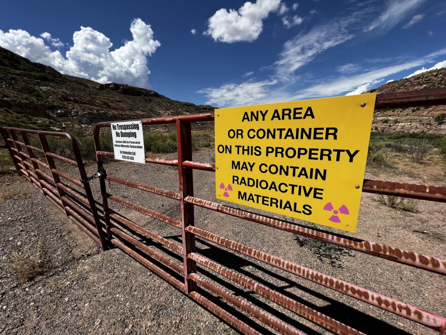
Six miles past the Hanging Flume overlook we come to Uravan, or what’s left of it.
Uravan is an abandoned uranium mining town that’s now a Superfund site. Federally funded Superfund sites allow the Environmental Protection Agency to clean up contamination. There’s plenty to clean up at a former uranium mine.
Uravan was a company town established by the Vanadium corporation in 1936 to extract the rich vanadium ore in the region. As a byproduct of vanadium extraction, small amounts of uranium were also produced, at the time mostly used as a yellow pigment for ceramics.
The Colorado Plateau holds the richest uranium deposits in the US. During World War II, Uravan secretly provided part of the uranium needed by the Manhattan Project for the first atomic bomb. American military requirements for uranium declined in the 1960s, and in time, the domestic uranium mining industry collapsed. Uravan was officially closed in 1985.
The town, which once housed 700 residents, was literally built out of radioactive material. Discarded mine tailings were used as the foundation for new buildings, water lines were set through milling waste, and the locals’ favorite hillside was littered with condemned mill equipment. Today, buried beneath the dirt and sand, the former town of Uravan looks largely like it did before its residents ever called the radioactive valley home.
The name Uravan comes from Uranium (Ura) + Vanadium (Van) = Uravan.
Naturita = Little Nature. Norwood = Rest Stop
Soon, we arrive in Naturita, and it’s time for a break. Naturita is a town of about 500 whose name means “little nature” in Spanish. In the late 1800s, Naturita was a vibrant ranch community along the San Miguel River. The town still sits on the San Miguel River, but is less vibrant today.
In the 1930s and ‘40s, Uranium mining was the main economic driver in Naturita, keeping mills busy during World War II. Eventually, market prices fell, mills closed, and people moved out of town in search of the next great thing.

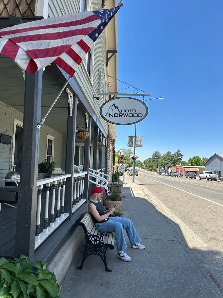
A few miles past Naturia, we turn off Highway 141 and continue southeast on Colorado Highway 145, toward the town of Norwood, 20 miles away. The town, which sits at a little more than 7,000 feet, is named after Norwood, Missouri, the native home of a first settler. With a population of a little more than 500, there isn’t much in Norwood. But if you like stargazing, it’s a certified International Dark Sky Community.
Miners discovered the land where Norwood is today in the late 1870s, while they were surveying the San Miguel River for gold. We discover it as a place to pull over and take a break, before pushing on to today’s destination, Telluride.
Heading to Telluride
From Norwood, it’s a little more than 30 miles to Telluride, elevation 8,754 feet. Nice place for a ski area. Or a silver mine.
Telluride is a former silver mining camp, founded in 1878 as “Columbia.” But due to confusion with a California town of the same name, it was renamed Telluride in 1887, for the gold telluride minerals found in other parts of Colorado. A telluride mineral has the telluride anion as a main component. But tellurium was never found in the Telluride area.
A popular myth claims the name Telluride comes from the phrase, “To hell you ride,” which was shouted by loved ones when departing for the mining camps. Telluride was once only accessible through a narrow and dangerous mountain pass, so miners were often sent on their way with this shout.
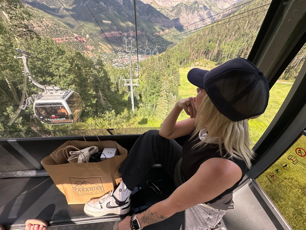
Mining was Telluride’s only industry until 1972, when the first ski lift was installed. As mining phased out and tourism began to take shape, the local population changed as well. Mining families left Telluride to settle elsewhere in communities where mining offered hope of continued employment.
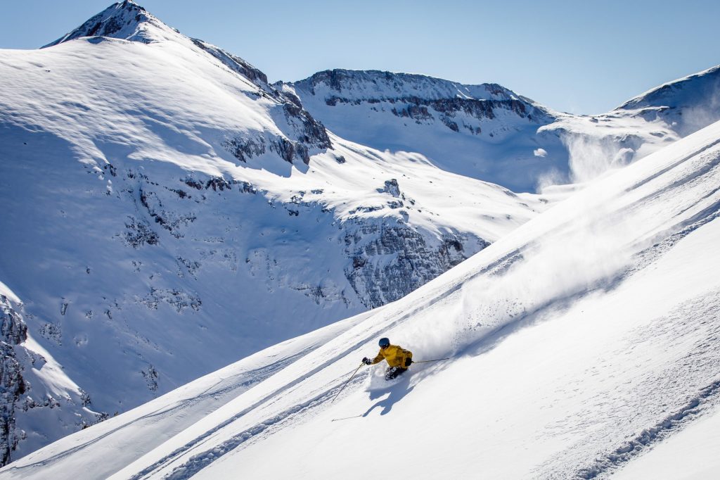
Telluride now has a reputation for world-class skiing, stunning ambiance, and other-worldly prices. Due to its significant role in the history of the American West, the core area of Telluride was designated a National Historic Landmark District in 1961. Telluride has been rated the #1 ski resort in North America by Conde Nast readers several times in recent years. (The current #1 is Snowmass, my employer in the winter!) The ski area is owned by Chuck Horning, a real estate investor from California. Telluride is part of the Epic Pass.
Like many Colorado mountain ski towns, Telluride is considered a playground for the rich and famous. The average home price is about $8 million. An unlimited season pass during ski season is $2,100. If you’re a toddler – 5 years old and younger – your season ski pass is only $25.
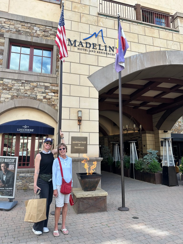
Staying at the Madeline Hotel during ski season? Your room’s gonna run you well over $1,300 per night, including fees. The price is justified, because you’re staying in an “Oxygen-Enriched King Room.” Yes, it uses an advanced air purification system to infuse the room with oxygen-rich air. A marketing gimmick, perhaps. The hotel says the goal of the oxygen enriching is to help guests sleep better, have more energy, and combat altitude sickness. Your $1,300-a-night room also comes with complimentary sledding and ice skating for children 12 and under. You only live once.
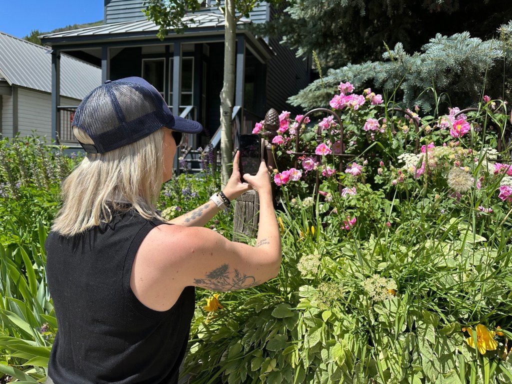
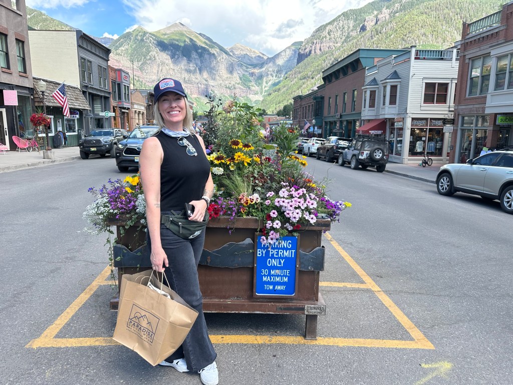
Today, like many ski areas, Telluride is an all-season resort. The town is home to all sorts of festivals, all summer long. On the festival calendar: the Telluride Jazz Festival, Blues and Brews, the Telluride Bluegrass Festival, Telluride Film Festival, Telluride Wine Festival, Telluride Balloon Festival, and Telluride Yoga Festival. Today, as we roll into town, Telluride Table, a celebration of wine and food, wraps up. Next week, Telluride hosts its Americana Music Festival.
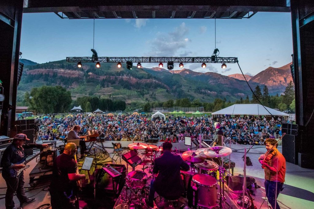
This place is party town, USA.
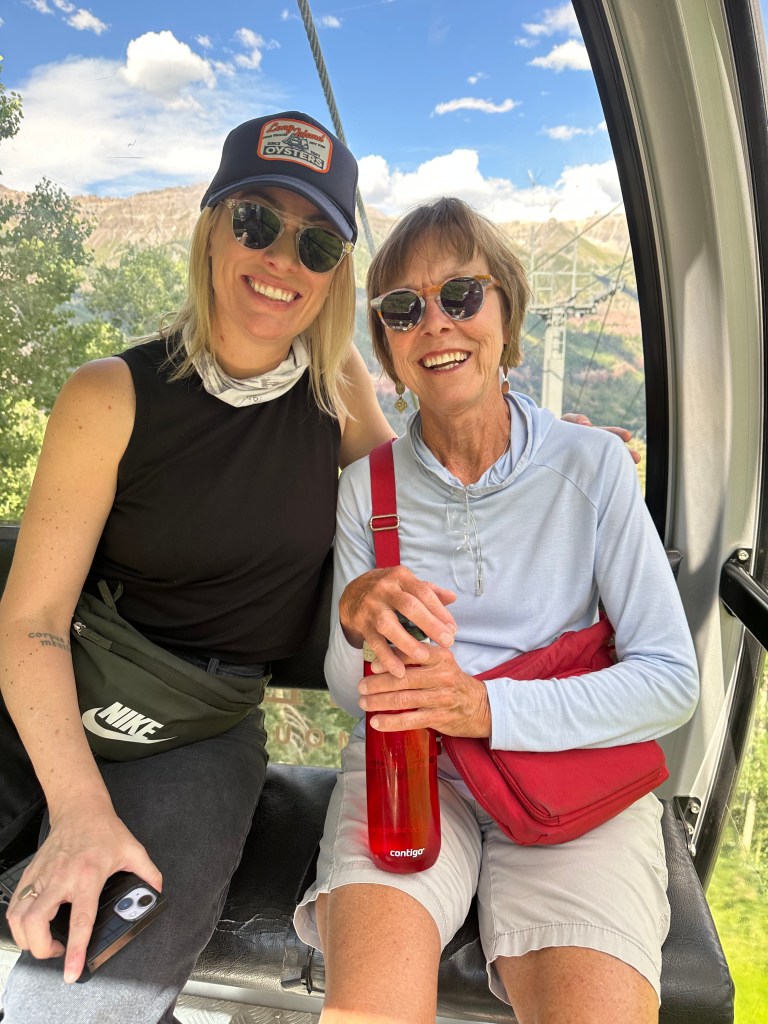
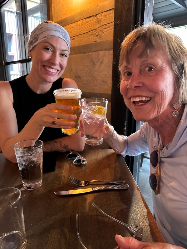
Our party – me, Sarah, Brittany and Walter Jr – gets started early, as we arrive at the Hotel Telluride at the end of our 110-mile day, park the vehicles, and explore the town.
To see today’s route from Gateway, to Telluride, via the Unaweep-Tabeguache Scenic Byway, click here.
***
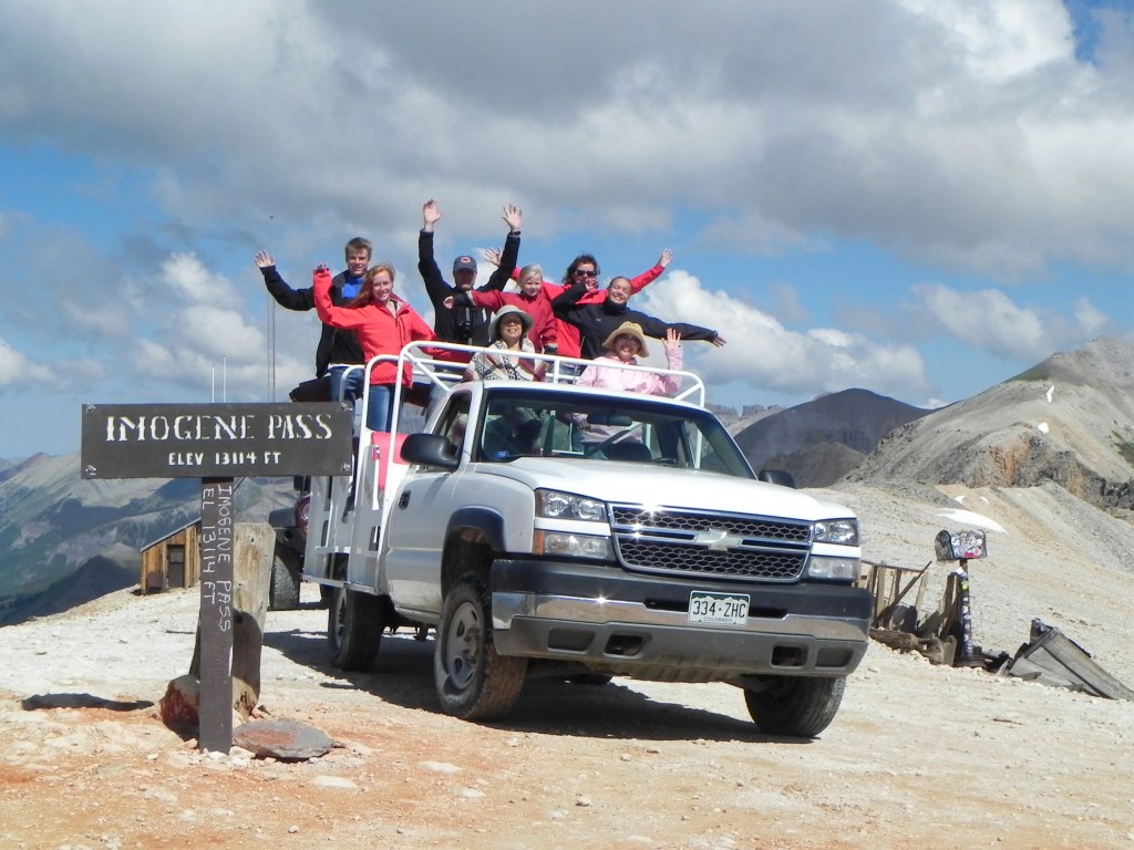
Today’s Not Quite Pass-a-Palooza™ … Imogene Pass: 13,114 feet
Today, at the end of our journey, we pulled into Telluride on Colorado Highway 145. The road is nicely paved, well-marked, and easily traveled – all year, in any conditions.
One hundred forty years ago, another way to arrive in Telluride was from Imogene Pass, just seven miles to the east, and a climb of 4,360 vertical feet. The road over Imogene Pass crosses a ridge connecting Telluride with Ouray, which is another ten miles east of Imogene Pass, and mostly downhill from the pass.
The road between the two former mining towns is remote, rocky, and is the third-highest drivable pass in Colorado. Imogene Pass, 13,114 feet high in the San Juan Mountains, is today’s Not Quite Pass-a-Palooza™. Only Argentine Pass (13,207 feet) and Mosquito Pass (13,186 feet) offer higher non-paved crossings in Colorado. We’ll get to those later in this trip.
Imogene Pass is closed by snow during winter, generally between October and June or early July. But it’s open now, as in right now – July 13! And yet, as you can tell by the words and photos, Imogene Pass is not gonna see Harleys – mine or anyone else’s, anytime soon.
When Imogene Pass was first constructed in 1880, it was just a series of pack trails beaten into the ground by prospectors and their burros. The pass was named after Imogene Richardson, the wife of a nearby Camp Bird Mine owner, Andy Richardson. He was a pioneering minerals prospector who reportedly was the first “white man” to enter the basin. Camp Bird is about five miles from Imogene Pass, pretty much halfway between the pass and Ouray.
As you’ve heard – and this is a recurring theme – mining was a very big deal in these parts of Colorado. Until it wasn’t. There are an estimated 23,000 abandoned mine sites in Colorado’s Rocky Mountains, and each needed a road for miners to access them. Nearly all of my Not Quite Pass-a-Paloozas™ (unpaved 10,000-foot plus mountain passes) are in the vicinity of abandoned mines.
But the mining bust is a story for another day. We’re here to talk about the high mountain passes that connect former mining towns.
Tomboy Mine. Leaving Telluride and heading east toward Imogene Pass, you’re embarking on a 17-mile journey to Ouray. Google Maps says it’ll take nearly four hours by bicycle; half that by jeep. Might as well get started.
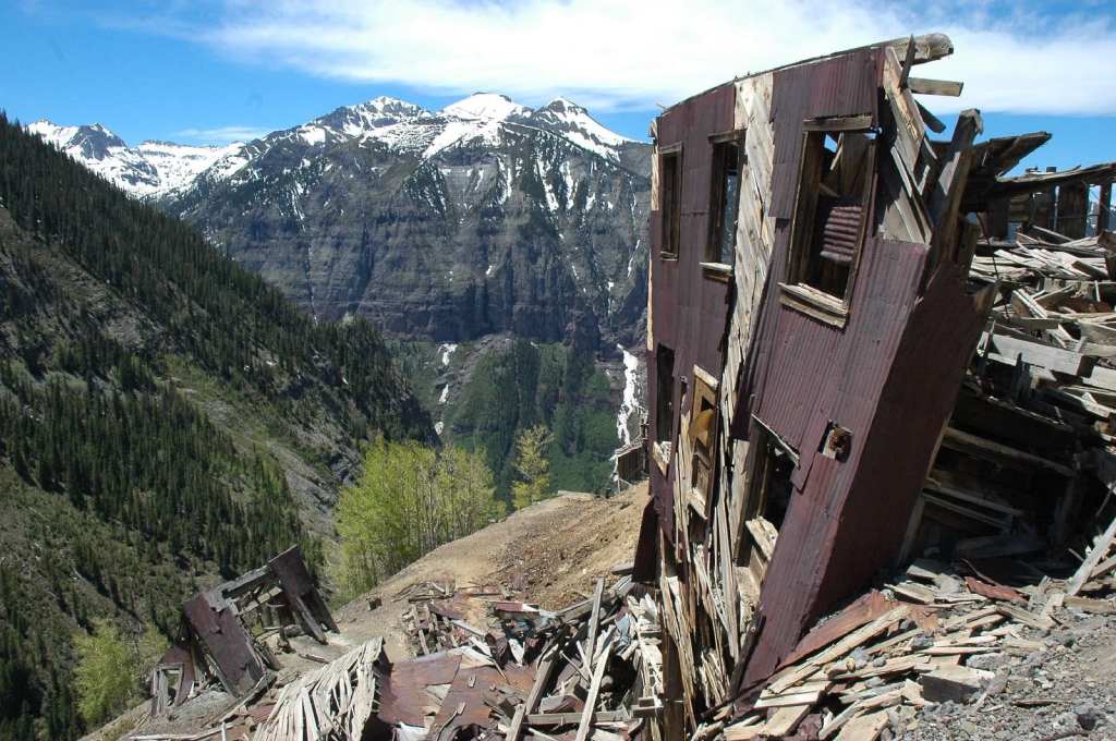
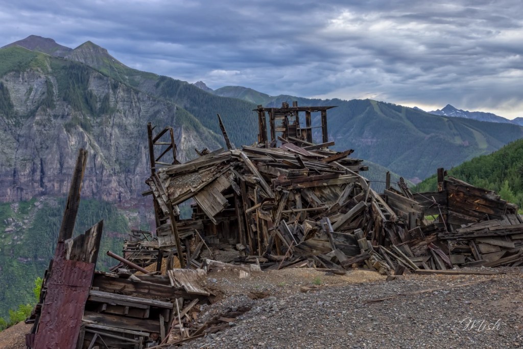
It’s about five miles to the now-deserted mining town of Tomboy, site of the Tomboy Mine. This mine, set in a glacial cirque known as Savage Basin, was located in 1880 by Otis Thomas. It sat at 11,509 feet – about 3,000 feet above Telluride.
Thomas had a nickname – Tomboy – and that name became synonymous with the mine. For several years after the mine was found, little activity occurred, because it was so hard to reach. In the early twentieth century, the area would inspire Harriet Fish Backus to write her memoir “Tomboy Bride.”
Between 1894 and 1926 the Tomboy Mine produced gold and zinc, causing the town of Tomboy to balloon to nearly 1,000 residents. In its heyday, Tomboy hosted a store, stable, school, and YMCA with a bowling alley, in addition to the residences for local miners. When the ore ran out, so did the people.
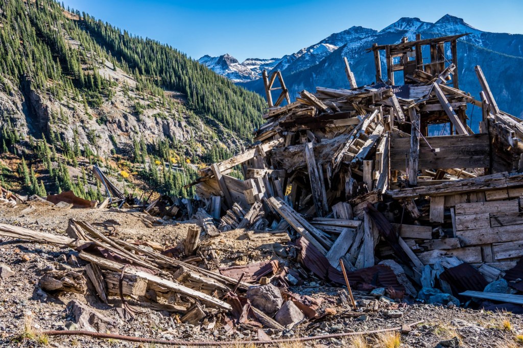
Today, the mine and camp ruins sit as a reminder of what once was. In 1897, the mine was sold for two million dollars, a considerable sum in those days. A daily stage ran across the shelf road now known as Imogene Pass, carrying passengers and mail. Today the ride by four-wheel drive vehicle is simpler, but no less thrilling.
The Tomboy Mine was one of the top three producers in the Telluride mining district, along with the Smuggler-Union and the Liberty Bell. Tomboy’s mine closed in 1928, and the camp was abandoned.
If you drive the road over Imogene Pass, you’re sure to see remains of the Tomboy camp and its mining relics. Today, it’s just a ghost town on the way to Ouray.
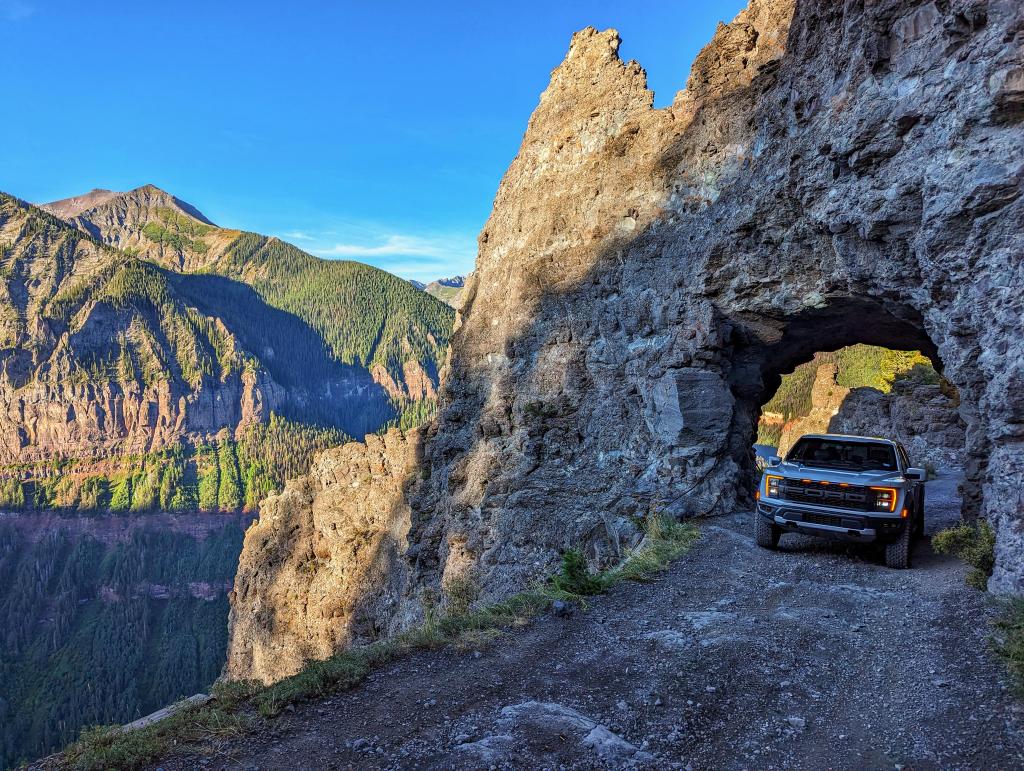
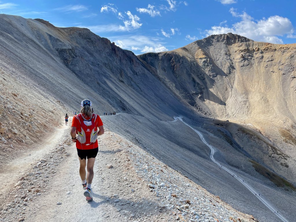
Imogene Pass. From Tomboy, it’s about two miles to Imogene Pass. Some of Colorado’s famous 14ers – and many 13ers – are visible from the pass. On a clear day, you can see all the way to Utah, 90 miles away. Decaying buildings and mining relics dot the hillsides.
As you approach the pass, the road gets steeper, narrower, and scarier. You’ll need a four-wheel drive vehicle with high clearance, low gears and skid plates to safely navigate the pass. Even with all that stuff to help out, it can be sketchy and unnerving, unless you’re an experienced hand at these kinds of roads.
If you’d like to check it out, but don’t have the right vehicle – or nerve – there are guided jeep tours you can take from either Telluride or Ouray.
Camp Bird Mine. From the 13,114-foot pass, it’s about five miles to Camp Bird. Along the way, you’ll drop about 3,400 vertical feet.
Camp Bird was established in 1896 by Thomas Walsh, an immigrant from Tipperary, Ireland. He was prospecting the Imogene Basin at a time when most miners had given up on the area. The basin was historically a silver mining area, and the silver panic of 1893 had put the area into an economic tailspin. But Walsh thought there might be undiscovered gold in the area, and he began buying up old claims. Turns out his hunch was correct.
Camp Bird was one of the richest and most famous mines in the world, producing more than $26 million in gold between 1896 and 1910. The mine closed in the late 1970s, having made more than $50 million during its 90-year run.
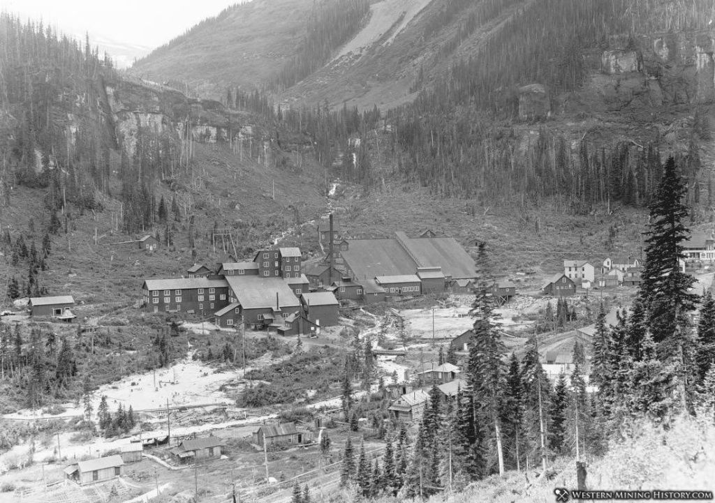
The mill itself was sold to a Canadian company, Mongolian Gold, in 1995. It was disassembled, shipped to Mongolia, and reassembled for use in a significantly smaller capacity than was the case at the Camp Bird Mine.
Today, the mine site has three very large tailing piles that are being actively eroded by three different streams. The US Environmental Protection Agency monitors the tailing piles in an effort to prevent further erosion.
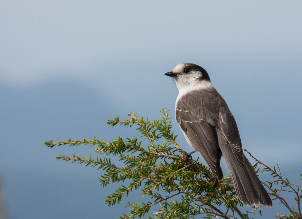
Oh, the Camp Bird name? It came from the thieving ravens, probably Gray Jays, that so frequently stole food from miners’ camps.
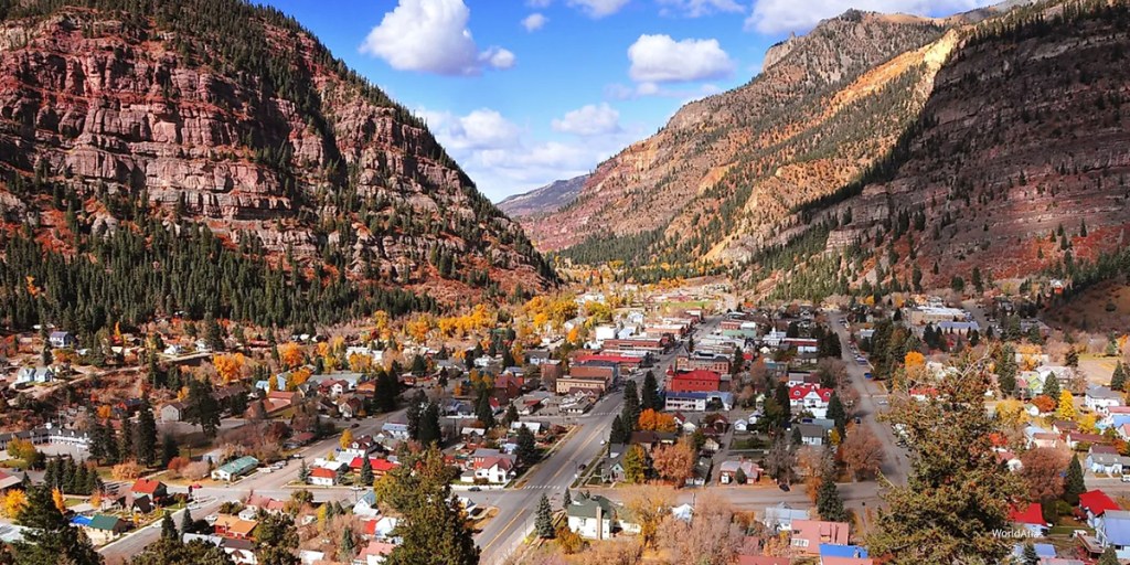
Ouray, the End of the Road. Your ride isn’t quite over. It’s about five miles from the Camp Bird Mine – and a drop of about 2,000 vertical feet – to the town of Ouray, where your journey from Telluride ends. Ouray sits at an elevation of 7,792 feet, and its location has earned it the nickname “Switzerland of America.”
The town was established by miners seeking silver and gold in the surrounding mountains. Prospectors arrived in 1875, and within two years, gold veins were discovered in nearby Imogene Basin. By 1877, Ouray had grown to more than 1,000 residents, and was named the county seat of the newly formed Ouray County.
Ouray is named for an Uncompahgre Ute Indian chief, who in the 1800s, tried to keep his people and their land safe from the gradual encroachment of white settlers and miners. The original name for the valley and the town was Uncompahgre, the Ute word for the hot mineral springs located there.
Ouray’s entire Main Street is registered as a National Historic District, with most buildings dating from the late 19th century. Today, with mining played out, Ouray’s economy is based entirely on tourism – people like you who have just completed a thrilling 17-mile ride (or drive) from Telluride, over Imogene Pass, and into Ouray.
To view today’s Not Quite Pass-a-Palooza™ route from Telluride, over Imogene Pass, through the Camp Bird mining site, and into Ouray, click here.
***
OK, That Was Fun! Now Let’s Do It on Foot. Now that we’ve arrived at the end of our 17-mile journey from Telluride to Ouray, via Imogene Pass, it’s time to think about doing it again. The other direction. On foot!
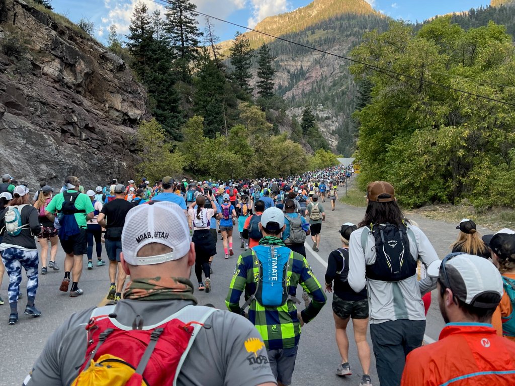
An annual foot race is held every year over the pass between Ouray (7,810 feet) and Telluride (8,750 feet). It happens on the first Saturday following Labor Day. The grueling 17-mile race has an elevation gain of just over a mile.
The start line location is the corner of Fourth Avenue and Main in Ouray. The runners finish at the Sheridan Opera House on Oak Street in Telluride. The event has an 11 percent average grade; 33 percent maximum grade. The winning time for men is generally around 2 hours and 15 minutes.
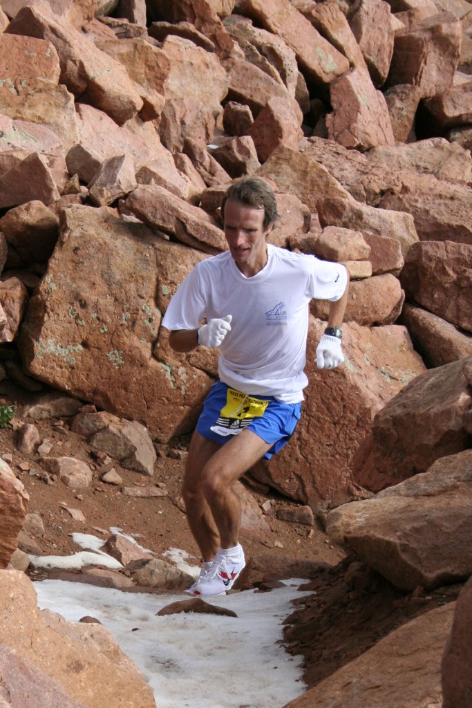
The Imogene Pass run began in September 1974 when Rick Trujillo ran from Ouray to Telluride, via Imogene Pass to train for the Pikes Peak Marathon. He ran the route after a day’s work at the Camp Bird Mine! A month later, six runners, including Trujillo, participated in the first Imogene Pass Mountain Marathon. Now age 77, Trujillo, is President of the Imogene Pass Run Board of Directors. He won the inaugural event, 51 years ago, in a time of 2 hours 21 minutes and 18 seconds.
The course record: Matt Carpenter of Manitou Springs, now 60 years old, turned in a time of 2 hours, 5 minutes and 56 seconds – in 1993. Carpenter, an ultramarathoner and high-altitude marathon runner, has won 18 Pikes Peak races. At 5-foot-7 and 123 pounds, he’s a chiseled running machine.
At his peak, during tests at the US Olympic Training Center, his VO2, a measure of the body’s ability to intake oxygen, was calculated at 90.2, the highest the training center had recorded up to that point. VO2 max is the maximum amount of oxygen that your body can take in and use. It’s a function of both the body’s ability to deliver oxygen via the heart, lung and blood and the body’s ability to use oxygen in the working muscles and other tissues. (For you VO2 fans, Norwegian bicyclist Oskar Svendsen has the highest VO2 max ever known – 97.5 milliliter per kilogram per minute, set when he was a junior rider in Lillehammer in 2012.)
Due to its popularity, the event now has a maximum of 1,500 entrants each year. Registration opens on June 1 for the September race. If you haven’t signed up yet for the 2025 run already, you’re probably too late. The event normally sells out in about 30 minutes.
There’s always next year.

Looks like a gre
LikeLike
Shopping? Are you kidding me? What has our posse become? LOL! So glad to see the princesses enjoy the journey. Now, get back on the road El Presidente! 🤣😂🤣
Dave Bowman
LikeLike
BTW, sorry to see our north Grand Canyon icon being burned down. Including our lodge! What? Remember the shoes game? Prayers to all up there. Keep safe brother and sister and daughter! Rubbersidedown!
LikeLike
Loving all your pictures…looks like perfect weather! xo
LikeLike
Oh, and I think you might be spoiling our girl. Such a wonderful trip!
LikeLiked by 1 person
Once again an excellent tour of information and pictures. enjoy!!
LikeLike