Today is a lesson in arithmetic and geography.
We’ll ride three Scenic Byways, scale six 10,000-foot + passes, make three crossings of the Continental Divide, and have a 100 percent rockin’ time.
That’s a lot to pack into 216 miles. We can do it.
Heading north toward the mountain ski town of Crested Butte, 25 miles away, we begin our day on Colorado Highway 135. But we never make it to Crested Butte.
Ten miles out of Gunnison, we arrive in Almont, a tiny fishing village on the Taylor River. The river is a tributary of the Colorado River. Here, we begin our journey toward Cottonwood Pass, the highest paved crossing of the Continental Divide.
We follow the Taylor River for 14 miles, until we reach the Taylor Park Reservoir. The Reservoir, with a surface area of 2,000 acres, is a summer haven for fishing and boating. The reservoir was created when the Bureau of Reclamation built the Taylor Park Dam in 1937.
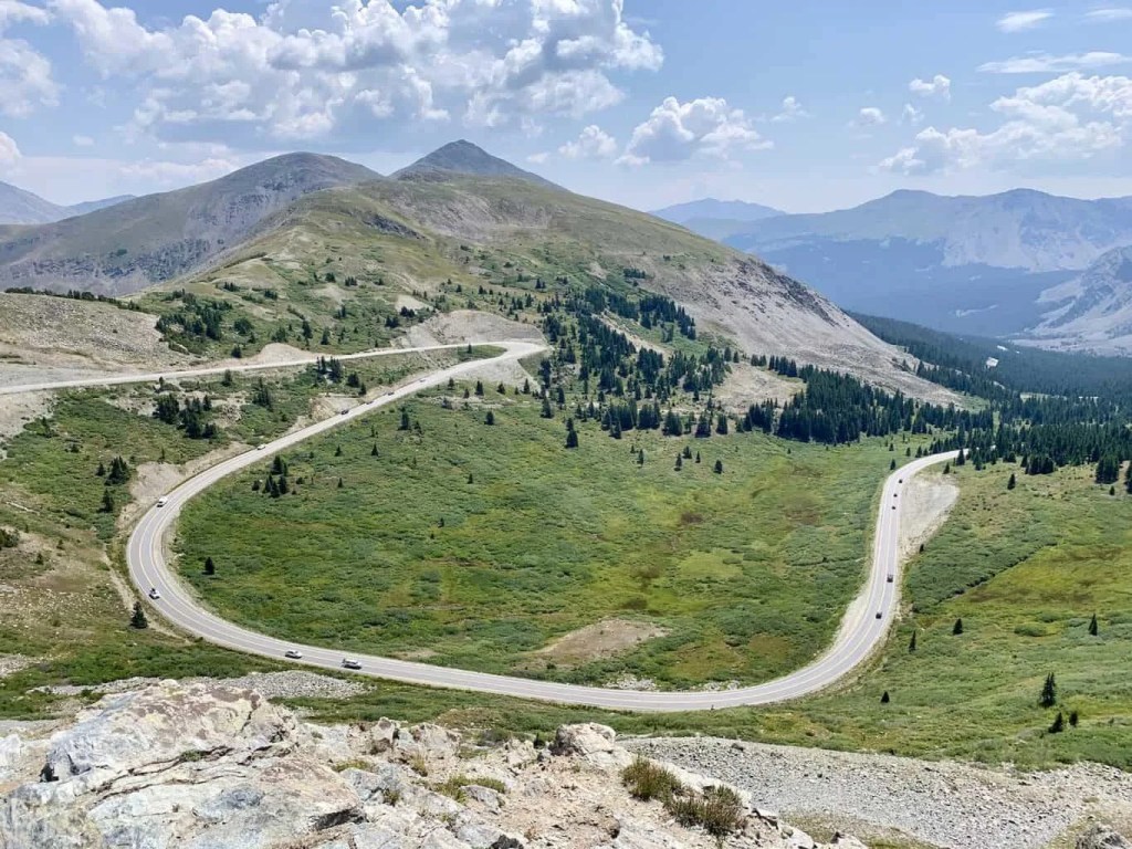
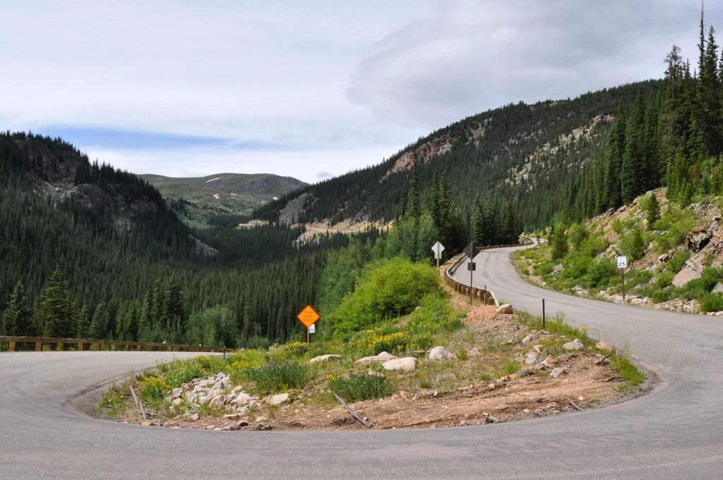
Turning east at the reservoir, we’re soon on Colorado Highway 306, which will take us to the pass. Building the road over Cottonwood Pass wasn’t easy. It sure wasn’t quick.
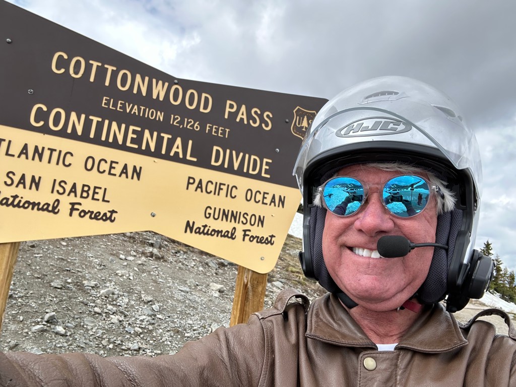
Cottonwood Pass: 12,126 Feet
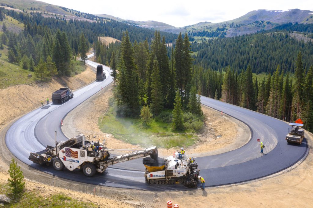
The idea for the road over Cottonwood Pass began in 1955, when the US Forest Service needed a way to get timber out of the heavily forested area. The area surrounding the pass is the Gunnison National Forest to the west – where we are now – and the San Isabel National Forest to the east, where we’re headed.
By 1958, a dirt road over the pass was in place. The eastern side of the pass was the first to be paved – from Cottonwood Pass down to Buena Vista. Then, in 2019, the paving on the western side of the pass was completed, all the way up to Cottonwood Pass. For the first time, this opened up the entire roadway, from Almont, over the pass, to Buena Vista.
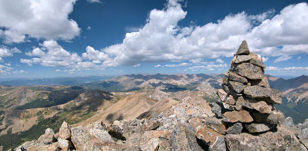
At the top of the pass, 12,126 feet high on the Continental Divide, there are great views of the surrounding Collegiate Peaks, particularly Mount Princeton to the south. More on those peaks, later in today’s blog post.
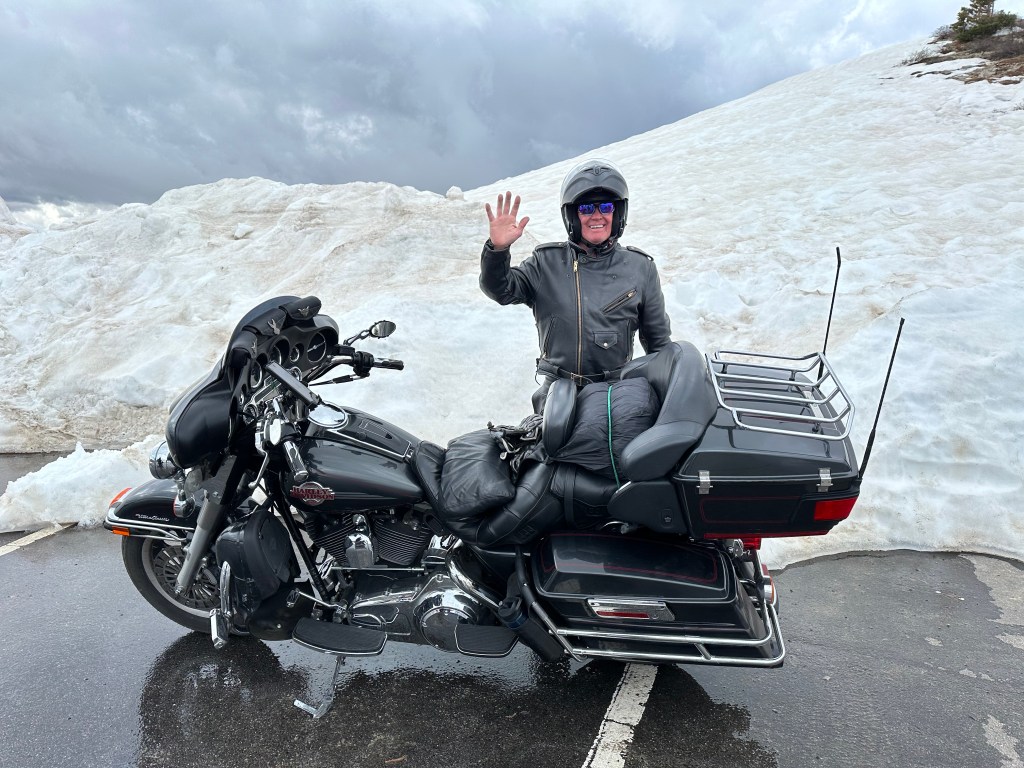
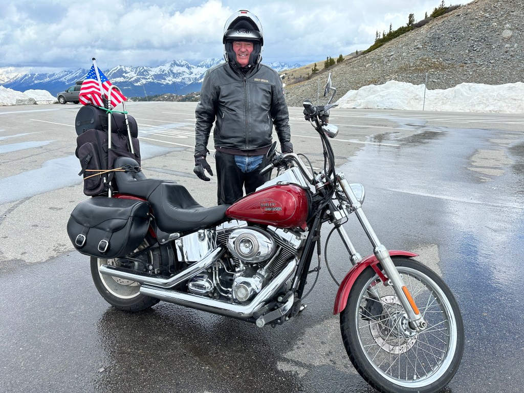
The road is closed in winter, due to heavy snowfall and avalanches. When open, generally from May through October, the pass is one of the few routes through the Sawatch Range accessible in a standard two-wheel drive passenger vehicle. Or a Harley.
While Cottonwood Pass is the highest paved crossing of the Continental Divide, it’s possible to cross the divide at an even higher elevation. Colorado’s Argentine Pass, 13,207 feet, is the highest vehicle crossing of the Continental Divide, but you’d need a four-wheel drive vehicle with high clearance to do it. That, apparently, leaves us out. Argentine Pass is the highest point on the American Discovery Trail. The road began as a toll road over the pass in 1867, and was known as the highest wagon road in Colorado. If you wanted to try Argentine Pass, you’d access it from Georgetown, tonight’s destination.
From Cottonwood Pass, it’s a 4,000-foot descent to Buena Vista, which sits at the eastern end of the spectacular highway. Buena Vista is located in the Arkansas River Valley, home to some of the best whitewater rafting and fishing in the country.
Arriving in Buena Vista, we’ve been on the road about three hours. It’s time for a break.
Cruising by the Collegiate Peaks
From Buena Vista, we cruise north on US Highway 24, with the Collegiate Peaks to our left. We are now on the Collegiate Peaks Scenic Byway, a 57-mile stretch of road that begins in Poncha Springs, and continues to Granite. Buena Vista is about halfway along the byway. It’s where we’ll start, because, well, it’s where we are.
On the Collegiate Peaks Scenic Byway, we pass by Mount Columbia, Mount Harvard, Mount Yale and Mount Oxford. The byway could easily be called the Avenue of the Fourteeners. All these peaks are above 14,000 feet. It’s the highest concentration of 14,000-foot mountains in the US.
Each of the peaks got its name in a different way, but the common thread is that they’re mostly named after colleges.
Mount Harvard was named in 1869 by members of the first Harvard Mining School class, while on an expedition with their professor, Josiah Dwight Whitney. The same group named the peak next to Harvard, Mount Yale, after Whitney’s alma mater.
Mount Columbia was named by Roger W. Toll in honor of his alma mater, Columbia University, and in commemoration of its rowing victory at the renowned Henley Royal Regatta in 1878. Mount Oxford is named after the University of Oxford, in England.
All the Collegiate Peaks have similarly interesting naming stories, as do all of Colorado’s Fourteeners.
Historic Leadville
We follow Highway 24 for 30 miles until we reach the historic mining town of Leadville. Sitting at an elevation of 10,152 feet, Leadville is the highest incorporated city in the US. The Leadville Historic District has been designated a National Historic Landmark since 1961. Its population today is 2,700. But during the mining boom of the late nineteenth century, it was Colorado’s second most populous city, after Denver.
Mining in the Leadville area began in 1859, when prospectors discovered gold at the mouth of California Gulch. By 1872, placer mining in the area yielded more than $2,500,000, roughly equivalent to $58,000,000 in today’s dollars.
Leadville was founded in 1877 by mine owners Horace Tabor and August Meyer at the start of the Colorado silver boom. Initially, the settlement was called Slabtown, after the quickly built houses that sat on slabs. But when the residents petitioned for a post office, the name Leadville was chosen.
In 1879, Leadville was booming. Its city directory listed 10 dry goods stores, 4 churches, 4 banks, 31 restaurants, 120 saloons, 3 daily newspapers, 19 beer halls, 70 law firms to abate claim jumpers, 35 houses of prostitution, and 118 gambling houses. At the time silver was discovered in Oro Gulch, Leadville had three separate red-light districts.
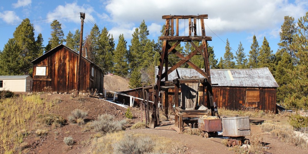
Today, like so many former Colorado mining towns, Leadville’s economy is based primarily on tourism. The National Mining Museum and Hall of Fame commemorates the work of miners and others who work with natural resources.
Leadville’s altitude and rugged terrain attract a number of challenging racing events, including the Leadville Trail 100 series of races. This year’s Leadville Trail 100 Run will be held on August 19 – at least that’s when it begins. Some runners take more than a day to finish. Matt Carpenter recorded the best time for the event in 2005, when he covered the 100 miles in 15 hours and 42 minutes.
Fun With Molybdenum
The Top of the Rockies Scenic Byway takes us north from Leadville to the Copper Mountain ski area, 25 miles from here.
On my way to Copper Mountain, on Colorado Highway 91, I cross the Continental Divide – again – on 11,318-foot Fremont Pass. The pass is named for John C. Frémont, an explorer who discovered the pass while traversing present-day Colorado during the 1840s.
At the summit of Fremont Pass is the Climax Mine, which at one time supplied 75 percent of the world’s supply of molybdenum. Today, China produces the vast majority of the world’s molybdenum supply, about 130,000 metric tons a year. That’s two and a-half times as much as the US now produces.
Molybdenum is used as an alloying element for stainless steel and other metals. It enhances the resistance of metals to corrosion and builds their strength at high temperatures.

During the Leadville Silver Boom, prospector Charles Senter discovered and claimed the outcropping of molybdenite (molybdenum sulfide) veins in 1879, but he had no idea what the mineral there was. Senter determined that the rock contained no gold or silver, but retained the claims, just to be on the safe side. Each year he performed the assessment work required to maintain his lode claims, convinced that his mystery mineral must be of value. In 1918 Senter received $40,000 for his mining claims and settled into a comfortable retirement in Denver.
In 1895, Senter found a chemist who identified the gray mineral as containing molybdenum. At the time there was virtually no market for the metal. When steelmakers determined the utility of molybdenum as an alloy in producing hard steel, the first ore shipments from the deposit began in 1915, when the Climax mine began full production. The name comes from the Climax railroad station that was built at the top of the Continental Divide as a place to uncouple helper locomotives after the long climb from Denver to the mining town of Leadville. It was the climax of the route.
We descend about 1,600 feet from Fremont Pass on our way to the Copper Mountain Resort, a ski area that sits at the intersection of Colorado Highway 91 and Interstate 70. Because of its location on I-70, and its proximity to Denver – 75 miles away – Copper gets a lot of visitors from the Front Range. We’re not among them.
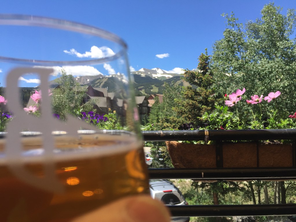
Soon, I see signs for the mountain ski town of Breckenridge. Colorado Highway 9 leads us Breckenridge. We roll past the ski area, and pull in to the Breckenridge Brewery. It’s a tradition. Well, it’s something Dave and I did five years ago, and dropping in to the brewery a second time will make it a tradition.
Hoosier Daddy?
After a nice break in Breck, I head south on Highway 9, following the Blue River. The river is what’s known as a Gold Medal fishery, home to an abundance of rainbow trout. Colorado has 14 Gold Medal fisheries — rivers, streams, lakes and reservoirs. Two of those fisheries are minutes from my house in Carbondale, the Roaring Fork River and Fryingpan River. Too bad I suck at fishing.
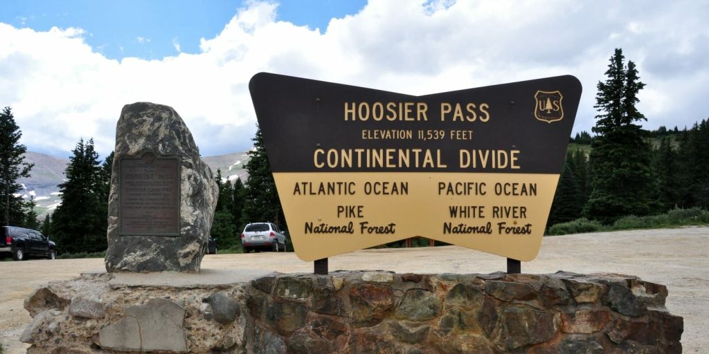
A bunch of twists and hairpin turns later, we arrive at 11,539-foot Hoosier Pass, yet another crossing of the Continental Divide.
Native American Tribes, including the Utes, were the first known users of Hoosier Pass. There’s a historical marker at the pass that commemorates its first crossing in 1844 by the Fremont Expedition.
Hoosier Pass gets its name from the Hoosier State of Indiana, where many of the area’s first mine camp residents came from during the 1860s. Rolling over the pass, I can’t resist getting on my intercom headset, and asking the guys, “Hoosier Daddy?” For the un-hip, when you ask someone, “Who’s your daddy?” you’re not looking for an answer; you’re making a point about how great you are.
There are many theories about where the name Hoosier comes from. They’re all amusing, and it’s hard to know which, if any, are to be believed. In any case, people from Indiana have been referred to as Hoosiers since 1832.
Hoosier Pass is the fourteenth 10,000-foot + pass I’ve ridden on this trip, and my fifth crossing of the Continental Divide.
Ahead: Three More 10K Passes
Descending from Hoosier Pass, we roll through the town of Alma, whose claim to fame is that its post office has the highest elevation of any in the country. Alma is at 10,578 feet, the highest incorporated municipality in the US. The town was apparently named for the wife of an early settler. Her name was Alma. Today, 300 people call Alma home.
Only fives miles past Alma, we come to the town of Fairplay, population 725. The town was named by settlers who were upset by the generous mining claims given to the earliest prospectors and promised a more equitable system for its residents. Equitable, you know, more fair.
Fairplay is at 9,953 feet. We don’t have to climb much to get to our next 10,000 foot + pass, Red Hill. Now on US Highway 285, we arrive at 10,051-foot Red Hill Pass, only four miles past Fairplay. The pass gets its name from the red hills that flank both sides of the summit and its inclines.
Our 10,000-foot passes now come in quick succession. Next up: 10,001-foot Kenosha Pass, barely cracking the 10K barrier. Before European settlers, Kenosha Pass was often used by Ute Indians headed towards hunting grounds near modern-day Fairplay. During the gold rush, the pass was traversed by prospectors hoping to find gold in the same area. In 1879, the Colorado Silver Boom began and the trail over Kenosha Pass was widened to accommodate wagons heading west. The pass was named for Kenosha, Wisconsin, by a stage coach driver who was from there.
Kenosha Pass is our seventeenth 10,000-foot pass of the trip. You keeping score?
I have one more 10K pass today, and it’s a doozie.
To get there, I turn north in the tiny town of Grant on Guanella Pass Road. I’m heading over Guanella Pass. It’s a two-fer: a 10,000-foot+ pass, and a scenic byway. The Guanella Pass Scenic Byway will take me to Georgetown, tonight’s destination. It’ll be the twelfth scenic byway I’ve ridden on this trip.
The road to the top of Guanella Pass is narrow, steep and windy. It has what seems like 20 hairpin turns, all clearly marked, each with a chance to downshift to first gear. You’d better bring your “A Game” on this road.
The pass is open year-round, weather permitting. From the beginning of the byway until we reach Georgetown, it’s only 22 miles, but will take me an hour. If I’m lucky.
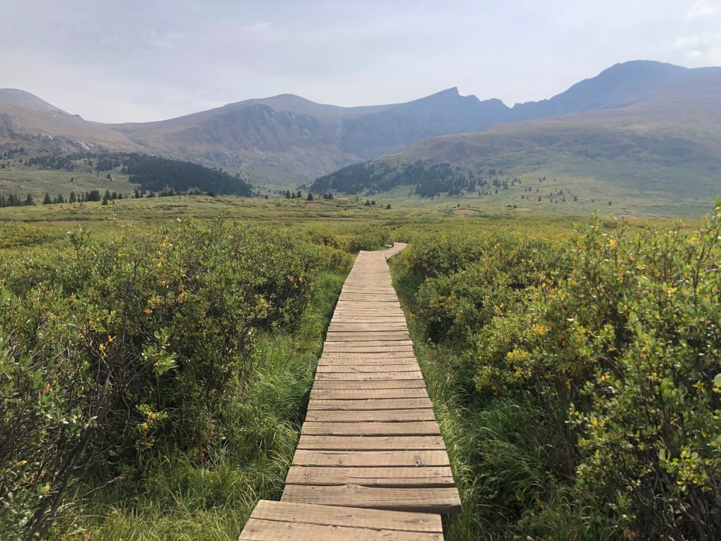
The Guanella Pass Scenic Byway passes through two national forests on its twisting path, the Arapaho National Forest and the Pike National Forest. We reach Guanella Summit, 11,669 feet, well above the timberline. Very close to the summit is the trailhead for Mount Bierstadt, which is off to my right.
If you’re a hiker, Mount Bierstadt, 14,066 feet, is one of the least difficult of all the Colorado Fourteeners. “Least difficult” is not the same as easy. It’s still a considerable hike, almost eight miles, out and back, from the trailhead to Mount Bierstadt. We have dinner plans in Georgetown; bagging a Fourteener today is not in the cards.
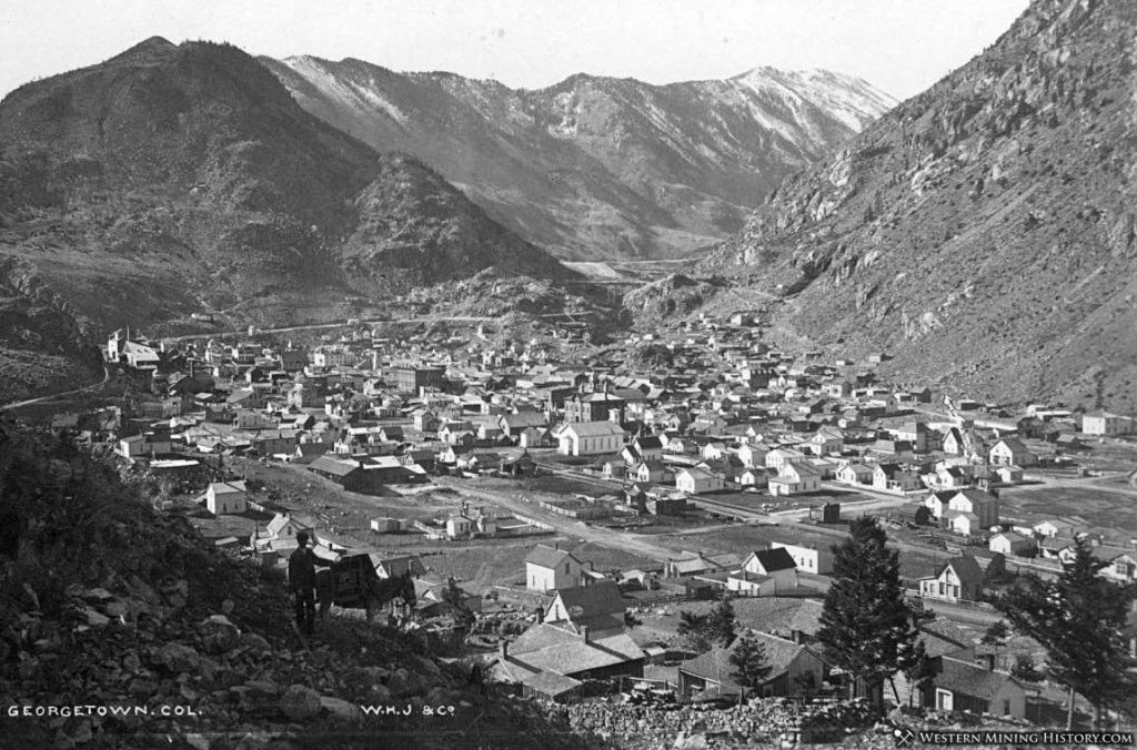
Historic Georgetown
From the Guanella Pass summit, it’s about a 3,000-foot descent to Georgetown, only 10 miles away. It’s steep. And winding. And pretty awesome.
Like so many other towns I’ve seen on this trip, Georgetown is a former mining industry hub that now exists solely on tourism.
In 1858, George and David Griffith arrived in nearby Idaho Springs, a little too late to claim any land to explore for mining. So, they ventured west, and a year later, George found gold. In 1860, the Griffiths formally incorporated the Griffith Mining District, and the town of Georgetown was born.
As it grew and thrived as a silver mining location, Georgetown was once Colorado’s third largest town, behind only Denver and Leadville. Today, it has 1,200 residents and a lot of visitors.
Once called the Silver Queen of Colorado, Georgetown hit its peak of prosperity in 1877. At the time, 5,000 people lived in and around the city, which had two newspapers, a telegraph office, a bank, five churches and several hotels. But when Leadville’s silver boom started in 1878, its production dwarfed Georgetown’s. Soon, Georgetown began to lose its boomtown glow.
By the late 1930s, Georgetown’s population had dwindled to 300 or so. During World War II, most of the area’s old mining machinery was removed for scrap metal drives.
After the war, automobile tourism revived and transformed Georgetown’s economy, leading to a new focus on historic preservation. Today, Georgetown is a popular destination for tourists driving west on I-70 from Denver. The town also serves as a base for people exploring the Guanella Pass Scenic Byway, or hiking nearby Fourteeners, like Mount Bierstadt or Mount Evans.
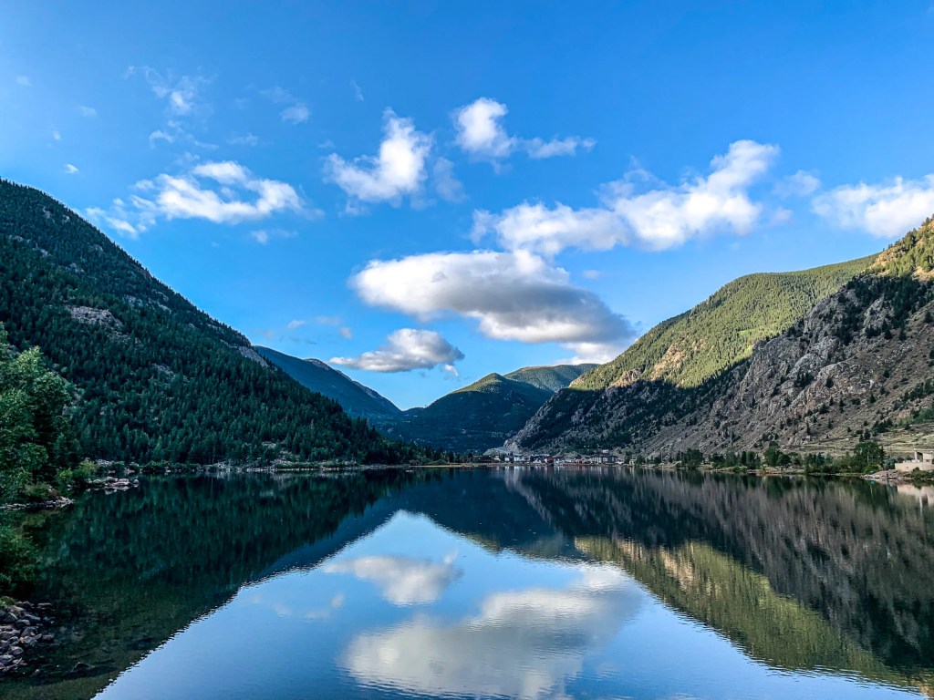
One of the town’s landmarks is Georgetown Lake, a 55-acre reservoir created by a dam during Georgetown’s years as the epicenter of the silver boom. The reservoir stores water for town residents, and the dam provides hydroelectric power to Georgetown and nearby areas.
The lake is a scenic location for lodging, so I check into my hotel that’s adjacent to the lake, and begin foraging for food.
Our math-oriented day was quite the adventure. Three scenic byways. Six 10,000-foot+ passes. Three crossings of the Continental Divide.
How could we possibly top that? Tomorrow, we’ll ride to the top of a Fourteener.
***
The Day in Review:
Click here to see today’s complete route from Gunnison, Colorado, to Georgetown, Colorado – via the Top of the Rockies Scenic Byway, the Collegiate Peaks Scenic Byway, and the Guanella Pass Scenic Byway.
Today’s Takeaways:
- Cruising the Collegiate Peaks.
- Hoosier Pass. Who’s yer Daddy?
- Guanella Pass, hairpin turns ahead.
Today’s Trivia: Colorado’s Fabulous Fourteeners
Today, as we rode past the Collegiate Peaks, we caught a glimpse of some 14,000-foot mountains, known as Fourteeners. Colorado is home to 58 of these mountains, far more than any other state. Alaska is second with 29.
There’s a debate about exactly how many Fourteeners there are in Colorado. To qualify, a peak must rise at least 300 feet above the saddle that connects it to the nearest Fourteener peak – if another exists nearby.
Whatever the number, Fourteeners are a thing in Colorado. For some, climbing them is like a religion. An addiction. A competition.
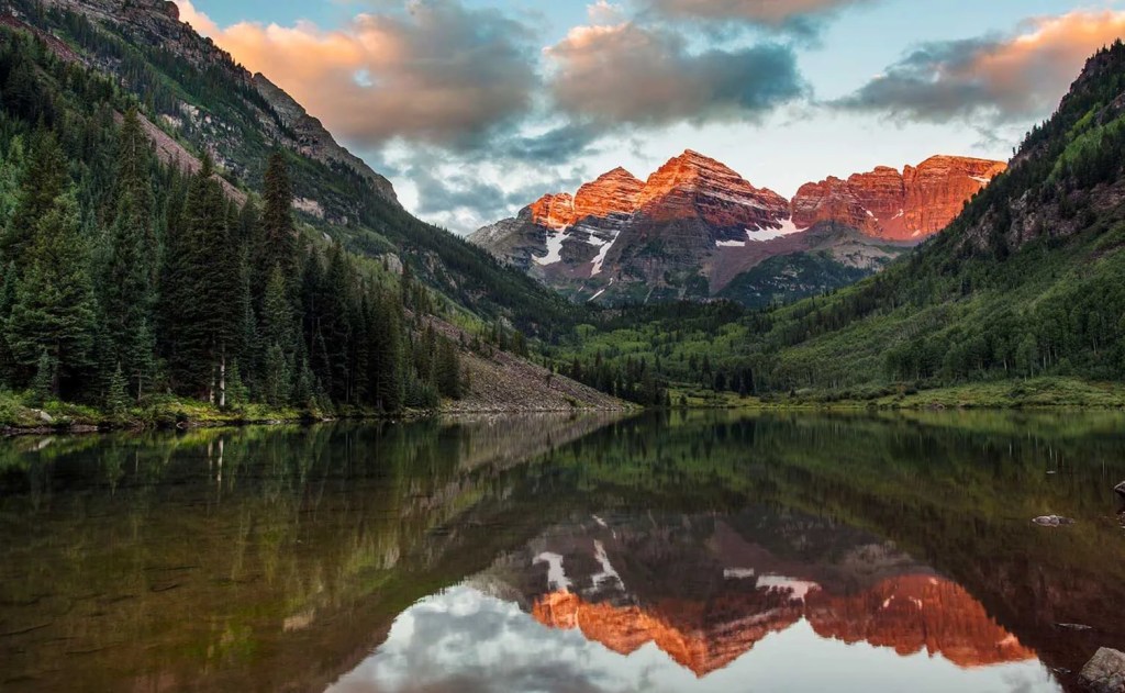
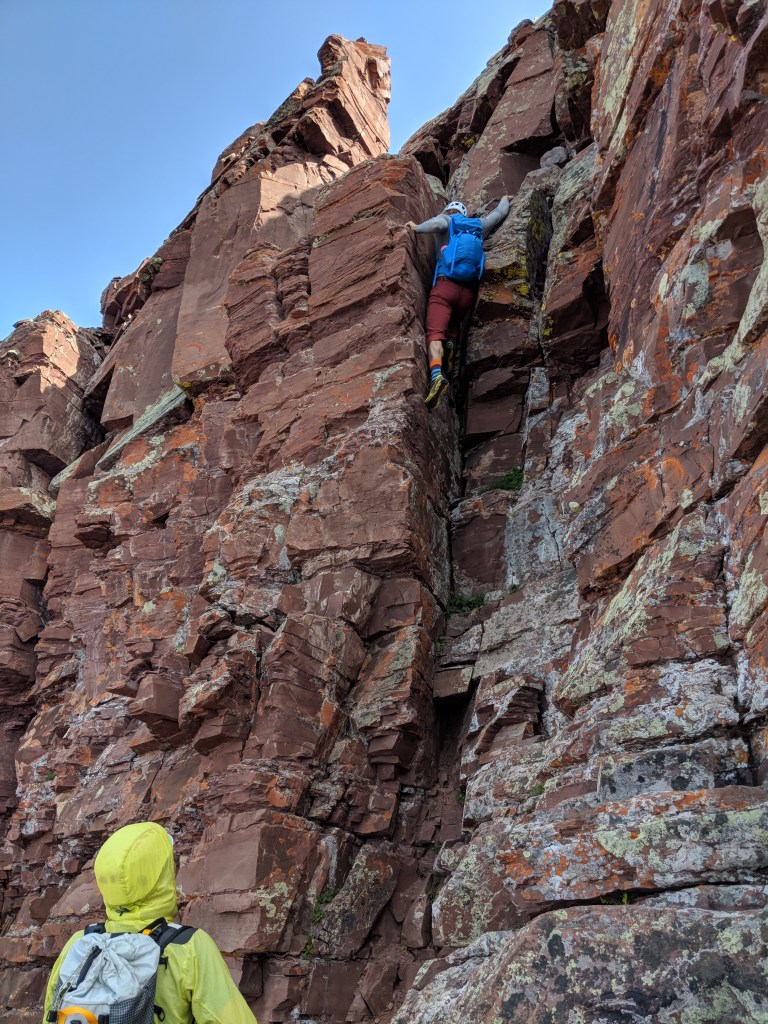
A few Fourteeners are not far from our Carbondale home, including North America’s most photographed mountains, the Maroon Bells. Just 10 miles west of Aspen, and 30 miles from my front door. The Bells are actually two peaks. Maroon Peak is 14,163 feet, and North Maroon Peak is 14,019.
While summiting some Fourteeners can be like a very long hike, getting to the top of the Maroon Bells – both of them – is a technical climb. It’ll involve some form of alpine scrambling, and you’ll need to use a lot of care and caution, as the rock never seems to stop decaying and falling apart, making footing and handholds a challenge. Loose, rotten rock puts the Bells in the dangerous category.
The highest of the Fourteeners is Mount Elbert, 14,440 feet. Other than California’s Mount Whitney, Elbert is the tallest mountain in the Lower 48.
The “lowest” of Colorado’s Fourteeners is Sunshine Peak, barely making the list at 14,001 feet. There’s no end to the hiking and climbing thrills you can have in Colorado. If the Fourteeners aren’t enough for you, there are 637 peaks in the state between 13,000 feet and 13,999 feet.
It’s not that uncommon for climbers to summit all 58 of Colorado’s Fourteeners. An estimated 2,500 climbers have done that. If you wanna add that to your bucket list, you should probably know which are the hardest, and which are the easiest. Here’s a ranking of them, by difficulty.
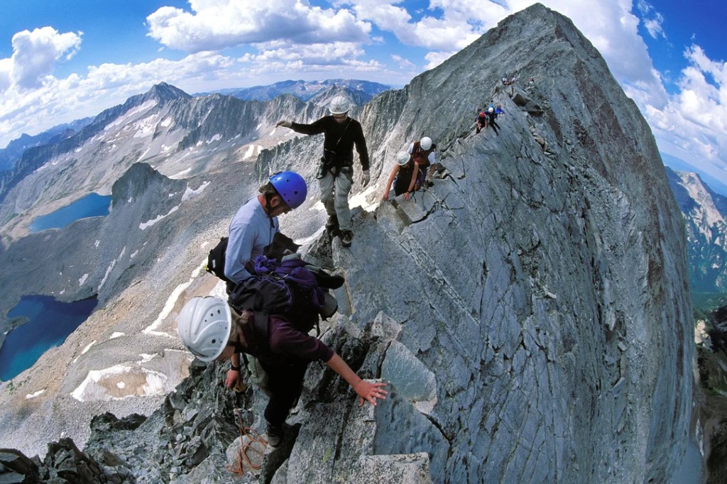
Capitol Peak is known as Colorado’s most difficult, dangerous, and deadly Fourteener. Its standard knife-edge route, exposed ridges, steep rock faces, and sharp summit add to its difficulty and even more so when bad weather strikes.
Colorado’s Fourteeners bring about all sorts of extreme behavior. There’s a guy who climbed all of them in a two-week period. You’ve got to be a bit crazy, and a lot motivated, to do that.
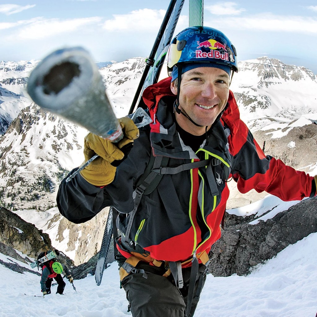
Then, there are the people who climb the Fourteeners, and ski down. You’d be surprised at how many people have skied down all 58 of them. OK, about 15 have done it. One of them, an Aspen local named Chris Davenport, skied all the Fourteeners in one year. He’s the first to do that.
Fourteeners attract more than just the human race. Dogs find their way up the mountains, too. Three canines have summitted all Colorado Fourteeners, including a Siberian Husky named Loki.
I’m no match for Loki. But I have been to the top of one fourteener, Mount Evans. On a Harley. That’s just how I roll.

And now you know.

Great ride today bro! Missing it! So happy to see Sarah hooking up. I do remember our stop at Breckenridge Brewery. Awesome! P.S. Thinking you really wanted to use the word molybdenum in a few sentences (more than a few). NYT crossword will be proud! 🤣
LikeLike
Missing you. Not right that I’m on road and you’re in Hendertucky 😢😢😢
LikeLike
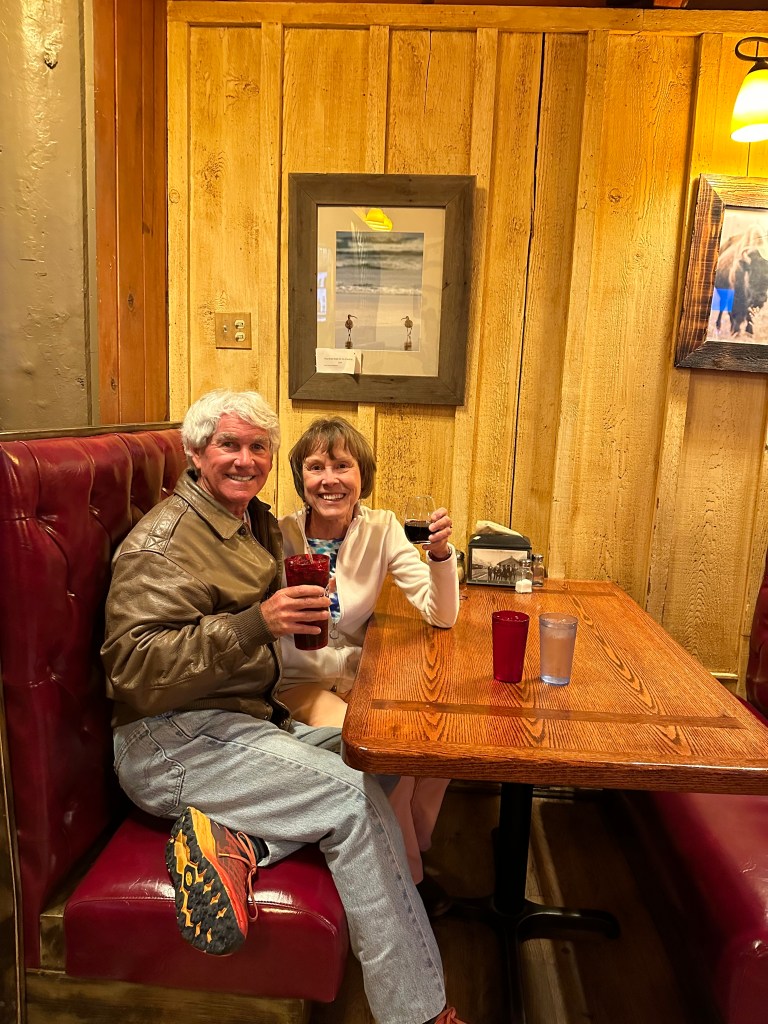
Another good post…you’re bringing back memories! Glad your sweetie joined you. She’s special.
Sent from my iPad
<
div dir=”ltr”>
<
blockquote type=”cite”>
LikeLike