***
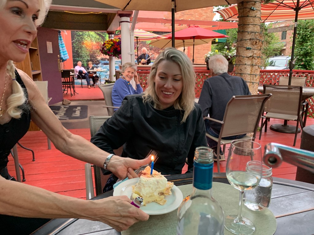
Today’s blog post begins with a shout-out to our unofficially adopted daughter, Brittany.
She’s a desert rat, a PR person, like me — and an aspiring motorcycle rider.
Today, she turns 40!
You know you’ve arrived when a blog post becomes your birthday card.
Happy Birthday, Britt.
🎉 🎂🎁🎉 🎂🎁🎉 🎂🎁🎉 🎂🎁
***
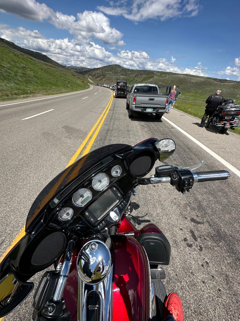
We leave Durango, heading west on US Highway 160. Barely out of the hotel parking lot, we’re already riding the beautiful San Juan Skyway Scenic Byway, our eighth scenic byway on this trip. An added bonus: this scenic byway is also an All-American Road, the highest designation offered by the US Department of Transportation.
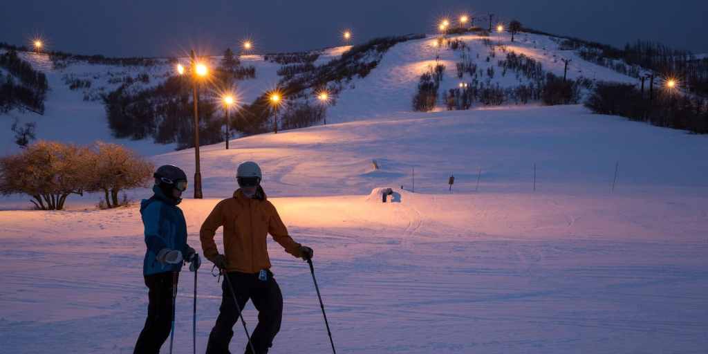
With Durango eleven miles in our rear-view mirrors, we ride past the Hesperus Ski Area, noted for having the largest night skiing in the southwest. Hesperus, which has operated on and off since opening in 1962, features one double chairlift named Big Horn. A full day adult pass is $46. Very convenient and reasonably priced, if you live in Durango.
Ahead is the town of Mancos, known as the Gateway to Mesa Verde National Park. Mancos is ten minutes from the entrance to the park, which protects the heritage of 26 Pueblos and Tribes, and offers a window into the past. It’s a World Heritage Site and International Dark Sky Park.
For us, Mancos is a place where we turn west on Colorado Highway 184, and head for Dolores, about 20 miles ahead. You may remember Dolores, Jerry Seinfeld’s lady friend, from Day One of this trip.
If you’ve forgotten, Dolores is a town of 900, located in a canyon with the Dolores River on one side, and rock cliffs on the other. Dolores is Spanish for “sorrows.” Nothing to be sad about. It’s a beautiful little place whose economy is based on recreational tourism.
From Dolores, it’s about 50 spectacular miles to 10,222-foot Lizard Head Pass, the ninth 10K + pass we’ve crossed on this trip. As you may recall from Day One of this trip, the name Lizard Head comes from nearby Lizard Head Peak, which reaches to 13,119 feet. The peak is said to look like the head of a lizard. I don’t see it.
This part of the journey, on Colorado Highway 145, along the San Juan Skyway Scenic Byway, is familiar to me. Sarah and I rode it on June 3, on our way to meet the Posse in Page.
A Catalog of Colorado Mountain Towns
From the pass, we descend about 1,500 feet in 15 miles before approaching the mountain ski town of Telluride. We turn west near the Telluride Regional Airport, and miss the town of Telluride altogether. While we don’t have time for a Telluride visit today, it’s absolutely worth seeing. A former silver and mining camp on the San Miguel River, Telluride sits in a deep canyon, surrounded by steep forested mountains and cliffs. Its skiing is world-class.
Along with other Colorado mountain ski towns – including Aspen, Crested Butte, Vail and Steamboat Springs, Telluride is a ridiculously expensive place to live. Housing is all but unaffordable, unless you’re a one-percenter.
We bypass Telluride, and continue our journey on the San Juan Skyway Scenic Byway, which takes us to Placerville, then over the Dallas Divide. The divide is an 8,983-foot pass that serves as a divider for the San Juan Mountains and the Uncompahgre Plateau. It’s a 2,000-foot descent from here until we reach the town of Ridgway, which as you may recall, is known for producing every Grammy in the award’s history – more than 8,000 in all.
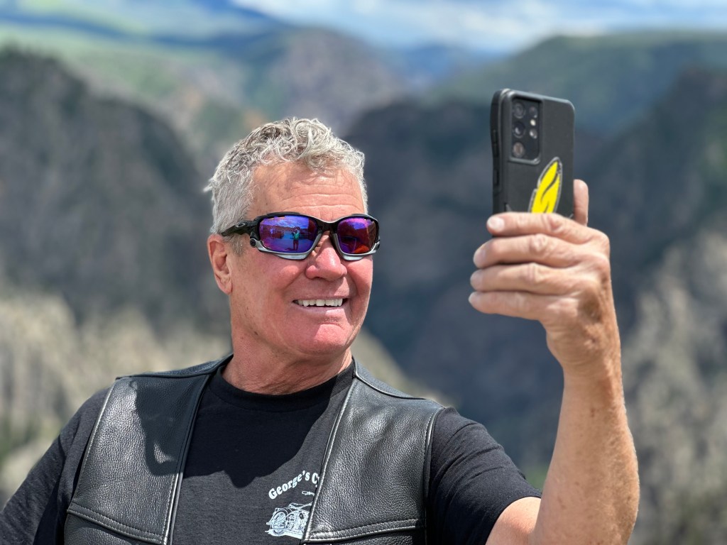
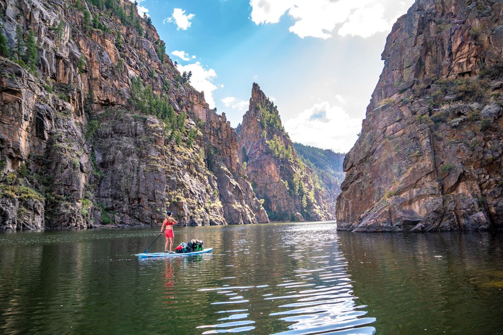
Black Canyon of the Gunnison
Twenty-five miles north of Ridgway, we arrive in Dave’s favorite town, Montrose. The city was incorporated in 1882, and named after Sir Walter Scott’s novel, A Legend of Montrose.
I remain committed to spreading his ashes here, at one of the town’s many stoplights. We currently have no plans for ash-spreading duty in the event I predecease him. Dave and his estate can figure that out.
Montrose sits at 5,806 feet above sea level, and is considered a gateway to a variety of spectacular areas in the Rockies. If you have time in Montrose, you can visit the Museum of the Mountain West, the Ute Indian Museum, or any of the stoplights along the Highway 550 – the town’s main street.
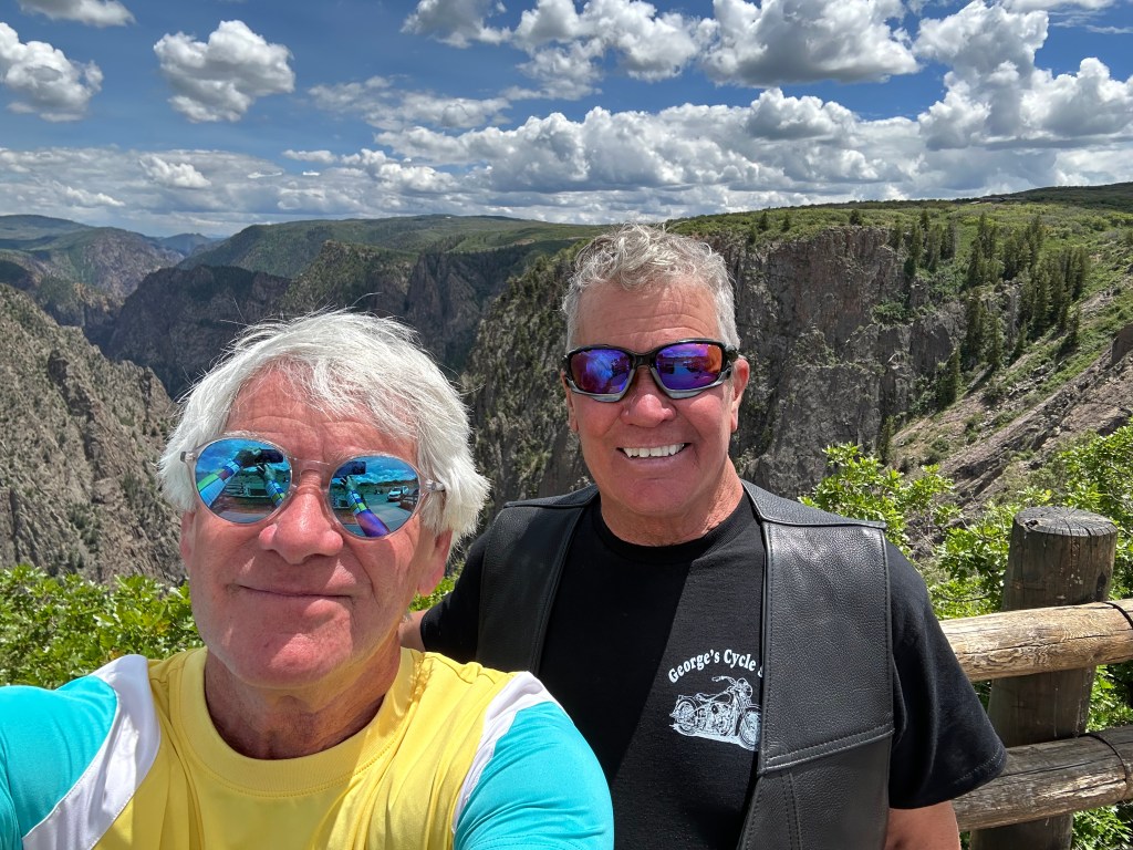
You can also head east out of Montrose and visit a nearby national park, the Black Canyon of the Gunnison. That’s what we do.
The Black Canyon of the Gunnison National Park is only about 11 miles northeast of Montrose. East on US Highway 50 for six miles, north on Colorado Highway 347 for five miles, and we arrive at the Park’s visitor center.
The park is the ninth national park we’ve visited on this trip. We’ve all been here before, but the views are so spectacular, it’s worth seeing again. With lifetime senior passes to the National Parks, our only cost is the gas to get here. And, of course, the opportunity cost of not being in Montrose.
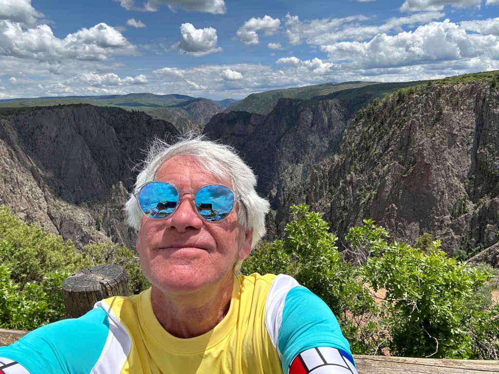
Why is the park so dramatic? The Gunnison River drops an average of 34 feet per mile through the entire canyon, making it the fifth-steepest mountain descent of a river in North America. By comparison, the Colorado River in the Grand Canyon drops an average of 7.5 feet per mile.
The Black Canyon is so named due to its steepness, which makes it difficult for sunlight to penetrate the canyon. As a result, it’s often shrouded in shadow, causing the rocky walls to appear black. At its narrowest point, the canyon is only 40 feet wide at the river. The canyon is known for crumbling rock and dizzying heights. It’s a haven for rock climbers. Double Black Diamond. Experts only.
The main attraction in the park is the scenic drive along the canyon’s south rim, which we explore for the next hour.
Heading Toward Gunnison
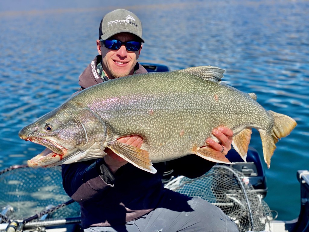
After staring at the canyon walls, we press on, riding east on US Highway 50 toward Gunnison. In a half-hour, we arrive at the Blue Mesa Reservoir, the largest body of water entirely in Colorado. With 96 miles of shoreline, it’s the biggest lake trout and kokanee salmon fishery in the US. The Blue Mesa was the first of three large dams built along the Gunnison River.
For 15 miles, we ride along the Blue Mesa, seeing just how big – and how low – the reservoir is. About five miles from the town of Gunnison, the Blue Mesa empties into the Gunnison River, which we follow into town. The Blue Mesa is part of the Curecanti National Recreation Area, a series of three reservoirs along the Gunnison River. The Curecanti gets about a million visitors a year, and is best known for salmon and trout fishing
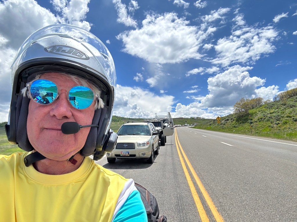
We reach Gunnison around 5 pm, at the end of a 244-mile day.
Gunnison is a college town of 6,700. It was named in honor of Captain John Gunnison, a US Army officer who surveyed for the transcontinental railroad in 1853. He stayed only three days before traveling west to Utah. Apparently, three days is the minimum stay for having a city named after you.
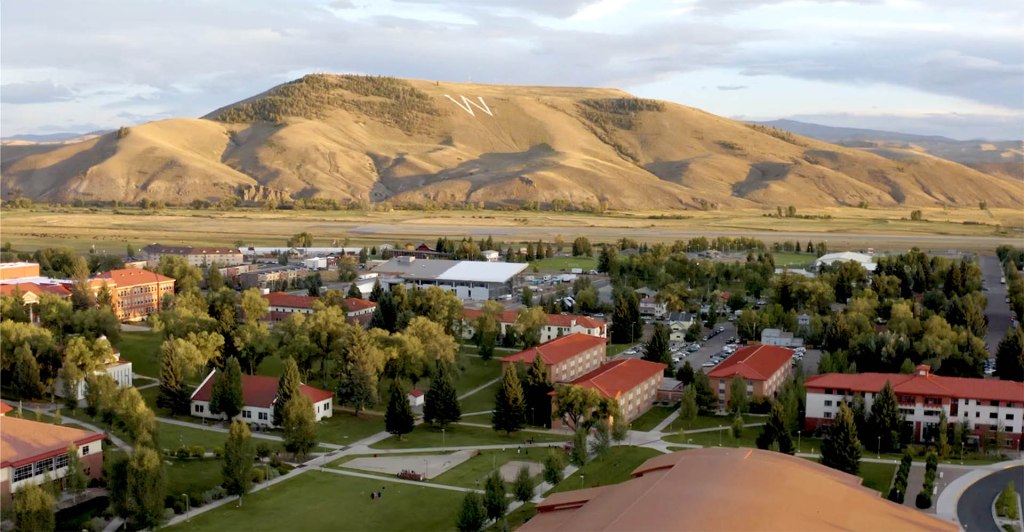
The city is home to Western Colorado University, originally founded as the Colorado State Normal School for Children in 1901. A normal school is one created to train high school graduates to be teachers; its purpose is to establish teaching standards, or norms – thus the word “normal.”
Western Colorado University, the first college on Colorado’s Western Slope, is home to about 3,000 students – roughly half of Gunnison’s population. With more than 750 miles of singletrack trails surrounding the city, Western’s students love the area’s biking, hiking and other outdoor activities.
Gunnison will be our home for the next two nights. Not long enough to have a town named after us, and yet … it already feels like home.
***
The Day in Review:
Click here to see today’s complete route from Durango, Colorado, to Gunnison, Colorado – via the San Juan Skyway Scenic Byway, an All-American Road.
Today’s Takeaways:
- San Juan Skyway Scenic Byway. Again.
- Deep, dark walls of the Black Canyon of the Gunnison.
- Gunnison. It’s only normal.
Today’s Trivia: Running Low at the Blue Mesa
As Colorado’s largest reservoir, the Blue Mesa has historically been a popular place in the summer for boating and fishing. With 96 miles of shoreline to explore, it offers all sorts of recreational opportunities. When there’s water.
But with record-low water levels in recent years, a continued drought and ongoing climate change, prospects are bleak for the Blue Mesa returning to normal any time soon.
Marinas on the Blue Mesa remained closed in 2022, but are open this year, because of record snowpack in the nearby mountains. But, barring a hydrological miracle, the Blue Mesa is expected to return to its glass-half-empty status in years to come. One good winter does not fix a water crisis. The Colorado River Basin is in the midst of its worst drought in about 12 centuries.
Two years ago, the US Department of the Interior ordered the release of eight feet of water from the Blue Mesa, to be sent downstream to Lake Powell. As you may recall from a blog post earlier in this trip, Lake Powell’s water levels are dangerously low, too. The American West’s river systems are interconnected — for good and bad.
That emergency release from Blue Mesa was needed to prop up water levels in Lake Powell, the nation’s second-largest reservoir. The entire Colorado River basin – its rivers and reservoirs – is in trouble. The basin is experiencing the driest 22-year stretch in the past 1,200 years.
In the past two years, water managers have released a total of 661,000 acre feet of water from Upper Basin reservoirs, including 36,000 acre feet from the Blue Mesa. An acre-foot is roughly 326,000 gallons, enough to cover an acre of land with a foot of water. And enough to supply two or three households for a year. It’s about as much water as two typical households use in a year.When full, the Blue Mesa can hold about 306 billion gallons of water. But it’s nowhere near full, so the numbers are misleading and meaningless. The Blue Mesa is 69 feet below the normal high watermark, meaning it’s about half of what’s called “full pool,” or full capacity.
By the end of water year 2023 – at the end of September – the Blue Mesa is expected to be at 82 percent of normal, thanks to a record-setting snowpack this past winter. But climate scientists and water managers in Colorado do not expect this year’s monster snowpack to be a trend.
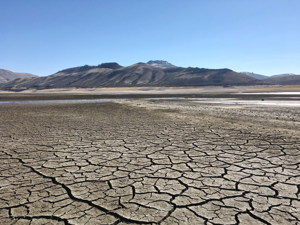
Parts of some rivers in the Colorado River basin are running dry for the first time in decades, and some towns are already facing the unimaginable scenario of literally running out of water.
Without significant and aggressive reductions to water demands, it’s a real possibility that federal reservoirs in the Colorado River Basin System could effectively empty in a few years.
Something’s gotta give.
And now you know.

Wow what an honor! Thanks for the shout out and for being the best adoptive parents a girl could have. Loving following along with your adventures on this trip. Can’t wait to see you guys for our Maroon Bells to Crested Butte hike in July!! Love you!
LikeLike