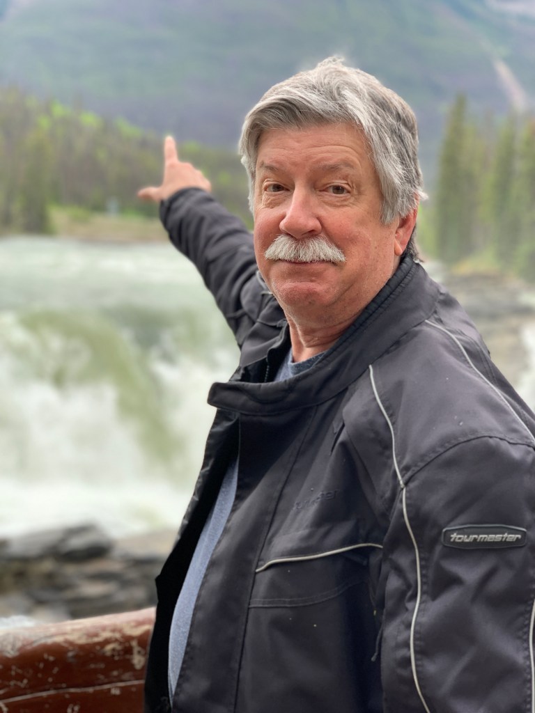
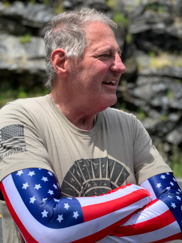
Randy’s a heartbreaker.
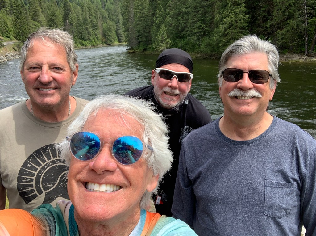
Today, he’ll break our hearts by ending his ride with us.
But first, we have 277 miles ahead on some spectacular Montana and Idaho roads.
C’mon, Randy. Let’s saddle up and ride one more time.
***
Much of today’s route is familiar.
Dave, Randy and I rode it last year on our way north toward South Dakota’s Black Hills.
Our day begins by riding south on US Highway 93.
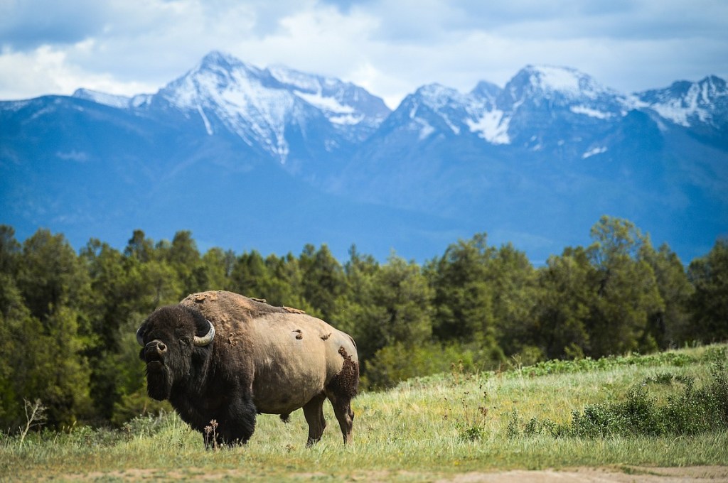
We roll through Pablo, population 2,200. The town takes its name from Michel Pablo, known for his efforts to save the American bison from extinction. Pablo, the town, is home to Salish Kootenai College, a private tribal land-grant community college that serves the Bitterroo Salish, Kootenai, and Pend d’Oreilles tribes.
Twenty miles down the road, on our right, is the 19,000-acre National Bison Range. The range was established in 1908 to provide a sanctuary for bison. Today, the herd here is less than 500 bison. The Bison Range serves as the central point for bison research in the US.
Beyond the Bison Range, there’s little civilization for 30 miles until we cross Interstate 90 on the outskirts of Missoula. With a population of about 75,000, Missoula is Montana’s second largest city – after Billings.
Missoula, which sits on the Clark Fork River, is home to the University of Montana. The name Missoula comes from the Salish name for Clark Fork River, which roughly translates to “place of frozen water.” Missoula is known for its blue-ribbon trout fishing and spectacular natural beauty.
Highway 93 skirts the western edges of Missoula, and includes two Walmart Supercenters, only a few miles apart. As we leave Missoula, we follow the Bitterroot River until we reach the town of Lolo, population about 4,000.
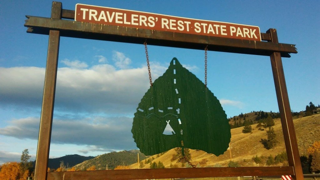
Lolo is home to Travelers’ Rest State Park, where Lewis and Clark camped in 1805 and 1806. The Lewis and Clark expedition party included 27 unmarried soldiers, a French-Indian interpreter, and a contracted boat crew – 45 people in all.
Lewis, Clark, and their fellow expeditioners, found the area that is now Travelers’ Rest State Park a relaxing place to hang out. For them, it was ideal to stop, rest, hunt and repair their gear before tackling the trip over Lolo Pass. Today, the park is distinguished for being the only archaeologically verified campsite of the Lewis and Clark expedition.
***
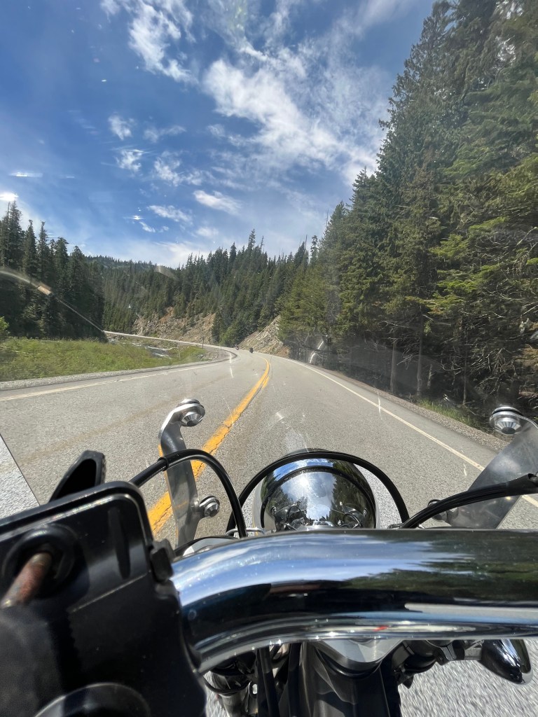
In Lolo, we head west on US Highway 12, the Lolo Pass Highway. The 132-mile roadway is known among motorcyclists (like us) as one of the top rides in the country.
We begin to climb the 32 miles up to the Lolo Pass summit. The top of the pass is at 5,233 feet in the Bitterroot Mountains, the highest point on the Lolo Trail. The pass sits on the border between Montana and Idaho.
The name of the pass is sometimes said to have been Salish version of the French name Laurence or Laurent, but was probably a French nickname. The name Lolo was not used by Lewis and Clark. Its first known mention is in the 1810 journal of David Thompson, who described three fur trappers, probably of French descent, named Michael, Lolo, and Gregoire.
Last year, due to heavy smoke from western wildfires, we saw little of Lolo Pass. This time is different.
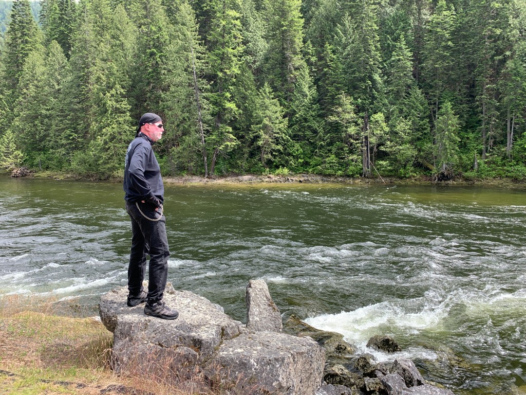
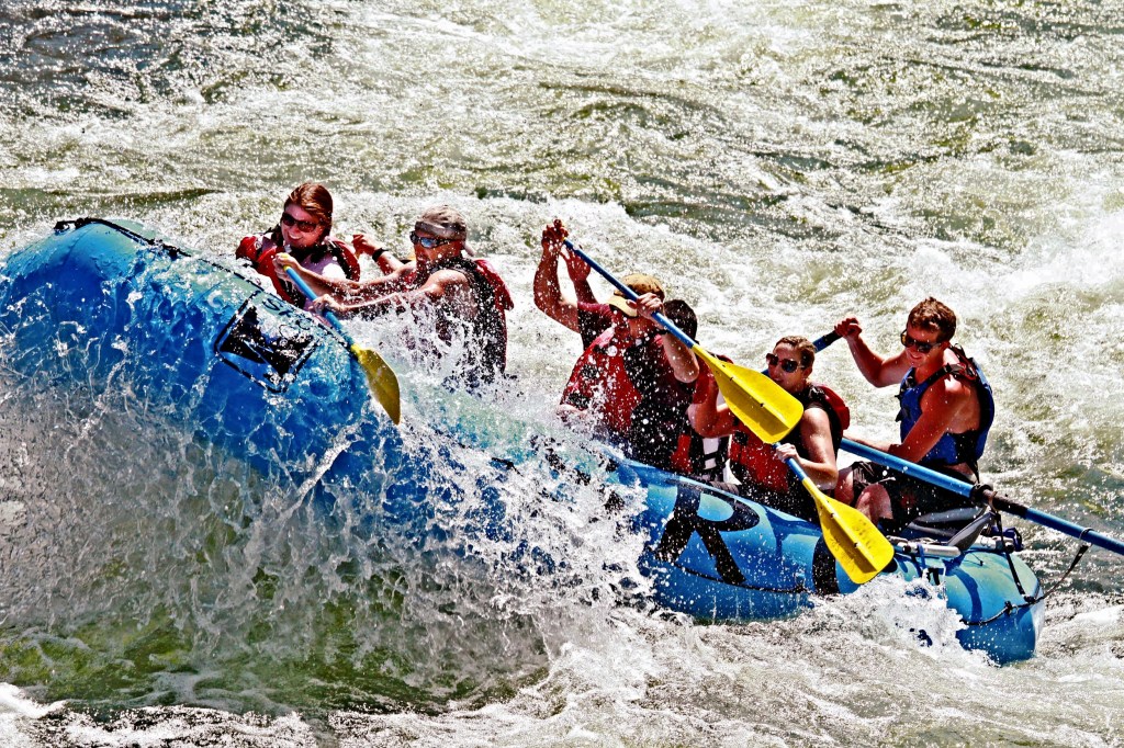
As we slowly descend from the pass, we begin to follow the Lochsa River. Lochsa (pronounced LOCK-saw) is a Nez Perce word meaning rough water. Kayakers and whitewater rafters run the Lochsa, generally between April and June. The waters are turbulent this time of year.
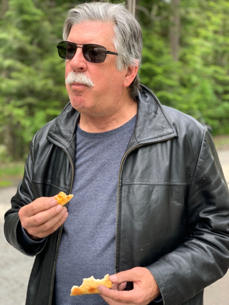
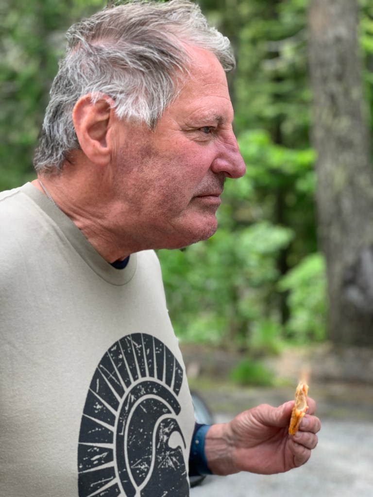
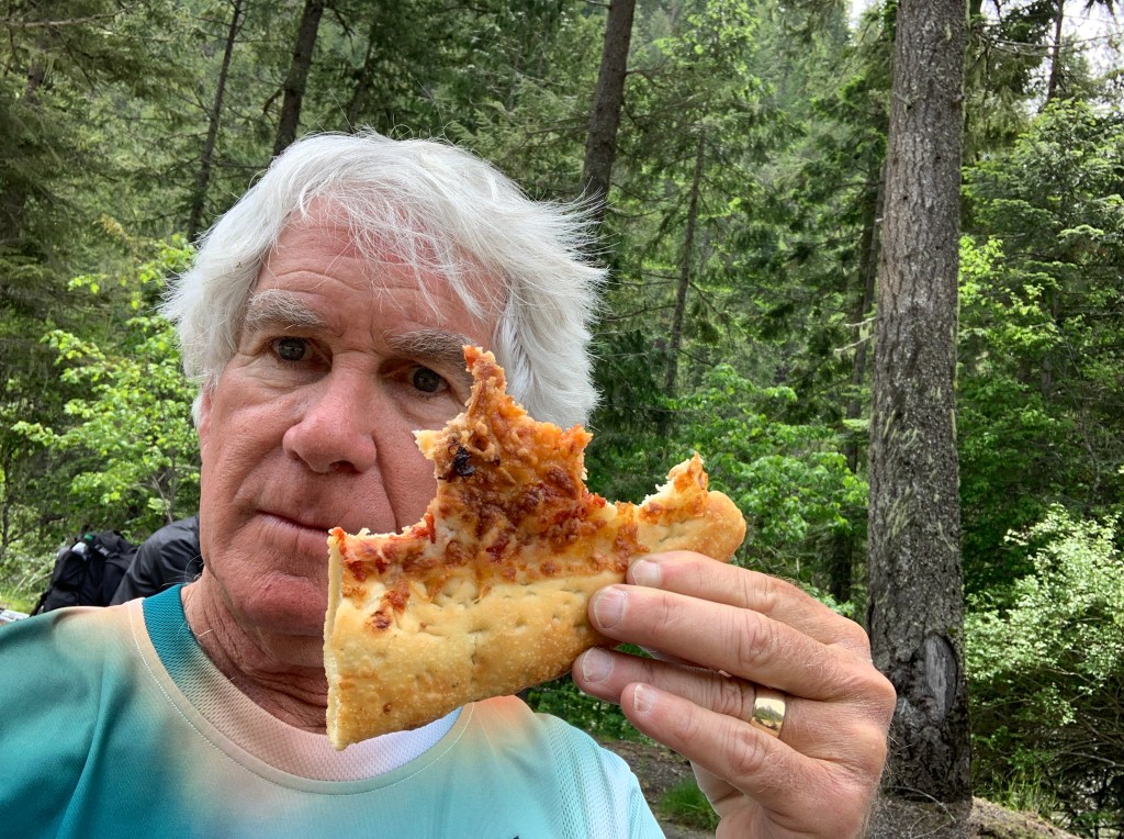
It’s about 13 miles from the pass to Lochsa Lodge, believed to be the only place on the Lolo Pass Highway where you can get something to eat or drink. Their signature dish: blackberry cobbler, a la mode. The lodge was built in 1929 for hunters, well before the Lolo Pass Highway was completed in the early 1960s.
Highway 12 follows the Lochsa River for 65 twisty miles, until the Lochsa empties into the Middle Fork of the Clearwater River. From here, we continue on Highway 12 along the Clearwater until, 23 miles later, we arrive in Kooskia – the end of the Lolo Pass Highway.
Kooskia, population 600, sits at the confluence of the South and Middle Forks of the Clearwater. The name Kooskia is believed to come from the Nez Perce word “koos-koos-kia,” which refers to the Clearwater River. Kooskia is within the Nez Perce Indian Reservation, whose tribal lands cover about 1,200 square miles.
***
Getting to Kooskia took about six hours on the road. We still have about 90 minutes to go before arriving in tonight’s destination, Riggins. It’ll be an unusually late arrival for us.
In Kooskia, we turn south on Idaho Highway 13, which follows the South Fork of the Clearwater River. The road takes us through Harpster, which leads to the Harpster Grade Road. Soon we’re in Grangeville, home to the Idaho County Airport, the Idaho County Seat, and Border Days, held every July 4.
Now on US Highway 95, we roll past a portion of the Nez Perce National Historic Park. This park is actually 38 sites located across the states of Idaho, Montana, Oregon, and Washington, which include traditional aboriginal lands of the Nez Perce people. The 38 sites are linked by the history of the Nez Perce people, rather than by geographic location.
Just south of White Bird, we follow the Salmon River for the rest of the day’s ride. White Bird was the site of the 1877 Battle of White Bird Canyon, which was the first fight of the Nez Perce War and a significant defeat of the US Army. Chief White Bird was a leader of the tribe, and the reason the town got its name.
The Salmon River leads to Riggins, population 400. In June, it’s a very popular place to fish. Steelhead and chinook salmon are a big draw. Drift boat salmon fishing is the way to go.
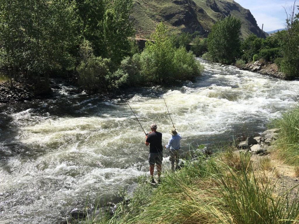
If you’re not into fishing, rafting the Salmon River can be an epic experience. Early June is generally when the river is running highest and fastest. There’s an annual event called the “Big Water Blowout,” a celebration of the river coming to life with its seasonal explosion of water. It’s held on the first Saturday in June, just about two weeks ago.
The Salmon River near Riggins provides 60 miles of easily accessed whitewater set in the bottom of a deep river gorge and filled with thrilling rapids. The Salmon River is the longest un-damned river in the lower 48 states.
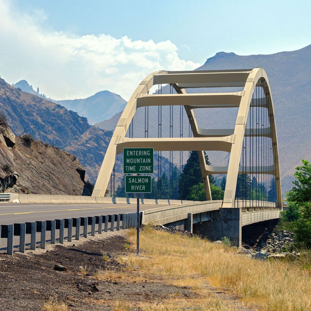
About a mile before arriving in Riggins, we cross the Time Zone Bridge, a 500-foot-long steel tied arch bridge over the Salmon River.
Riggins is the northwestern most town in the Mountain Time zone; the Pacific Time begins just north of the city, across the Salmon River.
The Time Zone Bridge marks the place where we officially reset our watches, before checking into the Riverview Motel. Since nobody wears watches anymore, the bridge is actually the place where our phones automatically reset their time.
What time is it, anyway?
***
To view today’s route in Google Maps, click here.
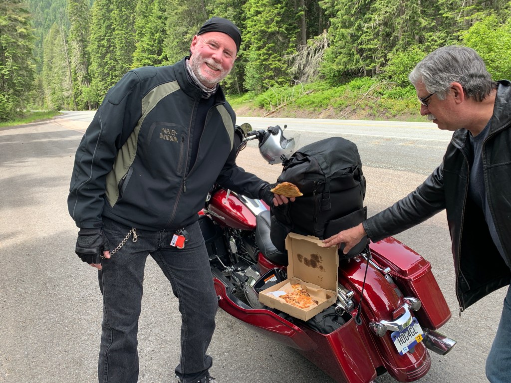
My number today: $6 (cost of Blackberry Cobbler, served a la mode, at Lochsa Lodge)
What’s your number?
***

$6.00 desert? Wait till you get back home, no such thing!
Looks like a great ride even without rain gear.
Clarence
LikeLike
All days without rain gear are good days 😀
LikeLike
What an AWESOME ride today! Clear weather for a change and a great route for motorcycles! Actually Scott was with us last year when we enjoyed the opposite direction. Just sayin. Very cool day. Long time in the saddle but shorter miles than yesterday. And much more glorious! Sad night/morning however as we send our GREAT riding buddy off to Washington while we move forward. Getting misty. 😂
LikeLike
Am bringing lotsa Kleenex for Randy’s send off. We aren’t breaking up. There’s always next year.
LikeLike
My number is 1969. “Does Anybody Really Know What Time It Is?”
LikeLike
I know what time it is. But I’m not telling.
LikeLike
After reading each posting, did you guys go to see the country or to eat. ?
LikeLike
It’s a culinary adventure, Pete. You should know that by now 🤪
LikeLike
Hi Gary and Crew The area of you ride is one of my favorites and I have rafted the Salmon which was a 3 or 4 day trip and lots of fun with some great adventures. Keep on riding and this area is just fantastic to explore. The rain in the Yellowstone Area must have effected the rivers around your ride or were they on the other side of the range?
LikeLike