Savvy readers of this blog may have noticed two different spellings of the word “Okanogan” yesterday.
In the US, it’s spelled Okanogan. In Canada, the correct spelling is Okanagan. Get over it.
But this does make one wonder, how is Canada different? What makes Canada Canada?
Is it the legendary Canadian politeness?
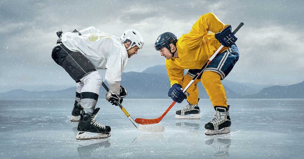
Is it ice hockey, the Canadian national religion disguising as a sport?
Could it be the poutine, Canada’s unofficial national food?
Here’s one Canadian’s take on what Canada is famous for. It’s a good read.
Over the next six days, we’ll keep our eyes and ears open, trying to develop our own insights into what makes Canada Canada.
***
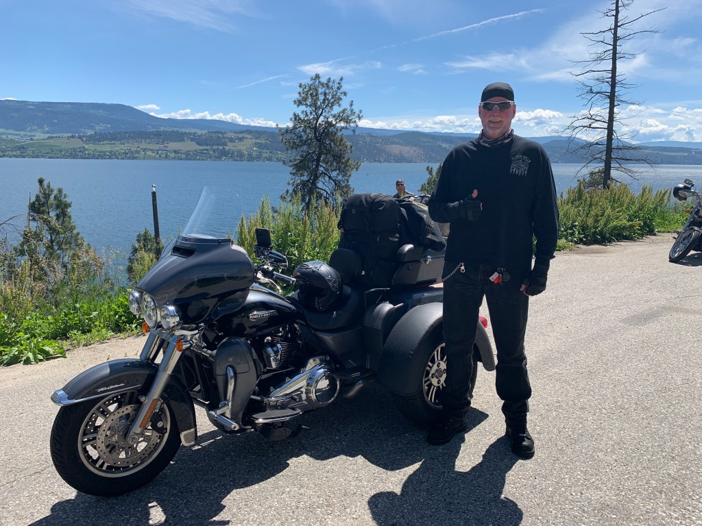
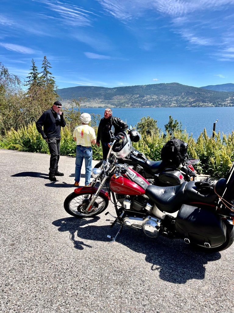
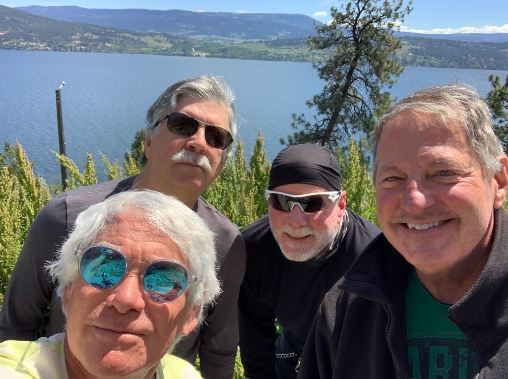
We head north out of Osoyoos on British Columbia Highway 97, the Okanagan Highway.
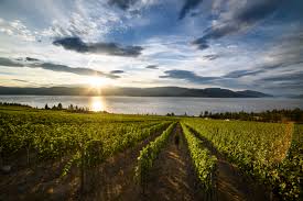
There are wineries and vineyards everywhere. Too many to name.
The Okanagan Valley has more than 200 vineyards and 120 wineries. Wine production here dates to the 1850s, with the establishment of the Okanagan Mission and the planting of grapevines to supply sacramental wines.
There are more than 60 grape varieties grown in the Okanagan including Merlot, Cabernet Sauvignon, Pinot noir, Pinot gris, Chardonnay, Auxerrois blanc, Marechal Foch and Cabernet Franc.
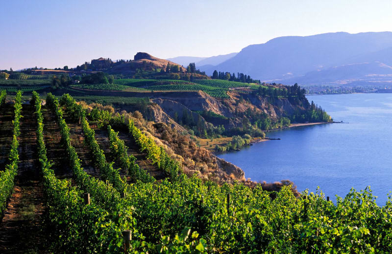
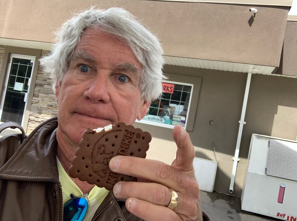
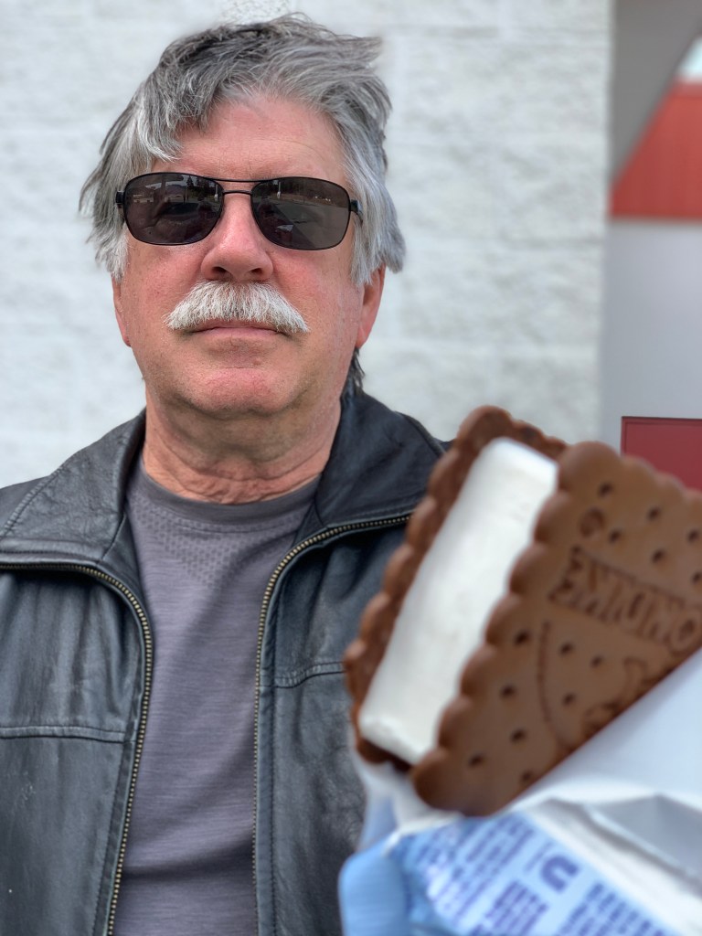
Forty miles after leaving Osoyoos, we rumble into Penticton, population about 34,000. The city is situated between two lakes – Okanagan and Shaka. There are more than 170 wineries in the Penticton area, eight craft breweries, two cideries and three distilleries.
No one’s gonna leave this place in a state of thirst.
***
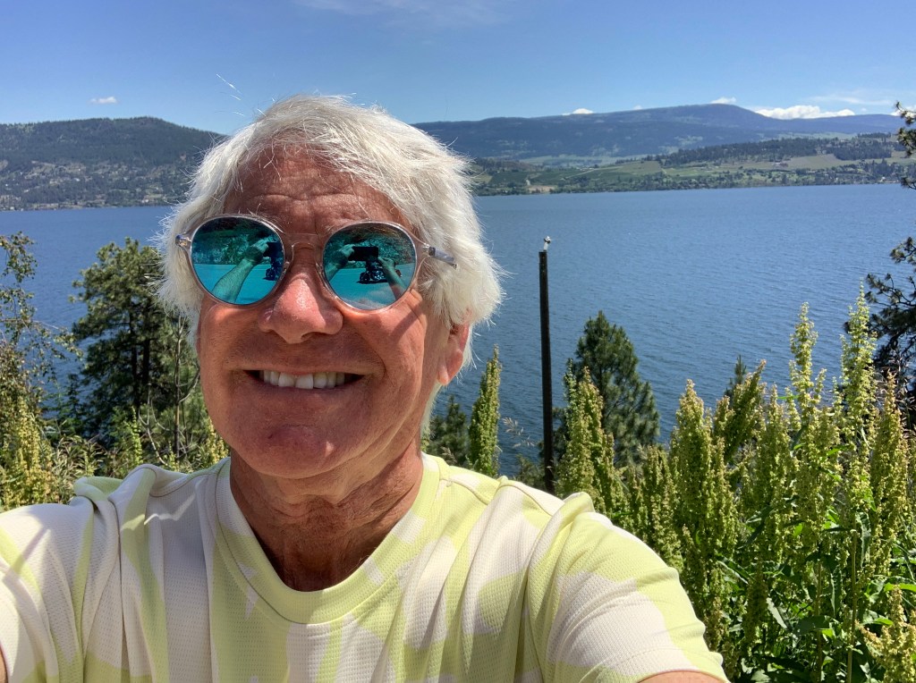
Okanagan Lake is 85 miles long, and we follow its western shores for the entire length of the lake. We pass by Kelowna, whose metropolitan population is more than 222,000 – making it British Columbia’s third largest after Vancouver and Victoria. The name Kelowna comes from an Okanagan word referring to a male grizzly bear.
Most of Kelowna is on the east side of Okanagan Lake. We continue north on British Columbia Highway 97, through West Kelowna, and avoid the big city on the other side of the lake.
About 40 miles north of Kelowna, the lake ends, and we turn northwest toward Falkland, a small community known for having Canada’s largest flag. The gigantic Canadian flag is located on Gyp Mountain, and can be seen up to four miles away. The flag is 28 feet high by 56 feet wide. It’s made of 2 x 6 lumber framework, has eight 46-foot telephones, 185,000 pounds of cement blocks and metal. Clearly, the flag doesn’t flutter in the wind.
We merge onto Canada’s Highway One, the Trans-Canada Highway, and follow it west along the southern shore of the South Thompson River. The Trans-Canada Highway is the world’s longest national road. It extends west to east between the Pacific and Atlantic coasts for 4,999 miles. The highway stretches between Victoria, on British Columbia’s Vancouver Island, to St. John’s, in Newfoundland and Labrador.
(For perspective, the Pan-American Highway is the longest road in the world and it is comprised of a network of roads that starts in Prudhoe Bay in Alaska and stretches all the way to Ushuaia in Argentina covering a distance of 30,000 miles. It crosses a total of 14 countries in North, Central, and South America)
The Trans-Canada is a series of provincial highways that join all 10 Canadian provinces. The journey across the highway covers six time zones, in conditions that vary from congested urban freeways (Ottawa and Montreal) to sparsely populated wilderness. Many Canadians call it la route transcanadienne, especially in Quebec, where French has been the official language since 1974.
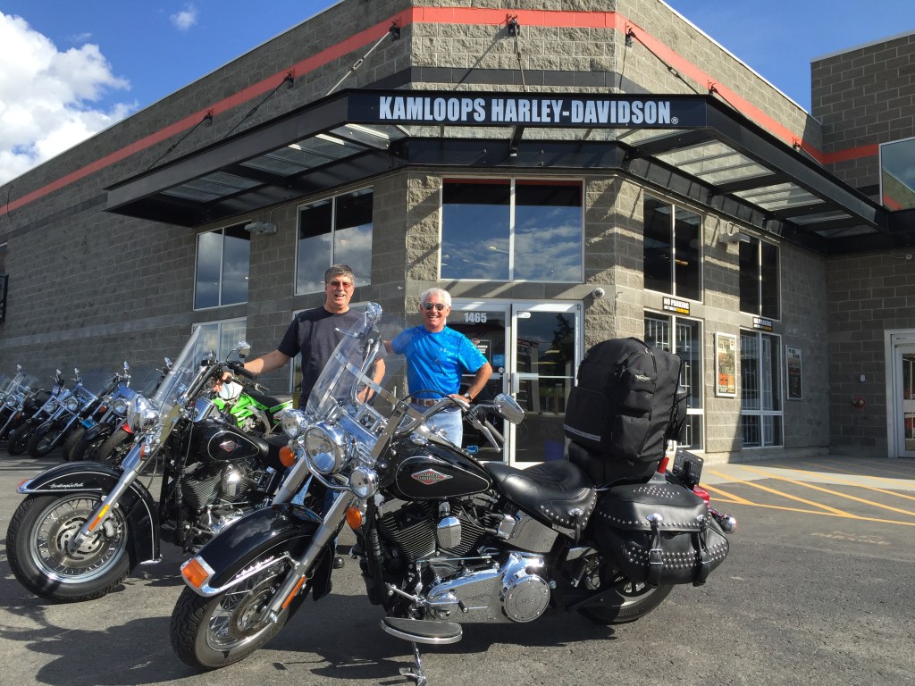
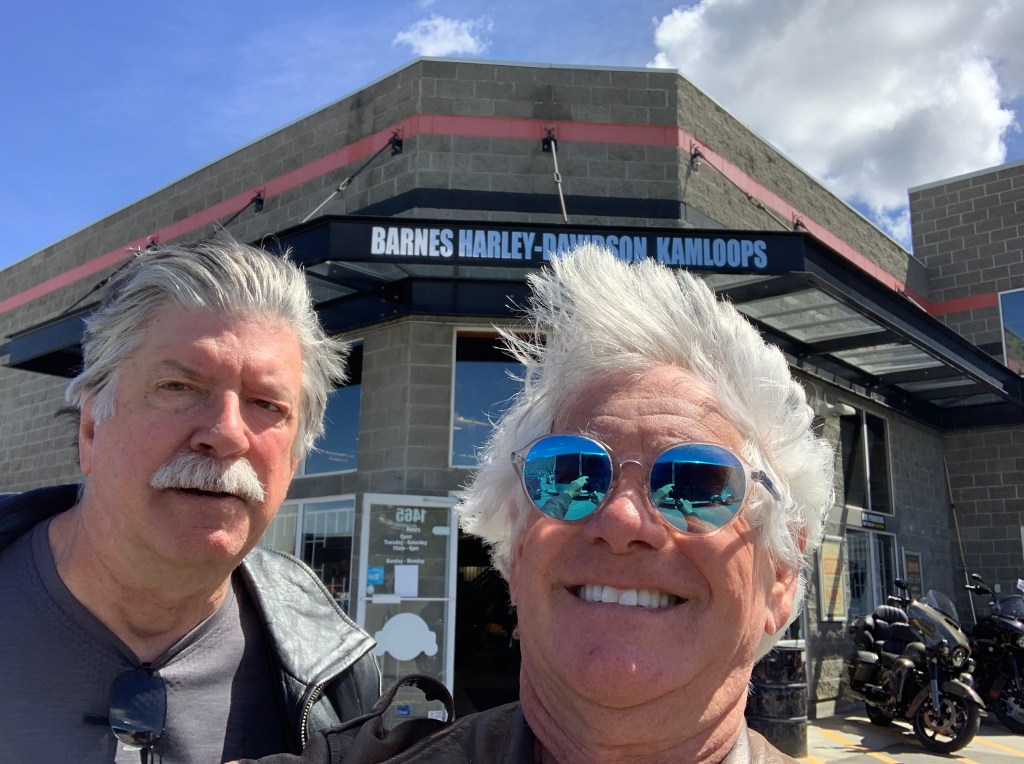
We’re only on the Trans-Canada for 15 miles, because we’re turning north off of it in Kamloops, a city of about 100,000 that sits at the confluence of the South and North Thompson Rivers.
I’ve been to Kamloops once before, in 2015, when Randy and I drove up here from Seattle in his F-150 trash hauler. We rented a couple of Softail Heritage Classics from a Kelowna Harley dealer, and rode around Canada for five days.
For Randy and me, this part of the world seems oddly familiar.
We follow British Columbia Highway 5 along the North Thompson River for 75 miles toward tonight’s destination of Clearwater. Fur traders in 1862 named the Clearwater for its distinct clarity, compared to the relatively muddy waters of the North Thompson.
Here, in the town of Clearwater, the Clearwater River empties into the muddy North Thompson.
Meanwhile, we empty into our hotel, and prepare for our second full day in Canada.
***
To view today’s route in Google Maps, click here.
My number today: 11,086 (acres of wine grapes in British Columbia, 53% red 47% white)
What’s your number?

My number today is 3. Three bike check issues at Kamloops Harley Davidson and all 3 got immediate attention. No cost at all! God bless Harley Davidson technicians for those of us on long rides! Eh?
LikeLike