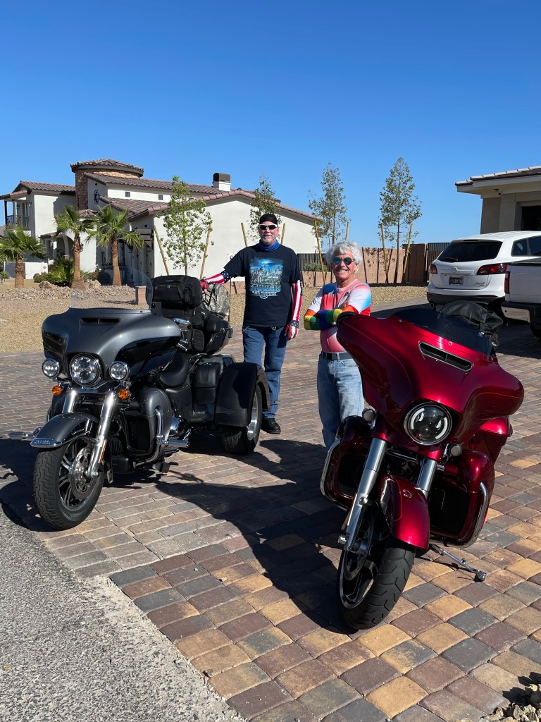
Thanks for the hospitality, Bowmans. Time to move on.
Leaving Las Vegas. That’s essentially what we’re doing.
Leaving Las Vegas was a 1995 Hollywood film, based on the semi-autobiographical novel of the same name by John O’Brien. Nicolas Cage stars as Ben, a suicidal alcoholic who, having lost his family and been recently fired, decides to move to Las Vegas and drink himself to death. Once in Las Vegas, he develops a romantic relationship with Sera, a pretty, but hardened, prostitute – played by Elisabeth Shue.
That’s pretty dark, as was the film. The movie review site “Rotten Tomatoes” gave Leaving Las Vegas 91% on the “Tomatometer.”
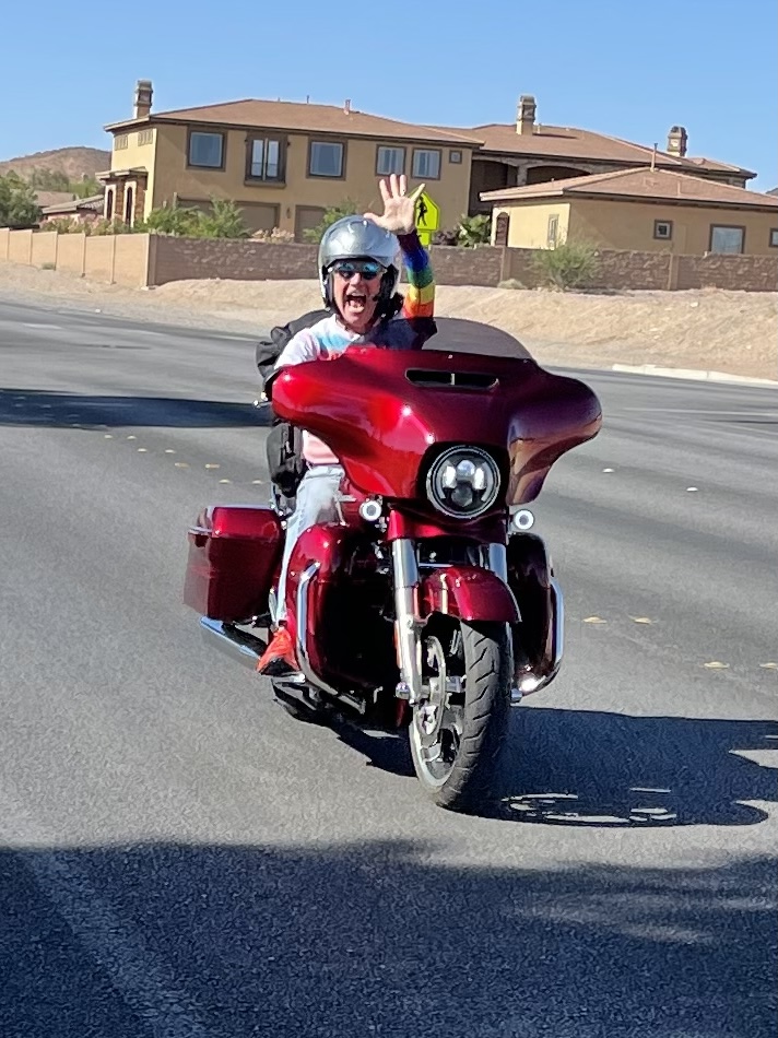
Our day looks to be much sunnier. We’re headed for Death Valley.
***
We point west on Nevada Highway 160, and an hour after leaving Las Vegas, arrive in Pahrump. The city calls itself “Easy to reach and hard to forget.”
There’s much to do here, including off-road adventures, hot-air ballooning, golf, bird watching, and yes, firearms training. There’s even a Ladies Day, every Thursday, at the Front Sight Firearms Training Institute.
Pahrump, with a population of more than 37,000, is the last stop on our way to Death Valley. You can go really fast around here. On November 4, 2017, a Swedish-made supercar, the Koenigsegg Agera RS, reached a top speed of 277.9 miles an hour on Nevada Highway 160, the same road we’re on. That’s about four times the speed I’m likely to ride today. If you follow this blog, you know I ride like Grandma, which is why I’m still alive today.

About 20 miles beyond Pahrump, we cross into California on State Line Road, and approach Death Valley Junction.
At the junction, you can go north or south on California Highway 127, or west on California Highway 190.
Or, you can visit the Amargosa Opera House, where resident Marta Becket staged dance and mime shows from the late 1960s until her last show in 2012. She died in in 2017, at the age of 92. There’s little else in Death Valley Junction.

***
We head west on Highway 190, soon entering Death Valley National Park.
Death Valley is the 23rd National Park Dave and I have visited on our motorcycle journeys since 2015. Want the full list?
- Arches
- Badlands
- Black Canyon of the Gunnison
- Bryce Canyon
- Canyonlands
- Capitol Reef
- Crater Lake
- Death Valley
- Glacier
- Grand Canyon
- Grand Teton
- Joshua Tree
- Kings Canyon
- Lassen Volcanic
- Mount Rainier
- North Cascades
- Olympic
- Redwood
- Rocky Mountain
- Sequoia
- Yellowstone
- Yosemite
- Zion
In addition, I’ve been to Denali, Great Smoky Mountains, Haleakala, Kenai Fjords, and Shenandoah National Parks. Twenty-eight in all.
Pretty sure I’ve gotten my money’s worth out of my National Parks Lifetime Senior Pass, acquired in 2012 for $10.
What’s your number?
***
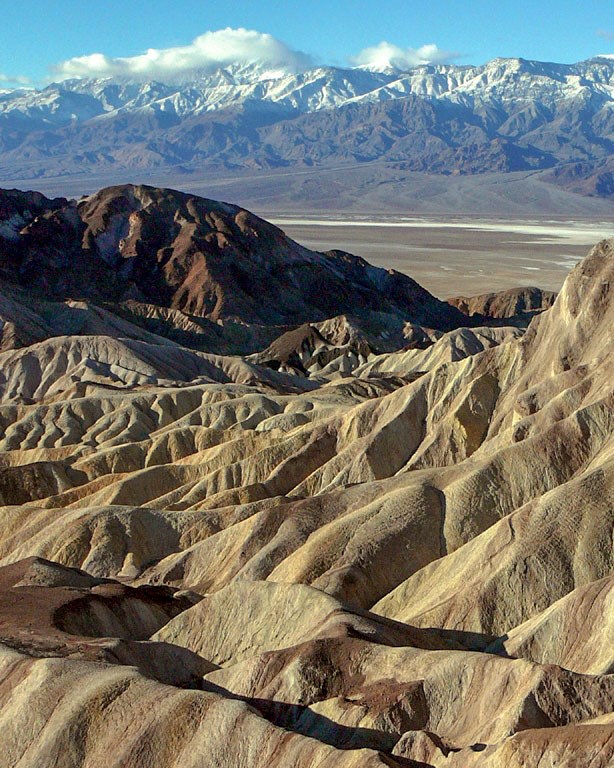
Today, we’re exploring Death Valley, the largest National Park in the lower 48. At 3,373,063 acres, it’s larger than Rhode Island and Delaware.
According to the National Park Service, Death Valley was given its forbidding name by a group of pioneers lost here in the winter of 1849-1850. Even though only one of the group died here, they all assumed that this valley would be their grave. As the party climbed out of the valley over the Panamint Mountains, one of the men turned, looked back, and said “Goodbye, death valley.”
The name, Death Valley, was coined based on a winter-time visit. Imagine if the pioneers had been here in the summer.
It gets hot here. Very, very hot.
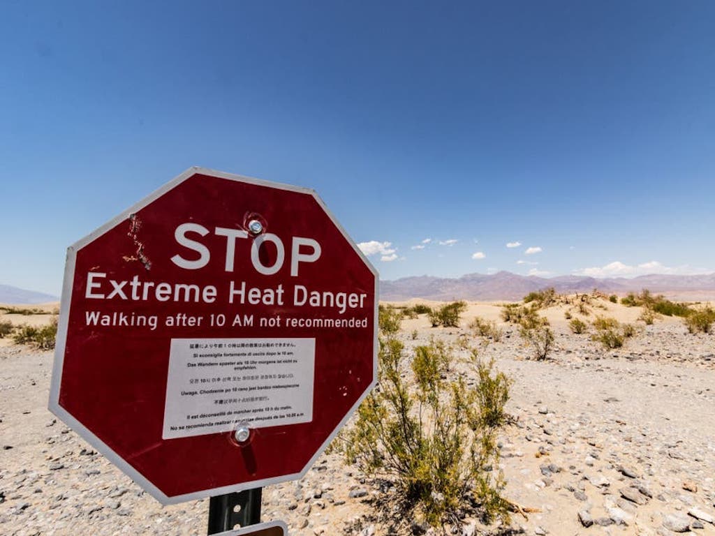
As someone who lived in the California desert for 17 years, I’m more than a little familiar with heat. But Death Valley heat is otherworldly.
The record high is 134 F. That’s not a typo.
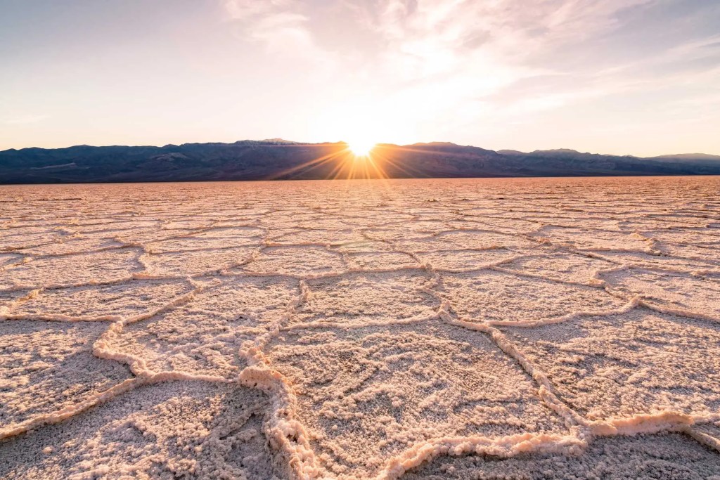
Rain? Not so much.
Average annual precipitation in the park is a little more than two inches, most of that coming in December, January and February.
Clearly, Death Valley is the hottest and driest National Park. It’s the lowest, too.
Badwater Basin is 282 feet below sea level, the lowest point in North America. The salt flats there cover nearly 200 square miles, and are composed mostly of sodium chloride (NaCl – table salt), along with calcite, gypsum and borax.
We pass within about 10 miles of Badwater Basin, but save a visit there for another trip.
There’s no missing Twenty Mule Team Canyon. We ride right through it.
It’s where we find the Harmony Borax Works. After borax was found near Furnace Creek Ranch in 1881, the Harmony Borax Works employed 40 men, who produced three tons of borax daily.
Getting the finished product to market from the heart of Death Valley was a difficult task. The Harmony operation became famous through the use of large mule teams and double wagons that hauled borax on the long overland route to Mojave.
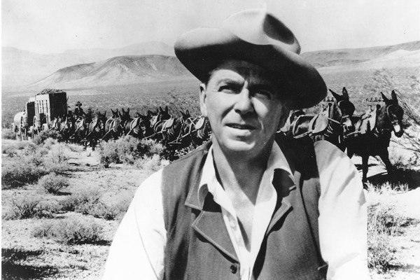
The image of the “20-mule team” persists to this day, made famous by TV westerns in the 1950s. The 20 Mule Team Borax brand originally became a household name through the sponsorship of the radio program, Death Valley Days. The program evolved into a TV show in 1952, hosted by Ronald Reagan. It was the last job he had as an actor before becoming governor of California.
Borax? It’s a powdery white substance, widely used as a household cleaner and a booster for laundry detergent. Borax is a combination of boron, sodium, and oxygen. Now you know.
Continuing our ride through the park, we pass through Furnace Creek, which holds the record for highest recorded natural ground surface temperature on Earth: 201 °F. Seriously? Yep, 201 – on July 15, 1972. The theoretical maximum possible ground surface temperature has been estimated to be between 194 and 212 °F for dry, darkish soils of low thermal conductivity. Oof!
July 15, 1972 – the 201 degree day in Furnace Creek – was a big date in history. Another 7/15/72 milestone: “Honky Chateau” becomes Elton John’s first Number One album in the US. The album includes “Rocket Man” and “Honky Cat.”
***
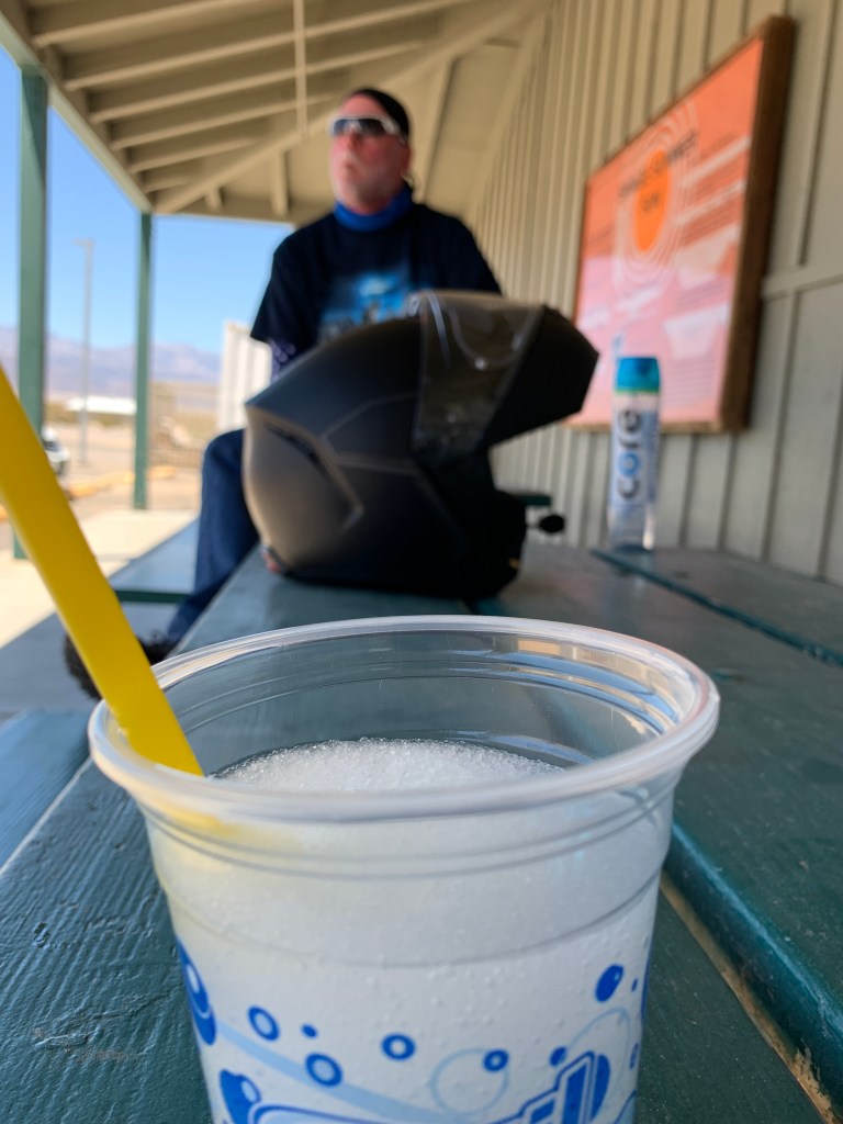
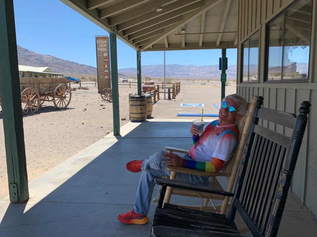
Our next point of interest is Stovepipe Wells. It has a full-service hotel, general store, and an airstrip. We arrive in Stovepipe Wells around noon. It’s a good place to stop for a cold beverage.
Thirty miles from Stovepipe Wells is the Panamint Springs Resort. Calling it a resort is a bit of a stretch. The place consists of a motel, cabins, RV and tent campsites, a restaurant and gas station. It has air conditioning, too. On a hot day that could come in handy.
West of Panamint Springs, the road gets twisty and quite interesting.
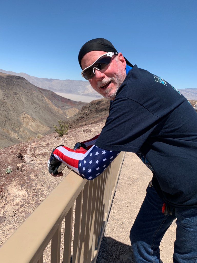
We’re in Rainbow Canyon, often referred to as “Star Wars Canyon.” The nickname comes from the canyon’s mineral-rich soil and rocky walls in shades of red, gray and pink. The canyon calls to mind a landscape in a galaxy far, far away — Tatooine, the home planet of Star Wars character Luke Skywalker.
Star Wars Canyon is one of the few places in the world where photographers can see combat aircraft flying below them. Military training flights have used the canyon since World War II, zipping through the canyon at 200 to 300 miles an hour – as low as 200 feet above the canyon floor.
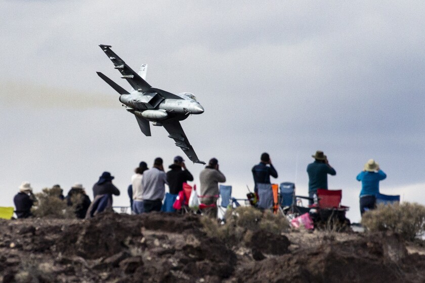
Unfortunately, in 2019, a jet crashed in the canyon, resulting in the death of the pilot and injury to several visitors in the area. The accident temporarily put an end to training flights through Rainbow Canyon.
The US Navy attributed the crash of the F/A-18E Super Hornet to an inexperienced pilot’s split-second lapse in judgment. The Navy pilot, a Top Gun graduate, was leading a two-fighter low-level training mission through Rainbow Canyon when his aircraft collided into the canyon wall at more than 600 miles an hour.
***
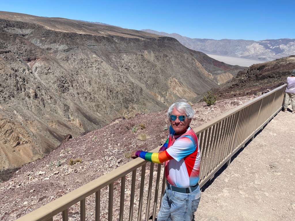
The Father Crowley Overlook offers great views into Rainbow Canyon. The overlook is named in honor of Father John J. Crowley, an early 20th century Catholic priest in California’s large but sparsely populated Eastern Sierra. As the lone priest in this huge, desolate region, he was known as the “Desert Padre.” Father Crowley served there from 1919 until his death in 1940 at age 48.
Ten minutes after leaving Father Crowley Overlook, we roll out of Death Valley National Park, and are on our way to tonight’s destination, Lone Pine. The town is named after a solitary pine tree that once existed at the mouth of Lone Pine Canyon. The pine tree has long since vanished, destroyed in a flood.
Lone Pine calls itself the portal to Mount Whitney. At 14,505 feet, it’s the highest mountain in the lower 48 states. Lone Pine has the distinction of being within a one-hour drive of both the highest and lowest elevations in the lower 48!
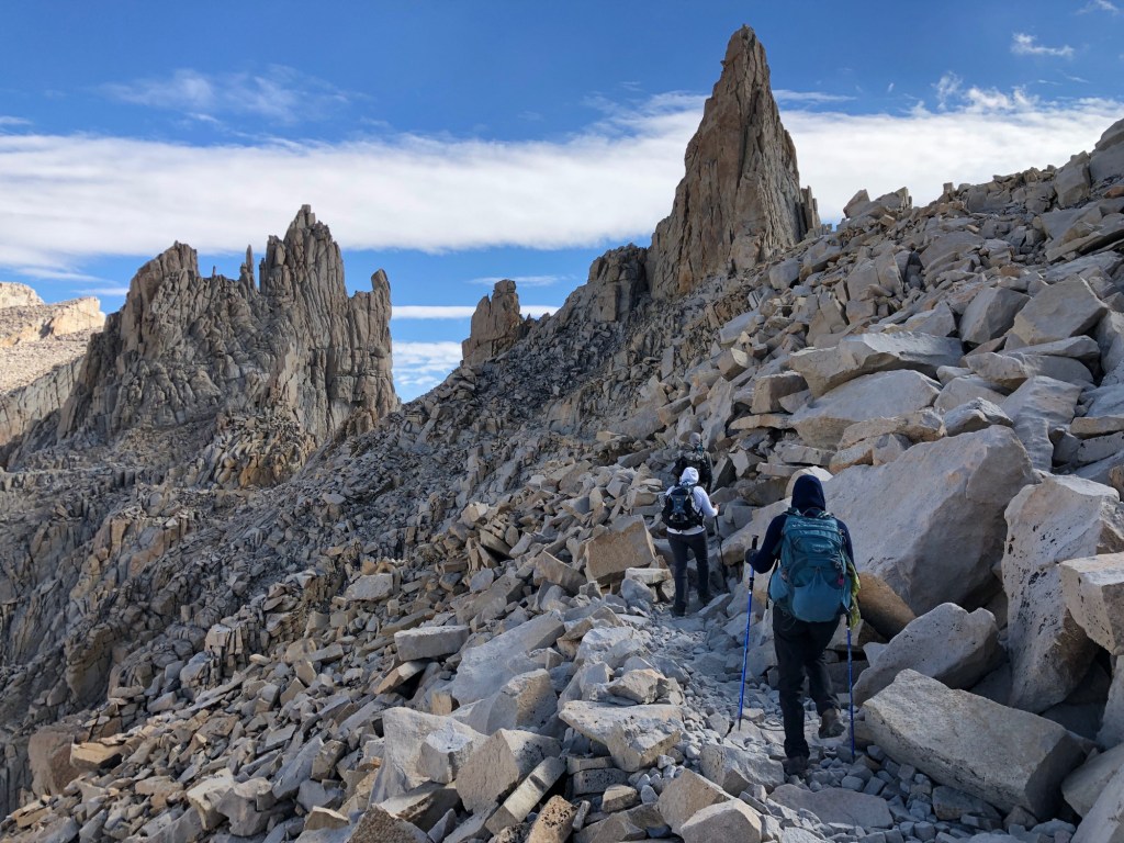
One of the two residents of my home in Carbondale has hiked to the top of Mount Whitney. It was not me.
You go, Sarah!
***
To view today’s route in Google Maps, click here.
My number today: 5,270 (area, in square miles, of Death Valley National Park)
What’s your number?

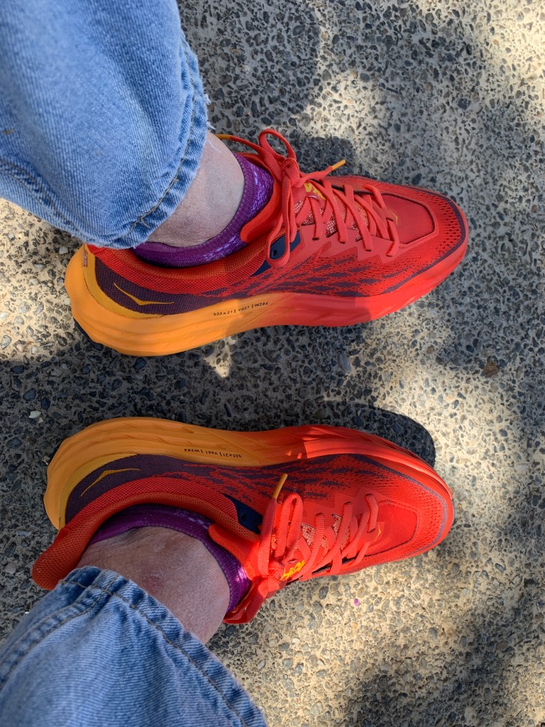
Did you get new shoes?
>
LikeLike
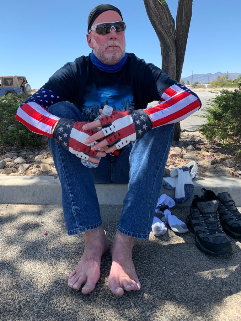
I give you a shout out for climbing Mount Whitney,, and you notice my shoes? I gave my other shoes 👠 to Dave, cuz he didn’t want to be barefoot beyond Pahrump.
And yes, I got new shoes. At REI in Henderson. Will explain when we talk. But they are beautiful, aren’t they?
LikeLiked by 1 person
My number today is 116 (my room number … ha!). What a great first day! Weather was not near as hot as it could be nor cold as it could be as we passed 6,000 ft+ and down to -196 ft on one ride (about 65 deg to 98 deg) Awesome! Great job conquering Whitney Sarah! Scott and I did that once upon a time too.. Loved that view at the top!!!
LikeLike
Nice riding shoes Gary! I think I may have to re-think my riding footwear, as boots didn’t fare too well for me last trip.
Lone Pine pizza is definitely awesome.
Cheers!
LikeLiked by 1 person
Glad you like the shoes, Scott! Dave’s got some footwear challenges, best left for him to explain (what happens barefoot in Pahrump, stays in Pahrump!).
LikeLike
Great recommendation Scott. Calzone was awesome!
LikeLike
So was my pizza. I’ll be having leftovers for breakfast. Coffee and cold pizza. The best!!
LikeLike
My number is (room) 130.
LikeLike
My number is 167. Similar to the cost of Dave’s new boots. Be on the lookout for someone you can donate to tomorrow!
LikeLike
We’ve found a footwear solution at Carr’s in Santa Maria. Wait til you hear this one!
LikeLiked by 1 person
Great number Babe! Might be able to get a boot stretch done in Santa Maria. Regardless, you know I have a backup (and a backup to the backup) as always. Ha! Madame CERT has taught me well. ❤️
LikeLiked by 1 person
Loving your blog…After seeing Top Gun this weekend (it was sooo good) makes me want to go to Rainbow Canyon. Safe travels!!
LikeLike
This whole shoe biz sounds familiar. I had to have my motorcycle riding footwear stretched before our Yellowstone trip. I didn’t know I could just op for bright neon colored, see in the dark, sun reflecting, burn the eyes sneakers. This changes my whole outlook to joining the ride in Ocean Shores.
LikeLike
Got the shoes 👠 at REI. They’ve probably got your size!
LikeLike