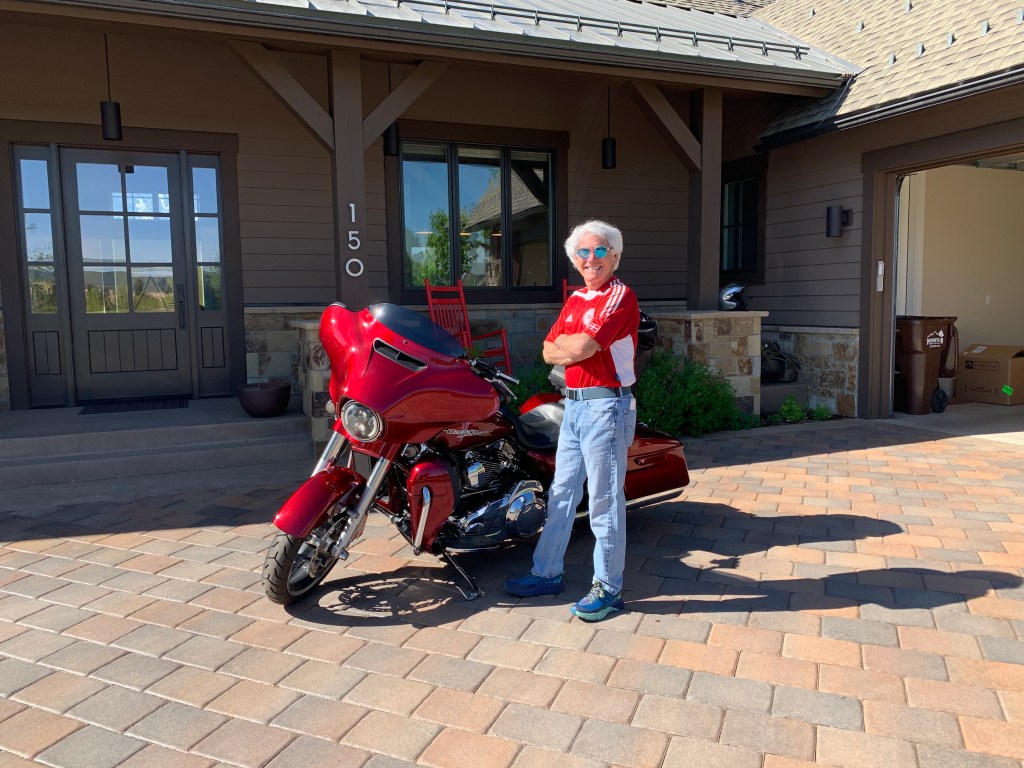
If you live in Carbondale (I do), and are going on a long motorcycle ride (I am), there are only three ways out of town.
Head east through Aspen on Colorado Highway 82, then over 12,095-foot Independence Pass. It’s spectacular, but just opened yesterday after a winter of heavy snow. So, no. Not today.
Ride 15 miles north to Glenwood Springs, hop on I-70, and go from there. Interstate highway? Meh. So, no. Not today.
Go south on Colorado Highway 133, zoom over 8,755-foot McClure Pass, and see where life takes you. Yesssss!
***
I begin my day as I begin any other day in Carbondale – pulling out of my driveway onto Sopris Mesa Drive. Pretty routine and predictable.
In one mile, I’m on Highway 133 and a whole new world awaits.
It’s the beginning of a 5,800-mile, 24-day journey that takes me to 10 states, two Canadian provinces, and seven national parks – three in the US, and four in Canada. The trip is a blend of coast, mountains, desolate valleys, and everything imaginable in between.
***
Assuming you’re a follower of this blog (why else would you be reading it?), you should be familiar with the beginning of today’s route.
I’m heading south toward Hotchkiss, Colorado, about 65 miles away. To learn more about this route, you can revisit Day One of my 2021 ride. Click here to do that. Stop reading when you get to Delta.
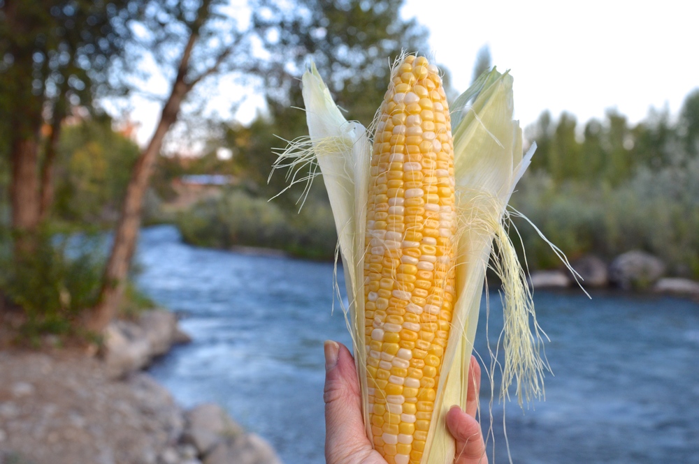
In Delta, I turn south on US Highway 50, which takes me through Olathe, Colorado’s corn capital, and home to Olathe sweet corn. The annual Olathe Sweet Corn Festival over the years has featured big-name musical groups, including Three Dog Night, Kansas, Styx, LeAnn Rimes, Travis Tritt and Clint Black. This year’s corn fest, the first one since Covid, happens on August 6 in downtown Olathe. A festival highlight on August 6: The Hugh Phillips Band, belting out Colorado Country music at 4:30 pm in Olathe Sweet Corn Park.
Looking for Olathe corn? Most of it is yellow and white, and can be found across the country at Kroger grocery stores (Ralph’s in Southern California; City Market in Colorado; QFC in Washington state). Kroger, America’s largest supermarket chain by revenue, frequently purchases most or all of the Olathe sweet corn stock, which can amount to about 30 million ears of corn.
The Olathe corn season kicks off in late July, and runs through September. It’s as short and sweet as the corn itself.
***
From Olathe, I continue south toward Montrose.
I’ve been to Montrose a dozen or more times, but remember little about it other than this: my riding buddy Dave hates the place. He intensely dislikes all the stoplights. He says nuts to Montrose for making him sit on his overheating Harley for what seems like forever at red lights. He detests the way Montrose ruins the rhythm of a ride that’s gone so well for the last bunch of beautiful miles, then you’re trapped in traffic for 30 minutes.
A few years ago, after an interminably long journey down Main Street, with a stop at pretty much every signal, Dave called me on our helmet-mounted intercom system. He wanted me to know he plans to have his ashes spread at one of those signals – just to spite Montrose.
I think he’s kidding.
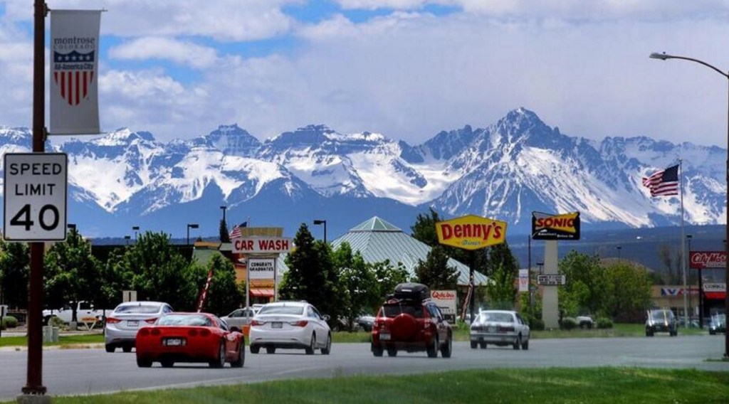
Today, I only stopped at six Montrose signals. Dave woulda liked that.
***
Leaving Montrose, US Highway 50 becomes Highway 550, which takes us to the town of Ridgway. Ridgway began as a railroad town, serving the nearby mining towns of Telluride and Ouray. Railroads and ranching have always been part of the Ridgway story.
The town is named for Denver and Rio Grande railroad superintendent Robert Ridgway, who established Ridgway in 1891. Today, there’s a Ridgeway Railroad Museum at the southwest corner of US Highway 550 and Colorado Highway 62. Also at that junction: the only traffic signal in Ouray County.
Ridgway went through some tough times beginning with the collapse of the silver market in 1893, the demise of the Rio Grande Southern Railroad in the 1950s, and the controversial plan by the US Bureau of Reclamation to construct a large dam that would inundate the town. In this case, inundate means burying the town in water.
The town’s people persevered, and Ridgway made a comeback. The dam was built elsewhere. And, the 1960s filming of two prominent Hollywood productions, How the West was Won, and True Grit, brought recognition to the community.
In Ridgway, I turn east, and head for the town of Placerville. The road takes me over the Dallas Divide, elevation 8,970 feet. The divide serves as the geological boundary between the San Juan Mountains and the Uncompahgre Plateau.
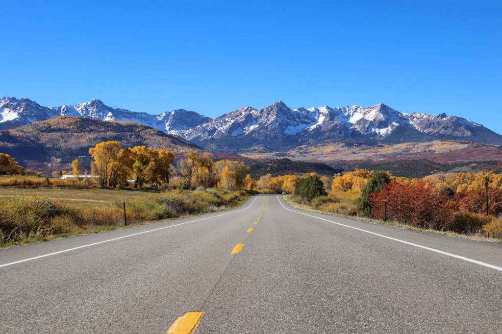
About a half-hour past the Dallas Divide, I arrive in Norwood, which sits in the San Miguel River Canyon. It’s named for Norwood, Missouri – the native home of a first settler in what is now Norwood, Colorado.
Norwood is on a mesa at 7,000 feet, with vistas ringed by the La Sal Mountains to the west, the Uncompahgre Plateau to the north, the San Juan Mountains to the east, and Lone Cone Peak to the south. After 180 miles on the road, it’s a good place to fuel up for the remainder of today’s ride — 112 miles to Blanding, Utah.
***
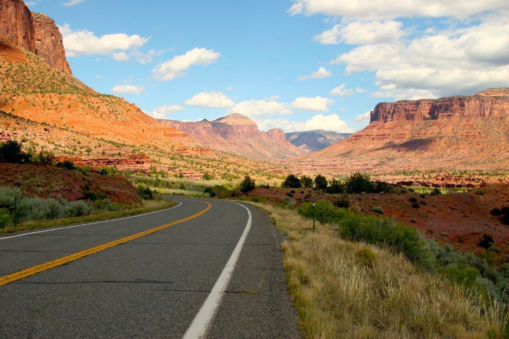
Near the tiny town of Naturita, I turn south onto Colorado Highway 141, the Unaweep / Tabeguache Scenic Byway, and continue for about 60 miles, approaching the Colorado-Utah border. This byway traces the Dolores River Canyon, which reaches depths of 2,000 feet.
Eventually, I find myself on US Highway 491, and soon I’m in Utah. Fifteen miles into the Beehive State, I arrive in the city of Monticello. It’s named after Thomas Jefferson’s estate in Virginia. From here, I turn south on US Highway 191. In 20 miles, I roll into Blanding, tonight’s destination.
Blanding was first known as Grayson, named after Nellie Grayson Lyman, wife of Mormon settler Joseph Lyman. The town changed its name in 1914 when a wealthy easterner, Thomas W. Bicknell, offered a thousand-volume library to any Utah town that would adopt his name. Grayson was renamed Blanding after the maiden name of Bicknell’s wife, and newly-named Blanding was overrun with books.
When you arrive in Blanding, you should set your clocks back. About 100 years.
Things don’t get too crazy in here. Blanding has been a “dry” city – no alcohol sales – since the 1930s. Talk of repealing the prohibition has surfaced periodically, and in 2017, Blanding residents voted overwhelmingly to keep the predominantly Mormon town dry.
Blanding is one of four cities in San Juan County that ban alcohol sales, according to statistics from the Utah Beer Wholesalers Association. The towns of Aneth and Navajo Mountain, located within the Navajo Reservation, and White Mesa on the Ute Reservation, also are dry.
I will not be hungover in the morning.
***
To view today’s route in Google Maps, click here.
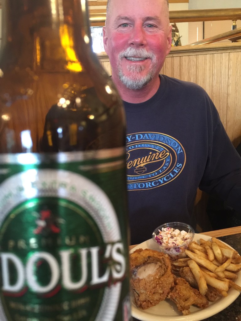
My number today: 0 (the number of places you can get a beer in Blanding).
What’s your number?

Glad you had a good day and safe at destination brother. Remember to hydrate! Ha! Pic reminds me of some great times. Stay safe and anxiously awaiting hooking up for another epic ride!
LikeLike
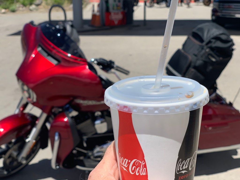
Dave! I’m hydrating like crazy. Frappuccino in Hotchkiss, Diet Pepsi in Ridgway. I’m raising the hydration bar so you can limbo under it 🤪
See you Sunday. In Winnipeg, I think. Vroom 🇨🇦
LikeLike
What? You bypassed the garden spot of the western slope? Oh well, the trip sounds pretty darn awesome anyhow – enjoy!
LikeLike
I did stop in the garden spot. Six times. In Montrose.
LikeLike
The Montrose signals part! 🤣🤣🤣
LikeLike
Glass half full: there were about 20 Montrose signals I didn’t stop at (and yes, I can end a sentence with a preposition!).
LikeLiked by 1 person
All by your lonesome this time, Gary? Still, it looks like you’re off to a great start. Love your blog – keep writing and keep riding…obviously not at the same time. Safe travels!!
LikeLike
All by my lonesome til Sunday. I write and ride simultaneously. It’s an acquired skill. More efficient than trying to remember stuff at the end of the day.
LikeLike
Gary your route looks great and 24 days sounds just fantastic. As usual your writing and facts are so interesting and just wish I could remember a few!
LikeLike
Great to hear from you, Rich. You guys still in Uzes? Hugs to Paula.
LikeLike
Hahaha hungover? Gary?? Not sure I would enjoy Blanding 😝
LikeLike
Um, nobody likes Blanding. It’s just there so people like me and Britt can stay at the Stone Lizard Lodge. Ask her about it 🙏
LikeLike
Um, nobody likes Blanding. It’s just there so people like me and Britt can stay at the Stone Lizard Lodge. Ask her about it 🙏
LikeLike