(Blog note: the following post should have been posted Tuesday night. Due to a clerical error [oops, I forgot], it’s being posted on Wednesday morning instead).
***
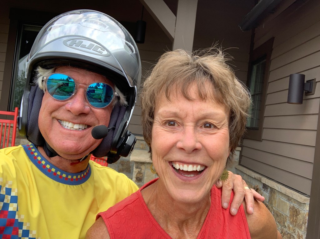
Tonight, for the first time in 18 days, I’ll be sleeping in my own bed, in Carbondale. With Sarah.
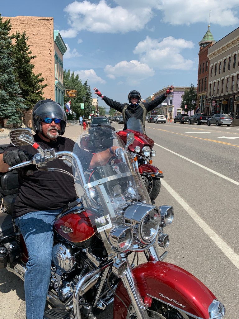
All that is good reason to fire up the bikes and head south out of Steamboat Springs.
We’re following the Yampa River on Colorado Highway 131. We pass through the towns of Phippsburg, Oak Creek and Yampa, each with populations comfortably in the very low triple digits.
Just a few miles east of Oak Creek is Stagecoach State Park. In the winter, the park offers ice fishing, showshoeing, cross-country skiing and fat biking along seven miles of groomed trails. Fat biking does not refer to the conditioning of the rider; a fat bike has oversized tires, typically four inches or more in diameter – designed for low ground pressure to allow riding on soft, unstable terrain – like snow.
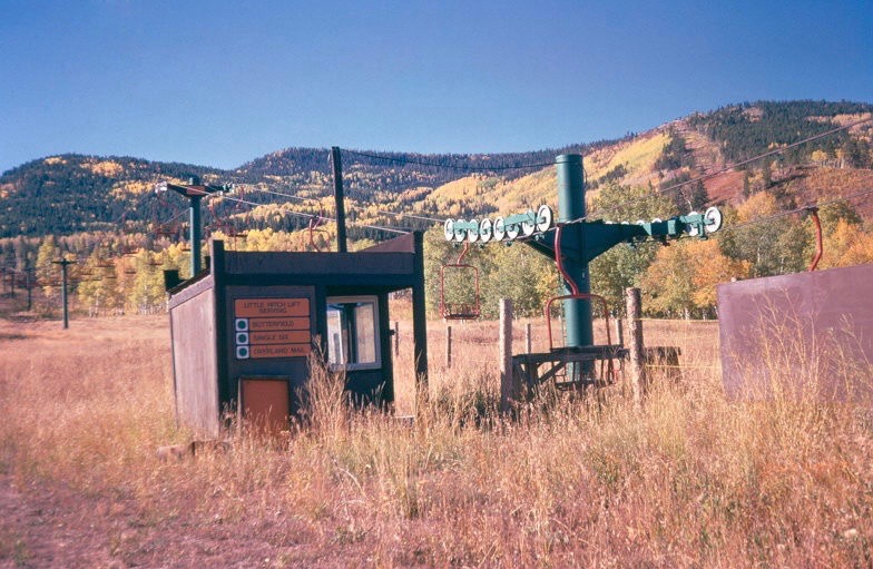
Stagecoach State Park is about 20 miles south of Steamboat Springs, and is the site of a one-time ski area named Stagecoach. The ski area operated in the early 1970s, and closed after two seasons. It was originally intended to be one of the largest ski areas in Colorado. There have been numerous attempts over the past few decades to re-open a ski area where Stagecoach once was. So far, none have succeeded.
Stagecoach Ski area was a mile south of where Stagecoach reservoir is today; the reservoir, not built until the late 1980s, didn’t exist when the ski area was in operation. The name Stagecoach comes from the mode of transportation once used to travel over Yellow Jacket Pass, now (Routt) County Road 14, on the way to Oak Creek or Steamboat Springs.
***
Forty miles after leaving Steamboat Springs, we arrive in Toponas, whose population is safely in double digits. Here, we turn onto Colorado Highway 134, which will take us over Gore Pass.
Gore Pass is named after Al Gore, winner of the 2000 presidential election. Though he never took office in the White House, the Pass seems like a reasonable consolation prize.

It’s a great road for the next 27 miles, winding its way over Gore Pass, which is at 9,527 feet. Unlike Rabbit Ears Pass, a well-traveled highway we rode yesterday into Steamboat Springs, Gore Pass has an almost total lack of people and cars. Because of that, bicyclists consider it a hidden gem.
As we ride over Gore Pass, and through Arapaho National Forest, we don’t see mountain peaks. Instead, we’re surrounded by aspen and pine trees.
We arrive at the summit and see traces of a sign that identifies an alternate naming of Gore Pass. This “other” naming says Gore Pass is named after Sir St. George Gore, an Irish baronet from Sligo, whose sole purpose was to break records and fill his trophy room.
In 1975, there was a sign on the highway that read: “Here in 1855 crossed Sir St. George Gore, an Irish baronet bent on the slaughter of game and guided by Jim Bridger. For three years he scoured Colorado, Montana, and Wyoming, accompanied usually by fort men, many carts, wagons, hounds, and unexampled camp luxuries. More than 2,000 buffalo, 1,600 deer and elk, and 100 bears were massacred for sport.”
Which do you prefer? Al Gore, inventor of the Internet and savior of the planet, or Sir St. George Gore, destroyer of animal life?
***
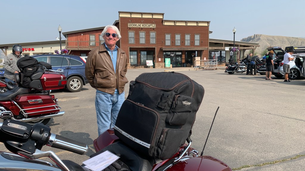
Highway 134, named after a Gore, ends as it intersects with US Highway 40, just five miles north of Kremmling, which calls itself “the best little town you’ve never heard of.” We’ve heard of it, because we rolled through it yesterday on our way to Rabbit Ears Pass. And I read about it on my blog last night.
Kremmling, home to about 1,500 hearty souls, sits at the confluence of the Colorado River and adjoining Blue River and Muddy Creek. Elevation here is 7,313 feet.
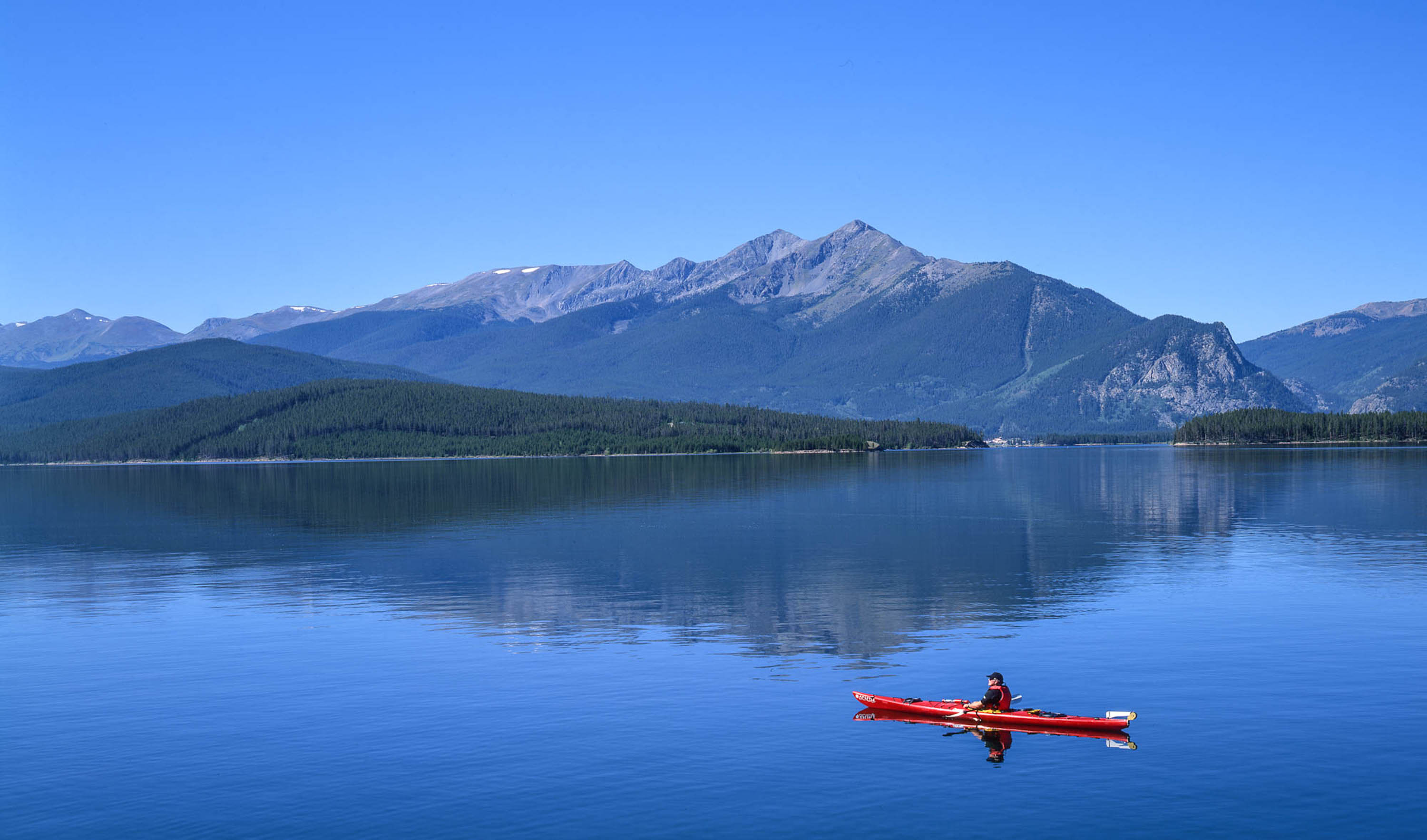
In Kremmling, we turn south on Colorado Highway 9, which follows the Blue River until it empties into the Green Mountain Reservoir. The Green Mountain Dam, at an elevation of 7,950 feet, was built between 1938 and 1942 by the US Bureau of Reclamation.
The dam and reservoir store water to benefit Colorado’s Western Slope, which is pretty much everything in the state west of the Continental Divide. The reservoir’s lake is popular with fishermen, who catch rainbow trout, lake trout, brown trout, and kokanee.
Thirty-seven miles after leaving Kremmling, we arrive in Silverthorne, which sits at 9,035 feet. Silverthorne was named for Judge Marshall Silverthorne, who served as the judge of the miner’s court in nearby Breckenridge.
Silverthorne was a makeshift camp for workers during the construction of the Dillon Reservoir from 1961 to 1963. In Silverthorne, we’re only a few miles from the Dillon Reservoir, which provides 40 percent of Denver’s fresh water supply.
Silverthorne is a relatively reasonably priced place to stay while skiing nearby winter resorts, including Arapahoe Basin, Keystone, Copper Mountain and Breckenridge. Silverthorne even has a park-and-ride system that will deliver you to those high-priced Summit County ski areas.
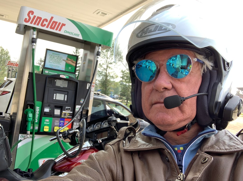
It’s a good place to gas up, grab a soda, and get ready for the ride south toward Leadville, the highest incorporated city in the US.
***
We jump on Interstate 70 for 10 miles, and exit at the Copper Mountain ski area, which sits at the junction of I-70 and Colorado Highway 91.
Copper Mountain, with 26 lifts and more than 2,500 skiable acres, is known for its naturally divided terrain, allowing skiers and riders to enjoy the mountain at their own pace. Copper is home to the US Ski Team’s downhill training each season.
Copper Mountain is owned by Powdr Resorts, one of the smaller resort conglomerates. Powdr’s other holdings include Oregon’s Mount Bachelor, Killington in Vermont, Lee Canyon outside of Las Vegas, Snowbird in Utah, and Eldora, about 20 miles west of Boulder in Colorado. Oh, you probably knew this – Powdr is not a typo. It’s a clever marketing name.
Highway 91 takes us south toward Fremont Pass. At 11,318 feet, the pass forms the Continental Divide on the border between Lake County and Summit County. It’s named for John C. Frémont, an explorer who discovered the pass while traversing present-day Colorado during the 1840s.
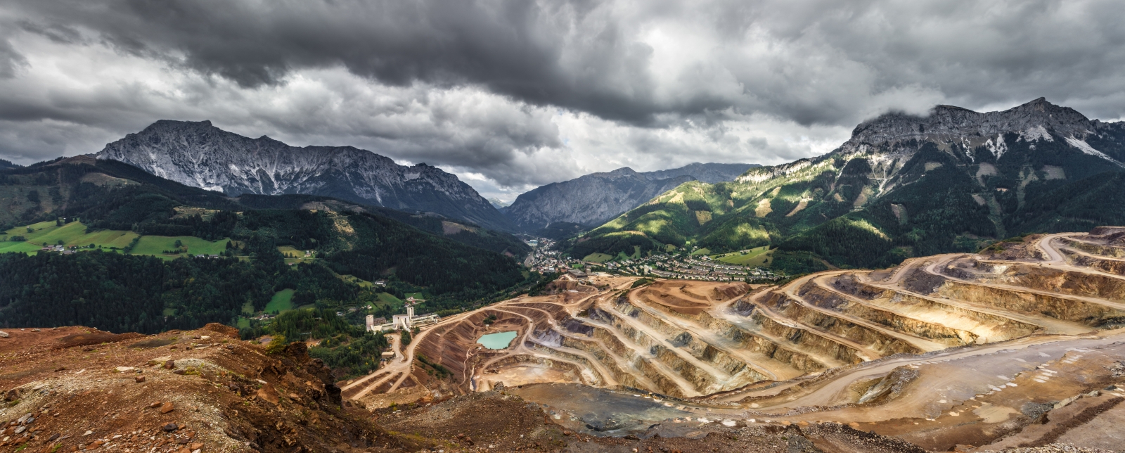
The pass summit is the site of Climax Mine, a molybdenum mine. At its highest output, the Climax mine was the largest molybdenum mine in the world, and for many years it supplied three-fourths of the world’s supply of molybdenum.
Molybdenum, atomic number 42, is a silvery-white metal that is ductile and highly resistant to corrosion. It has one of the highest melting points of all pure elements — only the elements tantalum and tungsten have higher melting points. And that concludes today’s science lecture.
***
From Fremont Pass, it’s about 11 miles to the historic town of Leadville, which sits at 10,152 feet. It’s a former silver mining town, whose population was nearly 30,000 at the height of the mining boom. Today, the population is closer to 2,700.
Leadville is credited with producing 240 million troy ounces of silver and nearly three million troy ounces of gold. For the curious among you: a troy ounce is a unit of measure used to denote the value of a precious metal; it’s about 10 percent heavier than the “avoirdupois” ounce, which you use for everyday purposes. So, an ounce of gold weighs 2.759537 grams more than an ounce of sugar.
Maybe today’s science lecture wasn’t quite over.
Just before rolling into Leadville, we turn north on US Highway 24, which turns and twists for the next 29 miles, taking us over Tennessee Pass and on to Minturn.
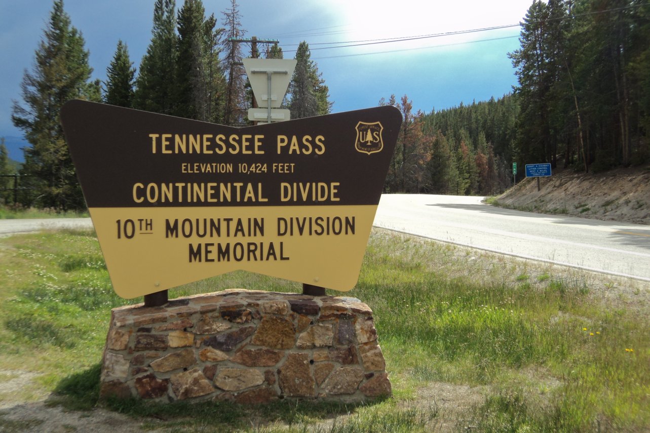
Tennessee Pass, elevation 10,424 feet, sits on the continental divide. It’s named after Tennessee, native state of a group of early mining prospectors in the area near Leadville. Tennessee is also the one-time home of Al Gore, after whom Gore Pass is named. Remember that, from earlier today?
Tennessee Pass serves as the dividing line between the San Isabel National Forest, and the White River National Forest. It’s also the location for Ski Cooper, one of the oldest ski areas in Colorado. Ski Cooper, not to be confused with Copper Mountain, has views of some of Colorado’s highest peaks in the Sawatch Range, including Mount Massive (14,429 feet) and Mount Elbert (14,439 feet), the state’s two highest fourteeners.
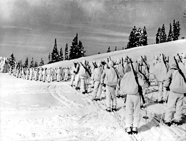
Ski Cooper’s origin goes back to World War II. In 1942, the US Army selected a site near the isolated railroad stop of Pando, Colorado, to train the ski troopers of the famed 10th Mountain Division. It was the only US military unit since the Civil War to be recruited by a civilian entity, the National Ski Patrol.
The training site, which became Camp Hale, was chosen for its rail access, rugged mountainous terrain, and 250 inches of average annual snowfall. All that assured a six-month-long ski training season at nearby 11,700-foot Cooper Hill.
After two years of rigorous training, the 10th Mountain Division was ordered to Italy in 1945 and played a vital role in the liberation of northern Italy. Sadly, 992 ski troopers were killed in action and 4,000 wounded, the highest casualty rate of any U.S. division in the Mediterranean.
Following the end of the war, some veterans founded Ski Cooper as a public ski area. To this day, it continues to host a Memorial Day celebration for the World War II veterans of this division. Ski Cooper is a laid-back ski area, with two chairlifts and a family atmosphere. Season passes for the 2021-2022 season went on sale July 1. Listen up, old farts: season passes for those 75 and older are free!
I’ve looked everywhere, unsuccessfully so far, for origins of the Ski Cooper name. Best I can conjure is that it was named after actor Gary Cooper, who was at the top of his game when Ski Cooper was being founded. He won the Best Actor Academy Award for his role in the 1942 film, Sergeant York. That was the same year US Army training for the 10th Mountain Division began at what is now Ski Cooper.
***
From Tennessee Pass / Ski Cooper, we continue north on the 10th Mountain Division Memorial Highway, also known as US Highway 24. It’s about 20 miles on this winding road to the charming mountain town of Minturn, population 1,000. It’s named for Robert Minturn, who was vice president of the Denver and Rio Grande Western Railroad that founded the town.
Minturn was originally developed as a railroad town in the late 1800s, attracting railroad workers from around the country who settled in Minturn and helped shape the town’s character.
Despite its small size, Minturn claims to have more year-round residents than its upscale resort neighbors, Vail and Beaver Creek, which are both just off of I-70.
The whole point of stopping in Minturn is lunch at Kirby Cosmo’s BBQ. Their style of BBQ comes from Asheville, North Carolina, and Greenville, South Carolina. Carolina barbecue is usually pork, served pulled, shredded, or chopped, but sometimes sliced. It may also be rubbed with a spice mixture before smoking and mopped with a spice and vinegar liquid during smoking. Carolina is probably the oldest form of American barbecue.
After 170 miles on the road since leaving Steamboat Springs this morning, it all sounds quite tasty.
***
We depart Minturn, savoring the taste of the final lunch of our trip. Soon, we join Interstate 70, and head for home.
We’re on I-70 for the next 55 miles. Yes, it’s an interstate. No, it’s not boring. Interstate highways in Colorado break the mold. They are often spectacular, if for no other reason than Colorado is pretty damn spectacular.
We follow the Eagle River, a tributary of the Colorado River. We’ll be tracing the river’s path until Dotsero, where the Eagle dumps into the Colorado.
Soon, we roll past Beaver Creek, a ski area owned and operated by Vail Resorts. Beaver Creek is a regular host of World Cup ski events, usually in early December. The area has 25 lifts, 1,815 skiable acres, and more than 3,300 feet of vertical rise.
We slowly descend out of the mountains, passing the towns of Wolcott and Eagle, until we pass by Gypsum, home to two indispensable businesses: an American Gypsum drywall plant and mine, and the Costco where Sarah and I shop. The town is named for its nearby gypsum deposits. American Gypsum also has wallboard plants in New Mexico, Oklahoma and South Carolina.

The Costco in Gypsum, unlike any I’ve ever been in, is never crowded. Never.
When we lived in La Quinta and shopped regularly at a Costco, five miles from home, it was always crowded. Always. Aisles packed full, long lines at the cash register. Cars circling the parking lot for a rare empty space, like buzzards over buzzkill.
The Coachella Valley, with a winter population estimated at 800,000, has two Costco locations.
What amazes me, is that the smart people who run Costco decided to open a store in little ol’ Gypsum, population 7,300 – seemingly in the middle of Rocky Mountain nowhere.
Generally, when Costco property strategists look for a location for a new warehouse, they want a population center of 200,000 within five miles of the store. If you have a map and do the math, Gypsum’s Costco is a far cry from that standard.
Other than Gypsum, the only town within five miles of the Costco is Eagle (population 7,000). From there, the population centers are quite a ways off in the distance, and probably add up to considerably less than half of the 200,000 threshold.
Vail (population 5,500) is 35 miles away. Glenwood Springs (population 10,000) is 29 miles away. Carbondale (population 7,000) is 43 miles away. And yet …
The huge warehouse chain, with nearly 800 locations worldwide, selected the Gypsum site to open in 2006 because of what it called the “high demographic growth” in the Eagle Valley.
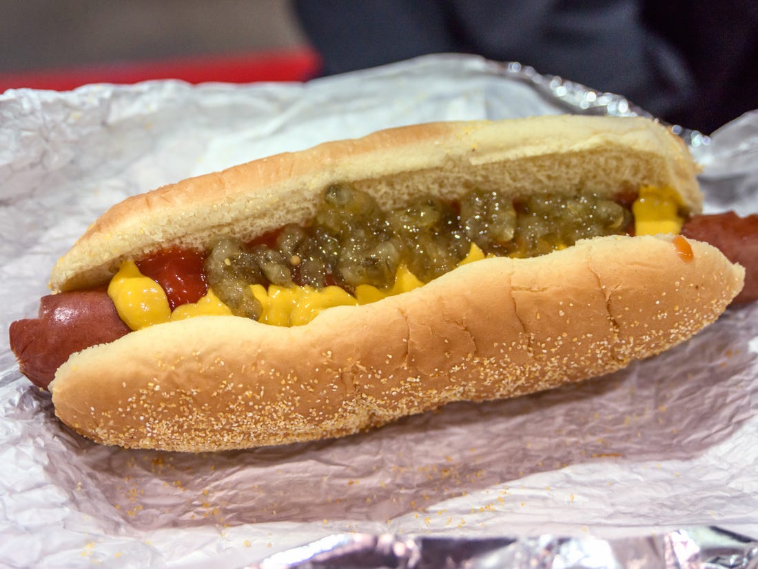
With annual revenues of more than $150 billion, Costco obviously knows what it’s doing. I’m just grateful it’s only a 43-mile drive for my $1.50 hot dog and soda.
***
It’s about a 50-minute ride from the Gypsum Costco to our home in Carbondale – half of it on the Interstate, half on surface roads.
We continue west on I-70, through spectacular Glenwood Canyon to Glenwood Springs. Glenwood Canyon is about 12 miles long, with walls climbing as high as 1,300 feet from the Colorado River.
Glenwood Canyon is often considered one of the most scenic natural features on the US Interstate Highway System. Building the highway through Glenwood Canyon was no easy feat; to build a four-lane roadway, the Colorado Department of Transportation essentially had to construct two roadways, one nearly on top of the other. Work on the roadway began in 1980, and when completed in 1992, it was the last piece of the interstate highway system to fit into place.
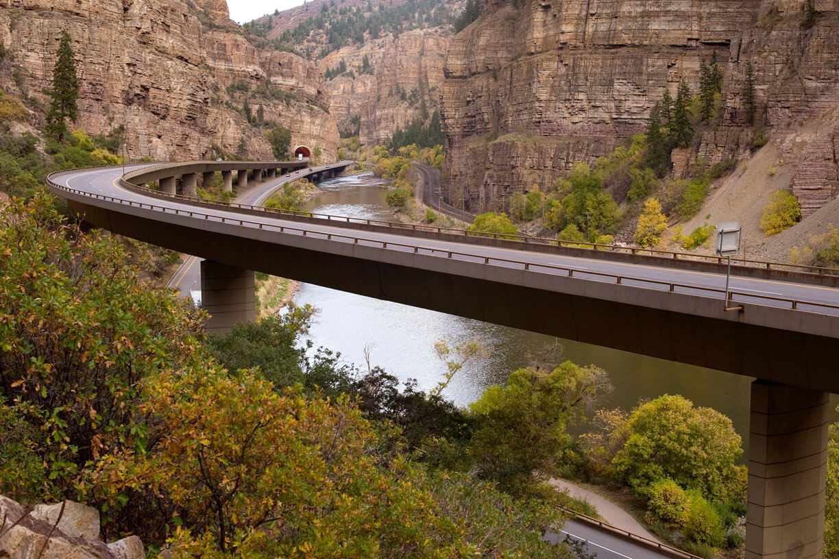
The roadway, built at a cost of $490 million, includes 40 bridges and viaducts, two 4,000-foot tunnels, and four full-service rest areas that provide access to trails and the Colorado River.
The final link of I-70 through Glenwood Canyon has been hailed as an engineering marvel because of the care taken to incorporate the interstate improvements into the fragile canyon environment, while leaving as much of the flora and fauna intact as possible.
Glenwood Canyon ends in Glenwood Springs, where we exit I-70 for the remaining 15-mile ride to Carbondale.
Before you know it, we arrive in Carbondale, and another journey comes to an end.
***
Oh wait. The description of the last part of our ride can’t possibly be accurate. We had planned to take the route above, through Glenwood Canyon. It’s so beautiful.
But since late July, the interstate highway through the canyon has been closed due to mudslides. So we called an audible and took an alternate route, over Independence Pass, through Aspen and on to home. A great ride, just not what we planned.
***
Four thousand miles in 18 days. Several of the top motorcycle roads in the country. A bunch of national parks and monuments. Six states. Lots of unhealthy but very tasty food. And of course, Sturgis.
All told, it took about 51,000 words of blogging to describe the trip. That’s enough for a 170-page book, 12-point font, double-spaced with normal margins. Sadly, this year’s effort falls just short of what would be considered an average-length novel.
Still, if by some chance you learned anything over the past few weeks during your consumption of this blog, anything at all, you’re welcome!
Until next year …
Vroom.
***
Day Eighteen Summary: 244 miles. Gore Pass, Tennessee Pass, Glenwood Canyon.
Click here to see today’s complete route from Steamboat Springs, Colorado, to Carbondale, Colorado.
Today’s fun facts, favorite foods, funky place names and famous folks:
Colorado fun fact: The Grand Mesa, east of Grand Junction, is known as the largest flattop mountain in the world. Spanning around 500 square miles and standing more than 10,000 feet above sea level, the Grand Mesa is home to various wildlife, distinct geologic features, Grand Mesa National Forest, and spectacular views.
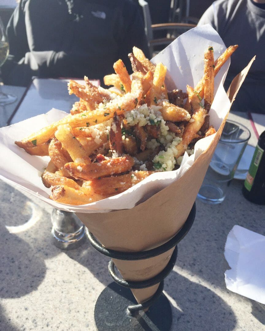
Colorado favorite food: The Food Network’s list of essential Colorado foods includes the Truffle Fries at Aspen’s Ajax Tavern. Yes, $17 for fries is a bit of a splurge, but as a spud connoisseur, I can attest to their scrumptiousness. In the four years we’ve lived in Colorado, every guest at our Cozy Carbondale Cottage has been treated to Truffle Fries in Aspen. They’re hand cut from Idaho potatoes (not frozen), drizzled with truffle oil and tossed with Parmesan and parsley. C’mon … you have the rest of your life to diet!
Colorado funky place name: Nederland, west of Boulder, got its name when a mine in the area was sold to Mining Company Nederland, from the Netherlands, in 1873. Nederland means “low land” in Dutch. The town of Nederland is located significantly lower than the Caribou Mine that was purchased by the Dutch mining company. Still, low-lying Nederland sits at an elevation of 8,228 feet.
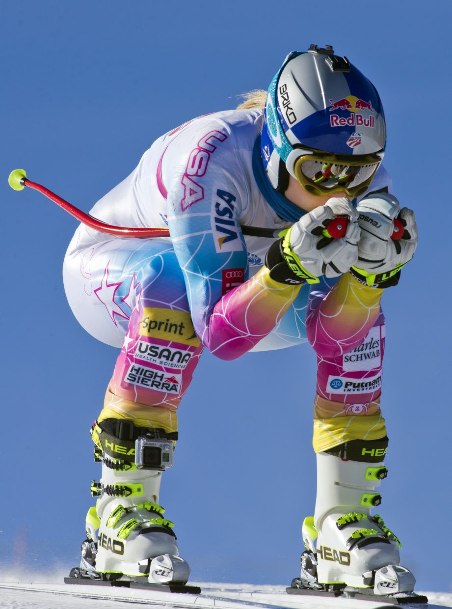
Colorado famous folk: Mikaela Shiffrin, the most decorated female ski racer in US history, was born in Vail, and still lives there when not on the World Cup circuit. She won the first of two Olympic gold medals at the age of 18, making her the youngest slalom champion in Olympic alpine skiing history. The 26-year-old Shiffrin, who lives in Vail when she’s not traveling the world, is expected to shatter all World Cup and Olympic records by the time she hangs up her gear for the last time. Shiffrin may be the greatest ski racer of all time, male or female. She’s that good.

A look ahead @ tomorrow: Kickin’ back, nothing to do.

Gary, I’ve enjoyed my virtual trip. Learned a lot, picked up a few recipes! Thank you for all the effort you put into this blog. Only have to add, for me the two Gores would be a toss up. LOL
Blessings to you and Sarah!
LikeLike
Thanks Gary. That was the most I have ever learned in 18 days. Hi to Sarah.
>
LikeLike
Why thanks, Dick! But isn’t that a pretty low bar you’re setting? Vroom …
LikeLike
I know this comment is late, but I just wanted you to know how much I enjoyed your trip this year, not only the beautiful scenery but my history class along the way, you are so full of tidbits, keep thinking Terry, Zoe and myself should rent a motorhome and take to the road. Thanks for including me on your journey. Our best to Sarah.
LikeLike
Thanks, Pati. Great to hear from you. Yes, you, Terry and Zoe SHOULD rent a motor home and hit the road. It’s never a bad time to see America!
Vroom.
LikeLike