Cheyenne is less than 10 miles from the Colorado state border. I can almost sniff being home.
So, we leave cowboy town, point south on Interstate 25, and begin our final two days on the road. Well, my final two days. Dave and Scott won’t be home quite so quickly.
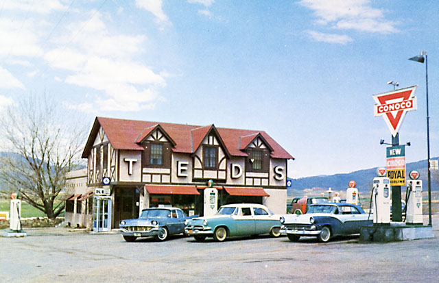
After 27 miles, we exit the Interstate and head west, eventually arriving at Ted’s Place. Who’s Ted?
In 1922, 29-year-old Ted Herring opened a gas station and store at the intersection of US Highway 287 and Colorado Highway 14. Ted cut the ribbon on the station just in time for fishing season – on May 22, 1922, and it didn’t take long for the name, Ted’s Place, to stick.
Ted turned out to be more than just a gas jockey. In 1938, he was elected to the Colorado state legislature, where he served six terms in the House, followed by one term in the Senate.
Ted’s Place is located near the mouth of the Poudre Canyon, about five miles northwest of Fort Collins.
Ted died in 1963, and today, after a succession of different owners, his property is just another gas station owned by Shell. Whatever it’s called, it’ll always be Ted’s Place.
***
At Ted’s Place, we continue south, past Bellvue, and along the eastern shore of Horsetooth Reservoir. The reservoir, just west of Fort Collins, takes its name from nearby Horsetooth Mountain.
In 1933, the Poudre Valley had been enduring years of drought and dust storms. Local farmers began realizing the need for more water to satisfy the thirst of the crop-bearing farms around Fort Collins.
Knowing the water from the Poudre River was inconsistent, sometimes providing too much and at other times not enough, Horsetooth Reservoir was developed to solve the problem. The reservoir acquired its name from the unique rock formation that sits above the large body of water.
A few miles past the southern end of Horsetooth Reservoir, we arrive in Masonville, little more than a post office, a Presbyterian Church, and Masonville Mercantile. Buckhorn Road brings us closer to civilization, delivering us to US Highway 34.
In about 20 minutes, we arrive in Estes Park, the eastern gateway to Rocky Mountain National Park. The town is named after Missouri native Joel Estes, who founded the community in 1859, then moved his family there four years later.
Estes Park sits along the Big Thompson River, and adjoins Lake Estes. The river s named for English fur trapper David Thompson, employed in 1810 by the Northwest Fur Company to explore the Rockies.
The most famous landmark in Estes Park is the historic Stanley Hotel, which served as the inspiration for the Overlook Hotel in Stephen King’s 1977 bestselling novel, The Shining. The hotel was built by Freelan Oscar Stanley of Stanley Steamer fame. It opened on July 4, 1909, as a resort for upper class easterners and a health retreat for sufferers of pulmonary tuberculosis. The 142-room hotel is on the National Register of Historic Places.
We’ve been on the road a little more than two hours as we roll into Estes Park. It’s a good place to relax before we push on to Rocky Mountain National Park, home to the highest paved mountain pass in North America.
***
With about 4.5 million visitors each year, Rocky Mountain National Park is one of the most visited national parks, right up there with Grand Canyon, Yosemite and Yellowstone. Great Smoky Mountain National Park in Tennessee and North Carolina is by far the most visited park, with more than nine million people enjoying its beauty every year. It was the first national park I visited on a Harley.
Rocky Mountain National Park, established in 1915, is one of four national parks that are in the Rocky Mountain Range. The other three we visited earlier on this trip: Yellowstone, Grand Teton, and Glacier.
US Highway 34 takes us into the park’s eastern entrance, and soon becomes Trail Ridge Road. Trail Ridge Road runs 48 miles from Estes Park to Grand Lake, at the western entrance to the park. It took the Civilian Conservation Corps from 1929 to 1932 to build the road, because heavy snows kept them from working more than three months a year.
As you might guess, it’s closed during the winter. Trail Ridge Road usually opens in late May, and closes around Columbus Day in October, when the National Park Service gives up fighting the snow and turns the road back to Mother Nature for the winter.
The highest point on Trail Ridge Road is 12,183 feet above sea level. We arrive there about a half-hour after leaving Estes Park. Up here, it’s about 30 degrees cooler than when we entered the park.
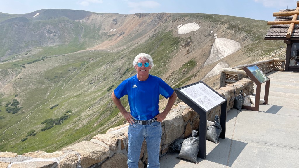
From the park’s highest point on Trail Ridge Road, we descend about 400 feet to the Alpine Visitor Center, which is at 11,796 feet. It’s the highest visitor center in the National Park system.
It’s also a good place to rest, grab something to drink and enjoy the sights from the rear deck, before continuing with the 15-mile ride to the park’s west entrance, the Kawuneeche Visitor Center. Along the way, we roll past 10,759-foot Milner Pass.
The pass sits on the Continental Divide, with the Never Summer Mountains to the west, and Poudre Lake to the east. The lake, which is the source of the Cache La Poudre river, freezes completely in the winter. As a result, it’s a dead lake, because no fish can survive. Bummer.
***
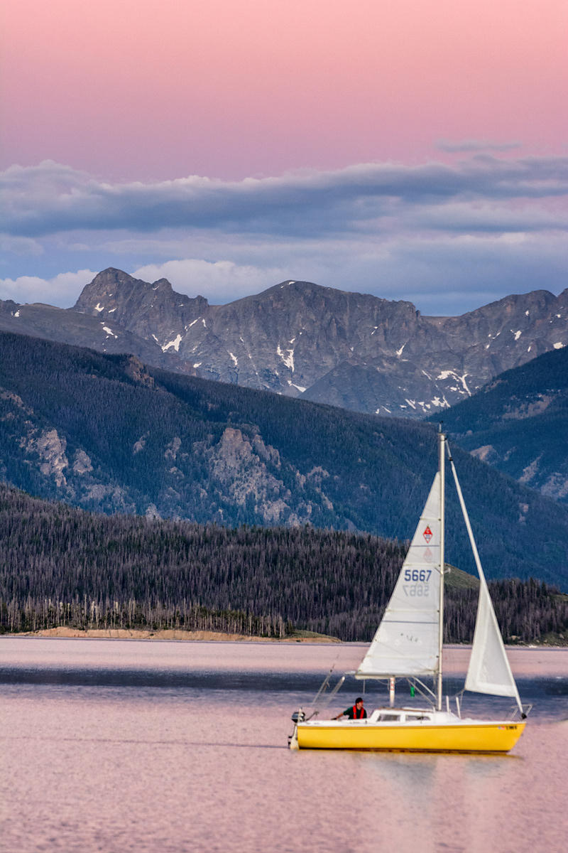
Sixteen miles later, after a steep descent, we exit the park, and arrive at Grand Lake, the largest natural body of water in Colorado. Grand Lake sits at 8,369 feet – more than 3,800 feet below the high point on Trail Ridge Road.
Grand Lake is Colorado’s deepest natural lake, and is part of the headwaters of the Colorado River. The lake has what’s believed to be the world’s highest-altitude yacht club.
Highway 34 follows the western shoreline of Grand Lake, then takes us along the western edge of Lake Granby, and to the town of Granby, population around 2,100. The town was founded in 1904 along the route of the Denver, Northwestern & Pacific Railway, and incorporated one year later. It was named after Granby Hillyer, a Denver lawyer who later served as the US Attorney for the area that today includes Granby.
In Granby, we turn west on US Highway 40, and follow the Colorado River for 28 miles, until arriving in the town of Kremmling, population 1,500.
Like so many towns in the area, Kremmling was founded during the Colorado silver boom days. The original post office here was called Kinsey City, named after brothers Aaron and John Kinsey, who had a local ranch. The Kinsey City postmaster was Rudolph Kremmling, who ran the town’s general store. In 1895, the town was officially re-named Kremmling.
***
US Highway 40 turns sharply north in Kremmling. The road climbs gradually until 30 miles later, we reach Rabbit Ears Pass, at 9,426 feet. The pass supposedly has the shape of rabbit ears, though they’re hard to see when you’re vrooming by at 60 miles an hour. What we do see, is a sign that reminds us Rabbit Ears Pass is on the Continental Divide. On the east side, water flows toward the Atlantic watershed; on the west side, it flows toward the Pacific watershed.
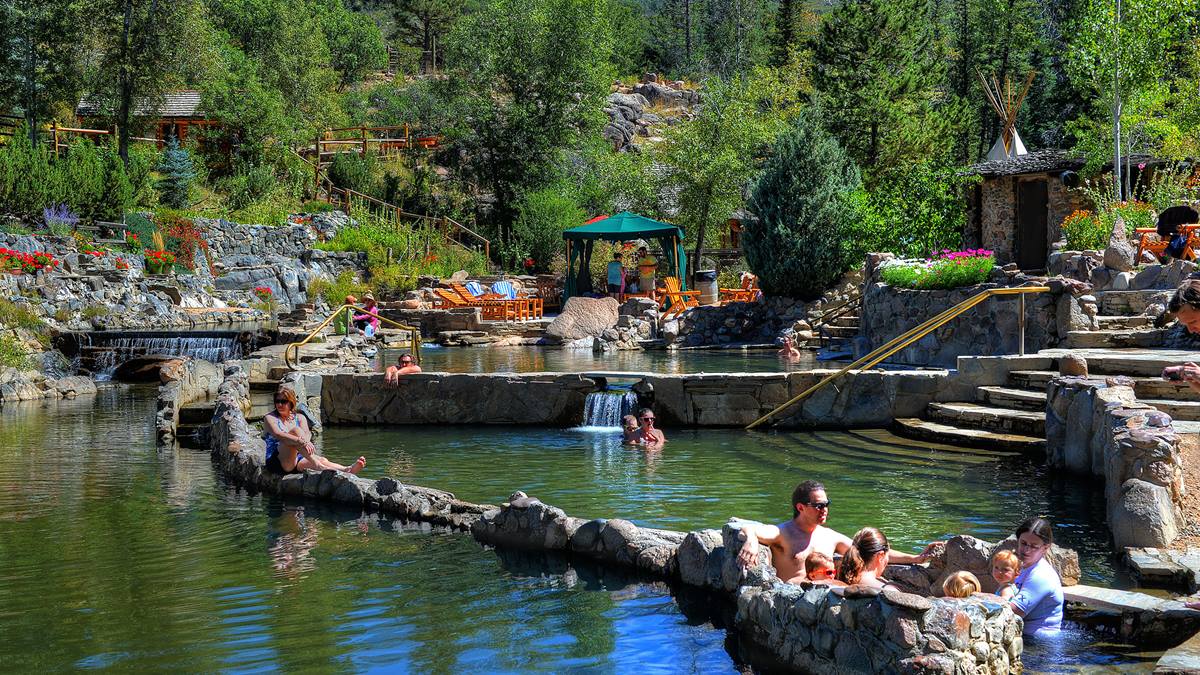
From Rabbit Ears Pass, it’s about 20 miles on Highway 40 to tonight’s destination, – nicknamed “The Boat.” Steamboat Springs, population 12,000, has its own hot springs, which gave the town its name.
Upon first hearing a chugging sound, early trappers believed that a steamboat was coming down the river. When the trappers saw that there was no steamboat, and that the sound was coming from a hot spring, they decided to name the spring Steamboat Springs. Long before that, the Yampa Valley was the summer hunting grounds of the Ute Indians for hundreds of years. The Utes called them “medicine springs.”
The natural mineral springs, by whatever name, are located throughout the town.
Like so many Colorado mountain towns – Aspen, Vail, Telluride, Crested Butte, Breckenridge, and Winter Park among them – Steamboat Springs has an economy built on tourism. In the 1960s, skiing put Steamboat Springs on the map, and with good reason. The Steamboat Ski Resort, located on Mount Werner, has nearly 3,000 skiable acres, a vertical rise of more than 3,600 feet, and 26 lifts.
Steamboat Springs has great skiing, and typically awesome Colorado snow. But is it appreciably better than you’d find elsewhere in the Rockies?
A Steamboat Springs marketing campaign in the 1960s made famous the term “champagne powder.” Other Colorado ski areas began using those words, and nearly 50 years later, Steamboat filed a federal trademark application with the US Patent and Trademark Office to claim the name, “champagne powder,” as their own. As a result, other Colorado resorts may have similar snow, but Steamboat is the only one that can claim to have champagne powder. Whatever that is.
Like other major Colorado ski towns, Steamboat eventually diversified and added a strong summer tourist business. In the summer, you can do everything here from mountain biking to horseback riding, golfing, fishing, and rafting on the Yampa River. There’s even an annual Hot Air Balloon Festival, held every July. Other than your imagination, there’s no limit to what a person can do here on an August afternoon.
Lacking imagination, we pull into our hotel, relax, eat dinner, and think about tomorrow – the final day of our 2021 ride.
***
Day Seventeen Summary: 220 miles. Who’s Ted? Rocky Mountain National Park, Rabbit Ears Pass.
Click here to see today’s complete route from Cheyenne, Wyoming, to Steamboat Springs, Colorado.
Today’s fun facts, favorite foods, funky place names and famous folks:
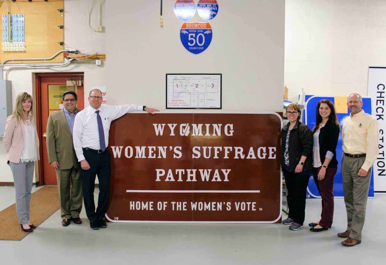
Wyoming fun fact: In 1869, the Wyoming territory became first in the nation to grant women over the age of 21 the right to vote. Legislators passed the bill for several reasons, including a genuine conviction that women should have the same rights as men, and a desire to attract new settlers to the territory by making it appear more modern.
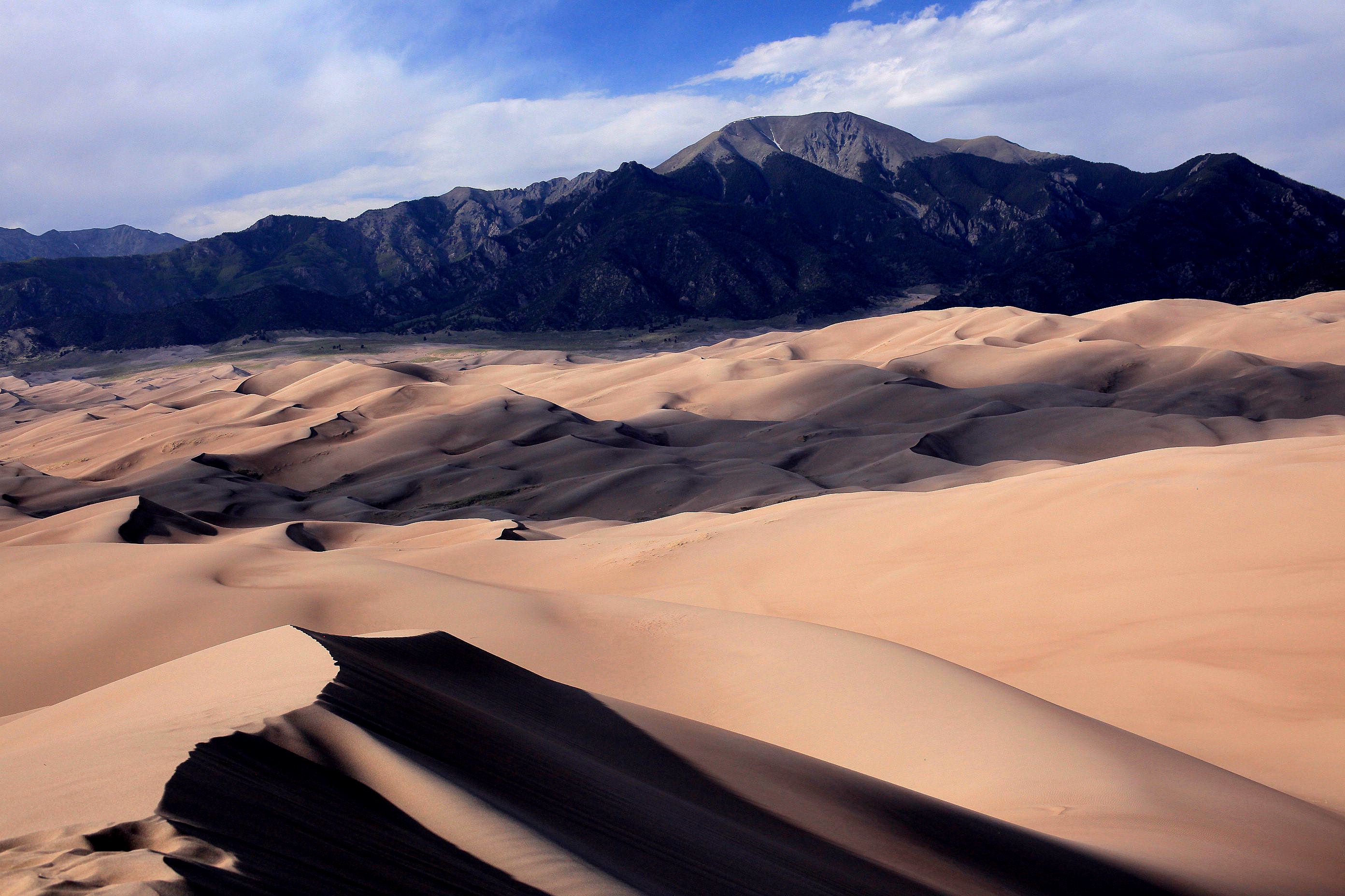
Colorado fun fact: The Great Sand Dunes National Park and Preserve is home to the tallest dunes in North America. Within the park, you can hike the Star Dune, which rises approximately 750 feet above the floor of the San Luis Valley in southern Colorado. The dunes at the National Park cover an area of about 30 square miles, and are estimated to contain more than 6.5 billion cubic yards of sand.
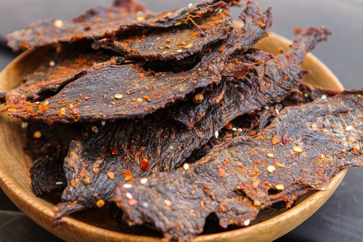
Wyoming favorite food: Wyoming doesn’t have any official state foods, though jerky of any kind is an iconic staple. Especially popular are buffalo, antelope, venison, elk, and even rattlesnake. They’re all low in fat and cholesterol, high in protein.
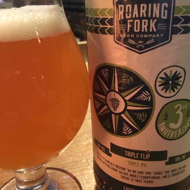
Colorado favorite food: More than 300 craft beers are brewed in Colorado. They’re popular enough that we’ll consider them a food for purposes of this blog. My hometown of Carbondale has its own craft beer scene, including Roaring Fork Beer Company and Carbondale Beer Works.
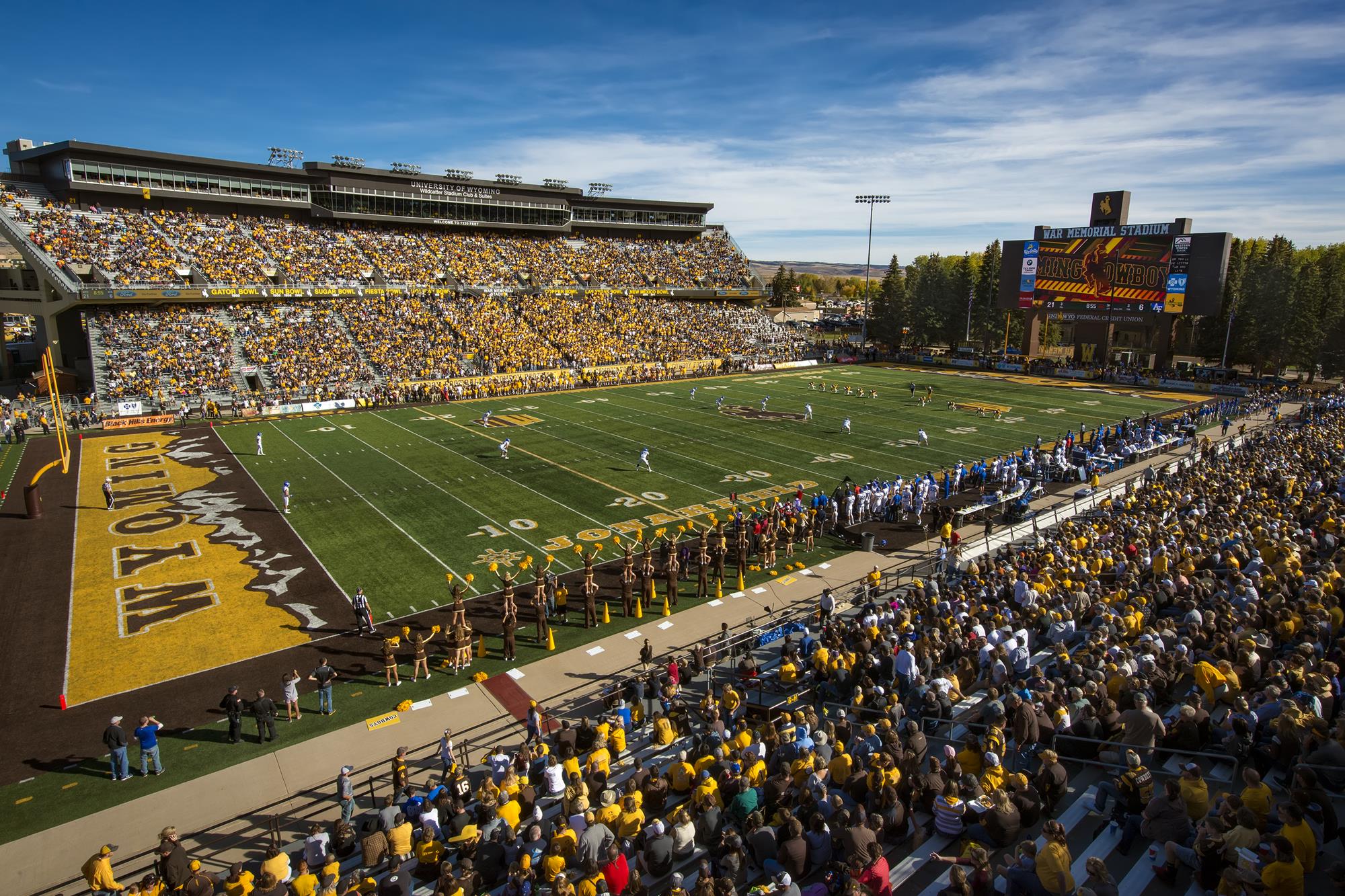
Wyoming funky place name: Laramie, home to the University of Wyoming, is located along the Laramie River in southeastern Wyoming. The city is named for Jacques LaRamie, a French-Canadian trapper who disappeared in the nearby mountains in the 1810s and was never heard from again. More Wyoming landmarks are named for him than for any other trapper, except Jim Bridger.
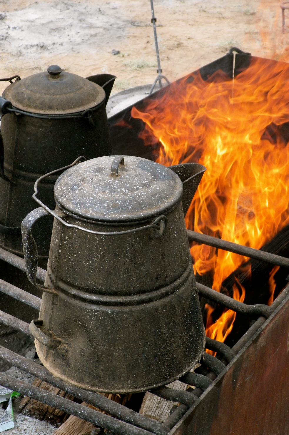
Colorado funky place name: Coffeepot Pass, elevation 12,726 feet, in Pitkin County, was named by a group of prospectors in the 1870s. They found an abandoned coffeepot while traveling over this route. There’s no record that the exploration relic has ever been found.
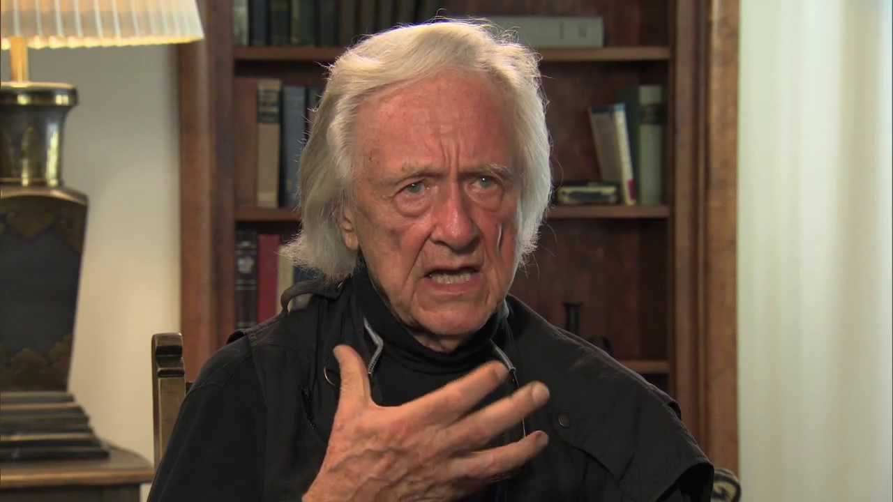
Wyoming famous folk: Gerry Spence is a classic country lawyer, born in Laramie and a graduate of the University of Wyoming College of Law. Spence began his career as a defense attorney, then, saying he “saw the light,” became committed to representing people instead of corporations, insurance companies and banks. The semi-retired 92-year-old has a home in Jackson Hole, and is in the Trial Lawyers Hall of Fame.
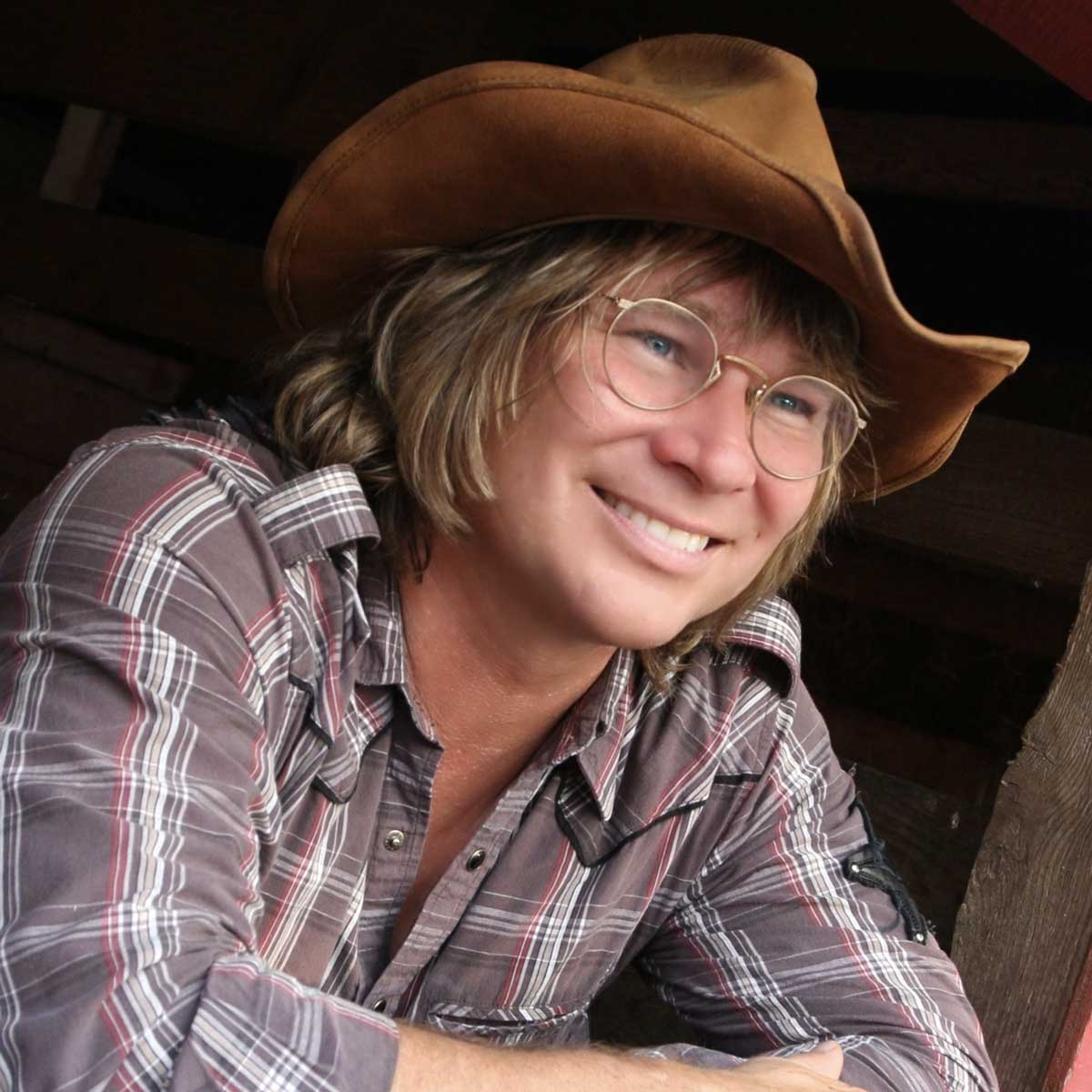
Colorado famous folk: Singer John Denver, born Henry John Deutschendorf Jr., lived in Aspen for much of his adult life after adopting Colorado as his beloved home state. His 1972 song, “Rocky Mountain High,” was inspired by his love for the state. It’s one of Colorado’s official state songs. Denver lived in Aspen for a quarter century until dying in an airplane crash in 1997, when the Rutan Long-EZ experimental aircraft he was flying crashed into Monterey Bay, California. He was 48, flying with a suspended pilot’s license, and a lot of music still to be written and sung.
Vroom.
A look ahead @ tomorrow: Home at last!

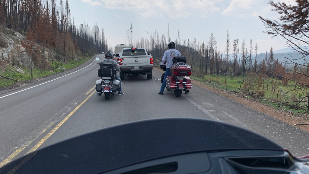
What a company completely ride today! Yes there is smoke from all the wildfires, but up close you can’t see it. Lots of rolling curves at high speeds and lakes and rivers to paint our ride. Gary, you da bomb! Awesome day!
LikeLike
It WAS a great ride, despite the “company” typoes. Great new phrase: “paint our ride.” Let’s do it again tomorrow!
LikeLike
Curves at high speeds. 😳
LikeLike
So high speed meant only 10 MPH. 😎
LikeLike
Super cute pic of Dave in Kremmling! 🥰 Love, love, love John Denver. My 5th grade teacher played JD music for us during arts and crafts. Mostly macrame. Enjoy your ride home to Sarah tomorrow!
LikeLike
This blog is totally for macrame lovers. Gonna be in Carbondale tomorrow. You should check it out, Gail 😘
LikeLiked by 1 person