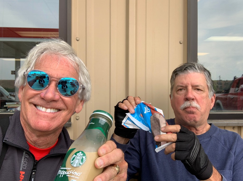
***
It may not seem like it this morning, as we greet the day with our morning coffee – but there’s a wealth of history here in the Beartooth Mountains.
On September 17, 1851, the United States government signed a treaty with the Crow Nation, ceding the area that now contains Red Lodge, to the Crow Indians. An 1880 treaty between the US government and the Crow allowed the area to be settled, starting April 11, 1882.
For the Crow Indians, Red Lodge was a place of worship and hunting. They painted their council tepee with red clay. Folklore tells us this tradition gave Red Lodge its name.
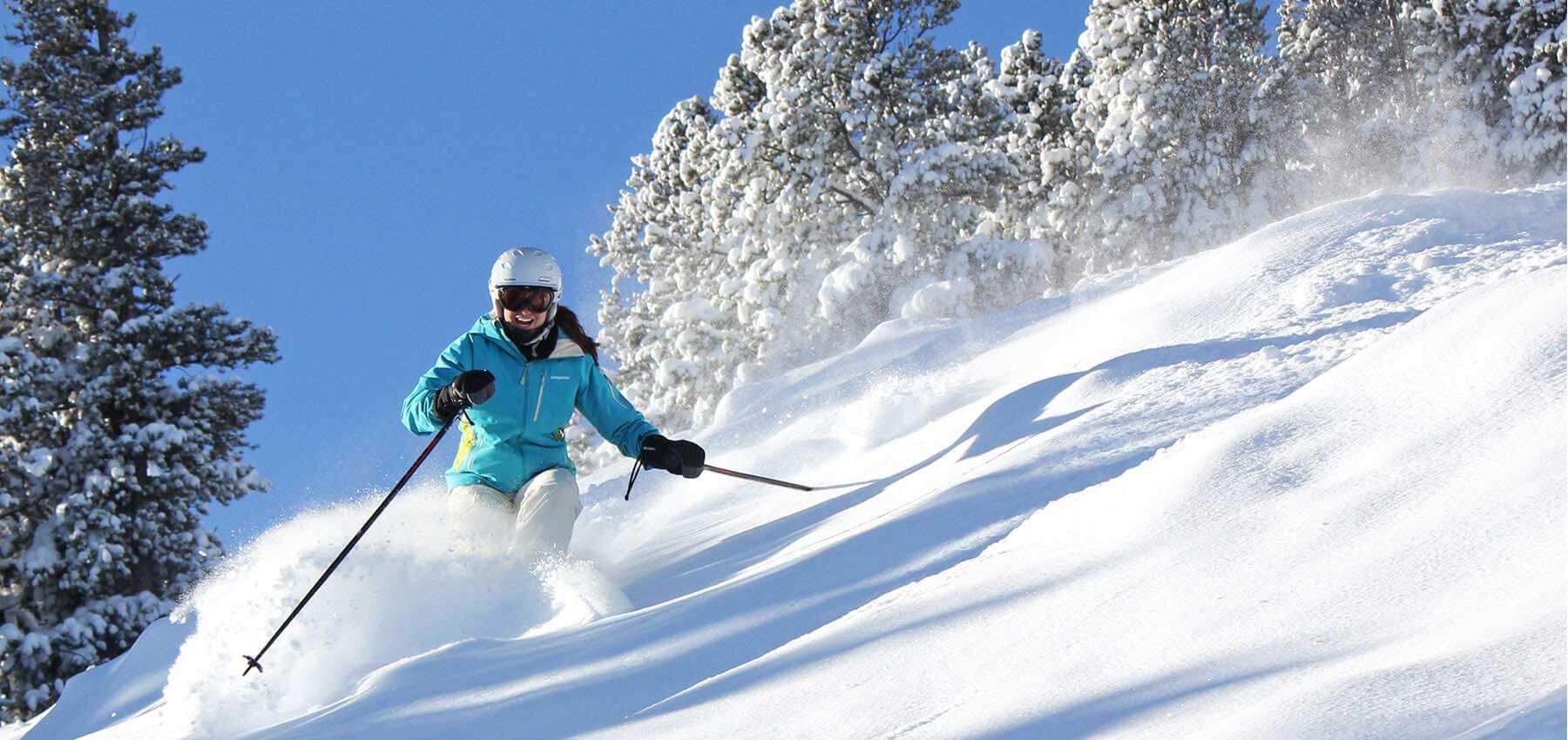
In 2015, Red Lodge was named one of the top 10 ski towns in America (seven of the 10 are in Colorado!). Red Lodge is a great ski town – not because of the Beartooth Basin Summer Racing Camp, which we visited on our way into town yesterday – but because of Red Lodge Mountain, just six miles from town.
Red Lodge Mountain is well known for its friendly, small-town personality and its no-attitude approach to skiing. Said one online reviewer, about the clientele there: “Just normal folks, you probably won’t see the Kardashians there or Kanye and that suits me just fine.”
Really … the Kardashians ski?
Red Lodge Mountain officially opened in 1960 with one chairlift and three runs. It was then called Grizzly Peak. Today, it has six chairlifts and a vertical rise of about 2,000 feet to the summit of Grizzly Peak. You can get a full-day lift ticket for $69. It’s only $29 if you’re a child, between 6 and 12 years old. An all-day pass for Super Seniors (like me!) is $24.
***
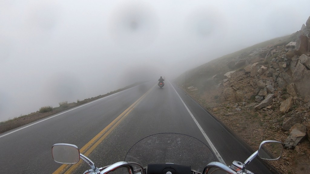
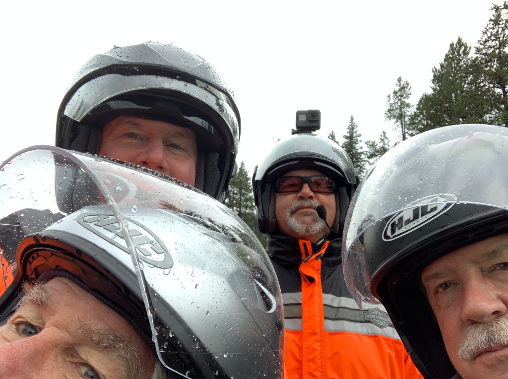
We leave Red Lodge and head southwest, retracing yesterday’s path over Beartooth Pass.
It’s just as spectacular going the opposite direction, east to west. The second time is twice as nice.
Thirty-nine miles from Red Lodge, we turn off of the Beartooth Highway and on to Montana Highway 296, which soon becomes the Chief Joseph Scenic Byway.
The scenic byway runs a total of 46 miles through magical Sunlight Basin, along the Clark’s Fork of Yellowstone River. The road closely follows the path taken by the Nez Perce as they fled the US Cavalry in 1877. Several historical and interpretative signs along the road provide more information about the flight of the Nez Perce.
The Chief Joseph Scenic Byway is named after the Native American chief of the Nez Perce Tribe. Following the Battle of the Big Hole in Montana in 1877, Chief Joseph fled east through Yellowstone. He and 1,000 members of his tribe ran from the US Cavalry, who were trying to force the tribe onto a reservation so that white ranchers could have their lands. The tribe was stopped only 30 miles from its destination, the Canadian border.
In his speech of surrender, Chief Joseph expressed dignity and defeat with his famous words, “Hear me, my chiefs; I am tired; my heart is sick and sad. From where the sun now stands, I will fight no more forever.”
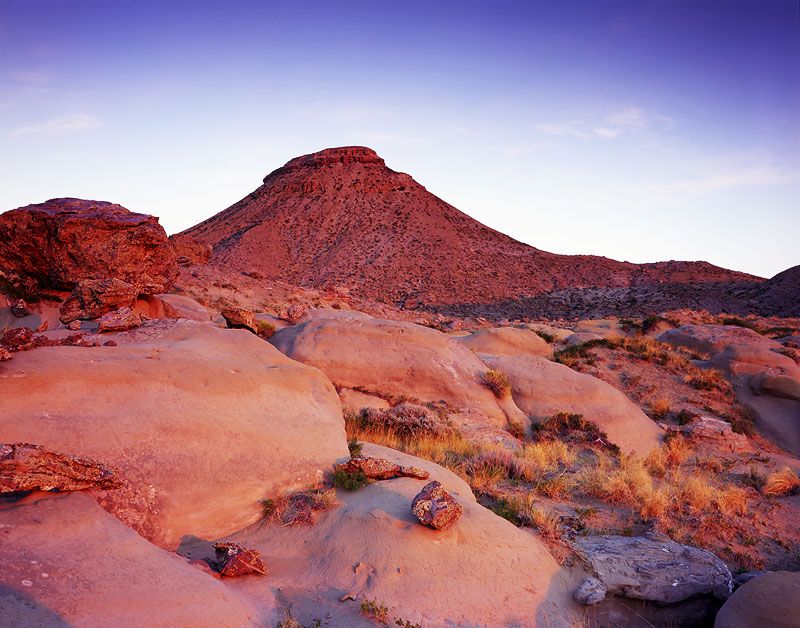
Just past a view of 11,300-foot Sugarloaf Mountain, the road makes a series of tight switchbacks and hairpins, culminating at Dead Indian Summit.
Dead Indian Pass, at 8,071 feet, is the highest point on the Chief Joseph Highway. From here, the views of the higher peaks of the North Absaroka Mountains are spectacular. We can also see the deep canyon that the Clarks Fork Yellowstone River flows through.
***
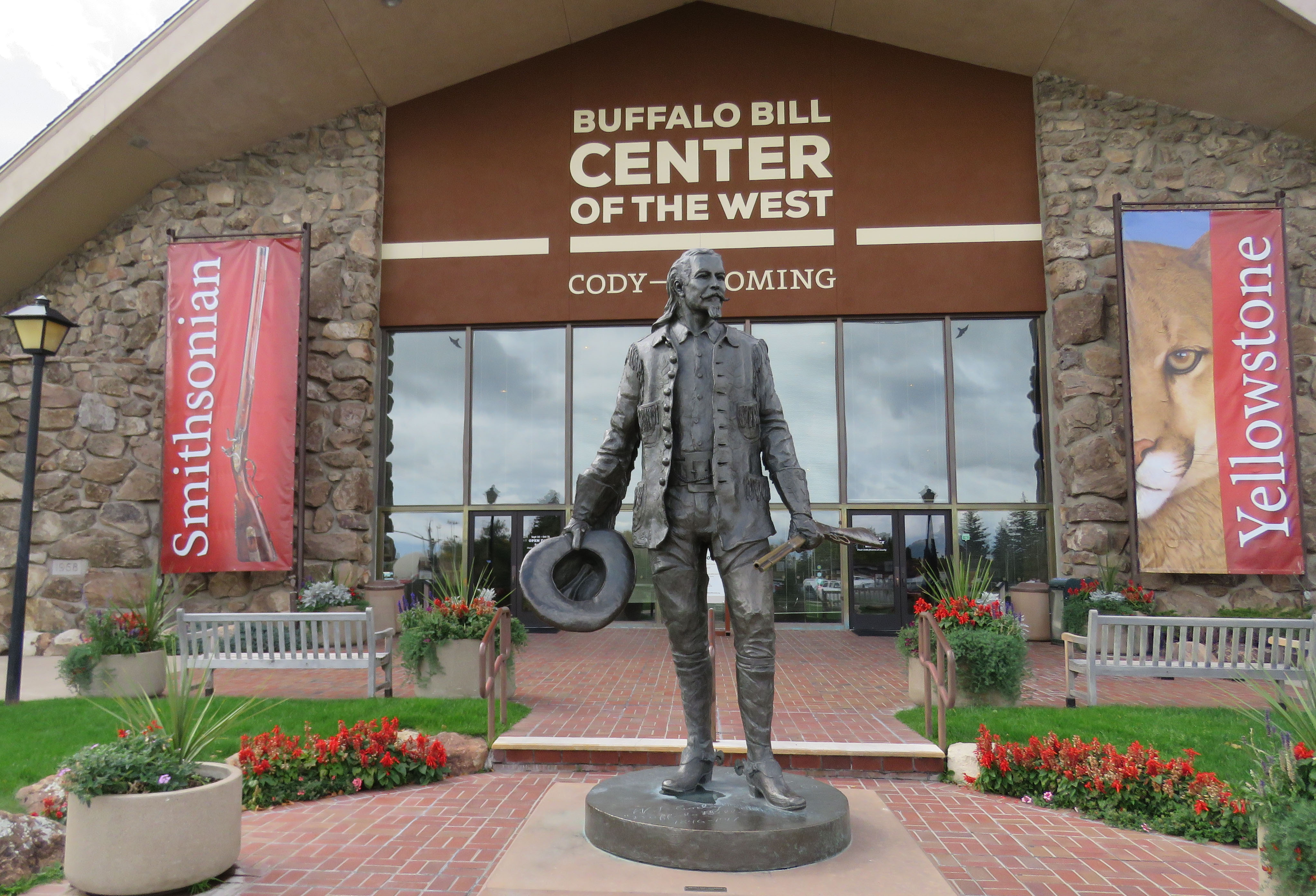
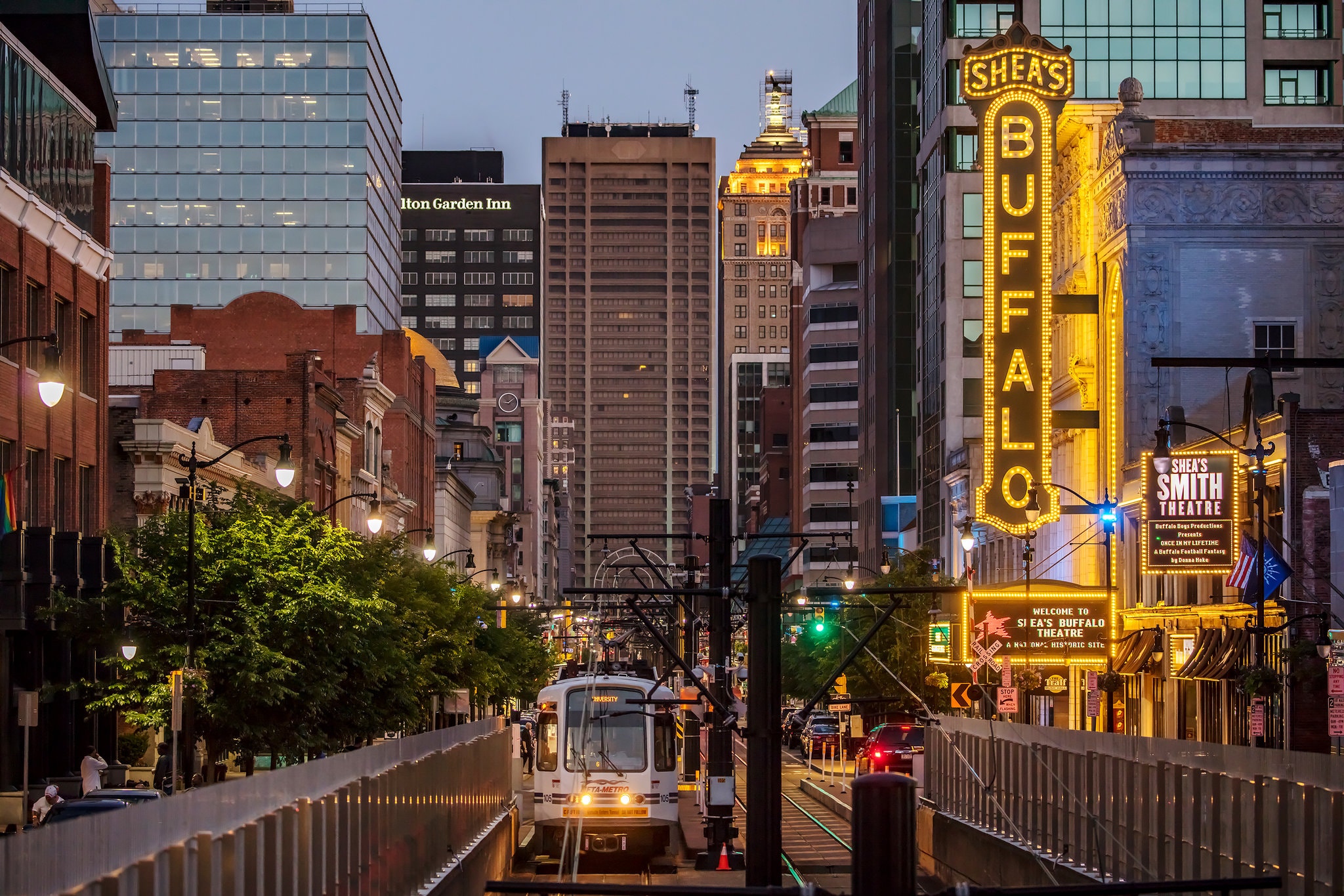
From Dead Indian Pass, it’s 30 miles to Cody, which sits on the banks of the Shoshone River at the western edge of the Bighorn Basin. The city is named after William Frederick Cody – better known as Buffalo Bill – a scout, bison hunter and showman – and one of the most colorful figures of the American Old West.
At one time a 14-year-old rider for the Pony Express, he got the nickname “Buffalo Bill” when he had a contract to supply Kansas Pacific Railroad workers with buffalo meat. He’s purported to have killed 4,282 American bison (commonly known as buffalo) in an 18-month period in the late 1860s. Dude was lethal.
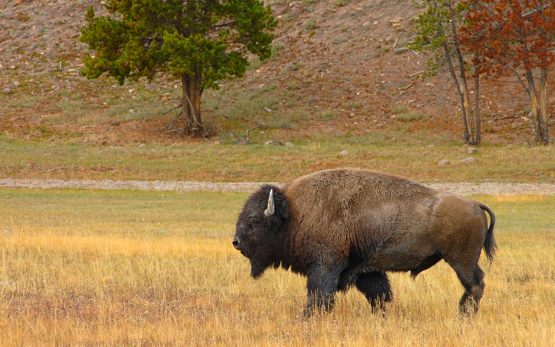
In the 1800s here in the Plains, buffalo were everywhere.
Sixty million buffalo once roamed the Great Plains. Hunting killed millions of them. By 1889, when South Dakota became a state, the buffalo was nearly extinct.
Today, an estimated 500,000 buffalo currently loll their lives away on private lands. About 30,000 more are on public lands – many of them in South Dakota.
For South Dakotans, the buffalo is a symbol of pride. For Native Americans, they’re a sign of spiritual strength.
European explorers gave the American bison the name of buffalo. Whatever you call them, they are huge animals, weighing more than a ton, standing as high as six feet, and as long as eleven feet. We expect to see a boatload of them as we ride the Black Hills over the next week.
You’ll see a lot about bison in the Buffalo Bill Museum, here in Cody. Museum visit or not, it’s a good place to gas up for the remainder of today’s journey.
***
From Cody, we head east, rolling through the small towns of Burlington and Basin, where we join the flow of the Bighorn River. The river, a tributary of the Yellowstone River, was named in 1805 by fur trader François Larocque for the bighorn sheep he saw along its banks.
Where the Bighorn River meets the Norwood River, we join Wyoming Highway 31 in the town of Manderson, population 114. Manderson was originally called Alamo, but was renamed in 1989 in honor of Charles Manderson, chief counsel for Burlington Railroad.
Now heading southeast, we’re reminded of the desolation of Wyoming, America’s least populous state, with less than 600,000 residents. Wyoming also has the second lowest population density in the country, with six residents per square mile. Only Alaska has a lower population density – a little more than one resident per square mile. For the politically savvy among you, Wyoming has two US Senators, the same as California — with a population of nearly 40 million. Go figure.
Thirty-five miles from Manderson, we roll into the town of Ten Sleep, population 260. Ten Sleep was an American Indian rest stop that got its name because it was ten days travel, or “Ten Sleeps,” from Fort Laramie, Yellowstone National Park, and the Indian Agency on the Stillwater River.
In Ten Sleep, we join US Highway 16, which will take us to tonight’s destination: Buffalo, Wyoming.
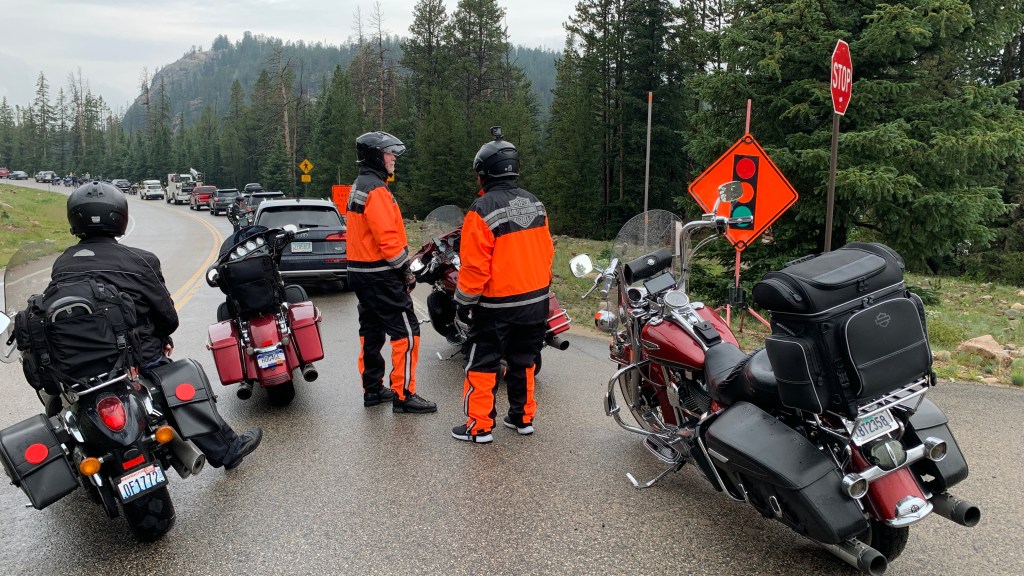
The road immediately begins climbing through the Bighorn National Forest and Big Horn Mountains. We’re now on the Cloud Peak Skyway Scenic Byway, the southern-most route across the Bighorn National Forest.
***
Perceptive blog readers will note the two different spellings of Big Horn (Bighorn?). As a former journalist and PR guy who spent his whole career complying with style guides designed to promote consistent usage, I hate inconsistencies like that.
But in alternately using Bighorn and Big Horn, I’m just following official and very confusing Wyoming state guidance. The Wyoming State Highway Map uses Big Horn (two words) Mountains, while the Wyoming State Geological Survey uses Bighorn (one word) Mountains.
Wyoming official websites, like travelwyoming.com use Big Horn (two words). Lewis and Clark used the name Bighorn (one word) in their July 26, 1806, journal entry.
The final word on this should come from the US Board on Geographic Names, which in 1962 officially named the Bighorn (one word) Mountains. The naming order specifically states not to use Big Horn Mountains, or Big Horn Range. That’s all the convincing I need.
From now on, Bighorn is one word.
***
The Cloud Peak Skyway crests at the 9,666-foot Powder River Pass, above the timberline. The skyway provides the only view of 13,167-foot Cloud Peak, the highest peak in the Bighorn (one word!) Mountains.
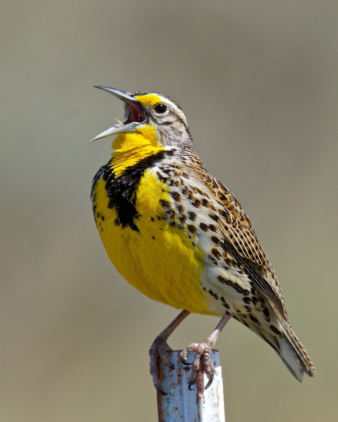
Less than 20 miles after leaving Ten Sleep, we pass past Meadowlark Lake, which sits at 8,199 feet. It’s very close to Meadowlark Ski Lodge, a quaint ski area with two lifts, a vertical rise of 1,000 feet, and 300 acres of terrain. In the summer – now – Meadowlark Lake is home to four wheeling, hiking, camping, and fishing. Meadowlark is a good name for the ski lodge and lake; the Western Meadowlark is Wyoming’s state bird.
Highway 16 takes us around the lake, by the ski lodge, and on toward Buffalo.
***
It’s a spectacular ride from Meadowlark Lake into Buffalo, about 45 miles away.
Buffalo’s economy revolves around energy. Methane extraction and production lead the way. Cattle and sheep ranching are also a staple of local commerce, as they always have been.
Writer Owen Wister visited Buffalo in 1891. Observations he gleaned there and in many other parts of Wyoming about cowboys and ranch life fill his book, The Virginian. The book, a story of a frontier cowboy honorably battling thieves and outlaws, and winning the heart of an attractive young school teacher, set the precedent for good-guy heroes in future Westerns.
It sold millions of copies and is considered to be the first popular western novel. The Virginian opened the genre to writers like Zane Grey and Louis L’Amour. Hundreds of western movies and TV shows followed. Some of the best television ever included Gunsmoke, The Rifleman, Bonanza, Maverick, and Wanted: Dead or Alive.
In Wister’s honor, for inspiring books, movies and TV shows, the Owen Wister Award is given annually by the Western Writers of America. It was originally awarded to the author of each year’s best book about the West. But beginning in 1967, the Owen Wister Award has been given for “Outstanding Contributions to the American West,” and presented to non-writers such as John Wayne, John Ford, and Clint Eastwood.
Owen Wister came to Buffalo in the late 19thcentury, and began a new genre of writing about the American West. But he had nothing to do with naming the city. It was already called Buffalo.
If you guessed that Buffalo is named after the American bison, you’d be wrong. The city takes its name from Buffalo, New York.
Go figure.
***
***
Day Eleven Summary: 285 miles. Beartooth revisited, Dead Indian Pass, a Buffalo surprise.
Click here to see today’s complete route from Red Lodge, Montana, to Buffalo, Wyoming.
Today’s fun facts, favorite foods, funky place names and famous folks:
Montana fun fact: Montana is the fourth-largest state in size, at 145,556 square miles. It’s also the largest landlocked state, meaning its territorial boundaries do not touch an ocean, gulf, or bay.
Wyoming fun fact: Wyoming’s state dinosaur is the triceratops. It’s one of only eight states with an official state dinosaur. The triceratops, one of the largest horned dinosaurs, lived in Wyoming about 67 million years ago.

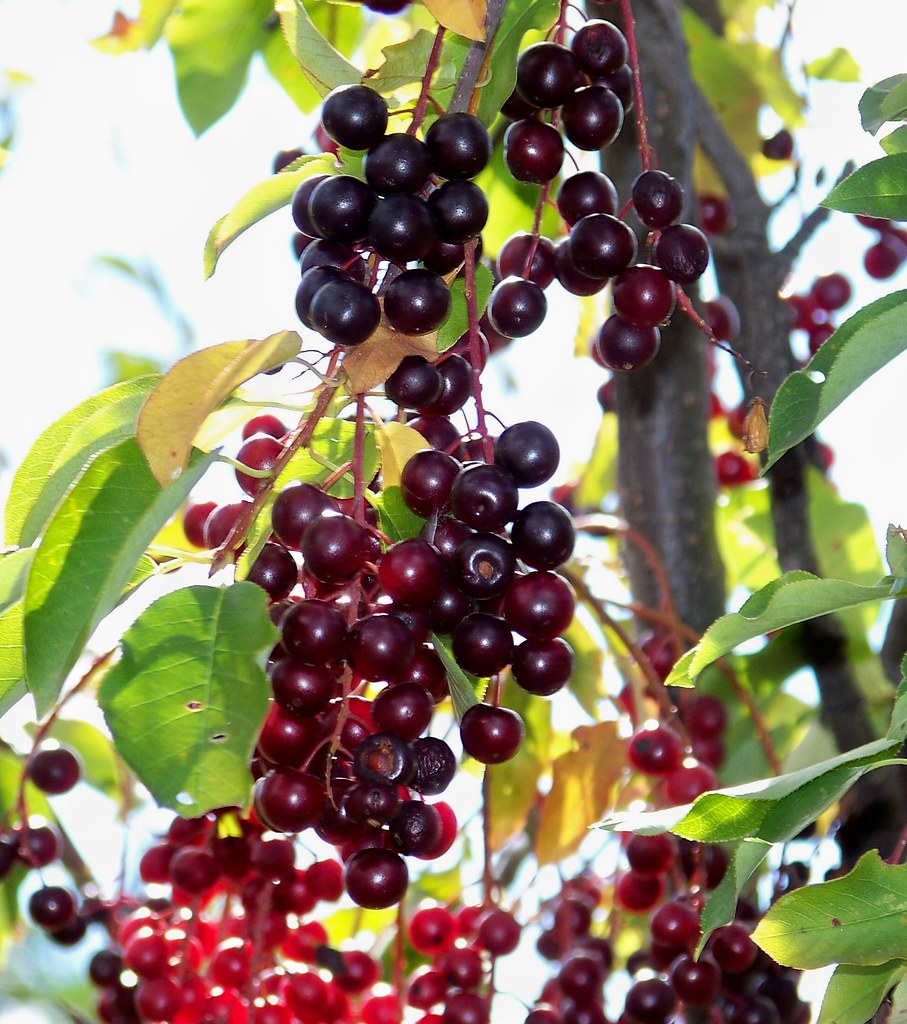
Montana favorite food: In May, Montana’s riverbanks and foothills become drenched in the sweet scent of chokecherry blossoms. Come August, when the berries ripen to deep red, locals rush out with buckets and coffee cans to pick a few before the birds and bears pluck bushes clean. At Lewistown’s Chokecherry Festival in September, fans sample chokecherry jam, syrup, pie and wine, along with Montana Wild Chokecherry Liqueur.
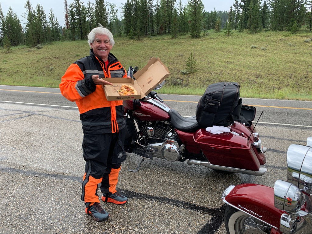
Wyoming favorite food: Fry Bread is a popular Indian taco dish. It’s a flat dough bread, fried or deep-fried in oil, shortening or lard. The platter is like a taco salad, but it features homemade fry bread instead of a taco shell. The fry bread serves as a palatable landing for cheese, lettuce, tomatoes and ground taco meat.

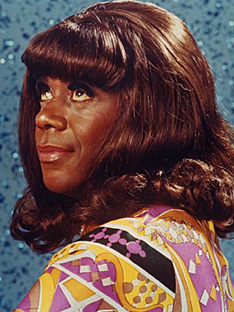
Montana funky place name: Geraldine, a town in Choteau County, is named for the character on the old Flip Wilson TV show in the early 1970s. Geraldine Jones was a fictional character, a sassy, recurring character who made famous the line: “When you’re hot, you’re hot; when you’re not, you’re not.” Geraldine also created the still-used phrase, “What you see is what you get.” Most of what you just read is true.
Wyoming funky place name: Crowheart, Wyoming derives its origins from conflicts between the Shoshone and Crow tribes. Chief Washakie of the Shoshone and Chief Big Robber of the Crow fought over the rights to the Wind River hunting grounds. The Shoshone won. Chief Washakie, instead of scalping his opponent, cut his heart out and placed it on the end of a lance. Thus, Crowheart. Oof.
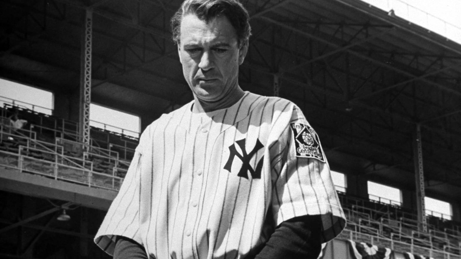
Montana famous folk: Actor Gary Cooper grew up in the Helena area. His acting career included starring movie roles in Mr. Deeds Goes to Town, Sergeant York, The Pride of The Yankees, For Whom the Bell Tolls, and High Noon. The American Film Institute ranked Cooper number 11 on its list of 25 greatest male stars of classic Hollywood cinema. Cooper died in 1961, at the age of 60.
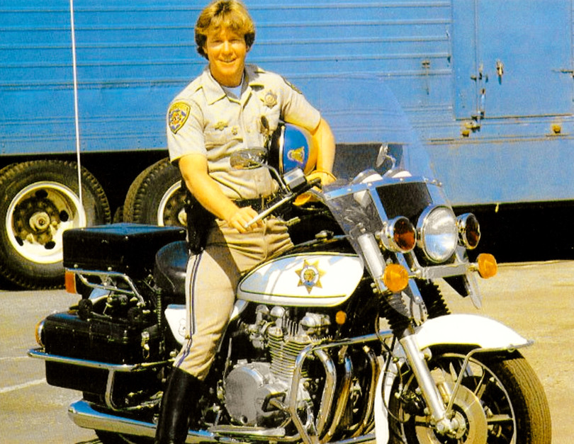
Wyoming famous folk: Remember the TV series, CHIPs? Larry Wilcox, who starred as CHP (California Highway Patrol) officer Jonathan Baker, was raised in Rawlins, Wyoming, and attended the University of Wyoming in Laramie. Early in his career, he made guest appearances in Room 222, The Streets of San Francisco and Lassie. In the late 1970s, Wilcox was the highest paid actor in Hollywood. Willcox, who turns 74 this week, lives in southern California.
Sturgis, anyone?
Vroom.
A look ahead @ tomorrow: Next stop, Black Hills.

Two questions – what is the temperature up there – is it hot or do you need jackets all the time besides using them for the rain?
Did you have the fry bread taco for dinner? It looks yummy!
Barb and Jim
LikeLike
It’s freaking cold. Almost 11,000 feet!
LikeLike
It seems that “Orange Is The New Black”. Have you seen the show? Since my rain gear isn’t orange, I hope it won’t be necessary when I arrive. SYS guys! Vroom.
LikeLike
OMG! You read da blog, Gail. I’ve arrived 🤓
See you tomorrow. Woo-hoo 🎉 🎊🎉
LikeLiked by 1 person
Have certainly enjoyed the ride so far. Rain and traffic delays? Glad my “ride” has been in my living room. Always read when I have something to eat close by as your culinary experiences are sure to make me hungry. Keep creating the memories. Stay safe!
LikeLike
Glad you’re with us again! Gail arrives in a few minutes. Big vroom!
LikeLike