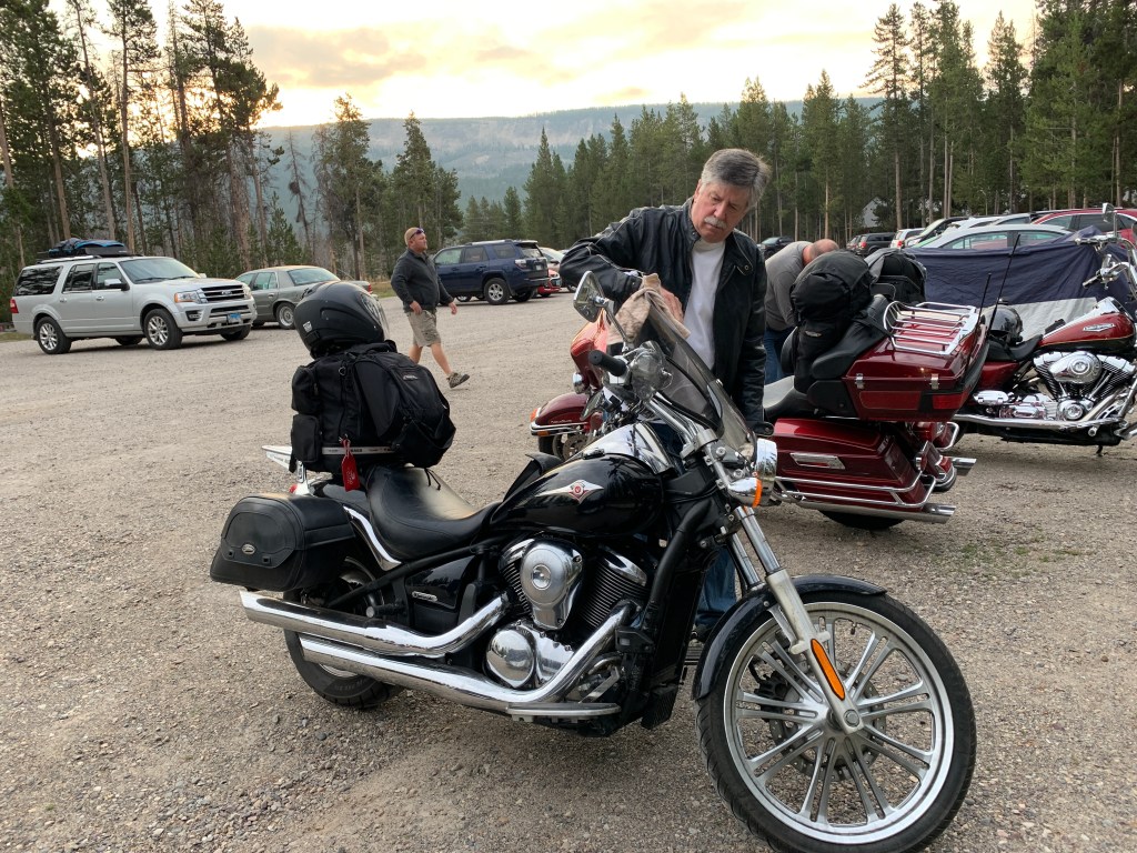
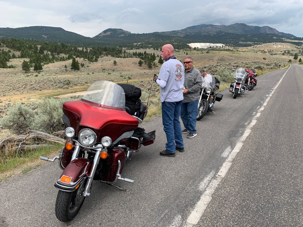
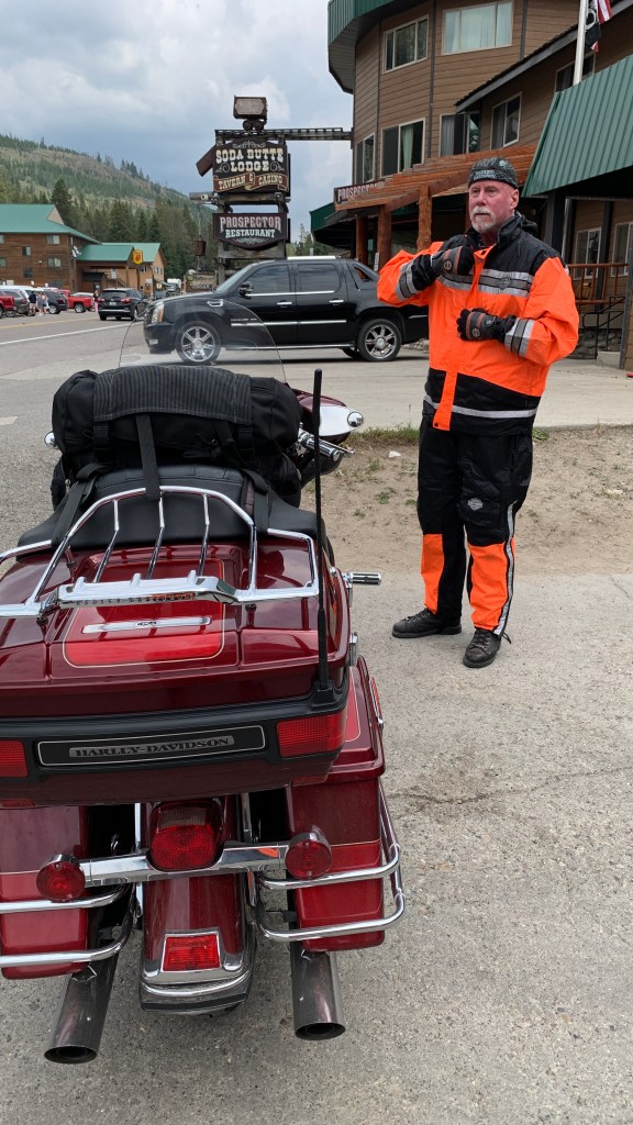
Day 10 of our trip begins by hanging a U-turn and heading north on US Highway 191 – toward the south entrance to Yellowstone National Park.
We follow the Snake River for a little more than two miles, then re-enter the park. Good thing we all have unlimited National Park passes. My lifetime National Park pass, acquired for $10 at age 62, may be the best deal in the history of deals. They’re now called “America the Beautiful Senior Passes,” and when you turn 62, you can get one, too. Today, it’ll cost you $80. Age has its privileges.
Here, as we enter Yellowstone National Park, the Snake River heads eastward, but the highway follows the Lewis River, northward. The Lewis, an 18-mile-long tributary of the Snake, is entirely within the boundaries of Yellowstone National Park. The river, of course, is named for Meriwether Lewis, commander of the Lewis and Clark Expedition.
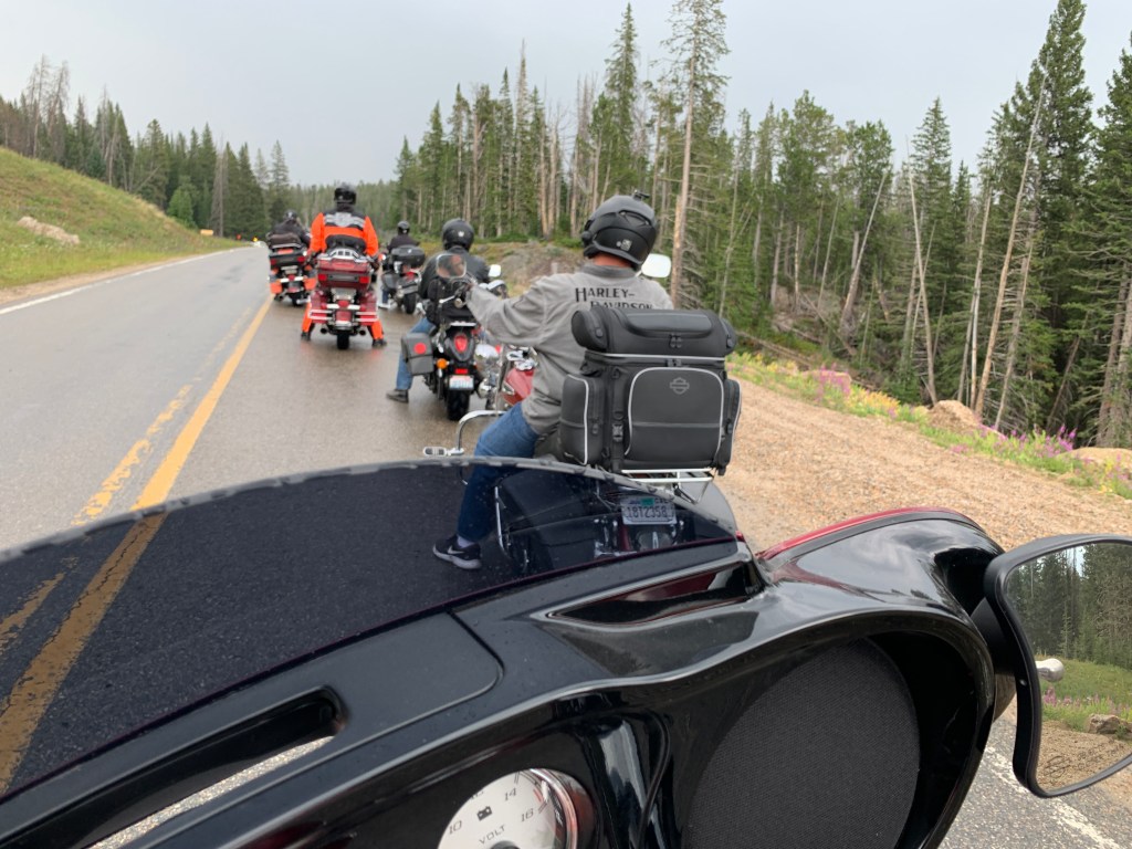
The Lewis River takes us past Lewis Lake – you remember it from yesterday – and to West Thumb, an arm of Yellowstone Lake. In West Thumb, we join US Highway 20, part of the park’s Grand Loop. The Grand Loop is a 142-mile-long road that curves around in a figure-eight, taking visitors past the park’s most striking natural features.
The Grand Loop is the main way to get to the major attractions in Yellowstone, including Yellowstone Lake. Today, we take the loop and ride along the northern shoreline of Yellowstone Lake, the largest high elevation (above 7,000 feet) lake in North America.
The lake has more than 140 miles of shoreline, which we get to experience in this morning’s wake-up ride. Yellowstone Lake completely freezes over every winter in late December or early January, with ice thicknesses varying from a few inches to more than two feet. The lake usually thaws in late May or early June, but the water remains cold year-round, with an average water temperature of 41 degrees.
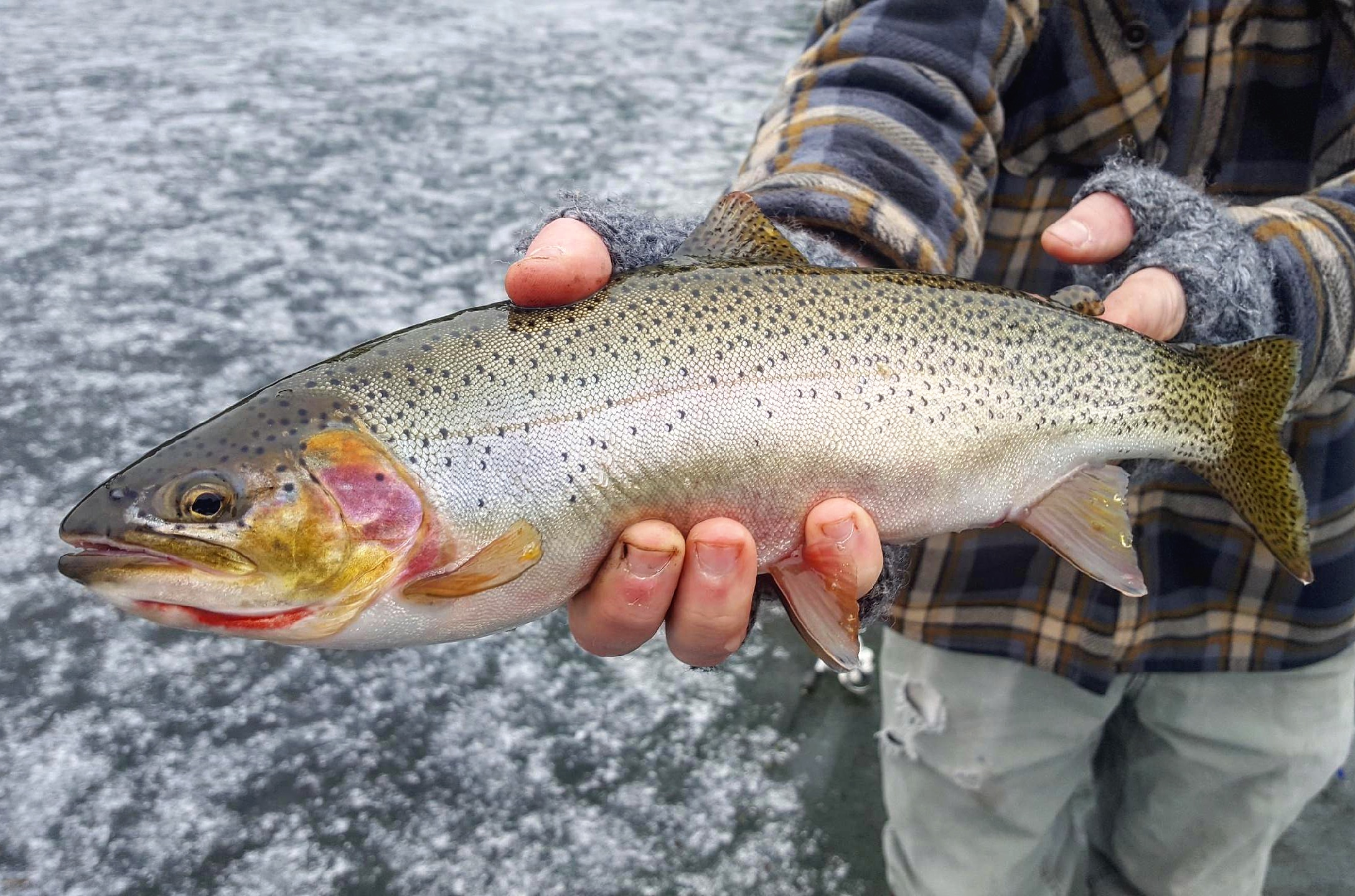
Yellowstone Lake has the largest population of wild cutthroat trout in North America. The cutthroat, named for an orange mark behind the lower jaw, has been the official Wyoming state fish since 1987.
It’s a species of the family Salmonidae, native to cold-water tributaries of the Pacific Ocean. How a Pacific Ocean fish was trapped in a lake that drains to the Atlantic puzzled experts for years. Scientists now believe that Yellowstone Lake once drained to the Pacific Ocean via Outlet Canyon and the Snake River, and that fish swam across the Continental Divide at Two Ocean Pass.
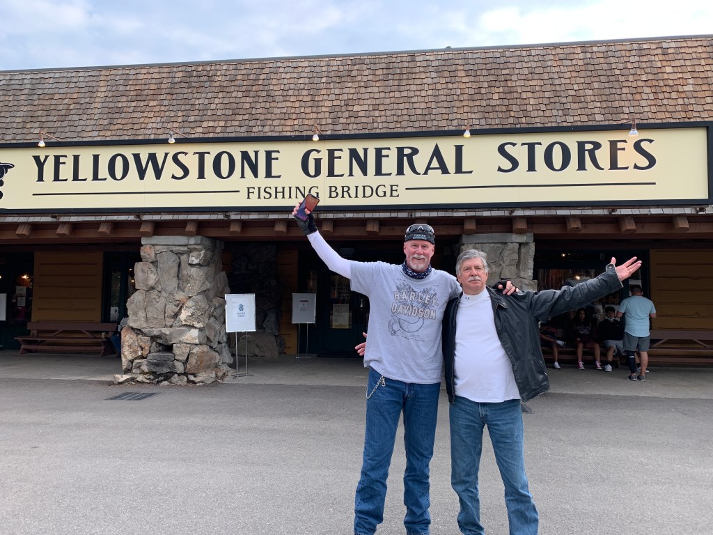
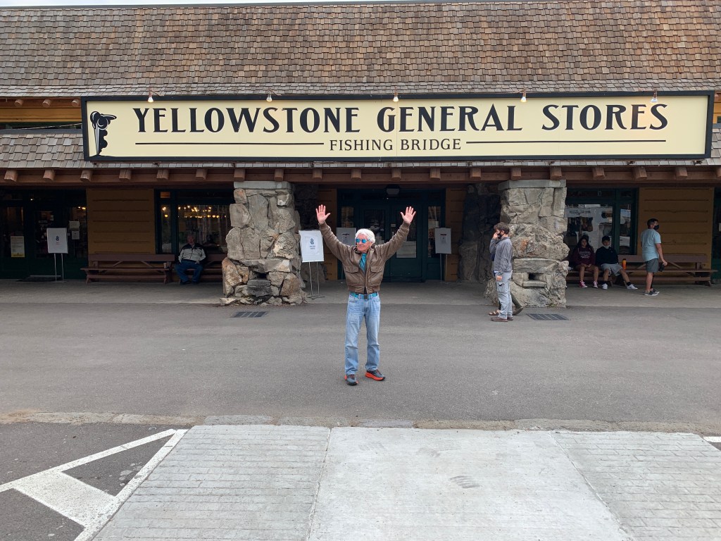
The lake currently drains north from its only outlet, the Yellowstone River, at Fishing Bridge. The gravelly bottom of the Yellowstone River at the outlet of the lake makes it a major spawning area for the cutthroat trout.
Overfishing from this once popular fishing spot contributed to the decline of the cutthroat trout in the lake, which is home to the largest inland population of cutthroat trout in the world.
Despite its name, there is no fishing from Fishing Bridge. Not any more. Fishing has been prohibited from the bridge since 1973, but it remains a good place to watch trout.
***
At Fishing Bridge, we follow the Grand Loop north, as it traces the contours of the Yellowstone River. The loop takes us past the Upper and Lower Falls of the Yellowstone River. This may be obvious, but Yellowstone National Park is named after the Yellowstone River, the major river running through the park.
The Lower Falls, at 308 feet, is the tallest waterfall in the park. In terms of height alone, it’s more than twice the size of Niagara Falls. Vista points to observe the falls are among the more popular and crowded spots in the park. The Grand Canyon, one of the most photographed views in the park, runs for more than 20 miles of the Yellowstone River.
Along with Old Faithful, this area is one of the park’s two marquee destinations.
The jumping off spot for activities in the Grand Canyon area is Canyon Village, home to lodging, restaurants campgrounds and a general store.
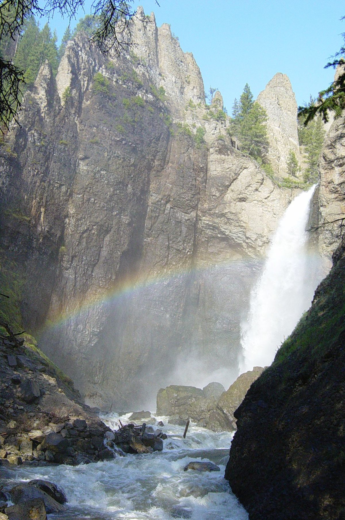
Today, we are just passing through. We continue north on Grand Loop Road toward Tower Fall, the final waterfall we’ll see.
Tower Fall was first photographed by William Henry Jackson in 1871. When Jackson and artist Thomas Moran returned from a 40-day expedition to the Yellowstone area and shared their photos and paintings with Congress, these visuals created quite a stir.
The beauty of their images led Congress to create Yellowstone National Park.
***
About two miles north of Tower Fall, we arrive at Tower Junction, where we leave Grand Loop Road and head east on US Highway 212. This roadway, also known as Northeast Entrance Road, follows the Lamar River – a tributary of the Yellowstone River. The 40-mile long Lamar is entirely within Yellowstone National Park’s borders.
The river was named for Lucius Lamar, Secretary of the Interior during the first Grover Cleveland administration, from 1885 to 1889. (Wait. What? Grover Cleveland was elected twice?) Until that time, and for some time after, locals called the river “the East Fork of the Yellowstone River” because it was – you know – the east fork of that river.
Highway 212 turns north, eventually crossing into Montana, where we exit Yellowstone National Park at the Northeast Entrance Station, just a few feet north of the Wyoming/Montana state border.
An interesting note about the Wyoming/Montana state border: it essentially runs along the 45th Parallel of latitude. Wyoming’s State Constitution defines its northern border as the 45th Parallel.
The 45th Parallel is an imaginary line that circles the globe at the point halfway between the equator and the North Pole. The same line passes through Ottawa, Canada; Venice, Italy; and the northern tip of the Japanese islands. The 45th Parallel also forms the northern boundary of New York and Vermont, where they meet the Canadian province of Quebec. And, it splits Kazakhstan and Mongolia in half.
The 45th Parallel is a great, yet invisible, line of demarcation. Keeping this in mind, as we cross into Montana, we’re now just slightly closer to the North Pole than we are to the equator. Woo-hoo!
Just ahead is Cooke City and Silver Gate, two separate villages with a combined population of 140. This is where the world-famous Beartooth Highway begins.
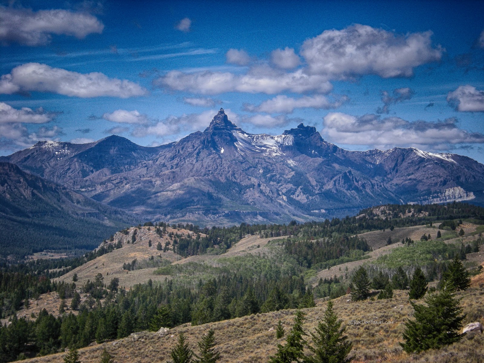
From here, we dip back into Wyoming, crossing the 45th Parallel again. There’s a spectacular view of 11,699-foot Pilot Peak, a Matterhorn-like pinnacle. Its shape was defined when glaciers carved away the rest of it, leaving only a pyramidal spire. It’s the most widely photographed peak in the Beartooth Mountains.
***
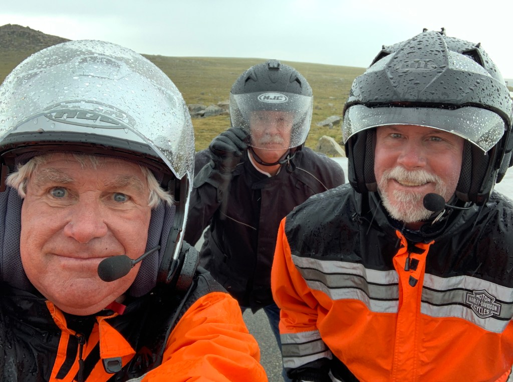
The 68-mile long Beartooth Highway is closed in the winter, and generally reopens Memorial Day weekend. It is an incredibly scenic route that climbs to 10,947 feet as it winds through the Beartooth Mountains.
In August 1872, the pass was crossed by Civil War General Philip Sheridan and 120 men, as they returned from an inspection tour of Yellowstone National Park, which had been established earlier that year.
Rather than take the long detour down the Clarks Fork Yellowstone River to return to Billings, Sheridan took the advice of an old hunter named Shuki Greer, who claimed intimate knowledge of the Beartooth Mountains. When the road was opened in 1936, it essentially followed Sheridan’s route over the pass.
Beartooth Highway, which runs from Yellowstone’s northeast entrance to Red Lodge, Montana is the highest elevation paved highway in the Northern Rocky Mountains open to travelers seasonally from May to October.
Former CBS correspondent Charles Kuralt called it the “most beautiful drive in America.” Over the next few hours, we’ll see how accurate his characterization is.
Beartooth Highway takes us back and forth into Wyoming, and Montana – again and again. It’s at or near the top of just about every “Top Ten Motorcycle Rides in the US” list I’ve ever seen. Many cyclists call it a once-in-a-lifetime ride. Lucky for us – we get to ride the Beartooth today, and tomorrow!
For you thrill seekers, here are a few lists of roads that should be in your future.
Try this.
And this.
And this.
And this.
And this.
OK, one more for the road.
That should give you something to do for the foreseeable future. It’s as close to a motorcycle bucket list as you can get.
***
The name “Beartooth” comes from a Crow name, Na Piet Say, meaning “the bear’s tooth” and refers to a sharp spire that juts from the Beartooth plateau. The Beartooths are the location of Granite Peak, which at 12,807 feet, is the highest point in the state of Montana.
The Beartooth Highway passes through the Beartooth Corridor, and is surrounded by the Custer, Gallatin and Shoshone National Forests. It sits in a million-plus acre wilderness
Soon, we roll past Beartooth Lake, an 8,900-foot-high beauty. The lake is a popular destination for fishing, boating, camping, hiking and backpacking.
All along the Beartooth Highway, it’s not uncommon for August snowstorms to roll through. In the summer (now!), temperatures can range from the 70s on sunny days to below freezing during sudden snowstorms. We think we’re prepared. Fingers crossed.
***
Just past Beartooth Lake is the Top of the World Store, one of the few reminders of civilization along the Beartooth Highway. Here, you can get groceries, gas, and most importantly, a Wyoming fishing license (a non-resident daily license will set you back $14.00). Never know when you’re gonna have an insatiable desire to drop a line and catch a trout. Even at 9,400 feet above sea level.
Each year, the Wyoming Game and Fish department stocks the lake with nearly 6,000 trout – half rainbow and half cutthroat.
About eight miles past the Top of the World Store, after carefully negotiating a series of switchbacks and hairpin turns, we arrive at the Beartooth Pass Vista Point. At 10,947 feet, it’s a good place to stop, stretch, and snap some pics.
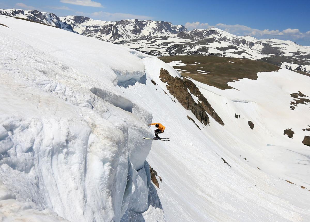
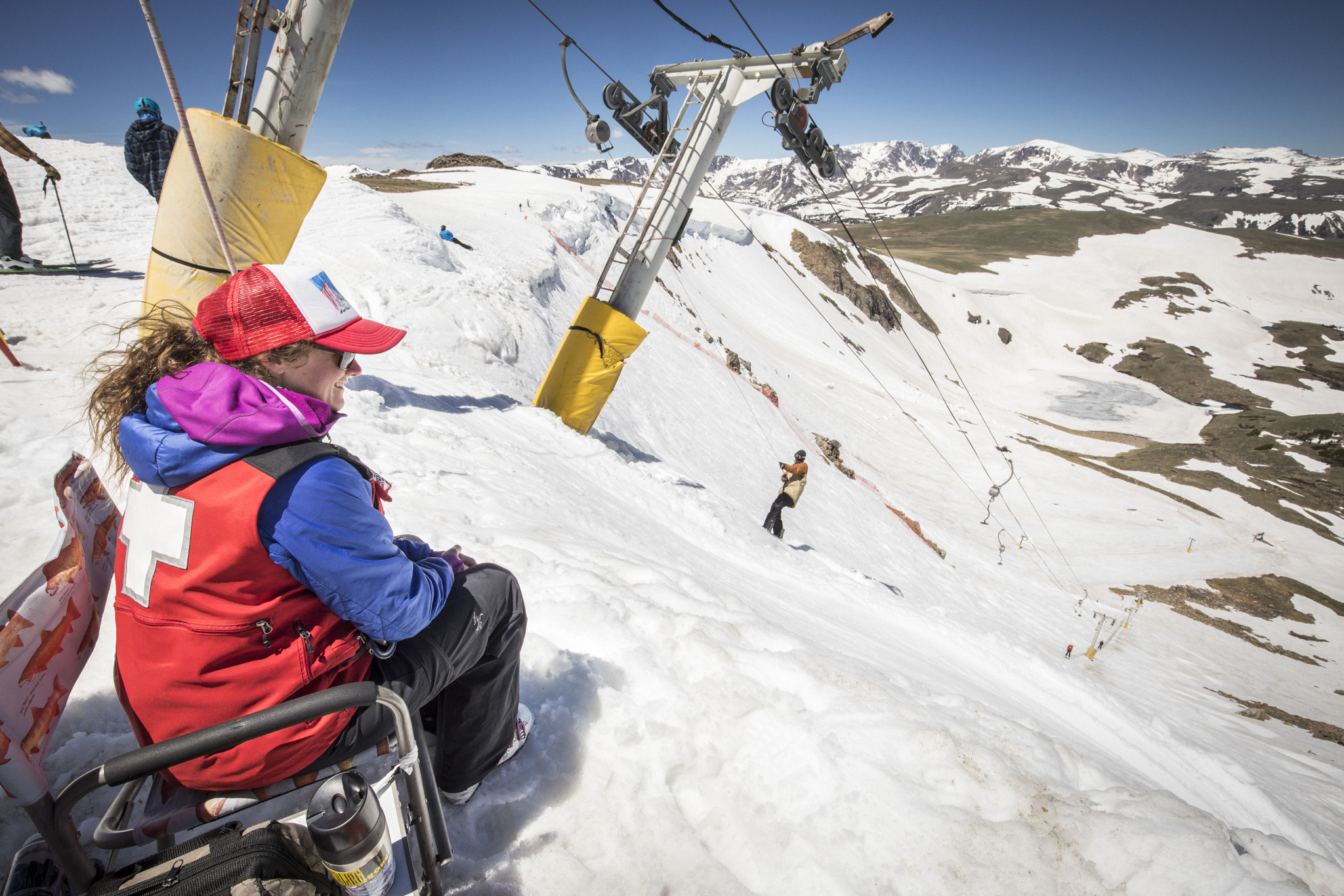
A few more switchbacks later, we pass by the Beartooth Basin Summer Ski Area. It’s in Wyoming, just a few miles south of the Montana border.
Beartooth Basin is the lone ski area in North America that is open only in the summer. It’s generally skiable from late May through early July – a six-week season, if road conditions cooperate. Because the Bearthooth Highway is closed in the winter, you couldn’t access this ski area in winters, even if you wanted to.
Formerly known as Red Lodge International Summer Racing Camp, Beartooth Basin is one of North America’s oldest alpine ski training areas. Historically the Basin was a summer destination for alpine racing athletes, operated as a private camp.
The summer racing camp was established in the mid-1960s by Austrian ski racing legends Pepi Gramshammer, Erich Sailer and Anderl Molterer. For 25 summers here on the Beartooth Highway, the Austrians coached as many as eight thousand youngsters from all over the United States and around the world.
Ownership changed in 2003, when an adventurous group of locals from nearby Red Lodge invested in the race camp and opened the door to a younger generation of skiing enthusiasts.
Today, the ski area is staffed with professional ski patrol and lift attendants, like many other ski areas. Unlike most other ski areas, there is no lodge. No warming hut. No retail. You could call it backcountry skiing with a lift.
The summer-only ski area includes 600 acres of terrain that vary in pitch from 15 degrees to 50 degrees. That’s ridiculously steep! Anything over 45 degrees is considered a controlled free fall. Don’t try this at home.
The locally owned and operated Beartooth Basin Summer Ski Area is served by two platter lifts.
Its isolation is both a blessing and a curse. The location keeps things local, obscure, and offers up some incredible views. It also causes access issues and creates increased costs.
Beartooth Basin faces steep economic challenges – aging infrastructure, high equipment costs, costly insurance policies, and major engineering inspections on top of the unique challenge of its remote location. To preserve this unique western skiing experience for future generations, the ski area’s owners in 2019 launched a crowdfunding campaign to raise funds in an effort to keep the place alive.
Said the resort management in a Facebook post: “We enjoy being owned and operated by local ski enthusiasts, and not some big corporate entity. We would rather measure success in smiles than the bottom line.” The Kickstarter campaign sought contributions to support lift maintenance, insurance costs, fuel, snow surface maintenance, and terrain expansion.
As far as we can tell, they’re still hanging in there.
***
Two miles north of the ski area, we cross back into Montana, where we’ll spend the remainder of our day. In the middle of four exquisite hairpin turns, we arrive at the Rock Creek Vista Point. Here, we are treated to breathtaking views from an elevation of 9,199 feet. In the distance, you can see Rock Creek Canyon and Hellroaring Plateau. Great name!
There are quite a few places in Montana with the Hellroaring label. Hellroaring Creek. Hellroaring Basin. Hellroaring Lake. Hellroaring River. Hellroaring Peak. Hellroaring Mountain. Hellroaring Plateau. The name Hellroaring apparently comes from a description of the sound of the River given by a prospector in 1867.
From the Rock Creek Vista Point, we continue our 5,000-foot vertical descent toward tonight’s destination, Red Lodge. Thus ends our 68-mile thrill ride on Beartooth Highway.
Turns out Charles Kuralt was right.
***
Day Ten Summary: 175 miles. Yellowstone Lake, Beartooth Highway, summer skiing.
Click here to see today’s complete route from Yellowstone National Park, Wyoming, to Red Lodge, Montana.
Today’s fun facts, favorite foods, funky place names and famous folks:
Wyoming fun fact: In the Jackson metro area, which includes Teton County, the wealthiest residents make, on average, 132 times as much as everyone else: The average annual income of the top one percent is more than $16.1 million, and the average income of the bottom 99 percent is $122,447.
Montana fun fact: In Montana, it is illegal for married women to go fishing alone on Sundays, and illegal for unmarried women to fish alone at all. If you don’t like this one, remember: never shoot the messenger. Me.
Wyoming favorite food: According to the Food Channel, a usually reliable culinary source, Wyomatoes are unlike any tomato you’ve ever tasted. Grown at 7,400 feet in Big Piney, Wyoming, they’re highly coveted by chefs all over the state. Fried Green Wyomatoes are said to be a big hit at the Spur Restaurant & Bar in Teton Village.

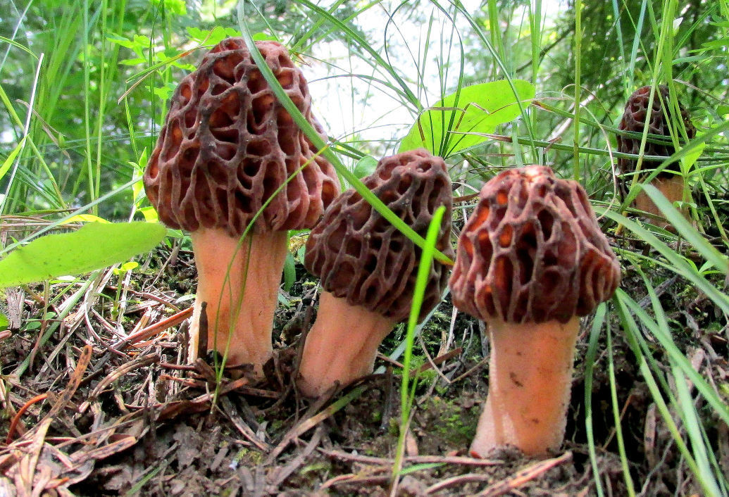
Montana favorite food: Foraging for morel mushrooms is a Montana rite of spring. Montana’s temperature and elevation apparently makes for optimal morel hunting. Morel cooking tips: wash first, to get the dirt and sand out. Cook with lots of butter and garlic. Saute for up to five minutes.
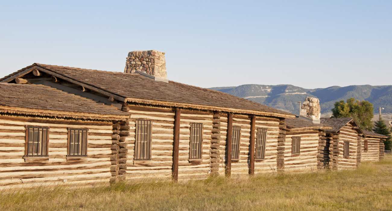
Wyoming funky place name: Capser is the site of the former Fort Caspar. Fort Caspar was a stop along the Oregon Trail, where travelers could send telegrams, resupply, and use a ferry to cross the North Platte River. So, why is the town spelled Casper and not Caspar? It was a typographical error, and nobody caught it until the town was registered. Yes, a typo!
Montana funky place name: The town of Pray is not named after the Sunday religious activity, but after Congressman Charles Nelson Pray, who represented Montana in the early 1900s. Pray is southeast of Bozeman, located along the Yellowstone River, with picturesque views of the Absaroka Mountain Range.
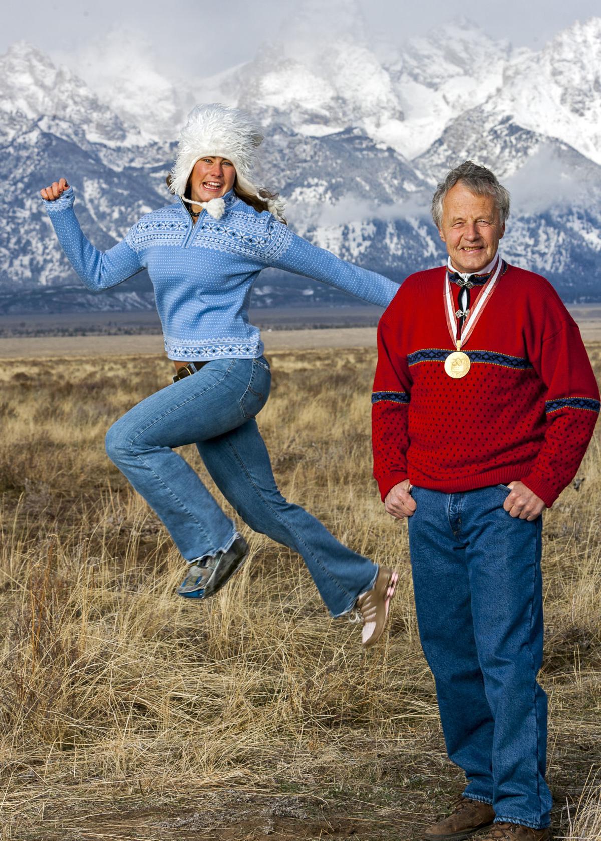
Wyoming famous folk: Pepi Stiegler was the first ski school director at Jackson Hole, a position he held for 29 years. Stiegler won gold, silver and bronze medals at the Winter Olympics in Squaw Valley and Innsbruck, Austria – his home country. Today, at age 83, Stiegler lives in Jackson Hole, where he’s been since 1965.
Montana famous folk: Basketball player and coach Phil Jackson was born in Deer Lodge, Montana. Jackson played 12 seasons in the NBA, winning championships with the New York Knicks twice, then coaching the Chicago Bulls and Los Angeles Lakers to a total of 11 NBA titles, the most in league history. As a coach, he was known as the “Zen Master.” Today, the 75-year-old Jackson spends most of his time at home in Flathead Lake in Montana.

Sturgis, anyone?
Vroom.
A look ahead @ tomorrow: In search of buffalo.

Really, really enjoyed the two most recent postings. Rock on guys …getting closer 🛵🚲🏍
LikeLike
Hey Pete and Donna! What up?
LikeLike