Today, we’re going to the sun.
To the Going-to-the-Sun Mountain, via the Going-to-the-Sun Road.
We head north out of Missoula on Montana Highway 200, through the Rattlesnake National Recreation Area, which is a part of the Lolo National Forest.
Many Missoula residents treat the Rattlesnake Wilderness as their backyard playground, because of its close proximity to town. The Wilderness is believed to be the country’s only Wilderness Area with a city bus stop.
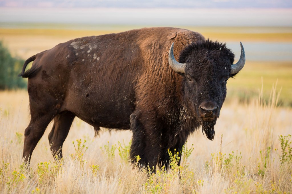
Thirty miles from Missoula, we pass through the town of Ravalli, population 120. The community was named for Antonio Ravalli, a missionary to the Indians. At one time, Charlie Allard, the country’s leading expert on breeding bison, owned America’s largest herd of buffalo, and kept it in Ravalli.
That may explain why the nearly 19,000-acre National Bison Range is just northwest of Ravalli. The range was established in 1908 to provide a sanctuary for bison. Today, the herd here is less than 500 bison. The Bison Range serves as the central point for bison research in the US.
In Ravalli, we turn onto US Highway 93 and roll toward Flathead Lake, about 30 miles away. At the southern end of Flathead Lake is Polson, which sits on the Flathead Indian Reservation and is home to the Miracle of America Museum.
The museum has more than 340,000 artifacts, and calls itself the “Smithsonian of the West.” It has more than 3,000 motorcycles, and World War II and Vietnam-era trucks and helicopters. Fittingly, the museum is located on Memory Lane in Polson.
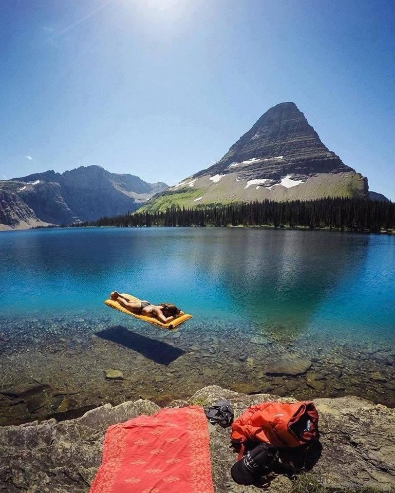
Here, we turn north on Montana Highway 35 and ride along the eastern shore of Flathead Lake. It’s the largest natural freshwater lake west of the Mississippi in the lower 48 states. Flathead Lake has more than 200 square miles of water and 185 miles of shoreline. The lake is about 370 feet deep in some spots, and is known for its amazingly clear waters.
Past Flathead Lake State Park, we roll through Bear Dance, Woods Bay and Bigfork – with the Flathead National Forest just to our right. We join US Highway 2 near Columbia Falls, and turn east to ride along the Middle Fork of the Flathead River into the town of Hungry Horse, where it’s time for a gas break.
The name Hungry Horse comes from a local legend about two horses, Tex and Jerry. They escaped from their riders and almost starved to death in deep snow along the South Fork of the Flathead River. Today, you can’t go hungry here, whether horse or human. The town of about 900 has a variety of restaurants, bars, convenience stores, and even a liquor store.
No one here wants to go hungry. Or thirsty.
***
From Hungry Horse, we follow US Highway 2 to West Glacier, which sits at the west entrance to Glacier National Park. We enter the park and head for the visitor center in Apgar, two miles away, on the southern end of Lake McDonald.
Apgar is one of the main villages in the park. In addition to the visitor center, it has a restaurant, gift shops, boat rentals, and the largest campground in Glacier National Park. Apgar also has a reservation center for Red Bus Tours.
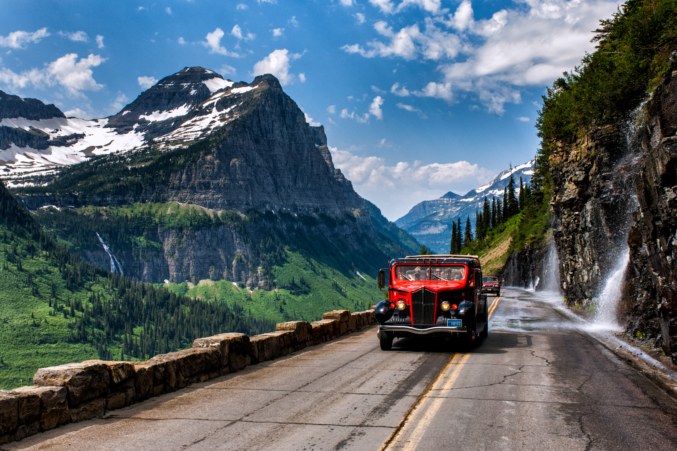
Apgar Village is the starting point for almost all Red Bus Tours, better known as Red Jammers. The fleet of 33 buses in Glacier National Park is widely considered to be the oldest touring fleet of vehicles anywhere in the world.
When the park opened in 1910, it had just a few miles of rough wagon roads, and the primary mode of transportation was the railway, which took affluent guests to luxurious chalets. Officials convinced local businesses and Congress to support a trans-mountain road through the park.
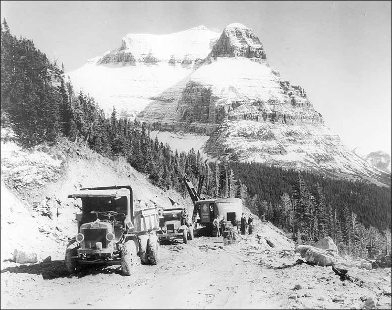
Construction of the road, now known as the Going-to-the-Sun Road, began in the 1920s and was completed in 1933. While a modern marvel at the time, park officials quickly realized many motorists were terrified of driving on it. They contracted White Motor Company of Cleveland, Ohio to produce a fleet of buses to be piloted by expert drivers.
The buses, with their roll-back convertible tops, leave Apgar and head for the Going-to-the-Sun Road, as we are about to do. The Red Jammers are the vintage White Motor Company/Bender Body Company Model 706 buses that have transported park visitors since 1936. They’re called “Reds” for their distinctive livery, painted to match the color of ripe mountain ash berries.
The bus drivers are called “jammers” because of the sound the gears made, back in the day, when the driver shifted on the park’s steep roads. The “jamming” sound came from the unsynchronized transmissions, where double clutching was required to shift gears prior to a 1989 fleet retrofit that added automatic transmissions.
For you Millenials and others too young to remember unsynchronized transmissions, double clutching involves manually matching the engine speed with the speed of the driveshaft. It’s harder than it looks and sounds, but unless you’re driving Grandpa’s vintage Model T, this is a skill you probablydon’t need these days.
Double clutching is lost art.
Nearly all transmissions today are automatic, and of those that call for shifting, nearly all have synchronized gearboxes. Amazing that Millennials look puzzlingly at that pedal to the left of the brake. Yes, the clutch.
Beginning in 2019, Legacy Classic Trucks, based in Driggs, Idaho, started restoring and updated each bus with a new Ford chassis and Ford 6.2 liter V-8 engine, including a hybrid electrical system – to increase fuel economy and reduce emissions.
Vroom!
***
We leave Apgar, and begin our journey east on the Going-to-the-Sun Road.
It’s a spectacular ride along the eastern shoreline of Lake McDonald, the largest lake in the park. The high alpine lake is 10 miles long and nearly 500 feet deep. It was once occupied by massive glaciers that carved this area thousands of years ago.
Just as the Red Jammers take tourists through the park on the Going-to-the-Sun Road, a fleet of classic wooden boats is available to explore the park’s major lakes. The boats are part of the Glacier Park Boat Company.
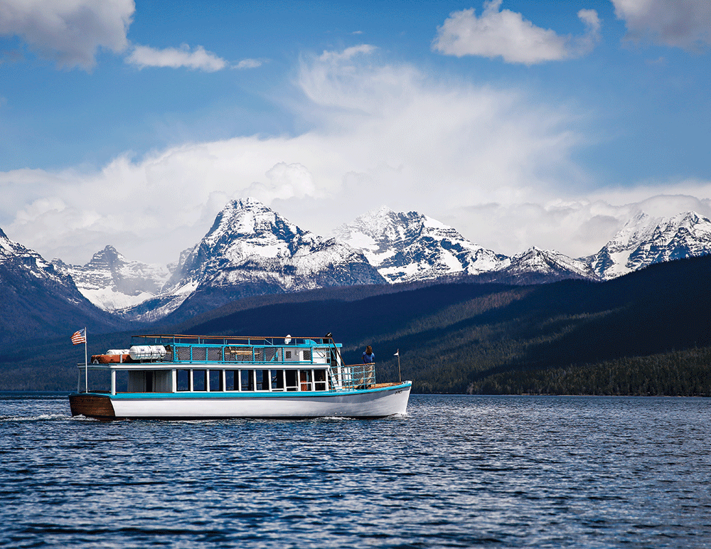
A 57-foot boat, DeSmet, has been cruising Lake McDonald since the 1930s. The DeSmet, a carvel-planked vessel with cedar on an oak frame, can carry up to 70 passengers. The boat, named after Father Pierre DeSmet, a prominent Jesuit missionary in the area, has never left Lake McDonald since being launched here almost a century ago.
Similar boats ply the waters of the other major lakes in Glacier National Park: The Sinopah on Two Medicine Lake; Little Chief, and Joy II on Saint Mary Lake; the Morning Eagle on Lake Josephine; and Chief Two Guns on Swiftcurrent Lake.
Each fall, the boats are lifted on a cradle-and-track system, and moved into custom boathouses built specifically for each boat. The vessels are closed up, protected against the brutal Glacier Park winters, and then re-launched every spring for the summer tourist season.
The DeSmet begins its tours of Lake McDonald at historic Lake McDonald Lodge. The lodge, built in 1913, sits on the southeast shore of the lake. It’s a National Historic Landmark. Artist Charles Russell was a frequent at the hotel in the 1920s, and is believed to have etched pictographs in the dining room’s original fireplace hearth.
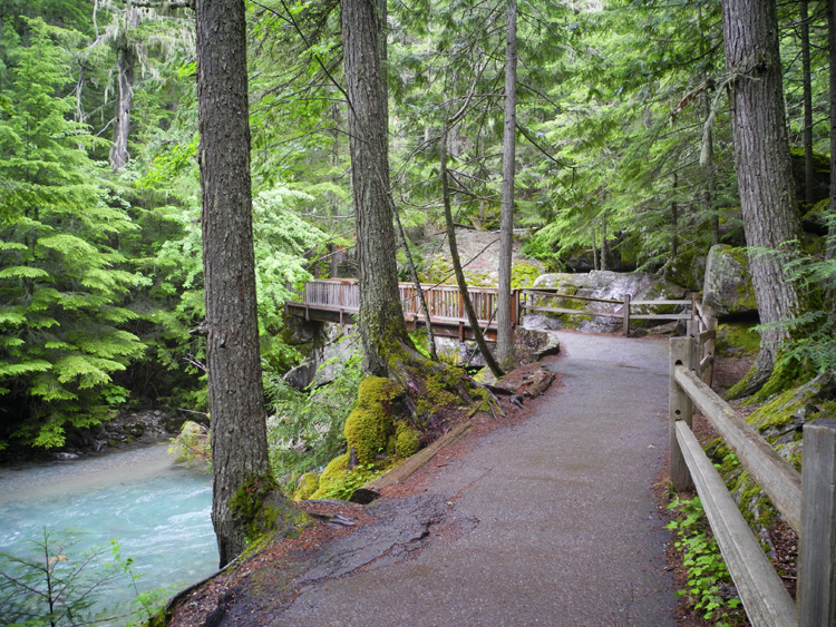
Six miles past the Lake McDonald Lodge is the Trail of the Cedars, a short, easy trail mostly on boardwalks and flat ground. The trail is named after the towering trees you’ll hike beneath. This cedar forest, resembling the ecosystems of the Pacific Northwest, is the only one of its kind in in the park.
All national parks are distinguished by their unique natural beauty. How do you even begin to compare Grand Canyon, Yosemite, Yellowstone, Zion and Grand Teton?
Naturalist John Muir, known as the “Father of the National Parks,” summed up his view of Glacier National Park in a simple thought.
“It is the best care-killing scenery on the continent.”
Care-killing scenery. That’s a good one.
Glacier National Park encompasses more than one million acres, and it borders Waterton Lakes National Park in Canada. The two parks are known as the Waterton-Glacier International Peace Park and were designated as the world’s first International Peace Park in 1932.
Glacier is the eighth-most visited of the national parks, with about three million visitors a year. It’s so popular, that you now need a $30 “timed-entry” ticket, an advance reservation, to ride the Going-to-the-Sun Road.
Now that we’ve finally made it to Glacier, this posse (or its members) has been to all ten of the most visited national parks. Here they are, in order, starting with the most visited: Smokey Mountain (#1), Grand Canyon, Rocky Mountain, Yellowstone, Yosemite, Grand Teton, Olympic, Glacier, Joshua Tree, and Bryce Canyon (#10).
***
In the mid-19thcentury, about 150 glaciers still existed in the area that is now Glacier National Park. By 1910, only 25 active glaciers remained. Scientists studying the glaciers in the park believe all the active glaciers in the park may disappear over the next ten years. Global warming is real.
The first major vista on the 51-mile long Going-to-the-Sun Road is Red Rock Point, a popular pullout on the north side of the road. Eight miles beyond Red Rock Point is The Loop, where the road makes an unbelievable hairpin turn. It’s the lone switchback on the Going-to-the-Sun Road.
At first, the road’s surface was crushed gravel. It wasn’t until 1952, 20 years after opening the Going to the Sun Road, that the entire road was paved.
Building the road was a feat of engineering because the many obstacles faced by engineers and laborers during its construction road. Sheer cliffs, short construction seasons, 60-foot snowdrifts and tons of solid rock made road building across the Continental Divide a unique challenge.
The road is narrow and winding. As a result, vehicles going over the highest portions of the roadway are limited to 21 feet in length and 10 feet in height, due to overhanging rocks. For comparison purposes, 12,095-foot Independence Pass, east of Aspen, restricts vehicles to no more than 35 feet in length.
Because of the intense winters and heavy snowfall, the Going-to-the Sun-Road generally opens in late June or early July, and closes the third Monday of October. It’s a short season, but well worth the wait. The Going-to-the-Sun Road has been fittingly recognized.
It’s on the National Register of Historic Places. And, it’s a National Historic Civil Engineering Landmark – joining such structures and accomplishments as the Brooklyn Bridge, Cape Hatteras Lighthouse, Grand Central Terminal and Captain George Vancouver’s Mapping of the West Coast of North America.
***
A few miles east of The Loop we arrive at Logan Pass. At 6,646 feet, it’s the highest point on Going-to-the-Sun Road. The pass is named after William R. Logan, the first superintendent of the park.
Logan Pass offers breathtaking scenery amid what’s called “the backbone of America,” the Continental Divide. As we work our way toward the east end of the park, we approach 9,647-foot Going-to-the-Sun Mountain. It’s just a mile or so from the Logan Pass Visitor Center.
Our descent from Logan Pass takes us toward Saint Mary Lake, the second-largest in the park, after Lake McDonald. The Going-to-the-Sun Road runs along the lake’s north shore.
The lake is nearly 10 miles long, and when we reach the eastern end of it, we also arrive at the town of Saint Mary, home to the Saint Mary Visitor Center. Saint Mary marks the end of the Going-to-the-Sun Road.
Remember Father DeSmet, from earlier today? He was the Jesuit missionary, and the inspiration for naming the Lake McDonald boat, DeSmet. Well, he also had a hand in providing the name for Saint Mary.
Once upon a time, Father DeSmet was caught in a heavy fog coming off of Divide Mountain. When the fog cleared, the first thing he saw was the face of Saint Mary. He was able to use this as a landmark to help guide himself down to Saint Mary Lake. Divine inspiration? It’s a good story, anyway.
In the town of Saint Mary, we turn south on US Highway 89, and begin the 30-mile journey to tonight’s destination, East Glacier Park Village. At Kiowa, population 4, we turn onto Montana Highway 49 for the remaining 11 miles to our hotel. The name Kiowa comes from the Blackfeet word for bear, Kya-yo.
On the way to tonight’s destination, East Glacier Park Village, we pass Lower Two Medicine Lake. The lake straddles the line between Glacier National Park and the Blackfeet Indian Reservation.
East Glacier Park Village is home to Glacier Park Lodge, which sits just outside the boundaries of the park. The lodge was built in 1913 by the Glacier Park Company, a subsidiary of the Great Northern Railway. It was the first of a series of hotels built in and near Glacier National Park by the Great Northern to house visitors brought to the park by the railroad.
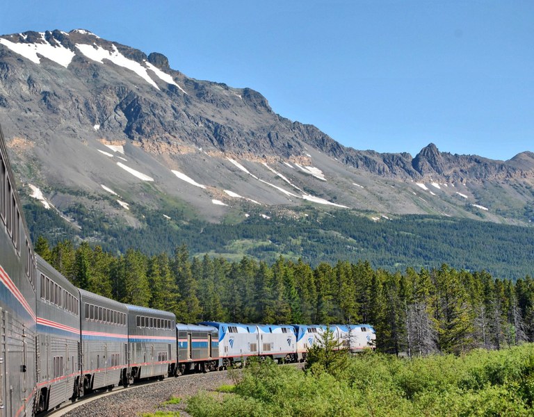
Today, you can take the Amtrak Empire Builder train to East Glacier Park. If you can’t arrive by Harley, it’s the next-best way to get here. The Amtrak station is a short walk, about 300 yards, to the Glacier Park Lodge, where we’re staying.
Amtrak still markets the park as a tourist destination for its Empire Builder train, which stops in East Glacier on its way from Chicago to Minneapolis, Seattle and Portland. Many visitors to Glacier National Park arrive by train.
We don’t.
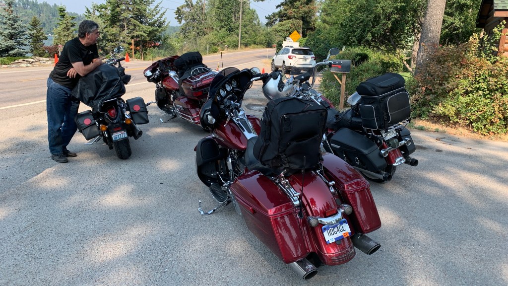
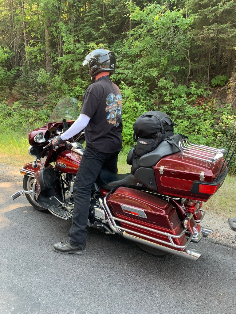
Instead, we arrive by motorcycle, park our Harleys in front of the Glacier Park Lodge, and call it a day.
***
Day Seven Summary: 240 Miles. Going to the Sun, Red Jammers, Amtrak arrival.
Click here to see today’s complete route from Missoula, Montana, to East Glacier Park Village, Montana.
Today’s fun facts, favorite foods, funky place names and famous folks:
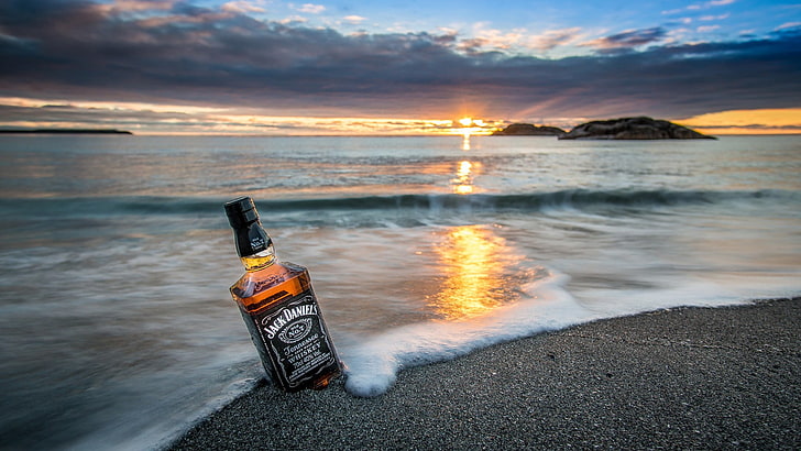
Montana fun fact: In Montana, the word “ditch” can be used when ordering a drink. Ditch means “with water,” as in: “I’d like a Jack Daniel’s ditch, please.” That means you wans a Jack Daniel’s and water. In fact, all you really have to ask for is a “Jack ditch.” Try it out the next time you find yourself in a Montana saloon. Pretty sure Dave and Scott will give it a whirl tonight.
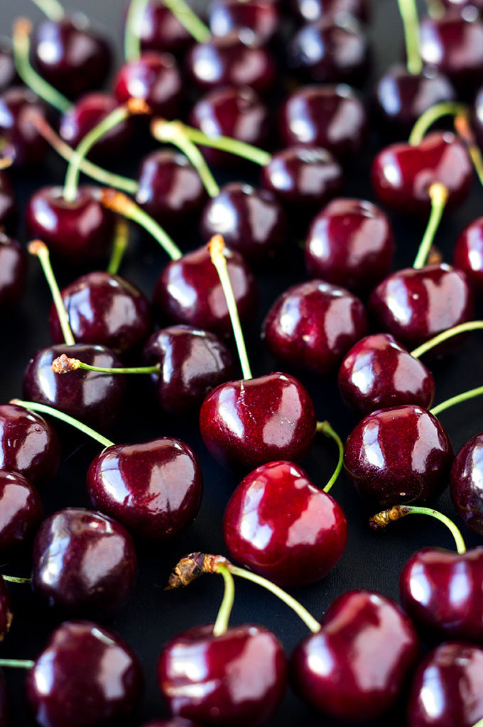
Montana favorite food: Few things taste more like summer for Montanans more than Flathead cherries. Named for the temperate region in which they’re grown surrounding northwestern Montana’s Flathead Lake, Flathead orchards produce naturally sweet and tangy Lapin, Rainier, Van and – most quintessentially – heart-shaped Lambert cherries.
Montana funky place name: The tiny town of Ismay, population 21, unofficially and temporarily renamed itself “Joe” after the NFL Hall of Fame quarterback, Joe Montana. It was a publicity stunt in the 1993 season, done at the request of a Kansas City radio station. The town’s name of Ismay was quite a story in itself; it’s an amalgamation of Isabella and May, the daughters of Albert Earling, a railway superintendent in the area.

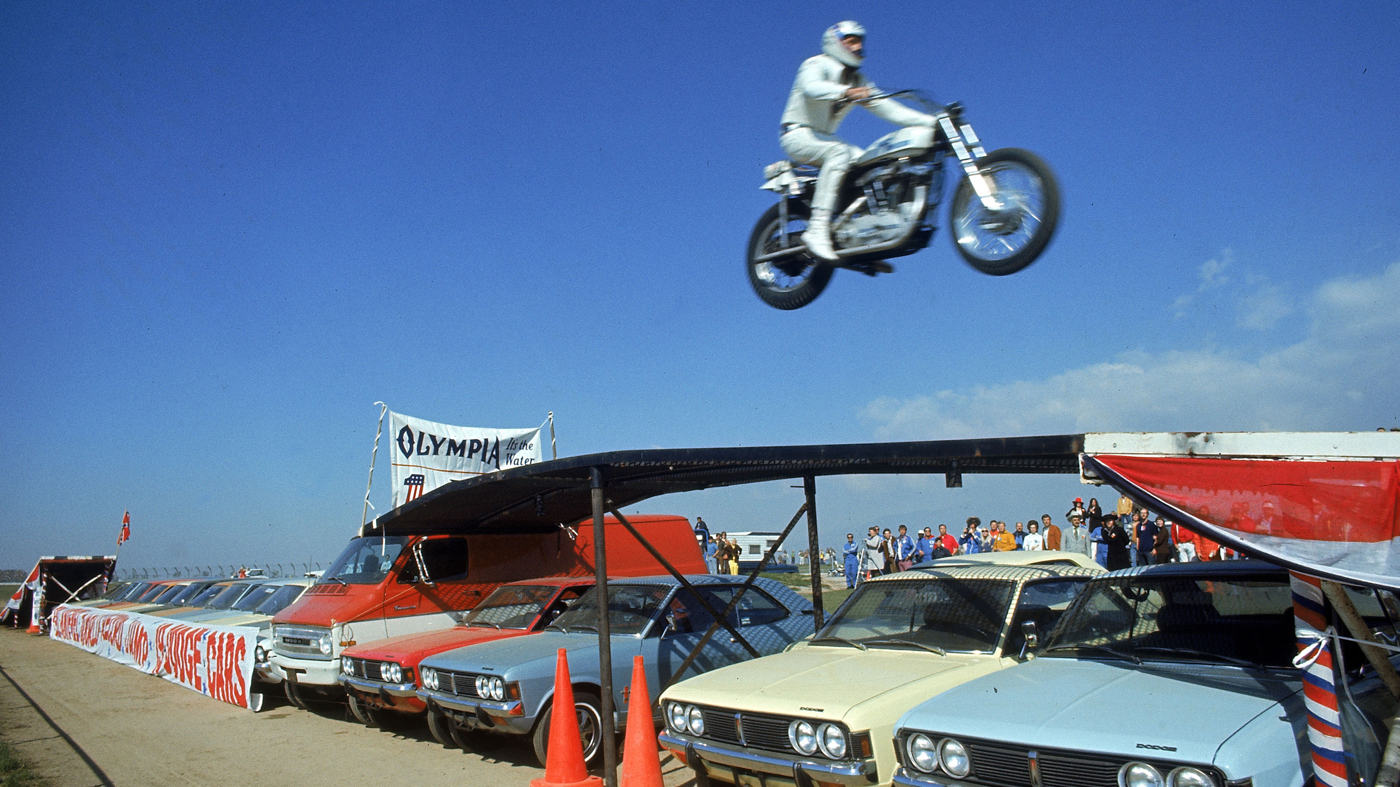
Montana famous folk: Robert Craig Knievel, known as “Evel,” was a motorcycle stuntman who grew up in Butte, Montana. He was most famous for jumping his motorcycle over rows of cars, even trying unsuccessfully to jump across the Snake River in Idaho, and the Grand Canyon in Arizona. Over the course of his career, he attempted more than 75 ramp-to-ramp motorcycle jumps. Knievel died in 2007 at the age of 69. His entry in the Guiness Book of World Records says he suffered 433 bone fractures; that’s 433 more than I’ve had in my riding career.
Sturgis, anyone?
Vroom.
A look ahead @ tomorrow: Transit time.

Photo Credit: Sis Olsen!
Did you see any friends or old college roommates today?
🥰 >
LikeLike
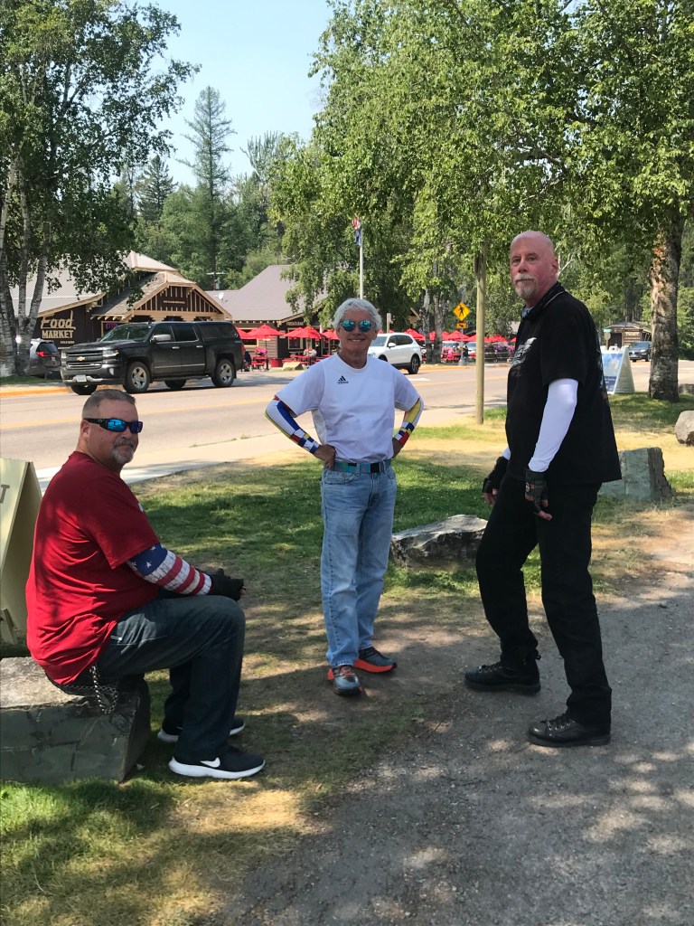
I saw Dave, Scott and Randy. They are friends. All too young to have gone to school with me.
LikeLike
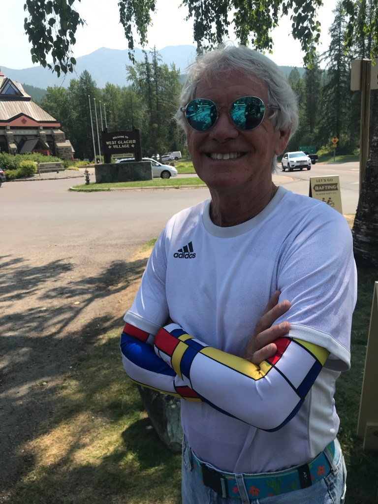
Careful to not get Lambert cherry juice on your Mondrian design sun sleeves.
No mountain goats or big horn sheep at Logan pass?
LikeLike
When Jim and I went with Jim and Connie Alderson on the red bus through the park, it was quite scenic and scary to me. Had my eyes closed quite a few times.
Glad you and your friends didn’t or you wouldn’t be writing this interesting blog!!
Since you are in Montana you have to also try a huckleberry milkshake – the best!!
Keep vrooming safely.
Barb
LikeLike