The same road that brought us to McCall, Idaho Highway 55, leads us out of town.
We follow Highway 55 west for ten miles, before arriving in New Meadows. New Meadows sits at the junction of the primary north-south highway in the state, US Highway 95, and State Highway 55, which got us here.
More importantly, New Meadows is our first exposure to Adams County (2A license plates).
We turn north on US Highway 95 and head toward Riggins. Like so much of Idaho, we see little for mile after mile, other than the Little Salmon River and pine trees as far as you can see.
When the Little Salmon River meets the Salmon River, we arrive in Riggins (I license plates). Riggins, population about 400, is the northwestern most town in the Mountain Time zone; the Pacific Time begins just north of the city, across the Salmon River. Riggins’ town motto: Come See For Yourself.
For the next hour, we follow the Salmon River, through Lucile and on to White Bird, population 91. This was the site of the 1877 Battle of White Bird Canyon, which was the first fight of the Nez Perce War and a significant defeat of the US Army. Chief White Bird was a leader of the tribe, and the reason the town got its name.
***
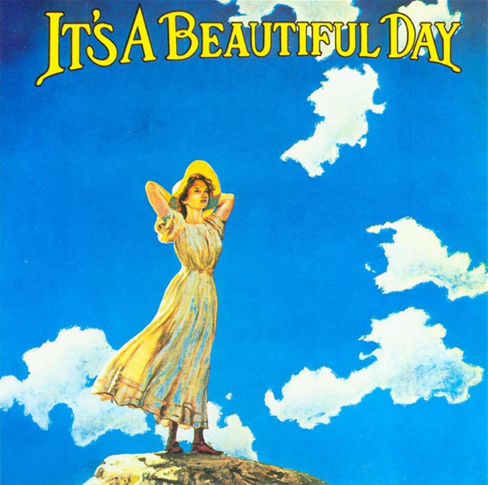
Long before we arrived in the town of White Bird, my early recollections of White Bird were from the song by the band, It’s a Beautiful Day. White Bird, originally recorded in 1968 was their biggest hit, and remains on a playlist I listen to while on Harley rides like this.
Although they were one of the earliest and most important San Francisco bands to emerge from 1967’s social phenomenon, Summer of Love, It’s a Beautiful Day never quite achieved the success of contemporaries such as Grateful Dead, Jefferson Airplane, and Santana.
It’s a Beautiful Day was one of the first rock bands to make violin playing cool. They were to the violin what Jethro Tull was to the flute.
That was a welcome waltz down Memory Lane. For me, anyway.
***
Four miles past White Bird, a historical landmark commemorates the battle of White Bird. It’s the last thing of note we see before arriving in Grangeville, 20 miles up the road. Grangeville is home to the Idaho County Airport, the Idaho County Seat, and Border Days, held every July 4.
Border Days features Idaho’s oldest rodeo, and what’s believed to be the world’s largest egg toss. Roughly 15,000 eggs have been cracked on Grangeville’s Main Street each year since the event began in 2009. The egg toss begins at 9 a.m. sharp.
In Grangeville, we begin our journey east, jumping on State Highway 13, the Harpster Grade Road, which takes us, of course, to Harpster. It’s unclear where the name Harpster comes from. Clearly, it’s unrelated to the musical instrument. One who plays the harp is called a harpist. A really cool dude might be considered a hipster harpster.

We’ve been following the South Fork of the Clearwater River, and we’ll continue along its path to the town of Kooskia, just 13 miles north of here.
Kooskia, population 600, sits at the confluence of the South and Middle forks of the Clearwater. The name Kooskia is believed to come from the Nez Perce word “koos-koos-kia,” which refers to the Clearwater River. A historical stain on Kooskia is its Internment Camp, which housed more than 250 interned Japanese-American men during the final two years of World War II.
Today, Kooskia is within the Nez Perce Indian Reservation, whose tribal lands cover about 1,200 square miles. The Nez Perce are one of five federally recognized tribes in the state of Idaho, and one of more than 300 federally recognized American Indian tribes in the US.
***
Kooskia marks the beginning of the Lolo Pass Highway, known among motorcyclists as one of the top ten rides in the country. From Kooskia, it’s 104 miles to Lolo Pass, and 28 more to the town of Lolo, Montana.
So, we do what all smart Harley riders do, and turn east on US Highway 12, beginning the journey to Lolo Pass.
We follow Highway 12, and the Clearwater River, east. Fifteen miles later, we arrive in the tiny town of Syringa, named for the shrub that grows in the area. It’s also the Idaho state flower. Syringa is a woody shrub with clusters of white, fragrant flowers. Native Americans found many uses for syringa; the wood was used to make pipe stems, harpoon shafts, bows, arrows, root digging sticks, and snowshoes. The bark and leaves of syringa were used to make soap.

The town of Syringa is in the Nez Perce – Clearwater National Forest, which we’ll be riding through for the next three hours, until we arrive at Lolo. Most of the path of the Lolo Pass Highway runs along the Clearwater and Lochsa Rivers.
Our journey is much easier than what the Lewis and Clark Expedition encountered. In 1805, they descended the Clearwater in dugout canoes.
In the town of Lowell, population 30, the Middle fork of the Clearwater River becomes the Lochsa River. Lochsa (pronounced LOCK-saw) is a Nez Perce word meaning rough water. Kayakers and whitewater rafters run the Lochsa, generally between April and June.
We’re now following Highway 12 along the Lochsa River’s north bank. This roadway, completed in the early 1960s, was one of the last two-lane US highways built.
We don’t see much for the next two hours, until we arrive at Lochsa Lodge, constructed in 1929 for hunters. Sportsmen traveled by trail from Missoula, Montana, and from Kooskia, Idaho, to stay at the lodge — before Highway 12 was built.
Lochsa Lodge is one of the few places on the Lolo Pass Highway where food and beverage is available. Their signature dish: blackberry cobbler, a la mode.
***
From Lochsa Lodge, it’s 13 miles to Lolo Summit, elevation 5,233 feet. Lolo Pass sits on the border between Idaho and Montana. It’s the highest point on the historic Lolo Trail, which was used by Nez Perce in the 18thcentury, and the Lewis and Clark Expedition, on their westward snowbound journey in September 1805.
The Lolo Trail is a National Historic Landmark, designated for its importance to the Lewis and Clark Expedition, and its role in the 1877 Nez Perce War.
There are different stories as to where the name Lolo came from. The name Lolo was not used by Lewis and Clark. Its first known mention is in the 1810 journal of David Thompson, who described three fur trappers, probably of French descent: Michael, Lolo and Gregoire.

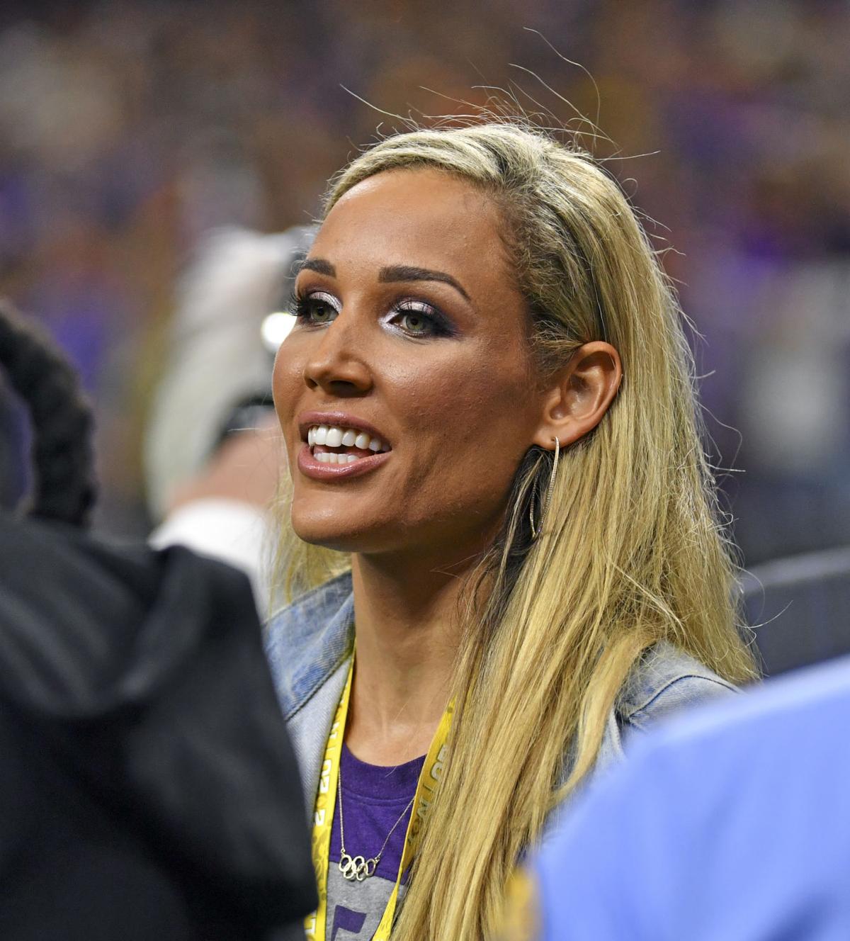
To Olympics fans unfamiliar with this part of the country, the best-known Lolo is Lolo Jones, born Lori Susan Jones. She’s a track star who received All-American honors while at Louisiana State University, for her hurdling prowess. Jones was favored to win gold the 100-meter hurdles at the 2008 Beijing Olympics, and was pulling away from the field when she tripped on the second-to-last hurdle and finished in seventh place.
Lolo Jones is one of the few athletes who have participated in both the Summer and Winter Olympics. While she’s best known for her work on the track, she represented the US in bobsledding at the 2014 Winter Olympics. Jones is not competing in the 2021 Tokyo Summer Olympics, which are happening this week, but she’s still pursuing her dream of a winter Olympics medal at the 2022 games in Beijing, China.
She got the nickname Lolo as a child when people called on the phone, asking to speak to Lori – also her mother’s name. To make things less confusing, they decided to call the younger Lori “Lolo.”
Now 38 years old and never married, Jones has attracted quite a bit of attention for her desire, so far apparently successful, to wait until she’s married to have sex. In a highly publicized 2012 interview, she said her virginity was a “gift” she wanted to give to her husband.
Jones says her widely known position on virginity has “killed” her dating life.
To learn more about Lolo — and who doesn’t? — her new memoir, released just last week, is on bookshelves: How to Face Life’s Hurdles With Grit, Hustle, and Grace.
***
At Lolo Pass, atop the Bitterroot Range, as we cross over into Montana, we begin to see more Montana license plates than Idaho plates.
While Idaho was known for its county identifiers on state license plates, Montana’s thing it its huge variety of available plates. If you move to Montana and go to register your car or truck, you have nearly 300 options to choose from. None of them say “Famous Potatoes.”
Turns out you can look at a Montana plate and figure out where the vehicle is from; it’s just harder than in Idaho. Each of Montana’s 56 counties is assigned a number, 1 through 56, and those numbers follow the word Montana on each plate. All you have to do to keep track of this is memorize which county goes with which number.
To get started, number 1 is Silver Bow County, and number 56 is Lincoln County. Good luck with the other 54.
Montana, with a population of just over one million, is the 43rdmost populous state. But it’s a large state geographically – the fourth largest state by land size, trailing only Alaska, Texas and California.
Its population density is 7.3 people per square mile. The only states with smaller human population density are Wyoming and Alaska. On the bright side, Montana has the largest grizzly bear population in the lower 48 states.
***
Idaho Highway 12, which we’ve been traveling on for the past 130 miles, is also known as the Lewis and Clark Highway – and for good reason.
From Lolo Pass, we descend about 3,000 feet over the next 32 miles until we arrive in Lolo, Montana. Lolo is home to Travelers’ Rest State Park, where Lewis and Clark camped in 1805 and 1806. The Lewis and Clark expedition party included 27 unmarried soldiers, a French-Indian interpreter, and a contracted boat crew – 45 people in all.
Lewis, Clark, and their fellow expeditioners, found the area that is now Travelers’ Rest State Park a relaxing place to hang out. For them, it was ideal to stop, rest, hunt and repair their gear before tackling the trip over Lolo Pass. Today, the park is distinguished for being the only archaeologically verified campsite of the Lewis and Clark expedition.
Travelers’ Rest State Park sits on the West Fork of Lolo Creek, in downtown Lolo – just across the street from the Lolo Creek Steakhouse.
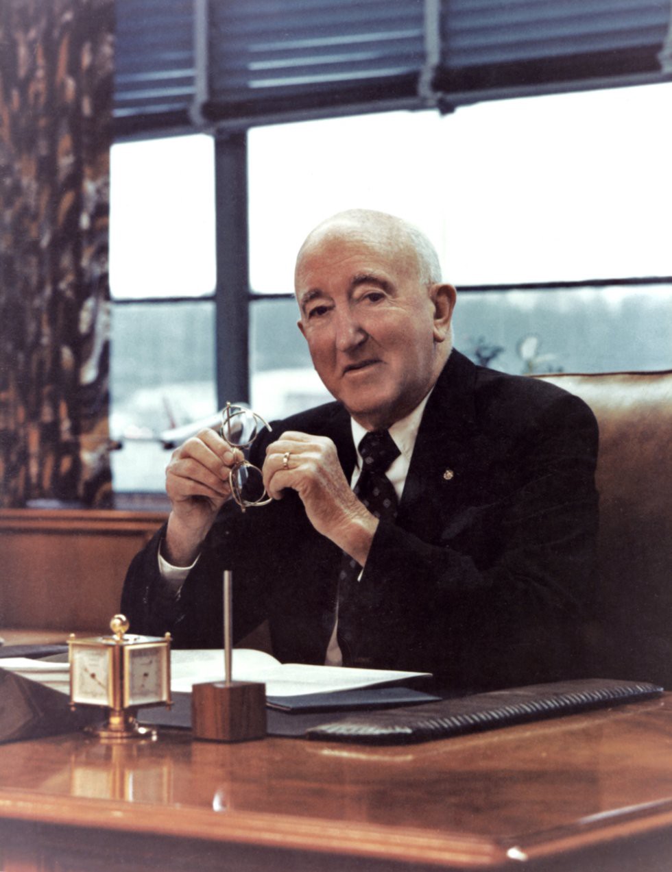
One of Lolo’s most famous residents is Bill Allen, who was born there in 1900, graduated from the University of Montana and Harvard Law School. Allen served as president of Boeing from 1945 to 1968. Boeing, of course, is the big ‘ol airplane company where Sarah and I worked – not during the Bill Allen era, but his fingerprints were all over the company, in a good way. There were no Bill Allen scandals. No jail time, no philandering, no drama, no PR nightmares or embarrassments.
Bill Allen is recognized as being largely responsible for Boeing’s success in the early years of the jet age, having bet the company in 1952 on the development of what would become the 707. He bet the company again in the mid-1960s with the development of the 747. Both of those airplanes changed the course of aviation history and made international airplane travel possible for the masses.
Boeing could desperately use another Bill Allen these days. Maybe the Boeing Board of Directors should start looking in Lolo.
***
Bill Allen’s birthplace in Lolo is only 10 miles to tonight’s destination, Missoula.
With a population of about 75,000, Missoula is Montana’s second largest city – after Billings. Missoula, which sits on the Clark Fork River, is home to the University of Montana. The name Missoula comes from the Salish name for Clark Fork River, which roughly translates to “place of frozen water.”
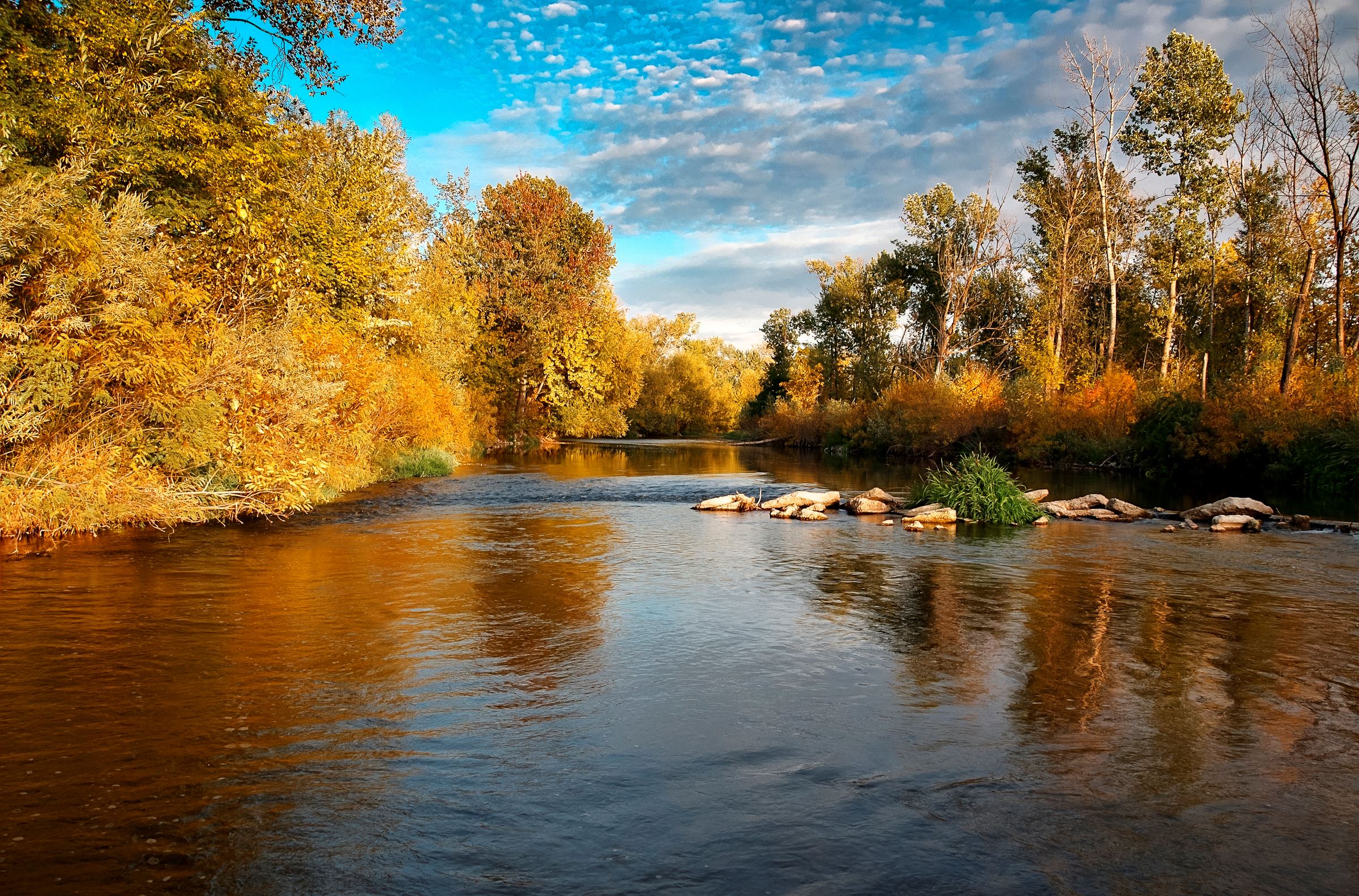
Missoula is known for its blue-ribbon trout fishing and its spectacular natural beauty. Author Norman Maclean, who spent his early years in Missoula, made both fishing and nature famous with his 1976 book, A River Runs Through It. The book was later made into a 1993 Hollywood film starring a very young Brad Pitt. The movie won an Oscar for its cinematography showcasing Montana’s beauty.
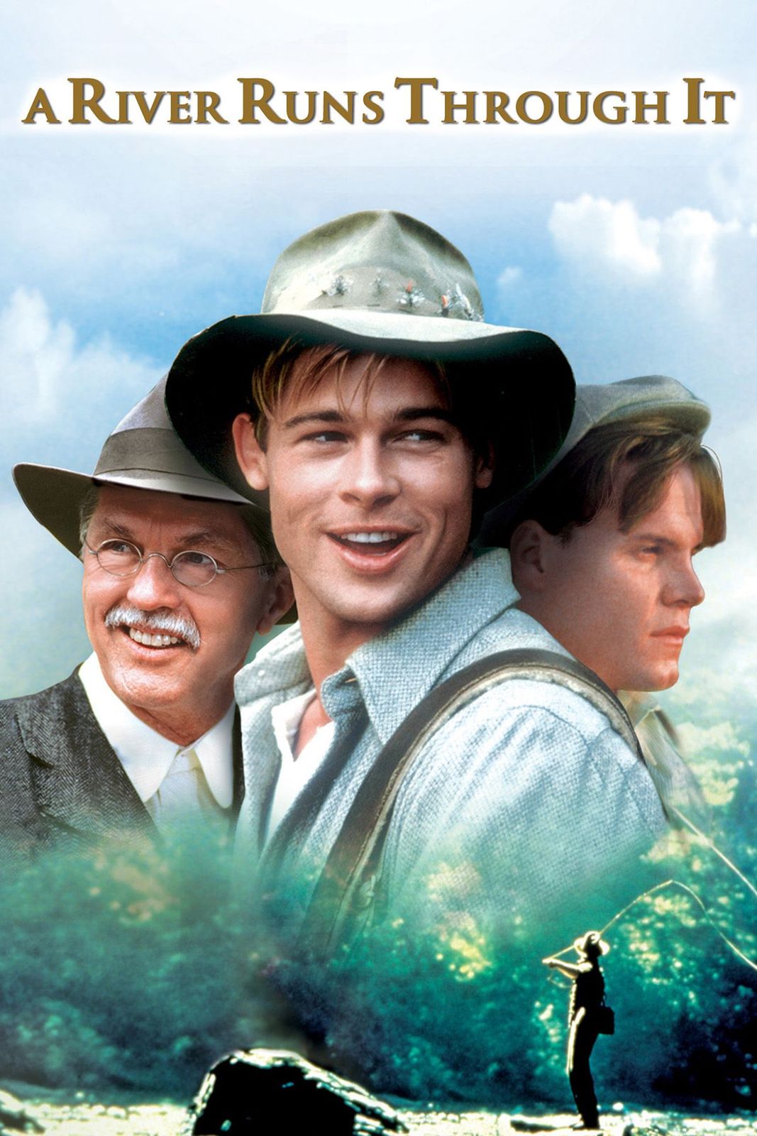
While the book and movie are set in Missoula and on the Blackfoot River, the actual filming was done elsewhere in Montana – in Livingston and Bozeman – and on the upper Yellowstone, Gallatin and Boulder Rivers. To watch the film, you’d never know it wasn’t shot in Missoula, and on the Clark Fork River. That’s Hollywood.
Missoula seems like a good place to stop for the day, so we park the bikes and begin thinking about tomorrow’s journey on yet another road considered one of America’s top 10 for motorcycles.
***
Day Six Summary: 258 miles. Lolo Pass, Lolo Jones, all things Lolo.
Click here to see today’s complete route from McCall, Idaho, to Missoula, Montana.
Today’s fun facts, favorite foods, funky place names and famous folks:
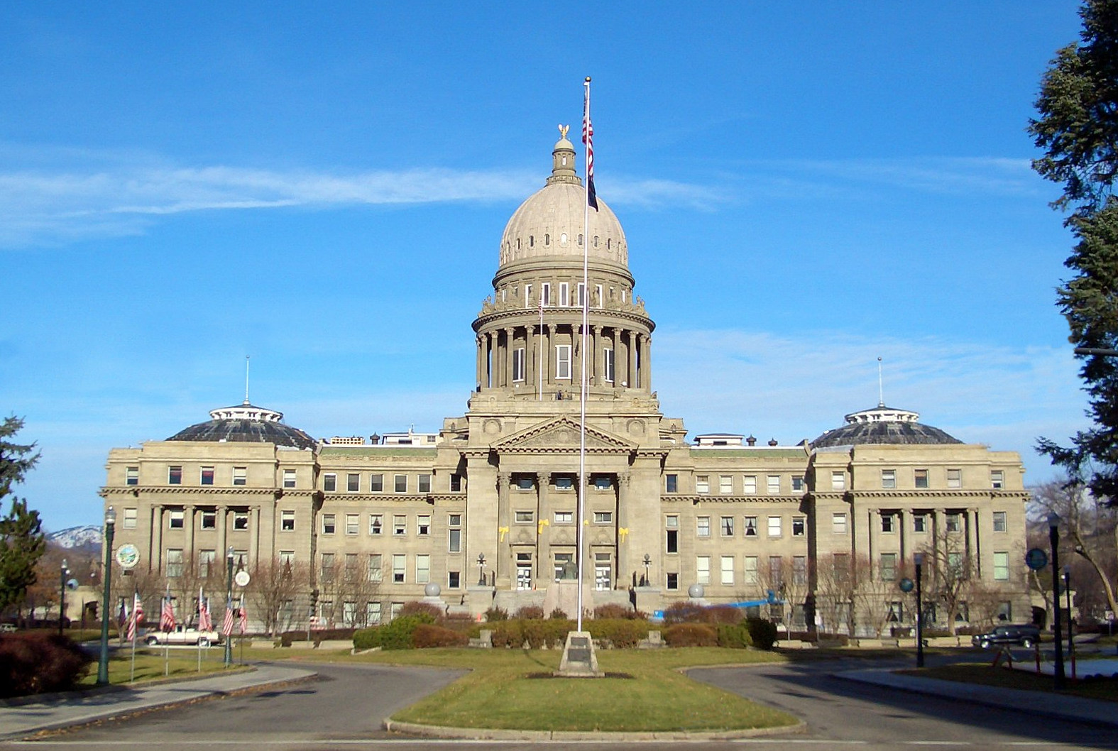
Idaho fun fact: Idaho’s State Capitol building in Boise is the only one in the US heated by geothermal energy. The heat comes from hot springs located 3,000 feet underground. Boise became the capital of the Idaho Territory in 1864, then the state capital when Idaho was admitted to the Union as the 43rdstate on July 3, 1890.
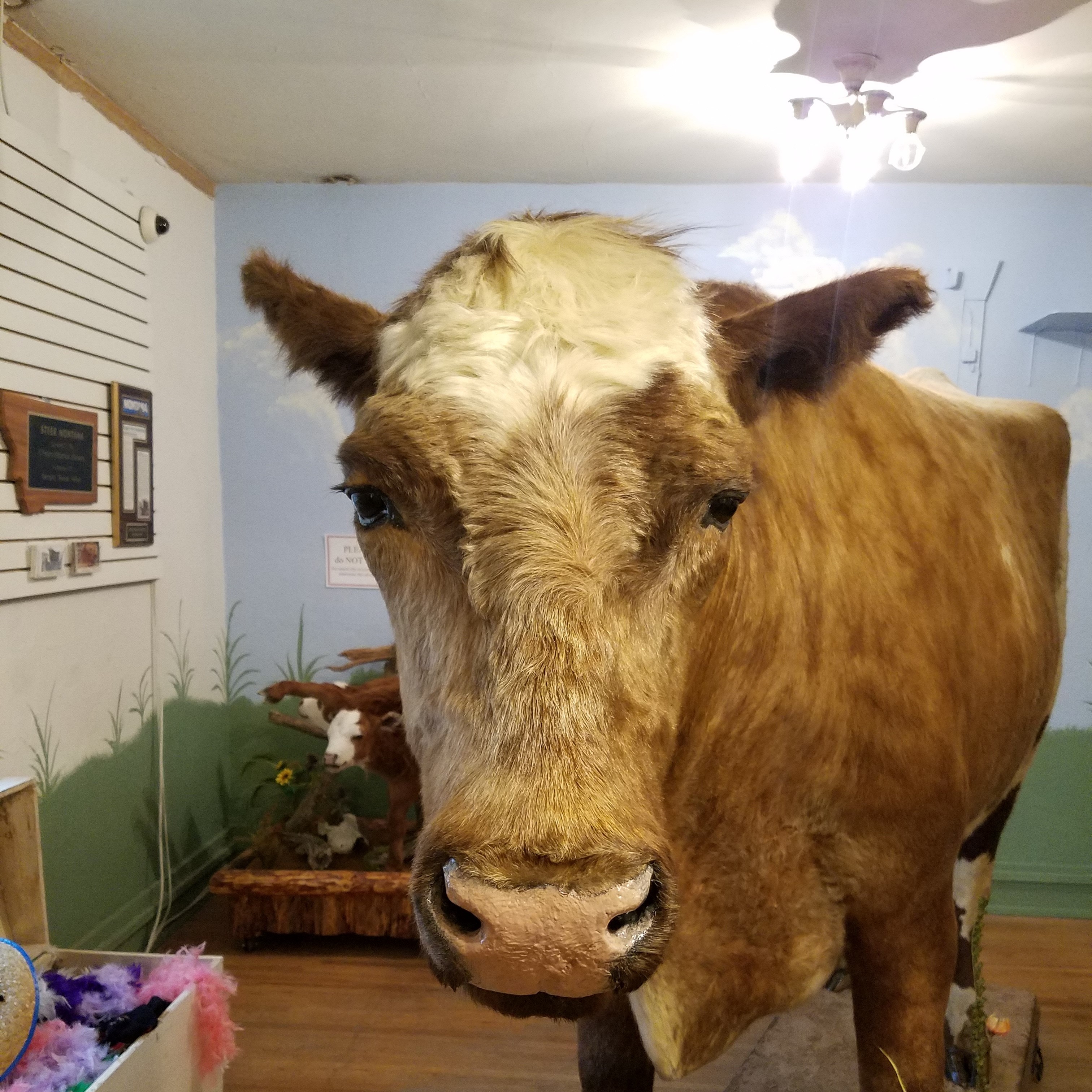
Montana fun fact: The world’s largest steer can be found at the O’Fallon Museum in Baker, Montana. Weighing in at 3,980 pounds, he grew to be 5’9″ tall and 10’4″ long. Born March 23, 1923, just east of Baker, in southeastern Montana, the steer lived for 15 years and 4 months. His owner, Jack Guth, christened him “Steer Montana,” and exhibited the animal at more than 60 state fairs.
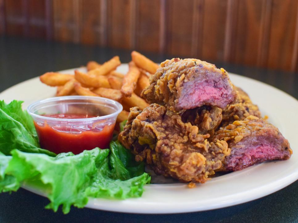
Idaho favorite food: Finger steaks! These battered, deep-fried beef strips were invented in the mid-1950s by Milo Bybee at the Torch Lounge in Boise. Though you can order a basket of these crunchy morsels at many dive bars, Lindy’s Steak House in Boise has perfected the recipe. The chefs at Lindy’s use top sirloin, rub it with fresh garlic, then dunk it in seasoned flour and drop the whole thing in a high-pressure deep-fat fryer until it’s crisp outside but still pink on the inside.
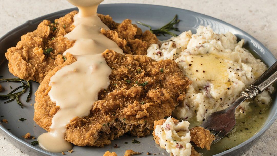
Montana favorite food: While not an official state food, chicken fried steak is quite popular in Montana. It’s a signature dish at the Western Café in downtown Bozeman. The breakfast version is coated in homemade breading, grilled and nestled in a bed of sausage gravy. Yum!
Idaho funky place name: The state capital of Boise is named after the Boise River, which got its name from French-Canadian explorers and trappers, who noted the variety of trees growing along its banks. Apparently, after traveling over a long stretch of arid land, they were excited to see the woods: “les bois!” (French for, the woods). To sound like a local, pronounce it BOY-see, not BOY-zee. There is no Z in Boise.
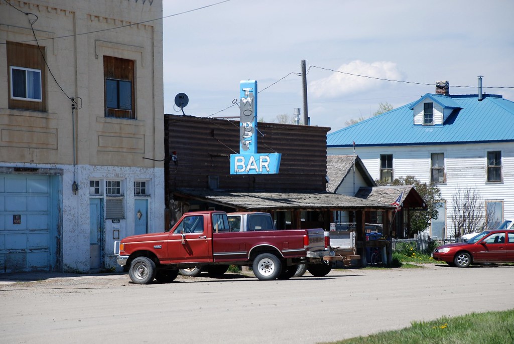
Montana funky place name: Two Dot is a tiny community in Wheatland County. Its name comes from the cattle brand of the late George R. Wilson, who donated the land for the town. “Two Dot Wilson” had a cattle brand that was simply two dots, placed side by side, on the hip of his cattle.
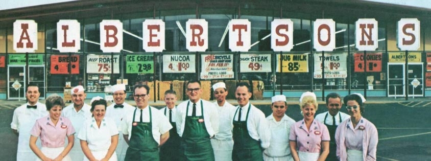
Idaho famous folk: Joe Albertson, founder of the Albertsons chain of grocery stores, grew up in Caldwell, just northwest of Boise. Albertson began his career as a clerk at a Safeway store in Caldwell, before starting his own grocery store at Sixteenth and State Streets in Boise – which eventually grew into the Albertsons chain of more than 600 locations. Albertson died in Boise in 1993 at the age of 86.
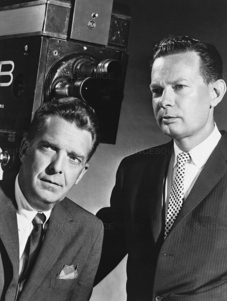
Montana famous folk: Newsman Chet Huntley, of NBC’s Huntley-Brinkley Report, was born in Caldwell, Montana, lived in various small Montana towns, and attended Montana State College. At the time of his death in 1974 at age 62, he lived in Big Sky, Montana. When the Huntley-Brinkley Report aired from 1956 to 1970, it ended each night with the words: “Good night, Chet.” “Good night, David.”
Sturgis, anyone?
Vroom.
A look ahead @ tomorrow: Going to the Sun.

Love all of the historical factoids you put into your blog, Gary. Well done! As for me, although I love them both, beer and blackberry cobbler don’t seem to go well together so I’ll stick with boysenberry a la mode and then enjoy the beer at a later time. I’m a purist that way. But the great pics and new revelations about dishes i’ve never heard of make me want to make a foodie trip out of some of the places you’ve frequented. Finger steaks? Hmmmm, well ok – I’m down! Continue to ride safely – Happy Trails, guys!!
LikeLike
Next time stop in Coeur d Alene and chat with some of my Harley riding relatives. Beautiful place.
LikeLike
Where is that?
LikeLike
Always interesting, Gary! I want to move to Two Dot.
LikeLike
See you in Two Dot, Paula. Vroom!
LikeLike