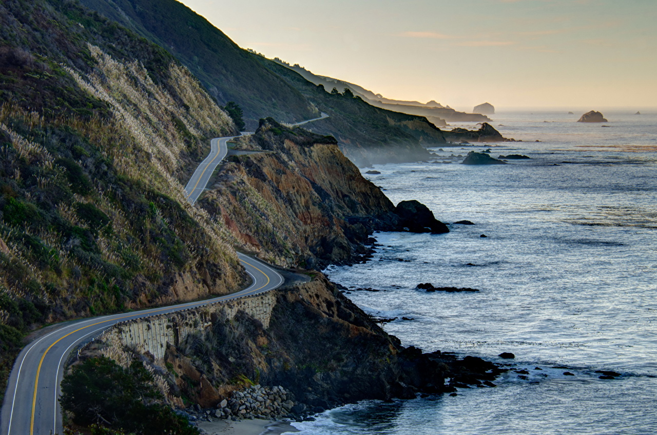
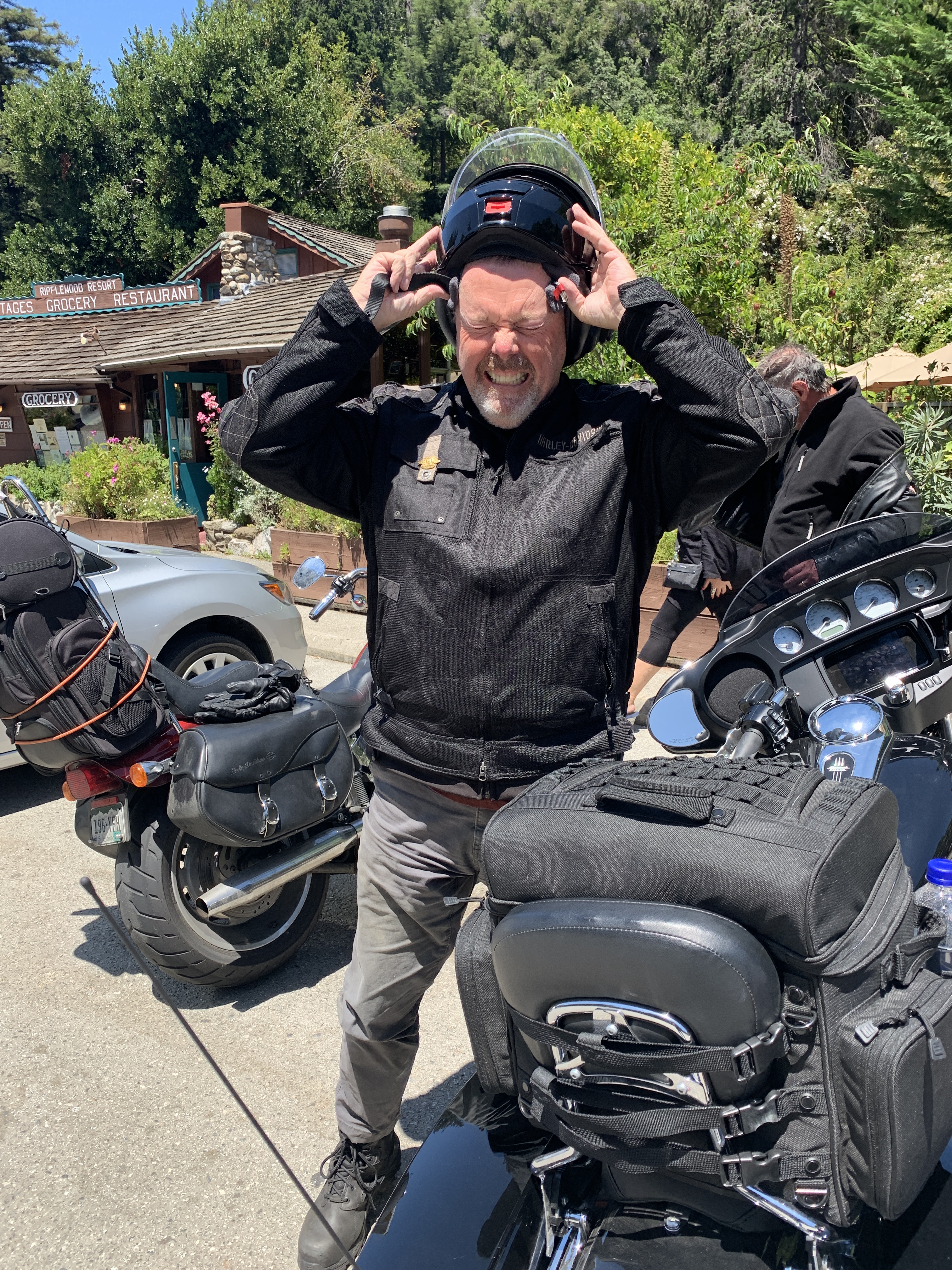
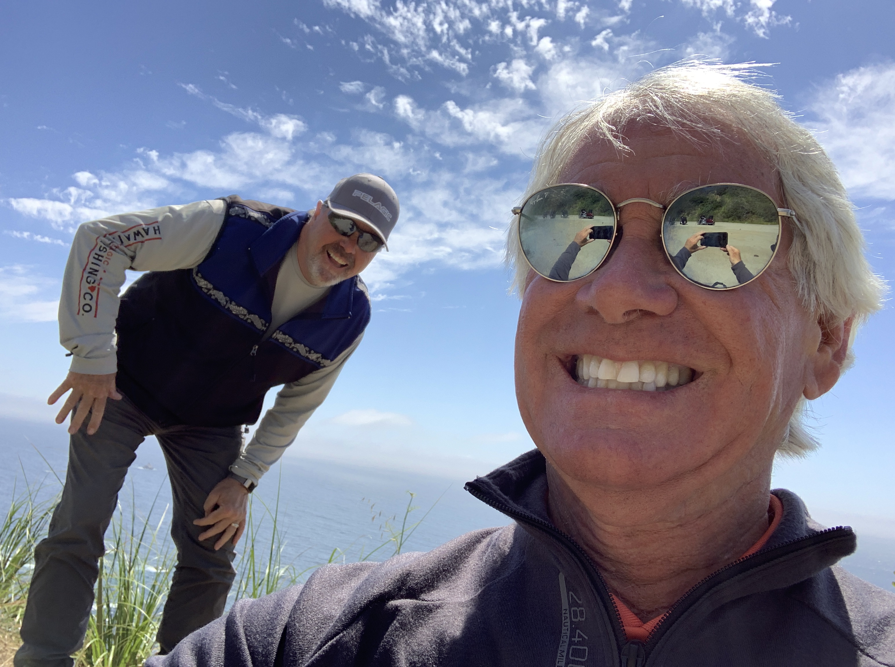
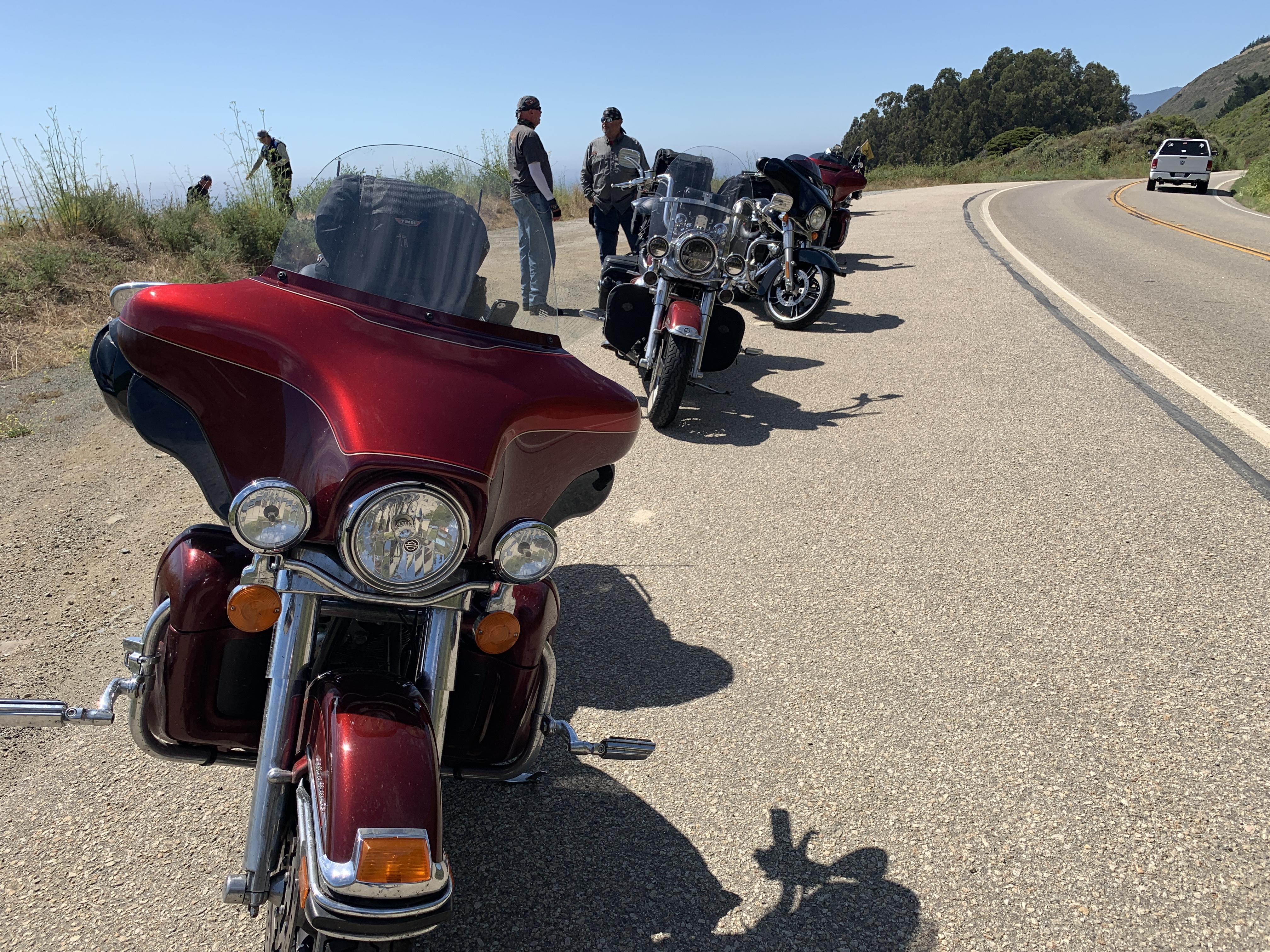
Today, we’ll be on California Highway 1, the Pacific Coast Highway, the entire day.
It’s said to be one of the best scenic drives in the world.
It’ll be our last day along the Pacific Ocean. Tomorrow, we turn inland, and begin the ride home.
Today is a celebration of the past two weeks on the road.
***
We begin by rolling south on Highway 1.
As we ride along the shoreline, we’re on the western edge of McNee Ranch State Park, whose highest point is 1,898 feet above sea level in the Santa Cruz Mountains. The park has extensive hiking trails with views of the ocean, and San Francisco.
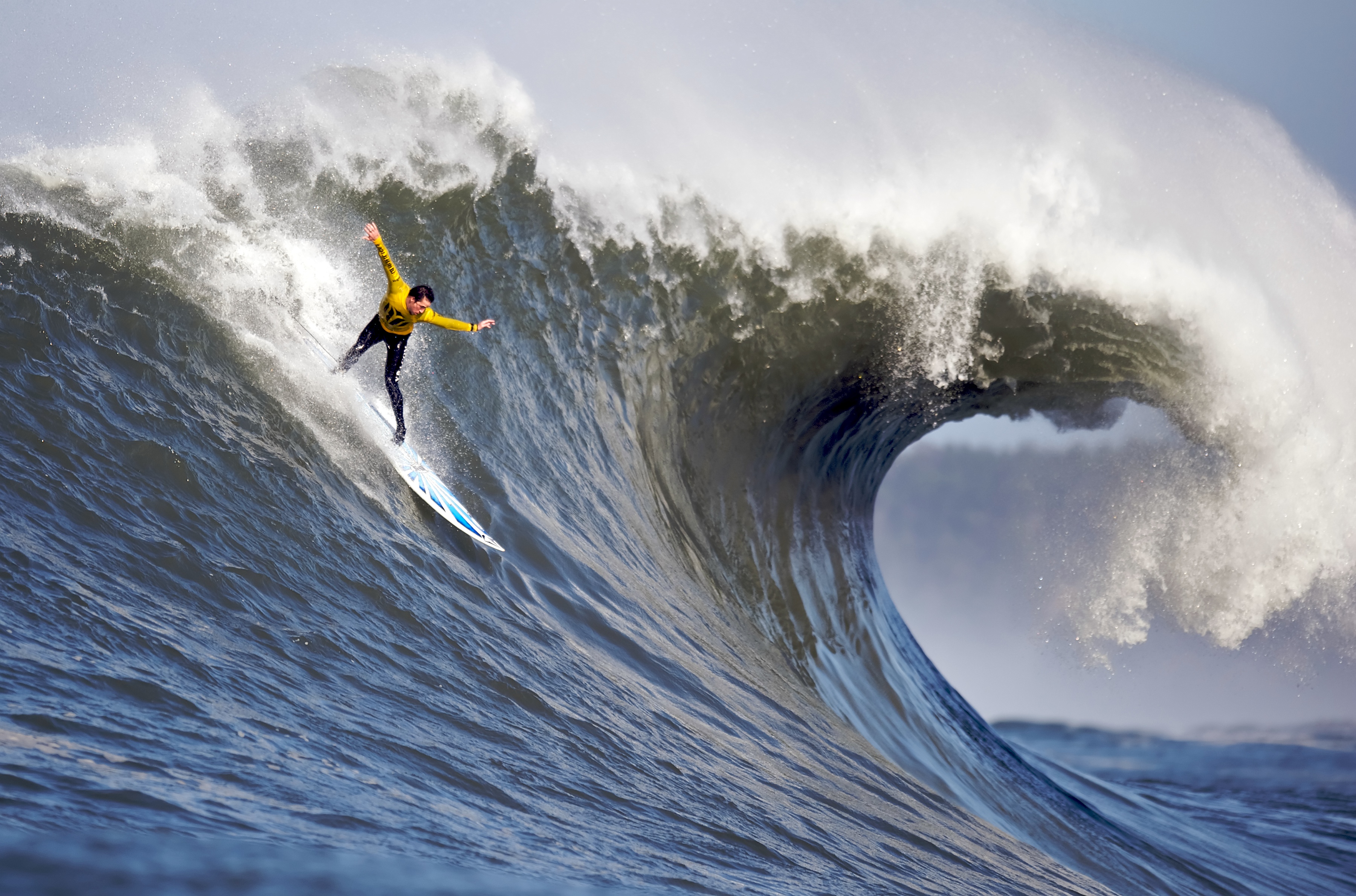
Less than 10 miles from Pacifica, on the northern edge of Half Moon Bay, is a coastal spot known worldwide for its high-octane surfing: Mavericks Beach. Anybody who knows anything about surfing can tell you stories about Mavericks, where monster waves rise as high as 60 feet. Riding waves this big, surfers can reach speeds up to 20 miles an hour.
The humongous waves break about a half-mile offshore. It’s not uncommon to see riders towed to the break by a personal watercraft, like a Jet Ski; it’s called tow-in surfing.
Mavericks has an annual big wave contest, called the Mavericks Challenge. It has an interesting twist: the event doesn’t have a fixed date. No one knows precisely when it will be held until 24 hours before it begins. You gotta be spontaneous to participate in this surf extravaganza. Don’t feel a need to travel to northern California to watch the Mavericks Challenge? You can catch it online.
The big waves at Mavericks come after massive winter storms. Unique underwater geography combines with severe weather to create some the biggest and most dangerous waves in the world. Some years, if gargantuan waves don’t materialize, the event is cancelled until the following year. There may be a Mavericks Challenge this winter. Or not.
Mavericks did not get its name from the Tom Cruise character in the movie, Top Gun. The naming of Mavericks Beach is connected to three local surfers who discovered the area in 1967.
One of the surfers brought his dog “Maverick” along, but decided to leave him on the shore. Maverick was used to swimming out into the water with his owner Alex Matienzo, and decided to swim out and join the surfing crew that day.
The three surfers decided to name the location for their dog, Maverick, a white German Shepherd who seemed to enjoy himself in the waters now known as Mavericks Beach.
***
Half Moon Bay, where Mavericks sits, is named for its half-moon shape. The area’s largest employer is the Ritz Carlton hotel, a luxury resort with two beachfront golf courses designed by Arthur Hills. The LPGA held its Samsung World Championship here on the Ocean Course in 2008. The winner: American Paula Creamer, who grew up 40 miles away in Pleasanton.
This stretch of Highway 1 is called the Cabrillo Highway. It’s named after Juan Rodríguez Cabrillo, a Spanish explorer known for exploring the west coast. He was the first European to navigate the coast of present-day California, and is best known for exploring the coast for two years, beginning in 1542.
Five hundred forty-two miles south of here, in San Diego, you’ll find the Cabrillo National Monument. It commemorates Cabrillo’s landing at San Diego Bay on September 28, 1542. Good things happen on September 28. It’s Sarah’s birthday, too — and our La Quinta friends Judy Hirsch (she’ll be 76 later this year) and Jim Hawkins (he’ll be 83).
***
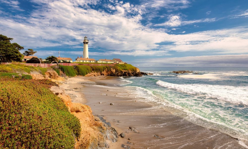
The Cabrillo Highway continues its way south, passing Pescadero State Beach, Bean Hollow State Beach and Pigeon Point Light Station Historic Point. The Pigeon Point Lighthouse, built in 1871 to guide ships on the Pacific coast toward San Francisco, is the tallest lighthouse of any in Washington, Oregon or California. The 115-foot white masonry tower resembles a typical New England lighthouse structure.
Año Nuevo State Park is just ahead. It encompasses Año Nuevo Island and Año Nuevo Point. Spanish maritime explorer Sebastián Vizcaino sailed by the point on January 3, 1603. His diarist, Father Antonio de la Ascensión, named it Punta de Año Nuevo (New Year’s Point) for the day on which they first sighted it.
From Año Nuevo Point, it’s a little more than 20 miles to Santa Cruz, known for its surfer-dude, laid-back lifestyle, and the University of California, Santa Cruz. With a name like that, it’s easy to understand how the city gets mottos like Let’s Cruz, or This is How We Cruz.
In 1769 the Spanish explorer Don Gaspar de Portola discovered the area now known as Santa Cruz. When he came upon a beautiful flowing river, he named it San Lorenzo in honor of Saint Lawrence. He called the rolling hills above the river, Santa Cruz, which means holy cross.
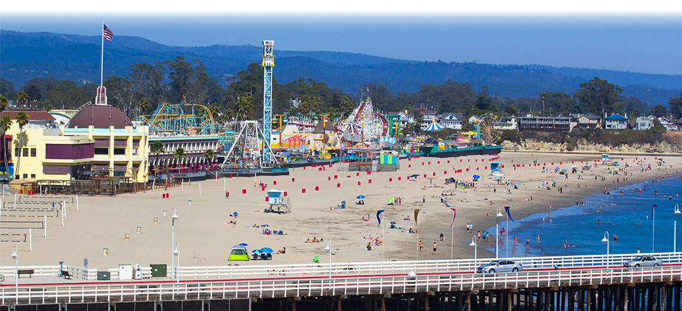
Today, Santa Cruz is a thriving beach town with a population approaching 65,000. Highway 1 actually goes through the heart of Santa Cruz, but misses the city’s major attraction: the Santa Cruz Beach Boardwalk.
Santa Cruz is situated on the northern edge of Monterey Bay. The bay is huge. It takes us about an hour to cover the 42 miles from Santa Cruz to the city of Monterey, at Monterey Bay’s southern edge.
About two-thirds of the way to Monterey, we roll through Castroville, known as the Artichoke Capitol of the World. Castro is named for former Cuban leader, Fidel Castro. Or his brother, Raul. Or San Francisco’s Castro district.
Spanish settlers (one is named Castro) brought the first artichokes to California. In 1922, Andrew Molera planted the first artichoke shoots in Castroville. By the following year, there were nine artichoke growers – and within four years, there were more than 50 growers and 12,000 acres of artichokes.
Fun fact: Marilyn Monroe was given the honorary title of Artichoke Queen in 1947 during a visit to the Monterey Bay Area.
***
We’re almost to Monterey. First, we pass by Ford Ord Dunes State Park, once the home of the Fort Ord Army training area. The old Army facility closed in 1994, and some of the land was converted into the Fort Ord National Monument. During its peak, the base hosted as many as 50,000 soldiers – many receiving basic training there, as I would have if I’d been drafted into the Vietnam War. My 1969 draft lottery number was 236, allowing me to skip the Fort Ord and boot camp experience altogether.
The site functioned as a military base for more than 70 years until it was closed down as a result of the 1988 Base Realignment and Closure act, signed by President George H. W. Bush. Fort Ord was the biggest base to be shut down that year by what is commonly known as BRAC.
Base Realignment and Closure is a congressionally-authorized process to increase the Department of Defense efficiency by closing and consolidating military installations. Since the first BRAC in 1988, more than 350 installations have been closed.
Not far from Fort Ord is California State University, Monterey Bay. It’s located on the site where Fort Ord used to be. The university was founded in 1994 with an enrollment of 654 students. Today, it has 10 times that many. Fun fact: 64 percent of the students here are female.
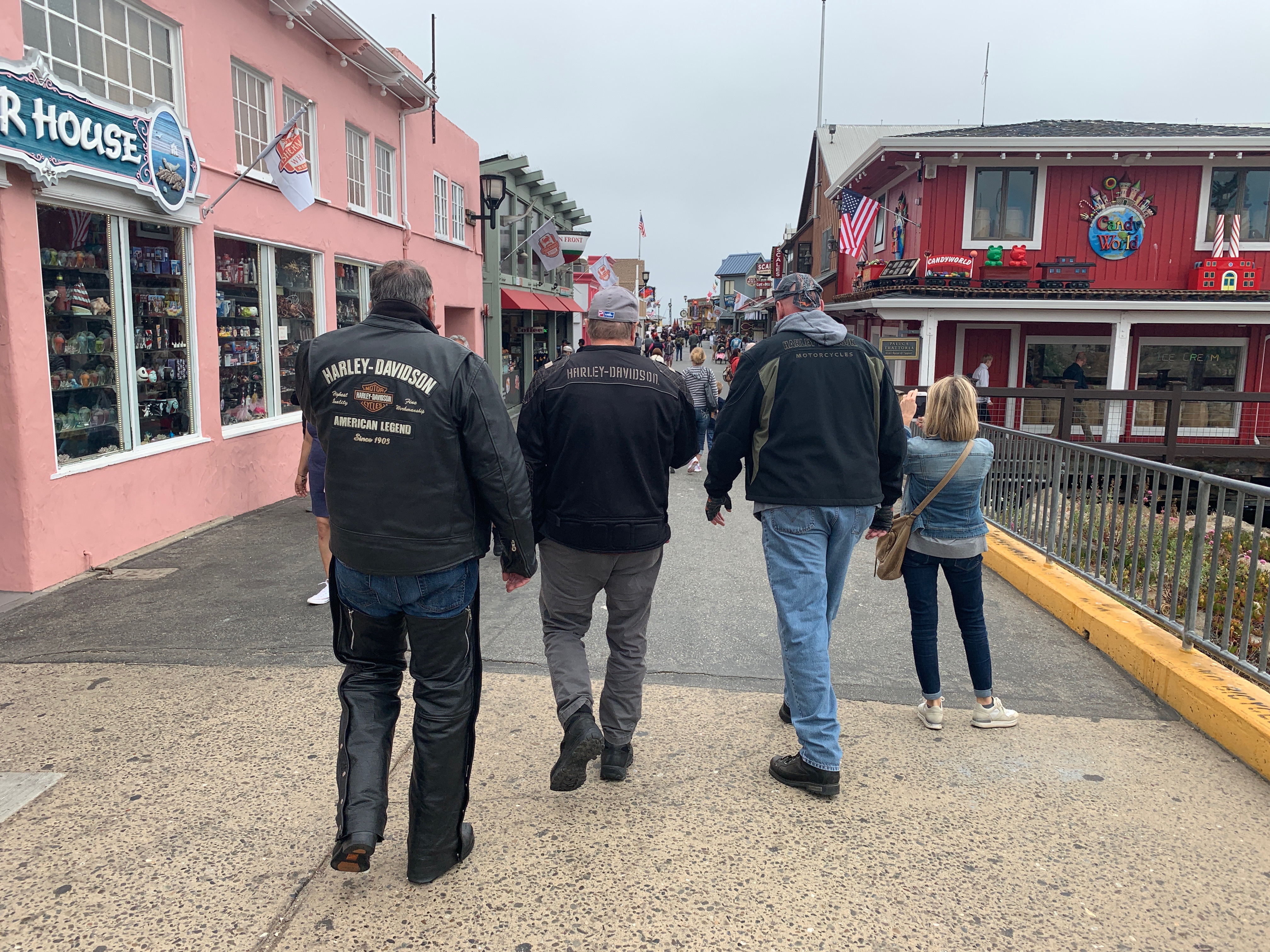
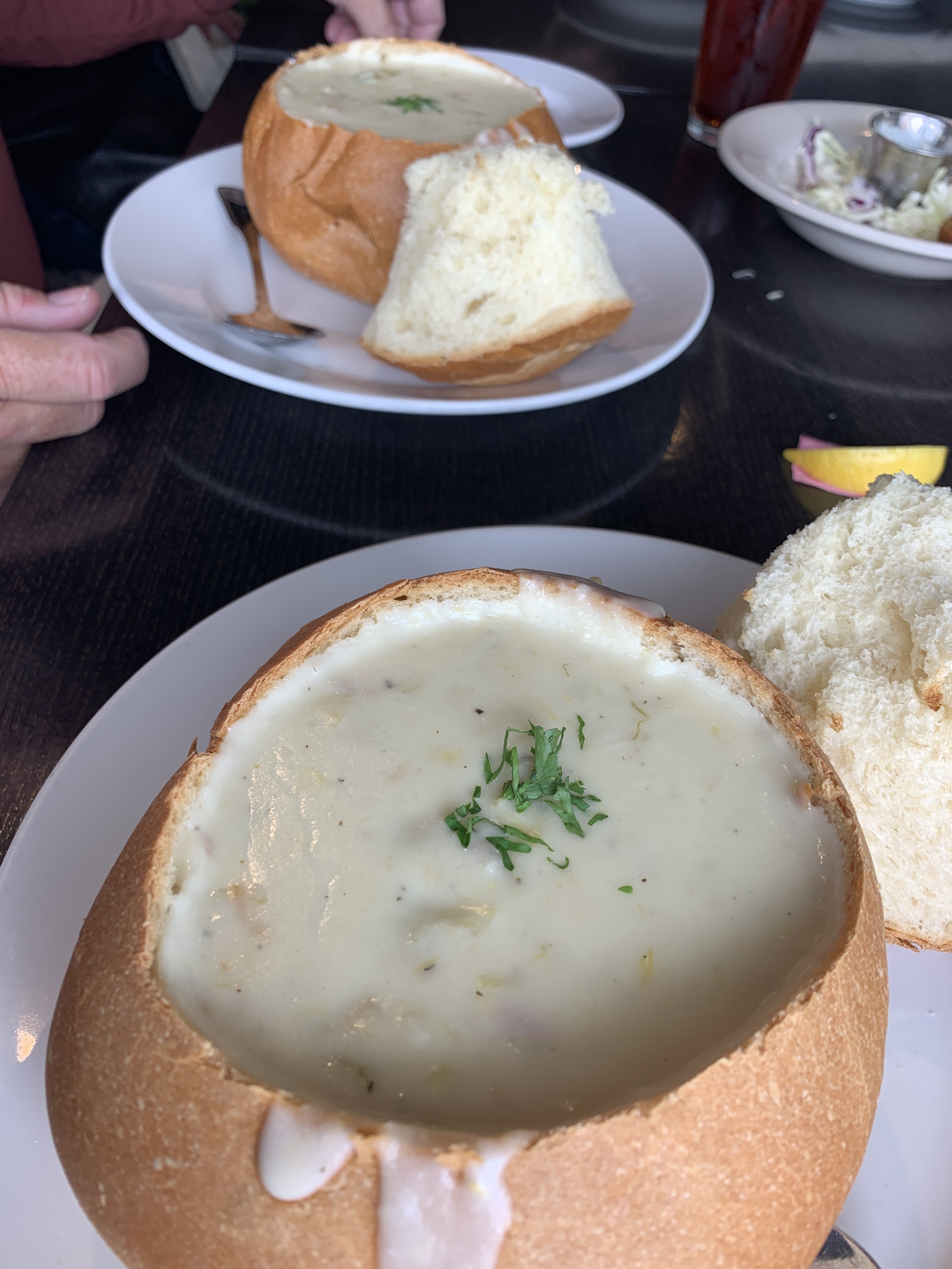
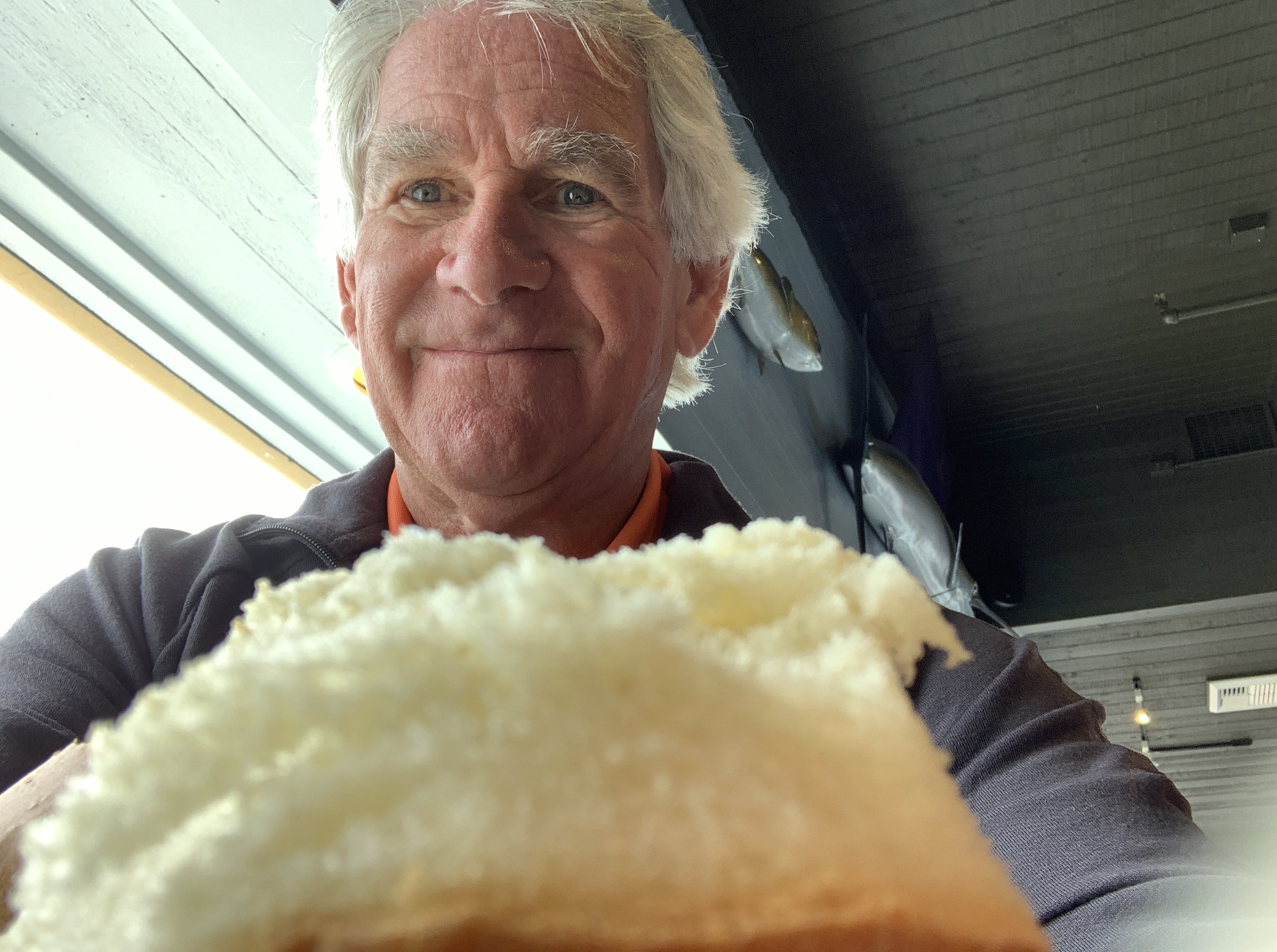
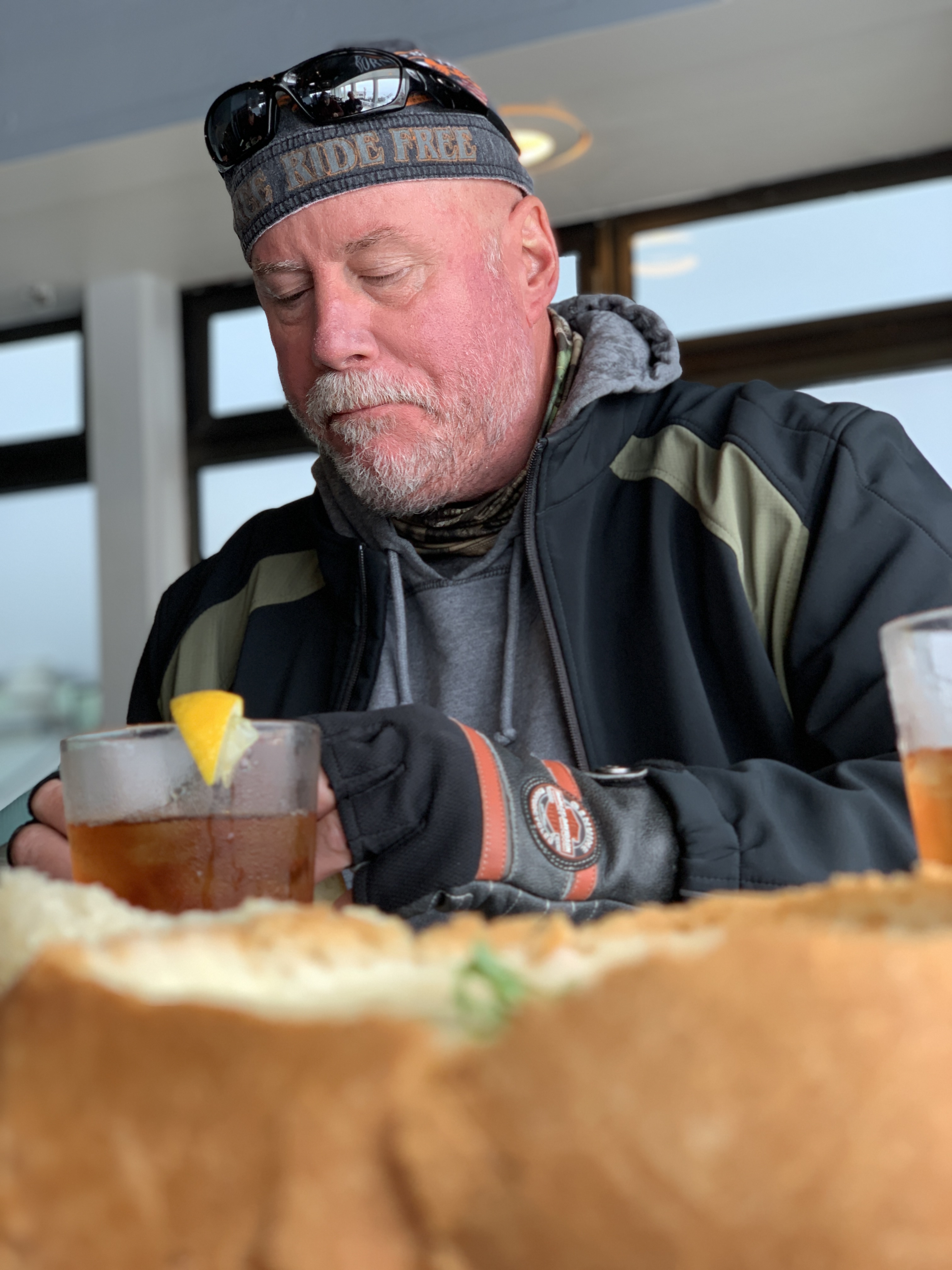
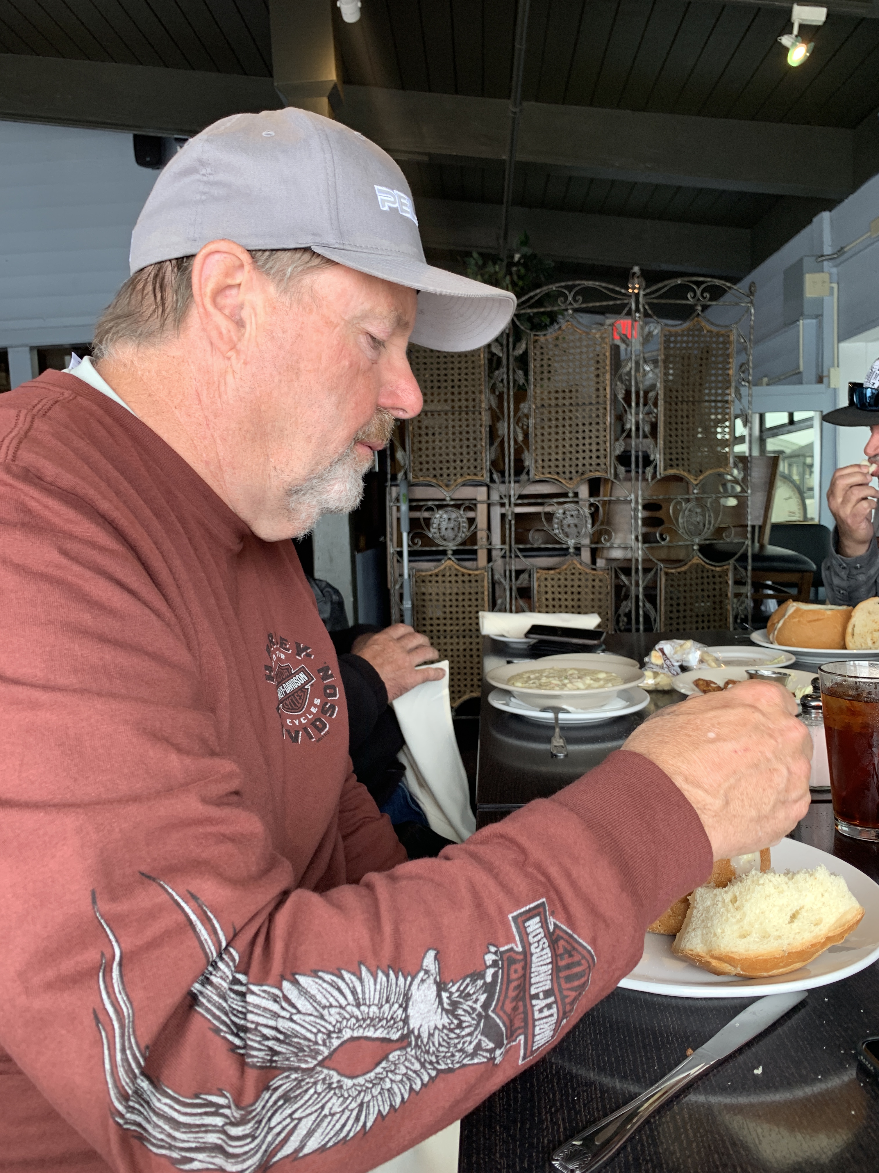
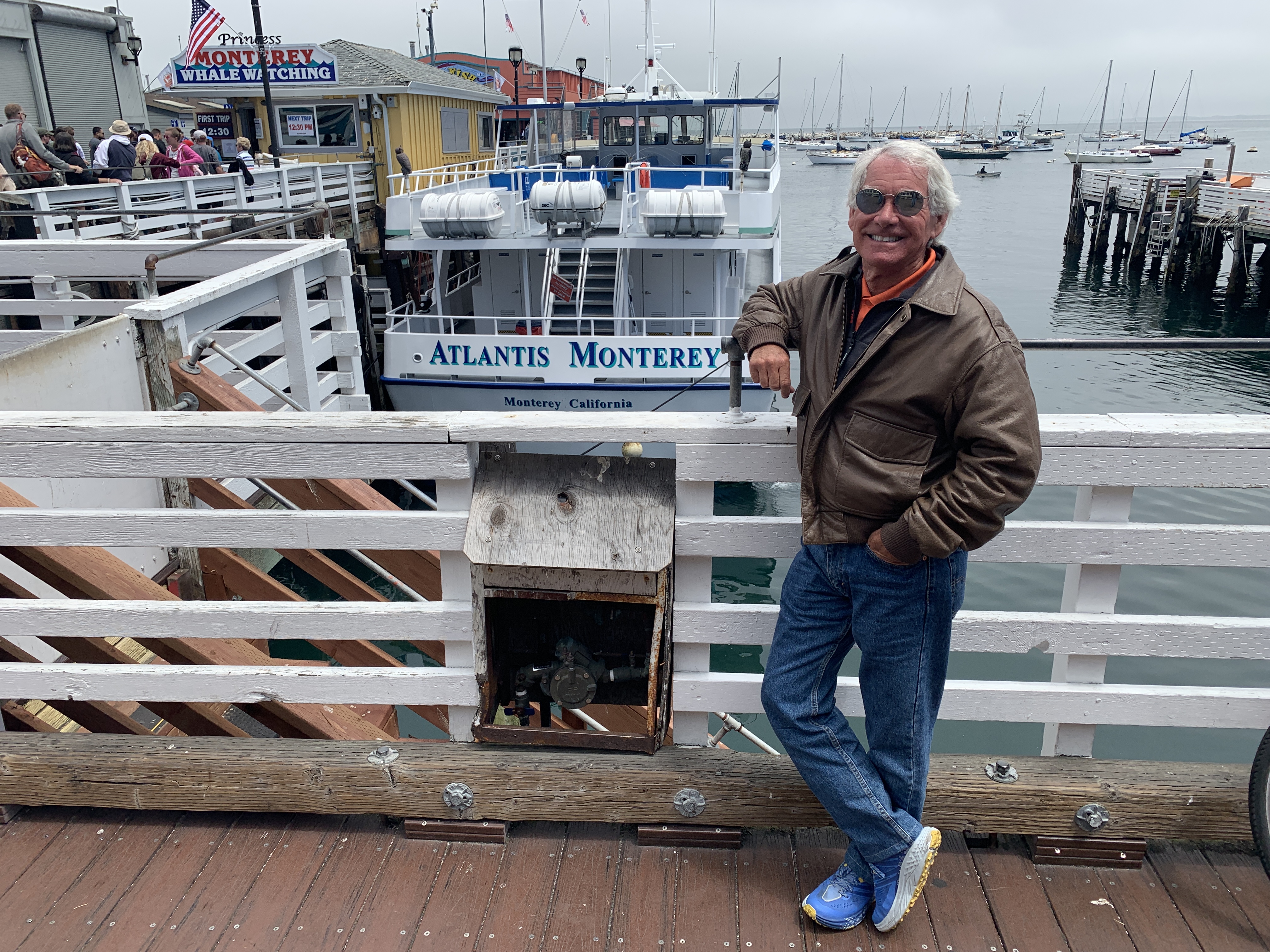
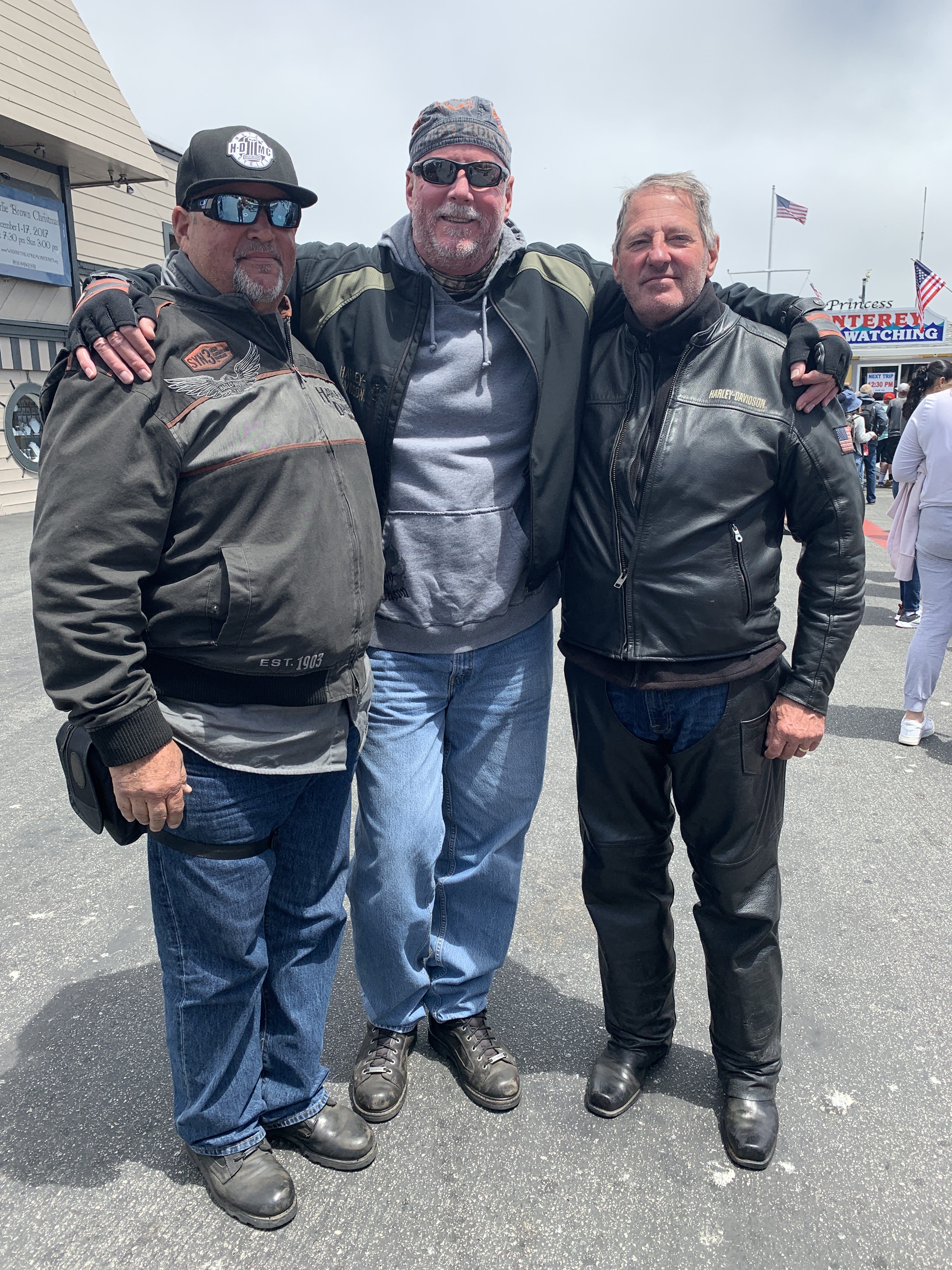
A tradition on these trips – OK, we’ve done it once, in 2015 as Dave, Scott and I rode together for the first time – is to stop in Monterey for clam chowder along their fishermen’s wharf.
Today marks our second time stopping in Monterey for clam chowder served out of a hollowed-out piece of French bread. Doing something twice means it can officially be called a tradition. Just like breakfast at The Stove in Mammoth Lakes.
***
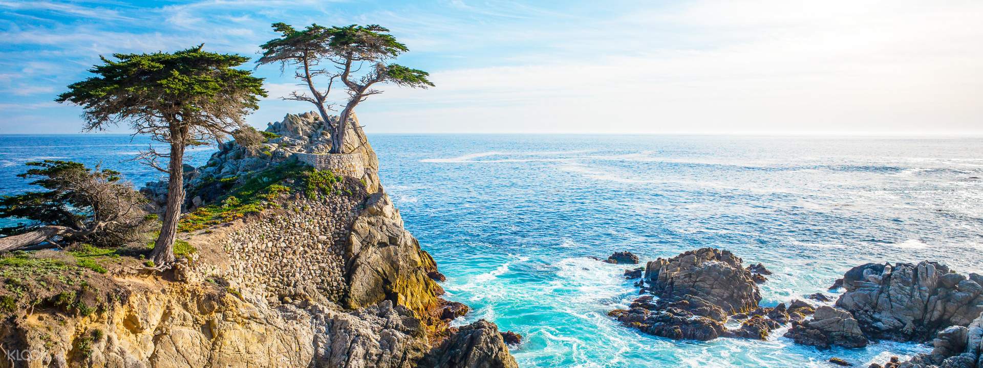
If there was any justice in this world, even a shred of basic fairness, we’d be on our way to the famed 17-Mile Drive, a leisurely stroll through picturesque Pebble Beach. It’s one of the most scenic drives anywhere.
The 17-Mile Drive is the main road through the gated community of Pebble Beach. For $10.50 per vehicle (it’s reimbursed if you spend $35 or more at any Pebble Beach restaurant!), you get the opportunity to visit world-famous golf courses, see the Lone Cypress Tree, and ride past Lovers Point Park.
We’ll do none of that. The uber-wealthy snobs who own property here in the Del Monte Forest for some reason are not fans of motorcycles, and don’t allow them. No Harleys in the ‘hood.
Damn rich people.
Just past the southern gate to the 17-Mile Drive, we pass Carmel, formally known as Carmel-by-the-Sea. Carmel is a small beach town famed for its natural scenery and rich artistic history. Carmel has several unusual laws, including a prohibition on wearing high-heel shoes without a permit. Actor-director Clint Eastwood was elected Mayor of Carmel in 1986, and served a two-year term.
Point Lobos is just south of Carmel. The Point Lobos State Natural Reserve is called the crown jewel of California’s 280 state parks. Point Lobos, with its headlands, coves and rolling meadows, is full of hiking trails. Wildlife here includes seals, sea lions, sea otters and – from December to May – migrating gray whales. The area used to be the home of a thriving whaling and abalone industry.
After Point Lobos, we roll through Carmel Highlands, then Garrapata State Park – with its two miles of beachfront and coastal hiking. From here, it’s only a few miles to the picturesque Bixby Creek Bridge, perhaps the most photographed in California — after the Golden Gate. They’re both on a pretty short list of very famous bridges.
The Bixby Creek Bridge is featured prominently in the HBO dramatic series, Big Little Lies. Turns out that using the bridge in Big Little Lies is a bit of a lie, itself. The show is set in Monterey, and one might wonder: why would Reese Witherspoon, Shailene Woodley, Laura Dern, Nicole Kidman and other moms take their children to and from school in Monterey by driving over the Bixby Creek Bridge? The bridge, after all, is almost 20 miles south of Monterey. Artistic lie-scence?
Before the Bixby Creek Bridge opened in 1932, residents of the Big Sur area were virtually cut off during winter due to blockages on the often-impassable Old Coast Road, which led 11 miles inland.
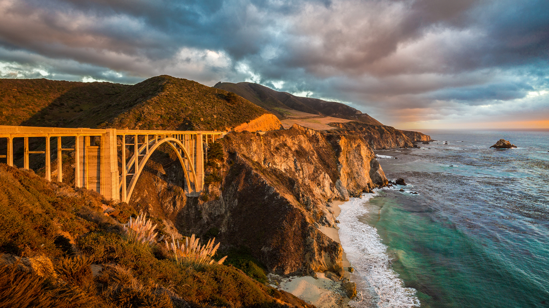
Once we’ve crossed the 714-foot long bridge, it’s only 10 miles to Big Sur, named after riding pal Randy Suhr, who left the posse a few days ago in Northern California.
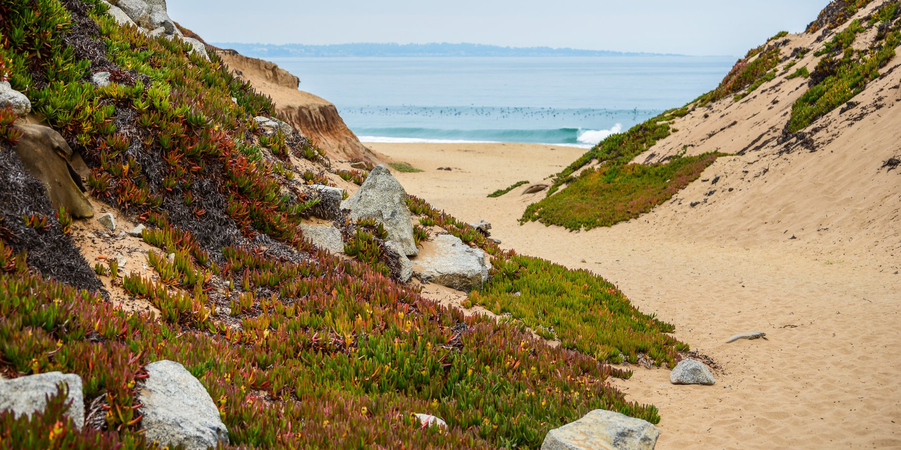
Big Sur has been called the longest and most scenic stretch of undeveloped coastline in the lower 48. It’s a popular destination for about seven million people who live within a day’s drive, and visitors from across the world. The region receives about the same number of annual visitors as Yosemite National Park, but offers extremely limited bus service, few restrooms, and a narrow two-lane highway with few places to park alongside the road.
In Big Sur, we’re about a mile inland, nestled among redwood forests. Leaving Big Sur, we make a beeline to the coast. For the next 80 miles, there’s minimal development and maximal beauty. It’s a narrow, twisty roadway with steep drop-offs over cliffs that drop precipitously to the Pacific Ocean.
Now the fun really begins.
***
Twelve miles south of Big Sur, we roll through Julia Pfeiffer Burns State Park. The 3,762-acre park is named for Julia Pfeiffer Burns, a respected pioneer and rancher in the Big Sur region in the early 20th century, who lived in the area for much of her life until her death in 1928. The park has fabulous hiking, and even scuba diving in the Julia Pfeiffer Burns Underwater Area.
For the next several hours, until we reach San Simeon, it’s nothing but miles and miles of unparalleled visual charm. There are occasional places, like Lucia, Gorda, and Ragged Point, to pull over and grab a beverage. But the unending rugged beauty and lack of development is what sets this road apart.
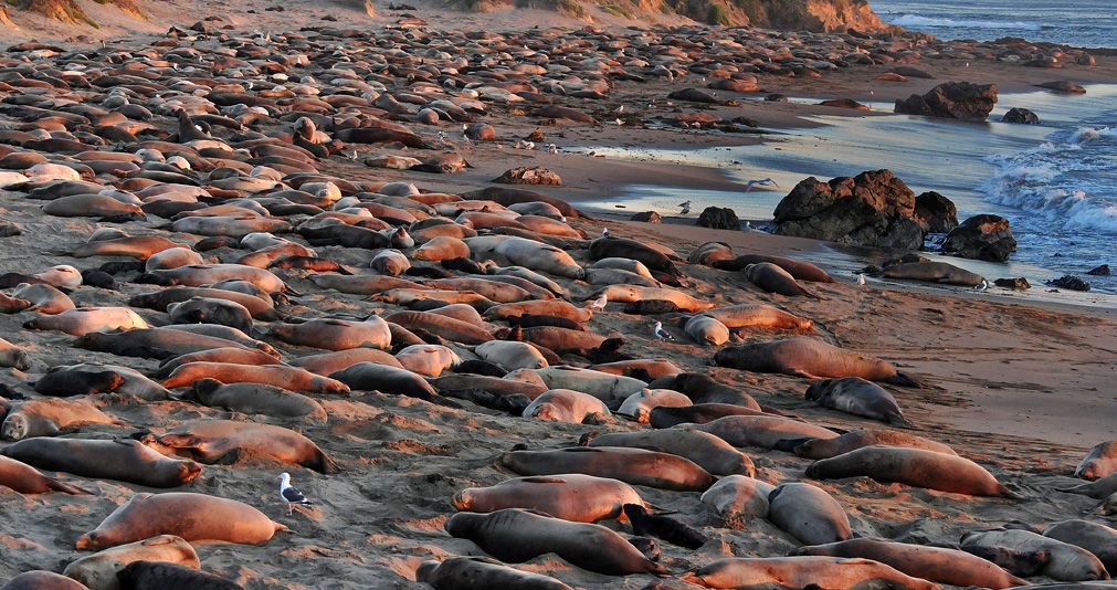
A few miles before San Simeon is the Piedras Blancas State Marine Reserve, a 20-square mile area that protects all marine life within its boundaries, including sea lions, elephant seals, harbor seals, northern fur seals and sea otters. These marine protected areas are designed to conserve and restore ocean biodiversity.
If you like elephant seals – and who doesn’t? – you’ll enjoy Elephant Seal Vista Point, the last place to gawk at nature before San Simeon. Elephant seals are huge, loud, and so ugly they’re cute. On San Simeon State Beach, about 18,000 elephant seals crowd this four-mile stretch of beach.
The peak months for viewing elephant seals here: October through March. Timing is everything.
***
William Randolph Hearst’s timing was impeccable. He got disgustingly wealthy in the early 1900s, making a fortune in the newspaper business, developing what was at the time the largest newspaper chain in the US. Hearst dreamed big, and lived large. Between 1919 and 1947, he built La Cuesta Encantada (The Enchanted Hill), known today as the Hearst Castle.
At the height of Hearst’s wealth, the estate around the castle totaled more than 250,000 acres. Hearst, his castle and his lifestyle were satirized by Orson Welles in his 1941 film, Citizen Kane.

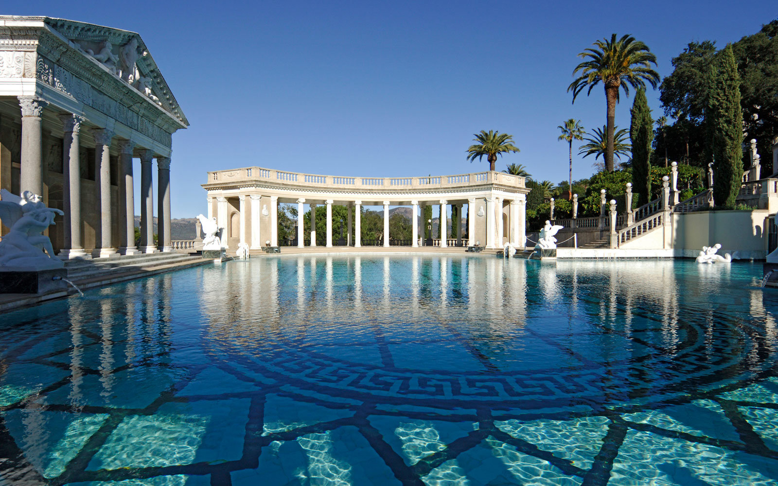
The Hearst Castle is a 90,000-square foot mansion that overlooks the Pacific Ocean. Today, the Hearst Castle is a state park, and a National Historic Landmark.
From San Simeon, it’s only 10 miles to Cambria, tonight’s destination. Cambria is a charming seaside village that marks the end of our journey down the coast.
Tomorrow, we head inland. It’s time for some heat.
***
Day Eighteen Summary: No surf at Mavericks, a chowder tradition continues, 80 miles of Highway One beauty.
Click here to see today’s complete route from Pacifica, California, to Cambria, California.
We’re on our way home, eh?
Vroom, vroom.
***
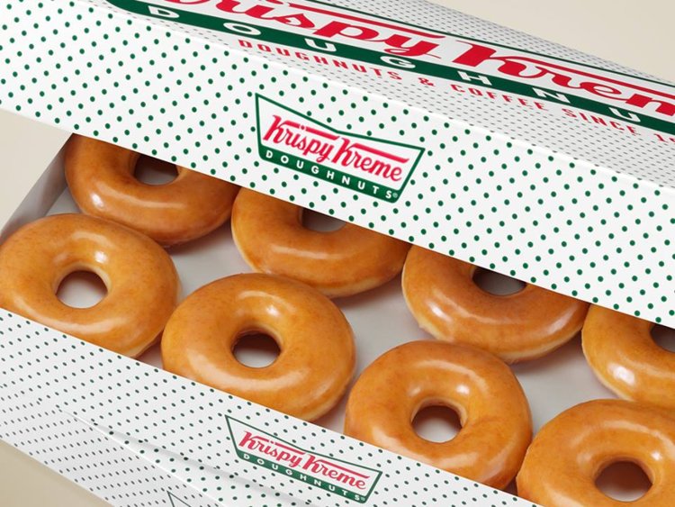
Today’s Canada Fun Fact, eh? There are more donut shops in Canada per capita than any other country. Canada has roughly one donut shop for every 13,000 people. Among the most common donut shops in Canada: Tim Hortons, Dunkin Donuts, and Krispy Kreme.