Every day on the road has its nirvana moment.
Today’s will come in about six hours, when we arrive at one of the most photographed structures in the world.
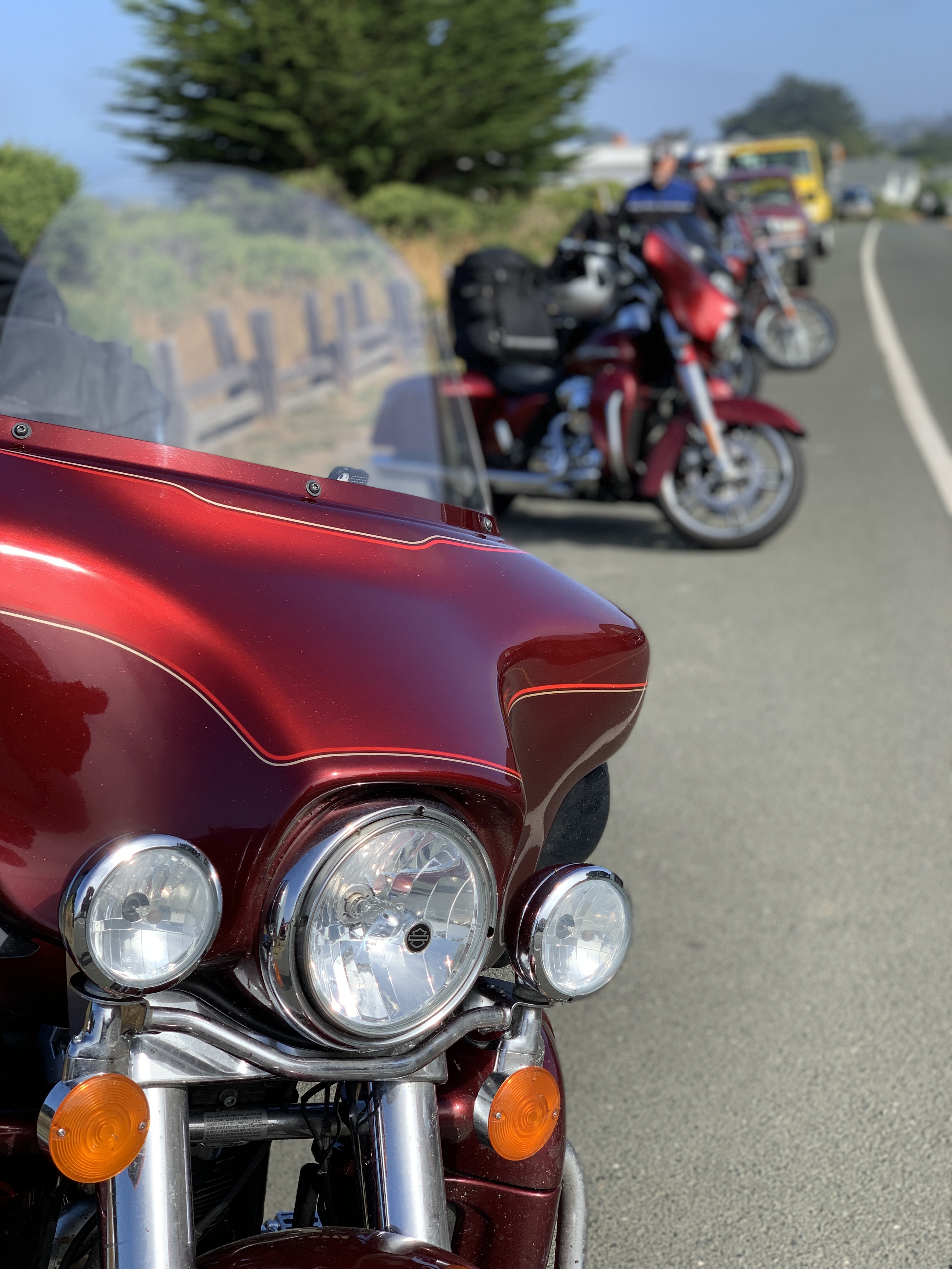
First, we begin the day by rolling down the Mendocino Coast.
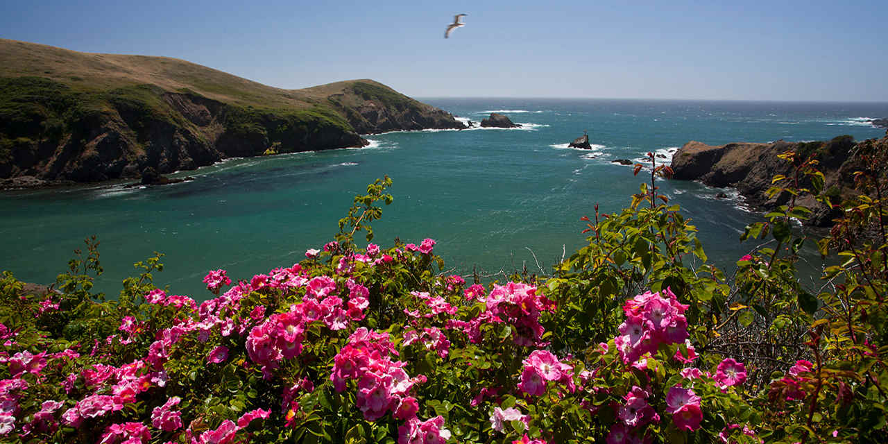
Less than a mile south of Fort Bragg, we come to the Mendocino Coast Botanical Gardens, a 47-acre gem with plant collections suited perfectly to the mild coastal climate. Here you’ll find heaths and heathers, rhododendrons, camellias, fuchsias, dahlias, magnolias, maples, succulents, begonias and conifers.
Admission is $15. To see a bunch of plants? Turns out that’s a pretty good value if you compare it to the $33.80 admission fee to visit Butchart Gardens near Victoria, British Columbia.
We keep our botanical garden visit scorecard for this trip clean, and skip them both.
Two miles down the road, we pass Jug Handle State Natural Reserve, a 776-acre park. The reserve encompasses five marine terraces along the Pacific coast, cut by wave action over millennia as the sea level fluctuated and the land underwent tectonic uplift. Each terrace has been above water about 100,000 years longer than the level below it.
The park is named after Jug Handle Creek, which runs through it. The name Jug Handle comes from the shape of a bend in the old road across the creek. Jug Handle is roughly half way between Fort Bragg and Mendocino.
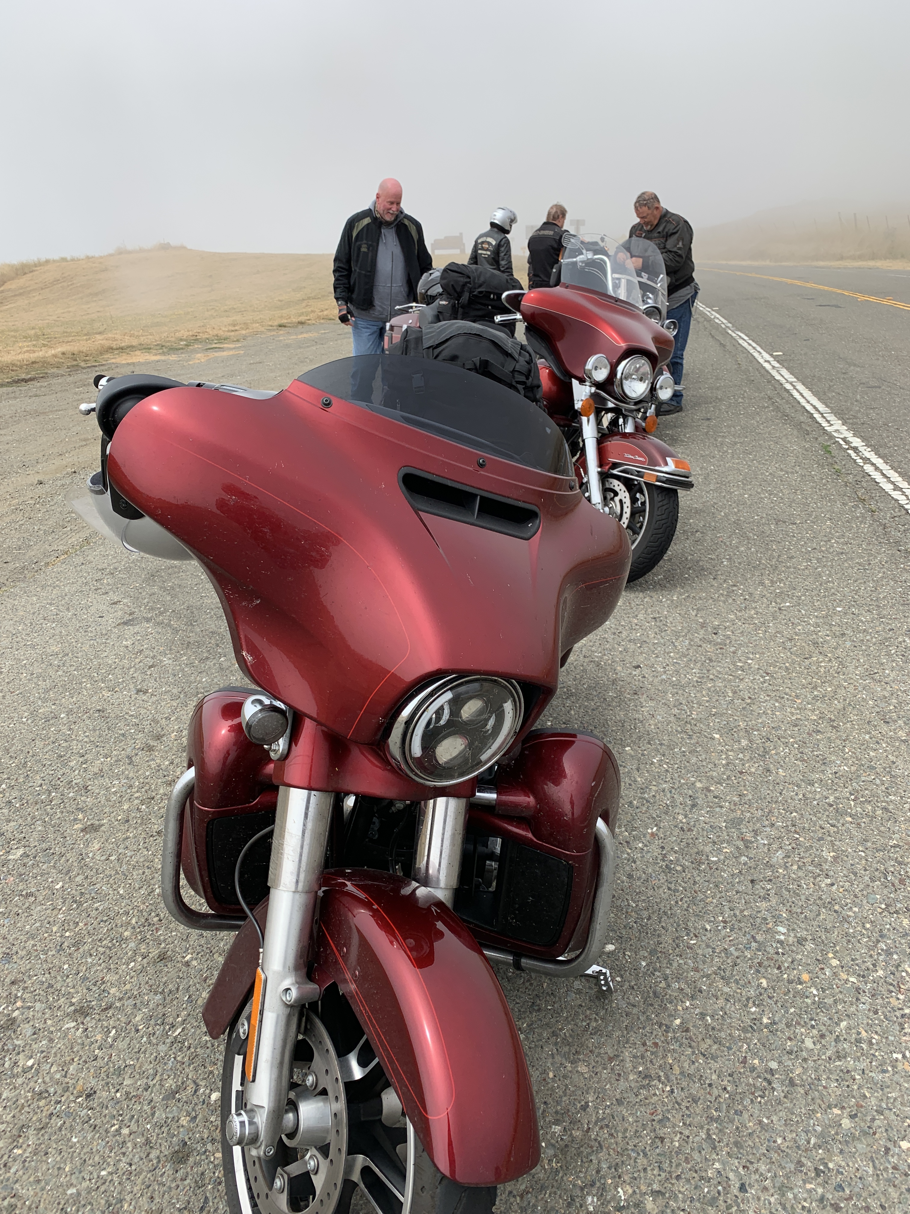
The points of interest come quickly on Highway 1, Shoreline Highway.
***
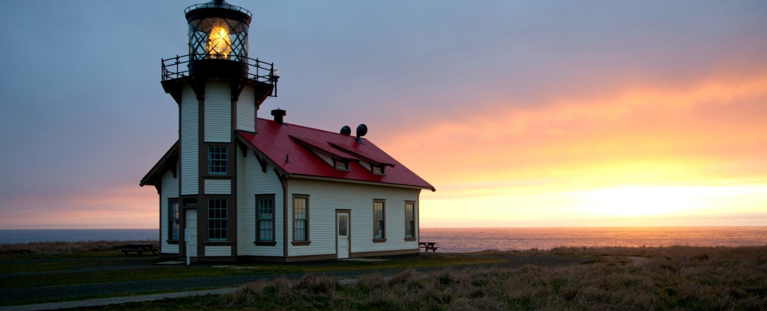
One mile farther down the road is Point Cabrillo, and the Point Cabrillo Light Station Historic Park. The lighthouse has been a federal aid to navigation since 1909. The light is only 32 feet above the ground, but because of the height of the headlands, it stands 81 feet above sea level.
Point Cabrillo, the sandstone headland on which the Point Cabrillo Light lies, was named after the Portuguese explorer João Rodrigues Cabrillo. Interestingly, Cabrillo’s voyage of exploration on behalf of Spain along the California coast did not reach as far north as the point that now bears his name.
From Point Cabrillo, it’s only five miles down the Shoreline Highway to Mendocino Headlands State Park, and the town of Mendocino, an artist colony. Ten years ago in Mendocino, Sarah and I purchased Poppies, a 4-by-5 foot acrylic beauty that hangs by the dining table in our Carbondale home.
Most of the town is on the National Register of Historic Places listing, and is part of the Mendocino and Headlands Historic District. The town’s name comes from Cape Mendocino, named by early Spanish navigators in honor of Antonio de Mendoza, Viceroy of New Spain. Mendoza means cold mountain.
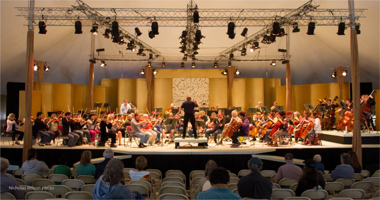
For two weeks every summer since 1986, the Mendocino Music Festival is held here. Evening concerts feature the Festival orchestra, composed of professional musicians from the San Francisco Symphony, the San Francisco Opera orchestra, the San Francisco Ballet orchestra, the Symphony of the Redwoods and other Bay Area orchestras.
We’re in Mendocino, right in the middle of this year’s event, which began on July 13 and runs until this Saturday, July 27. It’s a huge festival, held in a 16,000-square-foot tent overlooking the Pacific Ocean. You can attend more than two dozen concerts during the festival, from blues to bluegrass, symphonies to opera, and jazz to Celtic.
The music all happens at night. So we press on, in search of culture that occurs on our schedule.
***
Leaving Mendocino, we cross the Big River, then the Little River and the Navarro River. Fifteen miles south of Mendocino, after a beautiful ride down the Pacific coast, we arrive in the town of Elk, population 208.
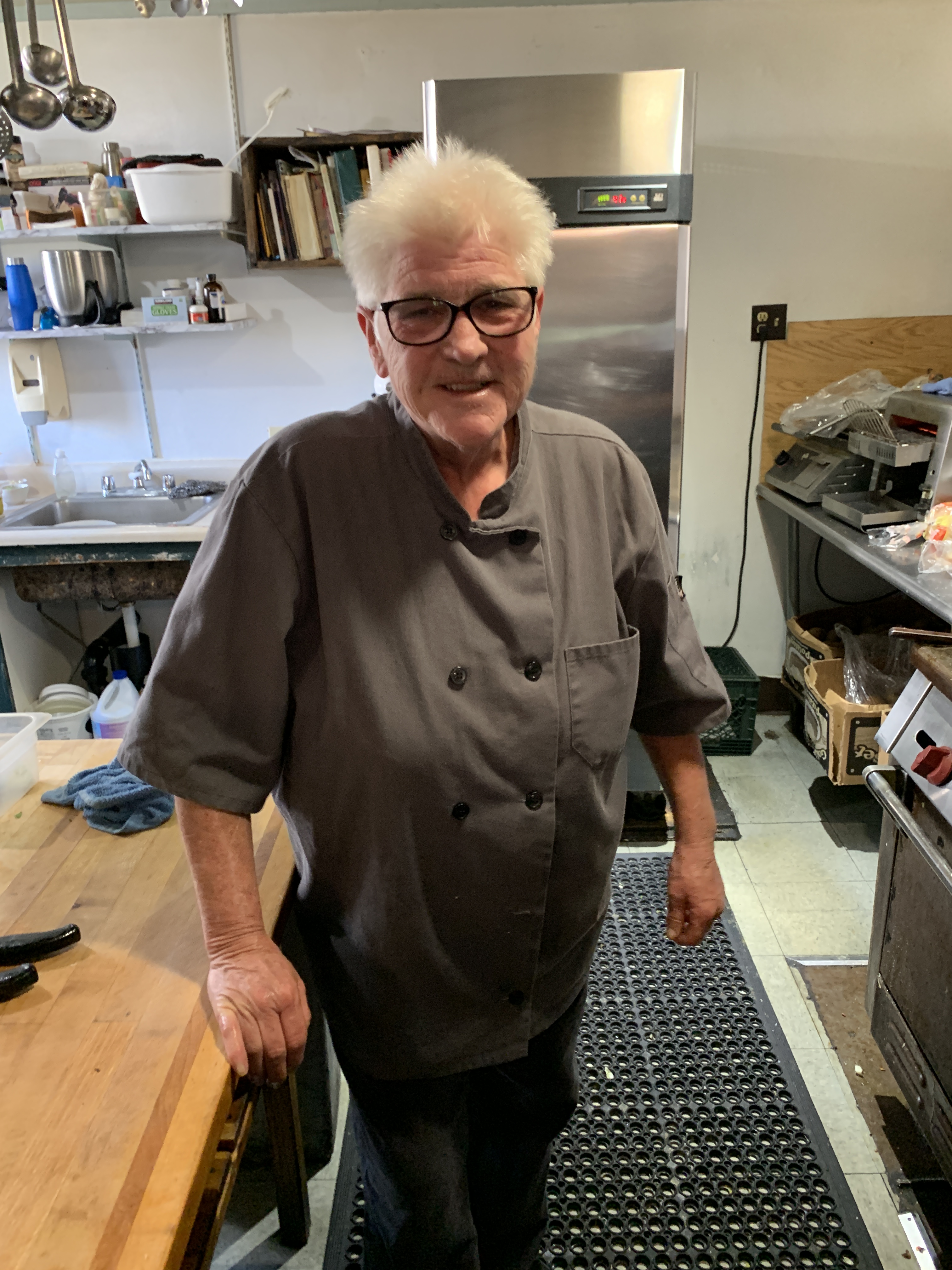
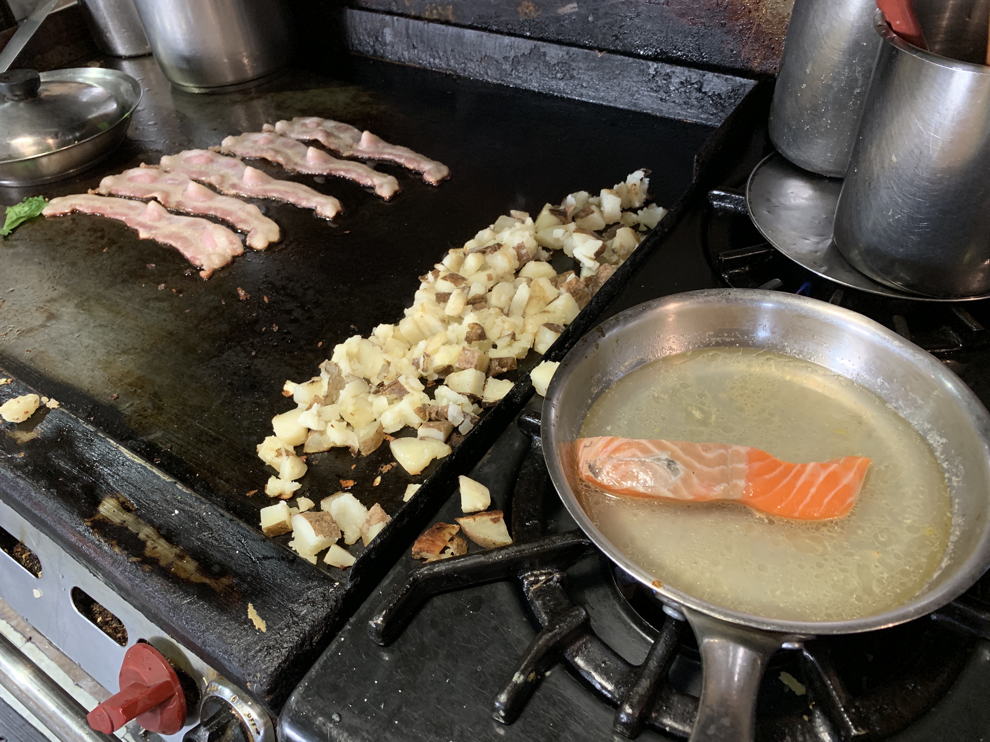
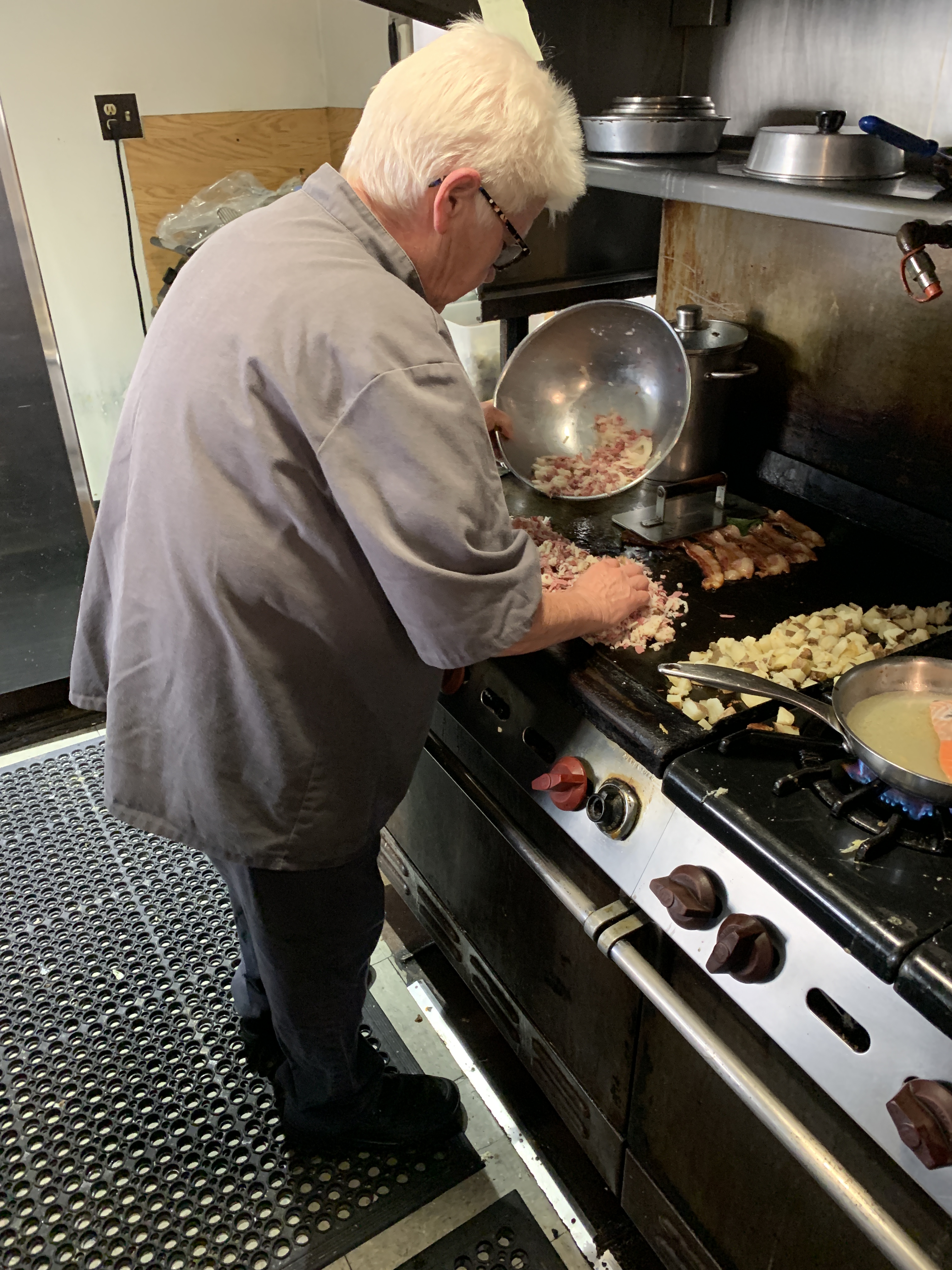
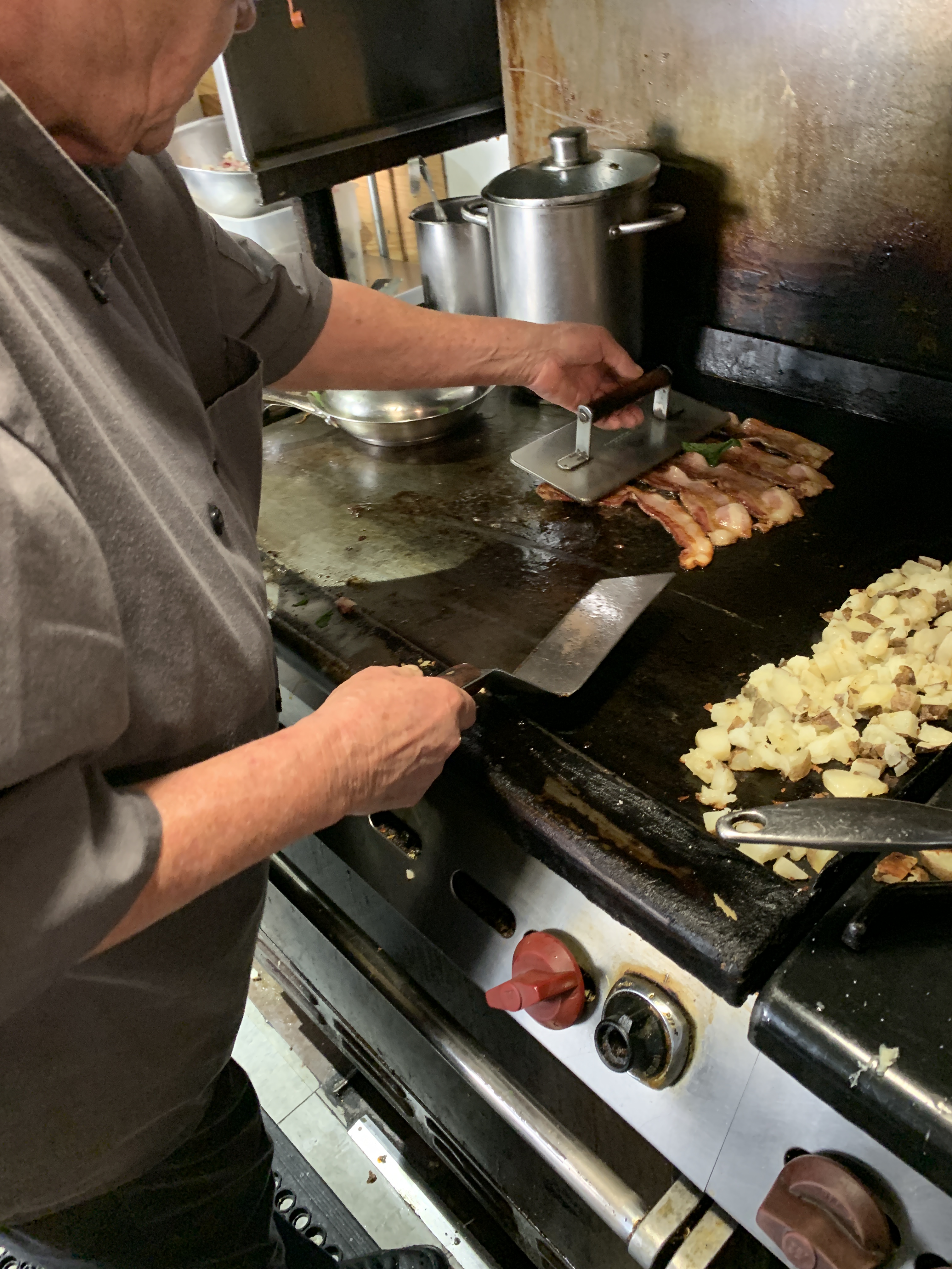
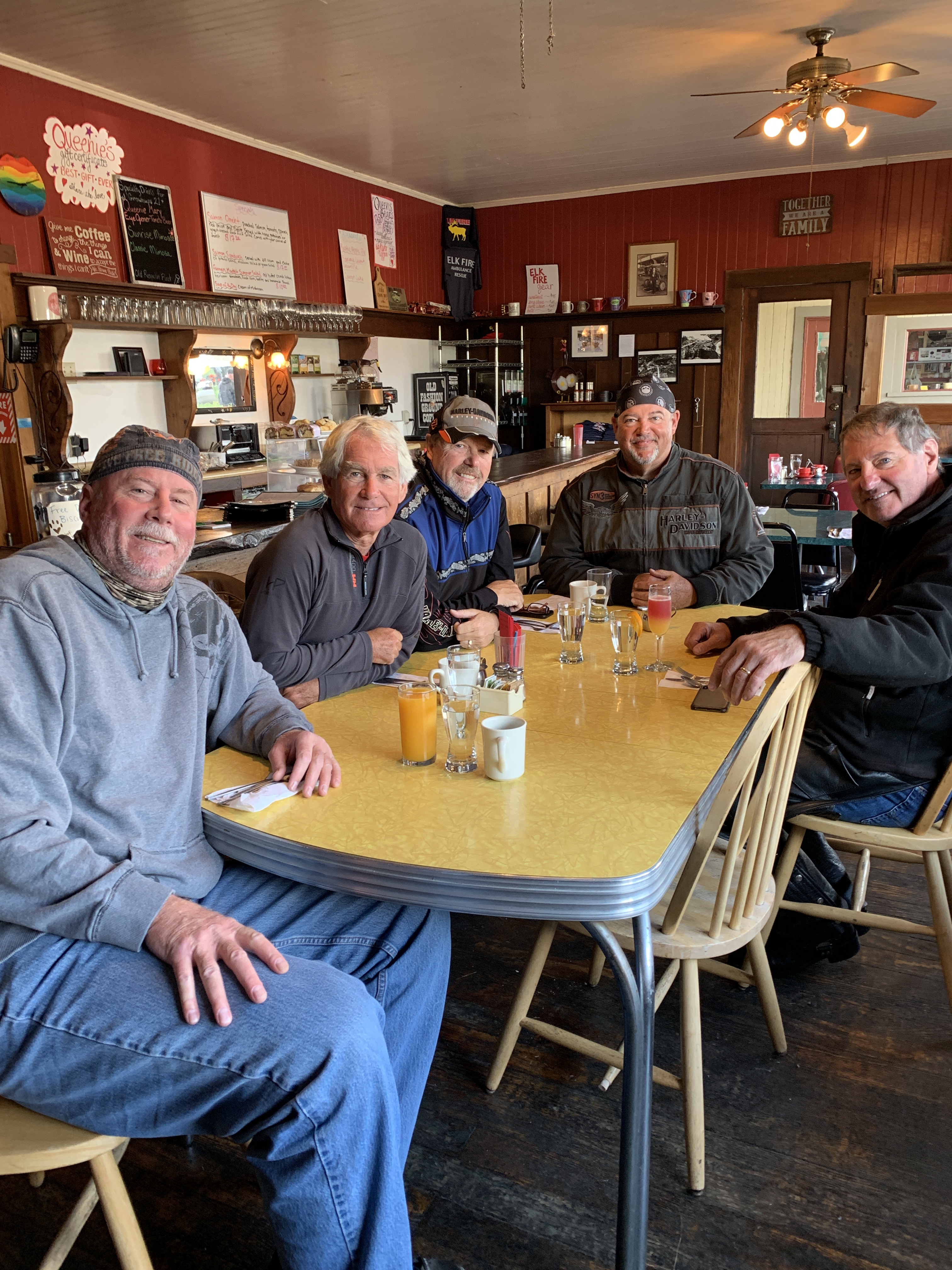
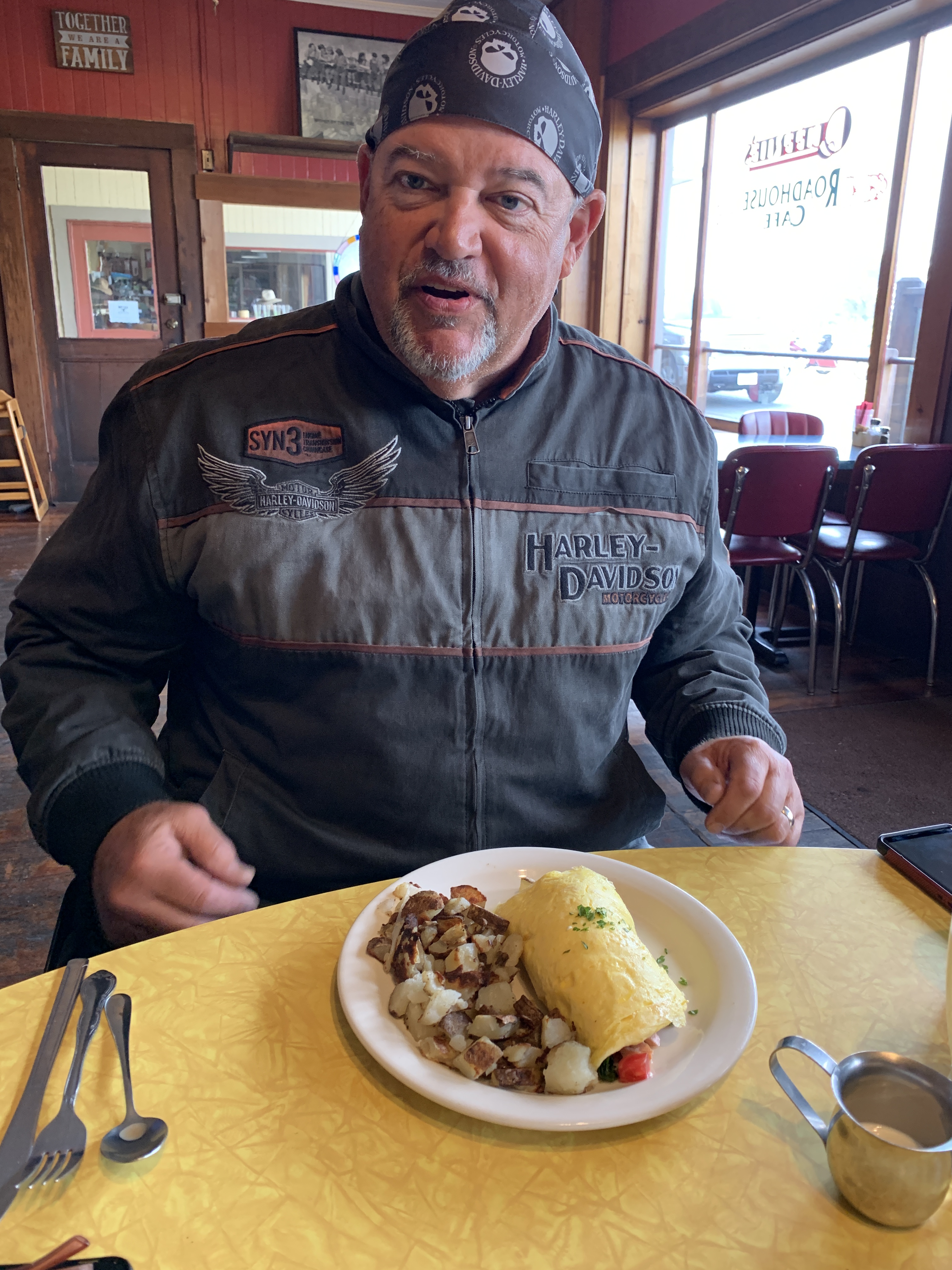
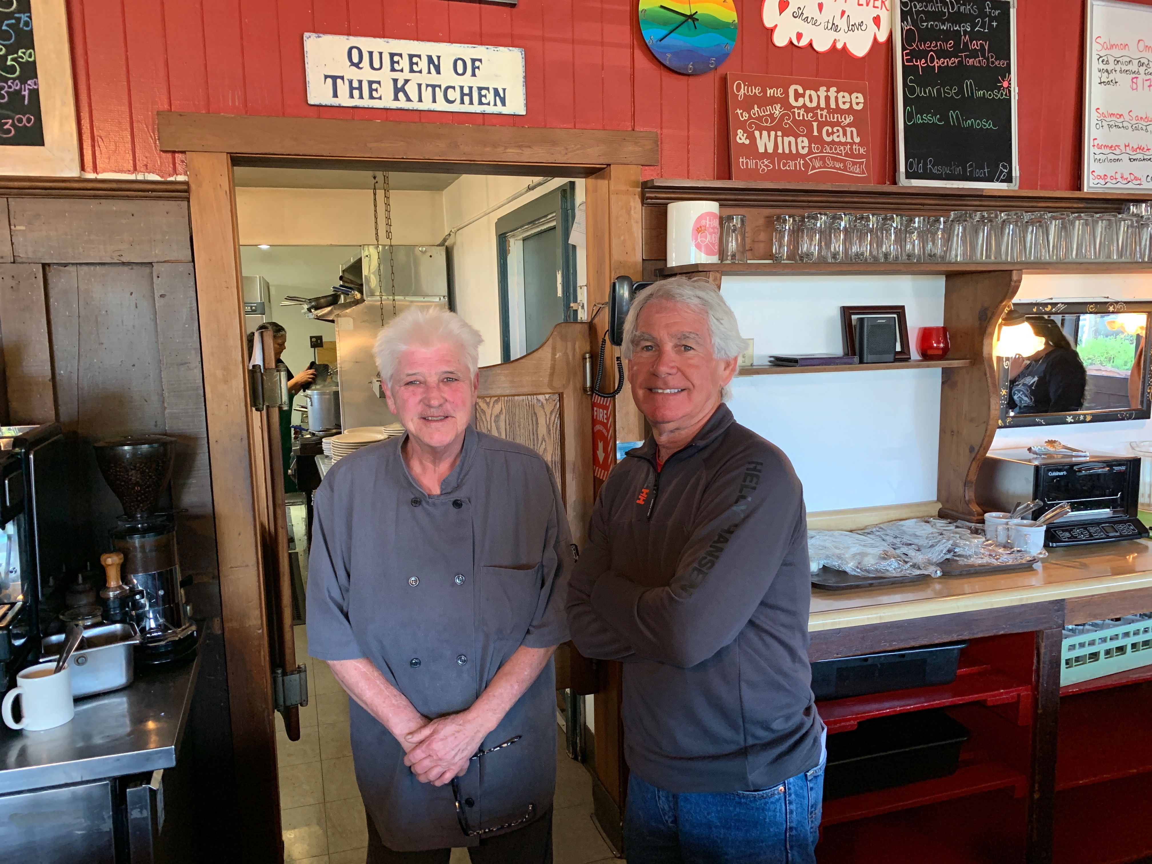
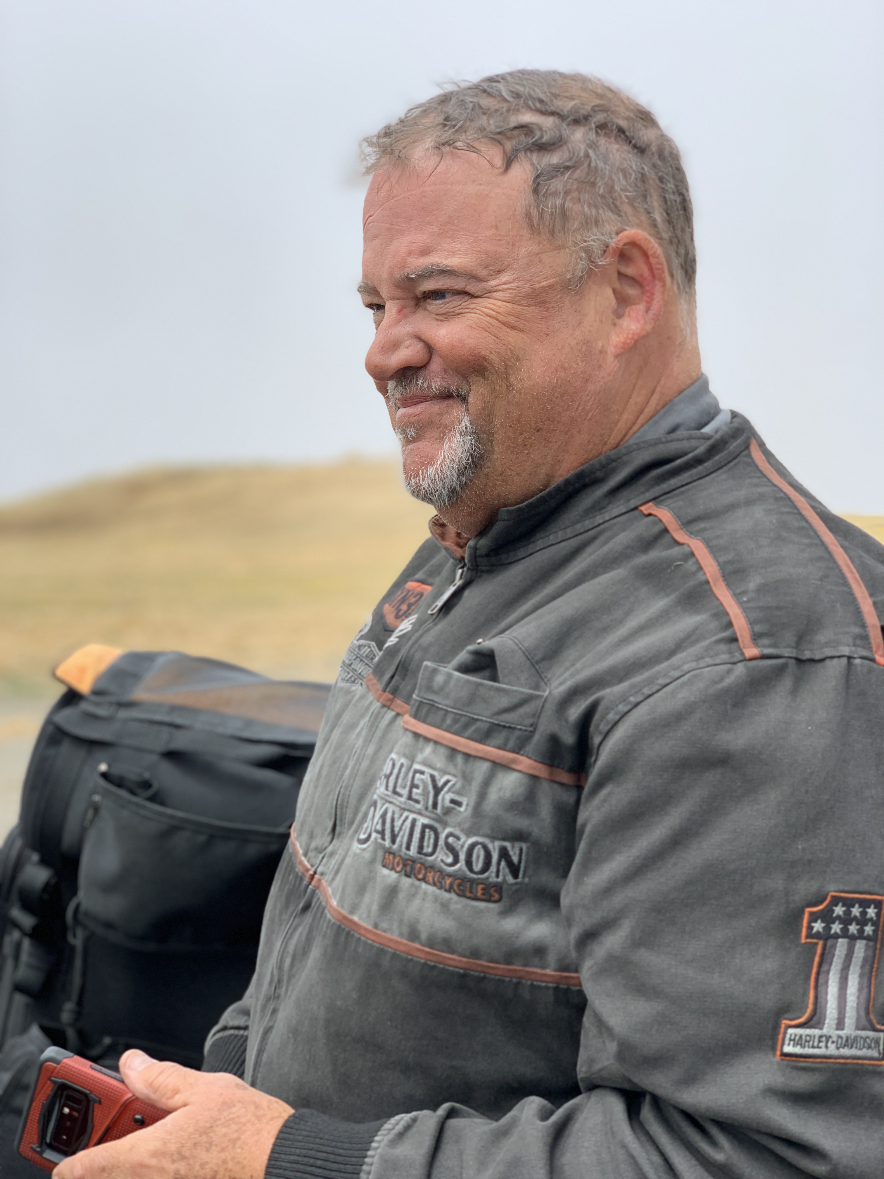
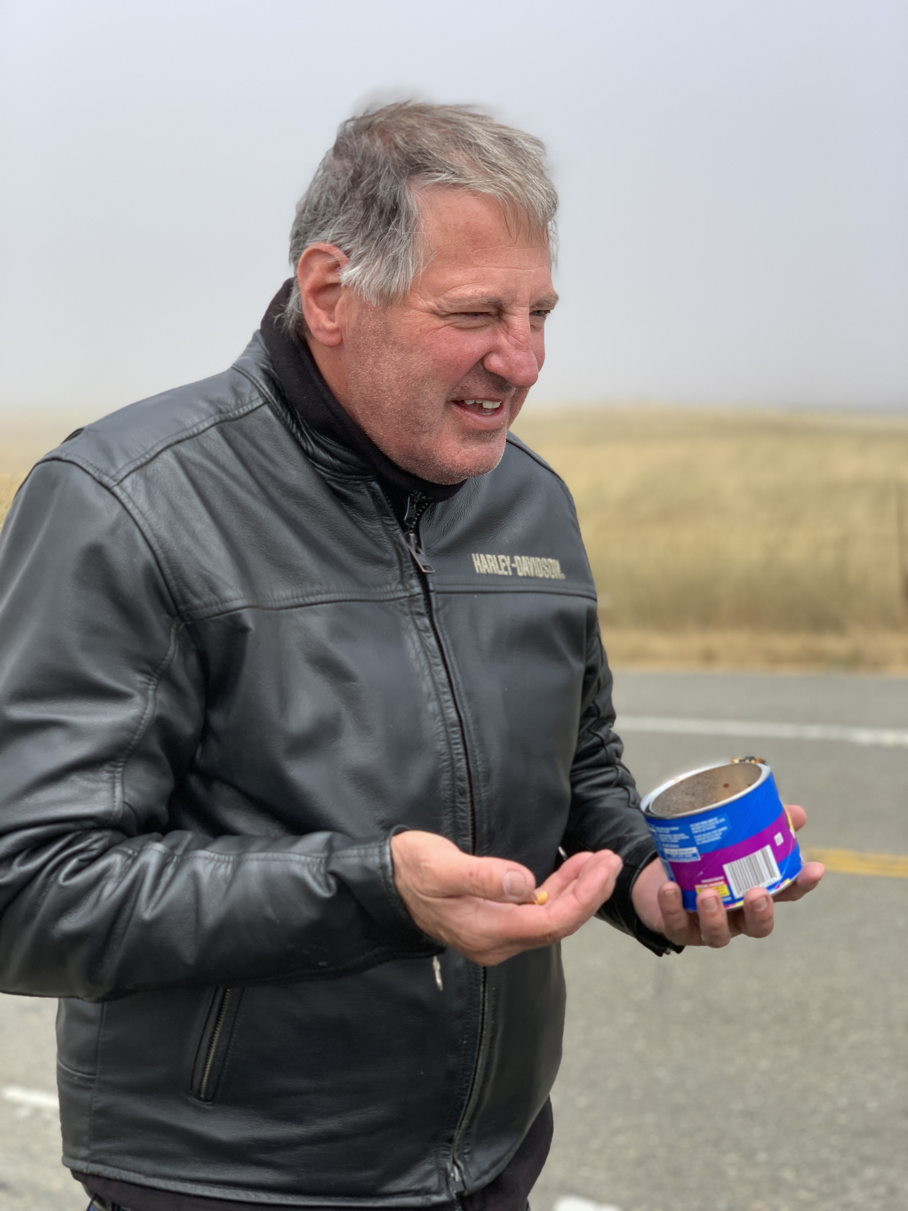
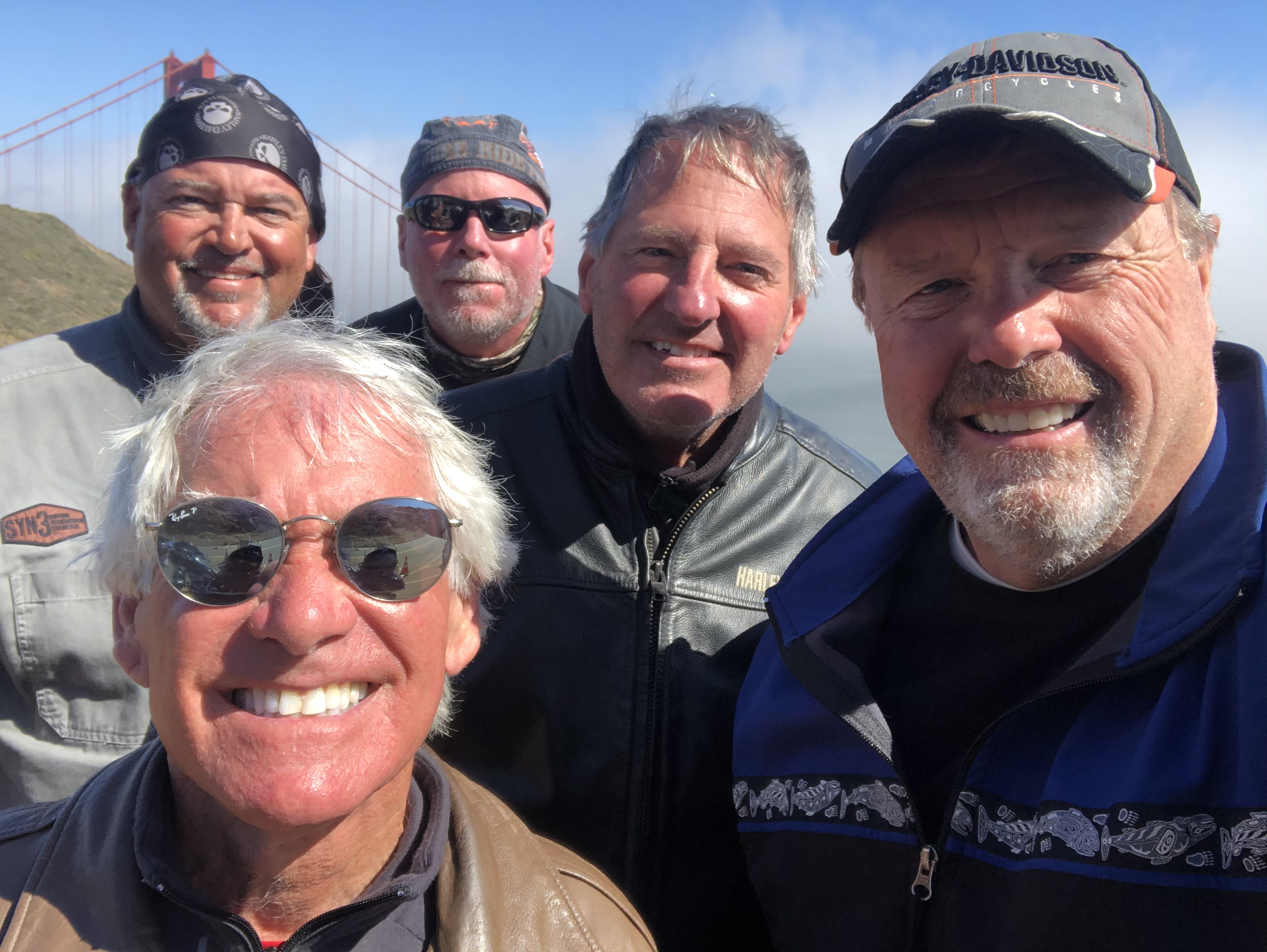
Elk is home to Greenwood State Beach, Elk Rock, and the Elk Cove Inn and Spa. But Elk is best known, by bikers at least, for Queenie’s Roadhouse Café, a great breakfast stop for five hungry Harley guys. We park the bikes, walk in, sit down, and chow down.
Queenie’s does not disappoint.
***
After breakfast, we saddle up, and continue heading south on the Shoreline Highway. Manchester and Manchester State Park are 10 miles down the road. Both are named after Manchester, England, an early settler’s former home.
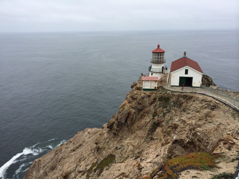
Manchester is just a mile from Point Arena Lighthouse, built on rocky Point Arena. The lighthouse is 115 feet high. It’s been in use since 1908. The final scenes for the 1992 movie, Forever Young, were shot near the lighthouse. The number one thing to do in Point Arena, according to Trip Advisor: visit the lighthouse.
Past Point Arena are a series of small towns, miles apart from one another: Gallaway, Gualala, Sea Ranch, Stewart’s Point, Timber Cove and Jenner, which sits at the mouth of the Russian River. Jenner is not named for the Jenner family of Kardashian-ish fame.
As we cross the Russian River, we roll through Sonoma Coast State Park.
We’re nearing Bodega Bay, a marine habitat used for navigation, recreation, and commercial and sport fishing including shellfish harvesting. In the US, a bodega is a small convenience store. In a Spanish-speaking country, a bodega is a wine shop or wine cellar.
Bodega Bay is not known for its convenience stores, though it has a few: Pelican Plaza Grocery & Deli, and Diekmann’s Bay Store.
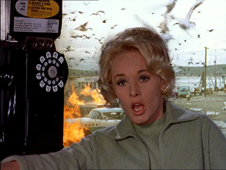
Bodega Bay is most famous for its role in the 1963 Alfred Hitchcock film, The Birds, Hitchcock’s first horror/fantasy film. The movie centers on a small California coastal town (Bodega Bay) that is inexplicably attacked and rendered helpless by massive flocks of aggressive birds.
The majority of the birds seen in the film are real, although an estimated $200,000 was spent on the creation of mechanical birds for the film. The crow attacks were enhanced by what was then called the special effects department. The special effects shots of the attacking birds were completed at Walt Disney Studios by animator/technician, Ub Iwerks. Iwerks was better known for being the co-creator of Mickey Mouse, along with Walt Disney, in 1928.
Bodega Bay is a good place to stop, gas up (I’ll pump, thank you), and look for birds. There’s even a restaurant in town named The Birds Café. No special effects needed.
***
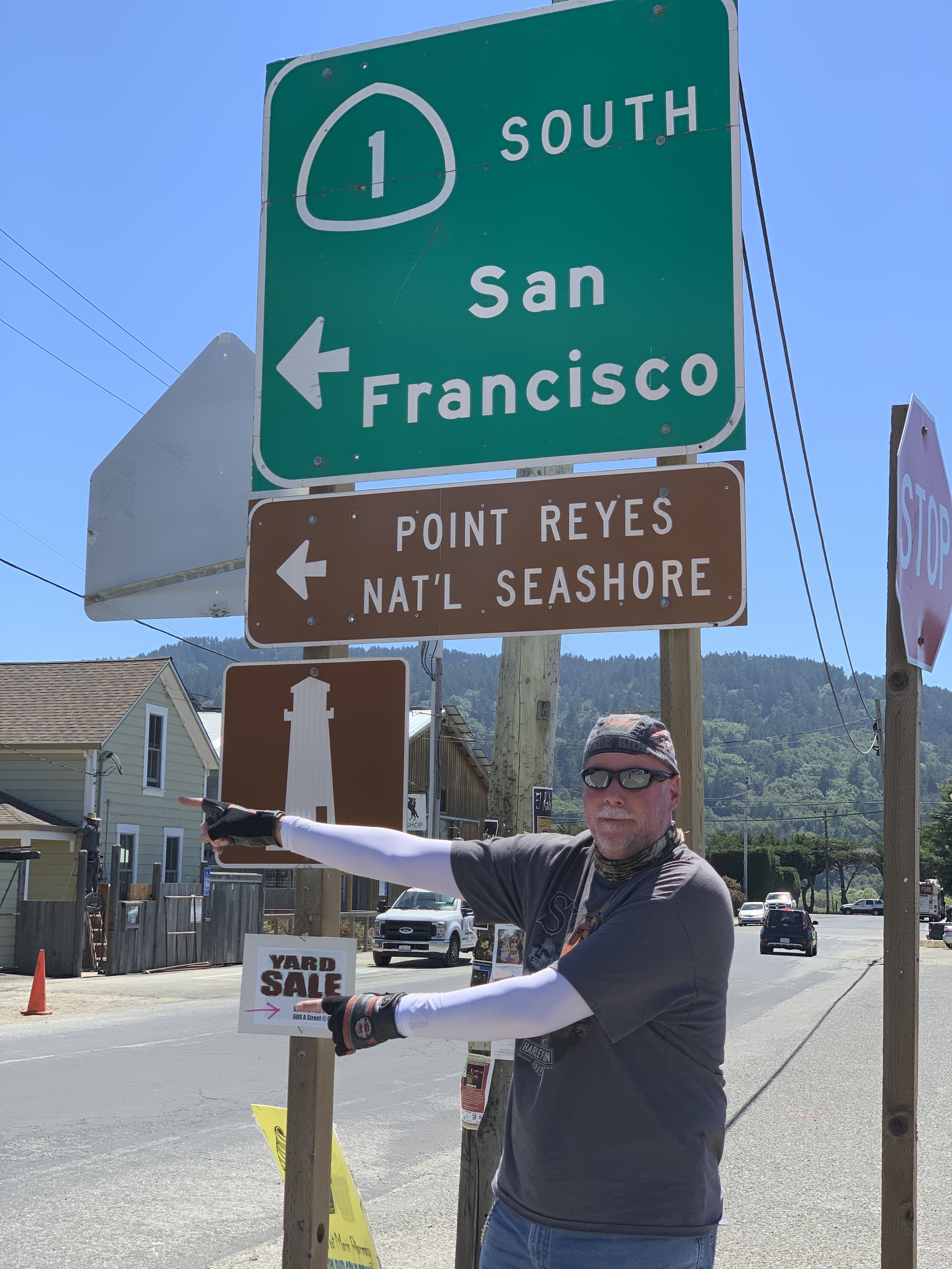
After Bodega Bay, Highway 1 turns inland for a few miles, then continues south through Tomales and on to Tomales Bay. We’re on the east side of Tomales Bay. On the west side is Point Reyes National Seashore, a 71,000-acre park preserve located on the Point Reyes Peninsula in Marin County. There’s world-class hiking, including hundreds of miles of trails and beachwalking.
We follow Highway 1 along Tomales Bay for 11 miles to the town of Bivalve. Bivalve was founded by the Pacific Oyster Company, after it established 450 acres of oyster beds there in 1907. Bivalves, of course, are aquatic mollusks that have a compressed body enclosed within a hinged shell, such as oysters, clams, mussels, and scallops.
Bivalve leads us to Point Reyes Station, Olema, past Bolinas and to Stinson Beach – a popular day trip for people in the San Francisco Bay Area. We’re now only about 20 miles from The City.
Stinson Beach is a great place for beachcombing especially in the winter, when the crowds are smaller, and during morning low tides. The waters off Stinson Beach are part of the Red Triangle, an area extending from Bodega Bay to Big Sur and including the Farallon Islands. Shark attacks, especially from Great Whites, are occasional within the triangle; but still, quite rare. A surfer at Stinson Beach was attacked by a Great White in 1998; another surfer was attacked in 2002.
Stinson Beach has been the setting for a number of Hollywood movies, including Play It Again, Sam; Basic Instinct; and Shoot the Moon.
***
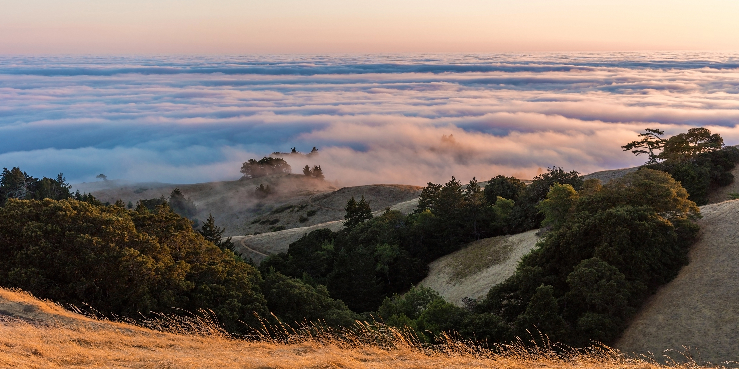
As we continue south on the Shoreline Highway, we are riding along the southern end of Mount Tamalpais State Park, whose primary feature is 2,571-foot Mount Tamalpais. The park is full of redwood and oak forests. It’s a popular hiking, picnicking and camping destination for residents of the Bay Area. The western slopes of Mount Tamalpais descend to the Pacific Ocean at Stinson Beach.
Six miles south of Stinson Beach is Muir Beach. Muir Beach is not named after Sarah Murr. It could be, but they’re spelled slightly differently. Muir Beach, like so many things Muir-related in this area, is named after John Muir, an influential Scottish-American naturalist who was an early advocate for the preservation of America’s wilderness.
He co-founded the Sierra Club, and devoted most of his later life to the preservation of western forests. Muir briefly studied natural sciences at the University of Wisconsin but, ultimately, chose to spend his lifetime enrolled in what he called the University of Wilderness.
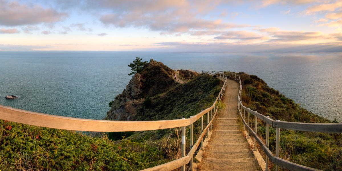
In Muir (Murr?) Beach, the Shoreline Highway turns inland to go around the Golden Gate National Recreation Area, an 82,000-acre preserve protecting environmentally sensitive areas on both ends of the Golden Gate Bridge. More than 15 million visitors a year come to the Golden Gate National Recreation Area, considered to be one of the largest urban parks in the world.
It’s only about six miles from Muir Beach to Mill Valley, on the shores of Richardson Bay, an inlet in the San Francisco Bay. Here, the Shoreline Highway joins the heavily traveled US Highway 101, rolls past Sausalito, and turns toward San Francisco.
***
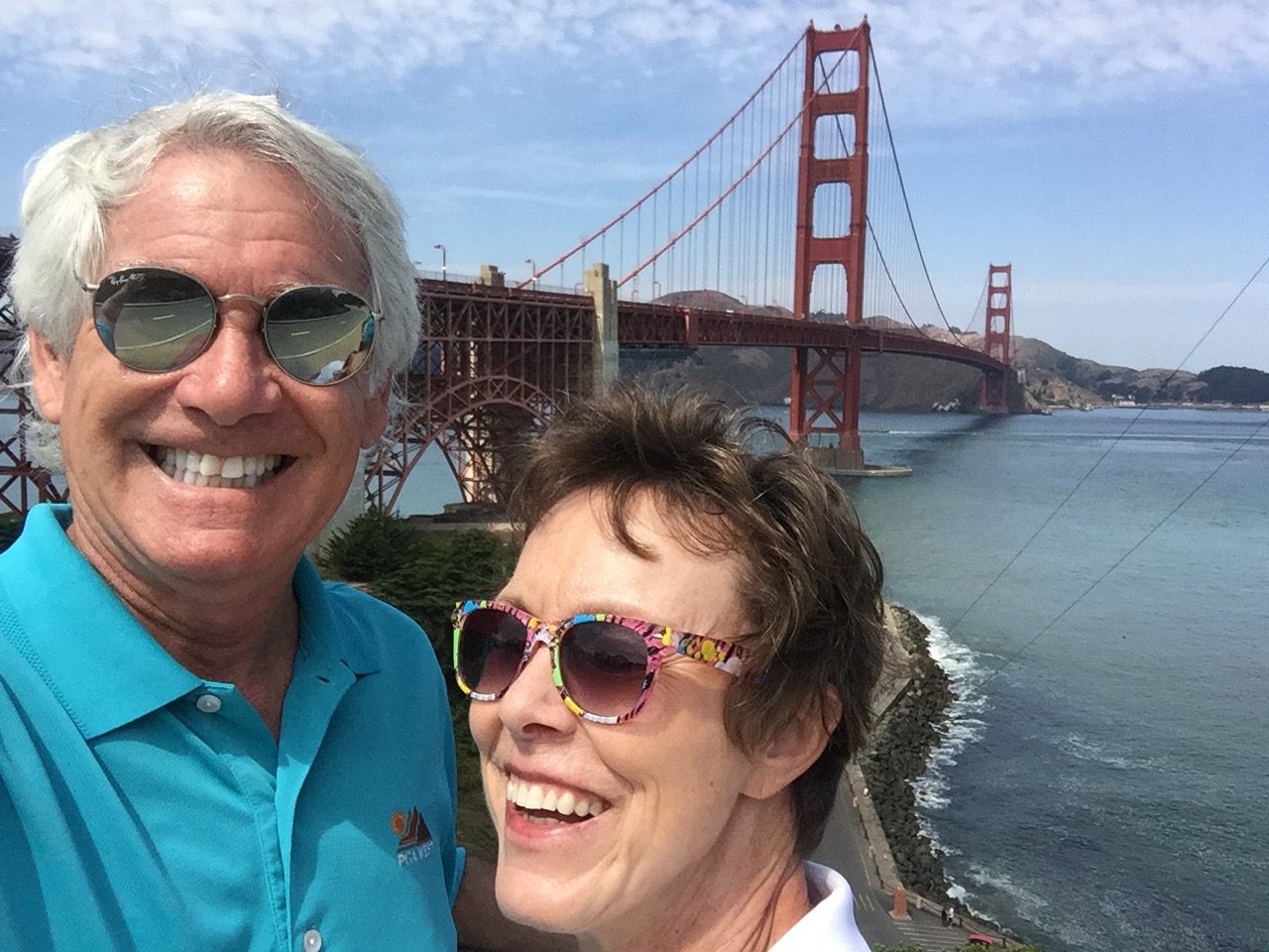
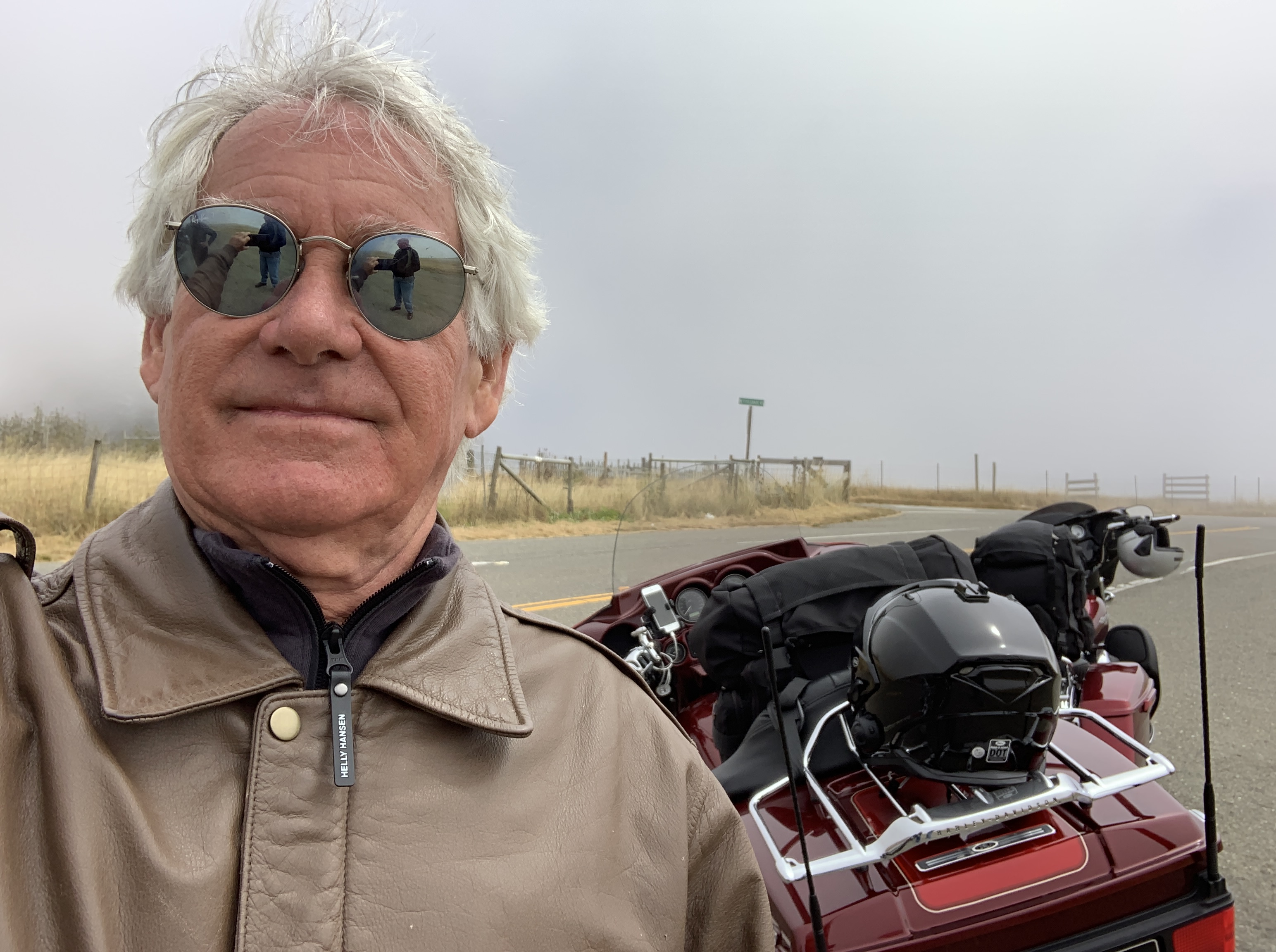
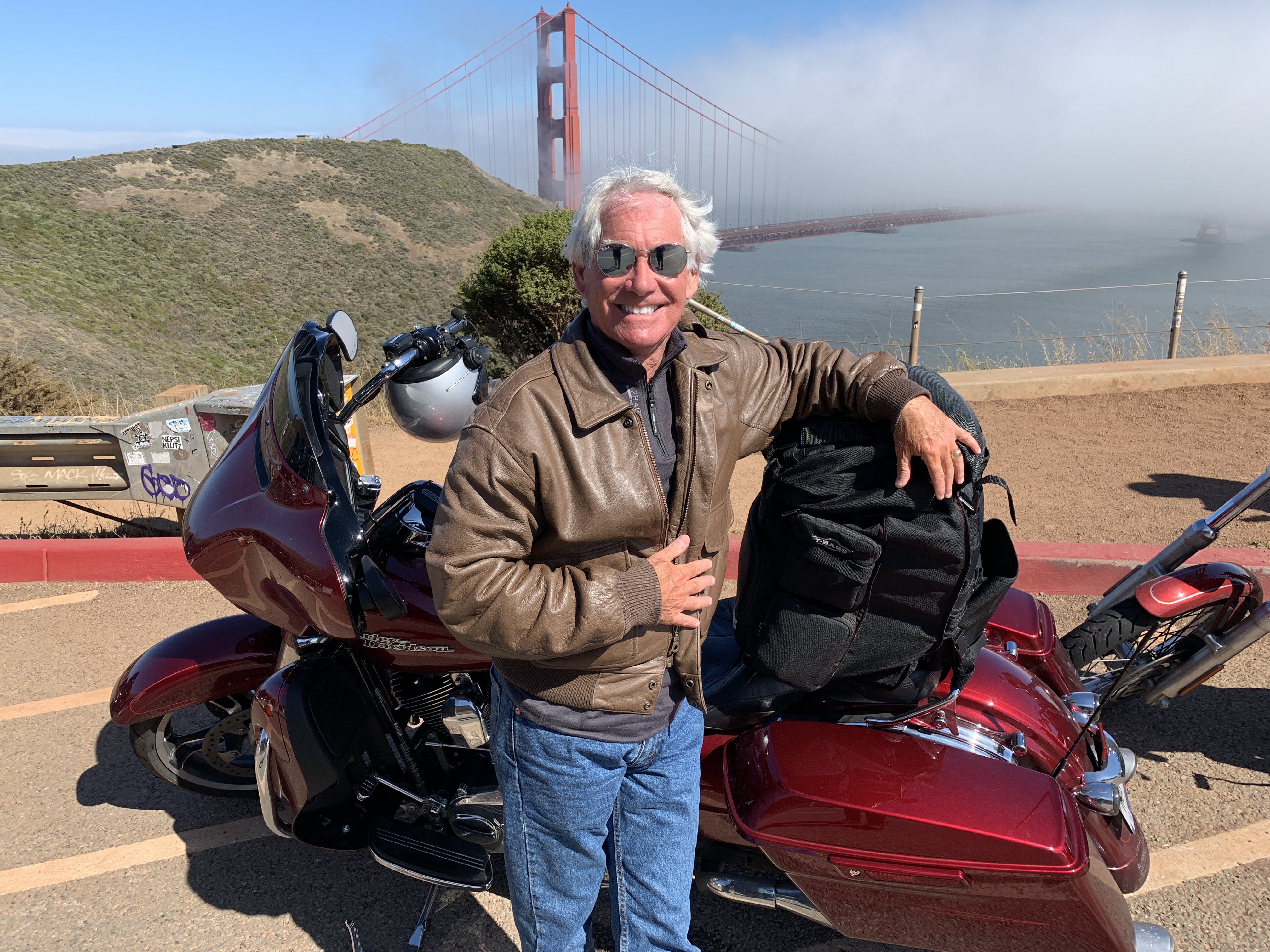
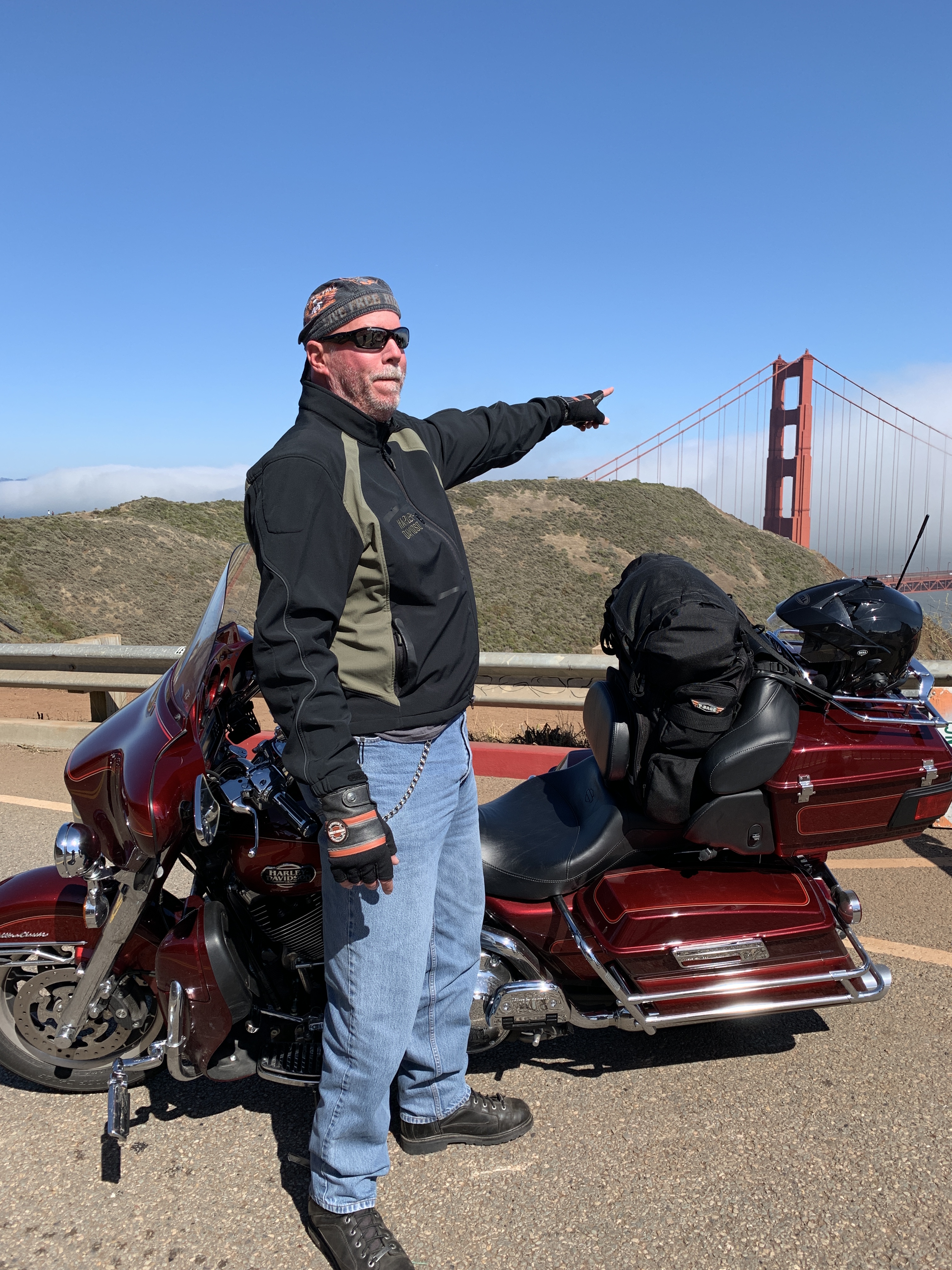
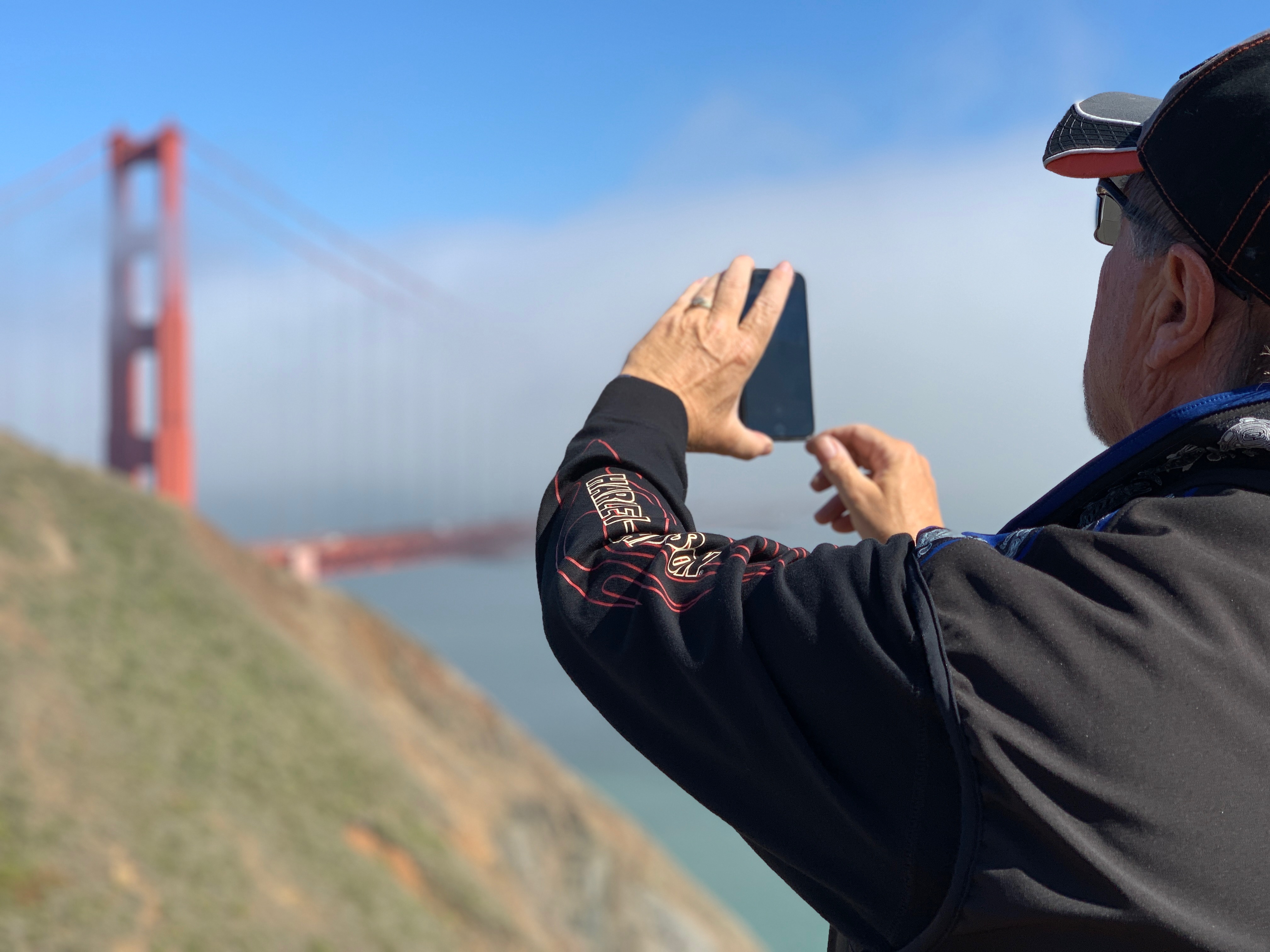
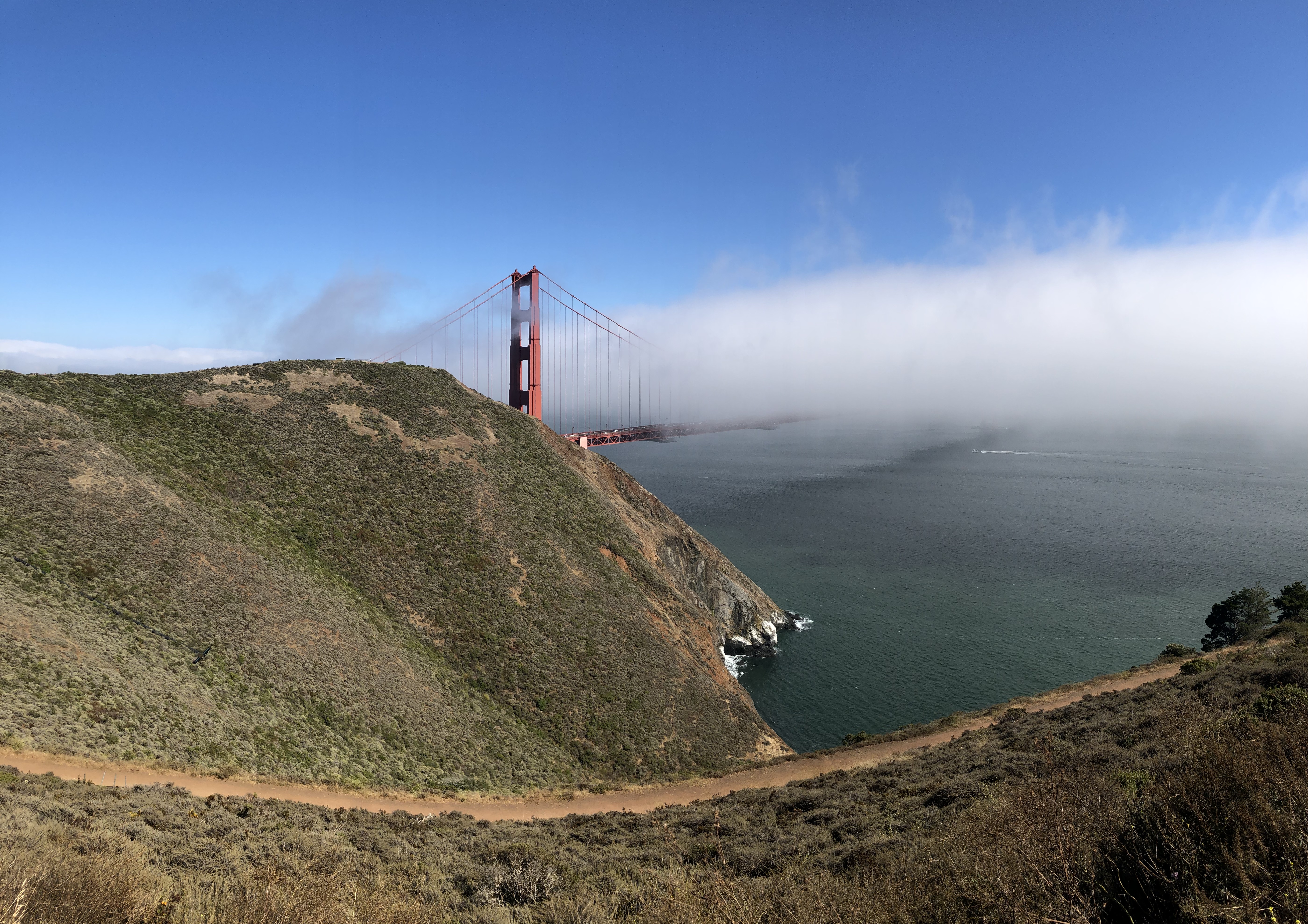
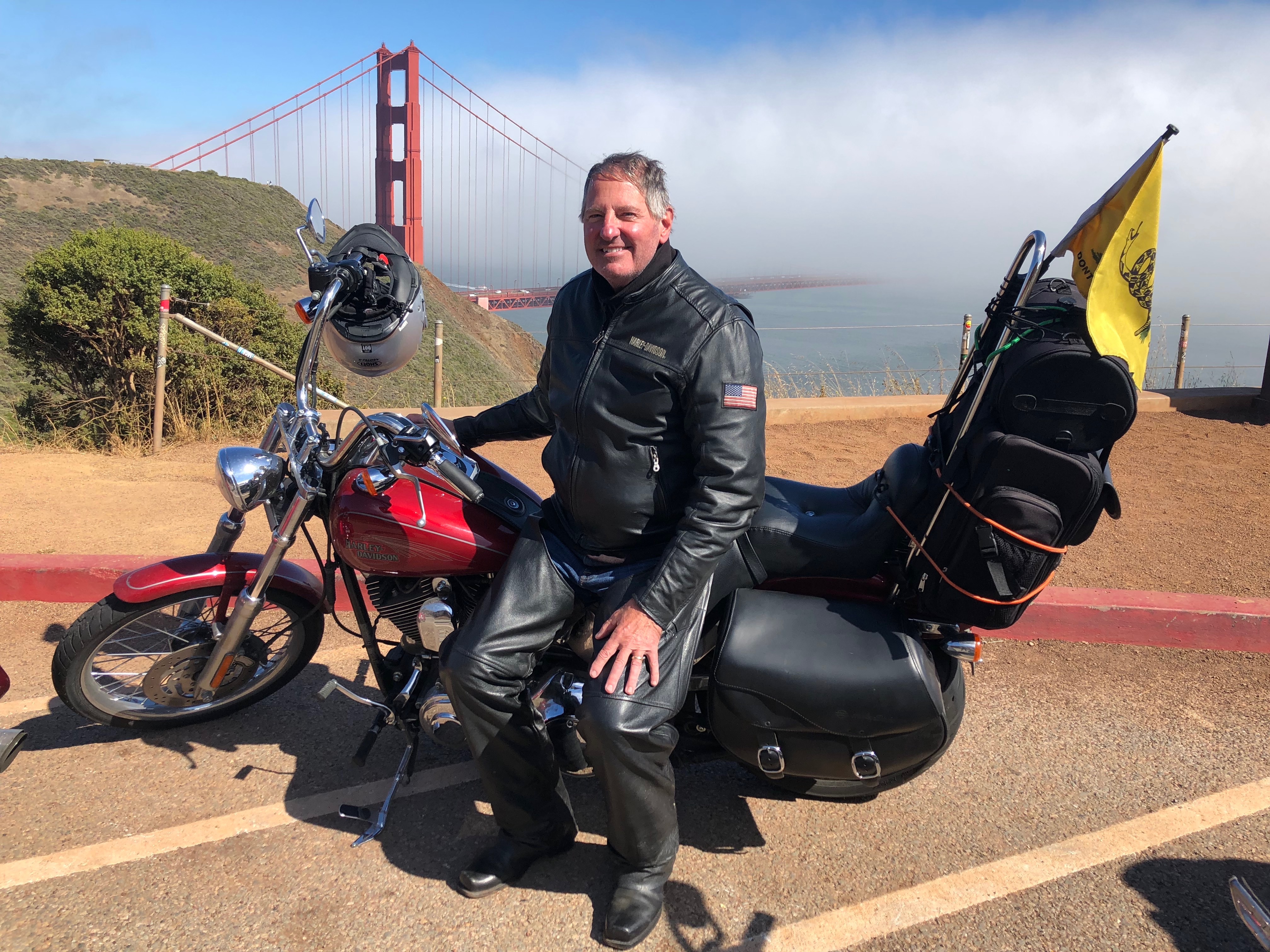
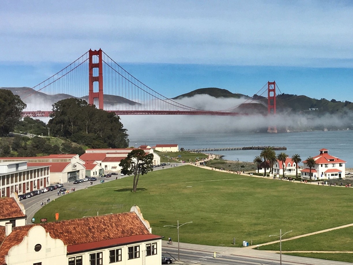
We’re now in Marin County. To get to San Francisco from here, you ride about three miles south, through the Marin Headlands, and out of nowhere appears the Golden Gate Bridge, one of the most famous and photographed sights in the world. The bridge spans the Golden Gate, a one-mile wide strait connecting the Pacific Ocean and San Francisco Bay.
The Golden Gate Bridge has been declared one of the Seven Wonders of the Modern World by the American Society of Civil Engineers. It’s a pretty elite list, including the tunnel under the English Channel, the Empire State Building, and the Panama Canal.
When the Golden Gate Bridge opened in 1937, after four years of construction, it had cost more than $35 million to build. That’s chump change by today’s standards. It was completed ahead of schedule and under budget. At the time of its opening, the bridge was both the longest and tallest suspension bridge in the world.
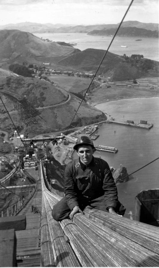
With its 746-foot tall towers, Art Deco styling and distinctive international orange color, the bridge draws 10 million visitors annually, not counting the estimated 112,000 vehicles that cross the bridge daily, commuting to and from work in San Francisco.
Before the bridge was built, a ferry company took passengers and cars between San Francisco and Marin County, across the Golden Gate. It’s hard to imagine a time when the bridge wasn’t there.
***
We cross the Golden Gate Bridge, and enter San Francisco’s Presidio district. The Presidio, originally El Presidio Real de San Francisco, is a park and former US military fort. It’s part of the Golden Gate National Recreation Area.
The Presidio had been a fortified location since 1776, when New Spain established the Presidio to gain a foothold in the San Francisco Bay. Today, the park has wooded areas, hills and scenic vistas overlooking the Golden Gate Bridge, San Francisco Bay and the Pacific Ocean.
Leaving the Presidio, we seem to be in the middle of an old, large, over-populated, over-priced, over-caffeinated, hyper-techy American city. San Francisco is the second-most expensive American city to live in (New York City, of course, is the priciest). Here, the median home price per square foot is more than $1,150. You can get a tiny apartment for $1 million, if you’re willing to engage in a bidding war.
***
We’re now on Park Presidio Boulevard, which takes us through seven blocks of San Francisco’s Richmond District, before entering Golden Gate Park, a 1,017-acre urban park that’s San Francisco’s version of Central Park in New York.
With 13 million visitors a year, Golden Gate Park is the fifth-most visited city park in the US, after Central Park, Chicago’s Lincoln Park, and two parks in San Diego. We’re in Golden Gate Park for less than a quarter mile before returning to block after block of old, overpriced houses and apartments in the Sunset and Golden Gate Heights districts.
It feels very urban, very congested, and very much near the end of our day.
***
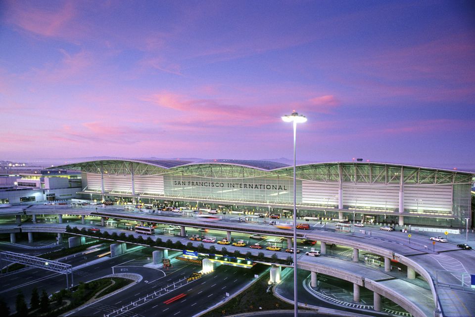
In 10 miles, we should arrive at tonight’s destination, Pacifica. After a short 1.6-mile hop on I-280 south, we ride the rest of the way on Highway 1, which brings us to Pacifica, a city of about 40,000 on the Pacific Ocean, just south of San Francisco. Pacifica is about five miles due west from the San Francisco International Airport.
With no flights to catch, we go VFR direct to the hotel, contemplate dinner, and wonder how tomorrow could possibly top today.
It will.
***
Day Seventeen Summary: Music in Mendocino, a town named Bivalve, a civil engineering marvel.
Click here to see today’s complete route from Fort Bragg, California, to Pacifica, California.
We’re on our way home, eh?
Vroom, vroom.
***
Today’s Canada Fun Fact, eh? The Moosehead Brewery in Saint John, New Brunswick, turns out 1,642 bottles of beer per minute. Moosehead, founded in 1867, is Canada’s oldest independent brewery. It has an estimated 3.8 percent share of the Canadian domestic beer market.

So…… I thought you were going to Canada. Did I miss an episode?
LikeLike
Hey Mama Bear. We were in Canada 🇨🇦 last week July17 or 18. You mighta been out to lunch? You don’t need the email … just go to blog home page and posts are all there, which of course you know cuz you’re a blogger, too!
LikeLike
Gary,
Great Pics in San Francisco. Brings back memories of our life in SF (see below)
Safe travels !!!
Cheers,
Steve
(707) 246-4355 sweiss@mc-sw.com
Our Flat in SF (2nd floor)
View down the street (Alcatraz and Angel Island in the background)
Transamerica Building (the Pyramid -my Office near the top)
>
LikeLike
Thanks, Steve! About all we saw of San Francisco was 19th street 😂😂😂
The rest of the day was quite fabulous. Glad the blog post took you down memory lane.
LikeLike
Great pictures from today’s beautiful ride! Hope y’all have fun at supper and for the remaining days of the trip.
LikeLike
Be home soon, Darlin. Take good care of the girls til I get there ❤️❤️❤️
LikeLike
Looks like a gorgeous day in San Francisco! !
LikeLike
Um, it was actually cold and gray in San Francisco, V. But all days are beautiful on two wheels just ask Britt! Come to think about it, you’ve ridden to Redstone, so you can imagine what it’s like to zoom across the Golden Gate Bridge 😎👍😎
LikeLike
Four hungry Harley guys at Queenies? Was the non Harley guy not hungry? LOL
Have enjoyed the ride with you!
LikeLike
Good catch, Lynn. Technically, there were five of us on Harleys. One wasn’t hungry, leaving four hungry guys on Harleys. As you might guess, Dave and Scott were famished!
LikeLike