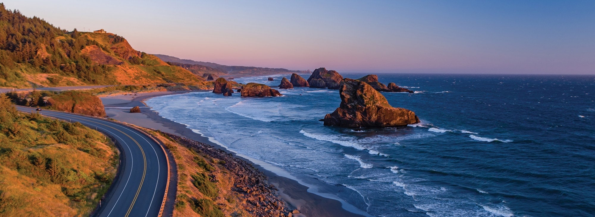
Today’s blog post could easily be written in 17 words: Riding south on Highway 101 for 215 miles along the Oregon coast. Arriving in Crescent City, California.
Done.
Except I’m incapable of being that terse. There’so much to see. And so much to say.
So, let the riding, and the writing, begin.
***
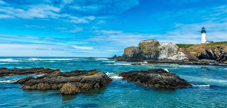
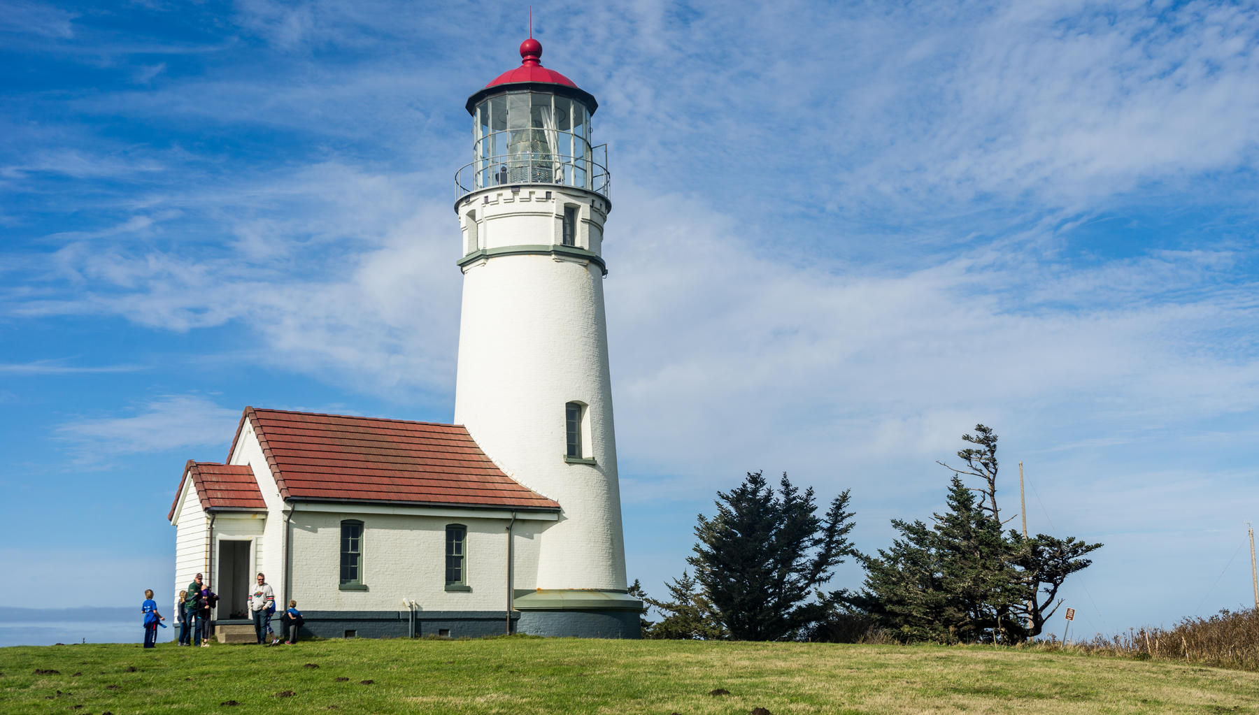
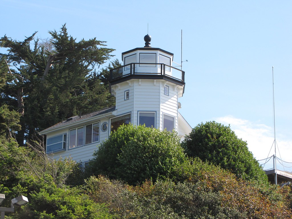
Just north of Yaquina Bay, we pass the historic Yaquina Bay Lighthouse. It’s believed to be the oldest structure in Newport, and the only existing Oregon lighthouse with the living quarters attached.
The Yaquina Bay Lighthouse was built in 1871, decommissioned three years later, then officially restored in 1996 as a privately maintained aid to navigation. Its light, which shines with a steady white light from dusk to dawn, is 161 feet above sea level.
Lighthouses are beautiful and fascinating historical buildings. With the advent of GPS and modern navigational technology used on ships, you’d think the people who maintain the buildings would let the beacons go dim, rather than continue pursuing an obsolete technology.
But to many mariners and even to the US Coast Guard, lighthouses are still a useful guide. An estimated 60 to 70 percent of the country’s 800 or so lighthouses are still active today. It’s hard to get a precise number, because lighthouses are divided among private owners, non-profits and the government.
Most ships and boats have GPS of some sort. But technology fails from time to time. That’s why mariners and fishermen still use lighthouses as a backup to their electronic equipment, sort of like double-checking the street signs while driving with GPS.
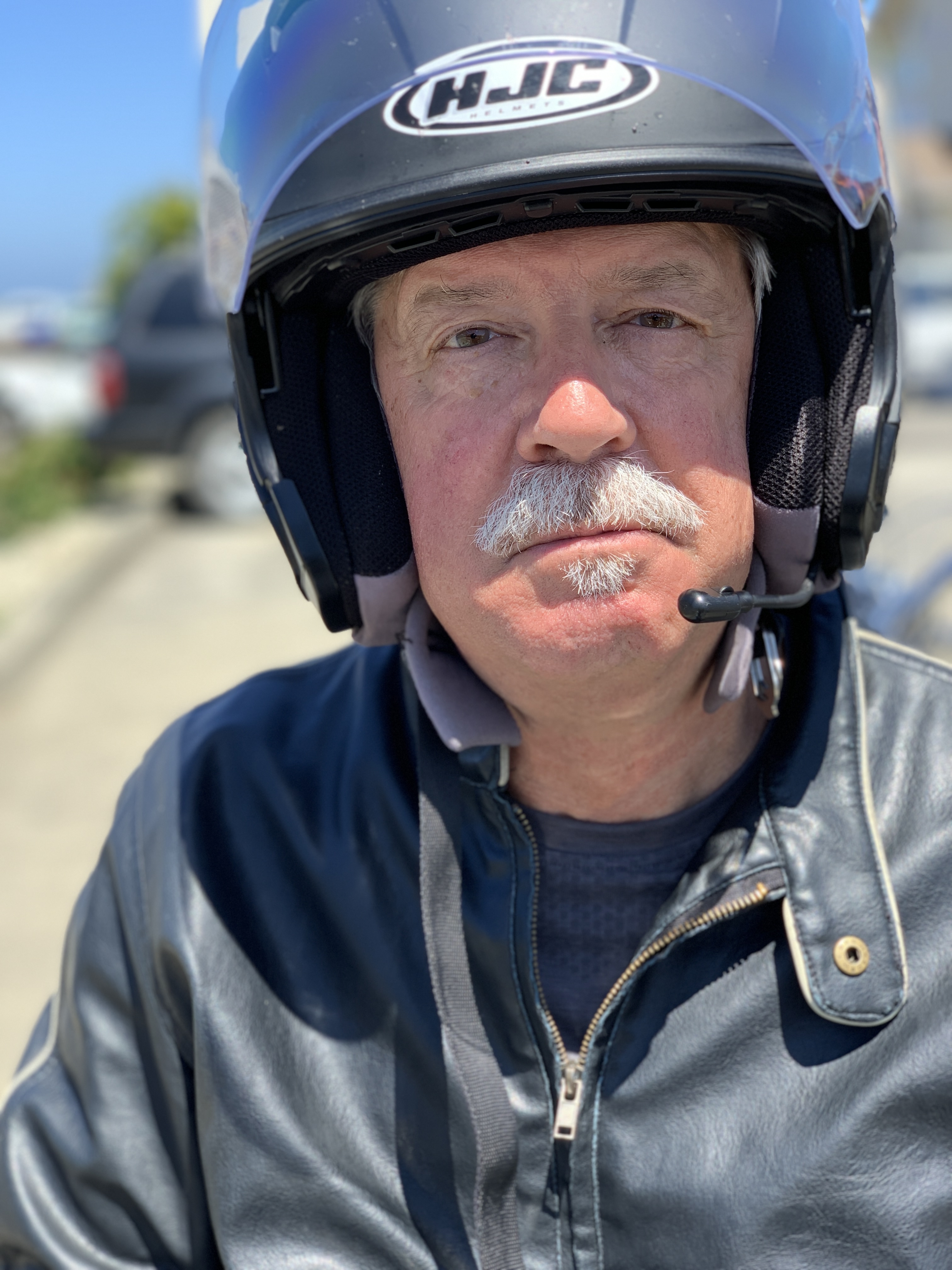
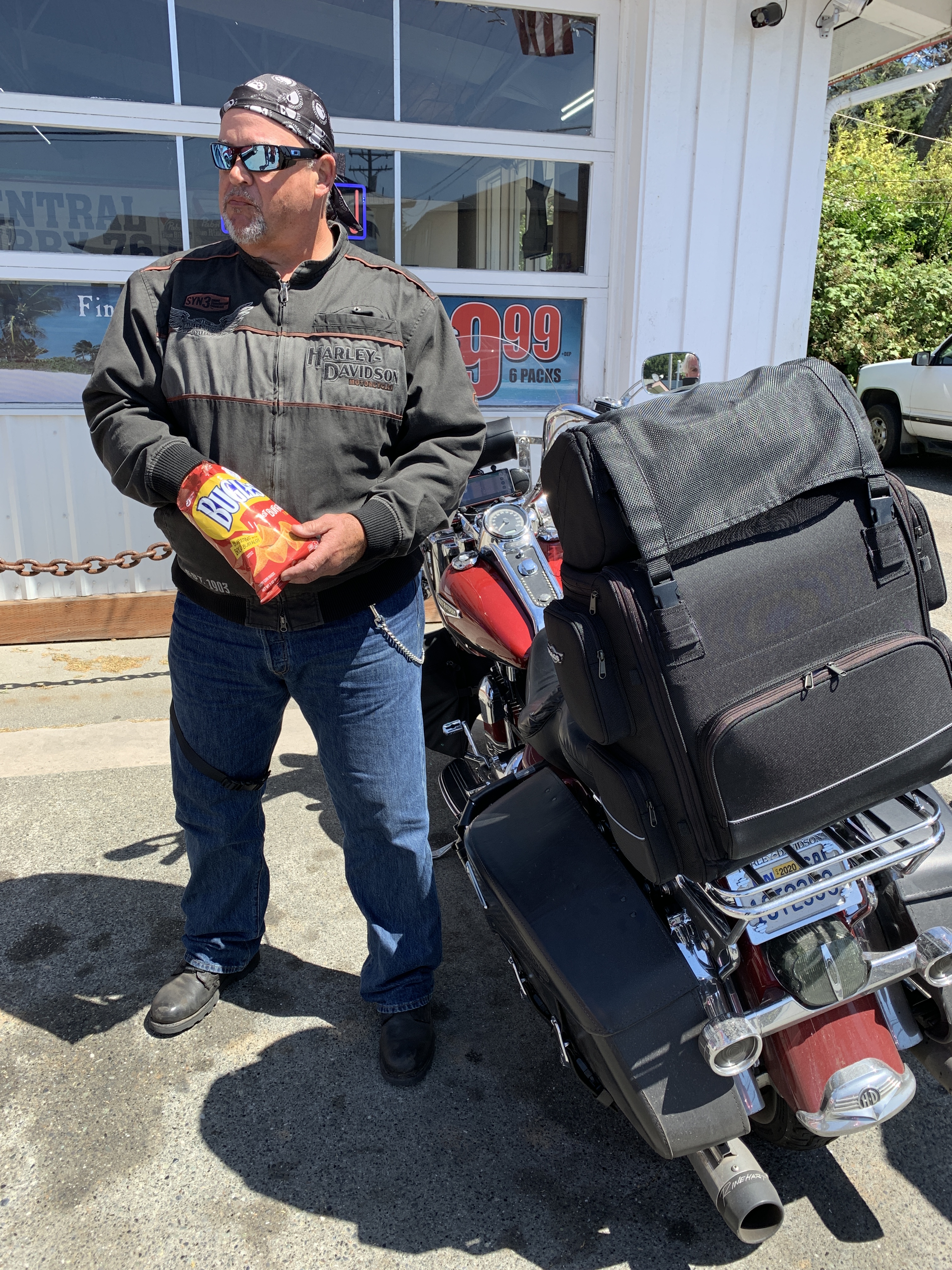
Except for low-tech Randy, our bikes are equipped with modern nav systems; in some case, the guidance comes from a phone lashed to the handlebars. If there’s a failure, we won’t rely on a nearby lighthouse; we’ll just radio a fellow posse member and ask for directions.
***
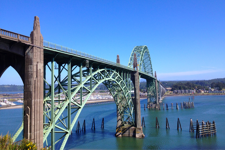
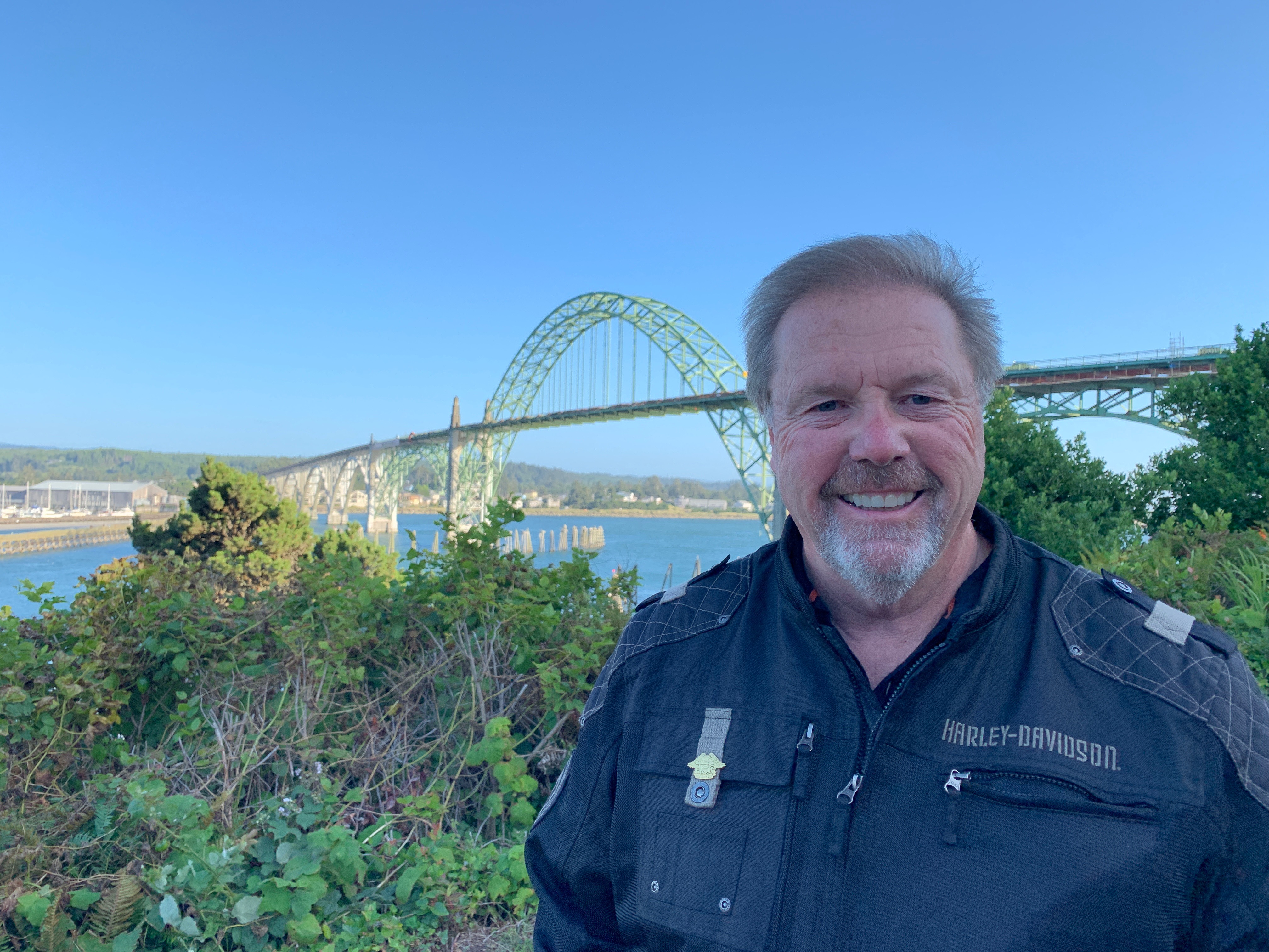
We pass the Yaquina Bay Lighthouse, and cross over the Yaquina Bay Bridge. The bridge, designed by engineer Conde McCullough, was inspired by the Art Deco era. The Yaquina Bay Bridge, built with concrete and steel arches, is one of the most recognizable of the 14 bridges on US Highway 101 that McCullough designed.
Past the bridge, we ride past the Yaquina Bay Shellfish Preserve, and then roll by South Beach State Park, believed to be birthplace of the South Beach diet. There are no fat people here.
The community of Seal Rock, just ahead of us, is named for Seal Rocks, a ledge of partially submerged rocks that parallel the shore for about two miles. At one time, hundreds of seals and sea lions rested on these rocks.
A few miles south of Seal Rock is Bayshore, which sits across Alsea Bay from Waldport. Waldport has an Ace Hardware, a Chevron station, a Mormon church and a liquor store – but is most well known for an incident that happened in September 1975.
That’s when self-proclaimed prophet Marshall Applewhite gave a lecture in Waldport on UFOs, attended by about 150 people. In the following days, an estimated 20 residents, nearly one out of 30 people who lived in Waldport, abandoned their homes and possessions and joined Applewhite’s cult, Heaven’s Gate.
In March 1997, the bodies of 39 members of the Heaven’s Gate cult – including Applewhite – were found dead in a house in Rancho Santa Fe, California. They apparently had participated in a mass suicide, in order to reach what they believed was an extraterrestrial spacecraft following the Hale-Bopp Comet.
***
Ten miles south of Waldport is Yachats, whose name comes from the Siletz language and means “dark water at the foot of the mountain.”
In 2011, Arthur Frommer, founder of Frommer’s Travel Guides, listed Yachats as one of his top 10 favorite vacation destinations in the world. And, in 2007, Budget Travel magazine named Yachats one of the Ten Coolest Small Towns of the U.S.A. As guys who are into budget travel, we should appreciate all that Yachats has to offer. For an updated list of Budget Travel’s 10 Coolest Small Towns in America, here you go.
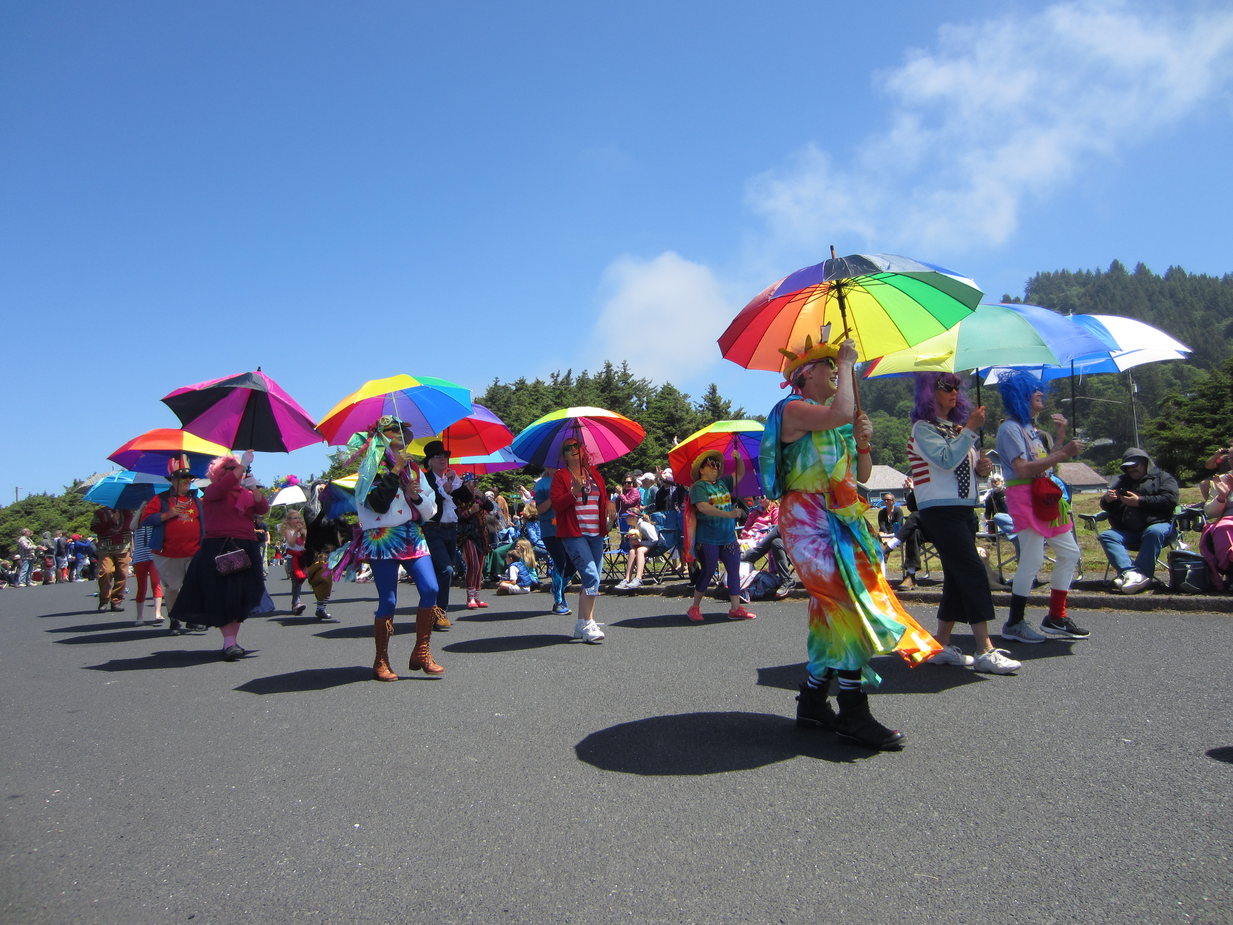
Yachats, with a population of around 700, has a number of annual cultural events worth noting. The Yachats la de da Parade is held each July 4 at noon. Some of the regular entries include the Yachats Umbrella Drill Team, a belly dancing troupe, and a Yachats Fire Department truck accompanied by Dalmatian miniature goats.
If you come back in November, you can attend the Yachats Celtic Music Festival, a four-day event that this year will include Cassie and Maggie MacDonald, Nuala Kennedy and Eamon O’Leary, and Gillian Boucher and Bob McNeill.
Only a few miles south of Yachats along Highway 101 is Cape Perpetua, a large forested headland that’s part of the Siuslaw National Forest. At its highest point, Cape Perpetua rises to over 800 feet above sea level. The cape was named by Captain James Cook in March 1778, as he searched for the Pacific entrance to a Northwest Passage. Cook named the cape Perpetua because he discovered it on St. Perpetua’s Day.
For his efforts, a small point a few miles south of Cape Perpetua was named after him: Captain Cook Point.
***
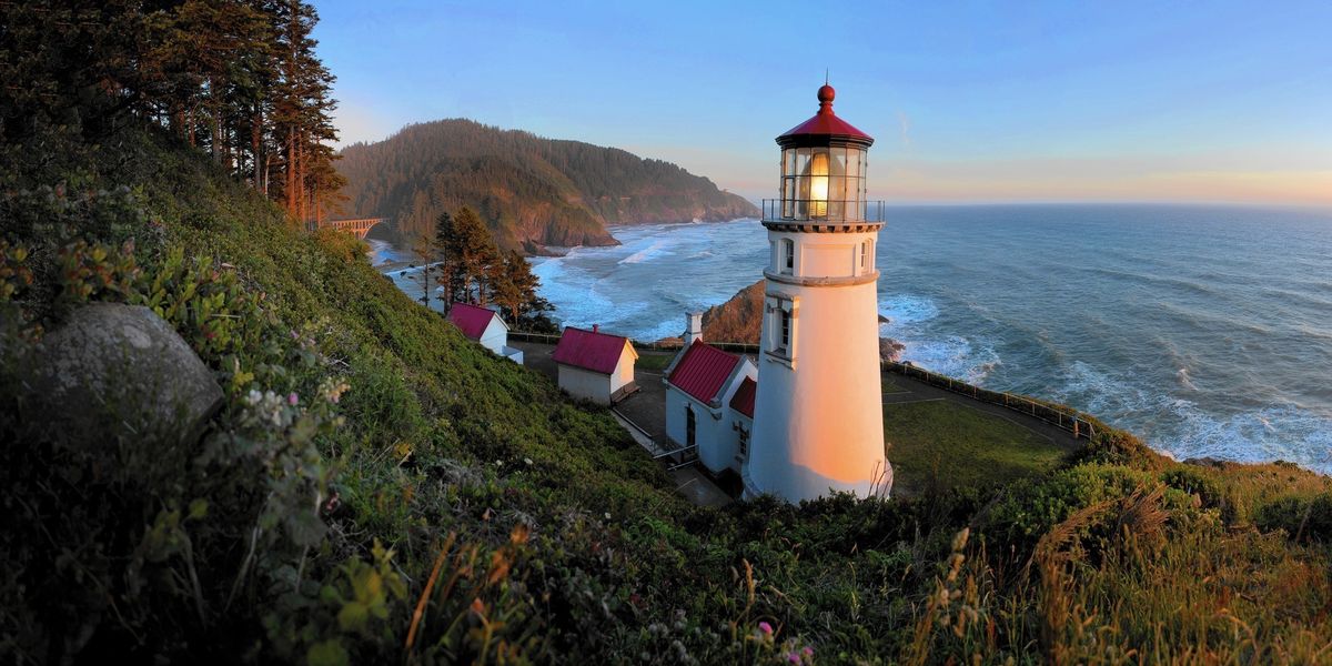
Highway 101 closely follows the coastline for another 10 miles until we come to the Heceta Head, site of one of Oregon’s most photographed lighthouses. The structure is 56 feet tall, but because it’s placed on a bluff, the lighthouse stands 205 feet above sea level.
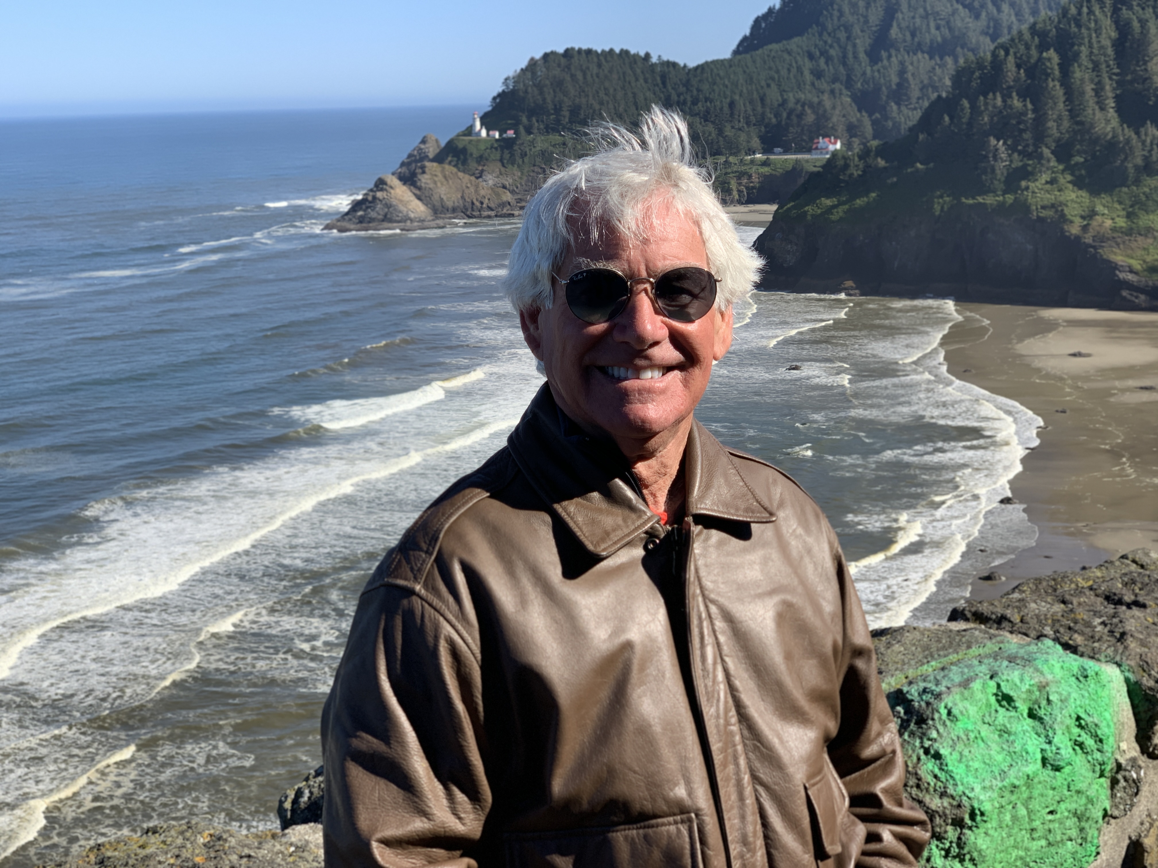
Heceta Head Lighthouse was named after Spanish explorer Bruno de Heceta, who discovered the area. Heceta Island in Alaska is also named after him. Visiting Heceta Head Lighthouse is named by Trip Advisor as the number one thing to do in the area.
Less than a mile south of Heceta Head is Sea Lion Caves, a connected system of sea caves and caverns that’s believed to be America’s largest. Sea Lion Caves is where Steller sea lions and their cubs take shelter each year. It’s said to be one of the great sea grottos of the world, comparable in size and coloration to the famed Blue Grotto in the Mediterranean.
Sea Lion Caves is a privately owned wildlife preserve and bird sanctuary. Crassly, to get to Sea Lion Caves, you enter through a gift shop, pay a $14 entry fee, and walk down to the ocean. Parking is free!
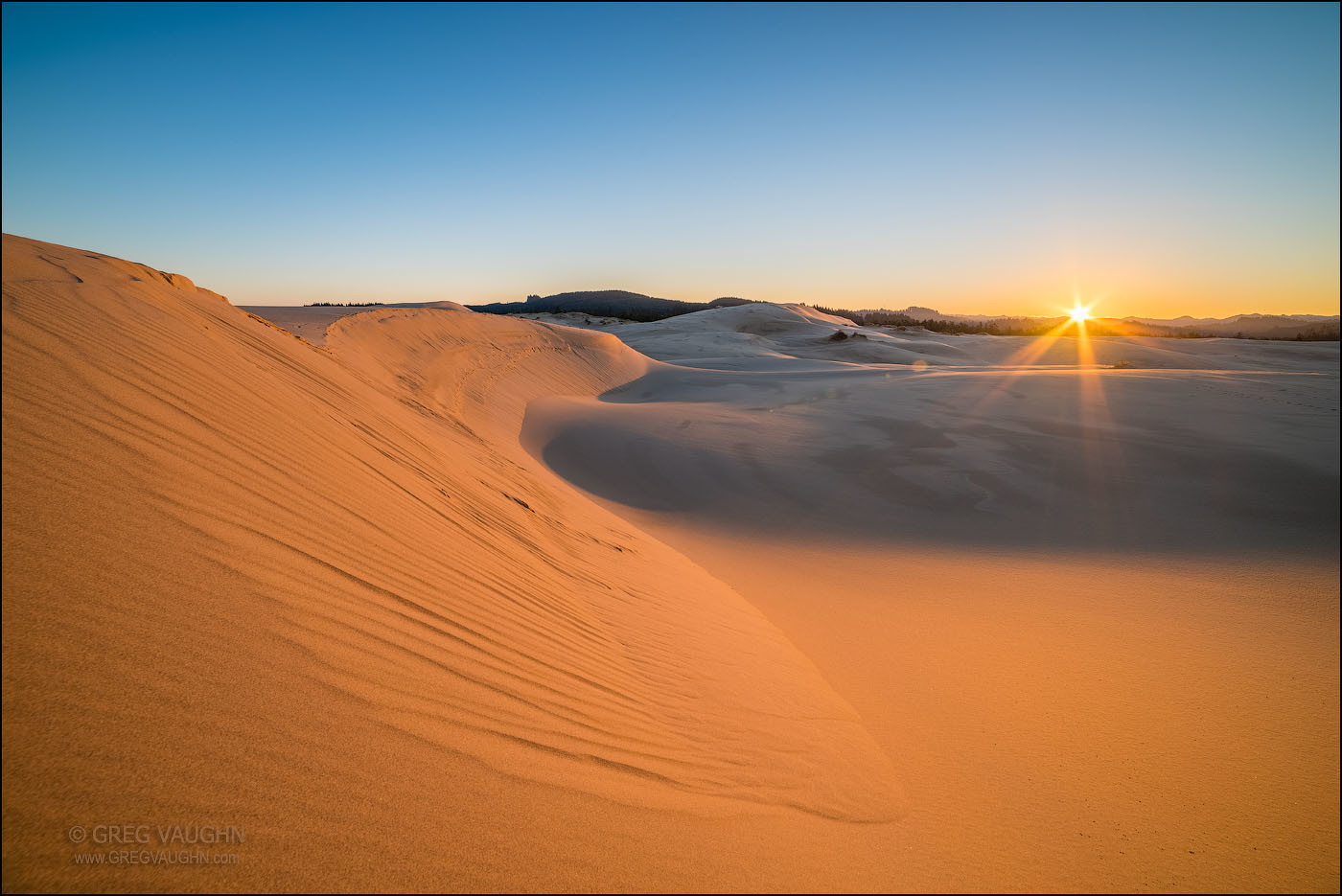
Ten more miles down Highway 101, we roll through Florence, which sits at the mouth of the Siuslaw River. Florence is at the northern end of the Oregon Dunes National Recreation Area. The dunes are the largest expanse of coastal and sand dunes in North America, some reaching as much as 500 feet above sea level. They’re the product of millions of years of erosion by wind and rain on the Oregon Coast. Frank Herbert’s science-fiction novel Dune was inspired, in part, by the author’s research and fascination with the area.
***
Near the southern end of the Oregon Dunes Recreational Area, we cross the Umpqua River and roll into the city of Reedsport. It was named for a local settler, Albert Reed, who founded the city in 1912.
At the mouth of the Umpqua River, just off the Pacific Ocean, is the 65-foot high Umpqua River Lighthouse, the first on the Oregon Coast. In 1851, Congress appropriated $15,000 for the Umpqua River Lighthouse. It was opened for navigational use in 1857.
We cross over Coos Bay, and in North Bend, turn west to follow the Cape Arago Highway. This takes us through Barview, which is what one apparently sees late at night after too many beers.
In Barview, we don’t even see the Cape Arago Lighthouse. It can only be viewed from afar, and that’s exactly how we’ll see it (or not). The lighthouse sits 100 feet above sea level, on an islet off Gregory Point. Cape Arago is Oregon’s newest lighthouse, built in 1934. It was officially deactivated in 2006.
The South Slough National Estuarine Research Reserve is ahead. It’s a 4,770-acre reserve located on Coos Bay Estuary. The National Estuarine Research Reserve System is a network of 29 protected areas established by partnerships between the National Oceanic and Atmospheric Administration and coastal states. The National Estuarine Research Reserve System protects more than 1.3 million acres of coastal and estuarine habitats for long-term research, water-quality monitoring, education, and coastal stewardship.
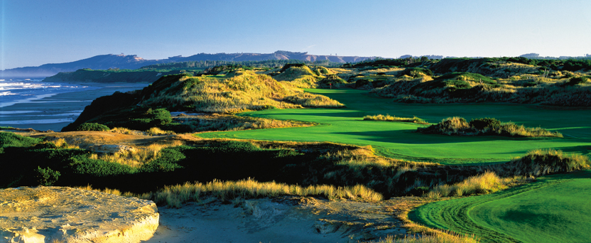
We return to Highway 101. About a mile west is the most sought-after golf complex in the US, maybe even in the world: Bandon Dunes Golf Resort. Self-branded as Golf As It Was Meant to Be, Bandon Dunes includes five seaside courses: Bandon Dunes, Pacific Dunes, Bandon Trails, Old MacDonald, and a 13-hole par-three course: Bandon Preserve.
A sixth course, called Bally Bandon Sheep Ranch, is under construction, and expected to open for play in 2020. The Sheep Ranch, designed by Bill Coore and Ben Crenshaw, should be quite spectacular. With a mile of coastline to work with, nine of the 18 greens will be directly on 100-foot cliffs overlooking the Pacific Ocean.
Just south of Bandon Dunes, we cross over the Coquille River and almost see, off in the distance, the Coquille River Lighthouse. The lighthouse was built in 1895 to mark the entrance to the Coquille River and help mariners get past the ever-shifting sand bars. The light would also serve as a coast light for vessels heading up and down the Pacific Ocean. It’s been deactivated since 1939.
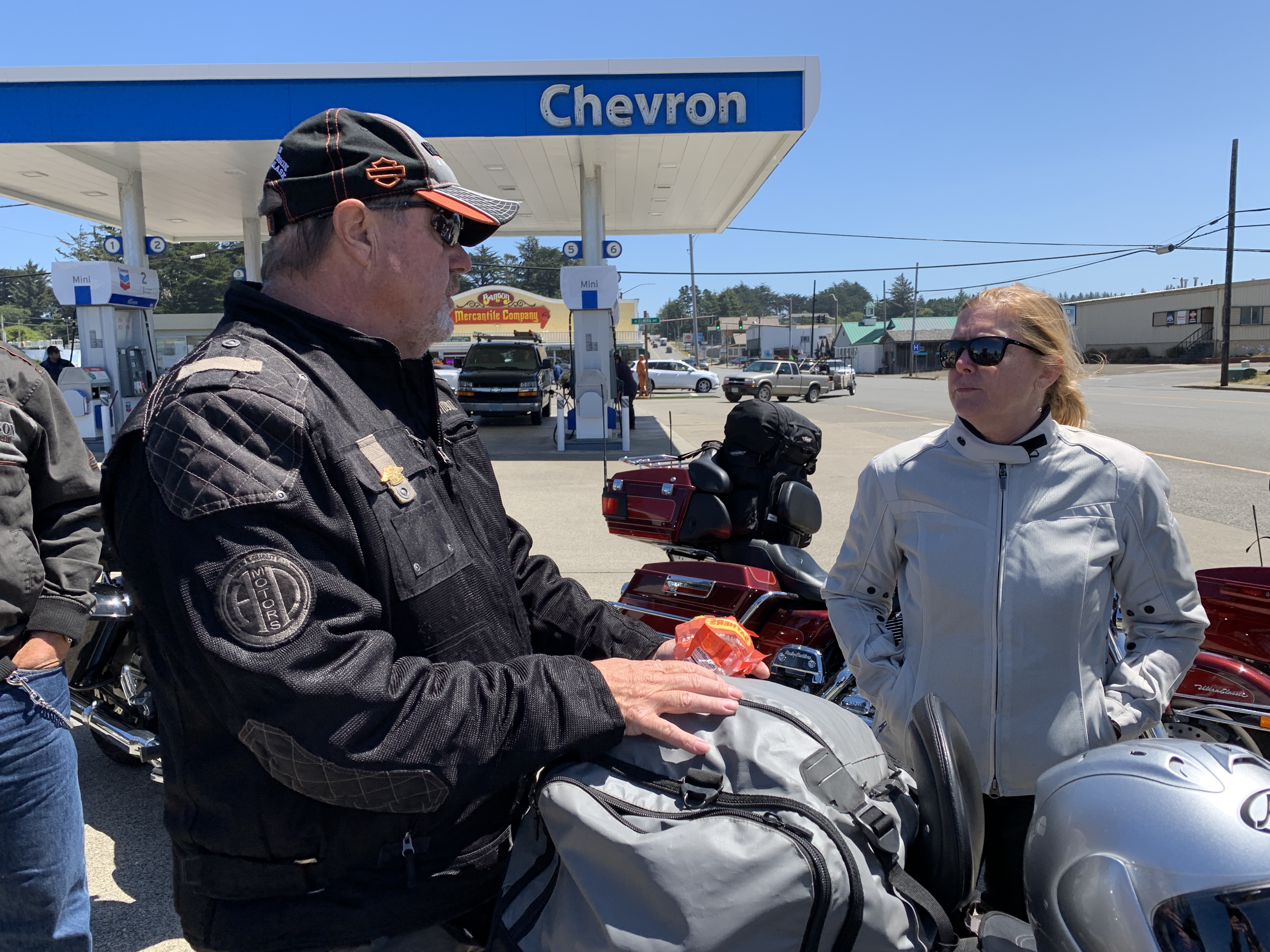
With nothing to guide us other than our own instincts and GPS, we roll into the town of Bandon and stop for gas. Here in Coos County, the population is around 64,000. Highly unlikely we’ll be pumping our own gas today.

***
From Bandon, Highway 101 continues south, though for the next 27 miles, the road strays from the coastline.
A few miles inland, we pass through Denmark.
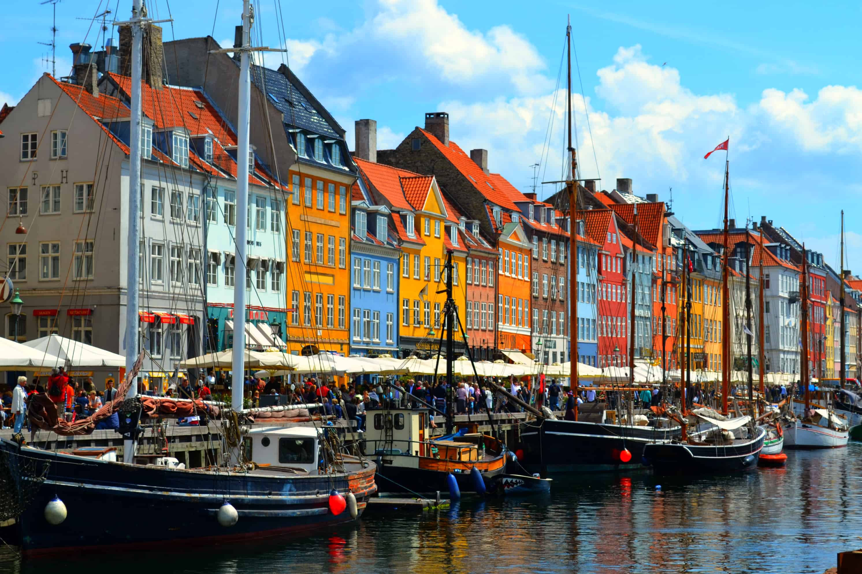
Denmark, Oregon, actually. That’s notable to me because Sarah and I were married in Dragør, Denmark – just outside Copenhagen – and I speak a little Danish.
Jeg taler om lidt dansk.
Denmark, Oregon, was founded by first-generation Danes who developed a profitable dairy industry in the area. In 1915, the community had a sawmill, a cheese factory, a creamery and a public school.
Today, it has nothing.
I dag, det har ikke noget.
***
We’re far enough from the coast that we miss Floras Lake State Natural Area and Cape Blanco State Park, each by a few miles. At the western end of Cape Blanco State Park is the Cape Blanco lighthouse. It sits 256 feet above sea level. The lighthouse was built in 1870, making it the oldest standing lighthouse in Oregon.
As the highway continues south, we finally link up with the Pacific again in Port Orford. Port Orford takes its name from George, Earl of Orford, a friend of explorer George Vancouver. As the oldest town on the Oregon coast, Port Orford is the westernmost settlement in Oregon, and the westernmost incorporated place in the lower 48. That’s a lot of superlatives.
We roll through Humbug Mountain State Park, dominated by 1,756-foot Humbug Mountain. Hiking to the top of the mountain is a favorite activity in the park.
Highway 101 stays quite close to the ocean as we head south from Humbug Mountain. In Wedderburn, we cross the Rogue River and head toward Kissing Rock, a rock formation that looks more like a shark fin than a kiss. Lore has it that the name comes from the area’s reputation as a place where teenagers gathered to lock lips.
Pistol River State Scenic Viewpoint is next in our sights. It’s a park set in the dunes. The Pistol River supposedly got its name when a militia soldier lost his pistol in the river during the infamous Rogue River Indian War.
We soon enter the Samuel H. Boardman State Scenic Corridor, a 12-mile long, ocean-hugging stretch of highway that features scenic viewpoints, picnic areas and trailheads. It’s named in honor of Samuel H. Boardman, Oregon ‘s first Parks superintendent.
Brookings, a city of about 6,500, is just ahead, on the Chetco River. The city was named after John E. Brookings, president of the Brookings Lumber and Box Company, which founded the city in 1908. In Brookings, we cross the Chetco River.
On September 9, 1942, Mount Emily (near Brookings) became the first site in the mainland United States to be bombed during World War II. A Japanese floatplane piloted by Nobuo Fujita was launched from a submarine. The plane was armed with incendiary bombs on a mission to start massive fires in the dense forests of the Pacific Northwest. The attack caused only minor damage.
Fujita was invited back to Brookings in 1962, long after the war’s end. He presented the town his family’s 400-year-old samurai sword in friendship, after the Japanese government was given assurances that he would not be tried as a war criminal.
Brookings made Fujita an honorary citizen, several days before his death in 1997.
***
Just south of Brookings, we pass Oregon’s southernmost lighthouse. It’s known as the Port of Brookings lighthouse, sometimes called the Pelican Bay lighthouse. Whatever you call it, the lighthouse stands 141 feet above sea level. It’s one of the newest lighthouses in the US. The Coast Guard commissioned it as a private aid to navigation in 1999.
Five miles from the lighthouse, we cross into California, between Crissey Field State Recreation Site (Oregon) and Pelican State Beach (California).
We’ll be filling our own gas tanks from now on, without any help!
It’s 30 more miles to tonight’s destination, Crescent City. I can make it that far on a half-gallon of gas.
We cross the Smith River, and roll past Pelican Bay State Prison, California’s only supermax site. The prison’s primary purpose is to house the “worst of the worst” violent male prisoners from the California state prison system; 40 percent of the prison’s 2,700 inmates are serving life sentences and nearly all have histories of violence at other California prisons that resulted in their transfer to Pelican Bay. There’s a Greyhound Bus station just outside the prison’s entrance.
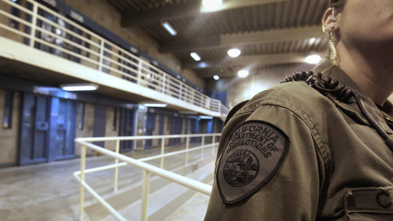
Pelican Bay is a badass place that you don’t want to get anywhere near. A half-mile off Highway 101 is as close as we get.
After about five hours of riding, nearly all of it on Highway 101, we pull into Crescent City and call it a day.
***
Day Fifteen Summary: Lighthouses galore, an American Denmark, weirdness in Waldport.
Click here to see today’s complete route from Newport, Oregon, to Crescent City, California.
We’re on our way home, eh?
Vroom, vroom.
***
Today’s Canada Fun Fact, eh? The National Flag of Canada came into being in 1965 to replace the Union Jack. It is an 11-pointed red maple leaf on a white square. The flag made its first official appearance on February 15, 1965; the date is now celebrated annually as National Flag of Canada Day. The maple leaf symbolizes unity, tolerance and peace.