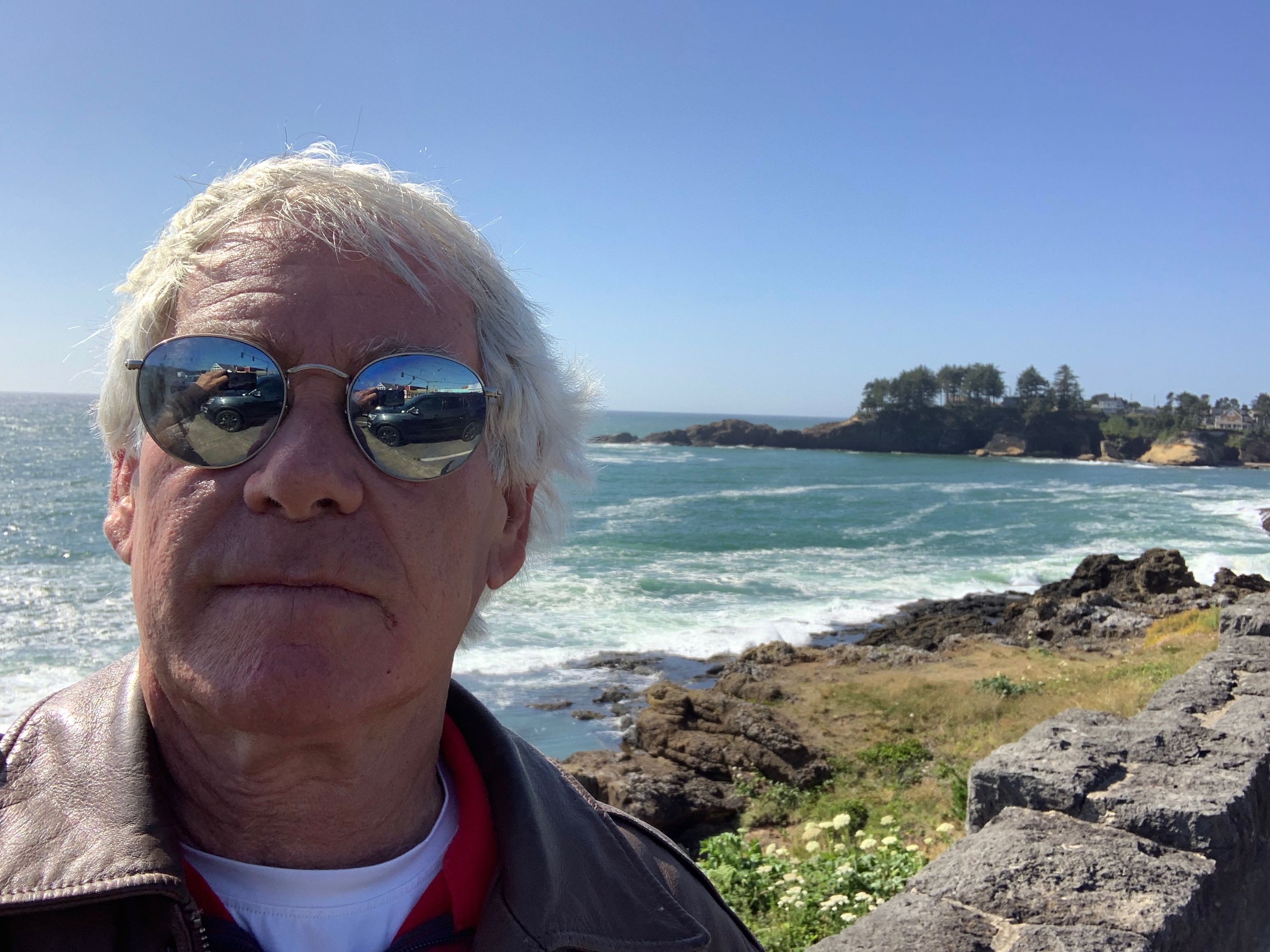
For the next five days, we’ll be making our way down the Pacific coast in Washington, Oregon, and California. We’ll be mostly on US Highway 101 and California Highway 1 – the Pacific Coast Highway.
Because of our proximity to the ocean, there should be a lot of seafood involved – at least in the evenings. For breakfast, we can still expect to see an occasional chicken fried steak, or country fried steak, as the foodies call it.
Today’s ride is 243 miles, from Aberdeen to Newport, Oregon. Should take us about five and a-half hours, according to Google Maps, which is seldom wrong.
We begin by riding south on Washington Highway 105, along Grays Harbor, a 17-mile long bay that flows into the Pacific Ocean. Grays Harbor is named after Captain Robert Gray, who discovered and entered it in May 1792, while making fur trading voyages along the north Pacific coast.
What was the composition of his body? Gray’s Anatomy.
Fishing is top dog in this region. Marinas are full of large commercial fishing fleets. The biggest one is at Westport, which is at the end of Highway 105, on a peninsula at the entrance to Grays Harbor.
If you like to go out on recreational charter fishing boats in the topsy-turvy Pacific Ocean and puke your guts out, this is the place for you. The water here is not for sissies.
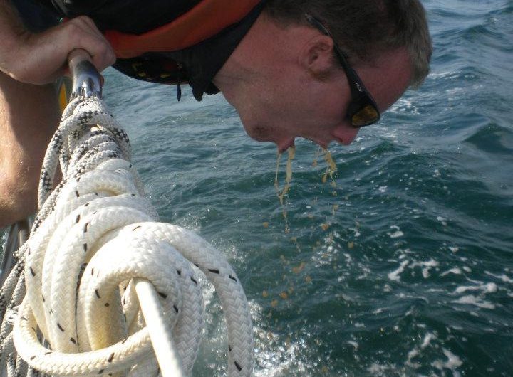
Still, if you’re game, there’s a lot of tuna to be caught on boats leaving from Westport. You’ll be fishing 25 to 60 miles offshore. Westport charters land nearly 90 percent of Washington’s sport albacore catch. Costs are a bit more than tuna in a can: $400 per person, plus tips and extra for fish cleaning if that’s how you roll.
Remember to stop at Walgreens and pick up some Dramamine, or a similar motion sickness product.
Tuna excursions depart around sunrise, and are gone around 10 hours – dock to dock. That’s almost twice as long as we’ll be in the saddle today.
***
Just below Westport, we turn south on Highway 105.
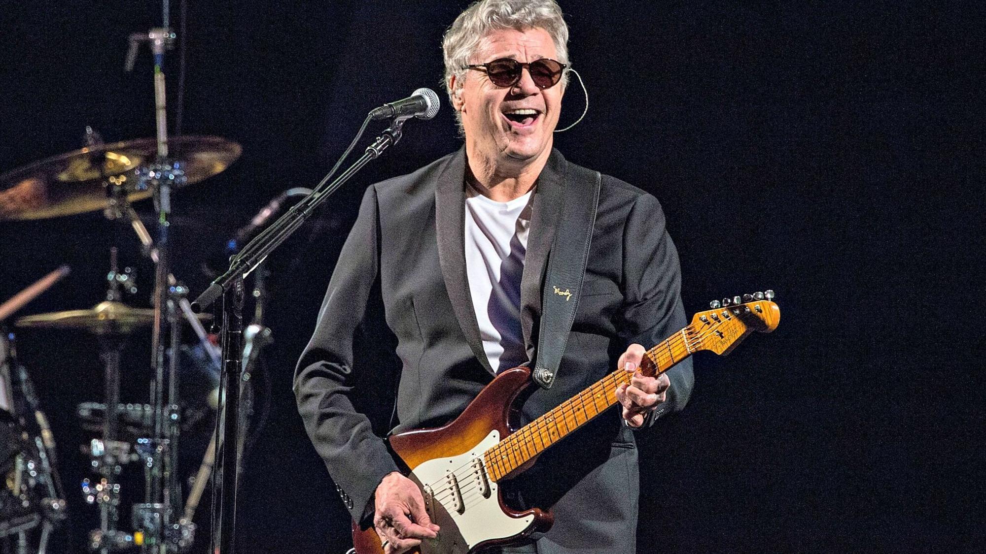
We pass through Grayland, North Cove, and ride slightly past Tokeland. There must have been a few joints smoked there over the years. One of the best references to toking comes from the Steve Miller Band: “I’m a joker, I’m a smoker, I’m a midnight toker.”
Turns out Tokeland is named after Chief Toke, who came from Chinook and Chehalis stock, and spent summers in the area that now bears his name.
Highway 105 hugs the shore of Willapa Bay. With more than 260 square miles of water surface, Willapa Bay is the second-largest estuary on the Pacific Coast.
By the time we get to Raymond, a once-booming fishing and logging town, Willapa Bay becomes Willapa River. In very recent years, Raymond has seen an influx of marijuana manufacturing, in part because of Initiative 502, passed by Washington voters in 2012. The initiative legalized the recreational use of marijuana. Maybe Tokeland isn’t so wrongly named.
As Randy well knows, Everybody Loves Raymond. That was a play on words. If you missed it on Randy’s bio, posted on this blog, he was a long-time first assistant director on the hit TV sitcom, Everybody Loves Raymond.
In Raymond, we cross the Willapa River on the Park Avenue Bridge (twice!), then rejoin US Highway 101 South. We’re riding right along Willapa Bay, through the Bone River Natural Area Preserve, and the Niawiakum River Natural Area Preserve. These two preserves are part of an intact tidal river system that contains some of the best remaining salt marsh systems in Willapa Bay.
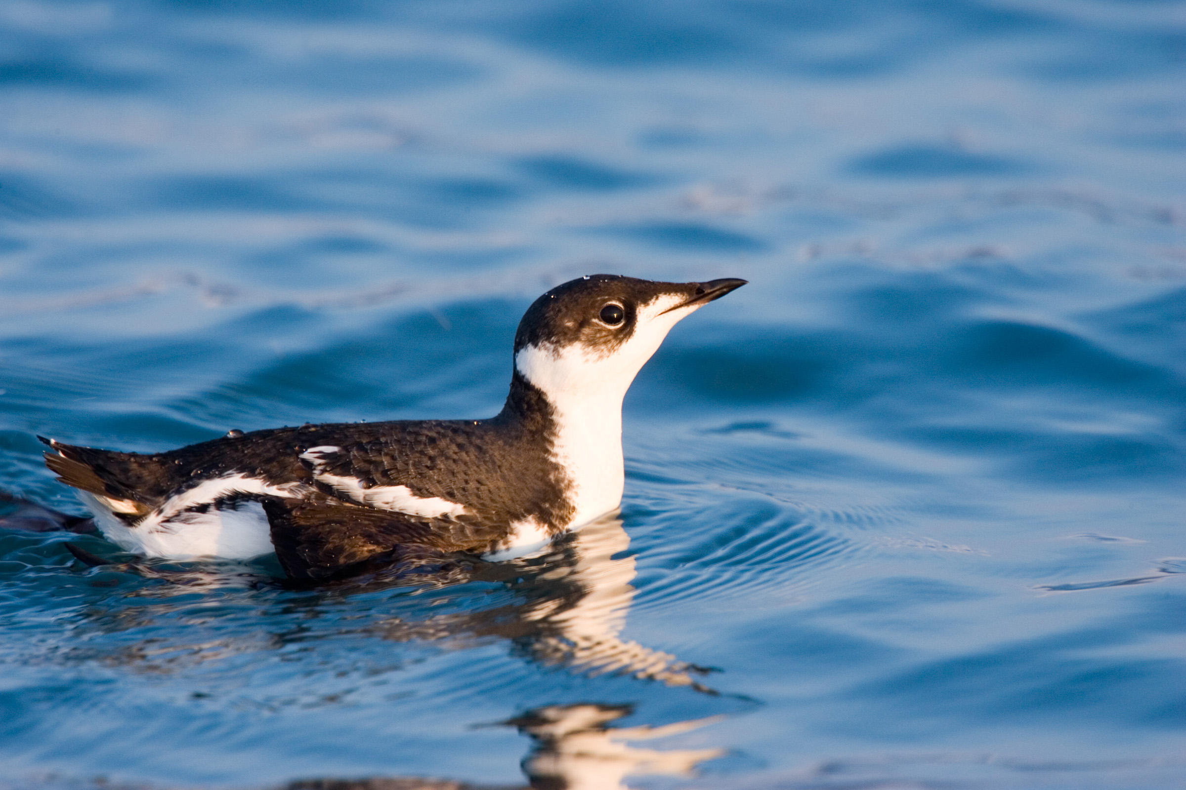
Highway 101 follows Willapa Bay, through the town of Nemah, then along the Willapa National Wildlife Refuge – 11,000 acres of sand dunes, beaches, mudflats, grasslands, saltwater and freshwater marshes, and coniferous forest. The refuge is home to a wide variety of wildlife, including Roosevelt elk, black bear, and shorebirds. You’ll also find several endangered and threatened species including the snowy plover, brown pelican, and marbled murrelets.
Until doing research for today’s blog post, I’d never heard of a murrelet. I would have guessed it’s a small Murr, like Sarah. Turns out I’m wrong. A murrelet is a dove-sized seabird that nests in old-growth forests.
The marbled murrelet, a member of the auk family, is considered globally endangered.
***
At the southern end of Willapa Bay, we approach Cape Disappointment State Park. Cape Disappointment is a headland located at the extreme southwest corner of Washington, on the north side of the Columbia River Bar. The cape got its name in 1788 by British fur trader John Meares. After a storm, Meares turned his ship around just north of the cape and therefore just missed discovering the Columbia River.
How disappointing.
Cape Disappointment receives about 2,500 hours of fog a year, the equivalent of 106 days – making it one of the foggiest places in the US. It has twice as many foggy days as San Francisco’s notoriously foggy Golden Gate.
The US Coast Guard Station at Cape Disappointment is renowned for operating in some of the roughest sea conditions in the world. It’s home to the National Motor Lifeboat School, the only school for rough weather and surf rescue operation in the US.
We’re now riding along the mouth of the Columbia River, toward the bridge that will take us south into Oregon. This area is known as the Columbia Bar. The bar is where the river’s current dissipates into the Pacific Ocean, often as large standing waves.
The Columbia River Bar is a major marine coastal hazard. Since 1792, about 2,000 large ships have sunk, in and around the Columbia Bar. It’s no wonder that the mouth of the Columbia River is known as the Graveyard of the Pacific.
The Columbia River Bar is so challenging to navigate that ship pilots earn an average annual salary of $214,000. That may sound good, but their peers in San Francisco and the Puget Sound earn between $387,000 and $450,000 a year. Nice pay for driving a boat around.
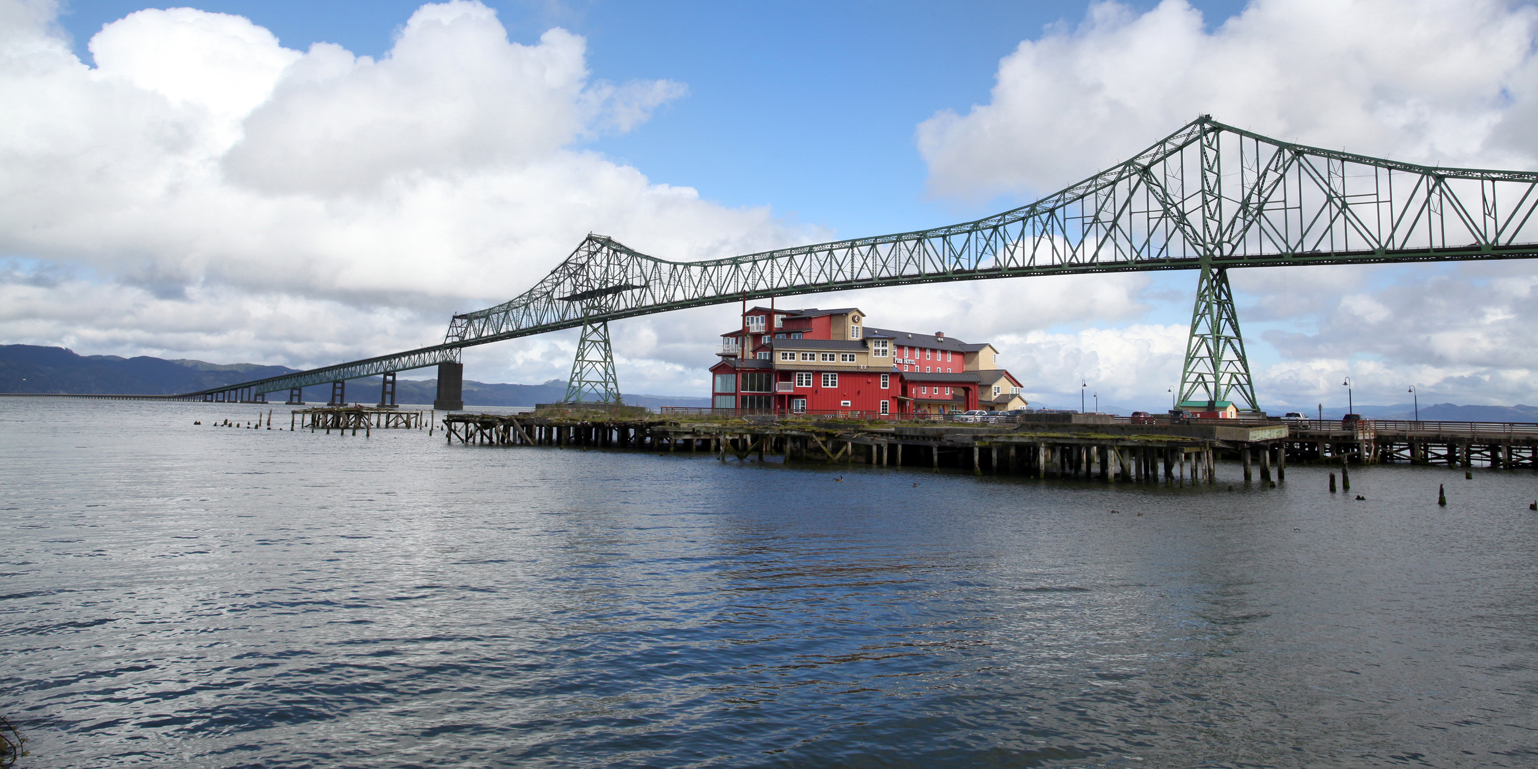
The Columbia River forms the border between Washington and Oregon. The Astoria-Megler Bridge, slightly over four miles long, crosses the river and takes us into Oregon. To allow ship traffic up the Columbia, the bridge has a clearance of 196 feet at high tide.
The bridge was built in the mid-1960s to replace ferry service that was inefficient and subject to disruptions during bad weather. When the bridge was completed, it provided the final link in the US highway system between Mexico and Canada.
We cross the river and arrive in Astoria, Oregon, continuing our journey down the West Coast. Astoria is the oldest American settlement west of the Rocky Mountains, and the oldest city in the state of Oregon. The city is named for John Jacob Astor, an investor from New York City, whose American Fur Company founded Fort Astoria where the city is today.
Astoria’s economy once centered on fishing, fish processing, and lumber. In 1945, about 30 canneries could be found along the Columbia. Bumble Bee Seafoods closed its last Astoria Cannery almost 40 years ago, and today, the city’s economy is built around tourism, a growing art scene, and light manufacturing.
***
Highway 101 takes us across Youngs Bay and then continues south through Sunset Beach, Surf Pines and Seaside – all within a half-mile or so of the Pacific. The highway, for some reason, turns a few miles inland, bypassing Ecola State Park, Crescent Beach, and a view of the Tillamook Rock Lighthouse.
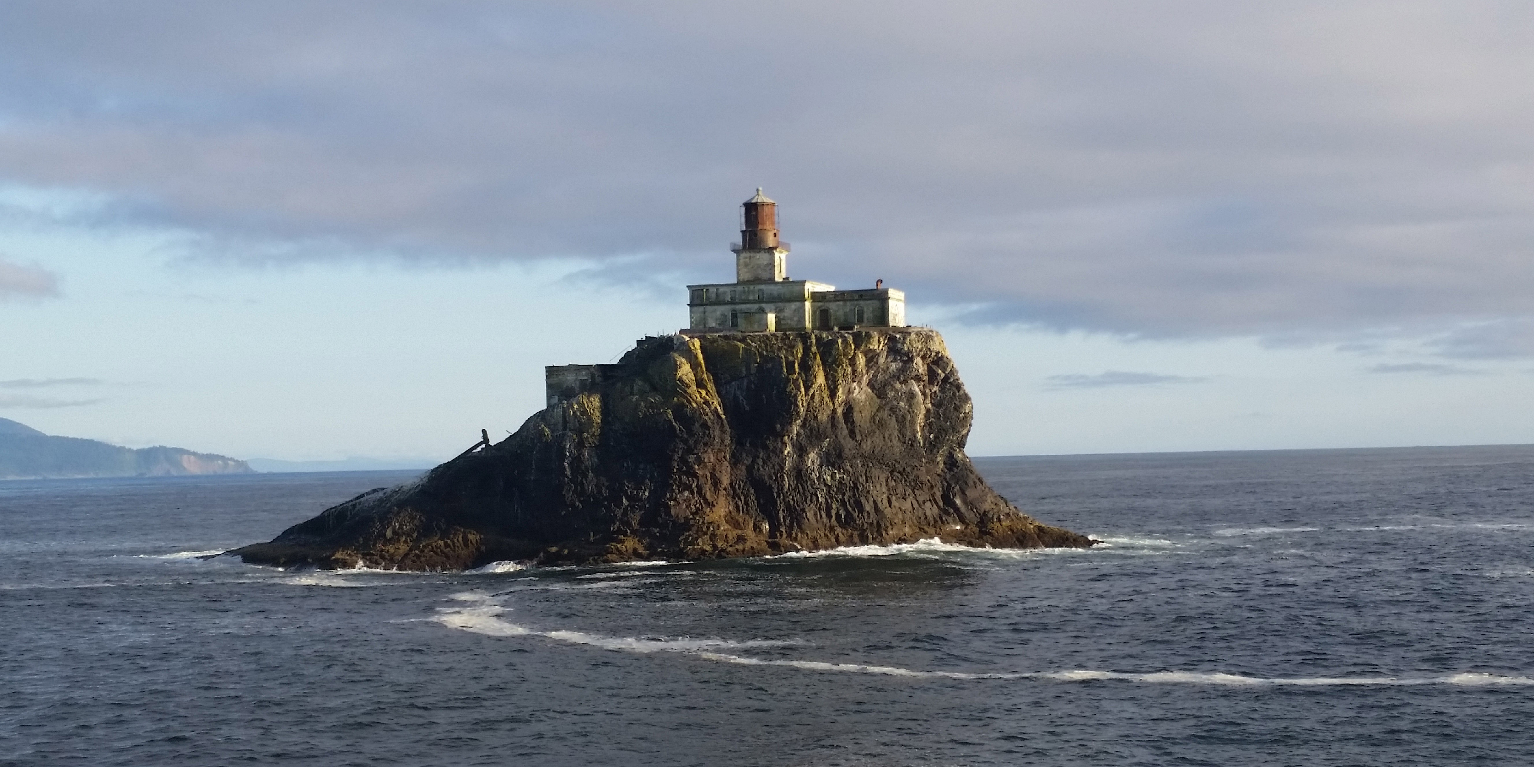
The Tillamook Rock Lighthouse sits abandoned on a rock about a mile off the coast at Ecola State Park, just south of Seaside. It earned the name Terrible Tilly because of the challenges in building and operating it. Tilly was originally commissioned to guide ships entering the Columbia River. Since being decommissioned in 1957, the lighthouse has changed hands several times. It was most notably used as a columbarium – a storage place for the ashes of the dead.
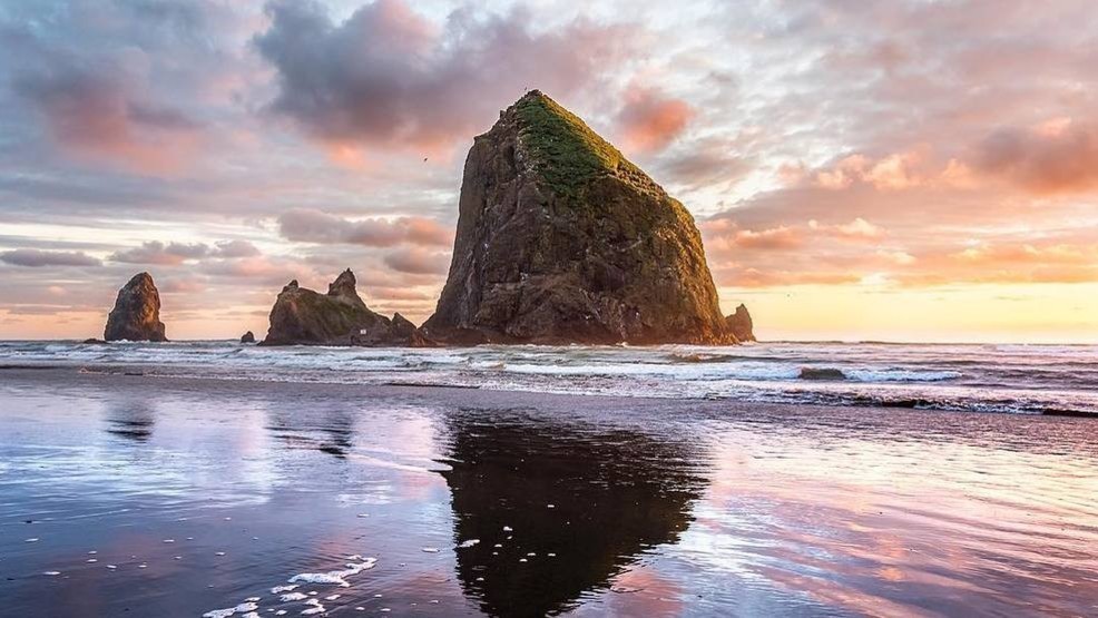
Soon, we roll through Cannon Beach, recognized by its well-known landmark, Haystack Rock, one of the most famous coastline scenes in Oregon.
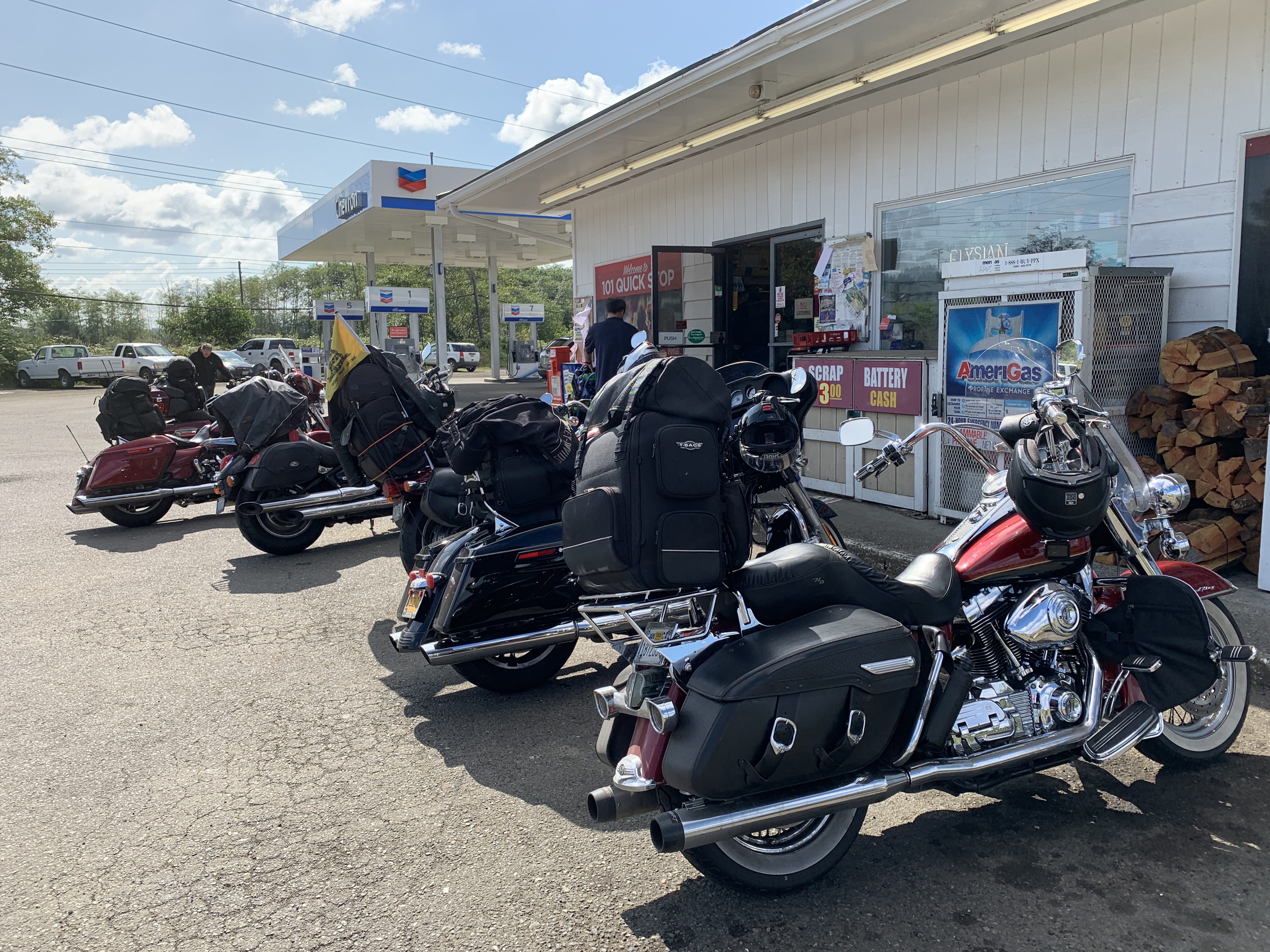
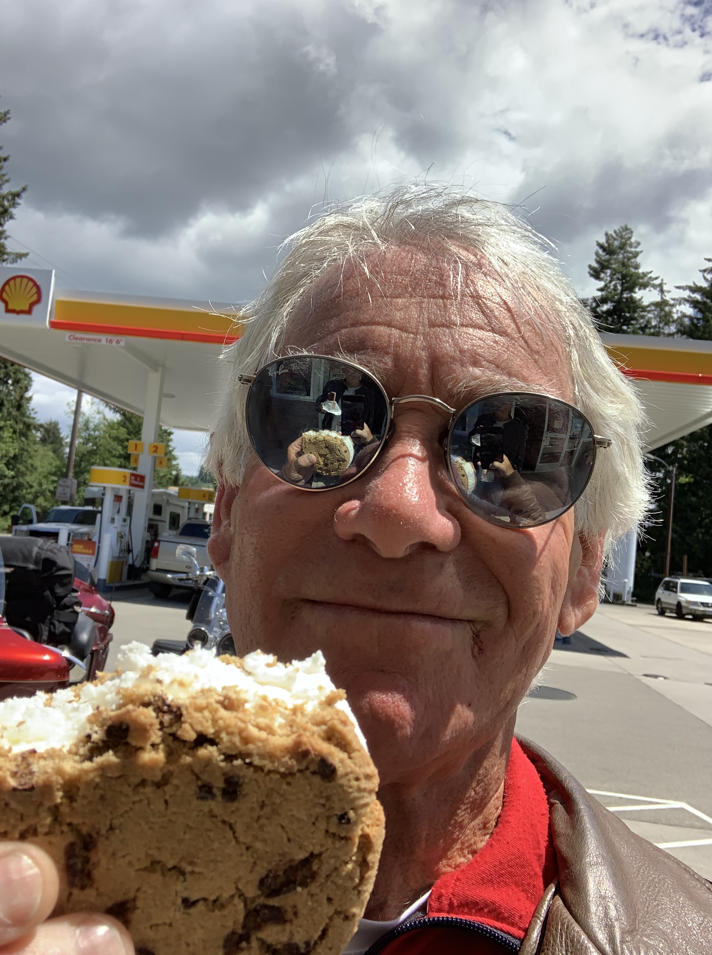
The road from Cannon Beach is called the Oregon Coast Highway. It generally hugs the coastline until turning inland between Manzanita and Nehalem, where we stop for gas.
***
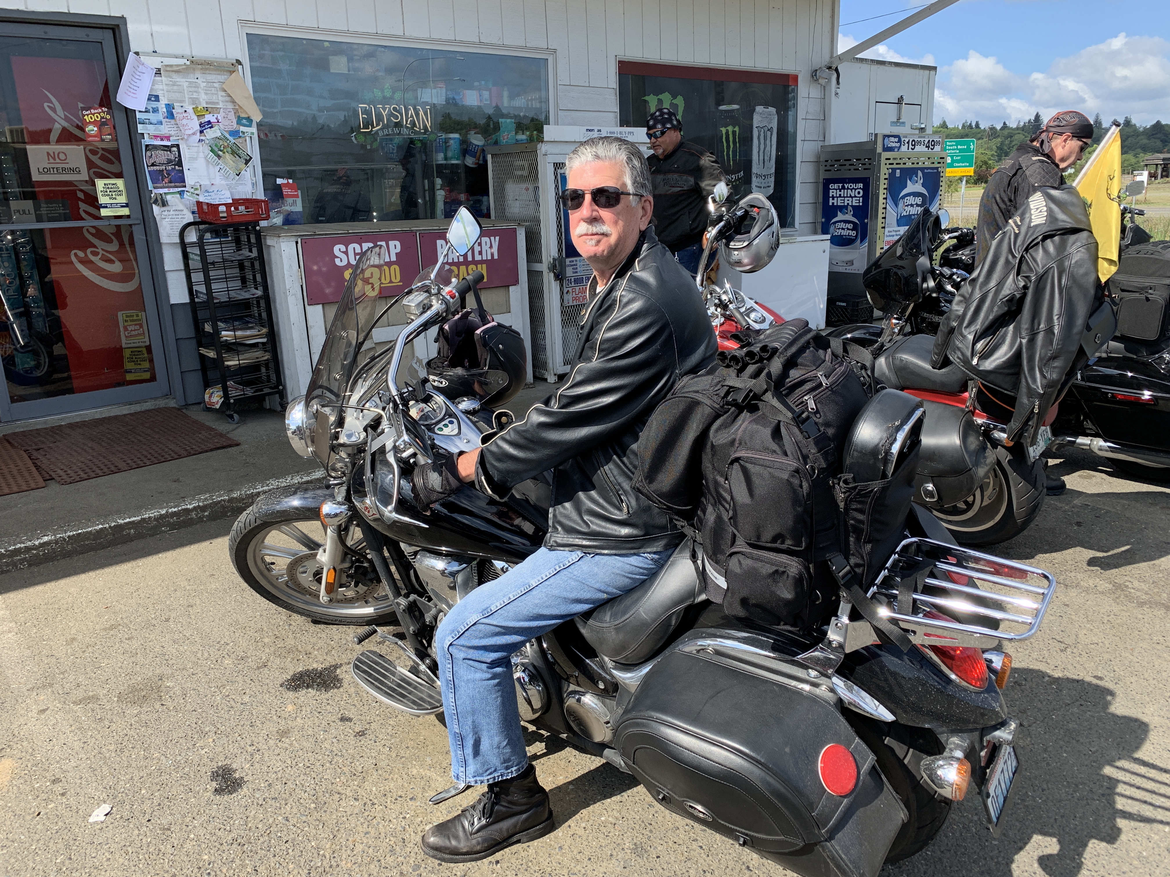
We may have won the gas lottery.
As you’ll recall from a blog post last week, Oregon doesn’t allow self-serve gas pumping, unless it’s at a stand-alone station, and in a county of less than 40,000 population. Nehalem is in Tillamook County, population 27,000. Because that’s less than the 40,000 threshold for self-service, we might actually get to handle our own pumps. It’s our version of adulting.
Anyway, we’re on motorcycles and we’re exempt from the law, so we’ll fill up our own machines, thank you.
Nehalem, where we stop for gas, sits on the Nehalem River, which feeds into Nehalem Bay, which empties into the Pacific Ocean. We cross the river at a fairly narrow point and continue south on Highway 101, through Brighton, Nedonna Beach, Rockaway Beach, Bayview and Garibaldi.
We’re winding our way around Tillamook Bay. Tillamook is a Coast Salish word meaning Land of Many Waters, probably referring to the rivers that enter the bay. The rivers emptying into Tillamook Bay include the Kilchis River, the Wilson River, and a bunch of unnamed creeks.
In Tillamook, we turn west on Oregon Highway 131, flit by Netarts Bay and the Netarts Bay Shellfish Preserve. Here, clams have been harvested for hundreds of years.
Cape Lookout State Park is just south of Netarts Bay. Cape Lookout is a sharp rocky promontory sticking a mile and a half into the Pacific. South of Pacific City, we return to US Highway 101, and turn inland for a few miles, riding through the Cascade Head Scenic Research Area.
The road naturally turns back toward the coast, rolling through Wecoma Beach, Ocean Lake, Lincoln City and Cutler City, located on the Siletz Bay National Wildlife Refuge. It’s one of six National Wildlife Refuges comprising the Oregon Coast National Wildlife Refuge Complex. The Siletz Bay refuge was established in 1991 primarily to return the salt marsh to its natural state. Formerly, it had been diked and ditched to create pasture for dairy cows.
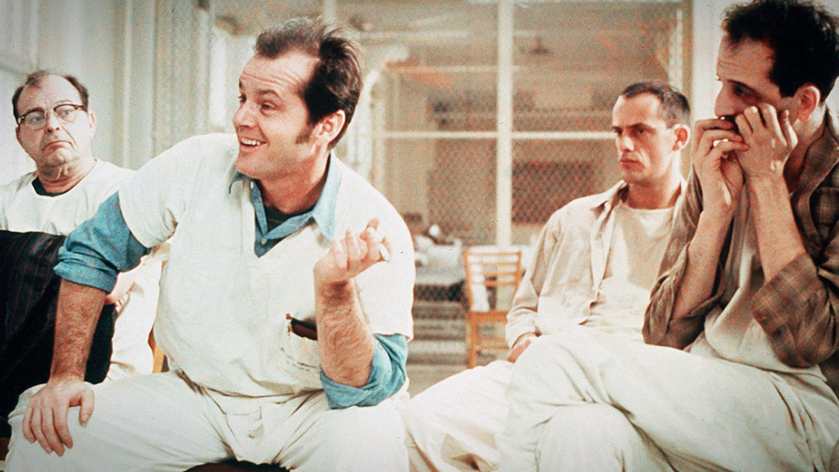
From Siletz Bay, we’re only about 20 miles from tonight’s destination, Newport. We power through Depoe Bay, without realizing its cinematic significance. In one of the more memorable scenes from 1975 Academy Award winner, One Flew Over the Cuckoo’s Nest, the inmates from the insane asylum escape to go fishing in Depoe Bay.
During the movie’s fishing interlude, Randall Patrick McMurphy, played by Jack Nicholson, offers the timeless line: “You’re not nuts; you’re fishermen!”
***
From Depoe Bay we roll by Beverly Beach and past the Yaquina Head Lighthouse, near the mouth of the Yaquina River. The lighthouse tower stands at 93 feet (162 feet above sea level), and is the tallest lighthouse in Oregon. It’s one of 11 lighthouses on the Oregon coast.
Most of Oregon’s lighthouses were designed and built by the US Army Corps of Engineers between 1870 and 1896. They were erected on prominent headlands or near major estuaries to support commercial fishing and shipping along the Oregon coast. All nine of Oregon’s surviving – and operational – lighthouses are on the National Register of Historic Places, visited by more than 2.5 million people each year.
Once you pass the Yaquina Head Lighthouse, it’s only four miles to Newport, home of the Oregon Coast Aquarium. Newport’s motto: The Coast You Remember.
We park the bikes at our hotel in Newport, and contemplate having a dinner we’ll remember.
***
Day Fourteen Summary: Adulting at the pump, Everybody Loves Raymond, the Coast You Remember.
Click here to see today’s complete route from Aberdeen, Washington, to Newport, Oregon.
We’re on our way home, eh?
Vroom, vroom.
***
Today’s Canada Fun Fact, eh? The English version of Canada’s national anthem, O Canada, was written by Robert Stanley Weir for the Diamond Jubilee of Canada’s confederation in 1927. O Canada was originally commissioned by Quebec Lieutenant Governor Theodore Robitaille for the 1880 Saint-Jean-Baptiste Day ceremony. Because Canada is officially bilingual, O Canada has lyrics in both English and French.

I’m so happy to see what a great time you all are having. Once again Gary, thank you for taking us on this journey with you. I’ve truly enjoyed your posts and all the educational information about your many stops along the way. Great photos too! Have a safe and wonderful time and know that prayers are going out for all of you….
LikeLike
Enjoying all your posts Gary! Looks like you and the Posse are having a great time. Talked to Sarah the other day…loved catching up with her. Miss you guys and safe travels!
LikeLike
Always room for more in the posse, V. You could meet us in Barstow in a week!
LikeLike
REALLY??? Noooo Britt would be so jealous! 😜
LikeLike