Oh, Canada!
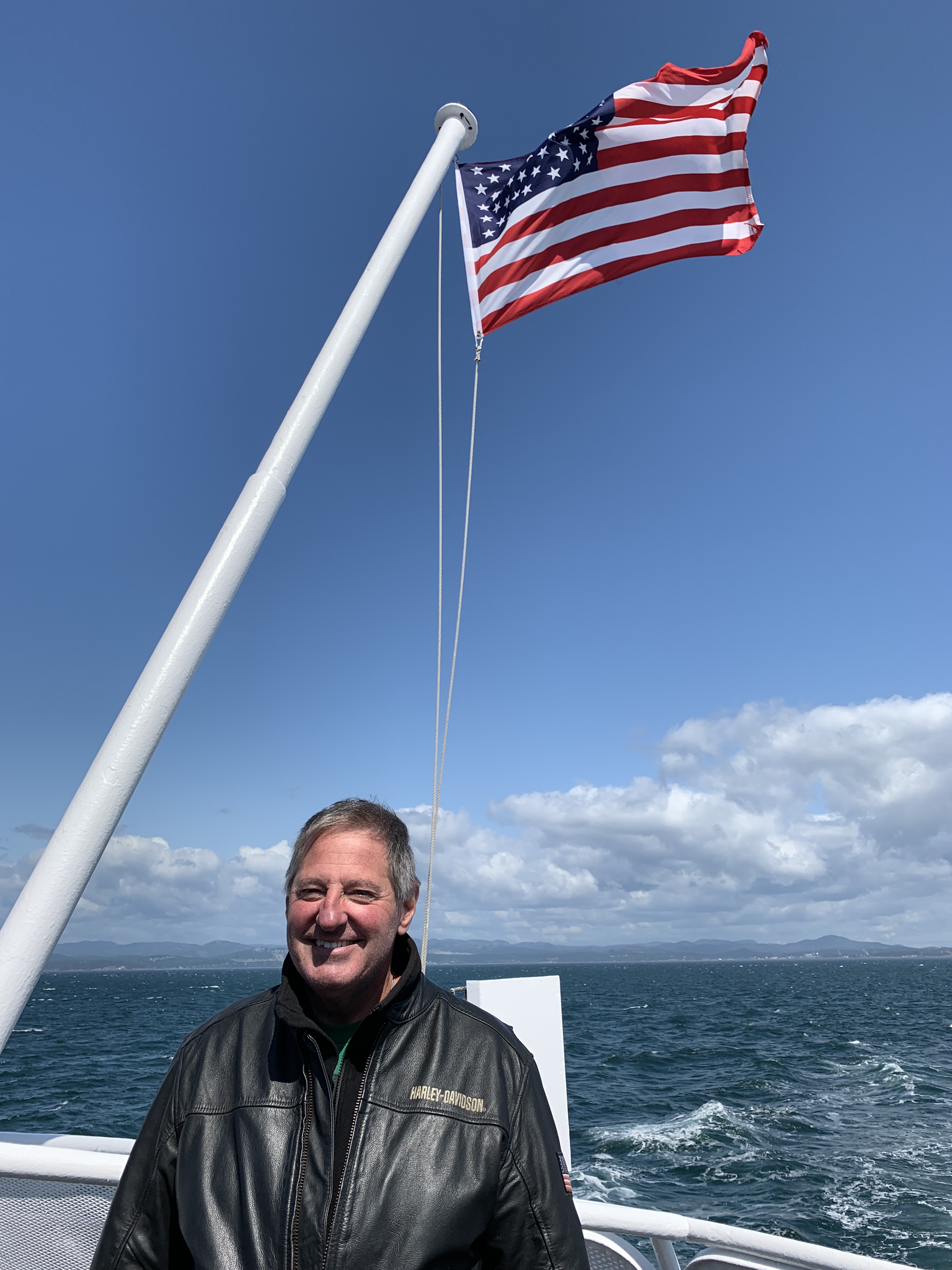
It’s been a great 23 hours, but now it’s time to head back to the USA.
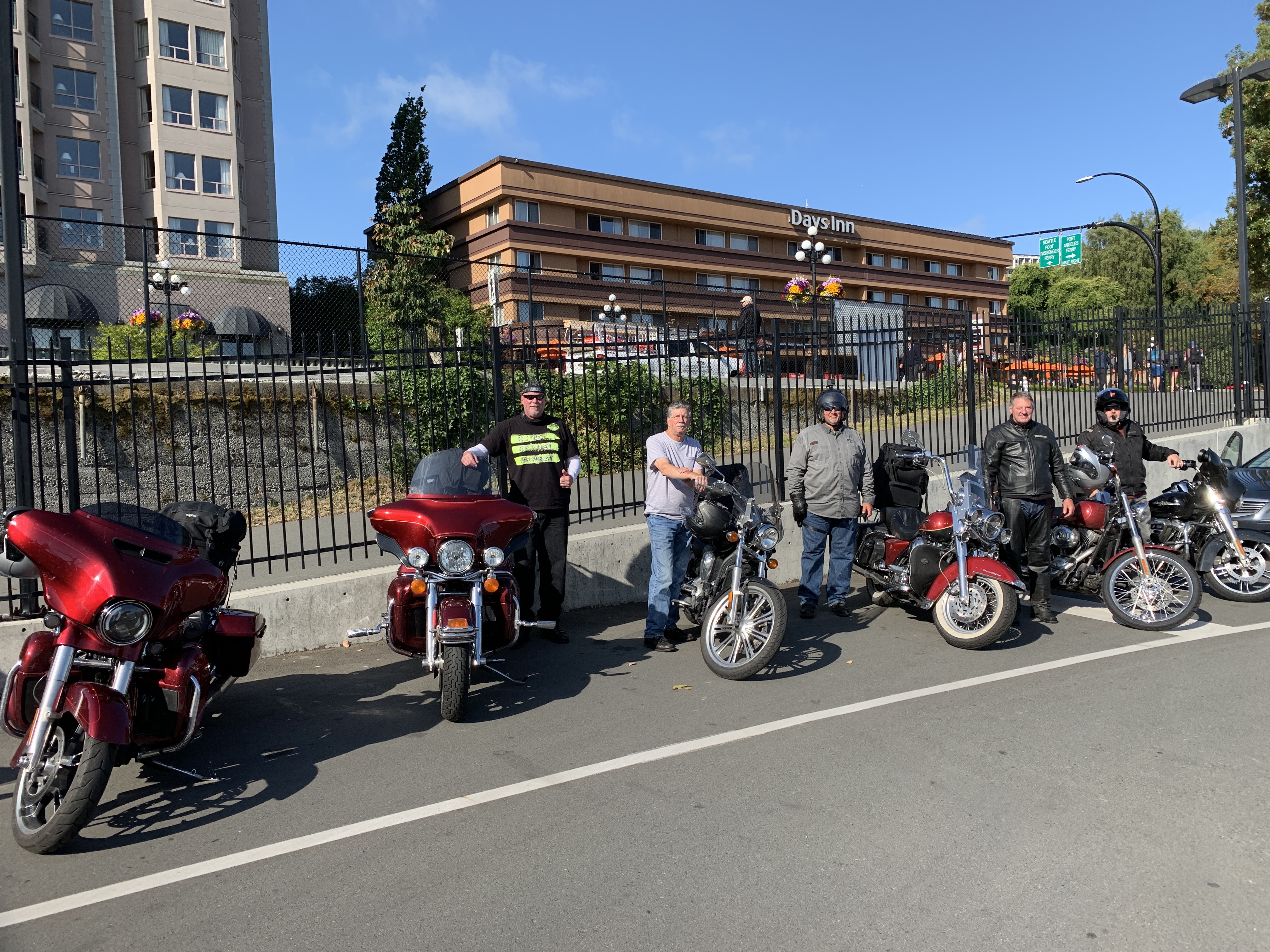
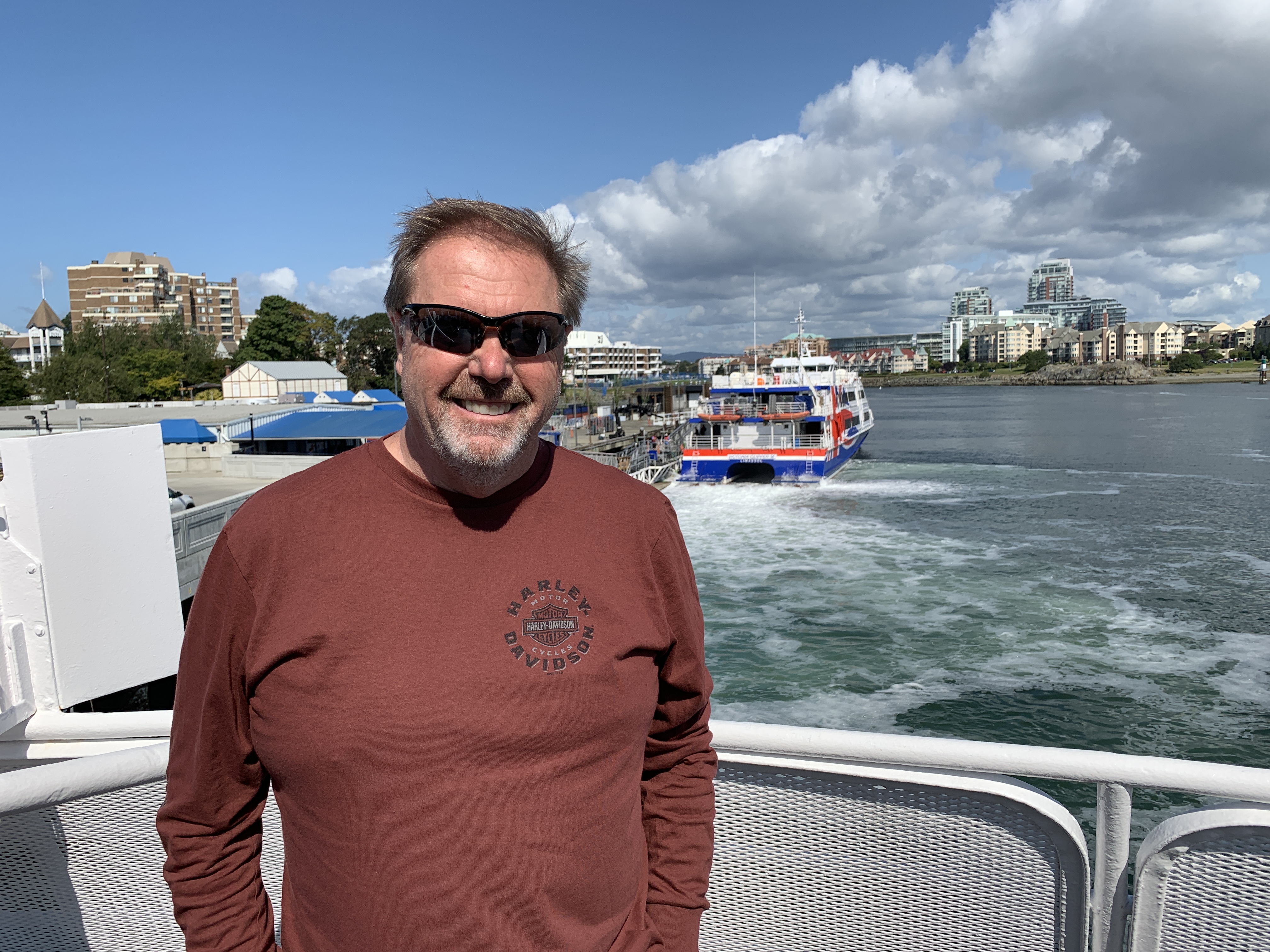
There are four ferries a day in the summer season from Victoria south to Port Angeles, on Washington state’s Olympic Peninsula. After a leisurely breakfast, we board the second ferry of the day – the 10:30 am sailing.
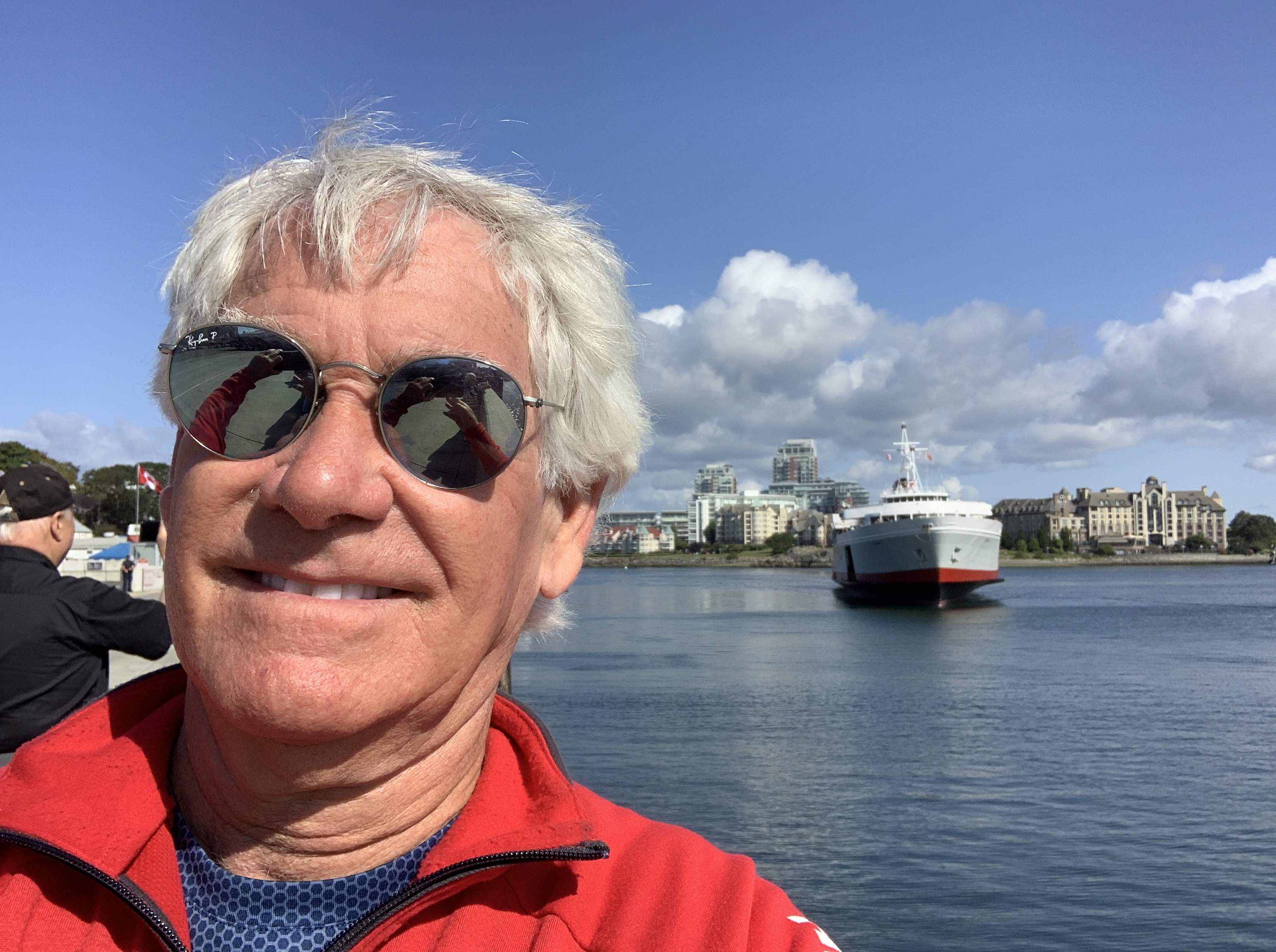
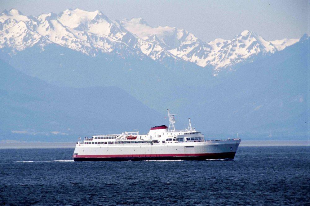
The MV Coho is our ride across the Strait of Juan de Fuca. The Coho is a passenger and vehicle ferry owned and operated by Black Ball Line, a private company. She’s Black Ball’s only ferry. The ship is named after the coho salmon commonly found in the Pacific Northwest.
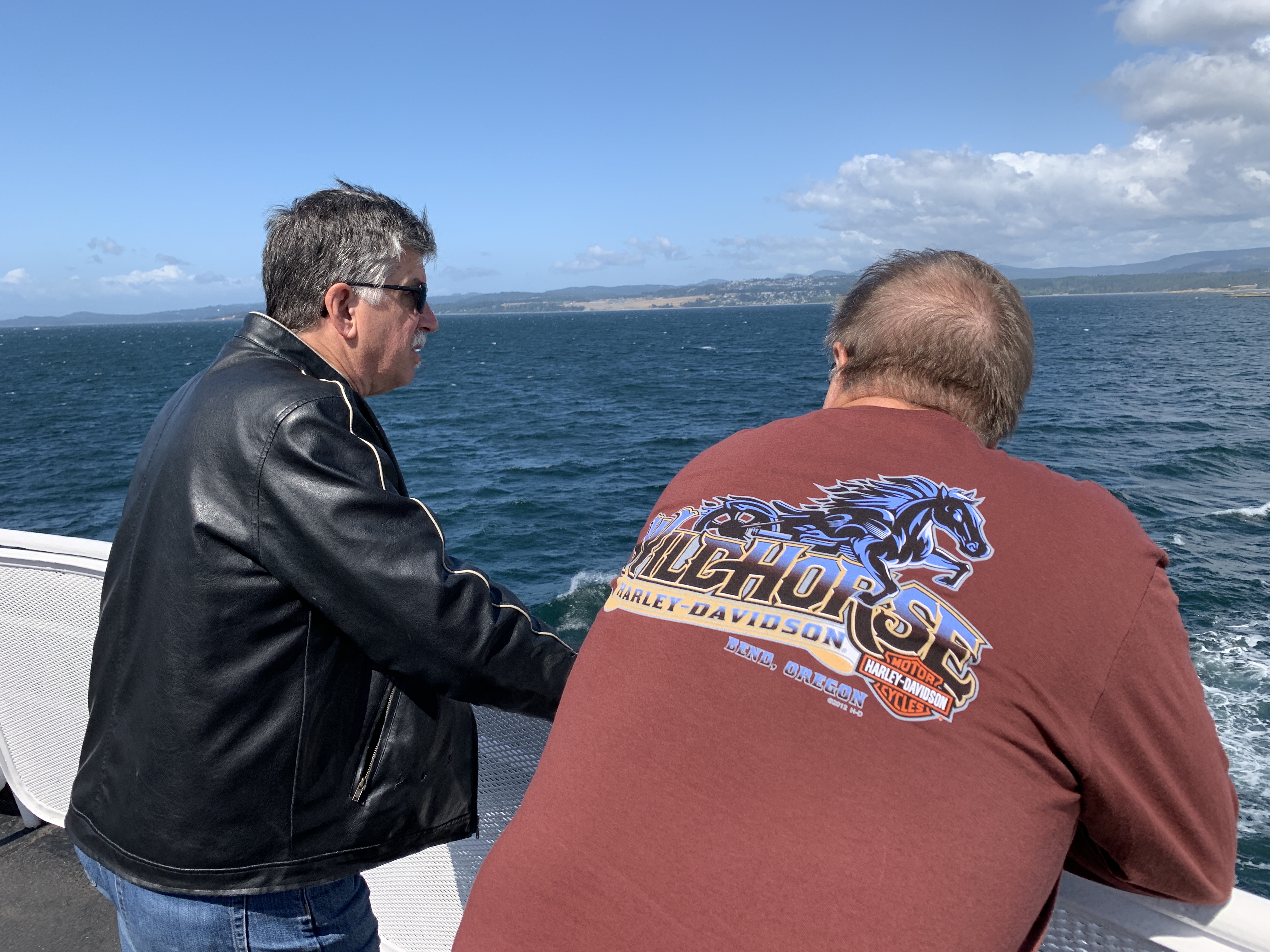
The 23-nautical-mile crossing takes about 90 minutes. We sail directly south across the Strait of Juan de Fuca. The Strait connects Puget Sound waters, in the Seattle area, to the Pacific Ocean.
The Strait of Juan de Fuca is about 96 miles long, from west to east. If you were to bisect it with a line running west to east, you would roughly be drawing the US/Canadian international border in these waters. This part of the border is completely unrelated to the 49th parallel that forms most of the US/Canadian border.
The Strait was named in 1787 after Ioannis Phokas, a Greek maritime pilot, best known for his claim to have explored the Strait of Anián in the service of the King of Spain, Philip II. Phokas was better known by the Spanish translation of his name, Juan de Fuca. And that’s why this huge body of water, once called the Strait of Anián, is known today as the Strait of Juan de Fuca.
***
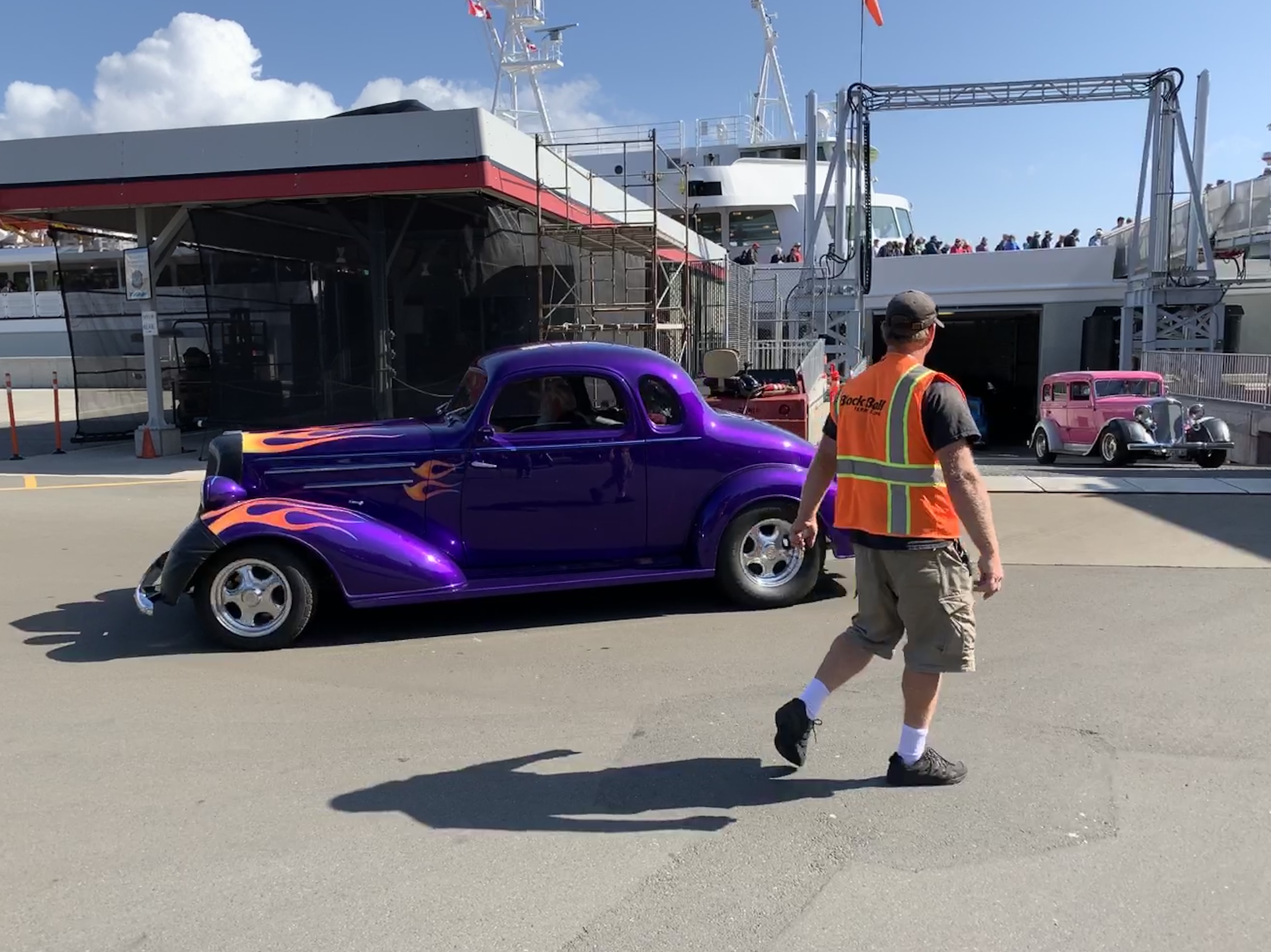
We roll off the MV Coho in Port Angeles, and it occurs to me I’ve never been here before. I lived in Washington state for 23 years, and have not seen this part of the state – the Olympic Peninsula. The 3,600-square-mile peninsula is bounded on the west by the Pacific Ocean, the north by the Strait of Juan de Fuca, and the east by Hood Canal.
The peninsula is home to rain forests, the Olympic Mountain range, the Olympic National Forest and the Olympic National Park. It also has a dozen state parks, including the fun-to-say Dosewallips State Park – the eastern gateway to the Olympic Peninsula.
Leaving the ferry terminal in Port Angeles, we head west on Washington Highway 112 toward Pysht, a ghost town 33 miles away. We’re riding along the southern shore of the Strait of Juan de Fuca. Pysht is a Native American word meaning “where the wind blows from all directions.”
From Pysht, or what’s left of it, the road turns away from the sea.
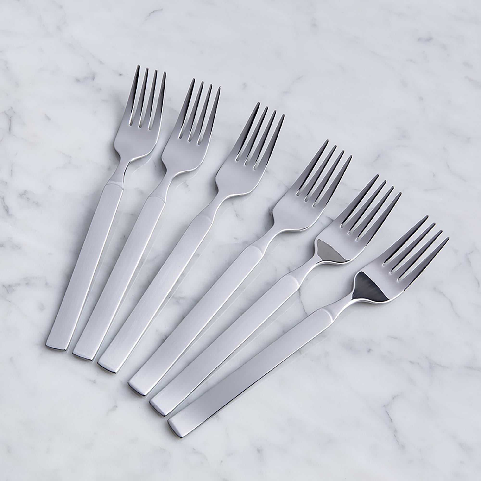
In five miles, at the junction of Highways 112 and 113, we have a choice: continue west to Neah Bay, about as far northwest as you can get in the lower 48. Neah Bah is 70 miles away, and on the Makah Indian Reservation. Or, we turn south toward Forks, possibly named for the silverware that’s on your dinner table.
We choose the southern route, and head for Forks.
***
Highway 113, known as Burnt Mountain Road, takes us to Sappho, a former logging town named after the Greek poet, Sappho – not to be confused with the giant footwear e-tailer, Zappos.
In Sappho, we turn south on US Highway 101, and continue past Beaver to Forks. At one time, like so many Pacific Northwest towns, Forks had an economy fueled by the local timber industry. As timber fell into a years-long slump, Forks re-thought its economic plan and turned to prisons. Today, Forks relies on the nearby Clallam Bay Corrections Center and Olympic Corrections Center for more than 400 jobs.
Highway 101 heads inland after Forks, meets up with the Hoh River, then follows the river back toward the coast. We reach the Pacific Ocean at Ruby Beach, and ride south, passing the popular Kalaloch Lodge, a romantic getaway right on the coast.
A few miles past Kalaloch, we cross the Queets River and roll through Queets, population 174. The primary residents here are Native Americans of the Quinault Indian Nation. The name Queets comes from the Quinault word meaning dirt.
Side note regarding dirt: as a ski instructor last season, I learned that DIRT is an acronym for Duration, Intensity, Rate and Timing. Those terms describe ways you can change or adjust movements to get a different result, for example the differences between a short radius turn and a larger radius turn.
And that’s today’s dirt from a ski instructor on a Harley.
***
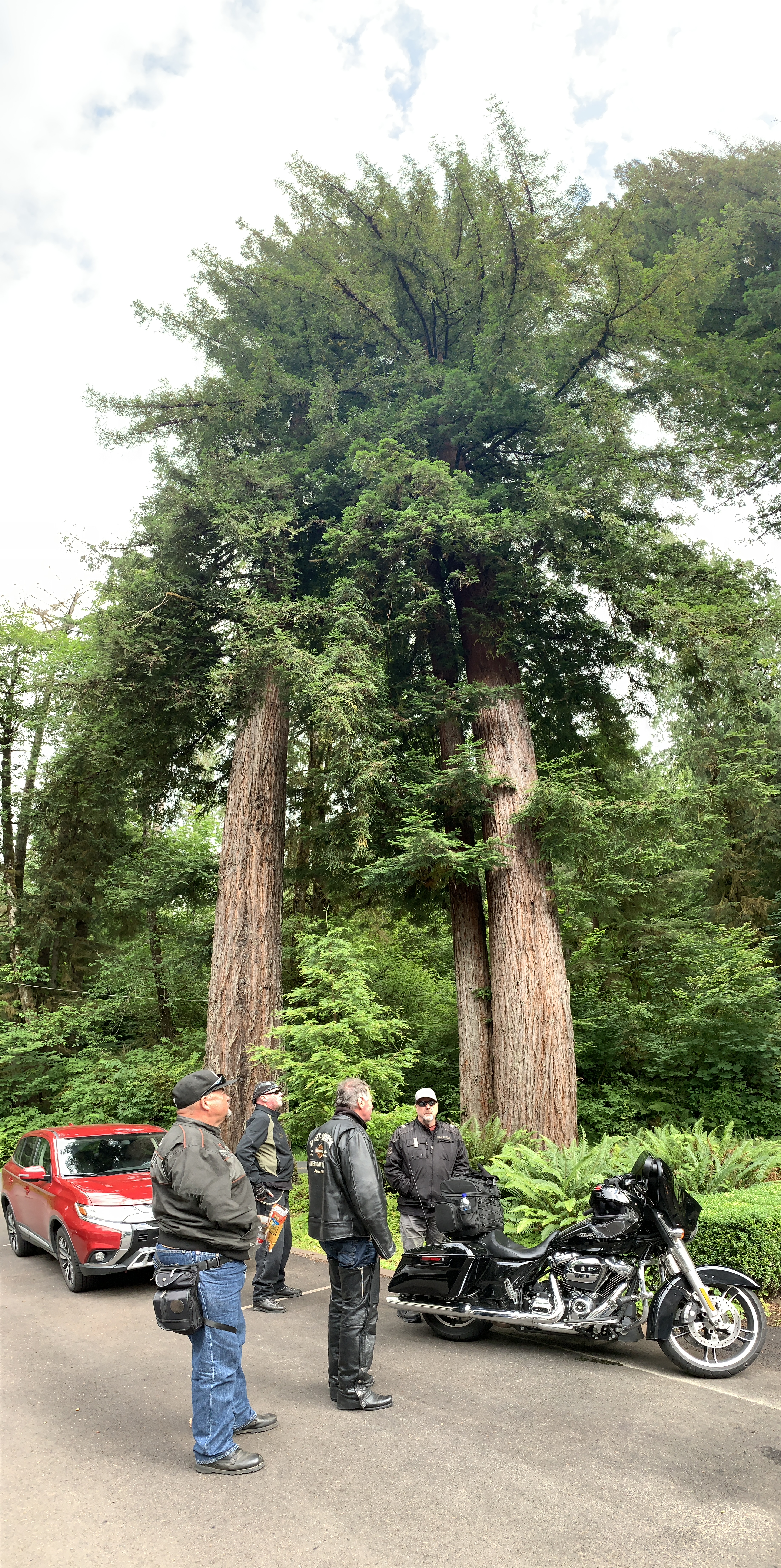
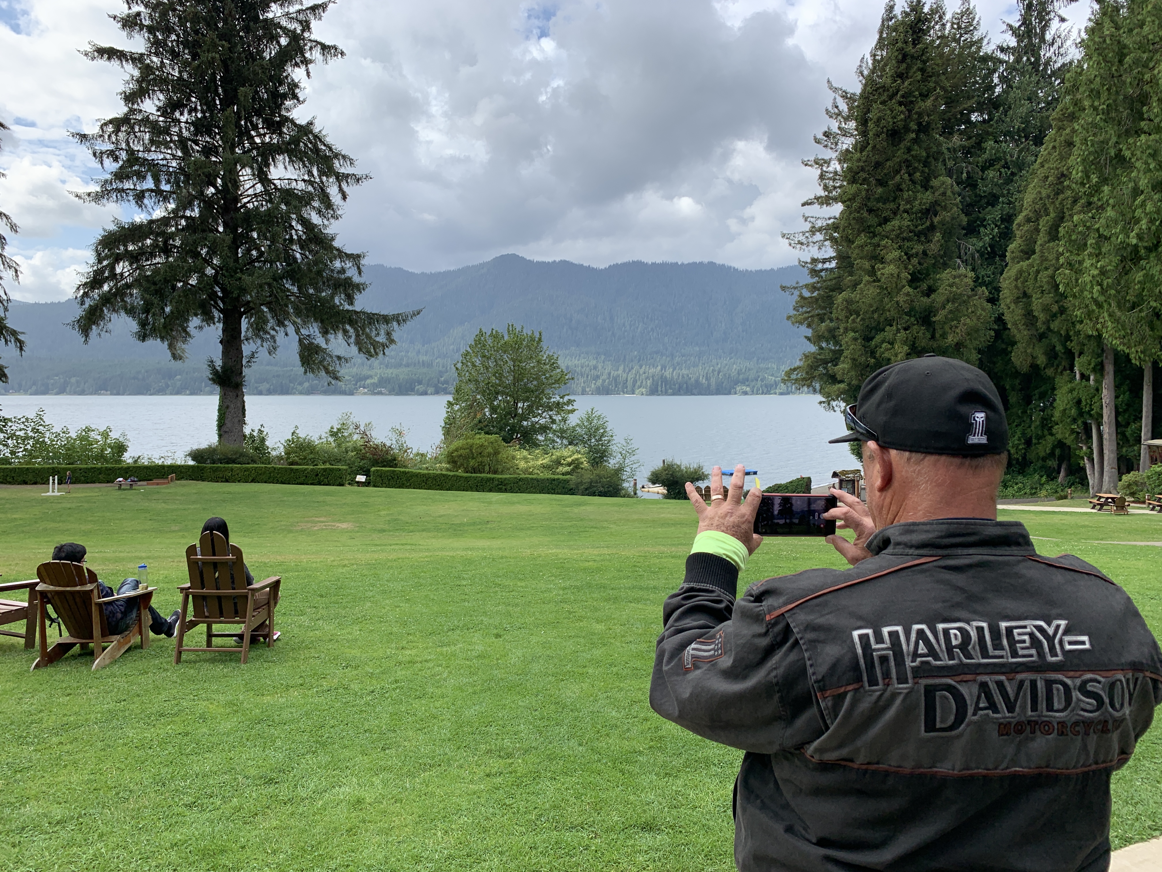
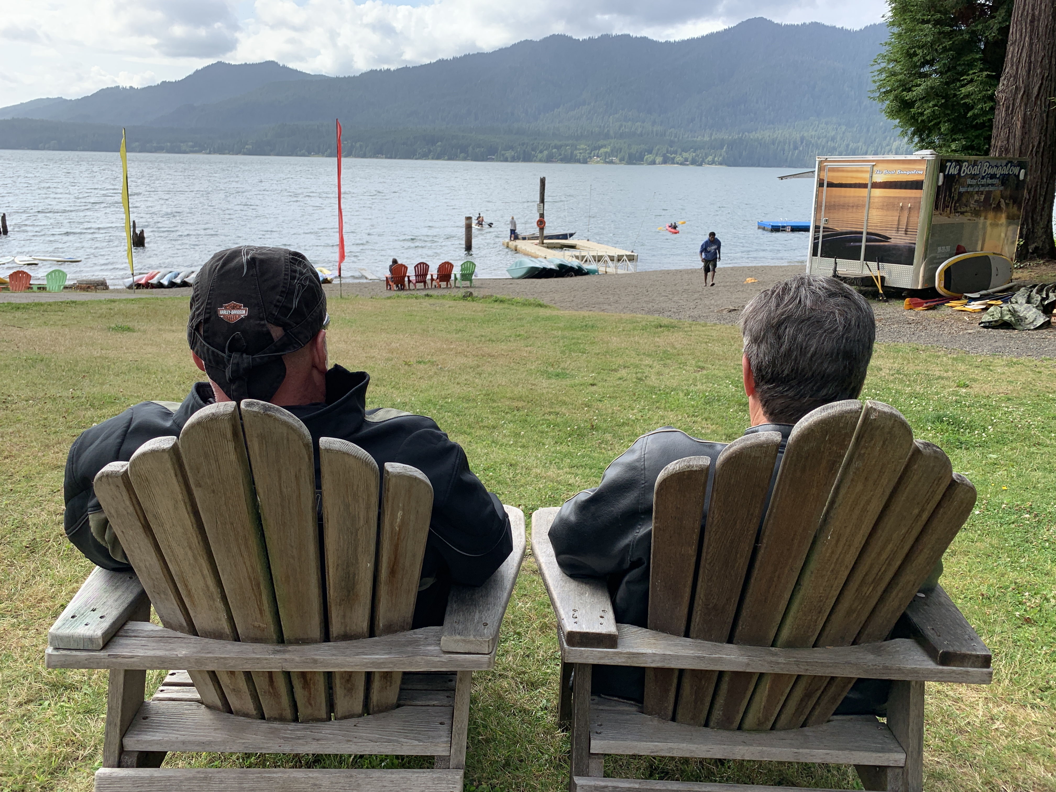
From Queets, we turn inland again, and in less than 30 miles, arrive at the historic Lake Quinault Lodge in Olympic National Park. The lodge, built in 1926, has a rustic style reminiscent of the Old Faithful Inn at Yellowstone National Park. They’re similar because the two lodges share the same architect: Robert Reamer.
The Lake Quinault Lodge is on the National Register of Historic Places. It might as well also be on the national cash register of historic places; a fireplace room with a king bed and lake view goes for $459.92 a night, including taxes and fees.
After exploring the lodge and its manicured grounds, we continue on toward Humptulips, which, along with Dosewallips, has to have one of the best place names. Ever.
But shortly before we get to Humptulips, we turn off of US Highway 101, and head southwest on the Moclips Highway. In 20 miles, we arrive in Moclips, a community of 200 residents. The town is near the mouth of the Moclips River, which empties nearby into the Pacific Ocean.
Moclips sits right on the Pacific. The origins of the word Moclips are unclear. It may come from the Quinault word meaning, “large stream.” An alternate version, from Edmond Meany, a University of Washington professor in the early 1900s, is that moclips comes from a Quinault word meaning “a place where girls were sent as they were approaching puberty.”
***
Heading south on Washington Highway 109, we cruise through a bunch of beach towns with tiny populations – Pacific Beach, Ocean Grove, Iron Springs, Copalis Beach and Ocean City. Most have a general store, and little more.
A mile past Ocean City, the highway turns east and follows the shoreline of Grays Harbor, a large bay that includes the Grays Harbor National Wildlife Refuge. Here, up to one million shorebirds gather in spring and fall to feed and rest. As many as 24 species of shorebirds use the refuge, with the most abundant being the western sandpiper and dunlin.
We follow Highway 109, crossing the Hoquiam River toward the tri-city area of Hoquiam/Aberdeen/Cosmopolis – once booming logging towns. The name Hoquiam comes from a Native American word meaning hungry for wood, from the great amount of driftwood at the mouth of the Hoquiam River.
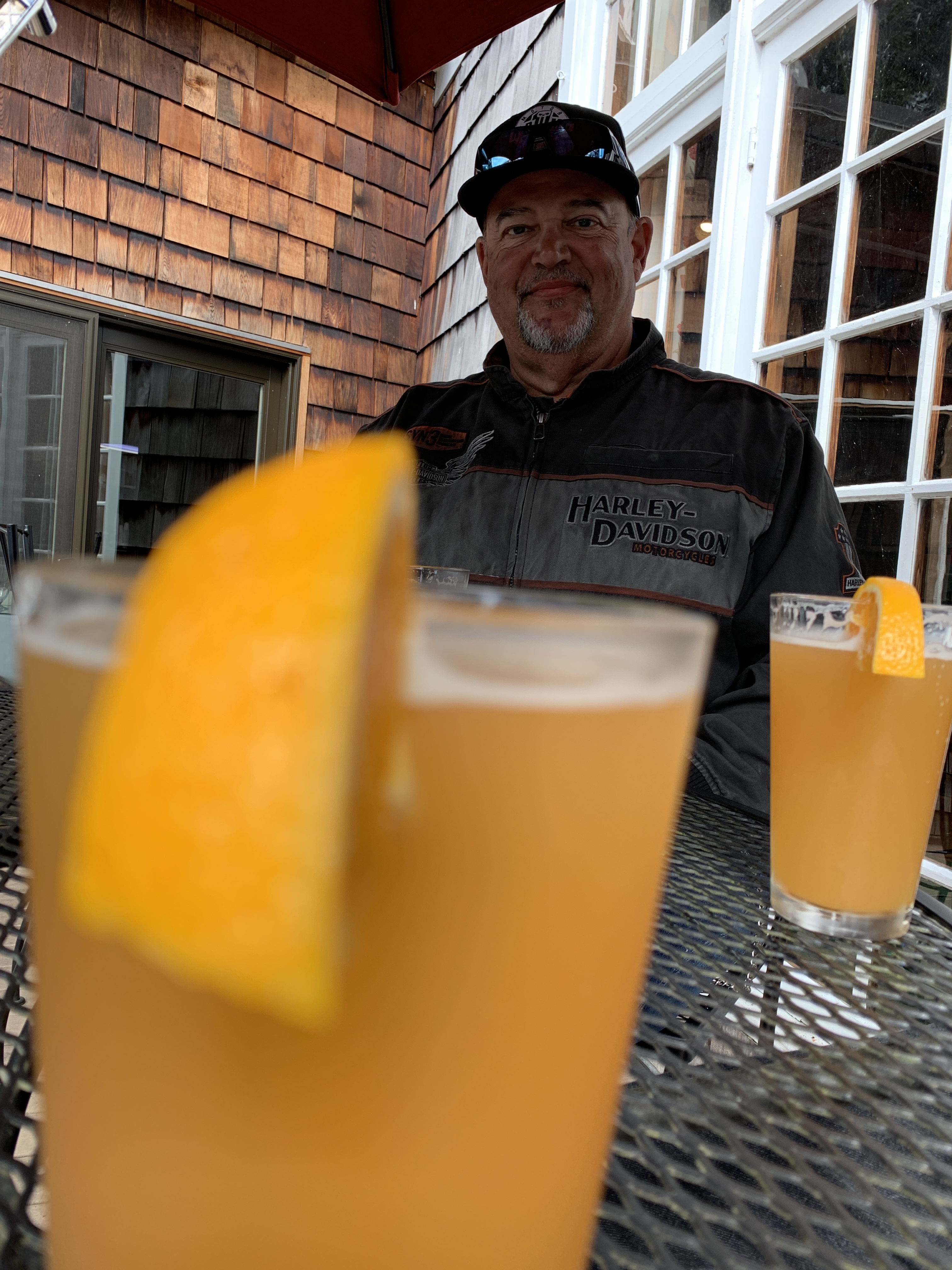
Just a few miles past Hoquiam is tonight’s destination, Aberdeen, which sits on the Chehalis River and is home to 17,000 residents. Aberdeen is known as the southern gateway to the Olympic Peninsula.
The city is also noted for being the one-time home of Kurt Cobain — guitarist, singer and frontman for the rock band Nirvana. Cobain, who died of a drug overdose in 1994 at the age of 27, was honored in Aberdeen 10 years after his death by a sign that says, Welcome to Aberdeen. Come as You Are.
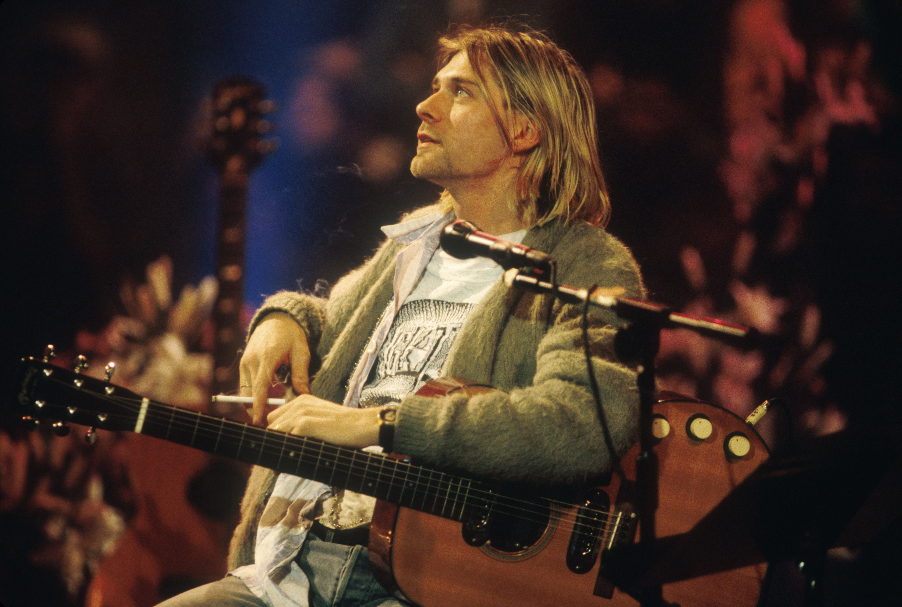
Come as You Are is a Nirvana song, released as the second single from the band’s second studio album, Nevermind. Rolling Stone ranked Come as You Are as number 445 on its list of the 500 Greatest Songs of All Time.
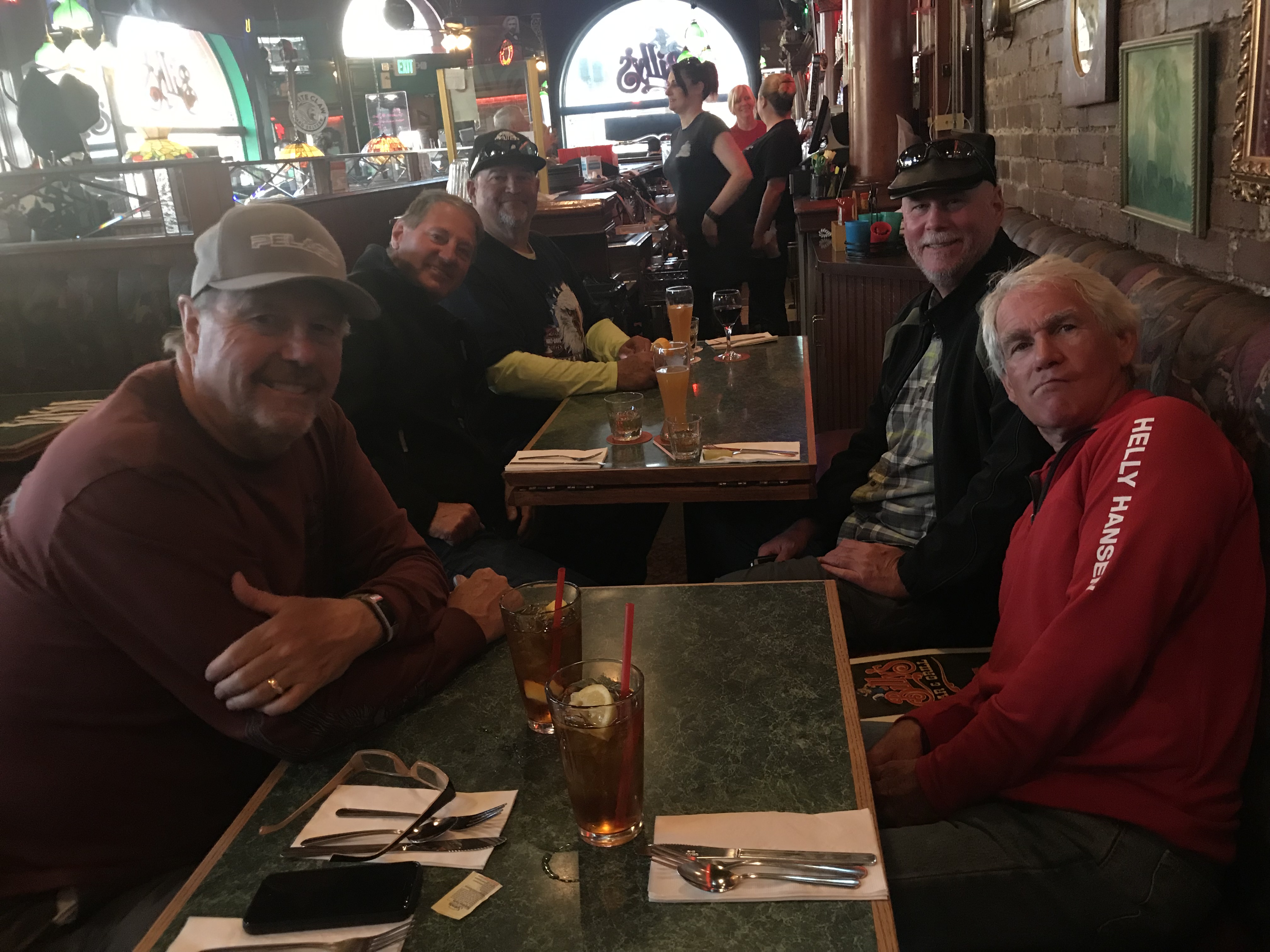
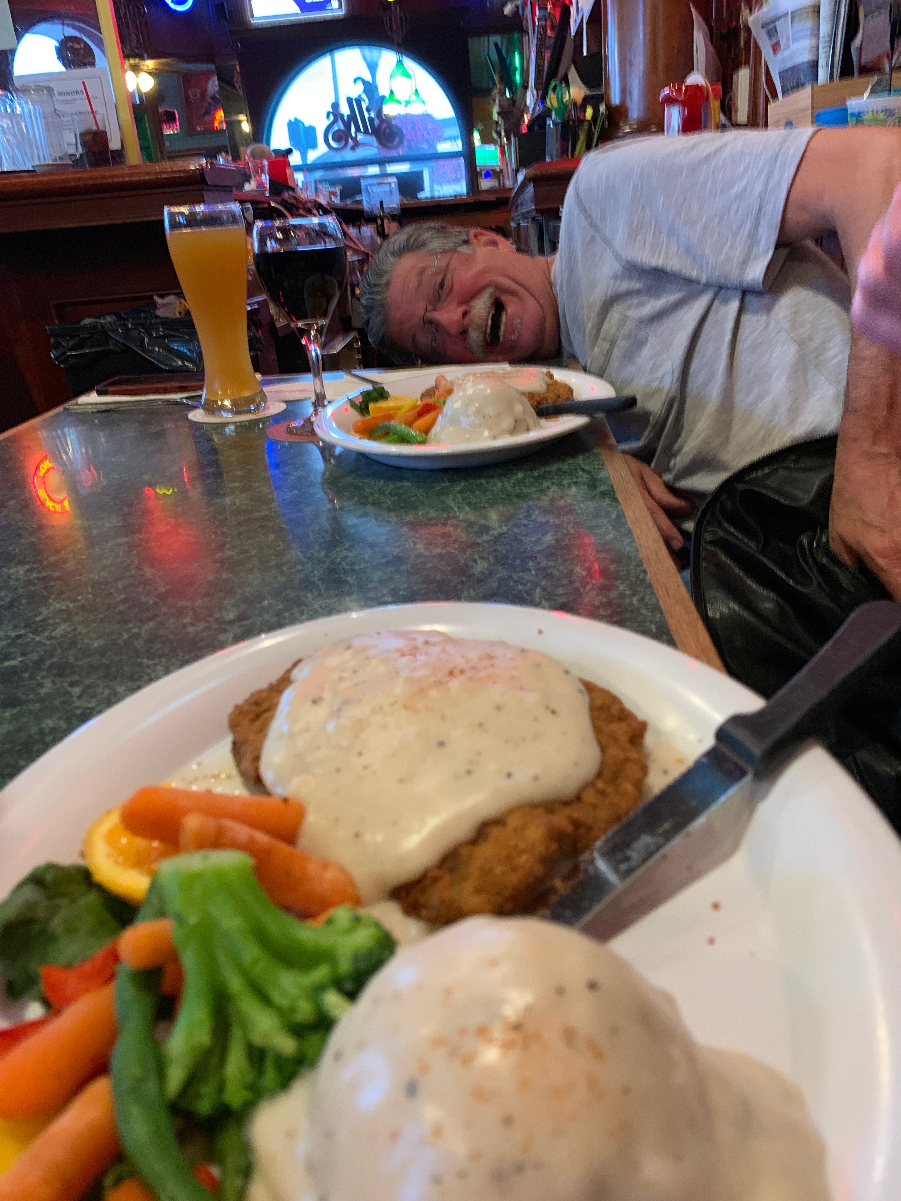
Randy is a huge Nirvana fan. Come as you are, Randy. It’s time for dinner.
***
Day Thirteen Summary: Ocean views, knives and Forks, Come as You Are.
Click here to see today’s complete route from Victoria, British Columbia, to Aberdeen, Washington.
We’re on our way home, eh?
Vroom, vroom.
***
Today’s Canada Fun Fact, eh? The Canadian motto is A Mari Usque Ad Mare. It means From Sea to Sea. The phrase comes from a Latin translation of Psalm 72:8 in the King James Bible: “He shall have dominion also from sea to sea, and from the river unto the ends of the earth.”

Hey Gary – looks like y’all are having fun.
*pretty sure Kurt Cobain shot himself; I assume drugs were involved, but not necessarily the cause.
Keep her pinned!
George Nettles
Key Elements Construction
970-402-8759
LikeLike
Dang, George. Didn’t know you were a grunge groupie. Will have my fact-checking department look into that. Hope fatherhood is treating you well.
LikeLike