This morning, as we roll out of Wenatchee, we follow the Columbia River for 55 miles. We’re riding on US Highway 2, along the east shore of the Columbia.
Like the Columbia, we’ll roll on.
The 1,243-mile long Columbia is the largest river flowing into the Pacific Ocean. And, it’s one of the world’s greatest sources of hydroelectric power. The 14 hydroelectric dams on the Columbia and many more on its tributaries produce more than 44 percent of total US hydroelectric power generation.
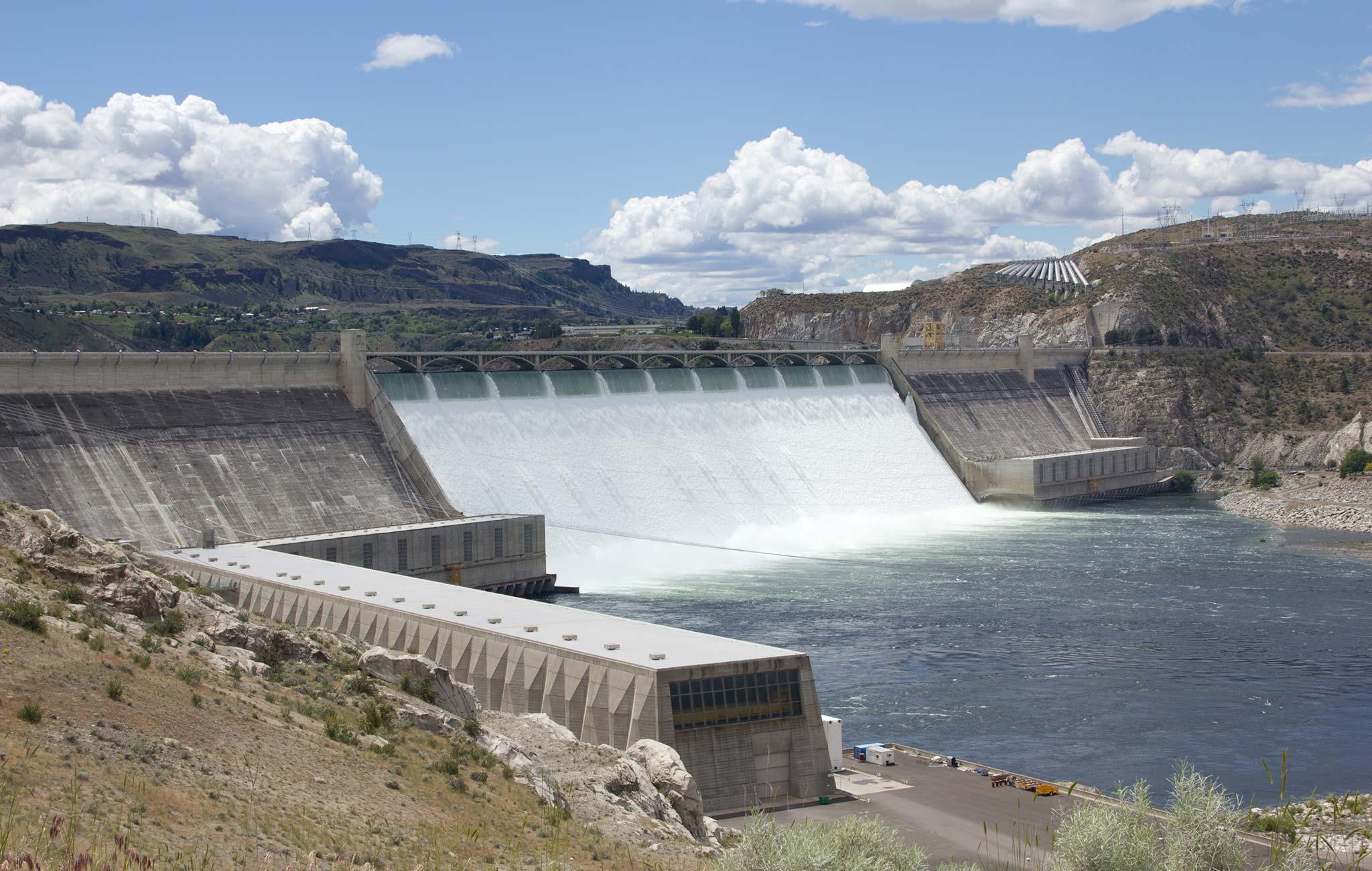
The Grand Coulee Dam, about 70 miles east of Wenatchee is the largest in the US, supplying more than 6,800 megawatts of power to eleven western states: Washington, Oregon, Idaho, Montana, Wyoming, Colorado, California, Nevada, New Mexico, Utah and Arizona. That’s three times more power than is generated by the Hoover Dam, which generally gets the lion’s share of attention when it comes to dams.
Hydroelectricity is such a big deal in this part of the Northwest that, in 1941, the Bonneville Power Administration commissioned folk singer Woody Guthrie to write a song about it:
“Roll on Columbia, roll on, roll on
Roll on Columbia, roll on, roll on
Your power is turning our darkness to dawn
So roll on Columbia, roll on”
“Roll On, Columbia, Roll On” was part of the Columbia River Ballads, a set of 26 songs written by Guthrie for the Bonneville Power Administration, the federal agency created to sell and distribute power from the river’s federal hydroelectric facilities.
The song glamorized the harnessing of the Columbia River. Because of its message and popularity, “Roll On, Columbia, Roll On,” was established as Washington’s official state folk song in 1987.
Here in the upper left corner of the US, the Columbia is central to the Northwest’s identity – culturally, geographically, politically.
***
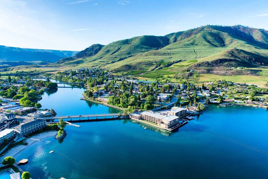
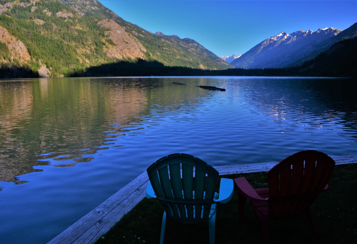
As we ride along the Columbia, we pass by the town of Chelan, on the east shore of Lake Chelan.
Lake Chelan is a narrow, 50-mile long lake, roughly midway between Seattle and Spokane. It’s a common weekend summer getaway for Seattleites.
Chelan, with a population of about 4,000, anchors the eastern end of the lake. It’s a scenic resort community known for warm sun and clear blue lake waters. Chelan has golf, mountain biking trails, all sorts of water sports, wine shops and boutique shopping.
Today, Chelan is a recreational mecca. But it was the quest for riches, not tourism, that first brought waves of newcomers to the lake’s shore in the late 1800s. Gold, silver, copper and other minerals were found in abundance. Ponderosa pine and Douglas fir blanketed the surrounding mountainsides, and a limitless supply of pure alpine water was on tap for consumption, irrigation and later, power generation.
On the far northwestern end of the lake is the tiny community of Stehekin, surrounded by mountains up to 9,000 feet. Stehekin is accessible only by passenger ferry, private boat, float plane, horseback or hiking trail. The name Stehekin comes from a Native American word meaning “the way through.” Stehekin is in the Lake Chelan National Recreation Area.
Chelan is a Salish indigenous word meaning deep water. Lake Chelan has a maximum depth of 1,486 feet, making it the third deepest lake in the US — after Crater Lake and Lake Tahoe, both of which we visited earlier in the week.
Lake Chelan is the largest natural lake in the state of Washington. Ironically, it empties into the state’s shortest river – the Chelan – which flows barely four miles before joining the mighty Columbia for its run to the Pacific Ocean.
The lake was formed gradually over millions of years with the rise of the Cascade Mountains. Today, about 100 glaciers are liberally sprinkled on the nearby Cascade peaks. The glaciers store water through the summer, which helps irrigate the productive fruit orchards in the area.
***
Twenty miles north of Chelan, we come to Pateros, where we turn northwest, away from the Columbia. In 1900, Charles Nosler acquired most of the townsite for what would become Pateros. He named it Pateros, after a village in the Philippines he previously visited. Unsurprisingly, Pateros’ international sister city is Pateros – near Manila in the Philippines.
In Pateros, we turn on to Washington Highway 153, and follow the Methow River. The Methow is named after the Methow Native Americans, which today are part of the Confederated Tribes of the Colville Indian Reservation.
We roll through the towns of Methow and Twisp, before arriving in Winthrop, about 100 miles from where our day began, in Wenatchee.
Winthrop is known for the Old West design of its buildings, complete with false-fronts and boardwalk sidewalks. It’s home to the oldest legal saloon in Washington state, Three Fingered Jack’s, where you can get a Jack’s Country Breakfast, or a Jack Attack Burger for lunch or dinner.
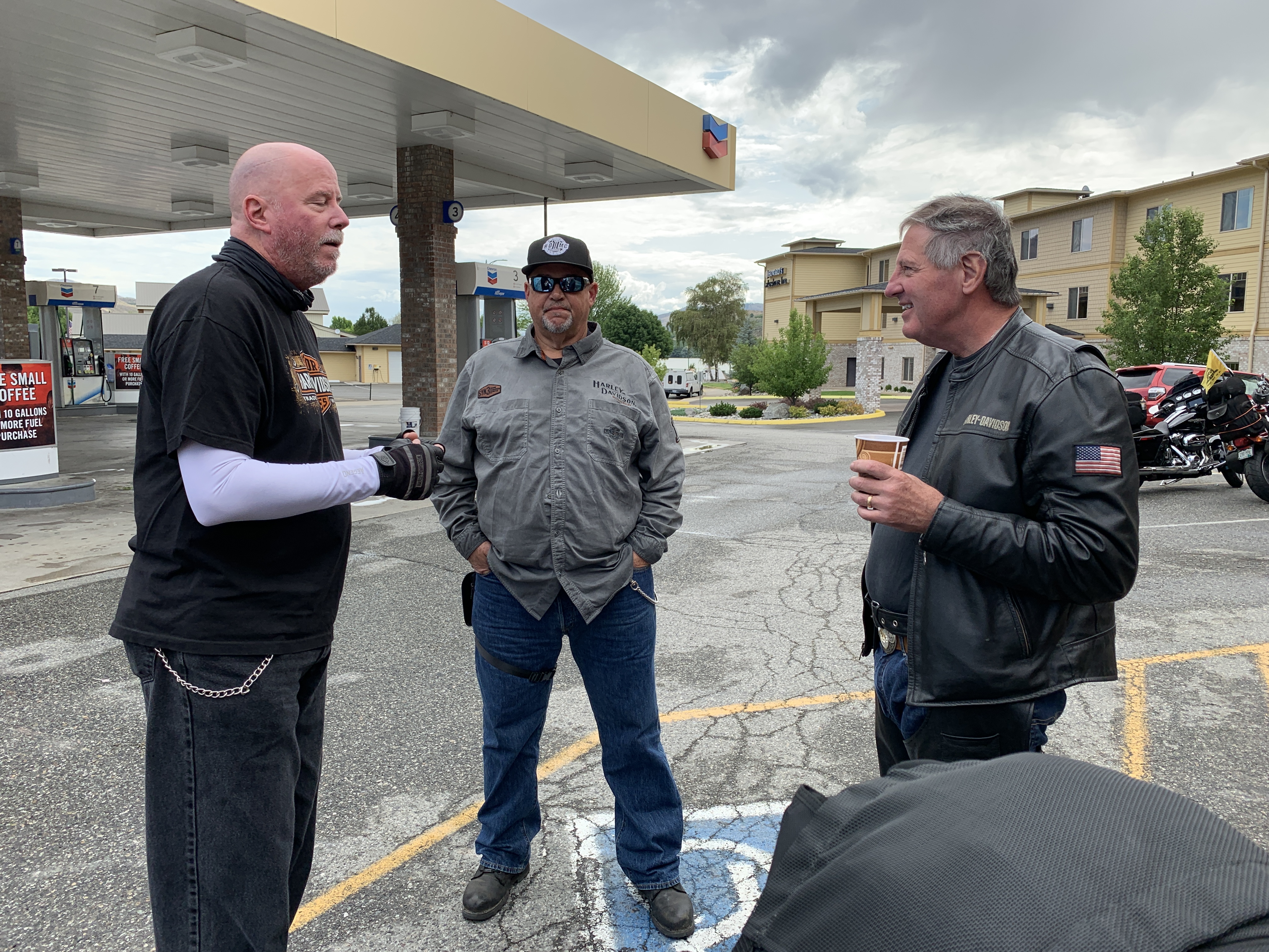
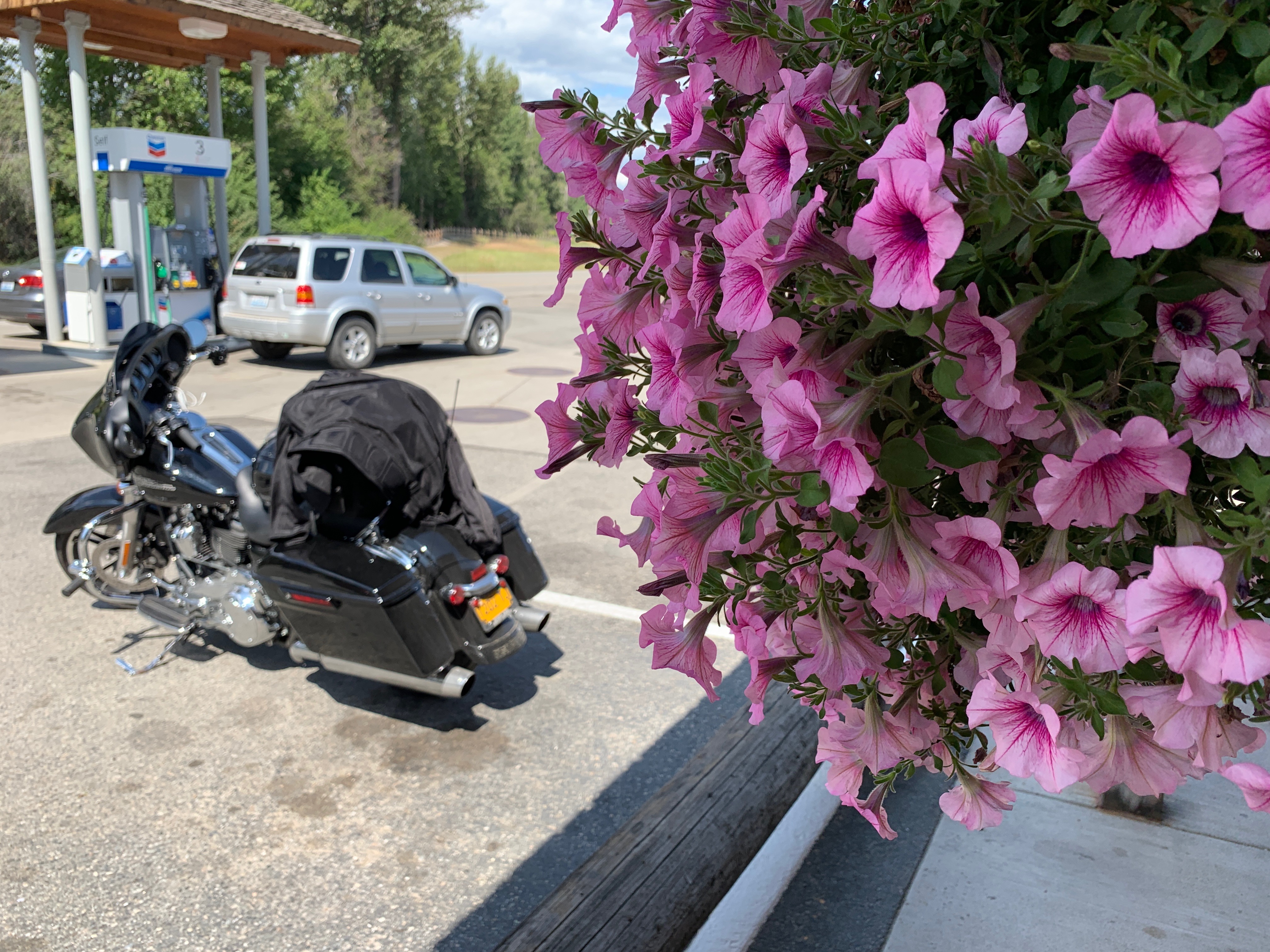
Winthrop is where we’ll park our bikes, gas up, and cool off before heading on to another national park.
***
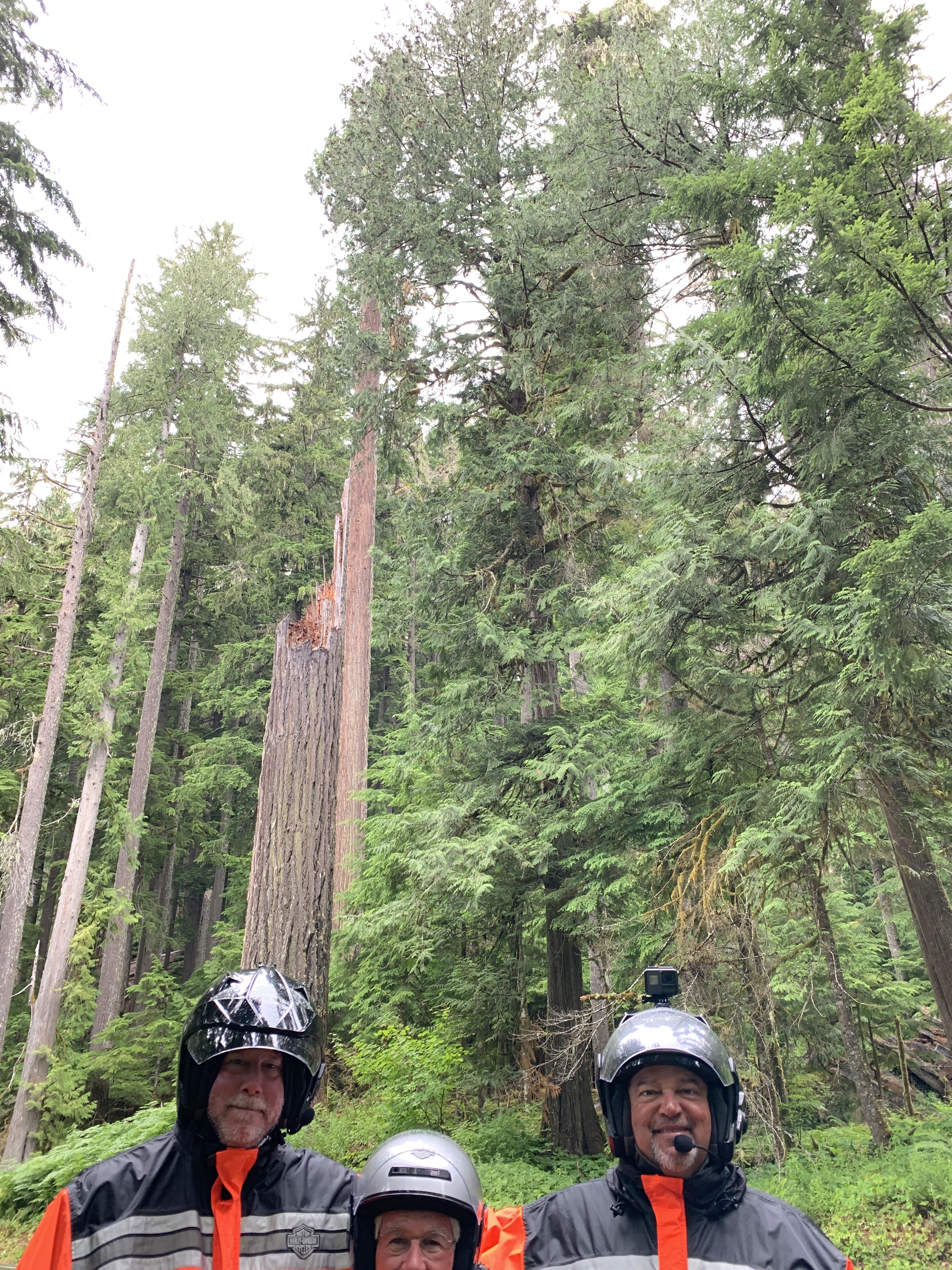
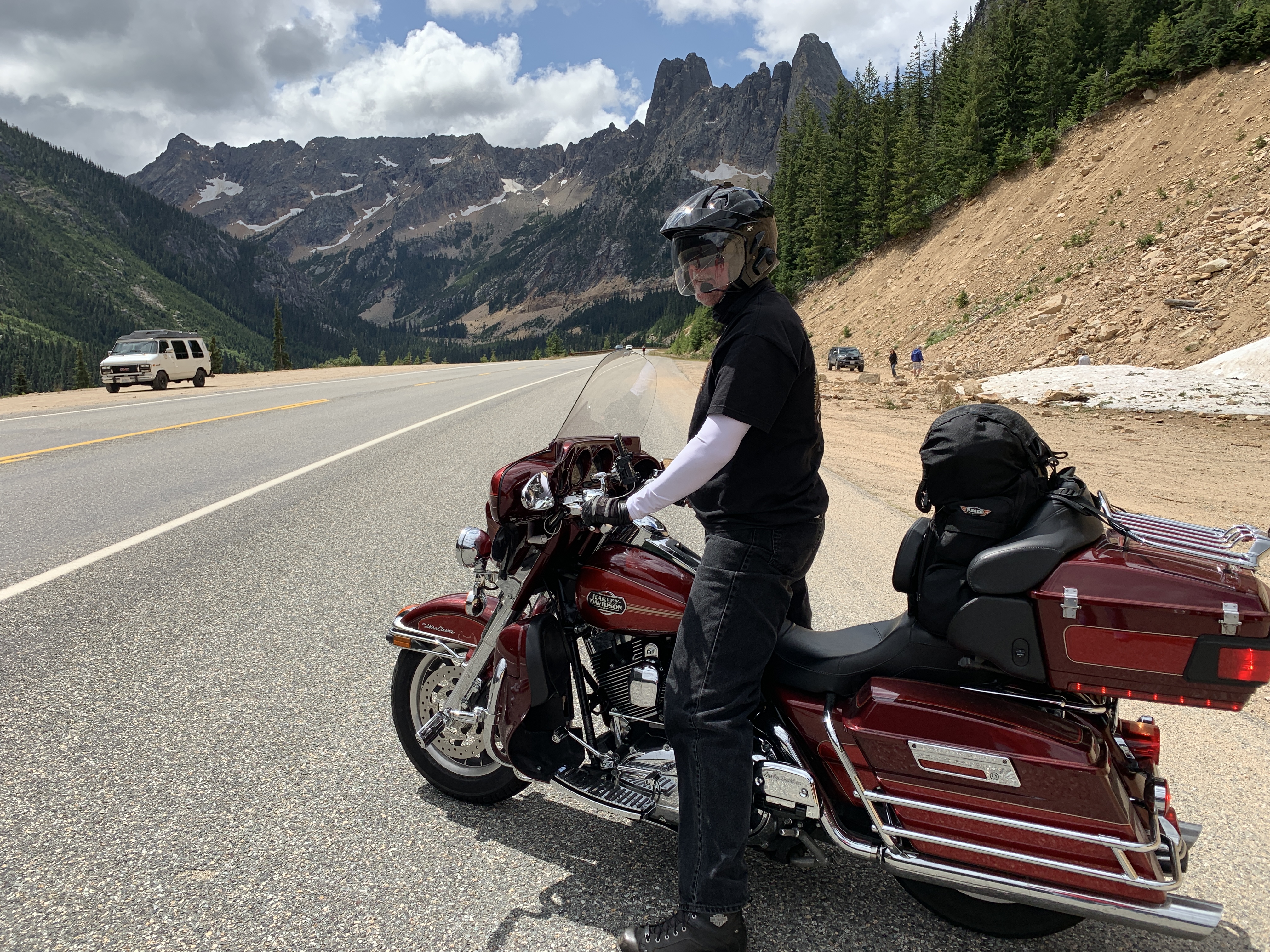
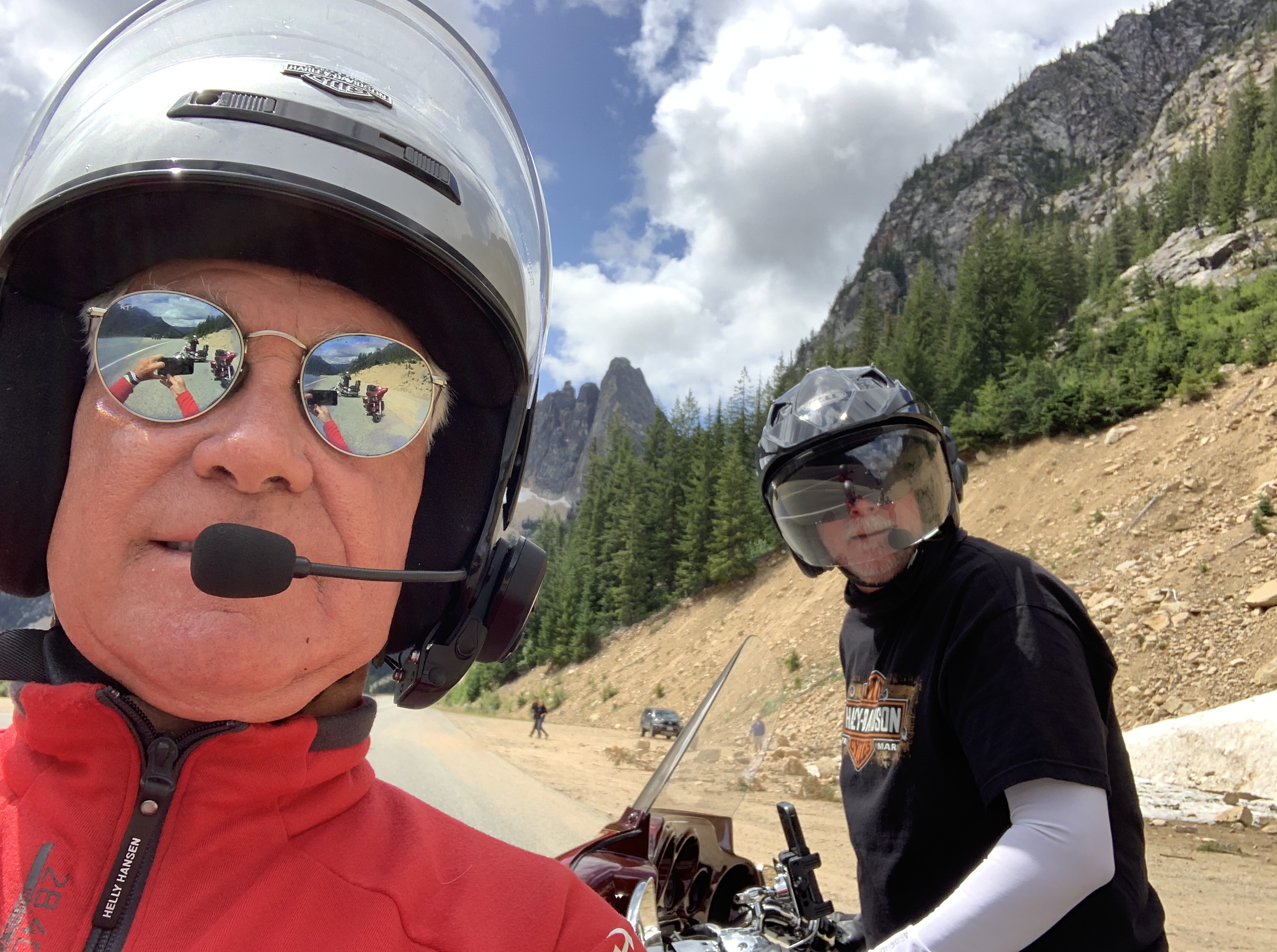
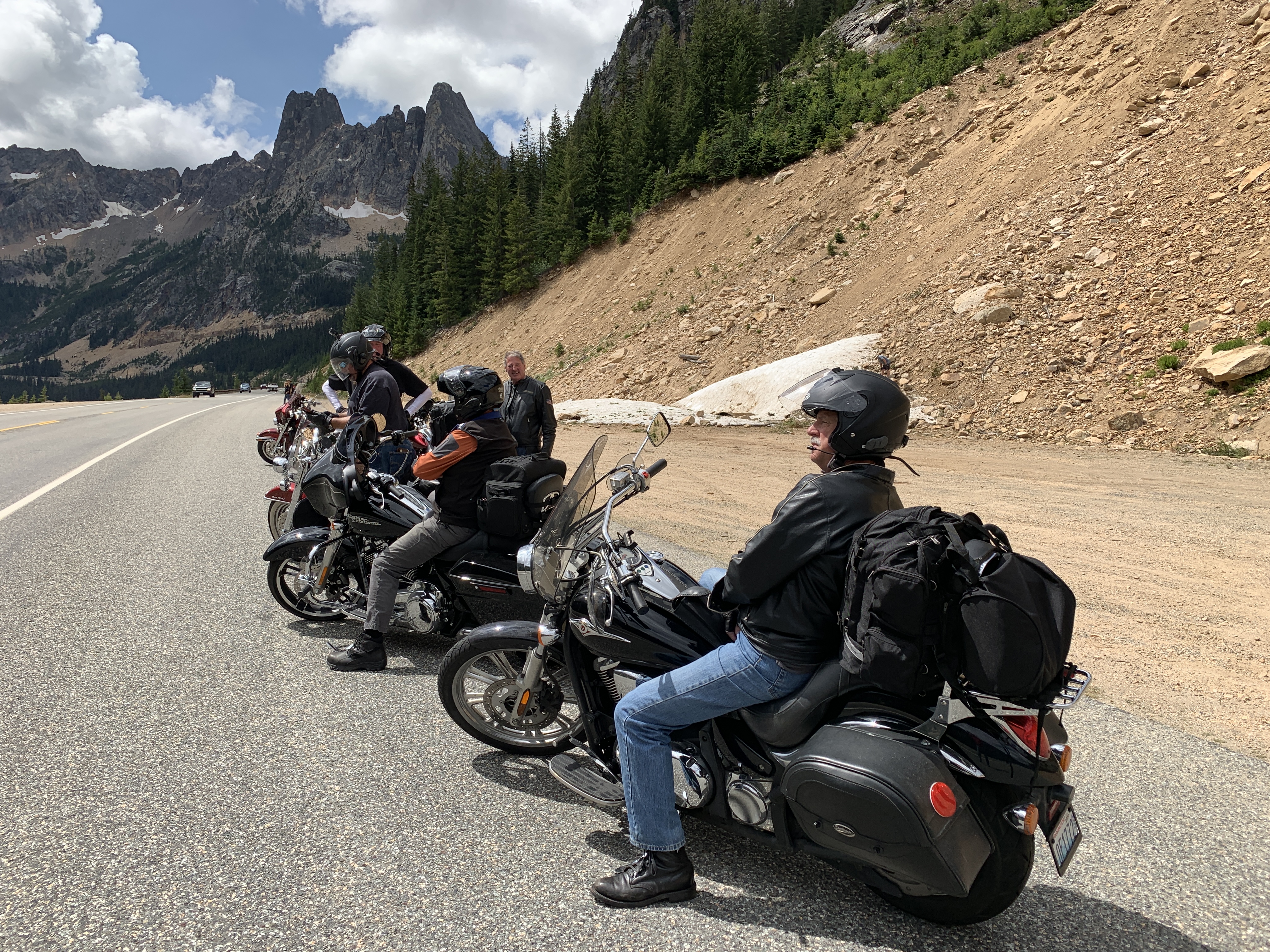
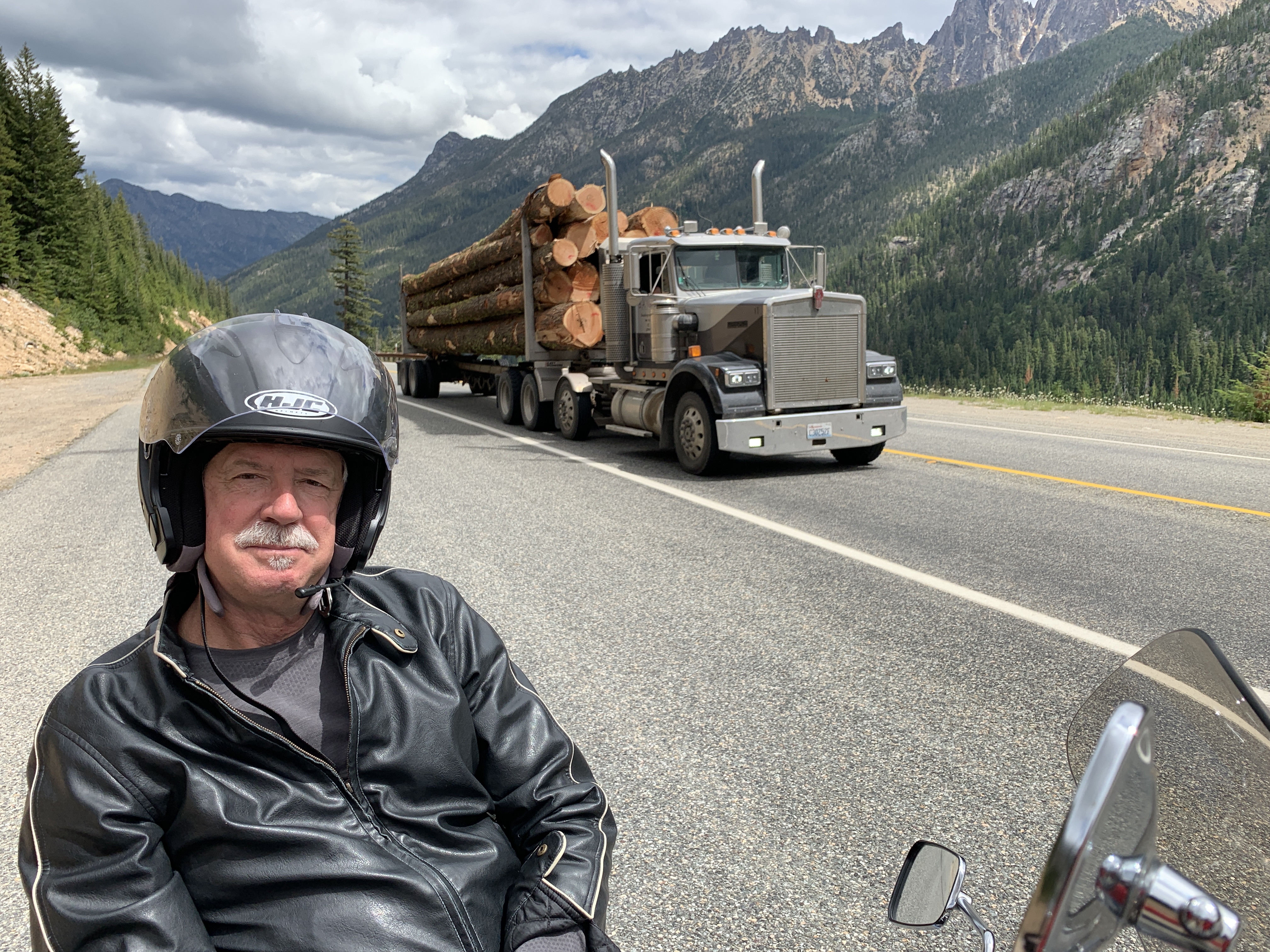
Leaving Winthrop, we’re now on Washington Highway 20, known as the North Cascades Highway. At 436 miles, it’s the state’s longest highway – and is one of the best motorcycle roads in the Northwest.
The highway’s path across the Cascade mountains follows one of the oldest roads in Washington, established in 1896 as a wagon route. Even before that, it was originally the corridor used by local Native American tribes as a trading route for more than 8,000 years.
Like other roads we’ve ridden on this trip, including Cayuse Pass and Chinook Pass a few days ago, the North Cascades Highway closes every winter due to heavy snowfall. It generally re-opens by late April, and this year opened on April 18.
Soon, we enter North Cascades National Park, which last year celebrated its 50th anniversary. Entering the park is a different drill than in most national parks. Because Highway 20 is a major east-west route, there’s no fee for entering, and no ranger gate.
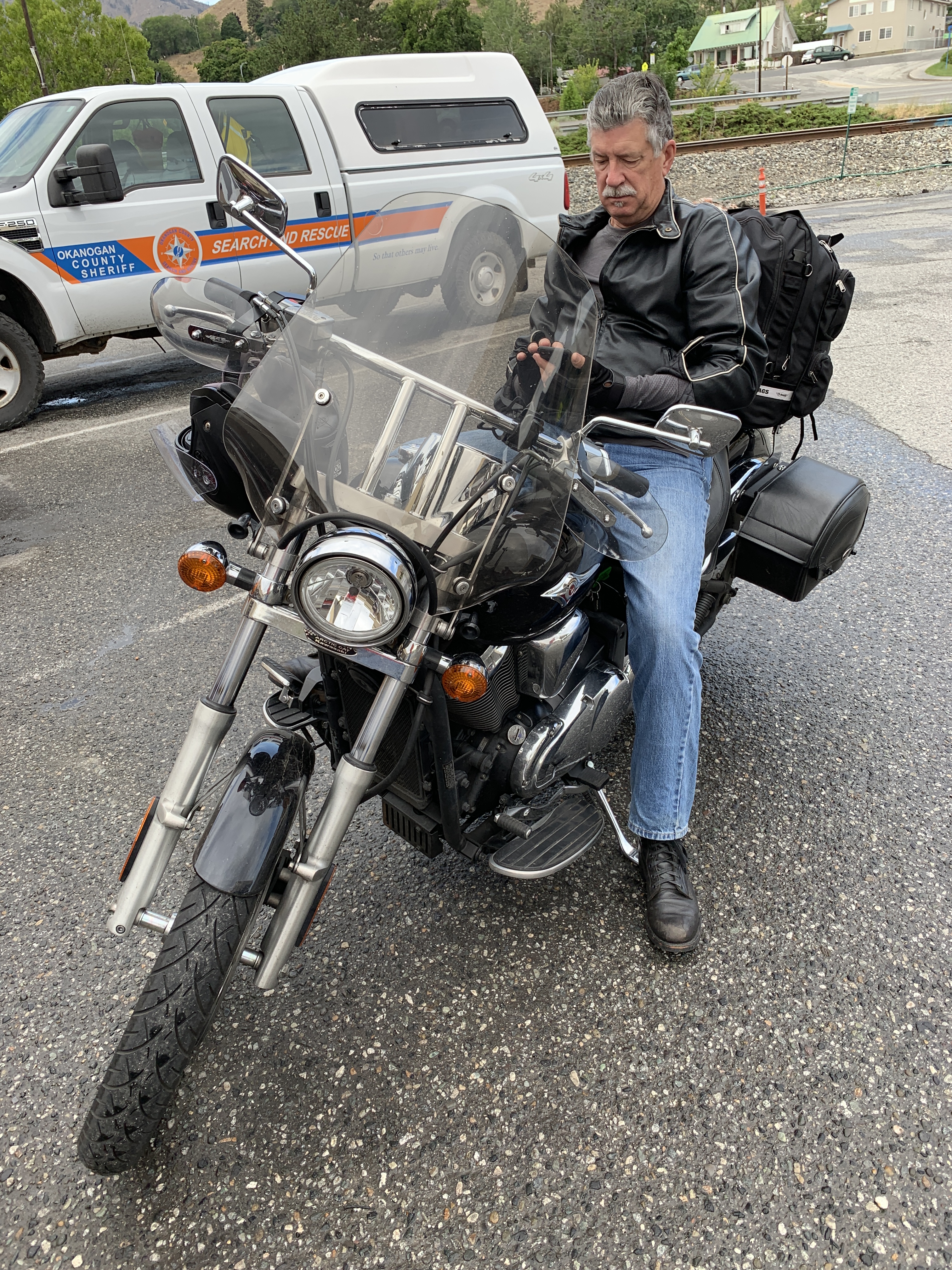
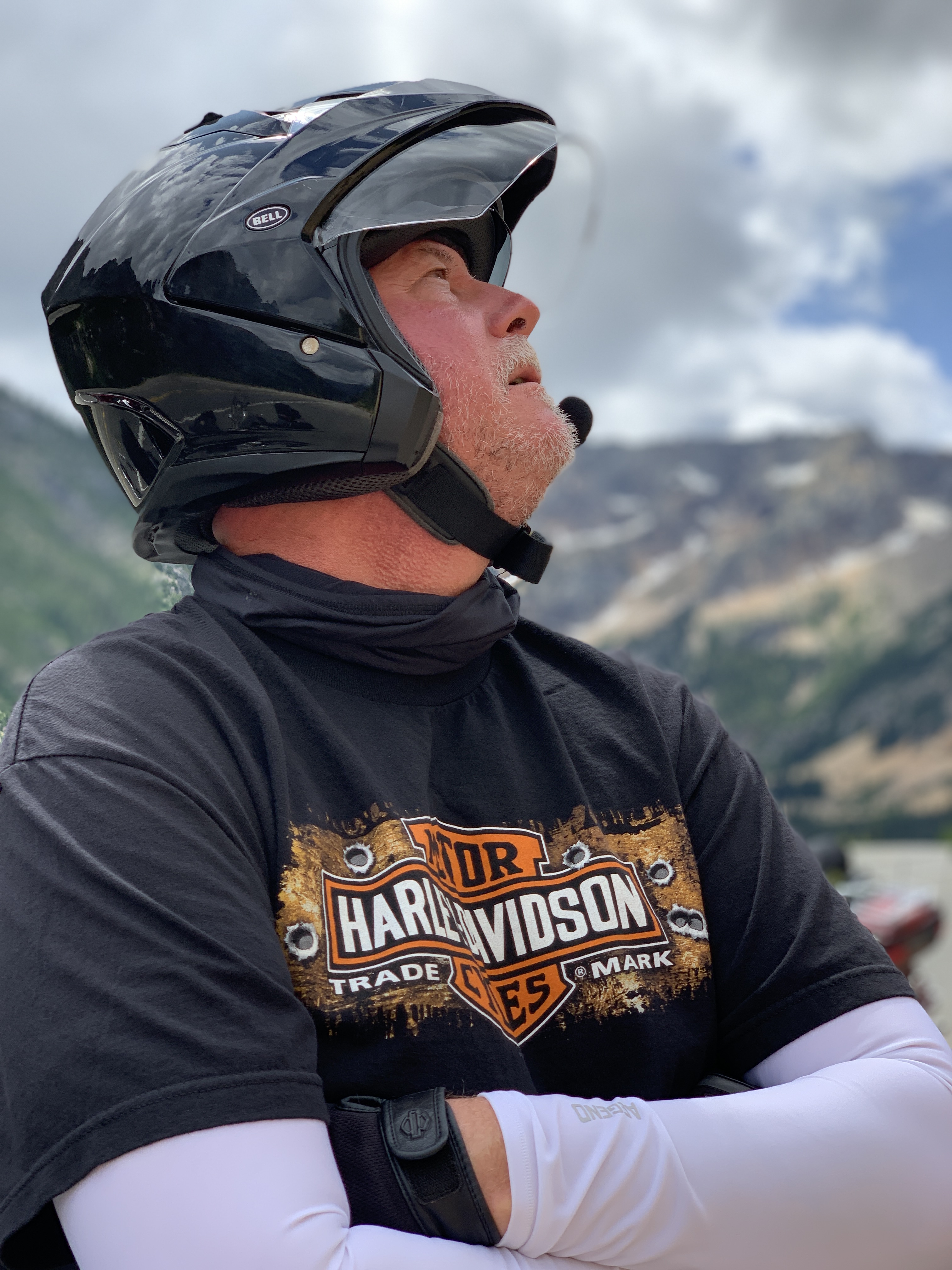
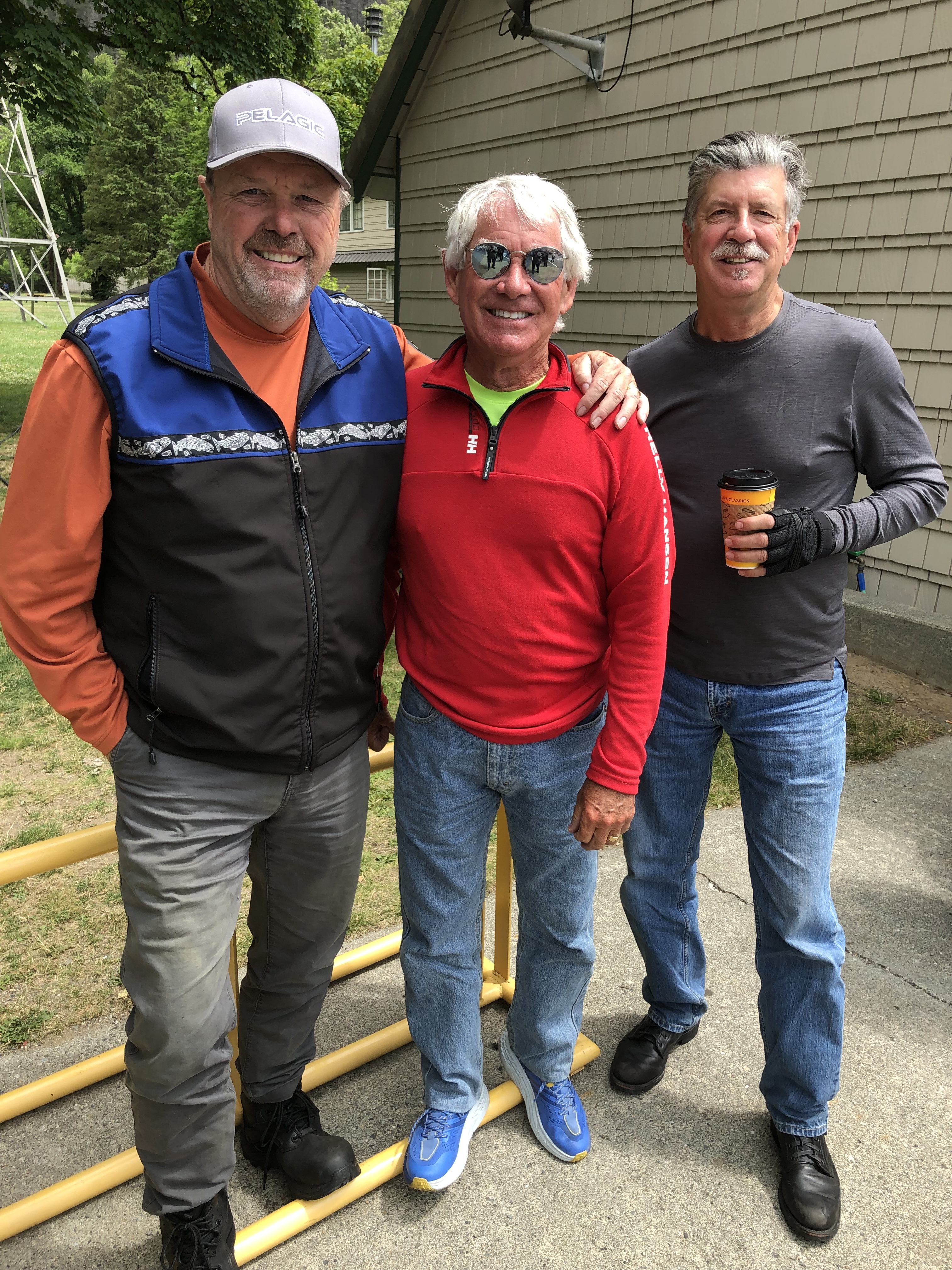
Just roll on in, on that beautiful V-twin. Or whatever it is Randy’s riding.
North Cascades National Park is a vast wilderness of conifer-clad mountains, glaciers and lakes. The North Cascades Highway was the first National Scenic Highway in the US.
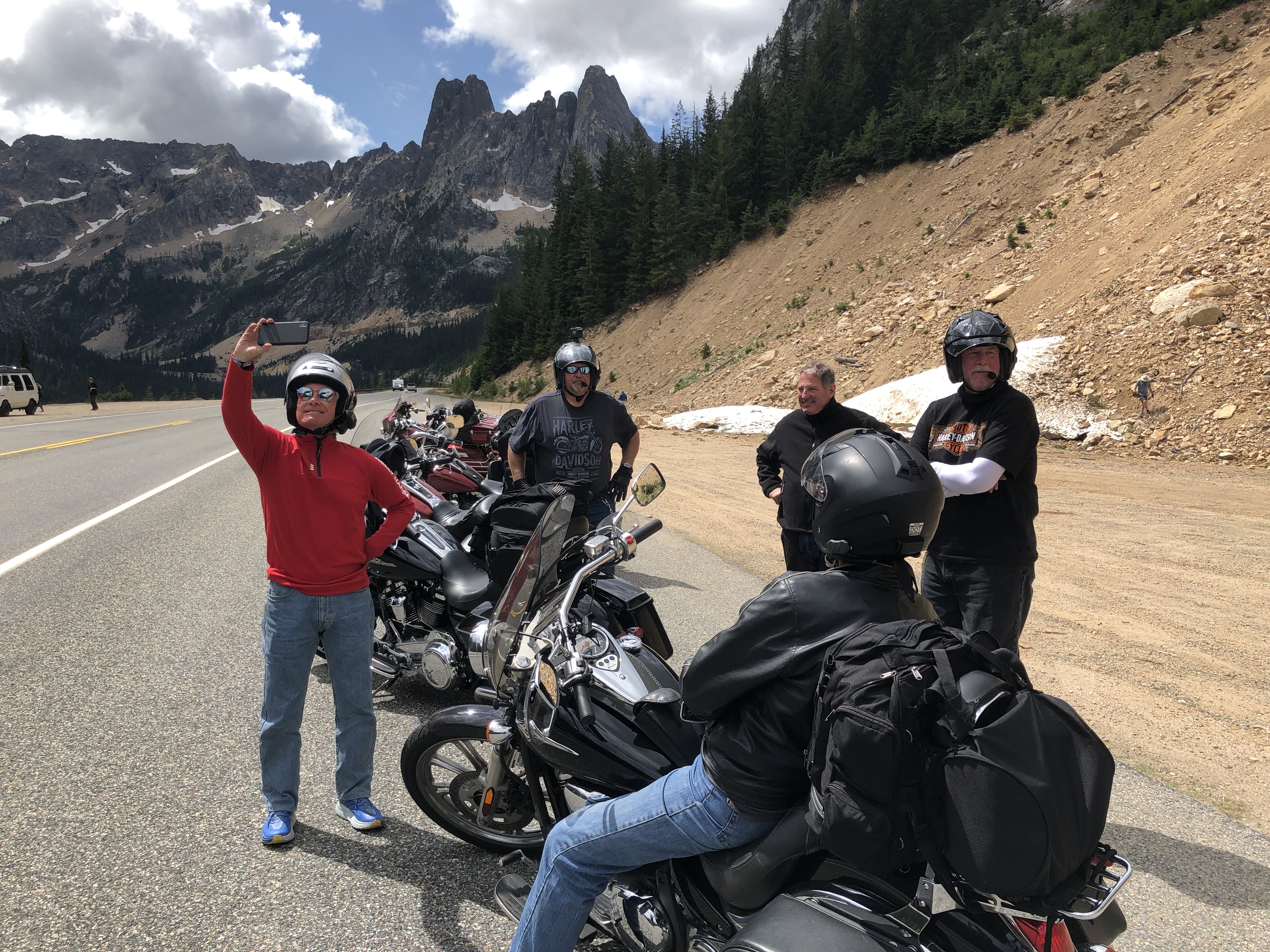
Washington Pass is the highest part of the drive: 5,477 feet. The Diablo Lake overlook offers incomparable views of the surrounding Cascades. The lake’s emerald green color is caused by the sun’s reflection on glacier-ground rock dust suspended in the water.
As we round a gradual curve on Highway 20 at the Happy Creek Trailhead, near the southern end of Ross Lake, we hit the northernmost point on our three-week trip. How far north? It’s at 48.7274 degrees latitude. We’re about 10 miles south of the Canadian border, which is at 49 degrees latitude – the 49th Parallel North.
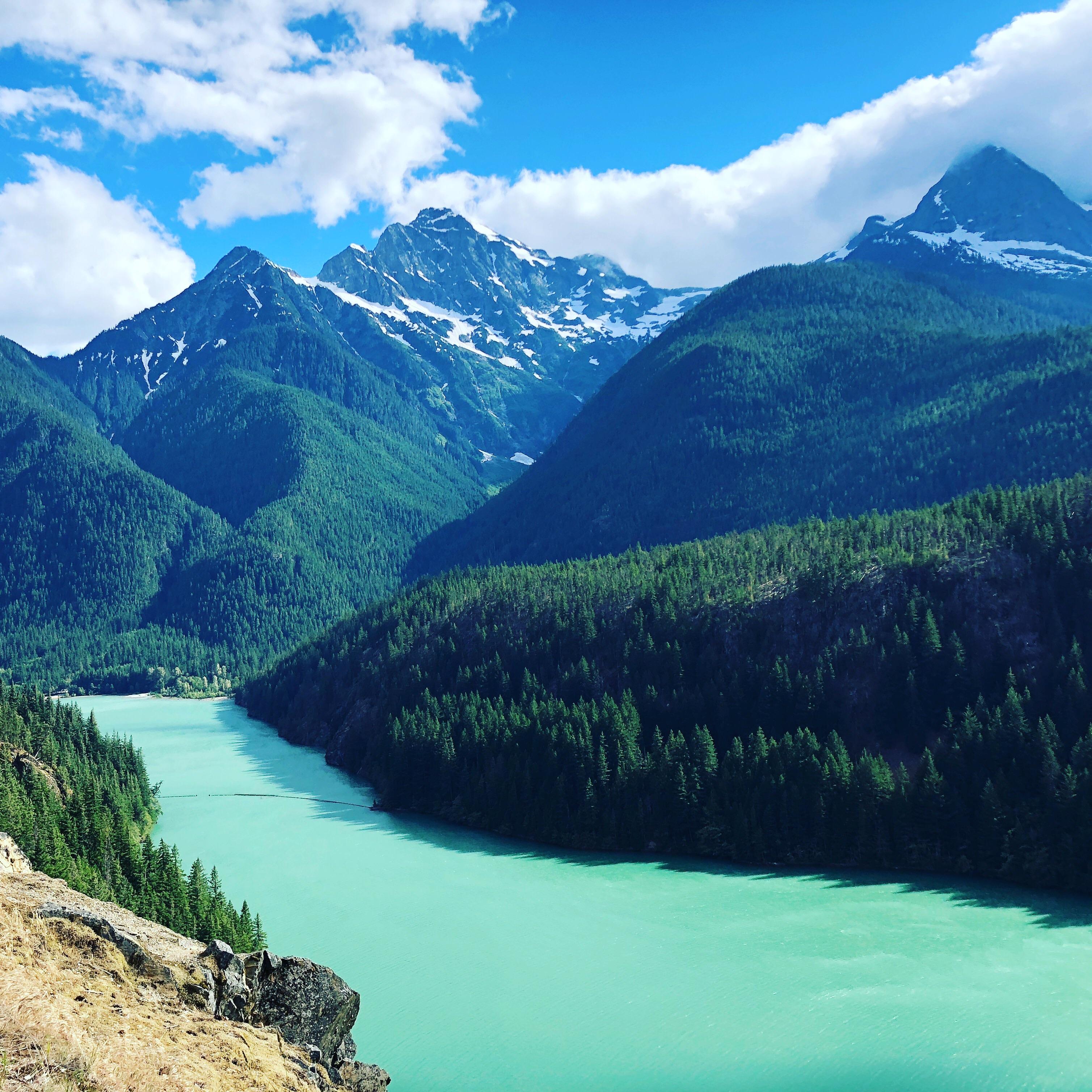
Diablo Lake is a reservoir that’s part of the Skagit River Hydroelectric Project, managed by Seattle City Light. At one time, the Diablo Dam was the world’s tallest, standing 389 feet high.
About five miles west of Diablo is the town of Newhalem, site of the North Cascades Visitor Center at the west end of the national park. Newhalem is a company town owned by Seattle City Light and populated entirely by employees of the Skagit River Hydroelectric Project.
The big event every summer in Newhalem is its summer mushball tournament, a form of softball played using a large, elastic-shelled ball. The event is scheduled for next weekend. Bummer that we’ll miss it.
***
As we continue west on the North Cascades Highway, we are clearly descending toward sea level. Newhalem is at 515 feet. The next town, 15 miles away, is Marblemount, 315 feet above sea level. Another 15 miles and we arrive in Concrete.
You could guess how Concrete got its name, and you’re probably right. Concrete was home to the Washington Portland Cement Company and was originally named Cement City.
All these towns are on the Skagit River, which we’ll follow to tonight’s destination, Anacortes.
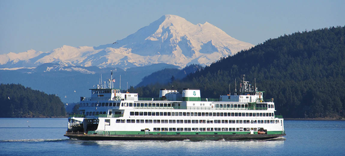
Highway 20 takes us through Sedro-Woolley and Burlington, where we cross I-5, then roll across the Swinomish Channel and onto Fidalgo Island, home to Anacortes. Anacortes is commonly known for its Washington State Ferry terminal that takes vehicles and passengers into the world-famous San Juan Island archipelago.
The name Anacortes is an adaptation of the name of Anne Curtis Bowman, who was the wife of early Fidalgo Island settler Amos Bowman. Anacortes has two major oil refineries: Shell and Marathon. The two refineries are, by far, the largest employers in Anacortes. I’m halfway surprised not to bump into my friend, Curtis Smith, Shell Oil PR guy.
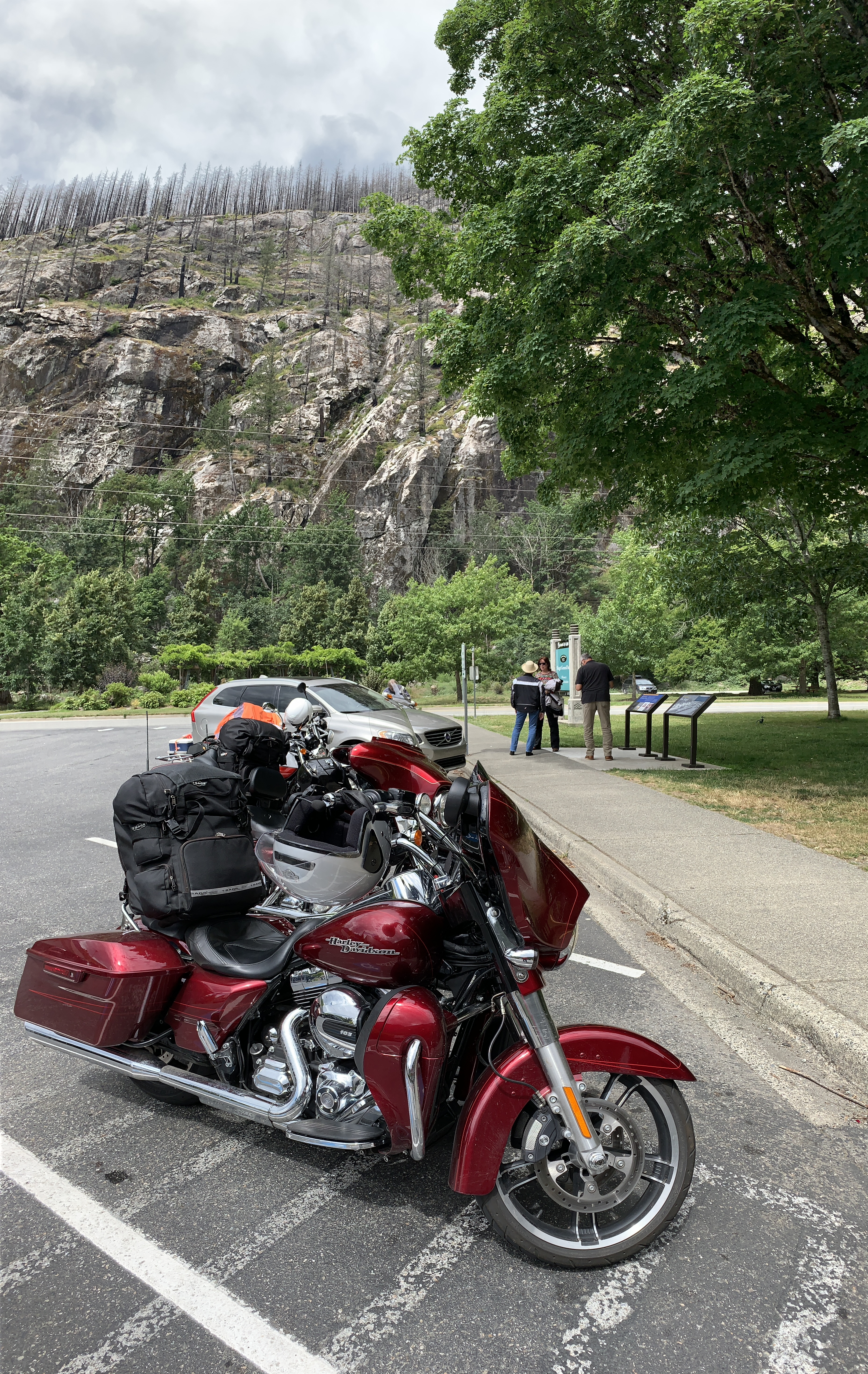
At the end of a 250-mile day, we park our bikes at the tiny Marina Inn, fittingly located in Anacortes on Highway 20, where we’ve spent much of our day.
Tonight, we transition from meat-and-potatoes dinners, what you’d expect in the Paul Bunyan-like mountains of the past week – to seafood. We’re no longer lumberjacks, but men of the sea.
Our next week on the road will be along the water’s edge. Should be a lot of fish and chips, salmon, oysters, and whatever else from the sea floats our culinary boats between here and Southern California.
***
Day Eleven Summary: Roll on Columbia, North Cascades Highway, getting healthy on seafood.
Click here to see today’s complete route from Wenatchee, Washington, to Anacortes, Washington.
We’re on our way to Canada, eh?
Vroom, vroom.
***
Today’s Canada Fun Fact, eh? Canada consumes more macaroni and cheese than any other nation in the world. Canadians eat 55 percent more Kraft Dinner or KD, than Americans do. Mac and cheese is so popular that it’s been called the national dish of Canada, and is the most popular item sold in Canadian grocery stores.


Lake Diablo looks gorgeous. And hey, I love Mac and cheese too! Looks like you guys are having a blast!
LikeLike
Mac n cheese. Canada’s official food. You’re making me hungry!
LikeLike
Randy’s got photo skills! Politics? Yikes. 😳Good job Dave, sporting those (plain, white) sleeves. Gary, please advise. #enjoythejourney #ridefree guys!
LikeLike