Today, we hope to catch more than a glimpse of Washington state’s highest point, cross two recently opened highway passes, roll through our third National Park this week, and end up in the heart of the state’s agriculture belt.
We begin by turning west out of Packwood on Skate Creek Road, alternately known by the far less interesting name of National Forest Road 52. Because of its remote location and brutal weather in the shadow of Mount Rainier, Skate Creek Road is closed during winter months.
But we’re halfway through July, so we roll comfortably northwest for 10 miles or so, until reaching the Nisqually River. The Nisqually River starts on the southern slope of Mount Rainier, and empties into the southern end of the Puget Sound.
We follow the contours of the river until we find a place to cross it, about a mile east of Ashford. Ashford is the last town before we arrive at the entrance to Mount Rainier National Park, just a few miles up the road.
At the park entrance, we show our park passes and enter through the Nisqually Entrance Historic District. It has the log entrance arch typical of all Mount Rainier entrances, a log frame ranger station, and various other structures – all built around 1926. The park’s entrance area has been on the National Register of Historic Places for almost three decades.
This entrance to the park is open year-round, though the roads through the park are not.
It snows here in the winter. A lot.
***
Mount Rainier National Park was established in 1899 as America’s fourth national park; only Yellowstone, Sequoia and Yosemite gained national park status sooner. All of Mount Rainier National Park is designated a National Historic Landmark District. This designation honors the consistently high standard of design and preservation of the park’s rustic-style architecture.
Much of that architecture is found in Longmire, a visitor center six miles from the park’s entrance. The area is named after James Longmire, an early settler in Puget Sound. In Longmire, you’ll find the National Park Inn, the Longmire Museum, and the 1928 National Park Service Administration building, which is now a Wilderness Information Center.
Longmire, which sits at 2,761 feet, is the second-most popular destination for park visitors. The most popular is Paradise, 11 miles away on a snaking, steep highway known as Paradise Road.
In those 11 miles, we climb about 2,700 feet to Paradise. Roughly two million people a year visit Rainier National Park. Sixty percent of them go to Paradise. The road from the Nisqually park entrance to Paradise, 17 miles in all, is one of the few in the park open to car traffic in the winter.
Here in Paradise is the Henry M. Jackson Visitor Center, named for the former US Senator from Washington state. During his childhood, Jackson’s sister nicknamed him “Scoop,” after a comic strip character she thought he resembled. The nickname stuck, and he was called Scoop the rest of his life.
It’s interesting how people and places are named. Paradise, site of the Jackson Visitor Center, got its name from James Longmire’s daughter-in-law, Martha.
When she first saw the site where Paradise is today, Martha exclaimed, “Oh, what a paradise!” She must have seen it in the summer. In the winter, Paradise receives an average of 643 inches of snow each year!
***
After clearing mountains of snow, the road east from Paradise generally opens each year by late May. We now head east on Paradise Road, which soon becomes Stevens Canyon Road.
Stevens Canyon is named for General Hazard Stevens, who made the first documented ascent of 14,411-foot Mount Rainier in August 1870. The mountain was originally named Tahoma, or “Great Snowy Peak” by the Yakima Indians. British explorer George Vancouver, who charted northwestern Pacific Coast regions in the 1790s, renamed it after Admiral Peter Rainier of the British Navy. The name was hotly contested for more than 100 years, because Americans felt the mountain shouldn’t be named after a British officer who’d never even been to the US.
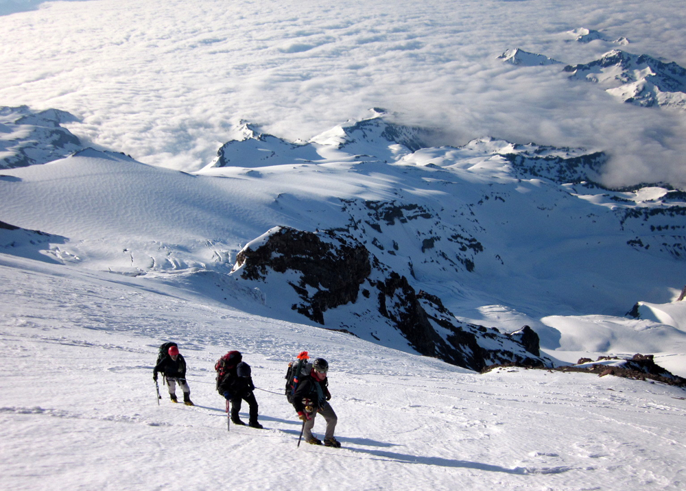
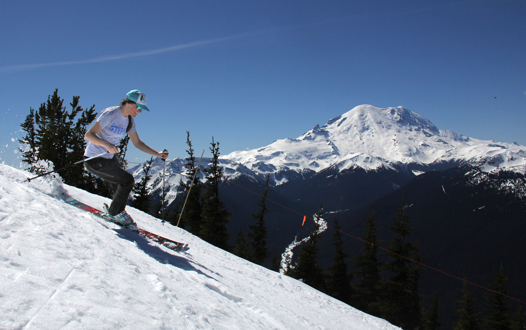
Mount Rainier is the most heavily glaciated peak in the contiguous US, with more than two dozen named glaciers. More than 10,000 people a year try to scale the mountain, and many expeditions for bigger mountains come to Rainier for their training runs. Some mountaineers, including Sarah Murr, climb to 10,188-foot Camp Muir, which they use as a base camp on their way to summiting Mount Rainier. Sarah’s ben there about a dozen times; it ought to be named Camp Murr.
If you’re thinking about climbing Rainier, you’d better take it seriously. It’s a much bigger deal than a day hike to the top of a Colorado fourteener. From the highest trailhead, climbers gain 9,000 feet of elevation to reach the summit. That’s as much as from Mount Everest’s advanced base camp to its summit.
Rainier is less deadly than Everest. Still, the mountain in our midst kills climbers almost every year. If you’re not discouraged and still want to give it a go, here’s a great primer on climbing Mount Rainier. There are more than 50 routes to the summit. The vast majority of climbers take the Disappointment Cleaver Route.
We’d be inclined to give the mountain our best shot, but we have places to go and things to do. On our motorcycles. Maybe another day.
***
So we continue on Stevens Canyon Road, named for the first man to summit Rainier.
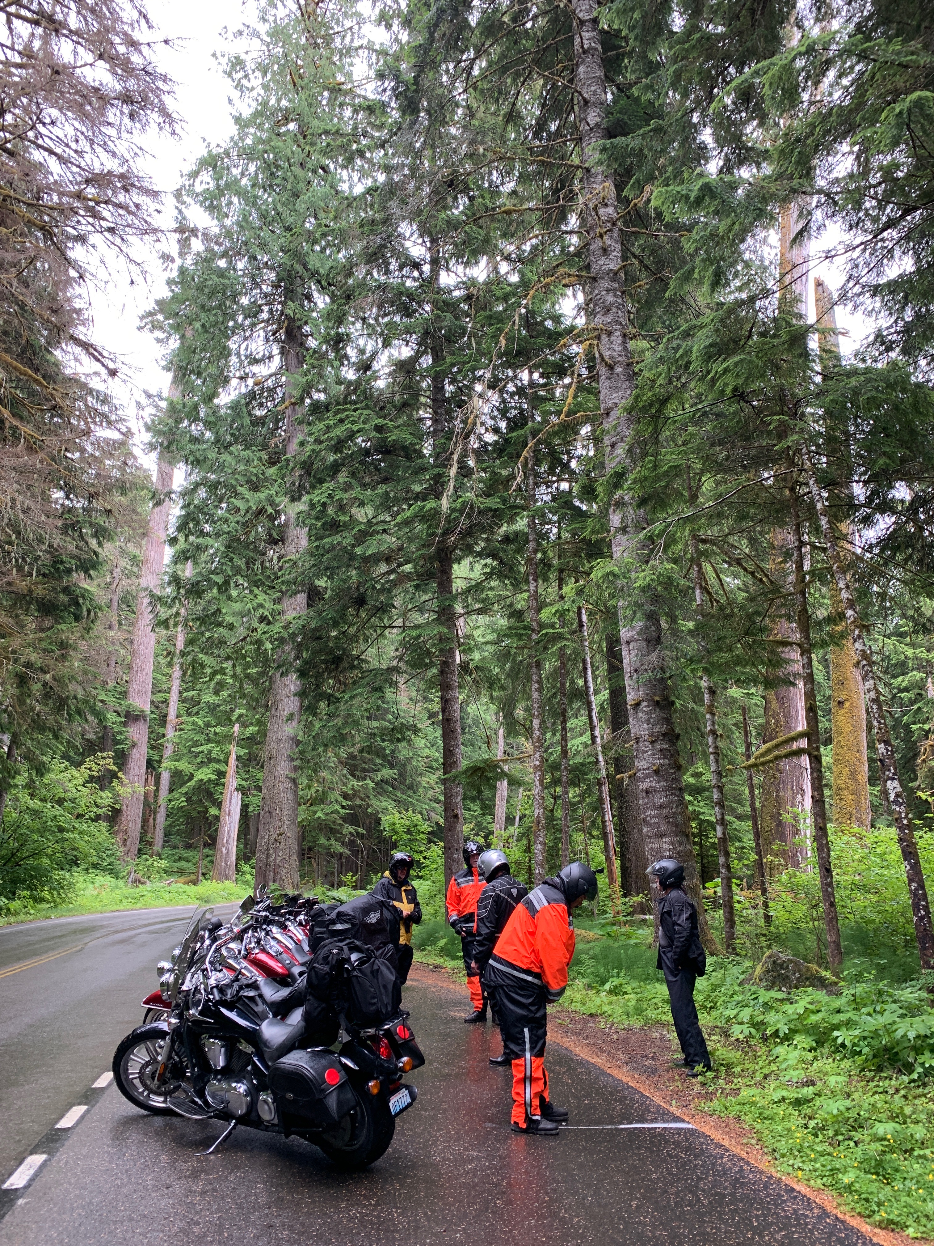
We pass Reflection Lake, Louise Lake, and Upper Sunbeam Falls. The road makes a hairpin turn at Bench Lake, then winds its way to the trailhead for the Grove of the Patriarchs Trail, considered one of the easier hikes in the park. The hike is only about a mile and a-half round trip, with no elevation gain. Its attraction is the surrounding Douglas firs, western hemlocks, and western red cedars.
Just past the Grove of the Patriarchs Trail, we turn north on Washington Highway 123, which in a few miles takes us to 4,675-foot Cayuse Pass. Because of heavy snow and avalanche danger, the pass is closed every winter, and generally opens around Memorial Day weekend. This year, Cayuse Pass re-opened on May 24.
Cayuse Pass sits at the intersection of Washington Highways 123 and 410.
We turn east on Highway 410, which will take us over 5,430-foot Chinook Pass. It’s also closed in winters, for the same obvious reasons. Chinook Pass re-opened for the summer season on May 24.
From 1940 through 1959, Chinook Pass was one of the top ski areas in the state, with a season that ran from December to June. There were numerous non-permanent rope tows that extended from Cayuse Pass to the Tipsoo Lake area. The requirement that they were temporary tows was made by Mount Rainier National Park so the lifts could be removed when the snow melted in the summer months.
When nearby White Pass ski area opened, there was no longer a need for rope tow skiing on Chinook Pass. This area is the heart of ski country in Washington state, and it gets a ton of snow. Crystal Mountain ski area, only a few miles north of Chinook Pass, received 407 inches this season, and was open for skiing on weekends this year until June 21.
Highway 410 is also known as the Mather Memorial Parkway, named for Stephen Mather, first director of the National Park Service. Mather served in that capacity from 1917 through 1929.
For the next 32 miles, until we arrive in the town of Cliffdell, we are on Highway 410. By the time we get here, we’ve descended 3,000 feet from Chinook Pass. Cliffdell, originally called Spring Flats, was renamed Cliffdell in 1920 in honor of Cliff and Della Scott of Seattle. Cliff and Della were friends of the town’s developer.
Here, we stop for gas, midway through the day’s ride. Midway? Seems like we’ve been on the road forever. We’ve gone 115 miles since Packwood, and have 135 to go before arriving in tonight’s destination, Wenatchee.
***
After our break in Cliffdell, we continue east on Highway 410 for about 20 miles, following the Naches River through the towns of Pinecliff, Nile and Naches. We arrive on the outskirts of Yakima, a city of around 100,000 named for the Yakama tribe, early inhabitants of the Yakima Valley. Yakima sits at the confluence of the Naches and Yakima Rivers.
The Yakima Valley is agriculturally productive, known for its apple, grape, pear, cherry, melon and hop production. The valley produces nearly 80 percent of all hops grown in the US. Its vineyards make for an active wine region.
We’re on the northern fringes of Yakima, and never quite make it to the city. We cross over the Yakima River, and continue north on Washington Highway 823, through Selah, host to two Tree Top apple processing plants. Because of the nearby orchards and juice processing plants, Selah is often referred to as the Apple Juice Capital of the World.
Highway 823 crosses, then follows the contours of the Yakima River. Transitioning to Washington Highway 821, the road continues north to Wymer, Umtanum, and Holmes. We’re now just south of Ellensburg, home to Central Washington University.
Again, we turn onto the now-familiar US Highway 97 and roll north to the town of Peshastin, known for the Peshastin Ditch, dug by pioneers in 1889. The ditch was an important part of the overall irrigation system in the area, delivering water to the orchards on the slopes above Cashmere.
In Peshastin, we head east on US Highway 2, following the Wenatchee River toward Cashmere, notably not named for the luxurious sweater fabric. Cashmere fibers come from fine-haired Cashmere goats in the Gobi Desert, which stretches from Northern China into Mongolia. Because there’s not a lot of hair on Cashmere goats, it’s an expensive commodity. You know, supply and demand.
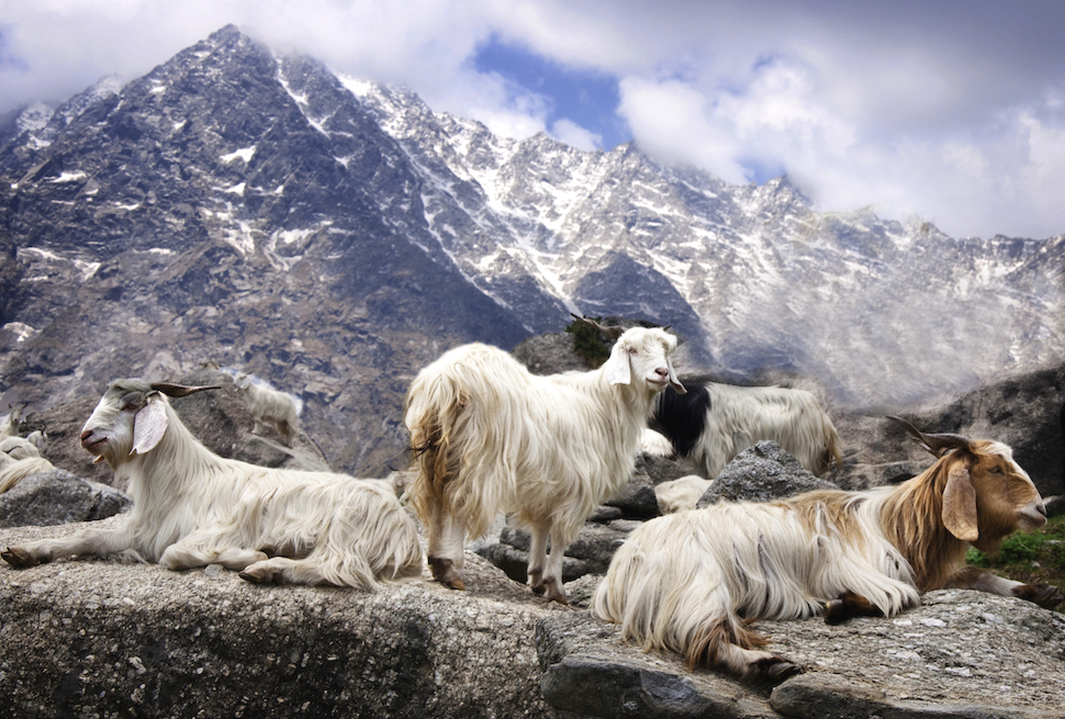
For some reason – seriously – the Cashmere valley was named for Kashmir, India – as a local leader said it resembled the foothills of the Kashmir region. The spelling was subsequently changed to a more Americanized Cashmere.
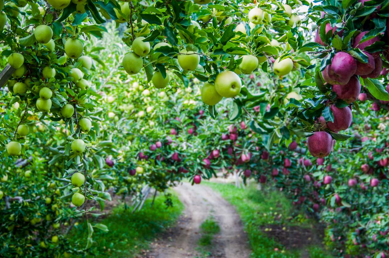
The Cashmere area has a rich history of fruit tree production. Apples are abundant. Pears are everywhere, particularly Bartlett and D’Anjou varieties.
Of course, if the climate is good for growing fruit, it must be hot in the summer. Yes, it is.
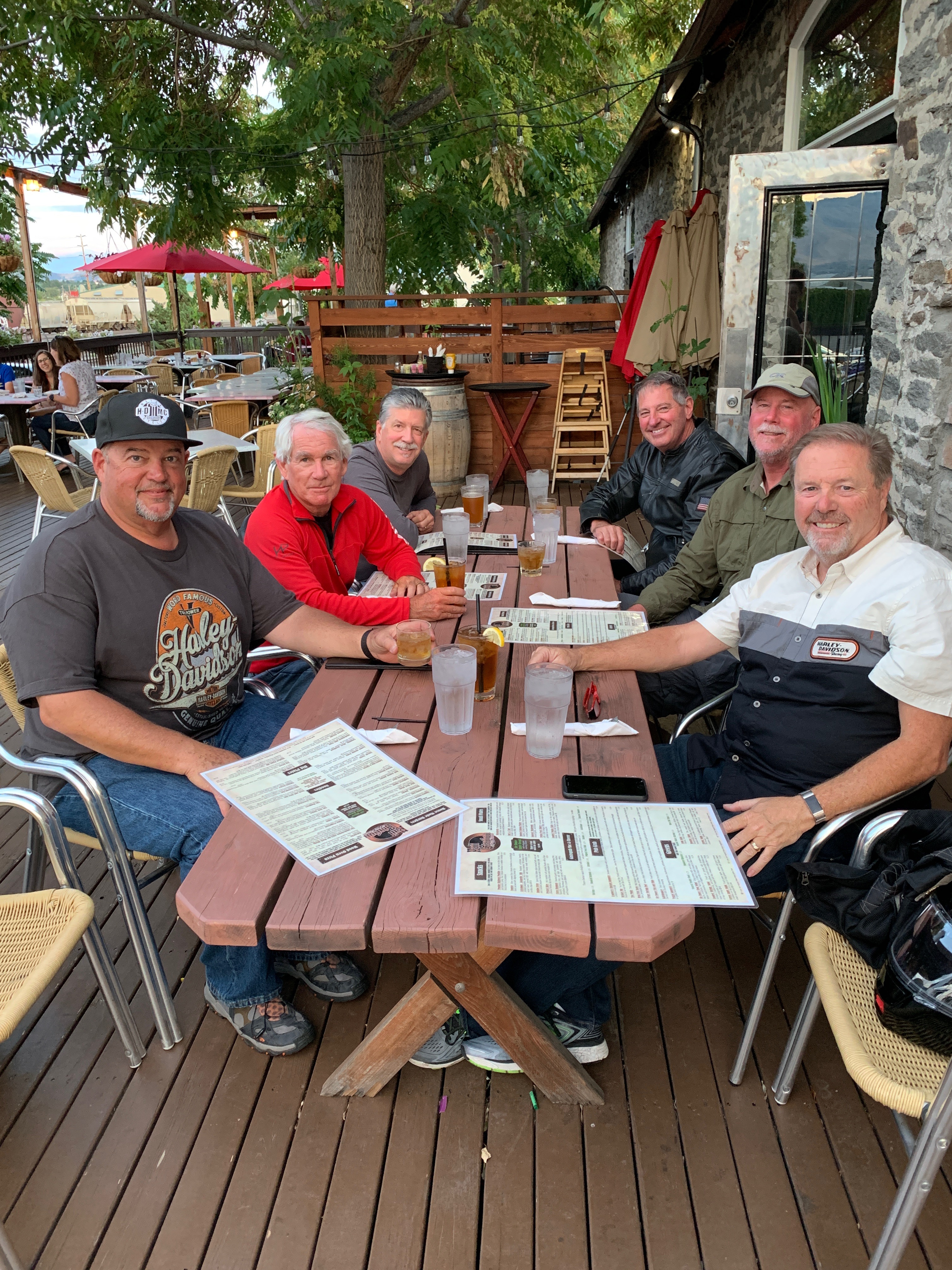
So it’s a welcome sight, eight miles ahead, when we roll into Wenatchee, tonight’s destination, at the end of a 250-mile day. Wenatchee, located at the confluence of the Wenatchee and Columbia Rivers, is often called the Apple Capital of the World because of the valley’s plentiful orchards.
How big is the apple influence here? The West Coast League baseball team based here is called the Wenatchee AppleSox. There’s an Applebee’s restaurant, a few miles from our hotel. We must be famished even uttering the word Applebee’s.
Time to park the bikes and ponder actual, edible non-apple focused meals.
***
Day Ten Summary: Tiny church, big mountain, apples everywhere.
Click here to see today’s complete route from Packwood, Washington, to Wenatchee, Washington.
We’re on our way to Canada, eh?
Vroom, vroom.
***
Today’s Canada Fun Fact, eh? Canada is the world’s most educated country. More than half its residents have college degrees. Canada’s literacy rate is said to be 99 percent. The literacy rate in the US is 86 percent.

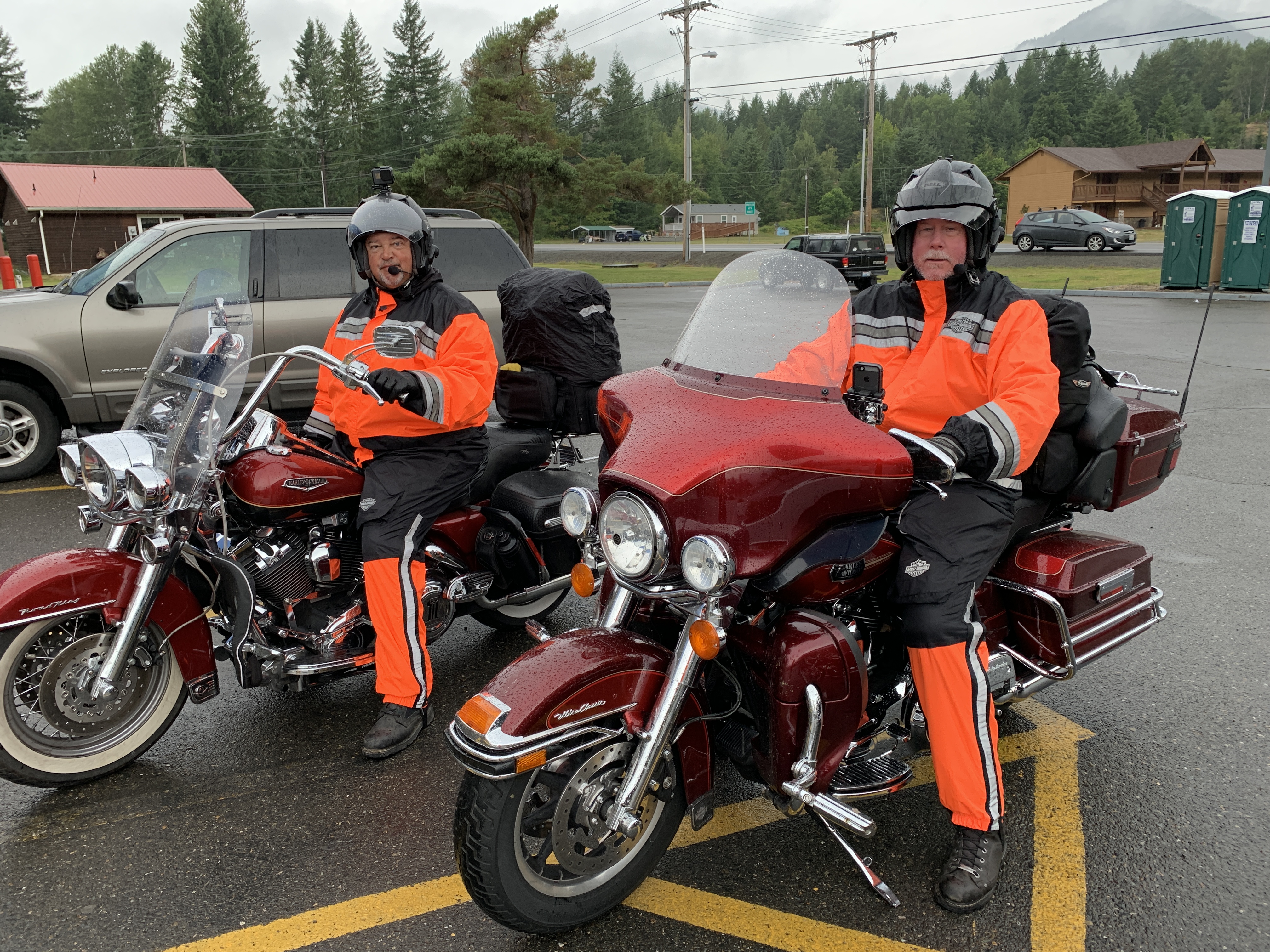
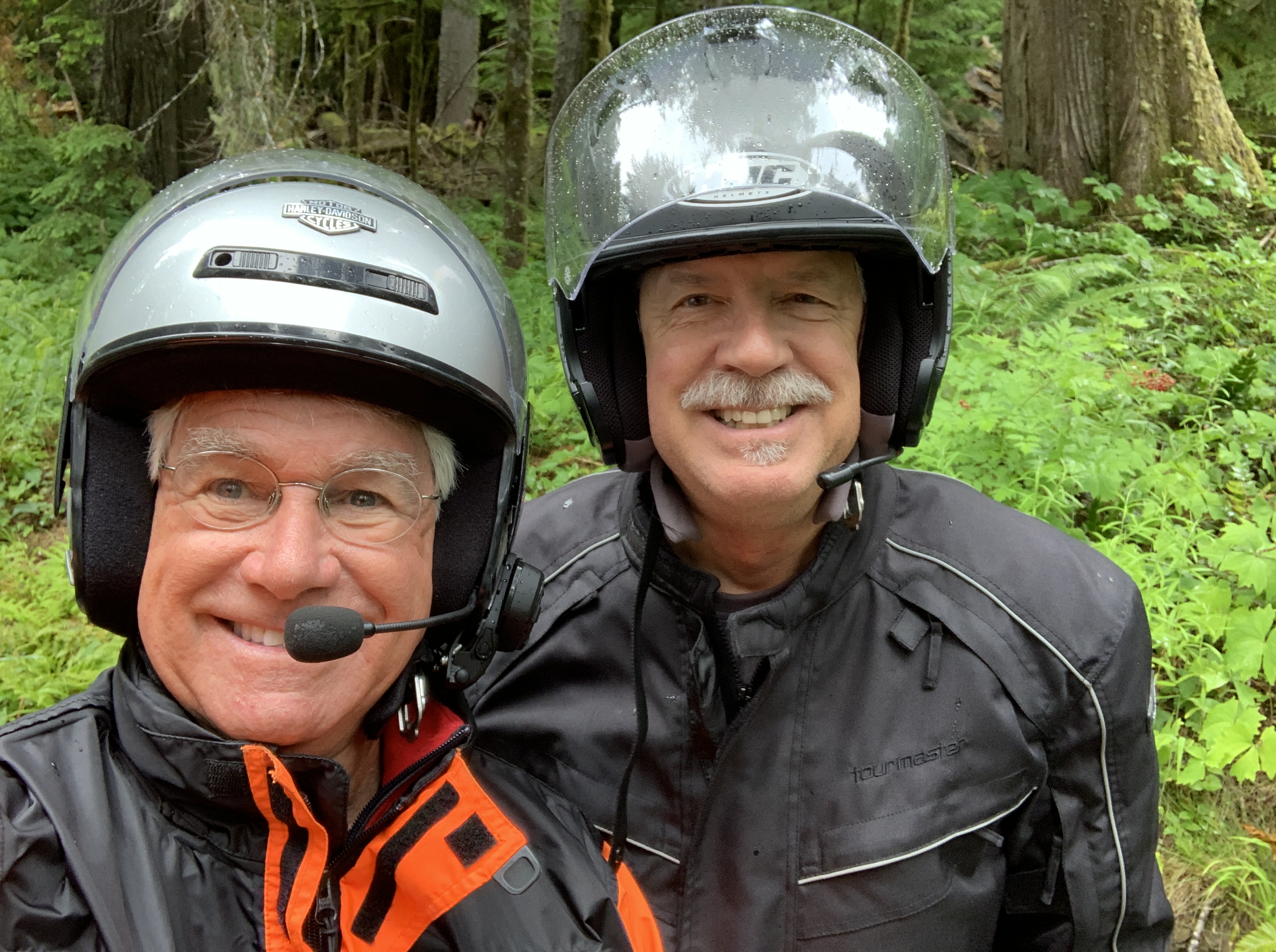
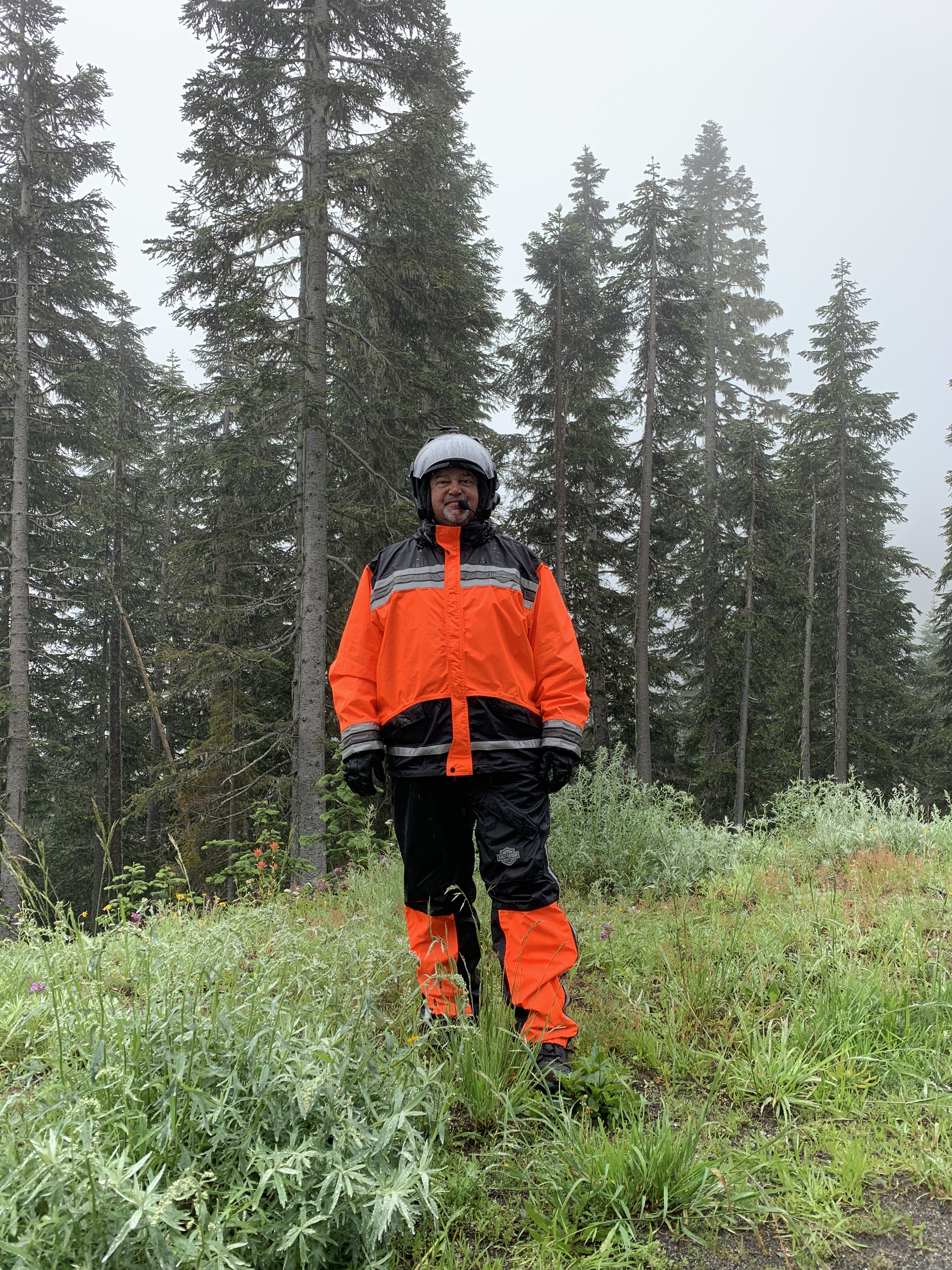
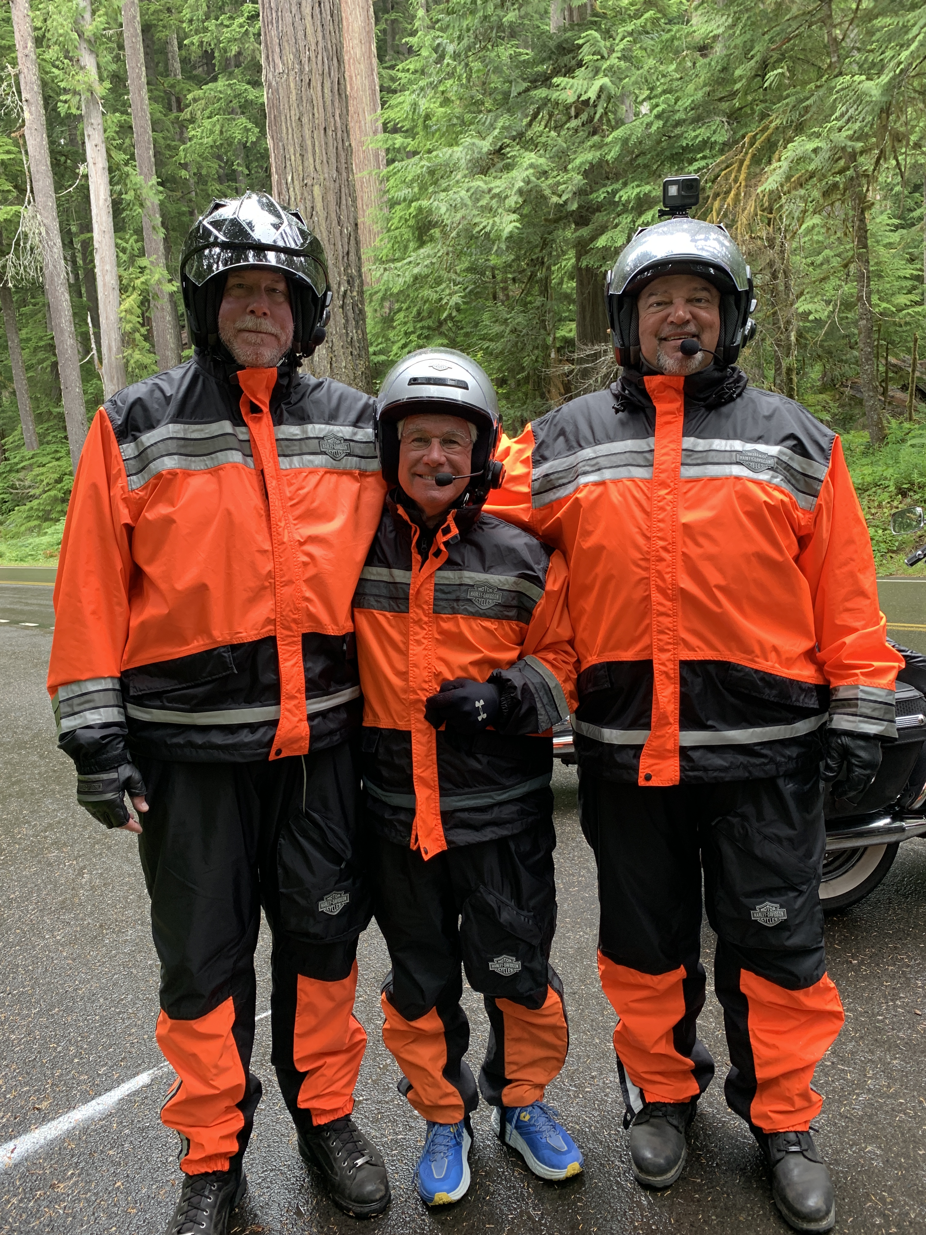
Hope you all had at least a beer or two or whatever at the end of day with all that rain!!
Evidently the new tire on the cycle helps keep traction.
J&B
LikeLike
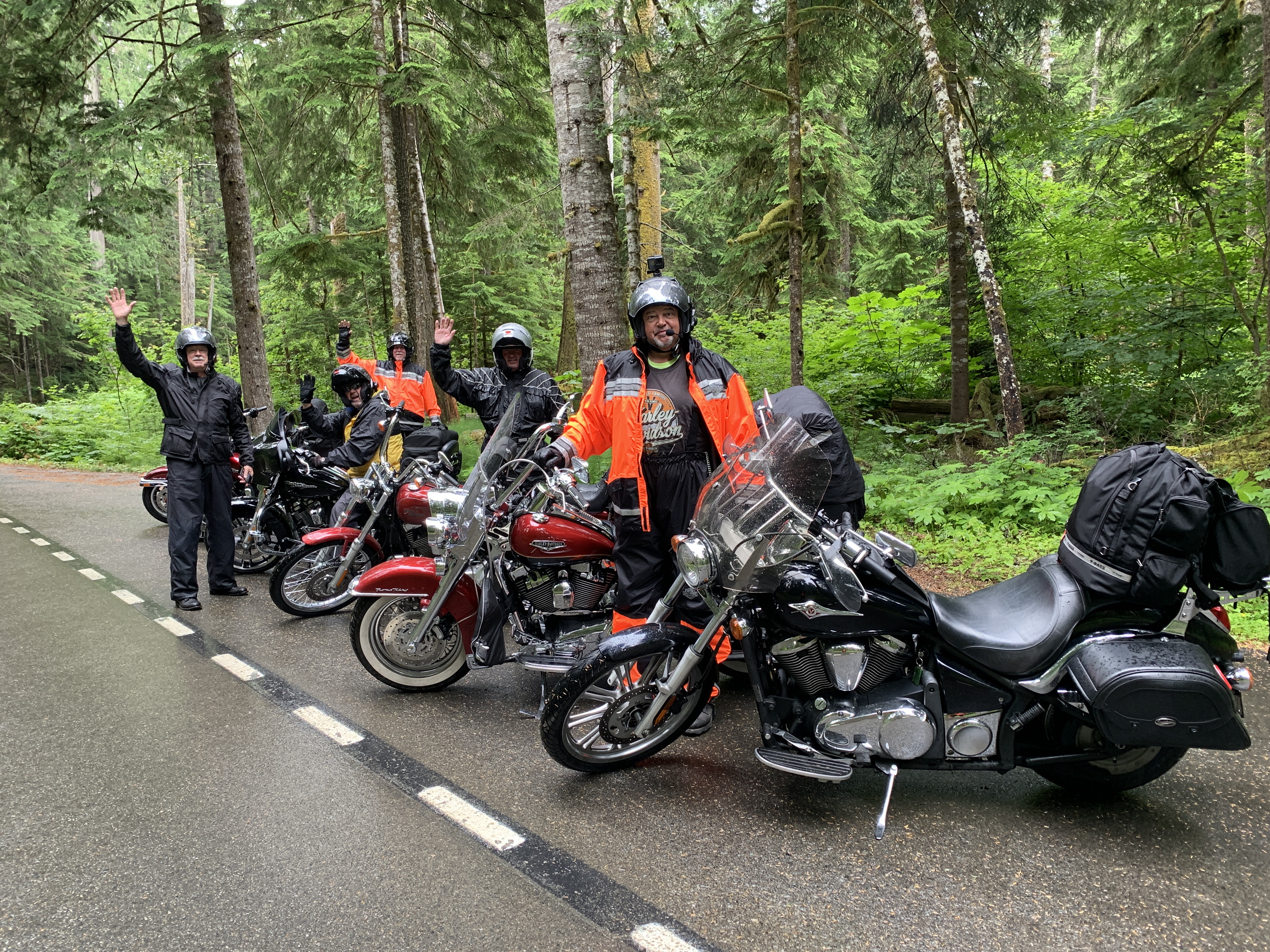
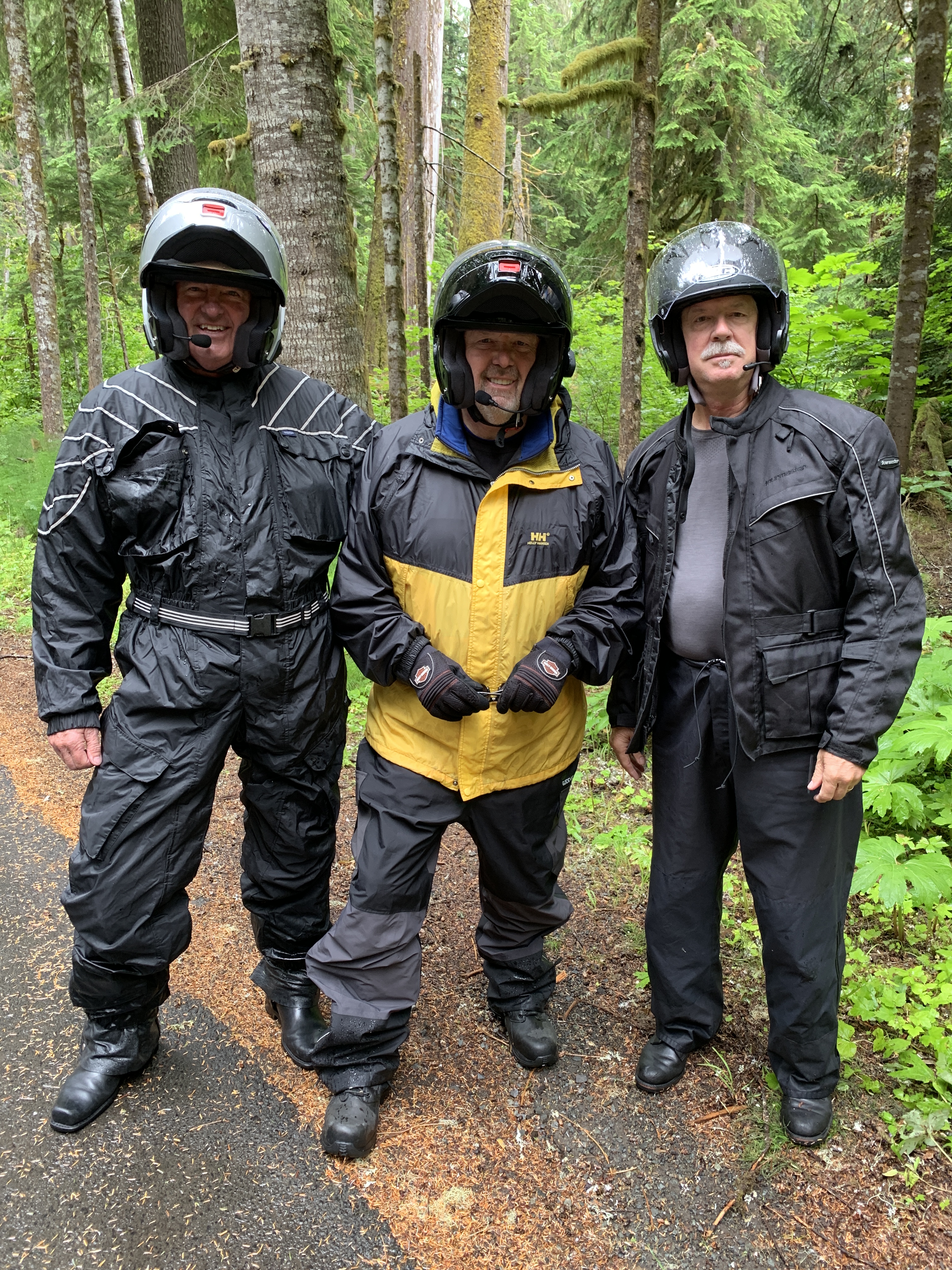
You guys be really careful out in the rain and fog. This is the first time that I was glad I wasn’t with you, LOL! Stay safe and have a blast….
LikeLike
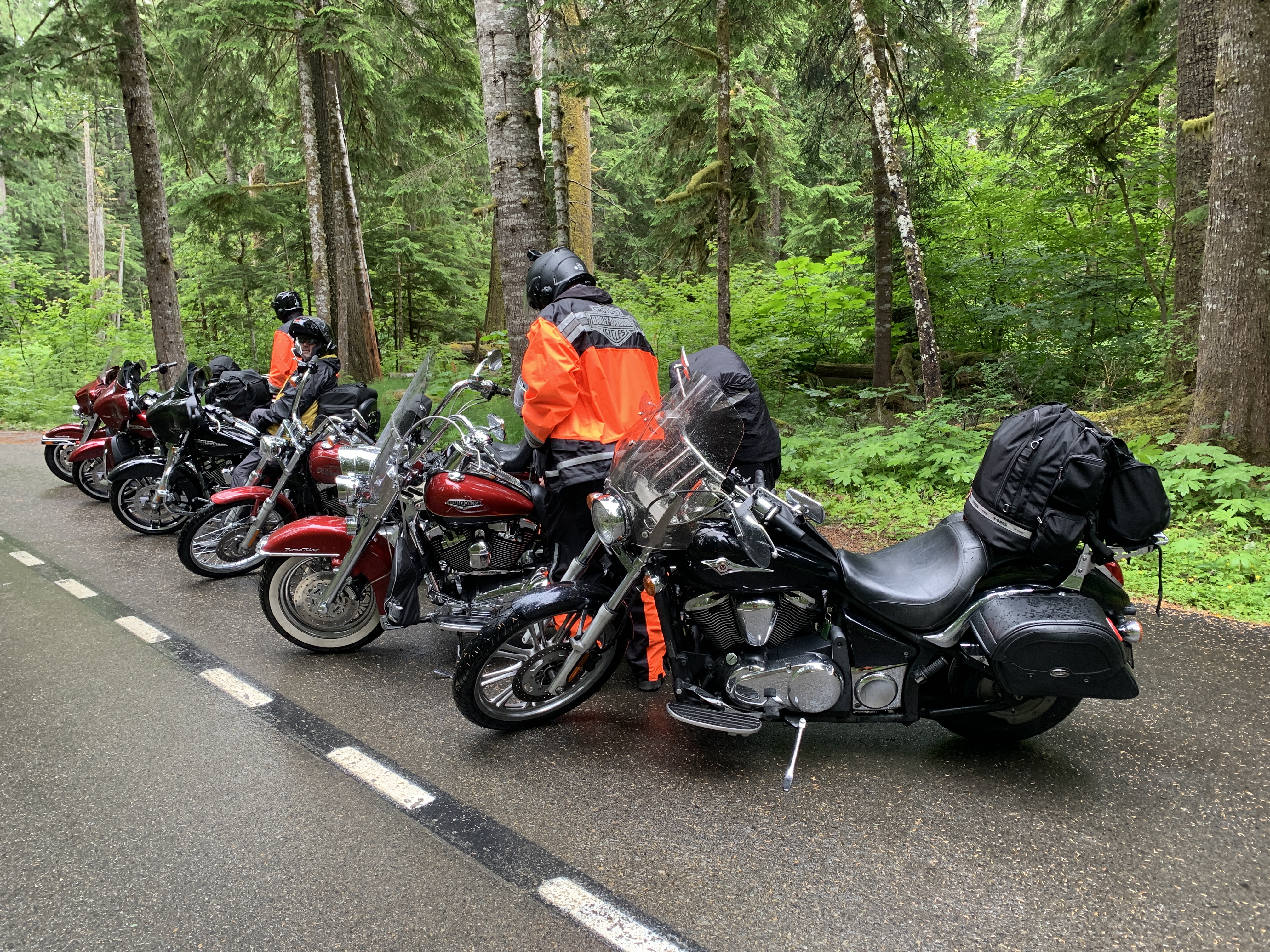
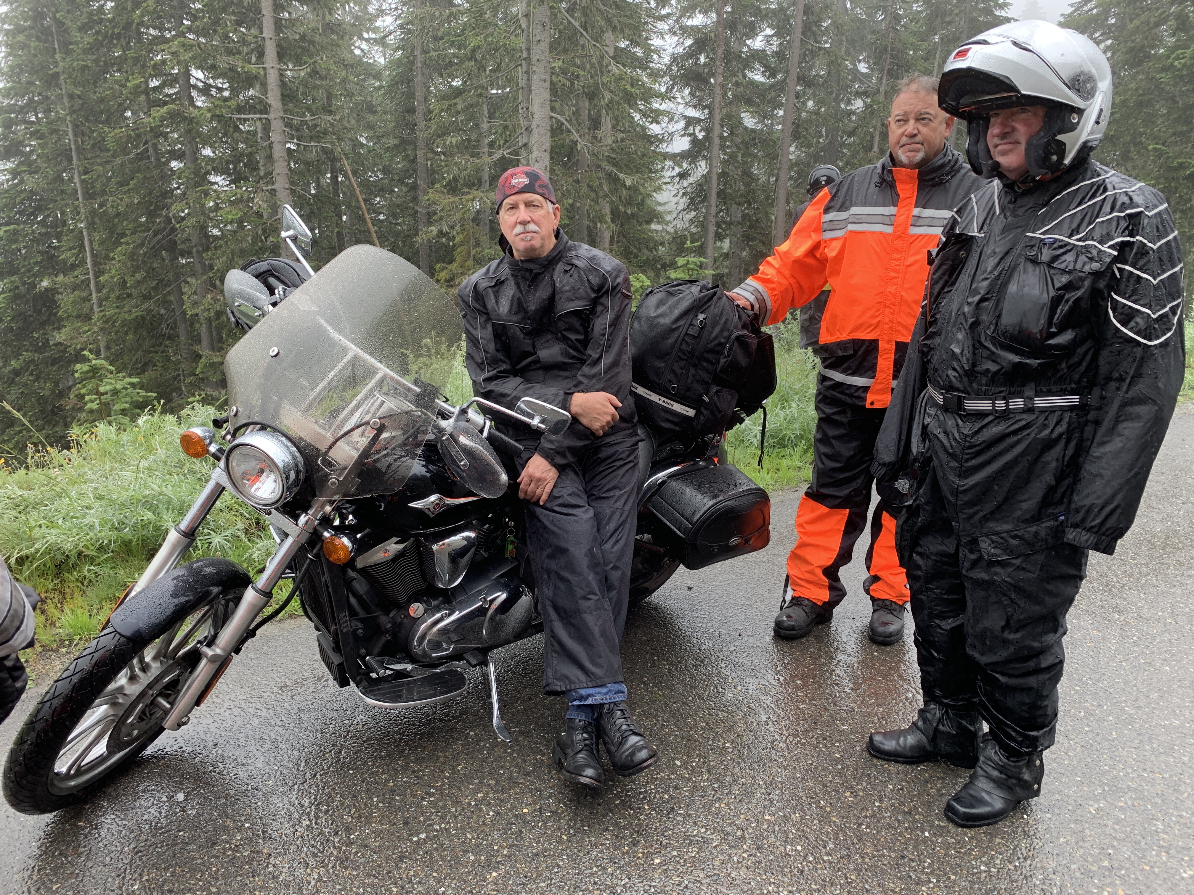
Riding motorcycles in the rain…lovely! I like the matching rain suits!
Because I’ve experienced rain every time I’ve been to Washington state, I once asked a friend from there what they do during the dry season. He responded, “If it falls on a Sunday, we have a picnic.” 🙂
LikeLike