Today’s iPod playlist includes surf music.
Somehow that seems incongruous, as we’re several hundred miles inland. But there’s a method to my madness.
The Beach Boys are generally considered the best surf band ever. Their tune, God Only Knows, is regarded as one of the best songs of all time. Rolling Stone magazine has the Beach Boys’ tunes Good Vibrations, All Summer Long and California Girls on their list of 10 Greatest Summer Songs of all time.
That was some awesome music, part of the Southern California surf sound from the mid-1960s. It was a key part of the soundtrack of my life as I grew up in California.
Today, surfing will be front and center on our ride. It’ll become obvious in a few hours.
***
From Bend, we head north on US Highway 97. By the end of the day, we’ll cross the Columbia River and be in Washington state.
Soon we pass Redmond, and the Redmond Municipal Airport. Known in airport lingo as RDM, the facility has direct service to Seattle, Portland, San Francisco, Los Angeles, Phoenix, Salt Lake City, Denver, and starting this summer – Chicago.
The Redmond airport serves Bend and central Oregon with flights on Alaska, American, United and Delta airlines. Twenty-five flights a day. A lot of people want to visit Bend.
Our goal is to leave Bend in the rear-view mirror.
Forty miles north of Bend is the town of Madras. Madras is reportedly named for the cloth fabric of the same name, which is itself named for the city of Madras (now Chennai) in India.
Madras is a lightweight cotton fabric with patterned texture and plaid design. It’s used primarily for summer clothing. With authentic Madras, both sides of the cloth must bear the same pattern, and it must be hand woven. In the US, the plaid cotton madras shirt became popular in the 1960s among the post World War II generation of preppy baby boomers. That’s me!

I was almost ready to order me some colorful Madras online. On my way to pressing the “Buy Now” button, I read that the fabric is generally regarded as belonging to the peasant class in its native India.
We’re bikers. We’ll stick with denim.
***
A few miles northwest of Madras, on US Highway 26, is the Madras Municipal Airport, once known as the Madras Army Air Field. In World War II, it was a training base for Boeing B-17 Flying Fortress bombers and Bell P-63 Kingcobra fighters.
What really draws aviation enthusiasts to this area is the Erickson Aircraft Collection, rated by Trip Advisor as the number one thing to do in the Madras area. A huge aircraft hangar left dormant by the end of World War II now houses a collection of war-era aircraft.
The facility even offers rides in the airplanes, including the PT-17 Stearman, the AT-6 Texan, and a DC-3. The military model of the Douglas DC-3 was named by General Dwight D. Eisenhower as one of the four weapons that contributed significantly to the allied victory in World War II. The other three: the jeep, the bazooka and the atom bomb.
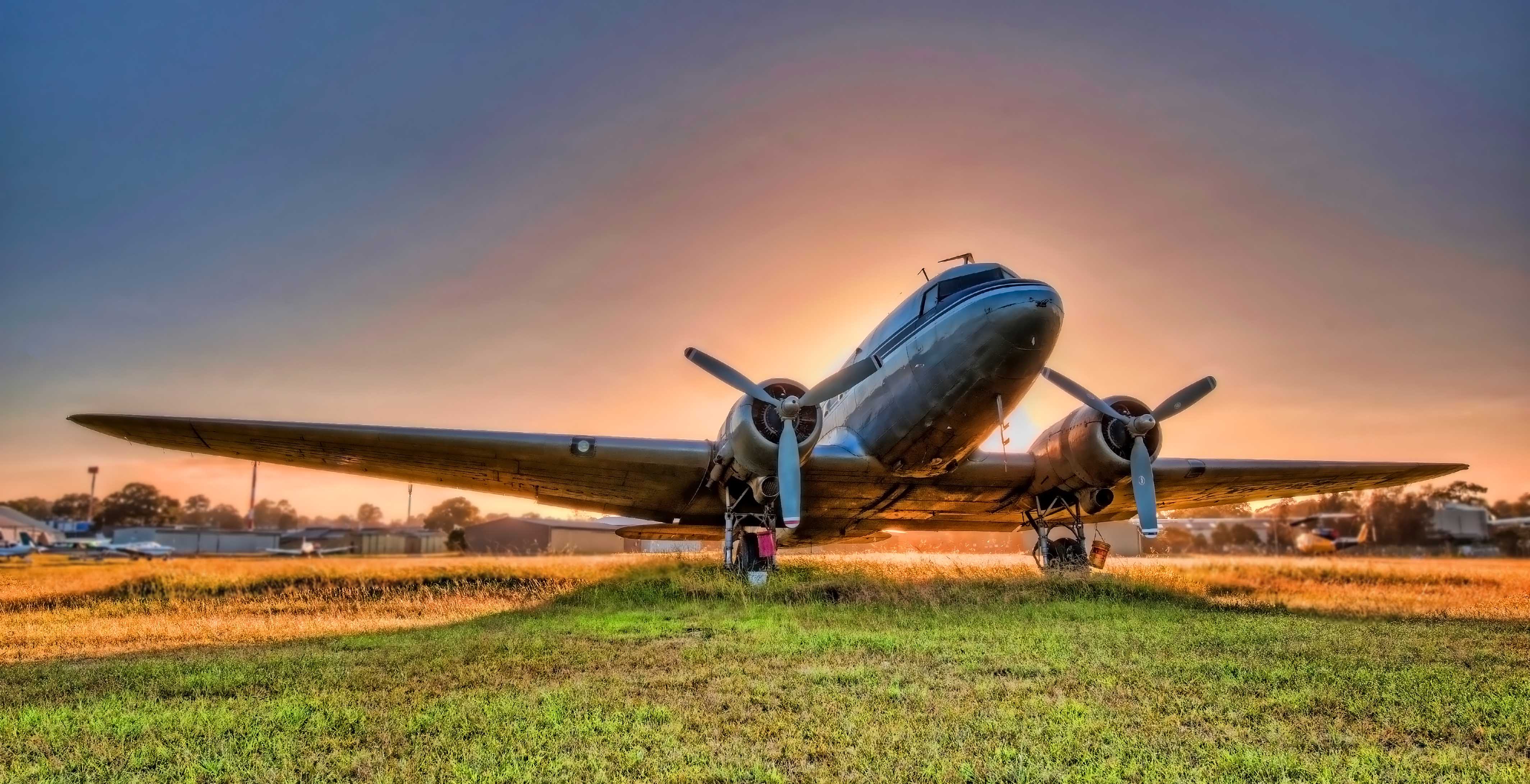
More than 16,000 DC-3s were produced; 10,048 of them were military derivatives built in Santa Monica, Long Beach, and Oklahoma City. That’s a lot of airplanes. By comparison, about 10,500 Boeing 737s have been assembled (more than 15,000 have been ordered).
Many DC-3s and their derivatives are still in use today, performing functions such as aerial spraying, freight transport, passenger service, military transport, missionary flying, skydiver shuttling and sightseeing.
***
Just a few miles from the aircraft collection is the town of Maupin, known as the Gateway to the Deschutes River.
It would make a good story to say that Maupin is named for Armistead Maupin, author of Tales of the City – a series of novels set in San Francisco. Like me, Maupin is a former newspaper and TV reporter. Unlike me, he’s made a fortune as a writer. You’re getting exactly what you pay for with this free blog!
Maupin is actually named for Howard Maupin, a pioneer who had a farm and ferry at the town’s location in the late 19th century.
We continue northwest on US Highway 26, past the old warbirds, crossing the Deschutes River. We roll through the Warm Springs Indian Reservation, home of Painted Pony Expresso and the Indian Head Casino.
Here, Highway 26 is also called the Warm Springs Highway. We leave the Warm Springs reservation after a half hour or so, and enter Mount Hood National Forest. The forest covers more than one million acres, and has more than four million visitors annually.
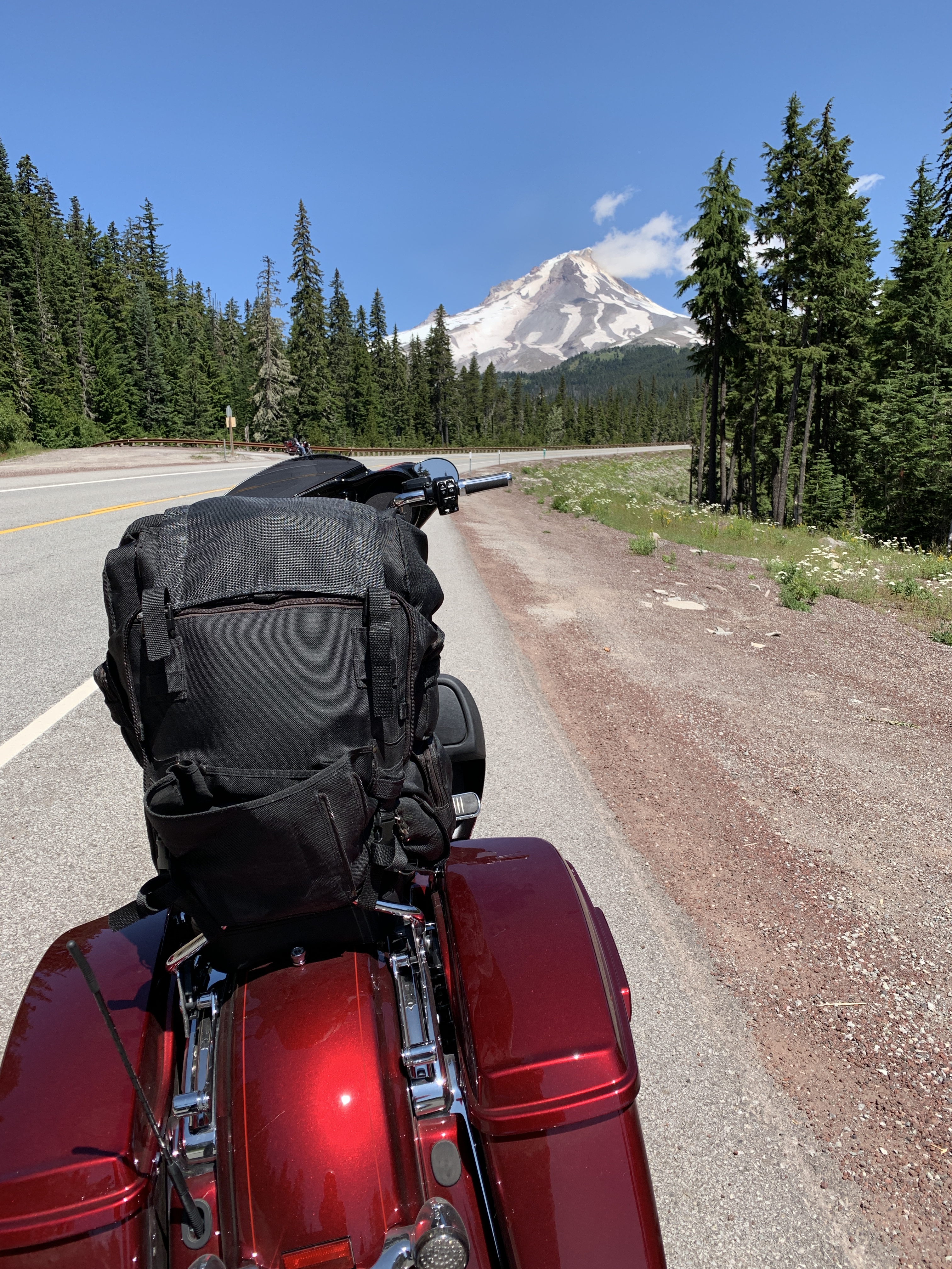
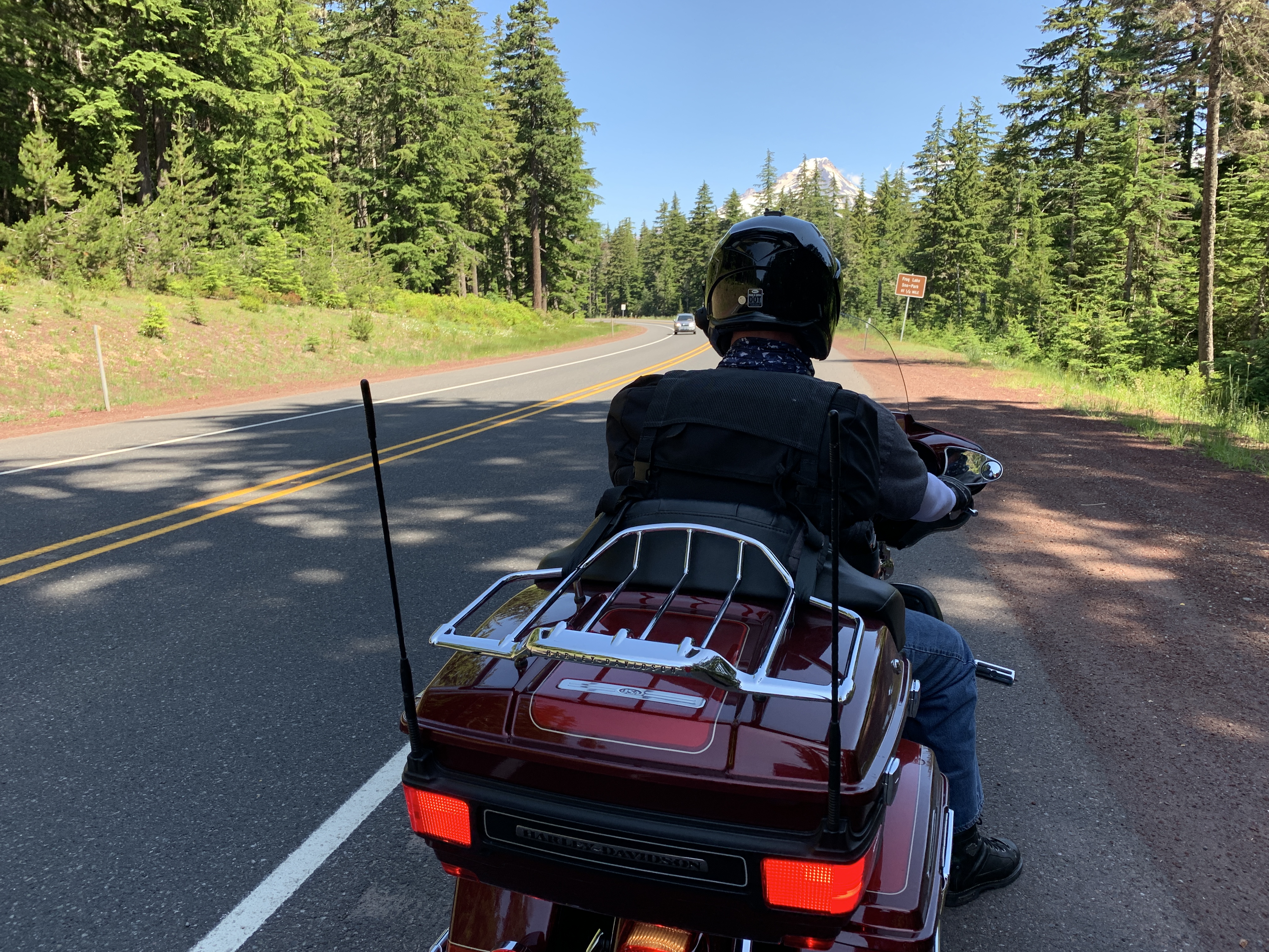
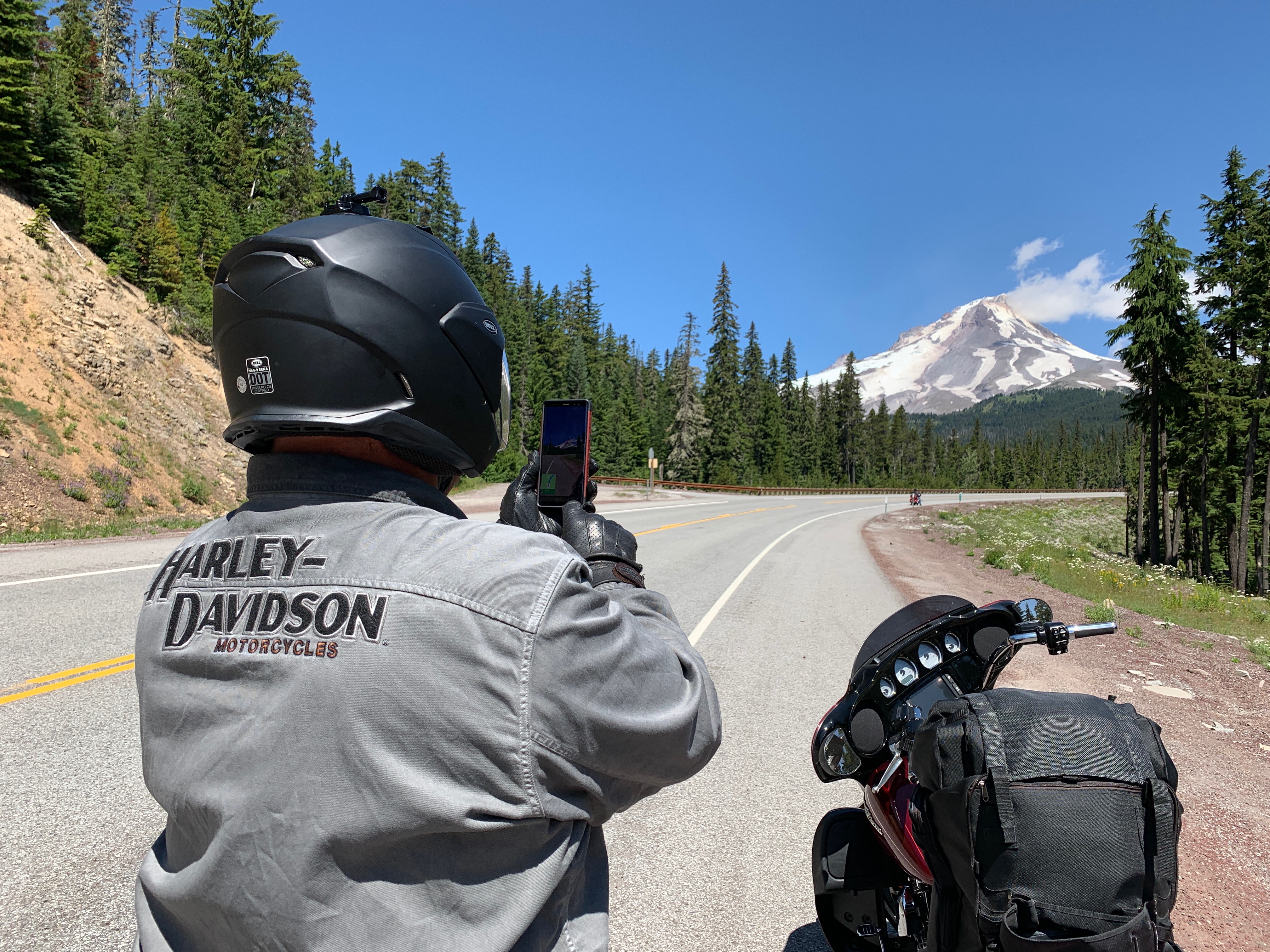
Ten miles into the forest, we turn northeast on Oregon Highway 35, which takes us immediately past the Mount Hood Meadows ski area. The ski area sits on the southern shoulder of Mount Hood, a 11,249-foot volcano that can be seen as far away as Portland, about 50 miles northwest.
Mount Hood is the highest point in Oregon. Its last eruptive period took place about 200 years ago. Today, Mount Hood is considered the Oregon volcano most likely to erupt. The US Geological Survey says the odds of an eruption in the next 30 years are somewhere between three and seven percent.
Those are odds we can live with.
***
Mount Hood has six ski areas: Timberline, Mount Hood Meadows, Ski Bowl, Cooper Spur, Snow Bunny, and Summit. Mount Hood Meadows, which we roll by on our way north, is the largest of the six, with 11 chairlifts and 2,150 acres of skiable terrain.
We continue north on Highway 35, and in 30 miles, arrive in the town of Hood River, a port on the Oregon side of the Columbia River. With more than 440 local apple orchardists, Hood River is famous for its hard cider scene.
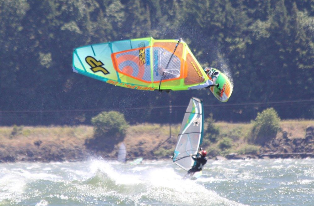
But what Hood River is really known for is its wind — and windsurfing. Hood River is ground zero for the windsurfing and kiteboarding world.
We’re smack in the middle of the Columbia River Gorge National Scenic Area. Scenic it is.
Locals just call it The Gorge. Best windsurfing spots: The Hook, The Hatchery, Rooster Rock, The Wall, and Blackberry Beach. Adrenaline junkies love this place. Strong western winds and big swells draw riders from all over the world.
Grab your board and go!
***
Hood River, 62 miles east of Portland, is our last stop before crossing into Washington state. Riding across the mile-long Hood River Bridge comes with a $1 toll for motorcycles.
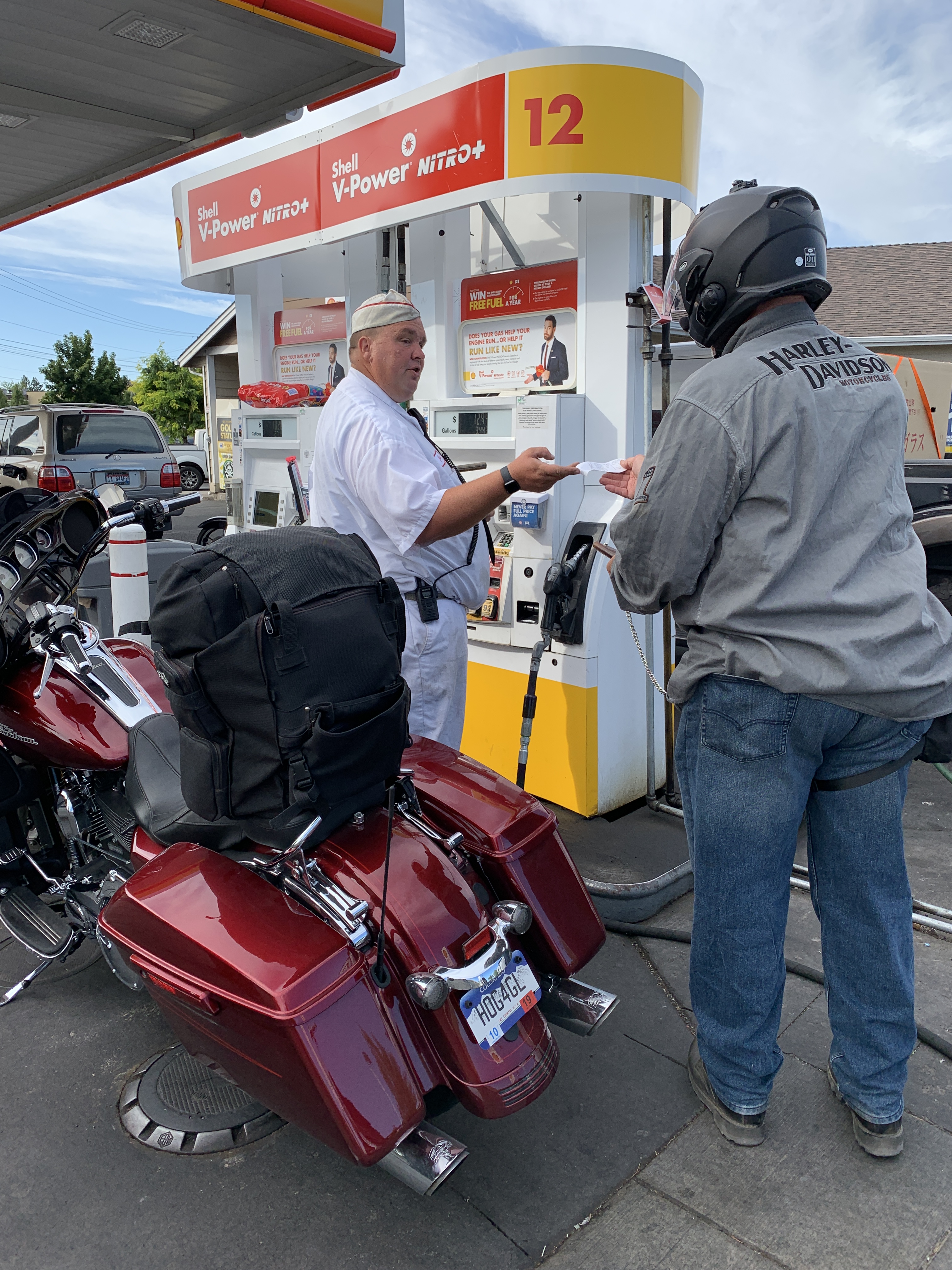
It’s been a while since our last gas stop. Because of Oregon’s silly ban on self-serve pumping, we haven’t filled our own tanks for a few days.
So we roll through Hood River, cross the Columbia River and enter Washington State. Now free to pump as we please, we stop in the town of White Salmon, and fill up, like giddy 10-year-olds. White Salmon, which sits on the Washington side of the Columbia River, is named for a now-extinct species of salmon that once thrived here.
In White Salmon, we turn west on Washington Highway 14, the Lewis and Clark Highway, and ride along the northern shores of the Columbia River. The highway is named for the explorers who led an expedition commissioned by President Thomas Jefferson shortly after the Louisiana Purchase in 1803.
They were tasked with exploring and mapping the newly acquired territory, and finding a practical route across the western half of the continent. They also were asked to establish an American presence in the territory before Britain and other European powers tried to claim it. Seemed to work pretty well.
***
We continue along the north shore of the Columbia for 16 more miles, passing through Cook and Home Valley, before arriving at the town of Carson. Here, we say goodbye to the Columbia, and turn north on the Wind River Highway. It’s the last time we’ll see the Columbia until next week, when we’re heading home from Canada.
We follow the Wind River Highway and Meadow Creek Road for the next 20 miles or so, riding through Gifford Pinchot National Forest. The road becomes narrow and winding, and takes us to Northwoods, on the eastern edge of the Swift Reservoir.
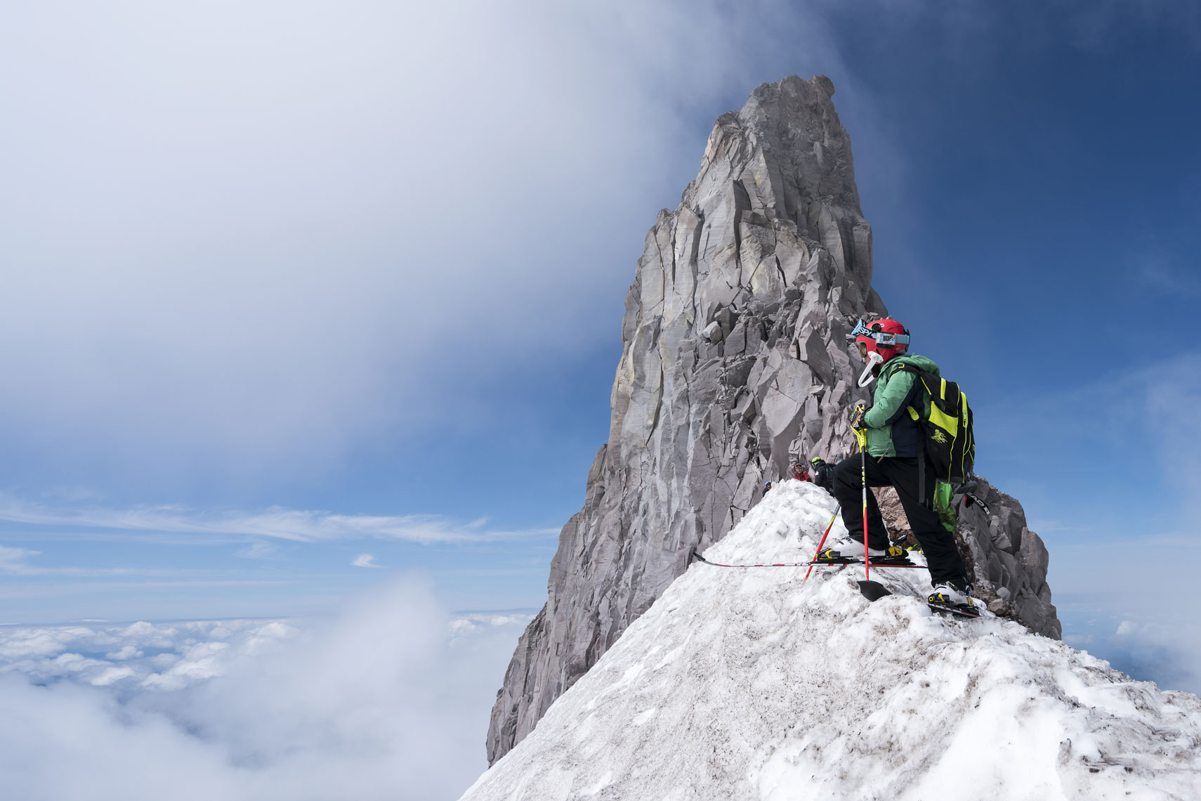
In Northwoods, we turn north on National Forest Road 25, which will be our playground for the next 42 miles. We’re following the eastern side of Mount Saint Helens National Volcanic Monument and Spirit Lake. The road is very twisty and said to be one of the best motorcycle roads in Washington. We concur with that assessment.
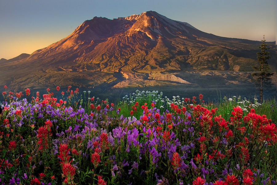
There’s a turnoff to National Forest Road 99, which would take us up Windy Ridge, very near the crater of Mount Saint Helens. Instead, we continue northward to the town of Randle, on the well-traveled east/west route, US Highway 12.
After 16 miles of riding along the Cowlitz River, Highway 12 leads us to tonight’s destination: Packwood.
Packwood is a good jumping off spot to Mount Saint Helens National Volcanic Monument, to the south – and Mount Rainier National Park, to the north. As the crow flies, Packwood is only about 10 miles from 14,410-foot Mount Rainier. On clear days, there are spectacular views of the mountain from here.
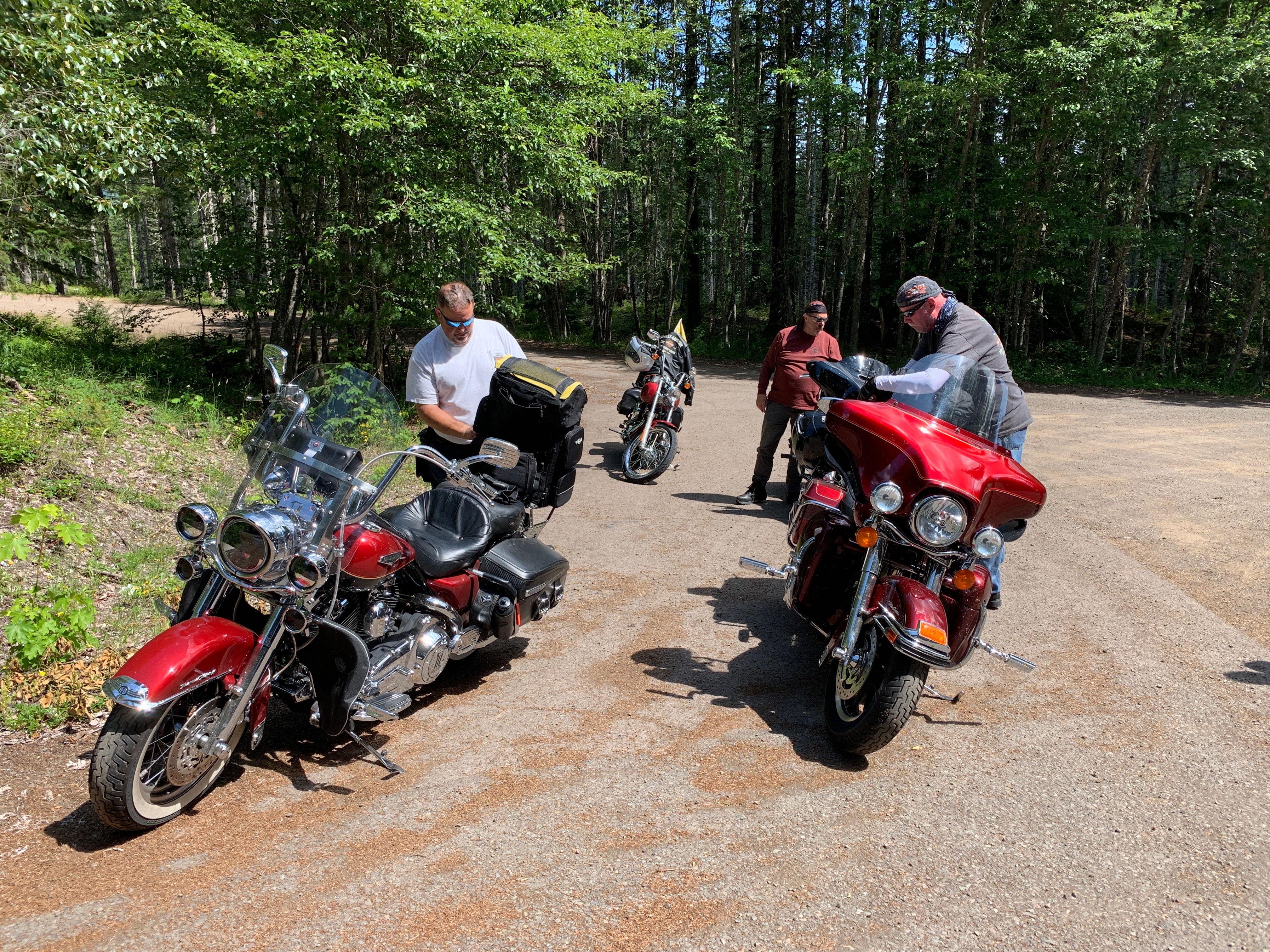
With sore butts after six hours in the saddle and 266 miles on the road, we check in to the Cowlitz River Lodge and contemplate our next move: dinner.
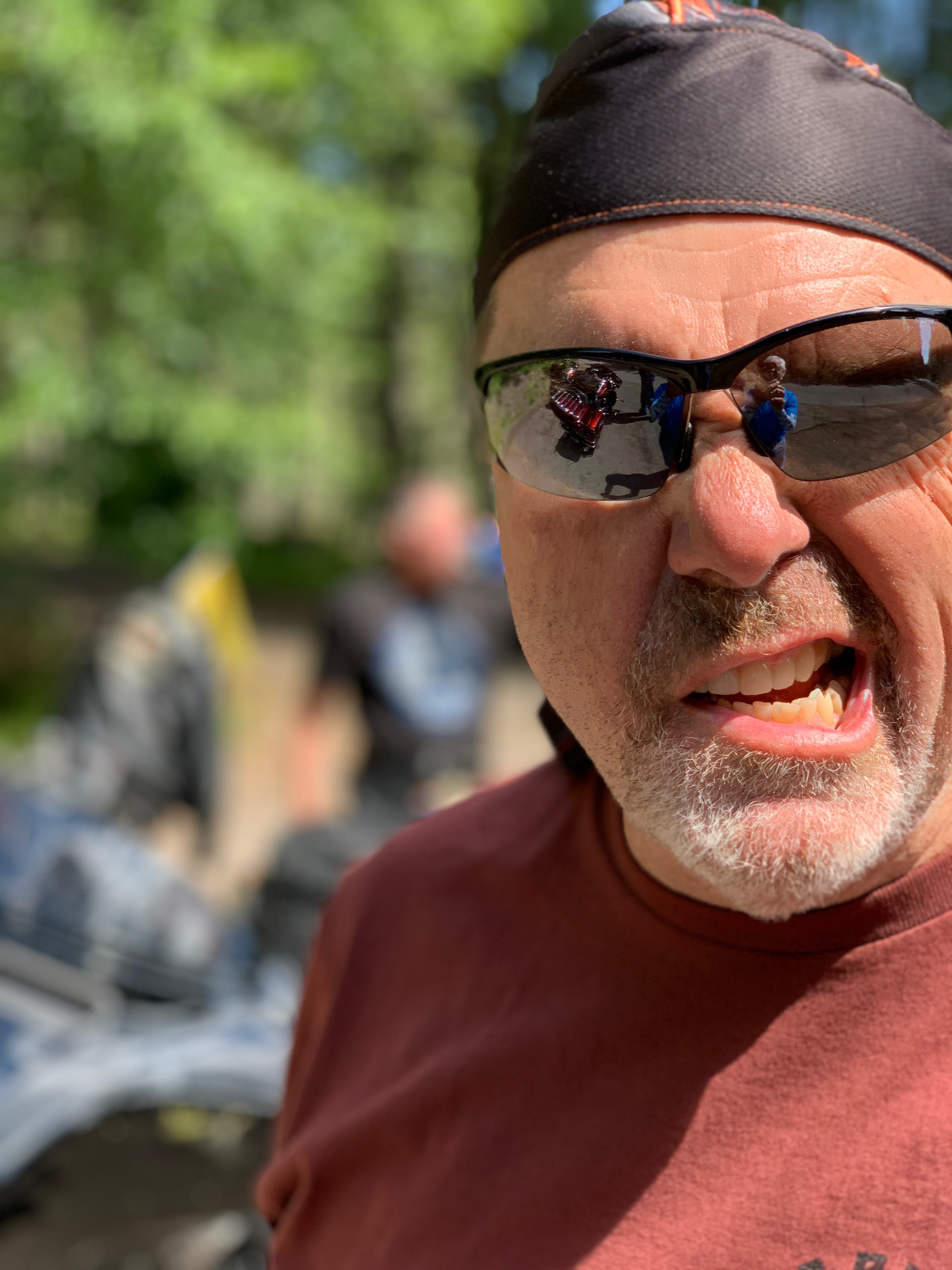
At the dinner table, we find Randy Suhr, an old (he’s on Medicare!) friend from my days at KOMO-TV in Seattle. I’ve known Randy since 1983. He’s ridden to Packwood from his Seattle home, and is joining us for the ride to Canada. To learn more about Randy, click here and scroll down to his bio.
Welcome to the posse, Randy.
***
Day Nine Summary: Fun with fabric, windsurfing The Gorge, among Cascade volcanoes.
Click here to see today’s complete route from Bend, Oregon, to Packwood, Washington.
We’re on our way to Canada, eh?
Vroom, vroom.
***
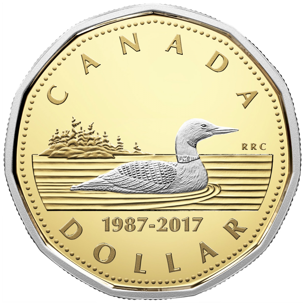
Today’s Canada Fun Fact, eh? In Canada, the one dollar coin is called a loonie. The loonie is a gold-colored coin that was introduced in 1987 and is produced by the Royal Canadian Mint at its facility in Winnipeg.