Today, we’ll cross into Oregon, my fifth state on this trip. Colorado, Utah, Nevada and California are the others. Still to come: Washington and, while technically not a state, British Columbia. OK, it’s a Canadian province, but it feels like a 51st state. More on that later.
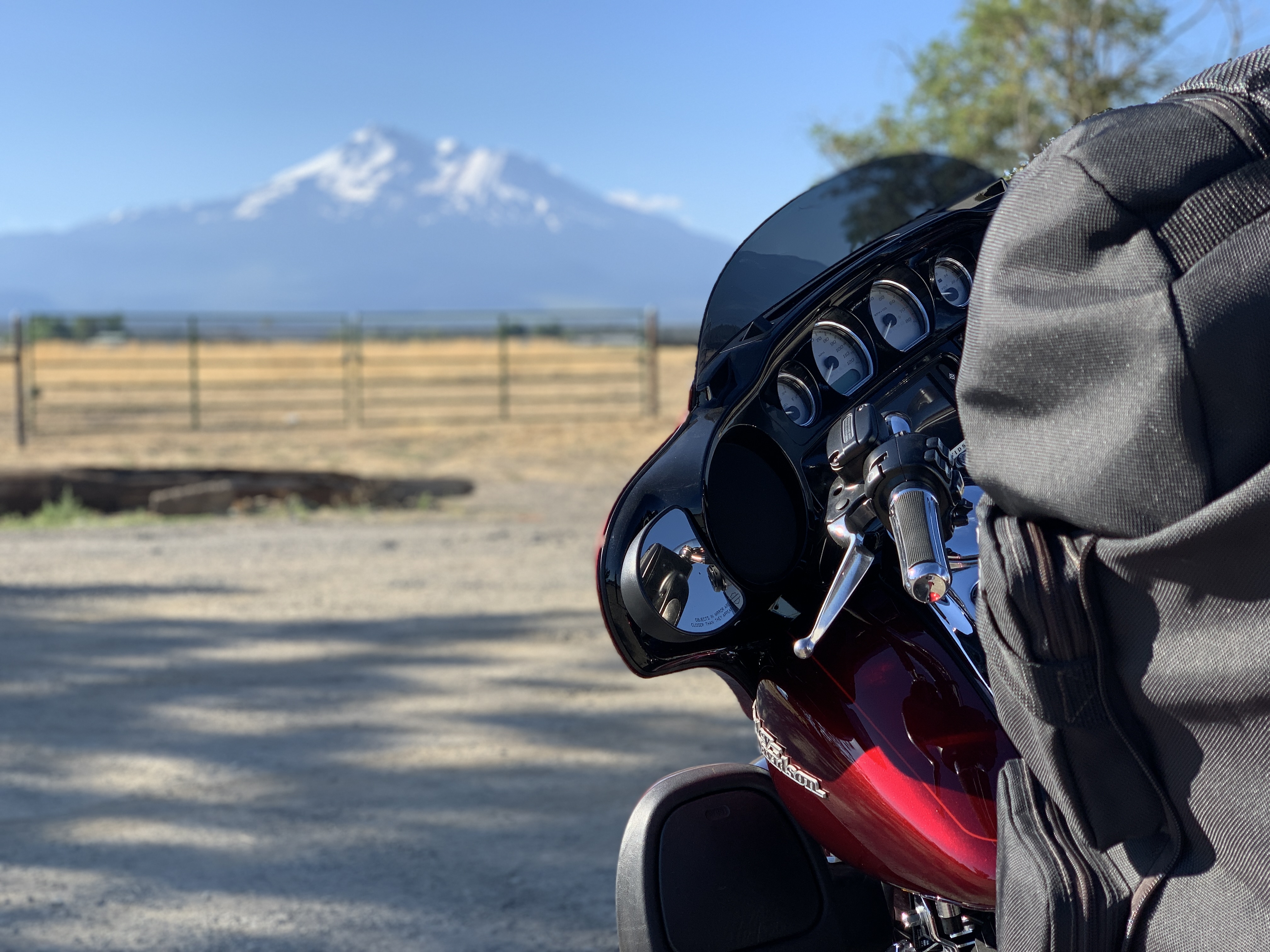
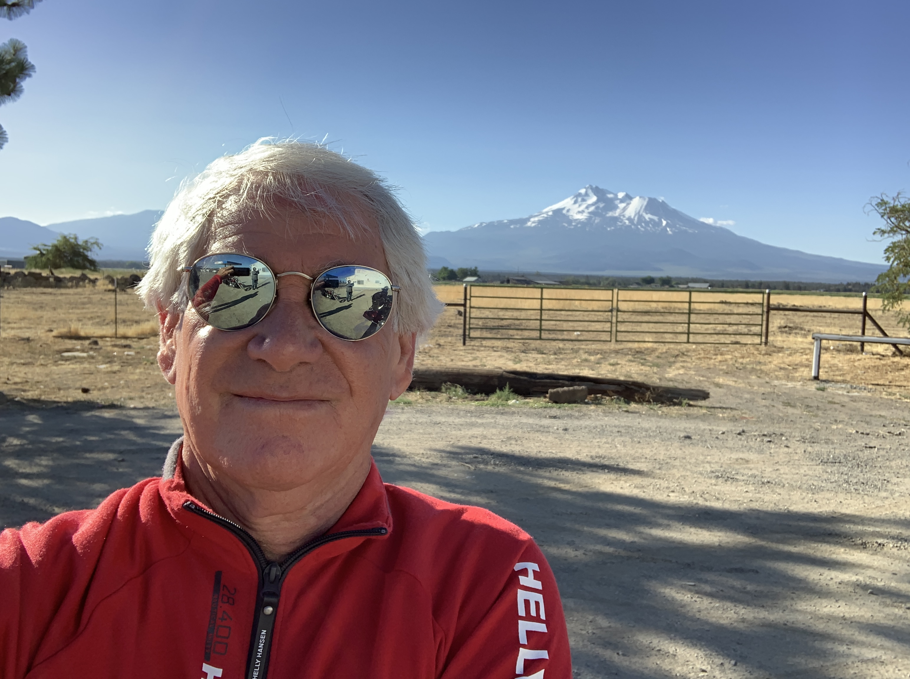
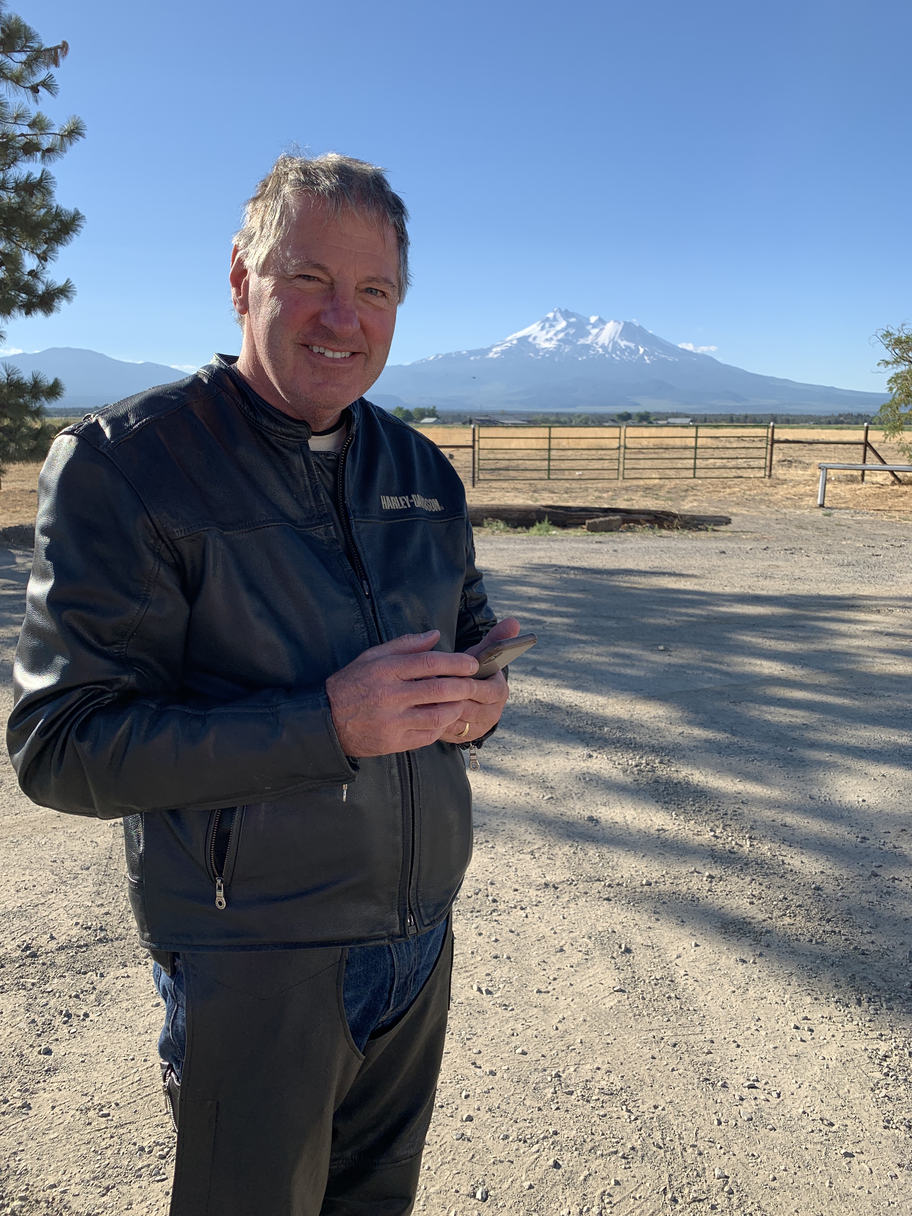
As we head east toward US Highway 97, we come within about 10 miles of Mount Shasta, which towers over the valley. Shasta is a 14,179-foot dormant volcano. It’s the second highest peak in the Cascades, after Mount Rainier.
The last eruption of Mount Shasta is believed to have happened in 1786. During the last 10,000 years, Mount Shasta has erupted, on average, every 800 years. That’s a long time to you and me, but not a sizable span geologically. The US Geological Survey monitors Mount Shasta, and rates it as a very high-threat volcano.
The USGS threat ranking is not an indication of which volcano will erupt next. Rather, it indicates how severe the impacts might be from future eruptions at any given volcano. At the top of the very high threat list is Hawaii’s Kilauea. The next two are Mount Saint Helens and Mount Rainier, both in Washington State.
***
We roll northward on Highway 97 toward the Oregon state line. Just north of Dorris, we cross into Oregon and continue toward Klamath Falls. To our left is Bear Valley National Wildlife Refuge. To our right is Lower Klamath National Wildlife Refuge. Lots of refuge to be found around here.
About 87 miles after leaving Yreka, we arrive in Klamath Falls, which sits at about 4,100 feet. The city was built on the logging industry. Klamath falls is located on the Klamath River and Upper Klamath Lake. For some reason, it’s nicknamed Oregon’s City of Sunshine. Klamath Falls averages 218 sunny days a year; the national average is 205.
We leave Klamath Falls, continuing our ride on Highway 97. We’re riding along the east shore of Upper Klamath Lake. Just before the Kla-Mo Ya Casino, we turn north on Oregon Highway 62, the Crater Lake Highway.
Here at the junction of Highways 97 and 62 is the Crater Lake Junction Travel Center in Chiloquin. We’ll stop and fill our tanks with gas, we hope.
For anyone who hasn’t visited Oregon, there’s a bit of a culture shock when it’s time to fill up. Oregon is one of only two states that ban self-service gas stations. The other is New Jersey.
But thanks to a recent law that went into effect on January 1, 2018, customers can now pump their own gas in Oregon, though only at stand-alone gas stations, and only in counties with fewer than 40,000 residents. Chiloquin, where we’re now trying to fill our tanks, is in Klamath County, population 67,000.
The Oregon law that’s causing others to do the filling has been around for nearly seven decades. The original ban on self-service gasoline was passed in 1951. The law includes justification language explaining that pumping gas can expose customers, including pregnant women and children to unsafe fumes.
The law’s rationale also says customers pumping gas can be dangerous for novices, can cause spills and can cause discomfort to the elderly. I assume that’s people older than we are.
It turns out this is not gonna be an issue for us today. The Chiloquin location is on an Indian Reservation, and they’re exempt from the gas law. On top of that, after asking questions of the gas pump attendants, we find out that motorcycles are exempt, too.
So, we get to pump our own gas, just like everywhere in the known world. Except New Jersey.
Who knew pumping gas could be so complicated?
***
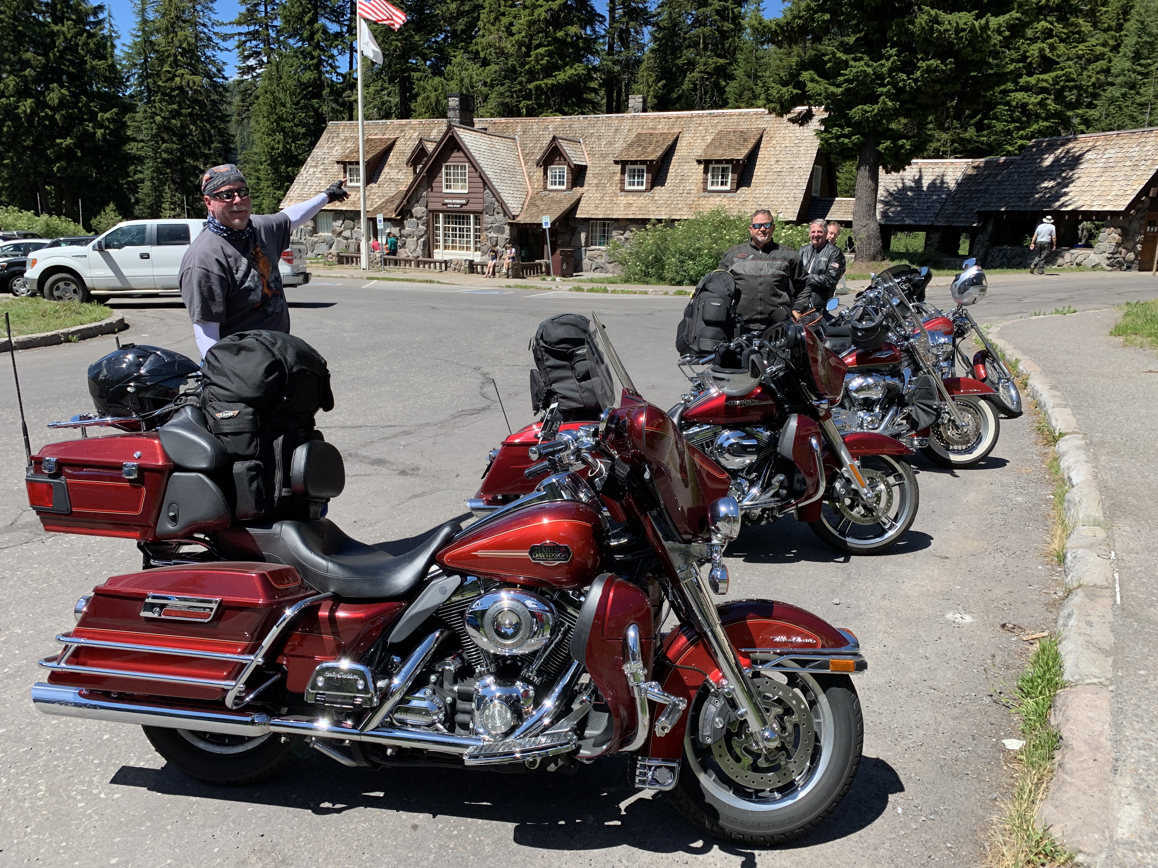
After our gas stop, we continue north on Highway 62, which takes us through Fort Klamath and nine miles later, to the entrance of Crater Lake National Park — our second national park of the trip.
We enter the park, immediately turning onto the Volcanic Legacy Scenic Byway, which takes us along the western side of Crater Lake. The lake, which is about six miles by five miles, is famous for its deep blue hue and water clarity. With a depth of 1,949 feet, Crater Lake is the deepest in the United States, and the ninth-deepest in the world. By comparison, the world’s deepest lake is Lake Baikal in Russia: 5,387 feet deep.
There are no rivers flowing into or out of the lake. Rain and snowfall compensate for the water evaporation. The new water comes into the lake at a rate that hypothetically replaces the Crater Lake’s water every 250 years.
Crater Lake has two small islands. One of them is Wizard Island, a 315-acre gem on the west side of the lake that we ride past a few miles after the park’s visitor center. Wizard Island is a volcanic cinder cone that rises about 755 feet above the surface of the lake. The island was created after the violent eruption of Mount Mazama about 7,700 years ago, forming the caldera that now contains Crater Lake. It may have been North America’s largest eruption in 640,000 years.
Rim Drive is a 33-mile loop that winds around the lake, climbing from 6,500 feet at its lowest point, to 7,900 feet above sea level. Speed limit is 35 miles an hour, so you do the math. It’s about a one-hour journey, not including stops at the four observation points and 15 turnout vista points.
***
After loading our phones with photos of the lake, we head to the northern park entrance station to exit the park. A mile later, we turn east on Oregon Highway 138. Fifteen miles after that, we’re back on Highway 97 north, riding through the Deschutes National Forest.
On our way to Bend, we pass by the towns of Chemult, Crescent, La Pine and Three Rivers. If you took our Six Rivers quiz yesterday, you might try today’s Three Rivers quiz; it should only be half as difficult. The Three Rivers are the Deschutes, the Little Deschutes and the Spring.
Ten minutes up the road from Three Rivers is Sunriver, a planned residential and resort community along the eastern side of the Deschutes River. Sunriver Resort is home to 63 holes of golf, including the famed (and expensive) Crosswater Club. Sunriver claims 300 days of sunshine a year, and has spectacular views of 9,068-foot Mount Bachelor, about 15 miles to the northwest.
Fifteen miles northeast is the city of Bend, a rapidly growing community of nearly 100,000 year-round residents. Bend began as a logging town, but today is known as a gateway for outdoor sports including mountain biking, fishing, hiking, camping, rock climbing, white water rafting, skiing, paragliding and golf.
In 2015, Men’s Journal magazine ranked Bend as one of the 10 Best Places to Live. Carbondale, my newly adopted home town, is also on that list.
Since we can’t be in Carbondale tonight, we’ll park our bikes and spend the next 16 hours in a suitable alternative. Bend.
***
Day Eight Summary: Cratering in Oregon, eruptions on demand, and making a best-places to live list.
Click here to see today’s complete route from Yreka, California, to Bend.
We’re on our way to Canada, eh?
Vroom, vroom.
***
Today’s Canada Fun Fact, eh? Looking for a tax break in Canada? Dog food is tax deductible. Well sort of. It’s tax deductible if it’s for a service dog.


Hi Gary, Hope you and Sarah are well. I have been enjoying your posts. Enjoy! Joe
Joe Vetrano
(760) 963-0587 mobile
(760) 564-1200 fax
LikeLike
Great, great ride. I was on s lot of those rides last year on my Mexico to Canada ride. Starting in 94549 and ending in 94549. But starting in May. Ebbetts Pass is really cold in May with 6 feet of snow on either side of you and frozen lakes. Loved every mile. Keep riding! I remember your Honda 90. Did you ride my Honda 50? Not that long ago, 53 years.
LikeLike
Once again thank you for taking us on the ride with you. I’m really enjoying your post keep it coming and stay safe out there!
LikeLike
Love the Crater Lake vista photos. I bet it was something in person!
LikeLike
Yep. Was pretty awesome!
LikeLike