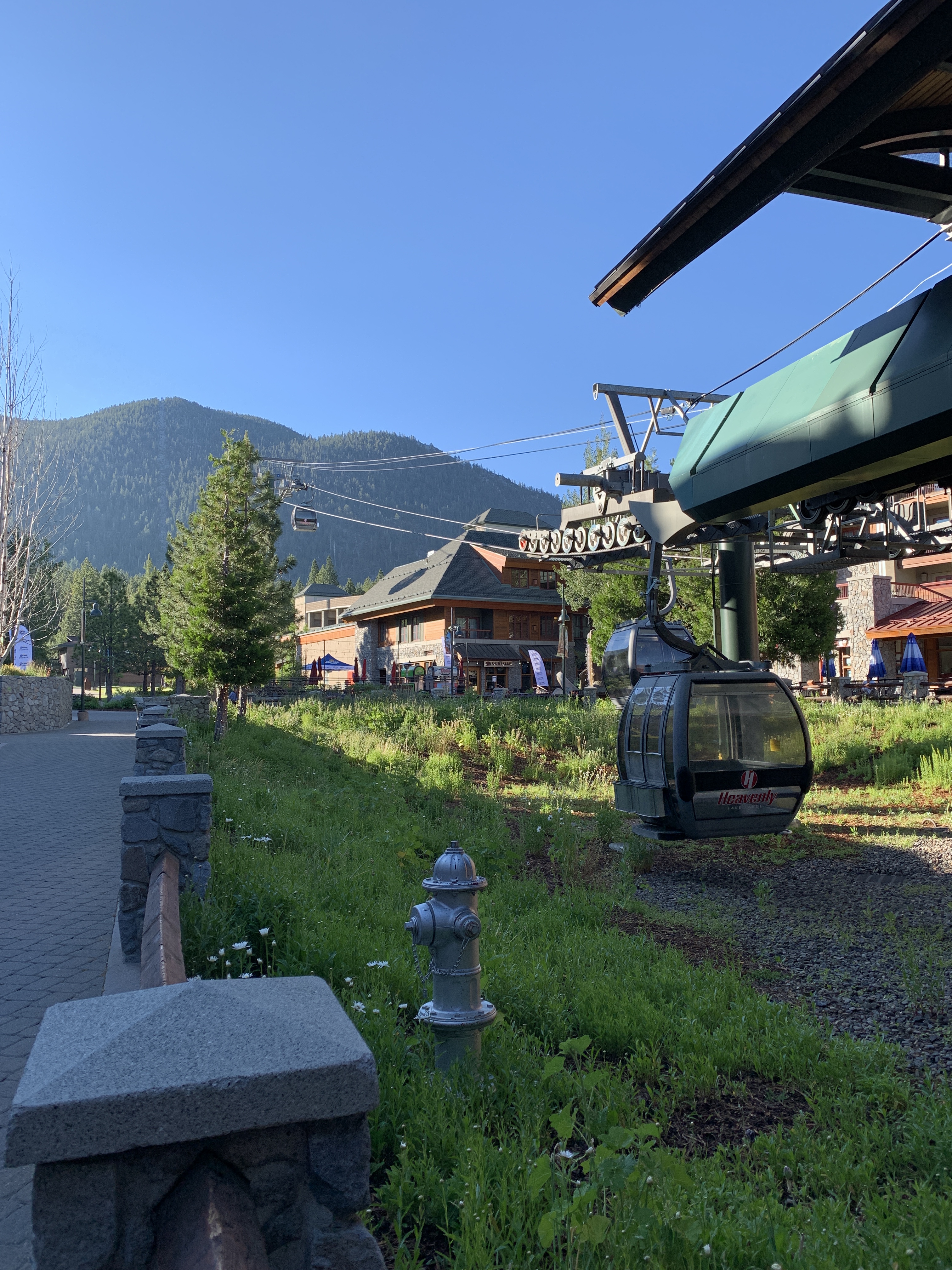
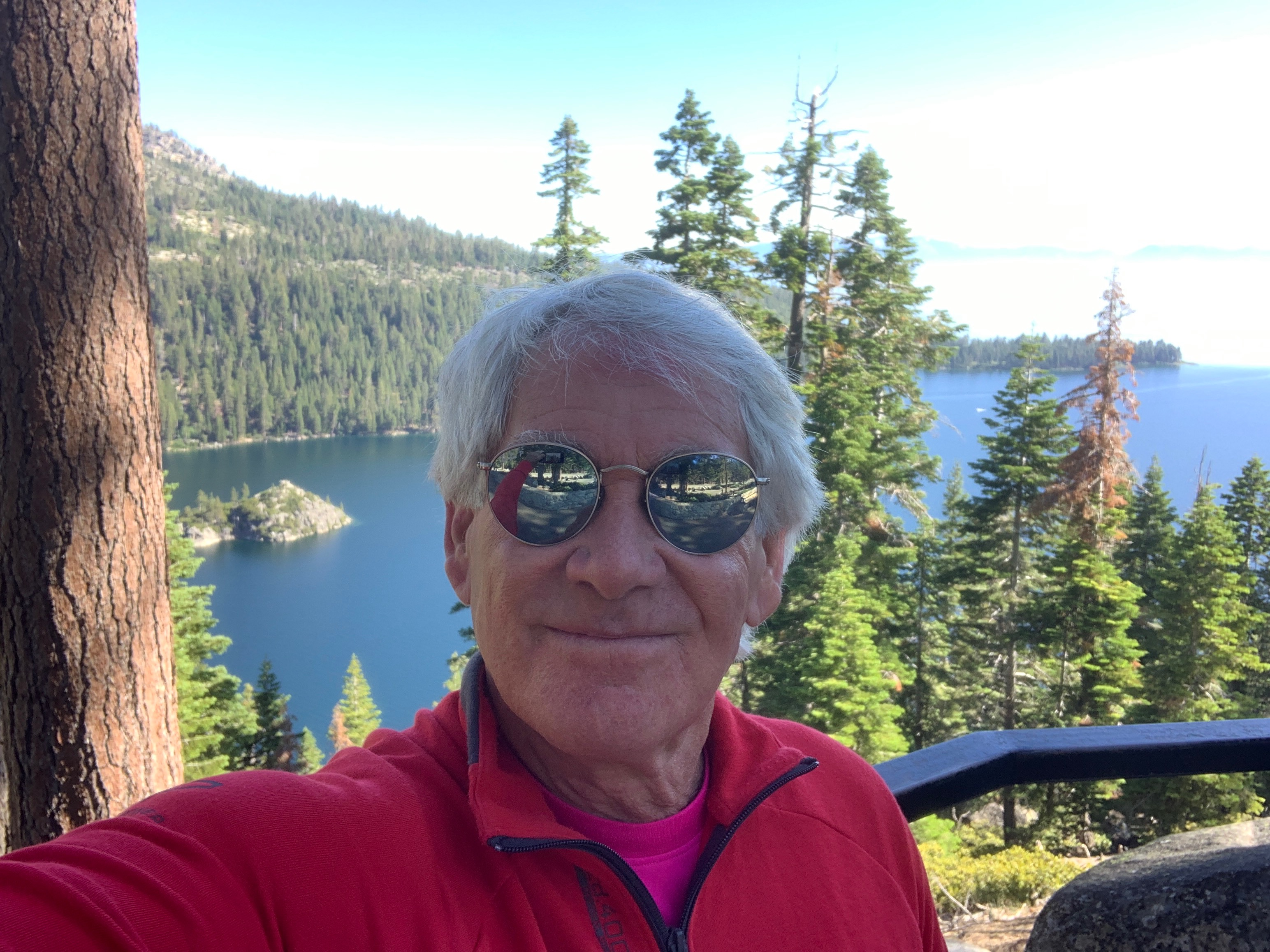
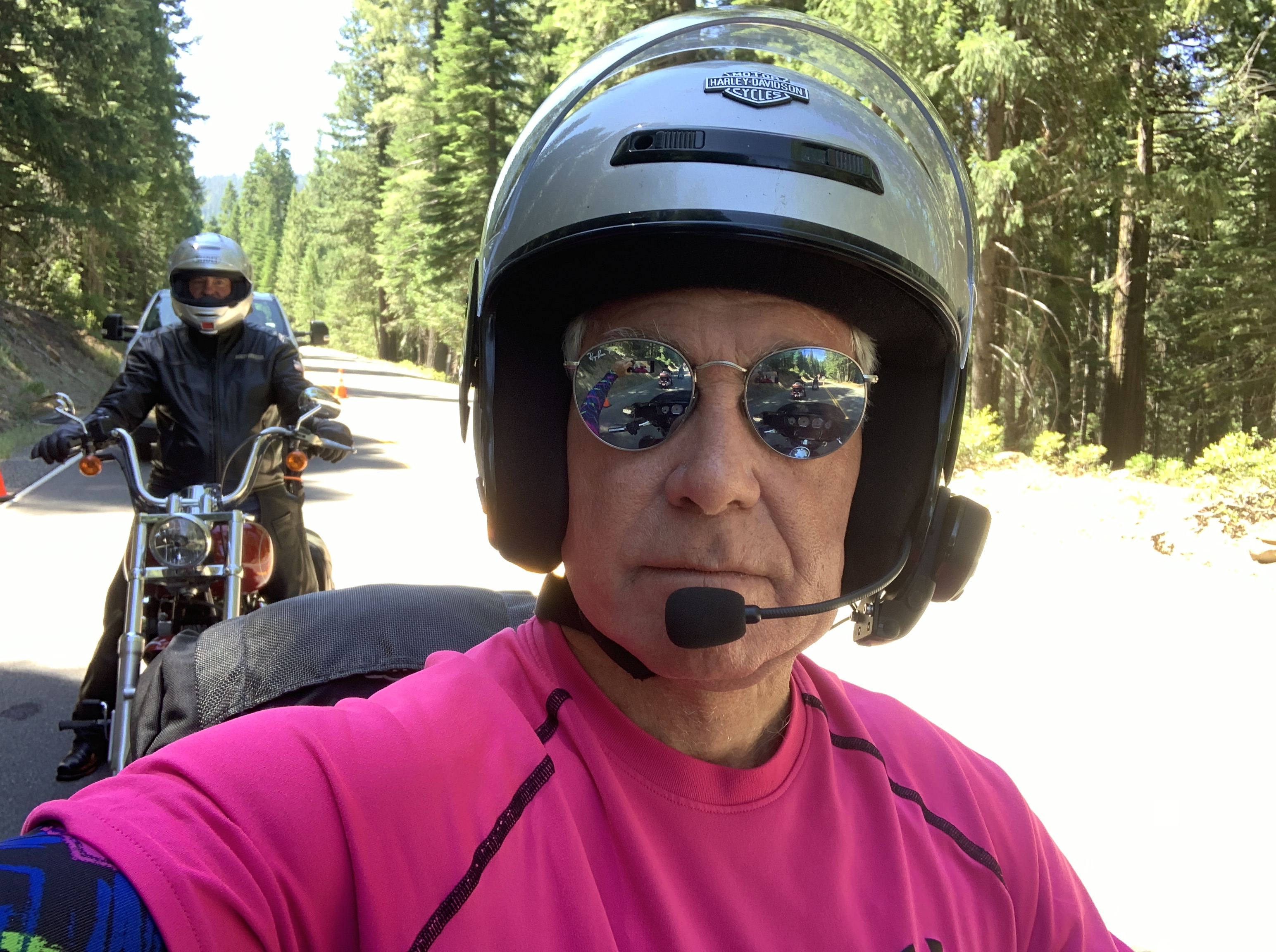
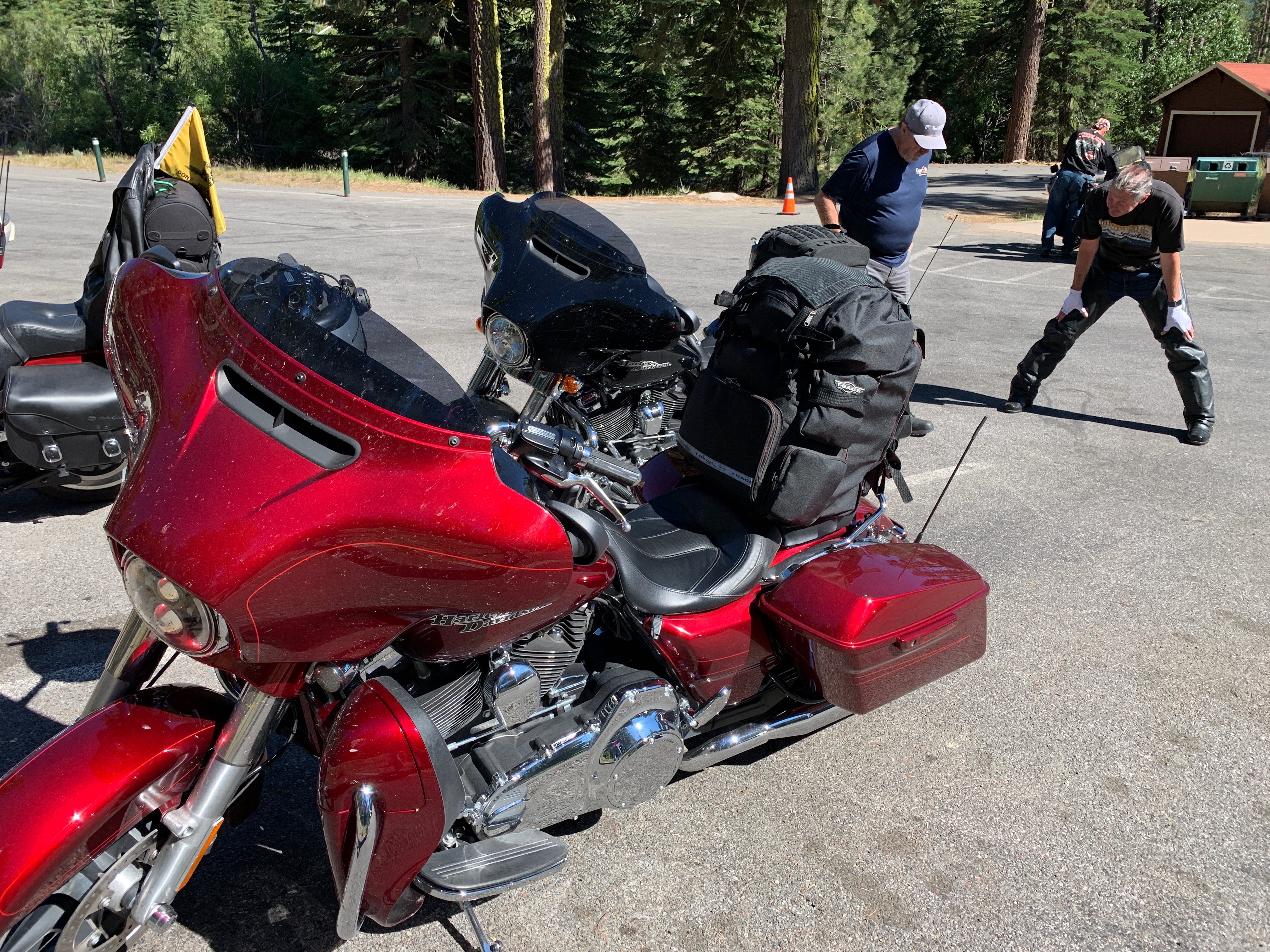
We begin our 267-mile day by riding northwest out of South Lake Tahoe on California Highway 89. This road, like so many on this trip, is seemingly made for motorcycles. It takes us along the western shore of Lake Tahoe.
Lake Tahoe, which sits at 6,225 feet, straddles the state line between California and Nevada. With a depth of 1,645 feet, it’s the second deepest in the US, behind Oregon’s Crater Lake – which we’ll visit on Saturday.
Tahoe is a big lake, covering 191 square miles. Multiplying its surface area times its depth, the lake has a huge volume – trailing only the five Great Lakes as the largest by volume in the US.
The lake is much more than huge. It’s gorgeous.
One of Tahoe’s nicknames is Big Blue, for the unmistakable hue of the lake. Turns out the color comes not from the sky; the vivid Tahoe blue arises from its depths.
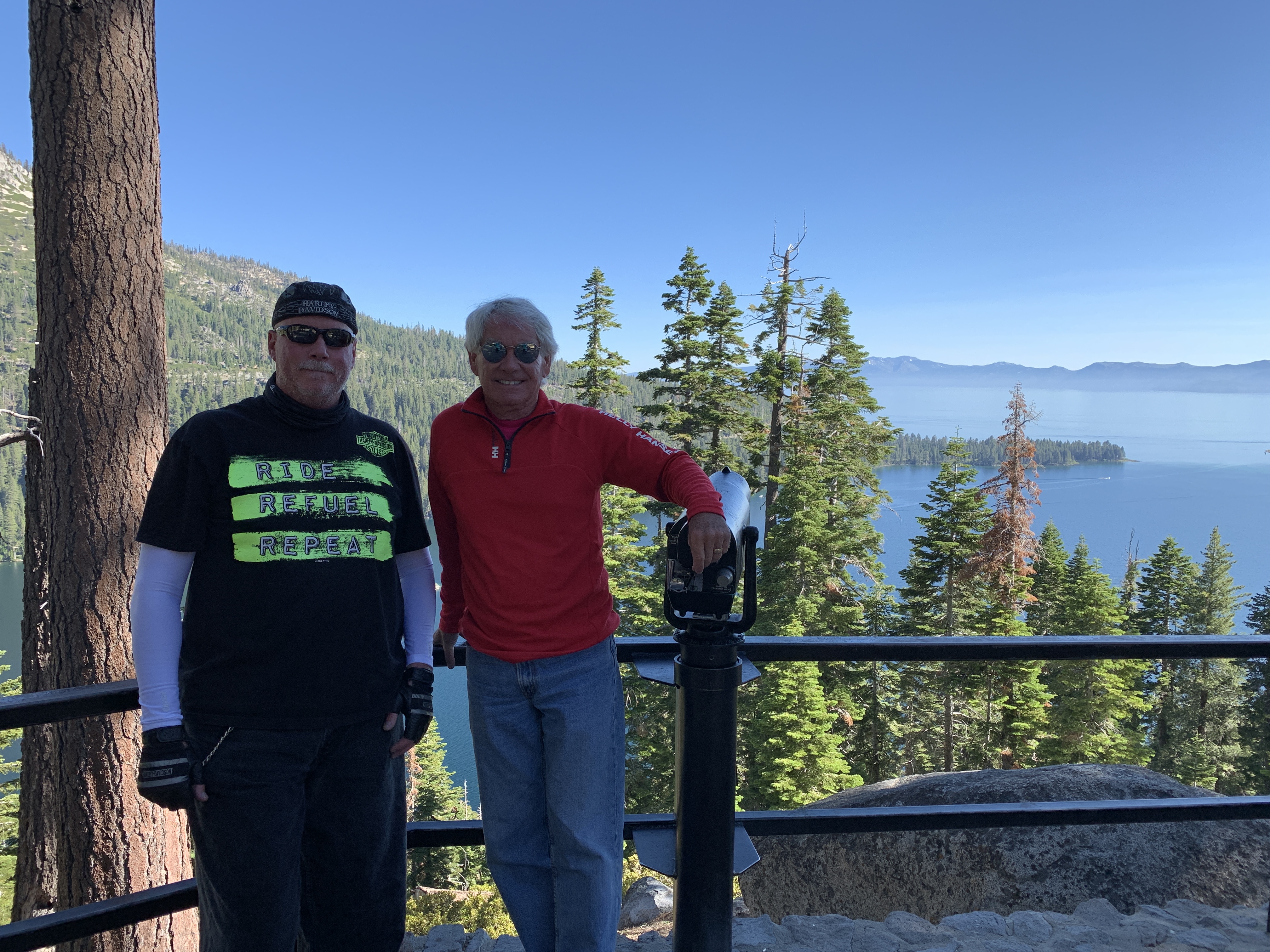
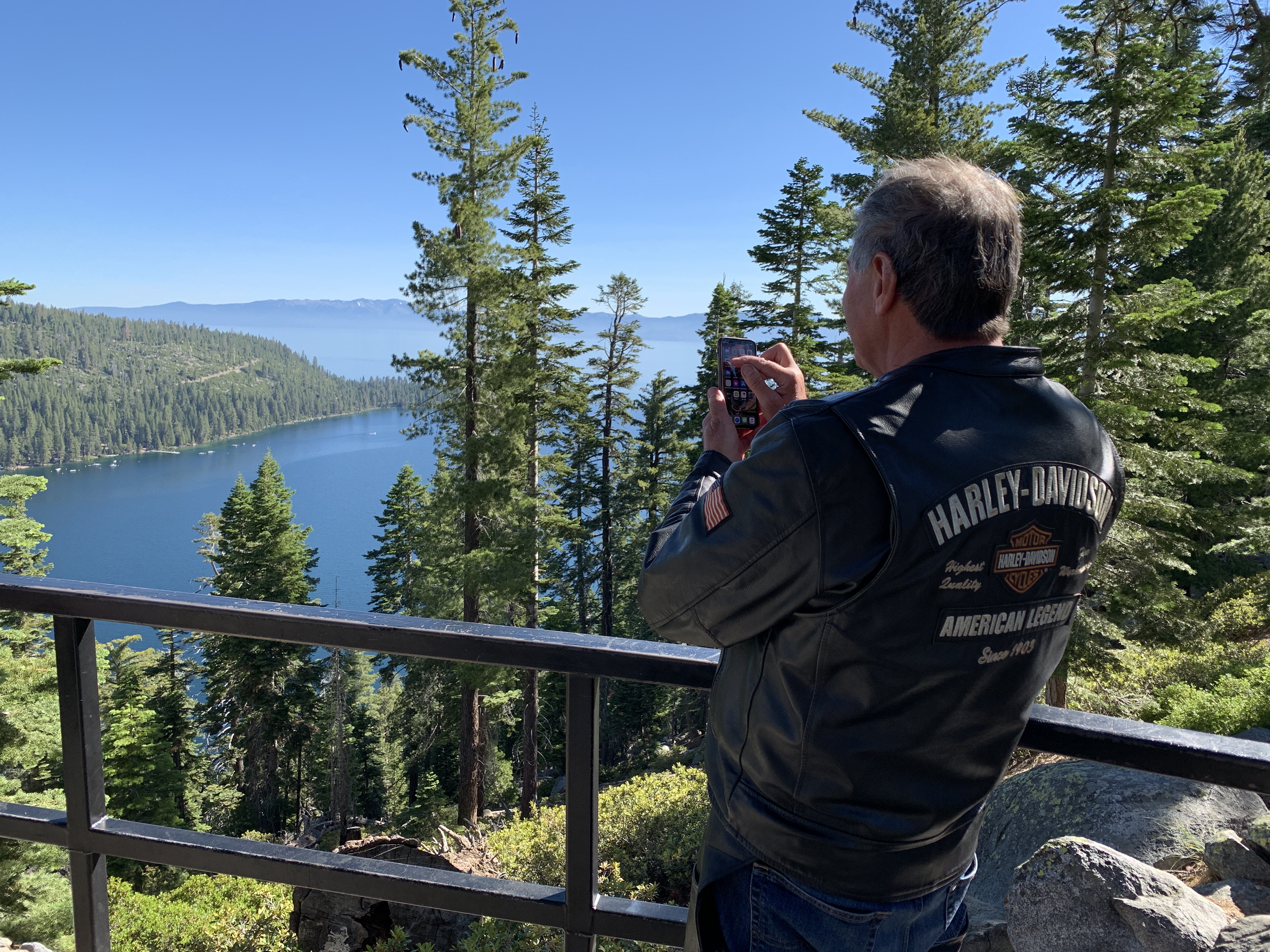
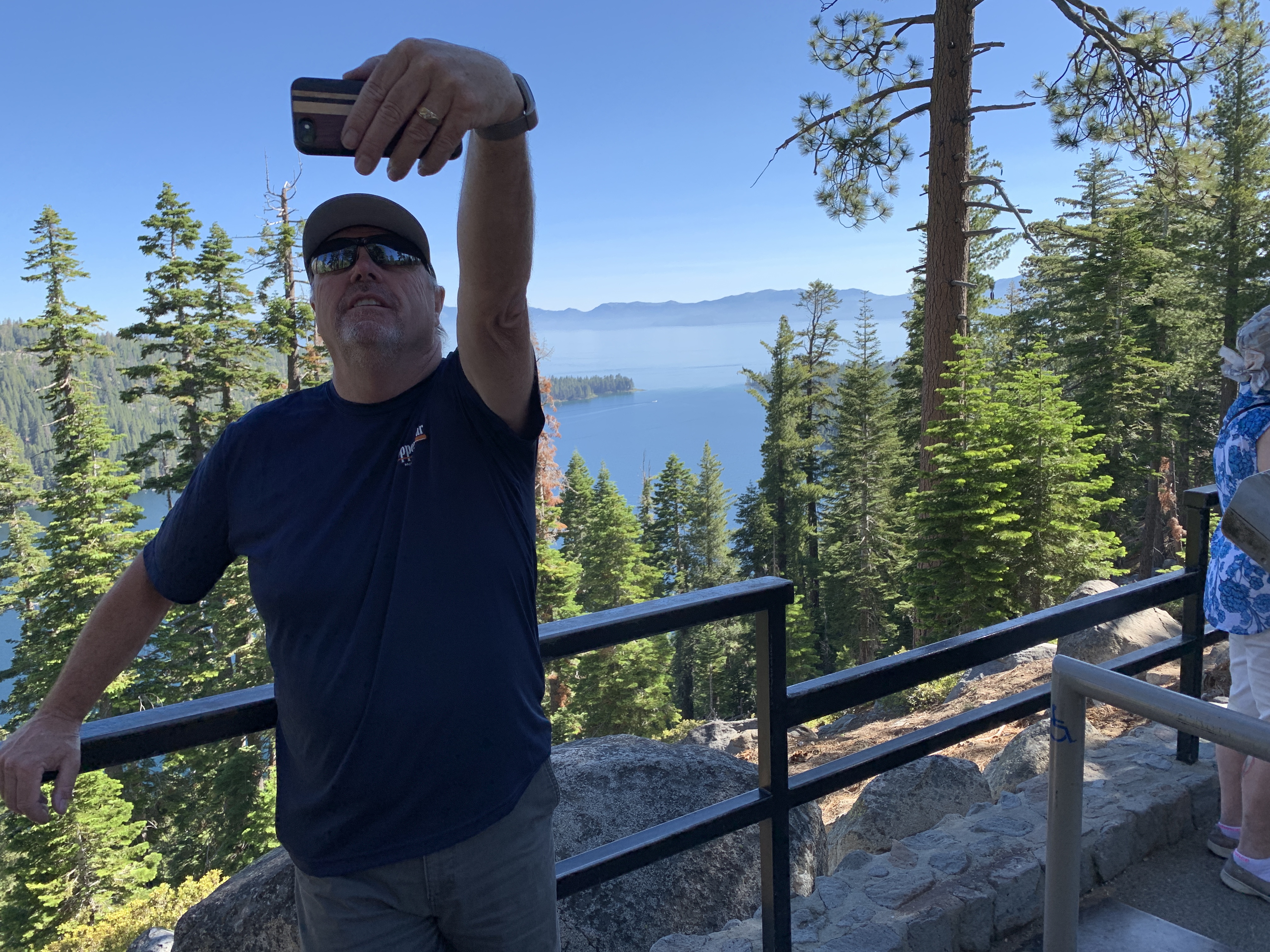
Highway 89 climbs steeply with tight switchbacks as it rises over Emerald Bay, so named for its emerald green color. Emerald Bay is one of Lake Tahoe’s most photographed locations. Emerald Bay State Park contains the only island in Lake Tahoe, Fanette Island. Fanette is accessible by boat, canoe, or kayak. Swimming to the island is not allowed, because of hazards that include extremely cold waters and boat traffic in the area.
As someone who grew up vacationing at Lake Tahoe, I can attest to its chilliness. Even on a warm summer day, the surface water is only in the mid-60s. Brrr.
We continue north on Highway 89, rolling past Rubicon Bay, Meeks Bay and McKinney Bay – site of the Homewood Mountain Resort ski area. Homewood is small, with only eight lifts – and offers the Tahoe region’s lowest daily lift price – $49 online. That’s inexpensive for skiing these days, but begs the question: how do you ski online?
It’s about 30 miles from South Lake Tahoe, where our day began, to Tahoe City. That distance took about an hour. Nice leisurely way to kick off today’s travels.
Tahoe City is not far from three major ski resorts near the north end of Lake Tahoe: Squaw Valley / Alpine Meadows and Northstar.
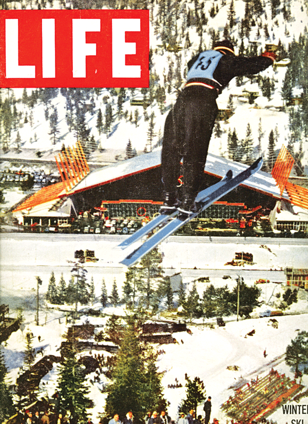
I learned to ski at Squaw Valley in March 1960, the week after the Winter Olympics there ended. In 1956, when the International Olympic Committee awarded Squaw Valley the 1960 Olympics, the area had one chair lift, and two rope tows. Today, it has 30 chairlifts.
The IOC gambled on Squaw Valley, and won.
***
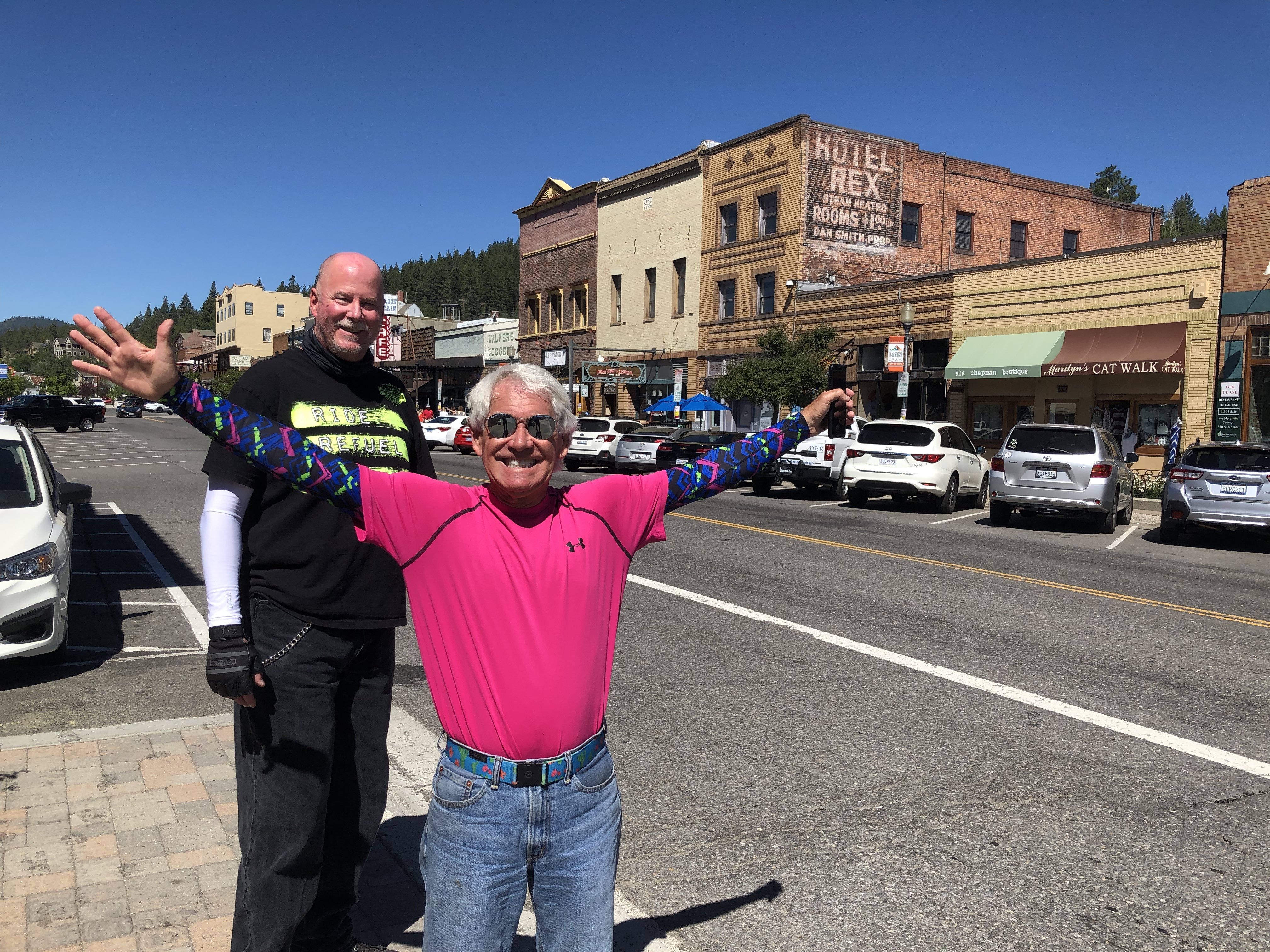
In Tahoe City, we continue north on Highway 89. Fifteen minutes later, we arrive in Truckee, a railroad town on the Truckee River named after a Piute chief. Truckee may be best known for the Donner Party’s disastrous end in 1846, when a severe blizzard brought the settlers to a halt, resulting in dozens of fatalities and yes, cannibalism.
A half-hour up the road, we arrive at Sierraville, site of the only traffic signal in Sierra County. It’s a flashing red light. Woo-hoo.
At the light, you are faced with several choices. Sit and watch the beautiful scenery. Turn left. Turn right.
We go left, on California Highway 49, toward Sattley and Calpine, founded around 1919 to support a nearby lumber mill. There are a lot of trees here. We’re in the Tahoe National Forest.
If you continue on Highway 89 – and we will – you come to two golf courses worth a look: Whitehawk Ranch and Graeagle, each carved out of forests of pine, cedar, fir and aspen.
Soon, we transition to the Plumas National Forest. The only way to notice the difference between the Plumas and Tahoe forests is the signs along the road. Same trees. Different forest.
Not long after Graeagle, we turn left onto California Highway 70, passing through Two Rivers, Cromberg, Spring Garden and Massack – before arriving in Quincy, named after John Quincy Adams, the sixth president of the US.
Near Paxton, we return to Highway 89, turn north, roll through Moccasin and Greenville – the last stop before Lake Almanor. With its 52 miles of shoreline, Lake Almanor is a large reservoir formed by Canyon Dam on the north fork of the Feather River. Much of the southern shore of Lake Almanor is in Lassen National Forest. We’ll visit Mount Lassen in a few hours.
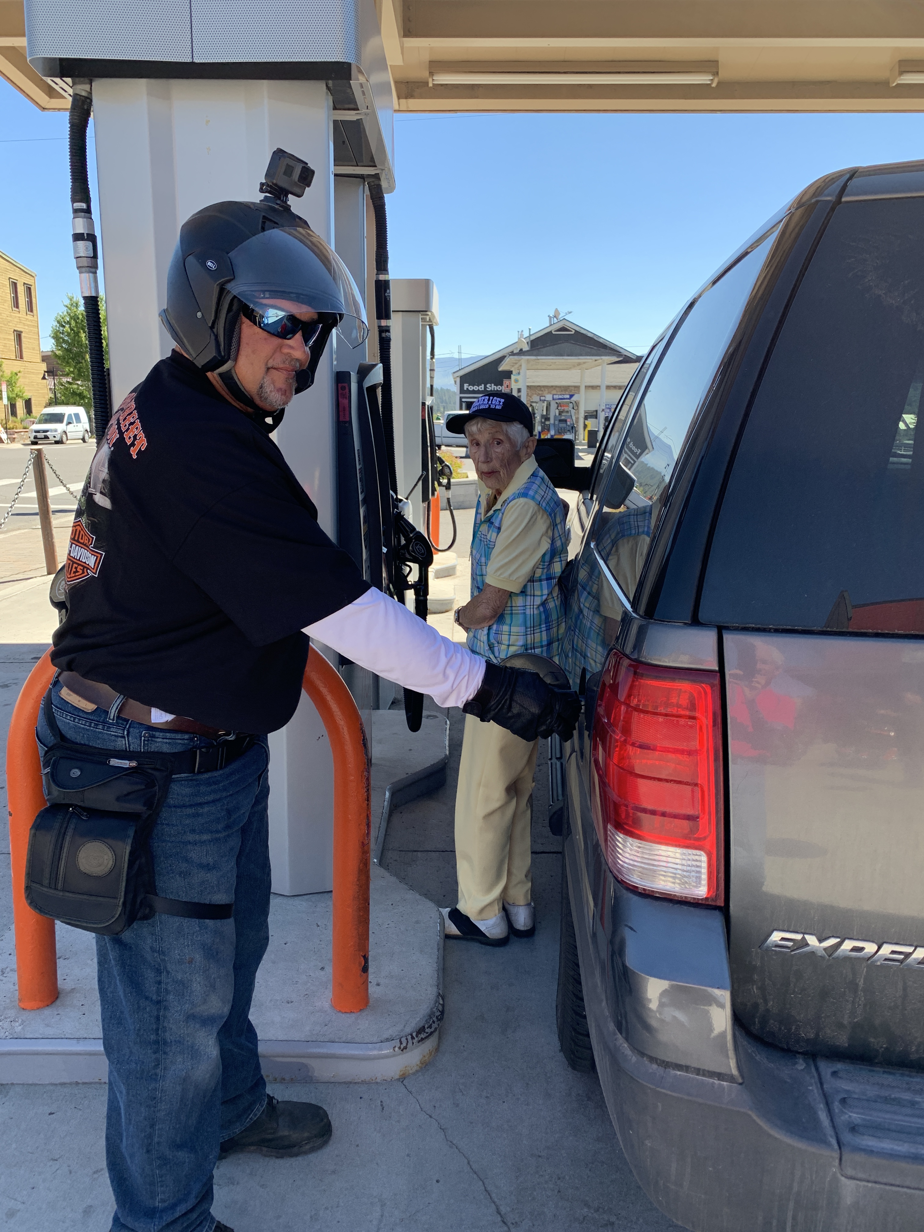
First, it’s time for a gas stop. We pull into Chester, named after Marshall Dillon’s sidekick on the ‘60s TV show, Gunsmoke.
Um, actually, Chester was founded by two settlers, one from Chester, Vermont, the other from Chester, Missouri. If you were those two settlers, what else could you possibly call the town?
***
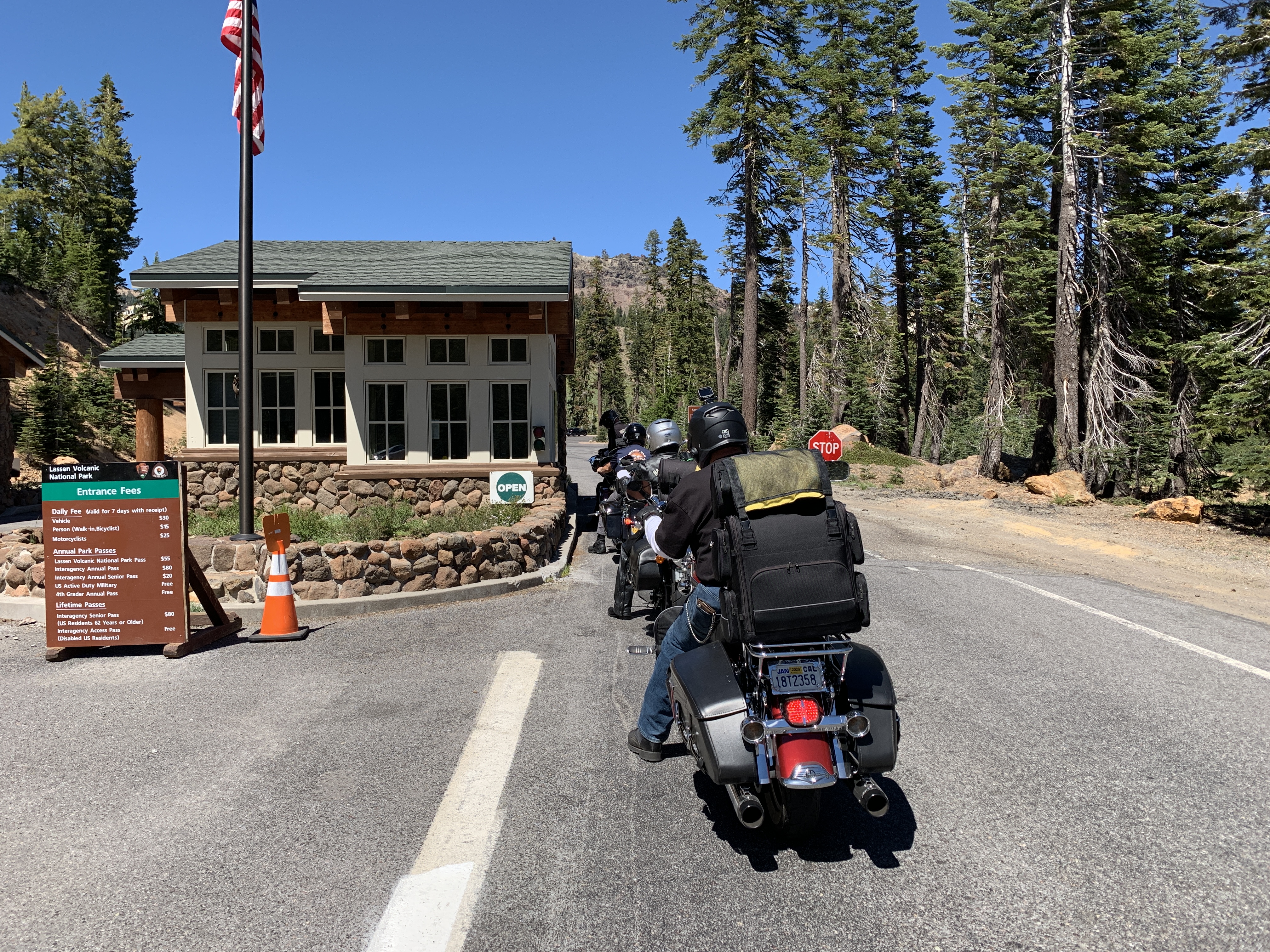
Chester and the Lake Almanor Basin are known as gateway communities to Lassen Volcanic National Park. That’s where we’re now headed.
In 30 miles, we arrive at the park’s southwest entrance station. Lassen is the 16th National Park I’ve visited with Dave since we began riding together in 2015. Here are the first 15:
- Yosemite
- Kings Canyon
- Sequoia
- Joshua Tree
- Zion
- Bryce Canyon
- Capitol Reef
- Canyonlands
- Arches
- Grand Canyon
- Black Canyon of the Gunnison
- Badlands
- Rocky Mountain
- Yellowstone
- Grand Teton
On this trip, we’ll add to that list by visiting six more National Parks:
- Lassen Volcanic
- Redwood
- Crater Lake
- Mount Rainier
- North Cascades
- Olympic
Only 40 more and we’ll have visited all 61 of America’s national parks.
***
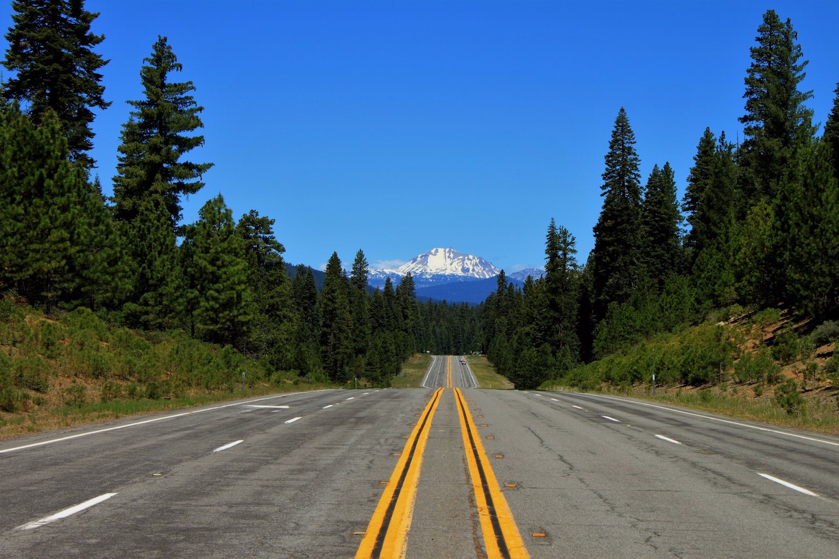
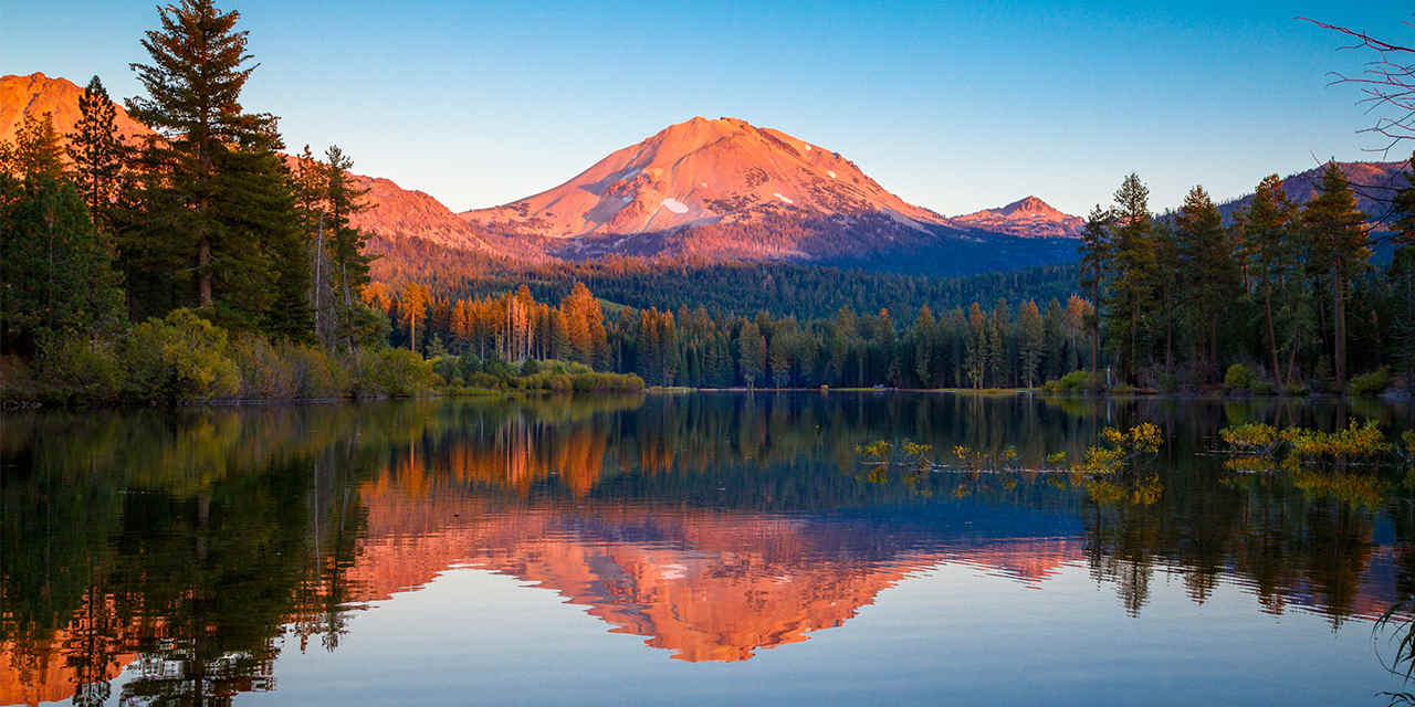
We enter Lassen Volcanic National Park and begin driving toward its dominant feature, 10,457-foot Lassen Peak. We’re on Volcanic Legacy Scenic Byway, a continuation of Highway 89.
There’s a good reason the park is called Lassen Volcanic National Park. Lassen Peak is the largest plug dome volcano in the world, and the southernmost volcano in the very active Cascade Range. Think Mount Saint Helens. If you lived in the northwest in 1980 — and I did — who could forget its May 18, 1980 eruption?
Lassen Volcanic National Park is one of the few areas in the world where all four types of volcano can be found: plug dome, shield, cinder cone, and stratovolcano. That’s a lot of geology for a Harley travel blog.
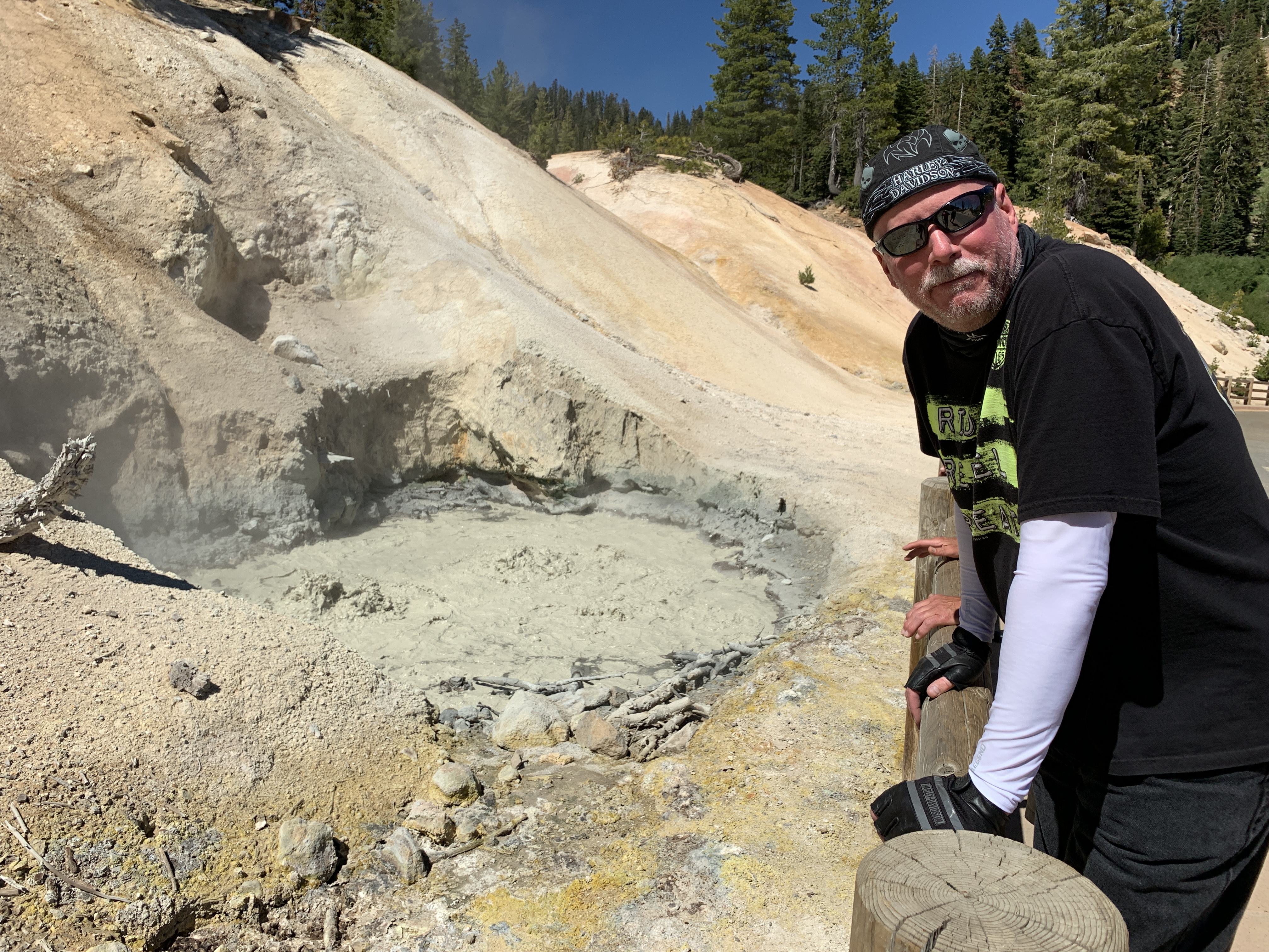
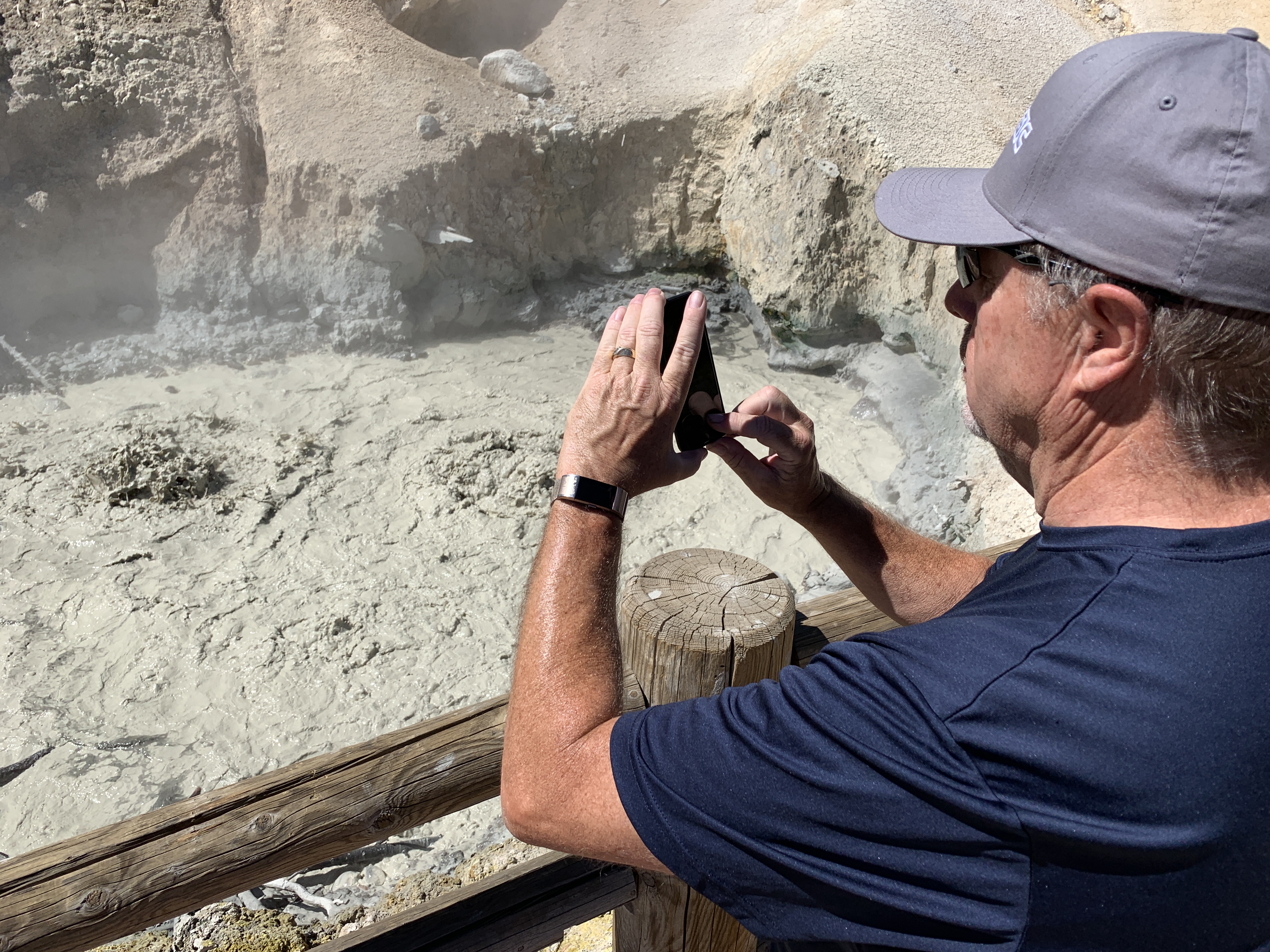
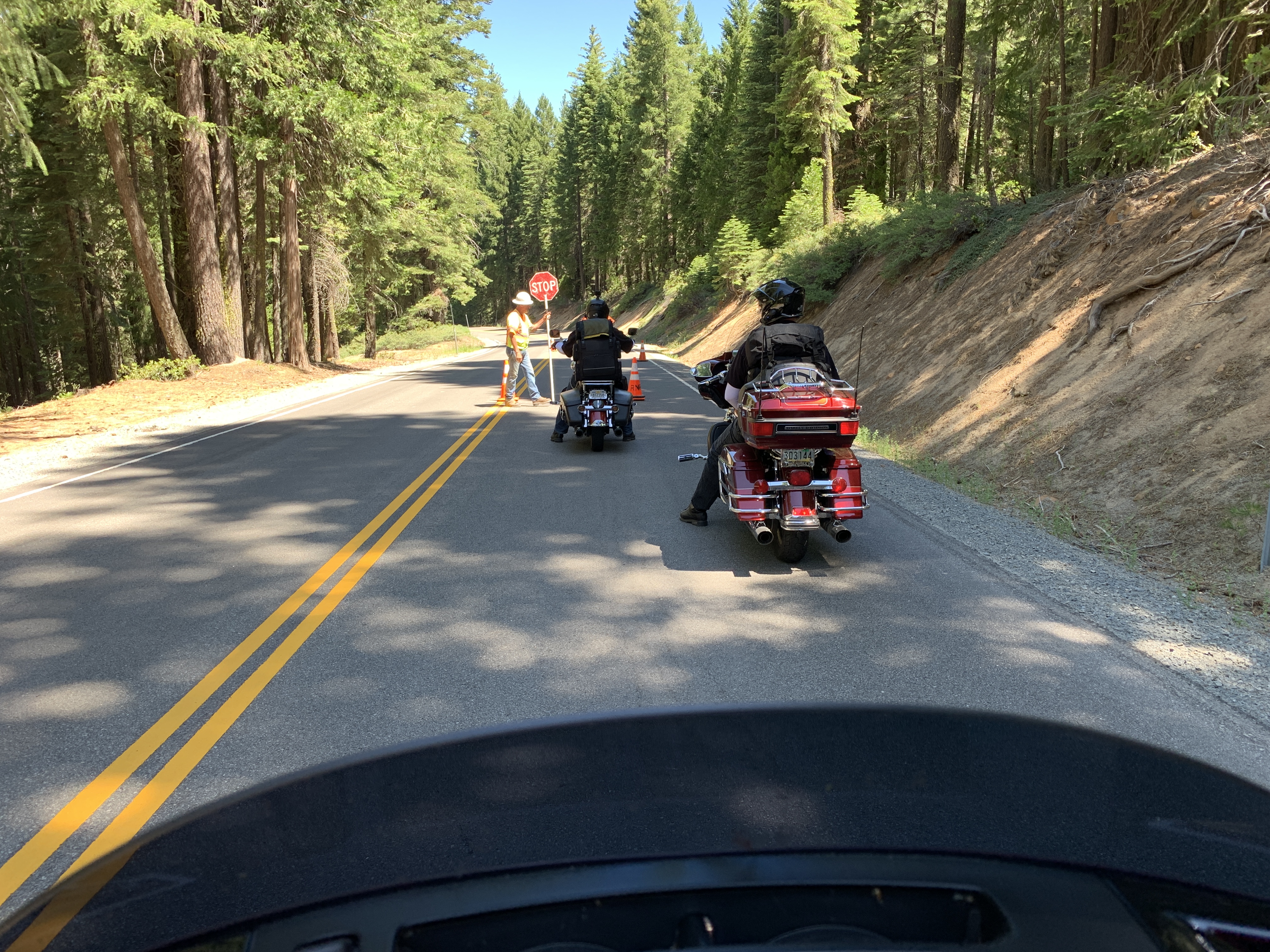
About six miles after entering the park, we come to the trailhead for Bumpass Hell, the park’s largest concentration of hydrothermal features. The pronunciation of Bumpass (Bump-ASS, like twerking?) is somewhat unclear, but we do know where the name comes from. Early pioneer Kendall Vanhook Bumpass was an unfortunate explorer who stumbled upon these scalding hot waters in the 1860s, stepping into a boiling pool and burning his leg.
The Hell in Bumpass Hell is aptly named. Here you see geology in action – 16 acres of boiling springs and mud pots, hissing steam vents, and roaring fumaroles. It’s kinda like a mini-Yellowstone, with names like East Sulphur Creek, and Bumpass Hot Springs.
We choose not to hike to hell and instead power on past Lake Helen and the Lassen Peak Trailhead. The hike to Lassen Peak is five miles round trip, with a 2,000-foot elevation gain. Expect to be on your feet from three to five hours making your way to the summit.
Along the hike are views of the devastation from Lassen’s 1915 eruption. The eruption wasn’t a single event; it was a series of eruptions that lasted from 1914 through 1917. The most powerful, in 1915, created a huge column of volcanic ash and gas that rose more than 30,000 feet into the air. The plume was visible from as far away as Eureka, 150 miles to the west. Volcanic ash from the explosion was found in Elko Nevada, 280 miles to the east.
The eruptions of this era signaled Lassen’s awakening after a 27,000-year-long slumber. Lassen Peak is the largest of a group of more than 30 volcanic domes that erupted over the past 300,000 years in what is now Lassen Volcanic National Park (the national park system didn’t exist 300,000 years ago!).
Just before leaving the park, we roll past Manzanita Lake, which has excellent trout fishing. We turn west on California Highway 44 for the 47-mile ride to Redding, tonight’s destination. It’s 100 degrees when we arrive at the hotel.
Time to cool off, have dinner, and plan tomorrow’s ride
***
Day Six Summary: First national park of the trip, Big Blue is not IBM, and Bumping Ass.
Click here to see today’s complete route from South Lake Tahoe, California, to Redding, California.
We’re on our way to Canada, eh?
Vroom, vroom.
***
Today’s Canada Fun Fact, eh? The highest mountain in Canada is Mount Logan in the Yukon Territory. It’s 19,551 feet.

Gary,
I love the sleeves – need to get me a pair !!!
Safe travels and best to Sarah !!!!
Cheers,
Steve
(707) 246-4355 sweiss@mc-sw.com
>
LikeLike
You’d look great in sleeves, Steve! They’re UVoider, on line. Shameless plug for which I receive zero compensation 😂
LikeLike
G Man… Enjoying your postings . Looks like the weather is cooperating . To be 92 tomorrow. Pete
LikeLike
92? Is that F or C? Nice to have you along, Pete!
LikeLike
looks like nice riding. Getting excited. Though I hope you packed your slickers. Been having a bit of NW rain this week. Suppose to dry out a little next, A LITTLE!!
LikeLike
I love the Northwest and your trip is bringing back a lot of really great memories! Keep it coming and have a blast!
LikeLike
Love all the pics especially around Tahoe which we almost moved to instead of in the desert.
Chivalry is not dead – thanks Scott!! What a nice gesture to help your lady friend!
J&B
LikeLike