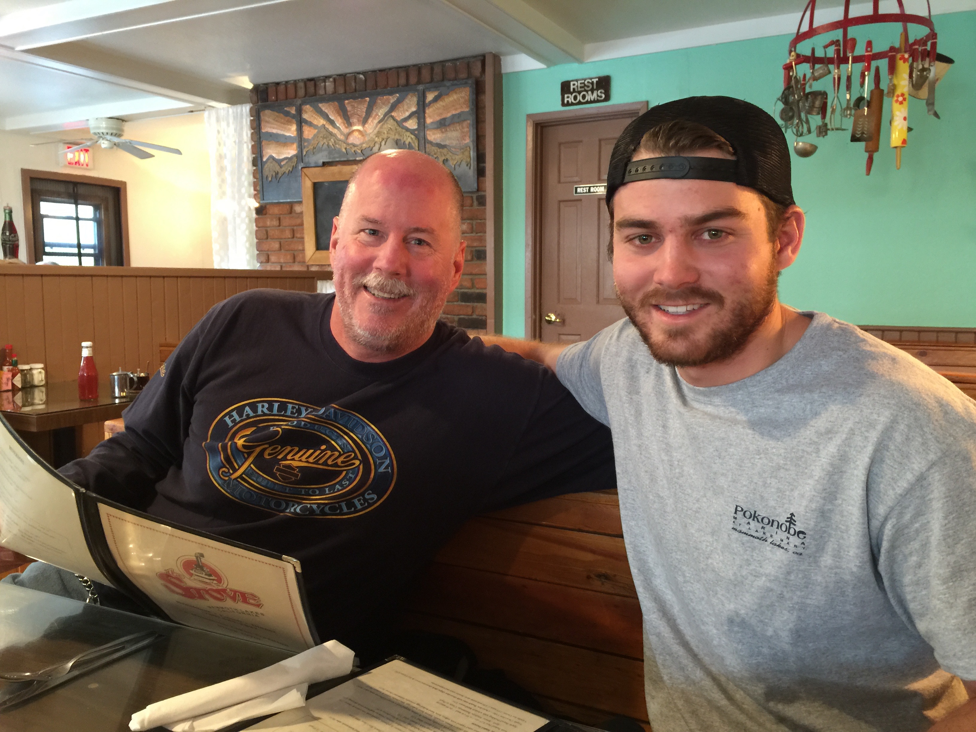
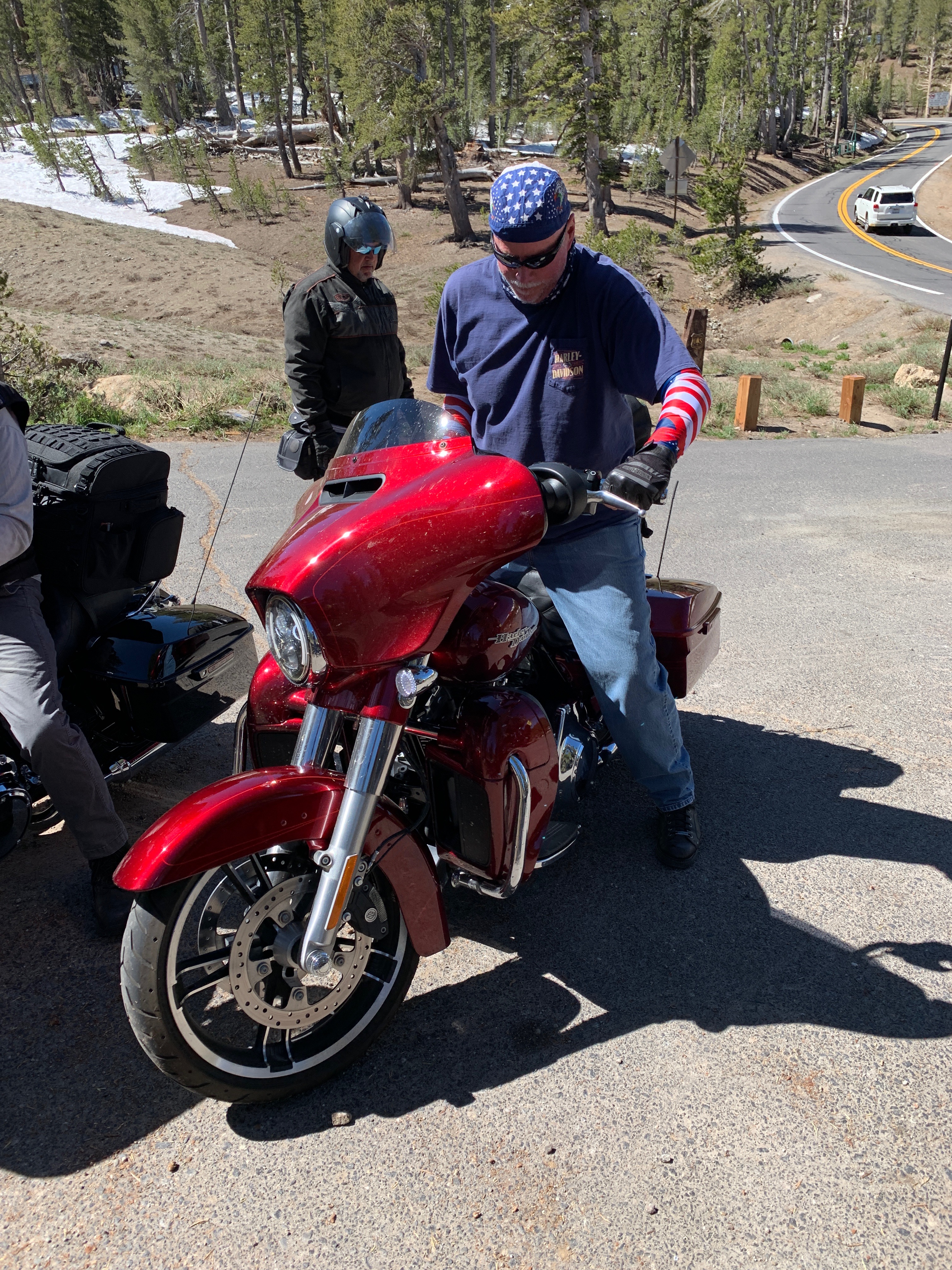
Eating breakfast at The Stove is a Mammoth Lakes tradition.
Last time Dave, Scott and I were here – in 2015 – we broke bread with Dave’s son, Nathan. Nathan was living that summer in Mammoth, and working at nearby Lake Mary.
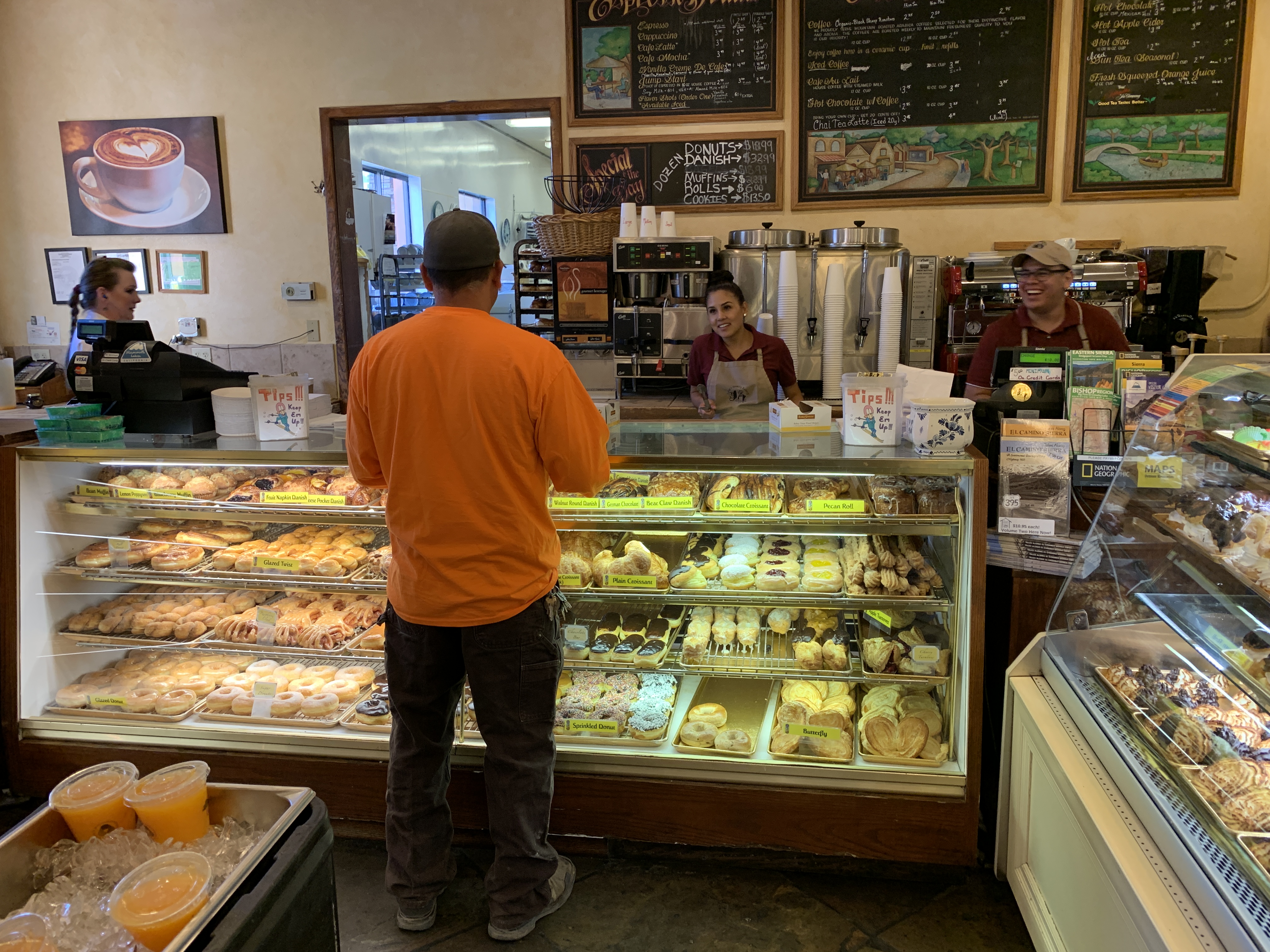
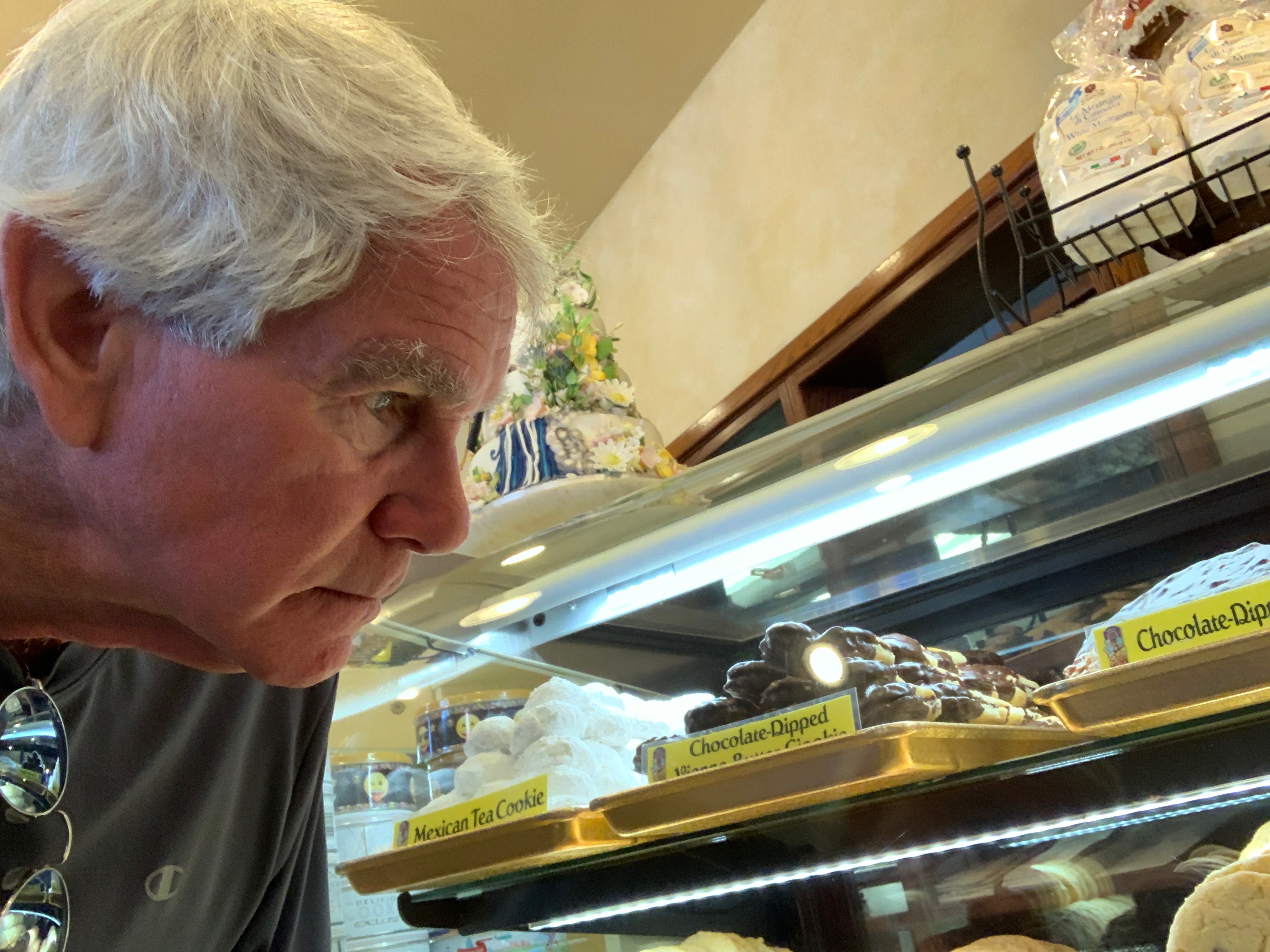
Today is Nathan’s 27th birthday. Happy b-day, Nathan. In honor of your birthday, we’ll preserve the memory and eat instead at Schat’s Bakery.
***
We roll out of Mammoth Lakes and head north on US Highway 395. Today’s plan is to cross the Sierra mountain range over two scenic passes: Sonora and Ebbetts. Both have been closed all winter, as they always are, due to predictably heavy snowfall. The two passes reopened in the past few weeks, just in time for our trip. Thanks, California Department of Transportation!
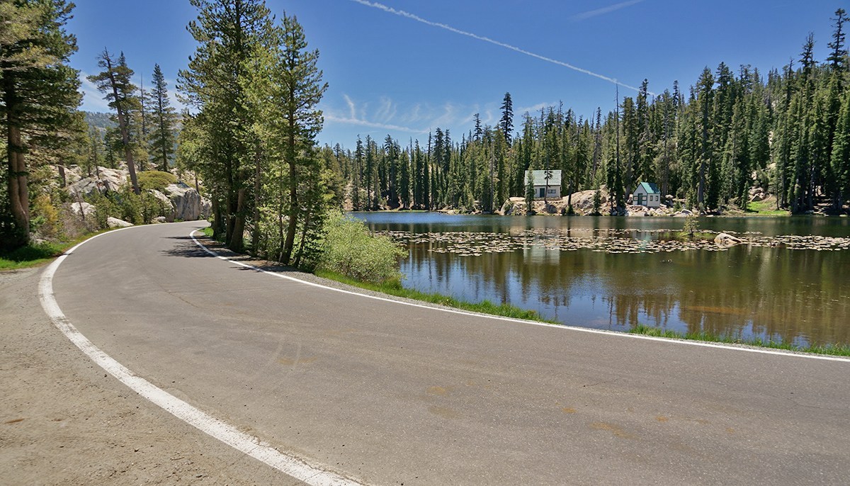
Riding through the Inyo National Forest, we pass June Lake Junction, the turnoff toward June Lake. June Lake holds special memories for Dave and Scott, as they camped there with their families when the kids were young. Seems like a lifetime ago.
About 30 miles after leaving Mammoth Lakes, we roll past Lee Vining, a tiny community on the southwest shore of Mono Lake. The town was named after Leroy Vining, who founded it in 1852 as a mining camp.
The economy of Lee Vining relies largely on tourism, since it’s the closest town to the east entrance of Yosemite National Park. Tourism here is mostly confined to the summer months, because California Highway 120 through Yosemite is closed the rest of the year because of an abundance of snow. Highway 120 is known as Tioga Pass. At 9,943 feet, it’s the highest mountain pass in California.
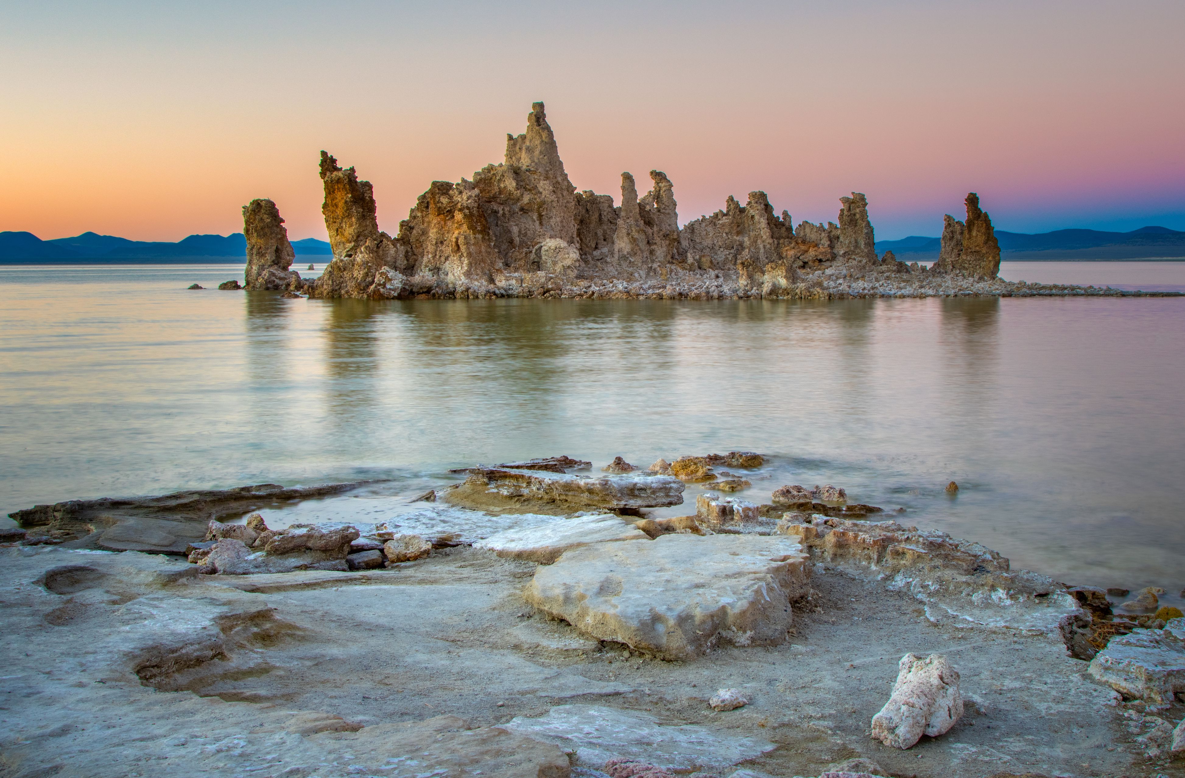
A mile past Lee Vining, we are within a few feet of Mono Lake, believed to be one of the oldest lakes in the Western Hemisphere. Scientists say it was formed about 750,000 years ago.
Mono Lake, with about 70 square miles of surface area, has life that’s composed of algae, brine shrimp, and alkali flies. It’s one of the most productive ecosystems in the world. The lake is alkaline, with a salt content nearly three times as high as the ocean.
The Los Angeles Aqueduct provides about 75 percent of Los Angeles’ water supply. The aqueduct gets its water from the Owens Valley, which includes Mono Lake. The aqueduct is a 233-mile long system that moves water from the Owens Valley to the San Fernando Valley. The aqueduct was built under the supervision of civil engineer William Mulholland, who designed the Los Angeles city water infrastructure in the early 1900s.
It turns out his achievement had unintended consequences that have greatly affected Mono Lake. Mulholland’s project diverted Mono Lake’s tributary streams 350 miles south, to meet the growing water demands of Los Angeles. As a result, the volume of Mono Lake has dropped by half, and its salinity has doubled. That’s an unsustainable combination.
For you movie fans, Roman Polanski’s 1974 film noir classic, Chinatown, describes, in Hollywood fashion, how the Los Angeles Aqueduct came to be.
***
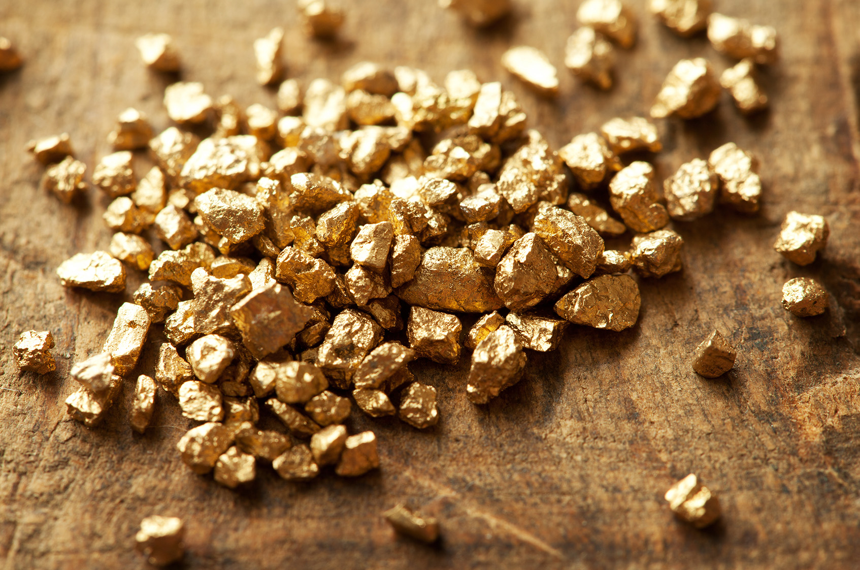
Leaving Mono Lake, we cruise past Dog Town, a ghost town from California’s gold rush era. Dog Town was the site of the first gold rush on the eastern slope of the Sierra Nevada mountains. Prospectors rushed there after hearing rumors of gold being found near Mono Lake.
The name Dog Town? It was often applied by miners to camps where living conditions were miserable. You know, living like dogs.
Ten minutes north of Dog Town, we come to Bridgeport. Its population of 575 swells many times over in the summer because of tourism. It’s a trout fishing haven.
Bridgeport Reservoir – along with Twin Lakes, Virginia Lakes, Green Creek, the East Walker River, the West Walker and numerous small tributaries and backcountry lakes – offer some of the premier Rainbow, Brown and Cutthroat trout fishing to be found anywhere in the world. The Bridgeport Fish Enhancement Program sponsors fishing tournaments twice per season. Bridgeport’s Trout Tournament is held annually in late June.
Bridgeport is also notable for its proximity to the well-preserved ghost town of Bodie, about 24 miles east. A gold-mining ghost town that once had a population of nearly 10,000, Bodie is now a State Historic Park. Today, it looks pretty much the same as it did more than 50 years ago when the last residents left. It’s been preserved in what’s called a state of arrested decay.
After an hour on the road, Bridgeport is a nice place to rest before we push on to conquer today’s two mountain passes.
***
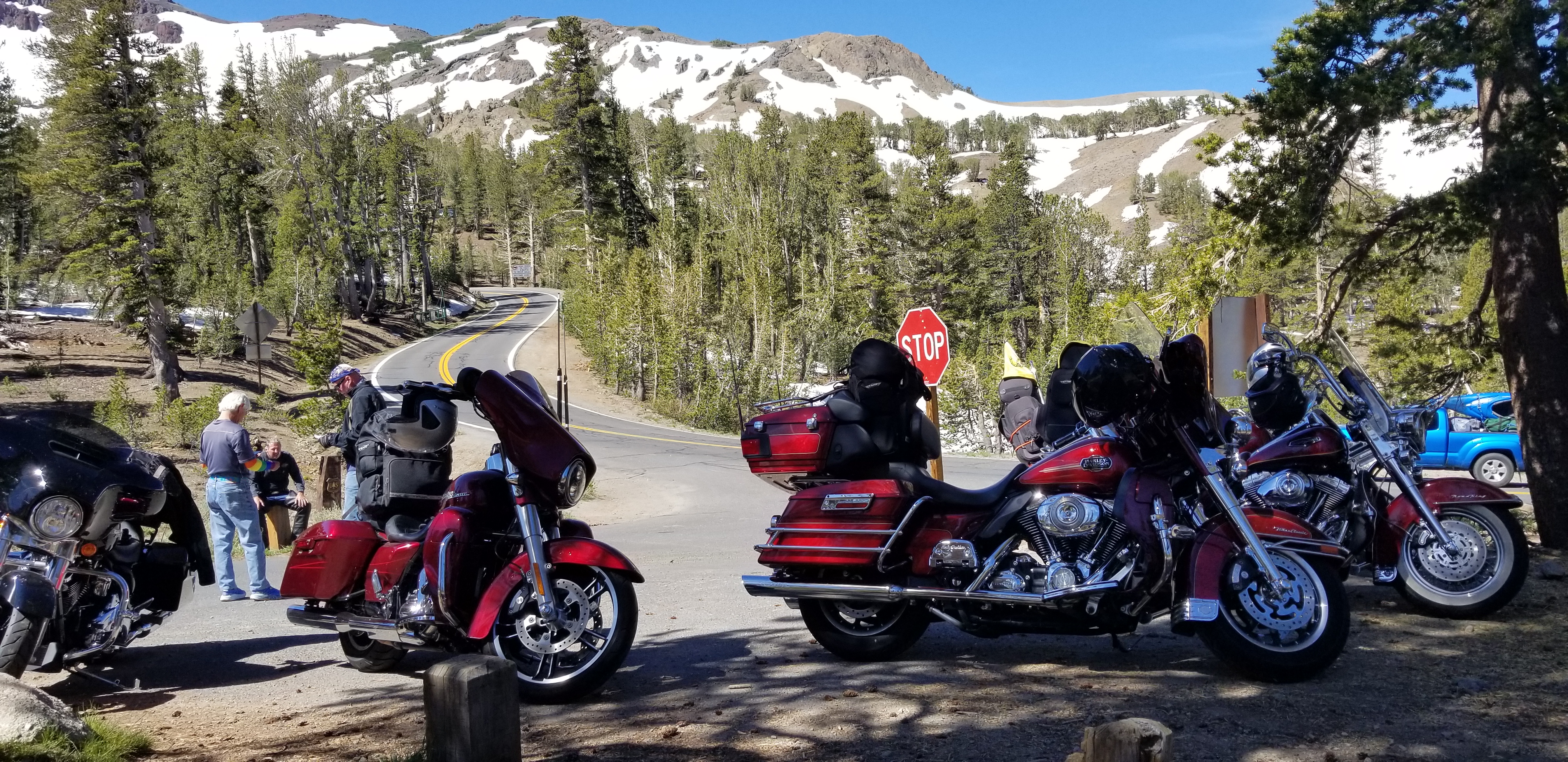
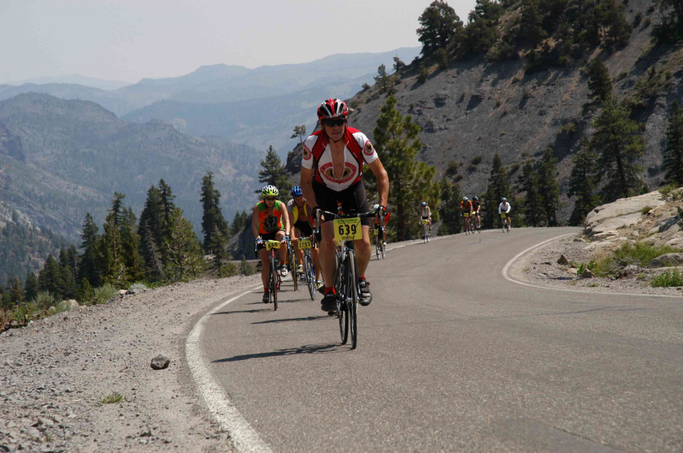
Our first planned conquest of the day is Sonora Pass. At 9,623 feet, it’s the second-highest highway pass across the Sierra Nevadas. Sonora Pass is closed throughout the winter and generally re-opens in May or June. This year, the pass opened May 31. The highway over the pass is extremely steep, exceeding eight percent most of the way, with up to 26 percent grades in some locations.
Just past Fales Hot Springs is Sonora Junction, is the turnoff to California Highway 108, otherwise known as Sonora Pass.
The climbing begins immediately.
As we rise toward the summit of Sonora Pass, we pass Pickel Meadow, at 6,762 feet. It’s home to the US Marine Corps Mountain Warfare Training Center.
The MWTC is considered to be the Marine Corps’ premier training site for preparing Marines to serve in mountainous regions, with an emphasis on cold and high altitude confrontations. This training post was first established in 1951 to provide cold weather training for replacement personnel bound for the Korean War.
For the next 70 miles or so, as we ride through the Stanislaus National Forest, there’s little to see and experience other than rugged mountains, great roads, and trees everywhere you look.
***
As we begin to descend toward the city of Sonora, we pass Dardanelle, Bumblebee, Strawberry, and Long Barn – a wagon train stop along Sonora Pass during the 1800s gold rush era. Pioneers traveling west would stop at The Long Barn, where they could refresh supplies, food and rest a spell.
Come to think of it, given the ruggedness of the last 50 miles or so of road, it’s hard to imagine wagon trains even making this journey. Talk about living on the edge!
The mid-day temperatures are approaching triple digits as we near the town of Sonora. Thirteen miles east of Sonora, we roll through Twain-Harte. Its motto: More Trees Than People. Twain-Harte’s population is 2,200. Number of trees: more than that.
The unique hyphenated town name is derived from the last names of two famous authors who lived in California in the 1800s, Mark Twain and Bret Harte.
Twain (1835-1910), born Samuel Langhorne Clemens, is the more famous of the two. The Adventures of Tom Sawyer and its sequel, Adventures of Huckleberry Finn, have been staples in American classrooms for years.
Harte (1836-1902) is best remembered for his short fiction featuring miners, gamblers and other romantic figures of the California Gold Rush. Among his works: The Tales of the Argonauts, The Stolen Cigar Case, and Plain Language from Truthful James.
***
We arrive in Sonora early afternoon. It’s hot, dry, time for gas and something cold to drink. Sonora, smack in the middle of gold rush country, is known as the Queen of the Southern Mines. The city is named after miners from Sonora, Mexico, who settled the city in 1848.
The California gold rush may have been one of the most significant events to shape American history during the first half of the 19thcentury. A total of $2 billion worth of precious metal was extracted from the area during the gold rush, which peaked in 1852. By the time the gold rush ended, miners had found more than 750,000 pounds of gold.
It was called the gold rush because people from all over the country rushed to California in pursuit of the kind of wealth they’d never dreamed possible. In March 1848, before the gold rush began, the non-native population in California was around 800. By the end of that year, the non-native population had ballooned to about 100,000.
During the gold rush, about 150,000 people traveled to California by boat, and 150,000 more came by land – all seeking new found wealth. Despite heading west in search of riches, not that many miners got rich during the gold rush. The best way to make a fortune during that time was by providing miners with over-priced food, supplies and services. An axiom was coined to demonstrate this concept: If you want to get rich, sell shovels.
With the gold rush’s huge increase in population came a pressing need for civil government. In 1849, Californians sought statehood, and after heated debate, Congress admitted California to the Union in 1850, making it the 31ststate.
***
Leaving Sonora, we hop on California Highway 49, known as the Golden Chain Highway. The roadway links many historic communities of the 1849 California gold rush. Highway 49 is numbered after the 49ers, the waves of immigrants who swept into the area looking for gold. The 1849 gold rush was such a big deal in California, it inspired the name for the San Francisco 49ers of the National Football league.
Fifteen miles from Sonora, we pass Tuttletown, originally known as Mormon Gulch, after a company of Mormons who began mining gold there in 1848. Toward the end of the summer, however, Judge A. A. H. Tuttle settled in the area and built a log cabin. His tavern became the focal point of the village that now bears his name.
After crossing New Melones Lake, we pass Carson Hill and arrive in Angels Camp. Mark Twain based his short story The Celebrated Jumping Frog of Calaveras County, on a tale he claimed he heard at the Angels Hotel there in 1865. The event is commemorated with a Jumping Frog Jubilee each May at the Calaveras County Fairgrounds, just east of the city. Because of this, Angels Camp is sometimes referred to as Frogtown.
In Angels Camp, we turn east on California Highway 4. It’s the beginning of our second Sierra mountain pass crossing of the day. This time, we’ll do Ebbetts Pass.
***
Highway 4, the road over Ebbetts Pass, is also known as the Alpine State Highway. John Ebbetts, a California pioneer and Captain of the Knickerbocker Exploring Party of New York, first traversed the pass in April 1851 with a large mule train. Ebbetts hoped it would make a suitable route for the transcontinental railroad to cross the Sierra Nevada range, as he observed little snow there at the time.
He might have thought differently if he’d been around in the winter, when snow is generally abundant. The transcontinental railroad was eventually built in the 1860s to cross the Sierras over Donner Pass, near Truckee, California — where Interstate 80 is today.
Ebbetts Pass summits at 8,730 feet. It’s a 61-mile National Scenic Byway that generally closes for the winter in Mid-November, and stays shut down until May or June. Today, there’s plenty of snow, but the road has been open since May 31. And, there’s and still no railroad over Ebbetts Pass.
The road over Ebbetts Pass is every bit as spectacular as Sonora Pass. Unlike Sonora Pass, which is two-lane the entire way with a double yellow center line and shoulders and passing lanes, Ebbetts Pass is more spartan.
Ebbetts Pass narrows, often has barely room for two vehicles to pass, no shoulders, and precipitous drop-offs. An extensive section of the pass has no dividing line, and in some places is basically a one-lane road.
What are we thinking?
***
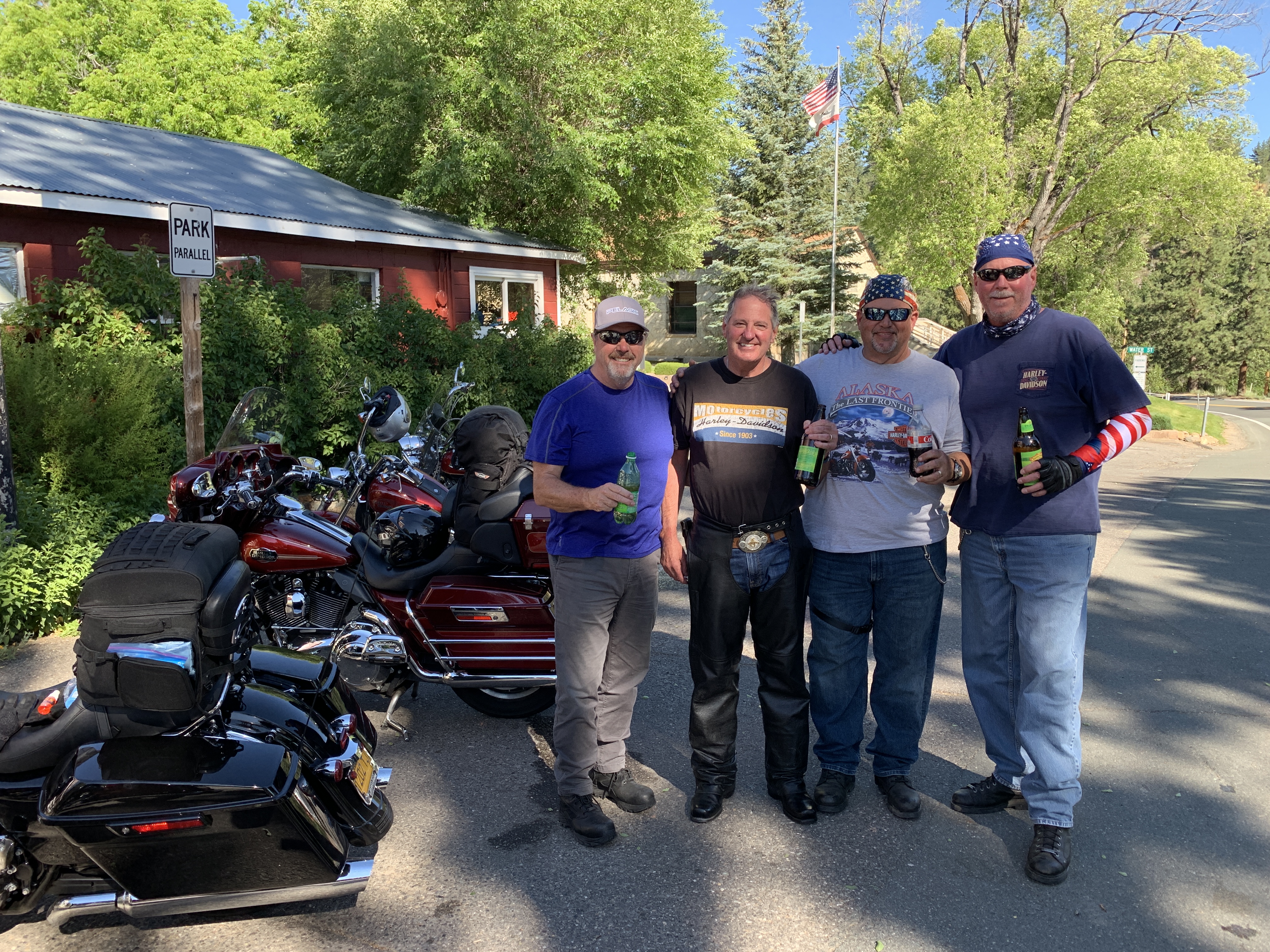
Somehow, we survive.
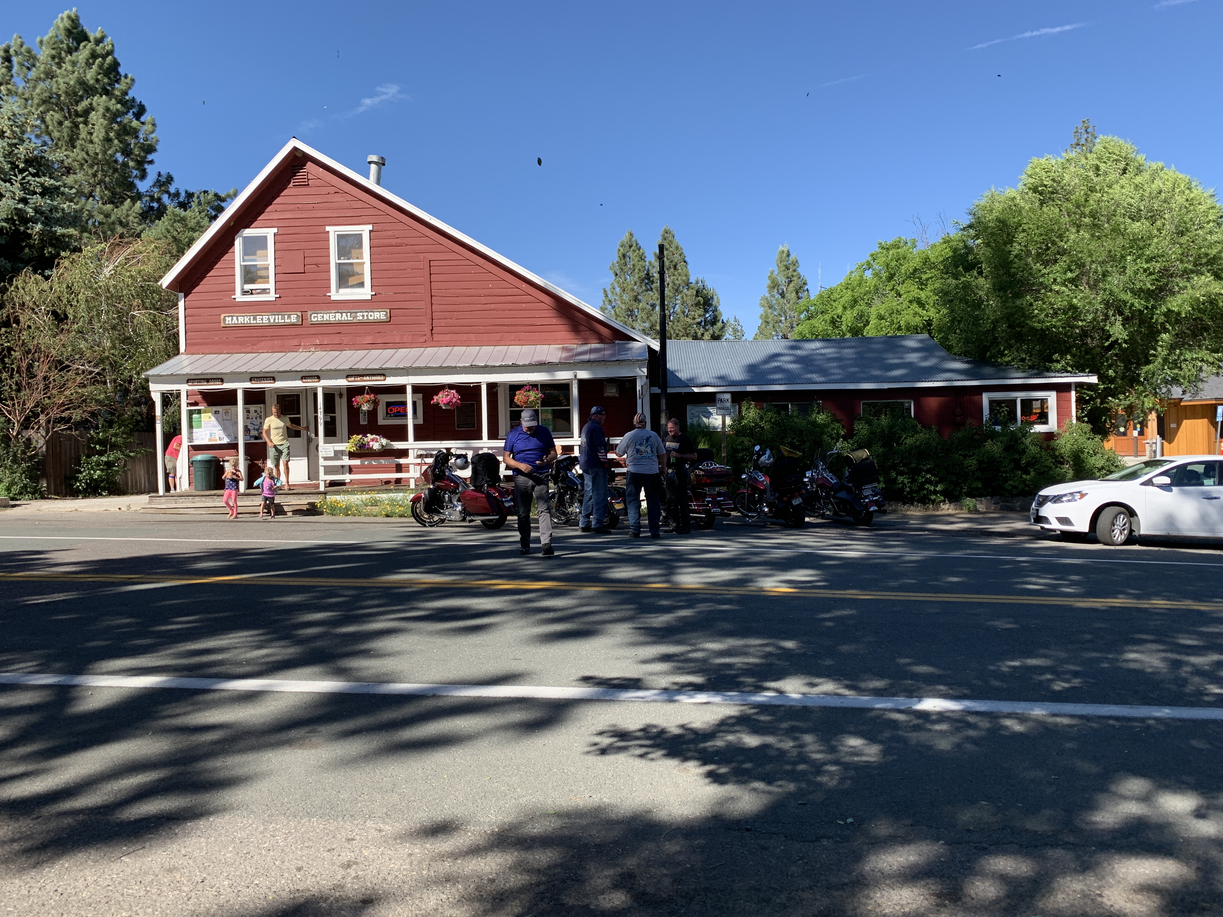
After descending from 8,730 feet and turning north on US Highway 89, we eventually find ourselves at Markleeville. Jacob J. Marklee founded a toll bridge crossing the Carson River in 1861. He hoped to tap into the traffic from the silver mining boom in the region. After his death in a gunfight in 1863, a post office was opened and named after Marklee. Thus, Markleeville.
Markleeville is on the map for annually hosting a bicycle race called the Death Ride. The Death Ride attracts extreme athletes from all over the US, who pedal over five Sierra passes for a total distance of 129 miles and more than 15,000 feet of elevation gain. The winner generally finishes in around eight hours of riding time. Survival is considered a pretty reasonable goal.
In 2018, nearly 1,700 riders participated; 1,045 of them finished the race. This year’s Death Ride, called the Tour of the California Alps, will be held July 13 – this Saturday.
***
From Markleeville, we continue west on California Highway 89.
In Alpine Village, with Lake Tahoe almost in sight, we head west onto California Highway 88, roll past Sorensens and Picketts Junction, jump back on California Highway 89, and arrive at Meyers – a former stagecoach stop. The town of Meyers is registered as California Historical Landmark #708.
Myers is the last town of any consequence before South Lake Tahoe, tonight’s destination.
After 271 miles, 6 hours in the saddle, and two major crossings of the Sierra Nevadas, we roll into South Lake Tahoe, exhausted and exhilarated.
We check in to our night’s lodging, relax a few minutes, then head out for dinner somewhere around the base of the Heavenly Valley Ski Area.
The mountain has been closed to skiers since early May. The restaurants and bars are always open. Especially for old guys on Harleys.
***
Day Five Summary: Sonora Pass, Ebbetts Pass, no Death Ride for the posse.
Click here to see today’s complete route from Mammoth Lakes, California, to South Lake Tahoe, California.
We’re on our way to Canada, eh?
Vroom, vroom.
***
Today’s Canada Fun Fact, eh? Alert, in Nunavut Territory, is the northernmost permanent settlement in the world. Alert, with a population of about 62, is about 500 miles from the North Pole.

This is so awesome to see all of these pictures especially of Dave! Miss you Dave and hope to see you again one day soon! Have a great and safe trip! Thank you for including me on these posts also.
LikeLiked by 1 person
Hi Rosie! Thanks for riding along with us. Miss you too!
LikeLike
Thanks for the Nathan shout out Gary! Happy Birthday Nathan!
LikeLike
I just wanted to say “thank you” for taking us along on the ride with you. What a fantastic read!
Please stay safe out there and have a cold one for me on your next stop…. 😁
LikeLike
Glad to you in the sidecar. The fun is just beginning!
LikeLike
My butt hurts just reading about how much you are riding. And you’ve only just begun.
Stay safe!
LikeLike