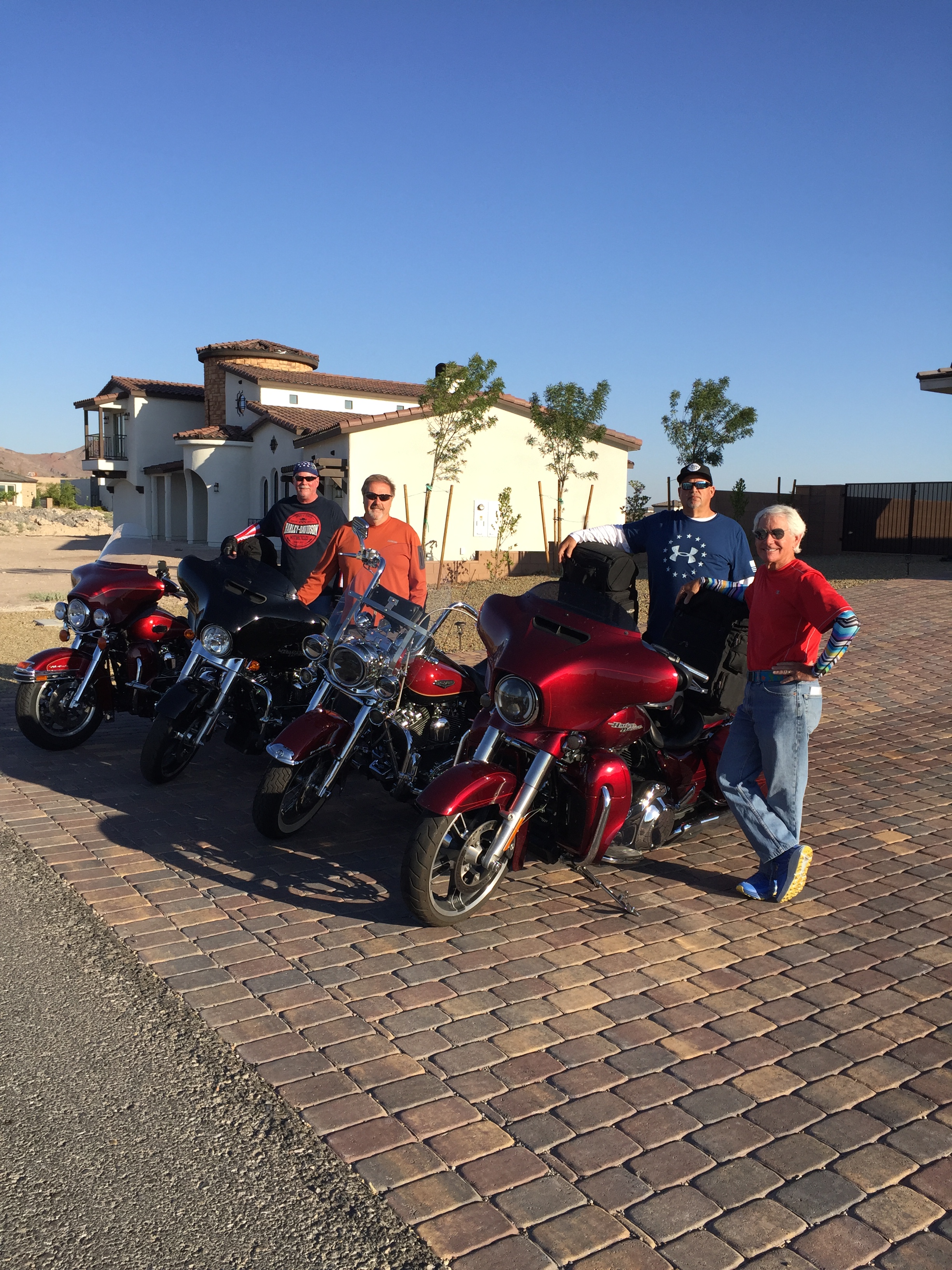
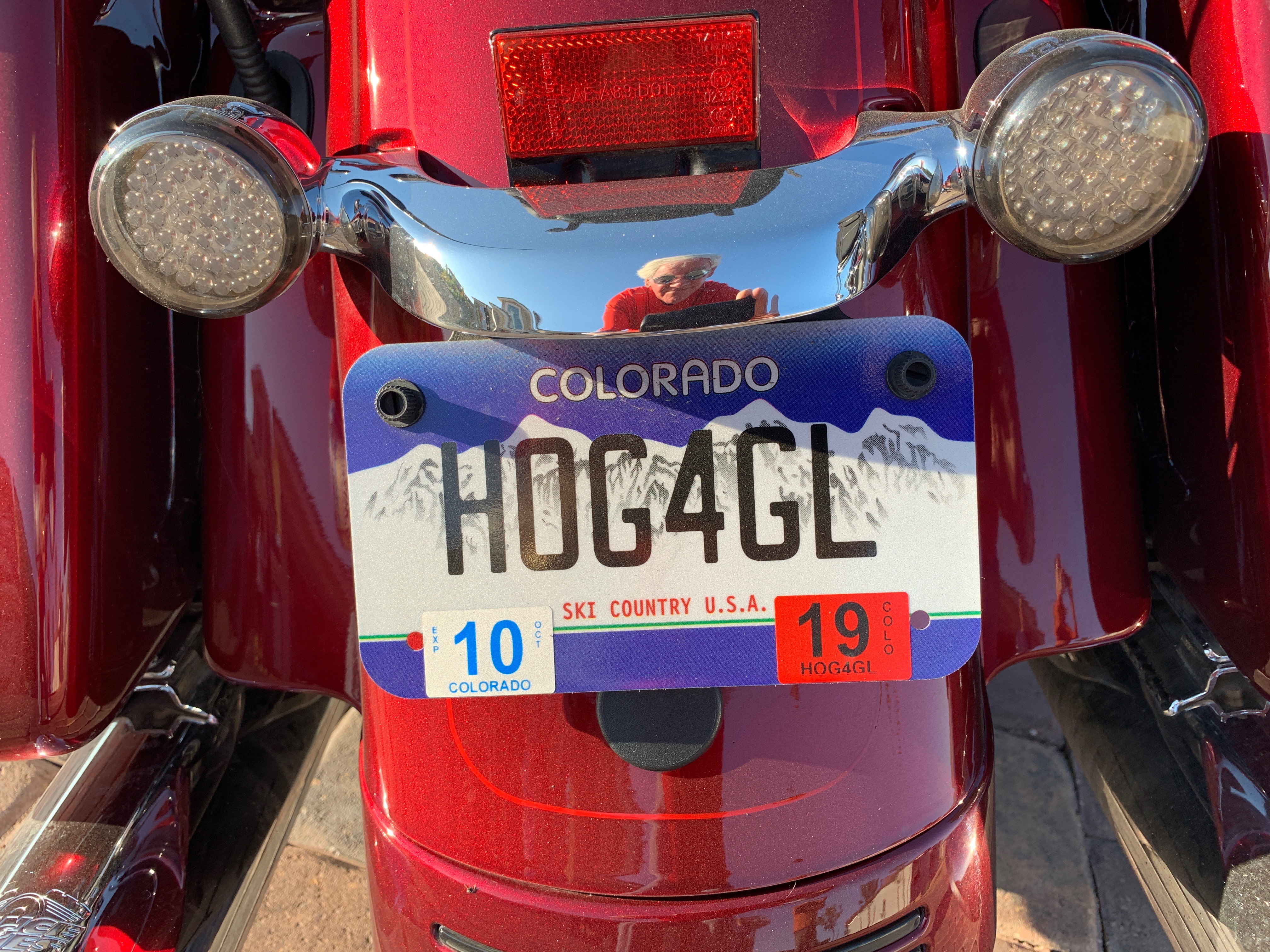
Thank you for the hospitality, Dave and Gail.
It’s time to hit the road.
We make an effort this morning to leave somewhat earlier than usual. It’s already baking hot, and gonna be in the high 90s all day long.
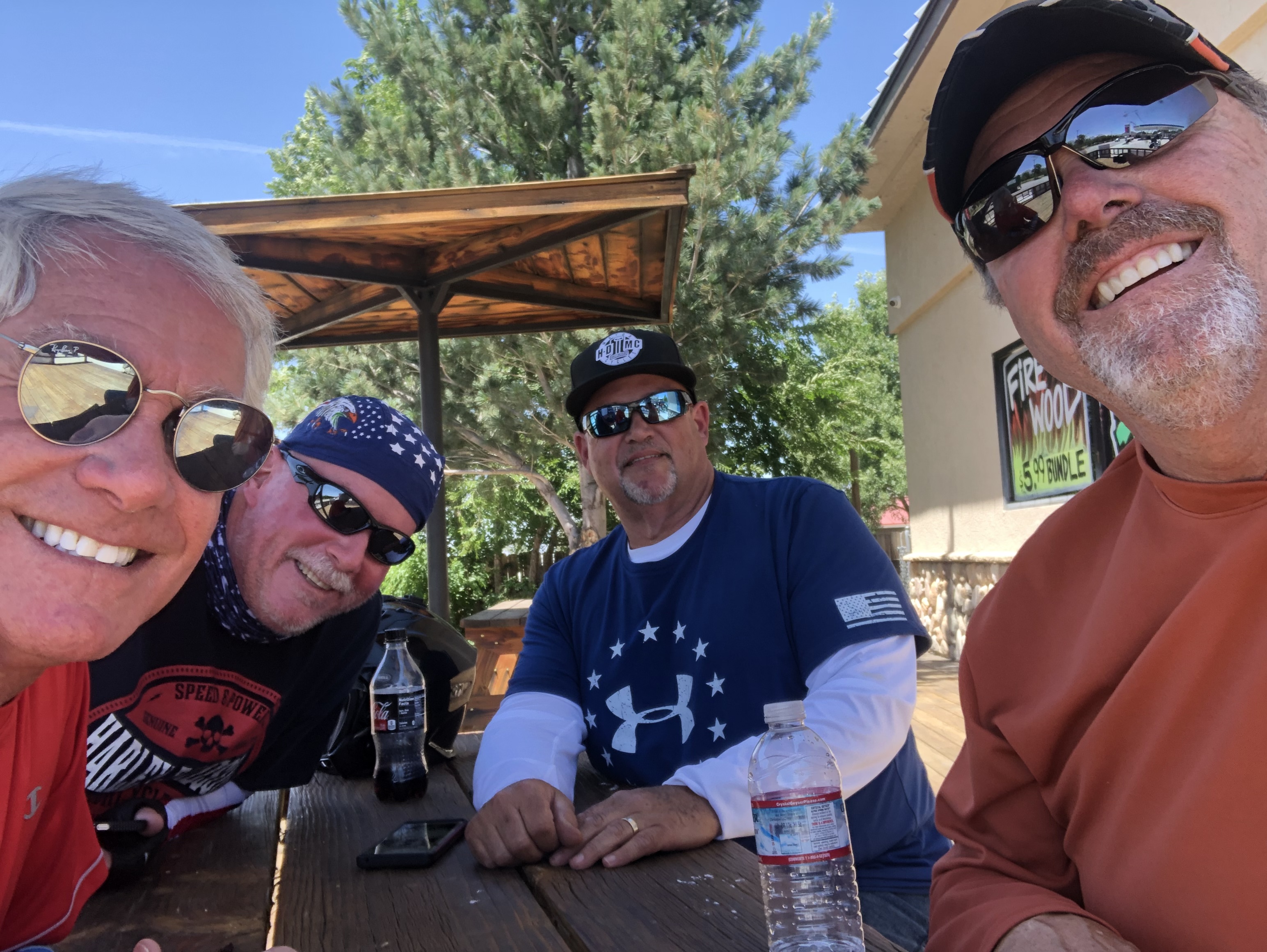
Four Harleys – three red and one black – fire up and head northwest from Henderson on I-515, the beltway that goes around Las Vegas. We see all the familiar sights of the Vegas Strip off in the distance – huge casino hotels, full of gamblers, 24/7/365.
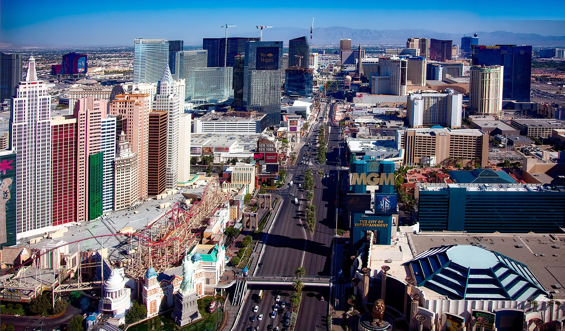
We pass by Sin City, without the slightest though of sinning. We’re only thinking about the six hours of ride time ahead, in mostly searing heat.
We’ll be on US Highway 95 for the next 180 miles or so. As we leave Las Vegas, we ride along the northern edge of Red Rock Canyon National Conservation Area. More than two million people visit the area each year. We won’t be among them.
The road turns slightly west at Indian Springs, near Creech Air Force Base, home to a command and control facility that manages military drones all over the world. These are the unmanned aerial vehicles made famous in the Afghanistan and Iraq wars, and in movies like Eye In The Sky, starring Helen Mirren.

About 100 miles after leaving Henderson, we roll into the town of Amargosa Valley. The community is named for the Amargosa River, which flows to nearby Death Valley. In Amargosa Valley, we could turn south on Nevada Highway 373 and be at Death Valley Junction in 20 minutes. Death Valley Junction is a desert ghost town, which on a 110-degree July day has little appeal for us.
So, we use those same 20 minutes and continue northwest on US Highway 95 to Beatty, a town of about 1,000 residents on the Amargosa River, where we’ll fill our gas tanks and rest a spell. Beatty, known as the Gateway to Death Valley, is only about eight miles from the entrance to Death Valley National Park.
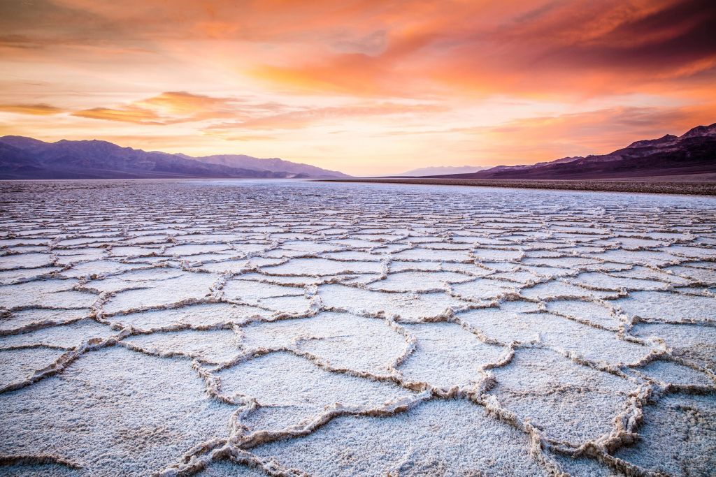
Death Valley has the second-lowest point in the Western Hemisphere: Badwater Basin, 282 feet below sea level. (Lowest land on earth: The Dead Sea Depression in Israel, Jordan and Syria – 1,355 feet below sea level.)
Death Valley National Park is home to many species of plants and animals that have adapted to the harsh desert environment. It’s the hottest and driest place in North America. It’s so hot (drum roll, please), that many records of the highest daily temperatures in the US leave off Death Valley as a matter of course.
On the afternoon of July 10, 1913, the US Weather Bureau recorded a high temperature of 134 degrees Fahrenheit at Greenland Ranch, now known as Furnace Creek. This stands as the highest ambient air temperature ever recorded on the surface of the earth. Yow! That was exactly 106 years ago tomorrow.
No thank you. It’s plenty hot enough here in Beatty.
***
From Beatty, we continue on US-95 for another 52 miles of nondescript terrain. We hang a sharp left onto Nevada Highway 266, at Lida Junction. Here, there’s a tiny airstrip owned by Esmeralda County and in use since 1955. The airport has one runway with a dirt surface measuring 6,100 by 80 feet. It was built to provide access to the Cottontail Ranch, a nearby brothel that closed in 2004 when the madam retired. Seriously.
Four guys on Harleys passing by a brothel in the middle of nowhere. What could possibly go wrong?
We’re on Highway 266 for the next 40 miles, passing by 9,035-foot Magruder Mountain, not even close to the highest in Nevada. It’s named after John B. Magruder, a Confederate Army general. Highest point in Nevada: Boundary Peak, 13,147 feet. Boundary Peak is less than a half-mile from the California state line. That’s where the name came from.
Finally we cross into California, where we’ll be for the next few days.
The road transitions to California Highway 68, becomes quite twisty, and takes us past Deep Springs and Deep Springs College. With only about two dozen students, Deep Springs is an unusual college setting. And, an unusual college.
Deep Springs College is said to be the smallest institution of higher learning in the US. In addition to their studies, students work a minimum of 20 hours a week either on the ranch and farm attached to the college, or in positions related to the college and community.
The college is all that remains in Deep Springs Valley, a geological depression between the White and Inyo mountain ranges. Because of its small enrollment, the number of alumni is low, and most continue their studies at other universities. Two-thirds go on to earn a graduate degree. More than half eventually get a doctorate. Deep Springs alumni include journalists Walter Isaacson, Steve Jobs’ biographer – and Charles Collingwood, noted CBS correspondent who famously taped a tour of the White House with Jacqueline Kennedy in 1962.
***
Twenty-eight miles past Deep Springs, we arrive in Big Pine.
Big Pine sits at 3,989 feet, the intersection of California Highway 168 and US Highway 395. At one time, there actually was a single huge pine tree that gave the town its name. Today, it’s gone. In its place is a lone sequoia just north of Big Pine’s business district.
The single most important feature of modern Big Pine is Copper Top BBQ, named by Yelp in 2015 as the best restaurant in the US. Not the best barbecue. The best restaurant! You’ve apparently got to try it for yourself, and we do.
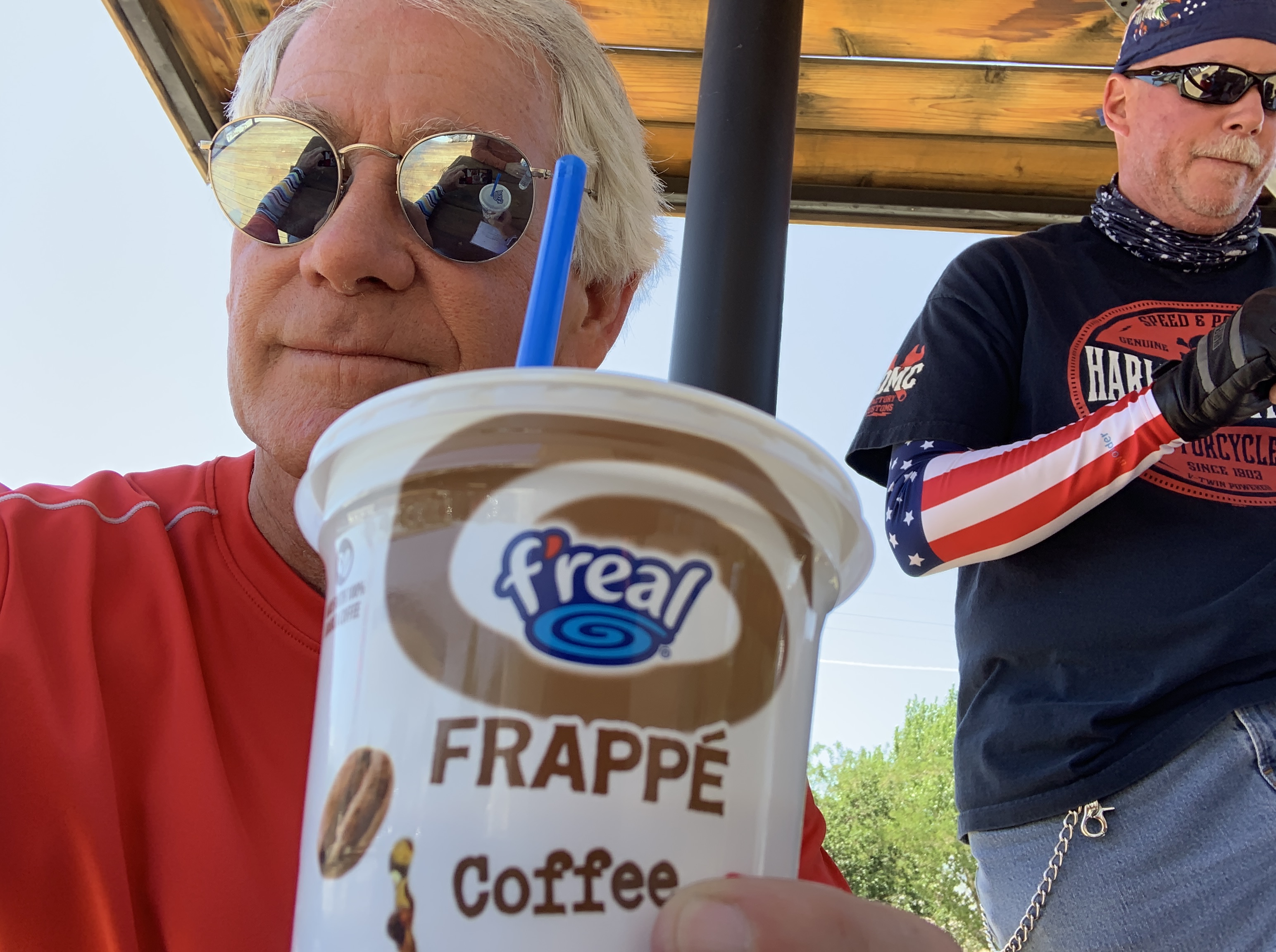
Here, we stop for ribs and gas up for the ride to Mammoth Lakes, tonight’s destination. It’s about an hour away. Well, we woulda had ribs but they were closed for “restocking.” Lame!
First, we come to Bishop, the only incorporated city in Inyo County. It still has considerable Western Americana elements. A dozen western films have been shot here. And three weeks ago, Bishop hosted the California High School State Rodeo Championship.
Twenty miles up the road, we come to Tom’s Place. It began as Hans Lof’s, a resort started in 1919 by, yes, Hans Lof. Then, Tom Yernby bought the rustic retreat in 1922, renamed it after himself, and it’s been Tom’s Place ever since.
A few miles beyond Tom’s Place is Crowley Lake, a reservoir on the upper Owens River. The lake was created in 1941 when the Los Angeles Department of Water and Power built the Long Valley Dam for water storage, flood control, and power generation. Today, Crowley Lake is known for its trout fishing. Up to 10,000 fishermen (and women) hit the lake on opening day.
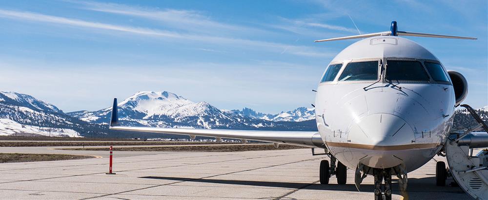
Not far past Crowley Lake, on our right, is the Mammoth Yosemite Airport. Caution to arriving aircraft: night flying is not recommended without knowledge of local terrain. And, there’s no snow removal during night time hours. Good stuff to know, if you’re planning on flying yourself in to the airport.
The Mammoth Yosemite Airport is mostly used for general aviation, but has scheduled passenger service in ski season to support nearby Mammoth Mountain. The most common destination from here is LAX; there’s a huge population base in the Los Angeles area eager to ski at Mammoth.
***
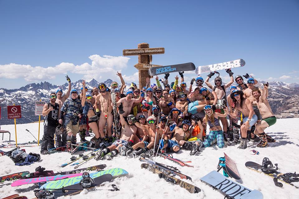
We are eager to arrive at Mammoth, too. So we continue the final three miles on US Highway 395, before turning off on California Highway 203 toward Mammoth Lakes, tonight’s destination. You pass through Mammoth Lakes to get to the Mammoth Mountain Ski Area, one of the largest in California.
Mammoth was founded in the 1940s by Dave McCoy, a hydrographer for the Los Angeles Department of Water and Power. As a member of the Eastern Sierra Ski Club, McCoy noticed that Mammoth Mountain consistently received more snow than other mountains in the Sierras. He bought a portable rope tow from the club in 1941 and usually kept it at Mammoth. In 1953, the US Forest Service awarded a permit to McCoy to operate the ski area, and he built it into what it is today.
With 28 lifts and a ton of annual snowfall, Mammoth is a skier’s paradise. It has about 3,500 acres of skiable terrain, just a few more than Snowmass, where I hang out in the winter. Mammoth has one of the longest ski seasons in North America – generally from the start of November to Memorial Day. In the 1994-95 season, it stayed open until August 13! This season was another one for the ages; lifts are still spinning on weekends for die-hard skiers and shredders.
We stop spinning as we roll into Mammoth Lakes and park our bikes for the night. Today’s ride was 325 miles of mostly furnace-like heat. It’s the last marathon ride of this trip.
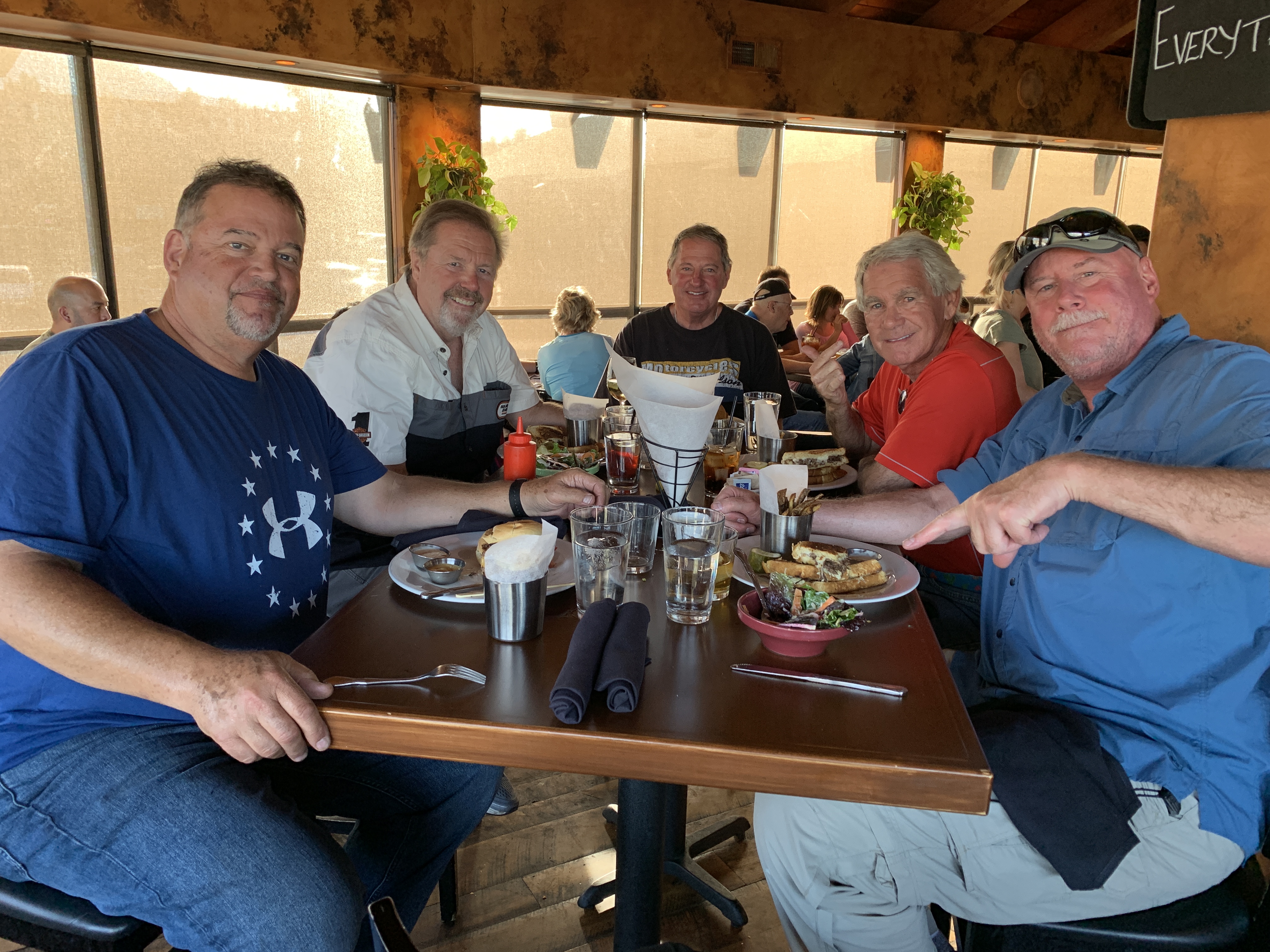
Dave, Scott, John and I were not the only ones to have a marathon ride today.
Jim Ingraham, a friend from Glenwood Springs, Colorado, rode his Harley 300 miles today from Sherman Oaks, California, to meet us in Mammoth Lakes! Jim’s joining the posse for the rest of our voyage to Canada. To learn more about Jim, click here and scroll down until you see his bio.
Tonight, our dinner table expands to five.
Tomorrow morning, the fun begins. That’s when we cross the Sierra Nevada mountains over two spectacular passes, one going west with the morning sun at our backs, and the other heading east in the late afternoon.
Until then, good day, eh?
***
Day Four Summary: Hot, hot, hot. Lunch at America’s best restaurant. The Posse’s first day on the road.
Click here to see today’s complete route from Henderson, Nevada, to Mammoth Lakes, California.
We’re on our way to Canada, eh?
Vroom, vroom.
***
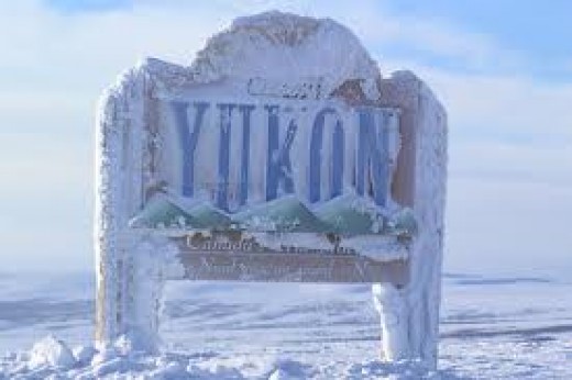
Today’s Canada Fun Fact, eh? The coldest temperature ever recorded in Canada was -81.4 F. That happened on Feb. 3, 1957 in Snag, Yukon. For comparison purposes, the coldest temperature ever recorded at ground level on Earth is -128.6 F, at the Soviet Vostok Station in Antarctica, in July 1983. Brrr!

Glad ya’ll got past past the heat of this day and heading towards cooler temps.
LikeLike
Cooler weather awaits! Love the blog!!!
LikeLike
Gary, I’m enjoying the travel blog once again. Thanks for sharing.
Brother Dave, It’s good to see you on the road again. Hope you guys have a fun and safe trip. Reading about the approach to Mammoth reminded me of camping trips when we were kids.
LikeLike
So great to have you along for the ride Mark! Indeed great camping memories.
LikeLike