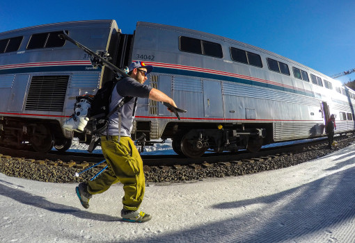
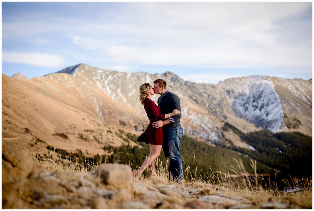
We leave our motel, the Blue Door Inn, heading west from Estes Park, and in a matter of minutes, we enter Rocky Mountain National Park.
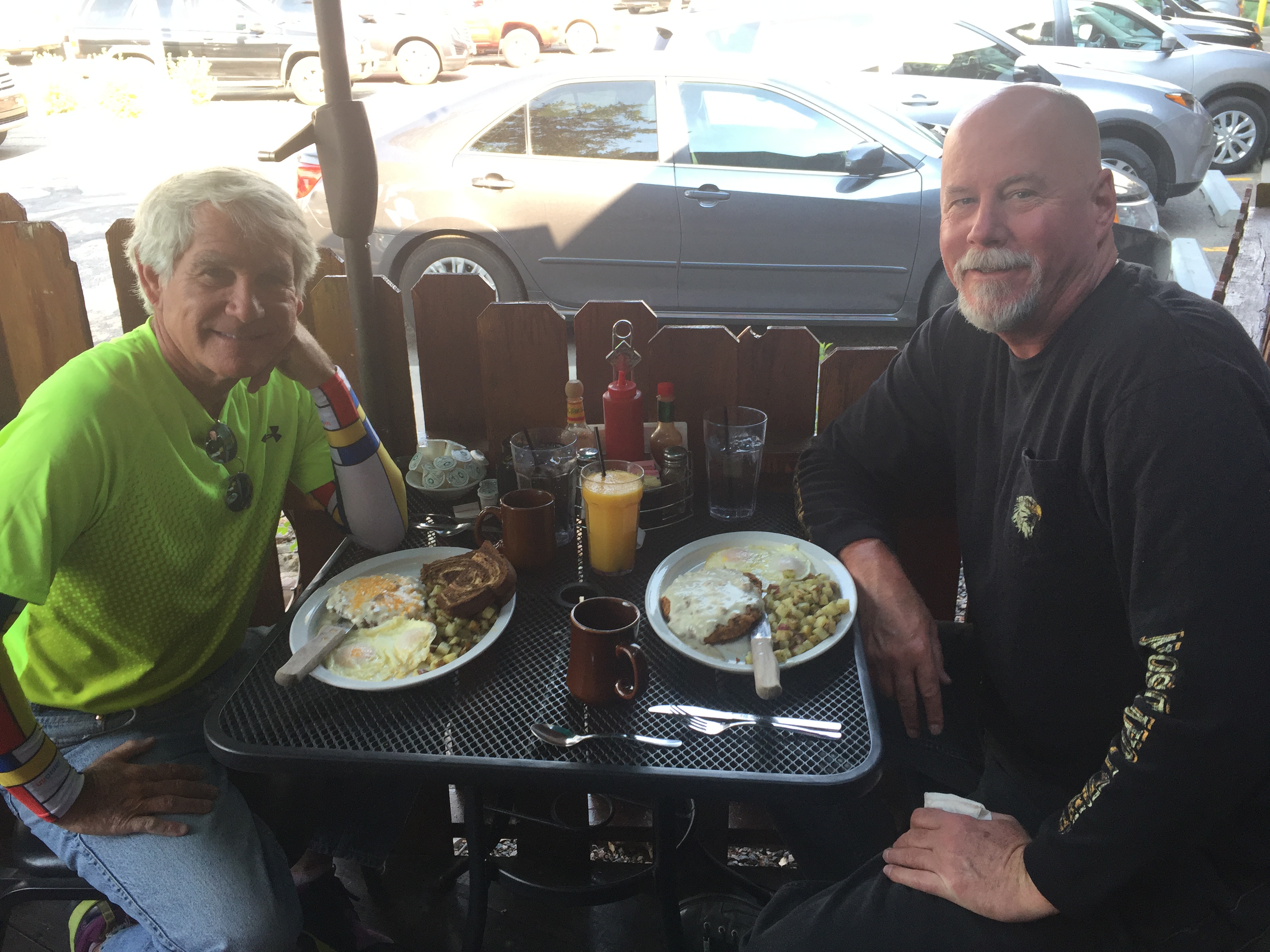
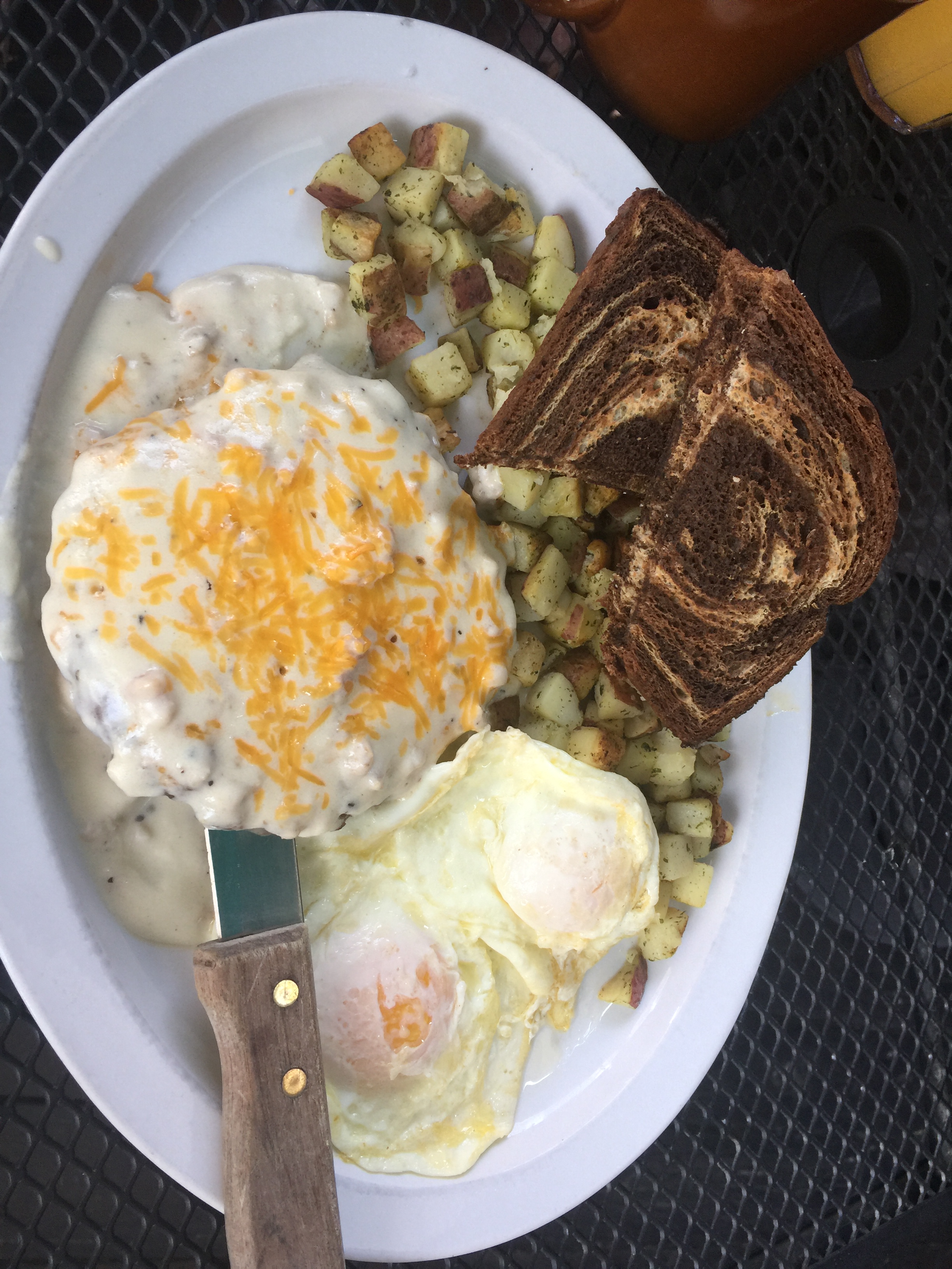
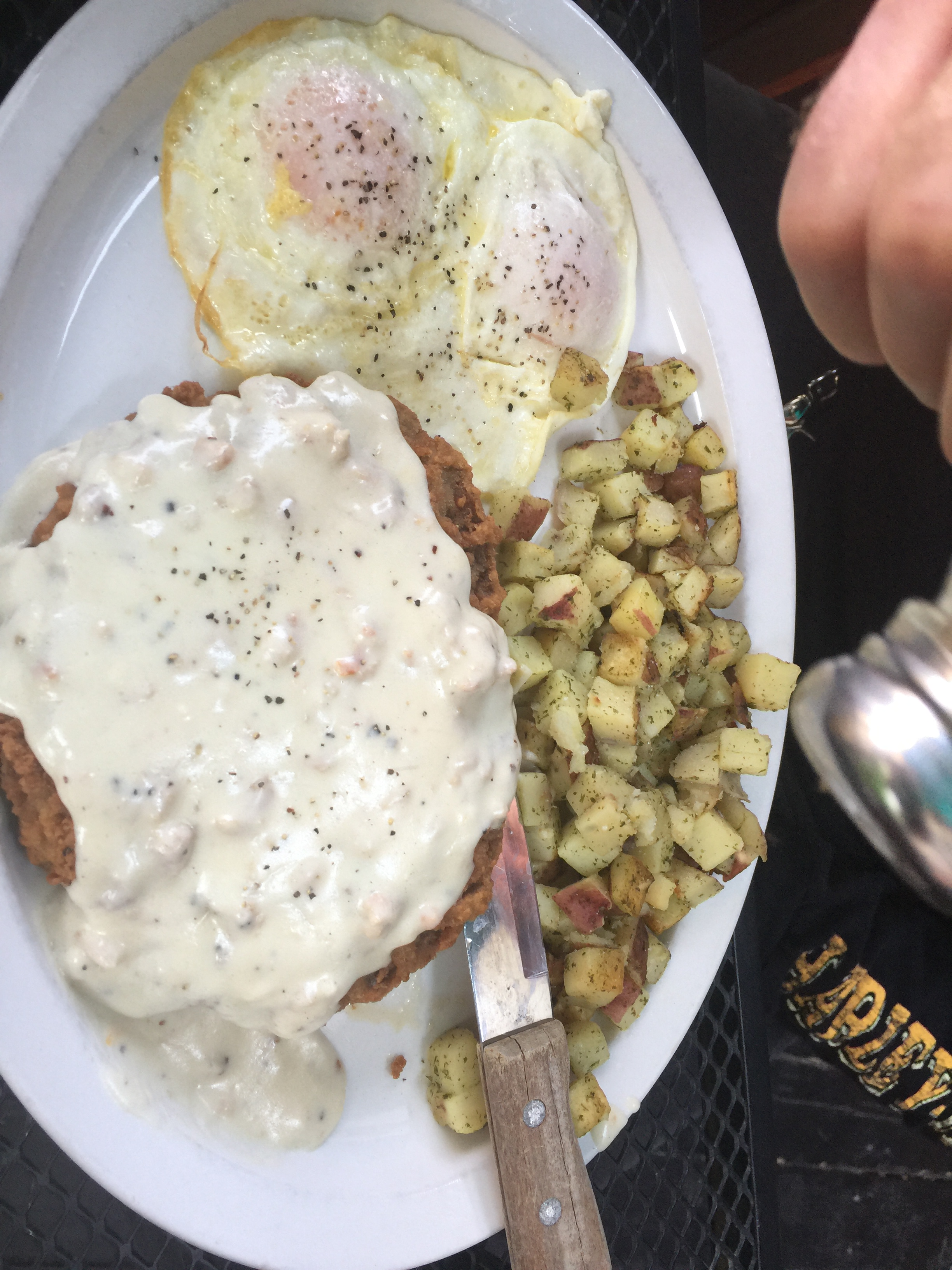
But first, we stop for breakfast at the Notchtop Bakery and Cafe. It’s gonna be a leisurely day on the road as we head up the mountain. So we’ll carbo load before leaving Estes Park.
***
With more than four million visitors annually, Rocky Mountain National Park is one of the most visited national parks, right up there with Grand Canyon, Yosemite and Yellowstone.
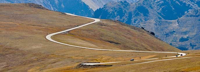
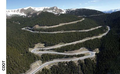
We are riding on Trail Ridge Road, US-34, which runs for 48 miles through the park from Estes Park to Grand Lake. Trail Ridge Road is yet another of Colorado’s Scenic Byways. Today marks my third ride on this spectacular motorcycle road, and my first time going east to west.
The first time I rode Trail Ridge Road was in 2014, with Ray Sanders (click here, scroll down to Ray), who introduced me to the joys of motorcycle touring. Ray, who’s married to Sarah’s cousin Tina, lives near Knoxville, Tennessee.
He was 83 at the time, and knew he had one more big ride in him. As part of his last motorcycle tour, he rode all the way from Tennessee to Colorado, specifically to do Trail Ridge Road one last time. It is, after all his all-time favorite ride. And that’s saying something; Ray has ridden more than a half-million miles, all over the world.
***
Building Trail Ridge Road was a landmark achievement for its day. From 1929 to 1932, the Civilian Conservation Corps could only work on the road three months at a time, due to the heavy snows.
Trail Ridge Road is closed during the winter, usually opening in late May, and closing around Columbus Day in October, when the National Park Service gives up fighting the snow and turns the road back to Mother Nature for the winter.
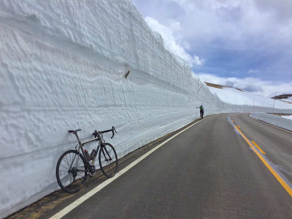
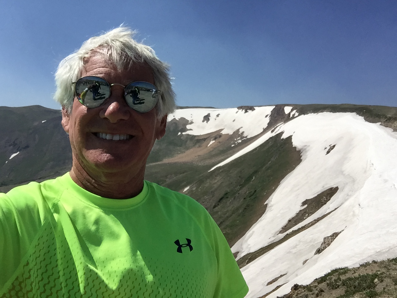
From the park’s eastern entrance, Trail Ridge Road begins to climb steeply. In about 20 miles, we’re above the tree line, heading for the road’s highest elevation: 12,183 feet. This spot makes Trail Ridge Road the highest continuously paved road in North America. There are higher paved roads, like Colorado’s Mount Evans, which takes you to the top of a fourteener – but it is not continuous; it goes to the top, you turn around, and go back down.
A few miles past the 12,183-foot marker, we arrive at the Alpine Visitor Center. At 11,796 feet, it’s the highest Visitor Center in the National Parks system.
Last year, when Dave and I (and Randy and Scott) rode through the park, west to east, the Alpine Visitor Center was disappointingly closed for repairs. This year, it’ll be a good place to rest, grab something to drink and enjoy the sights from the rear deck, before continuing west for the 20-mile ride to the park’s Kawuneeche Visitor Center, its western entrance.
***
We exit Rocky Mountain National Park in Grand Lake, Colorado’s largest and deepest natural lake. Grand Lake sits at 8,280 feet, and is part of the headwaters of the Colorado River. That might explain why we’re now riding on the Colorado River Headwaters Scenic Byway.
We’re on this scenic byway for only about 10 miles, riding from Grand Lake to Granby. We ride along the west shore of Lake Granby, the third-largest body of water in Colorado and home to the Lake Granby Yacht Club, established in 1902. At 8,280 feet, it’s one the world’s highest-elevation yacht clubs. The Dillon Yacht Club, near tonight’s destination, is believed to be the highest: 9,017 feet.
In Granby, we continue south on US-40, closing in on the Winter Park ski area. Only 65 miles from Denver, Winter Park attracts hordes of skiers from Colorado’s mile-high city, many of whom take the Winter Park Express train to and from the area.
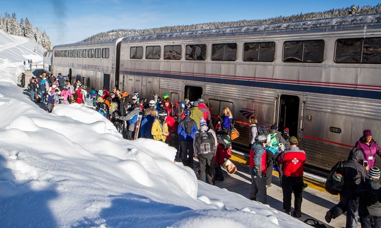
The train goes through the Moffat Tunnel, built in the late 1920s to provide Denver with a railroad connection to western Colorado via the Continental Divide. The Winter Park Express drops skiers off at Winter Park’s base ski area.
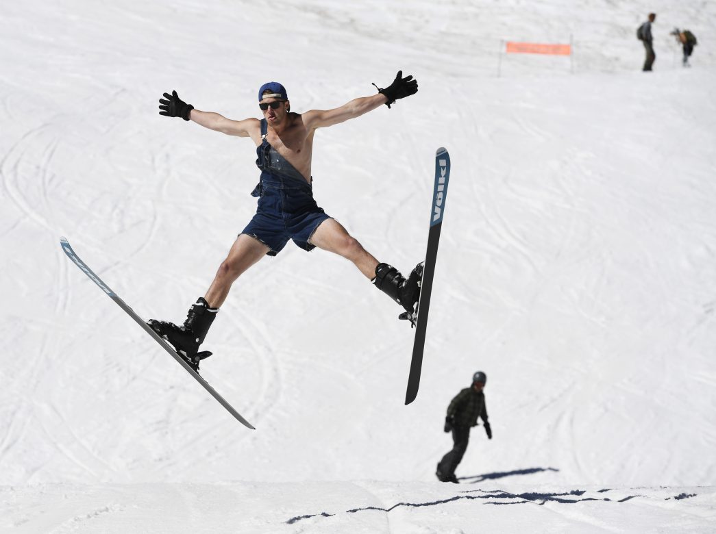
Like many Colorado ski resorts, Winter Park is open in the summer, operating its lifts for mountain biking, hiking, and other activities.
***
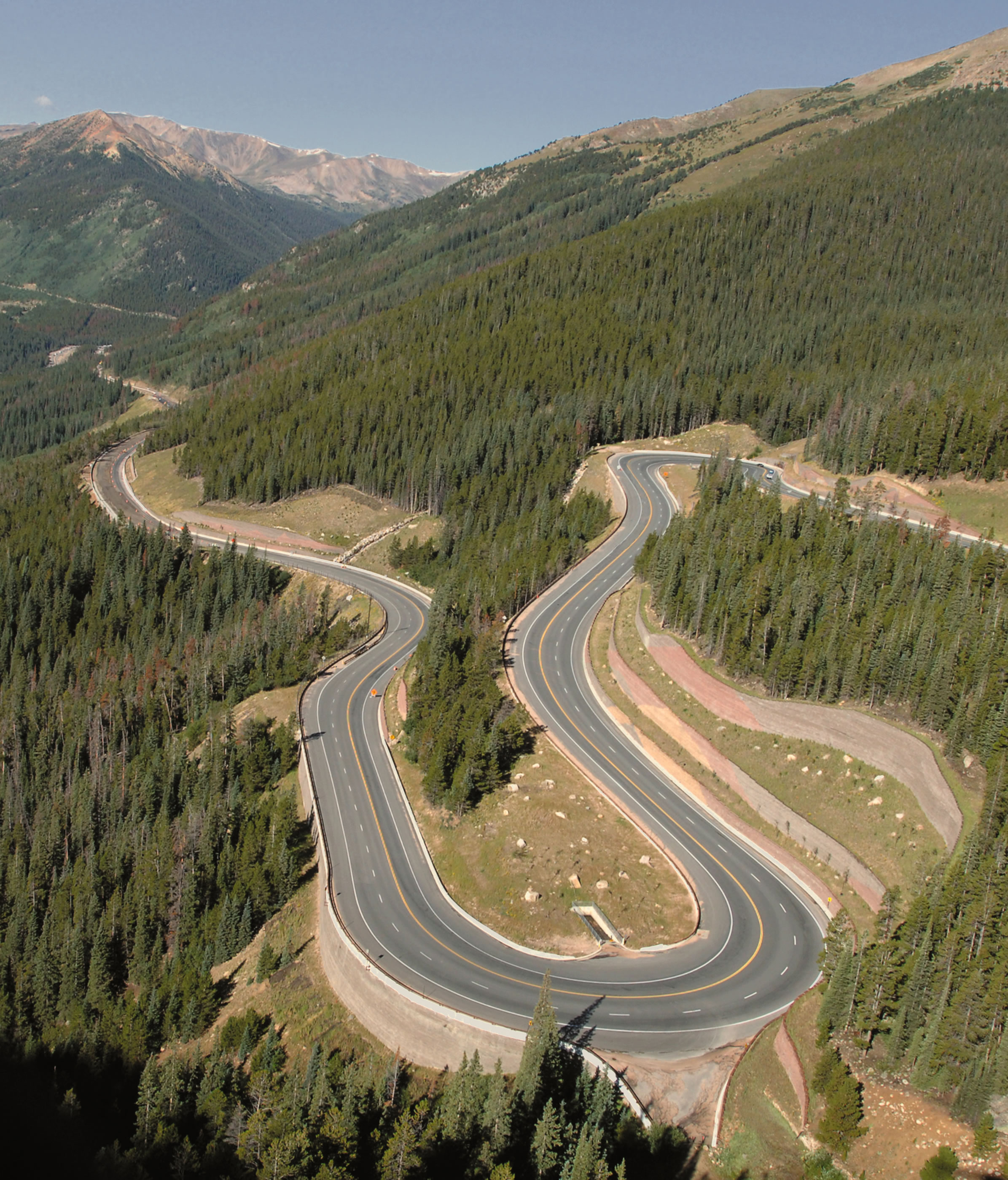
The ride from Winter Park to Berthoud Falls, all 17 miles of it, is spectacular. The road is twisty, steep, and extraordinarily scenic, with 10-mile-an-hour hairpin turns.
Two-thirds of the way to Berthoud Falls, we cross Berthoud Pass, which sits on the Continental Divide. It’s 11,307 feet, and is on the route for skiers as they drive from Denver to Winter Park – a 90-minute journey. The pass is named for Edward Berthoud, the chief surveyor of the Colorado Central Railroad during the 1870s.
Berthoud Pass is home to the now-defunct Berthoud Pass Ski Area, which still attracts backcountry skiers, snowboarders and snowshoers. It has an abundance of steep and challenging terrain, and averages 500 inches of snow a year. The ski resort closed in 2003 due to financial problems caused by lack of water and sewage at the top of the pass.
From Berthoud Pass, we descend steeply to Berthoud Falls, which sits at 9,800 feet. Around Berthoud Falls, there are some great hikes. Maybe another day.
It’s less than nine miles to I-70, which we’ll take to our next two ski areas, Loveland and Arapahoe Basin. But first, we pass through the Town of Empire, population 282.
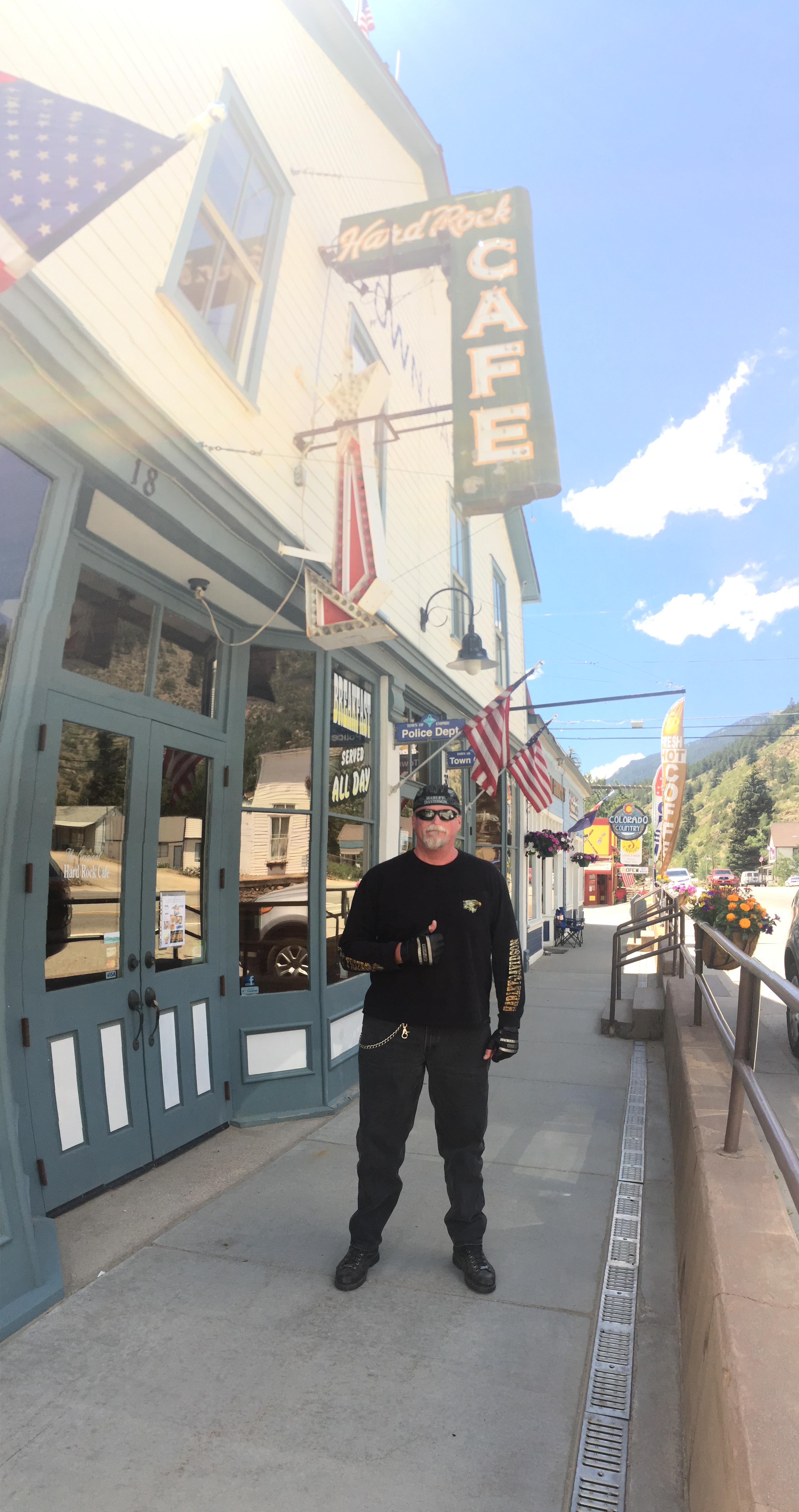
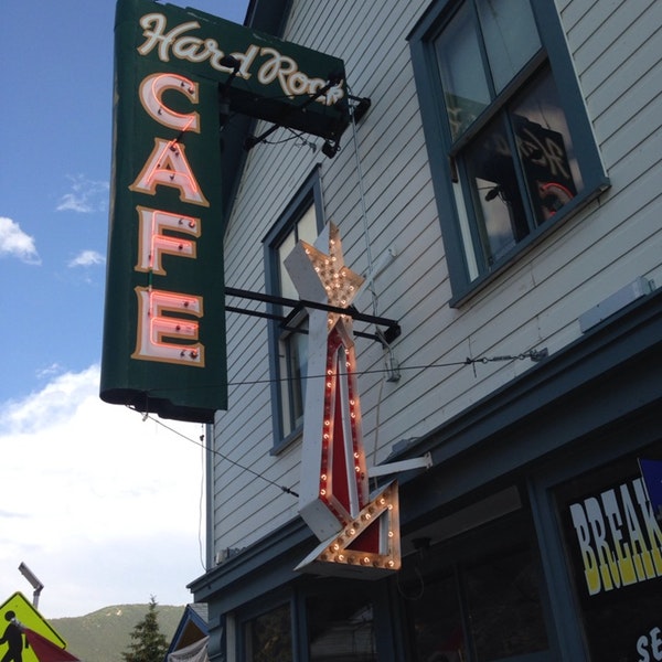
Empire is a former mining town that actually has a Hard Rock Café. The café, which is currently shut down, has been there since 1934; it is not affiliated with the chain of restaurants that also call themselves the Hard Rock Café. Empire’s Hard Rock Café was named for the hungry hard rock miners that came to eat, many years ago.
The previous operator of the café called it quits in 2017. The town is looking for someone who’s interested in bringing the place back to life. Anyone?
***
Riding west on I-70, we continue climbing steeply for nearly 15 miles, until we reach almost 11,000 feet.
We take the exit for US-6 to Loveland Pass. As we leave the Interstate, we’re within spitting distance of the Loveland Ski Area. The exit takes us right past it. The Loveland Ski Area is a combination of two separate areas: Loveland Basin and Loveland Valley. They were once connected by a chairlift, and now are served by bus.
Because of its high base elevation – 10,400 for the Valley; 10,800 for the Basin – Loveland is typically one of the first ski areas in Colorado to open each season. The earliest opening on record was October 7, 2009. Skiing halfway between Labor Day and Halloween … really?
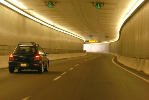
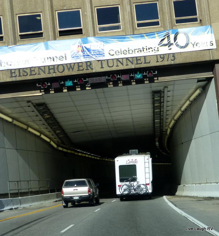
Both ski areas are at the eastern portal of the Eisenhower Tunnel, a civil engineering marvel that carries I-70 traffic under the Continental Divide. With a maximum elevation of 11,158 feet, it’s one of the highest vehicular tunnels in the world. The four-lane Eisenhower Tunnel, opened in 1973, is the longest mountain tunnel and highest point on the US Interstate Highway System.
This should be obvious to anyone who’s taken a 4th-grade history class, but the tunnel is named after Dwight Eisenhower, the US President for whom the Interstate system is also named.
The idea for a tunnel under Loveland Pass had been kicking around since the 1940s, and serious discussion began when the state of Colorado lobbied to route a transcontinental highway across the state. Engineers recommended to tunnel under the pass, rather than try to build a route across it that conformed to Interstate Highway Standards.
There are actually two tunnels, each with two lanes. The westbound tunnel is 1.693 miles long, while the eastbound tunnel is 1.697 miles long. Only an engineer would be able to explain or understand the difference in length.
About 12 million vehicles pass through the tunnel every year. We will not add to that total, as we exited I-70 moments before we would have entered the tunnel.
***
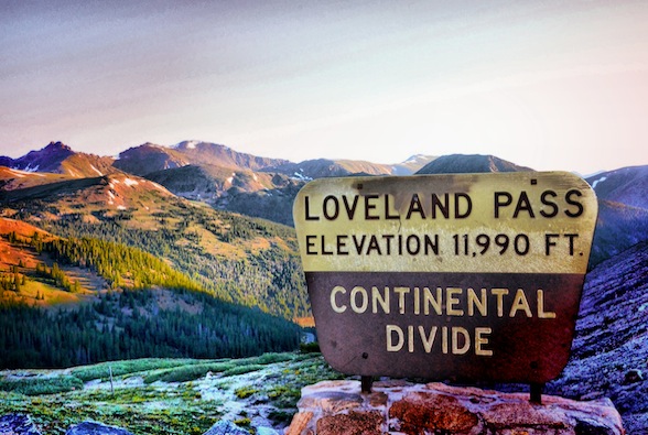
Instead of continuing west on I-70, we’re now heading south on US-6 toward Loveland Pass, only about six miles away. Loveland Pass is yet another major crossing that sits on the Continental Divide. The pass is 11,990 feet. To reach it, you ride a steep, steady 6.7 percent grade, and navigate numerous hairpin turns along the way.
Loveland is the highest mountain pass in Colorado that regularly stays open during the snowy winter season. The pass is named for William Loveland, the president of the Colorado Central Railroad in the late 19thcentury. Because of snow, cold weather, steepness and curves, Loveland Pass can be extremely treacherous in the winter. Today, it’s a piece of cake.
Seven miles after crossing Loveland Pass, we roll past the Arapahoe Basin Ski Area, called “A Basin” by locals. With a base elevation of 10,780 feet, A Basin is known for its extended season, usually staying open until early June, and sometimes into early July. This year, even with a disappointing snow season throughout the Rockies, A Basin was open until June 3.
From A Basin, it’s only 13 miles to Silverthorne, our destination for the evening. We continue west on US-6, and roll past yet another ski area: Keystone <link>. For the past 20 years, Keystone has been owned and operated by Vail Resorts. In summer – now – Keystone provides lift access for mountain biking, biking parks, and hundreds of miles of single-track mountain biking.
It’s almost ridiculous how many world-class ski areas there are within a few miles of each other. In the last half-hour, we’ve blown by three of them on our way to Silverthorne.
We arrive in Silverthorne after a relatively short but spectacular day – 145 miles and less than four hours in the saddle.
Did someone say Ribs?
Tonight we’re heading to the Arapahoe Cafe in nearby Dillon.
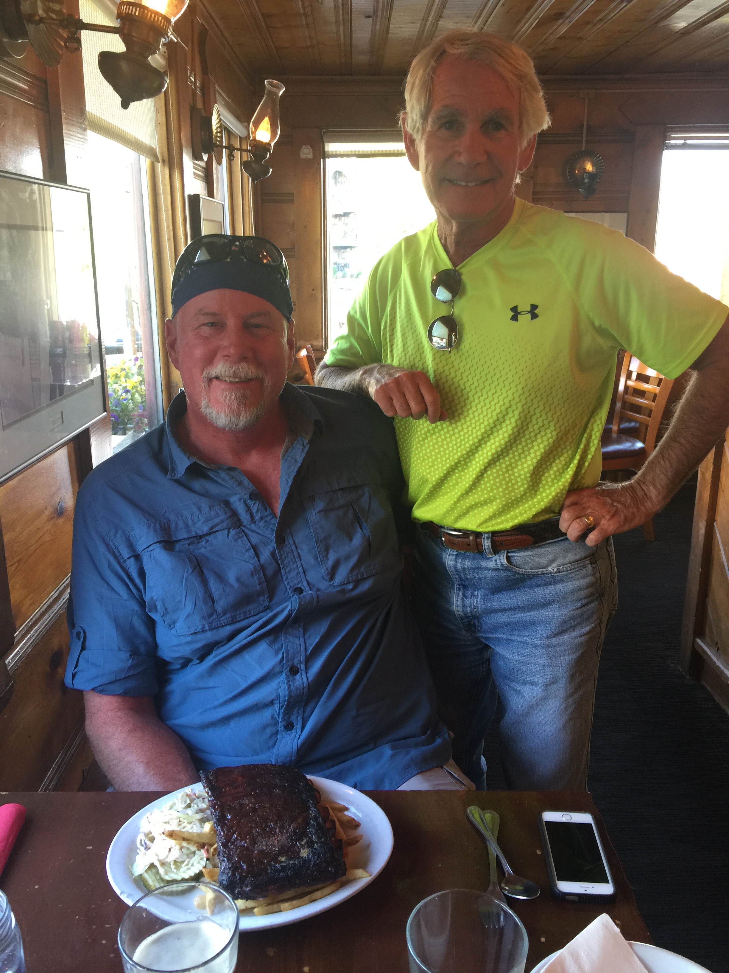
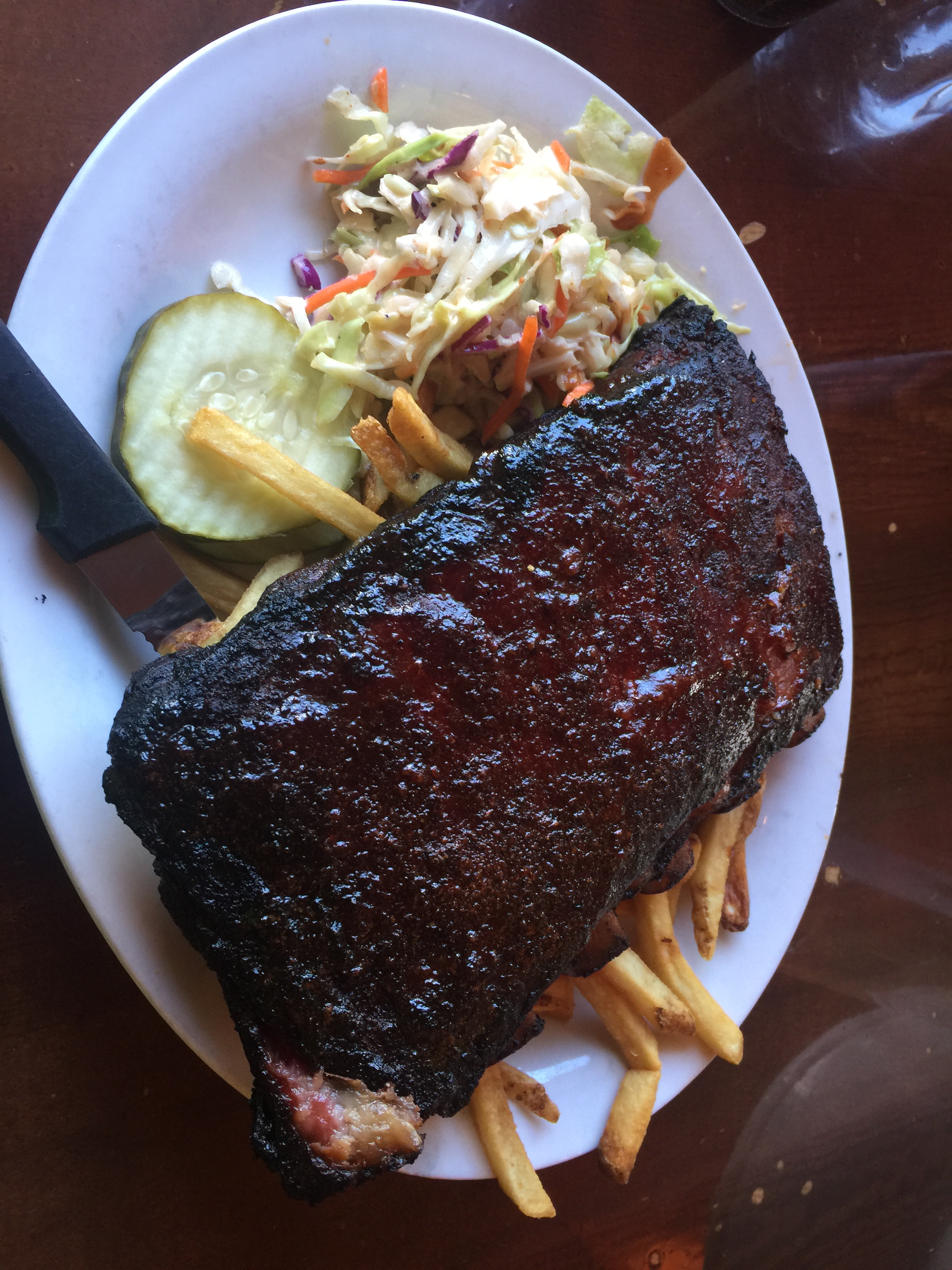
Tonight’s dinner made the podium a bit more crowded. Arapahoe Cafe joins Serious Texas BBQ (Durango) and Smokin’ Dave’s (Estes Park) in a three-way tie for second place. Slow Groovin’ (Marble) remains in first place as the 2018 Rocky Mountain Rib Rally nears the finish line.
***
After dinner, we walked a block to the brand new amphitheater in Dillon. A band called “Nacho Men” was playing at the first-ever concert there. Free!
It’s a gorgeous setting for sunset entertainment. The stage sits directly in front of the Dillon Reservoir. In the background, sailboats flit by. Quite the scene.
***
Day Twelve Summary: The highest continuously paved road in North America. Thank God for continuous paving.
Click here to see today’s complete route from Estes Park to Silverthorne.
Glad you’re along for the ride.
Vroom, vroom.
***
Today’s Colorado Fun Fact: The Colorado Rockies are part of the North American Cordillera, which stretches 3,000 miles from Alaska, through western Canada and the United States, into northern Mexico. The centerpieces of this dramatic uplift are the peaks over 14,000 feet, or “fourteeners”, as they are affectionately referred to by climbers. There are 58 fourteeners in Colorado, according to the Colorado Geological Survey.
Today’s Rocky Mountain Rib Rally Fun Fact: We rode over Loveland Pass earlier today. Loveland is known as “The Sweetheart City.” Every year thousands of Valentine’s Day cards are mailed from or mailed to Loveland, where a staff of volunteers stamps them with a personal Loveland stamp and re-sends them out to their recipients. Here’s how to find the Love.
Today’s Colorado Food Fun Fact: Colorado has more microbreweries per capita than any other state. Two of them are in Silverthorne, where we’re staying tonight: the Baker’s Brewery and the Angry James Brewery. Two more are in Carbondale: Carbondale Beer Works and Roaring Fork Beer Company.

Are you sure that isn’t a picture of Jim at Arapaho?? He skied that but I stayed behind to rest my weary ski soul.
He loved it.
What kind of bet can we get how long it will take for you two to eat ribs again after you marathon bike and rib trip??
Bet, not long!
J&B
LikeLike
The twists and turns….Yikes! Loveland Pass looks beautiful, as does the ribs. Glad you got to get your groove on tonight, and for free!
LikeLike
Wish you were here to get your groove on Baby!
LikeLike
Biscuits and gravy. I love you man.
LikeLike
OK we are having ribs tonight at 30′ below sea level.
jwc
LikeLike
30 feet below sea level? Eating at the Salton Sea?
LikeLike
My diet is like your golf swing: creamy and strong.
LikeLike
Gary, I really don’t want your trip to end. Enjoy your blog every morning with my coffee. Always learn something before my day is actually started. Bless you, be safe!
LikeLike
We don’t want the trip to end, either. Glad to provide educational material to go with your morning coffee. Always safe. I ride like Grandma. Dave’s slightly more adventurous.
LikeLike