This morning, our Table for Six hits the road.
We won’t be alone.
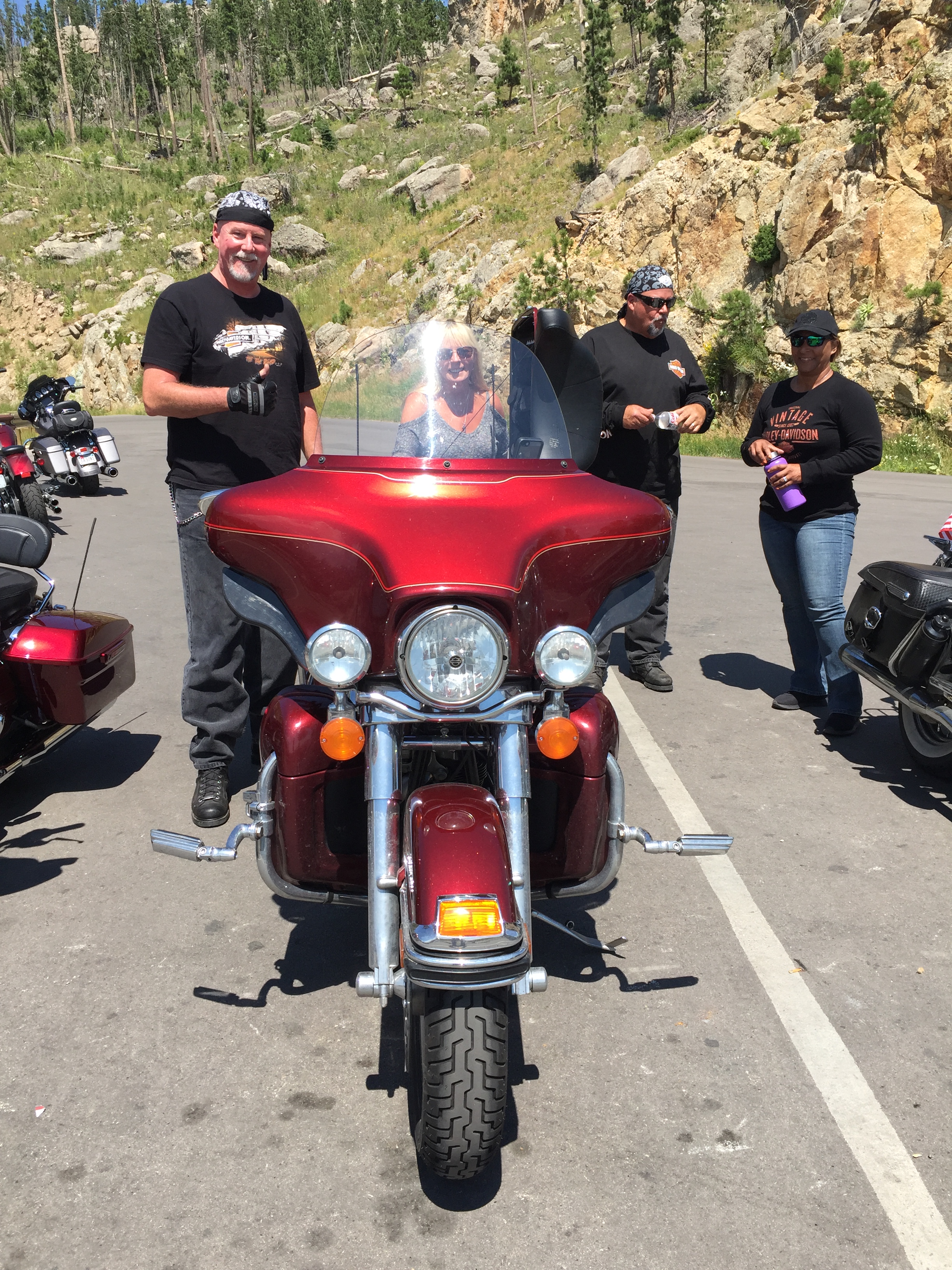
Half a million riders from all over the country are gathering for the annual Sturgis Motorcycle Rally, which officially begins on Monday.
Riders have dispersed throughout the region, from Rapid City to Deadwood to Spearfish. Even Belle Fourche.
They’re overnighting in hotel rooms, rental houses, and campgrounds. The lodging runs the gamut, from luxurious to seedy, and everything in between.
But it’s not about the beds. It’s all about the bikes.
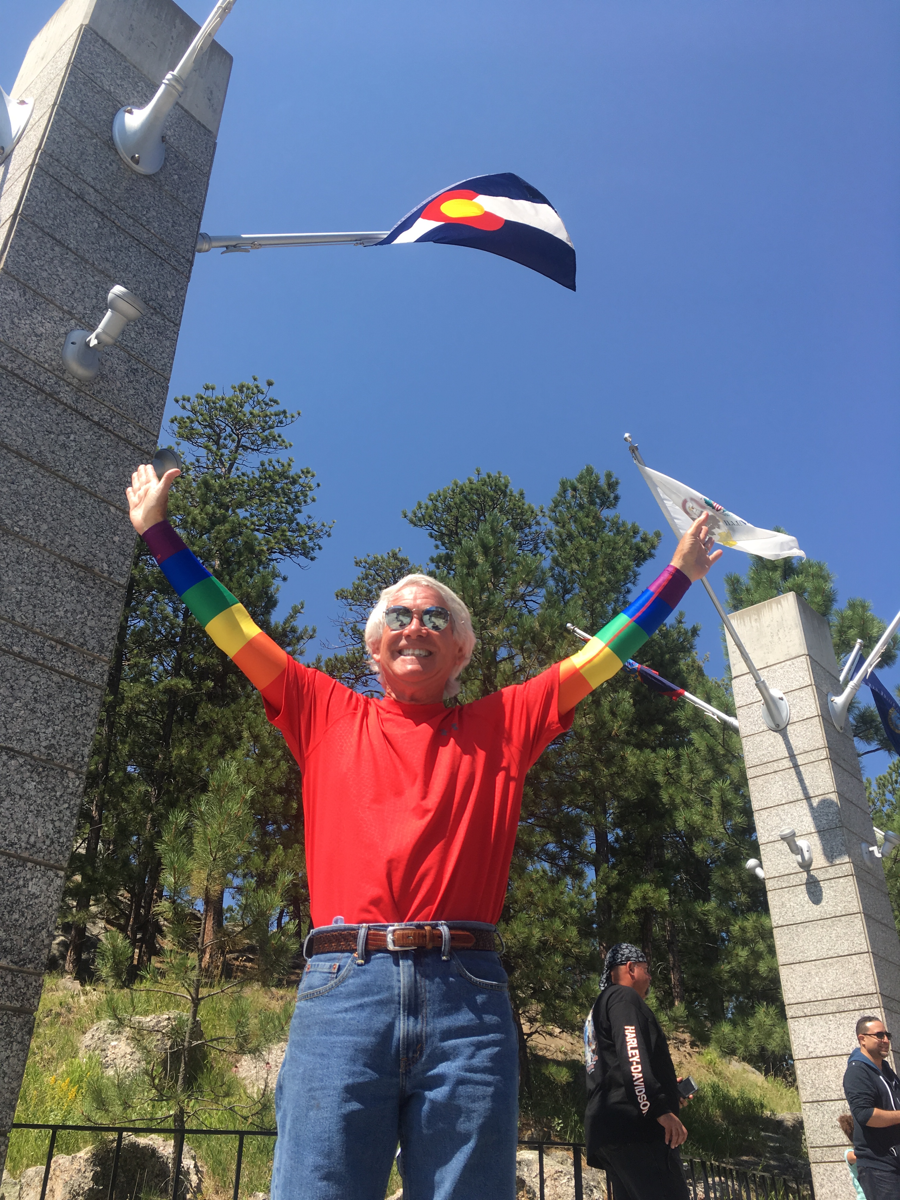
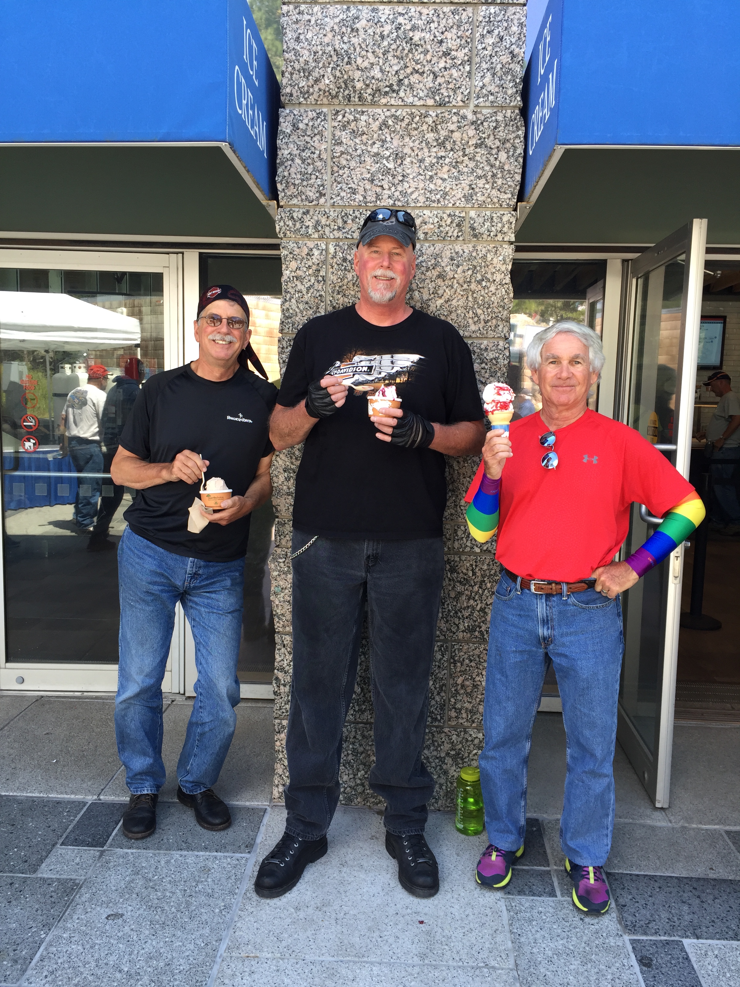
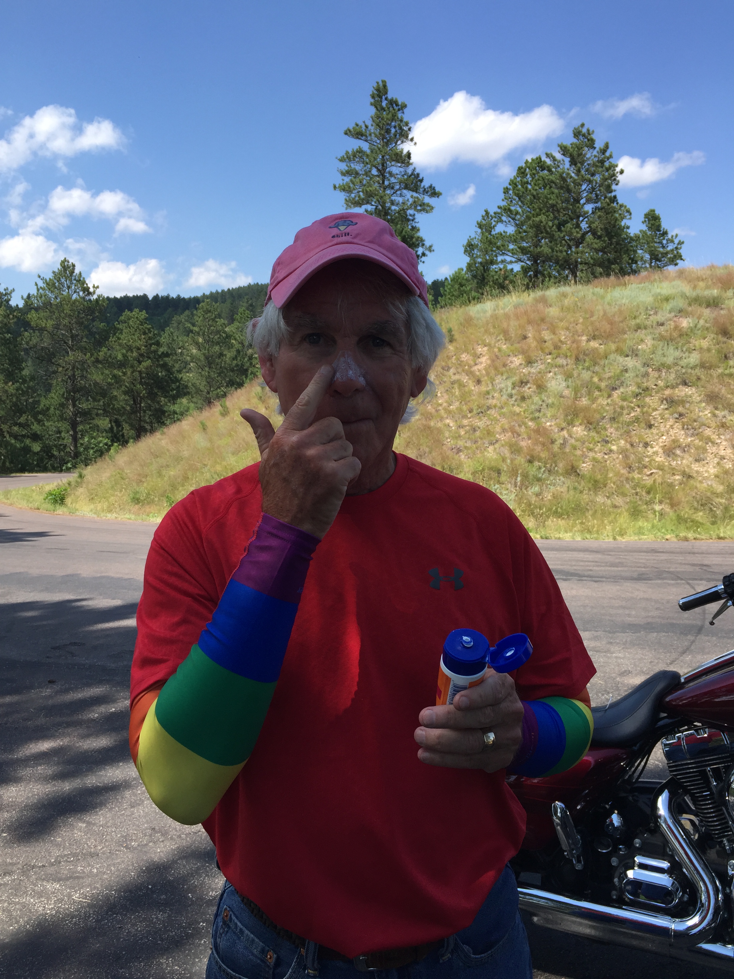
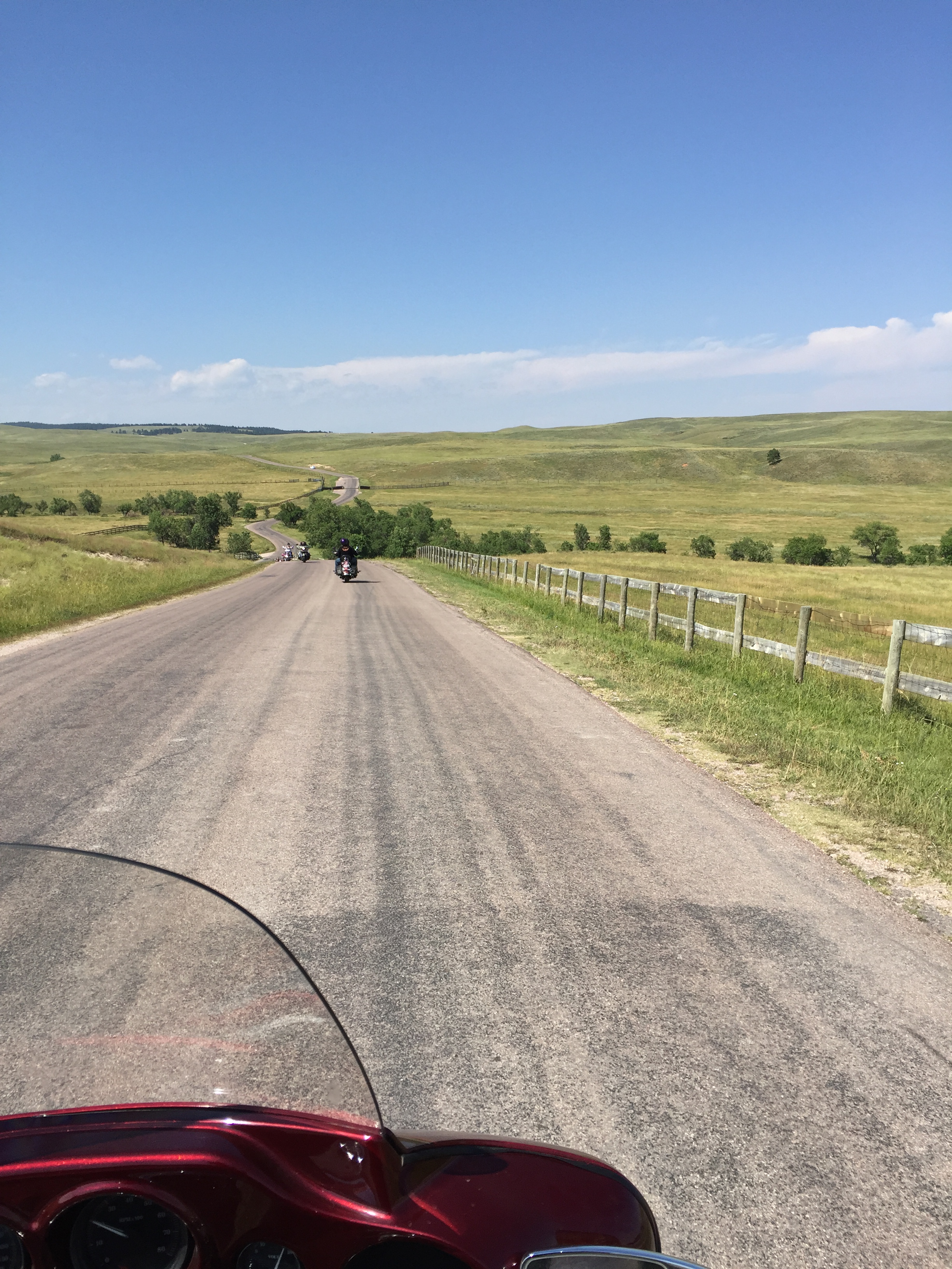
So off we go. Four bikers, and a Table For Six.
***
We begin by heading south out of Rapid City on US Highway 16, also called Mount Rushmore Road. Soon, we pass by nearby two critter-themed parks, Reptile Gardens and Bear Country USA.
Reptile Gardens is said to be the world’s largest reptile zoo. You can be creeped out by snakes, or you can pet a baby alligator. Reptile Gardens also has a botanical garden showcasing 50,000 flowers. Bear Country features the world’s largest collection of privately owned black bears.
Who owns bears, anyway?
Twenty minutes from Rapid City, we pass through the abandoned gold rush town of Rockerville. The town is dead, but somehow The Gaslight Restaurant manages to survive.
In Rockerville, we turn south on Rockerville Road. Soon, we’re on Playhouse Road, which if you follow it long enough, takes you to the Black Hills Playhouse, a performing arts theater in the Black Hills. Sponsored by the South Dakota Arts Council, the playhouse is now in its 72nd season.
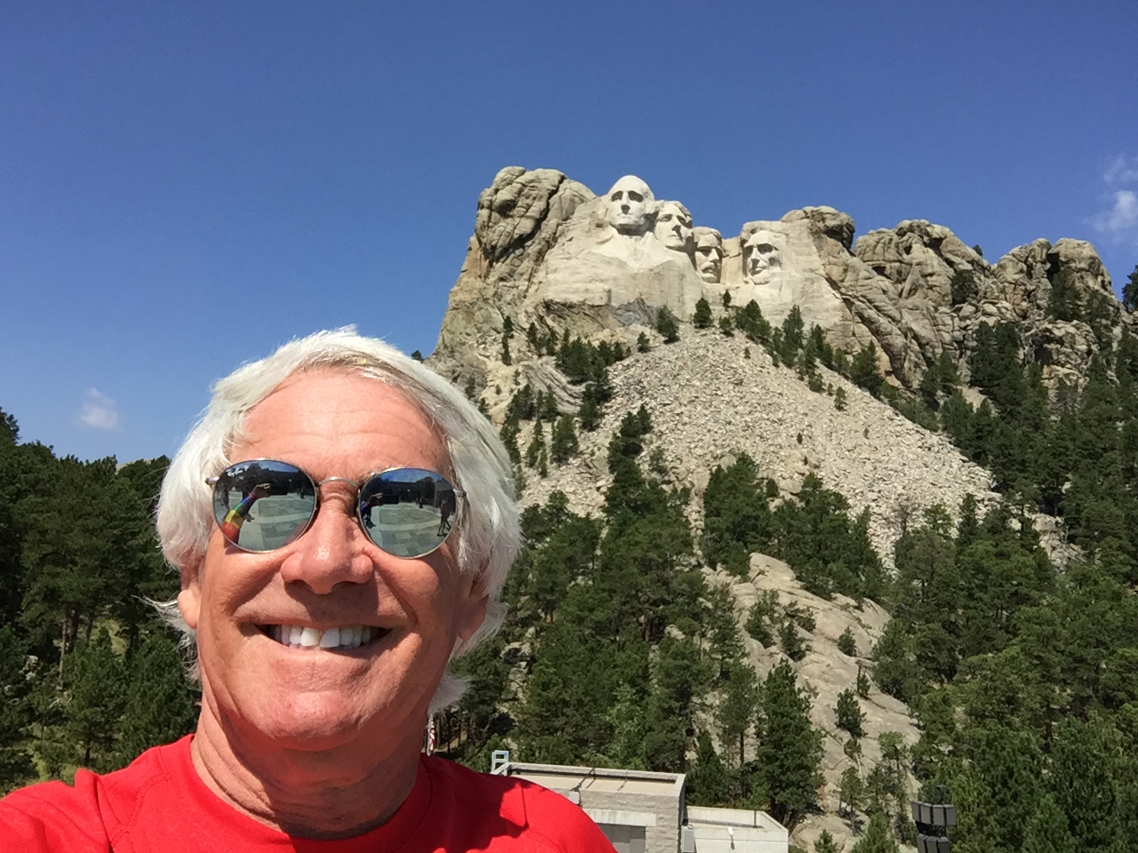
We don’t make it to the playhouse, but we follow the road until it intersects with US Highway 16A, where we turn west and head for Mount Rushmore – eleven miles away.
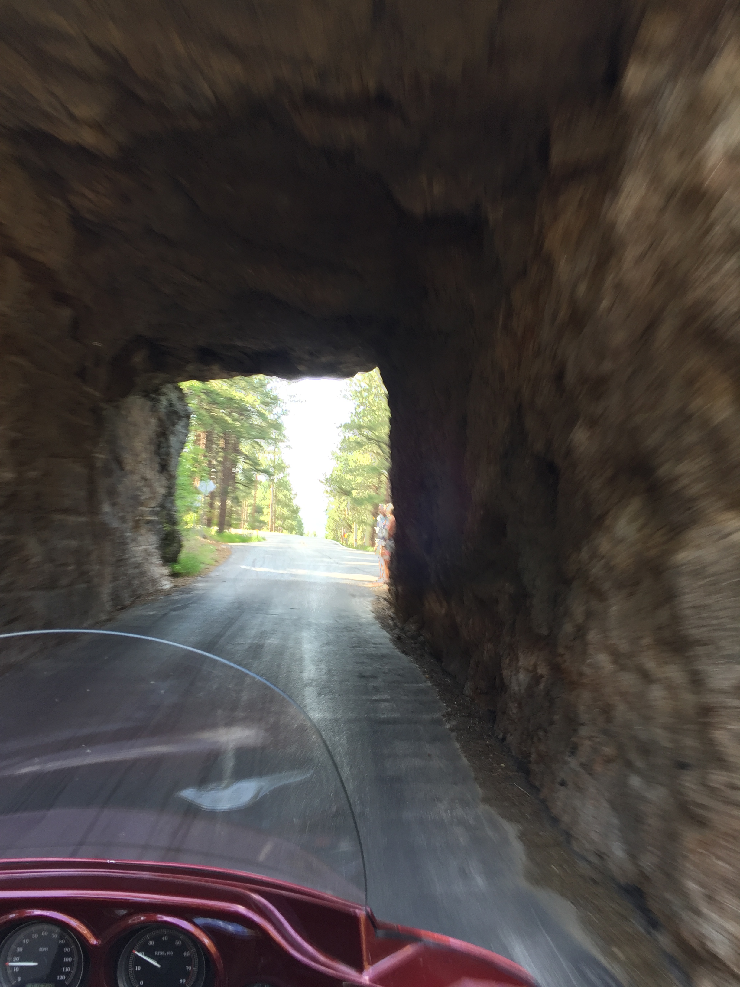
This part of Highway 16A is known as Iron Mountain Road, a 17-mile stretch of paved paradise featuring more than 300 curves and 14 switchbacks. One of Iron Mountain Road’s unique features is the three “pigtail” bridges which spiral the rider back over the road they just went on in one massive sweeping turn.
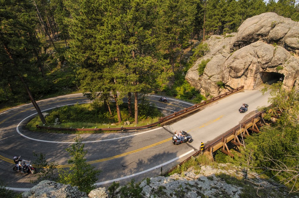
It also has one-lane rock tunnels that offer spectacular views of Mount Rushmore as you exit the tunnels. The tunnels were blasted through sheer granite walls when they were built by the Civilian Conservation Corps.
Your speed seldom exceeds 20 miles an hour on Iron Mountain, all the better to make the leisurely ride utterly enjoyable. Before long, we turn off Highway 16A onto South Dakota Highway 244 for the 1.5-mile journey to Mount Rushmore National Memorial.
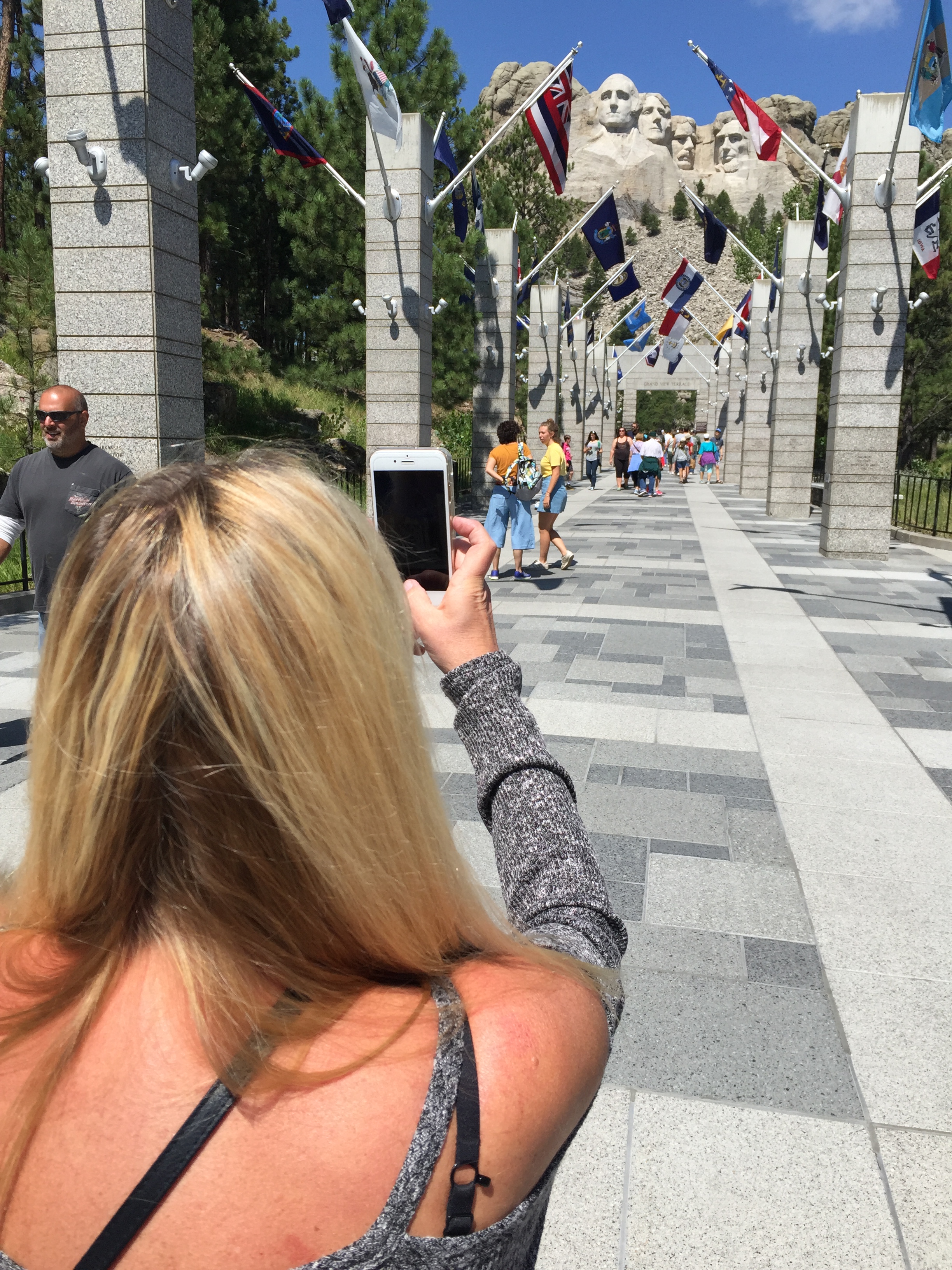
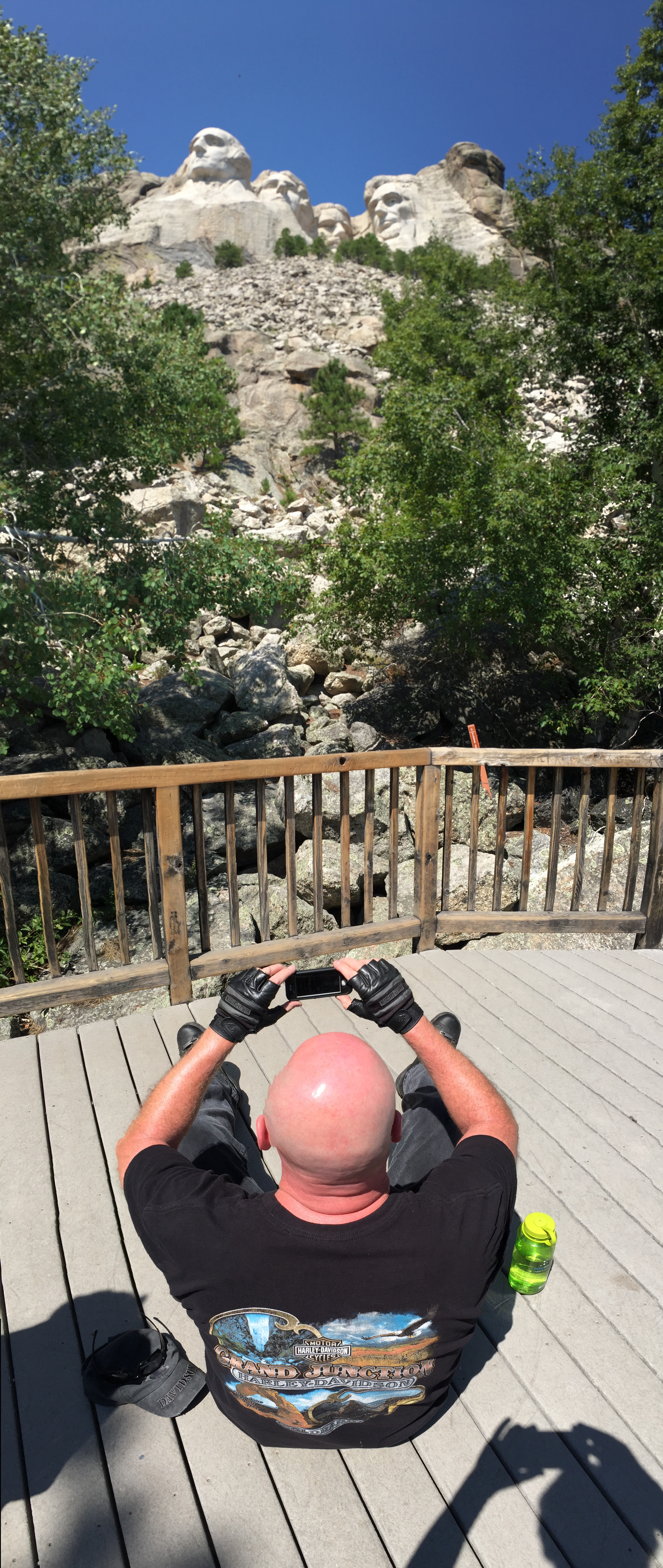
The following sentence is for blog followers who’ve been living in a cave all their lives: Mount Rushmore is a sculpture carved into the granite face of the mountain, featuring 60-foot high carvings of four US Presidents: George Washington, Thomas Jefferson, Theodore Roosevelt, and Abraham Lincoln. For perspective, the highest building in South Dakota is CenturyLink Tower in Sioux Falls. It’s a massive 11 stories and soars 174 feet into the sky!
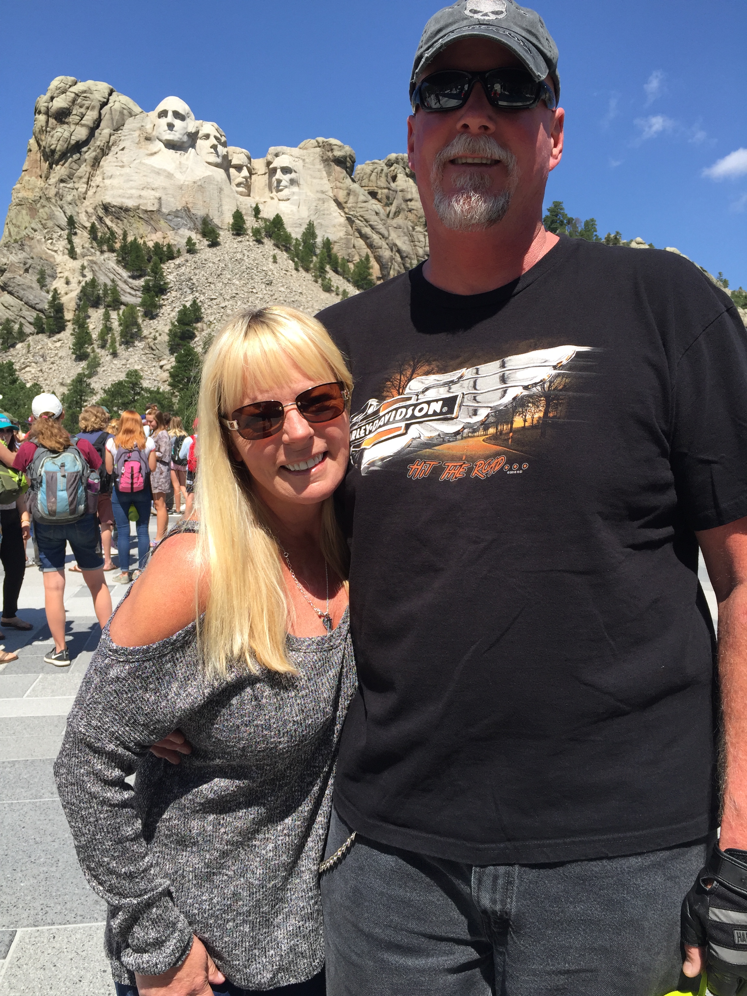
Tourism is South Dakota’s second-largest industry, and Mount Rushmore is the state’s top tourist attraction. Nearly two and a half million visitors come here each year; it’s the 10th most visited national monument or memorial – the only ones seen by more tourists are in Washington DC or New York City. Sturgis rally week is a particularly crazy time at the Memorial.
Work on the mountain took place between 1927 and 1941. The faces of the presidents were carved by Danish-American Gutzon Borglum and his son, Lincoln Borglum, between 1934 and 1939. The Borglums led a team of more than 400 workers on the sculpting project.
More than 90 percent of the memorial was carved using dynamite; the blasts removed about 450,000 tons of rock. Details were finished with jackhammers and hand chisels. The initial concept called for each president to be depicted from head to waist, but lack of funding forced construction to end in late October 1941, with faces only.
***
Our Table For Six leaves Mount Rushmore, continuing west on Highway 244. The highway takes us around 7,242-foot Black Elk Peak, the highest point in the US east of the Rockies. Atop Black Elk Peak is a stone fire tower built by the Civilian Conservation Corps in the 1930s. The tower has a panoramic view of the Black Hills. The trail to the Black Elk Peak fire tower begins near Sylvan Lake in Custer State Park.
We continue circling Black Elk Peak, turning south on South Dakota Highway 87, part of the Peter Norbeck National Scenic Byway. The byway is a loop that includes a number of different roads snaking through the black Hills.
Norbeck proposed most of the roads that now make up the Peter Norbeck Scenic Byway when he was a US Senator in the 1920s and ‘30s. Norbeck also served a term as South Dakota’s Governor, and is best remembered as “Mount Rushmore’s great political patron,” for promoting construction of the sculpture and securing federal funding for it.
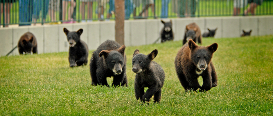
Highway 87 next takes us past Sylvan Lake, and Sylvan Lake Lodge, known as the crown jewel of Custer State Park, which we’re now in. Custer is South Dakota’s largest state park, with more than 71,000 acres of hilly terrain and home to many wild animals – which we’ll see later today.
The Sylvan Lake Lodge sits in a serene spot suggested by architect Frank Lloyd Wright. It was once a stopping point for adventurers hoping to scale Harney Peak.
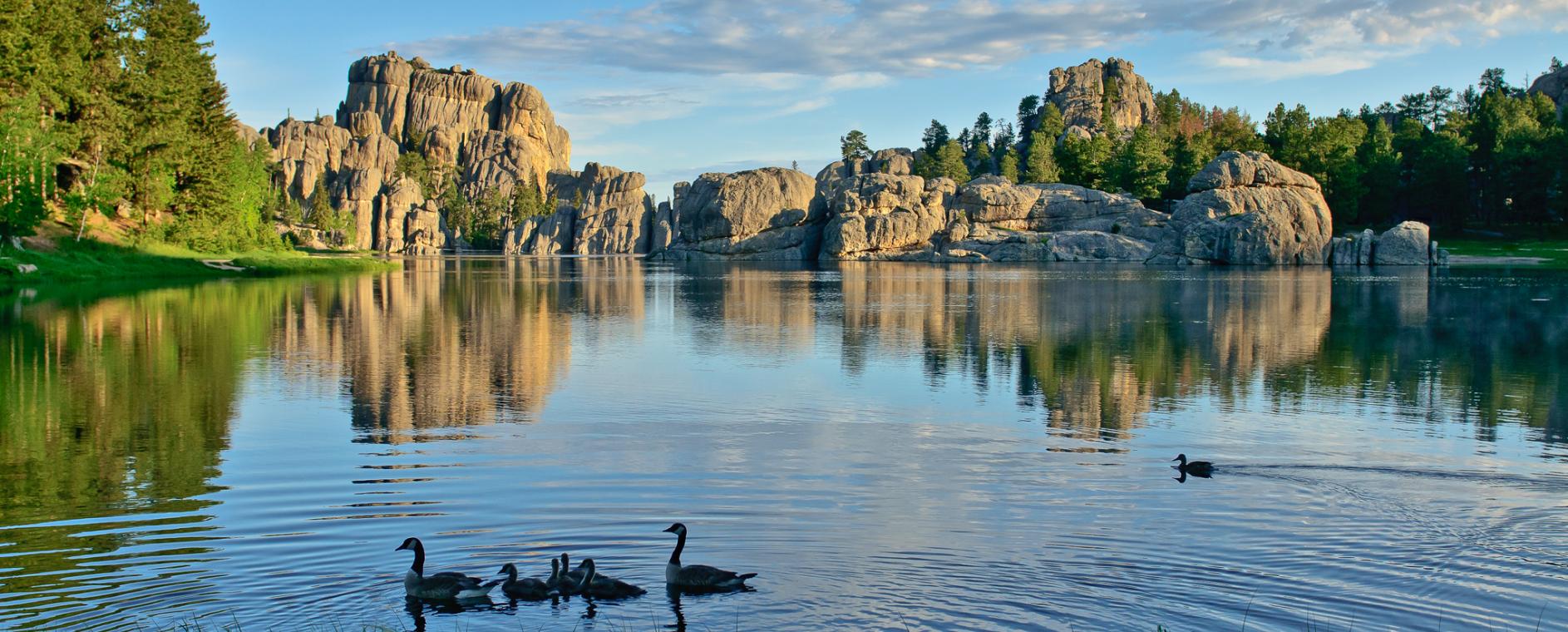
Sylvan Lake is probably the most recognizable of the five Custer State Park lakes. It’s a favorite for photographers and artists, and a popular spot for weddings and other popular occasions (bar mitzvahs, anyone?).
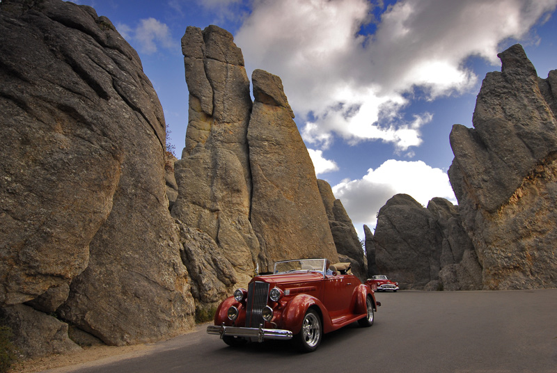
This portion of Highway 87 is known as the Needles Highway, which also has three narrow rock tunnels that can only fit one car or motorcycle at a time.
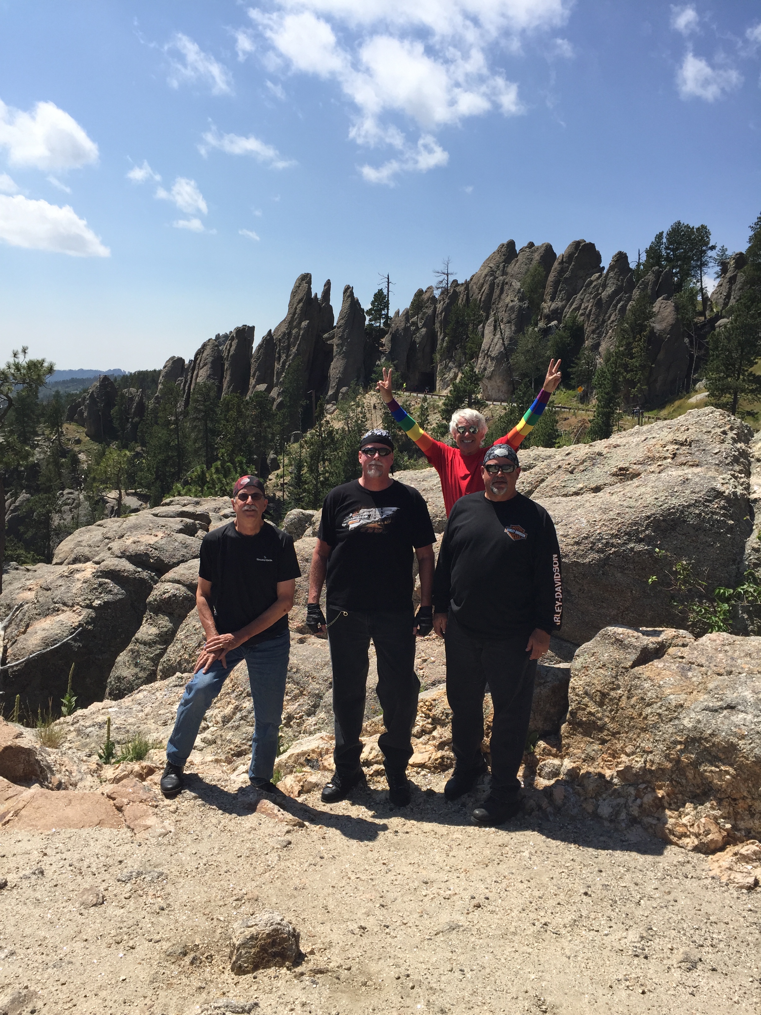
The Needles Highway is often found on lists of the top ten motorcycle rides in North America.
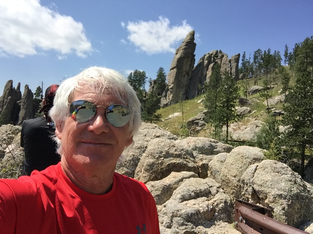
The road’s name – Needles Highway – comes from the needle-like granite formations that seem to pierce the horizon along the highway. The Needles are eroded granite pillars, towers and spires, popular with rock climbers, tourists, and dudes on Harleys.
A portion of the Needles Highway is designated a National Natural Landmark, recognizing and encouraging the conservation of the natural history in the US. The National Natural Landmarks program recognizes the best examples of biological and geological features in both public and private lands. The National Park Service administers the program, which includes around 600 landmark sites.
Closer to home, Southern California examples of National Natural Landmarks include the Anza-Borrego Desert near the Salton Sea, and the Amboy Crater, near the ghost town of Amboy in San Bernardino County.
Back in the Black Hills, the Needles are one of 13 National Natural Landmarks in South Dakota, and were the original site proposed for the Mount Rushmore carvings. But sculptor Gutzon Borglum rejected the location because of the poor quality of the granite and the fact that the Needles were too thin to support the presidential sculptures.
The Needles attract about 300,000 people every year. Make that 300,006 – including our Table for Six.
***
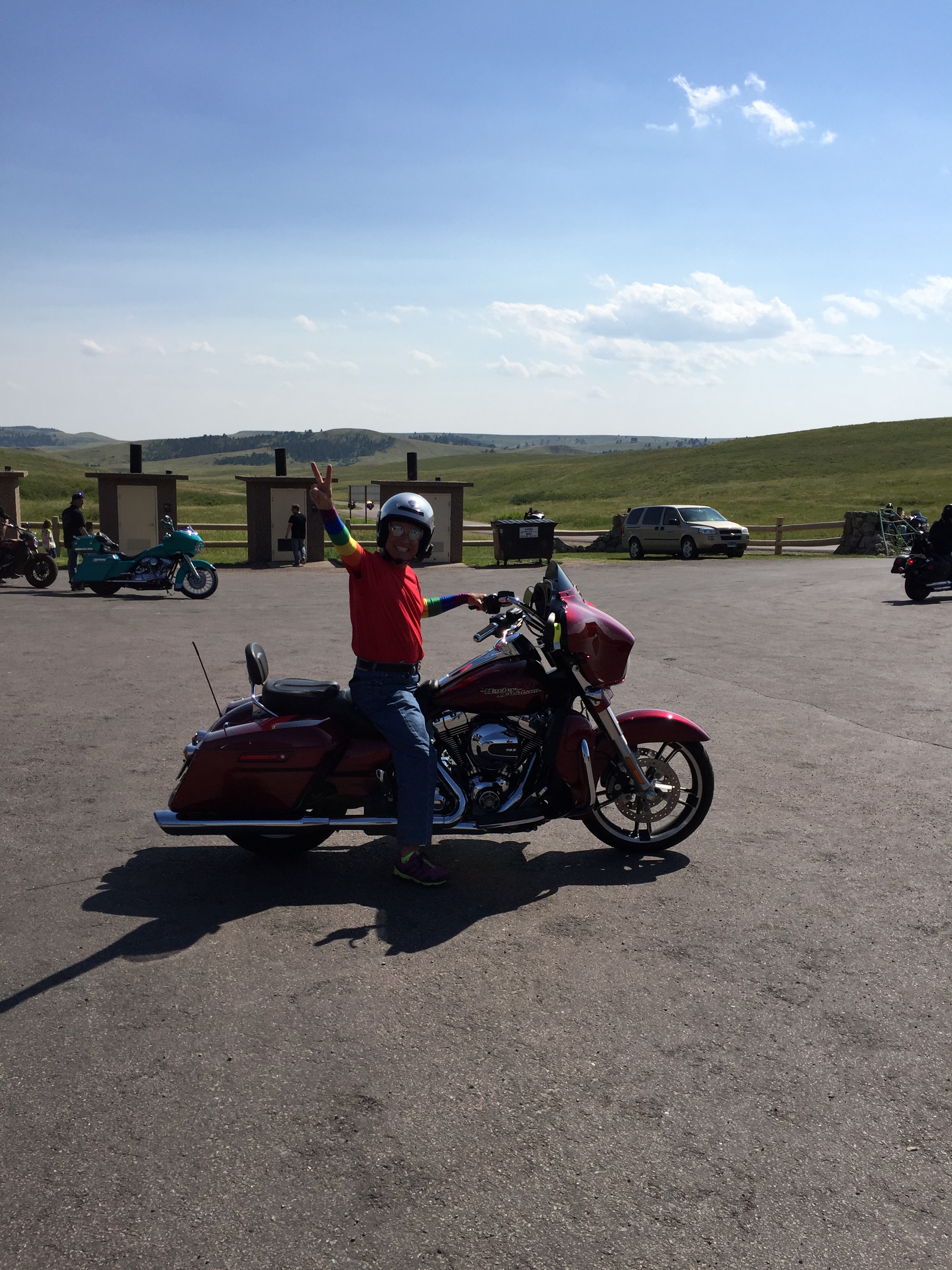
We continue south on Highway 87, and eventually turn east on Wildlife Loop Road, one of the highlights of Custer State Park. Wildlife Loop Road travels through 18 miles of open grasslands and pine-speckled hills that much of the park’s wildlife calls home.
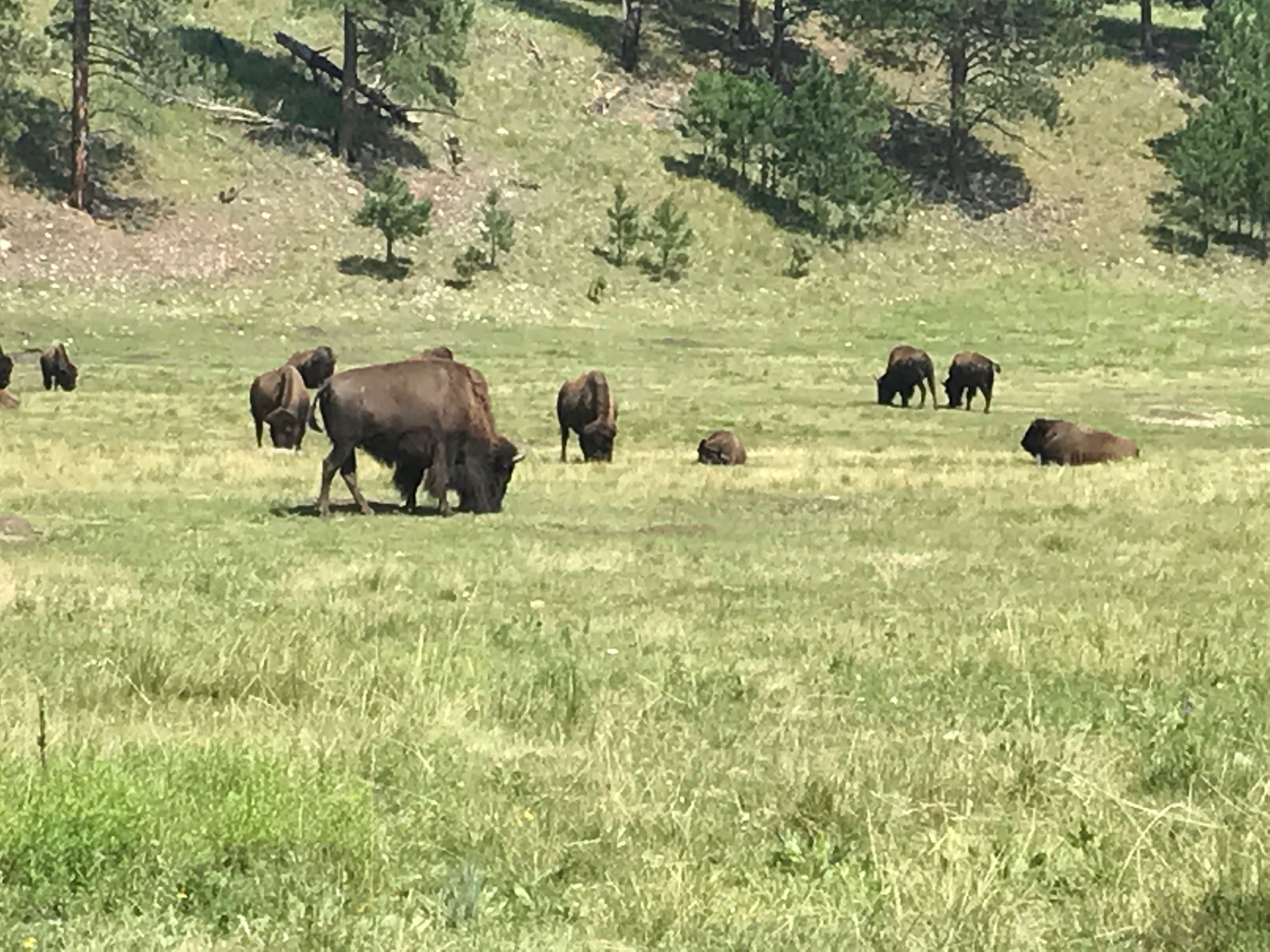
On the Wildlife Loop Road, you might see bison, pronghorn, whitetail and mule deer, elk, coyotes, burros, prairie dogs, eagles, hawks, and a variety of other birds. That’s why it’s called Wildlife Loop Road. Traffic is congested and the pace is slow, rarely over 20 miles an hour. But what’s the hurry? We might come face-to-face with a buffalo.
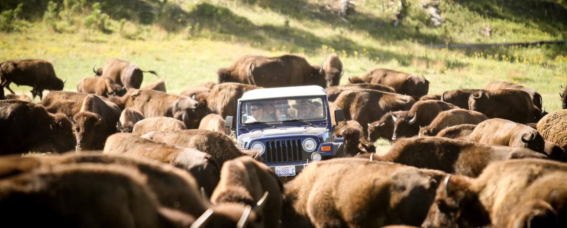
The free-roaming buffalo herd in the park numbers about 1,300. Most safety guidelines suggest you stay in your vehicle when buffalo are approaching. Not exactly sure how that works on a Harley.
We slowly follow Wildlife Loop Road through the park until it meets up with US Highway 16A near the State Game Lodge at Custer State Park Resort. The lodge, built in 1920 from native stone and timber, is listed on the National Register of Historic Places. It served as the summer White House for President Calvin Coolidge in 1927, and was visited by President Eisenhower in 1953.
Now heading north on Highway 16A, we ride 10 miles, leaving the Wildlife Loop in our rearview mirror, and turn onto Playhouse Road again. After only four miles, we hang a left onto South Dakota Highway 40 for the short ride into the historic town of Keystone.
In Keystone, there are two distinct parts to the town – the “New” Keystone, a mile-long retail district along US Highway 16A, and the “Old” Keystone, the original gold mining settlement along east-flowing Battle Creek.
Keystone is only two miles from Mount Rushmore. If you’d rather your Presidents were carved out of wax instead of granite, Keystone has the National Presidential Wax Museum. Here, there are more than 100 life-size wax sculptures, clearly more than the number of presidents we’ve had (45).
In addition to the waxology, the museum has historical artifacts, including President Bill Clinton’s own red, white and blue saxophone, and Florida’s controversial ballot boxes from the 2000 presidential election (won by Al Gore).
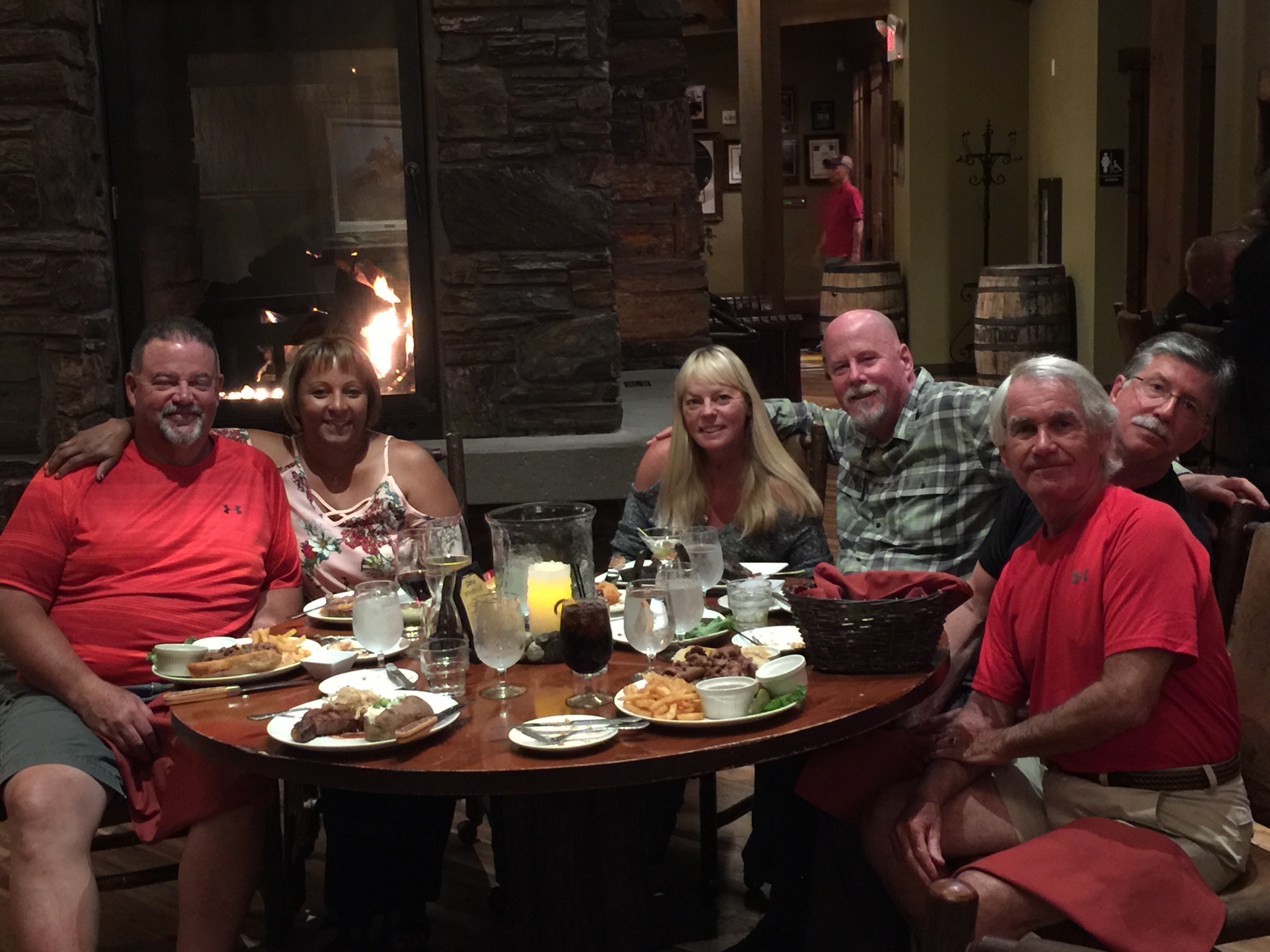
From Keystone, it’s a 20-mile ride back to Rapid City, where our rolling Table for Six finds a real table for six. Dinner, drinks, and more fun in the Great Plains tomorrow.
***
Day Eight Summary: One hundred twenty five miles of Black Hills beauty, visiting Mount Rushmore, riding Iron Mountain, threading the Needles Highway and staring down a herd of buffalo.
Click here to see today’s complete route from Rapid City through the Black Hills and back to Rapid City.
We’re on our way to Sturgis!
Vroom, vroom.
***
Today in Bucket List History:
Bucket List Goal: “Overcome Adversity (before doing something really stupid).”
Goal Achieved: On August 4, 2012, South Africa’s Oscar Pistorius becomes the first amputee to compete at the Olympic Games, running the 400 meters at the London games. Known as the Blade Runner, his personal best in the 400 meters was a blazing 45.07 seconds. Less than a year after his Olympic appearance, he fatally shoots his girlfriend, Reeva Steenkamp, in his Pretoria home. Following his murder conviction, Pistorius is currently serving a six-year prison sentence.

What’s on your bucket list?

Gary I don’t understand why no BBQ Ribs as the place looked interesting. Never been to South Dakota and looks wonderful. The history part is interesting that you pick Oscar but the comment of doing something stupid is very apt!!
LikeLike
Hey Rich .,, you know what he won’t be eating in prison? Oscar veal. (rimshot, please)
LikeLike
Great to see the ladies having fun on the ride…wish I were with you. Hey, Scott…nice Under Armour shirt!
LikeLike
Scott is one stylish dude! Wish you were here, too, Darlin’.
LikeLike
Gary, thanks for all of the great posts and info. Seeing pictures of the Badlands, Black Hills, and Mt. Rushmore brought back so many wonderful childhood memories of my family’s “driving”(in an old station wagon) summer vacation trips to western South Dakota(my home is in western Minnesota about 7 hours due east of where you guys are). I know that you like “facts” and so I thought that I’d share this one with you regarding the Black “Hills”. When the cartographers were laying out the recently purchased Louisiana Purchase territory, there were two geographical formations in what is now North and South Dakota. In north central North Dakota near Lake Metigoshe, is a formation that the cartographers mistakenly named the ‘Turtle Mountains” which are little more than foothills and more likely “hills”. They mixed up the name with what you guys are seeing now—the Black “Hills” which should have been named the Black Mountains—but oh well, what’s difference! Safe travels….I’ll keep enjoying your posts. Ole
LikeLike
Great history lesson, Ole! My blog followers are gonna want more from you, and less from me. Hi to Marde. Did I mention we’re going to Sturgis? Vroom, vroom.
LikeLike