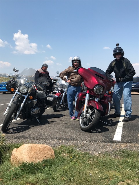
We leave Silverthorne and head north on Colorado Highway 9, riding toward Green Mountain Reservoir, which sits at an elevation of 7,950 feet.
The Green Mountain Dam was built between 1938 and 1942 by the Bureau of Reclamation. The dam and reservoir store water to benefit Colorado’s Western Slope, which is pretty much everything in the state west of the Continental Divide.
The reservoir’s lake is popular with fishermen, who catch rainbow trout, lake trout, brown trout, and kokanee. Green Mountain Reservoir empties into the Blue River, which we follow to the town of Kremmling, just north of the confluence of the Blue River and the Colorado River.
We arrive in Kremmling, elevation 7,313 feet, less than an hour after leaving Silverthorne. Like so many towns in the area, Kremmling was founded during the Colorado silver boom days. The original post office here was called Kinsey City, named after brothers Aaron and John Kinsey, who had a local ranch. The Kinsey City postmaster was Rudolph Kremmling, who ran the town’s general store. In 1895, the town was officially re-named Kremmling.
Kremmling sits at the intersection of Colorado Highway 9 and US Highway 40, once a main east-west route through Colorado.
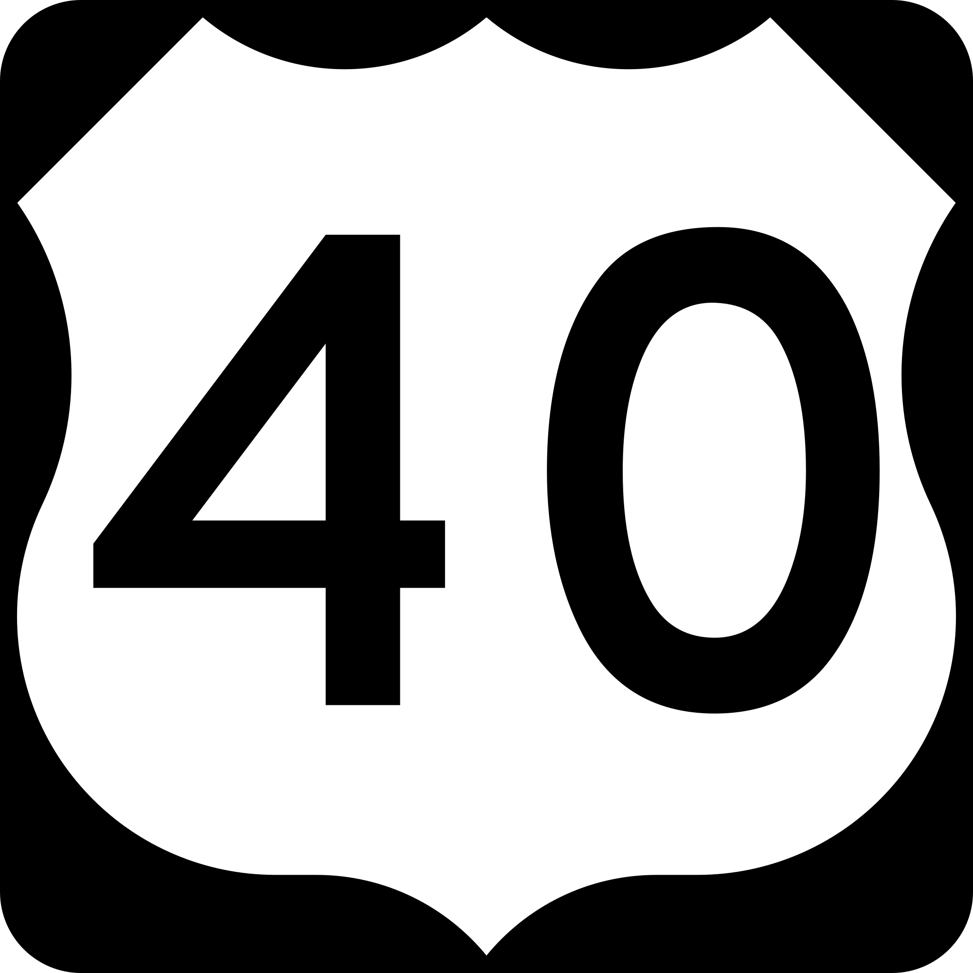
Before the Interstate Highway System, US-40 once traversed the entire country, from San Francisco to New Jersey. Today, US-40’s western terminus is in Utah, not far from Park City, where we expect to be in nine or ten days.
We turn east in Kremmling onto US-40, which follows the Colorado River, running through the towns of Parshall and Hot Sulphur Springs, After passing through Hot Sulphur State Wildlife Area, we continue east on Highway 40, toward Granby, a mountain town 7,935 feet above sea level. Granby was founded in 1904, along the route of the Denver, Northwestern & Pacific Railway. It was named after Granby Hillyer, a Denver lawyer who later served as the US Attorney for the area.
***
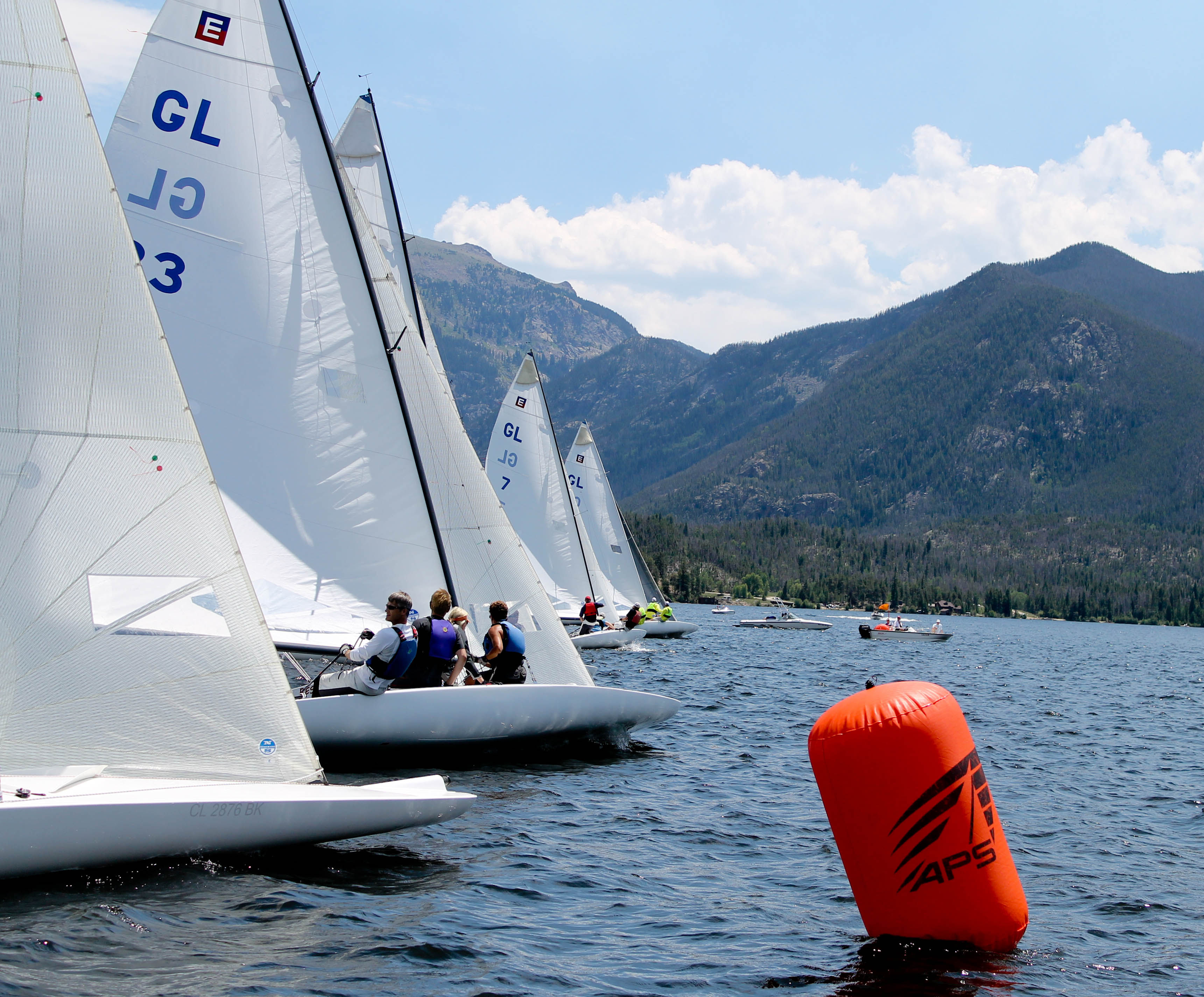
Just outside of Granby, we turn north on US Highway 34, and continue riding past Lake Granby, the third-largest body of water in Colorado, and home to the Lake Granby Yacht Club, established in 1902. At 8,280 feet, it’s recognized as the world’s highest-elevation yacht club. It’s a beautiful setting for a regatta.
Not far from Lake Granby are Shadow Mountain Lake and Grand Lake. A short segment of the Colorado River connects Lake Granby with Shadow Mountain Lake and Grand Lake.
Grand Lake is Colorado’s largest and deepest natural lake, and is part of the headwaters of the Colorado River. That might explain why we’re now riding on the Colorado River Headwaters Scenic Byway.
Less than a mile north of Grand Lake, we arrive at the Kawuneeche Visitor Center, the western entrance to Rocky Mountain National Park.
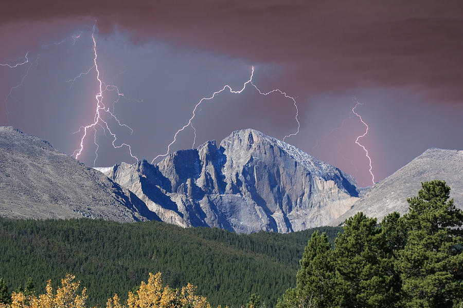
Off in the distance, about seven miles east of Grand Lake is the last 14er in the neighborhood, Longs Peak (14,255), the highest mountain in the park, and the northernmost 14er in the Rocky Mountains. On a clear day, you can see Longs Peak from many areas in the park. We can’t see it from here, but hope to catch a glimpse as we climb toward 12,000 feet in the park.
The mountain is named after Major Stephen Long, said to be the first to spot the Rocky Mountains on behalf of the US Government, in June 1820. A US Army explorer and topographical engineer, Long covered more than 25,000 miles in five expeditions.
If you’ve got the time, energy, and nerve, Longs Peak is hike-able, climb-able, scale-able. More than 20,000 people do it every year. Here are some things to consider before you head up the mountain.
But don’t try this at home; there have been more than 60 deaths on Longs Peak since the park opened in 1915. This may make you think again before you head up the mountain.
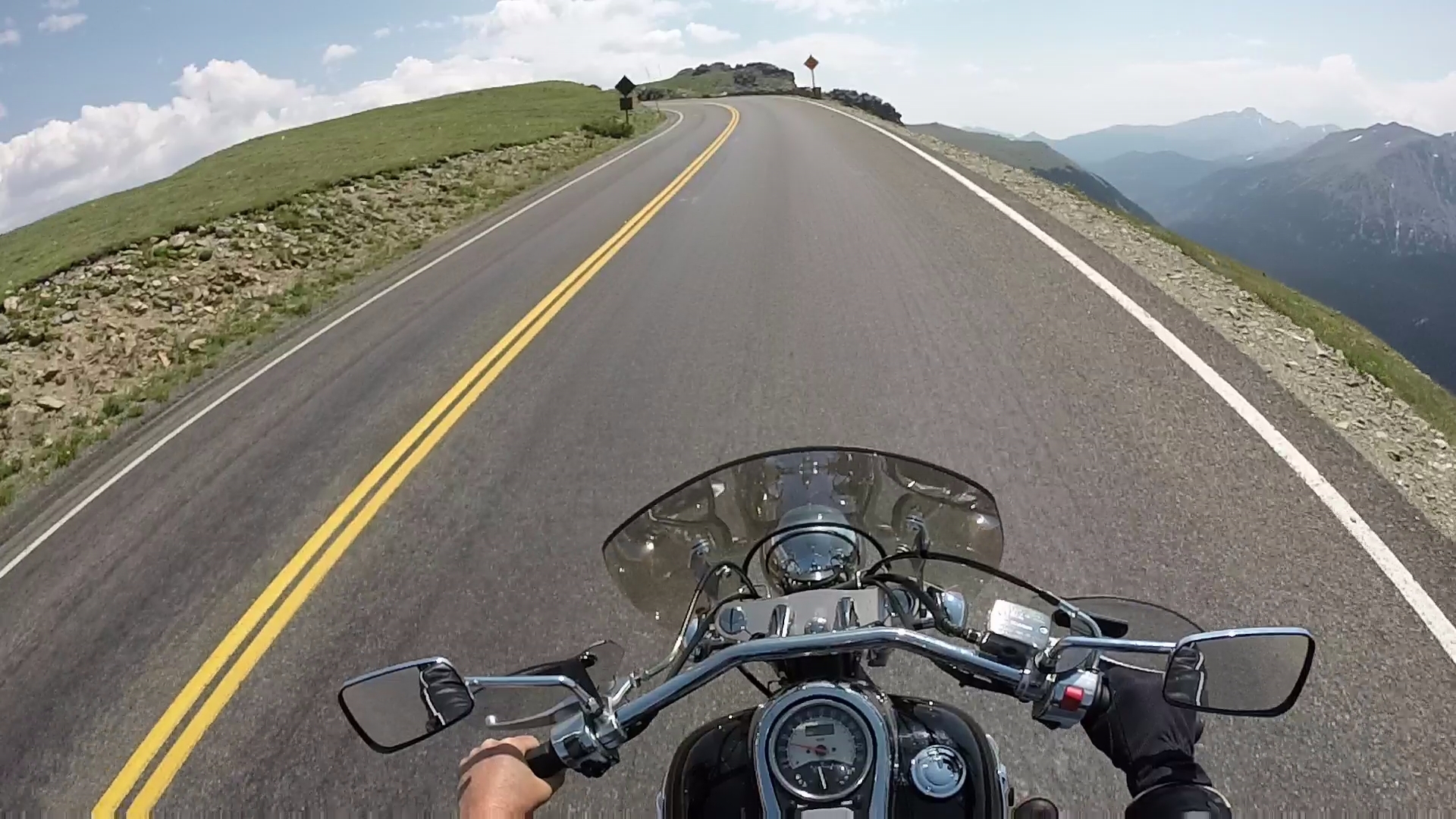
Our climb up the mountain, on Trail Ridge Road, comes with considerably less risk.
As we leave Grand Lake, this is where Trail Ridge Road begins.
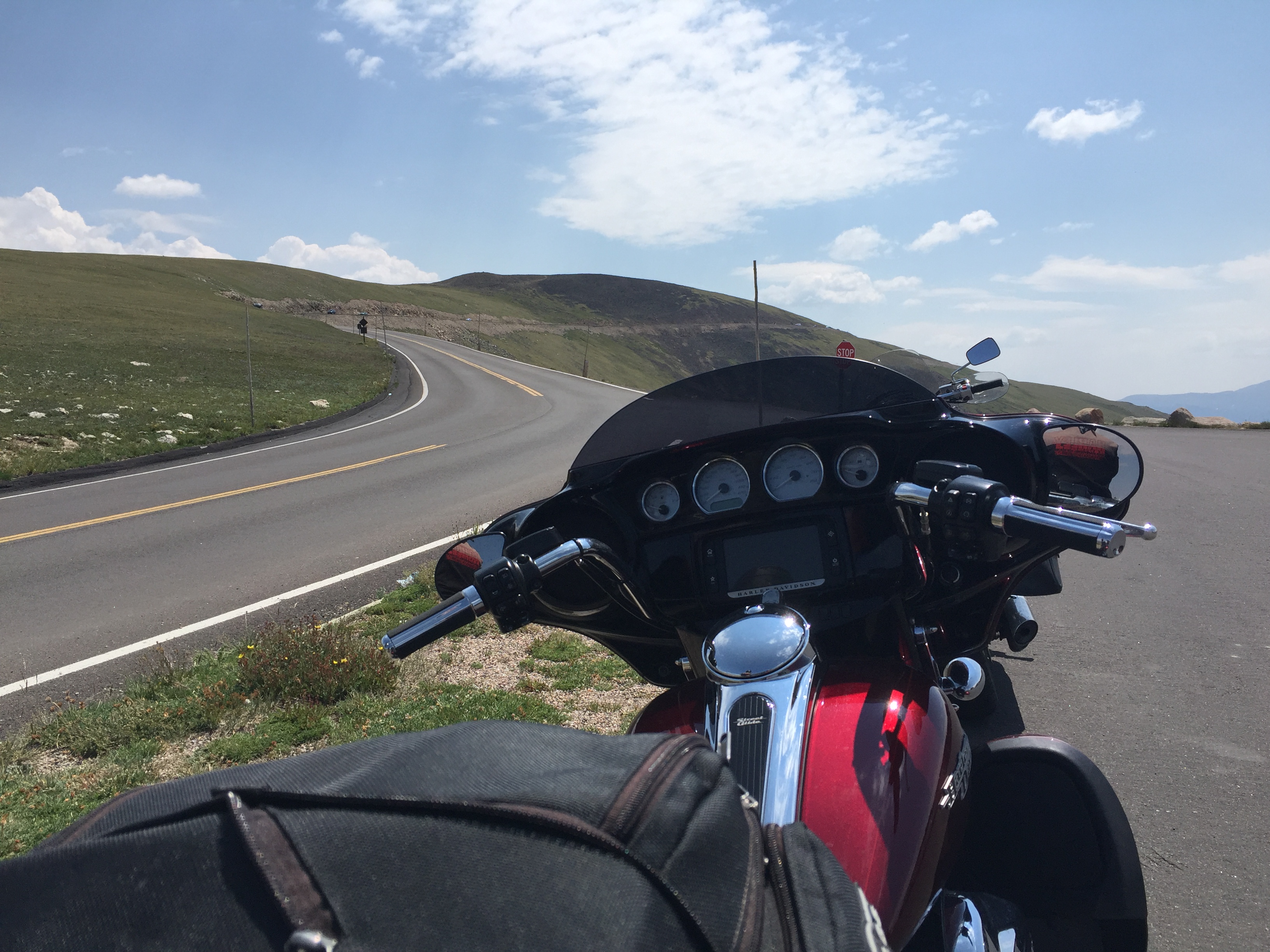
US Highway 34, also known as Trail Ridge Road, takes us to dizzying heights. With a maximum elevation of 12,183 feet near Fall River Pass, Trail Ridge Road is the highest continuously paved road in the U.S. A continuously paved road is one that doesn’t simply doesn’t end at a summit, resulting in a turnaround to head back down. The road is considered continuous because it, um, continues.
***
Leaving Grand Lake, we soon arrive at Rocky Mountain National Park’s western entrance. The Kawuneeche Visitor Center is one of five within the park.
Last year, the National Parks system celebrated its 100th birthday, drawing more than 325 million visitors. With 4.5 million visitors in 2016, Rocky Mountain National Park is one of the most visited national parks, right up there with Grand Canyon, Yosemite and Yellowstone. Great Smoky Mountains National Park in Tennessee and North Carolina is by far the most visited park, with more than nine million visits a year.
From the Kawuneeche Visitor Center at the entrance to Rocky Mountain National Park, Trail Ridge Road follows the North Fork of the Colorado River through the Kawuneeche Valley.
Trail Ridge Road is yet another of Colorado’s Scenic Byways, designated as an All-American Road, and is, of course, rated Difficult. It’s one of only 25 roads given the “All-American” designation by the US Department of Transportation. The San Juan Skyway, which we rode Monday, is another. These are considered “roads to the heart and soul of America,” and it’s easy to see why. In its announcement of the All-American roads, the Department of Transportation calls them “the roads less traveled … providing an exceptional traveling experience so recognized by travelers that they would make a drive along the highway a primary reason for their trip.”
Trail Ridge Road runs 48 miles from Grand Lake to Estes Park. It took the Civilian Conservation Corps from 1929 to 1932 to build the road, because heavy snows kept them from working more than three months a year.
As you might guess, it’s closed during the winter. Trail Ridge Road usually opens in late May, and closes around Columbus Day in October, when the National Park Service gives up fighting the snow and turns the road back to Mother Nature for the winter.
National Park Service plow operators normally begin clearing the snow in mid-April, when crews from the west side of the park and crews from the east side of the park eventually meet at the Alpine Visitor Center – 11,796 feet above sea level. That Visitor Center is the highest in the National Park System. It’s not easy being a snowplow operator on this road; snowdrifts are often up to 22 feet deep.
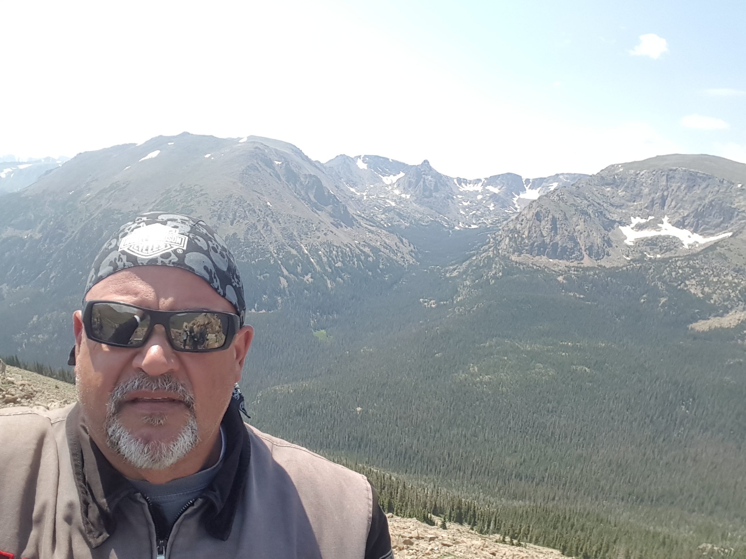
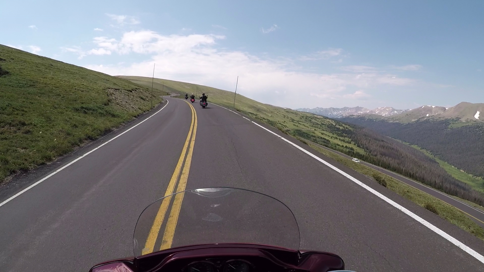
Rocky Mountain National Park has more than 100 peaks above 10,000 feet. The 10ers are so common you almost don’t even notice them. The park has nearly 60 peaks above 12,000 feet.
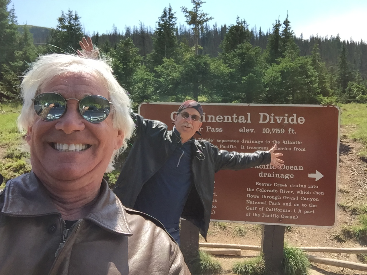
Sixteen miles into the park, after a series of steep switchbacks, we arrive at 10,759-foot Milliner Pass. It sits on the Continental Divide.
After Milliner Pass, the trees become increasingly weathered until we reach the tree line and see the rolling hills of short grass and wildflowers that make up the tundra. Eleven miles of Trail Ridge Road are above the tree line. Those same 11 miles are all above 11,000 feet.
Milliner Pass, I’m pretty sure, is named for a person who makes or sells women’s hats. You can look that up. Notable milliners include John Boyd, known for the famous pink tricorn hat worn by Diana, Princess of Wales.
Blog disclosure: the previous paragraph exists solely to see if you’re paying any attention.
The pass is not Milliner, but Milner. Milner Pass is actually named for T.J. Milner, an early day civil engineer for railroads and streetcar lines in Colorado. Really.
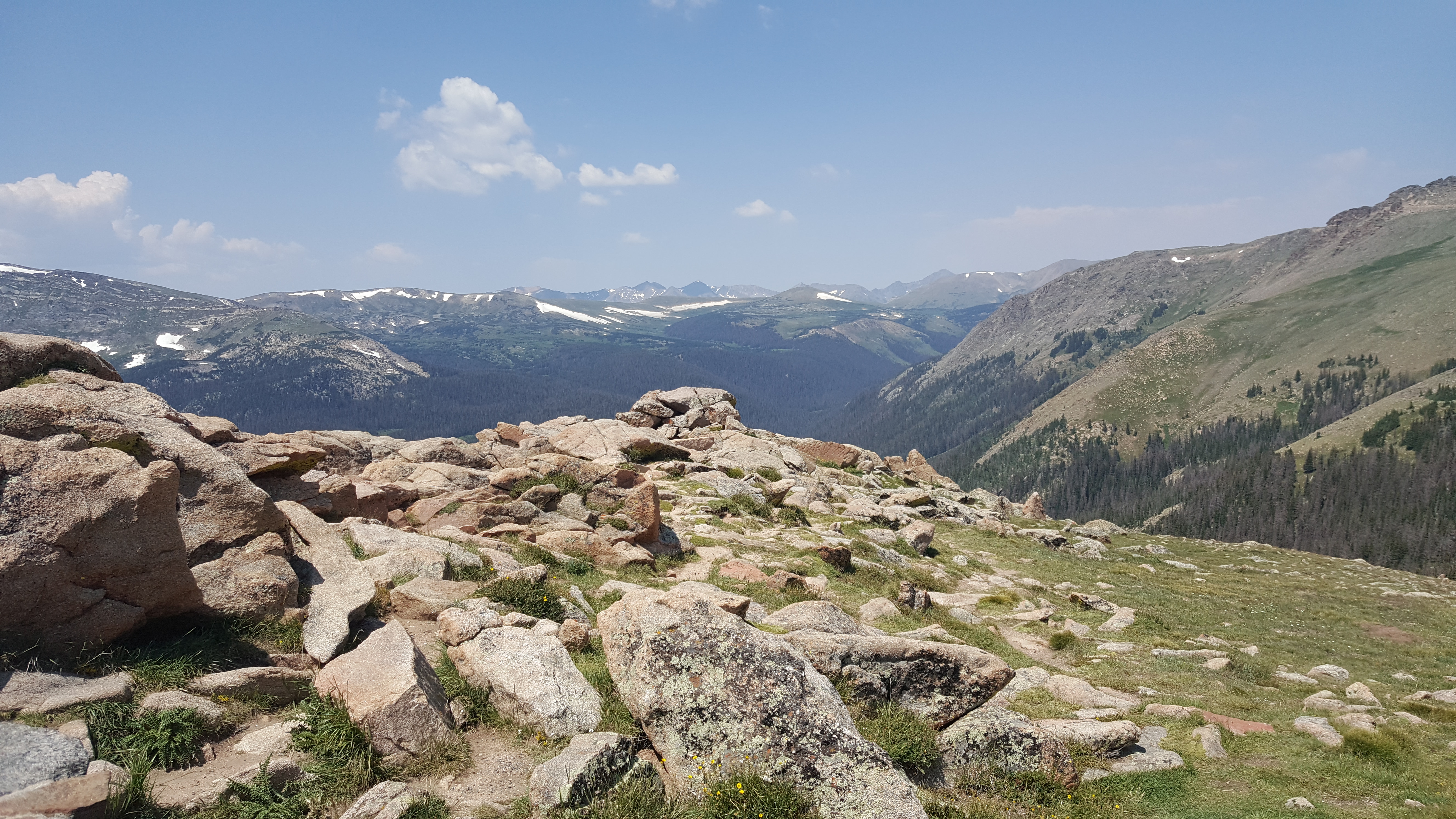
Soon, we reach the Alpine Visitor Center, which is at 11,796 feet. Here’ we’re about two miles, and less than 400 vertical feet, from the highest point on Trail Ridge Road. It’s the highest Visitor Center in the National Parks system.
Sadly, the Alpine Visitor Center Center is closed for repairs, so we blow by it and head for the highest spot on Trail Ridge Road.
It would have been a good place to rest, grab something to drink and enjoy the sights from the rear deck, before continuing east for the 20-mile ride to the park’s east entrance near Estes Park.
From the Alpine Visitor Center, Trail Ridge Road climbs another 387 feet to its peak elevation of 12,183 feet. The highest point on the road is almost anti-climactic. There’s not even a sign marking the spot.
You hardly know you’re at the road’s apex. Not even time to think about altitude sickness, which fortunately, none of us experience.
***
Now, we begin the gradual descent to Estes Park, a drop of about 4,600 feet. The town is named after Missouri native Joel Estes, who founded the community in 1859, then moved his family there four years later.
Estes Park sits along the Big Thompson River, and adjoins Lake Estes. Its most famous landmark is the historic Stanley Hotel, which opened in 1909. The Big Thompson River is named for English fur trapper David Thompson, employed in 1810 by the Northwest Fur Company to explore the Rockies.
From Estes Park, we continue east on US Highway 34, winding our way along the Big Thompson River. We pass through the town of Drake, and 16 miles later, turn on Buckhorn Road. We’re heading north.

Buckhorn Road becomes Stove Prairie Road, and in 20 miles, we arrive at Stove Prairie Landing, little more than a campground. Here, the road ends, as we arrive at Colorado Highway 14, aka Poudre Canyon Road, which follows the Poudre River. Poudre is French for powder.
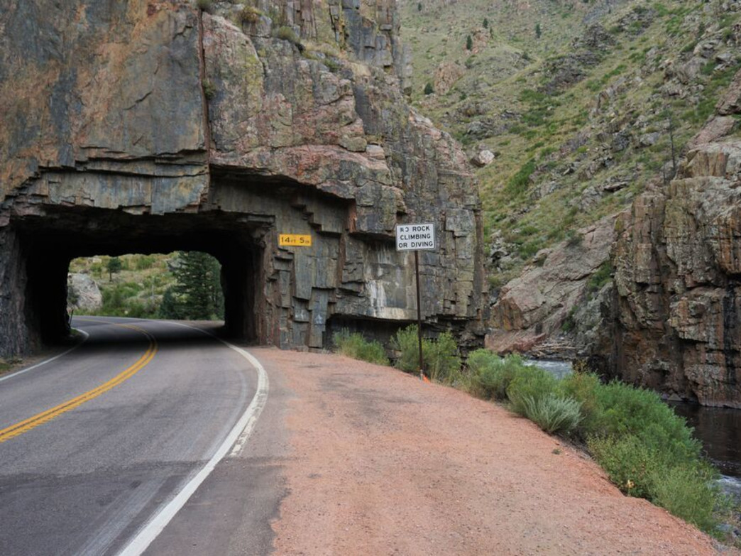
Highway 14 is known as the Cache La Poudre Scenic Byway (Difficult!), the last of Colorado’s Scenic Byways we’ll ride on this trip. We turn east on the Scenic Byway, and ride toward Fort Collins, Colorado’s fifth largest city and home to Colorado State University.
Colorado Highway 14 ends after 16 miles, when it becomes US Highway 287, which takes us to Terry Lake, a restricted member-only lake, like Lake Arrowhead in Southern California.
At Terry Lake, we turn north on Colorado Highway 1, which, after 10 miles, leads us to Interstate 25. We hop on the interstate for the short ride to Wyoming, the sixth of nine states on our trip. Just east of Soapstone Prairie Natural Area, we cross into Wyoming and say goodbye to Colorado.
It’s my first visit to Wyoming since the late 1960s, when as a college student in Salt Lake City, I’d make the 80-mile drive to Evanston for beer we thought was better than you could get in Utah. Because of that, Evanston was, and still is, known as Wyoming’s Sin City.
Evanston has the closest liquor stores to Salt Lake City that aren’t owned and operated by the Utah state government (Utah Liquor Commission).
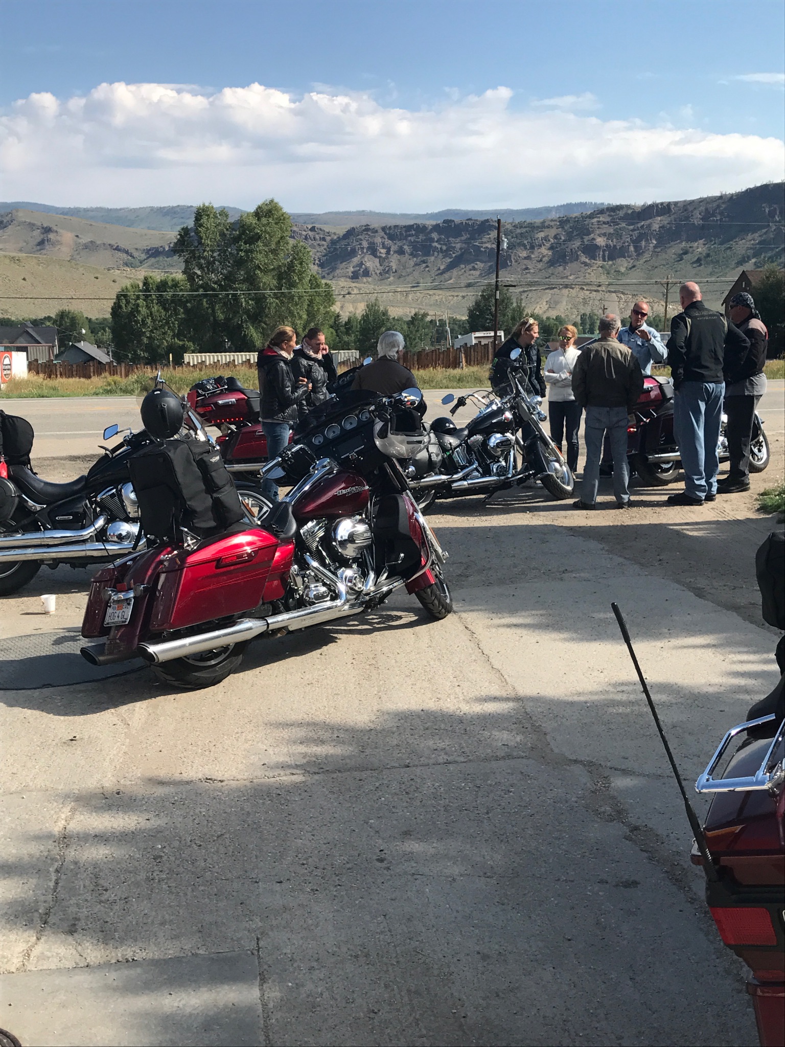
Evanston is in the far southwest corner of Wyoming. We are now 350 miles away, in the southeastern corner of the state, nearing Cheyenne, tonight’s destination.
***
Cheyenne, which sits at 6,062 feet, is Wyoming’s capital city. In all my Harley rides, this is the first time I’ve been to a state capital. At 146 feet tall, the State Capitol is the tallest building in the city.
This is not what you’d called a destination city. It’s a stopover from somewhere to somewhere else.
The city was named for the Native American Cheyenne nation, and is a term meaning “people of different speech” or “red talkers.” Cheyenne claims to be home of the world’s largest outdoor rodeo, Cheyenne Frontier Days, a nine-day event in late July with cowboying, concerts and Air Force flybys.
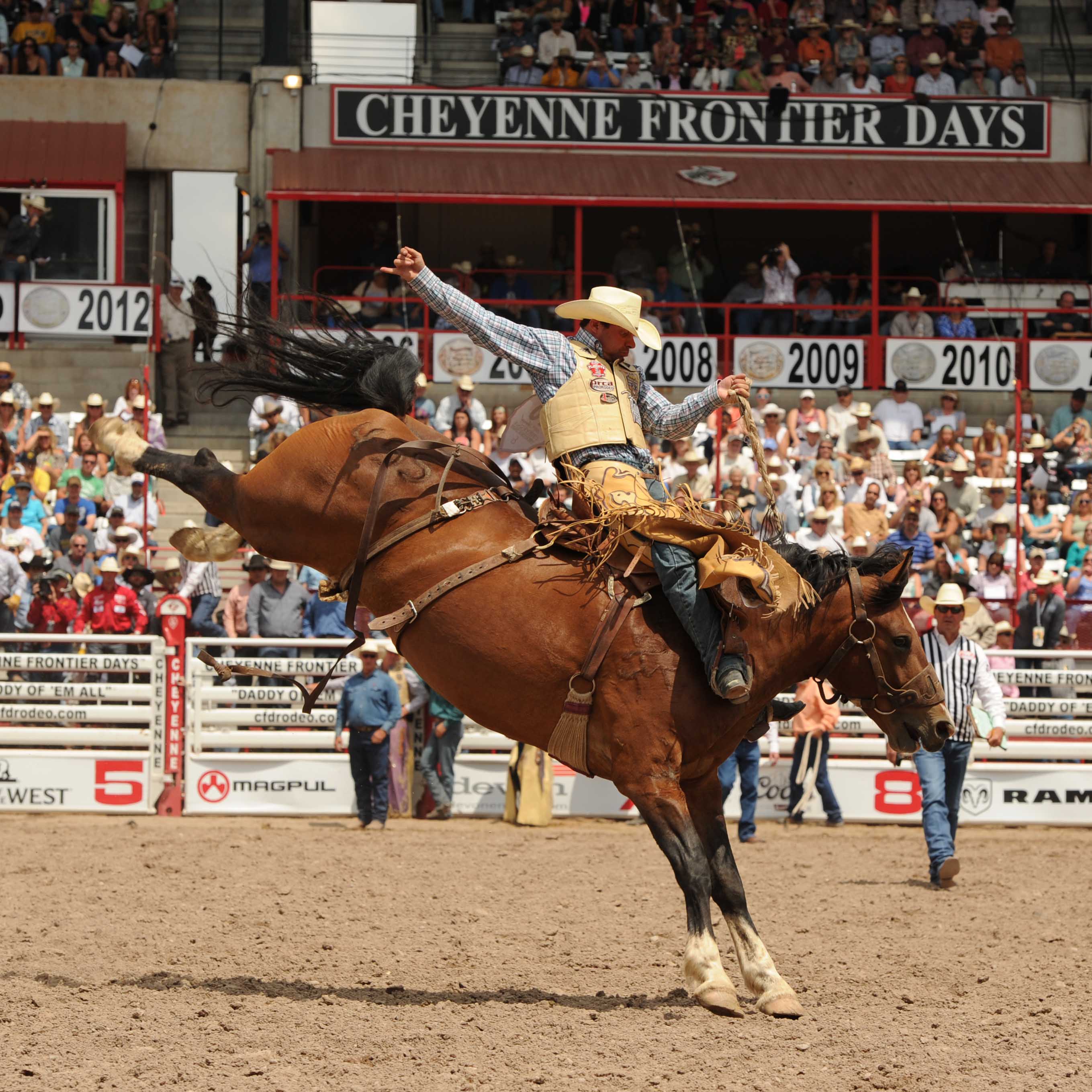
Frontier Days just wrapped up on Sunday; country music star Jason Aldean was the closing act.
Besides the rodeo, the biggest show in town is Francis E Warren Air Force Base, home to 90th Missile Wing. Warren is it’s the oldest continuously active military installation within the Air Force, established in 1867. Oddly enough, it’s an Air Force Base without a runway for fixed-wing aircraft.
The only conventional airfield ever located at F. E. Warren AFB was a single dirt strip. This field, never used by modern-day pilots, was made famous by World War I ace Eddie Rickenbacker, who crashed his plane on the field and survived.
The Base’s claim to fame: it operates 150 land-based Minutemen III ICBM’s.
Yes, ICBM, as in Inter Continental Ballistic Missile. Range: more than 8,000 miles. Speed: more than 17,000 miles an hour (Mach 23). And, thermonuclear warheads, each said to have a capability of 475 kilotons of TNT, 30 times more powerful than the Hiroshima bomb. End-of-the-world stuff. A good reminder of why it’s a really, really bad idea to let the current occupant of the White House anywhere near the nuclear codes (“If we have them, why can’t we use them?” #tweetyourwaytoarmaggedon).
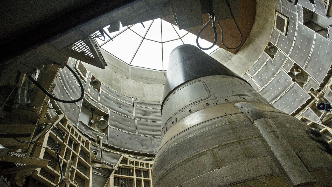
Warren Air Force Base’s 150 ICBMs comprise about one-third of the US’ land-based nuclear capability. The missiles sit in hardened silos scattered over a 9,600-square-mile area of eastern Wyoming, western Nebraska, and northern Colorado.
Tomorrow, Day Seven of our trip, is a big day. We’ll enter our seventh state – South Dakota. If that rings familiar, it’s because we’ll finally be on Sturgis’ doorstep. Woo-hoo!
***
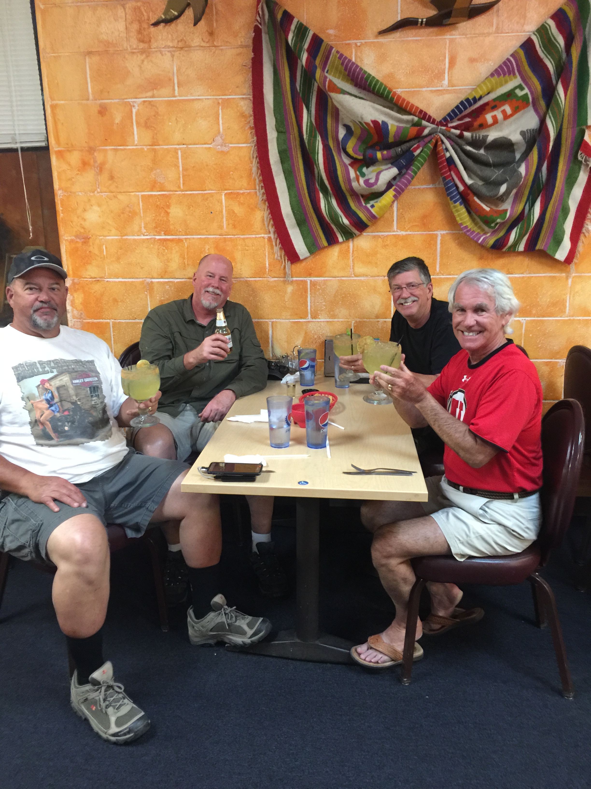
Day Six Summary: Two hundred forty miles, riding above the clouds, two more scenic byways (Difficult!), and no missile launches on our watch.
Click here to see today’s complete route from Silverthorne to Cheyenne.
We’re on our way to Sturgis!
Vroom, vroom.
***
Today in Bucket List History:
Bucket List Goal: “Start an Awesome Tradition That Will be Appreciated for Years to Come.”
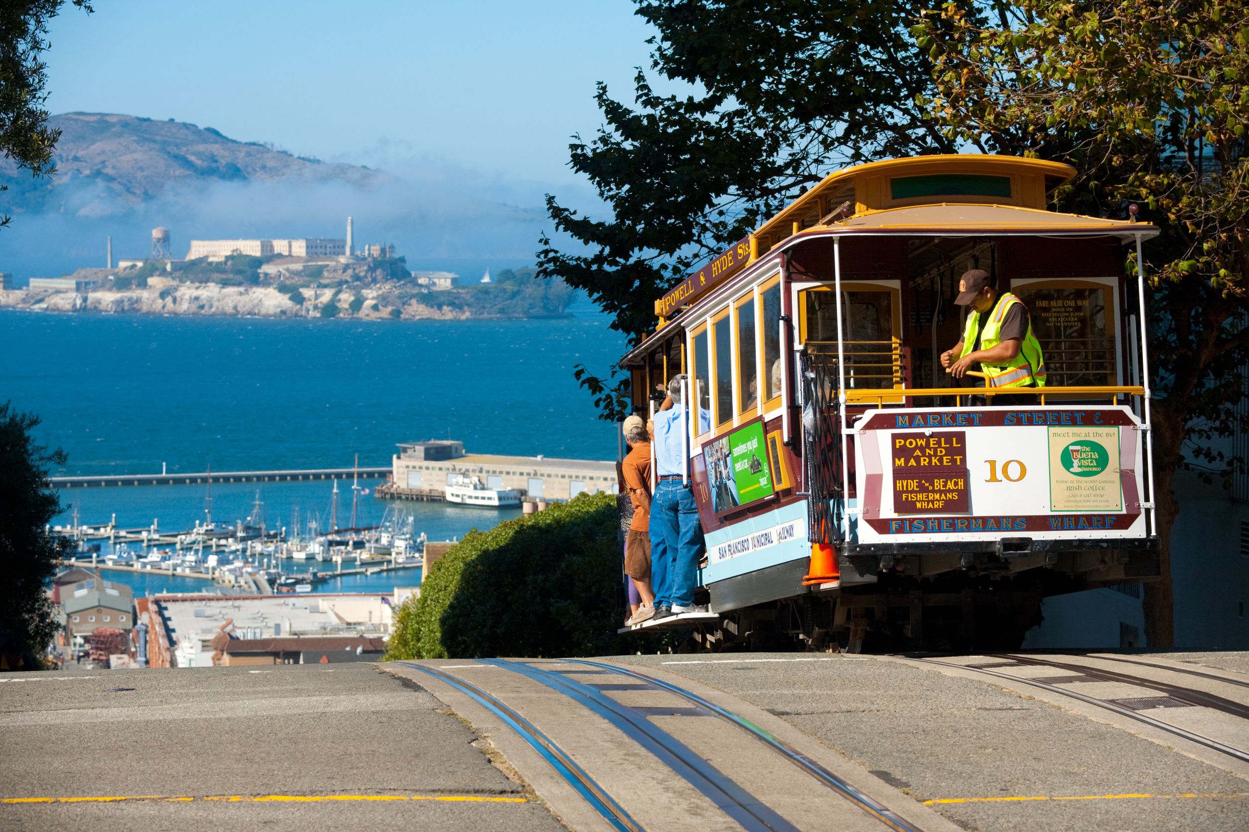
Goal Achieved: On August 2, 1873, the first trial run of a San Francisco cable car occurs on Clay Street between Kearny and Jones. The San Francisco cable cars are the world’s last remaining manually operated cable car system, with more than seven million riders annually.
What’s on your bucket list?

As always a well thought out and exceptional blog entry
LikeLike
Gary, there is an amazing cliff jump off of the side of the tunnel on Colorado 14 along the cache la poudre river (your picture above) if you’re feeling a bit adventurous on your way back!
LikeLike
Thanks for the great suggestion, George. Unfortunately, I didn’t bring my cliff jumping gear, so it’ll have to wait til another time. Isn’t there anywhere I can jump off cliffs closer to Carbondale?
LikeLike
So disappointed it wasn’t really Milliner – I wanted to see you guys sporting some of those Boyd hats!
LikeLike
Randy plans to go hat shopping in Sturgis. It’s the hat capital of South Dakota. The real capital is Pierre, pronounced “pier.”
LikeLike
Beautiful scenery, speaking of which….dont fret about the bikes getting trashed in the weather. Remember when you get to Sturgis beautiful girls in bikinis will detail those bikes while you watch er….wait.
LikeLike
Great tip Bro! Never saw my bike so dirty as it is now after dirt, mud, rain, hail and every species of bugs joining our adventure. Rapid City coming next. Wish you were here!
LikeLike
Thanks for the “skin” ingight, Bob. Please remember this is a family-oriented blog. But I reserve the right to change that.
LikeLike
Wonderful adventures and love the high lake pictures, especially the one with the regatta. The sailboats against the crystal blue water is a great sight. Estes pass and the places around the Colorado mountains always remains me of my wonderful winter and summer visits. It is still in pristine shape except for the cities where growth has taken place but the area still has that wild west atmosphere.
LikeLike
Be sure to advise all the bikini clad gals in Sturgis that it’s best to wear UV protection at all times 🤔
LikeLike
I’ll sell them my sun sleeves, or trade sleeves for their tops 👍👍👍
LikeLike
I want to see more pictures with the skullcaps!! Mostly speaking to my pops who I know brought enough to wear a different one each day!
Looks like you all are having a blast! And everyone be careful with my mom as she arrives today! Shes not a speed demon like you guys, trust me I’d know, I drove from Florida to California with her last month.
LikeLike
More skullcap pics? Will do our best!
LikeLike
Oops – hit something and our email disappeared. Hope it doesn’t show up later.
Anyway, have been doing stuff and trying to catch up on your great blogs.
A few questions – at Maroon Bells Lake are the aspens turning already? Seems early.
We enjoyed many years of great skiing in Aspen and associated areas when living in the east. Brings back a lot of memories. Glad you guys didn’t suffer from altitude sickness – not fun.
Leadville – if it is still there, did you see the guy’s place with the ski fence or should we say, multiple skis fence? Must have been a few thousand of them all lined up to make a fence. Quite a sight but not a pretty one.
Just read that there of hundreds of thousands!!!! motorcycles at the event in Sturgis. One, where do you stay and how far in advance did you have to make reservations? Two, how can you find your bikes among so many?
Three, will you wear earplugs?
Four – know you will be wearing sunscreen!!
Thanks for all the travels so far.
Jim and Barb
LikeLike
Hey Lamberts … that’s a lot of questions! I’m riding right now so will have to answer later 😂😂
LikeLike