Today we ride yet another Scenic Byway, another All-American Road. And we cross the Continental Divide at more than 12,000 feet. Ho, hum.
We leave Hotchkiss and turn east on Colorado Highway 133, following the North Fork of the Gunnison River.
In ten miles, we pass through the town of Paonia, named for the flower, Paeonia mascula – and we begin climbing.
Like many other areas on Colorado’s Western Slope, Paonia once had a thriving coal mining business. In 2016, depressed coal prices caused one of the mines – Bowie Number 2 – to shut down, idling more than 100 full-time workers. Only two active coal mines remain in the area, whose coal industry employment has dropped from 1,200 to less than 400 in the past four years.
Pressured by cheap and abundant natural gas, coal is in a precipitous decline, now making up just a third of electricity generation in the United States. Renewables are fast becoming competitive with coal on price. Electricity sales are trending downward, and coal exports are falling. Paonia is in trouble. Nice place to ride through. Raise a family here? Not so much.
From Paonia, we ride past the Paonia Reservoir and Paonia State Park, as the road begins to climb toward McClure Pass, 16 miles away. McClure Pass, at 8,763 feet, sits on the boundary between Pitkin and Gunnison Counties. The approaches on either side of the pass have an eight percent grade, making McClure Pass among the steepest in Colorado.
McClure Pass is named for Thomas McClure, an Irish immigrant known as the developer of the Red McClure potato. His variety was introduced around 1910, and by the 1930s, the valley exported more than 400 rail cars filled with potatoes every year, more than the entire state of Idaho. Take that, JR Simplot!
During the 1940s, the potato fields here in the Roaring Fork valley vanished, and so did the McClure potato. But it’s making a bit of a comeback these days. Slow Food USA has added the Red McClure to its “Ark of Taste,” a list of 200 foods from across the country deemed delicious, endangered and worth fighting to protect.

***
Following the steep descent from McClure Pass, the road flattens out and we soon roll by the turnoff to Marble, a rustic little town five miles away. If we were hungry, we’d make a sharp turn on to Gunnison County Road 3, and head for Slow Groovin’, a hidden gem where you’ll find the best barbecue imaginable.
Maybe even better than Rebel BBQ in Blythe.
As Slow Groovin’ likes to say, it’s “ridiculously good BBQ,” and that may be an understatement. It’s tragic and heartbreaking that we don’t have time or the appetite for ribs today (ribs, fries and slaw at 9 am?). But lucky me: it’s likely that Sarah and I will soon become regulars at Slow Groovin’, which is exactly 27.6 miles away from our new home.
The town of Marble, home to Slow Groovin’, got its name from the stone that is quarried there: marble. In 1873, a prospector named George Yule was looking for silver and gold – and discovered marble, which is 99.5 percent pure calcite. The only place on earth where this type of marble is found is in what is now called the Yule Creek Valley, about three miles southeast of the town of Marble.
Because the marble is quarried inside a mountain at 9,500 feet above sea level, Yule Marble can be quite expensive – difficult to extract and even harder to transport. Steep slopes, deep snow, and winter snowslides make the quarry environment quite hostile. But the Yule Marble quarry eventually became successful after a tram was built to bring the marble down the mountain, where it could be loaded onto a train.

The beautiful white marble from Marble soon became a part of the American fabric. The Yule Marble quarry provided the stone for the exterior of the Lincoln Memorial, and the Tomb of the Unknown Soldier at Arlington National Cemetery. At the time, the 56-ton block of marble for the Tomb of the Unknown Soldier was the largest single piece of marble ever quarried.
Today, there are about 100 full-time residents of Marble. Fifteen to twenty of them work at the quarry. It’s believed that the remaining operational quarry has enough marble to last for several hundred years.
Since 2004, Yule Marble has officially been Colorado’s state rock. You can thank Girl Scout Troop 357 for that.
***
We continue riding north on Colorado Highway 133. To our right is the town of Redstone, home to the renowned Redstone Inn. Redstone was established in the 19th century as part of a coal mining enterprise by industrialist John Clevenholm Osgood. Osgood built 84 cottages and a 40-room inn — for his coal miners. Most of these Craftsman-era Swiss-style cottages are still used today as homes.
A dominant feature of Redstone is Redstone Castle, a 42-room Tudor-style mansion that Osgood built for his second wife, Swedish Countess Alma Regina Shelgrem. It’s for sale, or at least it was a few years ago. It could have been yours for $7.5 Million.
About ten miles east of Redstone, obscured by other mountains, are Capitol Peak (14,131 feet) and Snowmass Mountain (14,098 feet), two more 14ers. We’re now following the path of the Crystal River, through a narrow canyon with tall blue spruce trees flourishing along the river. The blue spruce is Colorado’s state tree.
As we approach Carbondale, the dominant feature to our east is Mount Sopris. At a puny 12,953 feet, it’s not quite a 13er. Still, Sopris dominates the skyline of Carbondale and the lower Roaring Fork Valley.
Carbondale, a haven for outdoor-minded Coloradans, sits at the confluence of the Roaring Fork and Crystal Rivers.
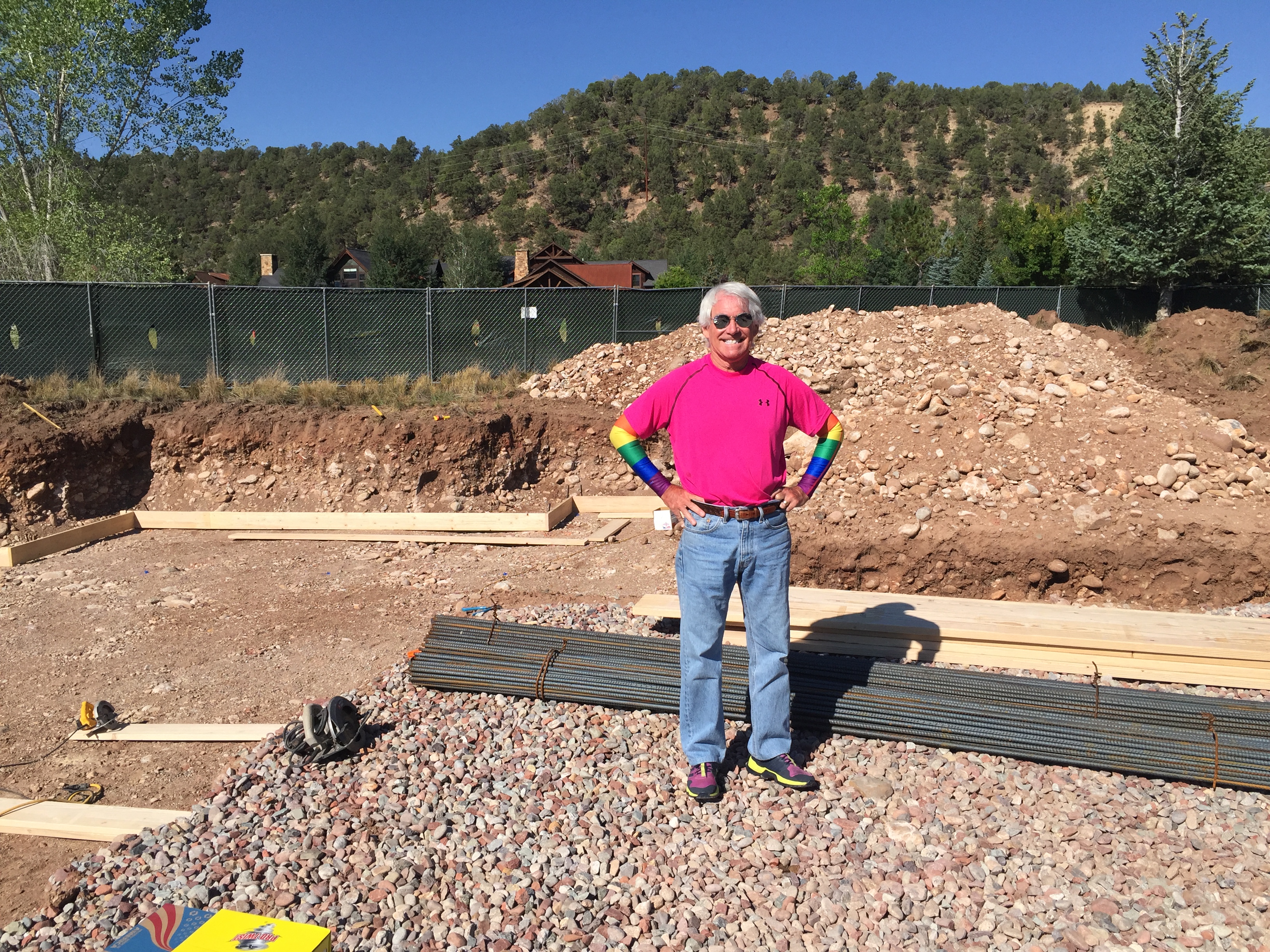
At Carbondale’s River Valley Ranch golf course, slightly northeast of the 14th green, there’s a 13,000-square-foot lot with a view of Mount Sopris that, last year, called out to Sarah and me: this is the place!
We bought that lot, and are now beginning construction of a house on it.
A few of you have asked, what was so wrong about PGA West that caused us to leave? Nothing was wrong. We loved it. But after 16 years, it was simply time for a new adventure.
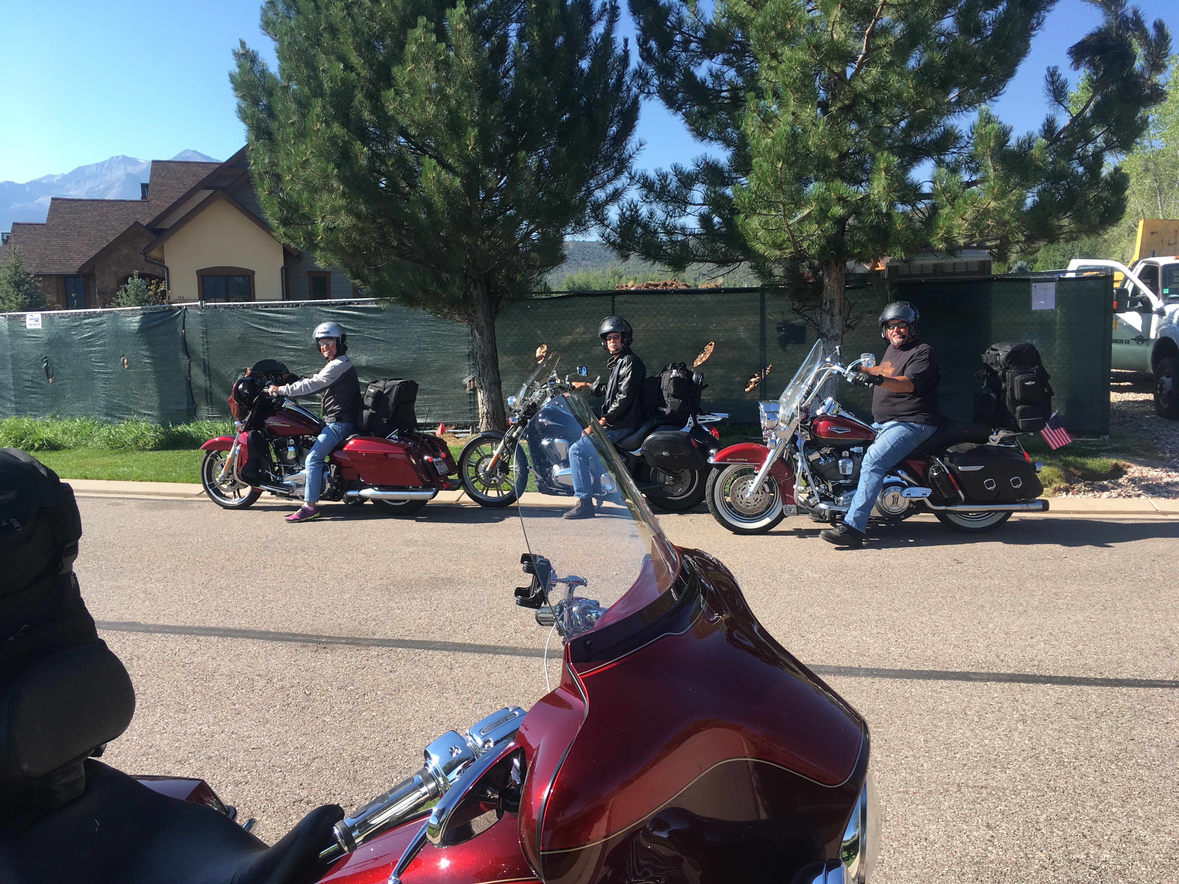
Today, the Sturgis posse rolls by the future Lesser/Murr homestead for a brief visit. We park the bikes in front of what will be the driveway – elevation: 6,388 feet above sea level. It’ll be a great place to store the Harley; the garage even has a special spot for a motorcycle.
For now, it’s all imaginary. Next year, with thanks to the team at Key Elements Construction, our dream will turn to reality. No pressure, Kent.
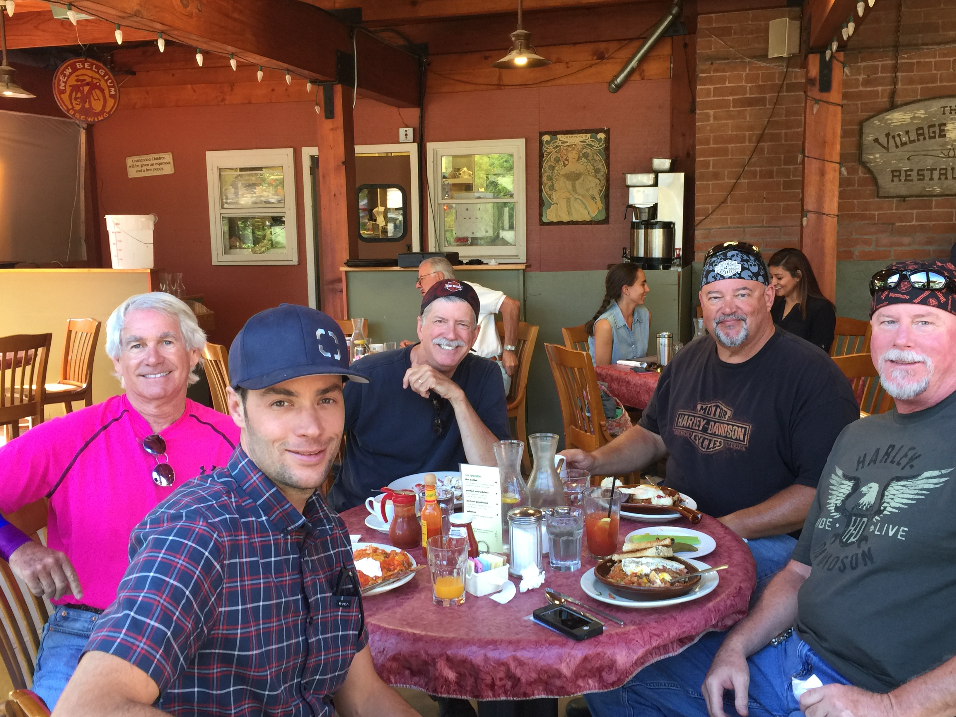
After leaving the homestead, we stopped at the Village Smithy for breakfast, and ran into George Nettles, the project superintendent for our home.
***
In Carbondale, we turn east on Colorado Highway 82 and head toward Aspen.
En route, we pass by El Jebel, Basalt, and Woody Creek, home of the world-famous Woody Creek Tavern.
In a flash, we are in the heart of Colorado ski country. To our right is Snowmass, then Aspen Highlands, Buttermilk, and finally Aspen itself.
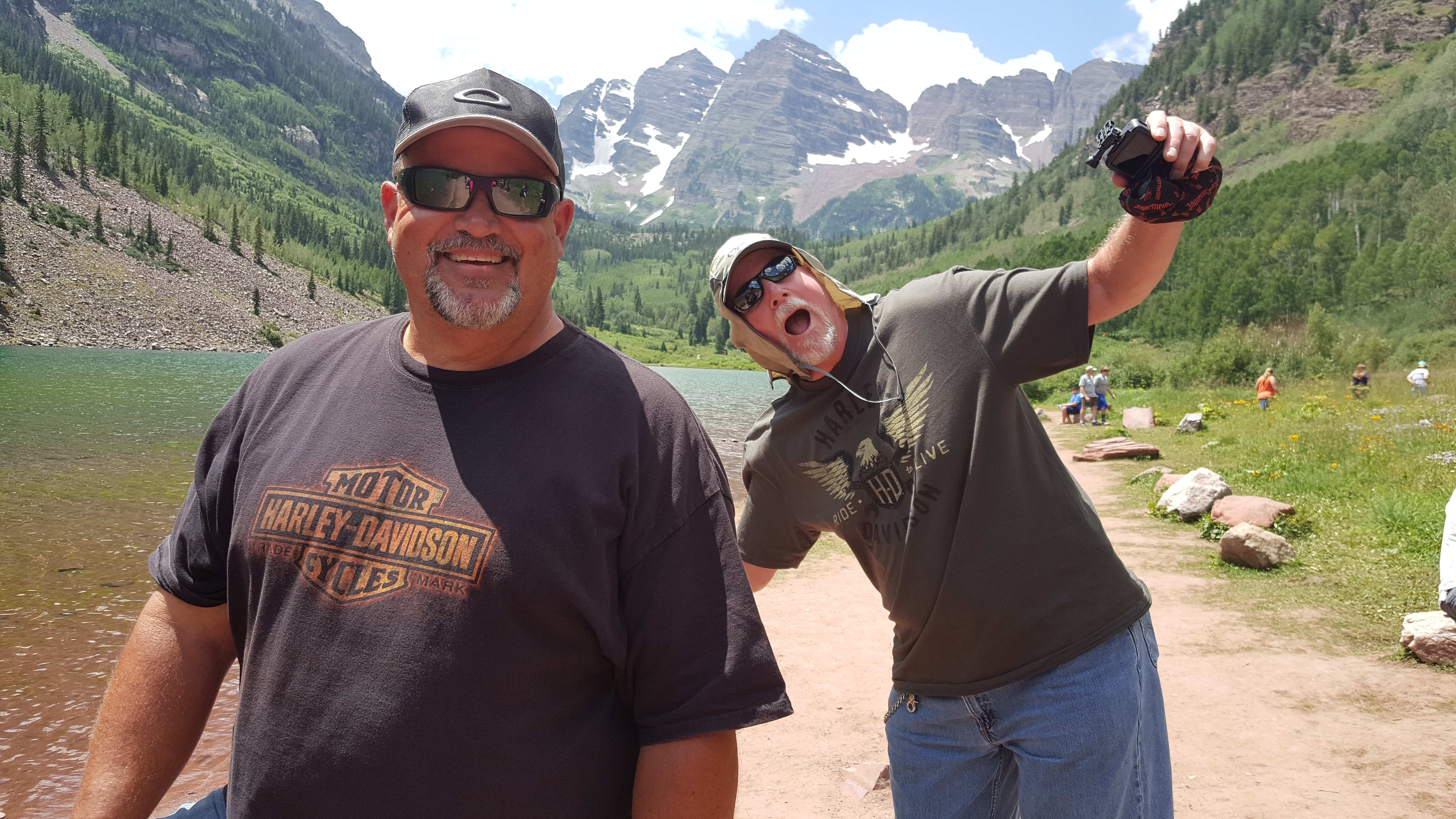
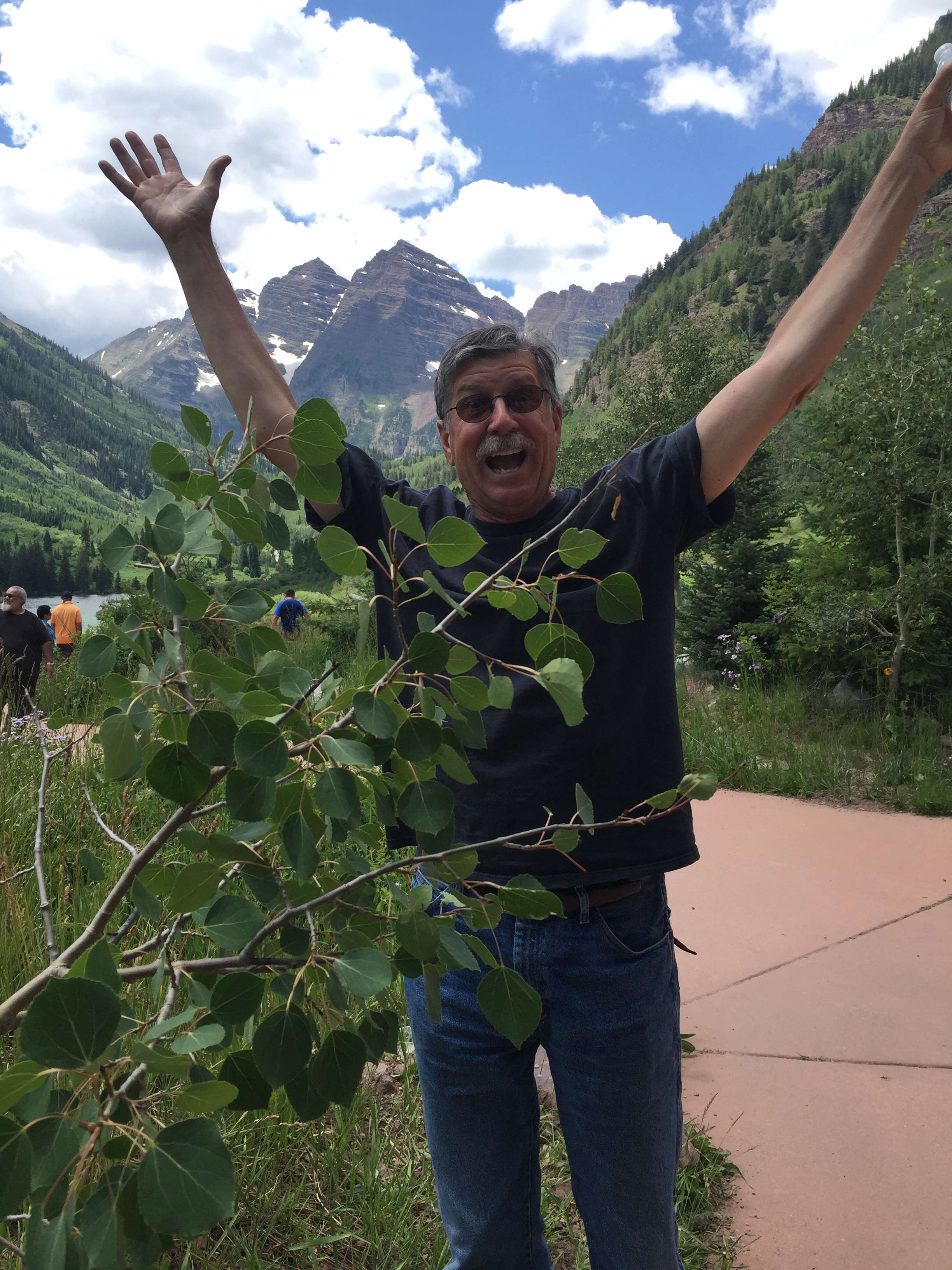
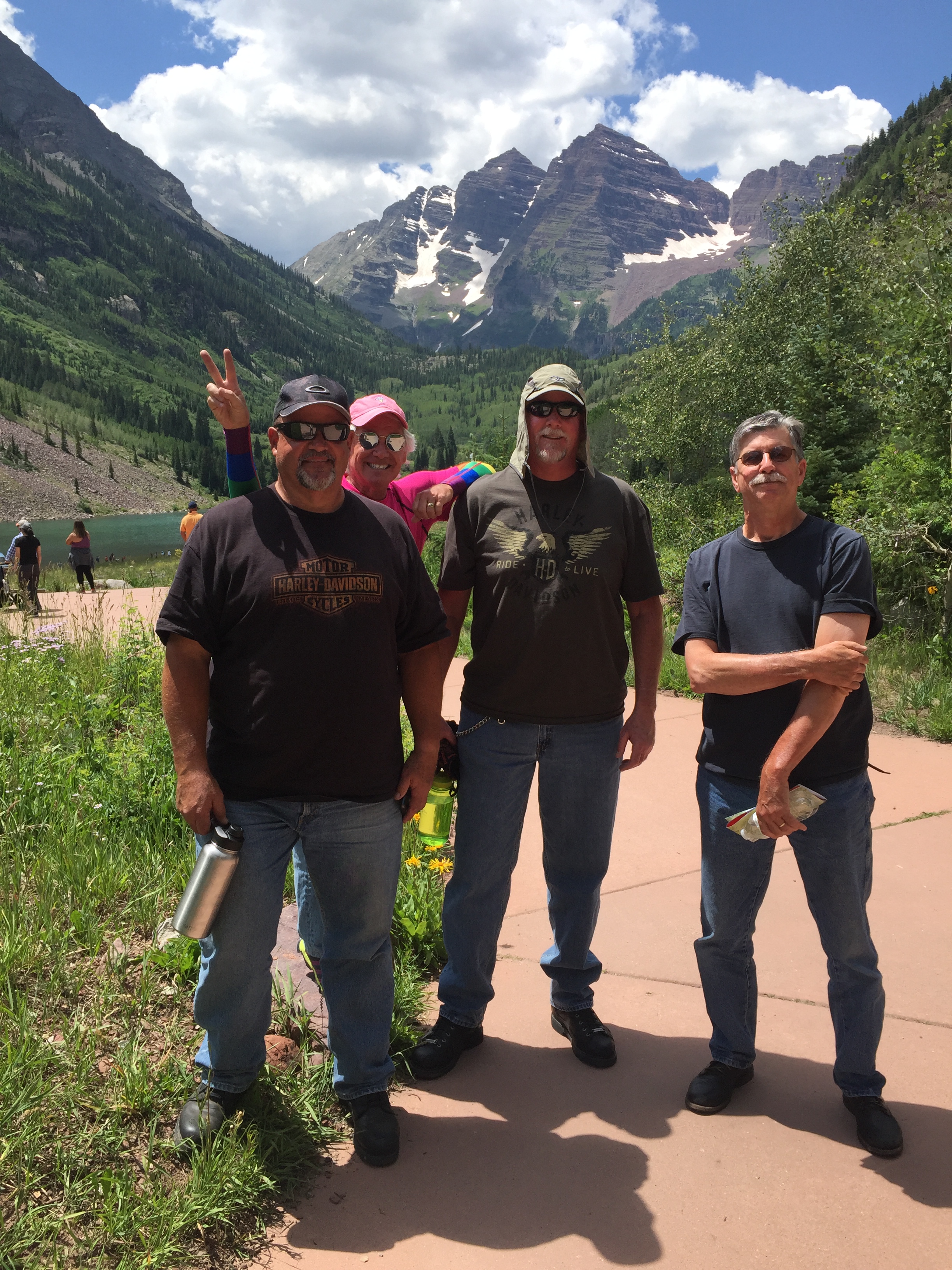
About a mile past Buttermilk Mountain, you can turn southwest on Maroon Creek Road to see what is believed to be the most photographed mountain scene in all of North America: the Maroon Bells. The Maroon Bells are two 14ers, just 10 miles from Aspen. Visiting them is a highly worthwhile side trip. Maroon Creek Road takes us to the Maroon-Snowmass Trailhead, at the foot of Maroon Lake.
They’re called the Maroon Bells because of their shape (bell-like), and their color (maroon-like, when the light is right). The Bells are maroon because the rock that forms most of their mountains is soft red shale and a paler siltstone, called the “Maroon Formation.” The red color comes from tiny iron particles that have been oxidized, or rusted. Because the shale is very soft, hiking on this type of rock can be quite dangerous. Consider that both a geology lesson and a friendly warning.
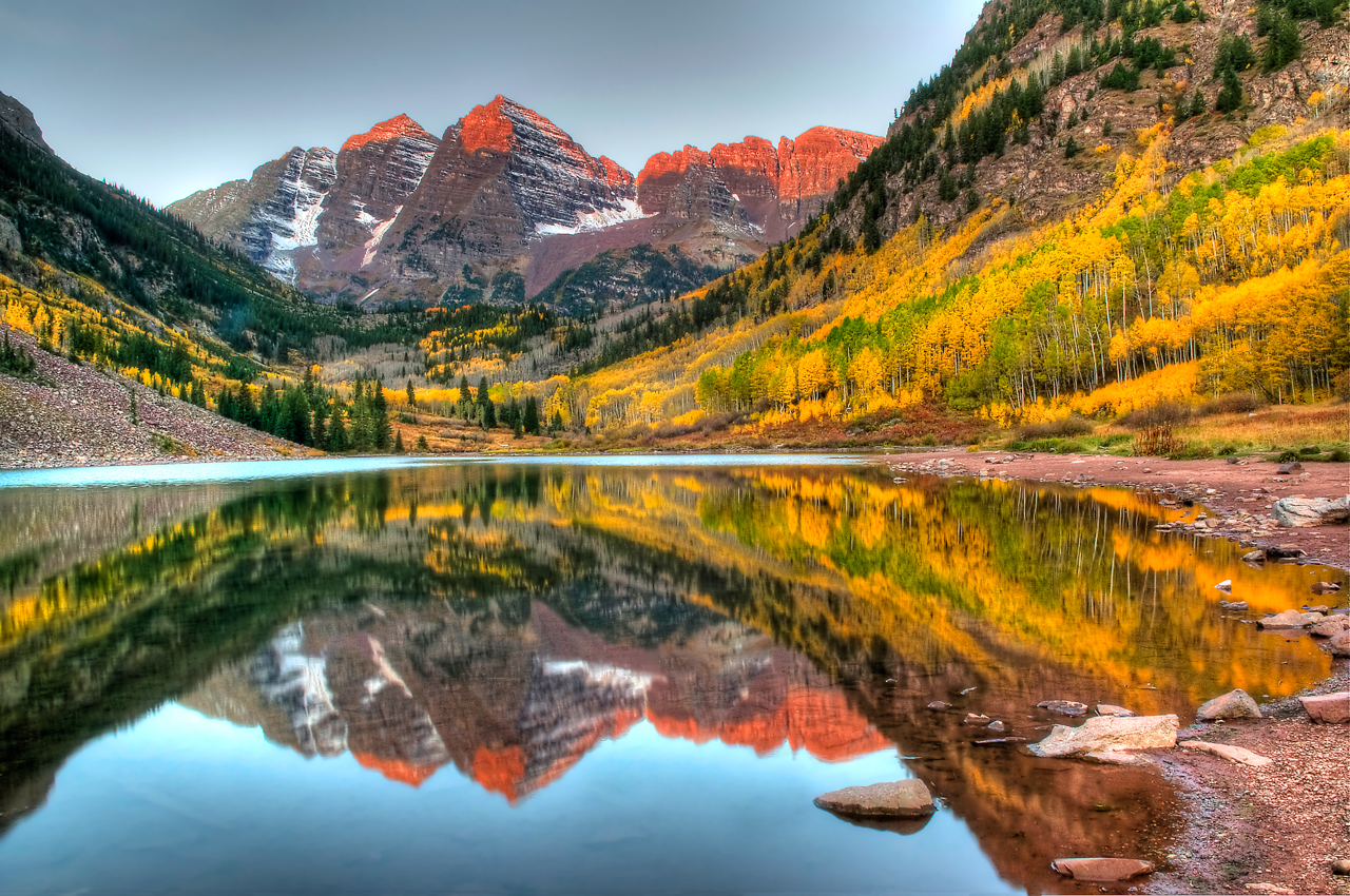
The view of the Maroon Bells to the southwest is one of the most famous scenes in Colorado – which is saying a lot. Of Trip Advisor’s 59 rated attractions in the Aspen area, the Maroon Bells rank Number One; many of the visitor comments describe the view as just short of a religious experience.
It’s so popular that in the summer, the only way to get there is to climb on a bus operated by the Roaring Fork Transportation Authority for the 30-minute ride to the Maroon Bells parking lot.
***
The Maroon Bells turnoff from Highway 82 is only a mile or so from Aspen, named for the abundance of aspen trees in the area. Aspen is a thriving ski area in the winter, and a summer destination for the rich and famous. Really rich, and really famous. Bank accounts with lots of zeros and commas. Front-page news in your grocery store tabloid rags.
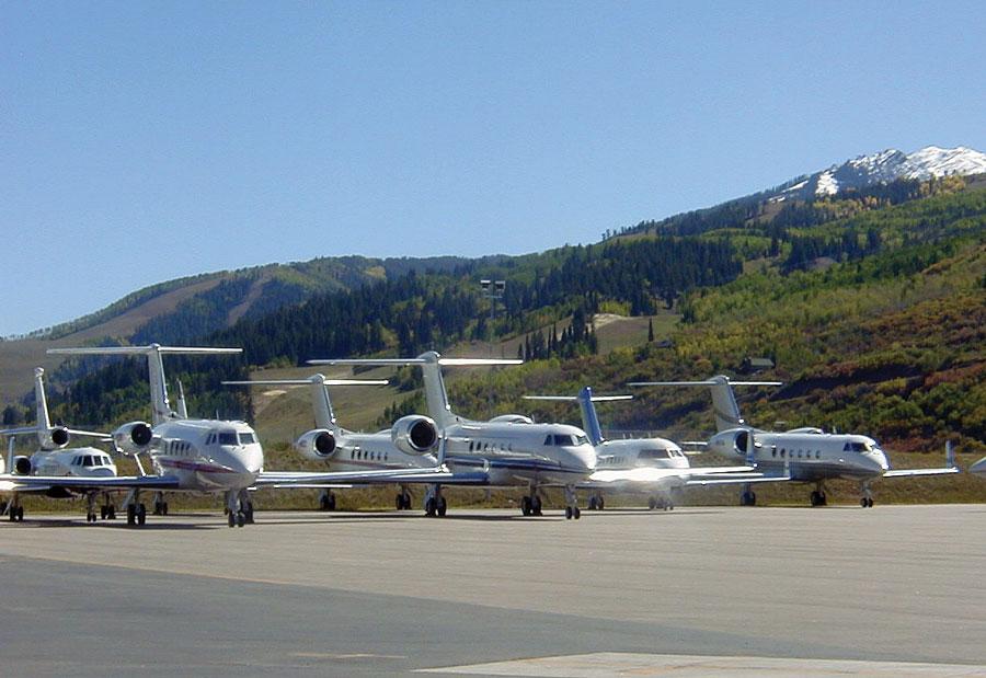
They fly in to the Aspen-Pitkin County Airport in their private jets, landing on the 8,000-foot runway. If you don’t own your own jet, this blog extends its sincerest condolences. The airport is also served by American Eagle, Delta Connection and United Express.
Aspen is easy to get to, and very expensive to visit. It’s a pretty darn pricey place to live, too. Home sale prices in Aspen last year averaged $7.7 million. A penthouse condo sold for $16 million, or $5,247 per square foot. Ouch! And yet, inexplicably, the Aspen real estate market was down in 2016. Good time to buy?
Unable to afford much more than a burger and fries, we push on, continuing east on Highway 82. We’re on the “Top of the Rockies” Scenic Byway (Difficult!), which climbs at a six percent grade.
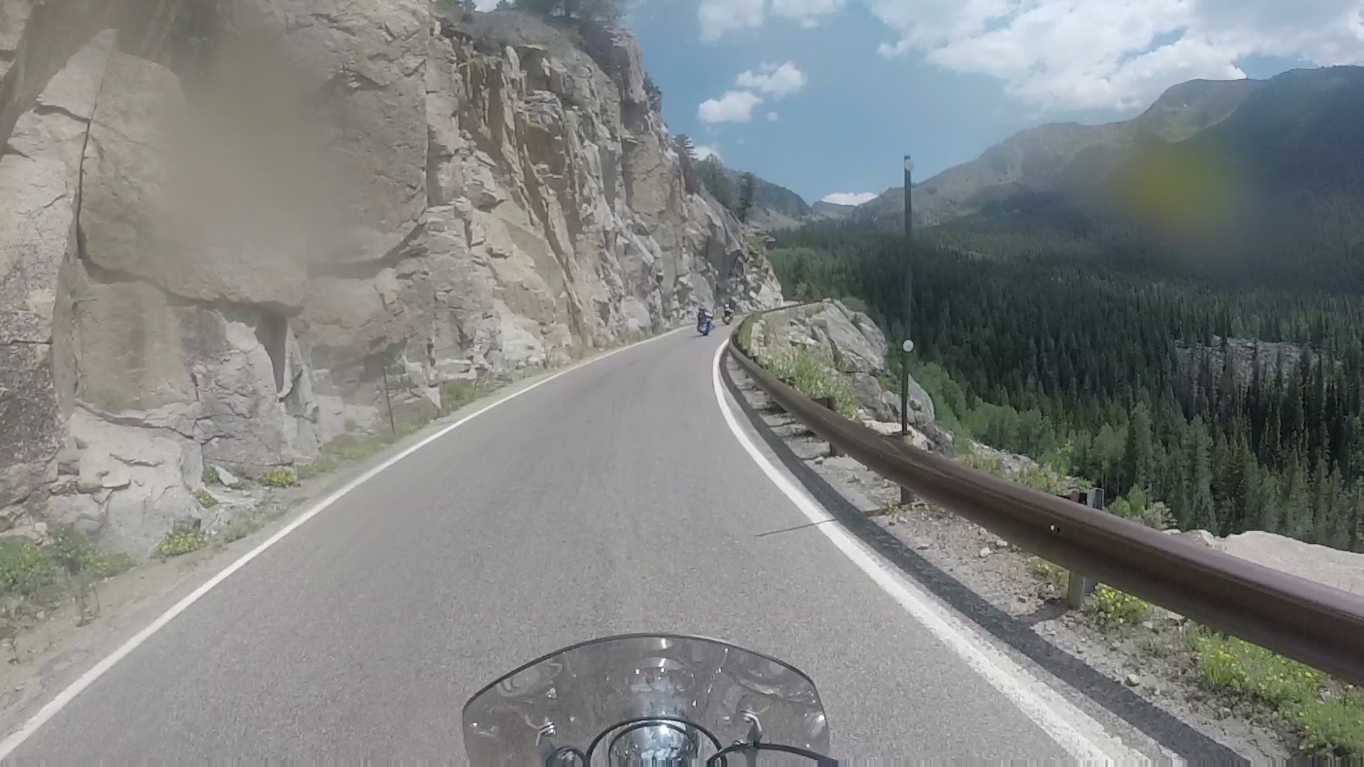
Twenty miles east of Aspen, we cross Independence Pass. At 12,095 feet, it’s the highest paved crossing of the Continental Divide. The pass is generally open from Memorial Day to November 1.
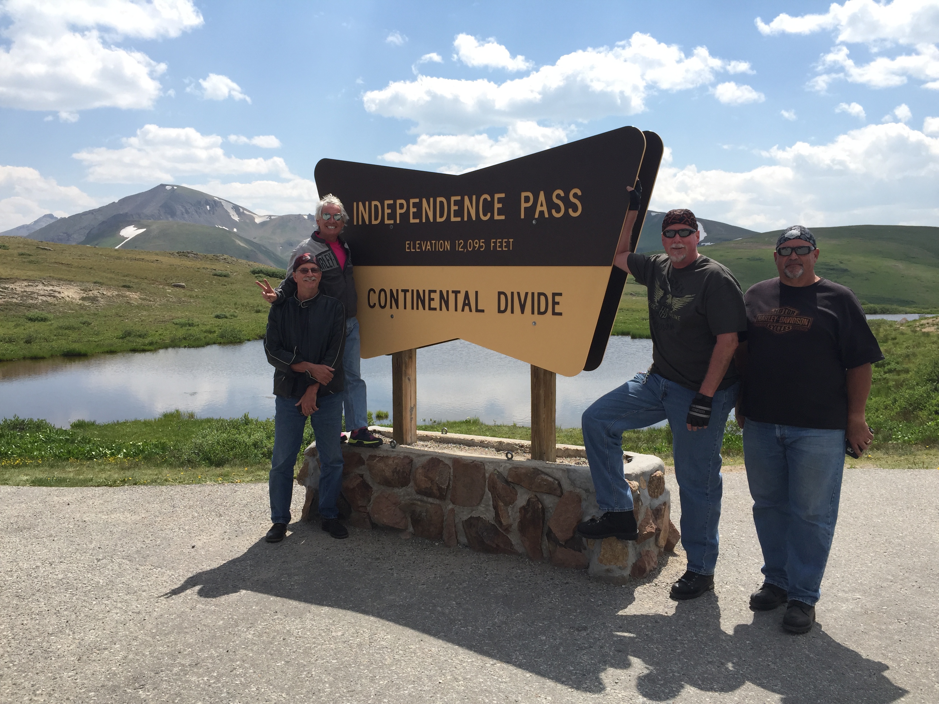
The Continental Divide is a natural boundary line separating the watersheds of the Pacific Ocean from those of the Atlantic Ocean. Technically, a continental divide is a drainage divide on a continent where the drainage basin on one side of the divide feeds into one ocean or sea, and the basin on the other side feeds into a different ocean or sea.
The Continental Divide runs north-south from Alaska to Northwestern South America. In the continental US, it follows the crest of the Rocky Mountains. Thirteen paved mountain passes in Colorado cross the Continental Divide. Independence Pass is one of them.
Like many of the passes that cross the Continental Divide, it’s closed in the winter. But when Independence Pass reopens annually in late May, it’s a popular tourist destination. The pass gets its name from the village named Independence, which was established on July 4, 1879 as a gold mining boomtown. Independence is now just a ghost town four miles west of the pass.
In addition to marking the Continental Divide, Independence Pass is also the crest of the Sawatch Range, the Pitkin-Lake county line, and the boundary between the White River and San Isabel National Forests. And, a darn good place to pull over for photos from a spectacular vista point.
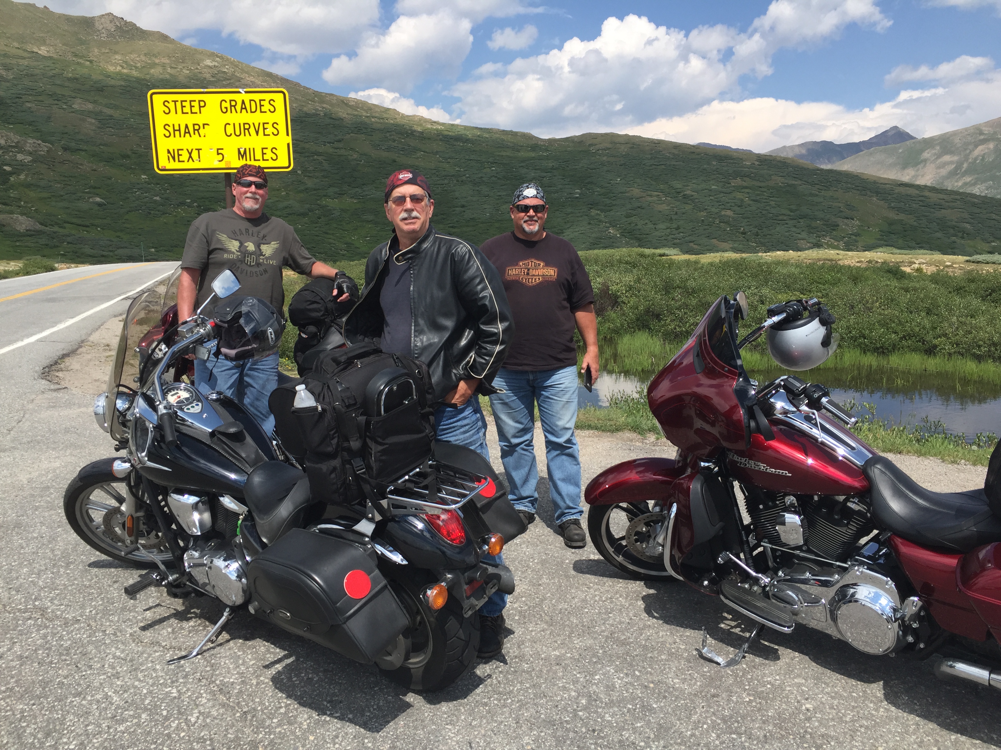
On a clear day, the Independence Pass scenic overlook offers views east to Mount Elbert, at 14,440 feet, Colorado’s highest peak. Mount Elbert is the second-highest mountain in the continental US (California’s 14,505-foot Mt. Whitney is the highest).
To the west, more 14ers stand out – including the Maroon Bells, Snowmass Mountain and Capitol Peak. At some point, you become almost numb to these elevations. Still, to put 14ers in perspective, Mount Elbert is just shy of half as high as Mount Everest.
***
Since 2011, Independence Pass has been central to the route of the week-long USA Pro Cycling Challenge, held in late August. The bicycle race begins in Aspen and finishes in the streets of downtown Denver. Well, it did, anyway.
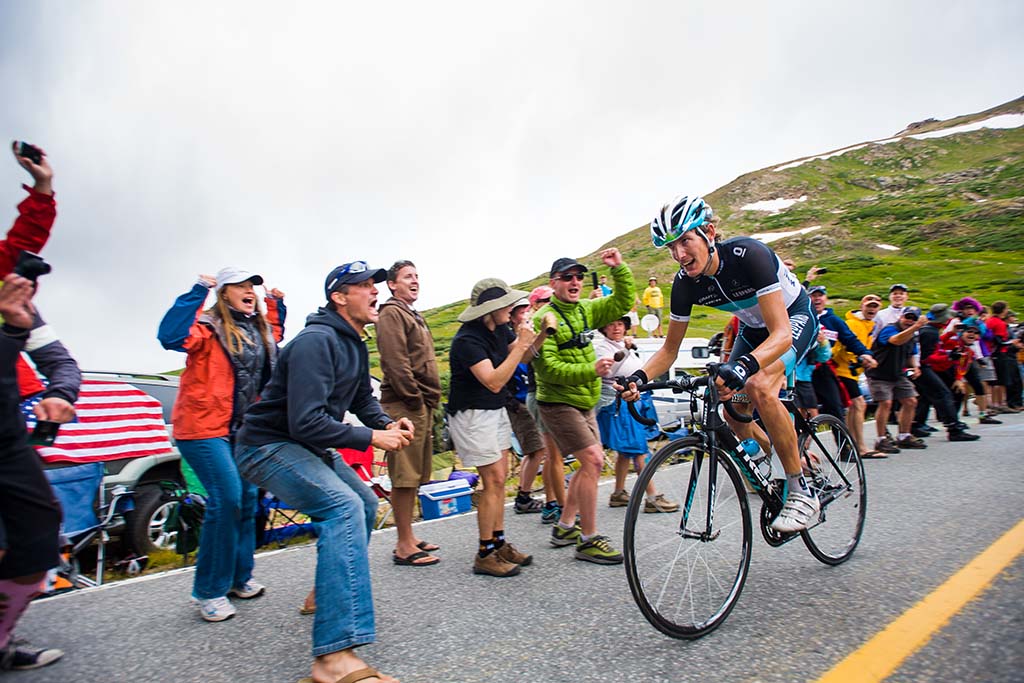
There was no race in 2016, due to sponsorship issues, and race organizers cancelled the 2017 race as well, unable to find sufficient funding following the departure of key investors.
The race had been kept financially afloat by the founders of the Quiznos and Smashburger restaurant chains. But after losing an estimated $20 Million over the first five years, the backers decided to pull the plug. Sadly, with the demise of the 2017 race, the Pro Cycling Challenge is effectively dead. In its heyday, winners included American cyclists Tejay van Garderen, Levi Leipheimer and Christian Vande Velde.
***
We leave Independence Pass, and begin our descent toward Twin Lakes, 17 miles east of the pass. We drop 3,000 feet, before arriving in Twin Lakes, 9,200 feet high in the San Isabel National Forest. Twin Lakes is beautiful, but sparse. It has a population of less than 200. If you don’t eat at the Twin Lakes Inn, you’re not going to eat at all.
Just past Twin Lakes, we turn north on US Highway 24 and 30 minutes later, arrive in the historic town of Leadville. At 10,152 feet, Leadville is the highest incorporated city in the US. It’s a former silver mining town, whose population was nearly 30,000 at the height of the mining boom. Today, the population is closer to 2,700.
Leadville is credited with producing 240 million troy ounces of silver and nearly three million troy ounces of gold. For the curious among you: a troy ounce is a unit of measure used to denote the value of a precious metal; it’s about 10 percent heavier than the “avoirdupois” ounce, which you use for everyday purposes. So, an ounce of gold weighs 2.759537 grams more than an ounce of sugar. Got it?
If you’re into all things troy, you can visit Leadville’s National Mining Museum and Hall of Fame, which opened in 1987. Or, you can enjoy Leadville’s 70 square blocks of Victorian architecture, which are designed a National Historic Landmark District.
In the early 1980s, Leadville had the highest unemployment rate in the US. That’s when marathon runner Ken Chlouber dreamed of a way to restore vitality to the city. His solution: the inaugural Leadville Trail 100 run in 1983.
The Leadville Trail 100 Run is now in its 35th year. Sometimes called the “Race Across the Sky,” it’s a 100-mile ultramarathon with elevations ranging between 9,200 and 12,620 feet. In most years, fewer than half the starters complete the race within the 30-hour time limit. The course record is 15 hours and 42 minutes, set by Matt Carpenter in 2005.
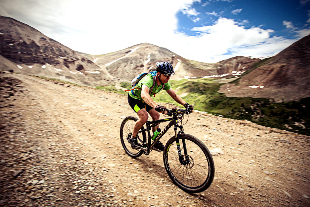
Readers of this blog who hate running but enjoy mountain biking can try the Leadville 100 mountain bike race, held the same weekend on a course that roughly parallels the running route. This year, both events will be held on August 19 and 20.
Good luck.
***
In Leadville, we turn north on Colorado Highway 91. A few miles east of Leadville along Highway 91 are a slew of 14ers: Mount. Sherman (14,036 feet), Mount Democrat (14,154), Mount Cameron (14,238 feet), Mount Lincoln (14,286 feet), Mount Bross (14,172 feet) and Quandary Peak (14,265).
Twenty four miles past Leadville is the Copper Mountain Ski Area, the US Ski Team downhill training venue. Copper Mountain has 22 lifts, 140 runs, 2,465 skiable acres – and was featured in the 1994 movie, Dumb and Dumber.
As we ride north on Highway 91, Copper Mountain is on our left, and to our right is the Breckenridge Ski Resort. Breckenridge is owned by Vail Resorts, which also operates Vail, Beaver Creek, Arapahoe Basin and Keystone in Colorado – Park City in Utah, Whistler/Blackcomb in British Columbia, Stowe in Vermont and three California Lake Tahoe resorts – Heavenly, Kirkwood and Northstar.
You can ski all those areas on a single Vail Resorts “Epic Pass,” which will set you back $859 for the 2017 / 2018 ski season. The Epic Pass also includes access to major European ski resorts, including Val d’Isere (where Sarah and I skied on our honeymoon) and Les Trois Vallees in France, Skirama Dolomiti Adamello Brenta in Italy, Verbier in Switzerland, and Arlberg in Austria. Air fare not included.
Copper Mountain, seemingly one of the few remaining ski areas on the planet not owned by Vail Resorts, is conveniently located at the junction of Highway 91 and Interstate 70. OK, well, there are other ski areas not in the Vail Resorts stable – among them Aspen, and Sunlight Mountain, which is exactly 18.2 miles from our front door in Carbondale. If only we had a front door.
***
We hop on I-70 for the 10-mile ride to Silverthorne, tonight’s destination. Silverthorne sits at 9,035 feet, not far from the Dillon Reservoir, which provides 40 percent of Denver’s fresh water supply.
We navigate to our motel, park the bikes, and settle in to our evening routine: a cold beer (diet coke for me), a hot shower, a tasty dinner, and a good night’s sleep.
***
Day Five Summary: Two hundred seven miles, two more scenic byways (Difficult!), coal country in decline, Mad Dogs and Englishmen, and crossing the Continental Divide.
Click here to see today’s complete route from Hotchkiss to Silverthorne.
We’re on our way to Sturgis!
Vroom, vroom.
***
Today in Bucket List History:
Bucket List Goal: “Leave Town and Don’t Tell Your Anyone Where You’re Going.”
Goal Achieved: On August 1, 1958, the US atomic sub “Nautilus” makes the first undersea voyage to the geographic North Pole. The Nautilus dived at Point Barrow, Alaska, and traveled nearly 1,000 miles under the Arctic ice cap to the North Pole.

What’s on your bucket list?

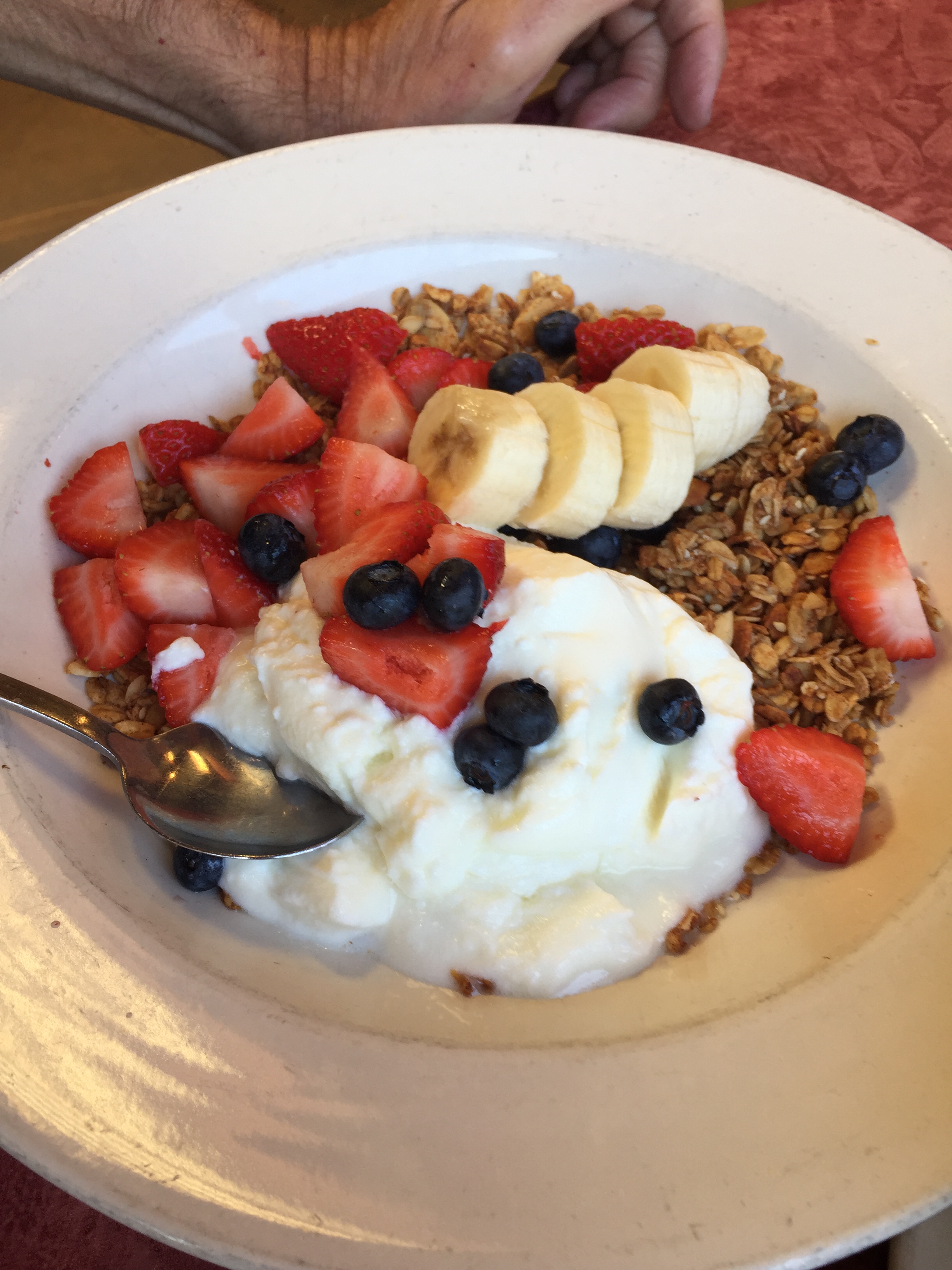
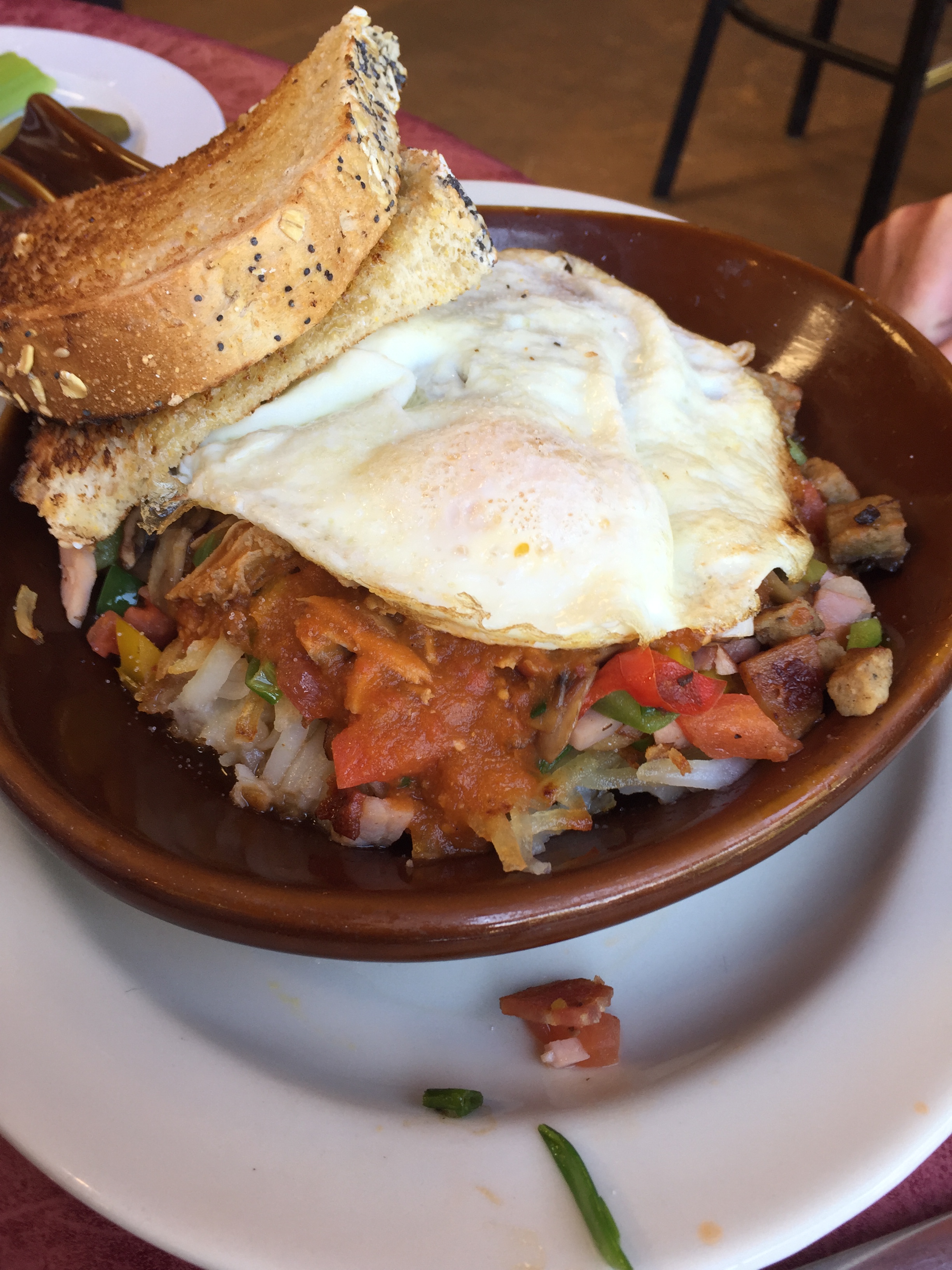
I’m guessing Randy ate the healthy breakfast. Are you giving prizes for correct answers?
LikeLike
You are correct, Mrs. B. Randy is our resident health nut. There IS a prize: a hug from the blog author.
Any guess regarding the other dish?
LikeLike
And this is why commas are so important, Gary – who is Mrs. B. Randy? Seriously though, good to see him eat at least one healthy meal! And I love your sun sleeves. Going to have to get some of those myself!
LikeLike
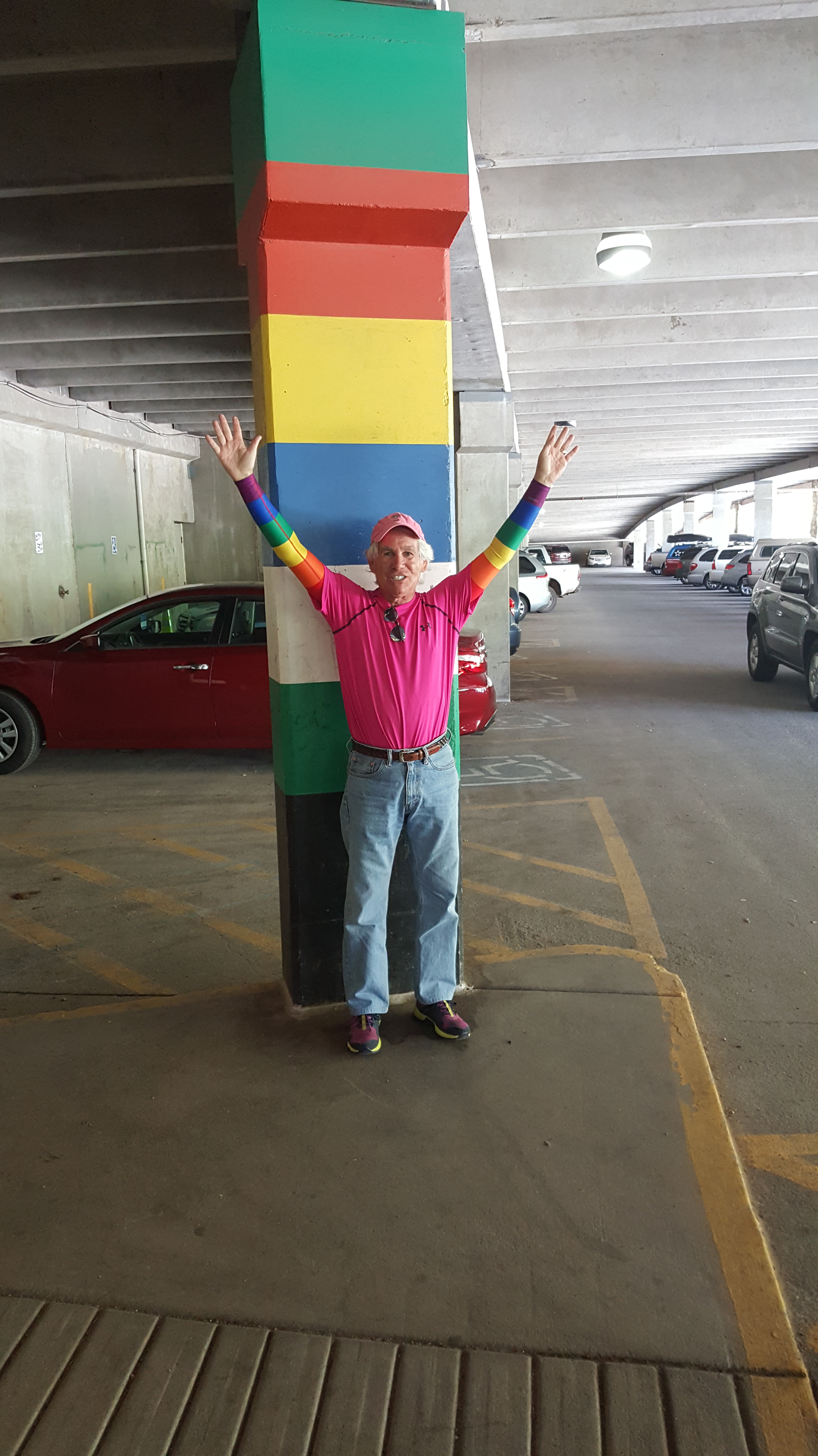
Punctuation is highly overrated, Jo, but I’ll try to keep an eye out for stray em dashes and missing semi-colons. Sun sleeves are from a company called UVoider. Found them online. Randy would look stunning with his arms covered like mine. Only about 147 shopping days left til Christmas (check my math AND my punctuation).
LikeLike
Forgot to mention. Mrs. B is Gail. She’s Dave Bowman’s wife. Thus, Mrs. B.
LikeLike
Wow another great day🏍🏍
Love hot pink:))
My brother and I skied Copper Mountain..
so excited to visit Carbondale:)
Nitee-nite
Loved reading about you and Sarah’s honeymoon excursions& ventures❤️❤️
LikeLike
Nice to know someone appreciates my GQ approach to Harley riding. It was raining buckets when we rode past Copper Mountain. Skies were so dark we didn’t even see it 😂
LikeLike
Hi Gary…what a great ride! I am sitting in my hotel room in Hong Kong reading your blog. Don’t want to get behind!! 😊 Sounds like you guys are having a wonderful trip. Safe travels! And glad to see you are wearing your sleeves and hat .
LikeLike
Hong Kong… wow, the blog has gone international! Pace yourself, Vicki. Lotsa reading to do, and you’ve gotta be ready for the return flight. Be sure to tell your customers in First Class they coulda had more fun riding with us.
LikeLike
I knew breakfast #1 ans not yours, Gary Lesser, way to healthy for you. Breakfast #2 looks like corn beef hash, so I’ll say that’s yours!
LikeLike
Nice try, Darlin. Neither breakfast was mine. But I can guarantee you would have liked it 👍❤️👍
LikeLike
Gary great trip and the Maroon Bells are wonderful in the winter for snowmobiling and the summer for biking or hiking. Great to see te work started on your new home and what a wonderful way to travel to Sturgis via your new home state and city. Keep the great history and views coming they are really loved.
LikeLike
Good to have you along, Rich. Hope you and Paula are having a fabulous summer in Nimes.
LikeLike
Yo, Gary:
Kat and I keeping track of your travels so we can nod appreciatively when we see you on 8/14. 🙂 Looks like an awesome trip. As an aside, I do hope you’re prepared to take orders in Sturgis….for all manner of sun sleeves. Along with painted toenails, you’re going to be unforgettable!
Vroom on…………..
Eldon
LikeLike
Toenails not currently painted, Eldon. Sorry to disappoint. See you in two weeks. Hi to Kathryn.
LikeLike
I believe but Linda Warson can correct me if I am wrong, that we both know the captain of the Nautilus – Toby.
I personally prefer my risky adventures from the comfort of an armchair just living them vicariously via my friends and especially those who blog. Loved seeing the ground breaking on your new house. Do I get to decorate my bedroom?
LikeLike
Gary,
New house looks great !!! It’s real !!!!
Maroon Lake is a lot prettier than London today. Visited the Churchill War Rooms Museum and then off to “Kinky Boots”. You would have enjoyed the play
Safe travels. Best to Sarah
LikeLike
Gary,
Great Blog!! Great fun and good reading. Hope you told the 400 miners in Paonia the Donald is saving their jobs!
Dave
LikeLike
Right on, Dave! Coal is the next big thing. Kinda like the horse-and-buggy. Hi to Marge.
LikeLike
Congratulations on ground breaking the new homestead!
LikeLike
House looks great Gary! Lots of daylight.
But I can’t believe your stats on the miners. Coal is back. The Donald says so! Fake News!!!! Make America Great Again!
LikeLike