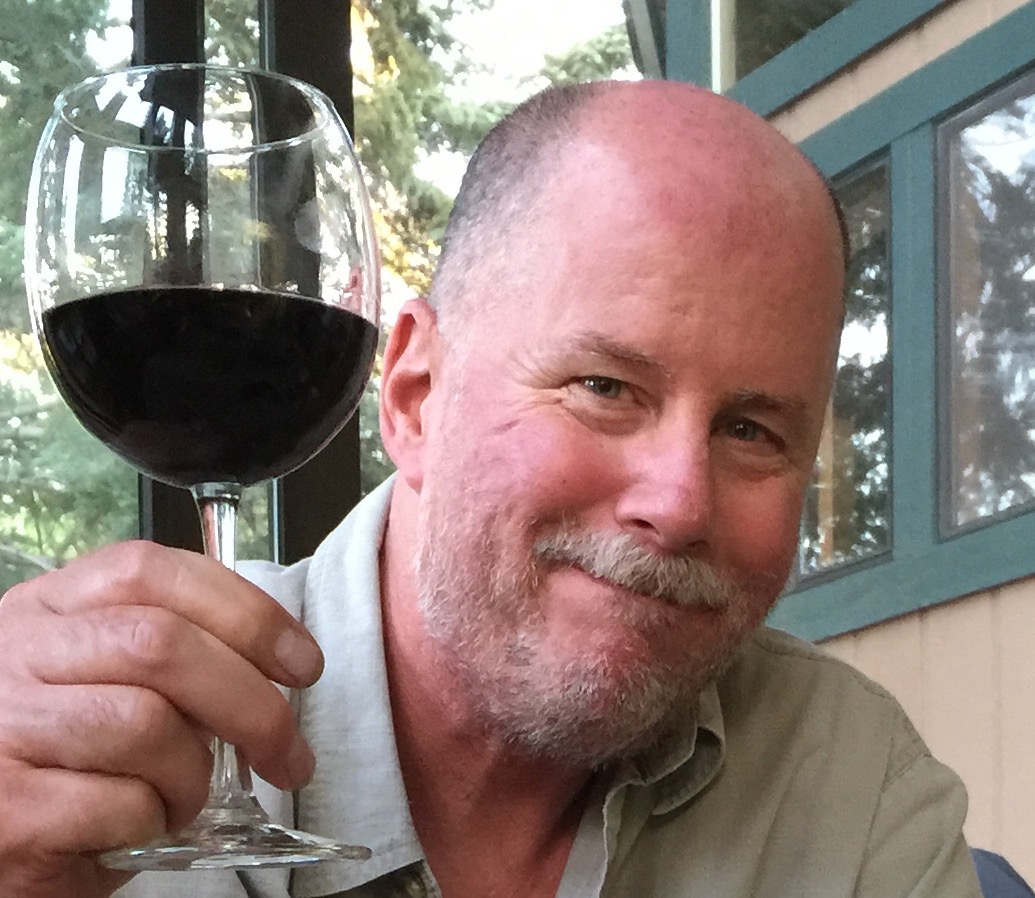
Today will be our longest ride so far – 300 miles – and it marks our last day on the road as a threesome.
By tonight, we should be back in Lake Arrowhead, ready to return to our own homes – and life as we know it. You knew the party had to end eventually.
After a hearty (not) breakfast at The motel in Three Rivers, we work our way south on Highway 198, riding along the southern shore of Lake Kaweah.
The lake is a reservoir, formed by Terminus Dam on the Kaweah River. Its primary purpose is flood control, so the lake is maintained at a very low – or empty – level most of the year. It generally only fills in May and June. Because of California’s unprecedented drought, the lake is now unusually low, affecting lake recreation and nearby farming.
We follow Highway 198 to the eastern outskirts of Visalia, and turn east onto Yokohl Drive. The road rises gently through rolling hills as we ride thru Yokohl Valley, named after a band of Foothill Yokuts Indians.
Twenty-two miles later, we rejoin Highway 190 and turn east. For the next 20 miles, the road is extremely twisty, with numerous switchbacks and blind curves. We’re riding at less than 20 miles an hour much of the time.
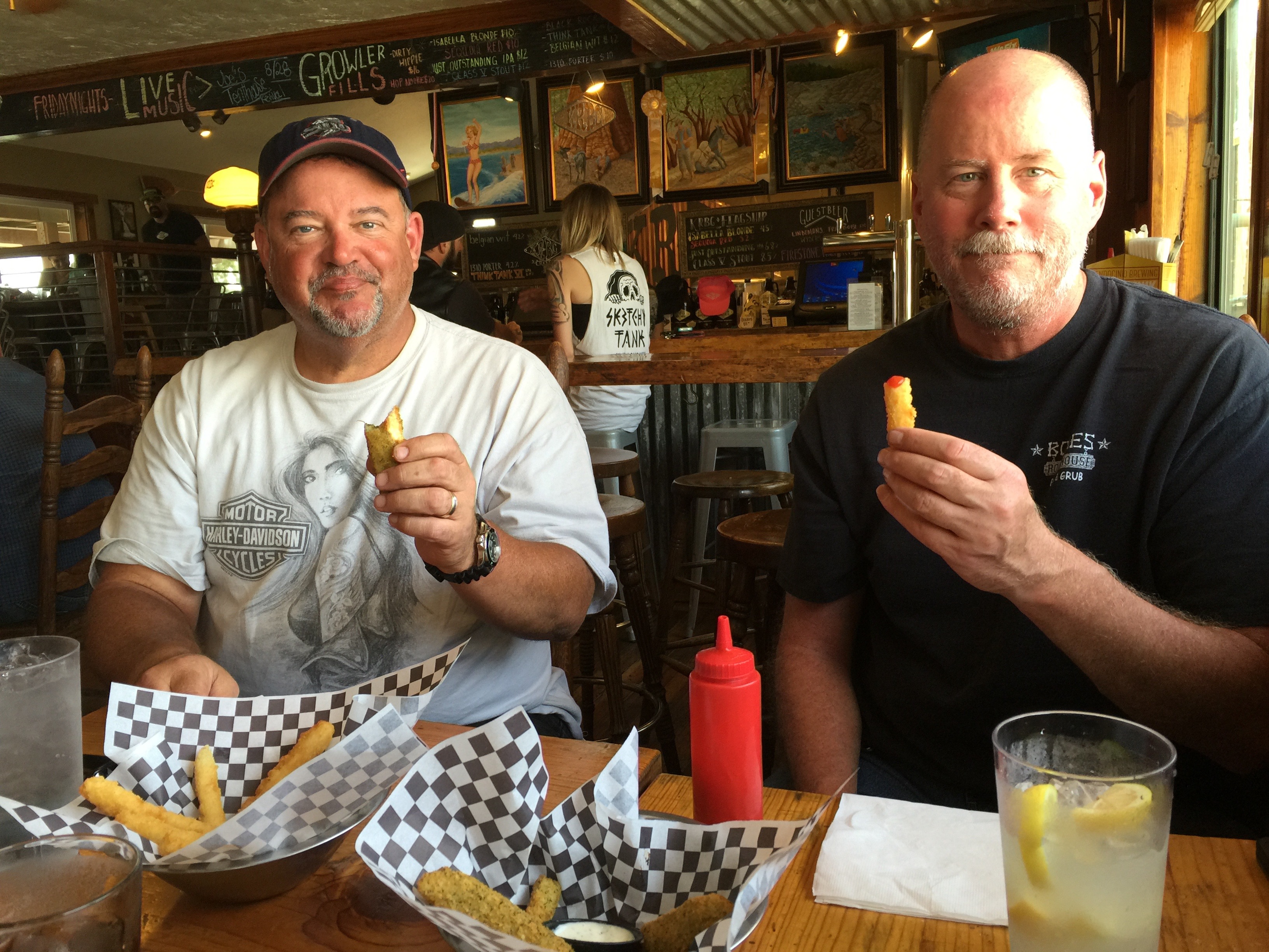
The Pierpoint Springs Resort is one of the few places along this roller coaster to grab a beverage and a snack. They have great homemade pie, too. And a wi-fi hotspot!
From here, the road continues to be extraordinarily twisty. Eventually, the elevation drops 7,000 feet to the valley floor. Highway 190 becomes Route 107, the Great Western Divide Highway.
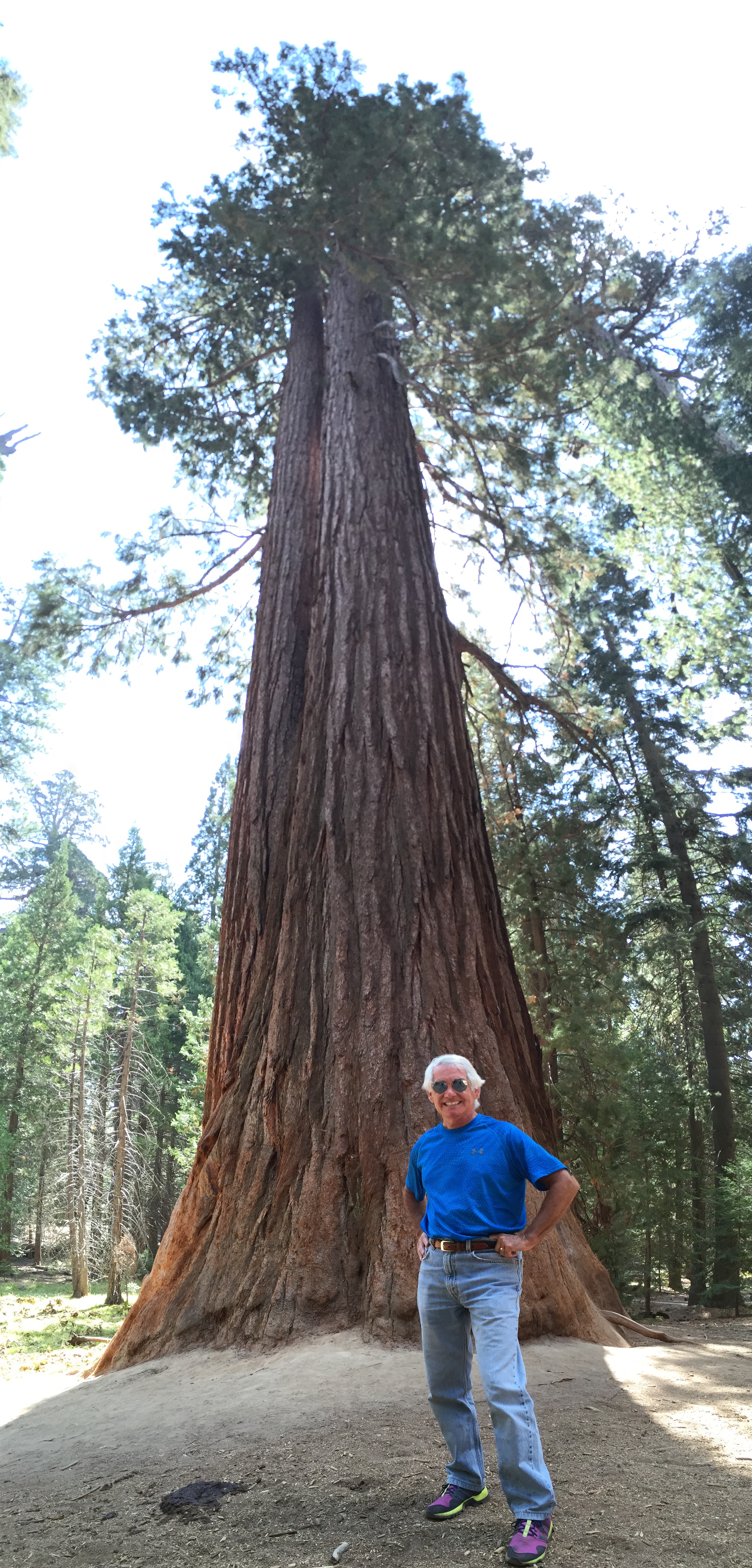
Twenty miles from the Pierpoint Springs pie stop, following a long descent, we arrive in Long Meadow Grove, home of the Trail of 100 Giants. The grove covers about 341 acres of giant sequoias.
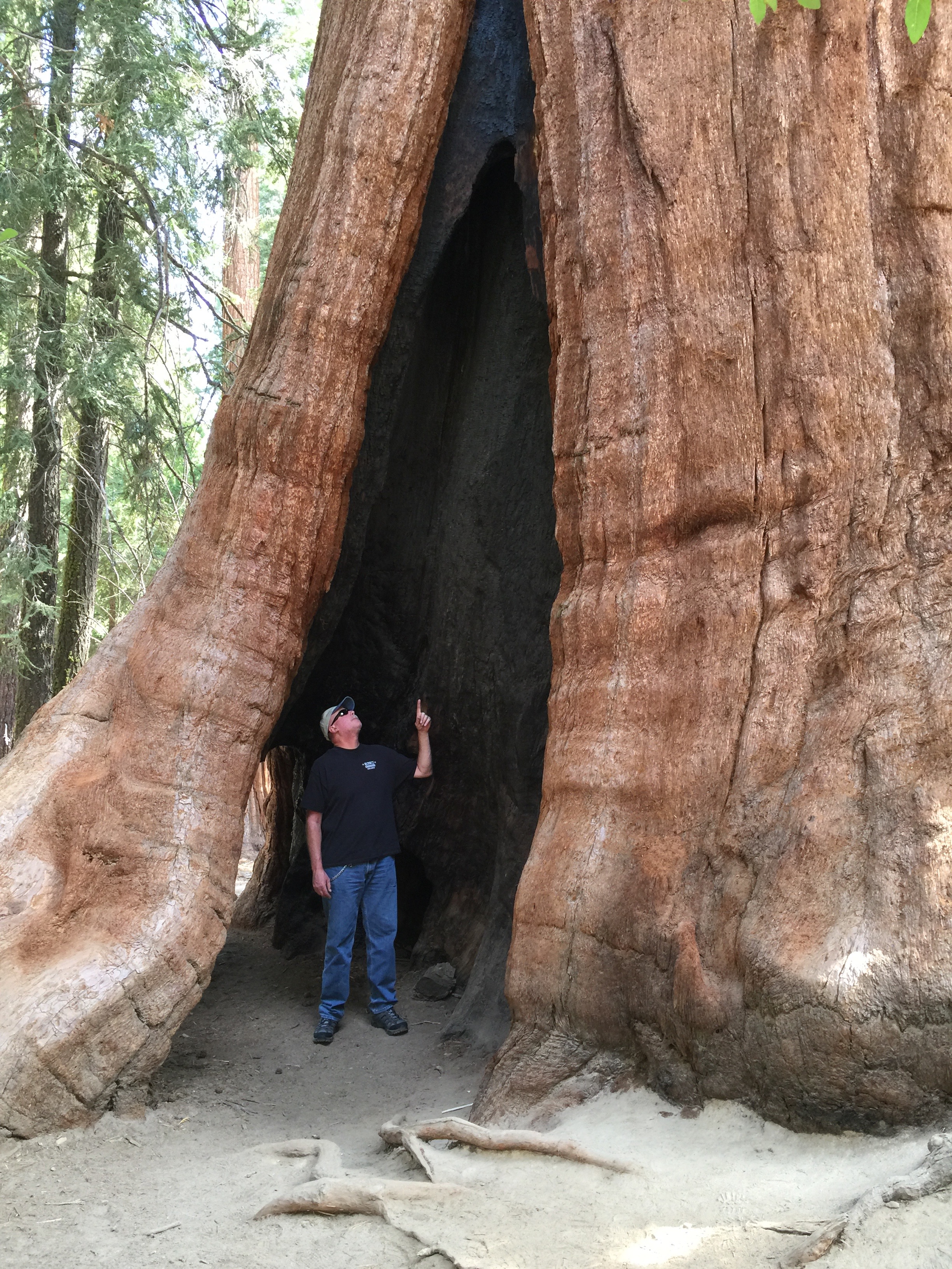
There’s a unique mile-long interpretive trail, where you can get a close-up look at the grove’s more than 800 sequoias. One hundred twenty-five of them are more than 10 feet in diameter.
This is one of the few sequoia groves with a large number of “twins,” two sequoias growing tightly side-by-side, in order to share resources. This grove even has one twin that rangers call a “sequedar,” a sequoia and a cedar that have grown together.
On April 15, 2000, President Bill Clinton proclaimed the establishment of the Giant Sequoia National Monument and made his announcement beneath one of the giant trees at the Trail of 100 Giants.
“These giant sequoias clearly are the work of the ages,” the President said, as he dedicated the National Monument. “They grow taller than the Statue of Liberty, broader than a bus, they are the largest living things on this Earth; so perfectly adapted to their environment that one has never been known to die of old age. They began when America was not even imagined, and Europe was in the Dark Ages.”
***
Ten miles east, we pass through Johnsondale, elevation 4,711 feet. Now on Mountain Highway 99, we roll south along the Kern River. It’s a 2,000-foot drop and a 45-minute ride to Kernville. The mid-day sun is searing. White water river adventures – rafting and kayaking – are a popular activity on the Kern River, particularly in the spring. Right now, in mid-summer, the river is barely moving. River rafting companies have shut down operations until next year, hoping for greater snowpack and runoff in 2016. Rafting season this year was completely cancelled.
The Kern River was named after artist and topographer Edward Kern, and so, obviously, was the city of Kernville. Kernville’s big annual event is Whiskey Flat Days, the yearly celebration of the historic Wild West days here. The event is held every President’s Day weekend. We weren’t even close.
A few miles south of Kernville, we spot the north shores of Lake Isabella, a reservoir in Kern County created by Isabella Dam. At 11,000 acres, it’s one of the larger reservoirs in California. We pass through the South Fork Wildlife Area, turn east on Highway 178, and quickly pass through Weldon. Highway 178 is also called the Isabella Walker Pass Road.
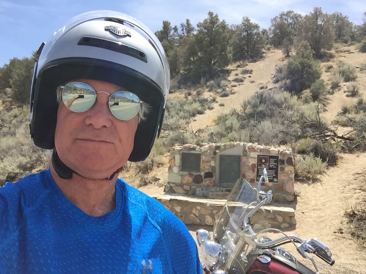
Walker Pass is slightly less than a mile high – 5,250 feet – and is a National Historic Landmark. The highest point on Highway 178, it was charted as a route through the Sierra in 1834 by Joseph R. Walker, a member of the Bonneville Expedition. Walker learned of the route from Native Americans.
The 2,663-mile Pacific Crest Trail, which begins at the US-Mexico border and ends at the US-Canada border, crosses Highway 178 at Walker Pass. Northbound hikers who arrive at Walker Pass can look forward to the longest roadless stretch of the entire trail. The trail crosses many of the areas we’ve been for the past week, including Yosemite National Park, Kings Canyon National Park, Sonora Pass, Ebbetts Pass and Carson Pass.
The Pacific Crest Trail was made famous in the 2014 Hollywood film, Wild, starring Reese Witherspoon as trekker Cheryl Strayed, on a journey of self-discovery and healing. Hey everyone … take a hike.
***
Descending from Walker Pass, in eight miles we come to a T in the road at the junction with Highway 14 – the Aerospace Highway. Faced with our biggest decision of the day – north or south – we counter-intuitively turn north.
With a few jogs in the road, we ride through Inyokern, a hybrid name combining Inyo and Kern Counties. Inyokern is actually in Kern County.
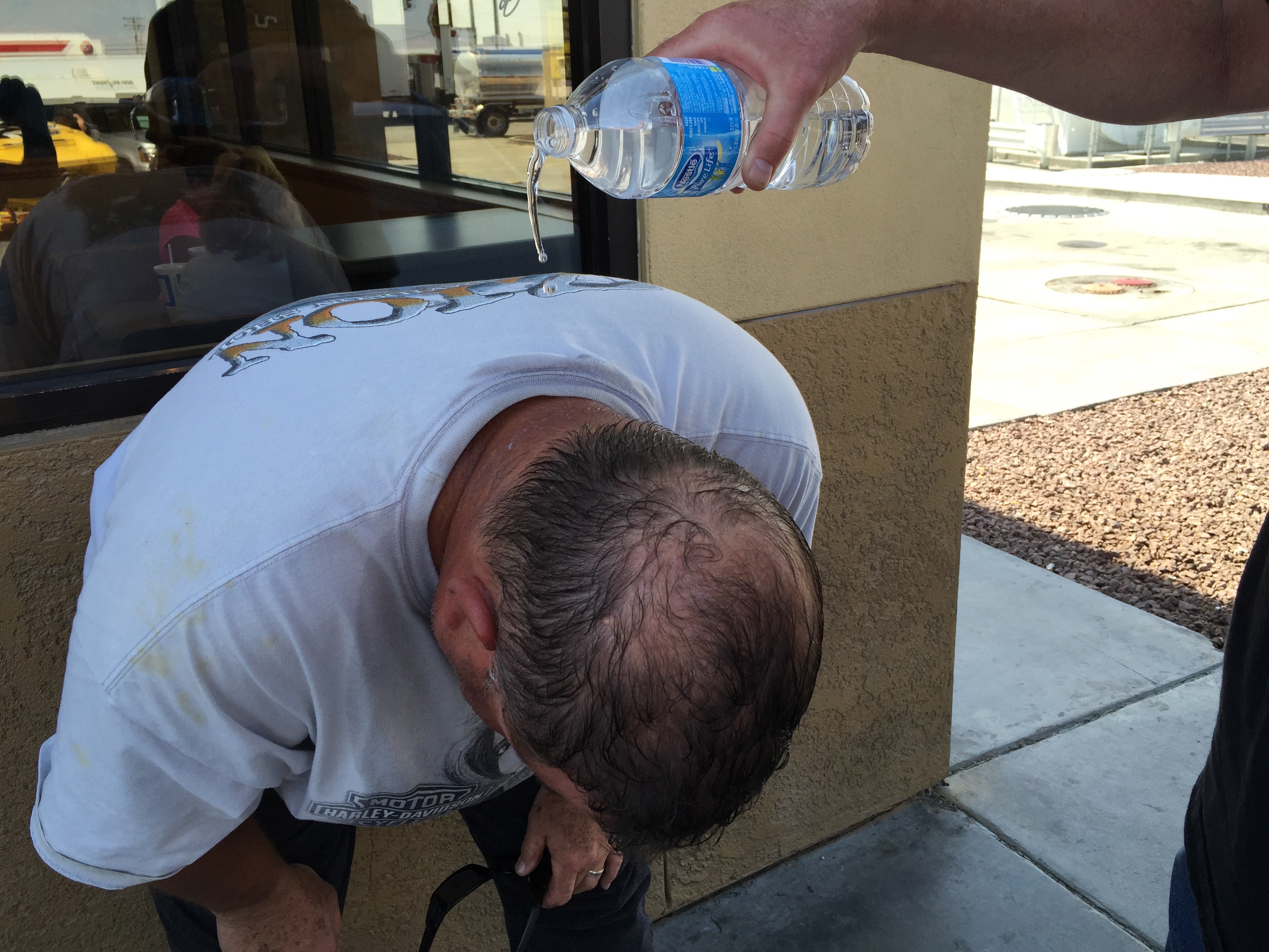
In Inyokern, we turn south on US Highway 395, which we’ll follow for the next 50 miles. While highly scenic in the Sierra Nevada Mountains, Highway 395 from Inyokern south is straight, flat and boring. You’d expect that of the Mojave Desert. The Mojave is a high desert; in Inyokern, we’re at 2,455 feet. But it’s still a desert and in the mid-afternoon sun, it’s blazing hot.
As we approach Kramer Junction, we eye, on our right, a massive solar power generating plant. It’s part of the Solar Energy Generating Systems, whose capacity at several locations in the desert is 354 megawatts. The facility is privately owned and operated by NextEra Energy Resources, which says 354 megawatts is enough to power more than 232,000 homes.
The complex of 936,384 high-tech mirrors is the world’s second largest solar thermal energy generating facility, consisting of nine solar power plants in the Mojave Desert. The solar generation uses parabolic trough, solar thermal technology to make electricity. Mirrors and heat transfer make it all happen.
The Kramer Junction solar facility receives an average of 340 days of sunshine a year. Today is one of them.
Kramer Junction, also known as Four Corners, sits at the intersection of US Highway 395 and California Highway 58. It has several gas stations, fast food restaurants, a slow food restaurant (The Roadhouse), a population of 2,231, and not much else.
West on Highway 58 takes us to Mojave, home to the Mojave Air and Space Port where the first private space flight, SpaceShipOne, was launched in 2004. East on Highway 58 brings us to Barstow, a transportation hub named after William Barstow Strong, former president of the Atchison, Topeka and Santa Fe Railway.
But we are heading south, so we continue on US-395 for another 40 blah miles.
One of the few interesting sights along the way is just north of Adelanto, where we roll by the Southern California Logistics Airport – a boneyard for retired commercial airplanes. The airport, perhaps more diplomatically and euphemistically, calls itself a “transitional” facility. A halfway house for distressed aluminum.
Formerly George Air Force Base – which closed in 1993 – the logistics airport has a 15,000-foot runway. That’s the longest in the US, other than Denver International Airport. The Southern California Logistics Airport, technically in Victorville, can accommodate all currently flying commercial and military aircraft, 24 hours a day. The facility claims VFR (Visual Flight Rules) weather 360 days a year, meaning there are a lot of clear, sunny days, perfect flying weather. Good for Harley riding, too. Except for the heat.
Because of the dry climate here, it’s a conducive environment for preserving aircraft. To protect airliners during their storage from wind and sun damage, engines and windows are tightly covered with white, reflective materials – allowing the airplane to be stored safely for years until it’s ready to return to active duty, or be salvaged. Airliner boneyards in the western US serve several functions: temporary storage, maintenance, parts reclamation, and scrapping.
***
In 13 miles, we merge onto I-15 south and continue our journey to Lake Arrowhead. We’re not big fans of Interstate highway riding, so we fortunately are on I-15 for only eight miles before exiting at Cajon Junction. If that sounds familiar, it’s because we crossed Cajon Junction on Day 1 on our way to the Angeles Crest Highway.
We turn east onto Highway 138 for the 22 mile ride past Silverwood Lake and Crestliine. Three miles on the Rim of the World Highway, and we’re back in Lake Arrowhead, where our journey began eight days ago – and where it now ends.
***
To view today’s route from Three Rivers to Lake Arrowhead, click here.