Woo-hoo … We’re going to Hollywood!
And then, we’re going to the beach. How California-clichéd is that?
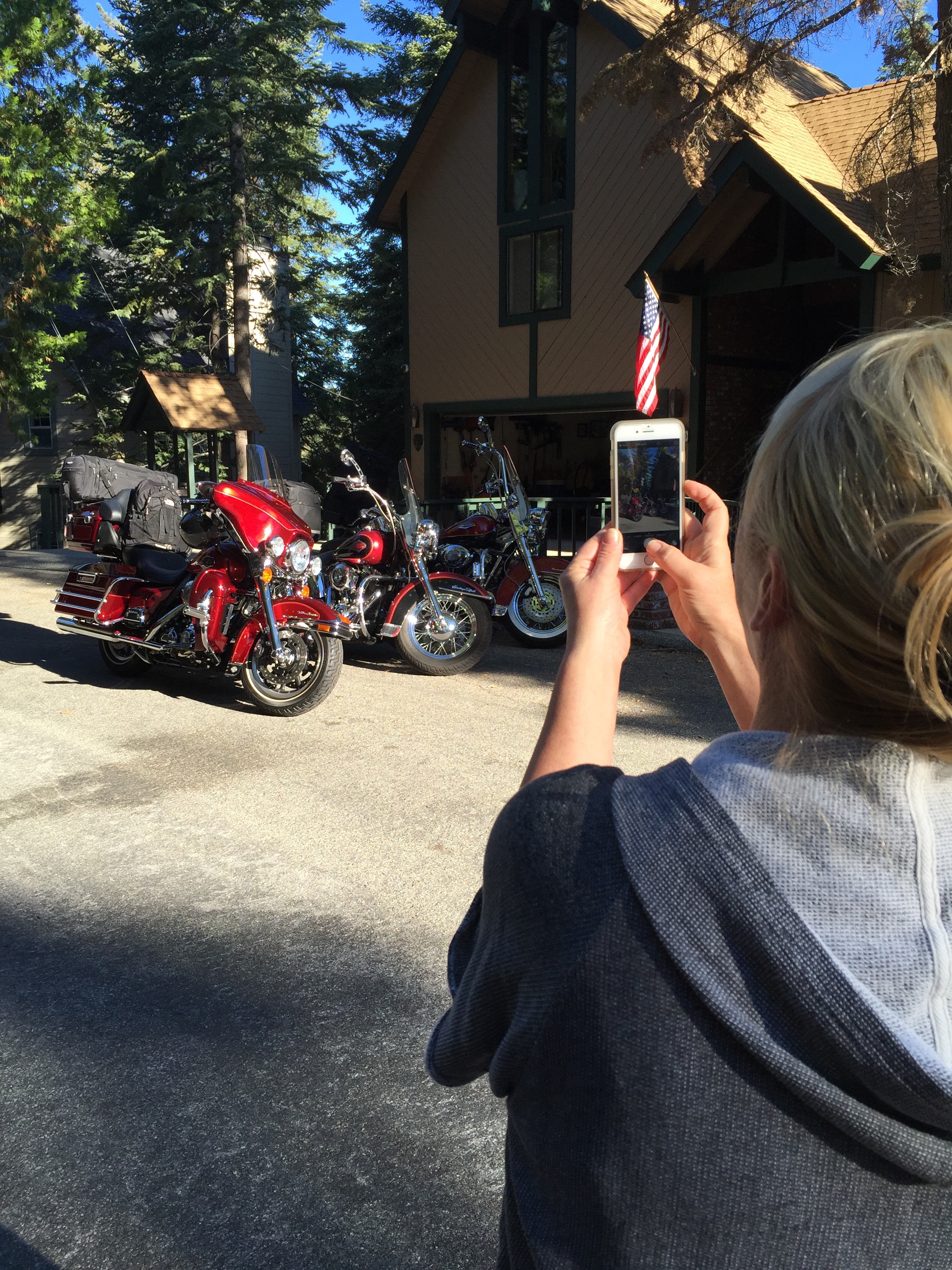
Day 1 of our journey begins on the Rim of the World Highway, designated a Scenic Byway because it literally feels like you are on the rim of the world. It’s a 110-mile route that traverses the rim of the San Bernardino Mountains from Cajon Pass to San Gorgonio Pass. We follow this narrow, twisting path for about 22 miles before reaching Cajon Junction, where Highway 138 crosses I-15.
We could turn right onto the Interstate, and in three hours we’d be in Las Vegas. But this trip is about reality, not fantasy, so we continue west toward the San Gabriel Mountains.
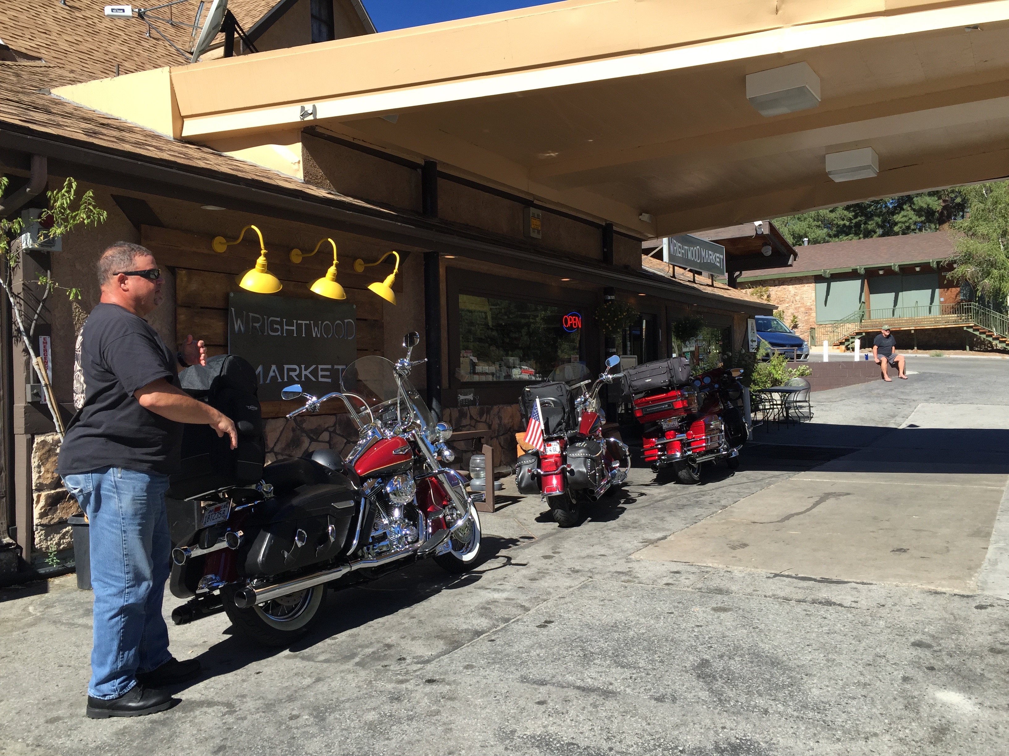
Thirty minutes later, we turn onto Highway 2 and arrive in Wrightwood, a quaint community located in a pine-covered valley at 5,935 feet. Wrightwood is at the east end of the Angeles Crest Highway, which we will follow for the next 60 miles to La Canada Flintridge, just north of Pasadena.
The Angeles Crest Highway is a two-lane thrill ride that corkscrews through the Angeles National Forest – through chaparral and montane forest habitats, along the highest and most scenic ridges of the San Gabriel mountain range. It is considered among the top motorcycle roads in the US.
The road has been used extensively in Hollywood movies, including racing scenes in the 1968 Disney film, The Love Bug, starring Dean Jones, Michelle Lee, and a 1963 VW Beetle named Herbie. The Angeles Crest Highway was also featured in the Love Bug’s 1977 sequel, Herbie Goes to Monte Carlo – where the highway doubles for a mountain road in the French Alps.
Construction of the Angeles Crest Highway began in 1929, when it was originally intended to be a fire access road. Much of it was built by prison labor. Original plans called for Angeles Crest Highway to be upgraded to a freeway in the 1950s, but that idea was later considered geographically improbable and the plans were abandoned.
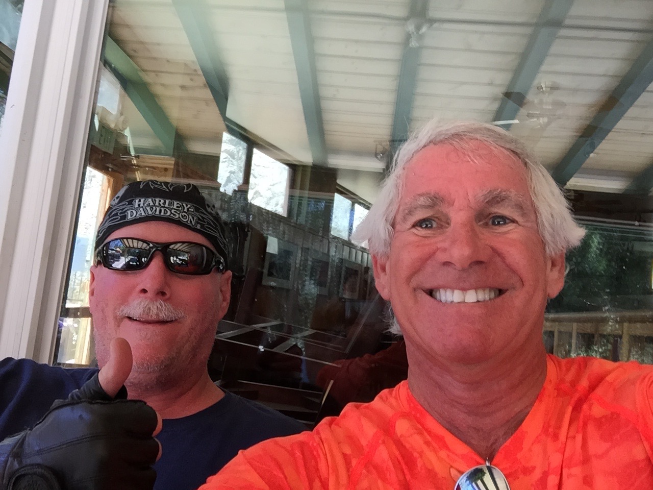
We’re pretty much on our own out here, off the grid in a sense. Cell phone reception is spotty, and, when available, signal strength and clarity is poor. If you tried to call us today, we’ll have to get back to you.
The highest point on the Angeles Crest Highway is 7,903 feet at the Dawson Saddle. Much of the highway is closed in winter due to rockfall and avalanche hazards. Today, the road is clear and the skies are sunny as we press on toward several ski resorts convenient for millions of Southern California snow enthusiasts.
Five minutes west of Wrightwood is the Mountain High Ski Area at Big Pines. It bills itself as “Southern California’s closest ski resort.” From a base at 6,600 feet, Mountain High has 1,600 vertical feet in three distinct areas: West, East and North. It’s one of the oldest ski areas in the US, beginning in 1937 with a single rope tow.
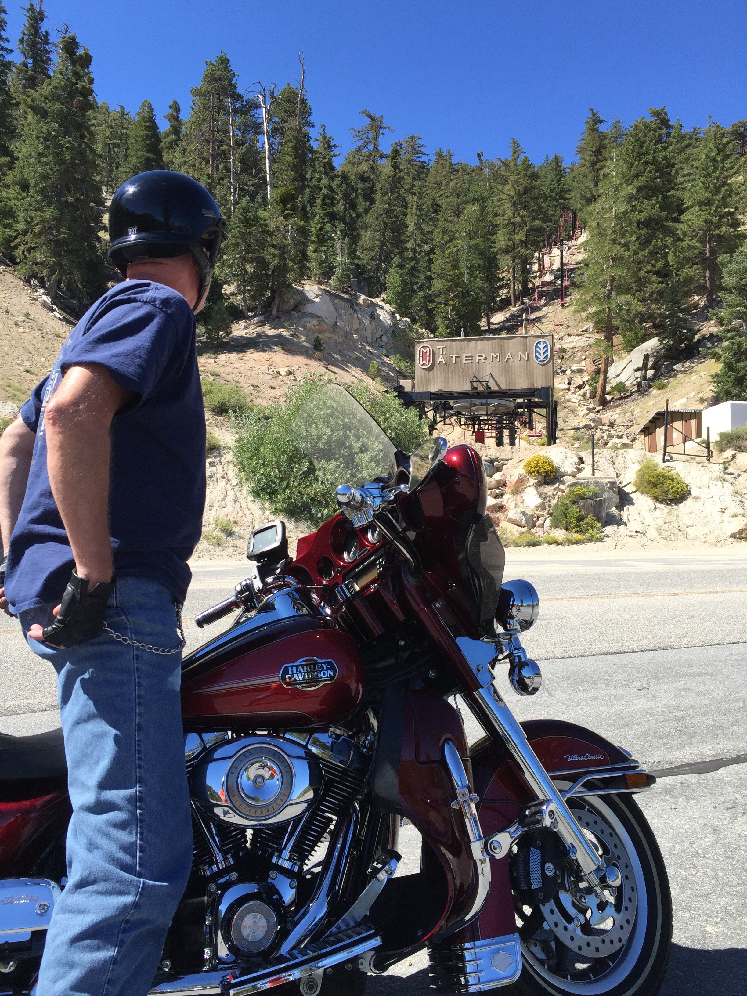
Twenty-two miles west of Mountain High is another ski area – Mount Waterman. From a base elevation of 7,000 feet, Mount Waterman has 1,000 vertical feet of skiing – when it’s open. If Mountain High is Southern California’s closest ski resort, Mount Waterman may be Southern California’s closed-est ski resort. The past four seasons, there hasn’t been enough snow to open for business. In the summer, however, it does have an 18-hole disc golf course.
Ten minutes from Mount Waterman is the Chilao Visitors Center, one of two on the Angeles Crest Highway. It offers an introduction to the Angeles National Forest through a variety of exhibits, trails and activities. We get all the introduction we need by continuing our ride west.
Other than visitor centers, one of the few buildings on the Angeles Crest Highway is Newcomb’s Ranch, a biker haven about 10 minutes west of Mount Waterman. Newcomb’s Ranch is the only private property along the Angeles Crest Highway. It’s called the “informal headquarters for riders” by Los Angeles magazine, and “one of Southern California’s most famous Rickey Racer Roadhouses” by Motorcyclist magazine.
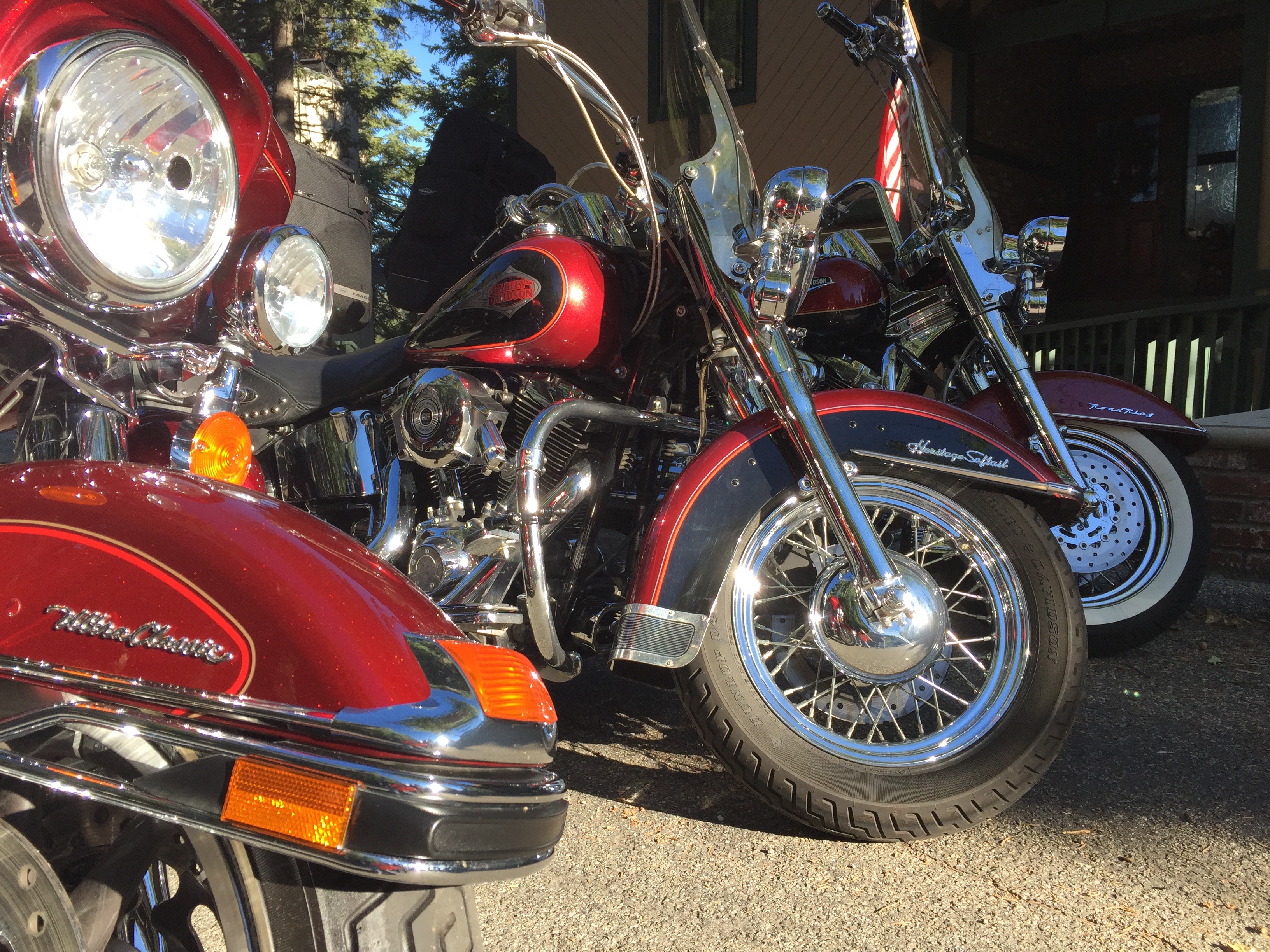
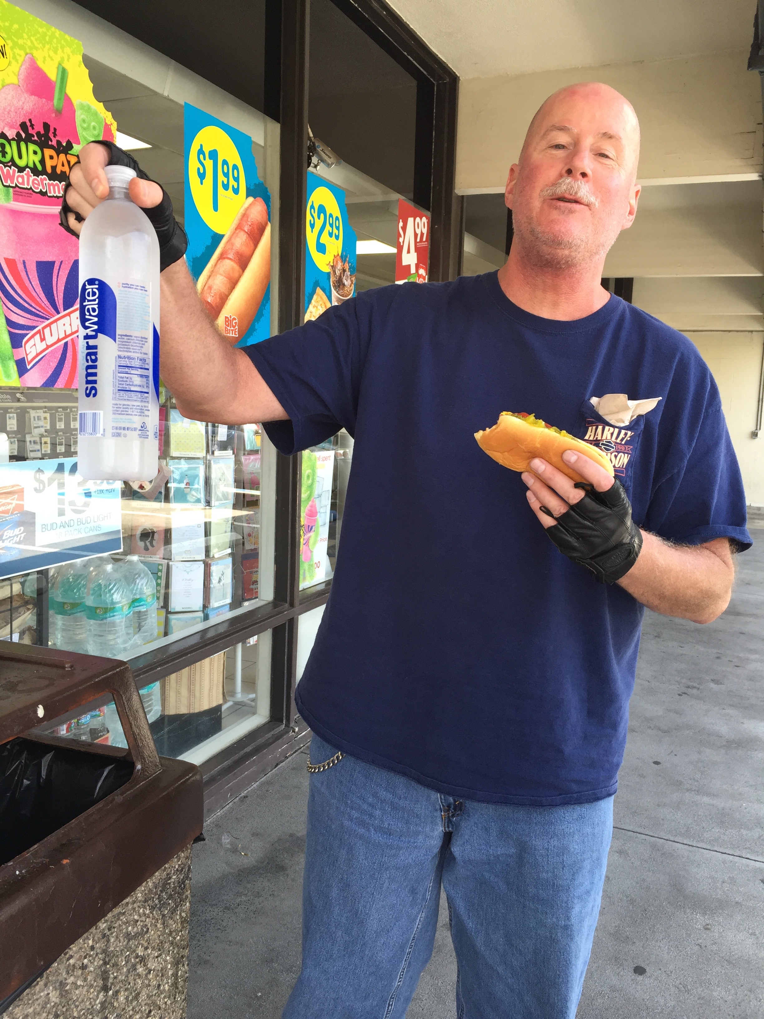
The Newcomb family, which also created the Mount Waterman ski area, built the roadhouse in 1939. Since then, it’s variously served as a restaurant, hotel, general store, gas station and brothel. Only one of those descriptions serves our purposes today. We stop, admire the bikes, hydrate, relax – and then continue west.
From Newcomb’s Ranch, it’s 27 miles to La Canada Flintridge, the western terminus of the Angeles Crest Highway. Hey, that was fun!
If you’re more into pictures than words, click here to watch a time-lapse motorcycle ride from one end of Angeles Crest to the other – 66 miles in 10 GoPro minutes.
***
We’re back in the big city now. Or we’re at least aware of its presence.
Nearly 23 million people call Southern California home, and for the next 50 miles, we’ll be among many of them. On a sunny, pleasant August day, we’re reminded why so many find SoCal such a nice place to live. Just look skyward and you’ll get it.
We continue south on Highway 2, but now it’s a multi-lane freeway with typical mid-day Friday afternoon traffic. Soon, we turn west on the Ventura Freeway, so named because Ventura is where it ends – or begins, depending on your perspective.
Just past the Los Angeles Zoo, we turn onto Forest Lawn Drive and are reminded that show business is still a big deal around here. We ride past the famed Warner Bros. and Universal Studios. A lot of big name movies have been made on their lots, including ET, Jaws, Gravity and American Sniper. And TV shows, too – from 77 Sunset Strip to The Big Bang Theory.
Near Cahuenga Pass, we jump onto Mulholland Drive, a famous road named after pioneering Los Angeles civil engineer William Mulholland. Mulholland was responsible for building the Los Angeles city water infrastructure and providing a water supply that allowed LA to grow into one of the largest cities in the world. He designed and supervised the building of the Los Angeles Aqueduct, a 233-mile long system to move water from the Owens Valley to the San Fernando Valley. In a sense, you have him to thank for Los Angeles being a mass of wall-to-wall humanity. Without the water he brought to the LA basin, the city likely would not resemble what you see today.
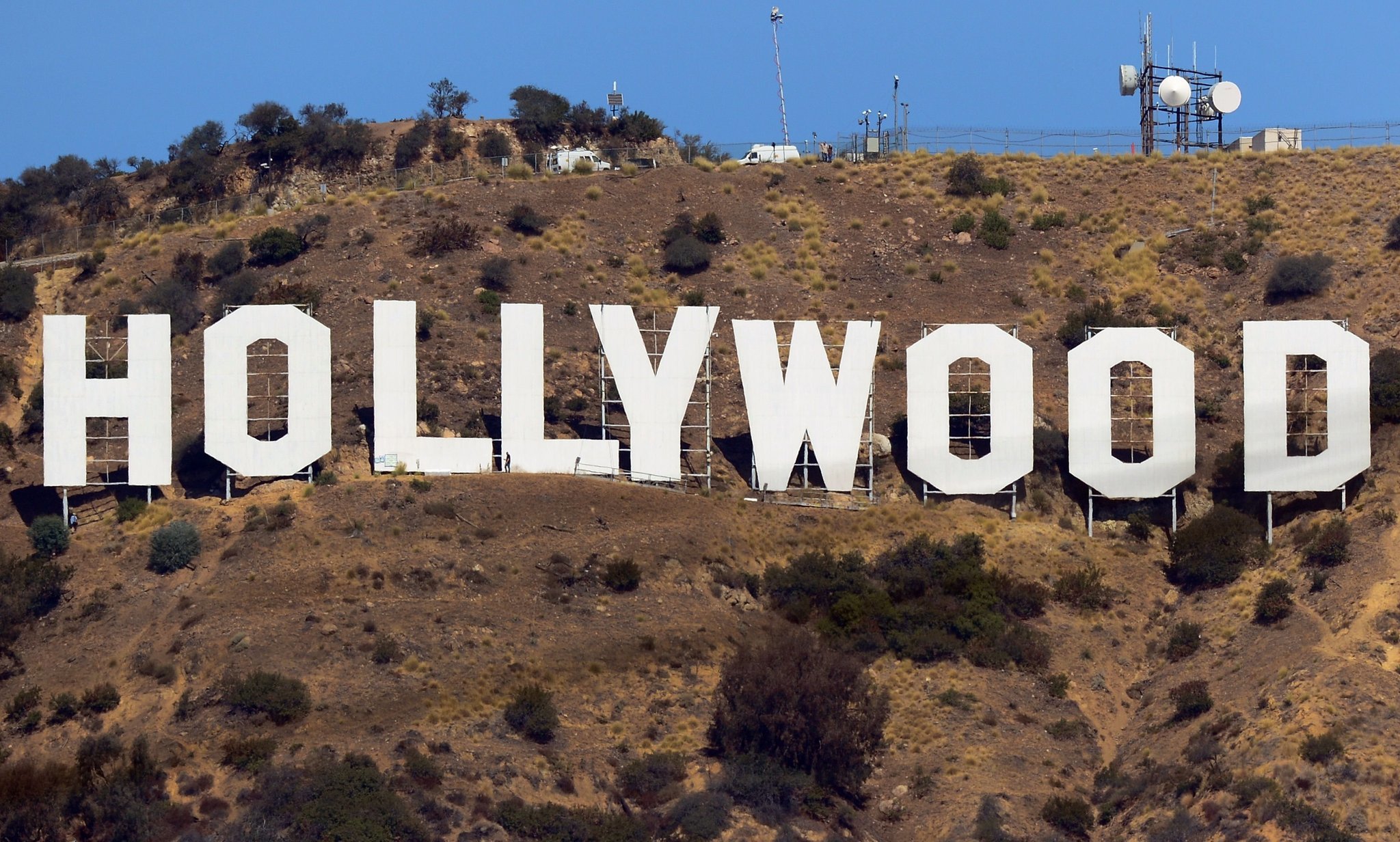
Mulholland Drive, which has been featured in movies, songs and novels, is a 21-mile two-lane road that follows the ridgeline of the eastern Santa Monica Mountains and the Hollywood Hills. It provides spectacular views of the Los Angeles Basin, the San Fernando Valley and the Hollywood Sign. There’s a small overlook on Mulholland Drive where you can see the Hollywood Sign, whose letters are 45 feet high. The sign, created in 1923 as an advertisement for local real estate development, sits on Mount Lee, at 1,708 feet, the tallest peak in Los Angeles.
Along Mulholland Drive, you’ll find some of the most exclusive and expensive homes in the world. As this is not a house-hunting trip, we keep our eyes on the road and follow Mulholland Drive to the Skirball Cultural Center, near I-405. The Skirball Center is devoted to exploring the connections between Jewish heritage and American democratic ideals. A five-minute walk from the Skirball Center is the American Jewish University, founded nearly 70 years ago by Rabbi Mordecai Kaplan to create an institution representing the diversity of Judaic expression in the US.
***
I-405 North takes us back to the Ventura Freeway, which leads to Topanga Canyon Boulevard., and on to Topanga itself. Topanga is an artsy community in the Santa Monica Mountains, attracting filmmakers, musicians, actors and other unapologetic liberals. The annual Topanga Film Festival is held every summer.
It’s believed that the name Topanga means “Where the Mountain Meets the Sea.” Some millennial parents are actually naming their kids Topanga. It’s among the top 300 names on babynames.com. Hey, it’s California!
In Topanga, we turn northwest onto Mulholland Highway. Not Mulholland Drive. This one is a highway, or at least that’s what it’s called. It feels like anything but a highway. It’s a two-lane zig-zagger that crosses Malibu Canyon Road and takes us to the tiny community of Cornell, in the wine country area of the Santa Monica Mountains.
Cornell, sandwiched between Malibu and Agoura Hills, is mostly surrounded by protected open space and state park land. The Tour de California bicycle race occasionally passes through here, attracting locals who cheer the cyclists on.
The hottest spot in Cornell, the place we have to check out, is The Rock Store, a famed hangout for glitterati motorcyclists including Jay Leno, Harrison Ford, Arnold Schwarzenegger, John Travolta and Peter Fonda. One bike magazine calls it a “wonderful collection of humanity and two wheels where diversity isn’t just tolerated, it’s celebrated.”
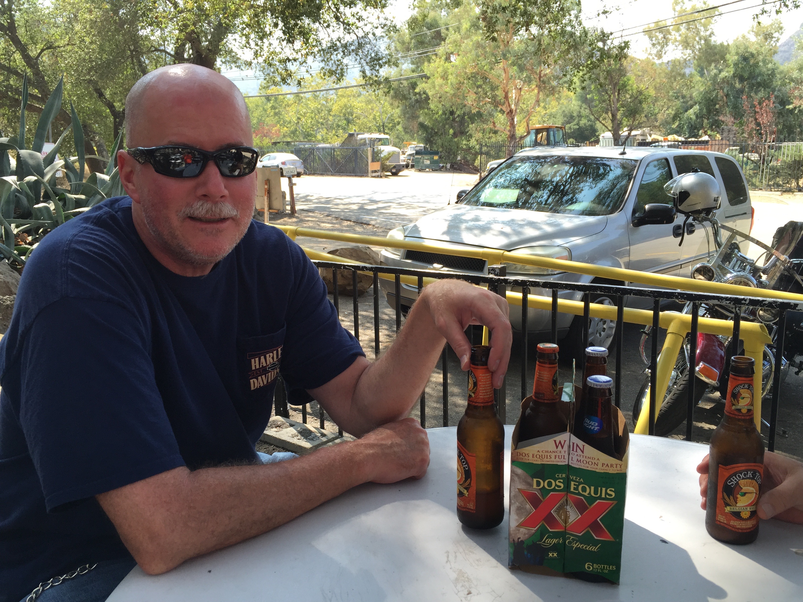
The Rock Store is a nice place to park, ogle, covet, and just compare biker notes. “Mine has more chrome” is the Harley equivalent of “Mine is bigger than yours.”
We see a few motorcycles and a bright yellow Lamborghini, but no signs of the Hollywood elite. While Jay Leno is nowhere to be found, here’s a fun clip of him talking about, then riding one of his 90 bikes, a 1936 Harley Davidson Knucklehead.
***
Refreshed and ready for more, we continue west on Mulholland Highway, then turn south on Latigo Canyon Road, another super-twisty two-lane road. Latigo Canyon Road takes us to Highway 1, also known as the Pacific Coast Highway.
Next stop, Malibu. Or, as they call it locally, “The Boo.” We don’t stop in Malibu; we power through it and enjoy the views of the California coastline.
Except for its extraordinary views and multi-million dollar mansions, Malibu is a small town that holds little interest for tourists. Still, it’s amazing to think that earlier in the day, we were riding above 7,000 feet, and now we are skirting the Pacific Ocean.
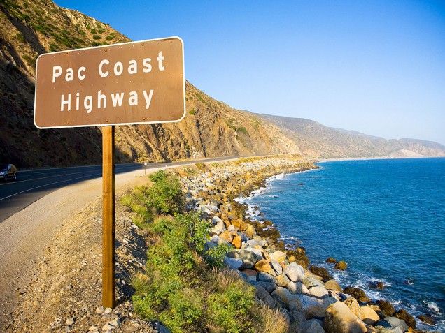
We follow the Pacific Coast Highway for about 30 miles, past El Matador State Beach, Point Dume State Beach, Lee Carrillo State Park, and Point Mugu State Park, where the road turns inland. The ocean vistas were spectacular, but they’re gone for now. On Sunday, we will jump back onto the Pacific Coast Highway’s most scenic section, one of America’s top motorcycle roads.
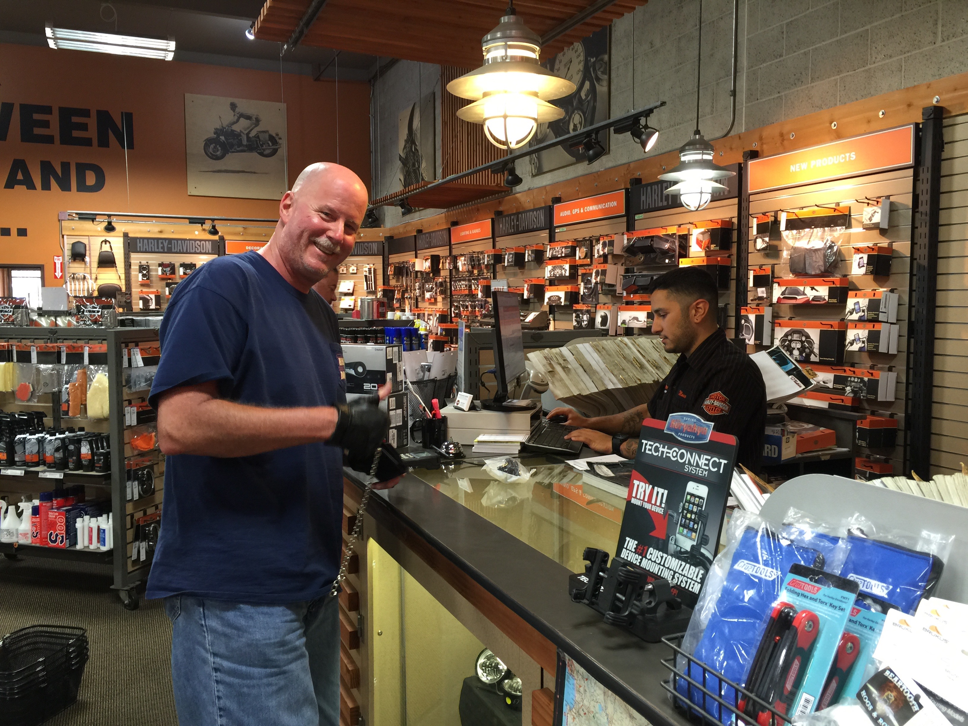
From PCH, we jump onto US Highway101, and make a quick stop at the Camarillo Harley store. Arriving five minutes before closing time, Dave buys a new gas cap to replace one that mysteriously “went missing.” It’s a long story, involving a senior moment and lack of a documented checklist. Next time you see Dave, ask him about it.
First, it’s time to head for tonight’s destination, Ojai (pronounced OH-hi).
Ojai is a tourist destination, about 15 miles north of Highway 1. We are three tourists in search of a tasty dinner and a comfortable bed, so it should suit us just fine.
Ojai’s culture revolves around ecology, health and organic agriculture, spirituality, music and art. It’s home in mid-June to the annual Ojai Music Festival, which has had among its performers Igor Stravinsky (stylistic ballet and symphony composer), Esa-Pekka Salonen (principal conductor of the London Philharmonic Orchestra) and Aaron Copland (“Fanfare for the Common Man”).
Copland wrote Fanfare For the Common Man in 1942, inspired in part by a famous speech made earlier in the year, where Vice President Henry Wallace proclaimed the dawning of the “Century of the Common Man.” You will recognize this fanfare, as it’s performed by the New York Philharmonic Orchestra at the 9/11 museum dedication ceremony in May 2014.
***

Another popular June event is the Ojai Lavender Festival, a celebration of the color purple held in Libbey Park. It showcases lavender art, as well as lavender-themed crafts, soaps, jewelry and clothing. This year’s lavender fest included music from the Honeysuckle Possums.
Sadly, we seem to be two months late for Ojai’s festival season 😦
In make-believe, the title characters of The Bionic Woman and the The Six Million Dollar Man are described in those 1970s TV series as having been childhood sweethearts in Ojai. Jamie Sommers (Lindsay Wagner) and Steve Austin (Lee Majors) appear in a number of episodes that take place in and around Ojai.
In real-life, notable current and past residents of Ojai include film composer Elmer Bernstein, Oscar-winning actress Julie Christie, jazz musician Maynard Ferguson, and David Zucker, director of Airplane! and The Naked Gun.
As the sun begins to set, our eyes begin to droop and sleep beckons. Dinner, drinks, fade to black.
Today’s 250-mile ride was a perfect start to a week of riding. Let’s do it all over again tomorrow.
***
To view today’s route from Lake Arrowhead to the Rock Store in Cornell, click here.
To view the remainder of today’s route, from Cornell to Ojai, click here.
